Trails in Germany
36,877 hiking trails, each with its route, climb, walking time and grade.
All trails, page 749 of 769
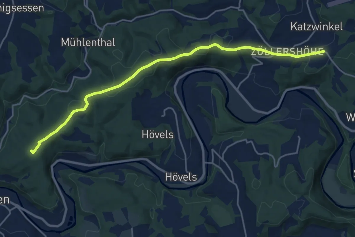
Medium · Summit
[XS] Sieghöhenweg [Wissen]
13.1 km · ↑ 230 m · 3 h 35 min
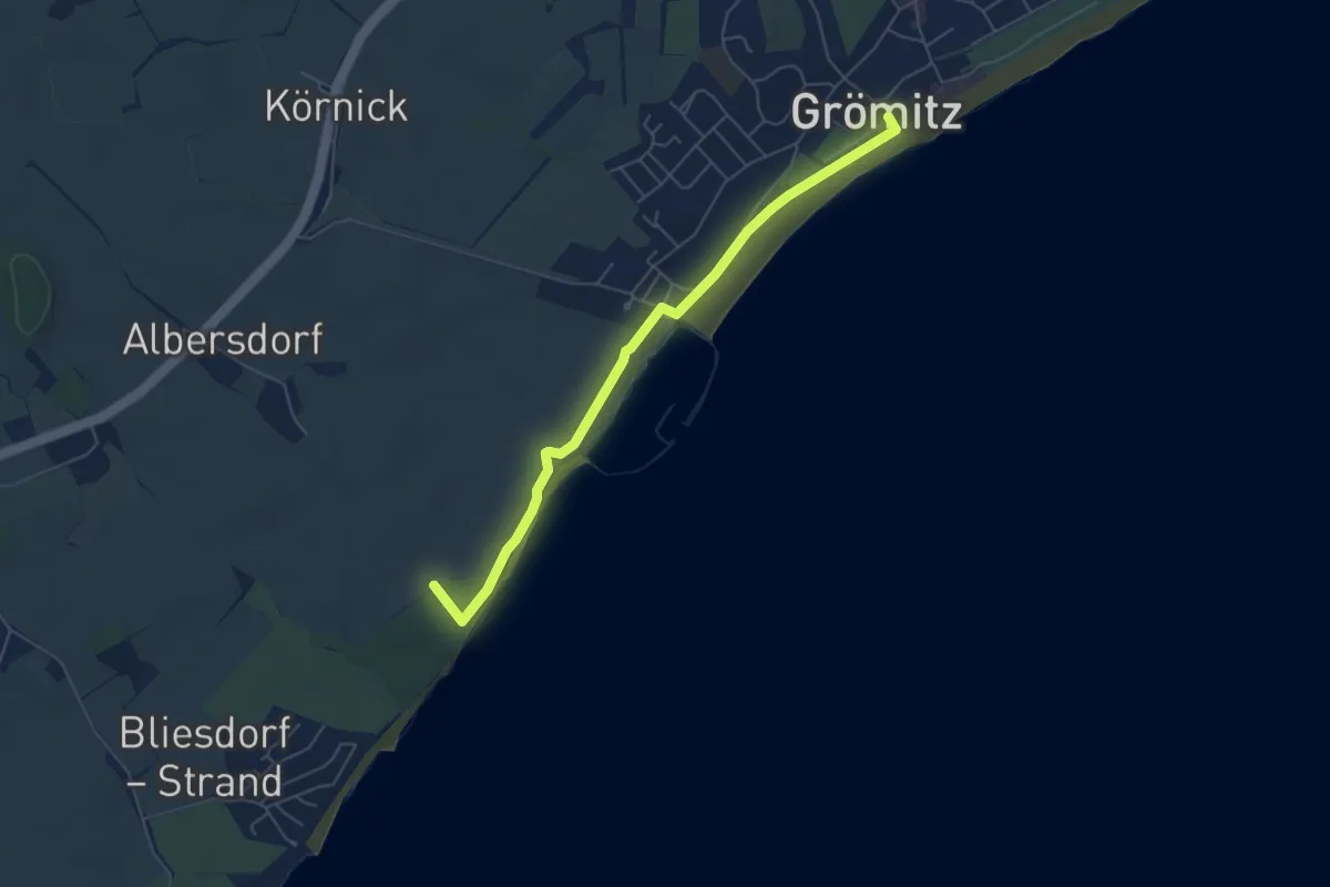
Easy · Trail
Yachthafen-Kagelbusch-Route, Grömitz
5.0 km · ↑ 13 m · 1 h 12 min
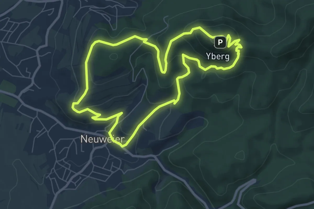
Medium · Summit
Yburg Rundweg
6.8 km · ↑ 371 m · 2 h 30 min
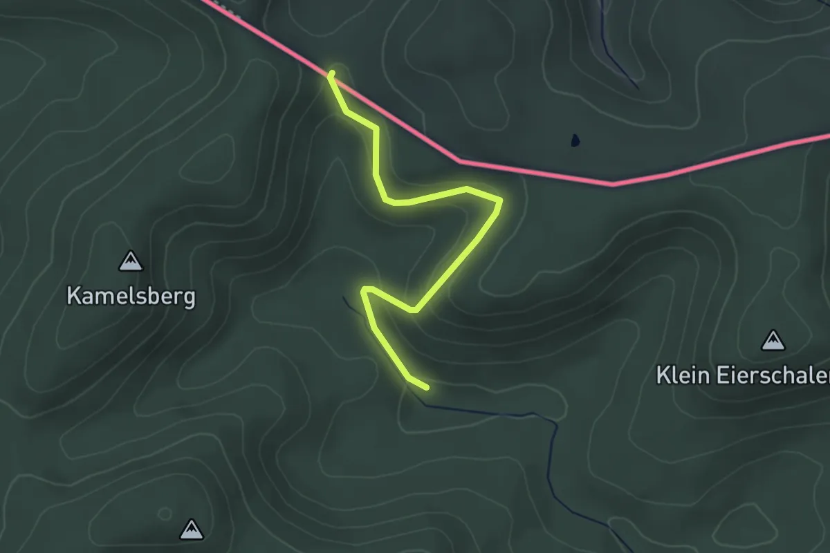
Easy · Trail
Yellow cross
3.1 km · ↑ 156 m · 1 h 4 min
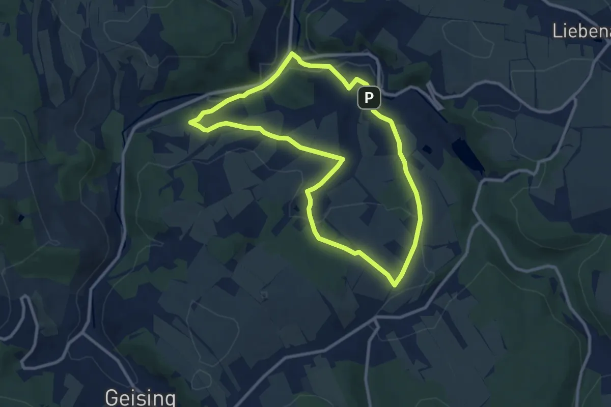
Easy · Trail
Yellow dot
7.5 km · ↑ 169 m · 2 h 15 min
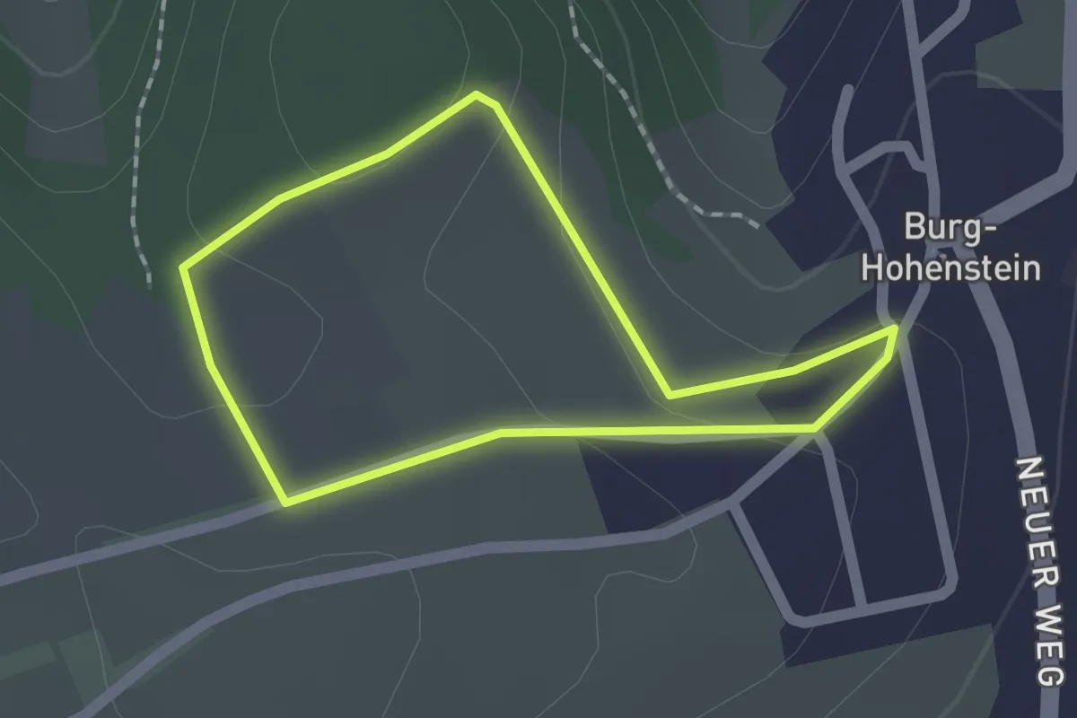
Easy · Trail
Yoga-Pfad Hohenstein kurz
1.3 km · ↑ 35 m · 25 min
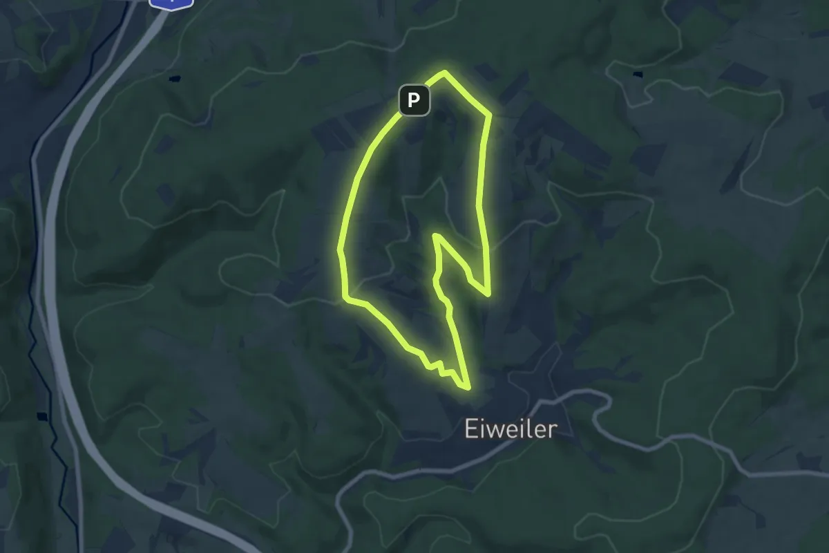
Easy · Summit
Yogaweg
6.2 km · ↑ 168 m · 1 h 55 min
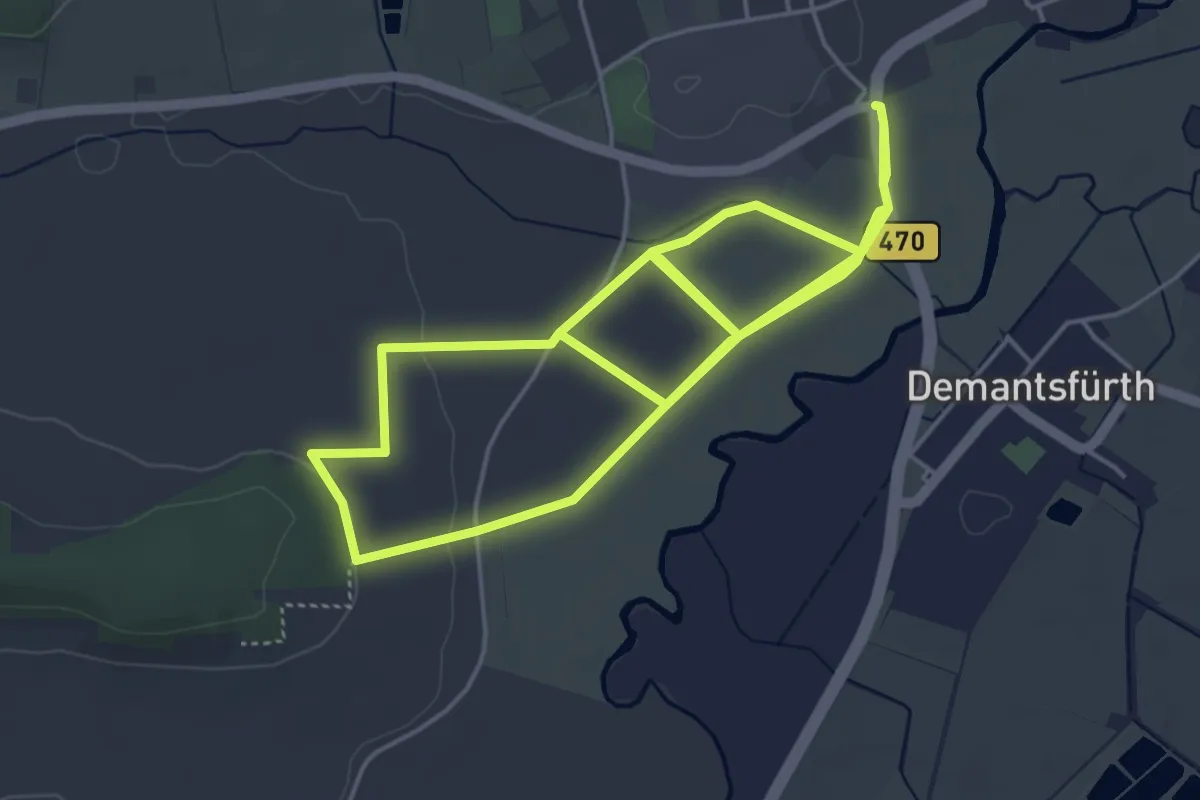
Easy · Trail
YoungGO Fitness-Parcours
4.9 km · ↑ 21 m · 1 h 16 min
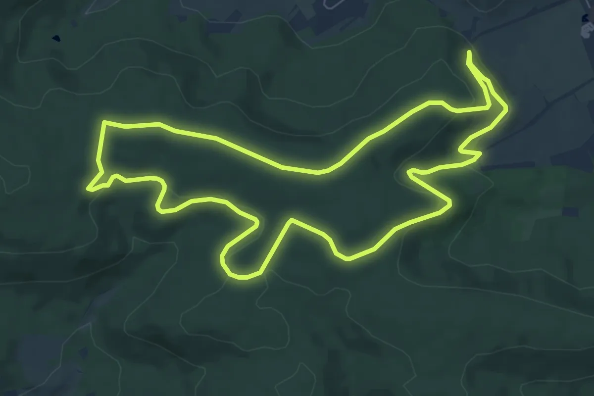
Easy · Trail
Z2 Berg. Wald. Wolf. - Wanderdreiklang Cleebronn
7.4 km · ↑ 142 m · 2 h 10 min
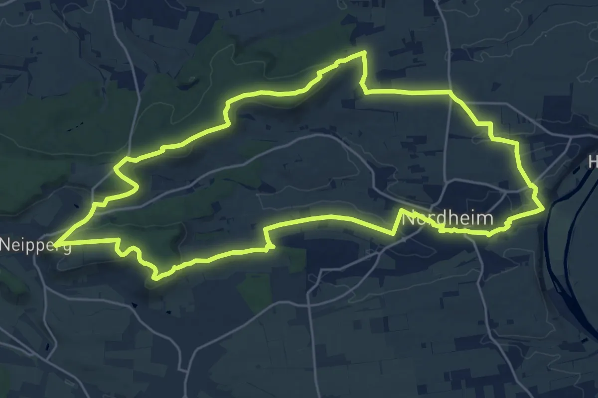
Demanding · Summit
Z7 Panoramatour Heuchelberg
19.5 km · ↑ 307 m · 5 h 32 min
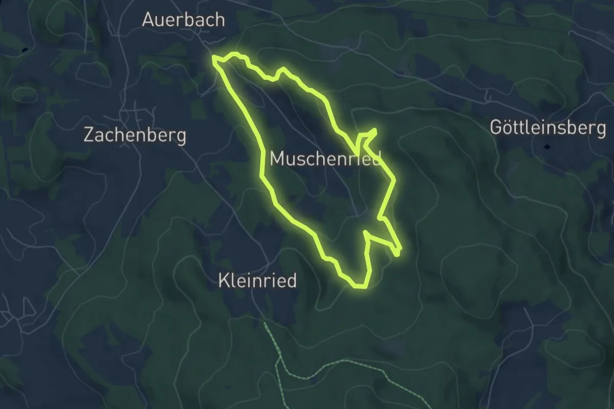
Easy · Summit
Zachenberger Steinbruchweg
5.8 km · ↑ 310 m · 2 h 8 min
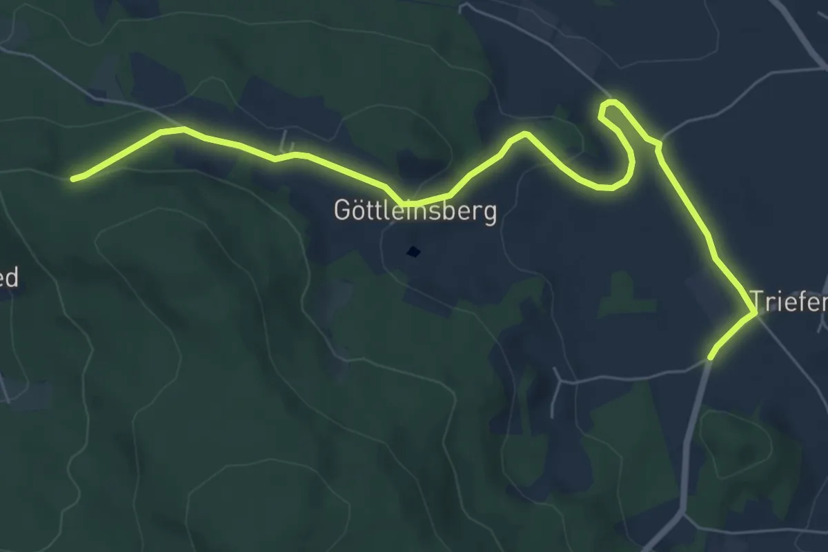
Easy · Trail
Zachenberg Nr. 7
7.3 km · ↑ 145 m · 2 h 3 min
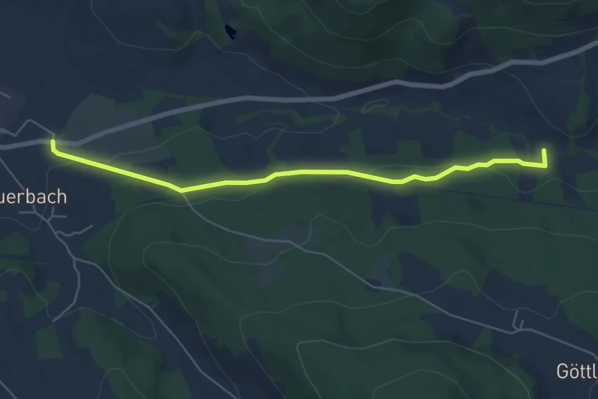
Easy · Trail
Zachenberg Nr. 8
4.9 km · ↑ 97 m · 1 h 22 min
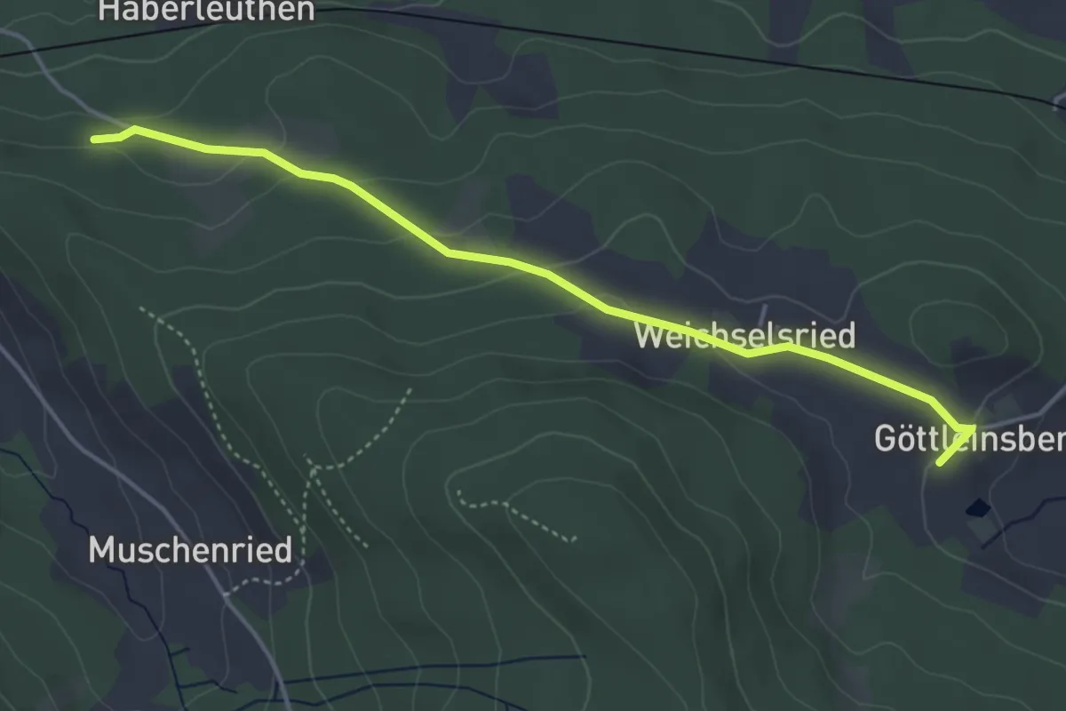
Easy · Trail
Zachenberg Nr. 9
4.2 km · ↑ 119 m · 1 h 15 min
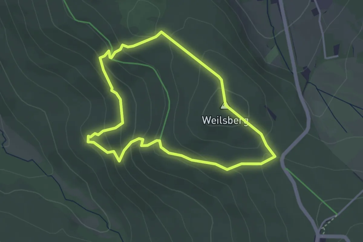
Medium · Summit
Zacken Beilstein Steig [Rotmilan]
3.0 km · ↑ 165 m · 1 h 7 min
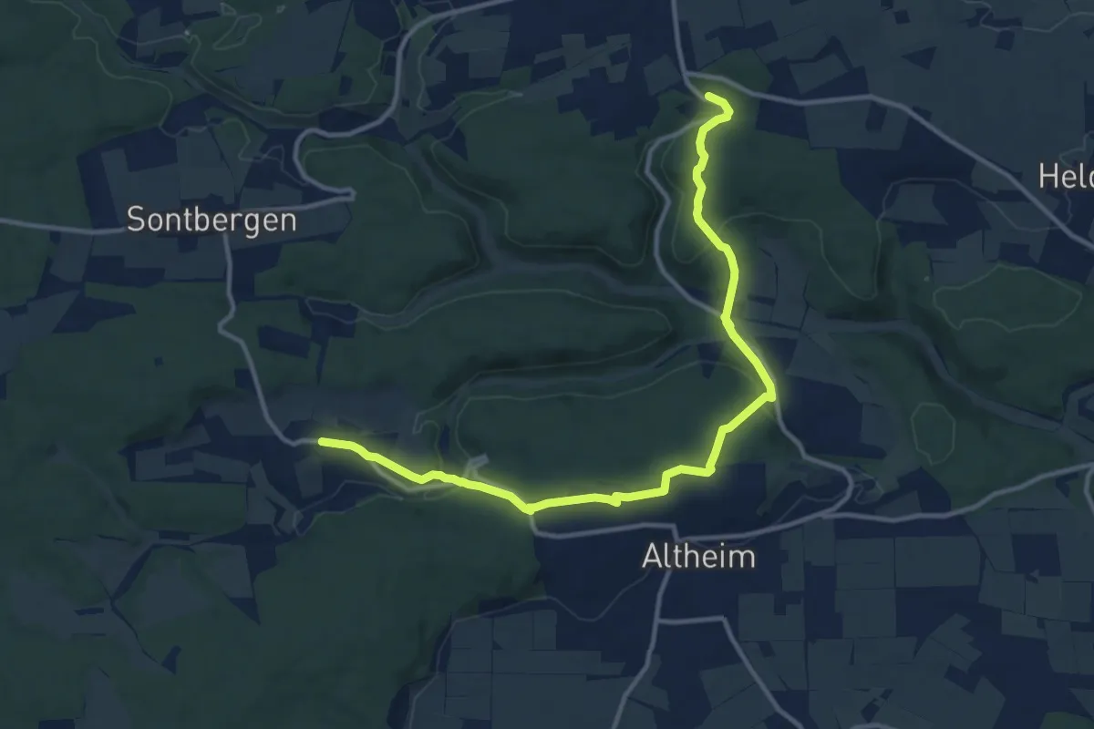
Medium · Trail
Zähringen - Altheim - Gerstetten
13.1 km · ↑ 342 m · 3 h 50 min
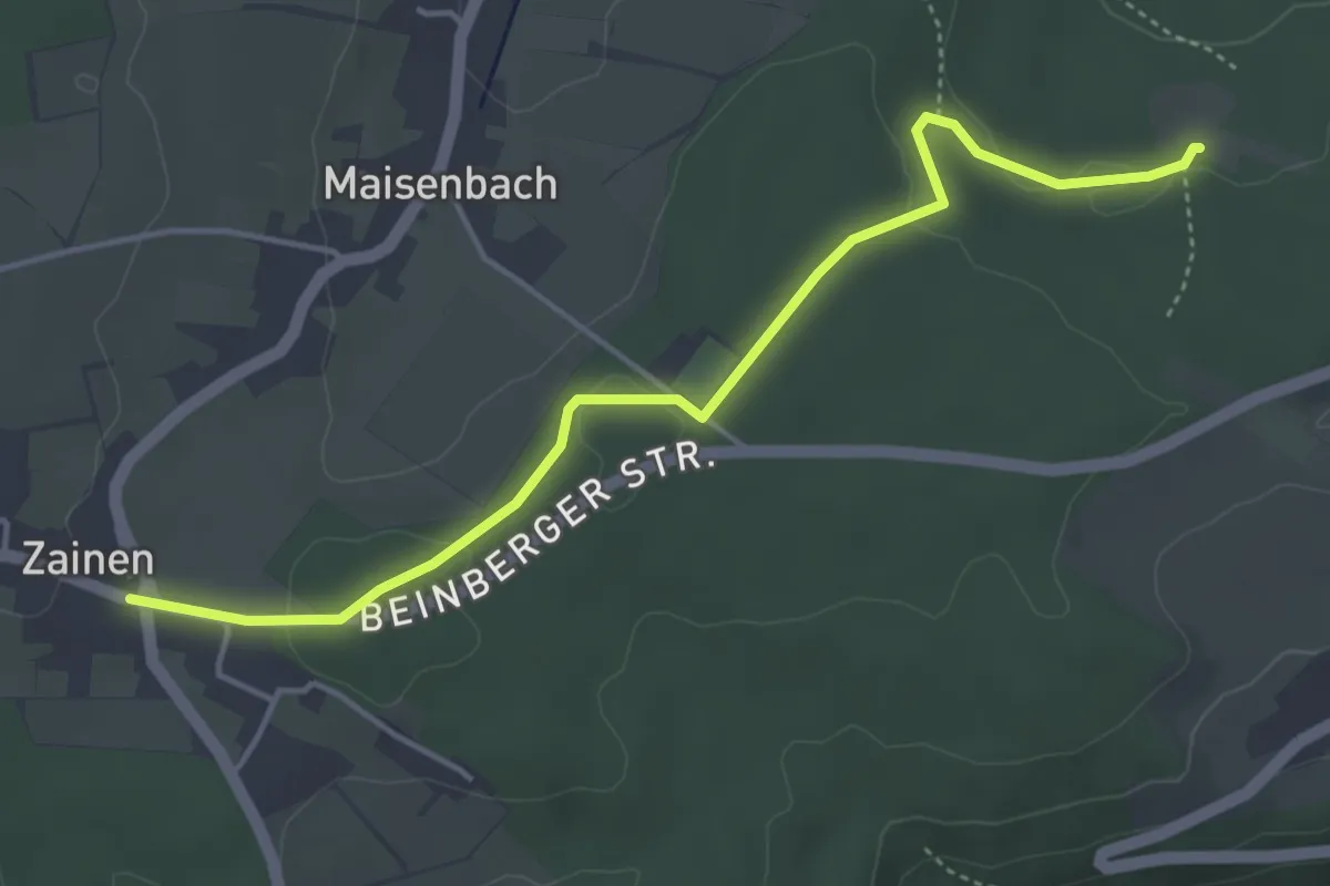
Easy · Trail
Zainen Calmbacher Straße - Rohrbrunnen
4.4 km · ↑ 81 m · 1 h 13 min
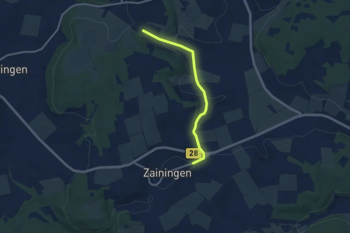
Easy · Trail
Zainingen - Häsel
5.6 km · ↑ 85 m · 1 h 30 min
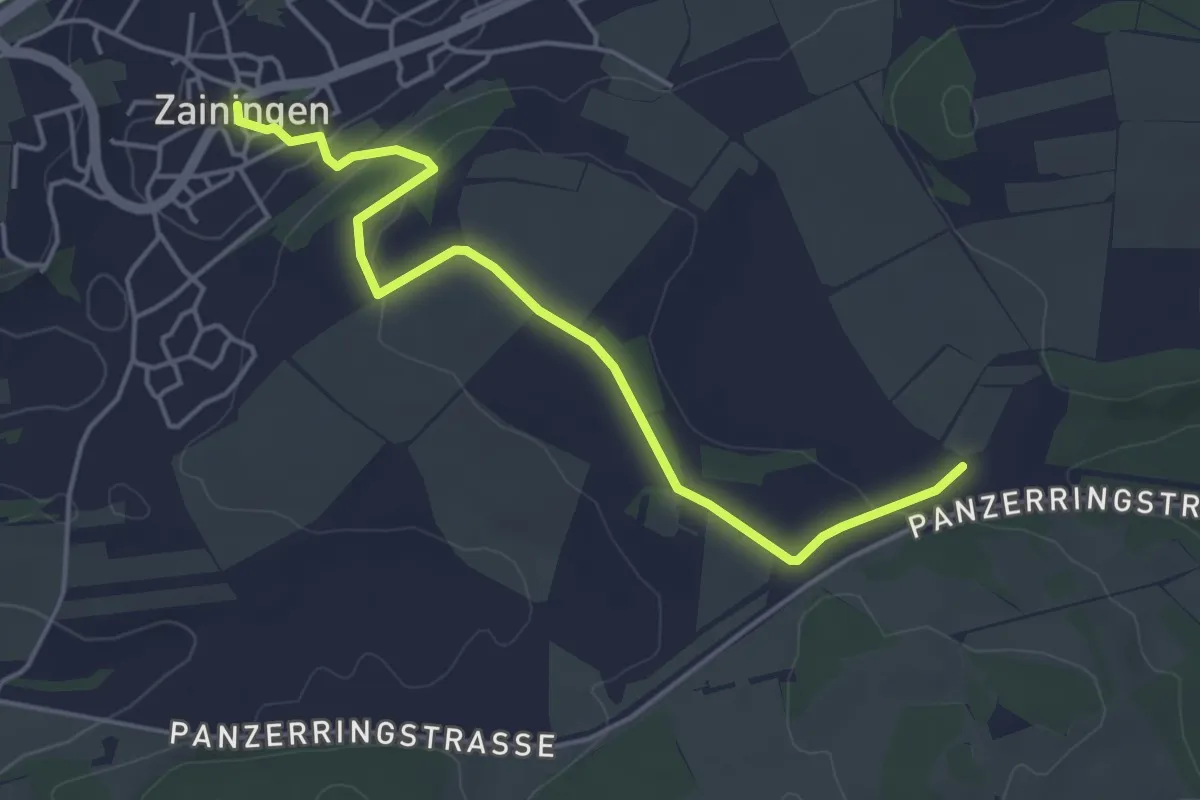
Easy · Trail
Zaininger Hülbe - Sternguckerplatz
4.6 km · ↑ 74 m · 1 h 15 min
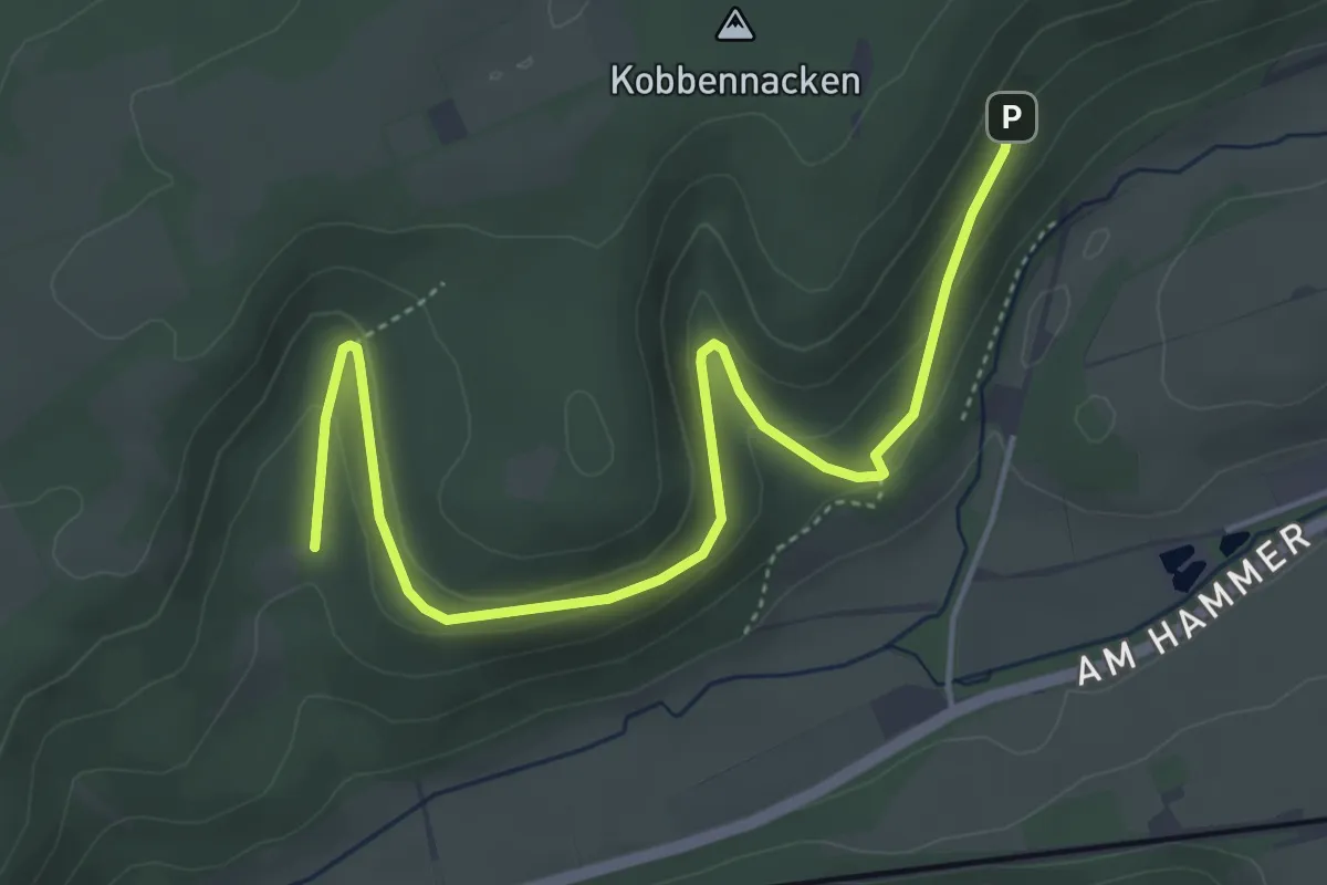
Easy · Trail
Z (Altenbeken)
4.8 km · ↑ 164 m · 1 h 29 min
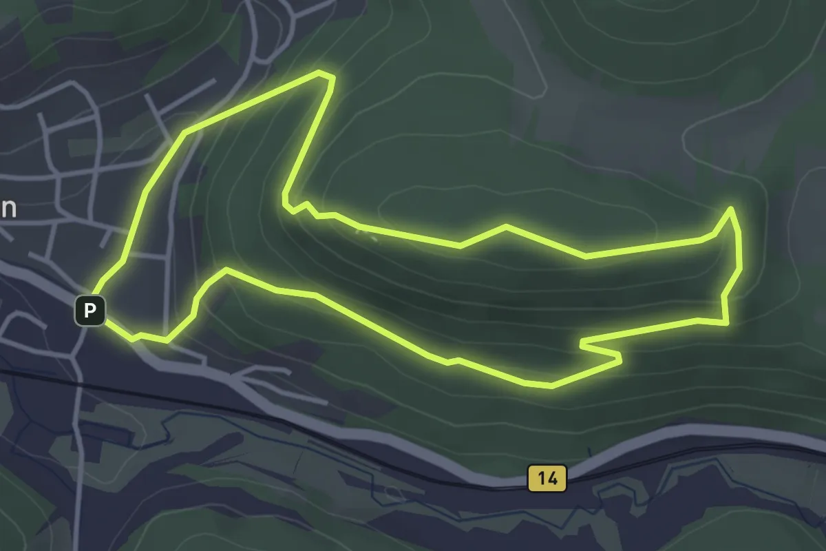
Easy · Summit
Zankelstein-Rundweg I
3.6 km · ↑ 194 m · 1 h 20 min
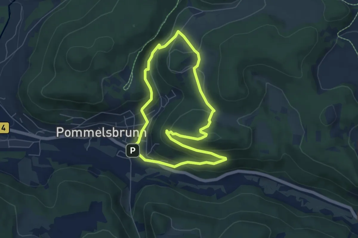
Easy · Summit
Zankelstein-Rundweg II
5.4 km · ↑ 231 m · 1 h 50 min
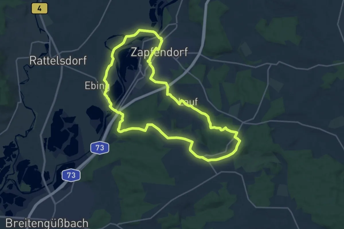
Medium · Trail
Zapfendorf Rundwanderweg Grüne 2
14.8 km · ↑ 159 m · 4 h 2 min
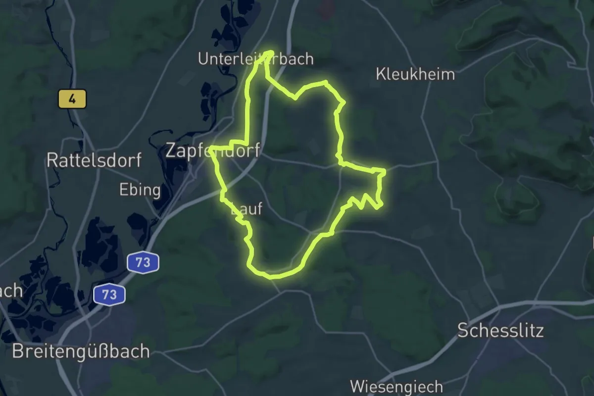
Demanding · Trail
Zapfendorf Rundwanderweg Rote 1
19.4 km · ↑ 336 m · 5 h 35 min
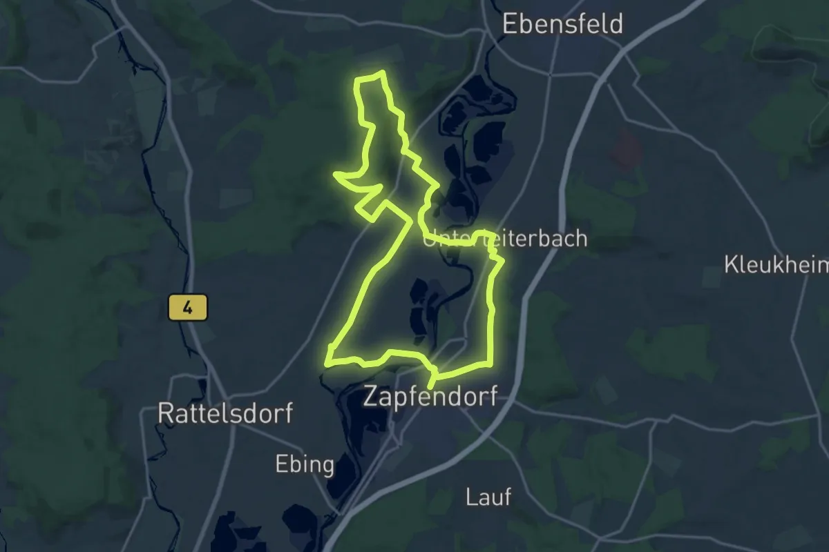
Medium · Trail
Zapfendorf Rundwanderweg Schwarze 4
16.1 km · ↑ 189 m · 4 h 27 min
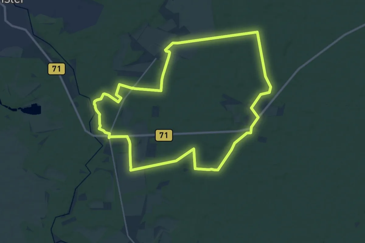
Medium · Trail
Zapfenweg
16.1 km · ↑ 59 m · 4 h 10 min
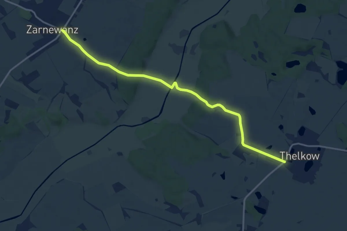
Medium · Trail
Zarnewanz-Thelkow
9.9 km · ↑ 82 m · 2 h 32 min
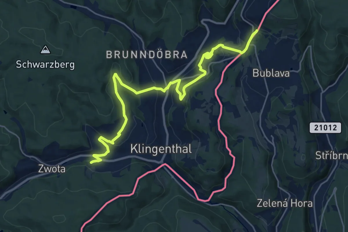
Demanding · Trail
[Ž] Aschberg - Erlbacher Straße
18.9 km · ↑ 623 m · 5 h 48 min
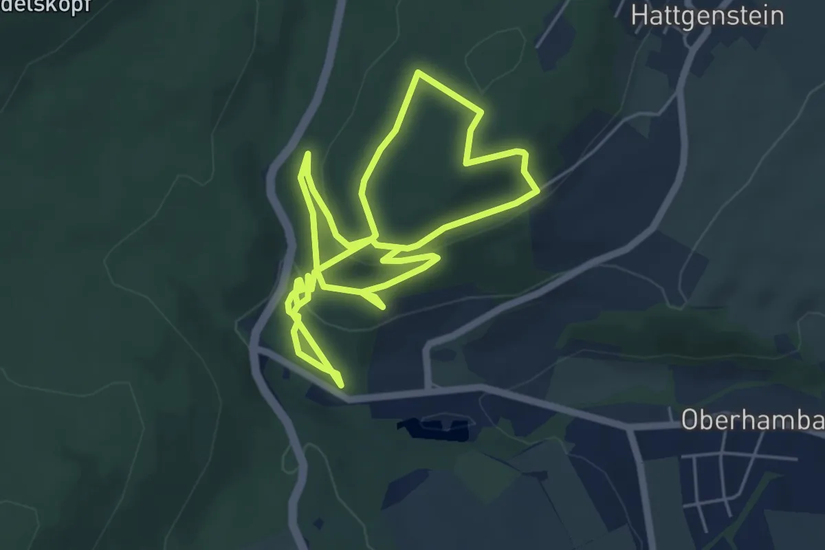
Medium · Trail
Zauberwald
9.1 km · ↑ 361 m · 2 h 56 min
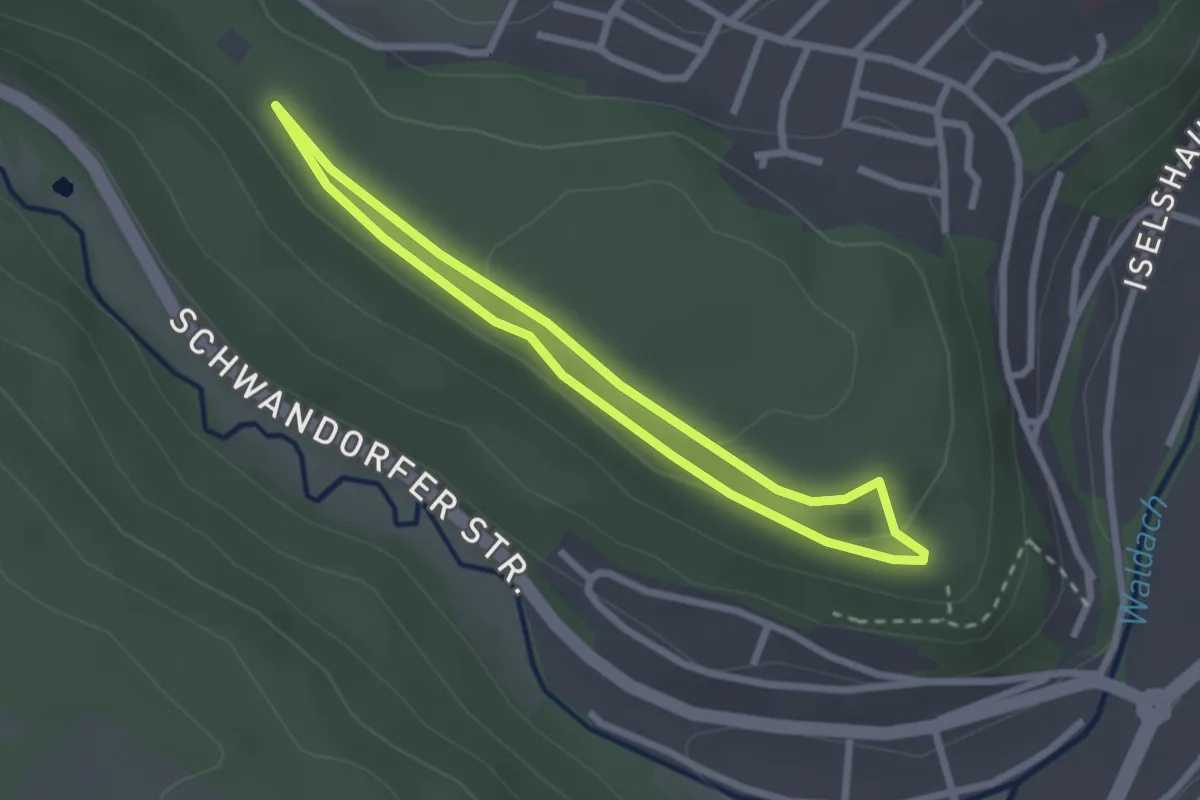
Easy · Trail
Zauberwald;große Runde
2.2 km · ↑ 28 m · 36 min
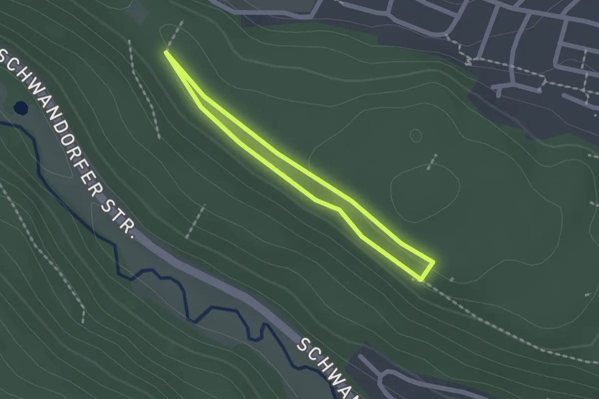
Easy · Trail
Zauberwald;kleine Runde
1.4 km · ↑ 13 m · 22 min
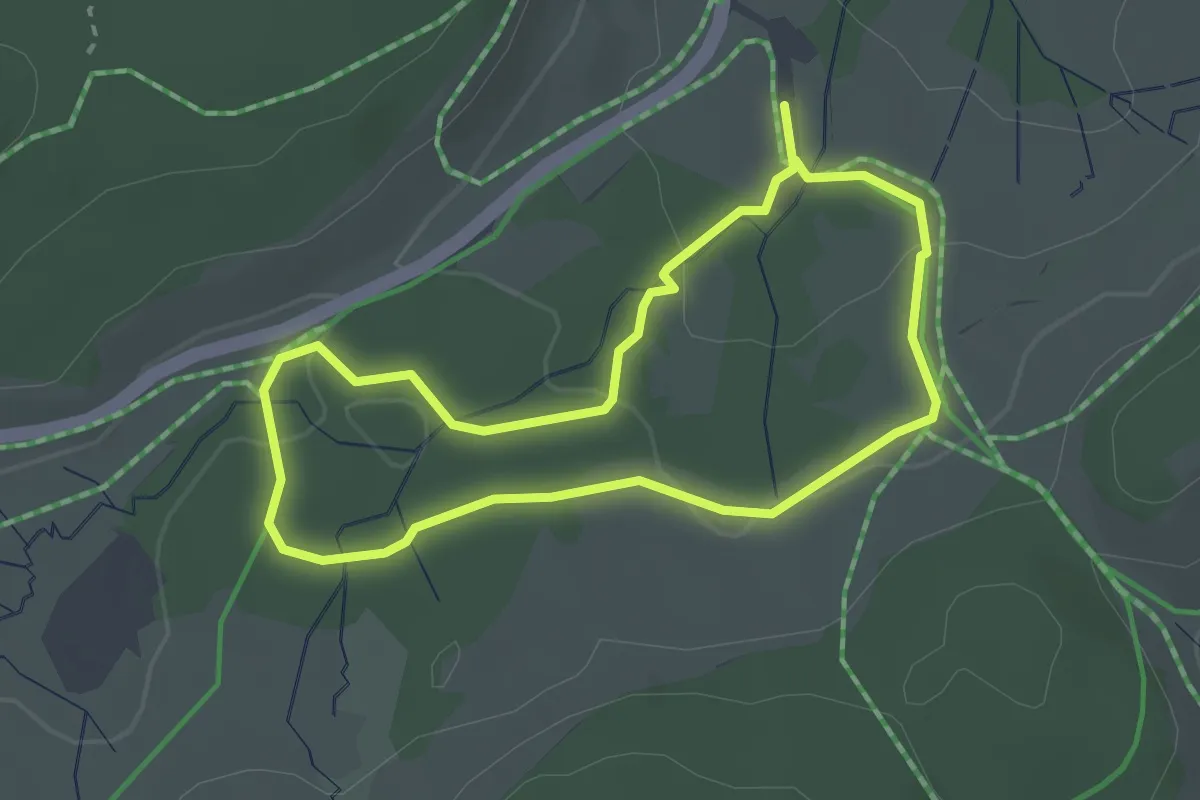
Easy · Trail
Zauberwald-Pfad
2.5 km · ↑ 50 m · 43 min
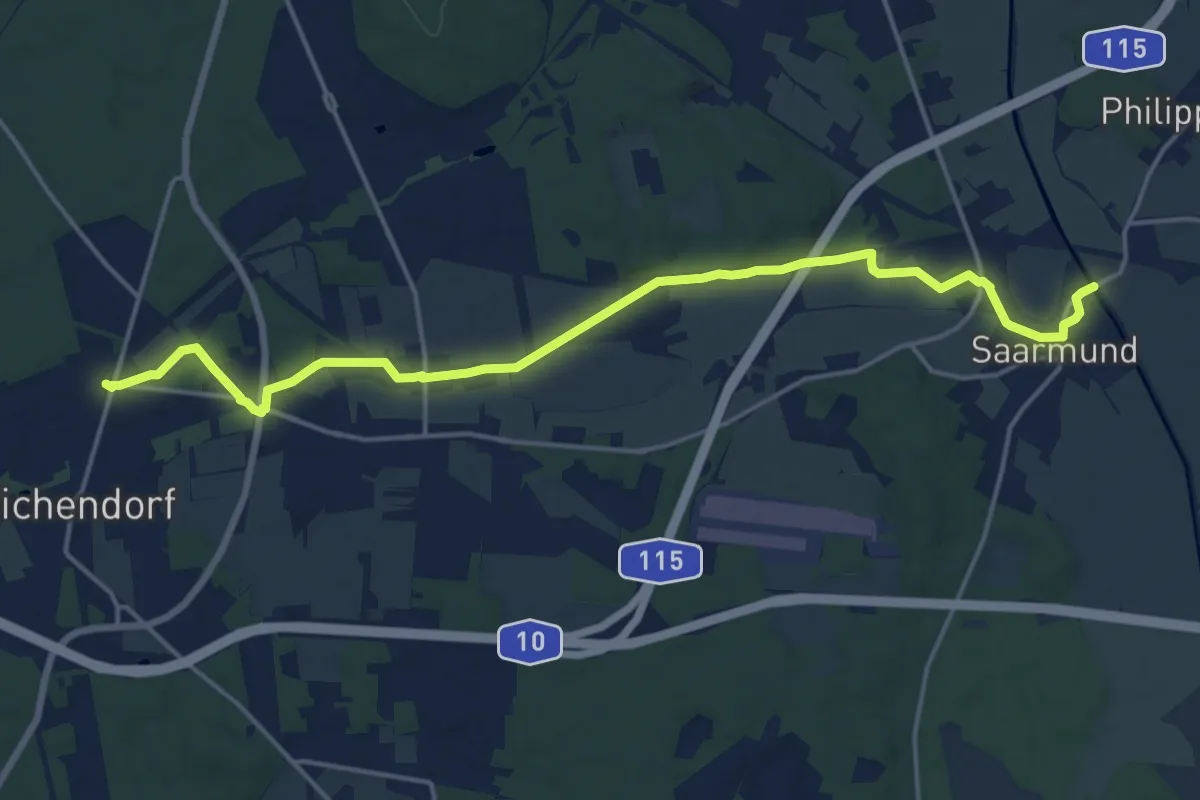
Medium · Trail
Zaucheweg
16.4 km · ↑ 55 m · 3 h 59 min
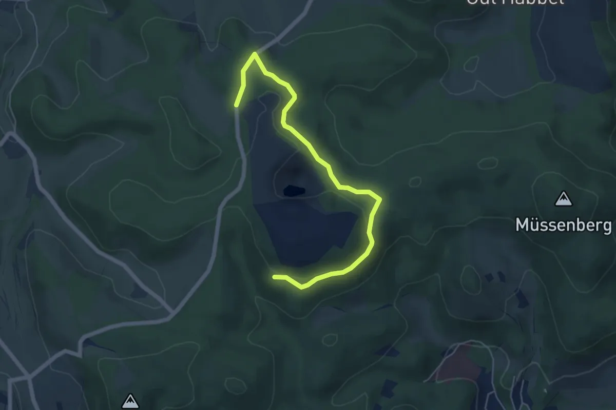
Easy · Trail
[Z] (aufgegeben?)
5.1 km · ↑ 127 m · 1 h 28 min
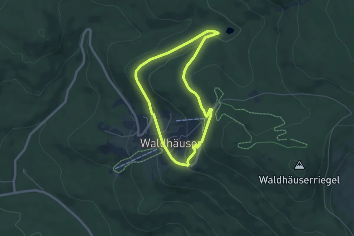
Easy · Trail
Zaunkönig
4.1 km · ↑ 127 m · 1 h 19 min
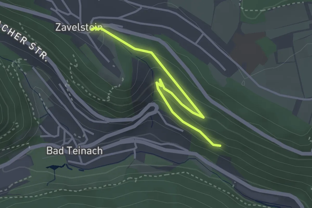
Easy · Trail
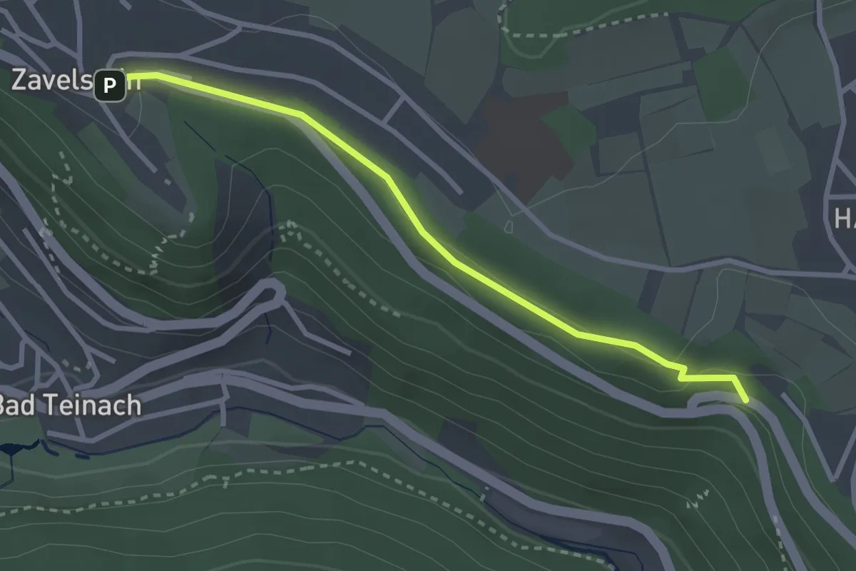
Zavelstein Quellgarten - Adolfshöhe
3.0 km · ↑ 189 m · 1 h 7 min
Medium · Trail
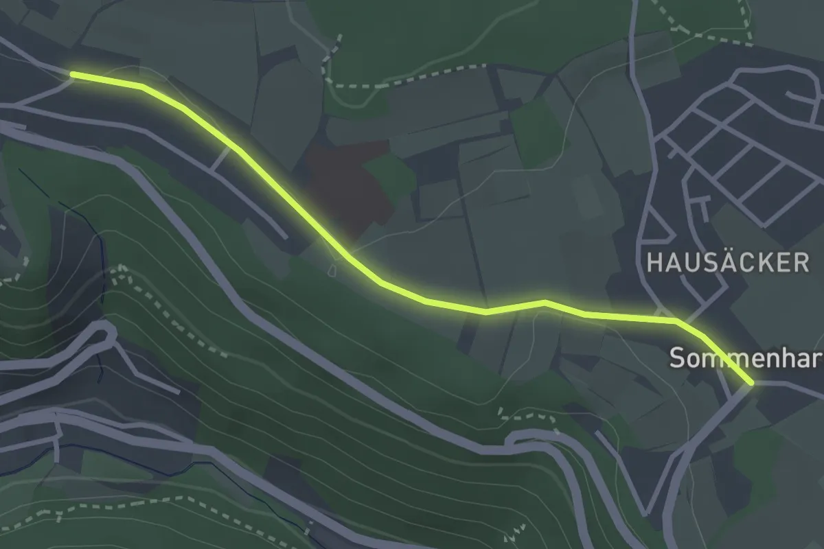
Zavelstein Quellgarten - Steinbruch
2.7 km · ↑ 28 m · 42 min
Easy · Trail
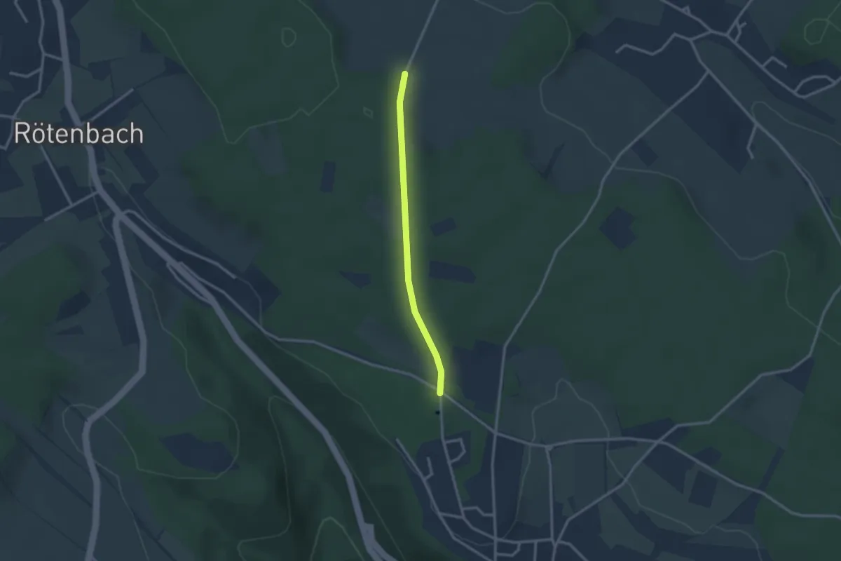
Zavelstein Schulstraße - Sommenhardt
2.9 km · ↑ 23 m · 44 min
Easy · Trail
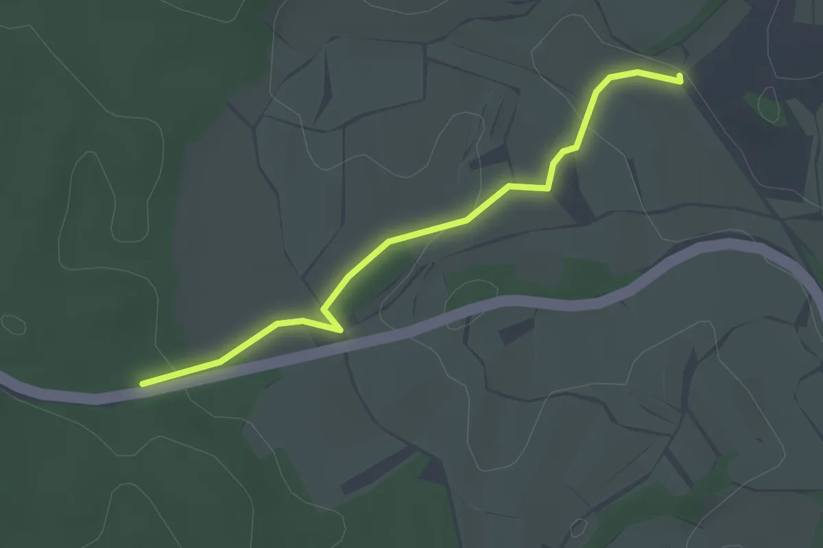
Zavelstein Sportanlagen - Hausäcker
2.2 km · ↑ 35 m · 36 min
Easy · Trail
Zay - Am Hasler Weg
2.8 km · ↑ 54 m · 46 min
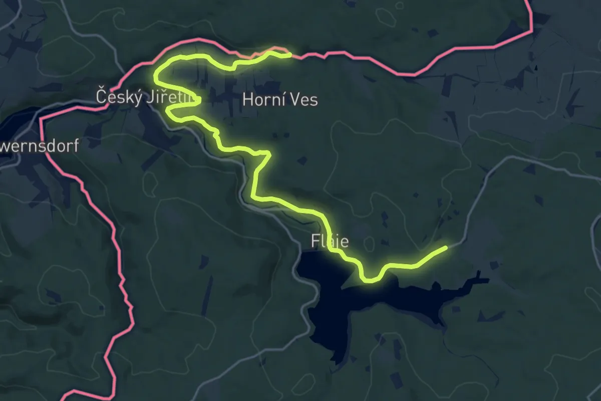
Demanding · Trail
[Z] Bystrý potok (CZ/D) - Fláje hájovna
19.7 km · ↑ 301 m · 5 h 18 min
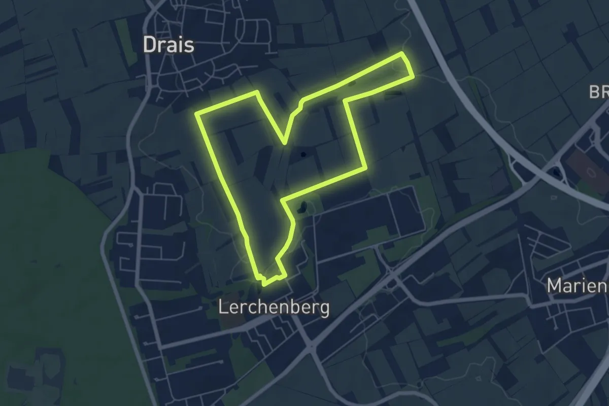
Easy · Trail
ZDF-Fernsehgarten-Trail
5.4 km · ↑ 58 m · 1 h 29 min
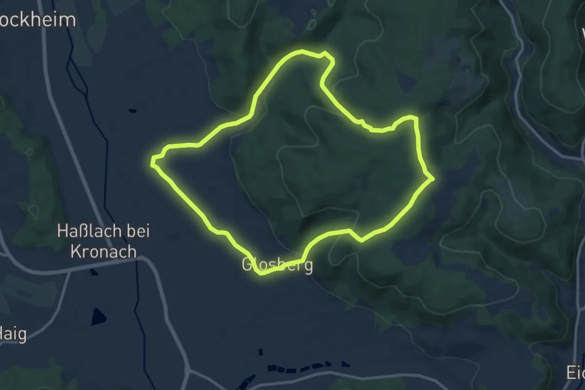
Medium · Trail
Zechenweg KC 74
9.1 km · ↑ 263 m · 2 h 51 min
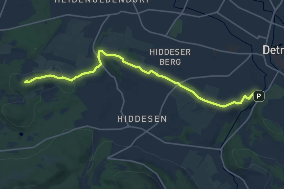
Medium · Summit
Zedlingsweg
10.3 km · ↑ 151 m · 2 h 46 min
Medium · Trail
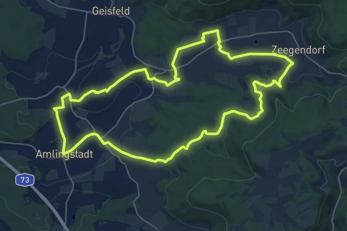
Zeegenbachtal Runde
15.3 km · ↑ 275 m · 4 h 25 min
Medium · Trail
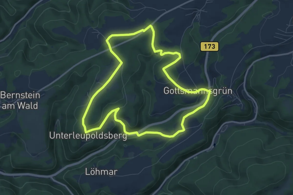
Zegast-Weg DÖ 81
8.0 km · ↑ 161 m · 2 h 22 min
Easy · Trail
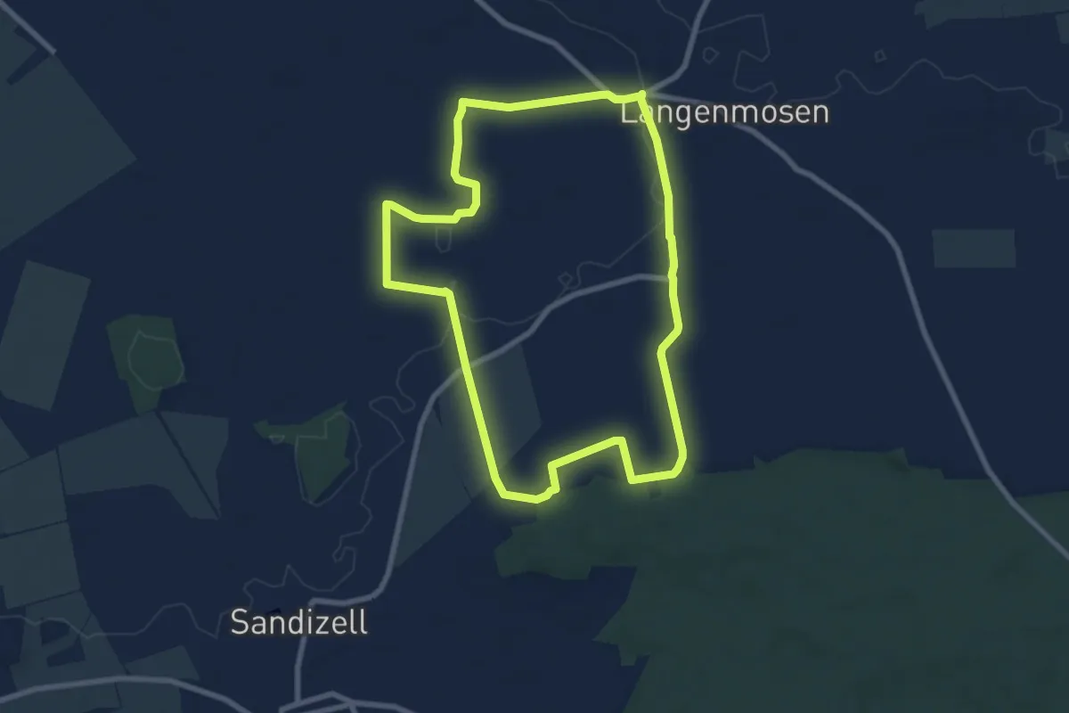
Zehentweg
7.3 km · ↑ 58 m · 1 h 57 min
Easy · Trail
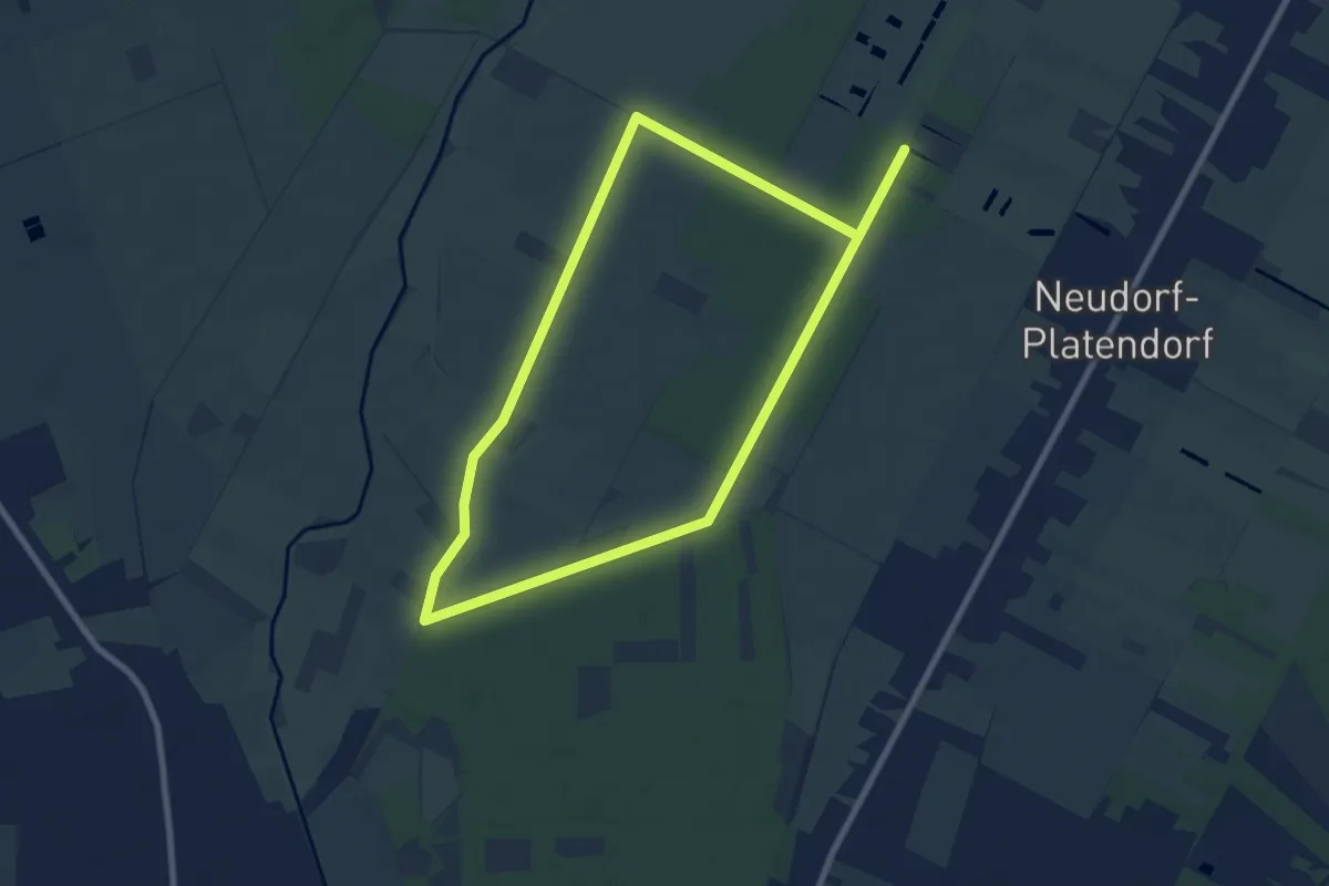
Zehn-Kilometer-Lauf Neudorf-Platendorf 2012
7.3 km · ↑ 13 m · 1 h 51 min