Trails in Germany
36,877 hiking trails, each with its route, climb, walking time and grade.
All trails, page 750 of 769
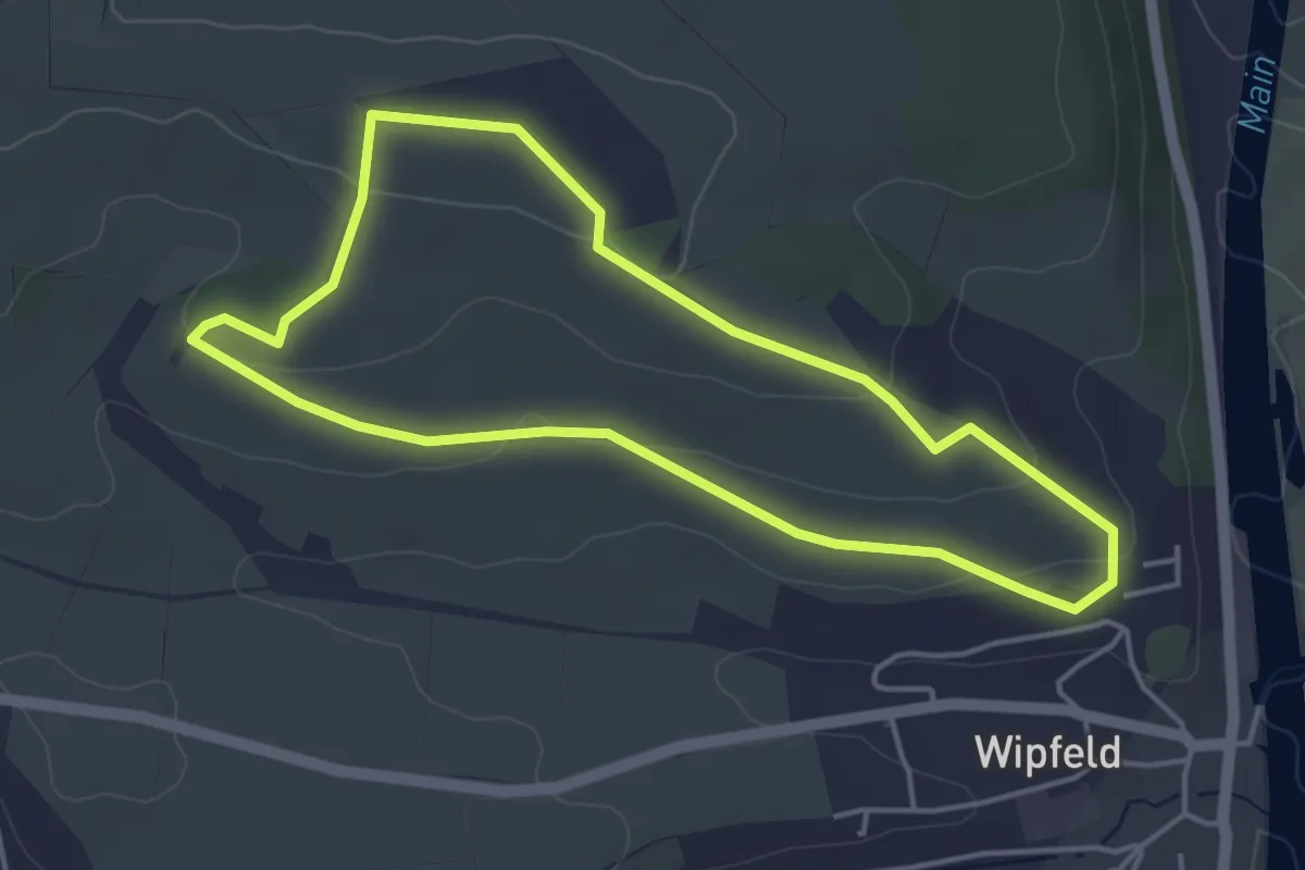
Easy · Summit
Zehntgrafenweg Wipfeld
3.9 km · ↑ 70 m · 1 h 7 min
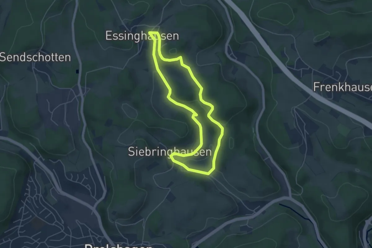
Easy · Summit
Zeichen-Kurs Drolshagen
4.4 km · ↑ 105 m · 1 h 20 min
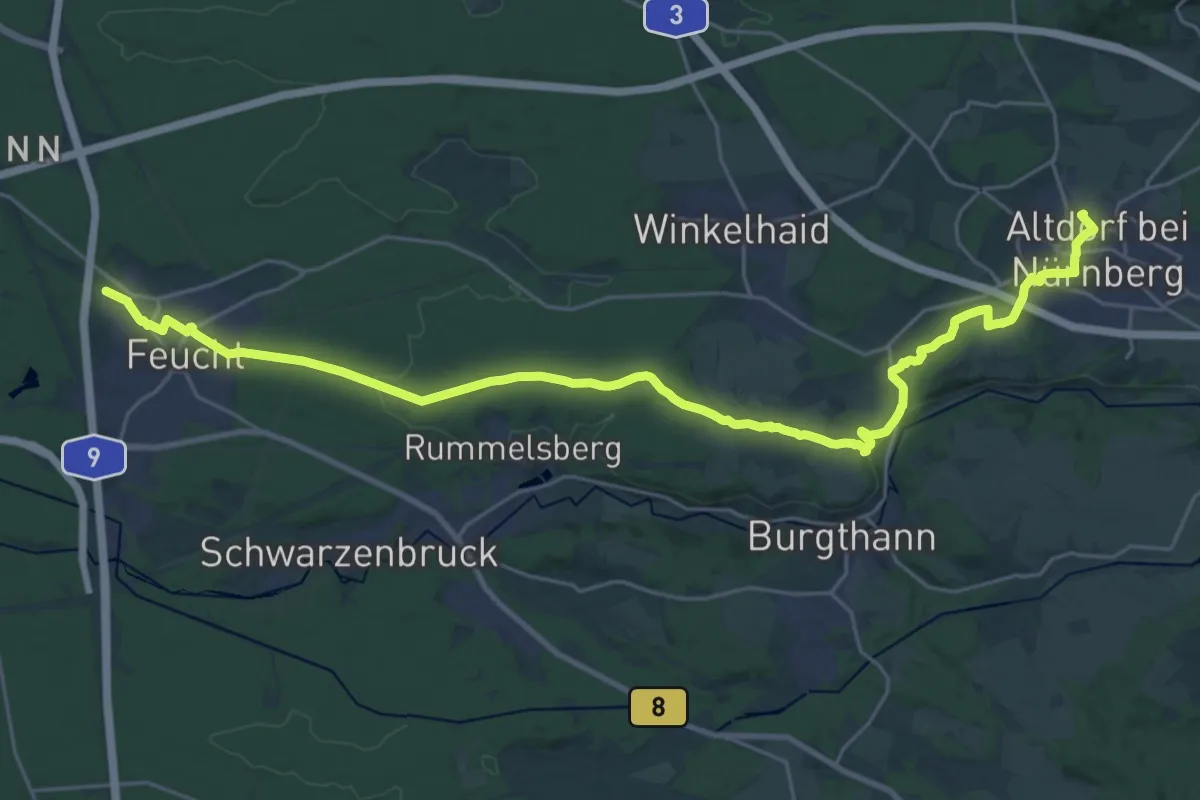
Demanding · Trail
Zeidlerweg
29.2 km · ↑ 252 m · 7 h 27 min
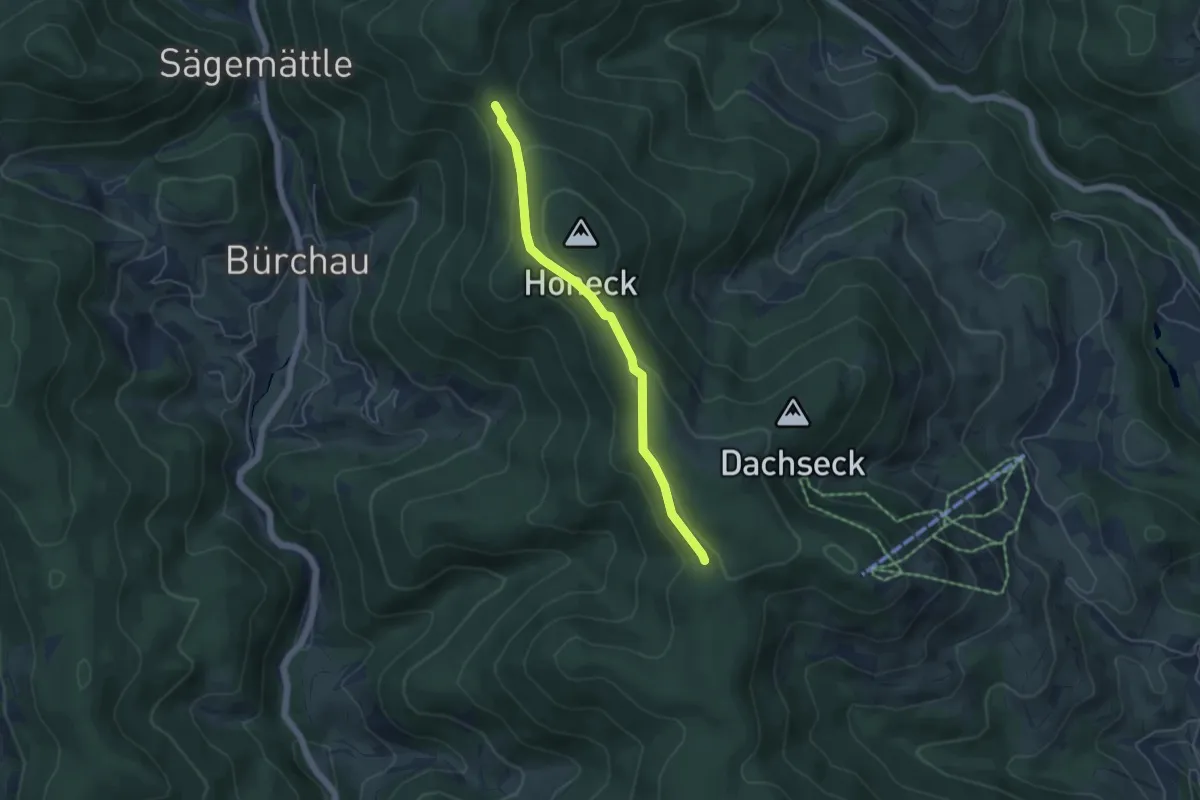
Easy · Trail
Zeiger - Hörnlebrunnen
4.4 km · ↑ 134 m · 1 h 20 min
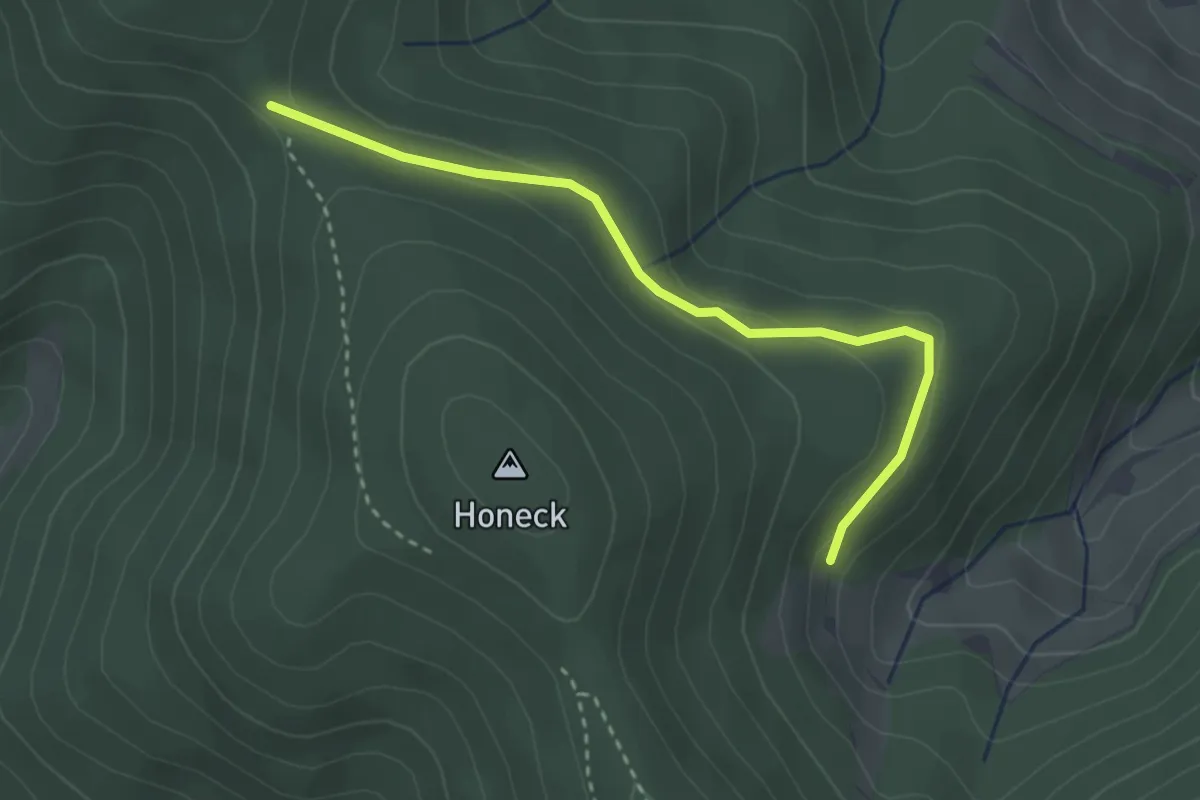
Easy · Trail
Zeiger - Kammfichte
3.0 km · ↑ 59 m · 50 min
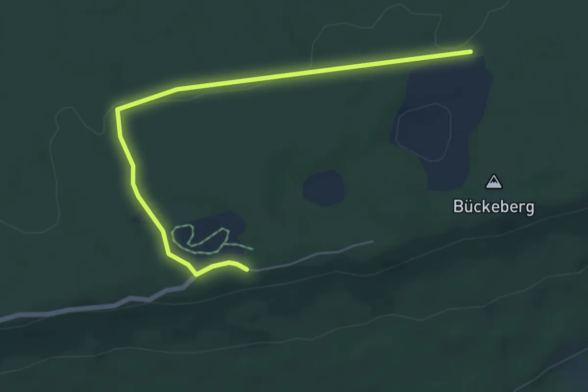
Easy · Trail
Zeitreise - barriere-arm
5.0 km · ↑ 49 m · 1 h 17 min
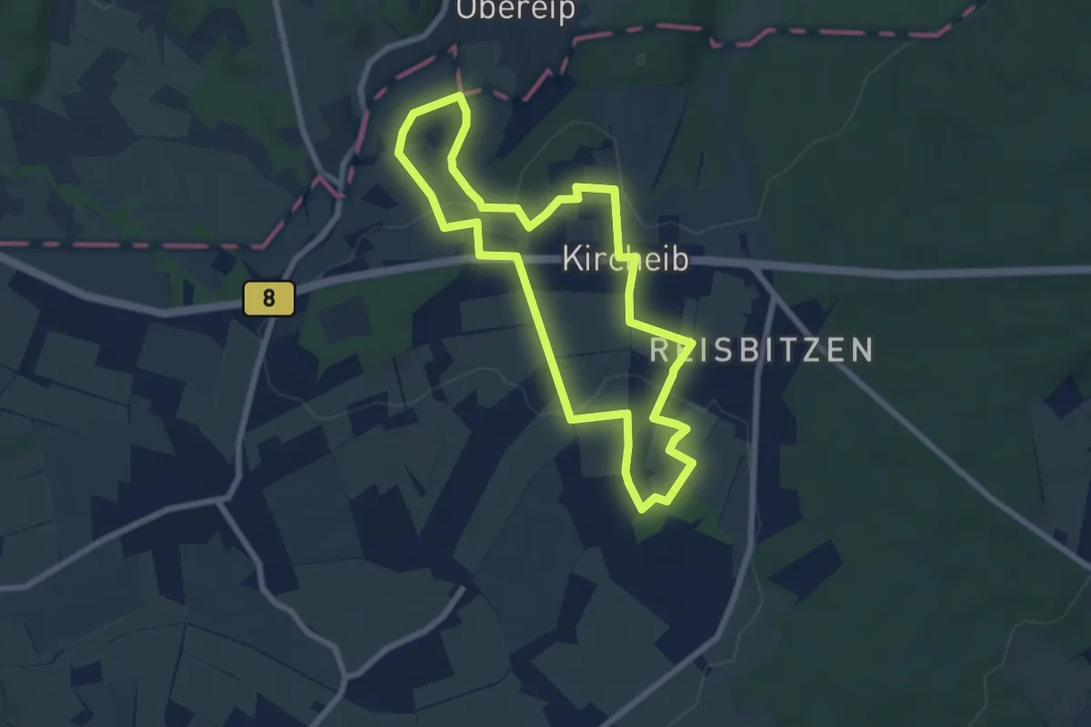
Easy · Trail
Zeit-Reise-Weg (Erlebnisweg Sieg)
6.1 km · ↑ 87 m · 1 h 43 min
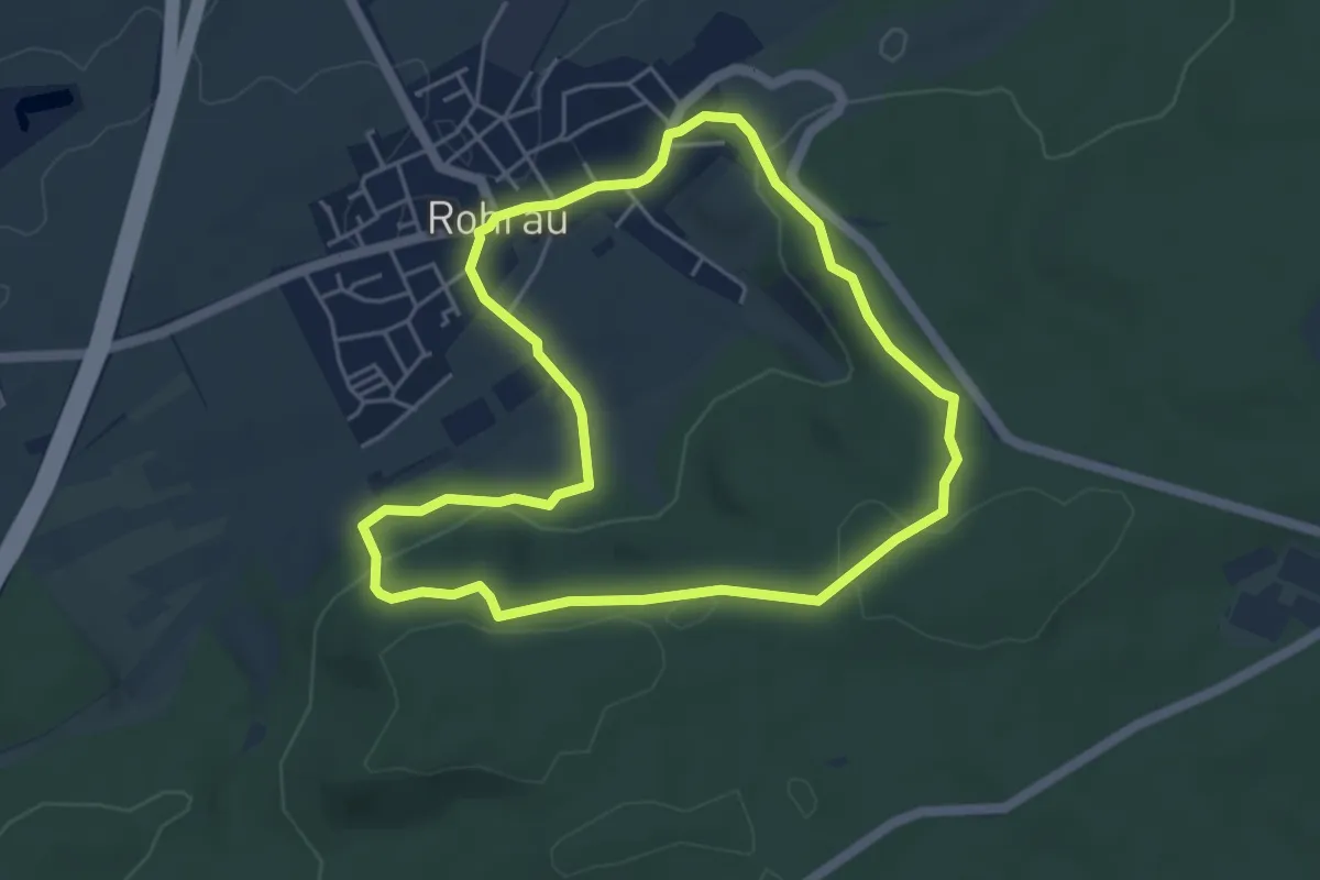
Easy · Trail
Zeitsprungrunde
4.4 km · ↑ 119 m · 1 h 22 min
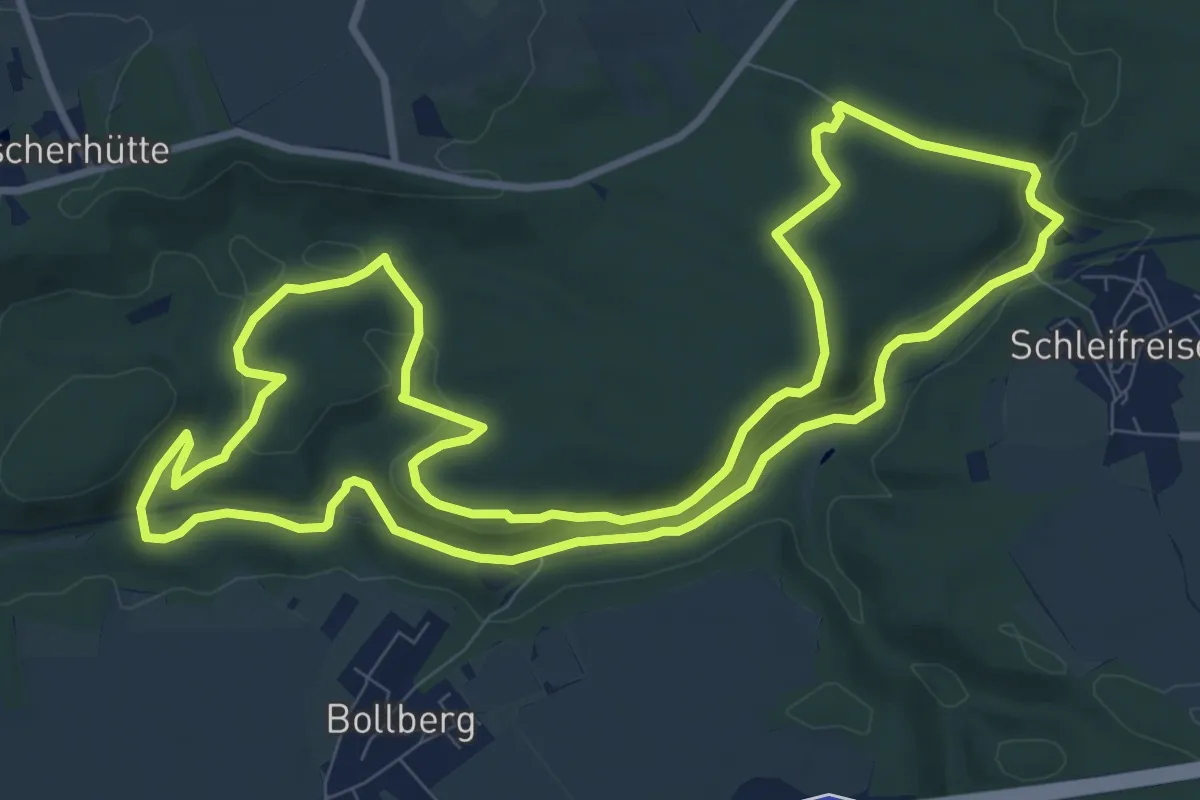
Medium · Trail
Zeitz(g)rundweg
9.9 km · ↑ 162 m · 2 h 50 min
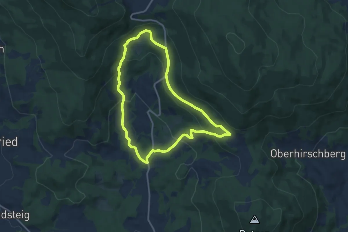
Easy · Trail
Zellberger Weg
7.5 km · ↑ 296 m · 2 h 31 min
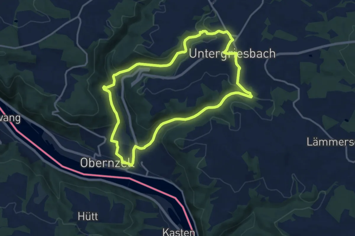
Demanding · Trail
Zeller Donausteigrunde
9.6 km · ↑ 1111 m · 4 h 48 min
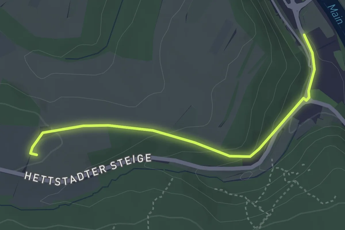
Easy · Trail
Zeller Geschichtsweg
3.5 km · ↑ 117 m · 1 h 4 min
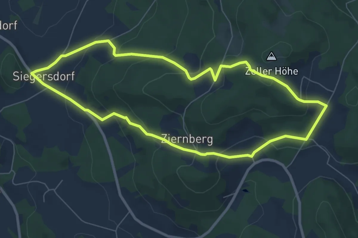
Easy · Trail
Zeller-Höhen-Rundweg (Rattenberger Wanderweg 1)
6.0 km · ↑ 297 m · 2 h 8 min
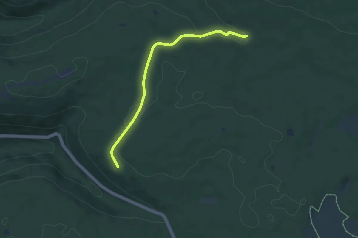
Easy · Trail
Zellerholzhütte - Schwannbrückle
4.4 km · ↑ 74 m · 1 h 12 min
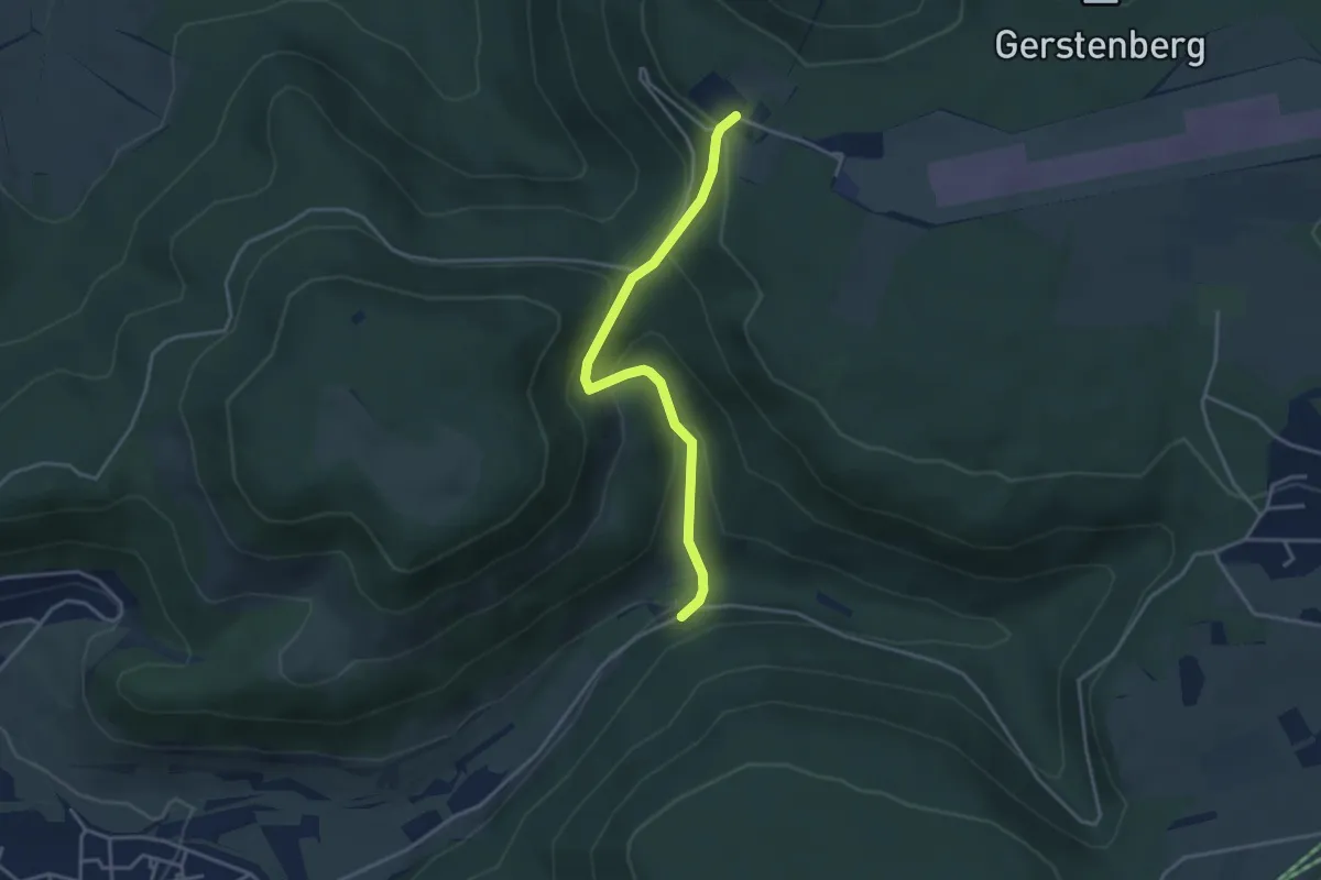
Easy · Trail
Zellertal-Übersberg
3.4 km · ↑ 222 m · 1 h 18 min
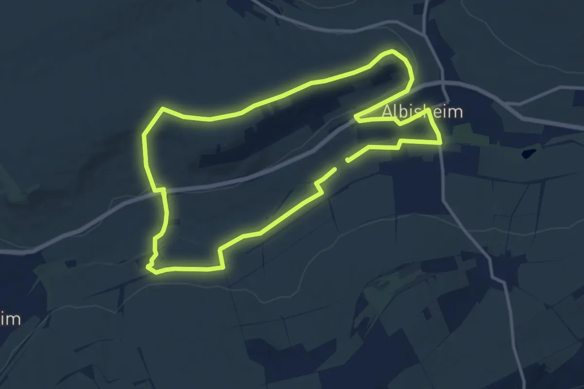
Medium · Trail
Zellertalweg Albisheim
9.0 km · ↑ 135 m · 2 h 33 min
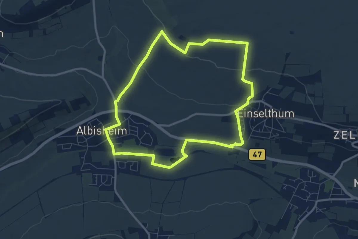
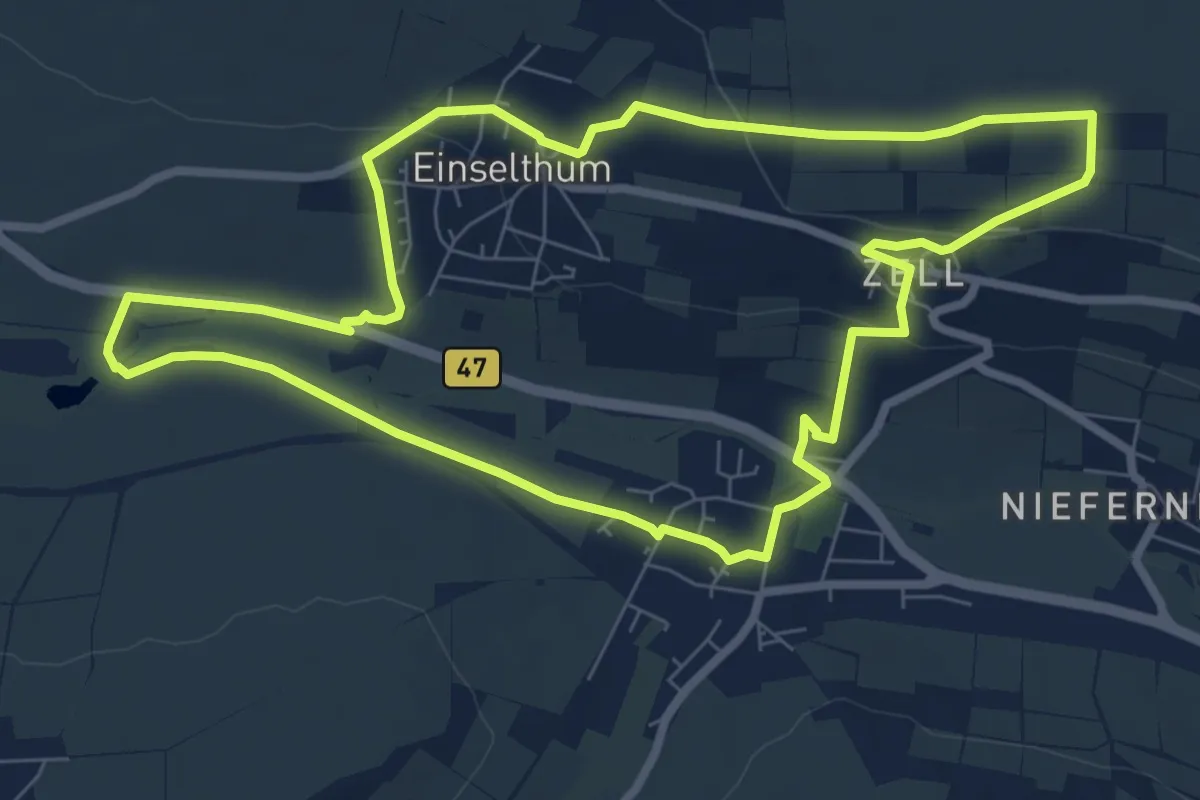
Easy · Trail
Zellertalweg Einselthum
6.9 km · ↑ 117 m · 2 h
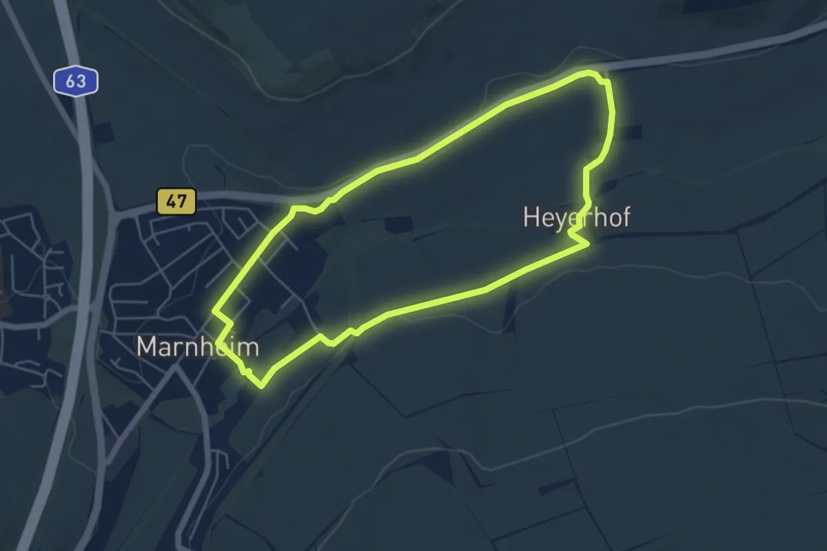
Easy · Trail
Zellertalweg Harxheim
7.6 km · ↑ 126 m · 2 h 11 min
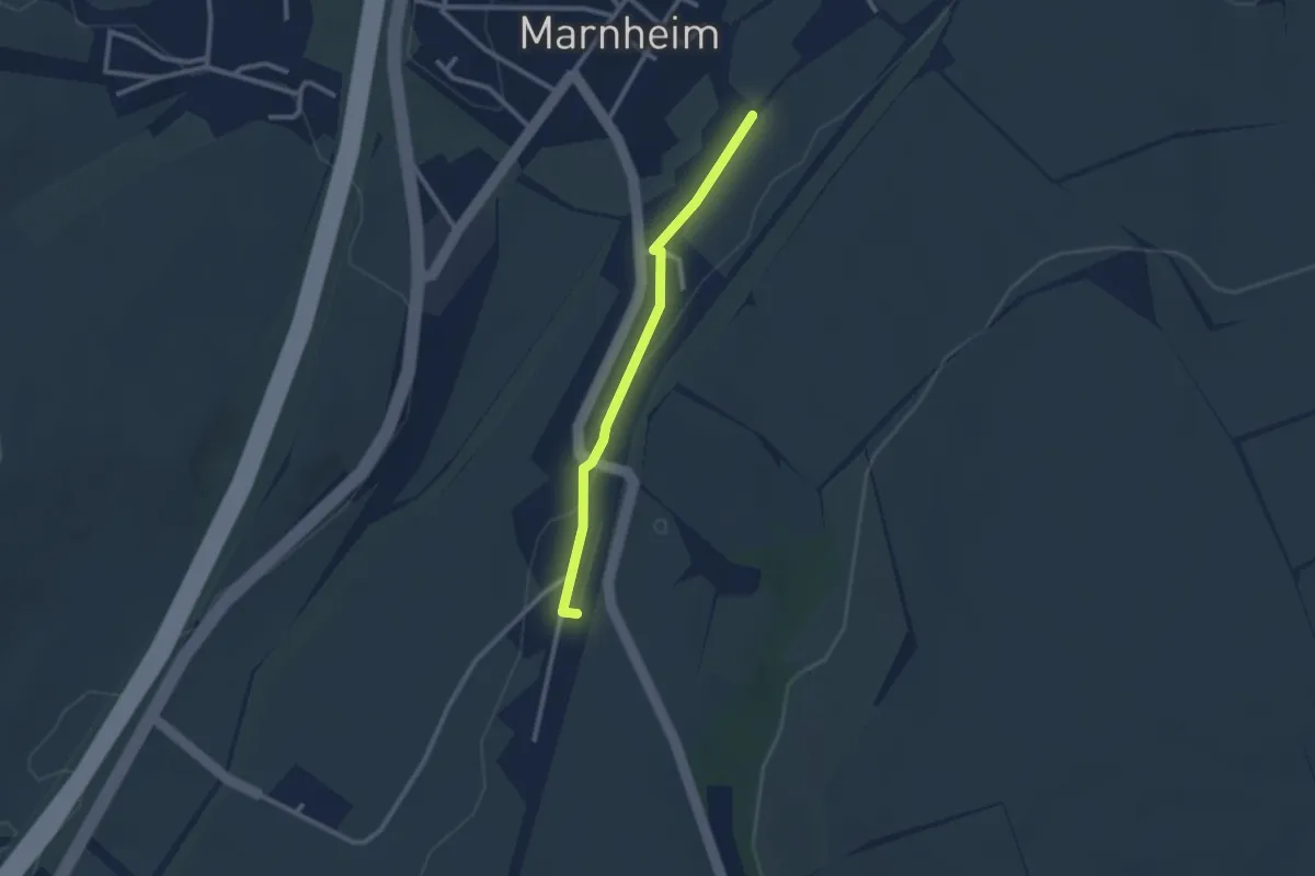
Easy · Trail
Zellertalweg Marnheim
4.7 km · ↑ 46 m · 1 h 16 min
Easy · Trail
Zellertalweg Marnheim Zuweg
2.2 km · ↑ 19 m · 34 min
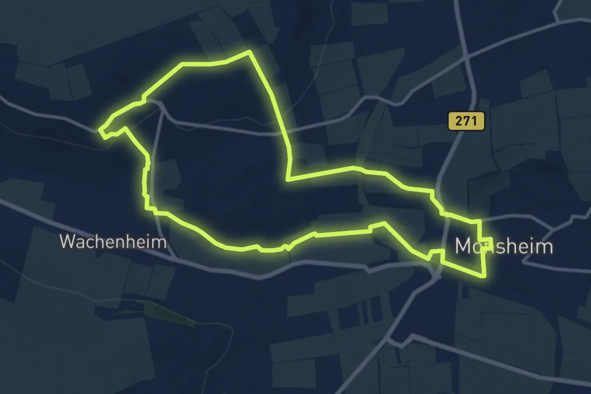
Medium · Trail
Zellertalweg Monsheim
9.5 km · ↑ 158 m · 2 h 43 min
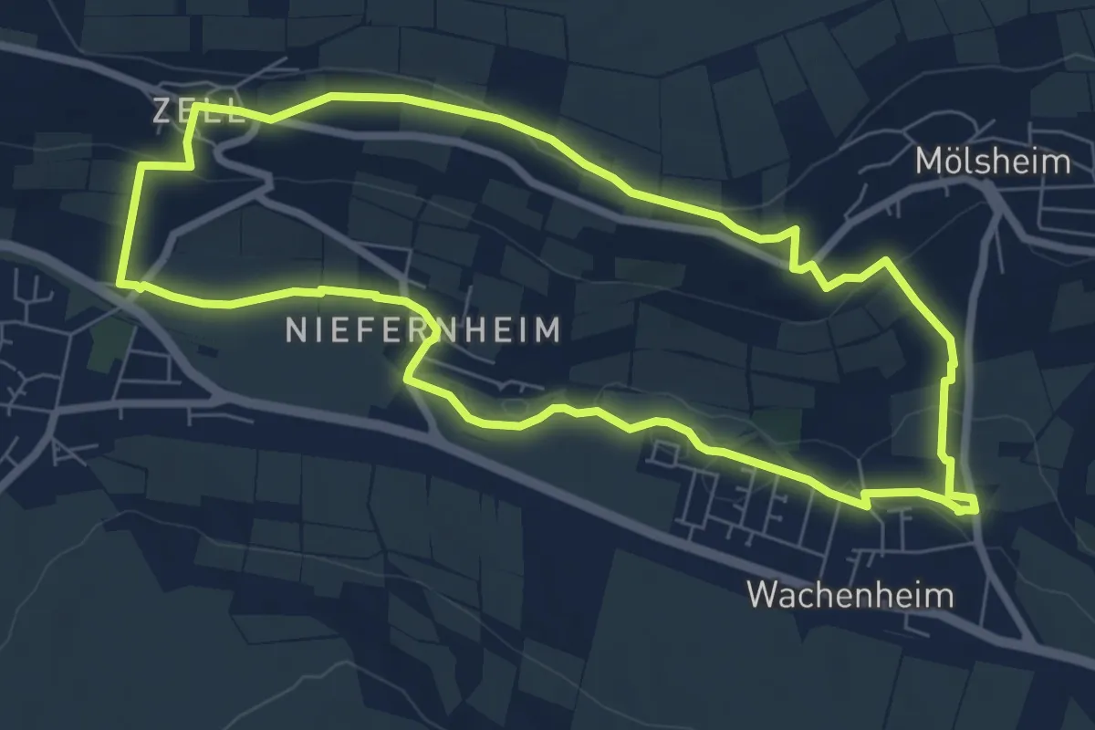
Easy · Trail
Zellertalweg Wachenheim
6.8 km · ↑ 123 m · 1 h 58 min
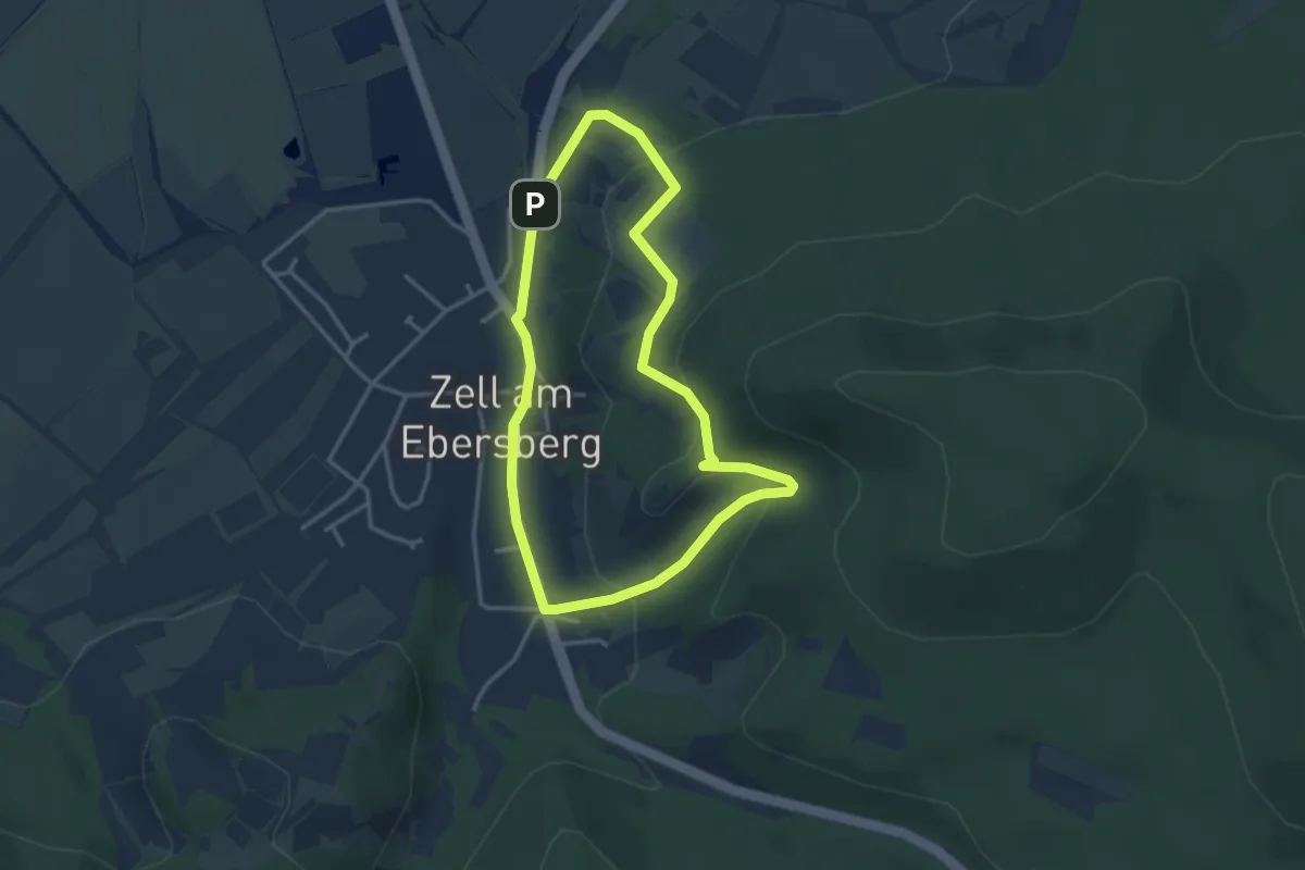
Easy · Summit
Zeller Weintal-Route
2.9 km · ↑ 111 m · 58 min
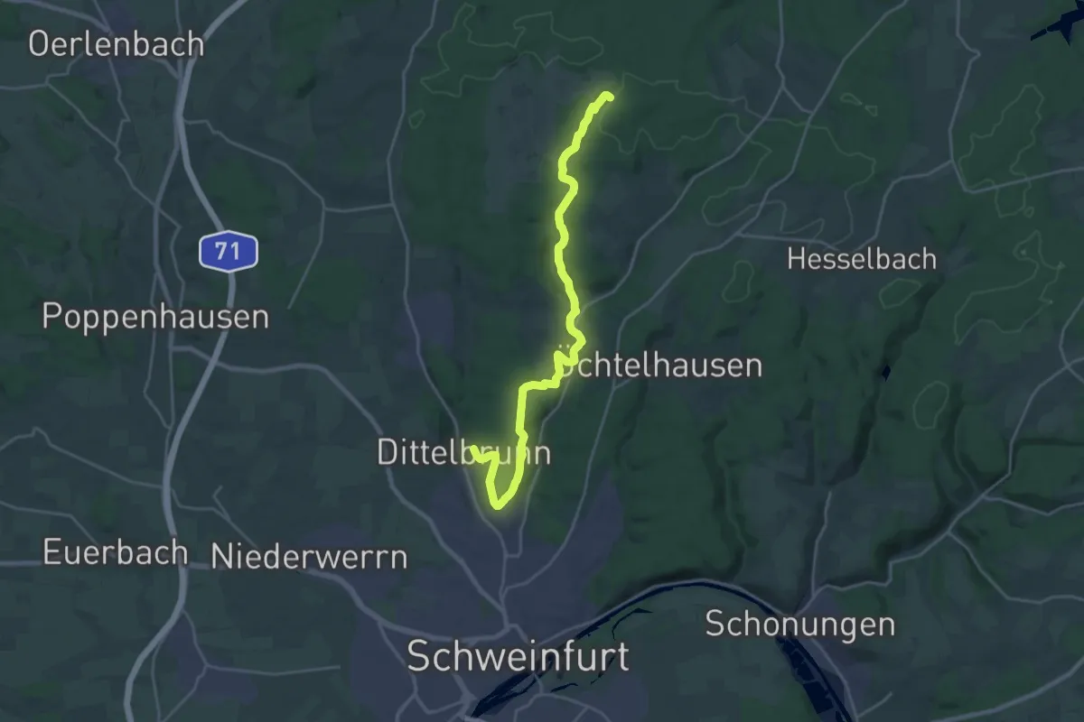
Demanding · Trail
Zell - Fichtenbusch
21.9 km · ↑ 357 m · 5 h 57 min
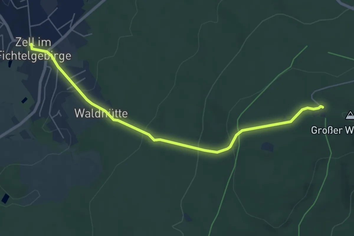
Easy · Trail
Zell - Großer Waldstein
5.4 km · ↑ 221 m · 1 h 45 min
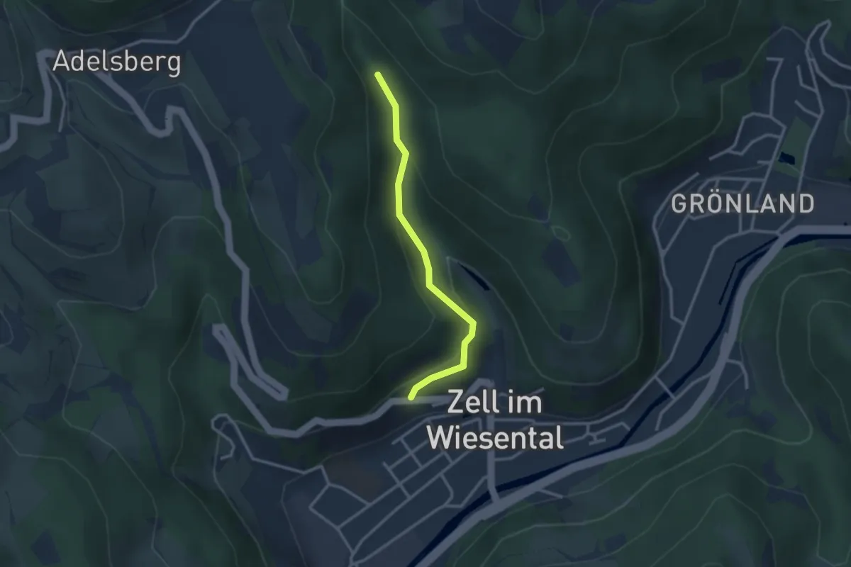
Easy · Trail
Zell im Wiesental Friedhof - Kühlloch-Hirschbühl
2.4 km · ↑ 136 m · 52 min
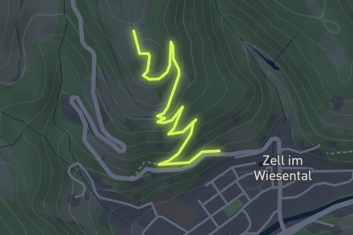
Easy · Trail
Zell im Wiesental Friedhof - Schänzle
3.5 km · ↑ 214 m · 1 h 17 min
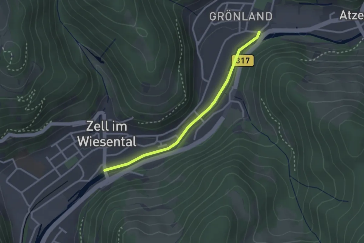
Easy · Trail
Zell im Wiesental Grönland - Zell im Wiesental Wiesebrücke
2.5 km · ↑ 18 m · 37 min
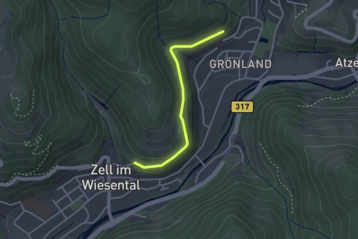
Easy · Trail
Zell im Wiesental Wasserreservoir - Eichwald
2.5 km · ↑ 118 m · 51 min
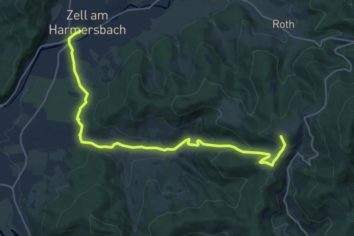
Medium · Trail
Zell-Oberentersbach-Nill
14.3 km · ↑ 526 m · 4 h 31 min
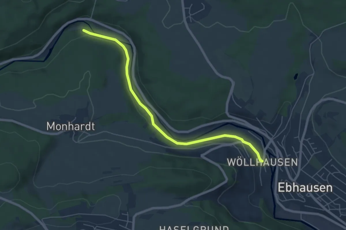
Easy · Trail
Zementbrücke - Ebhausen Wöllhausen
5.5 km · ↑ 58 m · 1 h 25 min
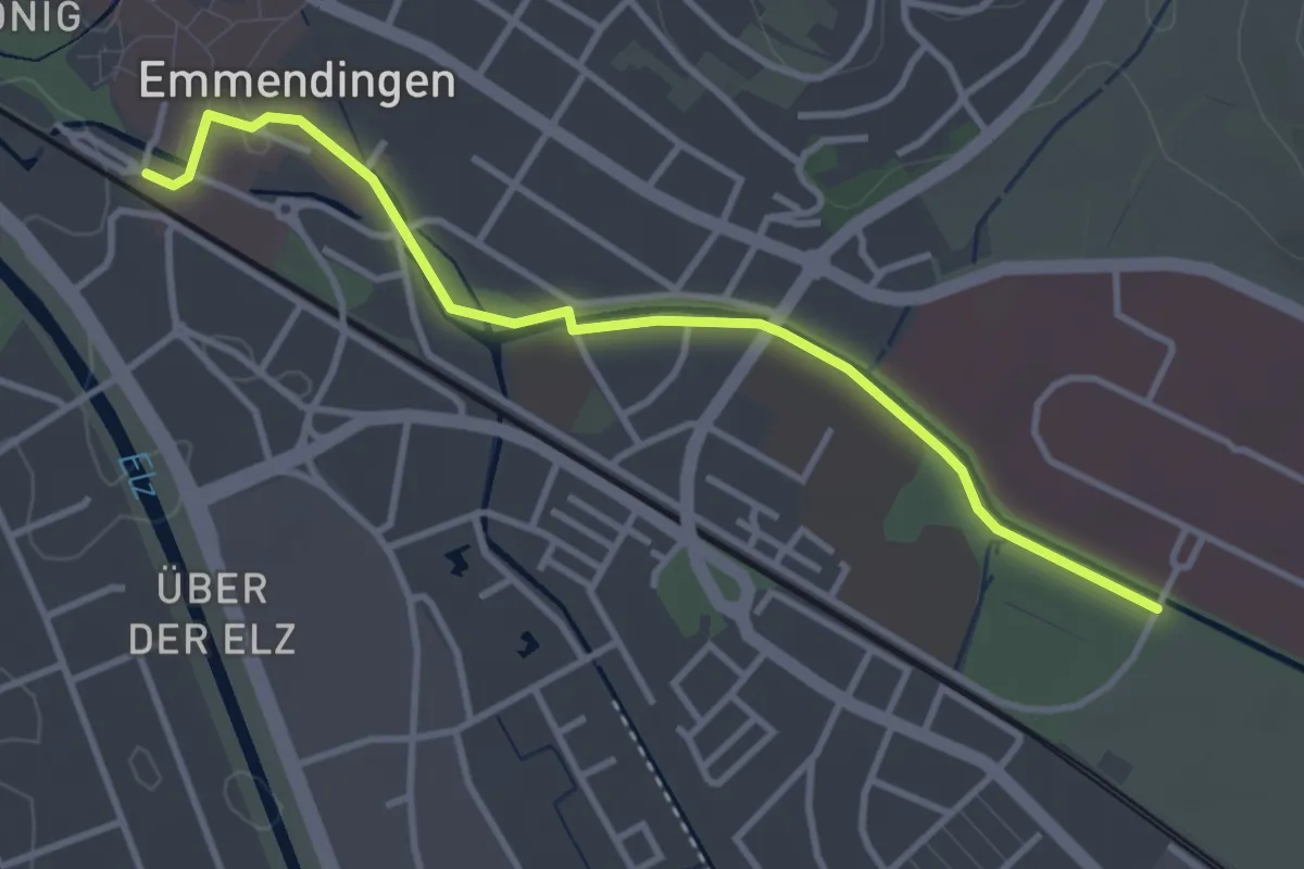
Easy · Trail
Zentrum für Psychatrie - Emmendingen Bahnhof
3.5 km · ↑ 8 m · 51 min
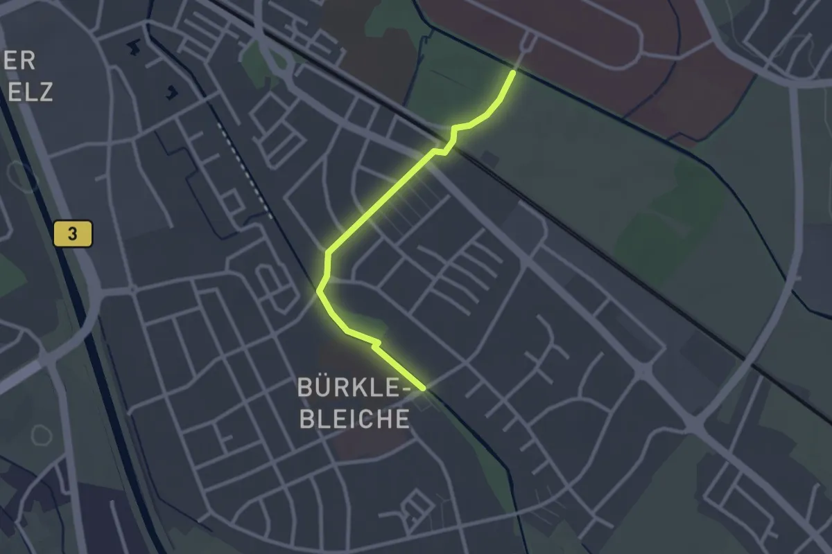
Easy · Trail
Zentrum für Psychatrie - Emmendingen Bürkle-Bleiche
2.3 km · ↑ 0 m · 33 min
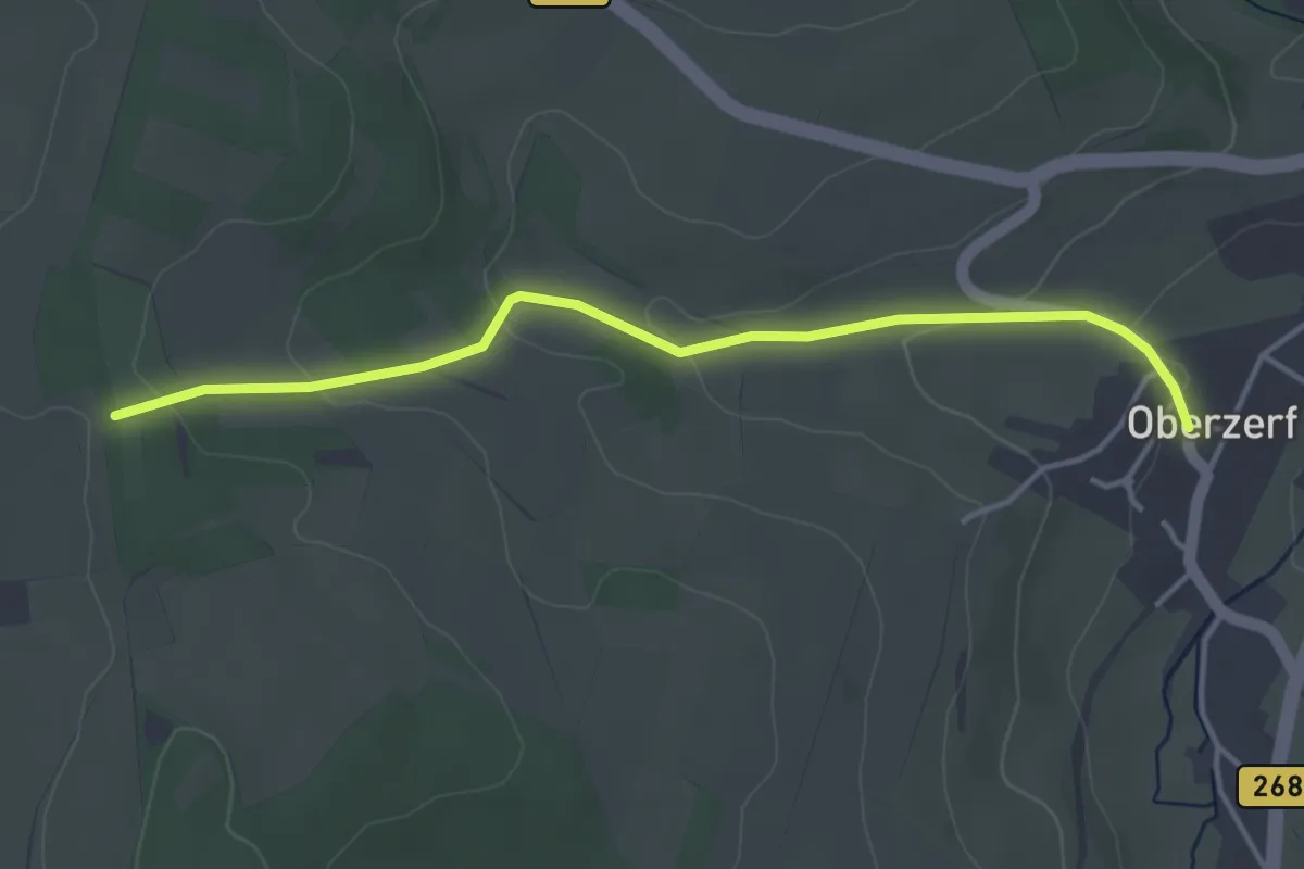
Easy · Trail
Zerf 4
3.8 km · ↑ 103 m · 1 h 7 min
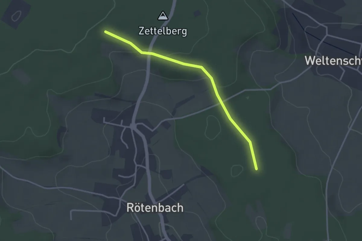
Easy · Trail
Zettelberg - Stollenacker
2.8 km · ↑ 39 m · 45 min
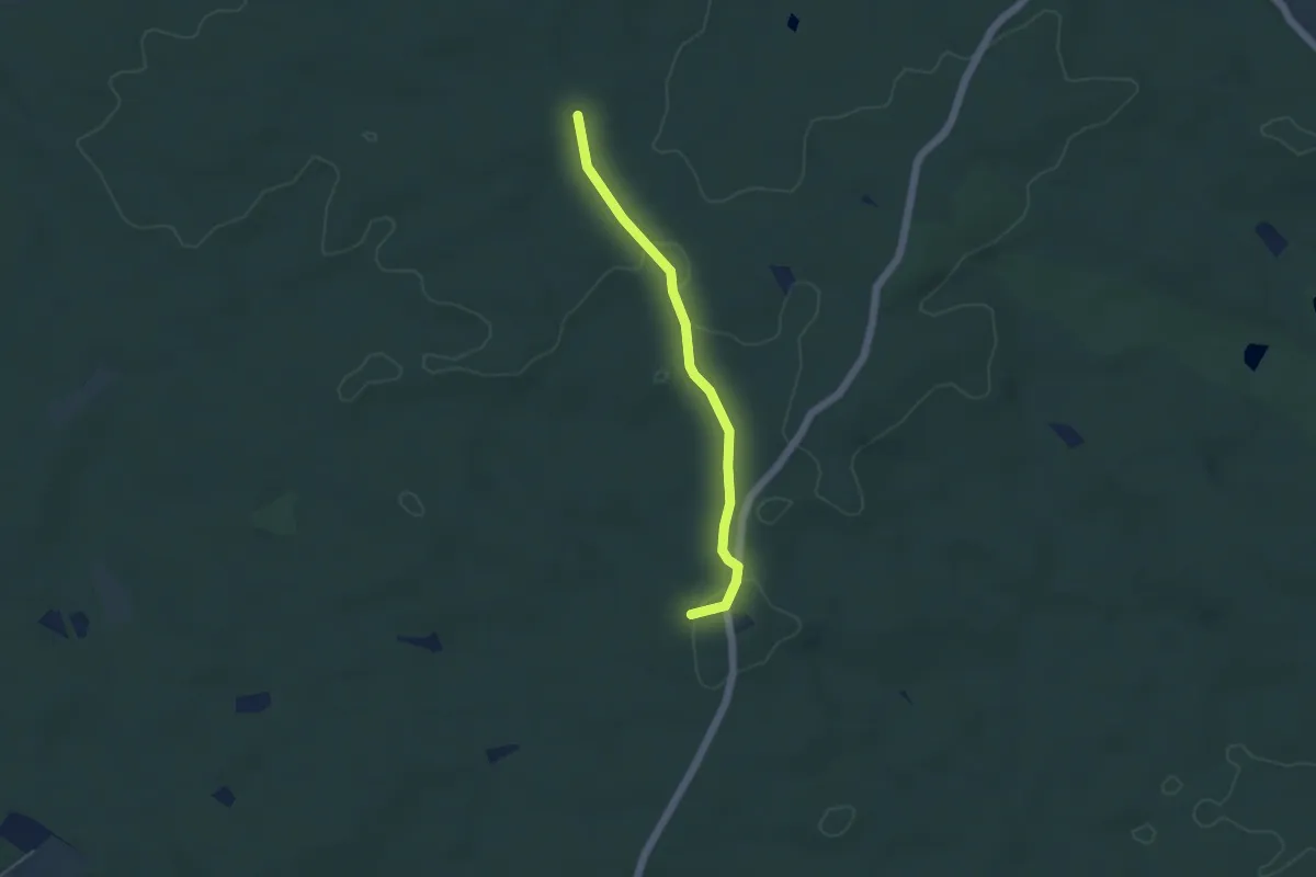
Easy · Summit
Zeuckritz - Hospitalhütte - Jägereiche
3.9 km · ↑ 36 m · 59 min
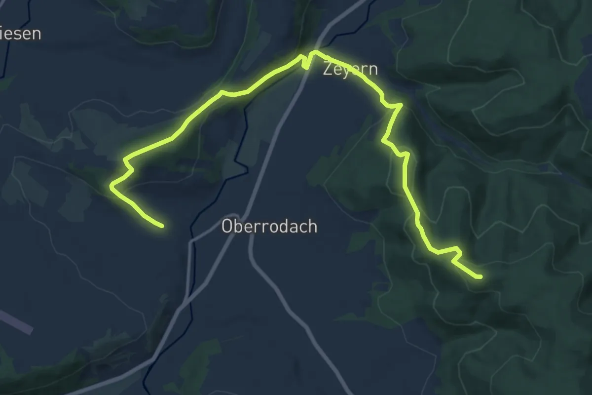
Medium · Summit
Zeyern-Runde
14.0 km · ↑ 554 m · 4 h 30 min
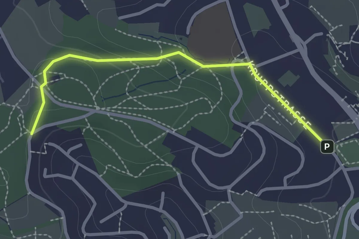
Easy · Trail
Z Gabelpunkt-Düssel
2.1 km · ↑ 55 m · 37 min
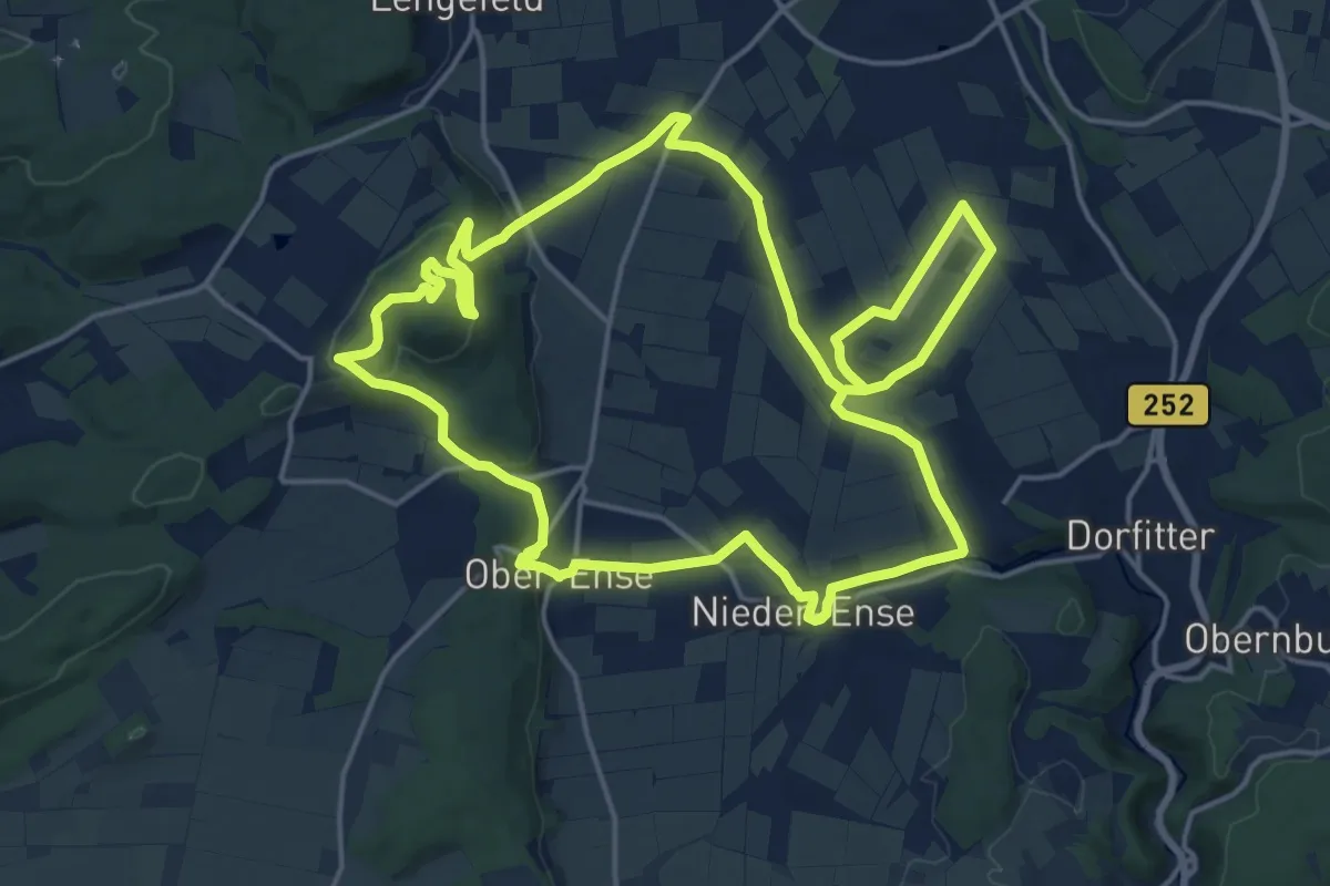
Medium · Summit
[Z] GeoPfad Korbach
17.0 km · ↑ 301 m · 4 h 54 min
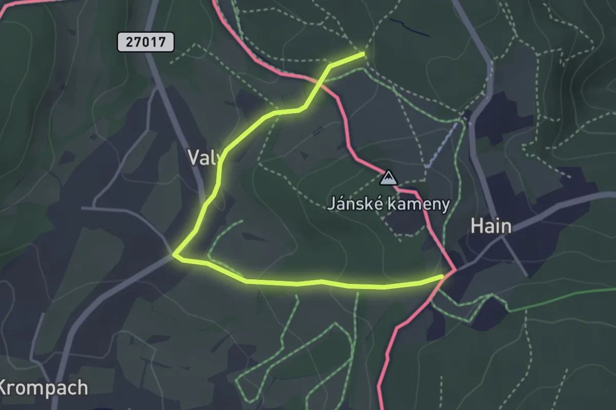
Easy · Trail
[Ž] Hain (CZ/D) - Stern (D)
3.7 km · ↑ 63 m · 1 h
Easy · Trail
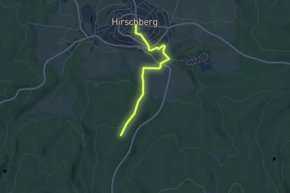
[Z] Hirschberg-Meschede
5.0 km · ↑ 183 m · 1 h 35 min
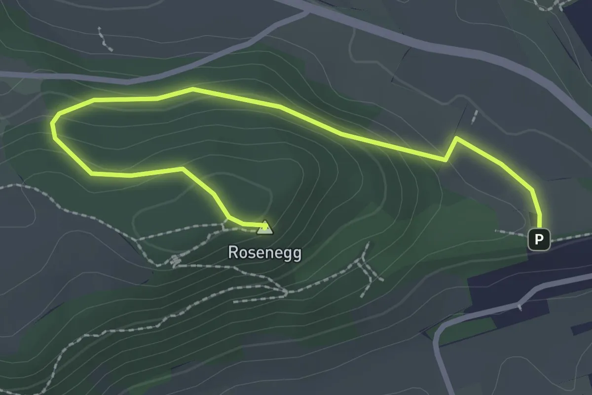
Easy · Summit
Zick-Zack-Weg - Am Rosenegg Hochbehälter
2.8 km · ↑ 115 m · 54 min
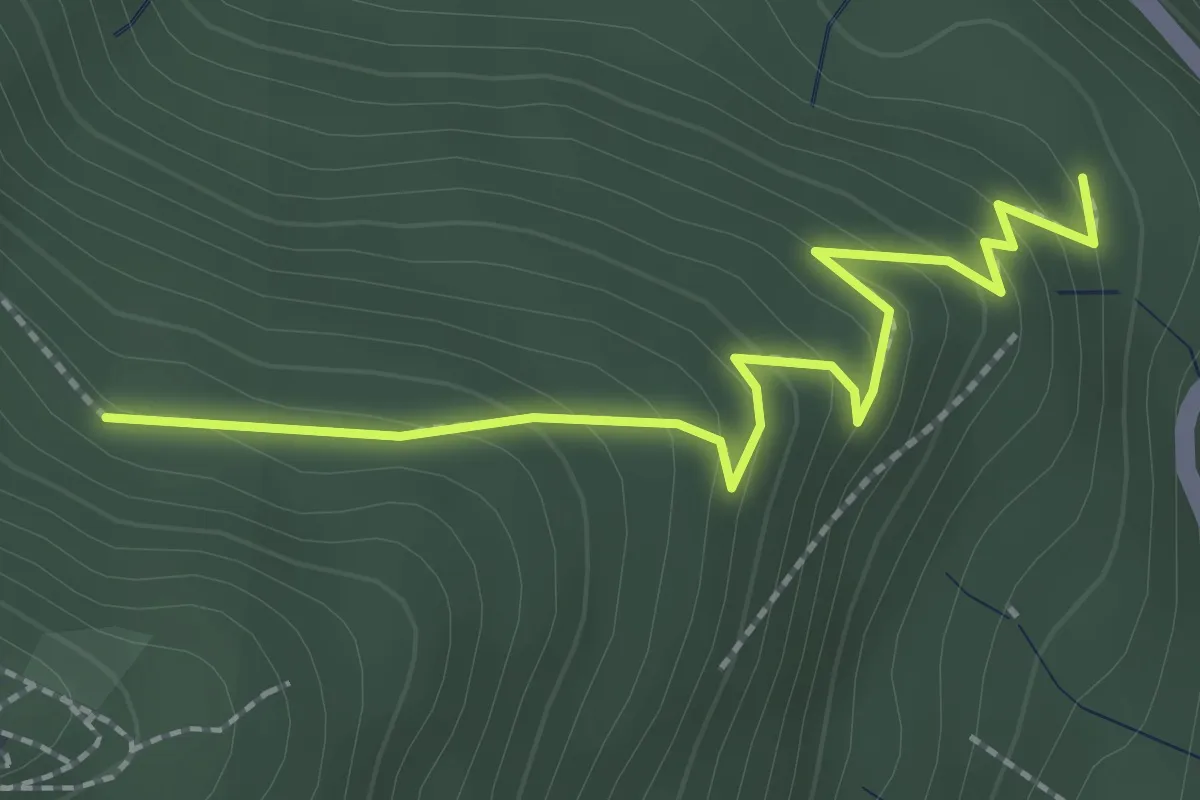
Medium · Trail
Zick-Zack-Weg - Wendeplatte
2.4 km · ↑ 177 m · 57 min
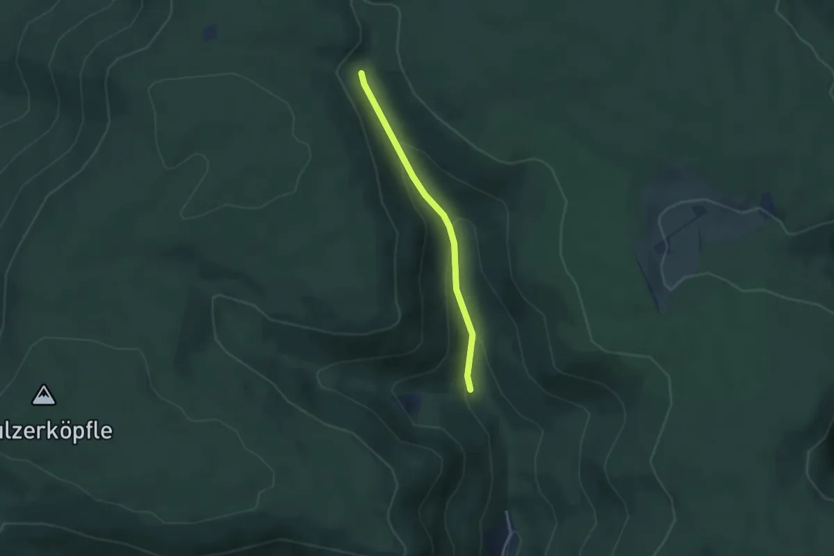
Easy · Trail
Zieflesbrunnen - Hinterkaltbrunn Gütsch
2.6 km · ↑ 129 m · 53 min
Easy · Trail
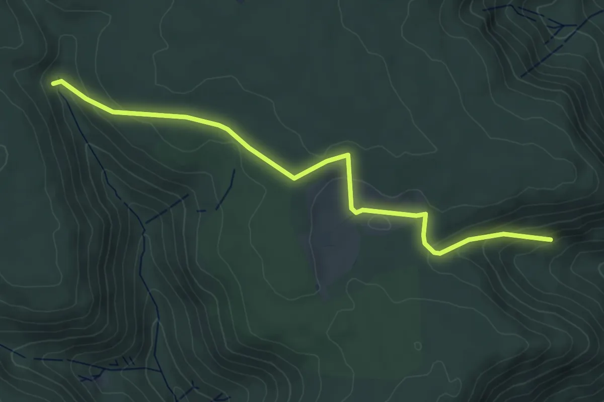
Zieflesbrunnen - Roßbergsteige
5.1 km · ↑ 190 m · 1 h 37 min
Medium · Trail
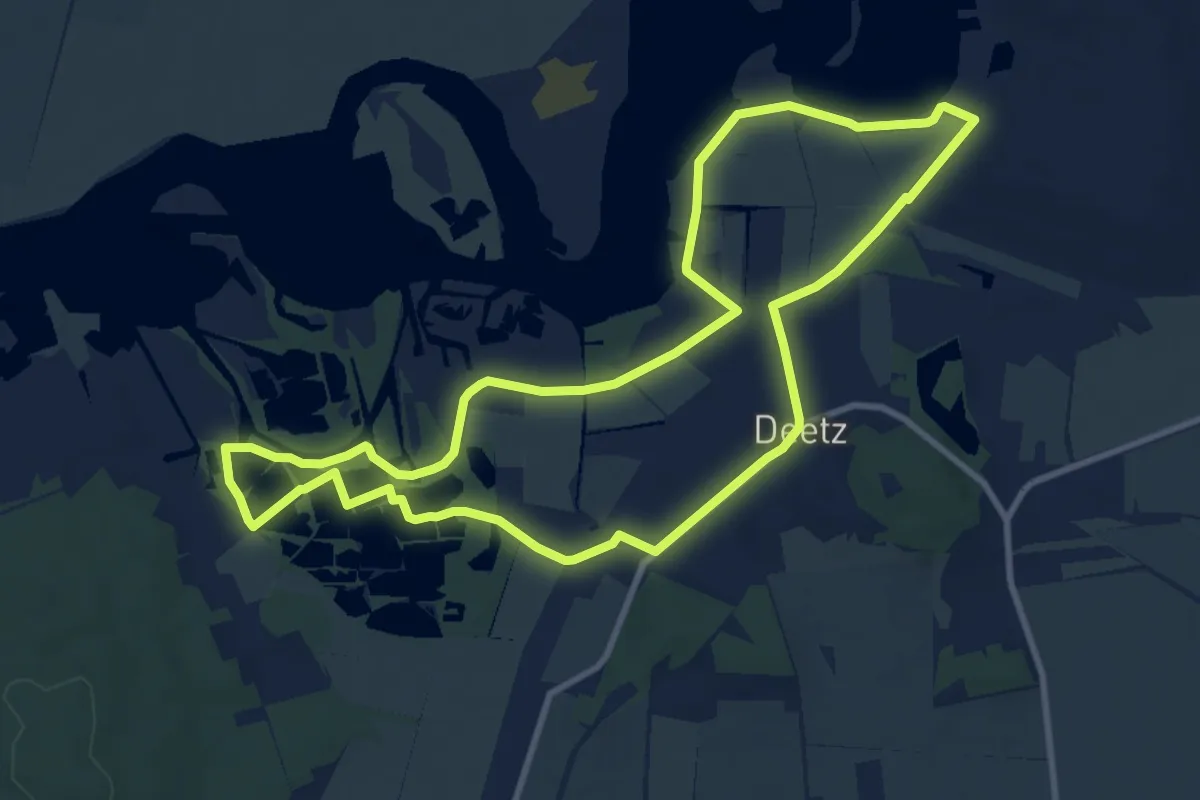
Ziegeleirundwanderweg
9.1 km · ↑ 21 m · 2 h 19 min
Easy · Trail
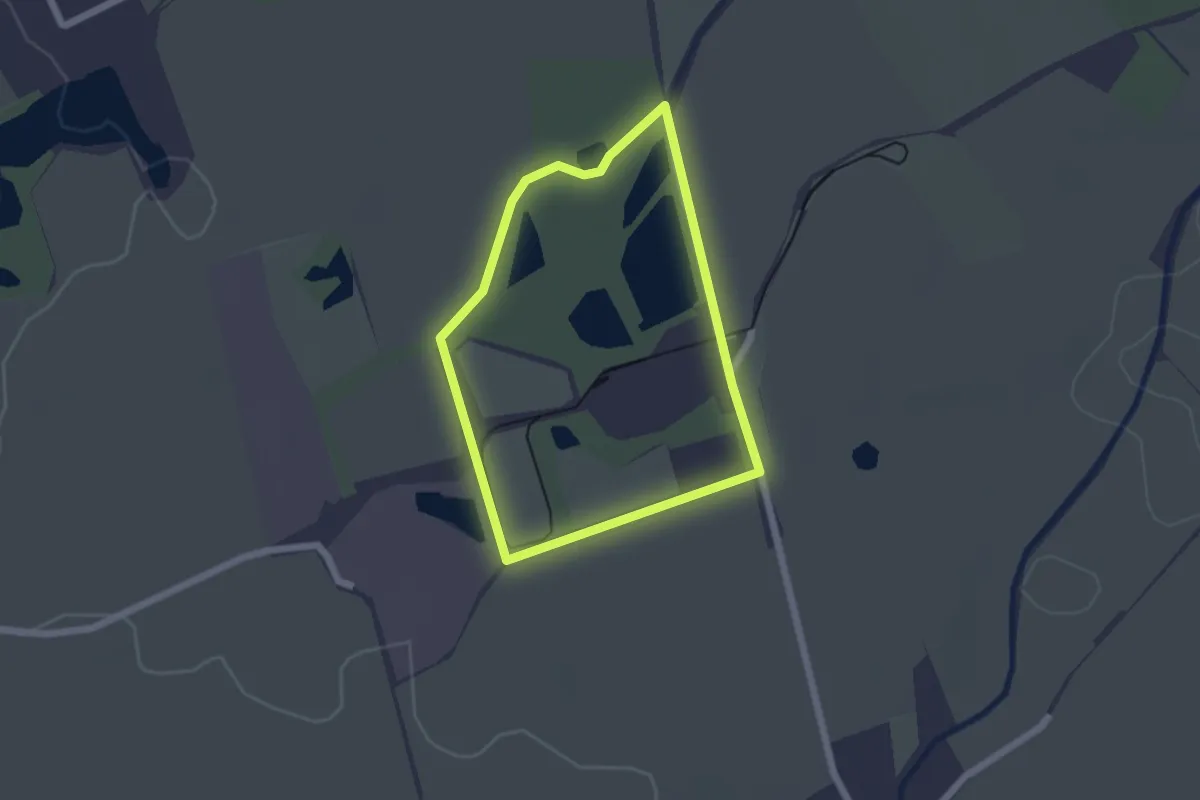
Ziegelei-Rundweg
1.6 km · ↑ 8 m · 25 min
Easy · Trail
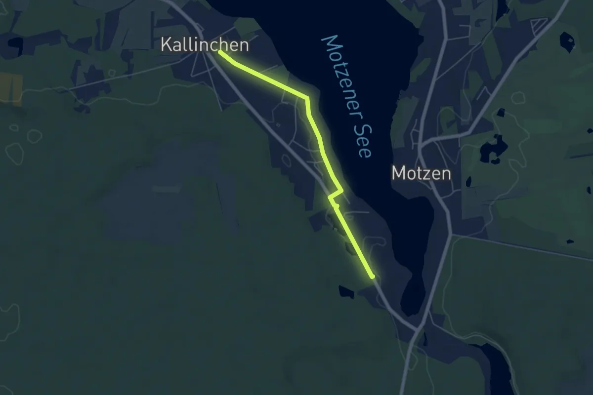
Ziegelei-Wanderweg Kallinchen
4.5 km · ↑ 9 m · 1 h 5 min