Trails in Germany
36,877 hiking trails, each with its route, climb, walking time and grade.
All trails, page 751 of 769
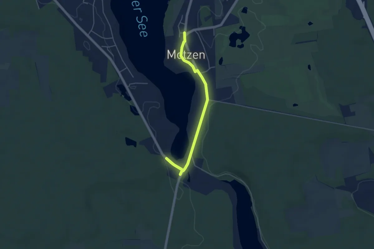
Easy · Trail
Ziegelei-Wanderweg Motzen-Mühle
4.1 km · ↑ 4 m · 58 min
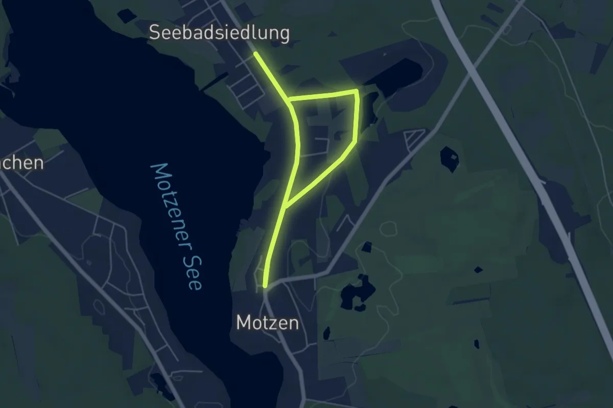
Easy · Trail
Ziegelei-Wanderweg Seebadallee
3.6 km · ↑ 9 m · 55 min
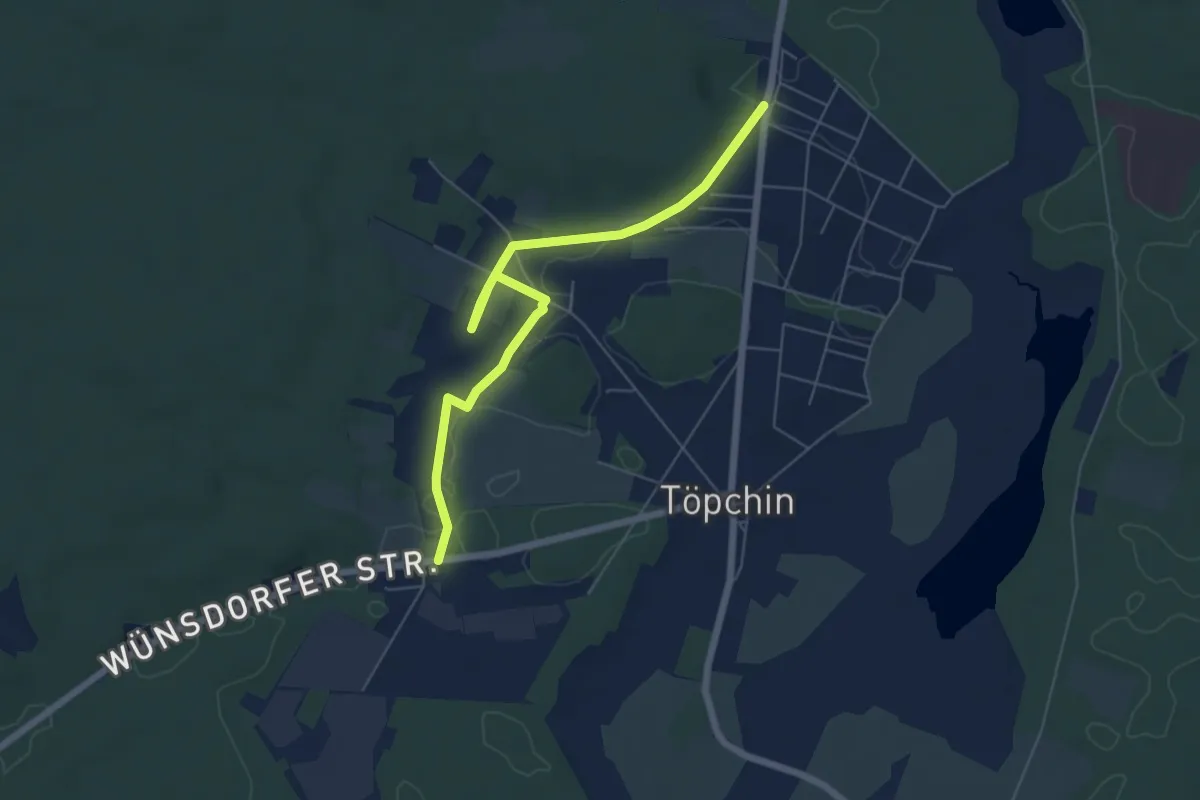
Easy · Trail
Ziegelei-Wanderweg Töpchin
5.9 km · ↑ 34 m · 1 h 27 min
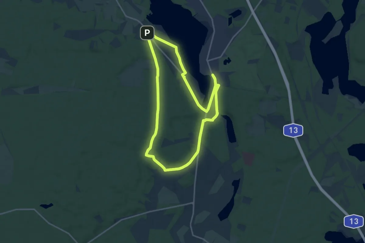
Medium · Trail
Ziegeleiweg
11.6 km · ↑ 88 m · 3 h 6 min
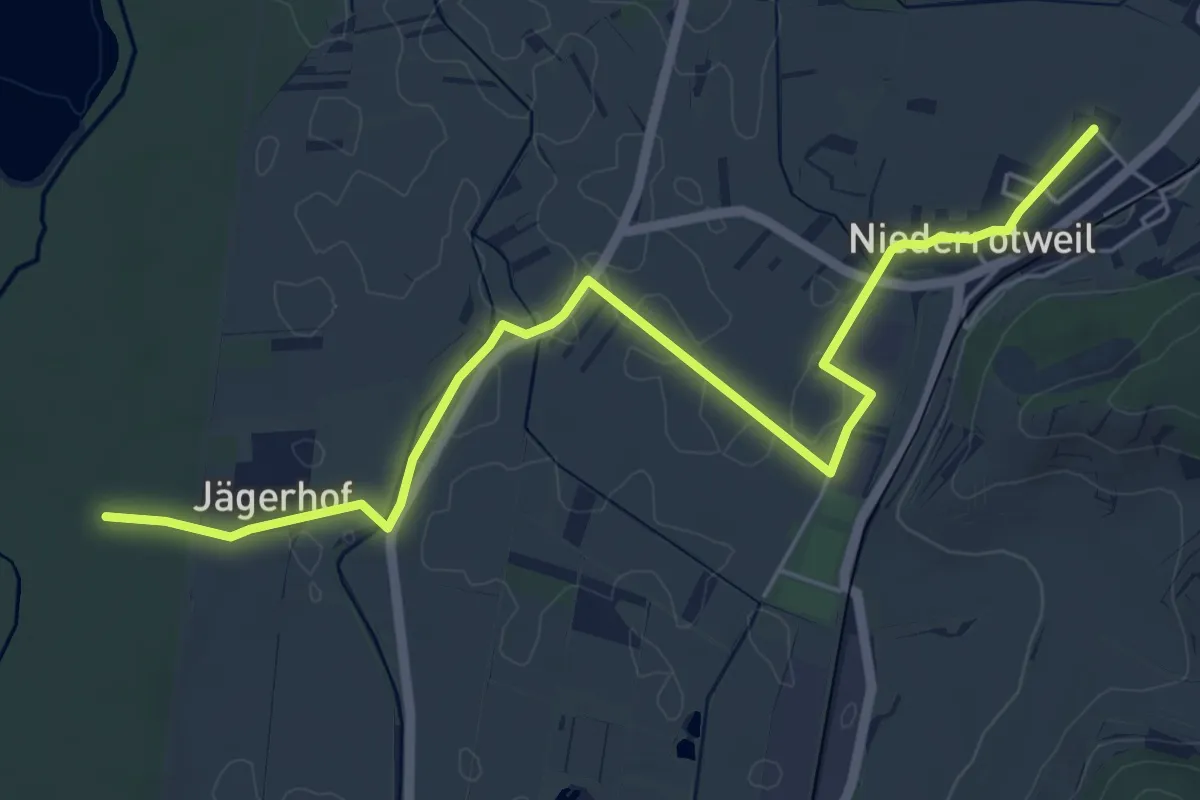
Easy · Trail
Ziegelfeld - Jägerhof
6.3 km · ↑ 18 m · 1 h 32 min
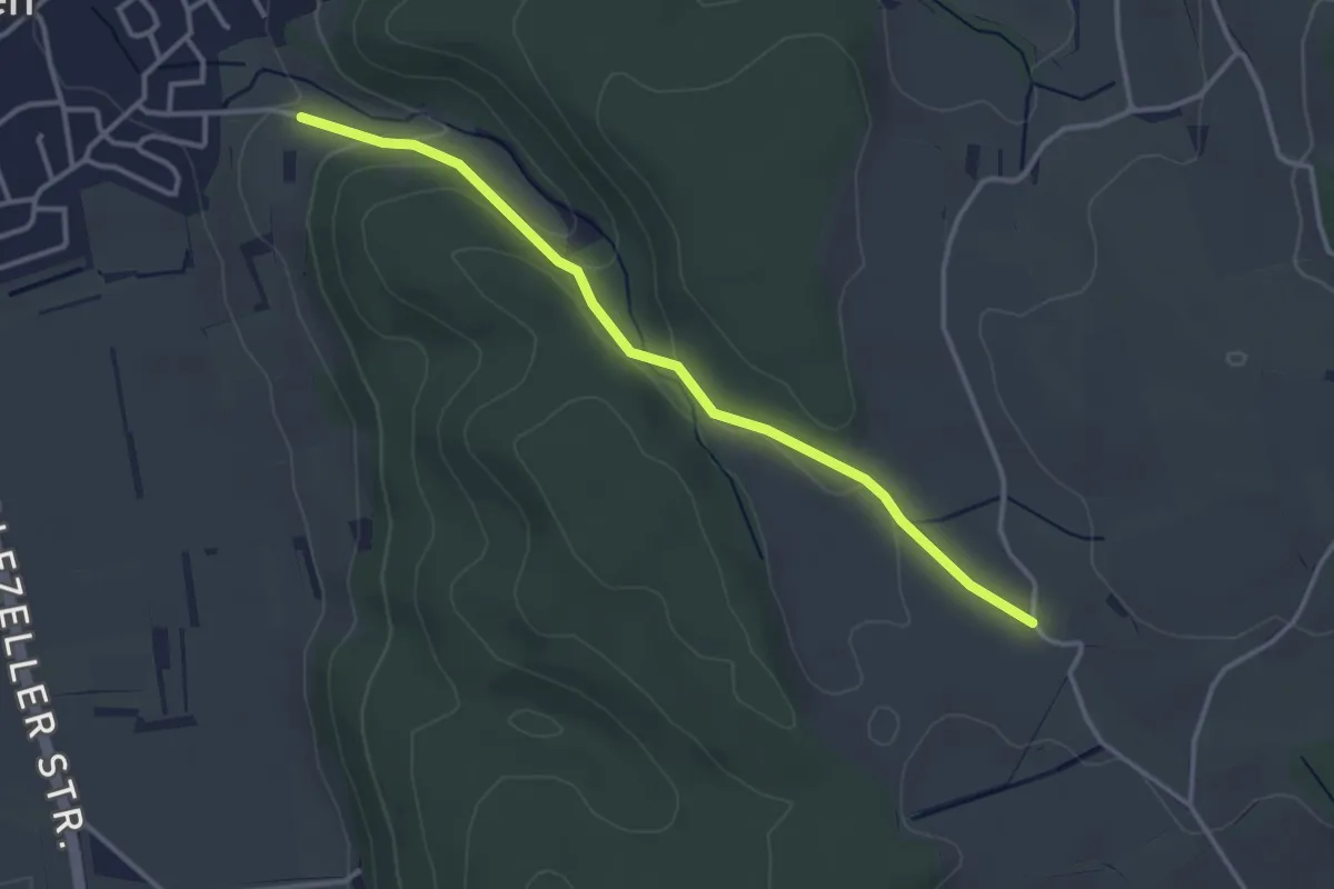
Easy · Trail
Ziegelhof - Beim Weilerhof
3.4 km · ↑ 100 m · 1 h 1 min
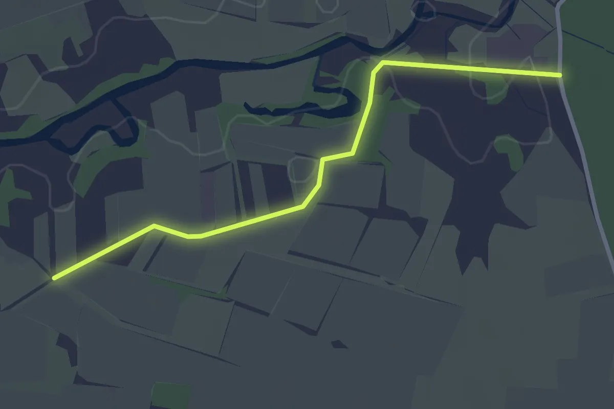
Easy · Trail
Ziegelhof - Mooswald Mühlweg
2.7 km · ↑ 10 m · 40 min
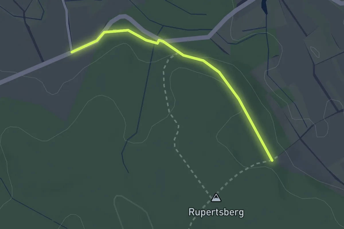
Easy · Trail
Ziegelhofweg - Am Rupertsberg
2.1 km · ↑ 22 m · 32 min
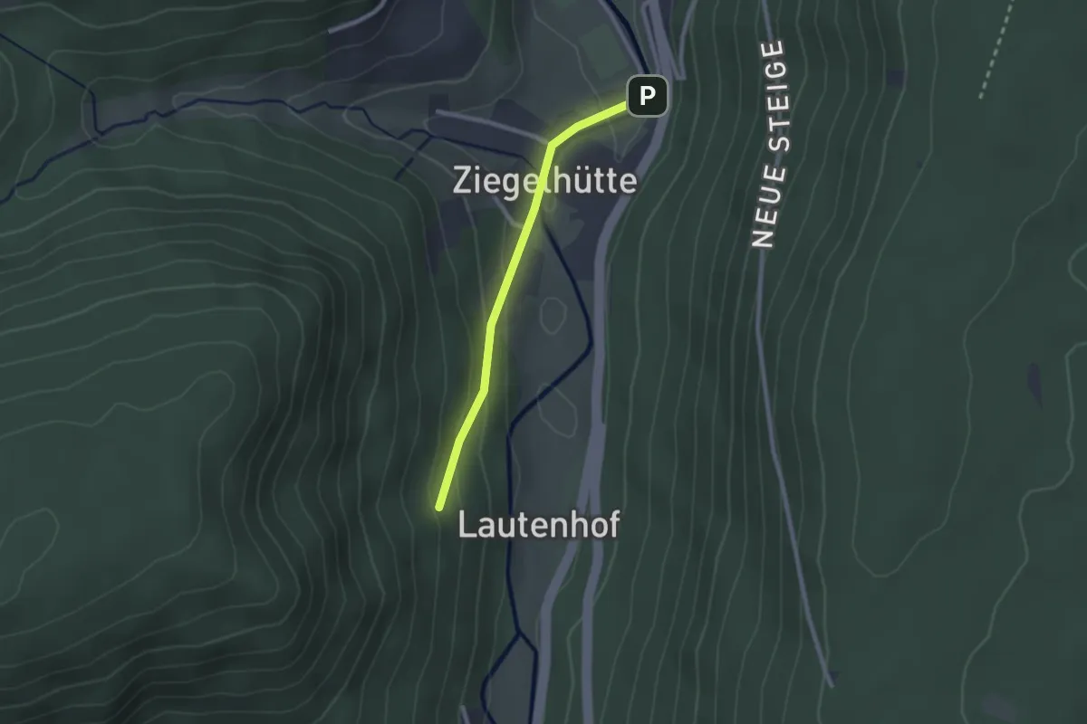
Easy · Trail
Ziegelhütte - Bad Wildbad Sportplatz
2.0 km · ↑ 78 m · 39 min
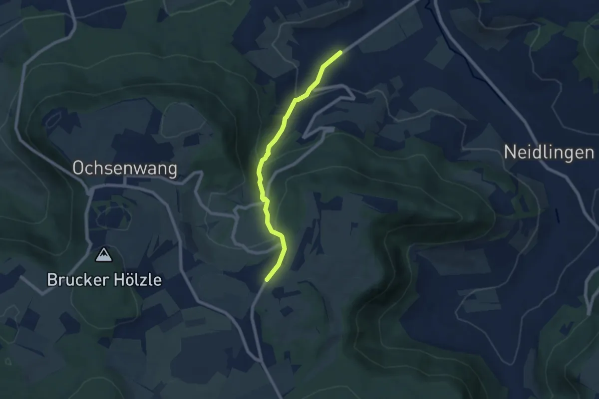
Easy · Trail
Ziegelhütte - Hepsisau
5.2 km · ↑ 280 m · 1 h 50 min
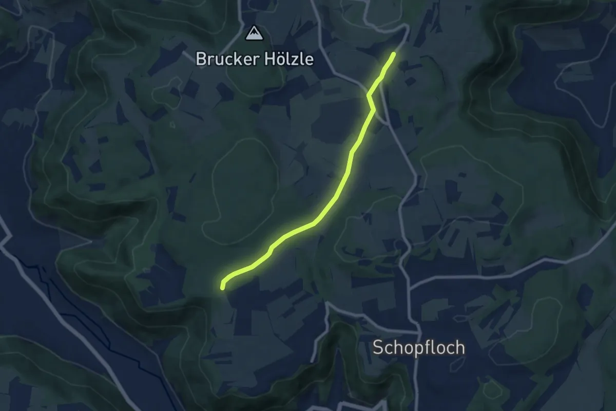
Easy · Trail
Ziegelhütte - Torfgrube - Asch
6.8 km · ↑ 98 m · 1 h 49 min
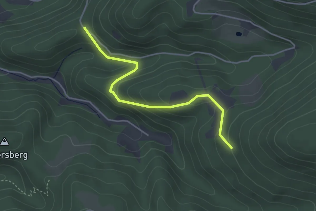
Easy · Trail
Ziegelstatt - Muckenreute
3.5 km · ↑ 152 m · 1 h 9 min
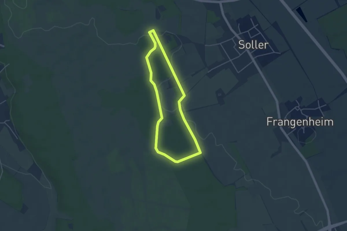
Easy · Trail
Ziegenmelkerweg
3.4 km · ↑ 16 m · 52 min
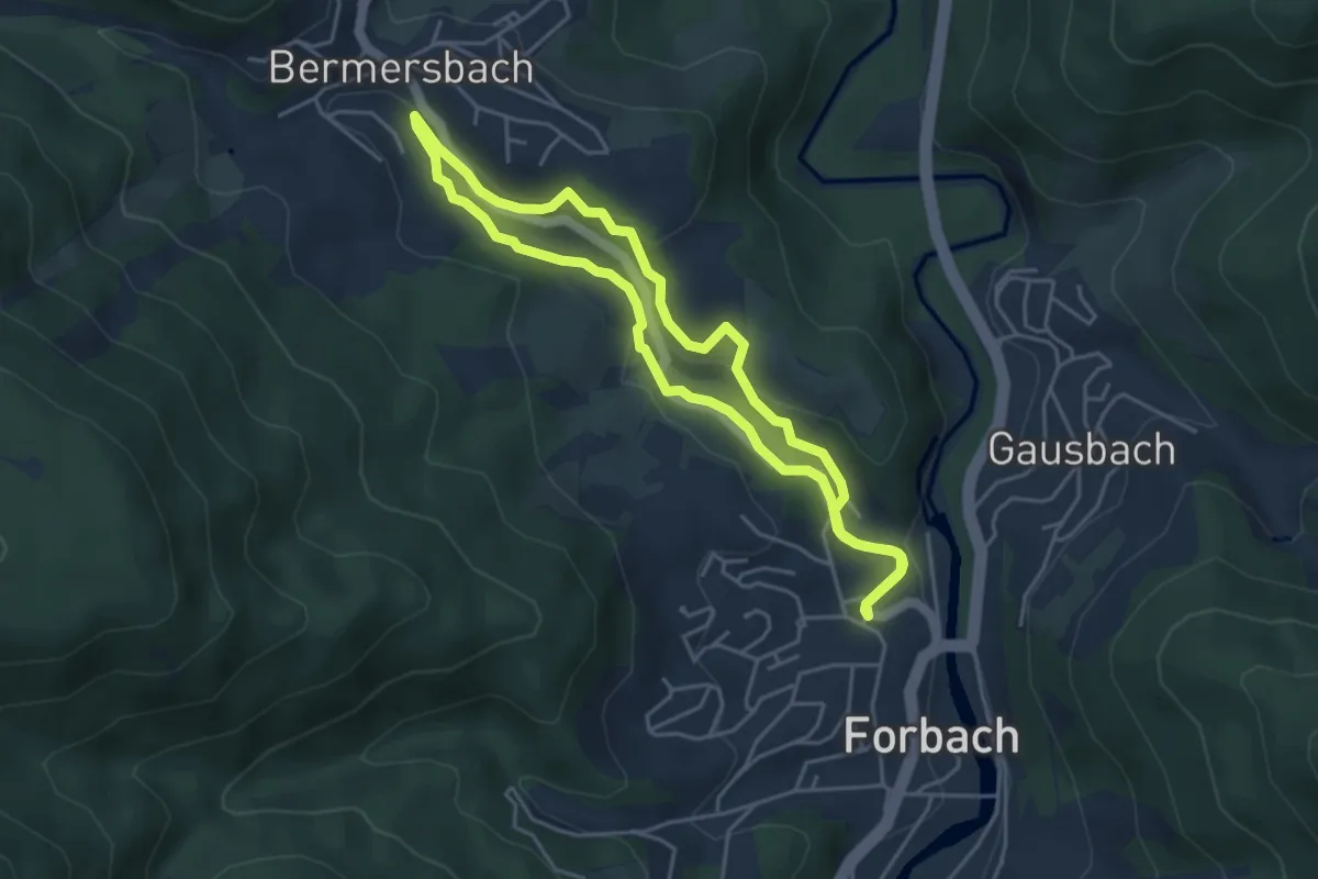
Easy · Trail
Ziegenpfad
3.9 km · ↑ 139 m · 1 h 17 min
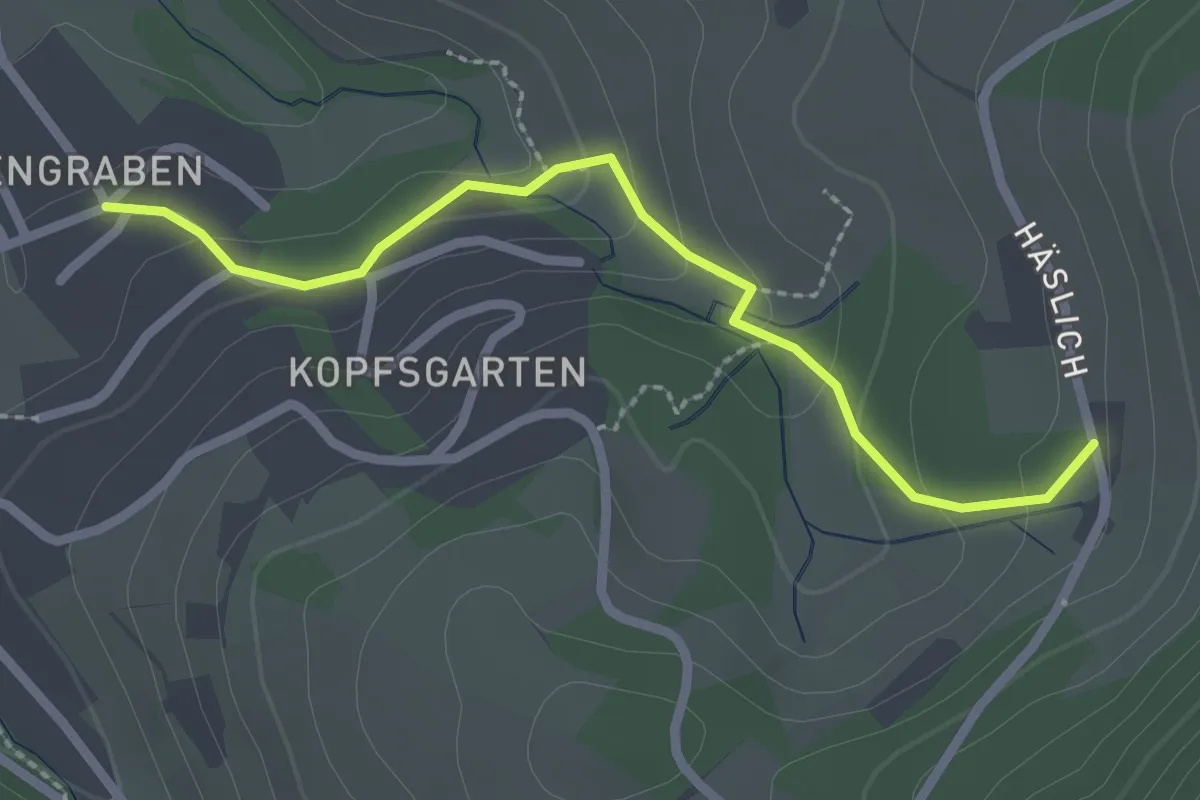
Easy · Trail
Ziegenpfad - Lauf Veilchenstraße
2.3 km · ↑ 112 m · 47 min
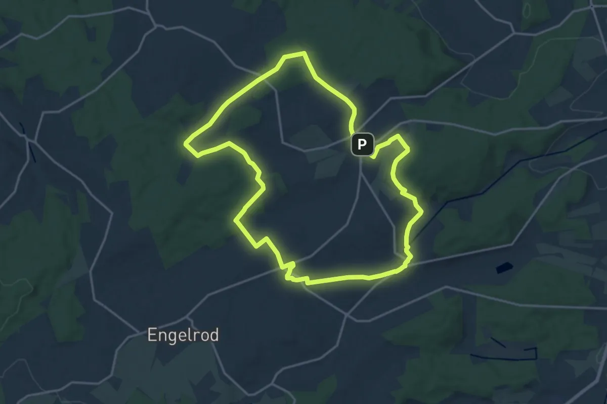
Medium · Trail
Ziegen-Tour
14.3 km · ↑ 190 m · 3 h 59 min
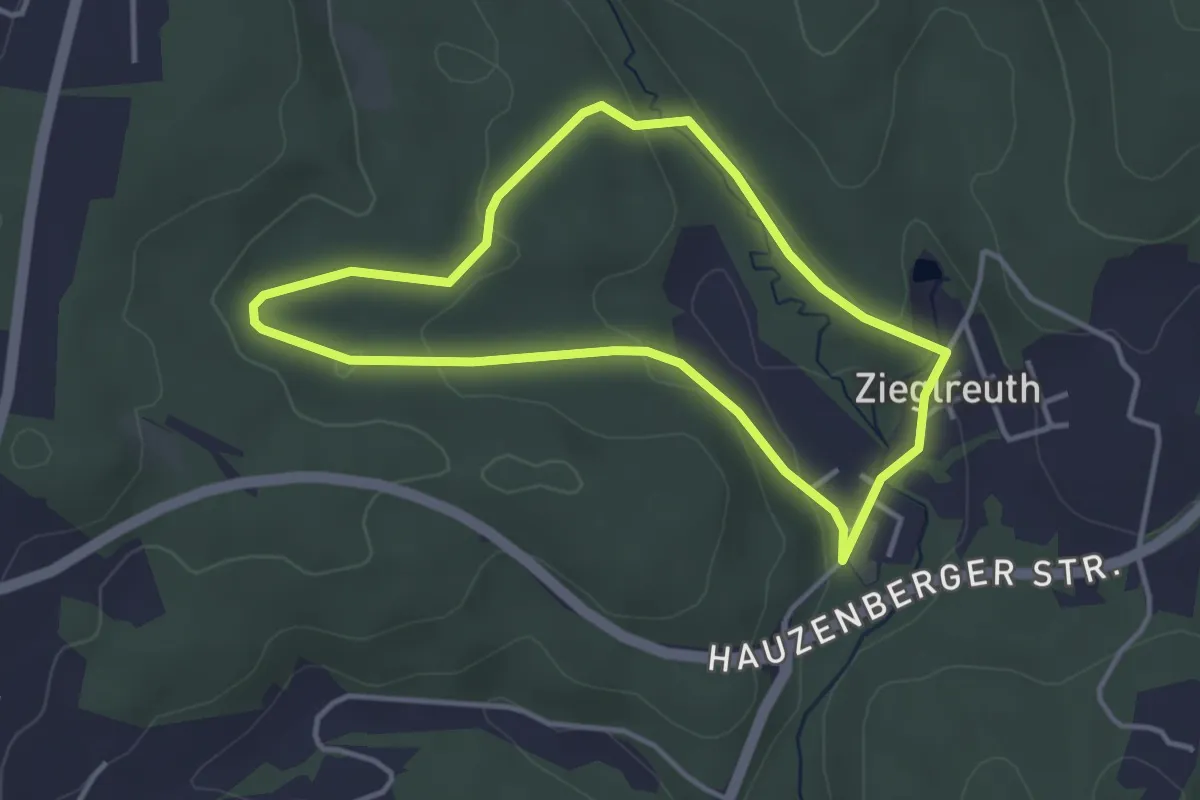
Easy · Trail
Zieglreuther Runde (Passau)
3.3 km · ↑ 68 m · 58 min
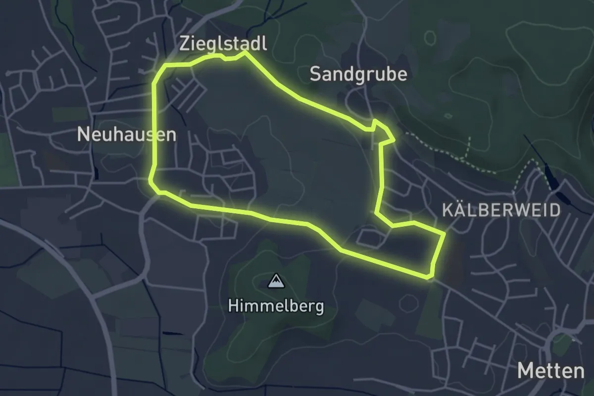
Easy · Trail
Zieglstadlweg
3.7 km · ↑ 44 m · 1 h 1 min
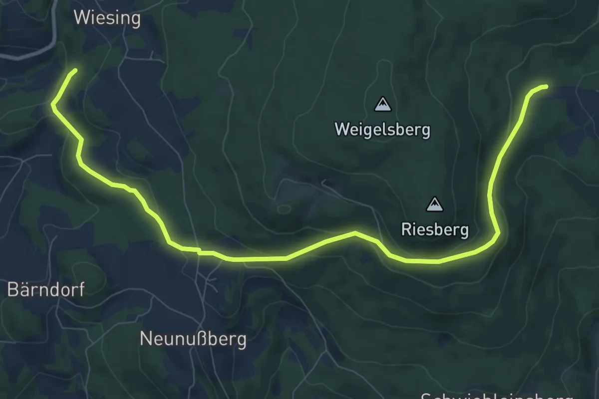
Medium · Trail
Zielwanderweg 2 Arnbruck - Wiesing
10.4 km · ↑ 286 m · 3 h 4 min
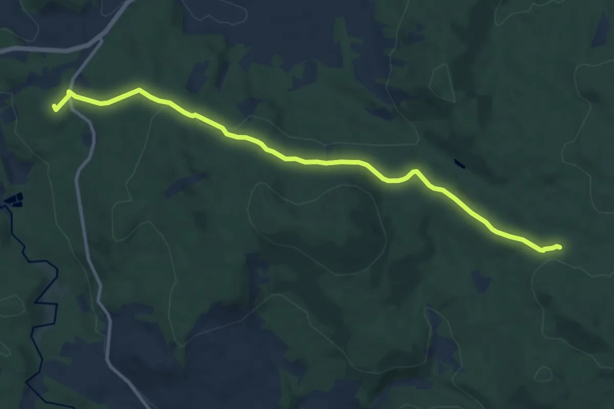
Medium · Summit
Zielwanderweg 3 (Schweinhütt - Zielwanderweg 2)
9.8 km · ↑ 208 m · 2 h 46 min
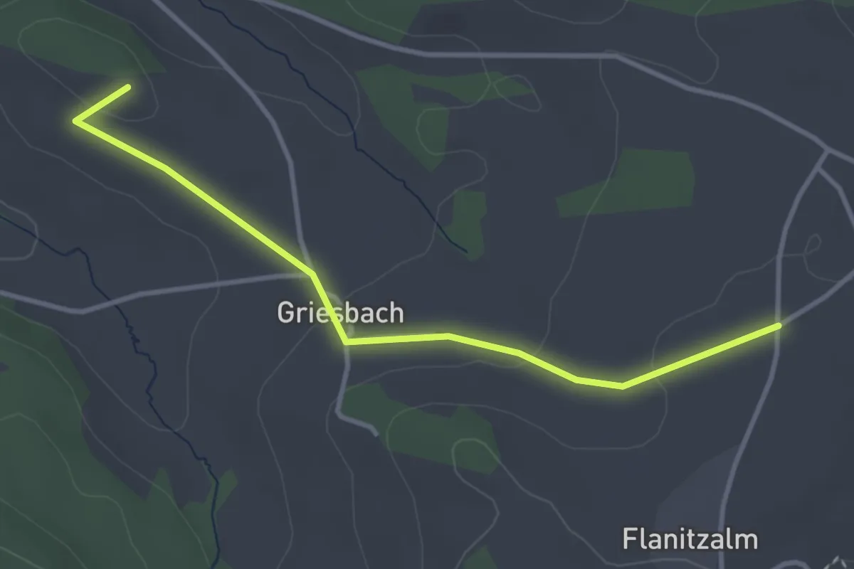
Easy · Summit
Zielwanderweg 4 (Zwiesel-Frauenau)
3.3 km · ↑ 65 m · 56 min
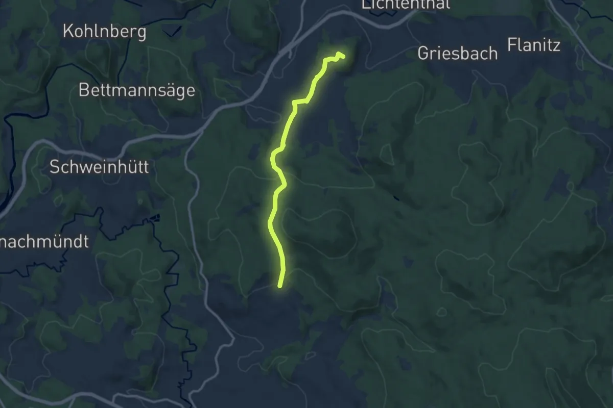
Medium · Summit
Zielwanderweg 5 (Zwiesel-Rinchnach)
9.0 km · ↑ 362 m · 2 h 54 min
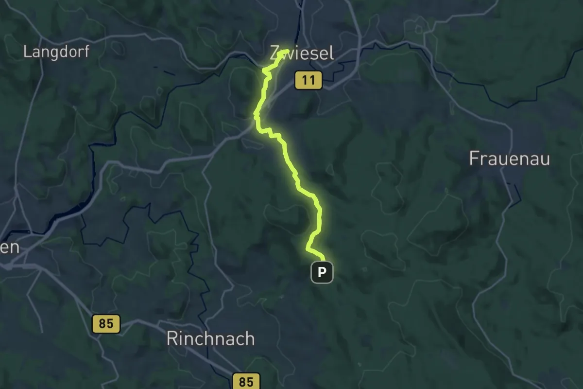
Medium · Trail
Zielwanderweg 6 (Zwiesel-Bärnzell-Zimmeraul)
15.3 km · ↑ 338 m · 4 h 21 min
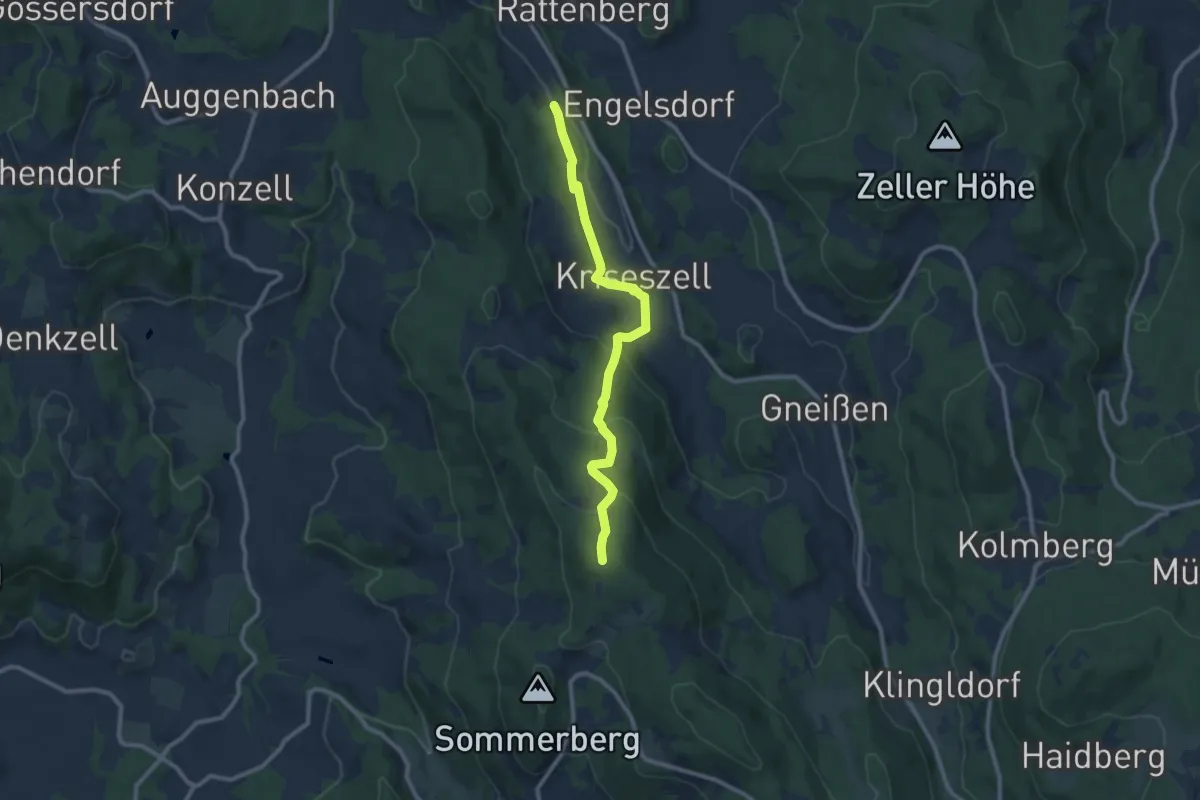
Medium · Cabin
Zielwanderweg 8
9.2 km · ↑ 426 m · 3 h 5 min
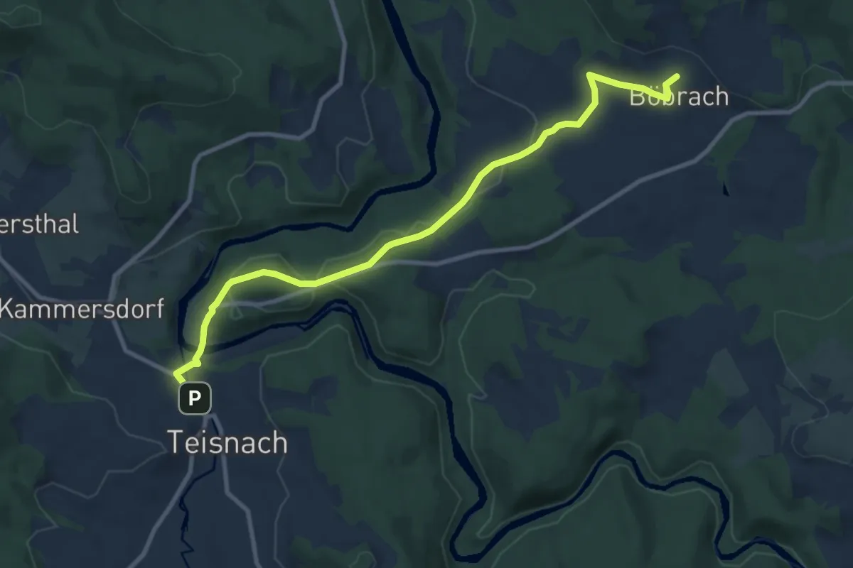
Medium · Trail
Zielwanderweg 8 Böbrach - Teisnach
9.1 km · ↑ 248 m · 2 h 41 min
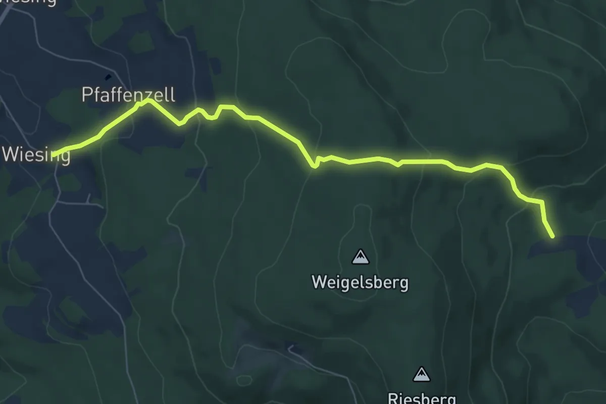
Medium · Trail
Zielwanderweg Drachselsried - Wiesing
7.2 km · ↑ 388 m · 2 h 32 min
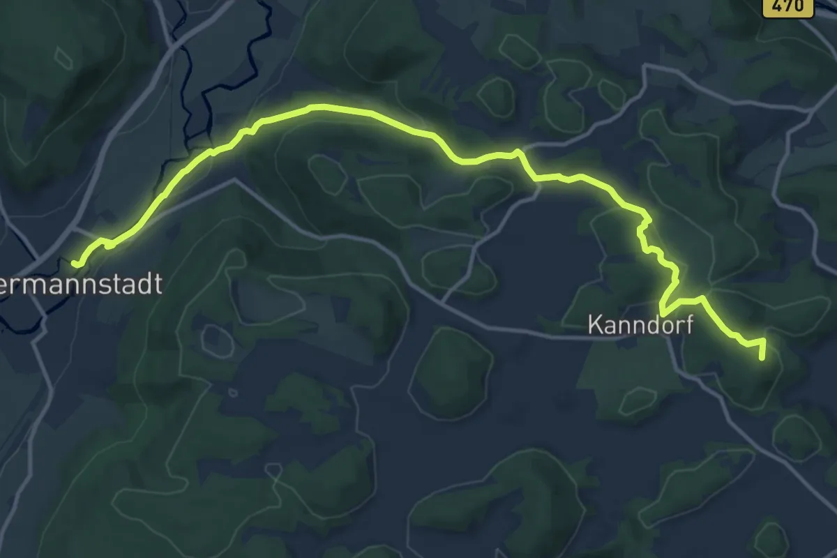
Medium · Summit
Zielwanderweg Ebermannnstadt - Burggailenreuth
14.6 km · ↑ 384 m · 4 h 17 min
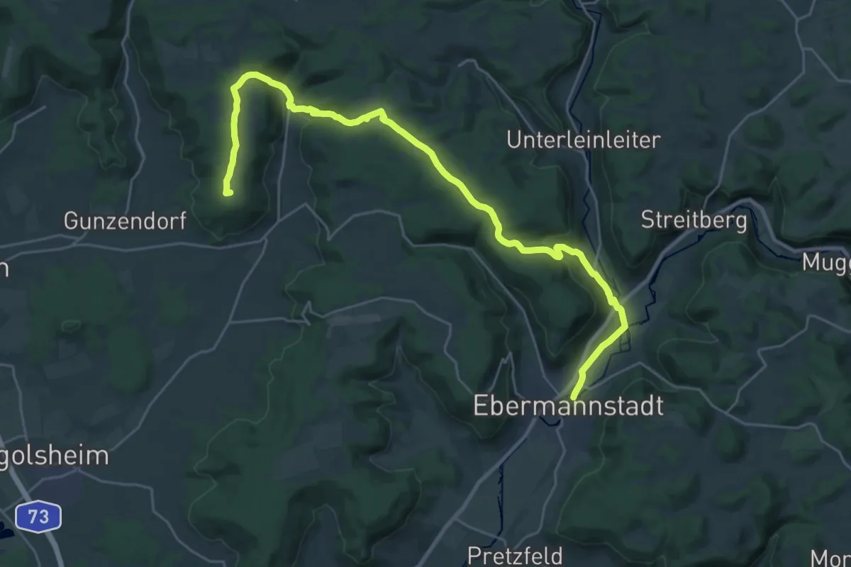
Demanding · Summit
Zielwanderweg Ebermannstadt - Neuses
28.0 km · ↑ 639 m · 7 h 59 min
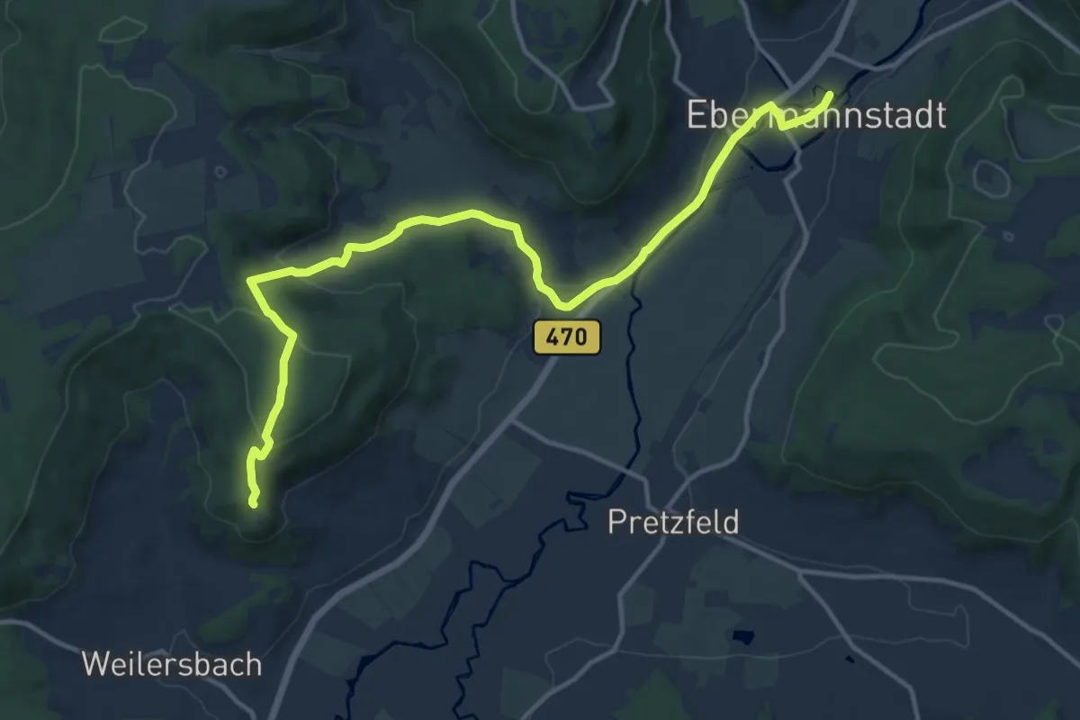
Medium · Trail
Zielwanderweg Ebermannstadt - Vexierkapelle
14.0 km · ↑ 294 m · 3 h 56 min
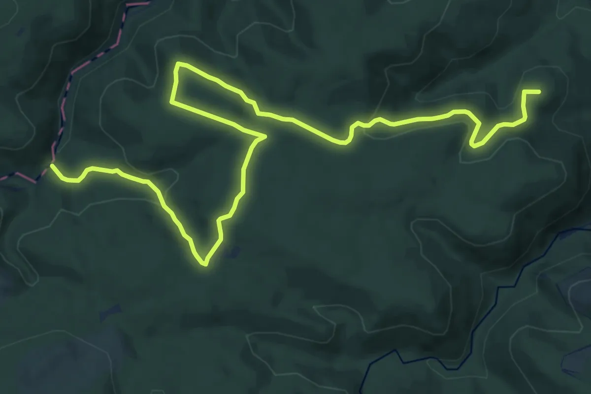
Medium · Summit
Zielwanderweg Eckertal
16.0 km · ↑ 438 m · 4 h 43 min
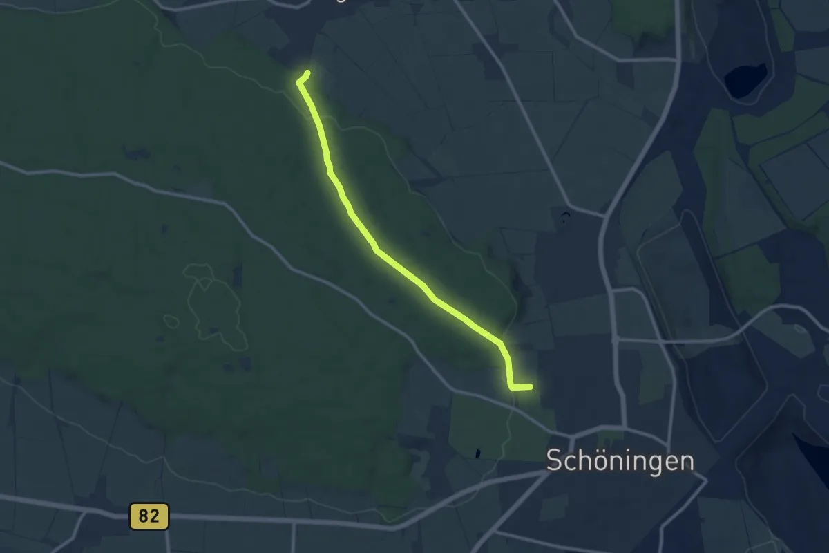
Medium · Trail
Zielwanderweg Elmgarten Schöningen
8.6 km · ↑ 150 m · 2 h 21 min
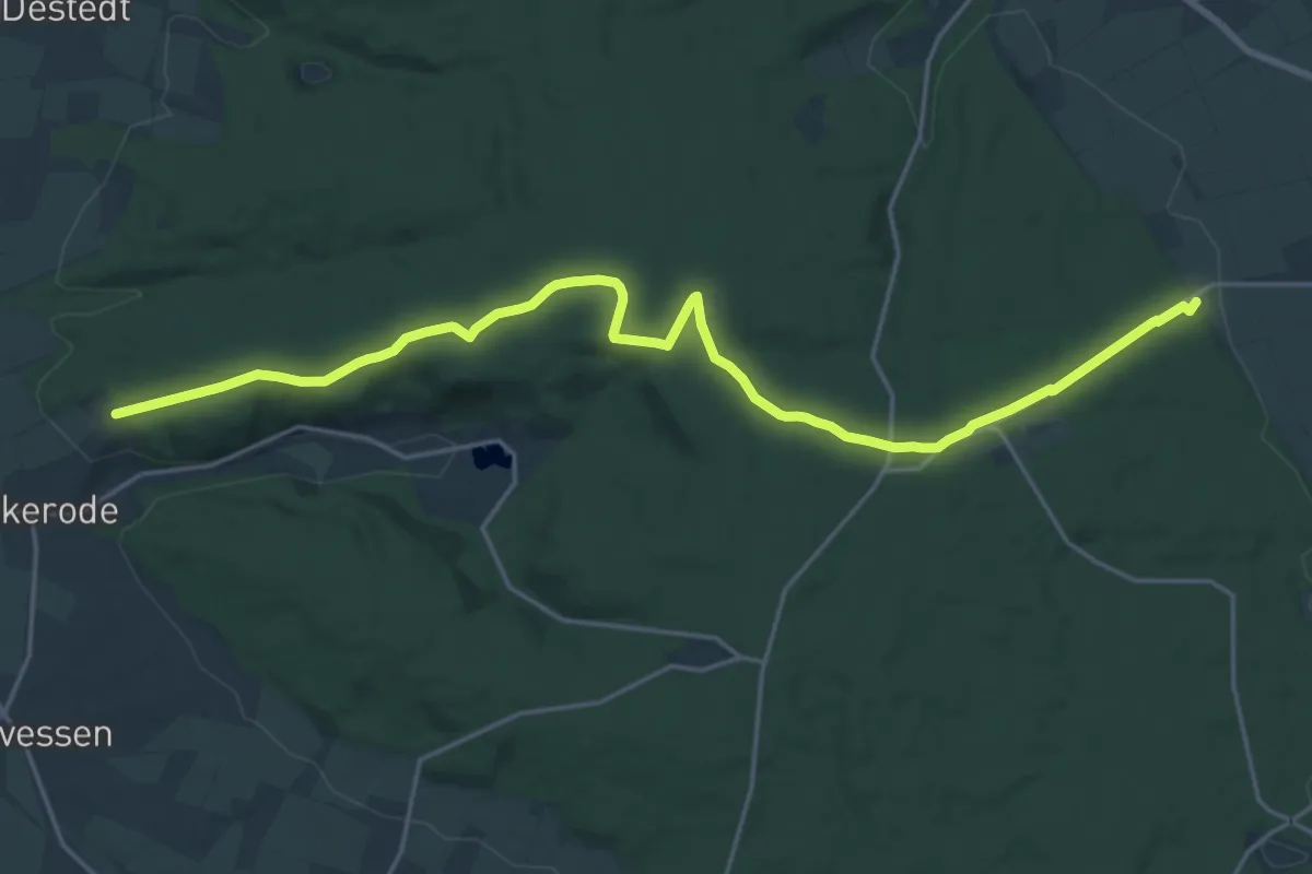
Demanding · Trail
Zielwanderweg Erkerode-Heinrichsruh
20.1 km · ↑ 291 m · 5 h 23 min
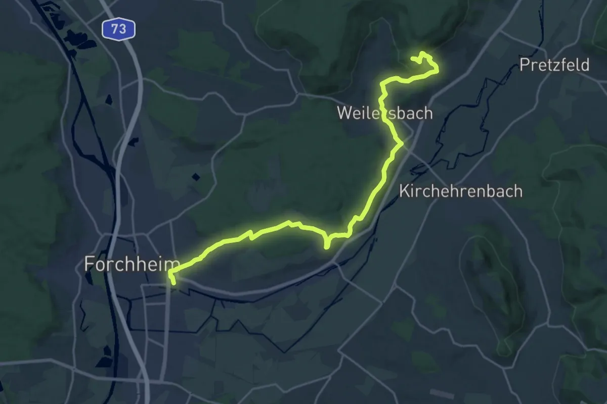
Demanding · Trail
Zielwanderweg Forchheim- Reifenberg
20.7 km · ↑ 500 m · 5 h 58 min
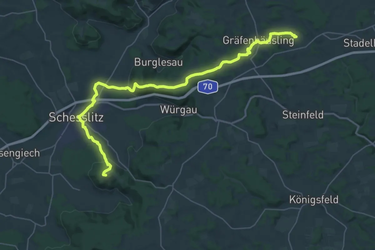
Medium · Trail
Zielwanderweg Giechburg-Schederndorf
14.9 km · ↑ 346 m · 4 h 27 min
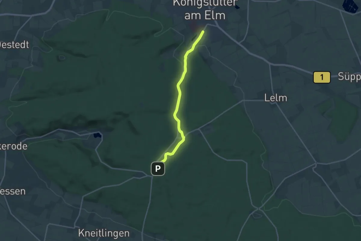
Medium · Trail
Zielwanderweg Königslutter-Lutterspring-Tetzelstein
12.2 km · ↑ 154 m · 3 h 13 min
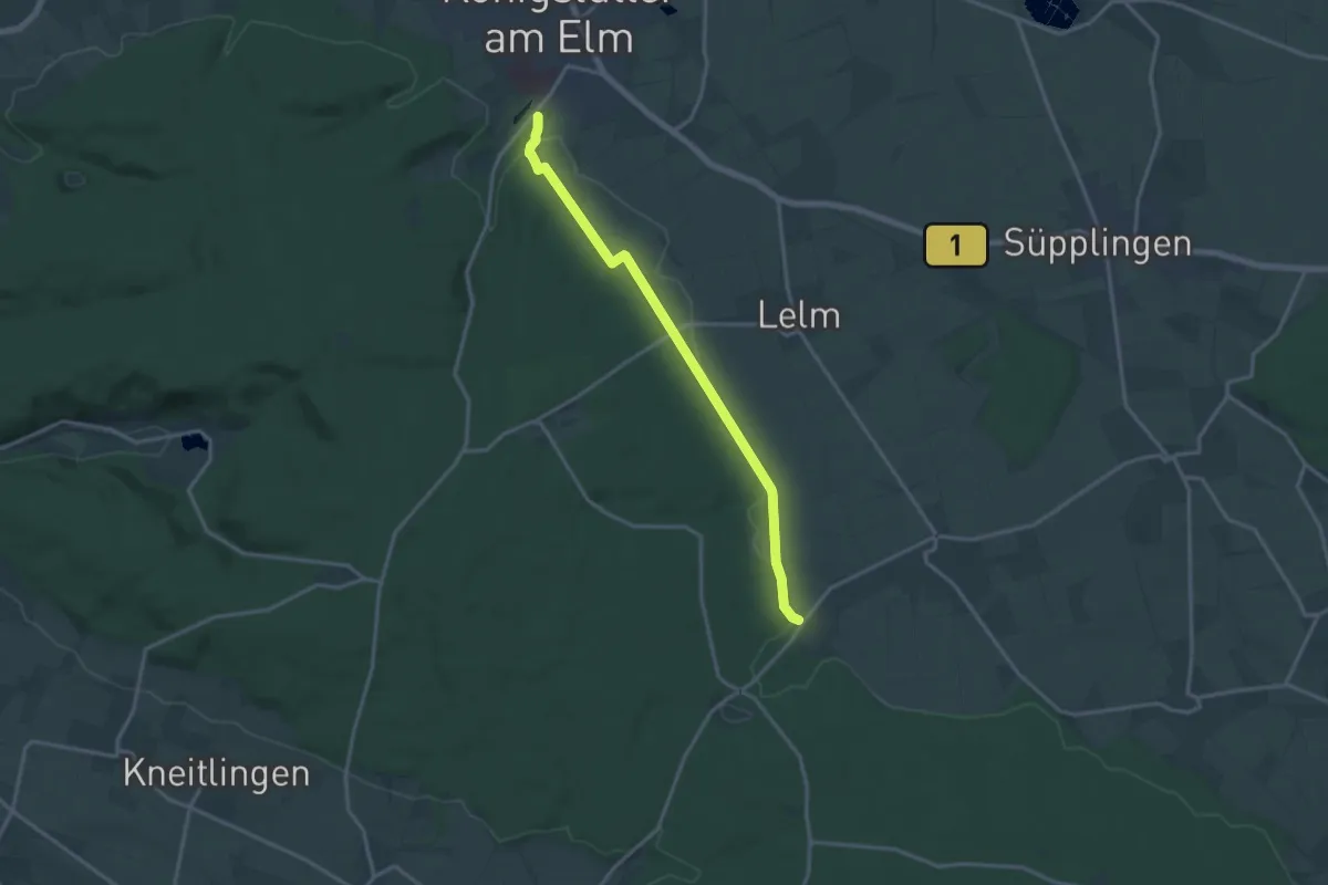
Medium · Trail
Zielwanderweg Königslutter Schunterquelle
13.5 km · ↑ 145 m · 3 h 30 min
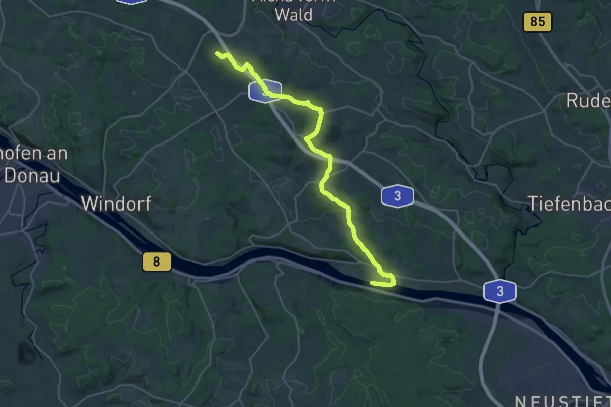
Demanding · Summit
Zielwanderweg Nr. 14
21.8 km · ↑ 442 m · 6 h 6 min
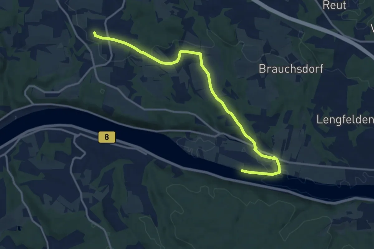
Medium · Trail
Zielwanderweg Nr. 17
9.9 km · ↑ 150 m · 2 h 40 min
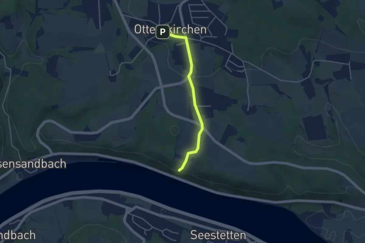
Easy · Trail
Zielwanderweg Nr. 20
3.0 km · ↑ 53 m · 50 min
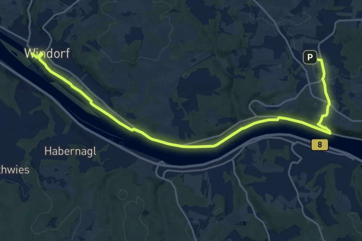
Medium · Trail
Zielwanderweg Nr. 20
16.5 km · ↑ 168 m · 4 h 15 min
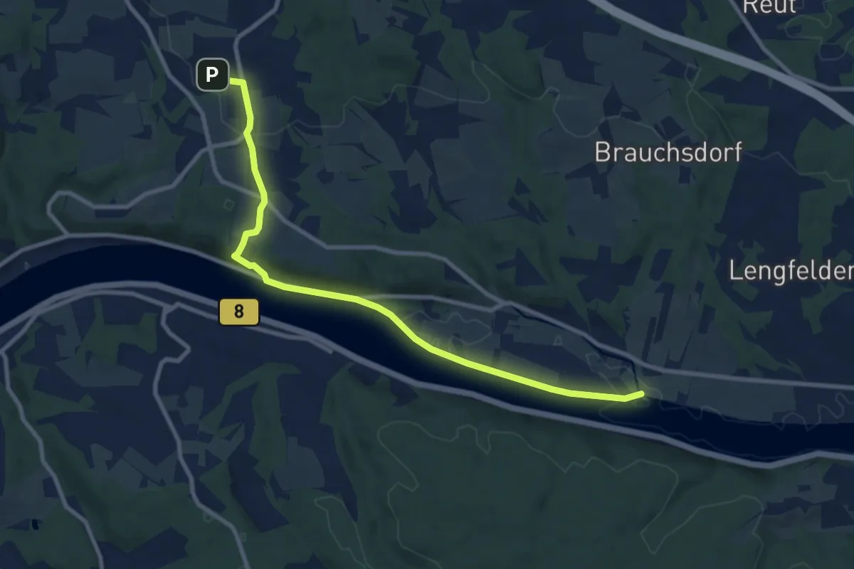
Medium · Trail
Zielwanderweg Nr. 20
9.0 km · ↑ 138 m · 2 h 26 min
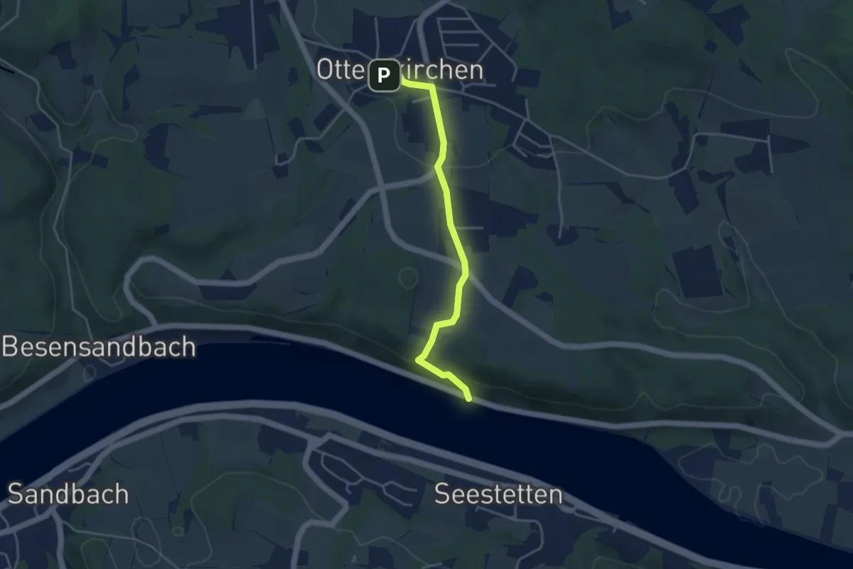
Easy · Trail
Zielwanderweg Nr. 20
3.6 km · ↑ 107 m · 1 h 5 min
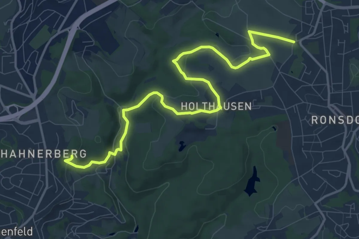
Medium · Trail
Zielwanderweg = (Parkstraße — Hahnerberg)
11.0 km · ↑ 265 m · 3 h 10 min
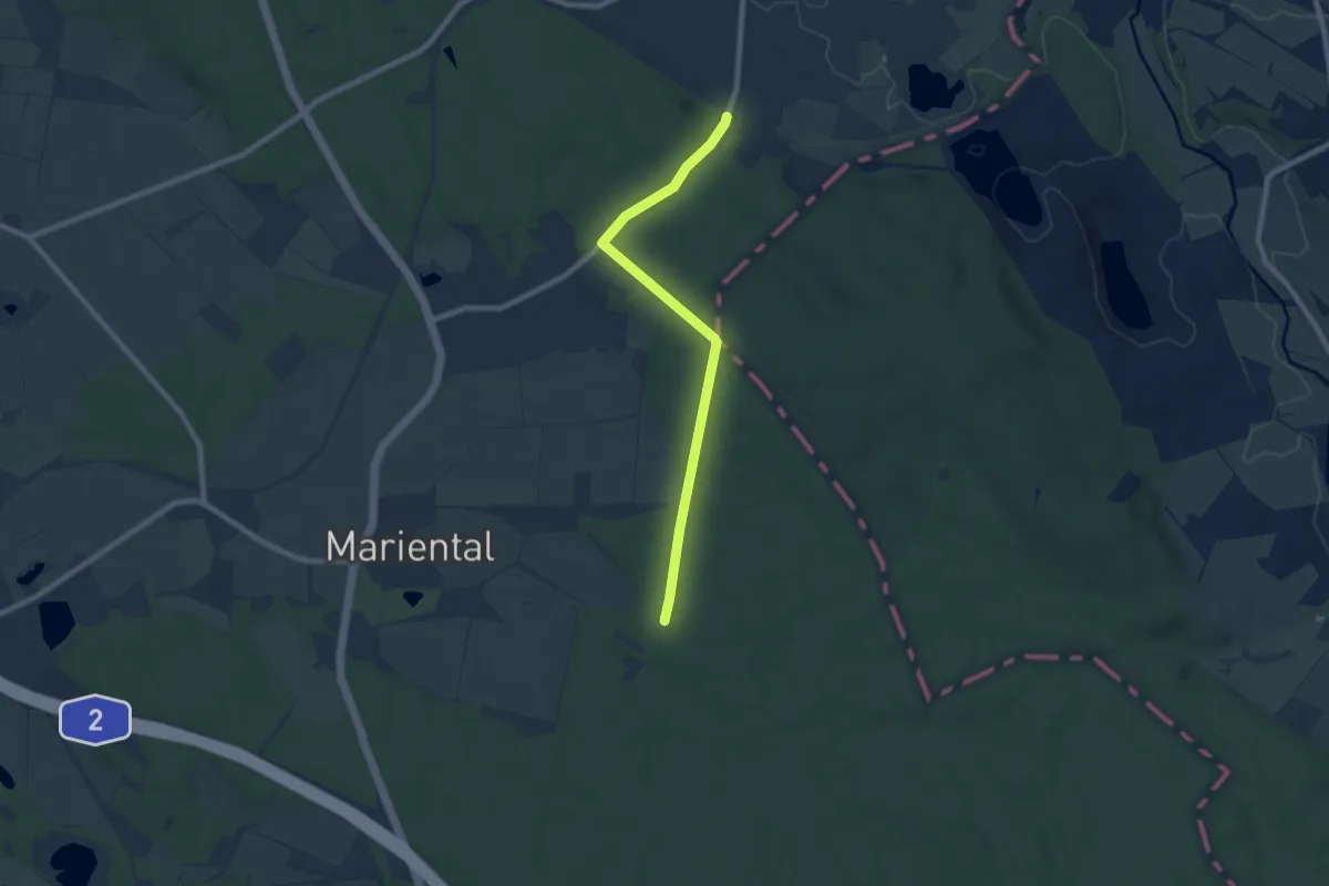
Easy · Trail
Zielwanderweg Querenhorst-Helmstedt
6.8 km · ↑ 89 m · 1 h 48 min
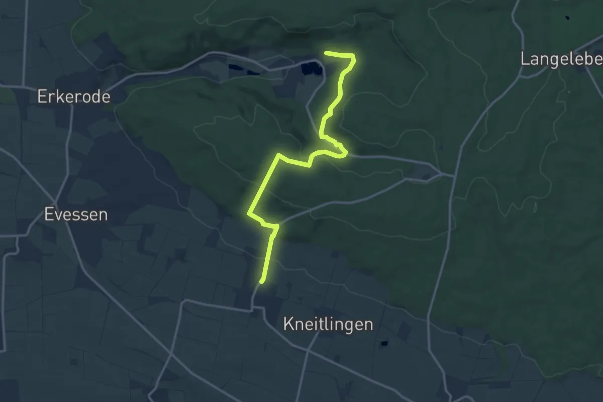
Medium · Trail
Zielwanderweg Reitling-Ampleben
11.1 km · ↑ 320 m · 3 h 18 min
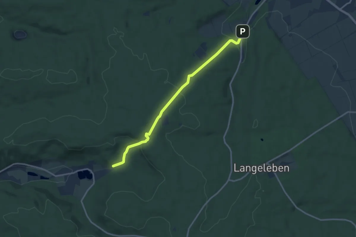
Medium · Trail
Zielwanderweg Reitling-Lutterspring
8.5 km · ↑ 231 m · 2 h 30 min
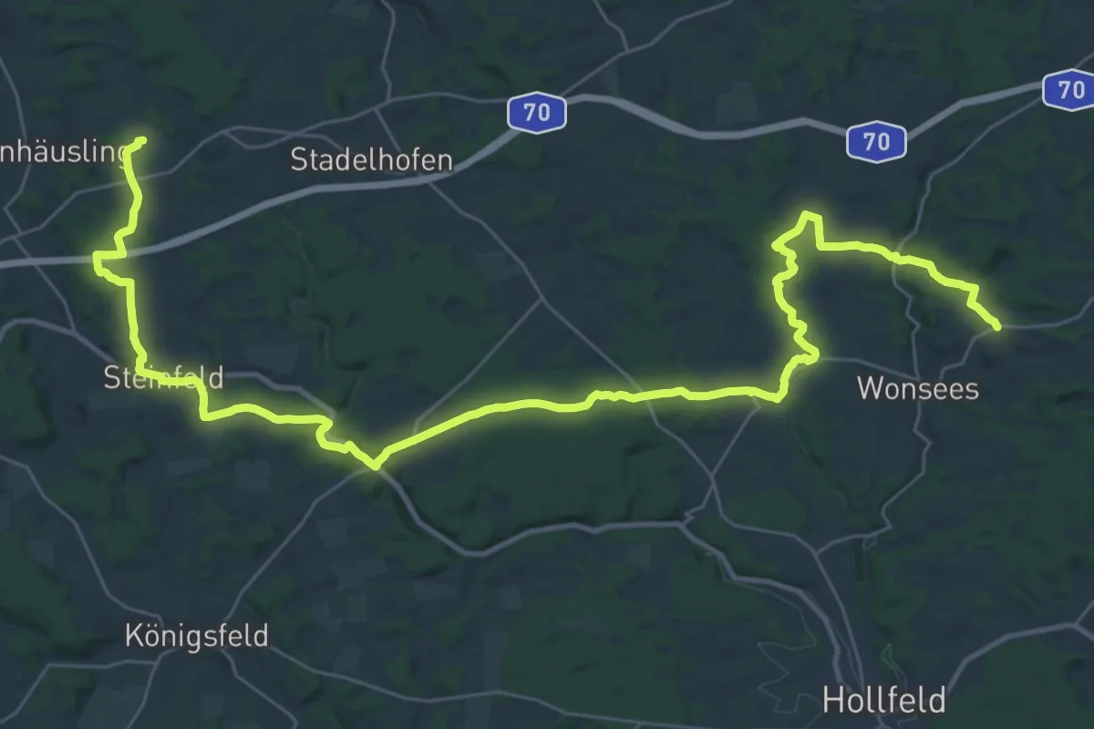
Demanding · Trail
Zielwanderweg Schederndorf - Sanspareil
20.9 km · ↑ 250 m · 5 h 46 min
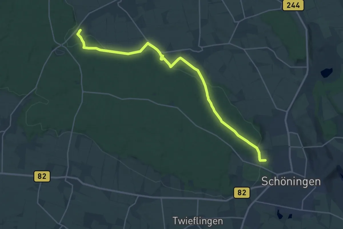
Demanding · Trail
Zielwanderweg Schöningen Schunterquelle
20.1 km · ↑ 279 m · 5 h 22 min