Trails in Germany
36,877 hiking trails, each with its route, climb, walking time and grade.
All trails, page 752 of 769
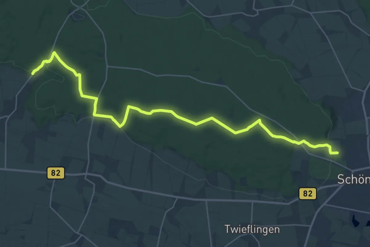
Demanding · Trail
Zielwanderweg Schöningen - Watzumer Häuschen
23.7 km · ↑ 300 m · 6 h 15 min
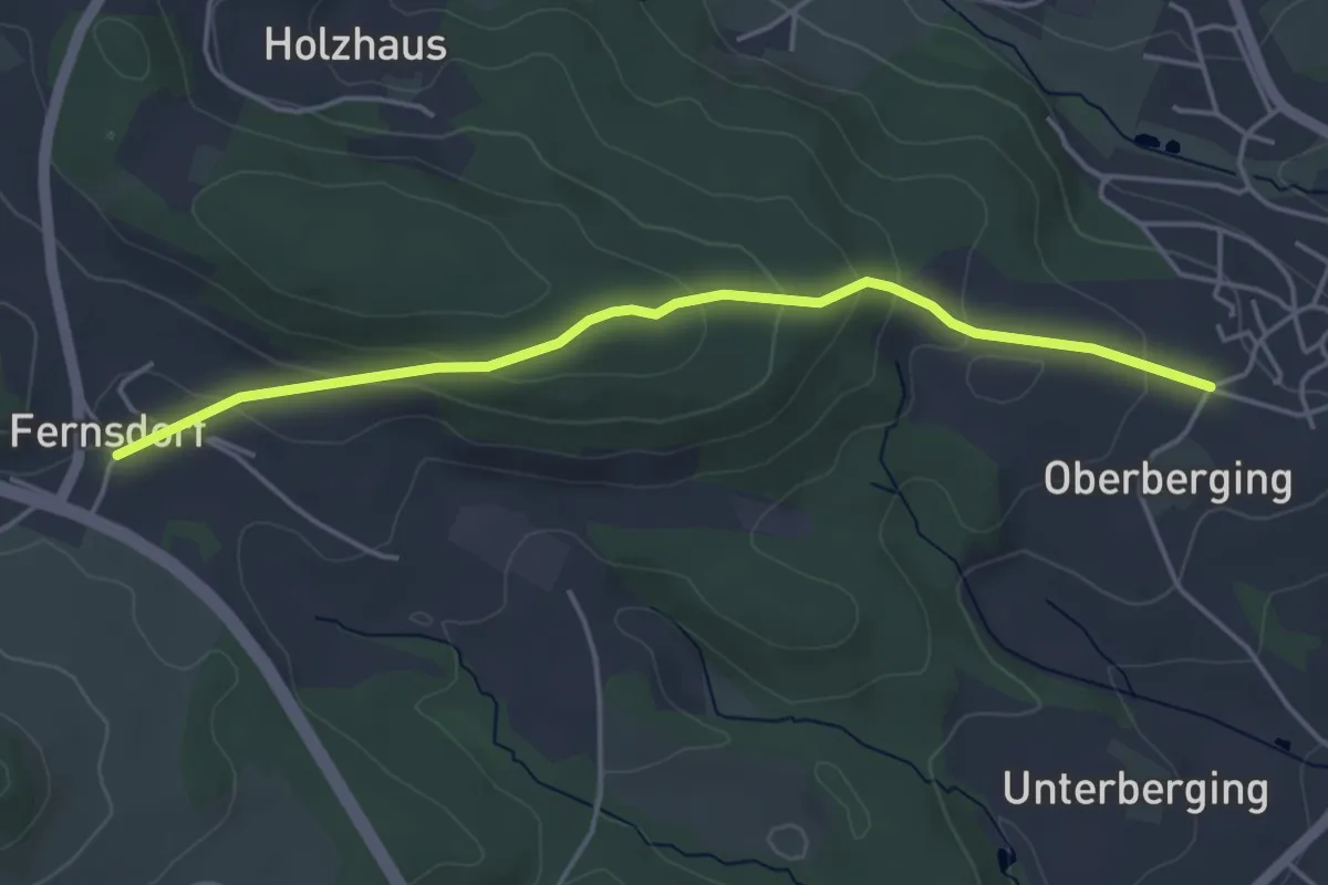
Easy · Trail
Zielwanderweg Teisnach - Ayrhof
4.2 km · ↑ 171 m · 1 h 22 min
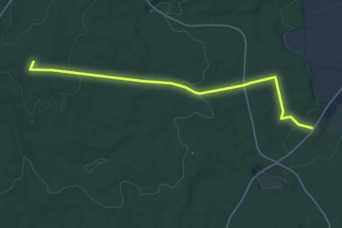
Medium · Summit
Zielwanderweg Tetzelstein-Schunterquelle
8.9 km · ↑ 132 m · 2 h 23 min
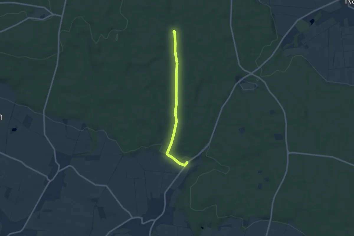
Easy · Trail
Zielwanderweg Tetzelstein-Watzumer Häuschen
6.4 km · ↑ 88 m · 1 h 42 min
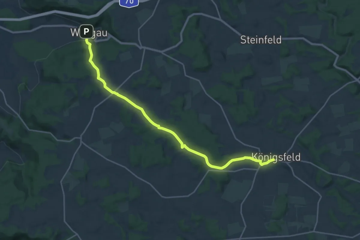
Medium · Trail
Zielwanderweg Würgau - Königsfeld
15.9 km · ↑ 251 m · 4 h 18 min
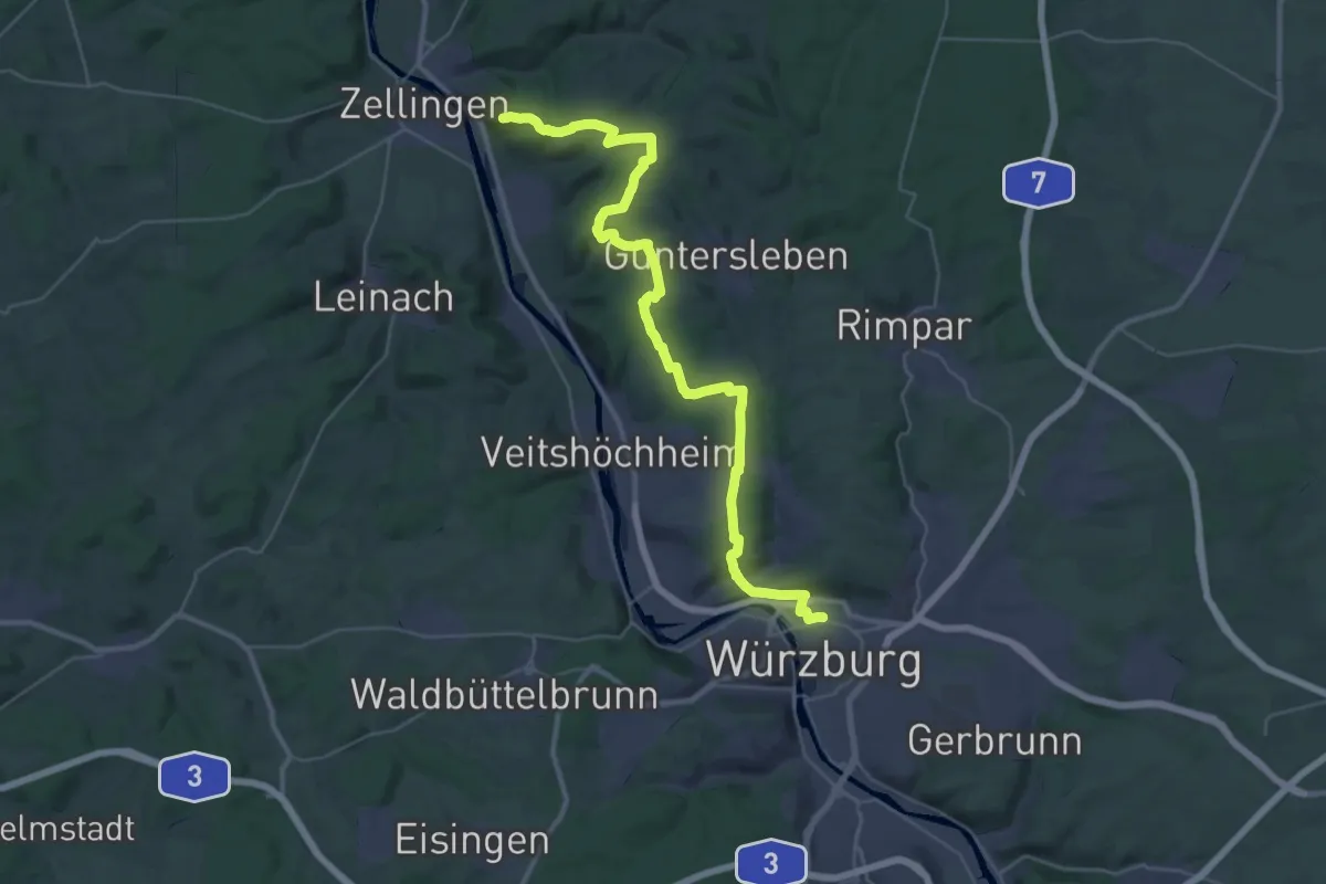
Demanding · Summit
Zielwanderweg Würzburg-Retzbach
39.2 km · ↑ 718 m · 10 h 49 min
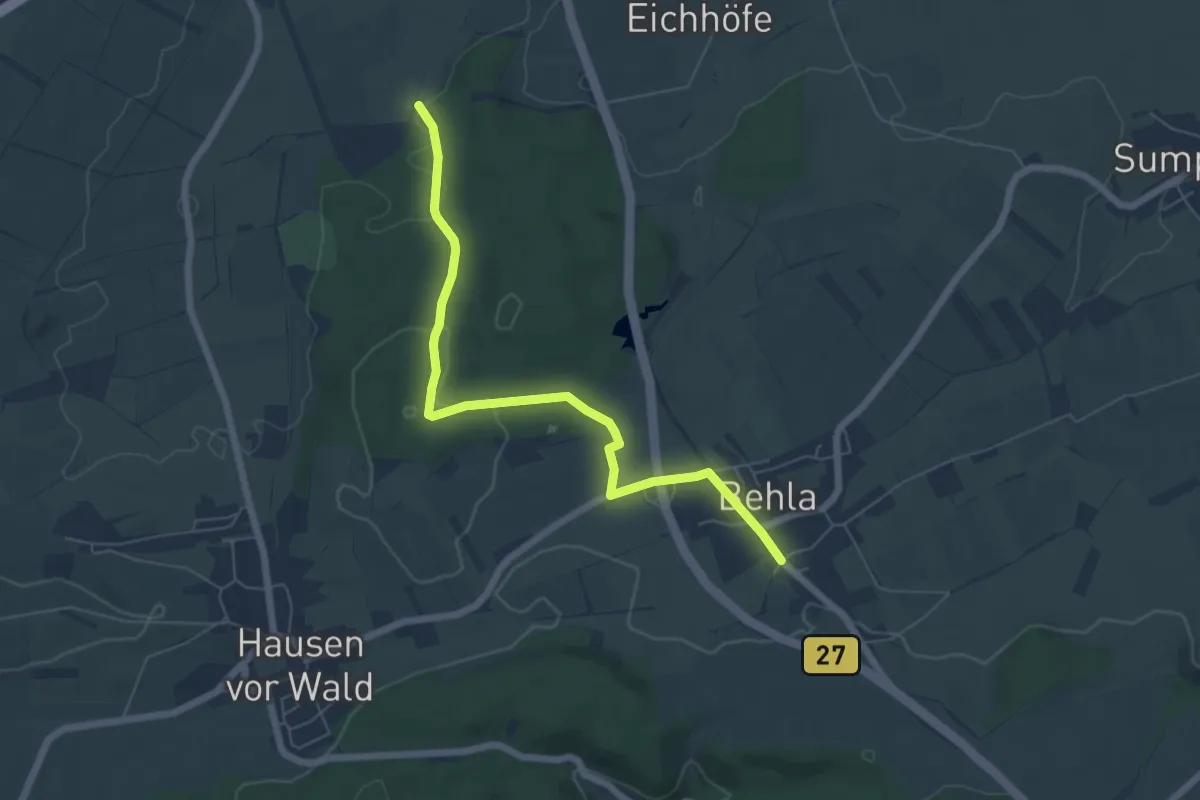
Easy · Trail
Zielweg nach Behla
6.2 km · ↑ 91 m · 1 h 40 min
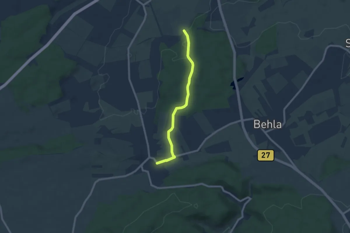
Easy · Trail
Zielweg nach Hausen vor Wald
5.1 km · ↑ 82 m · 1 h 24 min
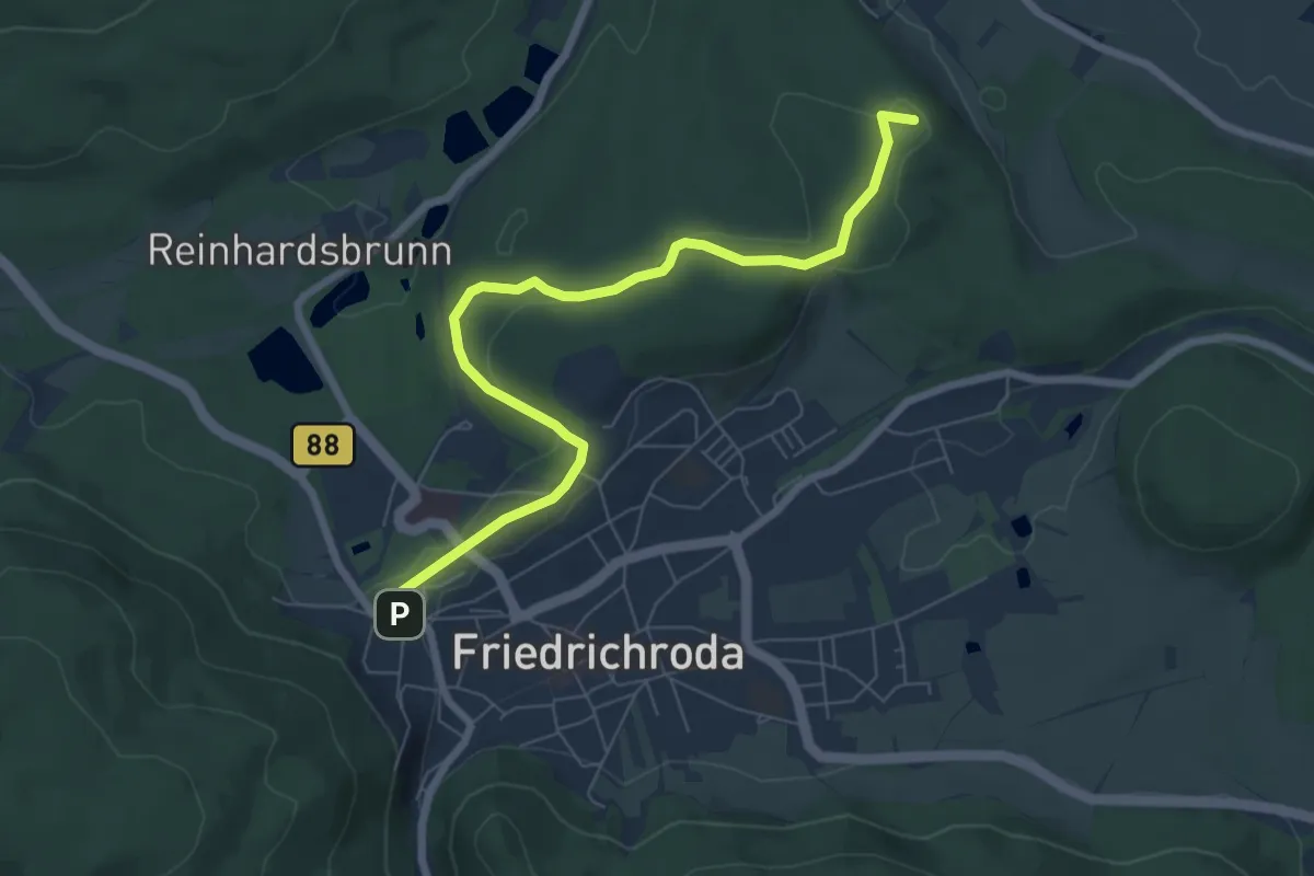
Easy · Summit
Zielweg Schnepfenthal
6.8 km · ↑ 134 m · 1 h 54 min
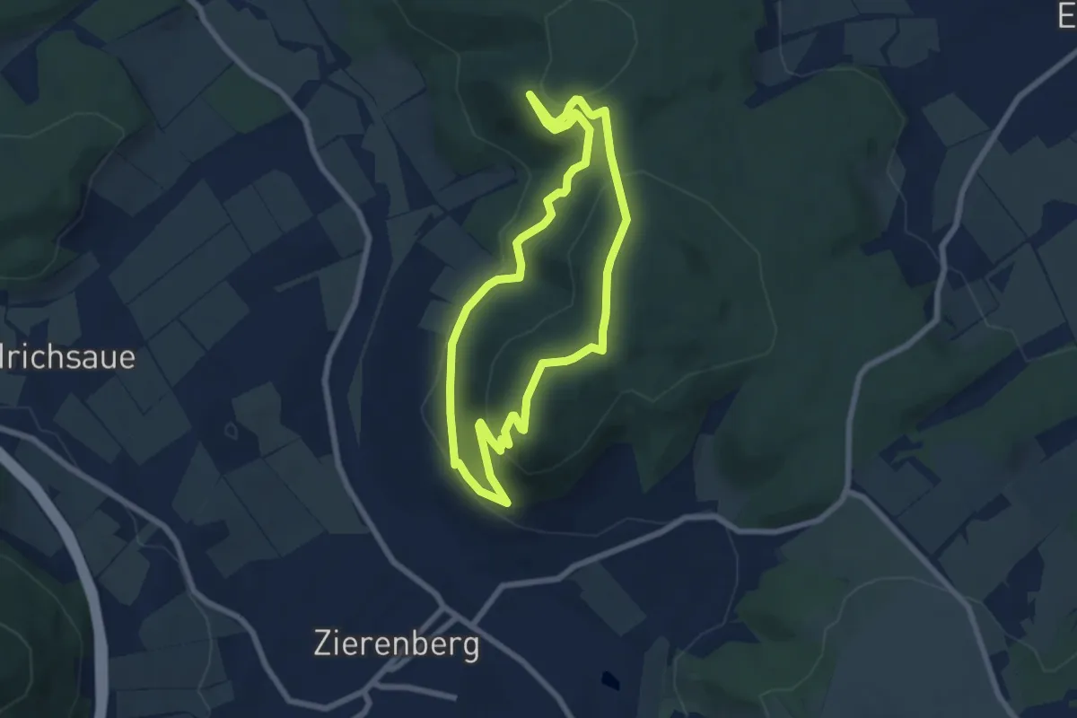
Easy · Summit
Zierenberg, Naturparkweg 6
5.9 km · ↑ 239 m · 1 h 59 min
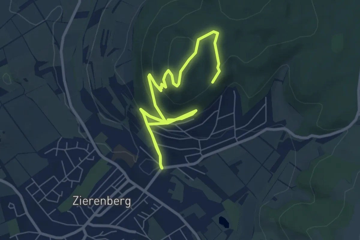
Easy · Summit
Zierenberg, Rundweg 4
4.3 km · ↑ 269 m · 1 h 36 min
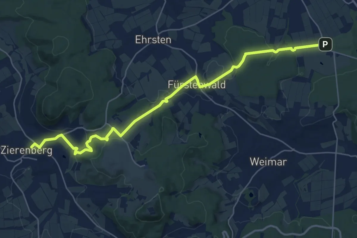
Demanding · Trail
Zierenberg - Schloss Wilhelmsthal
20.9 km · ↑ 555 m · 6 h 9 min
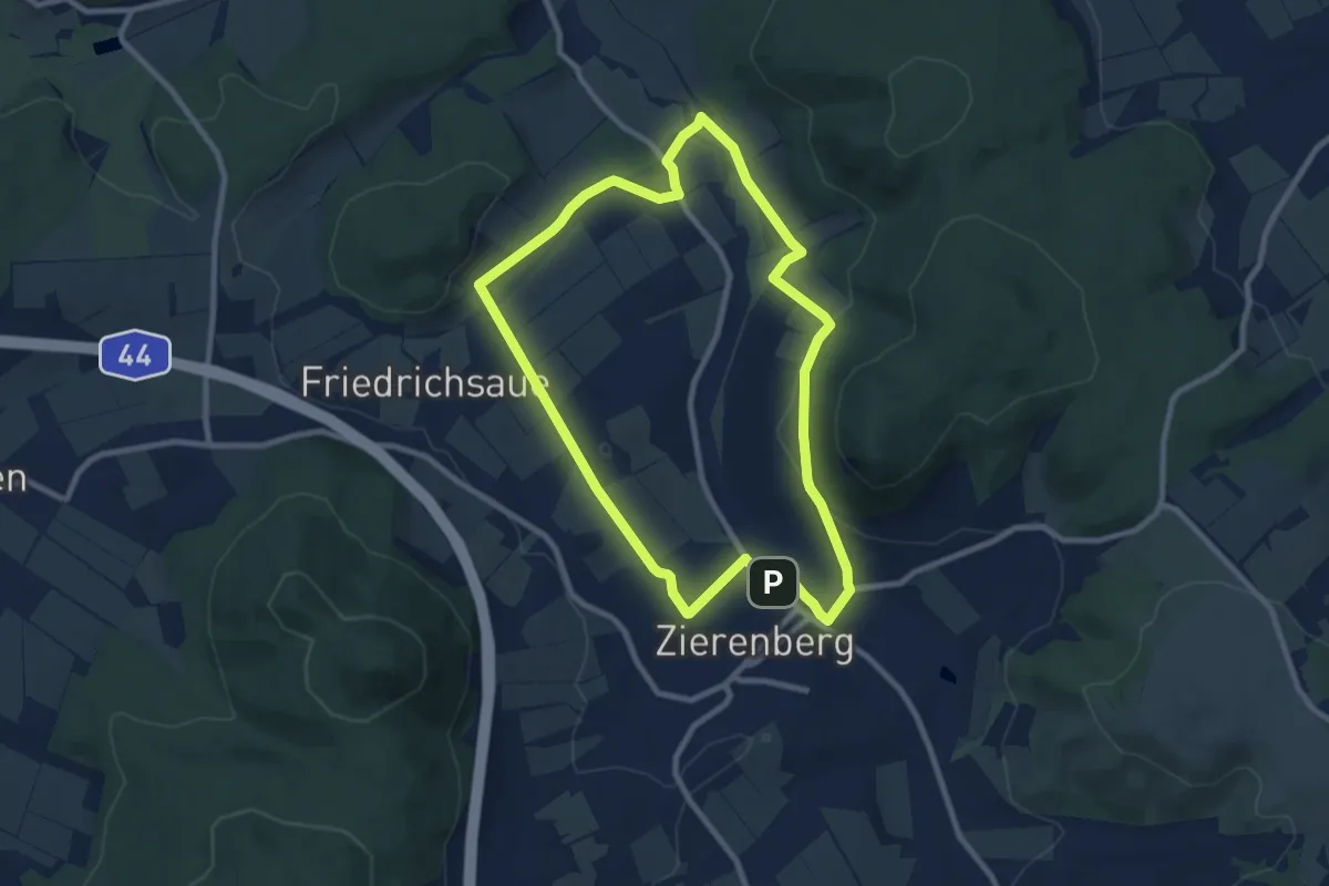
Easy · Trail
Zierenberg, Z1
7.8 km · ↑ 135 m · 2 h 15 min
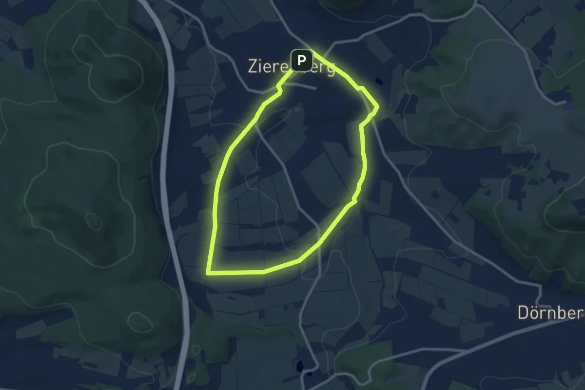
Easy · Trail
Zierenberg, Z2 - Mühlenweg
7.1 km · ↑ 89 m · 1 h 58 min
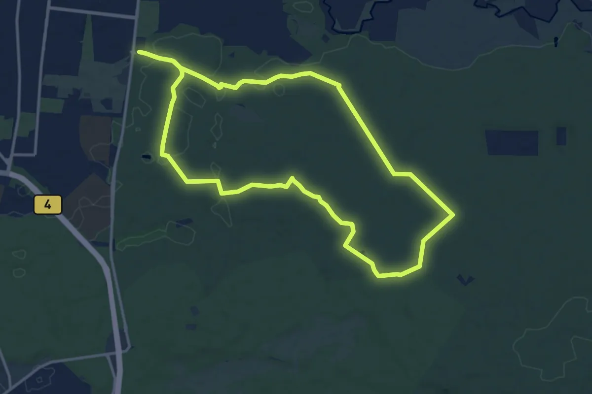
Medium · Trail
Zigeunereck Trail
10.4 km · ↑ 62 m · 2 h 44 min
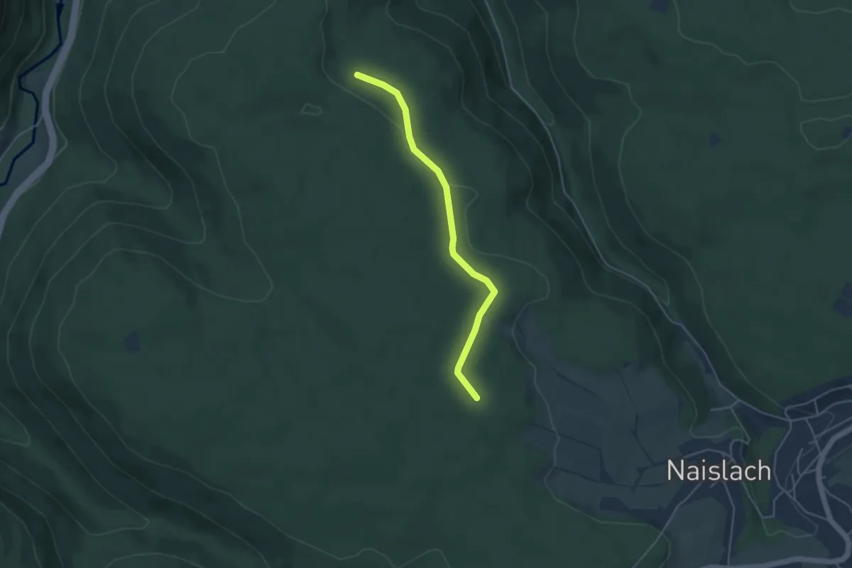
Easy · Trail
Zimmerbuckel - Brandmiss
3.9 km · ↑ 51 m · 1 h 2 min
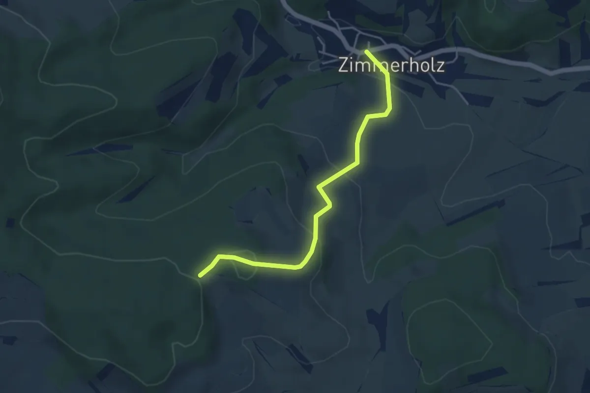
Easy · Trail
Zimmerholz Bei der Kirche - Scheienbohl
3.9 km · ↑ 161 m · 1 h 16 min
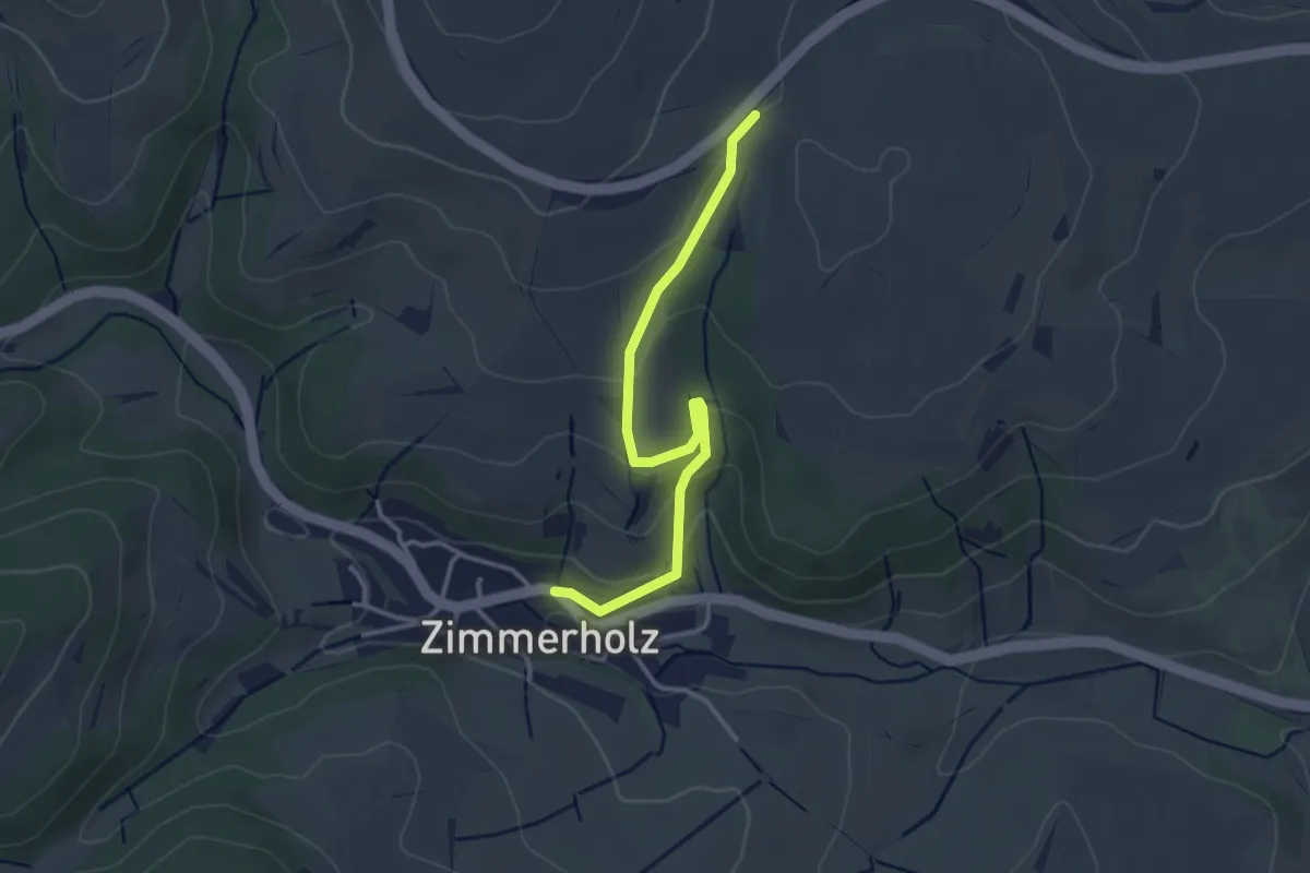
Easy · Trail
Zimmerholz Lindenweg - Butzental
3.1 km · ↑ 92 m · 56 min
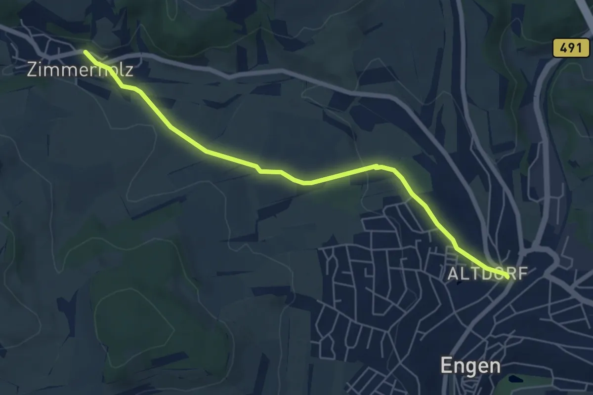
Easy · Trail
Zimmerholz Lindenweg - Engen Altdorf
5.5 km · ↑ 107 m · 1 h 32 min
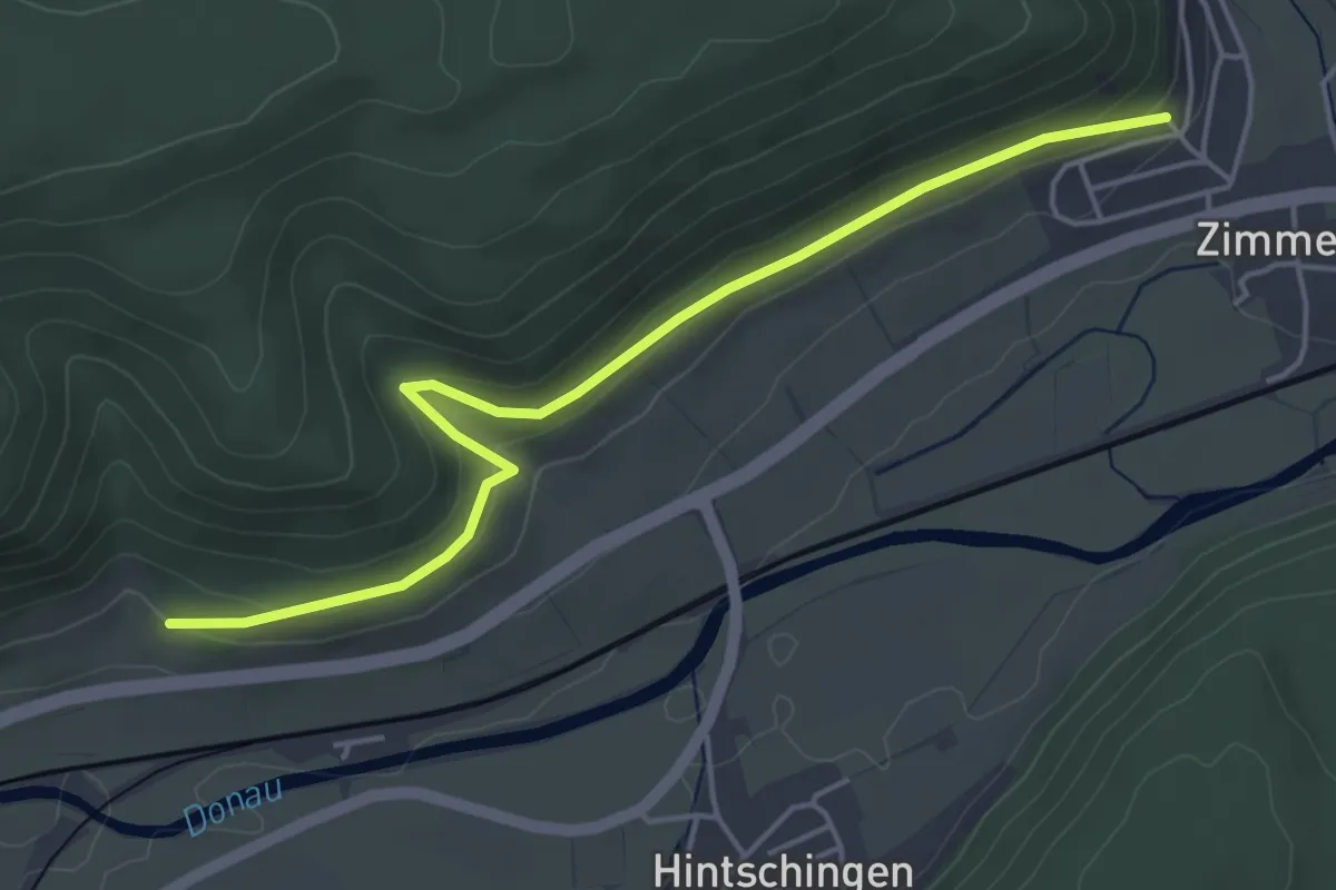
Easy · Trail
Zimmern Am Hornenberg - Röggenbach
4.8 km · ↑ 145 m · 1 h 27 min
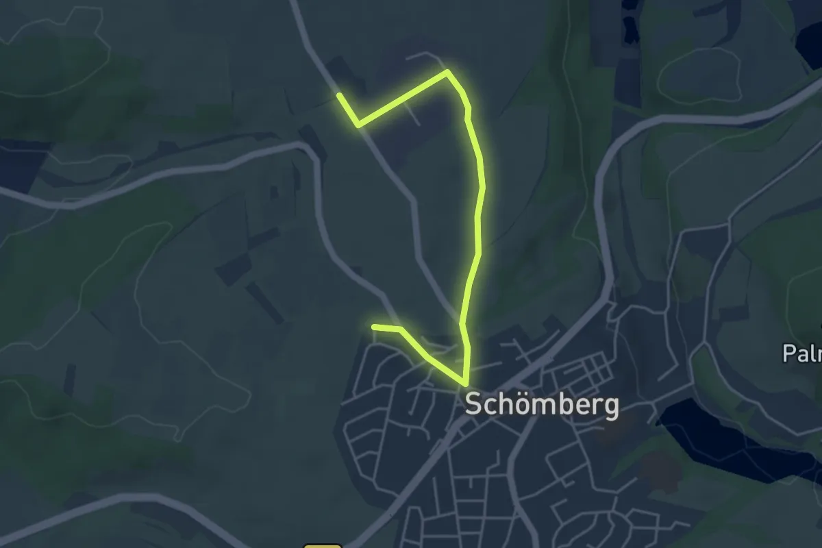
Easy · Trail
Zimmerner Runde
4.1 km · ↑ 13 m · 1 h
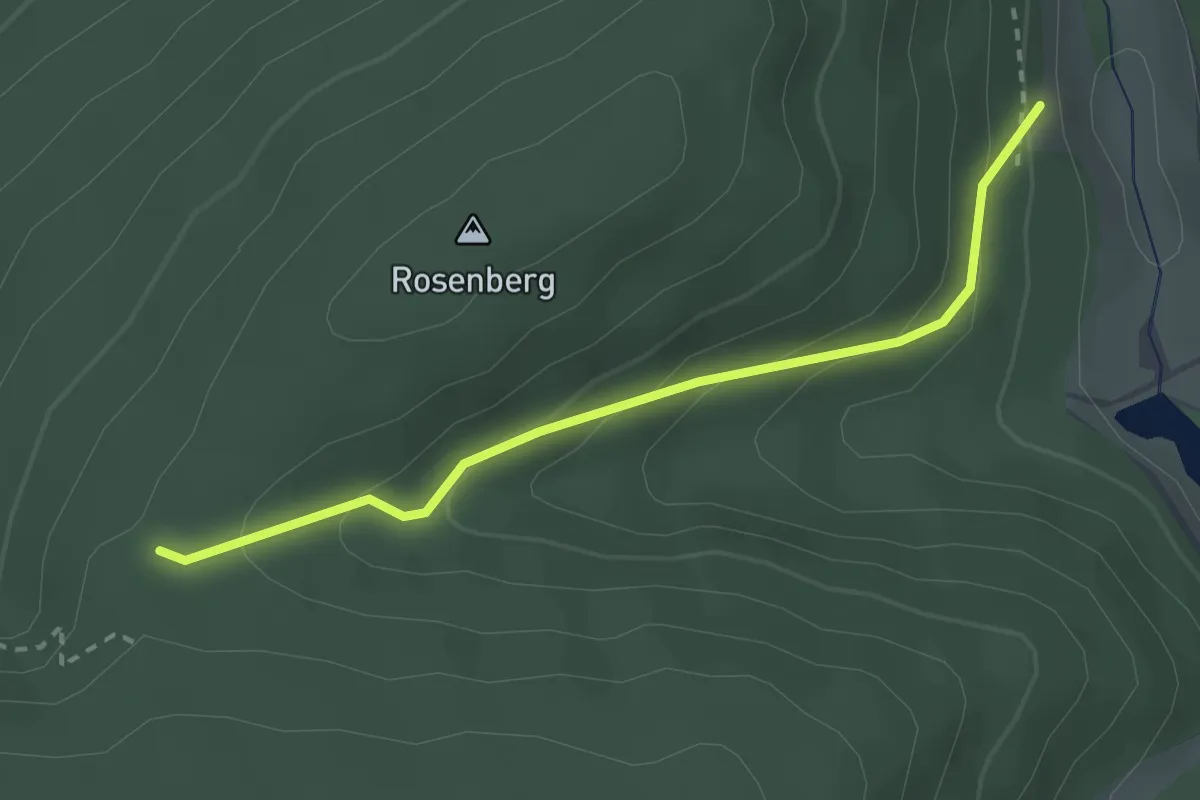
Easy · Trail
Zimmerplatz - Scheidgrundpfad
2.5 km · ↑ 159 m · 56 min
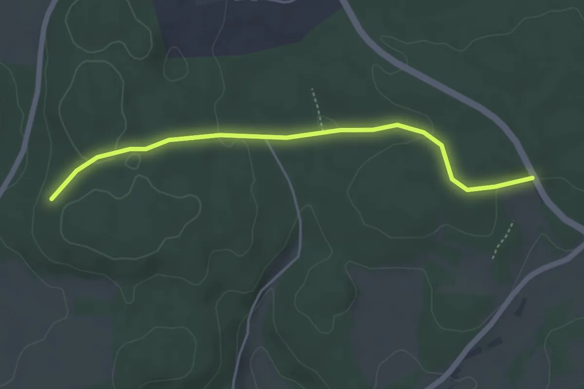
Easy · Trail
Zimmerplatz - Wilhelmseiche
4.1 km · ↑ 81 m · 1 h 8 min
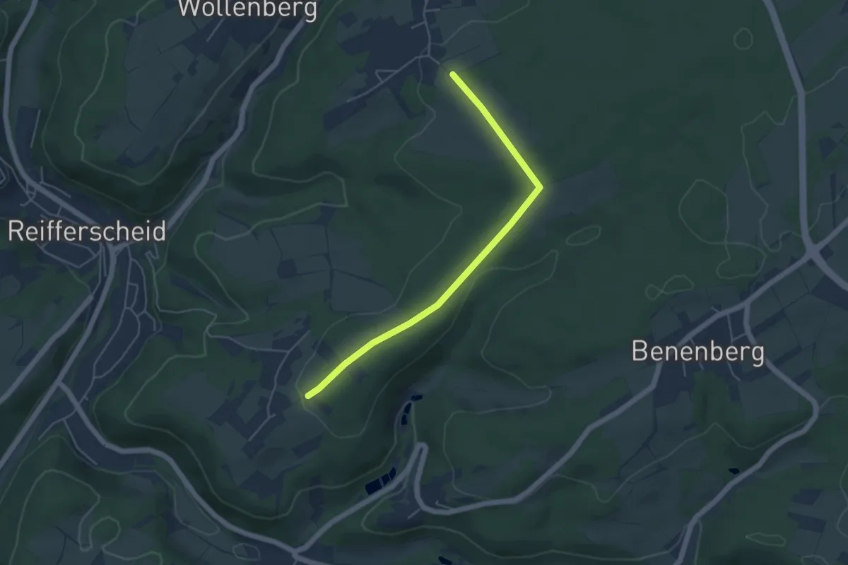
Easy · Trail
Zingscheider Berg A1
4.4 km · ↑ 49 m · 1 h 9 min
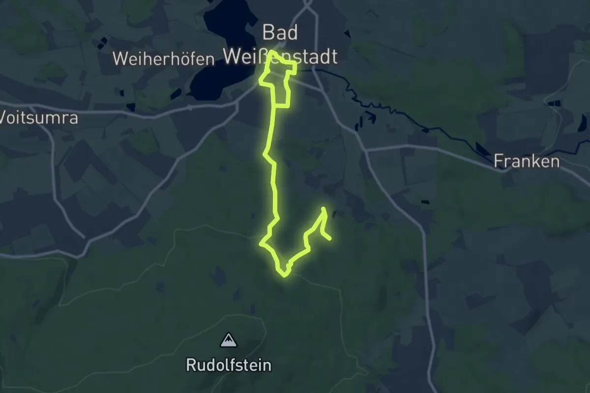
Medium · Trail
Zinnweg
10.6 km · ↑ 231 m · 3 h
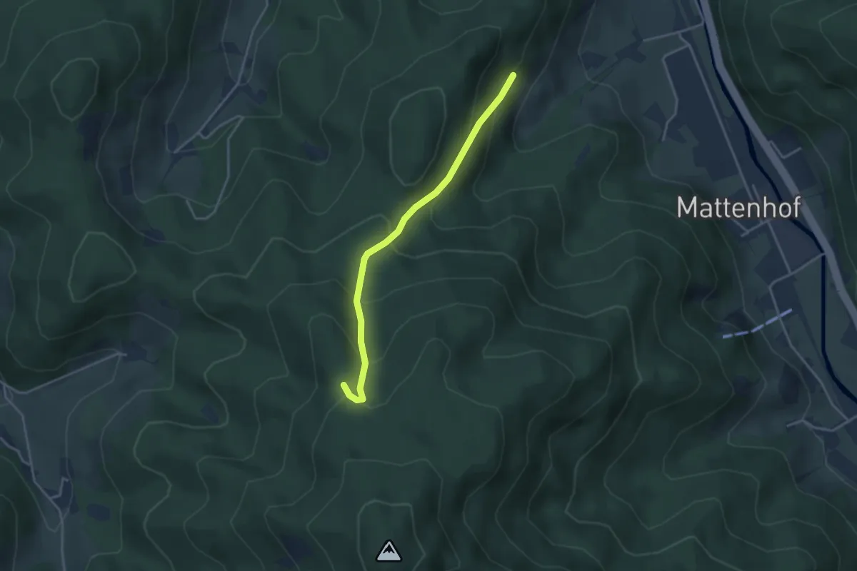
Easy · Trail
Zinowald - Saumerloch
3.2 km · ↑ 258 m · 1 h 18 min
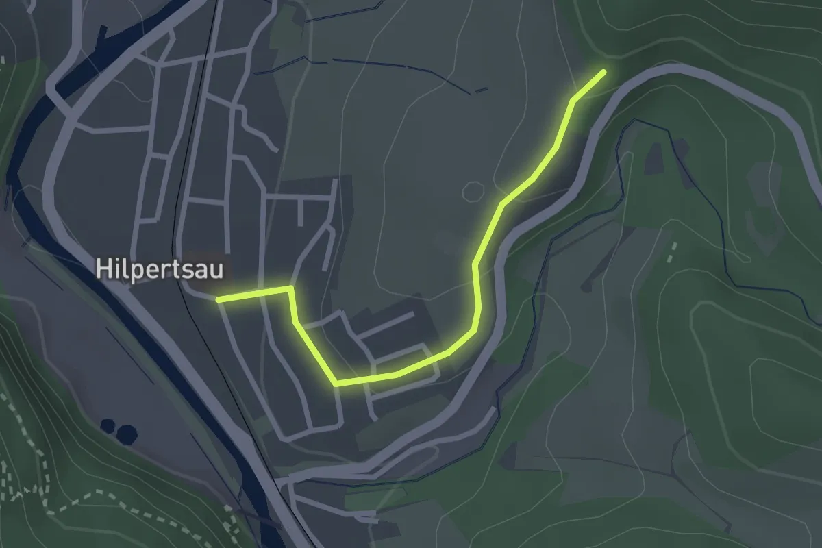
Easy · Trail
Zinsäckerstraße - Bohnberg
2.2 km · ↑ 88 m · 43 min
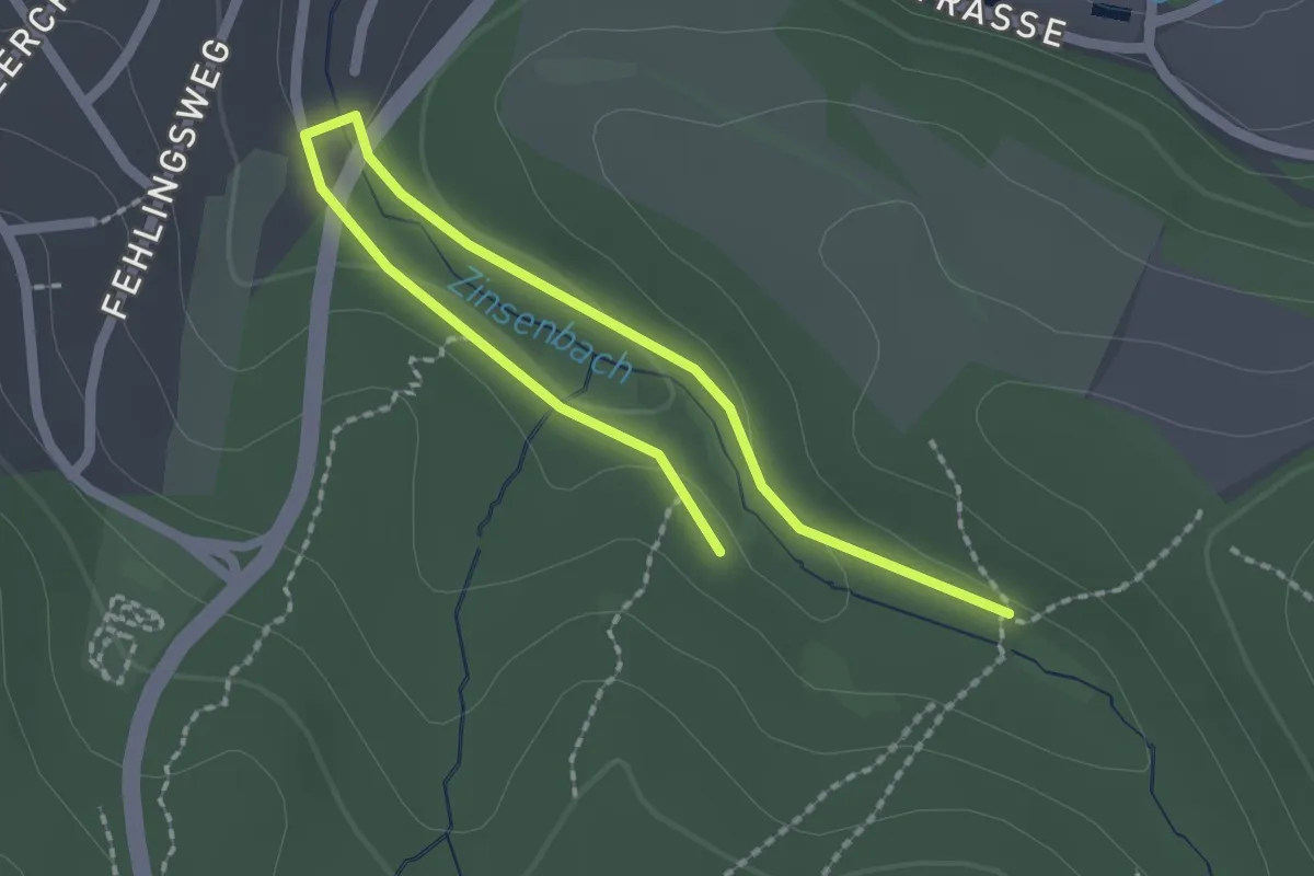
Easy · Trail
Zinsenbach-Rundweg A1
2.5 km · ↑ 33 m · 39 min
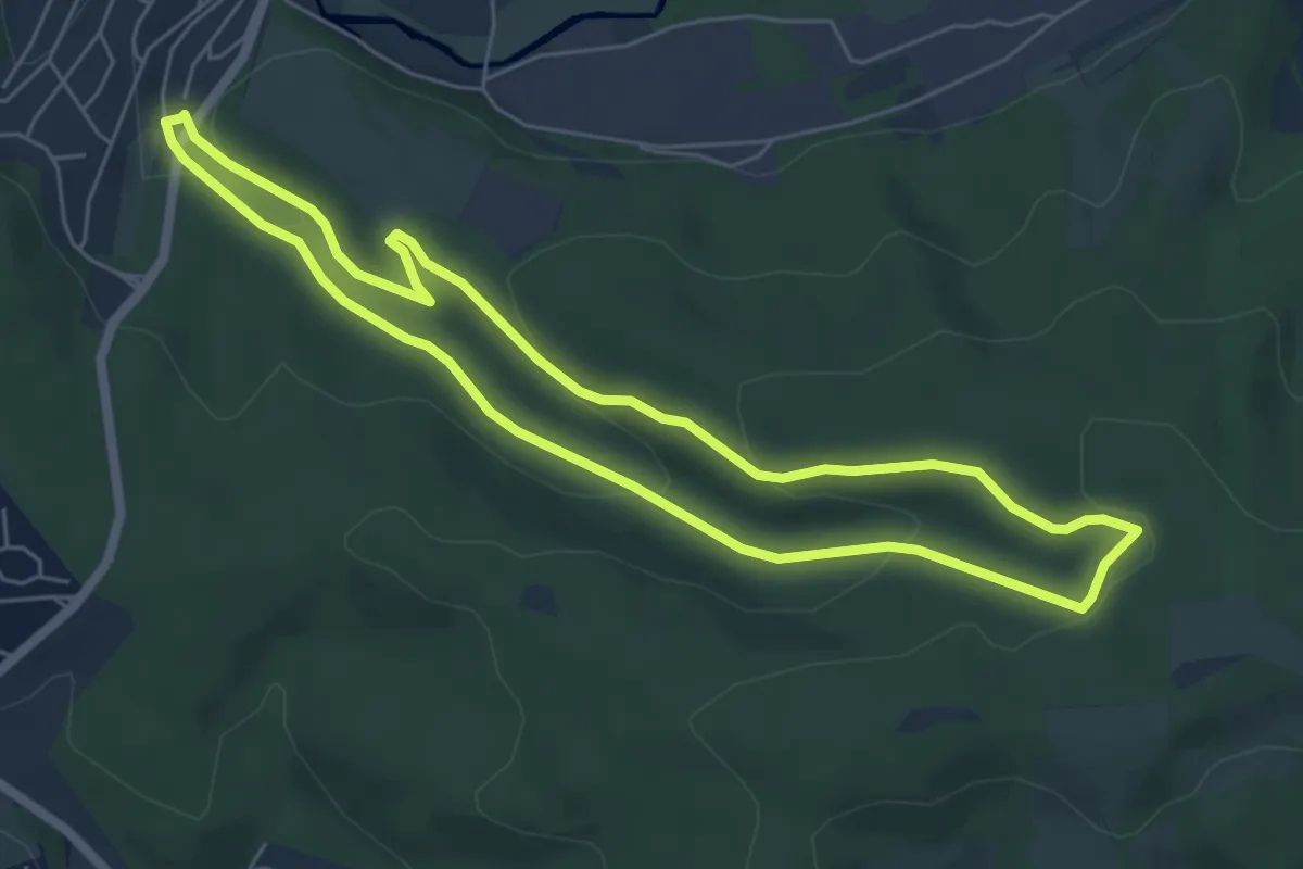
Easy · Trail
Zinsenbach-Rundweg A2
5.3 km · ↑ 164 m · 1 h 41 min
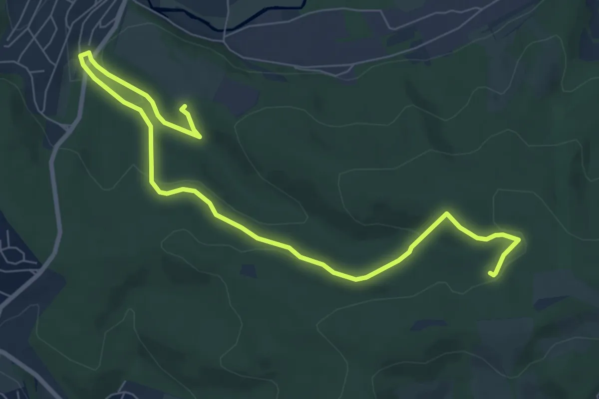
Easy · Trail
Zinsenbach-Rundweg A3
8.0 km · ↑ 207 m · 2 h 20 min
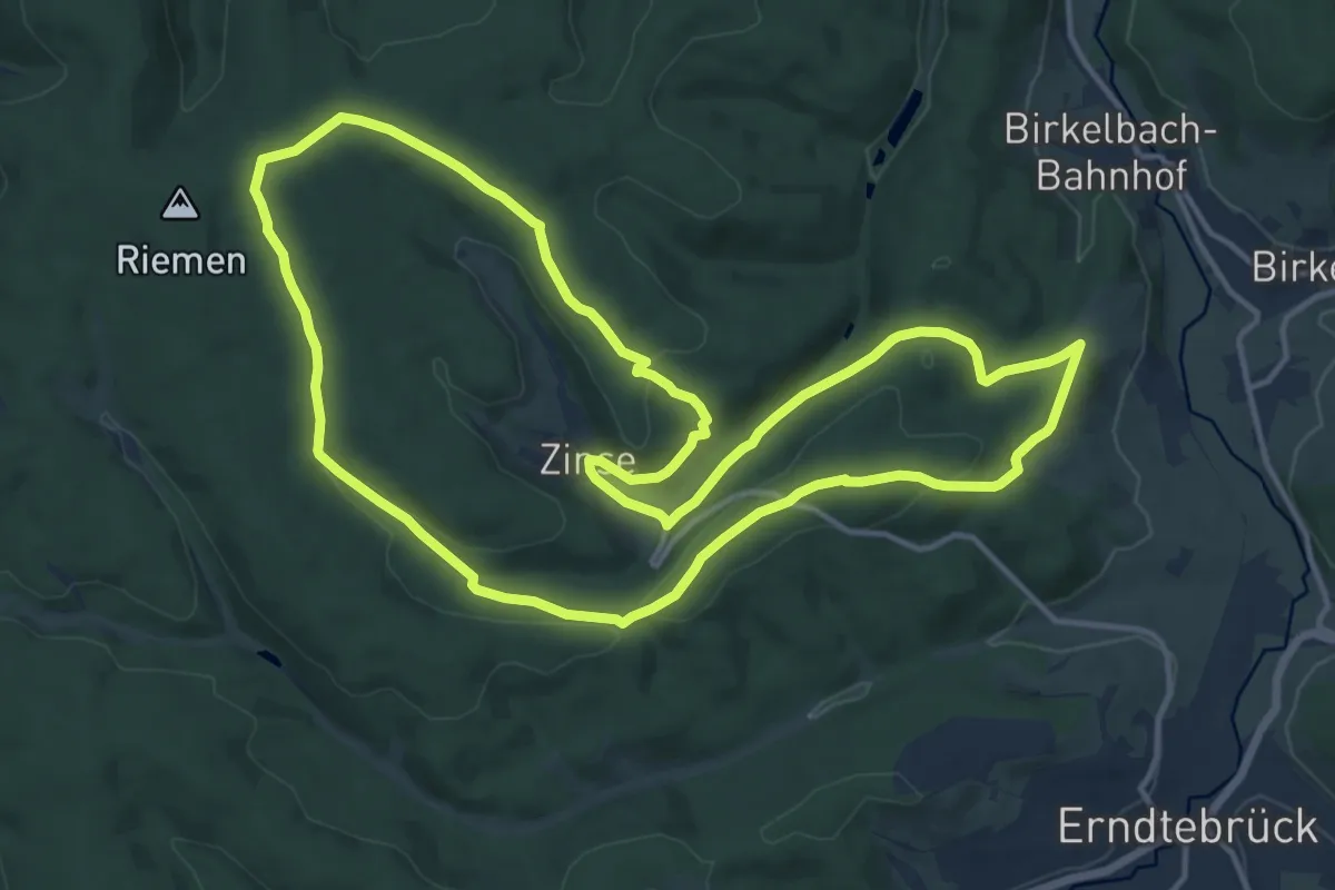
Medium · Summit
Zinser Rundwanderweg
13.7 km · ↑ 336 m · 4 h 9 min
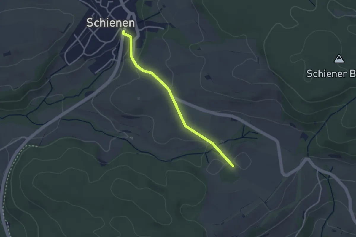
Easy · Trail
Zinsloh - Schienen Bürgerhaus
2.5 km · ↑ 50 m · 43 min
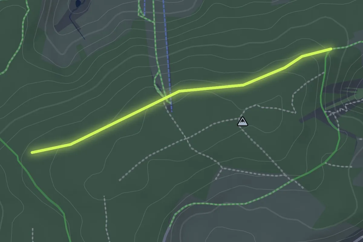
Easy · Trail
Zinswald - Pfälzer Eck
2.2 km · ↑ 122 m · 47 min
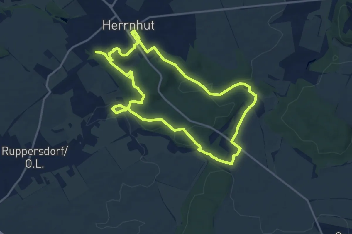
Medium · Summit
Zinzendorf-Lehrpfad (grüner Diagonalstrich)
8.1 km · ↑ 138 m · 2 h 19 min
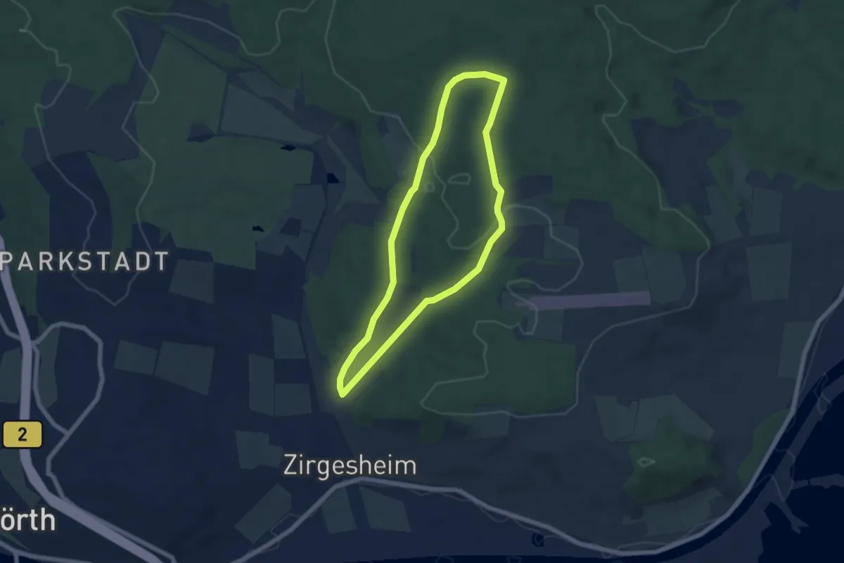
Easy · Trail
Zirgesheim durch den Spitalwald
5.1 km · ↑ 113 m · 1 h 31 min
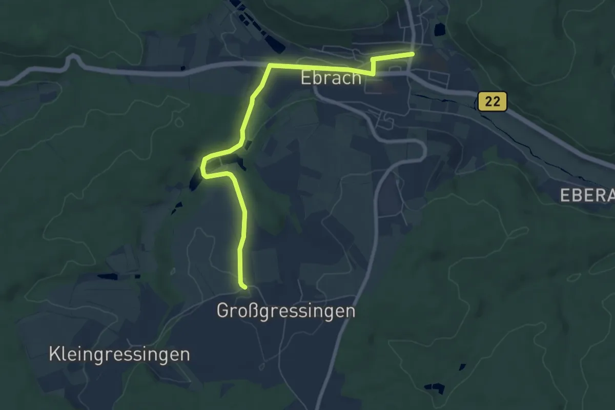
Easy · Trail
Zisterzienserweg
6.7 km · ↑ 95 m · 1 h 48 min
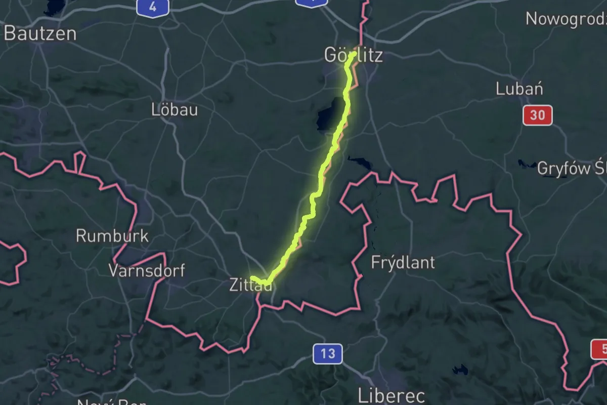
Demanding · Pilgrim path
Zittauer Jakobsweg Görlitz - Zittau
39.8 km · ↑ 208 m · 10 h 26 min
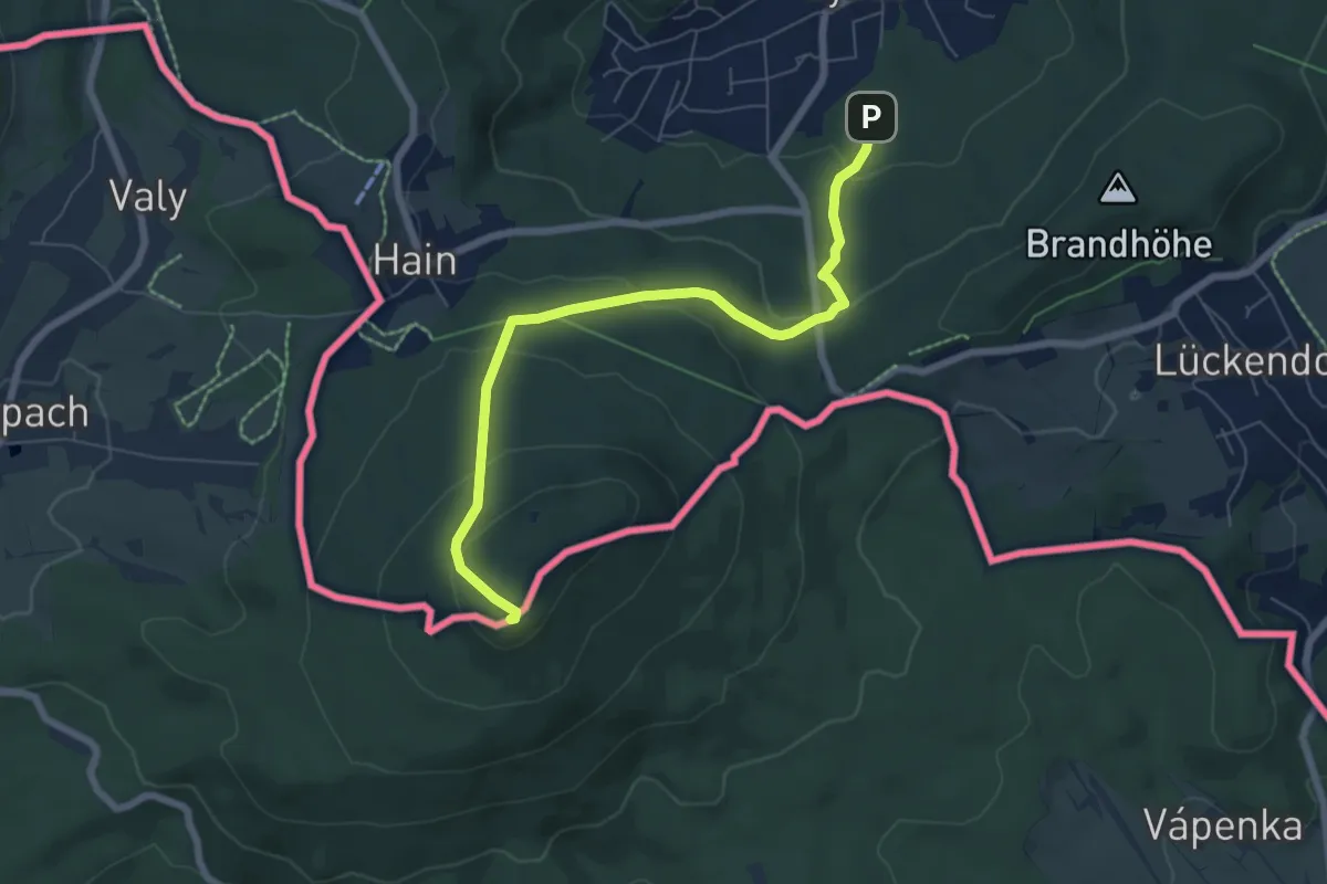
Medium · Summit
Zittau - Hochwald (grüner Strich)
6.2 km · ↑ 297 m · 2 h 7 min
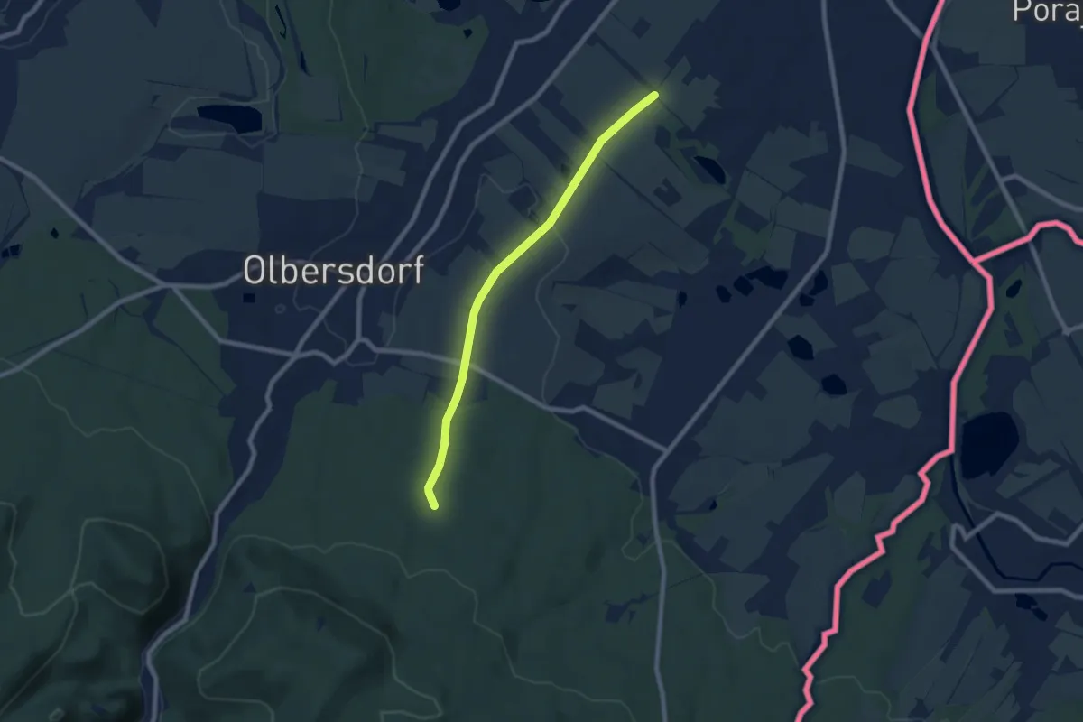
Easy · Trail
Zittau-Napoleonslinde-Olbersdorf (gelber Punkt)
6.4 km · ↑ 88 m · 1 h 43 min
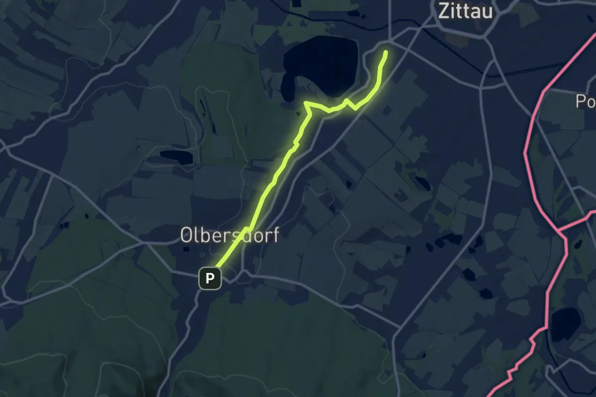
Medium · Trail
Zittau - Vorstadt - Olbersdorf (grüner Punkt)
8.7 km · ↑ 91 m · 2 h 15 min
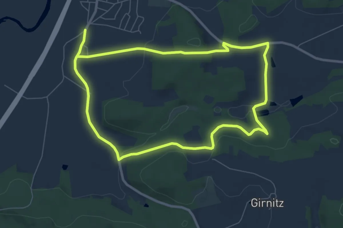
Easy · Trail
Zitterbach-Rundweg
6.1 km · ↑ 141 m · 1 h 49 min
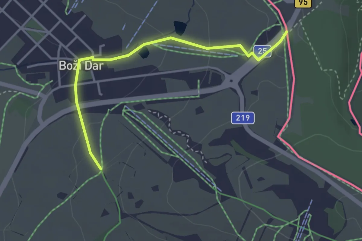
Easy · Trail
[Ž] Jáchymov - Boží Dar
3.0 km · ↑ 78 m · 52 min
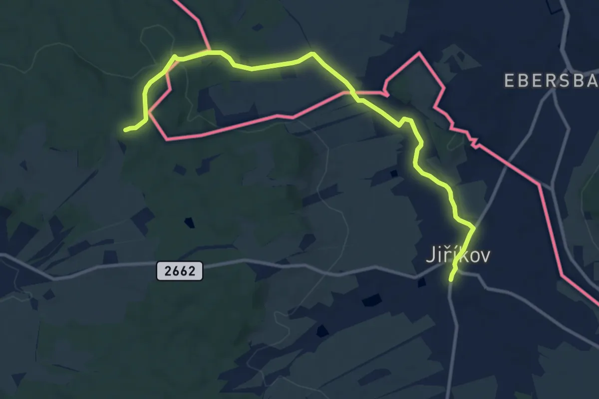
Medium · Trail
[Z] Jiříkov (nám.) - Jiříkovská stezka (rozc.)
9.5 km · ↑ 110 m · 2 h 29 min
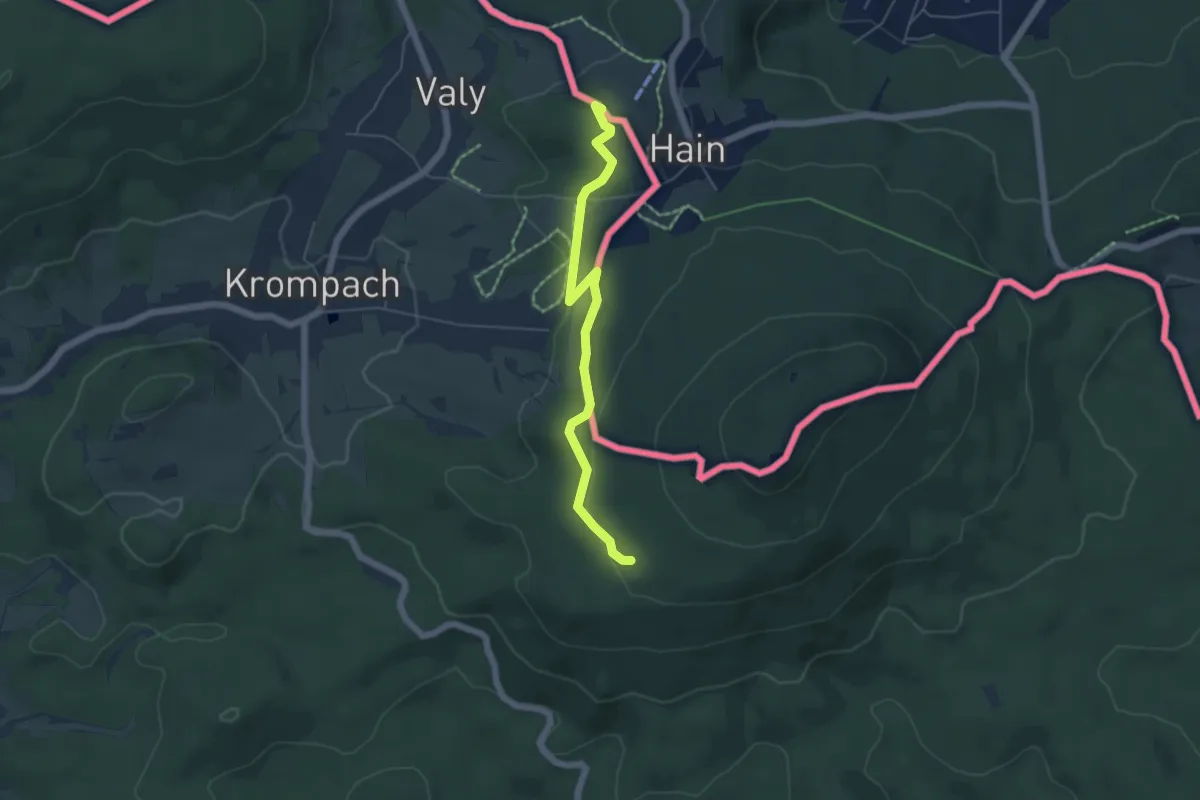
Easy · Summit
[Z] Johnsdorf - Pod Piketem
4.7 km · ↑ 112 m · 1 h 21 min
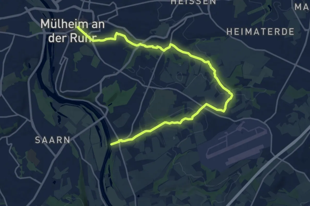
Medium · Trail
Z Kaiserplatz - Menden
16.7 km · ↑ 151 m · 4 h 16 min
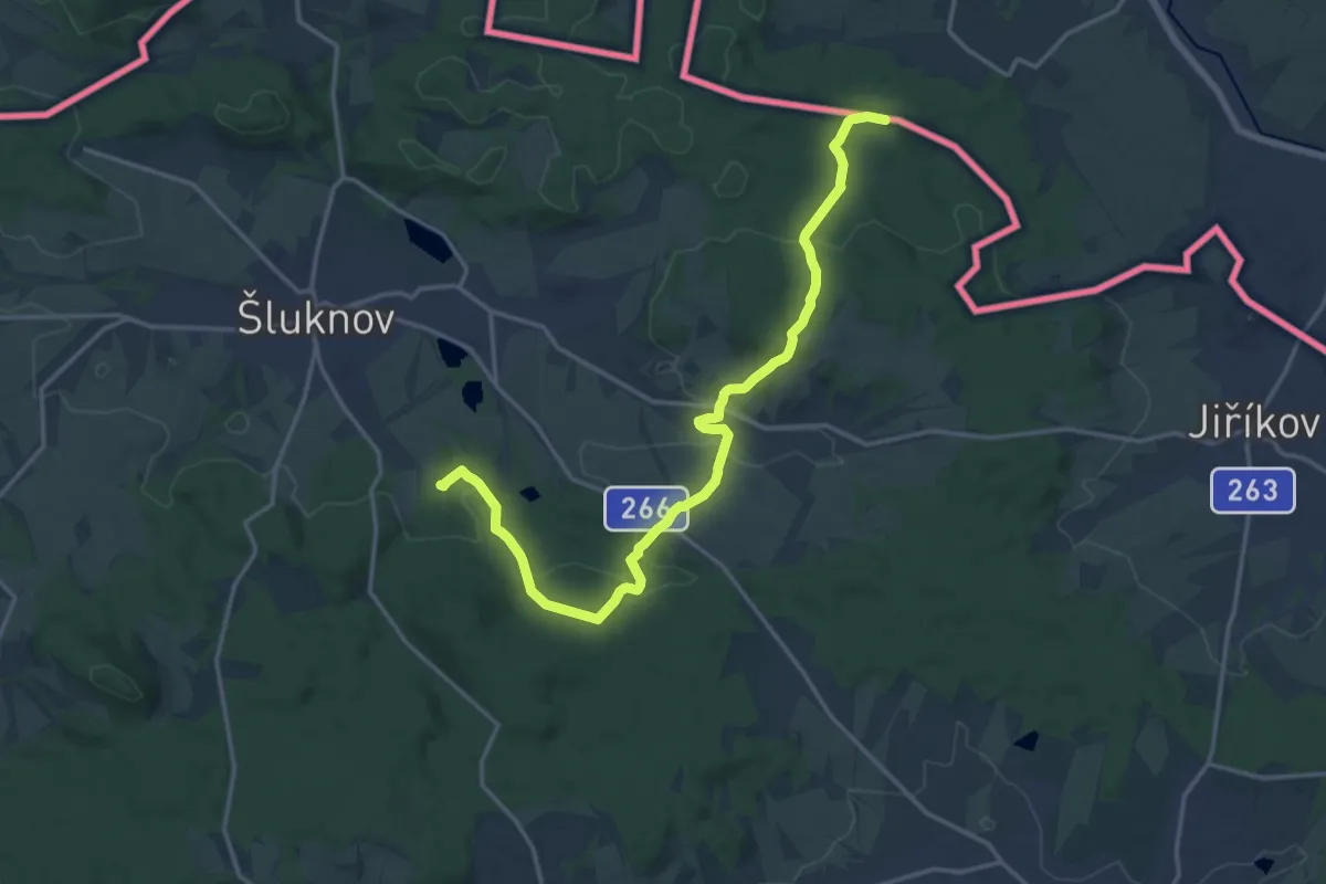
Medium · Trail
[Ž] Karlovo údolí - Černý rybník CZ/D
16.7 km · ↑ 469 m · 4 h 57 min
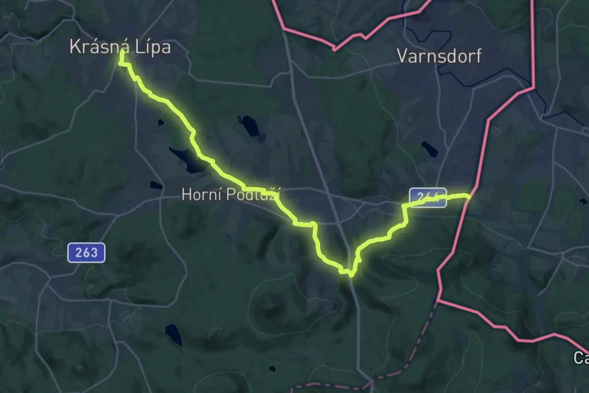
Demanding · Trail
[Ž] Krásná Lípa (nám.) - Dolní Podluží (CZ/D)
27.4 km · ↑ 409 m · 7 h 22 min
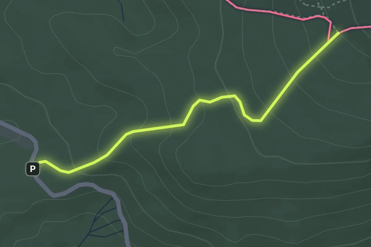
Easy · Trail
[Ž] Krompach Valy (CZ/D) - Hvozd
3.1 km · ↑ 191 m · 1 h 8 min