Trails in Germany
36,877 hiking trails, each with its route, climb, walking time and grade.
All trails, page 753 of 769
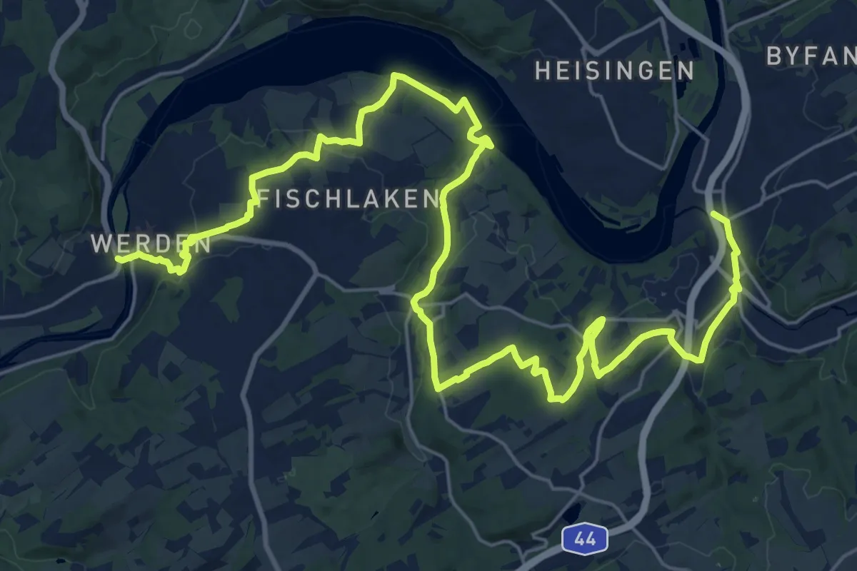
Medium · Trail
Z Kupferdreh-Werden
15.2 km · ↑ 273 m · 4 h 24 min
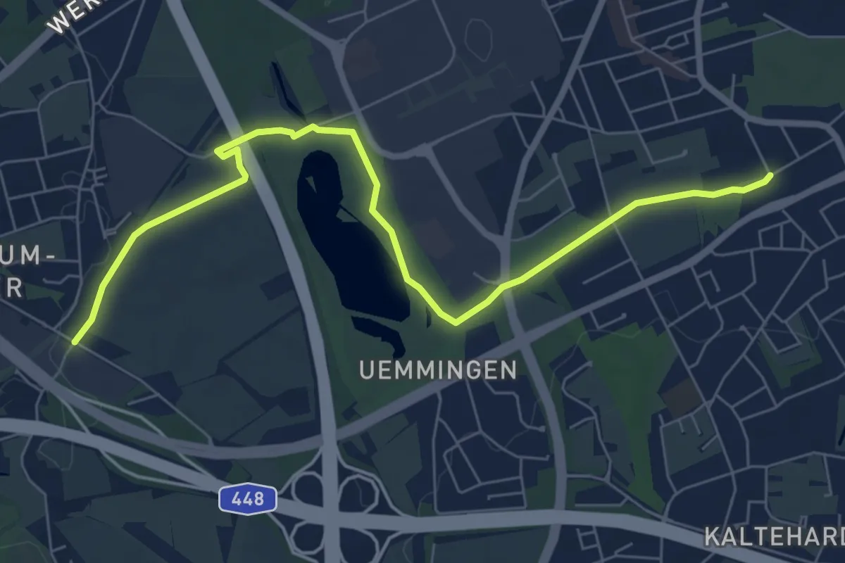
Easy · Trail
Z Laer - Langendreer
6.9 km · ↑ 26 m · 1 h 42 min
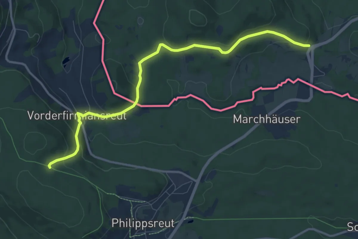
Medium · Trail
Zlatá stezka
9.1 km · ↑ 284 m · 2 h 46 min
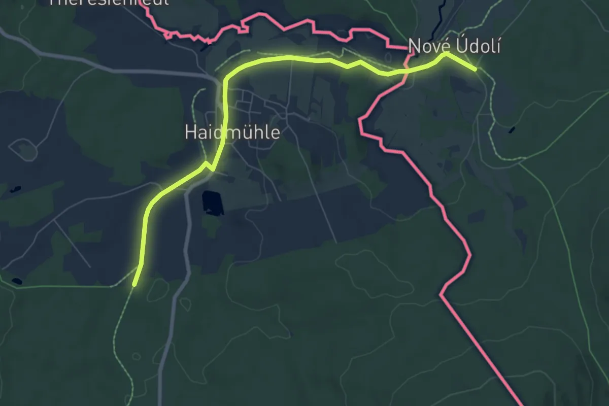
Easy · Trail
Zlatá stezka
7.2 km · ↑ 77 m · 1 h 52 min
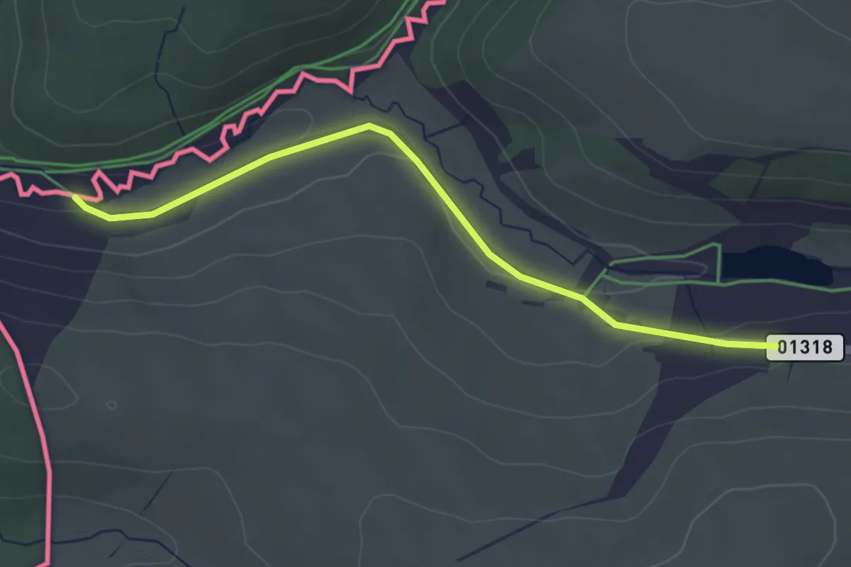
Easy · Trail
[Z] Moldava (odb.) - Moldava (CZ/D)
3.4 km · ↑ 42 m · 53 min
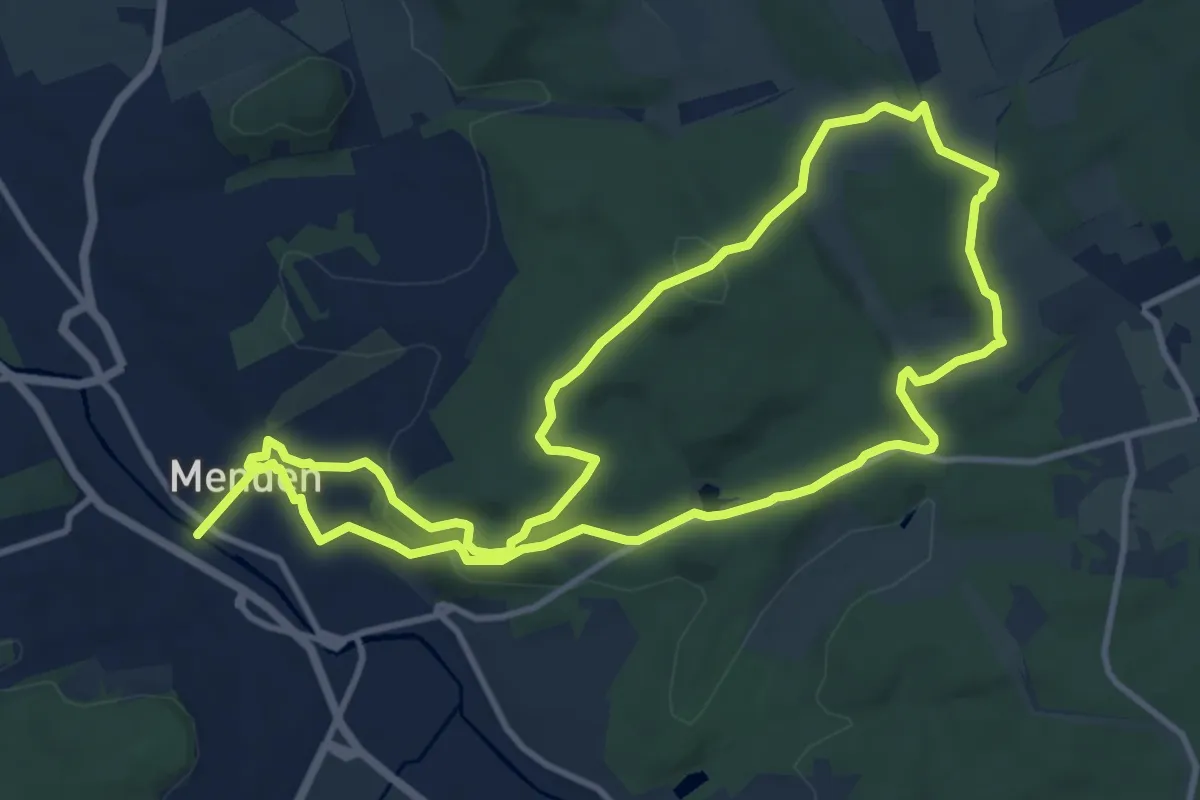
Medium · Summit
[Z] Naturhistorischer Wanderweg
9.9 km · ↑ 254 m · 3 h 1 min
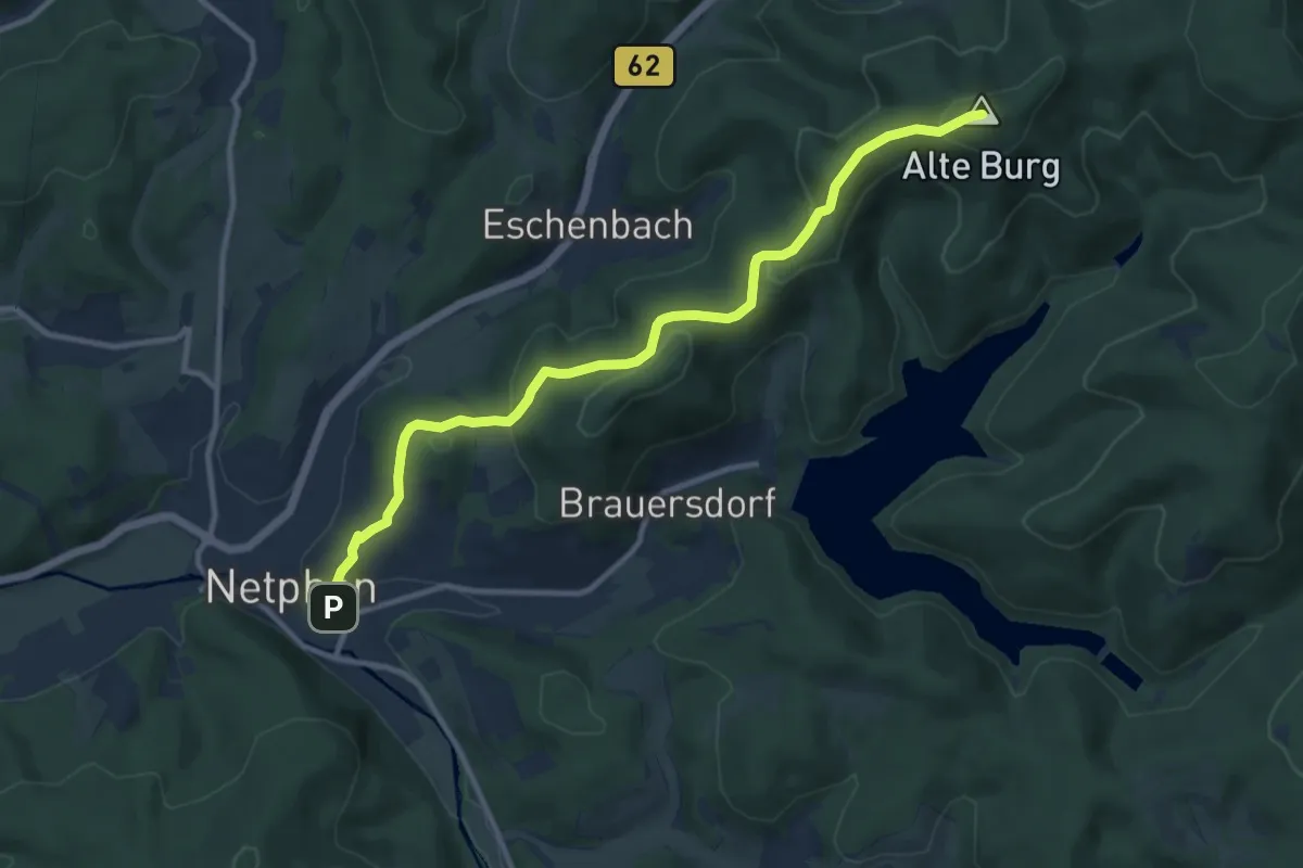
Medium · Summit
[Z] Netphen - Forsthaus Hohenroth
10.2 km · ↑ 382 m · 3 h 15 min
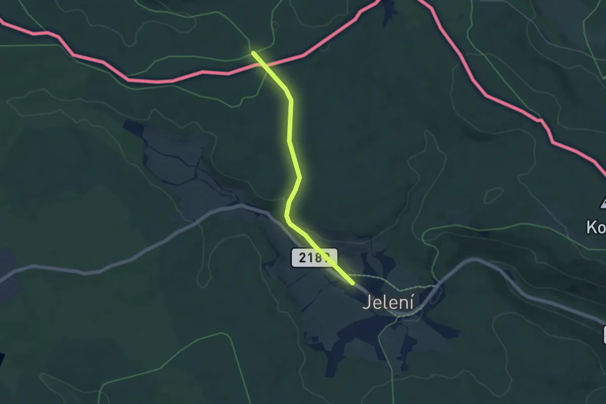
Easy · Trail
[Z] NS Karlova
4.1 km · ↑ 93 m · 1 h 11 min
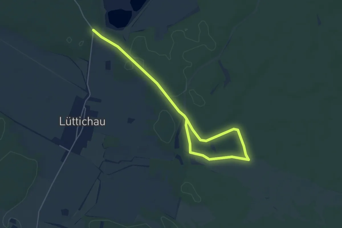
Easy · Trail
Zochauer Heidepfad
2.8 km · ↑ 13 m · 44 min
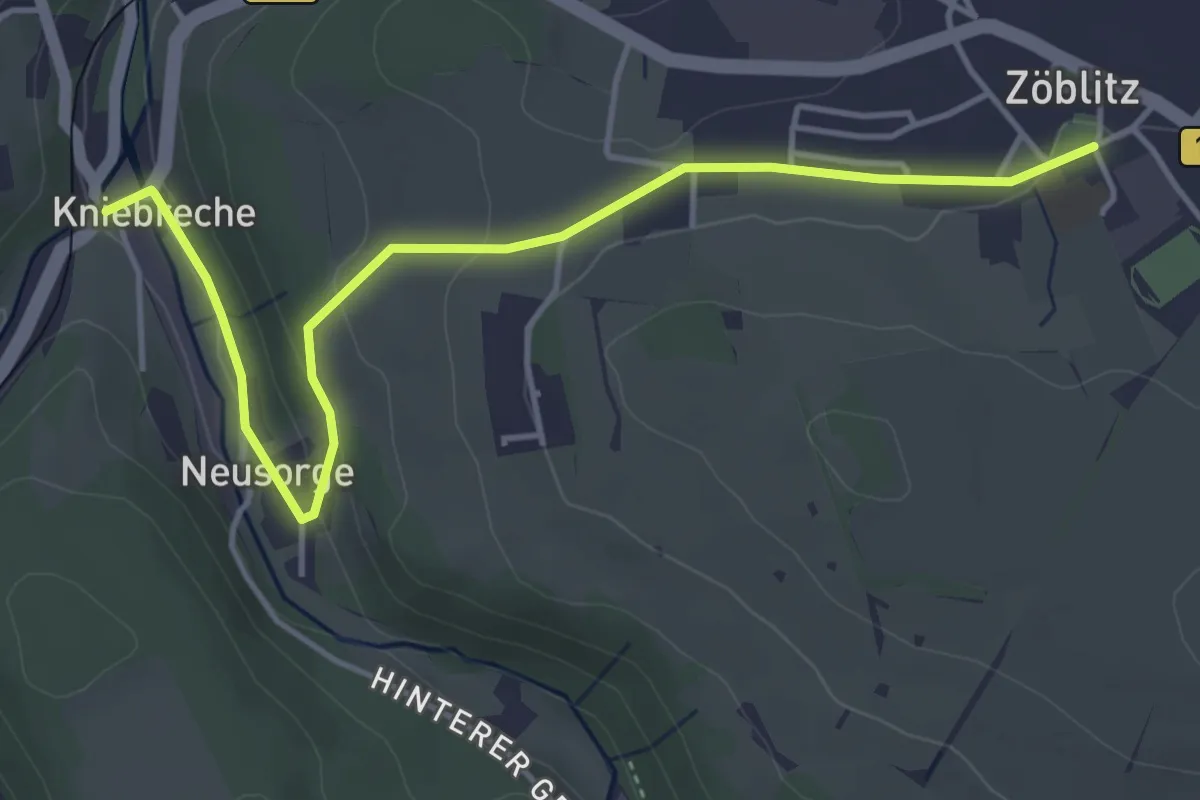
Easy · Trail
Zoeblitz_Kniebreche
4.4 km · ↑ 94 m · 1 h 15 min
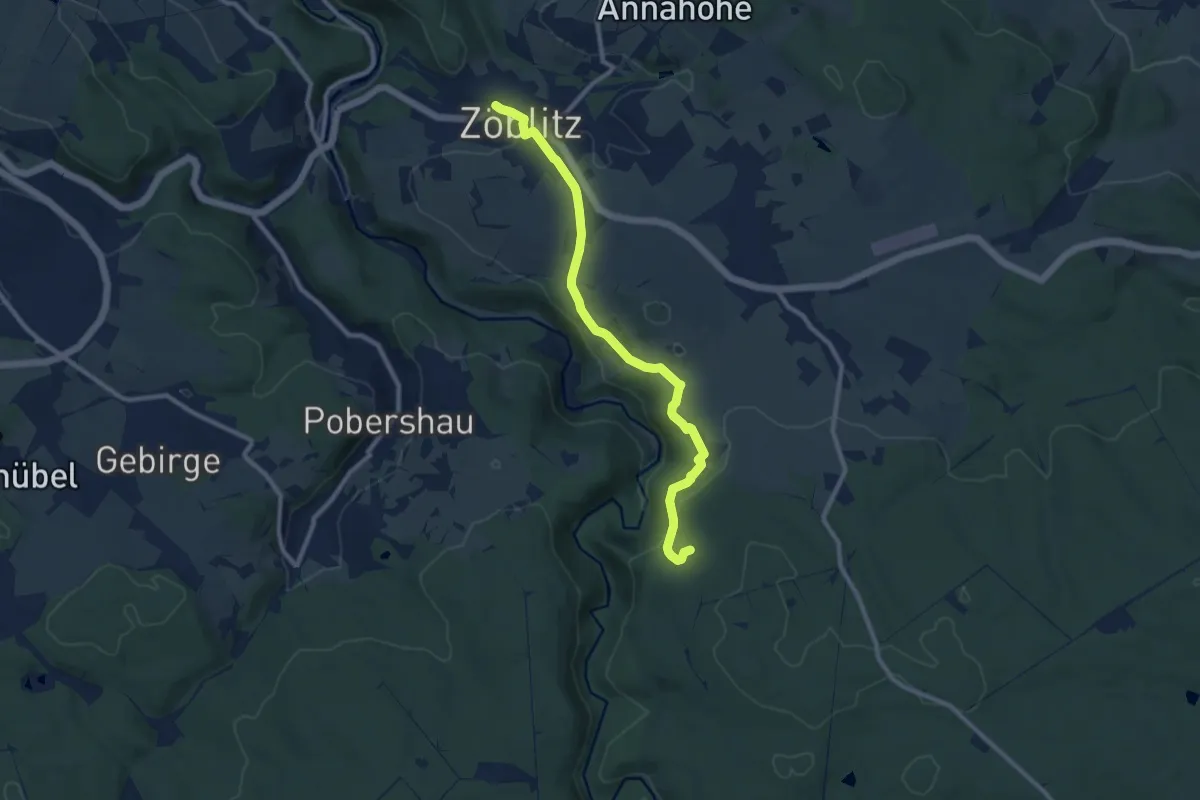
Medium · Trail
Zoeblitz-Rabenbergweg
9.1 km · ↑ 252 m · 2 h 41 min
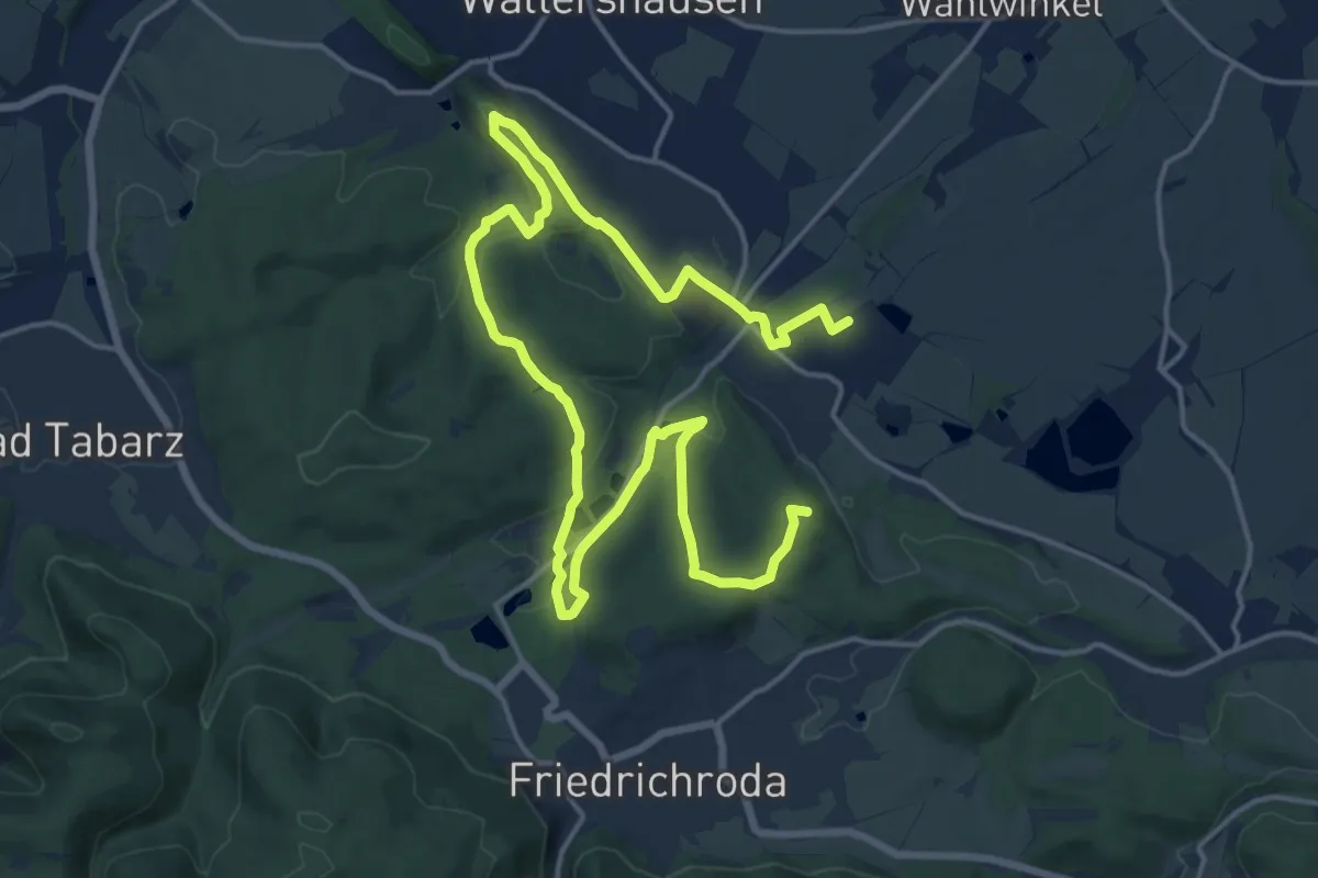
Demanding · Summit
Zöglingsweg
22.7 km · ↑ 503 m · 6 h 27 min
Medium · Summit
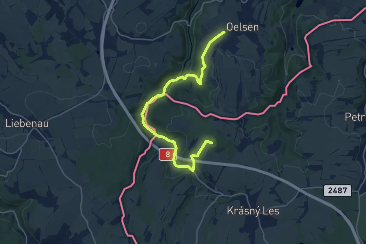
[Z] okruh Oelsen - Špičák - Oelsen
14.3 km · ↑ 316 m · 4 h 4 min
Medium · Summit
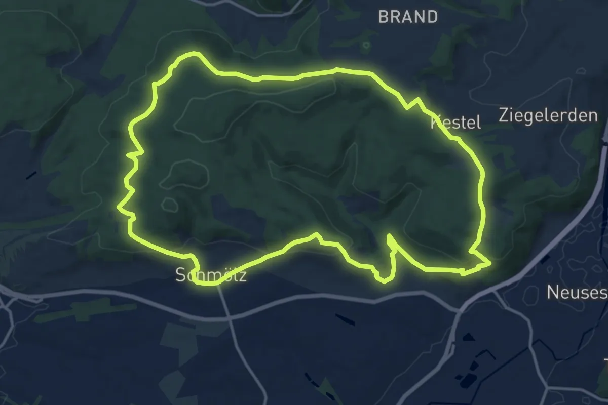
Zollbrunner-Weg KC 42
13.0 km · ↑ 342 m · 4 h
Easy · Trail
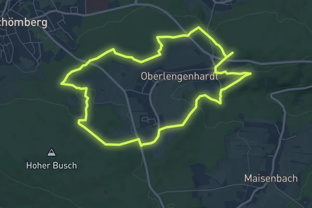
Zollernblickweg
7.1 km · ↑ 115 m · 2 h 1 min
Easy · Trail
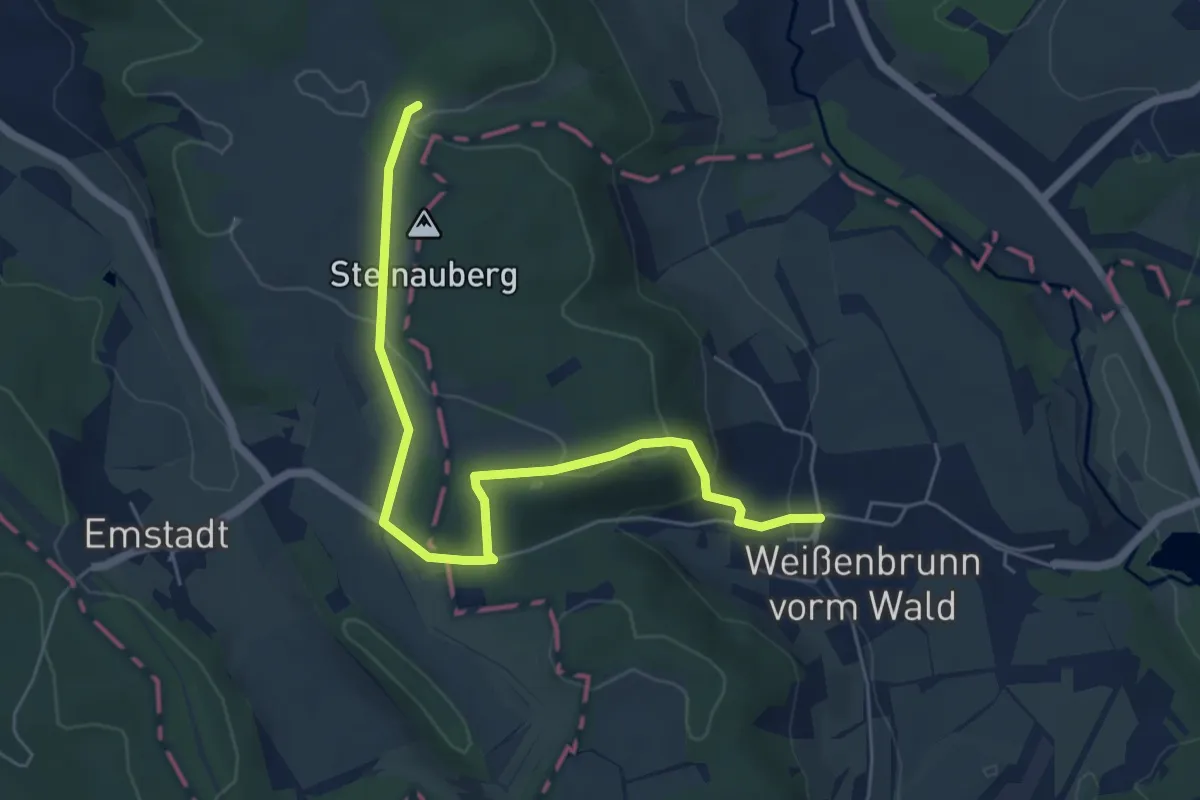
Zollpfad
5.8 km · ↑ 165 m · 1 h 44 min
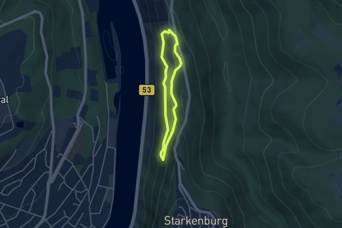
Easy · Trail
Zollturmsteig - rote Runde
2.3 km · ↑ 116 m · 49 min
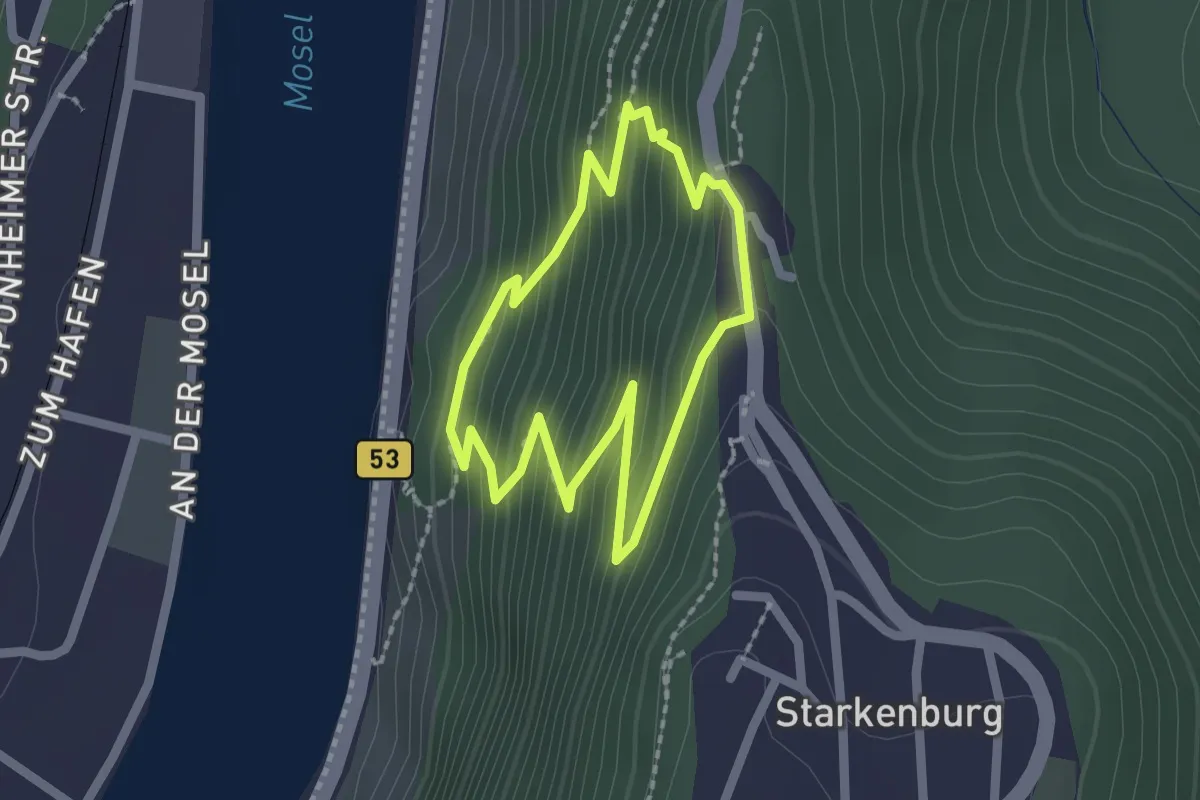
Easy · Trail
Zollturmsteig - violette Runde
1.7 km · ↑ 148 m · 44 min
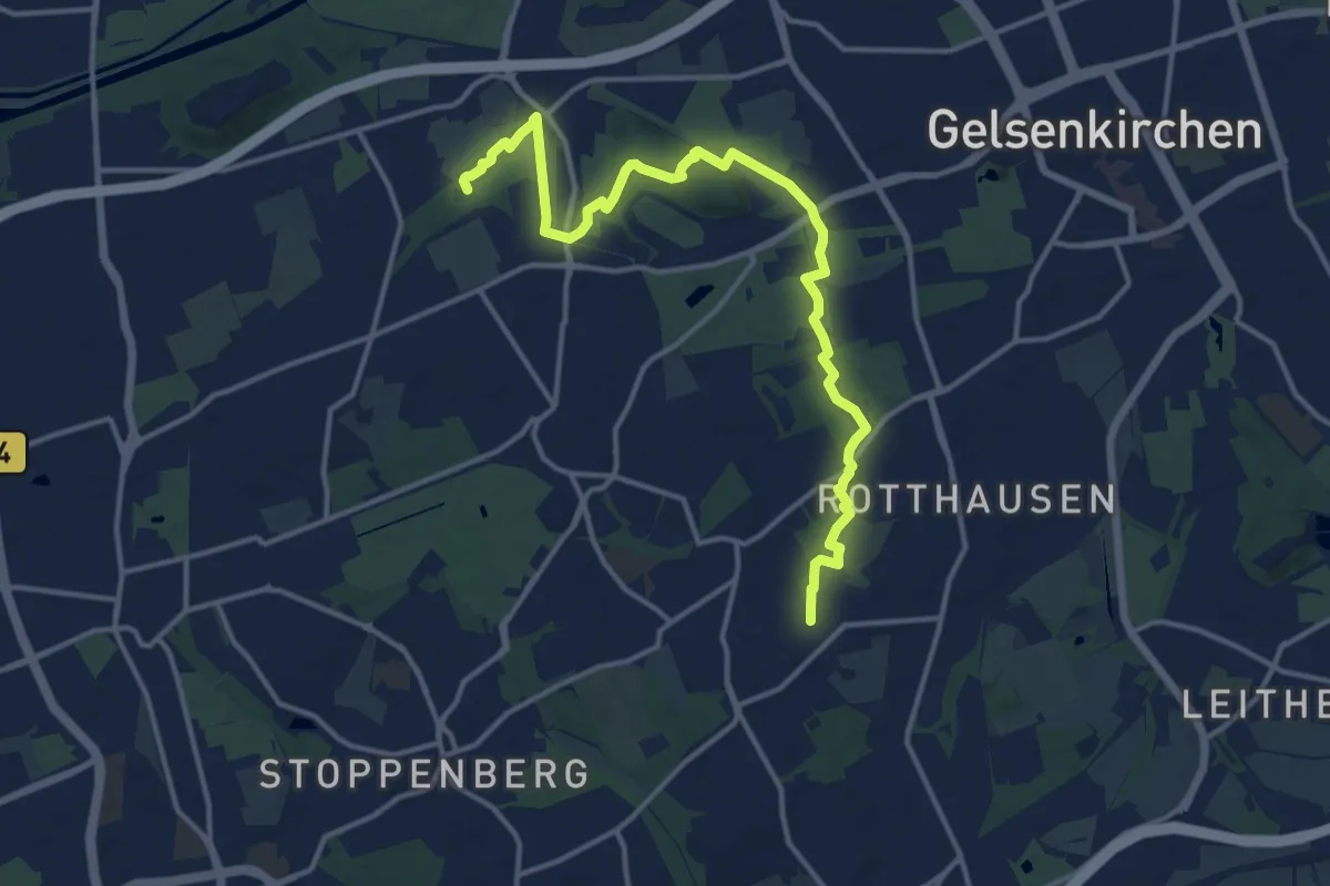
Easy · Summit
ZollvereinSteig
7.0 km · ↑ 49 m · 1 h 51 min
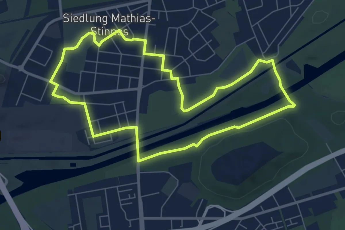
Easy · Trail
ZollvereinSteig-Seitenblick
5.7 km · ↑ 9 m · 1 h 26 min
Easy · Trail
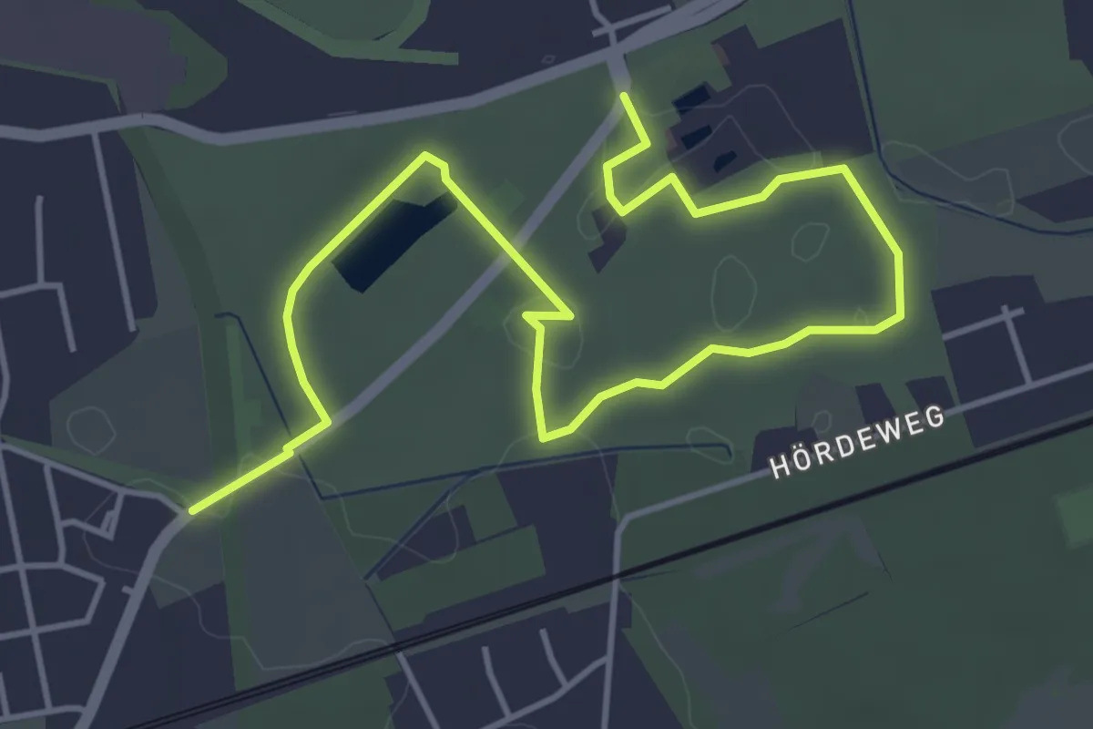
Zollvereinweg
5.4 km · ↑ 17 m · 1 h 19 min
Easy · Trail
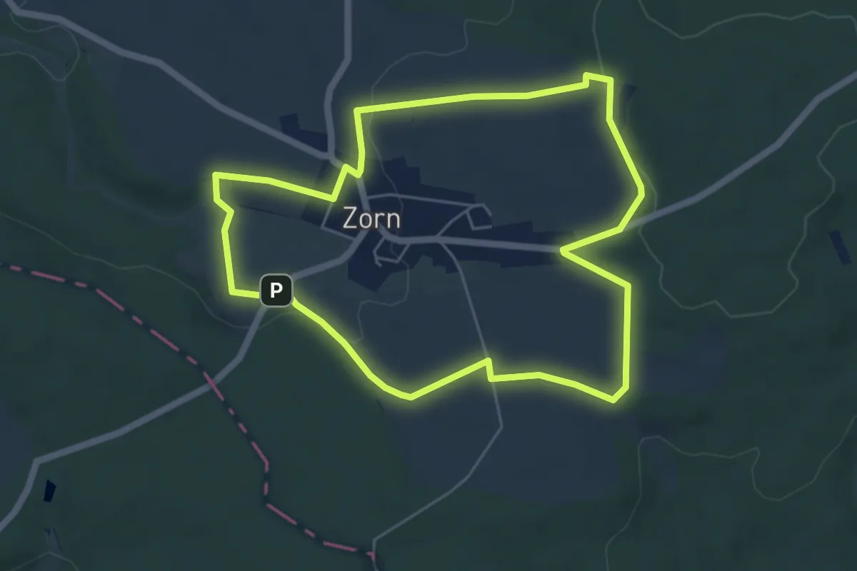
Zorner Runde
4.9 km · ↑ 83 m · 1 h 24 min
Easy · Summit
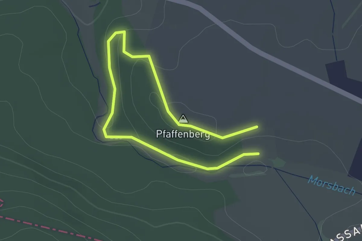
Zorner Runde Eichnert
1.5 km · ↑ 36 m · 26 min
Easy · Summit
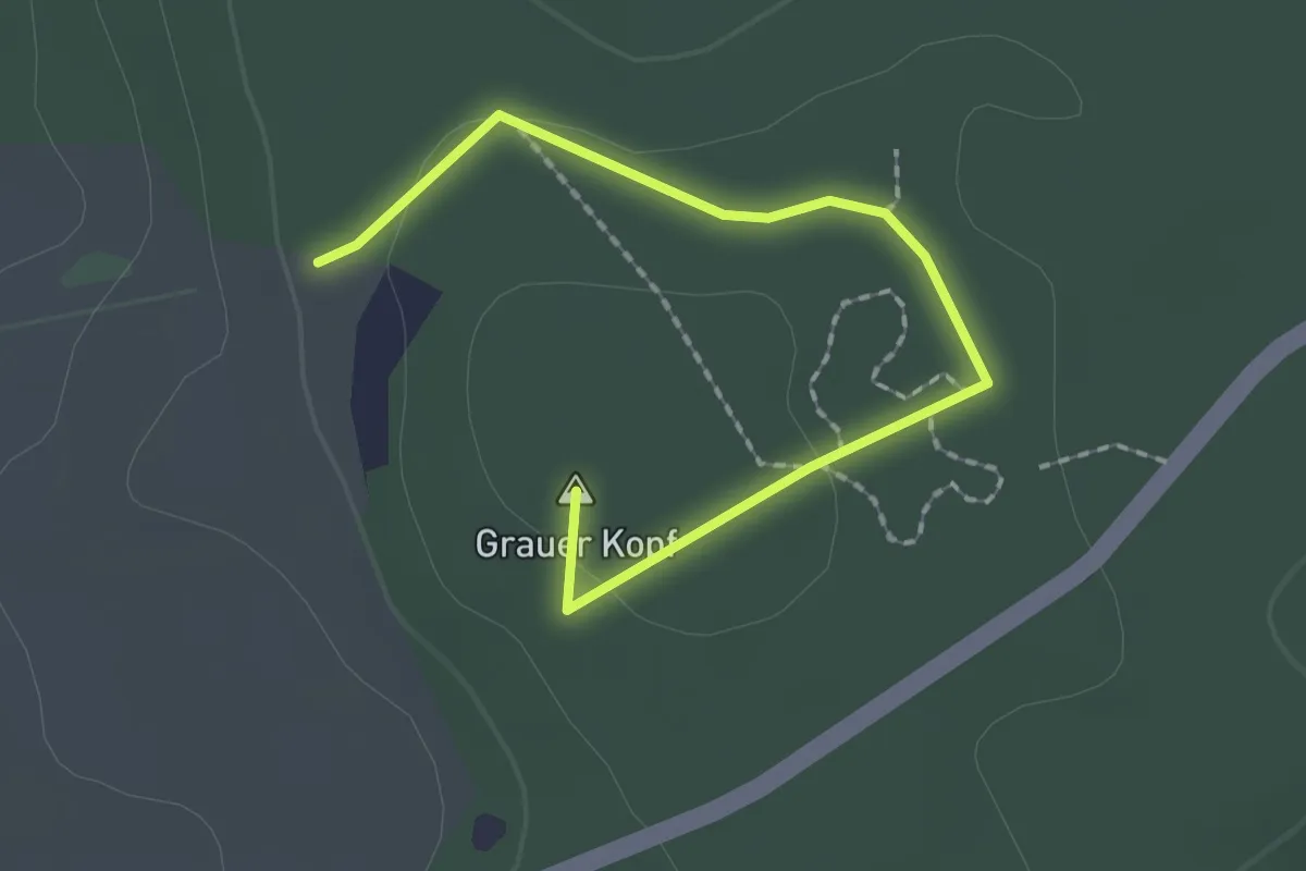
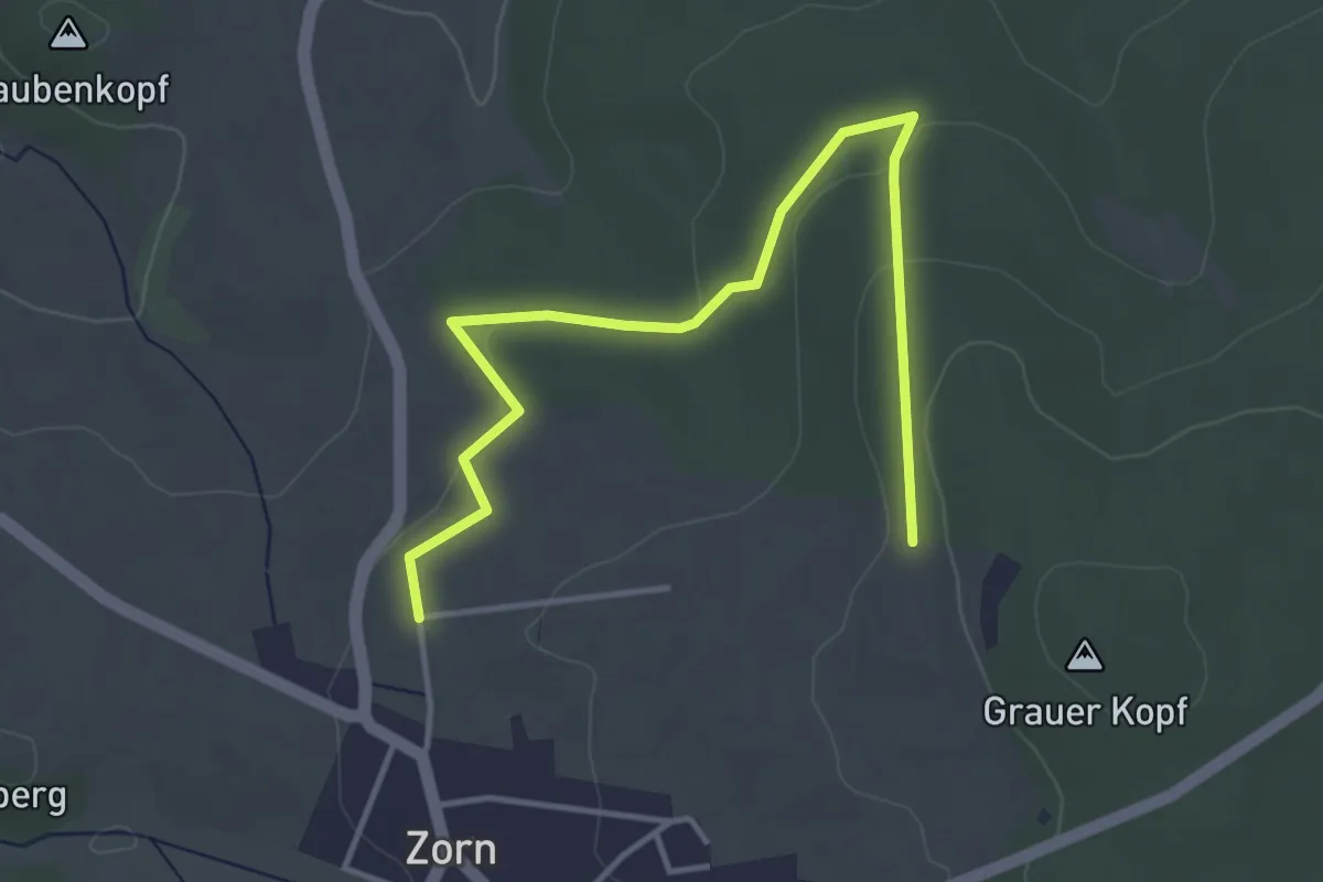
Zorner Runde Grauer Kopf
2.0 km · ↑ 35 m · 33 min
Easy · Trail
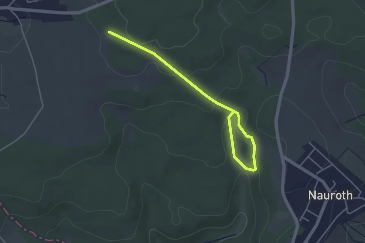
Zorner Runde Pfaffenwald
4.2 km · ↑ 76 m · 1 h 10 min
Easy · Trail
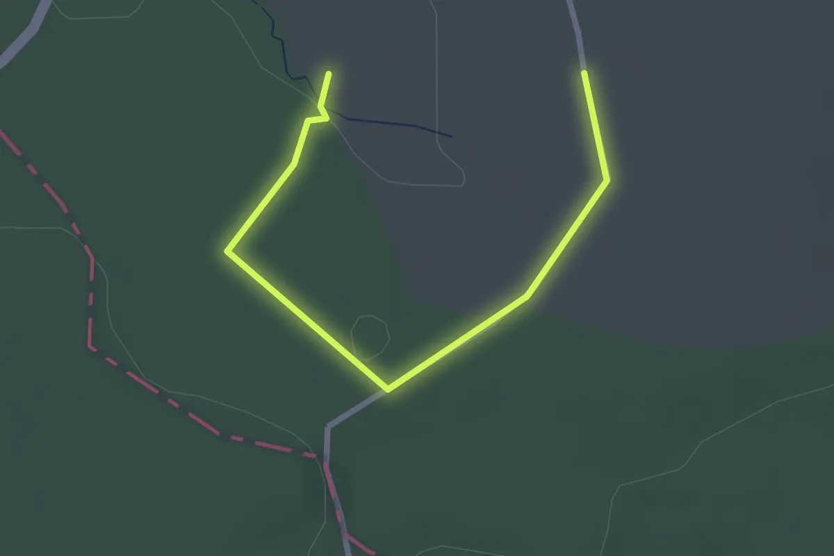
Zorner Runde Rosit
3.6 km · ↑ 99 m · 1 h 3 min
Easy · Trail
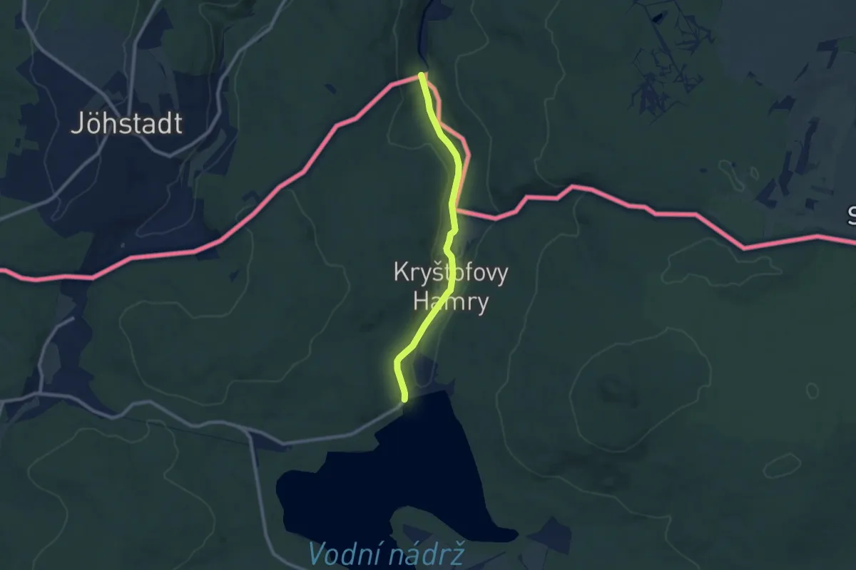
Zorner Runde Struthheck
2.5 km · ↑ 22 m · 39 min
Easy · Trail
[Ž] Přísečnice - Kryštofovy Hamry (CZ/D)
7.2 km · ↑ 121 m · 1 h 58 min
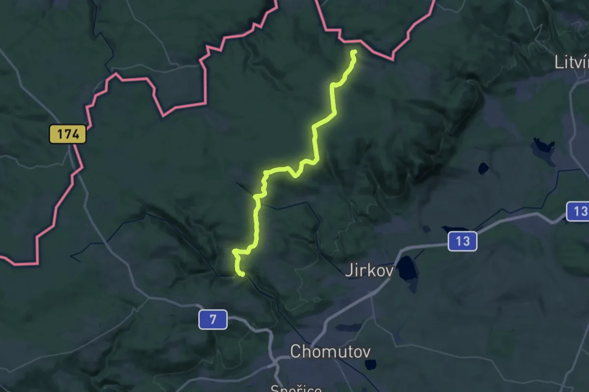
Demanding · Trail
[Z] První mlýn - Hora Svaté Kateřiny (nám.)
18.3 km · ↑ 323 m · 5 h 23 min
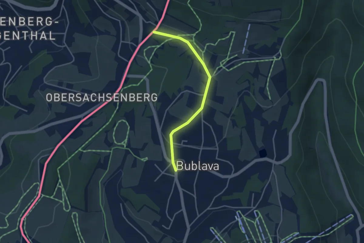
Easy · Trail
[Ž] Rozc. pod Aschbergem - Bublava
2.8 km · ↑ 54 m · 47 min
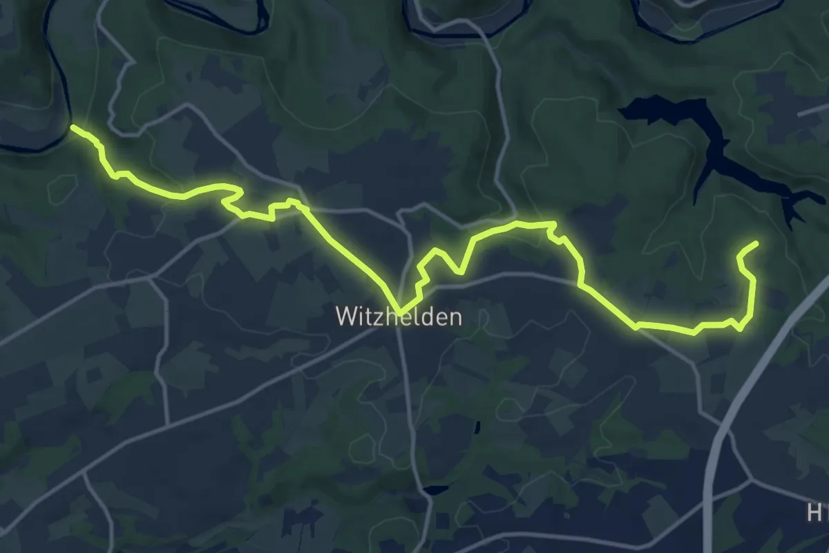
Medium · Trail
Z Rüdenstein-Sengbachtalsperre
15.3 km · ↑ 293 m · 4 h 14 min
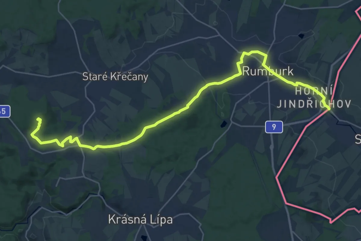
Demanding · Summit
[Ž] Rumburk - Panský
24.3 km · ↑ 354 m · 6 h 31 min
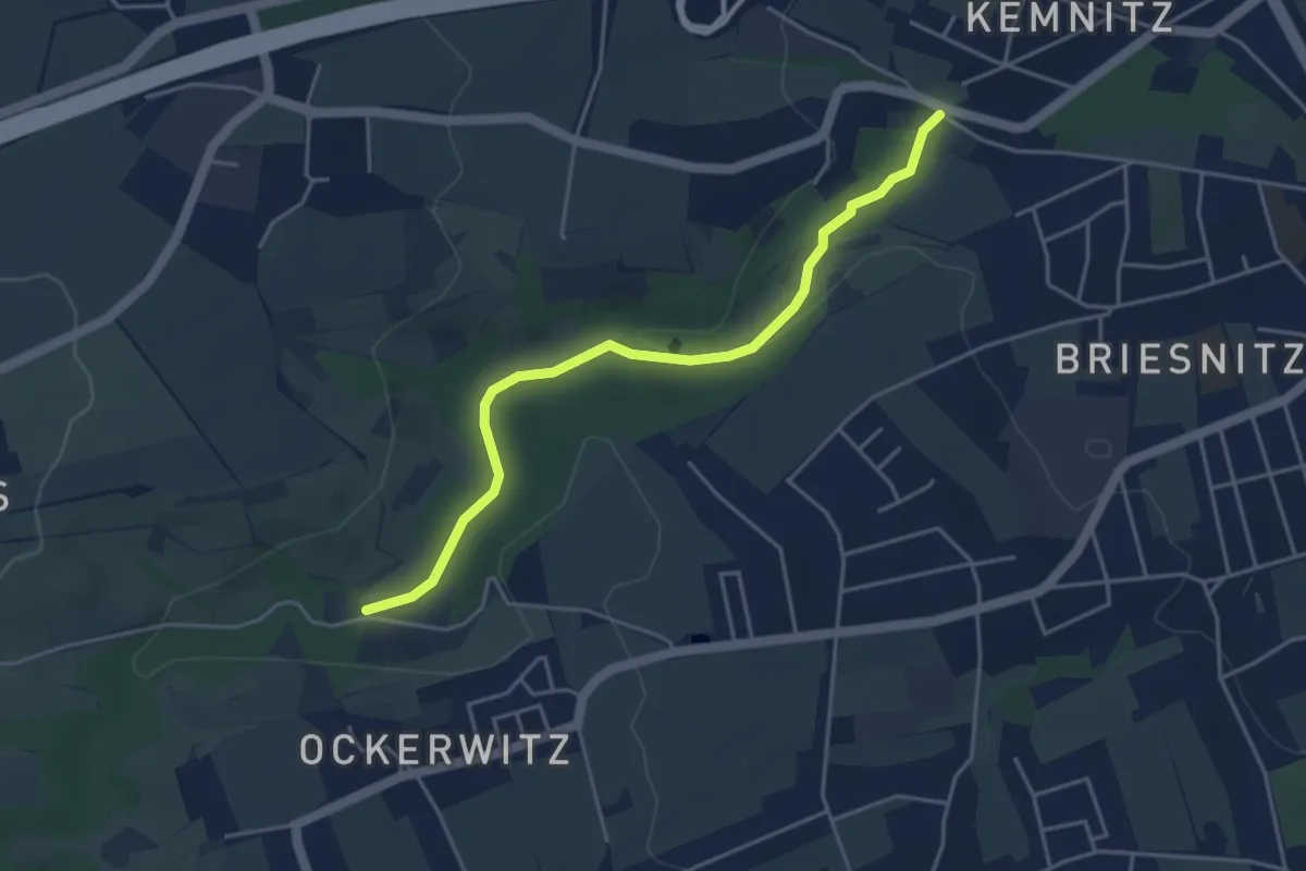
Easy · Trail
Zschonergrundweg
4.0 km · ↑ 45 m · 1 h 2 min
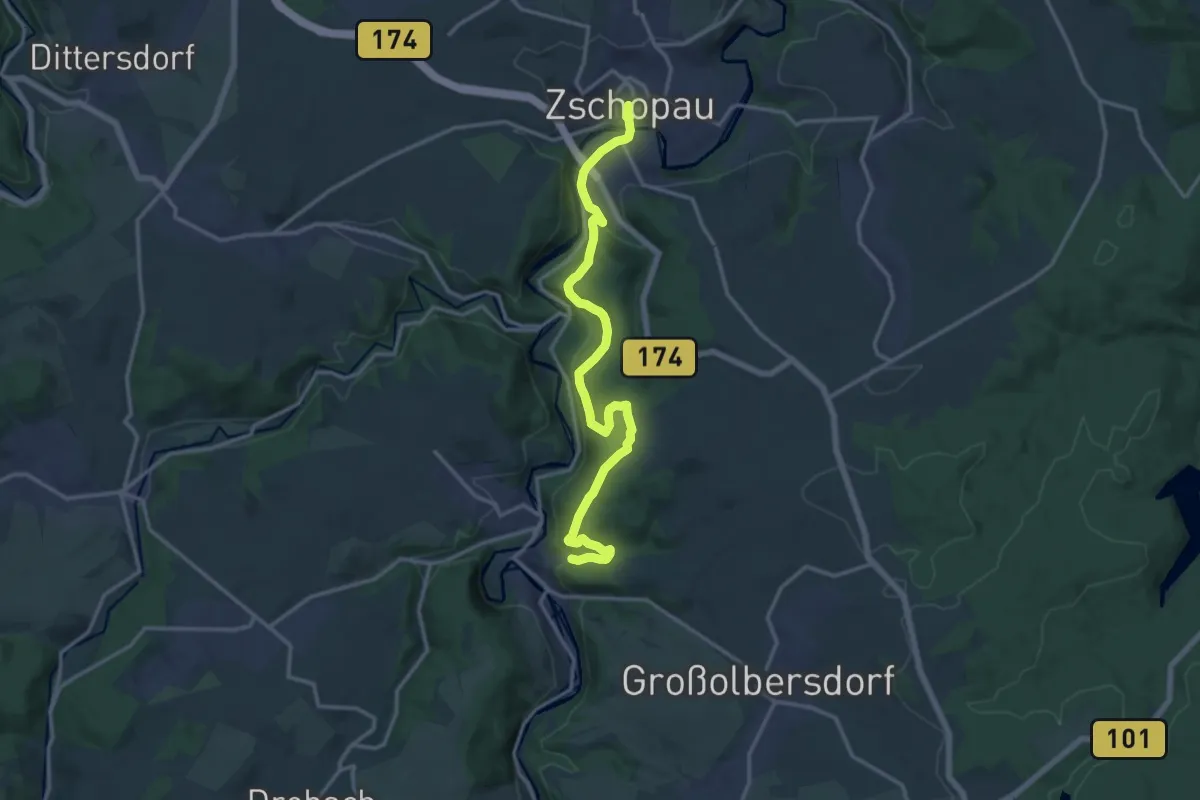
Medium · Trail
Zschopauhöhenweg
14.8 km · ↑ 458 m · 4 h 30 min
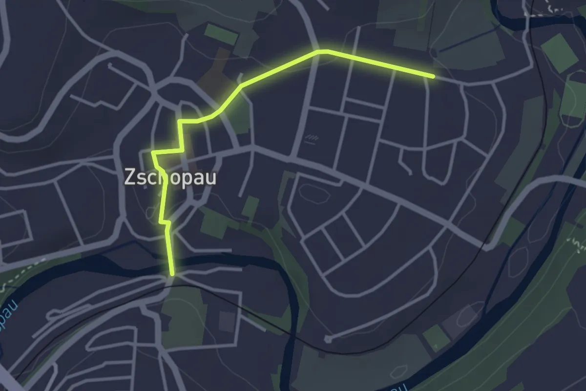
Easy · Trail
Zschopautalwanderweg (Stadtvariante)
2.7 km · ↑ 53 m · 46 min
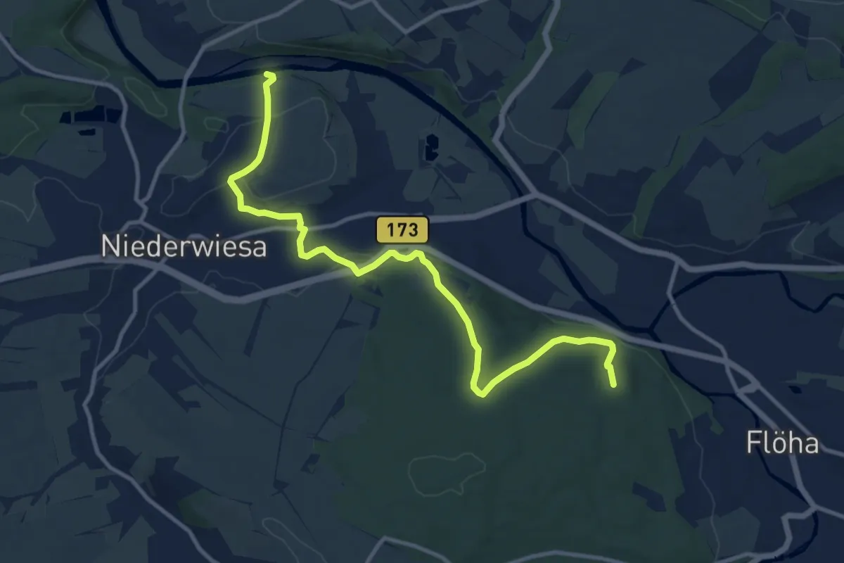
Medium · Summit
Zschopautalweg Route Flöha-Niederwiesa über Struht
10.9 km · ↑ 291 m · 3 h 13 min
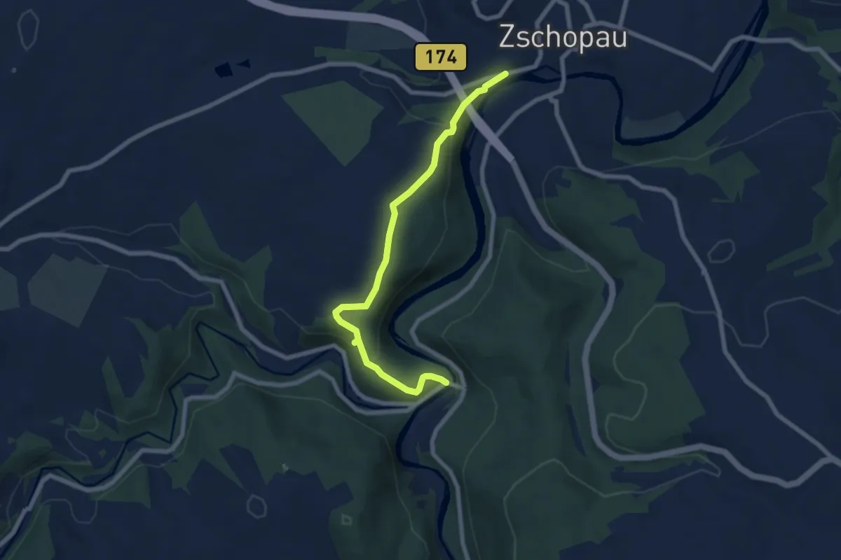
Medium · Trail
Zschopau - über Bodemerkanzel - Reinhardshöhe - Wilichthal
6.1 km · ↑ 213 m · 1 h 55 min
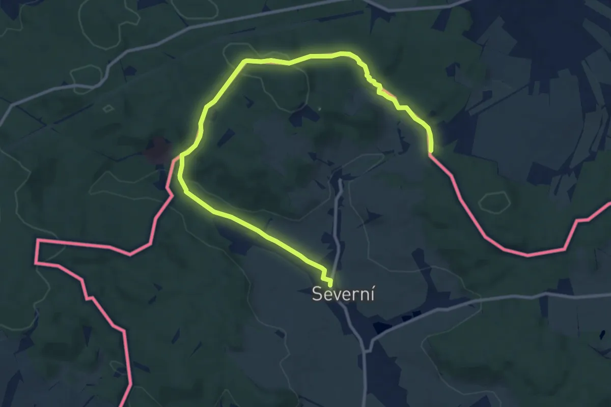
Medium · Trail
[Ž] Severní - NordKap - Severní
11.1 km · ↑ 256 m · 3 h 11 min
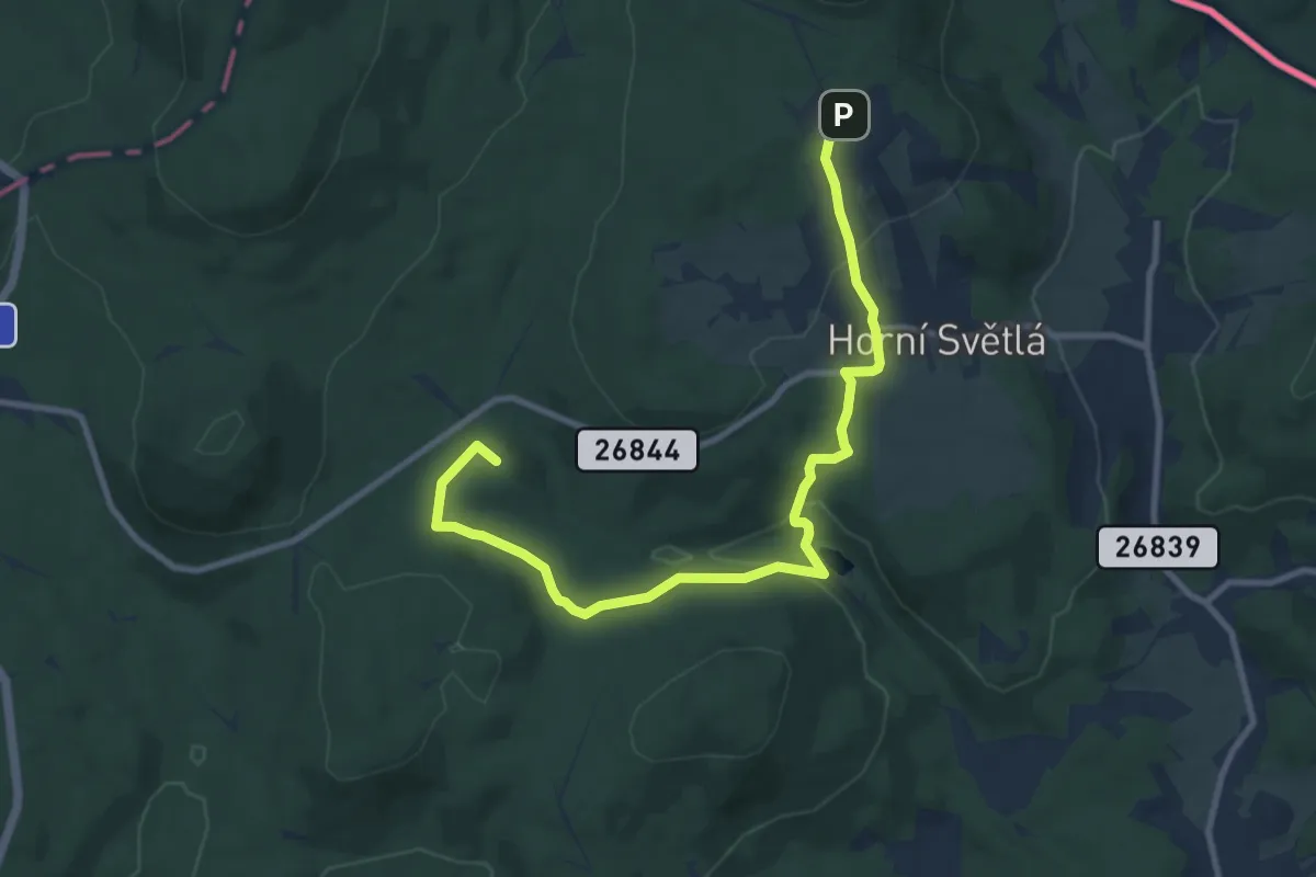
Medium · Summit
[Z] Stožecké sedlo - Horní světlá
10.0 km · ↑ 302 m · 3 h
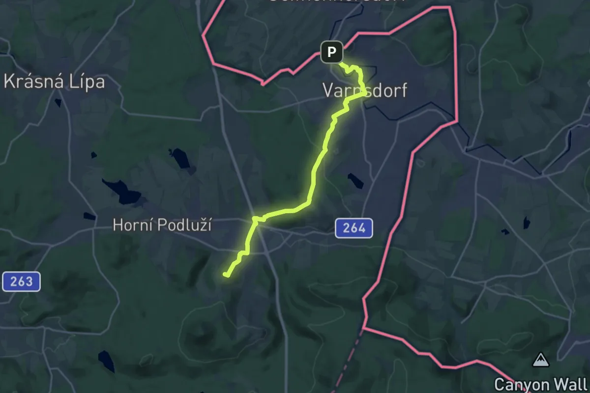
Medium · Summit
[Z] Stožecký hřbet - Varnsdorf
17.5 km · ↑ 411 m · 5 h 1 min
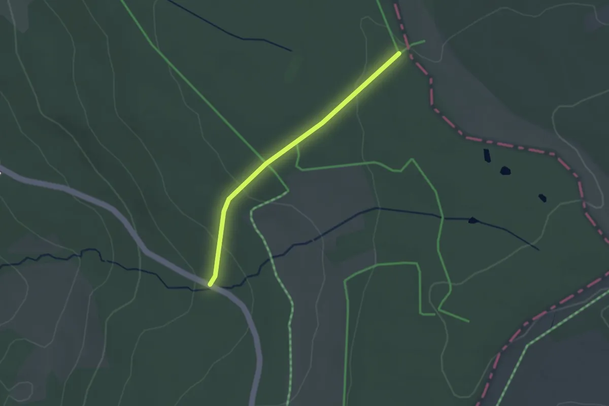
Easy · Trail
Zubringer Der Hochrhöner
6.3 km · ↑ 81 m · 1 h 40 min
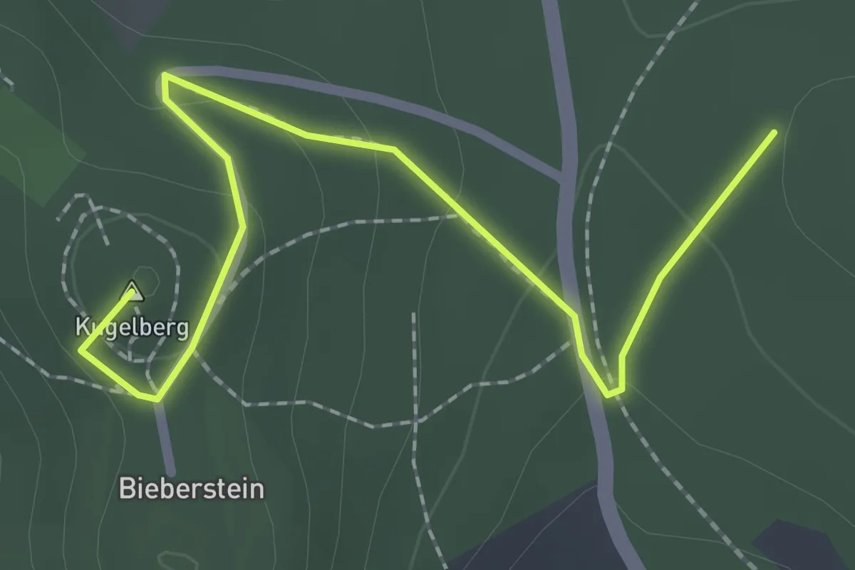
Easy · Summit
Zubringer Der Hochrhöner
2.2 km · ↑ 60 m · 39 min
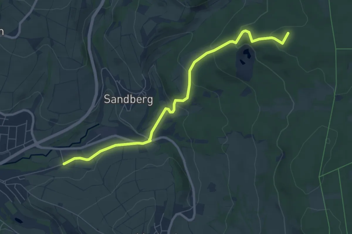
Easy · Summit
Zubringer Der Hochrhöner
6.9 km · ↑ 282 m · 2 h 15 min
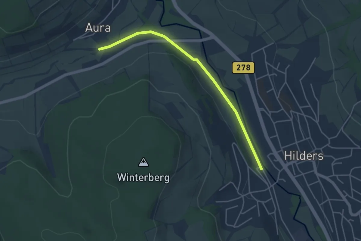
Easy · Trail
Zubringer Der Hochrhöner
3.5 km · ↑ 13 m · 51 min
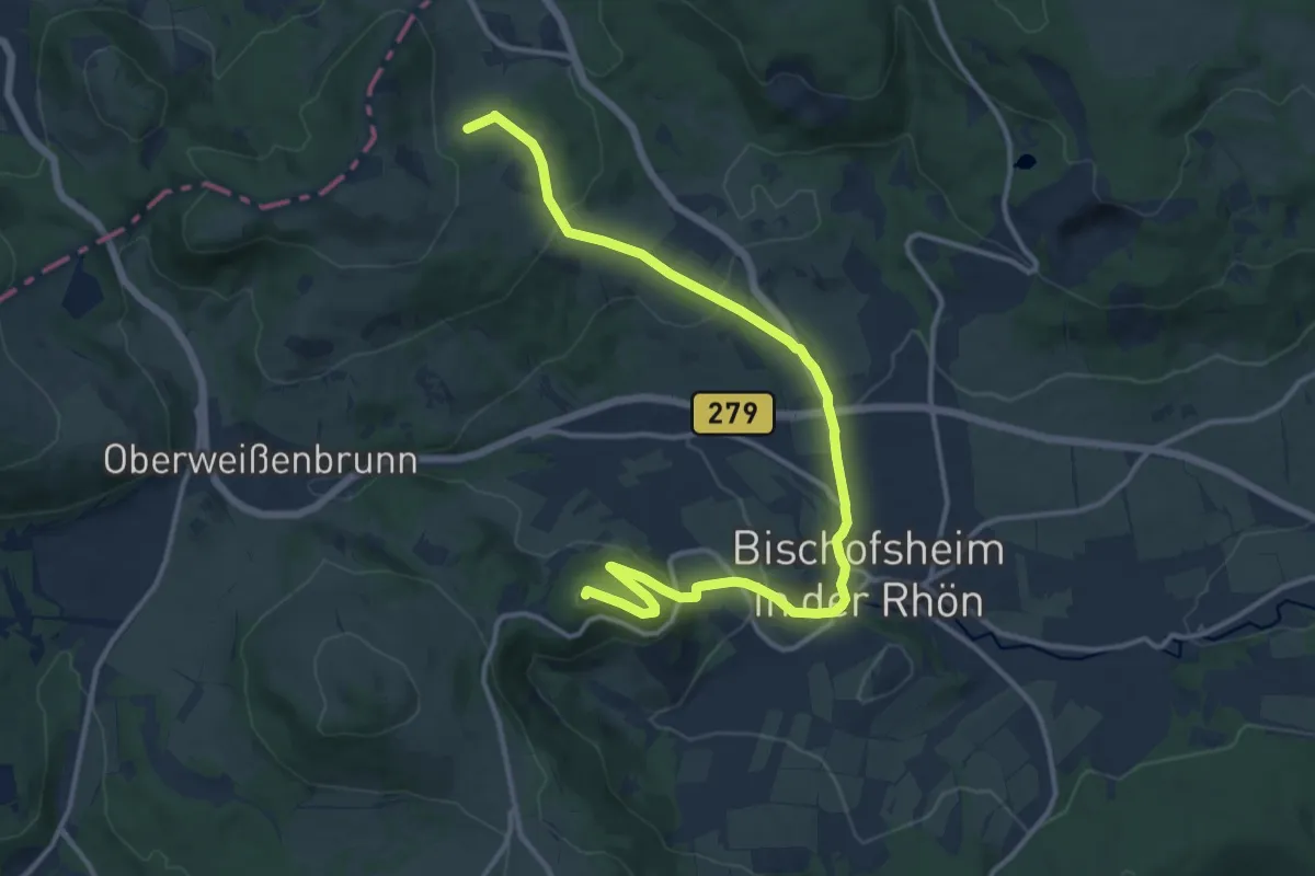
Medium · Summit
Zubringer Der Hochrhöner, Bischofsheim
14.4 km · ↑ 571 m · 4 h 38 min
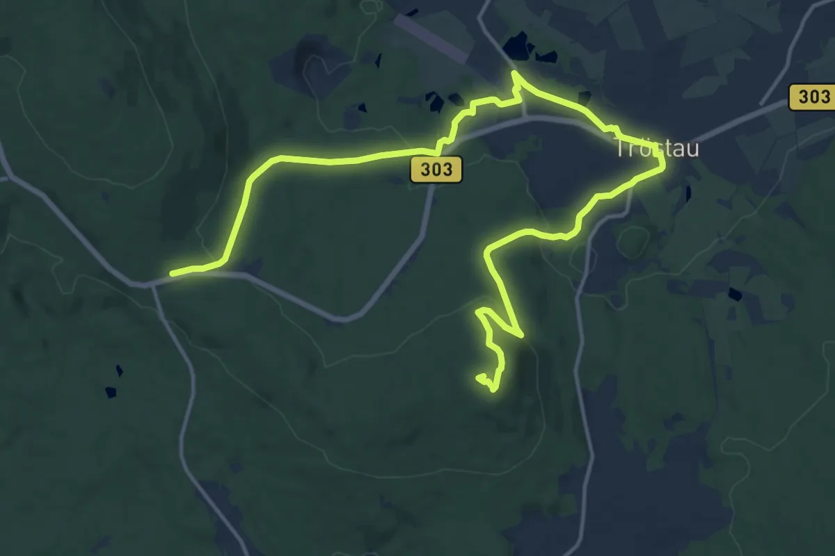
Demanding · Summit
Zubringer Fränkischer Gebirgsweg (Tröstau)
18.1 km · ↑ 412 m · 5 h 9 min
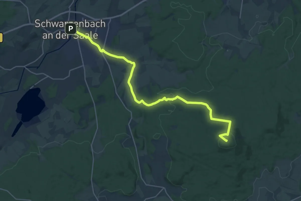
Demanding · Summit
Zubringer Fränkischer Gebirgweg (Schwarzenb./S.)
21.2 km · ↑ 405 m · 5 h 53 min
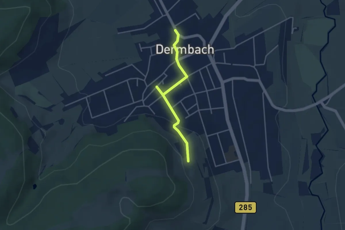
Easy · Trail
Zubringer Hochrhöner
2.9 km · ↑ 76 m · 50 min