Trails in Germany
36,877 hiking trails, each with its route, climb, walking time and grade.
All trails, page 757 of 769
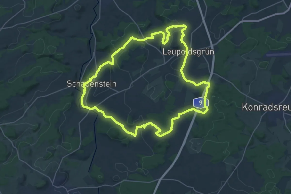
Demanding · Trail
Zum Hohen Stein OS 23
20.2 km · ↑ 387 m · 5 h 54 min
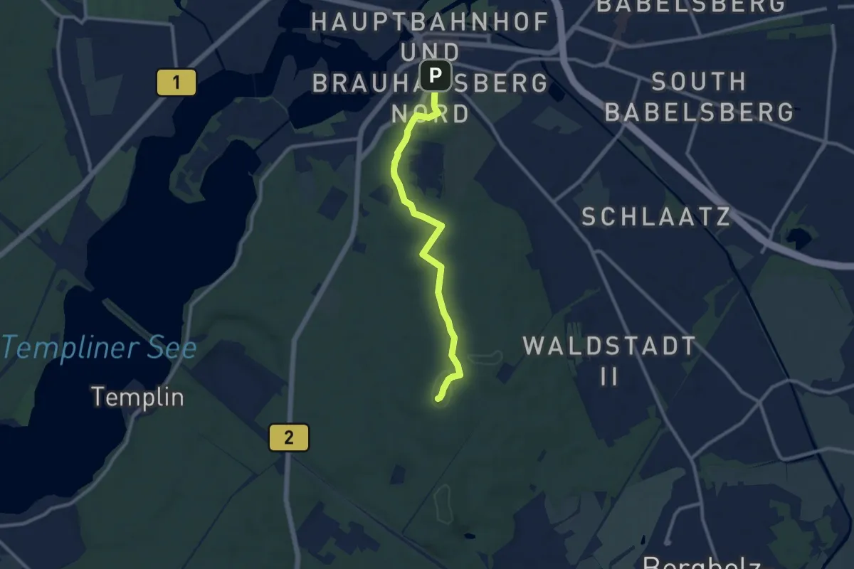
Easy · Summit
Zum Kleinen Ravensberg
8.0 km · ↑ 83 m · 2 h 4 min
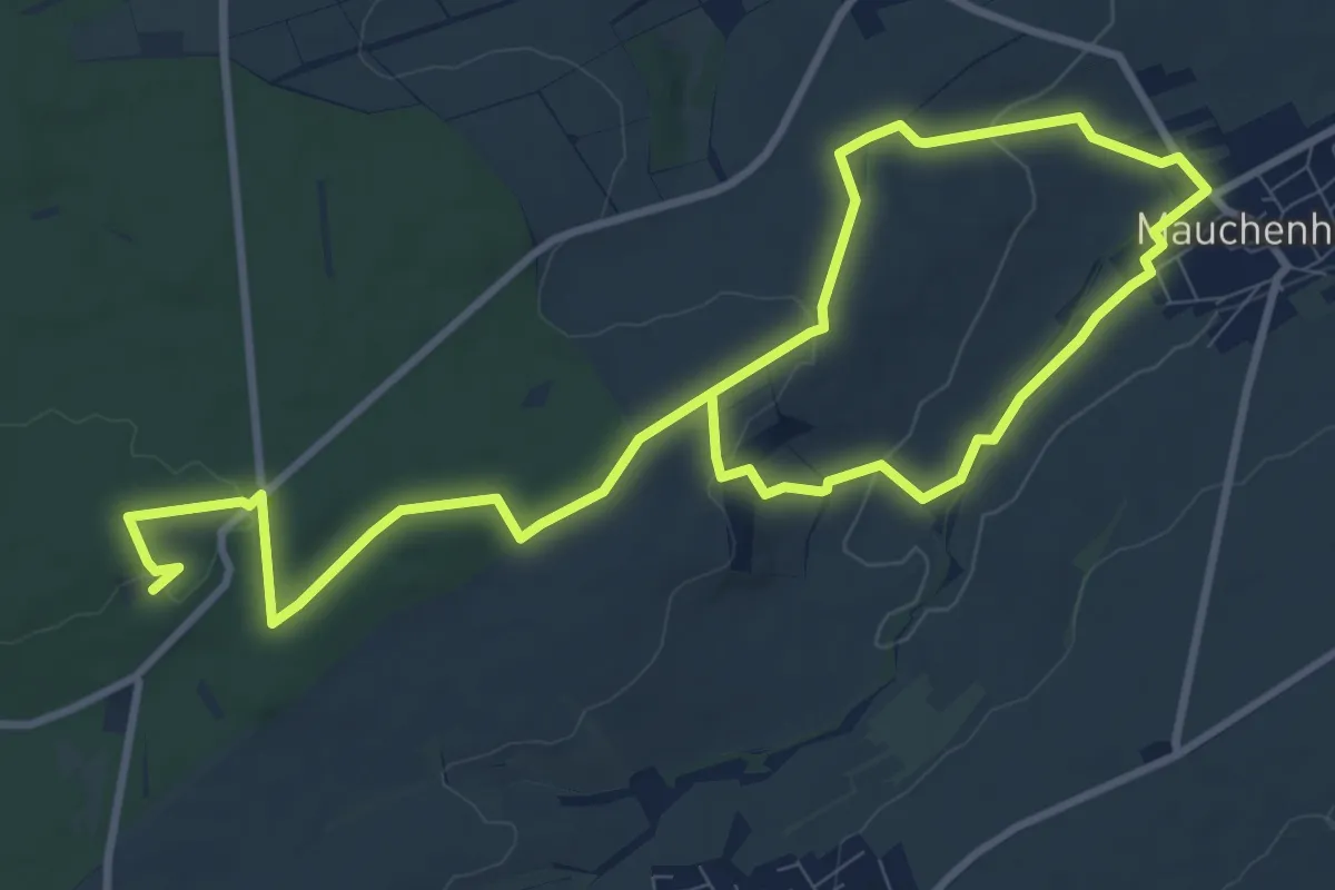
Medium · Trail
Zum Kloster Sion NW4
15.2 km · ↑ 226 m · 4 h 5 min
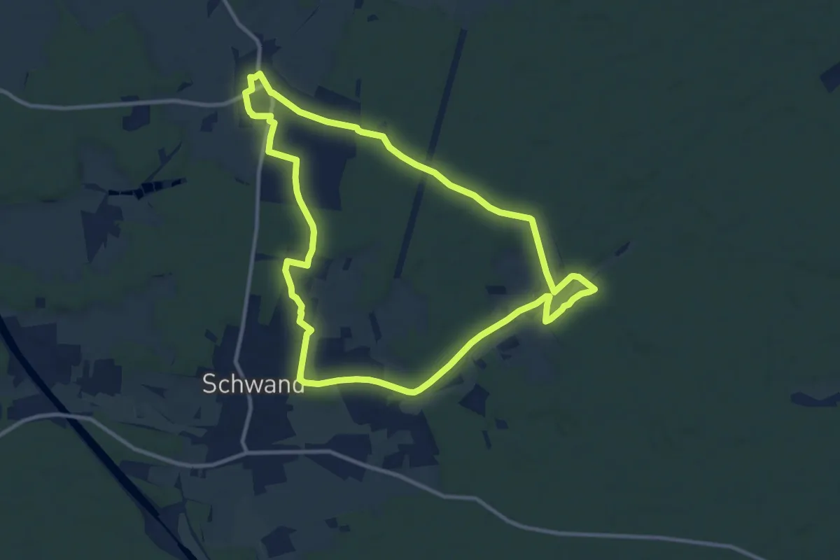
Medium · Trail
Zum Köhlerbetrieb
10.0 km · ↑ 81 m · 2 h 40 min
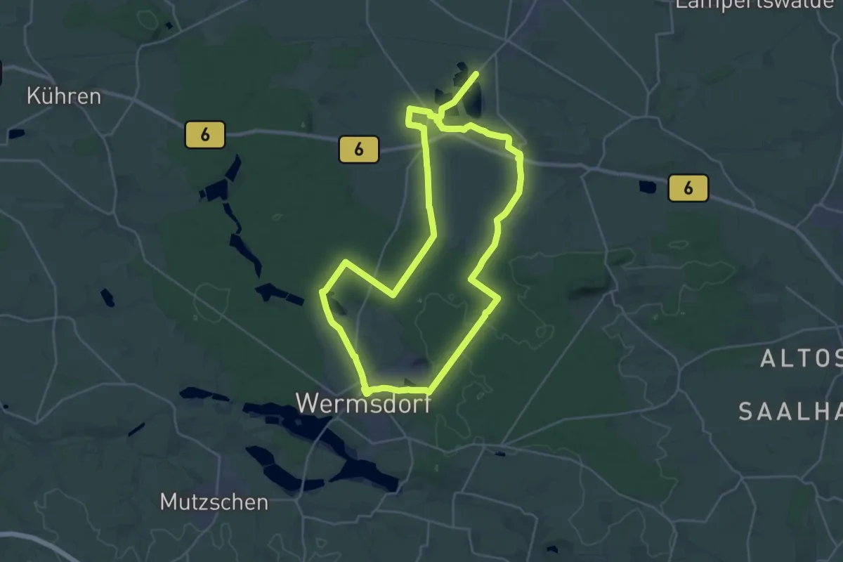
Demanding · Trail
Zum Luppaer Naturbad
22.1 km · ↑ 104 m · 5 h 45 min
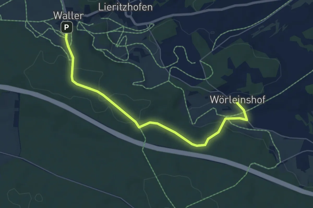
Easy · Trail
Zum Mirzakreuz (11)
5.7 km · ↑ 113 m · 1 h 35 min
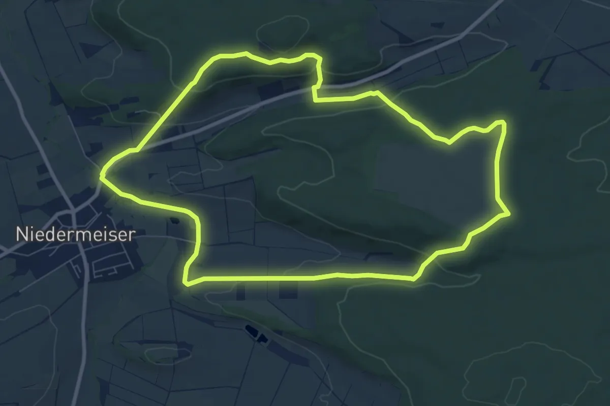
Easy · Summit
Zum Naturdenkmal Rosenberg
7.9 km · ↑ 189 m · 2 h 23 min
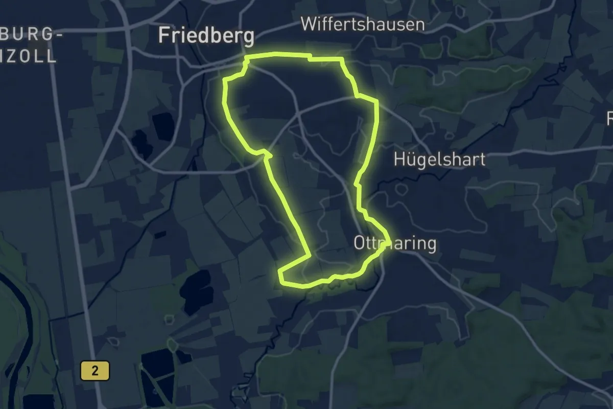
Medium · Trail
Zum Paardurchbruch
9.2 km · ↑ 77 m · 2 h 27 min
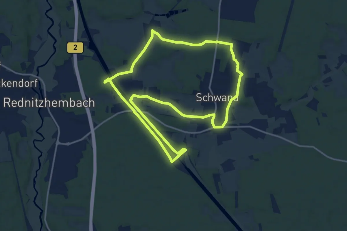
Medium · Trail
Zum RMD-Kanal
10.9 km · ↑ 64 m · 2 h 52 min
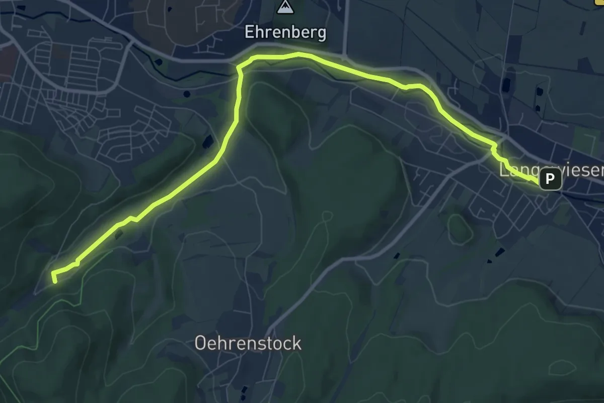
Medium · Trail
Zum Schaubergwerk Volle Rose
9.8 km · ↑ 85 m · 2 h 30 min
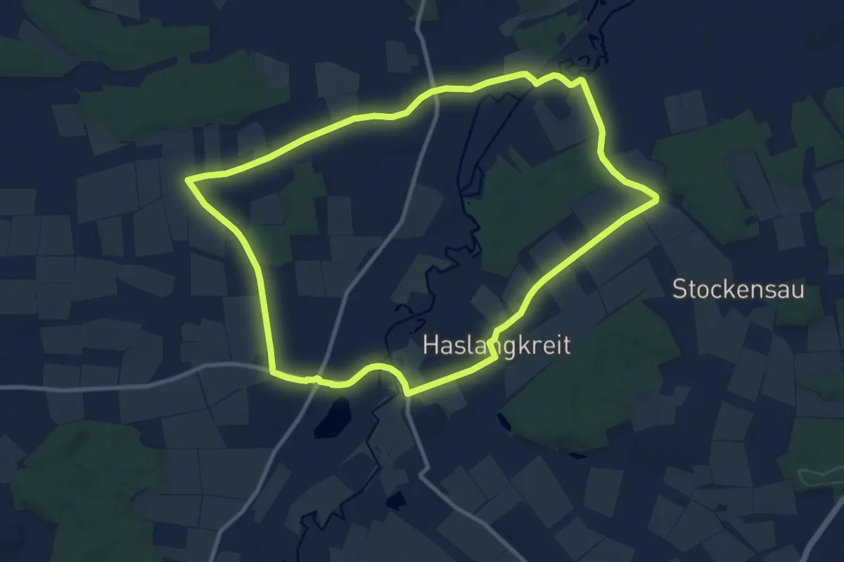
Medium · Trail
Zum Schloss an der Paar
9.6 km · ↑ 33 m · 2 h 29 min
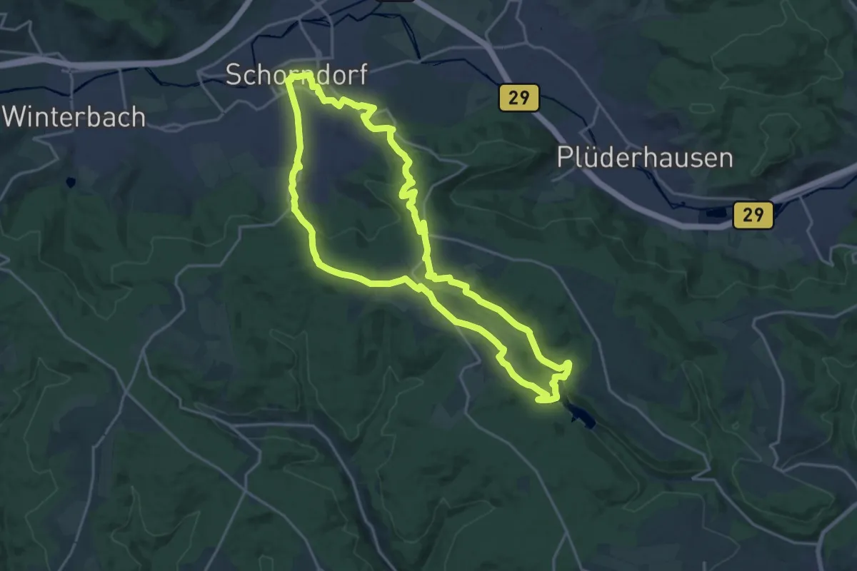
Medium · Summit
Zum Schurwald
17.9 km · ↑ 444 m · 5 h 27 min
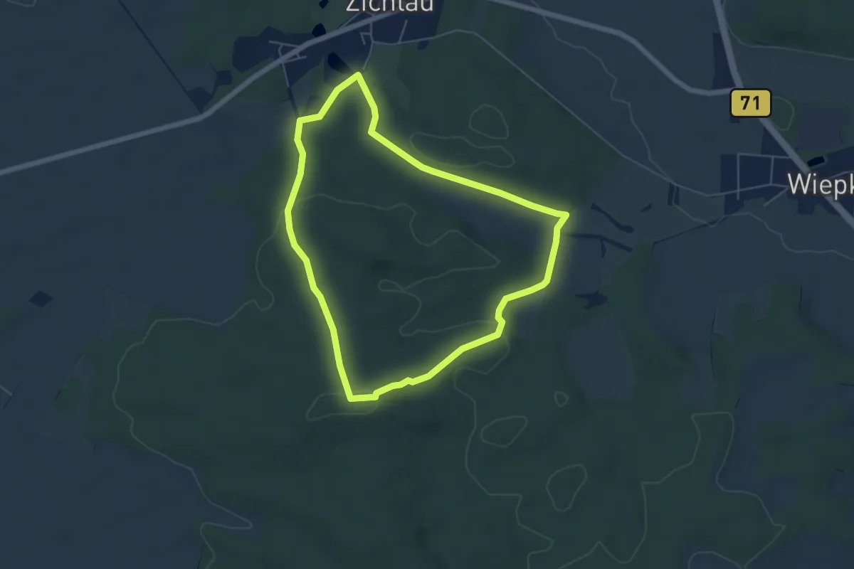
Easy · Summit
Zum Stakenberg
4.6 km · ↑ 102 m · 1 h 22 min
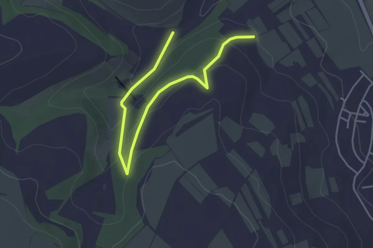
Easy · Trail
Zum Steinbruch
4.0 km · ↑ 151 m · 1 h 17 min
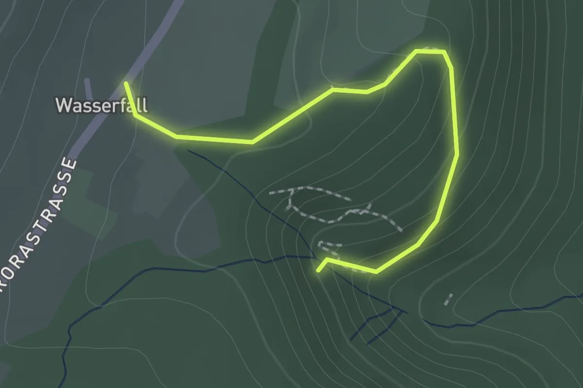
Medium · Trail
Zum wasserfall
2.0 km · ↑ 113 m · 43 min
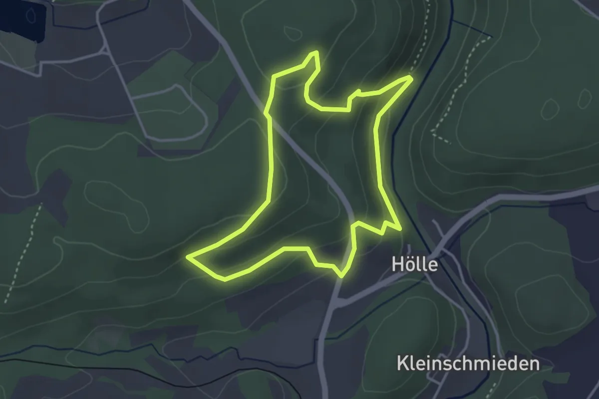
Easy · Trail
Zum Wolfsbauer US35
3.2 km · ↑ 149 m · 1 h 7 min
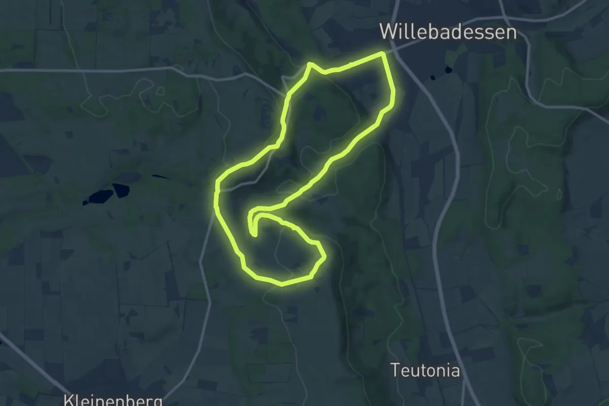
Medium · Trail
Zu Mystischen Stätten
9.8 km · ↑ 279 m · 3 h 3 min
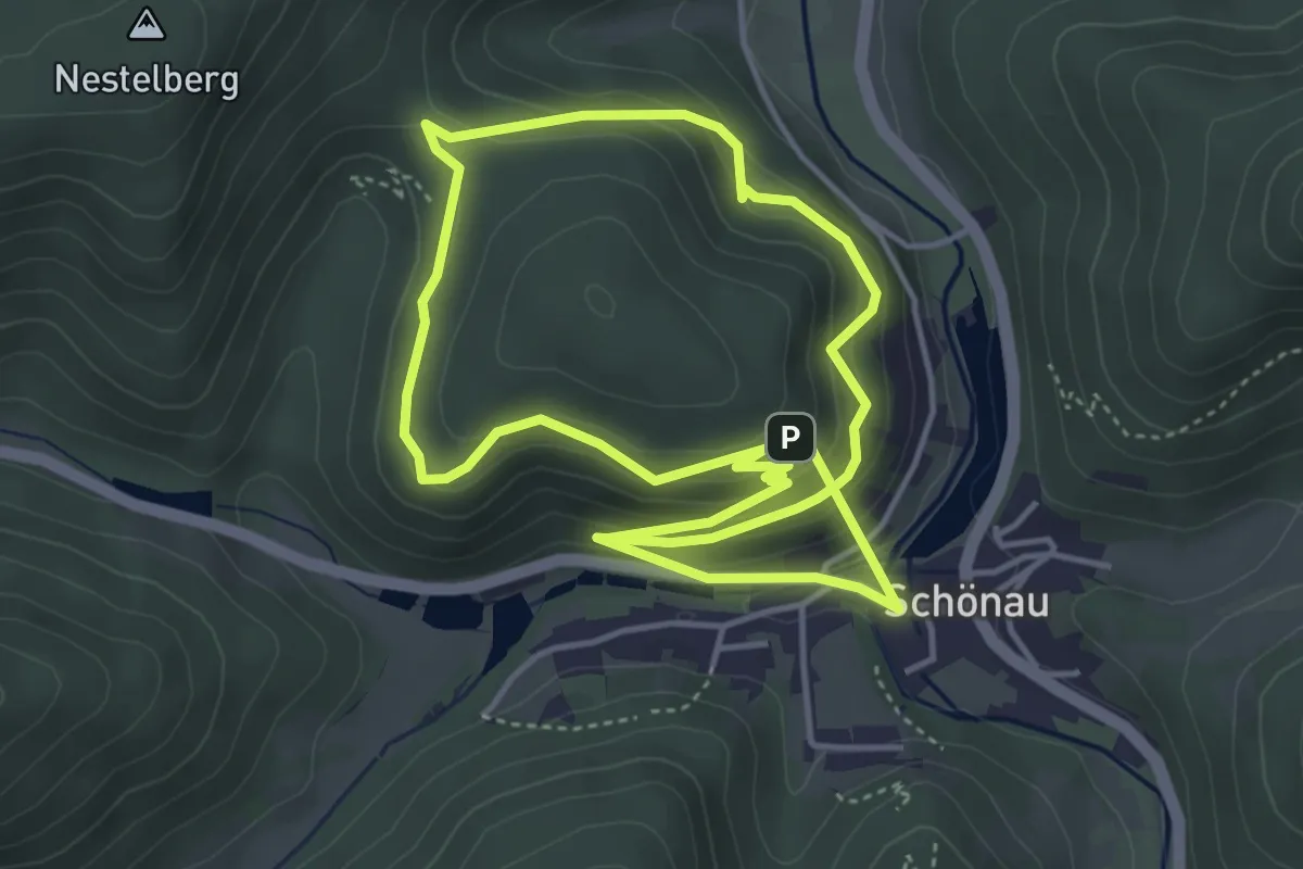
Easy · Trail
Zundelsfels-Weg
4.2 km · ↑ 209 m · 1 h 32 min
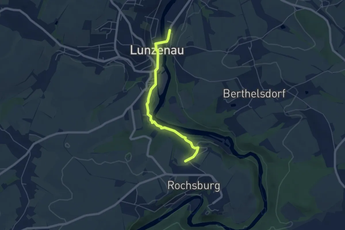
Easy · Summit
Zur Amtsmannkluft
4.6 km · ↑ 84 m · 1 h 15 min
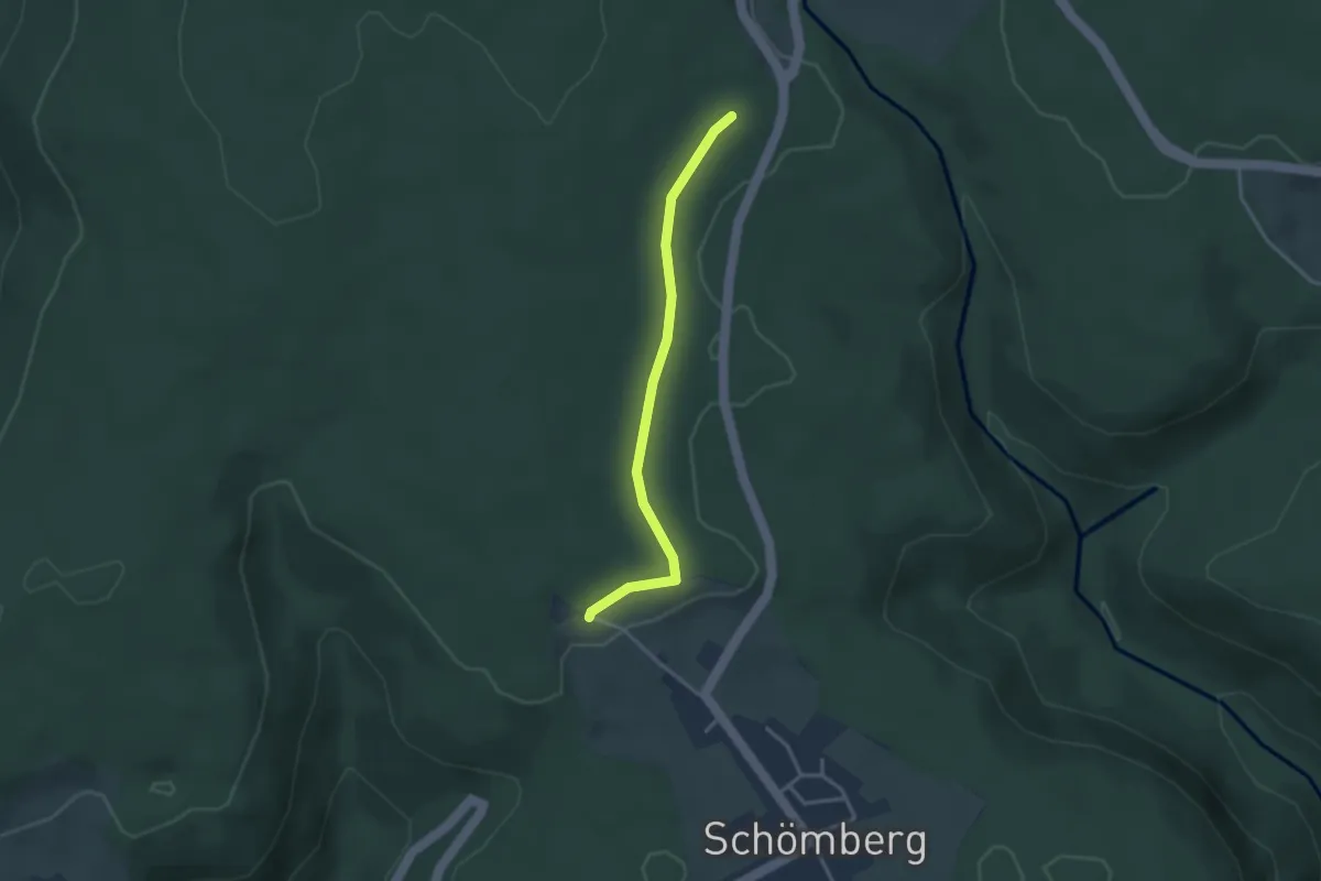
Easy · Trail
Zur Baumscheibe - Solhardt
2.9 km · ↑ 24 m · 44 min
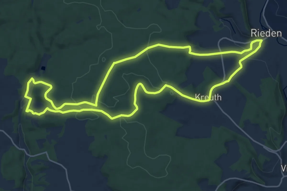
Medium · Summit
Zur Burgruine Roßstein
14.2 km · ↑ 322 m · 4 h 15 min
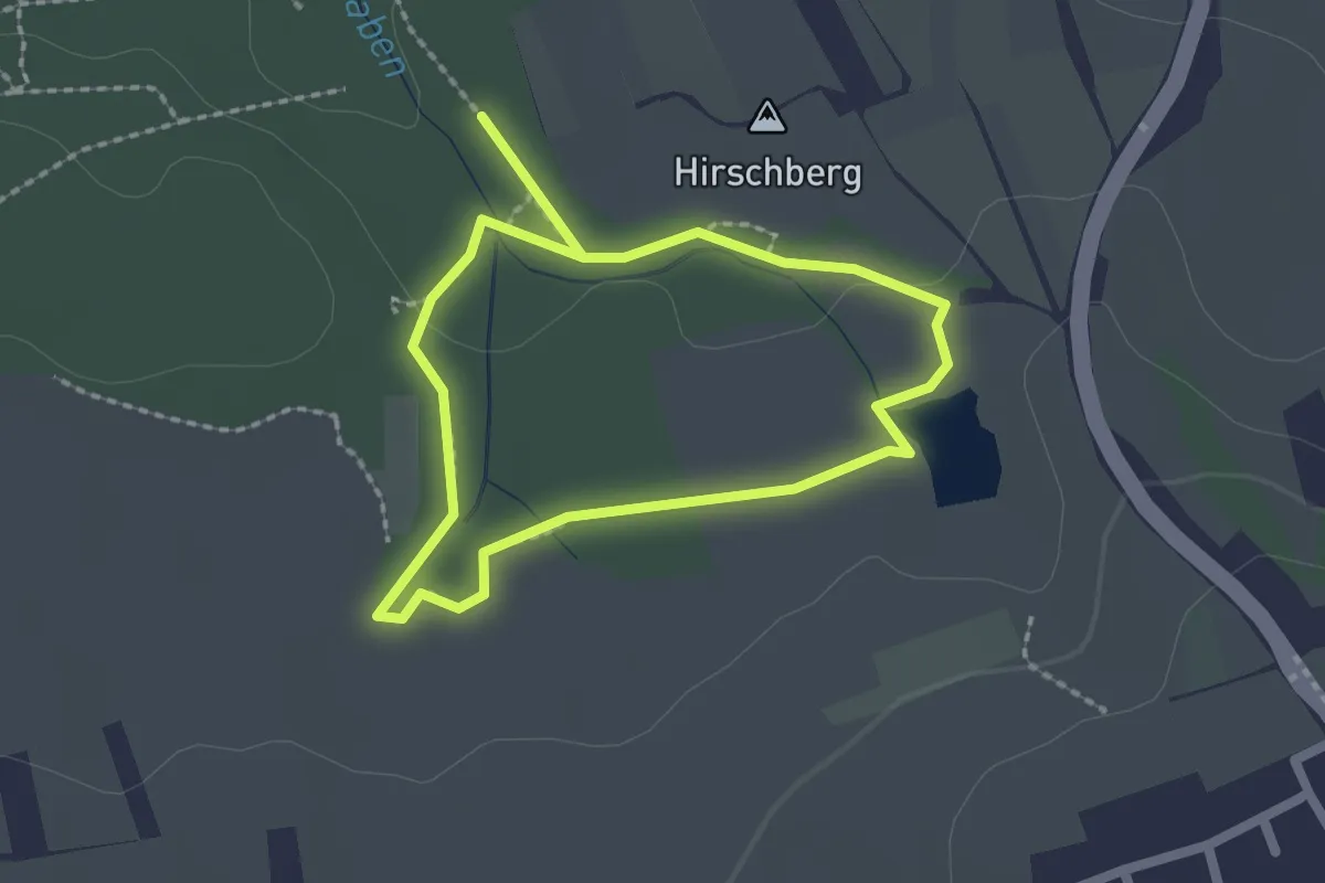
Easy · Summit
Zur Dürerquelle und zum Jungfernsitz
1.7 km · ↑ 5 m · 26 min
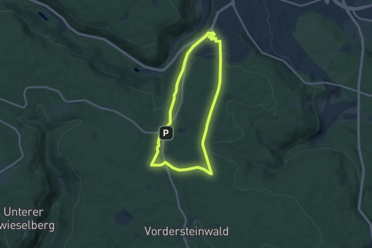
Easy · Summit
Zur Großvatertanne
6.4 km · ↑ 137 m · 1 h 53 min
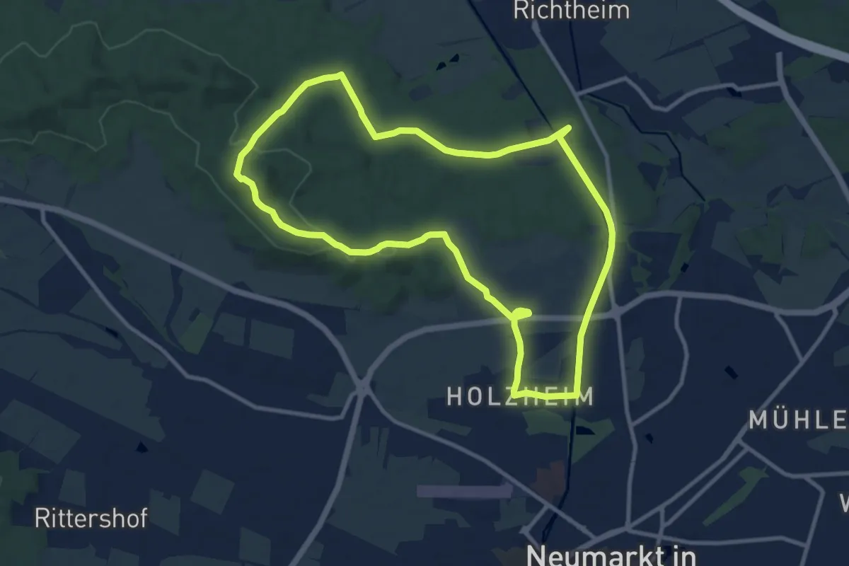
Medium · Summit
Zur Heinzburg (Extratour)
9.4 km · ↑ 149 m · 2 h 40 min
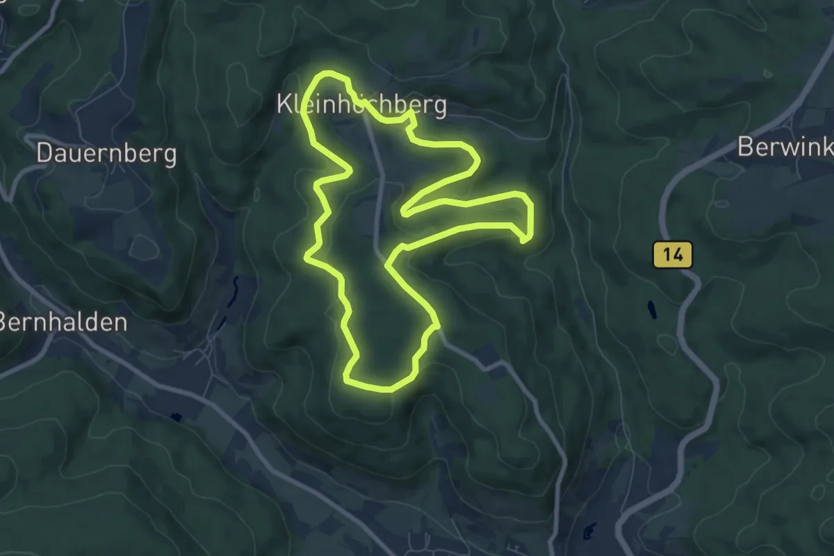
Easy · Trail
Zur historischen Salzlecke
7.4 km · ↑ 216 m · 2 h 19 min
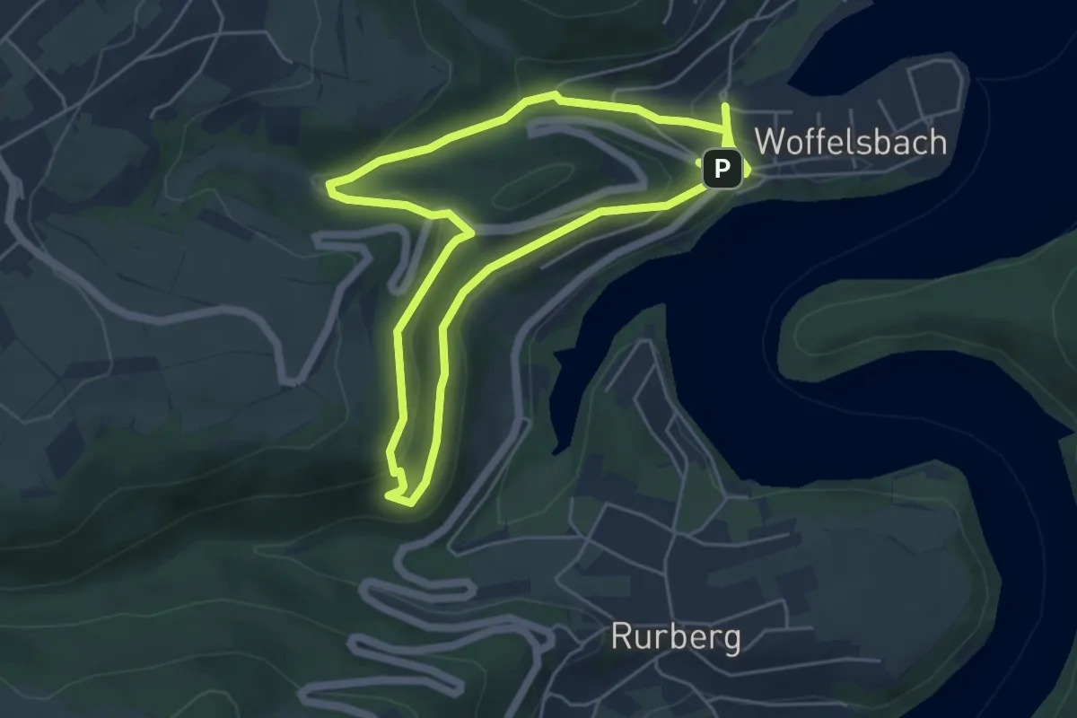
Easy · Trail
Zur Jungenheck
4.4 km · ↑ 135 m · 1 h 24 min
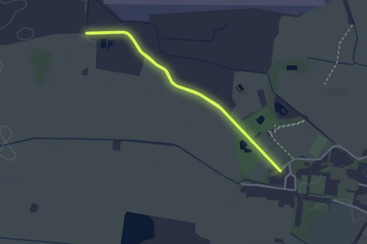
Easy · Trail
Zur Moosmühle
2.4 km · ↑ 4 m · 37 min
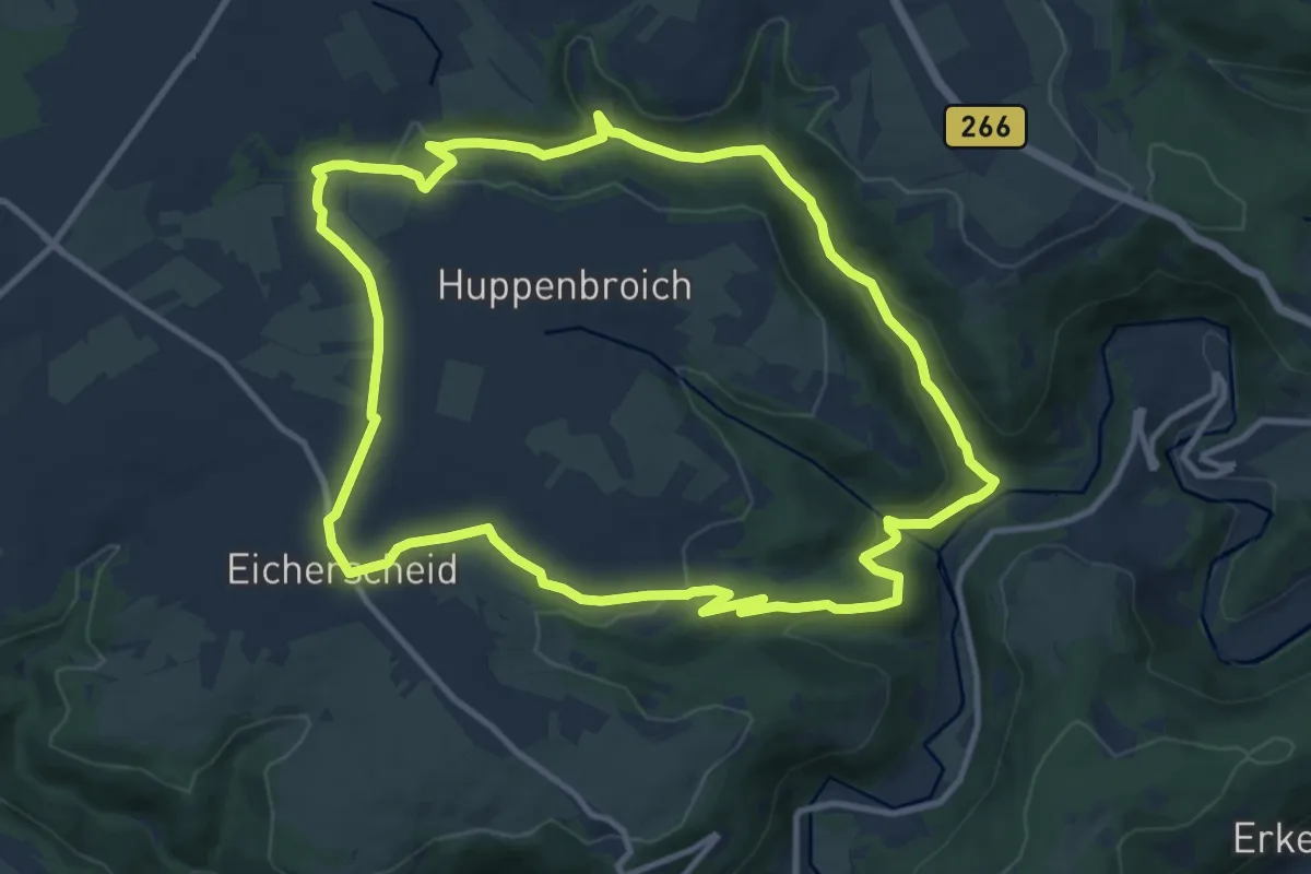
Medium · Trail
Zur Ölmühle
10.8 km · ↑ 274 m · 3 h 18 min
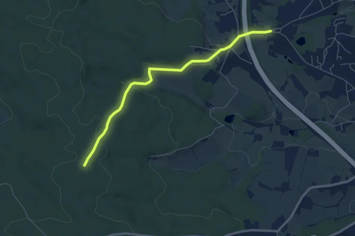
Easy · Trail
Zur Platte
5.6 km · ↑ 125 m · 1 h 36 min
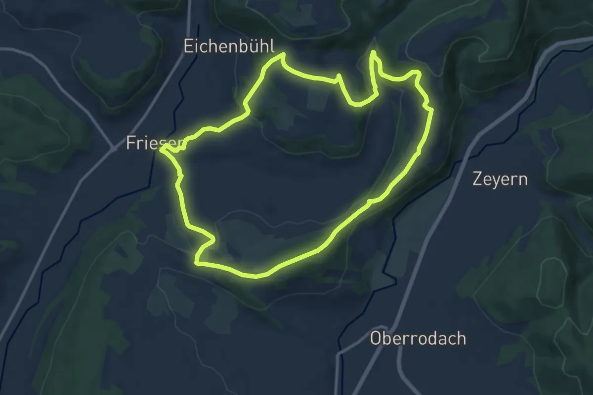
Medium · Trail
Zur Rabensteiner Höhe RT 28
9.1 km · ↑ 284 m · 2 h 54 min
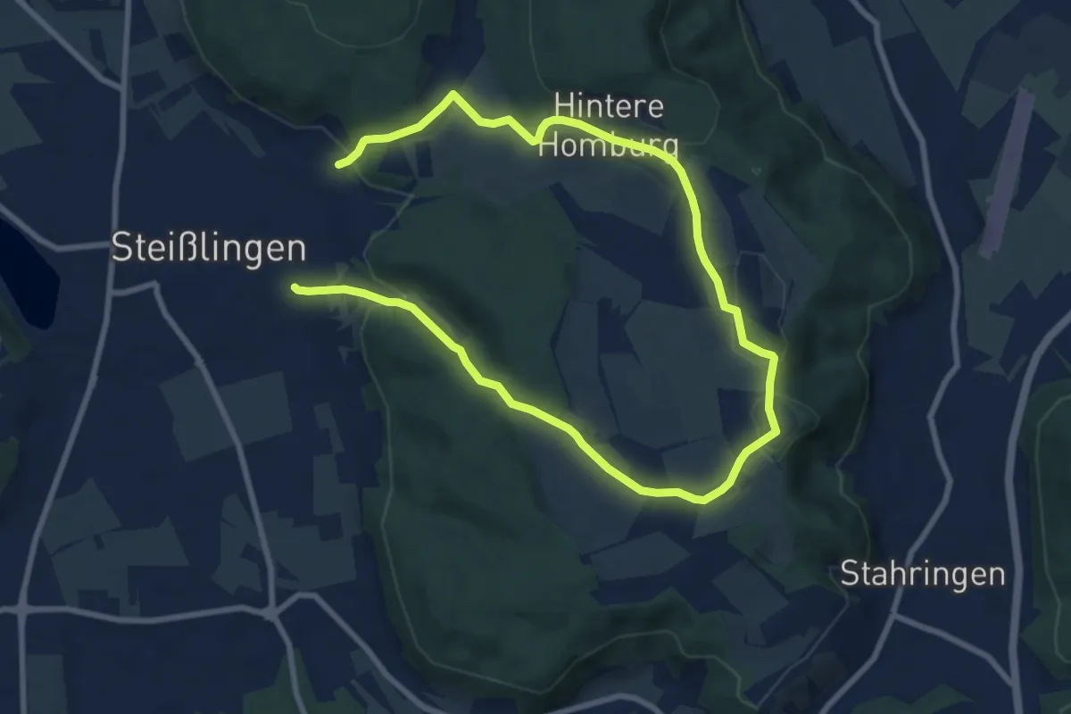
Medium · Trail
Zur Ruine Homburg
12.6 km · ↑ 303 m · 3 h 38 min
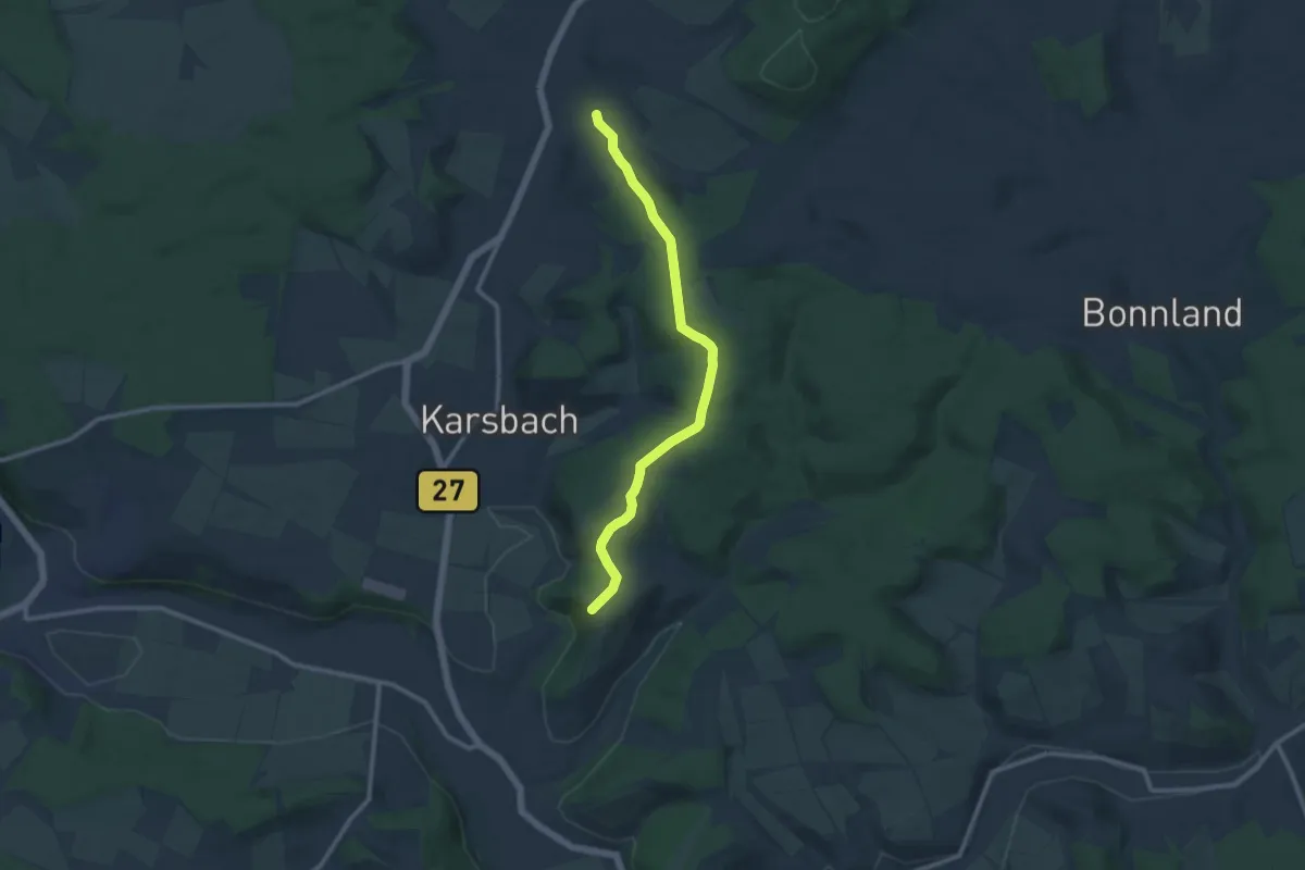
Medium · Trail
Zur Ruine Homburg
10.1 km · ↑ 219 m · 2 h 52 min
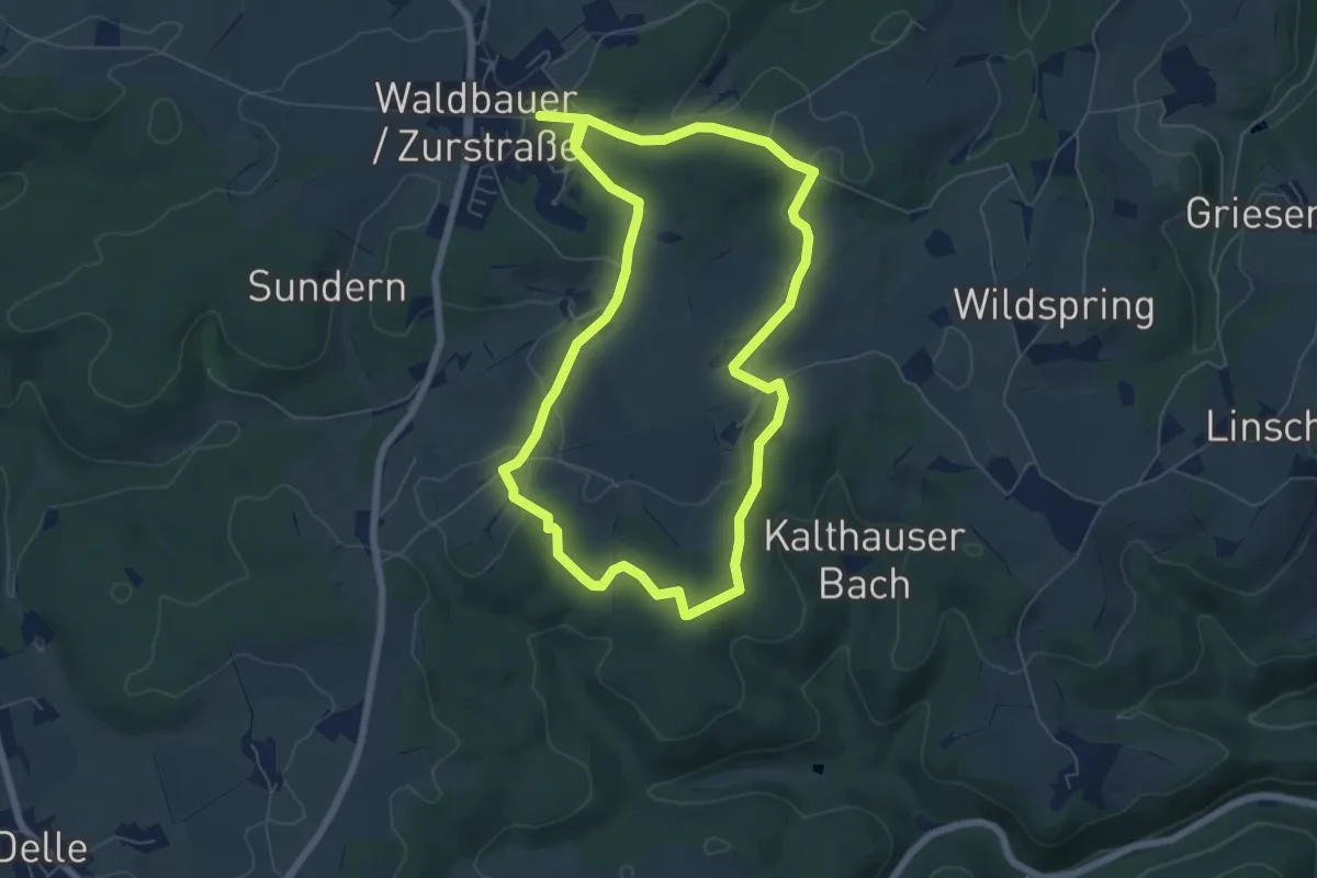
Easy · Summit
Zurstraße Rundweg A5
5.9 km · ↑ 124 m · 1 h 44 min
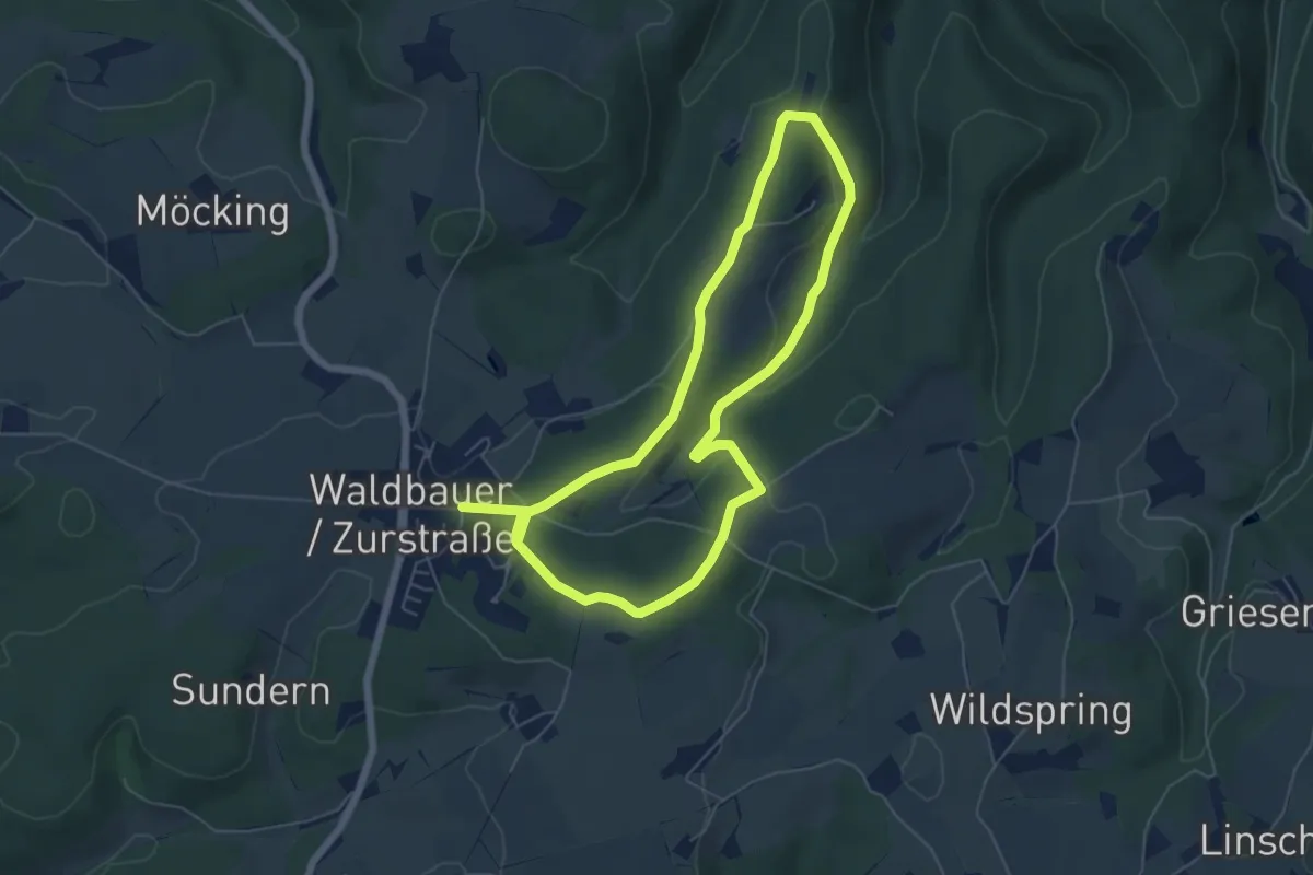
Easy · Trail
Zurstraße Rundweg A7
5.1 km · ↑ 121 m · 1 h 32 min
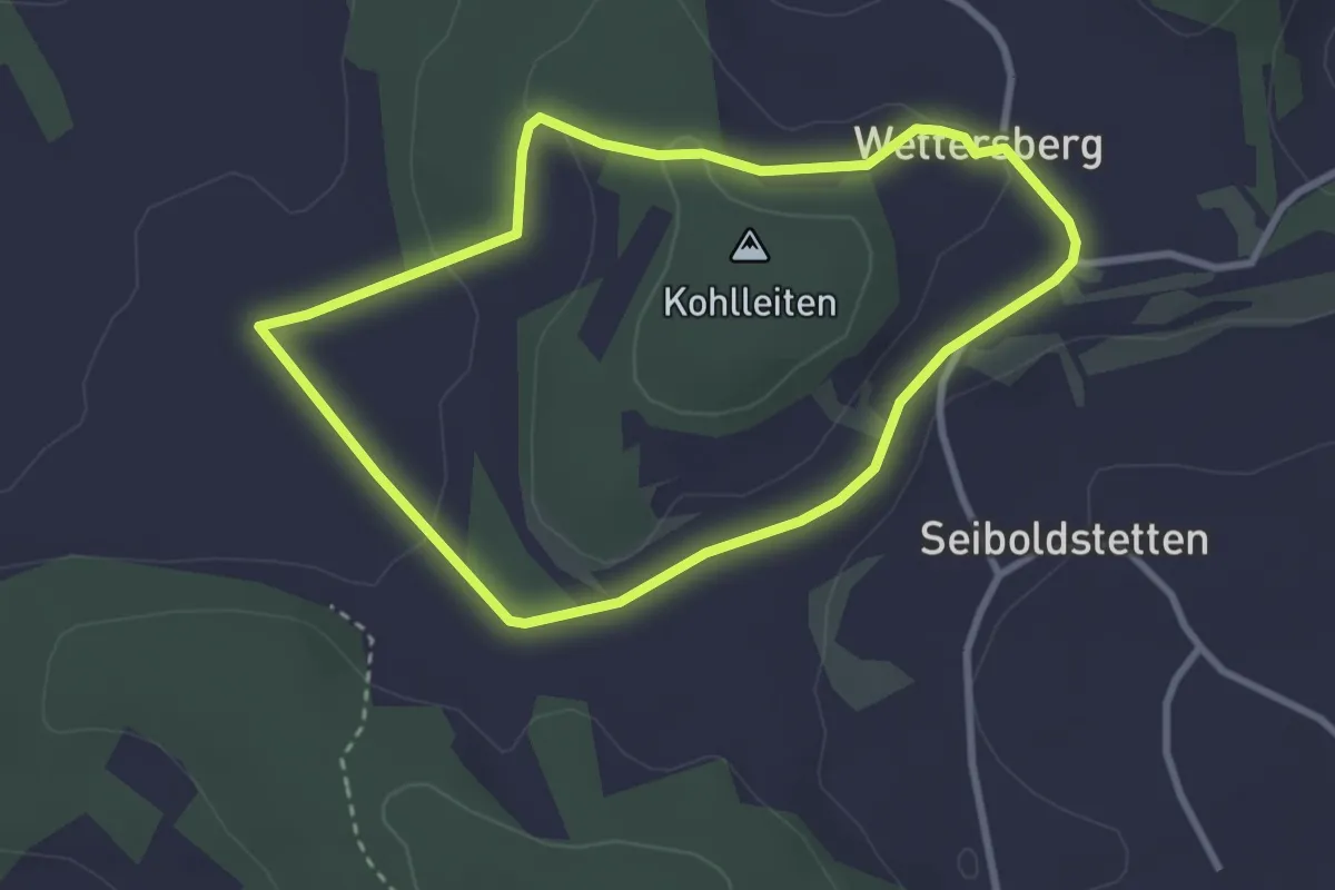
Easy · Summit
Zur Strüth (9)
2.7 km · ↑ 47 m · 46 min
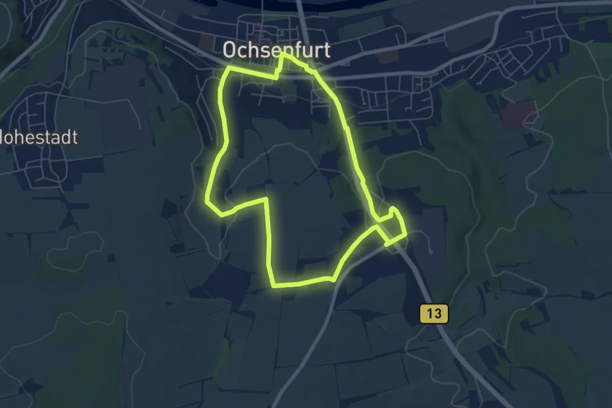
Easy · Trail
Zur St. Wolfgangskapelle
5.5 km · ↑ 94 m · 1 h 35 min
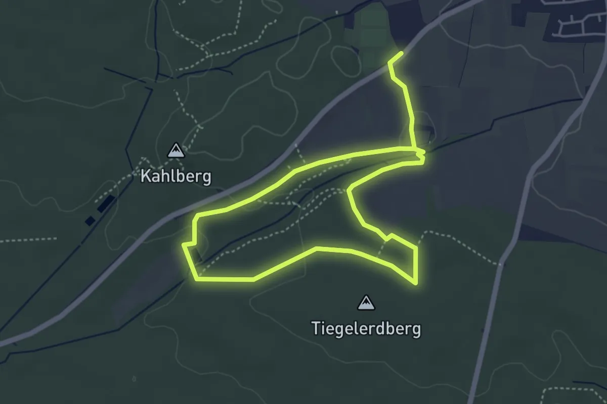
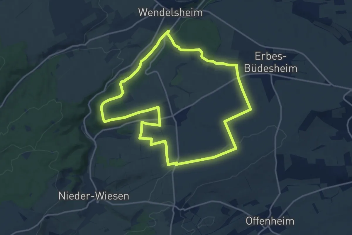
Easy · Trail
Zur Teufelsbadstube und zur Wolfsfelder Wiese
7.0 km · ↑ 98 m · 1 h 52 min
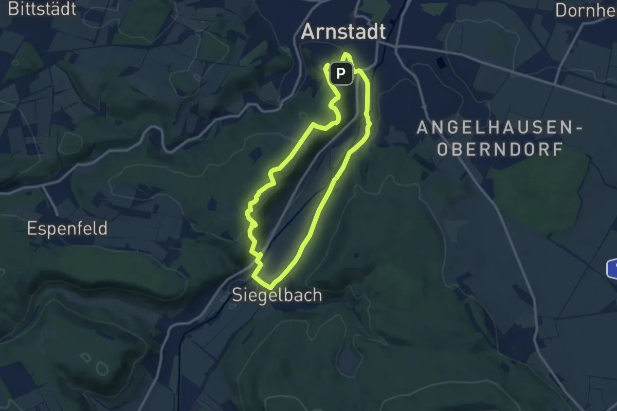
Medium · Summit
Zur Teufelsrutsch
12.1 km · ↑ 164 m · 3 h 23 min
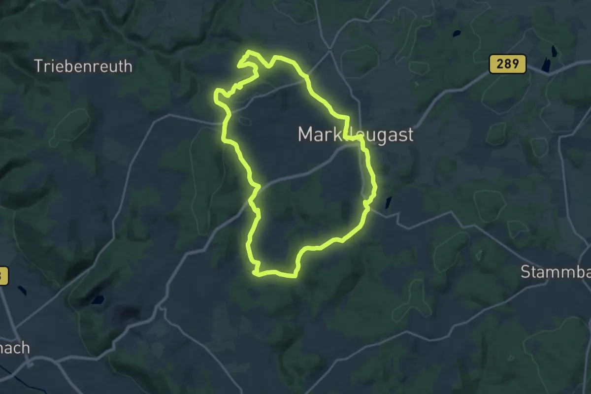
Medium · Summit
Zur Triglismühle
8.6 km · ↑ 212 m · 2 h 36 min
Medium · Trail
Zur Weidmeser Höhe KU 72
14.8 km · ↑ 286 m · 4 h 20 min
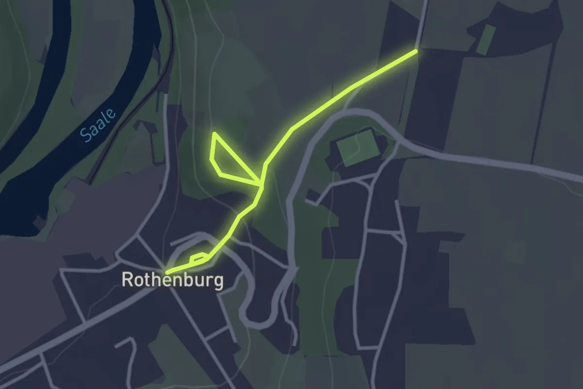
Easy · Trail
Zur Wetterfahne
2.8 km · ↑ 70 m · 49 min
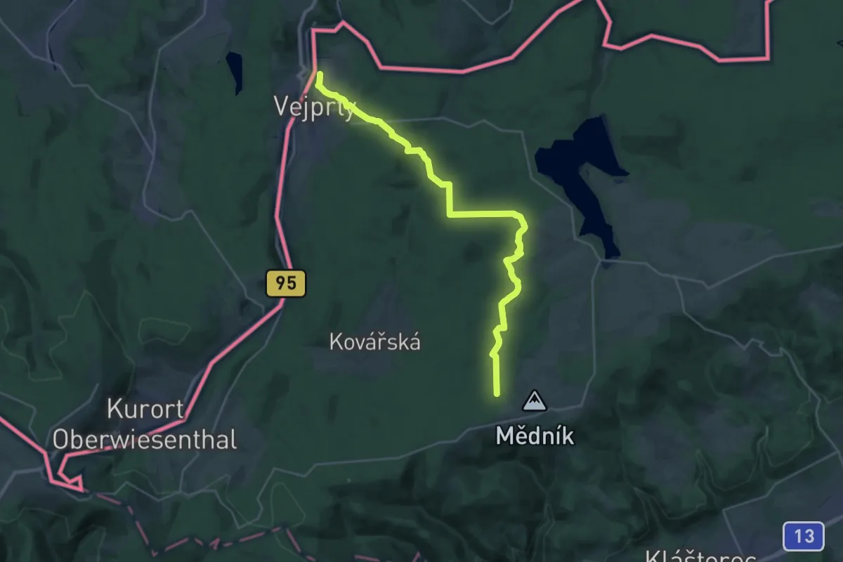
Demanding · Trail
[Ž] U šachty - Vejprty
26.1 km · ↑ 491 m · 7 h 13 min
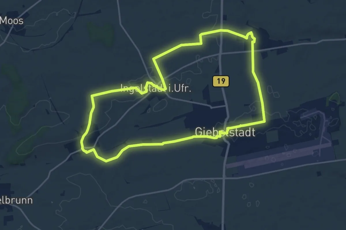
Medium · Trail
Zusammenspiel
13.5 km · ↑ 70 m · 3 h 32 min
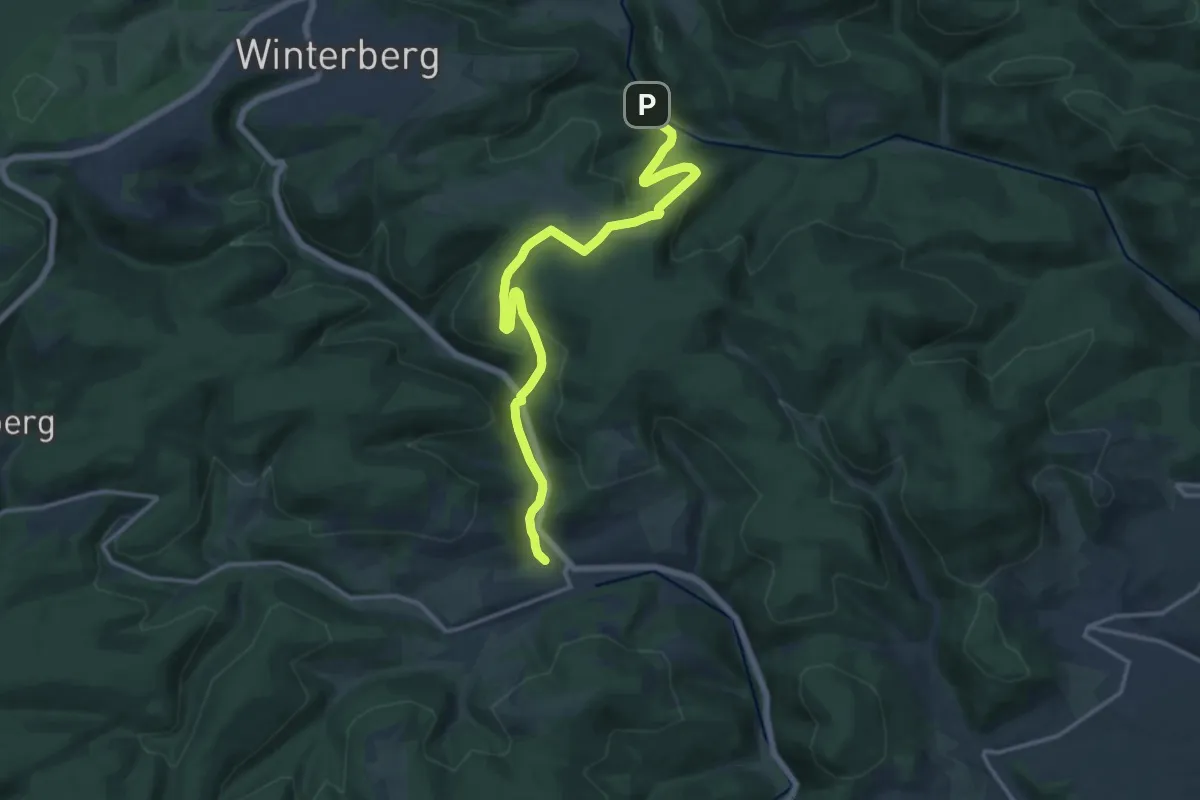
Medium · Trail
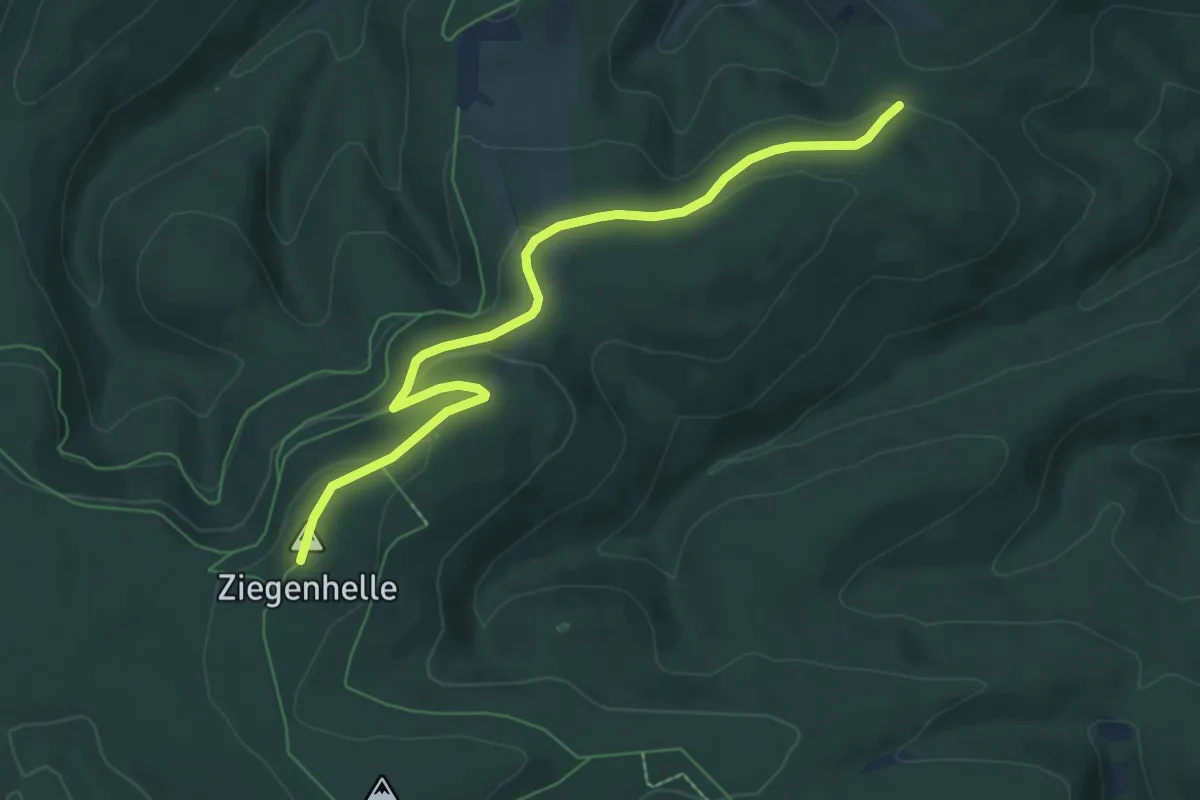
Züschen - Ehrenscheider Mühle
13.7 km · ↑ 461 m · 4 h 14 min
Easy · Summit
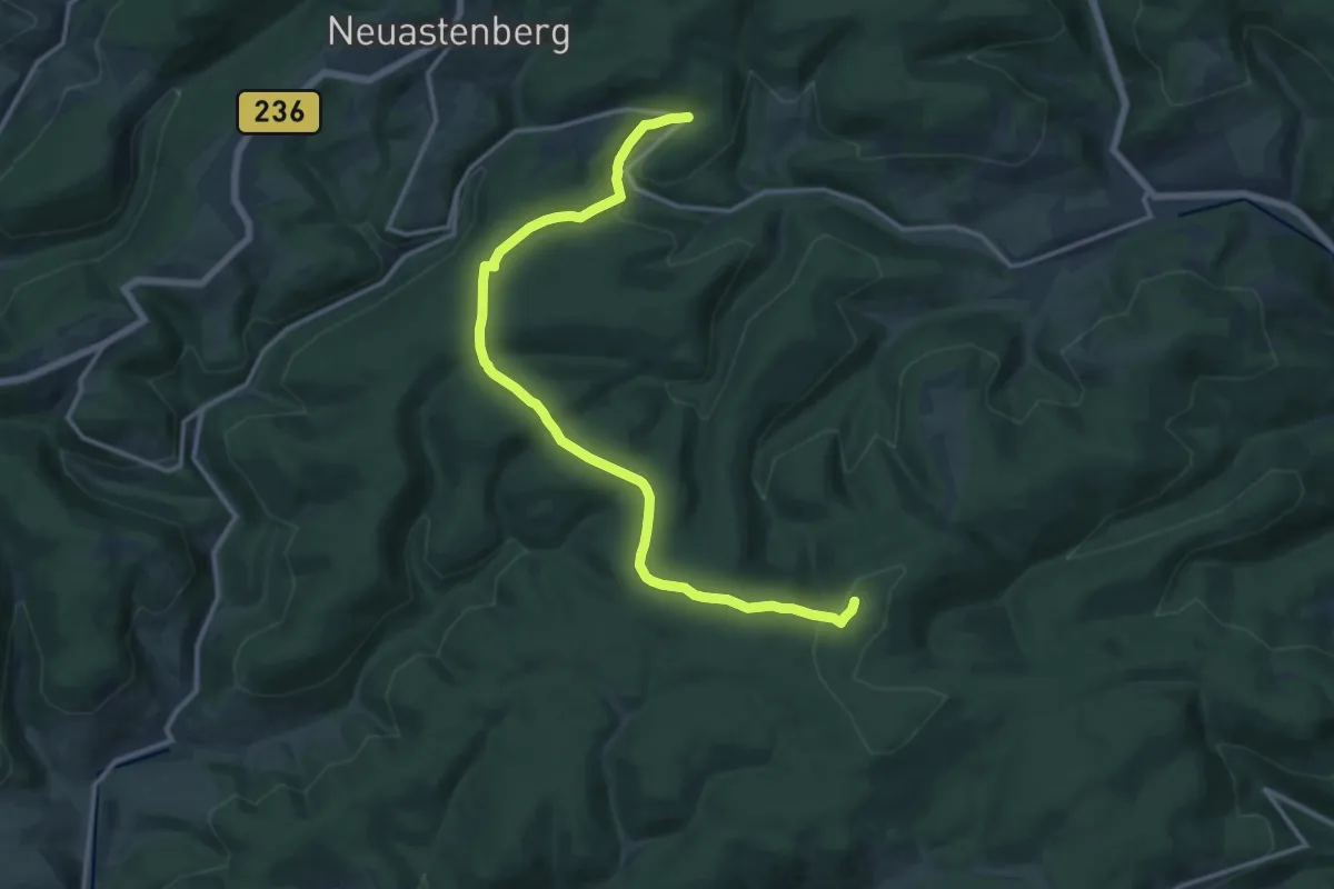
Züschener Höhenrundweg
6.9 km · ↑ 171 m · 2 h
Medium · Summit
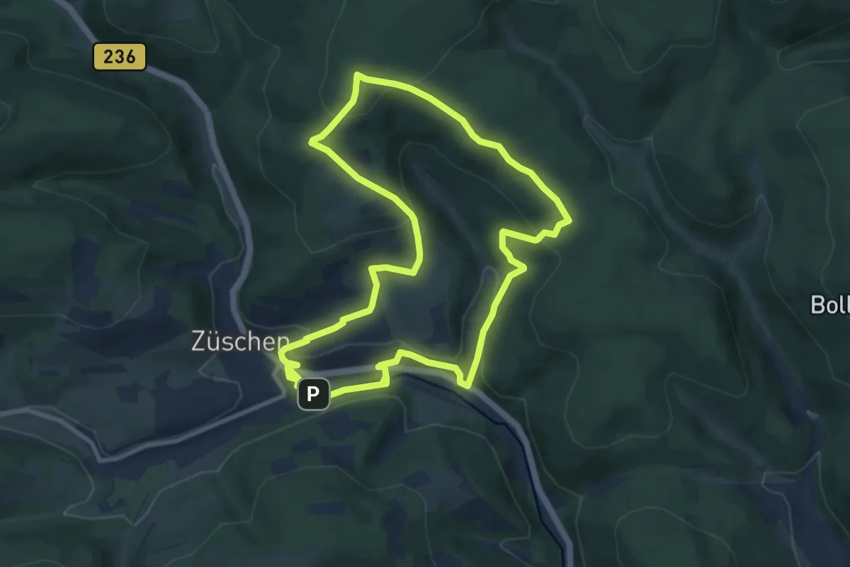
Züschener Mythen & Sagenweg
14.0 km · ↑ 367 m · 4 h 7 min
Easy · Summit
Züschener Mythen und Sagenweg - 7 km
7.8 km · ↑ 293 m · 2 h 34 min
Demanding · Trail
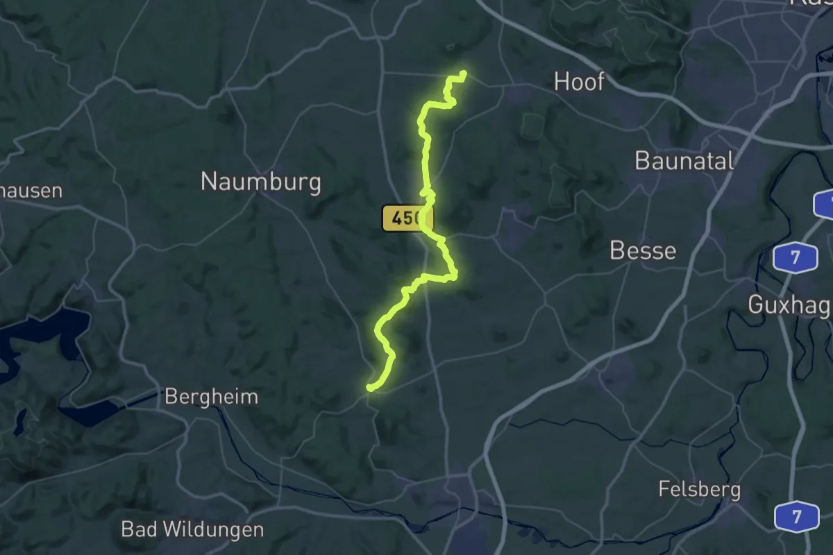
Züschen - Martinhagen
20.0 km · ↑ 500 m · 5 h 59 min