Trails in Germany
36,877 hiking trails, each with its route, climb, walking time and grade.
All trails, page 758 of 769
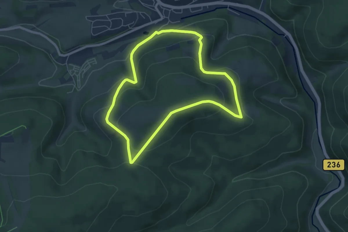
Easy · Trail
Züschen Rundweg Z1
4.9 km · ↑ 223 m · 1 h 43 min
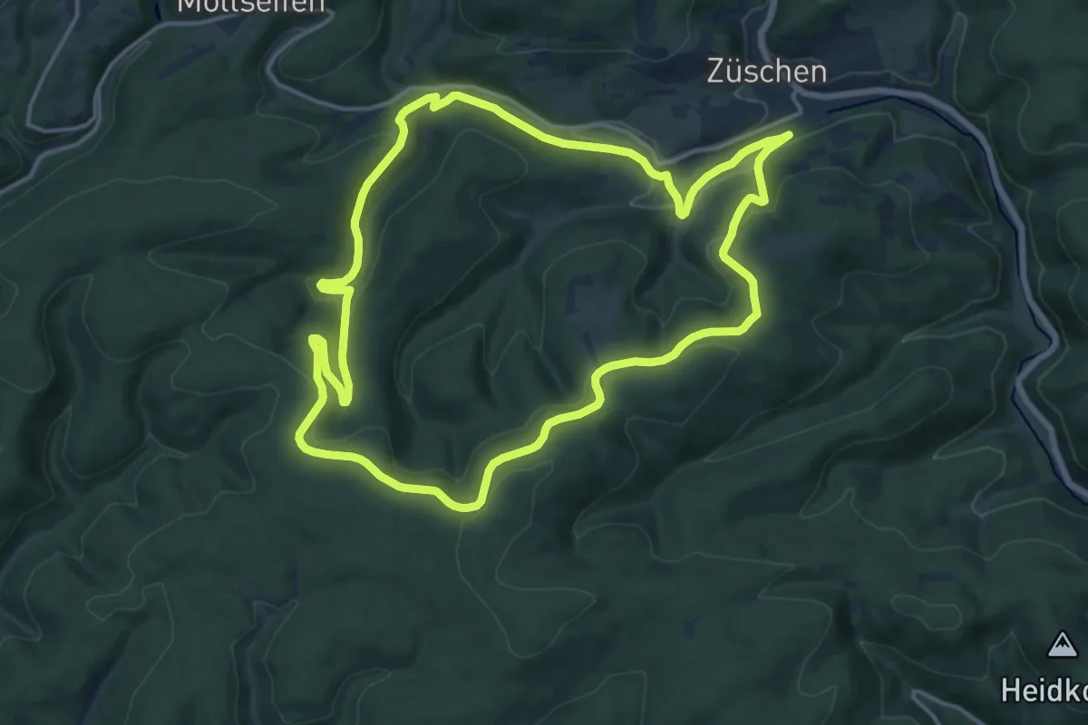
Medium · Summit
Züschen Rundweg Z3 Waldweg
14.0 km · ↑ 366 m · 4 h 18 min
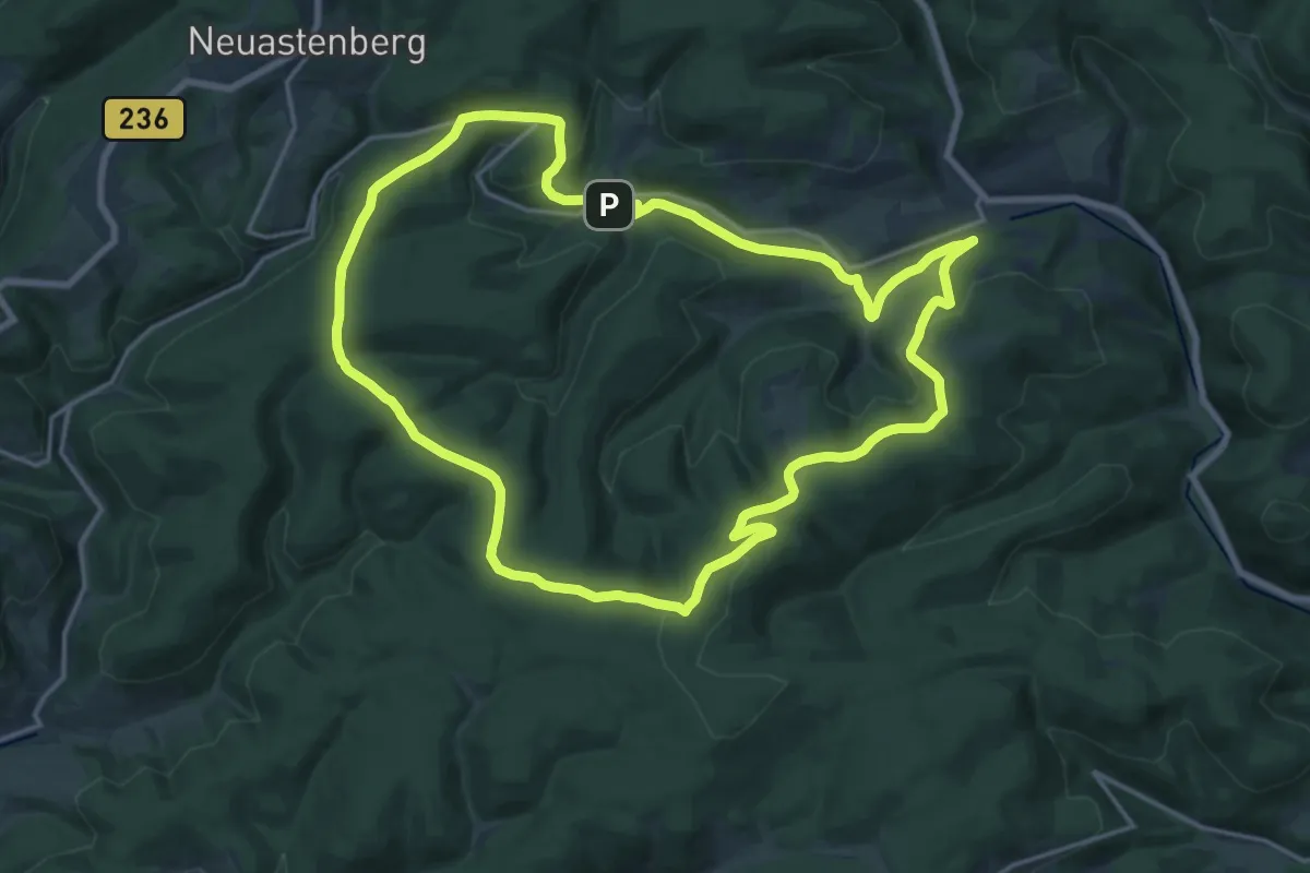
Medium · Summit
Züschen Rundweg Z4 Mollseifener Weg
17.0 km · ↑ 444 m · 5 h 13 min
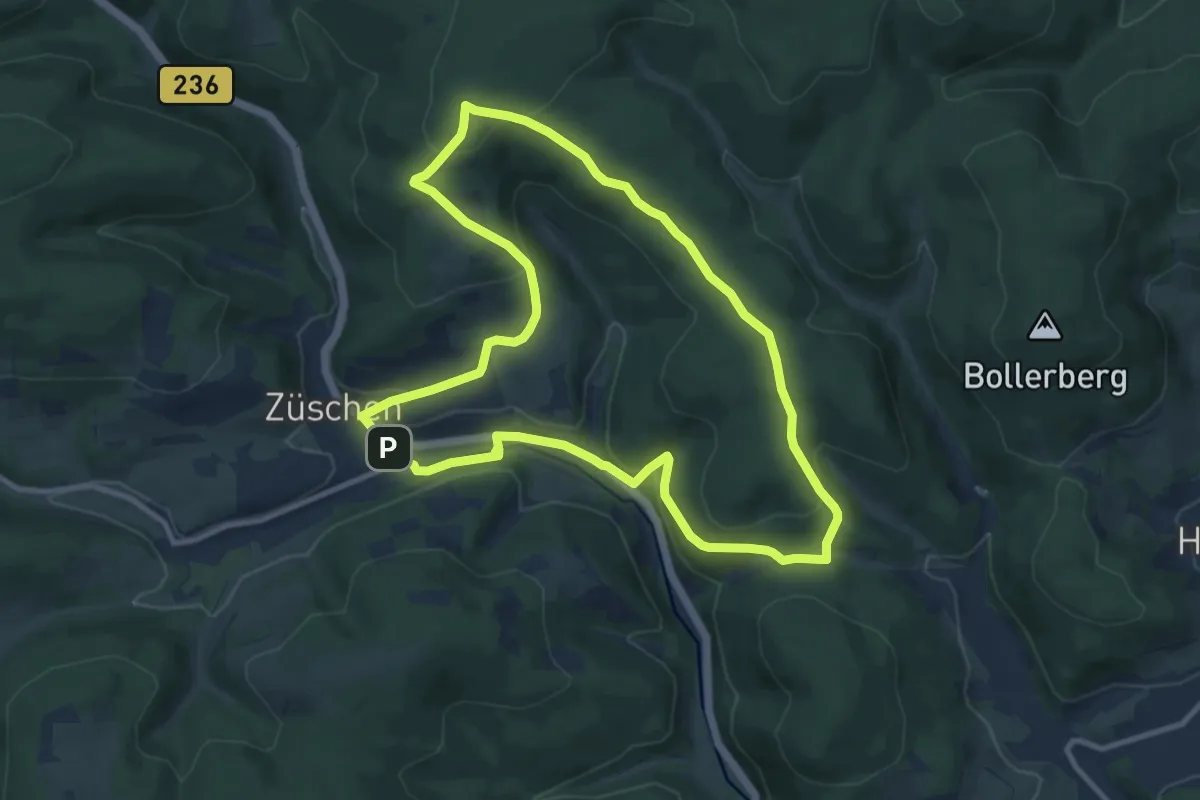
Medium · Summit
Züschen Rundweg Z5
9.1 km · ↑ 305 m · 2 h 57 min
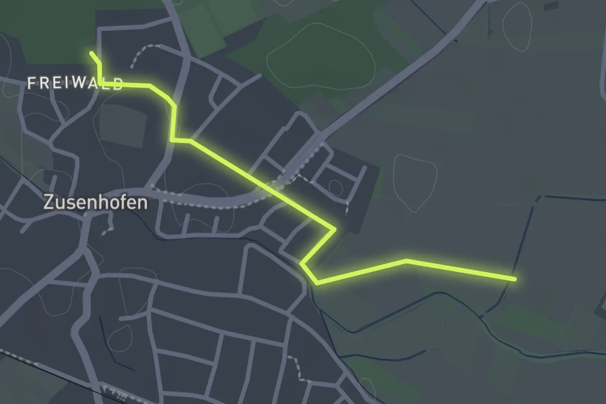
Easy · Trail
Zusenhofen Gemeindehalle - Müllen
2.5 km · ↑ 4 m · 35 min
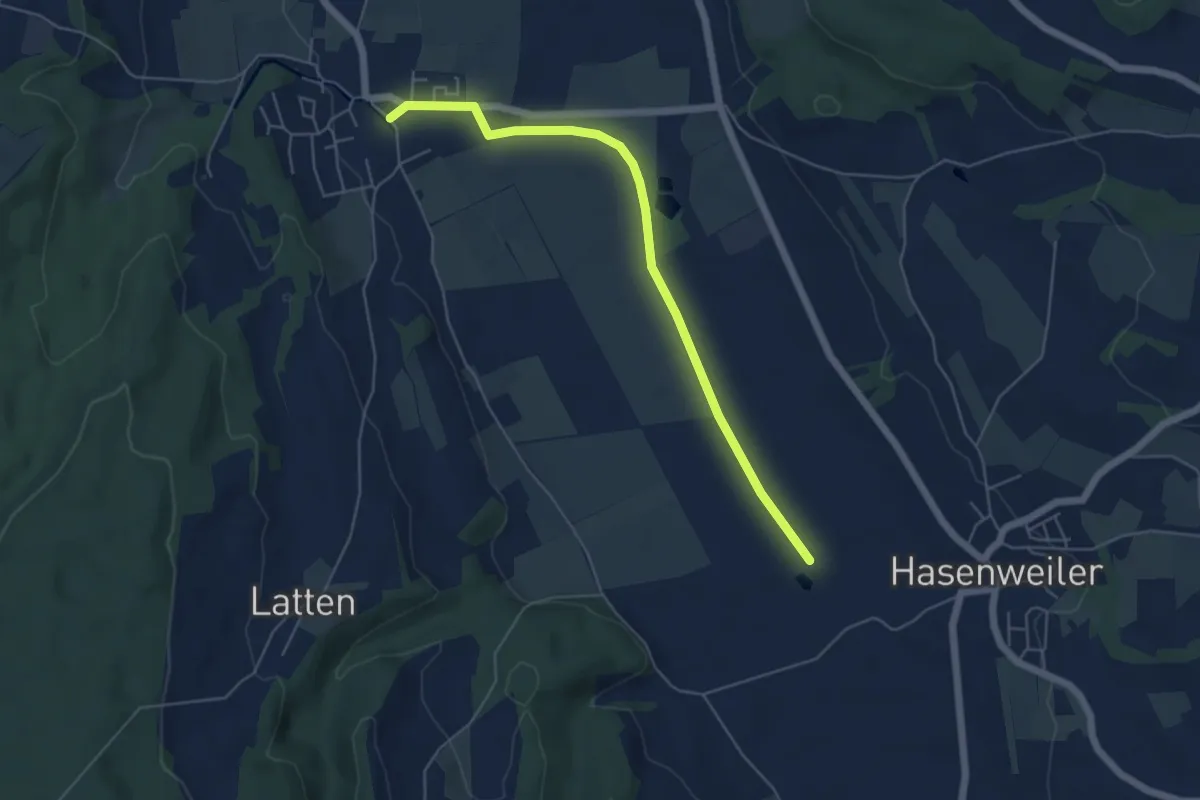
Easy · Trail
Zußdorf - Hasenweiler
5.3 km · ↑ 31 m · 1 h 19 min
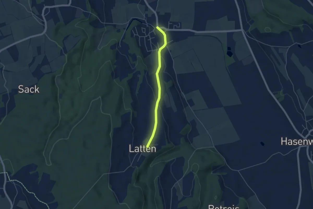
Easy · Trail
Zußdorf - Latten
3.9 km · ↑ 88 m · 1 h 7 min
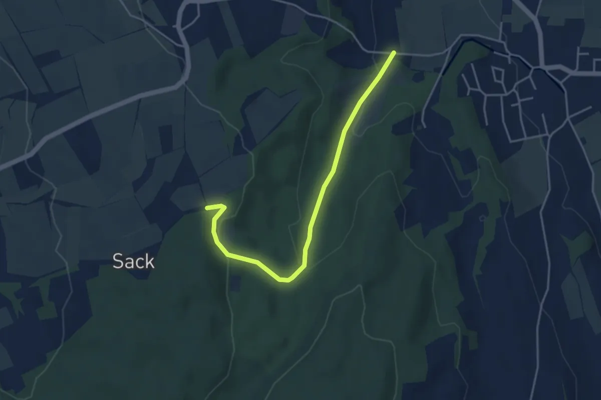
Easy · Trail
Zußdorf - Sack
3.9 km · ↑ 124 m · 1 h 11 min
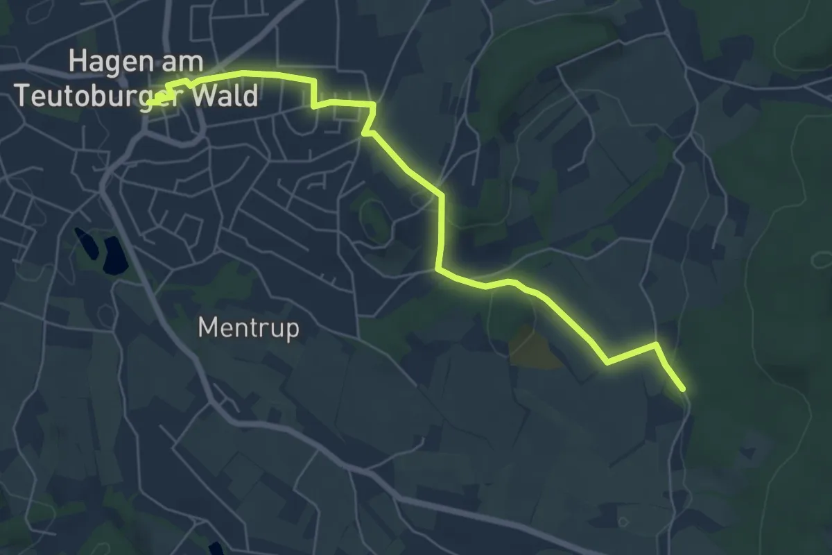
Easy · Trail
ZUWEG Achter de Welt
5.8 km · ↑ 116 m · 1 h 38 min
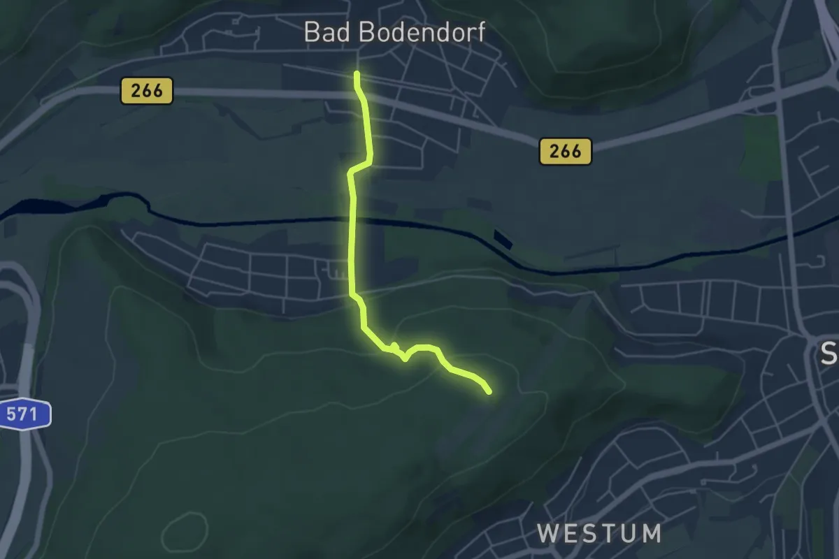
Easy · Trail
Zuweg Ahrsteig Bad Bodendorf
3.9 km · ↑ 139 m · 1 h 13 min
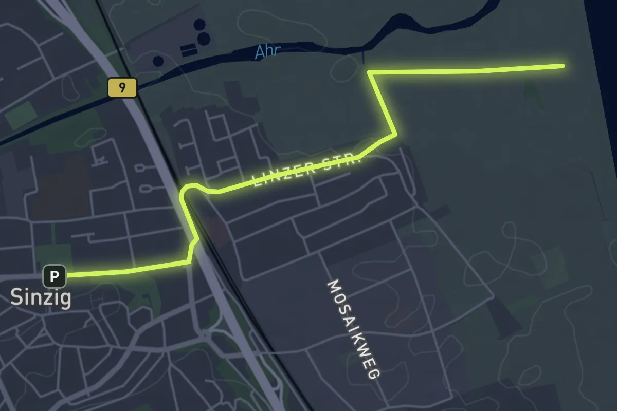
Easy · Trail
Zuweg Ahrsteig Kripp?
5.3 km · ↑ 16 m · 1 h 17 min
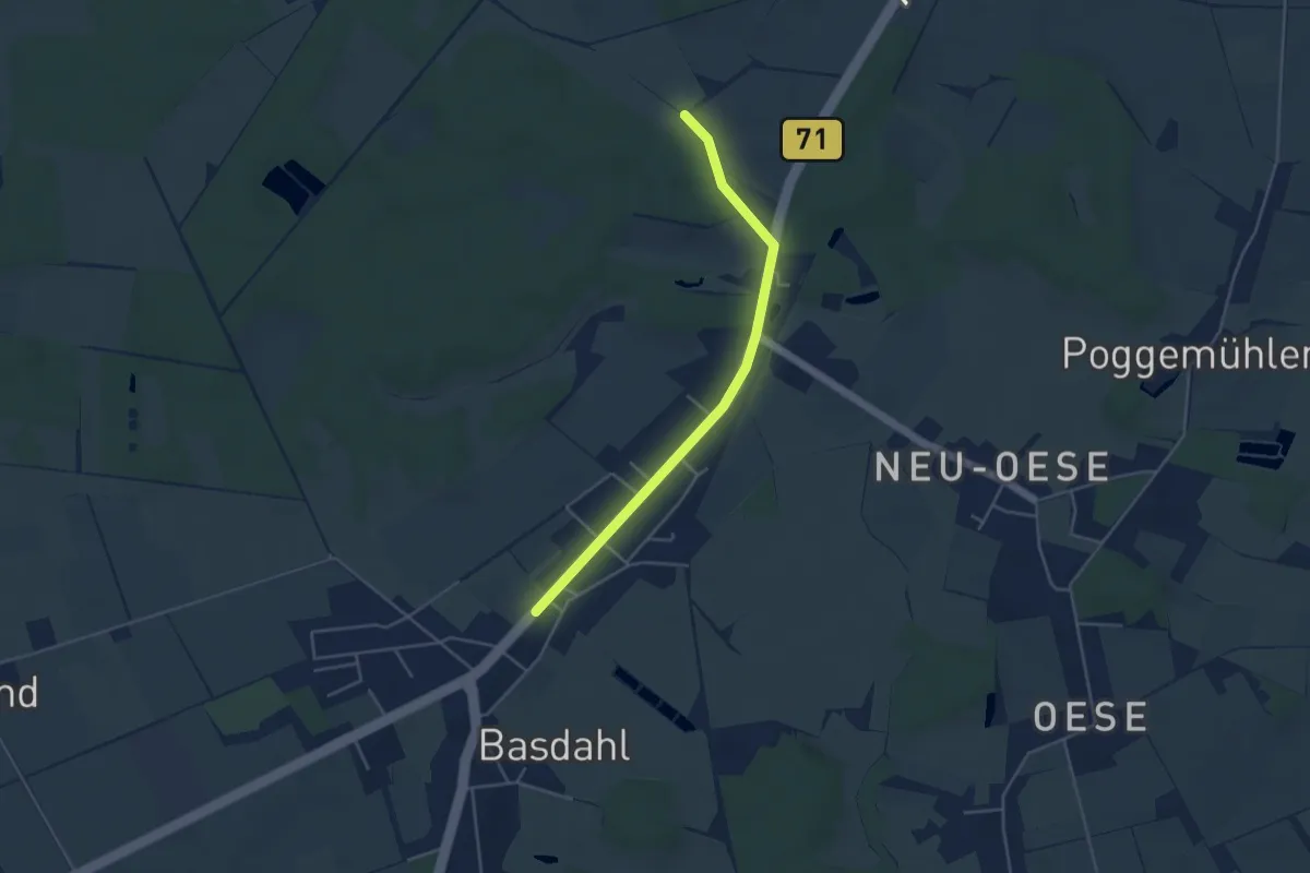
Easy · Trail
Zuweg Basdahl - Nordpfad Hölzerbruch-Malse
3.7 km · ↑ 9 m · 53 min
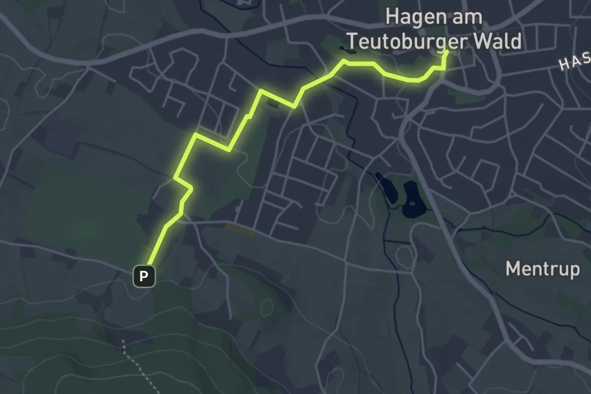
Easy · Trail
ZUWEG Borgberg
3.9 km · ↑ 27 m · 58 min
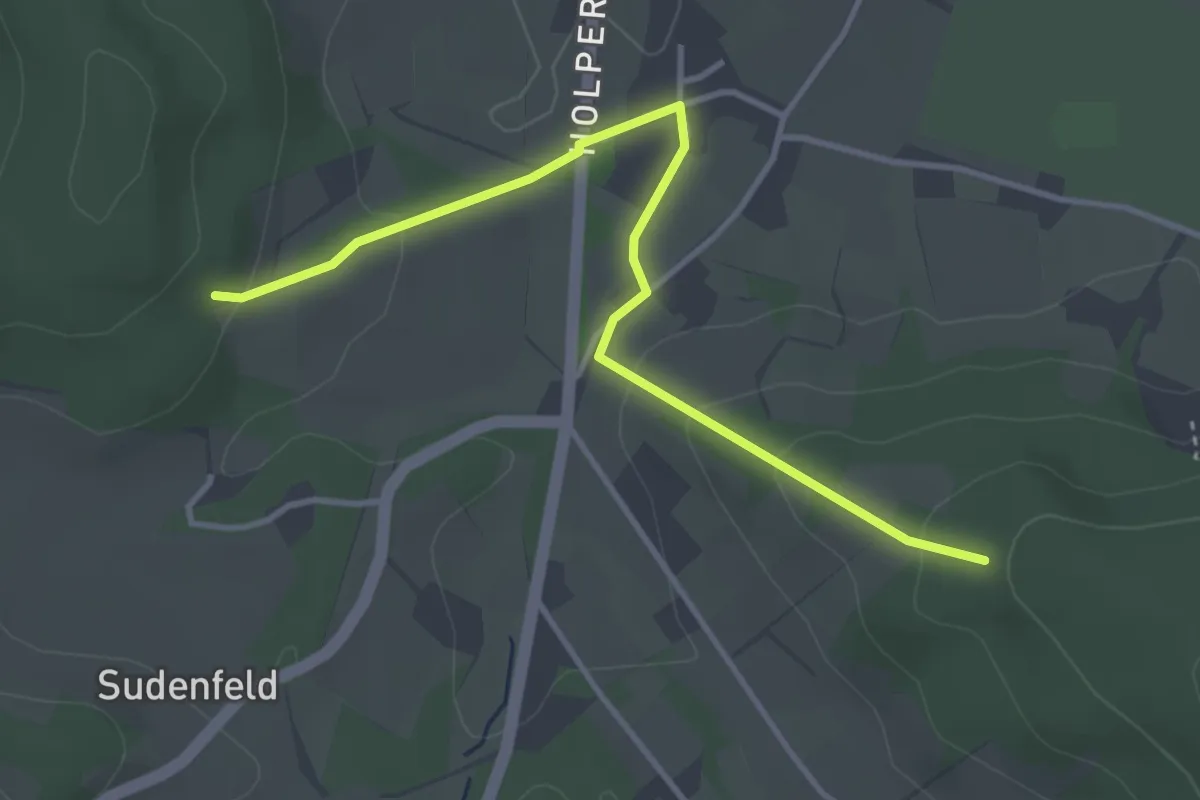
Easy · Trail
ZUWEG Borgberg-Butterberg
3.5 km · ↑ 128 m · 1 h 6 min
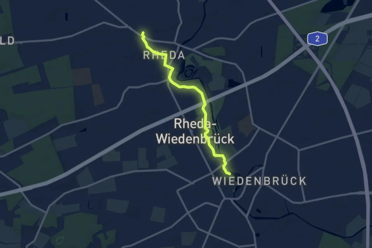
Easy · Trail
Zuweg Ems-Wall-Promenade
6.4 km · ↑ 0 m · 1 h 31 min
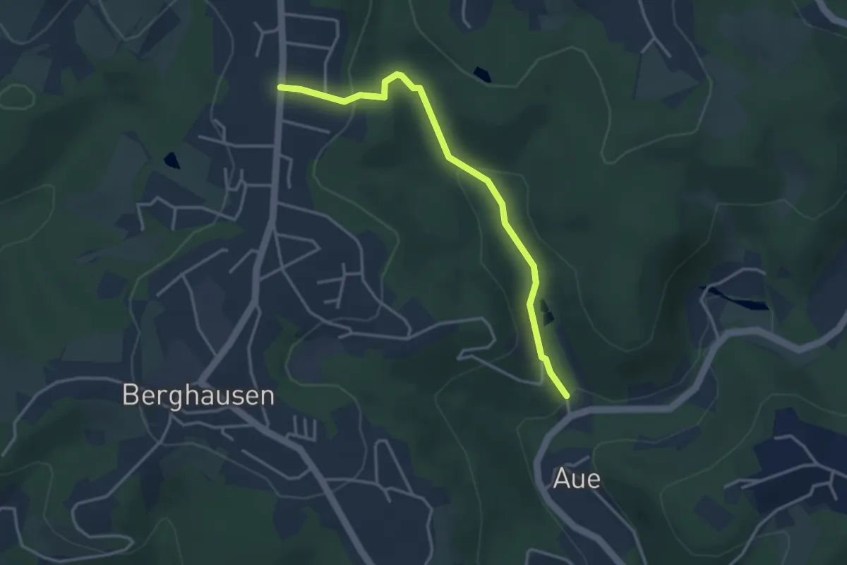
Easy · Trail
Zuweg Erlebnisweg Morsbach - Lenzhaus/Cronenberg
3.0 km · ↑ 107 m · 57 min
Easy · Trail
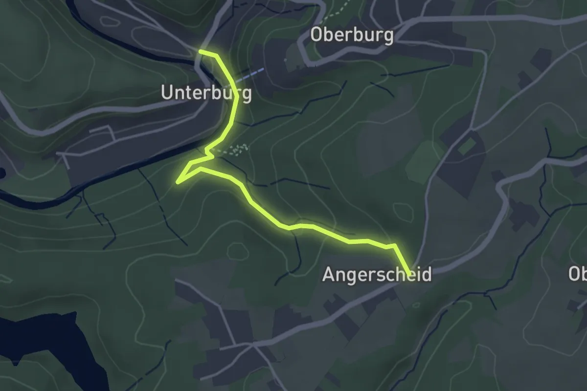
Zuweg Erlebnisweg Wupper: Angerscheid - Burg
3.4 km · ↑ 137 m · 1 h 5 min
Easy · Trail
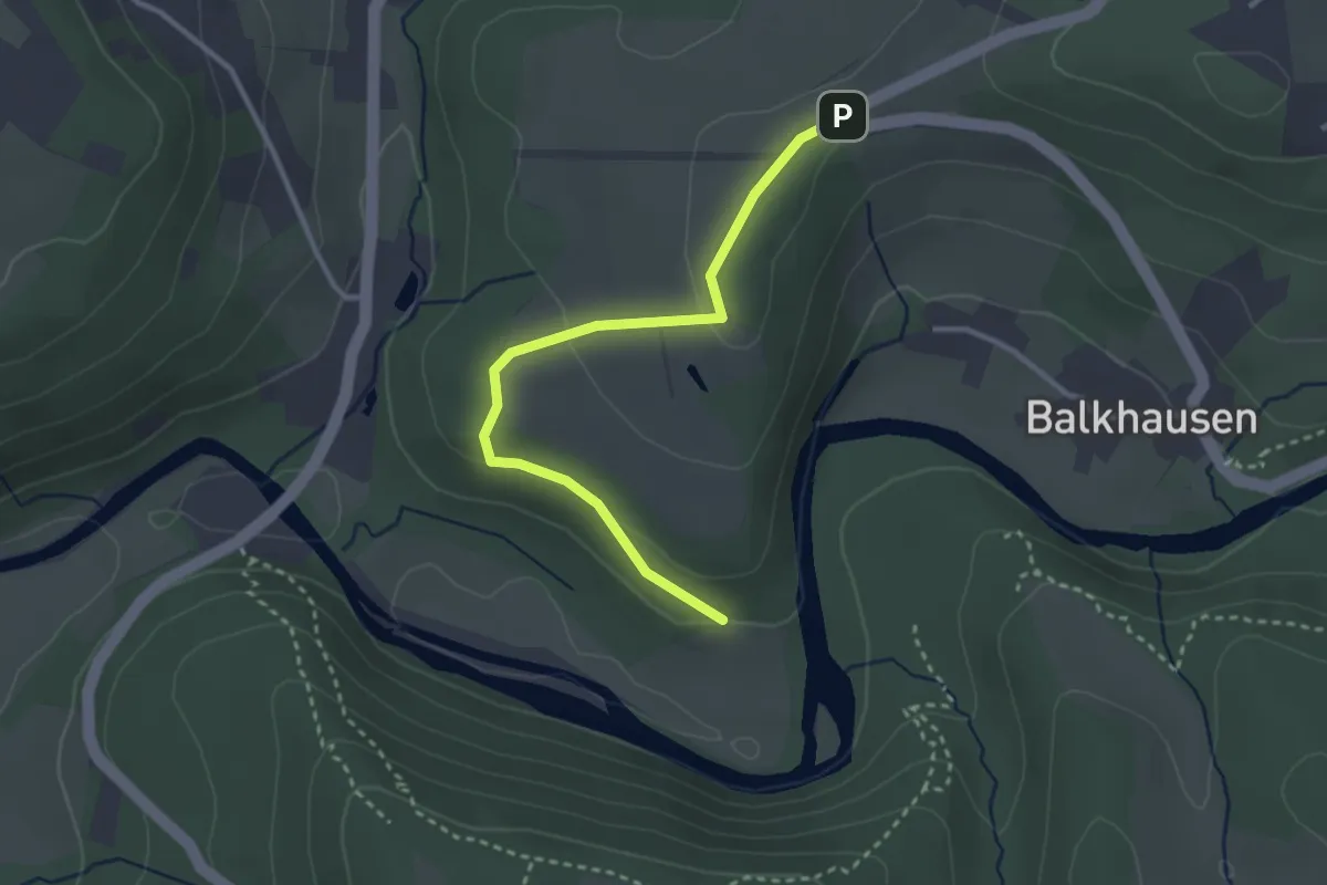
Zuweg Erlebnisweg Wupper: Hohenscheid -
2.8 km · ↑ 66 m · 48 min
Easy · Trail
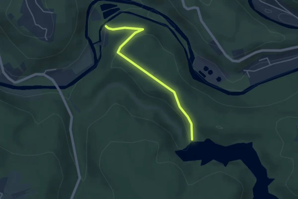
Zuweg Erlebnisweg Wupper: Sengbachtalsperre - Strohn
3.1 km · ↑ 86 m · 56 min
Easy · Trail
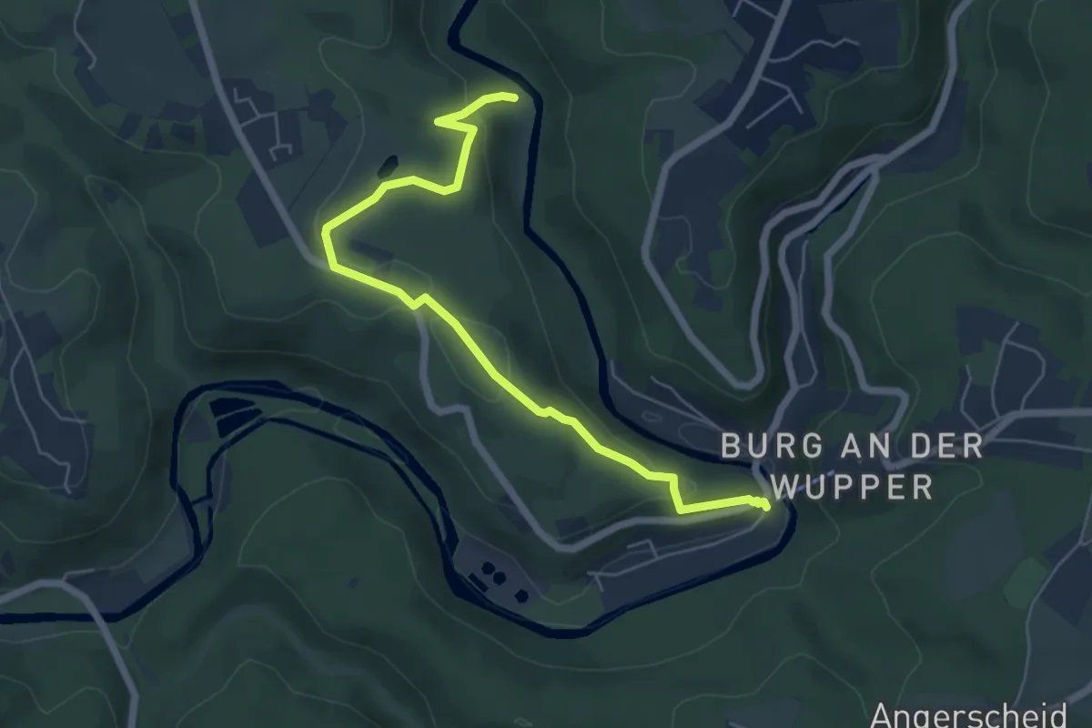
Zuweg Erlebnisweg Wupper: Wiesenkotten - Burg
5.6 km · ↑ 204 m · 1 h 46 min
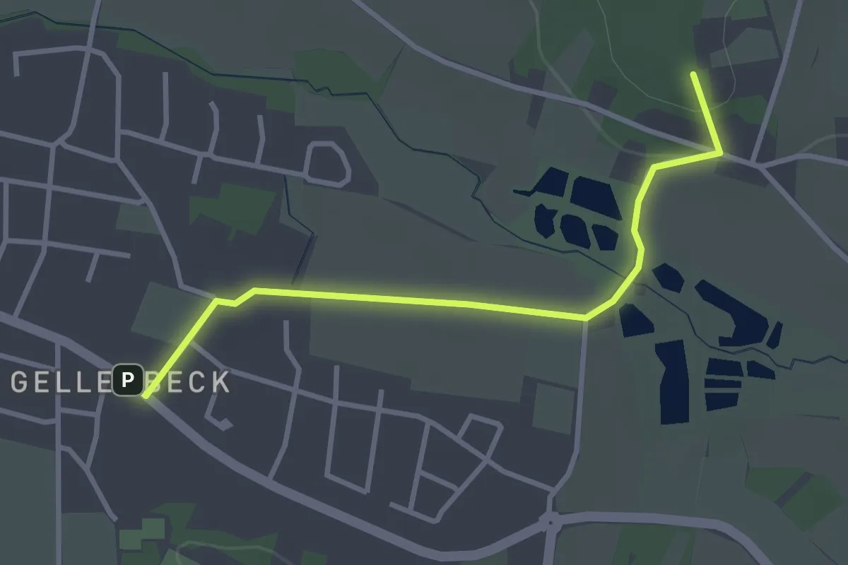
Easy · Summit
ZUWEG Erzsteig Orchideenwiese
2.8 km · ↑ 42 m · 45 min
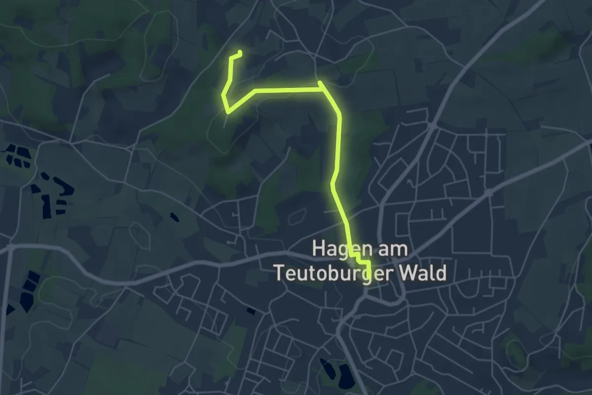
Easy · Trail
ZUWEG Erzsteig, Orchideenwiese
4.4 km · ↑ 73 m · 1 h 13 min
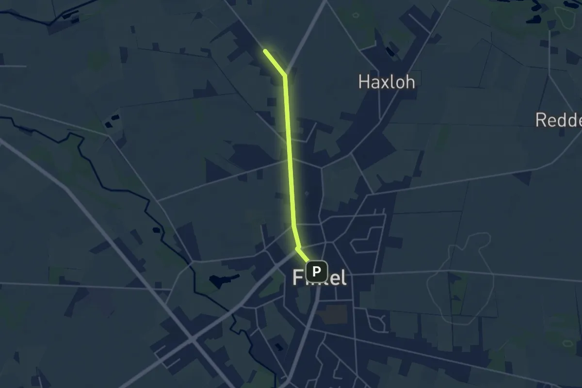
Easy · Trail
Zuweg Fintel - Nordpfad Haxloher Erde
3.0 km · ↑ 0 m · 42 min
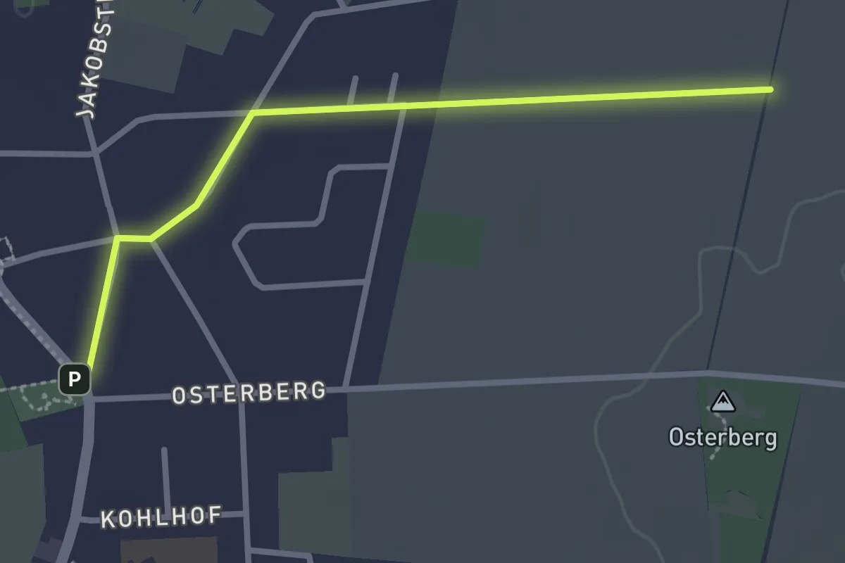
Easy · Trail
Zuweg Fintel - Nordpfad Osterberg
2.3 km · ↑ 0 m · 33 min
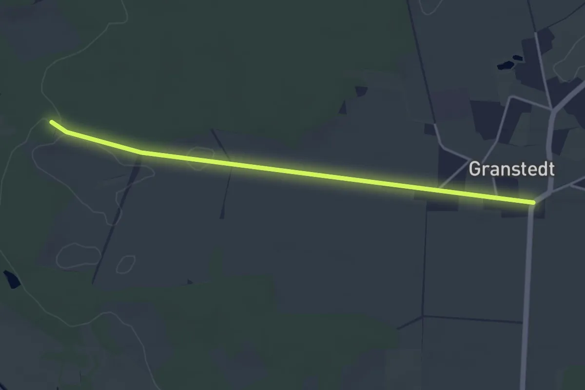
Easy · Trail
Zuweg Granstedt - Nordpfad Ostetal
3.5 km · ↑ 4 m · 50 min
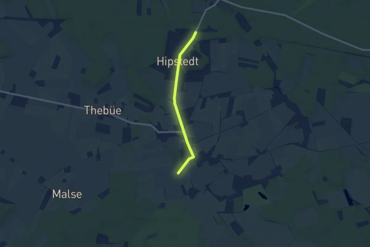
Easy · Trail
Zuweg Hipstedt - Nordpfad Hölzerbruch-Malse
5.2 km · ↑ 8 m · 1 h 15 min
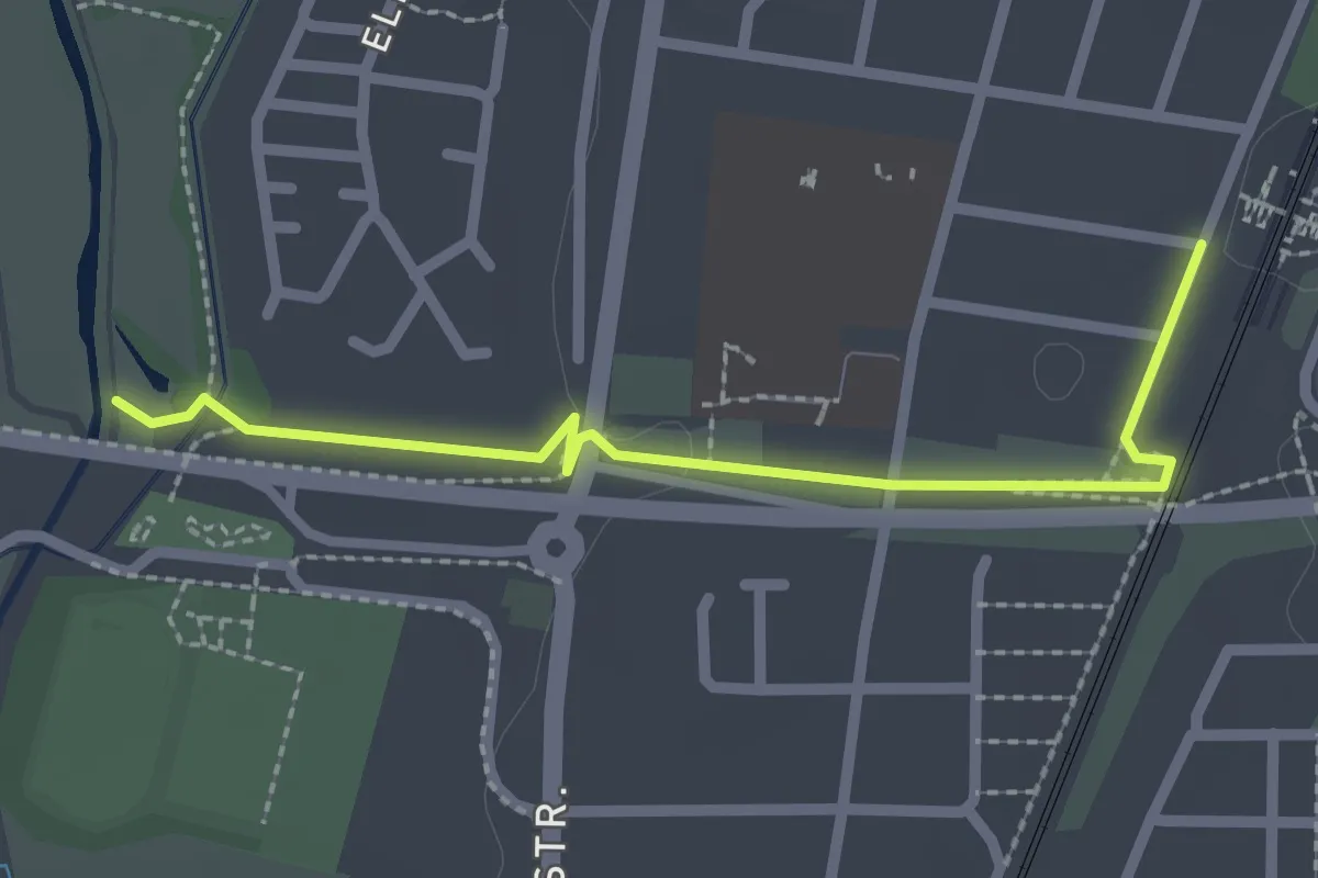
Easy · Trail
Zuweg Jakobsweg
2.2 km · ↑ 9 m · 32 min
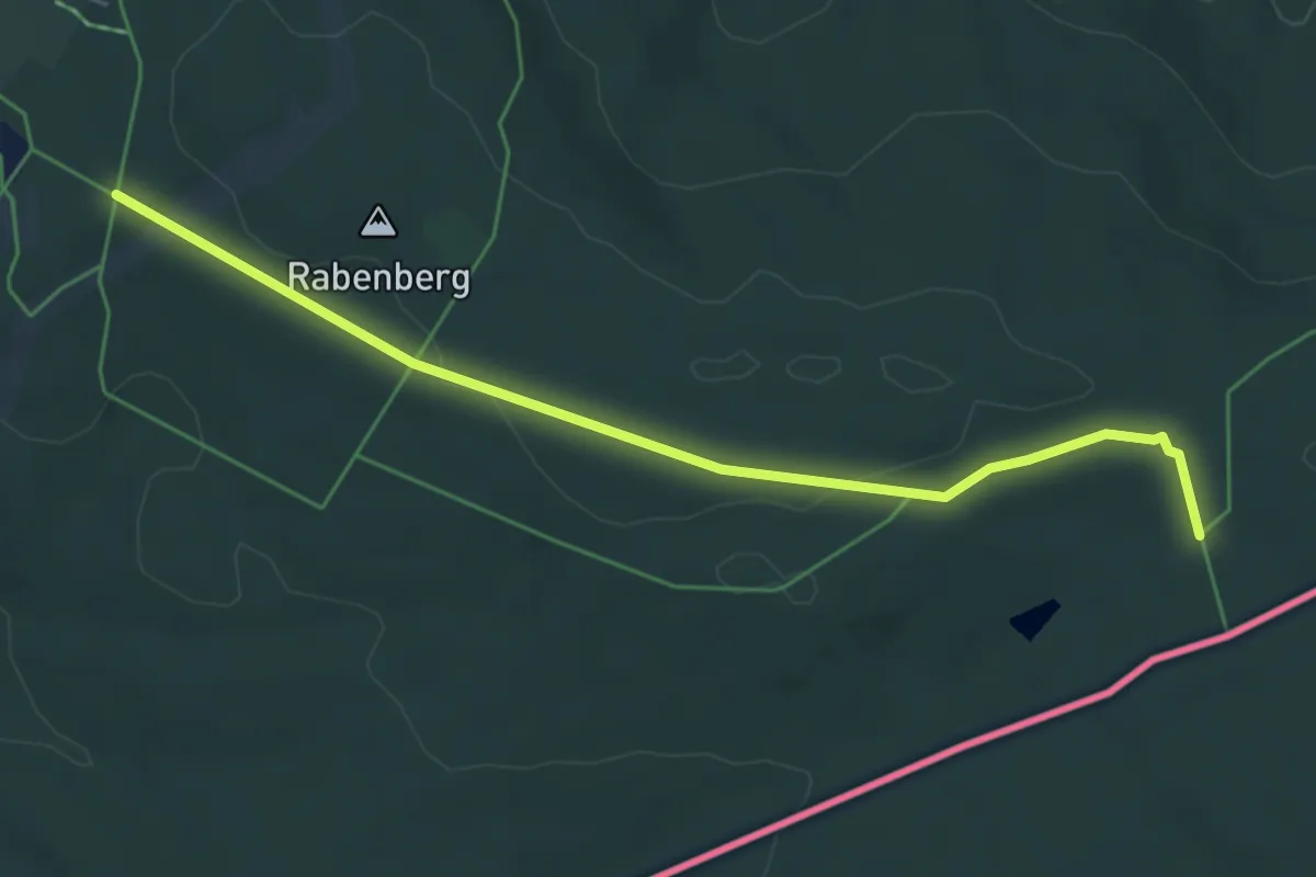
Easy · Trail
Zuweg KAMM
5.0 km · ↑ 40 m · 1 h 16 min
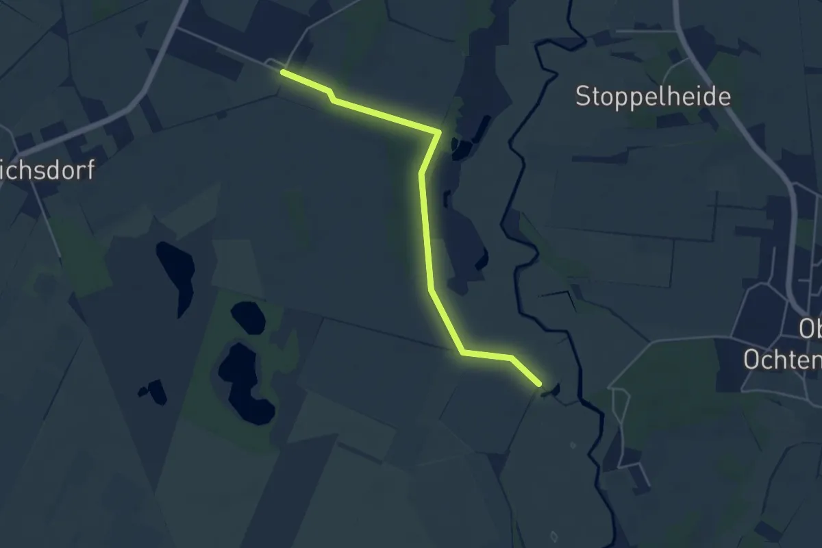
Easy · Trail
Zuweg Lager Sandbostel - Nordpfad Ostetal
4.0 km · ↑ 4 m · 57 min
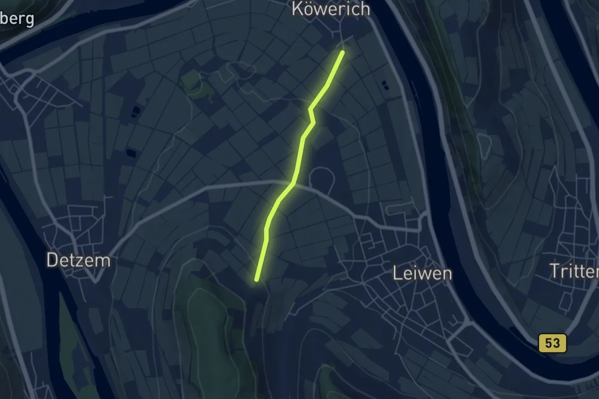
Easy · Trail
Zuweg Moselsteig Köwerich
3.8 km · ↑ 76 m · 1 h 3 min
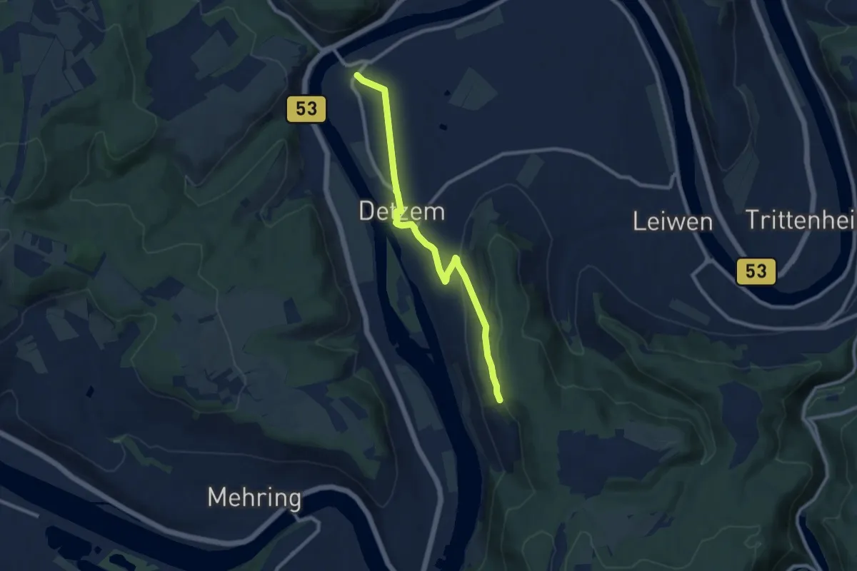
Medium · Trail
Zuweg Moselsteig Thörnich über Detzem
8.3 km · ↑ 162 m · 2 h 19 min
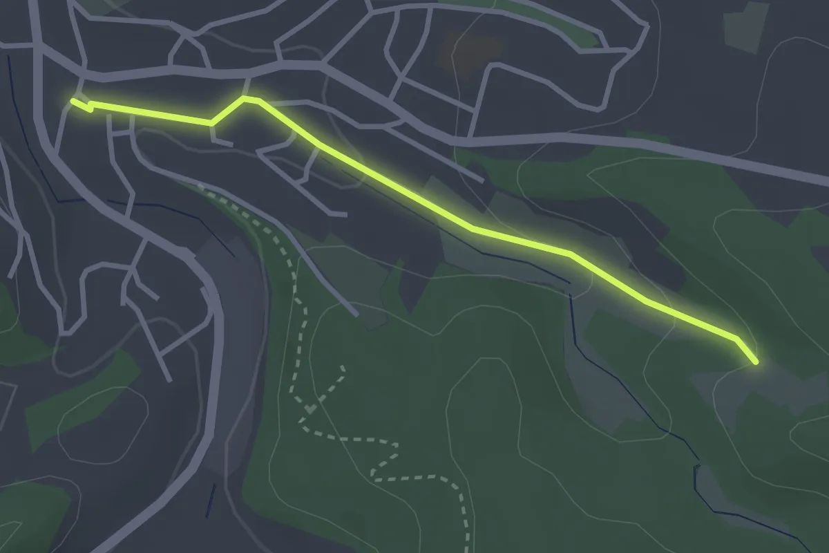
Easy · Trail
Zuweg Nentershausen-Werra-Burgen-Steig Hessen
2.6 km · ↑ 70 m · 46 min
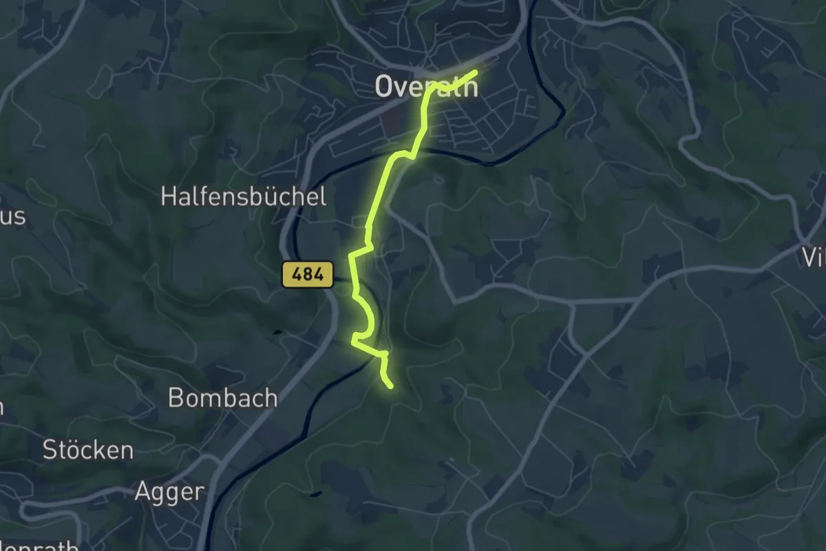
Easy · Trail
Zuweg Overath Bahnhof zum Bergischen Weg
5.1 km · ↑ 60 m · 1 h 19 min
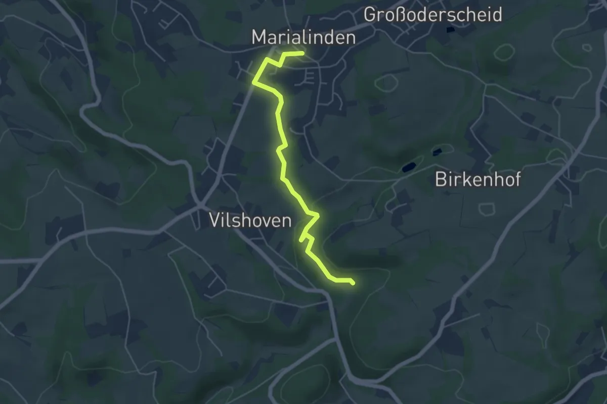
Easy · Trail
Zuweg Overath-Marialinden zum Bergischen Weg
4.4 km · ↑ 80 m · 1 h 12 min
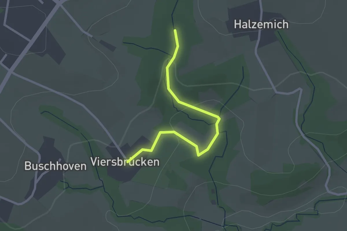
Easy · Trail
Zuweg Overath Viersbrücken zum Bergischen Weg
2.2 km · ↑ 63 m · 39 min
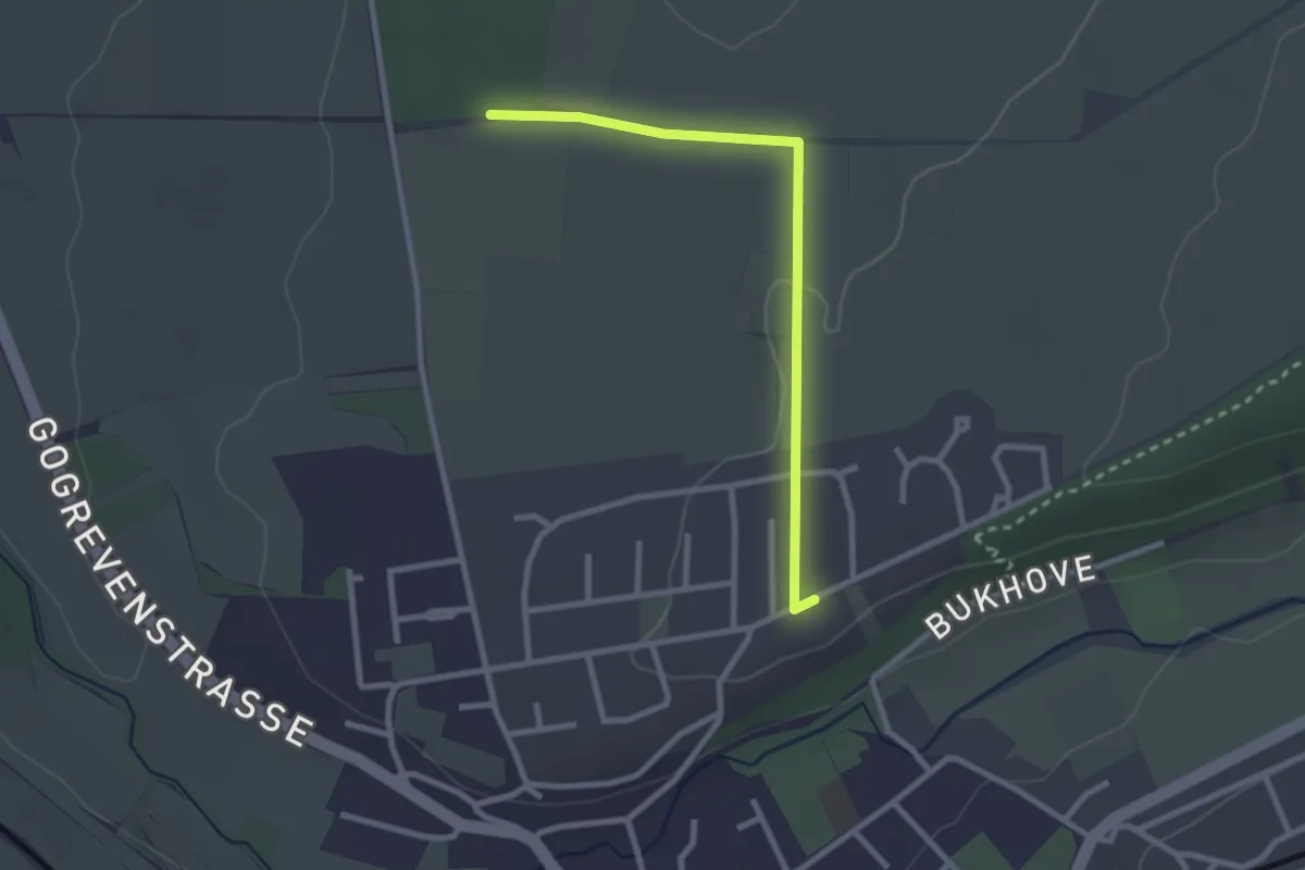
Easy · Trail
Zuweg Paderborner Höhenweg
2.3 km · ↑ 22 m · 36 min
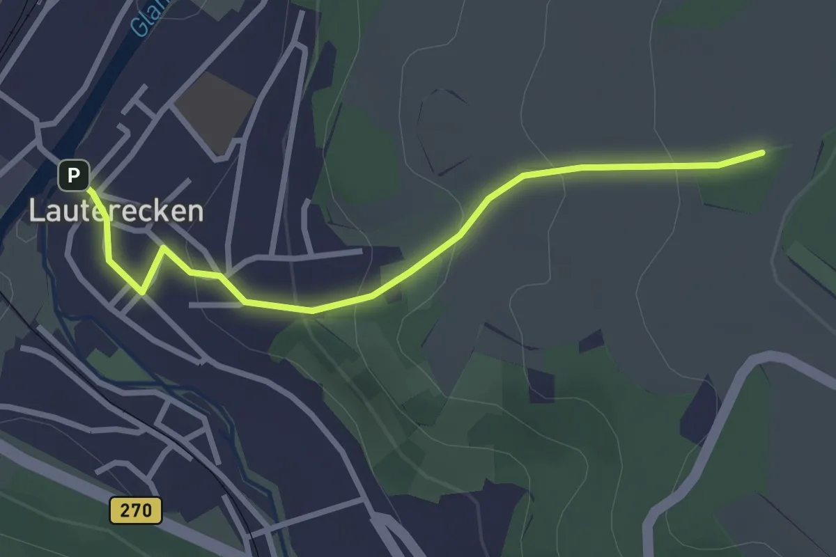
Easy · Trail
Zuweg Pfälzer Höhenweg
2.6 km · ↑ 129 m · 53 min
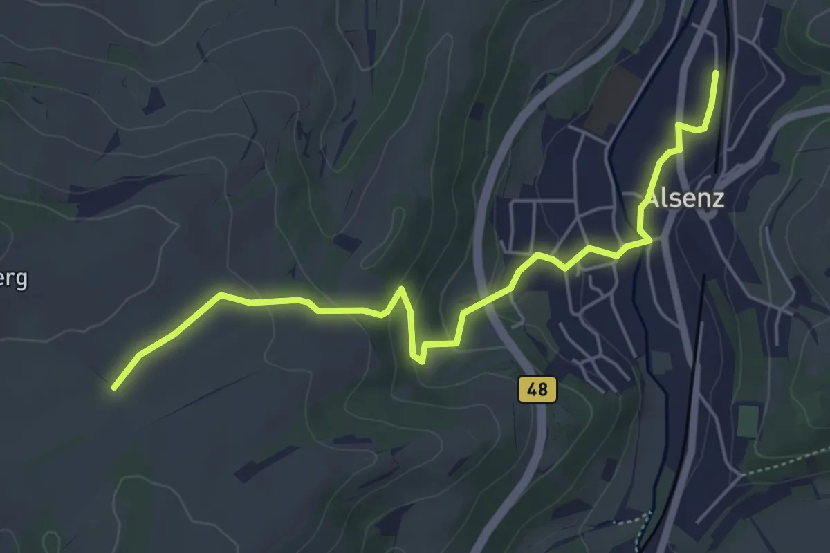
Easy · Trail
Zuweg Pfälzer Höhenweg
5.3 km · ↑ 141 m · 1 h 33 min
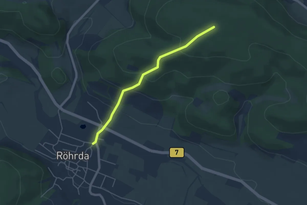
Easy · Trail
Zuweg Röhrda - Werra-Burgen-Steig Hessen
3.6 km · ↑ 204 m · 1 h 17 min
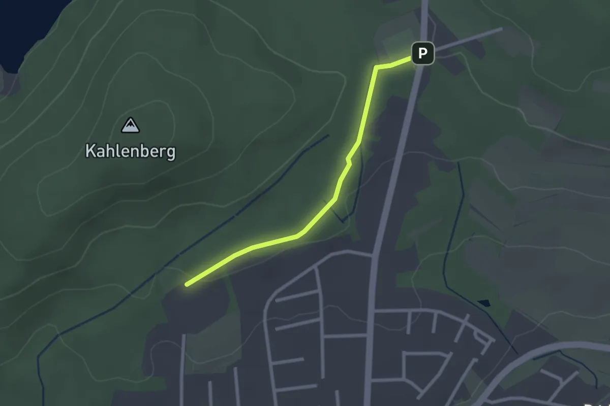
Easy · Trail
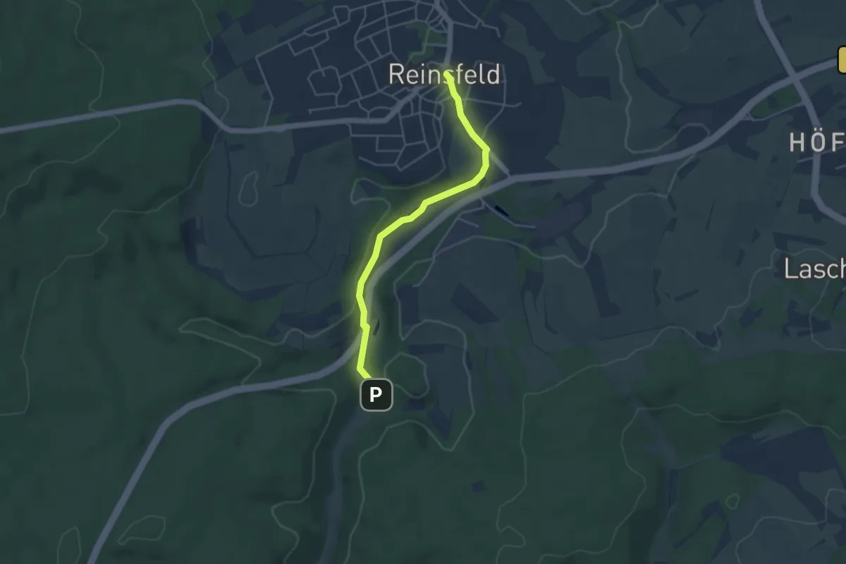
Zuweg Saar-Hunsrück-Steig nach Otzenhausen
2.1 km · ↑ 21 m · 32 min
Easy · Trail
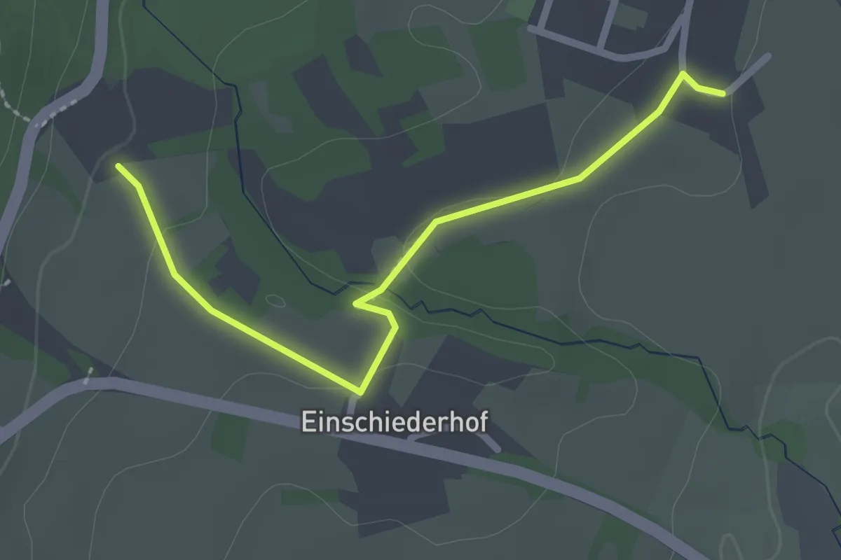
Zuweg Saar-Hunsrück-Steig nach Reinsfeld
4.0 km · ↑ 71 m · 1 h 5 min
Easy · Trail
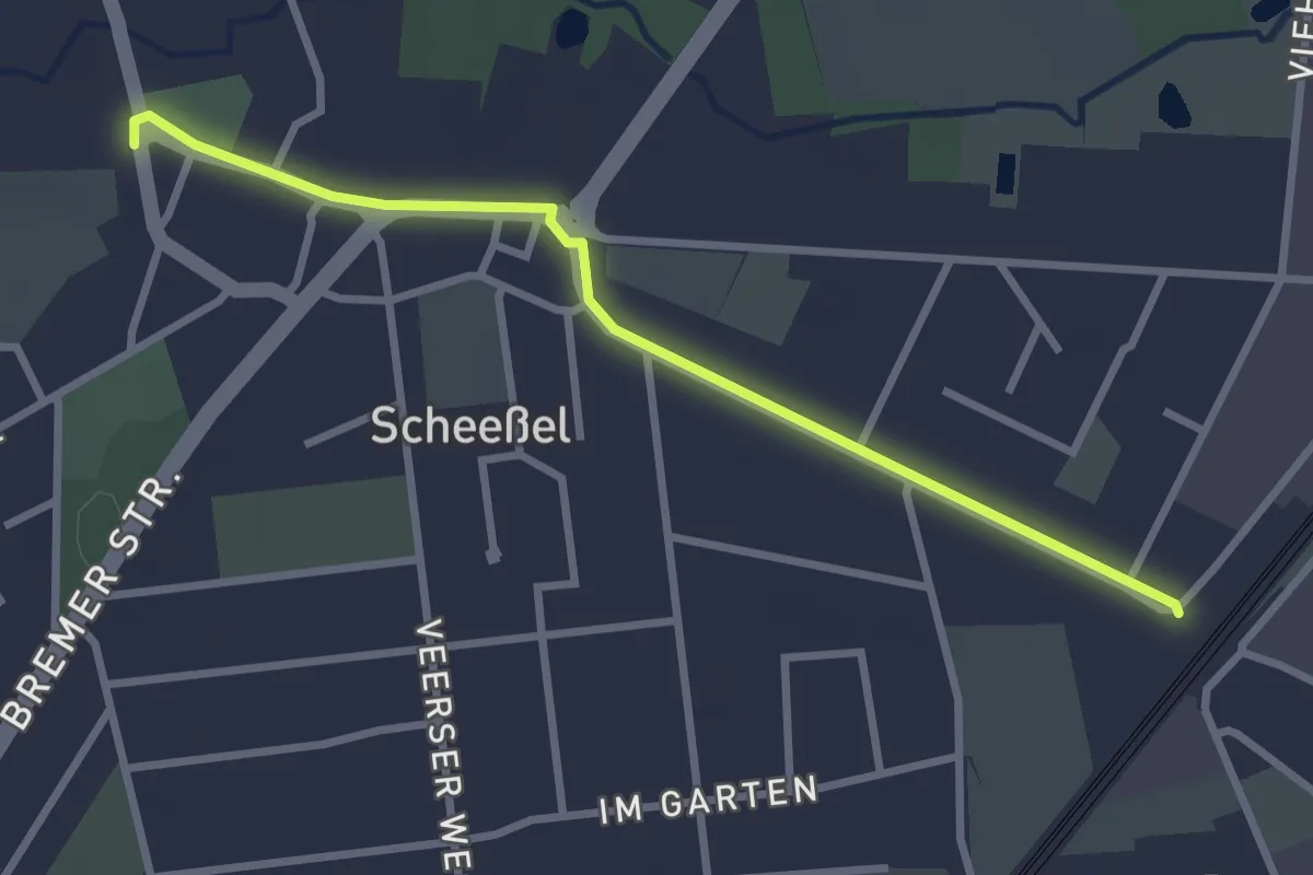
Zuweg Saar-Hunsrück-Steig zur Alten Mühle in Börfink
2.2 km · ↑ 32 m · 35 min
Easy · Trail
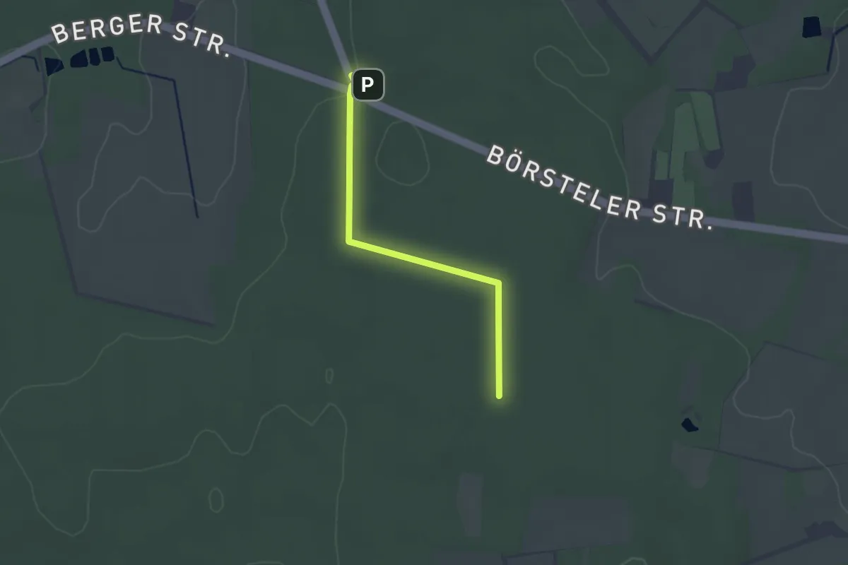
Zuweg Scheeßel - Nordpfad Wümme und Vareler Heide
2.6 km · ↑ 0 m · 36 min
Easy · Trail
Zuweg TERRA.track Billkuhle
2.2 km · ↑ 8 m · 32 min
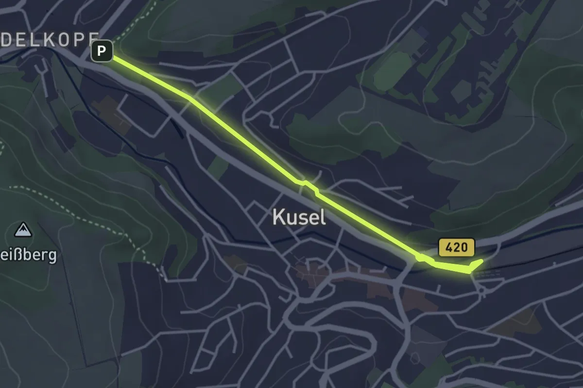
Easy · Trail
Zuwegung Veldenz Wanderweg
3.8 km · ↑ 31 m · 58 min
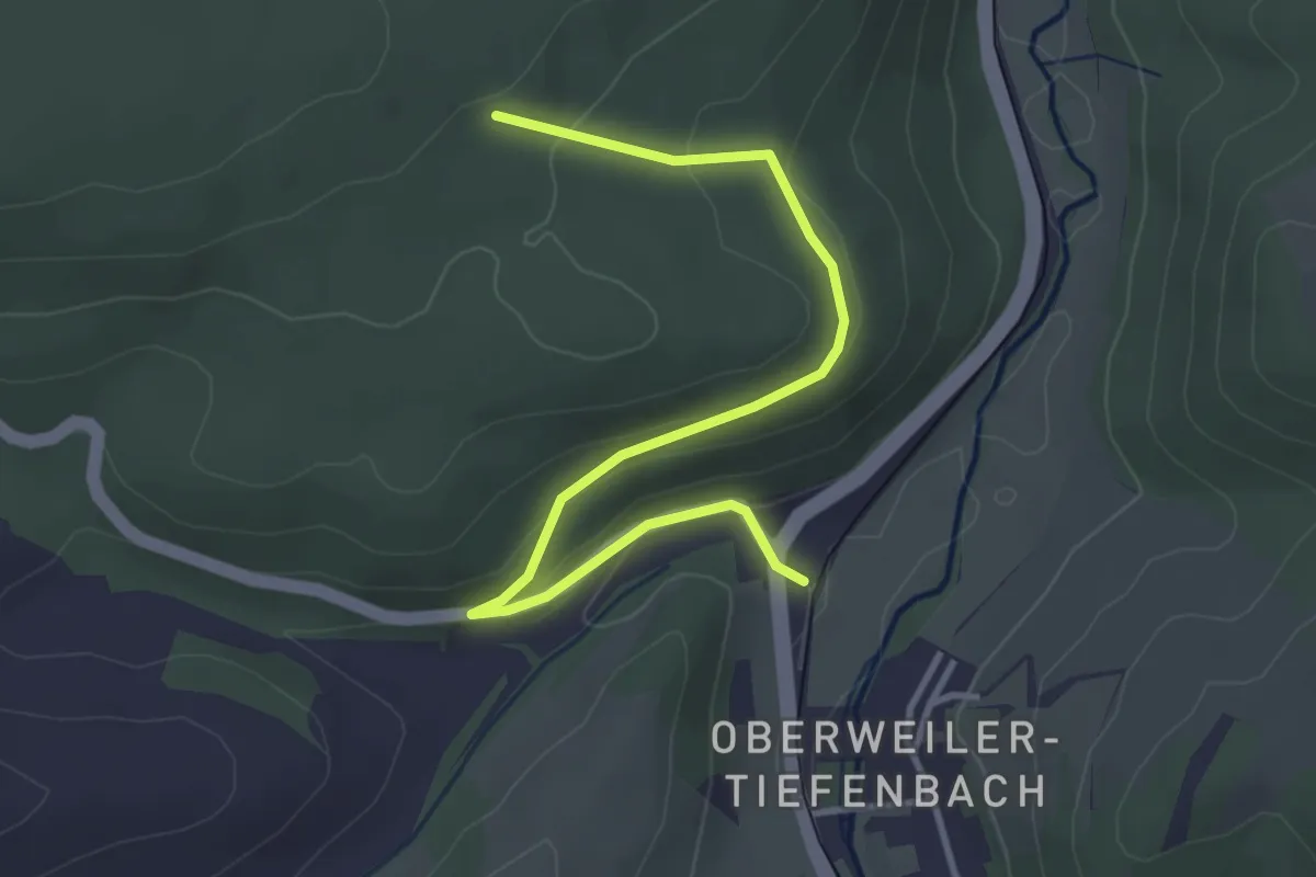
Easy · Trail
Zuweg Veldenz Wanderweg
3.8 km · ↑ 137 m · 1 h 11 min
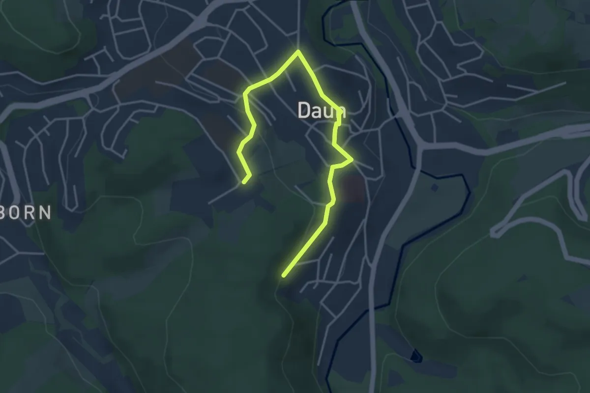
Easy · Trail
Zuweg vom Eifelsteig nach Daun
3.8 km · ↑ 97 m · 1 h 6 min
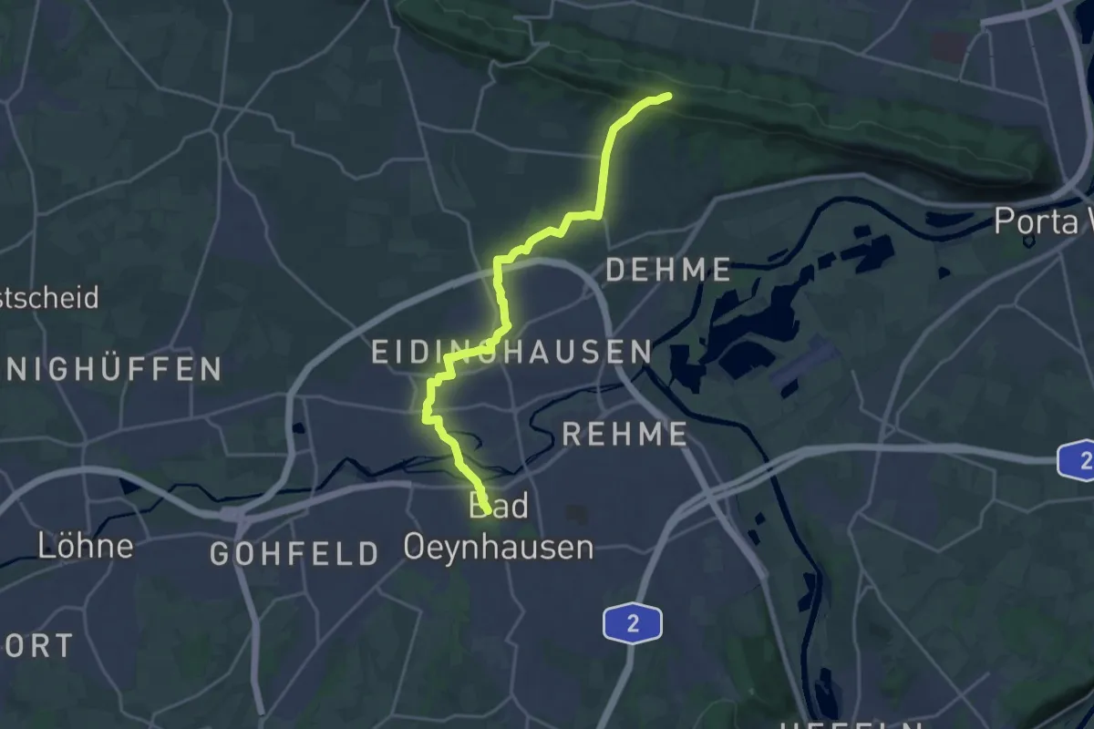
Medium · Trail
Zuweg von Bad Oeynhausen zum Wittekingsweg
17.7 km · ↑ 227 m · 4 h 40 min