Trails in Germany
36,877 hiking trails, each with its route, climb, walking time and grade.
All trails, page 759 of 769
Easy · Trail
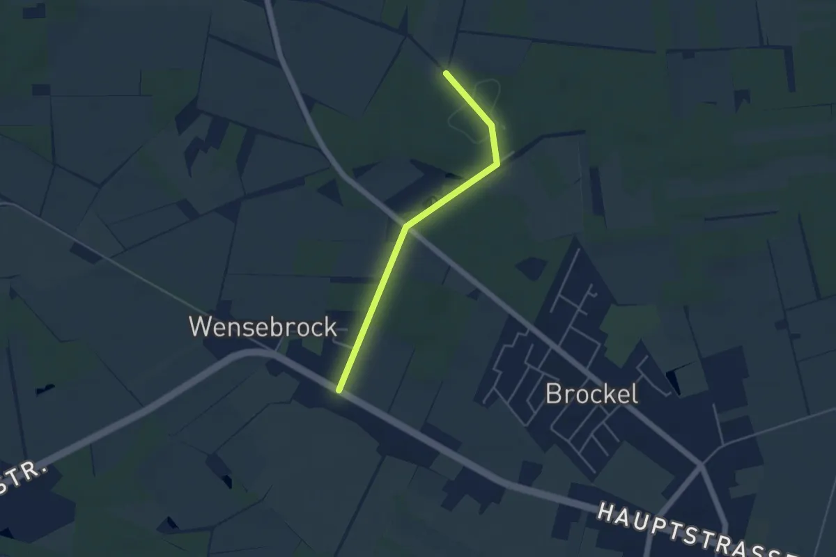
Zuweg Wensebrock - Nordpfad Kirchsteg-Moore-Bäche
3.4 km · ↑ 27 m · 51 min
Easy · Trail
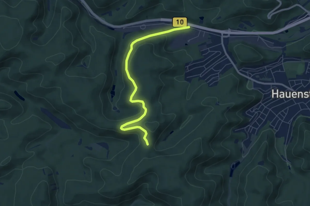
Zuweg zum Hauensteiner Schusterpfad
6.5 km · ↑ 147 m · 1 h 51 min
Easy · Trail
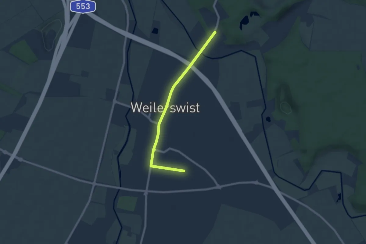
Zuweg Zwischen Ville und Eifel
5.0 km · ↑ 18 m · 1 h 13 min
Medium · Trail
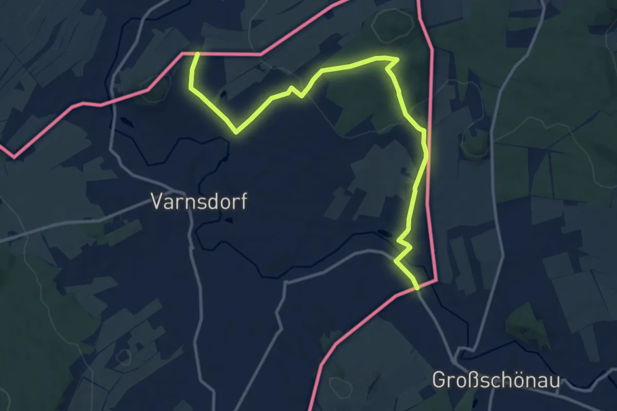
[Ž] Varnsdorf (Grosschonaw, CZ/D) - Hrádek (hranice CZ/D)
11.2 km · ↑ 328 m · 3 h 21 min
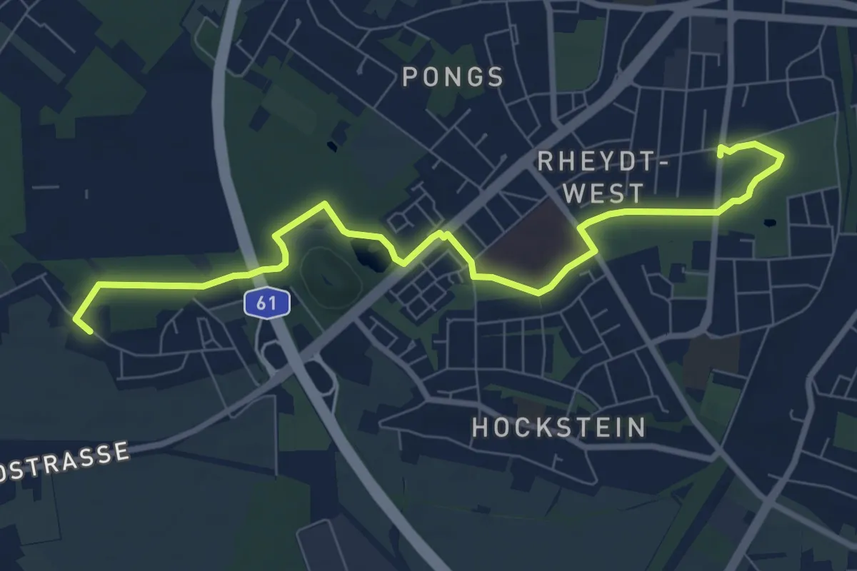
Medium · Trail
Z - Weg
8.0 km · ↑ 17 m · 1 h 56 min
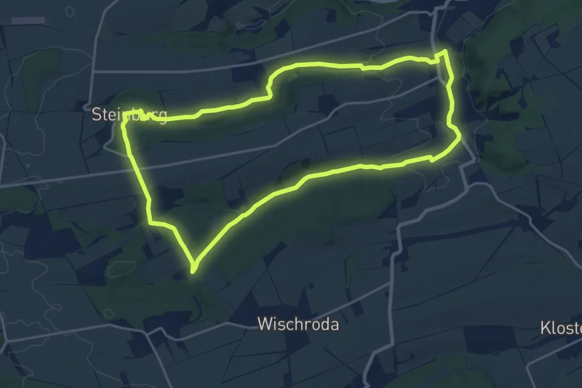
Medium · Trail
Zwei Bäche Rundweg
13.6 km · ↑ 168 m · 3 h 45 min
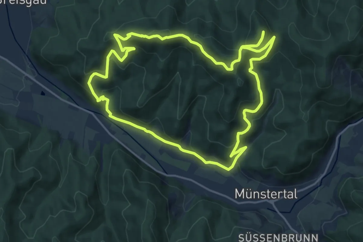
Medium · Summit
Zwei-Burgen-Weg
11.8 km · ↑ 632 m · 4 h 20 min
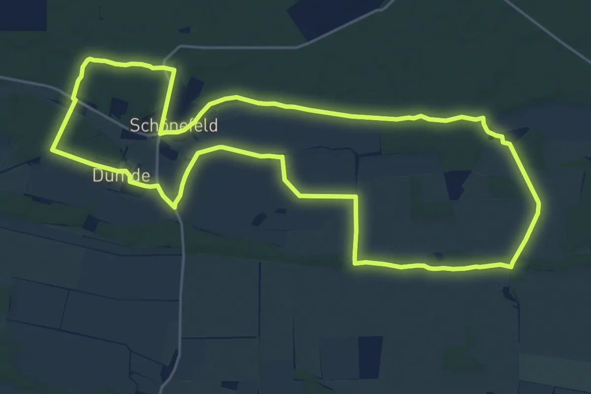
Medium · Trail
Zwei-Dörfer-Weg
16.4 km · ↑ 21 m · 4 h 9 min
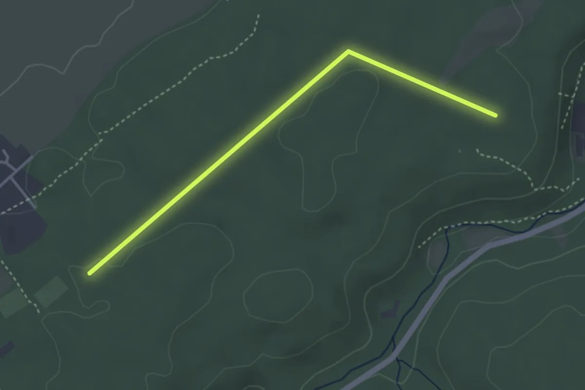
Easy · Trail
Zweifall Rundweg 6
3.3 km · ↑ 19 m · 50 min
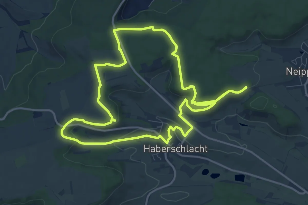
Medium · Trail
Zweifelberg Panorama - Wander3Klang Brackenheim
9.2 km · ↑ 158 m · 2 h 38 min
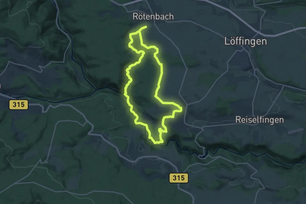
Medium · Trail
Zwei-Schluchten-Pfad
14.6 km · ↑ 356 m · 4 h 25 min
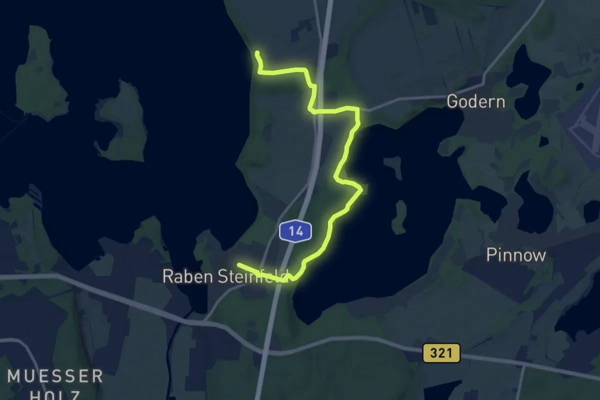
Easy · Trail
Zwei Seen
4.9 km · ↑ 95 m · 1 h 26 min
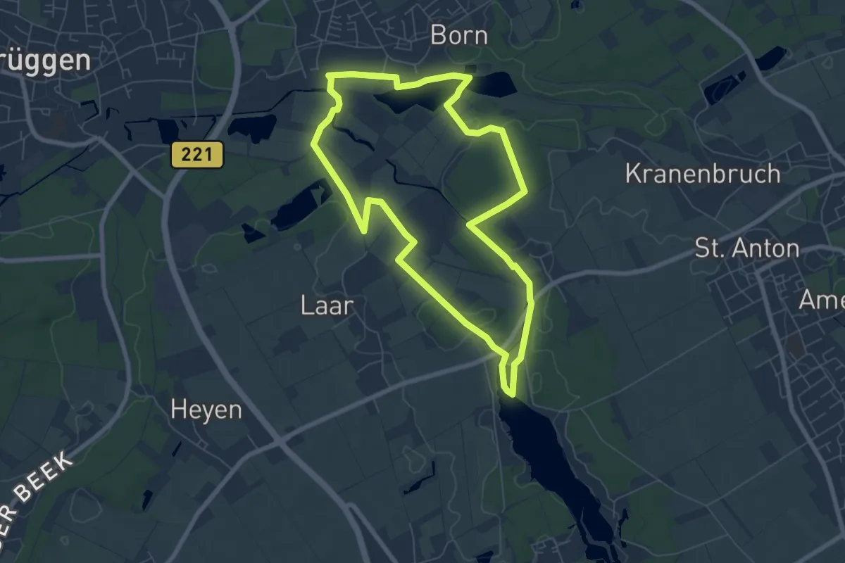
Easy · Trail
Zwei-Seen-Runde
6.1 km · ↑ 27 m · 1 h 34 min
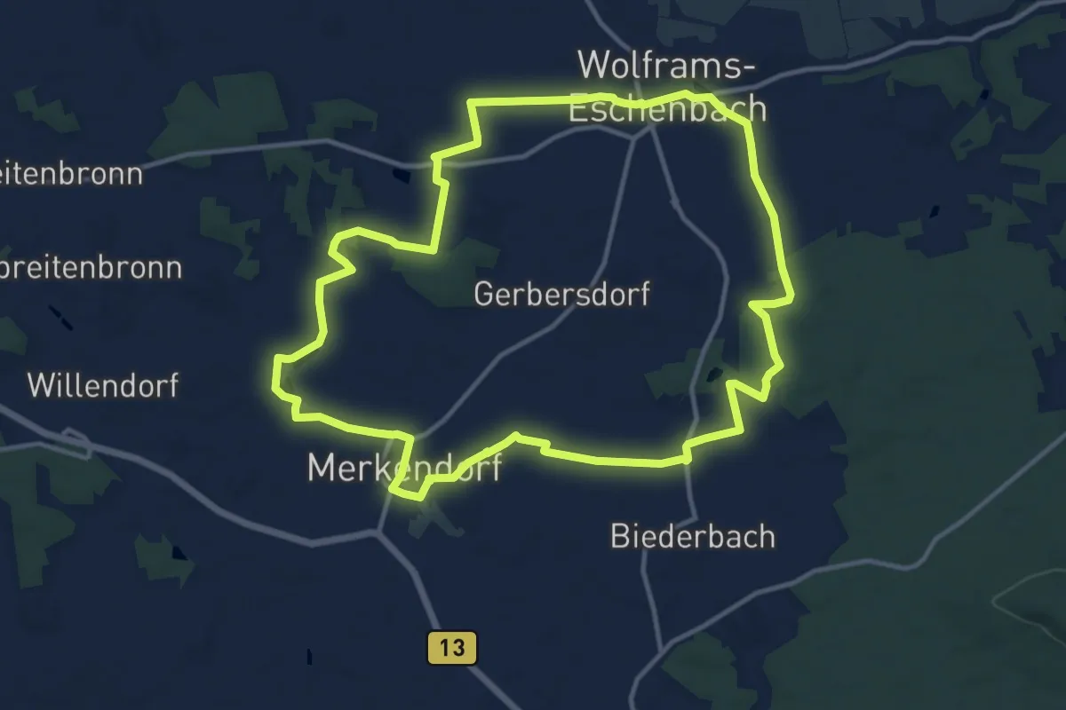
Medium · Trail
Zwei-Städte-Weg
12.2 km · ↑ 62 m · 3 h 11 min
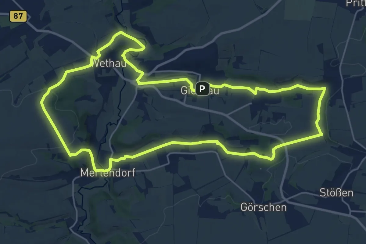
Medium · Trail
Zwei Täler Rundweg
17.1 km · ↑ 197 m · 4 h 42 min
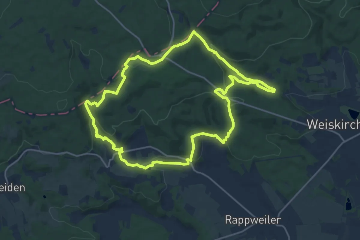
Medium · Trail
Zwei-Täler-Weg
12.0 km · ↑ 384 m · 3 h 50 min
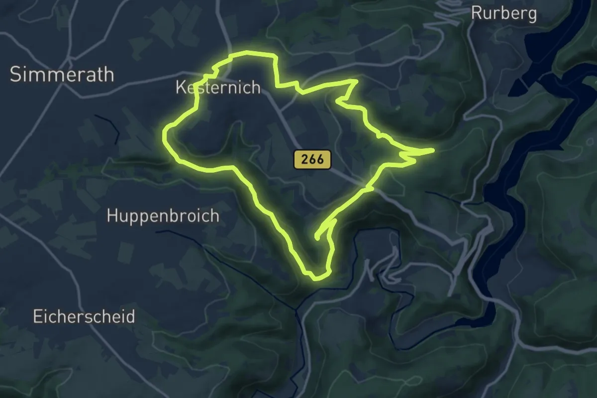
Medium · Trail
Zwei-Täler-Weg
12.2 km · ↑ 345 m · 3 h 47 min
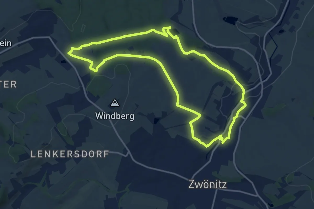
Medium · Trail
Zweiter Zwönitzer Familienwanderweg
9.8 km · ↑ 109 m · 2 h 41 min
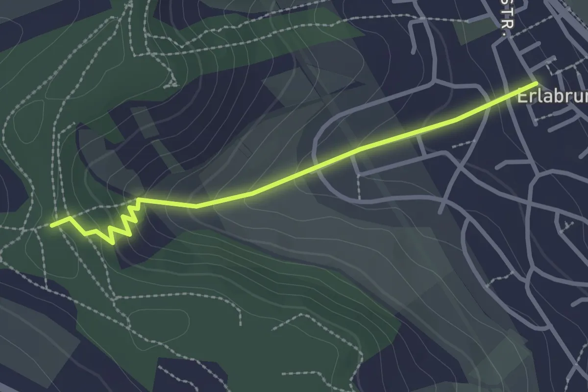
Medium · Trail
ZweiUfer Panoramaweg Zubringer Erlabrunn
2.4 km · ↑ 136 m · 51 min
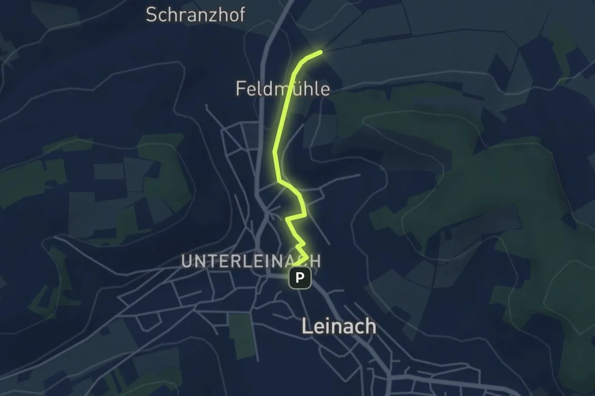
Easy · Trail
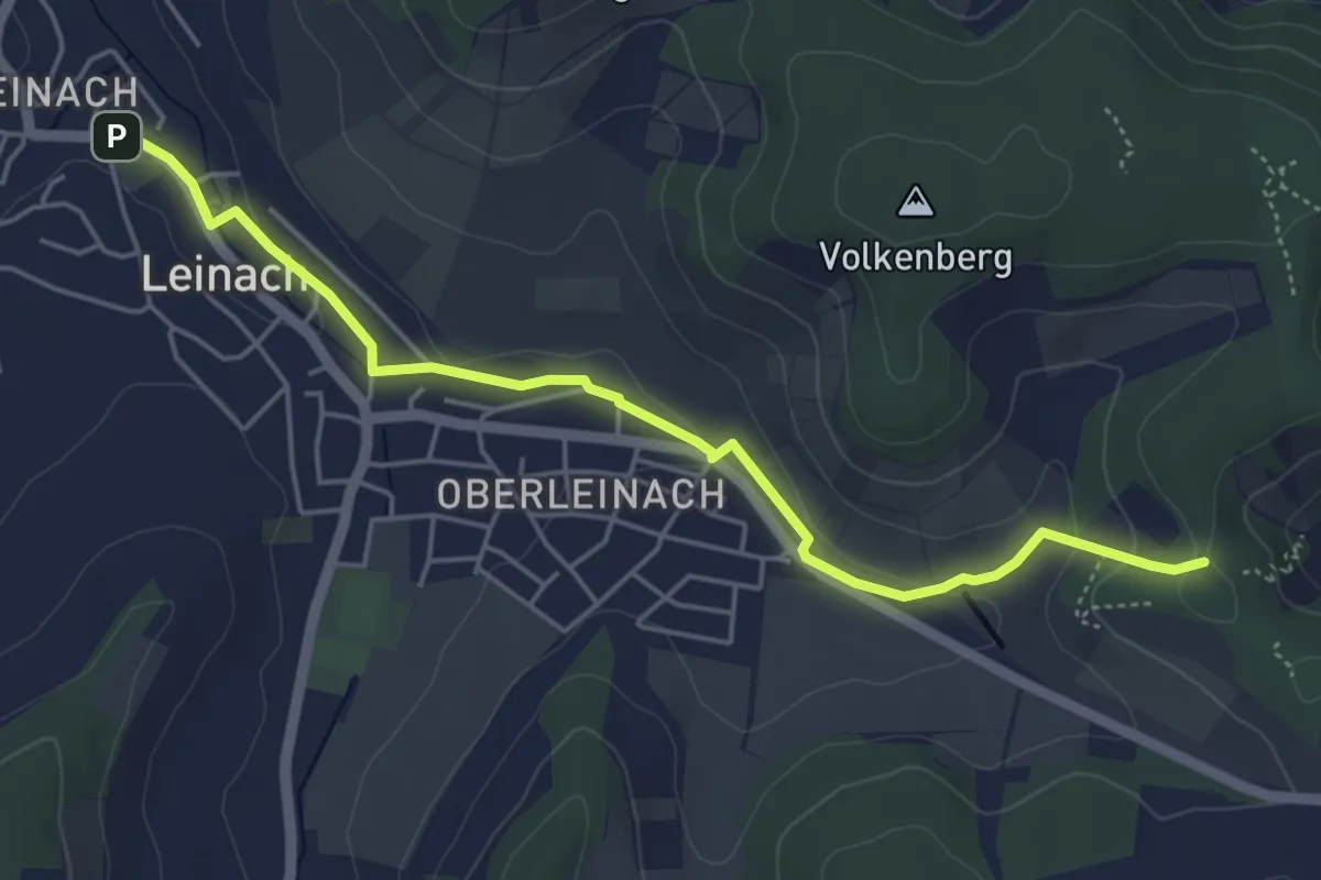
ZweiUfer Panoramaweg Zubringer Leinach Nord
3.0 km · ↑ 14 m · 44 min
Easy · Trail
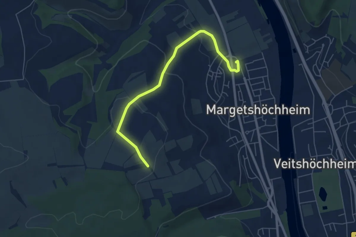
ZweiUfer Panoramaweg Zubringer Leinach Süd
4.9 km · ↑ 103 m · 1 h 22 min
Easy · Trail
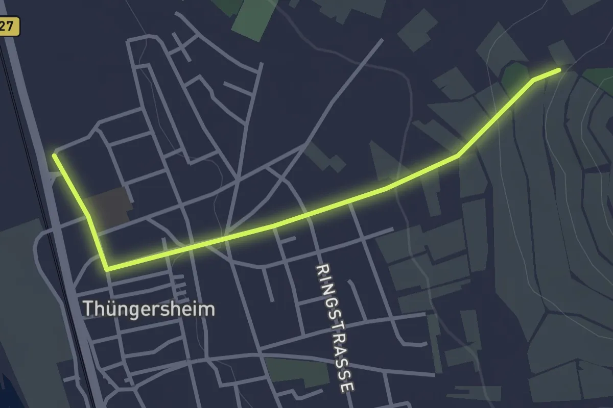
ZweiUfer Panoramaweg Zubringer Margetshöchheim
5.3 km · ↑ 140 m · 1 h 34 min
Easy · Trail
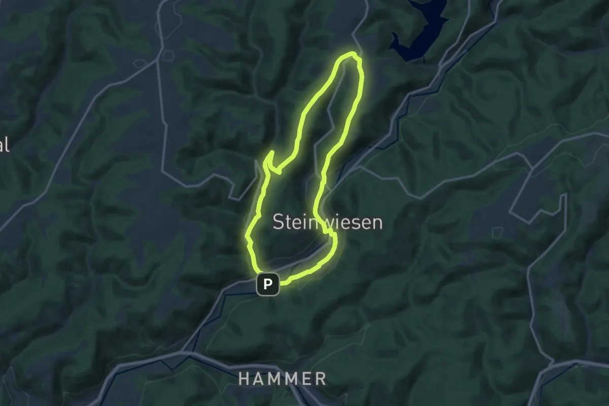
ZweiUfer Panoramaweg Zubringer Thüngersheim
2.9 km · ↑ 62 m · 49 min
Medium · Trail
Zweiwasser-Weg RT 24
10.5 km · ↑ 269 m · 3 h 13 min
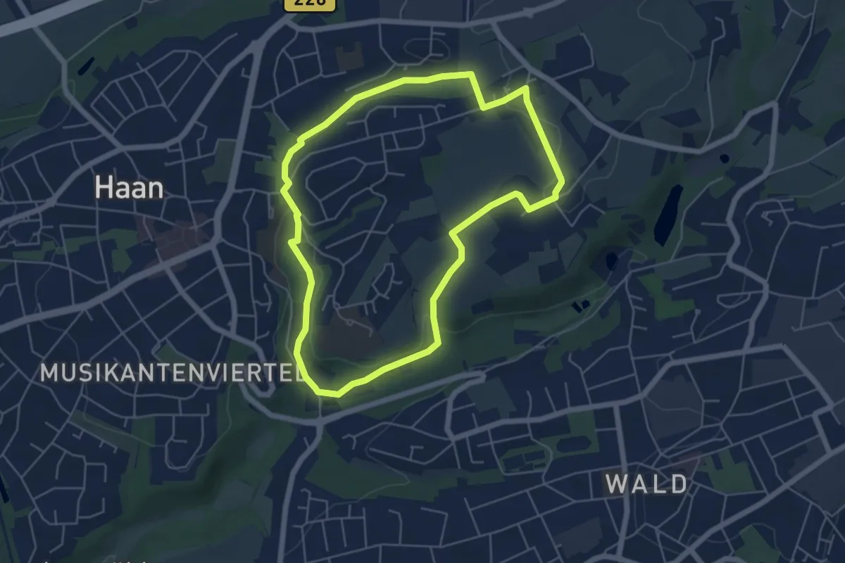
Easy · Trail
Zwengenberg Rundweg A1
4.7 km · ↑ 72 m · 1 h 20 min
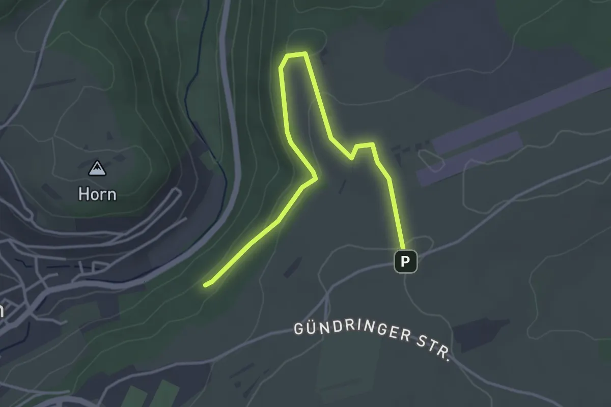
Easy · Trail
Zwerenberg - Holdersteig
4.0 km · ↑ 79 m · 1 h 7 min
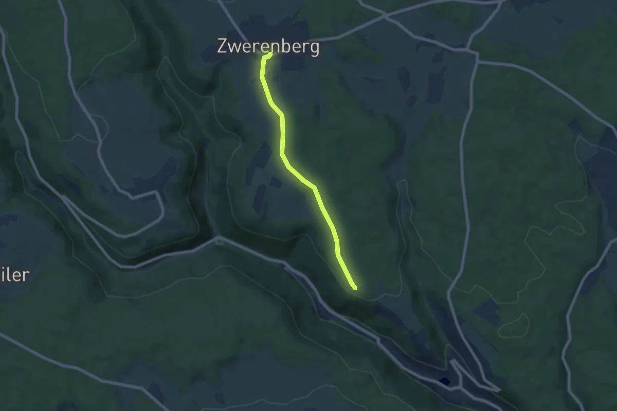
Easy · Trail
Zwerenberg Kirche - Rossrücken
5.5 km · ↑ 81 m · 1 h 28 min
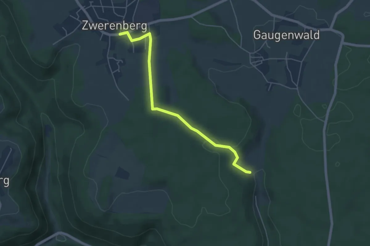
Easy · Trail
Zwerenberg Lamm - Bruderhaus Reute
4.5 km · ↑ 91 m · 1 h 16 min
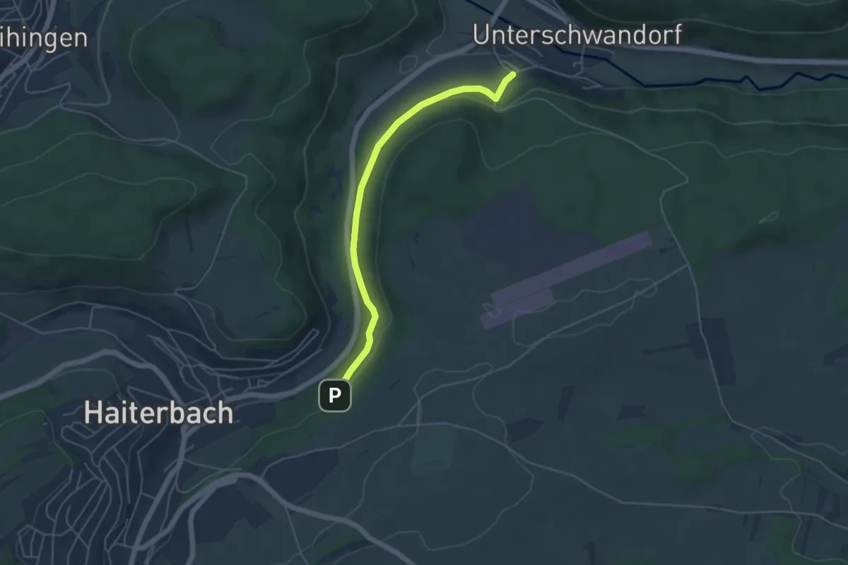
Easy · Trail
Zwerenberg - Unterschwandorf Maierei
4.5 km · ↑ 104 m · 1 h 17 min
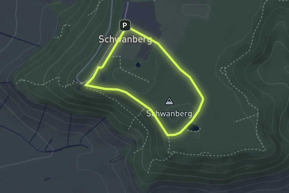
Easy · Summit
Zwerg
2.2 km · ↑ 45 m · 39 min
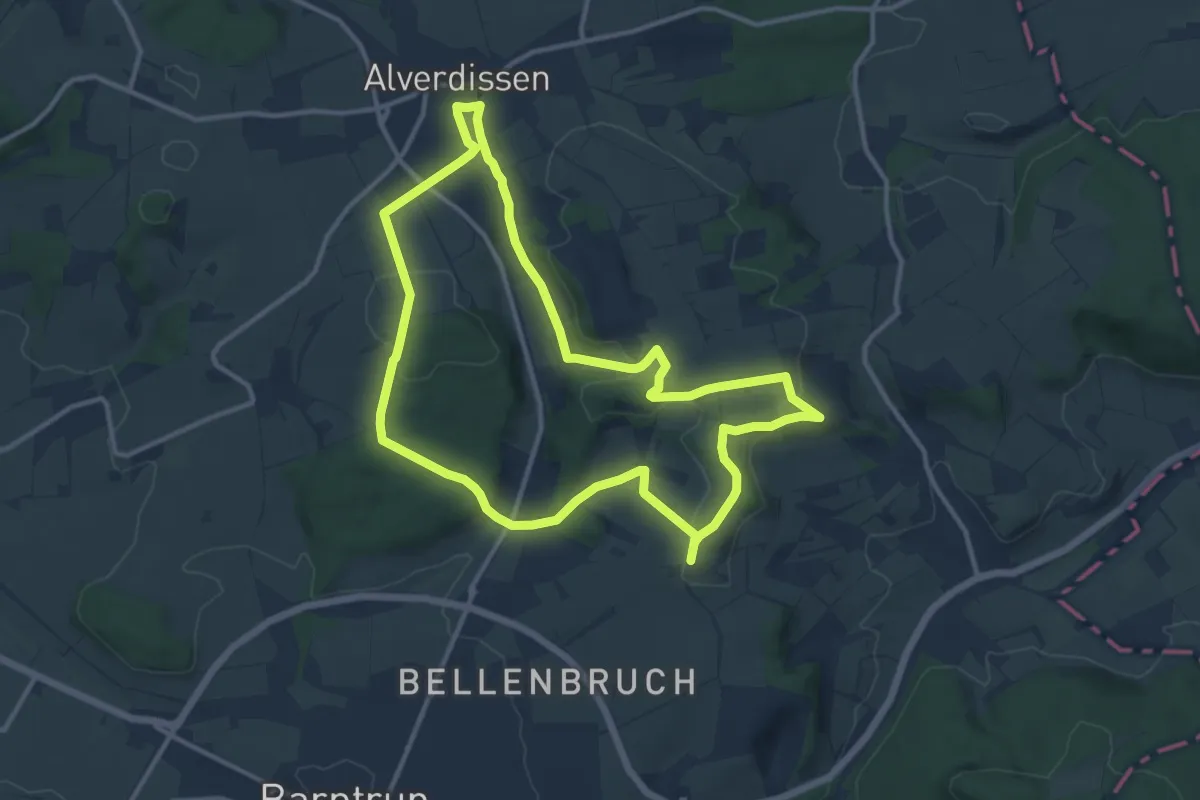
Medium · Summit
Zwerg Anton Tour
10.9 km · ↑ 217 m · 3 h 12 min
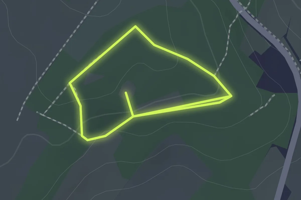
Easy · Trail
Zwergenpfad
1.3 km · ↑ 28 m · 23 min
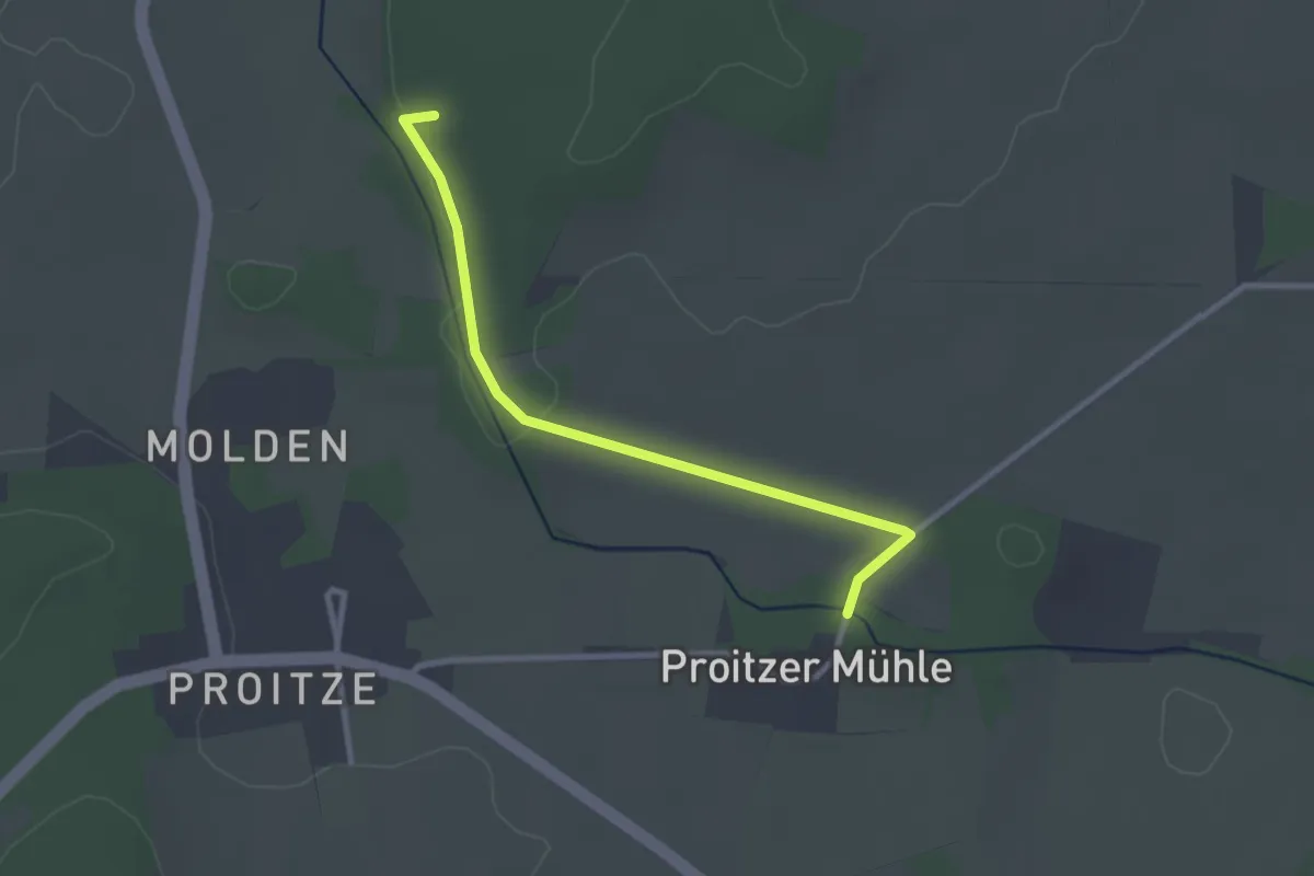
Easy · Trail
Zwergensteinpfad
2.4 km · ↑ 14 m · 36 min
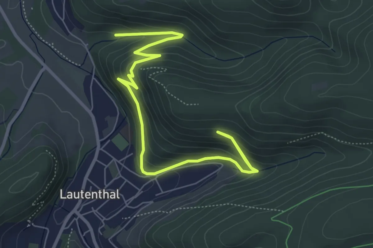
Medium · Trail
Zwergenweg
6.8 km · ↑ 356 m · 2 h 23 min
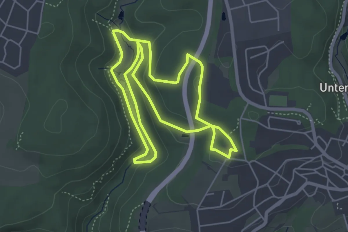
Easy · Trail
Zwergenweg 2 ("Fledermaus im Laubachtal")
4.4 km · ↑ 85 m · 1 h 17 min
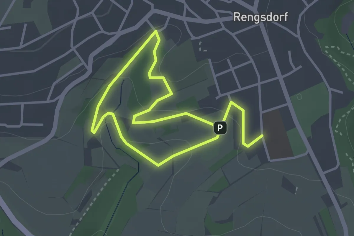
Easy · Trail
Zwergenweg 3 ("Apfelweg am Kräutergarten")
2.3 km · ↑ 75 m · 44 min
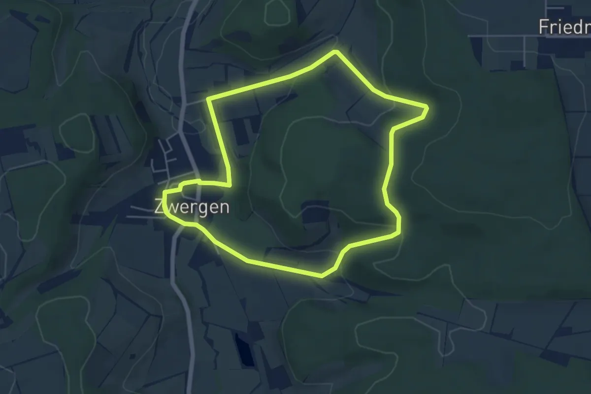
Easy · Trail
Zwergen - Z1
4.4 km · ↑ 136 m · 1 h 24 min
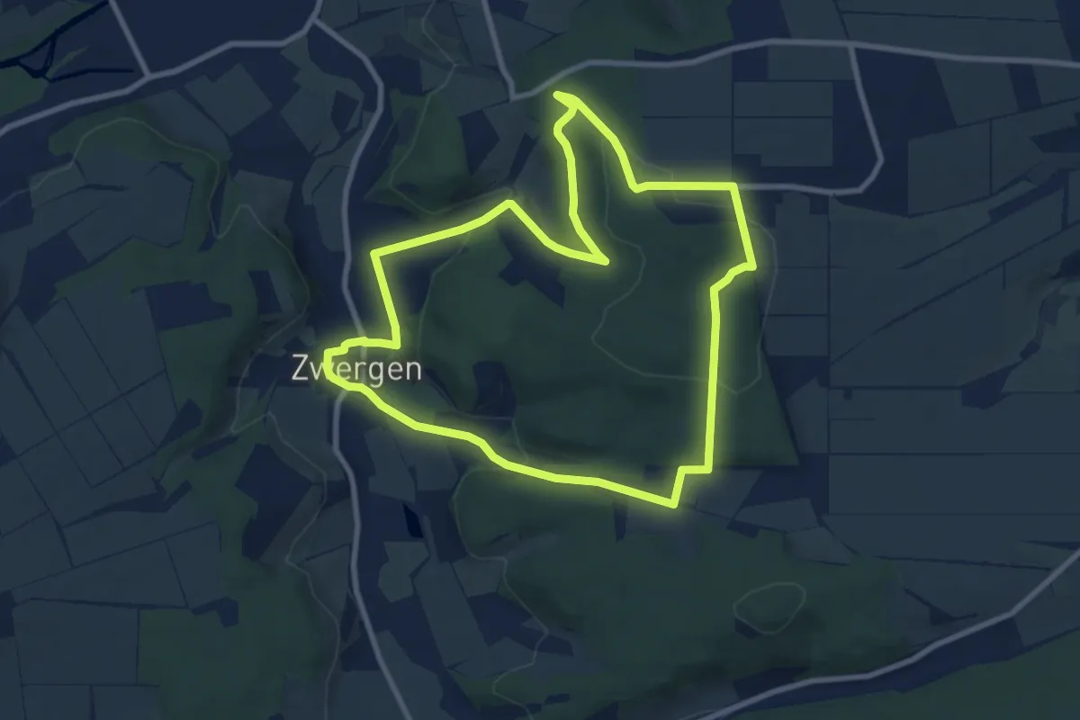
Easy · Trail
Zwergen - Z2
7.9 km · ↑ 203 m · 2 h 25 min
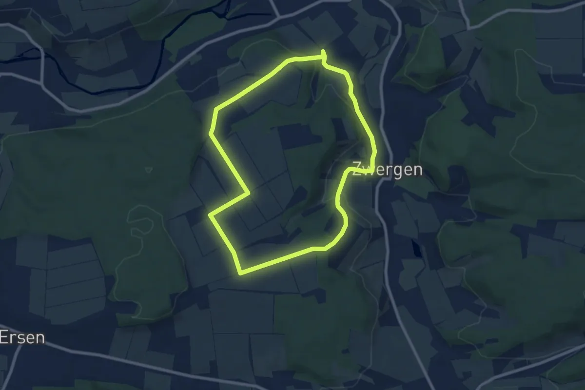
Easy · Trail
Zwergen - Z3
6.4 km · ↑ 109 m · 1 h 50 min
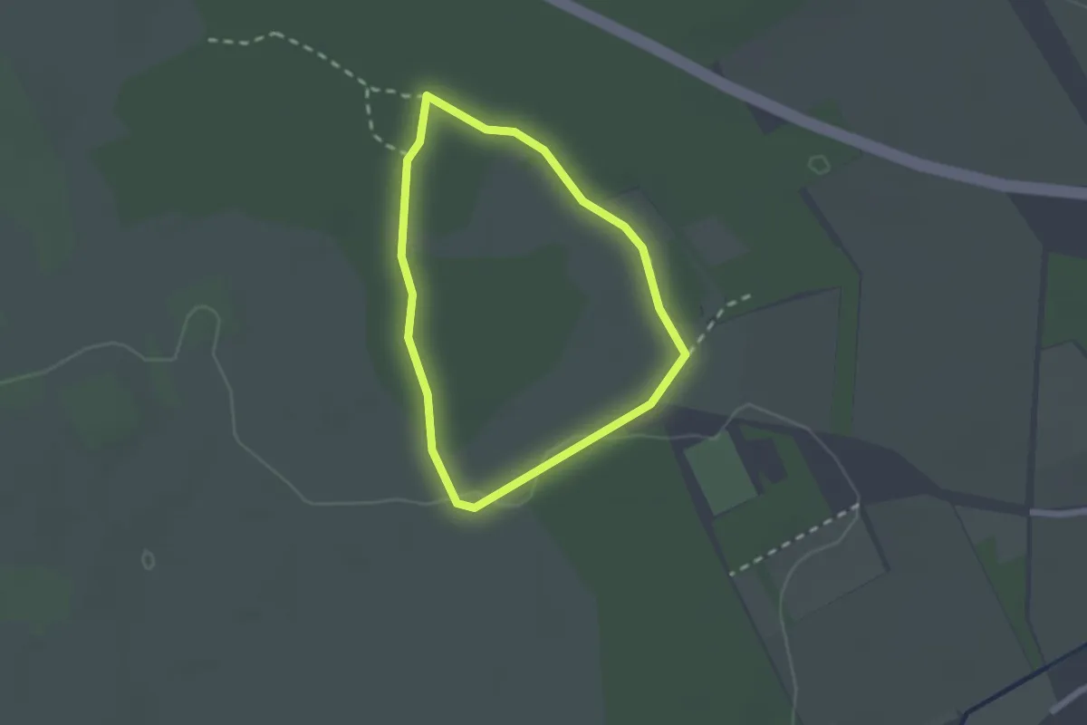
Easy · Trail
Zwerg-Lein-Weg
1.6 km · ↑ 4 m · 24 min
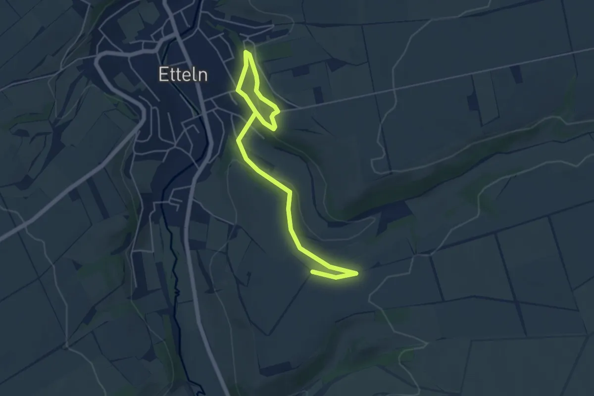
Easy · Trail
Zwetschenwanderweg Etteln
5.4 km · ↑ 142 m · 1 h 35 min
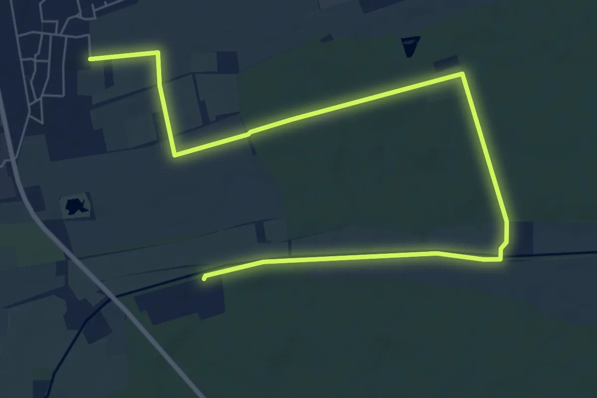
Easy · Trail
Zwewwel Rundwanderweg
4.5 km · ↑ 18 m · 1 h 11 min
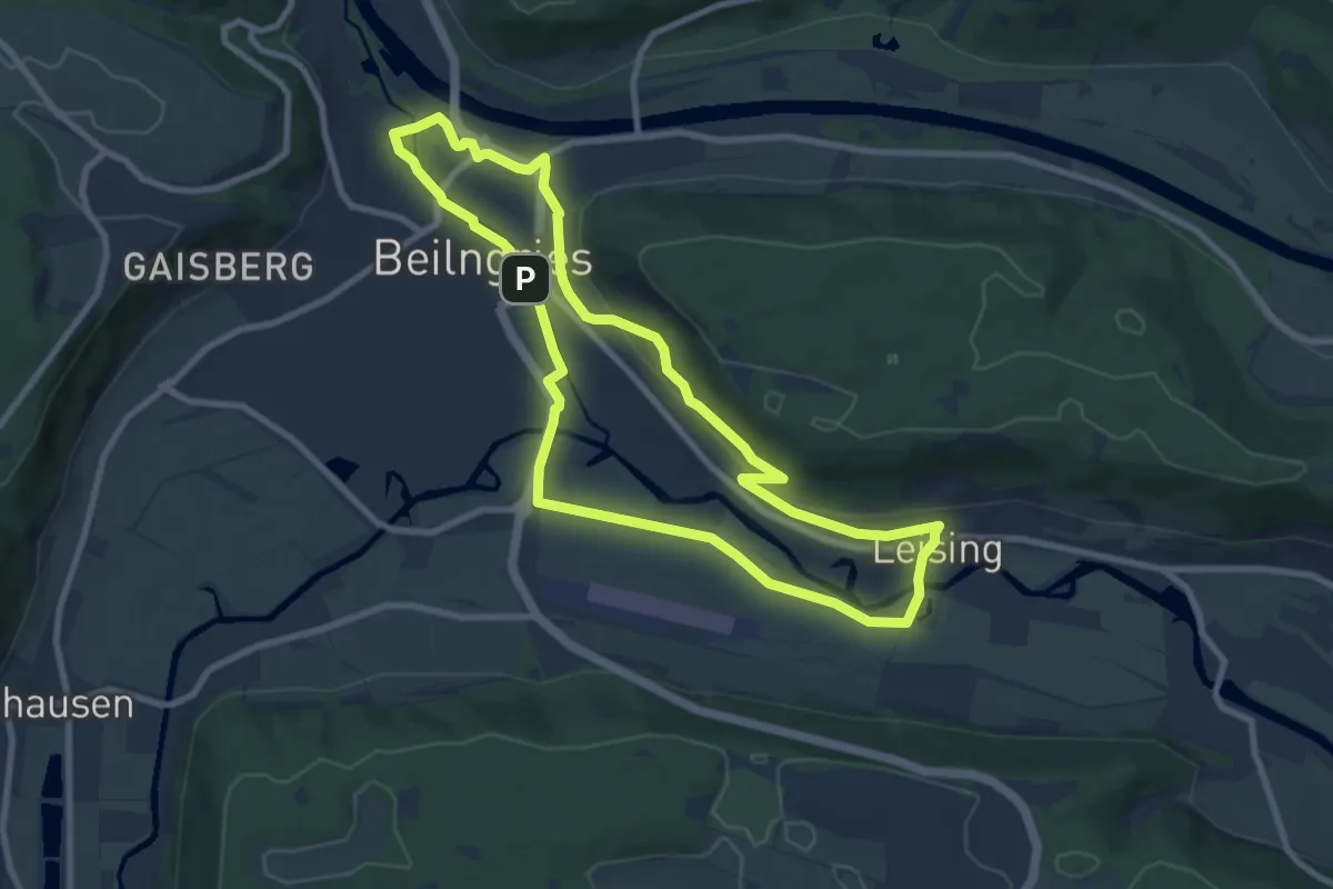
Medium · Trail
Zwiebeltreter-Runde
8.2 km · ↑ 86 m · 2 h 14 min
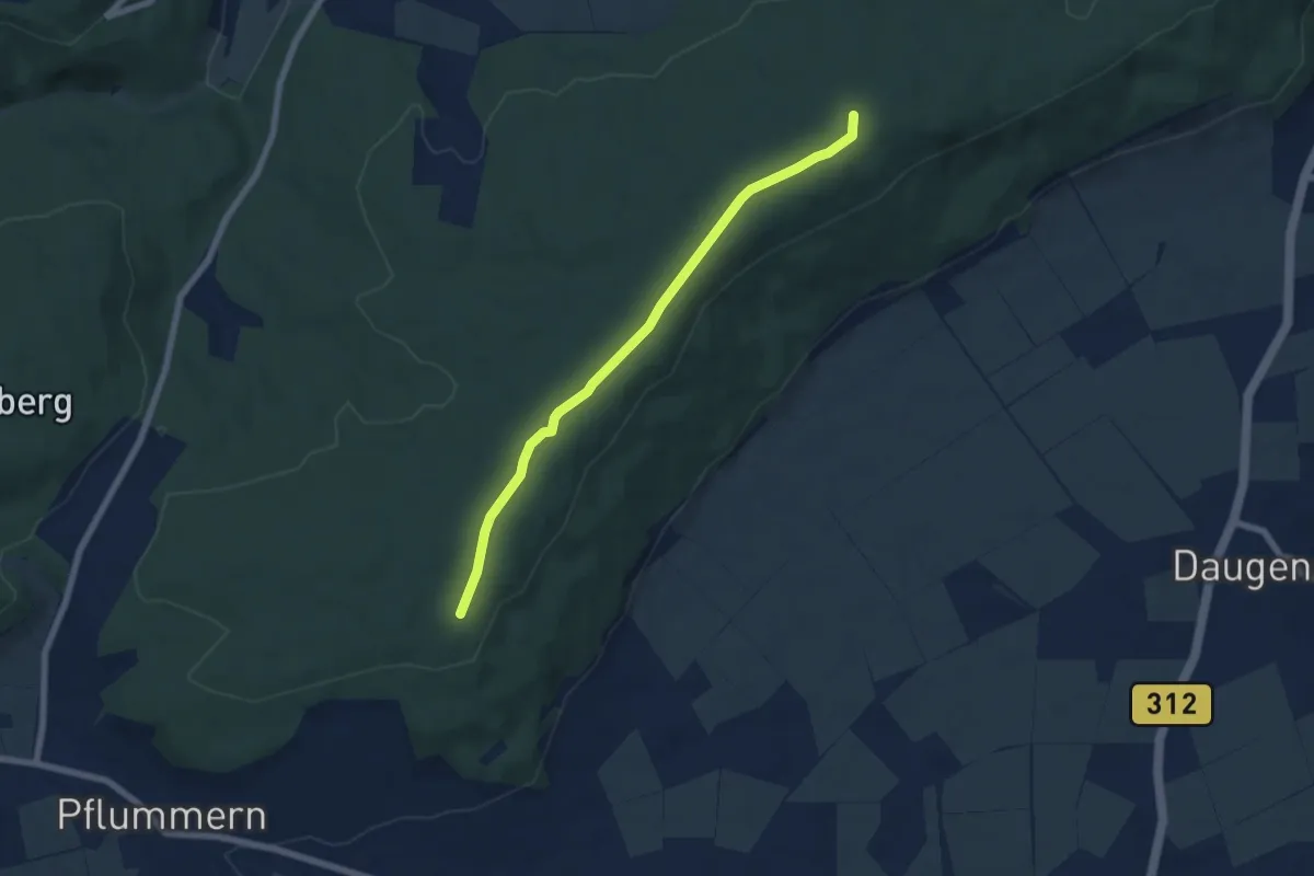
Easy · Summit
Zwiefaltendorf - Grüningen
6.2 km · ↑ 44 m · 1 h 33 min
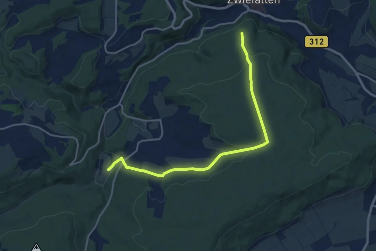
Medium · Trail
Zwiefalten HW2 - Tautschbuch
10.8 km · ↑ 243 m · 3 h 5 min
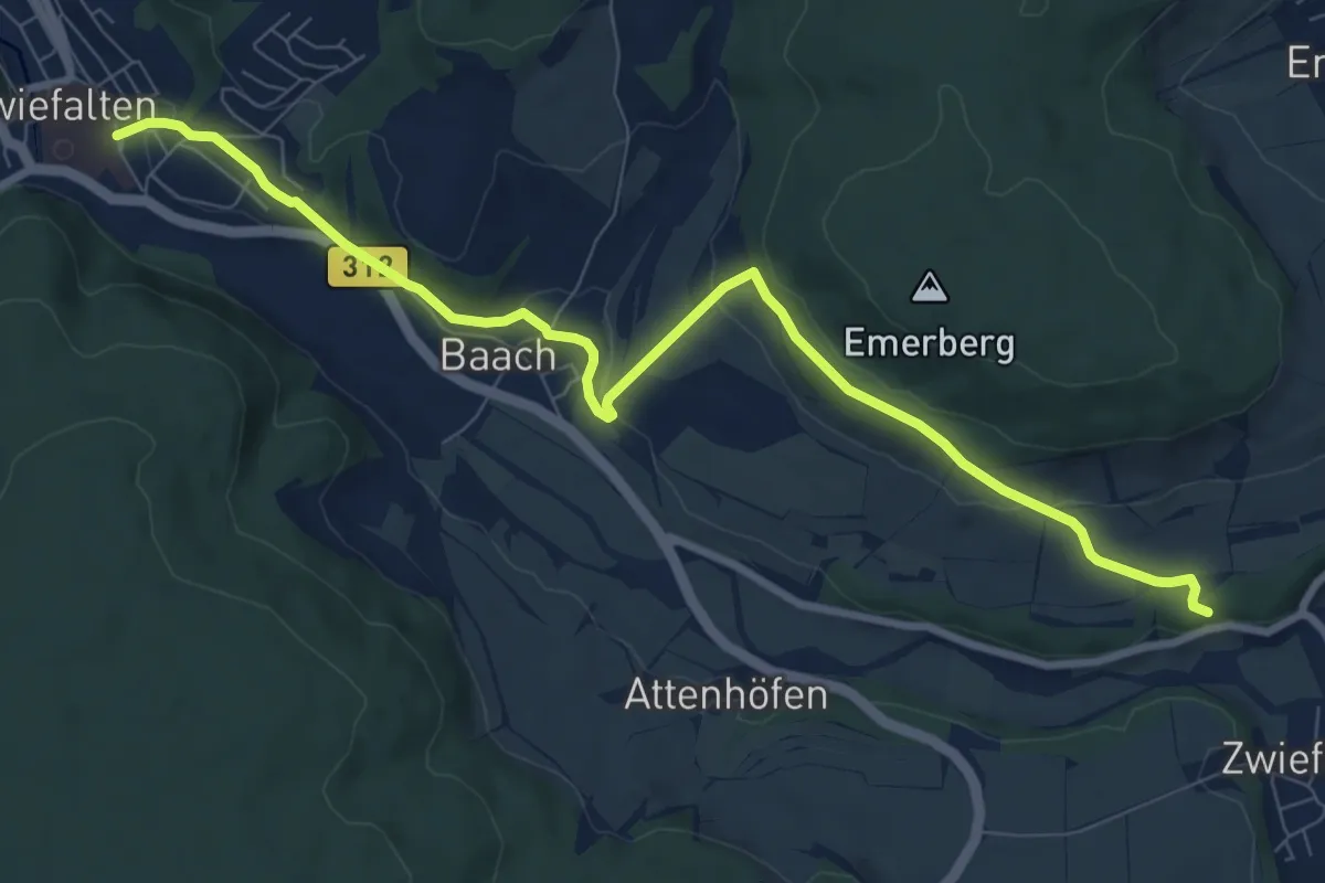
Medium · Trail
Zwiefalten - Zwiefaltendorf HW7
9.2 km · ↑ 271 m · 2 h 45 min
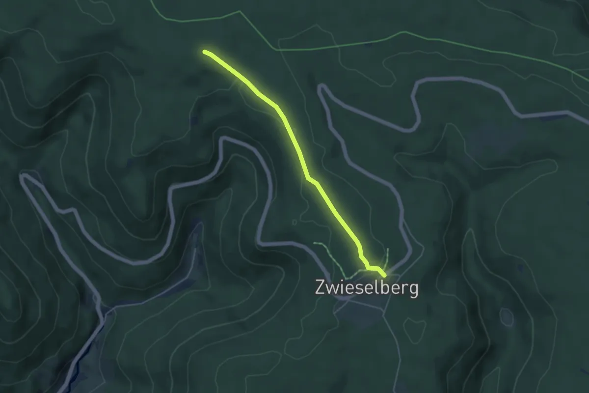
Medium · Trail
Zwieselberg Hirsch - Zwieselberger Eck
3.9 km · ↑ 54 m · 1 h 2 min
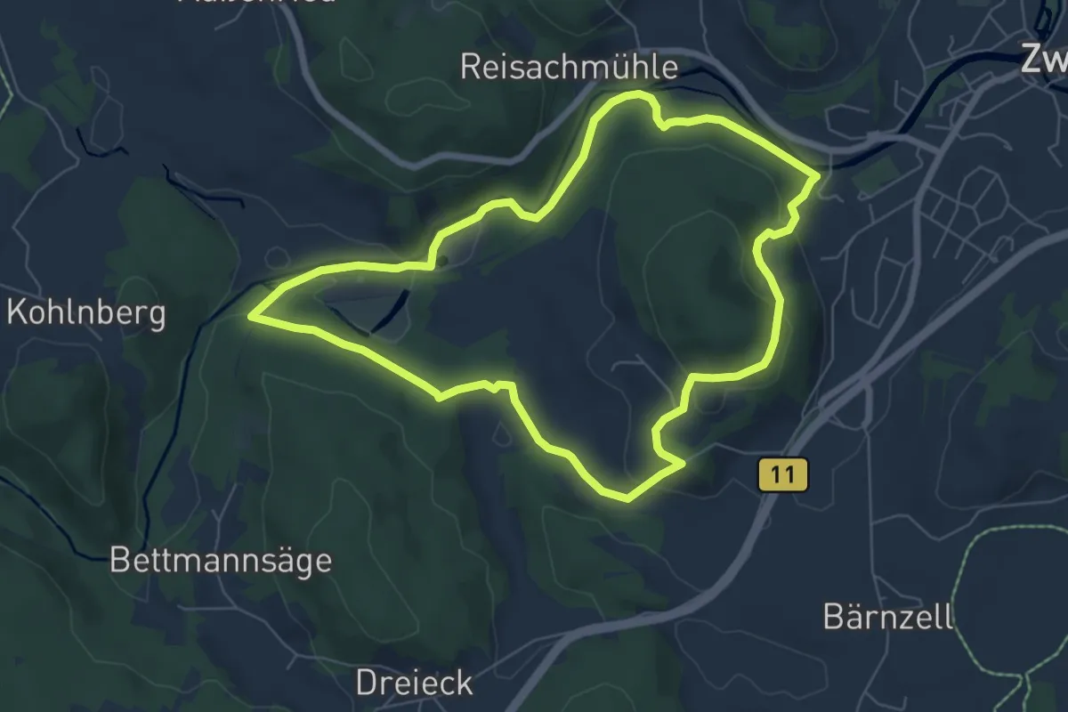
Easy · Trail
Zwieselbergrunde 21
6.2 km · ↑ 180 m · 1 h 56 min