Trails in Germany
36,877 hiking trails, each with its route, climb, walking time and grade.
All trails, page 760 of 769
Easy · Trail
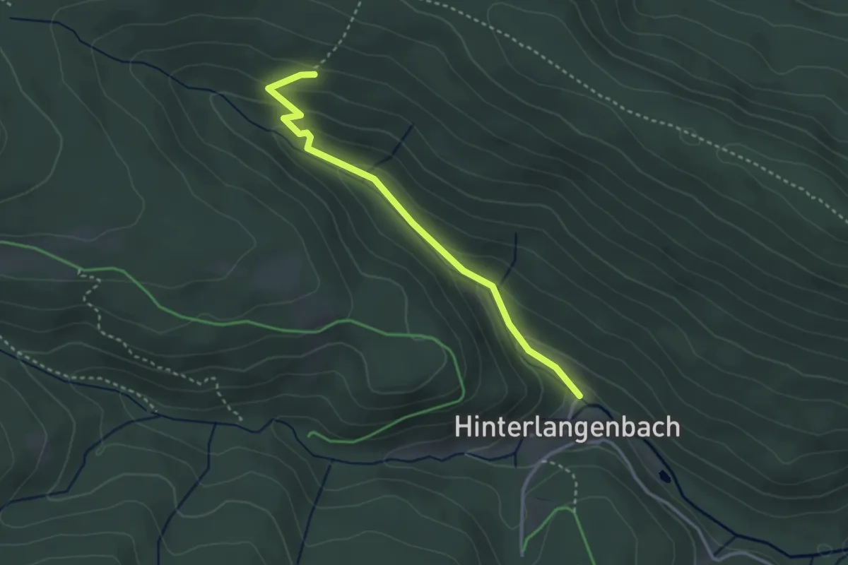
Zwieseleckpfad - Hinterlangenbach Wälzbach
3.0 km · ↑ 148 m · 1 h 1 min
Easy · Trail
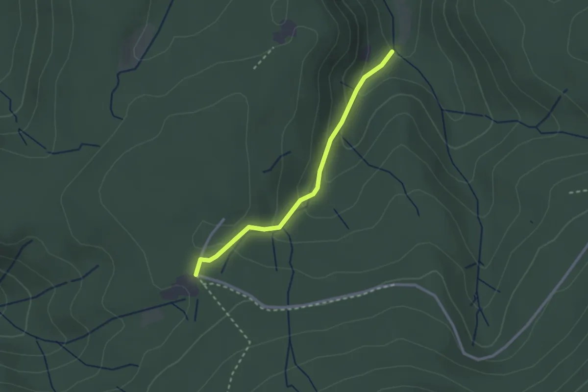
Zwiesel - Scherrhof
2.2 km · ↑ 113 m · 45 min
Easy · Trail
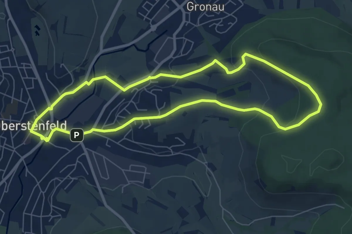
Zwischen Burgen, Stift und Reben
5.9 km · ↑ 152 m · 1 h 48 min
Medium · Trail
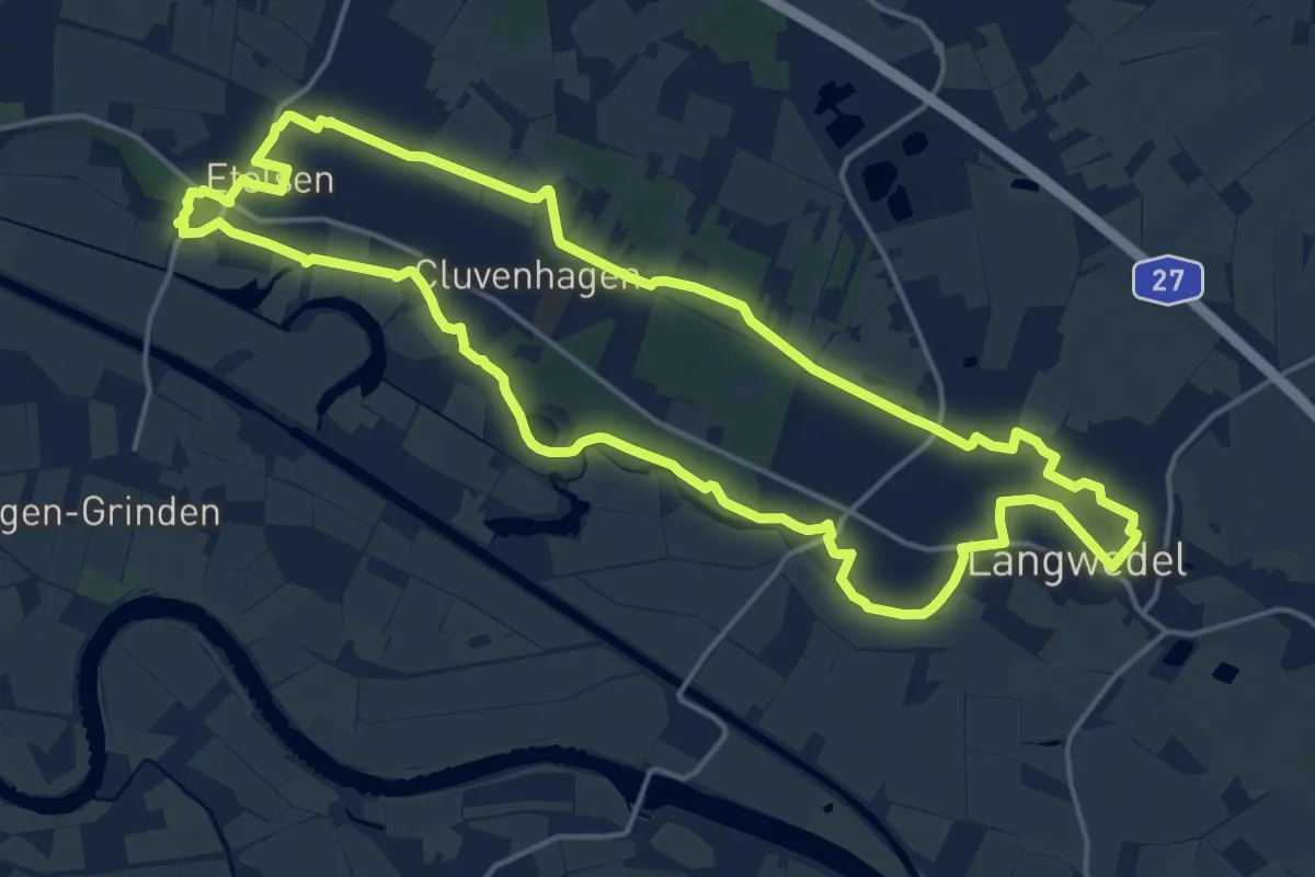
Zwischen Schloss und Burg
15.8 km · ↑ 36 m · 4 h 2 min
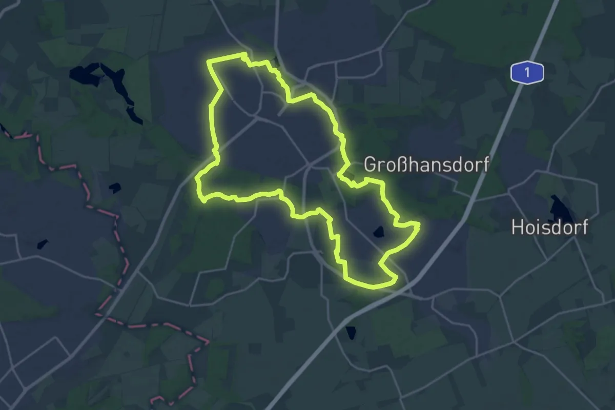
Medium · Trail
Zwischen Schloss und Landschaftspark
17.0 km · ↑ 64 m · 4 h 23 min
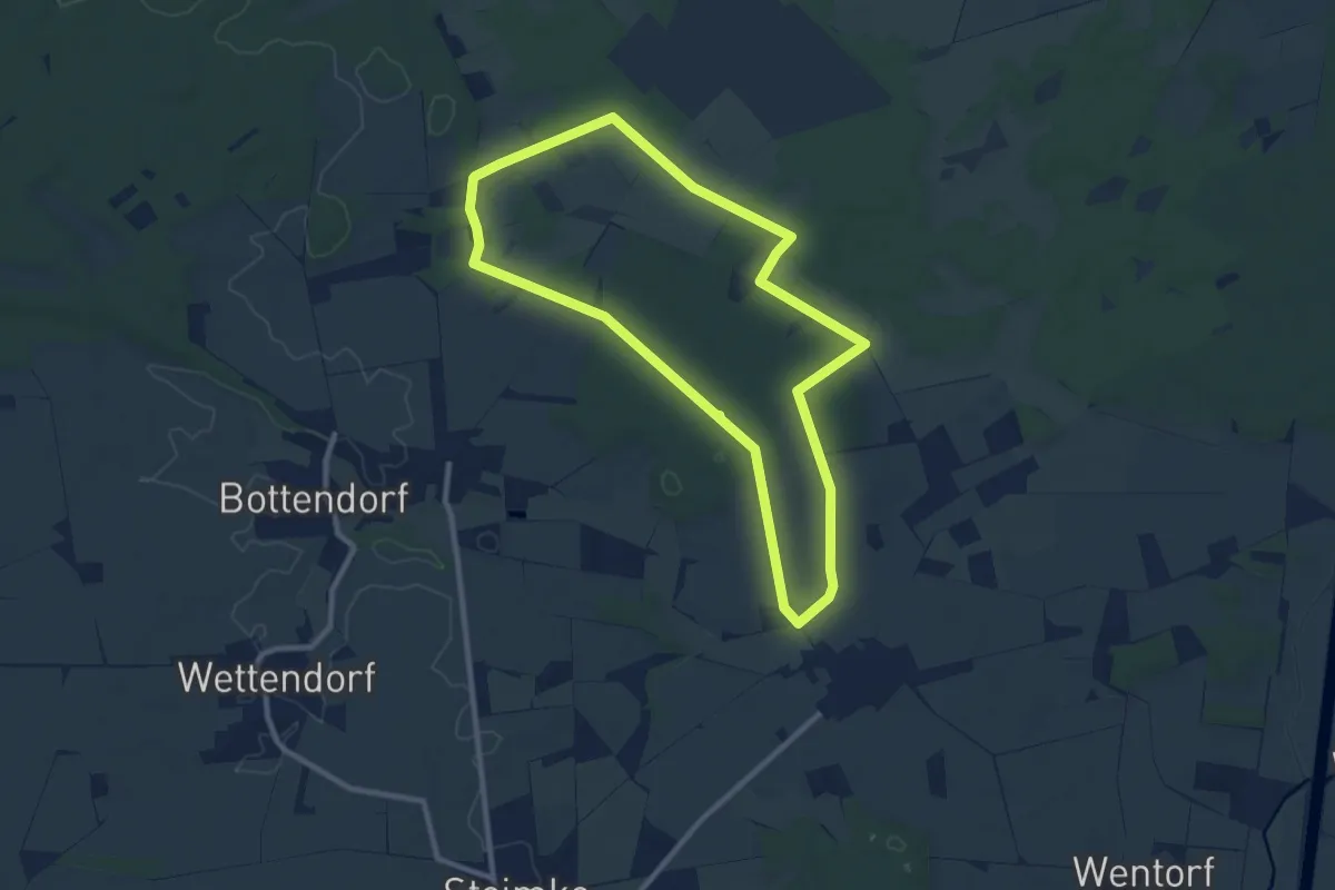
Medium · Trail
Zwischen Schweimker Moor und Schweimker Holz
8.3 km · ↑ 49 m · 2 h 11 min
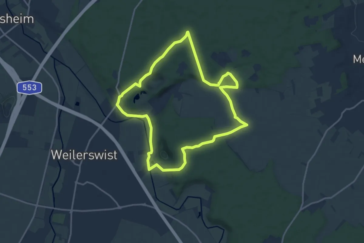
Medium · Trail
Zwischen Ville und Eifel
10.0 km · ↑ 97 m · 2 h 43 min
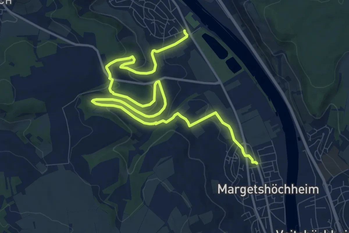
Medium · Trail
Zwischen Wengert und Kiefern
14.0 km · ↑ 439 m · 4 h 16 min
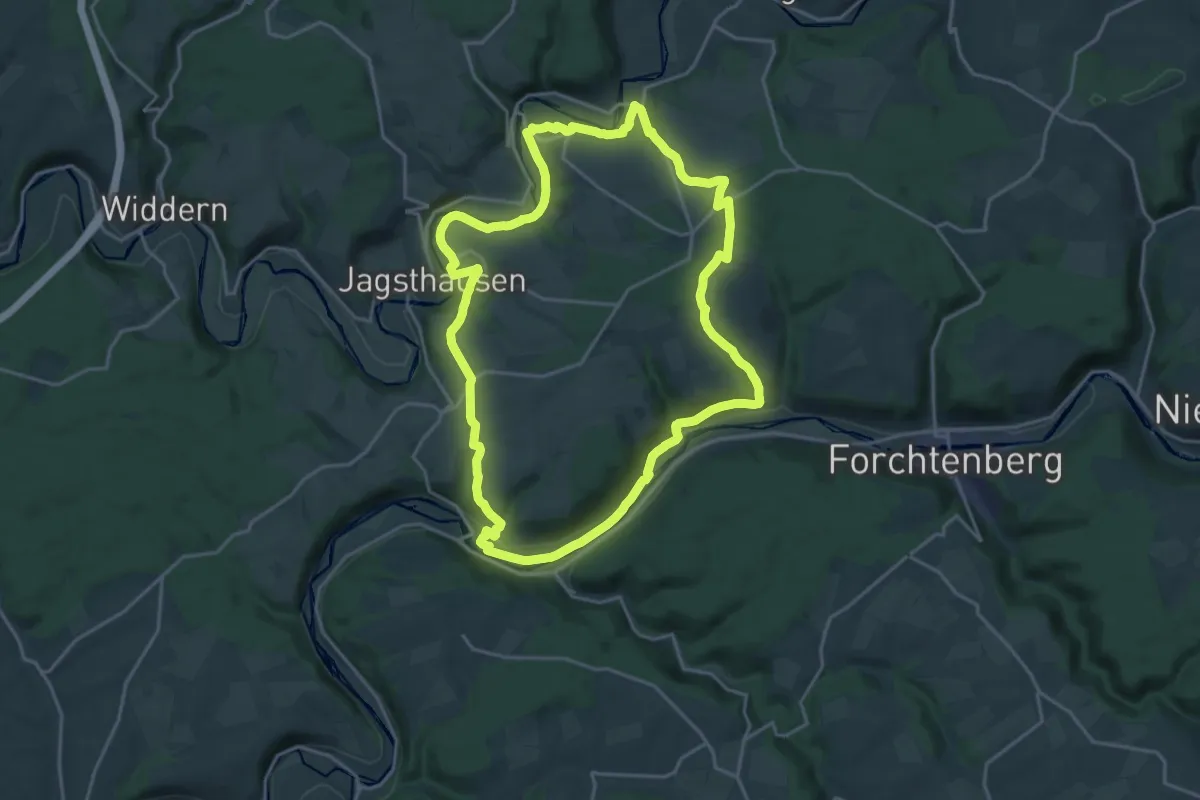
Demanding · Trail
Zwischen zwei Flüssen
19.7 km · ↑ 412 m · 5 h 49 min
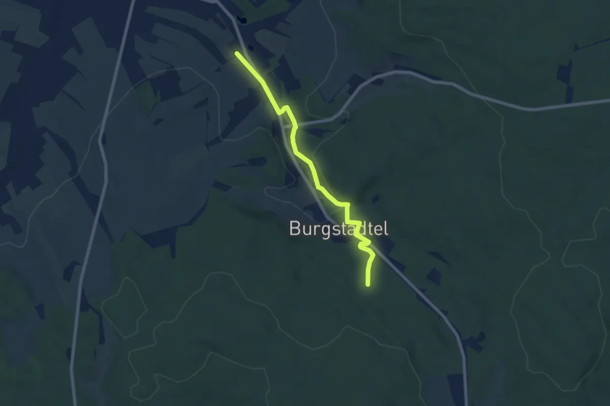
Easy · Trail
Zwoenitztal-Wanderweg
5.9 km · ↑ 92 m · 1 h 35 min
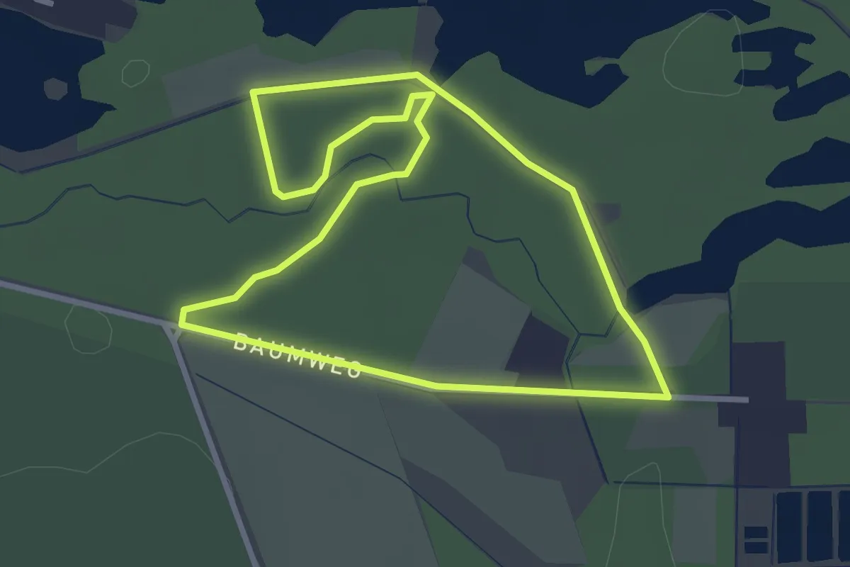
Easy · Trail
Zwölf-Apostel-Weg
2.5 km · ↑ 4 m · 38 min
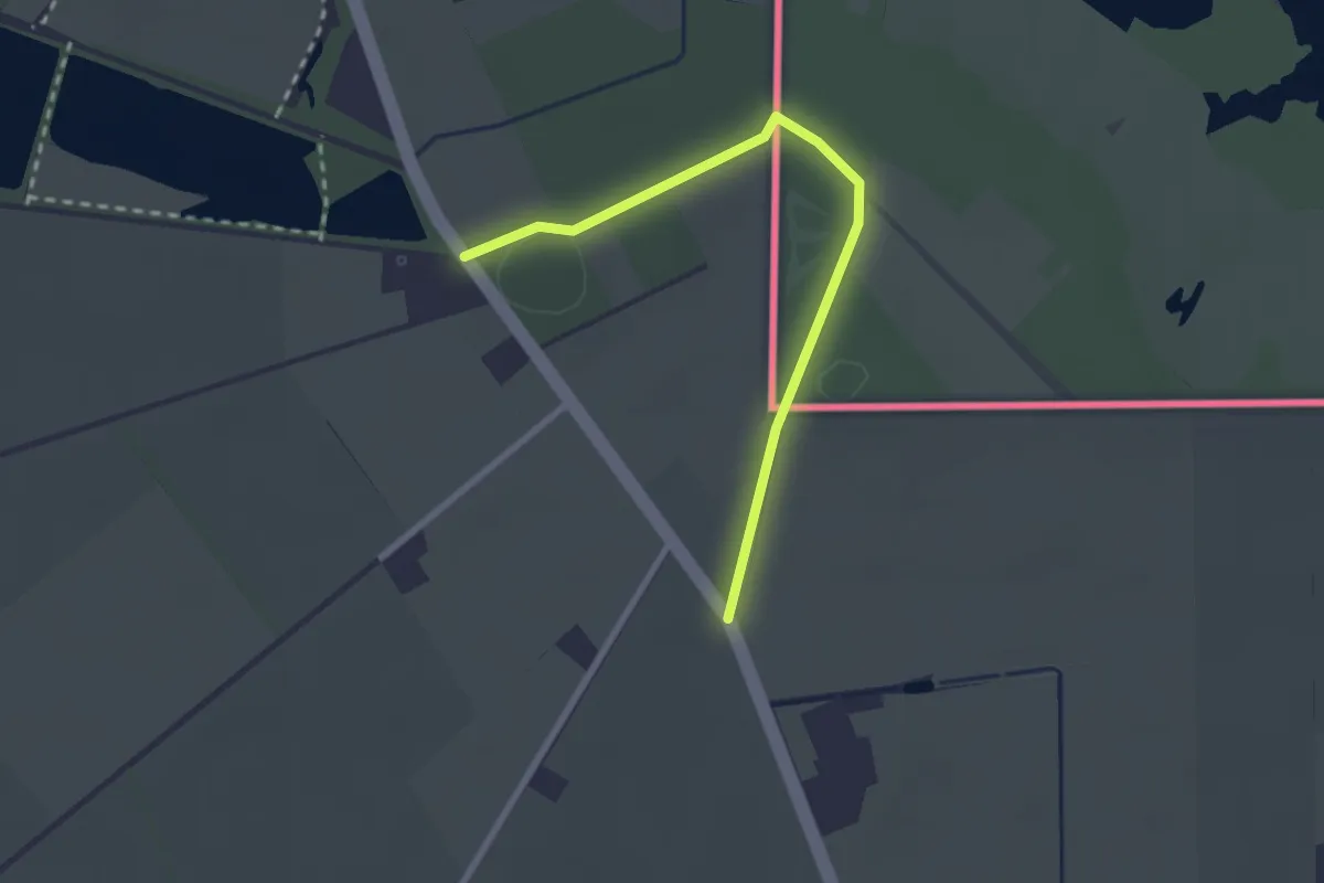
Easy · Trail
Zwolle bij Grolle
1.1 km · ↑ 4 m · 18 min
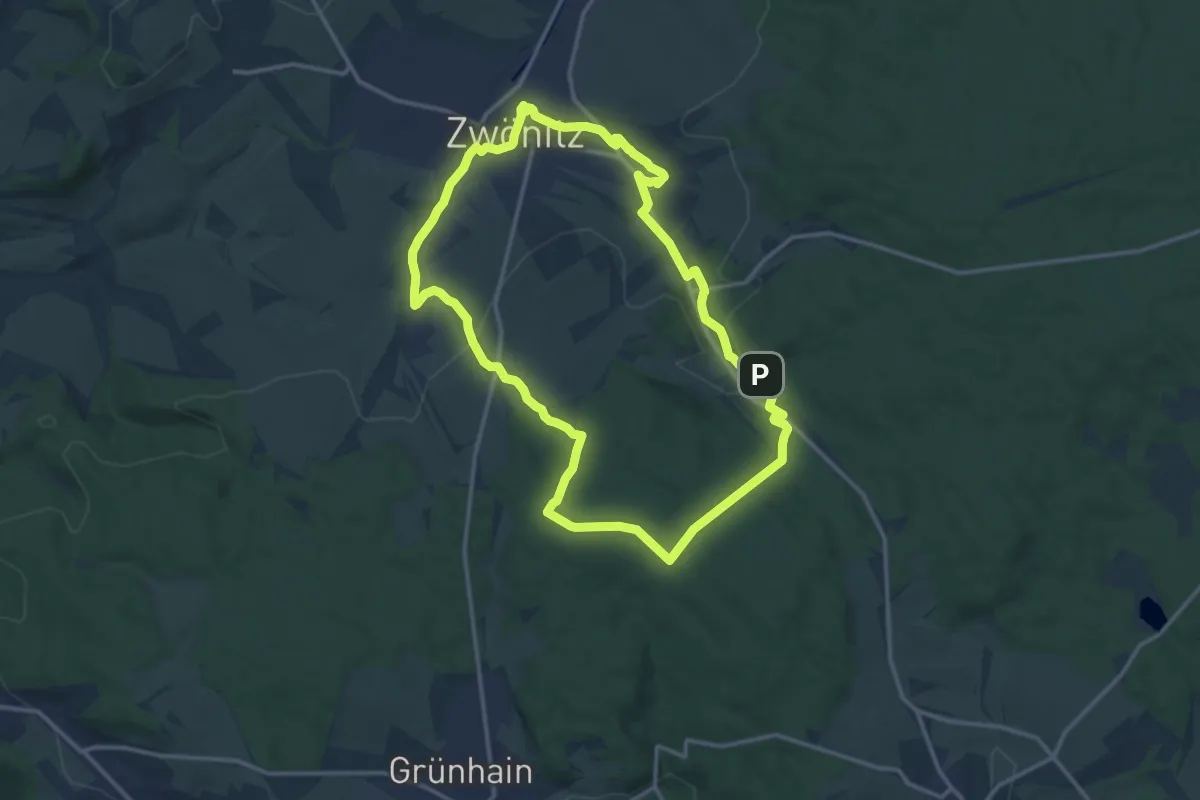
Medium · Trail
Zwönitzer Bergbaugeschichte
12.6 km · ↑ 210 m · 3 h 36 min
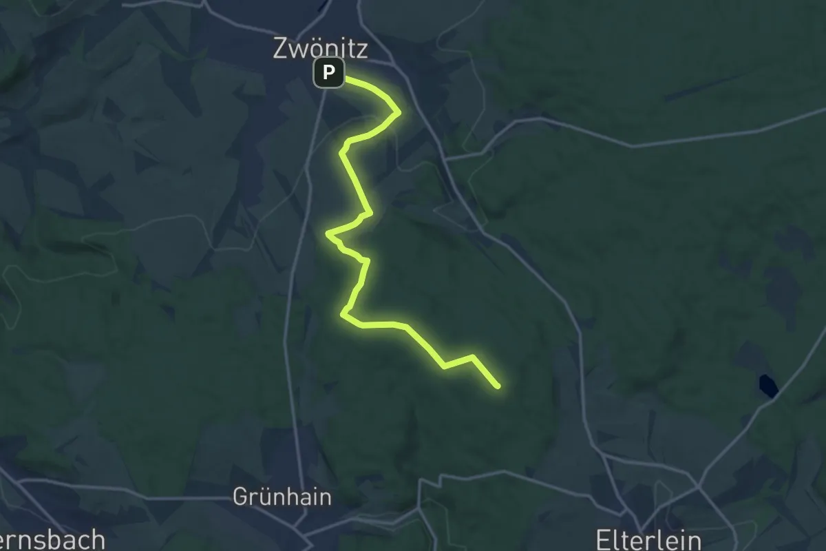
Medium · Summit
Zwönitzer Familienwanderweg
13.6 km · ↑ 257 m · 3 h 46 min
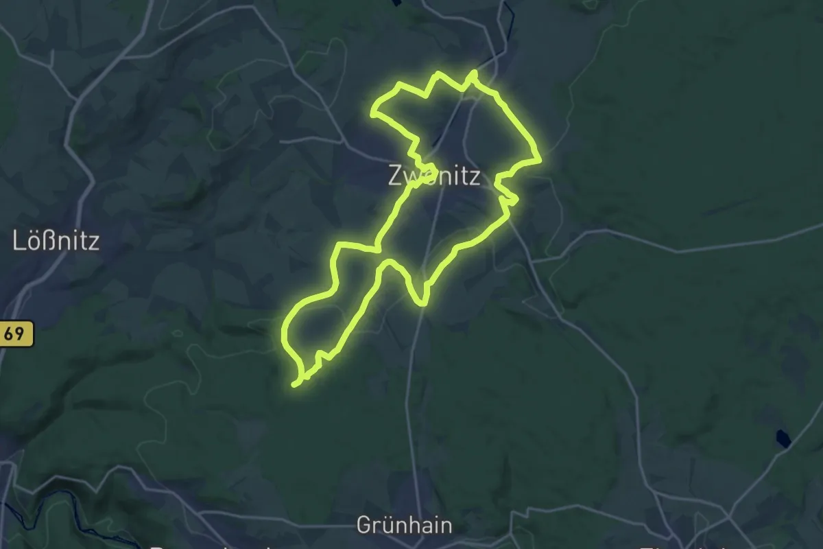
Medium · Summit
Zwönitzer Panoramaweg
17.9 km · ↑ 387 m · 5 h 19 min
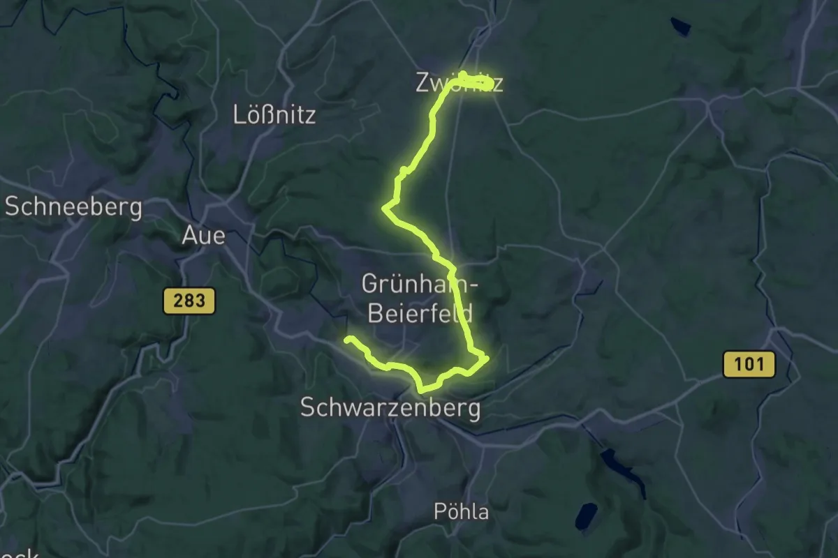
Demanding · Trail
Zwönitz - Grünhain - Schwarzenberg
20.1 km · ↑ 327 m · 5 h 48 min
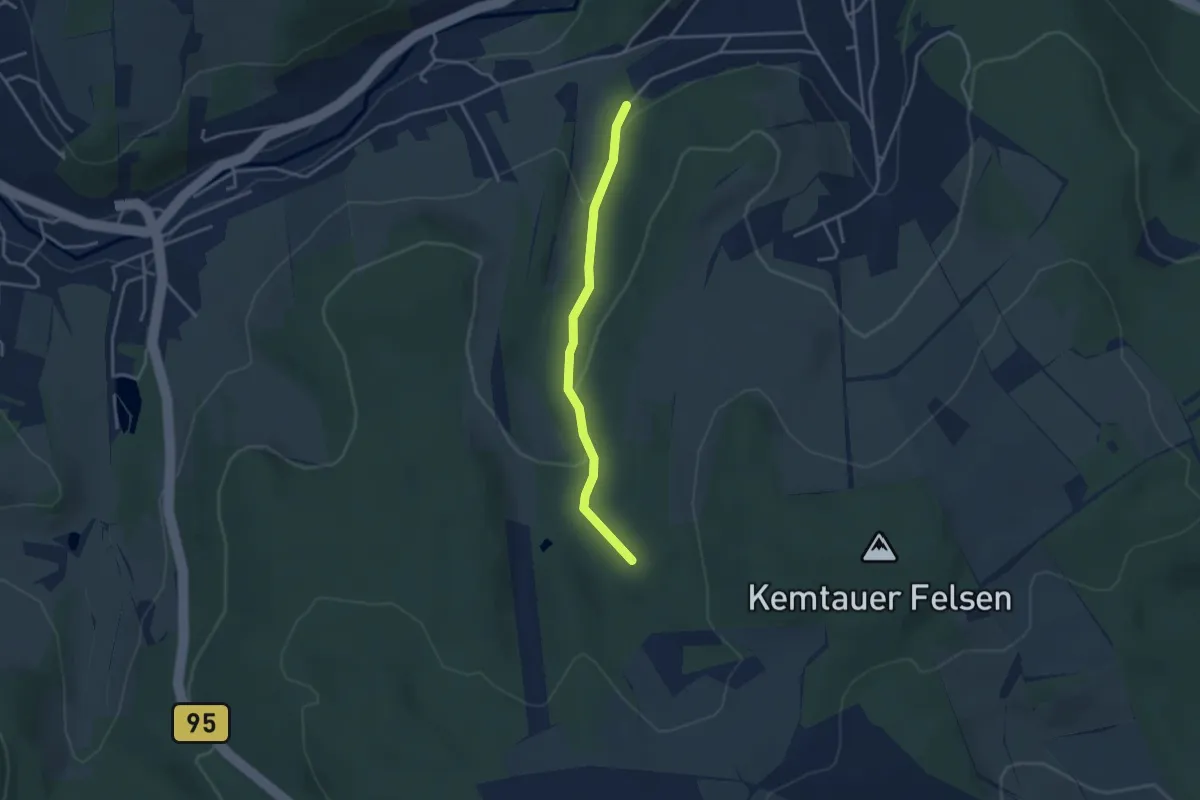
Easy · Trail
Zwönitztalwanderweg
3.0 km · ↑ 90 m · 54 min
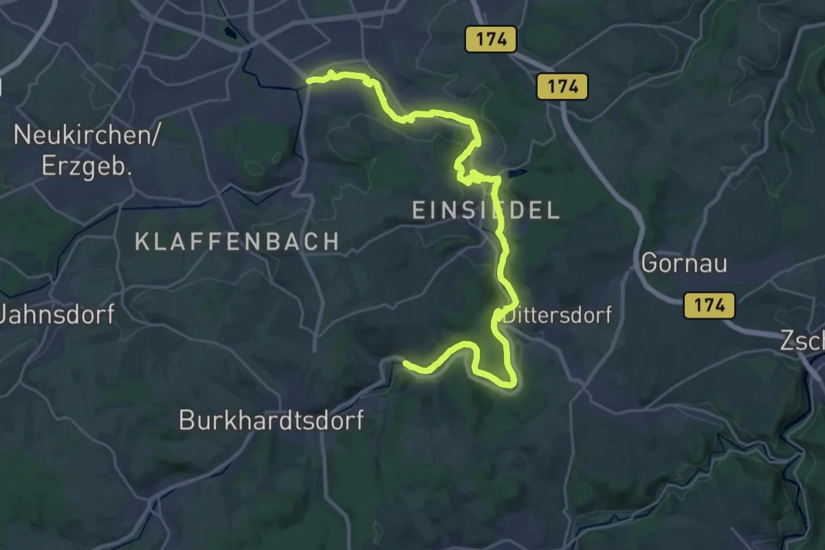
Demanding · Trail
Zwönitztalweg
28.4 km · ↑ 438 m · 7 h 40 min
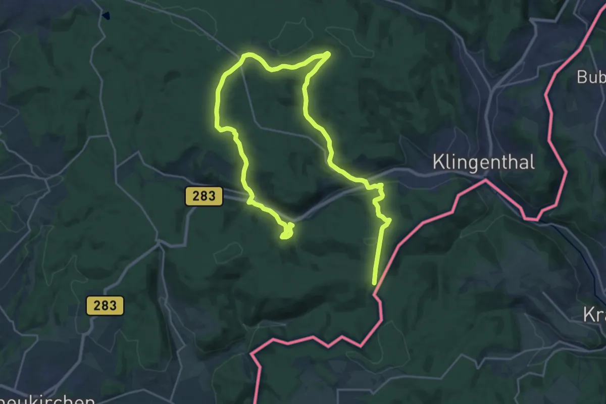
Medium · Trail
Zwota
14.1 km · ↑ 468 m · 4 h 28 min
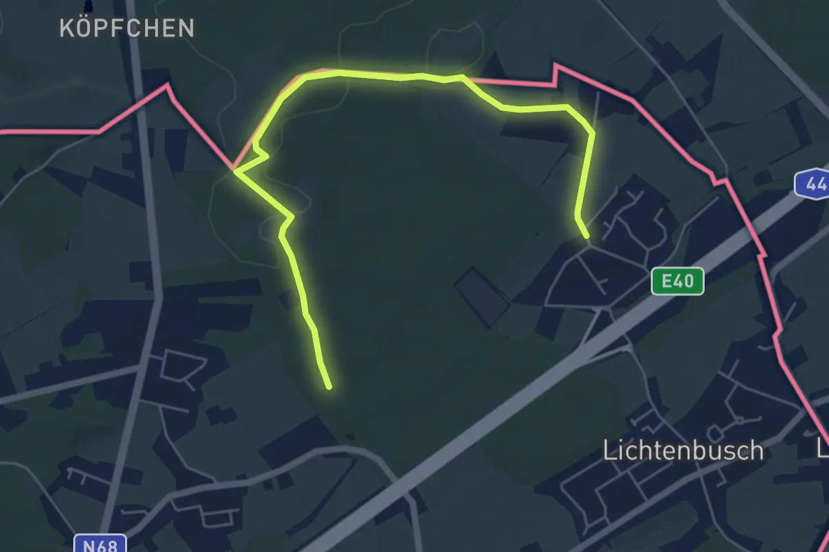
Easy · Trail
Zyklopensteine
5.6 km · ↑ 52 m · 1 h 26 min
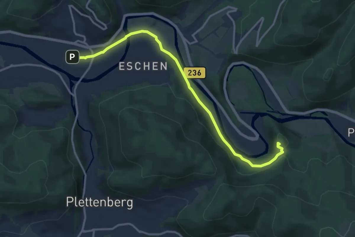
Medium · Summit
[Z] zum Schwarzenberg
8.4 km · ↑ 150 m · 2 h 19 min
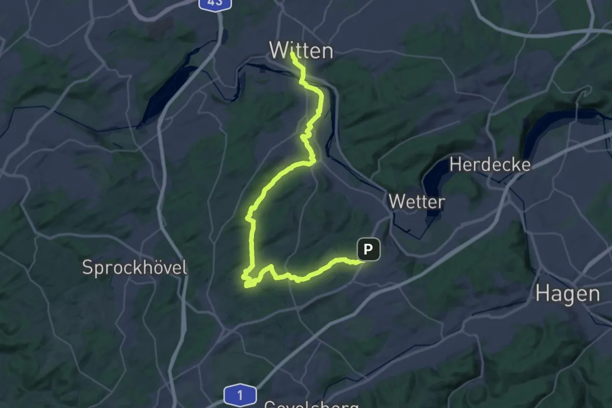
Medium · Trail
[Δ] Witten - Grundschöttel
17.8 km · ↑ 237 m · 5 h 1 min
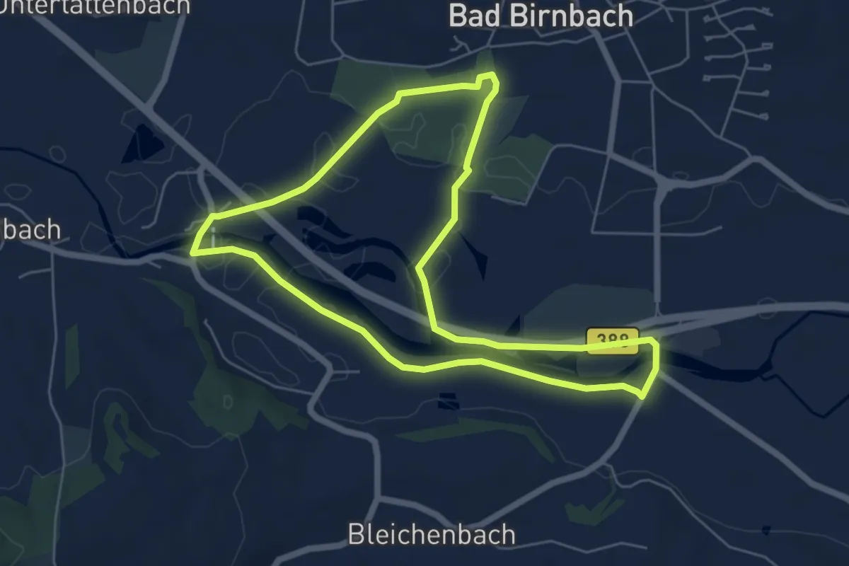
Easy · Trail
01 Bad Birnbach - Großer Rottauenrundweg
5.4 km · ↑ 9 m · 1 h 22 min
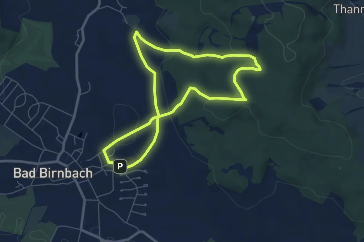
Easy · Trail
02 Bad Birnbach - Lugenz mit Holzkapelle, Hanslhuberbrunnen und Kalvarienberg
5.1 km · ↑ 124 m · 1 h 33 min
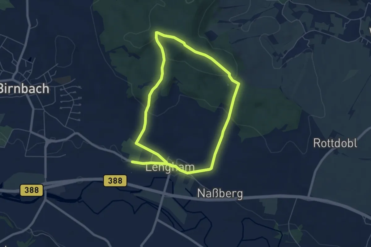
Medium · Trail
03 Bad Birnbach - Lugenz mit Holzkapelle, Lengham und Fliehburg
10.3 km · ↑ 255 m · 2 h 59 min
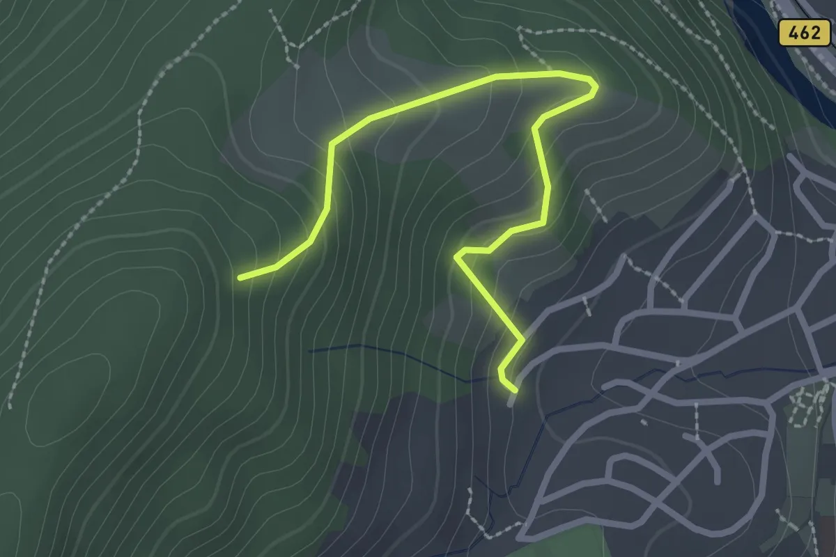
Easy · Trail
046 - Wingert
2.4 km · ↑ 237 m · 1 h 5 min
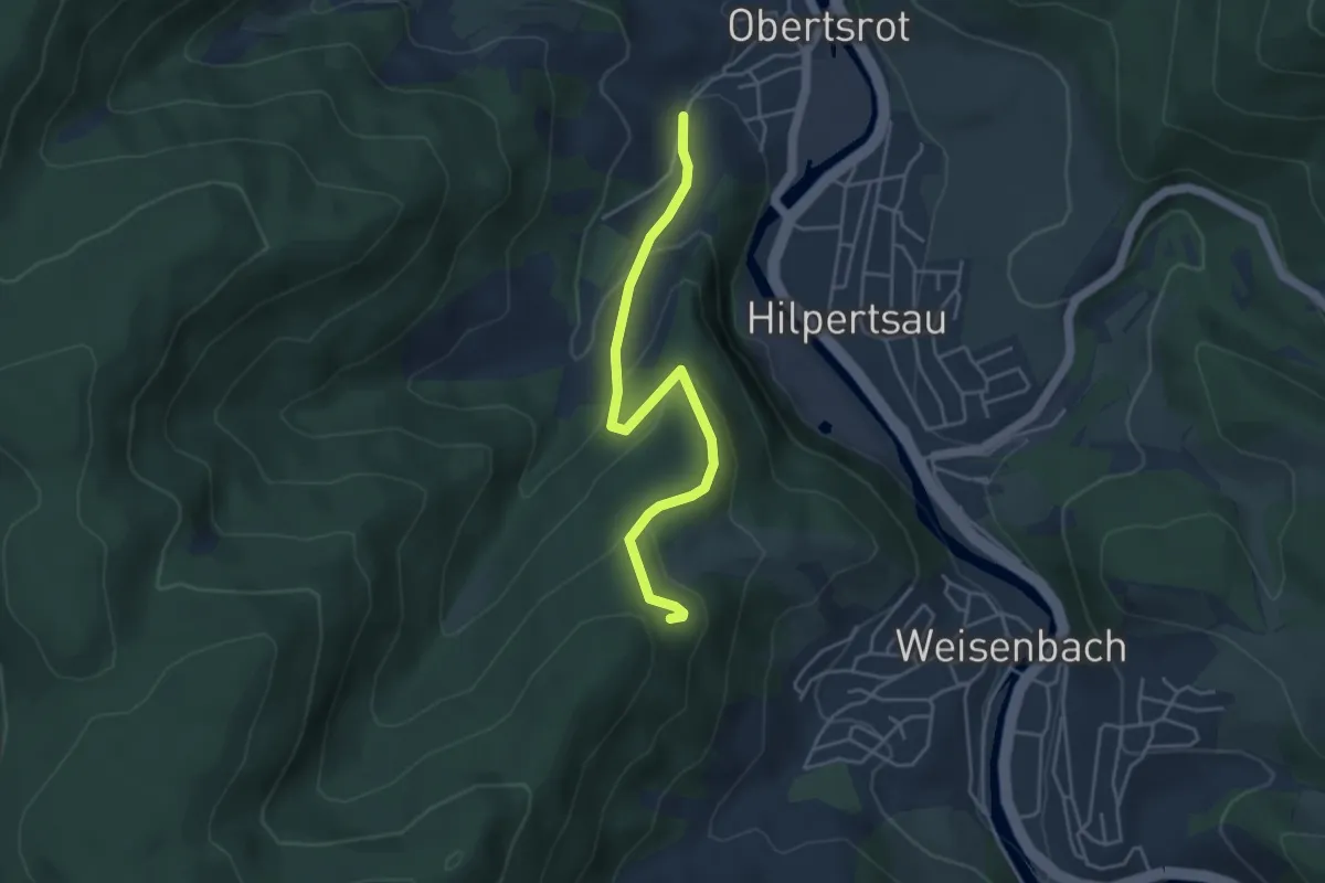
Easy · Trail
047 - Am Schwimmbad
4.1 km · ↑ 227 m · 1 h 27 min
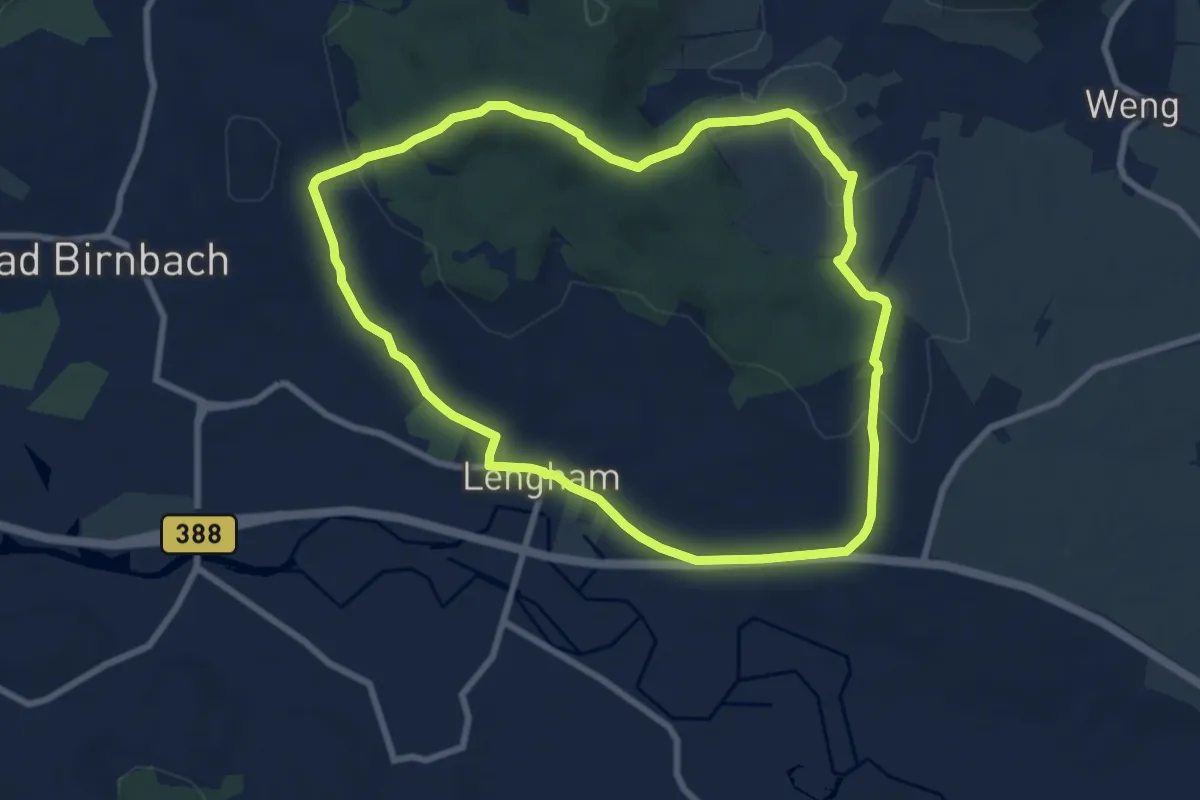
Easy · Trail
04 Bad Birnbach - Große Lugenzrunde mit Fliehburg, Thal bei Weng, Holzkapelle und Lengham
7.8 km · ↑ 160 m · 2 h 17 min
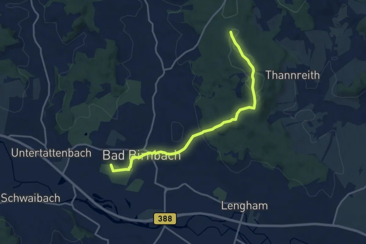
Medium · Trail
07 Bad Birnbach - Große Birnbachrunde mit Bella Vista, Hügelgräber, Hubertuskapelle, Holzkapelle
9.9 km · ↑ 178 m · 2 h 43 min
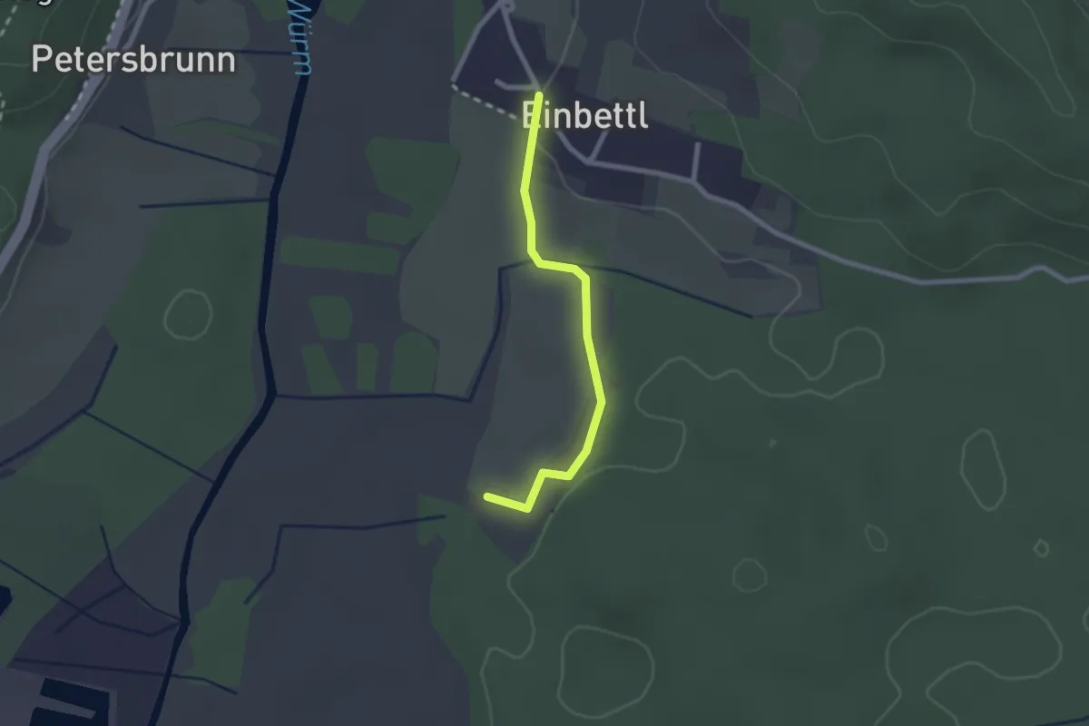
Easy · Trail
10
2.0 km · ↑ 14 m · 30 min
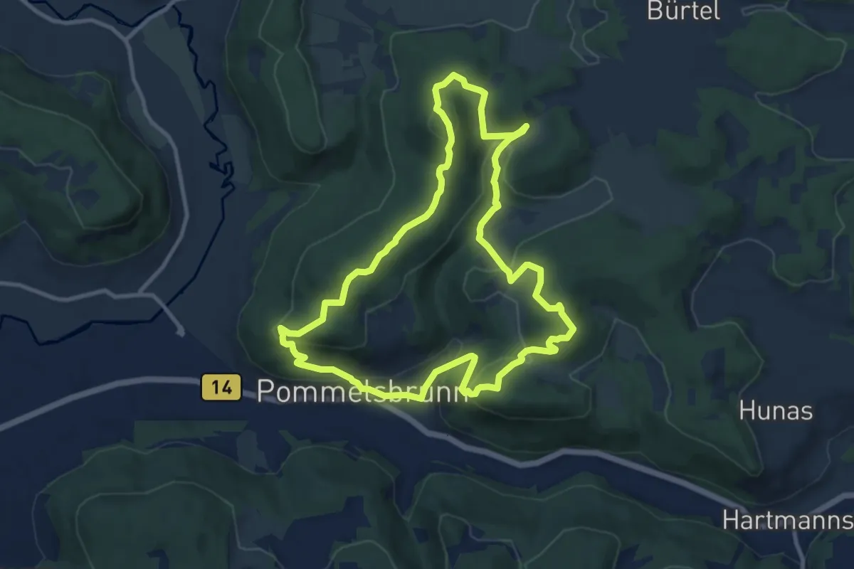
Medium · Summit
1000hmr Nordkette
9.2 km · ↑ 445 m · 3 h 16 min
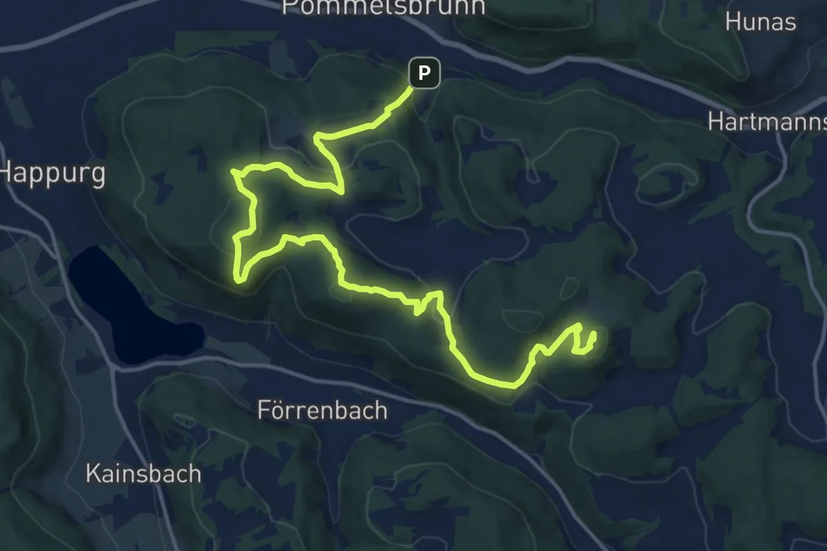
Medium · Summit
1000hmr Südkette
16.4 km · ↑ 707 m · 5 h 24 min
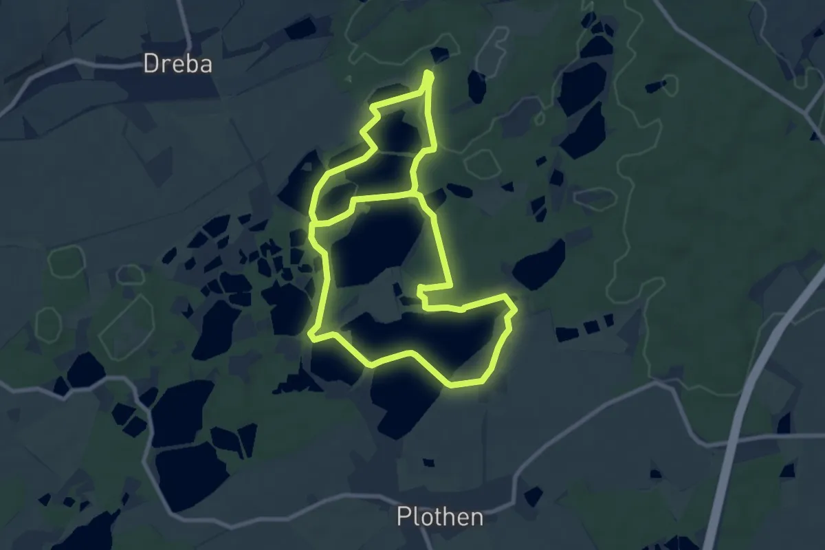
Easy · Trail
1000-Teiche-Rundweg
7.5 km · ↑ 54 m · 2 h
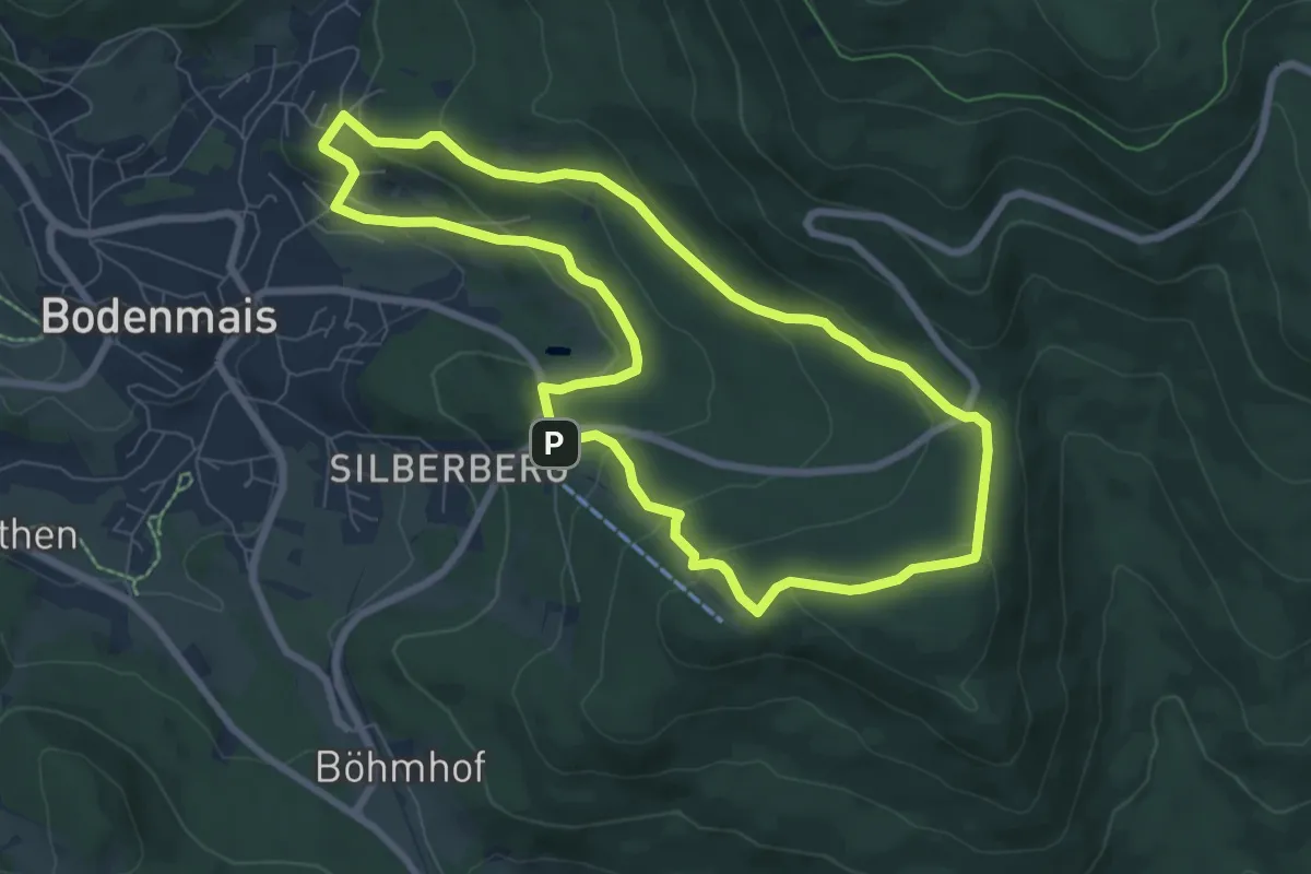
Easy · Trail
10 Bodenmais - Silberberg
7.1 km · ↑ 297 m · 2 h 25 min
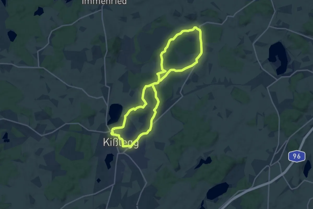
Medium · Trail
10 - Durch Moos und Ried zur Wallfahrtskirche Rötsee
12.7 km · ↑ 107 m · 3 h 24 min
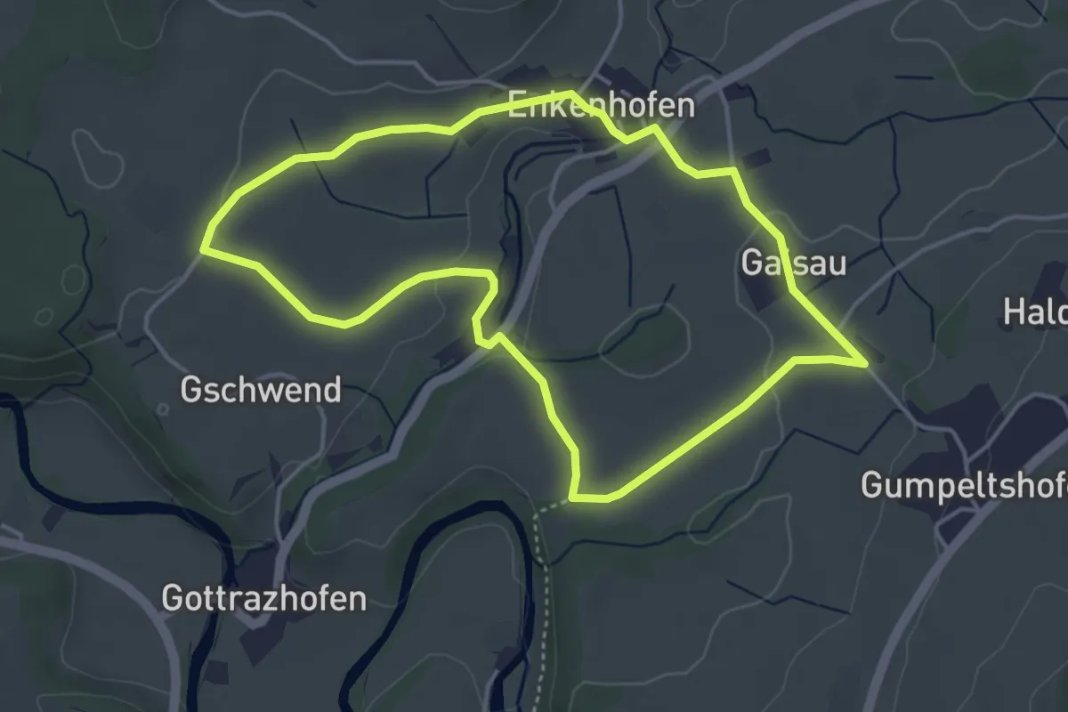
Easy · Trail
10 - Enkenhofener Rundweg
4.0 km · ↑ 51 m · 1 h 7 min
Medium · Trail
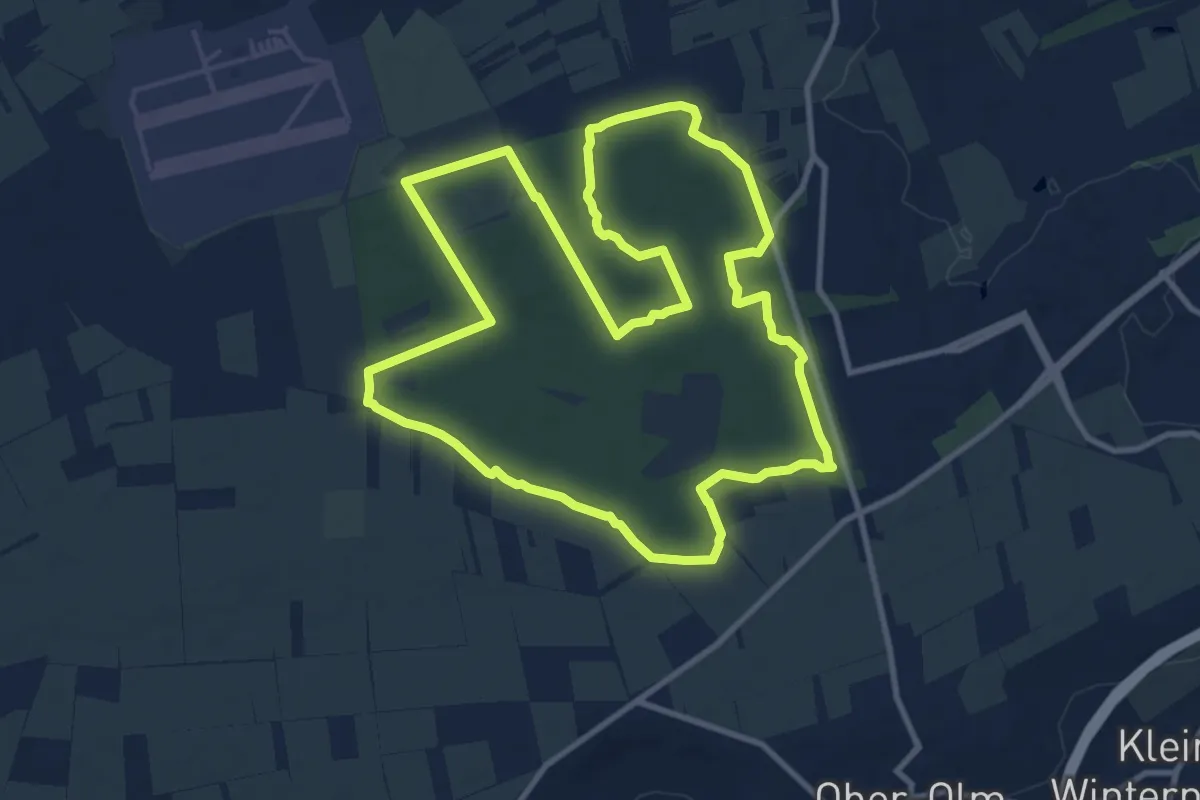
10 km Laufstrecke
10.6 km · ↑ 48 m · 2 h 45 min
Medium · Summit
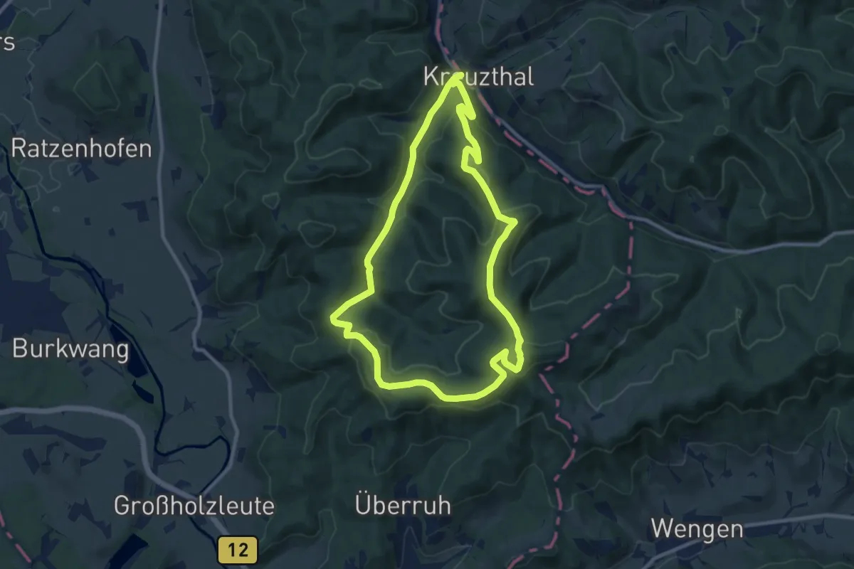
10 - Kreuzthaler Gratrunde
9.4 km · ↑ 357 m · 3 h 8 min
Medium · Summit
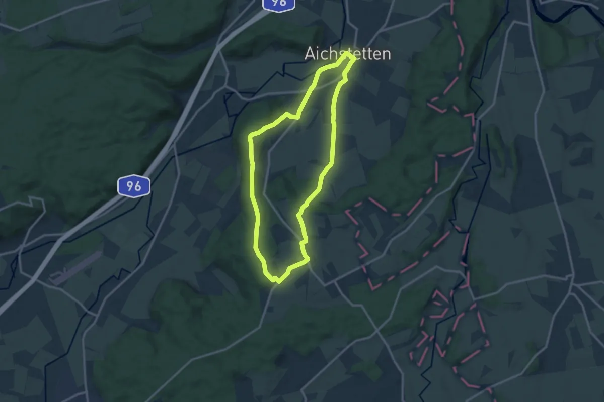
10 - Lauerbühl - Römerweg - Ottmannshofen - Dübel - Stockbauern
10.0 km · ↑ 162 m · 2 h 50 min
Easy · Trail
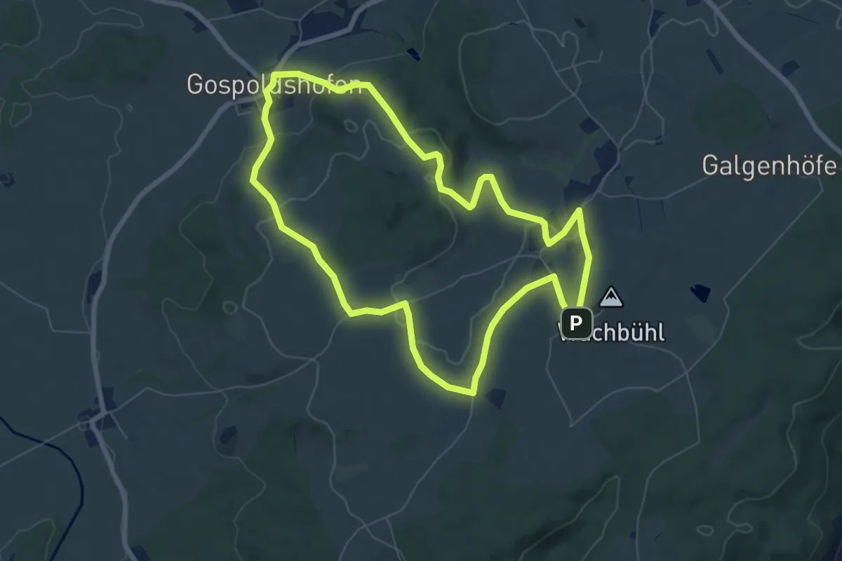
10 - Panoramarunde auf den Gospoldshofer Berg und den Wachbühl
6.9 km · ↑ 155 m · 2 h 3 min
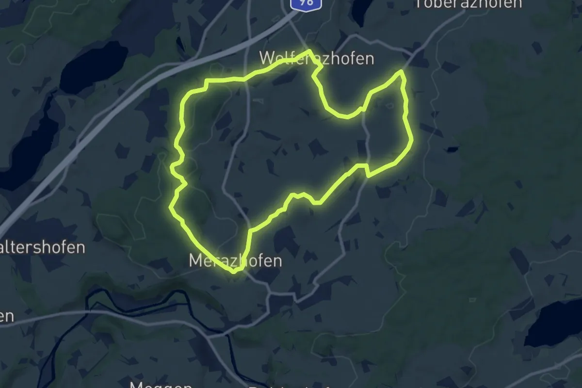
Medium · Trail
10 - Zum Heiligen Stein und nach La Salette
9.9 km · ↑ 131 m · 2 h 46 min
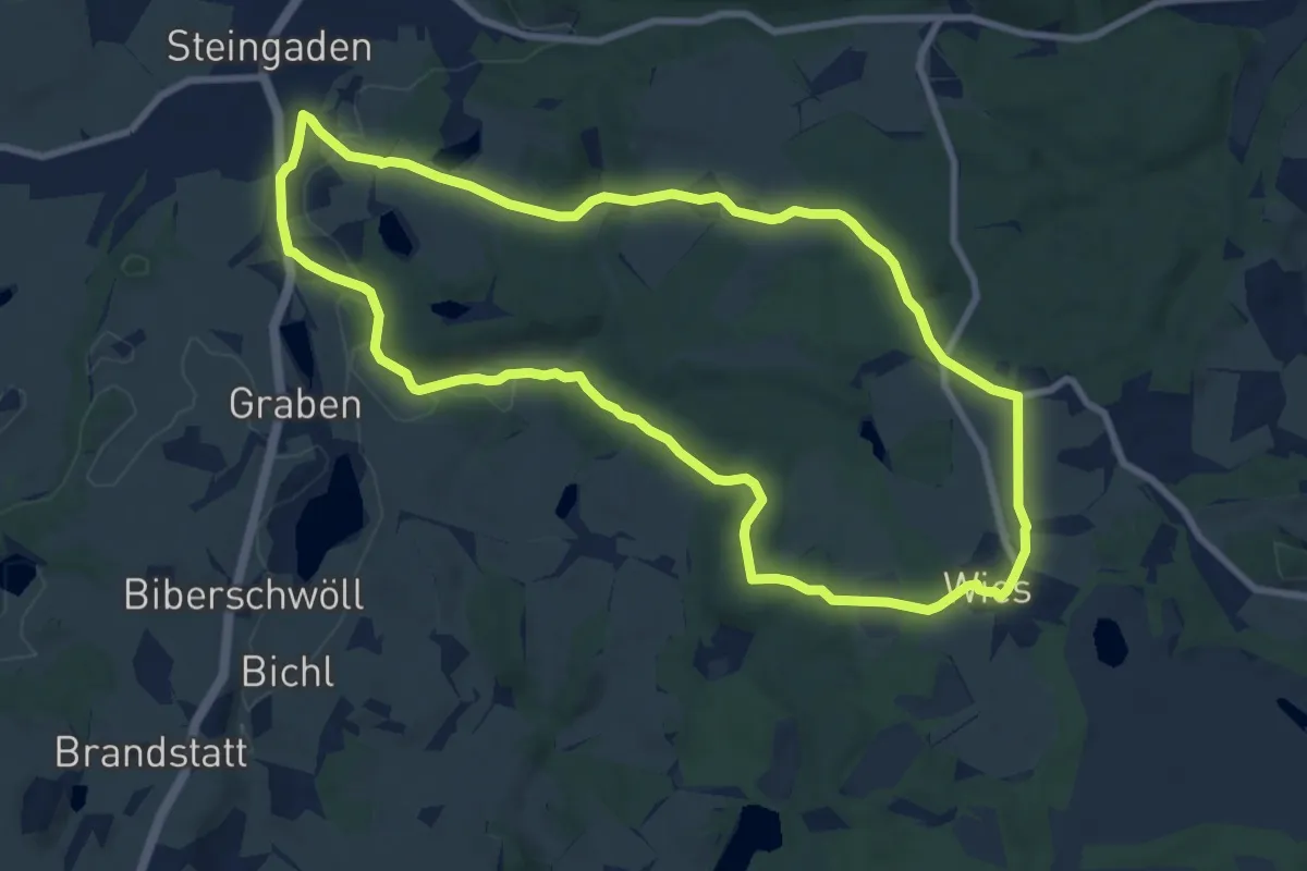
Medium · Summit
114, Brettleweg
8.7 km · ↑ 136 m · 2 h 29 min
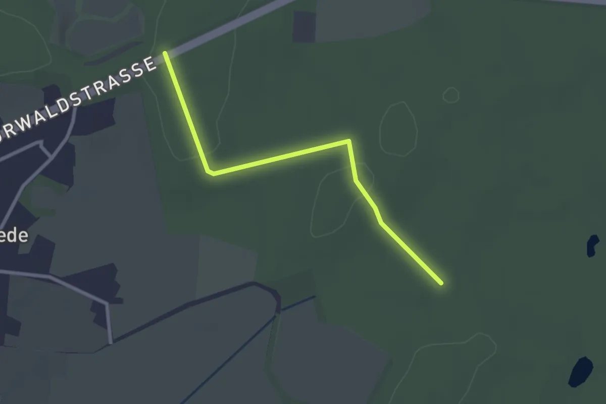
Easy · Trail
1-15
2.2 km · ↑ 17 m · 33 min
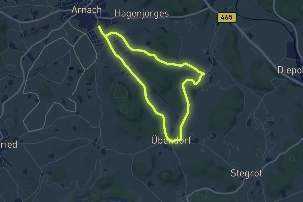
Easy · Trail
11 - Freipürsch-Runde
6.1 km · ↑ 80 m · 1 h 42 min
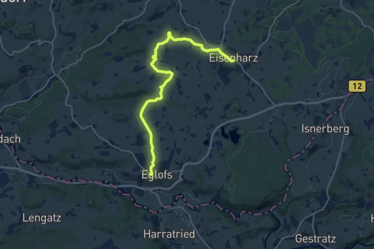
Medium · Trail
11 - Große Wandertour von Eisenharz nach Eglofs
13.6 km · ↑ 122 m · 3 h 28 min
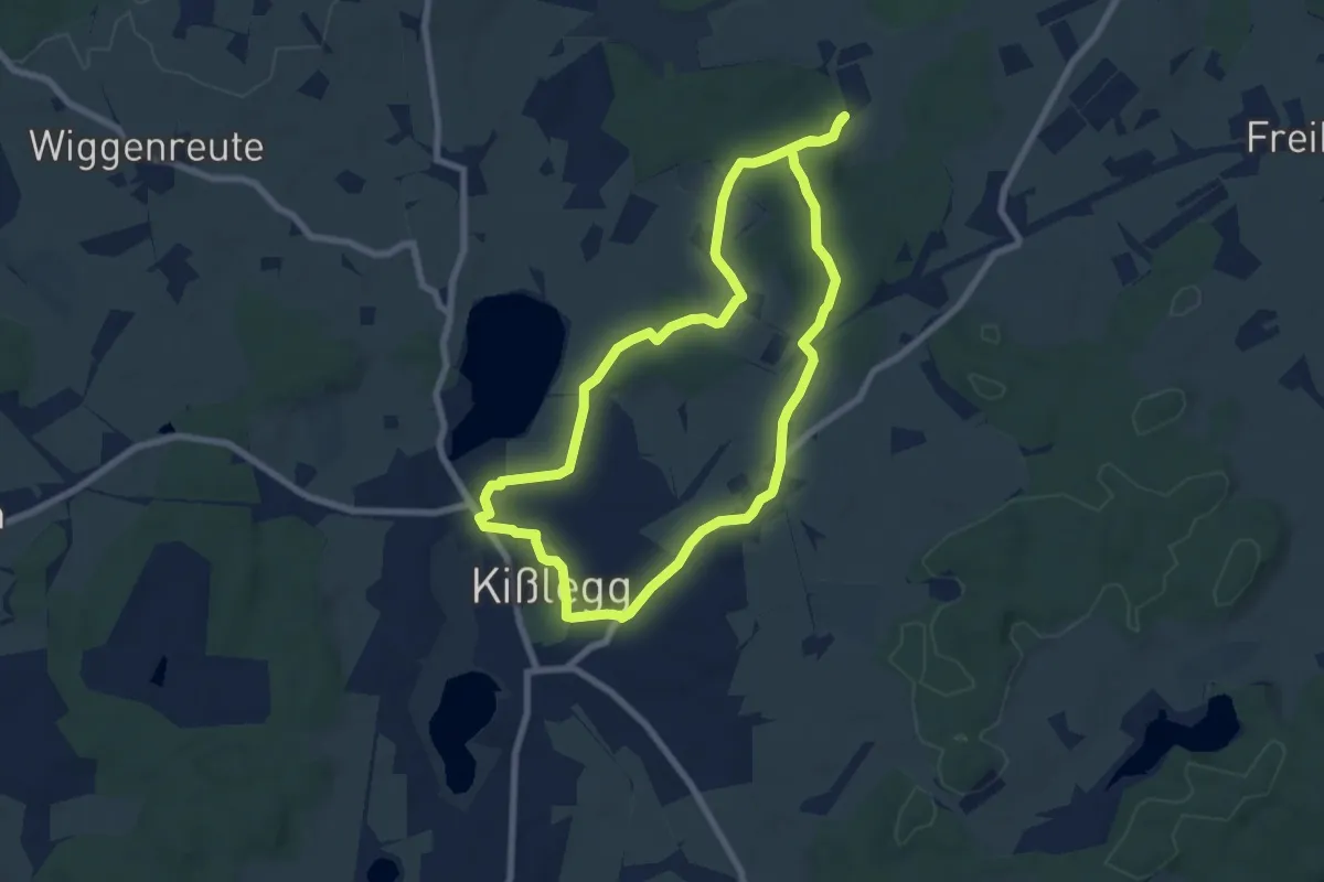
Easy · Trail
11 - Harmonische Wald, Wiesen und Seenrunde
7.0 km · ↑ 49 m · 1 h 52 min
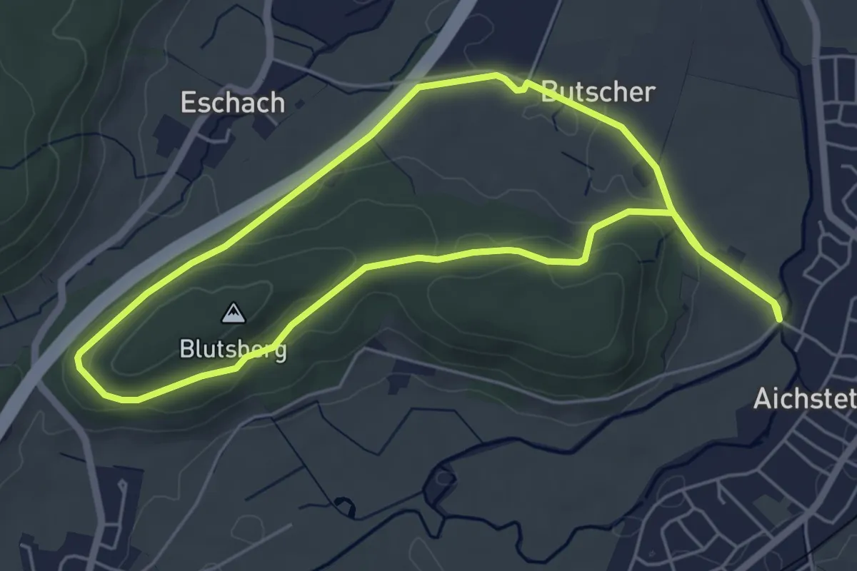
Easy · Summit
11 - Richtung Eschach - Blutsberg - Rochuskapelle - Schanze
5.1 km · ↑ 72 m · 1 h 25 min
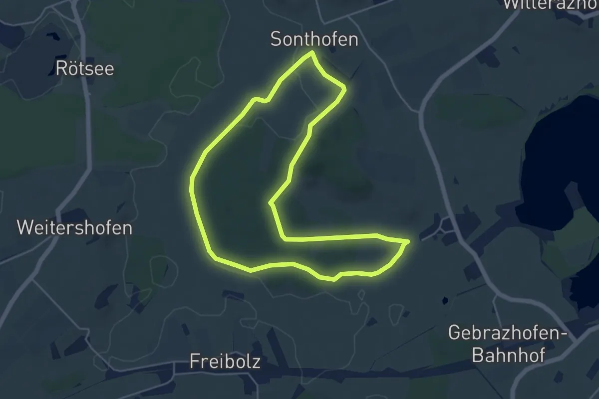
Easy · Trail
11 - Spaziergang ums Ellerazhofer Ried
4.5 km · ↑ 17 m · 1 h 9 min