Trails in Germany
36,877 hiking trails, each with its route, climb, walking time and grade.
All trails, page 761 of 769
Easy · Trail
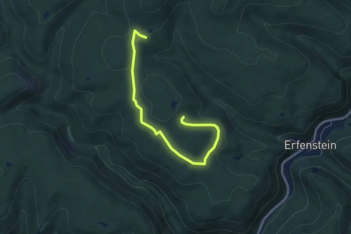
11 Wald.Holz.Stolz
2.7 km · ↑ 39 m · 45 min
Easy · Trail
1-23
2.2 km · ↑ 14 m · 33 min
Medium · Summit
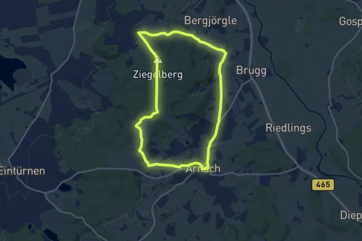
12 – A bis Z-Tour – Von A wie Arnach bis Z wie Ziegel
9.5 km · ↑ 147 m · 2 h 41 min
Easy · Summit
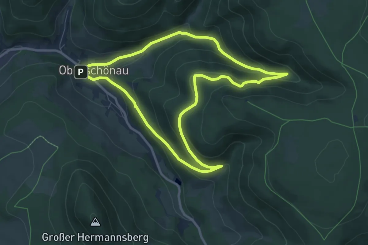
12 Apostel
6.6 km · ↑ 301 m · 2 h 18 min
Medium · Trail
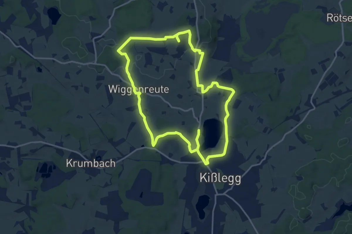
12 - Aussichtspunkt Buschel
11.5 km · ↑ 116 m · 3 h 8 min
Easy · Summit
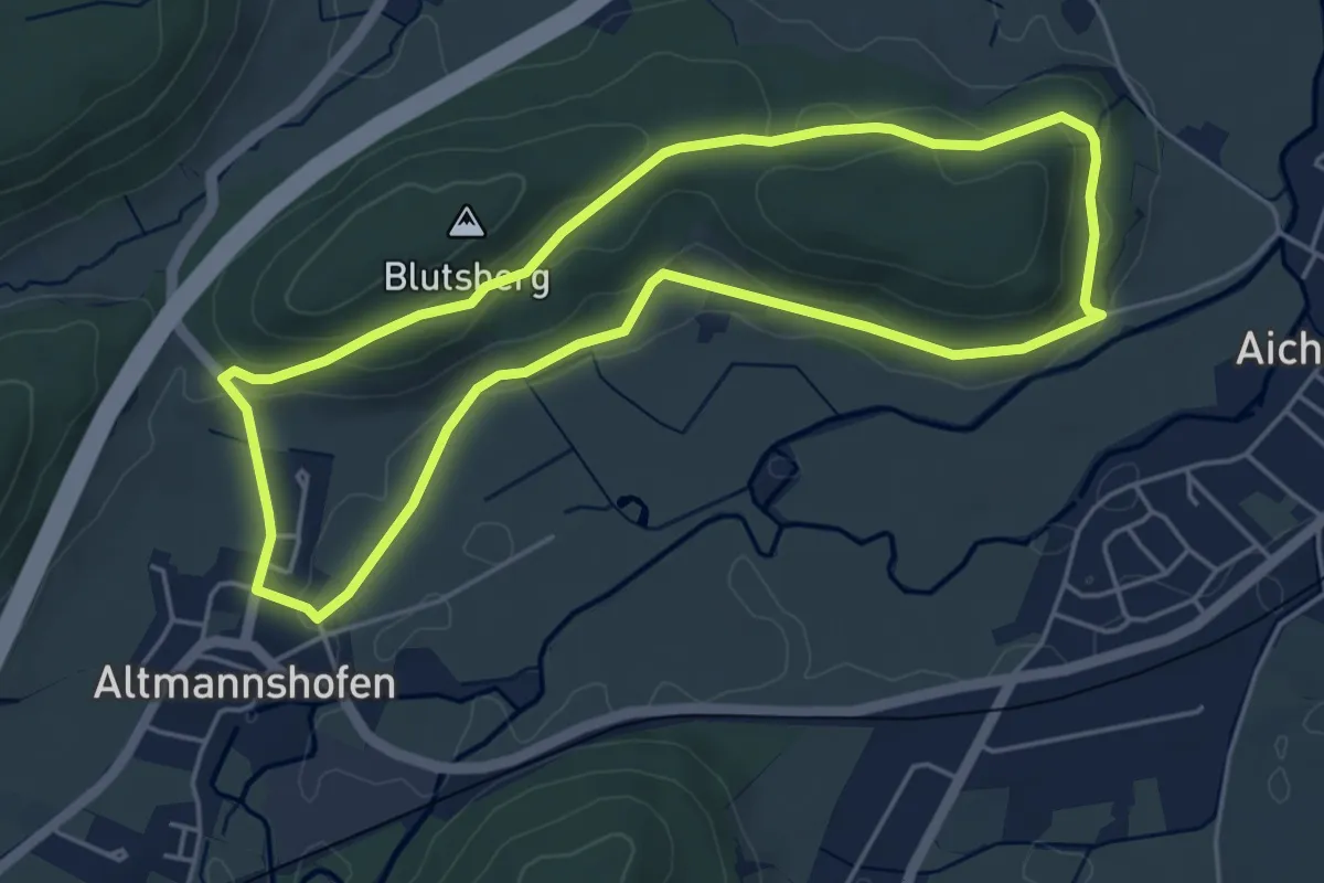
12 - Schanze - Rochuskapelle - Blutsberg - Altmannshofen - Bärtlehof
4.7 km · ↑ 80 m · 1 h 20 min
Easy · Trail
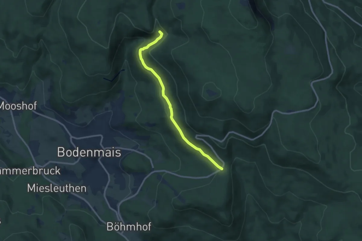
12 Schönebene - Rißlochfälle
7.5 km · ↑ 165 m · 2 h 8 min
Medium · Trail
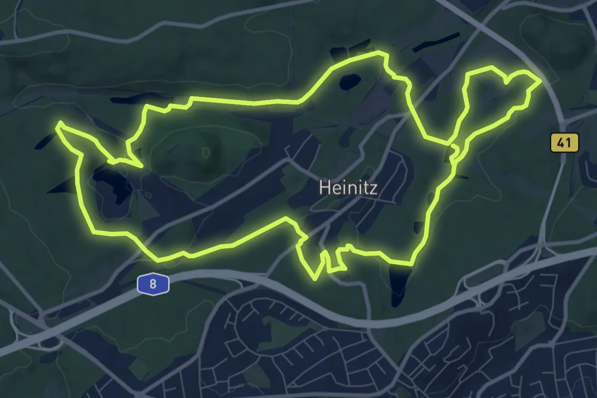
12-Weiher-Weg
10.1 km · ↑ 184 m · 2 h 56 min
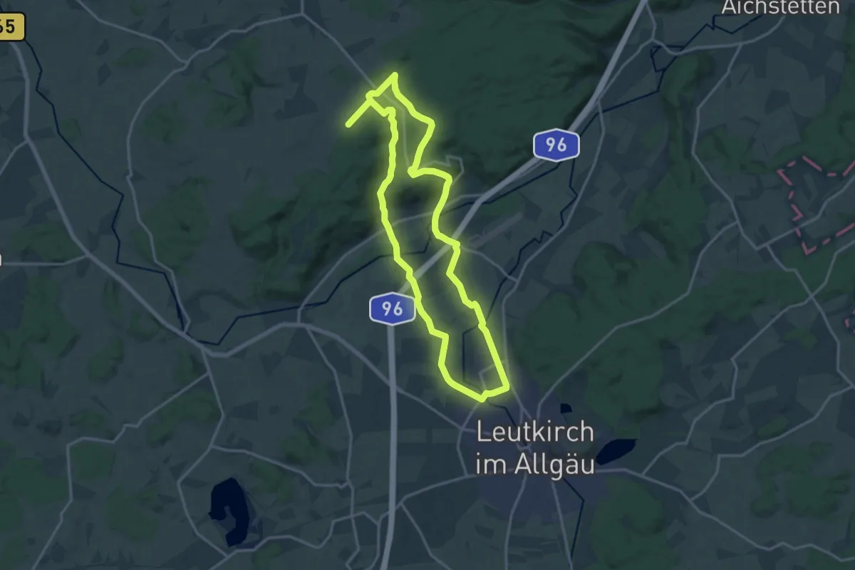
Medium · Trail
13 - Alpenblicktour und Schloss Zeil
14.6 km · ↑ 183 m · 4 h 3 min
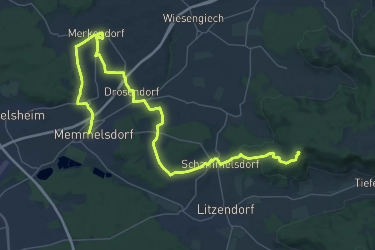
Demanding · Summit
13 Brauereien Weg
29.9 km · ↑ 520 m · 8 h 11 min
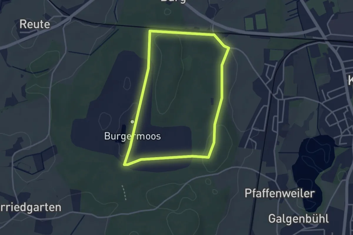
Easy · Trail
13 - Erlebnispfad Burgermoos - Auf federnden Pfaden
3.0 km · ↑ 39 m · 50 min
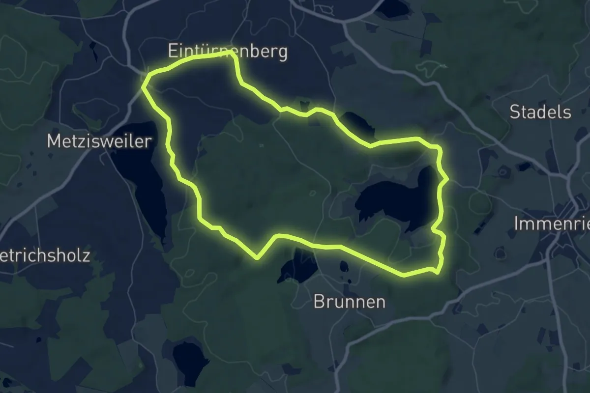
Easy · Trail
13 – Fünf-Seen-Wanderung – wandern, schwimmen und genießen
7.9 km · ↑ 89 m · 2 h 10 min
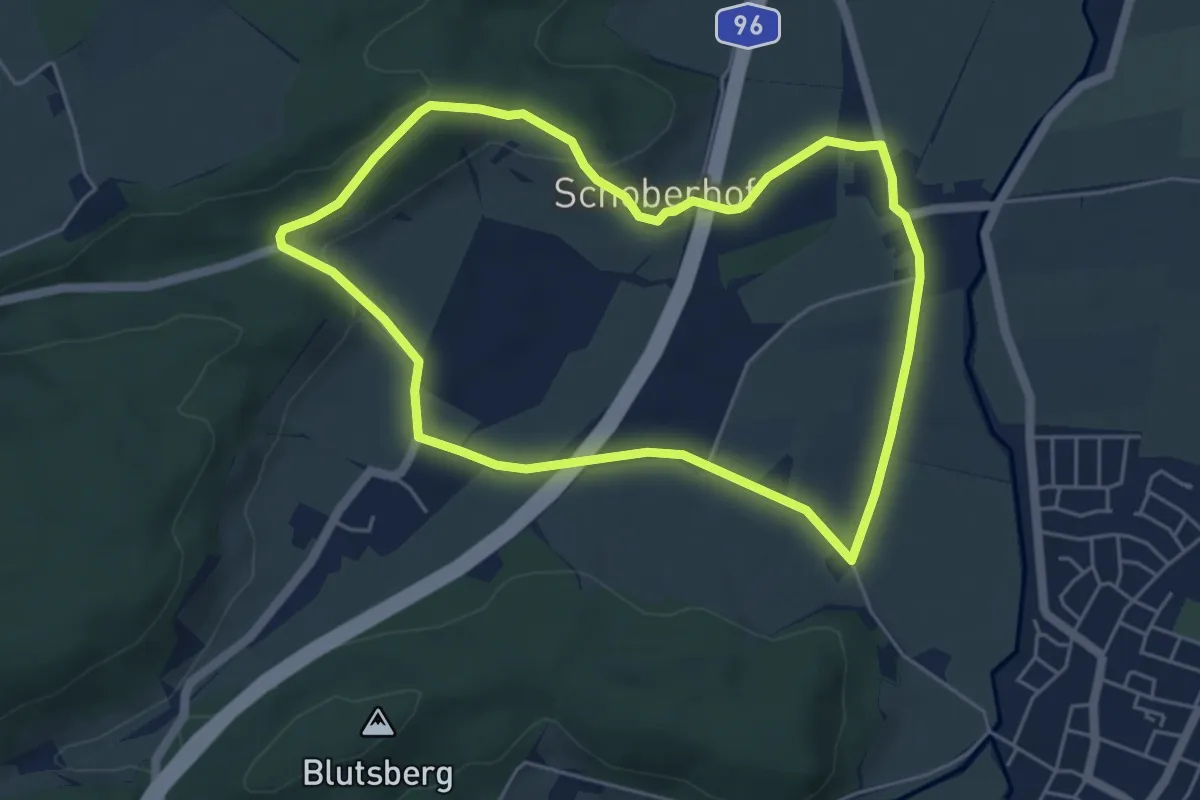
Easy · Trail
13 - Richtung Eschach - Schoberhof - Eschach - Butscher
4.9 km · ↑ 81 m · 1 h 24 min
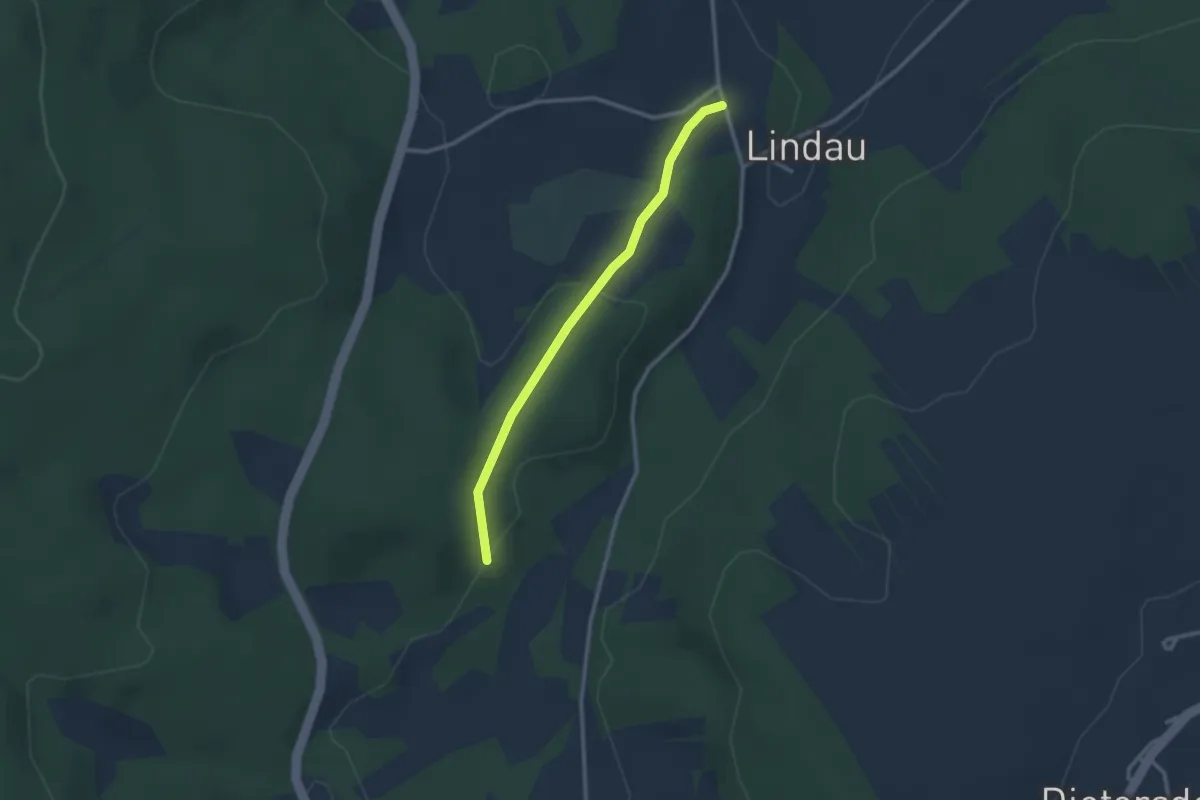
Easy · Trail
14 Lindauer Steig
2.3 km · ↑ 81 m · 44 min
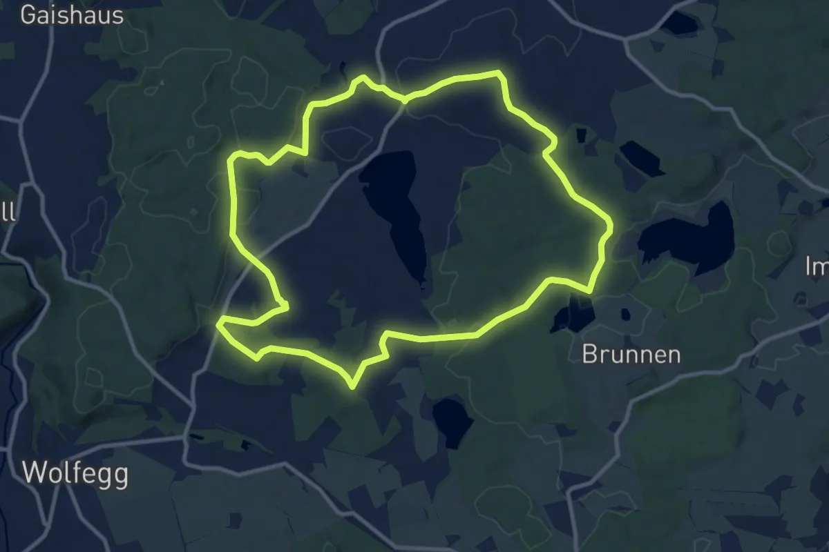
Medium · Trail
14 - Moos-Weg
10.2 km · ↑ 107 m · 2 h 46 min
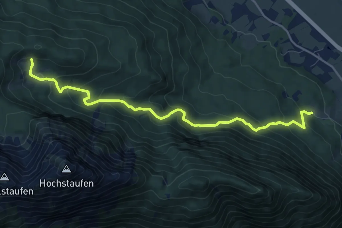
Medium · Trail
14 - Piding
9.9 km · ↑ 588 m · 3 h 36 min
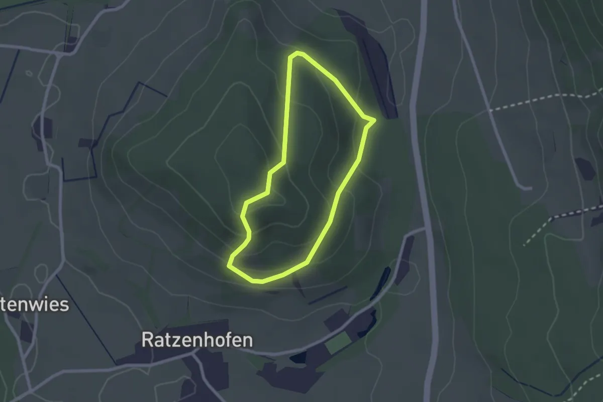
Easy · Summit
14 - Rangenbergrunde
1.9 km · ↑ 97 m · 41 min
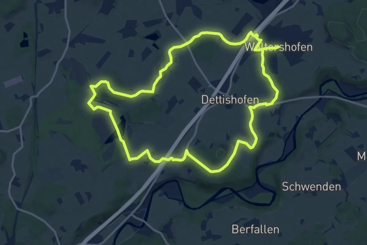
Medium · Trail
14 - Von Walershofen ins Arrisrieder Moos
10.1 km · ↑ 89 m · 2 h 44 min
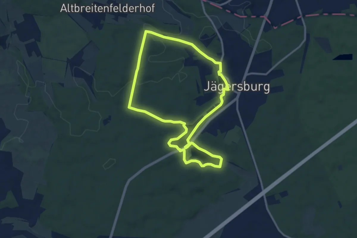
Easy · Trail
14-Weiher-Tour
7.4 km · ↑ 73 m · 2 h
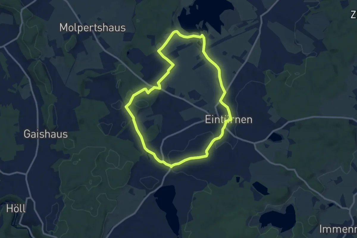
Medium · Trail
15 – Allgäublick – kleines Bergdorf auf grünem Bergdorf
8.3 km · ↑ 83 m · 2 h 16 min
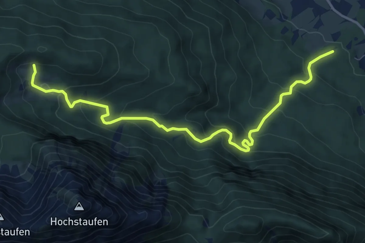
Medium · Trail
15 - Piding
9.5 km · ↑ 590 m · 3 h 31 min
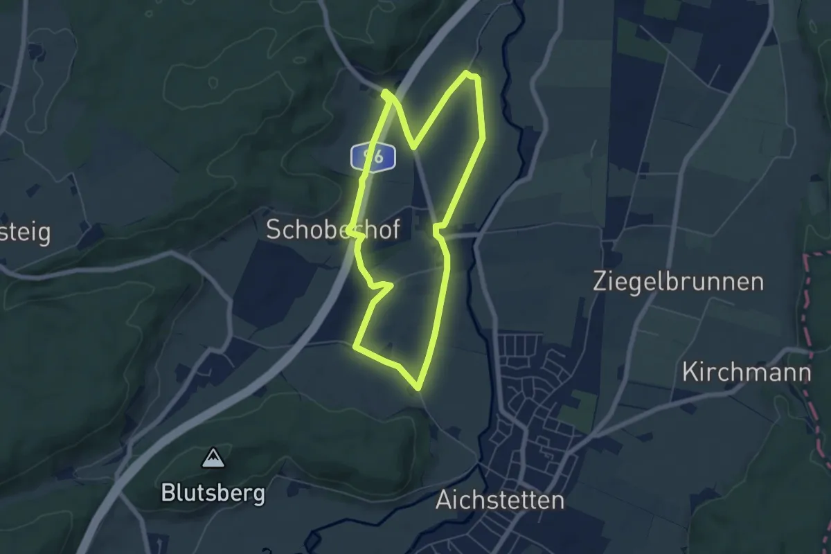
Easy · Trail
15 - Schoberhof - Ochsensteige - Goldöschhof - Rieden
5.3 km · ↑ 29 m · 1 h 23 min
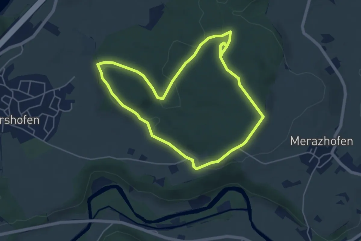
Easy · Trail
15 - Zum sagenumworbenen Heiligen Stein
4.1 km · ↑ 81 m · 1 h 11 min
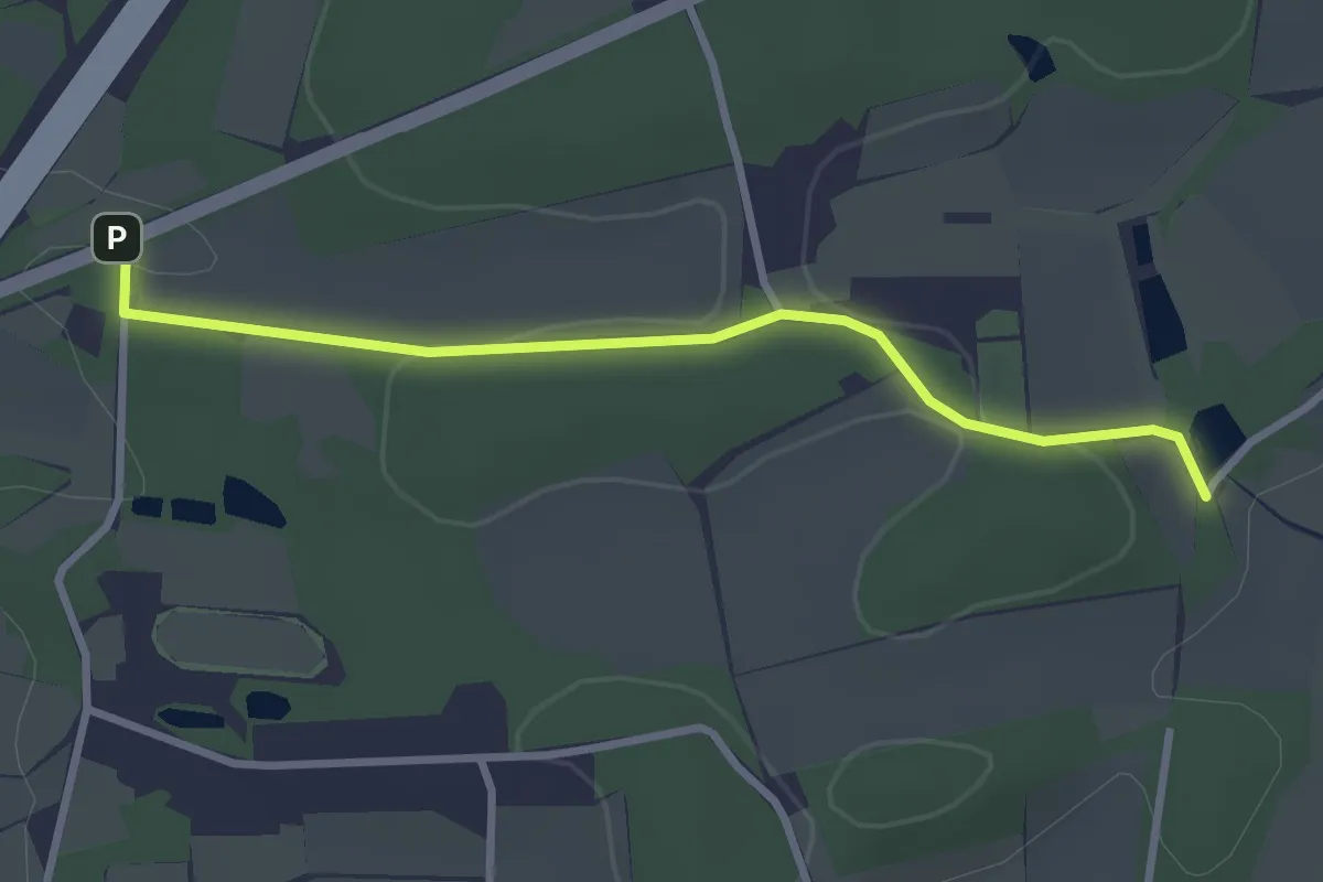
Easy · Trail
16-18
2.6 km · ↑ 34 m · 42 min
Easy · Trail
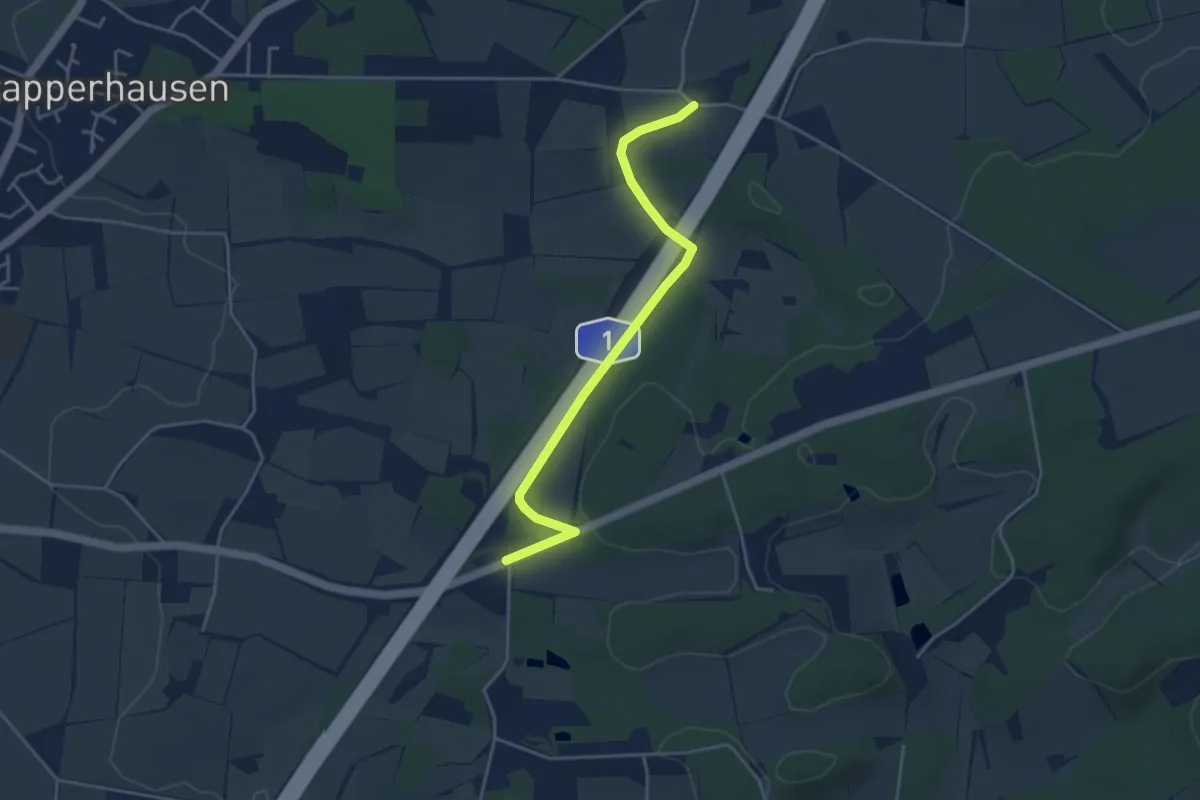
16-24
3.7 km · ↑ 36 m · 57 min
Easy · Trail
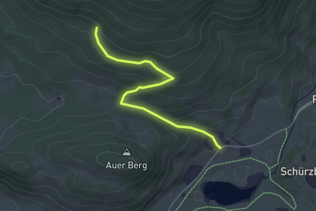
16a Inzell - Zinnkopf
3.8 km · ↑ 149 m · 1 h 13 min
Medium · Trail
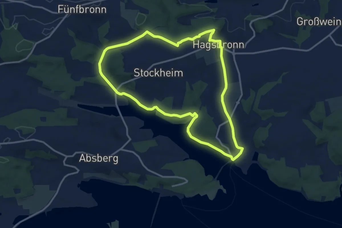
16 Igelsbachsee
9.0 km · ↑ 189 m · 2 h 40 min
Medium · Trail
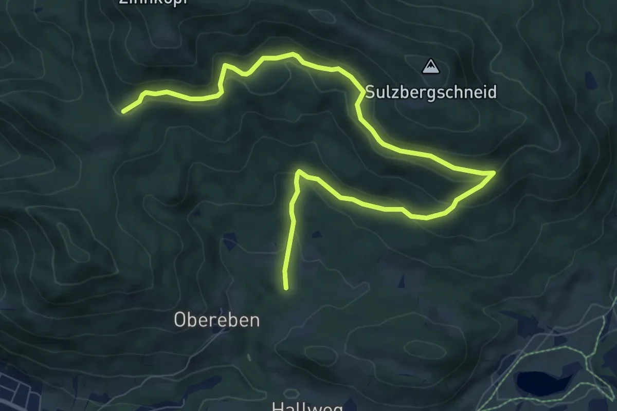
16 Inzell - Zinnkopf
10.7 km · ↑ 440 m · 3 h 28 min
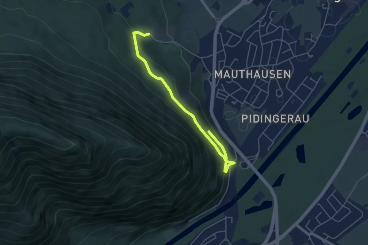
Easy · Trail
16 - Piding
4.5 km · ↑ 226 m · 1 h 33 min
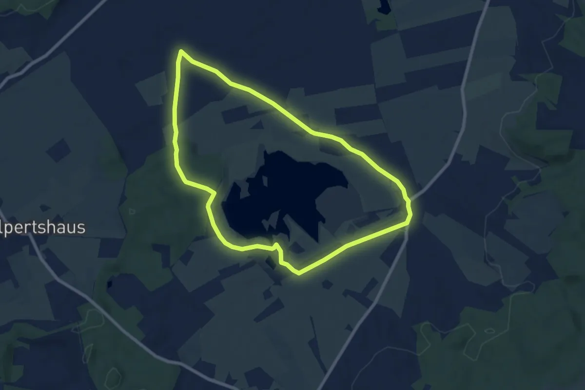
Easy · Trail
16 – Rohrsee-Runde
6.6 km · ↑ 30 m · 1 h 43 min
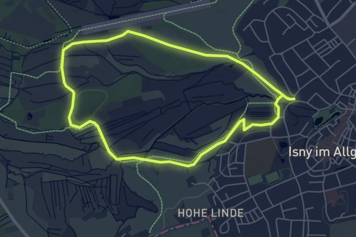
Easy · Trail
16 - Spurensuche im Moor: Die Bodenmöser
4.5 km · ↑ 30 m · 1 h 12 min
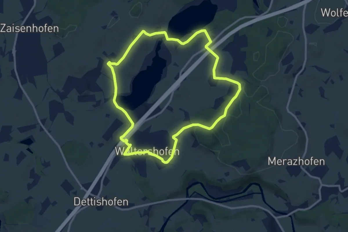
Easy · Trail
16 - Wuhrmühleweiher und Eiszeitseen
7.7 km · ↑ 88 m · 2 h 7 min
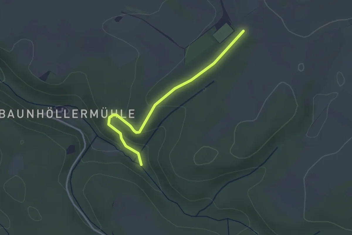
Easy · Trail
17
2.8 km · ↑ 53 m · 46 min
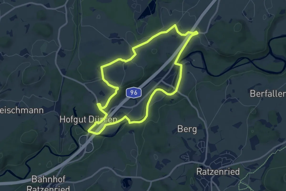
Easy · Trail
17 - Historische Holzbrücke im Argental
7.2 km · ↑ 99 m · 2 h 2 min
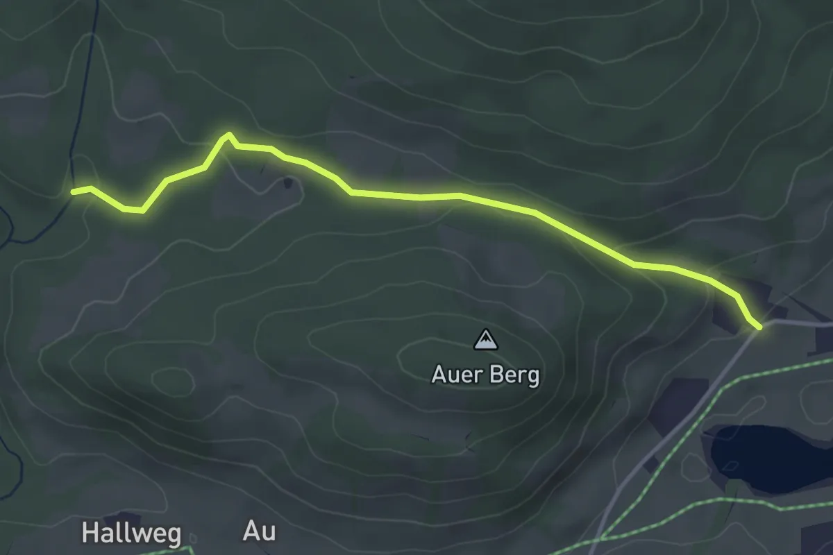
Easy · Trail
17 Inzell - Ruhpolding
3.7 km · ↑ 102 m · 1 h 5 min
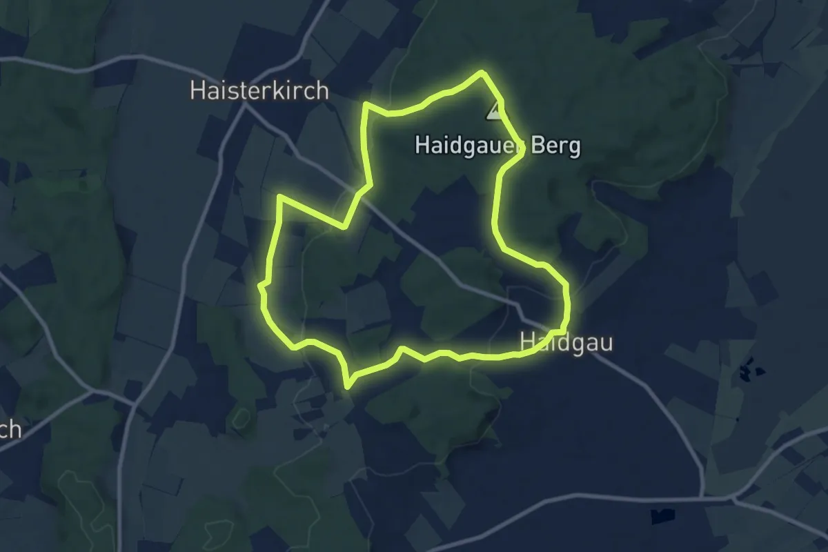
Medium · Summit
17 - Riedblick
8.7 km · ↑ 215 m · 2 h 38 min
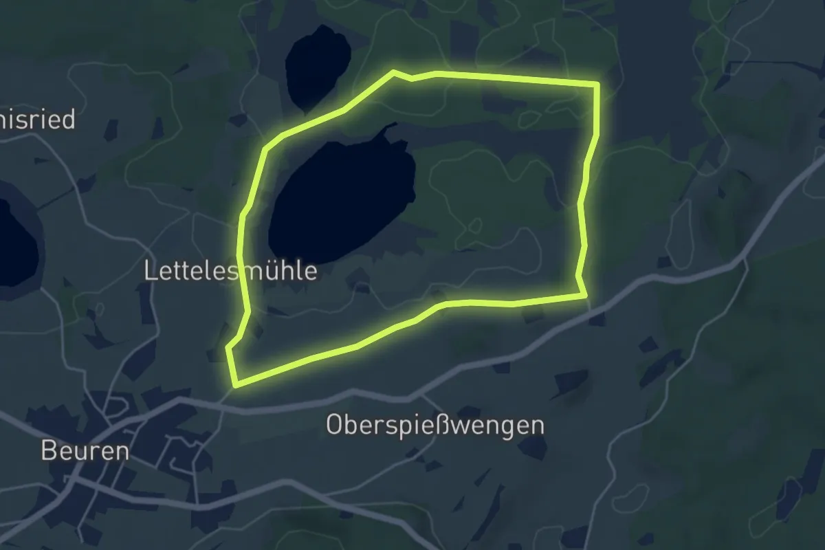
Easy · Trail
17 - Spurensuche im Moor: Das Taufach-Fetzach-Moor
4.5 km · ↑ 44 m · 1 h 13 min
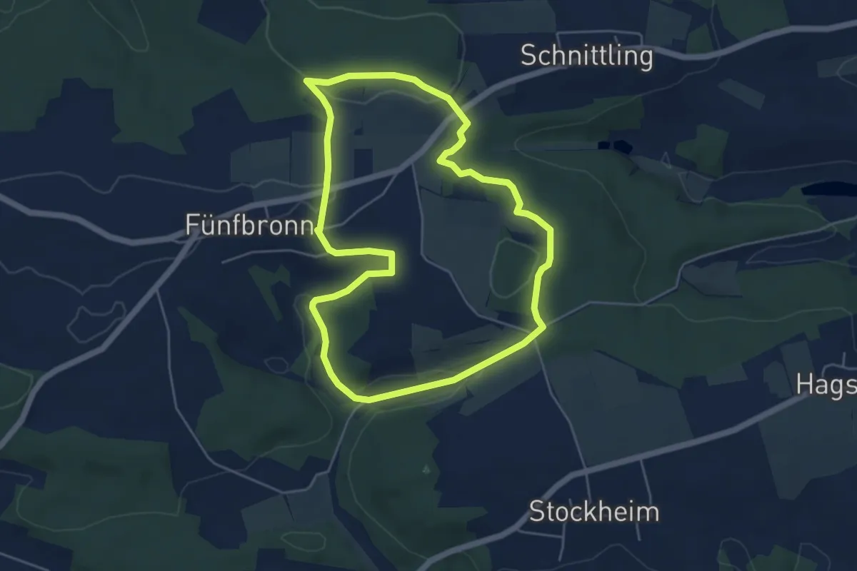
Easy · Trail
17 Zu den Felsenschluchten
4.7 km · ↑ 99 m · 1 h 23 min
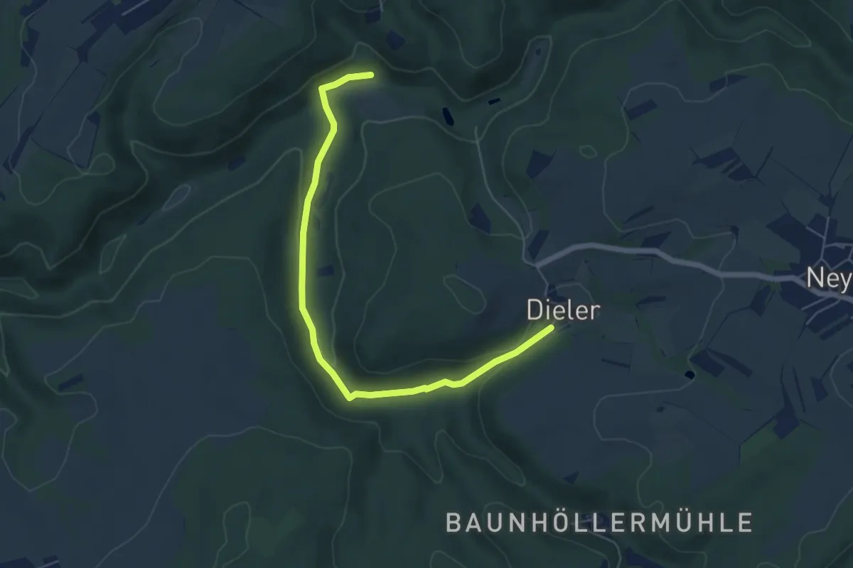
Easy · Trail
18
2.8 km · ↑ 29 m · 49 min
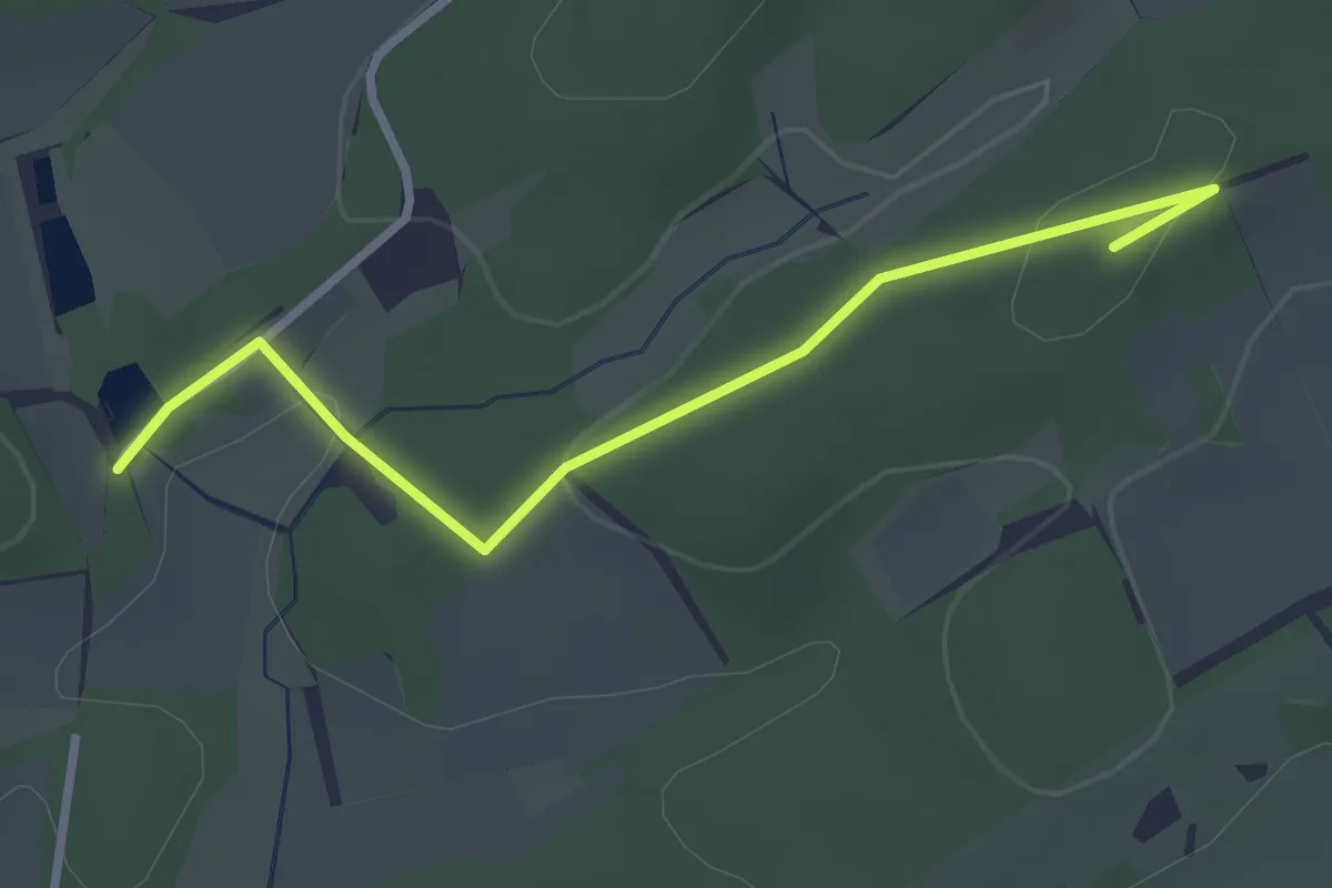
Easy · Summit
18-19
2.7 km · ↑ 29 m · 41 min
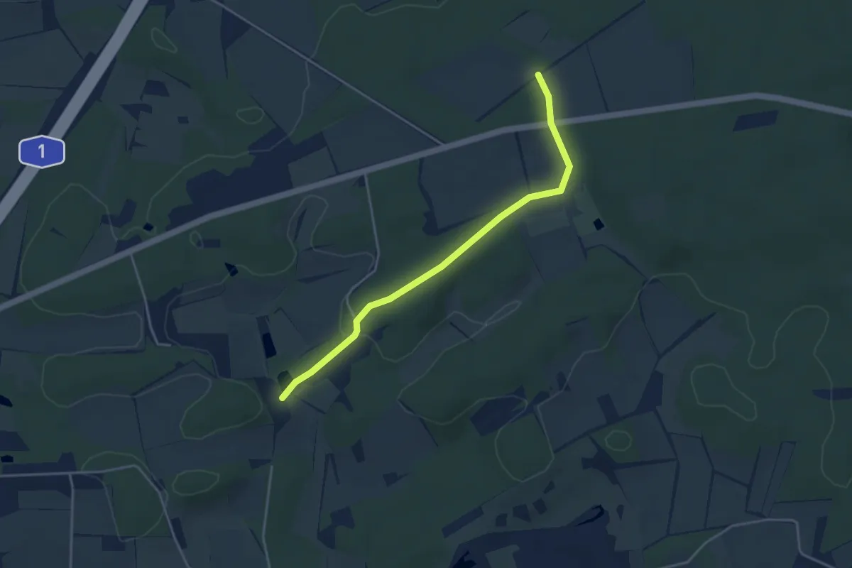
Easy · Trail
18-21
3.4 km · ↑ 51 m · 55 min
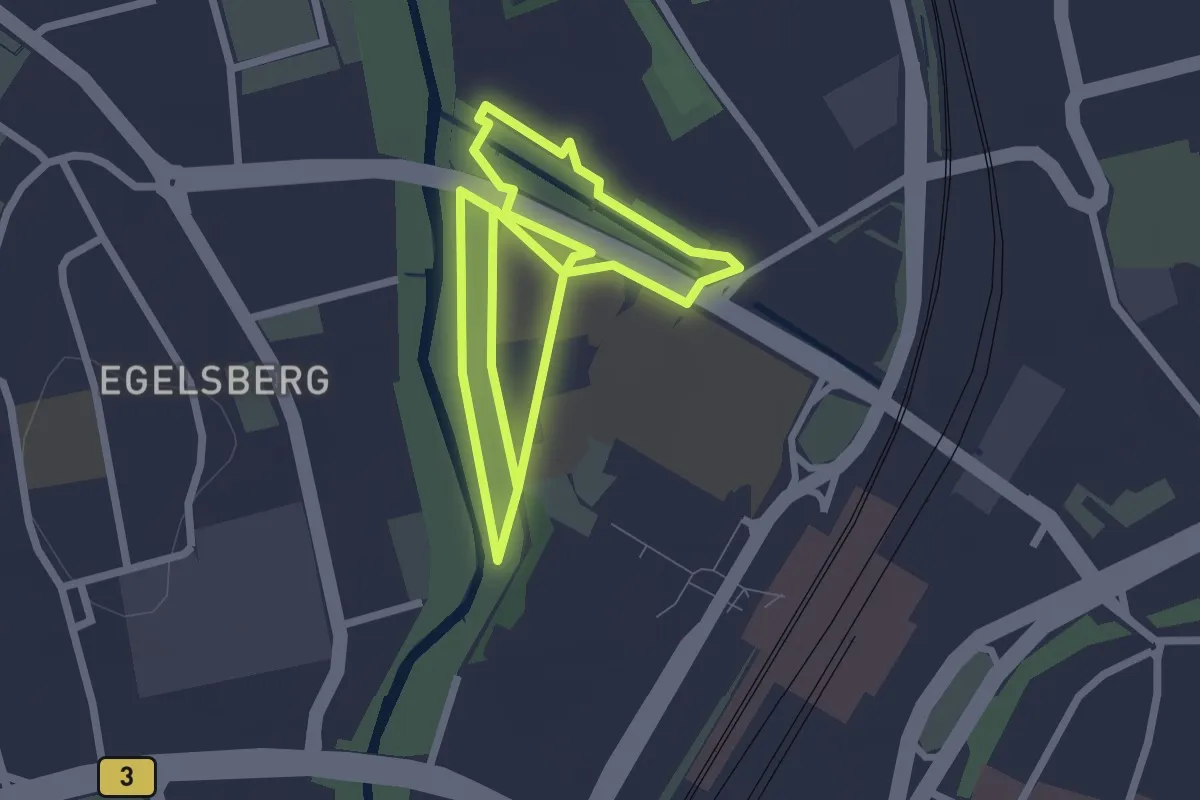
Easy · Trail
1846 Meter bewegende Geschichte
2.1 km · ↑ 0 m · 31 min
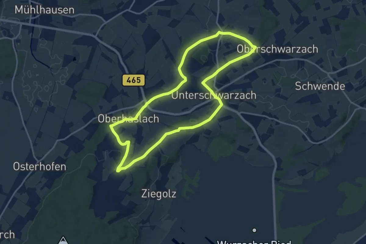
Medium · Trail
18 - Alpenblick
11.2 km · ↑ 147 m · 3 h 8 min
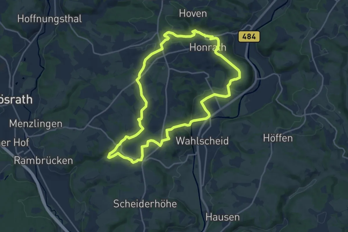
Medium · Trail
18 Bauernhofweg
12.5 km · ↑ 255 m · 3 h 40 min
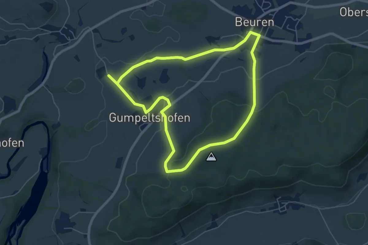
Easy · Trail
18 - Beurener Bildstöckleweg
5.1 km · ↑ 113 m · 1 h 31 min
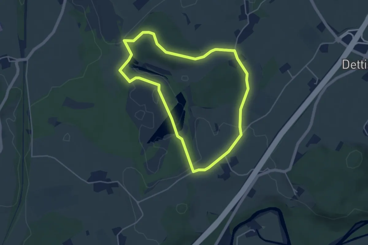
Easy · Trail
18 - Naturerlebnispfad Arrisrieder Moos
3.8 km · ↑ 36 m · 1 h 2 min
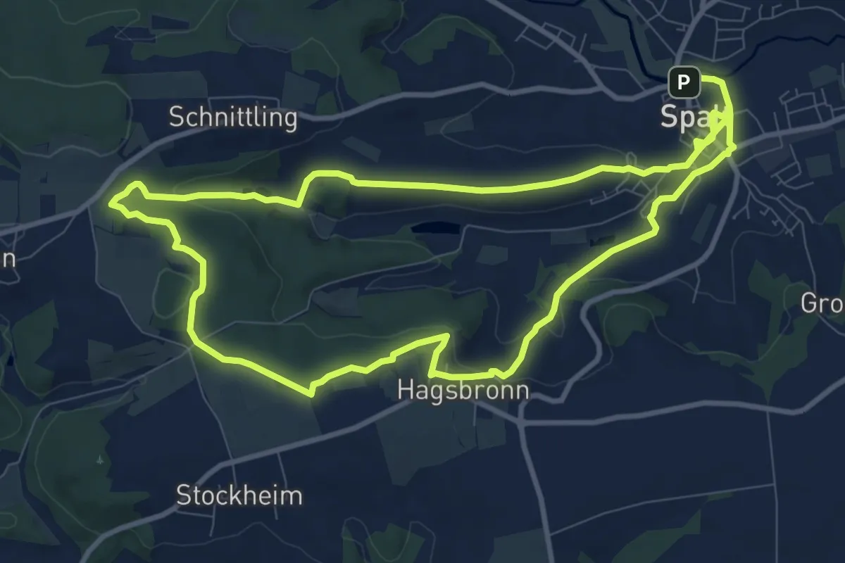
Medium · Summit
18 Zum Schnittlinger Loch
9.0 km · ↑ 189 m · 2 h 39 min
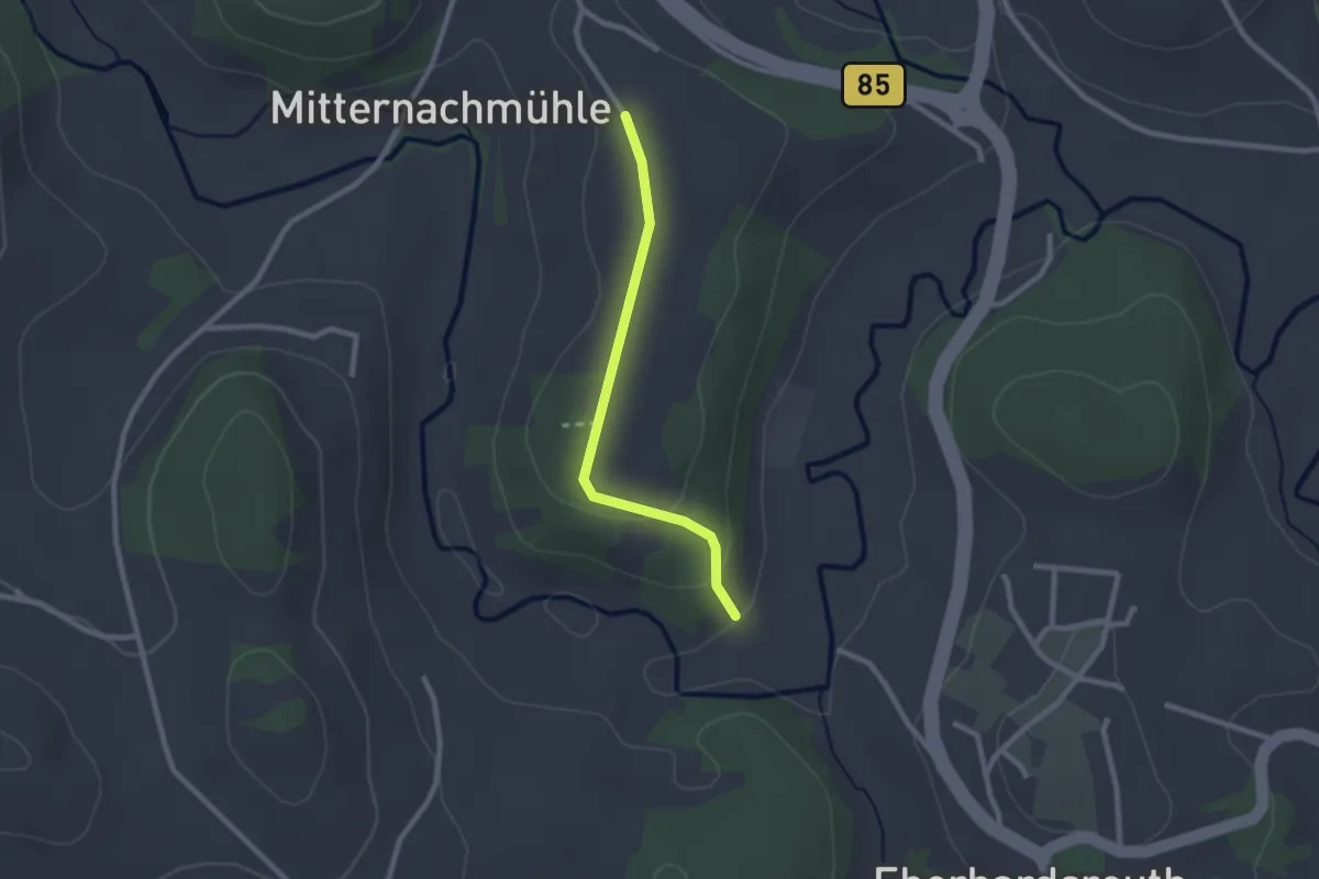
Easy · Trail
19
2.1 km · ↑ 52 m · 36 min