Trails in Germany
36,877 hiking trails, each with its route, climb, walking time and grade.
All trails, page 762 of 769
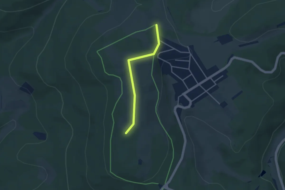
Easy · Summit
19-74 (oben)
2.3 km · ↑ 29 m · 36 min
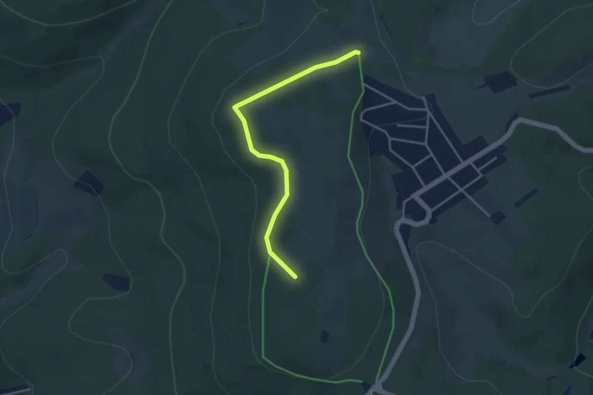
Easy · Summit
19-74 (unten)
2.9 km · ↑ 63 m · 49 min
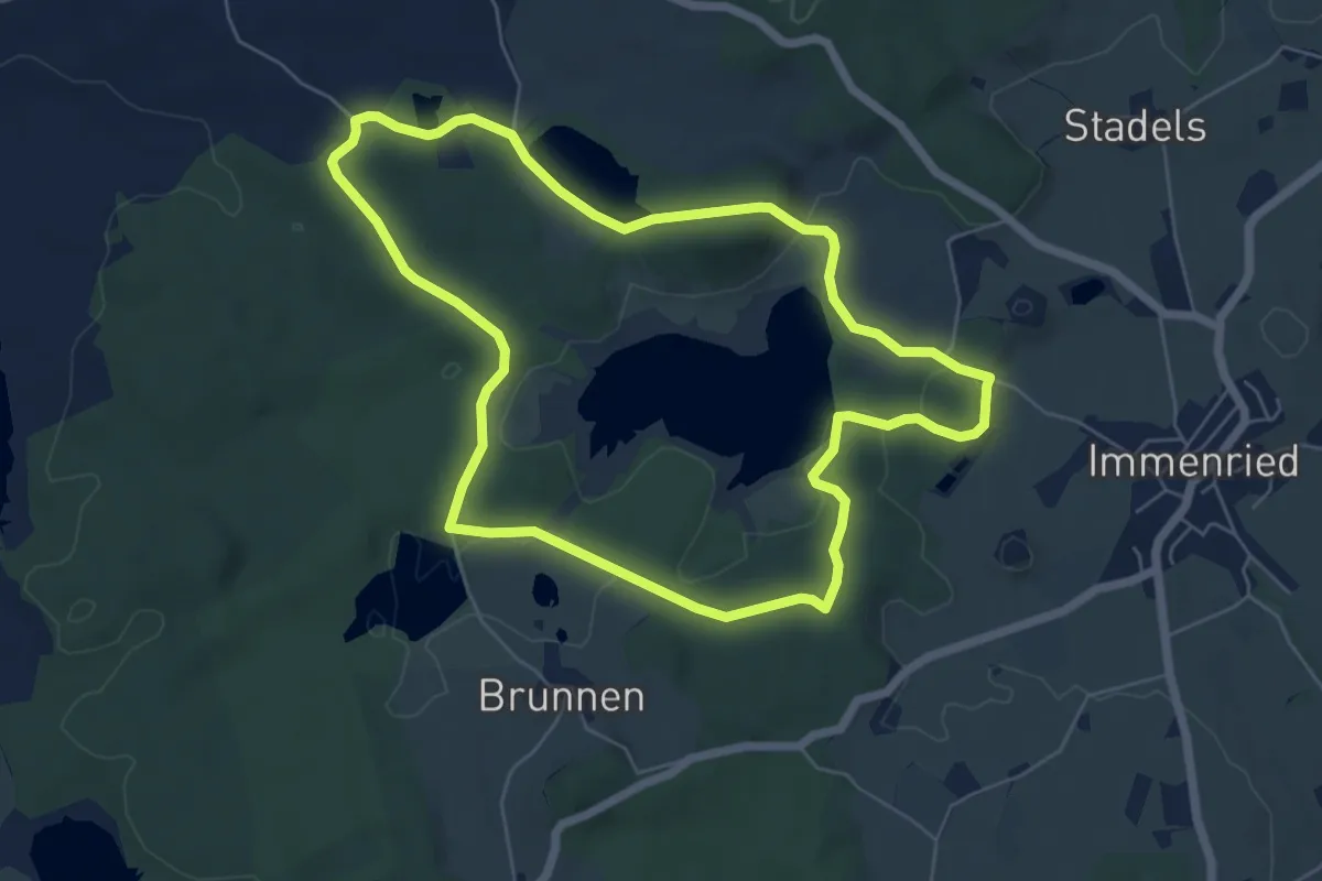
Easy · Trail
19 - Kißlegger Seenplatte
6.0 km · ↑ 82 m · 1 h 41 min
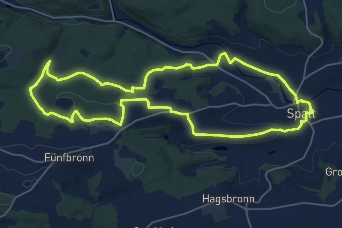
Medium · Summit
19 Schnittlinger Eiche
12.0 km · ↑ 243 m · 3 h 32 min
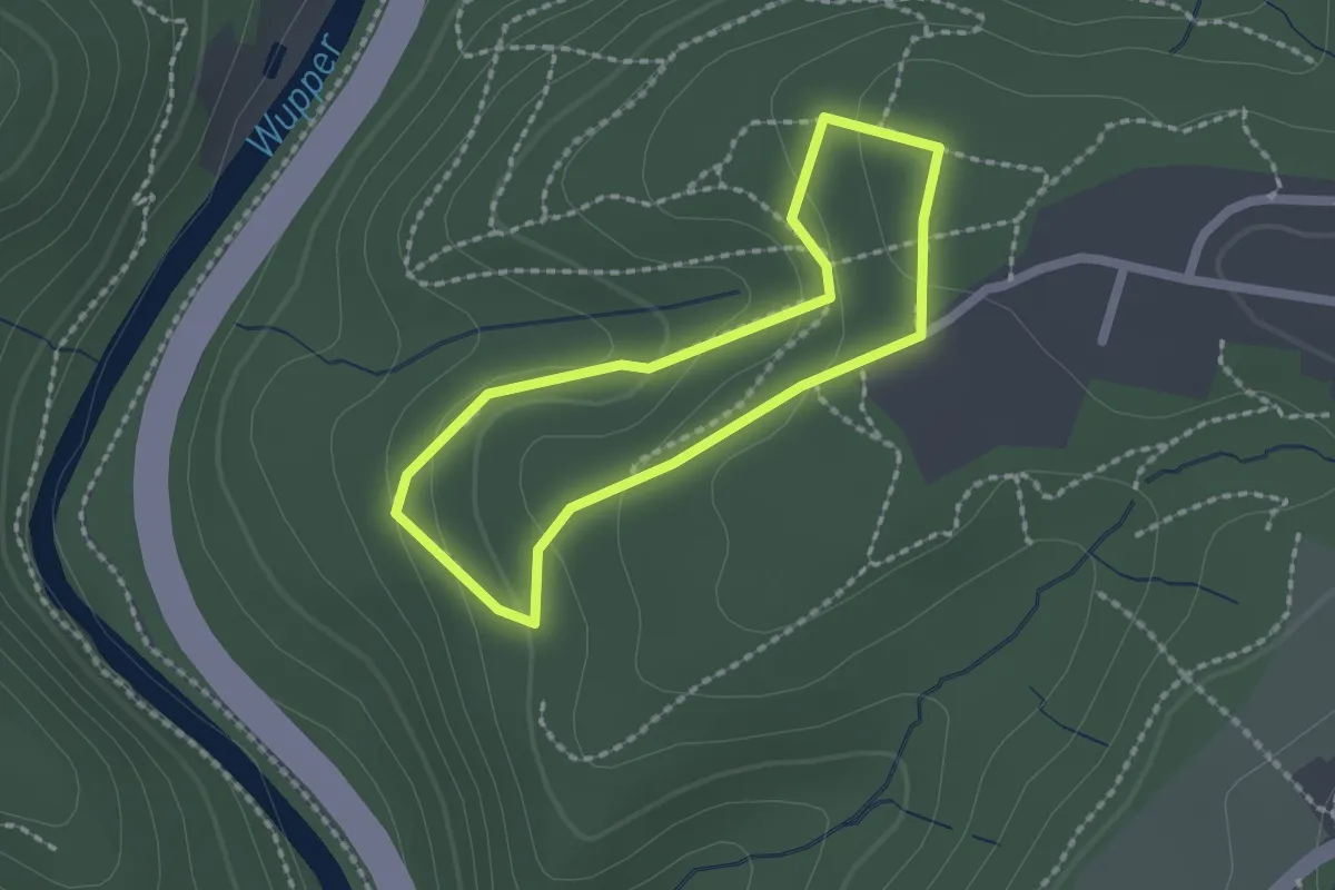
Easy · Trail
1: Bäume der Welt
1.5 km · ↑ 64 m · 31 min
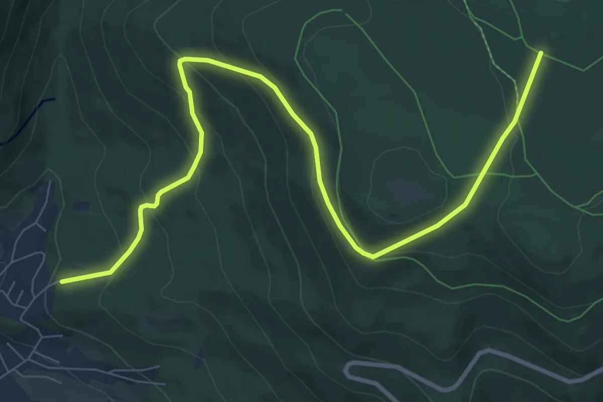
Medium · Trail
1 Bodenmais - Arber
9.0 km · ↑ 463 m · 3 h 7 min
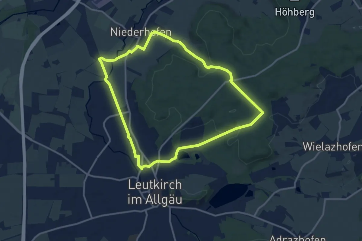
Medium · Trail
1 - Durch den Stadtwald zu den Siebenbrünnen
8.7 km · ↑ 97 m · 2 h 23 min
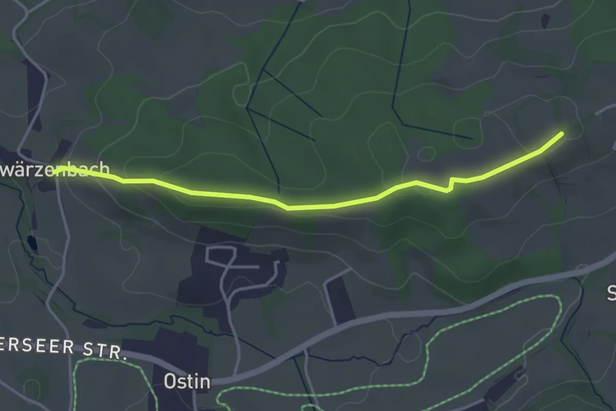
Easy · Trail
1 Heilklimawalking
3.5 km · ↑ 103 m · 1 h 4 min
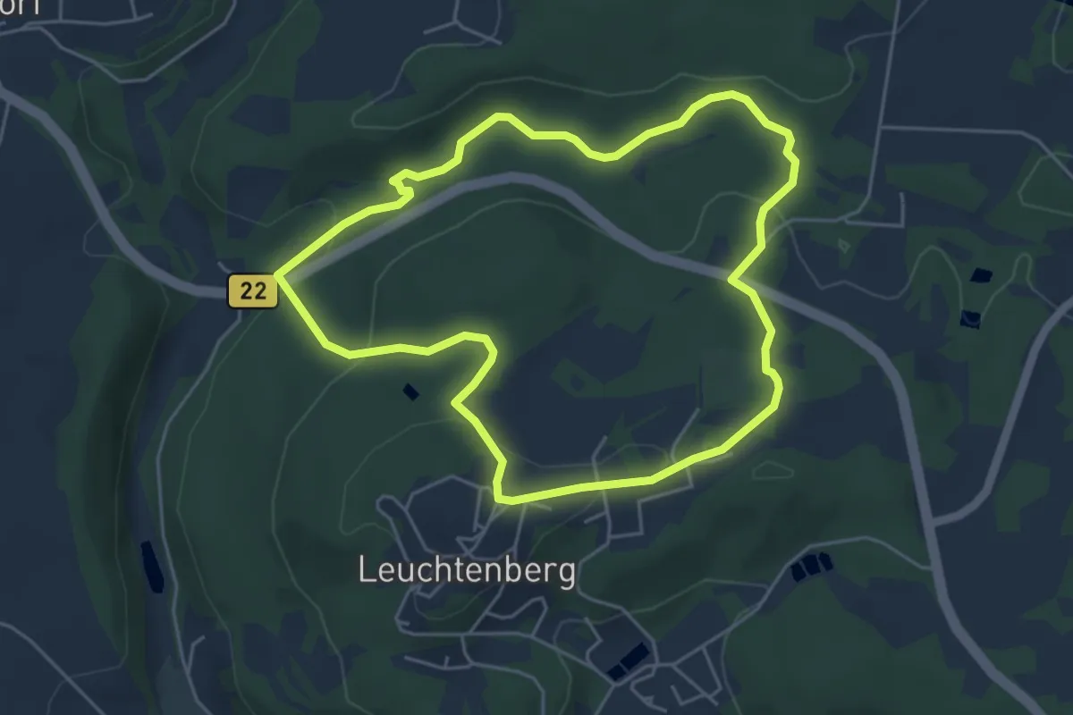
Easy · Trail
1 Lerautal
4.4 km · ↑ 121 m · 1 h 23 min
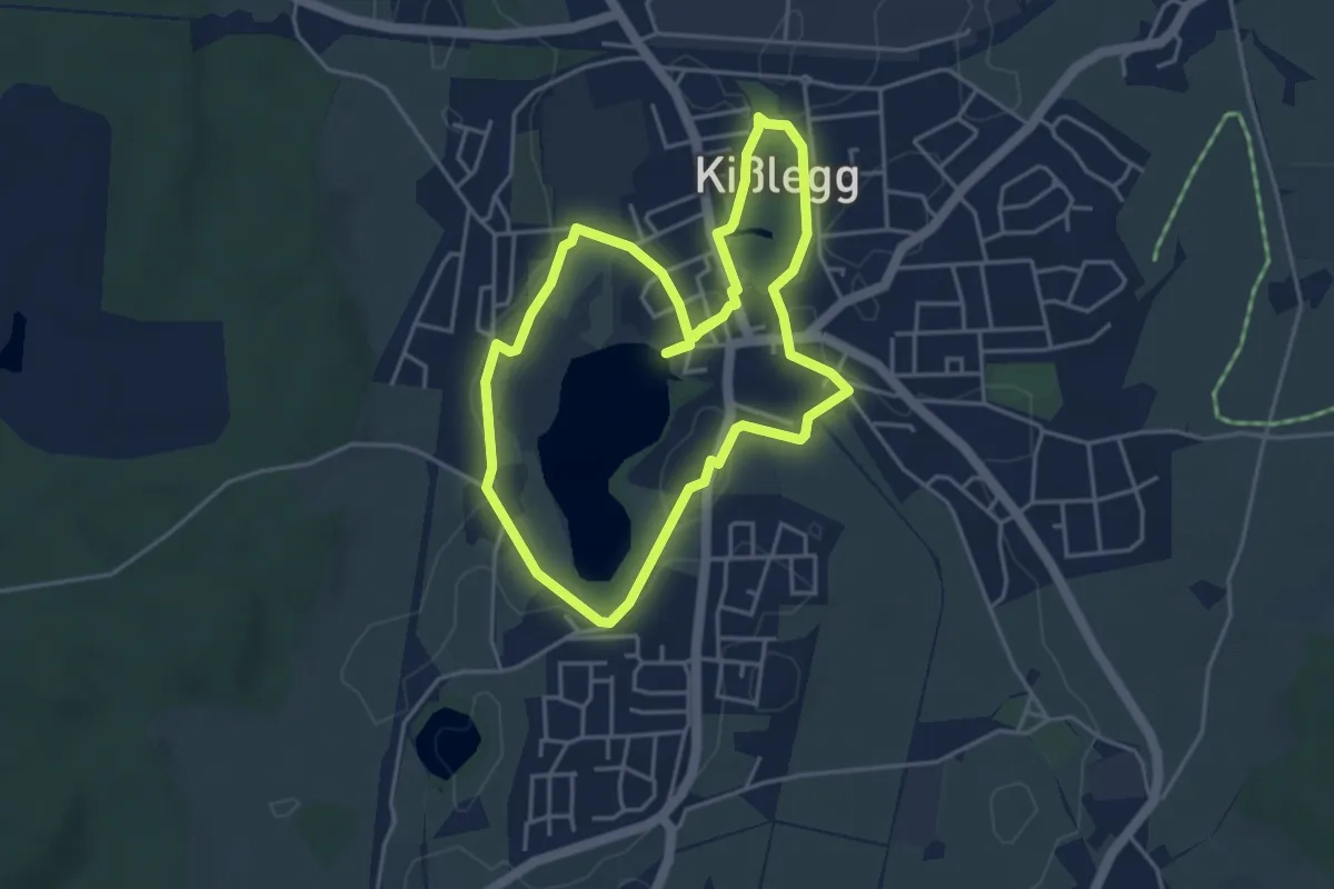
Easy · Trail
1 - Ortsrunde Kißlegg
4.1 km · ↑ 21 m · 1 h 4 min
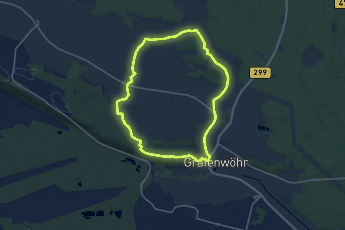
Easy · Trail
1. Permanenter IVV-Weg Grafenwöhr
8.0 km · ↑ 102 m · 2 h 13 min
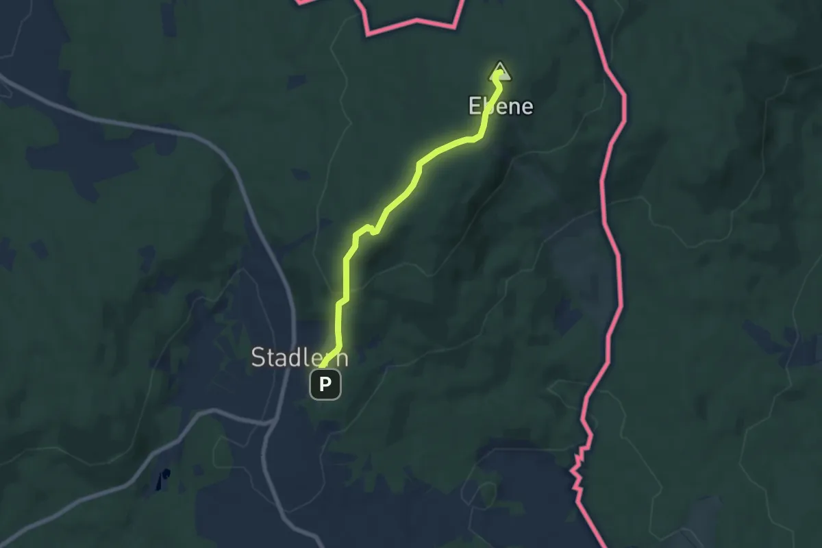
Easy · Summit
1 Schönseer Burgenweg
5.5 km · ↑ 169 m · 1 h 39 min
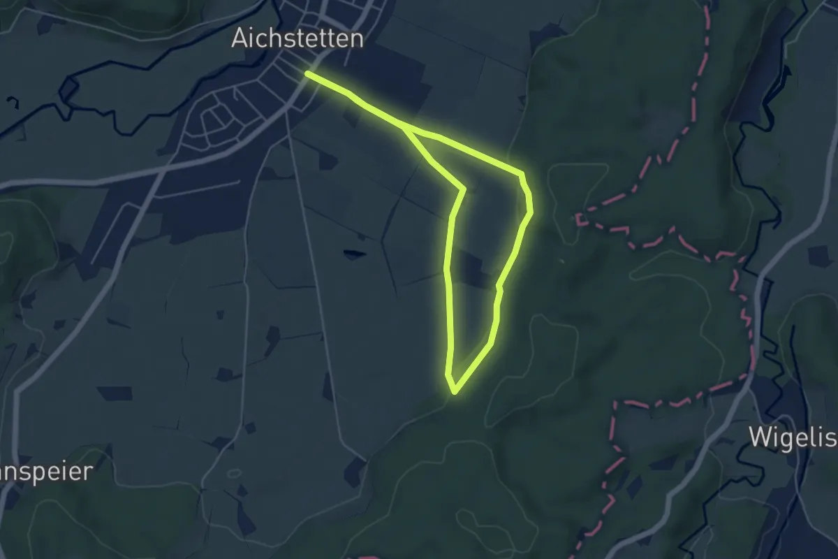
Easy · Trail
1 - Sommerstall - Hackenmos
4.3 km · ↑ 45 m · 1 h 10 min
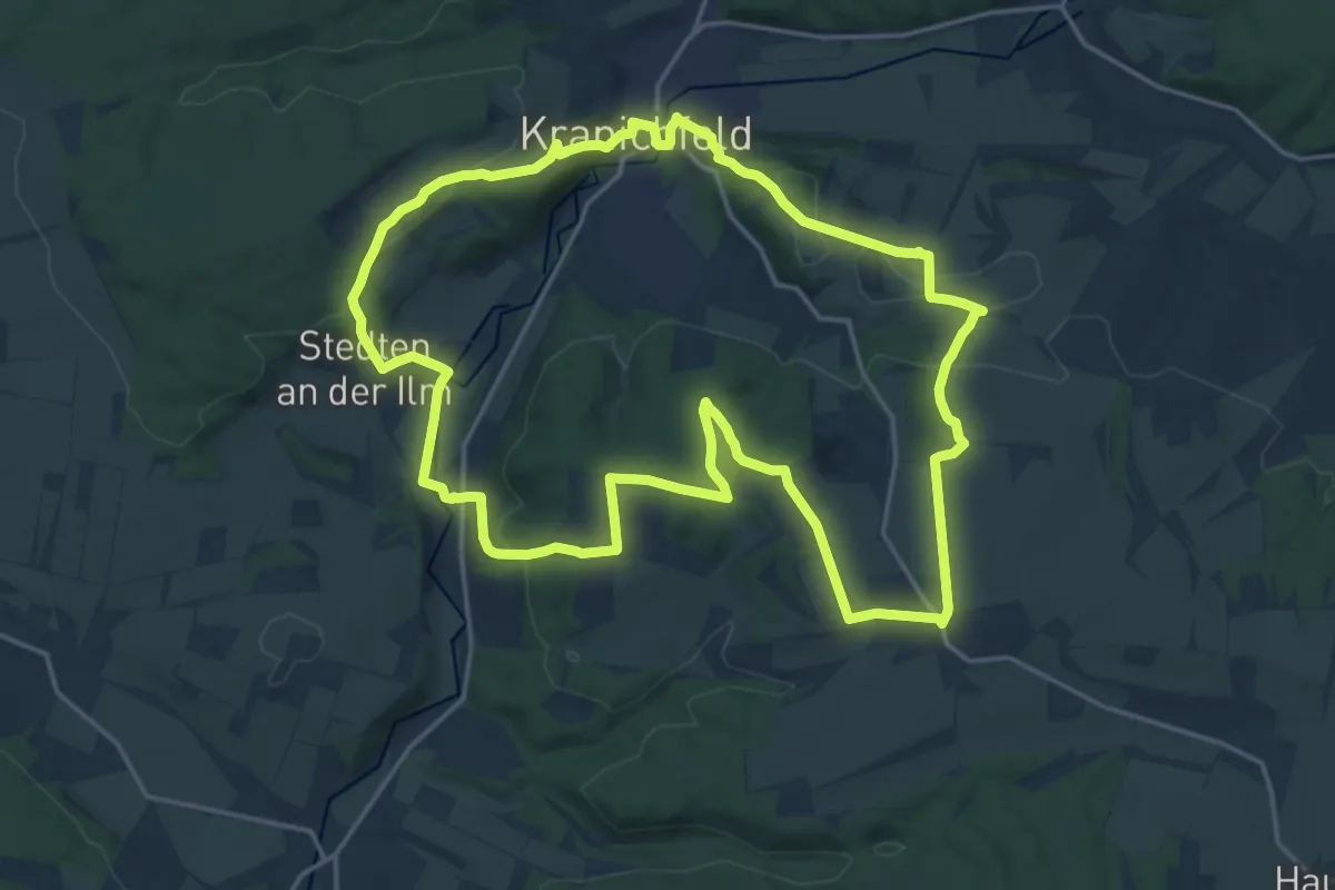
Medium · Summit
1. Thür. Kultur- und Landschaftsweg, Runde 1
18.0 km · ↑ 372 m · 5 h 18 min
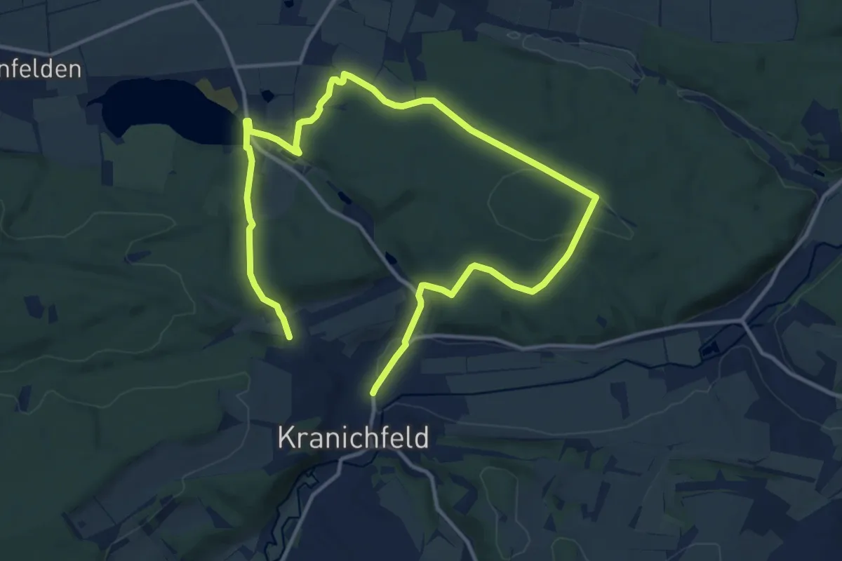
Medium · Trail
1. Thür. Kultur- und Landschaftsweg, Runde 2
8.7 km · ↑ 150 m · 2 h 32 min
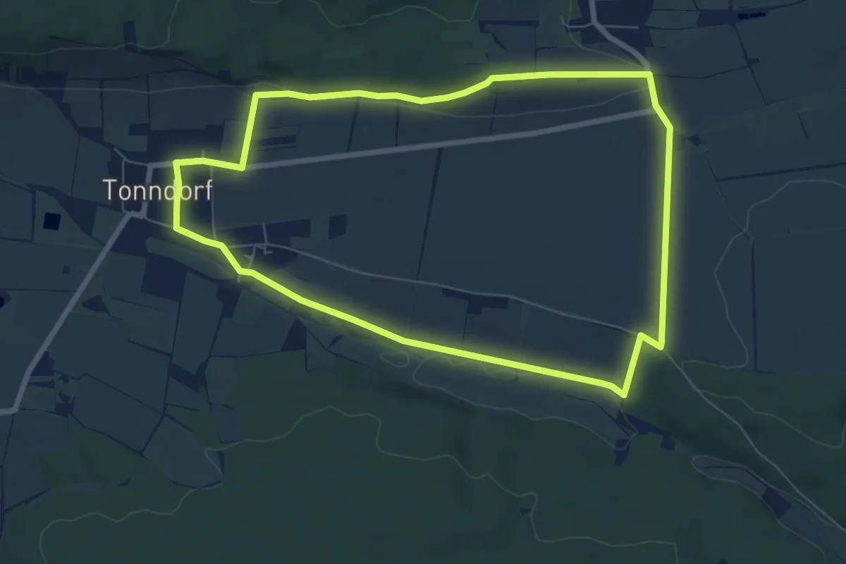
Easy · Summit
1. Thür. Kultur- und Landschaftsweg, Runde 3
6.6 km · ↑ 79 m · 1 h 49 min
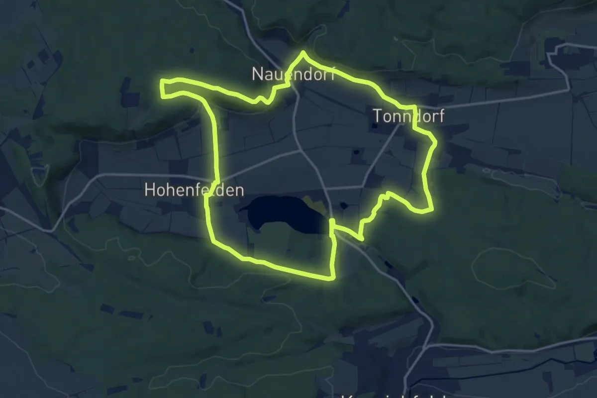
Medium · Trail
1. Thür. Kultur- und Landschaftsweg, Runde 4
13.7 km · ↑ 298 m · 4 h 5 min
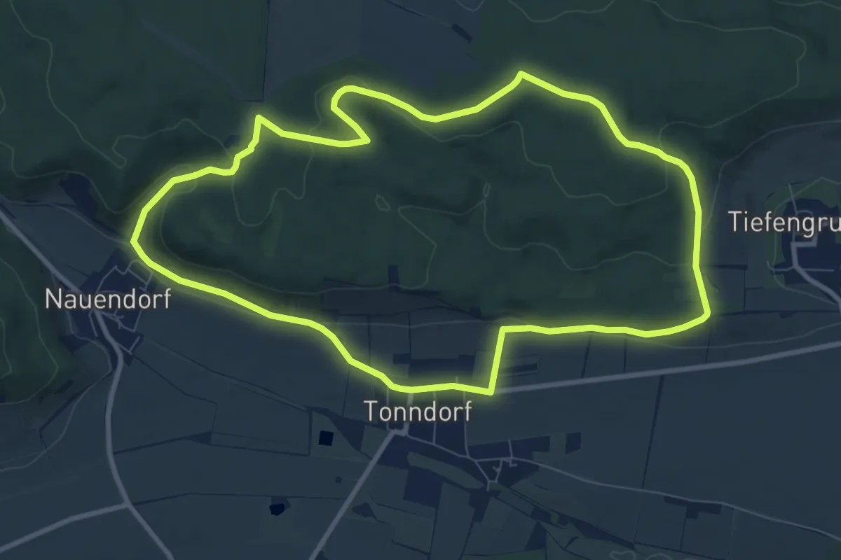
Medium · Summit
1. Thür. Kultur- und Landschaftsweg, Runde 5
8.4 km · ↑ 208 m · 2 h 33 min
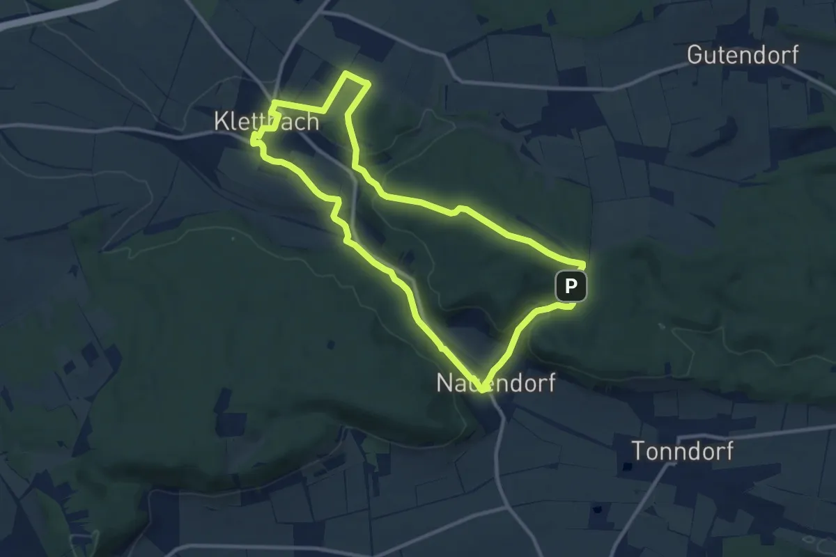
Medium · Trail
1. Thür. Kultur- und Landschaftsweg, Runde 6
9.5 km · ↑ 201 m · 2 h 48 min
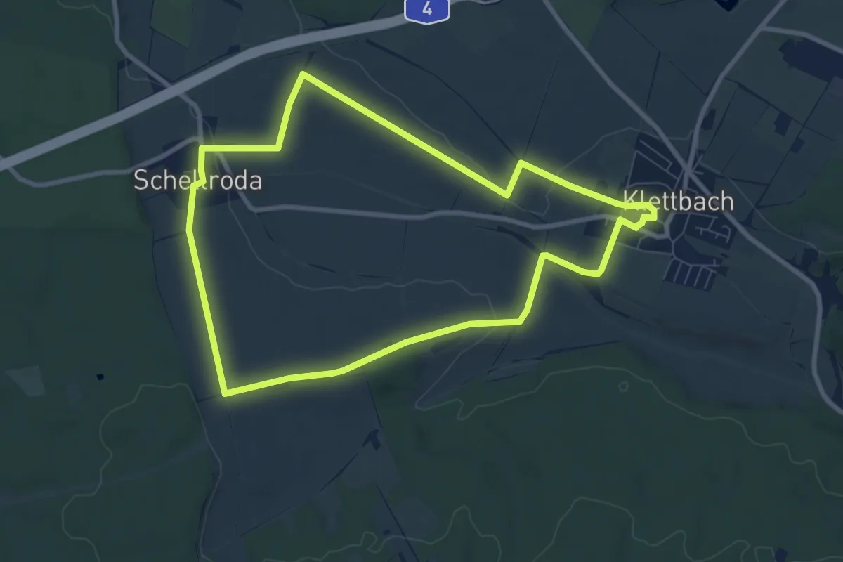
Easy · Trail
1. Thür. Kultur- und Landschaftsweg, Runde 7
7.5 km · ↑ 76 m · 2 h 2 min
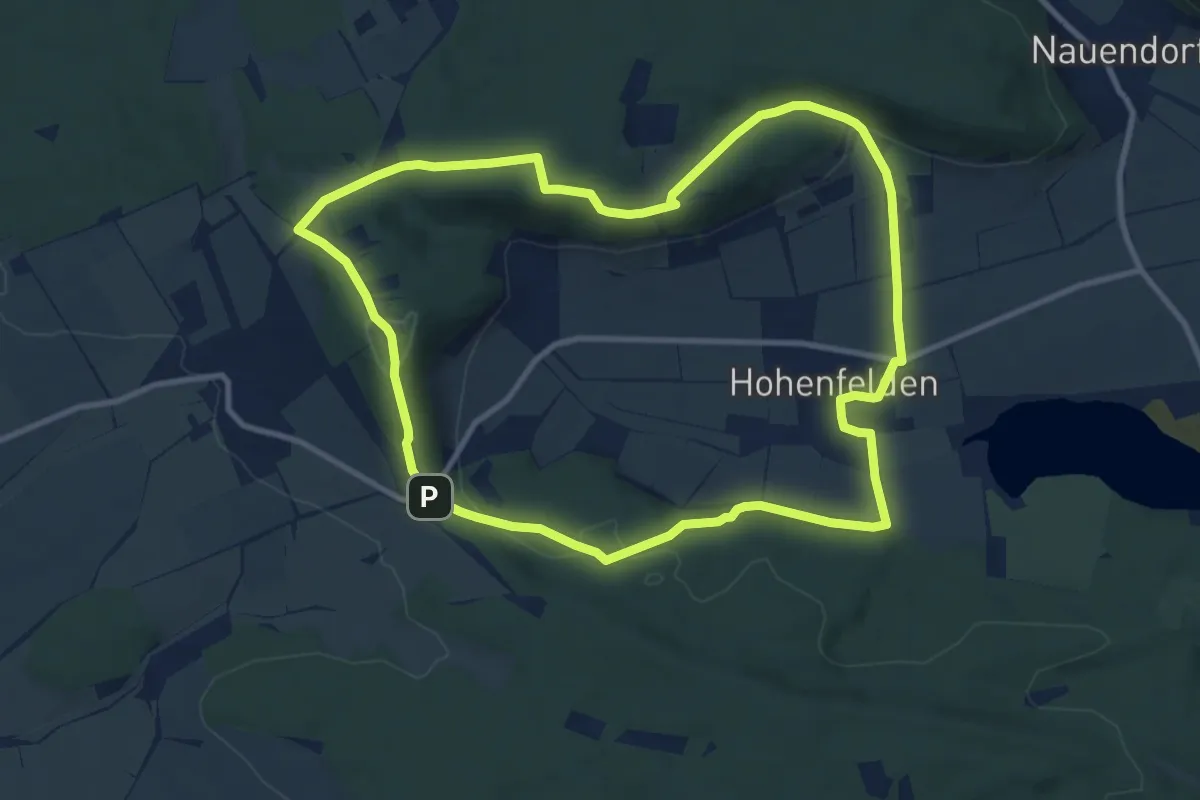
Medium · Summit
1. Thür. Kultur- und Landschaftsweg, Runde 8
9.6 km · ↑ 214 m · 2 h 51 min
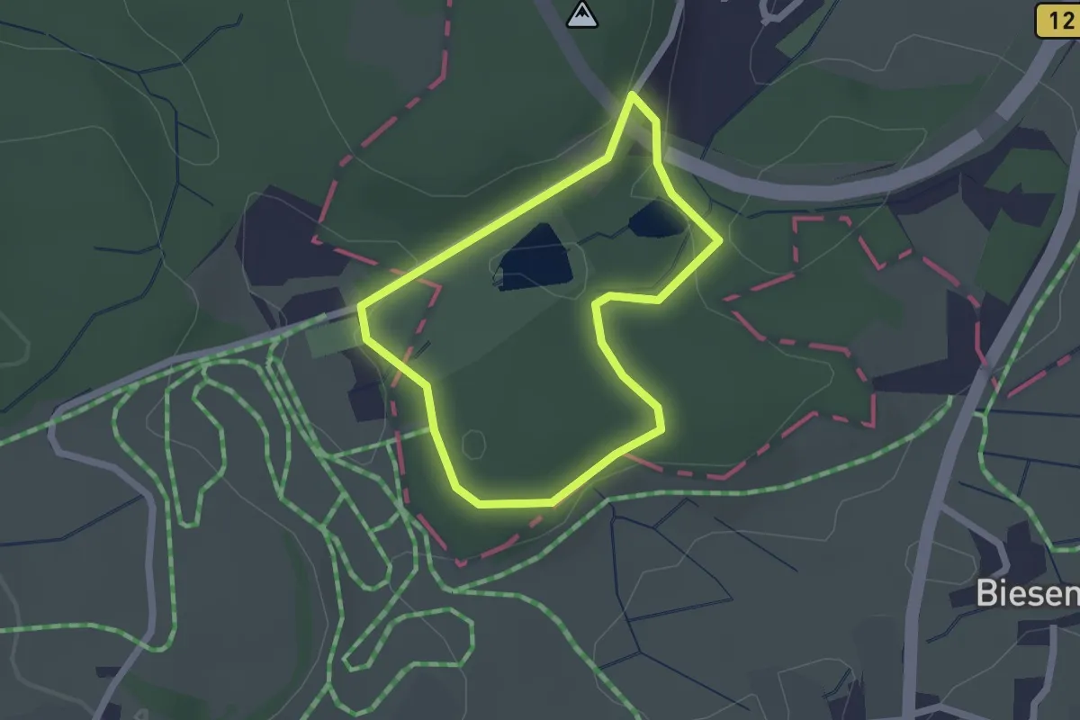
Easy · Trail
1 - Waldbadrunde
1.7 km · ↑ 18 m · 27 min
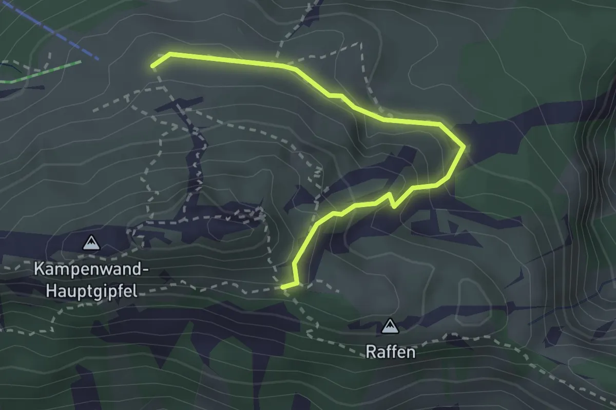
Medium · Trail
200 Raffen - Aschau
2.6 km · ↑ 180 m · 1 h 1 min
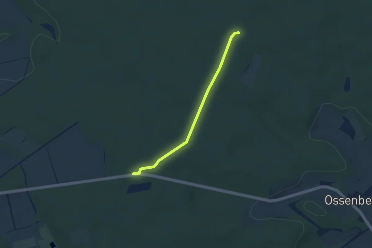
Easy · Trail
20-31
2.4 km · ↑ 4 m · 35 min
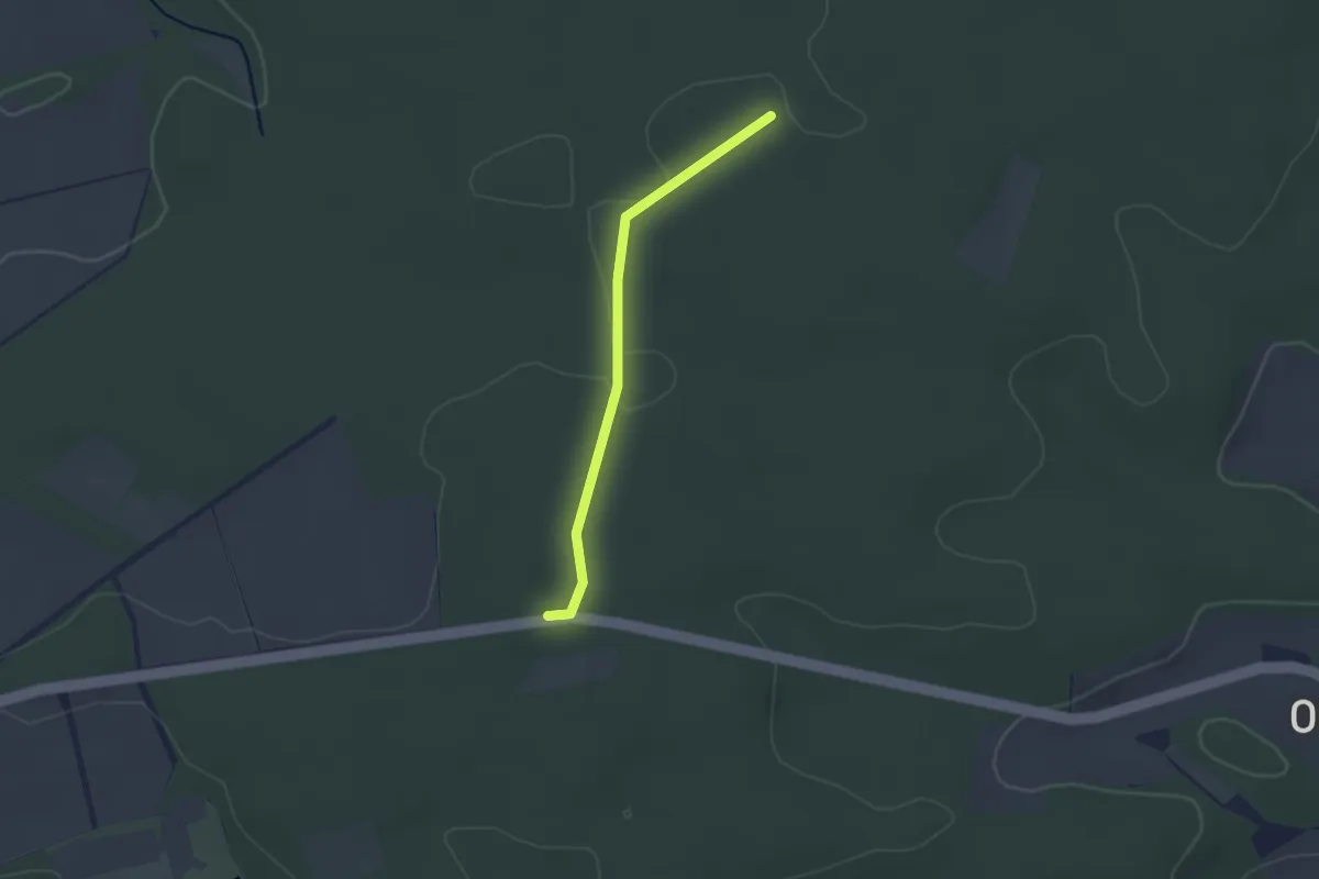
Easy · Trail
20-32
2.0 km · ↑ 9 m · 30 min
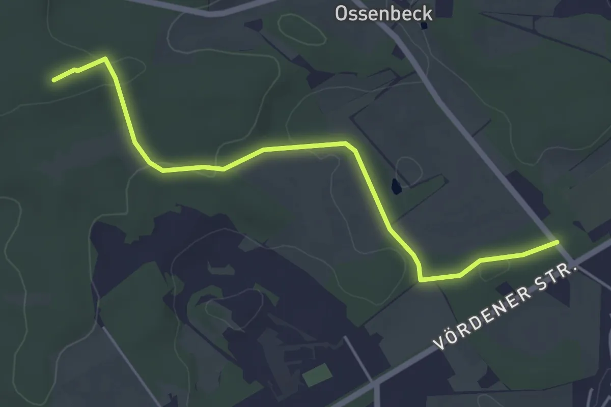
Easy · Summit
20-46
4.3 km · ↑ 61 m · 1 h 8 min
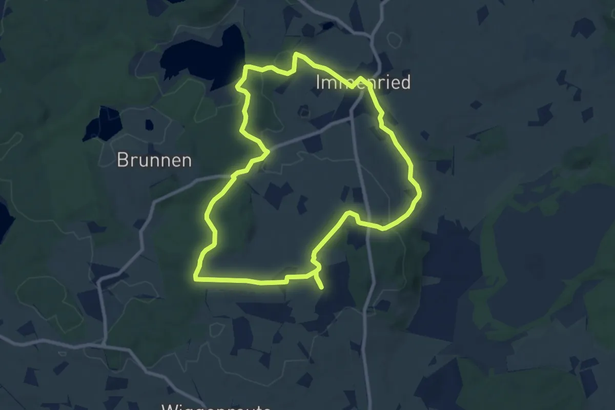
Easy · Trail
20 - Oberreuter Moos & Panoramablick
7.7 km · ↑ 101 m · 2 h 8 min
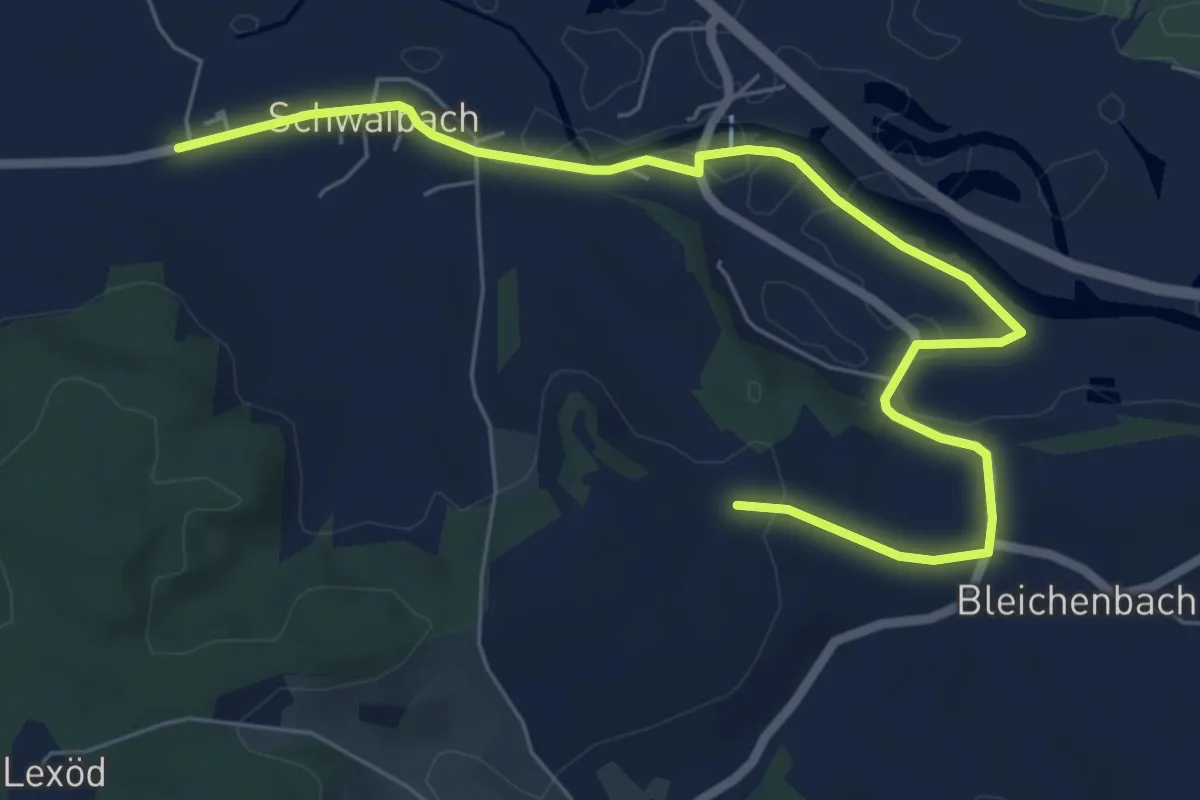
Easy · Trail
20 Schwaibach - Modler, Neustifter und an der Rott entlang
7.6 km · ↑ 61 m · 1 h 56 min
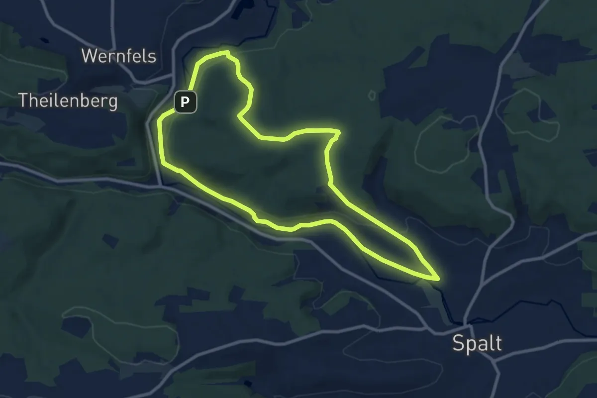
Easy · Summit
20 Wanderung zur Bärenburg
7.9 km · ↑ 146 m · 2 h 17 min
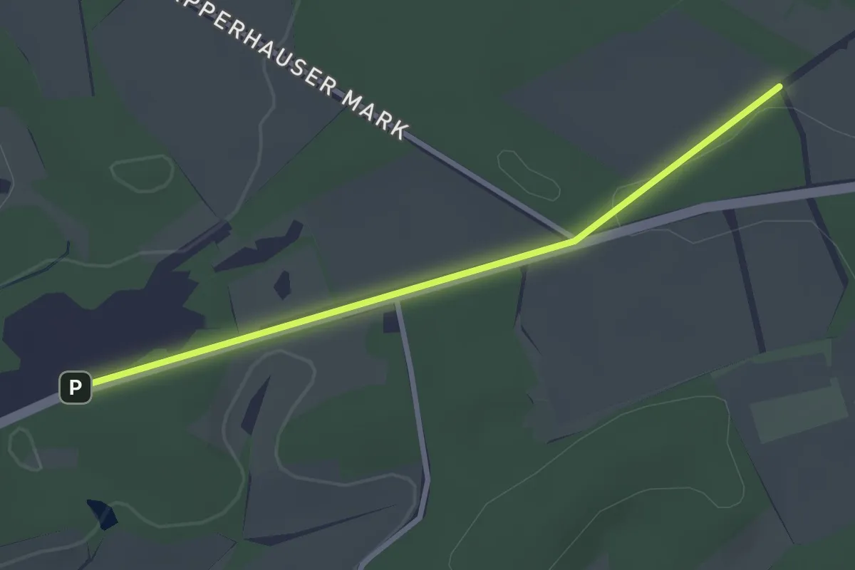
Easy · Trail
21-23
2.5 km · ↑ 27 m · 39 min
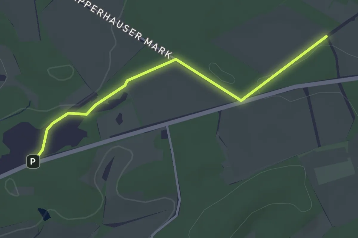
Easy · Trail
21-23 a
2.9 km · ↑ 36 m · 46 min
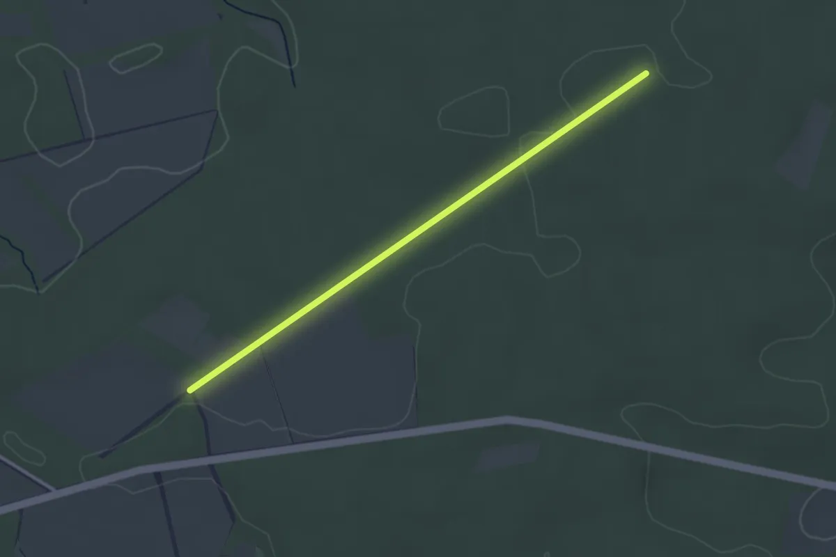
Easy · Trail
21-32
2.7 km · ↑ 17 m · 41 min
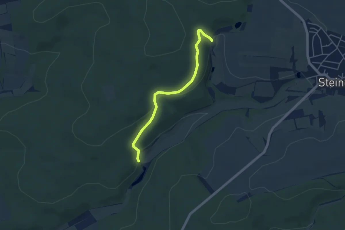
Easy · Trail
21-67 (hoch)
3.4 km · ↑ 114 m · 1 h 4 min
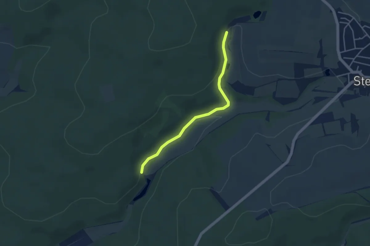
Easy · Trail
21-67 (tief)
3.0 km · ↑ 58 m · 50 min
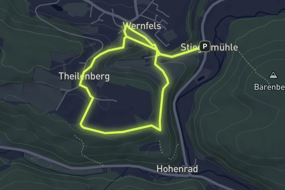
Easy · Trail
21 Burgenwanderung
3.6 km · ↑ 151 m · 1 h 11 min
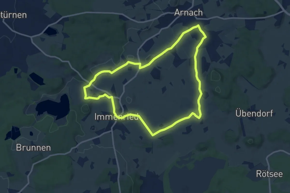
Medium · Trail
21 - Relikte der Eiszeit - Natur pur
8.8 km · ↑ 71 m · 2 h 22 min
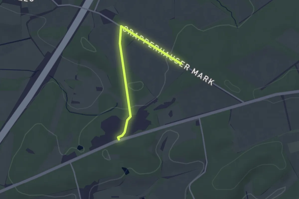
Easy · Trail
22-23
2.5 km · ↑ 17 m · 37 min
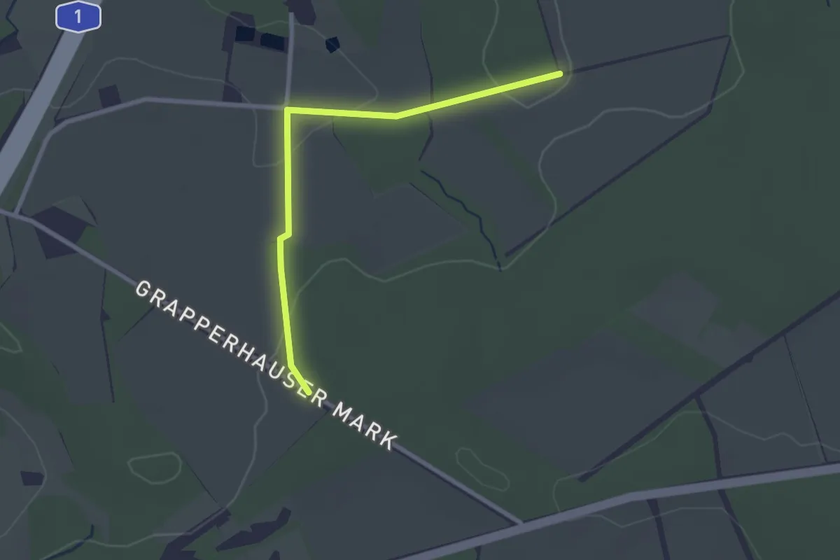
Easy · Trail
22-29
2.2 km · ↑ 40 m · 36 min
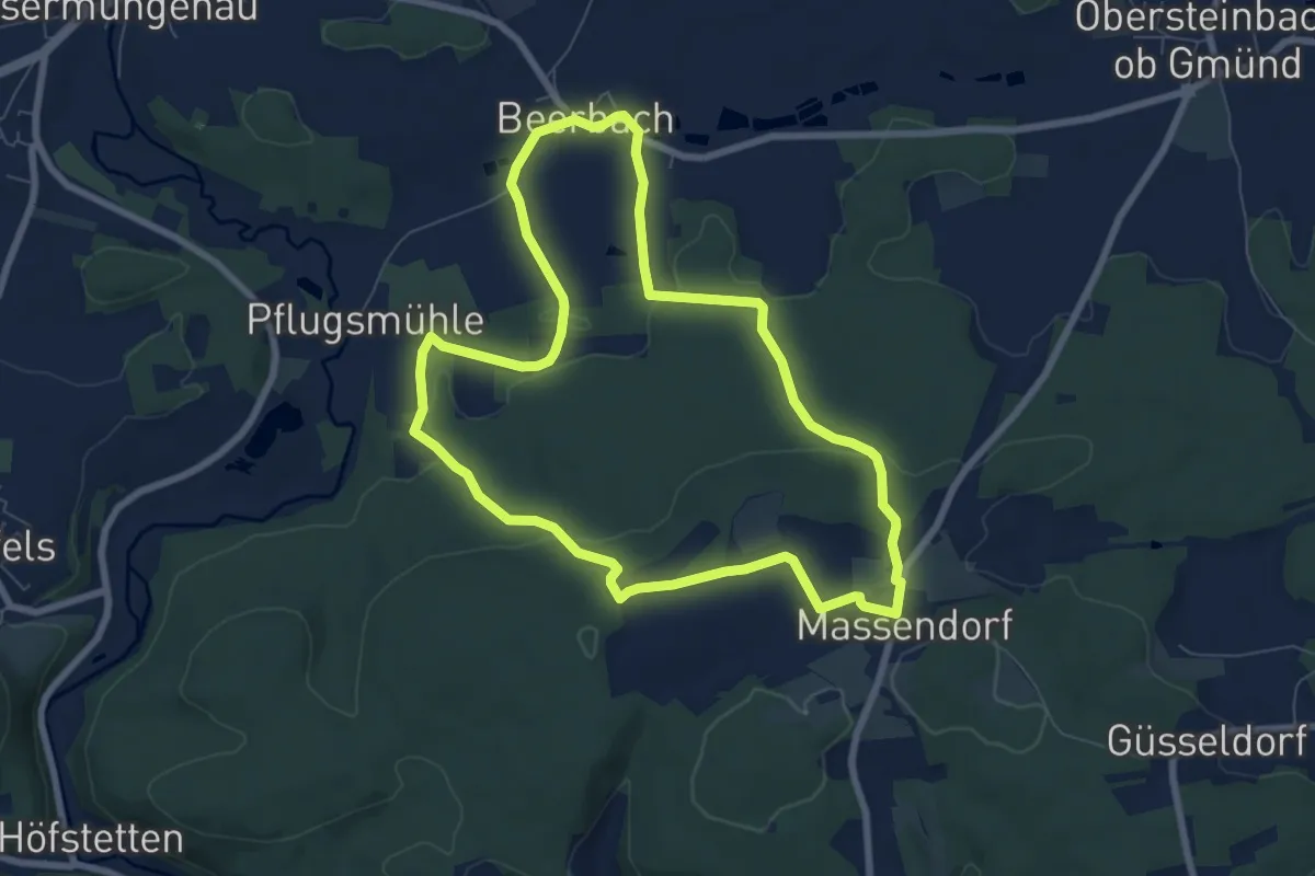
Easy · Trail
22 Im Spalter Hügelland
7.0 km · ↑ 146 m · 2 h 5 min
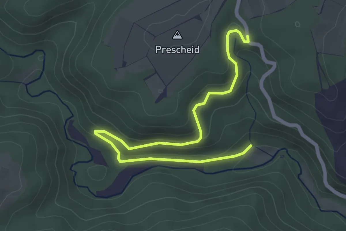
Easy · Trail
23
4.5 km · ↑ 190 m · 1 h 29 min
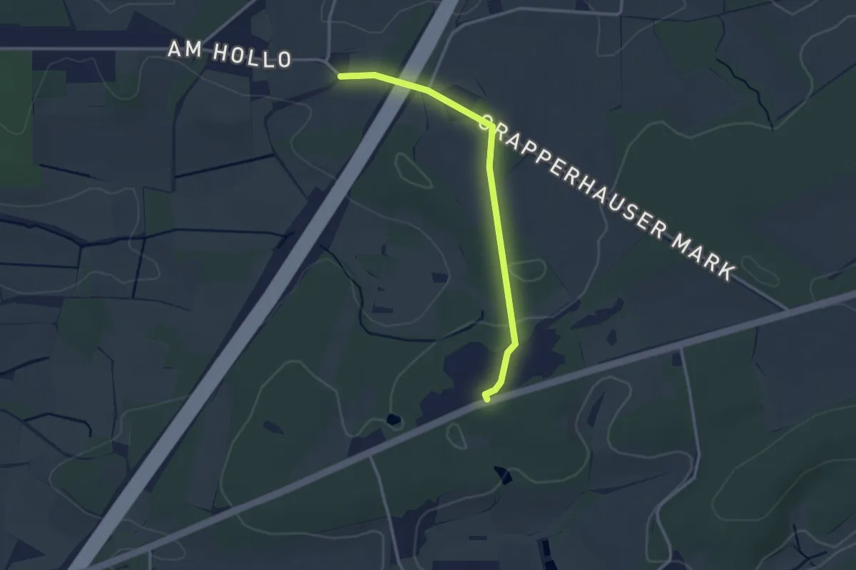
Easy · Trail
23-24
2.4 km · ↑ 22 m · 37 min
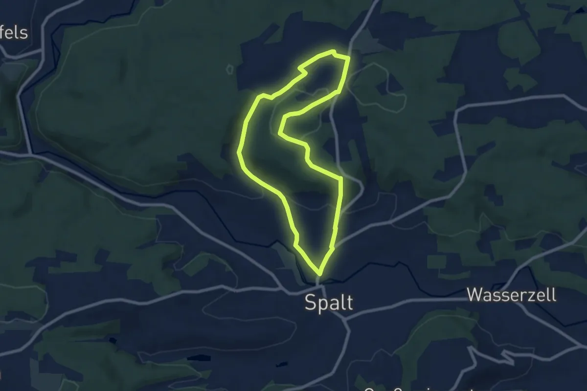
Medium · Summit
23 Rund um den Massenberg
6.2 km · ↑ 149 m · 1 h 52 min
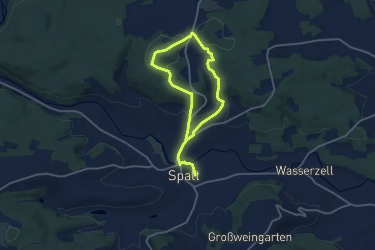
Medium · Summit
24 Massendorfer Schlucht
5.3 km · ↑ 153 m · 1 h 39 min
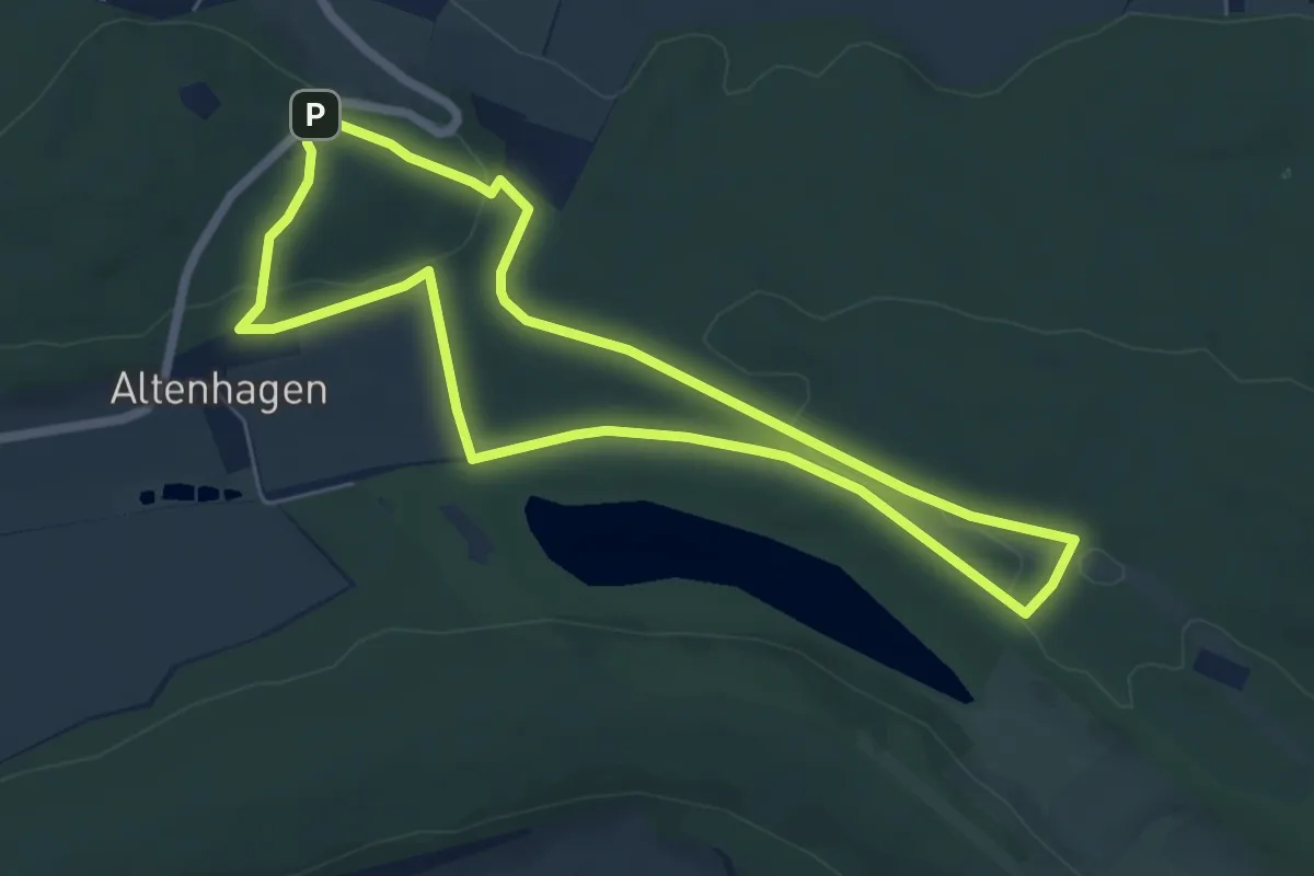
Easy · Summit
25
5.4 km · ↑ 86 m · 1 h 31 min
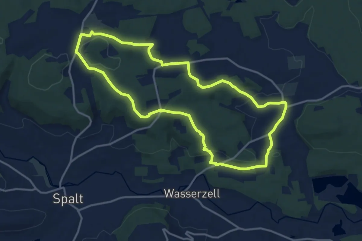
Medium · Trail
25 Hopfenwanderung
8.9 km · ↑ 181 m · 2 h 37 min
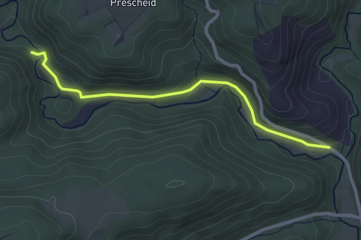
Easy · Trail
26
4.1 km · ↑ 84 m · 1 h 8 min
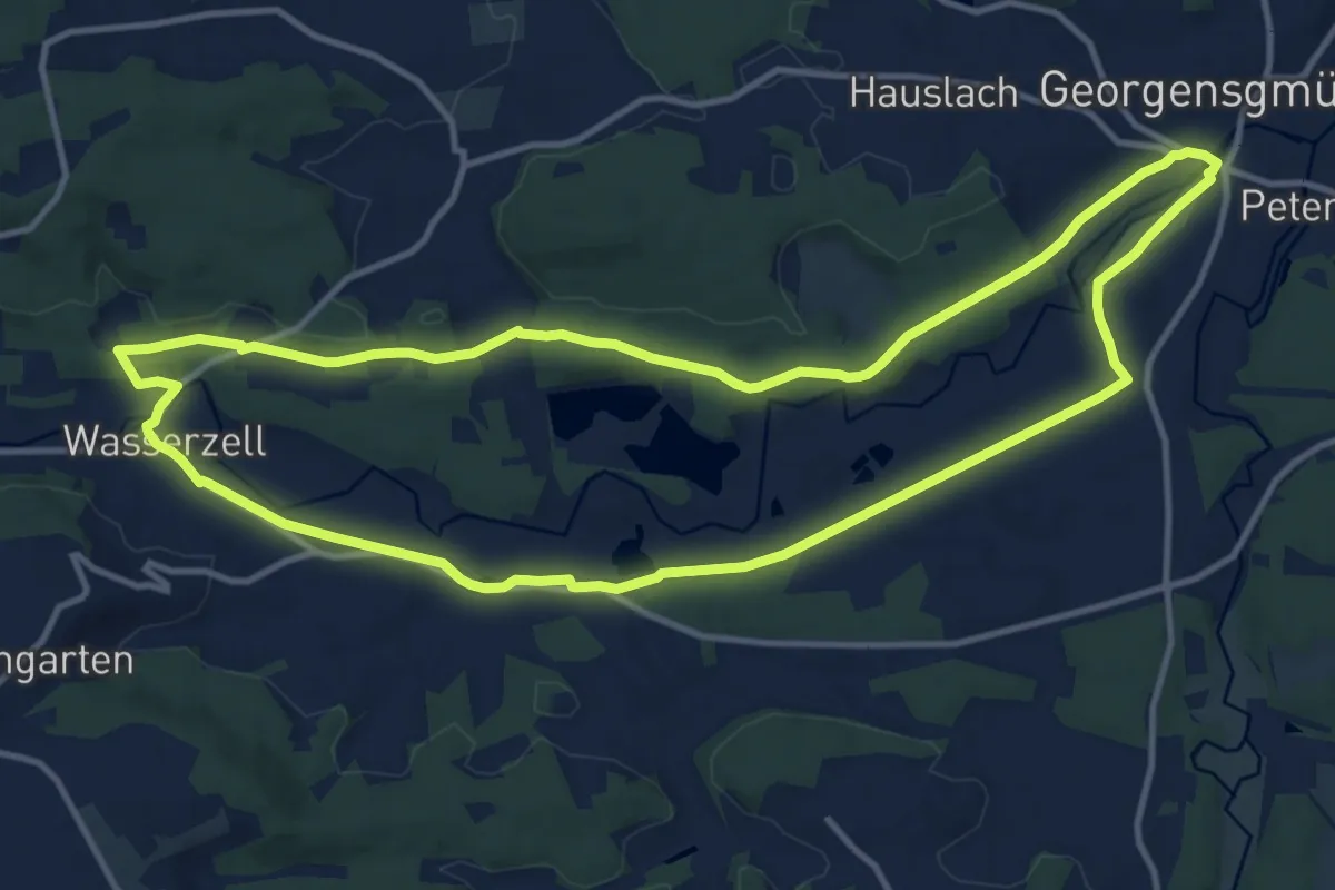
Medium · Trail
26 Judenweg
12.3 km · ↑ 104 m · 3 h 18 min
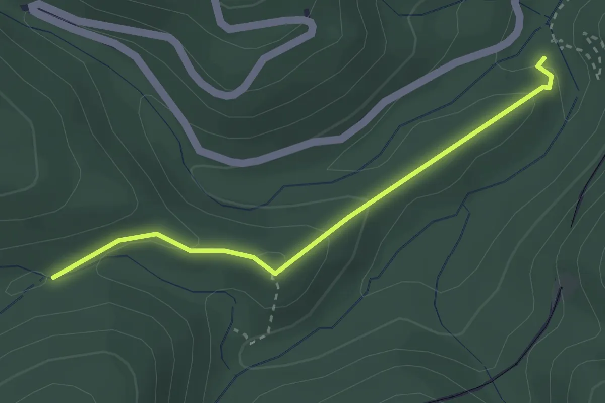
Easy · Trail
27
2.5 km · ↑ 97 m · 48 min