Trails in Germany
36,877 hiking trails, each with its route, climb, walking time and grade.
All trails, page 763 of 769
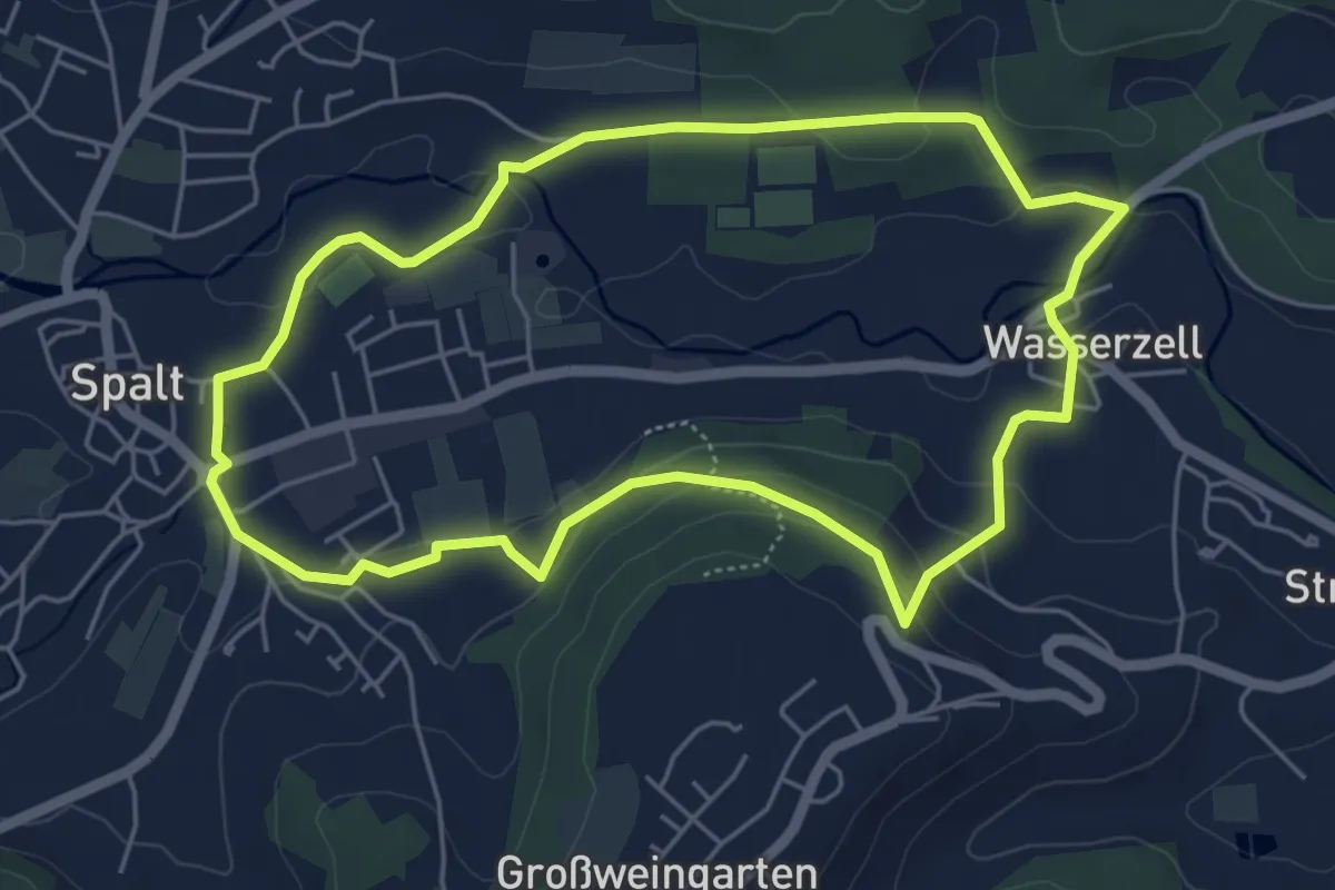
Easy · Trail
27 Familientour
4.9 km · ↑ 114 m · 1 h 29 min
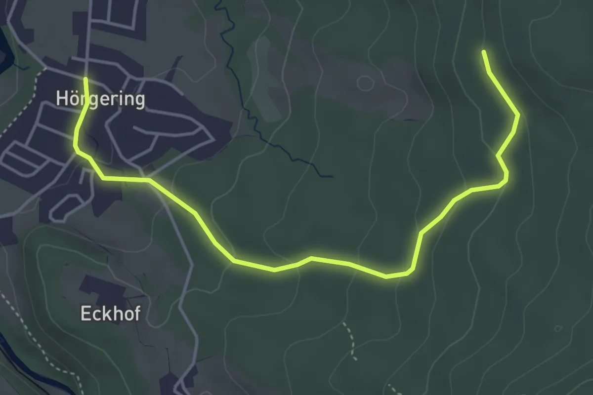
Easy · Trail
28 Eisenärzt - Salinen-Rundweg
4.7 km · ↑ 161 m · 1 h 28 min
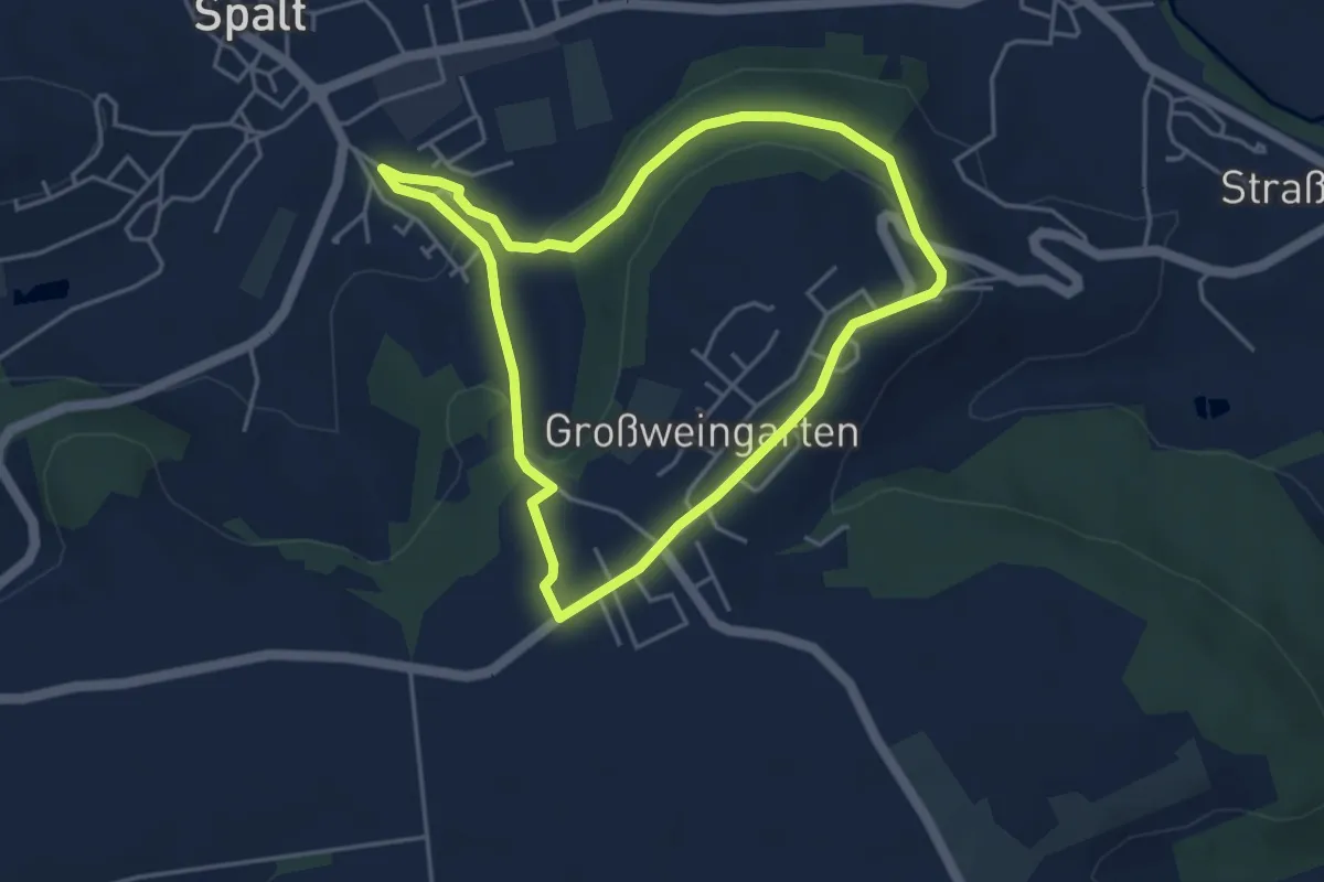
Easy · Trail
28 Zum Golddorf Großweingarten
4.0 km · ↑ 100 m · 1 h 12 min
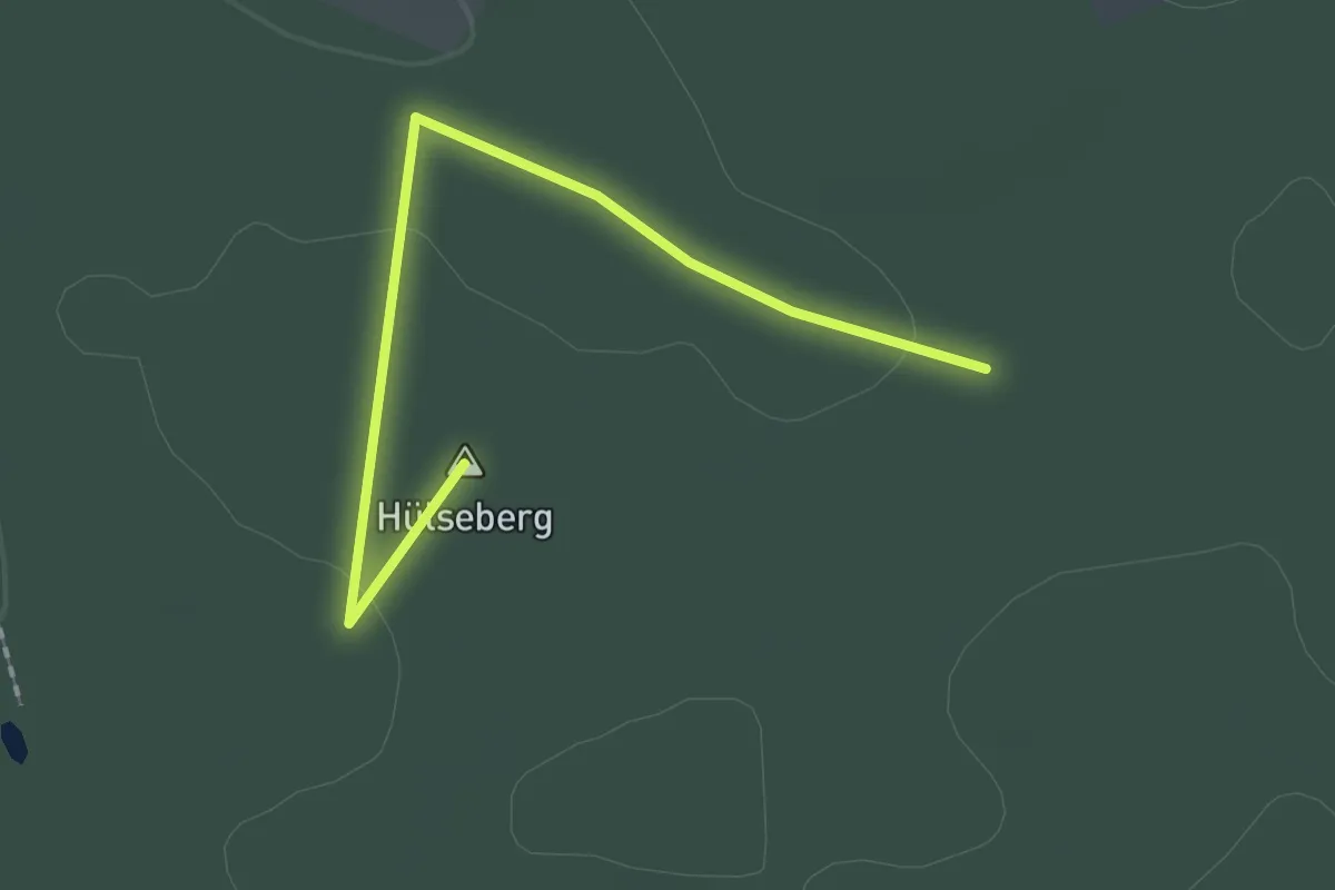
Easy · Summit
29-33
1.8 km · ↑ 18 m · 28 min
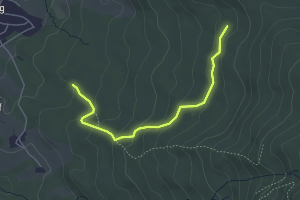
Easy · Trail
29 Eisenärzt - Zinnkopf
3.8 km · ↑ 149 m · 1 h 14 min
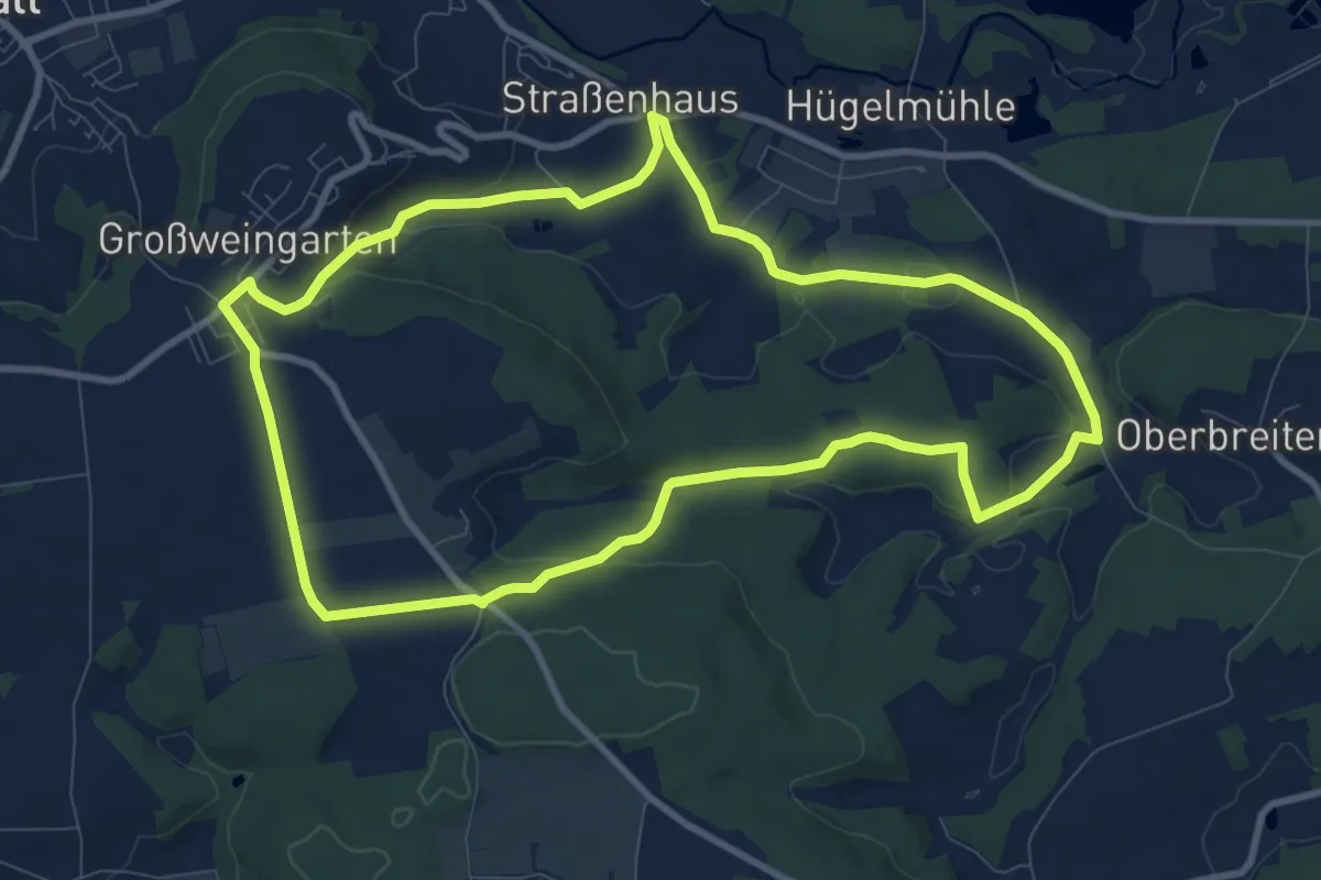
Medium · Trail
29 Na(tour)
9.3 km · ↑ 172 m · 2 h 41 min
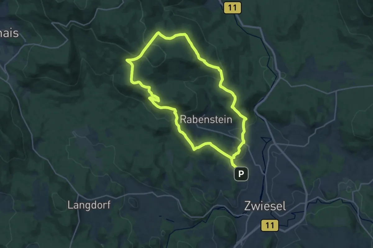
Medium · Summit
29 Schachtenbachrunde (Hennenkobel)
15.8 km · ↑ 566 m · 5 h 10 min
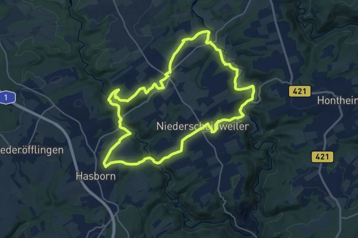
Medium · Trail
2-Bäche-Pfad
14.0 km · ↑ 385 m · 4 h 21 min
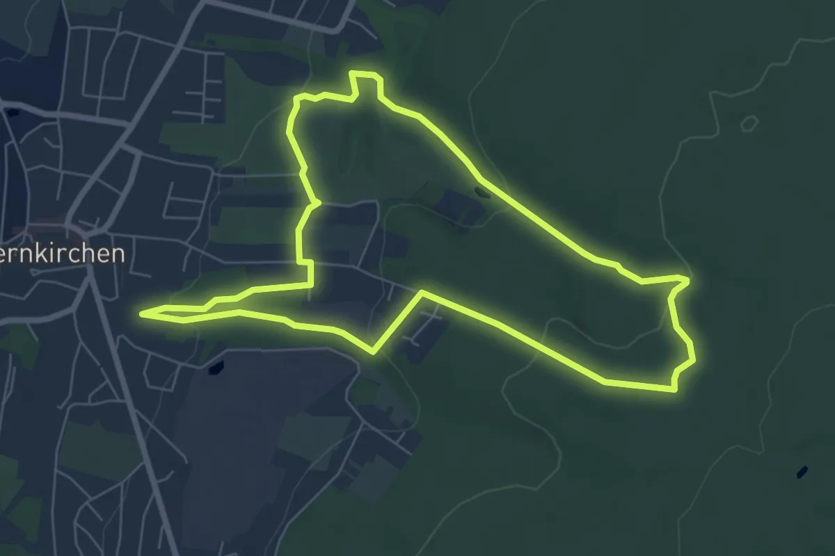
Easy · Trail
2-Bäche-Weg
6.0 km · ↑ 169 m · 1 h 52 min
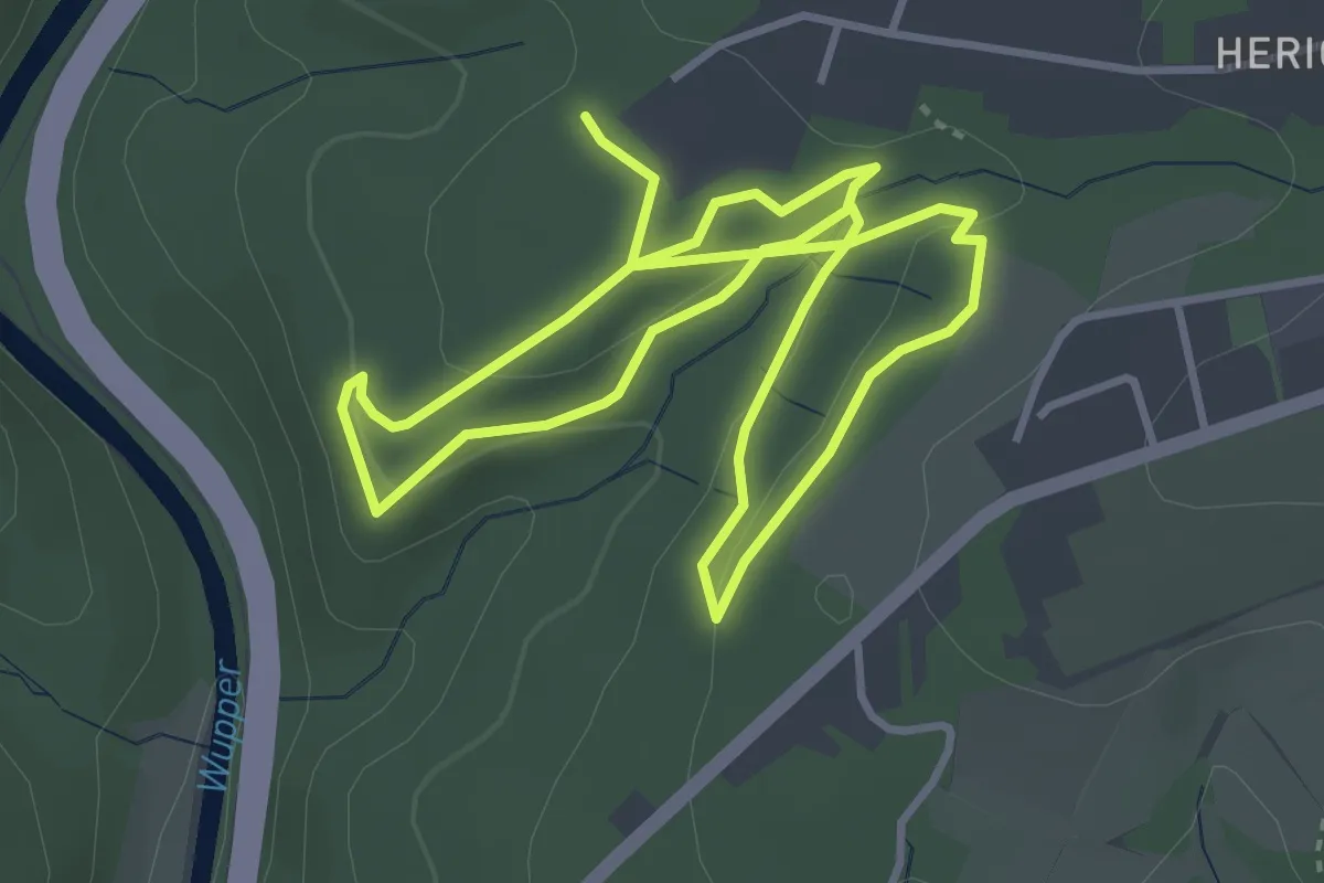
Easy · Trail
2: Bäume der Welt
3.2 km · ↑ 71 m · 57 min
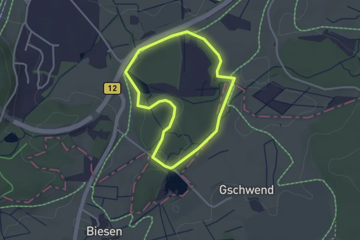
Easy · Trail
2 - Biesenweiherrunde
2.2 km · ↑ 23 m · 37 min
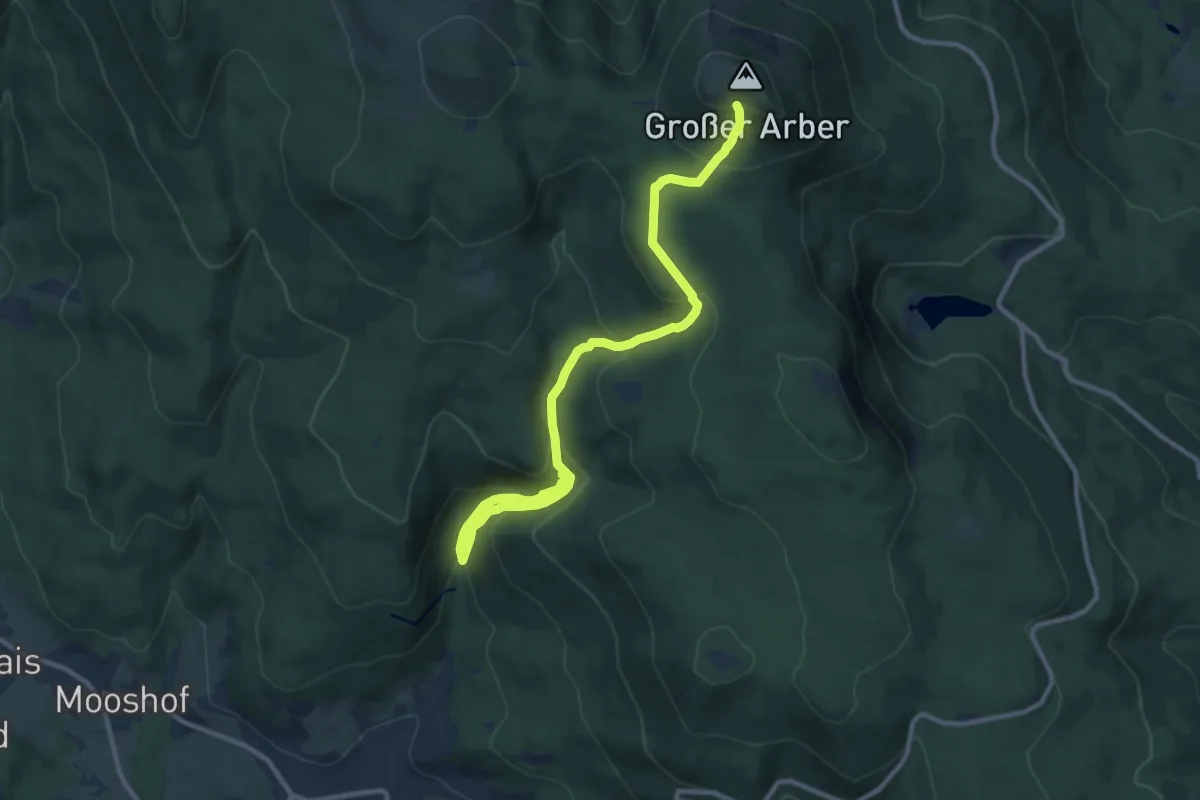
Medium · Trail
2 Bodenmais - Großer Arber
11.6 km · ↑ 765 m · 4 h 23 min
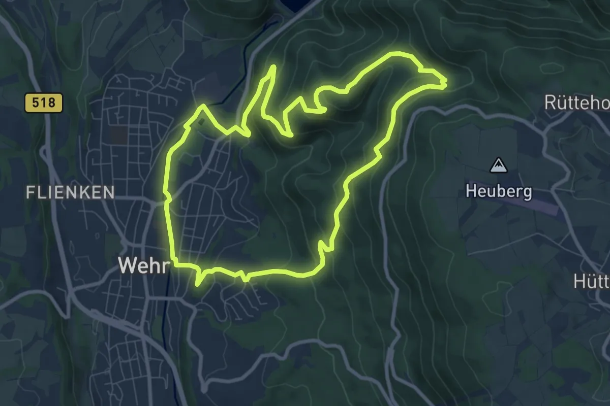
Medium · Trail
2-Burgen-Weg
8.4 km · ↑ 404 m · 2 h 59 min
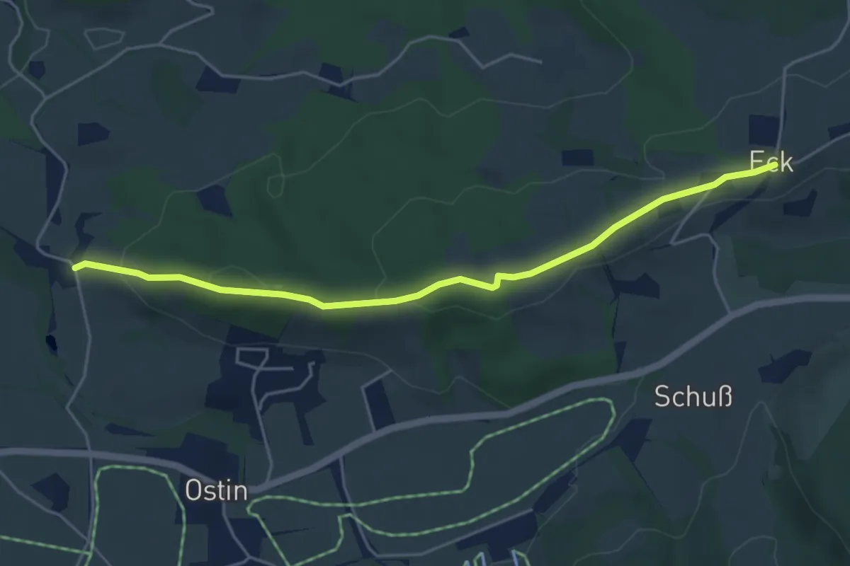
Easy · Trail
2 Heilklimawandern
4.6 km · ↑ 104 m · 1 h 19 min
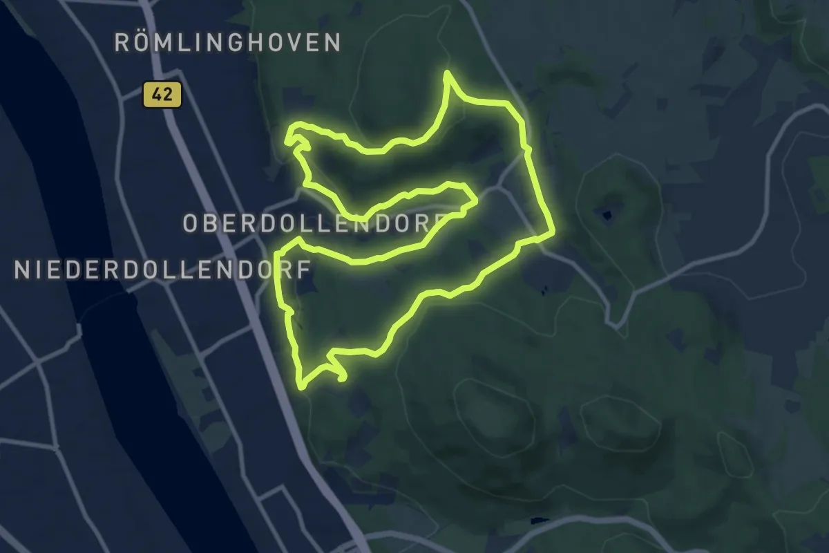
Medium · Trail
2 Oberdollendorf und seine Weinberge
9.5 km · ↑ 283 m · 2 h 59 min
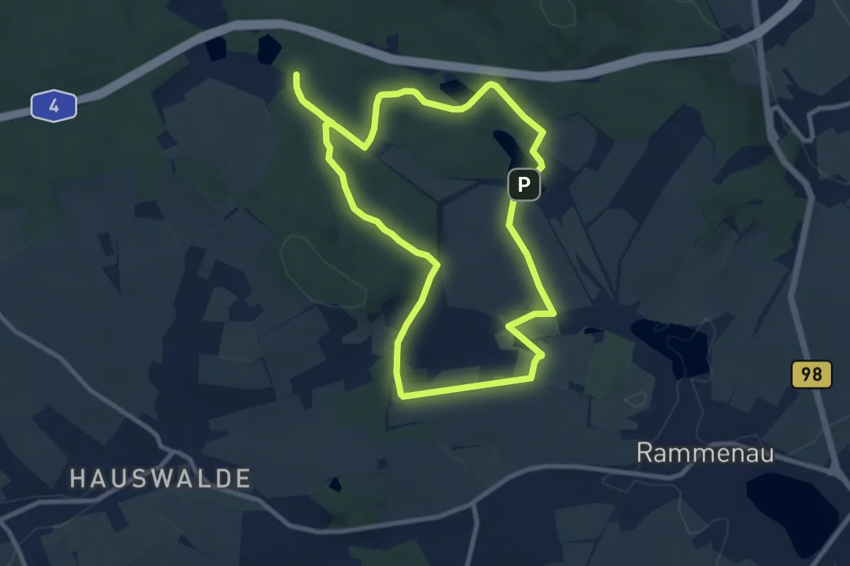
Easy · Trail
2-Quellen-Tour
7.0 km · ↑ 92 m · 1 h 57 min
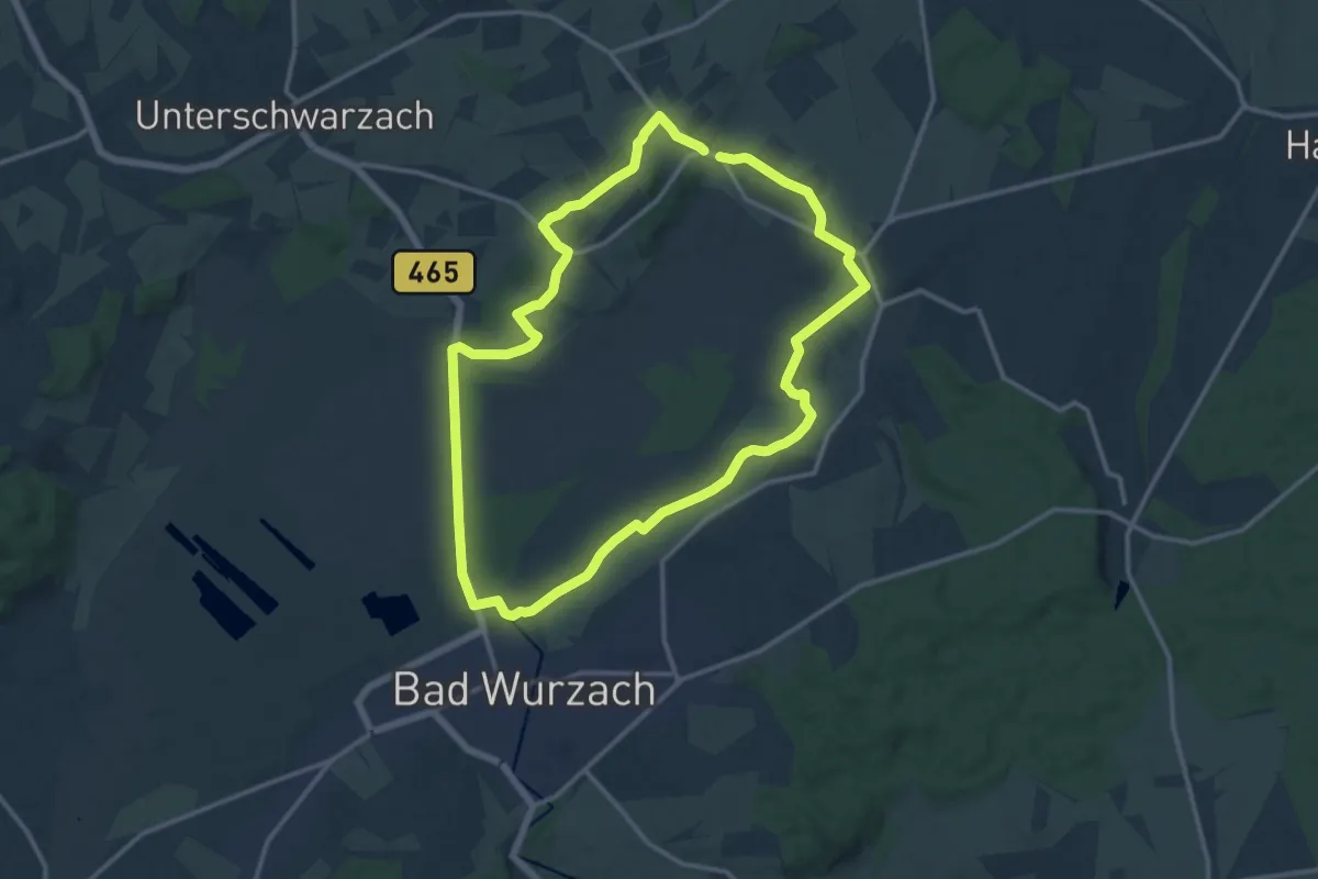
Medium · Summit
2 – Ried-Runde
12.7 km · ↑ 105 m · 3 h 23 min
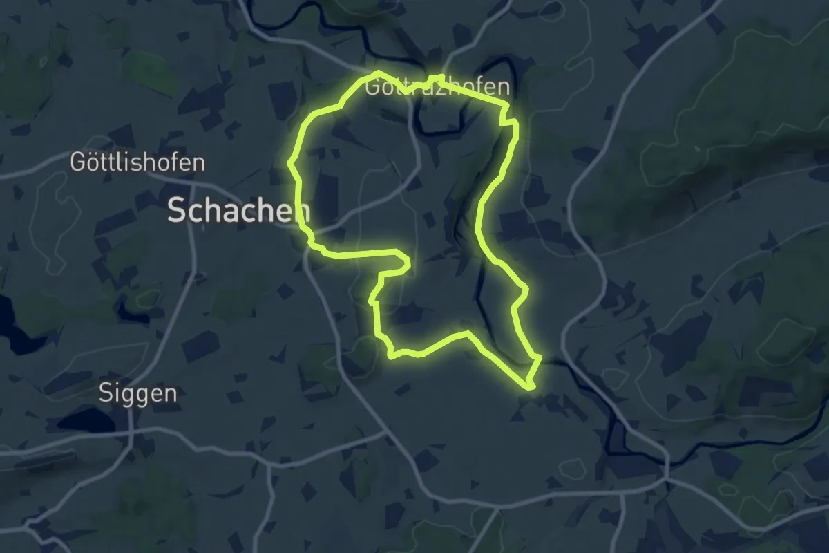
Medium · Trail
2 - Rund um den Gottrazhofer Stausee
8.4 km · ↑ 116 m · 2 h 21 min
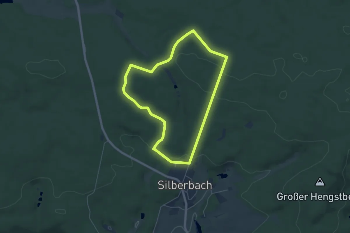
Easy · Trail
2 [Selb]
4.5 km · ↑ 75 m · 1 h 17 min
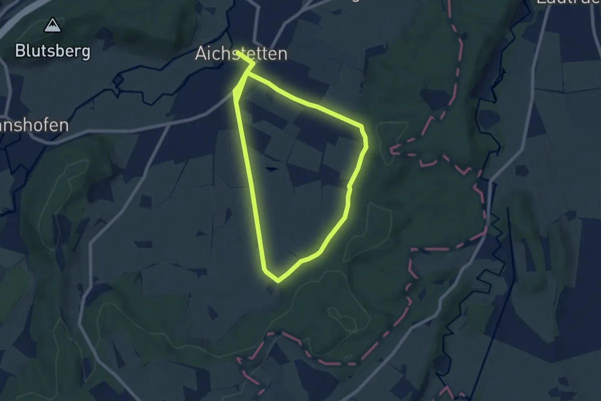
Easy · Trail
2 - Sommerstall - Stockbauern
5.7 km · ↑ 53 m · 1 h 32 min
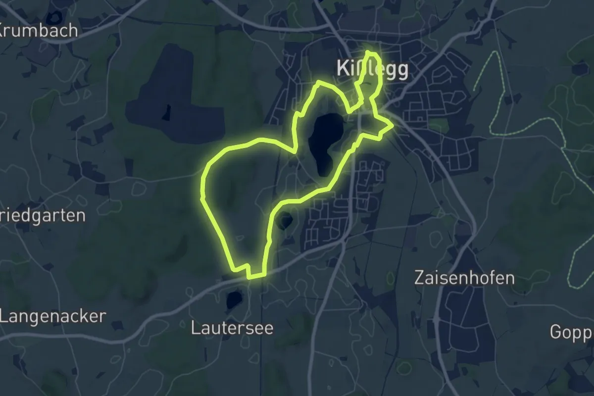
Easy · Trail
2 - Toteisseen und Barockkirche
6.7 km · ↑ 51 m · 1 h 47 min
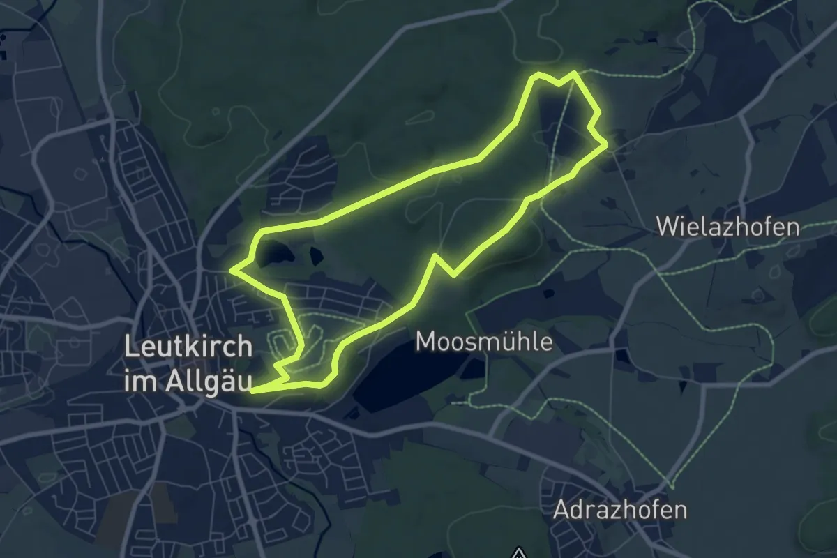
Easy · Trail
2 - Von der Altstadt zur Waldkapelle
7.1 km · ↑ 141 m · 2 h 4 min
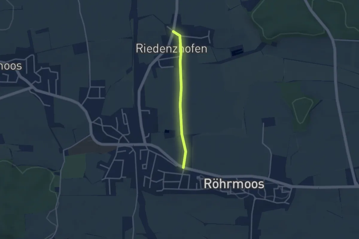
Easy · Trail
3
2.4 km · ↑ 22 m · 37 min
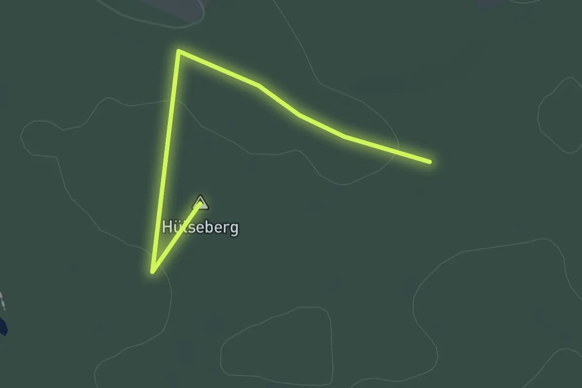
Easy · Summit
30-33
1.8 km · ↑ 18 m · 28 min
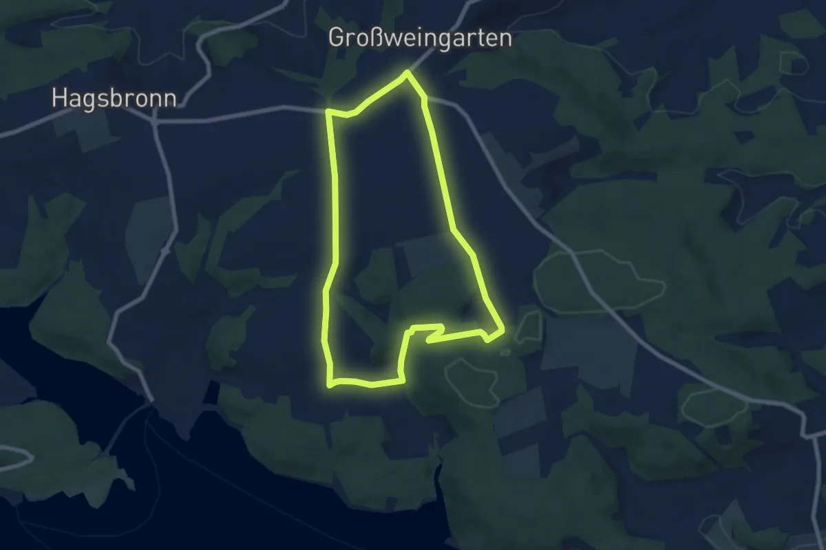
Easy · Trail
30 Kirschgartenwanderung
6.3 km · ↑ 84 m · 1 h 46 min
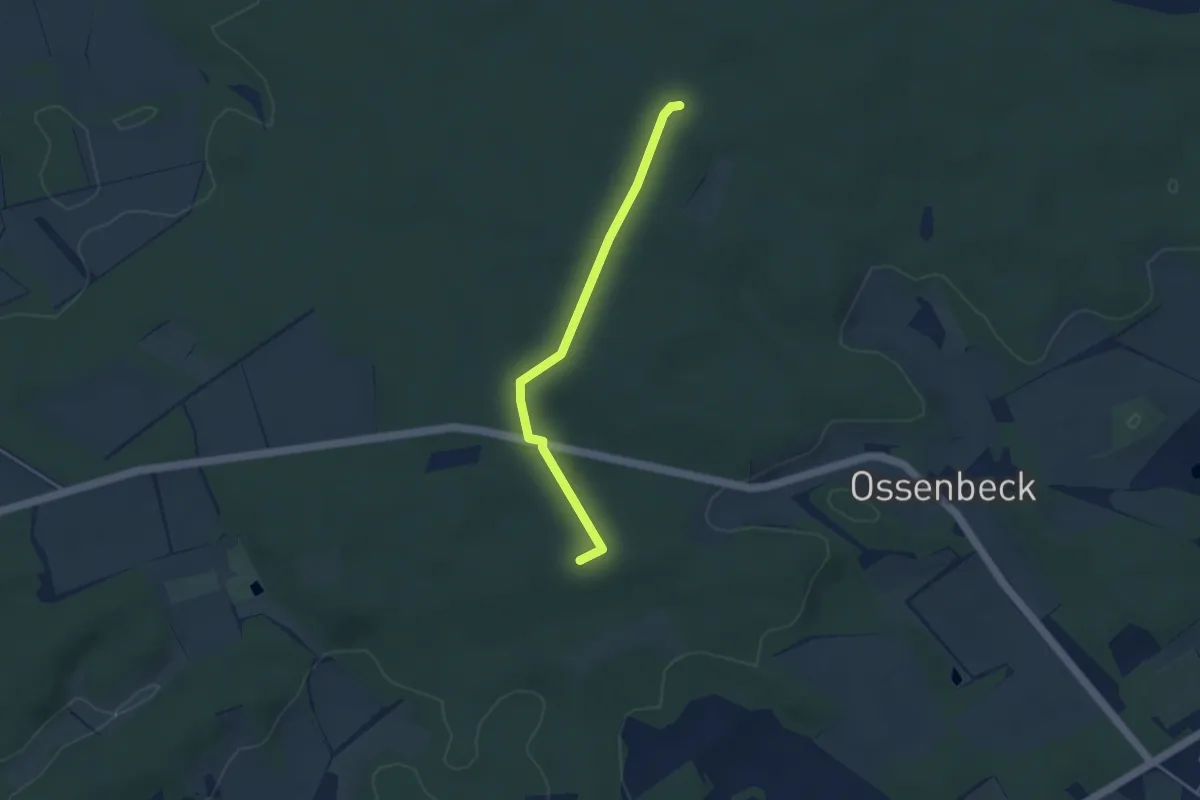
Easy · Summit
31-46
3.1 km · ↑ 13 m · 46 min
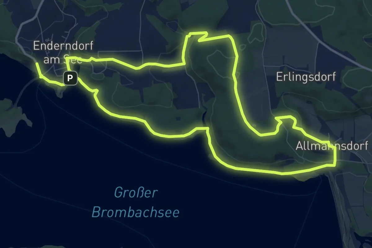
Medium · Trail
31 Sonnenseite Brombachsee
10.3 km · ↑ 227 m · 3 h 3 min
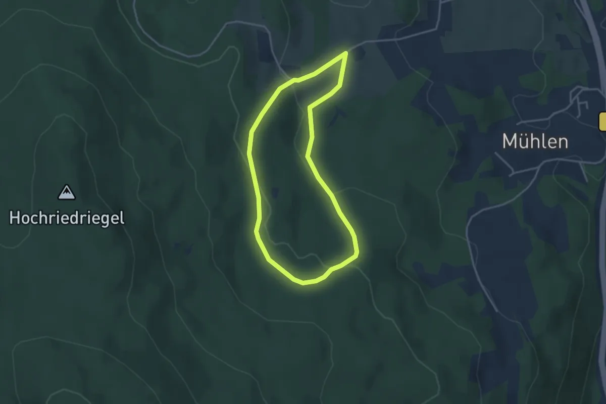
Easy · Trail
33_Wassergassenrundweg
2.9 km · ↑ 104 m · 57 min
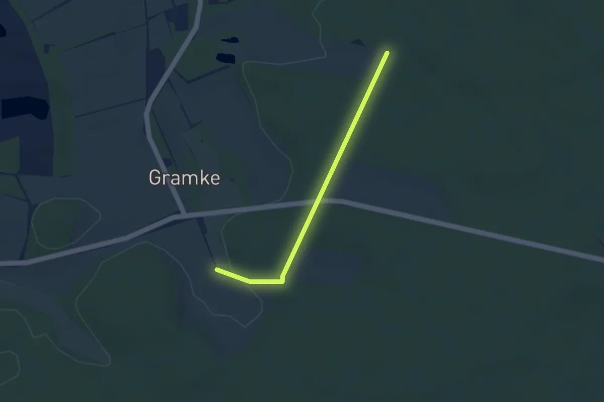
Easy · Trail
34-35
2.5 km · ↑ 41 m · 41 min
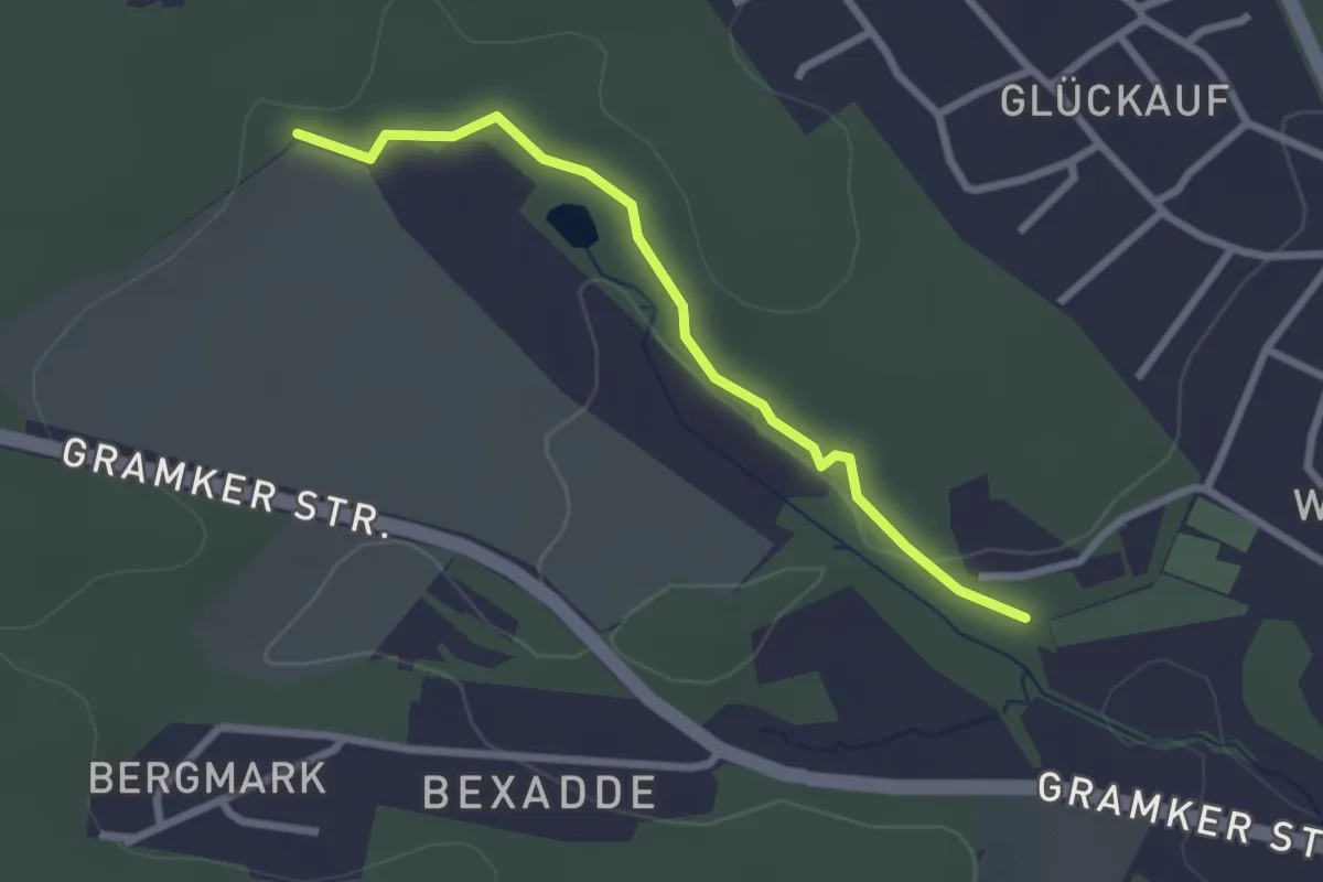
Easy · Trail
37-50
2.2 km · ↑ 26 m · 35 min
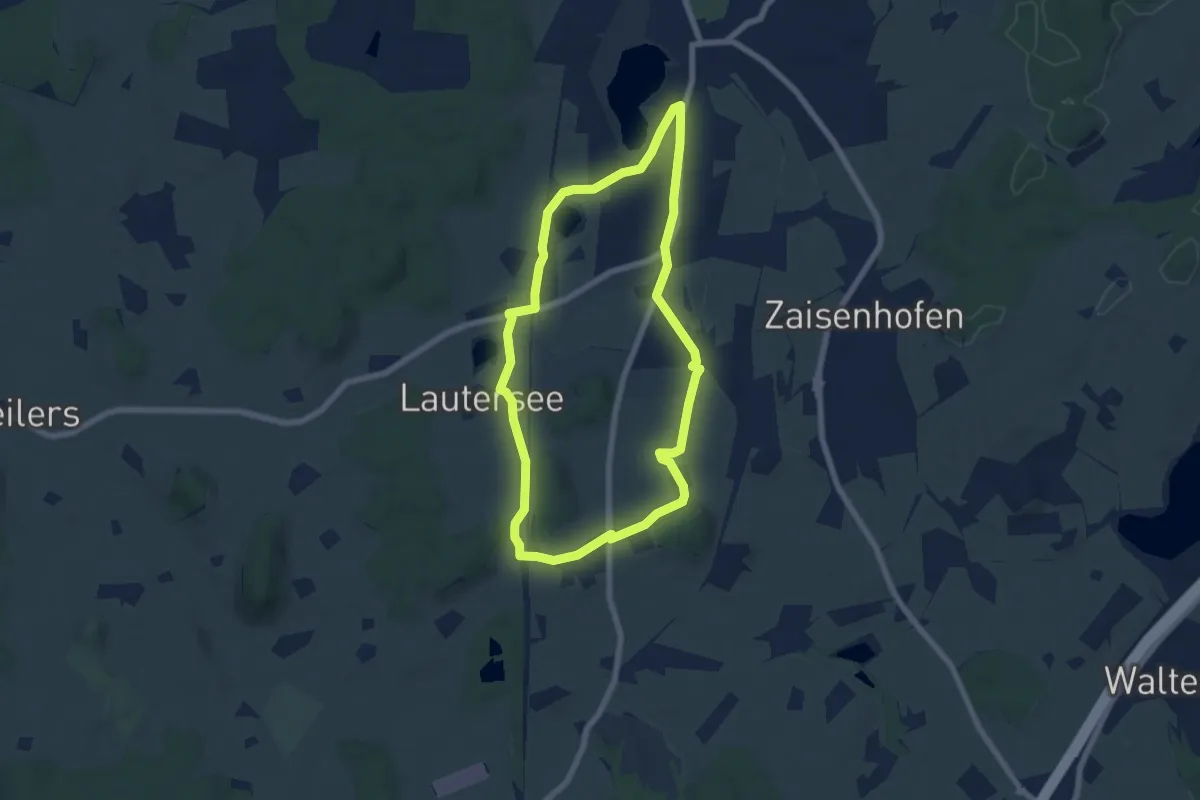
Easy · Trail
3 - An den Seen der Eiszeit vorbei
6.3 km · ↑ 30 m · 1 h 38 min
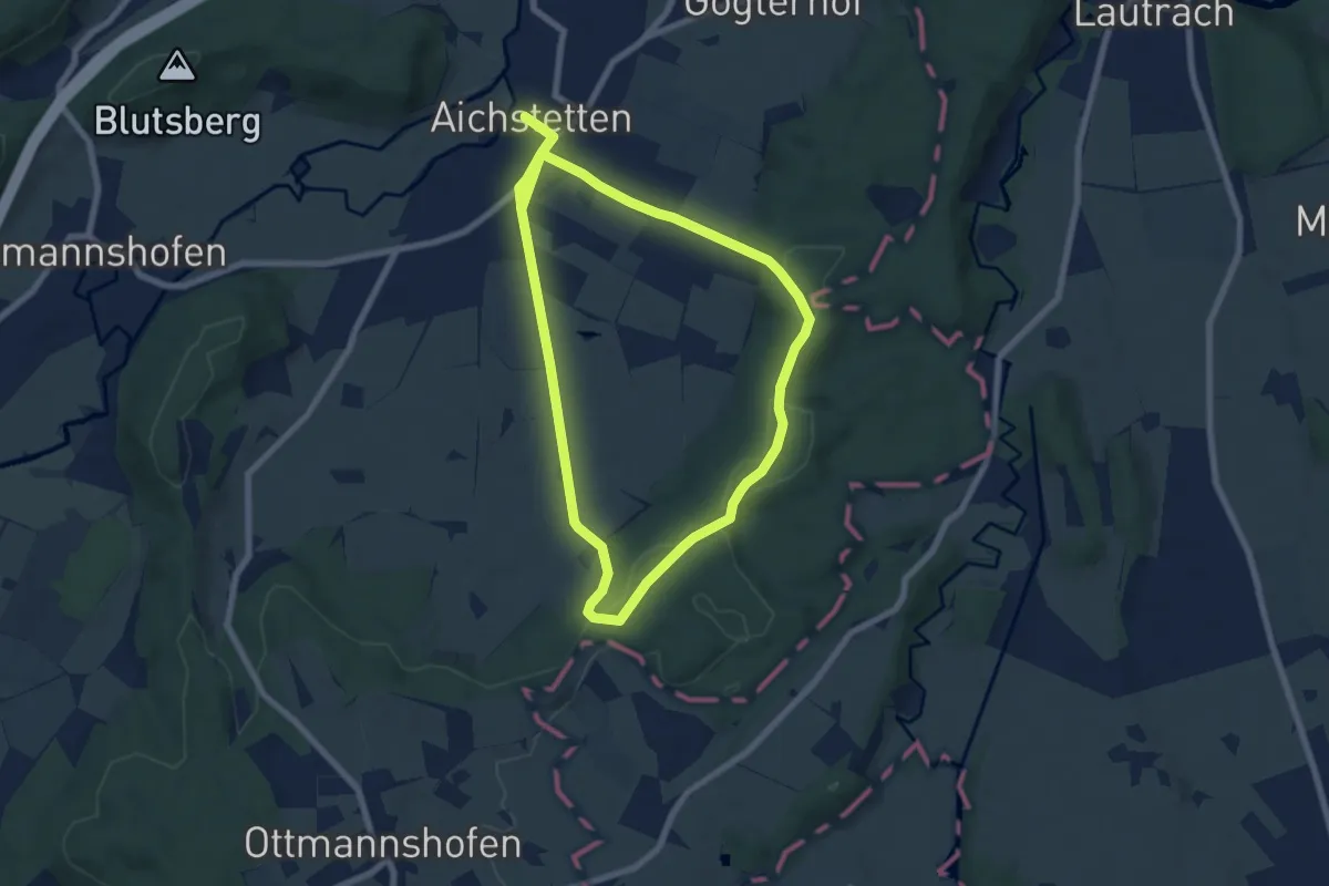
Easy · Trail
3a - Sommerstall - Gotteswald - Stockbauern
6.7 km · ↑ 107 m · 1 h 55 min
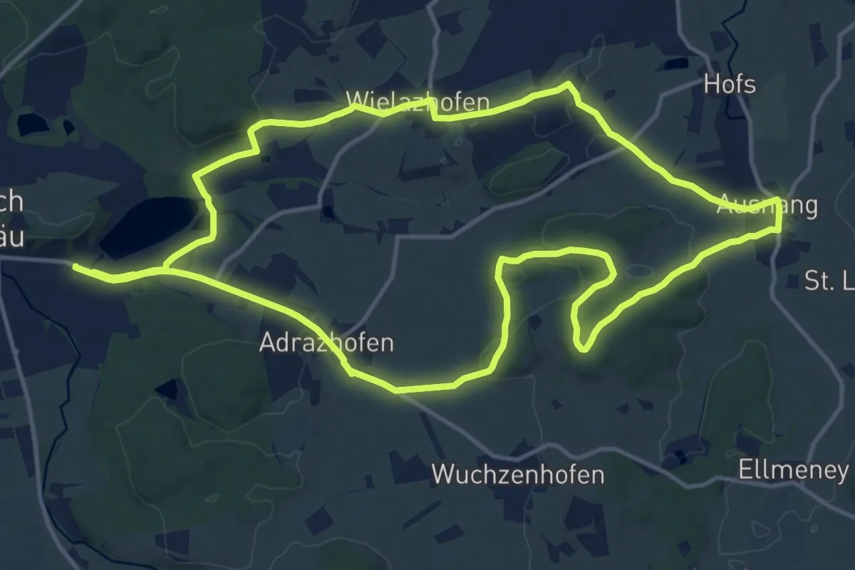
Medium · Trail
3 - Ausnanger Runde
13.9 km · ↑ 168 m · 3 h 50 min
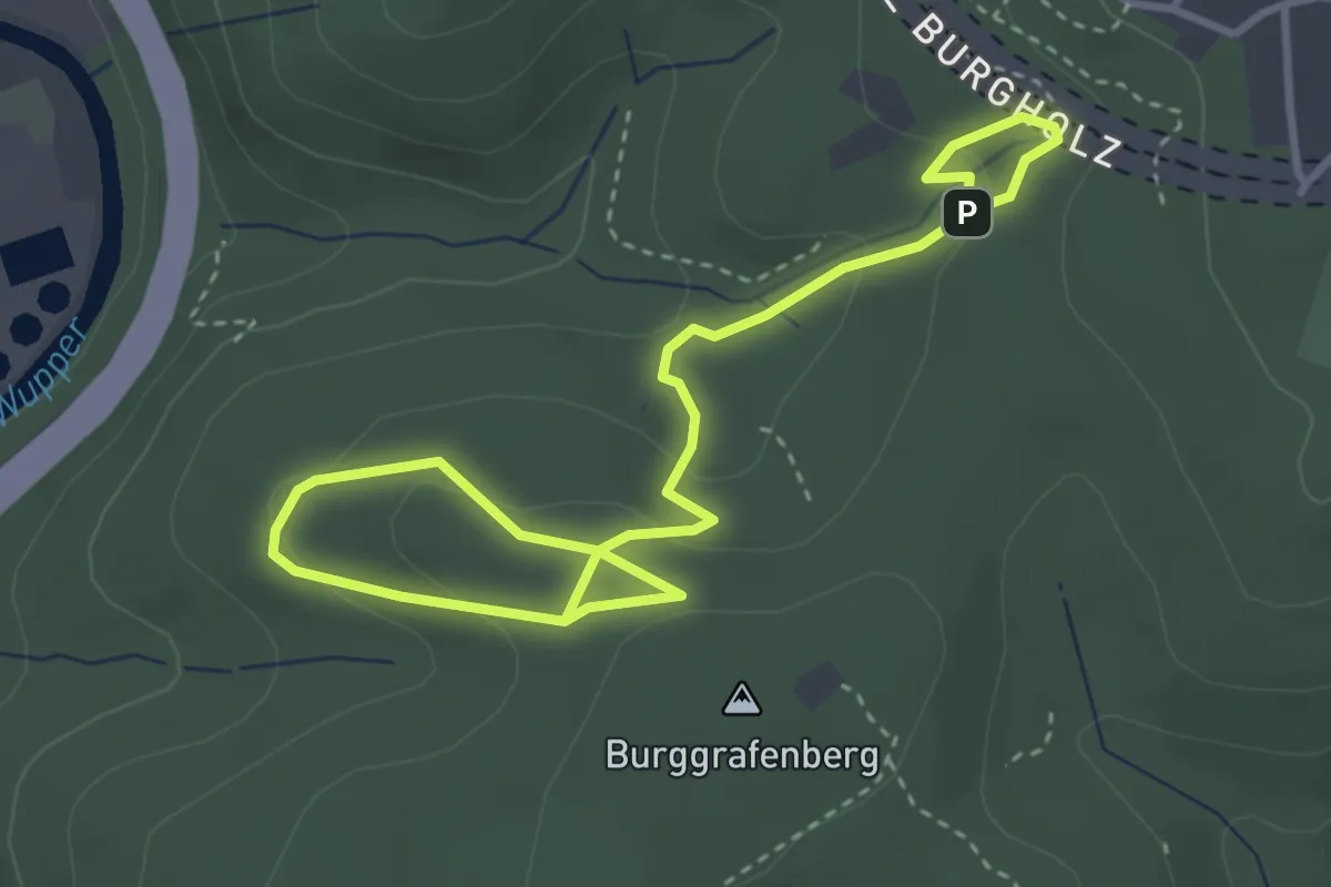
Easy · Summit
3: Bäume der Welt
2.3 km · ↑ 107 m · 48 min
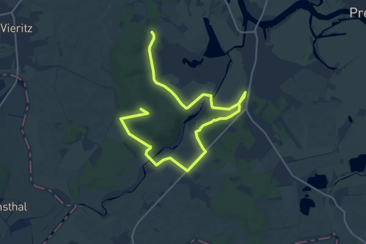
Medium · Summit
3-Berge-Tour
13.6 km · ↑ 176 m · 3 h 36 min
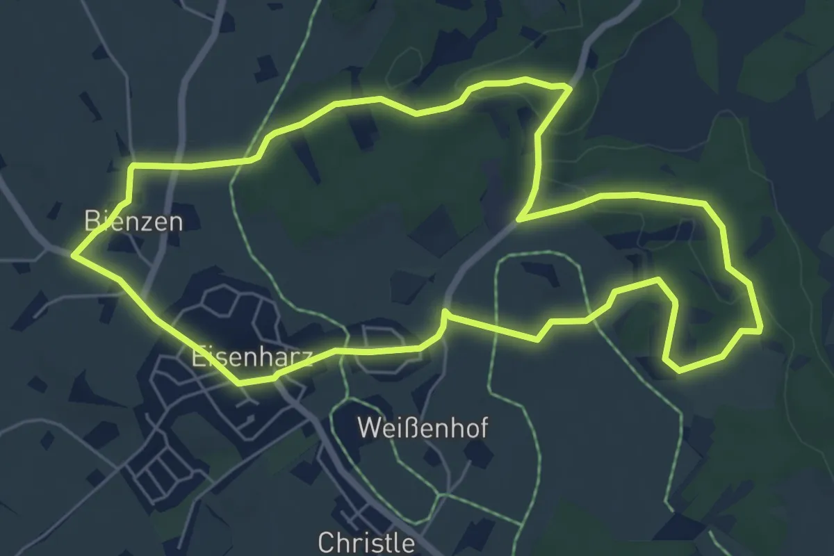
Easy · Trail
3 - Bienzer Moosrunde
6.1 km · ↑ 61 m · 1 h 40 min
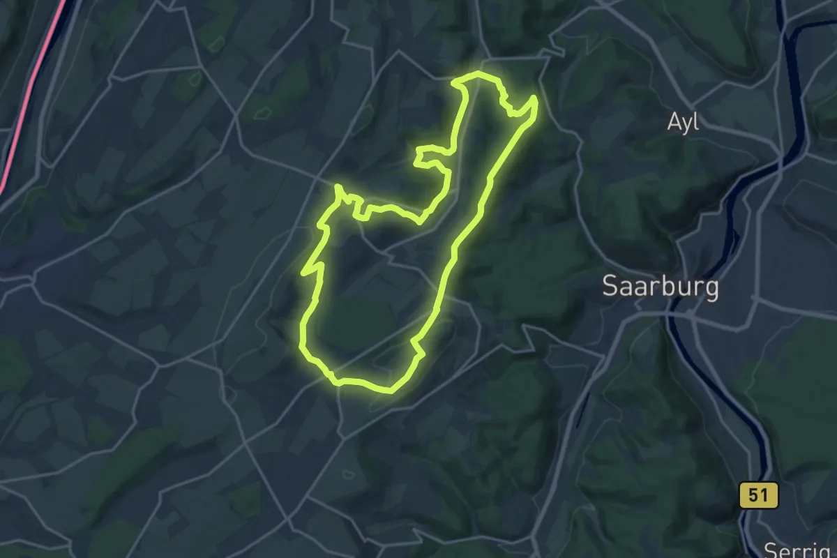
Medium · Trail
3-Dörfer-Weg
15.9 km · ↑ 378 m · 4 h 47 min
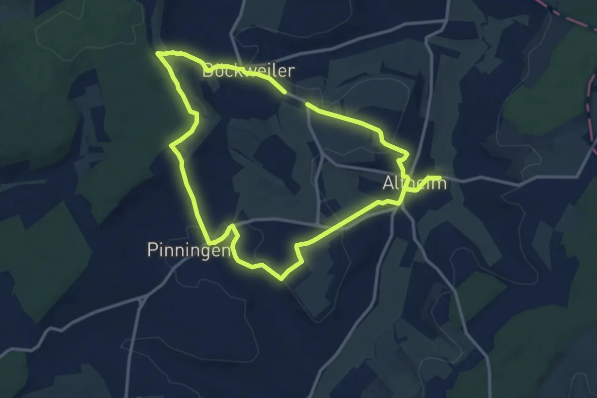
Medium · Trail
3-Dörfer-Weg
8.2 km · ↑ 162 m · 2 h 24 min
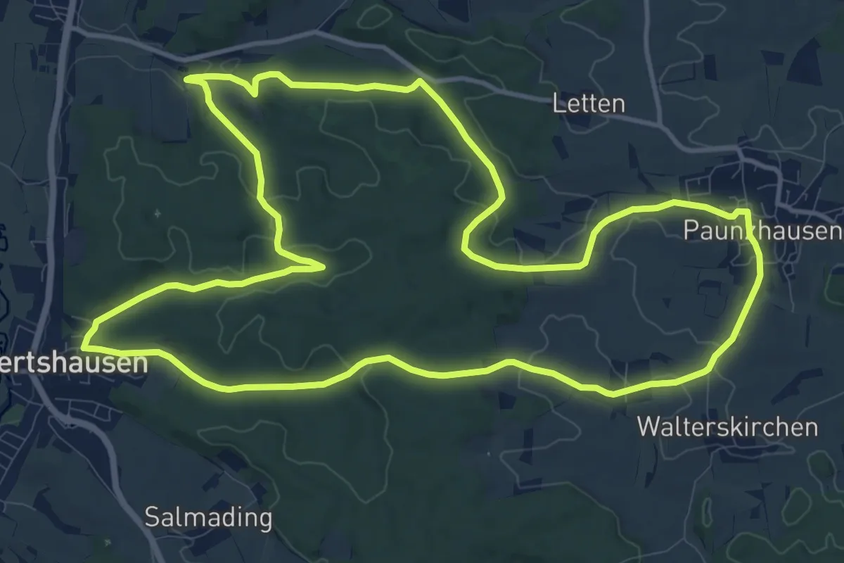
Medium · Trail
3-Gemeinden-Wege (1 / blau-kurz)
12.4 km · ↑ 189 m · 3 h 31 min
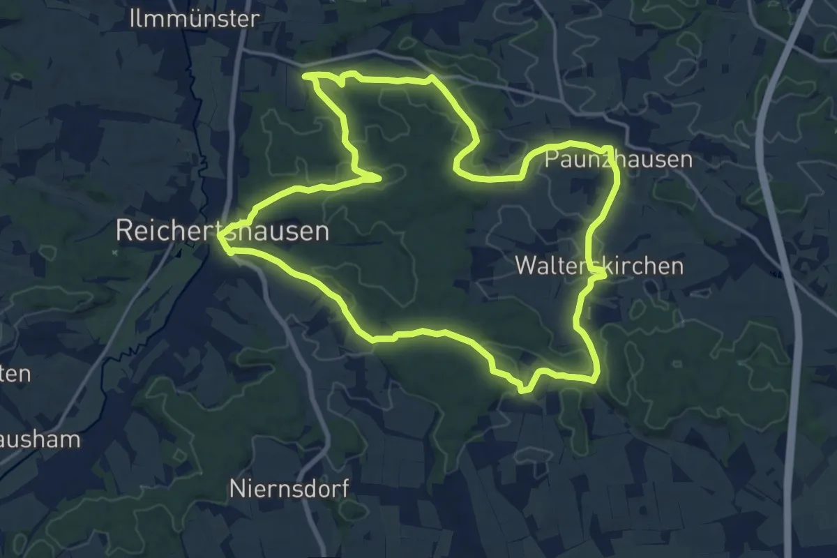
Medium · Trail
3-Gemeinden-Wege (1 / blau-lang)
15.8 km · ↑ 243 m · 4 h 29 min
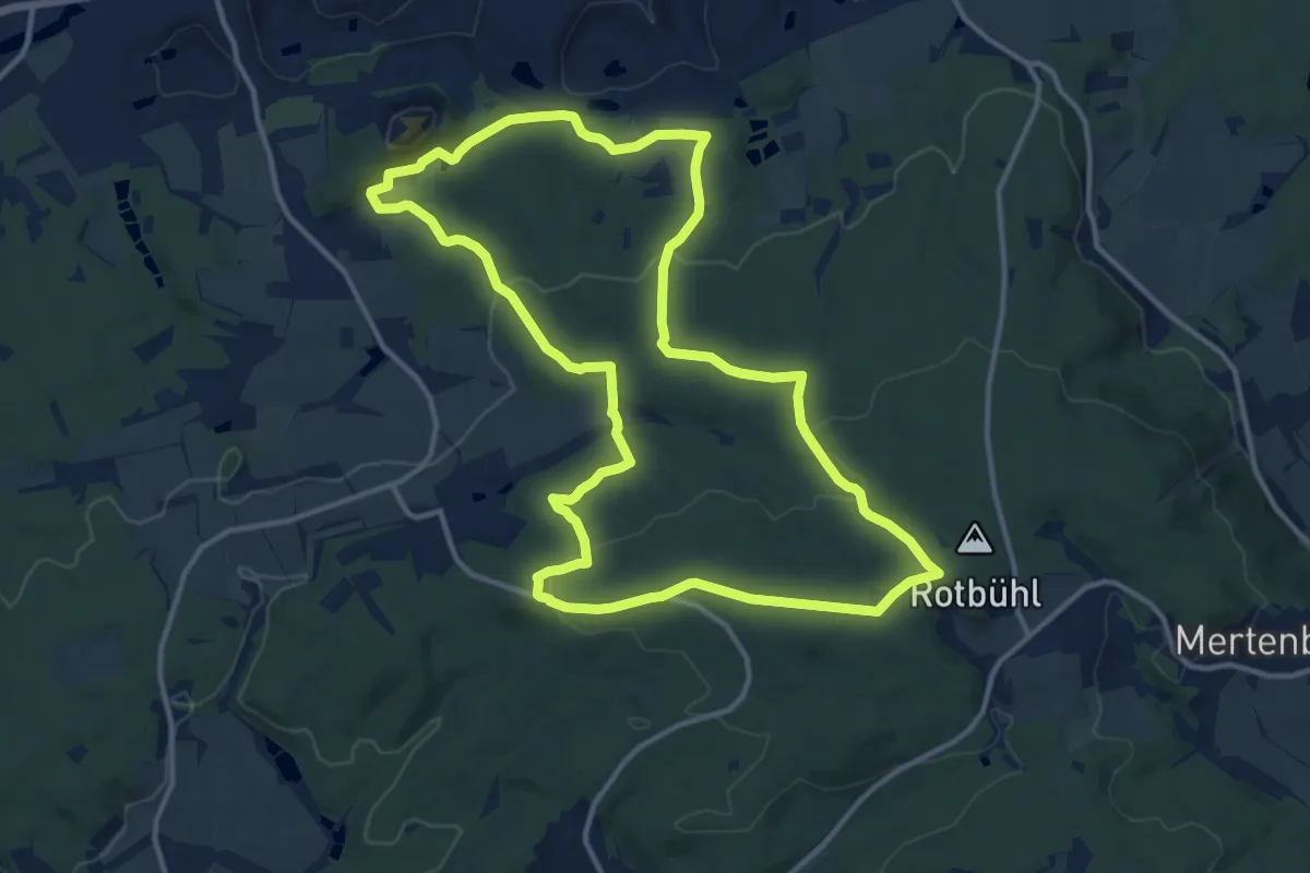
Medium · Trail
3_Gipfel_Weg
12.6 km · ↑ 294 m · 3 h 47 min
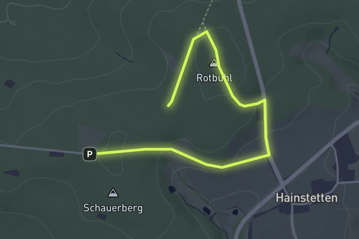
Easy · Summit
3_Gipfel_Weg_Alternative
2.0 km · ↑ 63 m · 38 min
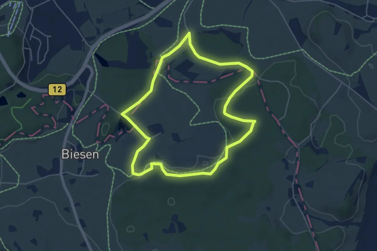
Easy · Trail
3 - Gschwendrunde
4.3 km · ↑ 59 m · 1 h 12 min
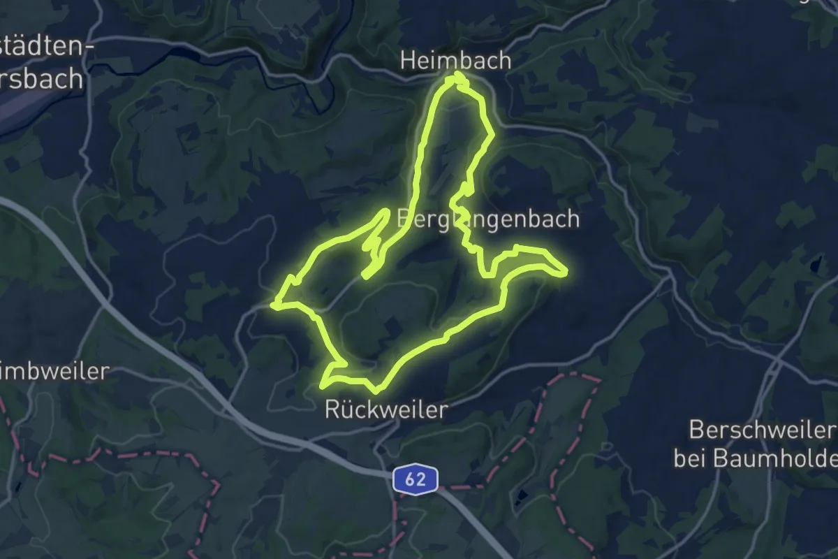
Medium · Trail
3-Kirchen-Wanderweg
14.5 km · ↑ 417 m · 4 h 32 min
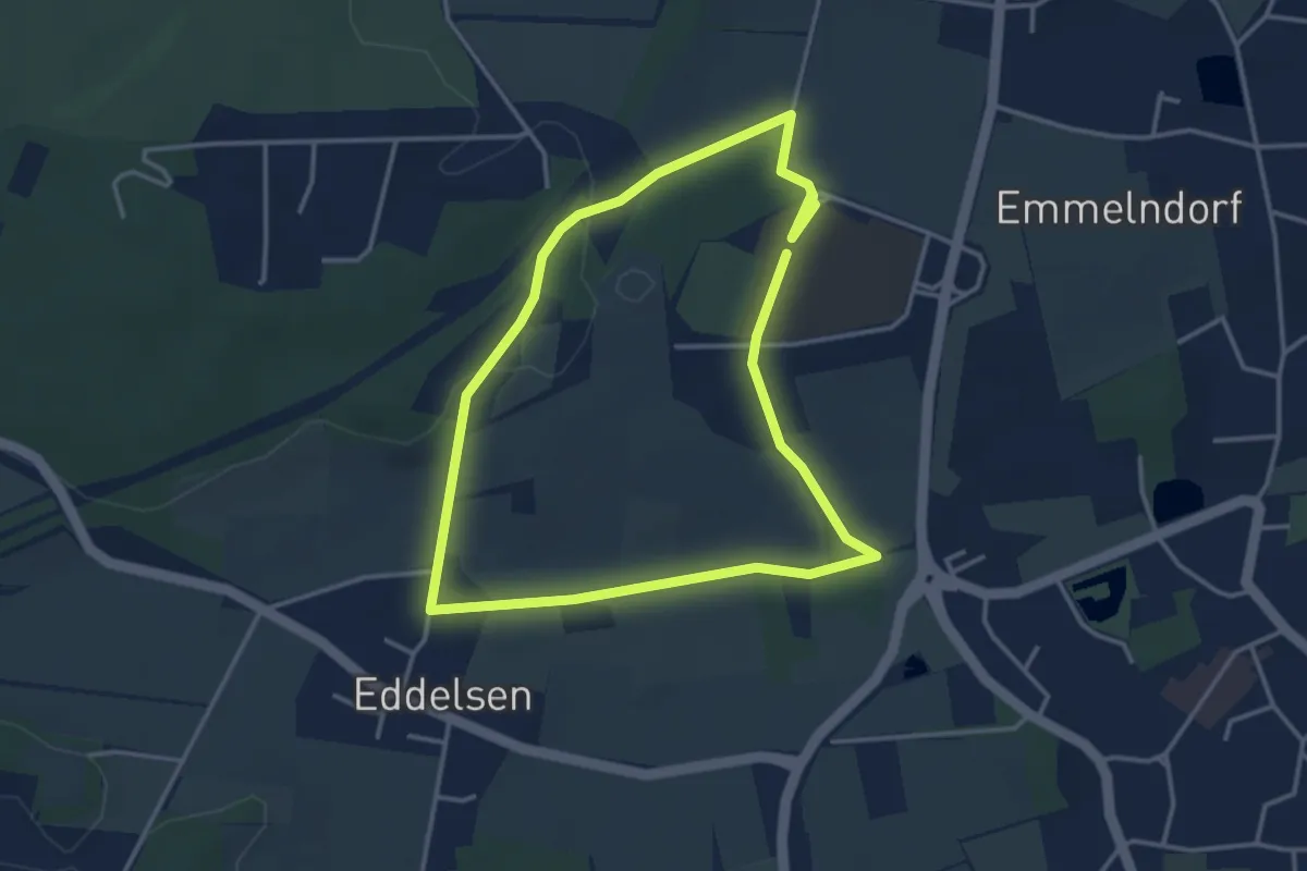
Easy · Trail
3km-Runde um den Peperdieksberg
3.0 km · ↑ 37 m · 49 min
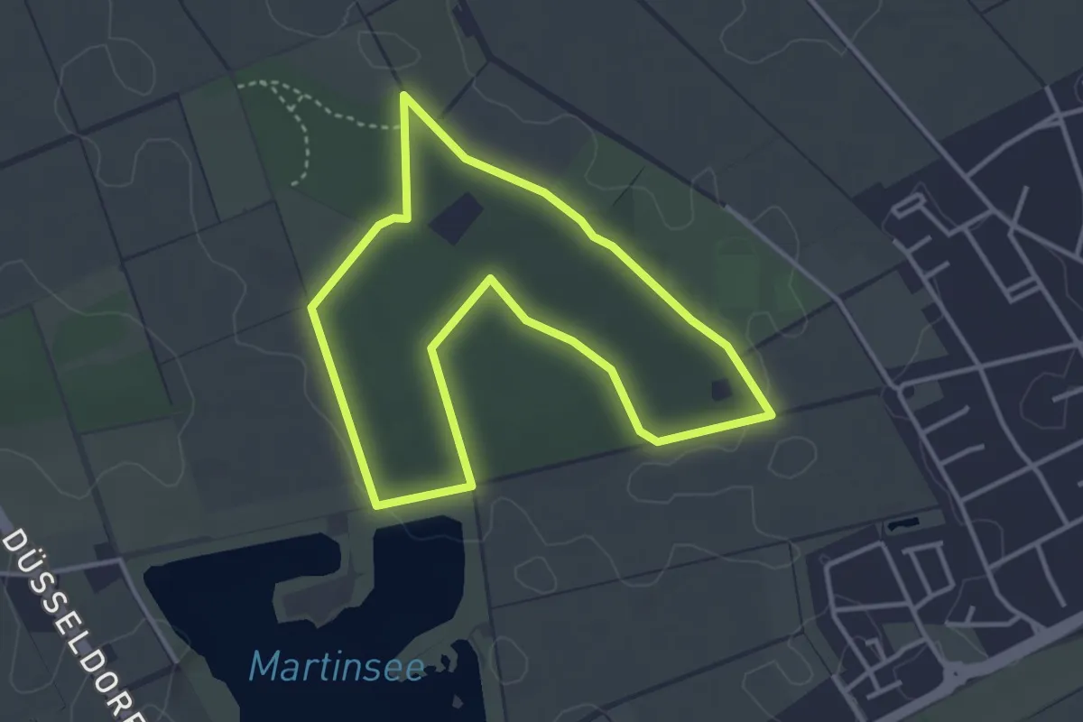
Easy · Trail
3km Runde Zonser Heide
3.1 km · ↑ 18 m · 49 min
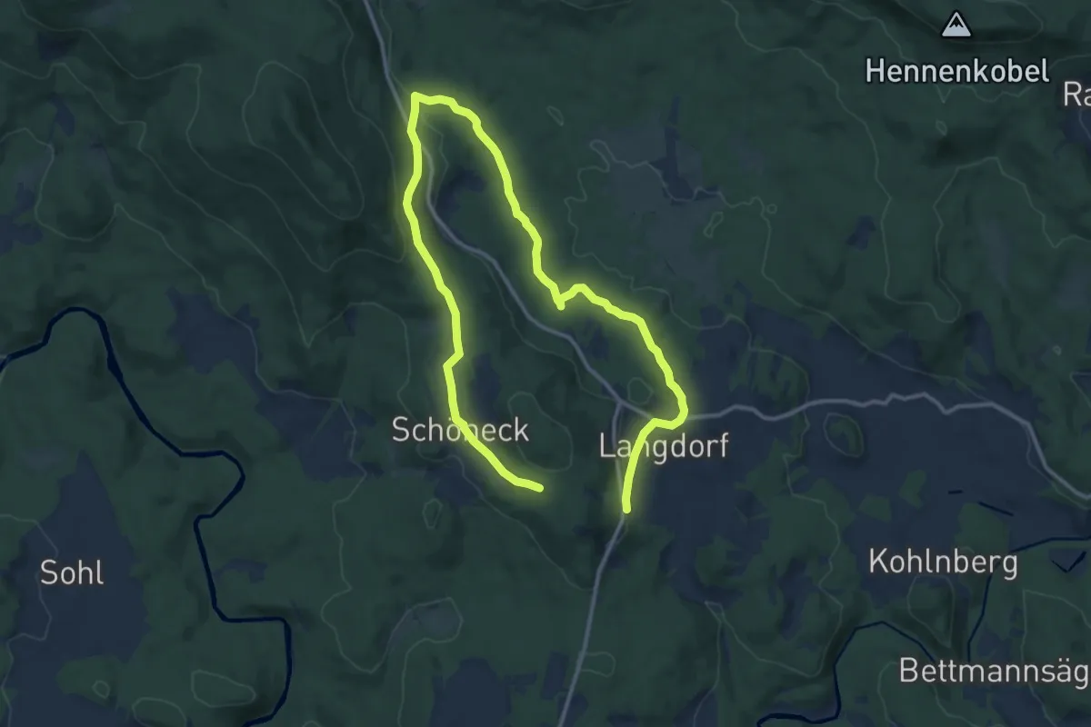
Medium · Trail
3 Langdorf-Schöneck-Waldman-Schwellweiher-Kneippanlage-Langdo
9.1 km · ↑ 176 m · 2 h 42 min
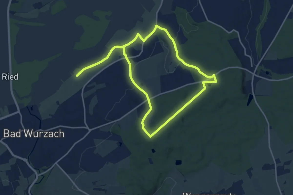
Medium · Trail
3 – NaTour
10.1 km · ↑ 154 m · 2 h 52 min