Trails in Germany
36,877 hiking trails, each with its route, climb, walking time and grade.
All trails, page 764 of 769
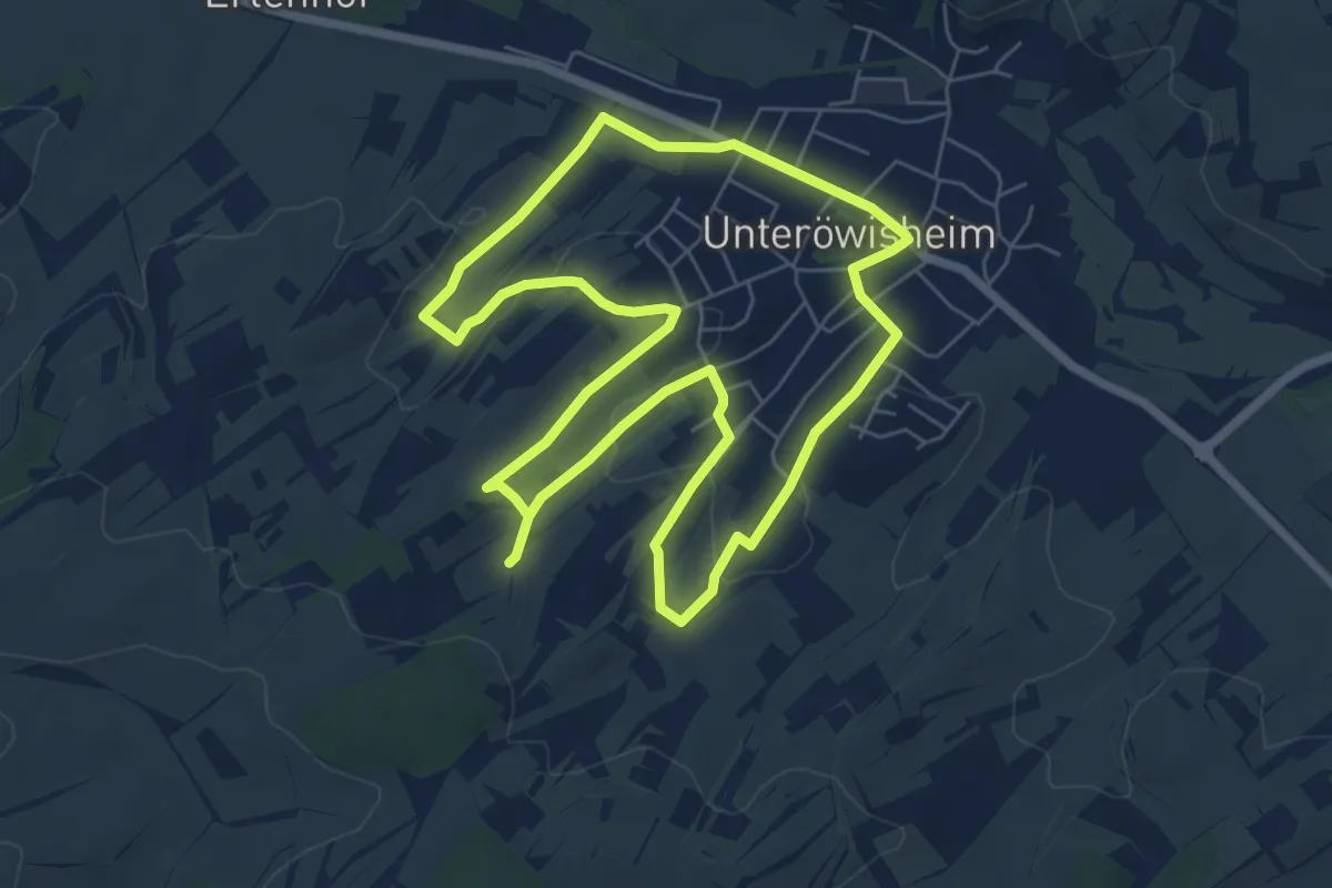
Easy · Trail
3-Quellen-Weg Unteröwisheim
6.2 km · ↑ 65 m · 1 h 41 min
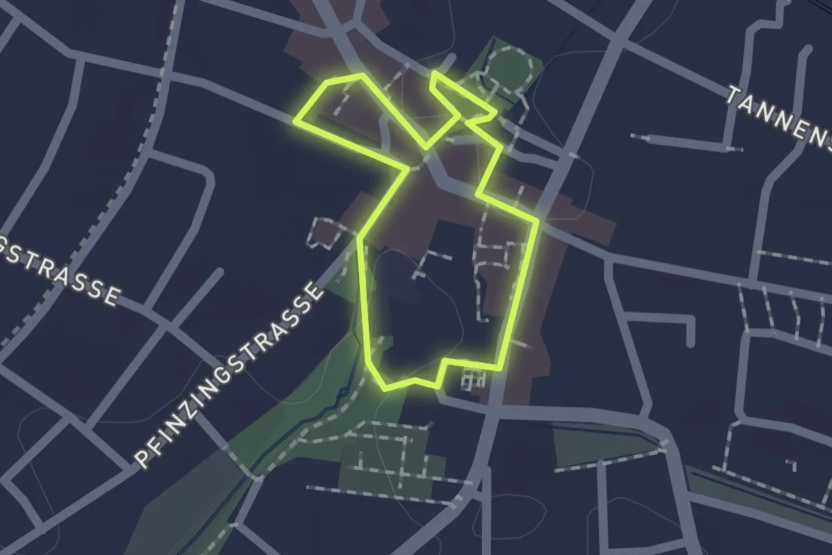
Easy · Trail
3-Schlösser-Rundweg
1.1 km · ↑ 0 m · 16 min
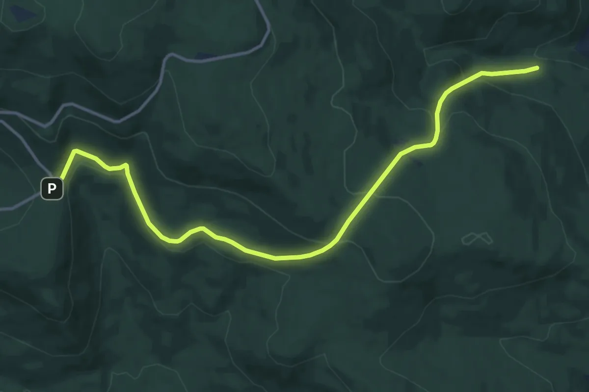
Medium · Trail
3 Schönebene - Regenhütte
11.8 km · ↑ 505 m · 3 h 52 min
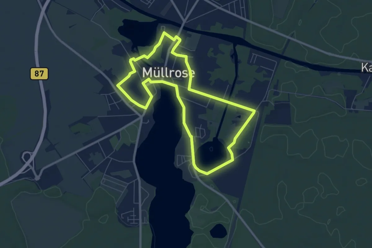
Easy · Trail
3 Seen Wanderweg
6.3 km · ↑ 0 m · 1 h 34 min
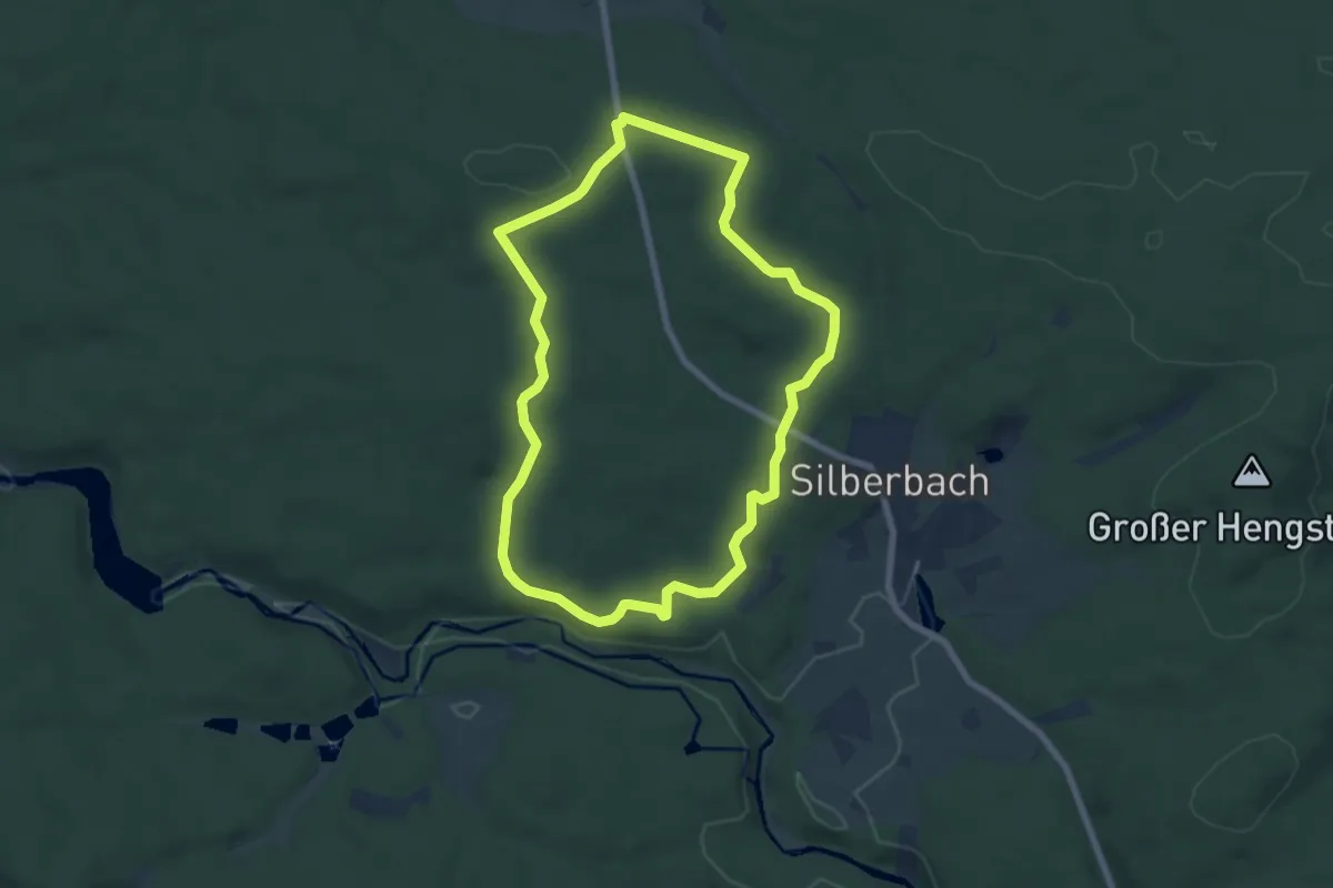
Easy · Trail
3 [Selb]
6.5 km · ↑ 126 m · 1 h 53 min
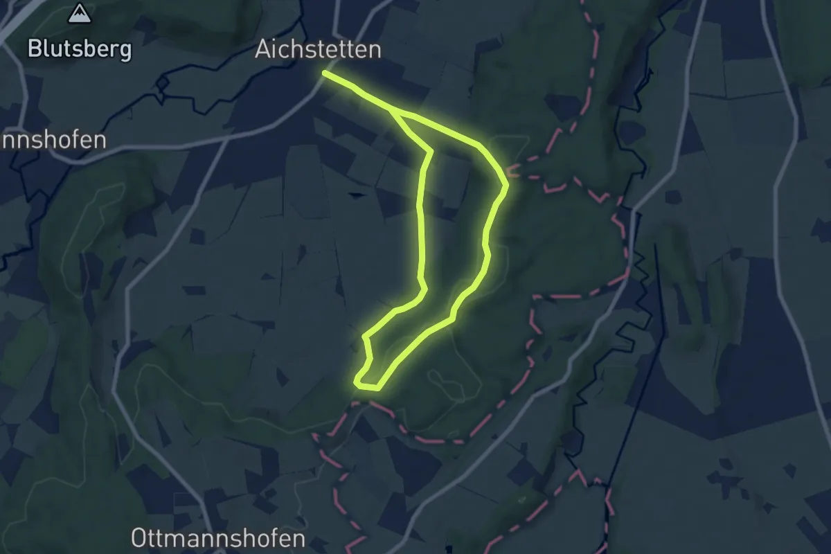
Easy · Trail
3 - Sommerstall - Gotteswald - Stockbauern - Sommerstal
6.4 km · ↑ 127 m · 1 h 53 min
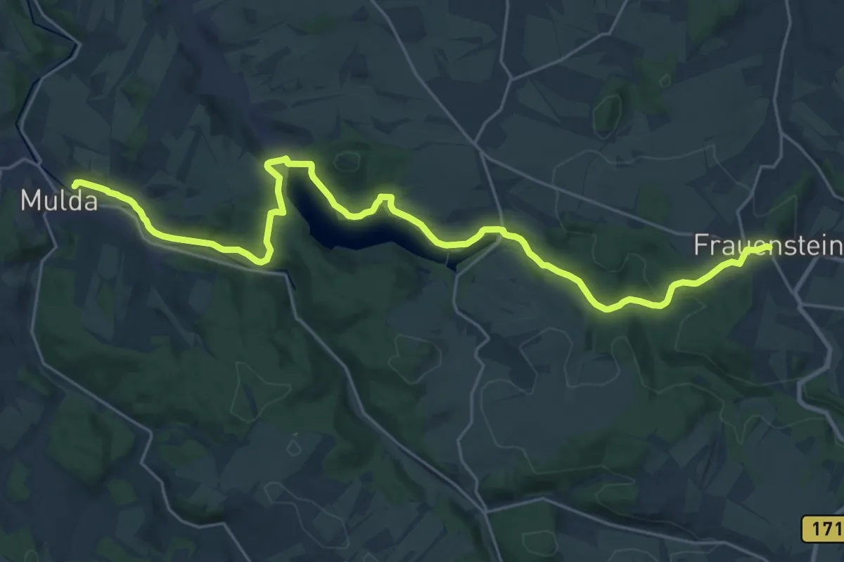
Demanding · Trail
3-Täler-Tour
25.0 km · ↑ 485 m · 6 h 58 min
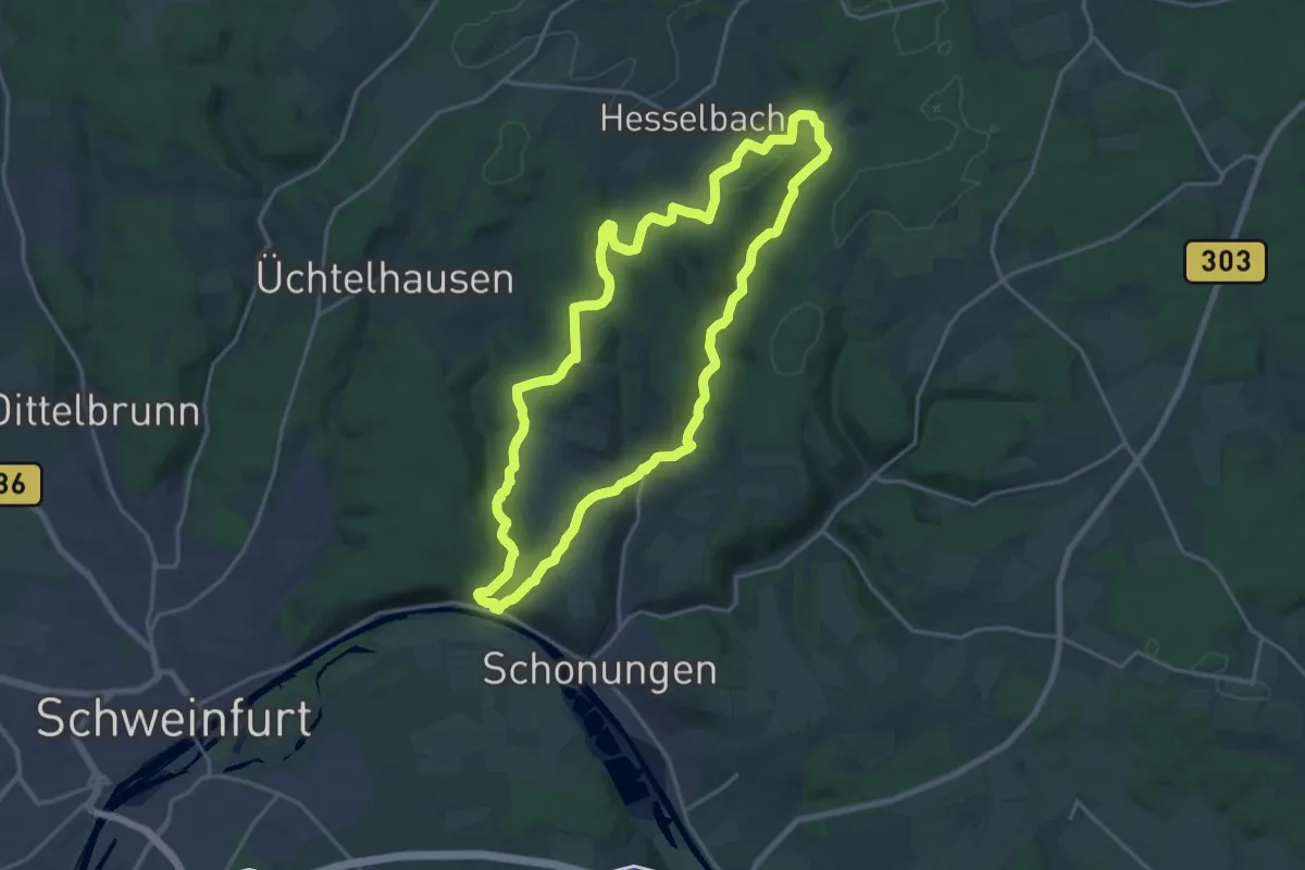
Medium · Trail
3-Tälerweg
17.9 km · ↑ 449 m · 5 h 27 min
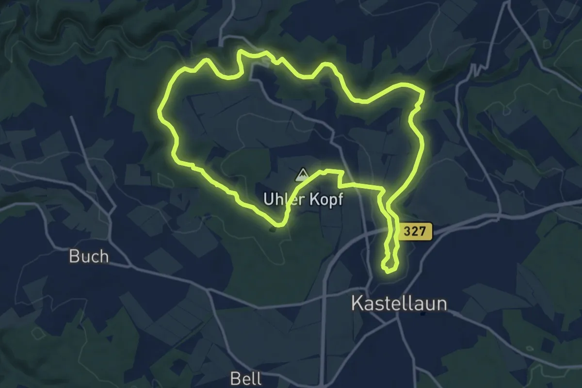
Medium · Trail
3 Täler Weg
12.2 km · ↑ 274 m · 3 h 39 min
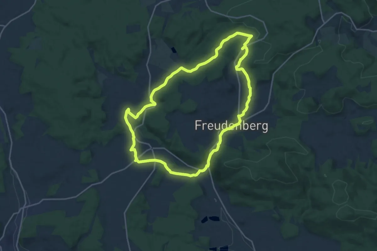
Medium · Trail
3-Täler-Weg
14.6 km · ↑ 241 m · 4 h 10 min
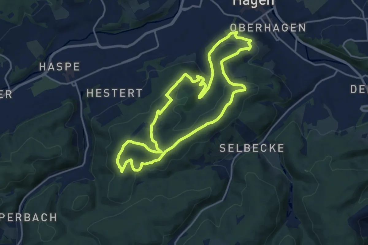
Medium · Summit
3TürmeWEG
10.9 km · ↑ 281 m · 3 h 20 min
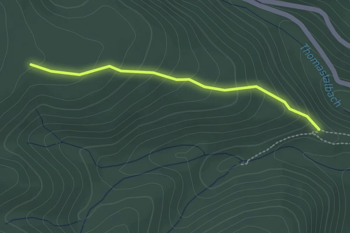
Easy · Trail
4
2.0 km · ↑ 147 m · 48 min
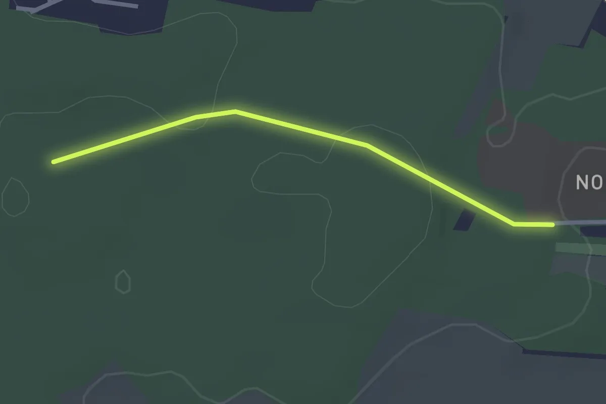
Easy · Trail
42-43
2.1 km · ↑ 33 m · 34 min
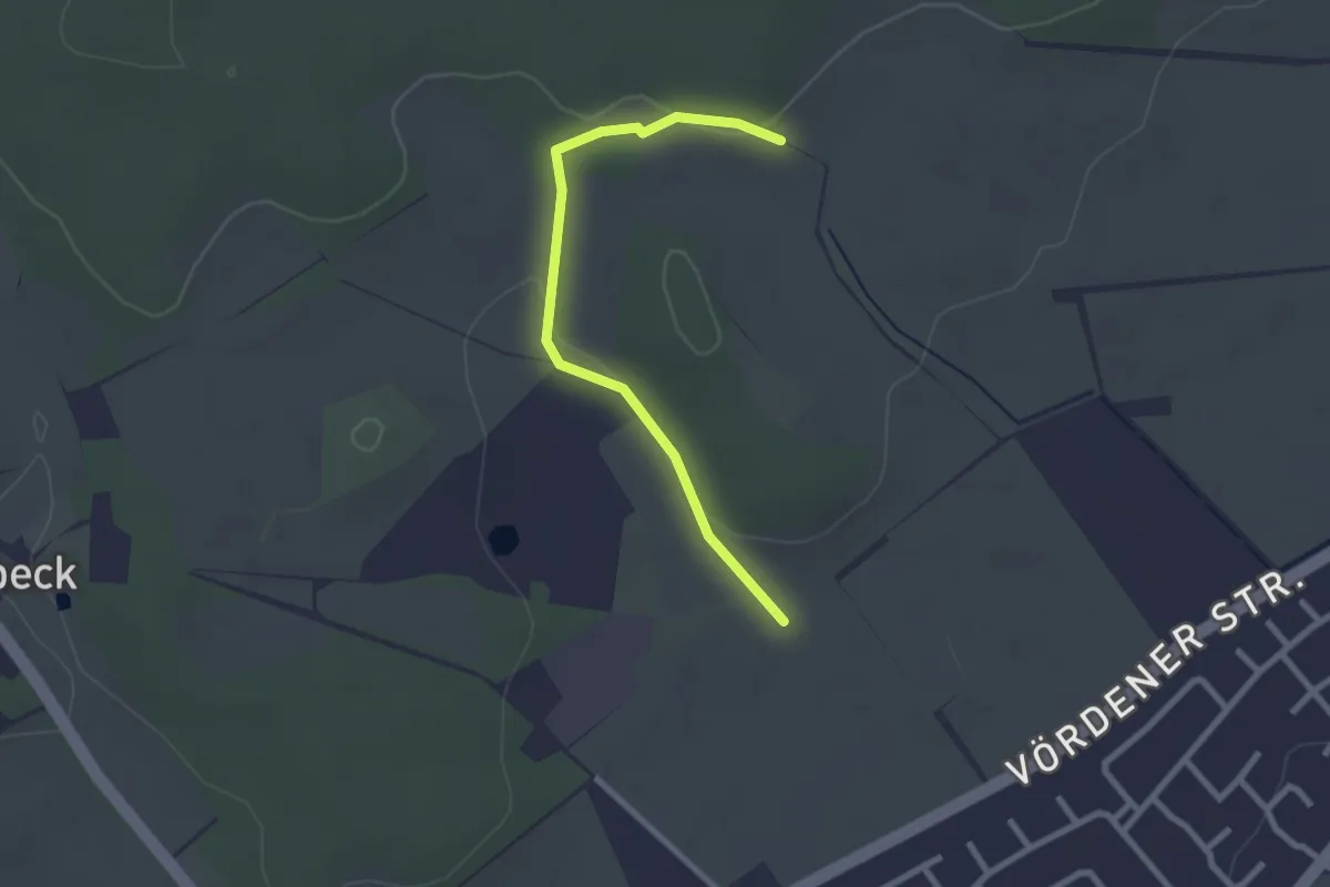
Easy · Trail
44-45
2.2 km · ↑ 31 m · 35 min
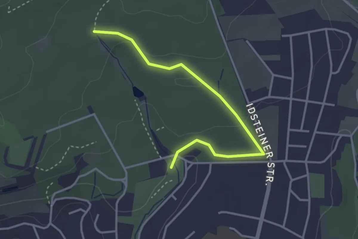
Easy · Trail
48-78 (oben)
3.0 km · ↑ 53 m · 49 min
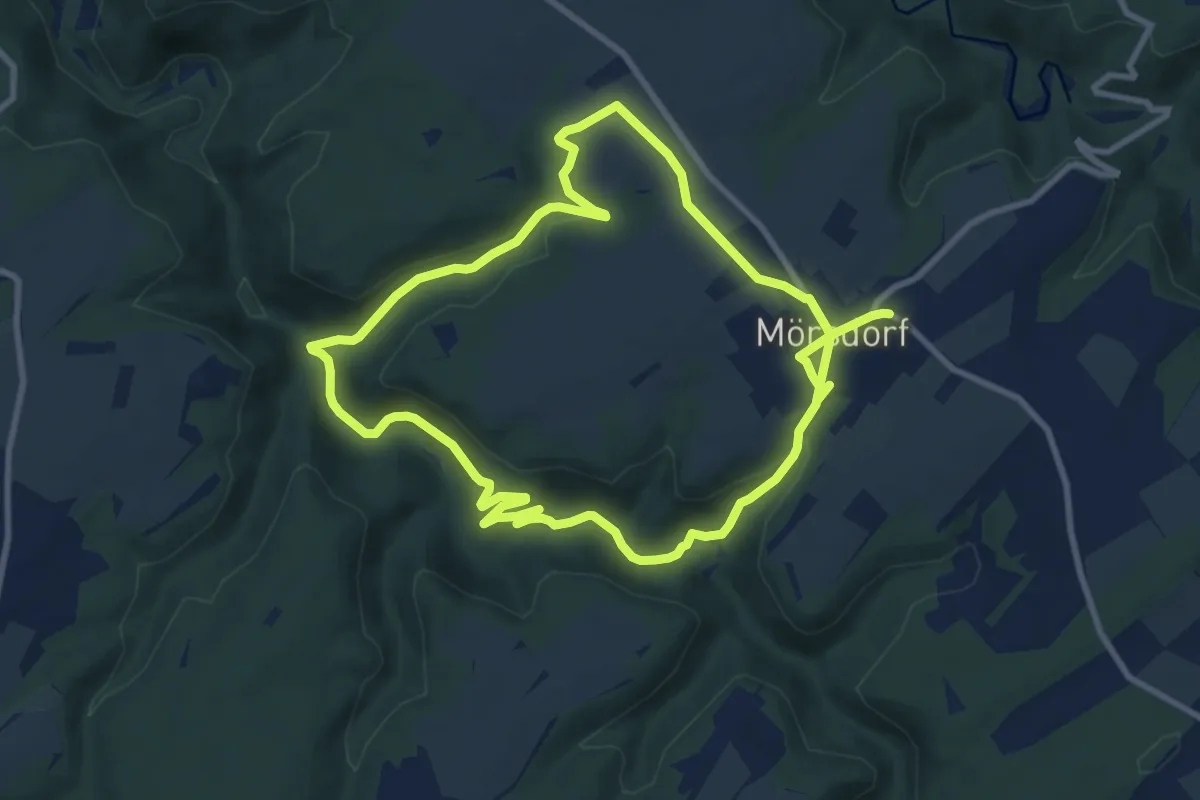
Medium · Trail
4-Bäche-Runde
17.5 km · ↑ 502 m · 5 h 13 min
Medium · Summit
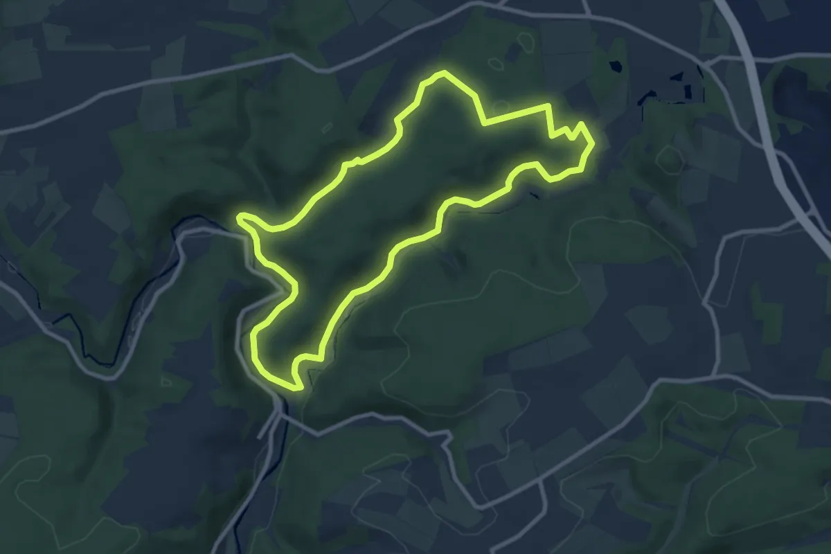
4 Bäche Runde bei Montabaur - Eisenbach -Gelbach - Ahrbach - Holbach
8.1 km · ↑ 208 m · 2 h 29 min
Easy · Trail
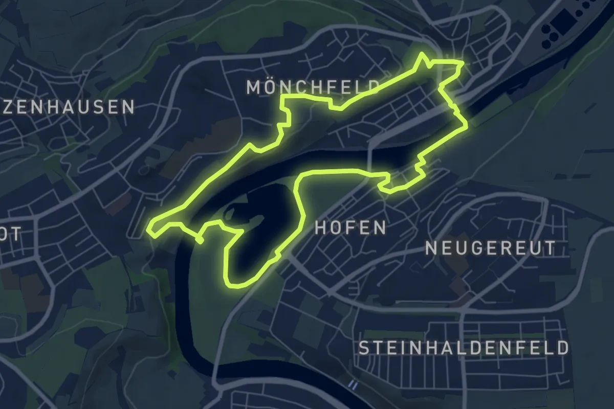
4-Burgen-Rundwanderweg Mühlhausen
7.0 km · ↑ 98 m · 1 h 57 min
Easy · Trail
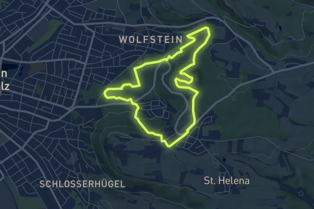
4-Elemente-Weg
6.0 km · ↑ 144 m · 1 h 49 min
Easy · Trail
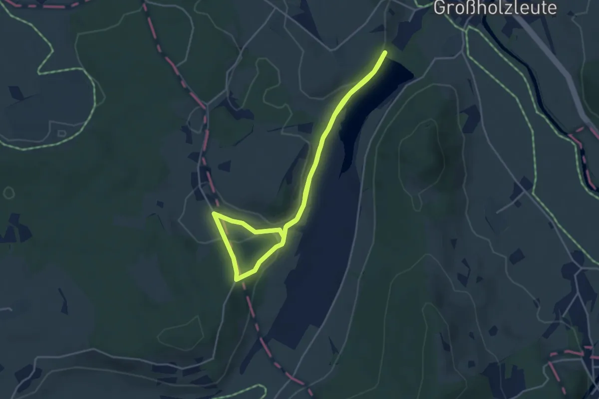
4 - Hengelesweiherrunde
3.4 km · ↑ 47 m · 58 min
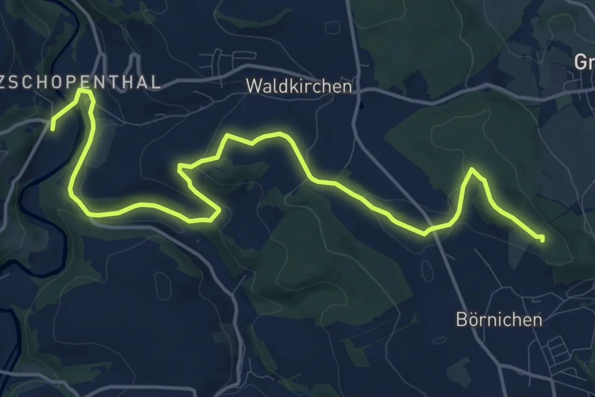
Medium · Summit
4-Mühlentour Grünhainichen
13.4 km · ↑ 298 m · 3 h 48 min
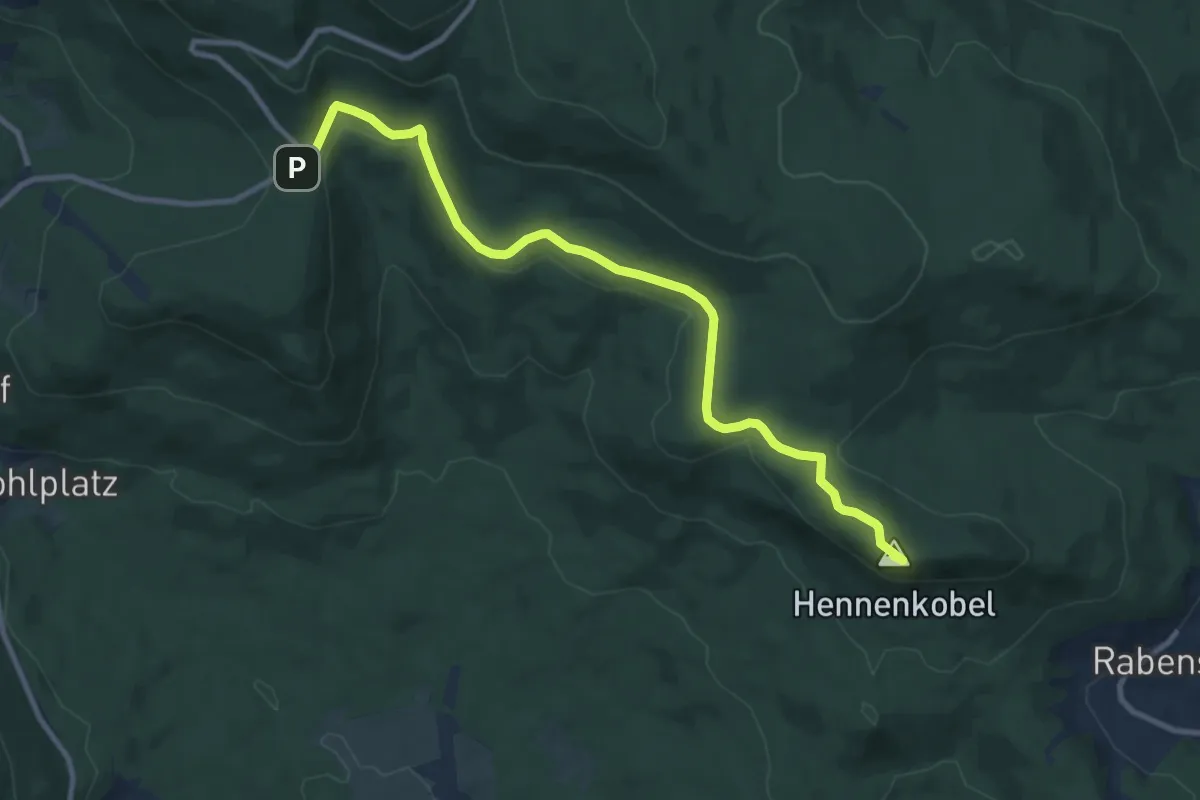
Medium · Summit
4 Schönebene - Bahnhof Zwiesel
10.3 km · ↑ 199 m · 2 h 52 min
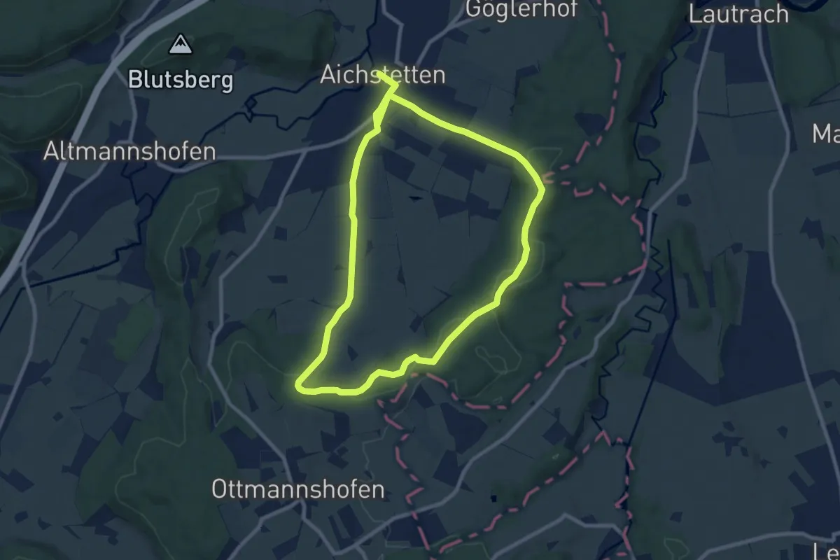
Medium · Trail
4 - Sommerstall - Gotteswald - Dübel -Stockbauern
8.2 km · ↑ 178 m · 2 h 26 min
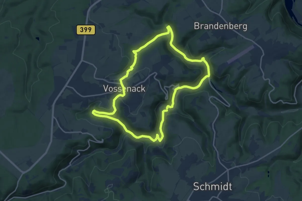
Medium · Trail
4 Täler
11.3 km · ↑ 226 m · 3 h 19 min
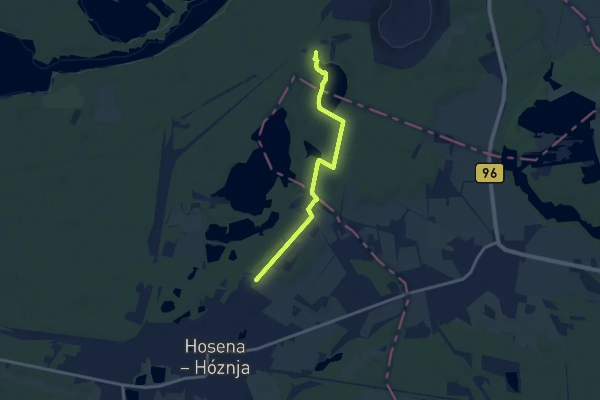
Easy · Trail
4-Teiche-Tour Rundwanderweg Großkoschen - Hosena
3.1 km · ↑ 17 m · 49 min
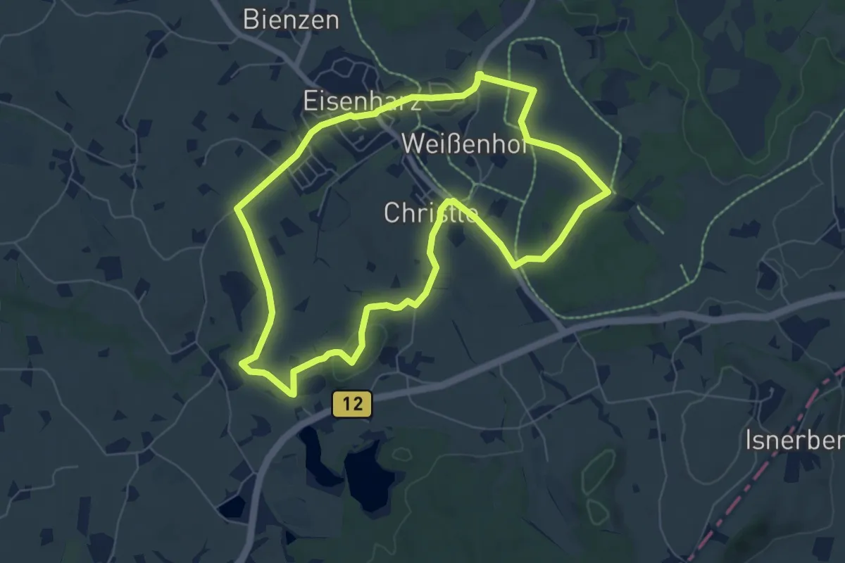
Easy · Trail
4 - Vorholzer Runde
6.6 km · ↑ 70 m · 1 h 49 min
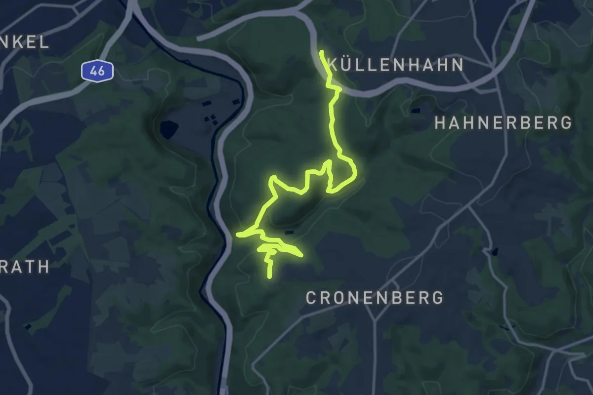
Medium · Trail
4: Wälder der Welt
12.1 km · ↑ 460 m · 3 h 51 min
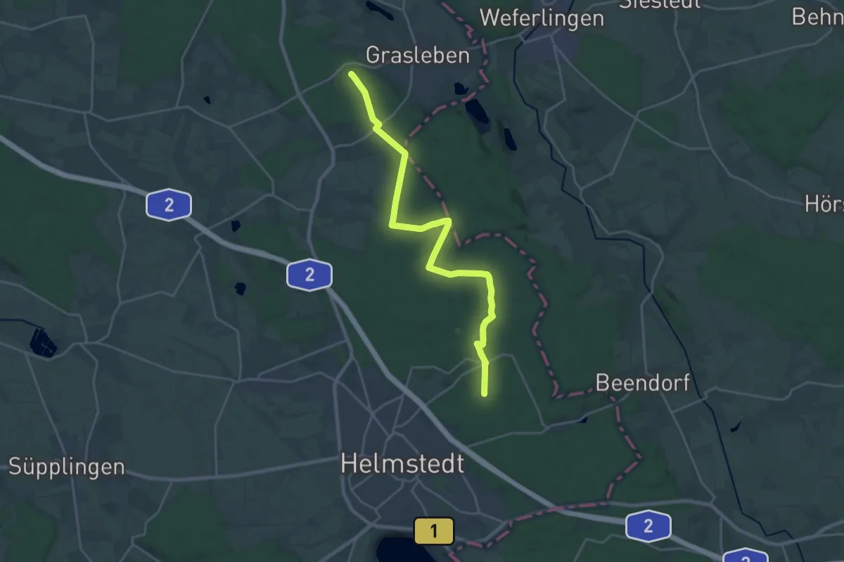
Demanding · Trail
4 Wälder Rundweg
20.7 km · ↑ 154 m · 5 h 13 min
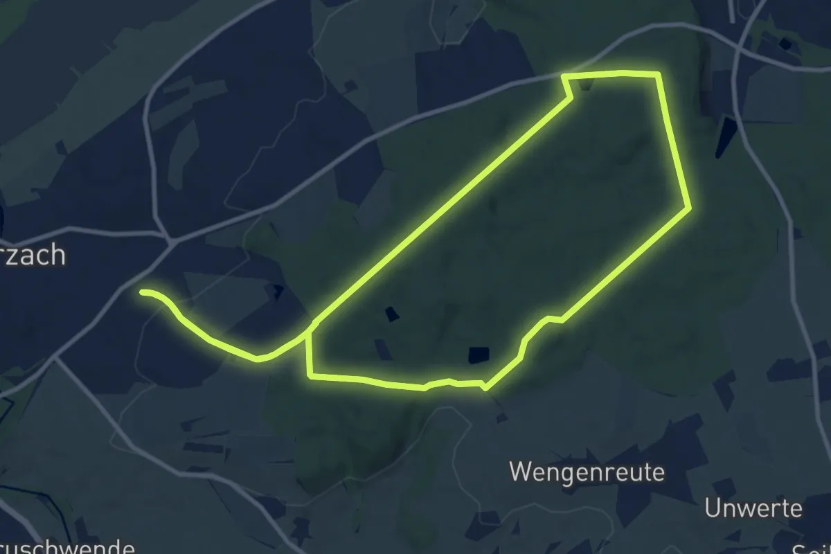
Medium · Trail
4 – Waldläufer
9.7 km · ↑ 160 m · 2 h 46 min
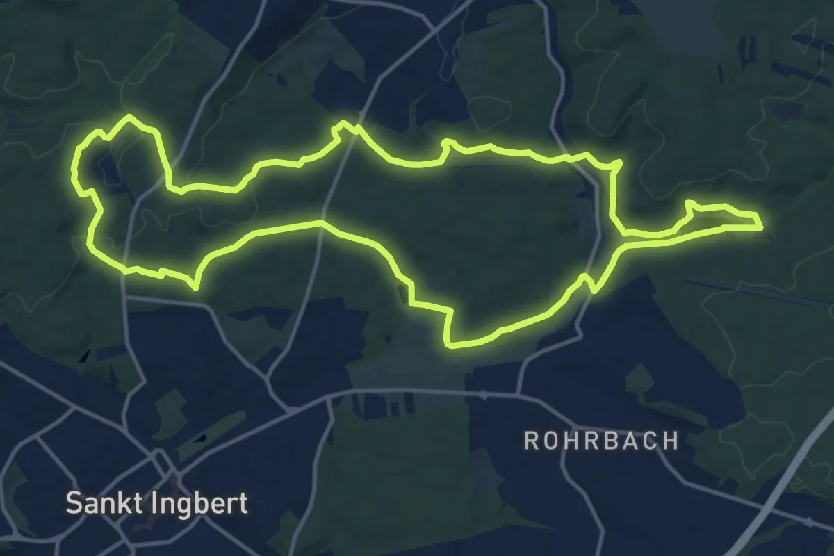
Medium · Trail
4-Weiher-Runde
14.2 km · ↑ 268 m · 4 h 7 min
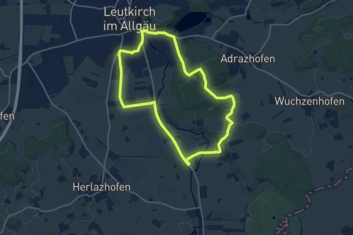
Medium · Trail
4 - Zur Allmishofer Höhe
9.7 km · ↑ 69 m · 2 h 35 min
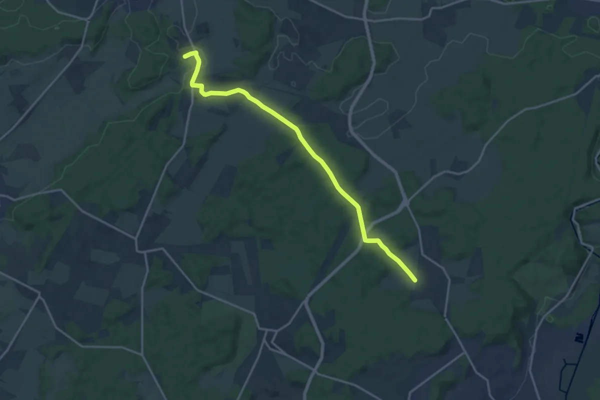
Medium · Trail
5
13.4 km · ↑ 170 m · 3 h 32 min
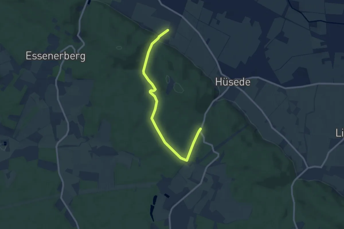
Easy · Trail
5
7.0 km · ↑ 146 m · 1 h 58 min
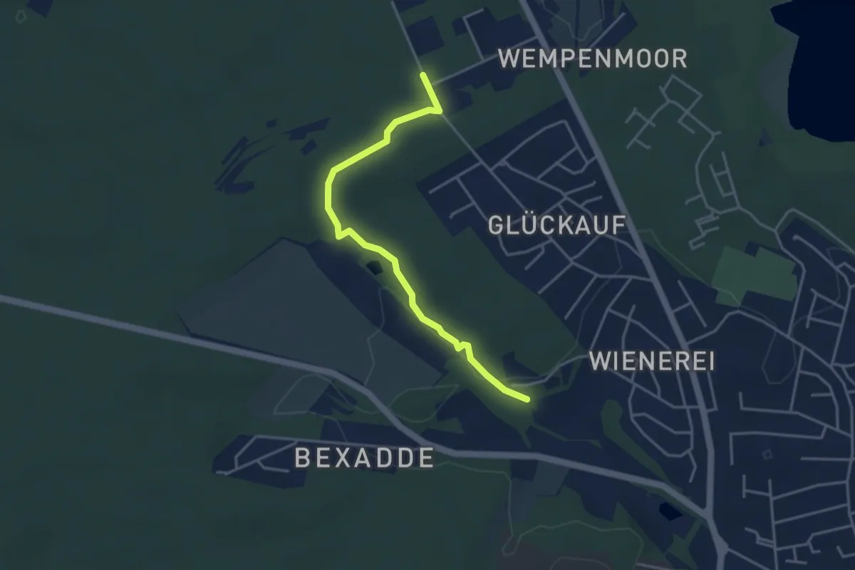
Easy · Trail
50-51
3.3 km · ↑ 55 m · 54 min
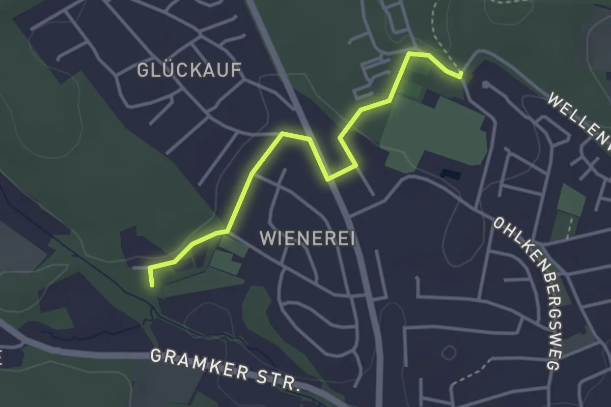
Easy · Trail
50-95
2.8 km · ↑ 50 m · 46 min
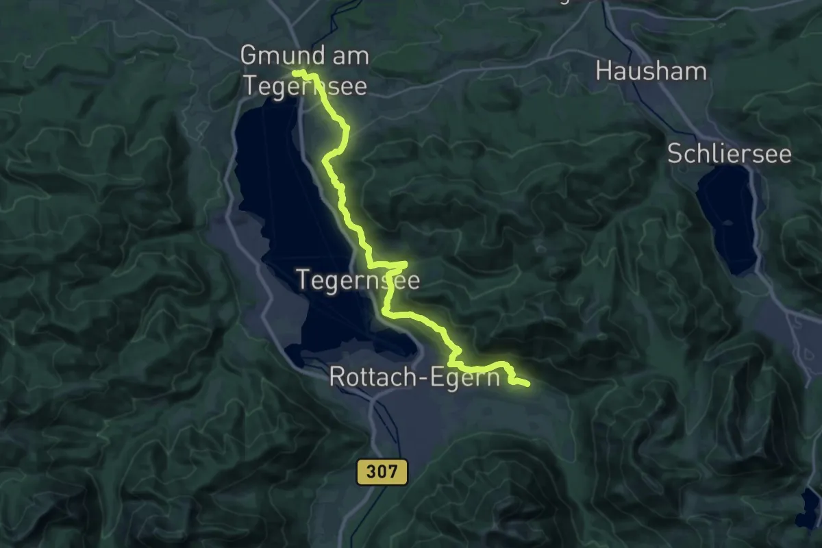
Demanding · Trail
510 - Tegernseer Höhenweg
24.9 km · ↑ 932 m · 7 h 54 min
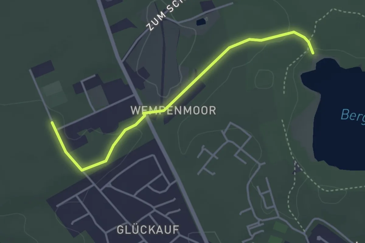
Easy · Trail
51-97
3.2 km · ↑ 50 m · 52 min
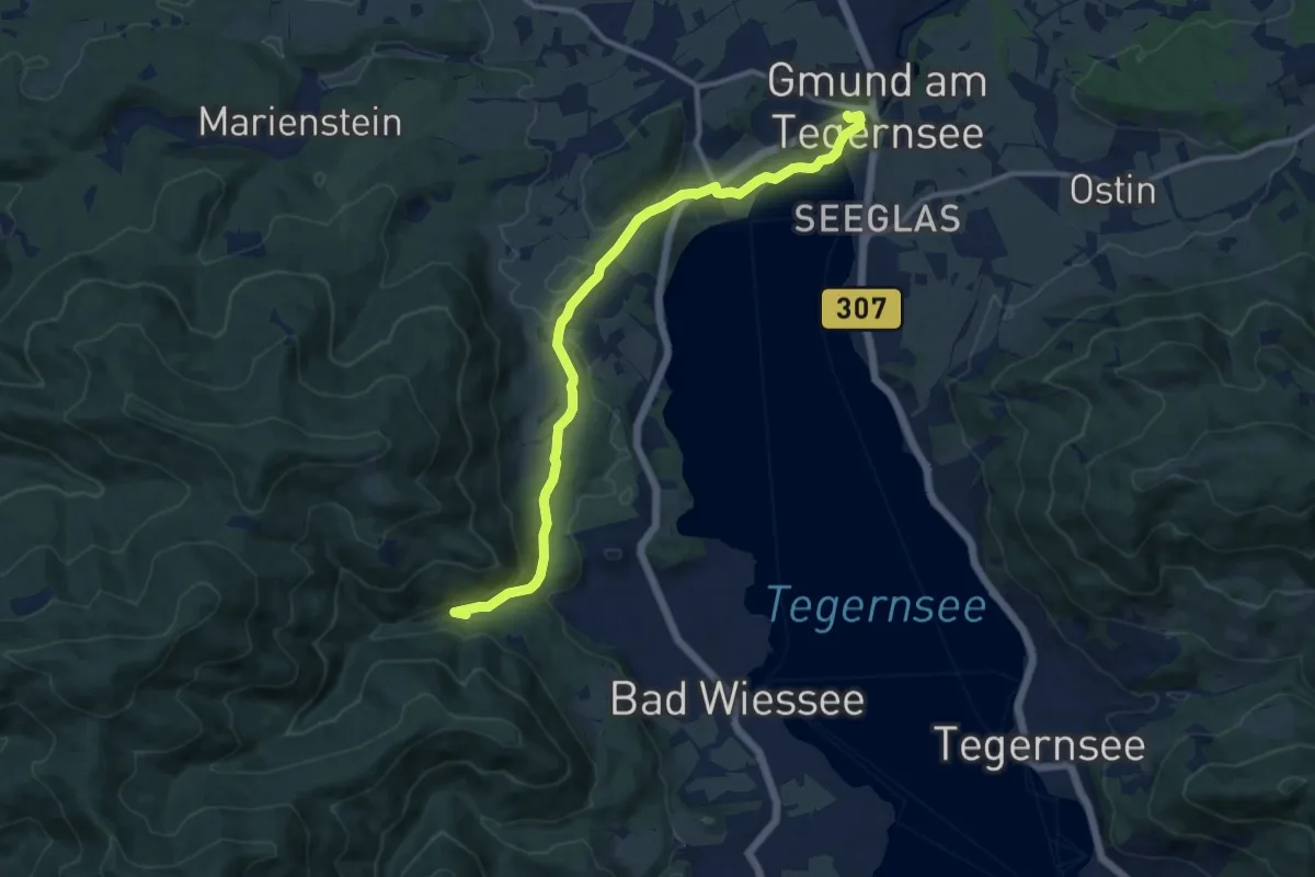
Medium · Trail
520 Gmund - Bad Wiessee
11.3 km · ↑ 198 m · 3 h 6 min
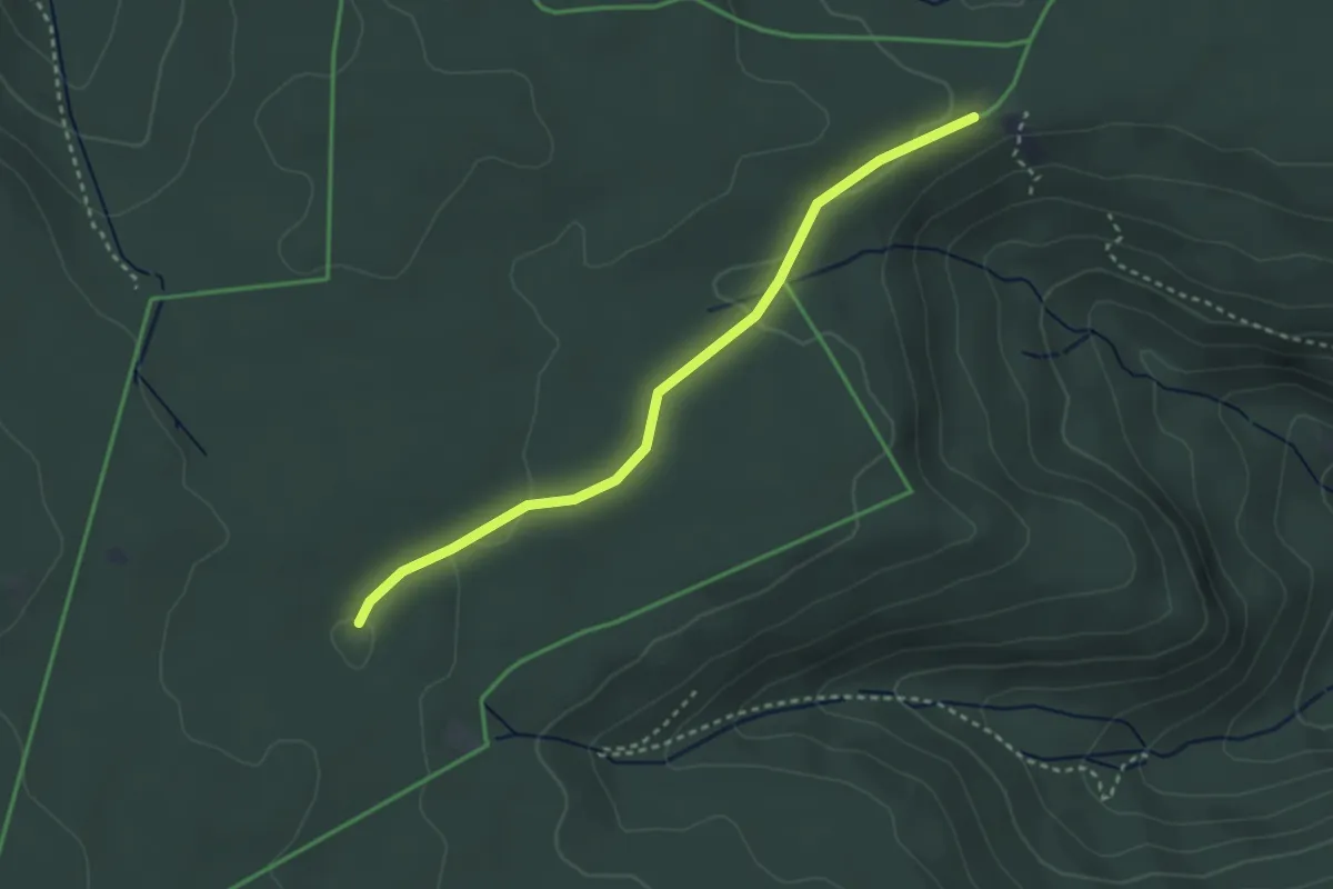
Easy · Trail
5 Bäume - Laternenbuckel
3.0 km · ↑ 40 m · 47 min
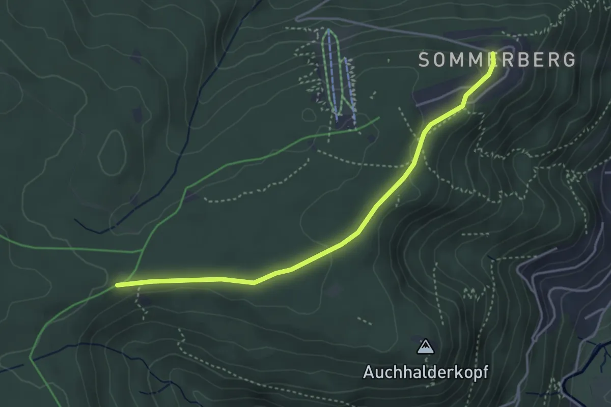
Easy · Trail
5 Bäume - Sommerberg
3.8 km · ↑ 62 m · 1 h 2 min
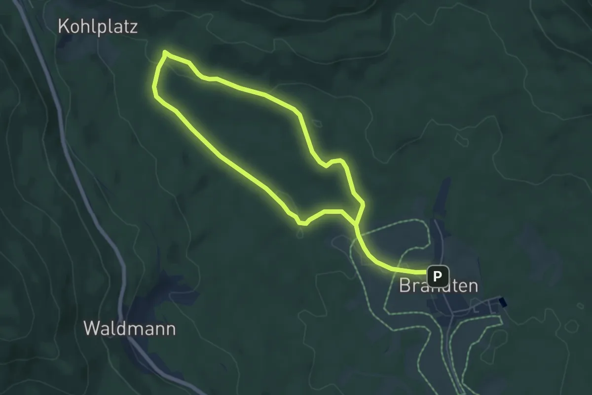
Easy · Trail
5 Brandten-Schwellweiher-Brandten
4.5 km · ↑ 73 m · 1 h 18 min
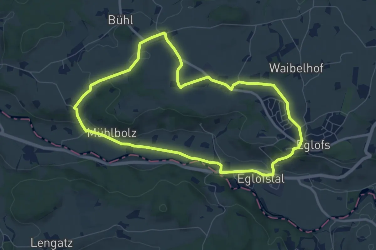
Easy · Trail
5 - Hummelberg Runde
7.0 km · ↑ 91 m · 1 h 56 min
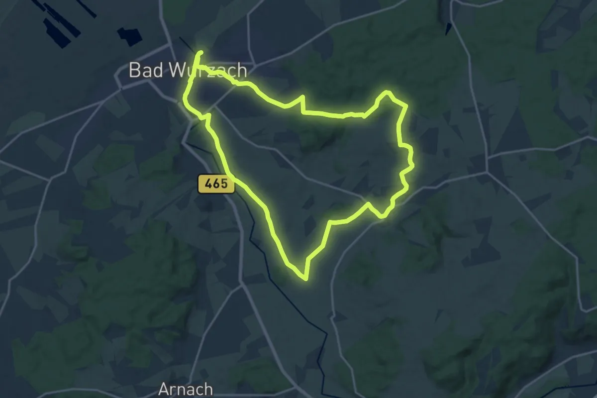
Medium · Trail
5 – Käserei-Tour
15.5 km · ↑ 171 m · 4 h 15 min
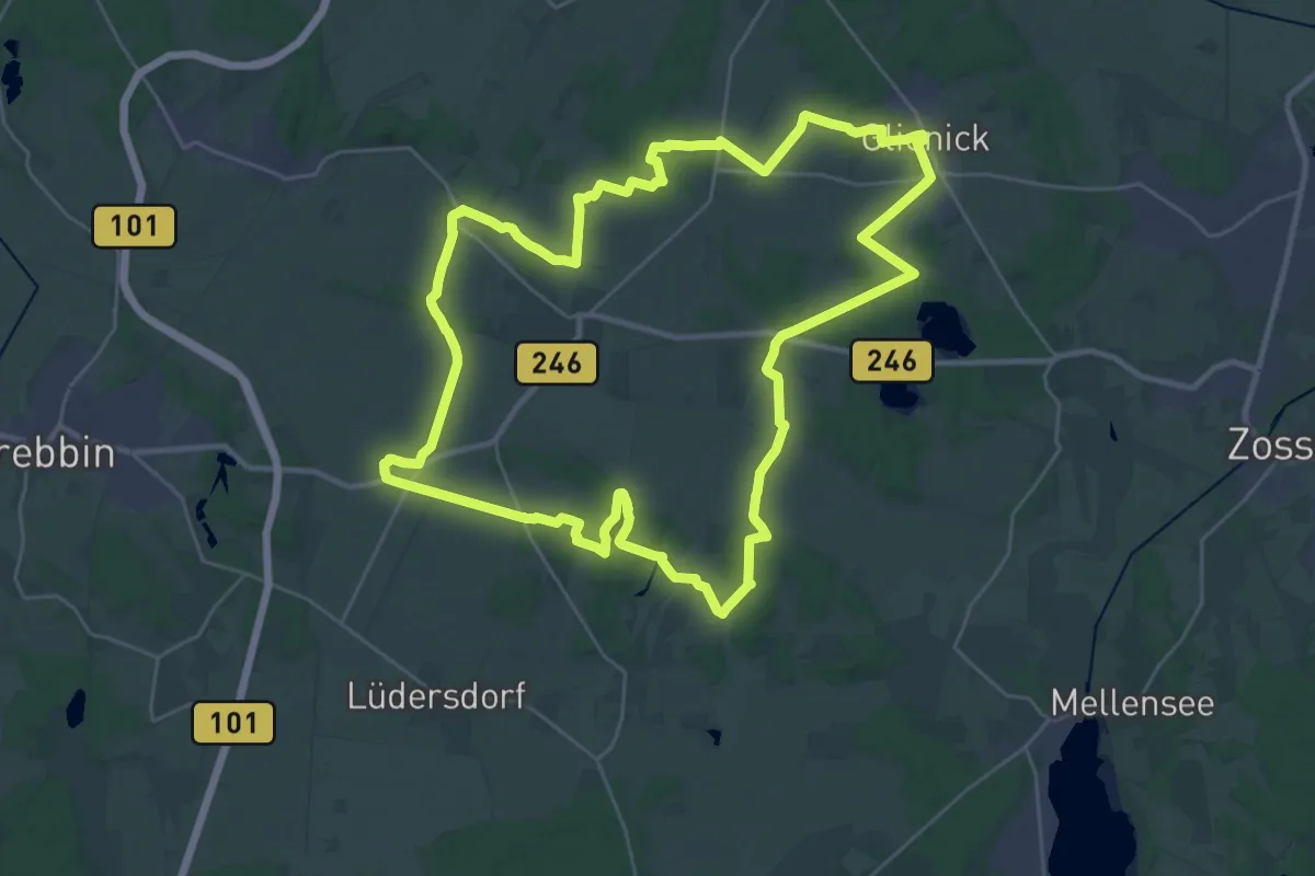
Demanding · Summit
5-Kirchen-Rundweg
28.1 km · ↑ 146 m · 7 h 21 min
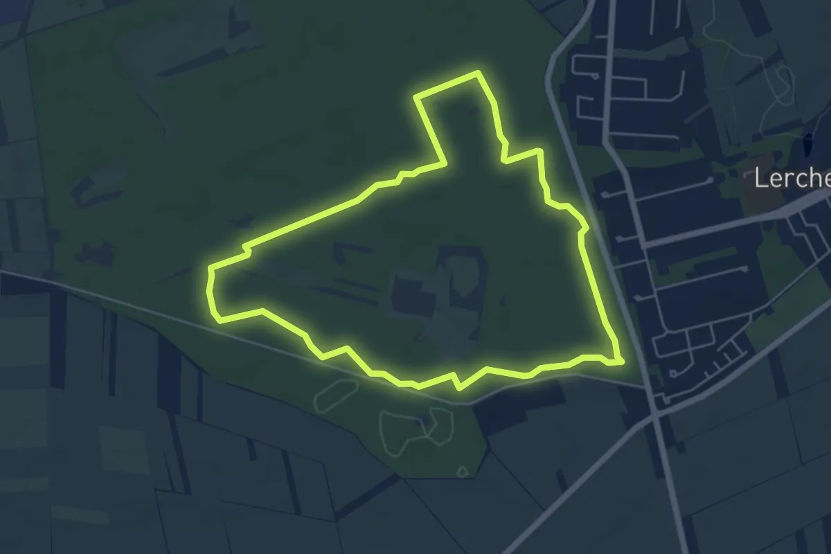
Easy · Trail
5 km Laufstrecke
5.1 km · ↑ 14 m · 1 h 18 min
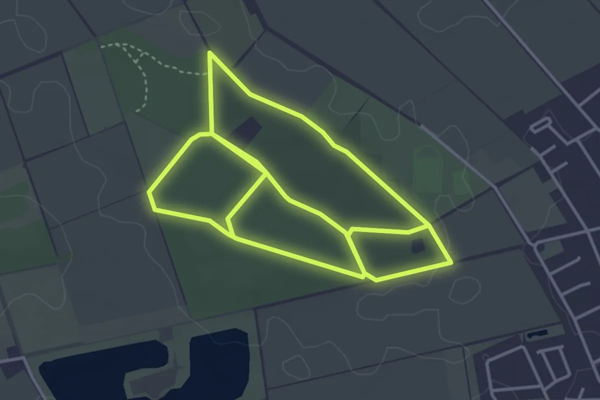
Easy · Trail
5km Route Zonser Heide
7.5 km · ↑ 53 m · 1 h 53 min
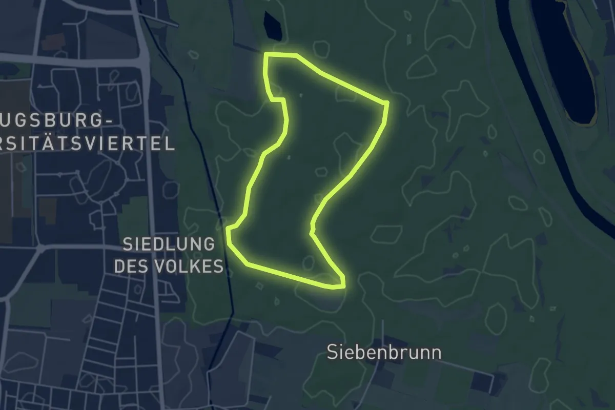
Easy · Summit
5km Rundweg Siebentischwald
4.1 km · ↑ 13 m · 1 h 3 min
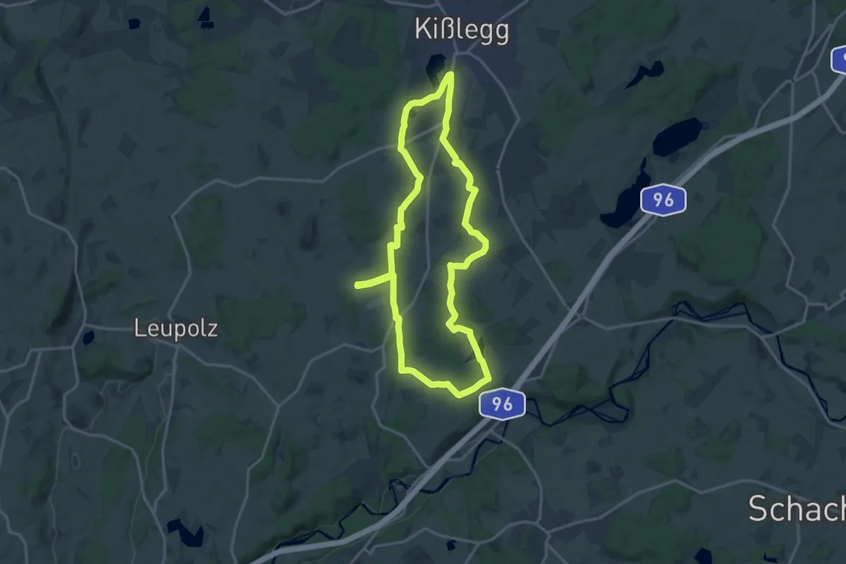
Medium · Trail
5 - Moorlehrpfad durchs Arrisrieder Moos
14.1 km · ↑ 101 m · 3 h 45 min