Trails in Germany
36,877 hiking trails, each with its route, climb, walking time and grade.
All trails, page 765 of 769
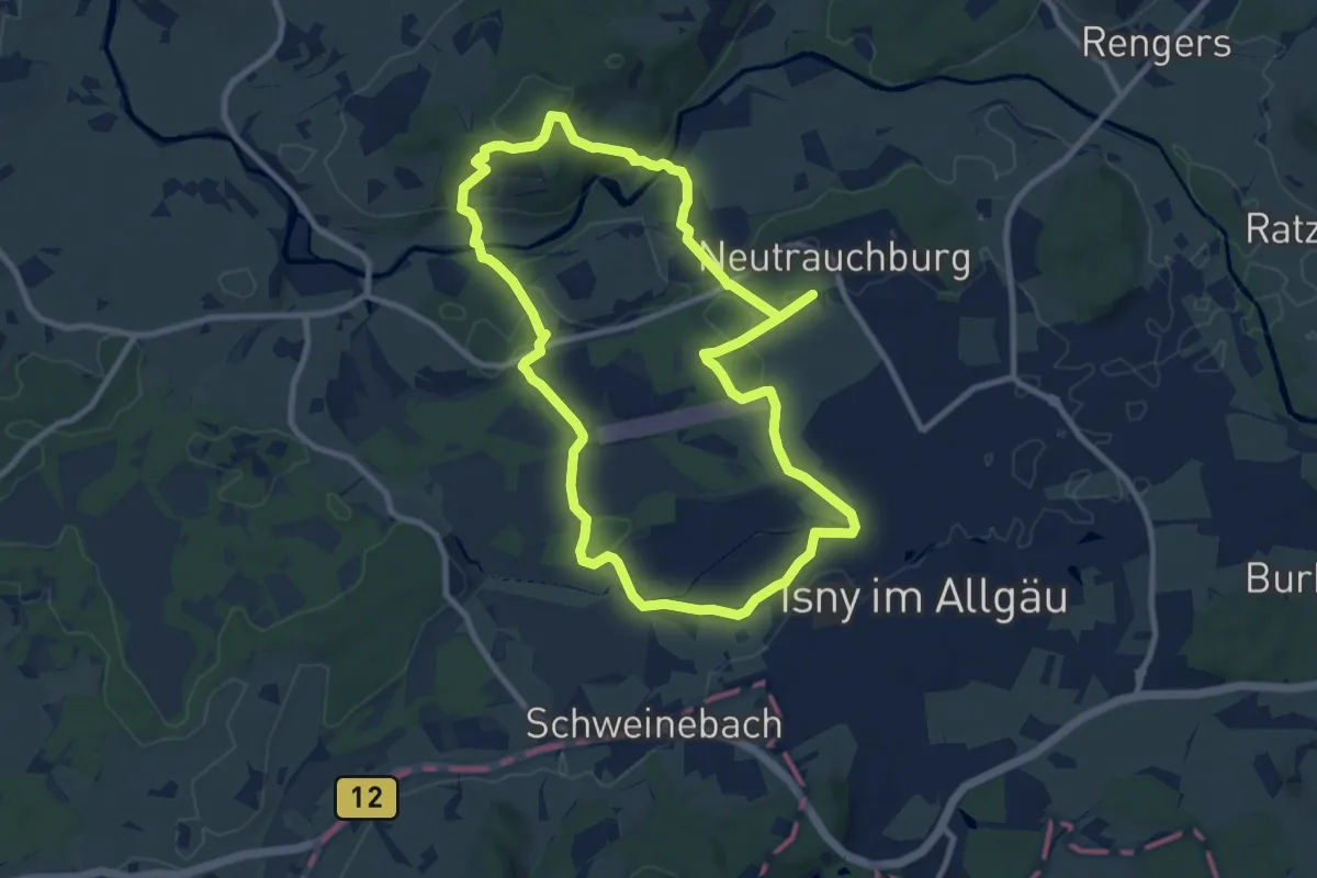
Medium · Summit
5 - Nordic Walking Argenrunde
9.4 km · ↑ 178 m · 2 h 44 min
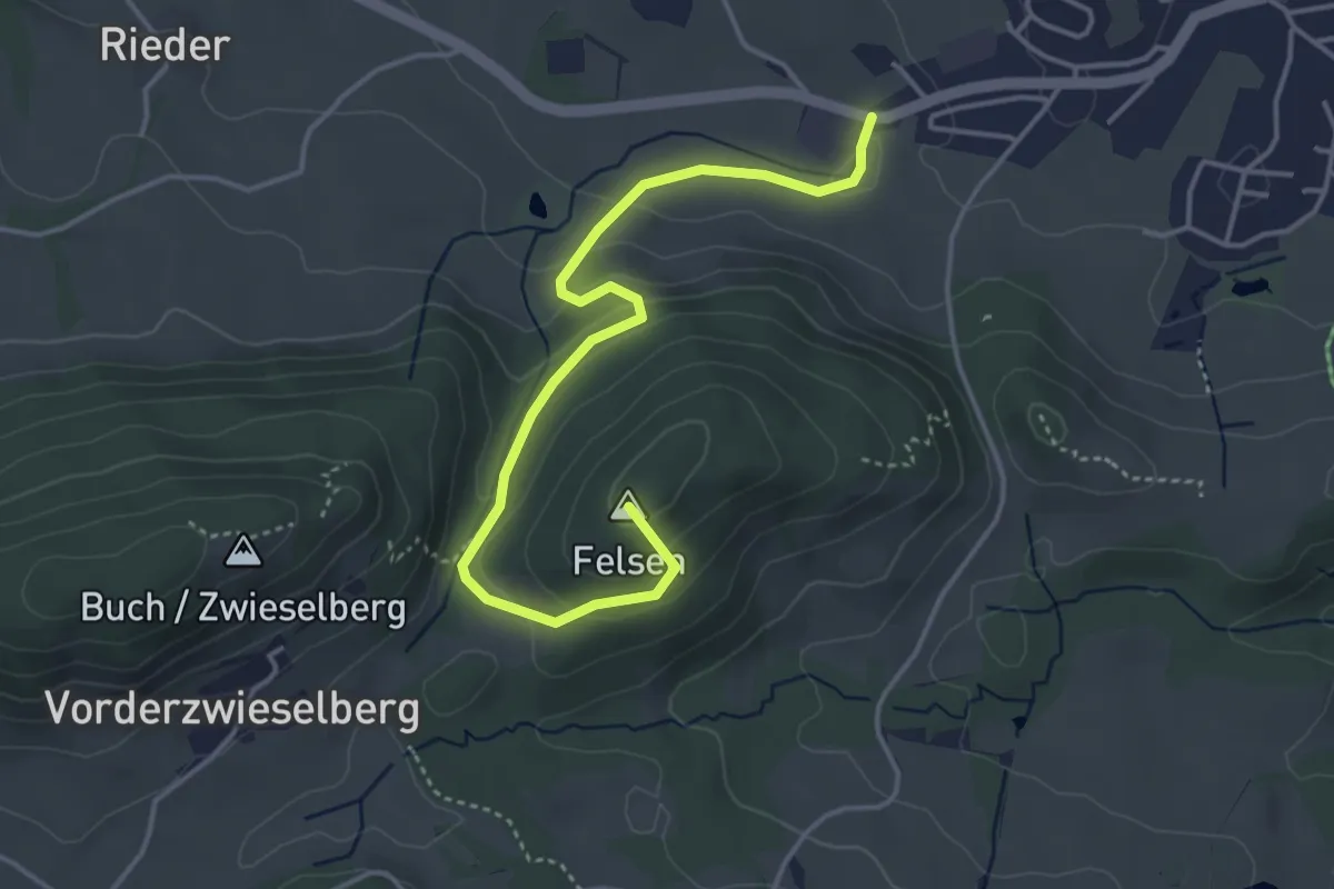
Easy · Summit
5 Roßhauptens schönste Ecken
4.3 km · ↑ 190 m · 1 h 26 min
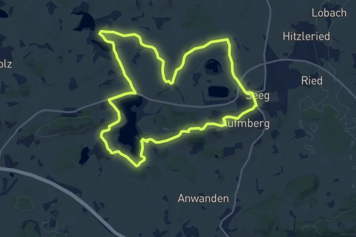
Medium · Trail
5-Seen-Runde
11.6 km · ↑ 153 m · 3 h 14 min
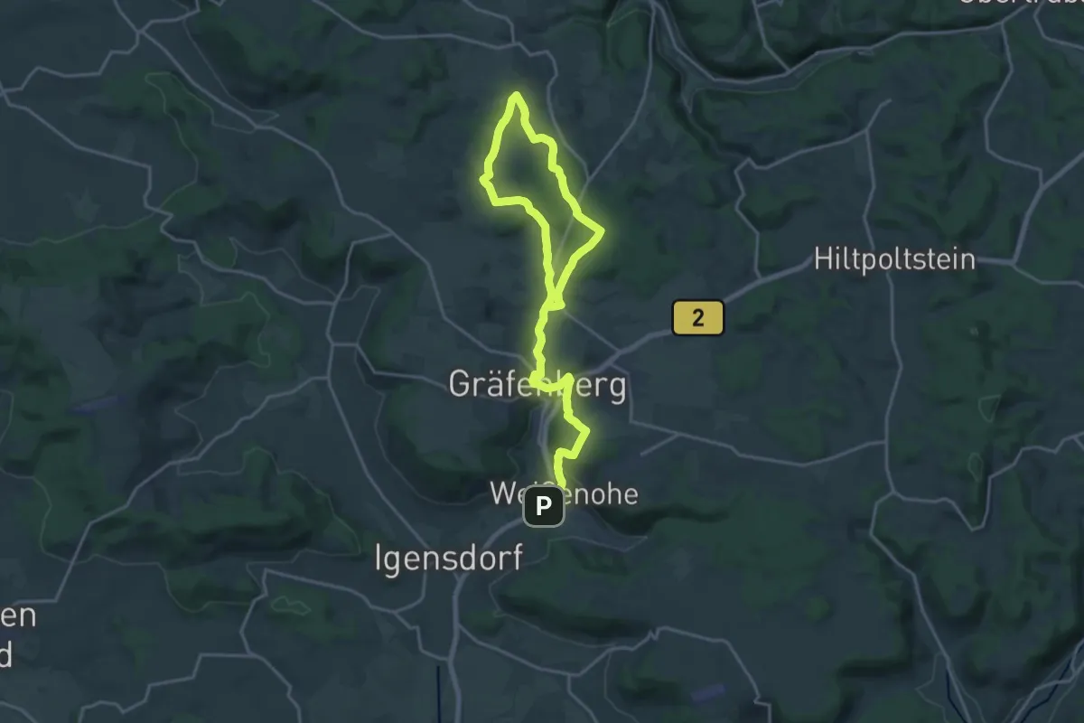
Demanding · Trail
5-Seidla-Steig
24.3 km · ↑ 603 m · 7 h 2 min
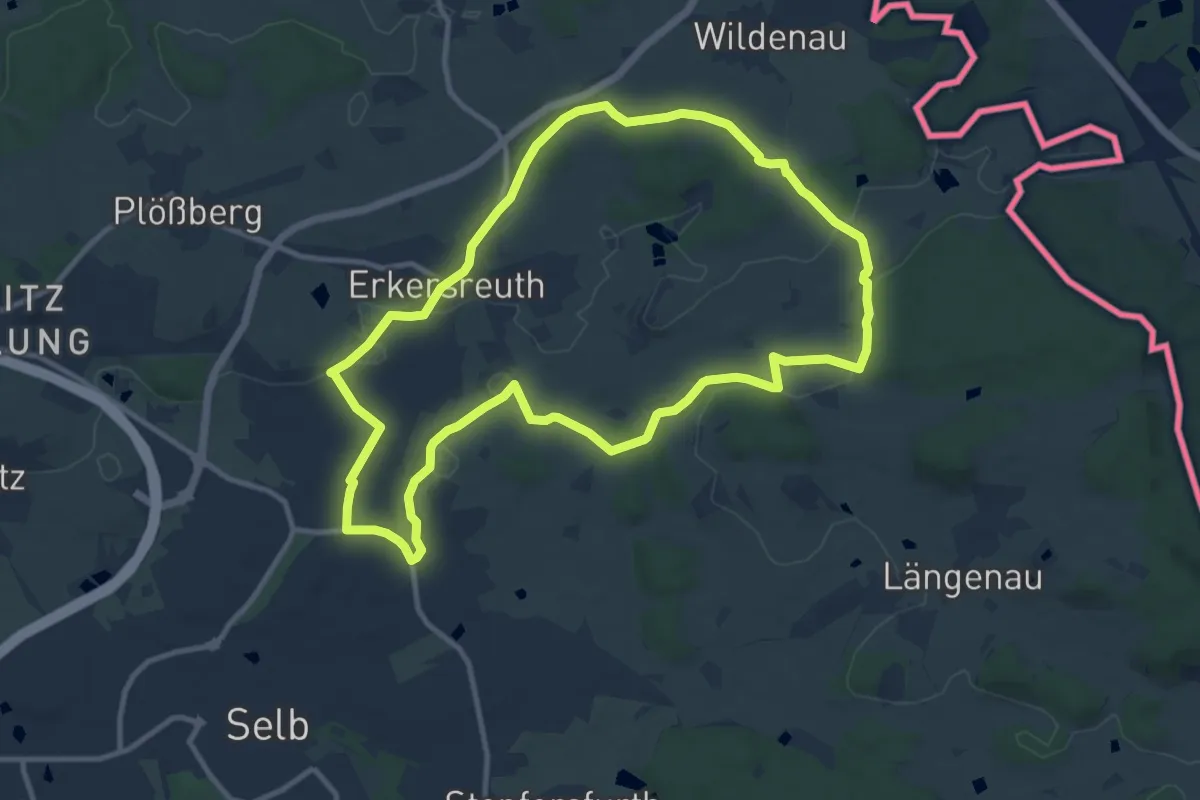
Medium · Trail
5 [Selb]
10.1 km · ↑ 118 m · 2 h 47 min
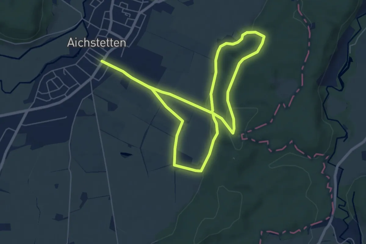
Easy · Trail
5 - Sommerstall - Koppenmoos - Vogelsang
5.8 km · ↑ 101 m · 1 h 40 min
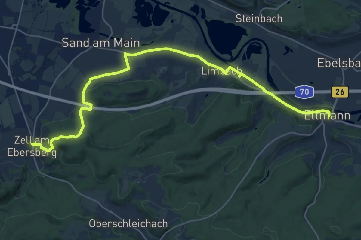
Medium · Summit
5-Sterne-Rundwandertour
10.7 km · ↑ 205 m · 3 h 7 min
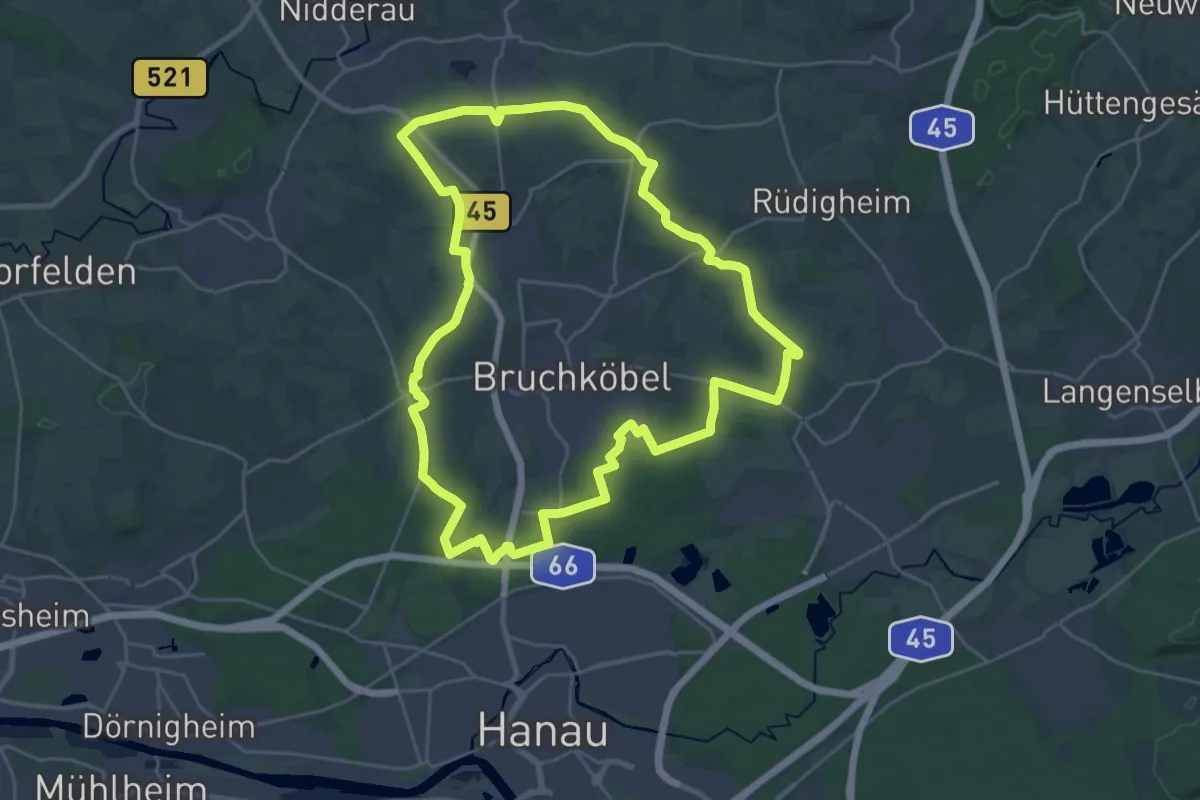
Demanding · Trail
5-Sterne-Rundweg Bruchköbel
25.3 km · ↑ 141 m · 6 h 37 min
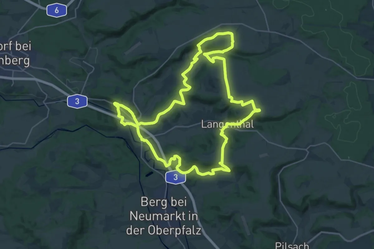
Demanding · Trail
5-Täler-Wanderweg
24.2 km · ↑ 644 m · 7 h 27 min
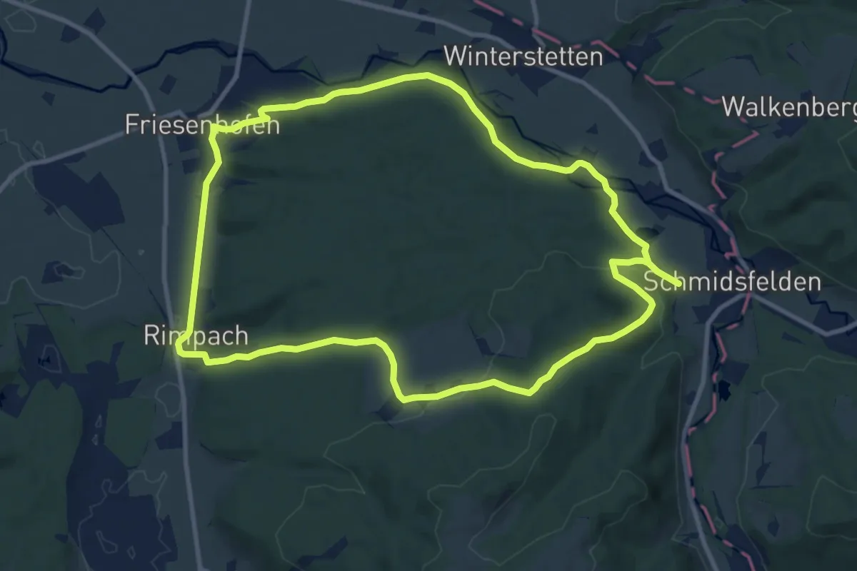
Medium · Trail
5 - Von Friesenhofen ins Glasmacherdorf Schmidsfelden
10.0 km · ↑ 218 m · 2 h 58 min
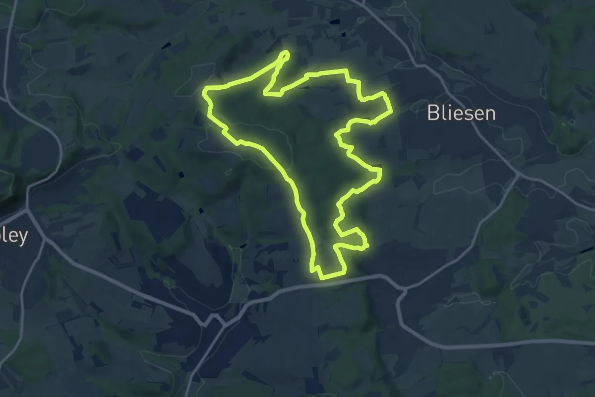
Medium · Trail
5-Weiher-Tour
11.5 km · ↑ 234 m · 3 h 23 min
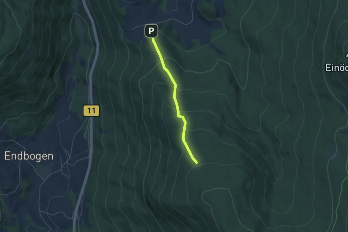
Easy · Cabin
6
3.9 km · ↑ 244 m · 1 h 27 min
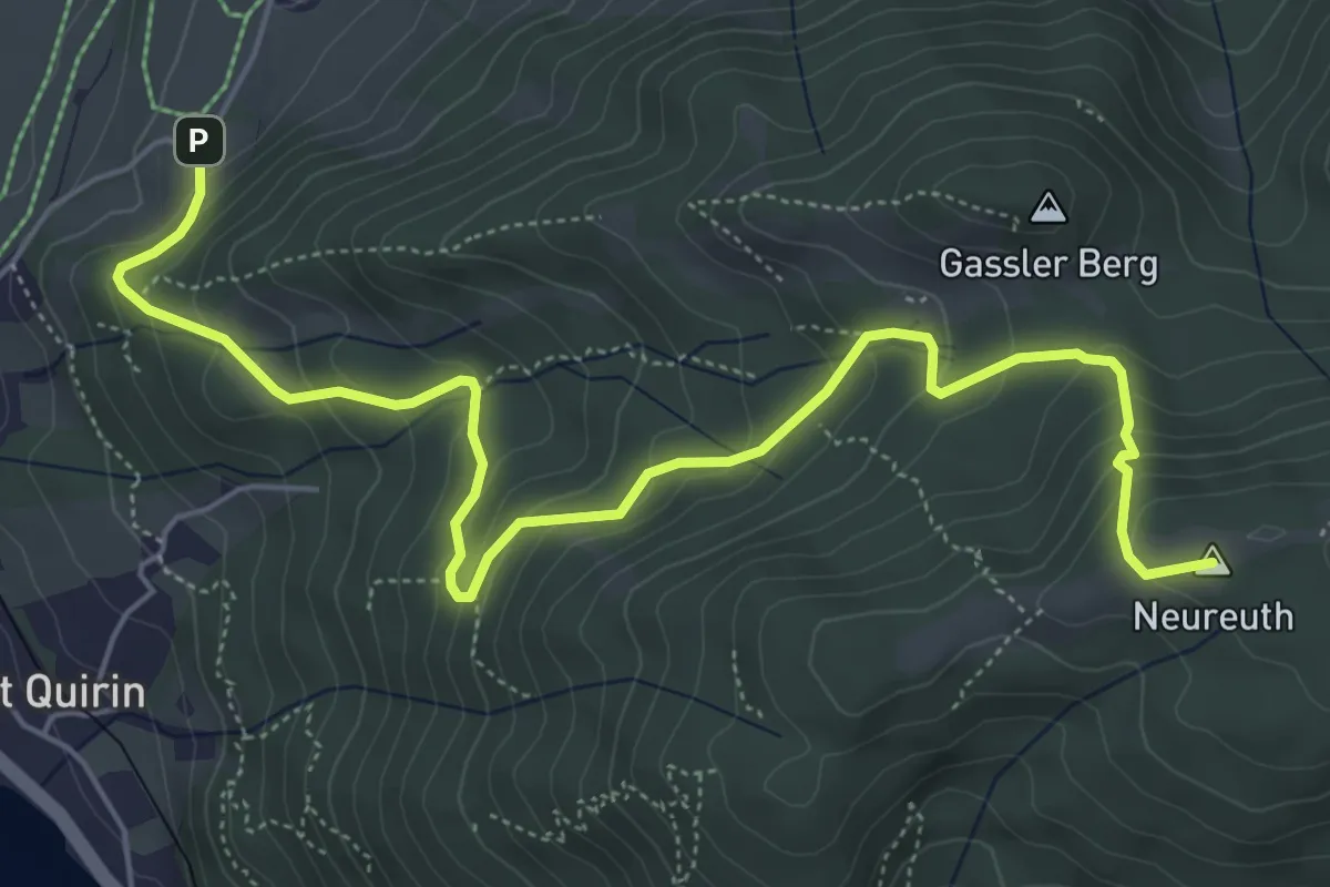
Medium · Summit
683
6.7 km · ↑ 457 m · 2 h 34 min
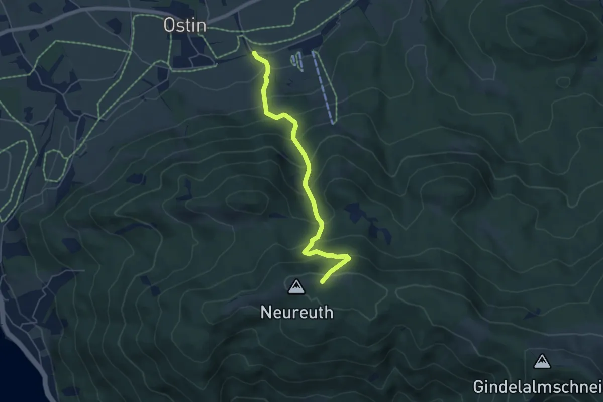
Medium · Trail
683a
4.7 km · ↑ 475 m · 2 h 9 min
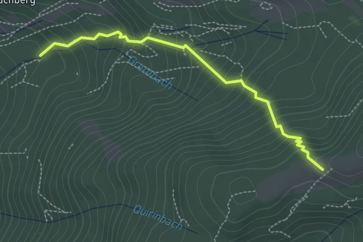
Medium · Trail
683b
2.6 km · ↑ 267 m · 1 h 11 min
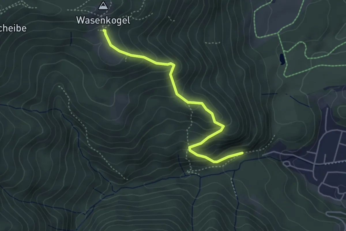
Medium · Trail
697 Bad Wiessee - Holzeralm
3.9 km · ↑ 301 m · 1 h 34 min
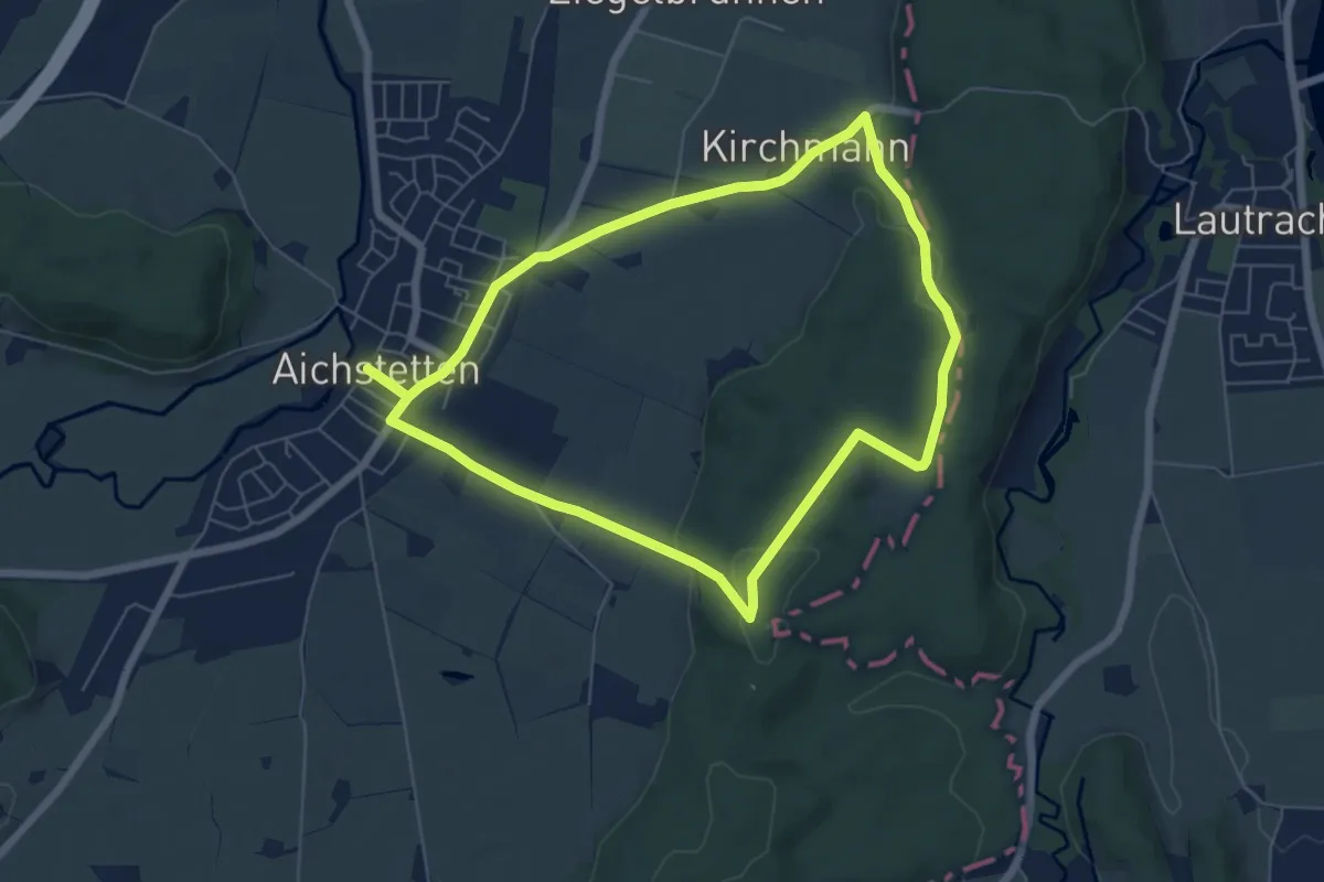
Easy · Trail
6a - Sommerstall - Vogelsang - Koppenmoos - Kirchmann - Wolfgangskapelle
6.1 km · ↑ 93 m · 1 h 43 min
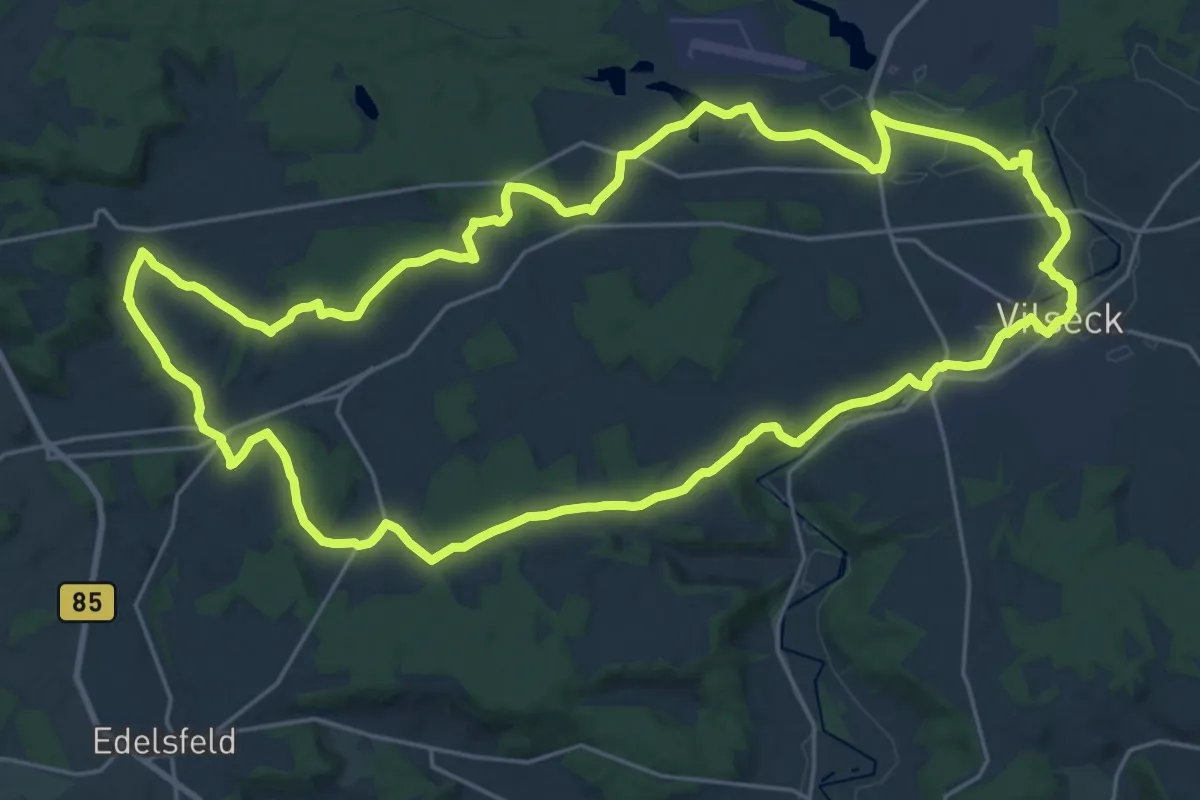
Demanding · Trail
6-Bäche-Weg
25.0 km · ↑ 259 m · 6 h 48 min
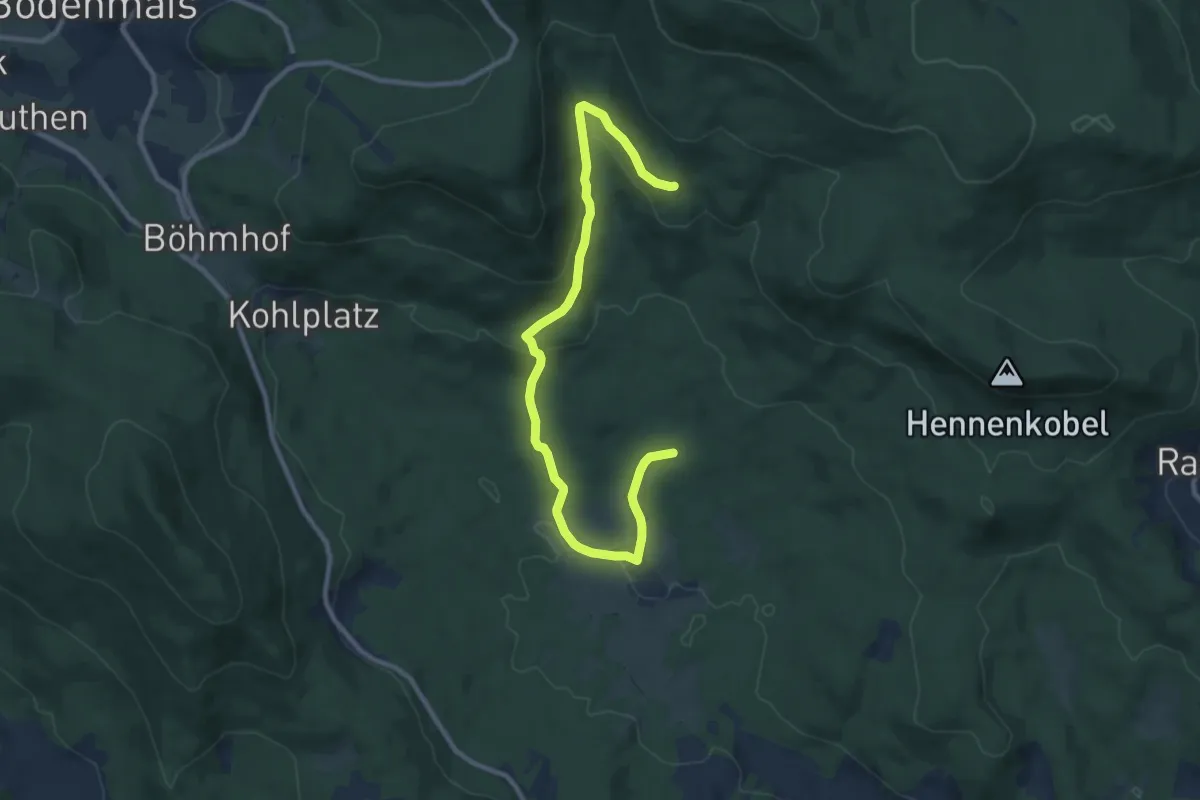
Easy · Trail
6 Brandten-Brandtnerriegel-Gfällbach-Brandten
5.4 km · ↑ 55 m · 1 h 33 min
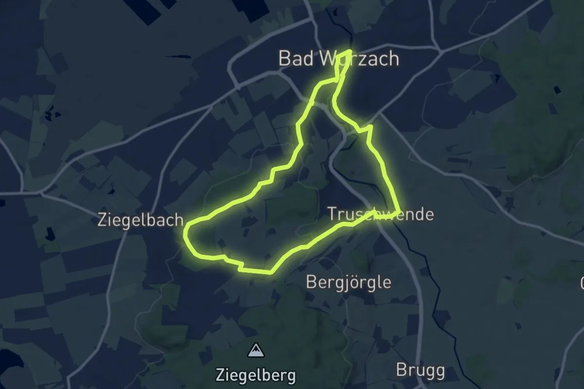
Medium · Trail
6 – Gipfel Runde
9.1 km · ↑ 161 m · 2 h 38 min
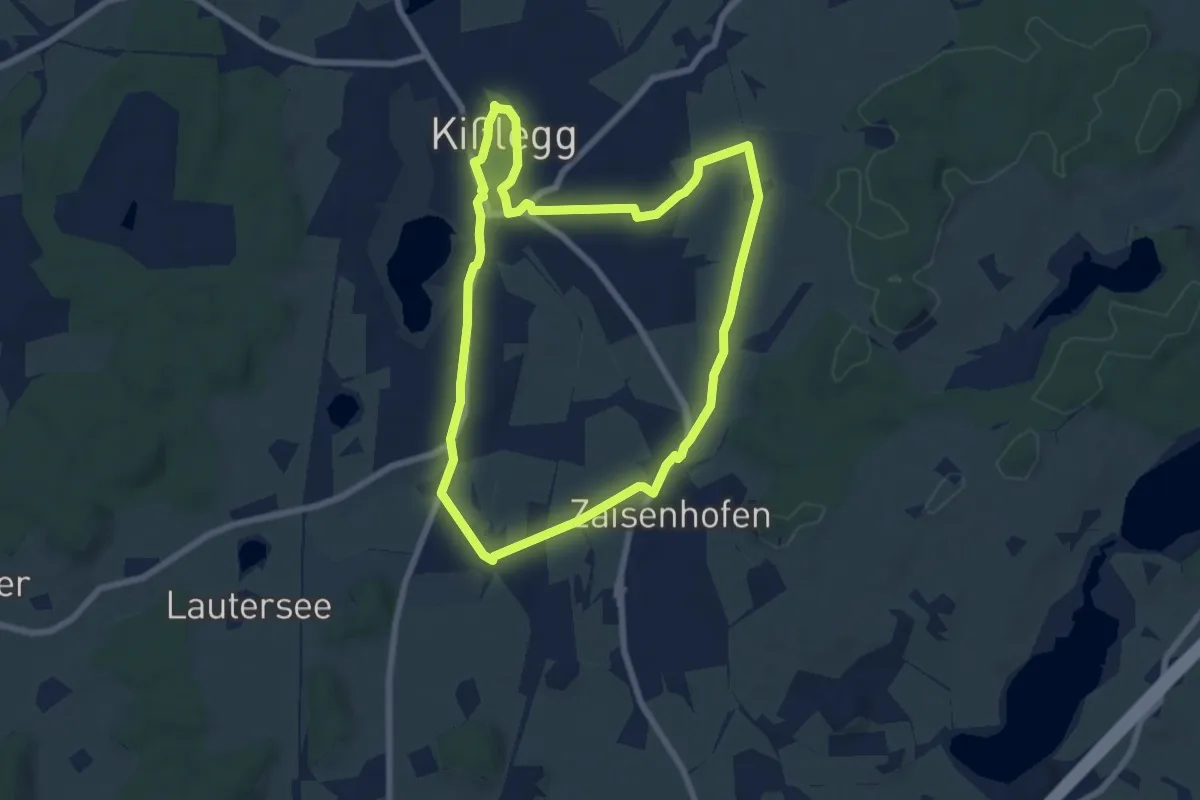
Easy · Trail
6 - Kapellen und Aussichten
7.0 km · ↑ 57 m · 1 h 52 min
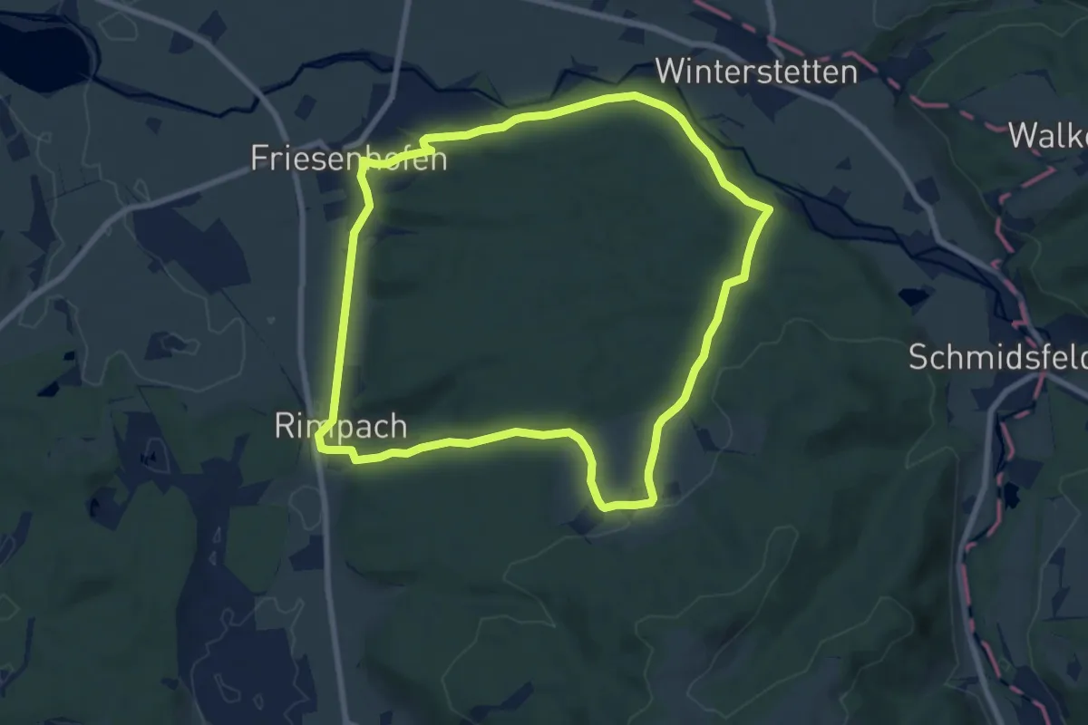
Easy · Trail
6 - Kleine Friesenhofer Runde
7.8 km · ↑ 140 m · 2 h 15 min
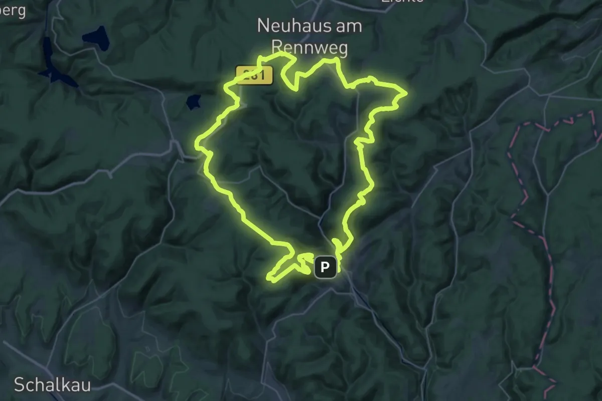
Demanding · Summit
6-Kuppen-Steig
37.4 km · ↑ 850 m · 11 h 12 min
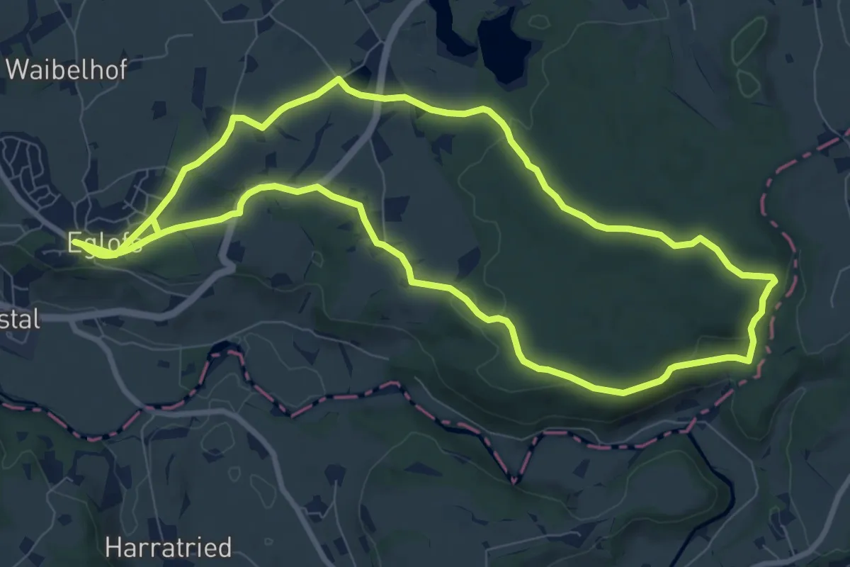
Medium · Trail
6 - Malaichenrunde
9.1 km · ↑ 162 m · 2 h 37 min
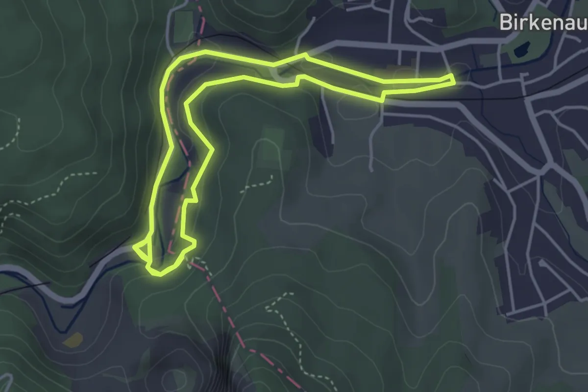
Easy · Trail
6-Mühlen-Weg
3.7 km · ↑ 75 m · 1 h 6 min
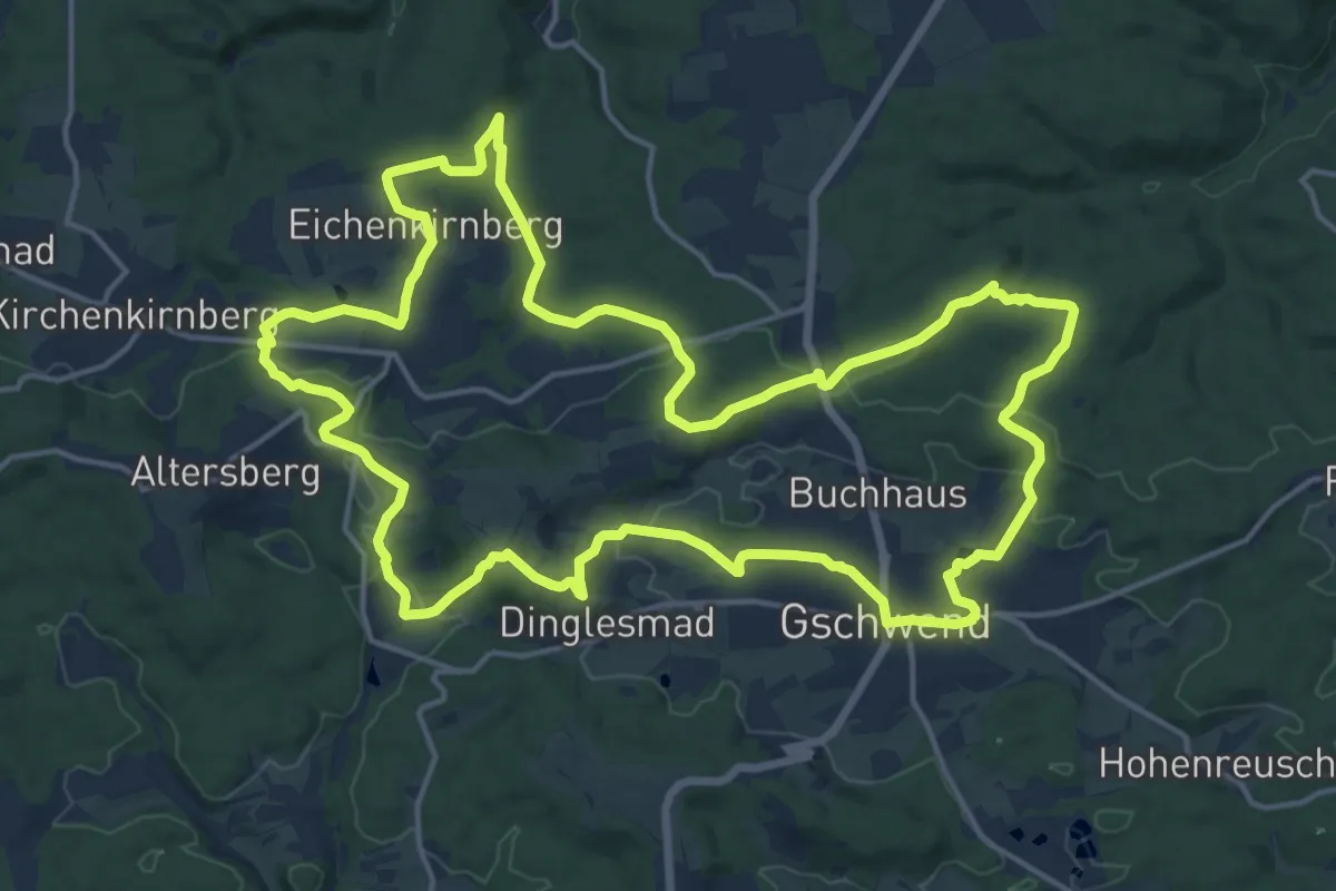
Medium · Trail
6-Seen-Wanderweg
17.5 km · ↑ 319 m · 5 h 4 min
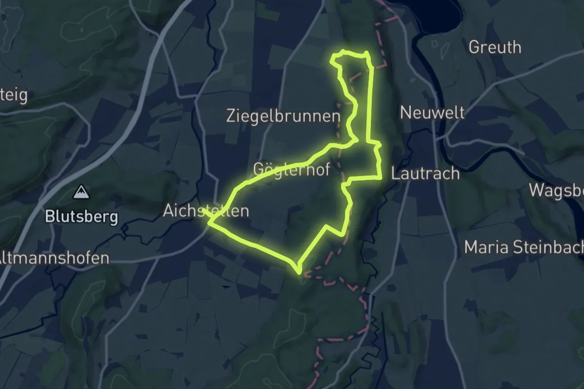
Medium · Trail
6 - Sommerstall - Vogelsang - Koppenmoos - Breitenbach - Kirchmann - Wolfgangskapelle
10.2 km · ↑ 203 m · 3 h
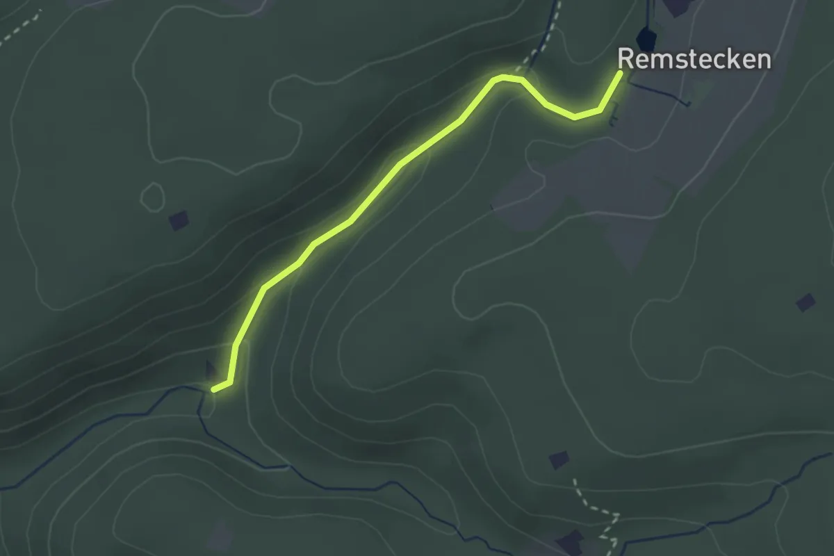
Easy · Trail
7
2.4 km · ↑ 81 m · 44 min
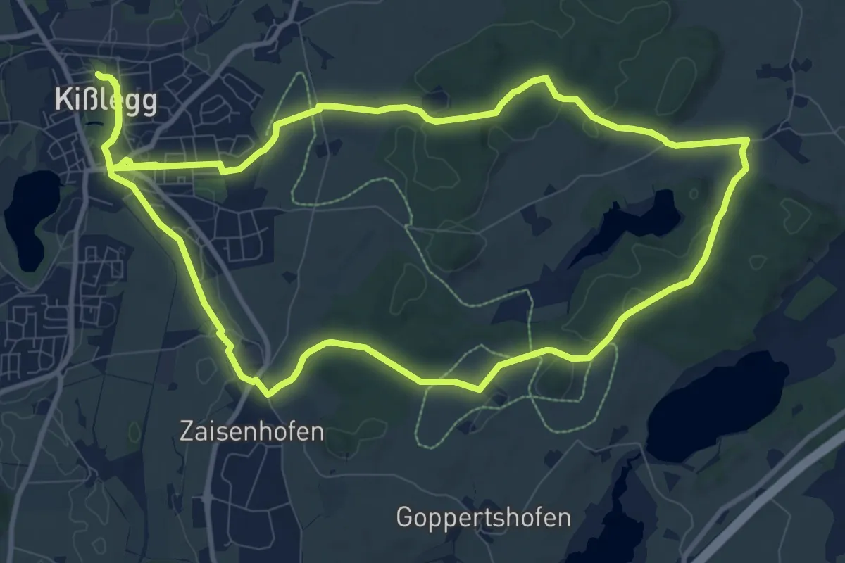
Medium · Trail
7 - Durchs Roterholz zum Roterweiher
10.6 km · ↑ 118 m · 2 h 55 min
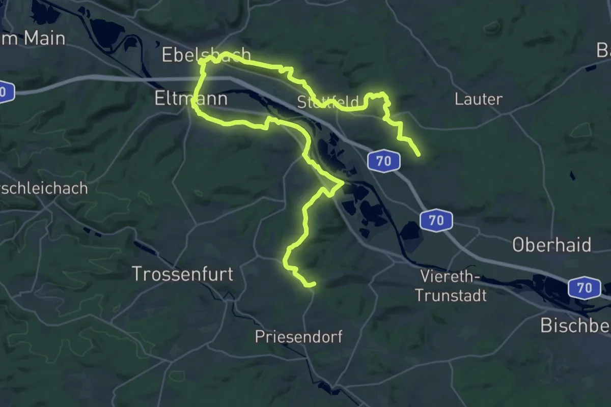
Demanding · Summit
7-Flüsse-Wanderweg
22.6 km · ↑ 492 m · 6 h 41 min
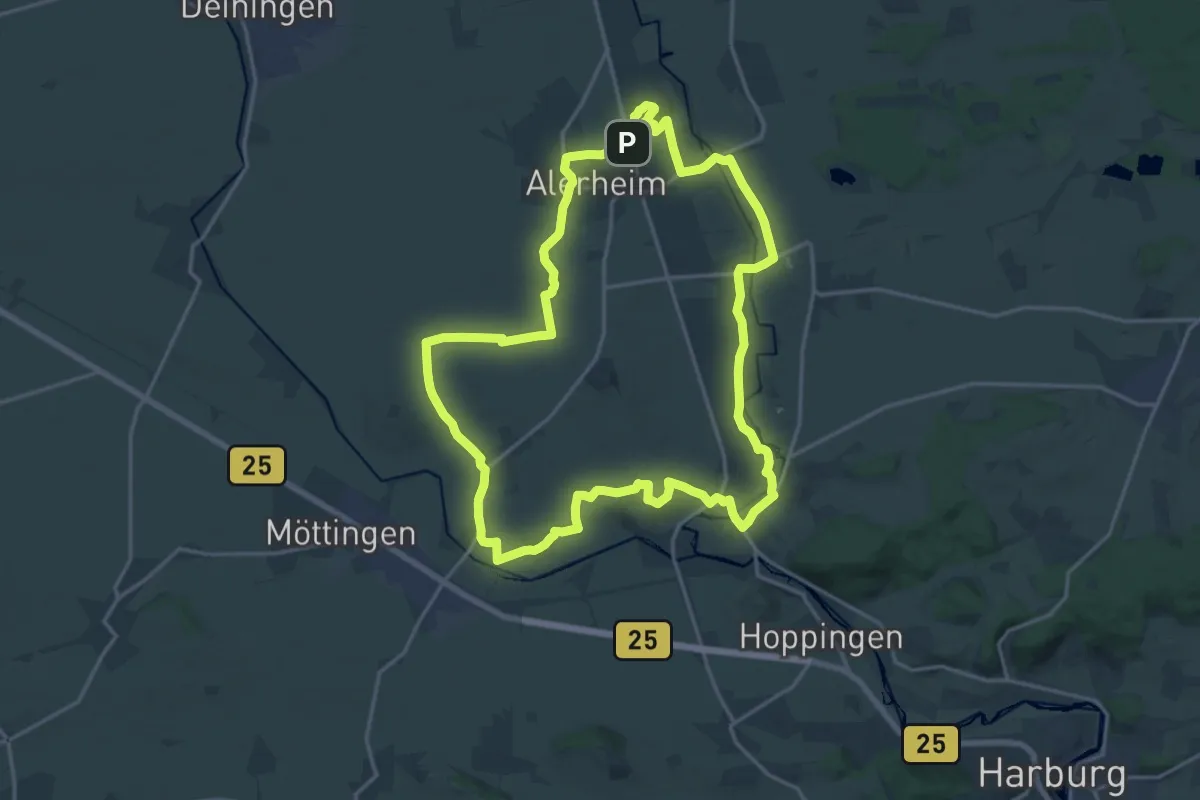
Demanding · Summit
7-Hügel-Weg
18.2 km · ↑ 199 m · 4 h 59 min
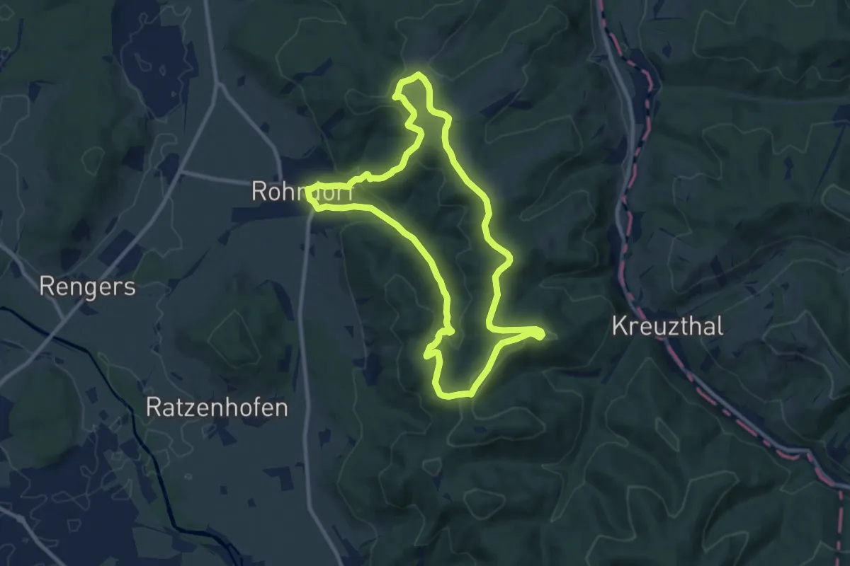
Medium · Summit
7 - Klosterherrenrunde
8.9 km · ↑ 331 m · 2 h 56 min
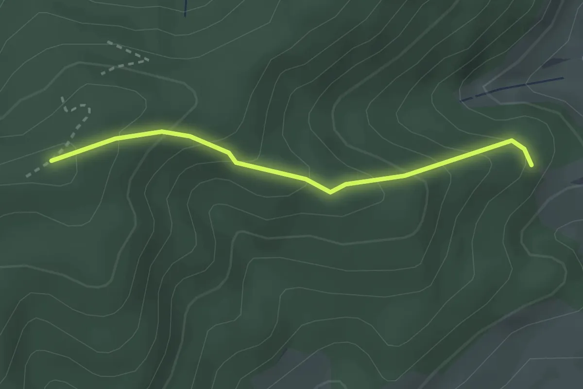
Easy · Trail
7 Lochen - Sommerhalde
2.5 km · ↑ 212 m · 1 h 2 min
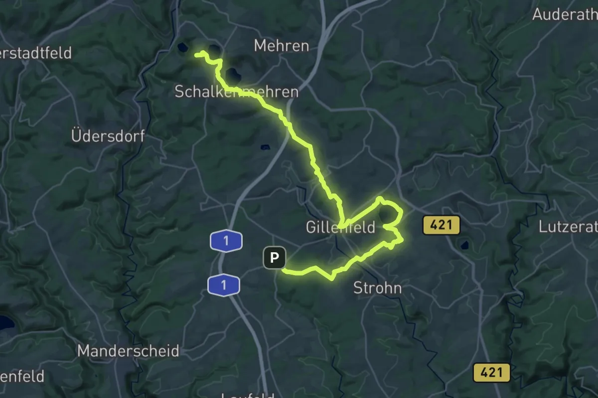
Expert · Summit
7-Maare-Weg
36.0 km · ↑ 752 m · 10 h 8 min
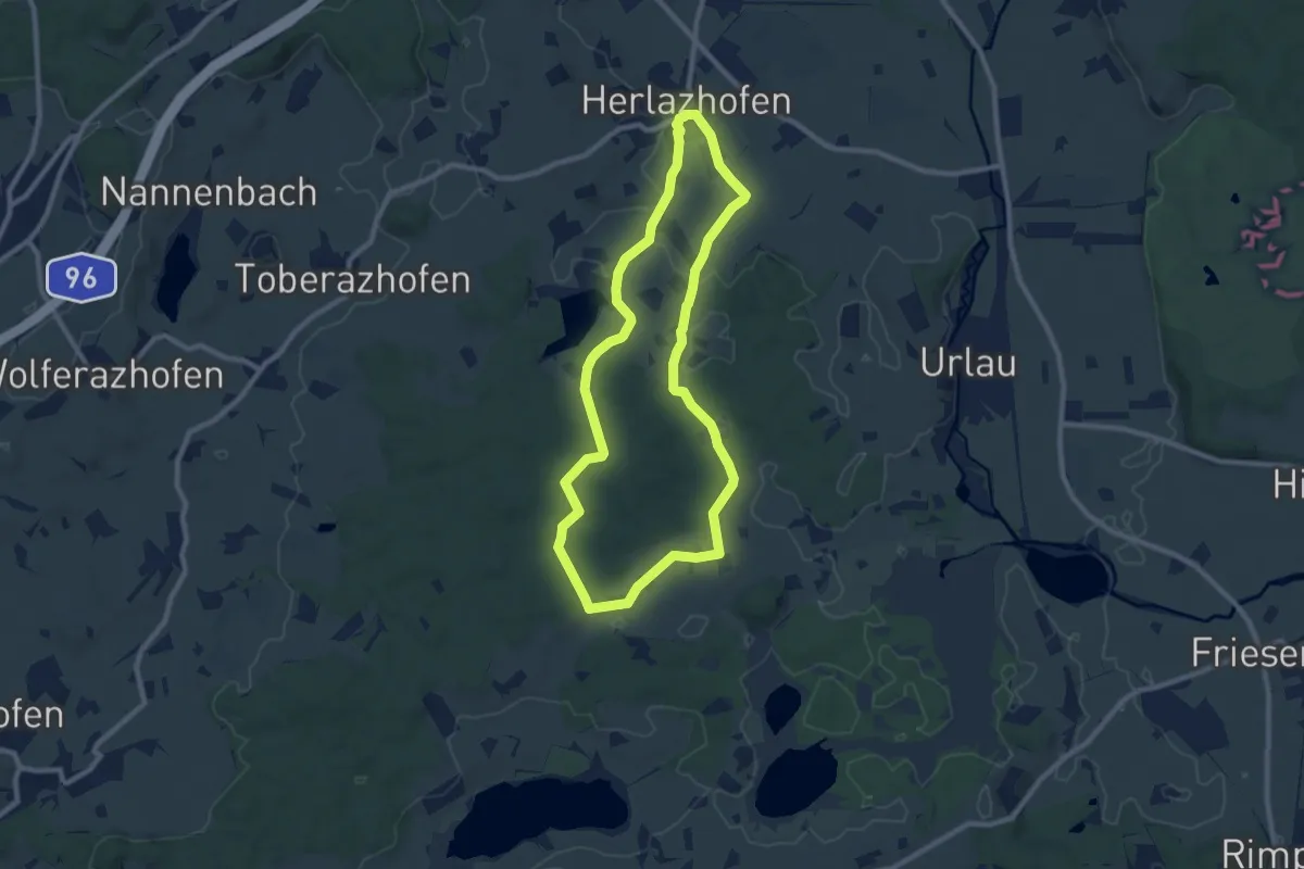
Medium · Trail
7 - Moorbad - Runde
8.6 km · ↑ 80 m · 2 h 19 min
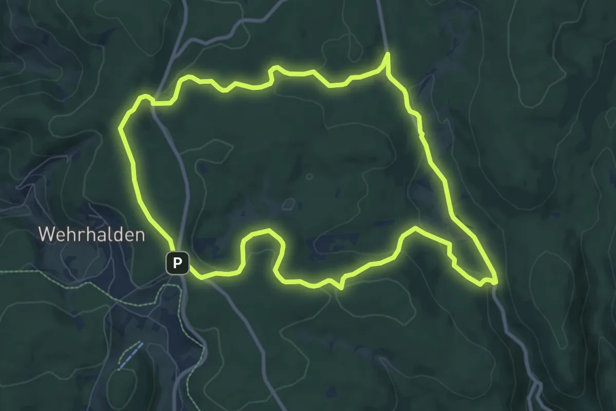
Medium · Trail
7-Moore-Weg
9.0 km · ↑ 229 m · 2 h 45 min
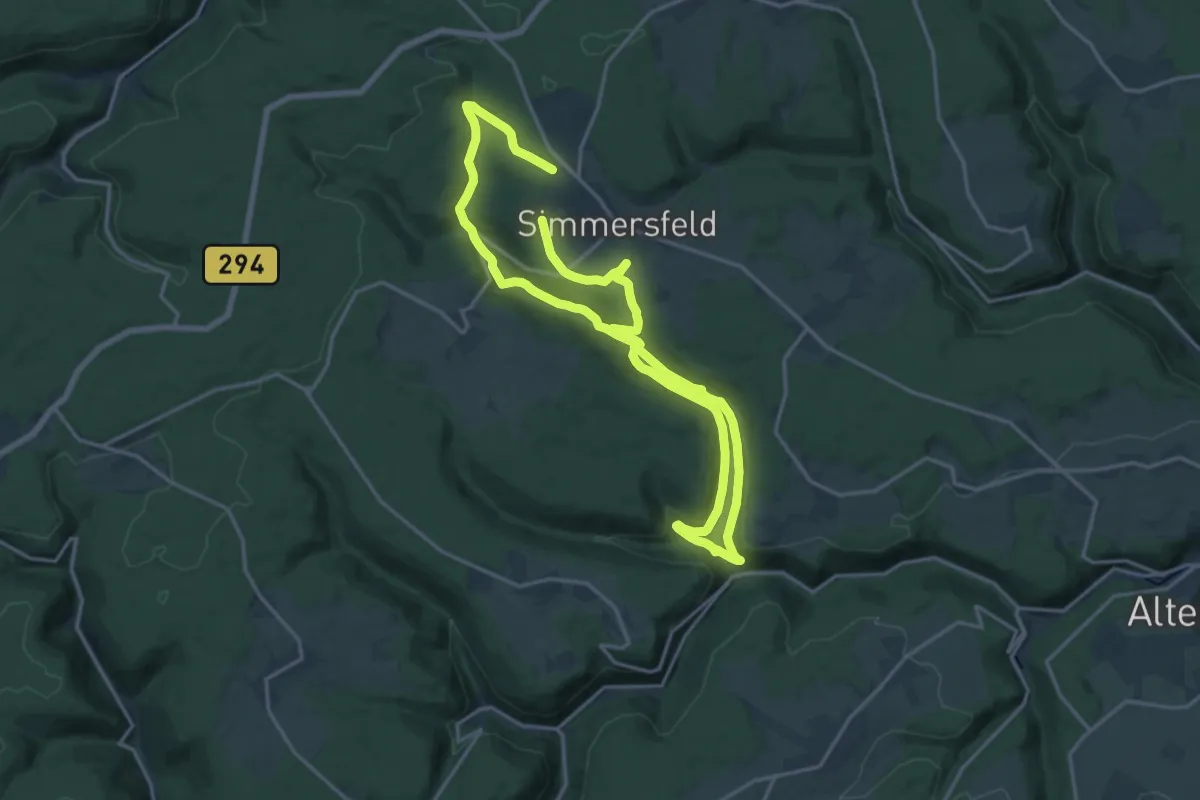
Medium · Trail
7 Mühlen Pfad
14.1 km · ↑ 380 m · 4 h 20 min
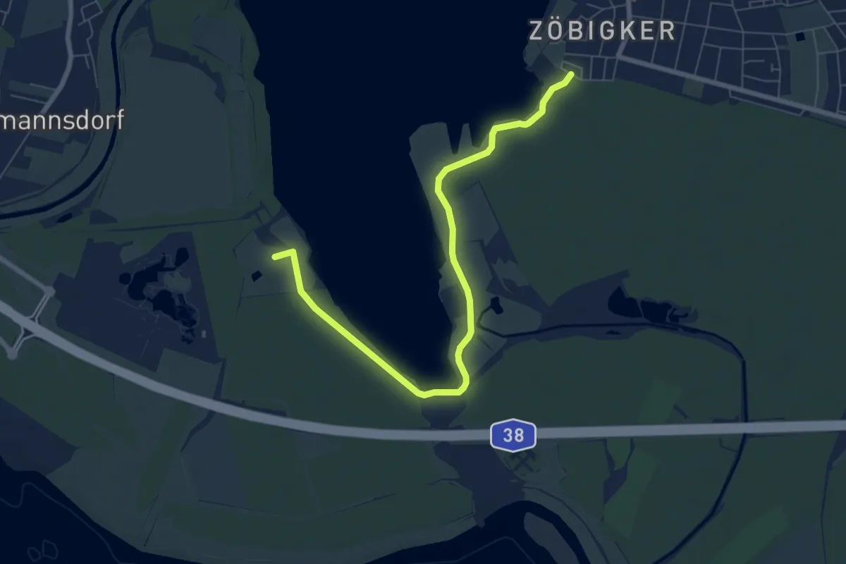
Easy · Summit
7-Seen-Wanderweg Abkürzungen
7.1 km · ↑ 18 m · 1 h 43 min
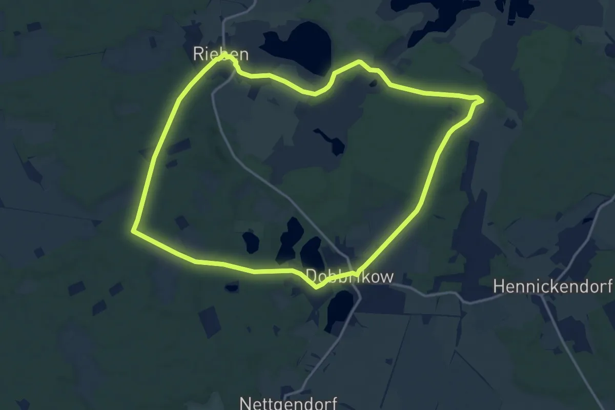
Medium · Summit
7-Seen-Weg
12.5 km · ↑ 59 m · 3 h 14 min
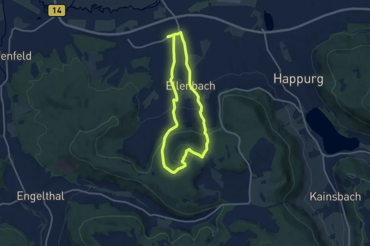
Easy · Summit
7-Summits-Weg Arzberg
7.1 km · ↑ 274 m · 2 h 23 min
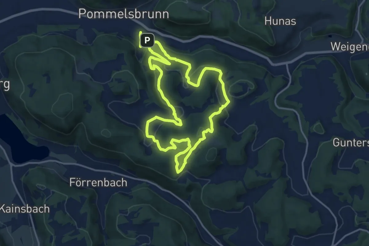
Medium · Summit
7-Summits-Weg Dom
10.9 km · ↑ 464 m · 3 h 44 min
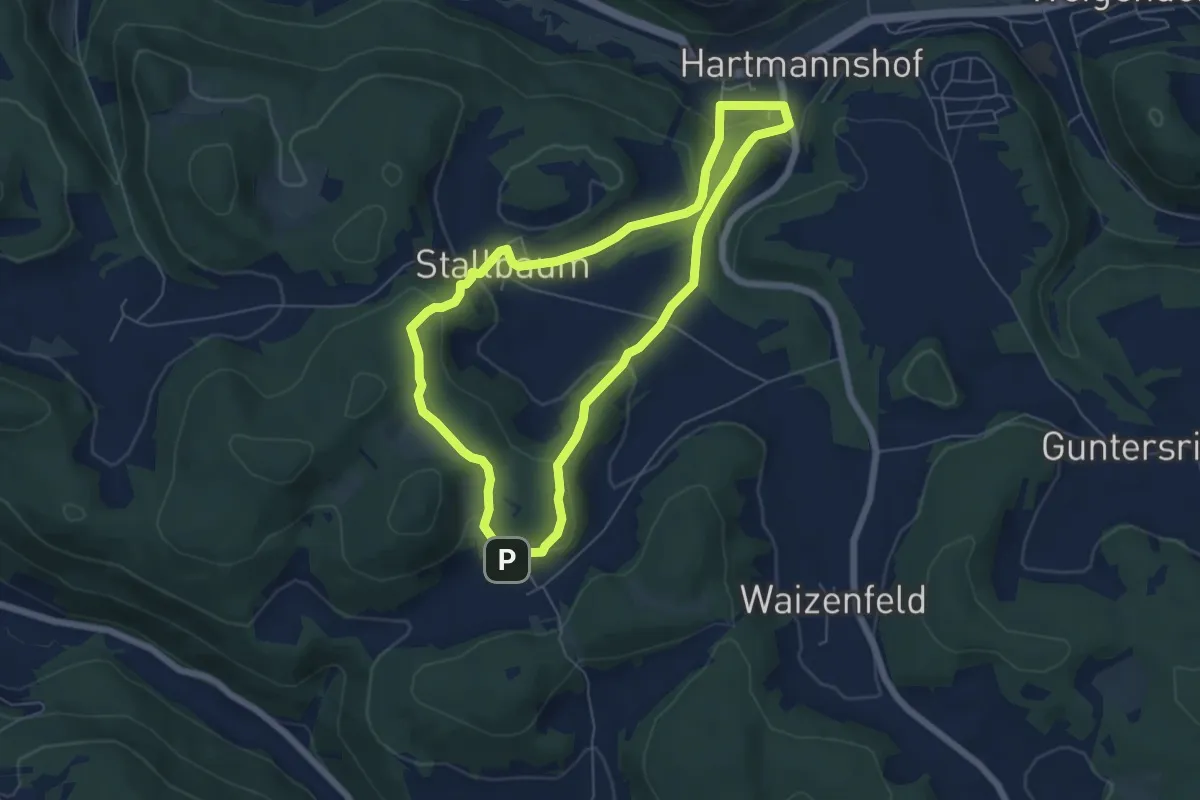
Easy · Trail
7-Summits-Weg Hochberg
5.5 km · ↑ 232 m · 1 h 52 min
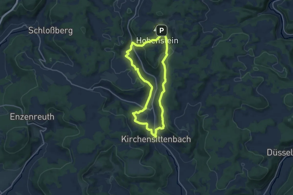
Medium · Summit
7-Summits-Weg Hohenstein
9.6 km · ↑ 408 m · 3 h 16 min
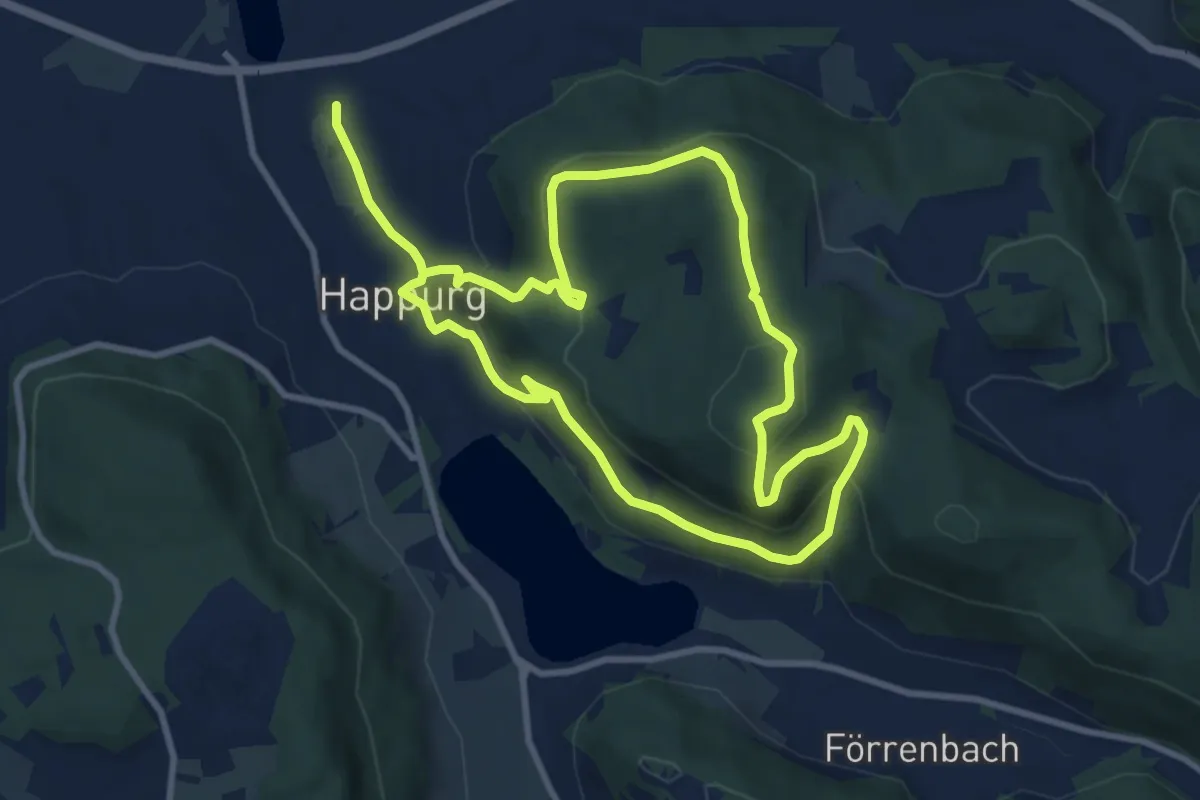
Medium · Summit
7-Summits-Weg Houbirg
8.3 km · ↑ 346 m · 2 h 49 min
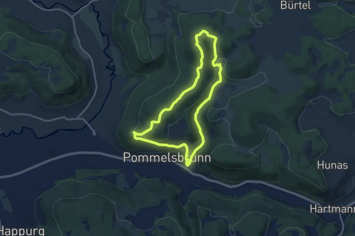
Easy · Summit
7-Summits-Weg Leitenberg
7.2 km · ↑ 297 m · 2 h 27 min
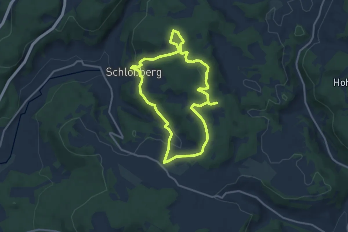
Easy · Summit
7-Summits-Weg Windburg
6.5 km · ↑ 168 m · 2 h
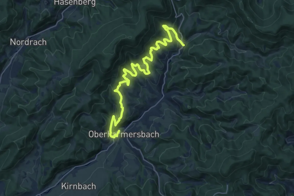
Demanding · Trail
7-Täler-Weg
20.4 km · ↑ 1134 m · 7 h 16 min
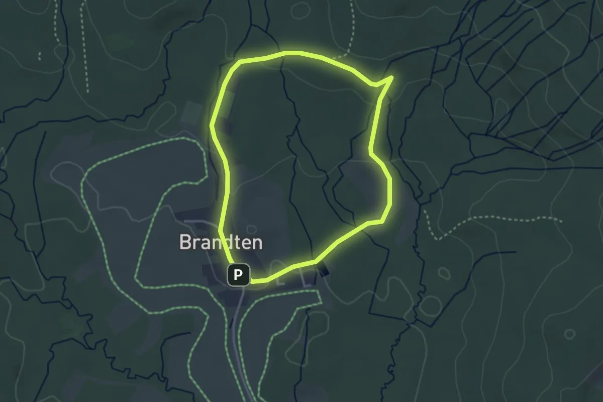
Easy · Trail
7 Um die Ortschaft Brandten
2.9 km · ↑ 47 m · 49 min