Trails in Germany
36,877 hiking trails, each with its route, climb, walking time and grade.
All trails, page 766 of 769
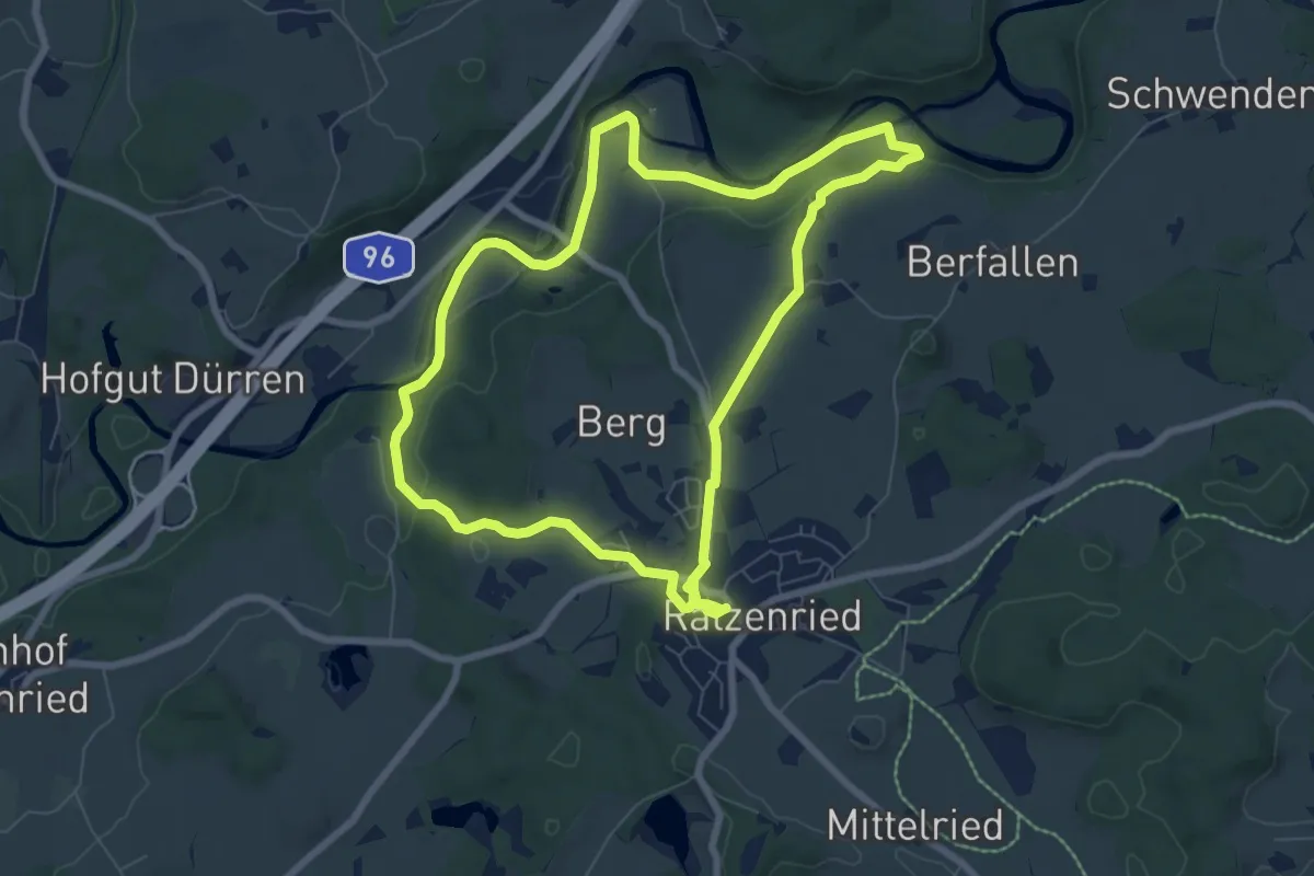
Easy · Trail
7 - Wanderung Panoramahöhenweg durch Wald und Flur
7.5 km · ↑ 109 m · 2 h 6 min
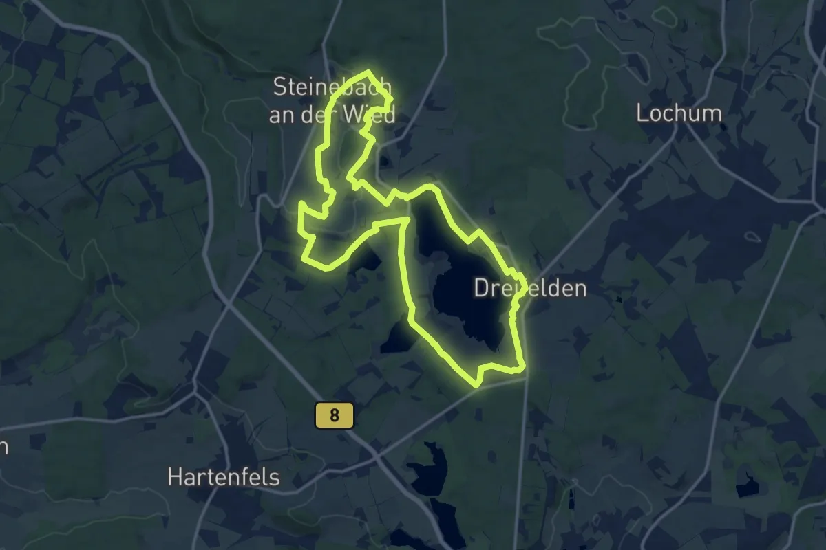
Medium · Trail
7-Weiher-Weg Nordteil
13.4 km · ↑ 142 m · 3 h 40 min
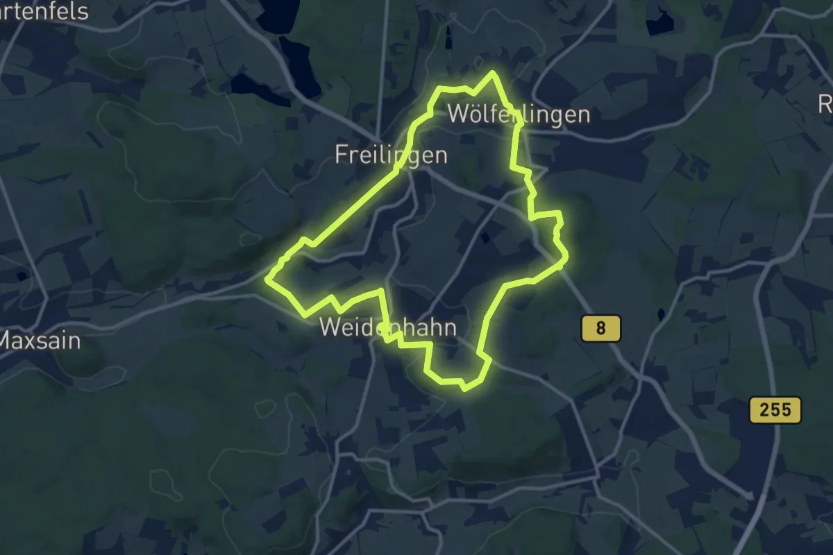
Medium · Summit
7-Weiher-Weg Schleife Helleberg
10.7 km · ↑ 167 m · 3 h 3 min
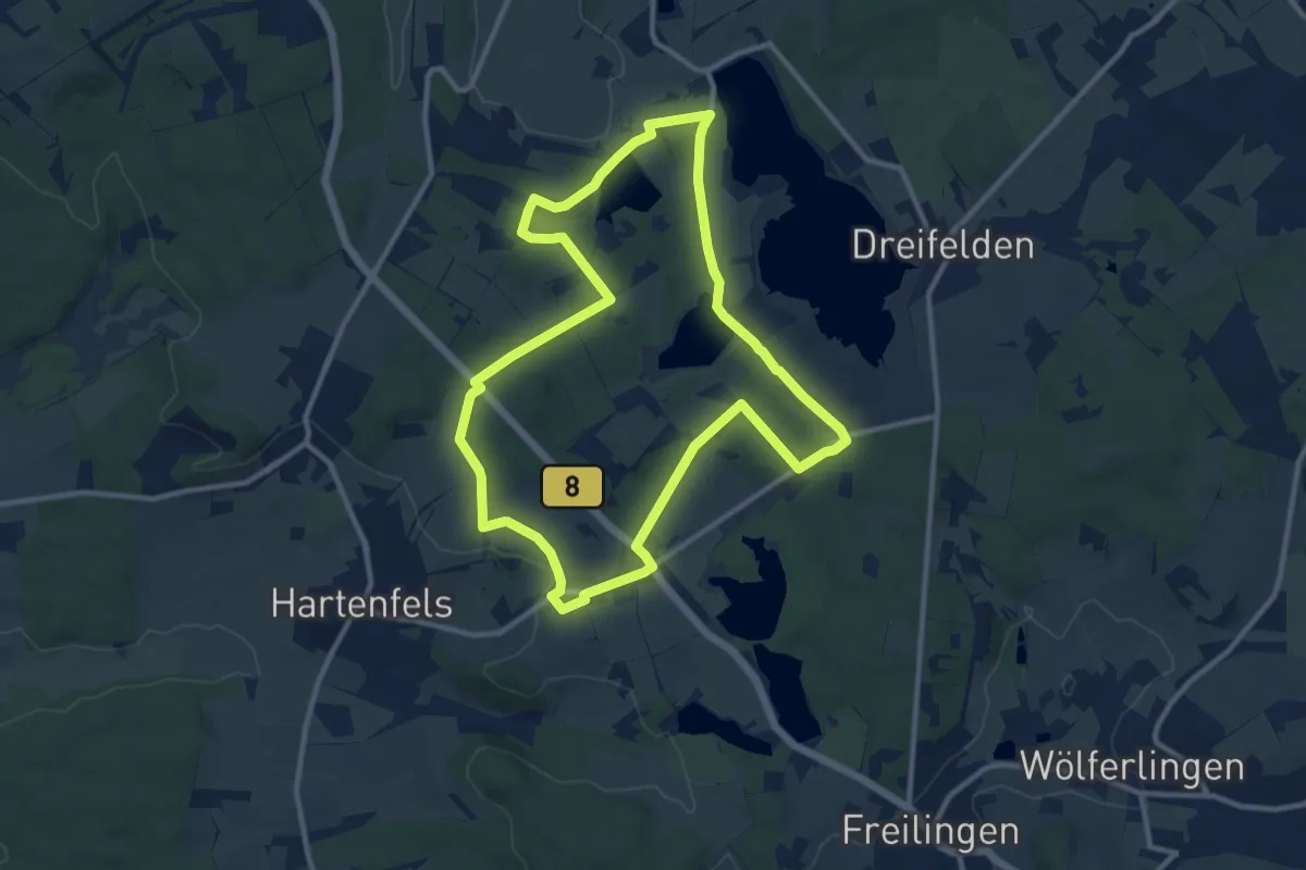
Medium · Trail
7-Weiher-Weg Schleife Schmaddippen
10.1 km · ↑ 108 m · 2 h 46 min
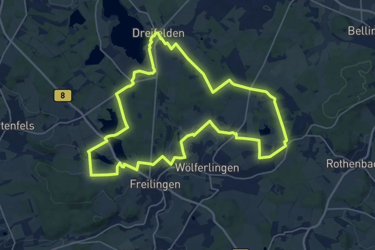
Medium · Summit
7-Weiher-Weg Südteil
16.6 km · ↑ 214 m · 4 h 36 min
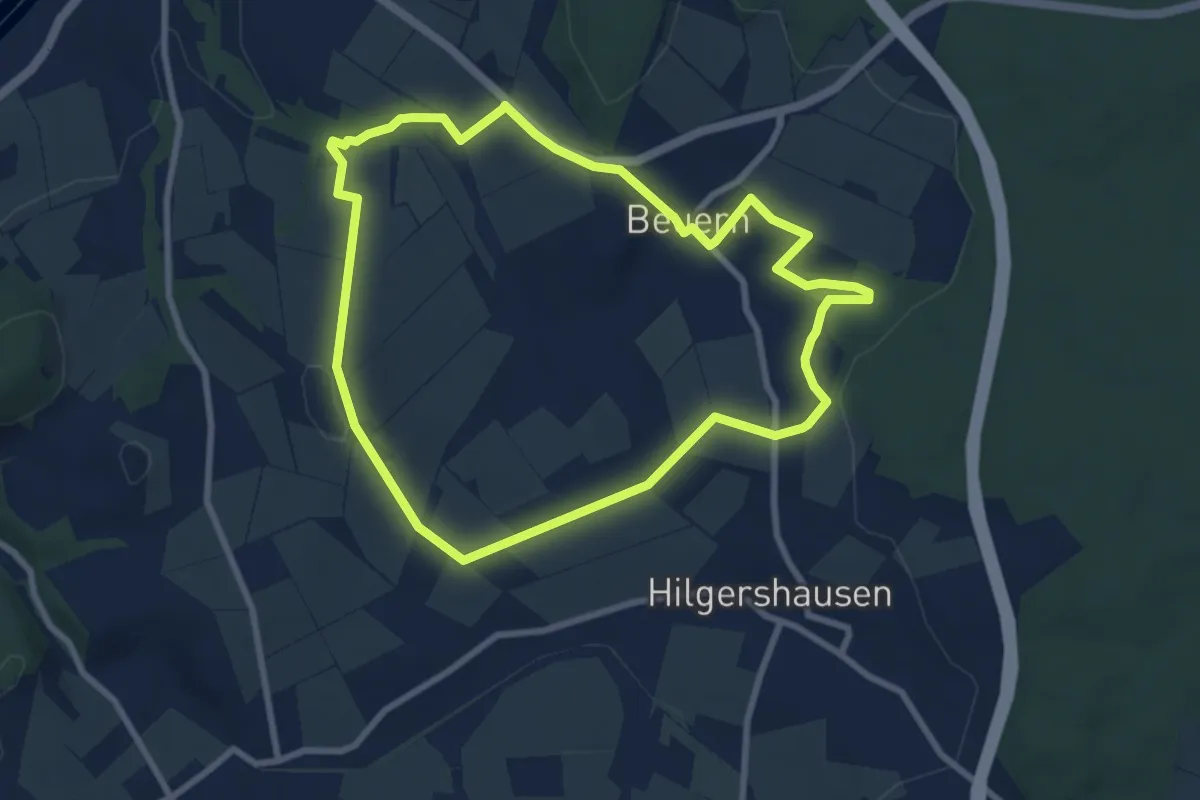
Easy · Trail
8000 Jahre Landwirtschaft
7.3 km · ↑ 145 m · 2 h 8 min
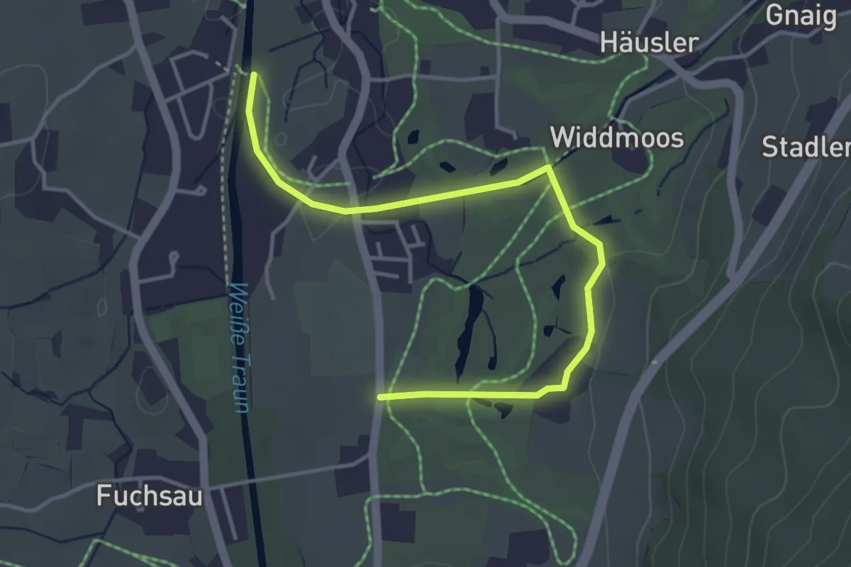
Easy · Trail
86 Golfplatzrundweg
4.1 km · ↑ 14 m · 1 h
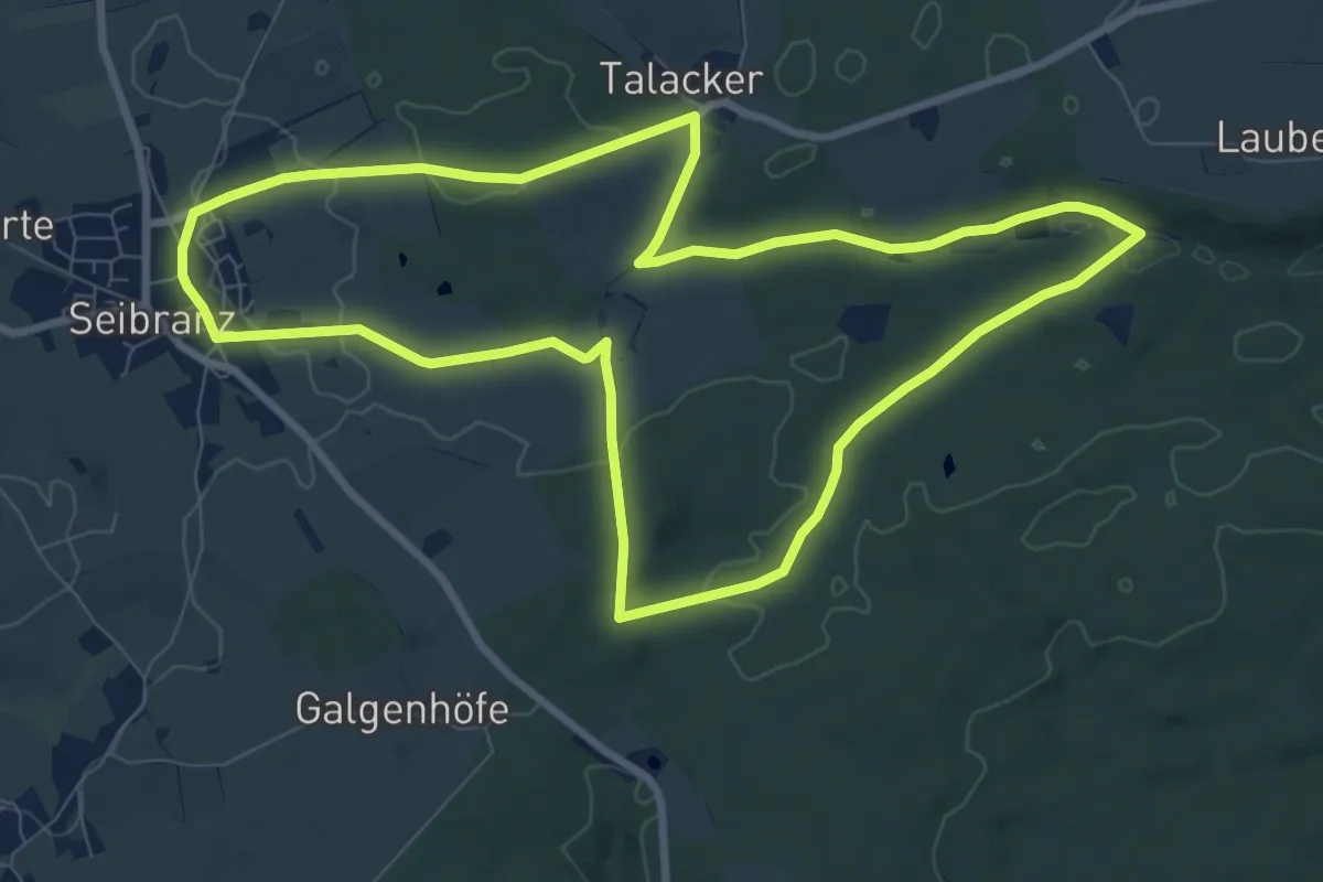
Medium · Trail
8 - Bachläufer
8.7 km · ↑ 125 m · 2 h 27 min
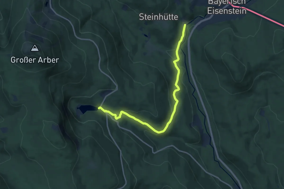
Medium · Trail
8 Bayerisch Eisenstein - Großer Arbersee
10.3 km · ↑ 287 m · 3 h 3 min
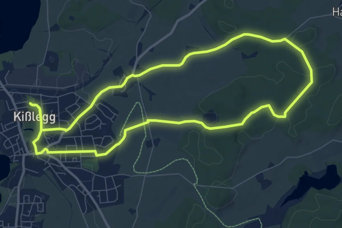
Easy · Trail
8 - Europäische Wasserscheide bei Emmelhofen
7.7 km · ↑ 82 m · 2 h 7 min
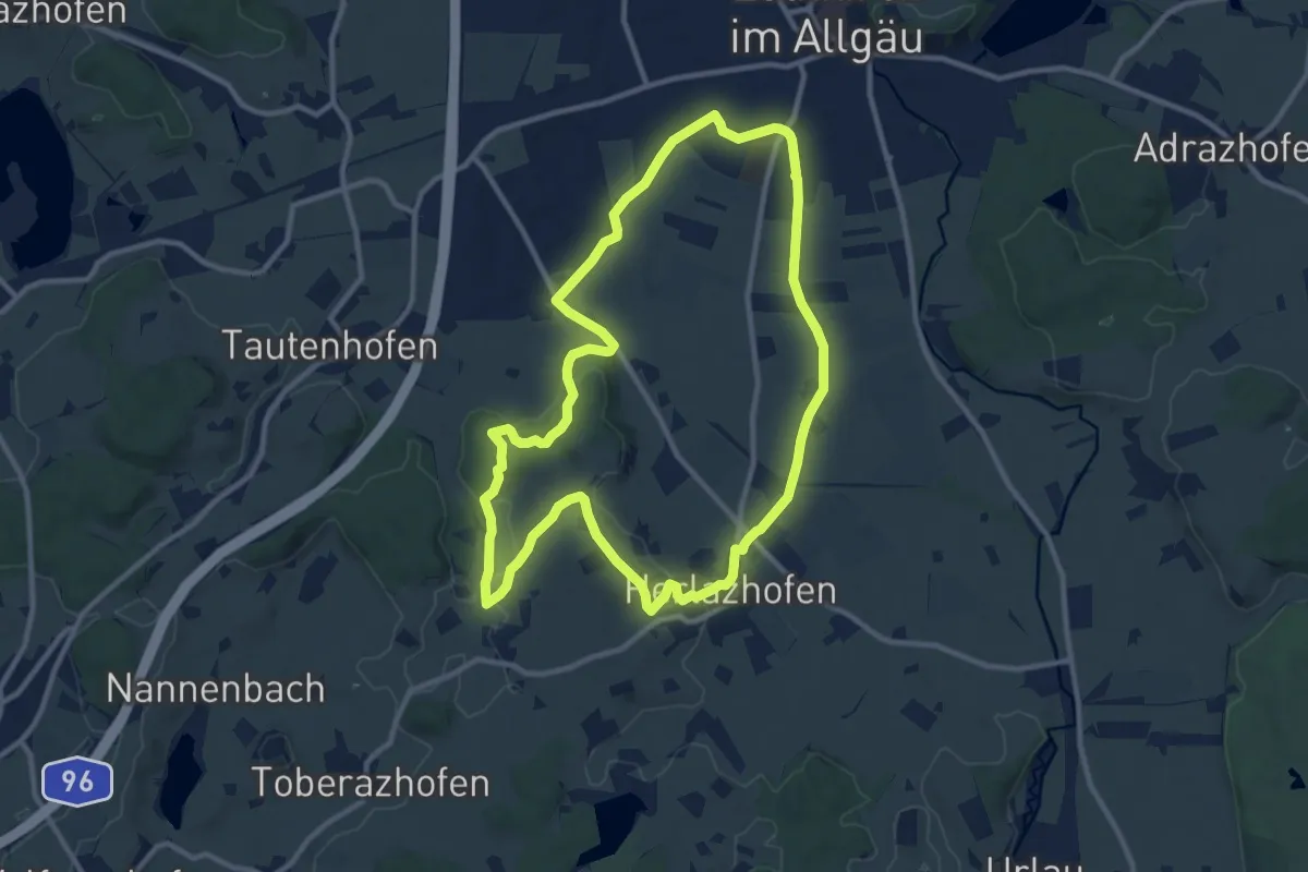
Medium · Trail
8 - Herlazhofer Panoramaweg
10.7 km · ↑ 126 m · 2 h 57 min
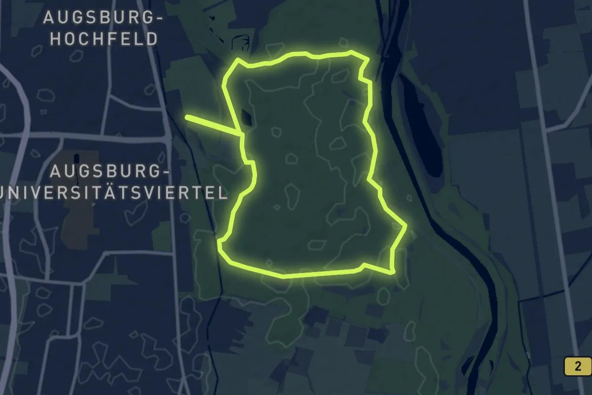
Medium · Trail
8km Rundweg Siebentischwald
8.5 km · ↑ 26 m · 2 h 11 min
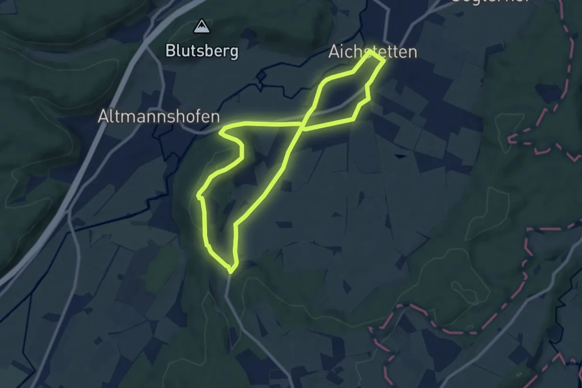
Easy · Trail
8- Lauerbühl - Altmannspeier
6.8 km · ↑ 94 m · 1 h 55 min
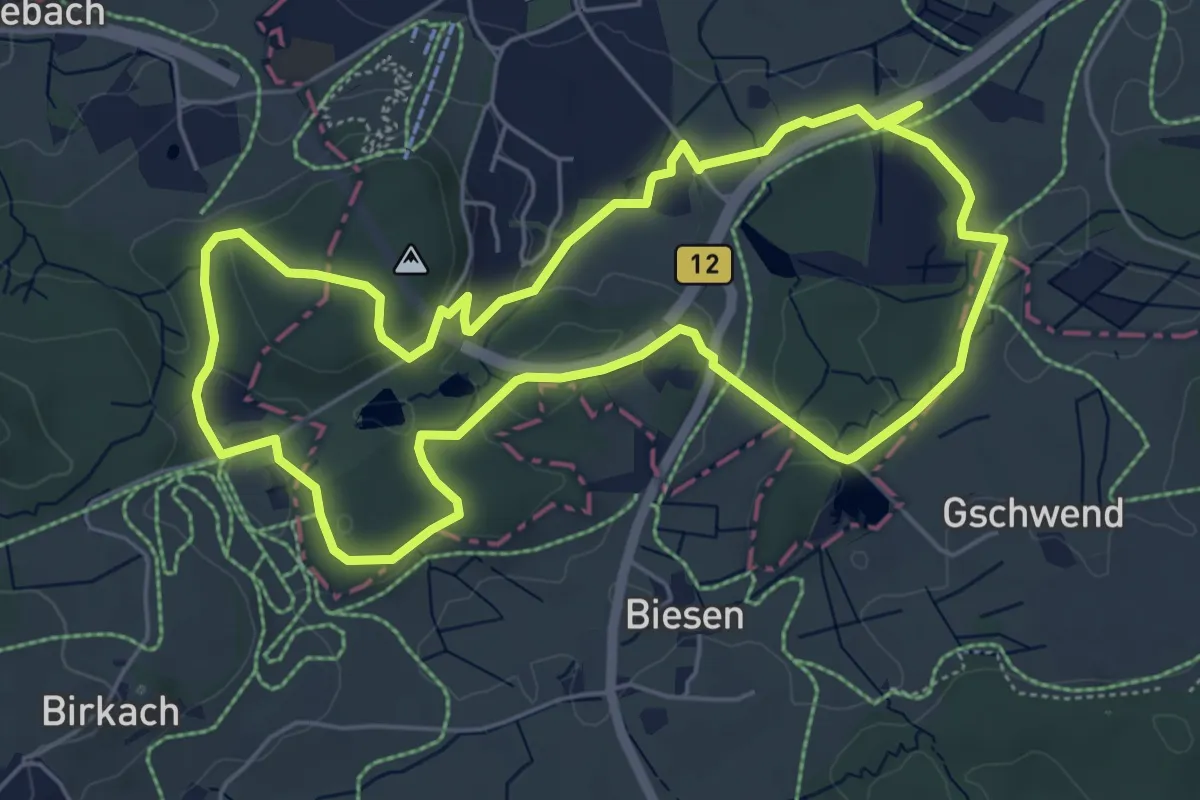
Easy · Trail
8 - Nordic Walking Wald- und Weiherrunde
5.7 km · ↑ 92 m · 1 h 37 min
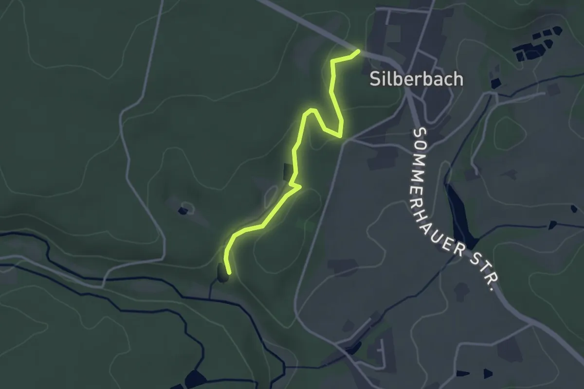
Easy · Trail
8 [Selb]
2.7 km · ↑ 37 m · 43 min
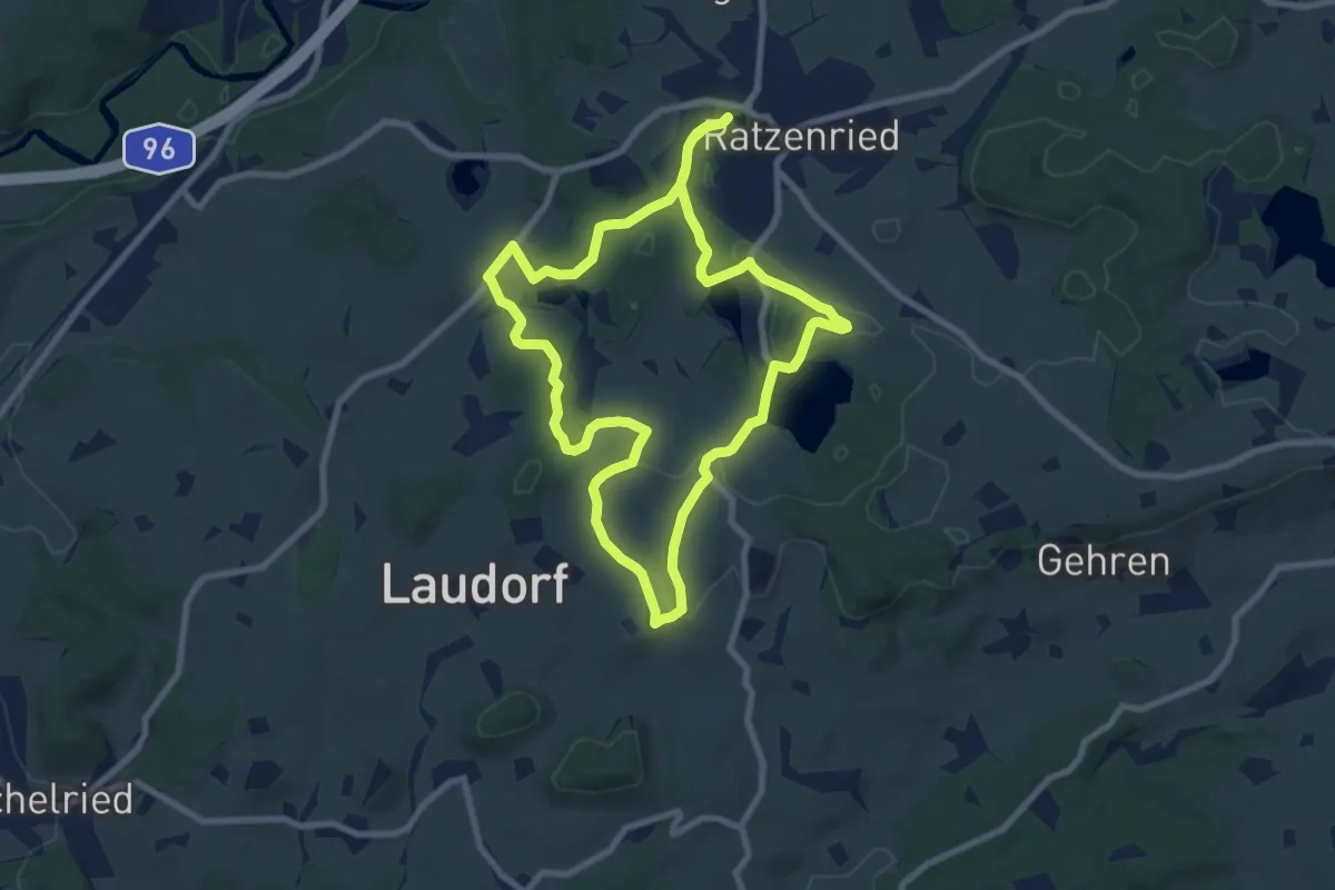
Medium · Trail
8 - Wanderung Panoramahöhenweg durch Wald und Flur
8.1 km · ↑ 113 m · 2 h 16 min
Easy · Summit
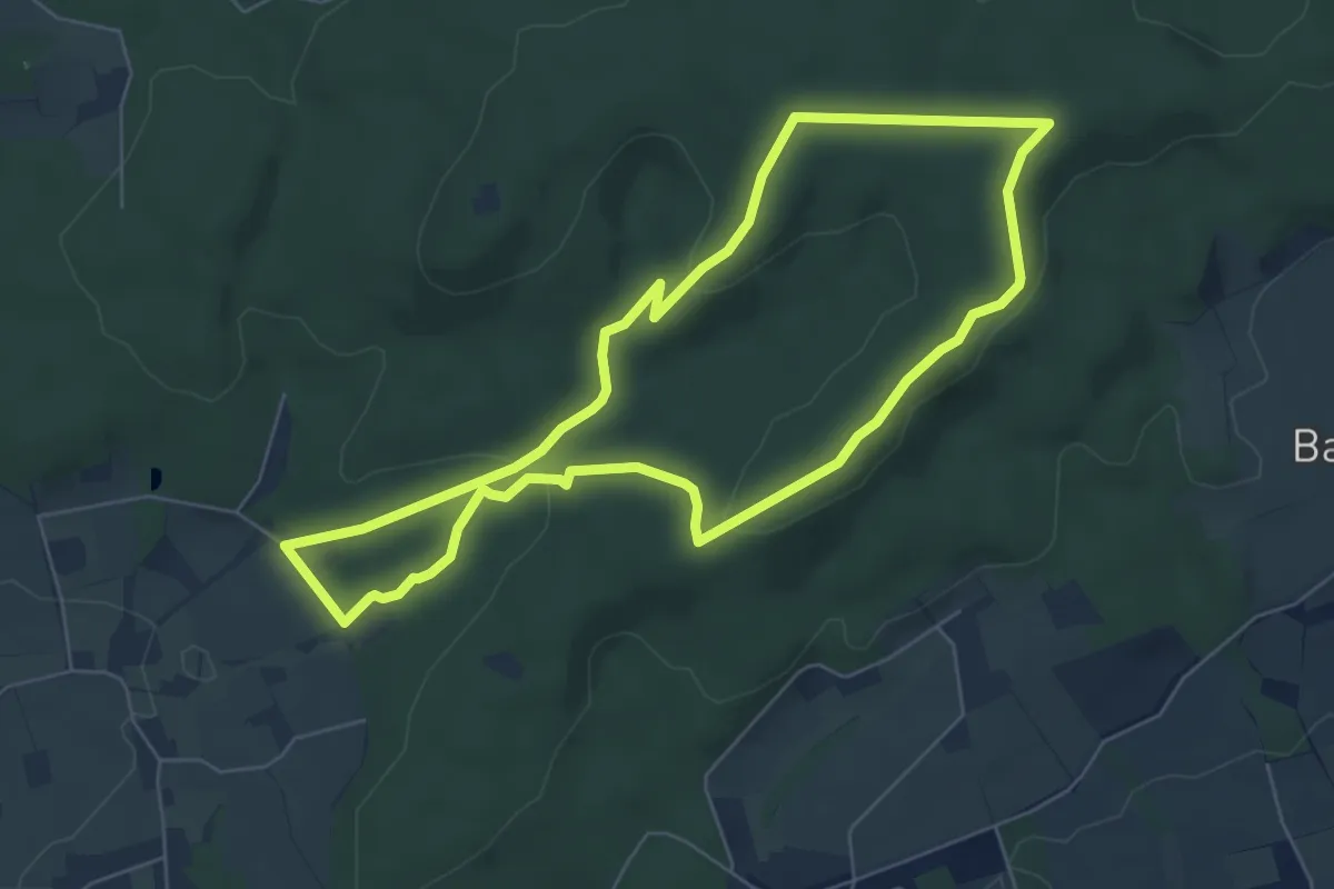
8-Weg
5.6 km · ↑ 123 m · 1 h 40 min
Medium · Trail
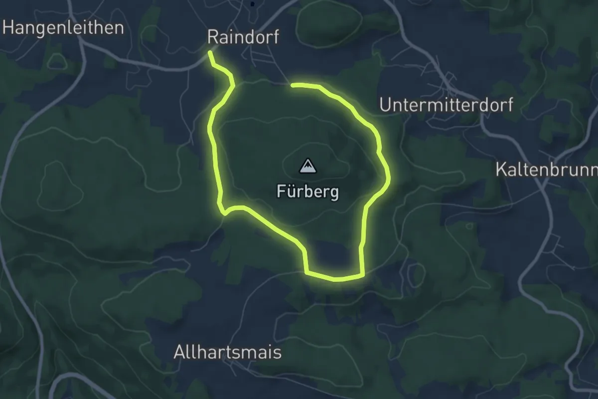
9
10.1 km · ↑ 182 m · 2 h 47 min
Medium · Summit
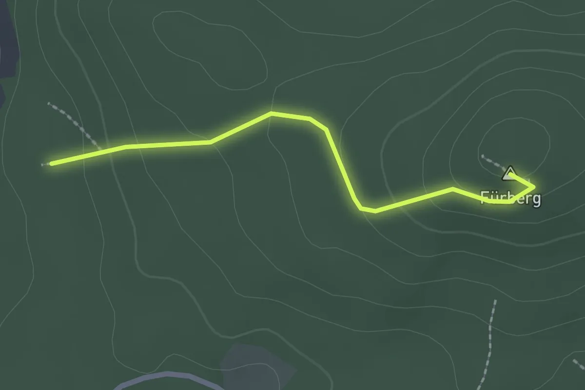
9a
1.9 km · ↑ 92 m · 39 min
Medium · Trail
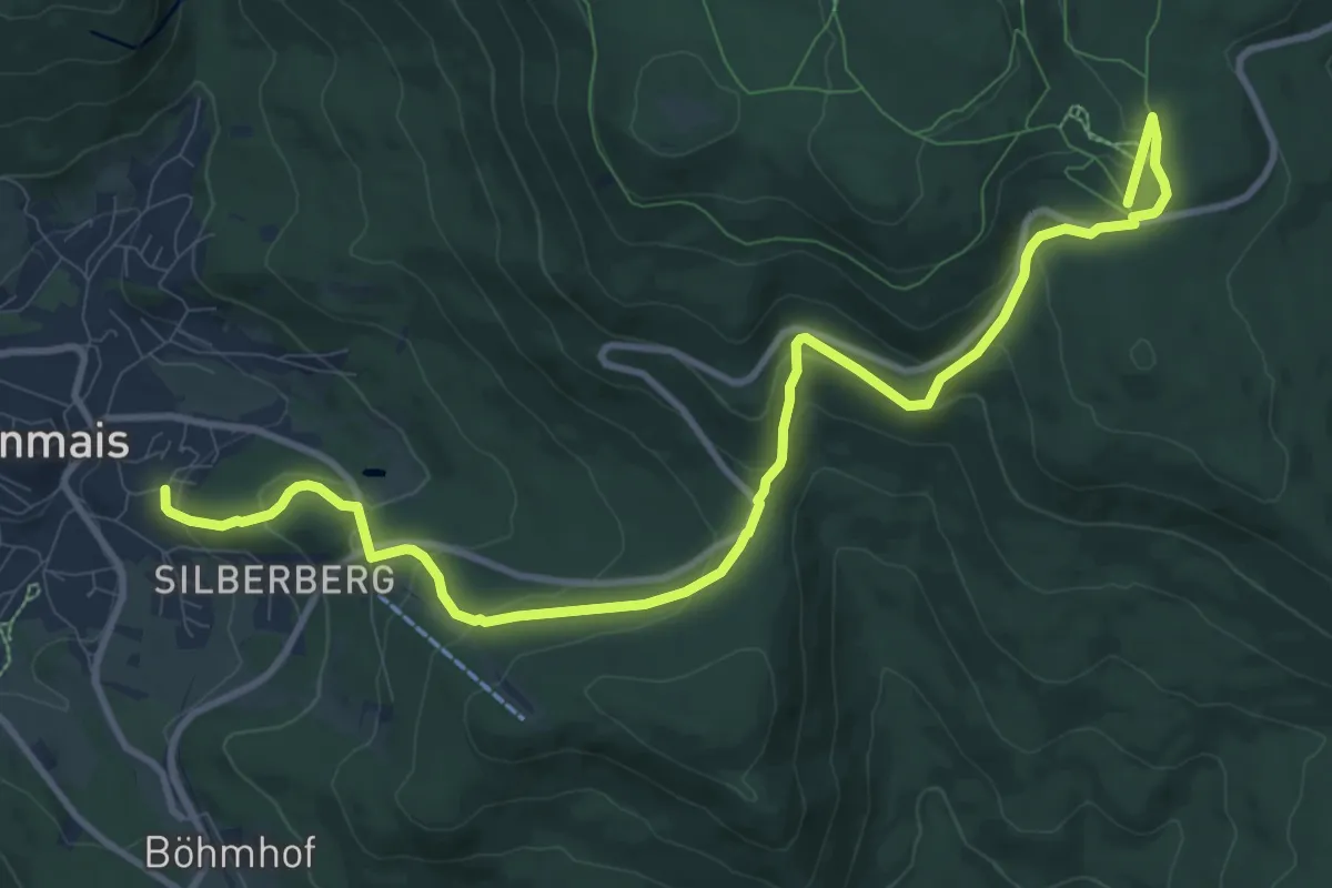
9 Bodenmais - Arbersee
12.0 km · ↑ 513 m · 3 h 57 min
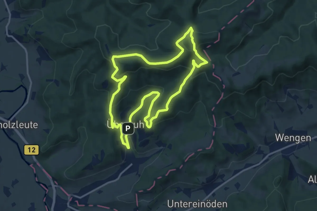
Medium · Summit
9 - Nordic Walking Schwarzer-Grat-Trail
8.4 km · ↑ 378 m · 2 h 55 min
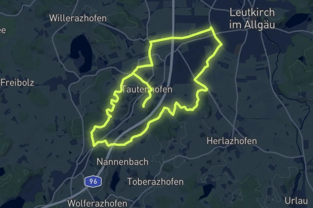
Medium · Trail
9 - Rund um die Galluskapelle
15.6 km · ↑ 246 m · 4 h 24 min
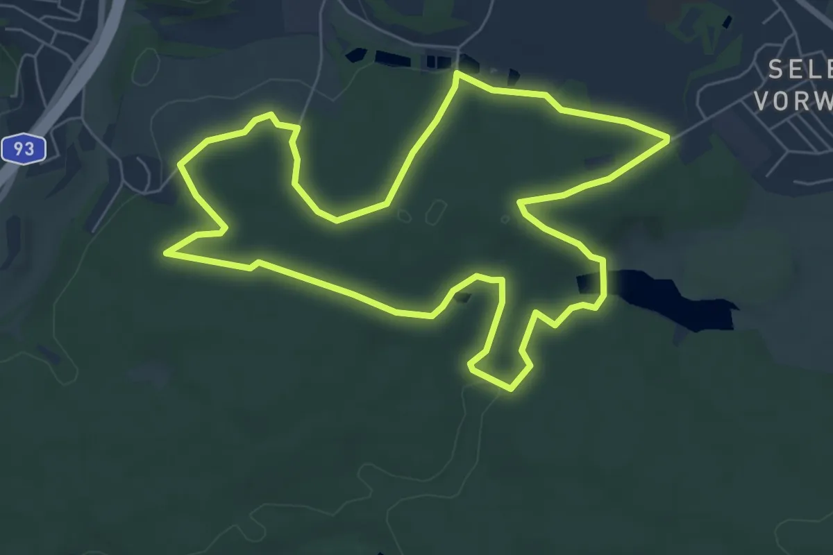
Easy · Trail
9 [Selb]
6.4 km · ↑ 113 m · 1 h 51 min
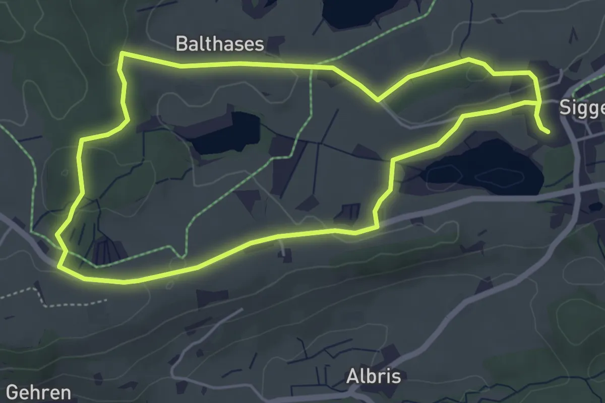
Easy · Trail
9 - Siggener Rundweg
4.8 km · ↑ 71 m · 1 h 21 min
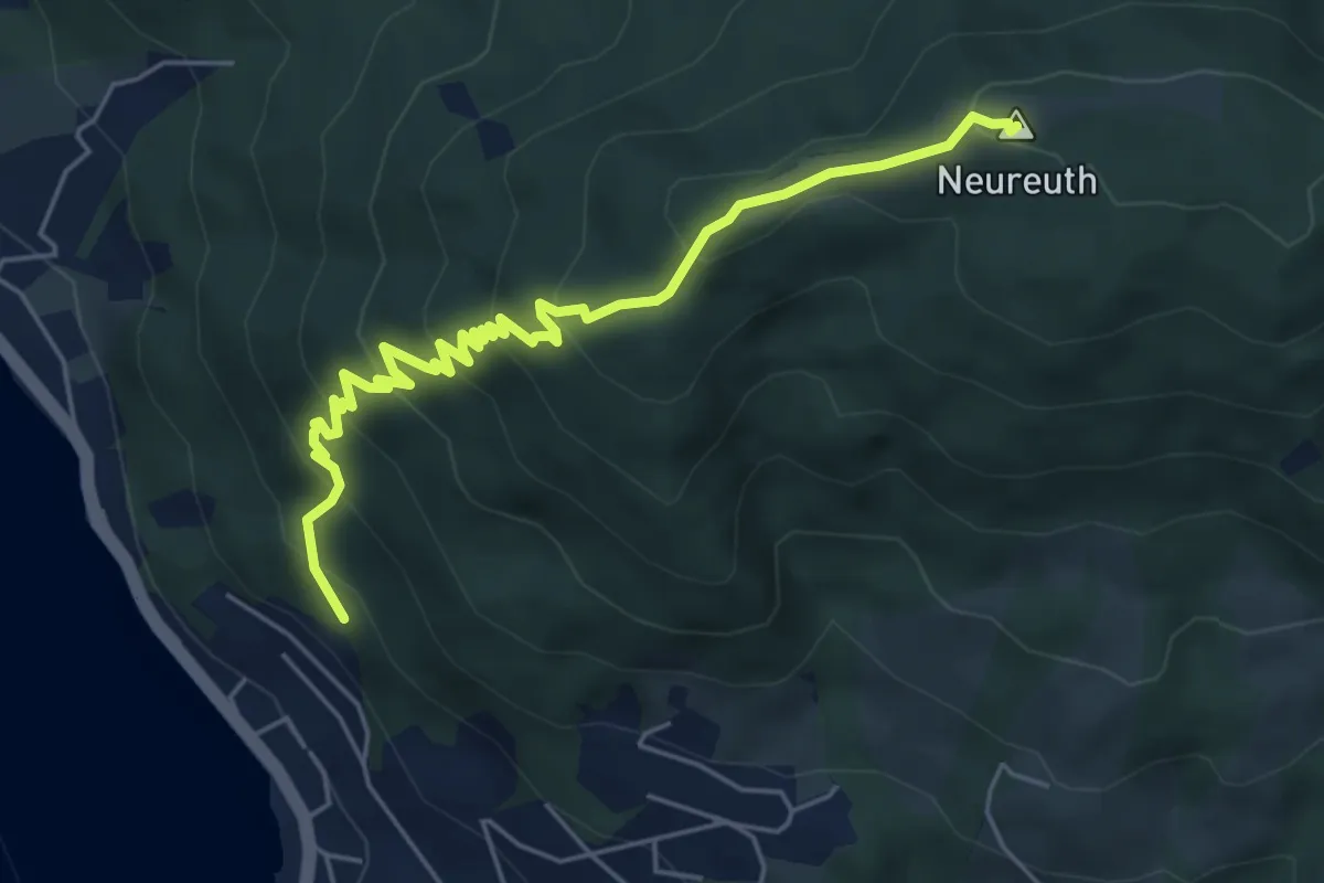
Medium · Summit
Tegernsee – Neureuth
5.8 km · ↑ 427 m · 2 h 18 min
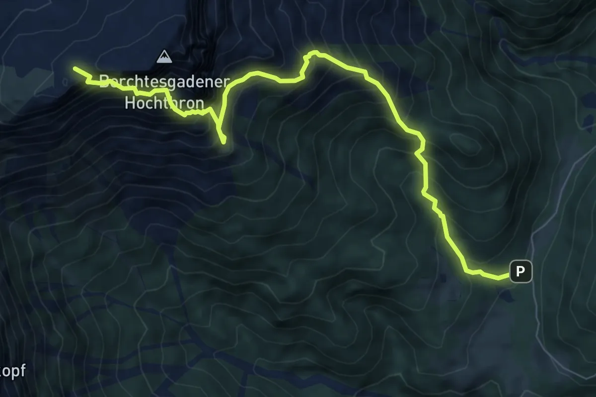
Expert · Cabin
Wanderparkplatz Roßboden – Stöhrhaus
8.4 km · ↑ 1198 m · 4 h 35 min
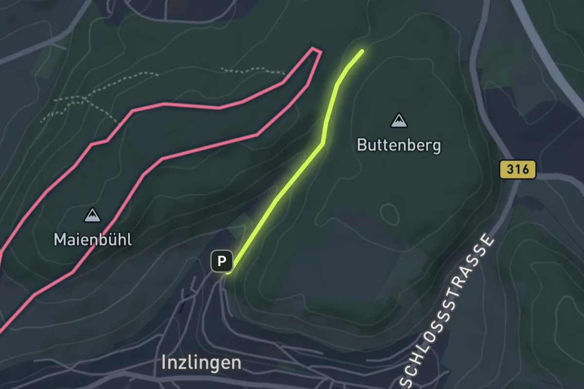
Easy · Trail
Eiserne Hand – Inzlingen Erstelhalle
2.4 km · ↑ 73 m · 43 min
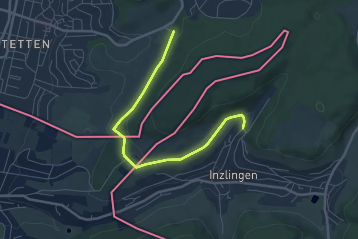
Easy · Trail
Inzlingen Erstelhalle – Bei der Jugendherberge
5.7 km · ↑ 115 m · 1 h 35 min
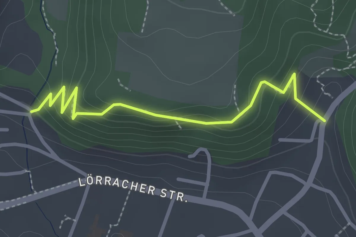
Easy · Trail
Wyhlen Ehem. Kloster – Wyhlen Ziegelhof
2.4 km · ↑ 131 m · 51 min
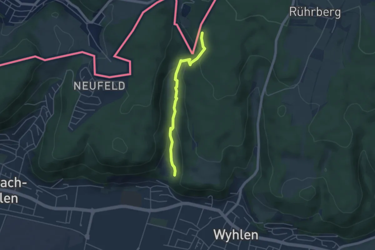
Easy · Trail
Rustel – Bei den Ruschbachfällen
3.7 km · ↑ 155 m · 1 h 12 min
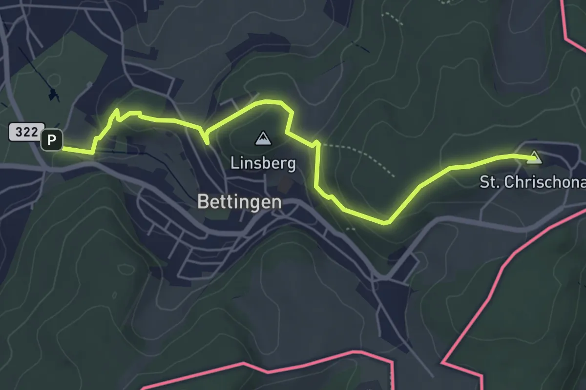
Easy · Summit
St. Chrischona – Wenkenhof
5.5 km · ↑ 194 m · 1 h 44 min
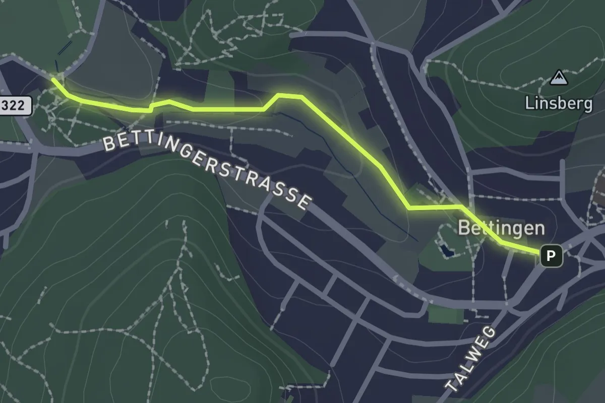
Easy · Trail
Bettingen – Wenkenhof
2.0 km · ↑ 52 m · 35 min
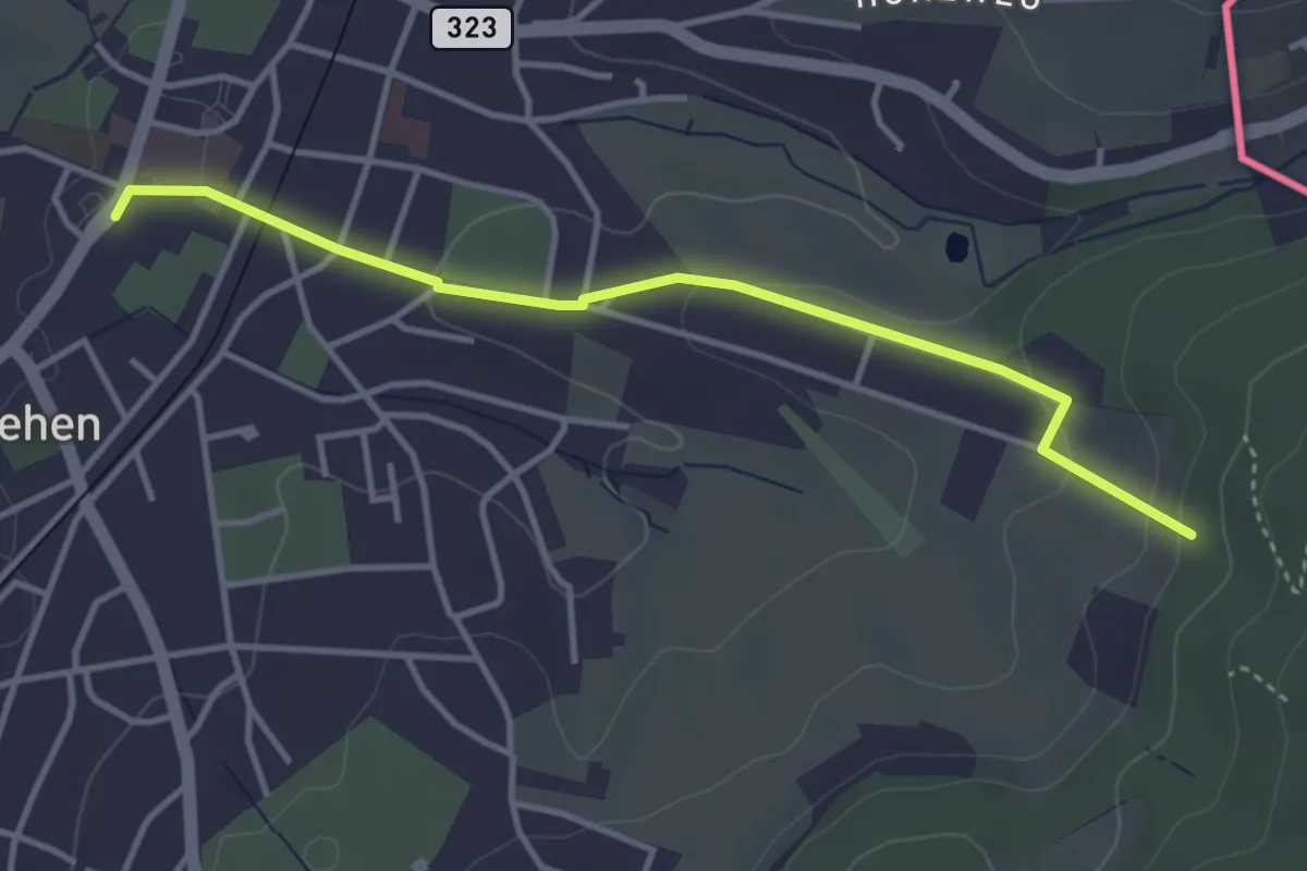
Easy · Trail
Riehen Dorf – Vor dem Berg
3.7 km · ↑ 104 m · 1 h 6 min
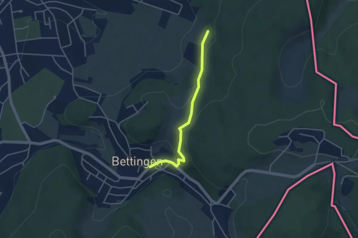
Easy · Trail
Vor dem Berg – Bettingen
2.7 km · ↑ 112 m · 53 min
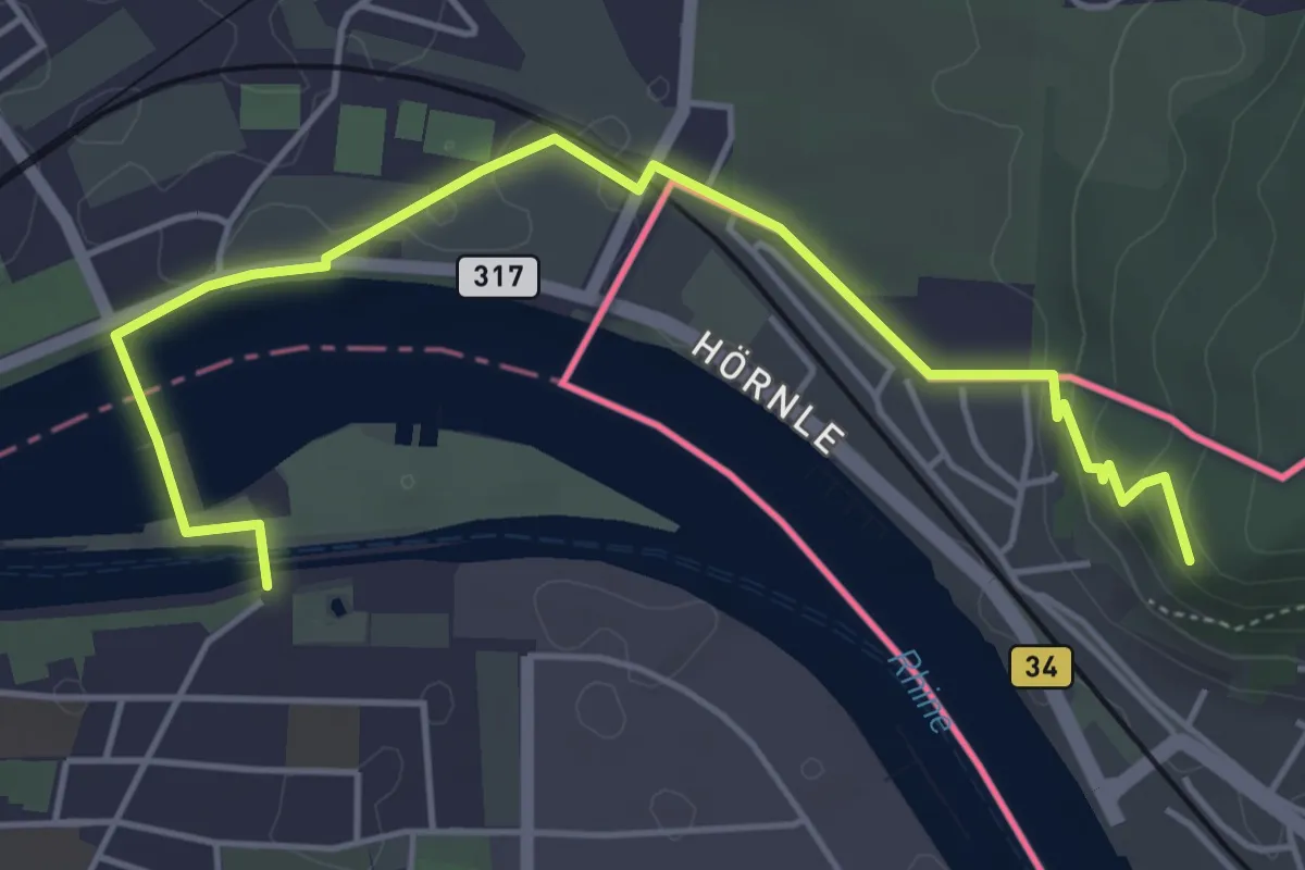
Easy · Trail
Hornfelsen – Birsfelden Kraftwerk
5.3 km · ↑ 103 m · 1 h 29 min
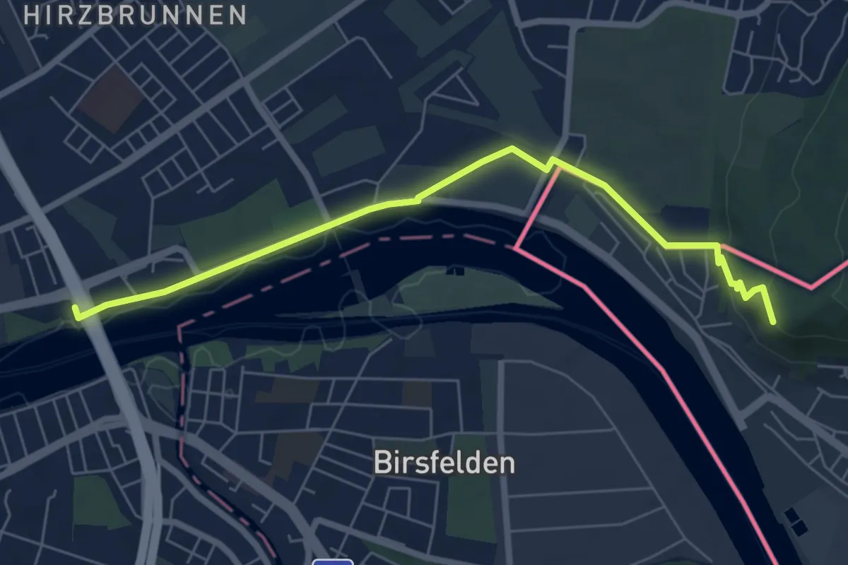
Easy · Trail
Hornfelsen – Badischer Bahnhof
6.3 km · ↑ 108 m · 1 h 44 min
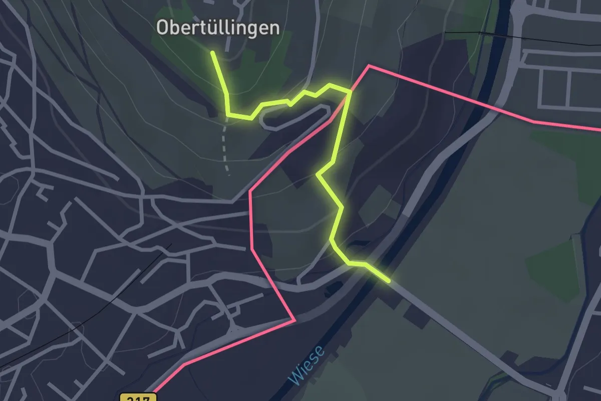
Easy · Trail
Riehen Bad – Tüllingen Lindenplatz
2.2 km · ↑ 128 m · 48 min
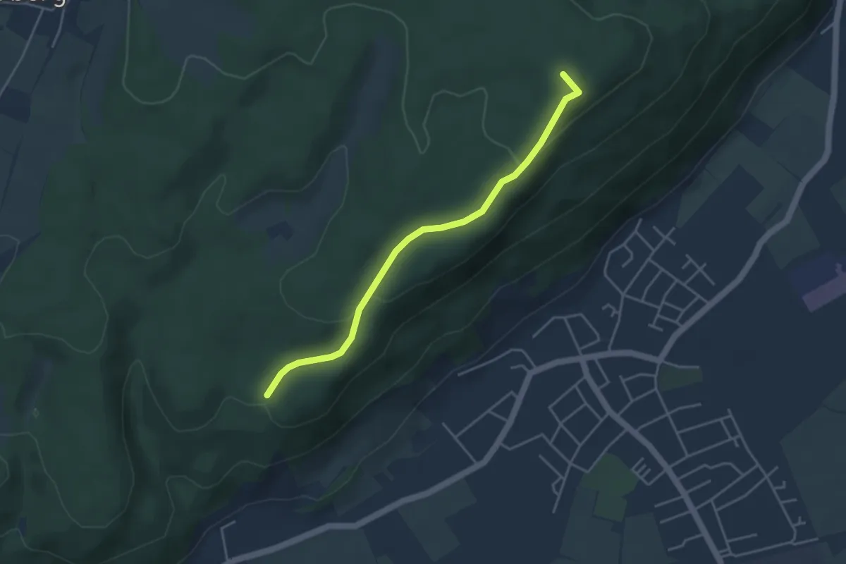
Easy · Summit
Hertenberg – Eigenturm
3.8 km · ↑ 121 m · 1 h 9 min
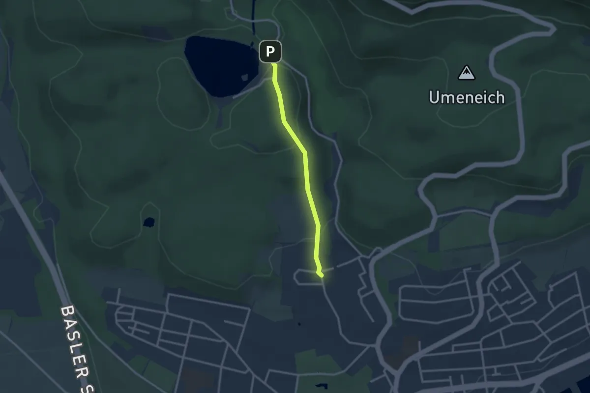
Easy · Trail
Bad Säckingen Kurzentrum – Bergseekurve
2.1 km · ↑ 78 m · 41 min
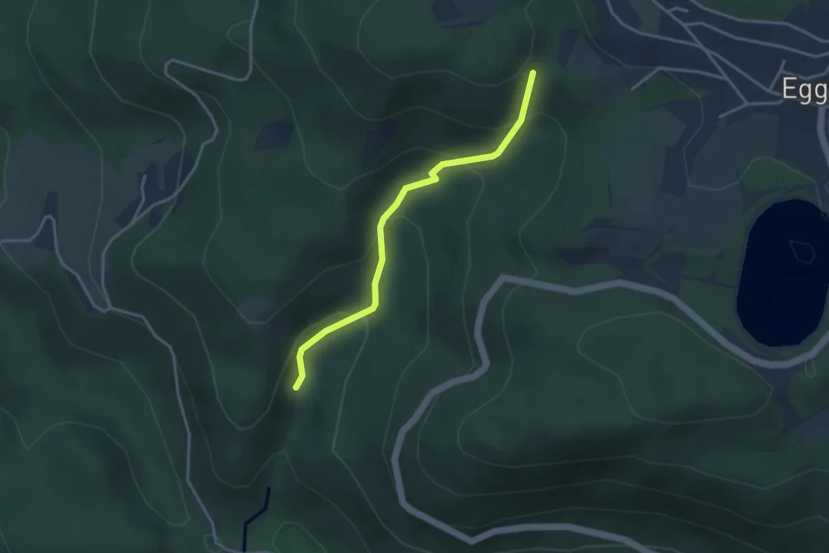
Medium · Trail
Schöpfebachtal – Beim Jungholzer Felsen
2.9 km · ↑ 204 m · 1 h 7 min
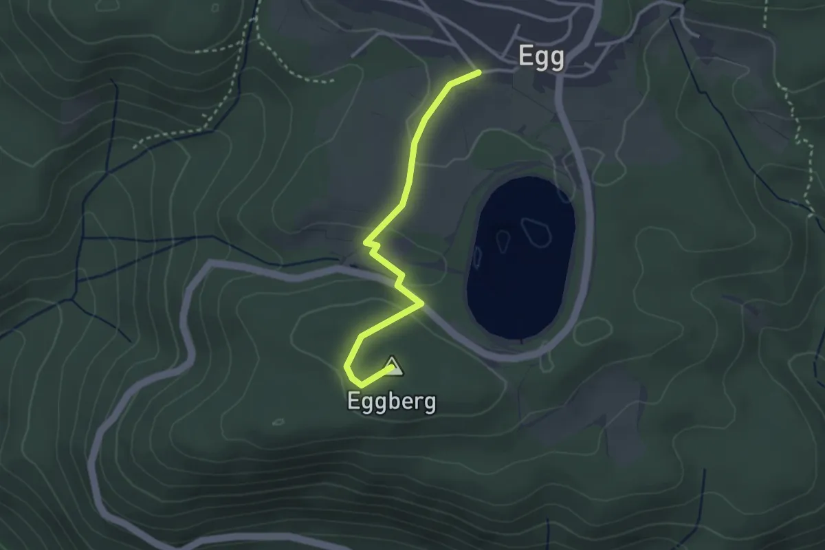
Easy · Summit
Egg - Kapelle – Am Eggberg
2.8 km · ↑ 77 m · 49 min
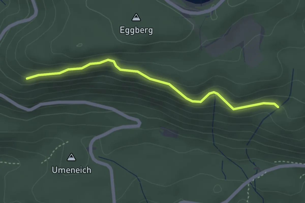
Easy · Trail
Am Eggberg – Totenbühlbrunnen
3.2 km · ↑ 147 m · 1 h 5 min
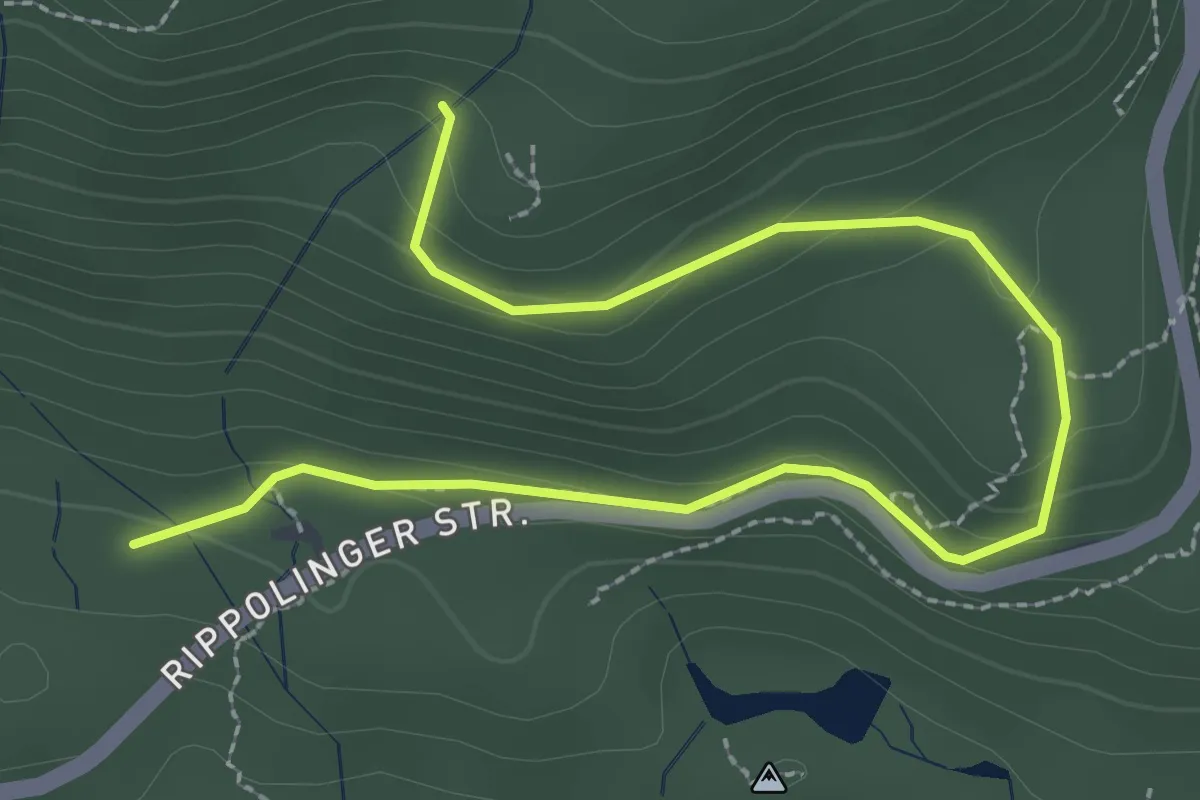
Easy · Trail
Totenbühlbrunnen – Judenmatt
3.4 km · ↑ 154 m · 1 h 8 min
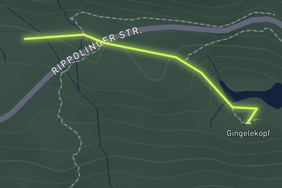
Easy · Summit
Judenmatt – Spitzenbühl
1.3 km · ↑ 27 m · 22 min
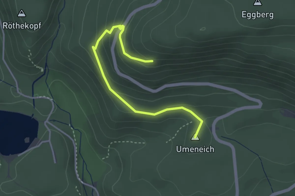
Easy · Summit
Am Eggberg – Umeich
3.4 km · ↑ 166 m · 1 h 10 min
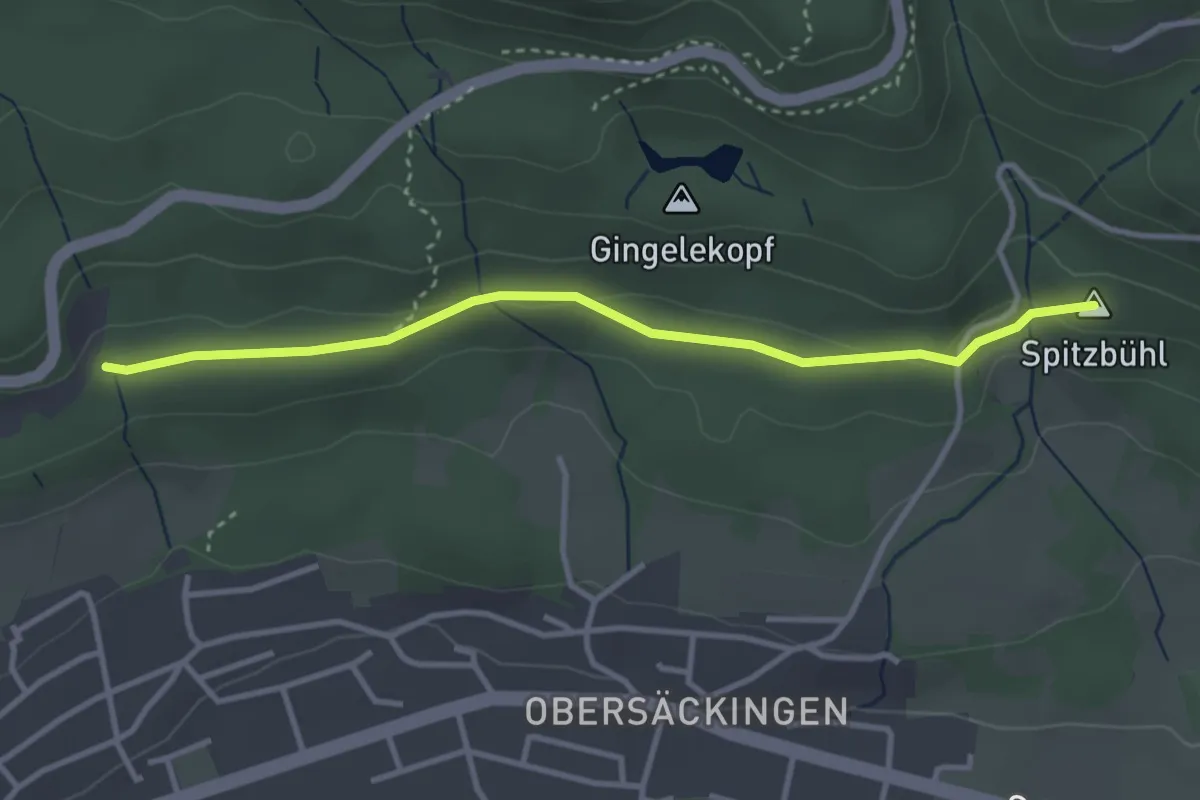
Easy · Summit
Hasenrütti – Spitzenbühl
3.4 km · ↑ 62 m · 55 min
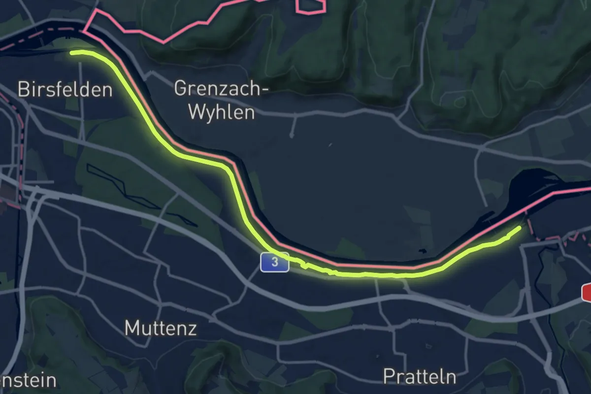
Medium · Trail
Birsfelden – Augst Schiffstation
15.5 km · ↑ 42 m · 3 h 45 min
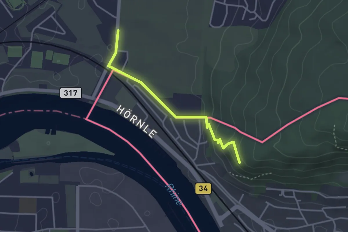
Easy · Trail
Hörnli – Hornfelsen
2.9 km · ↑ 94 m · 53 min