Trails in Germany
36,824 hiking trails, each with its route, climb, walking time and grade.
All trails, page 78 of 768
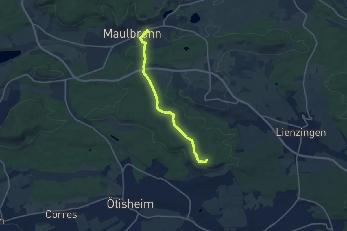
Medium · Summit
blaues Plus Mühlacker - Maulbronn
8.7 km · ↑ 90 m · 2 h 15 min
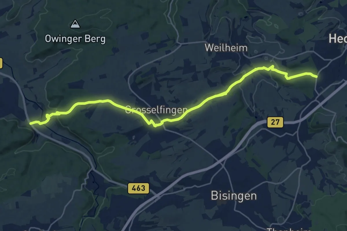
Demanding · Trail
blaues Plus Owingen - Grosselfingen - HW3
21.1 km · ↑ 381 m · 5 h 48 min
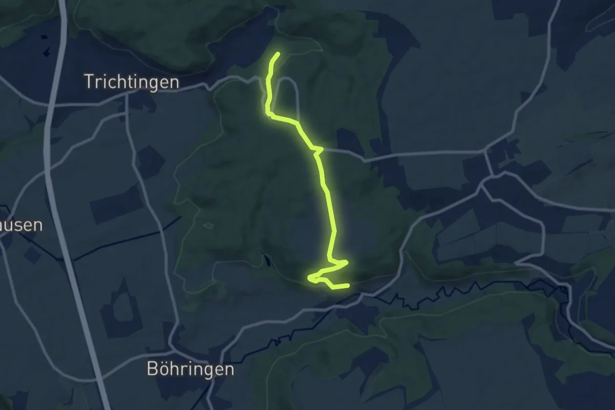
Easy · Trail
blaues Plus Rotenzimmern - Trichtingen
7.8 km · ↑ 199 m · 2 h 16 min
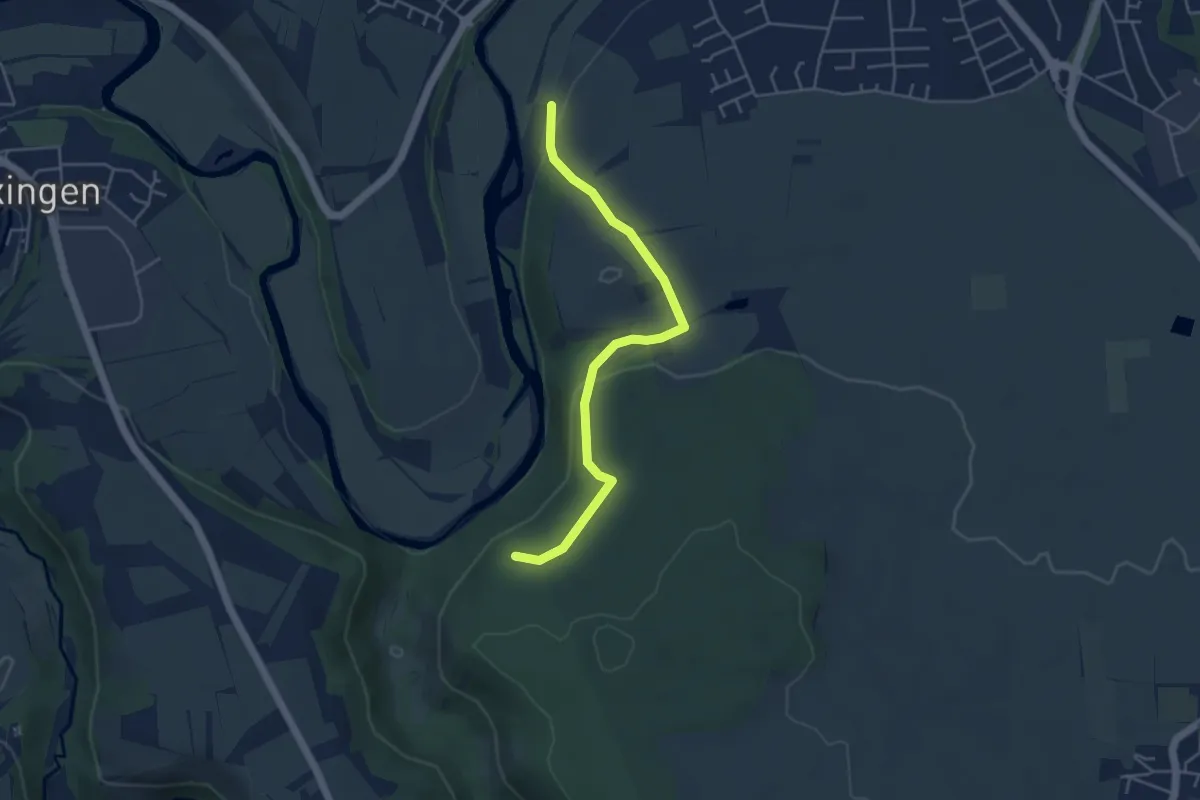
Easy · Trail
blaues Plus Schellenhof
4.2 km · ↑ 113 m · 1 h 15 min
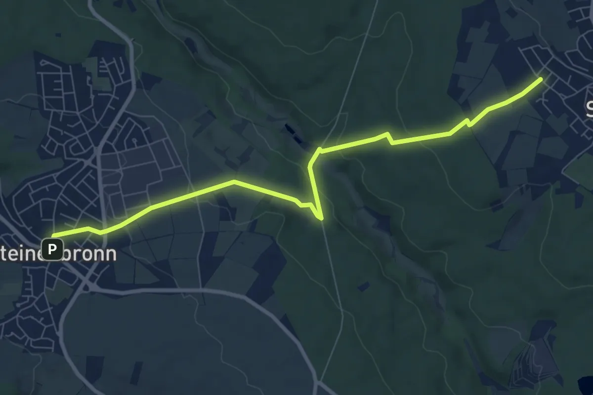
Medium · Trail
blaues Plus Stetten - Steinenbronn
8.2 km · ↑ 192 m · 2 h 22 min
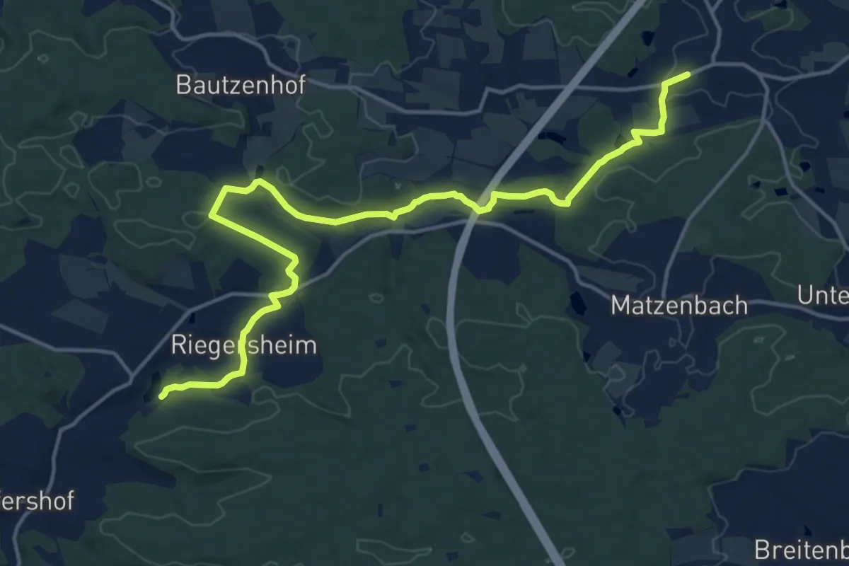
Medium · Trail
blaues Plus Wildenstein - Rechenberg
16.2 km · ↑ 267 m · 4 h 24 min
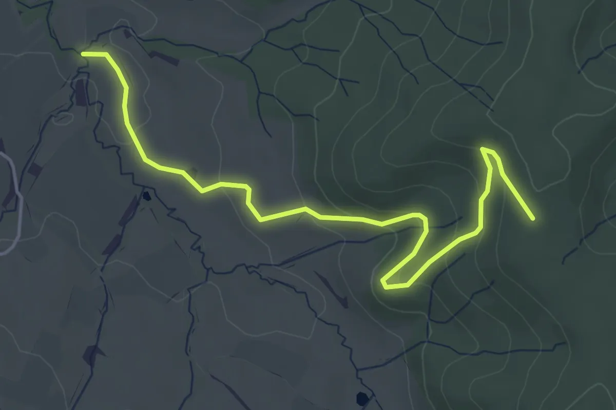
Easy · Trail
blaues Raute Linde bei Boll - Jungingen
5.1 km · ↑ 199 m · 1 h 38 min
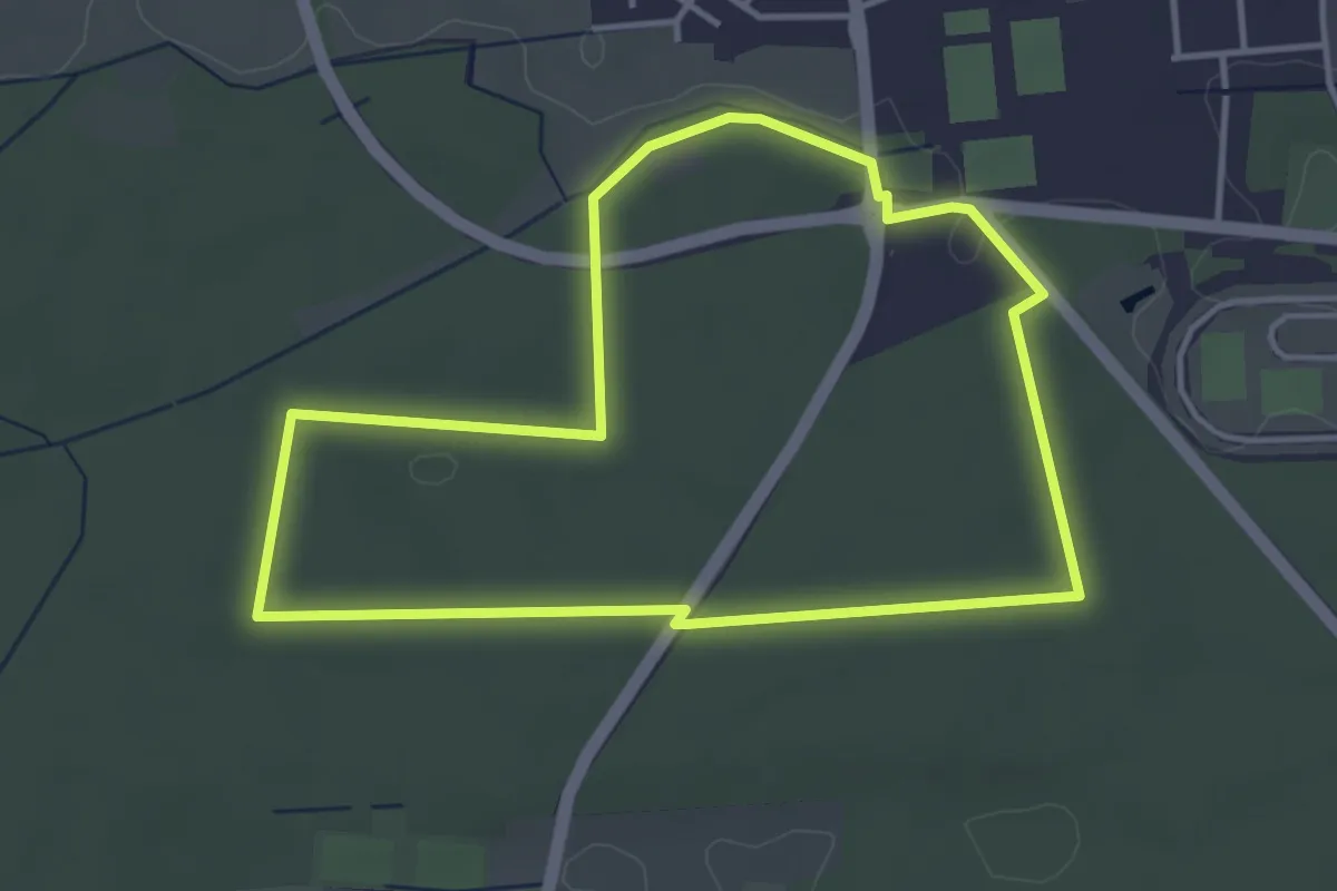
Easy · Trail
Blaues Rechteck - Rundwanderweg in Herxheim ab Waldkapelle
3.6 km · ↑ 17 m · 57 min
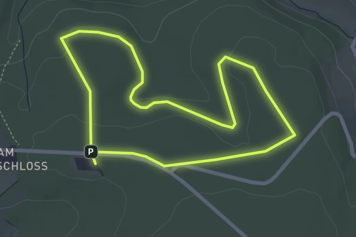
Easy · Trail
Blaue Strecke
3.7 km · ↑ 51 m · 1 h 3 min
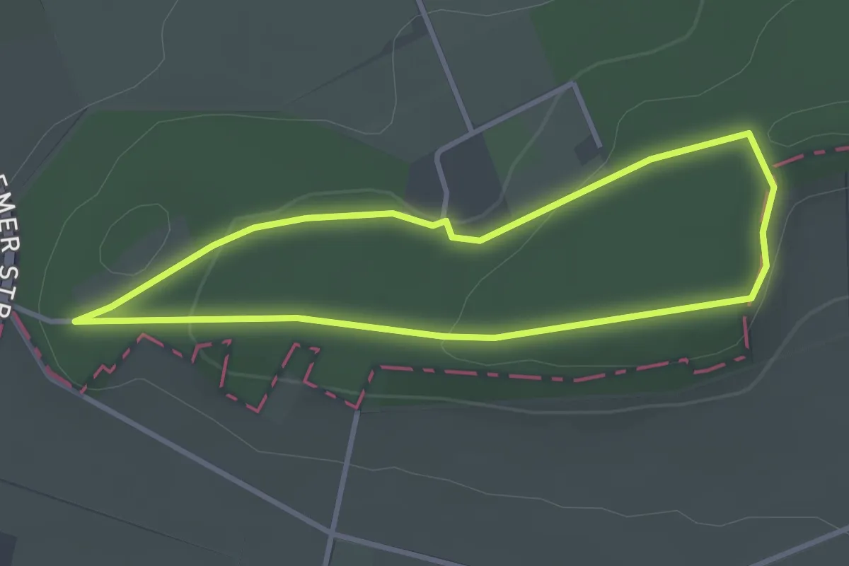
Easy · Summit
blau gepunktete Route - Stemweder Berg
2.6 km · ↑ 60 m · 47 min
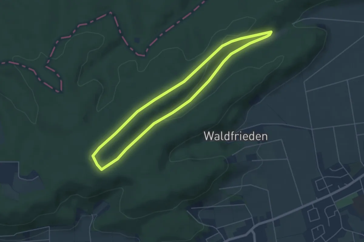
Easy · Summit
Blau gestrichelte Route - Stemweder Berg
4.5 km · ↑ 82 m · 1 h 19 min
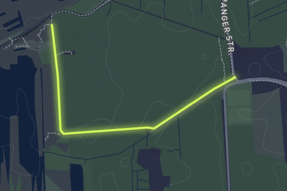
Easy · Trail
Blaukehlchenweg
2.6 km · ↑ 9 m · 38 min
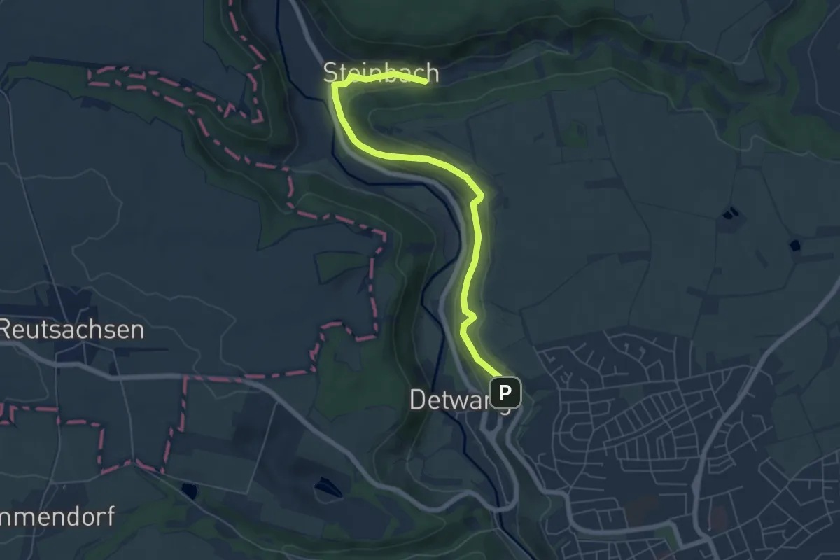
Easy · Trail
Blaukreuz
5.9 km · ↑ 194 m · 1 h 49 min
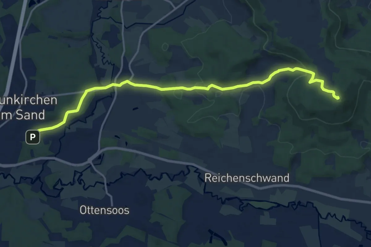
Medium · Summit
Blaukreuz
12.9 km · ↑ 373 m · 3 h 51 min
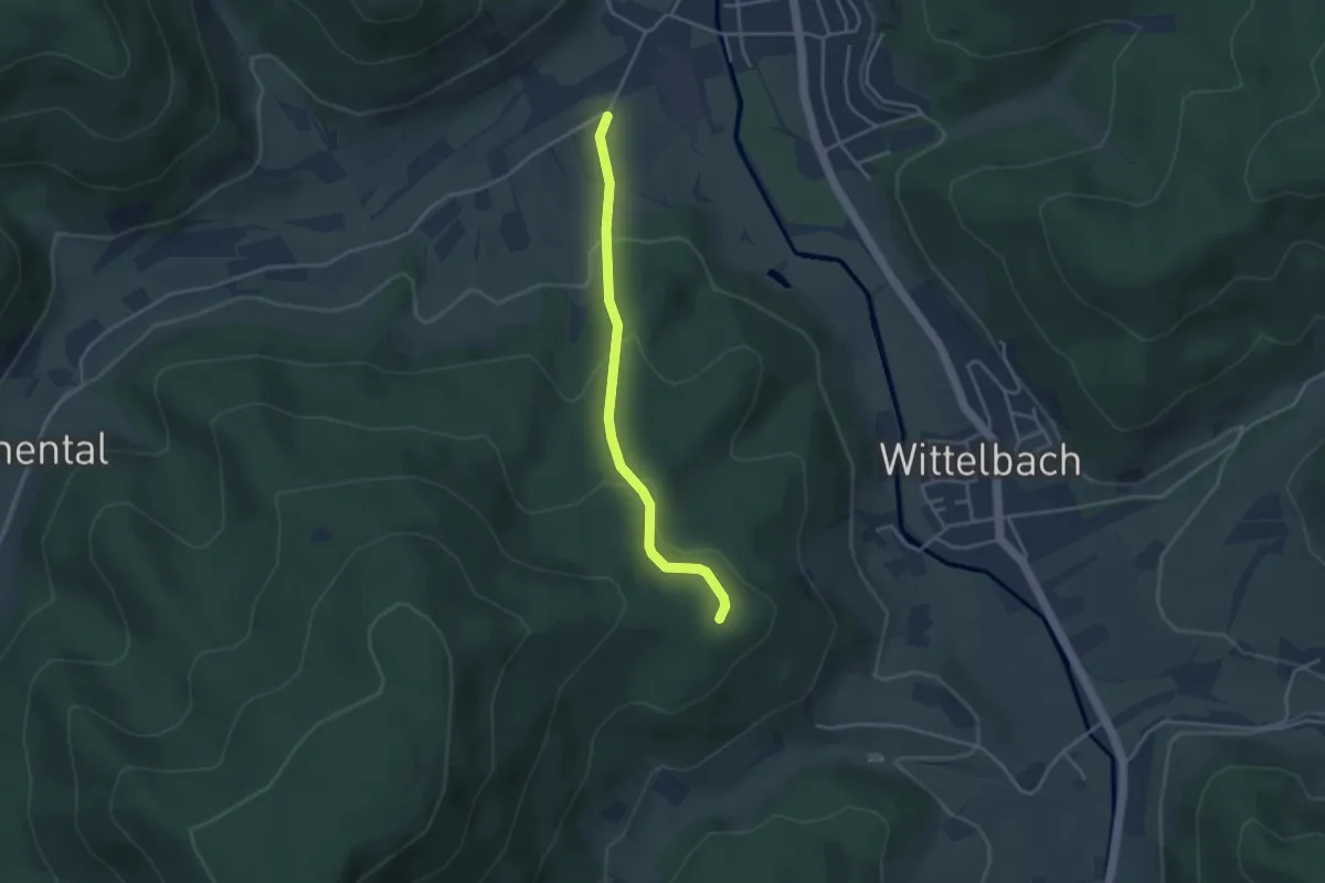
Easy · Trail
Blaulisfeld - Unterer Grassert
3.2 km · ↑ 153 m · 1 h 6 min
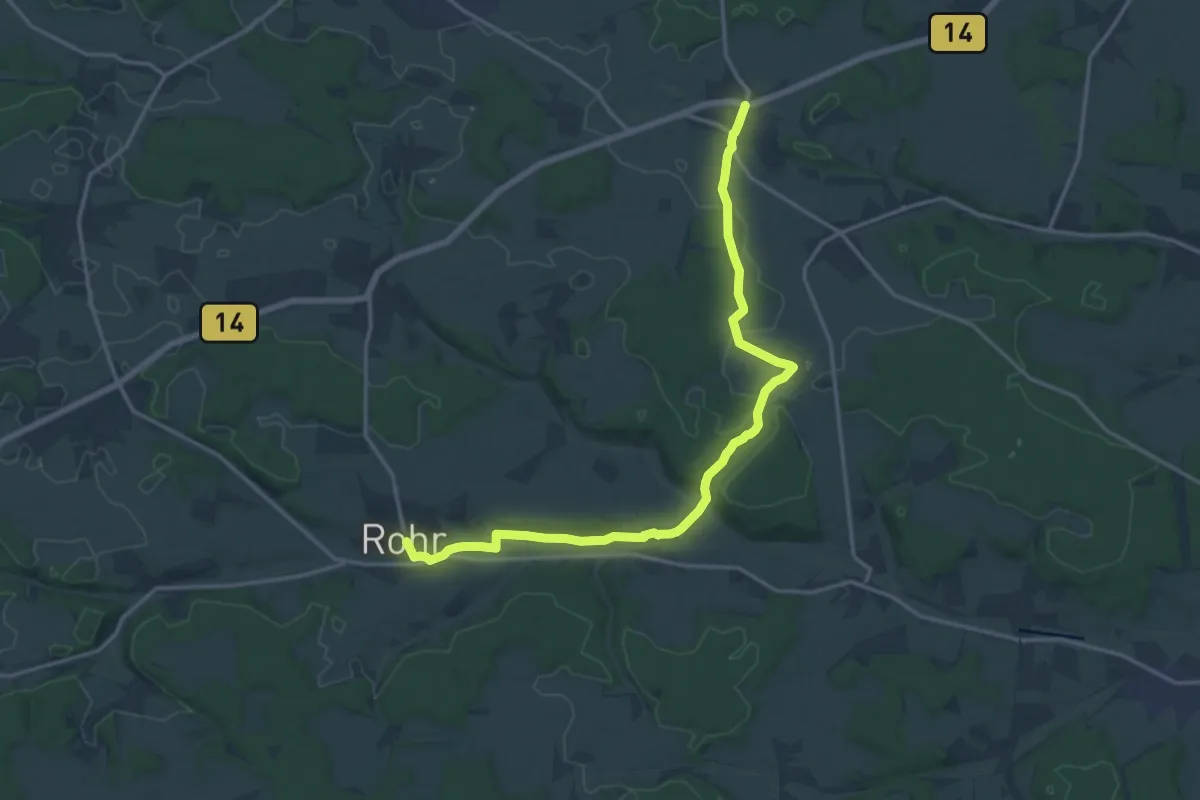
Medium · Trail
Blaupunkt
16.8 km · ↑ 203 m · 4 h 25 min
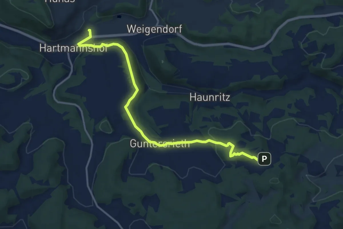
Medium · Trail
Blaupunkt
10.1 km · ↑ 223 m · 2 h 51 min
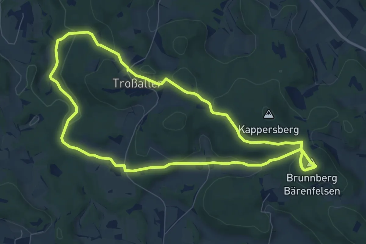
Medium · Summit
Blaupunkt
7.7 km · ↑ 233 m · 2 h 25 min
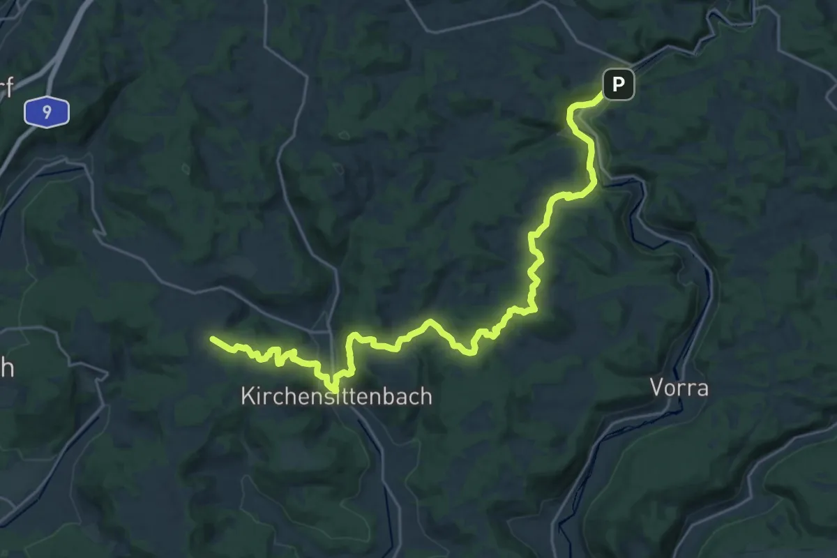
Medium · Trail
Blaupunkt
13.3 km · ↑ 505 m · 4 h 21 min
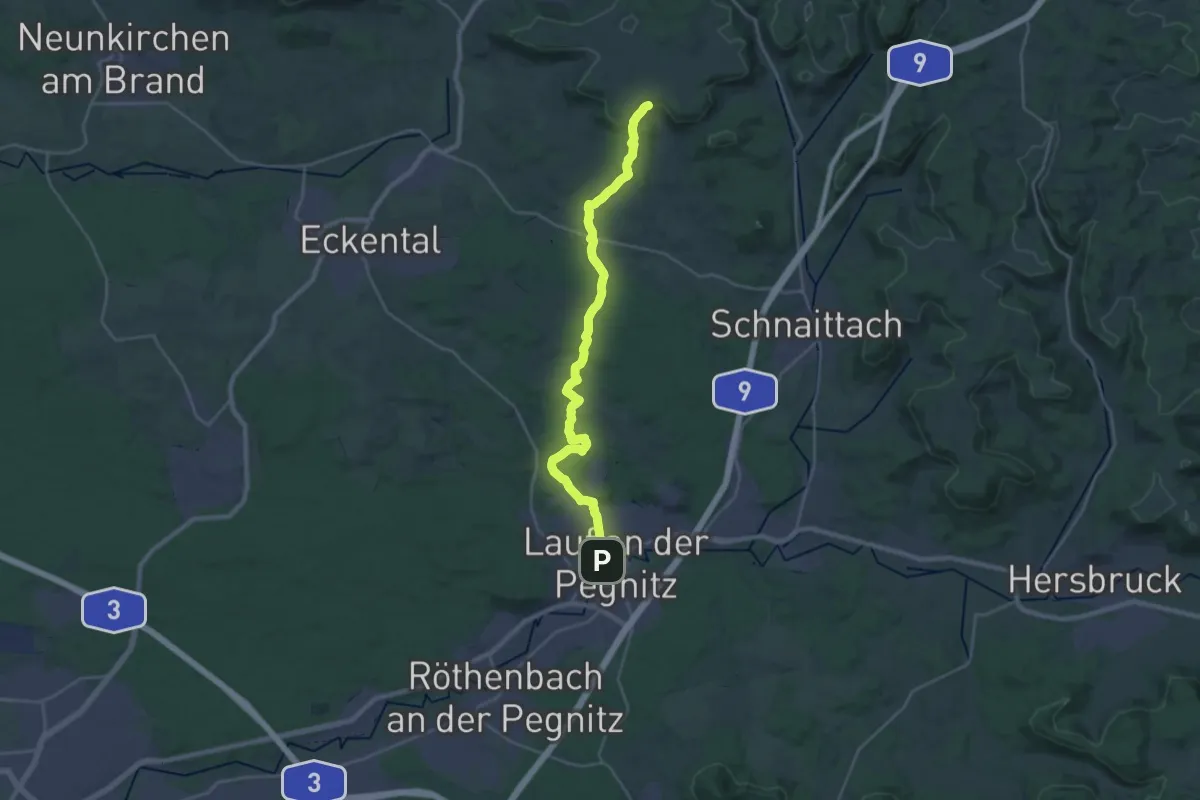
Demanding · Trail
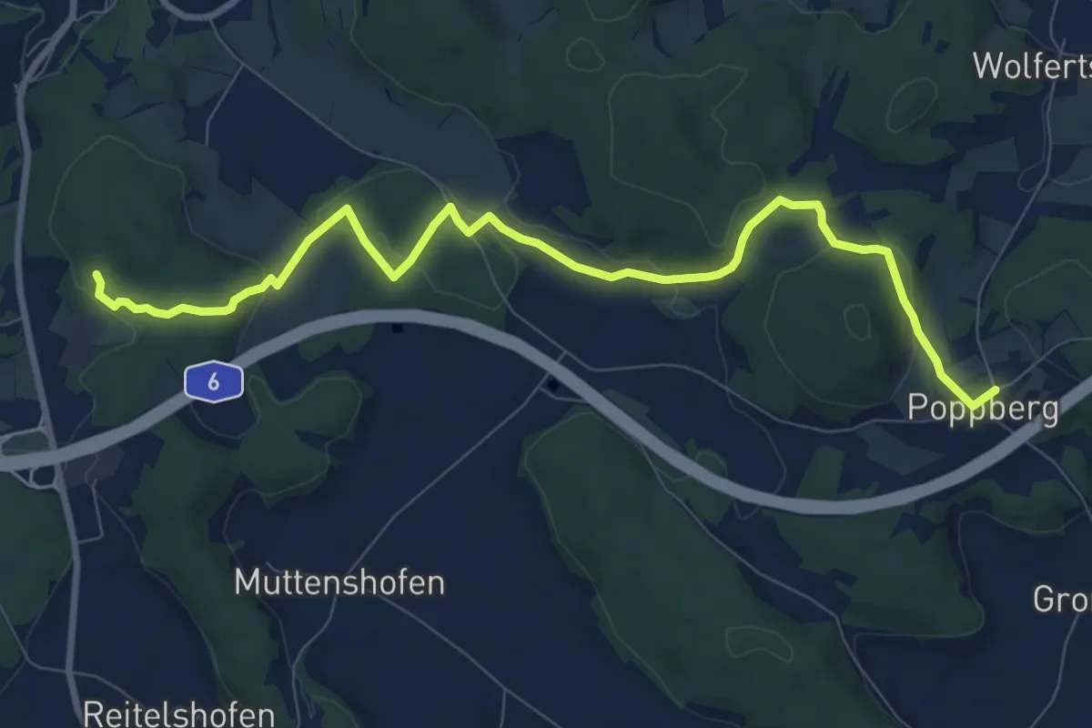
Blaupunkt
26.5 km · ↑ 455 m · 7 h 14 min
Medium · Trail
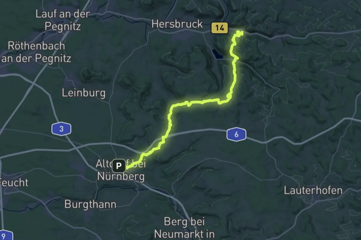
Blaupunkt
9.5 km · ↑ 207 m · 2 h 41 min
Demanding · Trail
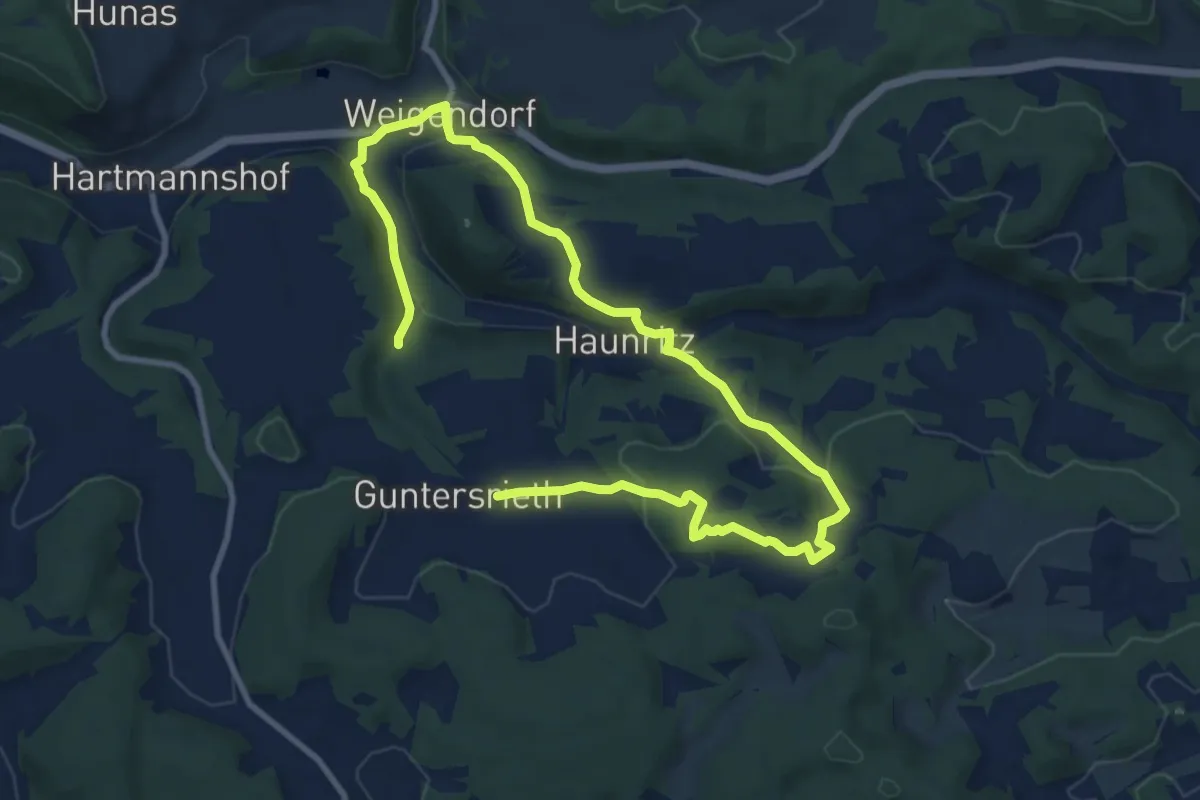
Blaupunkt
25.6 km · ↑ 669 m · 7 h 54 min
Medium · Trail
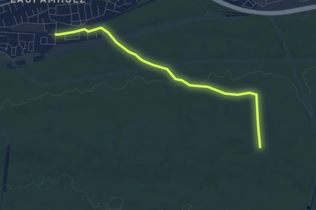
Blauring
6.8 km · ↑ 226 m · 2 h 10 min
Easy · Trail
Blauring
7.1 km · ↑ 75 m · 1 h 50 min
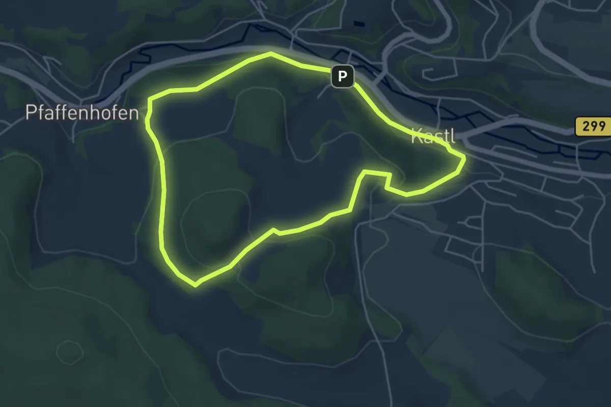
Medium · Trail
Blauring-Wanderweg
4.3 km · ↑ 131 m · 1 h 21 min
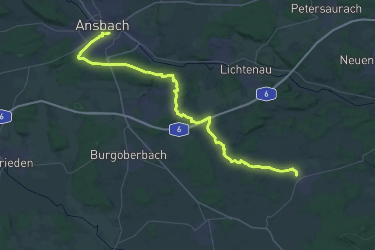
Demanding · Trail
Blaustrich
20.9 km · ↑ 248 m · 5 h 45 min
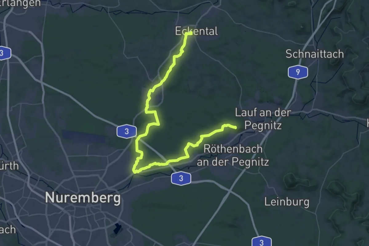
Demanding · Summit
Blaustrich
55.8 km · ↑ 673 m · 14 h 38 min
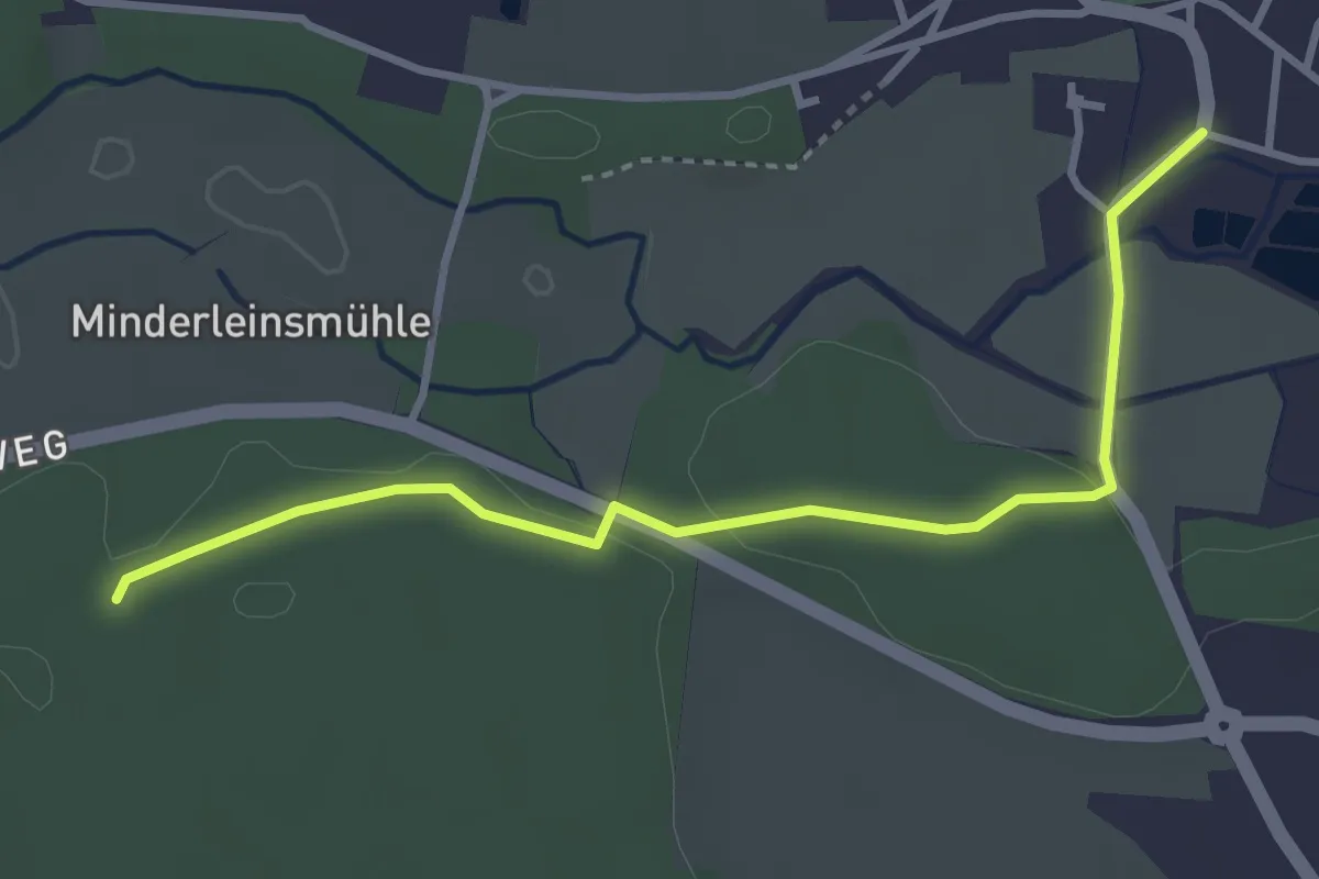
Easy · Trail
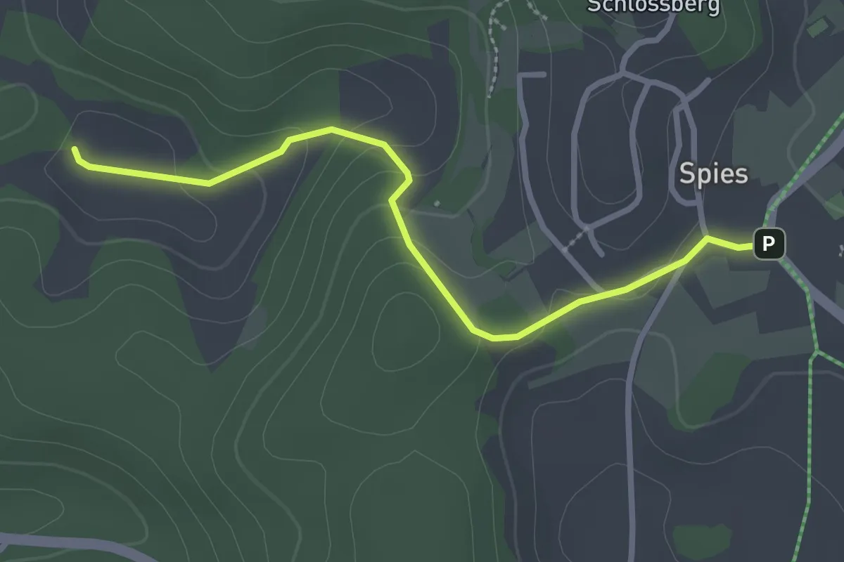
Blaustrich
3.3 km · ↑ 45 m · 53 min
Easy · Trail
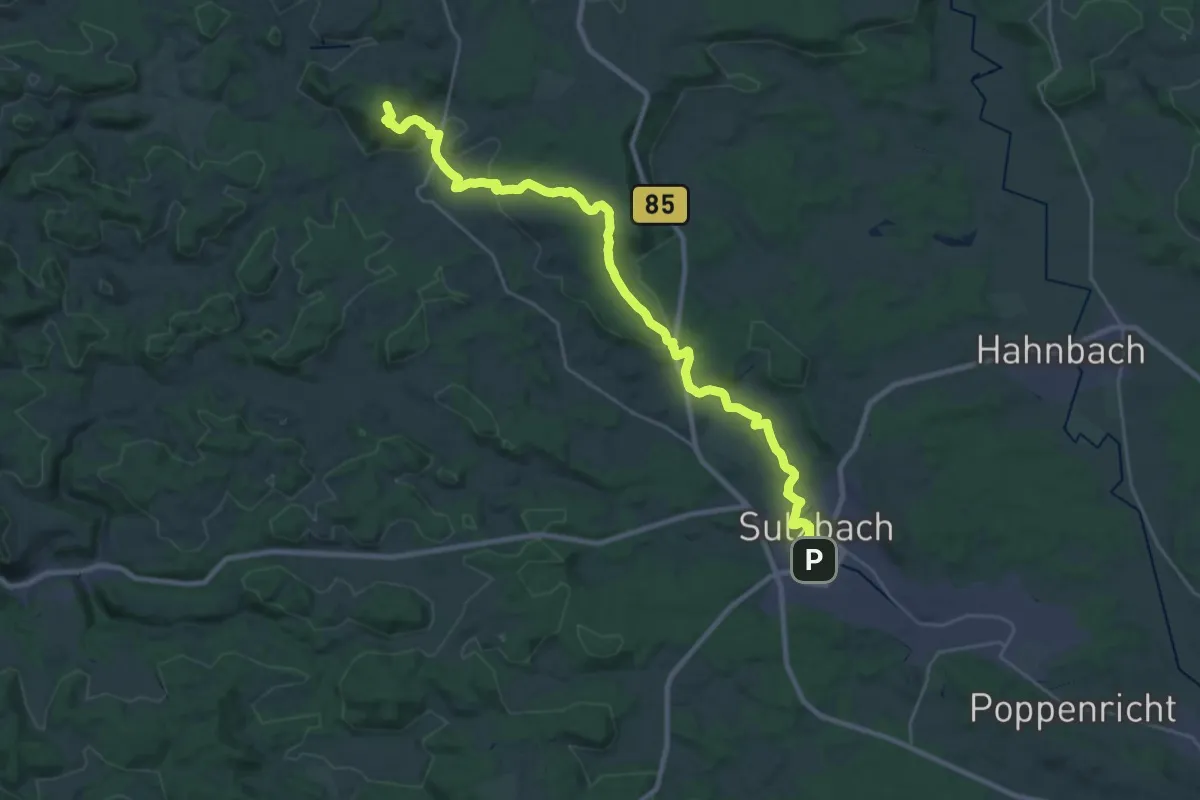
Blaustrich
2.6 km · ↑ 93 m · 49 min
Demanding · Summit
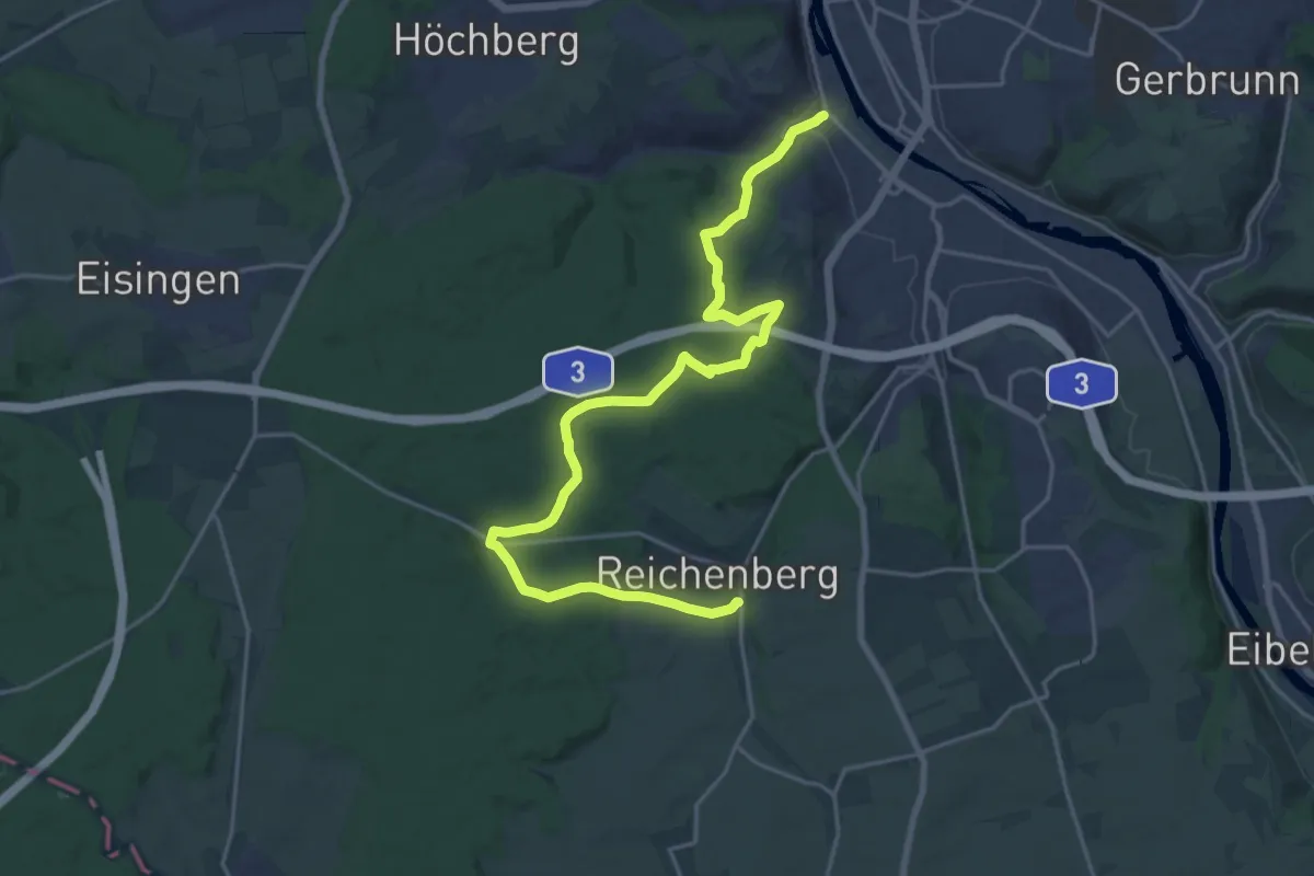
Blaustrich
29.0 km · ↑ 602 m · 8 h 9 min
Demanding · Trail
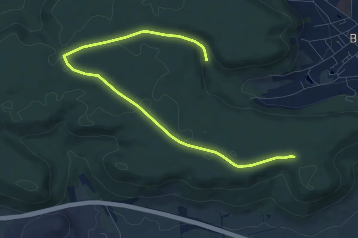
Blau: Wü-Steinbachtal - Reichenberg
23.3 km · ↑ 557 m · 6 h 42 min
Easy · Trail
Bleicheröder Stadtwaldrundweg
4.9 km · ↑ 66 m · 1 h 20 min
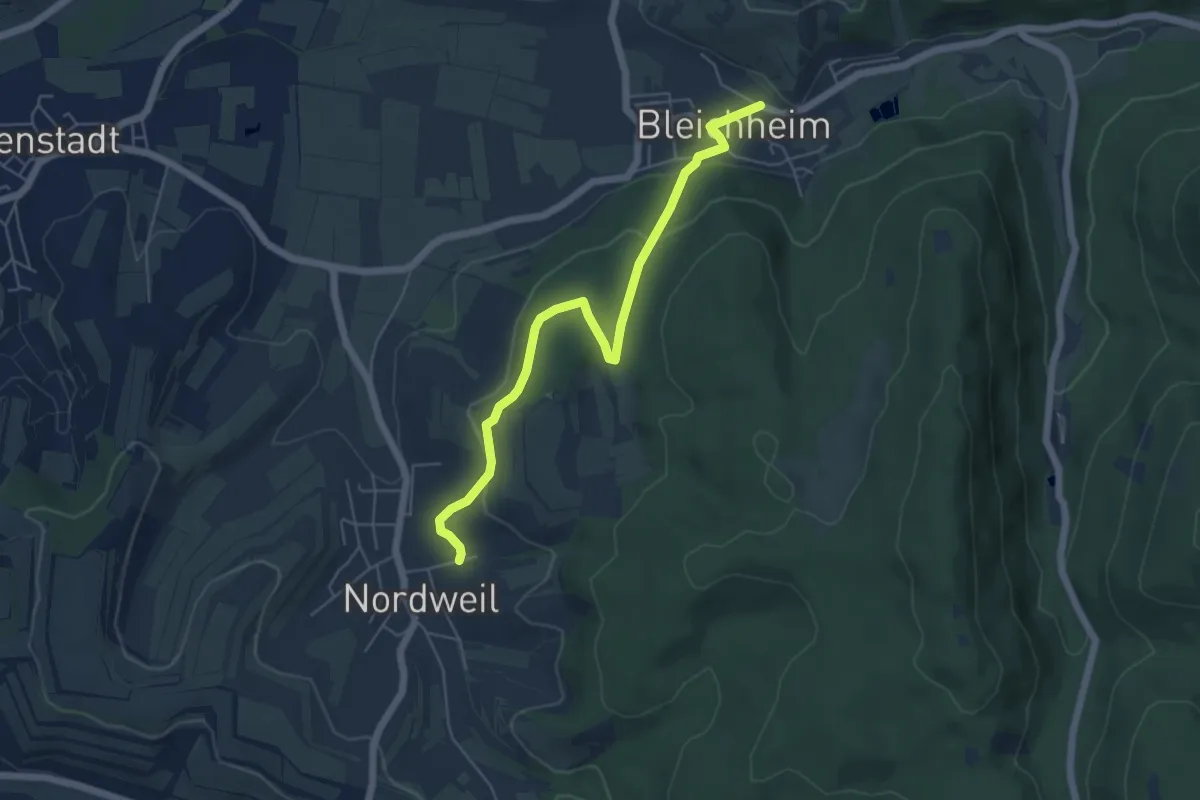
Easy · Trail
Bleichheim Hubertuswinkel - Nordweil Herrenberg
5.4 km · ↑ 162 m · 1 h 38 min
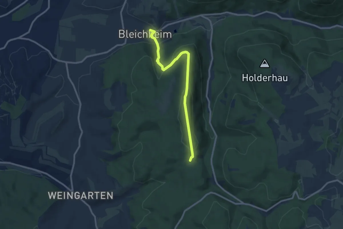
Easy · Trail
Bleichheim Hubertuswinkel - Vogtskreuz
7.1 km · ↑ 307 m · 2 h 20 min
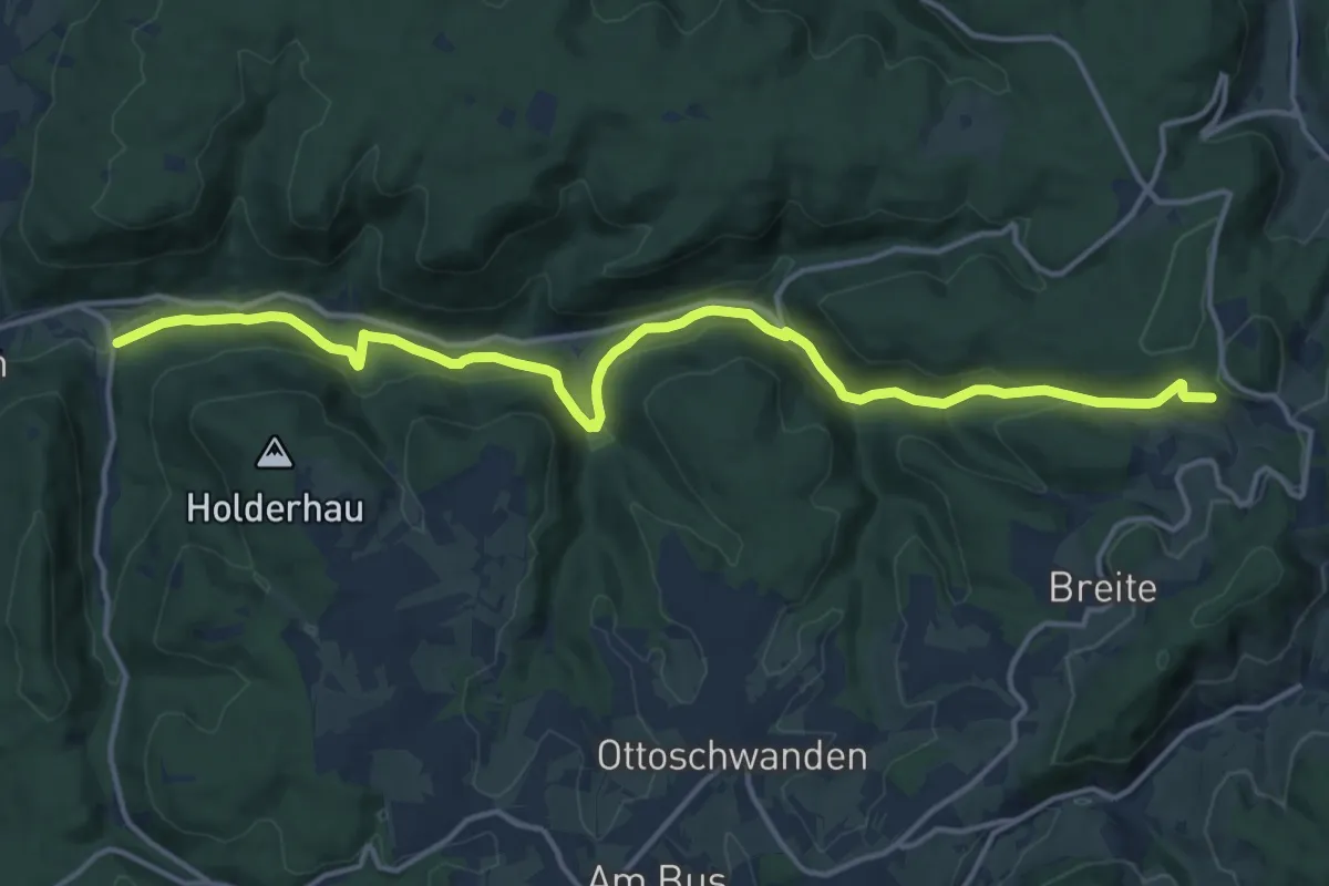
Medium · Trail
Bleichheim - Raubühl
16.1 km · ↑ 461 m · 4 h 48 min
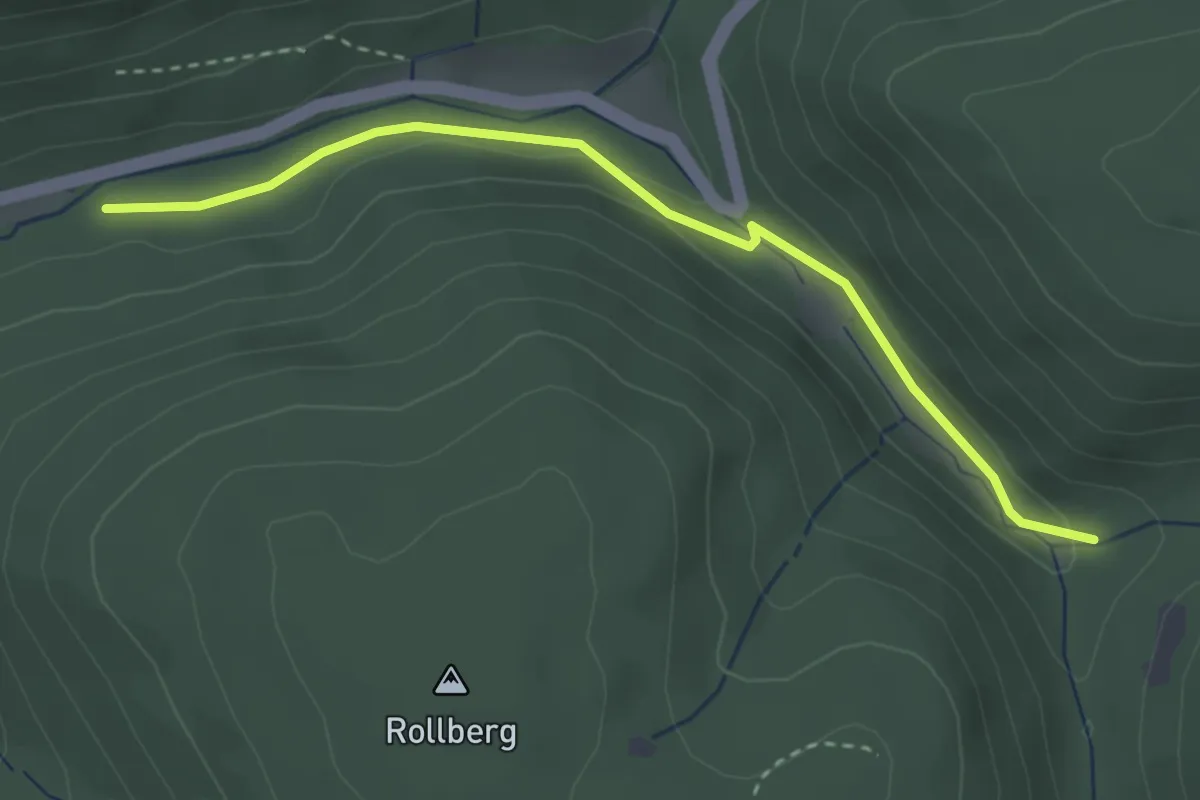
Easy · Trail
Bleichtal Parkplatz - Goldbrunnen
3.1 km · ↑ 55 m · 52 min
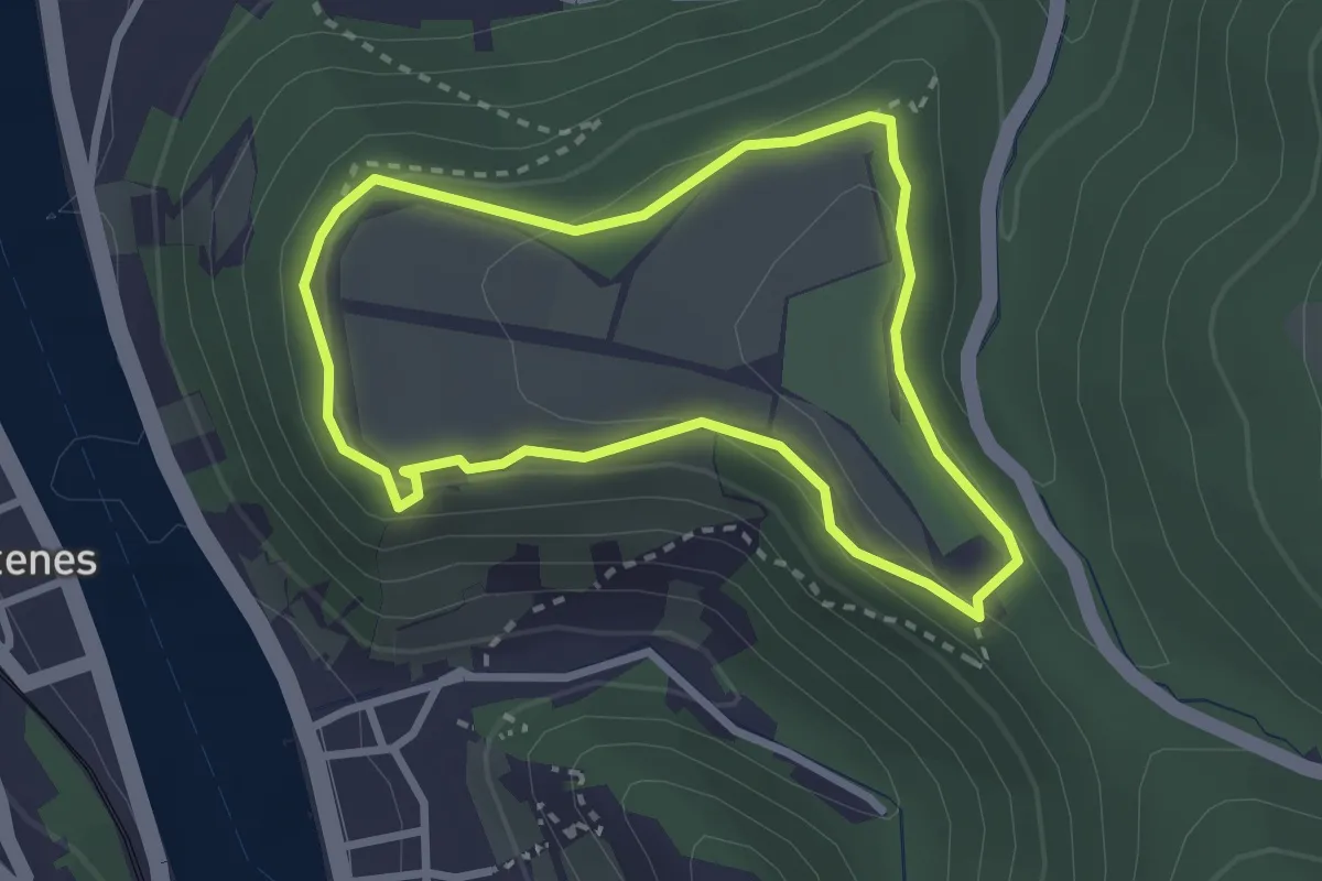
Easy · Trail
Bleidenberg Rundweg
2.4 km · ↑ 65 m · 44 min
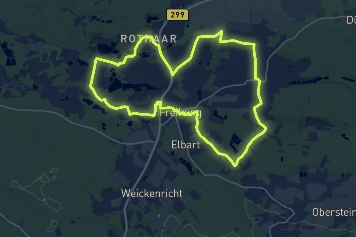
Medium · Trail
Bleierzweg
16.4 km · ↑ 138 m · 4 h 24 min
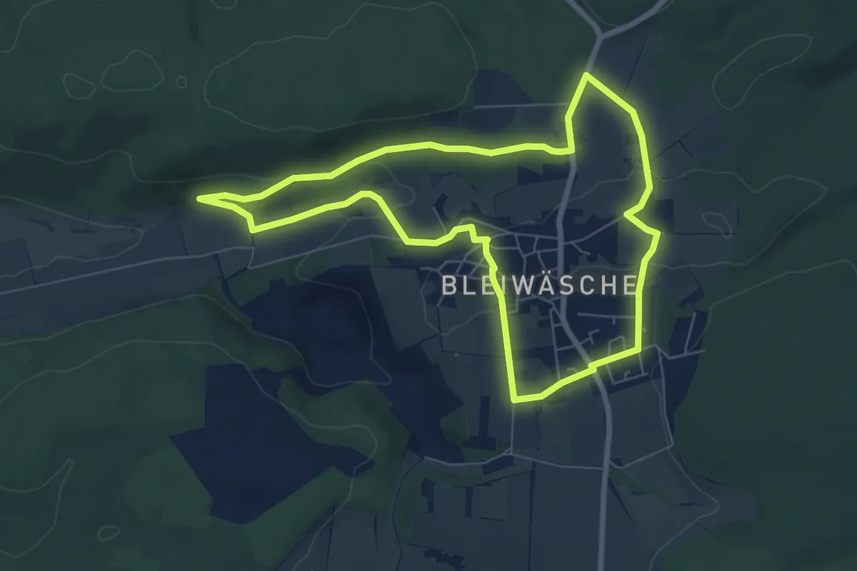
Easy · Trail
Bleiwäsche B1
6.0 km · ↑ 103 m · 1 h 44 min
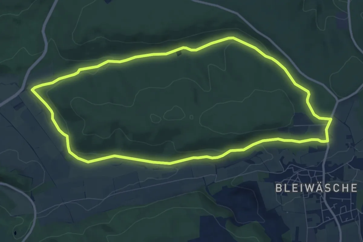
Medium · Trail
Bleiwäsche B2
8.5 km · ↑ 120 m · 2 h 23 min
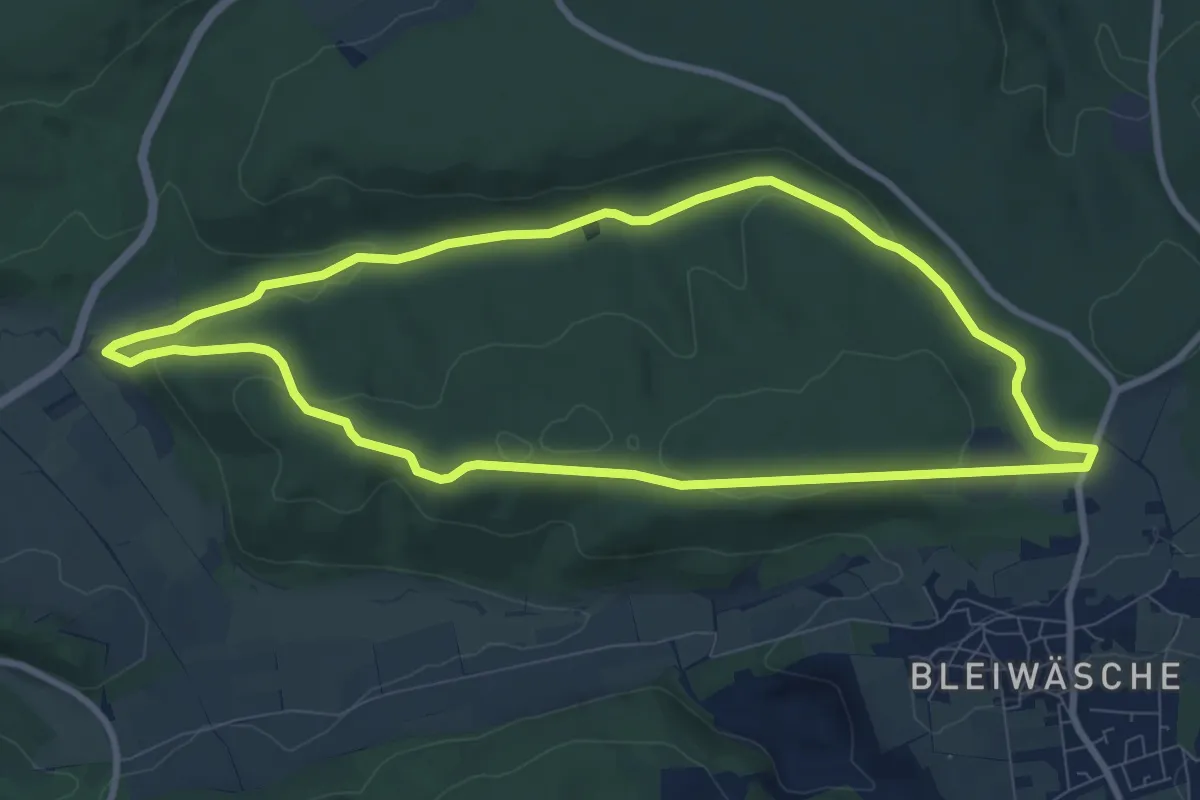
Medium · Trail
Bleiwäsche B3
8.0 km · ↑ 154 m · 2 h 20 min
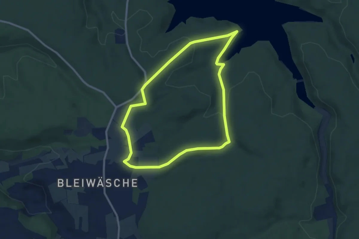
Easy · Trail
Bleiwäsche B4
6.0 km · ↑ 111 m · 1 h 45 min
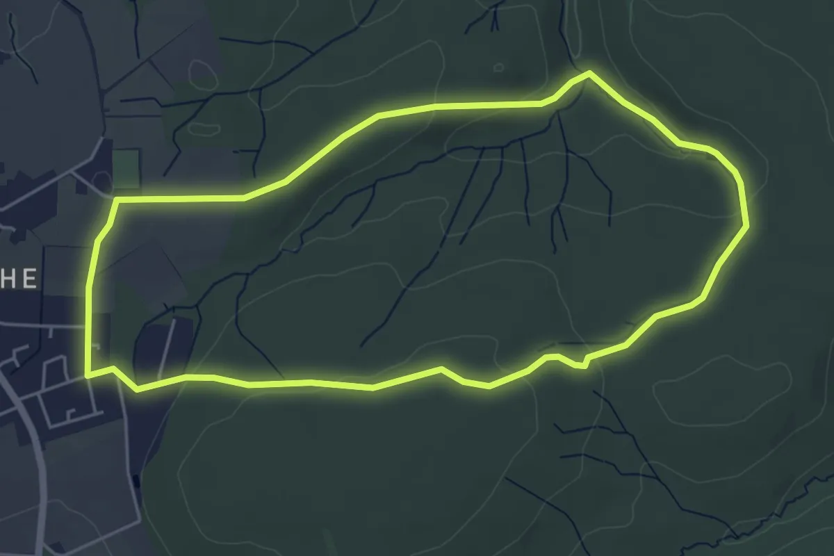
Easy · Trail
Bleiwäsche B5
4.6 km · ↑ 80 m · 1 h 19 min
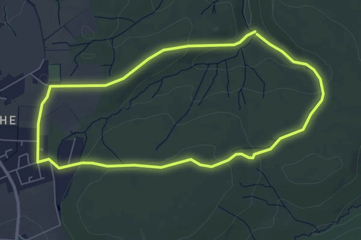
Easy · Trail
Bleiwäsche B5
4.6 km · ↑ 85 m · 1 h 19 min
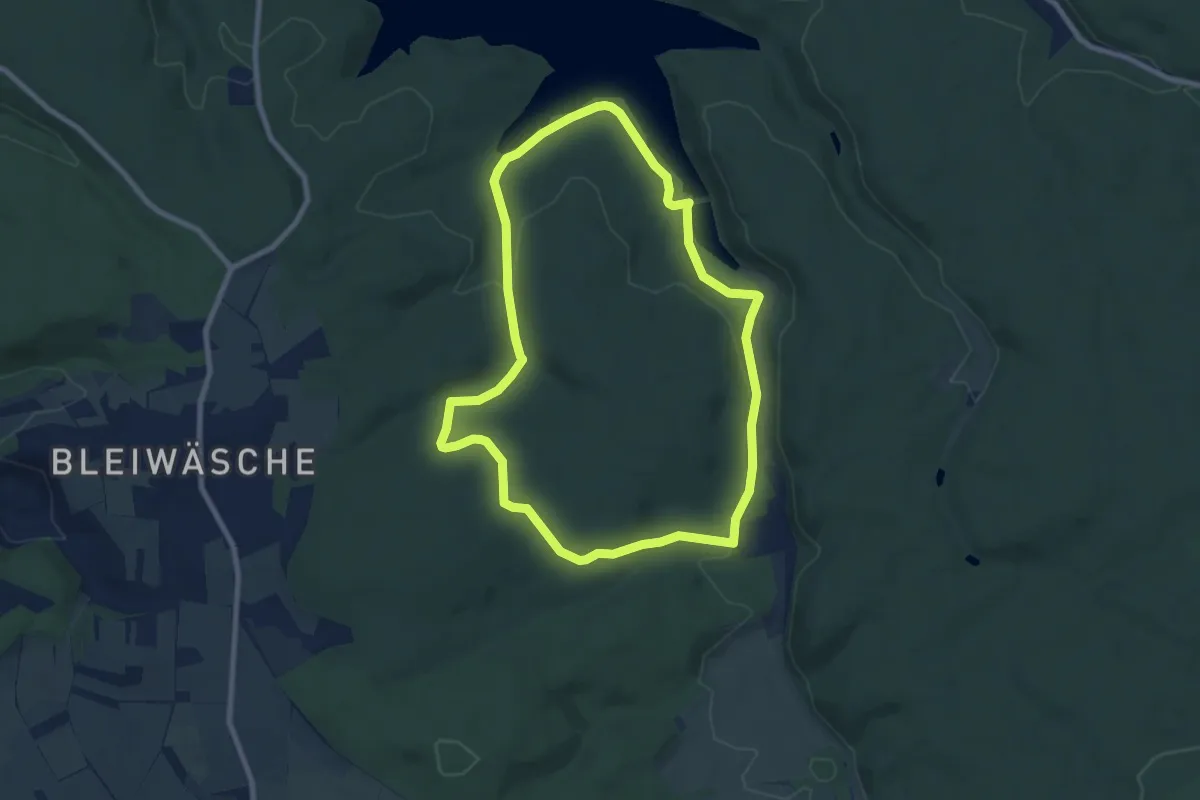
Easy · Trail
Bleiwäsche B6
7.2 km · ↑ 138 m · 2 h 6 min
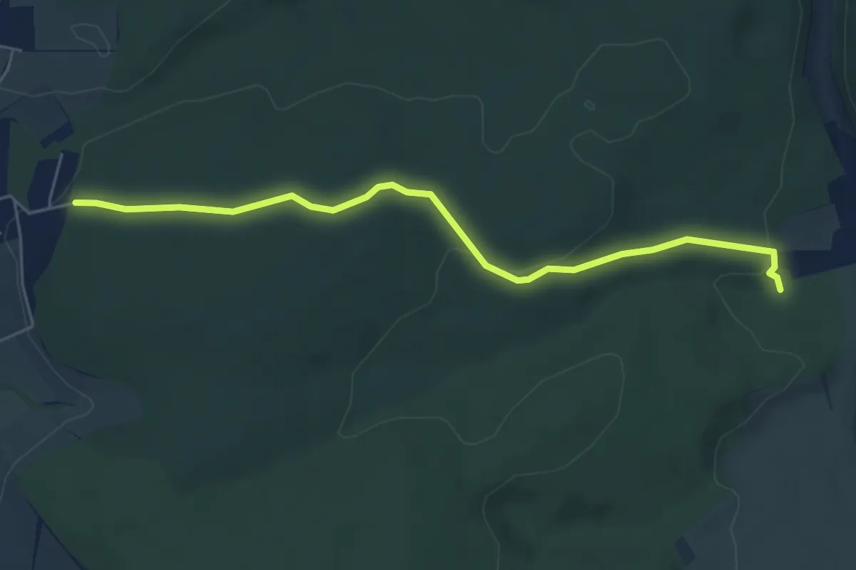
Easy · Trail
Bleiwäsche B7
5.1 km · ↑ 116 m · 1 h 28 min
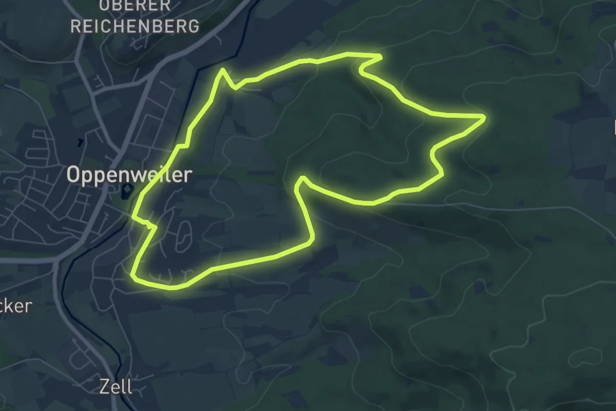
Easy · Summit
Blick auf Tal und Burg
7.0 km · ↑ 197 m · 2 h 11 min
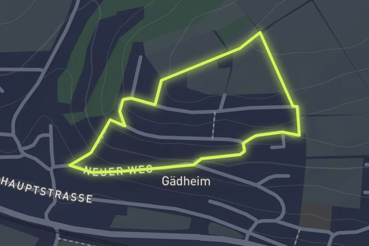
Easy · Trail
BlickWechsel
1.5 km · ↑ 56 m · 30 min