Trails in Germany
36,824 hiking trails, each with its route, climb, walking time and grade.
All trails, page 79 of 768
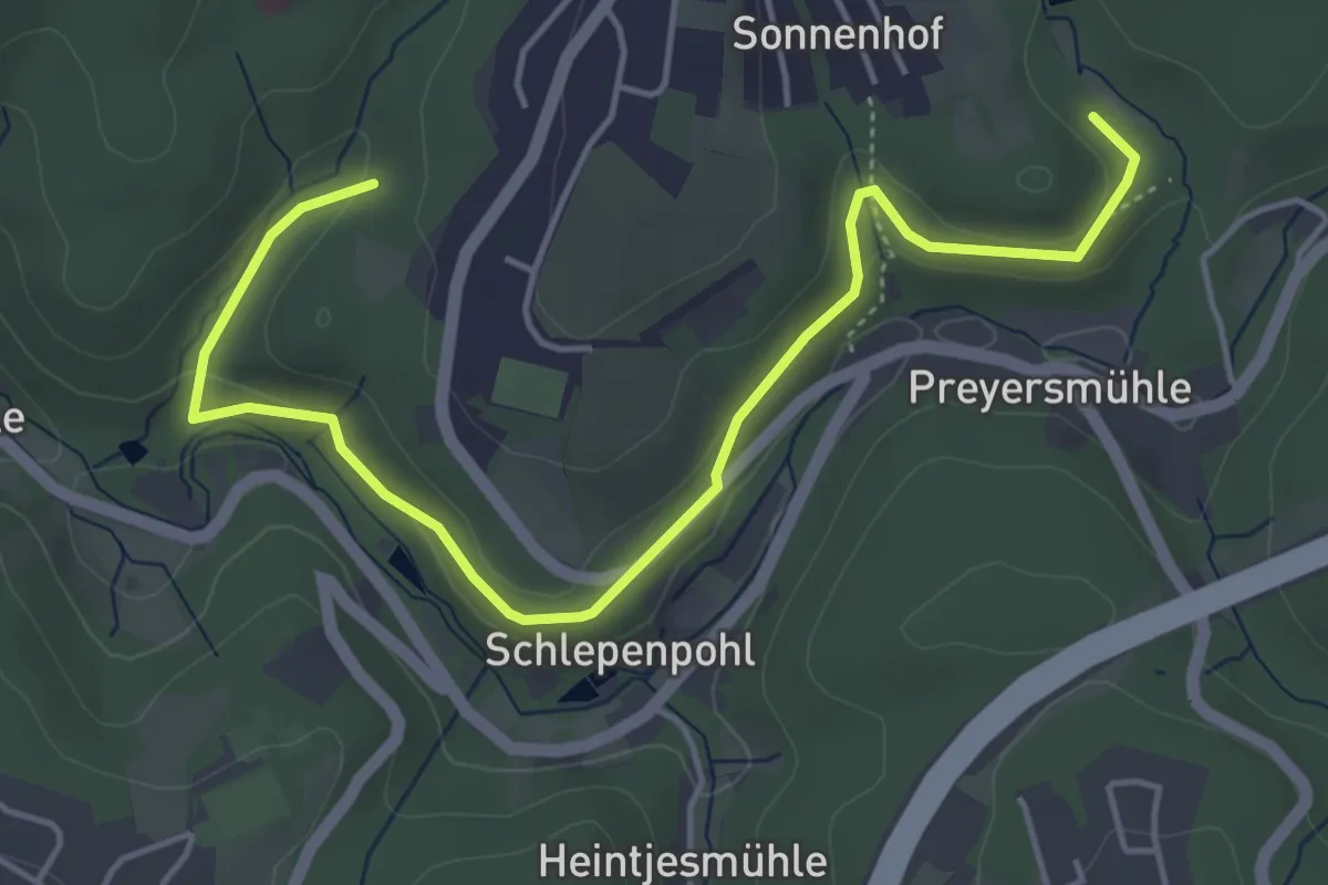
Easy · Trail
Bliedinghausen Rundweg A4
2.5 km · ↑ 68 m · 46 min
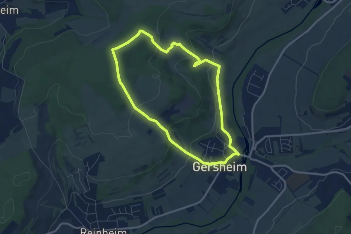
Easy · Trail
Bliesgau Blicke
6.0 km · ↑ 190 m · 1 h 54 min
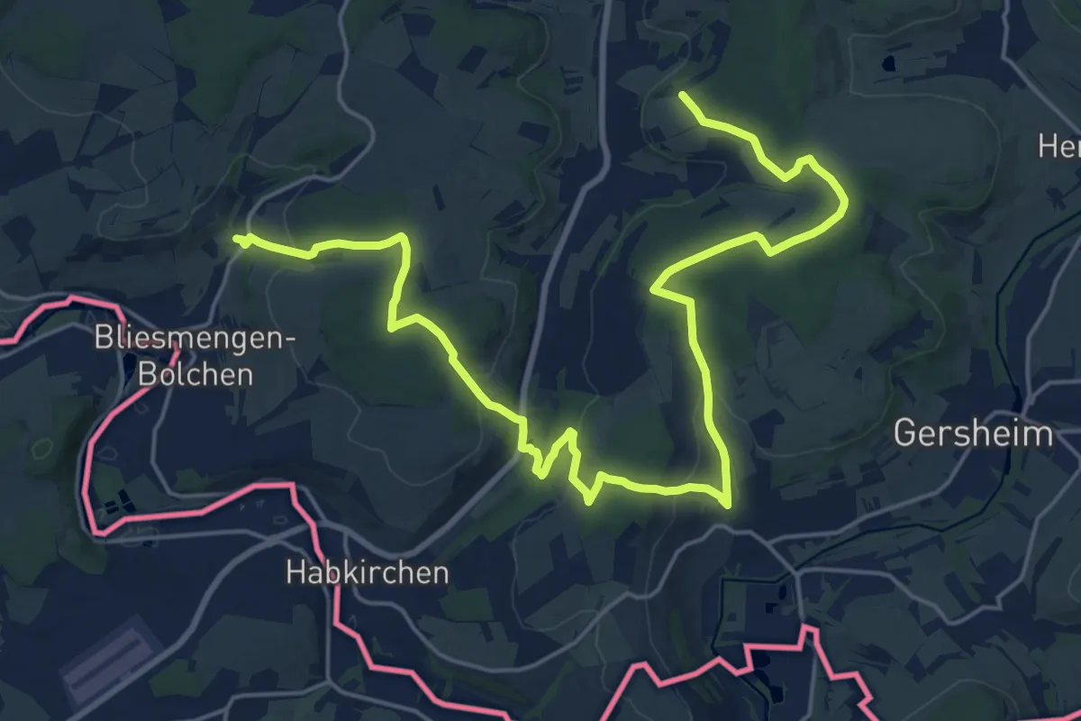
Demanding · Trail
Bliessteig - Etappe 2
25.5 km · ↑ 711 m · 7 h 34 min
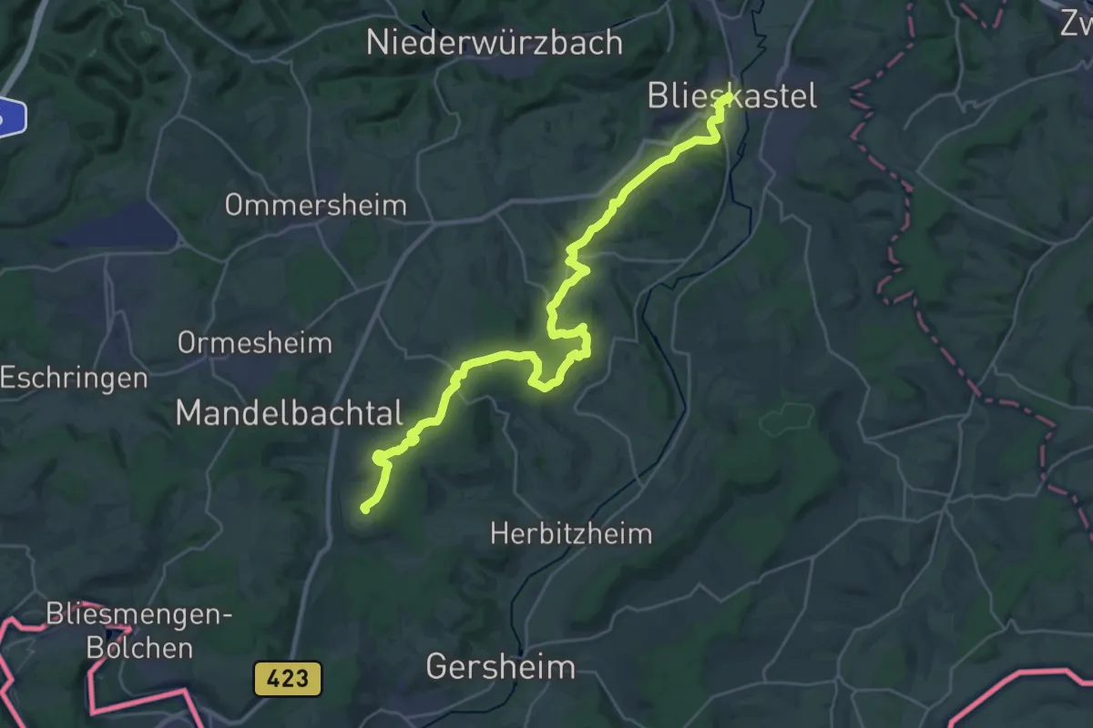
Medium · Trail
Bliessteig - Etappe 3
15.0 km · ↑ 366 m · 4 h 29 min
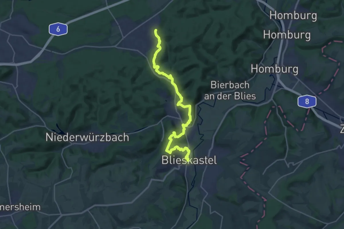
Demanding · Trail
Bliessteig - Etappe 4
19.7 km · ↑ 603 m · 5 h 57 min
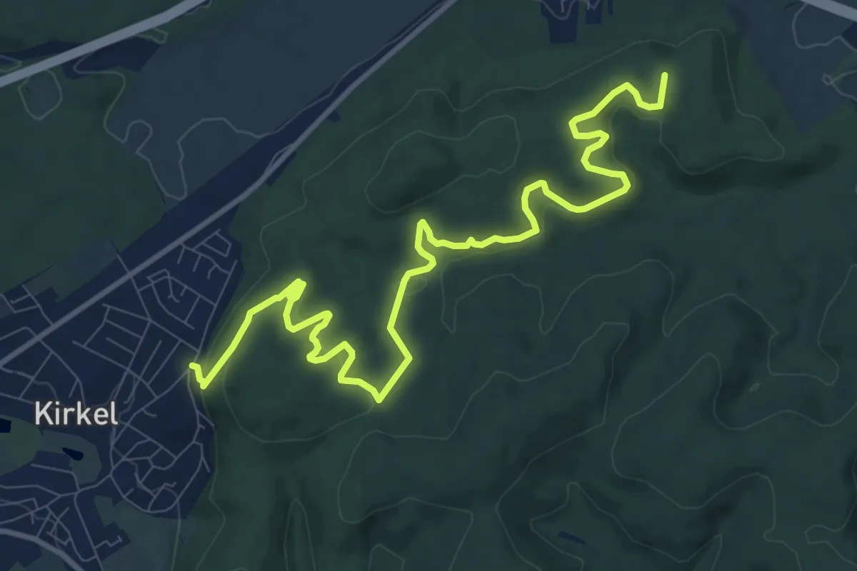
Medium · Summit
Bliessteig - Etappe 5
12.4 km · ↑ 485 m · 3 h 58 min
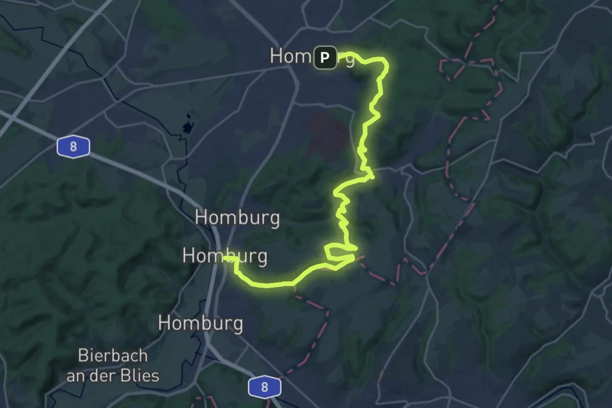
Demanding · Trail
Bliessteig - Etappe 6
24.5 km · ↑ 569 m · 7 h 2 min
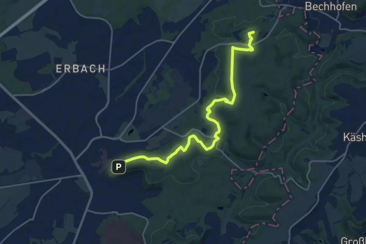
Medium · Summit
Bliessteig - Etappe 7
14.1 km · ↑ 399 m · 4 h 12 min
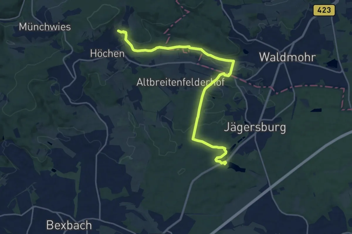
Medium · Trail
Bliessteig - Etappe 8
15.9 km · ↑ 354 m · 4 h 32 min
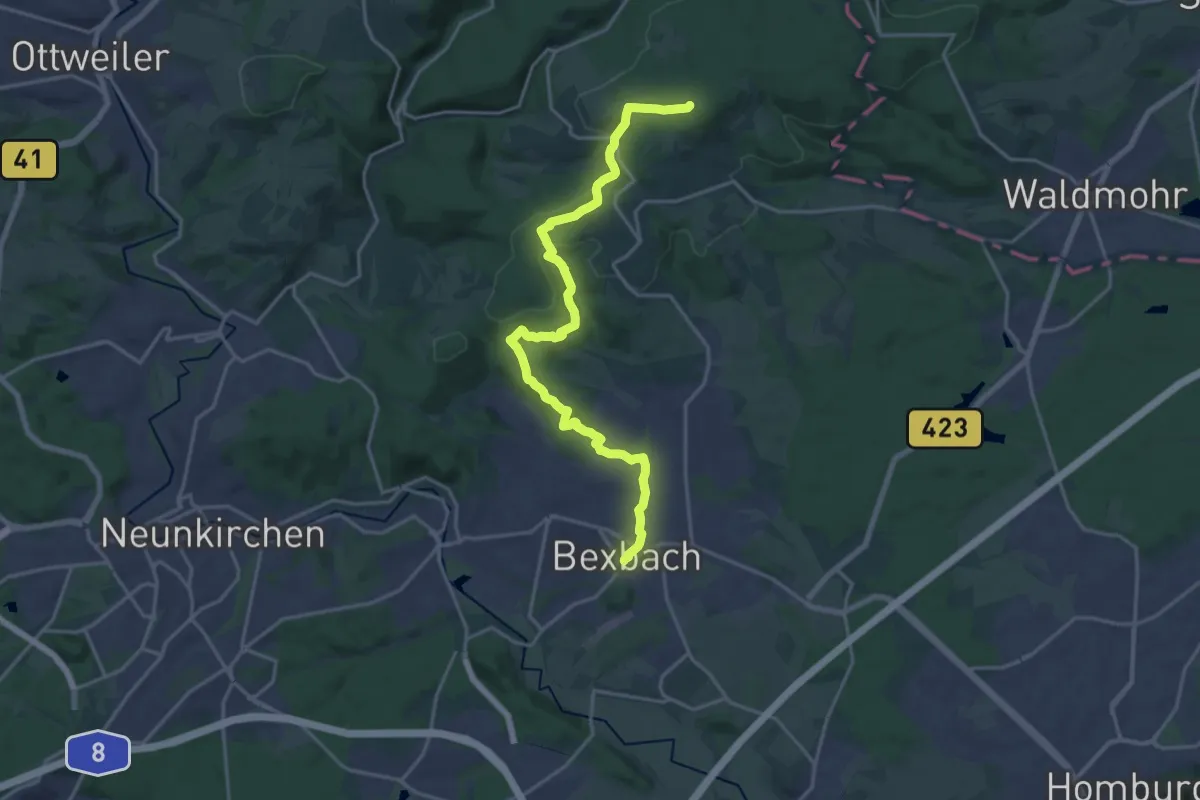
Demanding · Summit
Bliessteig - Etappe 9
19.1 km · ↑ 536 m · 5 h 40 min
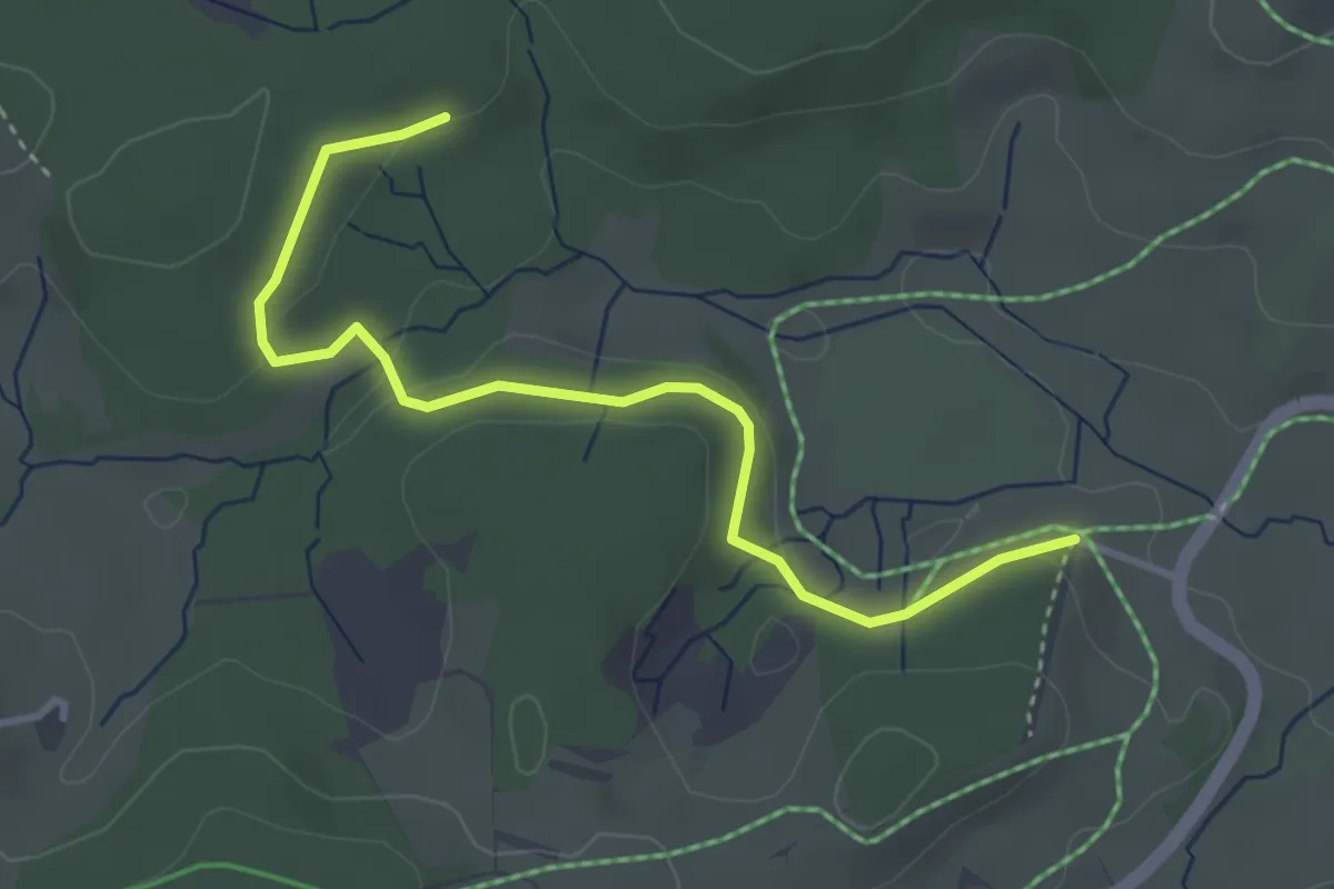
Easy · Trail
Blindenhäusle - Küferhäusle
3.7 km · ↑ 102 m · 1 h 6 min
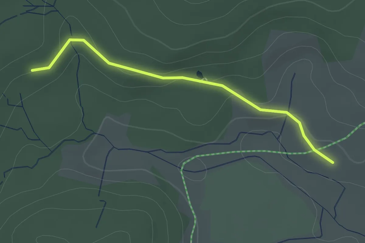
Easy · Trail
Blindenhäusle - Reinertonishof
2.1 km · ↑ 54 m · 36 min
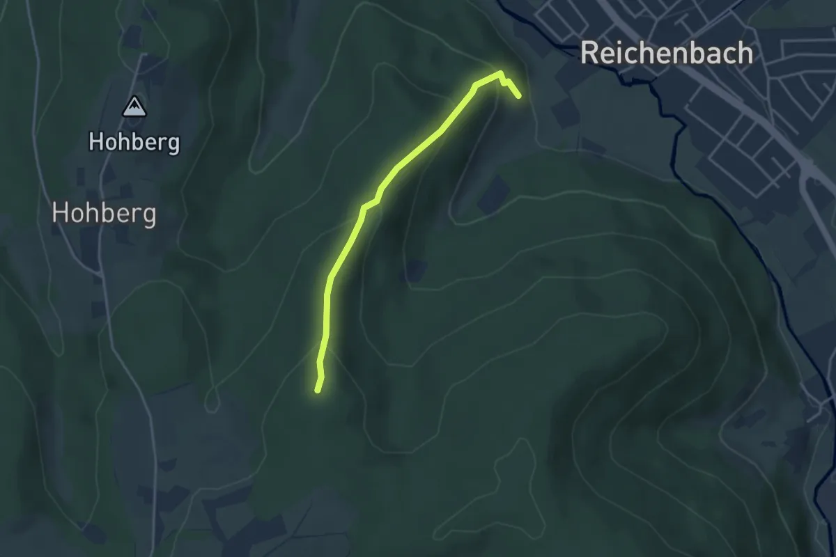
Easy · Trail
Blinsberg Jägerpfad - Schindel-Jägerpfad
3.1 km · ↑ 205 m · 1 h 11 min
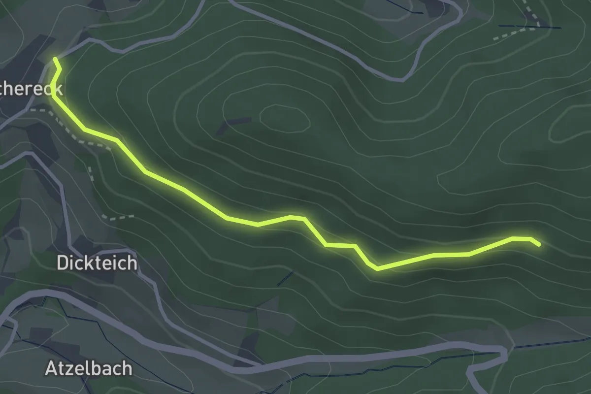
Easy · Trail
Blöchereck 110er-Denkmal - Strittwald
3.0 km · ↑ 170 m · 1 h 5 min
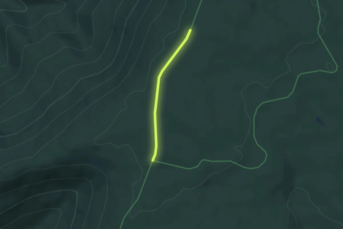
Easy · Trail
Blockhaus Schramberg - Kaltenbachhöhe
2.1 km · ↑ 17 m · 33 min
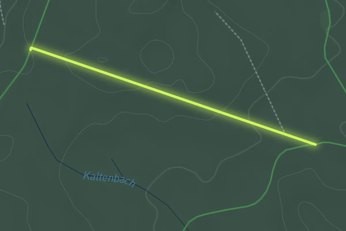
Easy · Trail
Blockhaus Schramberg - Süßmiß
2.0 km · ↑ 44 m · 34 min
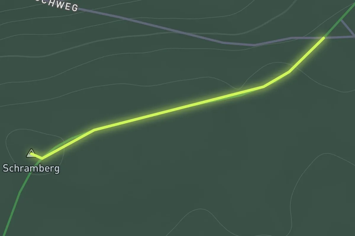
Easy · Summit
Blockhaus Schramberg - Wüstenlochhöhe
1.1 km · ↑ 19 m · 18 min
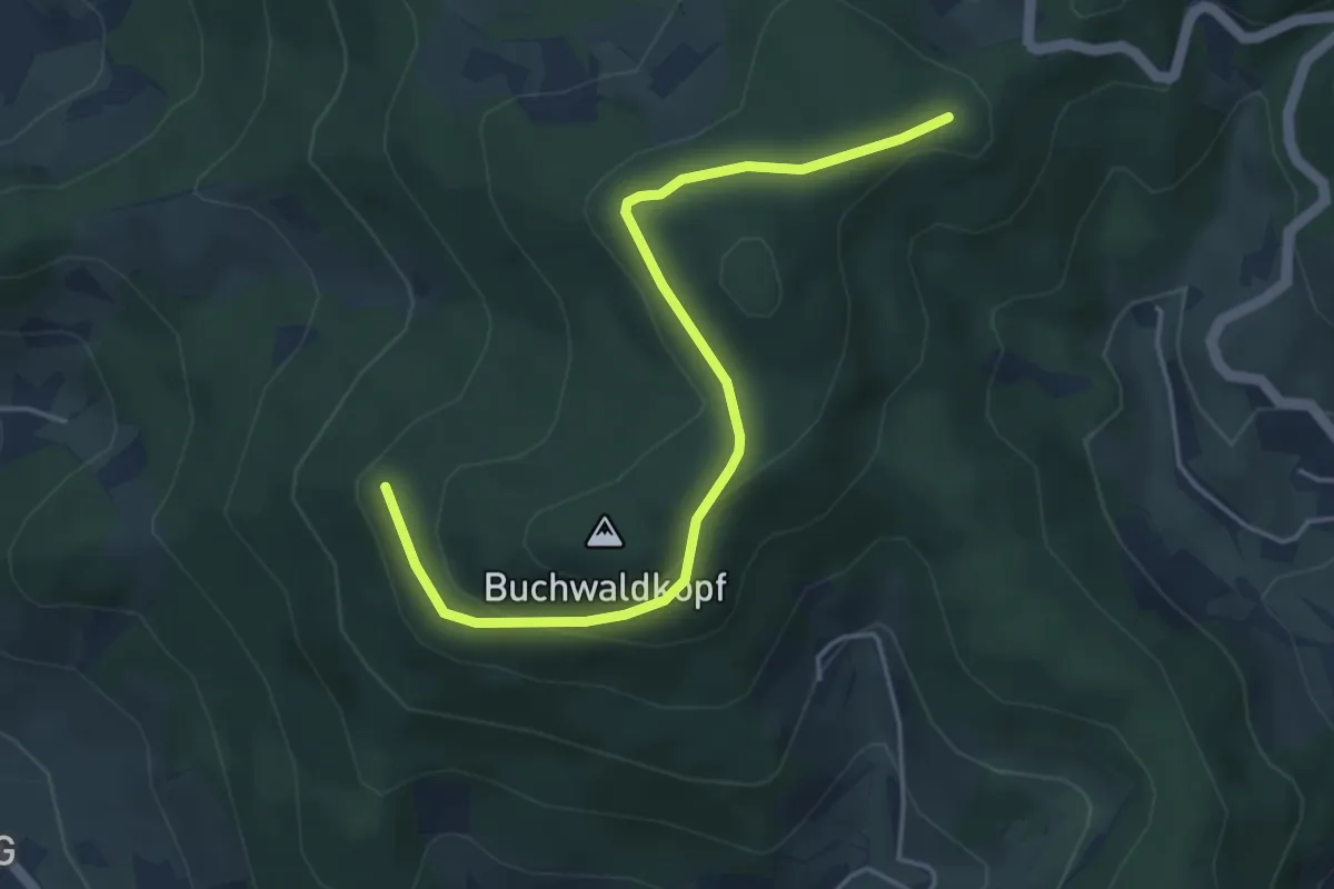
Easy · Trail
Blockhütte Grillplatz - Haus Hagelsbach
4.5 km · ↑ 141 m · 1 h 21 min
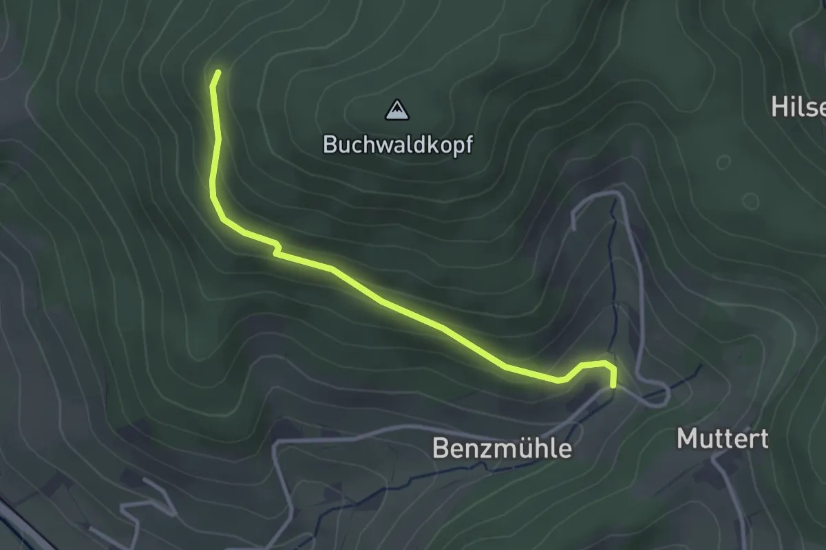
Easy · Trail
Blockhütte Grillplatz - Oberer Bach
2.9 km · ↑ 148 m · 1 h
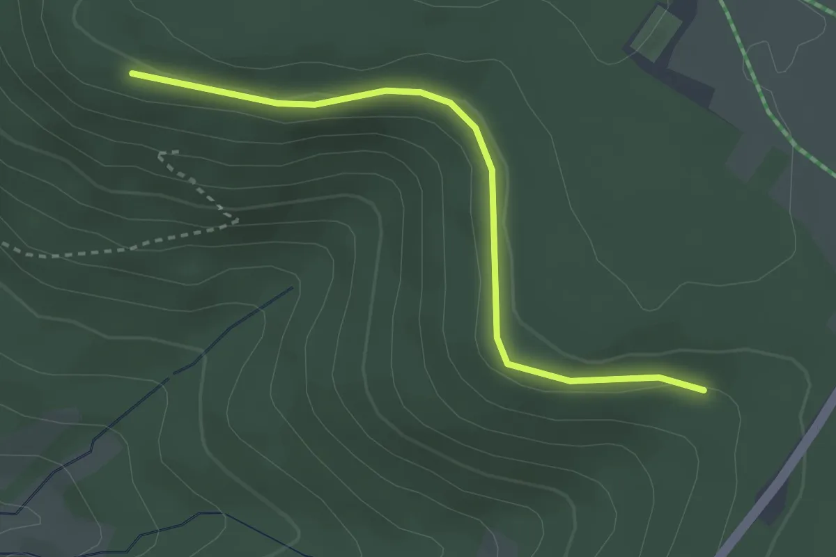
Easy · Trail
Blockhüttenwegle - Großtannweg
2.9 km · ↑ 39 m · 46 min
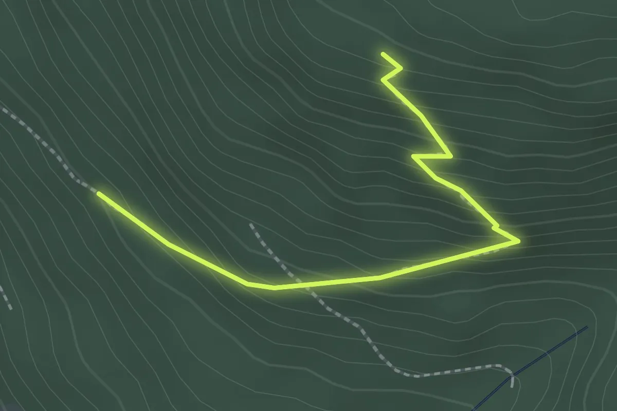
Easy · Trail
Blockhüttenwegle - Mäderbuckel
2.2 km · ↑ 187 m · 56 min
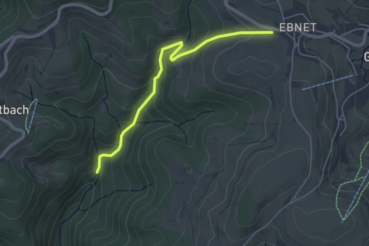
Easy · Trail
Blockhütte - Stegmühle
4.0 km · ↑ 196 m · 1 h 22 min
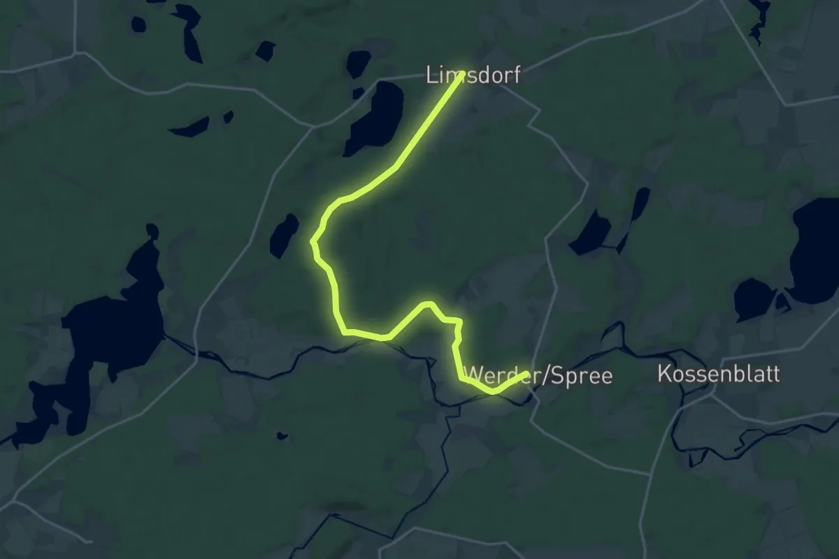
Demanding · Trail
Blocksberge-Tour
19.6 km · ↑ 112 m · 4 h 52 min
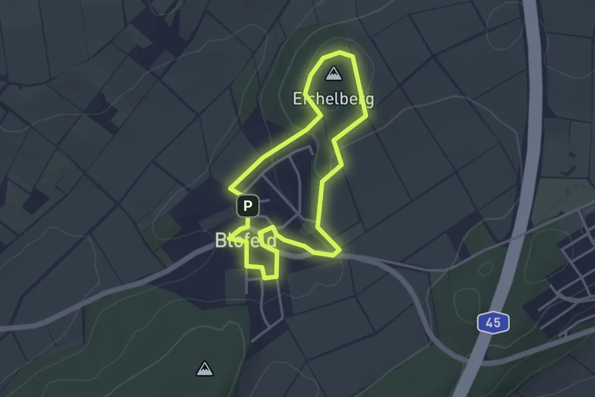
Easy · Summit
Blofelder Runde
2.7 km · ↑ 58 m · 49 min
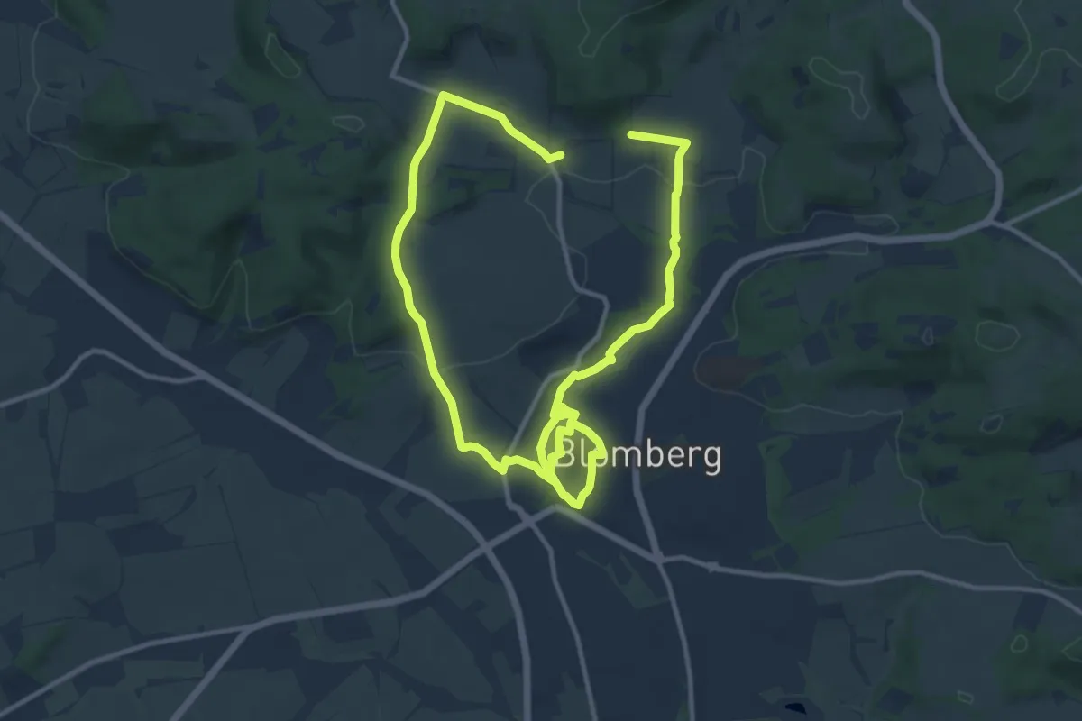
Medium · Summit
Blomberg von nah und fern
8.9 km · ↑ 120 m · 2 h 29 min
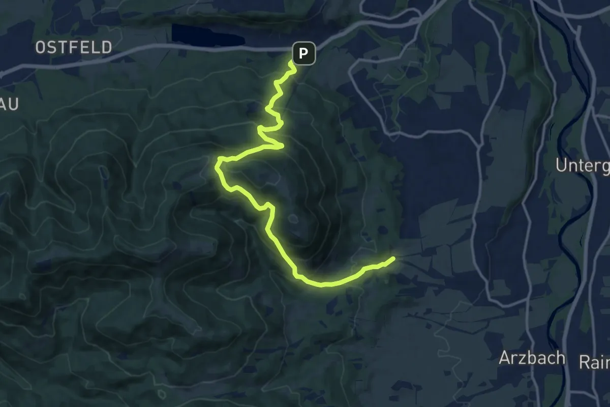
Demanding · Trail
Blomberg Zwiesel
13.5 km · ↑ 934 m · 5 h 13 min
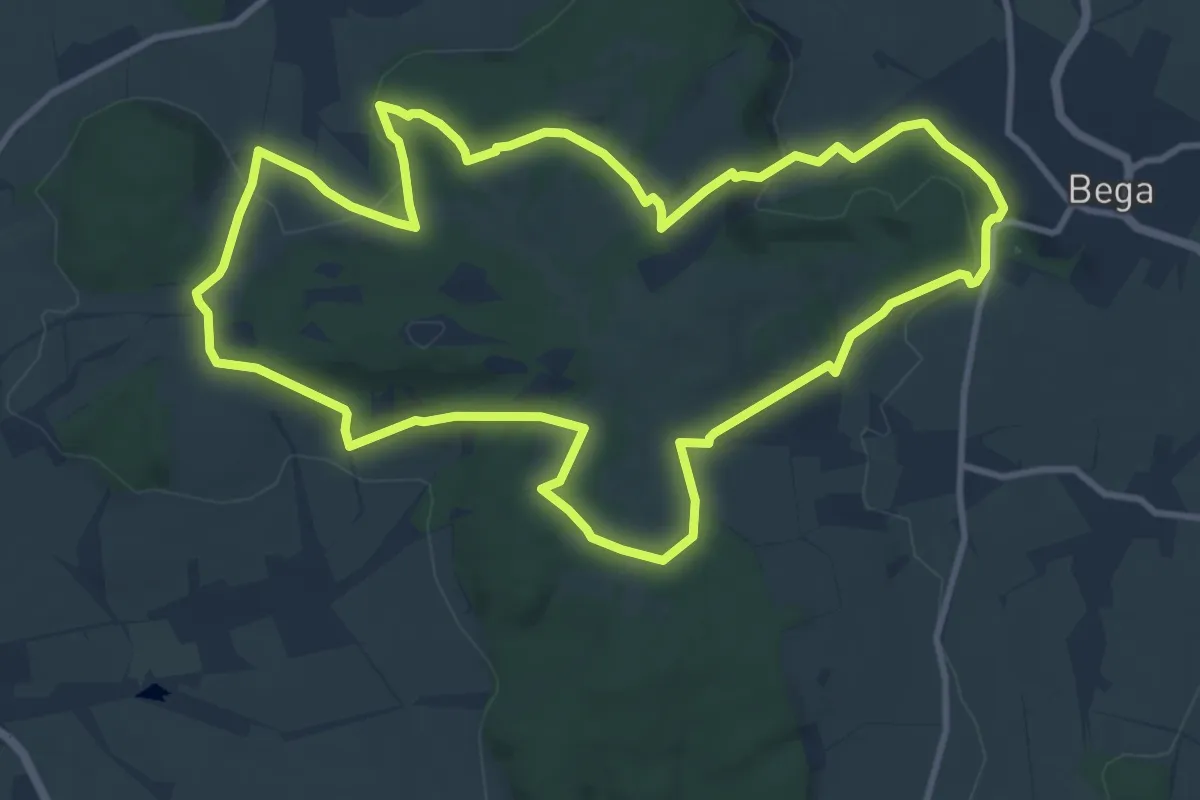
Medium · Summit
Blomensteinweg
10.1 km · ↑ 225 m · 3 h 1 min
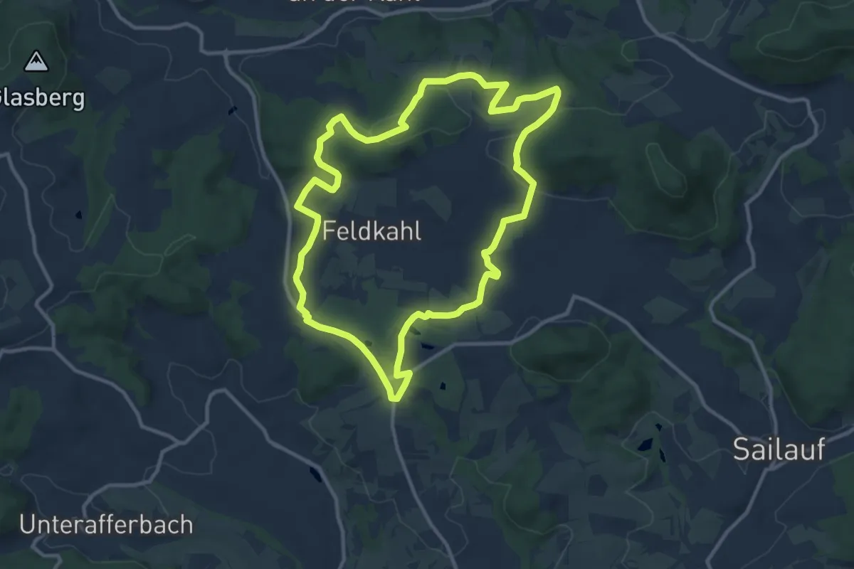
Medium · Trail
Bloopifferweg
10.0 km · ↑ 206 m · 2 h 57 min
Easy · Trail
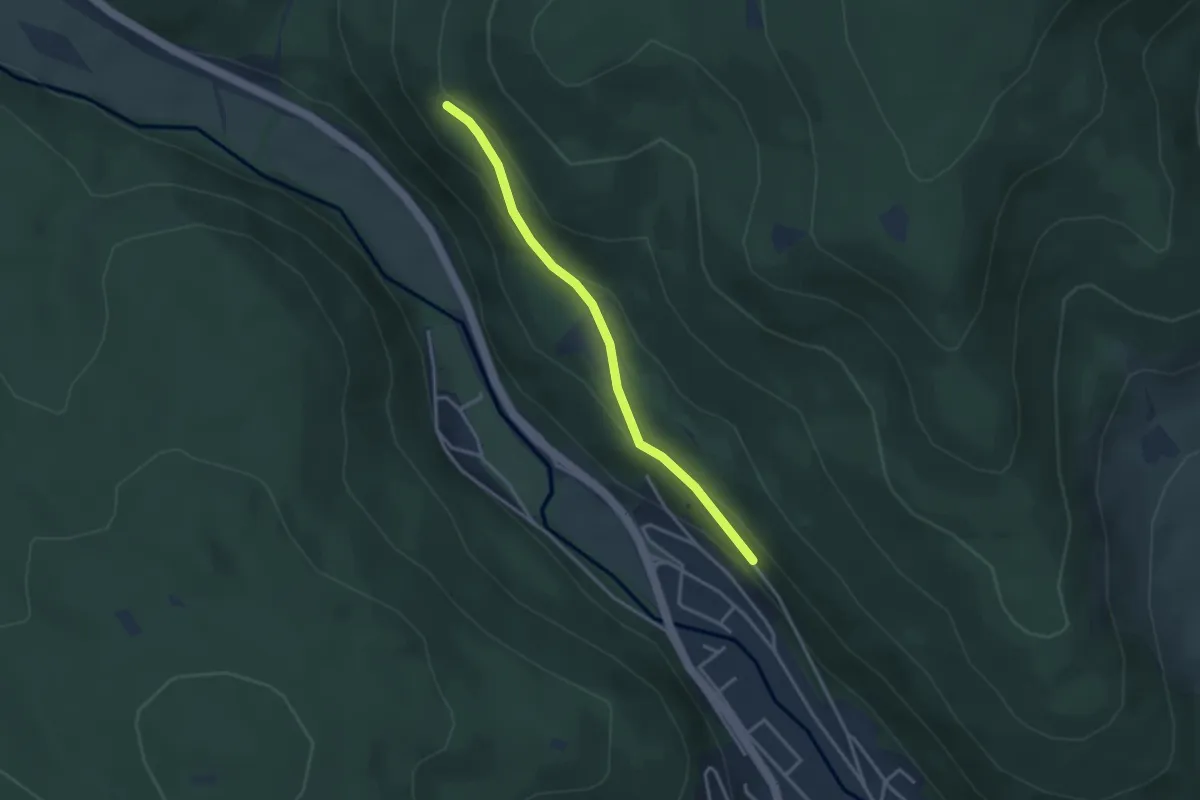
Blößlingschau - Kanalweg
3.0 km · ↑ 131 m · 1 h
Easy · Summit
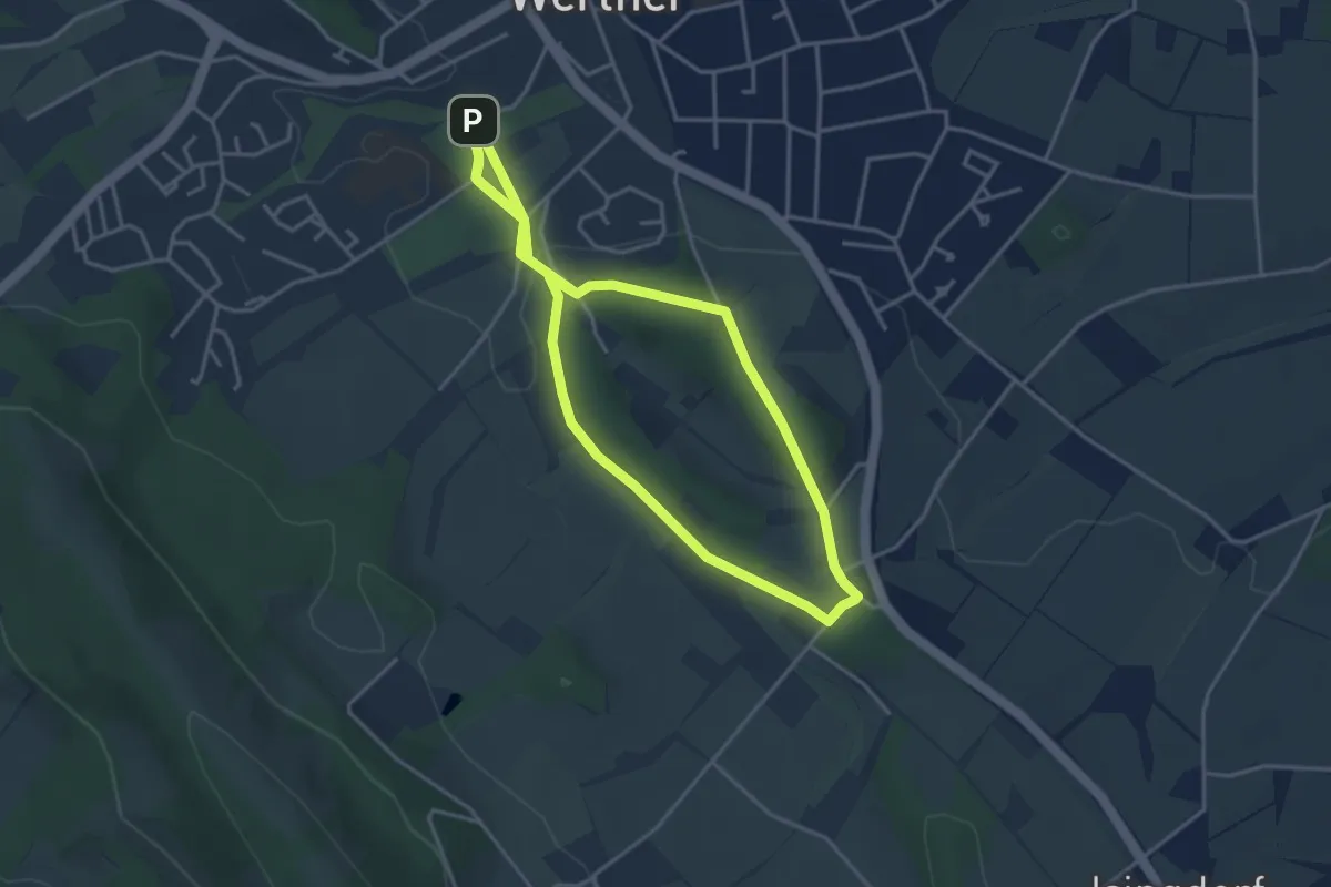
Blotenberg-Runde
3.3 km · ↑ 39 m · 54 min
Easy · Trail
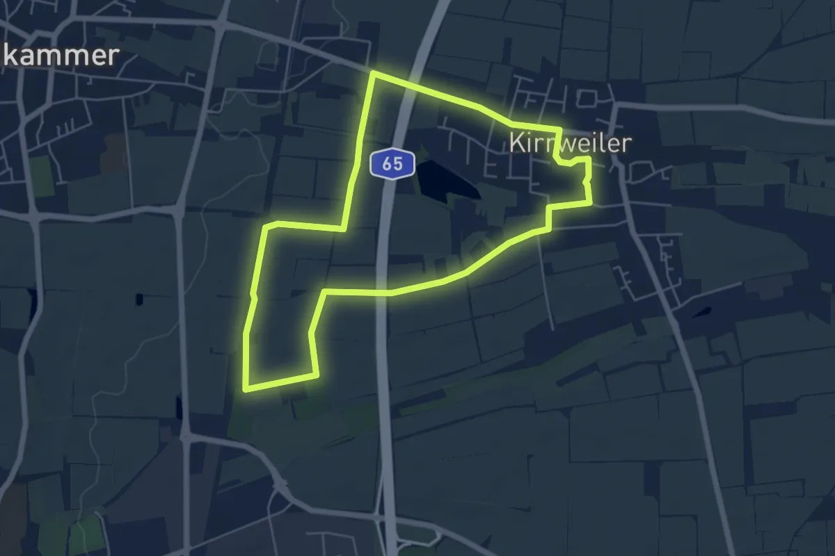
Blücher-Rundweg Kirrweiler
5.1 km · ↑ 13 m · 1 h 18 min
Easy · Trail
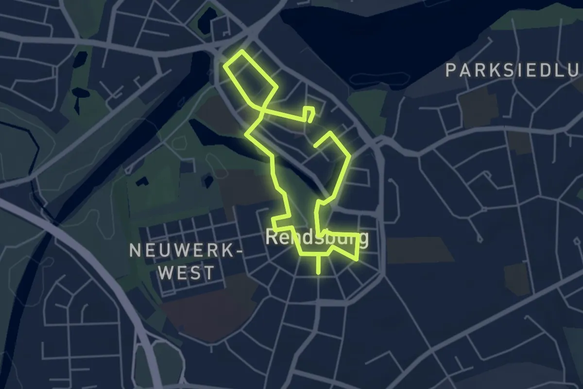
Blue Line. Rundgang entlang der Blauen Linie
3.2 km · ↑ 8 m · 49 min
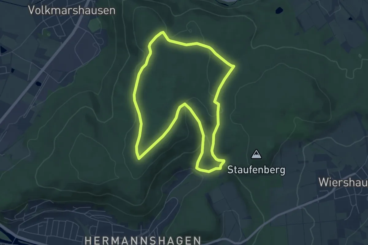
Easy · Trail
Blume - B2
6.4 km · ↑ 162 m · 1 h 57 min
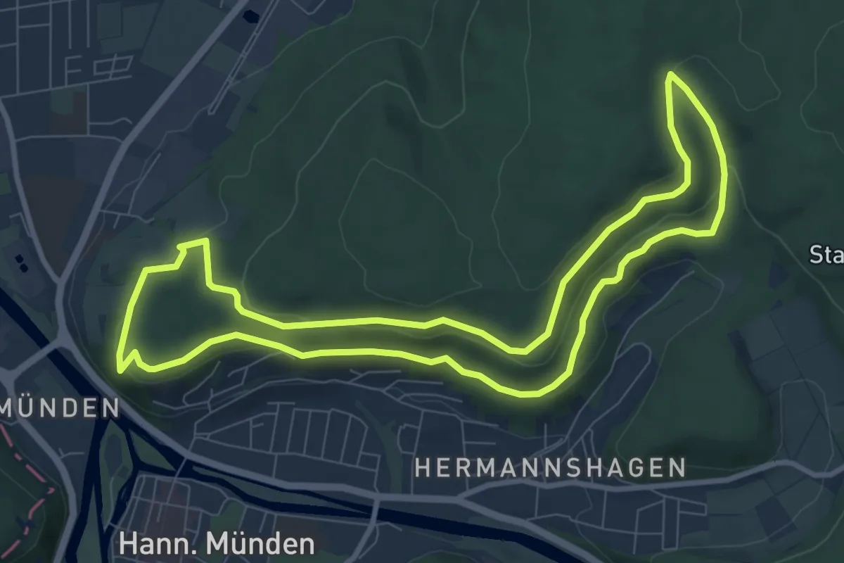
Easy · Summit
Blume - B3
8.0 km · ↑ 245 m · 2 h 32 min
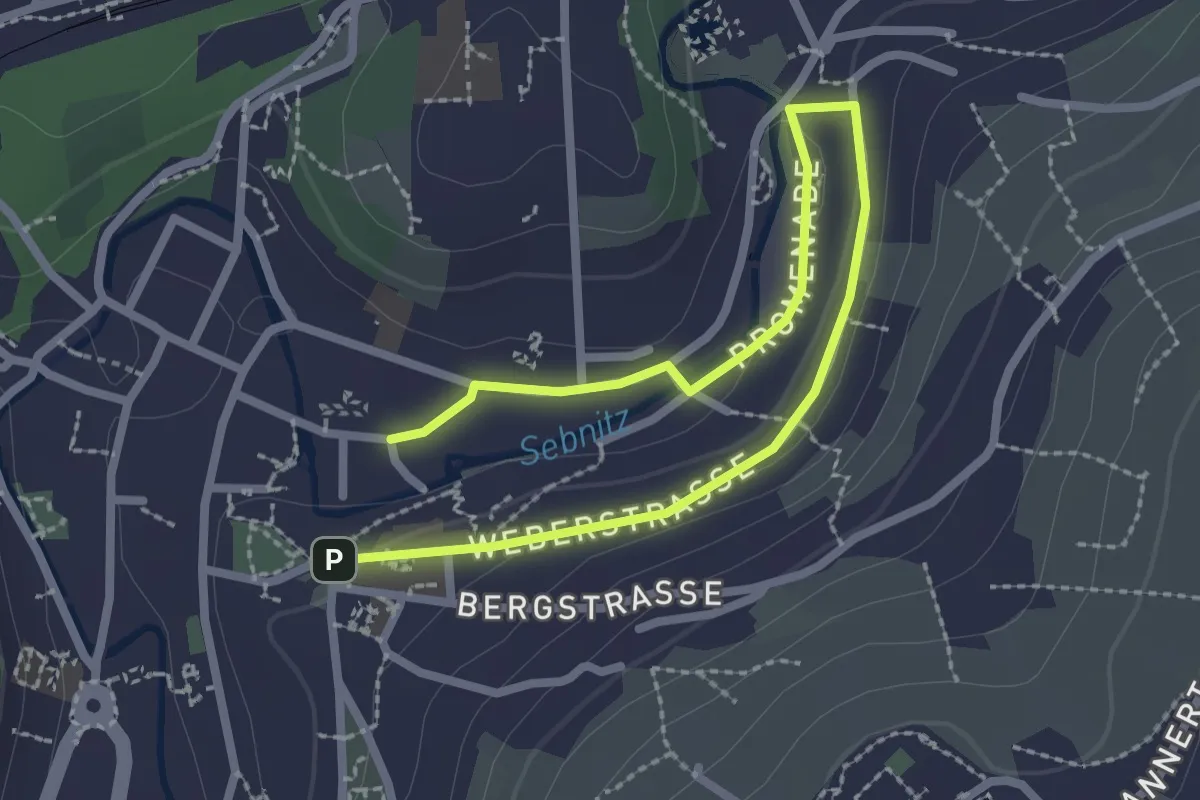
Easy · Trail
Blümelpfad
1.5 km · ↑ 9 m · 24 min
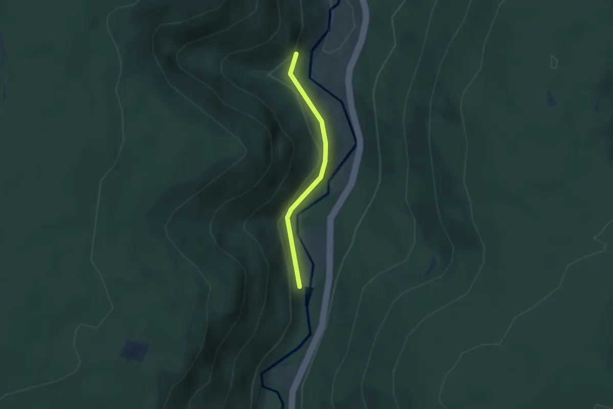
Easy · Trail
Blumenauerteich - Floßstube Seelach
2.1 km · ↑ 93 m · 42 min
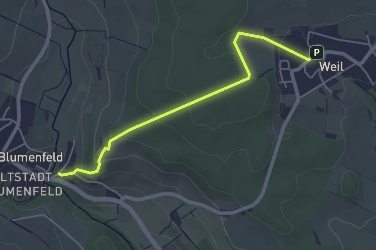
Easy · Trail
Blumenfeld Römerstraße - Weil
4.0 km · ↑ 152 m · 1 h 16 min
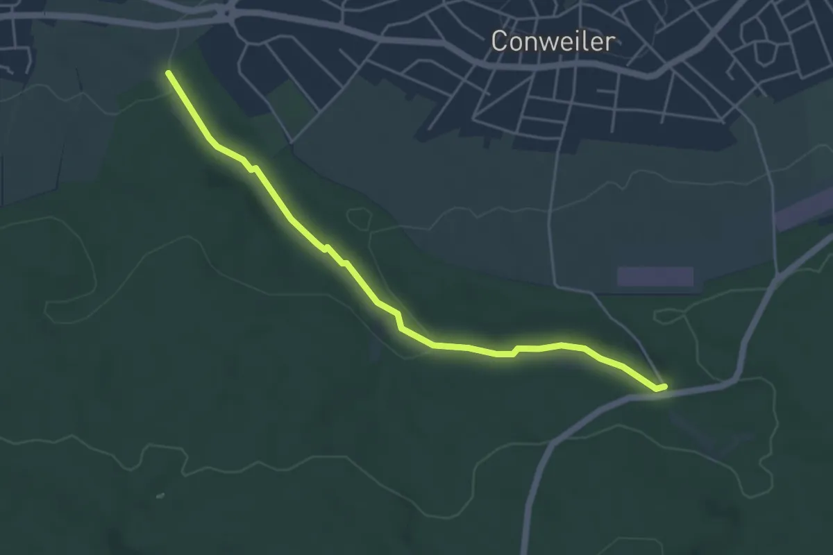
Easy · Trail
Blumenstiel - Parkplatz Axtbachtal
4.4 km · ↑ 83 m · 1 h 14 min
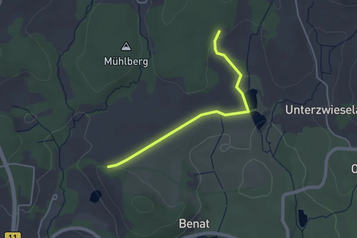
Easy · Trail
Blumenthalrunde 25
1.5 km · ↑ 18 m · 24 min
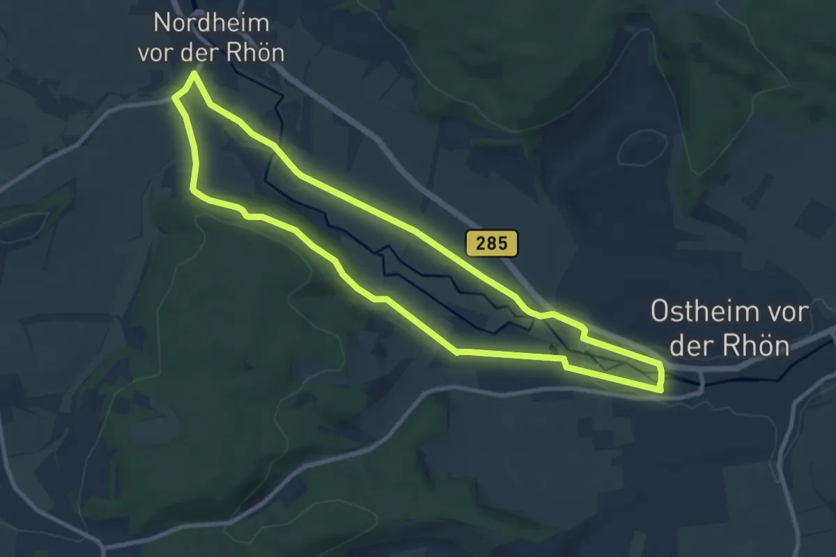
Medium · Trail
Blumenweg
8.4 km · ↑ 82 m · 2 h 17 min
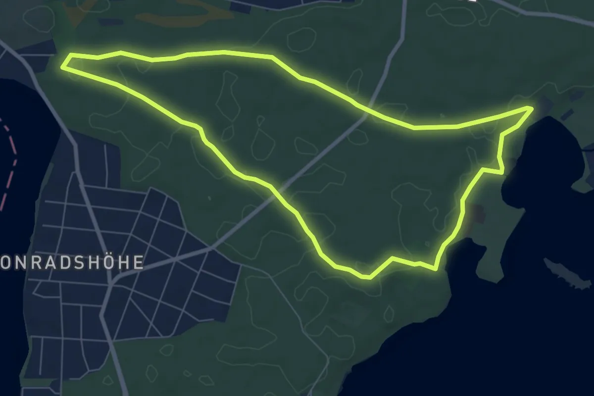
Easy · Trail
Blumenweg
6.7 km · ↑ 25 m · 1 h 43 min
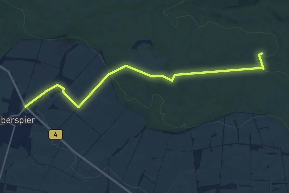
Medium · Trail
Blutbuchenweg
10.8 km · ↑ 141 m · 2 h 51 min
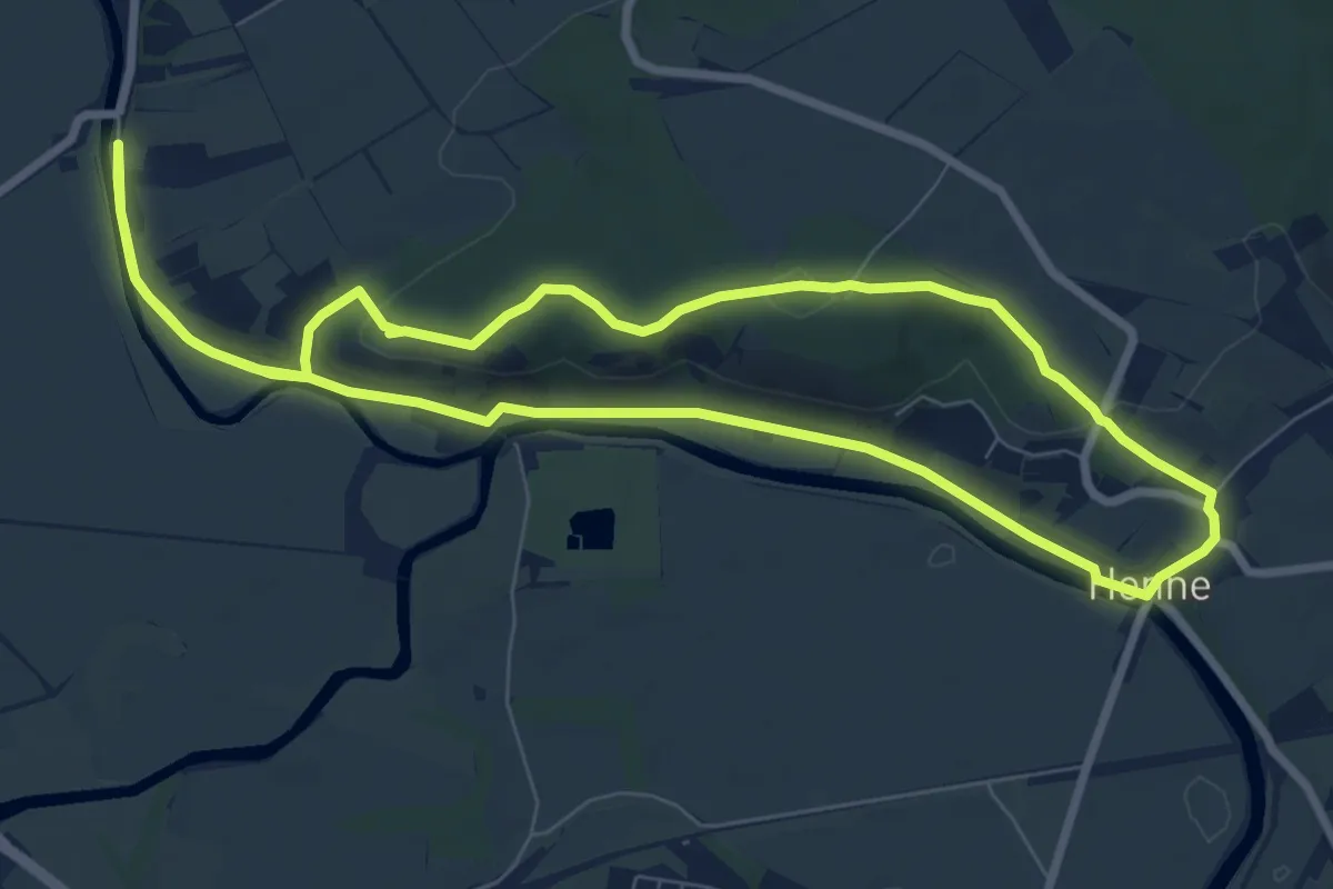
Easy · Trail
Blütengrund Rundwanderweg
7.6 km · ↑ 109 m · 2 h 9 min
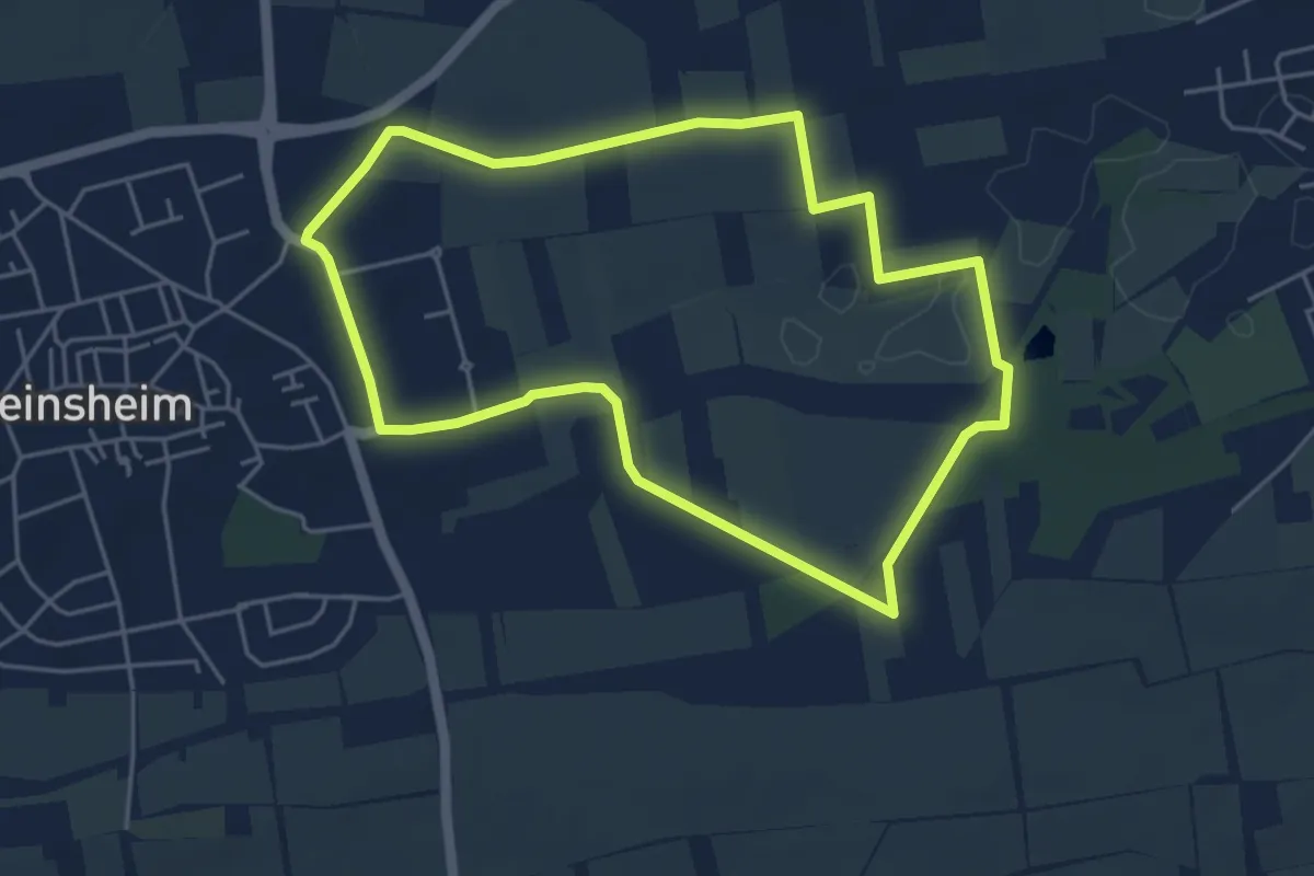
Easy · Trail
Blütenwanderweg
4.4 km · ↑ 13 m · 1 h 8 min
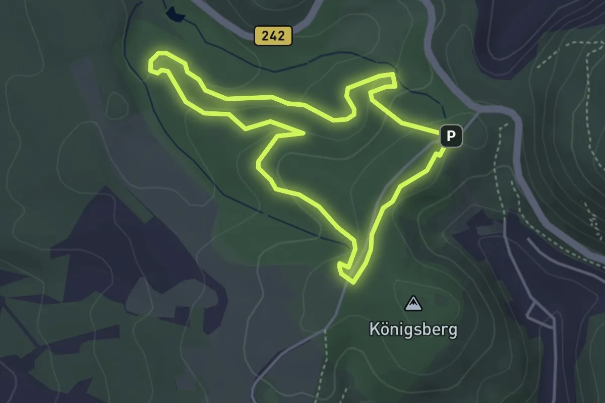
Easy · Trail
Blütenweg
3.4 km · ↑ 99 m · 1 h 3 min
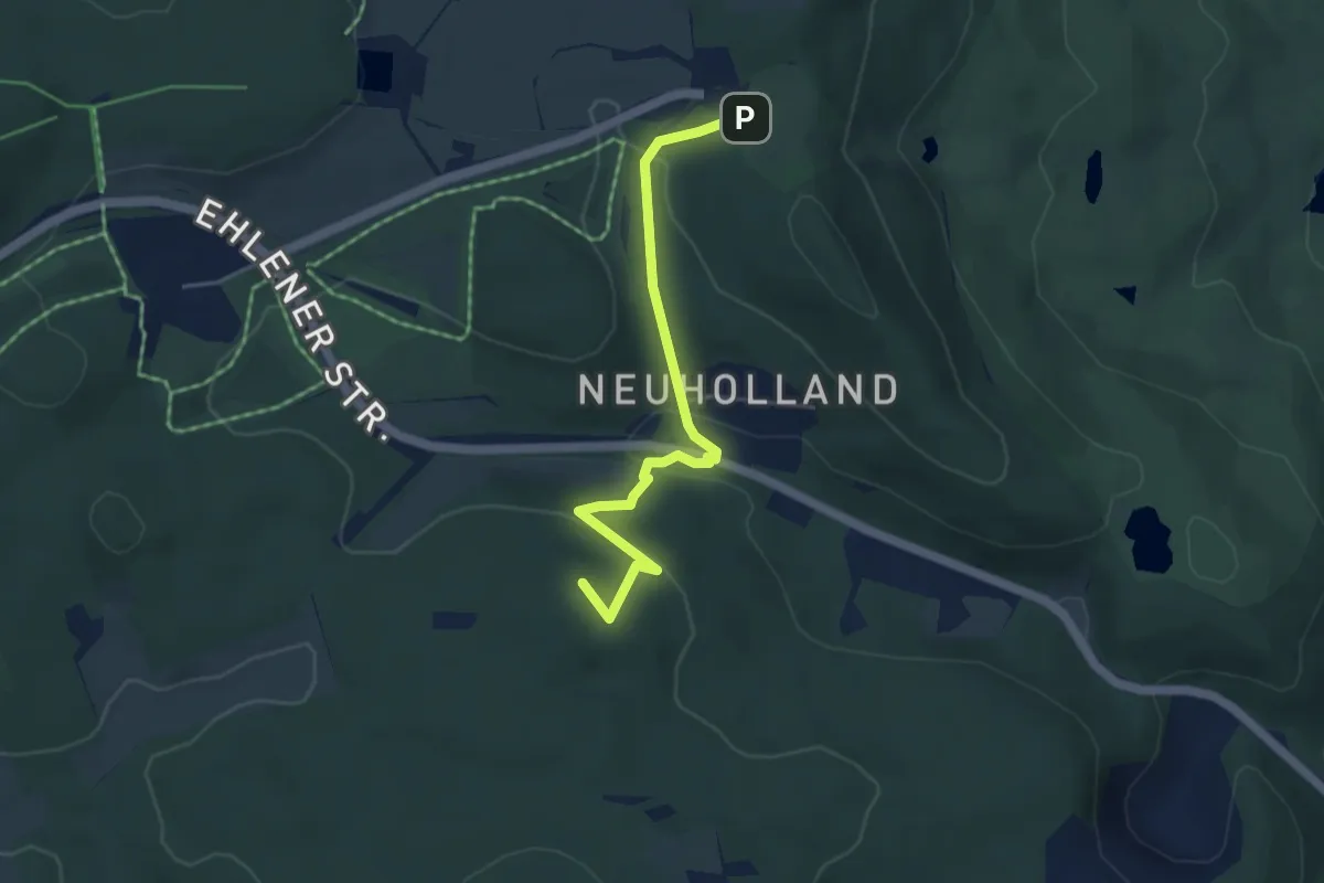
Easy · Summit
Blütenweg - Herkules
4.1 km · ↑ 170 m · 1 h 21 min
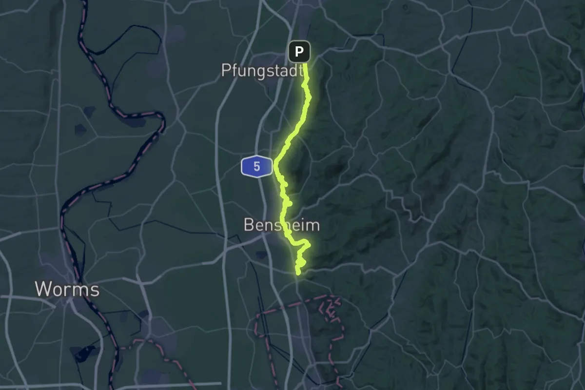
Demanding · Trail
Blütenweg Teilstück Darmstadt - Heppenheim
30.5 km · ↑ 649 m · 9 h 2 min
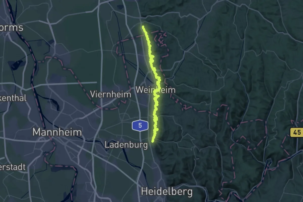
Demanding · Trail
Blütenweg Teilstück Heppenheim - Schriesheim
29.8 km · ↑ 1162 m · 9 h 58 min