Trails in Germany
36,824 hiking trails, each with its route, climb, walking time and grade.
All trails, page 81 of 768
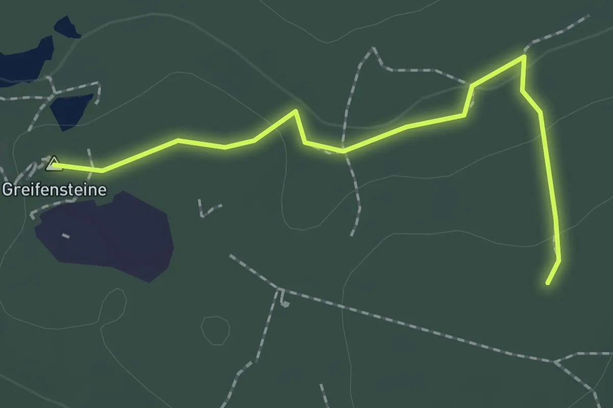
Easy · Summit
Bodenlehrpfad Ehrenfriedersdorf
1.8 km · ↑ 43 m · 31 min
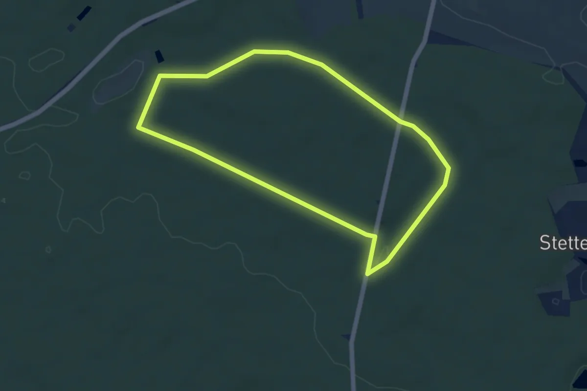
Easy · Trail
Bodenlehrpfad Kalchreuth-Wolfsfelden
3.9 km · ↑ 50 m · 1 h 5 min
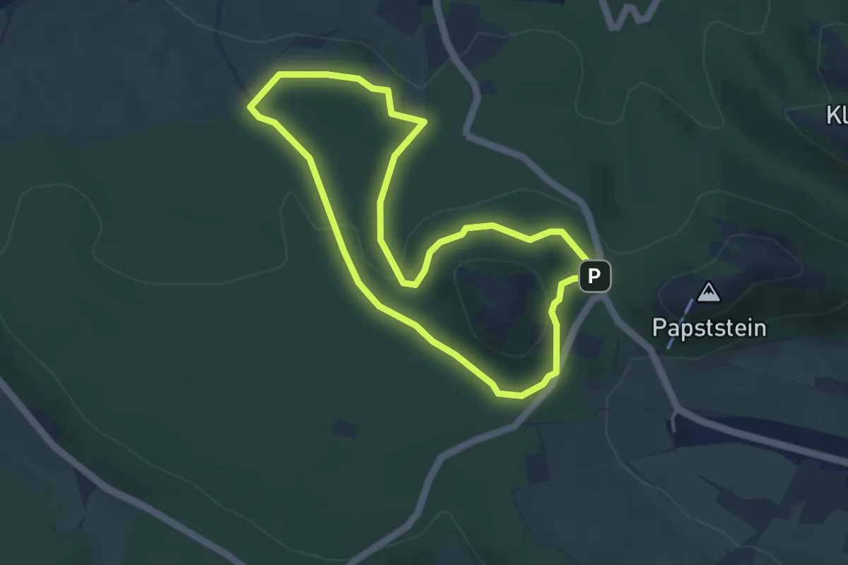
Easy · Trail
Bodenlehrpfad Sächsische Schweiz
3.5 km · ↑ 96 m · 1 h 6 min
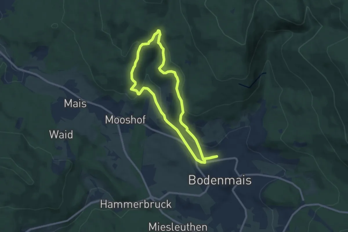
Medium · Summit
Bodenmais: Bo60 - Hochfall-Runde
6.0 km · ↑ 203 m · 1 h 56 min
Easy · Trail
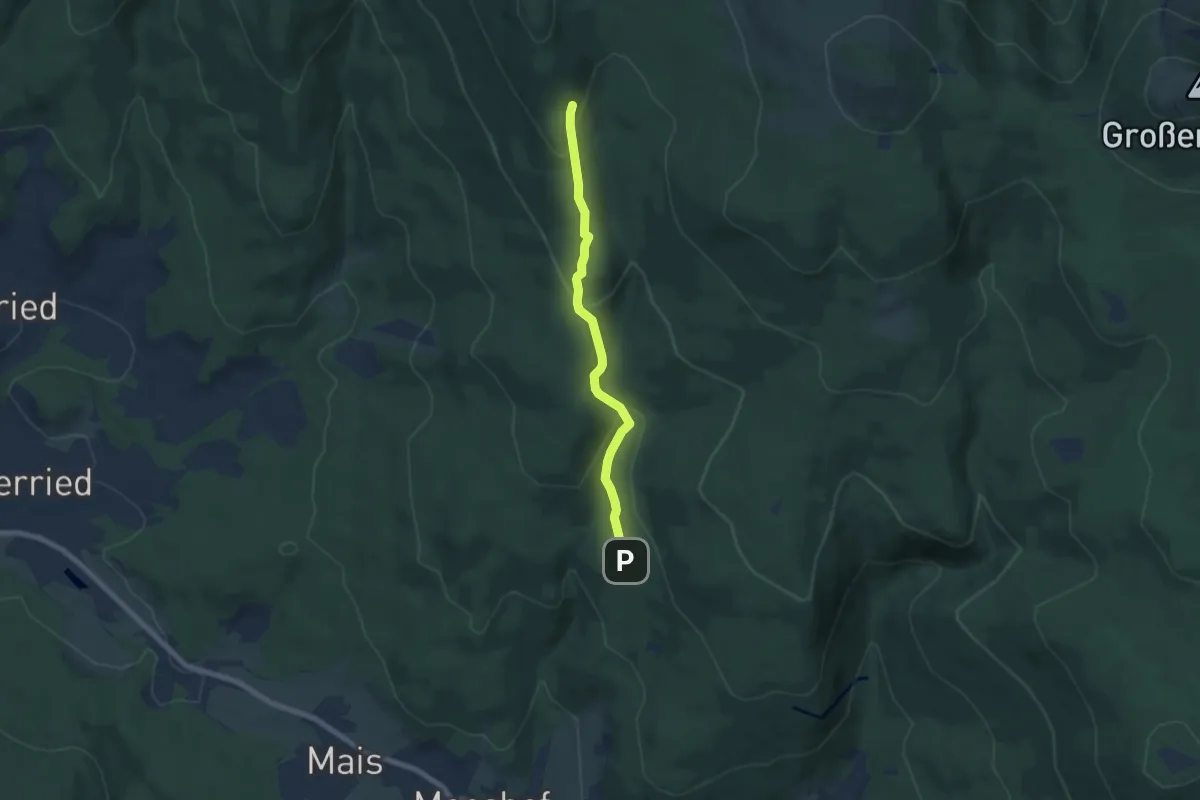
Bodenmais: Bo6 - Natur-Pur
5.8 km · ↑ 269 m · 1 h 57 min
Medium · Trail
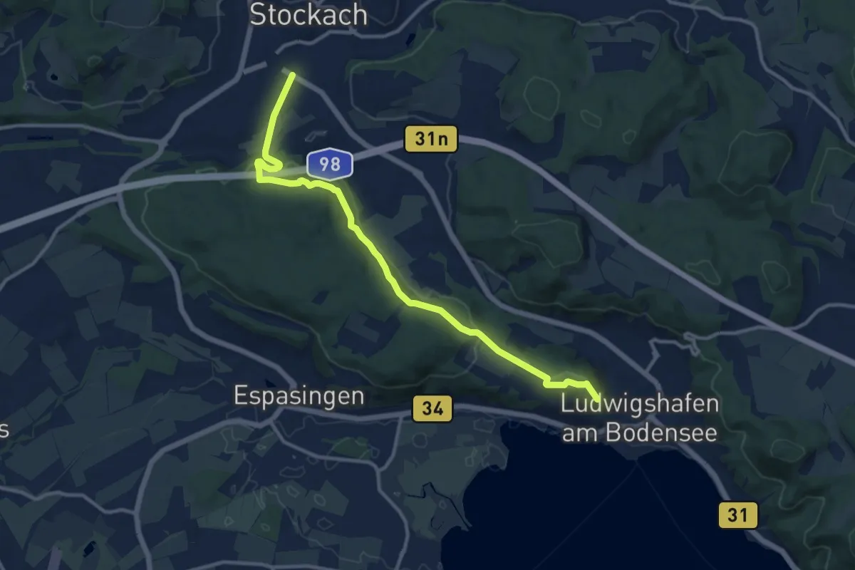
Bodensee Randweg (gelbe Raute)
11.6 km · ↑ 236 m · 3 h 15 min
Demanding · Trail
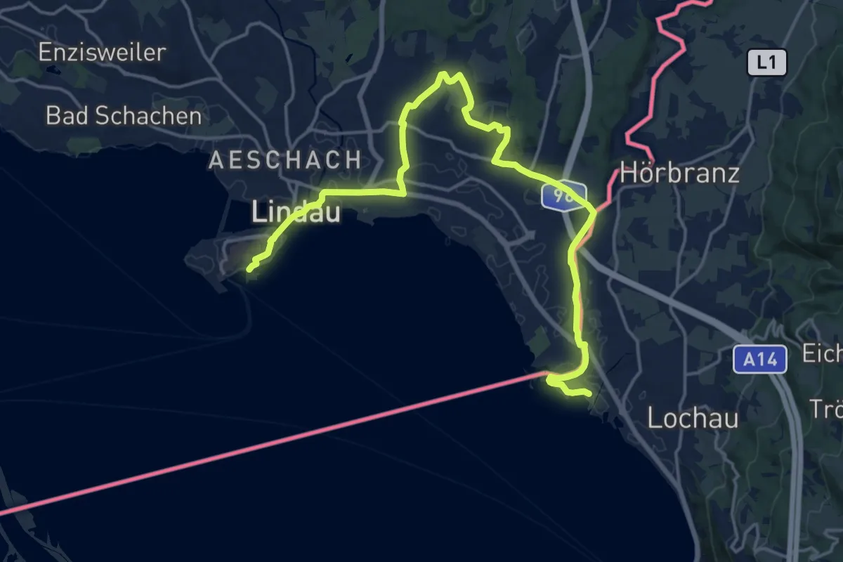
Bodensee- Rundwanderweg (Abschnitt Lindau - Kreuzlingen)
19.9 km · ↑ 175 m · 5 h 5 min
Easy · Summit
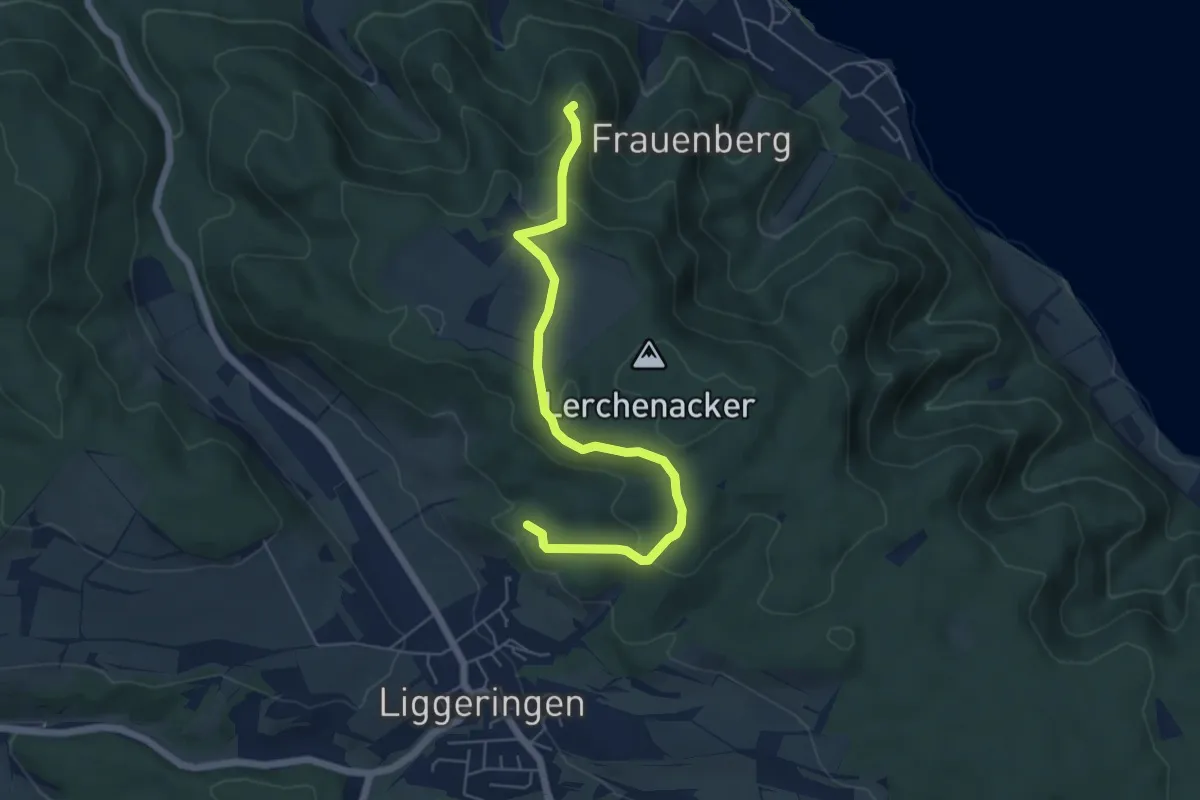
Bodensee-Rundwanderweg - Alternative Bodanrück
5.7 km · ↑ 180 m · 1 h 44 min
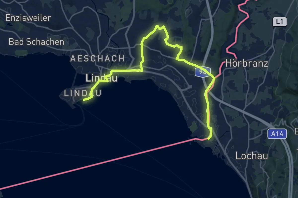
Demanding · Trail
Bodensee-Rundwanderweg - Etappe 5
18.6 km · ↑ 194 m · 4 h 48 min
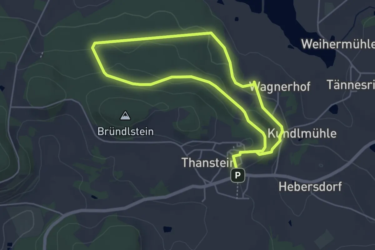
Easy · Trail
Bodenwaldweg "T 1"
3.7 km · ↑ 117 m · 1 h 10 min
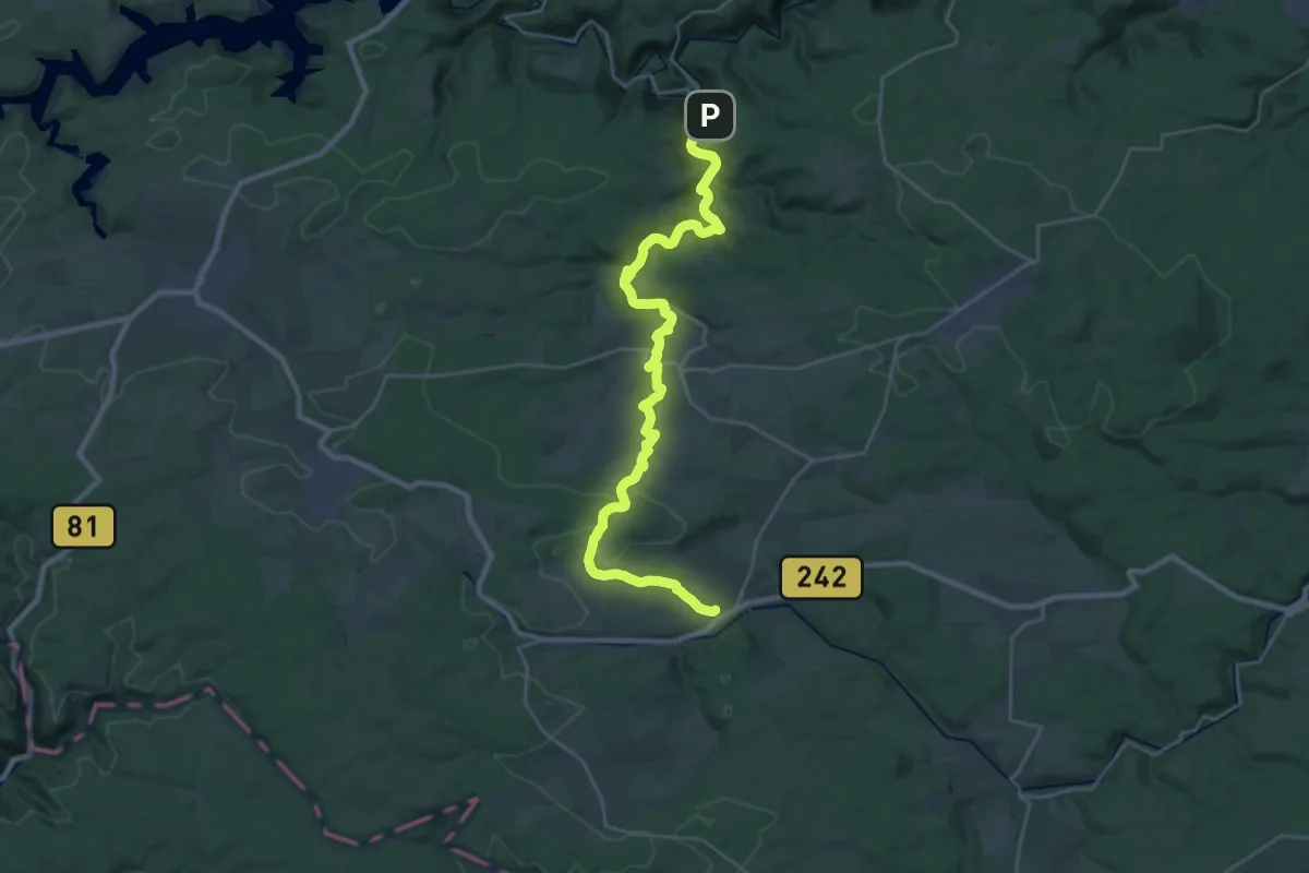
Demanding · Trail
Bode - Selke - Stieg
27.8 km · ↑ 475 m · 7 h 35 min
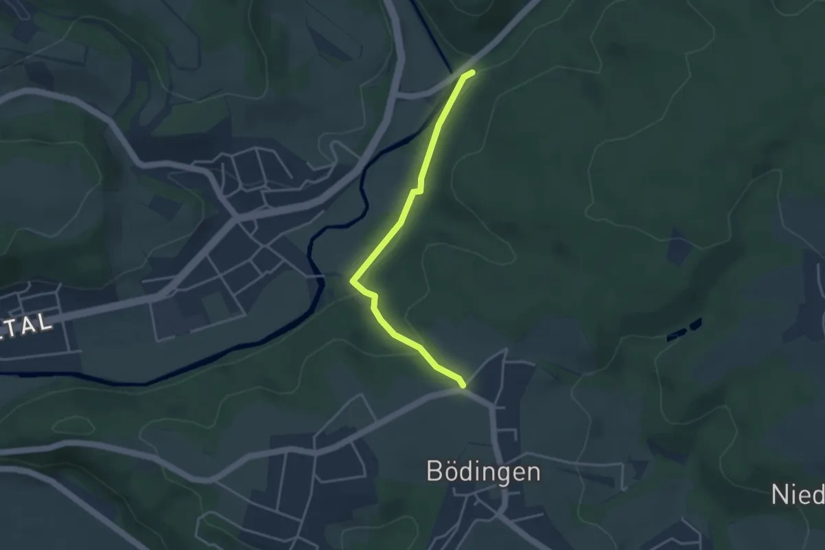
Easy · Trail
Bödingen Rundweg A1
1.5 km · ↑ 19 m · 27 min
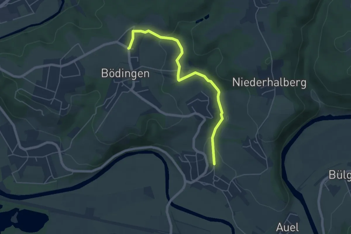
Easy · Trail
Bödingen Rundweg A2
2.3 km · ↑ 24 m · 40 min
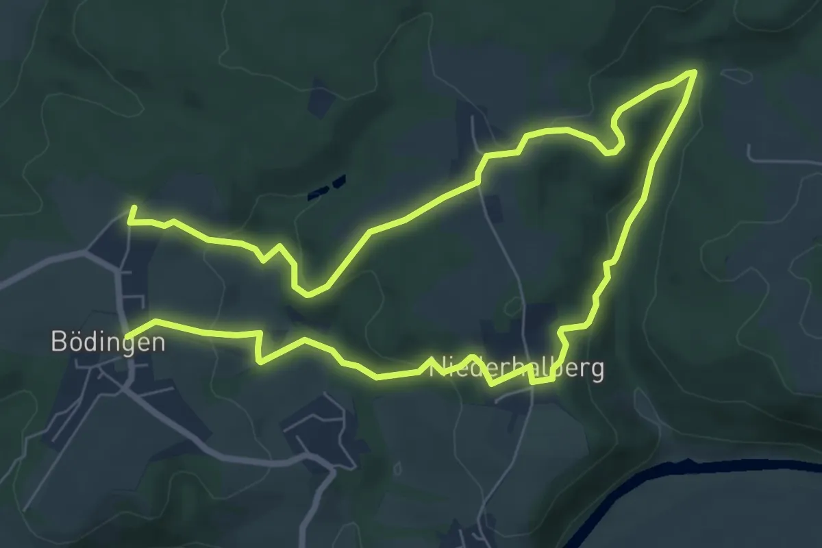
Easy · Trail
Bödingen Rundweg A3
5.7 km · ↑ 159 m · 1 h 46 min
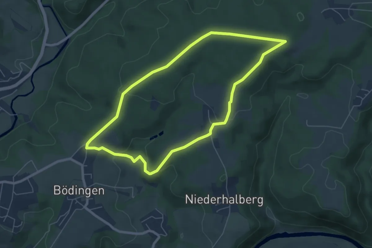
Easy · Trail
Bödingen Rundweg A4
5.2 km · ↑ 107 m · 1 h 31 min
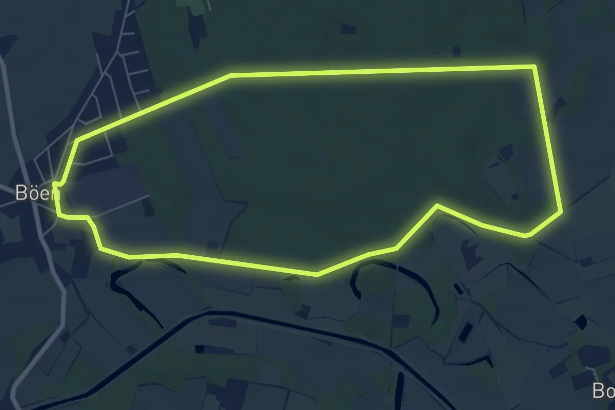
Easy · Trail
Böener Waldspaziergang
5.8 km · ↑ 23 m · 1 h 30 min
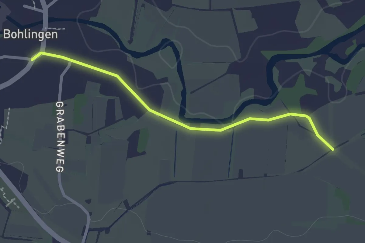
Easy · Trail
Bohlingen Ledergasse - Ziegelhof
2.2 km · ↑ 4 m · 31 min
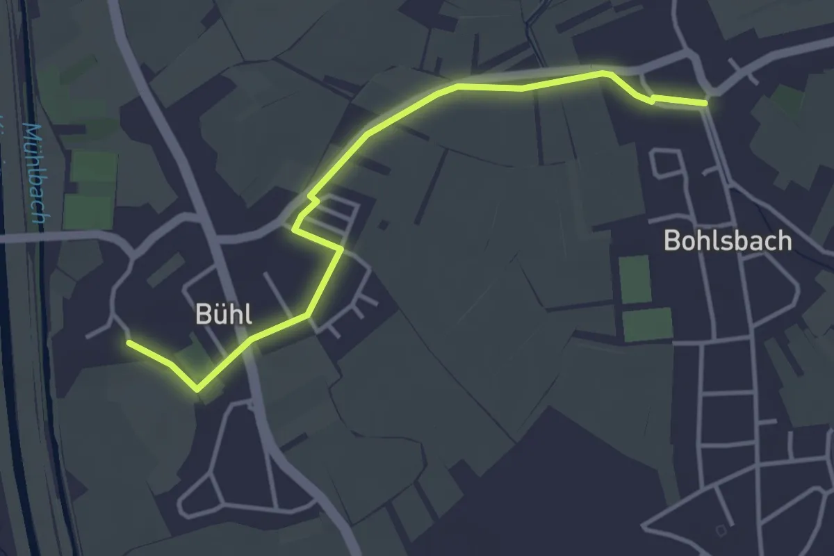
Easy · Trail
Bohlsbach Rathaus - Bühl Kirche
3.7 km · ↑ 0 m · 52 min
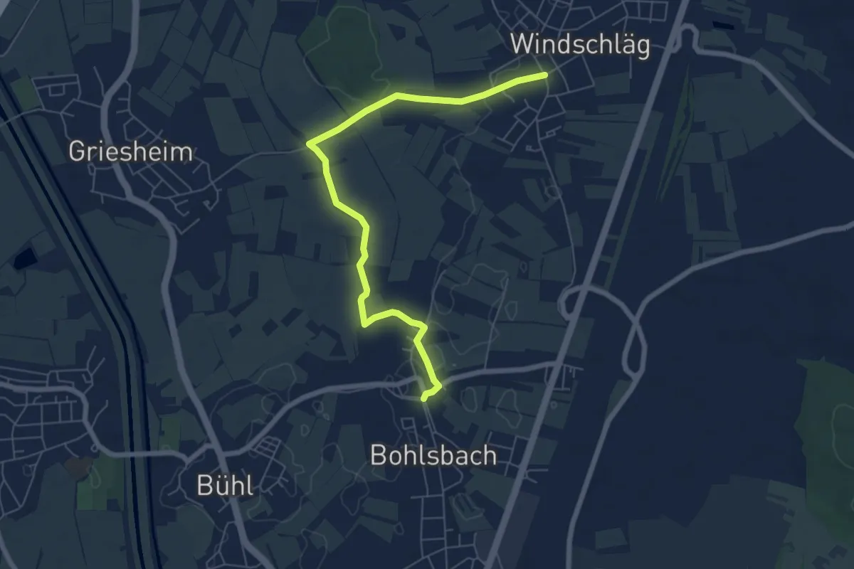
Easy · Trail
Bohlsbach Rathaus - Windschläg Kirche
6.5 km · ↑ 12 m · 1 h 34 min
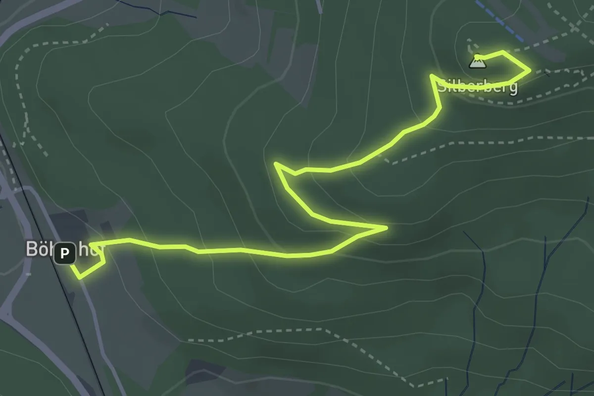
Medium · Summit
Böhmhof -> Silberberg
4.3 km · ↑ 247 m · 1 h 33 min
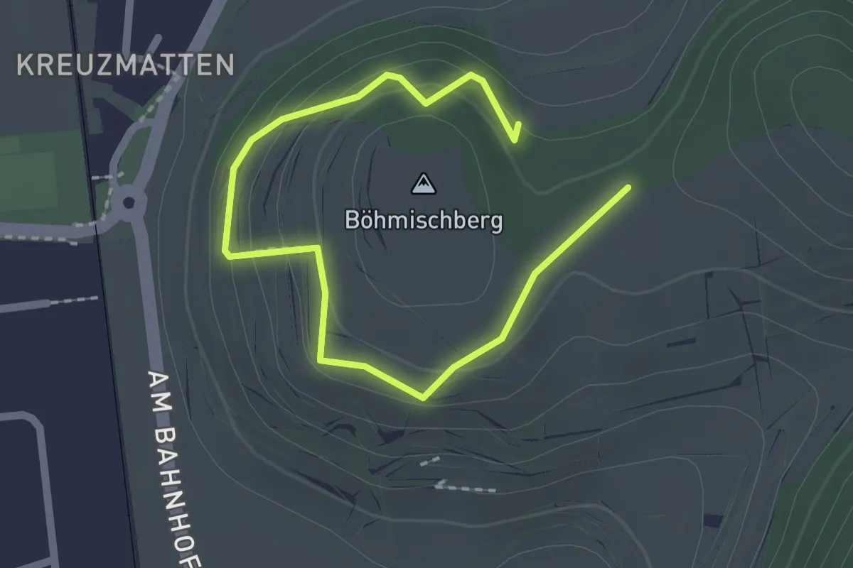
Easy · Summit
Böhmischberg-Kreuz - Galgenbühl
1.2 km · ↑ 47 m · 25 min
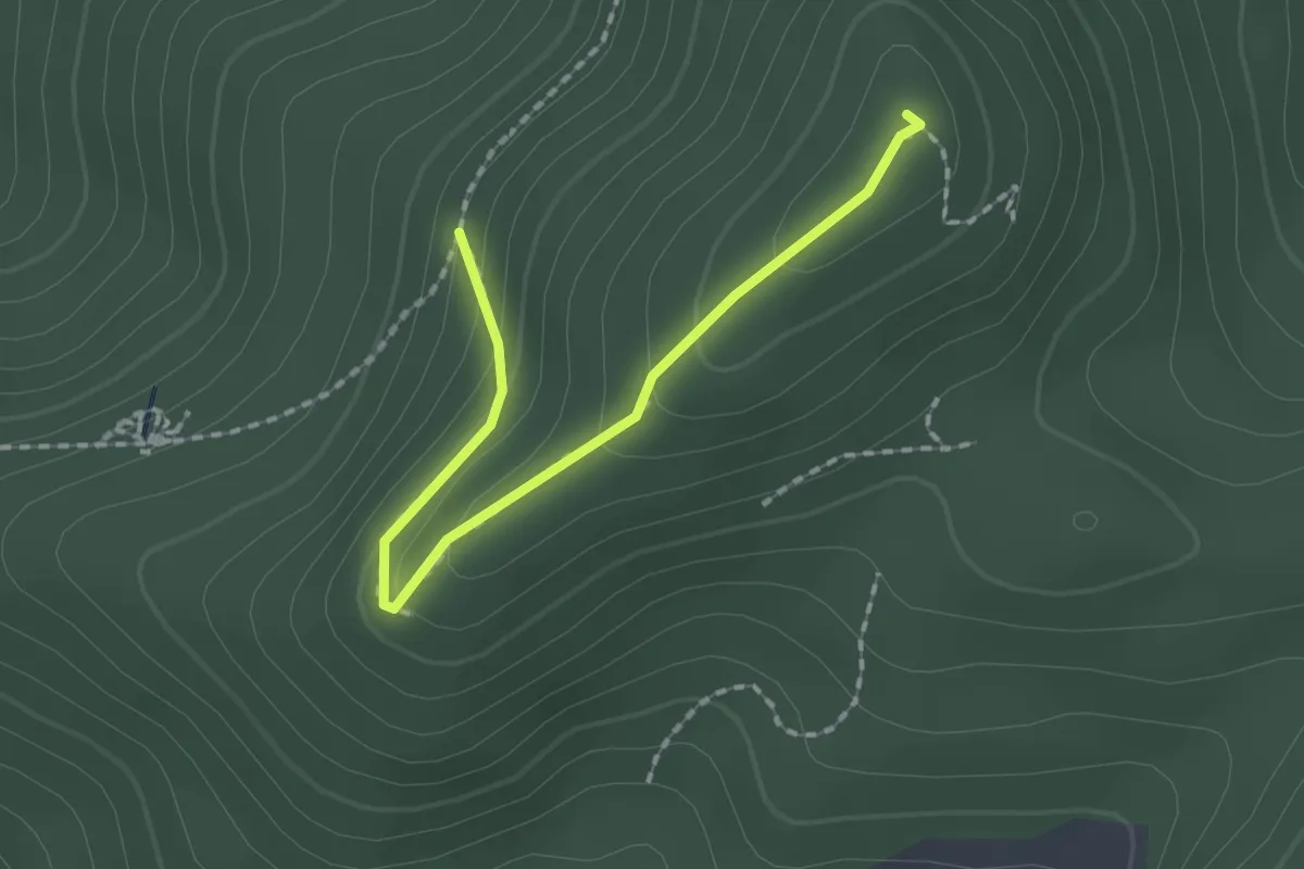
Medium · Summit
Bohnacker - Hirschfelsenweg
1.8 km · ↑ 108 m · 40 min
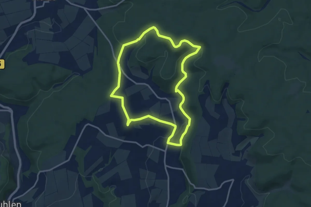
Easy · Summit
Böhne 1 (Bö1)
7.8 km · ↑ 176 m · 2 h 20 min
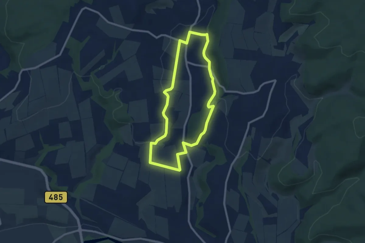
Easy · Trail
Böhne 2
5.7 km · ↑ 98 m · 1 h 39 min
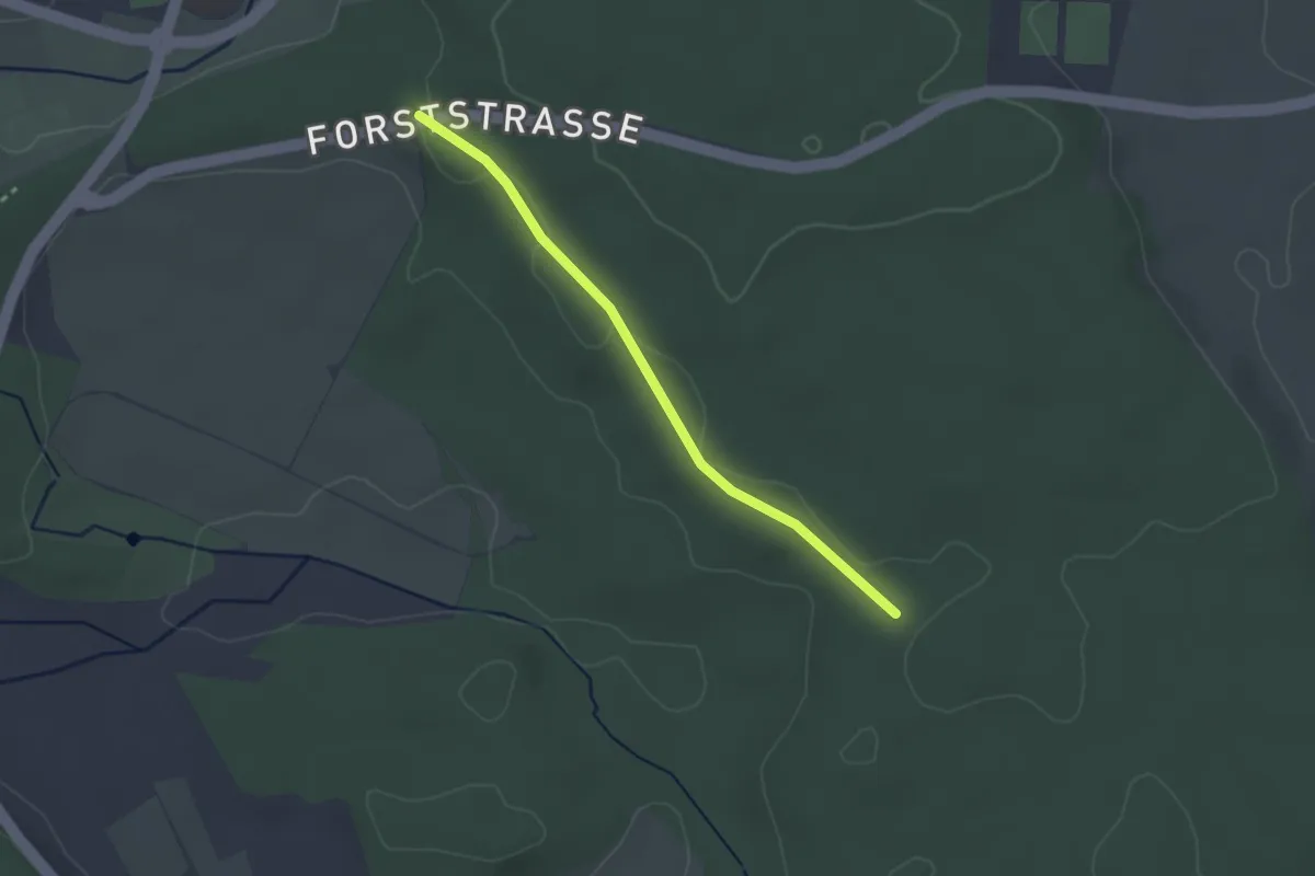
Easy · Trail
Bohremerwald - Gaienbühl
2.5 km · ↑ 10 m · 36 min
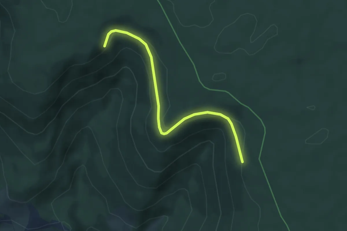
Easy · Trail
Böhrenberg - Scheiterweg
4.0 km · ↑ 152 m · 1 h 17 min
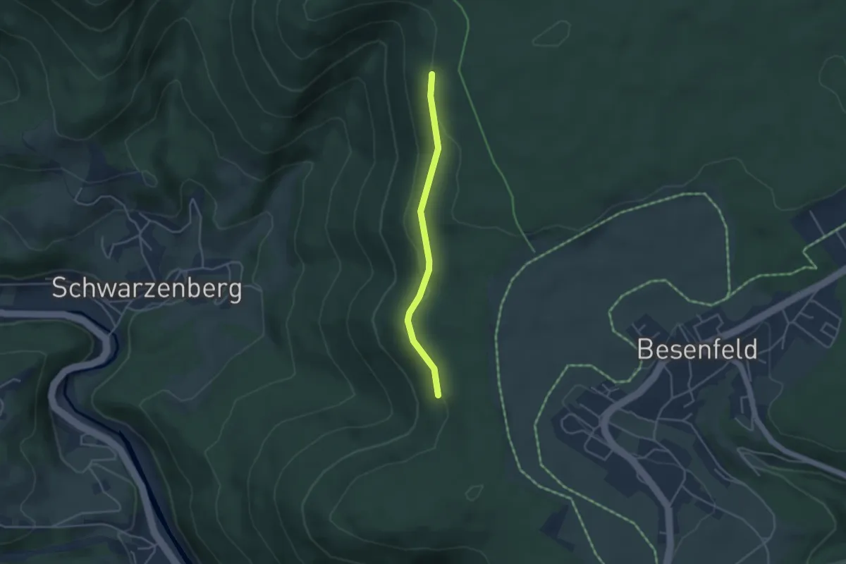
Easy · Trail
Böhrenberg - Steigberg
3.2 km · ↑ 65 m · 54 min
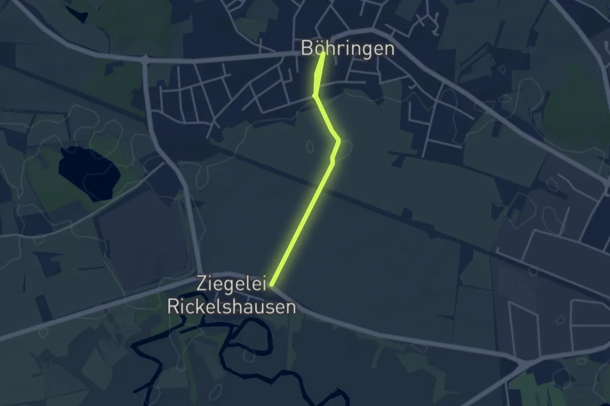
Easy · Trail
Böhringen Aachweg - Riedwiesen
3.1 km · ↑ 13 m · 45 min
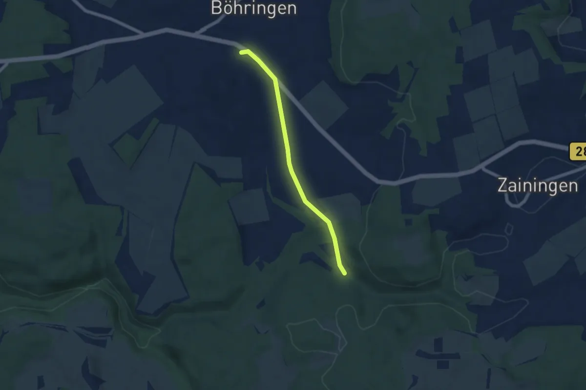
Easy · Trail
Böhringen - Bental
4.6 km · ↑ 39 m · 1 h 10 min
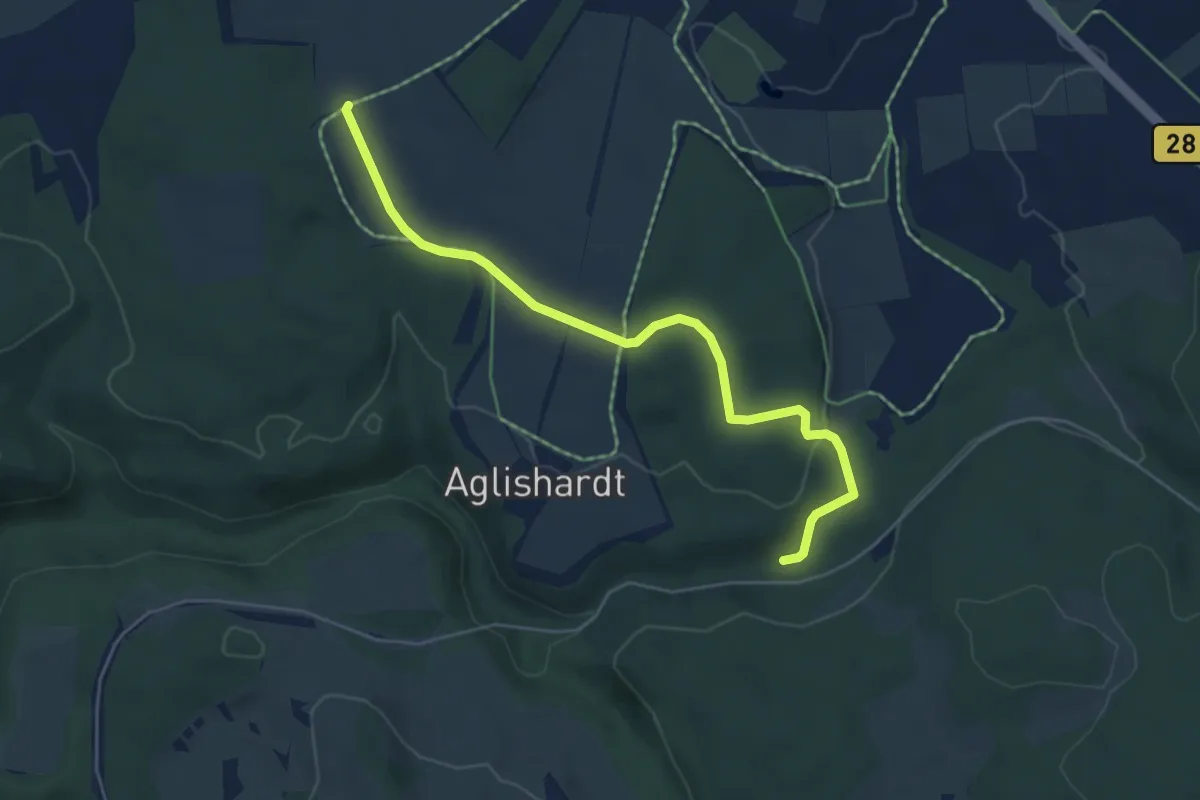
Easy · Trail
Böhringen - Bental
5.2 km · ↑ 72 m · 1 h 23 min
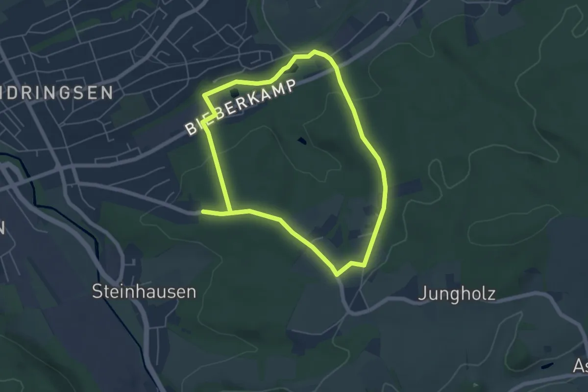
Medium · Trail
Böingsen Rundweg A1
8.4 km · ↑ 178 m · 2 h 21 min
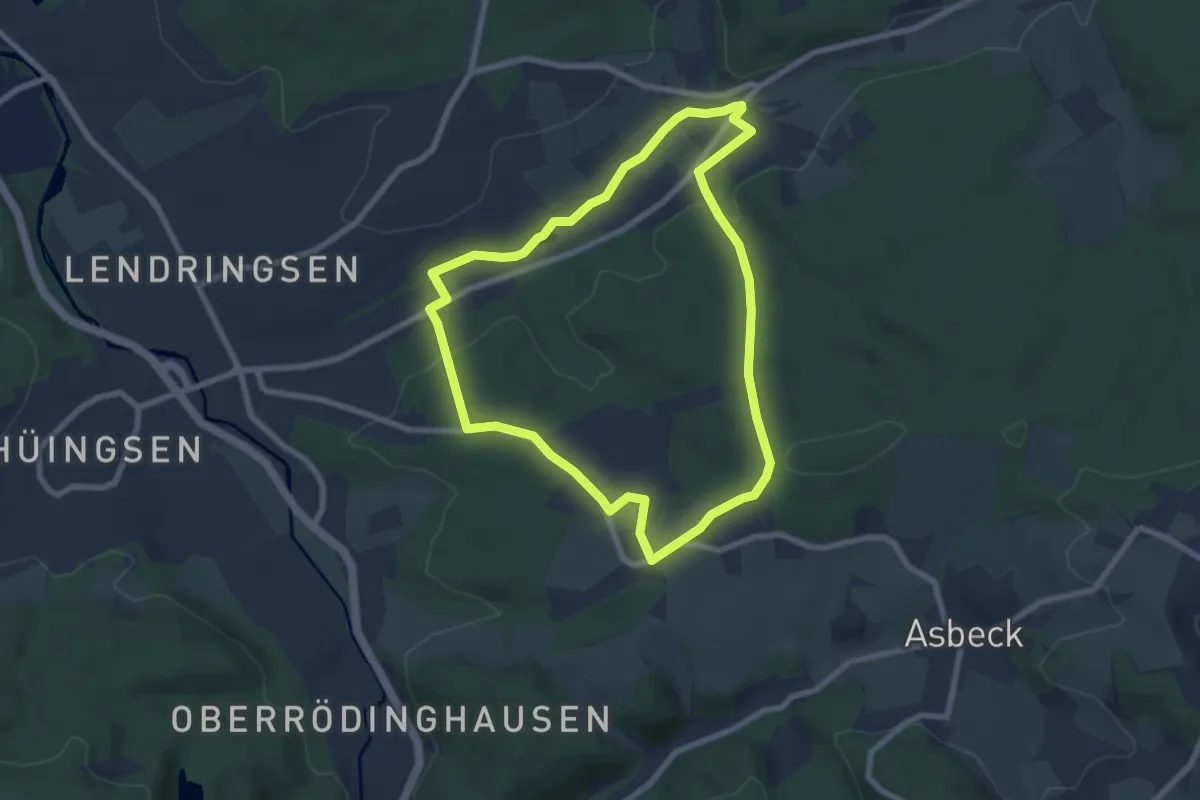
Easy · Trail
Böingsen Rundweg A2
6.4 km · ↑ 115 m · 1 h 51 min
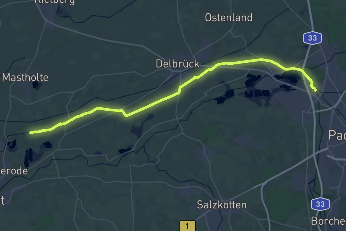
Demanding · Trail
Boker-Kanal-Weg
24.2 km · ↑ 4 m · 6 h 4 min
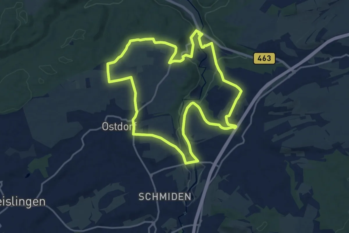
Medium · Summit
Böllatmühle-Rundweg
11.7 km · ↑ 179 m · 3 h 19 min
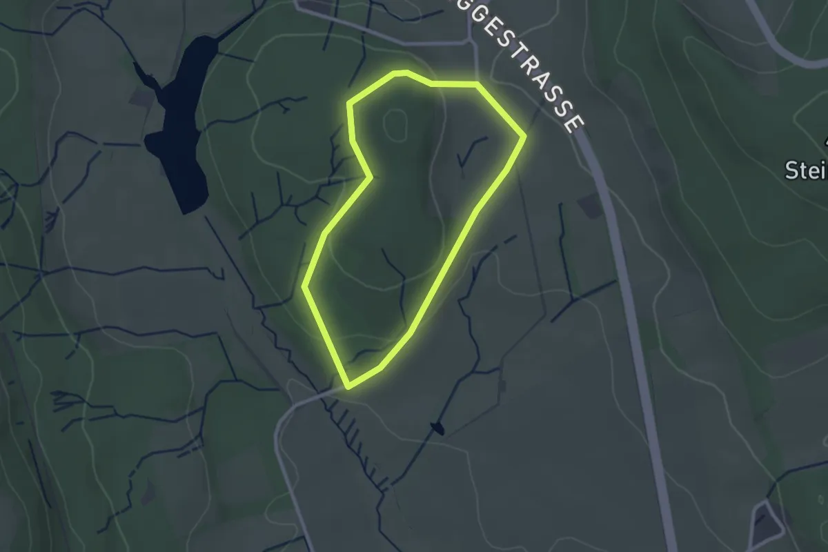
Easy · Trail
Bollberg Rundweg A1
2.0 km · ↑ 46 m · 36 min
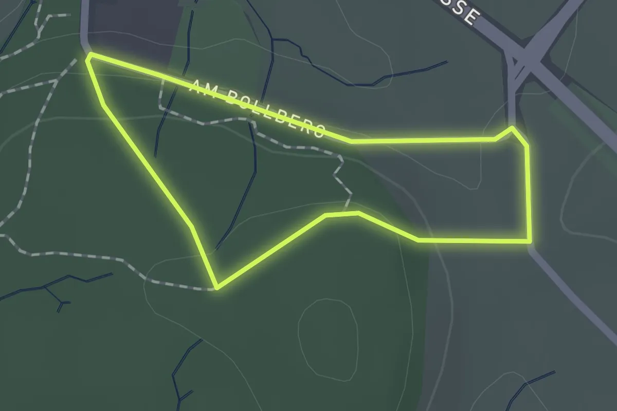
Easy · Trail
Bollberg Rundweg A2
1.1 km · ↑ 24 m · 20 min
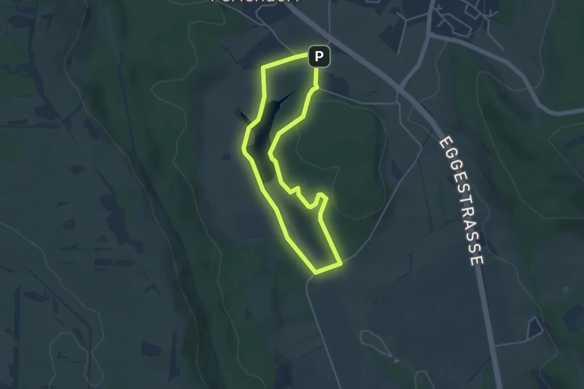
Easy · Trail
Bollberg Rundweg A3
3.2 km · ↑ 63 m · 56 min
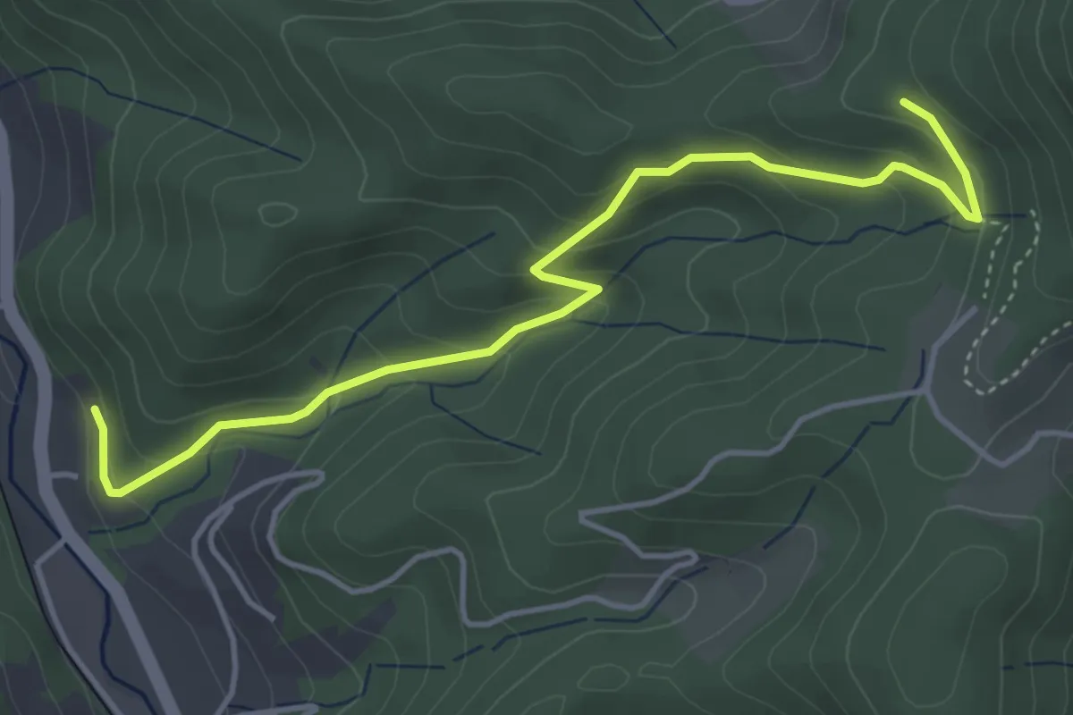
Easy · Trail
Bolleck - Erdrichshof
4.5 km · ↑ 262 m · 1 h 38 min
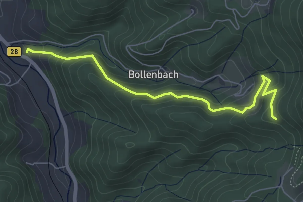
Medium · Trail
Bolleck - Hohbruck
5.2 km · ↑ 355 m · 1 h 59 min
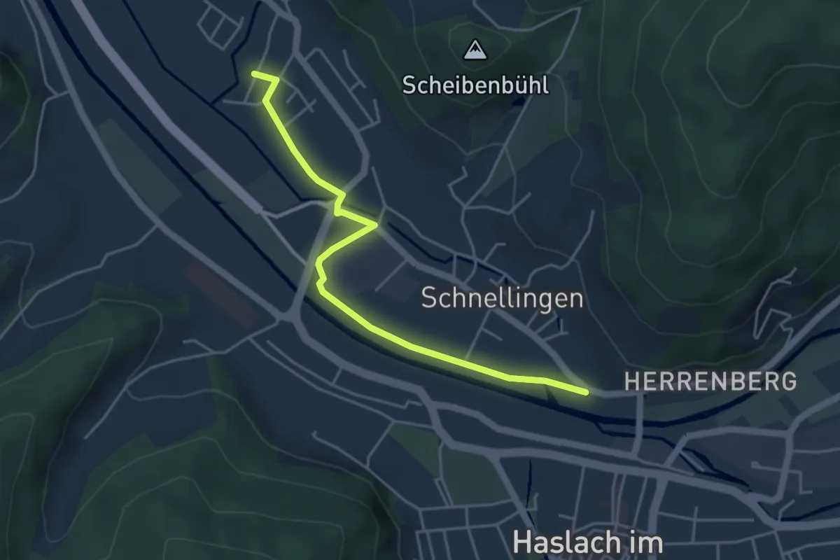
Easy · Trail
Bollenbach Dorfgem. Haus - Haslach Schnellinger Straße
4.1 km · ↑ 4 m · 58 min
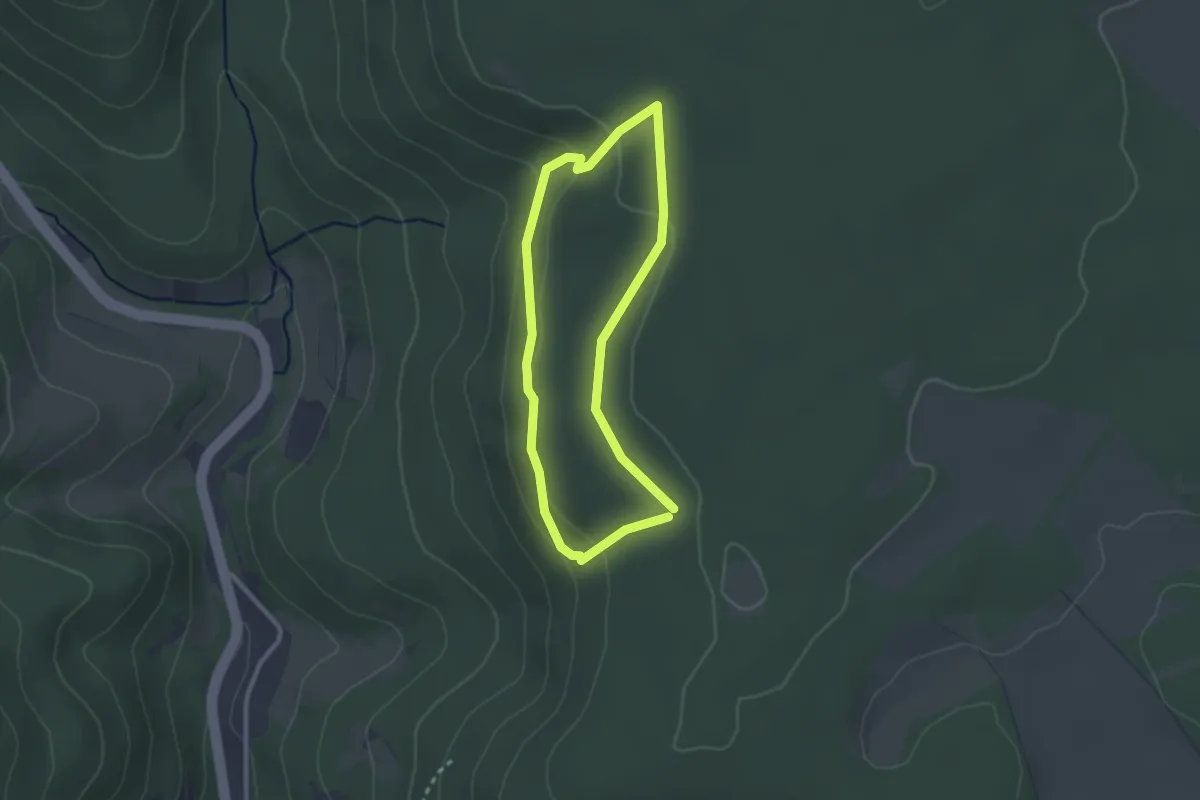
Easy · Trail
Bollendorfer Maerchenpfad
2.1 km · ↑ 56 m · 39 min
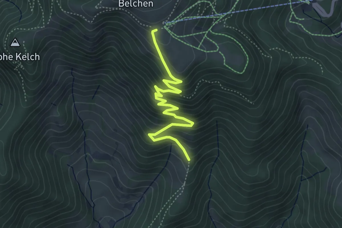
Medium · Trail
Böllener Eck - Belchenhaus
4.9 km · ↑ 400 m · 2 h 2 min
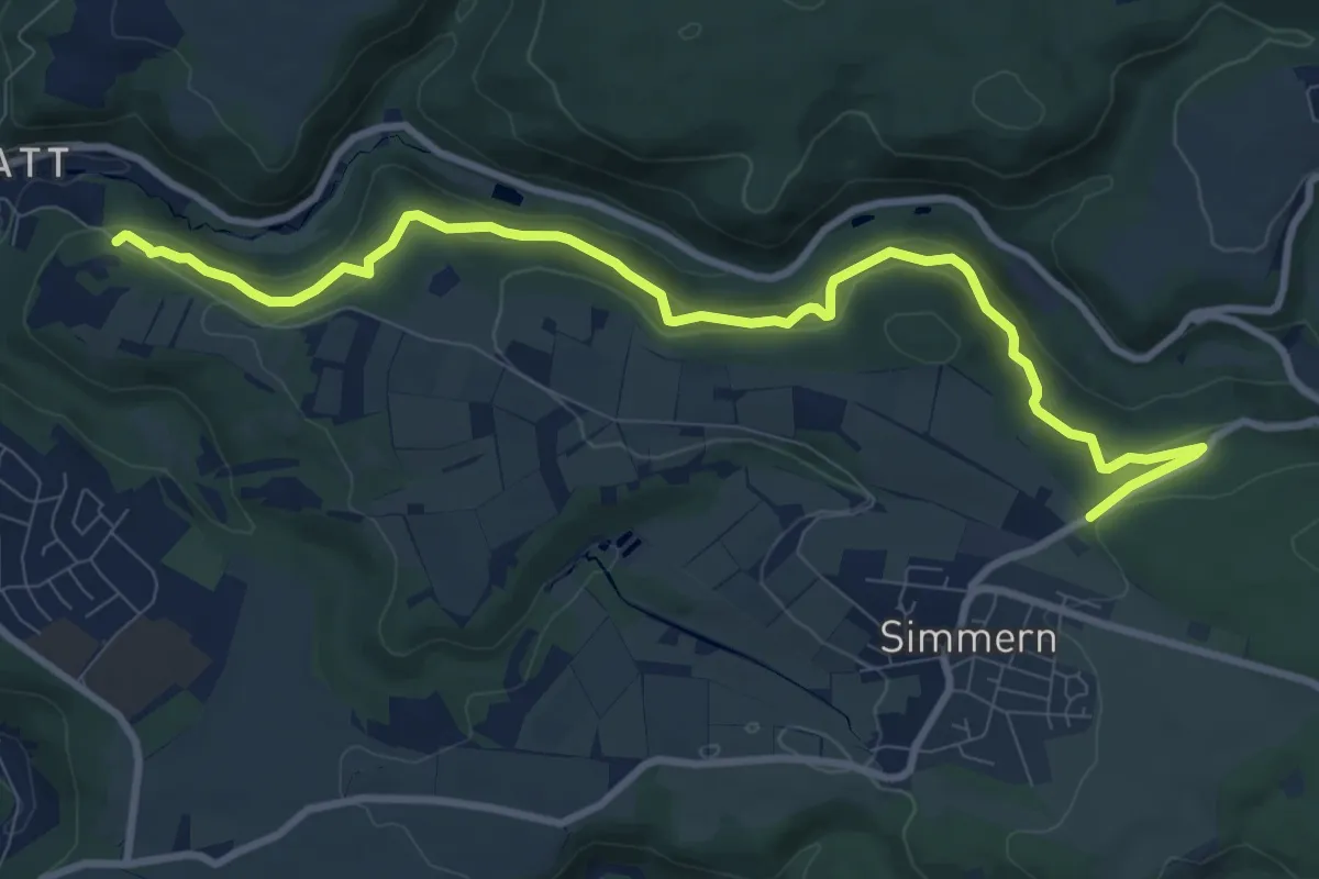
Medium · Trail
Bollert-Schleifstein
9.9 km · ↑ 530 m · 3 h 29 min
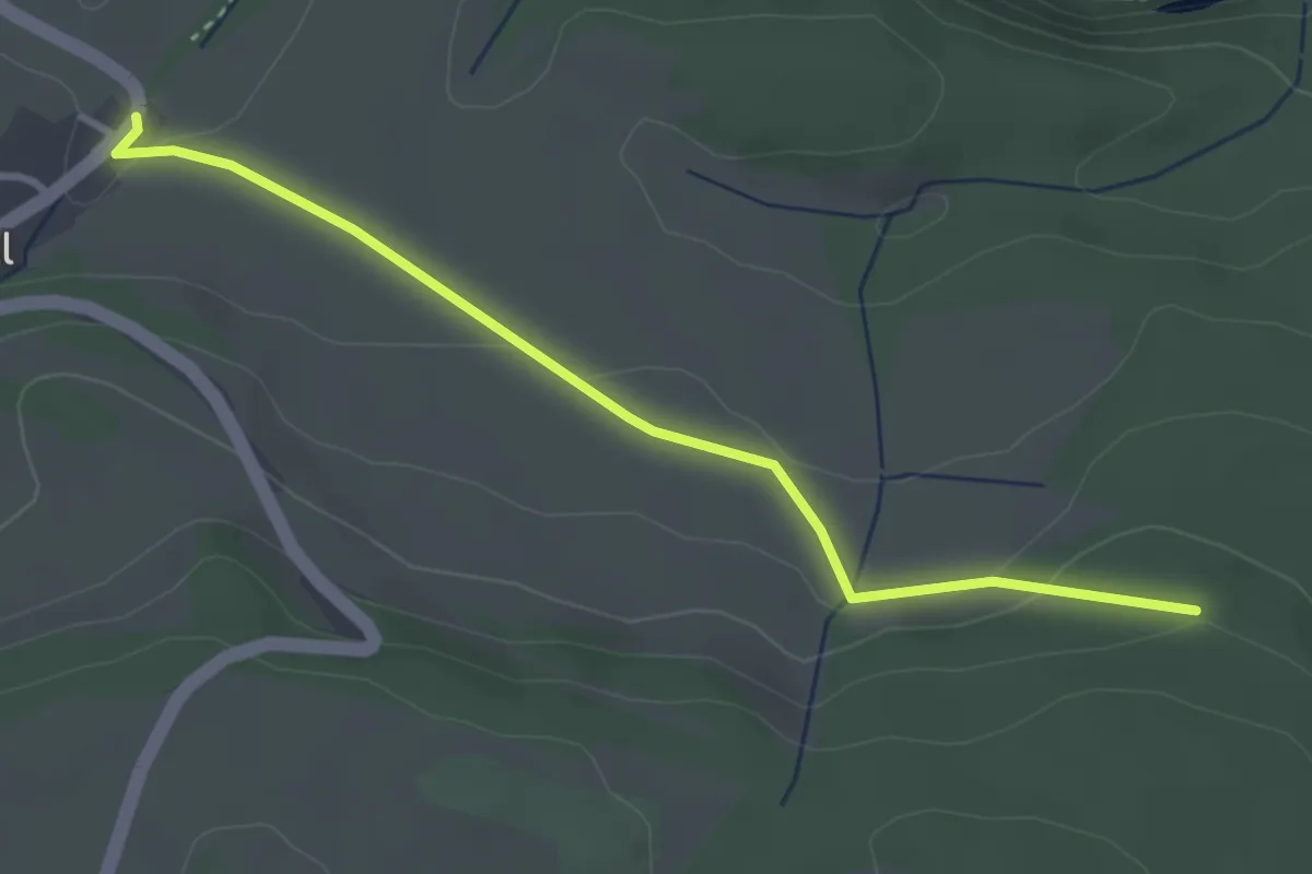
Easy · Trail
Boll Knebelhalde - Kirchenwald
3.3 km · ↑ 77 m · 57 min
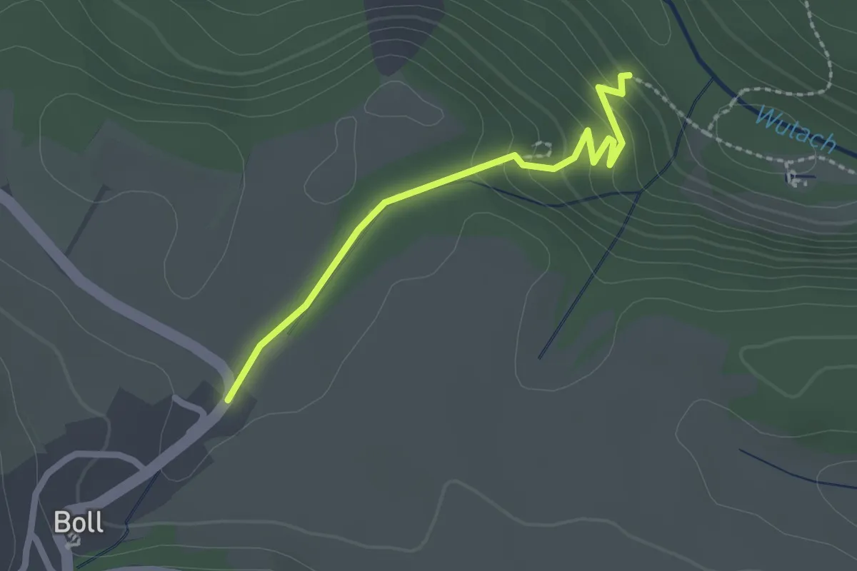
Medium · Trail
Boll Knebelhalde - Tannegg
2.0 km · ↑ 105 m · 42 min
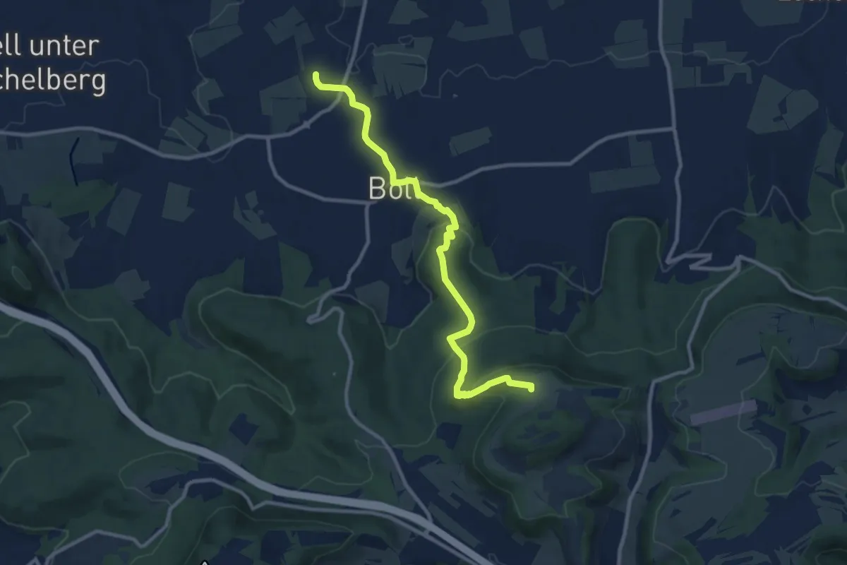
Medium · Trail
Boll - Kornberg
9.6 km · ↑ 353 m · 3 h 2 min
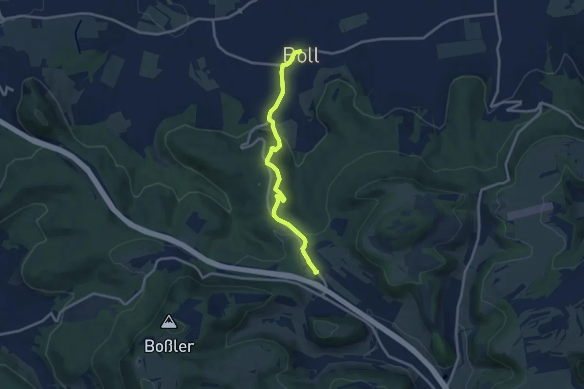
Easy · Trail
Boll - Kornberg (HW1)
7.4 km · ↑ 200 m · 2 h 10 min
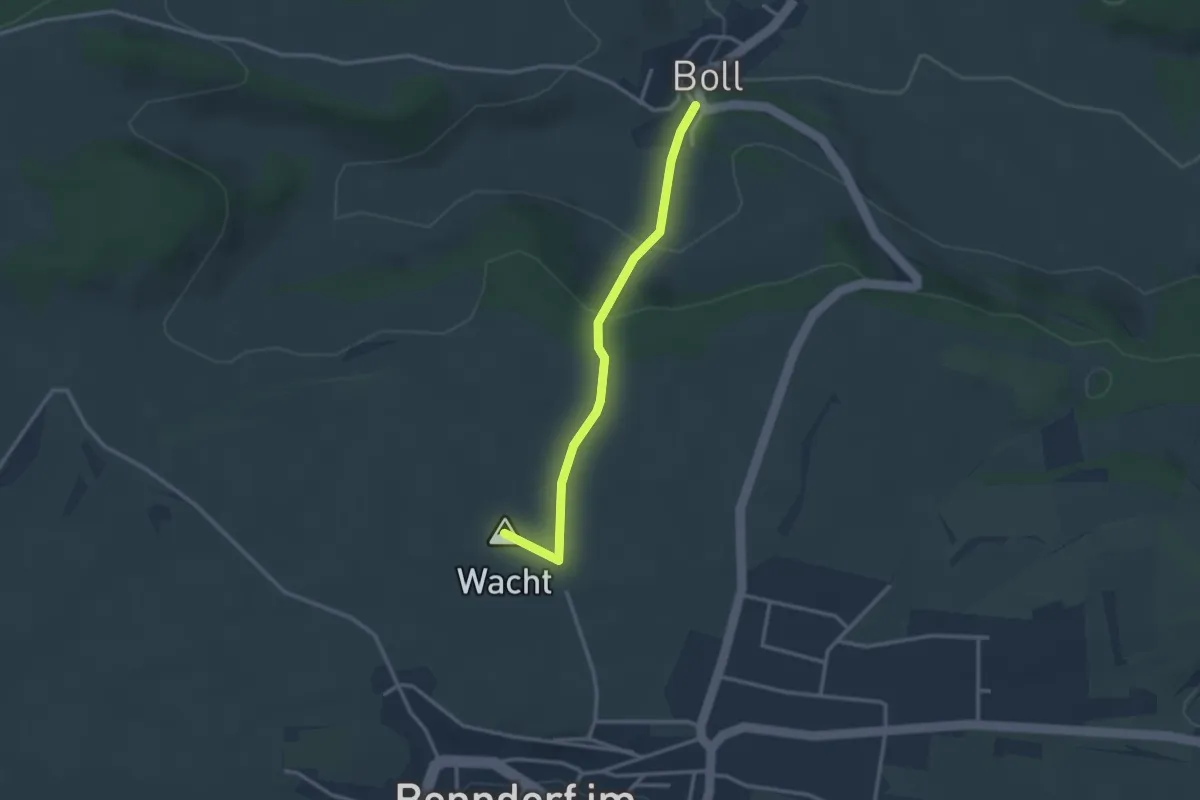
Easy · Summit
Boll Mühle - Bonndorf Philosophenweg
2.7 km · ↑ 113 m · 53 min