Trails in Germany
36,824 hiking trails, each with its route, climb, walking time and grade.
All trails, page 82 of 768
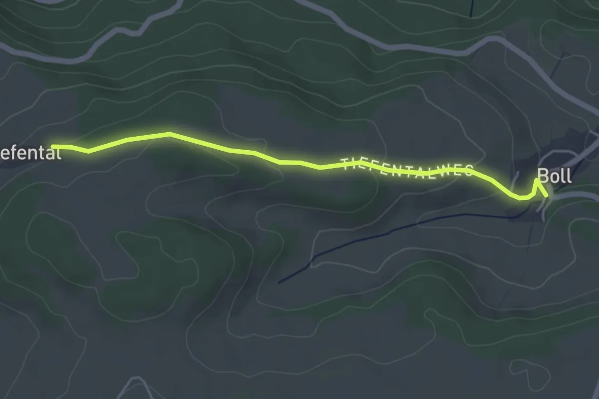
Easy · Trail
Boll Mühle - Tiefental
4.0 km · ↑ 104 m · 1 h 11 min
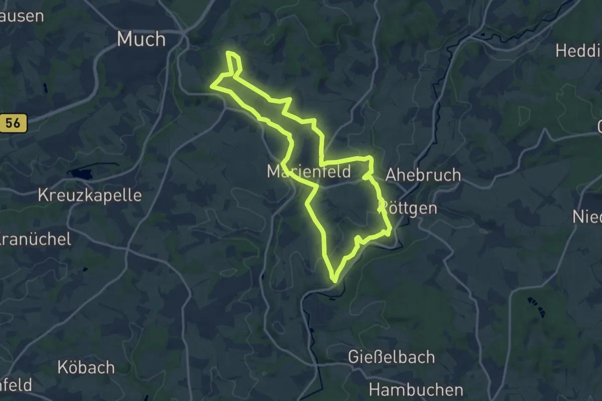
Medium · Trail
Böllweg [20]
11.9 km · ↑ 220 m · 3 h 27 min
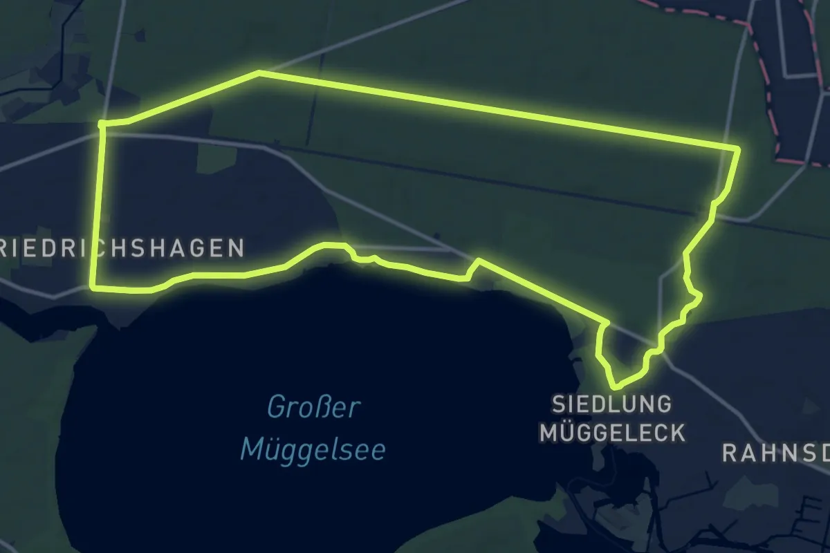
Medium · Trail
Bölsche Wanderweg
12.9 km · ↑ 27 m · 3 h 17 min
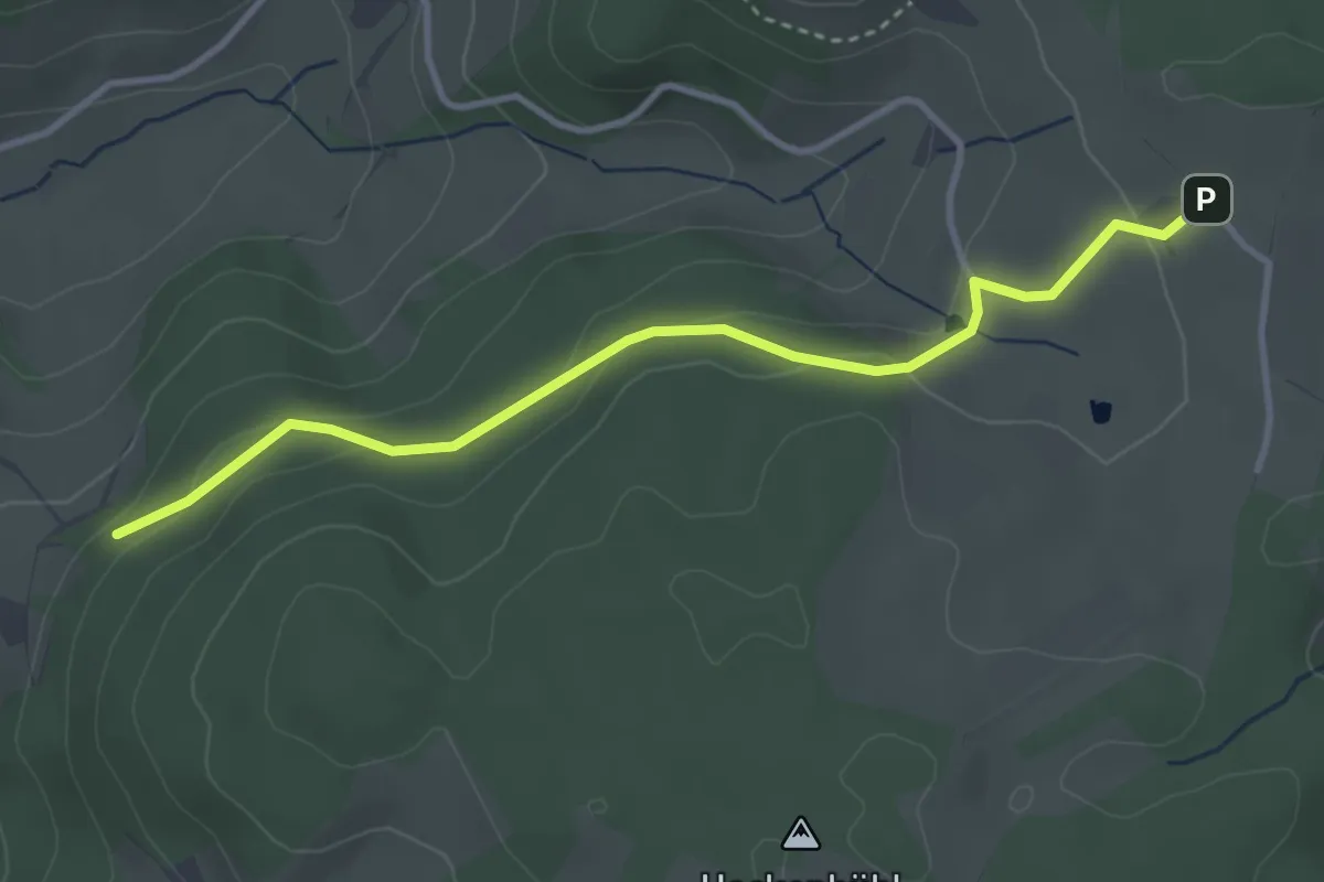
Easy · Trail
Bolzdobel - Dürrhöfe
3.5 km · ↑ 116 m · 1 h 5 min
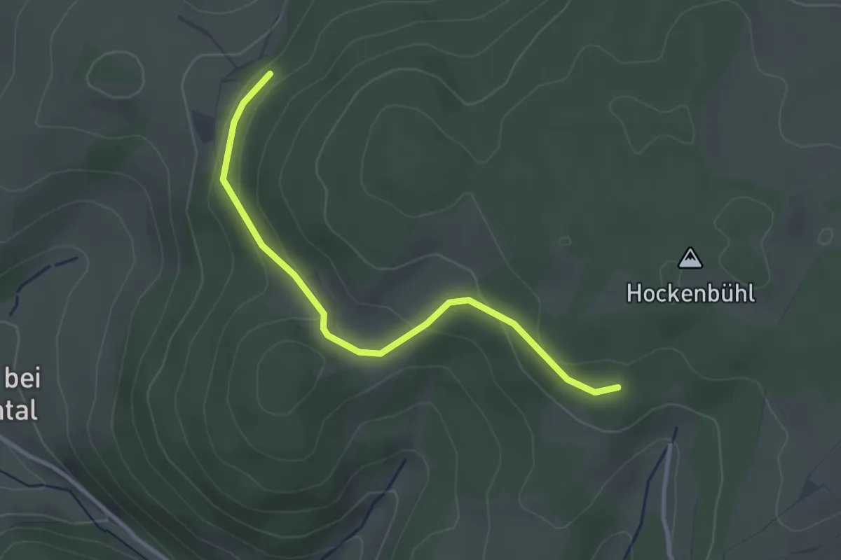
Easy · Trail
Bolzdobel - Hockenbühl
2.9 km · ↑ 97 m · 54 min
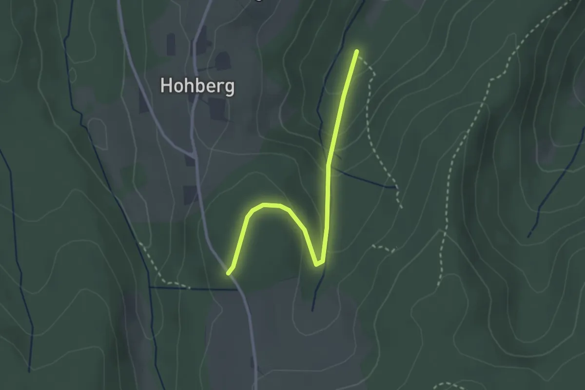
Easy · Trail
Bombach Glasbrunnenweg - Hohberg
2.6 km · ↑ 128 m · 53 min
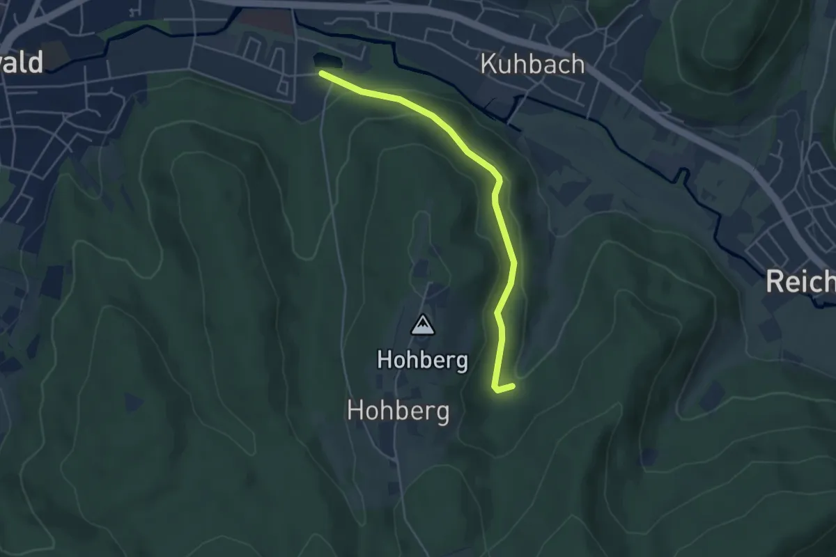
Easy · Trail
Bombach Glasbrunnenweg - Hohbergsee
4.2 km · ↑ 144 m · 1 h 18 min
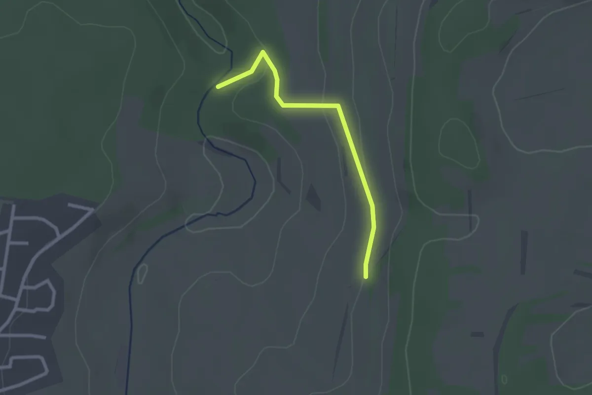
Easy · Trail
Bömbach - Täschacker
2.1 km · ↑ 54 m · 36 min
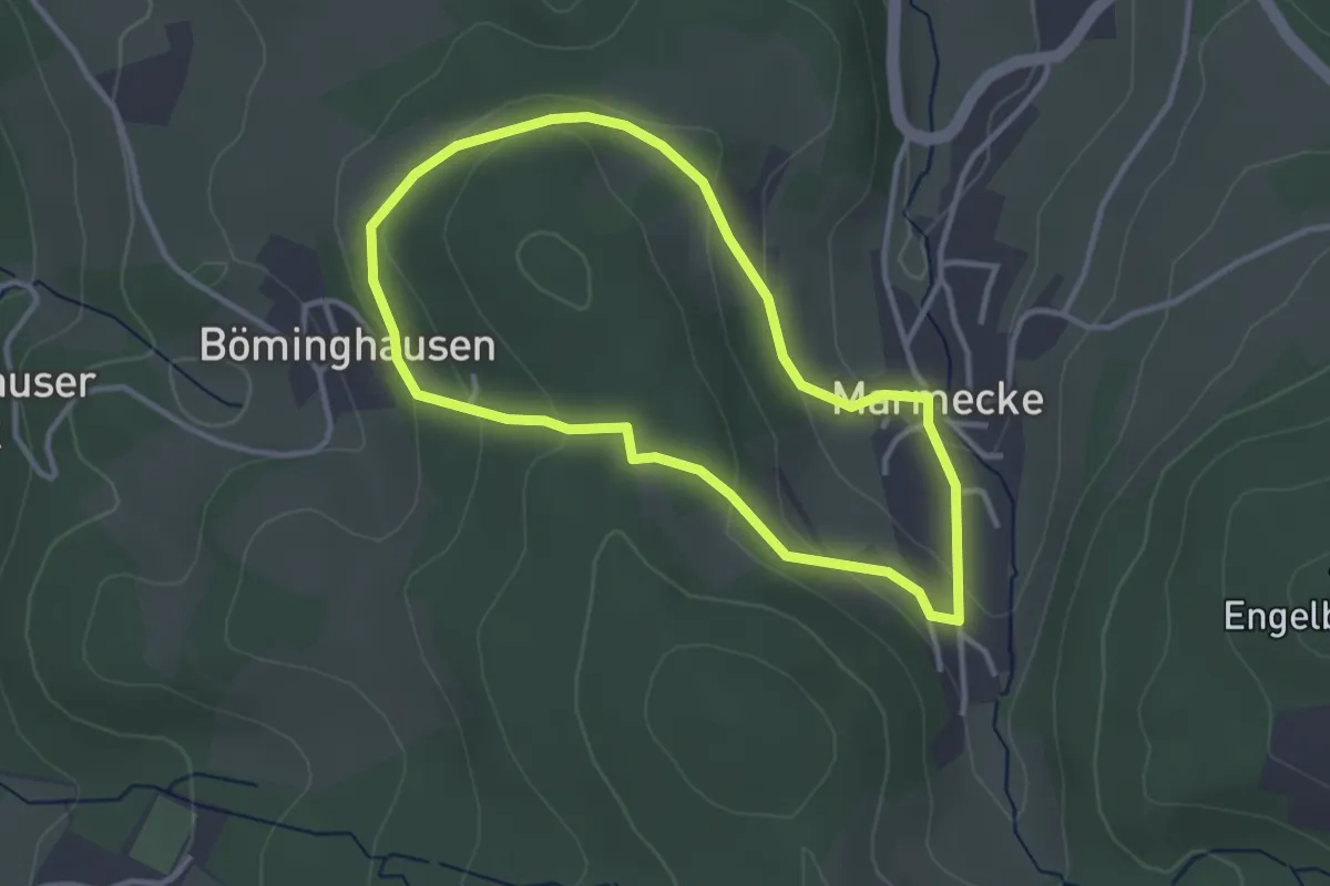
Easy · Trail
Böminghauser Rundweg A1
2.7 km · ↑ 97 m · 54 min
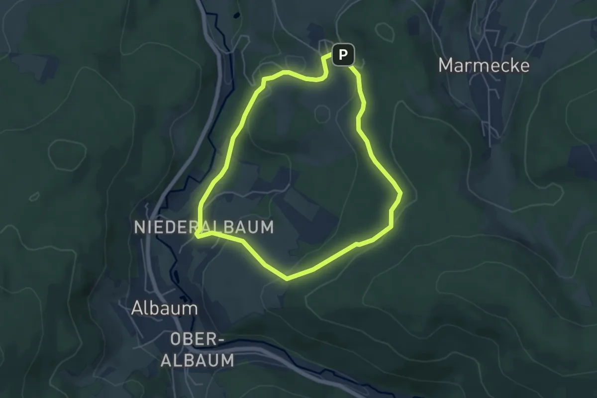
Easy · Trail
Böminghauser Rundweg A2
4.1 km · ↑ 142 m · 1 h 20 min
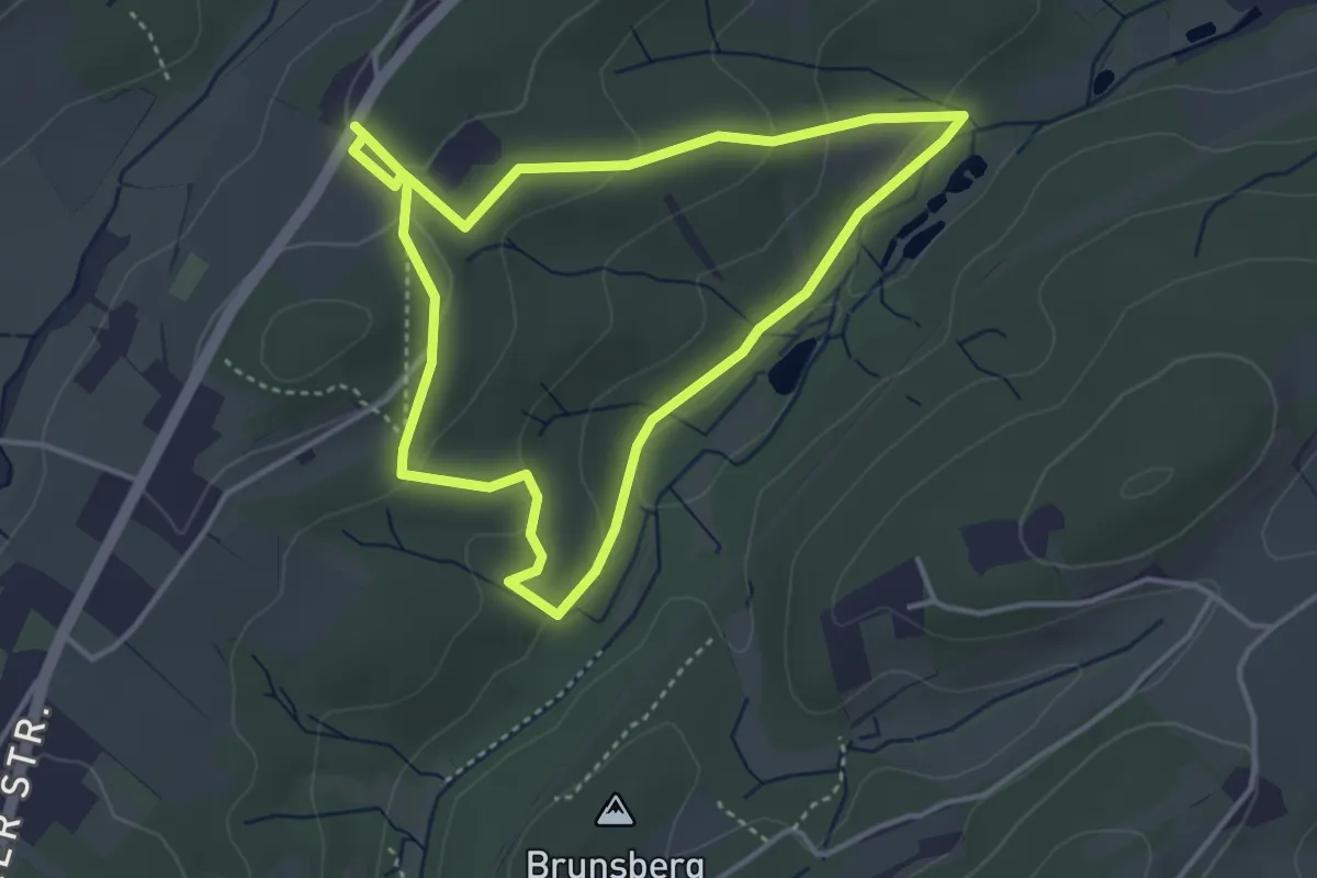
Easy · Trail
Bommerholz Rundweg B1
3.4 km · ↑ 82 m · 1 h 2 min
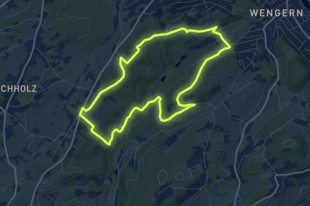
Easy · Trail
Bommerholz Rundweg B2
7.5 km · ↑ 182 m · 2 h 16 min
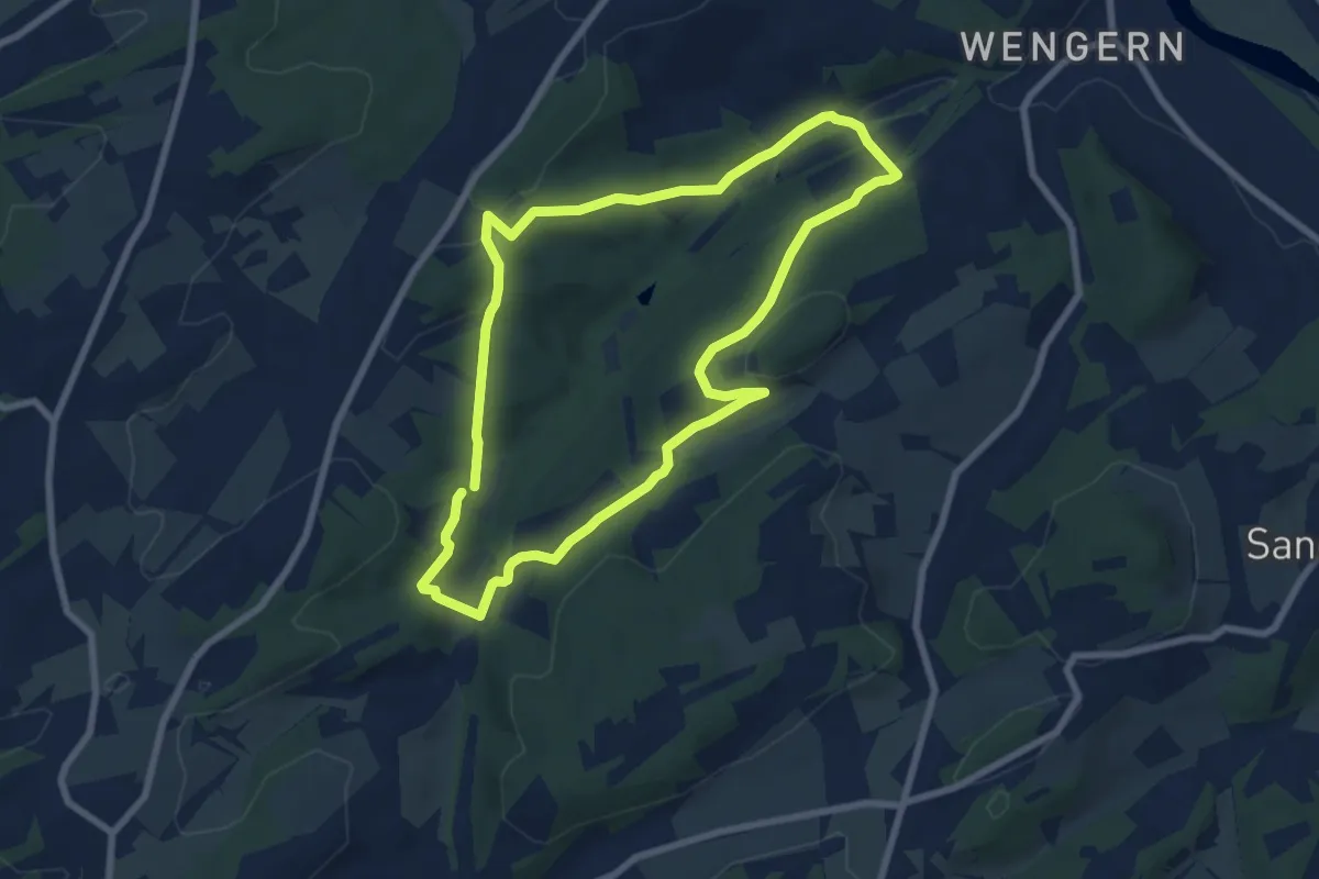
Easy · Trail
Bommerholz Rundweg B3
6.5 km · ↑ 176 m · 2 h 1 min
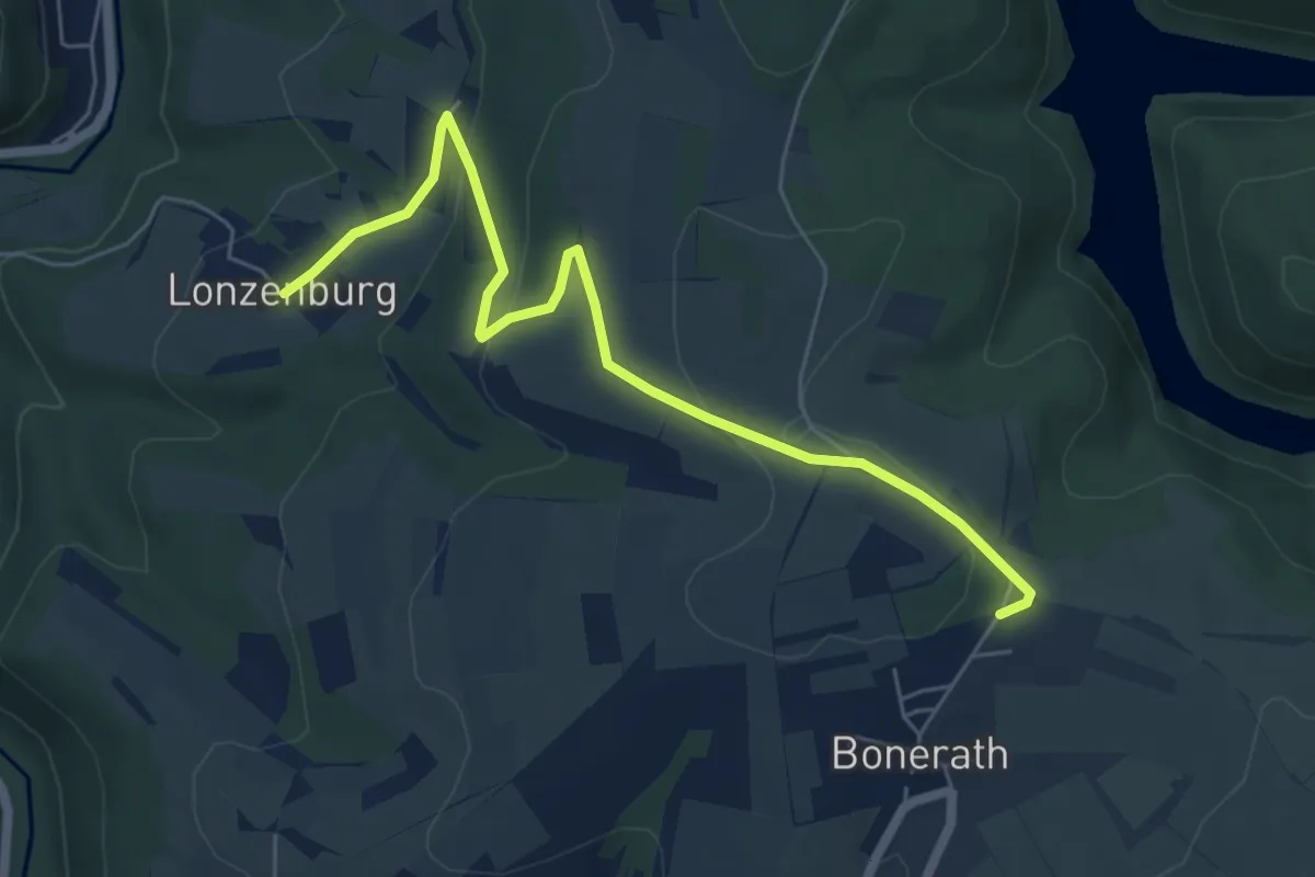
Easy · Trail
Bonerath 1
6.1 km · ↑ 151 m · 1 h 46 min
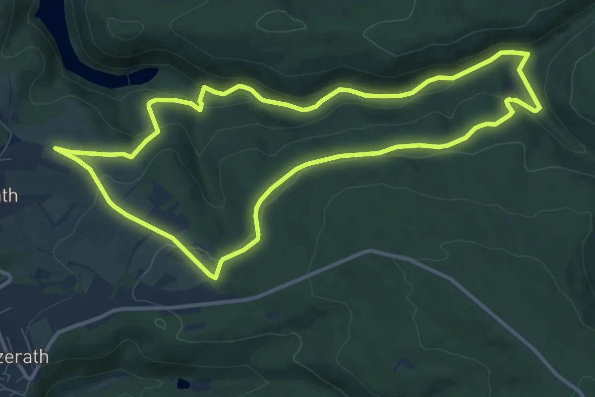
Medium · Trail
Bonerather Rundweg
8.5 km · ↑ 224 m · 2 h 36 min
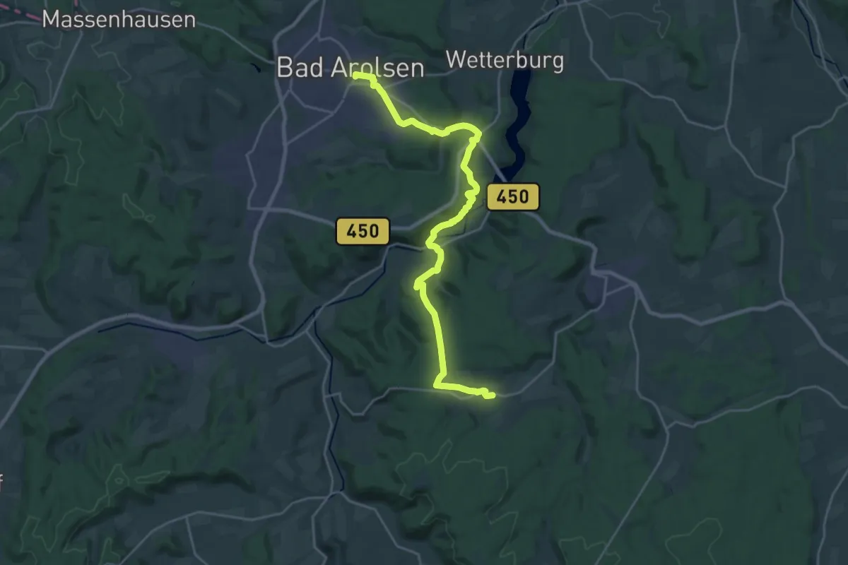
Demanding · Trail
Bonifatiuspfad Abschnitt 2, Bad Arolsen - Volkhardinghausen
21.5 km · ↑ 524 m · 6 h 13 min
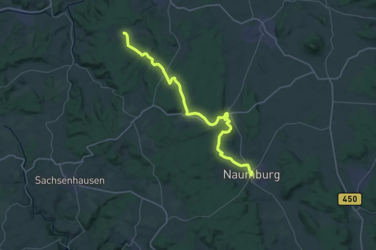
Medium · Trail
Bonifatiuspfad Abschnitt 3, Volkhardinghausen - Naumburg
17.0 km · ↑ 316 m · 4 h 57 min
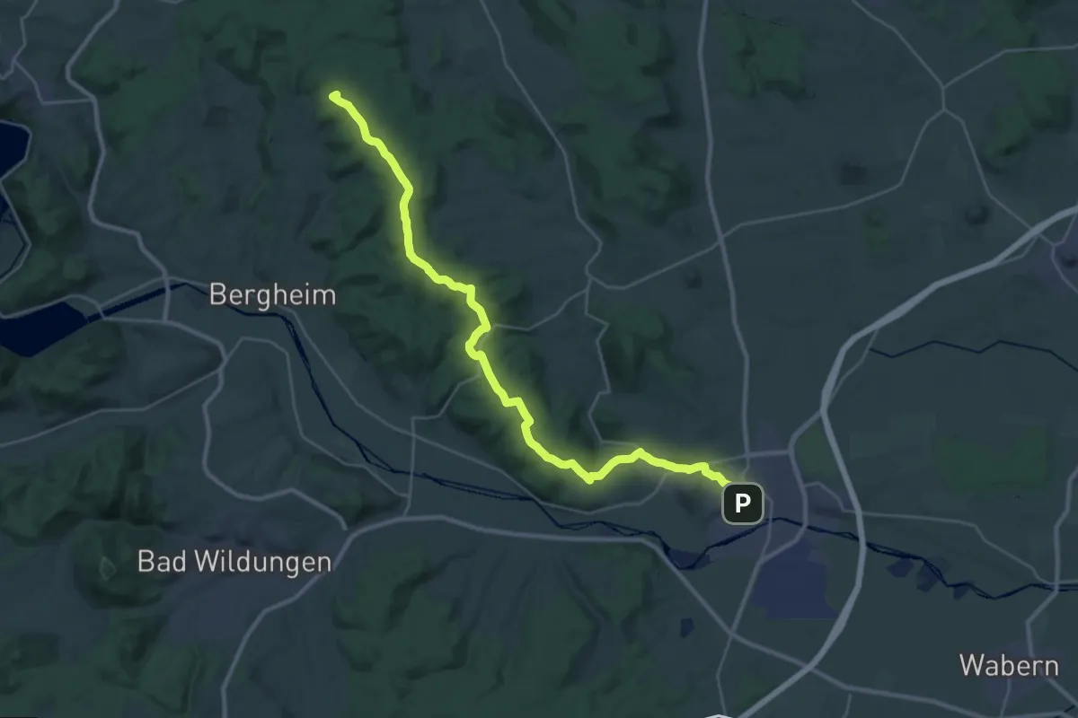
Demanding · Summit
Bonifatiuspfad Abschnitt 4, - Naumburg - Fritzlar
30.3 km · ↑ 507 m · 8 h 15 min
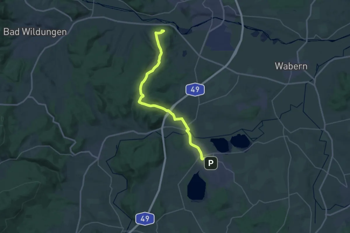
Demanding · Summit
Bonifatiuspfad Abschnitt 5, Fritzlar - Borken
25.0 km · ↑ 351 m · 6 h 39 min
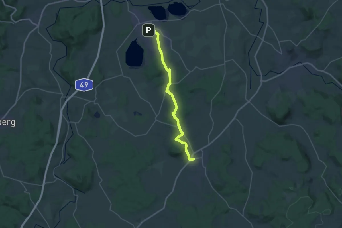
Demanding · Trail
Bonifatiuspfad Abschnitt 6, Borken - Frielendorf
21.2 km · ↑ 385 m · 5 h 50 min
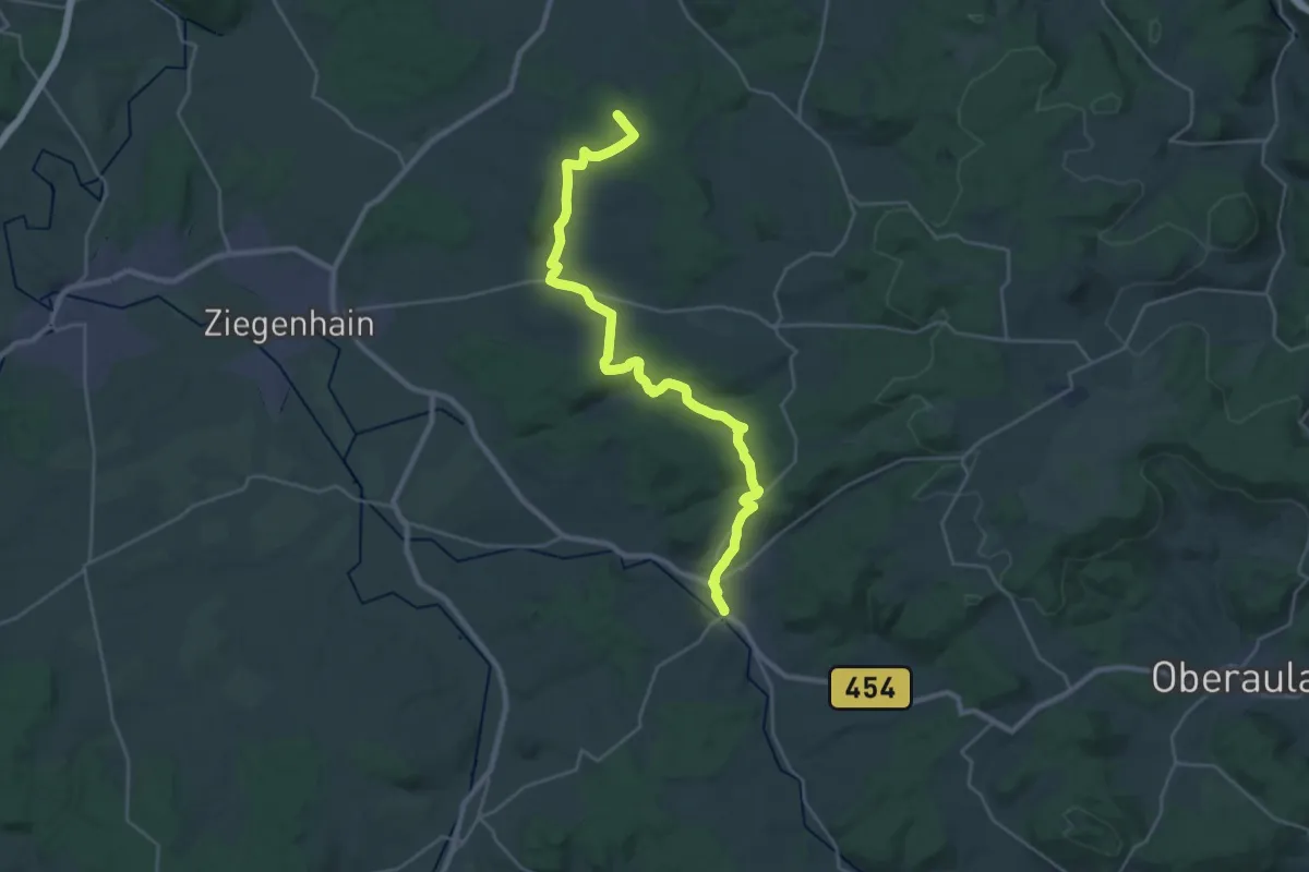
Demanding · Summit
Bonifatiuspfad Abschnitt 7, Frielendorf - Neukirchen
27.2 km · ↑ 472 m · 7 h 26 min
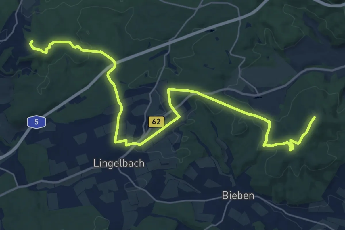
Demanding · Summit
Bonifatiuspfad Abschnitt 8, Neukirchen - Burg Herzberg
21.7 km · ↑ 376 m · 5 h 56 min
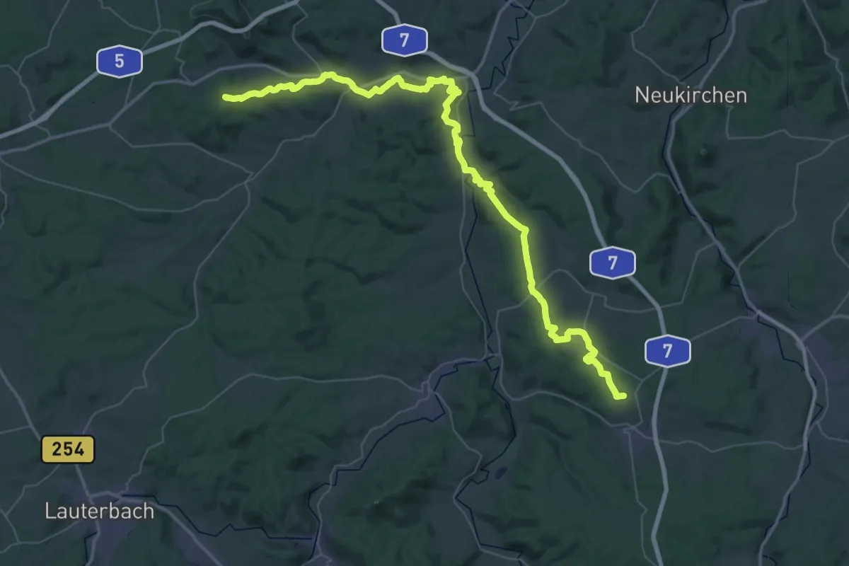
Demanding · Trail
Bonifatiuspfad Abschnitt 9
27.2 km · ↑ 451 m · 7 h 49 min
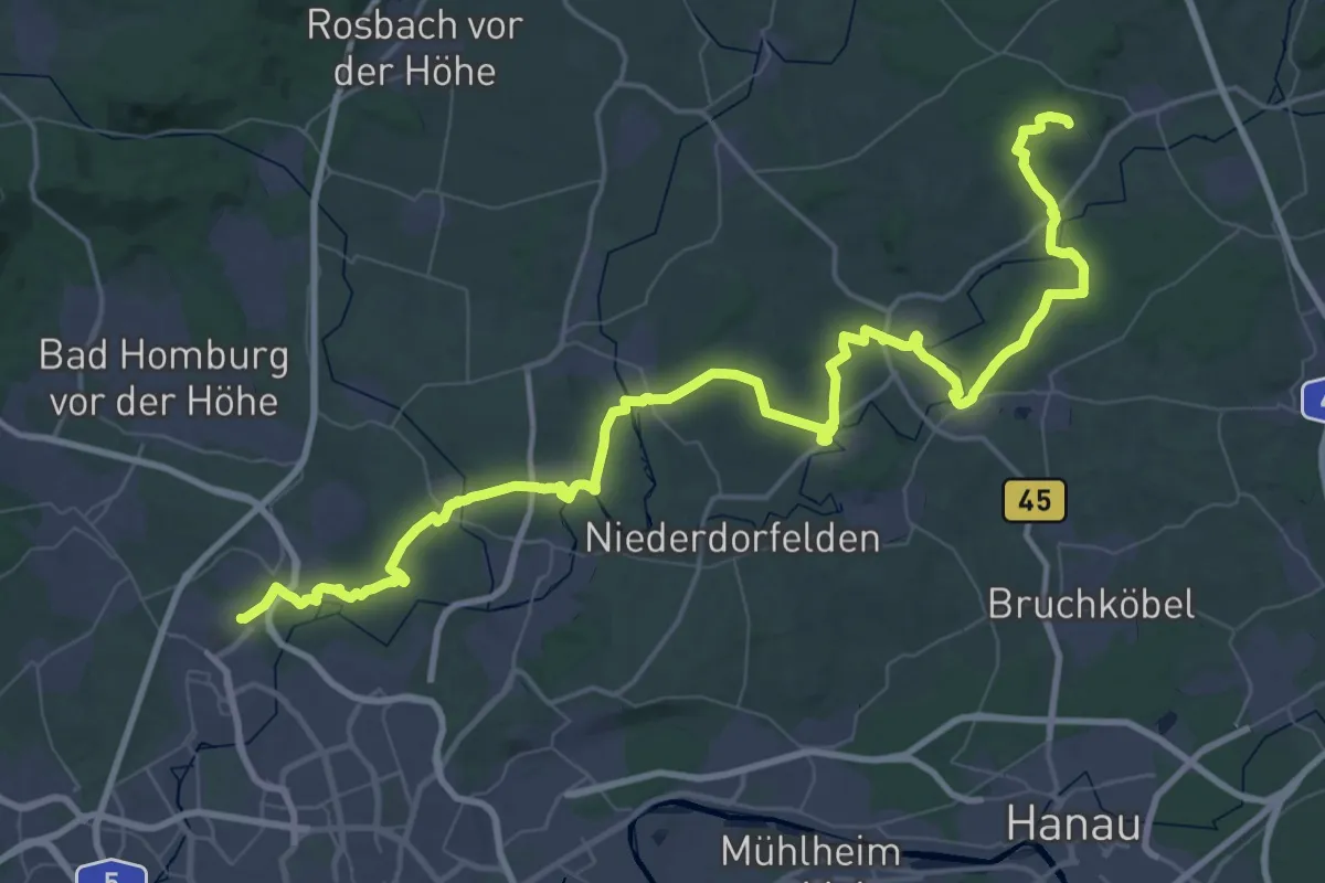
Demanding · Pilgrim path
Bonifatiusroute Teilstück (Ffm-Kalbach - Altenstadt)
38.8 km · ↑ 381 m · 10 h 31 min
Medium · Summit
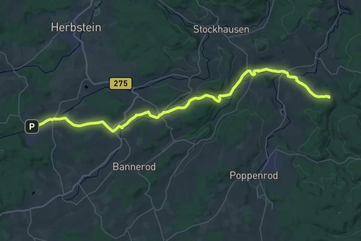
Bonifatiusroute Teilstück (Ilbeshausen-Hochwaldhausen - Fulda)
17.7 km · ↑ 189 m · 4 h 54 min
Easy · Pilgrim path
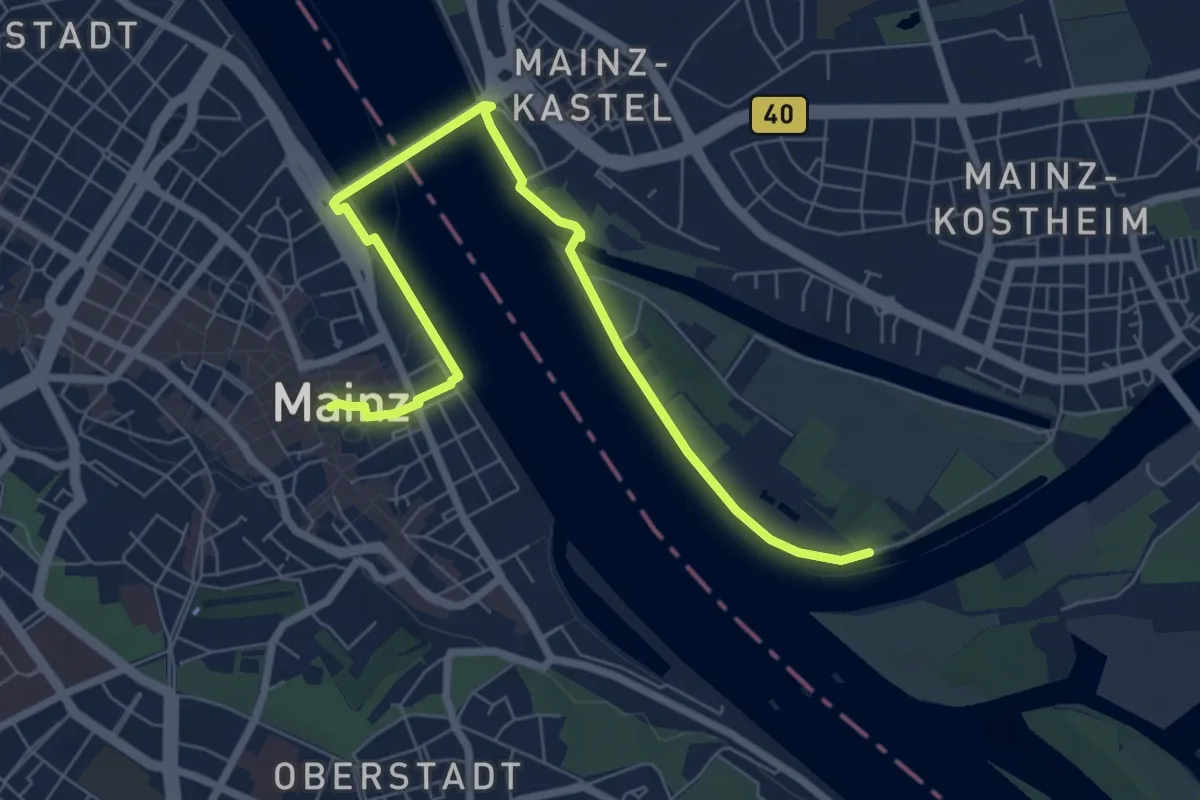
Bonifatiusroute Teilstück (Mainz - Ffm-Kalbach)
3.8 km · ↑ 0 m · 57 min
Easy · Trail
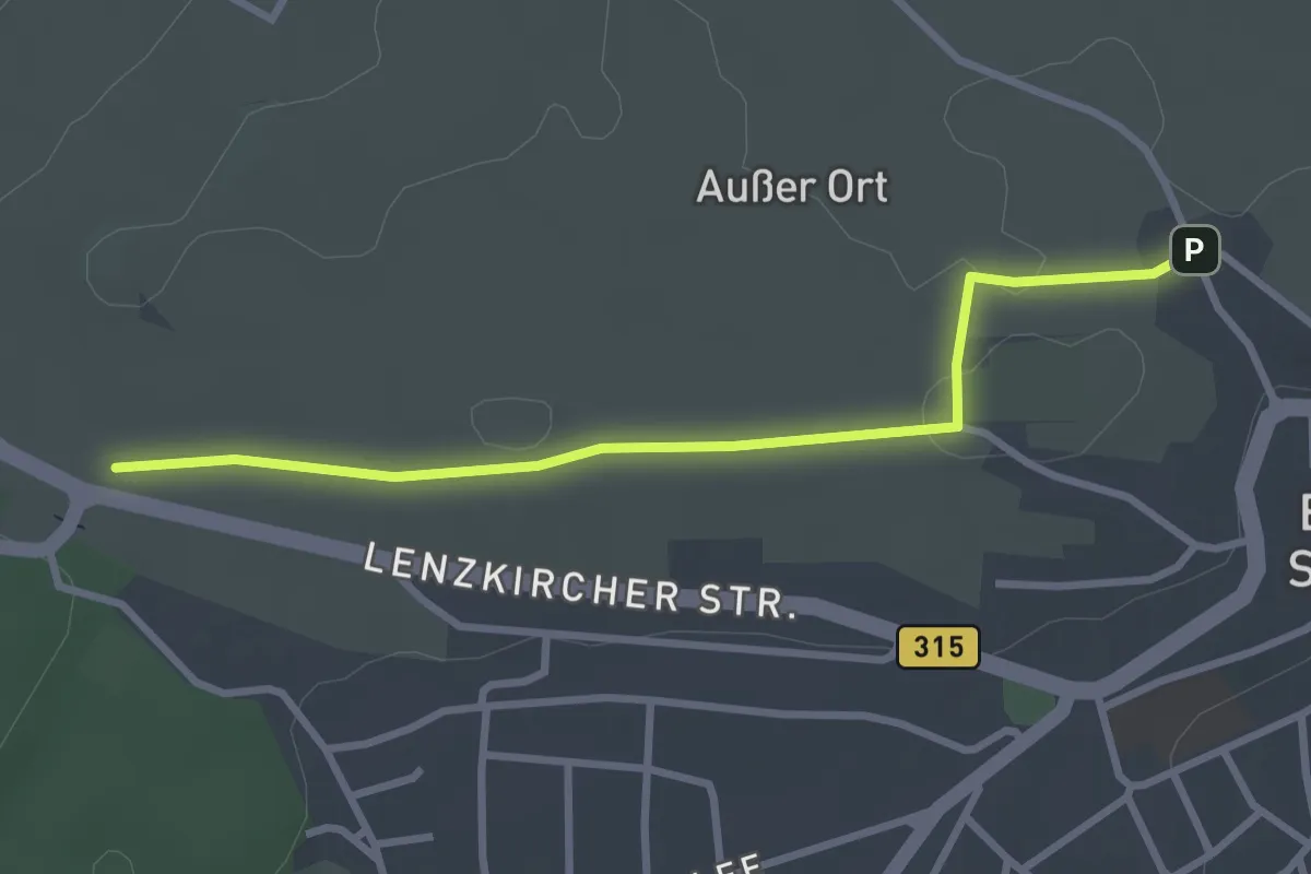
Bonndorf Bergstraße - Schleierweg
2.9 km · ↑ 4 m · 42 min
Medium · Trail
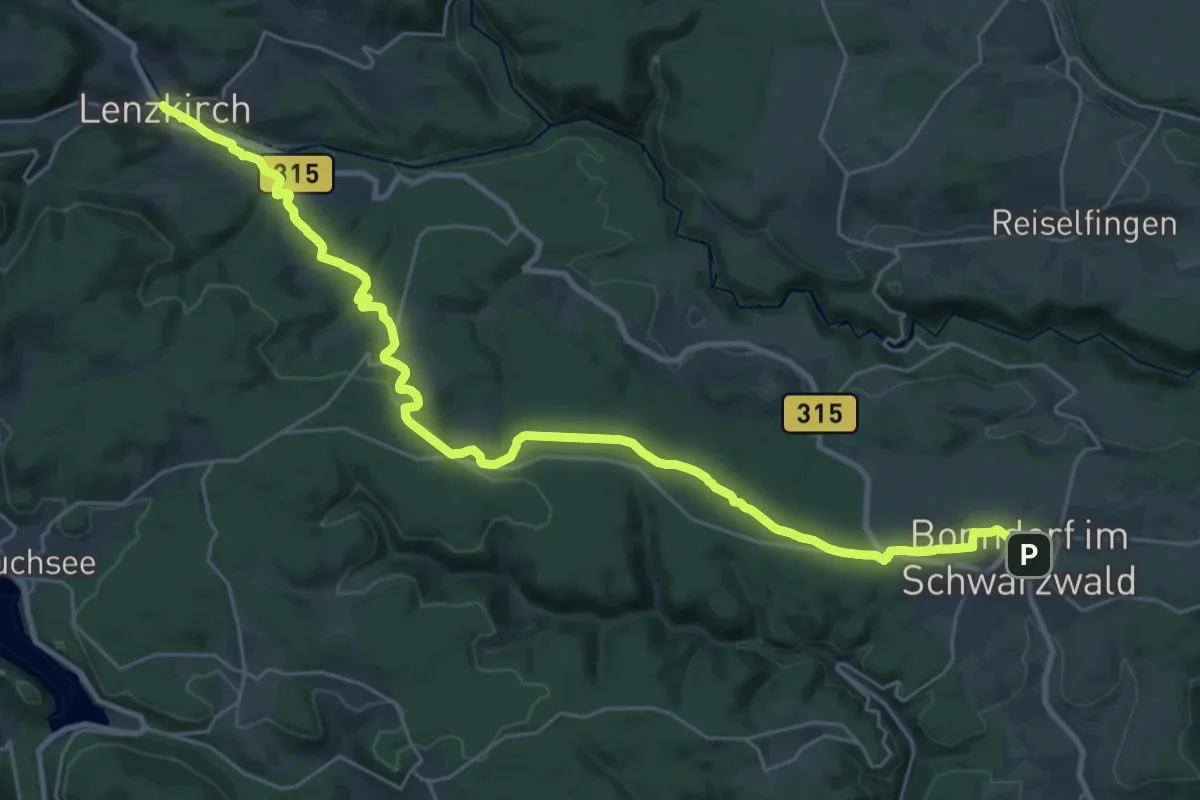
Bonndorf - Lenzkirch
15.4 km · ↑ 255 m · 4 h 26 min
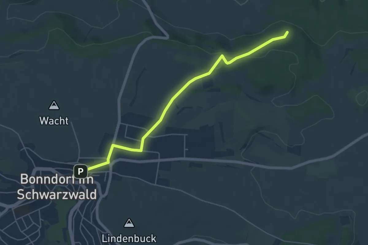
Easy · Trail
Bonndorf Lindenstraße - Kirchenwald
5.0 km · ↑ 104 m · 1 h 25 min
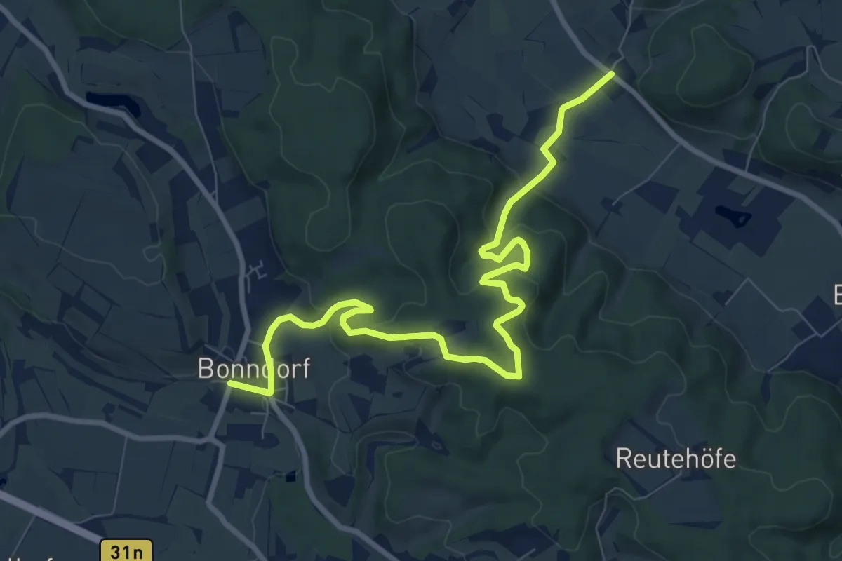
Medium · Trail
Bonndorf - Seelfingen
9.7 km · ↑ 363 m · 3 h 4 min
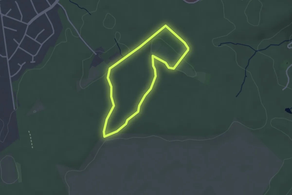
Easy · Trail
Bonner Weg der Artenvielfalt
2.4 km · ↑ 24 m · 38 min
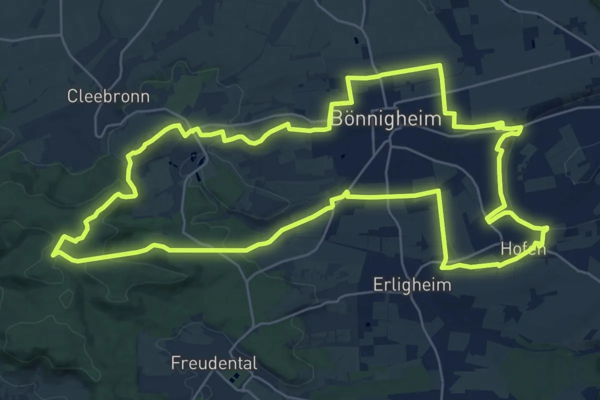
Demanding · Summit
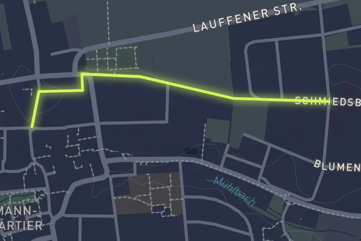
Bönnigheimer Rundwanderweg Hauptroute
22.4 km · ↑ 375 m · 6 h 25 min
Easy · Trail
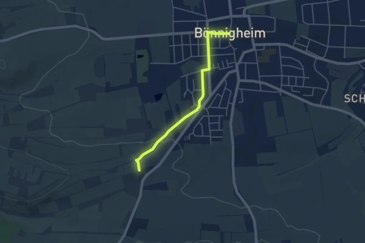
Bönnigheimer Rundwanderweg Zugangsweg Ost
2.0 km · ↑ 0 m · 29 min
Easy · Trail
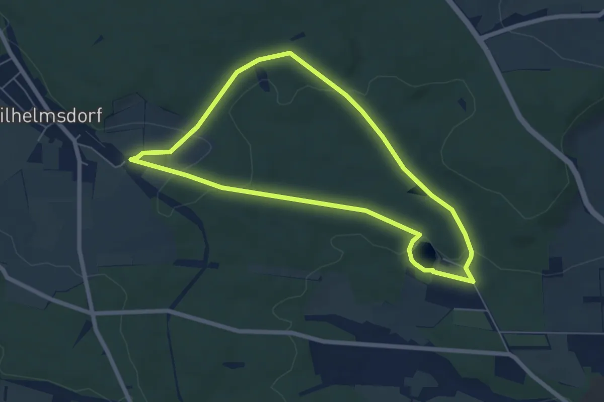
Bönnigheimer Rundwanderweg Zugangsweg Süd
3.4 km · ↑ 43 m · 54 min
Easy · Trail
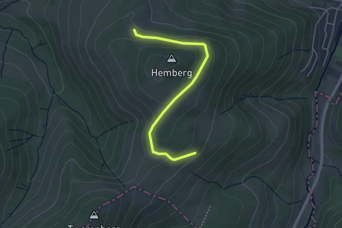
Bonseweg
5.1 km · ↑ 88 m · 1 h 27 min
Easy · Summit
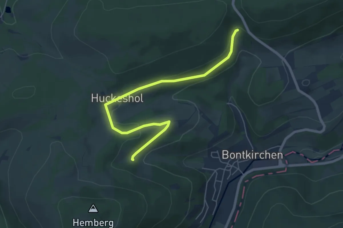
Bontkirchen BK3
1.7 km · ↑ 61 m · 33 min
Easy · Trail
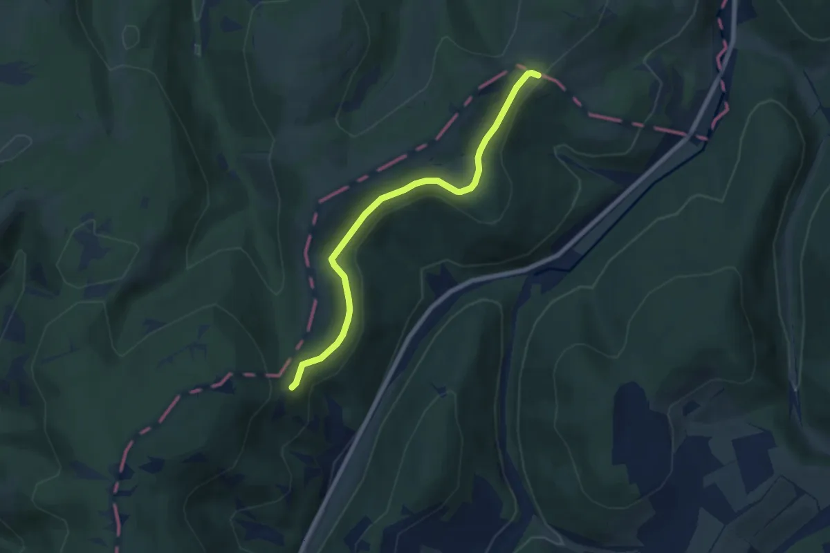
Bontkirchen BK4
2.6 km · ↑ 62 m · 46 min
Easy · Trail
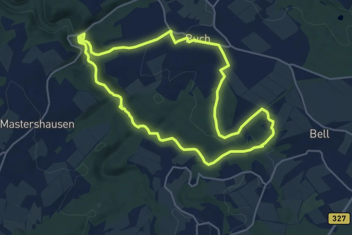
Bontkirchen BK5
5.6 km · ↑ 94 m · 1 h 32 min
Demanding · Trail
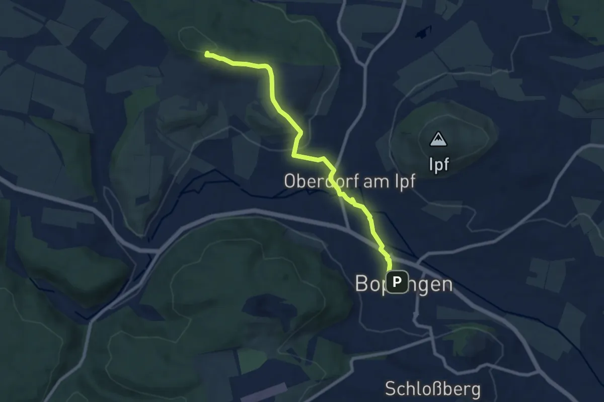
Boocha Schlosstour
10.3 km · ↑ 269 m · 3 h 9 min
Easy · Trail
Bopfingen - Oberdorf
7.1 km · ↑ 132 m · 1 h 57 min
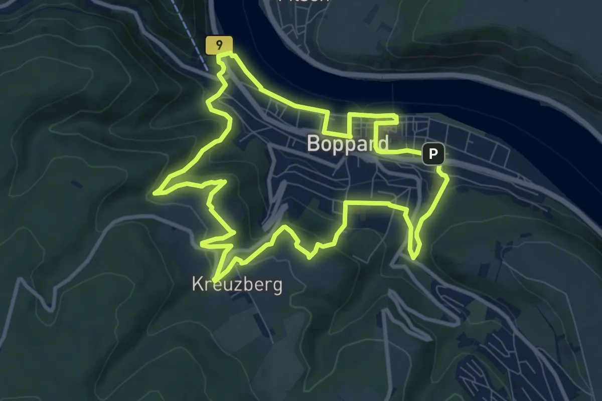
Medium · Summit
Bopparder Ansichten
8.2 km · ↑ 300 m · 2 h 42 min
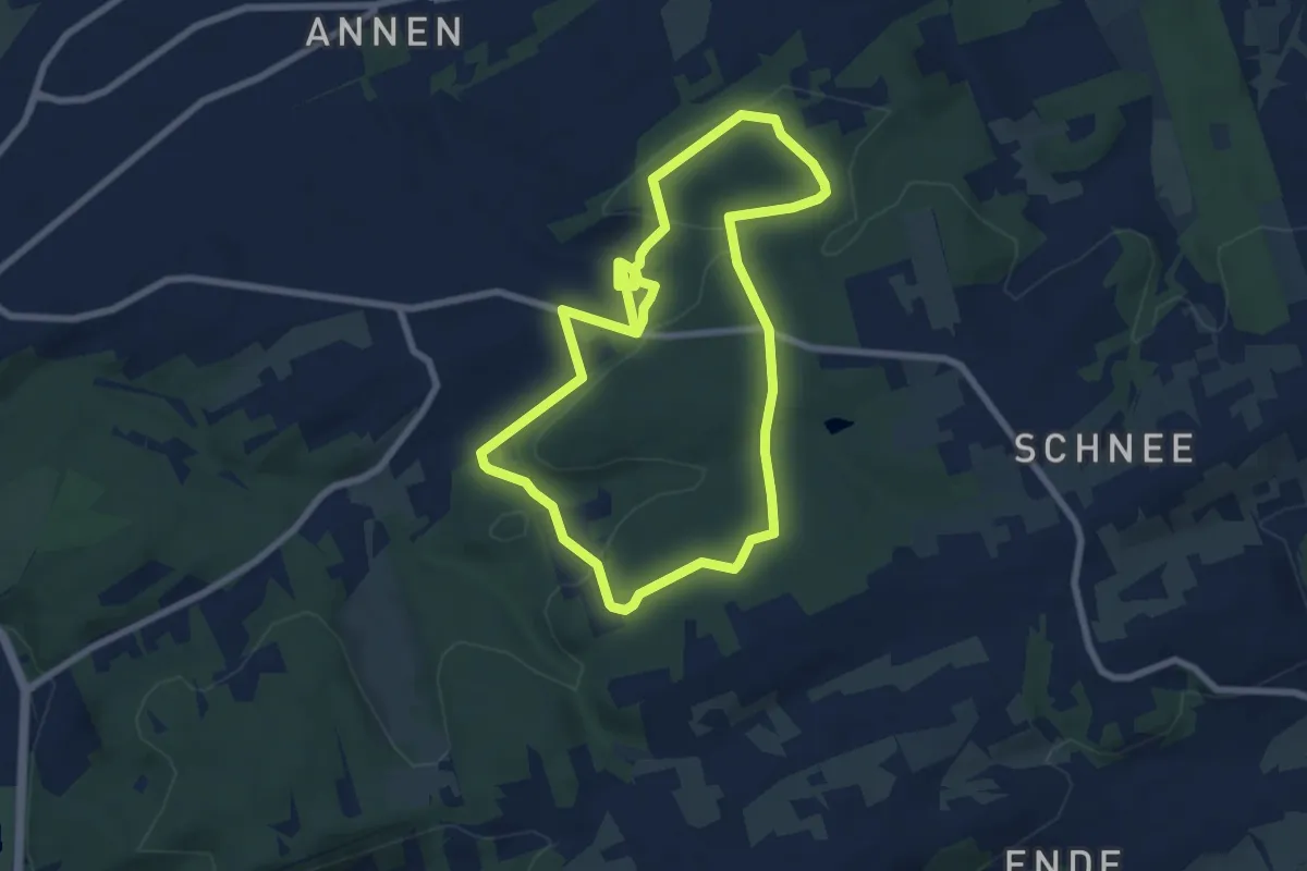
Easy · Trail
Borbachtal Rundweg A1
6.7 km · ↑ 131 m · 1 h 58 min
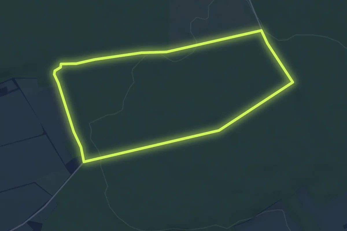
Easy · Trail
Borchen Rundweg A2
4.1 km · ↑ 41 m · 1 h 8 min
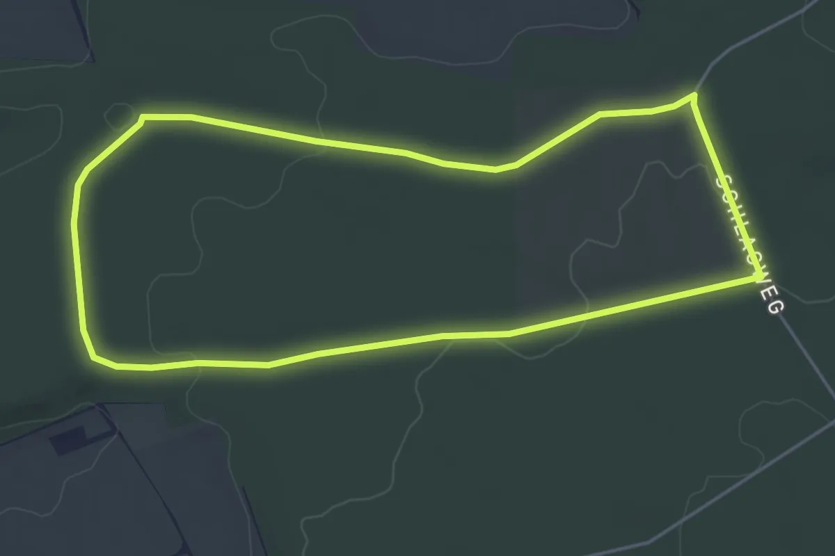
Easy · Trail
Borchen Rundweg A3
4.5 km · ↑ 43 m · 1 h 13 min
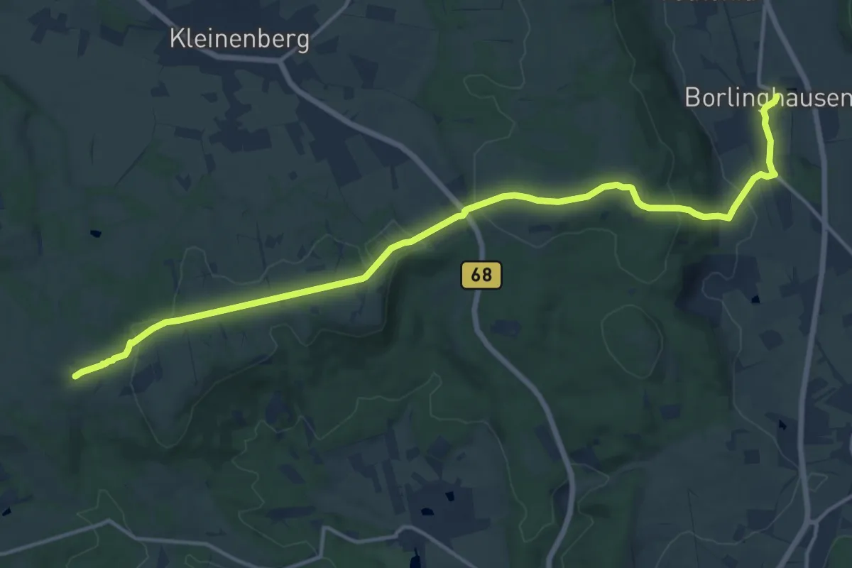
Medium · Trail
Bördenweg
14.4 km · ↑ 320 m · 4 h 5 min
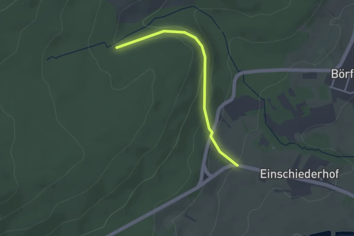
Easy · Trail
Börfink 2
2.4 km · ↑ 86 m · 45 min
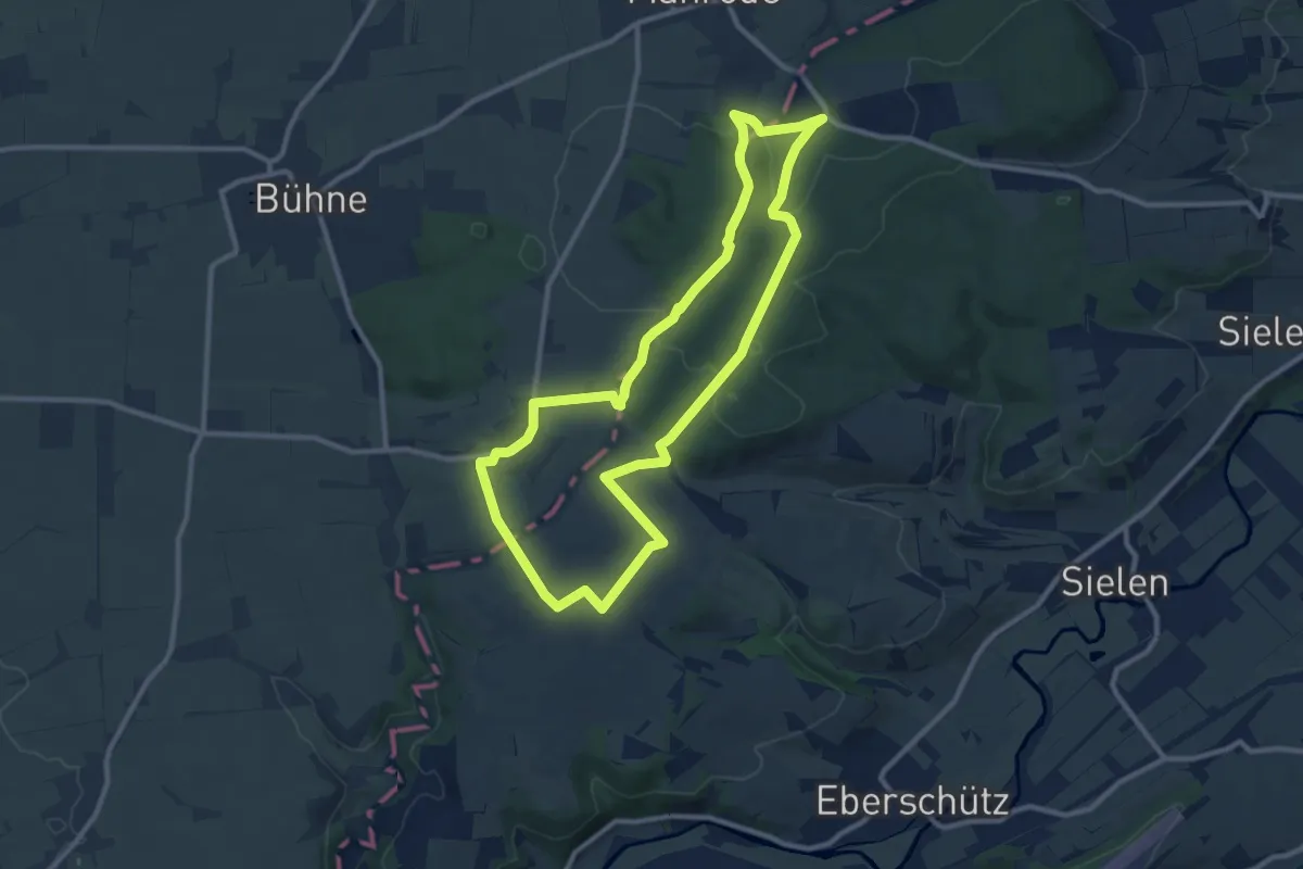
Medium · Trail
Borgentreich-Rundweg 5
9.3 km · ↑ 136 m · 2 h 37 min
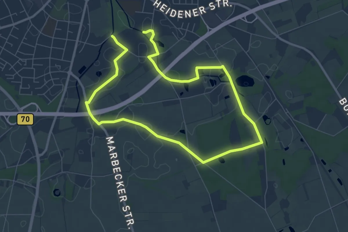
Medium · Trail
Borken Rundweg A1
11.2 km · ↑ 36 m · 2 h 43 min