Trails in Germany
36,824 hiking trails, each with its route, climb, walking time and grade.
All trails, page 83 of 768
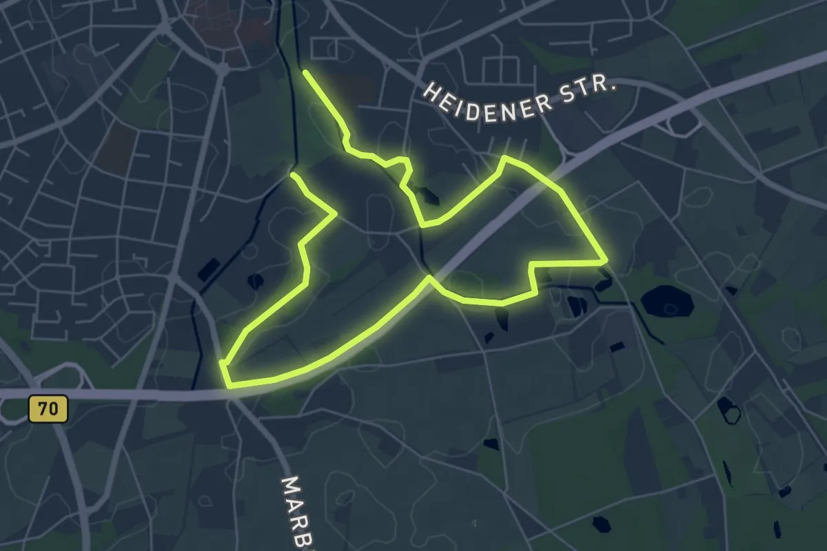
Medium · Trail
Borken Rundweg A2
9.2 km · ↑ 17 m · 2 h 12 min
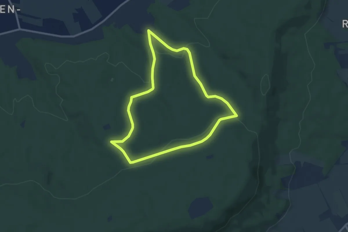
Easy · Trail
Bornau-Rundweg
6.2 km · ↑ 147 m · 1 h 52 min
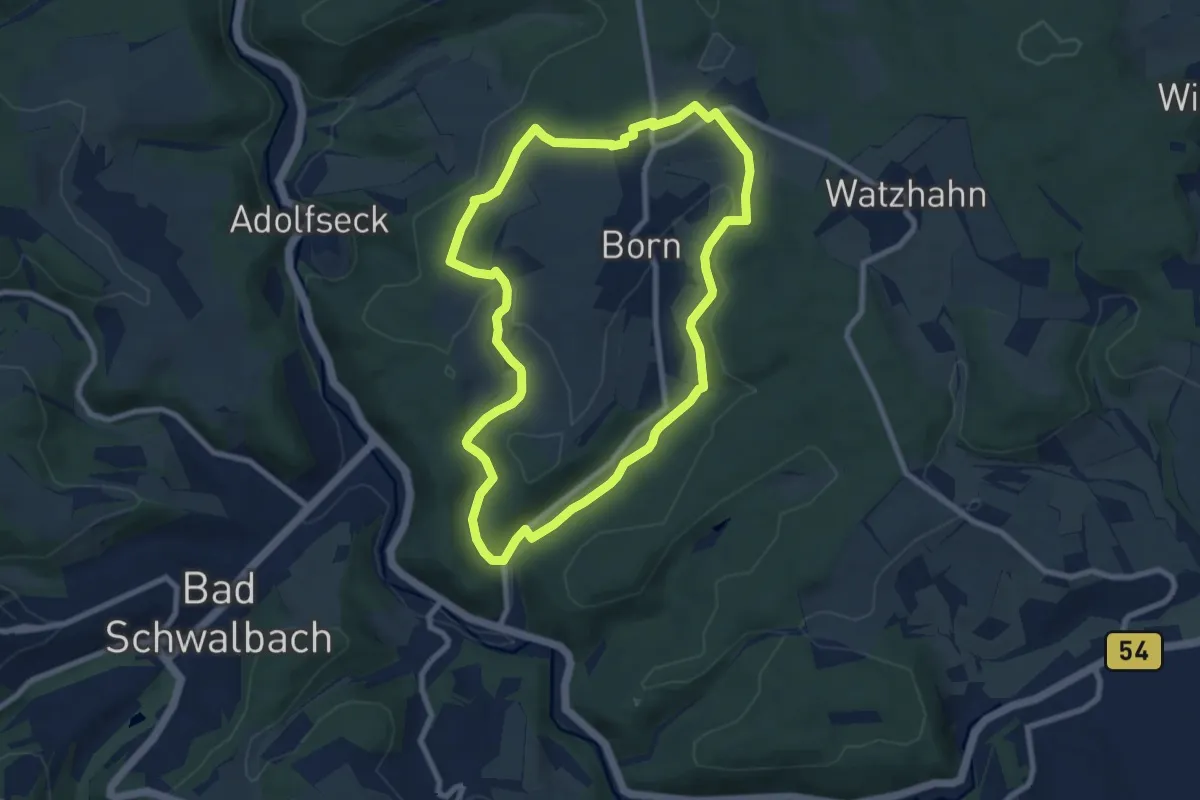
Easy · Trail
Borner Runde
7.5 km · ↑ 115 m · 2 h 8 min
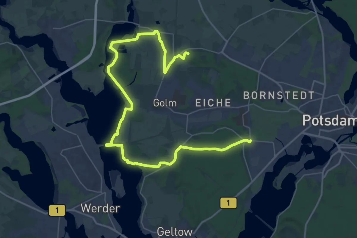
Demanding · Summit
Bornim - Bf. Park Sanssouci über Grube
32.9 km · ↑ 95 m · 7 h 59 min
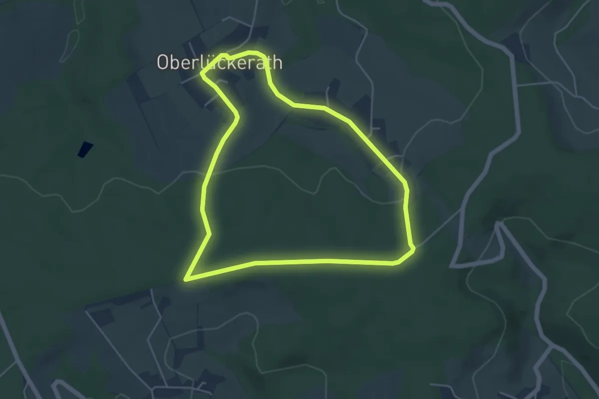
Easy · Trail
Bornscheid Rundweg A1
4.0 km · ↑ 46 m · 1 h 6 min
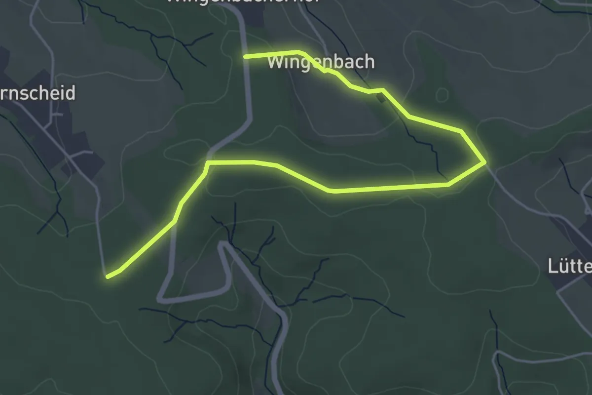
Easy · Trail
Bornscheid Rundweg A2
2.6 km · ↑ 21 m · 43 min
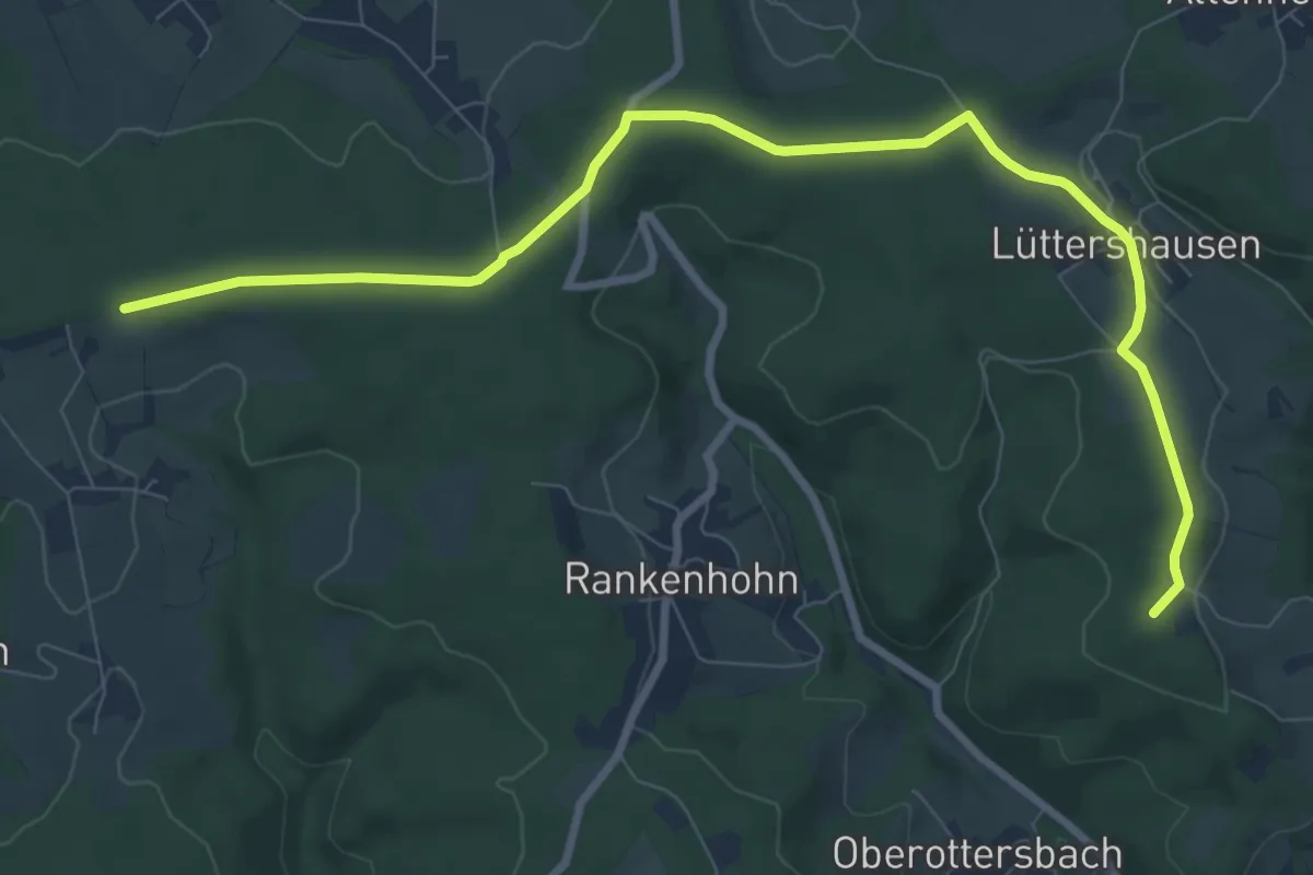
Medium · Summit
Bornscheid Rundweg A3
9.2 km · ↑ 70 m · 2 h 19 min
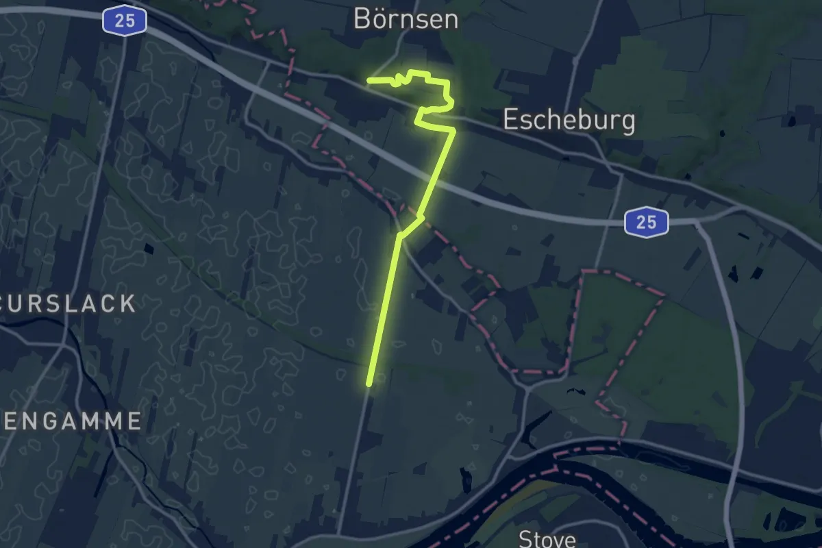
Medium · Trail
Börnsen - Altengamme (BÖ-AG)
10.2 km · ↑ 73 m · 2 h 34 min
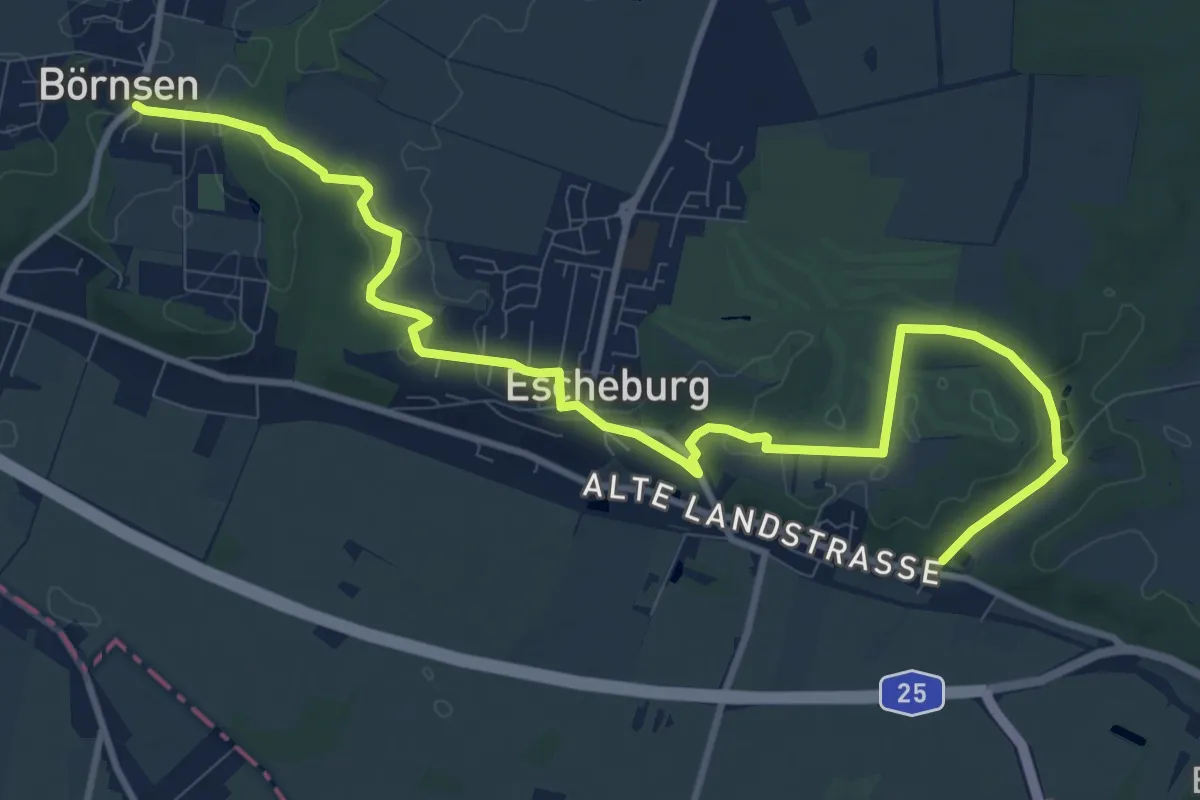
Medium · Trail
Börnsen - Escheburg(BÖ-ES)
11.4 km · ↑ 112 m · 2 h 55 min
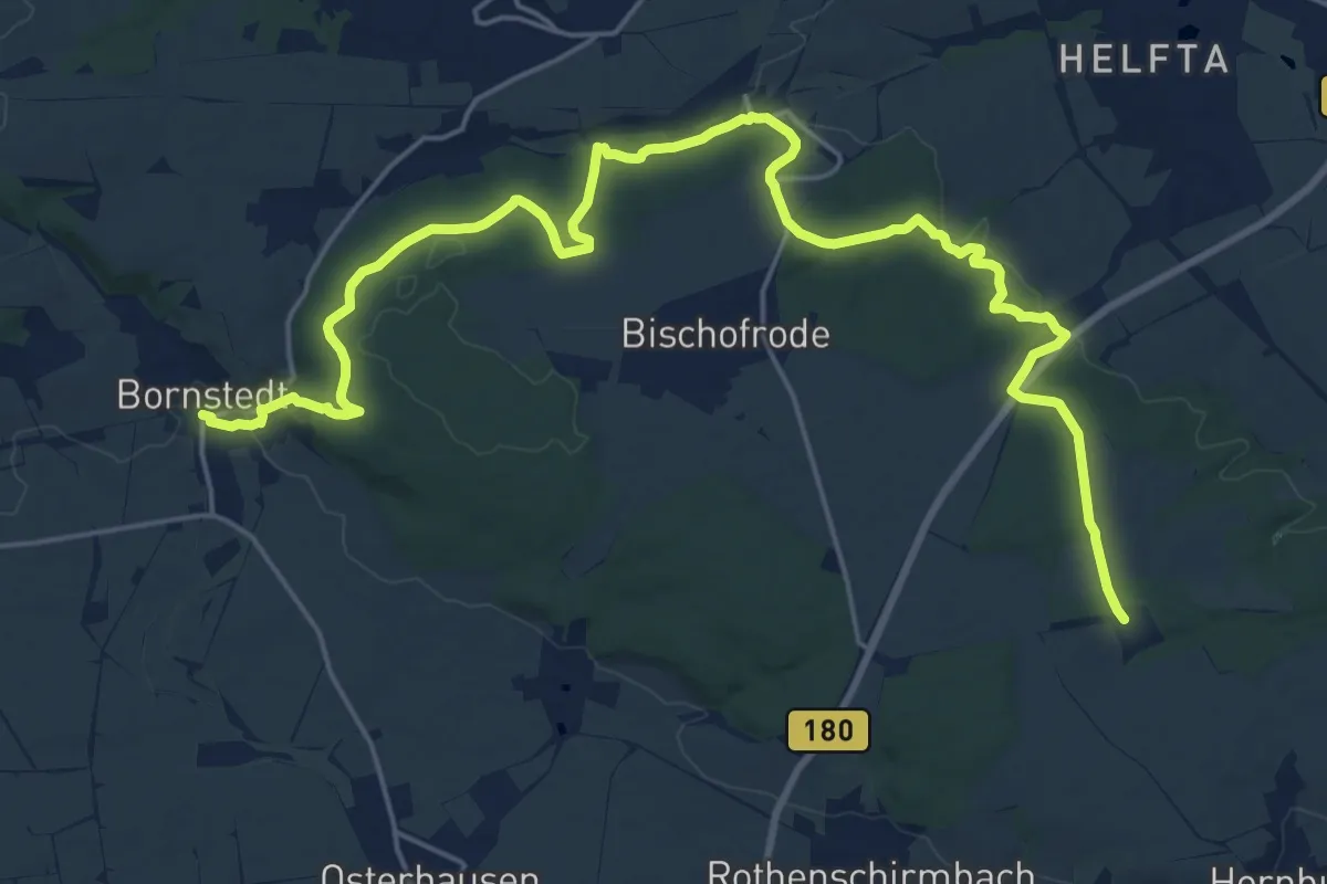
Demanding · Trail
Bornstedt-Neckendorf-Holzzelle
24.4 km · ↑ 479 m · 6 h 48 min
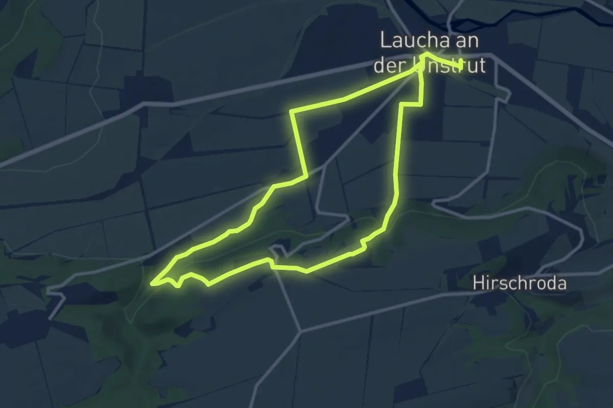
Medium · Trail
Borntal Rundweg
16.1 km · ↑ 281 m · 4 h 24 min
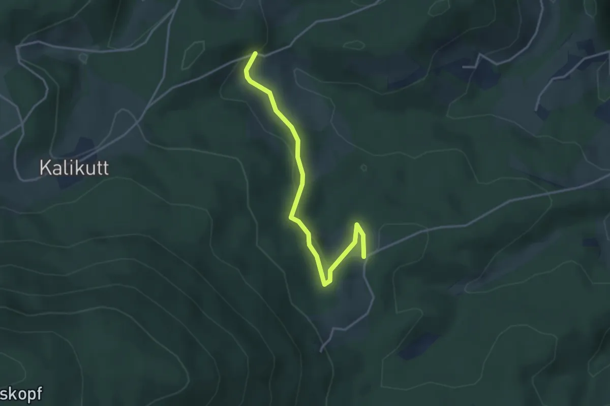
Easy · Trail
Börsgritt - Holiswald
3.1 km · ↑ 146 m · 1 h 4 min
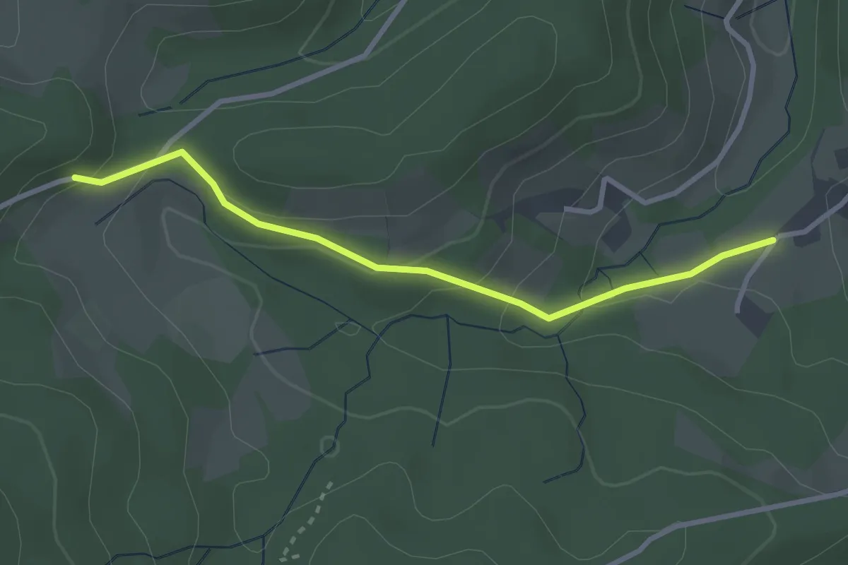
Easy · Trail
Börsgritt - Lehwaldbrunnen
2.7 km · ↑ 128 m · 55 min
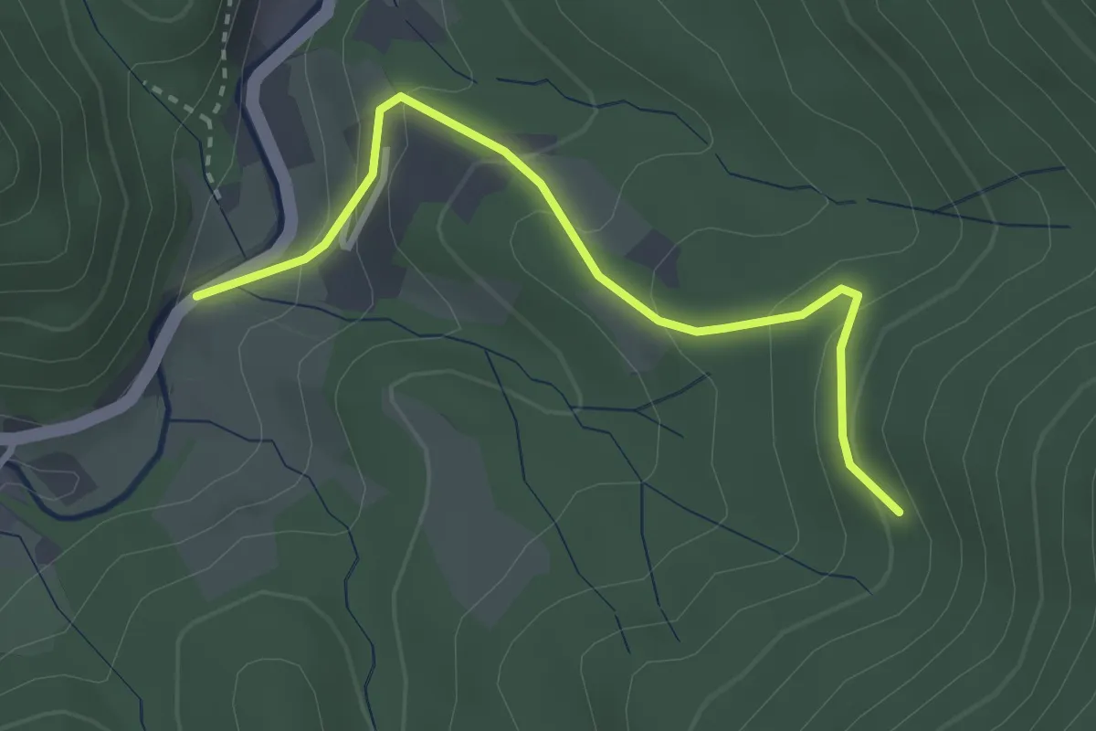
Easy · Trail
Börsighof - Küchele
2.9 km · ↑ 178 m · 1 h 5 min
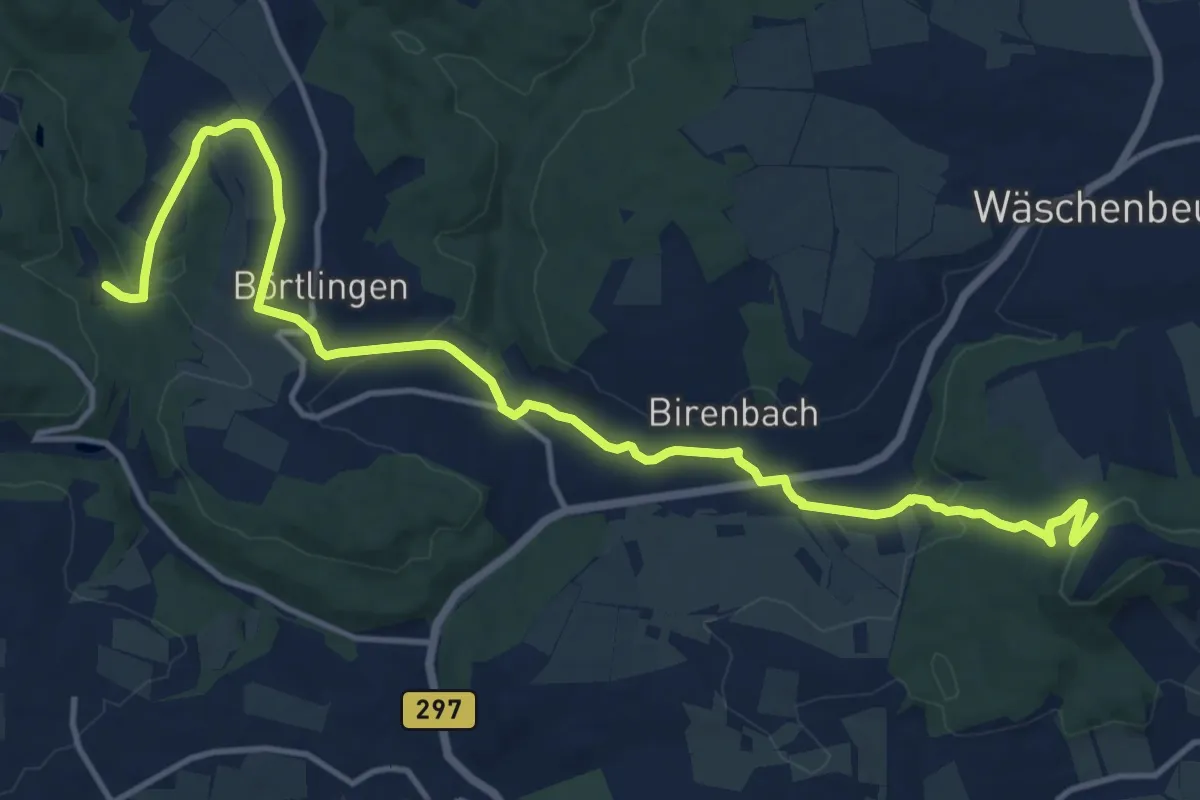
Medium · Trail
Börtlinger Sägmühle - Birenbach - Gehren
15.5 km · ↑ 415 m · 4 h 34 min
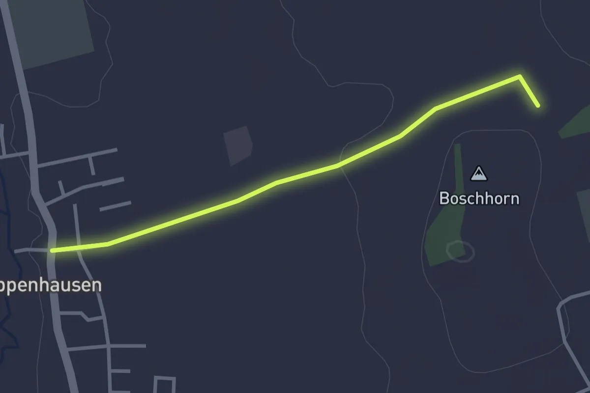
Easy · Trail
Boschhornrunde
2.8 km · ↑ 28 m · 43 min
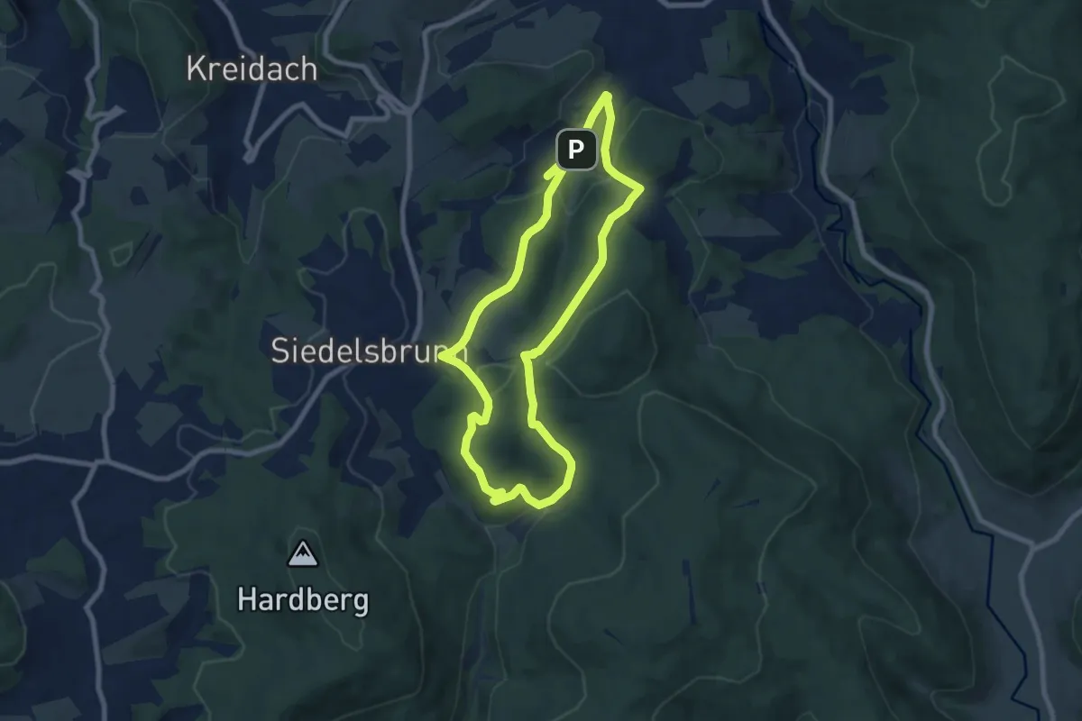
Easy · Trail
Boschwaldweg
6.9 km · ↑ 252 m · 2 h 16 min
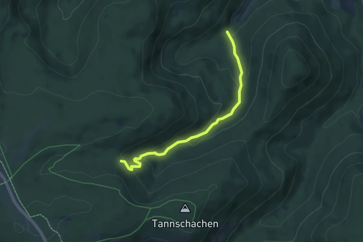
Easy · Trail
Bösellbachbrückle - Sauerbrunnenwegle
4.7 km · ↑ 225 m · 1 h 36 min
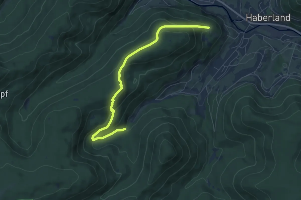
Medium · Trail
Bösellbachbrückle - Schramberger Grube
7.4 km · ↑ 363 m · 2 h 32 min
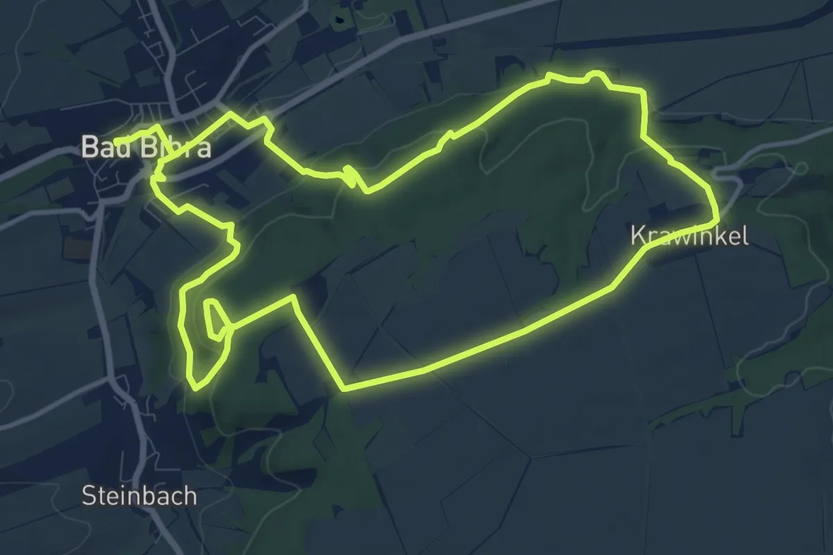
Demanding · Trail
Böselstein Wanderweg
21.4 km · ↑ 562 m · 6 h 17 min
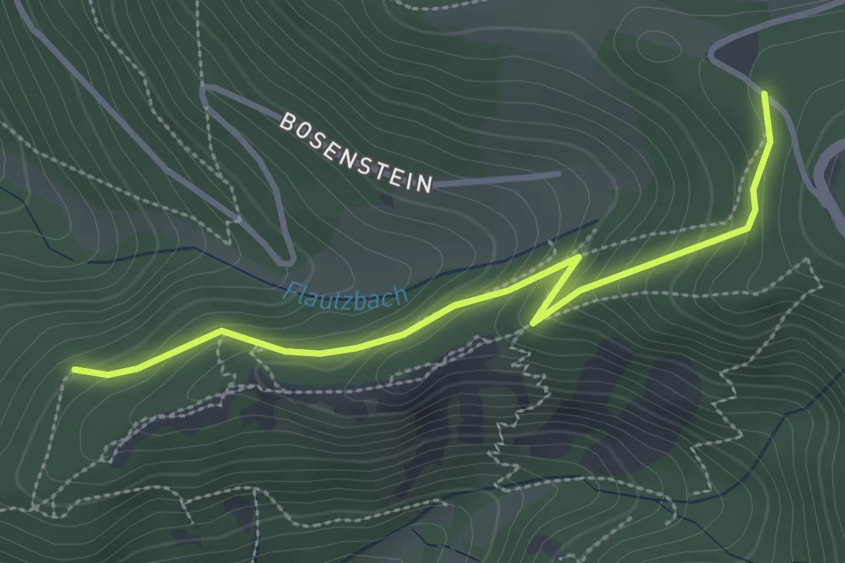
Easy · Trail
Bosensteiner Eck - Dreierschrofen
2.9 km · ↑ 205 m · 1 h 8 min
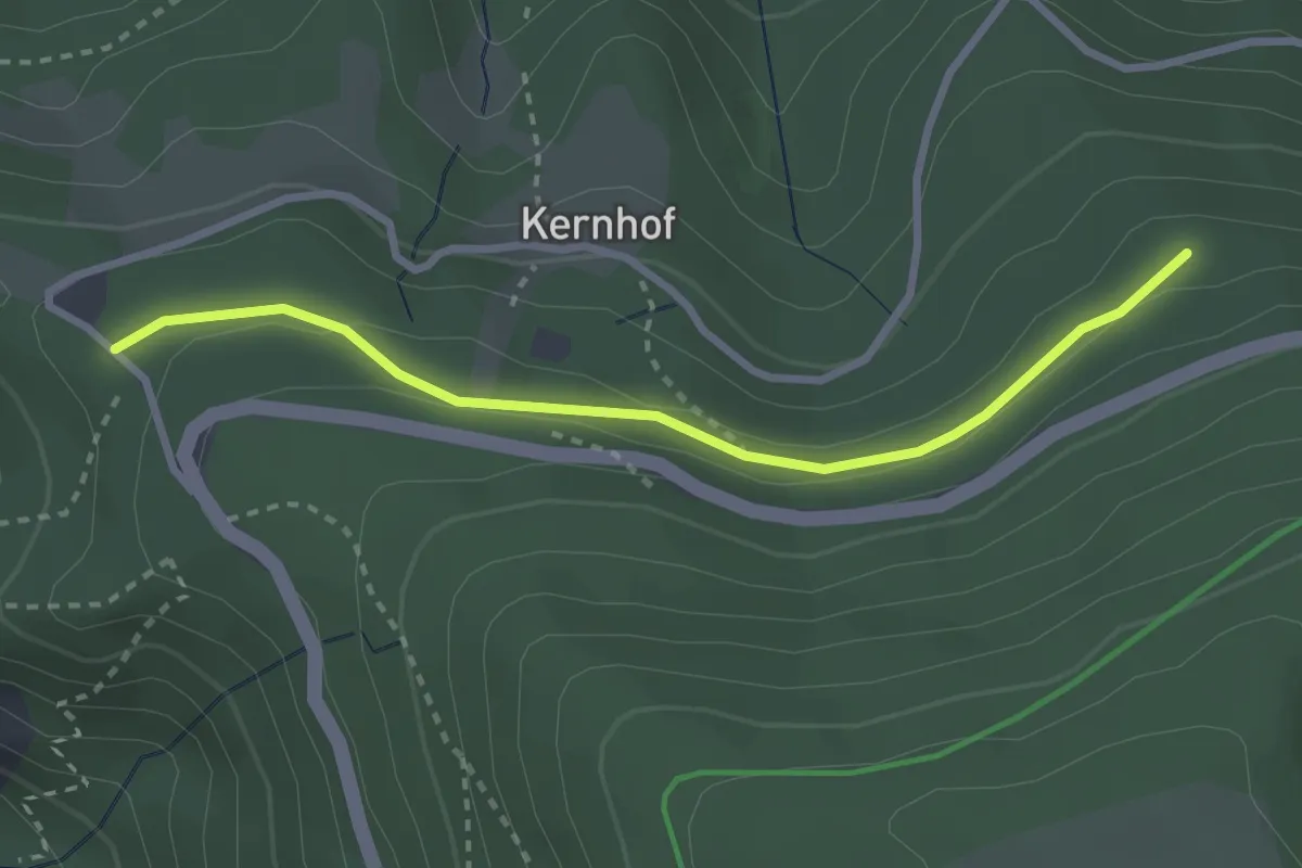
Easy · Trail
Bosensteiner Eck - Karl Ross-Weg
2.7 km · ↑ 55 m · 46 min
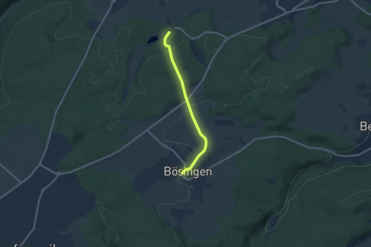
Easy · Trail
Bösingen Backhäusle - Bömbachsee
4.7 km · ↑ 98 m · 1 h 20 min
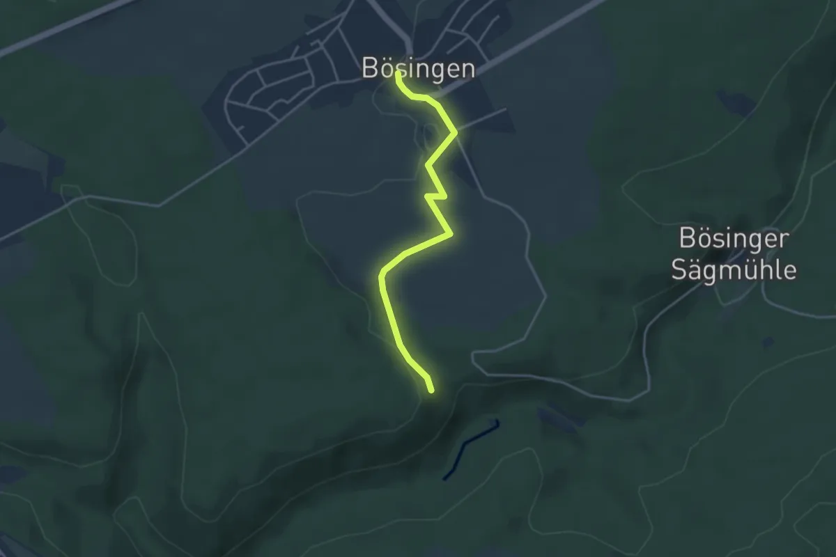
Easy · Trail
Bösingen Backhäusle - Ruine Mantelberg
3.3 km · ↑ 37 m · 51 min
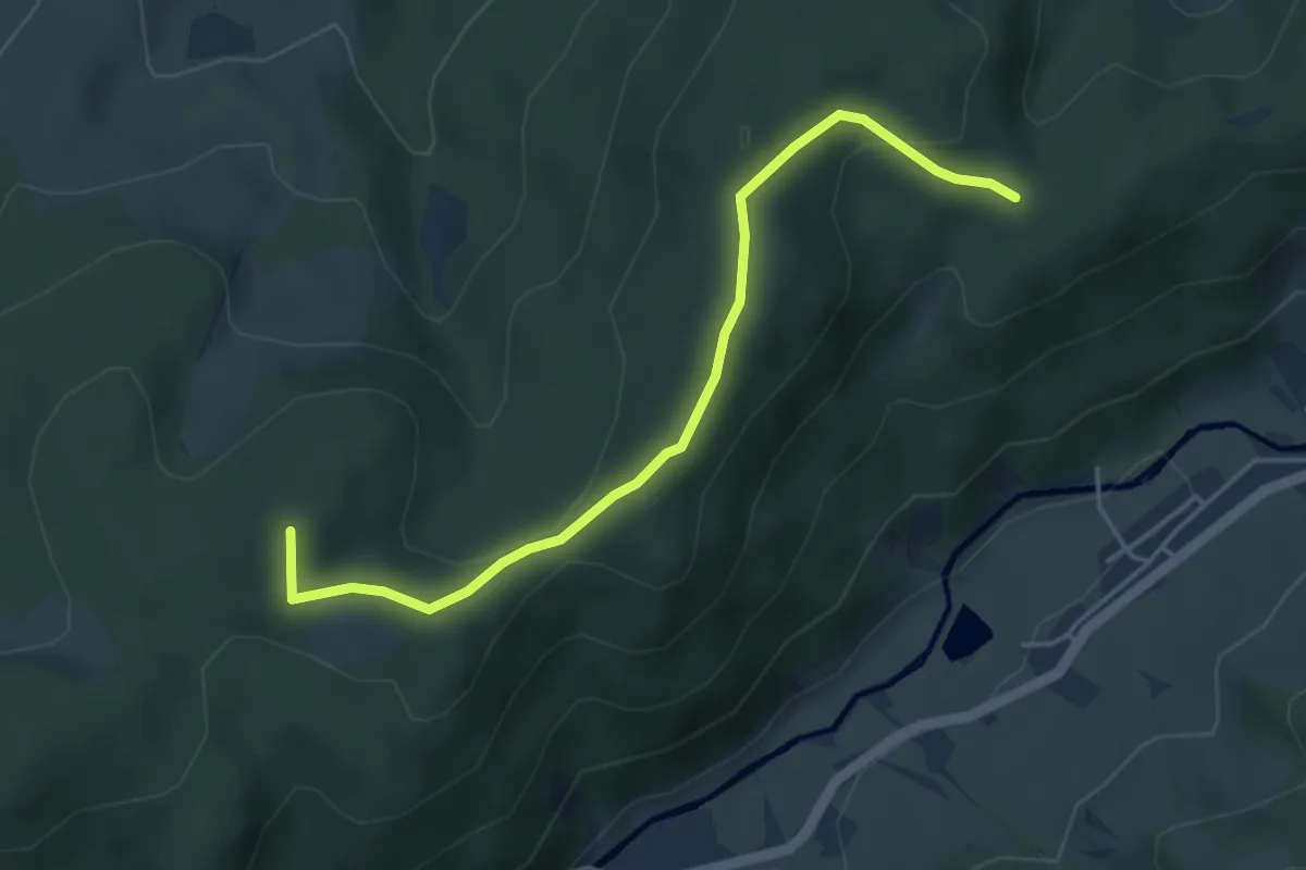
Easy · Summit
Bösmatte - Lehrscheide
4.4 km · ↑ 137 m · 1 h 20 min
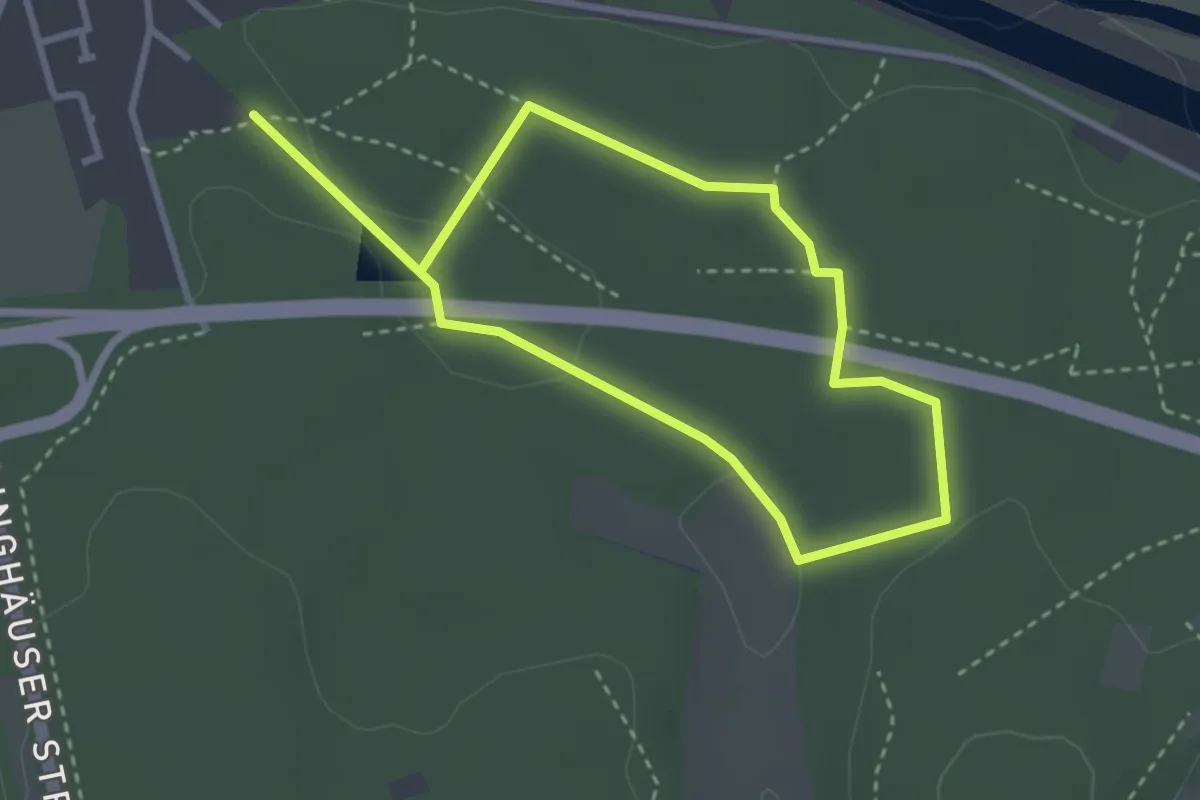
Easy · Trail
Bossendorf
2.4 km · ↑ 19 m · 38 min
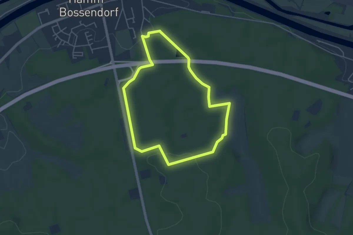
Easy · Trail
Bossendorf A1
3.5 km · ↑ 55 m · 1 h
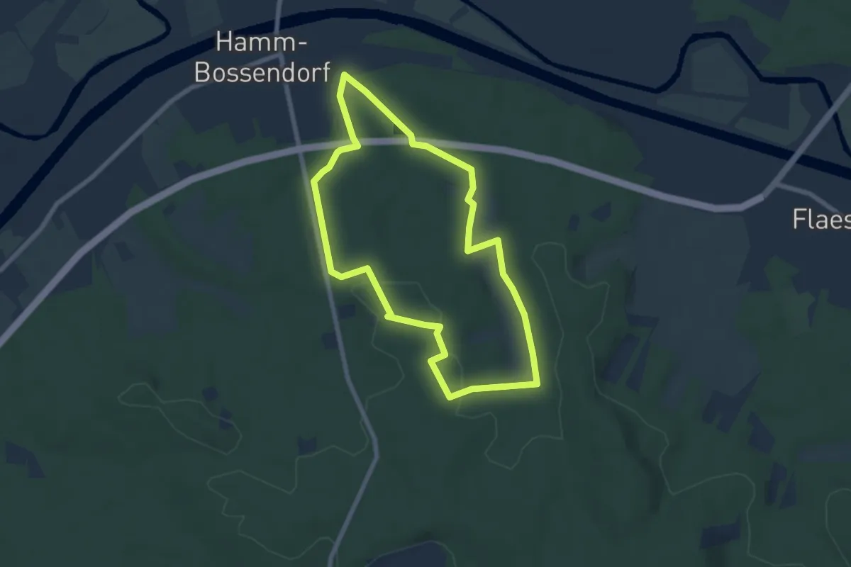
Easy · Trail
Bossendorf (A2)
5.5 km · ↑ 60 m · 1 h 30 min
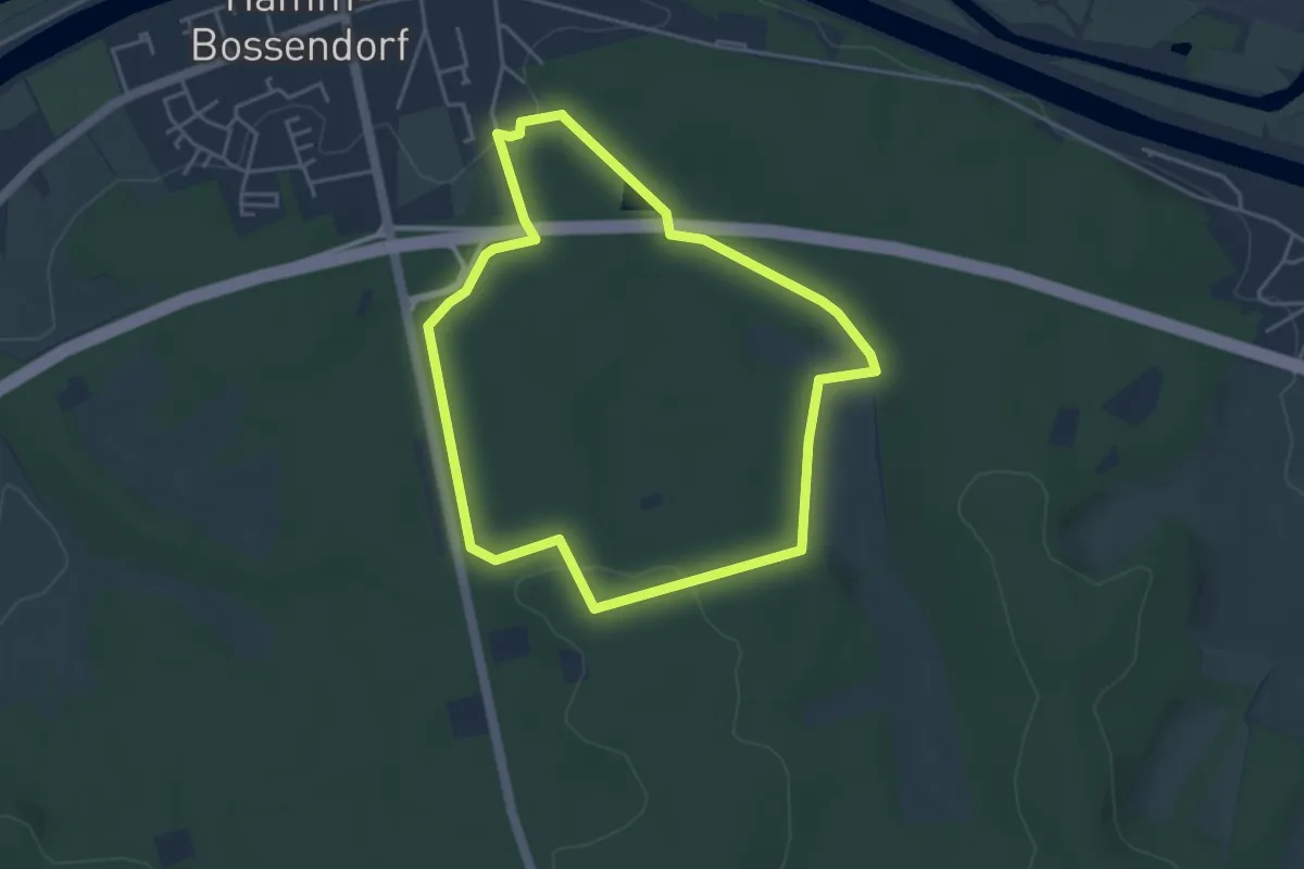
Easy · Trail
Bossendorf - Die Haard
3.6 km · ↑ 49 m · 1 h 1 min
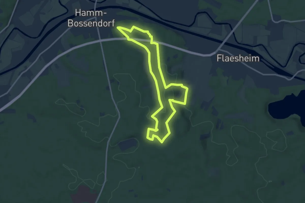
Medium · Trail
Bossendorf - Die Haard
8.4 km · ↑ 121 m · 2 h 21 min
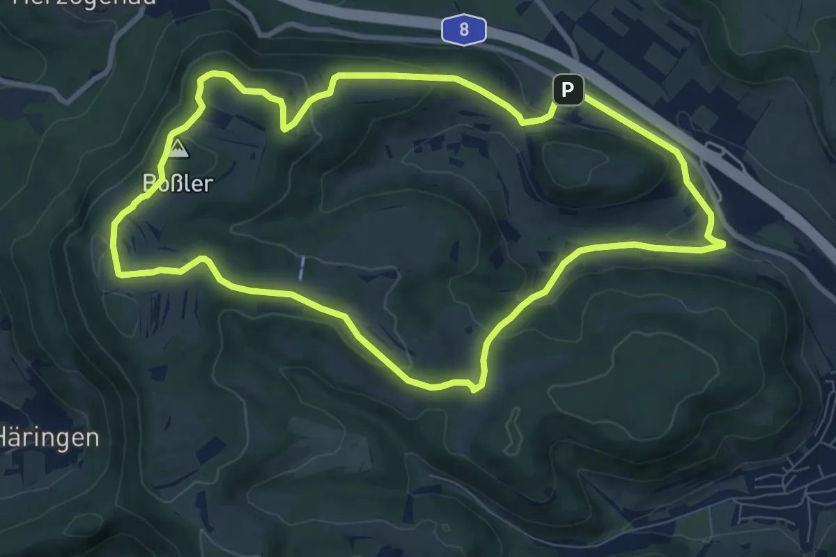
Medium · Summit
Boßlerrunde
8.3 km · ↑ 228 m · 2 h 34 min
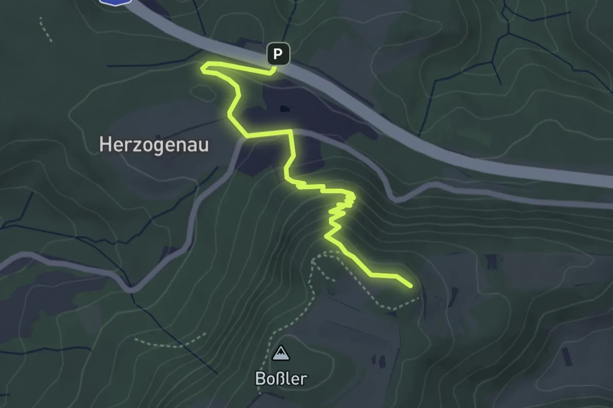
Easy · Cabin
Boßler-Steig
2.1 km · ↑ 213 m · 53 min
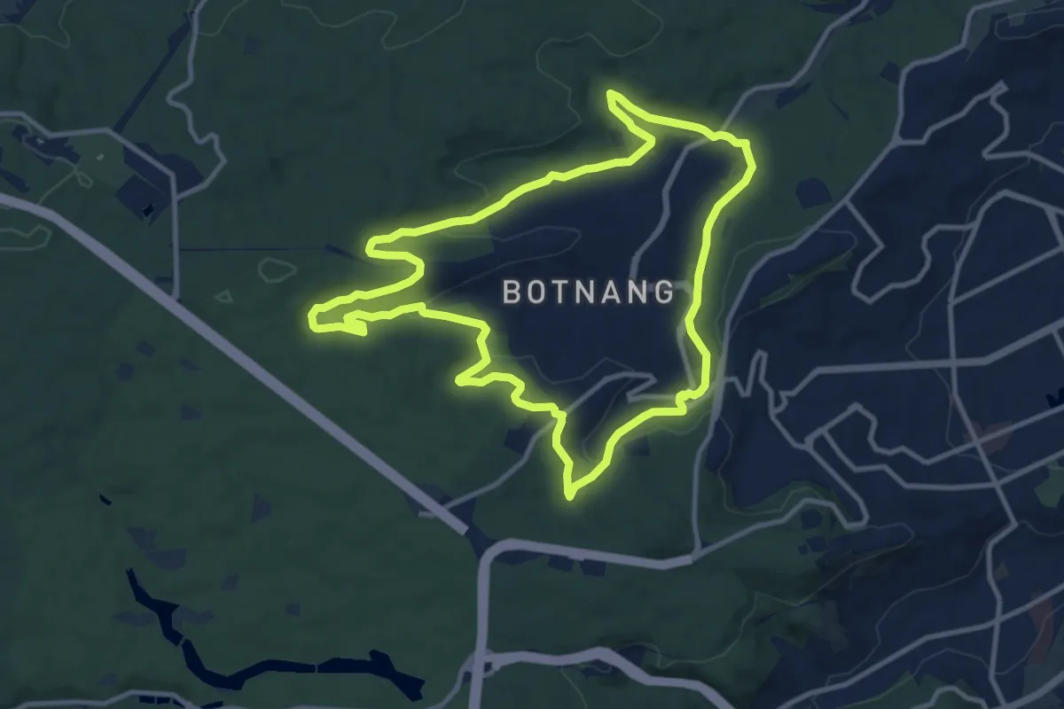
Medium · Trail
Botnanger Kuckucksweg
10.6 km · ↑ 221 m · 3 h 8 min
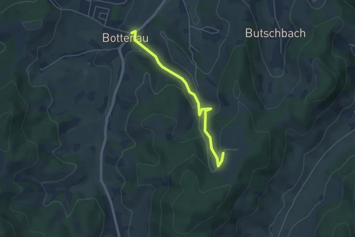
Easy · Trail
Bottenau Rathaus - Busseckhof
3.9 km · ↑ 168 m · 1 h 17 min
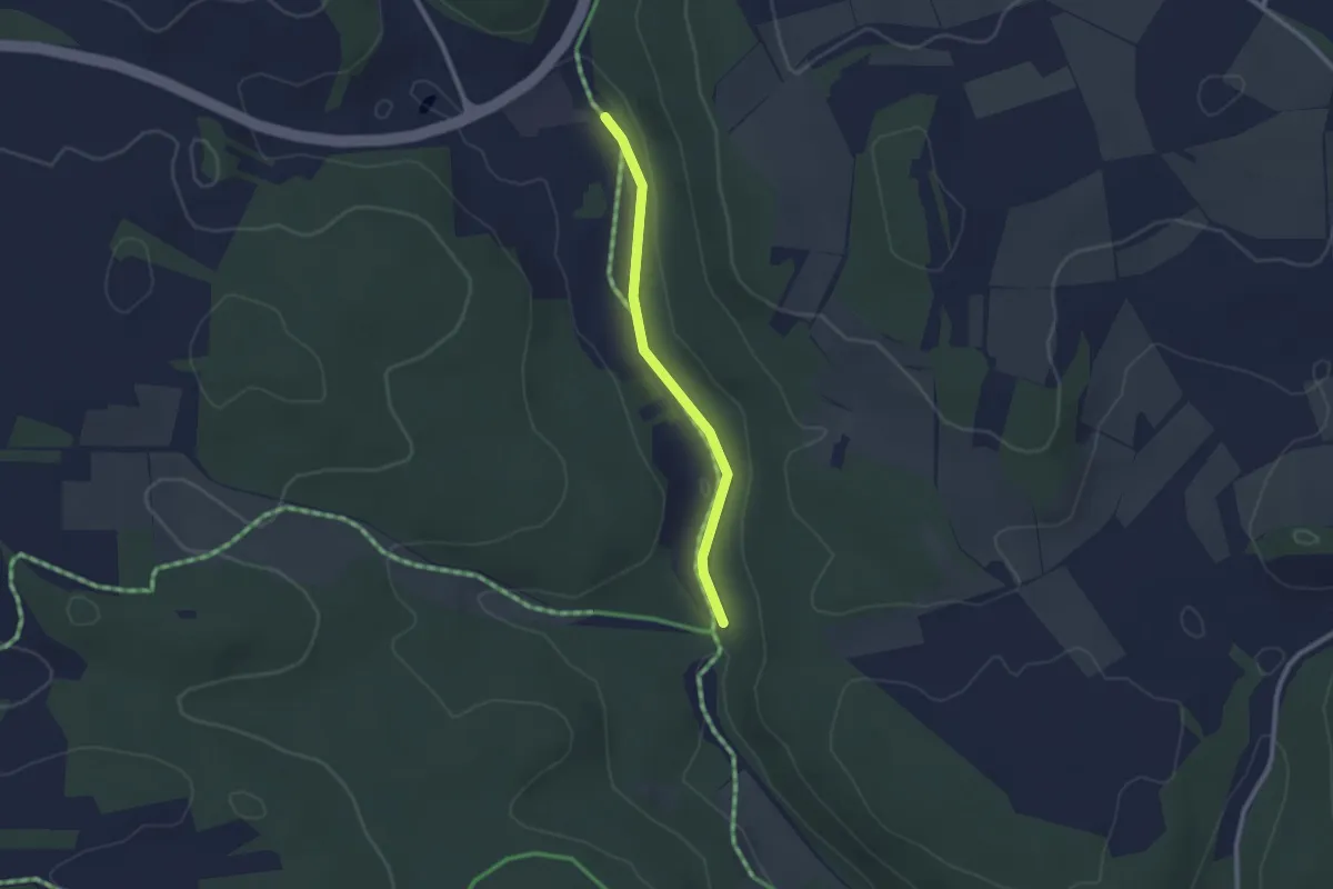
Easy · Trail
Böttental - Kläranlage
2.0 km · ↑ 9 m · 30 min
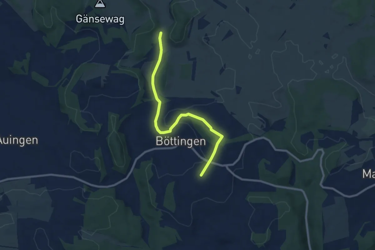
Easy · Trail
Böttingen
6.7 km · ↑ 119 m · 1 h 51 min
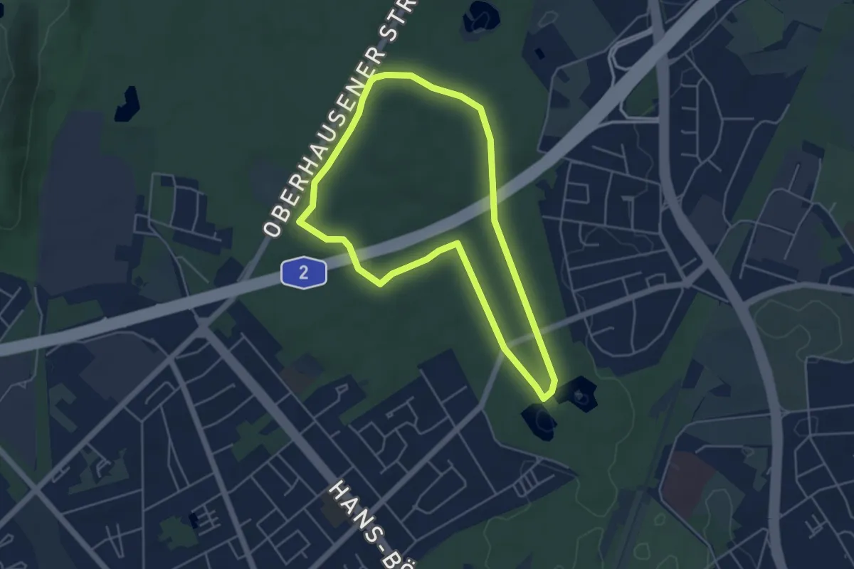
Easy · Trail
Bottroper Stadtwald Rundweg A1
4.0 km · ↑ 30 m · 1 h 4 min
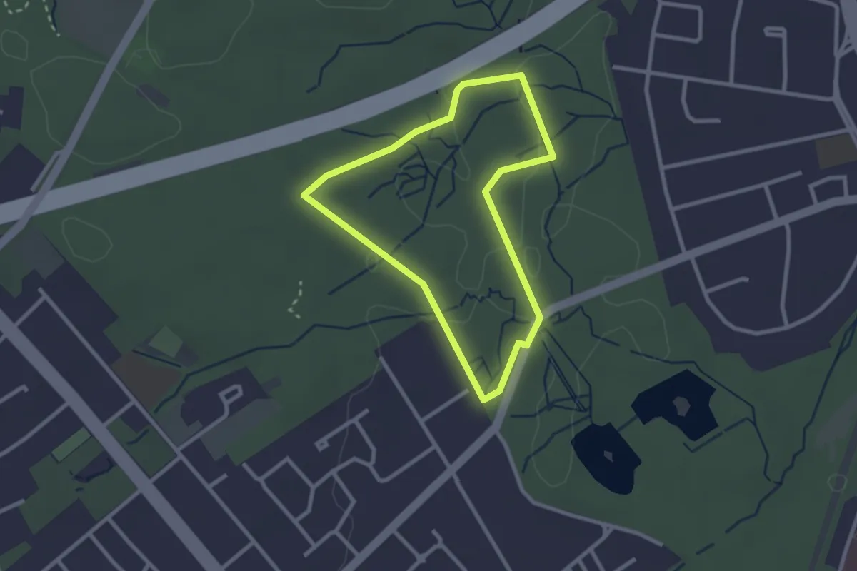
Easy · Trail
Bottroper Stadtwald Rundweg A2
2.1 km · ↑ 13 m · 33 min
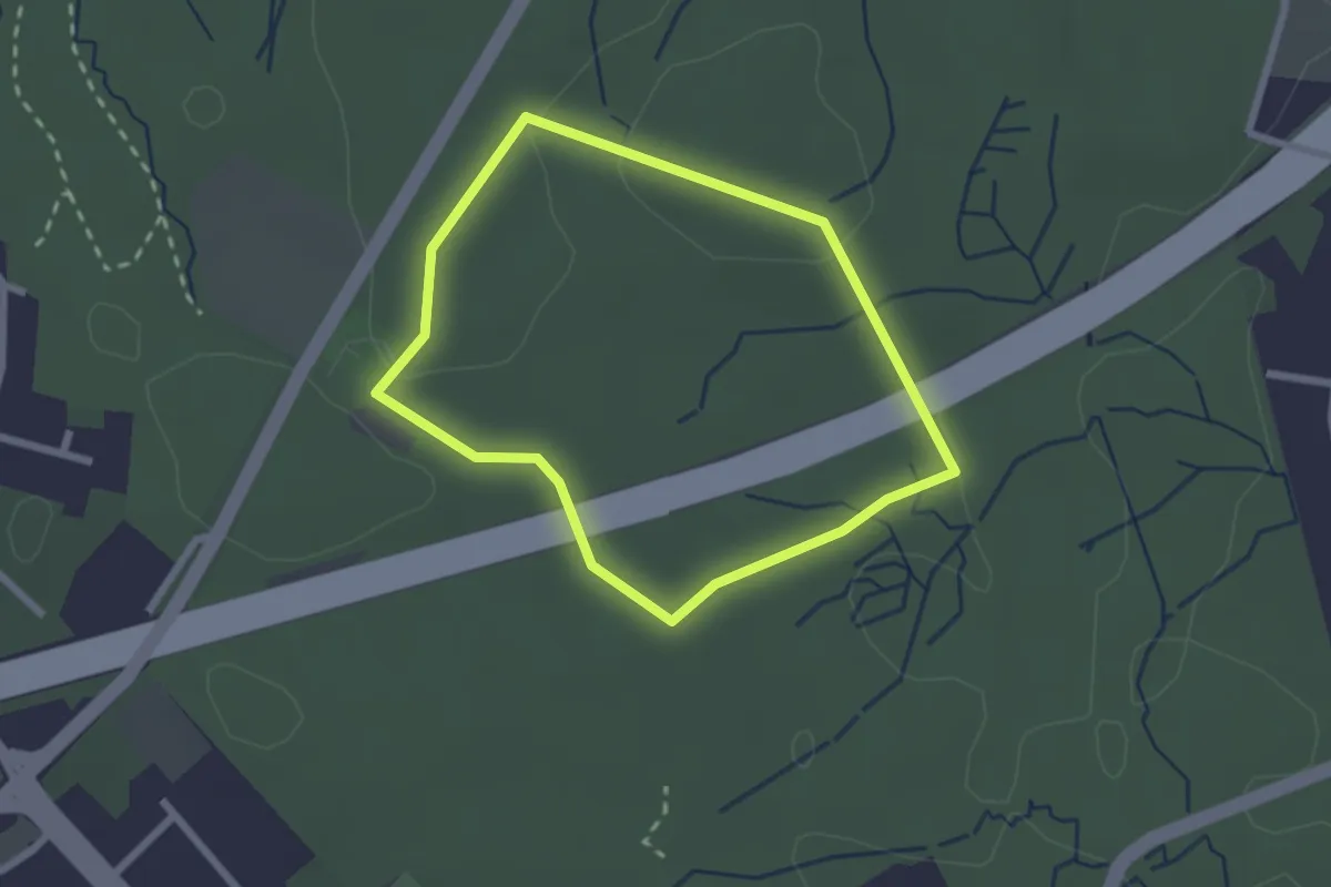
Easy · Trail
Bottroper Stadtwald Rundweg A3
1.9 km · ↑ 18 m · 30 min
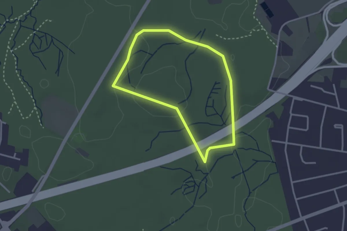
Easy · Trail
Bottroper Stadtwald Rundweg A4
2.2 km · ↑ 21 m · 35 min
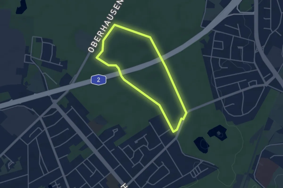
Easy · Trail
Bottroper Stadtwald Rundweg A5
3.0 km · ↑ 26 m · 48 min
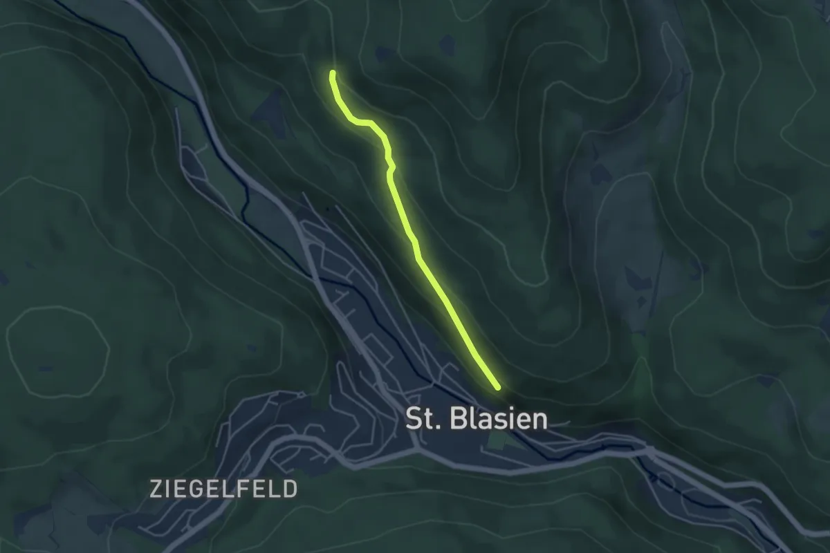
Easy · Trail
Bötzbergweg - Sandboden
3.4 km · ↑ 169 m · 1 h 11 min
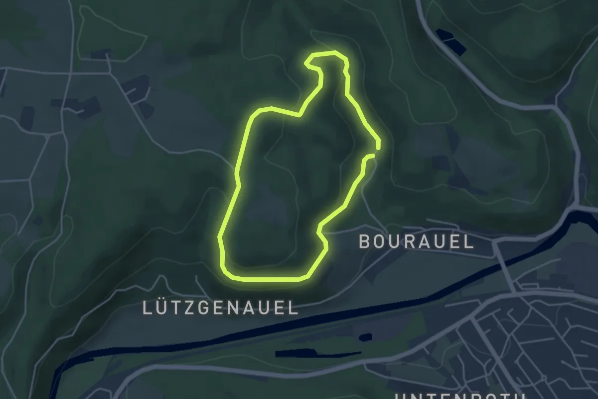
Easy · Trail
Bourauel Rundweg A1
3.2 km · ↑ 107 m · 1 h 2 min
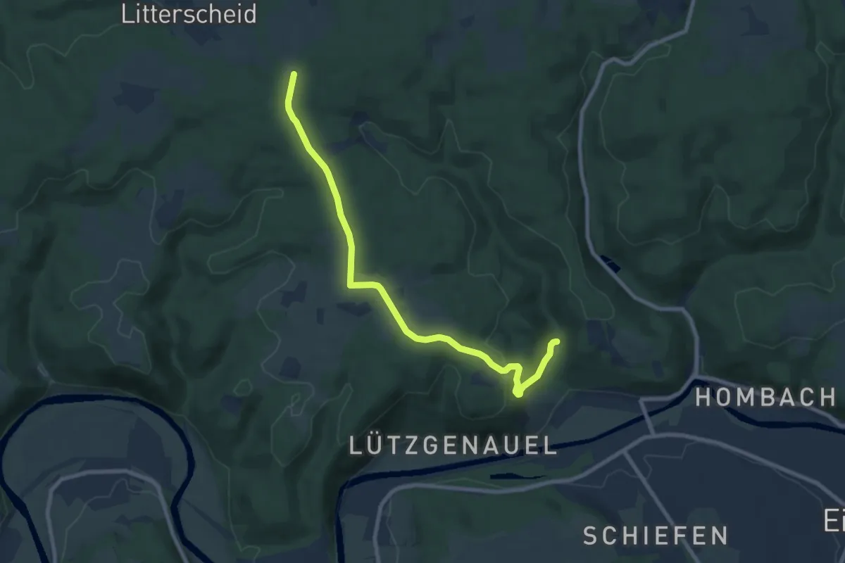
Easy · Trail
Bourauel Rundweg A2
3.8 km · ↑ 19 m · 1 h 3 min
Easy · Trail
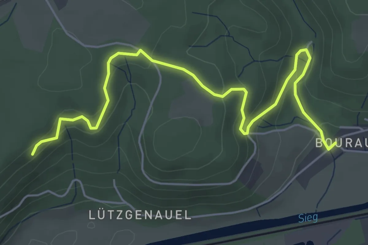
Bourauel Rundweg A4
5.4 km · ↑ 199 m · 1 h 43 min
Medium · Trail
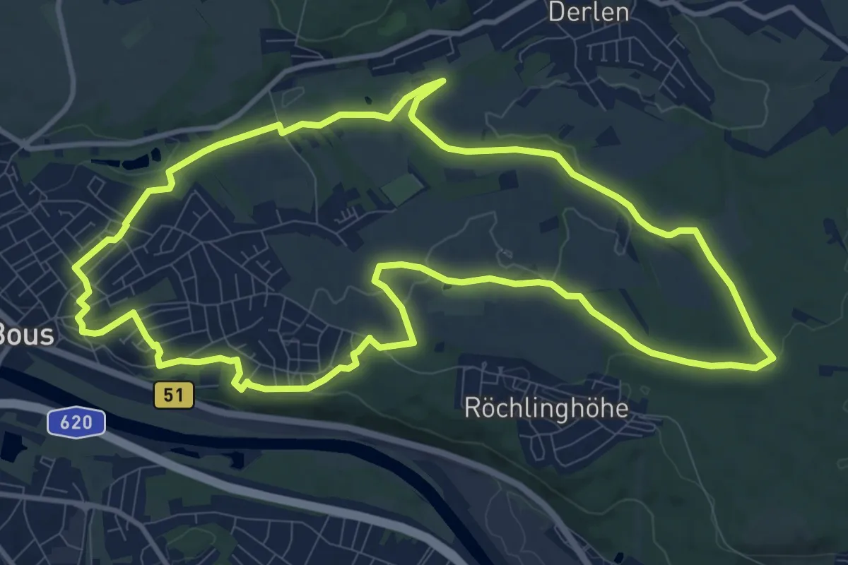
Bouser Pfädchen
10.6 km · ↑ 159 m · 2 h 59 min
Easy · Trail
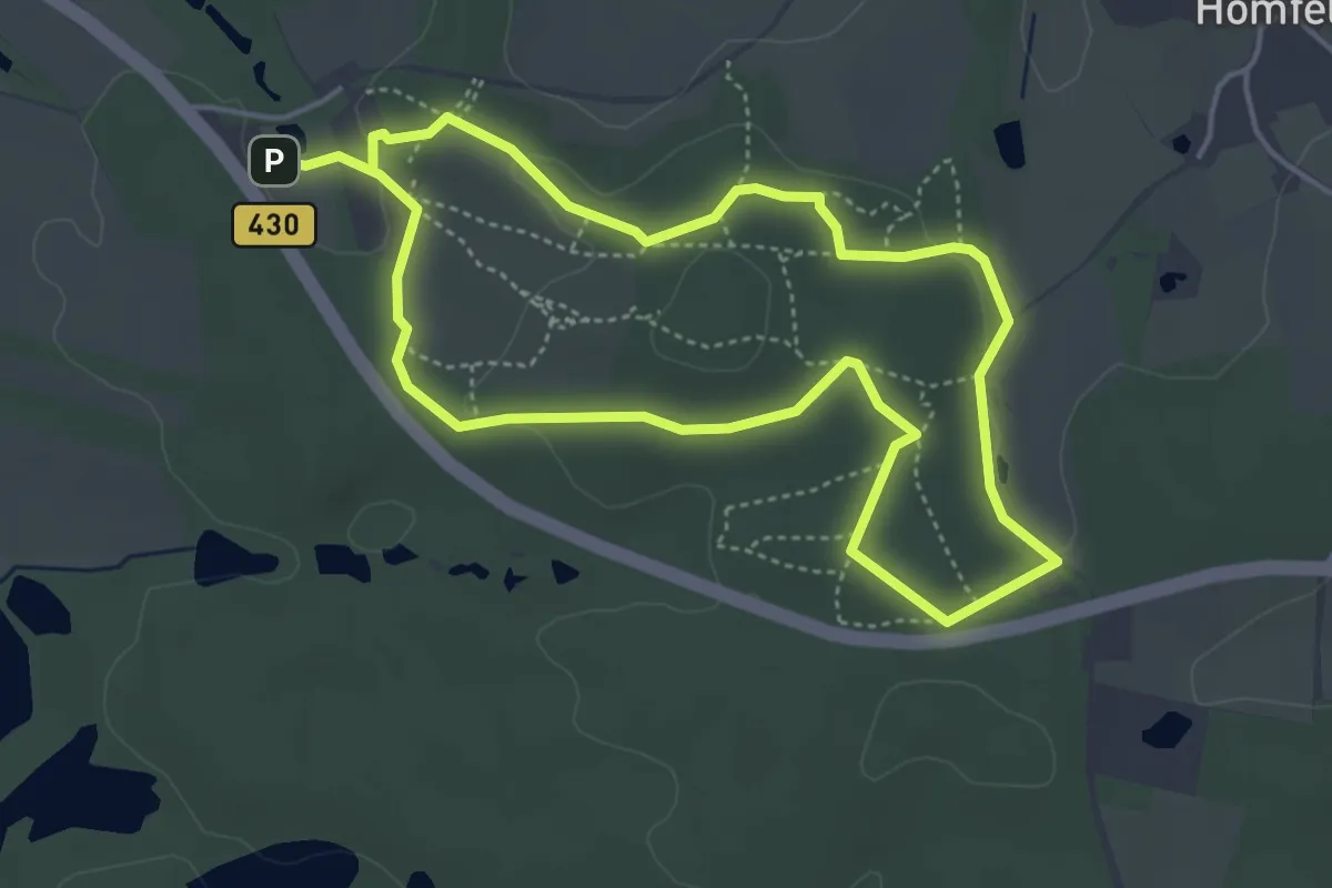
Boxberg-Route
3.6 km · ↑ 61 m · 1 h 2 min
Easy · Summit
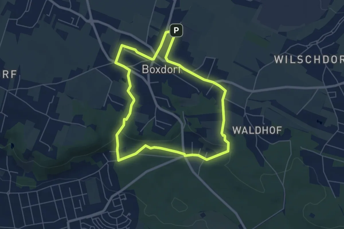
Boxdorfer Runde
5.0 km · ↑ 72 m · 1 h 24 min