Trails in Germany
36,847 hiking trails, each with its route, climb, walking time and grade.
All trails, page 84 of 768
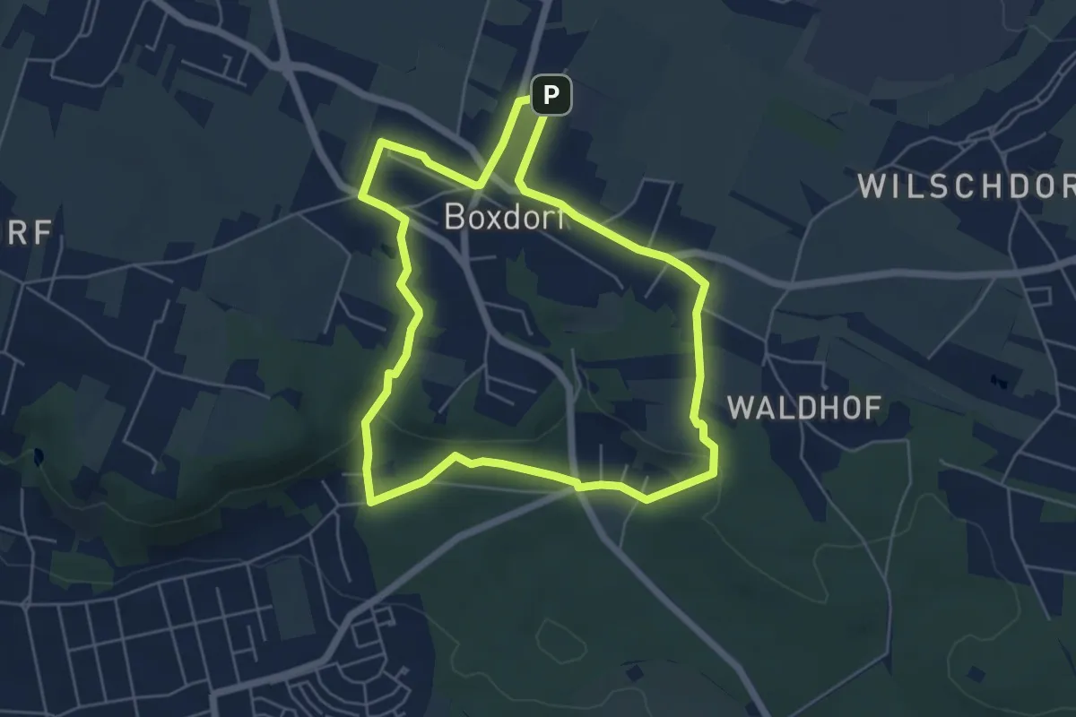
Easy · Summit
Boxdorfer Runde
5.0 km · ↑ 72 m · 1 h 24 min
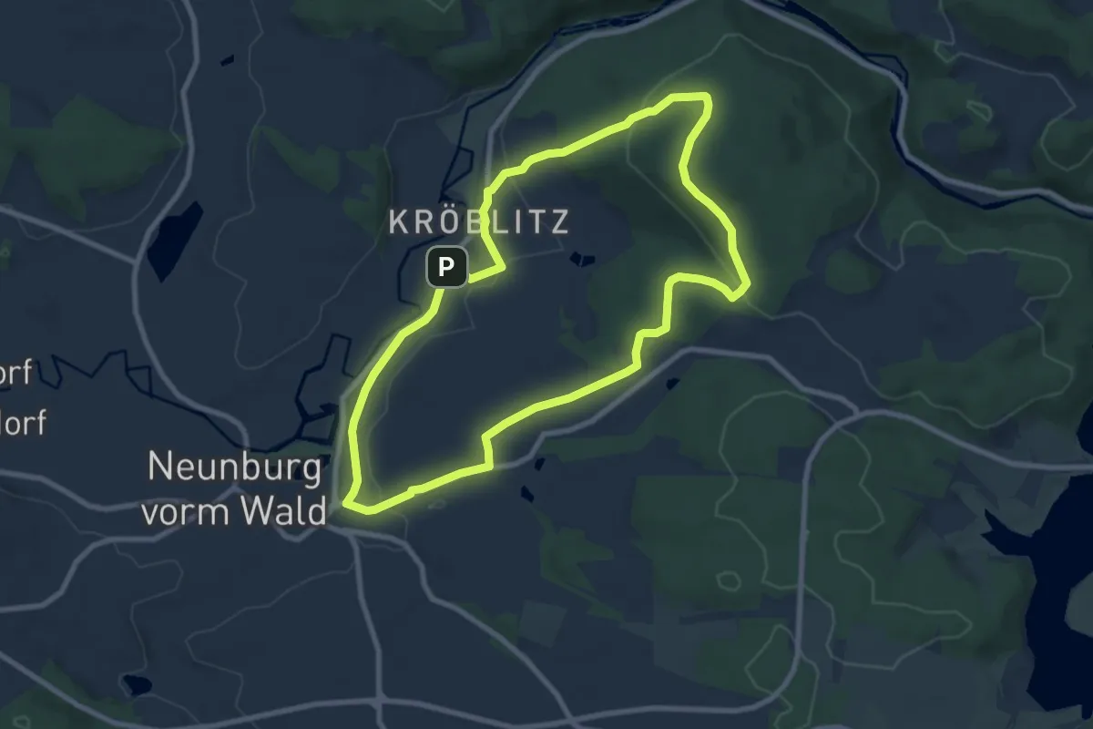
Easy · Trail
Boxkirnweg
7.7 km · ↑ 169 m · 2 h 18 min
Easy · Trail
Br1
2.9 km · ↑ 5 m · 41 min
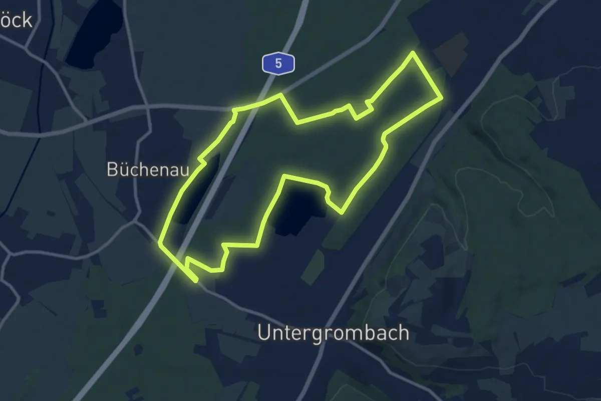
Medium · Trail
BR - 11 Büchenauer Hardt
9.3 km · ↑ 28 m · 2 h 23 min
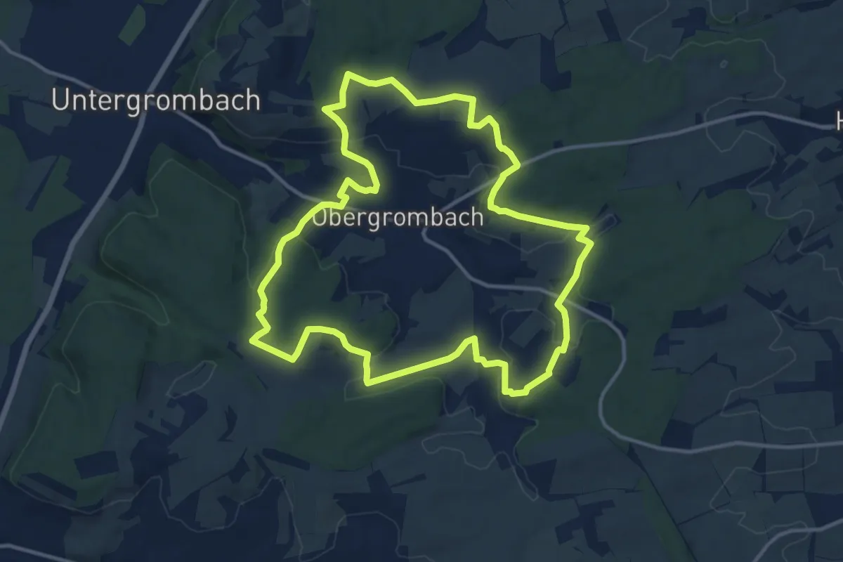
Medium · Trail
BR - 12 Obergrombacher Burgweg
12.0 km · ↑ 276 m · 3 h 36 min
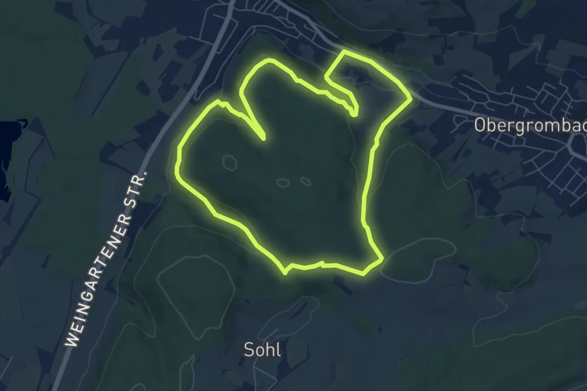
Easy · Trail
BR - 13 Untergrombach Ungeheuerklamm Weierle
6.8 km · ↑ 180 m · 2 h 6 min
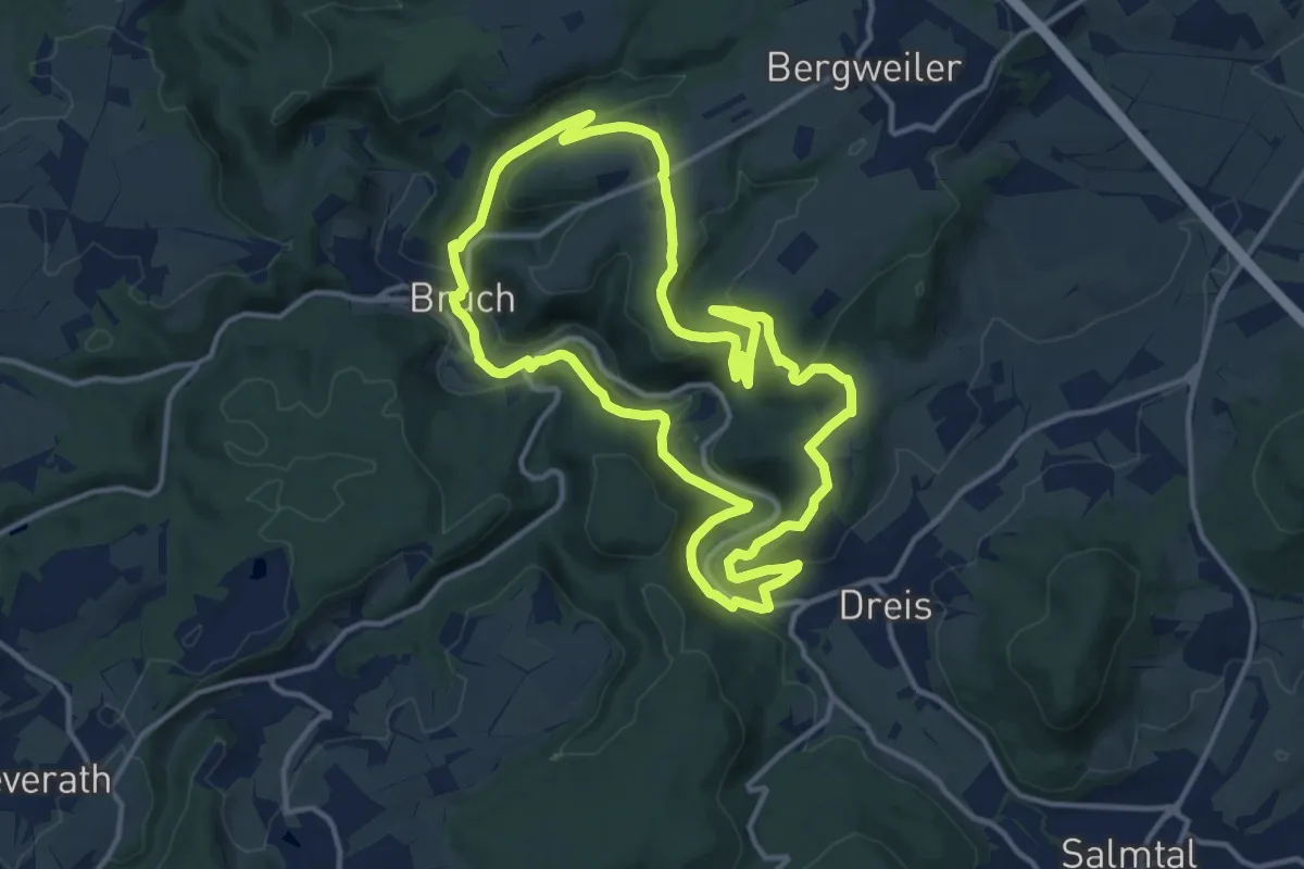
Medium · Trail
Br2
12.6 km · ↑ 361 m · 3 h 56 min
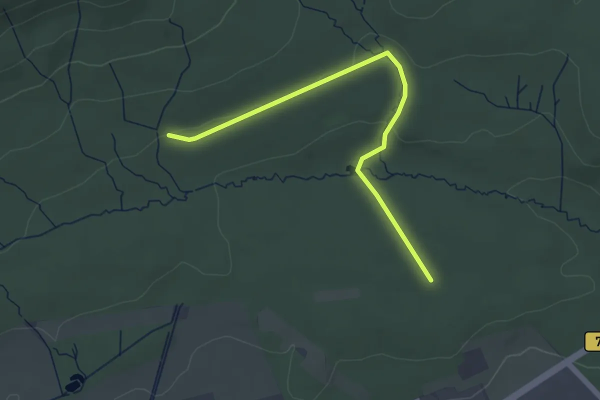
Easy · Trail
Br2
3.5 km · ↑ 43 m · 55 min
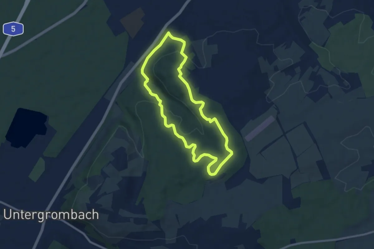
Easy · Trail
BR - 3 Rundwanderweg Eichelberg
6.0 km · ↑ 152 m · 1 h 49 min
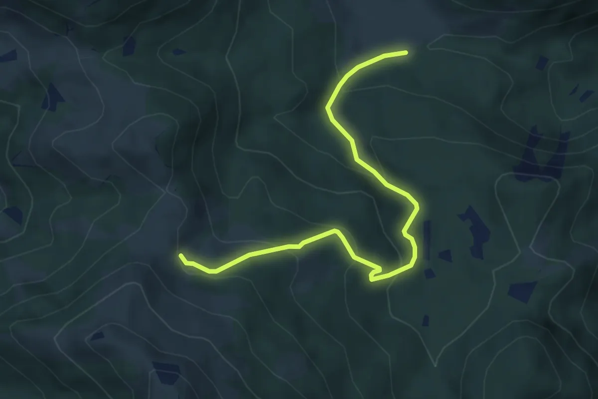
Medium · Cabin
BR6 - Brannenburg
5.3 km · ↑ 305 m · 1 h 55 min
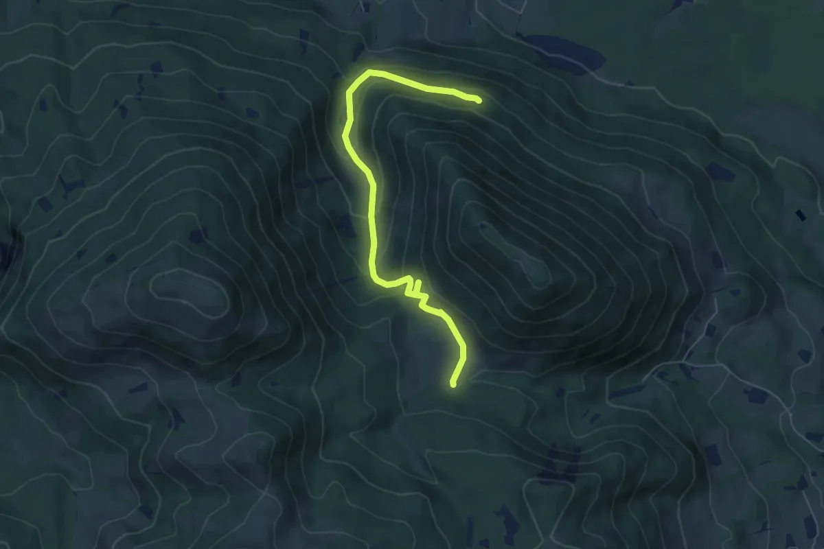
Demanding · Trail
BR7 - Brannenburg
6.3 km · ↑ 355 m · 2 h 15 min
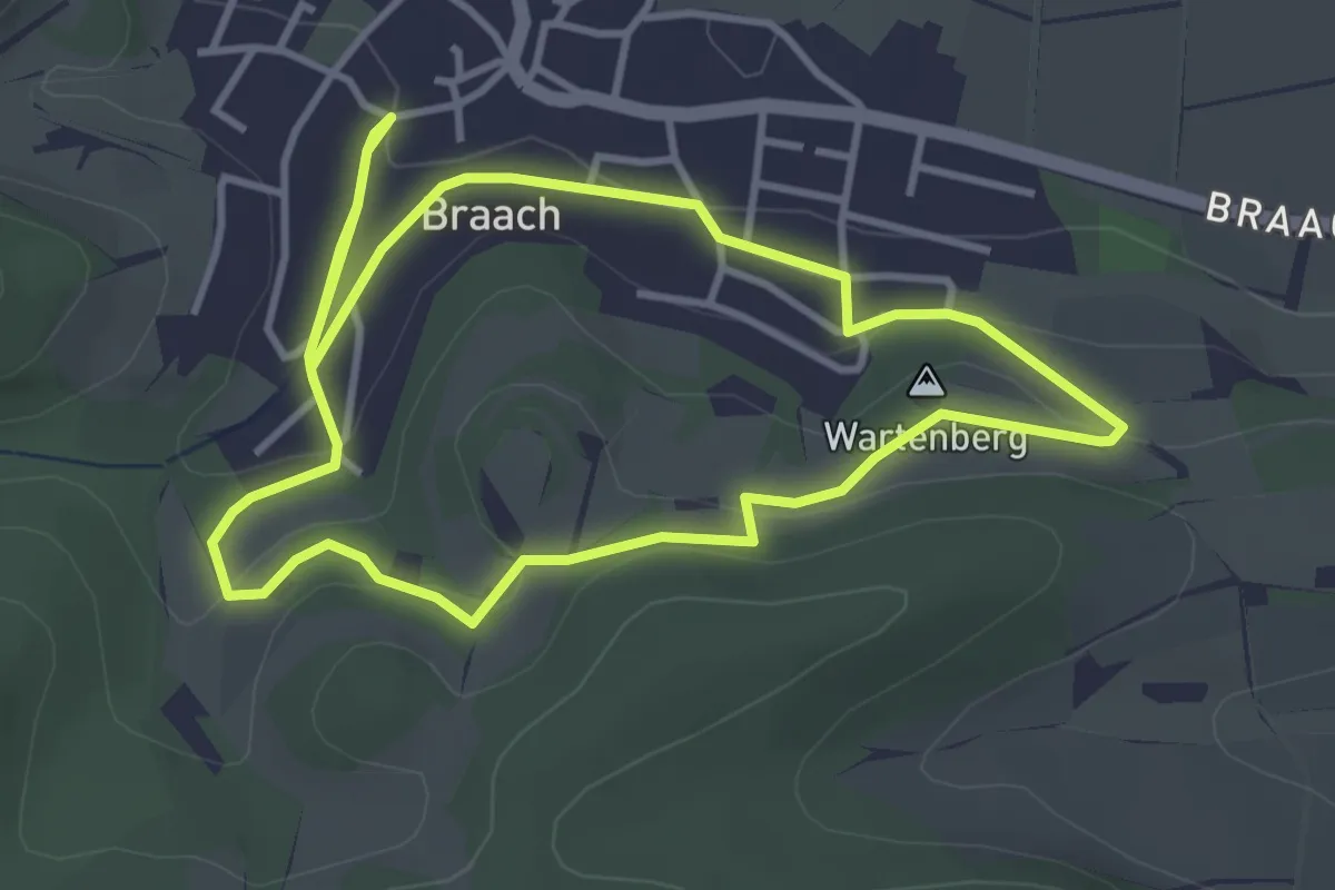
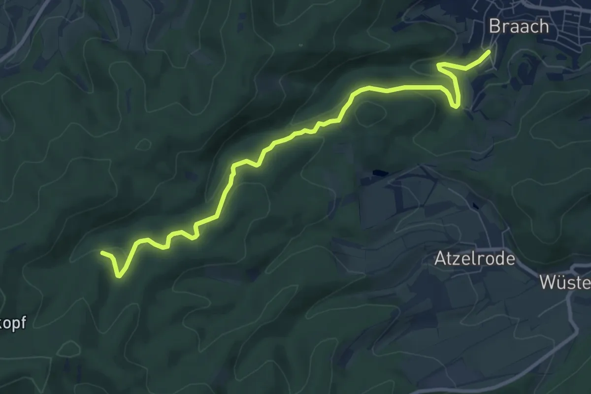
Easy · Summit
Braach Rundweg B1
3.4 km · ↑ 76 m · 1 h 1 min
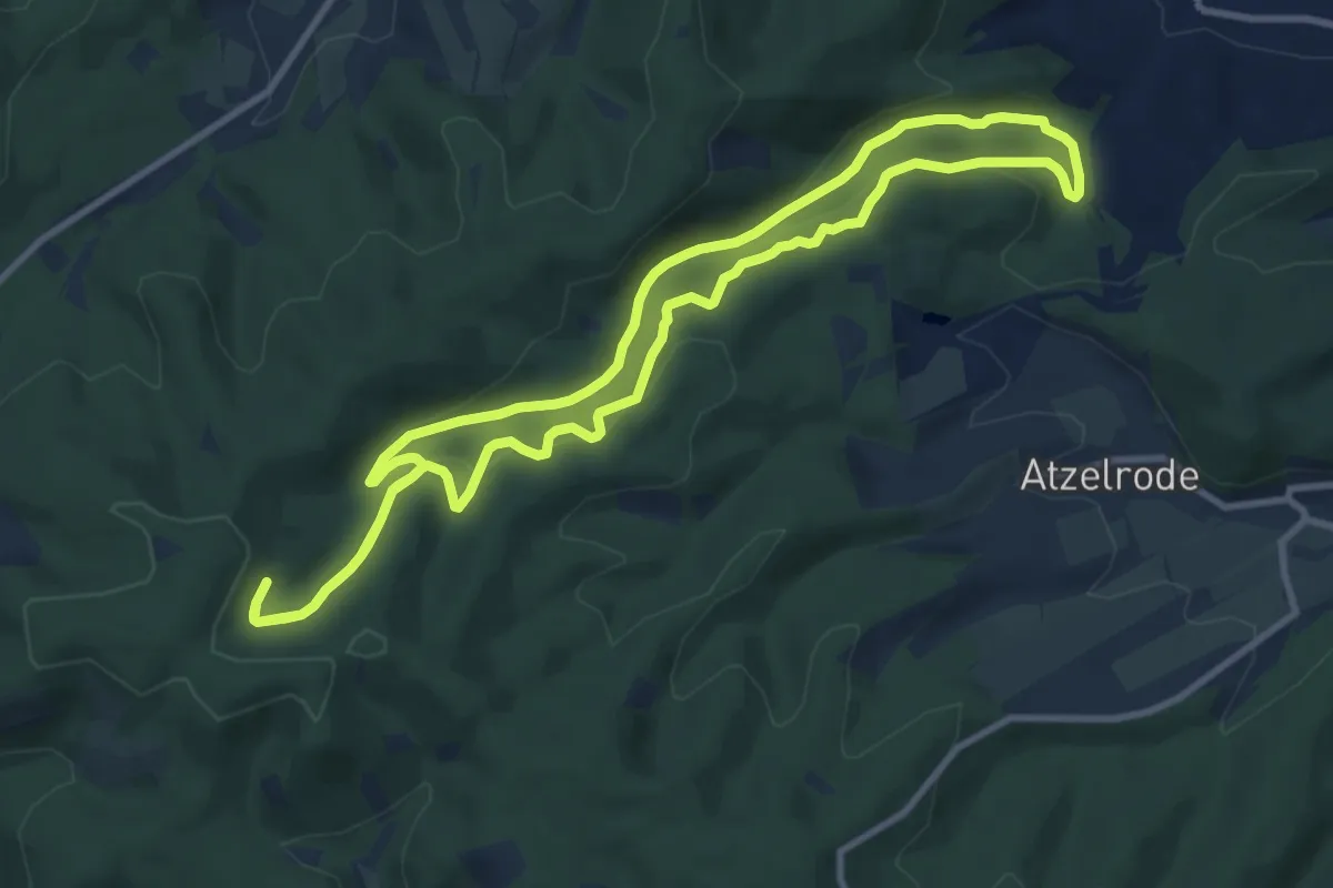
Easy · Trail
Braach Rundweg B2
4.2 km · ↑ 255 m · 1 h 30 min
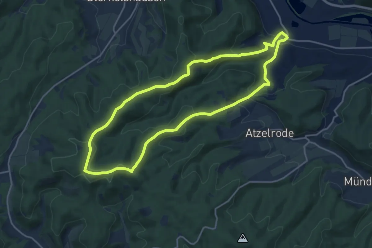
Medium · Trail
Braach Rundweg B3
9.3 km · ↑ 313 m · 3 h
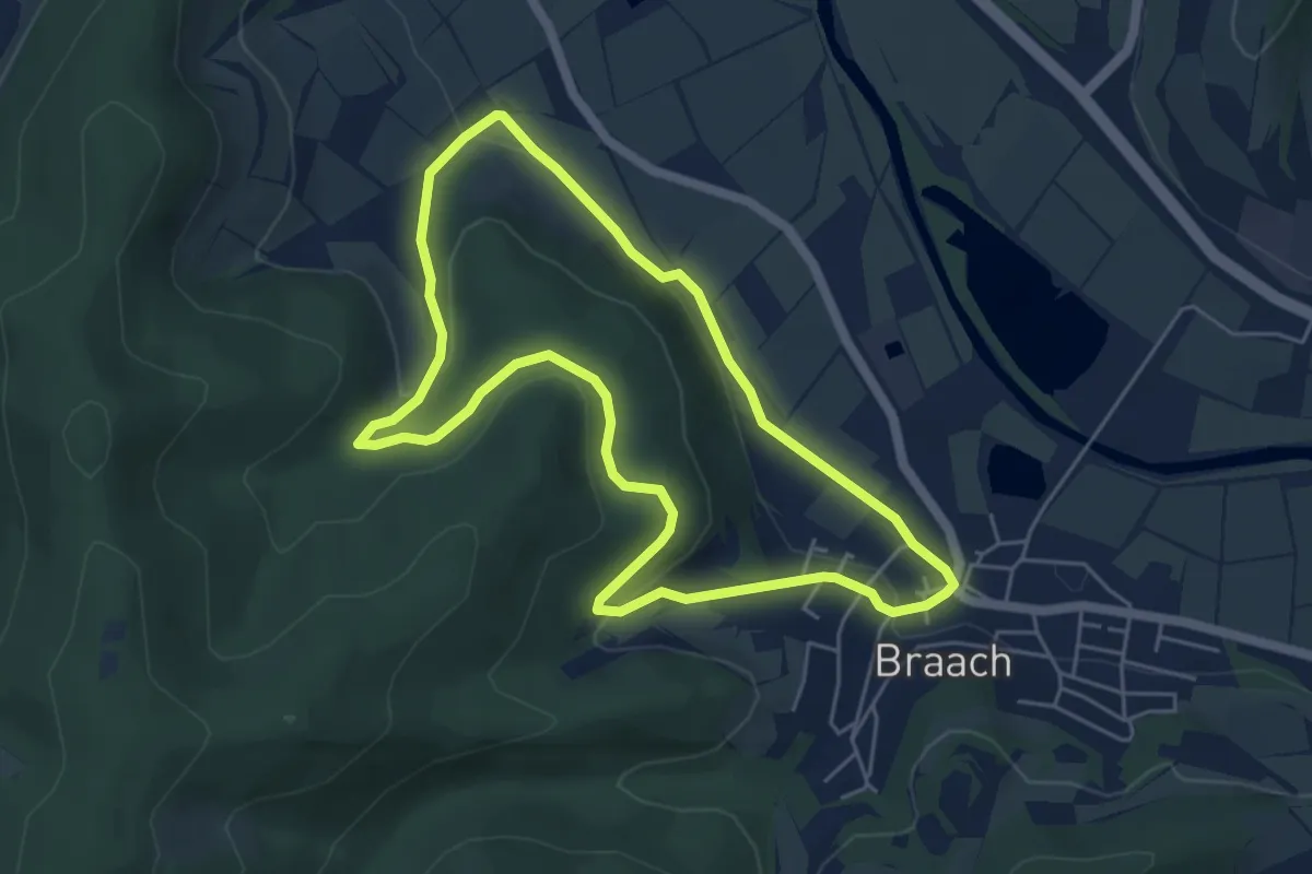
Medium · Summit
Braach Rundweg B4
10.5 km · ↑ 336 m · 3 h 21 min
Easy · Trail
Braach Rundweg B5
4.7 km · ↑ 115 m · 1 h 25 min
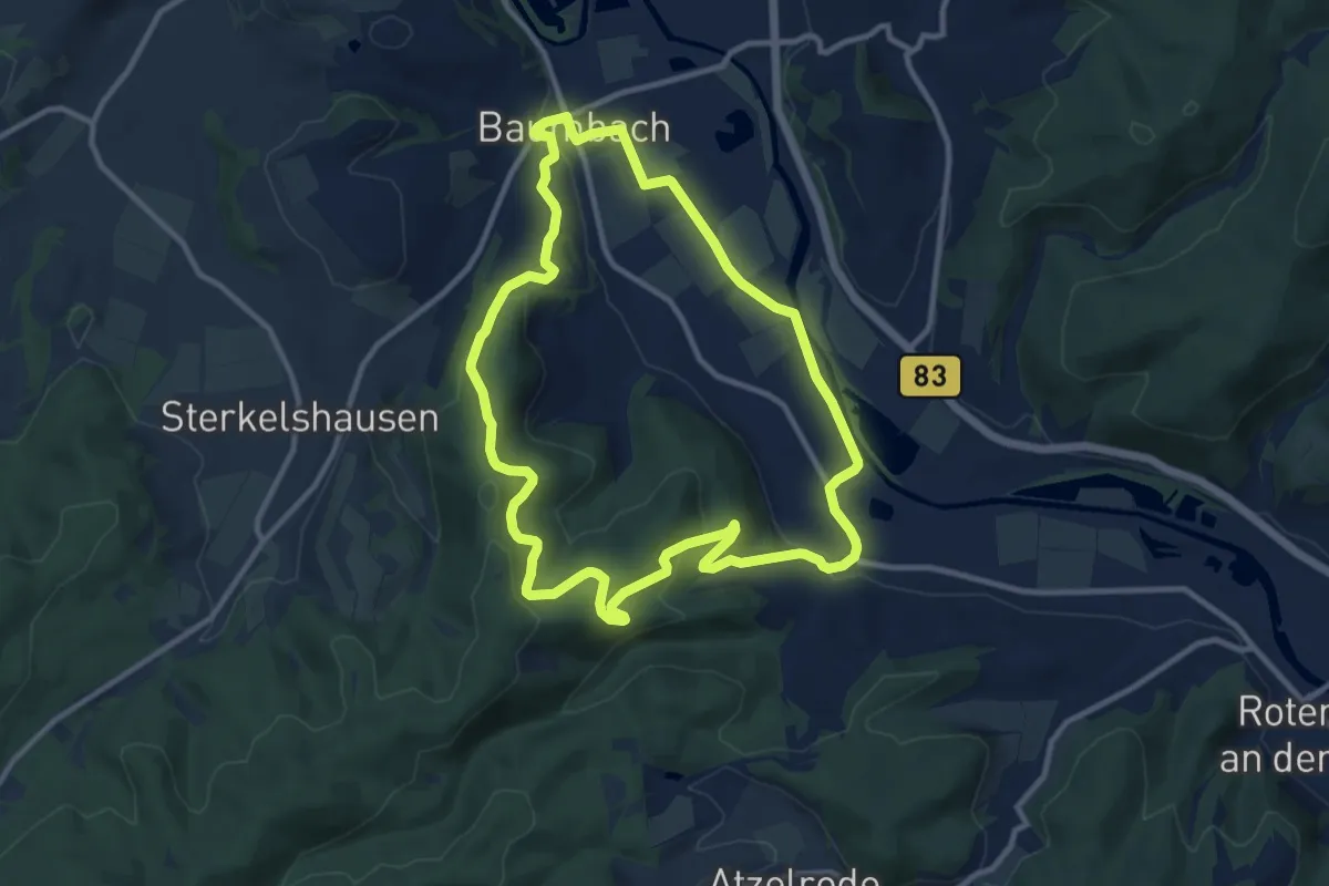
Medium · Trail
Braach Rundweg B7
9.7 km · ↑ 276 m · 3 h 1 min
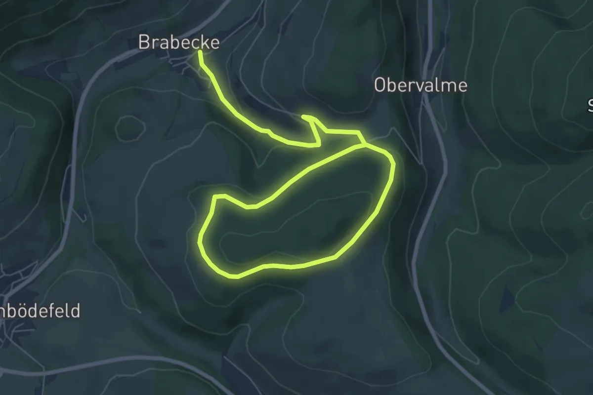
Easy · Trail
Brabecke Rundweg BR1 Soel
4.7 km · ↑ 202 m · 1 h 33 min
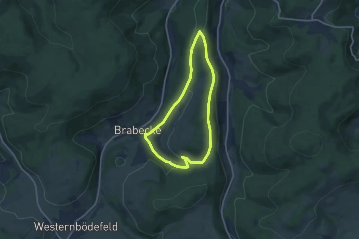
Easy · Trail
Brabecke Rundweg BR3
5.8 km · ↑ 158 m · 1 h 48 min
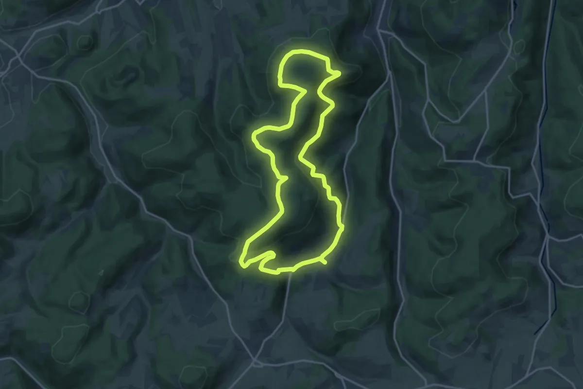
Medium · Trail
Brabecke Rundweg BR4
13.8 km · ↑ 439 m · 4 h 23 min
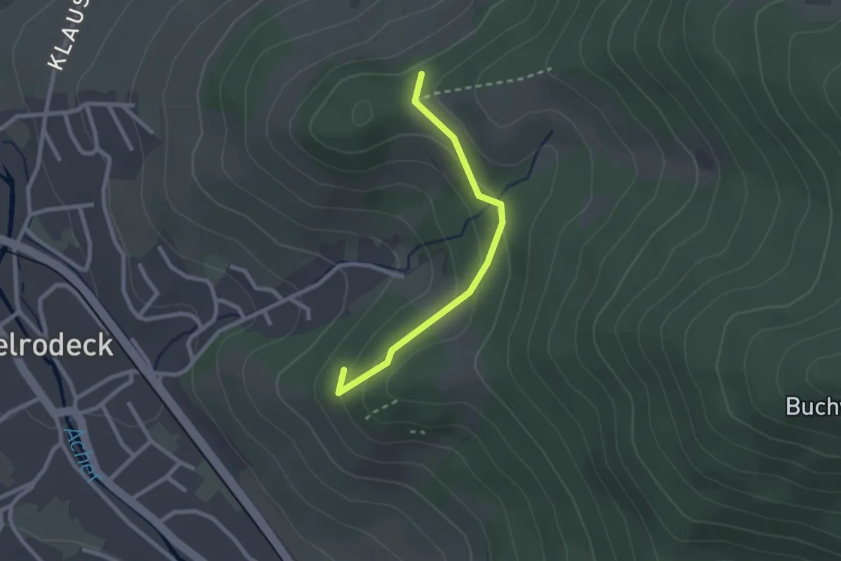
Easy · Trail
Brach - Iberg
2.1 km · ↑ 86 m · 40 min
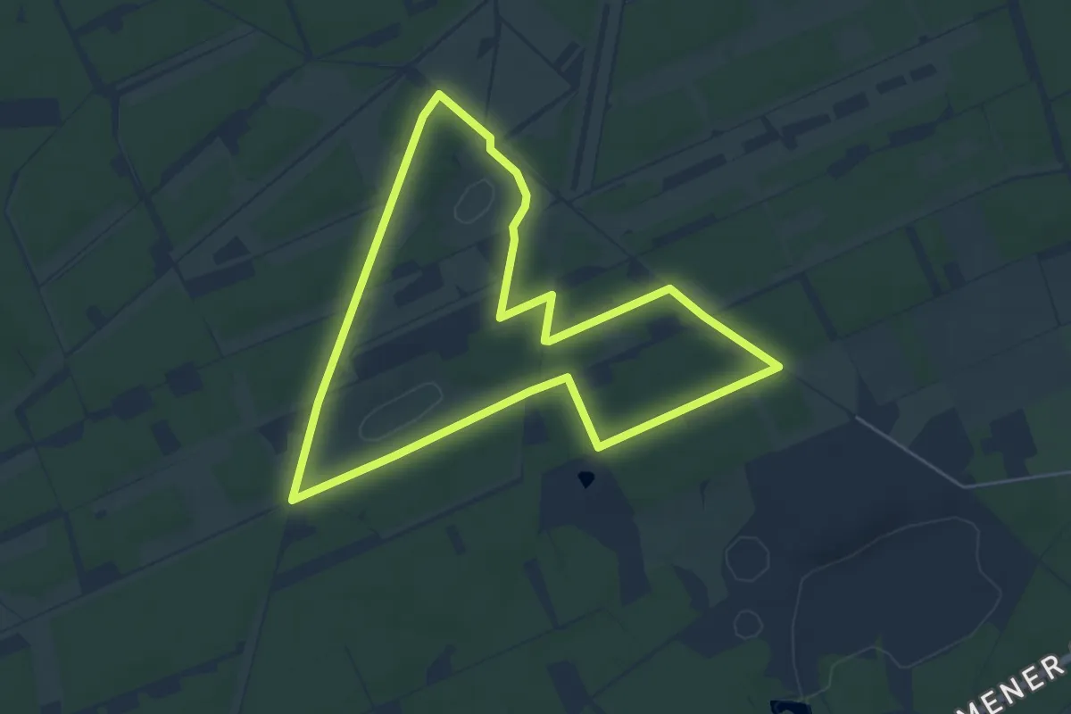
Easy · Trail
Brachter Wald-Pfad
4.9 km · ↑ 13 m · 1 h 16 min
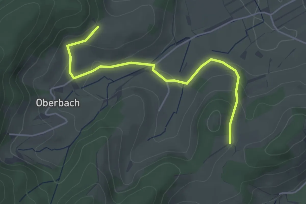
Easy · Trail
Brächtle - Eckle
4.0 km · ↑ 141 m · 1 h 14 min
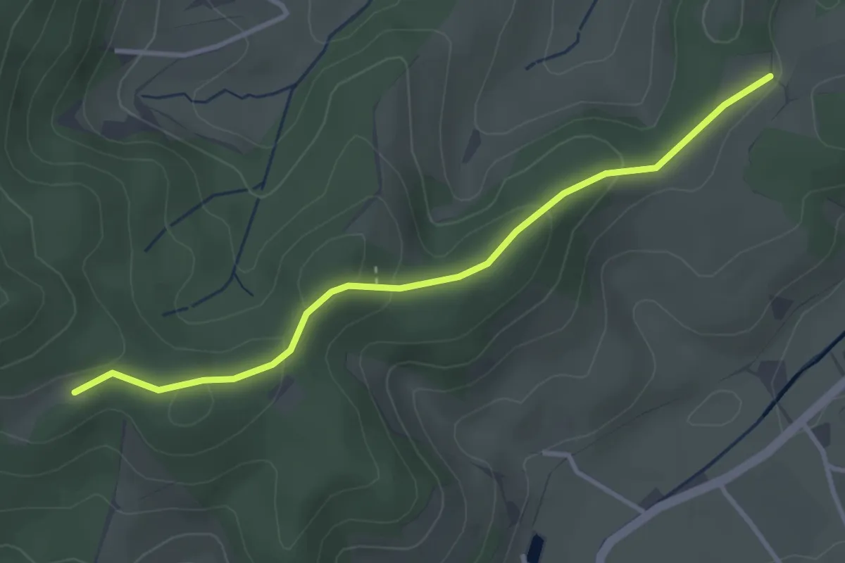
Easy · Trail
Brächtle - Schirrmaierhütte
3.3 km · ↑ 119 m · 1 h 2 min
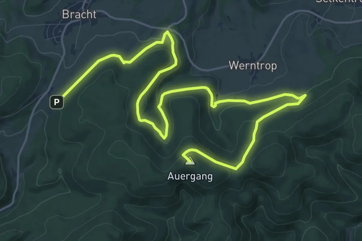
Medium · Summit
Bracht Rundweg BR1
17.3 km · ↑ 544 m · 5 h 16 min
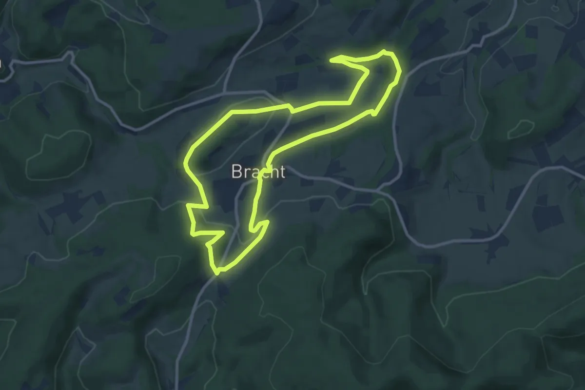
Medium · Trail
Bracht Rundweg BR2
8.4 km · ↑ 182 m · 2 h 29 min
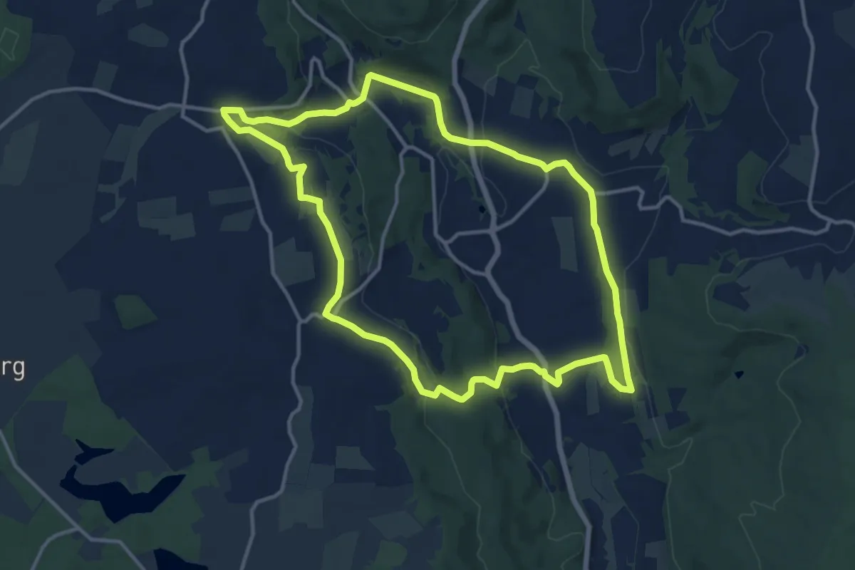
Medium · Trail
Brachttaler Steingut-Panorama (Spessartfährten )
11.6 km · ↑ 235 m · 3 h 25 min
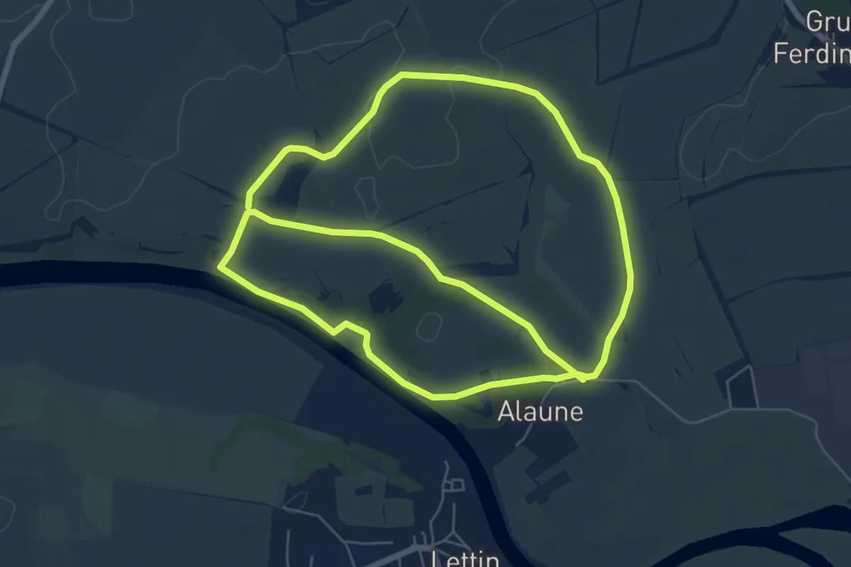
Medium · Trail
Brachwitzer Alpen
11.9 km · ↑ 89 m · 3 h
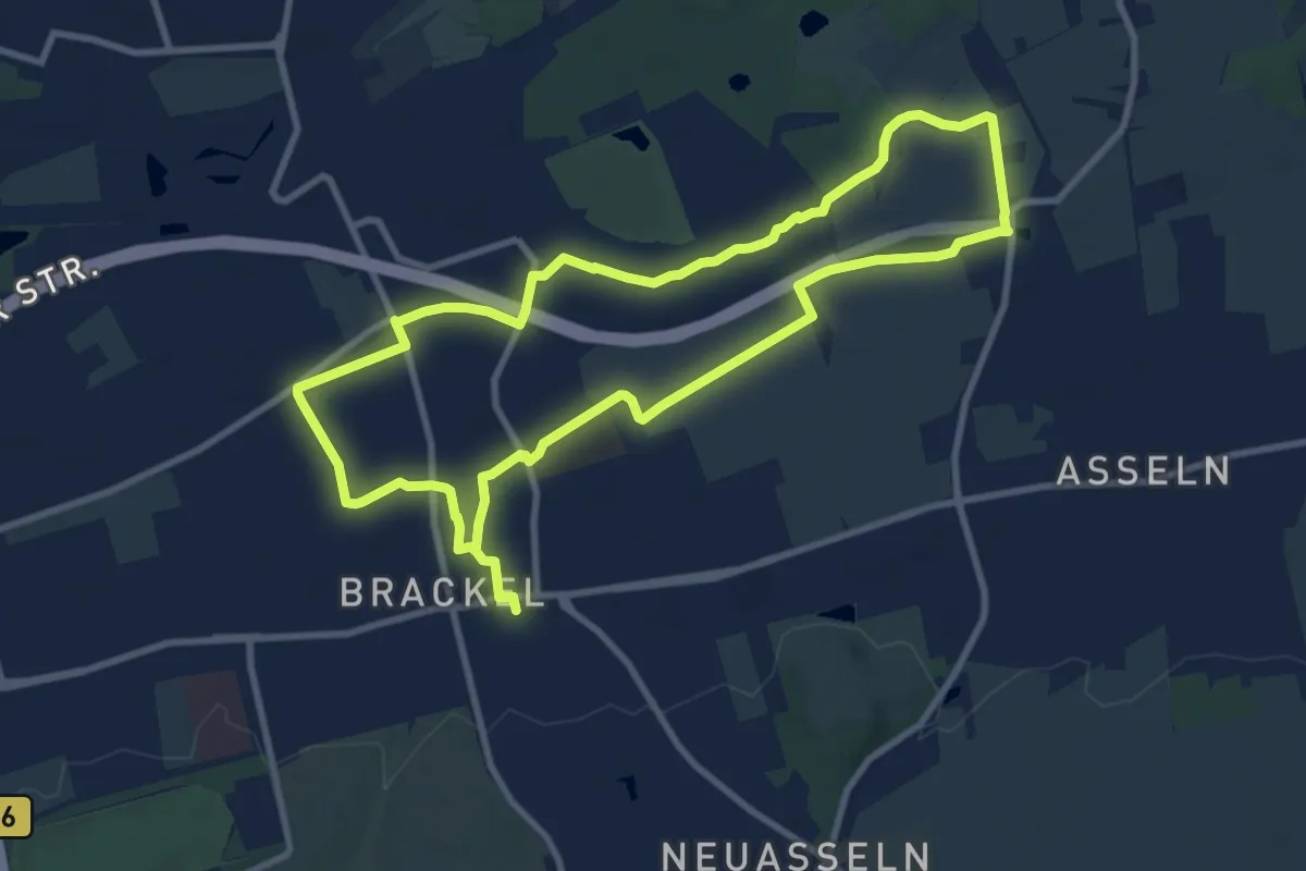
Medium · Trail
Brackel Rundweg A1
8.5 km · ↑ 9 m · 2 h 10 min
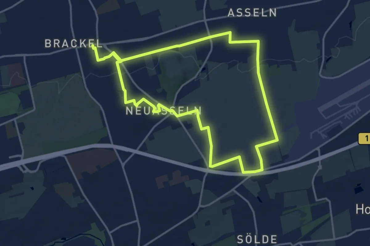
Medium · Trail
Brackel Rundweg A2
9.9 km · ↑ 79 m · 2 h 39 min
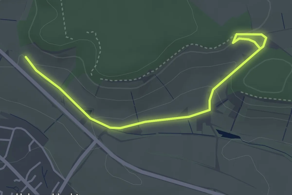
Easy · Trail
Brackenheimer Natur- und Weinlehrpfad im Zweifelberg
3.7 km · ↑ 94 m · 1 h 5 min
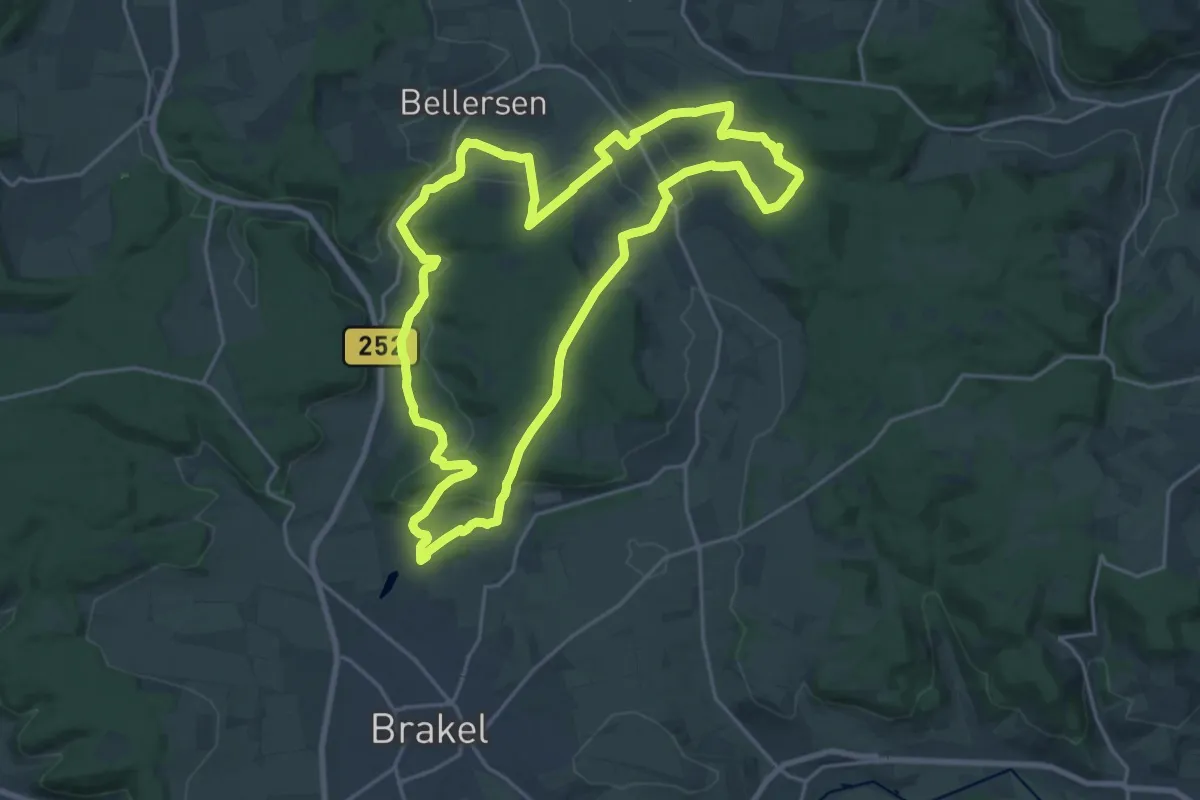
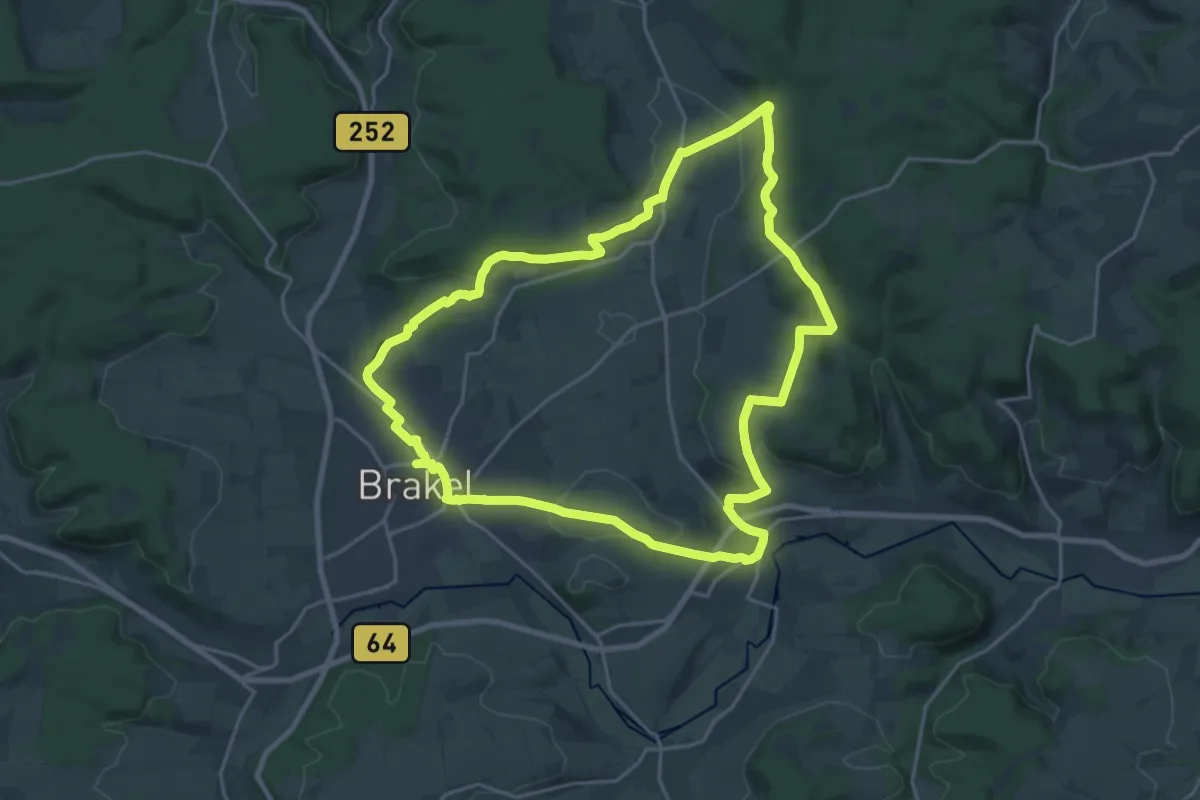
Demanding · Trail
Brakeler Bergland Nr. 4
19.2 km · ↑ 409 m · 5 h 41 min
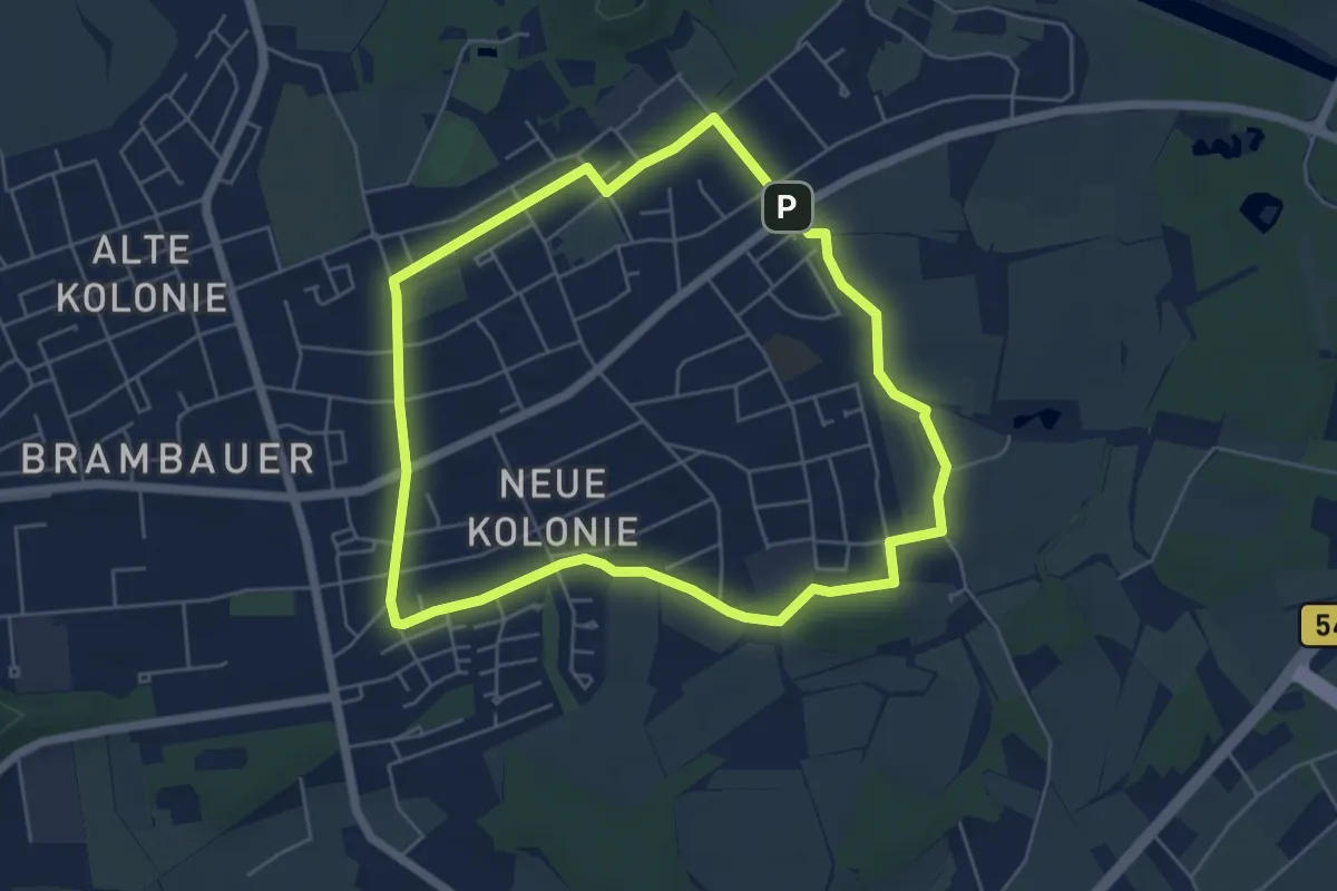
Demanding · Trail
Brakeler Bergland Nr. 5
19.5 km · ↑ 355 m · 5 h 39 min
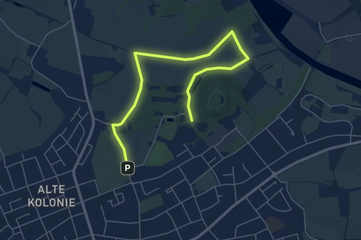
Easy · Trail
Brambauer Rundweg A1
5.0 km · ↑ 22 m · 1 h 18 min
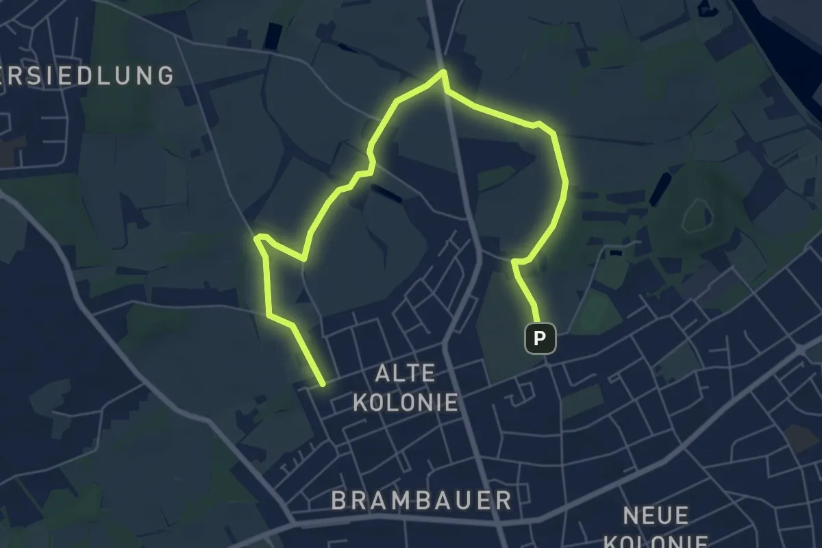
Easy · Trail
Brambauer Rundweg A2
2.9 km · ↑ 18 m · 46 min
Easy · Trail
Brambauer Rundweg A3
3.6 km · ↑ 12 m · 56 min
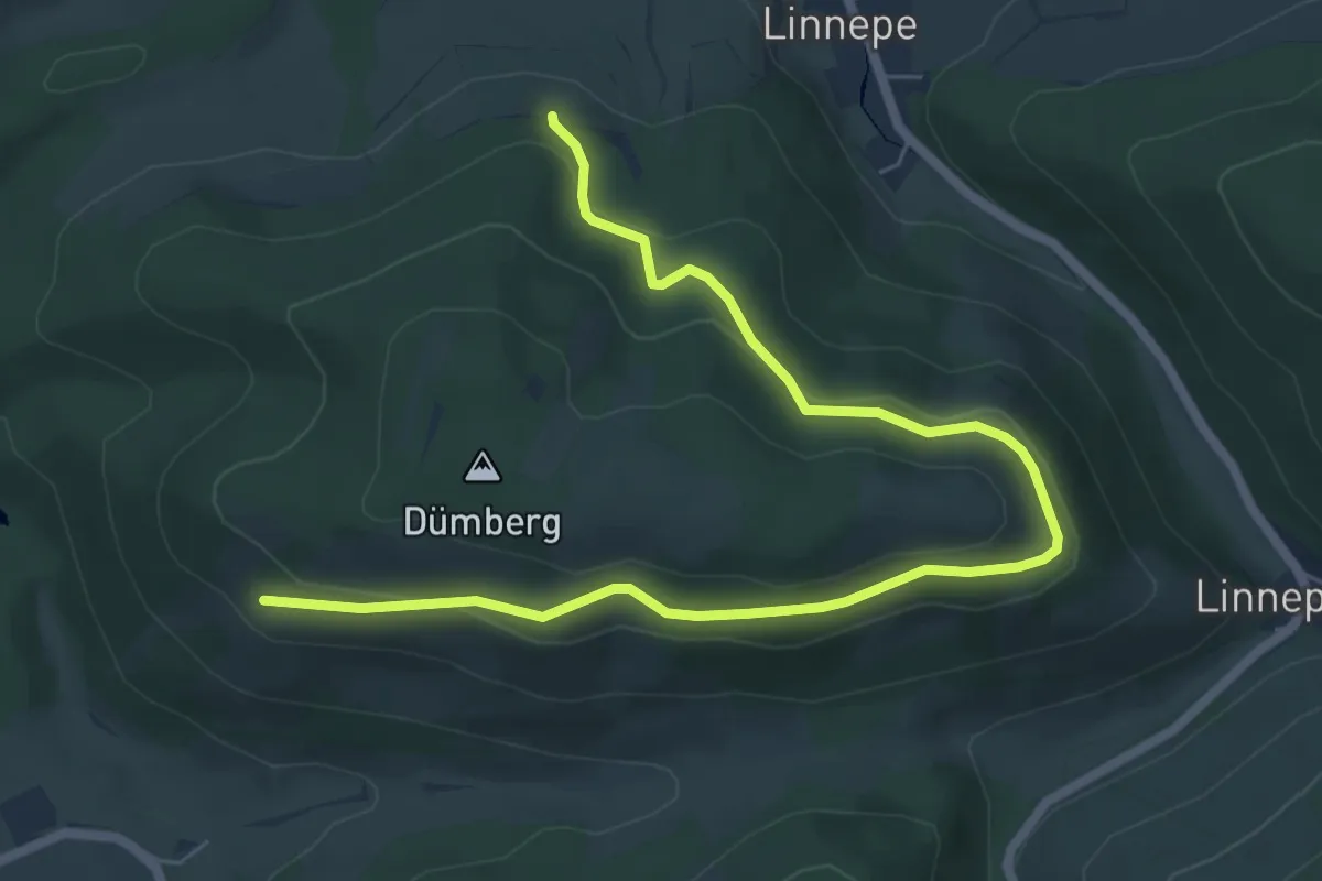
Easy · Trail
Brämke Rundweg A5
3.5 km · ↑ 131 m · 1 h 11 min
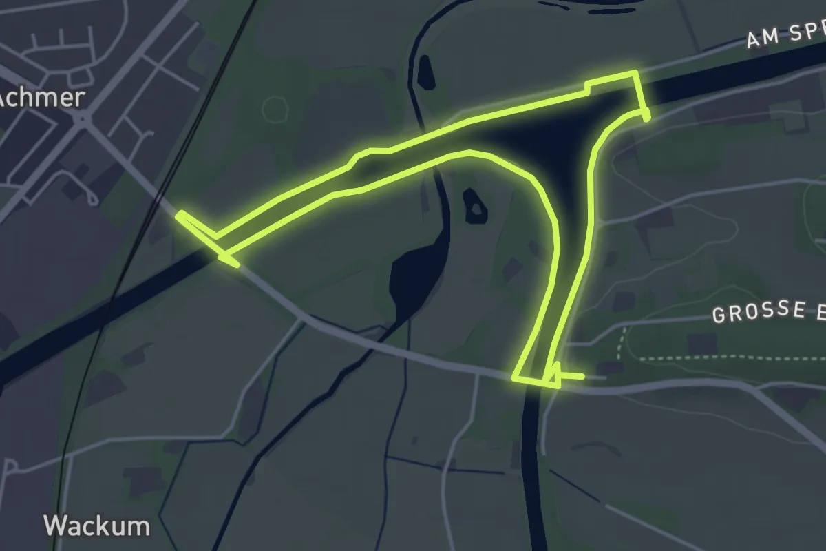
Easy · Trail
Bramsche Weg 6
4.0 km · ↑ 9 m · 1 h 2 min
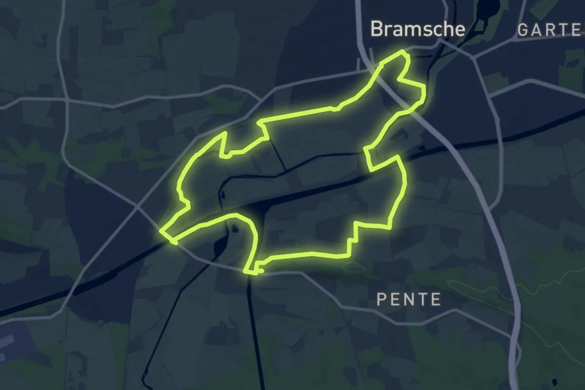
Medium · Summit
Bramsche Weg 7
10.2 km · ↑ 56 m · 2 h 40 min
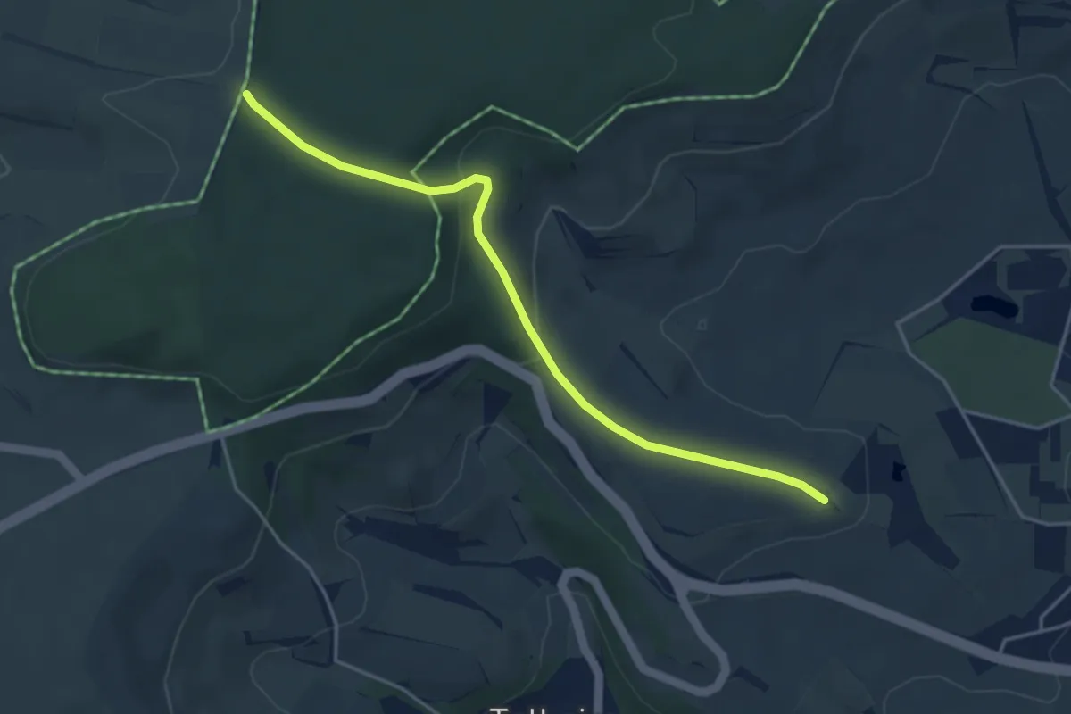
Easy · Trail
Brand - Am Ösch
4.1 km · ↑ 142 m · 1 h 16 min
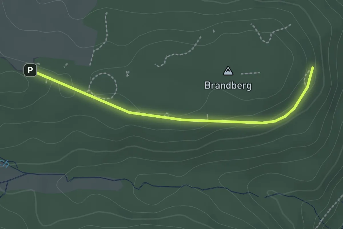
Easy · Trail
Brandberg - Heckenäcker
2.1 km · ↑ 32 m · 34 min
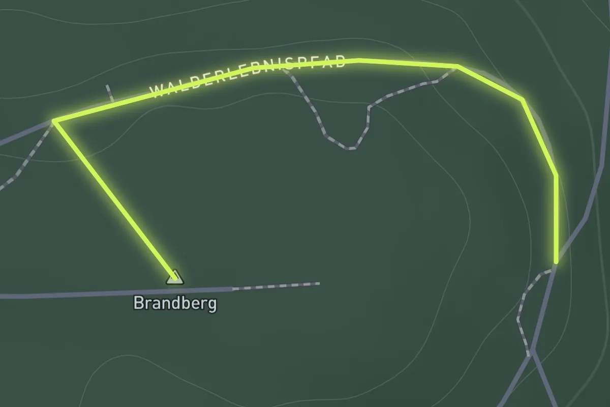
Easy · Summit
Brandberg - Heckenäcker
1.3 km · ↑ 21 m · 20 min
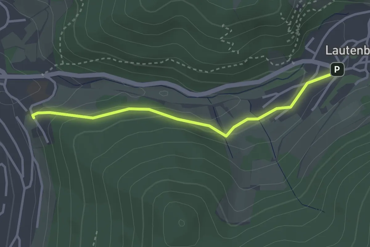
Easy · Trail
Brandeck - Lautenfelsenstraße
2.7 km · ↑ 92 m · 50 min
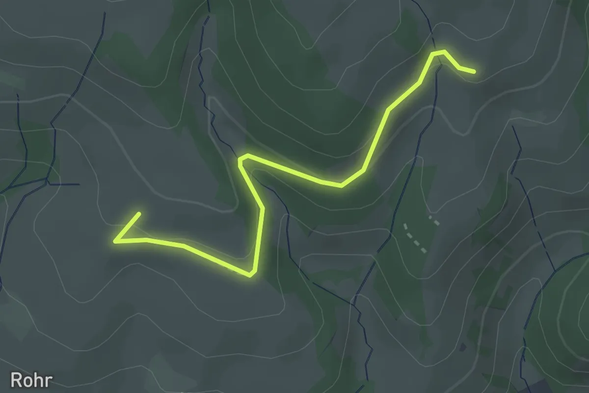
Easy · Trail
Brandeck - Neubauern Ebel
2.9 km · ↑ 118 m · 57 min
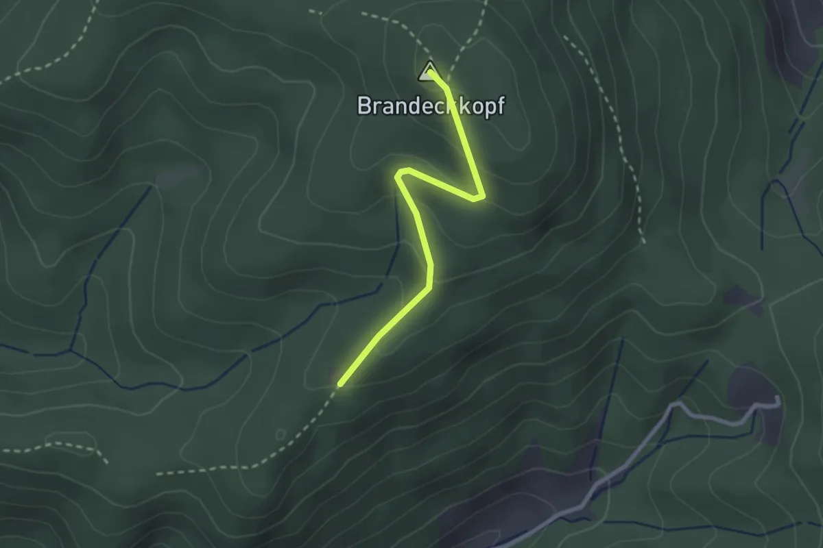
Easy · Summit
Brandeck-Turm - Fritscheneck
2.2 km · ↑ 120 m · 46 min
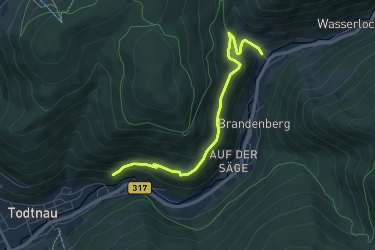
Medium · Trail
Brandenberg - Todtnauer Kriegerdenkmal
6.1 km · ↑ 441 m · 2 h 23 min
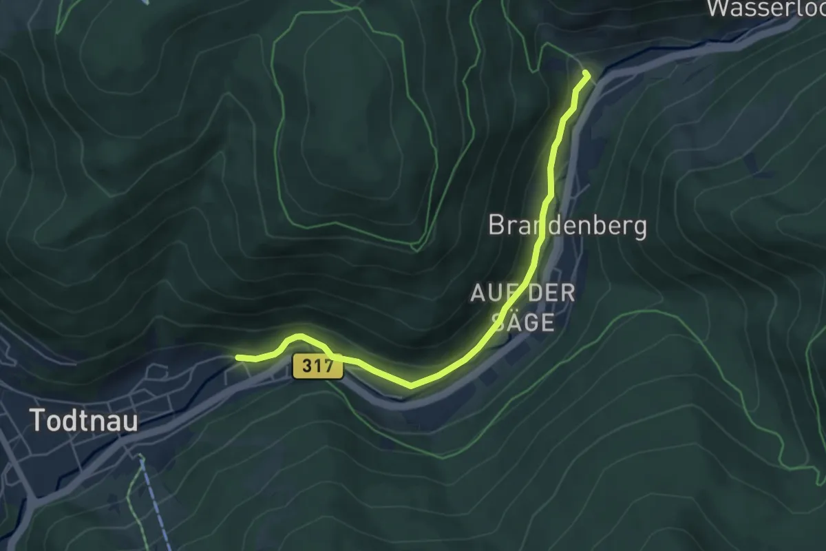
Easy · Trail
Brandenberg - Todtnau Forsthaus
5.0 km · ↑ 174 m · 1 h 34 min
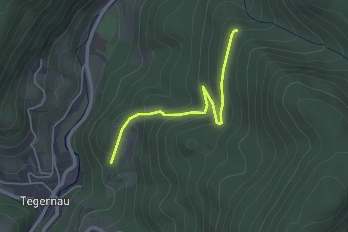
Easy · Trail
Brandenbrückle - Wittmättle
3.2 km · ↑ 165 m · 1 h 7 min