Trails in Germany
36,847 hiking trails, each with its route, climb, walking time and grade.
All trails, page 85 of 768
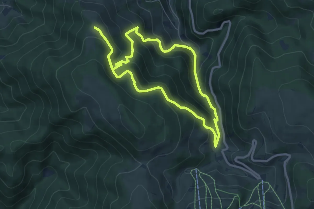
Medium · Summit
Brandenpfad
6.2 km · ↑ 398 m · 2 h 25 min
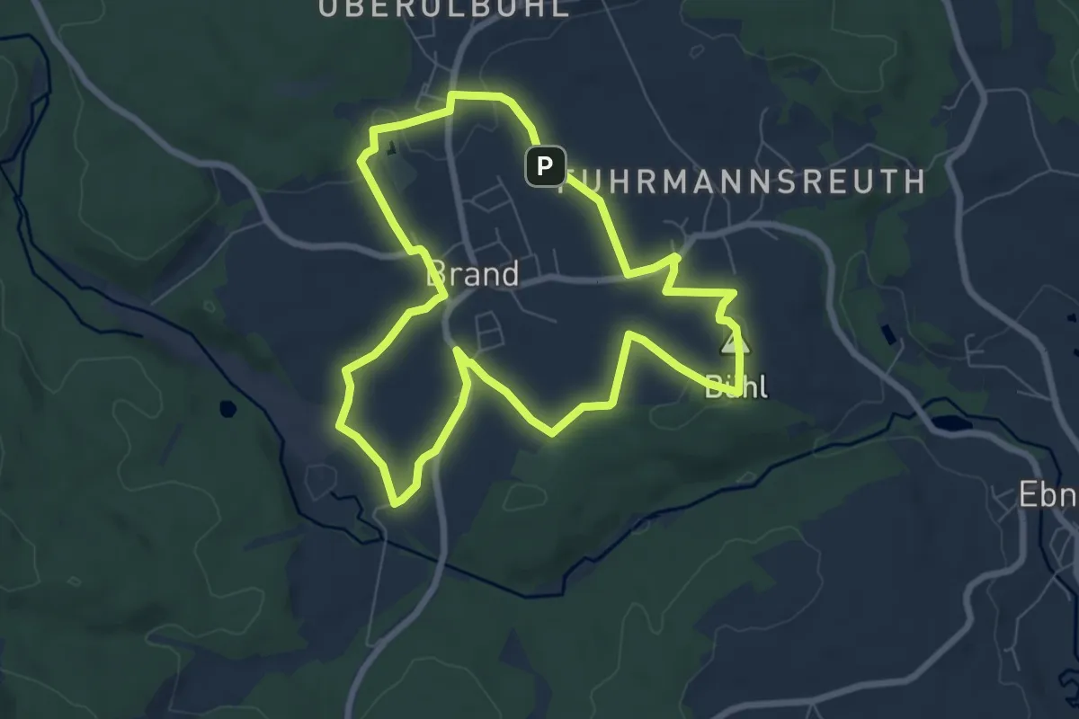
Easy · Summit
Brand Erfahrungspfad Lebensraum
6.5 km · ↑ 64 m · 1 h 46 min
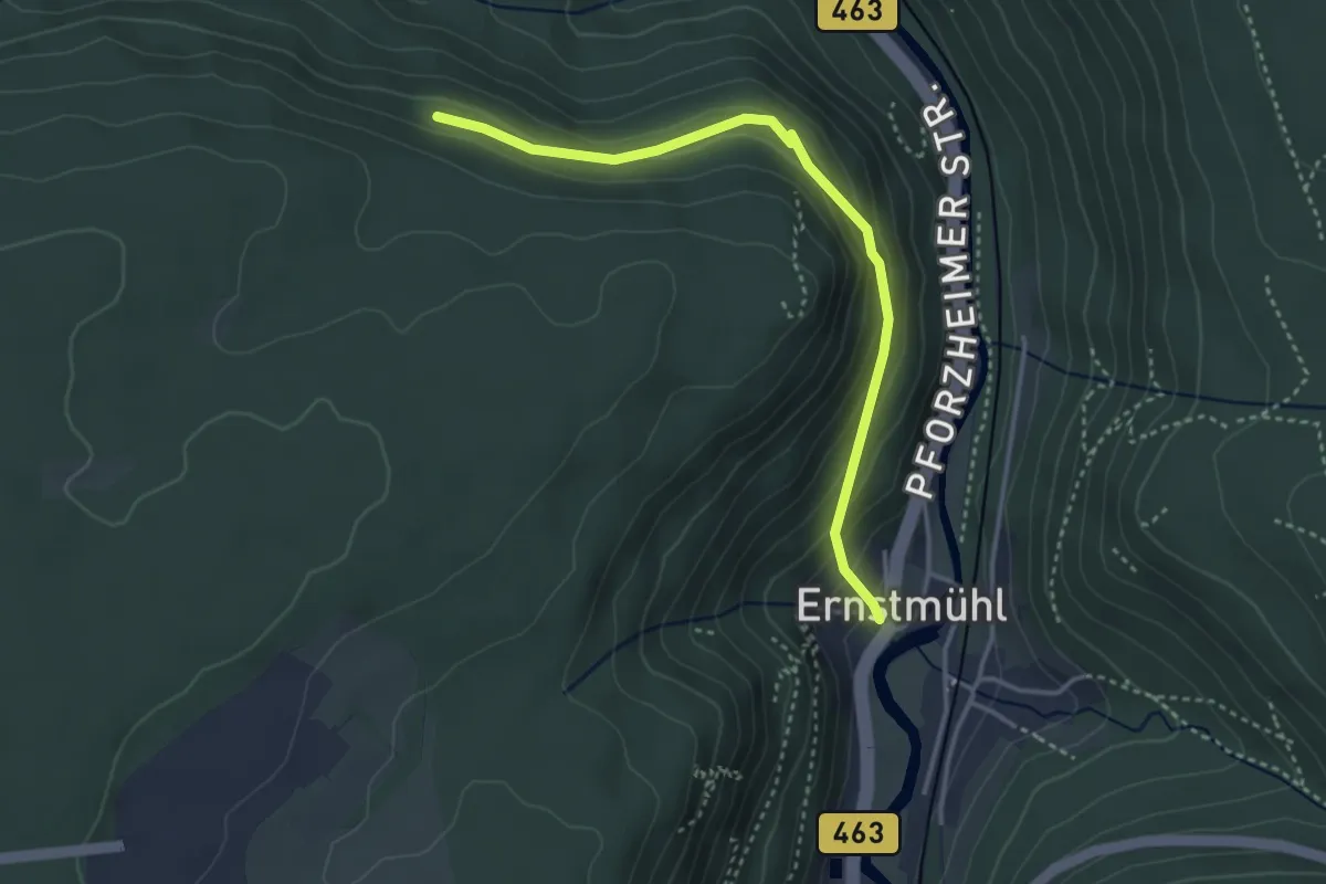
Easy · Trail
Brandhalde - Lützenhart
3.5 km · ↑ 232 m · 1 h 19 min
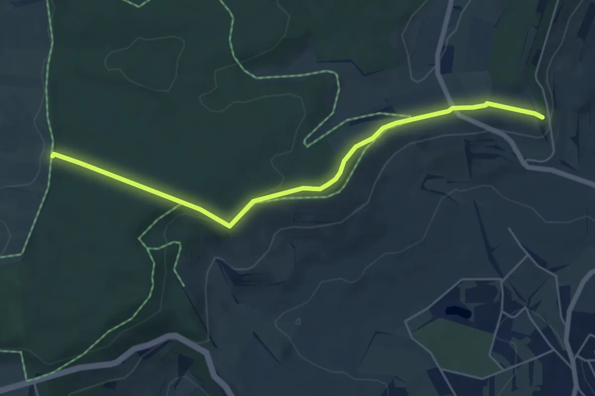
Easy · Trail
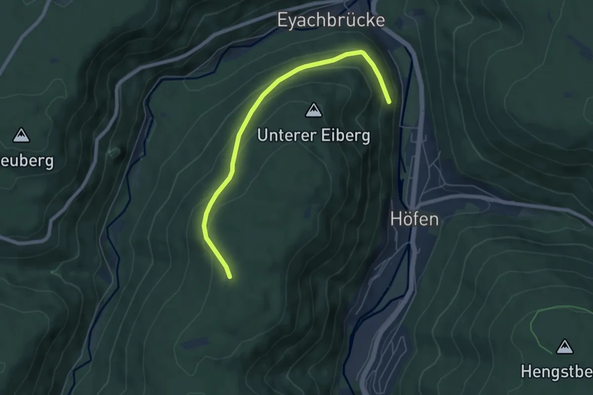
Brand - Hoher Rain
5.2 km · ↑ 116 m · 1 h 28 min
Easy · Trail
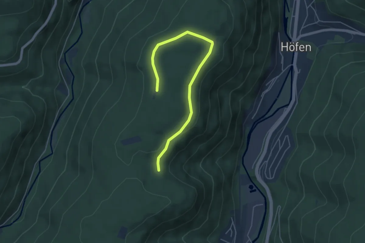
Brandhütte - Bannwaldschrat
5.4 km · ↑ 269 m · 1 h 52 min
Easy · Trail
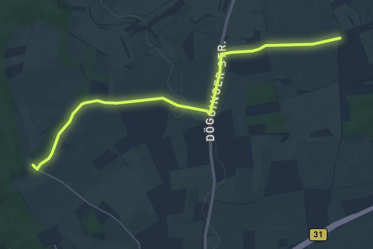
Brandhütte - Enzschneise
4.9 km · ↑ 85 m · 1 h 20 min
Easy · Trail
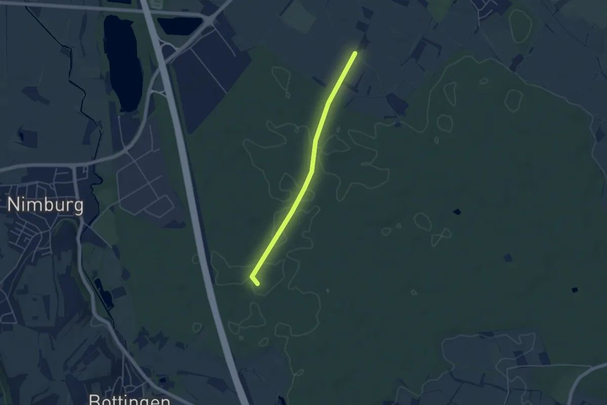
Brand - Im Grund
5.8 km · ↑ 49 m · 1 h 28 min
Easy · Trail
Brandlache - Wandhöhe
4.2 km · ↑ 9 m · 1 h 1 min
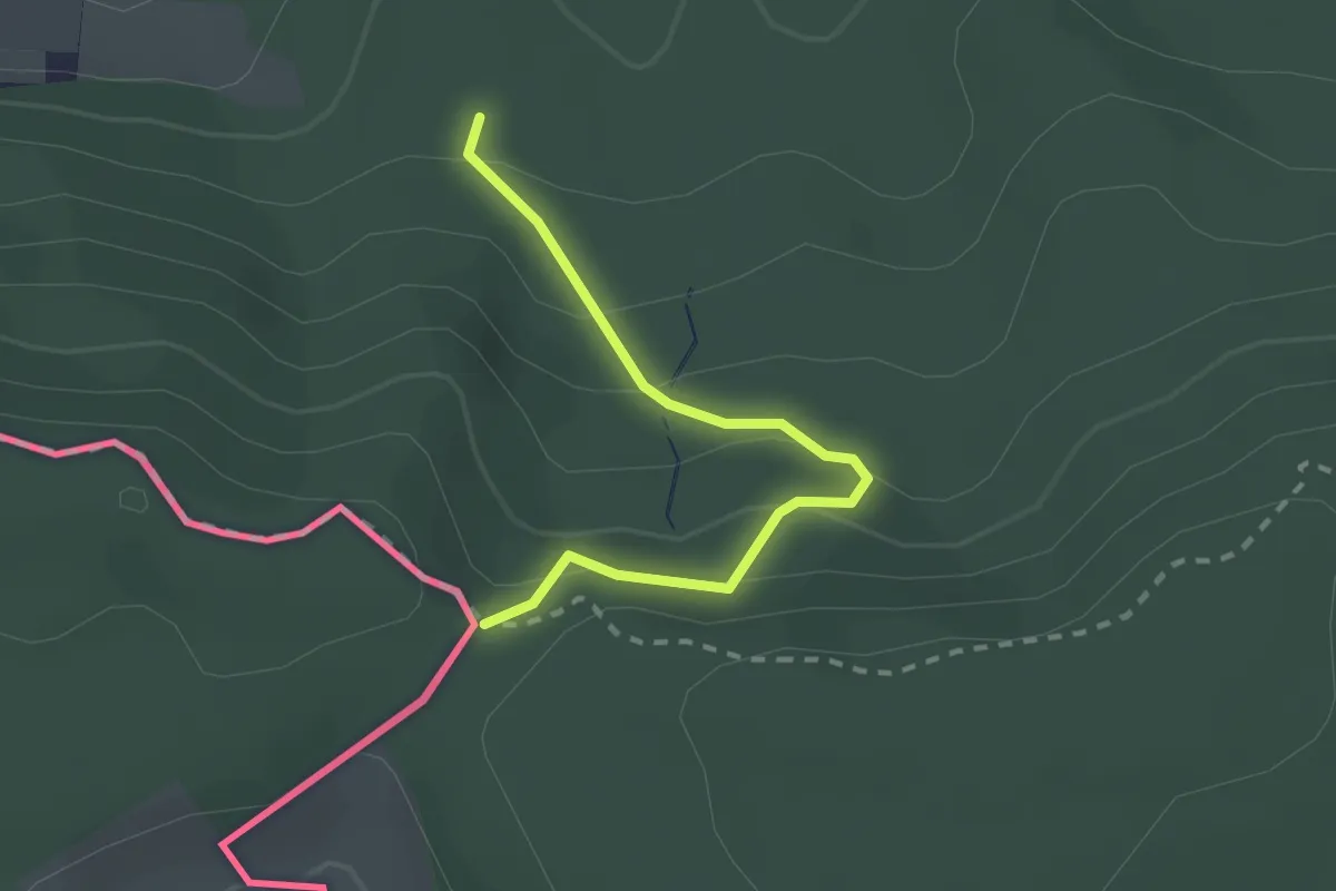
Easy · Trail
Brand - Mariatann Firstweg
2.1 km · ↑ 125 m · 45 min
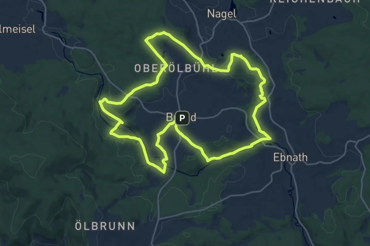
Medium · Trail
Brand Max-Reger-Weg
14.3 km · ↑ 200 m · 4 h
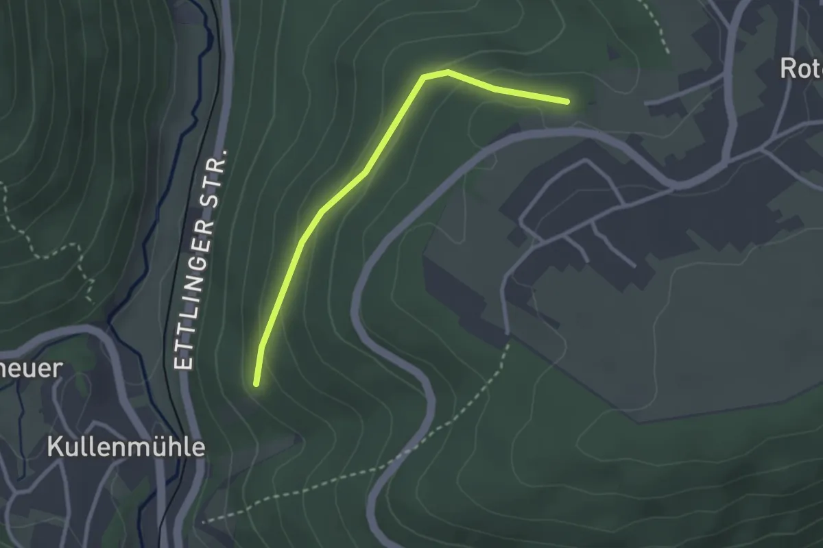
Easy · Trail
Brandplatte - Muttertal
2.4 km · ↑ 111 m · 48 min
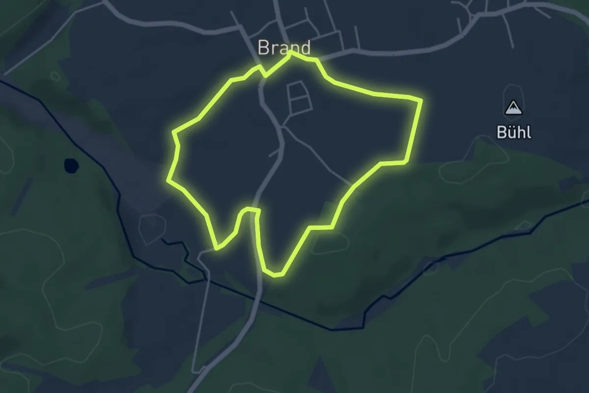
Easy · Trail
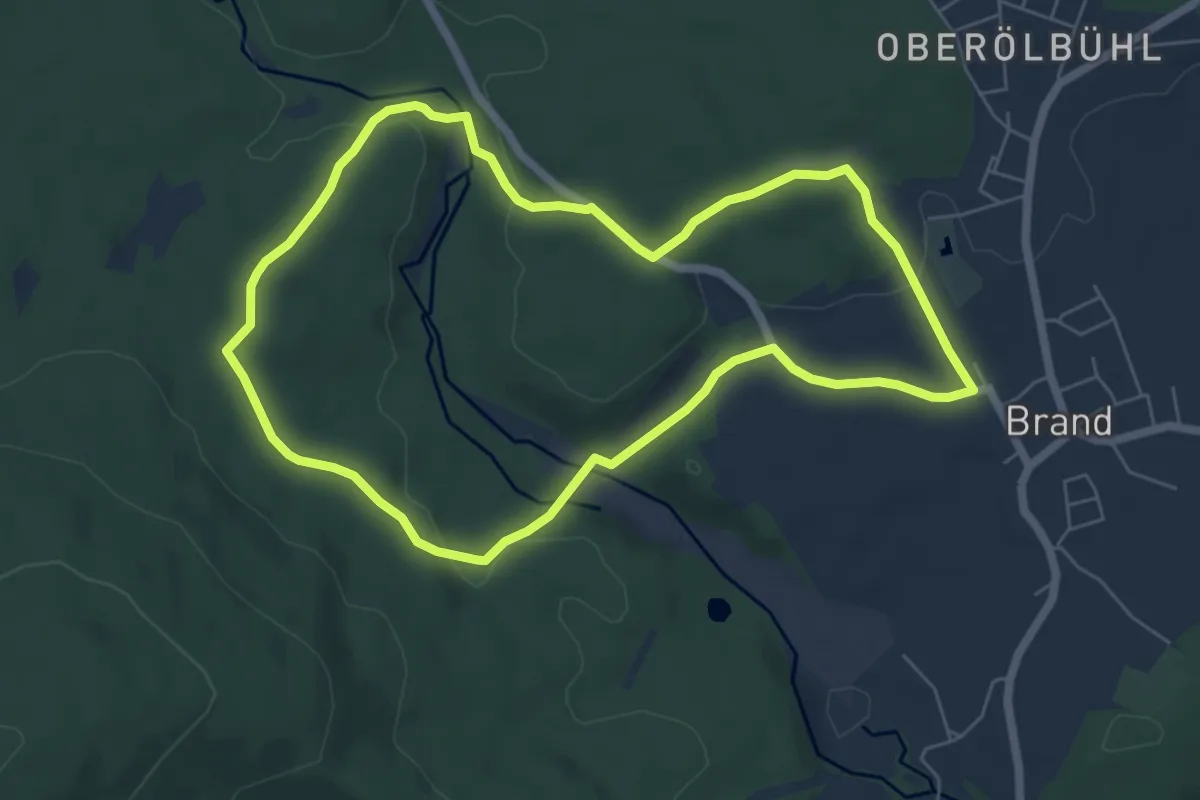
Brand Rundwanderweg Nr. 2
3.6 km · ↑ 36 m · 59 min
Easy · Trail
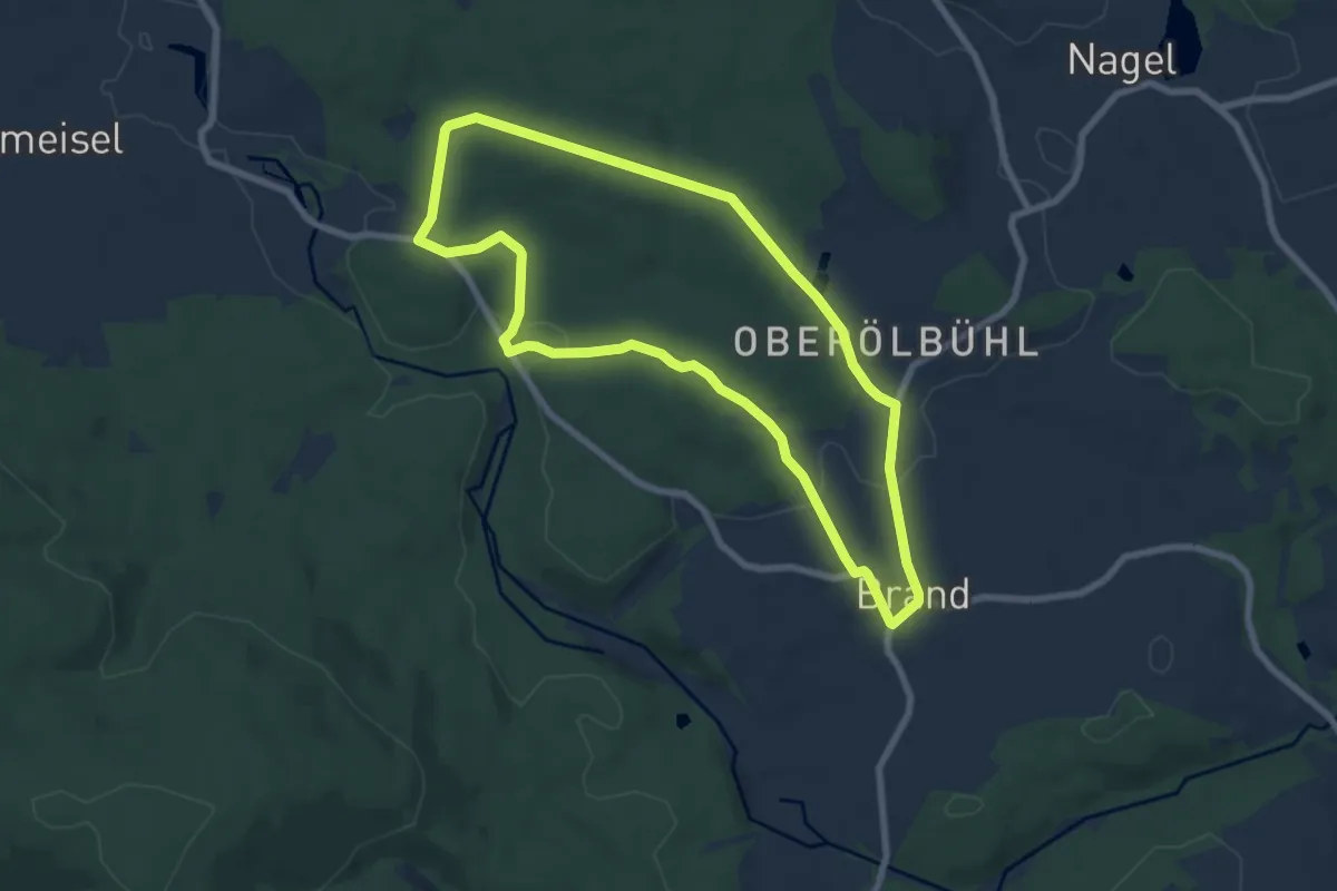
Brand Rundwanderweg Nr. 3
5.7 km · ↑ 109 m · 1 h 39 min
Easy · Trail
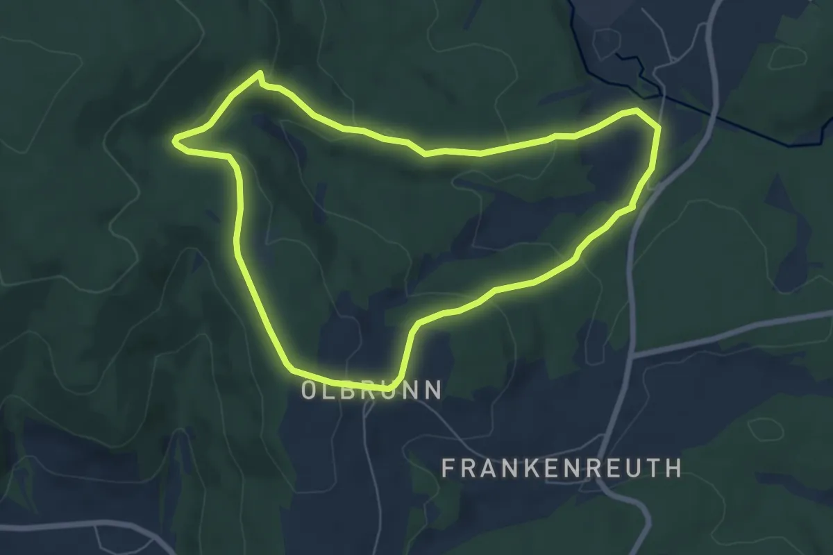
Brand Rundwanderweg Nr. 4
6.8 km · ↑ 103 m · 1 h 56 min
Easy · Trail
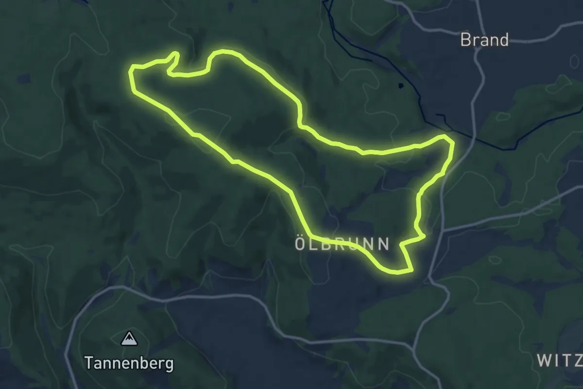
Brand Rundwanderweg Nr. 6 (Zinnerbrunnenweg)
5.8 km · ↑ 178 m · 1 h 50 min
Medium · Trail
Brand Rundwanderweg schwarze 7
10.7 km · ↑ 300 m · 3 h 20 min
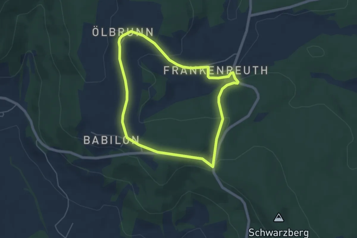
Easy · Trail
Brand Rundwanderweg schwarze 8
3.9 km · ↑ 98 m · 1 h 11 min
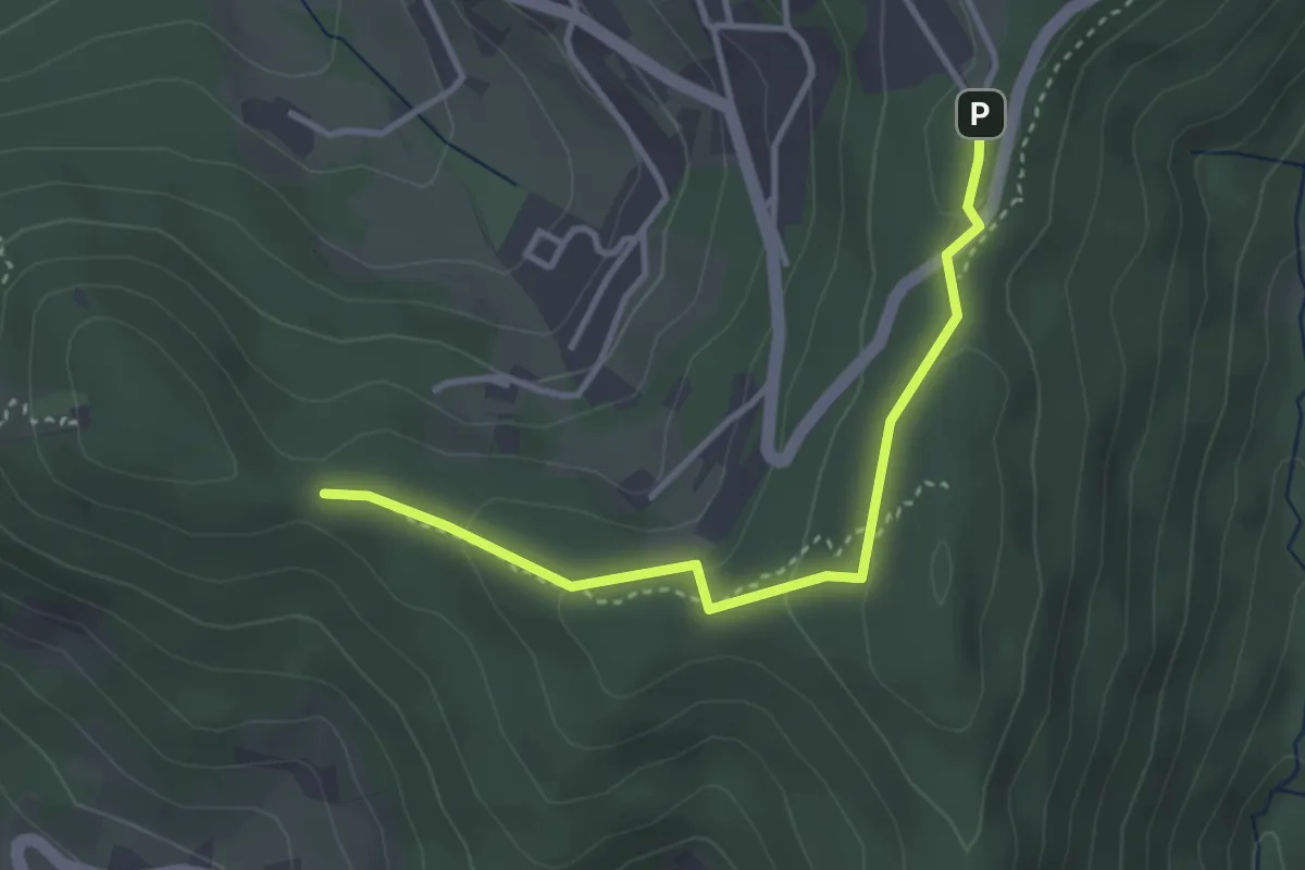
Easy · Trail
Brandrüttel - Kreuzbuche
3.2 km · ↑ 86 m · 57 min
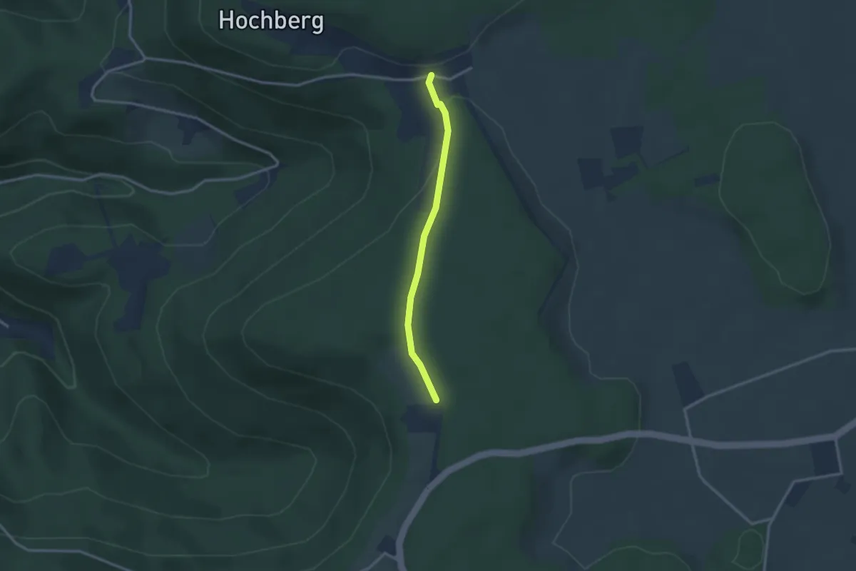
Easy · Trail
Brandsteig Schänzle - Neuhaus
2.3 km · ↑ 61 m · 41 min
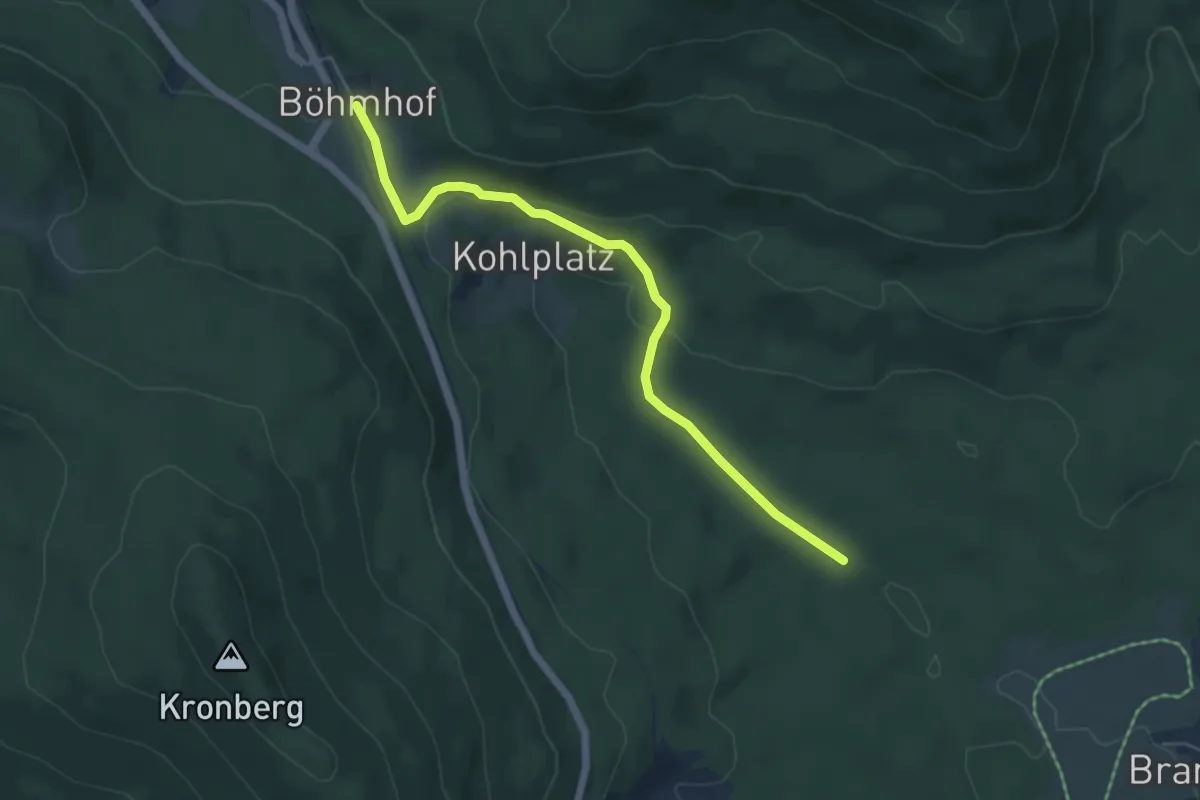
Easy · Trail
Brandtner Tal
5.2 km · ↑ 114 m · 1 h 28 min
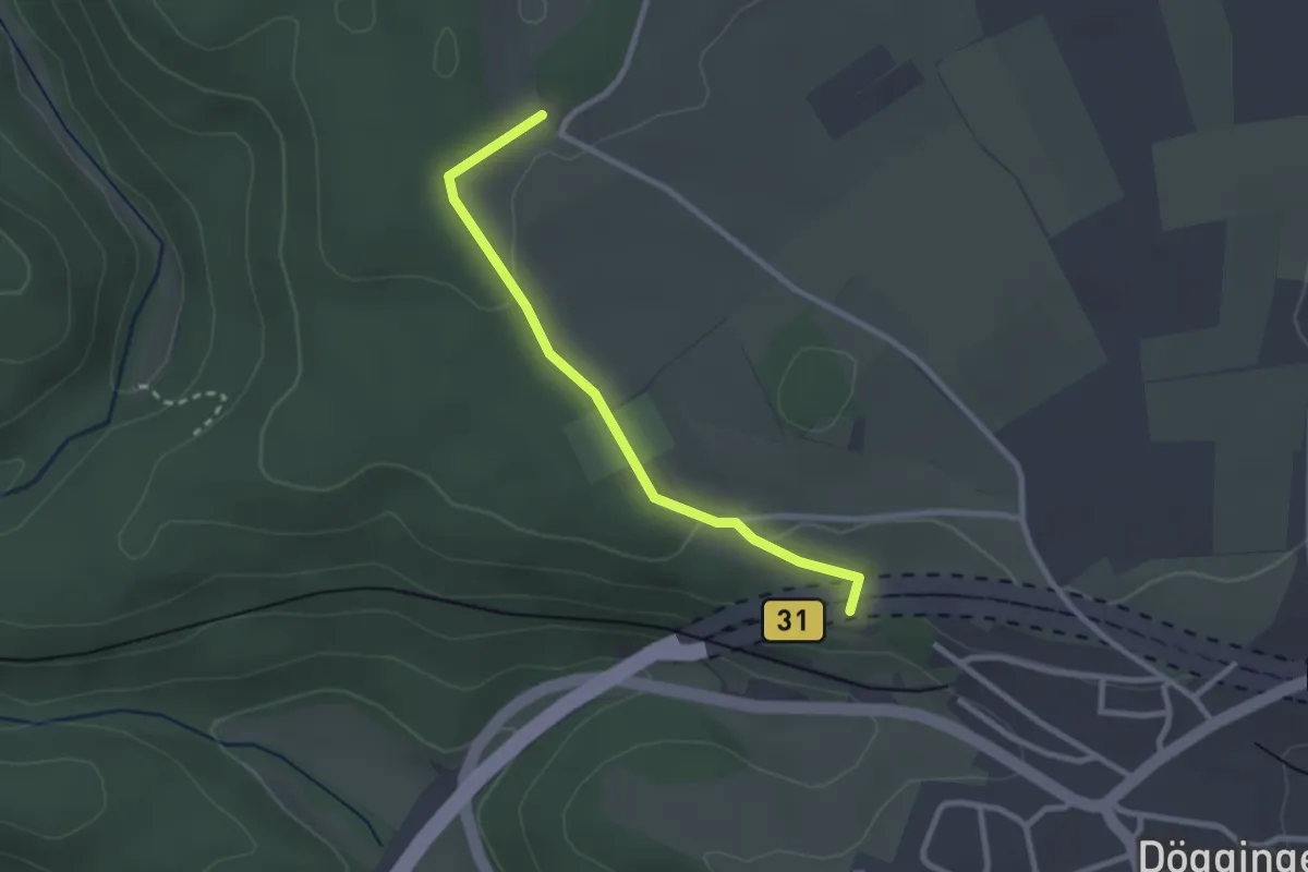
Easy · Trail
Brand - Waldstraße
2.4 km · ↑ 44 m · 40 min
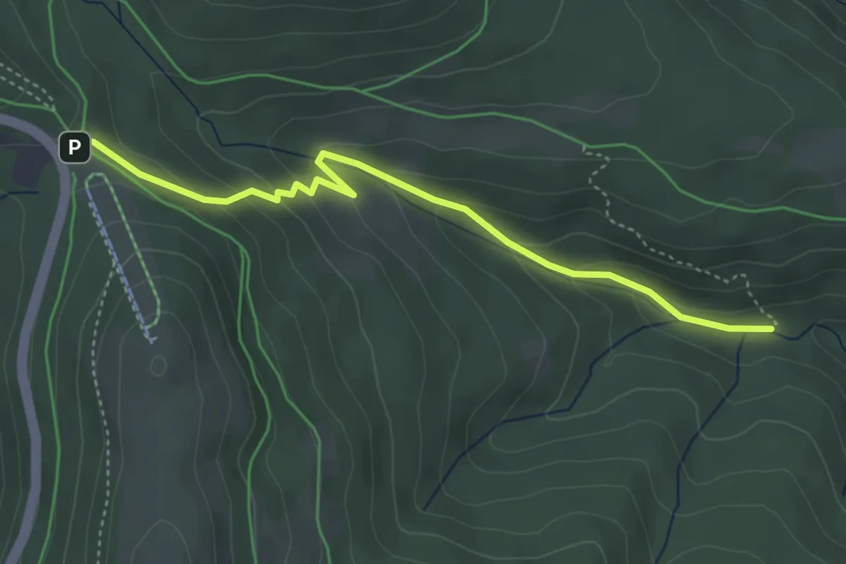
Medium · Trail
Brandwegle - Seibelseckle
4.1 km · ↑ 218 m · 1 h 27 min
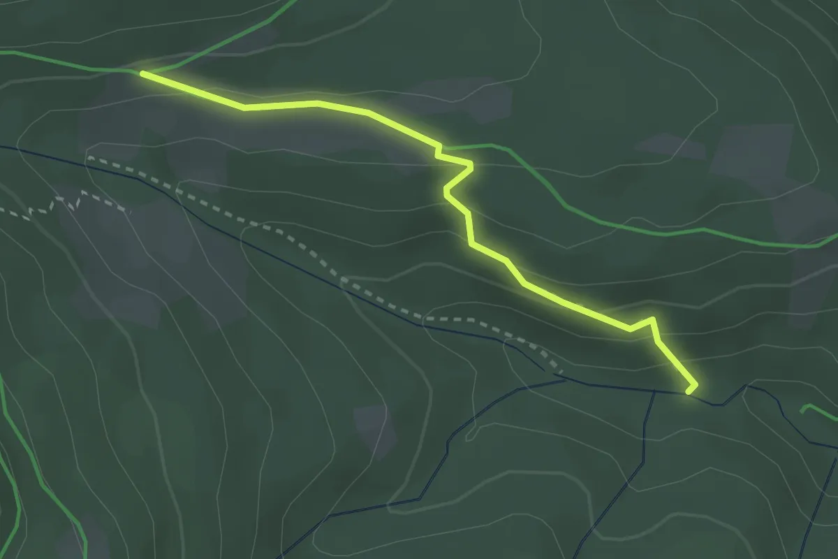
Demanding · Trail
Brandwegle - Untergrinden
2.6 km · ↑ 147 m · 57 min
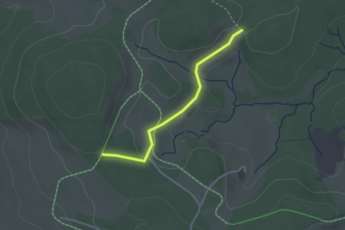
Easy · Trail
Brand - Weißenbacher Wald
2.3 km · ↑ 40 m · 38 min
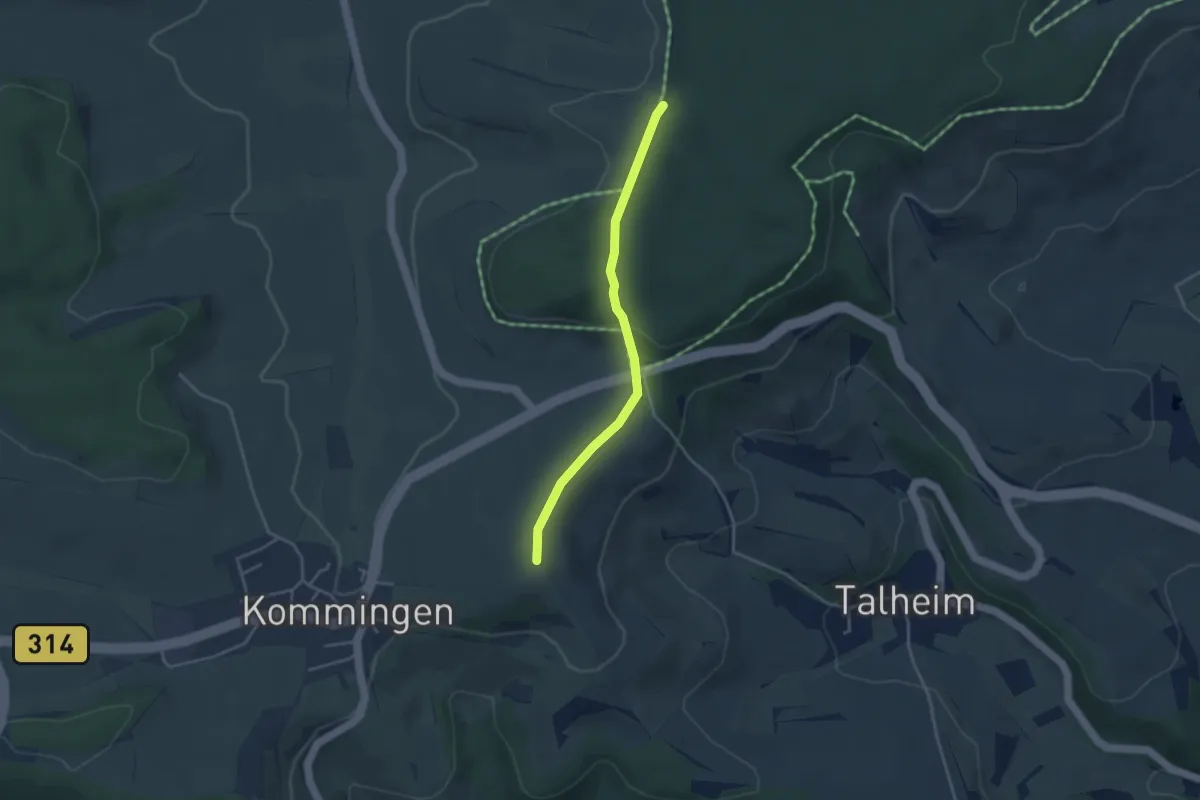
Easy · Trail
Brand - Worberg
3.3 km · ↑ 74 m · 56 min
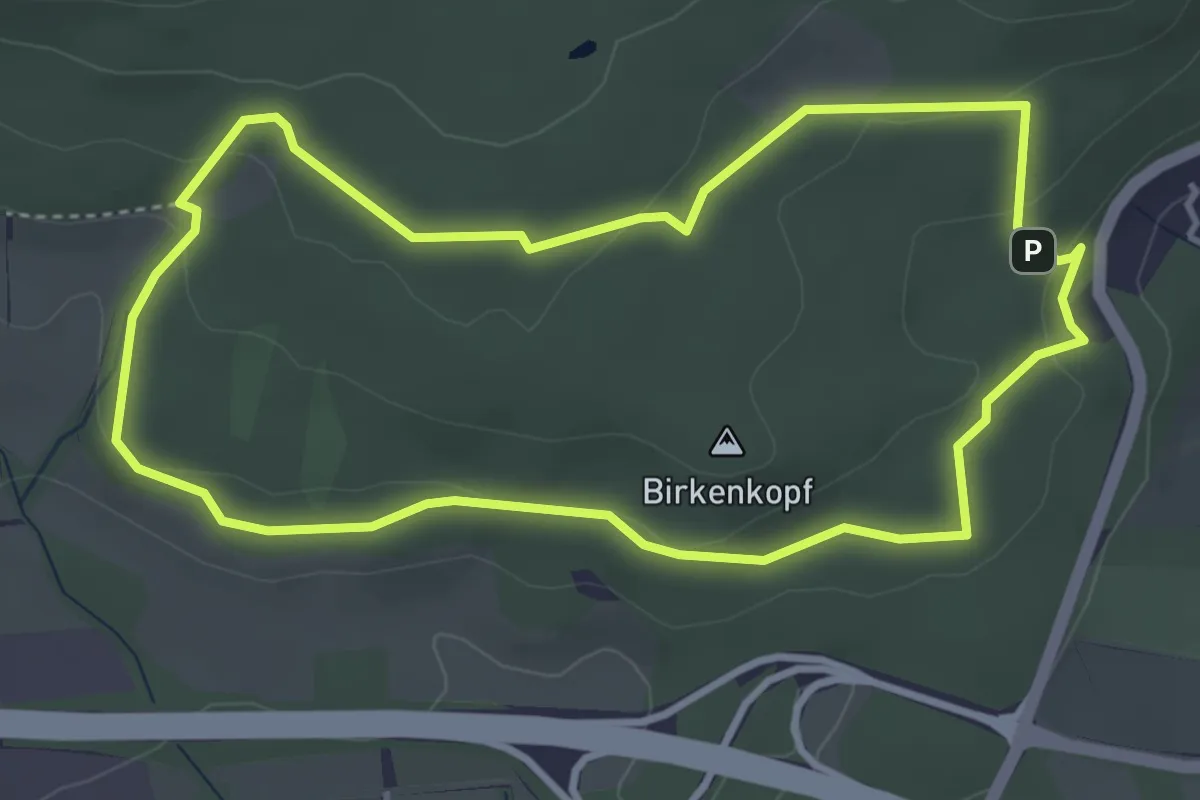
Easy · Trail
Brasselsberg, Naturparkweg 1
3.8 km · ↑ 95 m · 1 h 9 min
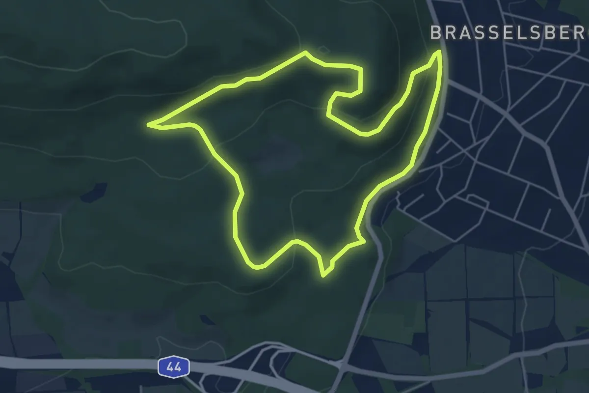
Easy · Summit
Brasselsberg, Naturparkweg 3
4.5 km · ↑ 147 m · 1 h 26 min
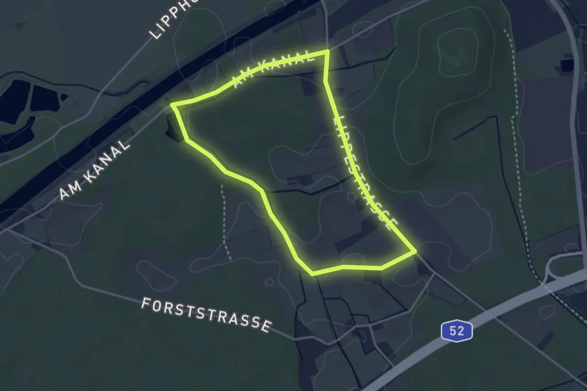
Easy · Trail
Brassert Rundweg A3
2.9 km · ↑ 13 m · 45 min
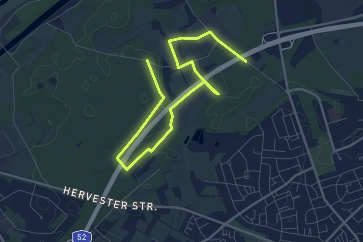
Easy · Trail
Brassert Rundweg A6
4.5 km · ↑ 18 m · 1 h 10 min
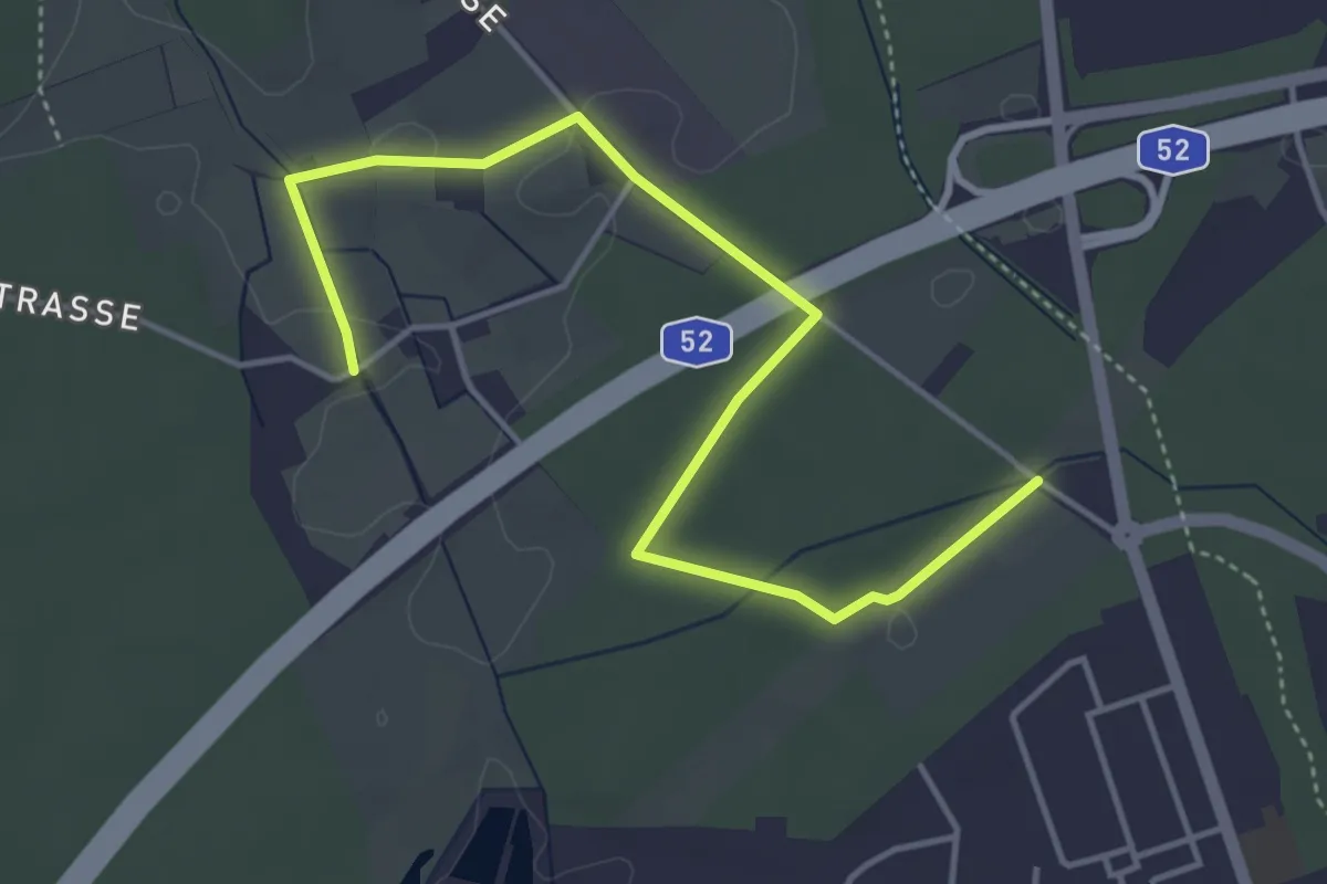
Easy · Trail
Brassert Rundweg A8
2.2 km · ↑ 4 m · 34 min
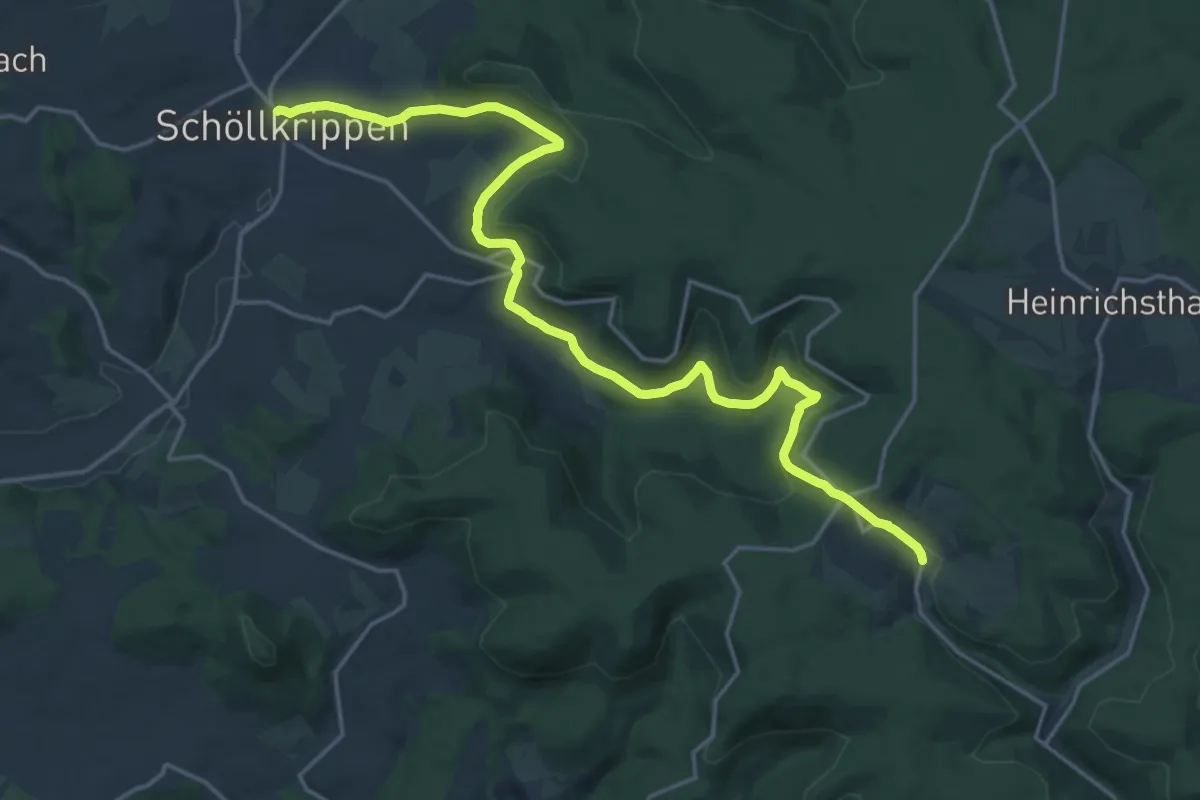
Demanding · Trail
Bratschweg
20.2 km · ↑ 567 m · 6 h
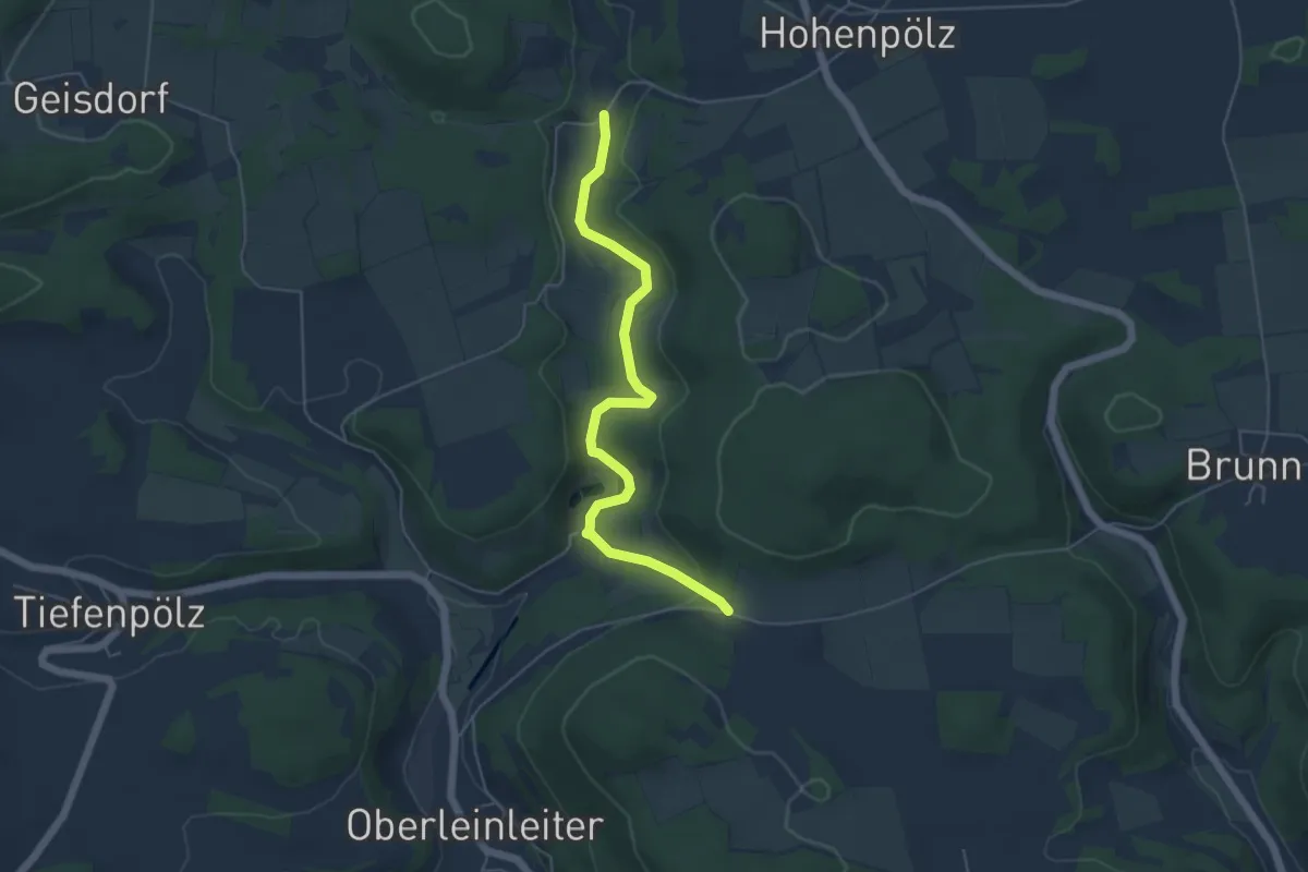
Easy · Trail
Brauereienweg
4.9 km · ↑ 88 m · 1 h 21 min
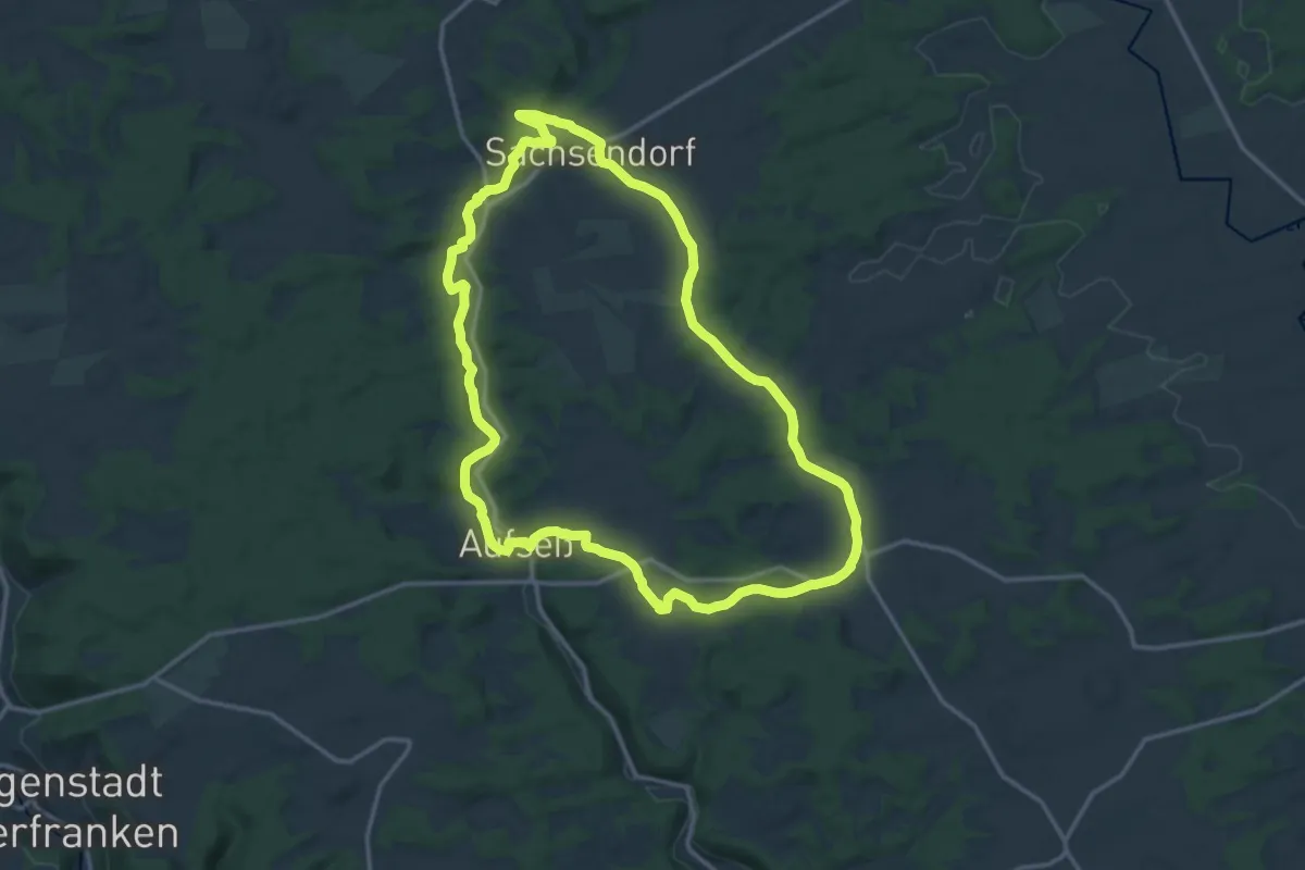
Medium · Trail
Brauereienweg Aufseß
14.1 km · ↑ 170 m · 3 h 53 min
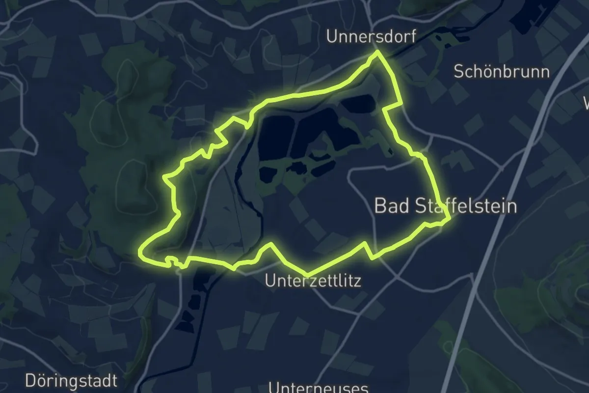
Medium · Trail
Brauereiweg 1
13.1 km · ↑ 149 m · 3 h 36 min
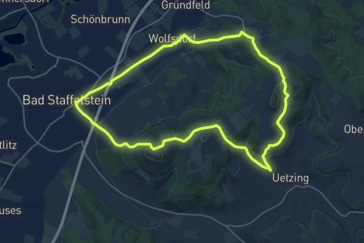
Medium · Summit
Brauereiweg 2
13.6 km · ↑ 377 m · 4 h 13 min
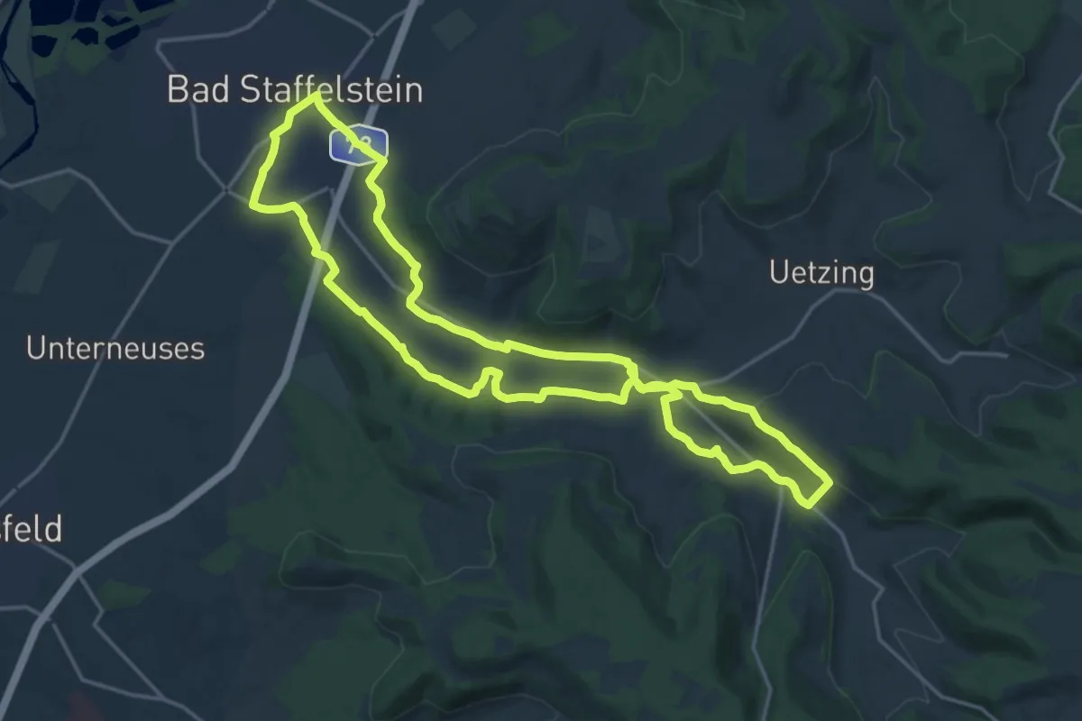
Medium · Trail
Brauereiweg 3
16.8 km · ↑ 204 m · 4 h 39 min
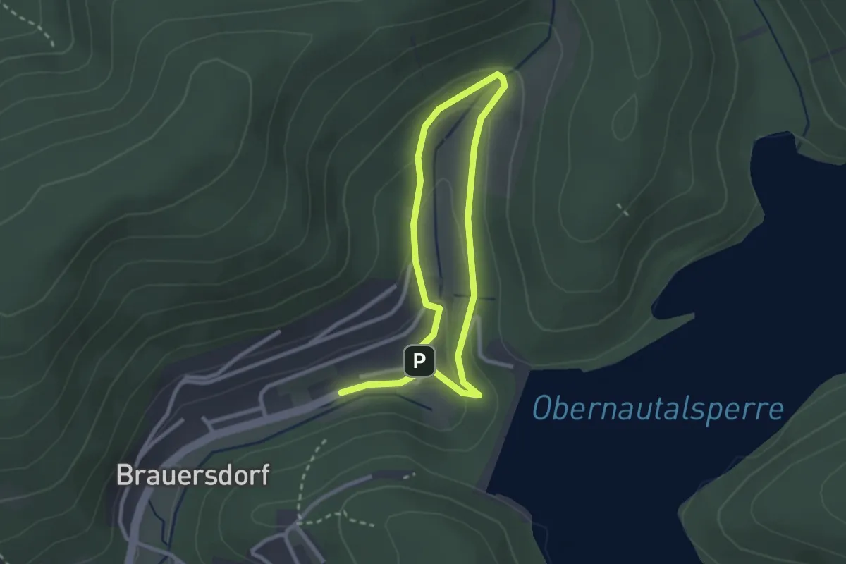
Easy · Trail
Brauersdorf Rundweg A3
1.9 km · ↑ 73 m · 38 min
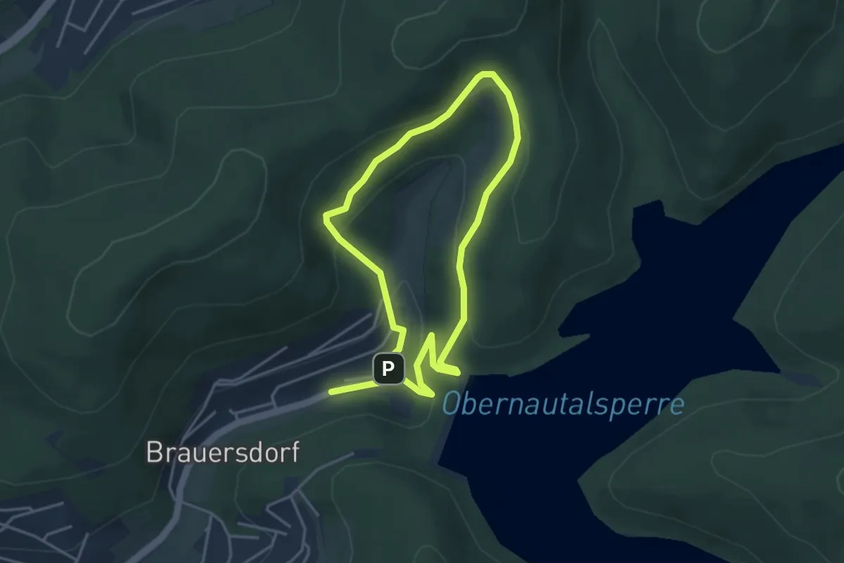
Easy · Summit
Brauersdorf Rundweg A4
3.0 km · ↑ 129 m · 1 h 2 min
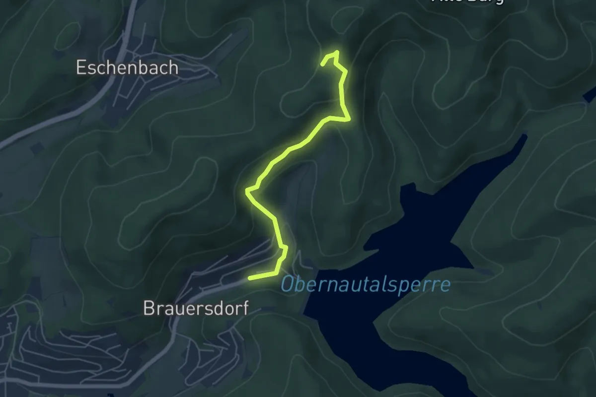
Easy · Trail
Brauersdorf Rundweg A5
2.2 km · ↑ 5 m · 38 min
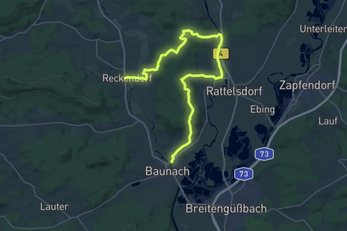
Demanding · Trail
Brauersteig
27.8 km · ↑ 576 m · 7 h 49 min
Easy · Trail
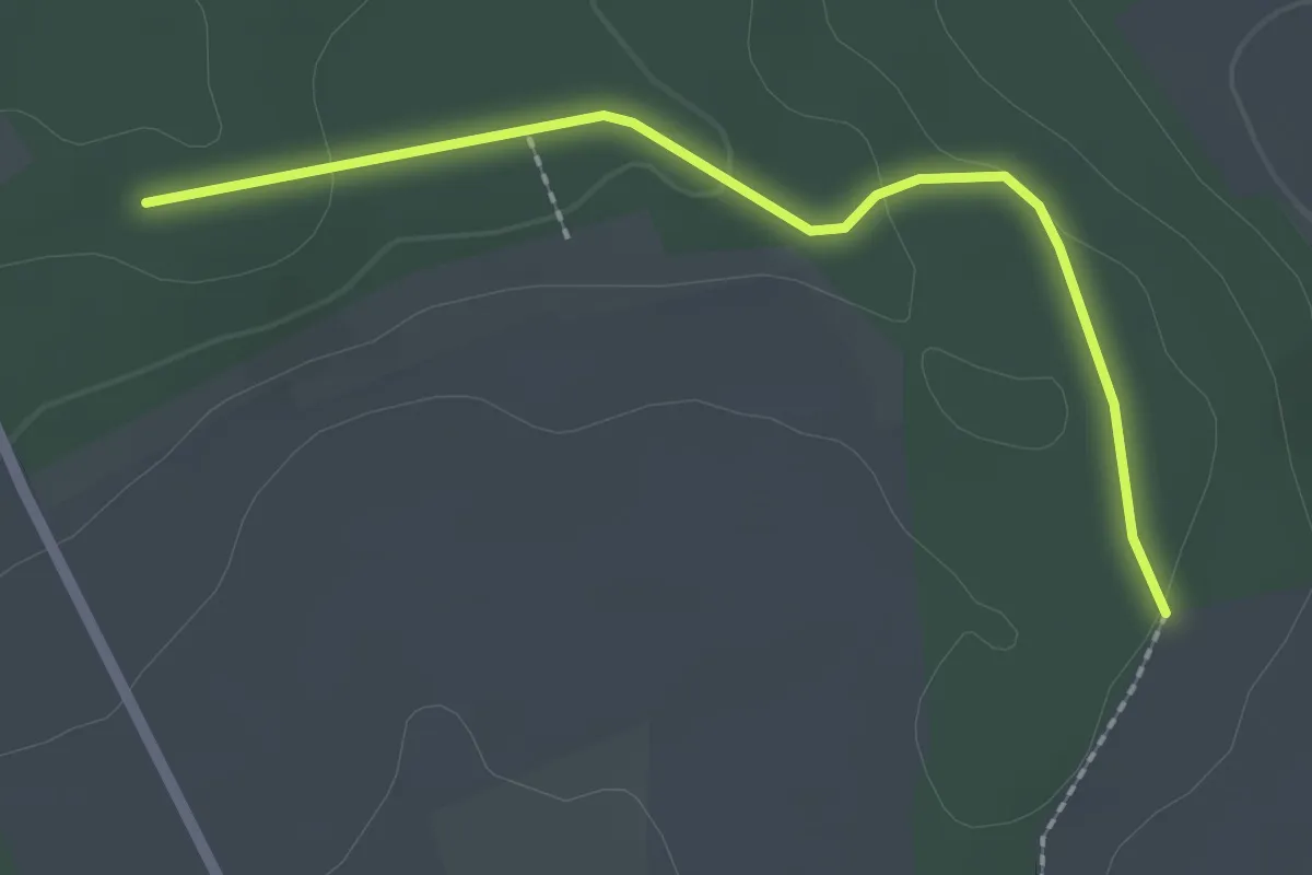
Bräulesberg - Schaffhausen
2.1 km · ↑ 43 m · 35 min
Easy · Trail
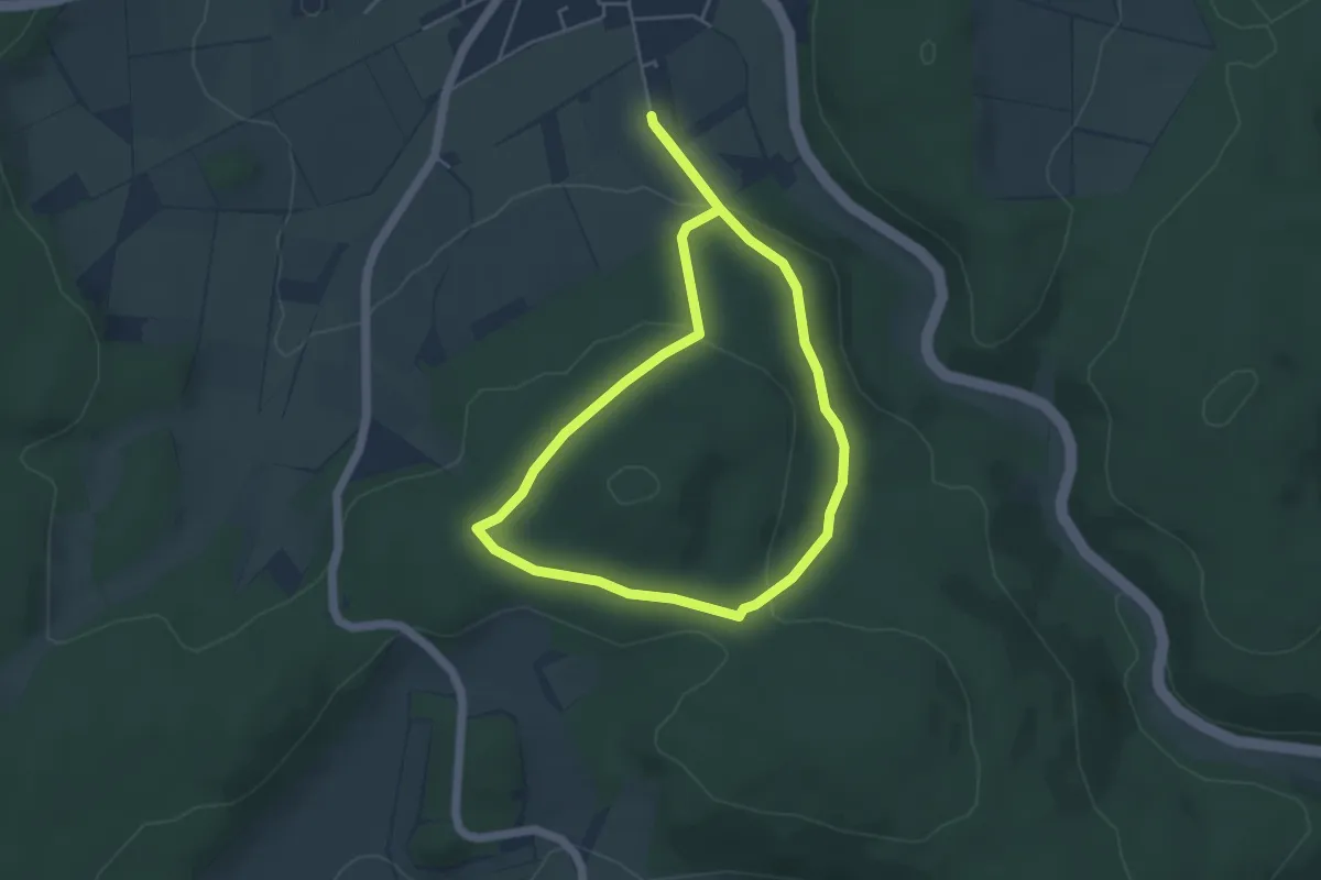
Braunau - BR2
4.0 km · ↑ 95 m · 1 h 12 min
Medium · Summit
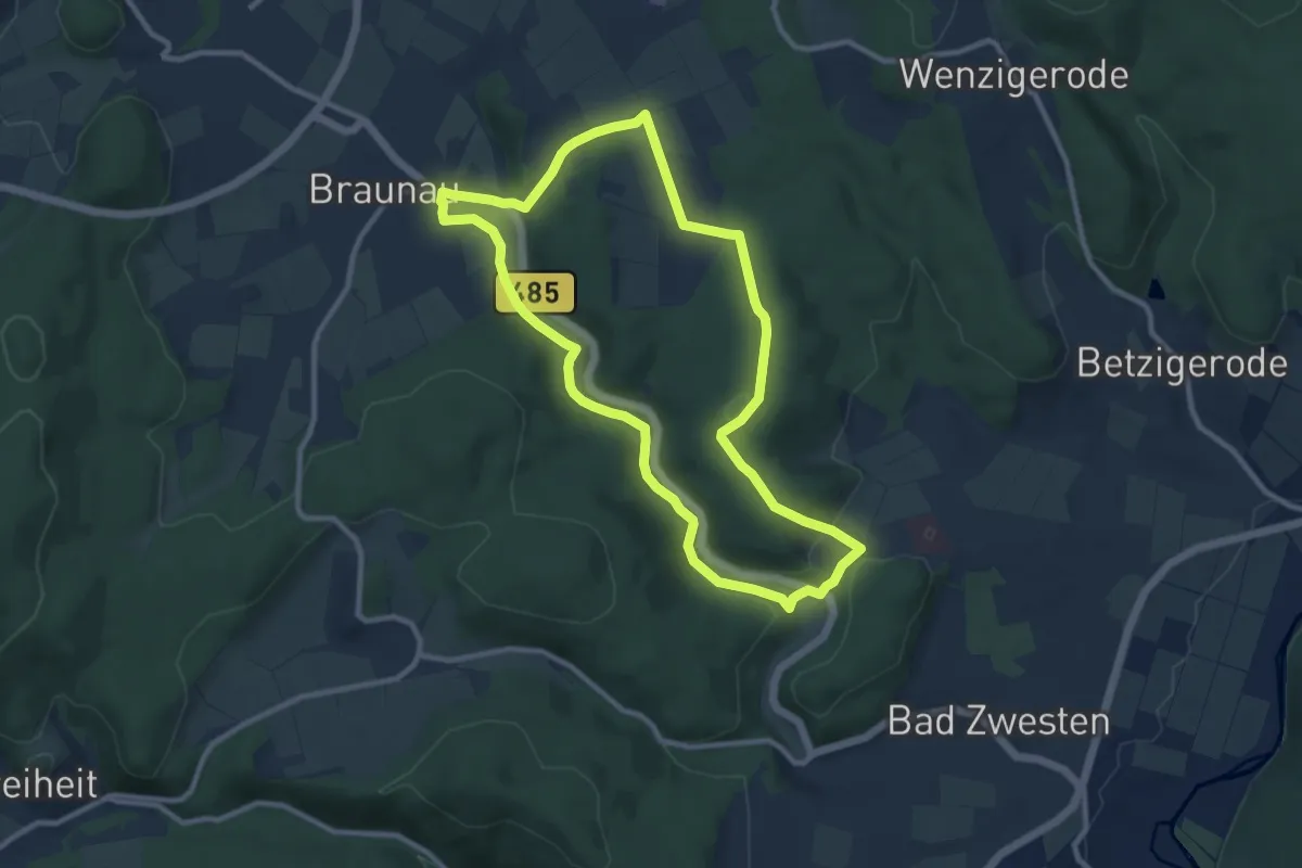
Braunau - BR3
8.7 km · ↑ 161 m · 2 h 32 min
Easy · Trail
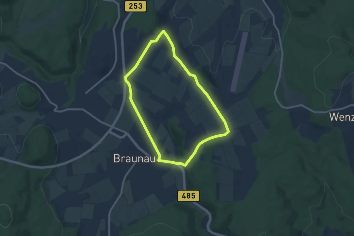
Braunau - BR4
5.6 km · ↑ 75 m · 1 h 34 min
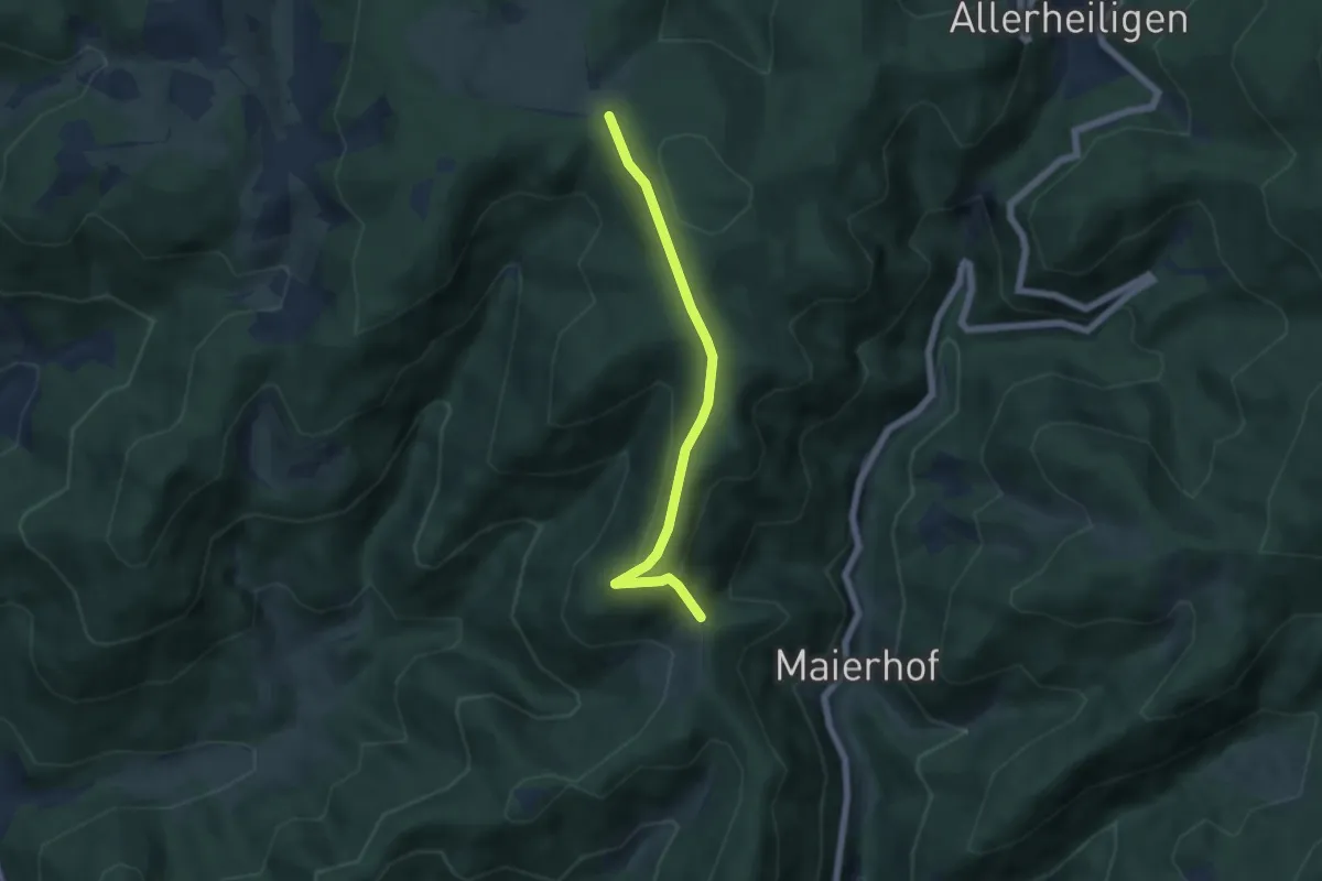
Easy · Trail
Braunberg - Knappeneck
4.9 km · ↑ 206 m · 1 h 37 min
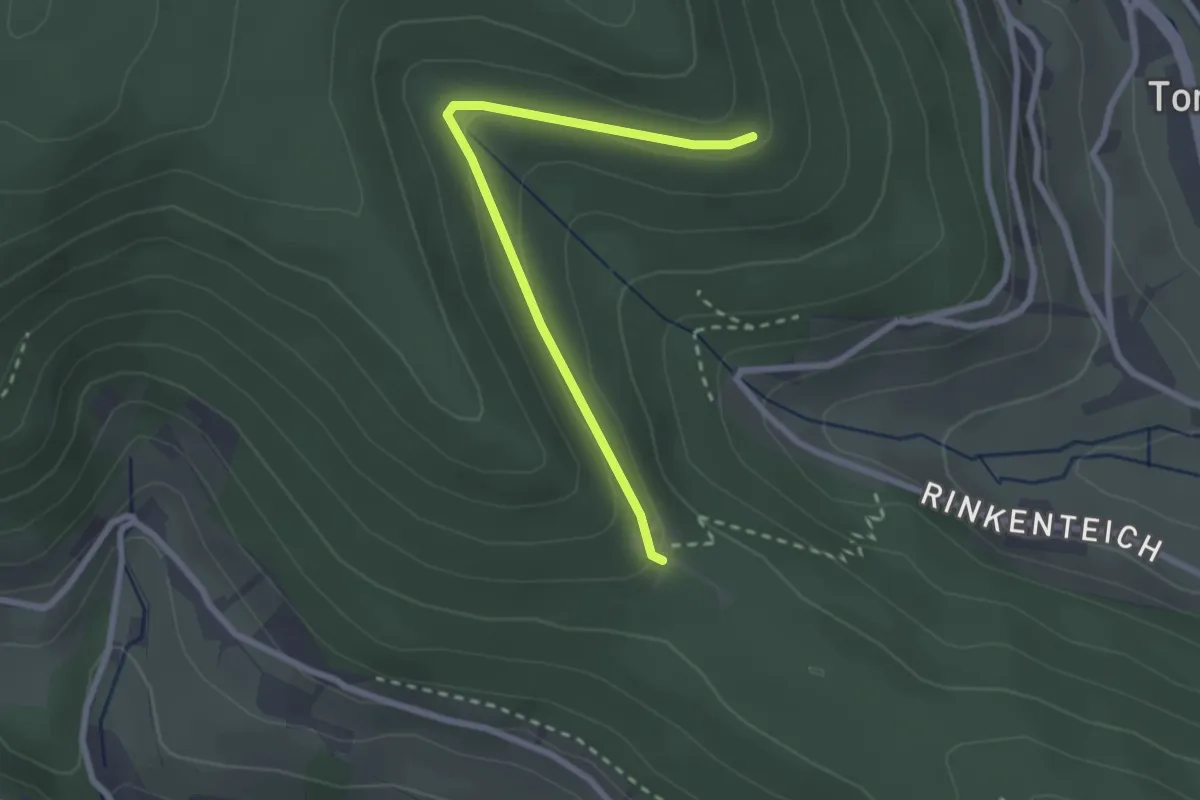
Easy · Trail
Braunbergle - Sattelei
2.4 km · ↑ 85 m · 45 min
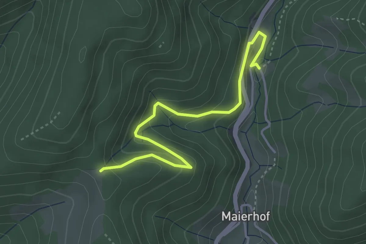
Easy · Trail
Braunberg - Lierbach Haus Wasserfall
3.6 km · ↑ 220 m · 1 h 19 min
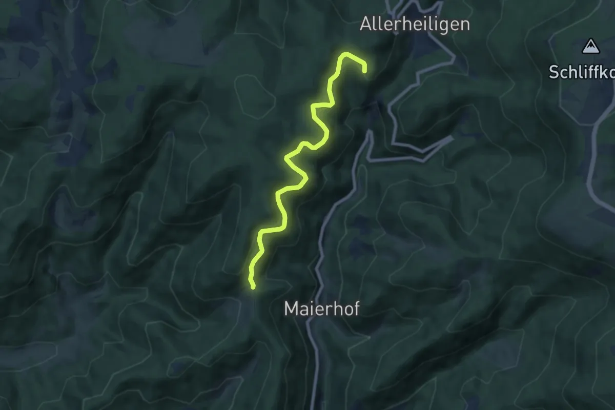
Easy · Trail
Braunberg - Wattenstein
6.7 km · ↑ 294 m · 2 h 13 min