Trails in Germany
36,847 hiking trails, each with its route, climb, walking time and grade.
All trails, page 86 of 768
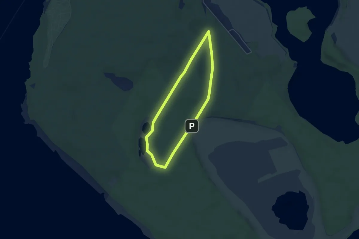
Easy · Trail
Brauner Hase Waren
3.8 km · ↑ 28 m · 1 h 1 min
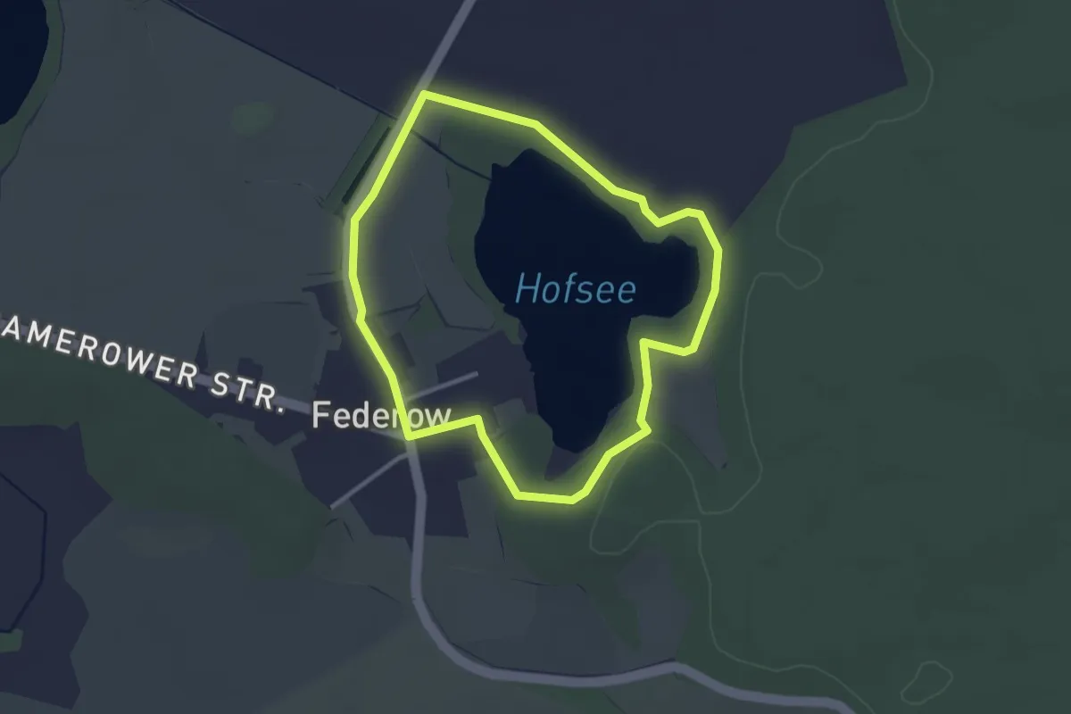
Easy · Trail
Brauner Rohrkolben Federow
2.4 km · ↑ 4 m · 37 min
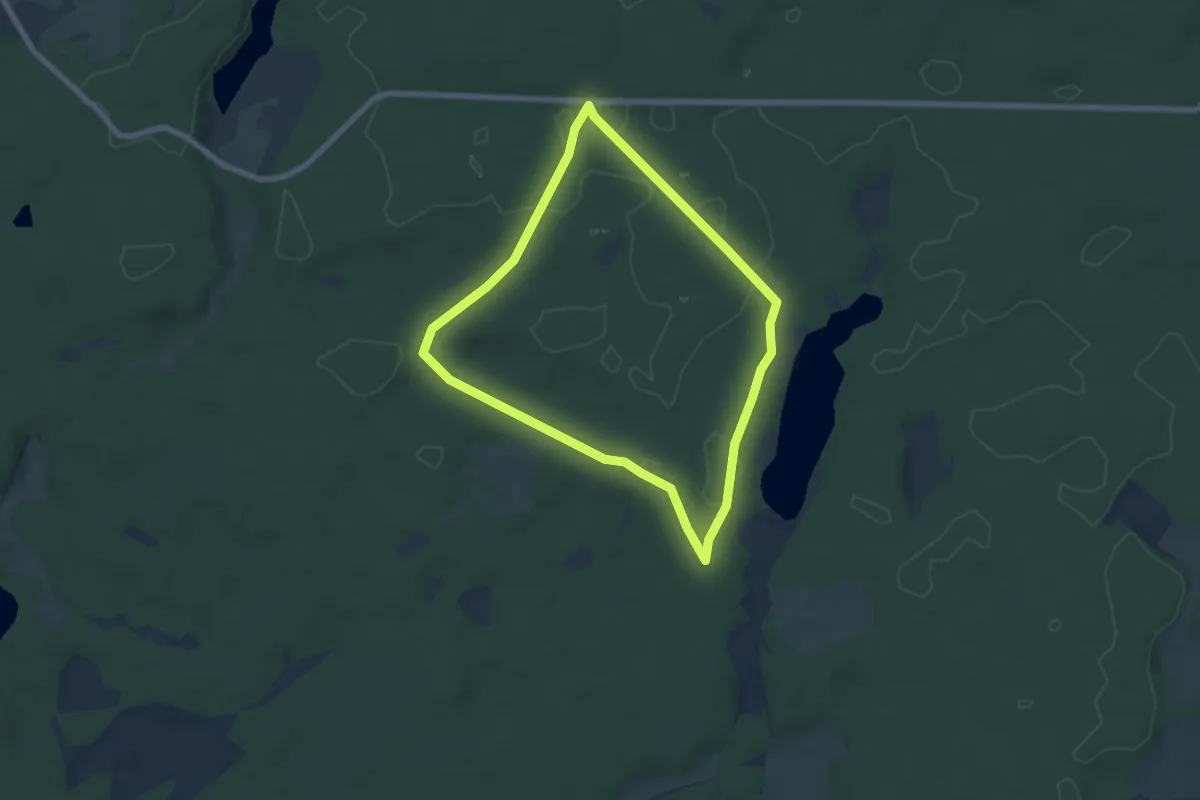
Easy · Trail
Brauner Specht Waldsee
5.4 km · ↑ 23 m · 1 h 23 min
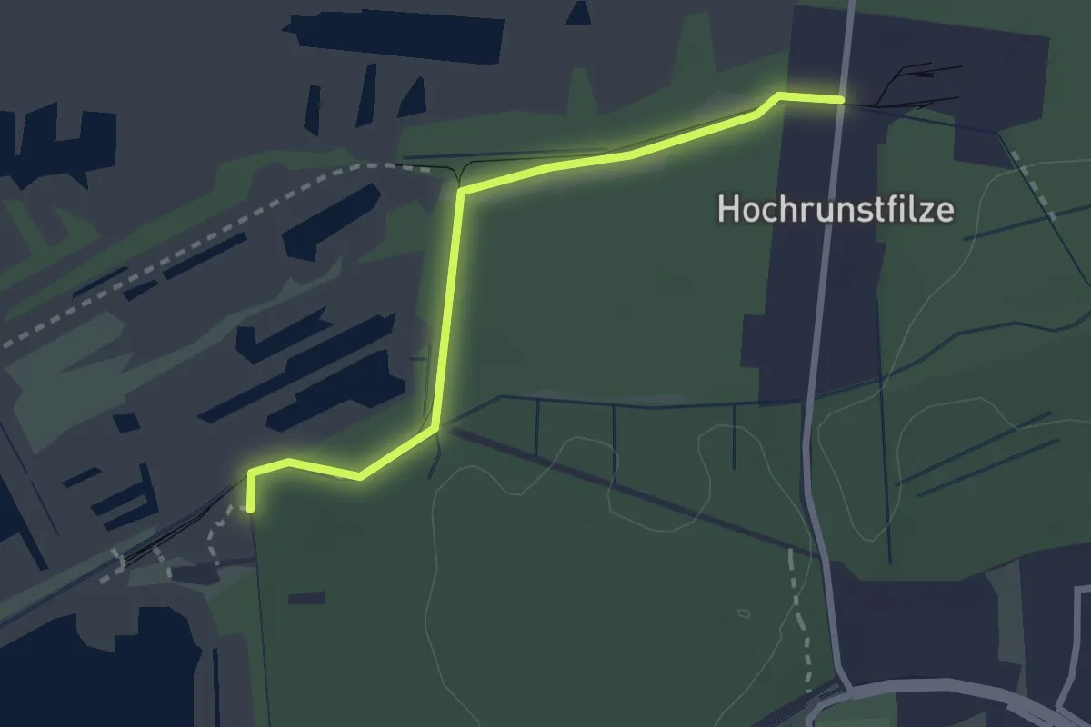
Easy · Trail
Braunkehlchenpfad
2.4 km · ↑ 4 m · 34 min
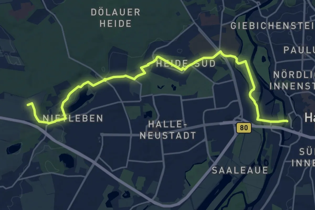
Medium · Summit
Braunkohlenpfad
17.3 km · ↑ 119 m · 4 h 21 min
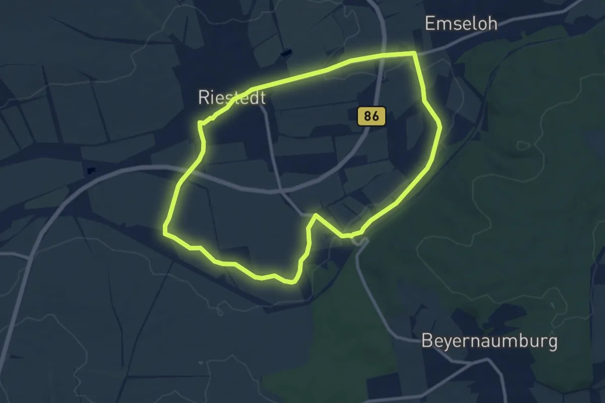
Easy · Trail
Braunkohlepfad
7.7 km · ↑ 50 m · 2 h 2 min
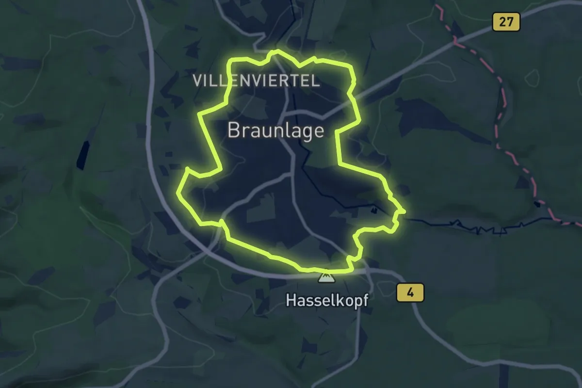
Medium · Summit
Braunlager Rundweg
8.7 km · ↑ 169 m · 2 h 32 min
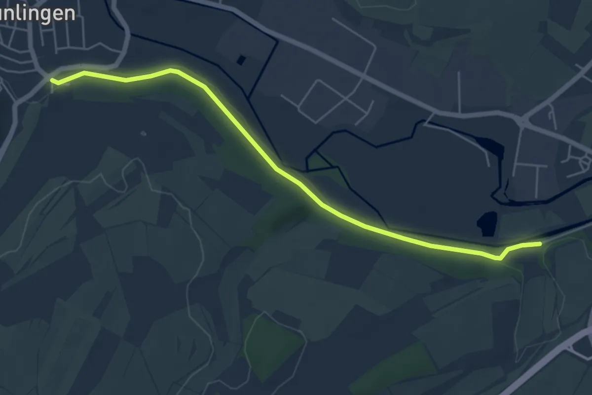
Easy · Trail
Bräunlingen Brauerei - Römerbad
5.1 km · ↑ 73 m · 1 h 21 min
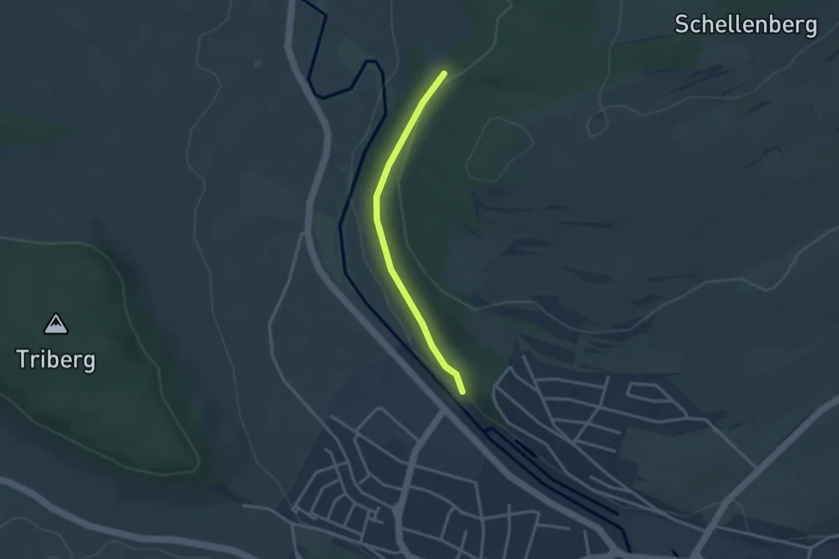
Easy · Trail
? - Bräunlingen Eichhölzle
2.3 km · ↑ 43 m · 38 min
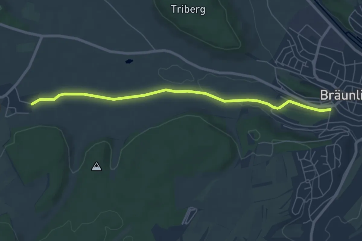
Easy · Trail
Bräunlingen Spitalplatz - Waldhausen Mühle
5.4 km · ↑ 27 m · 1 h 20 min
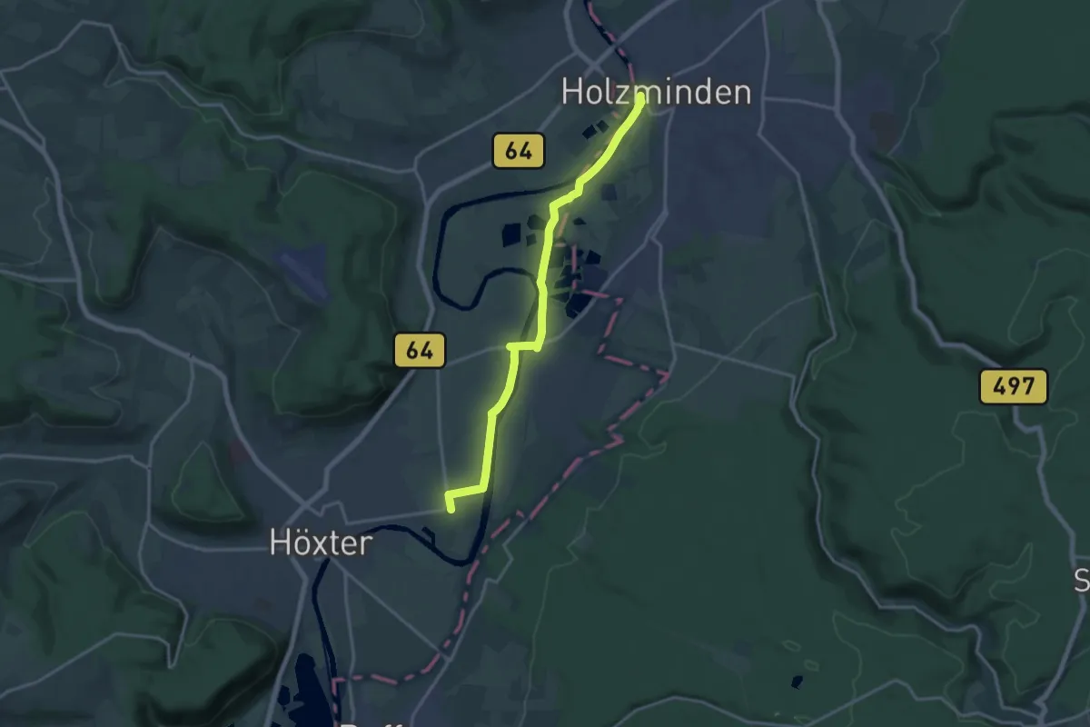
Easy · Pilgrim path
Braunschweiger Jacobsweg
7.0 km · ↑ 0 m · 1 h 46 min
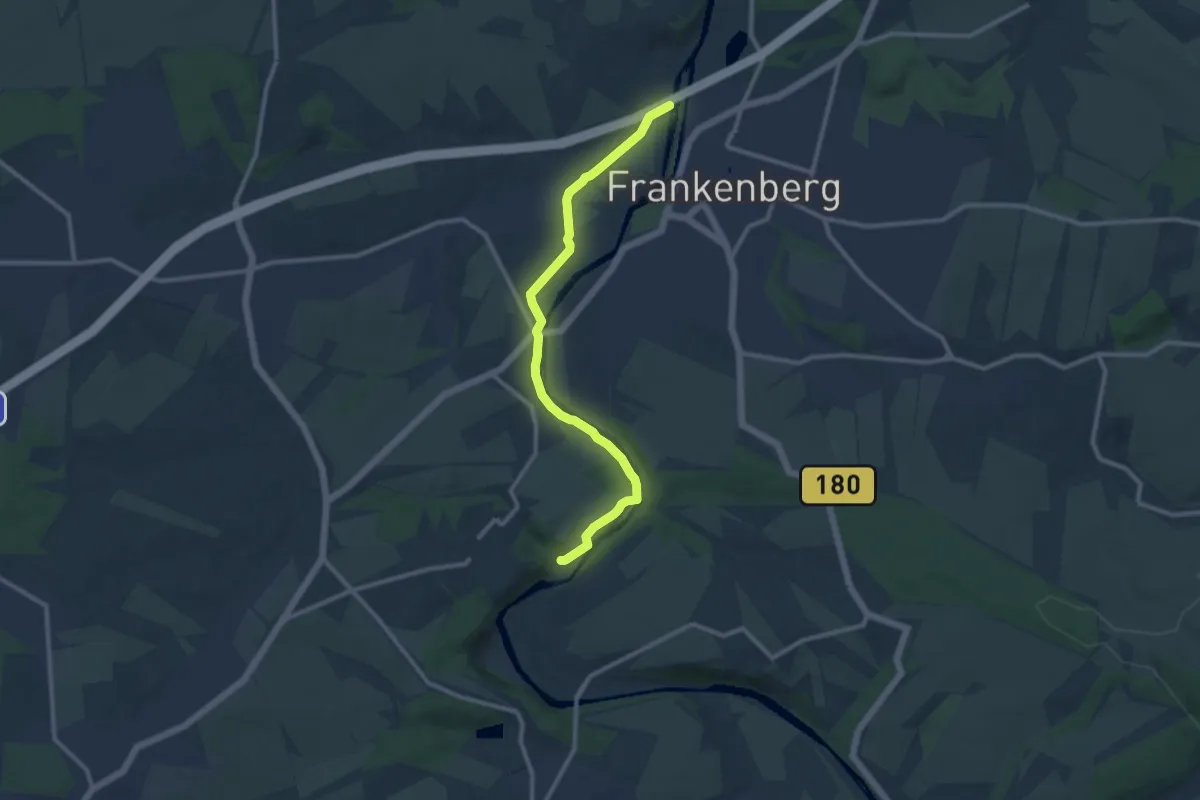
Medium · Trail
Braunsdorf - Frankenberg, Zschopautalweg links der Zschopau
9.9 km · ↑ 51 m · 2 h 27 min
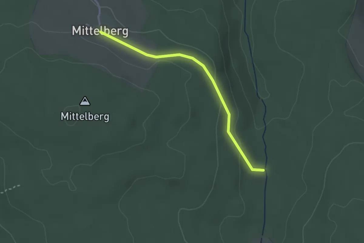
Easy · Trail
Braxmeier Bildstock - Mittelberg
2.4 km · ↑ 53 m · 41 min
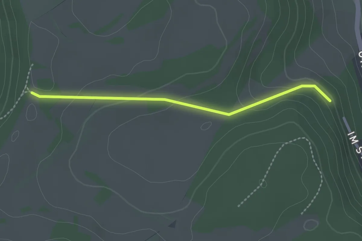
Easy · Trail
Brechenloch - Sulzer Eck
2.1 km · ↑ 71 m · 38 min
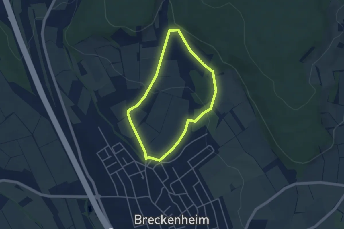
Easy · Trail
Breckenheim: Rundwanderweg Eichhörnchen
2.7 km · ↑ 67 m · 50 min
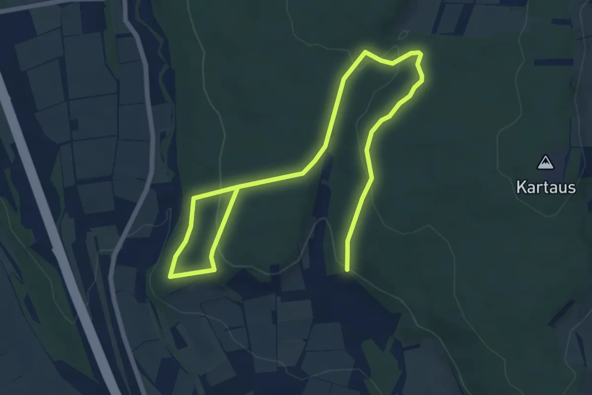
Easy · Trail
Breckenheim: Rundwanderweg Keiler
3.6 km · ↑ 98 m · 1 h 7 min
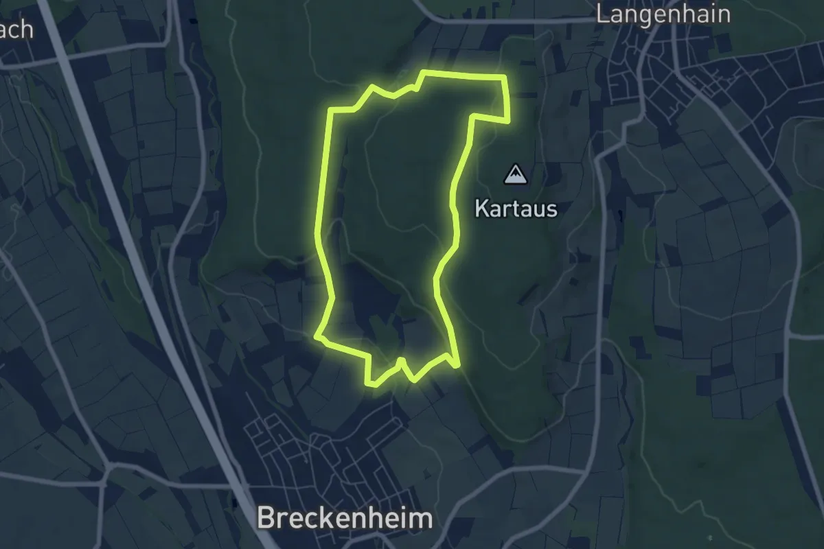
Easy · Trail
Breckenheim: Rundwanderweg Kleeblatt
5.8 km · ↑ 174 m · 1 h 50 min
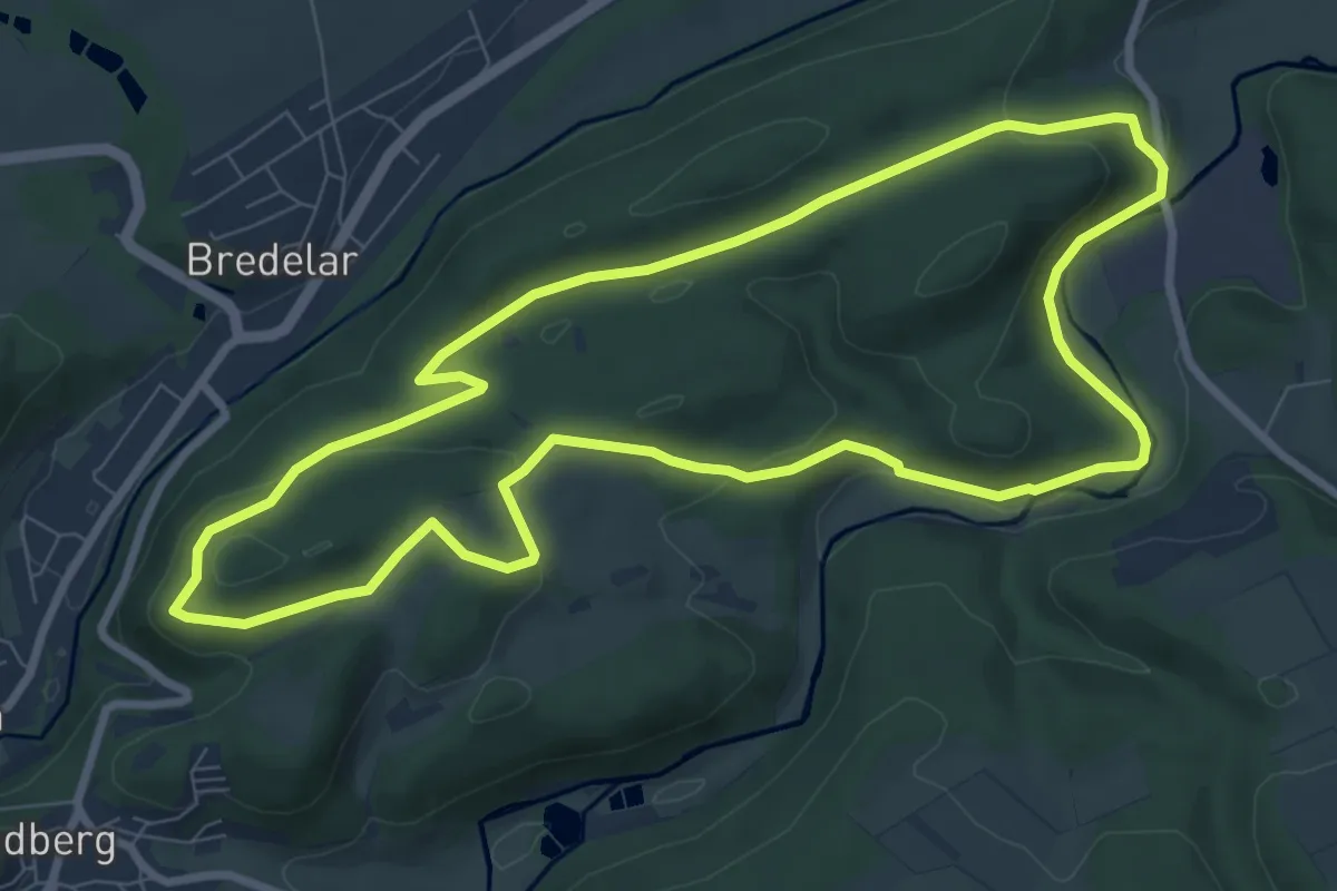
Easy · Summit
Bredelarer Bergbauspuren
7.9 km · ↑ 193 m · 2 h 23 min
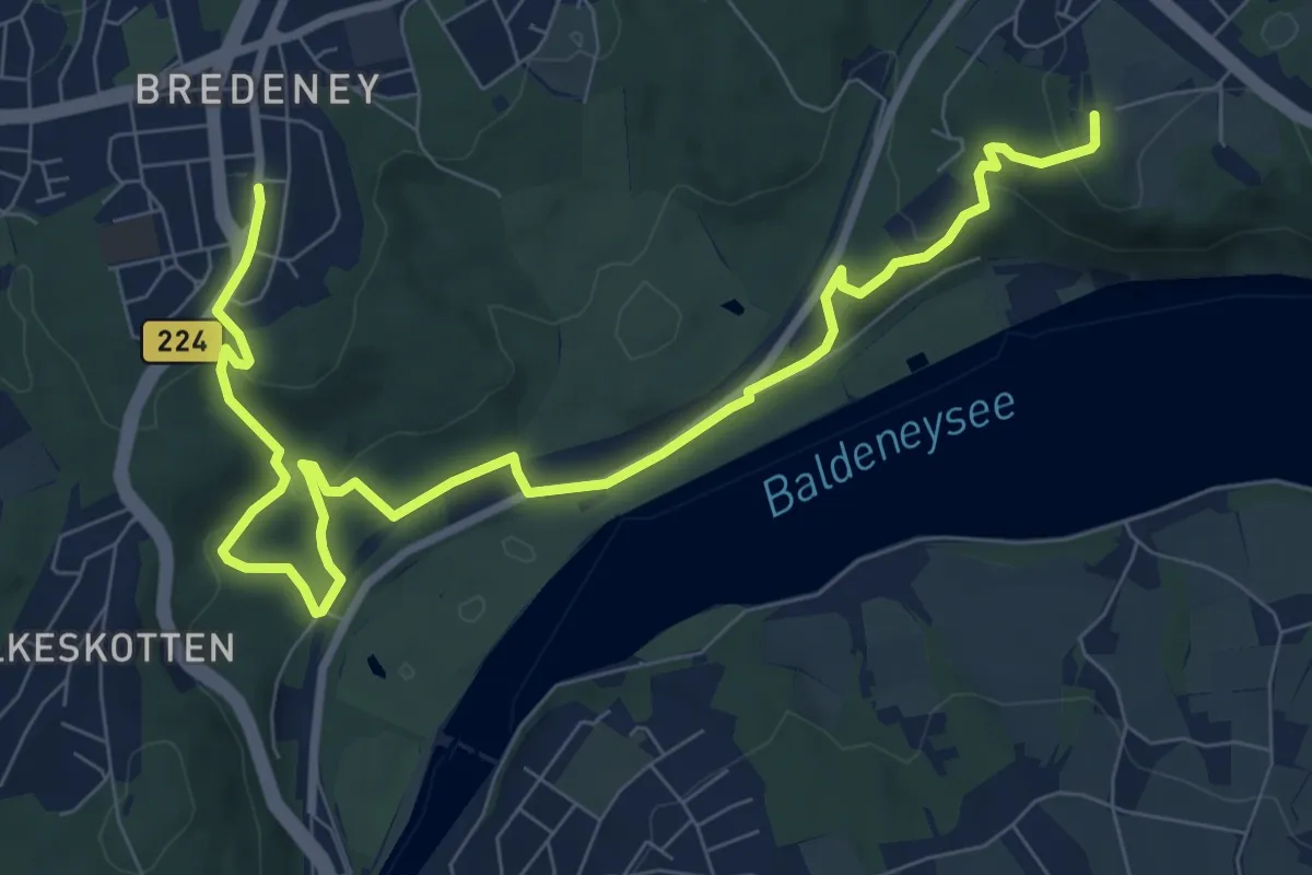
Medium · Summit
Bredeney-Annental
9.9 km · ↑ 296 m · 2 h 58 min
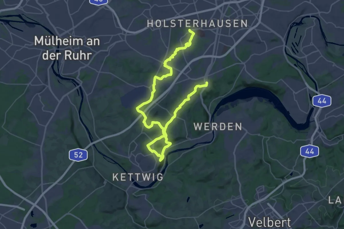
Demanding · Trail
Bredeney-Holsterhausen
19.0 km · ↑ 231 m · 5 h 17 min
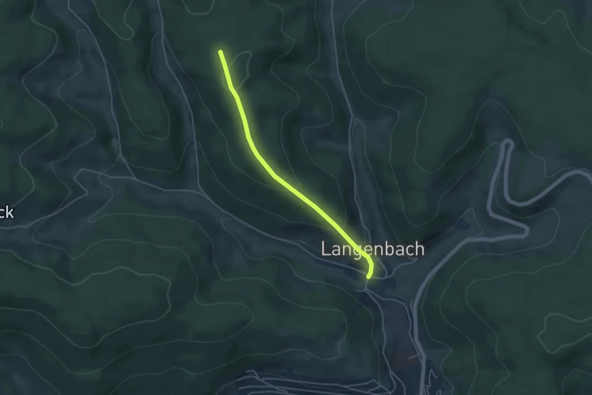
Easy · Summit
Breghäusle - Langenbach Hirschen
3.7 km · ↑ 187 m · 1 h 16 min
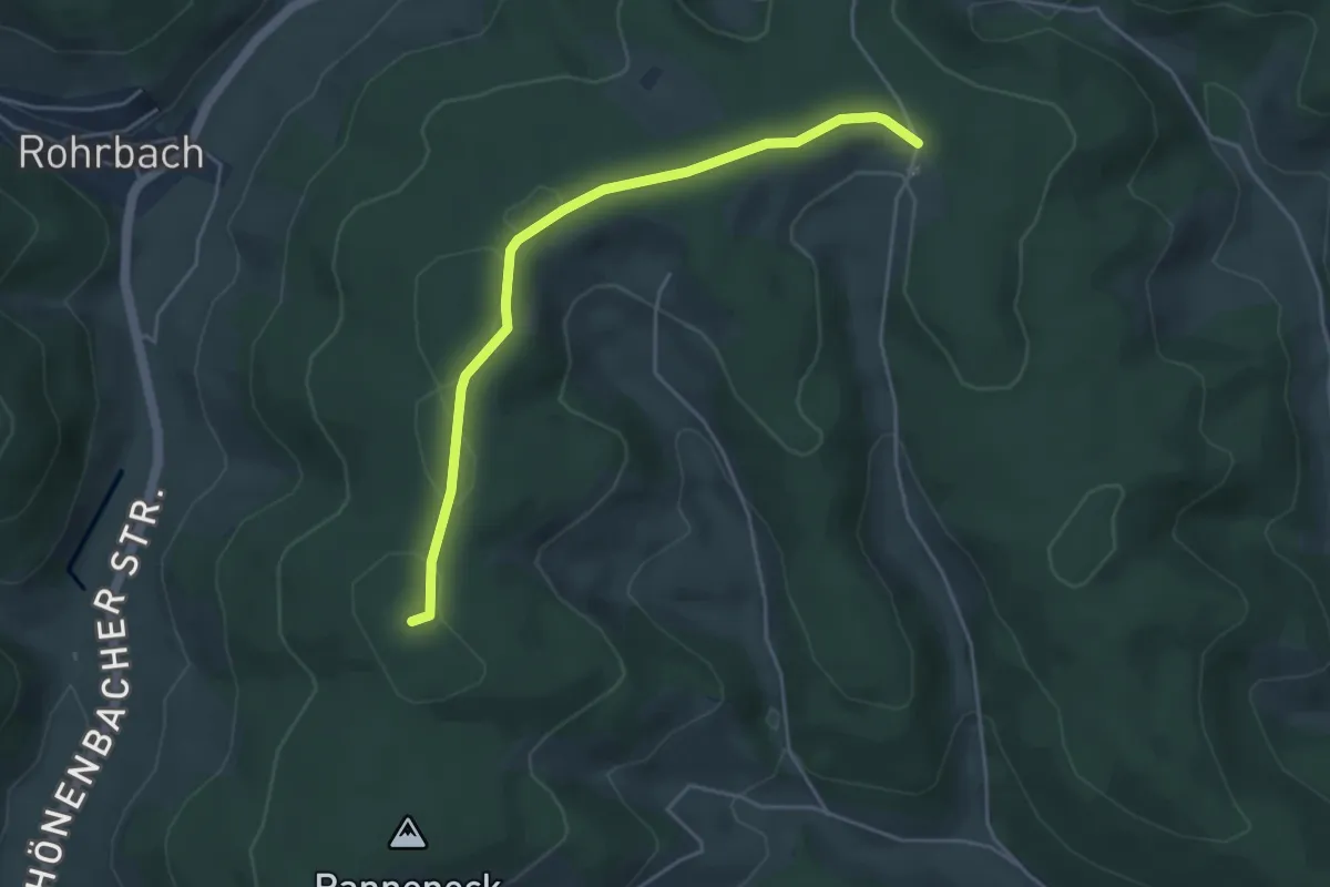
Easy · Summit
Breghäusle - Vöhrenbach Allmend
4.3 km · ↑ 75 m · 1 h 11 min
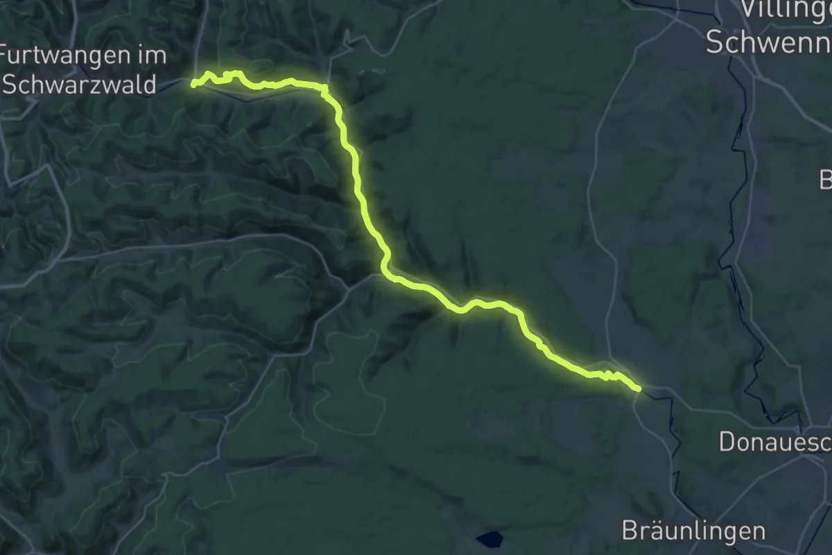
Demanding · Trail
Bregtalweg
20.1 km · ↑ 268 m · 5 h 40 min
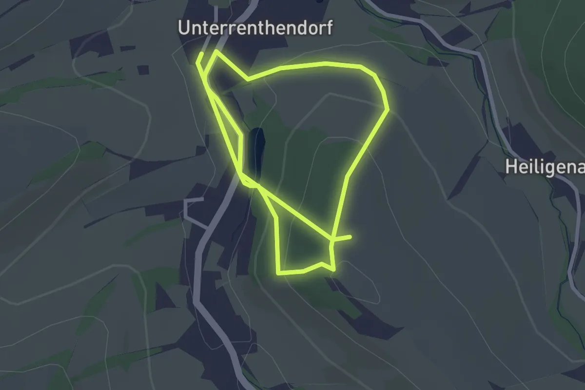
Easy · Trail
Brehm-Rundwanderweg
4.6 km · ↑ 159 m · 1 h 25 min
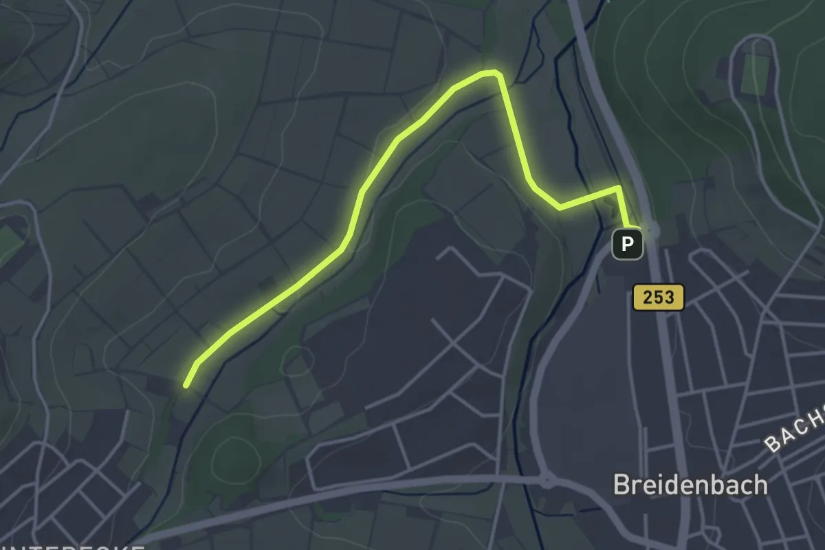
Easy · Trail
Breidenbacher Panoramaweg B3
3.8 km · ↑ 17 m · 56 min
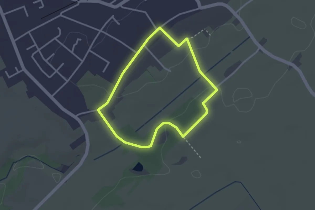
Easy · Trail
Breinig Rundweg BR1
2.2 km · ↑ 17 m · 35 min
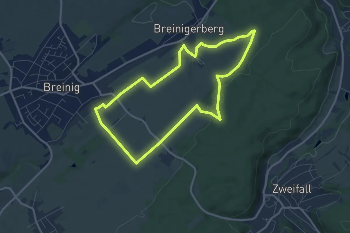
Easy · Trail
Breinig Rundweg BR2
6.5 km · ↑ 72 m · 1 h 46 min
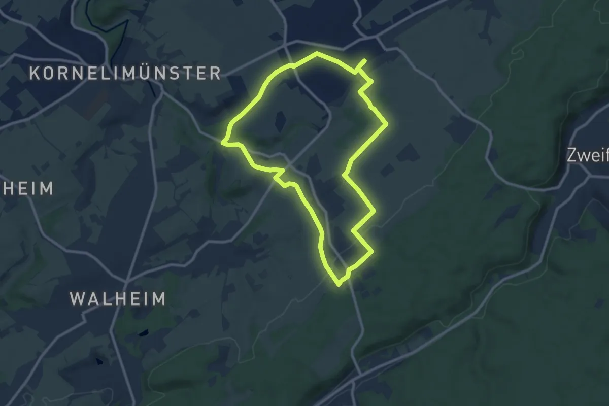
Medium · Trail
Breinig Rundweg BR3
8.1 km · ↑ 99 m · 2 h 15 min
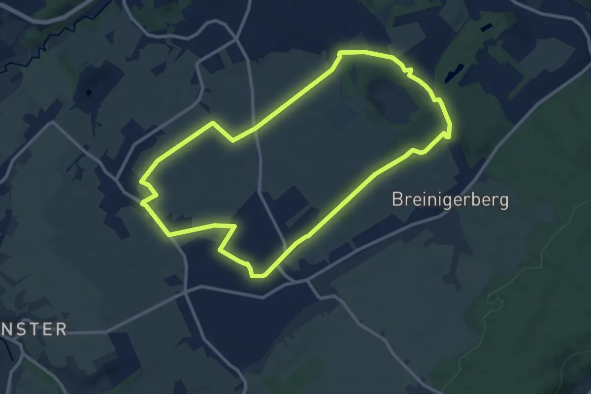
Easy · Trail
Breinig Rundweg BR4
7.6 km · ↑ 79 m · 2 h 5 min
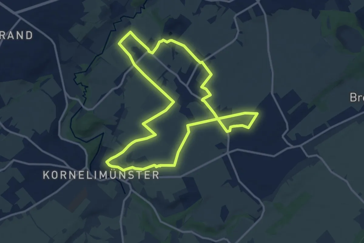
Medium · Trail
Breinig Rundweg BR5
9.0 km · ↑ 84 m · 2 h 25 min
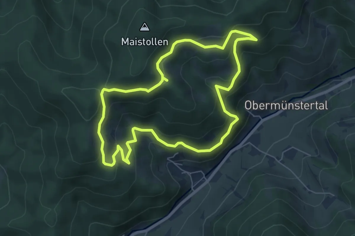
Medium · Trail
Breitackerpfad
5.2 km · ↑ 321 m · 2 h
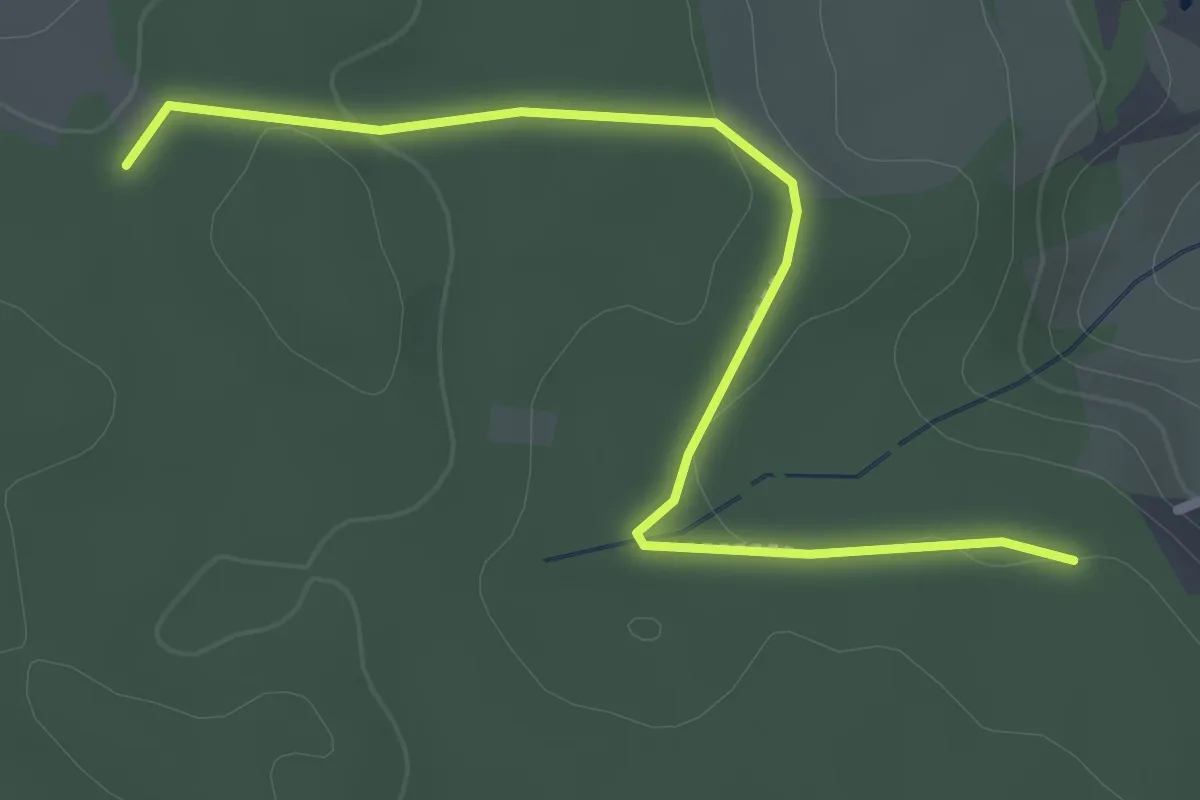
Easy · Trail
Breitbrunnen - Gropperhof
2.8 km · ↑ 31 m · 44 min
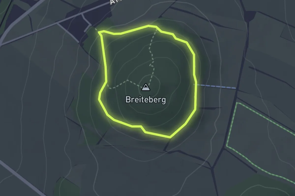
Medium · Trail
Breiteberg Ringweg (gelber Punkt)
2.1 km · ↑ 73 m · 41 min
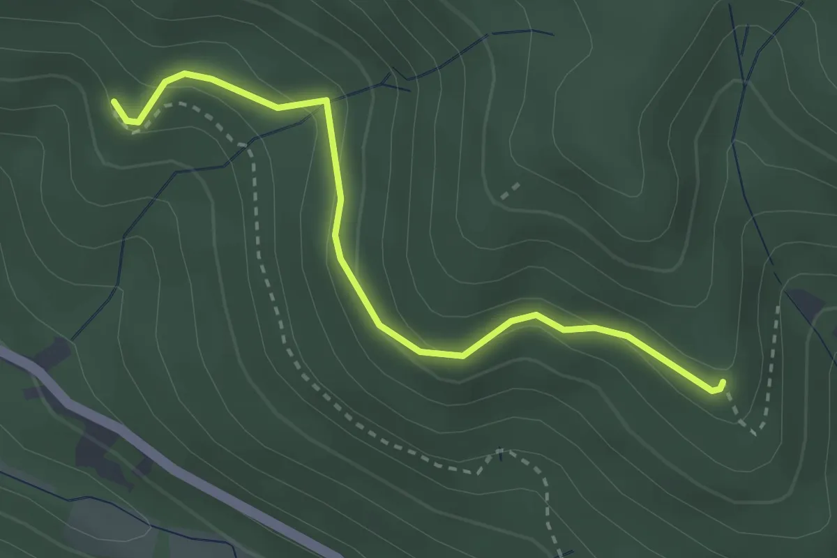
Easy · Trail
Breitegrund - Unter dem Dachsstein
2.9 km · ↑ 155 m · 1 h 1 min
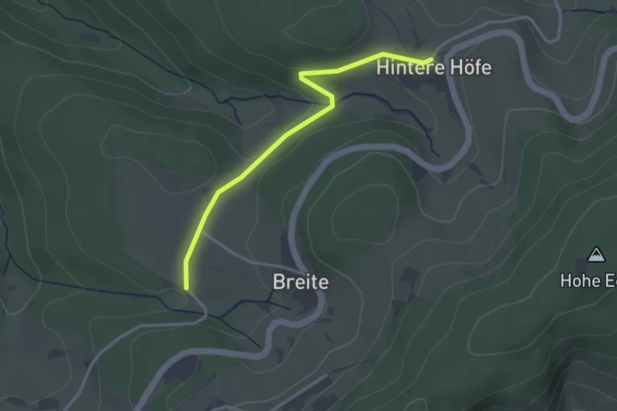
Easy · Trail
Breite - Hintere Höfe
2.7 km · ↑ 47 m · 44 min
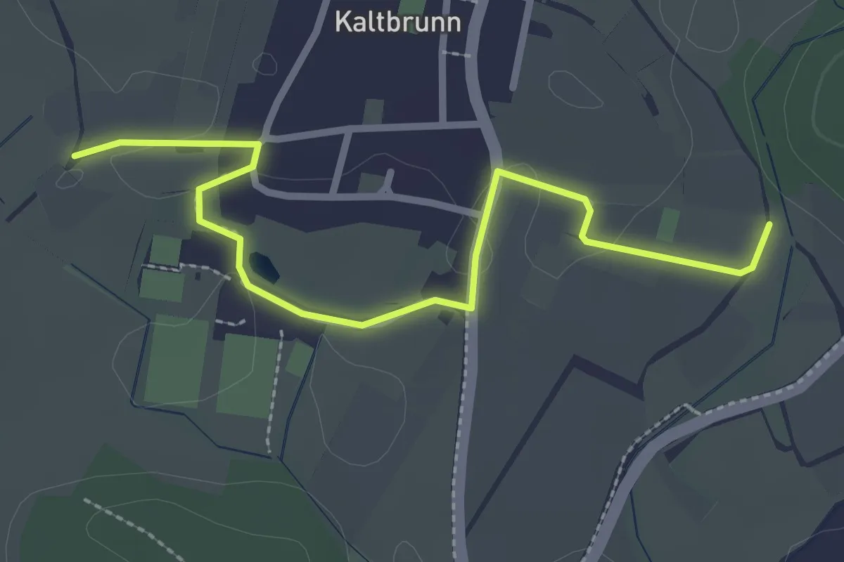
Easy · Trail
Breite - Kellhof
2.8 km · ↑ 18 m · 42 min
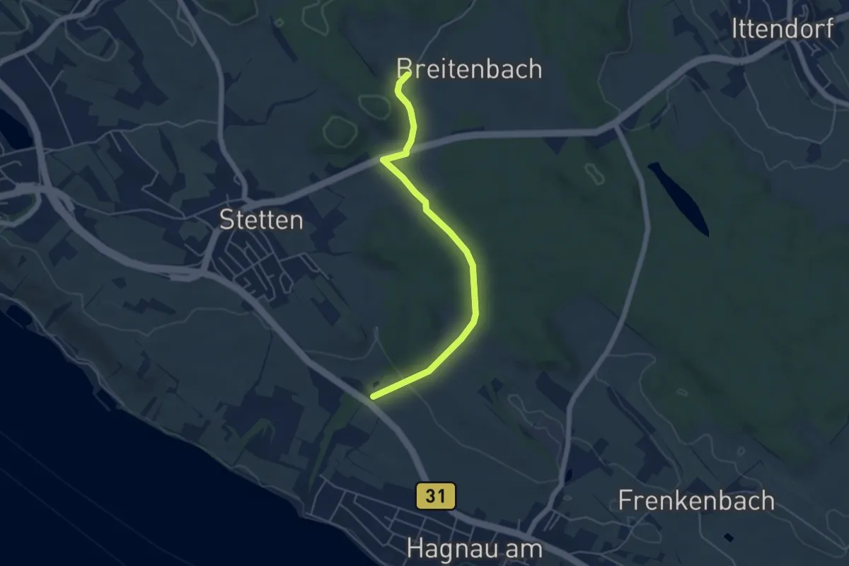
Easy · Trail
Breitenbach - Hagnau
4.8 km · ↑ 95 m · 1 h 20 min
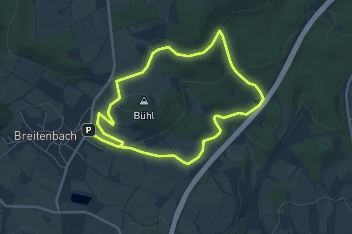
Easy · Trail
Breitenbach Wanderweg BRB1
4.9 km · ↑ 100 m · 1 h 26 min
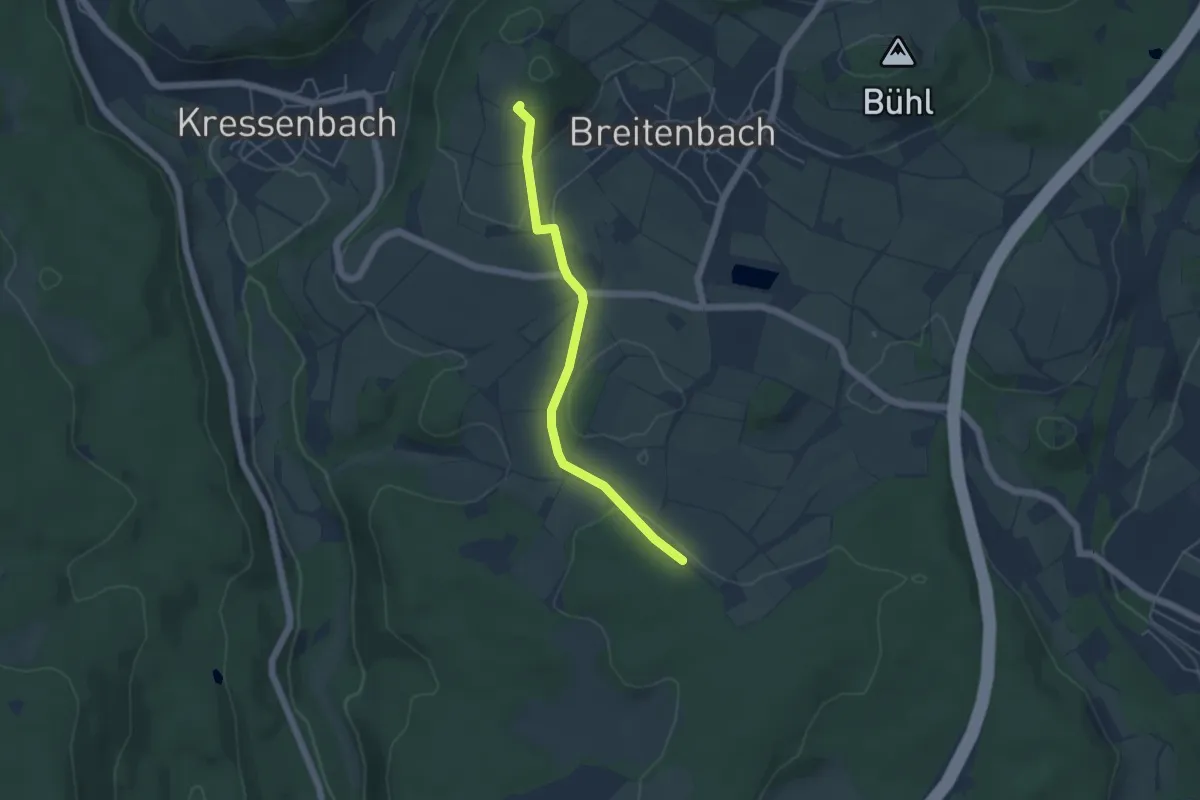
Easy · Trail
Breitenbach Wanderweg BRB2
4.2 km · ↑ 79 m · 1 h 9 min
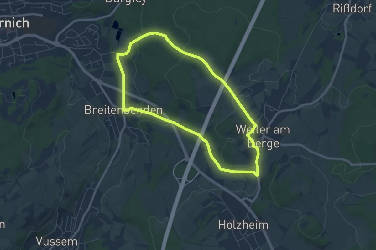
Easy · Trail
Breitenbenden Rundweg 6
5.8 km · ↑ 106 m · 1 h 40 min
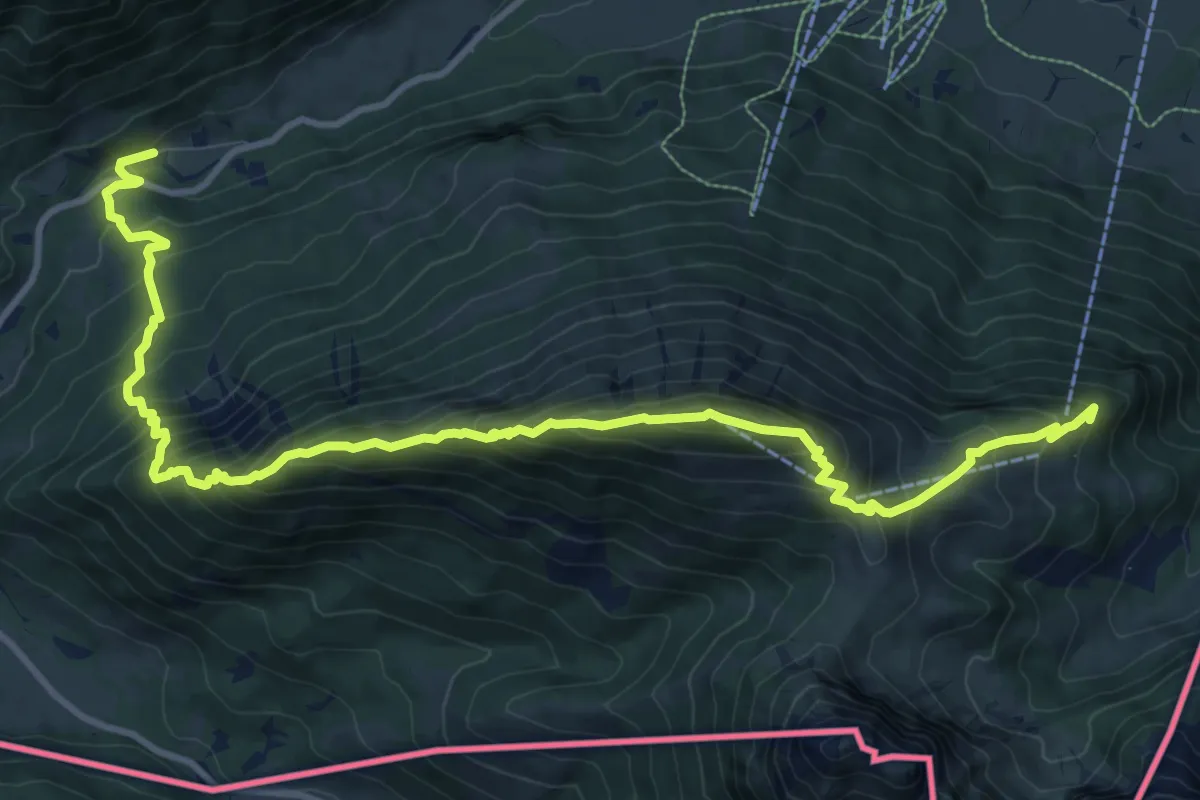
Demanding · Summit
Breitenbergbahn -Ostlerhütte - Fallmühle
6.7 km · ↑ 938 m · 3 h 27 min
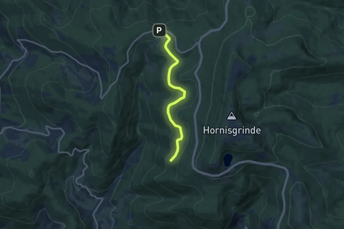
Easy · Trail
Breitenbrunnen - Markwald
7.0 km · ↑ 161 m · 2 h
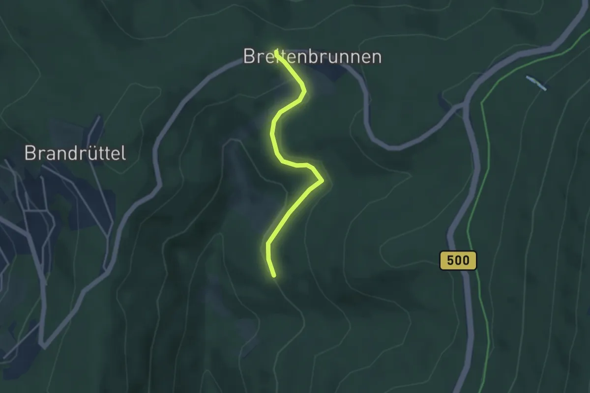
Easy · Trail
Breitenbrunnen Parkplatz - Tiroler Hütte
2.8 km · ↑ 91 m · 51 min
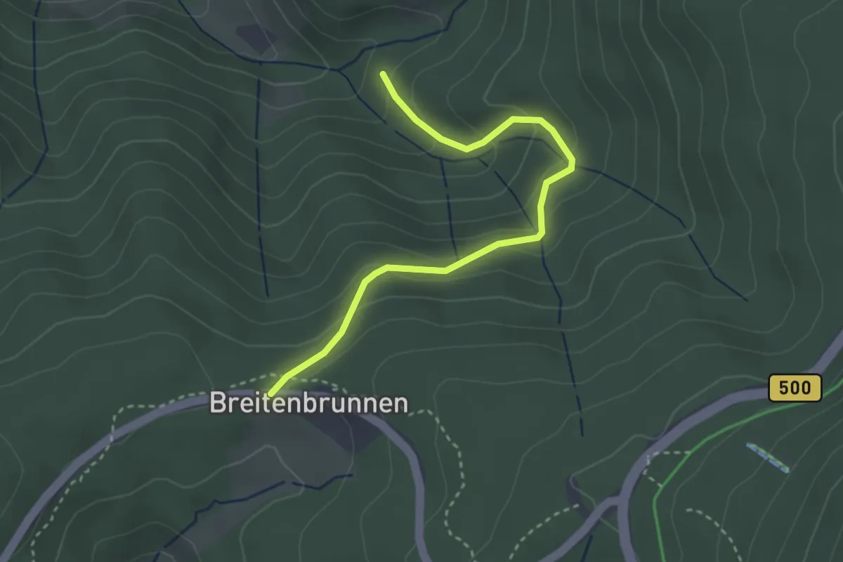
Easy · Trail
Breitenbrunnen - Stollenbachweg
3.1 km · ↑ 195 m · 1 h 9 min
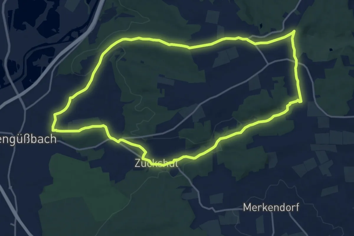
Medium · Trail
Breitengüßbach Rundwanderweg 1
13.3 km · ↑ 165 m · 3 h 40 min
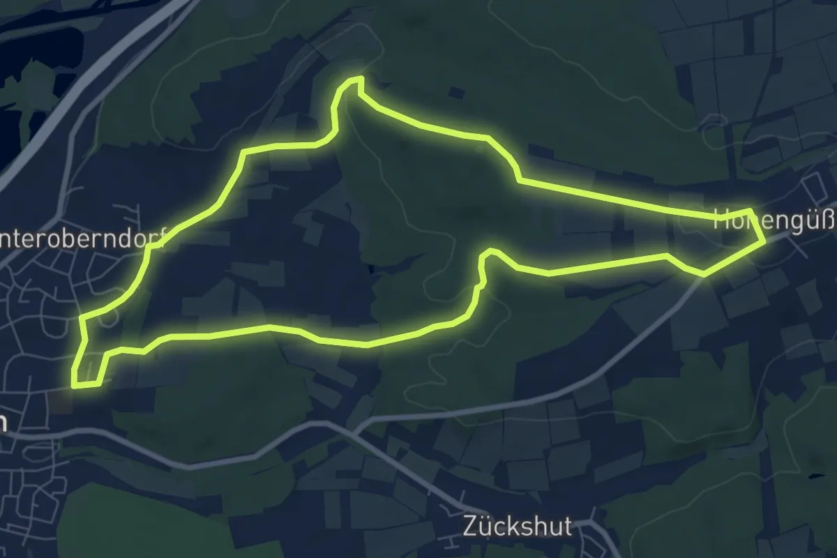
Medium · Trail
Breitengüßbach Rundwanderweg 2
8.0 km · ↑ 112 m · 2 h 15 min
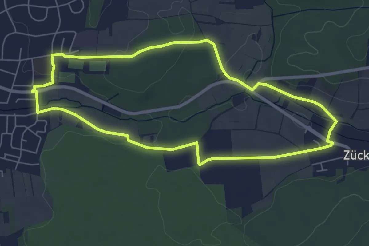
Easy · Trail
Breitengüßbach Rundwanderweg 3
4.9 km · ↑ 56 m · 1 h 21 min
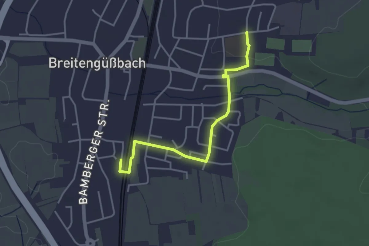
Easy · Trail
Breitengüßbach Verbindungsweg Bahnhof - Hans-Jung-Halle
3.1 km · ↑ 21 m · 47 min