Trails in Germany
36,847 hiking trails, each with its route, climb, walking time and grade.
All trails, page 87 of 768
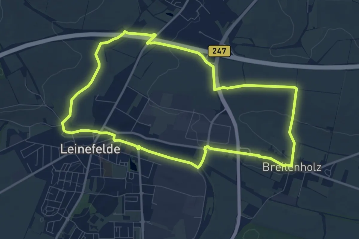
Medium · Trail
Breitenholz - Breitenbach - Leinefelde - Breitenholz
8.3 km · ↑ 59 m · 2 h 12 min
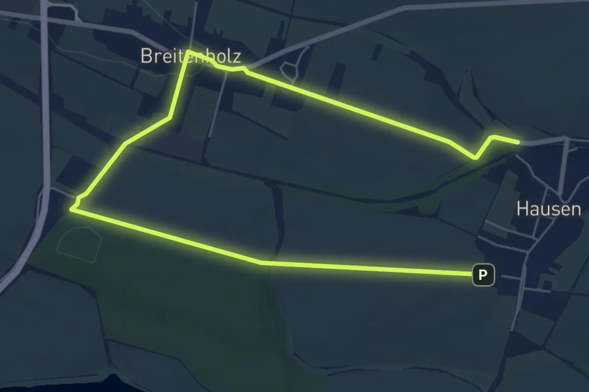
Easy · Trail
Breitenholz - Hausen - Breitenholz
4.3 km · ↑ 42 m · 1 h 10 min
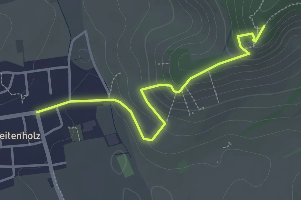
Medium · Trail
Breitenholz - HW5
2.9 km · ↑ 138 m · 59 min
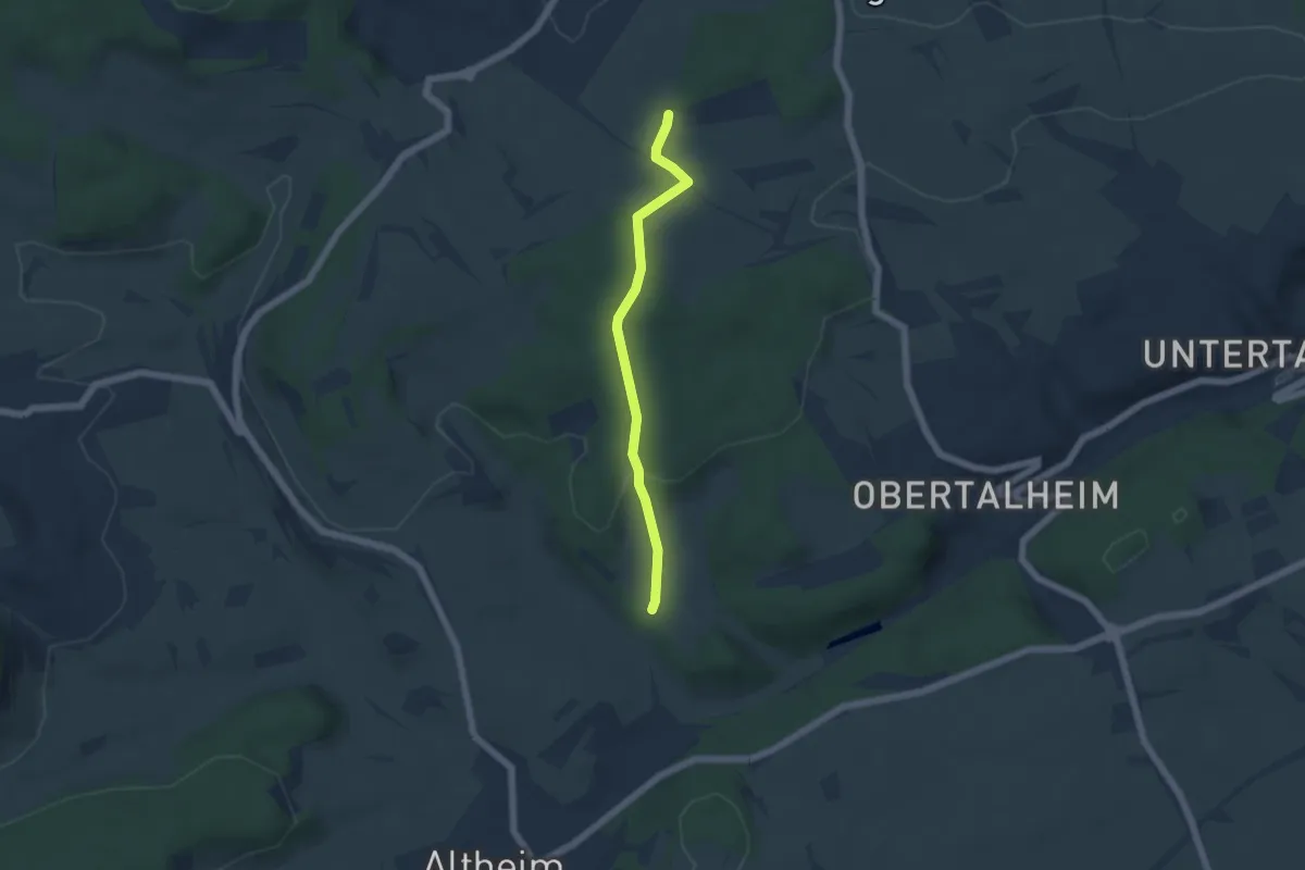
Easy · Trail
Breitenrain - Maueräcker
4.5 km · ↑ 108 m · 1 h 17 min
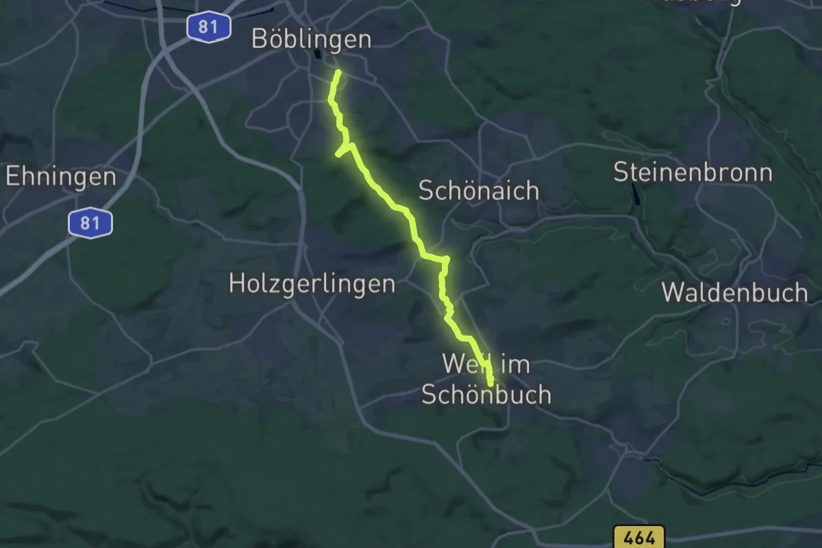
Medium · Trail
Breitensteiner Weg Böblingen - Weil im Schönbuch
17.8 km · ↑ 342 m · 4 h 57 min
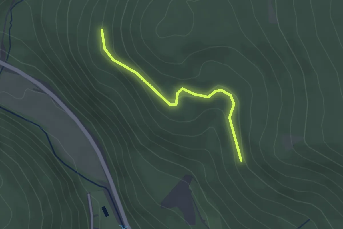
Easy · Trail
Breitenstein - Sandboden
2.4 km · ↑ 65 m · 42 min
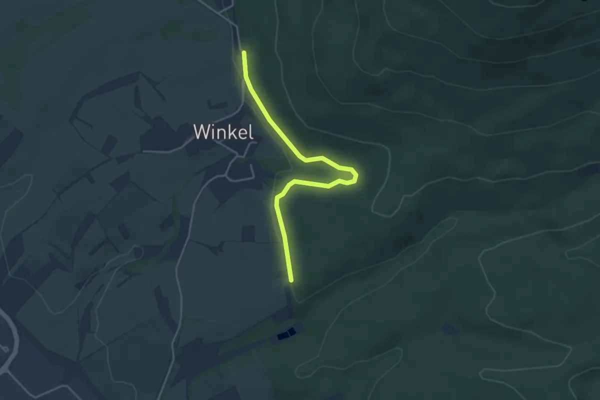
Easy · Trail
Breitensteinweg - Winkel
3.5 km · ↑ 58 m · 57 min
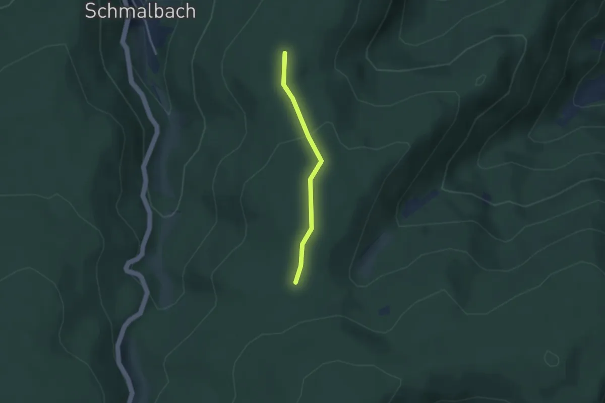
Easy · Trail
Breitfeld - Breitfelder Hütte
2.2 km · ↑ 54 m · 38 min
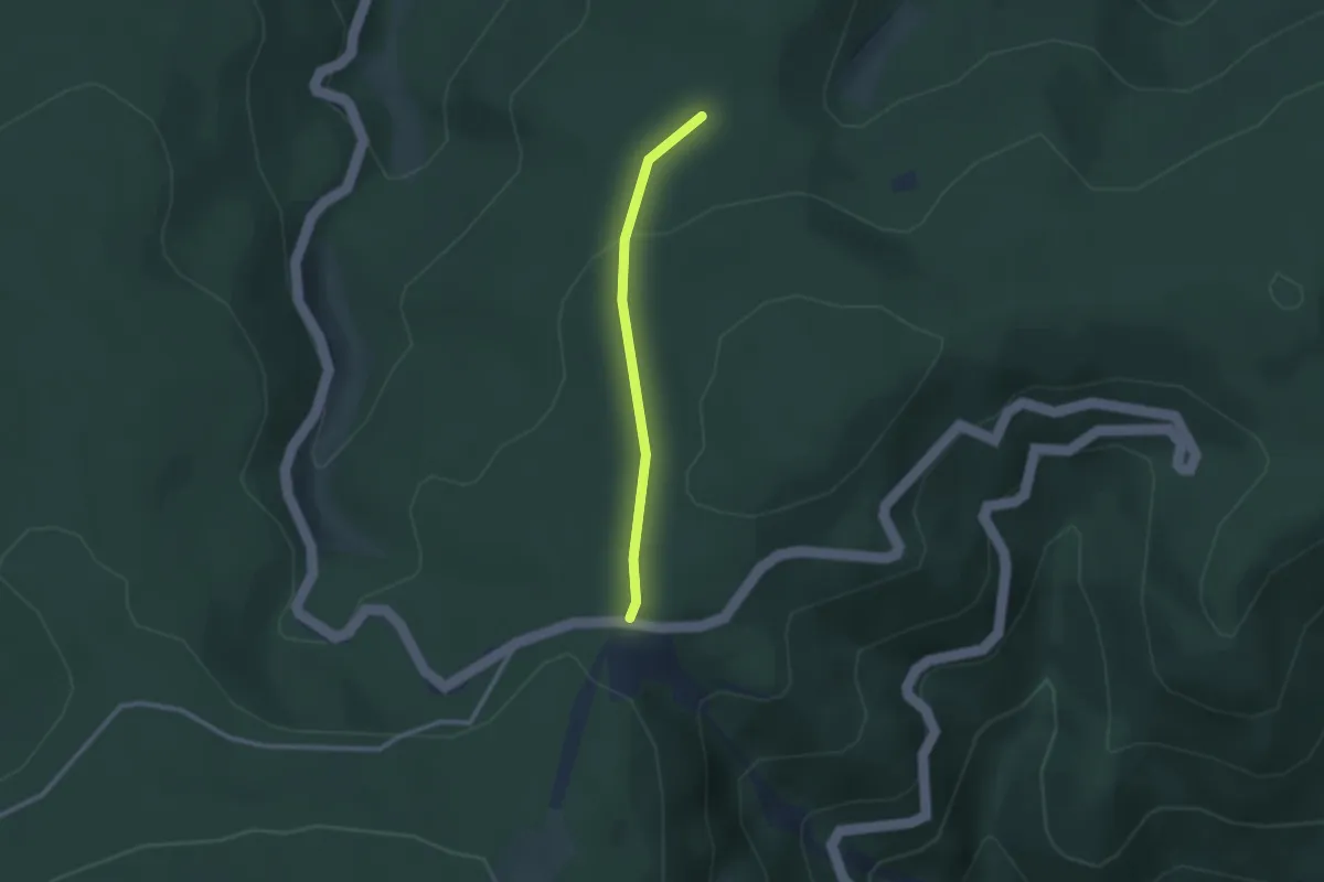
Easy · Trail
Breitfelder Hütte - Rote Lache
2.1 km · ↑ 64 m · 38 min
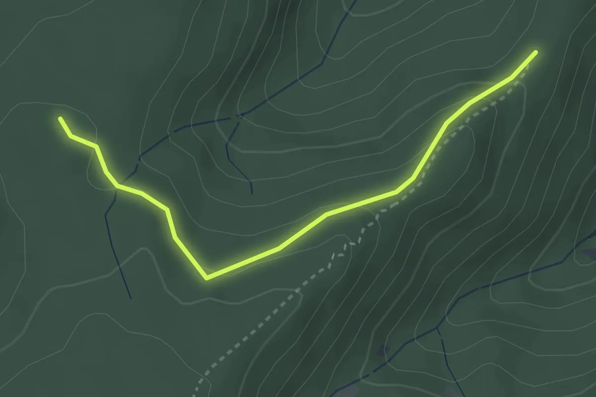
Easy · Trail
Breitfeld - Steinedeck
3.0 km · ↑ 133 m · 59 min
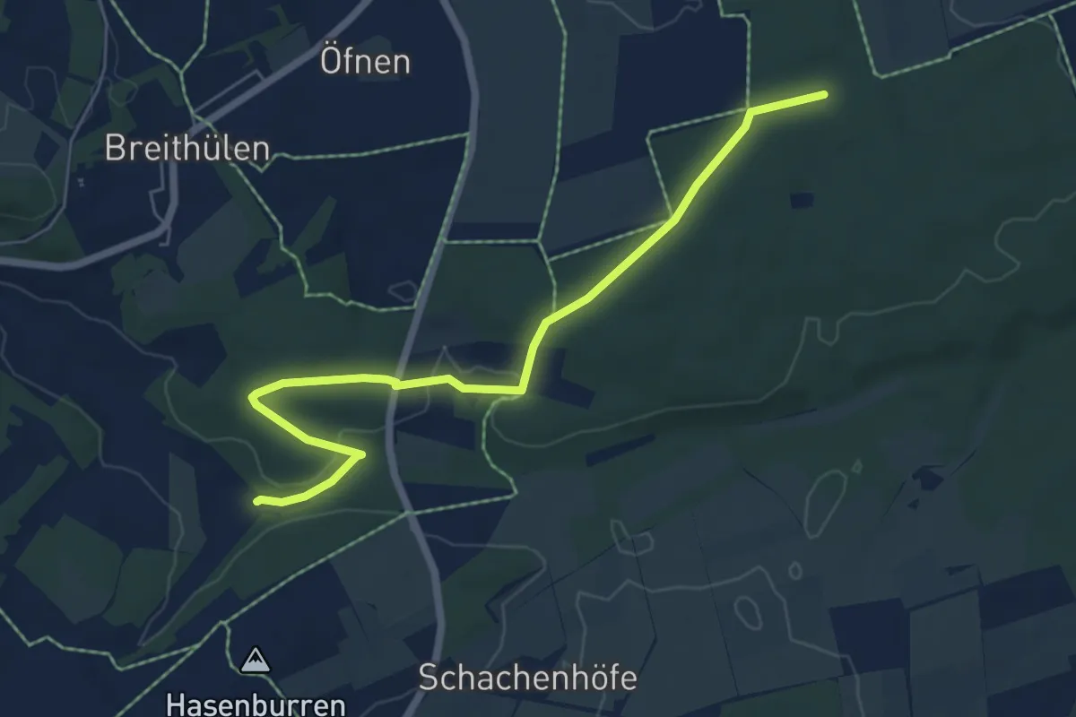
Easy · Trail
Breithülen - HW7 Sontheim
6.2 km · ↑ 130 m · 1 h 45 min
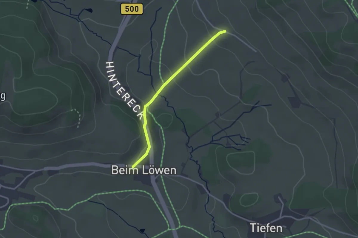
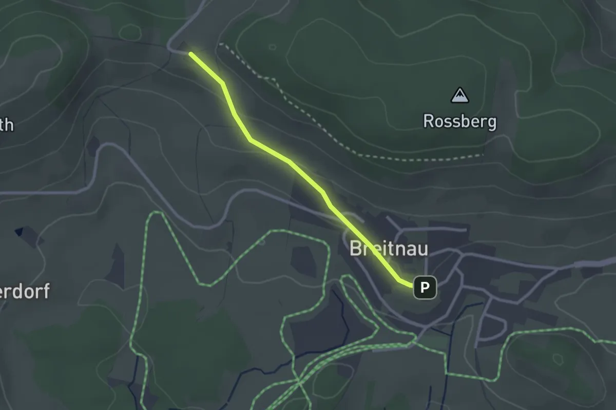
Easy · Trail
Breitnau Dorfstraße - Fahrenberg Mathislehof
2.2 km · ↑ 102 m · 45 min
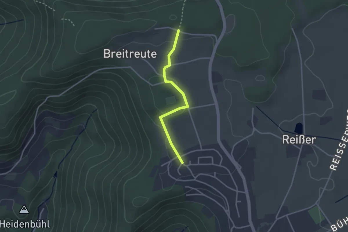
Easy · Trail
Breitnau Kirche - Schanzenhäusle
2.2 km · ↑ 46 m · 38 min
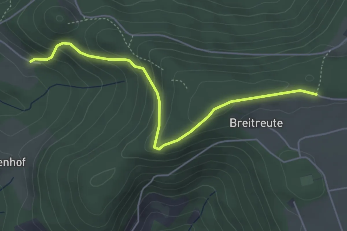
Easy · Trail
Breitreute - Aichhalden Alter
2.4 km · ↑ 31 m · 38 min
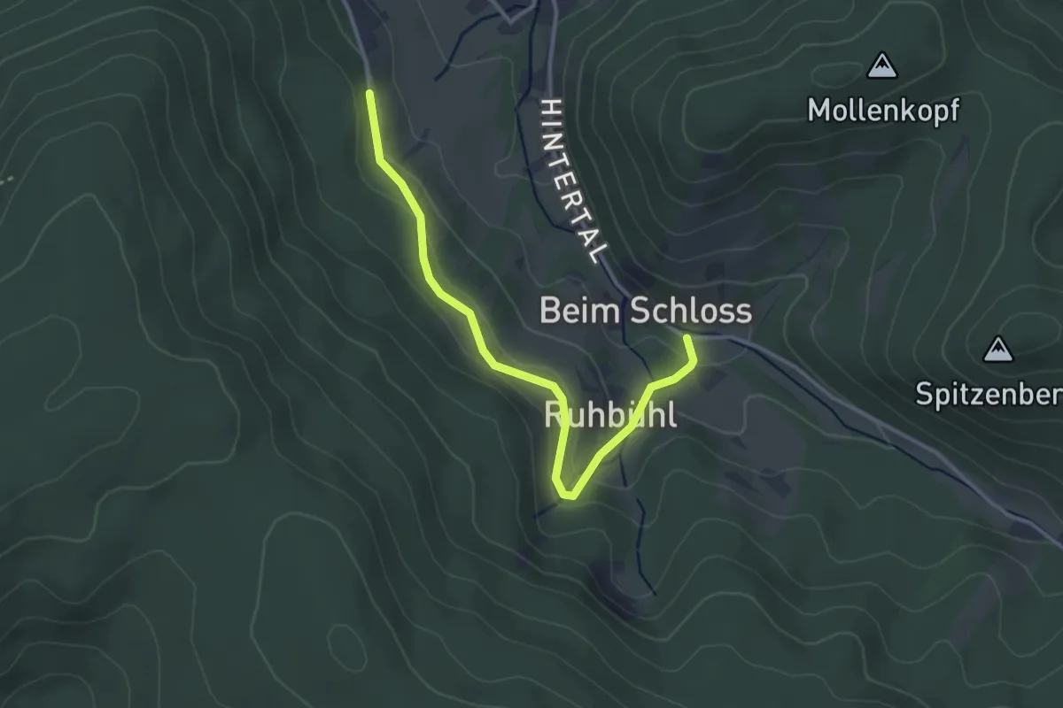
Easy · Trail
Breitreute - Schwenkenhof
4.4 km · ↑ 224 m · 1 h 31 min
Easy · Trail
Breitstein - Ruine Diersburg
3.2 km · ↑ 131 m · 1 h 2 min
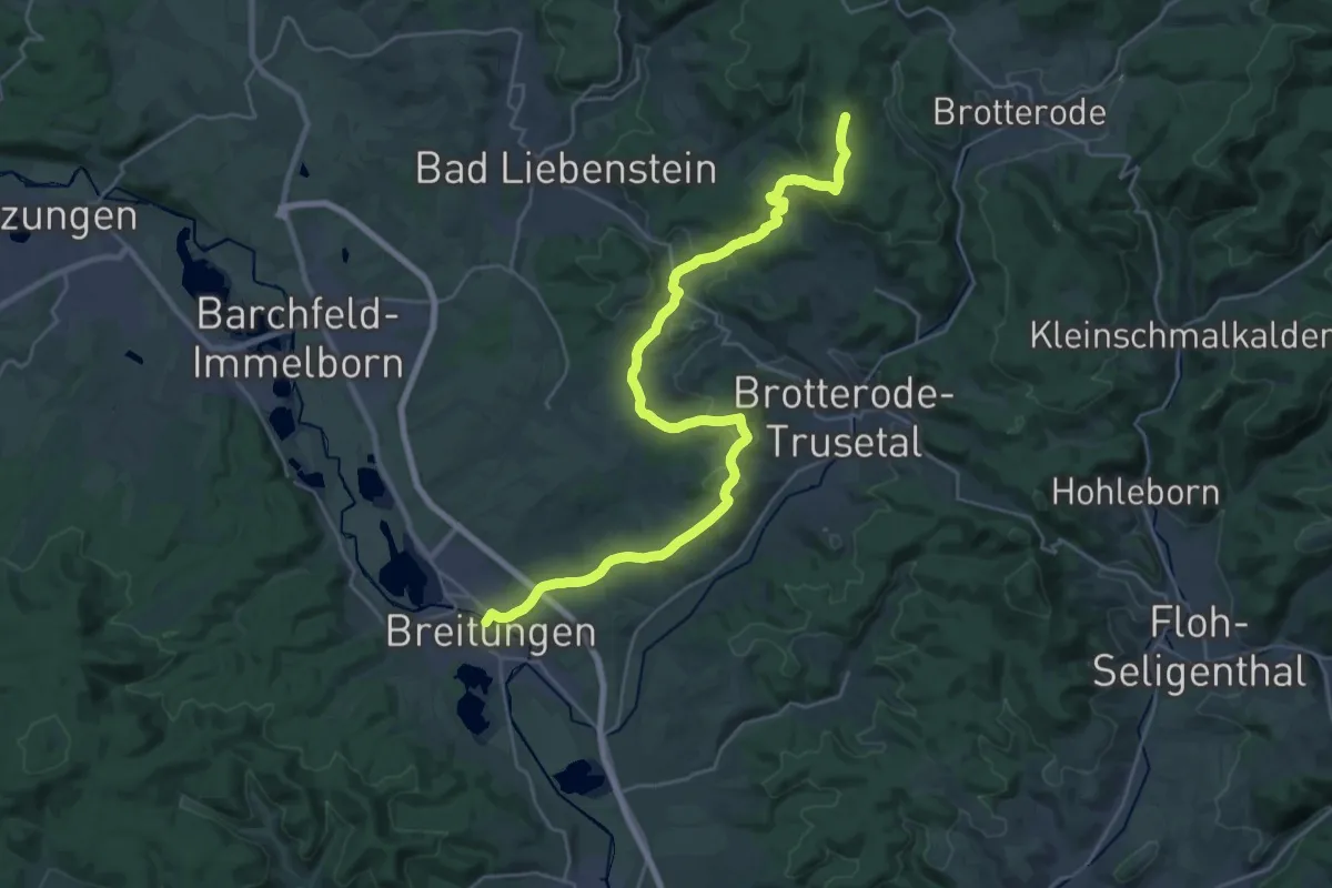
Demanding · Summit
Breitunger Rennsteig
27.8 km · ↑ 769 m · 8 h 14 min
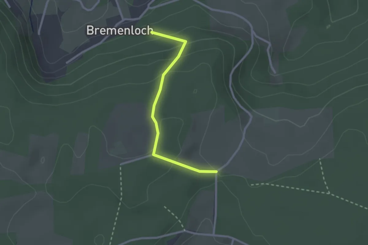
Easy · Trail
Bremenloch - Überm Vogtandres
2.1 km · ↑ 119 m · 45 min
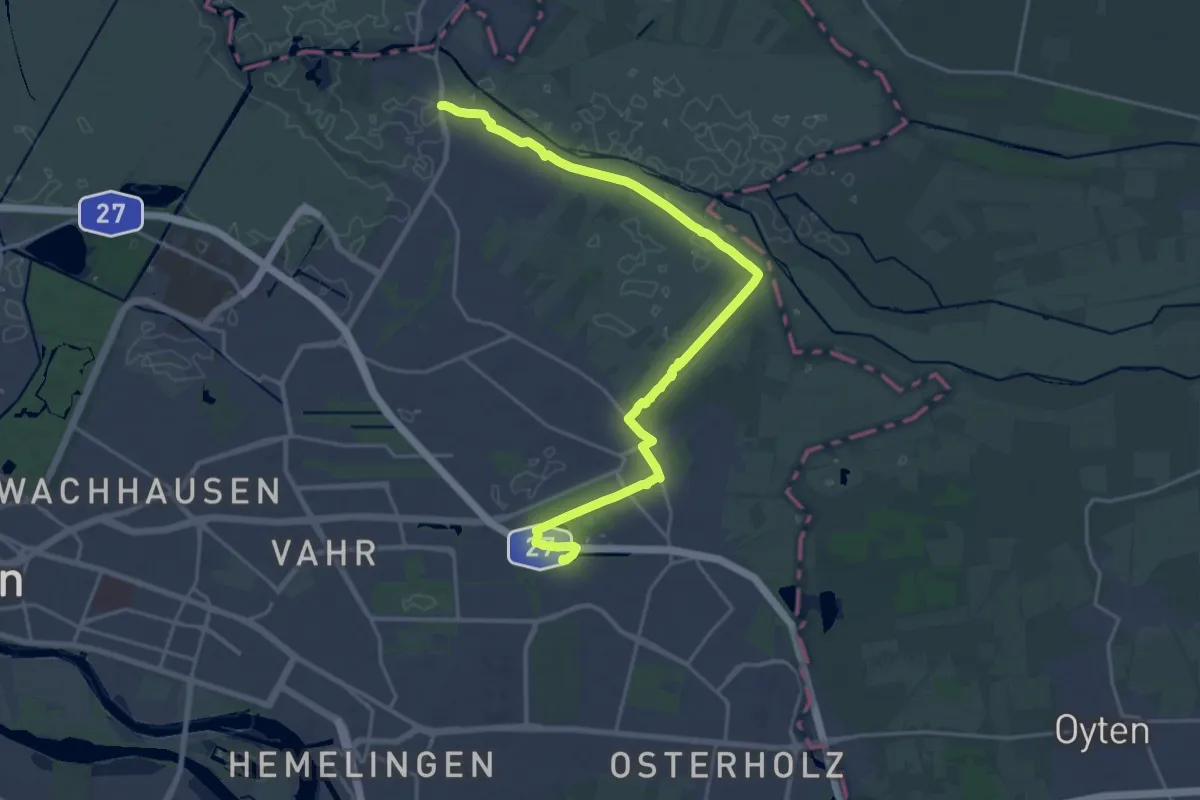
Demanding · Trail
Bremer Stadtrandweg
21.1 km · ↑ 33 m · 5 h 3 min
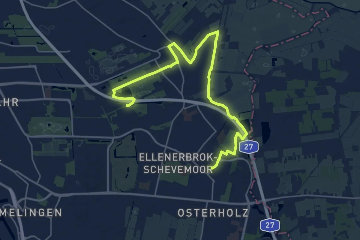
Demanding · Trail
Bremer Stadtrandweg
18.7 km · ↑ 8 m · 4 h 26 min
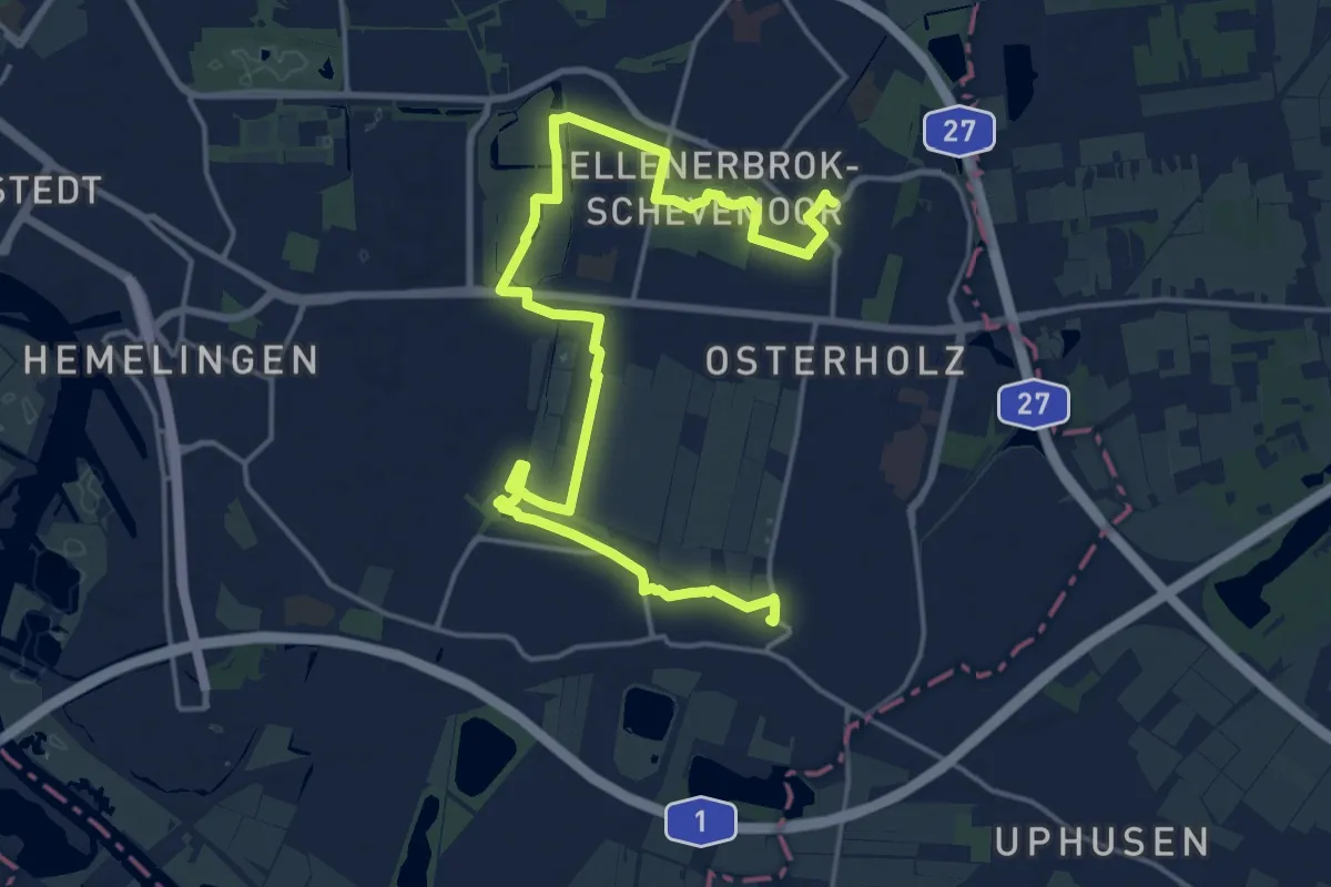
Demanding · Trail
Bremer Stadtrandweg
19.9 km · ↑ 25 m · 4 h 45 min
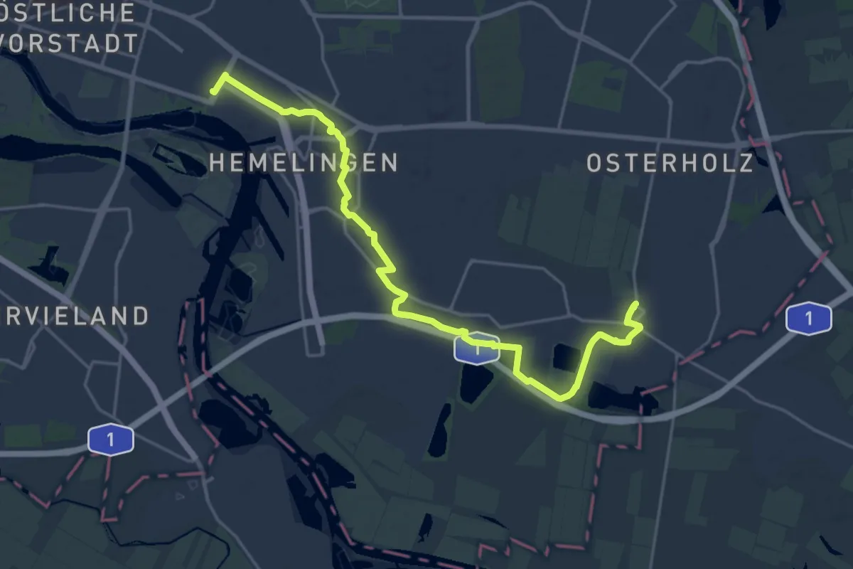
Demanding · Trail
Bremer Stadtrandweg
19.1 km · ↑ 4 m · 4 h 31 min
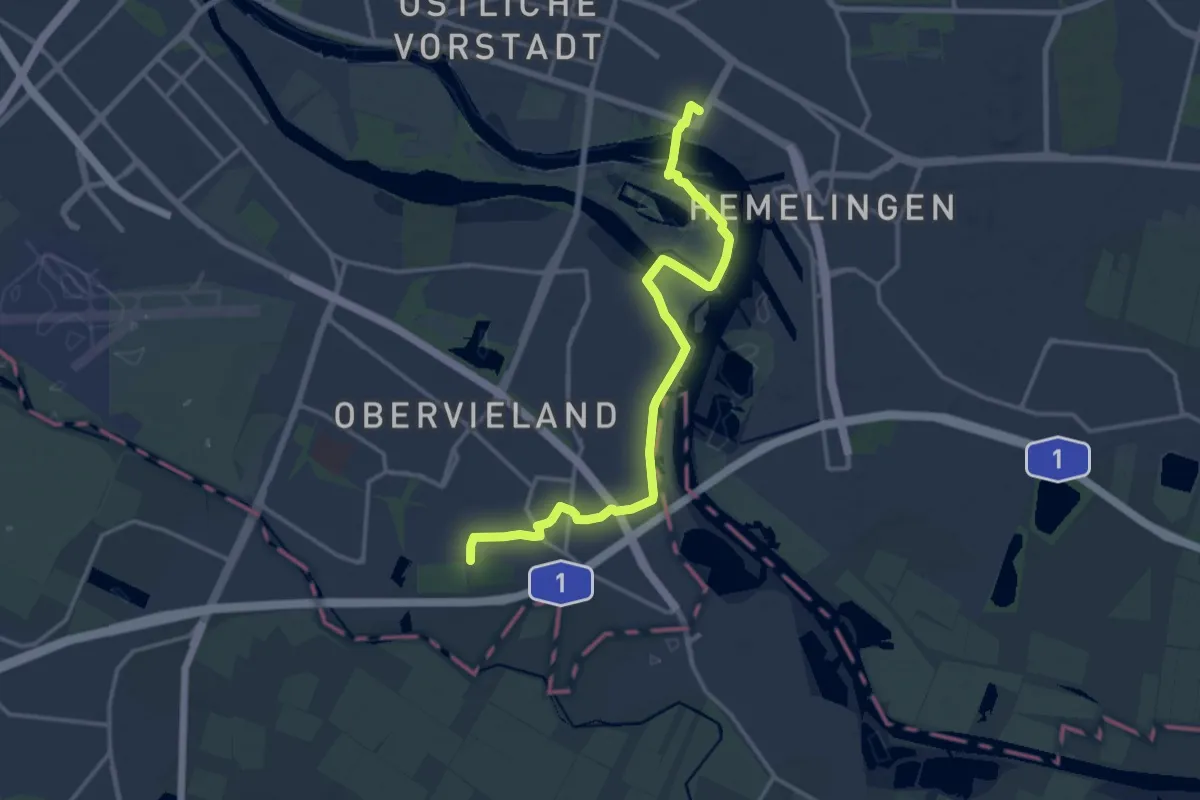
Medium · Trail
Bremer Stadtrandweg
14.2 km · ↑ 13 m · 3 h 23 min
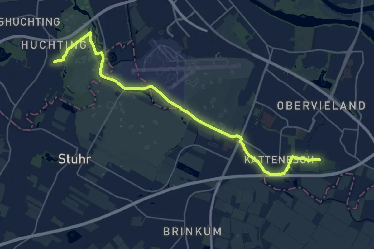
Medium · Trail
Bremer Stadtrandweg
17.8 km · ↑ 8 m · 4 h 13 min
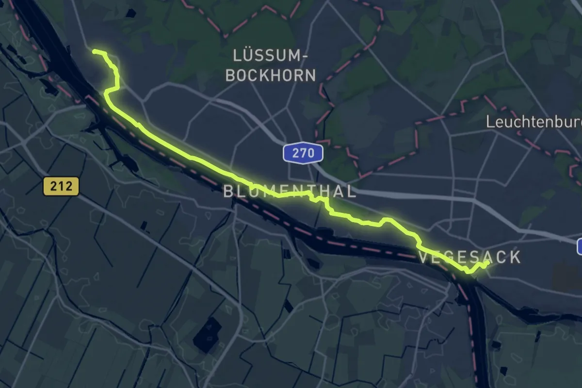
Demanding · Trail
Bremer Stadtrandweg
20.4 km · ↑ 63 m · 4 h 58 min
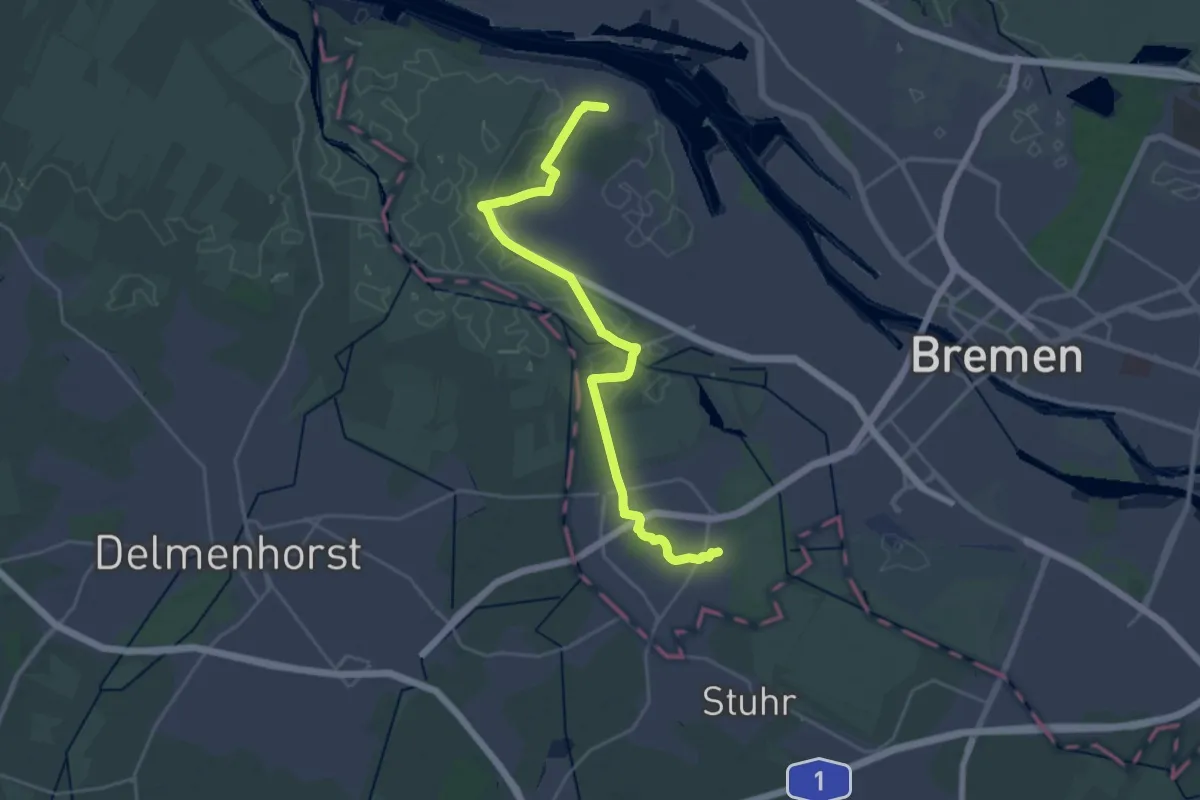
Demanding · Trail
Bremer Stadtrandweg
23.4 km · ↑ 37 m · 5 h 36 min
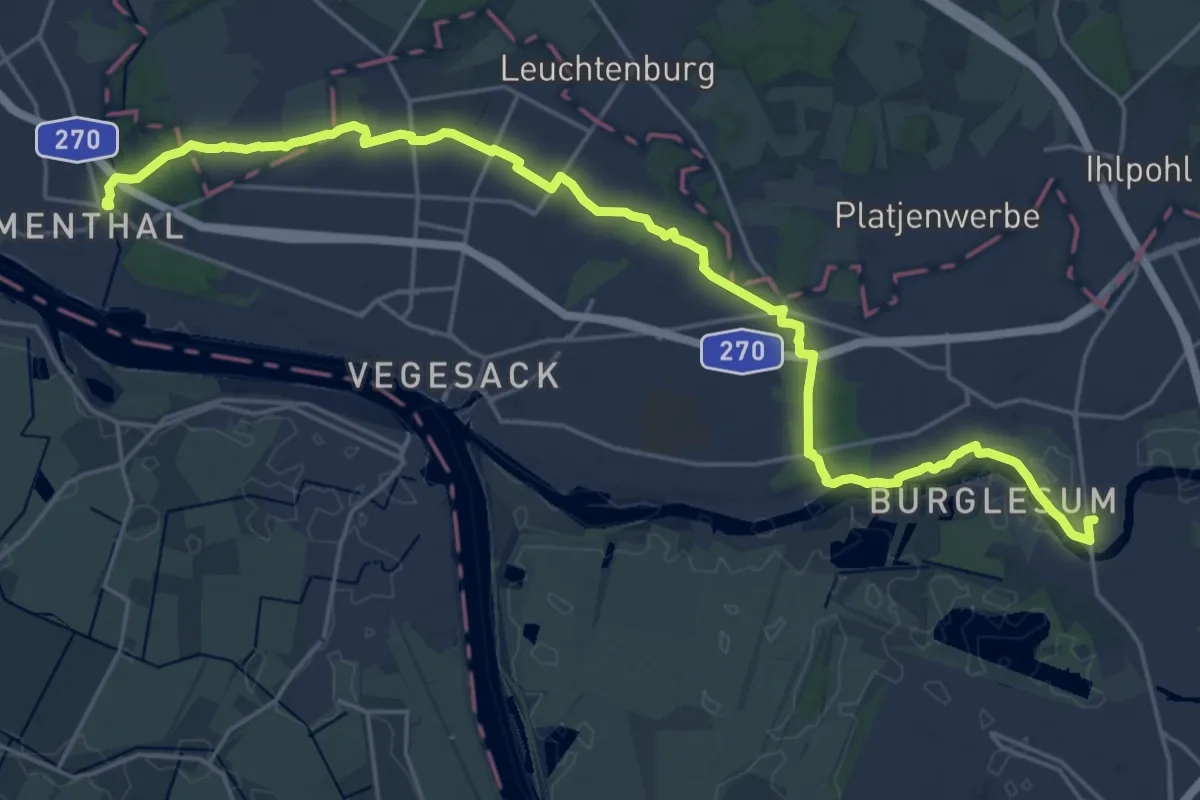
Demanding · Trail
Bremer Stadtrandweg
23.6 km · ↑ 107 m · 5 h 48 min
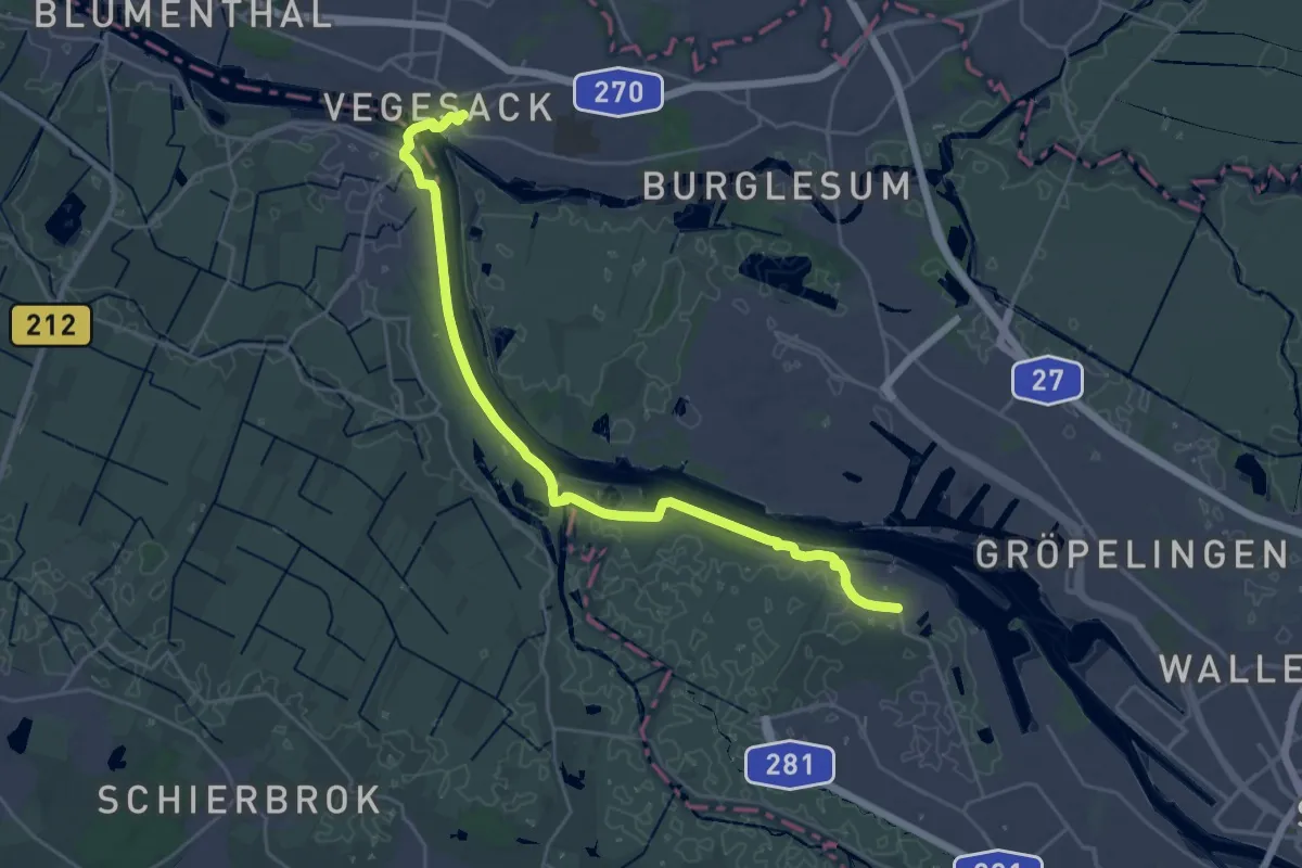
Demanding · Trail
Bremer Stadtrandweg
24.2 km · ↑ 31 m · 5 h 46 min
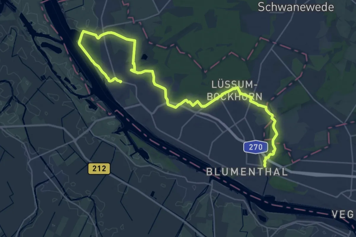
Demanding · Trail
Bremer Stadtrandweg
25.2 km · ↑ 93 m · 6 h 9 min
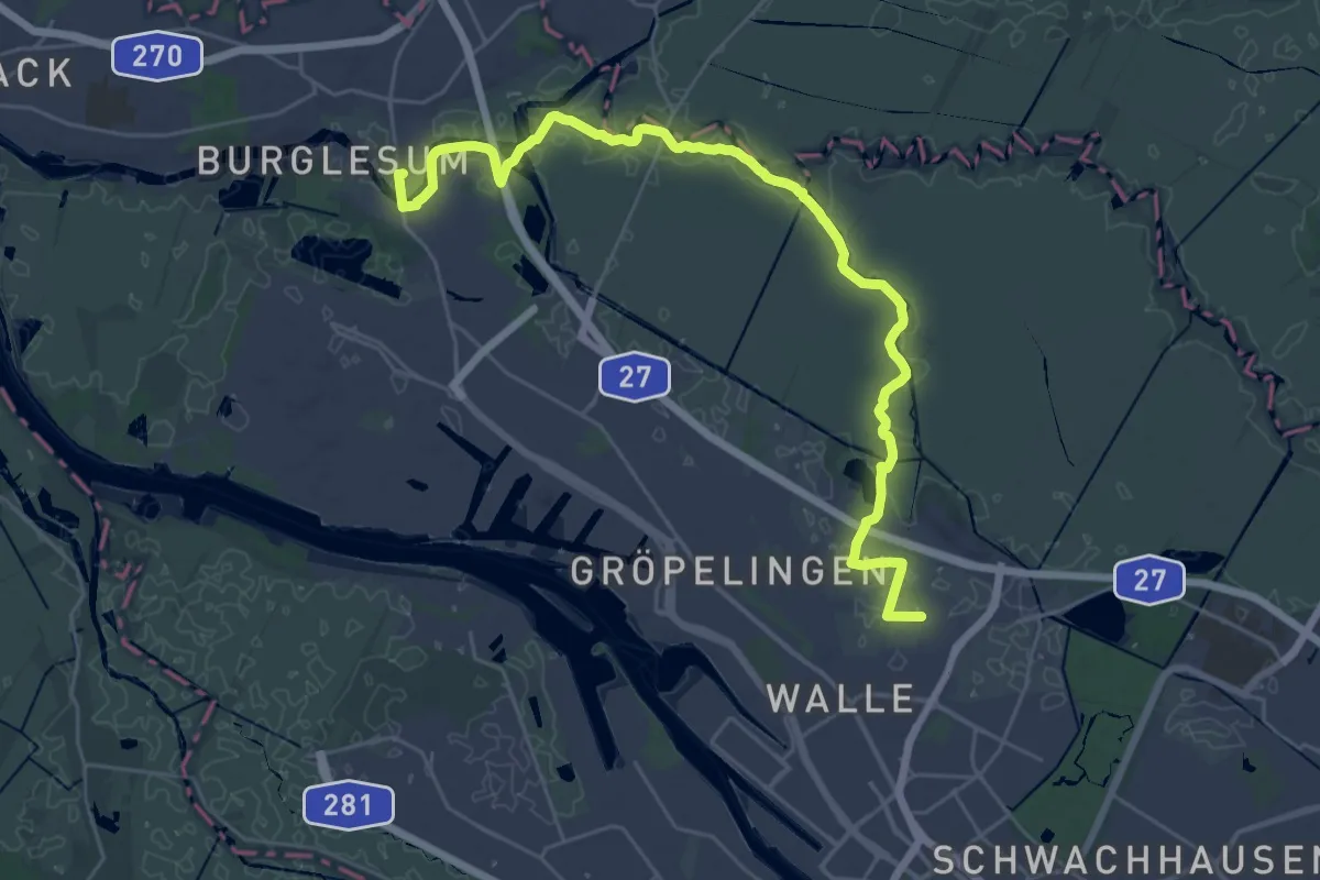
Demanding · Trail
Bremer Stadtrandweg
28.6 km · ↑ 13 m · 6 h 47 min
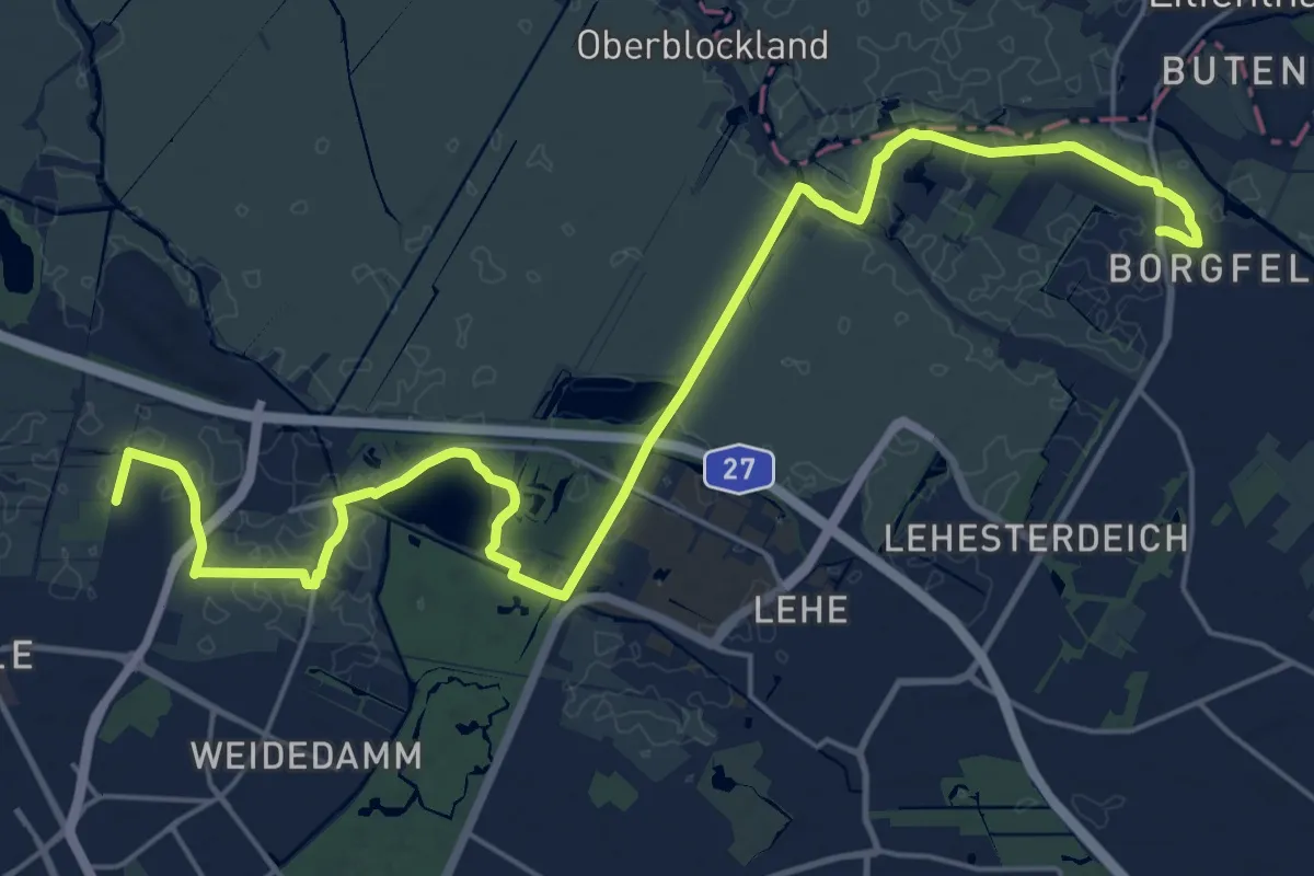
Demanding · Trail
Bremer Stadtrandweg
24.2 km · ↑ 13 m · 5 h 44 min
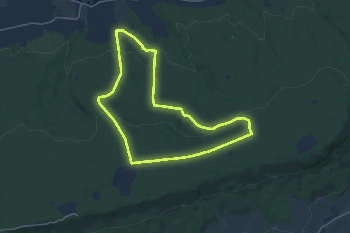
Medium · Summit
Bremsschacht-7-Rundweg
8.6 km · ↑ 187 m · 2 h 34 min
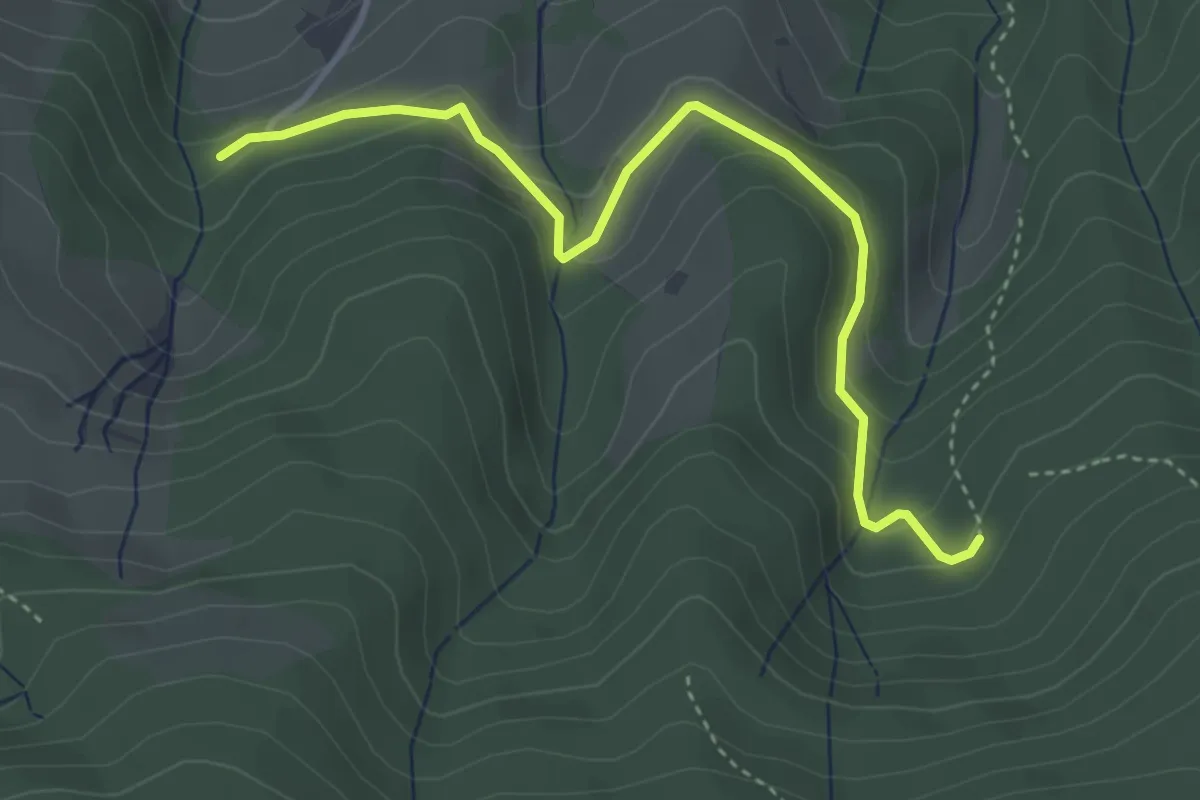
Easy · Trail
Brendenwaldweg - Burdharzwald
4.0 km · ↑ 217 m · 1 h 24 min
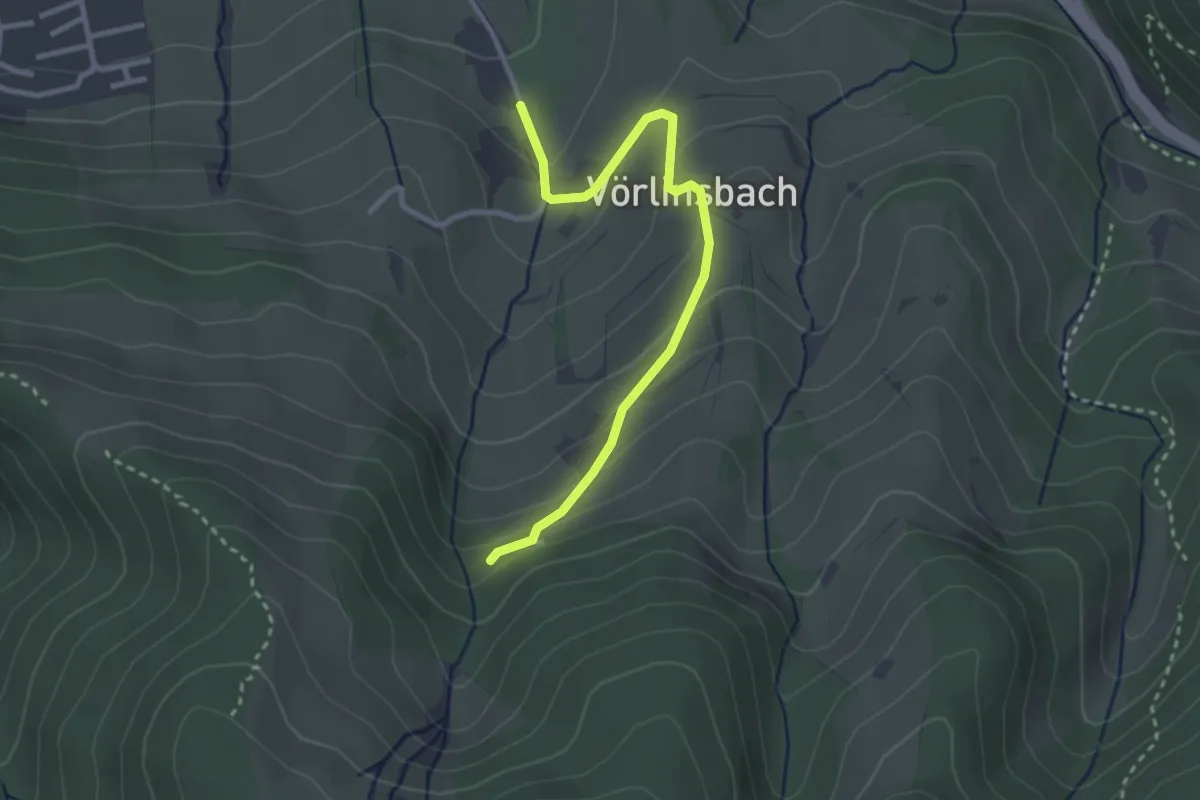
Easy · Trail
Brendenwaldweg - Campingplatz
2.9 km · ↑ 151 m · 1 h
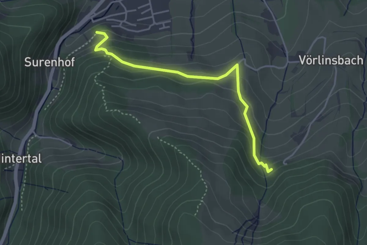
Easy · Trail
Brendenwaldweg - Wehrlehof
3.6 km · ↑ 214 m · 1 h 19 min
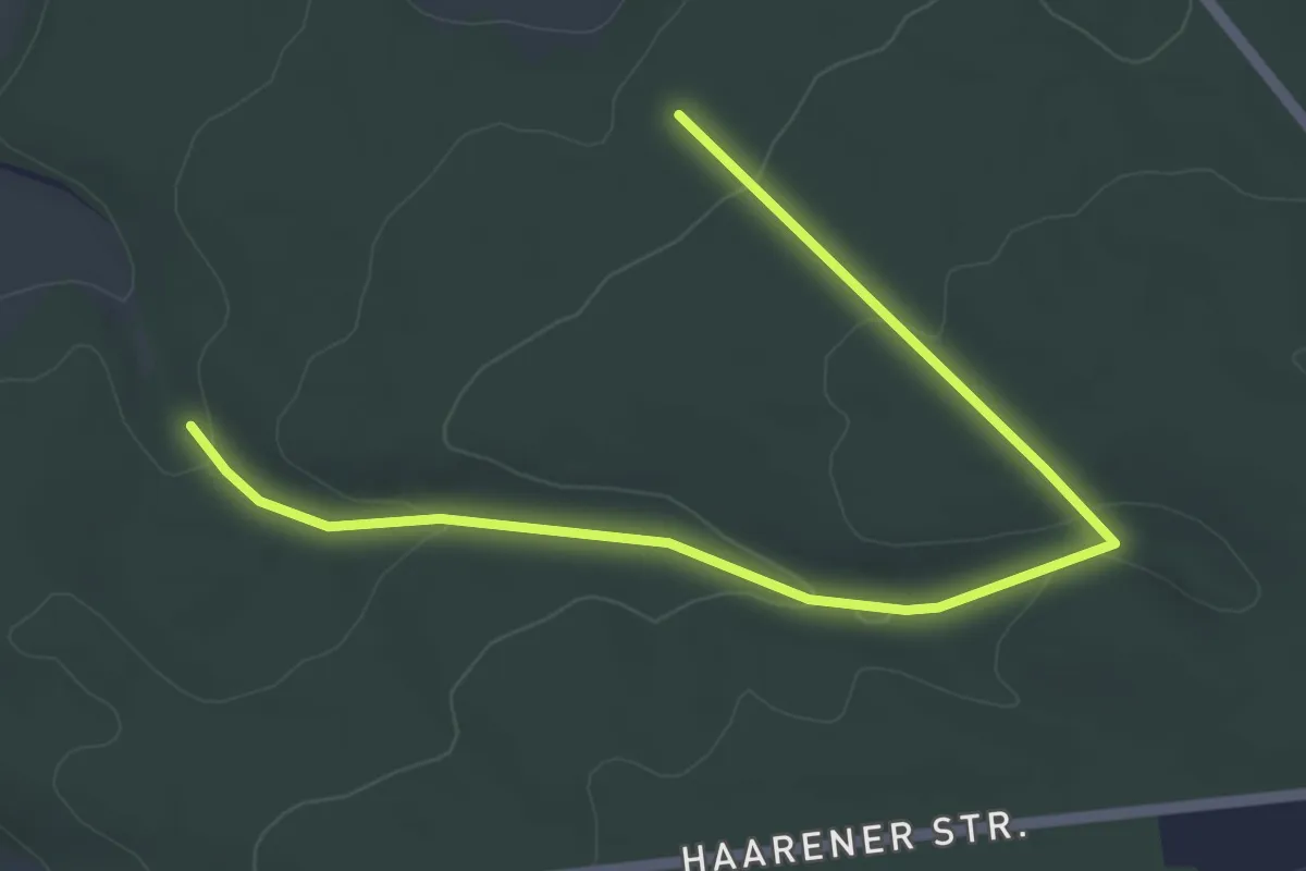
Easy · Trail
Brenkener Rundweg B4
2.6 km · ↑ 70 m · 48 min
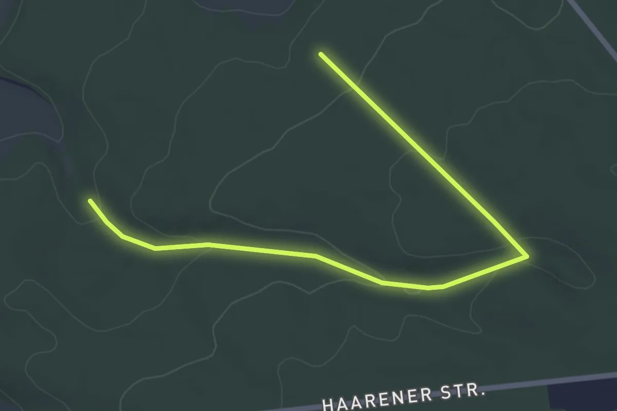
Easy · Trail
Brenkener Rundweg B5
2.6 km · ↑ 70 m · 48 min
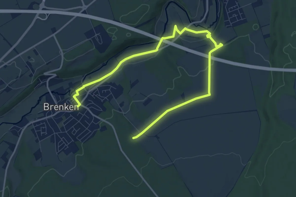
Easy · Trail
Brenkener Rundweg B6 Moosbruch
5.8 km · ↑ 41 m · 1 h 35 min
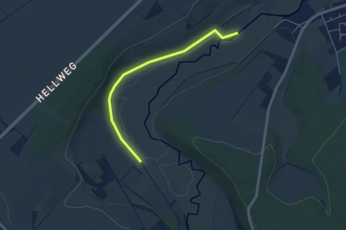
Easy · Trail
Brenkener Wanderweg B2
3.6 km · ↑ 49 m · 57 min
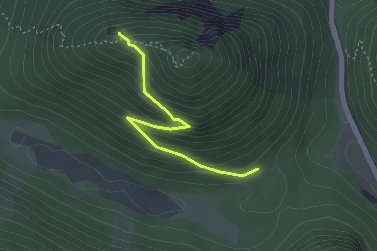
Medium · Summit
Brennatsteig
2.8 km · ↑ 255 m · 1 h 13 min
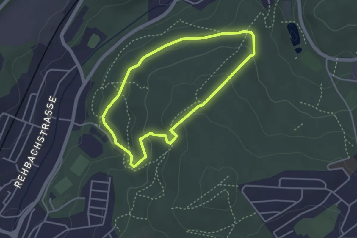
Easy · Trail
Brennender Berg – Erlebnispfad Industriekultur
2.7 km · ↑ 109 m · 55 min
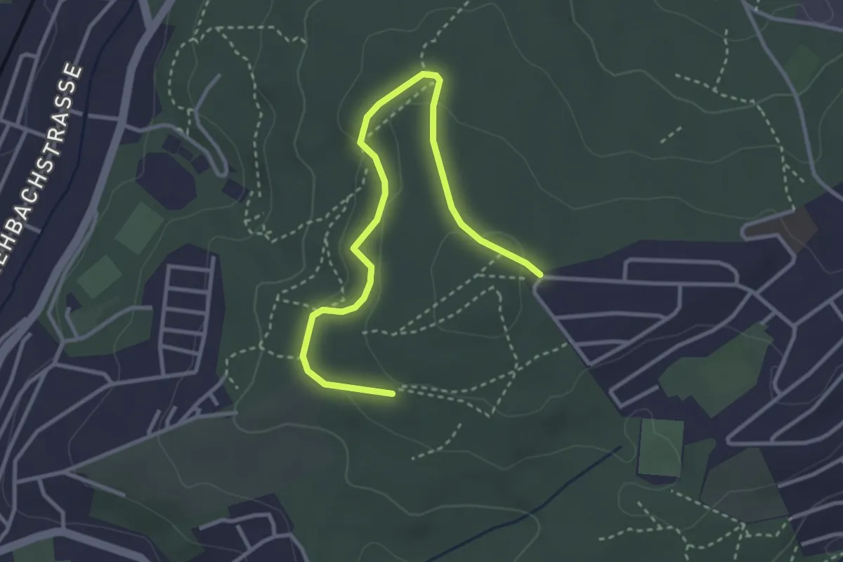
Easy · Trail
Brennender Berg – Erlebnispfad Wald
3.5 km · ↑ 113 m · 1 h 4 min
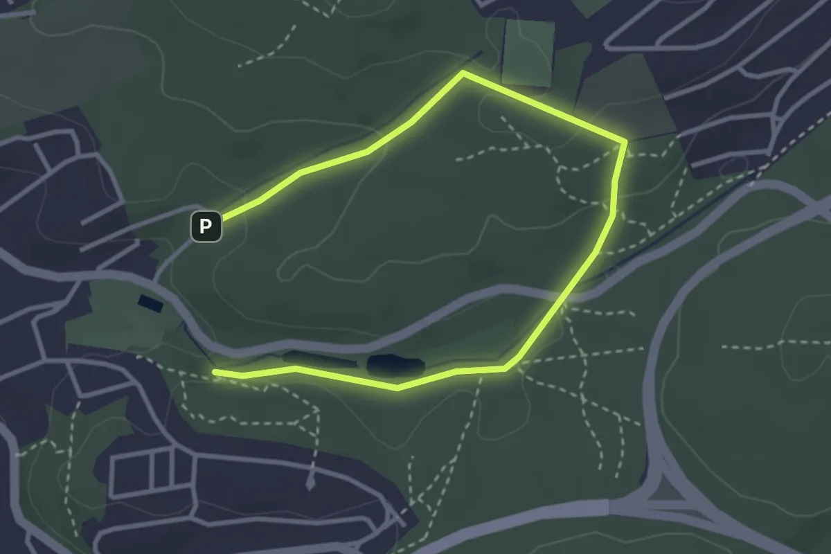
Easy · Trail
Brennender Berg – Erlebnispfad Wasser
4.2 km · ↑ 95 m · 1 h 11 min
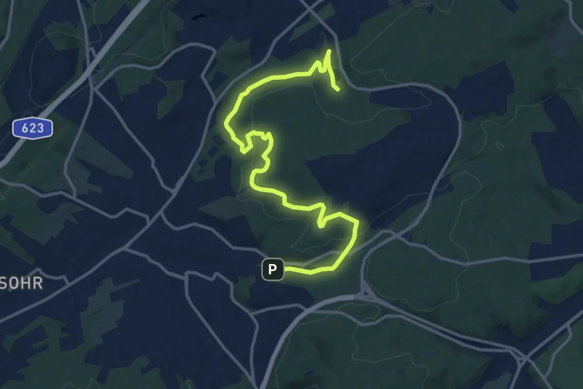
Medium · Trail
Brennender Berg – Großer Rundweg
11.8 km · ↑ 325 m · 3 h 29 min
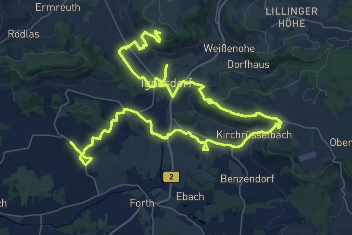
Demanding · Summit
Brennerei-Weg Igensdorf
41.6 km · ↑ 790 m · 11 h 33 min
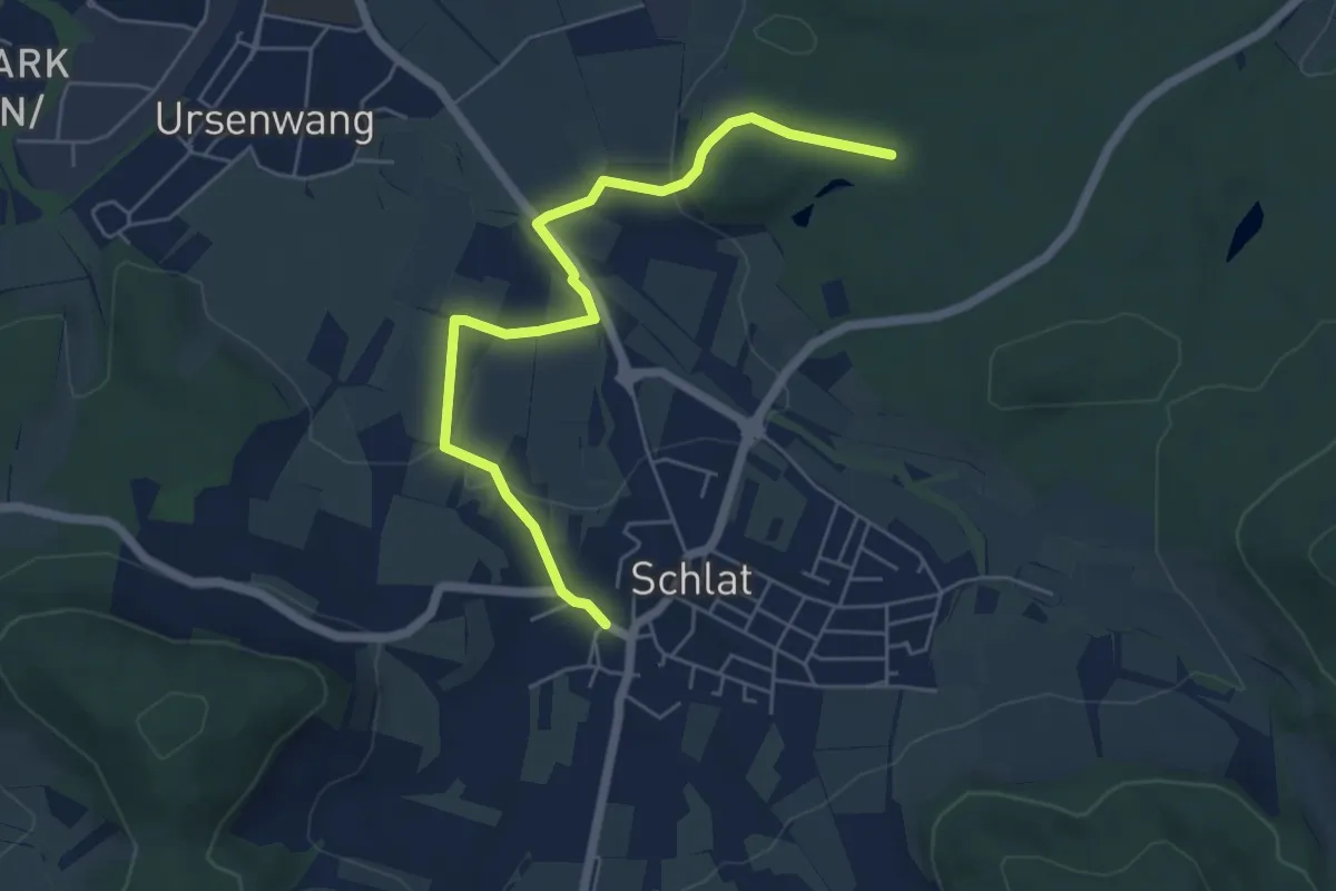
Easy · Trail
Brenntenhau - Schlat
5.6 km · ↑ 83 m · 1 h 30 min
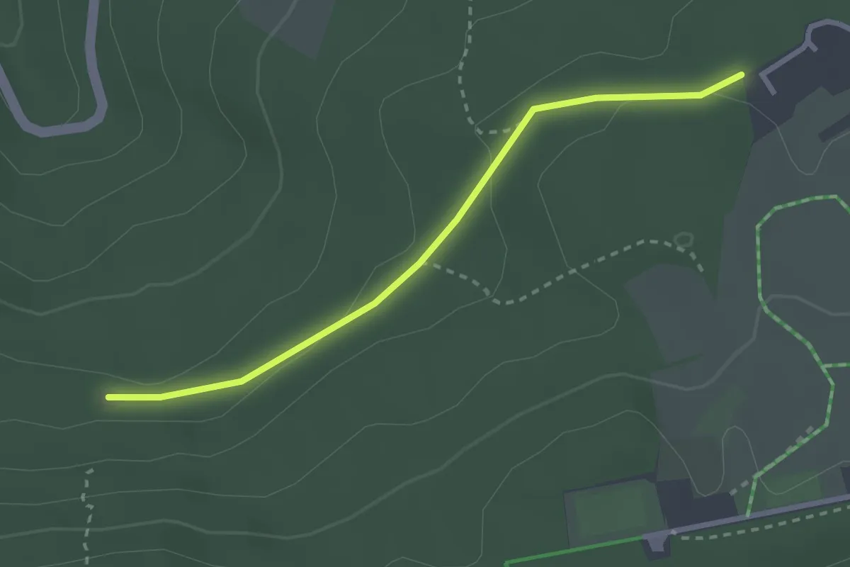
Easy · Trail
Brenntenwald Hütte - Jägerweg
2.5 km · ↑ 44 m · 42 min
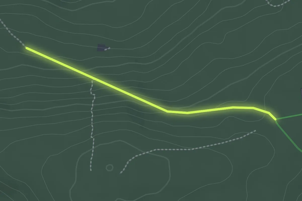
Easy · Trail
Brenntenwald - Pfützenhäusle
2.0 km · ↑ 85 m · 40 min