Trails in Germany
36,847 hiking trails, each with its route, climb, walking time and grade.
All trails, page 88 of 768
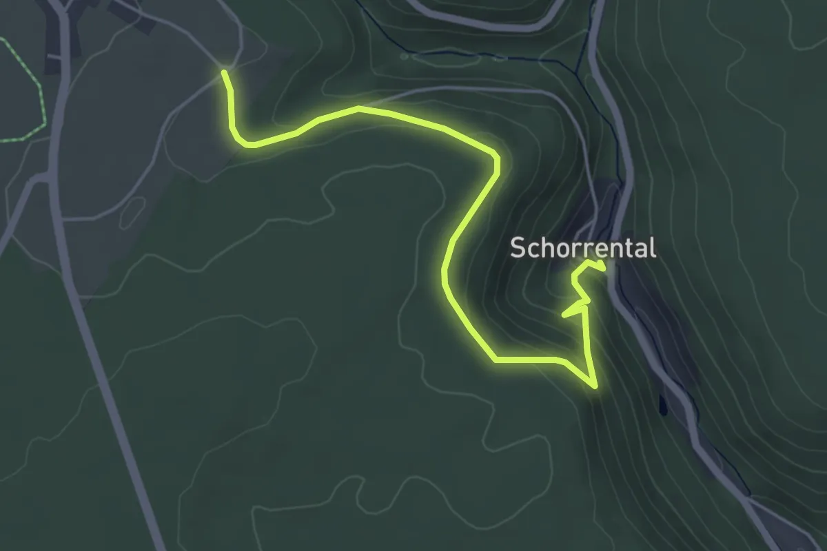
Easy · Trail
Brenntenwald - Schorrental
5.0 km · ↑ 228 m · 1 h 40 min
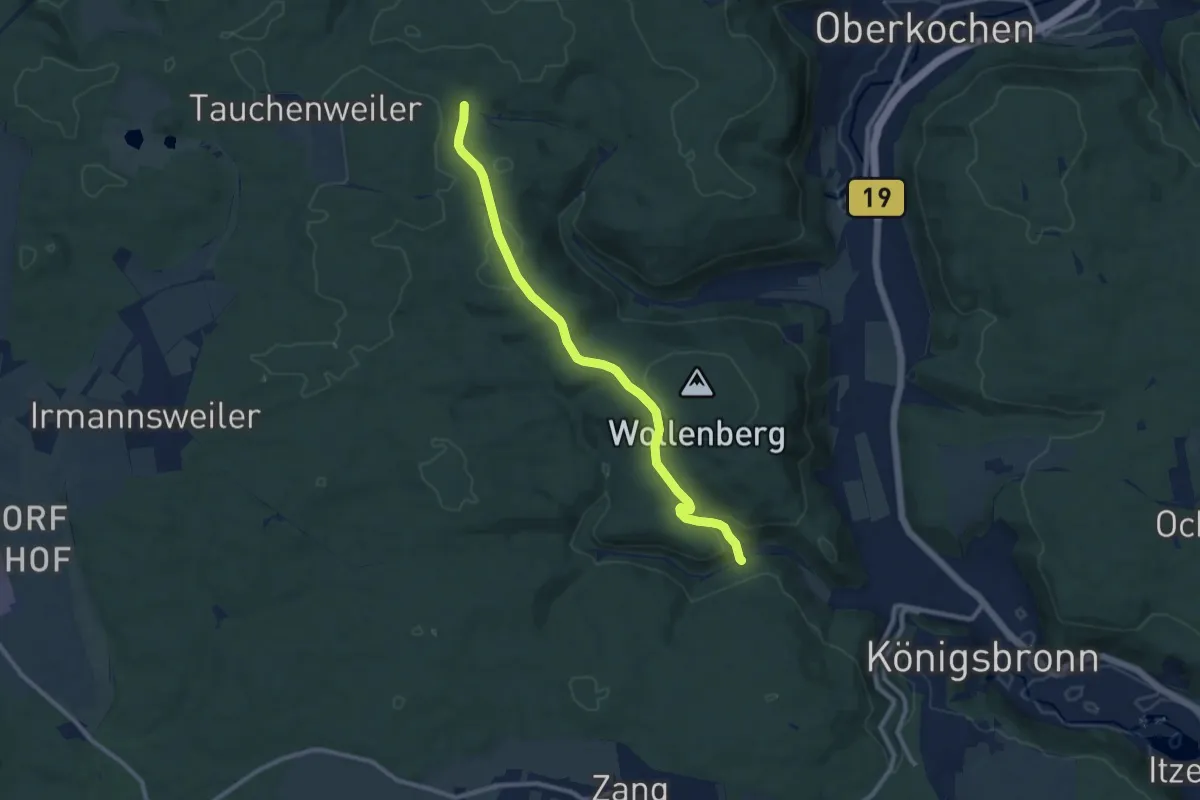
Medium · Trail
Brenztal - Gnannenkopf - Tauchenweiler
9.6 km · ↑ 290 m · 2 h 53 min
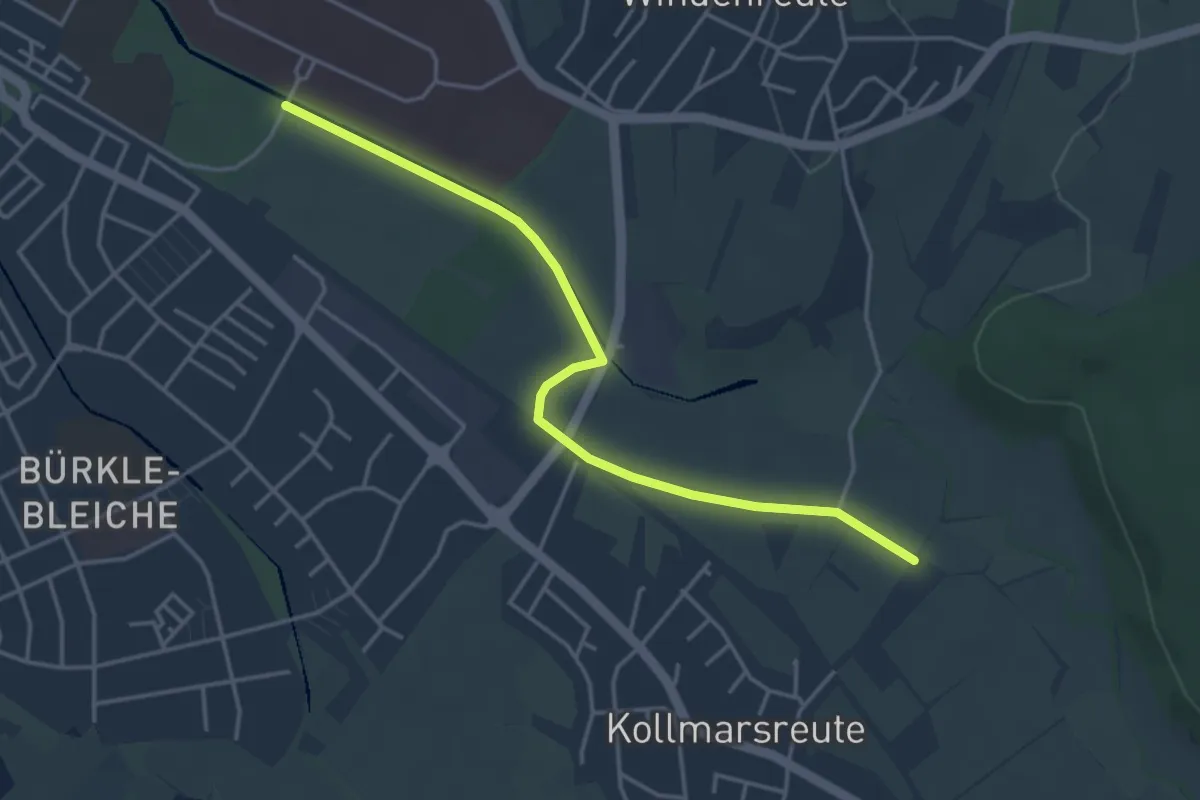
Easy · Trail
Brettenmatten - Zentrum für Psychatrie
4.1 km · ↑ 5 m · 58 min
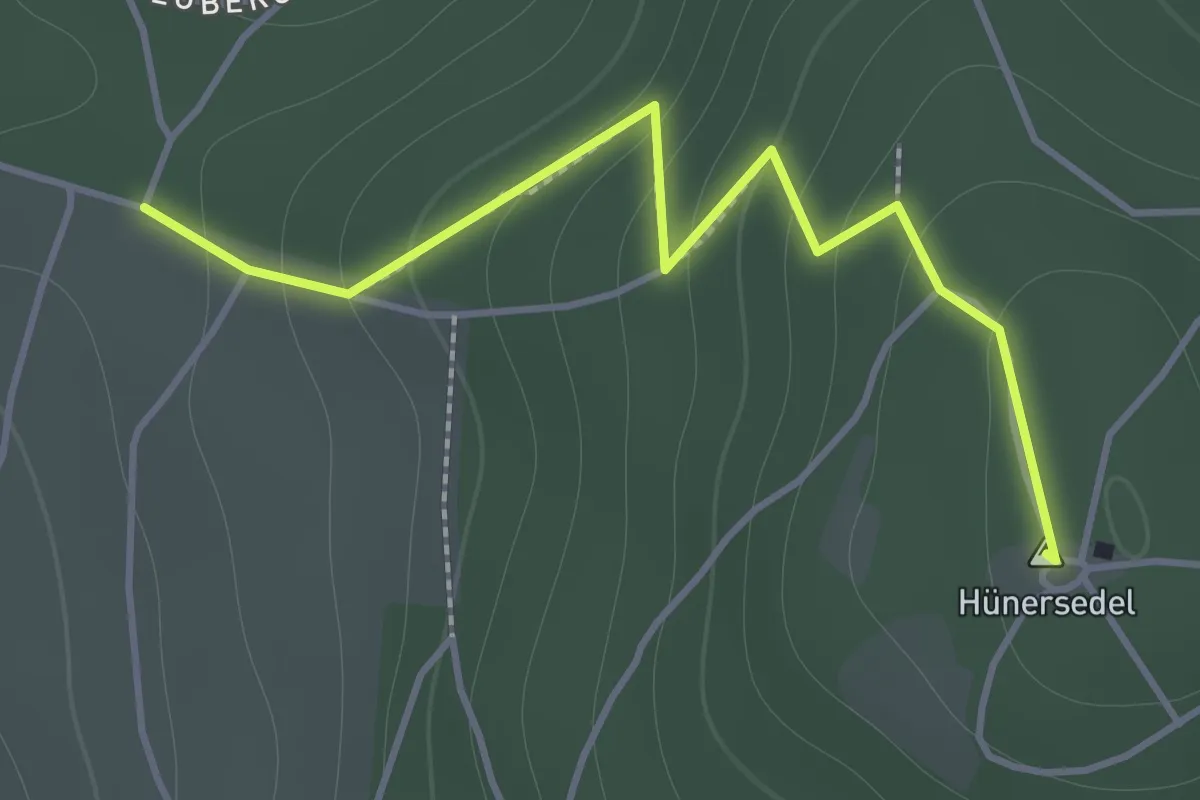
Easy · Summit
Brettentaler Eck - Beim Luegemol
1.5 km · ↑ 123 m · 38 min
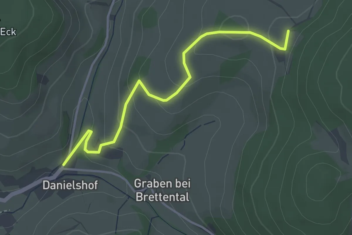
Easy · Trail
Brettental Silberloch - Hocke
3.5 km · ↑ 173 m · 1 h 11 min
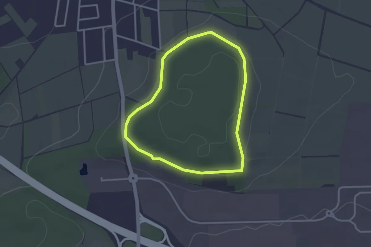
Easy · Trail
Breuna - Naturparkweg 6
2.2 km · ↑ 41 m · 38 min
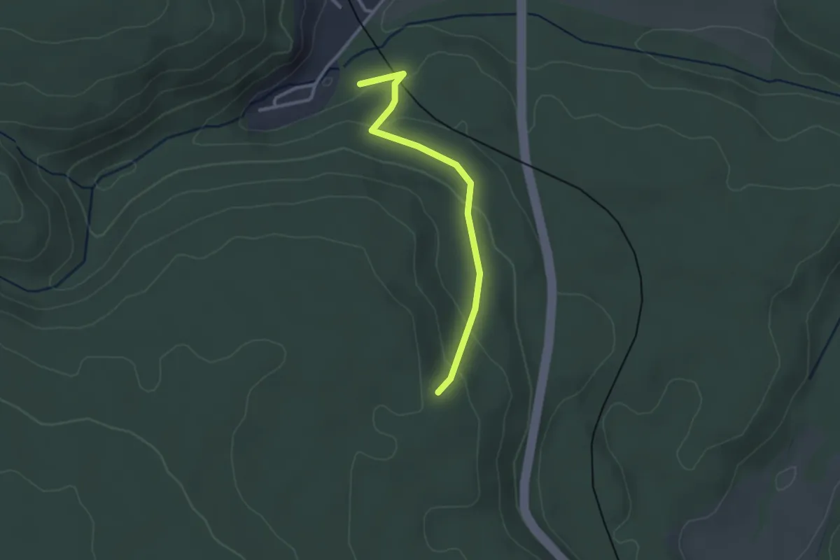
Easy · Trail
Breuningereck - Unteres Lauterbad
2.5 km · ↑ 87 m · 47 min
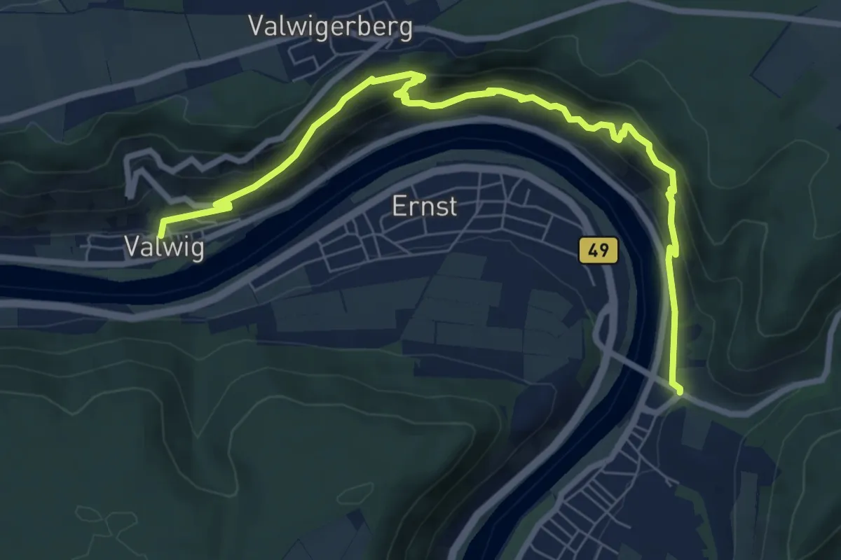
Medium · Trail
Breva Wein & Weg
7.9 km · ↑ 680 m · 3 h 20 min
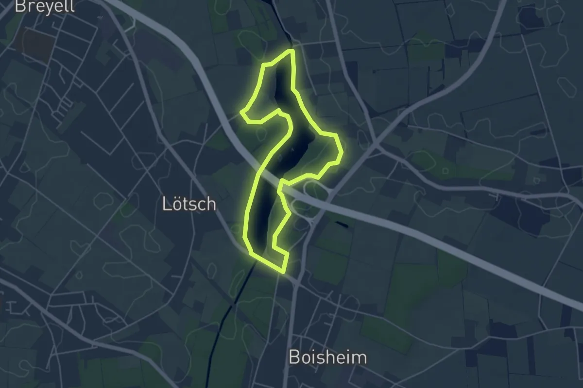
Easy · Trail
Breyeller-Seerunde
3.9 km · ↑ 9 m · 1 h
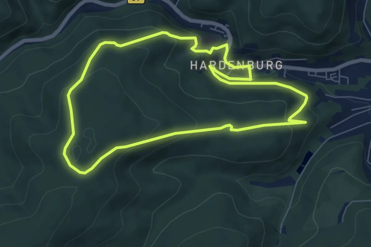
Easy · Trail
Brezelstein
6.0 km · ↑ 317 m · 2 h 11 min
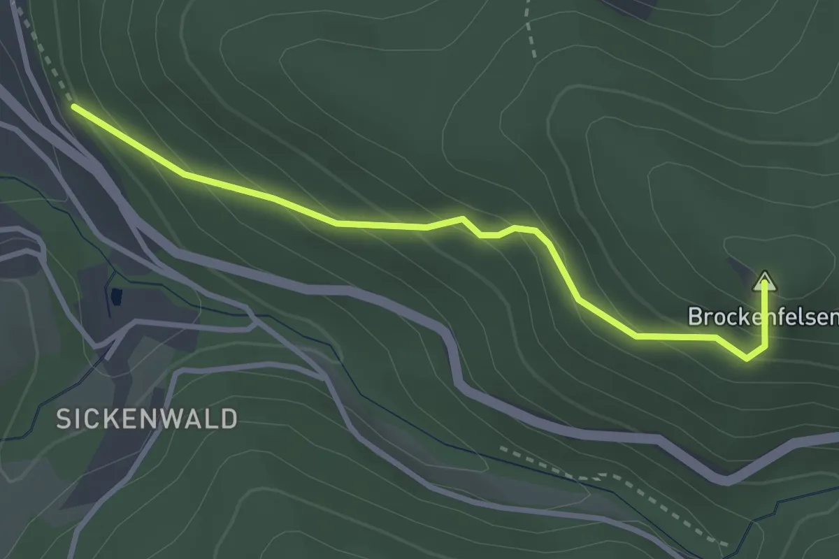
Easy · Summit
Briefträgerweg - Brockenfelsen
2.9 km · ↑ 260 m · 1 h 15 min
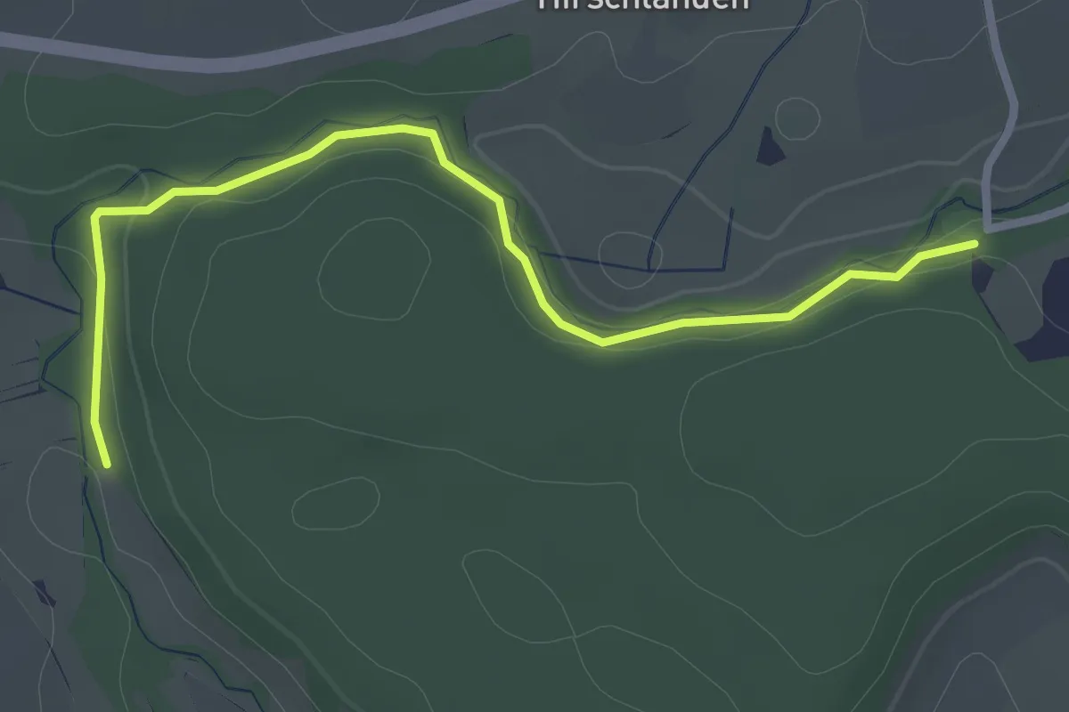
Easy · Trail
Brielbachbrücke - Brühlbachbrücke
2.8 km · ↑ 36 m · 44 min
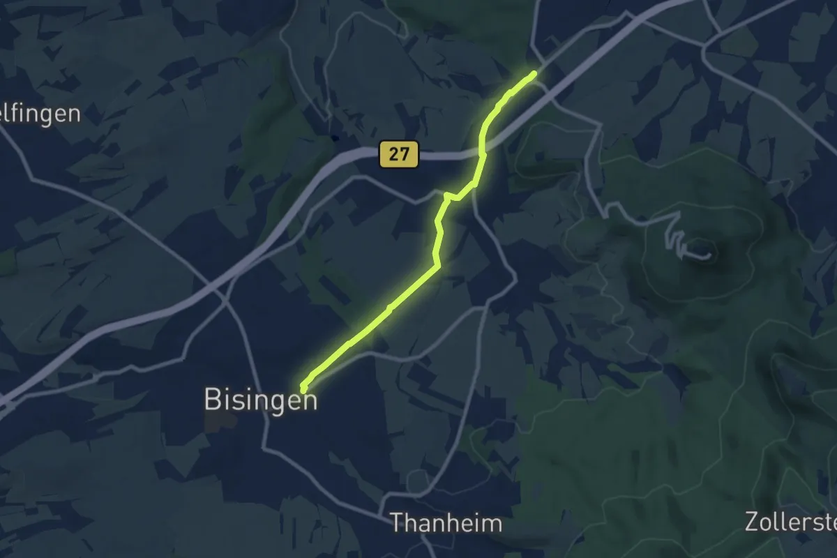
Easy · Trail
Brielhof Eisenbahnsteg Süd - Bisingen Bahnhof
7.4 km · ↑ 92 m · 1 h 57 min
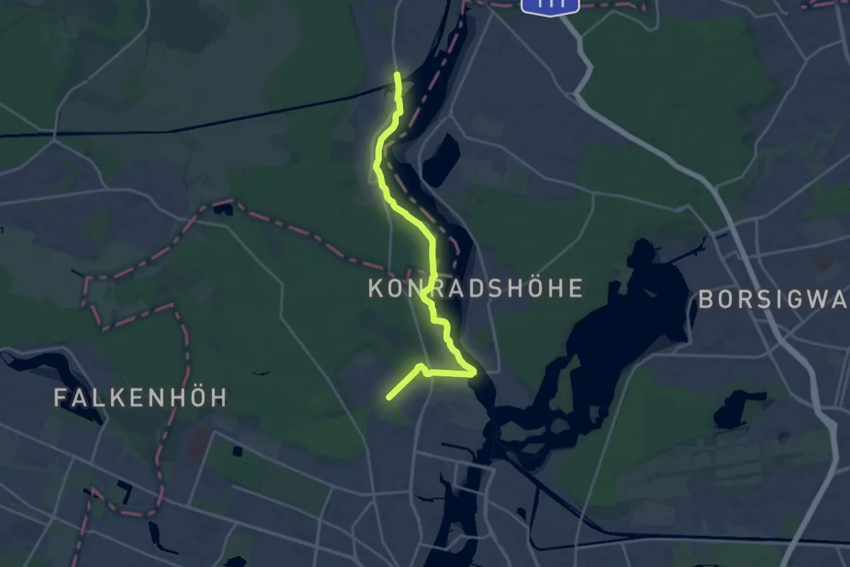
Medium · Trail
Briese - Spandau, Johannesstift
15.3 km · ↑ 72 m · 3 h 46 min
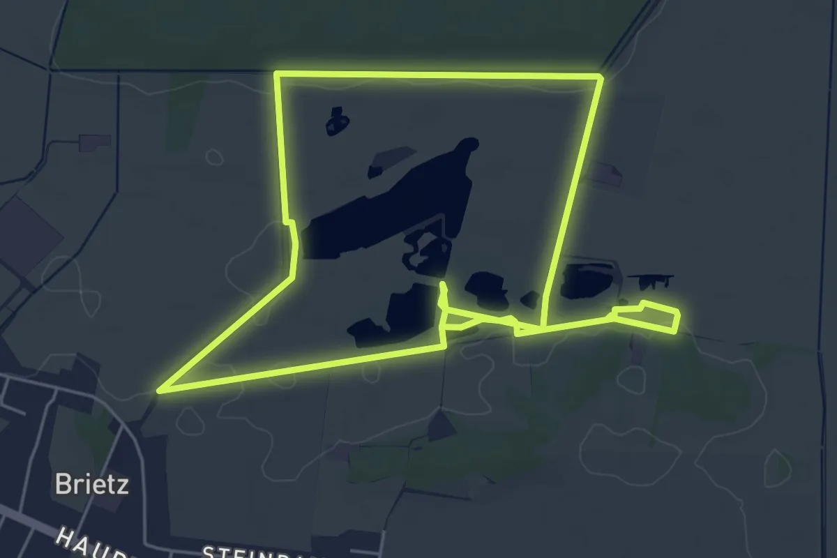
Easy · Trail
Brietzer Teiche - ArtenReich am Grünen Band
4.8 km · ↑ 4 m · 1 h 13 min
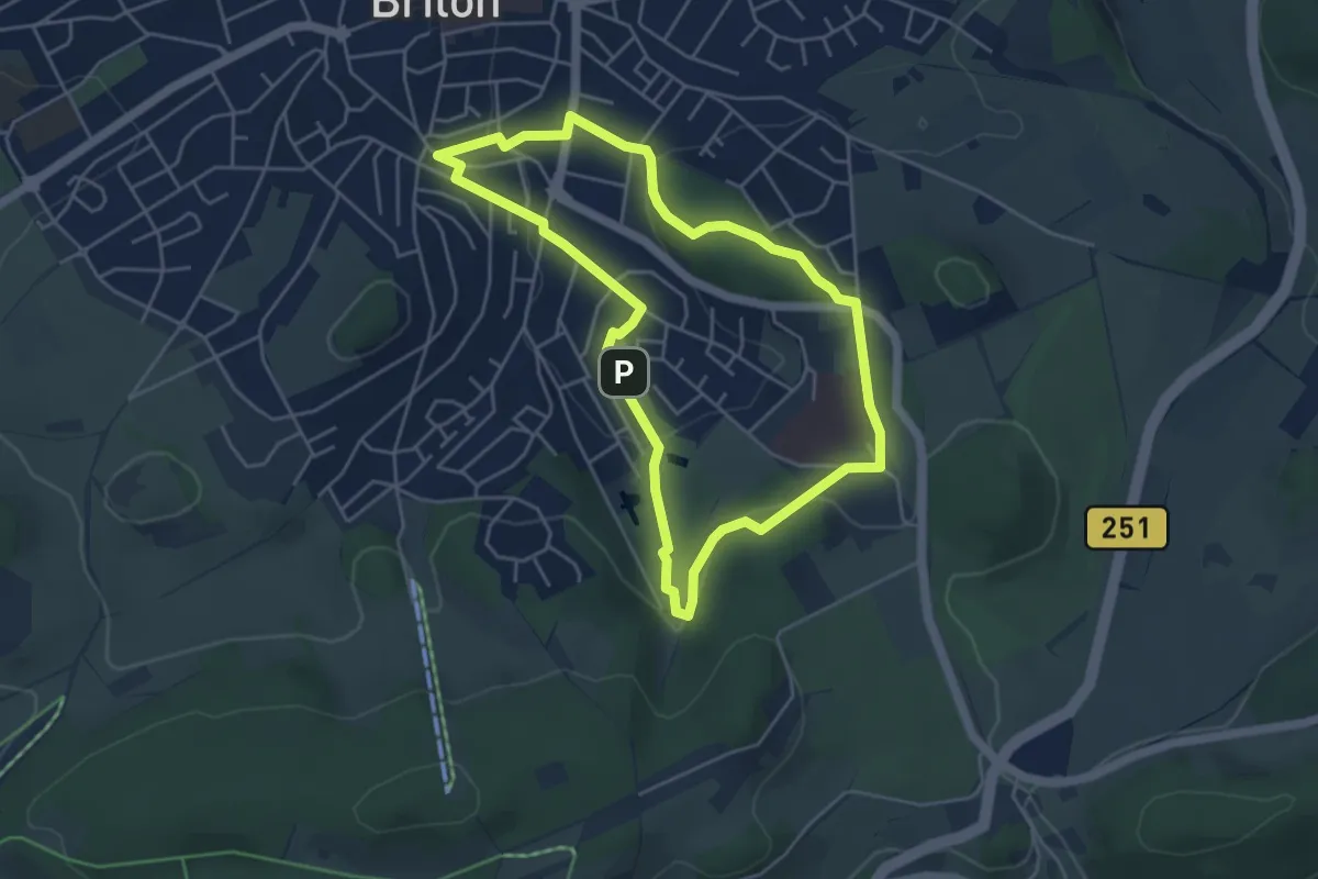
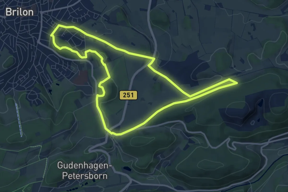
Easy · Summit
Brilon B2
4.2 km · ↑ 109 m · 1 h 16 min
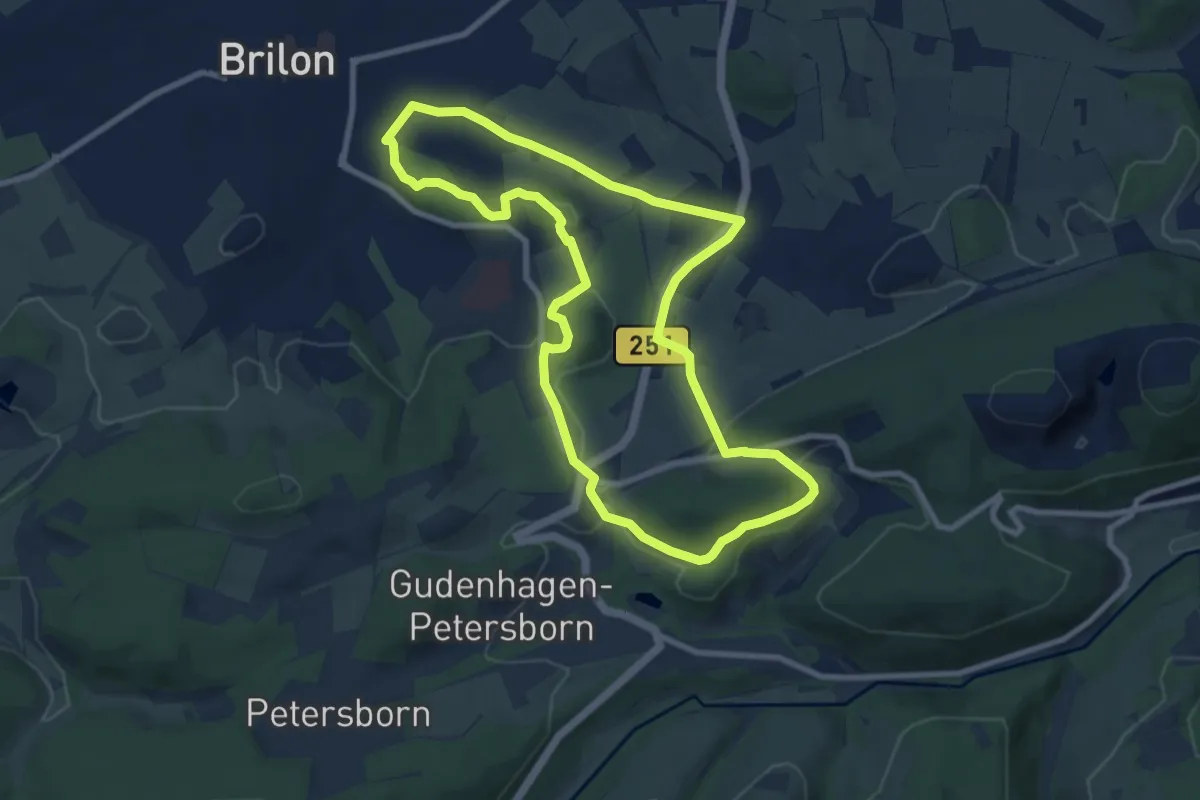
Medium · Summit
Brilon B3
8.7 km · ↑ 169 m · 2 h 32 min
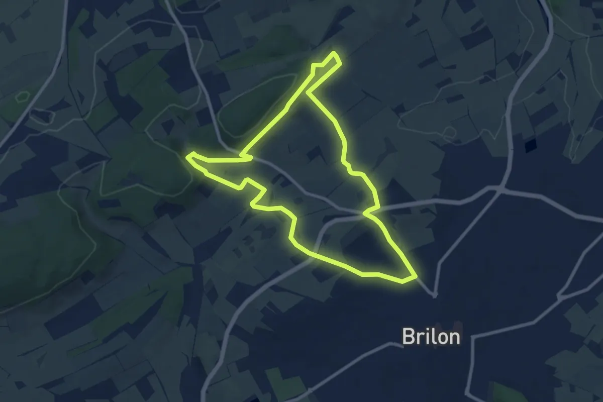
Easy · Summit
Brilon B4
7.8 km · ↑ 158 m · 2 h 18 min
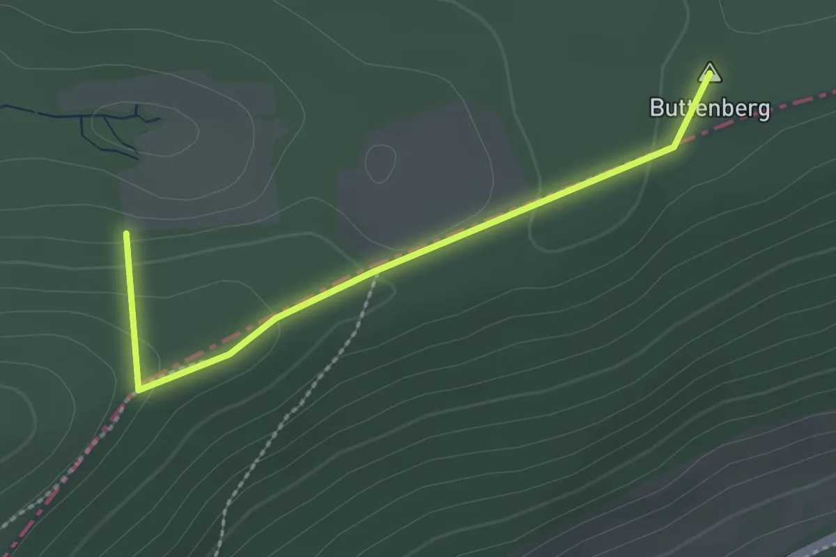
Easy · Summit
Brilon B5
7.2 km · ↑ 196 m · 2 h 13 min
Easy · Summit
Brilon - Diemelsee
2.2 km · ↑ 62 m · 39 min
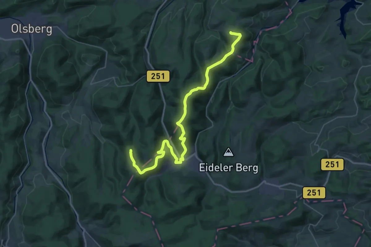
Medium · Summit
Briloner Kammweg
15.4 km · ↑ 491 m · 4 h 57 min
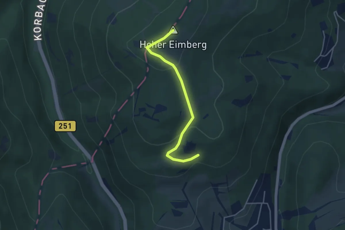
Easy · Summit
Brilon - Willingen
2.9 km · ↑ 94 m · 54 min
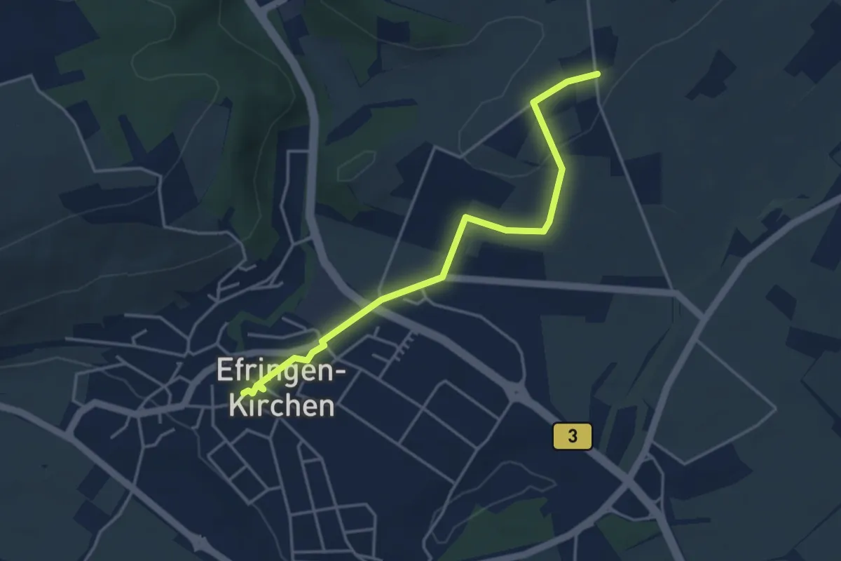
Easy · Trail
Britschen - Efringen-Kirchen Bahnhof
3.9 km · ↑ 62 m · 1 h 3 min
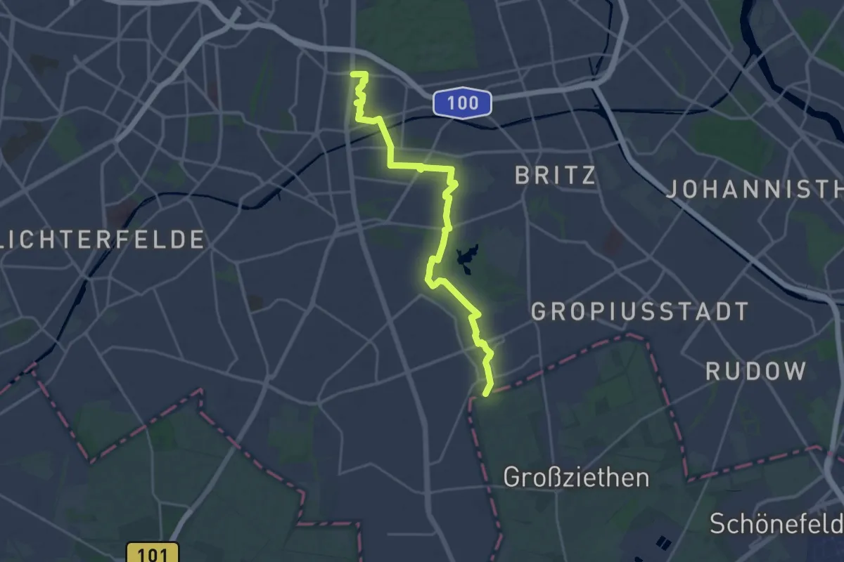
Demanding · Trail
Britz-Buckower-Weg
19.7 km · ↑ 25 m · 4 h 42 min
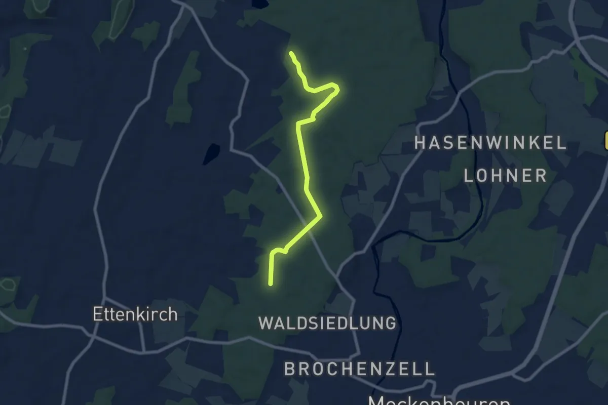
Easy · Trail
Brochenzell - Hinterhof
6.6 km · ↑ 35 m · 1 h 39 min
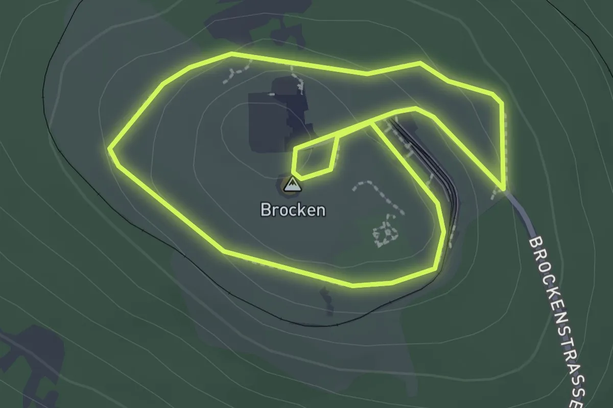
Easy · Summit
Brockenrundwanderweg
2.3 km · ↑ 43 m · 39 min
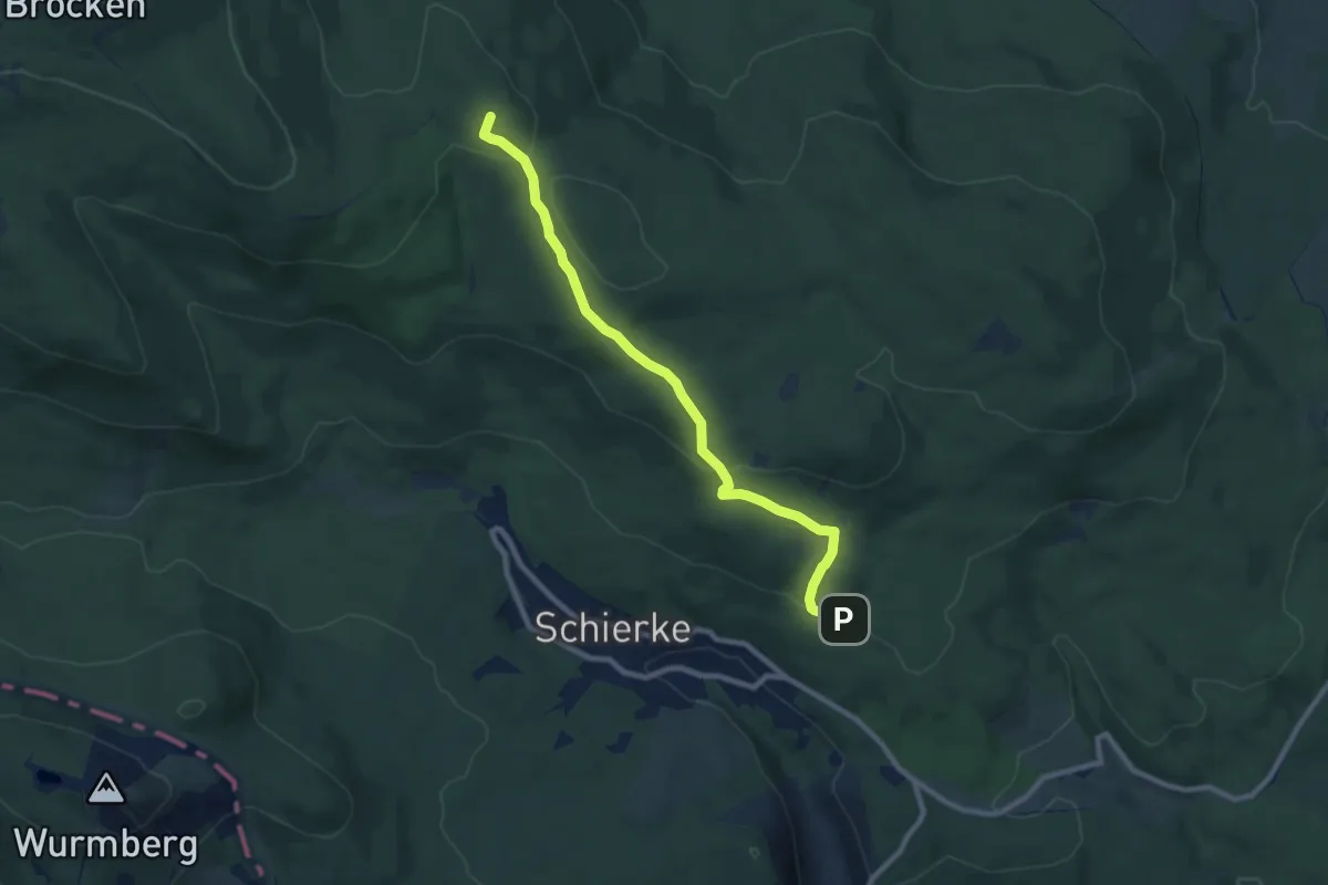
Medium · Summit
Brocken über Ahrensklint
8.1 km · ↑ 224 m · 2 h 24 min
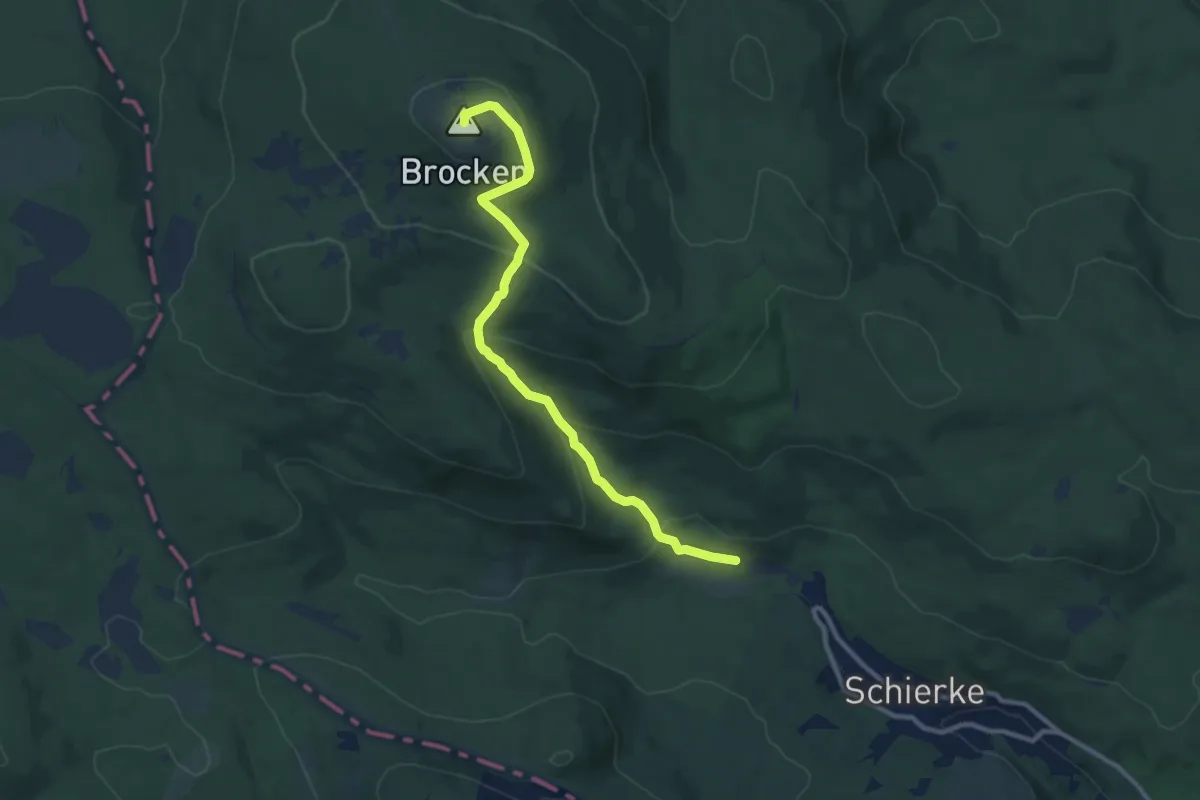
Medium · Summit
Brocken über Eckerloch
9.6 km · ↑ 465 m · 3 h 16 min
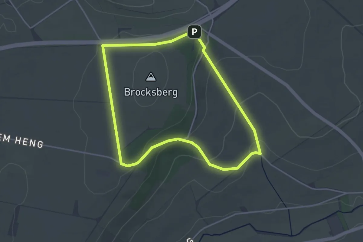
Easy · Trail
Brocksberg Rundweg A6
3.0 km · ↑ 77 m · 56 min
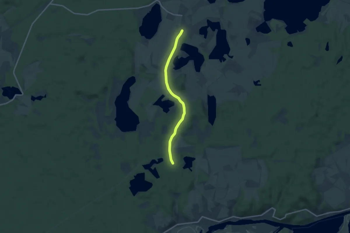
Medium · Trail
Brodowin - Liepe
8.6 km · ↑ 39 m · 2 h 7 min
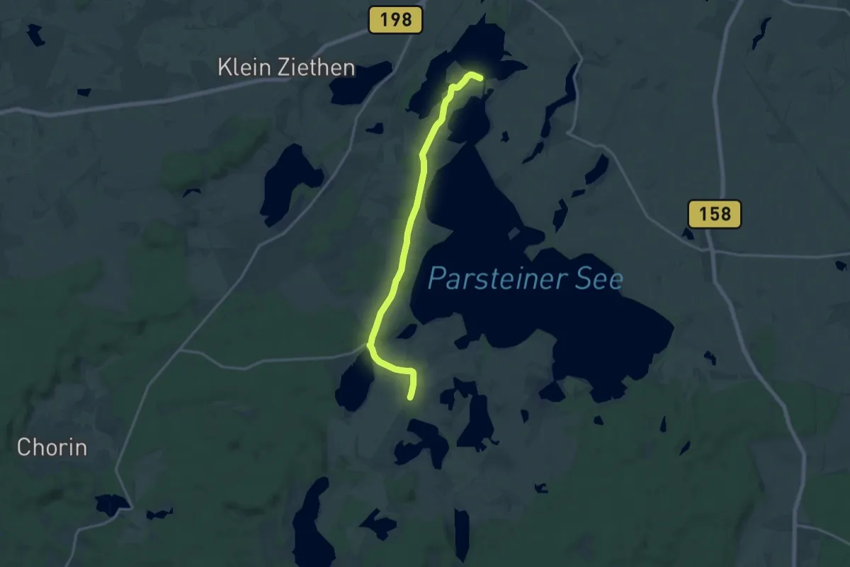
Medium · Trail
Brodowin - Parsteinwerder
13.0 km · ↑ 58 m · 3 h 12 min
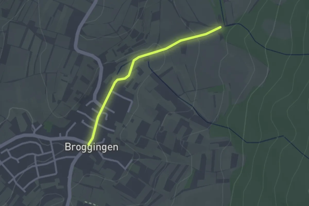
Easy · Trail
Broggingen Rathaus - Buchgraben
2.1 km · ↑ 44 m · 36 min
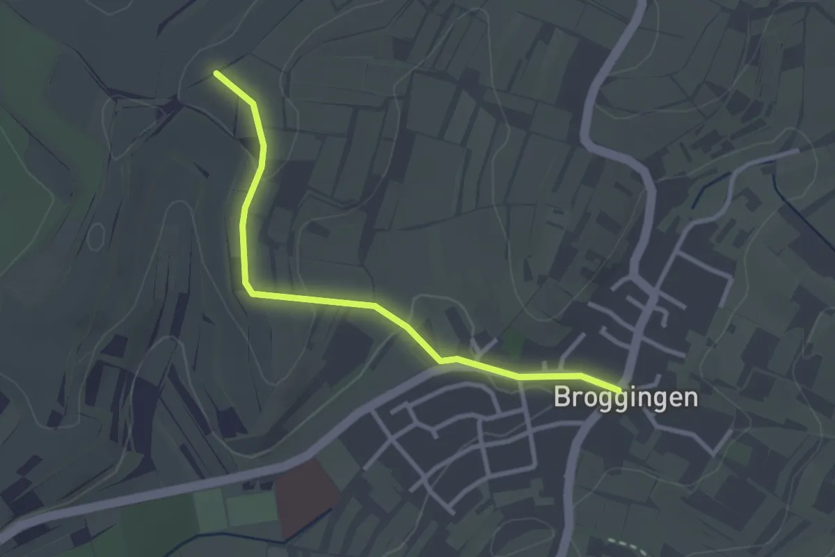
Easy · Trail
Broggingen Rathaus - In der Hornhalde
2.7 km · ↑ 54 m · 45 min
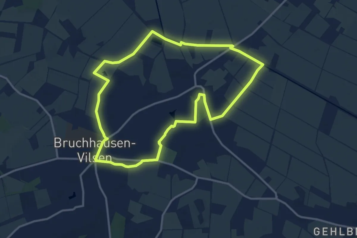
Easy · Trail
Brokser Rundweg
7.7 km · ↑ 8 m · 1 h 57 min
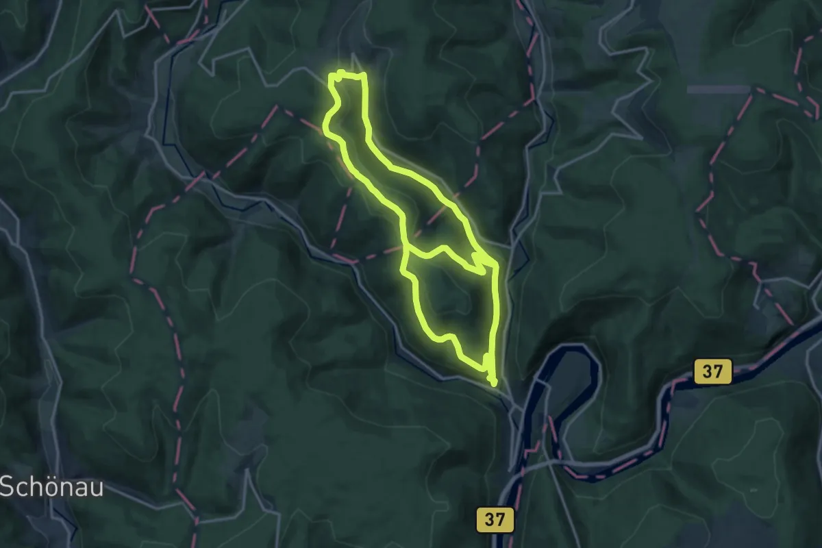
Medium · Trail
Brombach-Weg
13.5 km · ↑ 418 m · 4 h 22 min
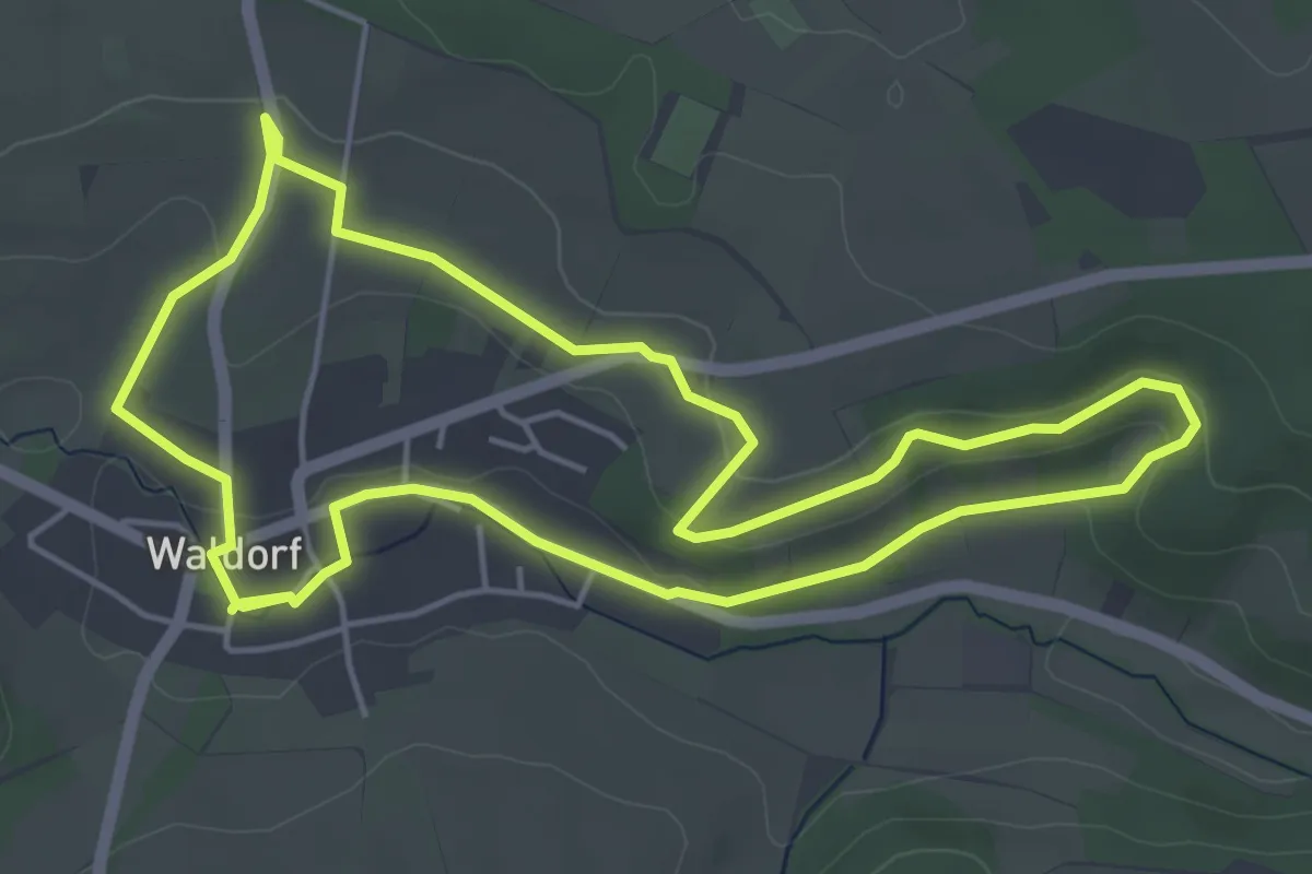
Easy · Trail
Brombeerweg
4.7 km · ↑ 82 m · 1 h 21 min
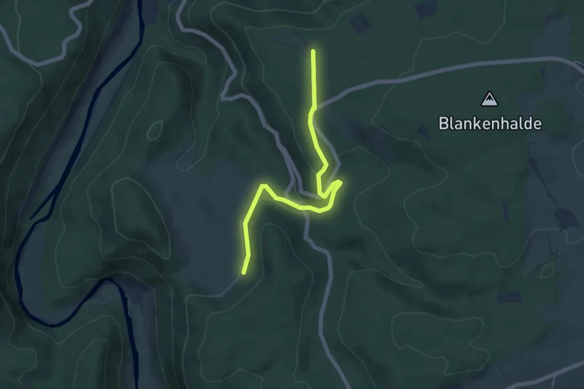
Easy · Trail
Bronnen - Steighof
4.5 km · ↑ 122 m · 1 h 20 min
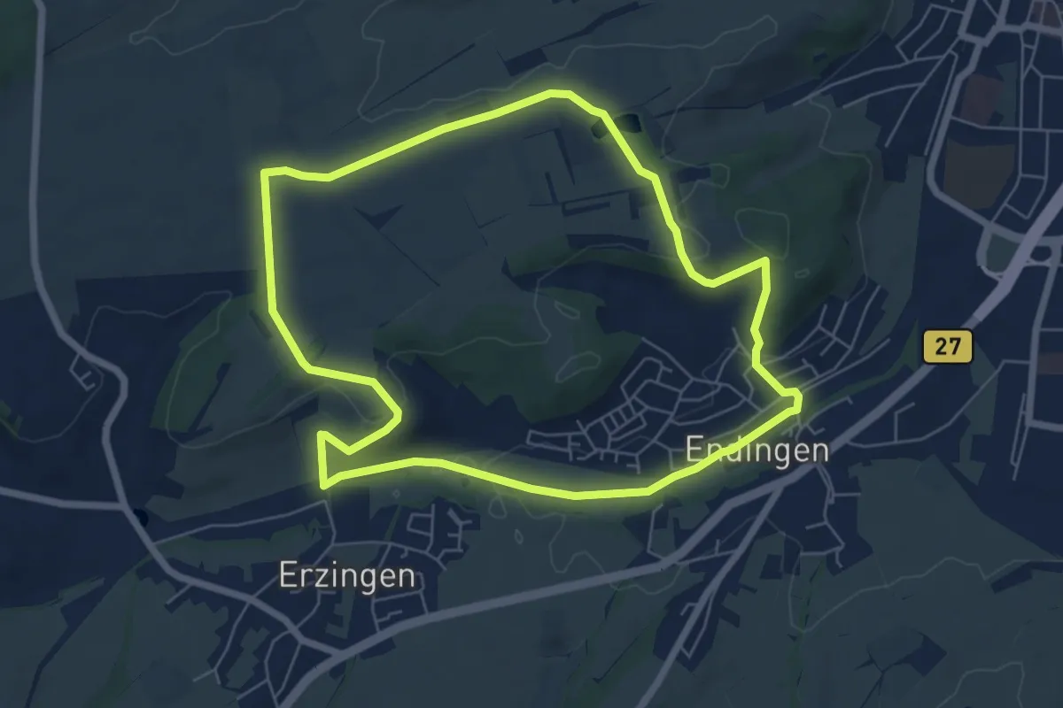
Easy · Trail
Bronnhaupten-Rundweg
6.2 km · ↑ 90 m · 1 h 45 min
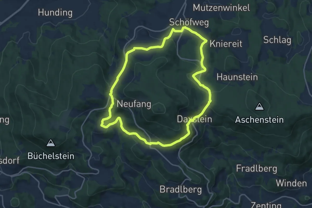
Medium · Summit
Brotjacklriegel-Rundweg
12.0 km · ↑ 370 m · 3 h 49 min
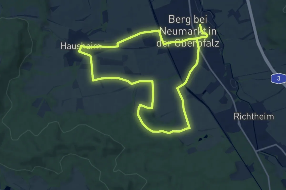
Medium · Trail
Brotzeitweg
8.6 km · ↑ 84 m · 2 h 20 min
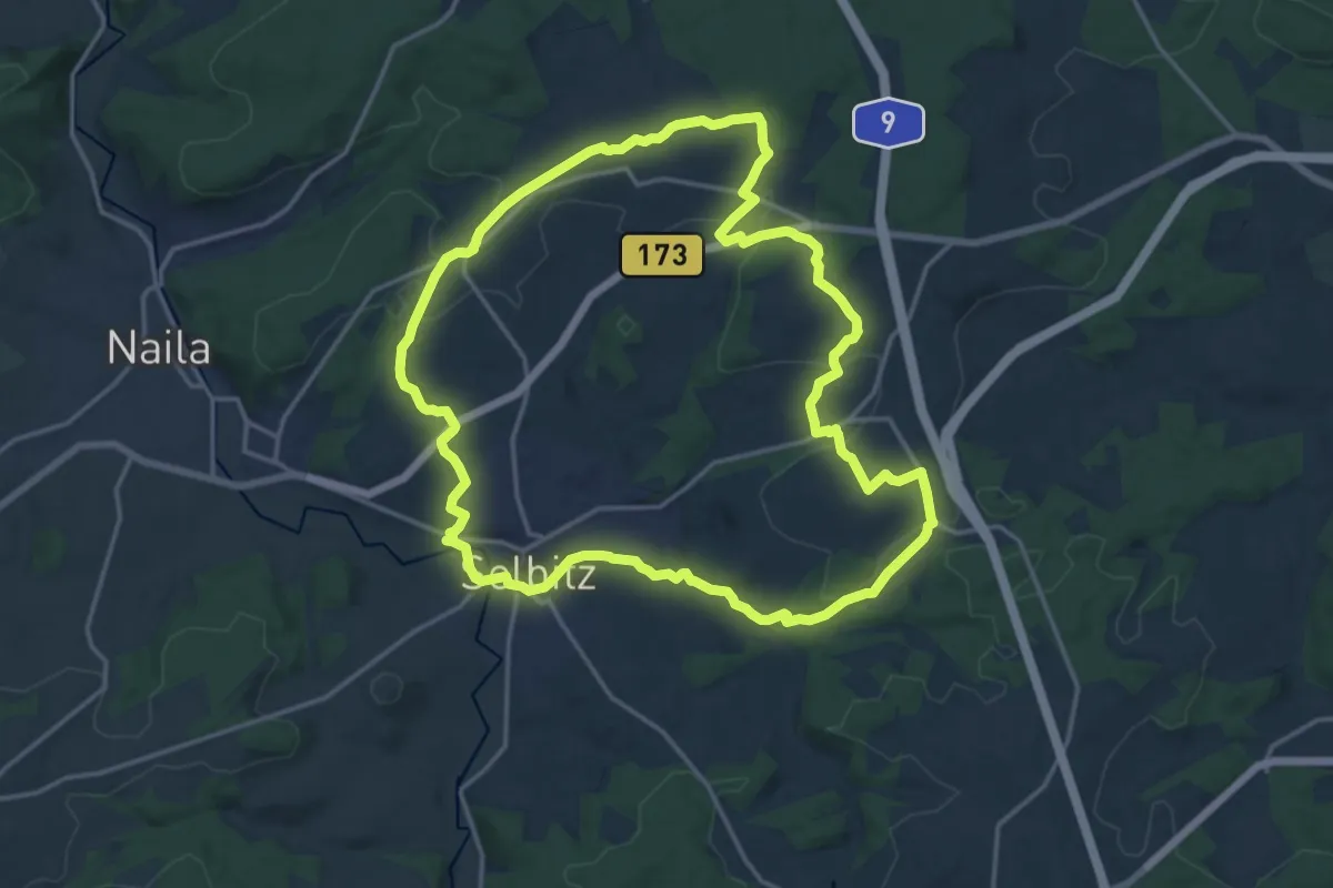
Medium · Trail
Brotzeit-Weg OS 33
15.8 km · ↑ 234 m · 4 h 27 min
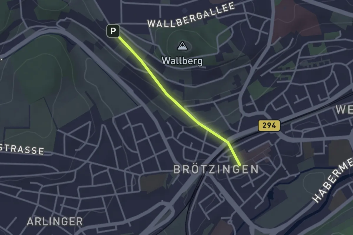
Easy · Trail
Brötzingen Marktplatz - Kurze Steige
2.1 km · ↑ 54 m · 37 min
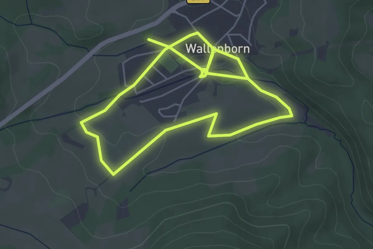
Easy · Trail
Brubbelpfad
4.2 km · ↑ 49 m · 1 h 8 min
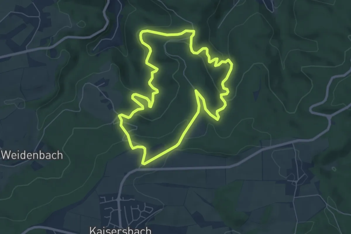
Easy · Trail
Brucher Waldrundweg
6.1 km · ↑ 209 m · 1 h 59 min
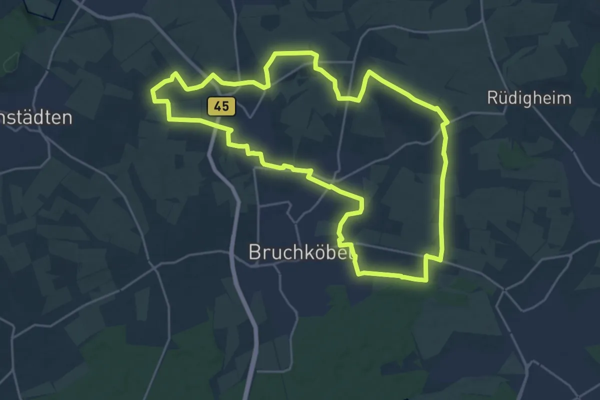
Medium · Trail
Bruchköbel Wanderweg 1
17.9 km · ↑ 108 m · 4 h 42 min
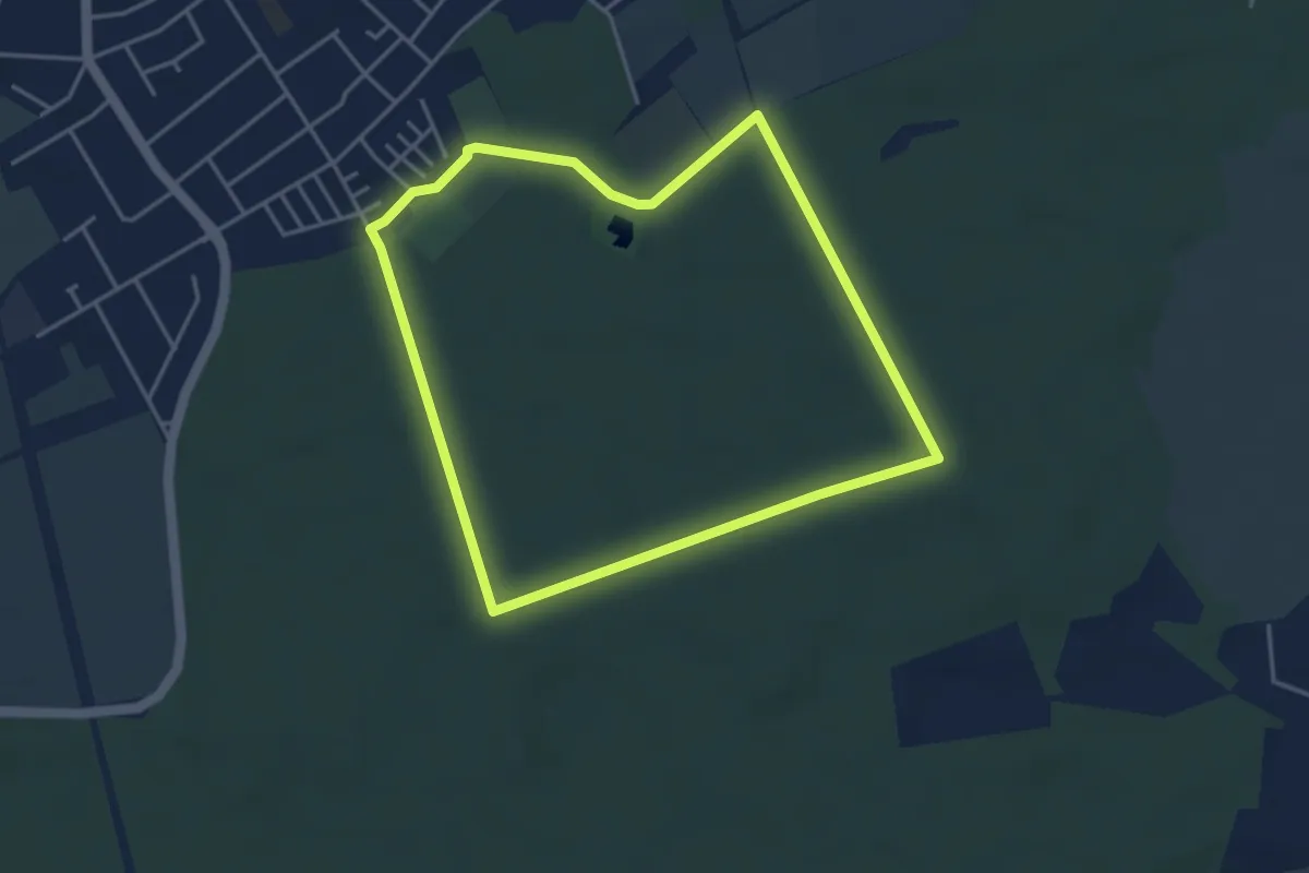
Easy · Trail
Bruchköbel Wanderweg 2
3.6 km · ↑ 14 m · 56 min
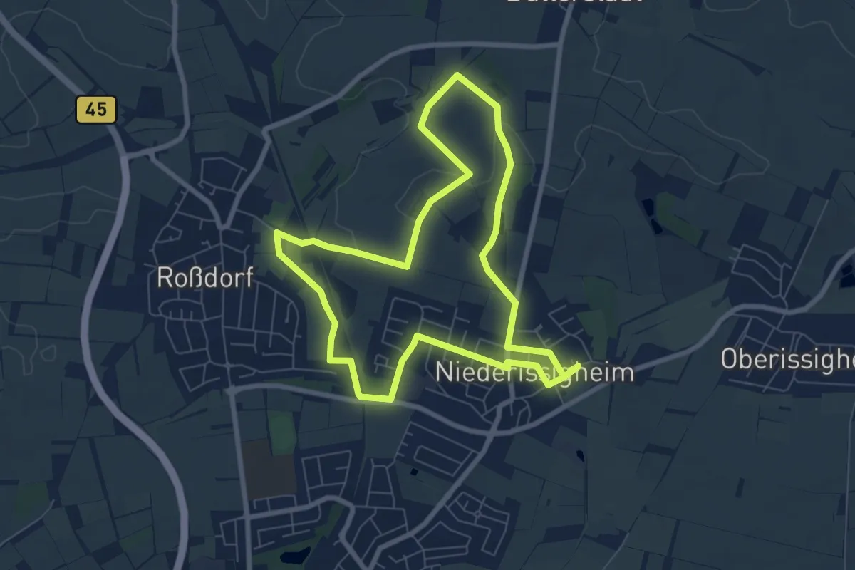
Easy · Trail
Bruchköbel Wanderweg 3
6.6 km · ↑ 54 m · 1 h 46 min
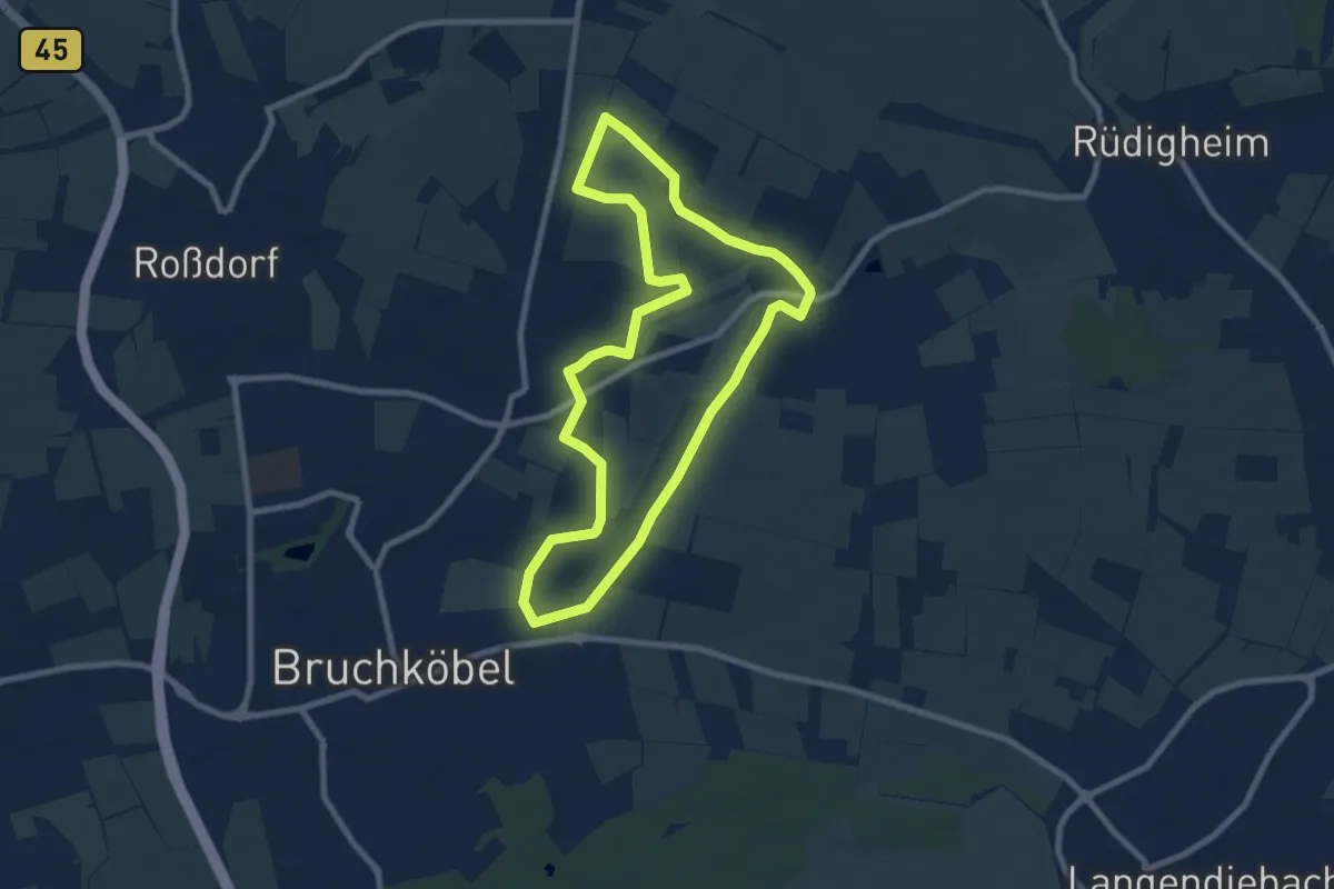
Easy · Trail
Bruchköbel Wanderweg 4
7.5 km · ↑ 49 m · 1 h 58 min