Trails in Germany
36,847 hiking trails, each with its route, climb, walking time and grade.
All trails, page 89 of 768
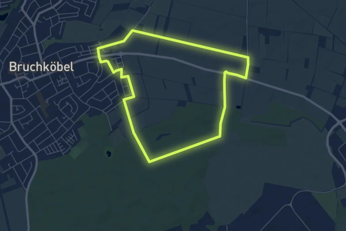
Easy · Trail
Bruchköbel Wanderweg 5
5.7 km · ↑ 14 m · 1 h 28 min
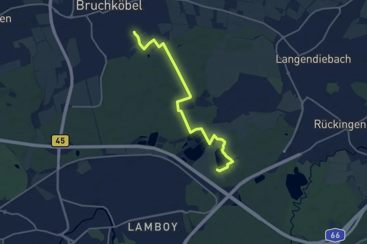
Medium · Trail
Bruchköbel Wanderweg 6
10.0 km · ↑ 42 m · 2 h 27 min
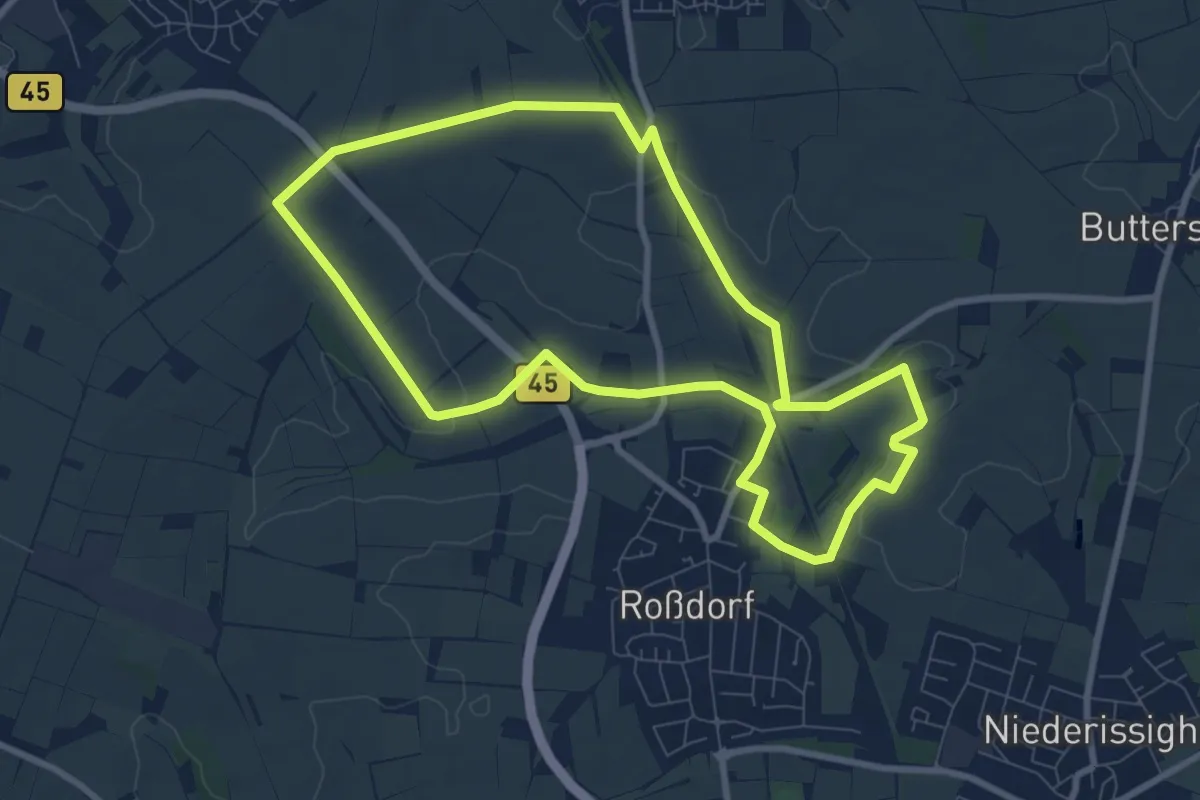
Easy · Trail
Bruchköbel Wanderweg 7
7.9 km · ↑ 65 m · 2 h 7 min
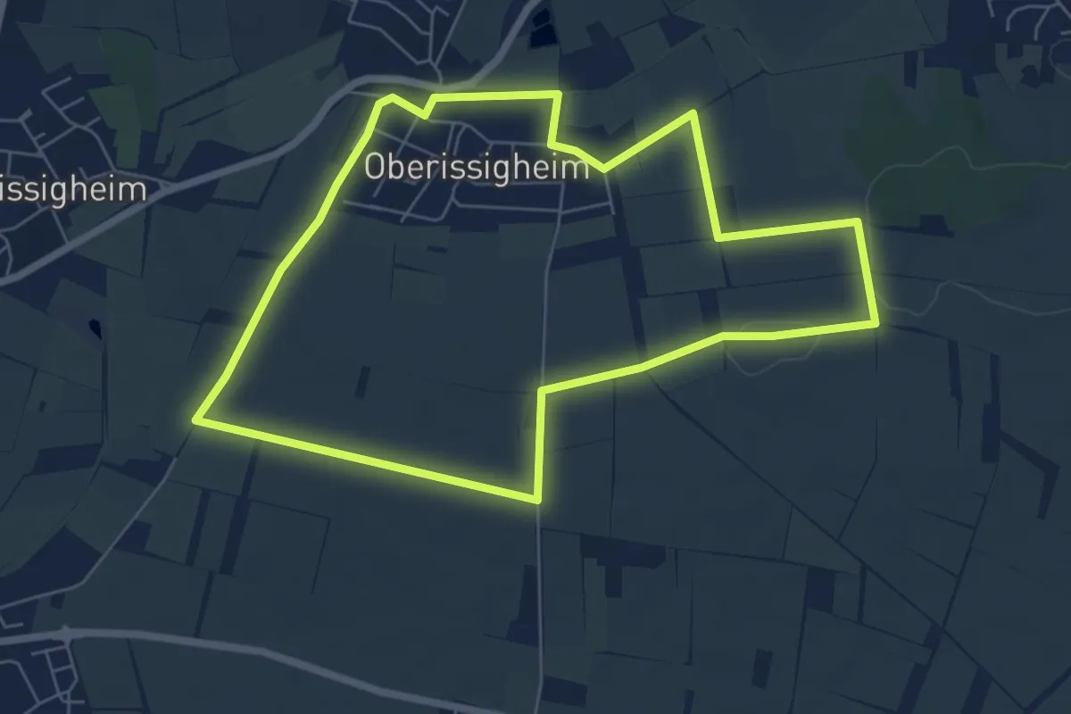
Easy · Trail
Bruchköbel Wanderweg 8
6.0 km · ↑ 39 m · 1 h 35 min
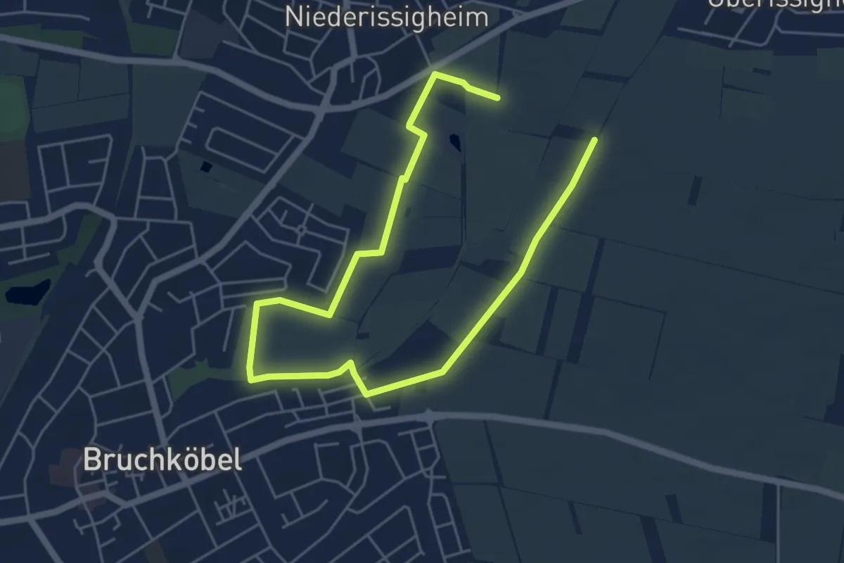
Easy · Trail
Bruchköbel Wanderweg 9
7.0 km · ↑ 18 m · 1 h 41 min
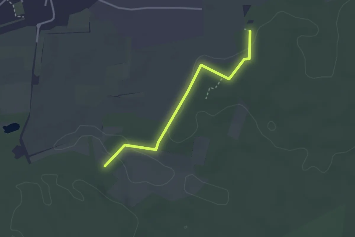
Easy · Trail
Bruchmühlbach-Miesau Rundweg B1
2.6 km · ↑ 46 m · 42 min
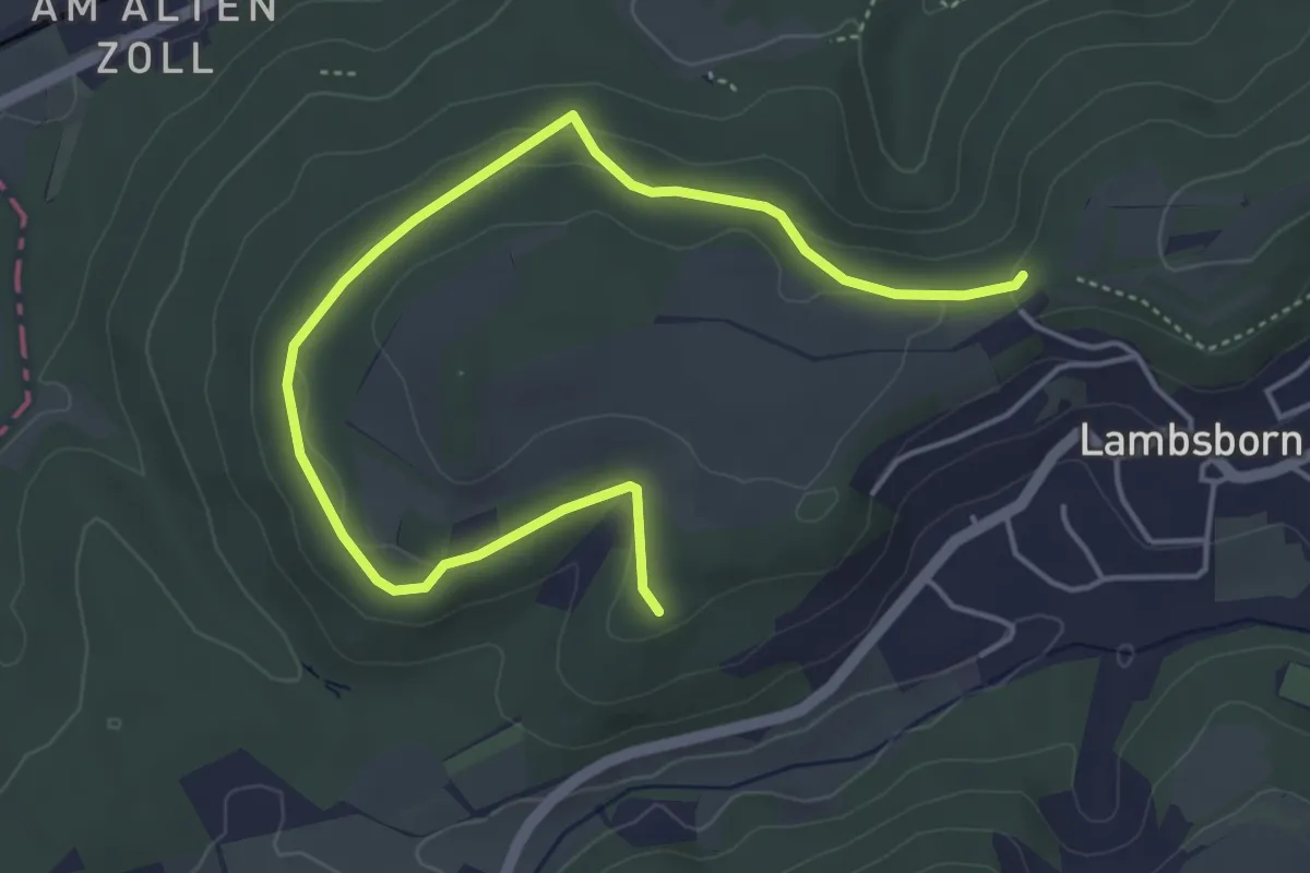
Easy · Trail
Bruchmühlbach-Miesau Rundweg B11
5.3 km · ↑ 105 m · 1 h 29 min
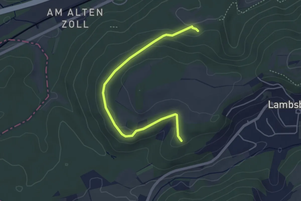
Easy · Trail
Bruchmühlbach-Miesau Rundweg B12
4.2 km · ↑ 84 m · 1 h 10 min
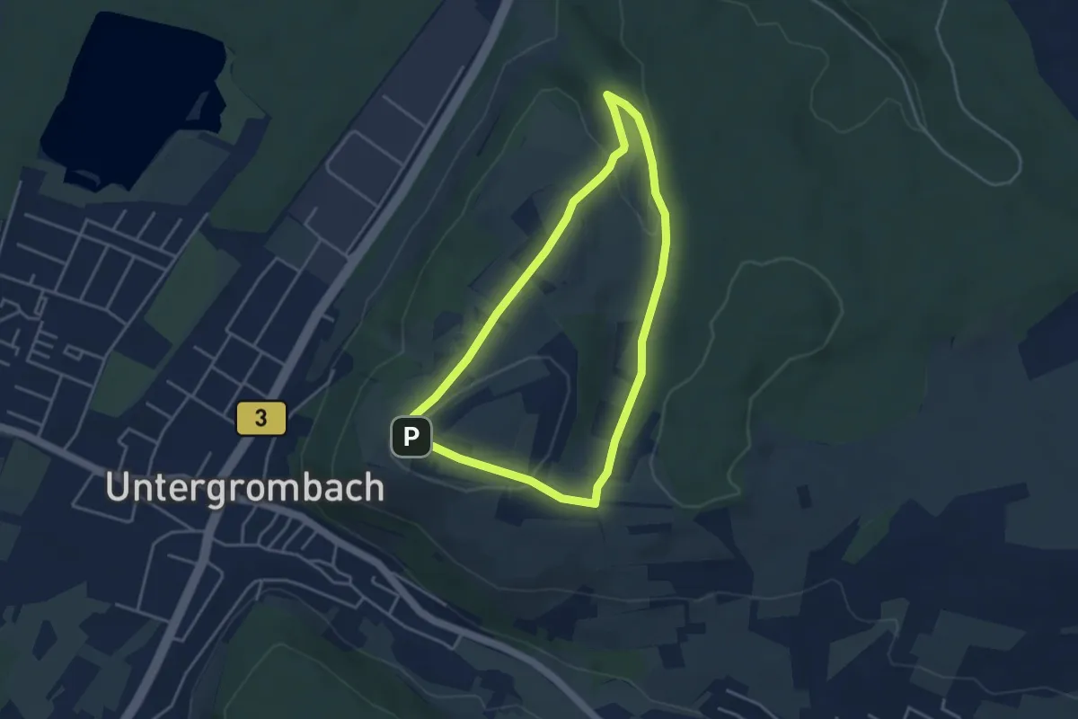
Easy · Trail
Bruchsaler Kreuzweg und Grund
3.4 km · ↑ 76 m · 1 h
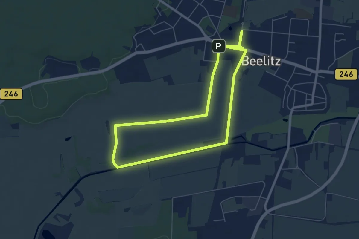
Easy · Trail
Bruchwiesenweg
5.2 km · ↑ 4 m · 1 h 18 min
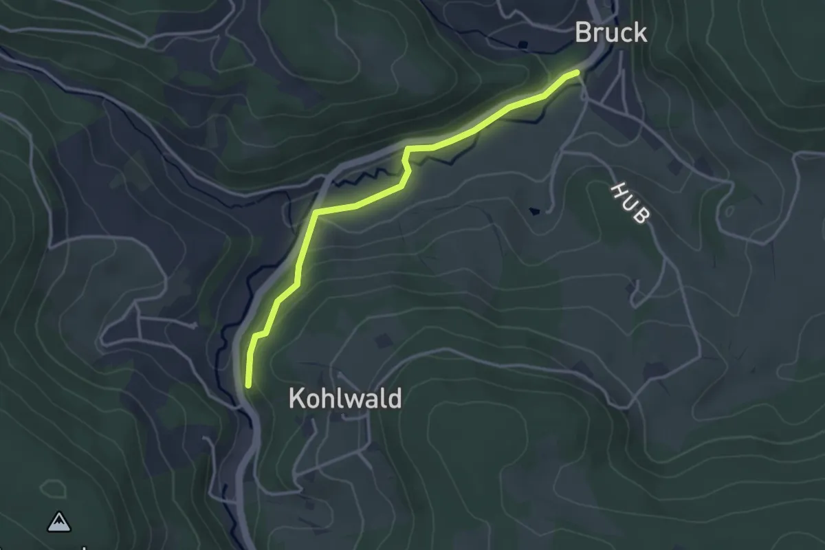
Easy · Trail
Bruck Am Schützen - Am Felsen
3.1 km · ↑ 92 m · 56 min
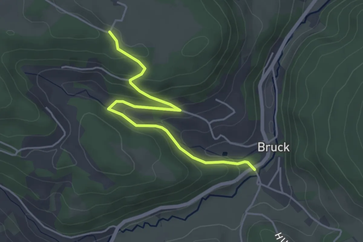
Easy · Trail
Bruck Am Schützen - Seilerecke
4.1 km · ↑ 187 m · 1 h 22 min
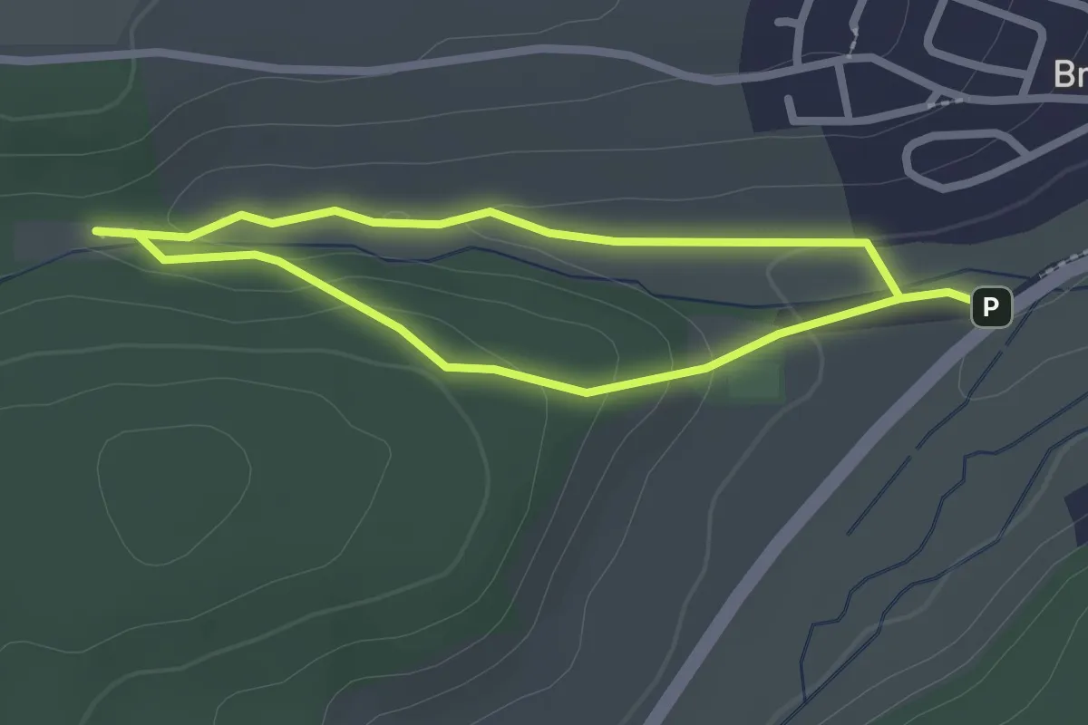
Easy · Trail
Bruckberger Sinnenweg
1.9 km · ↑ 38 m · 33 min
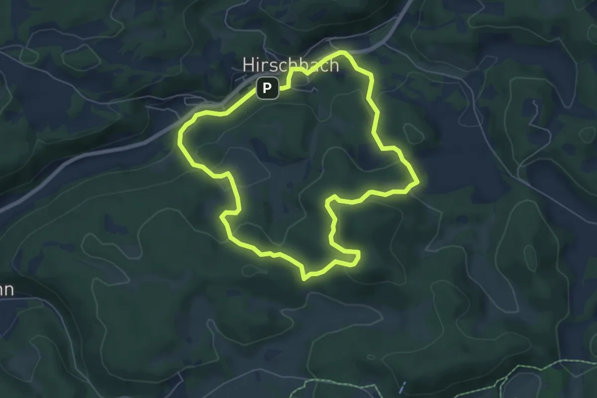
Medium · Summit
Bruckberger Weg
5.5 km · ↑ 229 m · 1 h 52 min
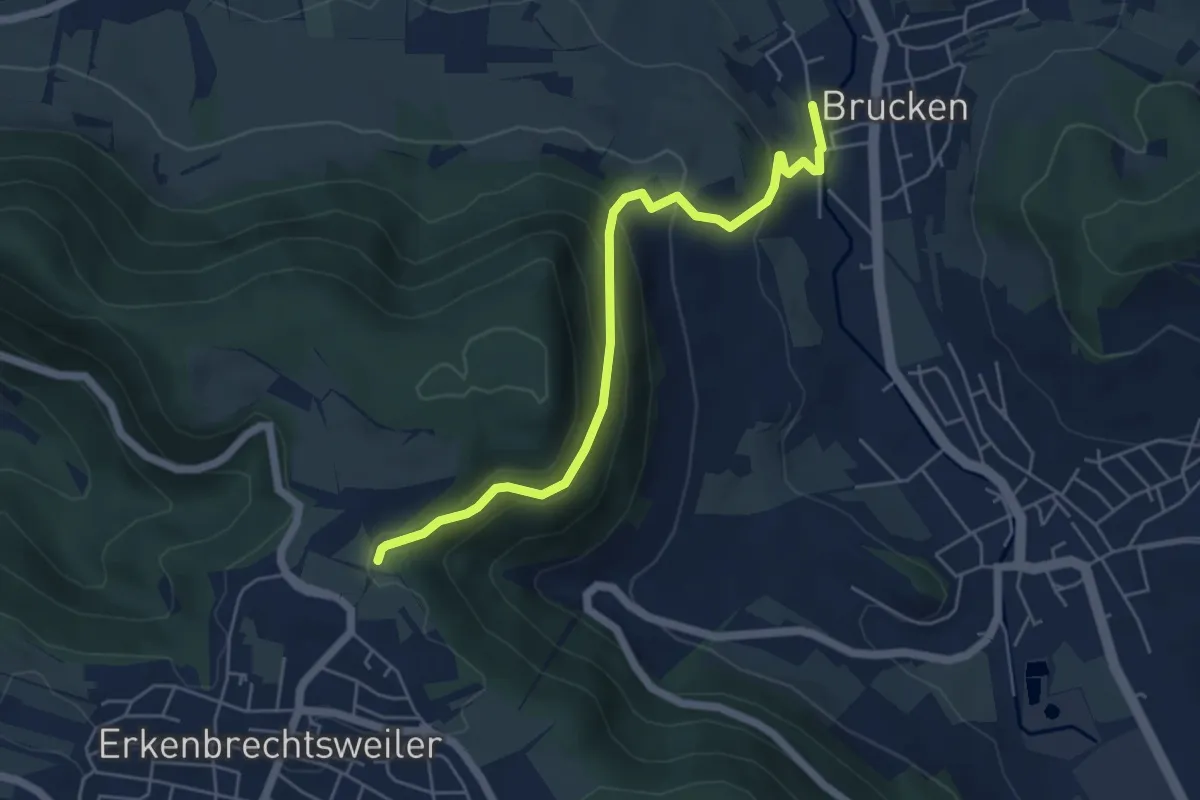
Easy · Trail
Brucken Bhf. - Erkenbrechtsweiler Heidengraben
5.2 km · ↑ 289 m · 1 h 51 min
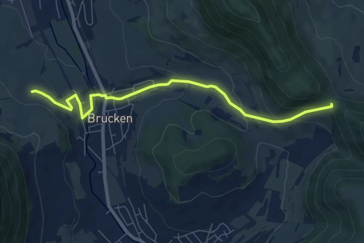
Easy · Trail
Brucken - Sattelbogen
6.8 km · ↑ 232 m · 2 h 6 min
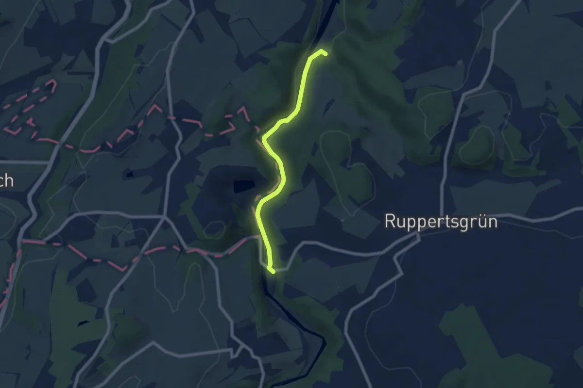
Easy · Trail
Brückenwanderweg
4.8 km · ↑ 59 m · 1 h 16 min
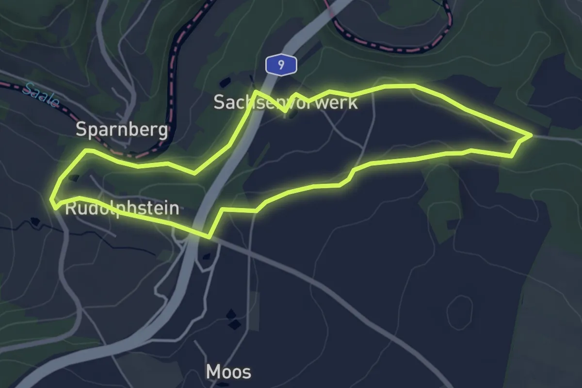
Easy · Trail
Brücken-Weg US 75
4.6 km · ↑ 99 m · 1 h 22 min
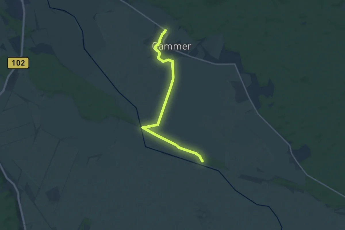
Medium · Trail
Brück-Krahne
11.7 km · ↑ 14 m · 2 h 47 min
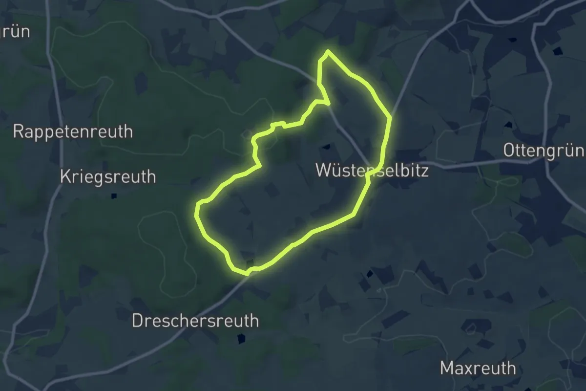
Easy · Trail
Brücklasteich-Weg OS 15
6.4 km · ↑ 142 m · 1 h 54 min
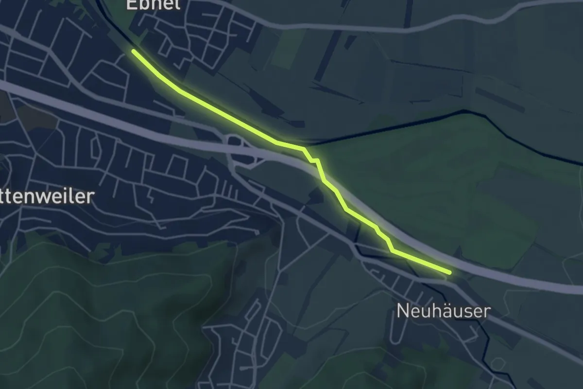
Easy · Trail
Bruckmühle - Ebneter Schlosssteg
4.0 km · ↑ 25 m · 1 h
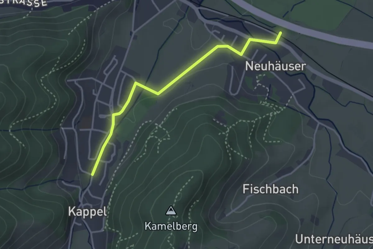
Easy · Trail
Bruckmühle - Petersbergstraße
3.3 km · ↑ 37 m · 51 min
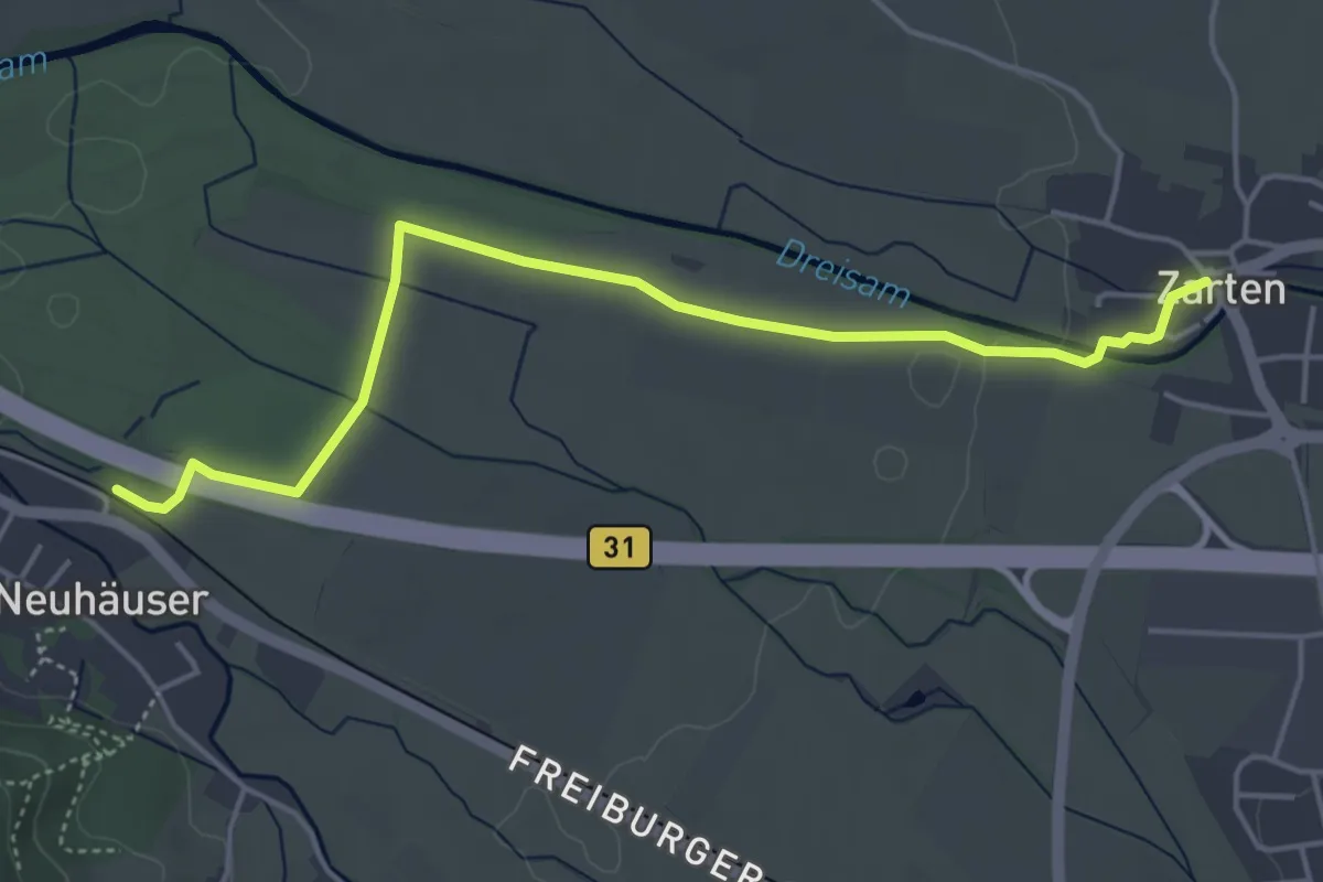
Easy · Trail
Bruckmühle - Zarten Kreisel
4.8 km · ↑ 22 m · 1 h 11 min
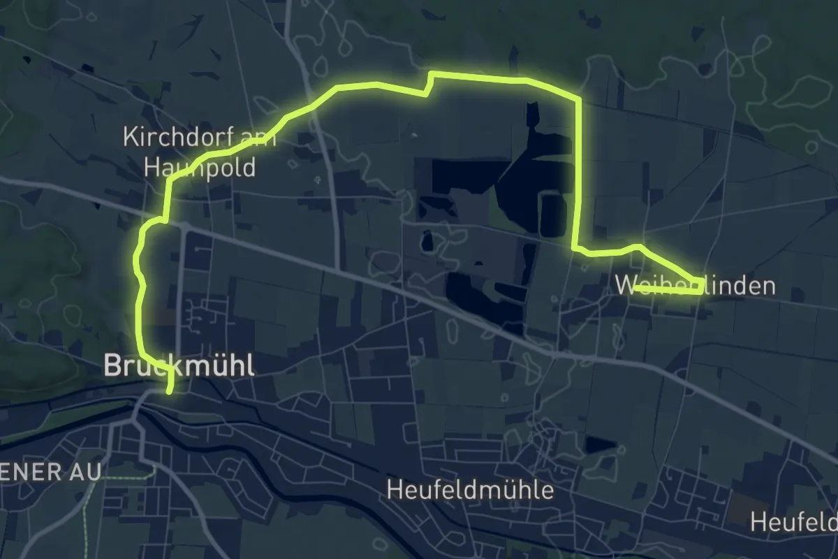
Medium · Trail
Bruckmühl-Kirchdorf-Weihenlinden-Högling
13.0 km · ↑ 34 m · 3 h 8 min
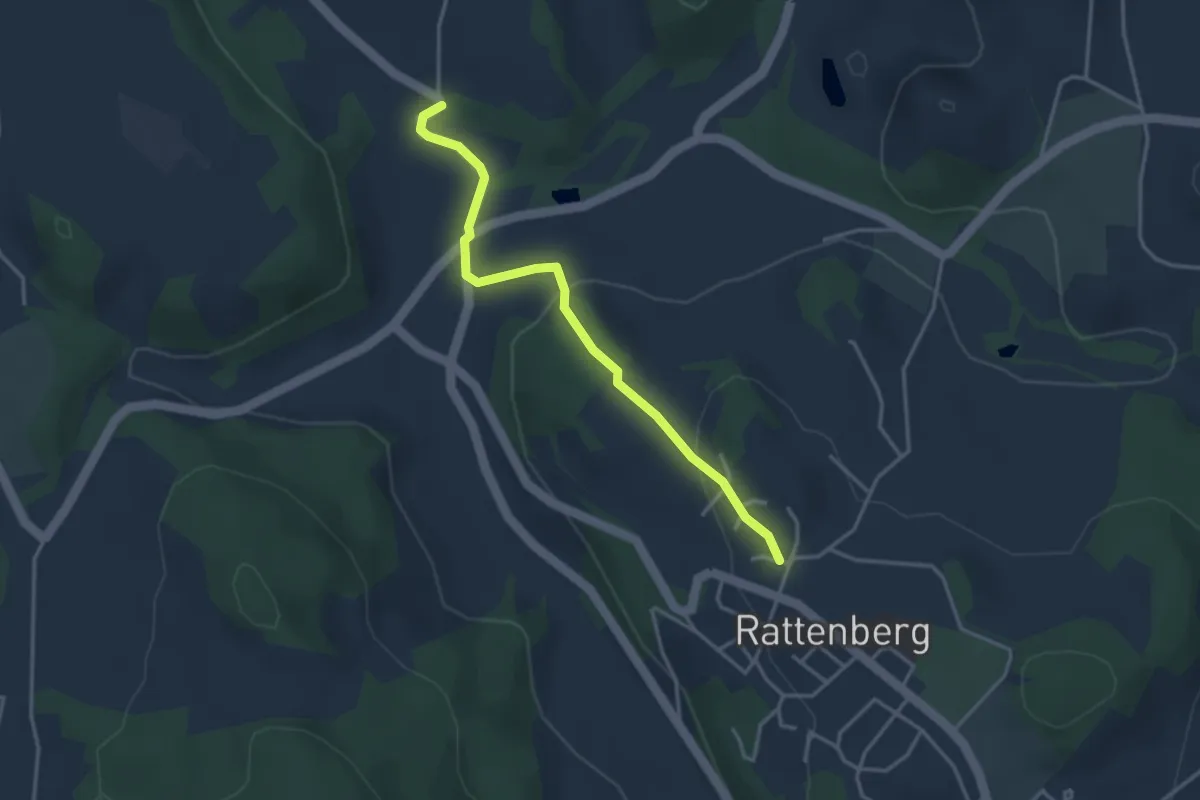
Easy · Trail
Brucksteinweg (Rattenberger Wanderweg 11)
3.3 km · ↑ 109 m · 1 h
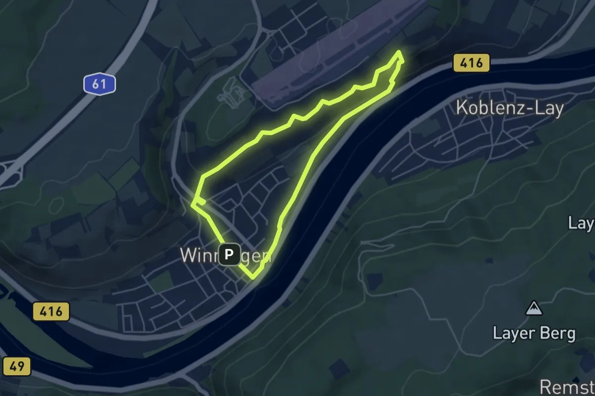
Medium · Trail
Brückstück Weinpfad
4.0 km · ↑ 175 m · 1 h 22 min
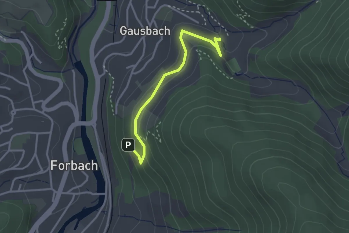
Medium · Trail
Brückwaldanlage - Hexenbrunnen
2.5 km · ↑ 139 m · 54 min
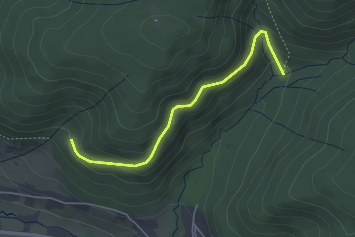
Easy · Trail
Bruderdobel - Lautenbach
3.5 km · ↑ 168 m · 1 h 12 min
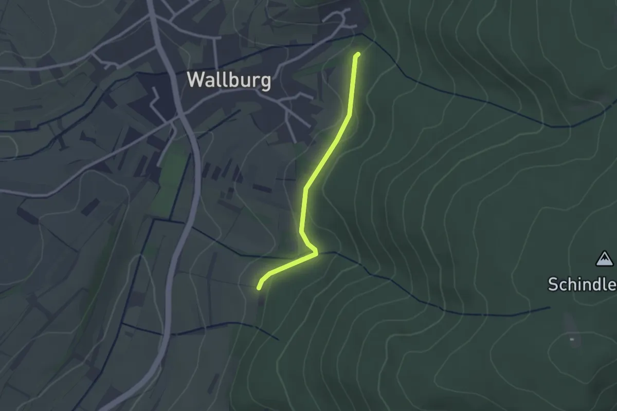
Easy · Trail
Brudergartenhütte - Wallburg Friedenskapelle
2.1 km · ↑ 52 m · 36 min
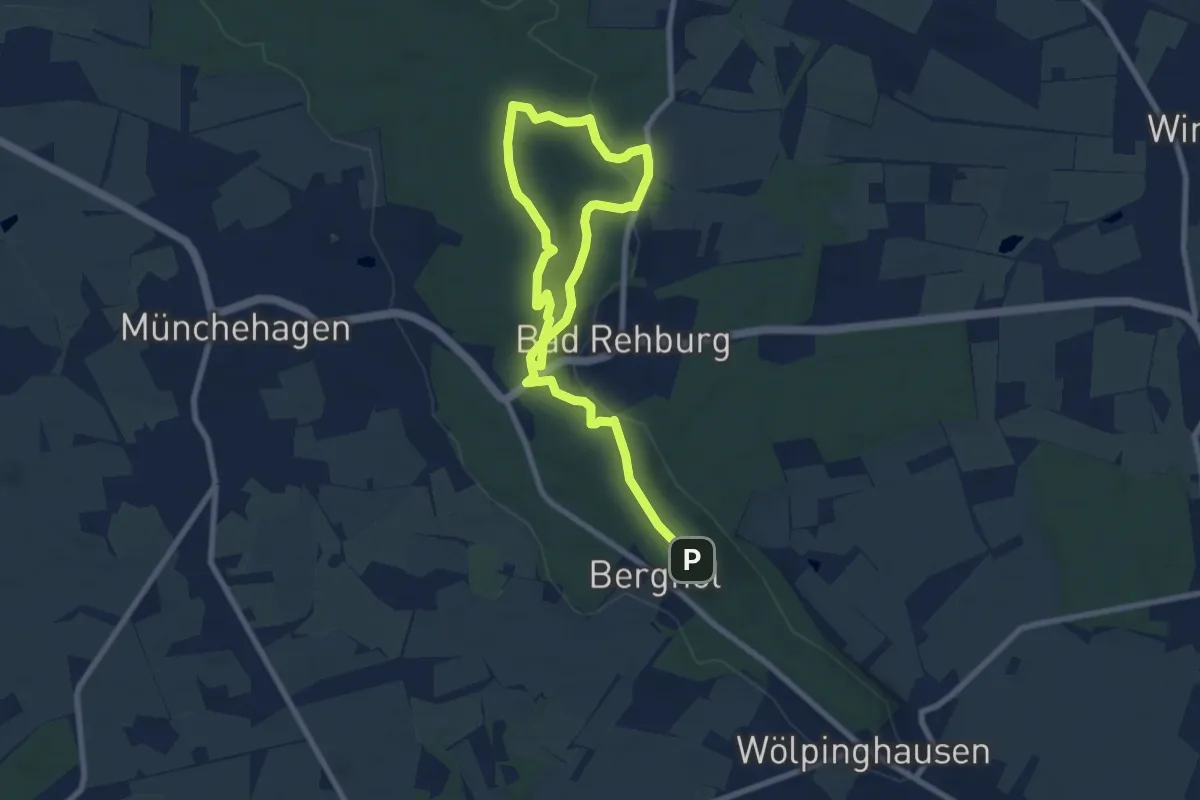
Easy · Summit
Brüder Grimm Märchenweg
5.4 km · ↑ 121 m · 1 h 37 min
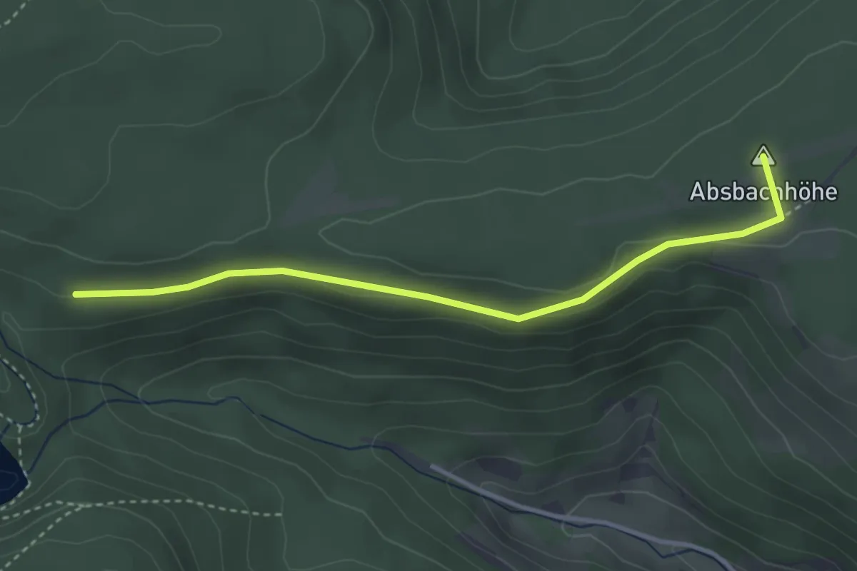
Easy · Summit
Bruderhalde - Grüne Sitzbank
3.4 km · ↑ 62 m · 56 min
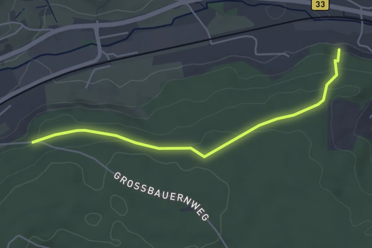
Easy · Trail
Bruderhalden - Sägebauernhof
4.1 km · ↑ 110 m · 1 h 12 min
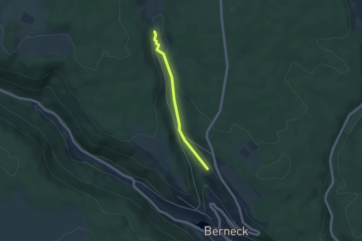
Easy · Trail
Bruderhaus - Bernecker Gässle
3.1 km · ↑ 82 m · 54 min
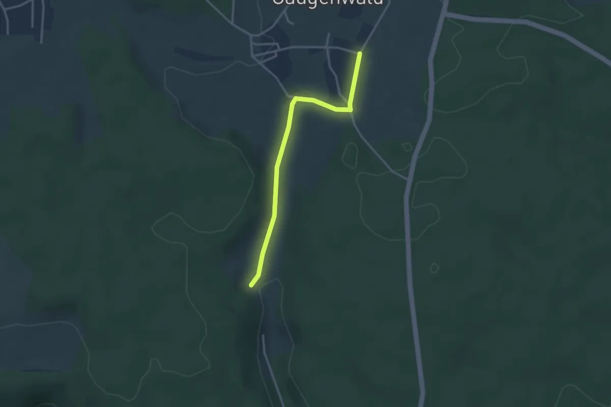
Easy · Trail
Bruderhaus Reute - Gaugenwald Wildgehege
2.8 km · ↑ 56 m · 47 min
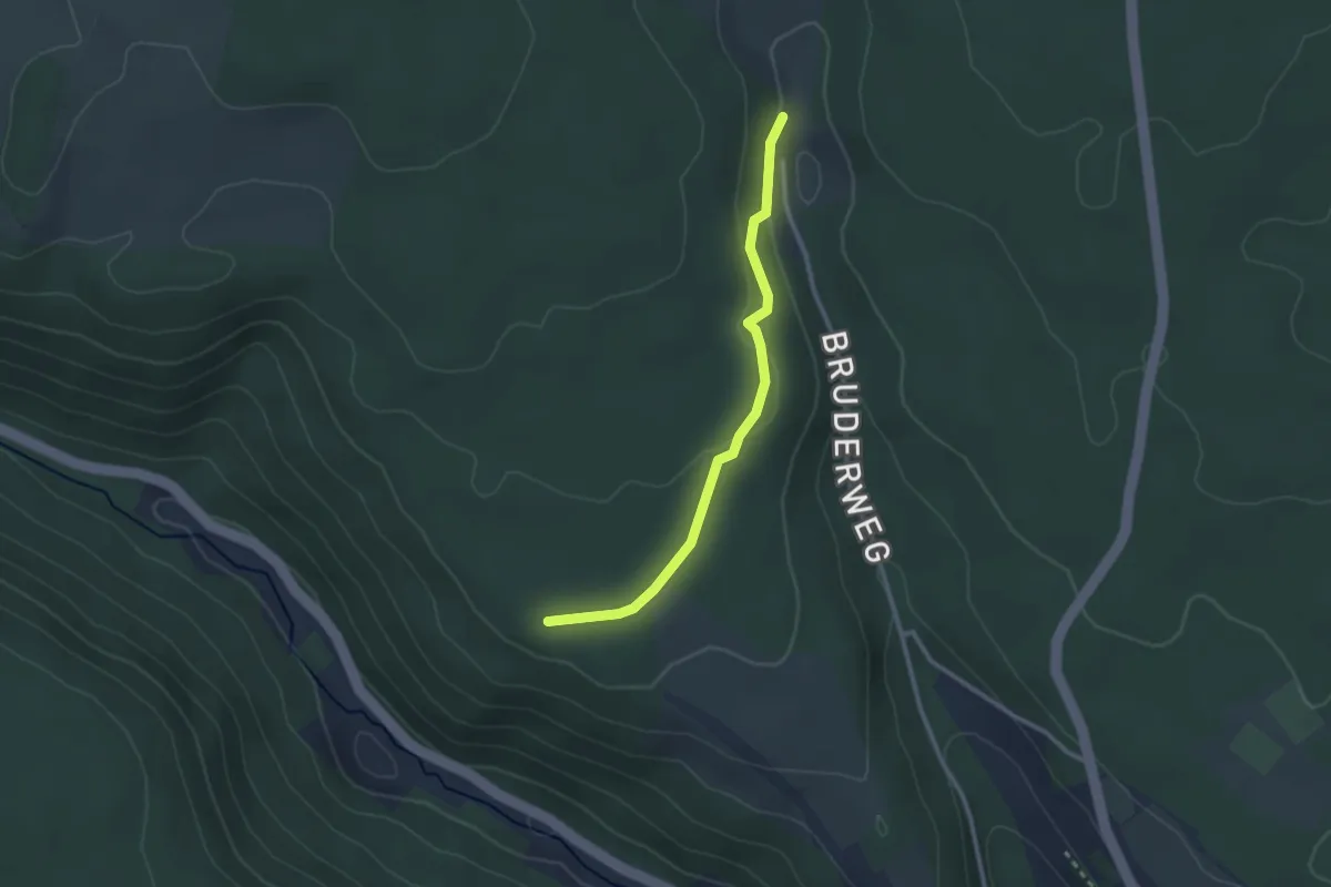
Easy · Trail
Bruderhaus - Rossrücken
2.5 km · ↑ 44 m · 41 min
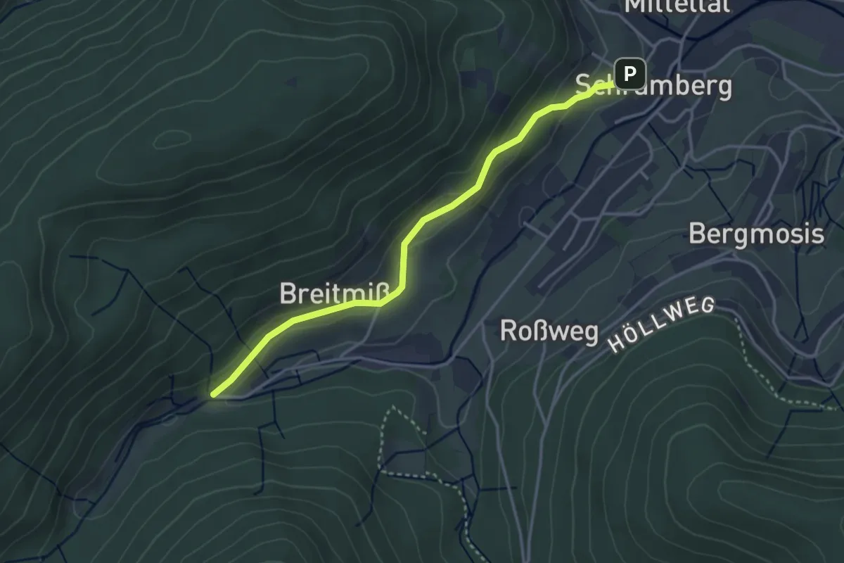
Easy · Trail
Bruderhof - Hintere Breitmiss
3.4 km · ↑ 114 m · 1 h 2 min
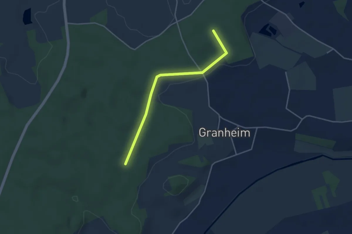
Easy · Trail
Bruder-Klaus-Rundweg
1.6 km · ↑ 25 m · 27 min
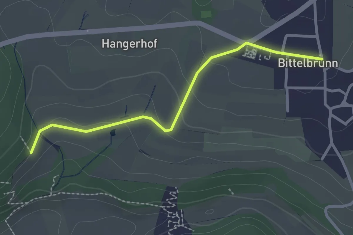
Easy · Trail
Brudertal - Bittelbrunn Kirche
2.3 km · ↑ 63 m · 41 min
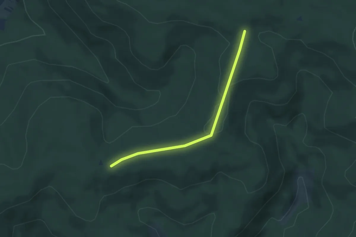
Easy · Trail
Brudertal-Eck - Rauhhörnle
3.3 km · ↑ 34 m · 51 min
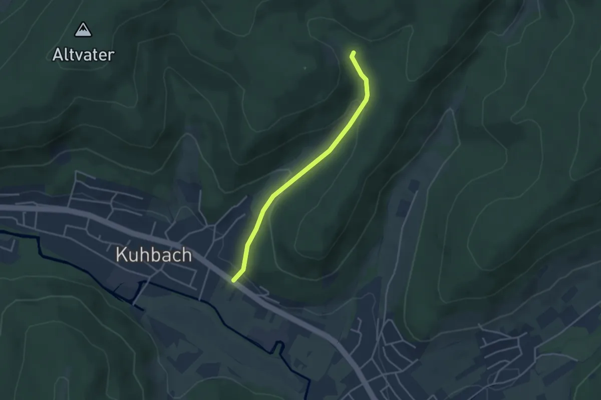
Easy · Trail
Brudertalkapelle - Kuhbach Oberer Brudertalweg
3.2 km · ↑ 141 m · 1 h 3 min
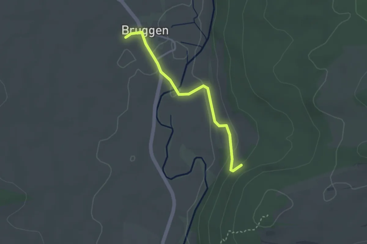
Easy · Trail
? - Bruggen
2.5 km · ↑ 48 m · 42 min
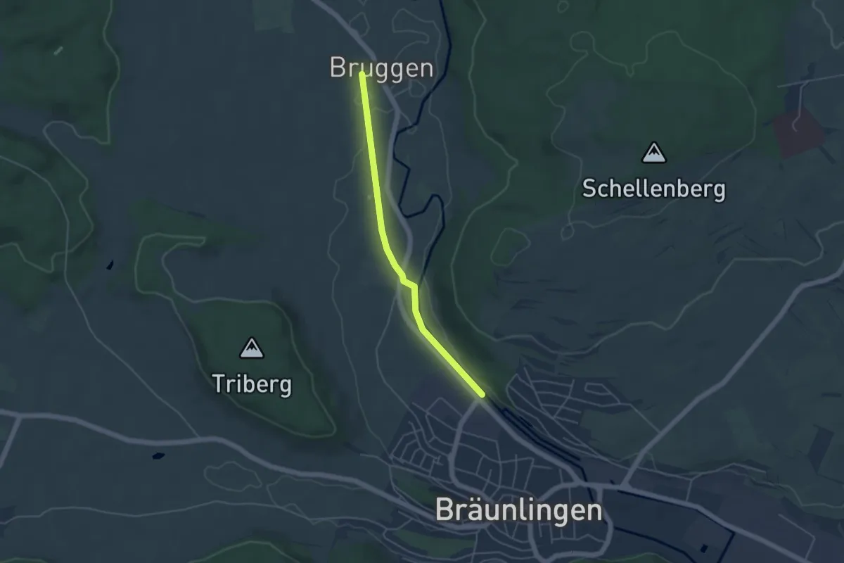
Easy · Trail
Bruggen - Bräunlingen Eichhölzle
3.9 km · ↑ 9 m · 57 min
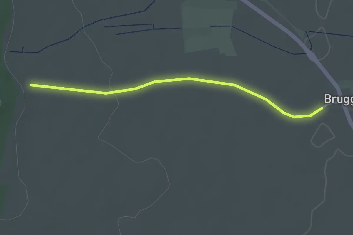
Easy · Trail
Brugger Wald - Bruggen
2.6 km · ↑ 26 m · 41 min
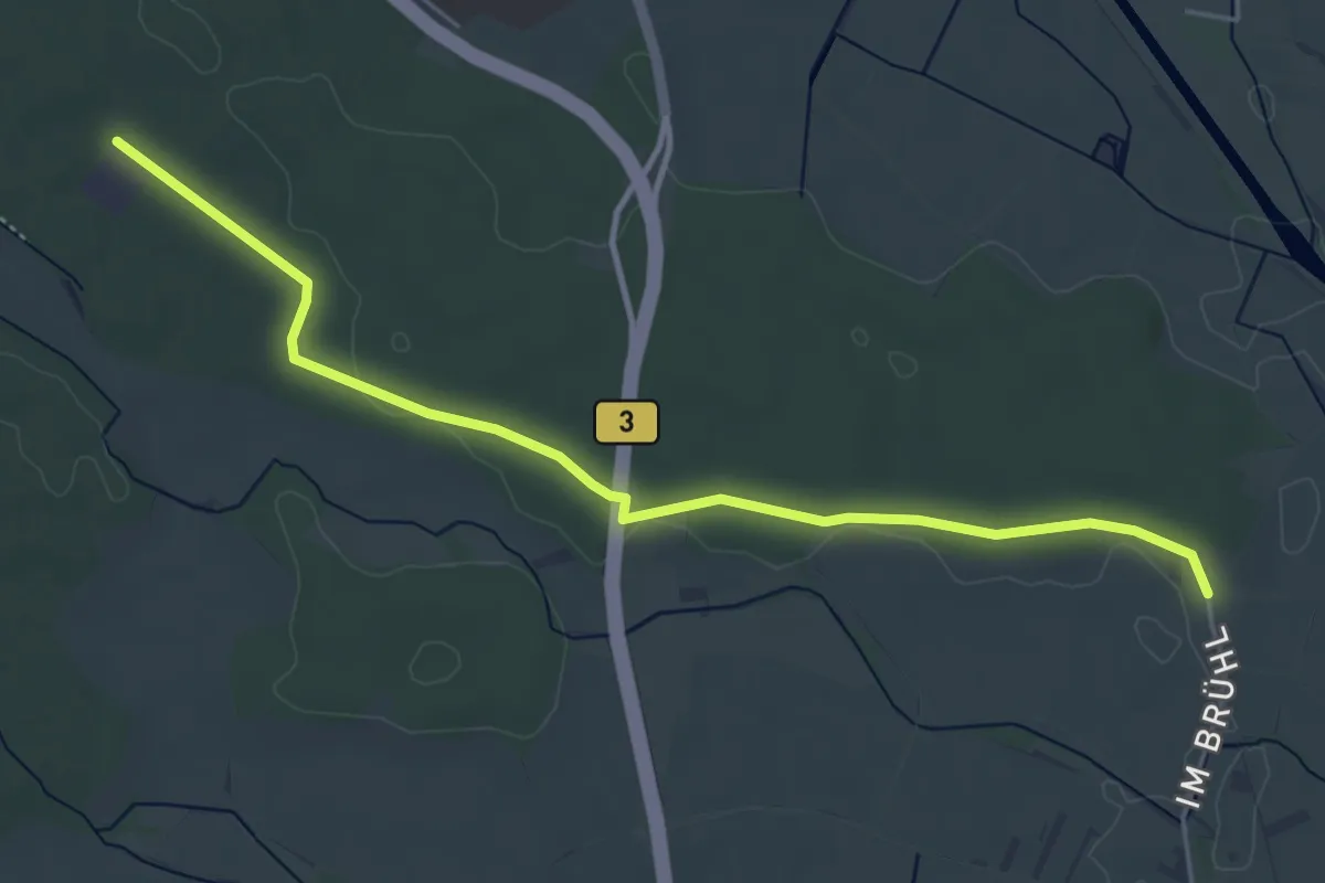
Easy · Trail
Brühl - Wasserwerk
5.0 km · ↑ 17 m · 1 h 13 min
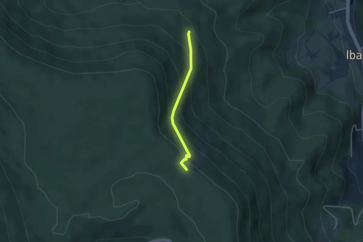
Easy · Trail
Brujosenebel - Ibacher Holzplatz
2.3 km · ↑ 203 m · 59 min
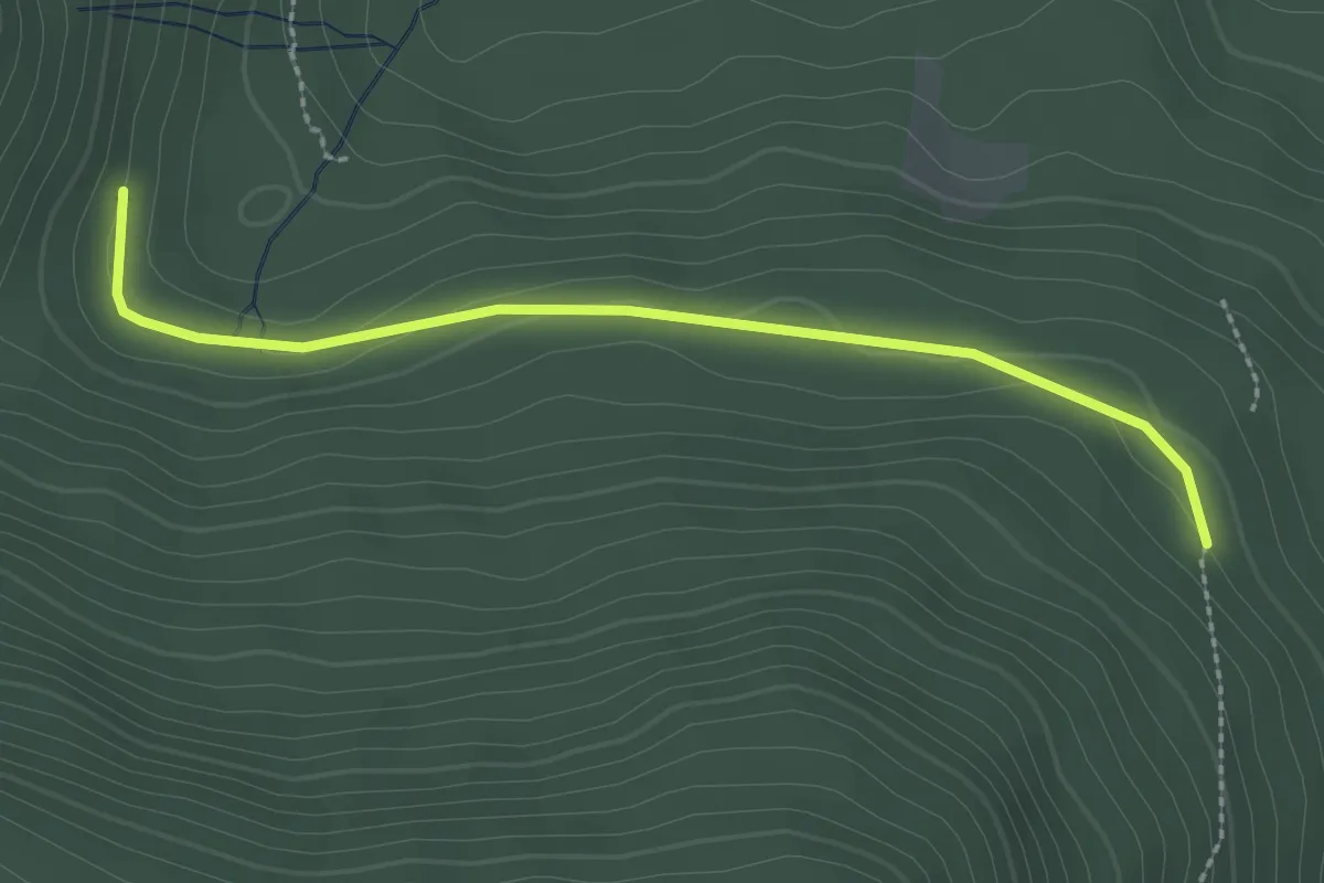
Easy · Trail
Brujosenebel - Moosbrunnen
2.4 km · ↑ 75 m · 44 min
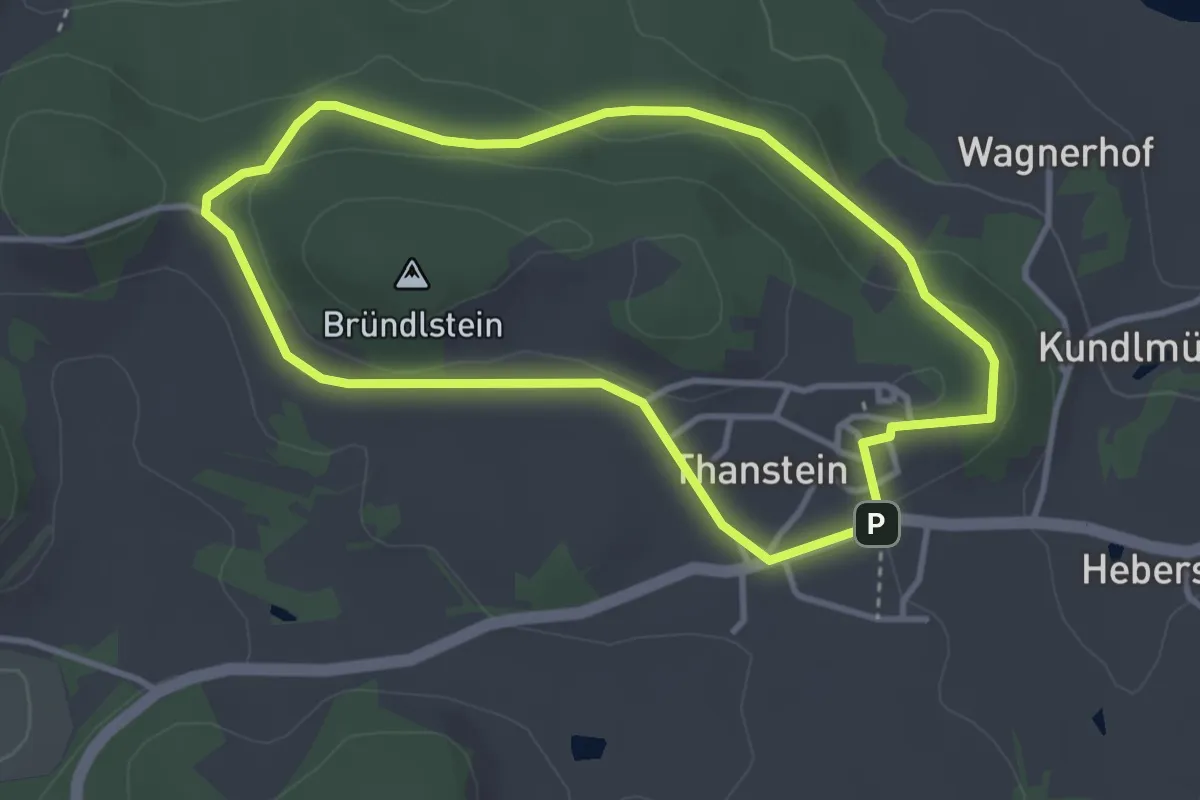
Easy · Trail
Bründelsteinweg "T2"
3.2 km · ↑ 73 m · 57 min
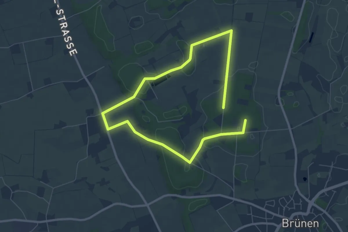
Easy · Trail
Brüner Höhen Rundweg A1
4.9 km · ↑ 48 m · 1 h 20 min