Trails in Germany
36,847 hiking trails, each with its route, climb, walking time and grade.
All trails, page 90 of 768
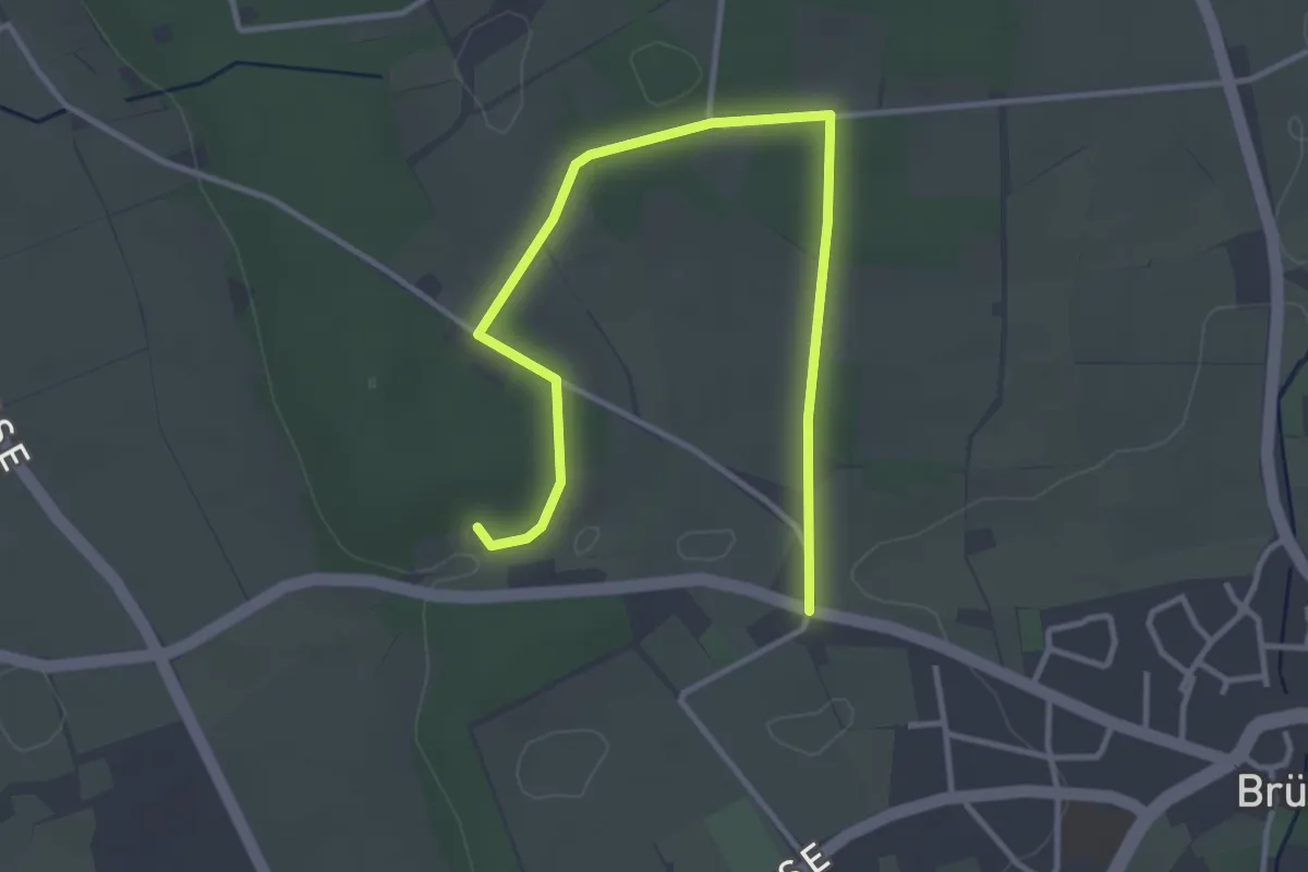
Easy · Trail
Brüner Höhen Rundweg A2
1.9 km · ↑ 17 m · 31 min
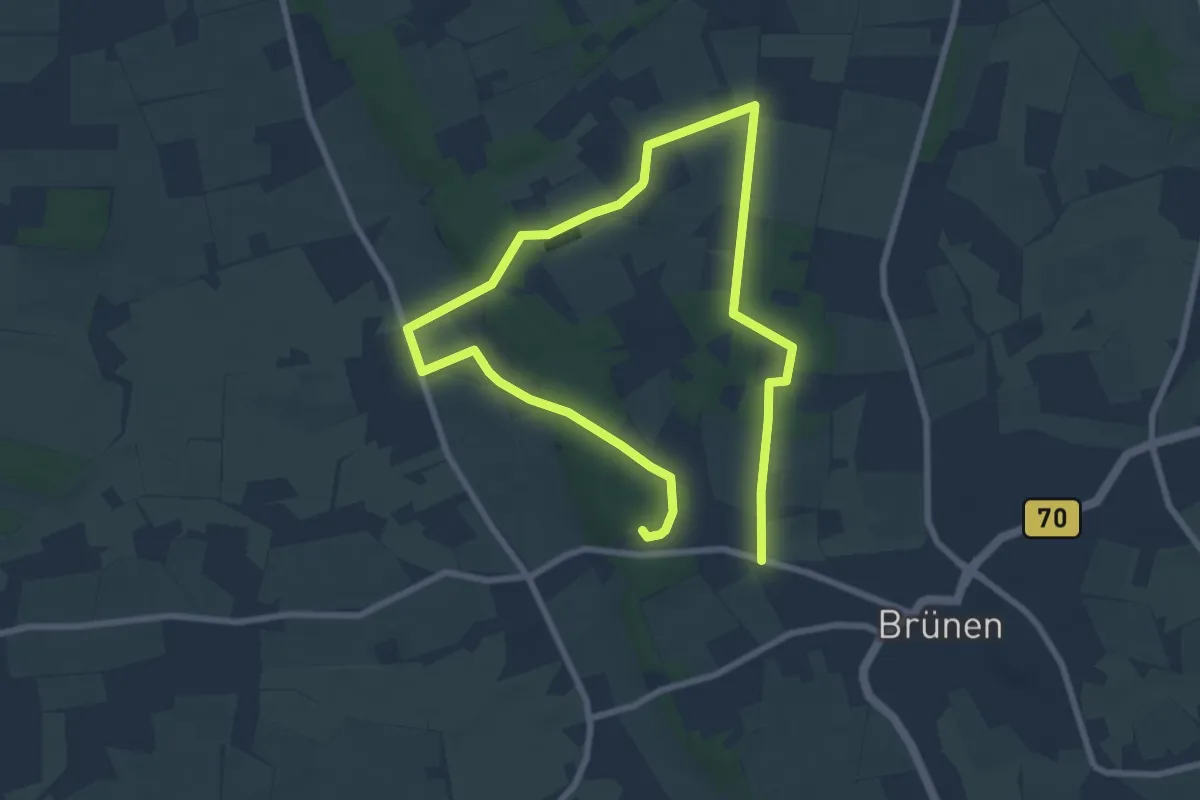
Easy · Trail
Brüner Höhen Rundweg A3
5.8 km · ↑ 49 m · 1 h 33 min
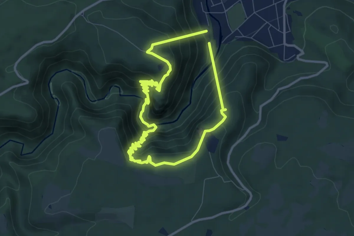
Medium · Summit
Brunhildenstieg
6.4 km · ↑ 591 m · 2 h 53 min
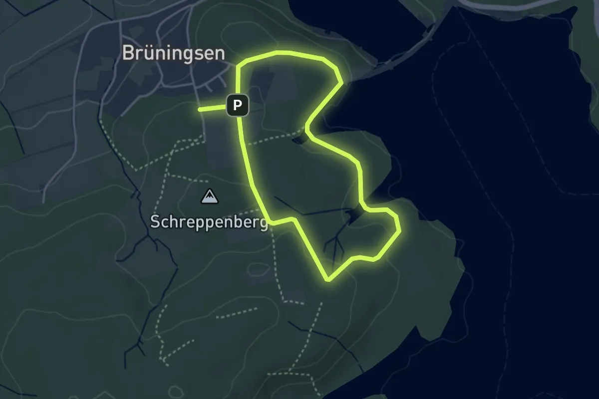
Easy · Trail
Brüningserheide Rundweg A2
2.9 km · ↑ 53 m · 50 min
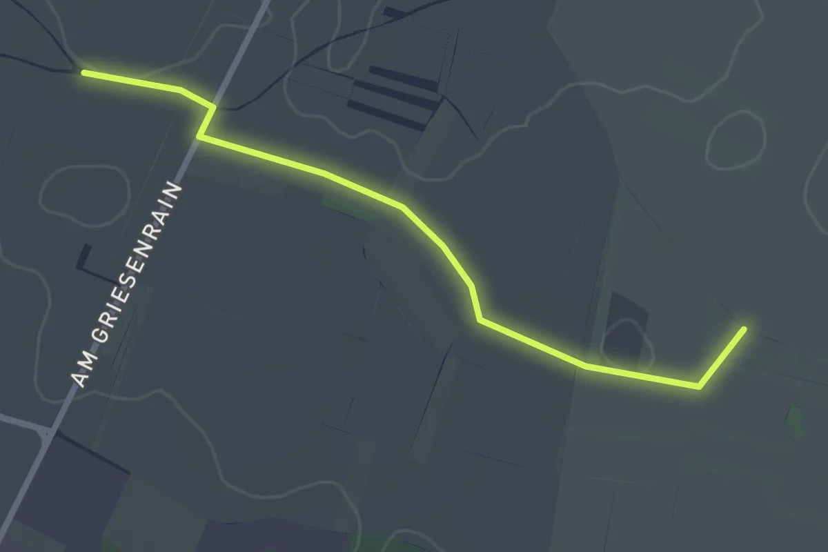
Easy · Trail
Brunnacker - Kräheneck
2.3 km · ↑ 0 m · 33 min
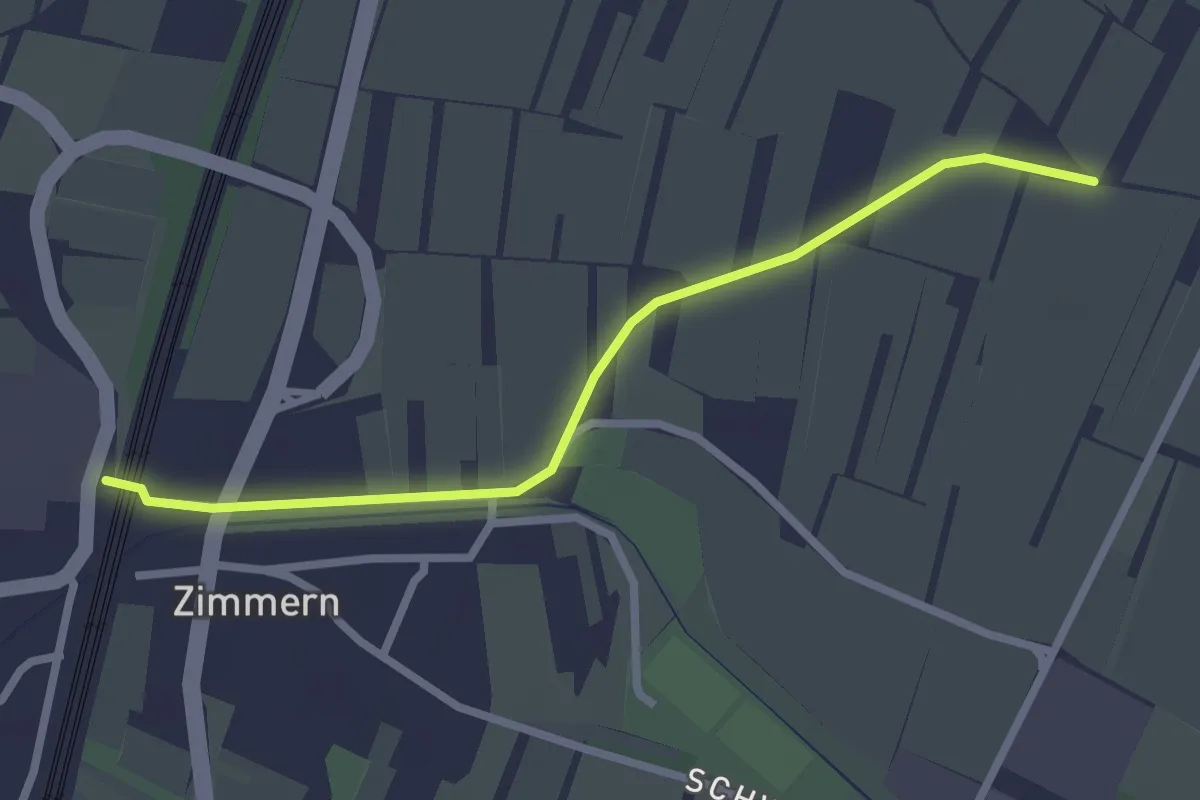
Easy · Trail
Brunnacker - Urloffen Unterführung
2.5 km · ↑ 5 m · 35 min
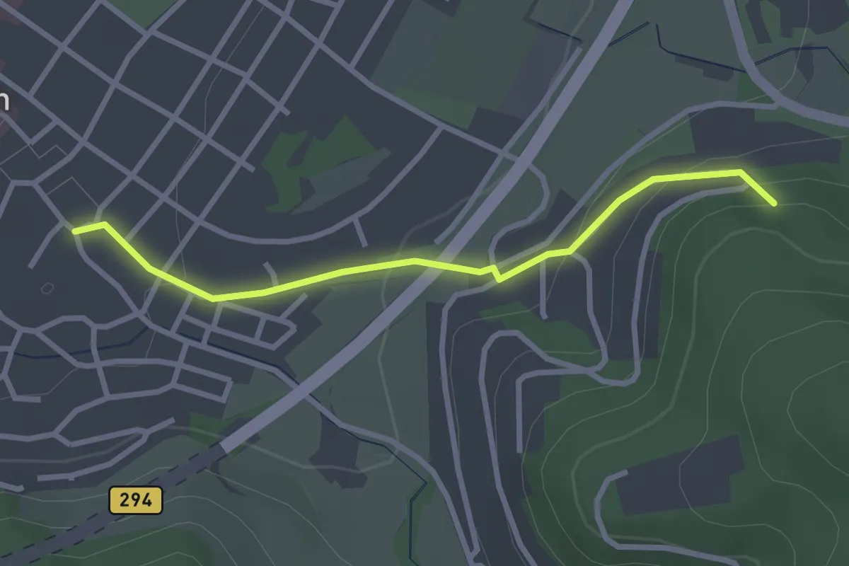
Easy · Trail
Brünneledobel - Waldkirch i-Punkt
2.5 km · ↑ 89 m · 48 min
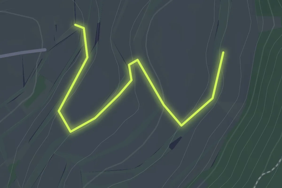
Easy · Trail
Brünnele - Maiengrund
2.1 km · ↑ 63 m · 39 min
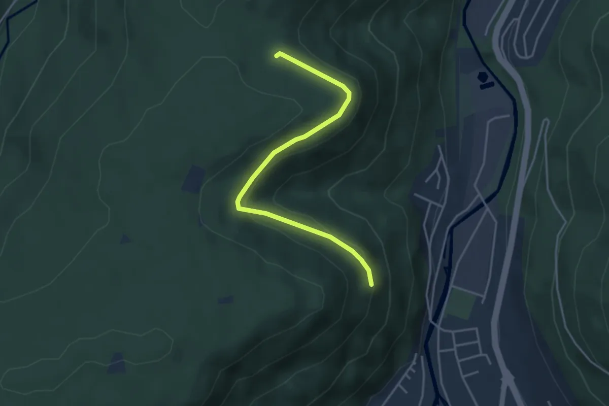
Easy · Trail
Brünnele - Sitzbankhütte
3.6 km · ↑ 98 m · 1 h 3 min
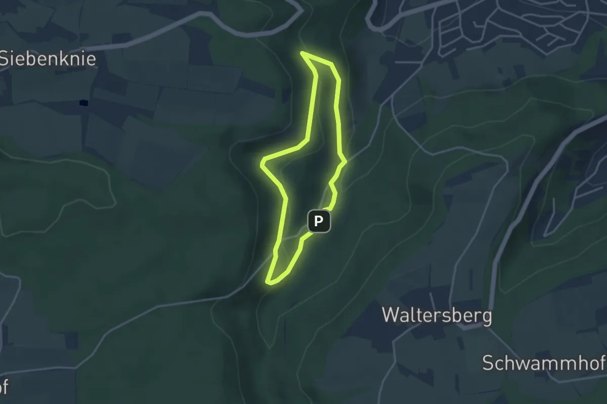
Medium · Trail
Brünnelesweg
2.7 km · ↑ 88 m · 52 min
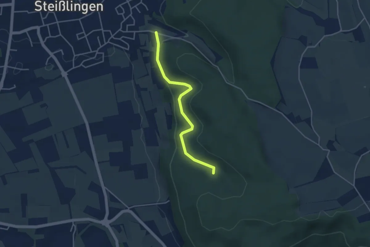
Easy · Trail
Brünnele - Ziegelhof
3.2 km · ↑ 136 m · 1 h 3 min
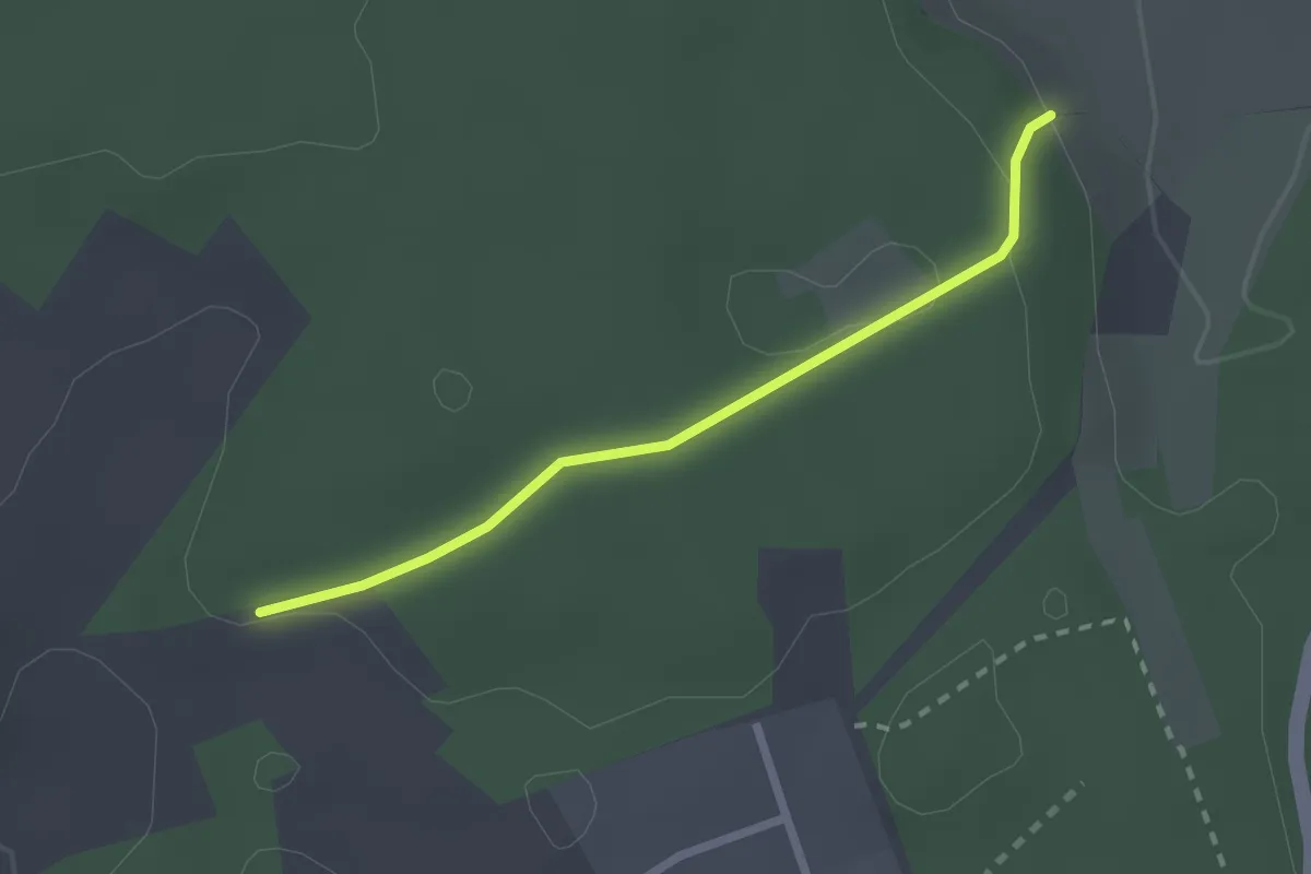
Easy · Trail
Brunnendobel - Engeleweg
2.1 km · ↑ 45 m · 35 min
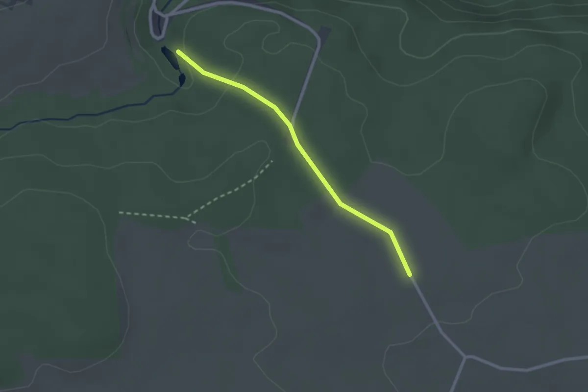
Easy · Trail
Brunnenhof - Lochsägmühle
2.1 km · ↑ 50 m · 36 min
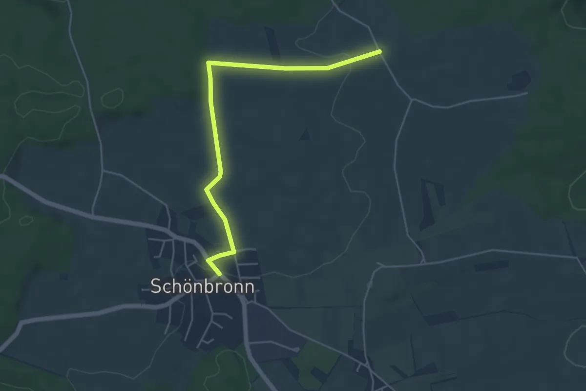
Easy · Trail
Brunnenhof - Schönbronn Rathaus
4.4 km · ↑ 63 m · 1 h 11 min
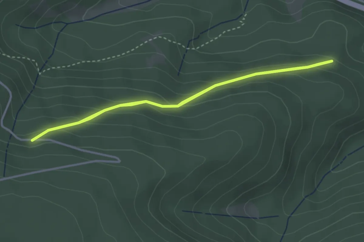
Easy · Trail
Brunnenstüble - Scheibenstutz
3.0 km · ↑ 159 m · 1 h 6 min
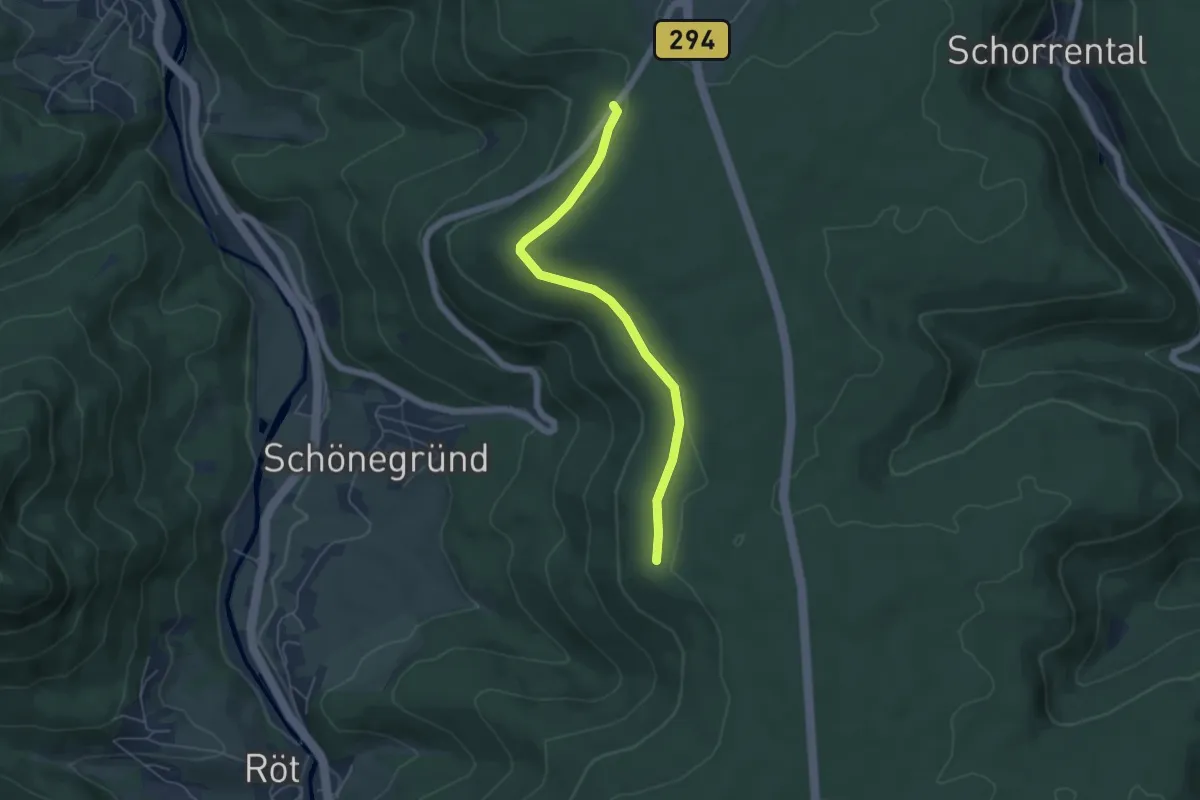
Easy · Trail
Brunnentrögle - Hinterbuch
4.8 km · ↑ 35 m · 1 h 12 min
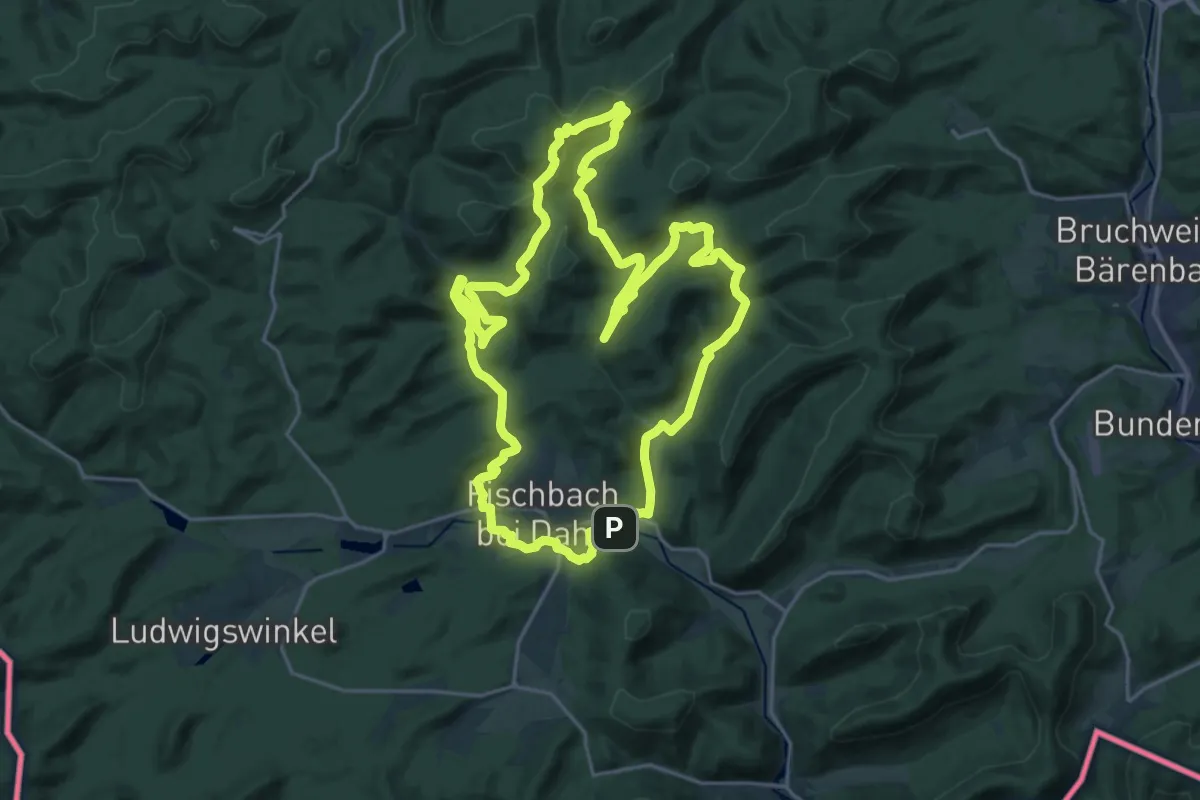
Demanding · Summit
Brunnen- und Quellenweg
21.2 km · ↑ 555 m · 6 h 31 min
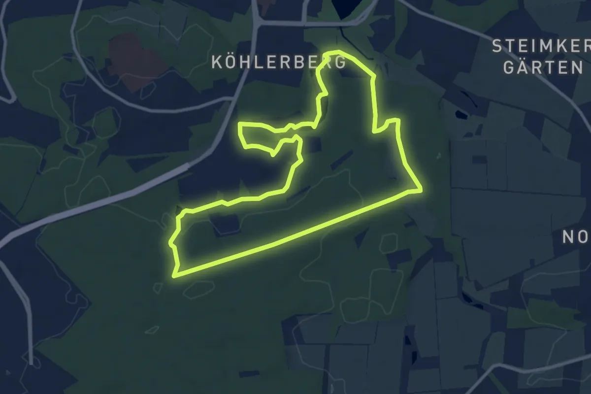
Medium · Trail
Brunnen- und Quellwanderung Route 1
8.4 km · ↑ 66 m · 2 h 14 min
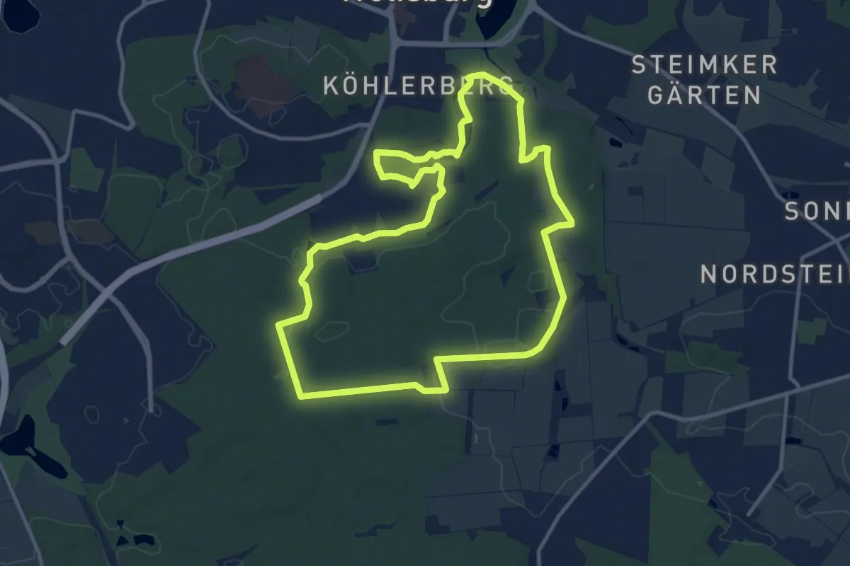
Medium · Trail
Brunnen- und Quellwanderung Route 2
10.4 km · ↑ 85 m · 2 h 47 min
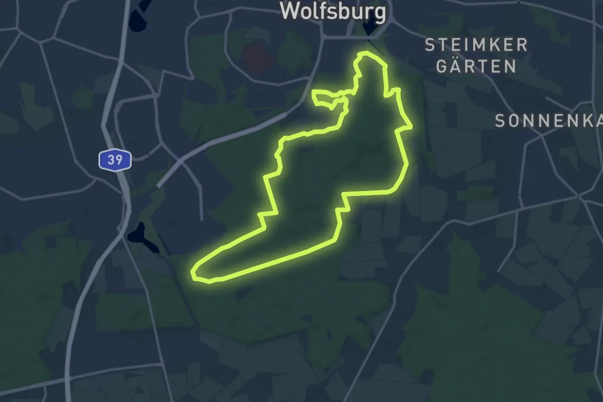
Medium · Trail
Brunnen- und Quellwanderung Route 3
14.3 km · ↑ 101 m · 3 h 47 min
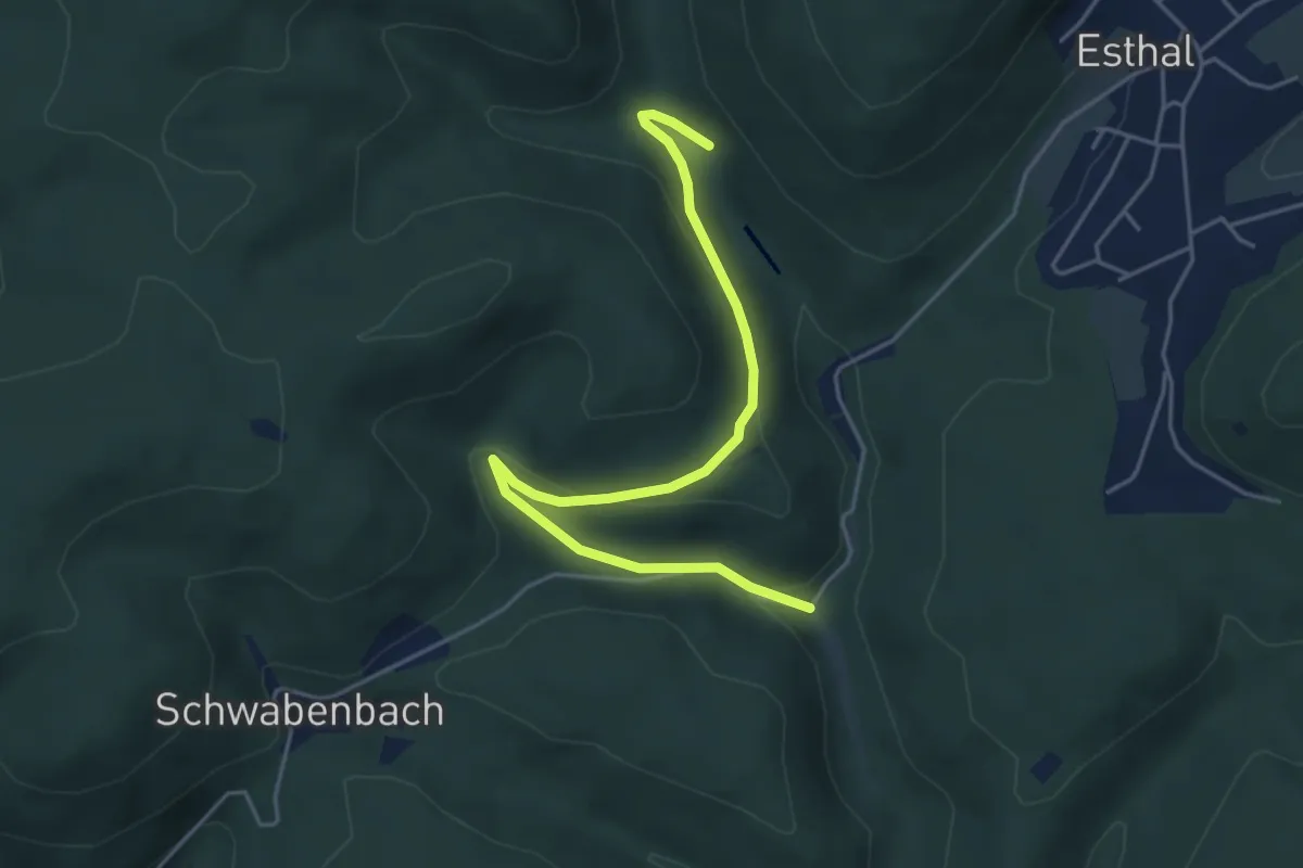
Easy · Trail
Brunnenwanderweg
4.8 km · ↑ 147 m · 1 h 27 min
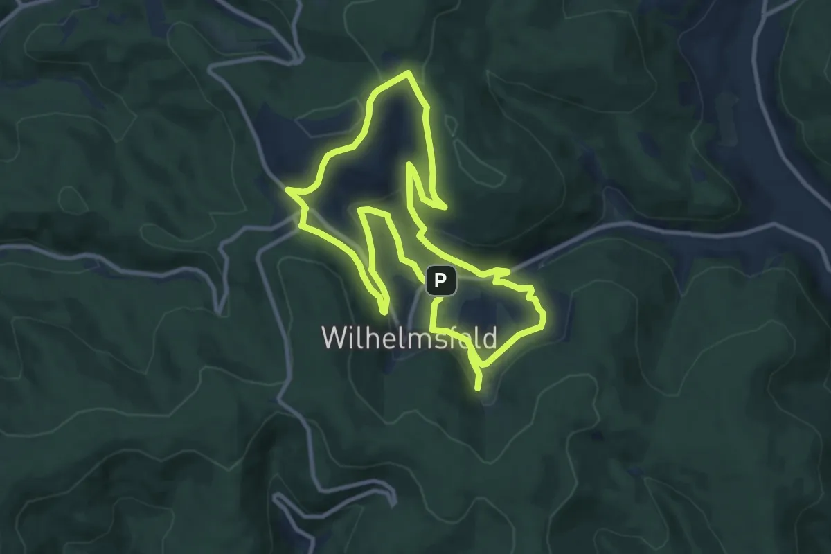
Medium · Trail
Brunnen-Wanderweg
9.2 km · ↑ 264 m · 2 h 52 min
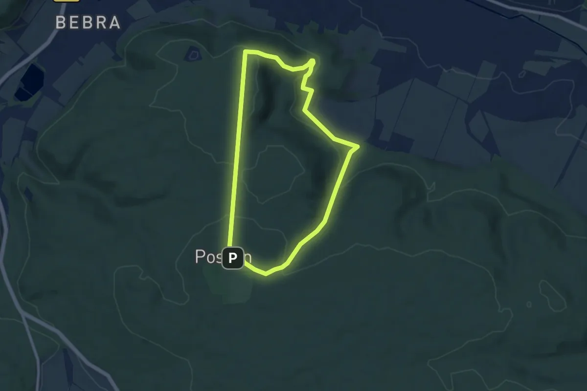
Easy · Summit
Brunnen-Wanderweg
6.5 km · ↑ 202 m · 2 h 4 min
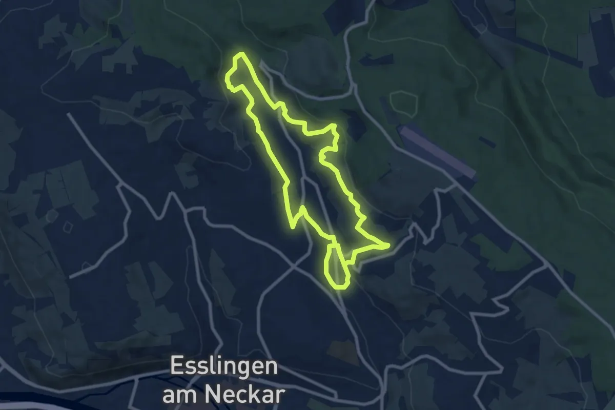
Medium · Trail
Brunnenwanderweg Oberes Hainbachtal
14.6 km · ↑ 409 m · 4 h 20 min
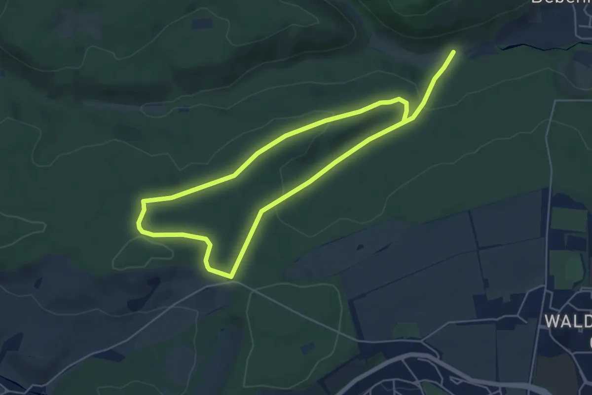
Medium · Trail
Brunnenweg
8.5 km · ↑ 223 m · 2 h 29 min
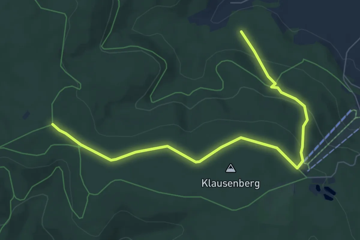
Easy · Trail
Brunnenweg
6.9 km · ↑ 192 m · 2 h 3 min
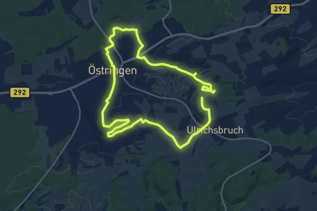
Medium · Summit
Brunnenweg (Geopfad Östringen)
10.9 km · ↑ 177 m · 3 h 6 min
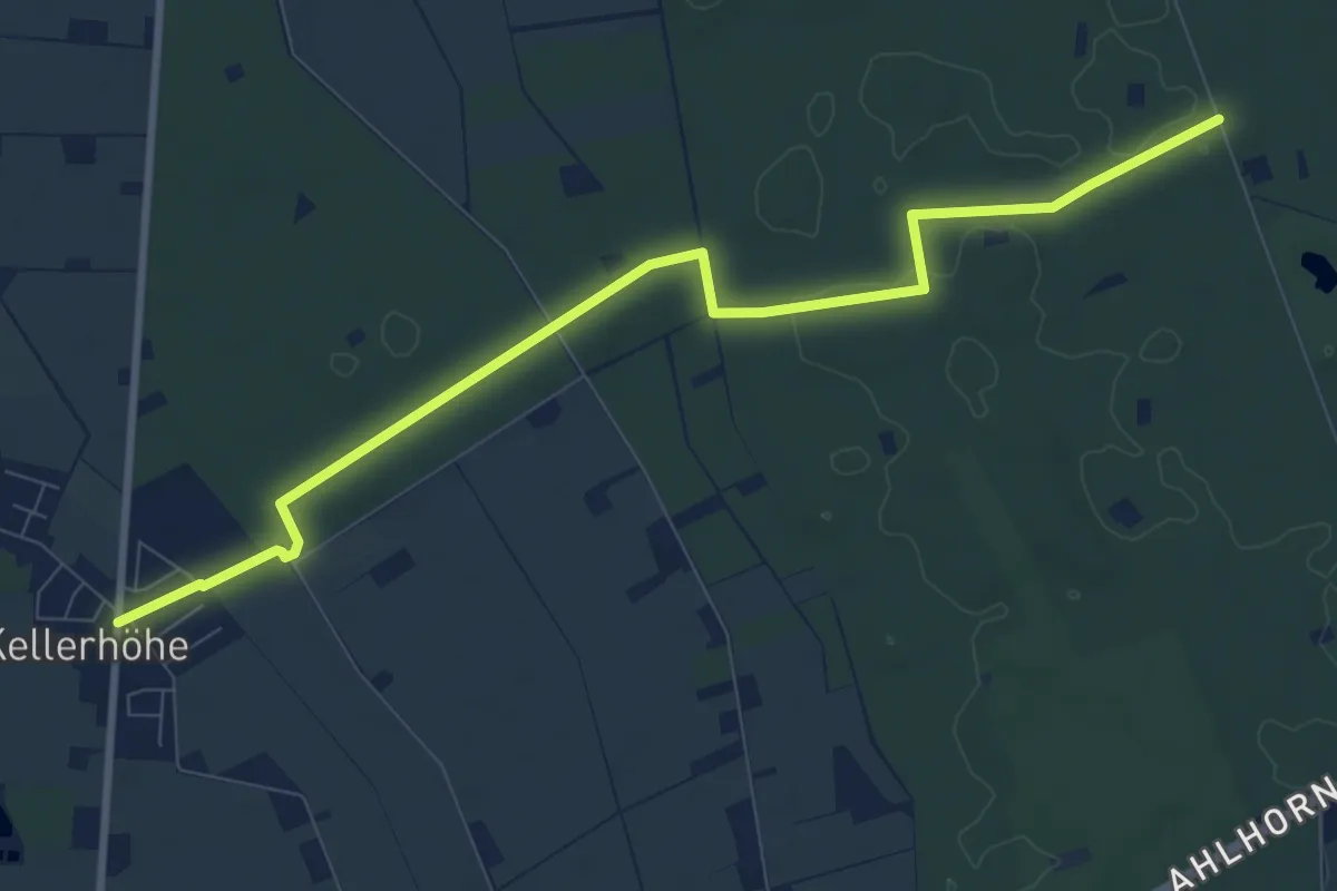
Medium · Trail
Brunnenweg (Hoheging)
8.8 km · ↑ 19 m · 2 h 7 min
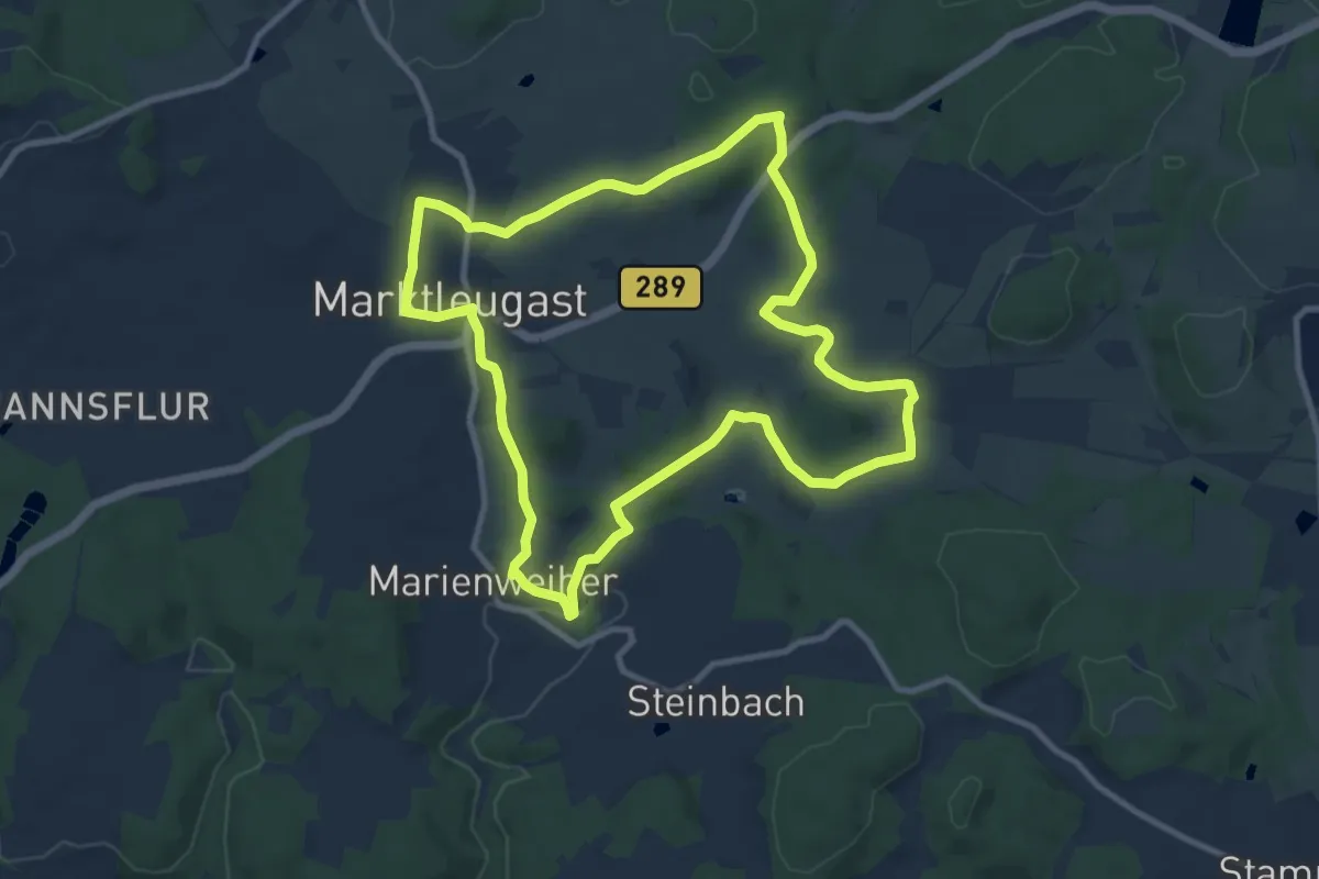
Medium · Trail
Brunnen-Weg KU 71
9.5 km · ↑ 172 m · 2 h 45 min
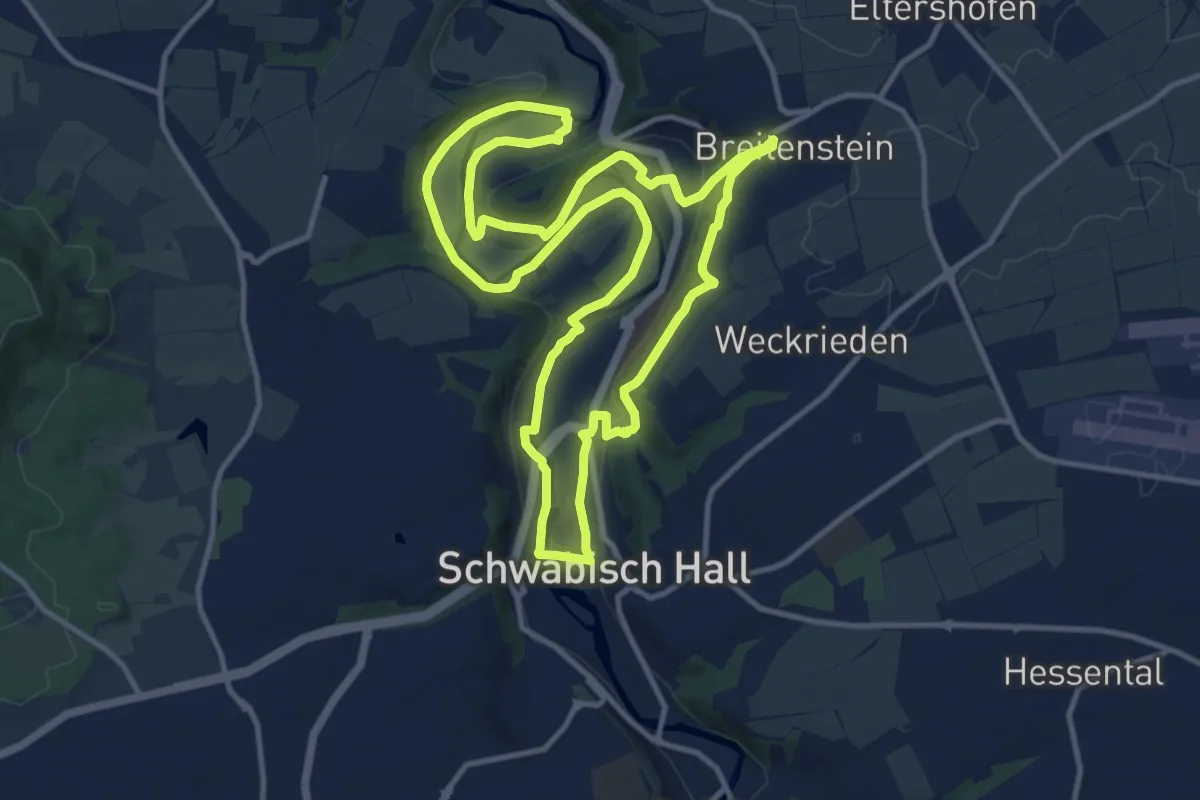
Medium · Trail
Brunnenweg und Kochertal
11.9 km · ↑ 281 m · 3 h 36 min
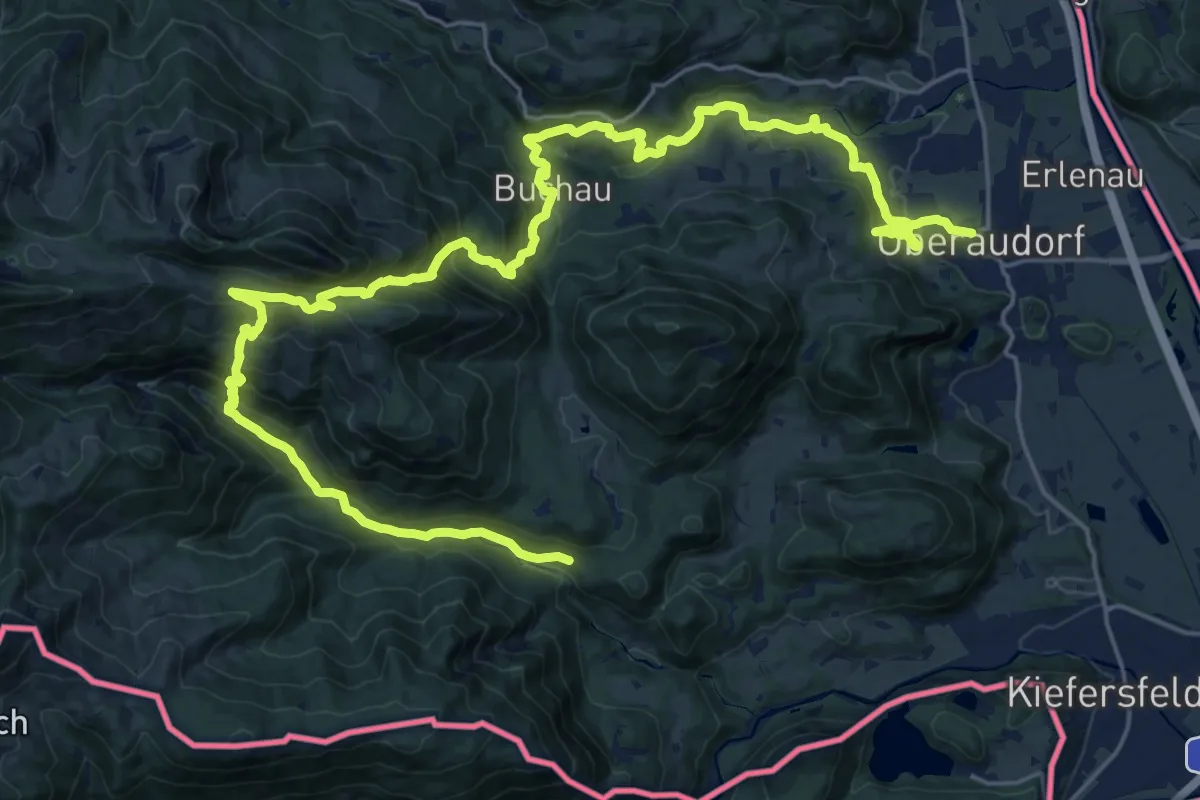
Demanding · Trail
Brünnstein Speed
16.3 km · ↑ 1000 m · 6 h 21 min
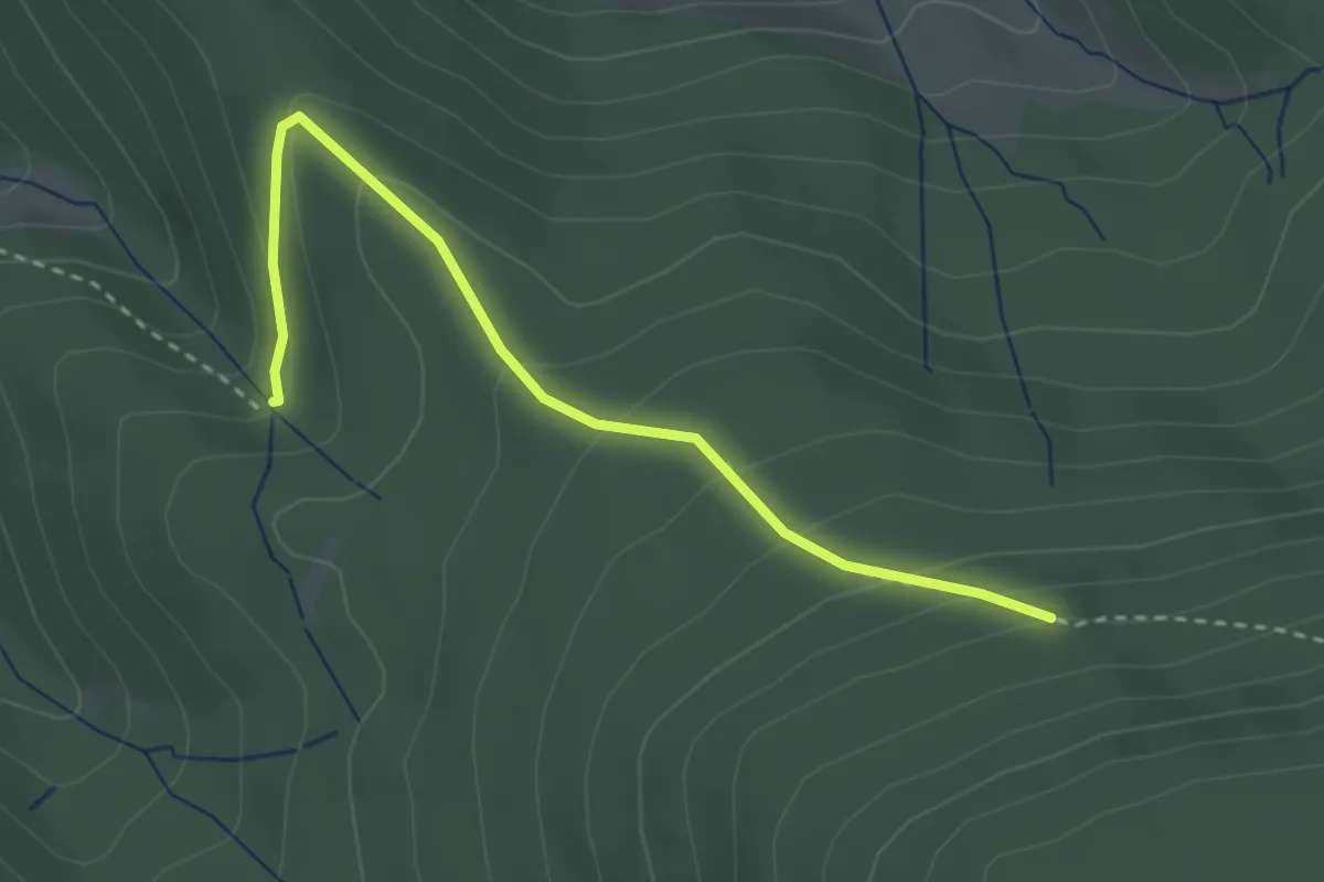
Easy · Trail
Brunnwiesen - Bärtann
3.0 km · ↑ 189 m · 1 h 7 min
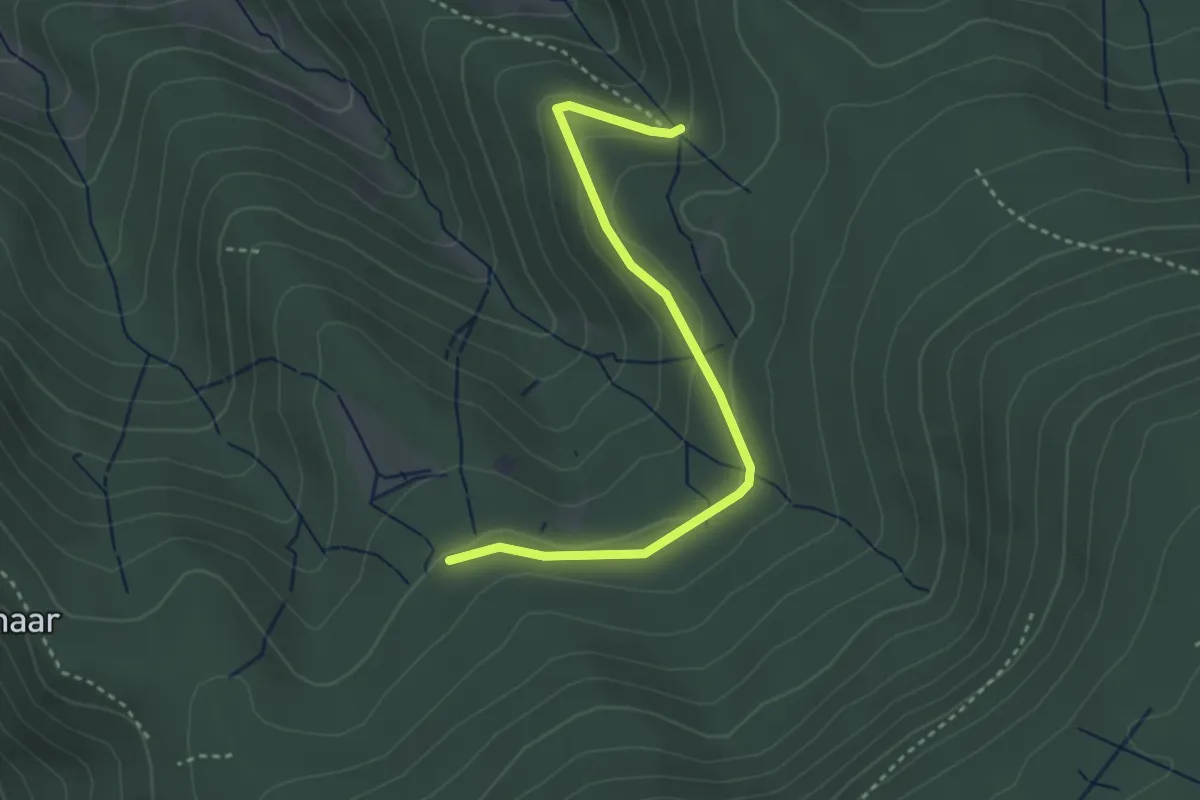
Easy · Trail
Brunnwiesen - Hohmißwiese
3.2 km · ↑ 106 m · 59 min
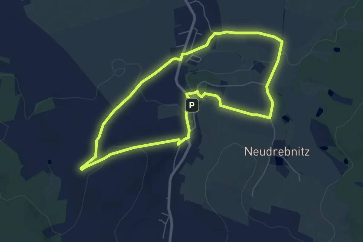
Easy · Trail
Bruno-Barthel-Rundweg
5.4 km · ↑ 80 m · 1 h 31 min
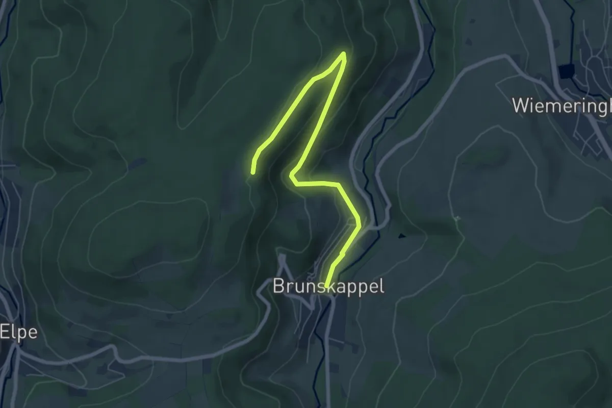
Easy · Trail
Brunskappel Kahlenberg Rundweg B1
6.2 km · ↑ 221 m · 1 h 56 min
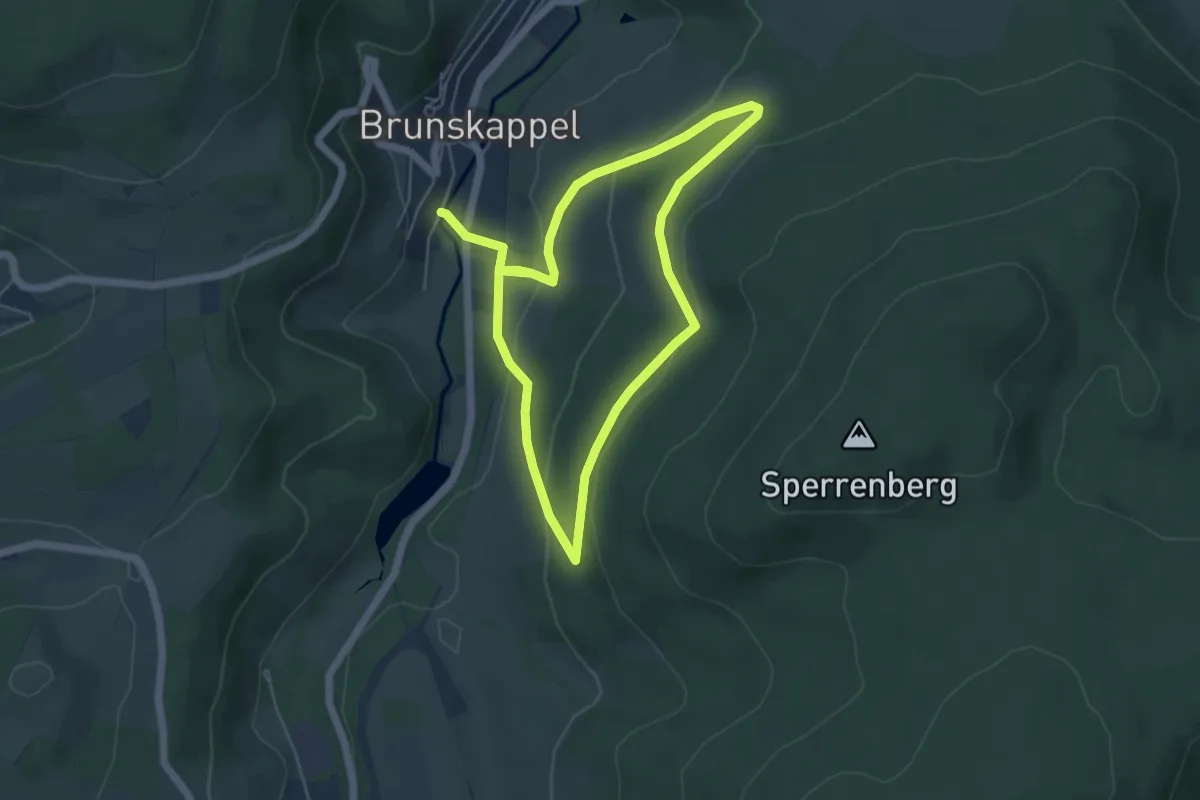
Medium · Trail
Brunskappel Kahlenberg Rundweg B2
8.5 km · ↑ 262 m · 2 h 34 min
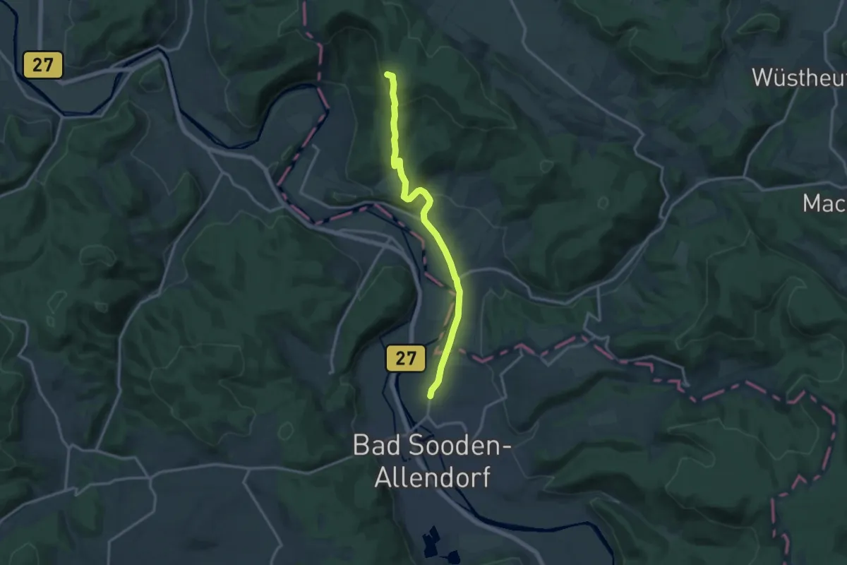
Medium · Trail
BSA-Teufelskanzel
11.9 km · ↑ 360 m · 3 h 35 min
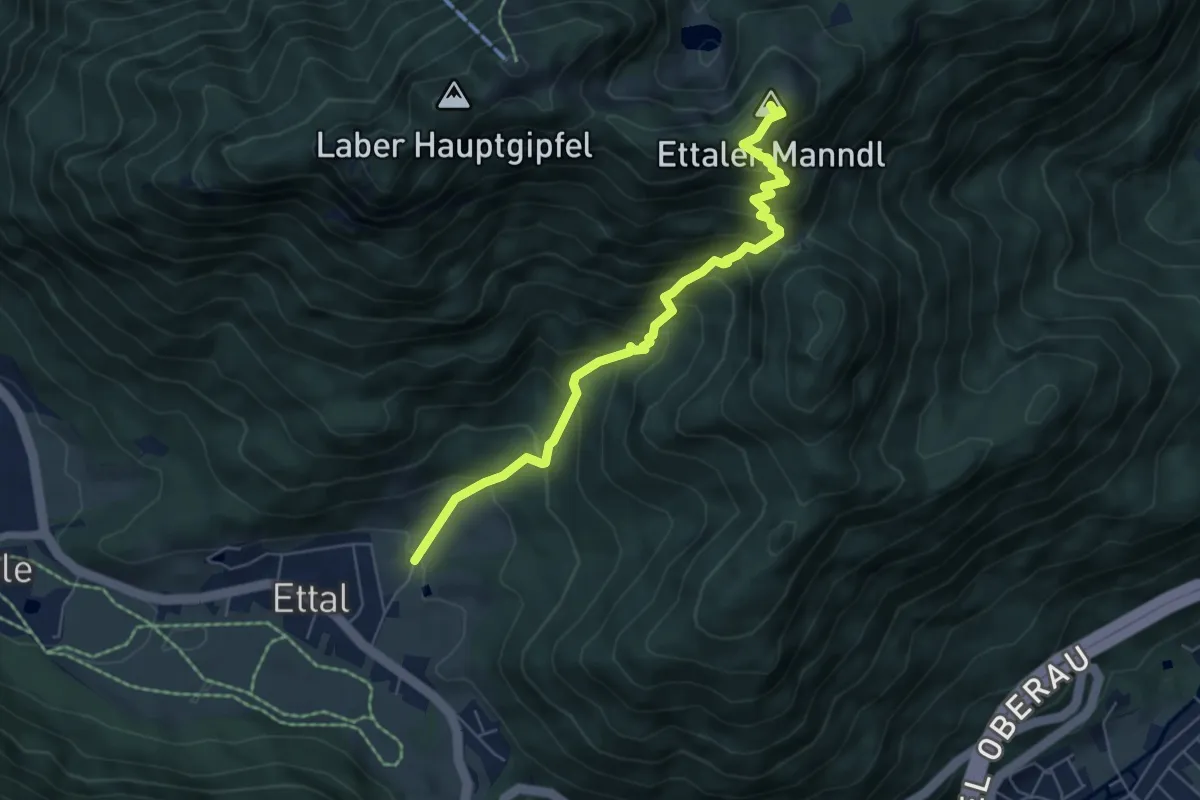
Medium · Summit
BT 10 Ettaler Mandl
5.8 km · ↑ 719 m · 2 h 56 min
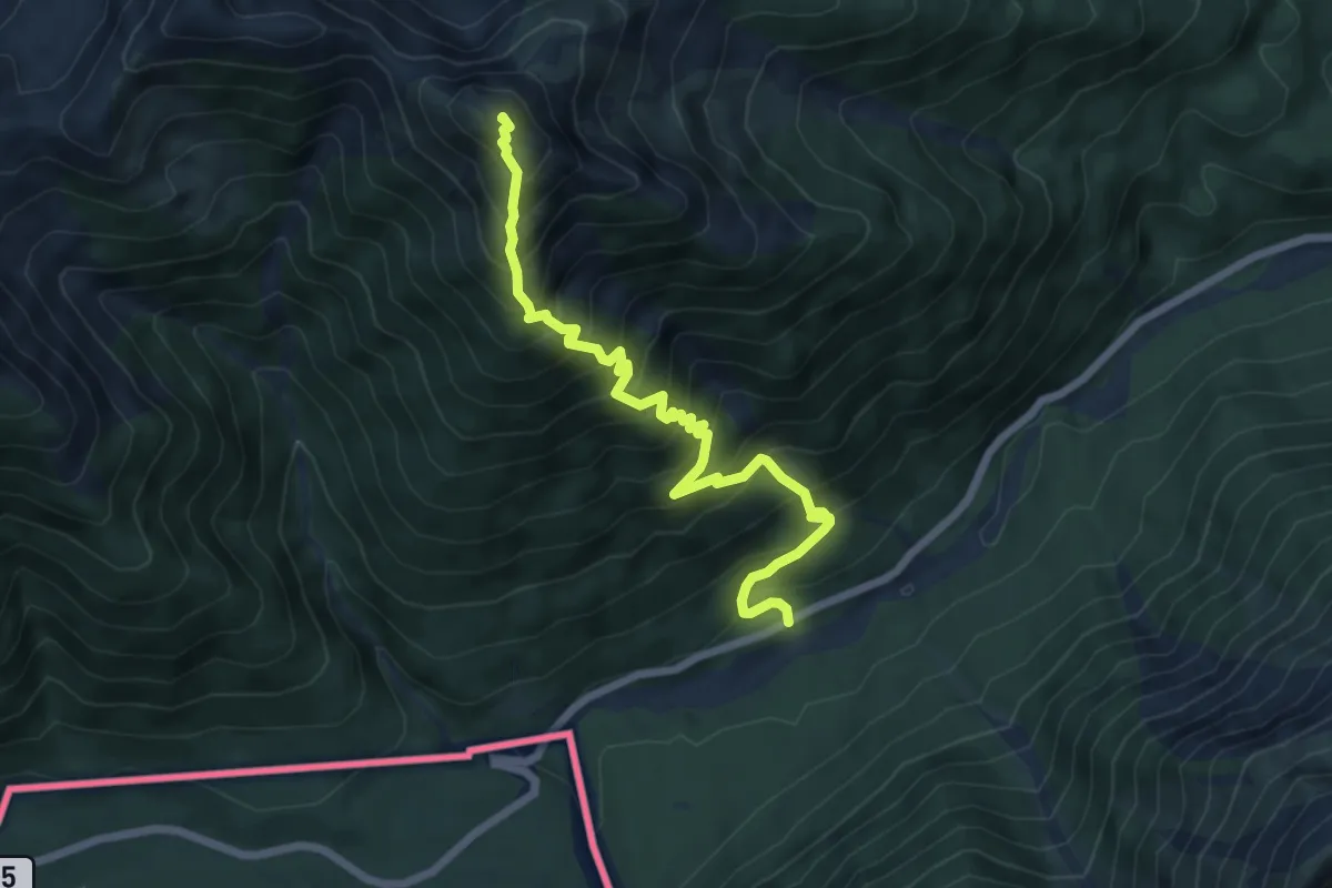
Demanding · Summit
BT 2 Scheinbergspitz
6.8 km · ↑ 817 m · 3 h 23 min
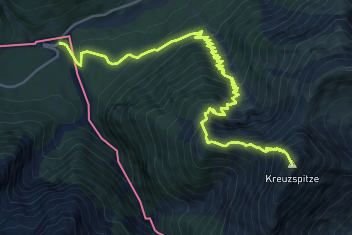
Expert · Summit
BT 3 Kreuzspitze
11.0 km · ↑ 1106 m · 5 h
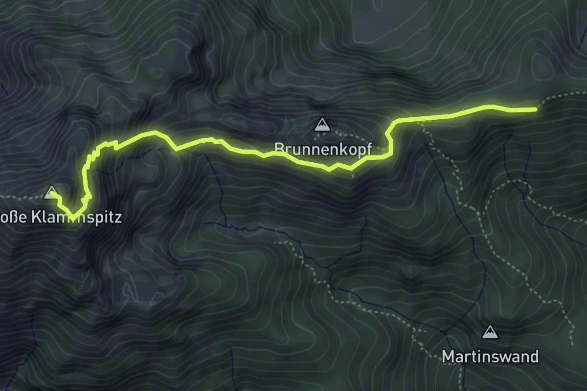
Expert · Summit
BT 5 Große Klammspitz
5.1 km · ↑ 496 m · 2 h 17 min
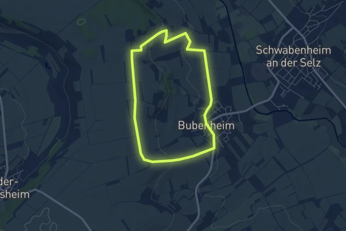
Easy · Trail
Bubenheim: Großer Rundweg
5.2 km · ↑ 103 m · 1 h 31 min
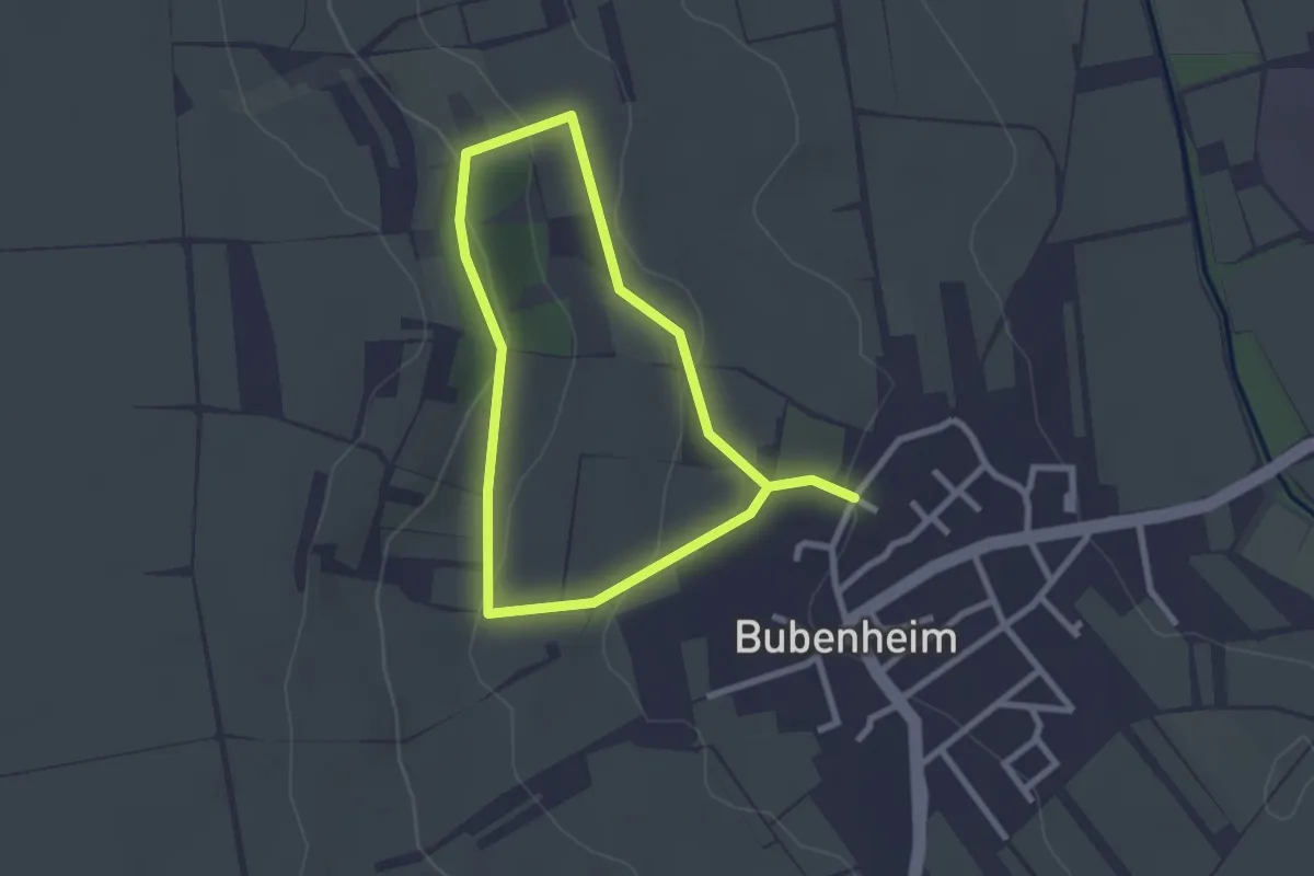
Easy · Trail
Bubenheim: Naturwanderweg
2.0 km · ↑ 66 m · 39 min
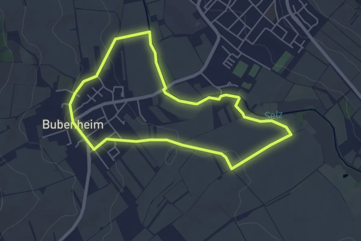
Easy · Trail
Bubenheim: Selzwanderweg
3.9 km · ↑ 40 m · 1 h 4 min
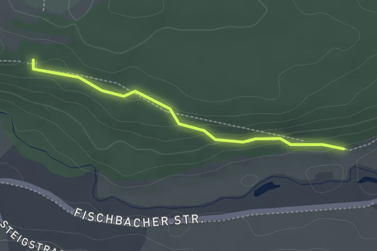
Easy · Trail
Bubenholz - Römerbad
2.1 km · ↑ 72 m · 40 min
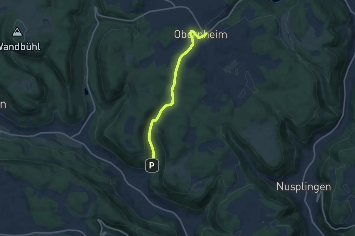
Easy · Trail
Bubsheim - Obernheim
7.7 km · ↑ 226 m · 2 h 18 min
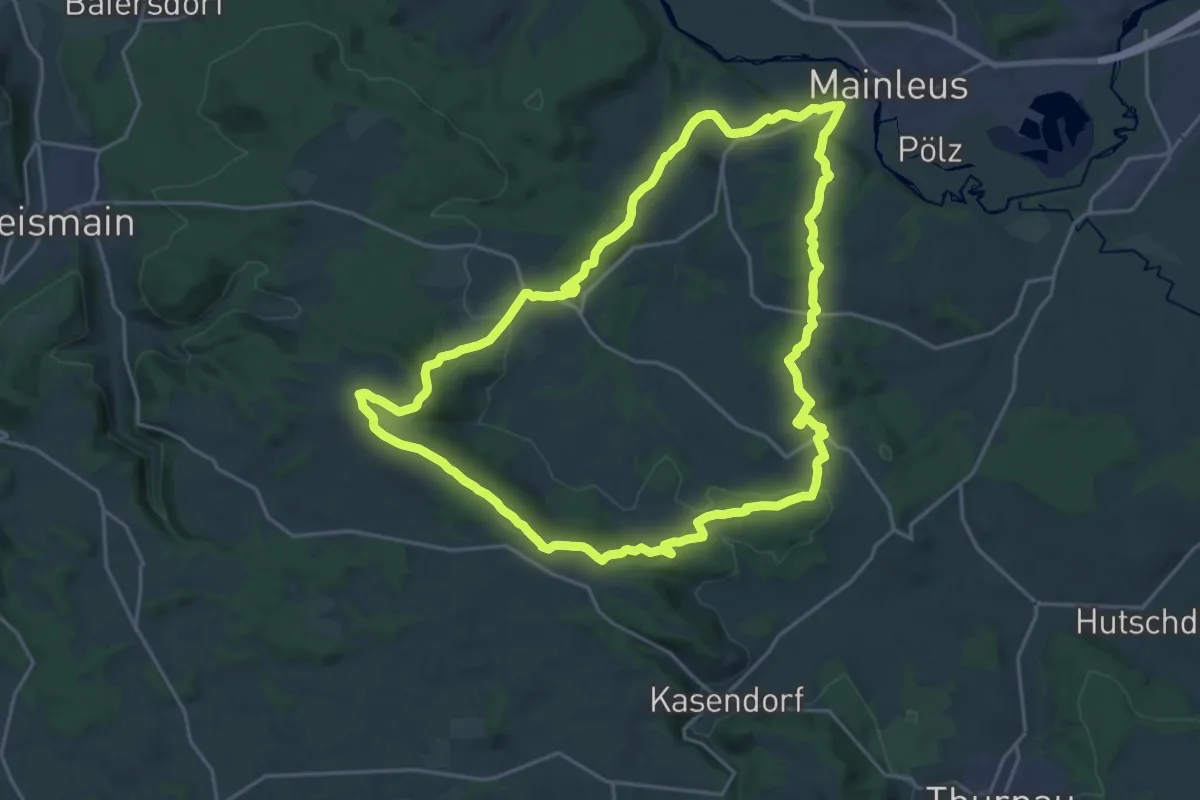
Demanding · Trail
Buchauer Weg (Buchau/Thurnau)
20.4 km · ↑ 426 m · 6 h 1 min
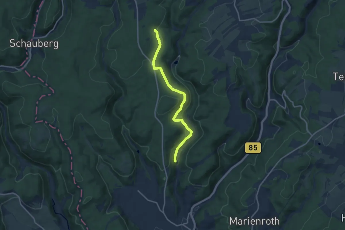
Easy · Trail
Buchbacher-Weg
4.5 km · ↑ 22 m · 1 h 14 min