Trails in Germany
36,847 hiking trails, each with its route, climb, walking time and grade.
All trails, page 91 of 768
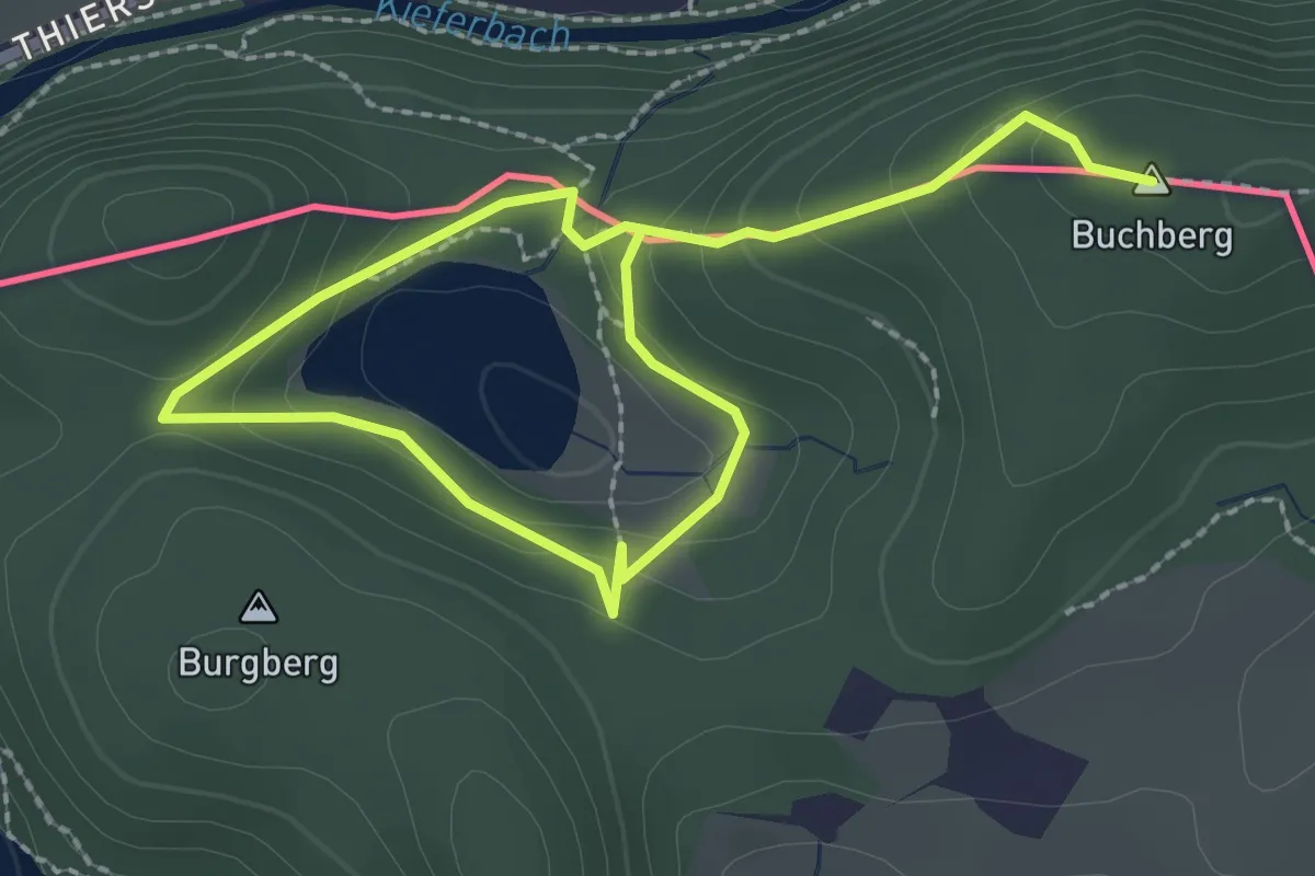
Medium · Summit
Buchberg - Egelsee - Hechtsee
3.5 km · ↑ 118 m · 1 h 5 min
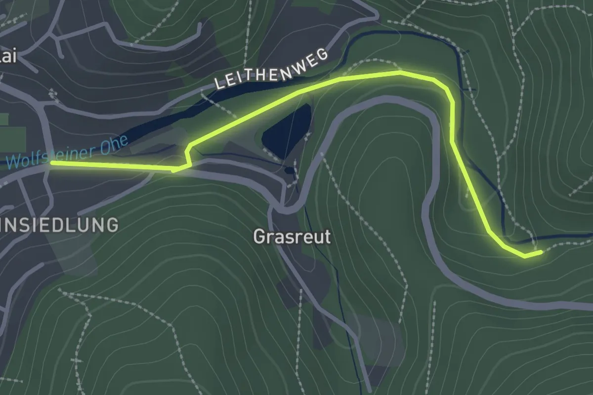
Easy · Trail
Buchberger Leite (1)
2.8 km · ↑ 67 m · 48 min
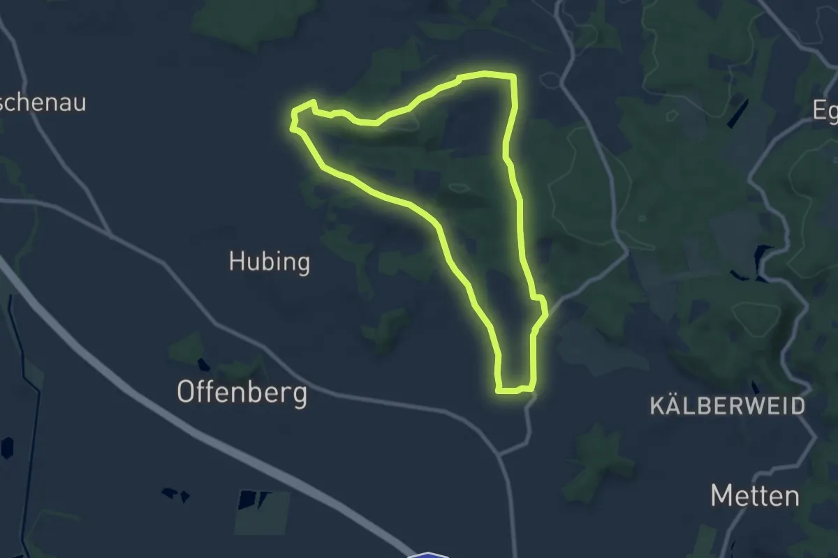
Easy · Trail
Buchberger Weg
7.3 km · ↑ 161 m · 2 h 11 min
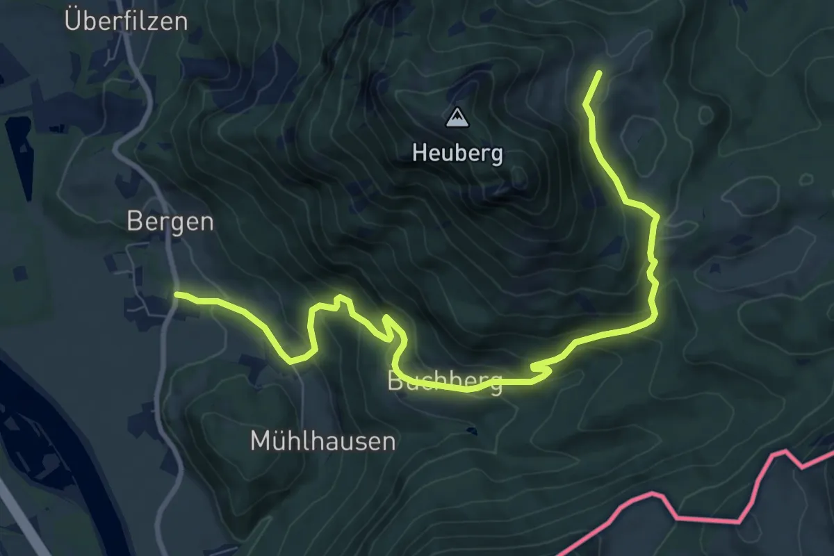
Medium · Cabin
Buchberg - Euzenau - Heuberg
10.3 km · ↑ 628 m · 3 h 47 min
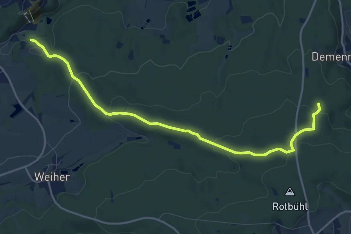
Medium · Trail
Buchberghüttenweg
9.8 km · ↑ 275 m · 2 h 55 min
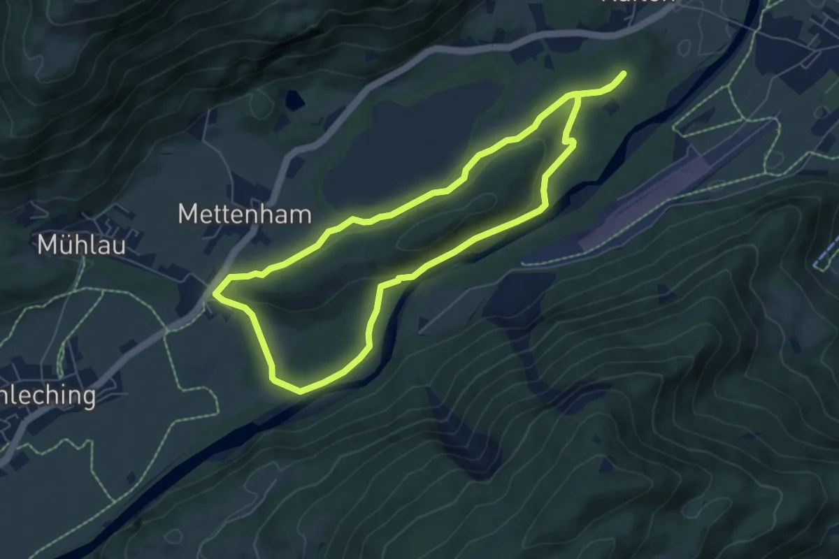
Medium · Trail
Buchberg Rundweg
6.0 km · ↑ 97 m · 1 h 42 min
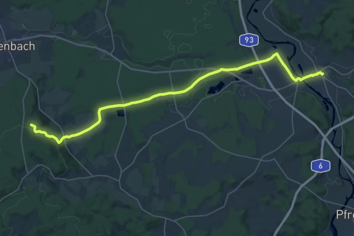
Demanding · Trail
Buchbergweg
25.2 km · ↑ 337 m · 6 h 40 min
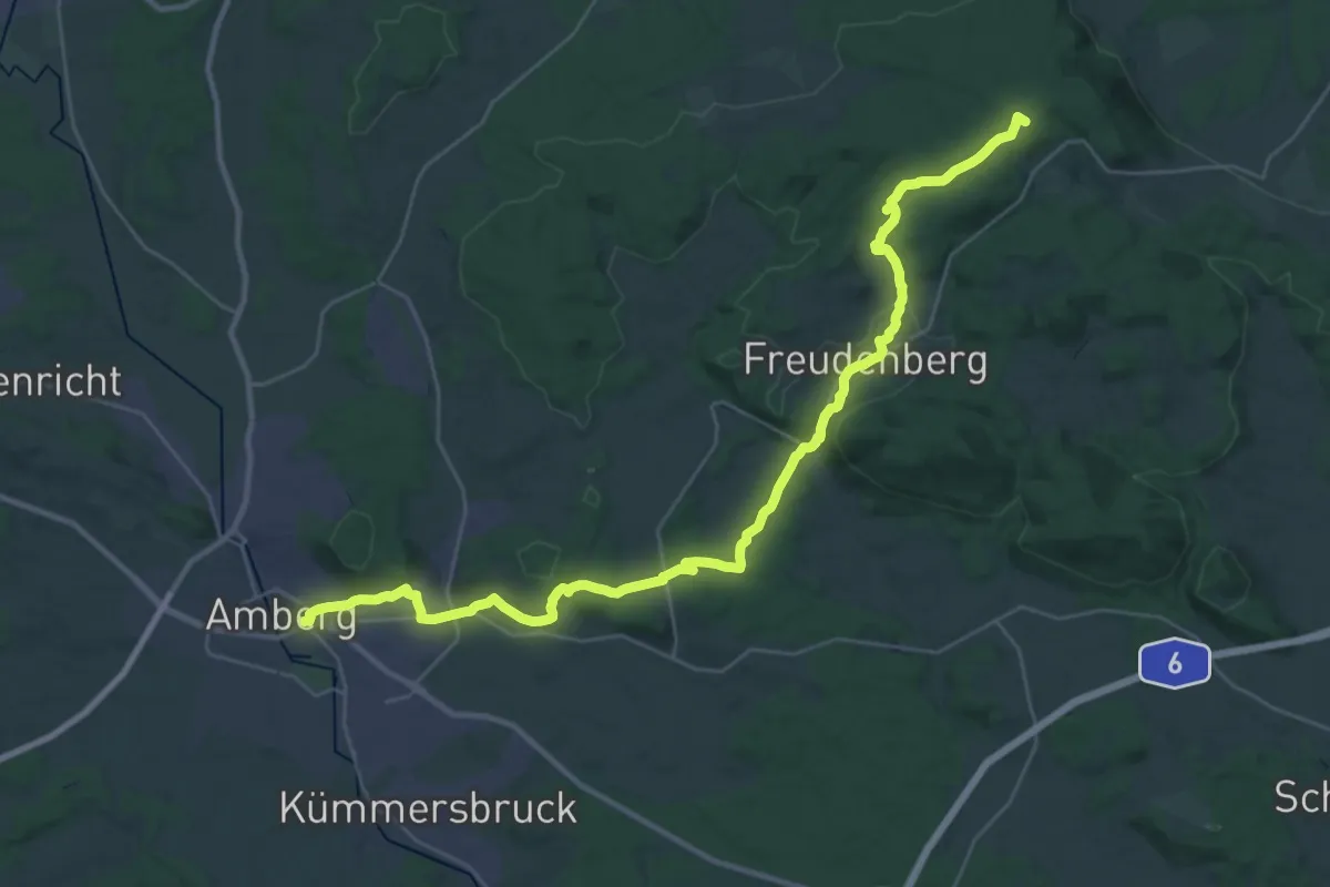
Demanding · Summit
Buchbergweg von Amberg
36.0 km · ↑ 770 m · 10 h 10 min
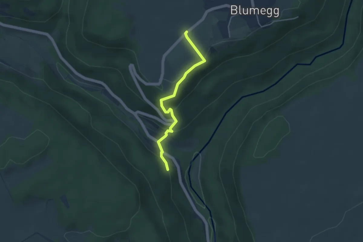
Easy · Trail
Buch - Blumegg Friedhof
3.2 km · ↑ 175 m · 1 h 7 min
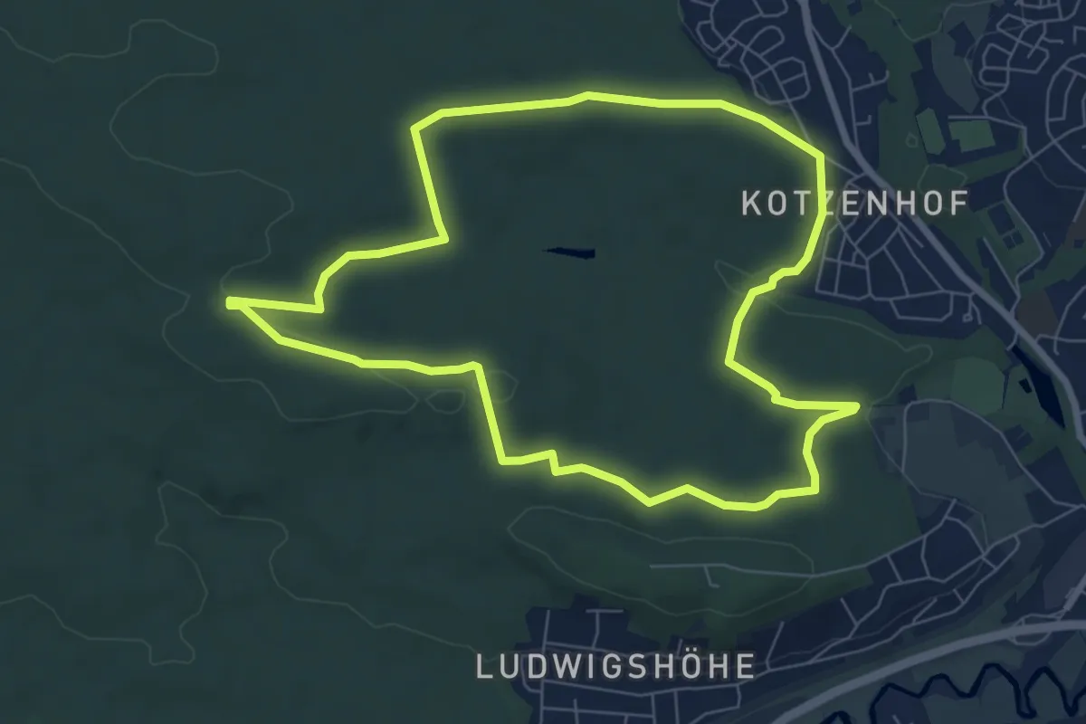
Easy · Summit
Buchbrünnlein-Runde
7.0 km · ↑ 90 m · 1 h 57 min
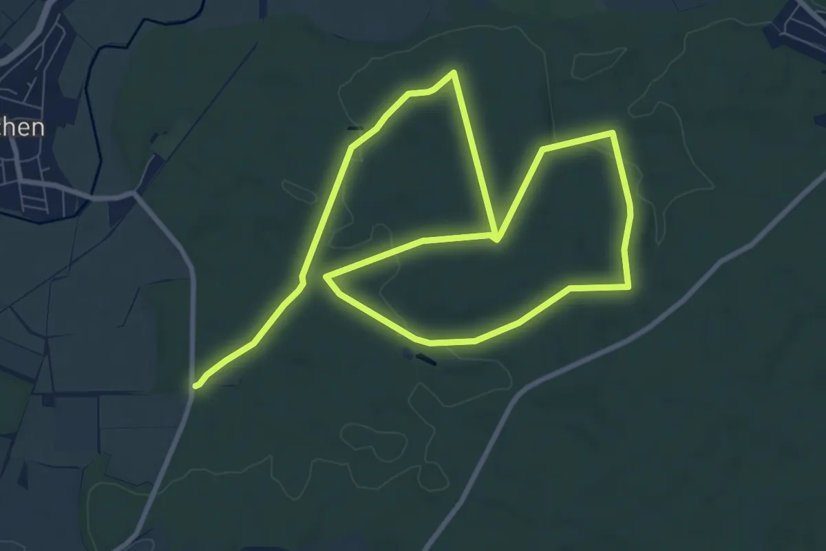
Medium · Trail
Buche
14.4 km · ↑ 177 m · 3 h 48 min
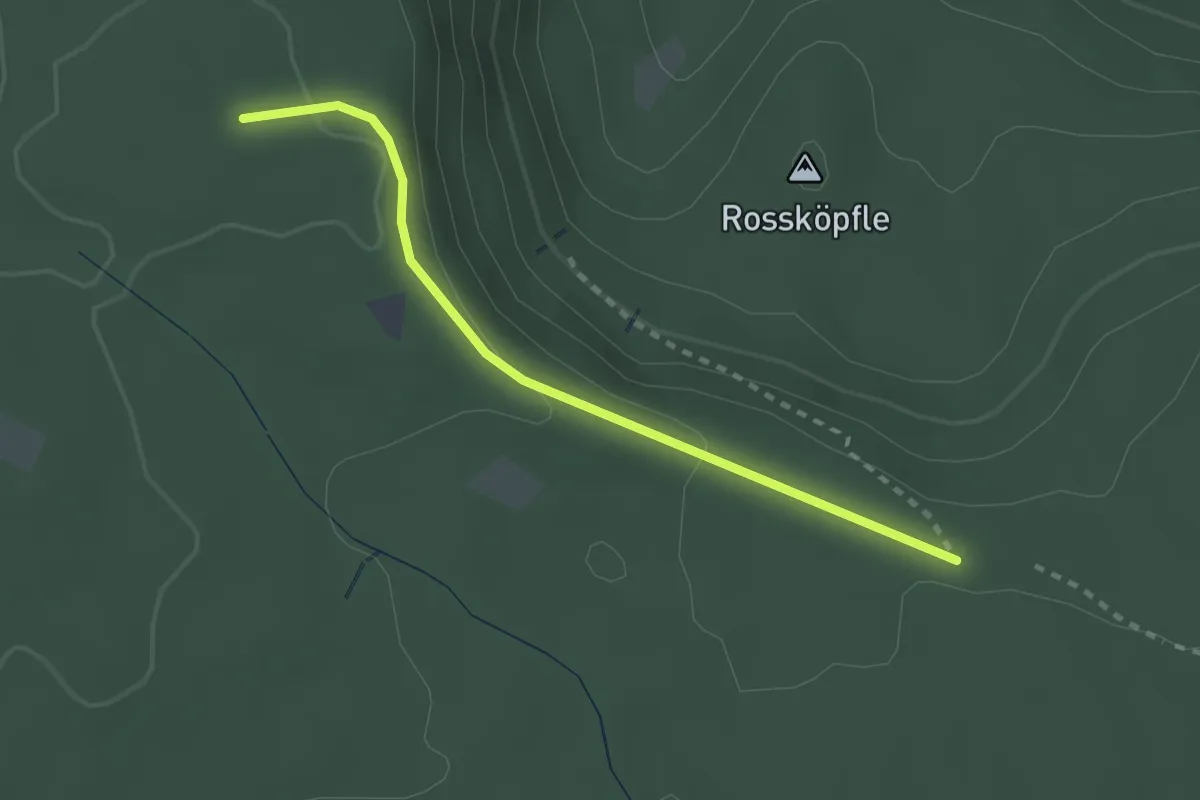
Easy · Trail
Bucheck - Weihermisse
2.4 km · ↑ 52 m · 40 min
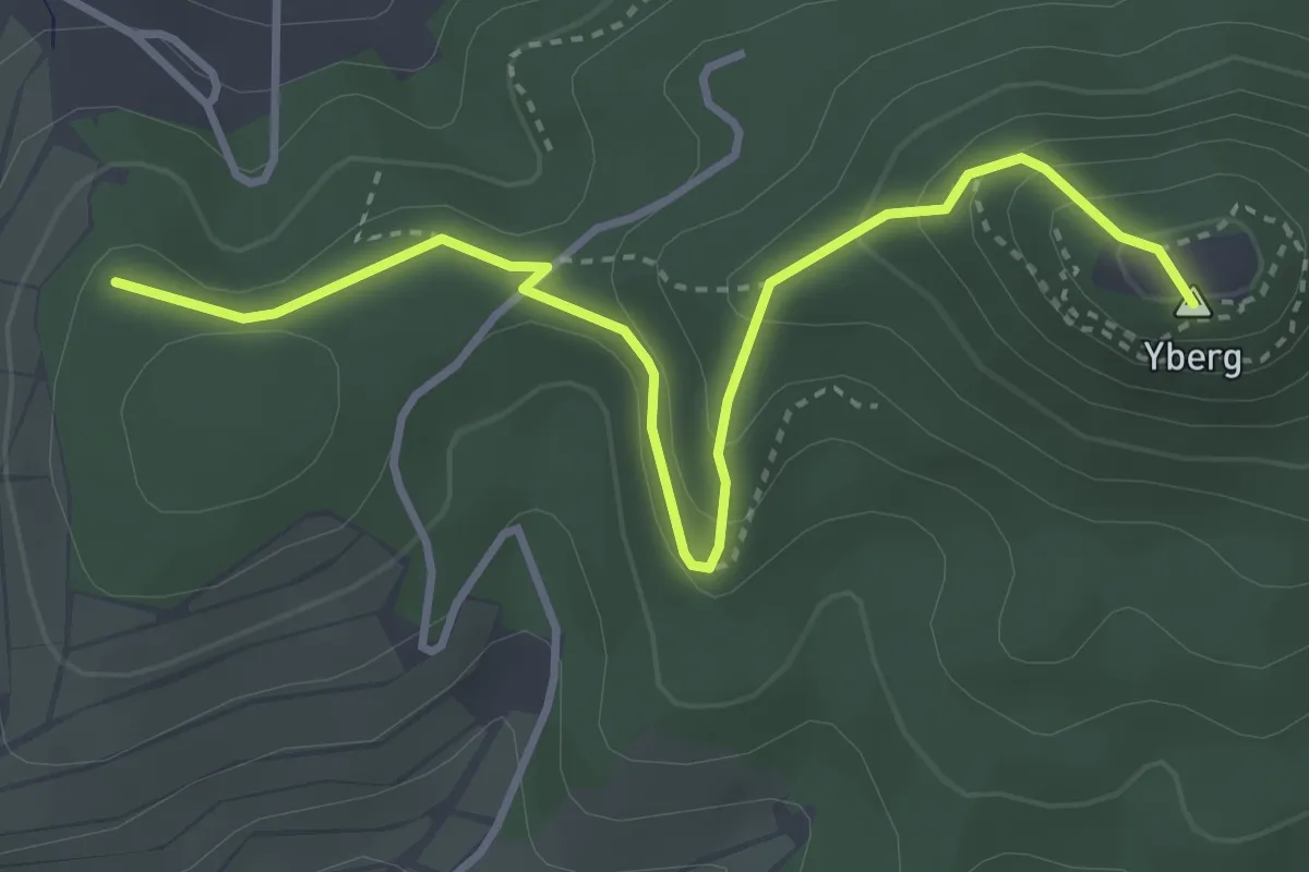
Medium · Summit
Büchelberg - An der Yburgmauer
3.8 km · ↑ 237 m · 1 h 25 min
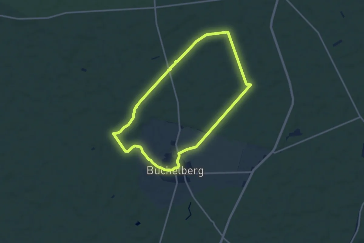
Medium · Trail
Büchelberger Rundweg
8.7 km · ↑ 39 m · 2 h 15 min
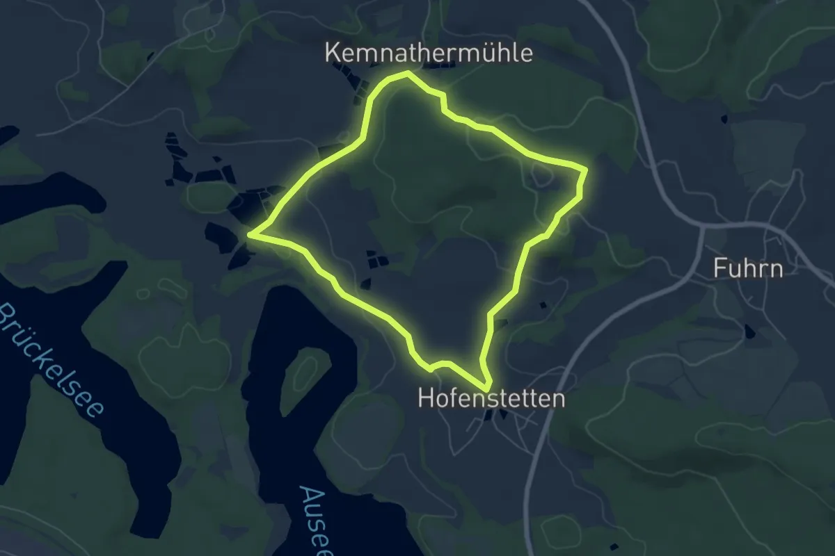
Easy · Trail
Büchelbergweg
5.6 km · ↑ 121 m · 1 h 39 min
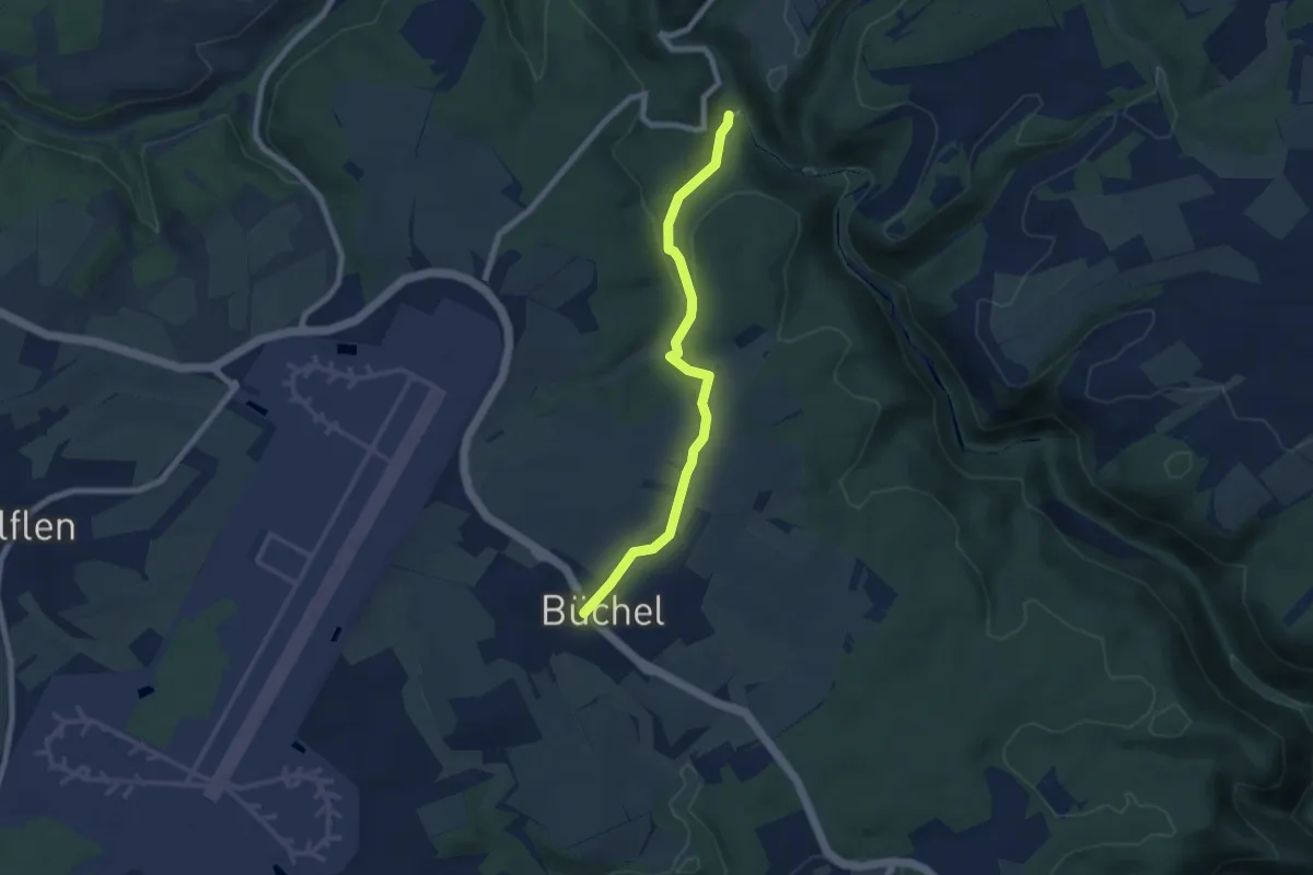
Easy · Trail
Bücheler Wanderweg 1
6.5 km · ↑ 159 m · 1 h 53 min
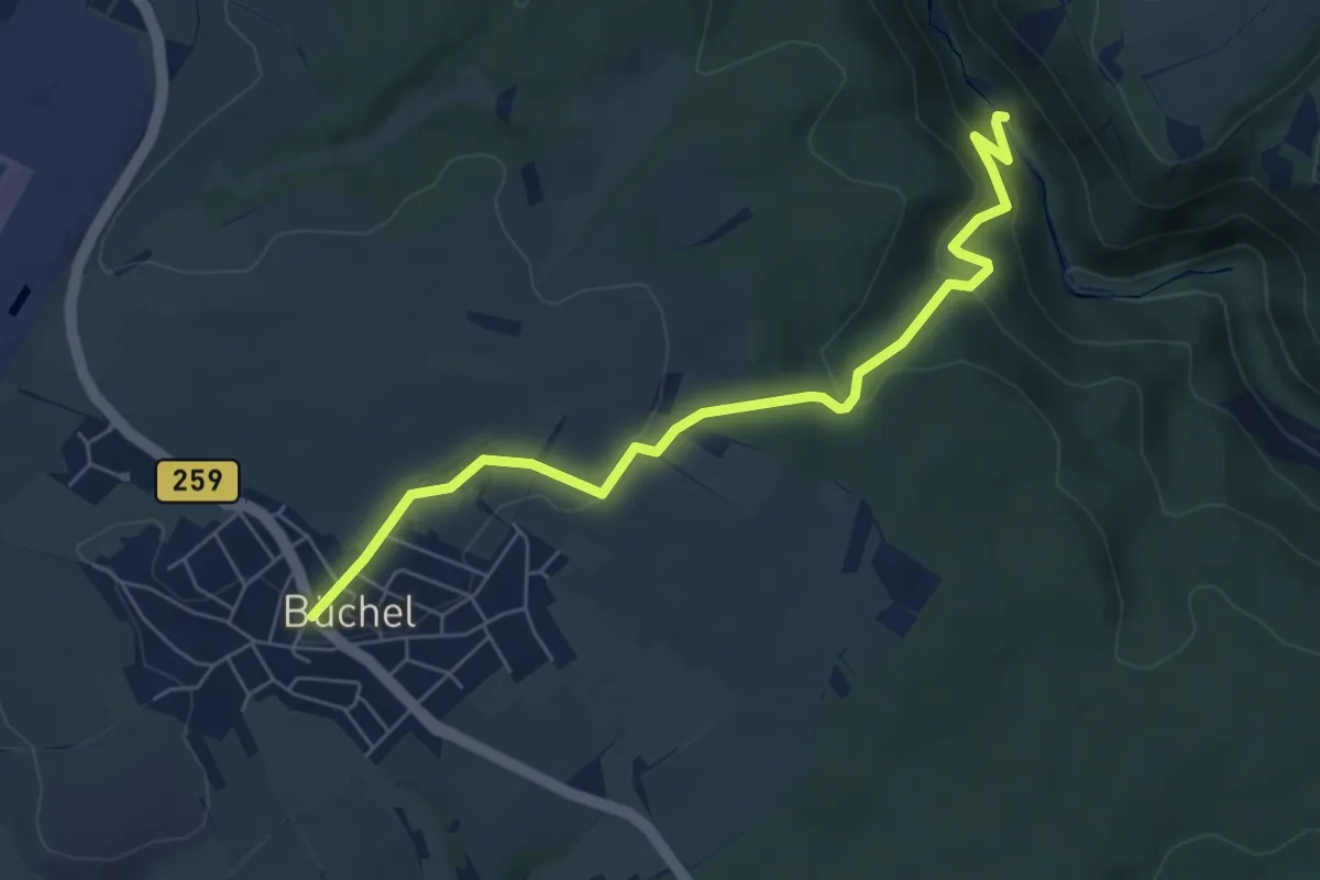
Easy · Trail
Bücheler Wanderweg 2
6.1 km · ↑ 224 m · 1 h 56 min
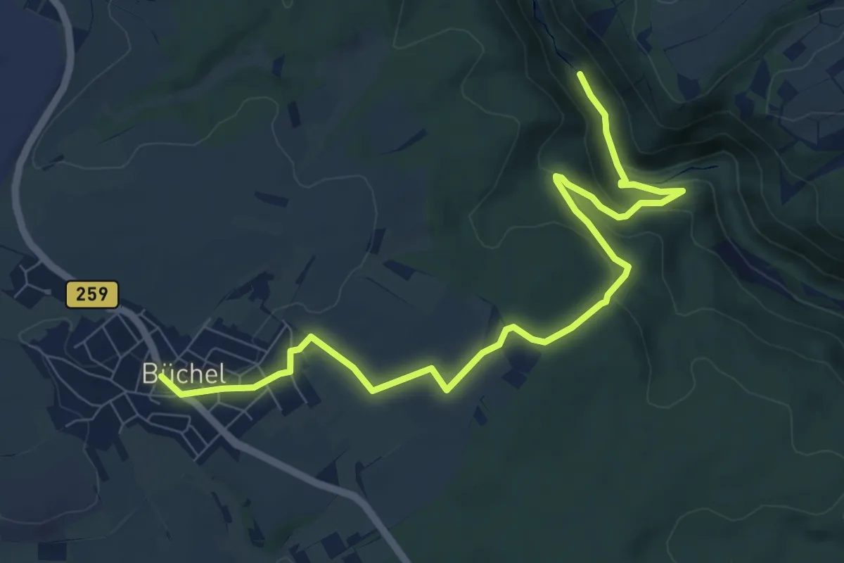
Medium · Trail
Bücheler Wanderweg 3
9.3 km · ↑ 241 m · 2 h 43 min
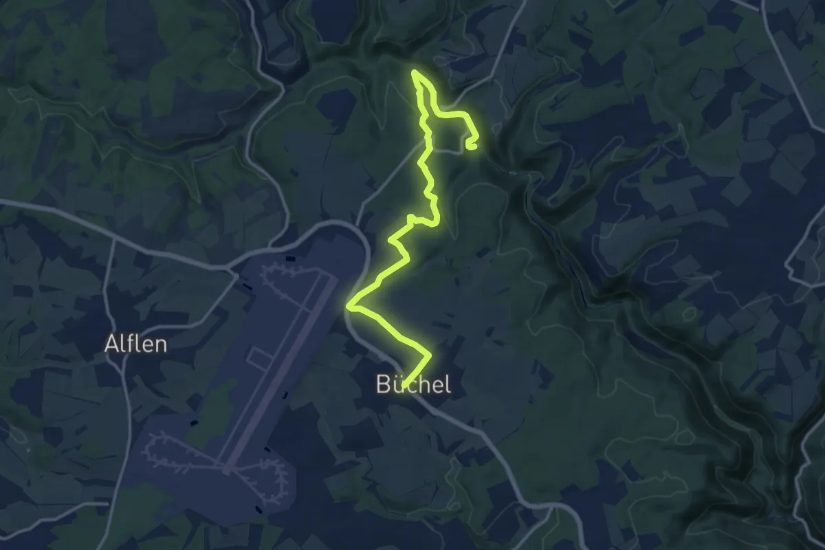
Medium · Trail
Bücheler Wanderweg 4
13.1 km · ↑ 245 m · 3 h 37 min
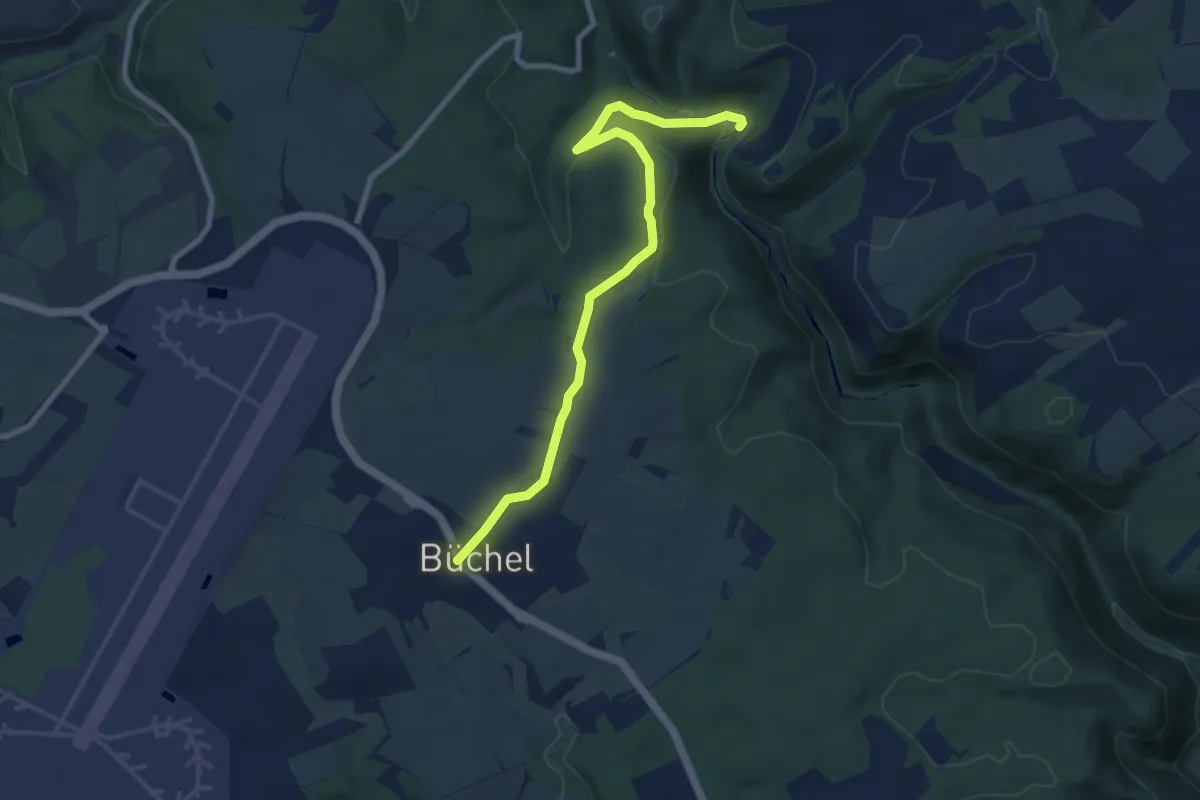
Medium · Trail
Bücheler Wanderweg 5
8.1 km · ↑ 197 m · 2 h 20 min
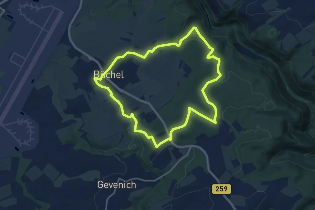
Medium · Trail
Bücheler Wanderweg 6
8.6 km · ↑ 177 m · 2 h 32 min
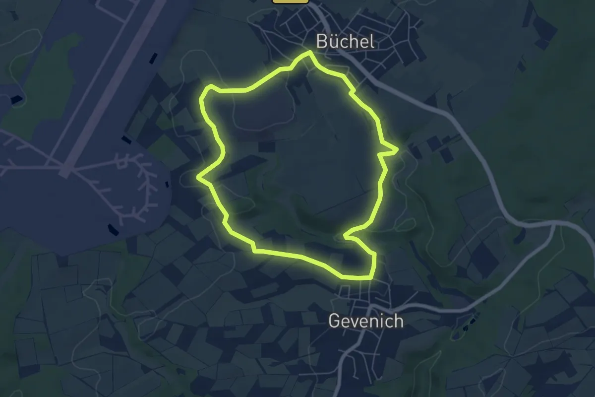
Easy · Trail
Bücheler Wanderweg 7
5.7 km · ↑ 78 m · 1 h 35 min
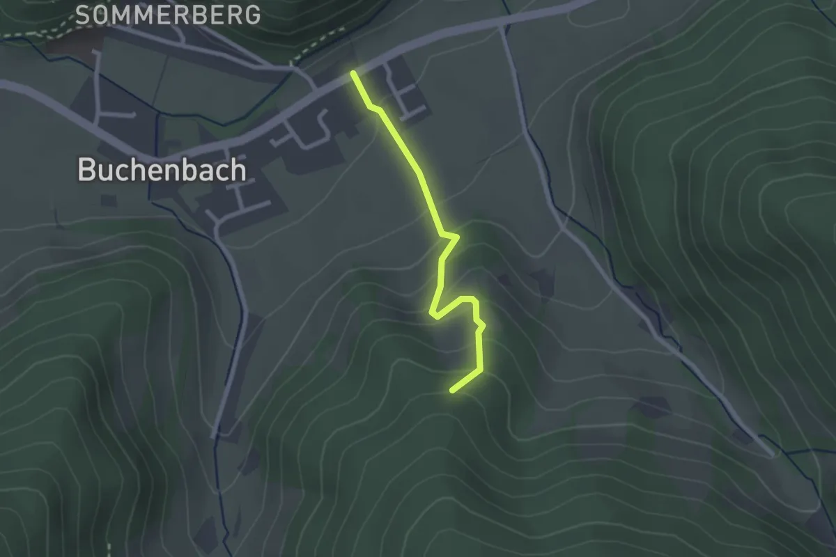
Easy · Trail
Buchenbach Hitzenhof - Johanniterweg
2.0 km · ↑ 164 m · 50 min
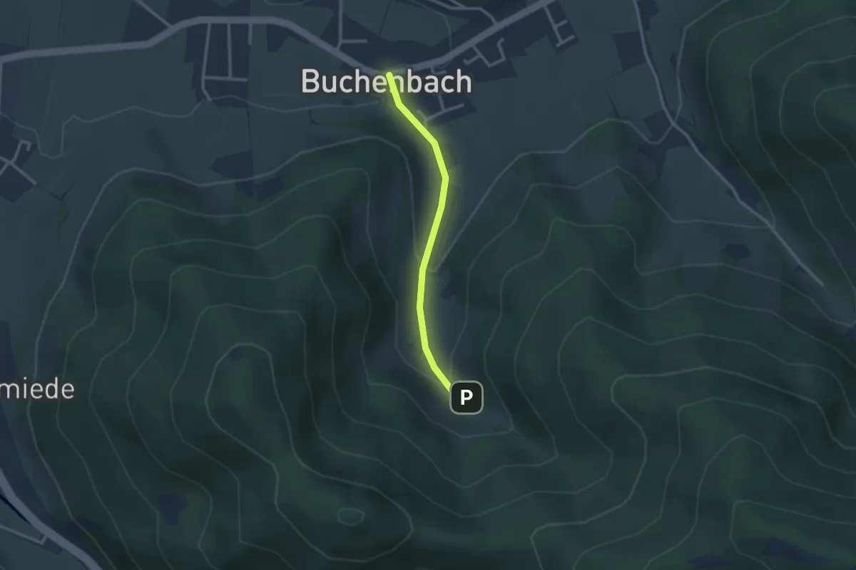
Easy · Trail
Buchenbach Kirche - Spielplatz Pfaffendobel
2.3 km · ↑ 117 m · 48 min
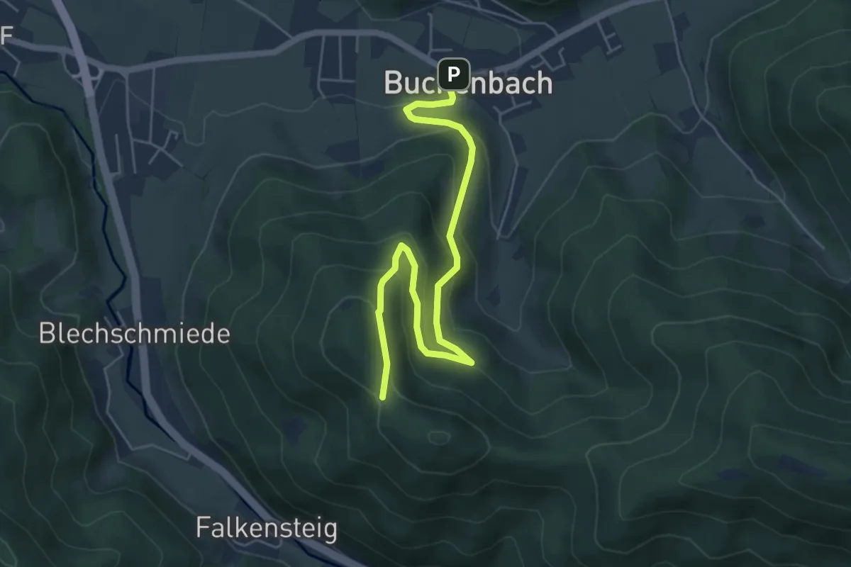
Medium · Trail
Buchenbach Rathaus - Frauensteigsattel
5.6 km · ↑ 353 m · 2 h 5 min
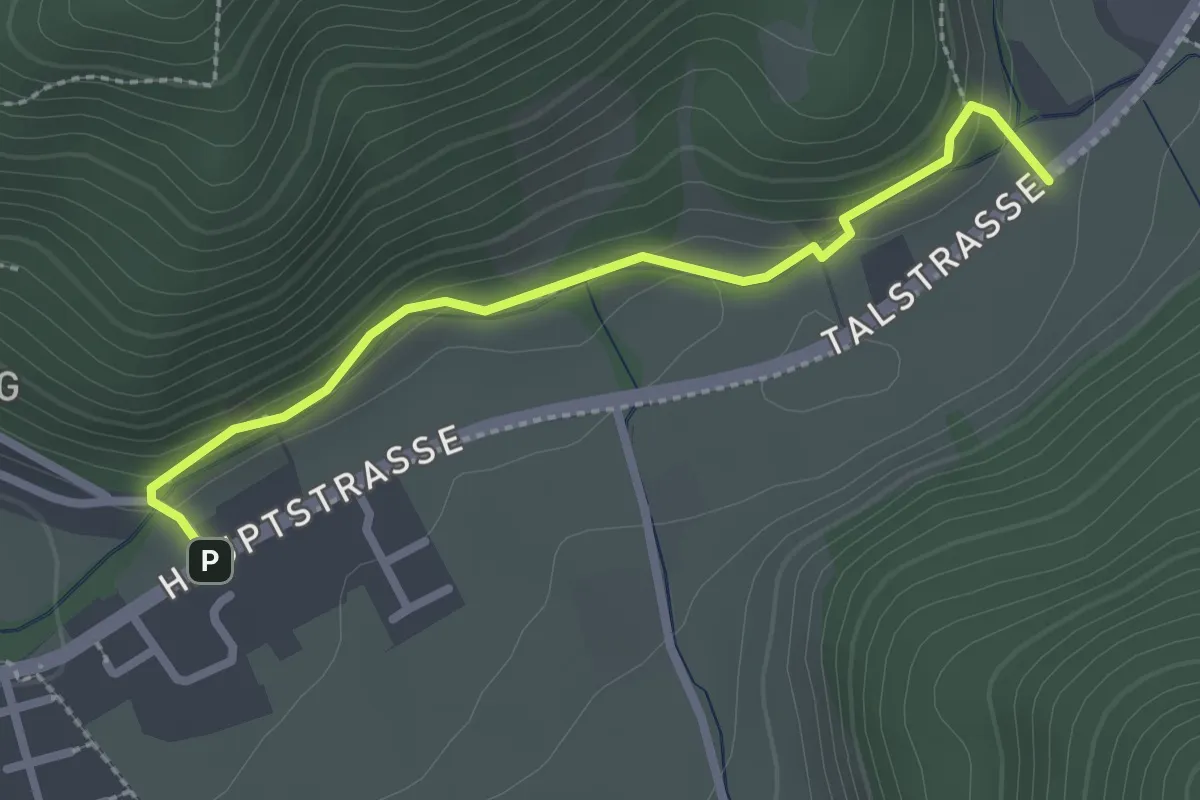
Easy · Trail
Buchenbach Sommerbergstraße - Mühlematte
2.5 km · ↑ 81 m · 45 min
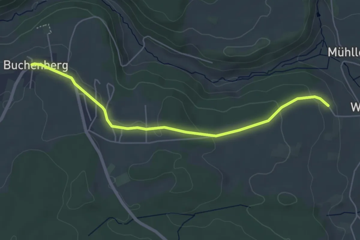
Easy · Trail
Buchenberg - Rauhe Albblick
4.7 km · ↑ 76 m · 1 h 16 min
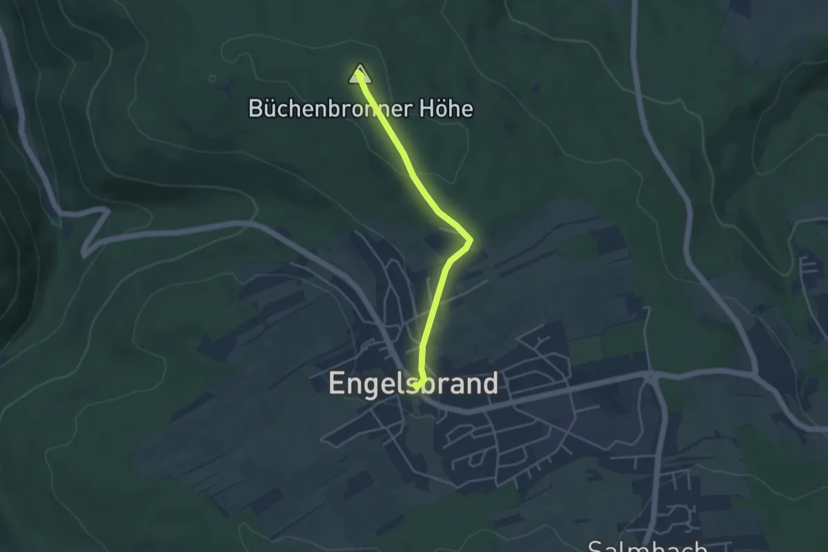
Easy · Summit
Büchenbronner Höhe - Engelsbrand Rathaus
3.3 km · ↑ 64 m · 55 min
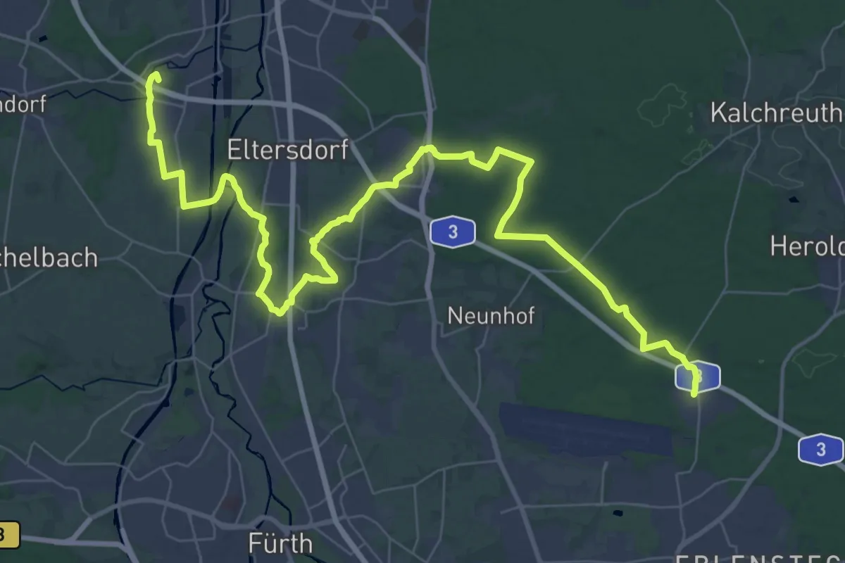
Demanding · Summit
Buchenbühl-Steudach
50.5 km · ↑ 239 m · 12 h 27 min
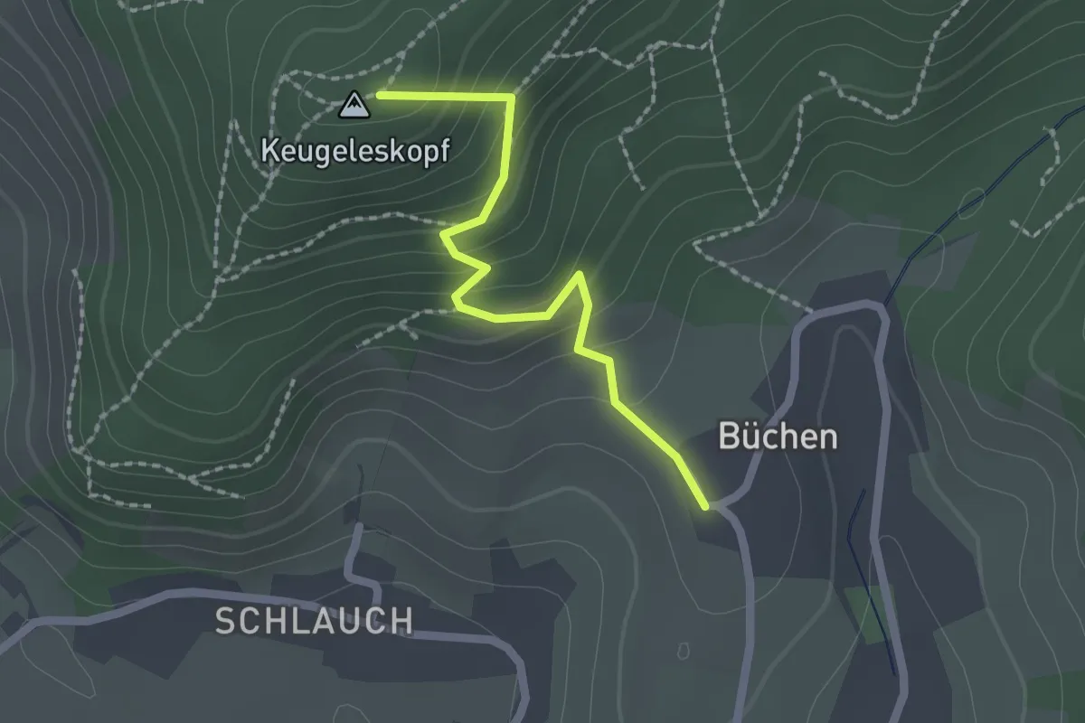
Easy · Summit
Büchen - Freudentaler Eck
1.8 km · ↑ 150 m · 45 min
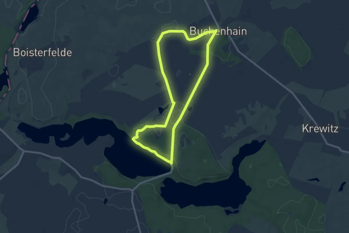
Easy · Trail
Buchenhainer Runde
5.8 km · ↑ 40 m · 1 h 33 min
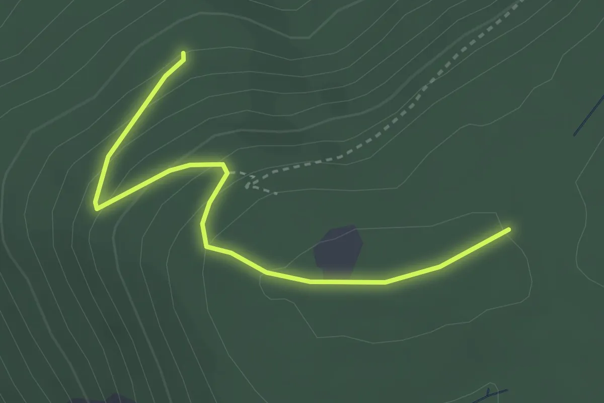
Easy · Trail
Buchenloh - Oberried
3.1 km · ↑ 174 m · 1 h 7 min
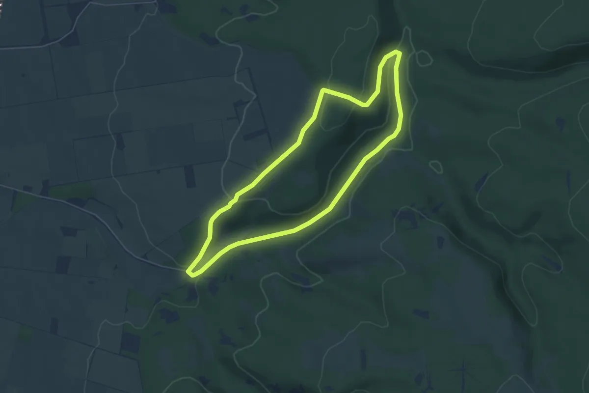
Easy · Trail
Buchen-Wildnis-Pfad (Naturerbe Wanderwelt Altenbeken)
4.7 km · ↑ 113 m · 1 h 25 min
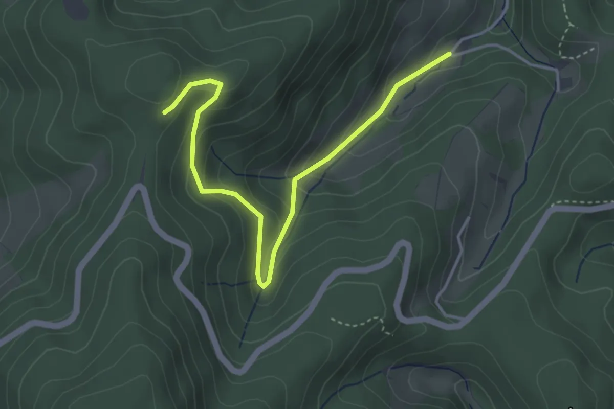
Easy · Trail
Büchereck - Linker Sulzbach
4.0 km · ↑ 266 m · 1 h 31 min
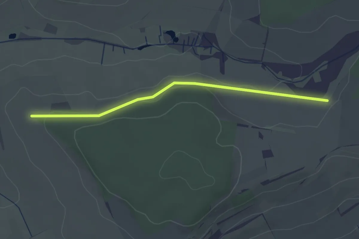
Easy · Trail
Bucherhof - Haslereck
2.9 km · ↑ 61 m · 50 min
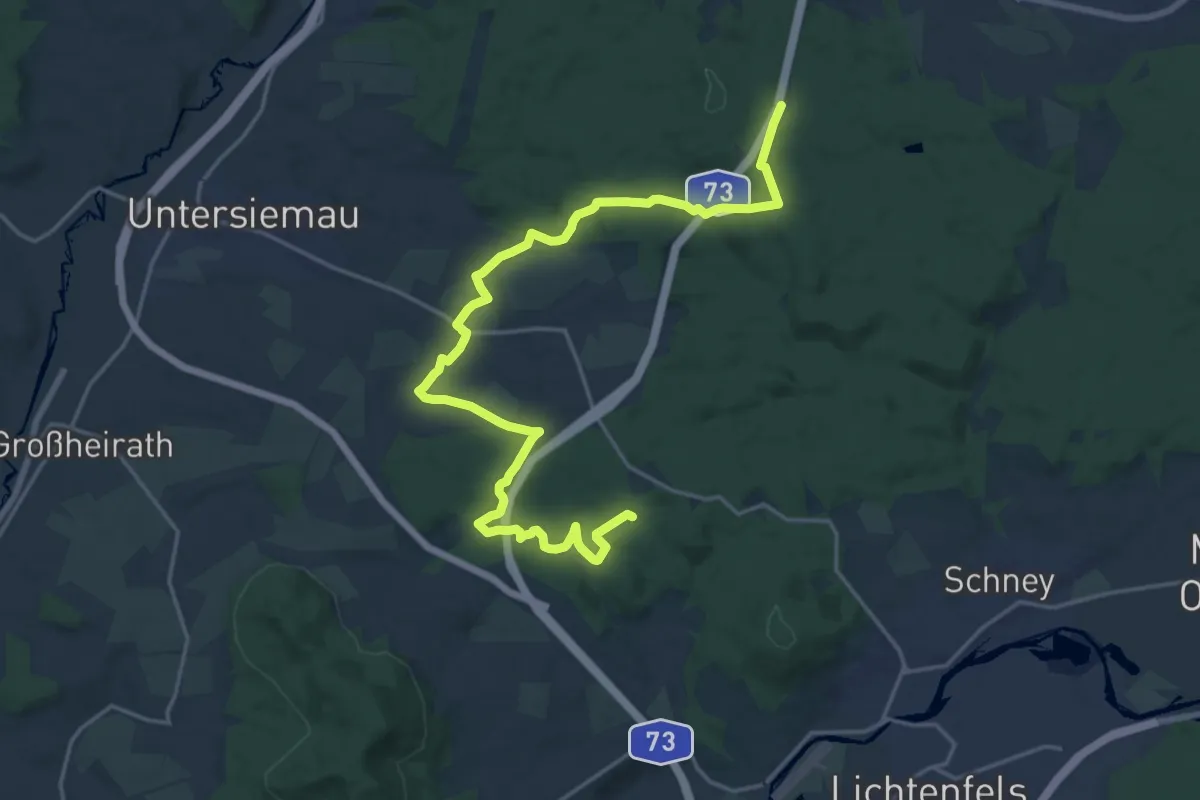
Demanding · Trail
Bucher Hufeisen
21.5 km · ↑ 358 m · 5 h 51 min
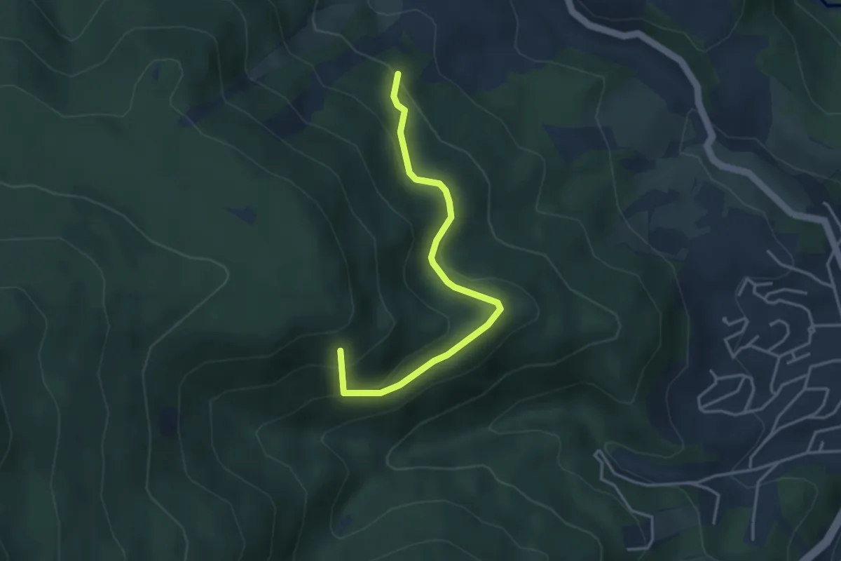
Easy · Summit
Büchet - Alter Sportplatz
3.4 km · ↑ 218 m · 1 h 17 min
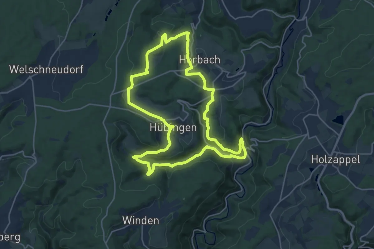
Medium · Trail
Buchfinkenland großer Rundwanderweg B1
14.8 km · ↑ 397 m · 4 h 34 min
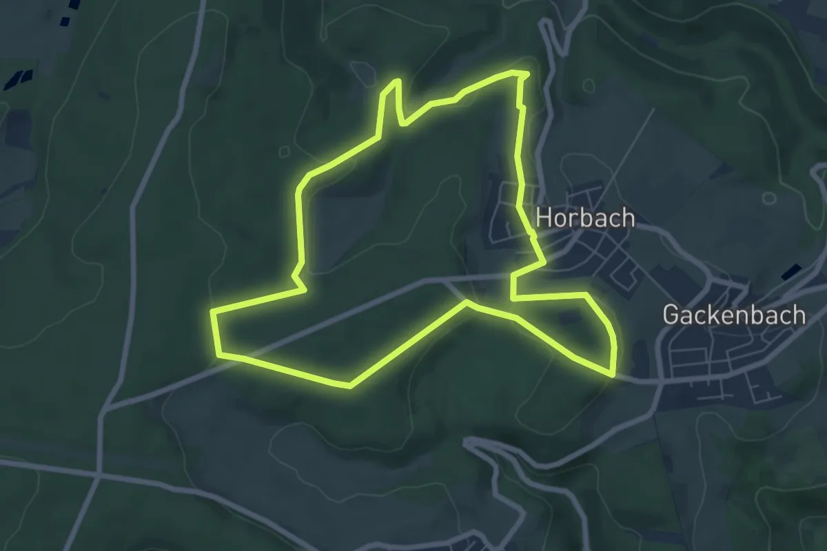
Easy · Trail
Buchfinkenland kleiner Rundwanderweg B2
6.6 km · ↑ 133 m · 1 h 56 min
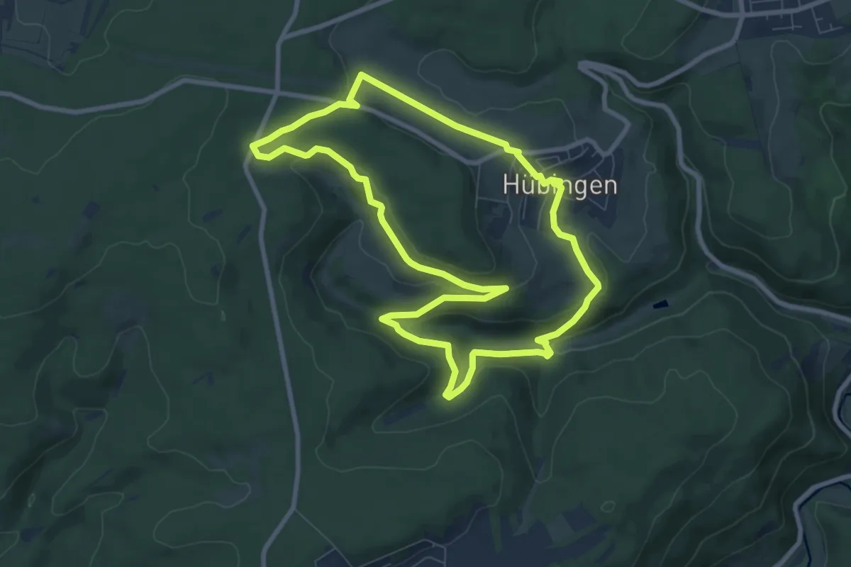
Easy · Trail
Buchfinkenland kleiner Rundwanderweg B3
7.5 km · ↑ 217 m · 2 h 21 min
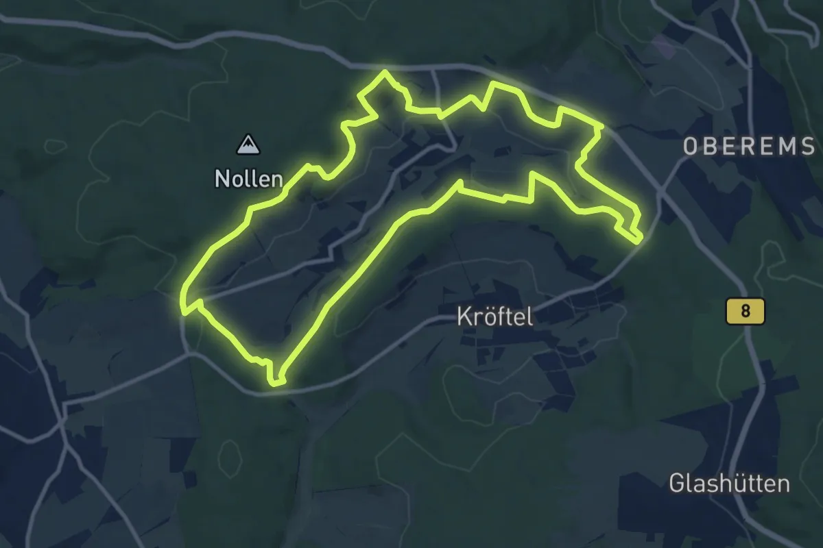
Medium · Trail
Buchfinkenland-Rundwanderweg Nieder-Oberrod
10.9 km · ↑ 224 m · 3 h 12 min
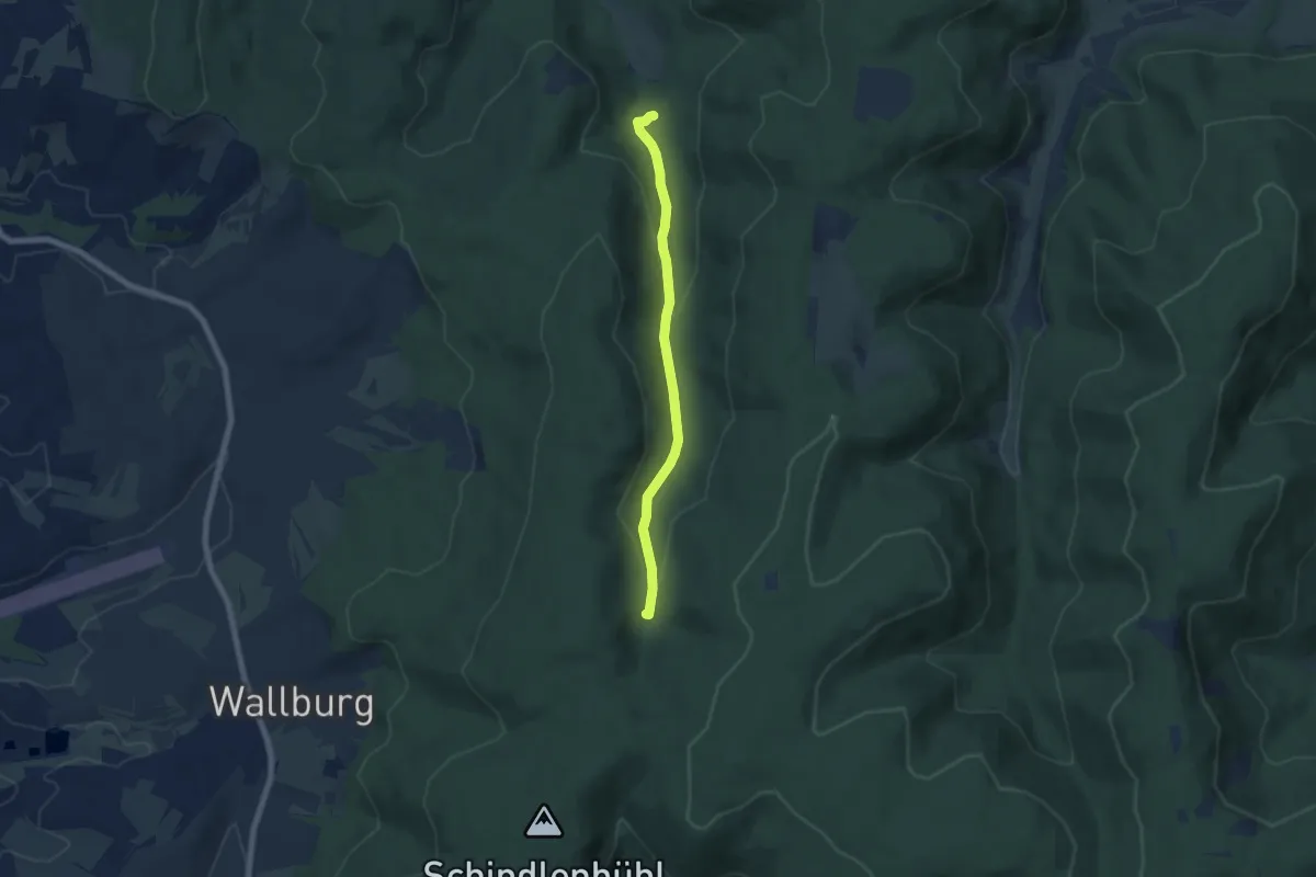
Easy · Trail
Buchgraben - Untere Rennweghütte
5.7 km · ↑ 163 m · 1 h 42 min
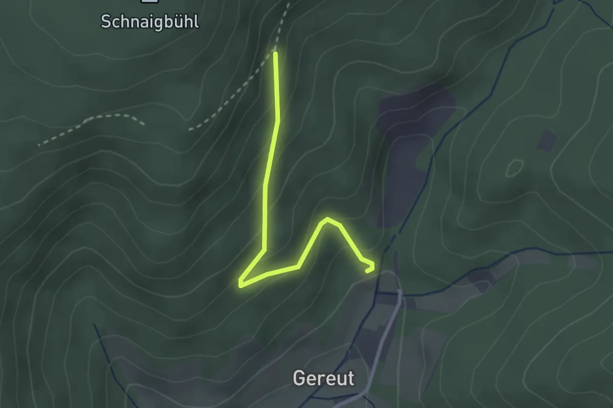
Easy · Trail
Buchhalde - Gereut Steinbruch Parkplatz
2.3 km · ↑ 173 m · 56 min
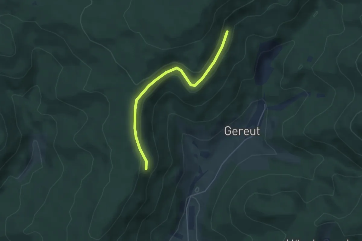
Easy · Trail
Buchhalde - Güntersdobel
3.8 km · ↑ 88 m · 1 h 5 min
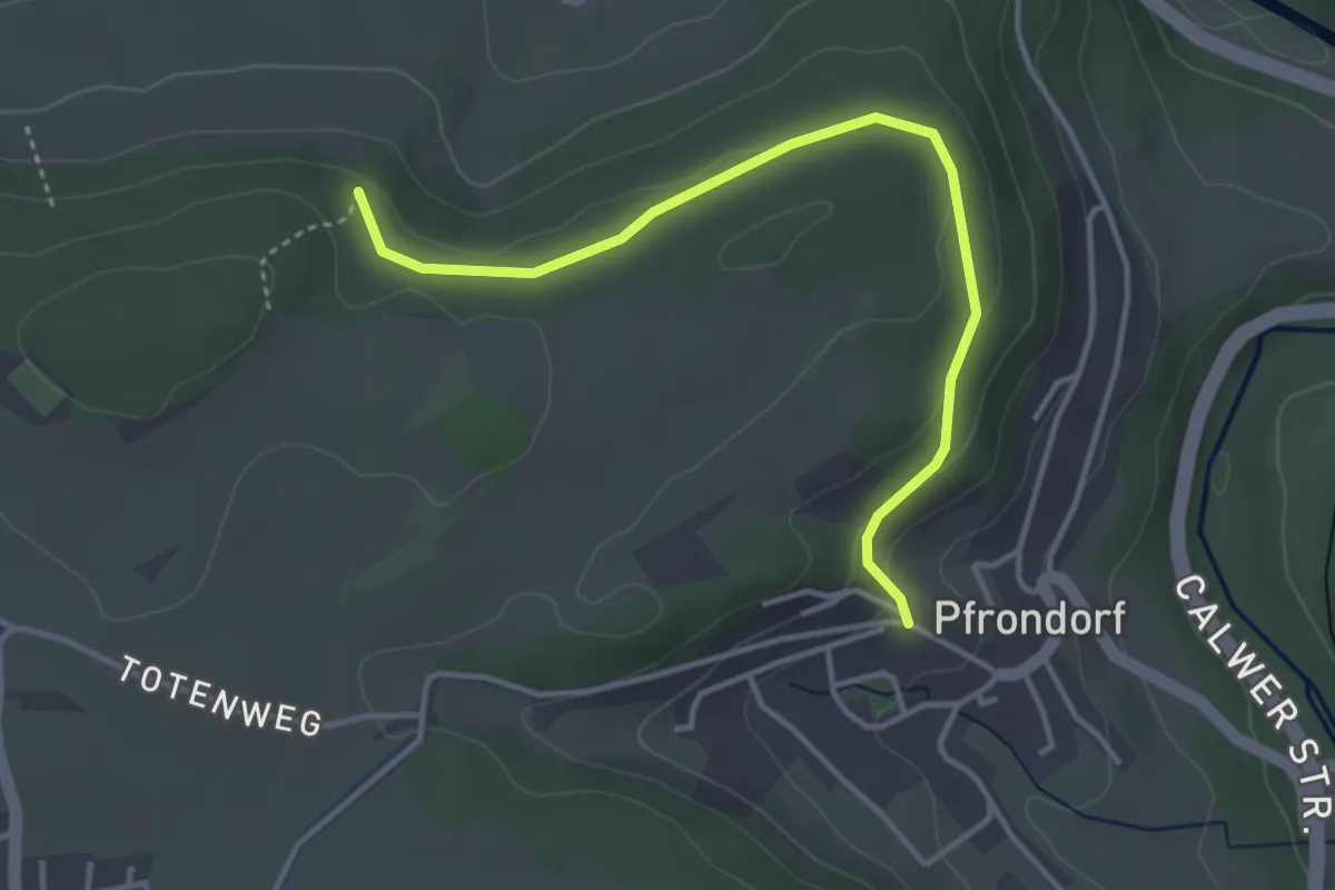
Easy · Trail
Buchhalde - Pfrondorf Killwegbrunnen
3.8 km · ↑ 99 m · 1 h 6 min
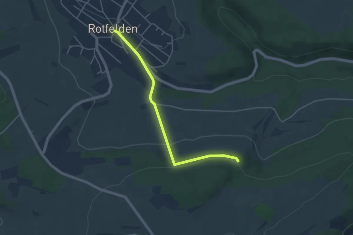
Easy · Trail
Buchhalde - Rotfelden Kirche
3.3 km · ↑ 99 m · 1 h
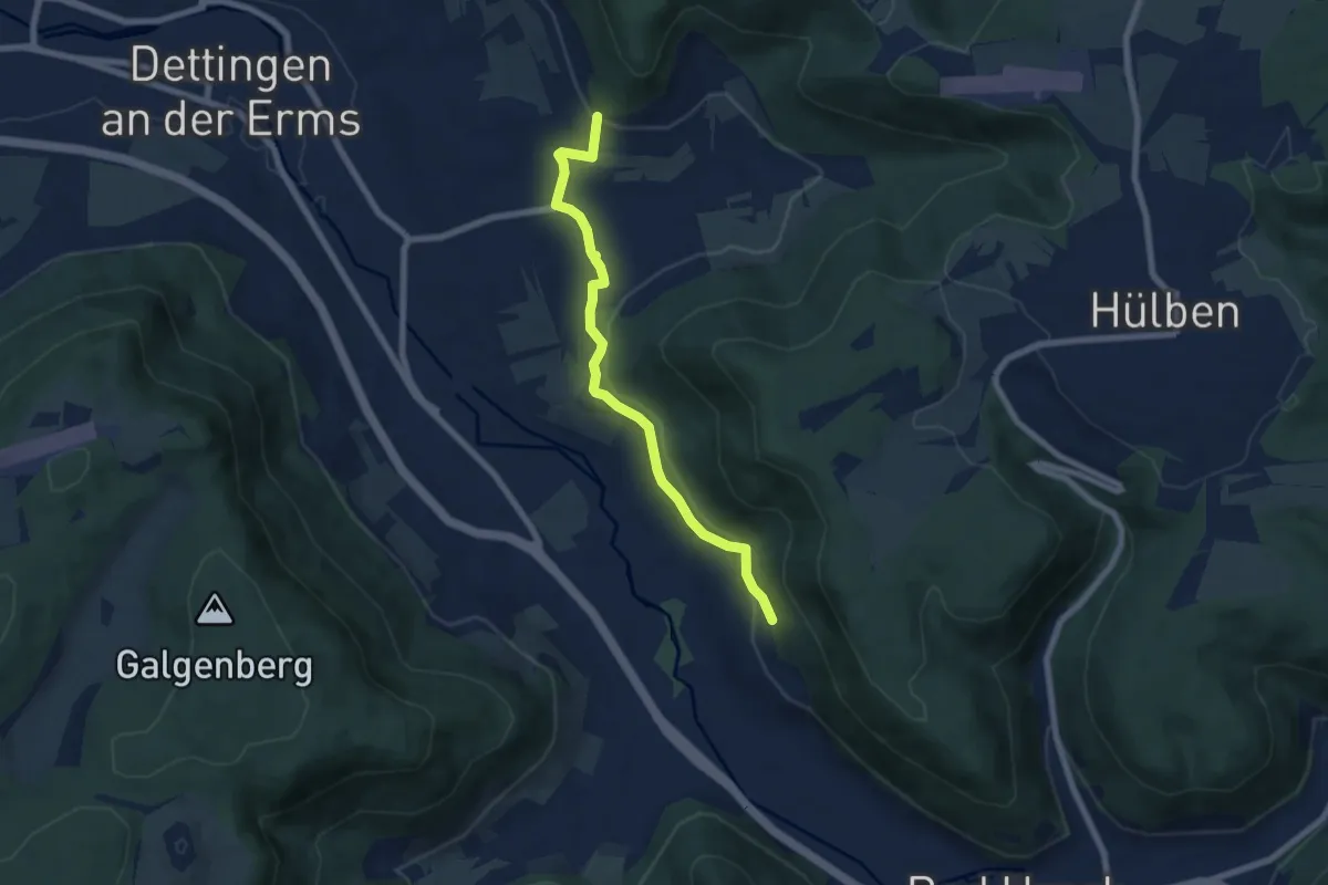
Easy · Trail
Buchhalde - Urach
6.5 km · ↑ 229 m · 2 h 2 min
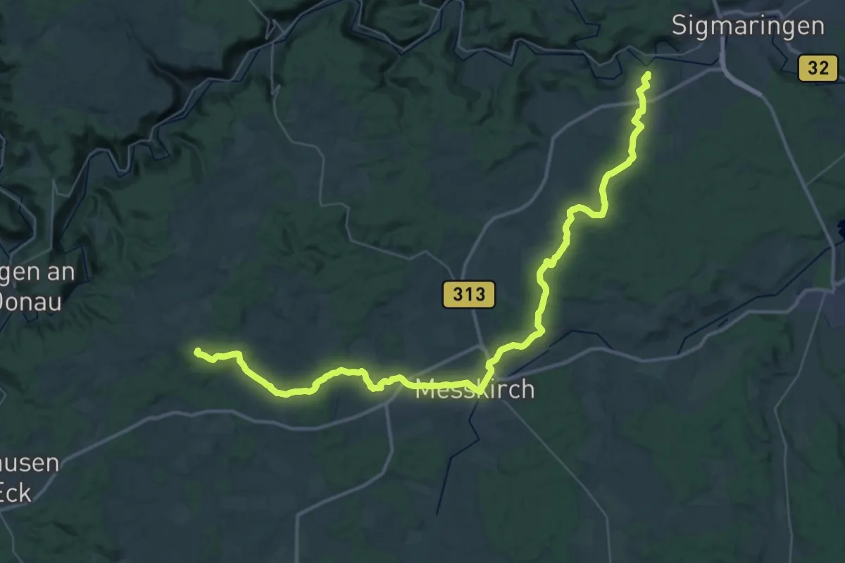
Demanding · Trail
Buchheim - Meßkirch - Inzigkofen
22.8 km · ↑ 198 m · 6 h 13 min