Trails in Germany
36,847 hiking trails, each with its route, climb, walking time and grade.
All trails, page 92 of 768
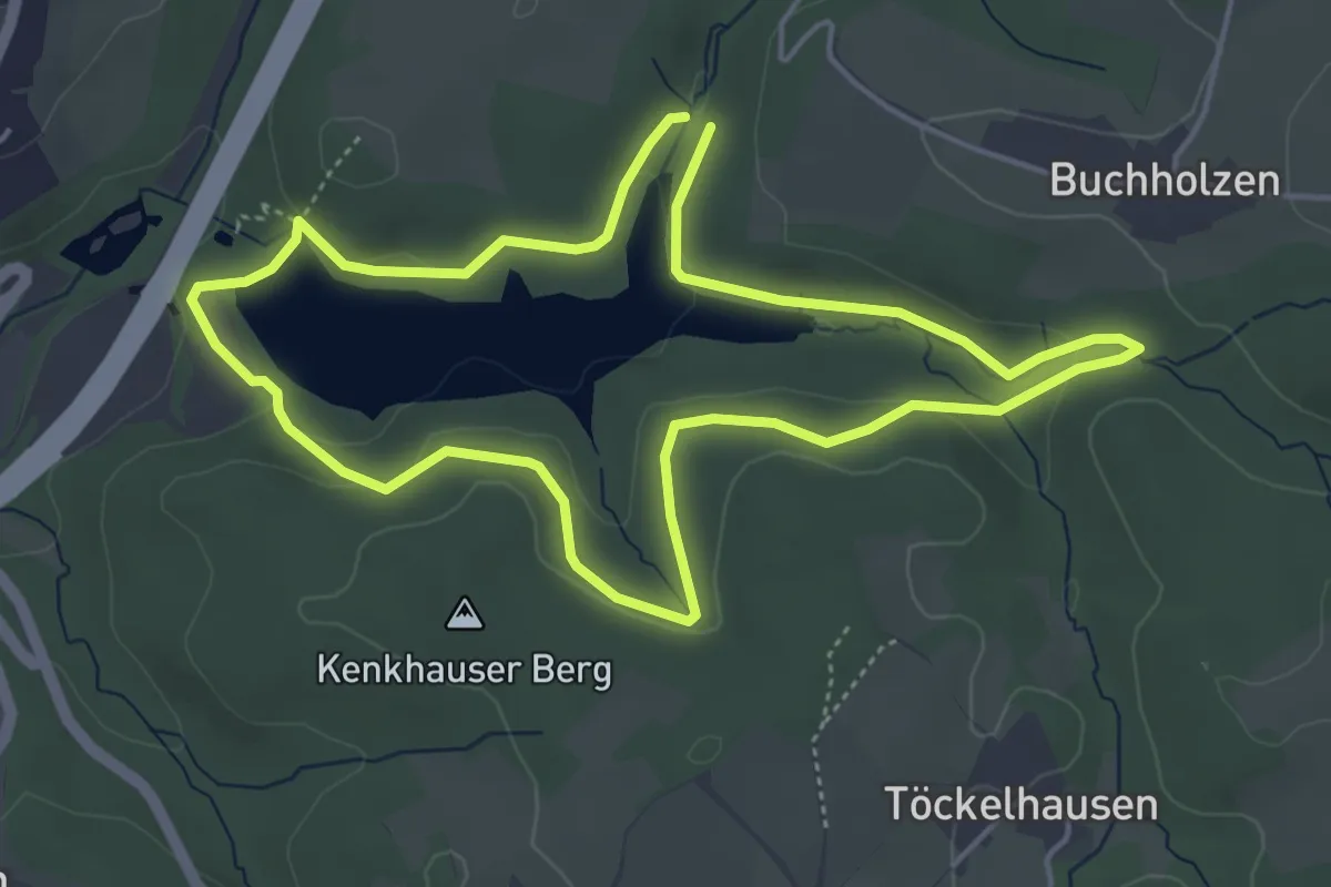
Easy · Trail
Buchholzen Rundweg A1
4.2 km · ↑ 97 m · 1 h 15 min
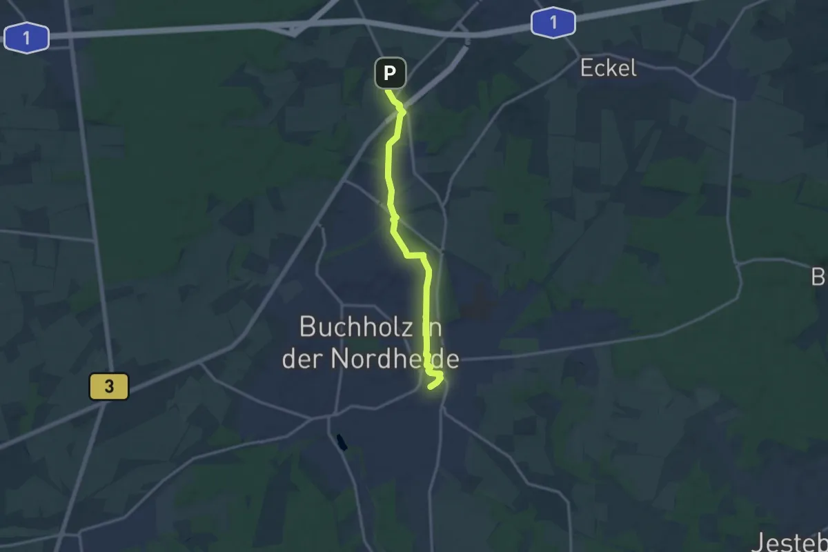
Easy · Trail
Buchholzer Rundwanderweg 3 - Kurze Runde
5.1 km · ↑ 19 m · 1 h 20 min
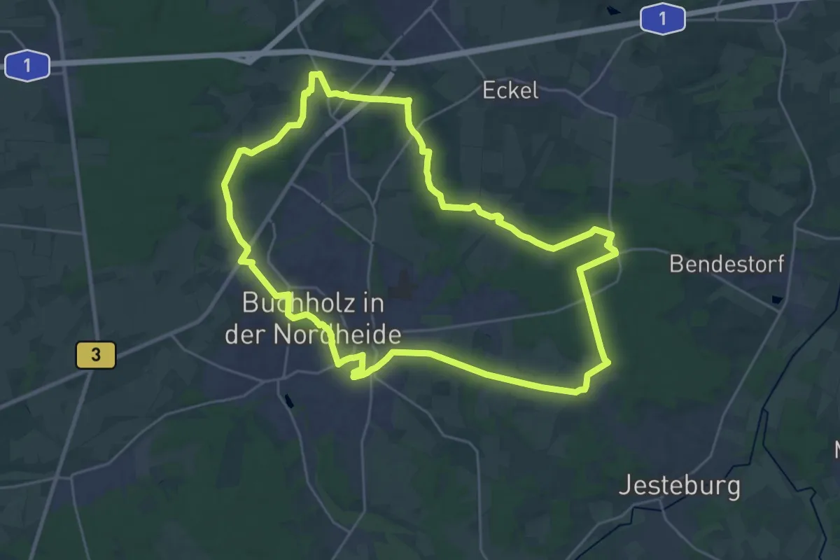
Demanding · Summit
Buchholzer Rundwanderweg 3 - Lange Runde
22.4 km · ↑ 151 m · 5 h 55 min
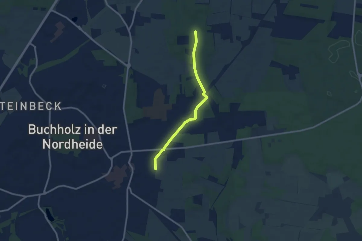
Easy · Trail
Buchholzer Rundwanderweg 3 - Mittlere Runde
2.9 km · ↑ 17 m · 45 min
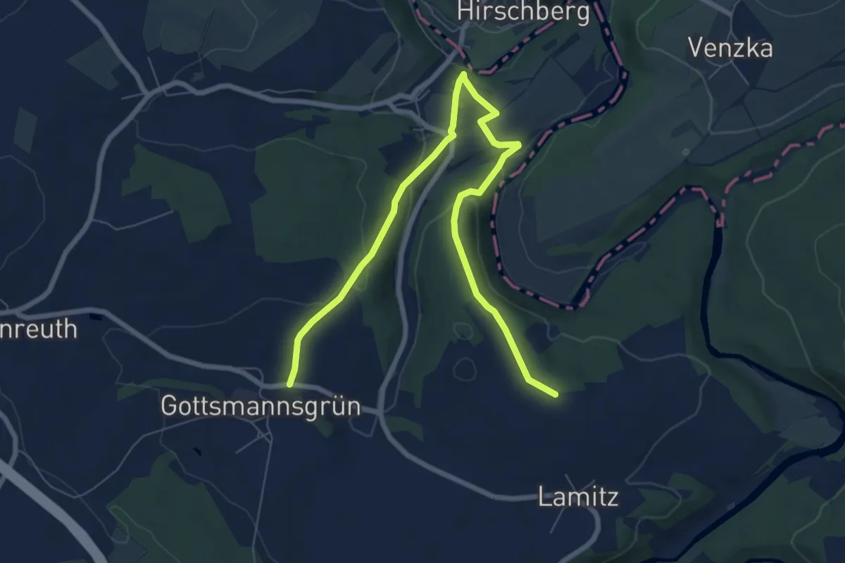
Easy · Trail
Büchig-Weg US 71
4.1 km · ↑ 137 m · 1 h 19 min
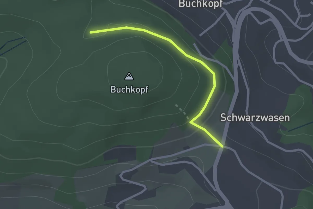
Medium · Trail
Buchkopf - Am Kreuzweg
2.0 km · ↑ 65 m · 37 min
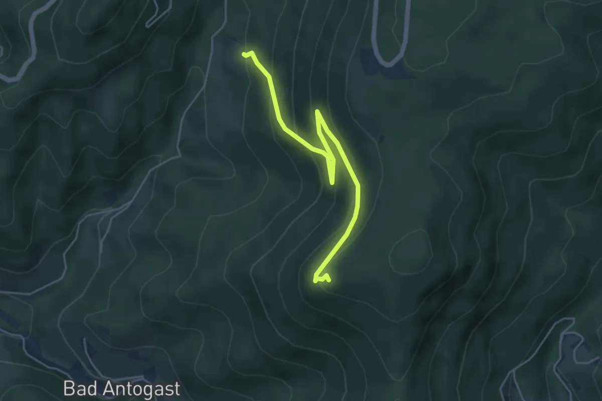
Medium · Trail
Buchkopfturm - Landeplatz
4.4 km · ↑ 294 m · 1 h 41 min
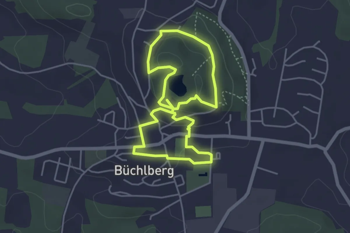
Easy · Trail
Büchlberger Acht
3.4 km · ↑ 91 m · 1 h 3 min
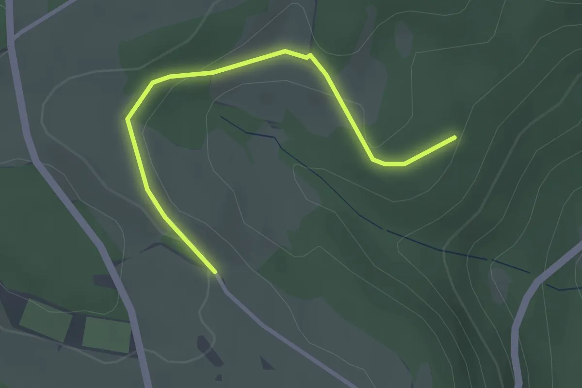
Easy · Trail
Buchmaettle - Erlen
2.7 km · ↑ 58 m · 45 min
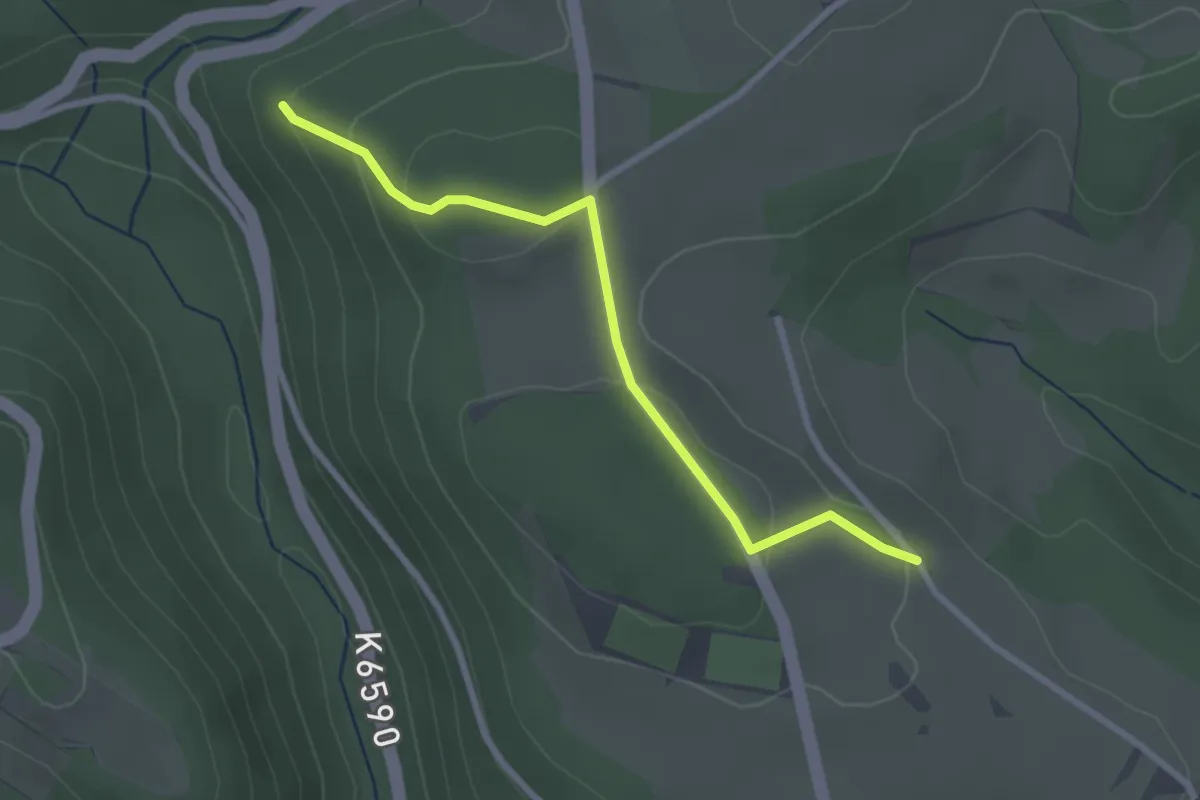
Easy · Trail
Buchmaettle - Tannenhölzle
2.6 km · ↑ 119 m · 52 min
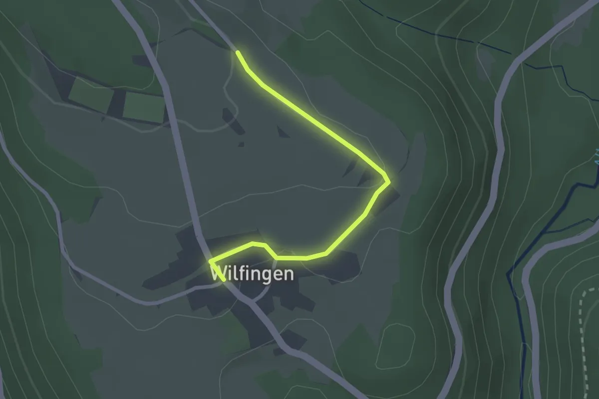
Easy · Trail
Buchmaettle - Willfingen
2.3 km · ↑ 39 m · 37 min
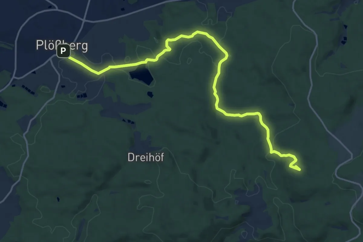
Medium · Summit
Buchnerweg
15.6 km · ↑ 285 m · 4 h 18 min
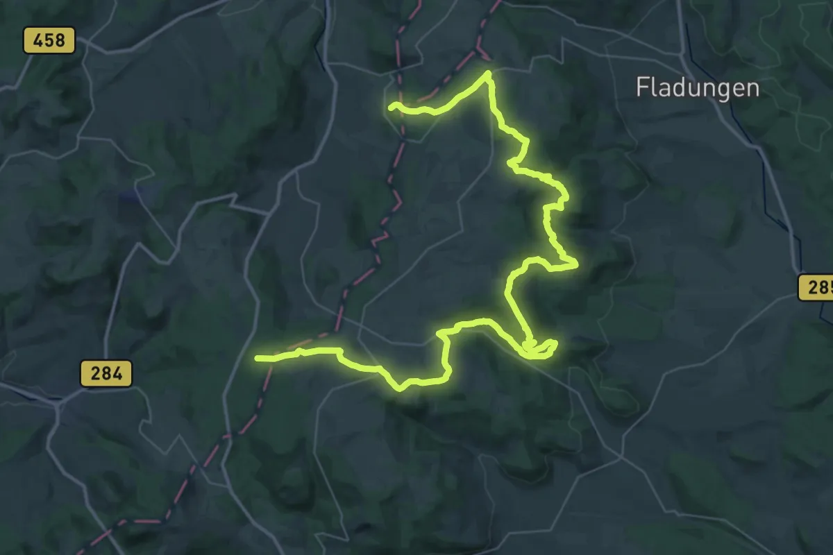
Demanding · Summit
Buchoniarundweg
26.0 km · ↑ 660 m · 7 h 53 min
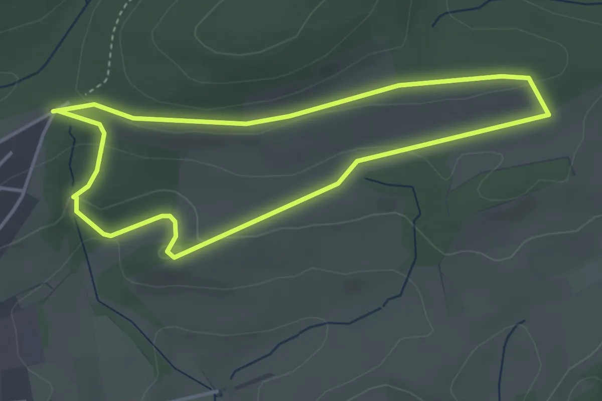
Easy · Trail
Buchplette Rundweg A5
3.2 km · ↑ 64 m · 56 min
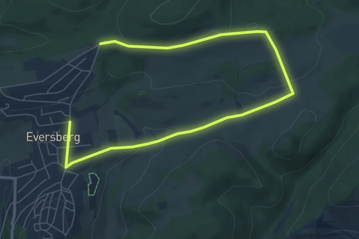
Easy · Trail
Buchplette Rundweg A6
7.7 km · ↑ 153 m · 2 h 9 min
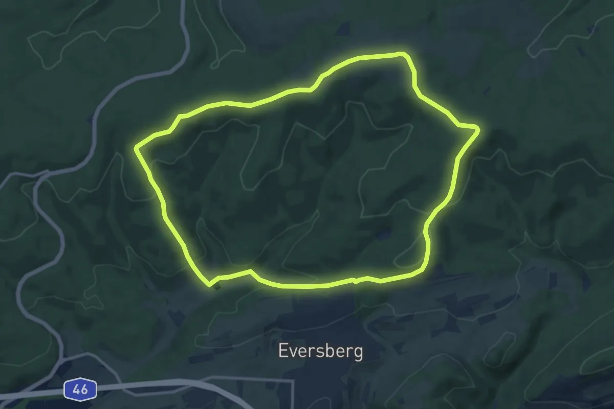
Medium · Summit
Buchplette Rundweg A8
9.5 km · ↑ 281 m · 2 h 59 min
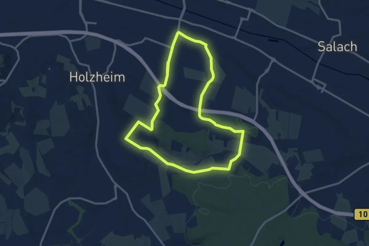
Medium · Trail
Buchrain-Riedwald-Weg
14.7 km · ↑ 170 m · 3 h 50 min
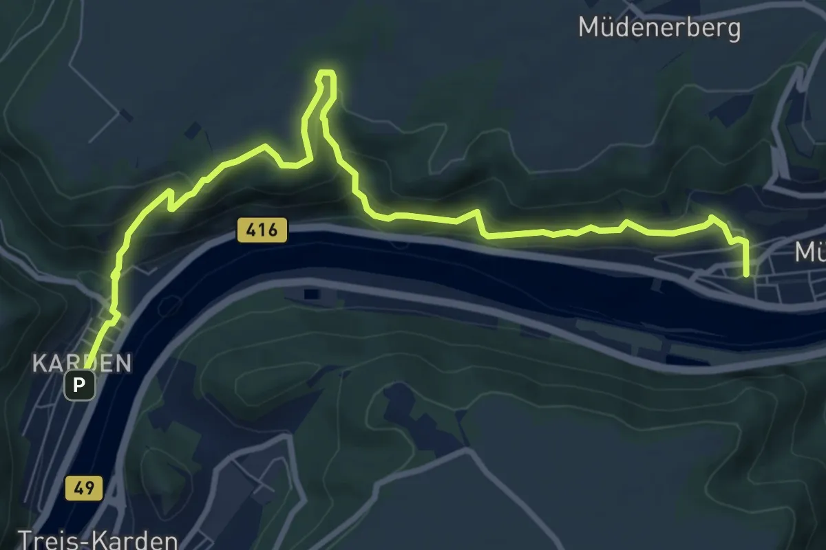
Medium · Trail
Buchsbaum-Wanderpfad
9.4 km · ↑ 610 m · 3 h 32 min
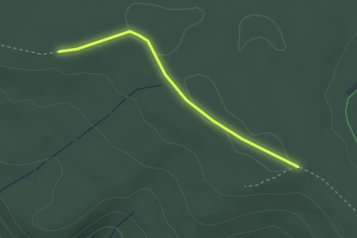
Easy · Trail
Buchwaldhöhe - Spindelhau
2.3 km · ↑ 32 m · 36 min
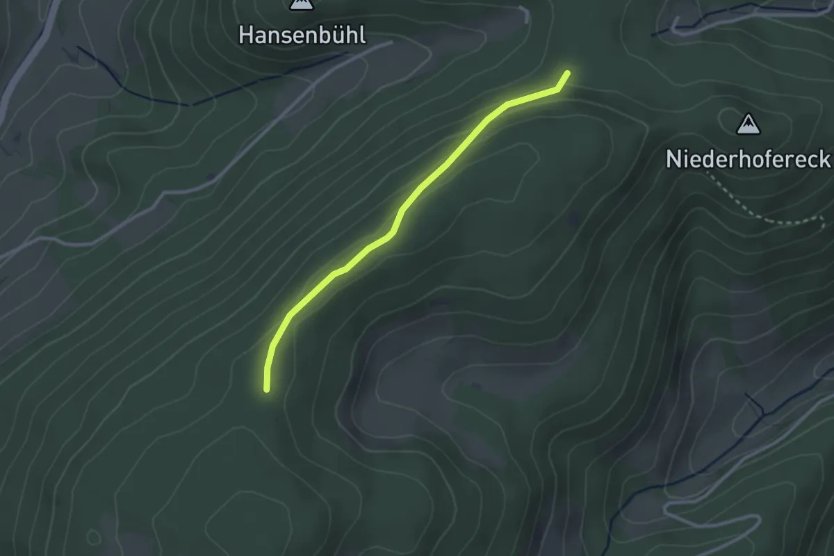
Easy · Trail
Buchwald - Ob dem Tschäghof
2.5 km · ↑ 77 m · 46 min
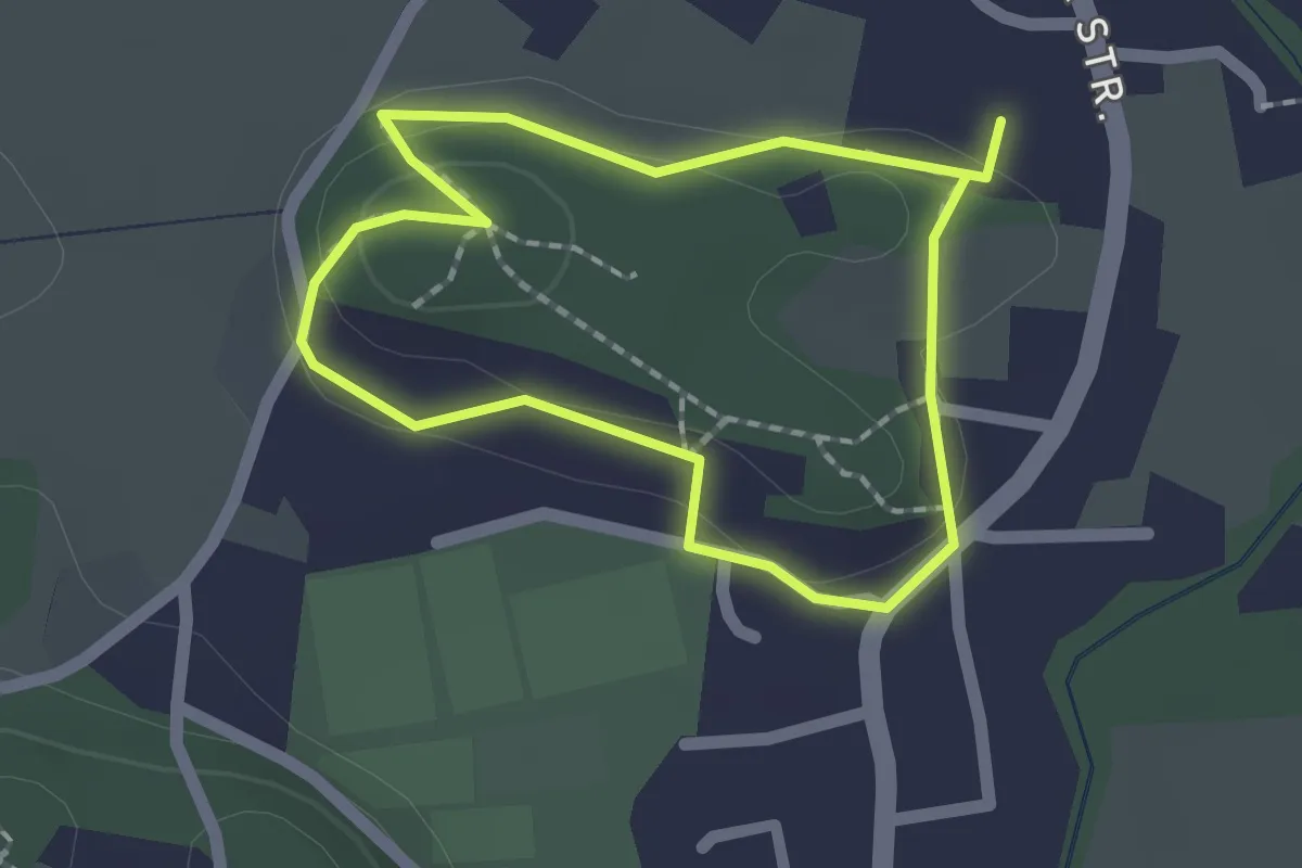
Medium · Trail
Buchwaldrundweg
1.5 km · ↑ 19 m · 25 min
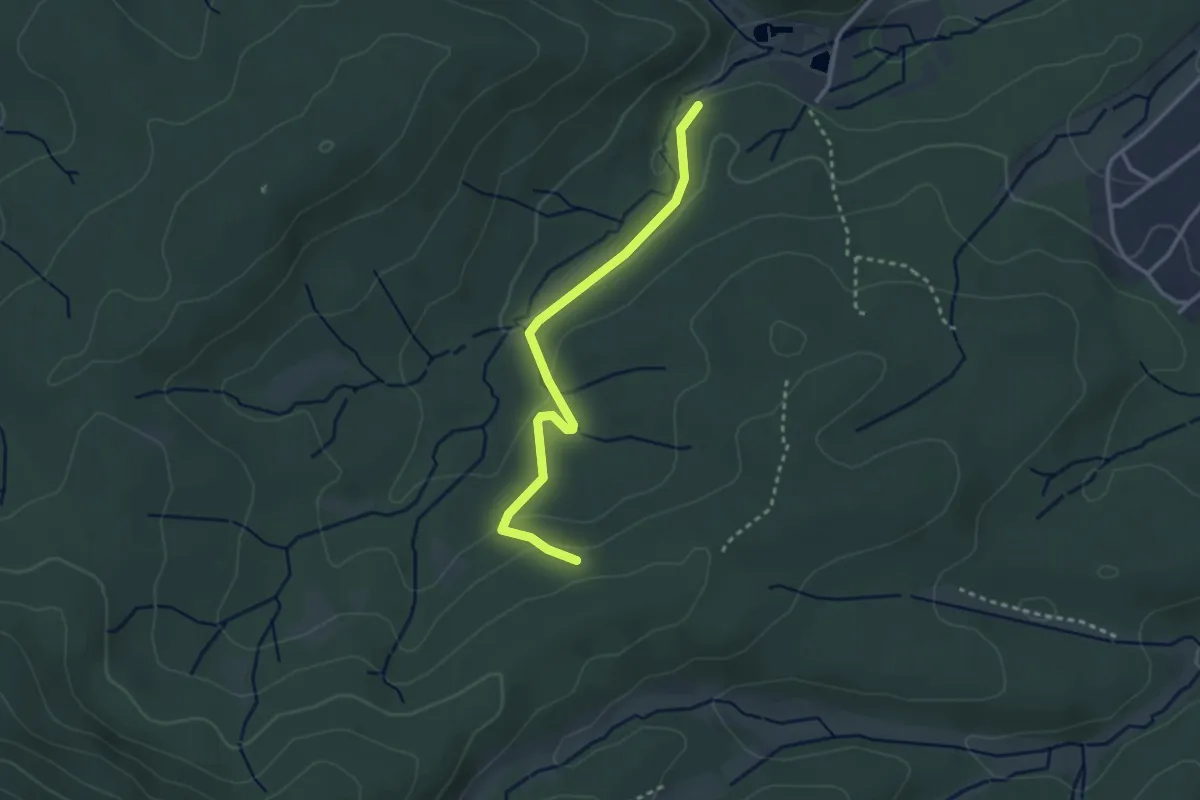
Easy · Trail
Bückelfirst - Traischbachtal
2.7 km · ↑ 84 m · 50 min
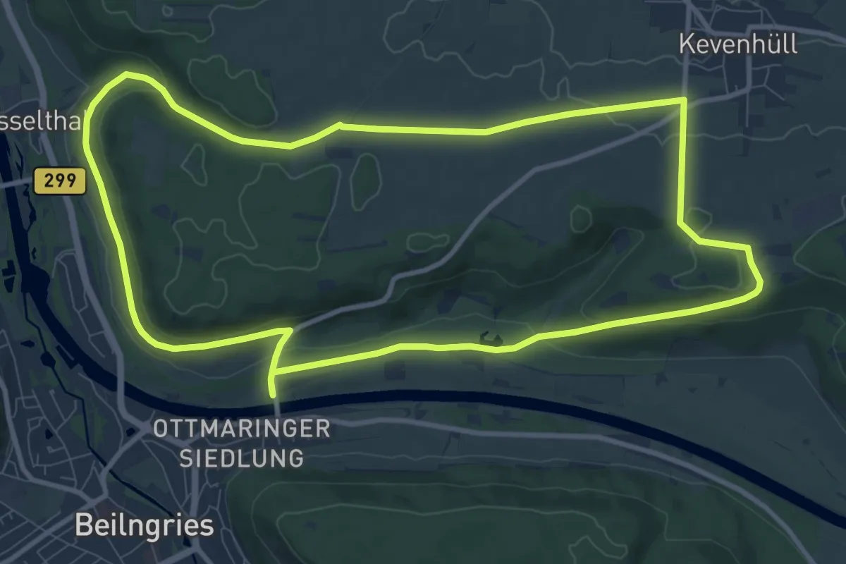
Medium · Trail
Buckel-Runde
9.6 km · ↑ 169 m · 2 h 46 min
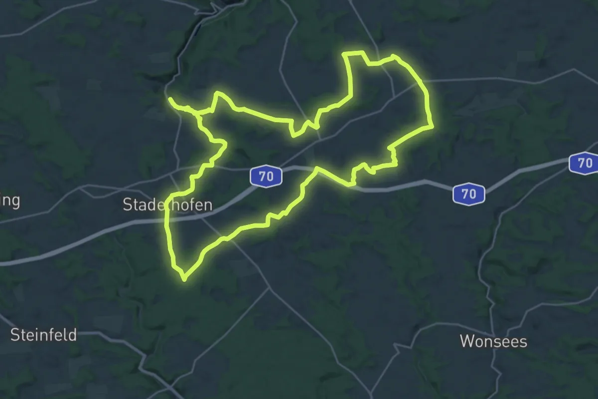
Demanding · Trail
Buckendorfer Rundweg
24.1 km · ↑ 273 m · 6 h 38 min
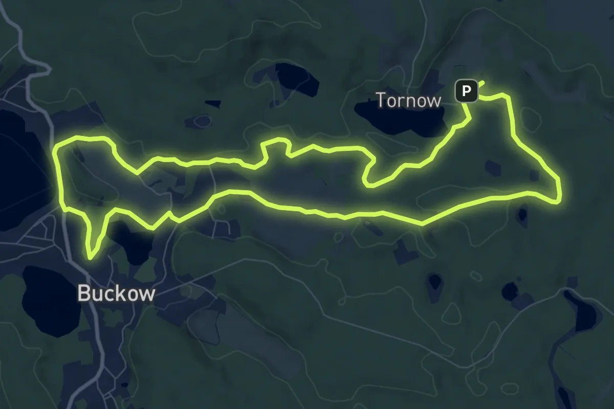
Medium · Summit
Buckower Kalorienpromenade
9.3 km · ↑ 72 m · 2 h 29 min
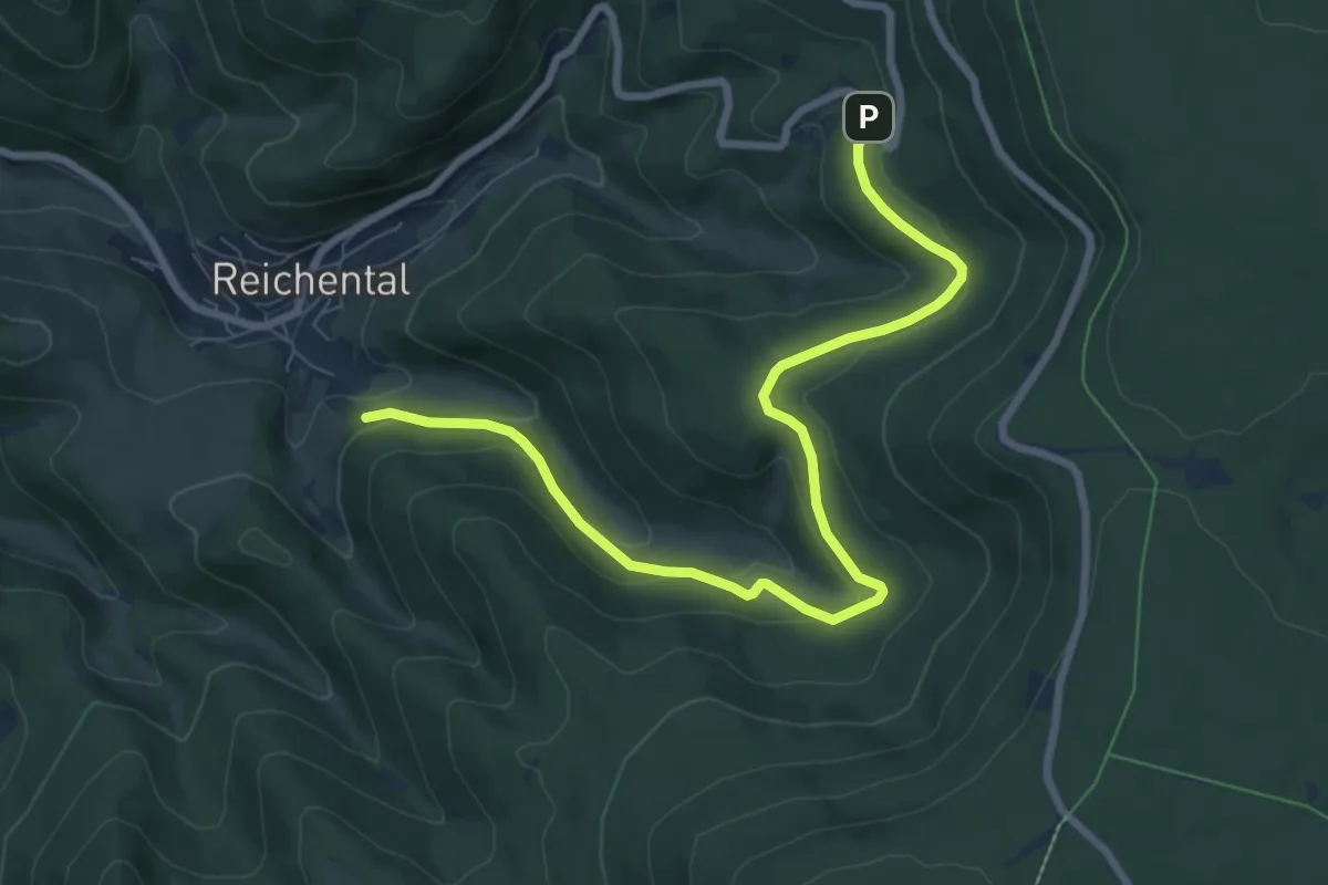
Medium · Trail
Buddingsweg - Milbigwiesen
8.5 km · ↑ 248 m · 2 h 33 min
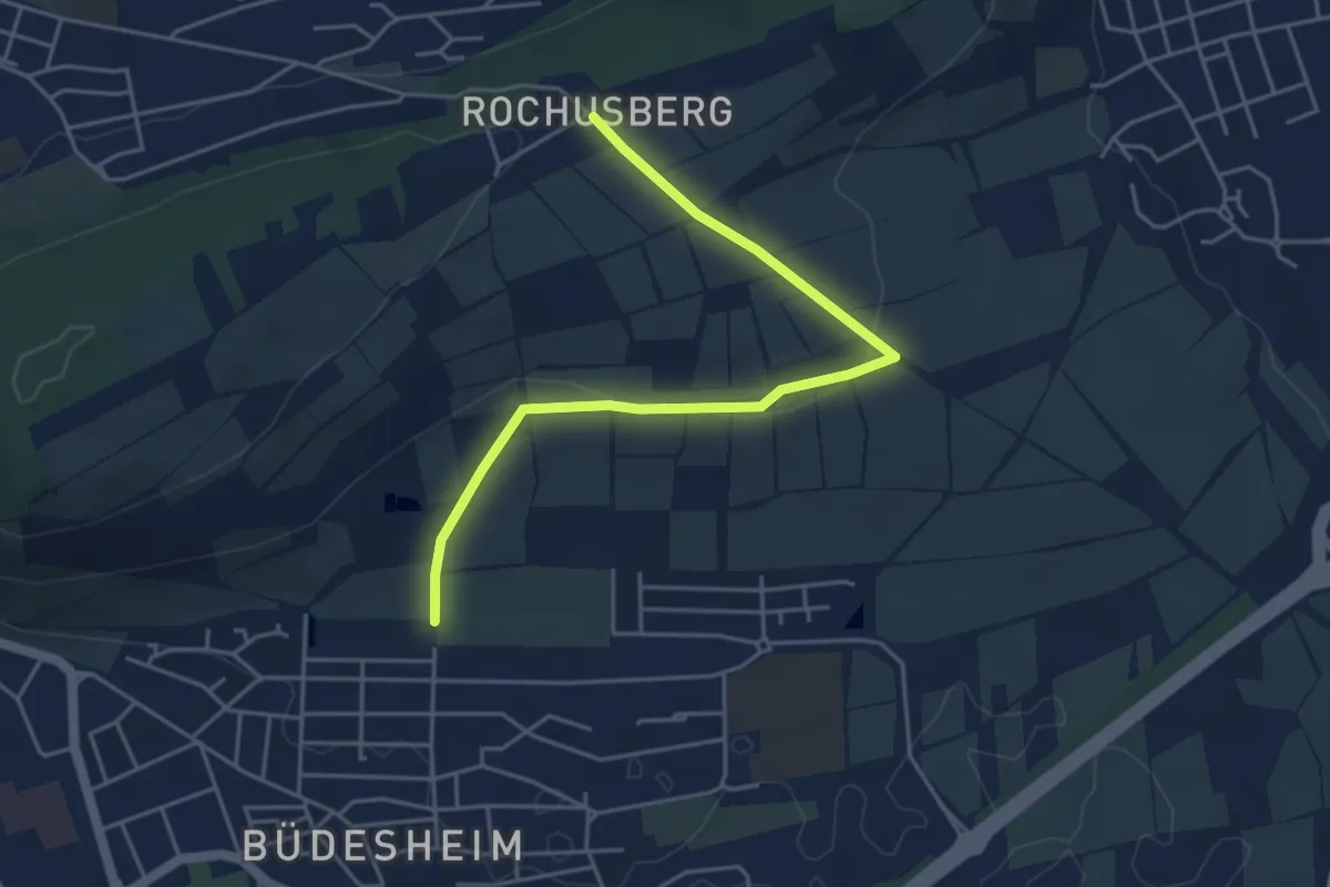
Easy · Trail
Büdesheimer Wein-Pirsch-Pfad
4.5 km · ↑ 96 m · 1 h 16 min
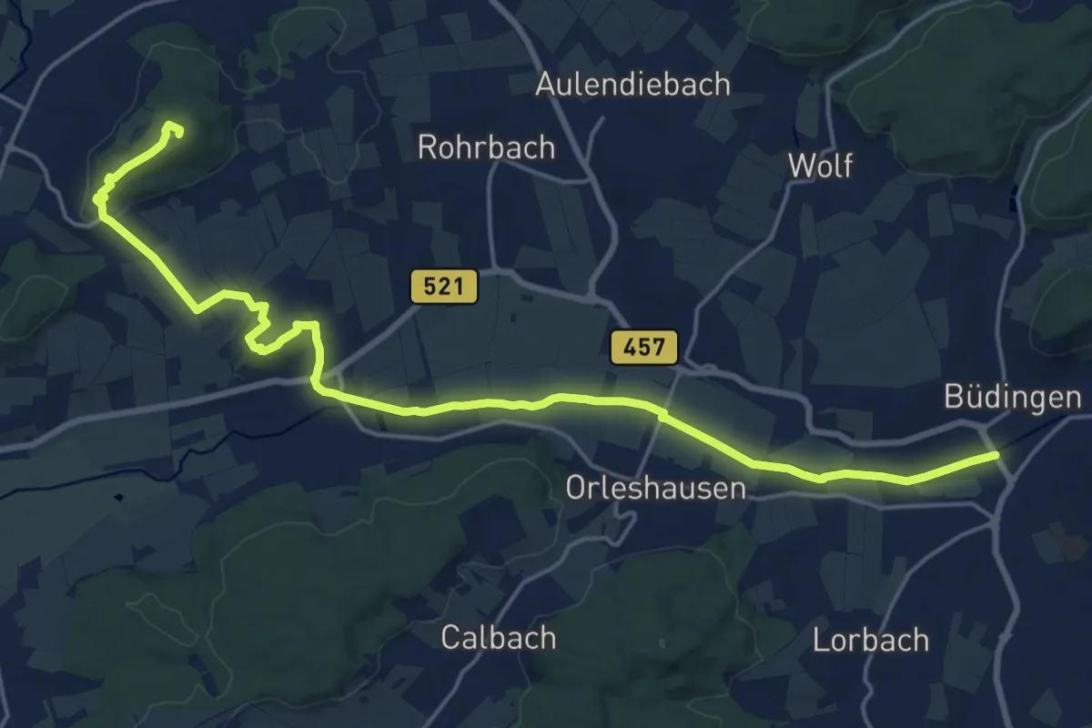
Demanding · Summit
Büdingen-Stockheim Weg
20.7 km · ↑ 223 m · 5 h 23 min
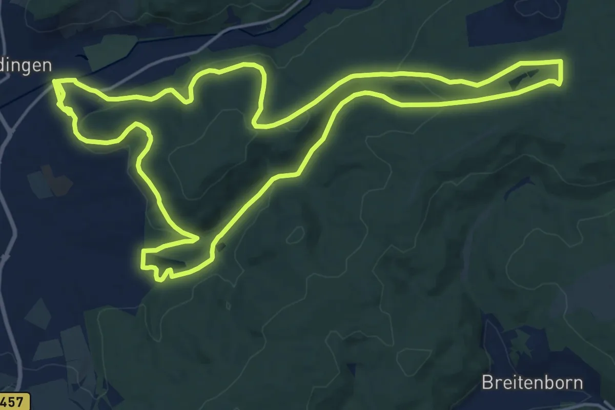
Medium · Summit
Büdingen Tour
16.1 km · ↑ 356 m · 4 h 48 min
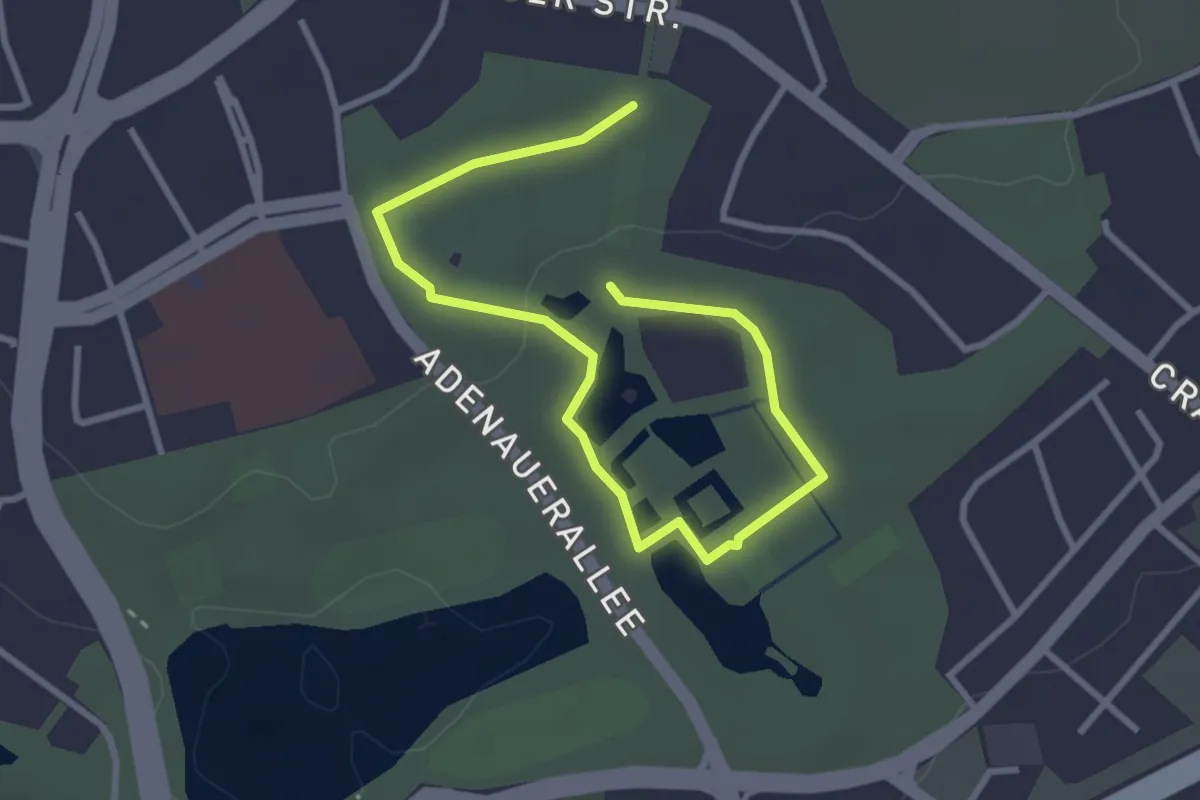
Easy · Trail
Buer Rundweg A1
1.8 km · ↑ 8 m · 29 min
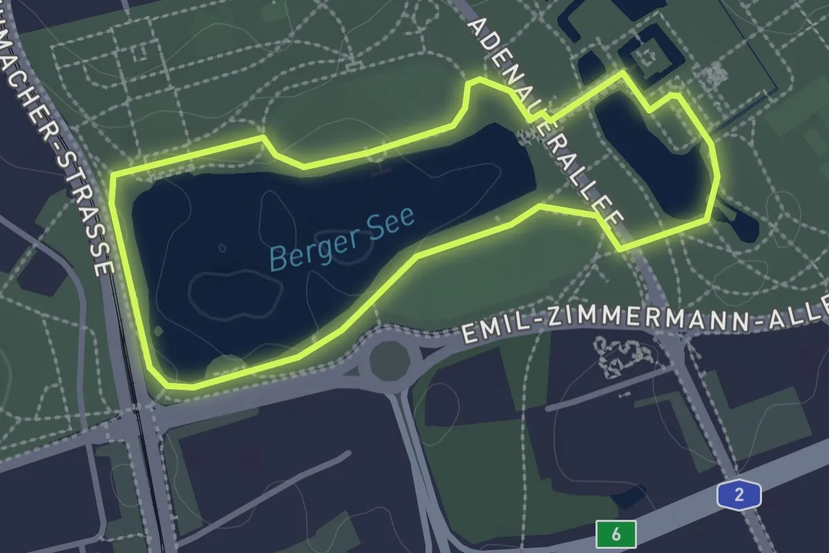
Easy · Trail
Buer Rundweg A2
2.3 km · ↑ 9 m · 36 min
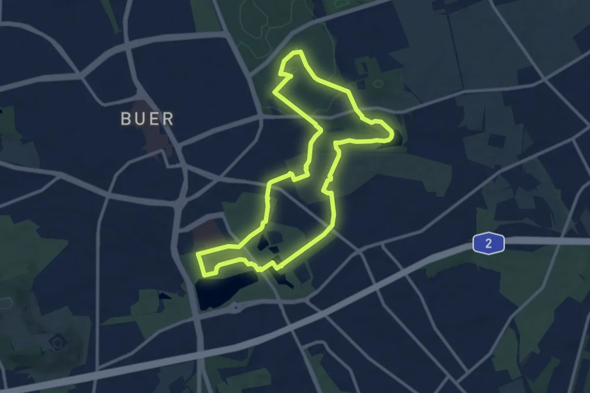
Easy · Trail
Buer Rundweg A3
7.2 km · ↑ 67 m · 1 h 57 min
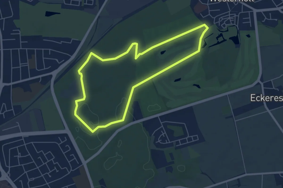
Easy · Trail
Buer Rundweg A4
4.9 km · ↑ 37 m · 1 h 19 min
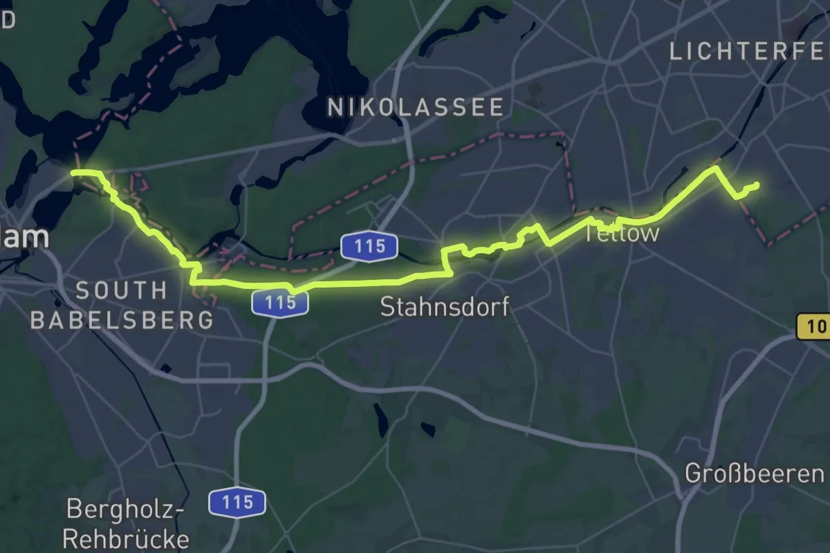
Demanding · Trail
BUGA-Weg 2001
19.8 km · ↑ 81 m · 5 h 7 min
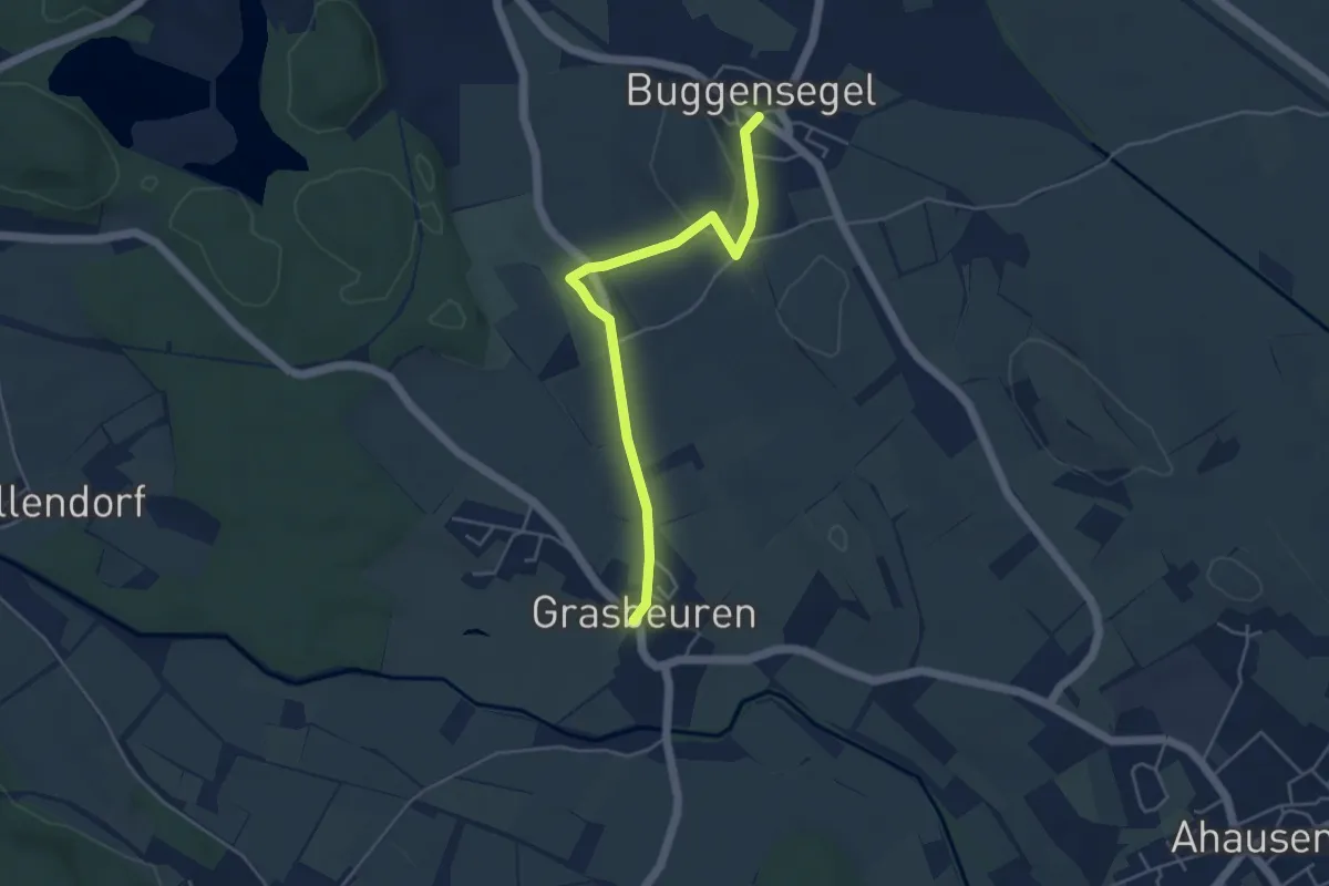
Easy · Trail
Buggensegel - Grasbeuren
4.4 km · ↑ 48 m · 1 h 9 min
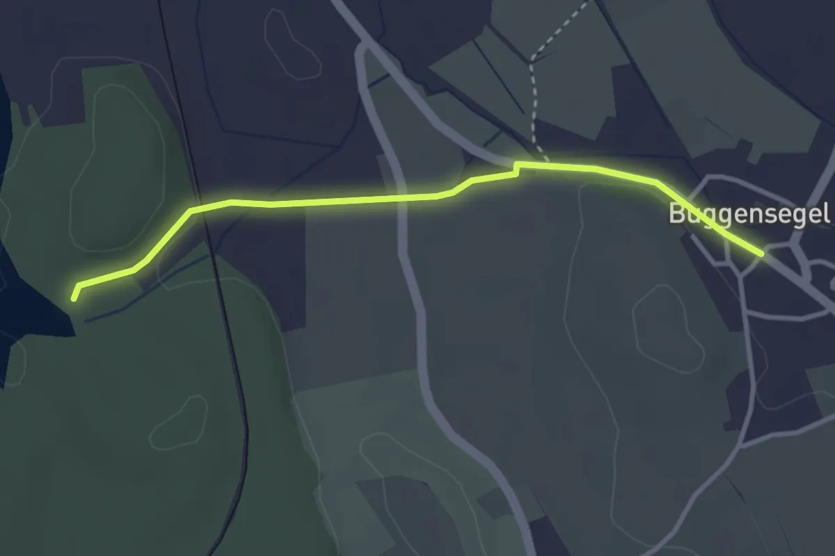
Easy · Trail
Buggensegel - Killenweiher
3.1 km · ↑ 43 m · 49 min
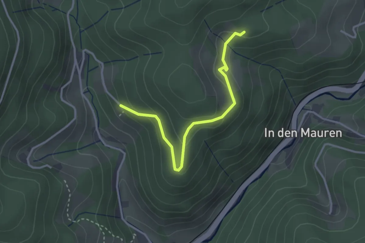
Easy · Trail
Bühlacker - Spinnersberg
2.9 km · ↑ 128 m · 57 min
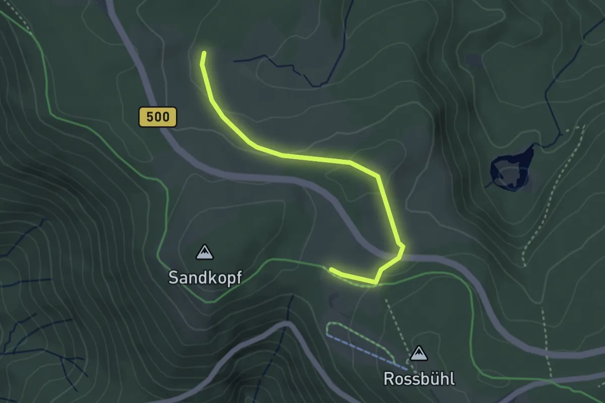
Easy · Trail
Buhlbacher Läger - Schwarze Lache
3.2 km · ↑ 69 m · 54 min
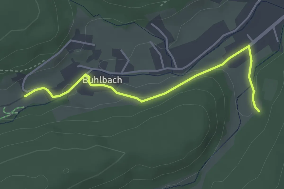
Easy · Trail
Buhlbach - Lärchenhütte
3.2 km · ↑ 58 m · 53 min
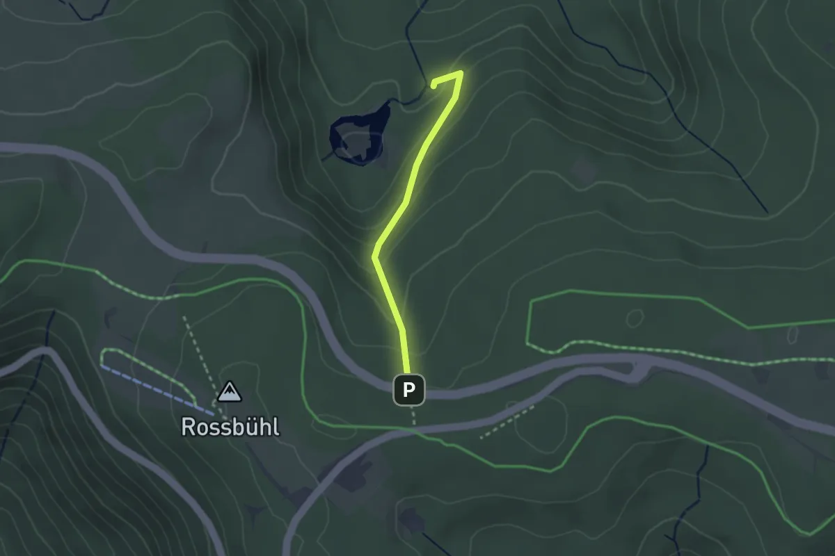
Medium · Trail
Buhlbachsee - Parkplatz Bärenteich
2.1 km · ↑ 135 m · 47 min
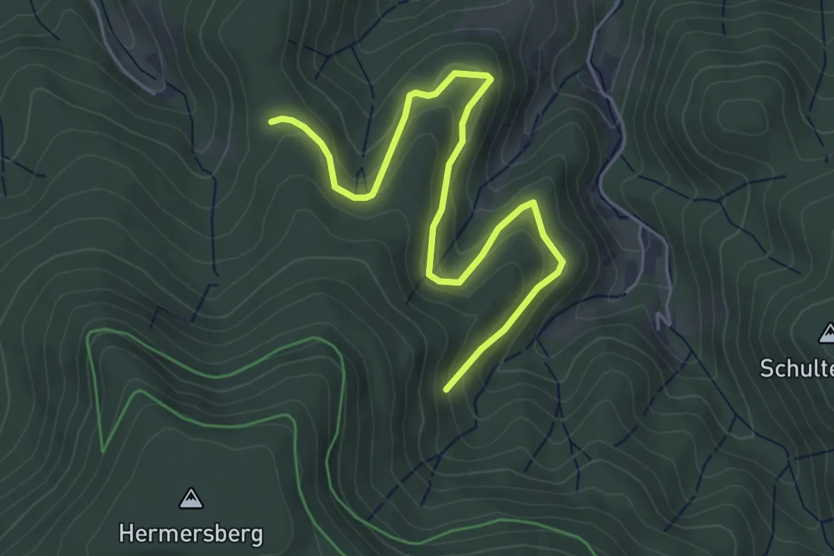
Medium · Trail
Bühlbauerneck - Heiberschrofen
5.3 km · ↑ 329 m · 1 h 58 min
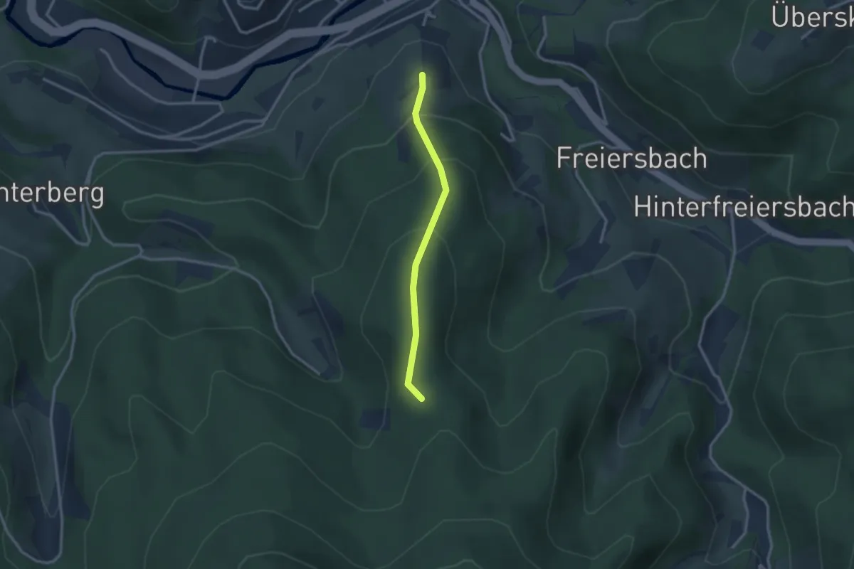
Easy · Trail
Bühlbauerneck - Zefersgrund
2.2 km · ↑ 175 m · 54 min
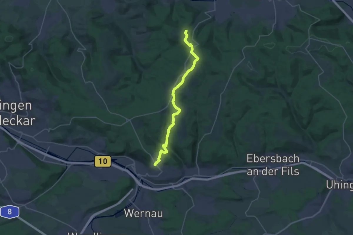
Demanding · Trail
Bühleiche - Baltmannsweiler - Manolzweiler
21.4 km · ↑ 444 m · 6 h 1 min
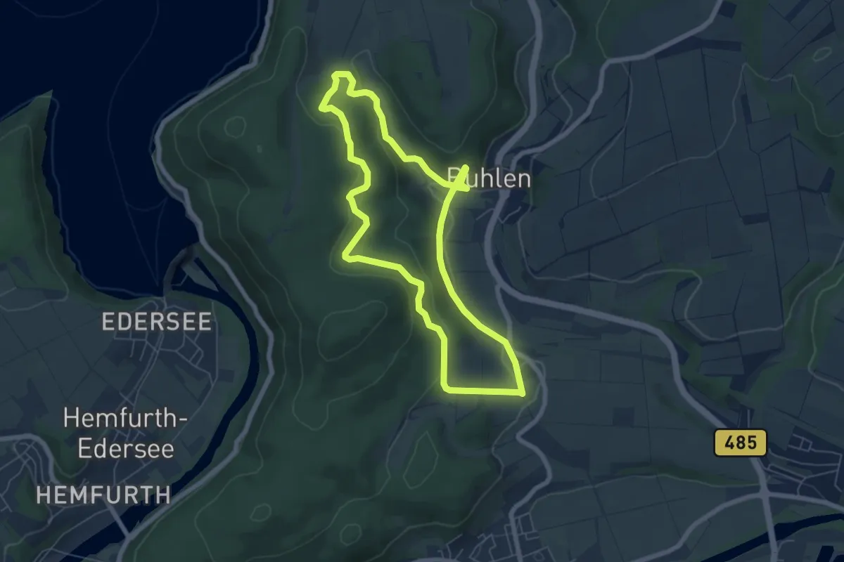
Easy · Trail
Buhlen B1
5.6 km · ↑ 175 m · 1 h 47 min
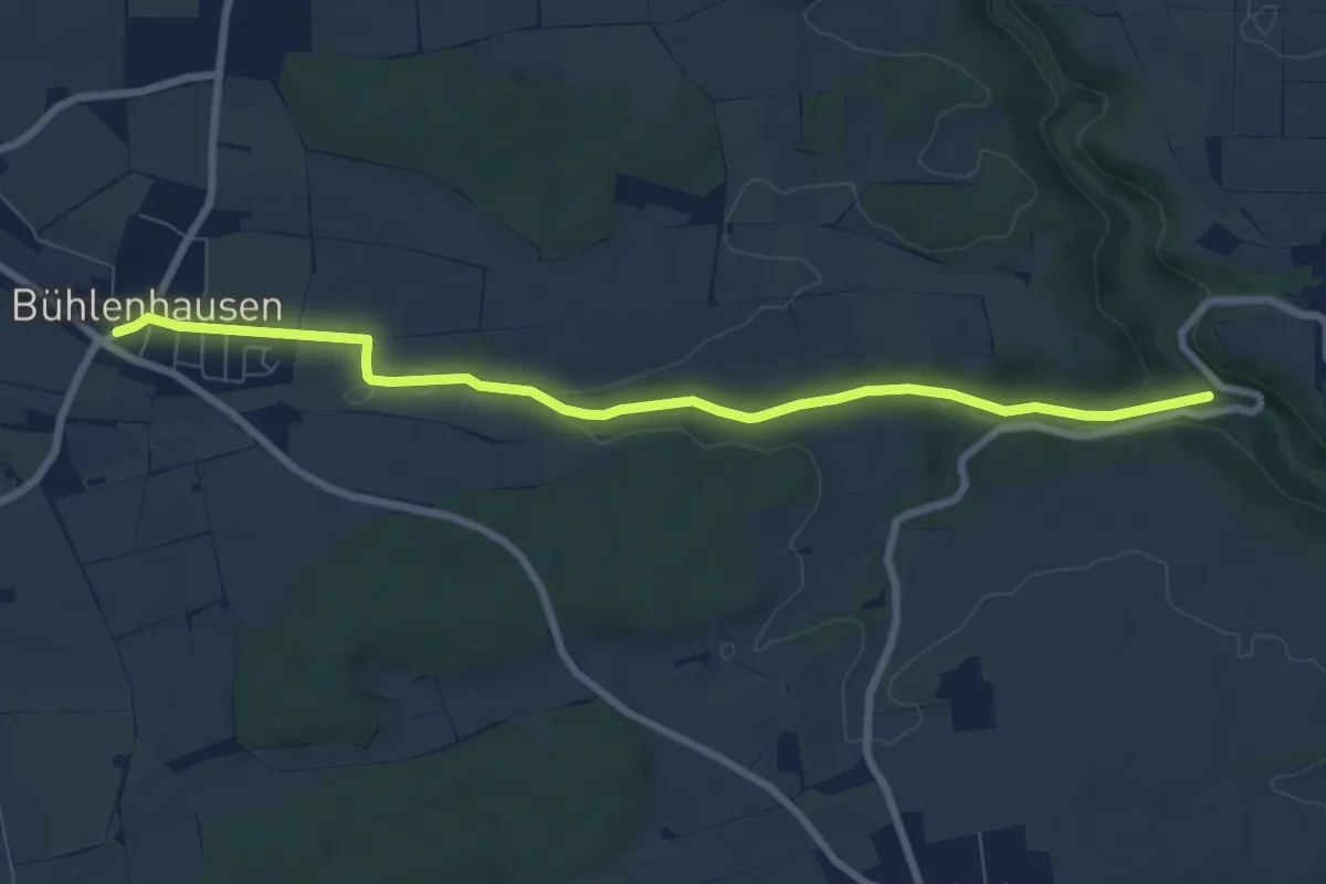
Easy · Trail
Bühlenhausen - Bermaringen
7.9 km · ↑ 97 m · 2 h 4 min
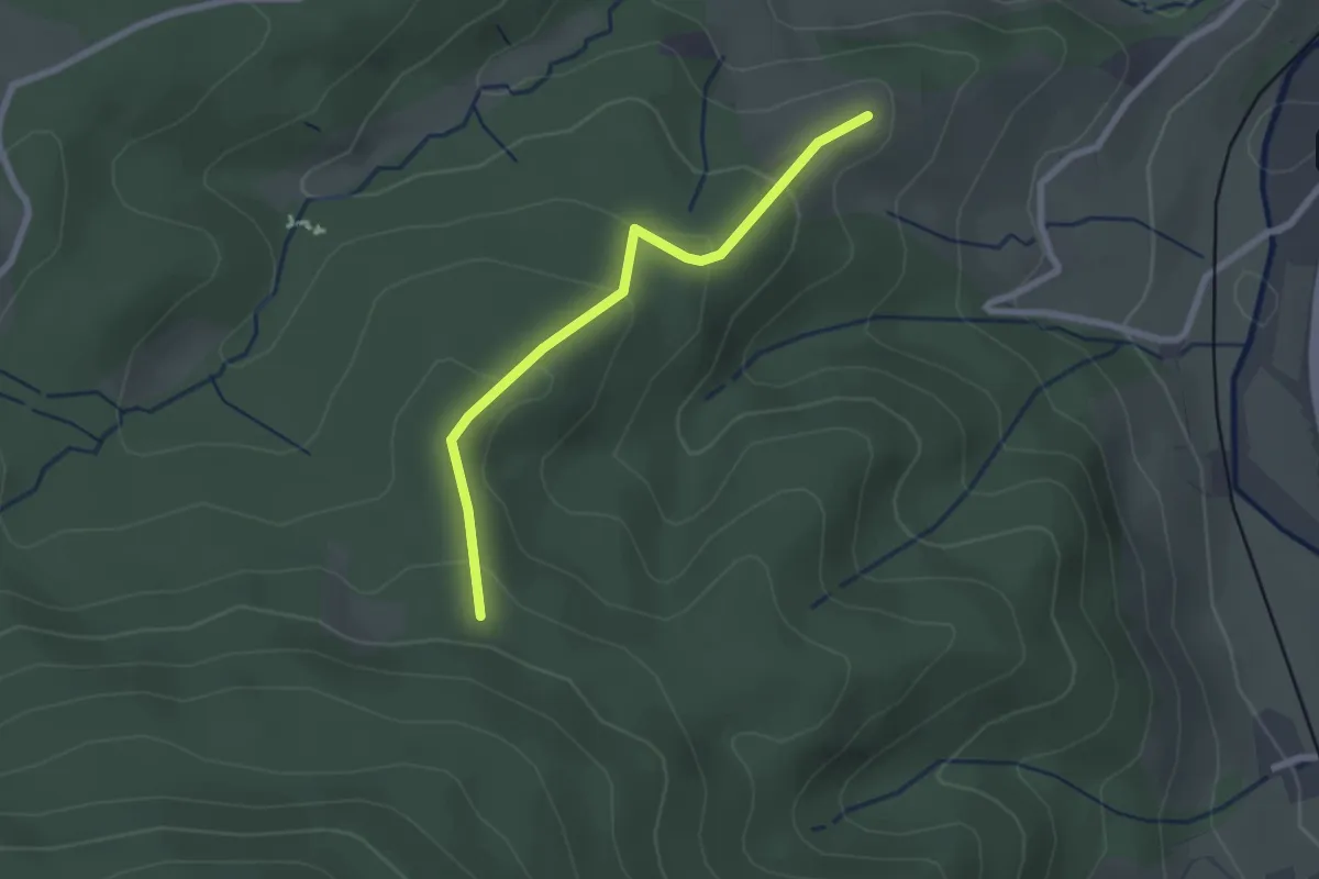
Easy · Trail
Bühlereck - Am Wald
2.1 km · ↑ 108 m · 44 min
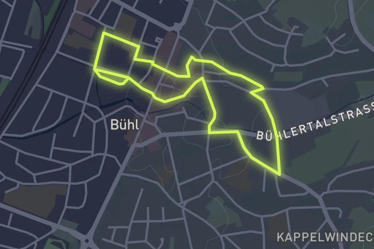
Easy · Trail
Bühler Kolpingweg
2.8 km · ↑ 9 m · 42 min
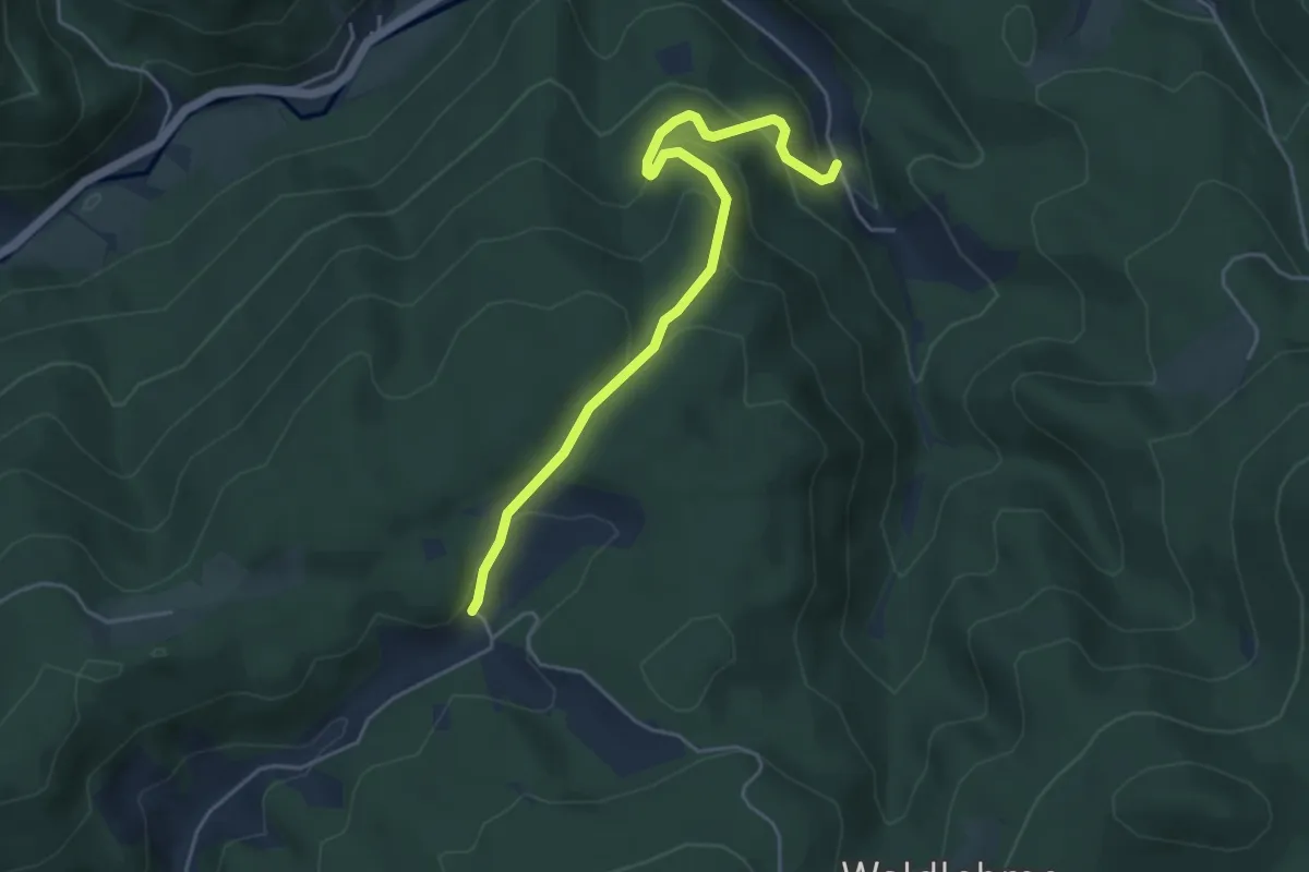
Easy · Trail
Bühlershof - Staufenhof
4.5 km · ↑ 294 m · 1 h 42 min