Trails in Germany
36,847 hiking trails, each with its route, climb, walking time and grade.
All trails, page 93 of 768
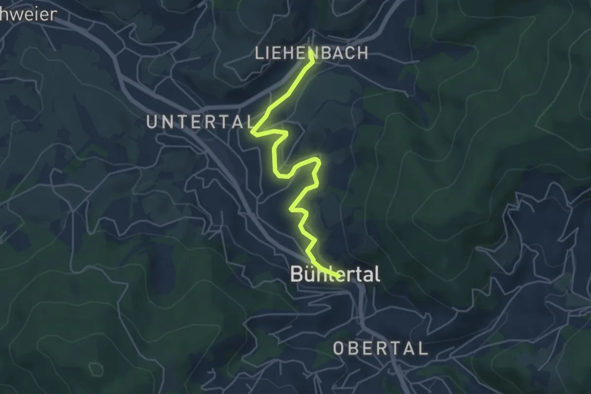
Easy · Trail
Bühlertal Tourist-Information - Liehenbach
4.5 km · ↑ 113 m · 1 h 18 min
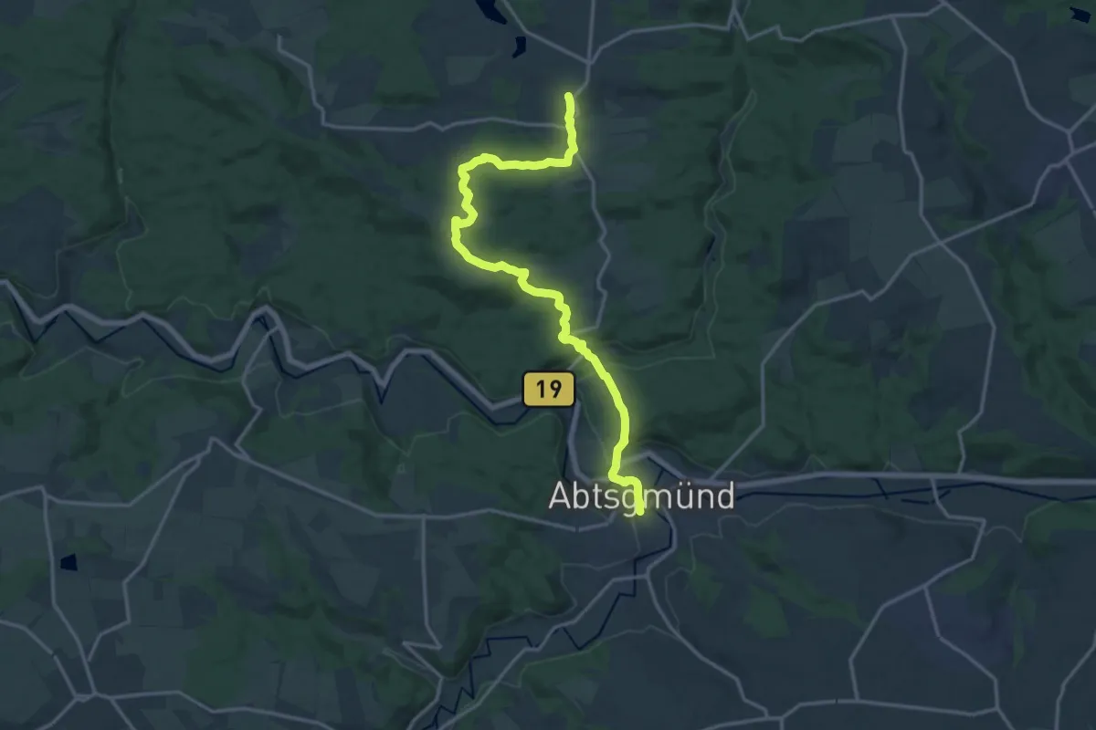
Medium · Trail
Bühlertalwanderweg - Etappe 1
16.1 km · ↑ 408 m · 4 h 42 min
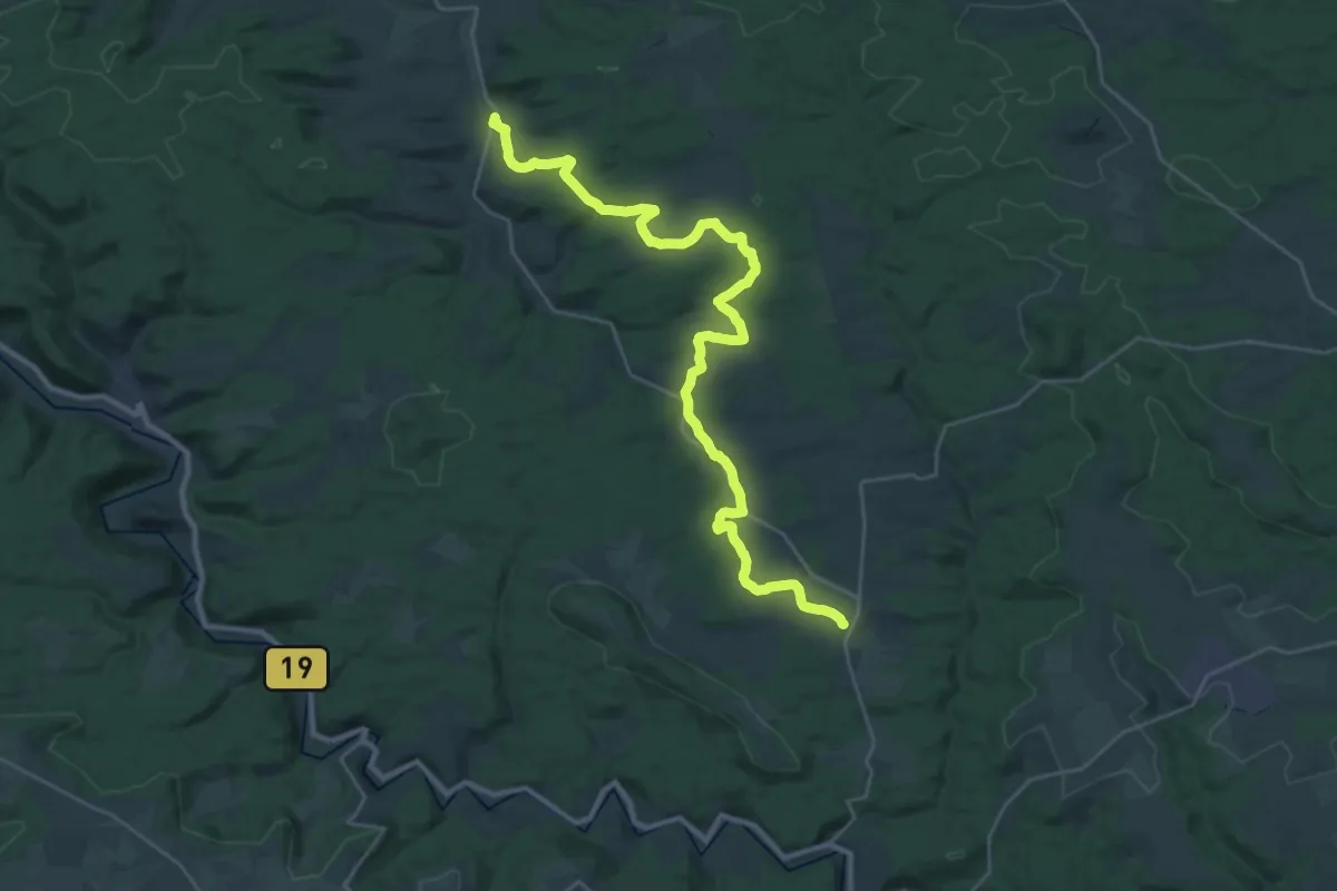
Medium · Trail
Bühlertalwanderweg - Etappe 2
15.4 km · ↑ 209 m · 4 h 20 min
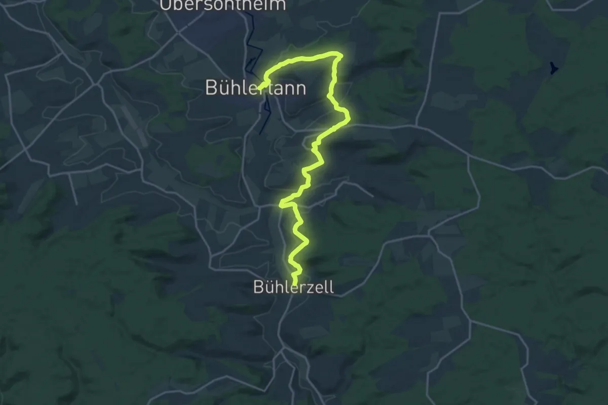
Demanding · Trail
Bühlertalwanderweg - Etappe 3
19.0 km · ↑ 477 m · 5 h 31 min
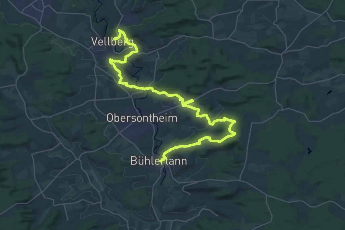
Medium · Trail
Bühlertalwanderweg - Etappe 4
16.5 km · ↑ 277 m · 4 h 44 min
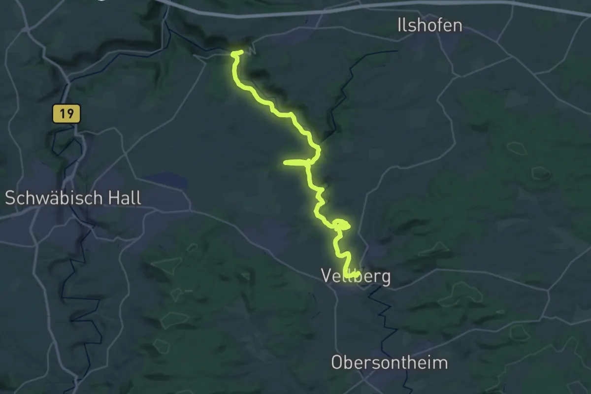
Demanding · Trail
Bühlertalwanderweg - Etappe 5
16.1 km · ↑ 469 m · 5 h 5 min
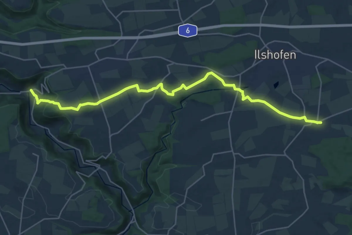
Demanding · Trail
Bühlertalwanderweg - Etappe 6
20.7 km · ↑ 310 m · 5 h 33 min
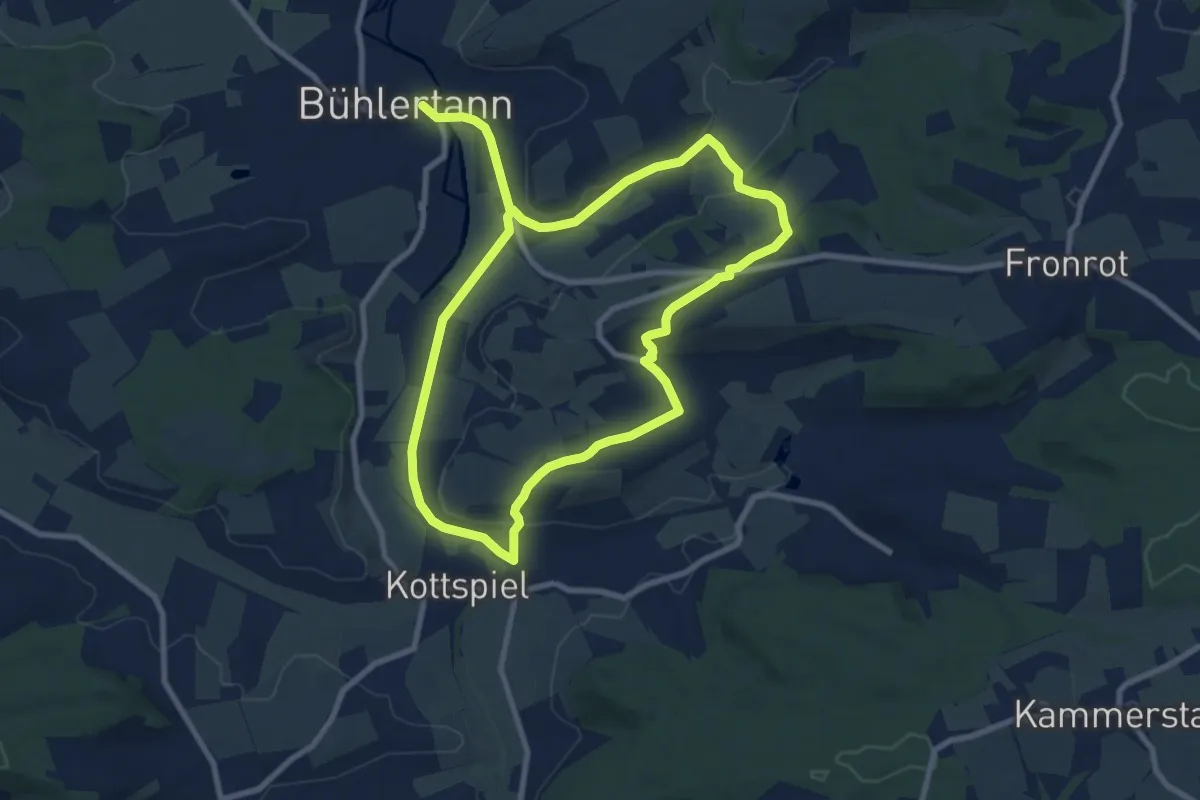
Medium · Trail
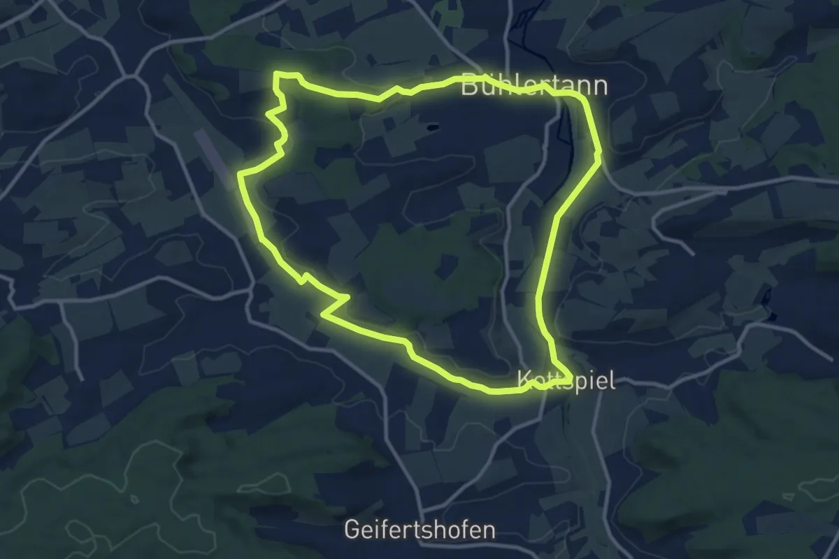
Bühlertann - RW 1
7.8 km · ↑ 133 m · 2 h 14 min
Medium · Trail
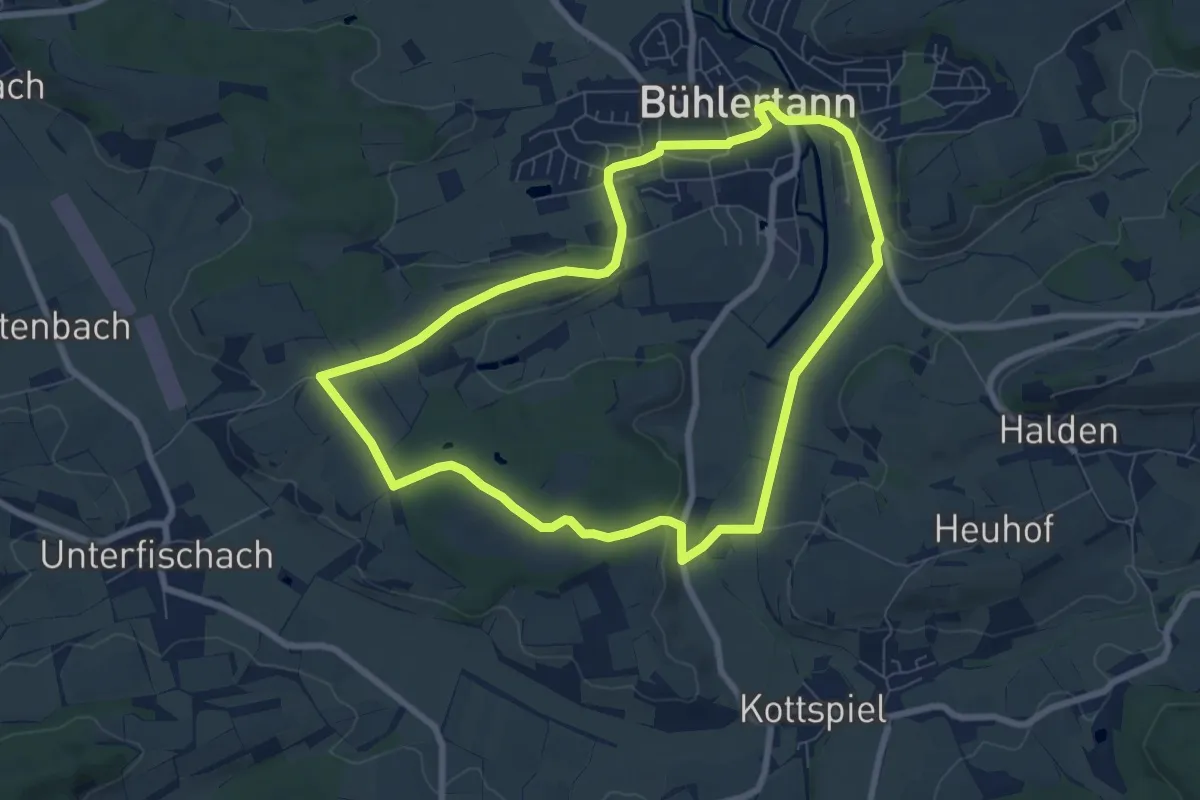
Bühlertann - RW 2
10.8 km · ↑ 112 m · 2 h 56 min
Easy · Trail
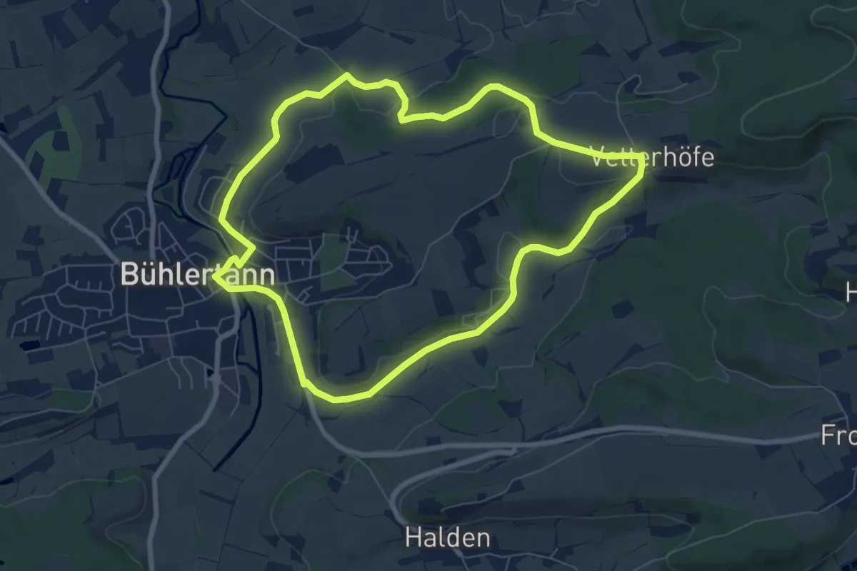
Bühlertann - RW 3
7.1 km · ↑ 60 m · 1 h 54 min
Easy · Trail
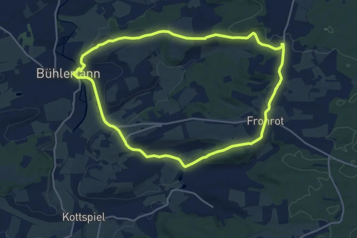
Bühlertann - RW 4
6.7 km · ↑ 99 m · 1 h 54 min
Medium · Trail
Bühlertann - RW 5
10.4 km · ↑ 194 m · 3 h 1 min
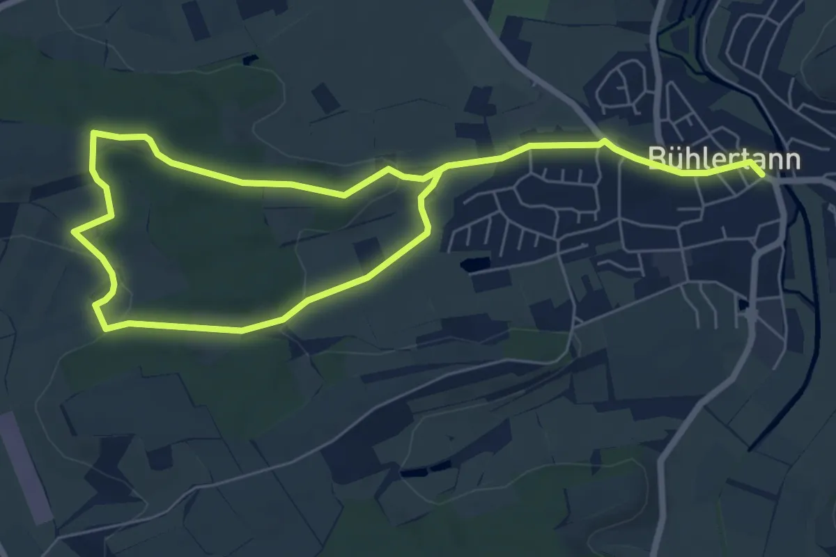
Easy · Trail
Bühlertann - RW 6
4.8 km · ↑ 79 m · 1 h 22 min
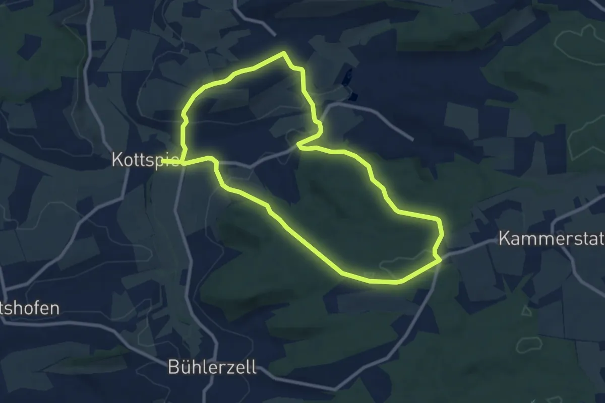
Easy · Trail
Bühlertann - RW 7
7.4 km · ↑ 158 m · 2 h 11 min
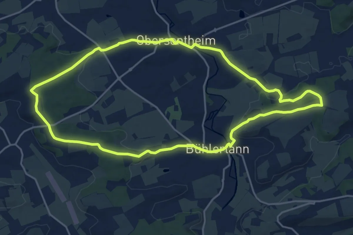
Medium · Trail
Bühlertann - RW WG
11.9 km · ↑ 168 m · 3 h 20 min
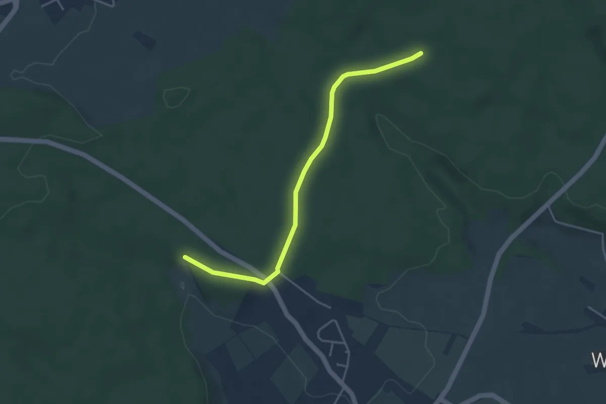
Easy · Trail
Buhlerwaldstern - Hölzle
3.6 km · ↑ 47 m · 58 min
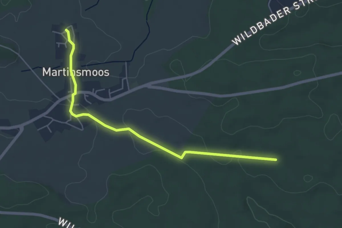
Easy · Trail
Buhlerwaldstern - Martinsmoos
4.5 km · ↑ 74 m · 1 h 14 min
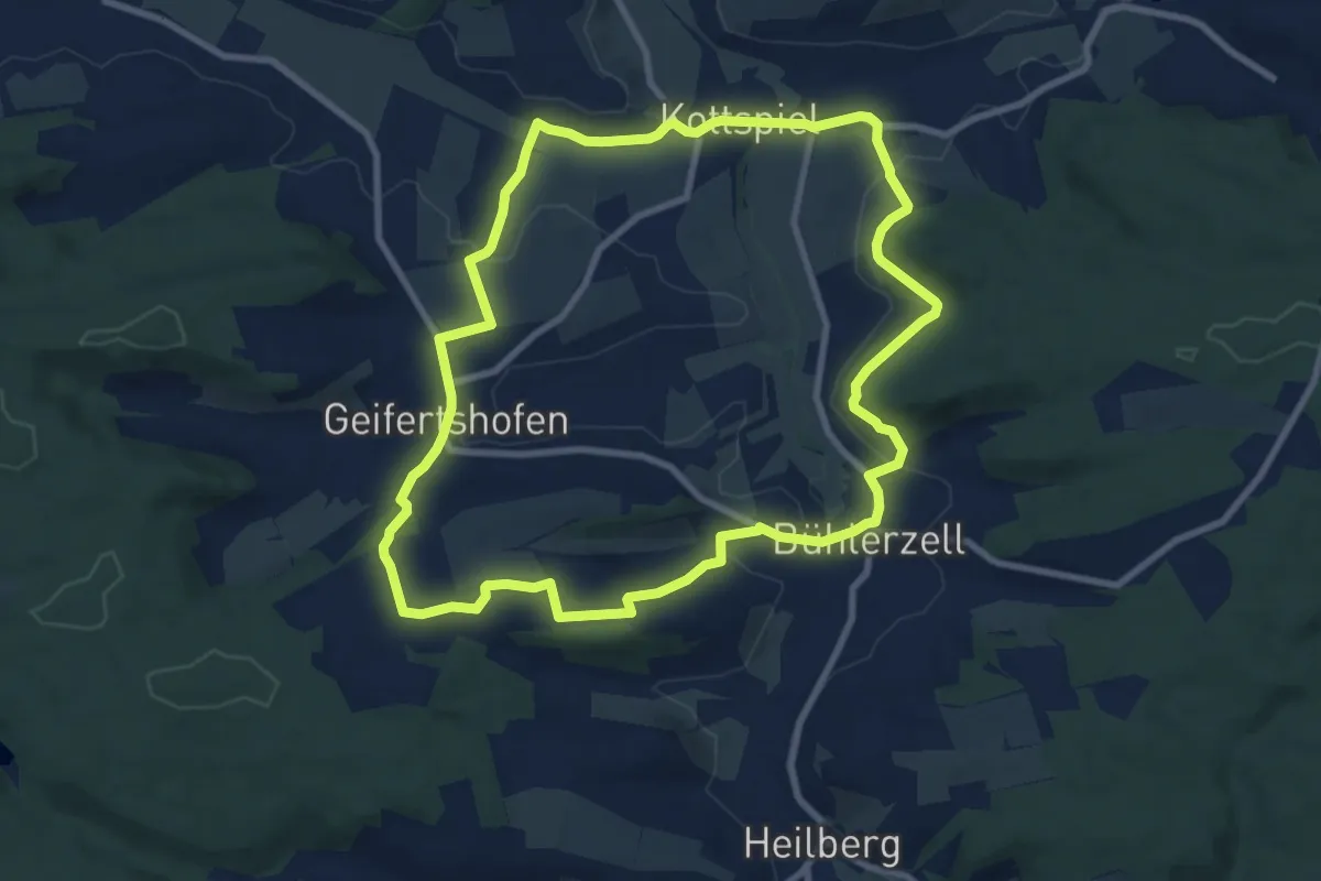
Medium · Trail
Bühlerzell - RW WL
8.7 km · ↑ 161 m · 2 h 31 min
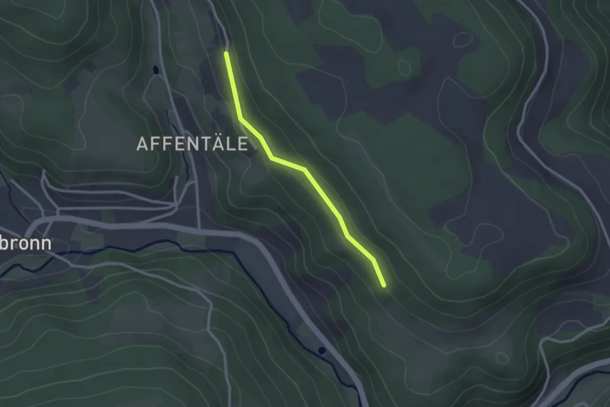
Easy · Trail
Bühl - Halden
2.1 km · ↑ 66 m · 38 min
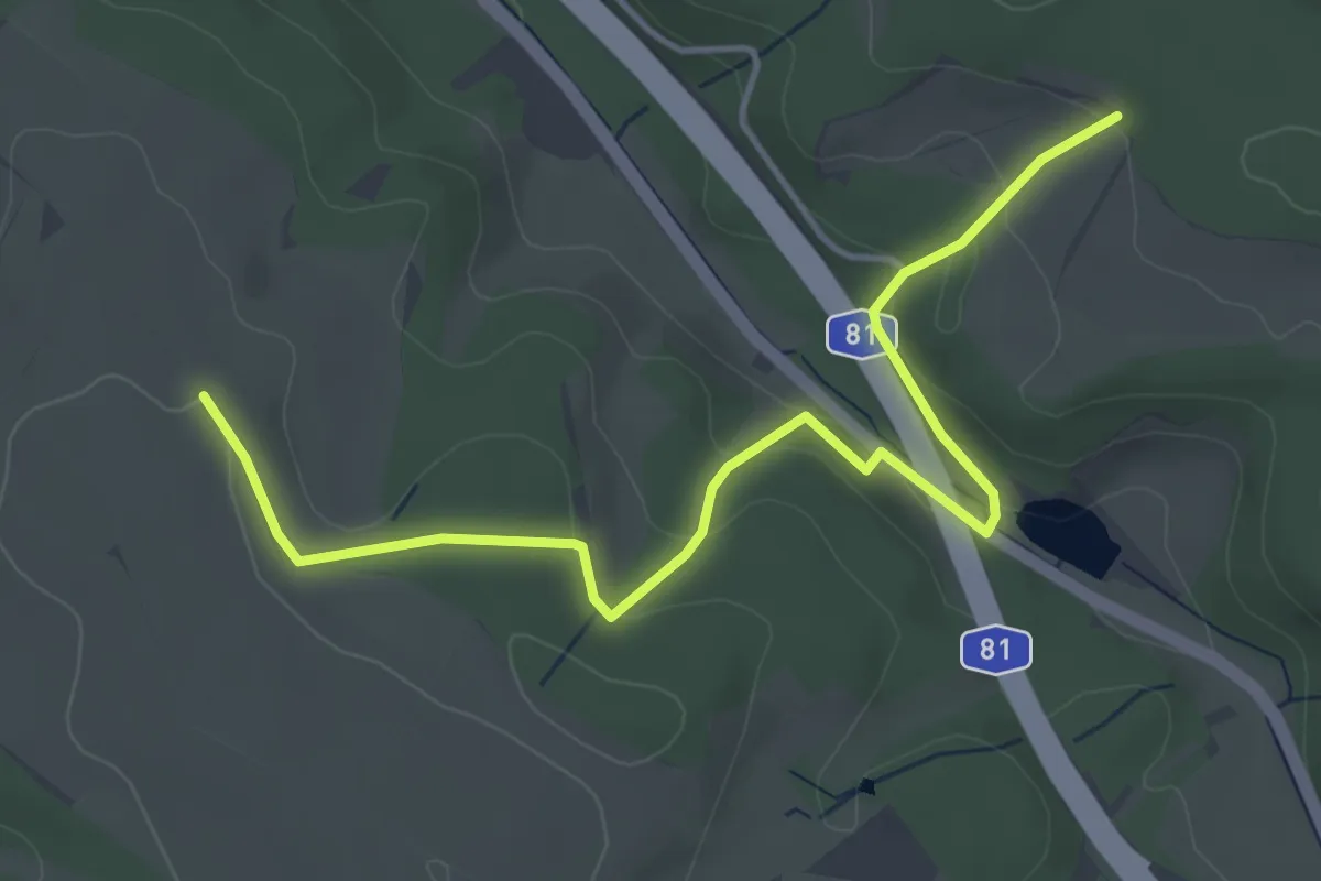
Easy · Trail
Bühlhalden - Eck
4.8 km · ↑ 159 m · 1 h 28 min
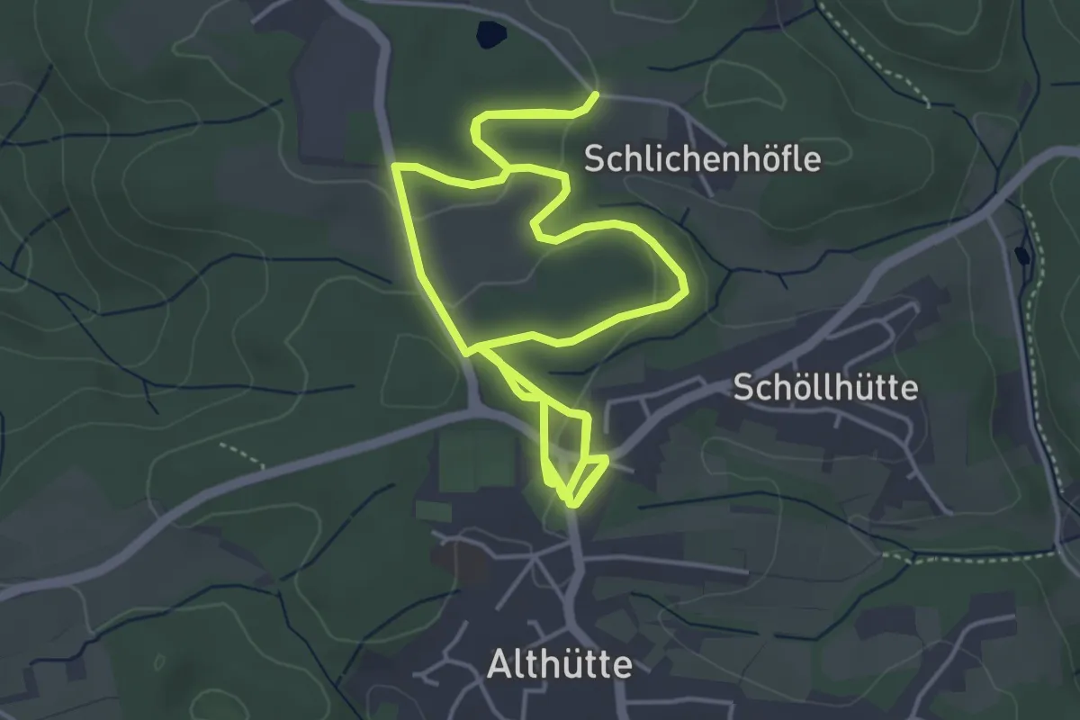
Medium · Trail
Bühlhauweg
8.6 km · ↑ 105 m · 2 h 16 min
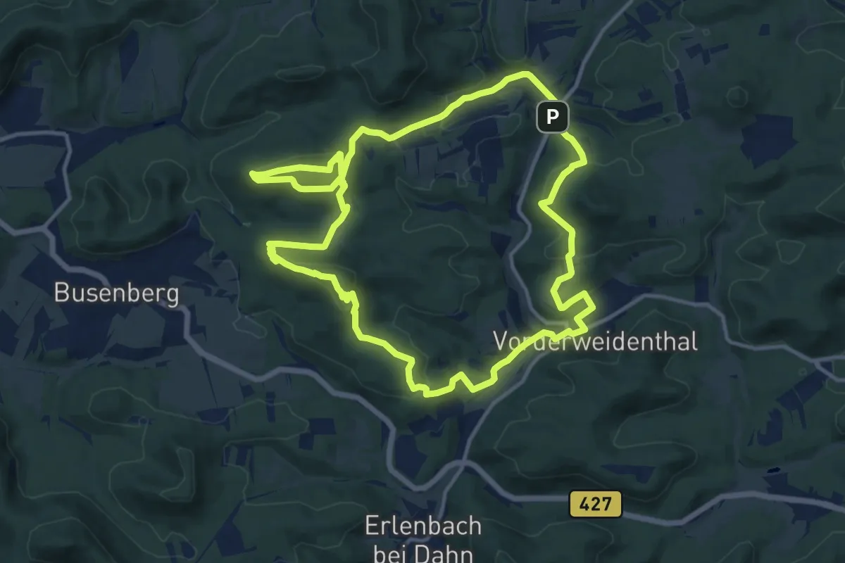
Medium · Summit
Bühlhofweg
12.1 km · ↑ 515 m · 4 h 9 min
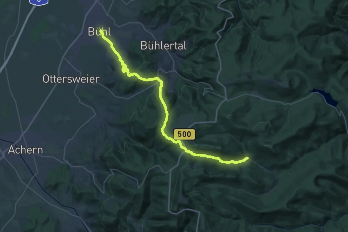
Demanding · Trail
Bühl - Hundsbach
16.0 km · ↑ 867 m · 5 h 37 min
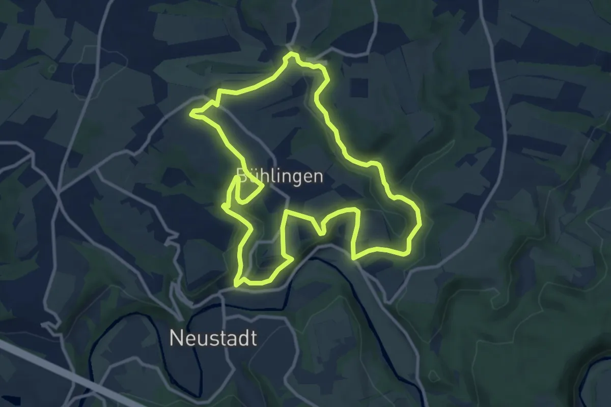
Medium · Trail
Bühlinger Weg
8.8 km · ↑ 190 m · 2 h 37 min
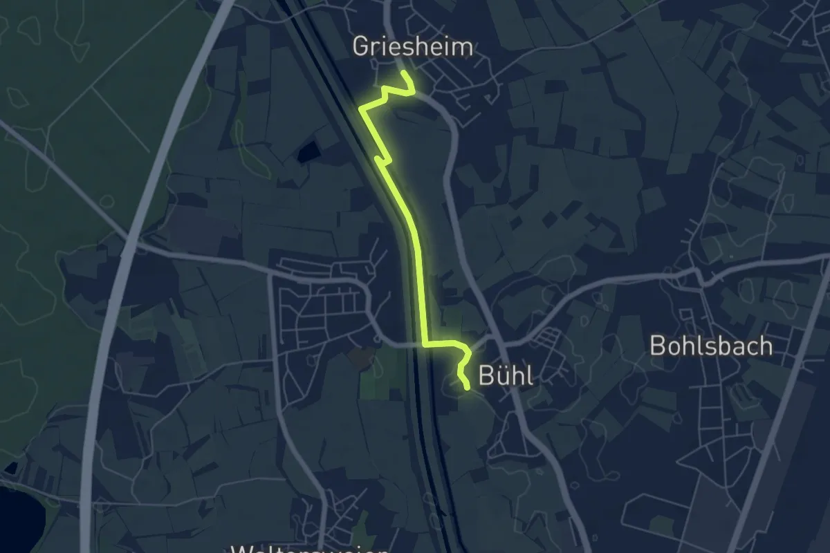
Easy · Trail
Bühl Kirche - Griesheim Kirche
4.8 km · ↑ 8 m · 1 h 9 min
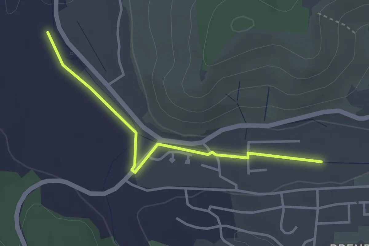
Easy · Trail
Bühlmatte - Weilermühle
2.8 km · ↑ 13 m · 42 min
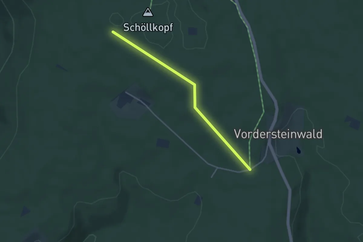
Easy · Trail
Bühlplatz - Zum Galottenstich
2.9 km · ↑ 23 m · 44 min
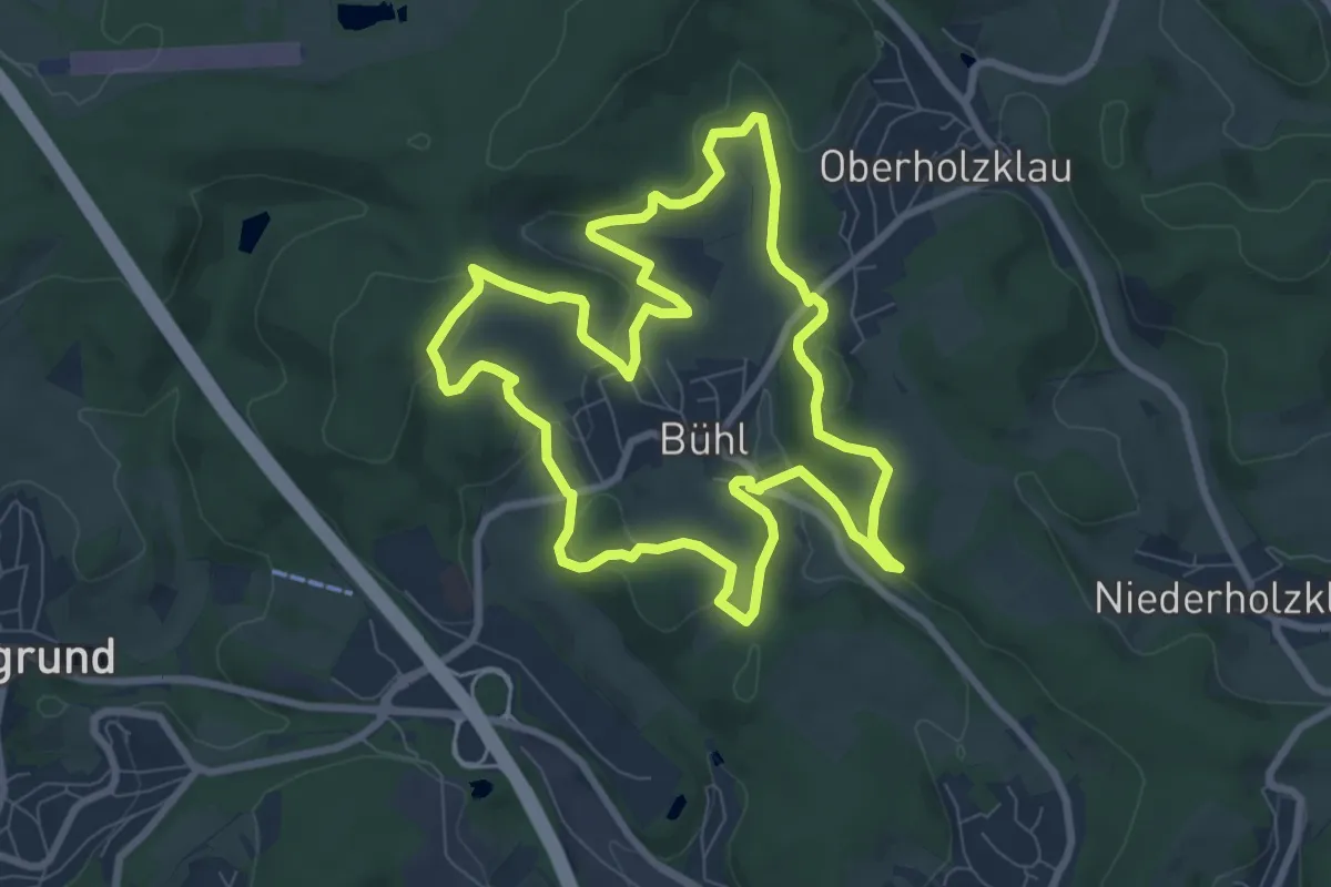
Easy · Trail
Bühl Rundweg F14
7.6 km · ↑ 232 m · 2 h 24 min
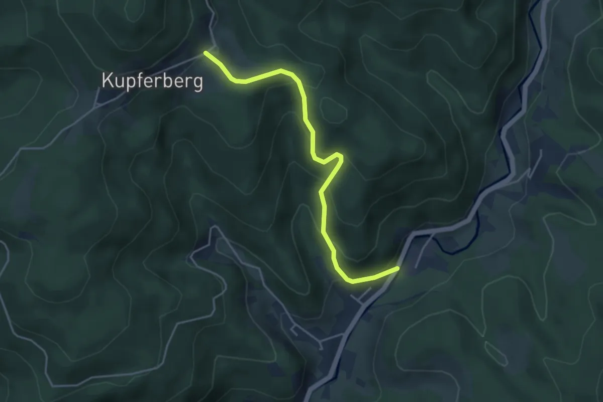
Easy · Cabin
Bühlsäge - Ladstatt
3.8 km · ↑ 314 m · 1 h 35 min
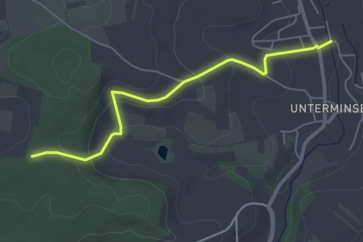
Easy · Trail
Buhrenboden - Minseln am Mühlbach
4.3 km · ↑ 152 m · 1 h 20 min
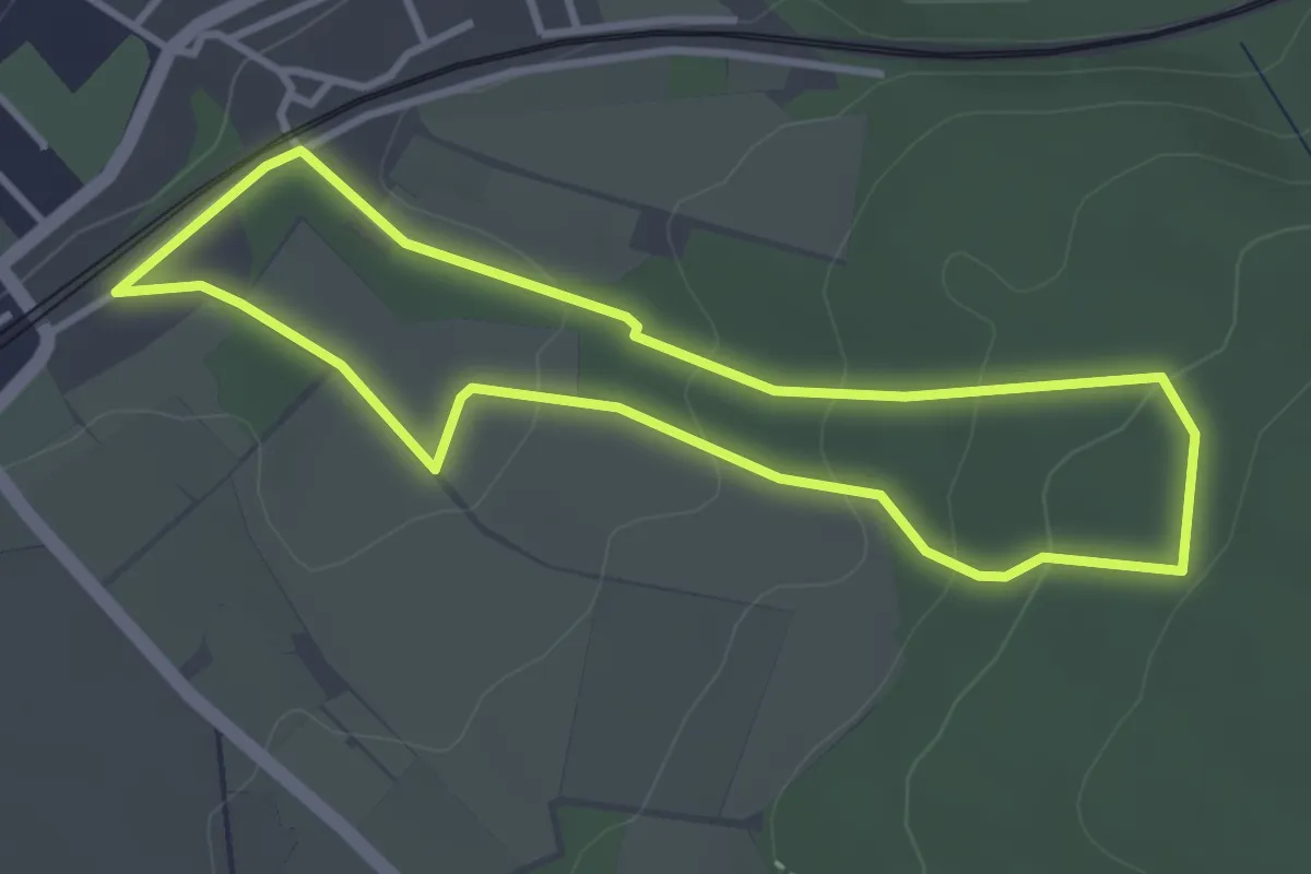
Easy · Trail
Bukstrang
3.0 km · ↑ 110 m · 59 min
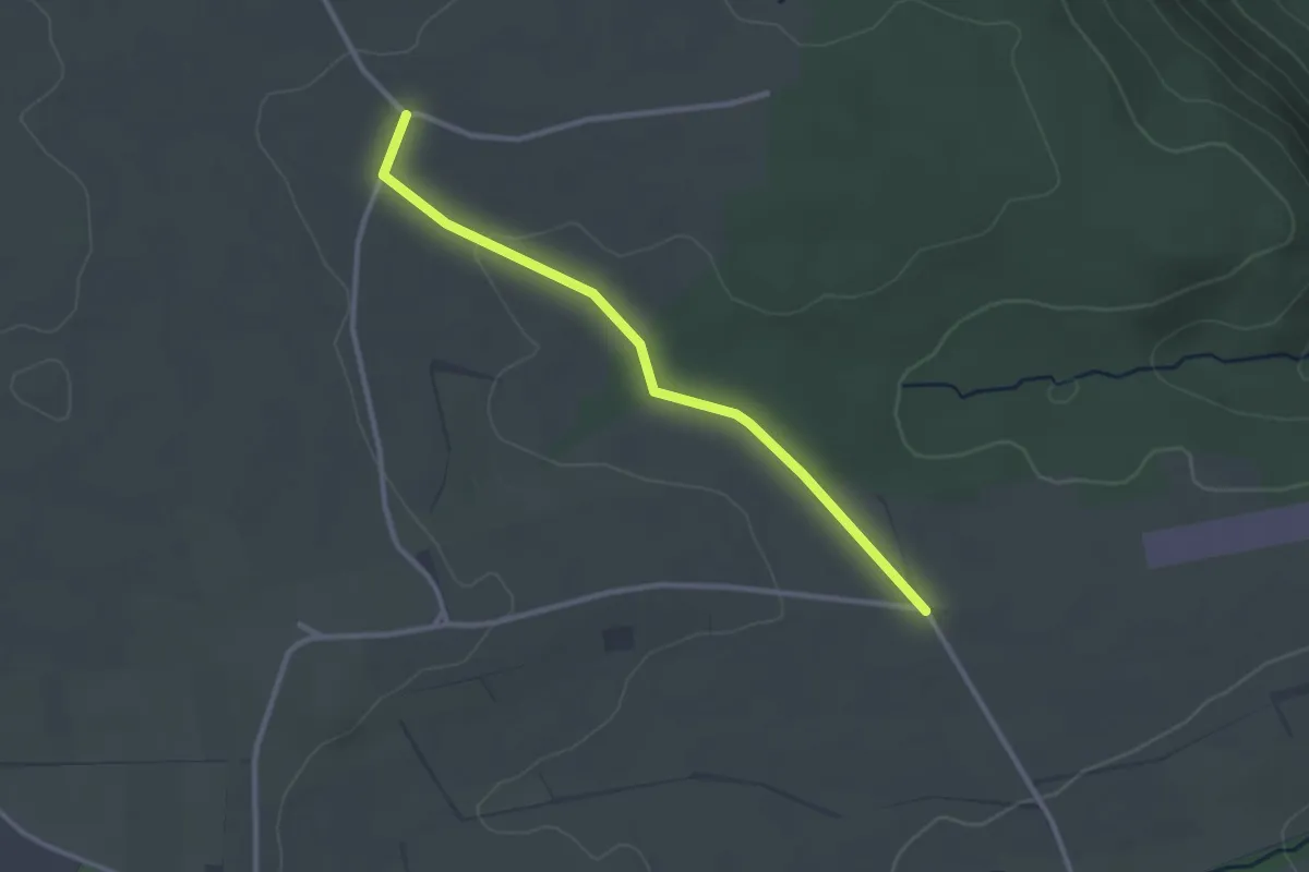
Easy · Trail
Bulacher Weg - Alter Galgen
2.6 km · ↑ 30 m · 41 min
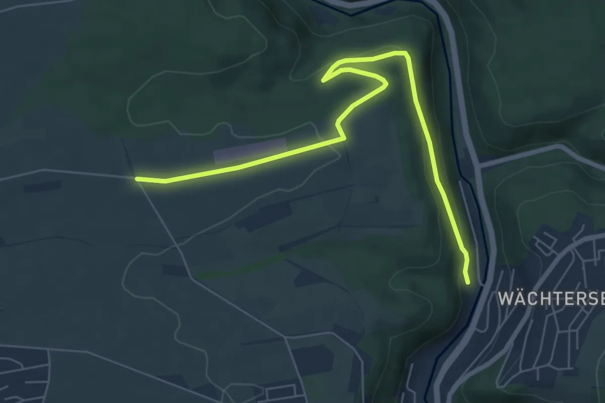
Easy · Trail
Bulacher Weg - Lützengraben
6.7 km · ↑ 170 m · 1 h 56 min
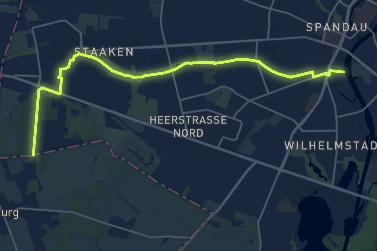
Medium · Trail
Bullengrabenweg
13.8 km · ↑ 22 m · 3 h 19 min
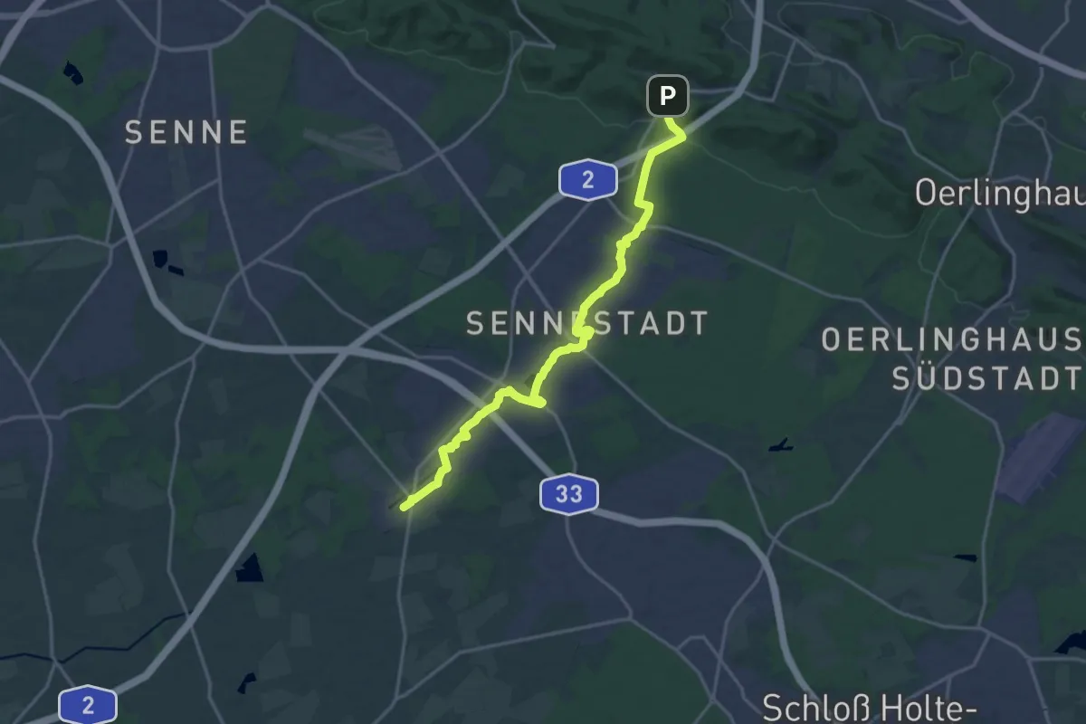
Medium · Trail
Bullerbachtalweg
16.2 km · ↑ 116 m · 4 h 5 min
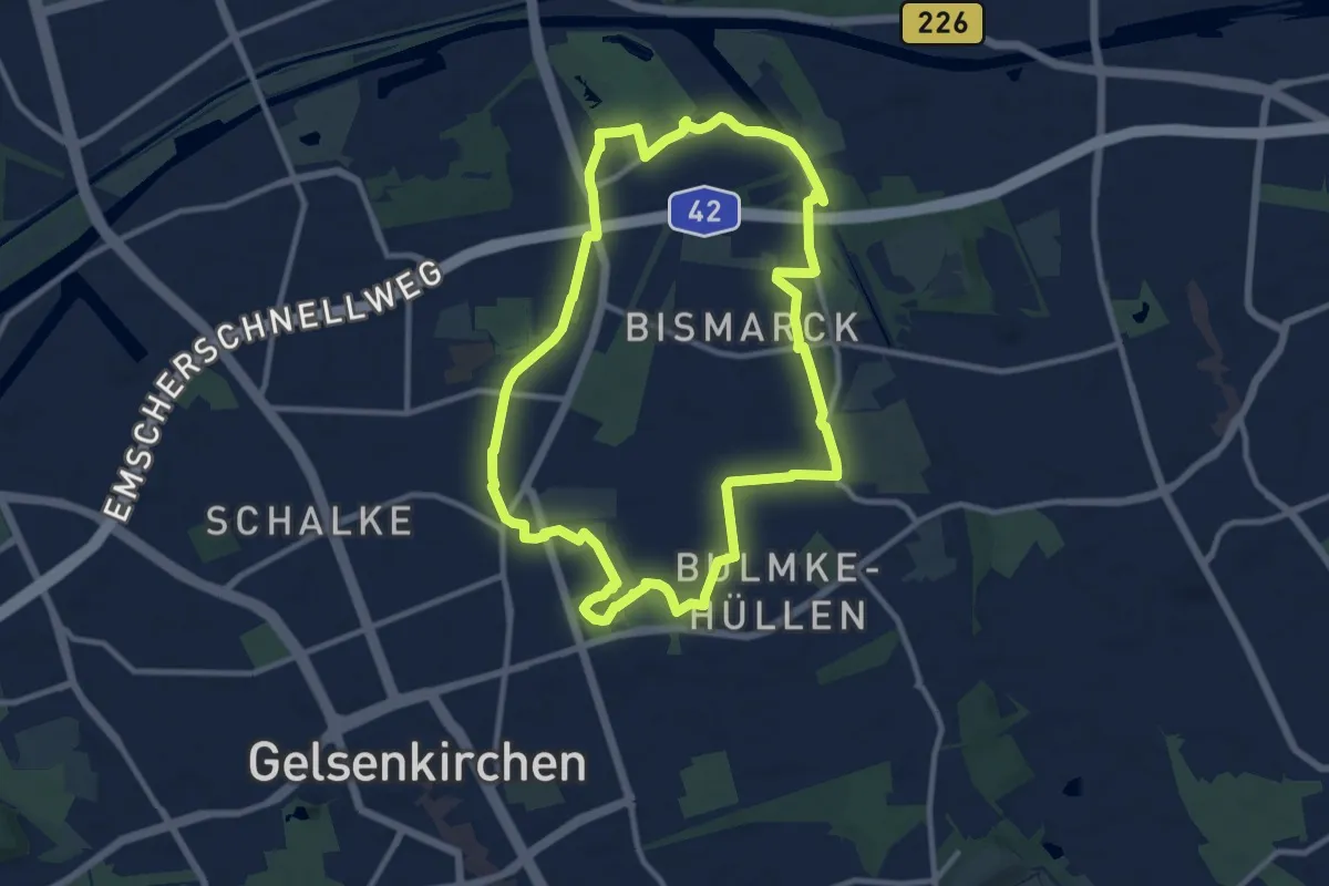
Medium · Trail
Bulmke Rundweg O
9.4 km · ↑ 25 m · 2 h 25 min
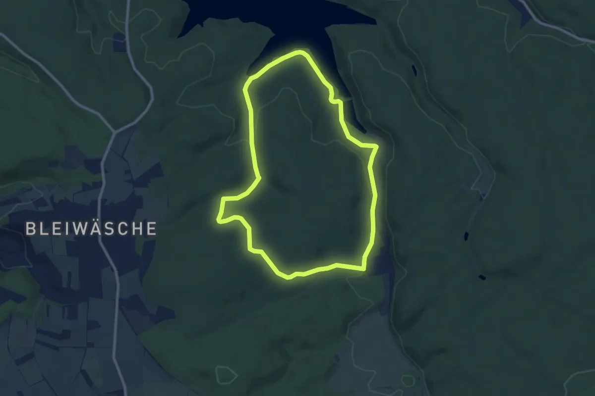
Easy · Trail
Bumbams Mühl Weg
7.2 km · ↑ 134 m · 2 h 5 min
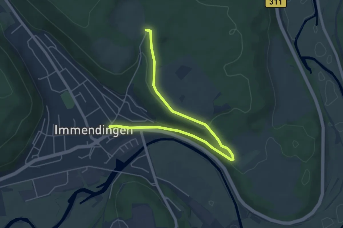
Easy · Trail
Bumbishütte - Immendingen Hinterbirkenweg
5.3 km · ↑ 108 m · 1 h 28 min
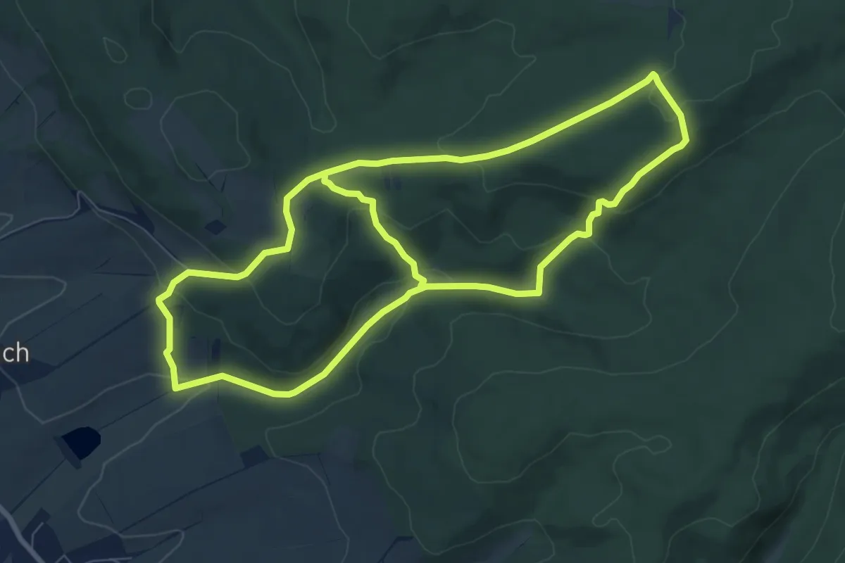
Medium · Trail
Bummelkuppenweg
15.2 km · ↑ 463 m · 4 h 35 min
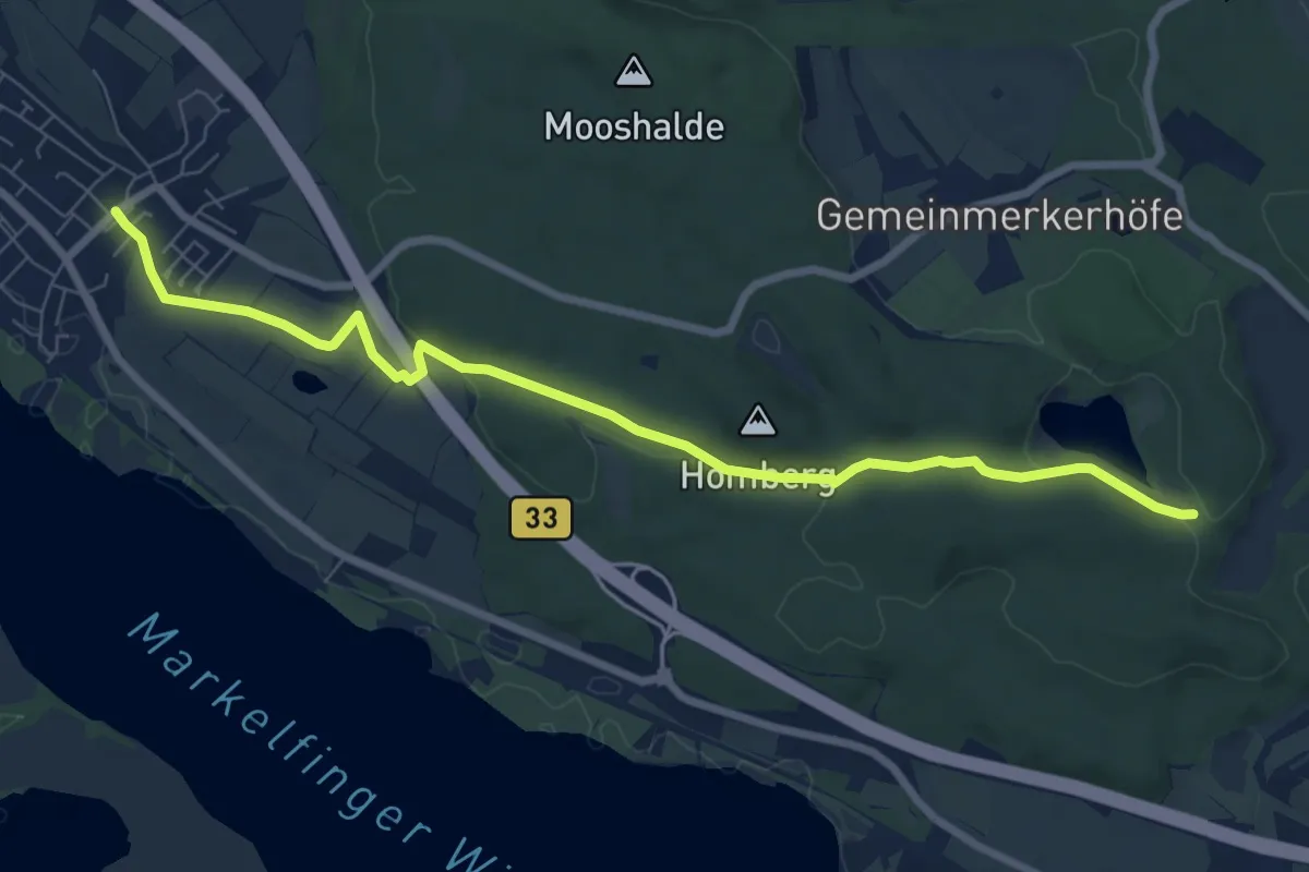
Medium · Trail
Bündlisried - Markelfingen Laurentiusstraße
8.2 km · ↑ 105 m · 2 h 10 min
Easy · Summit
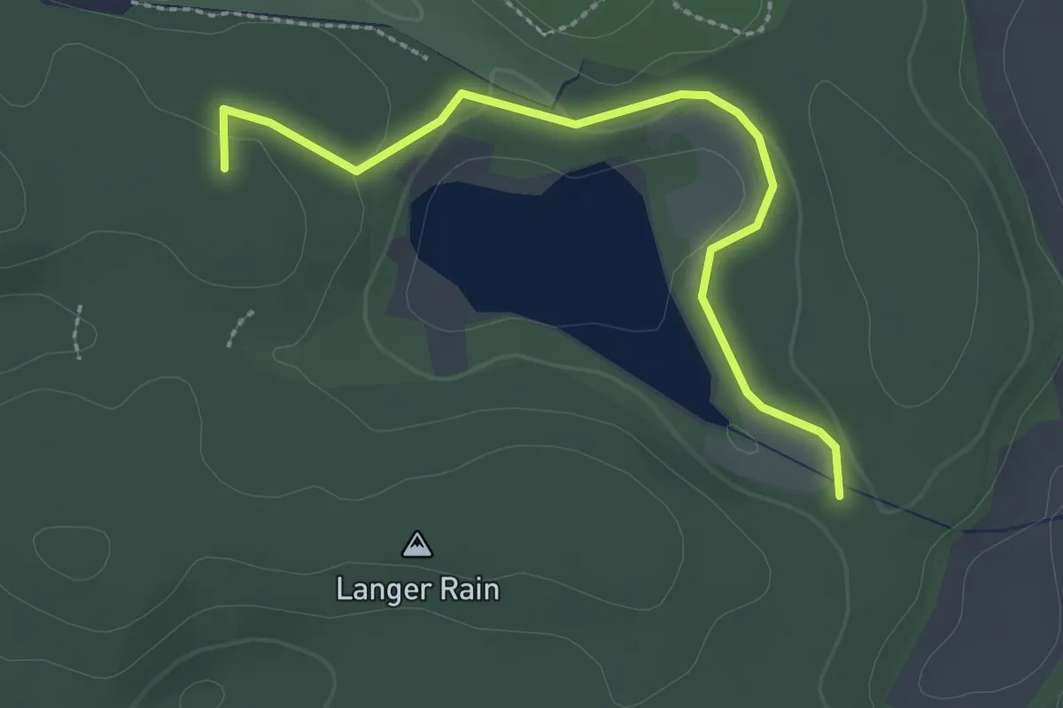
Bündlisried - Wildpark
2.5 km · ↑ 48 m · 42 min
Medium · Summit
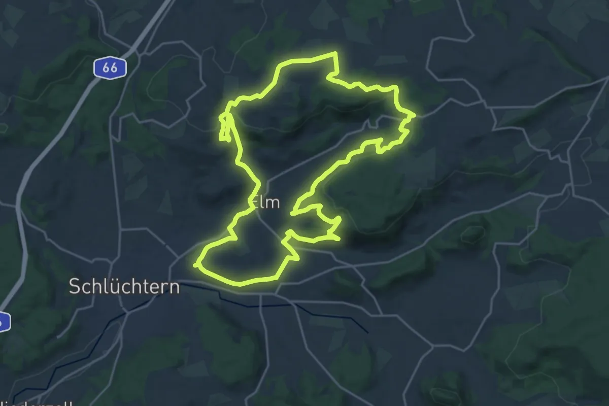
BUND-Schlüchtern-Rundweg 1
17.7 km · ↑ 543 m · 5 h 36 min
Demanding · Trail
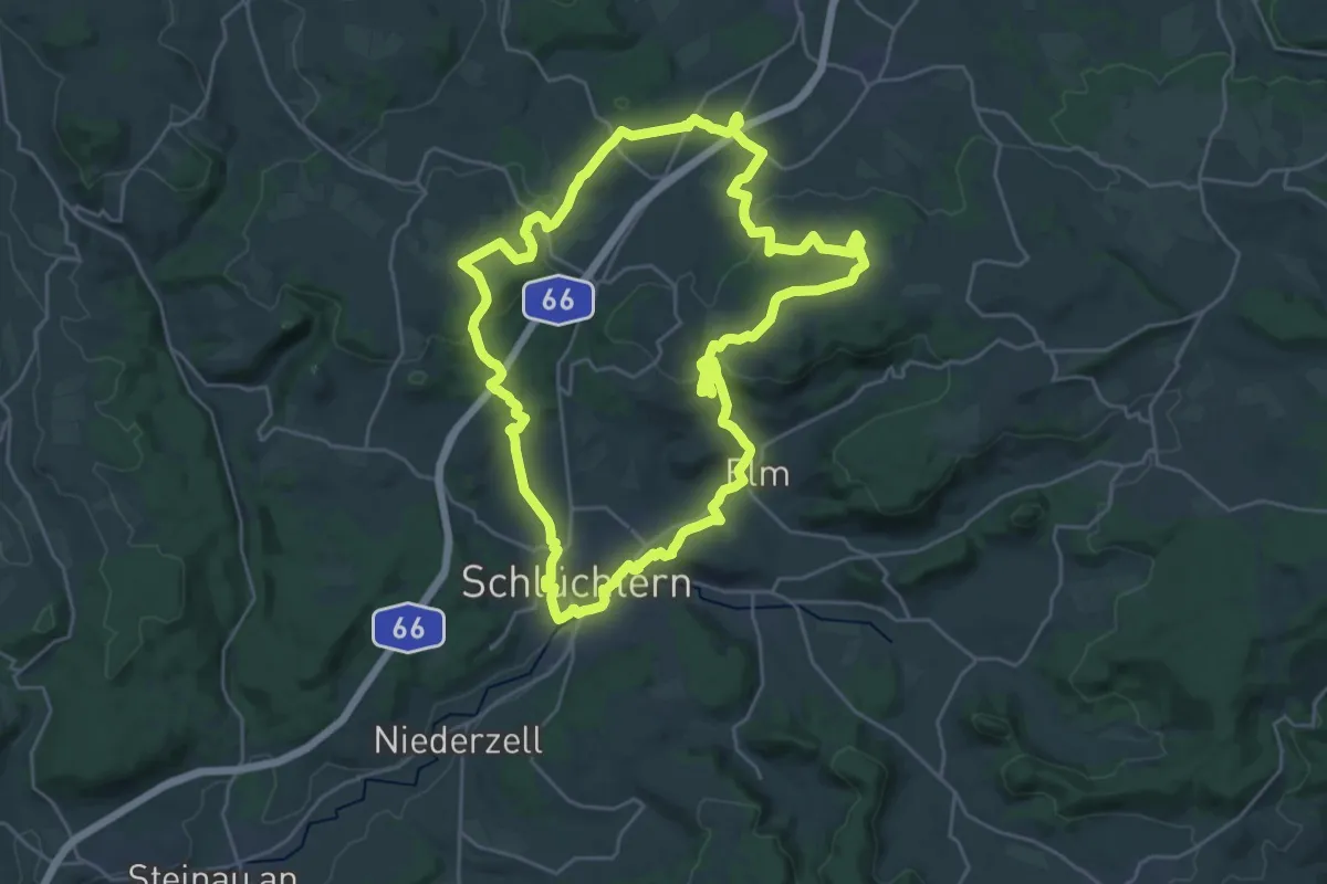
BUND-Schlüchtern-Rundweg 2
24.7 km · ↑ 482 m · 7 h 13 min
Demanding · Trail
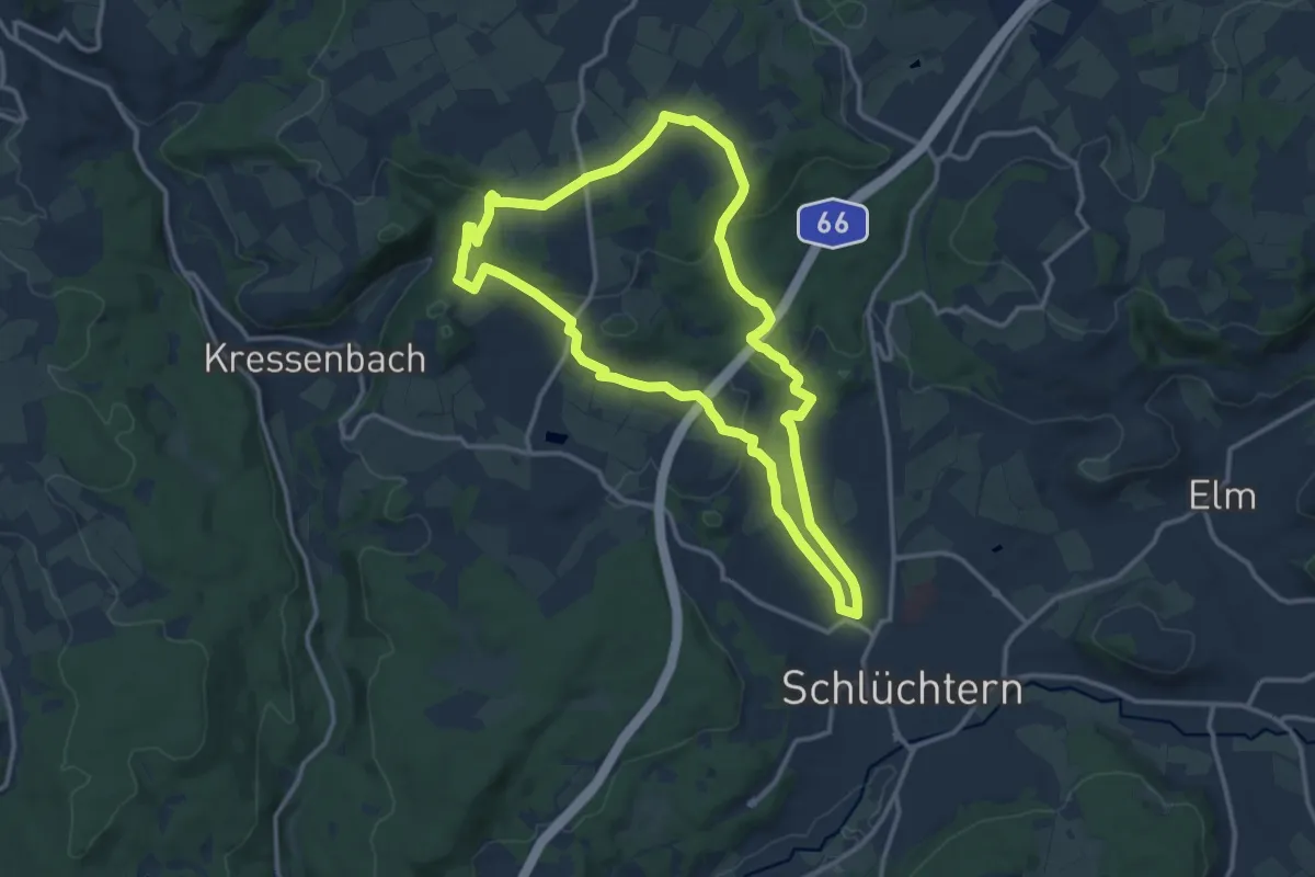
BUND-Schlüchtern-Rundweg 3
11.8 km · ↑ 265 m · 3 h 31 min
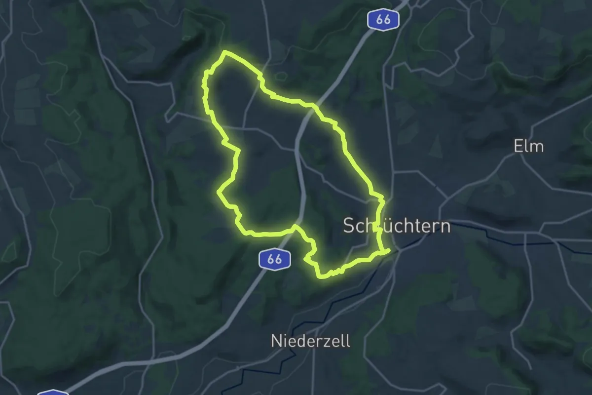
Medium · Summit
BUND-Schlüchtern-Rundweg 4
13.4 km · ↑ 271 m · 3 h 57 min
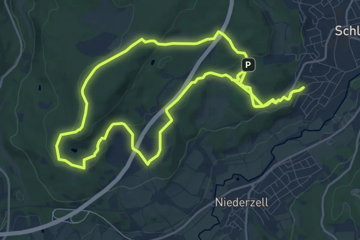
Medium · Trail
BUND-Schlüchtern-Rundweg 5
10.5 km · ↑ 168 m · 3 h 1 min
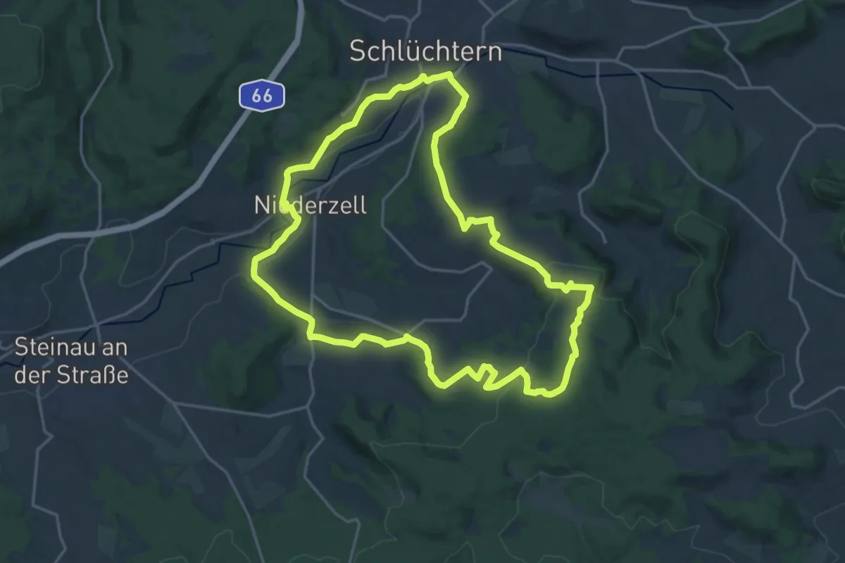
Medium · Summit
BUND-Schlüchtern-Rundweg 6
16.9 km · ↑ 347 m · 4 h 59 min
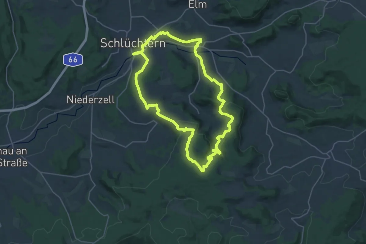
Medium · Summit
BUND-Schlüchtern-Rundweg 7
17.8 km · ↑ 473 m · 5 h 28 min