Trails in Germany
36,847 hiking trails, each with its route, climb, walking time and grade.
All trails, page 94 of 768
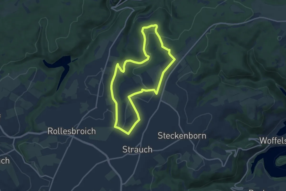
Medium · Trail
Bunkerweg
8.4 km · ↑ 109 m · 2 h 21 min
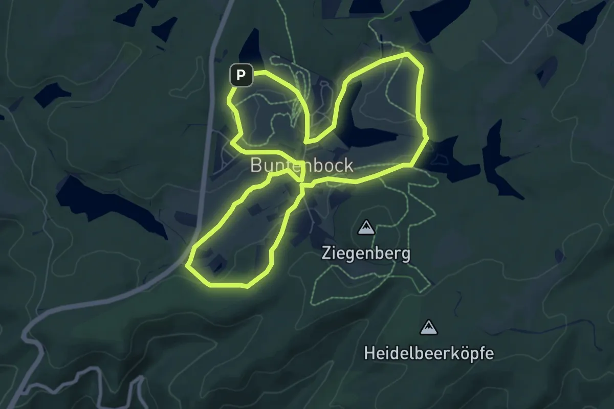
Easy · Trail
Buntenbocker Bergwiesenweg
7.1 km · ↑ 102 m · 2 h 1 min
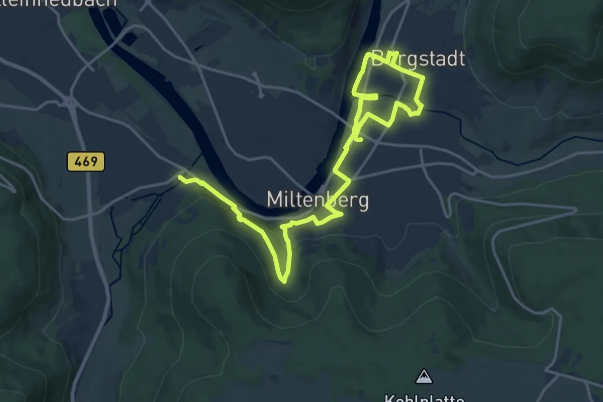
Medium · Trail
Buntsandsteinweg, Teil 1
17.1 km · ↑ 340 m · 4 h 46 min
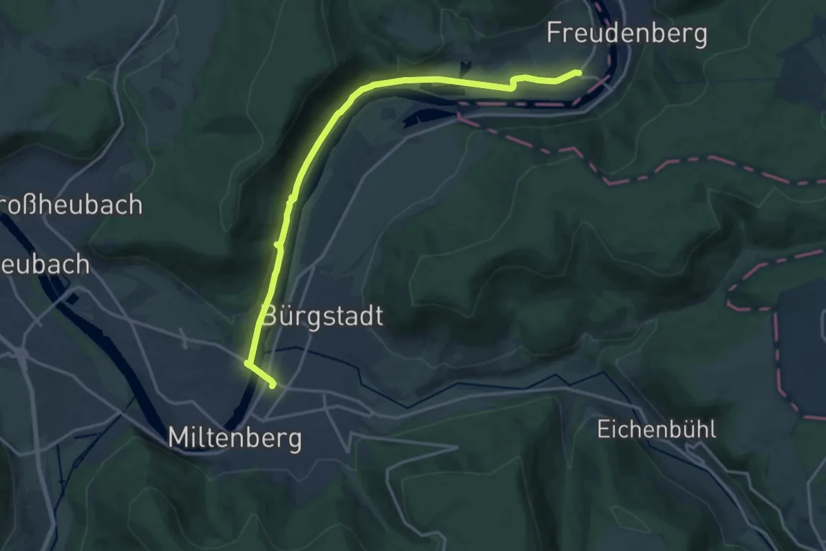
Medium · Trail
Buntsandsteinweg, Teil 2
15.0 km · ↑ 286 m · 4 h 10 min
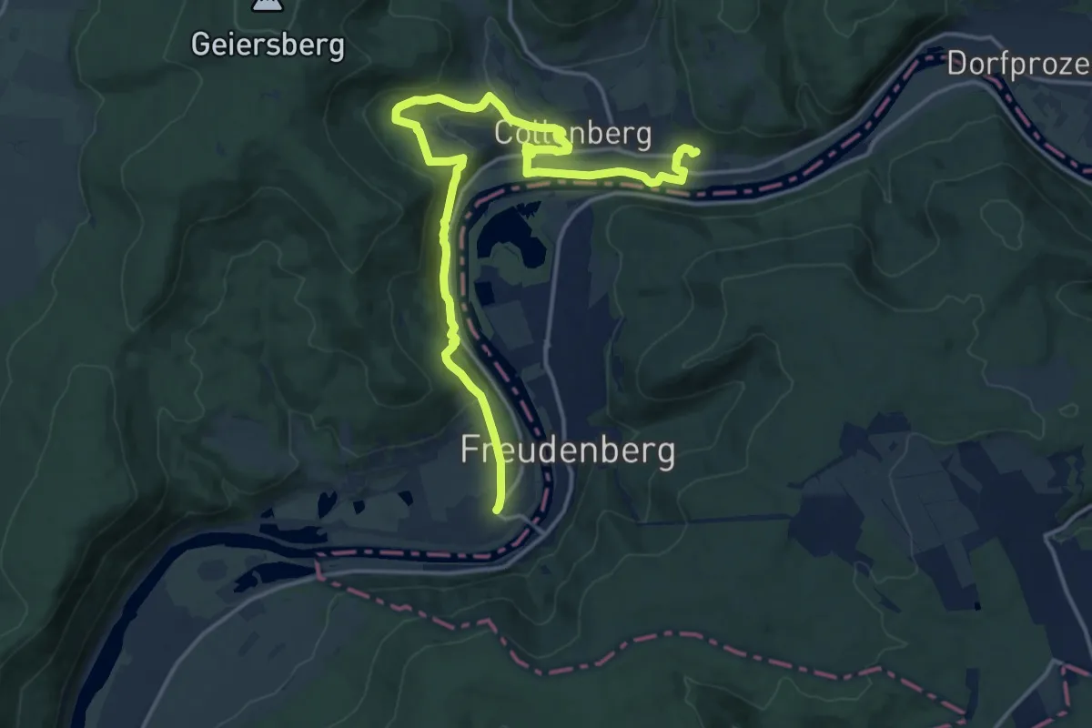
Medium · Trail
Buntsandsteinweg, Teil 3
17.4 km · ↑ 550 m · 5 h 19 min
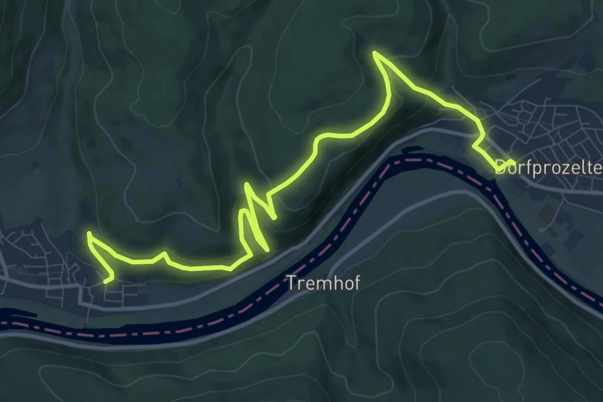
Medium · Trail
Buntsandsteinweg, Teil 4
12.2 km · ↑ 464 m · 3 h 53 min
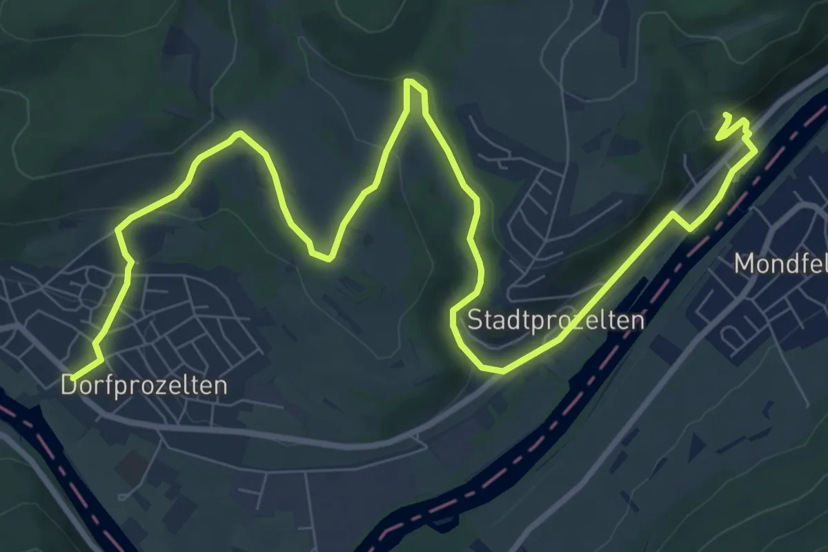
Medium · Trail
Buntsandsteinweg, Teil 5
11.5 km · ↑ 338 m · 3 h 26 min
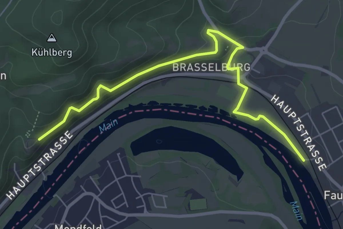
Easy · Trail
Buntsandsteinweg, Teil 6
5.8 km · ↑ 158 m · 1 h 43 min
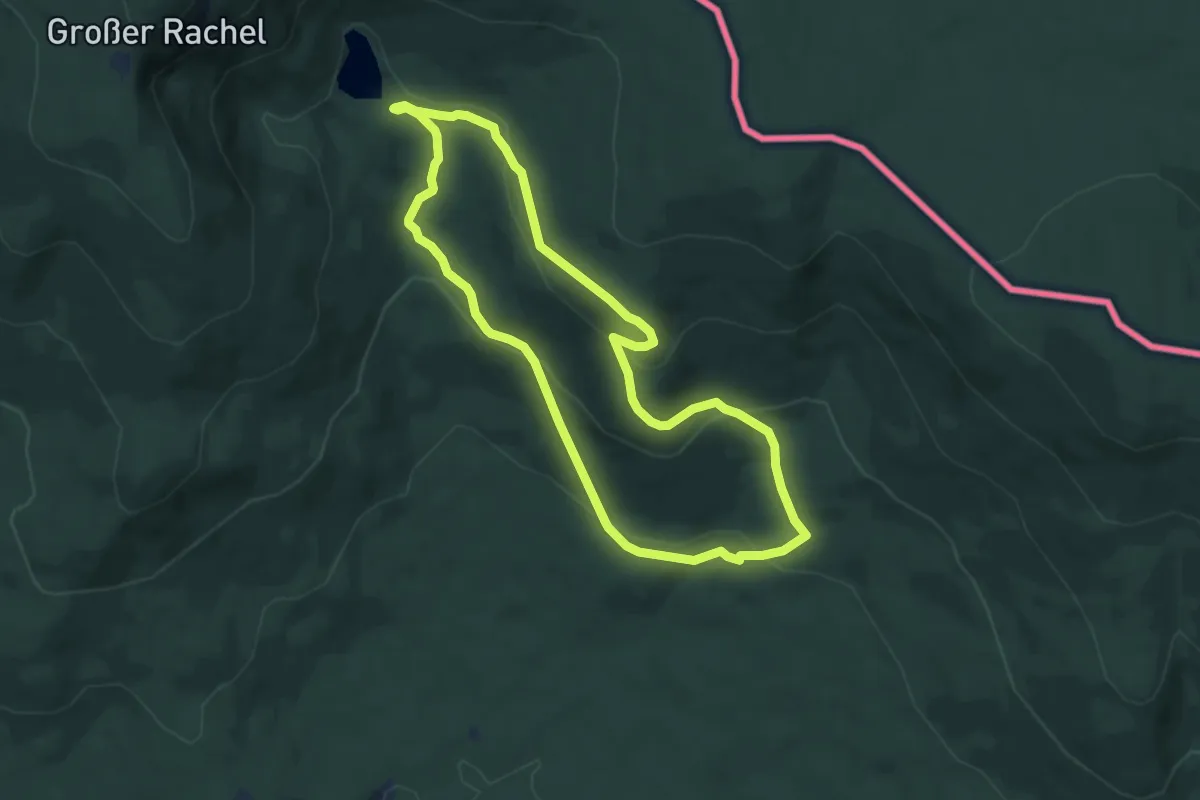
Medium · Trail
Buntspecht
7.0 km · ↑ 272 m · 2 h 21 min
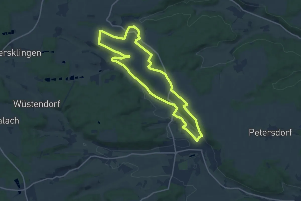
Medium · Trail
Buntspecht
10.2 km · ↑ 121 m · 2 h 49 min
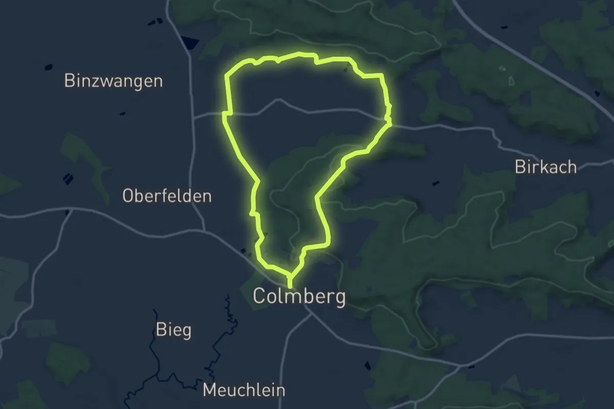
Medium · Trail
Buntspecht
10.7 km · ↑ 175 m · 3 h 3 min
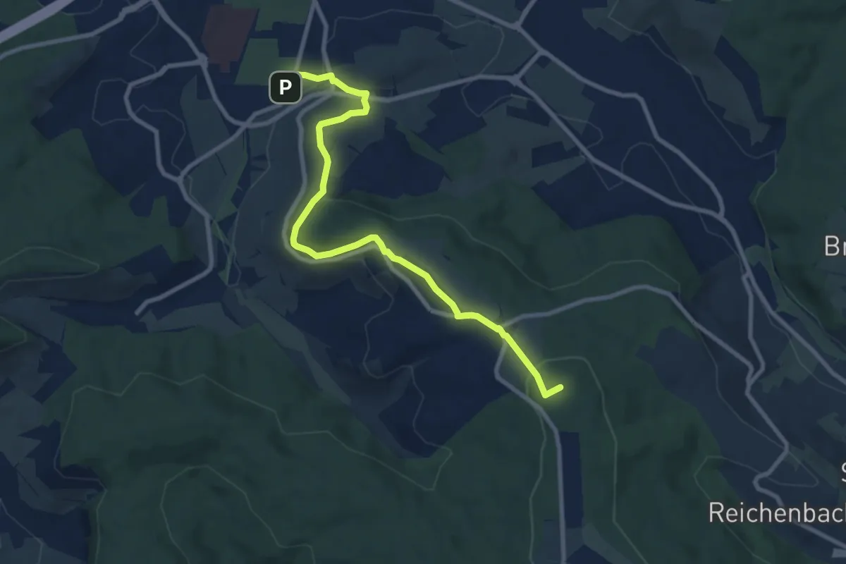
Medium · Summit
Buoch Freizeitzentrum - Winnenden
8.6 km · ↑ 255 m · 2 h 35 min
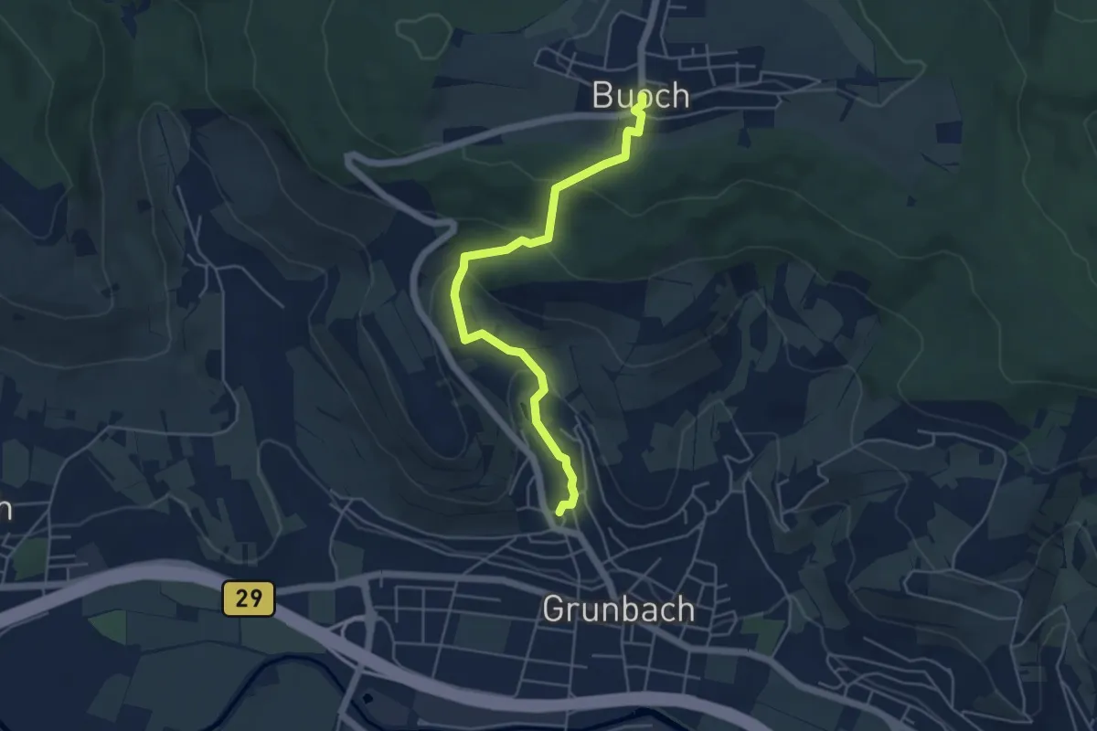
Easy · Trail
Buoch - Grunbach
4.7 km · ↑ 230 m · 1 h 36 min
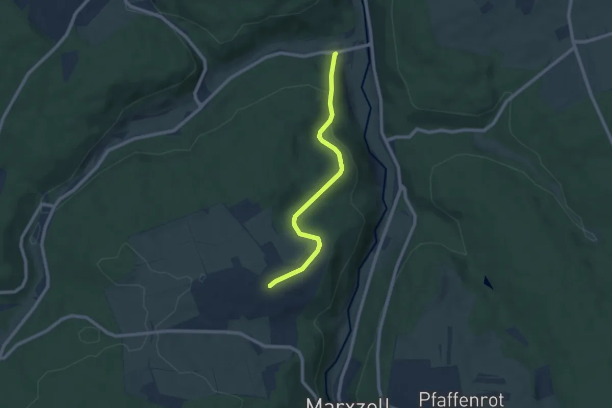
Easy · Trail
Burbach An der Linde - Hornkopf
5.1 km · ↑ 152 m · 1 h 32 min
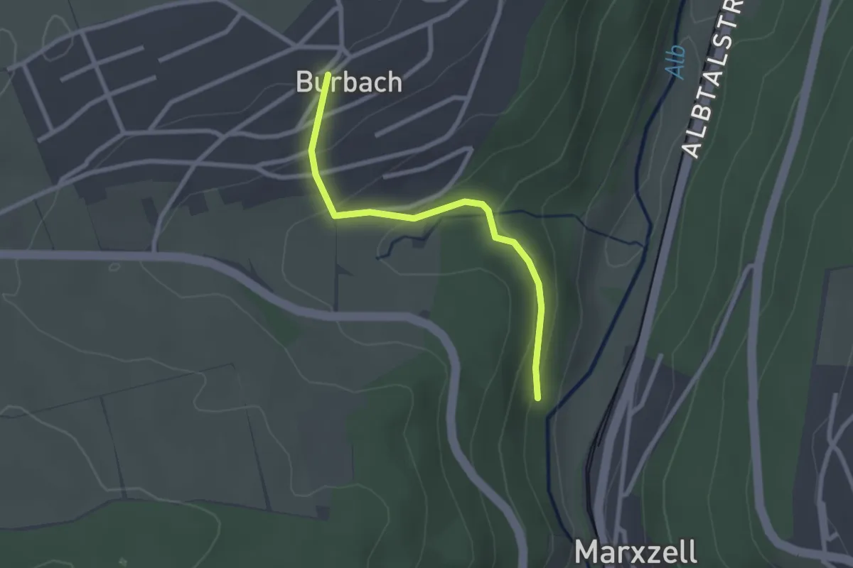
Easy · Trail
Burbach An der Linde - Vorderer Zellerberg
2.2 km · ↑ 101 m · 44 min
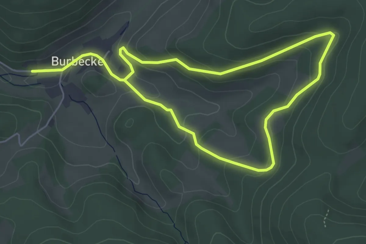
Medium · Trail
Burbecke Rundwanderweg A8
8.1 km · ↑ 312 m · 2 h 35 min
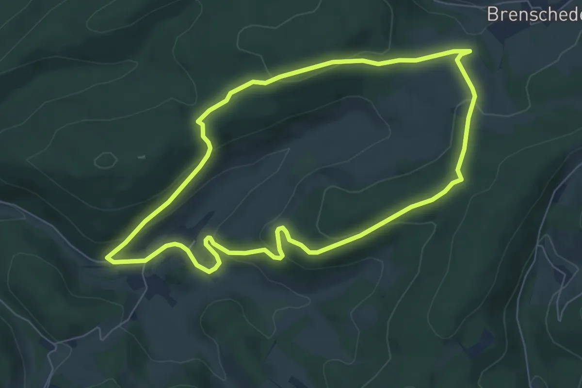
Easy · Trail
Burbecke Rundwanderweg Quadrat
5.9 km · ↑ 224 m · 1 h 57 min
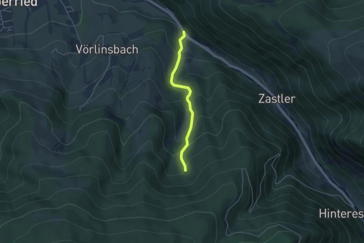
Easy · Cabin
Burdharzwald - Sägeplatz
3.3 km · ↑ 291 m · 1 h 24 min
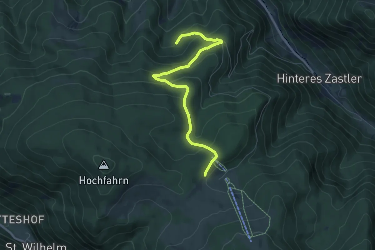
Medium · Trail
Burdharzwald - Stollenbach Kleiner Lift
7.0 km · ↑ 390 m · 2 h 30 min
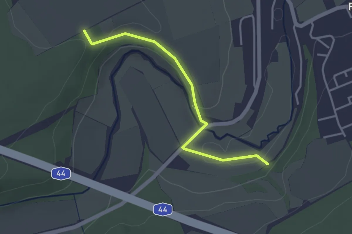
Medium · Trail
Büren
2.8 km · ↑ 60 m · 47 min
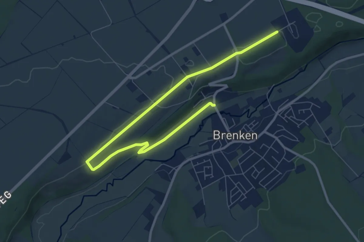
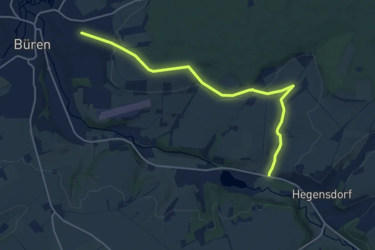
Medium · Trail
Bürener Wanderweg B1a Panoramaweg
8.5 km · ↑ 74 m · 2 h 10 min
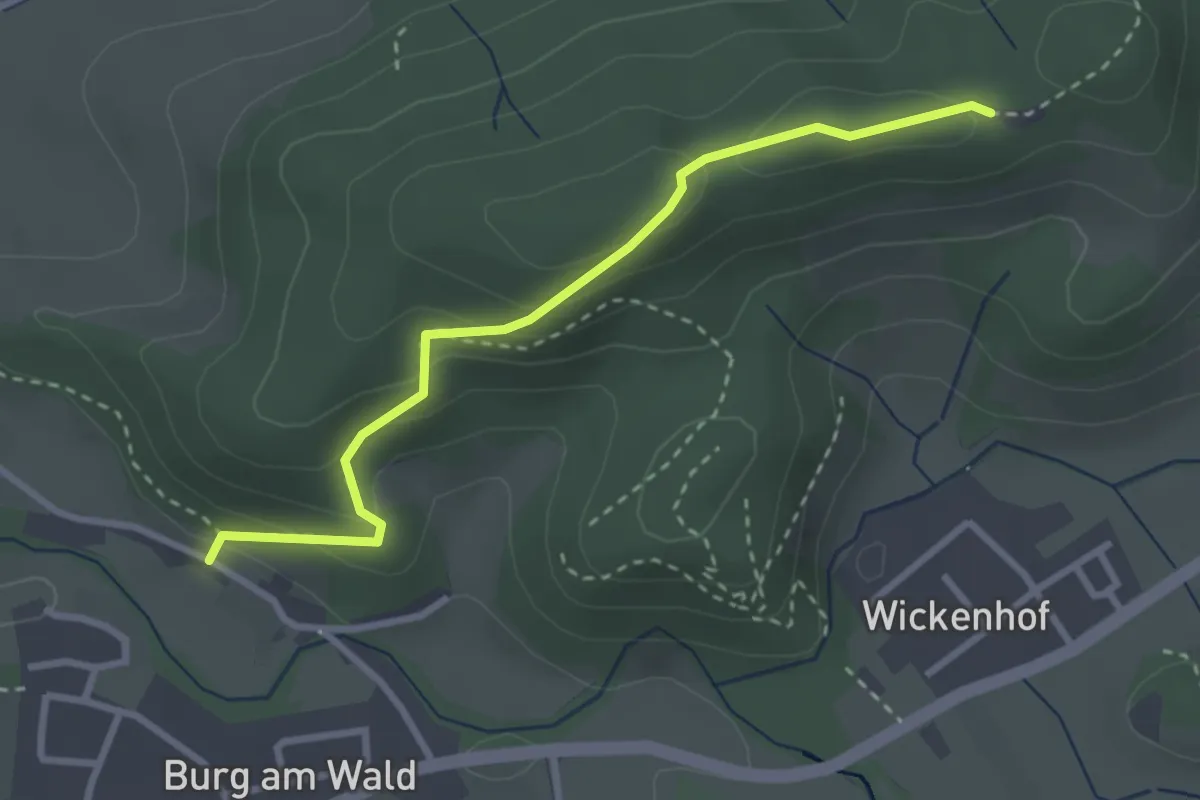
Medium · Trail
Bürener Wanderweg Bü2
11.1 km · ↑ 223 m · 3 h 7 min
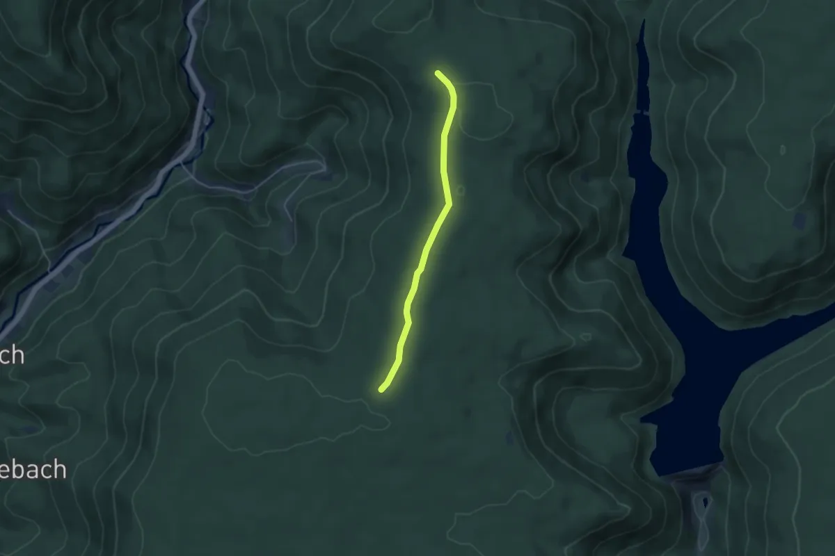
Easy · Trail
Burg am Wald Laubishof - Hauriwald
2.9 km · ↑ 159 m · 1 h 2 min
Easy · Trail
Burgbachhöhe - Burgwaldhöhe
3.7 km · ↑ 40 m · 57 min
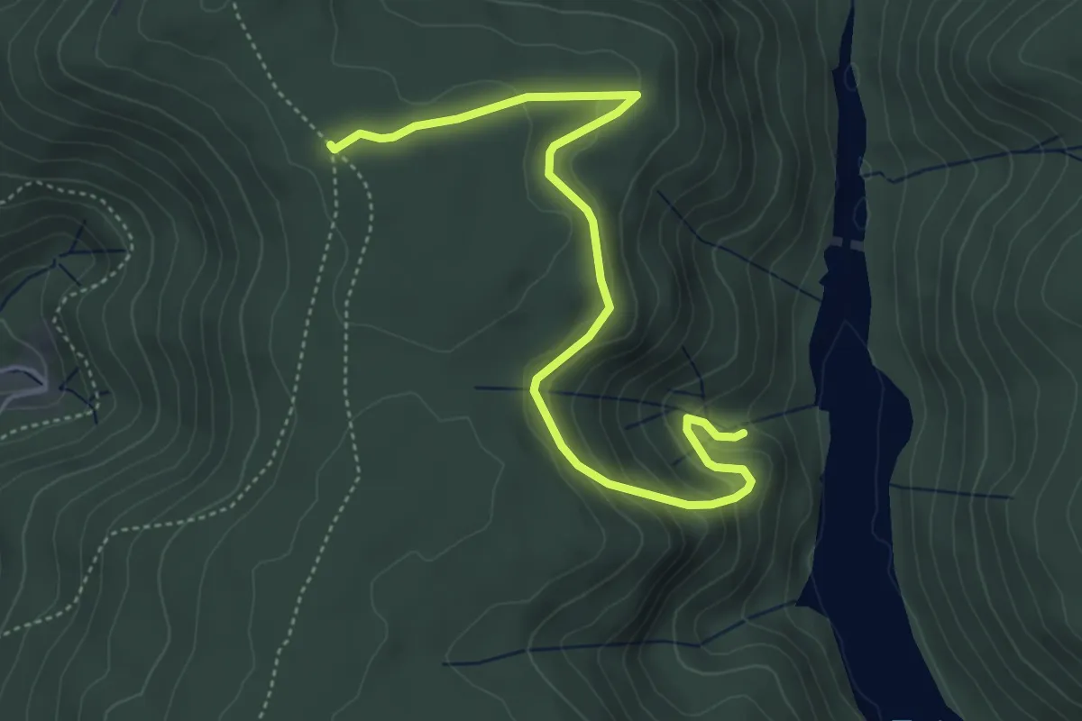
Easy · Trail
Burgbachhöhe - Kaspersloch
5.0 km · ↑ 198 m · 1 h 36 min
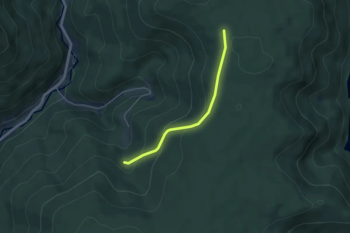
Easy · Trail
Burgbachhöhe - Schochs Platz
3.1 km · ↑ 187 m · 1 h 9 min
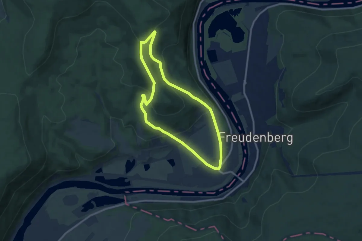
Easy · Trail
Burgberg-Ausblick
6.4 km · ↑ 260 m · 2 h 9 min
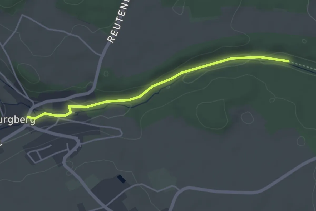
Easy · Trail
Burgberg - Fuchsloch
3.5 km · ↑ 42 m · 55 min
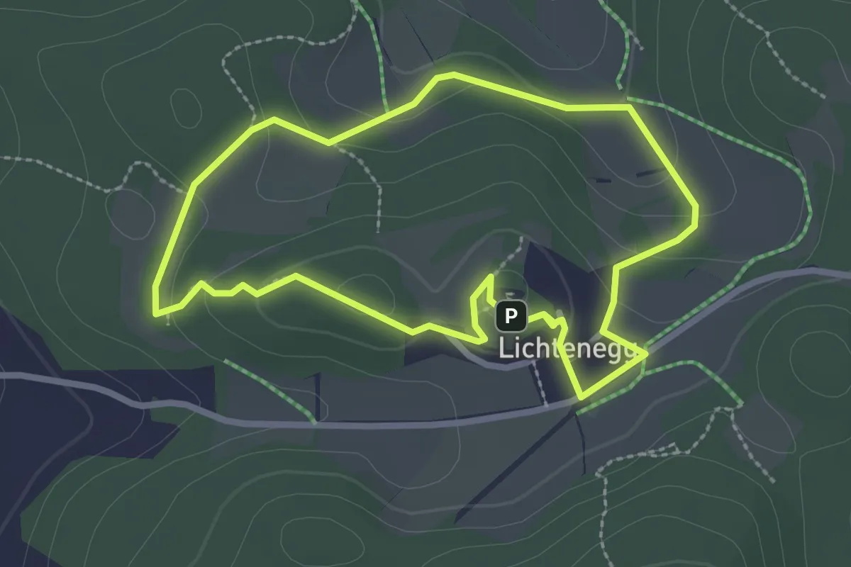
Medium · Trail
Burgberg-Panorama-Weg (33)
2.3 km · ↑ 64 m · 43 min
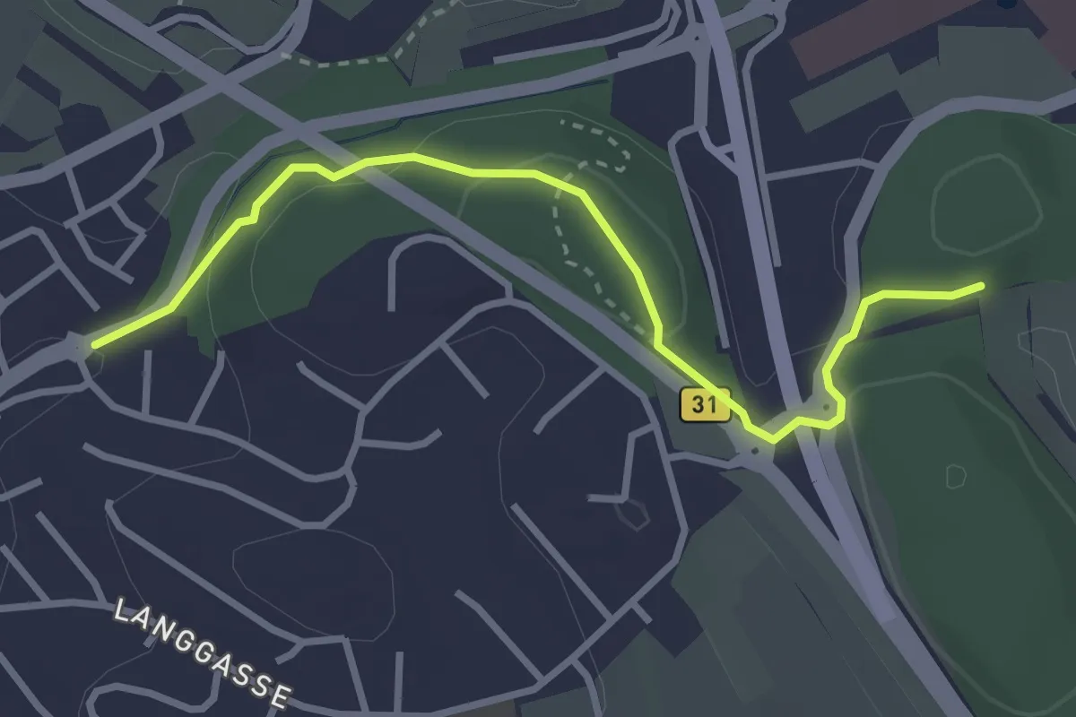
Easy · Trail
Burgbergring - Sprengenen
3.1 km · ↑ 120 m · 59 min
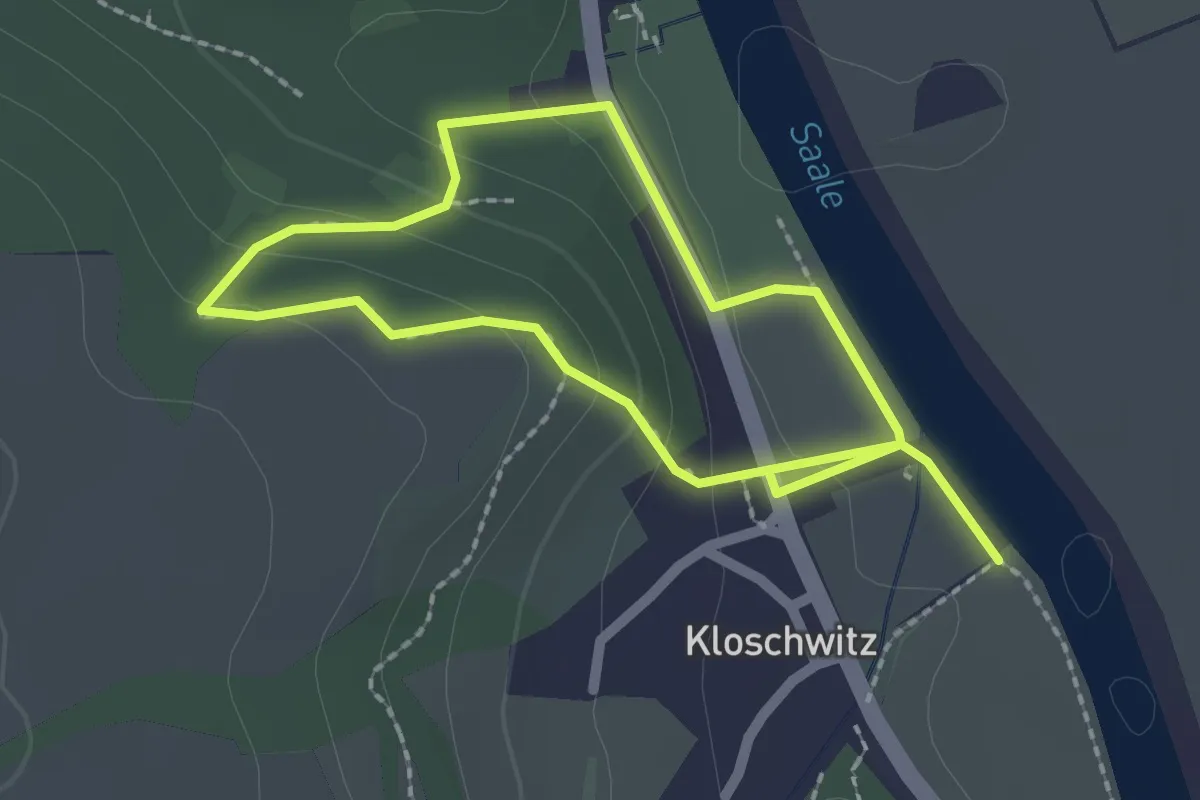
Medium · Trail
Burgbergweg W 5.14
3.3 km · ↑ 124 m · 1 h 3 min
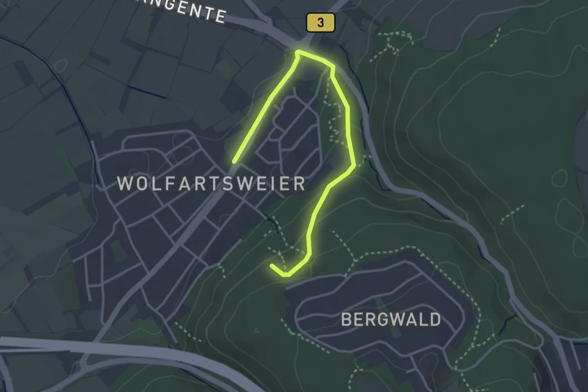
Easy · Trail
Burgberg - Wolfartsweier Am Zündhütle
3.3 km · ↑ 103 m · 1 h 1 min
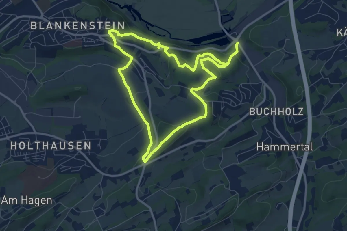
Easy · Trail
Burg Blankenstein Rundweg A2
6.6 km · ↑ 173 m · 2 h 2 min
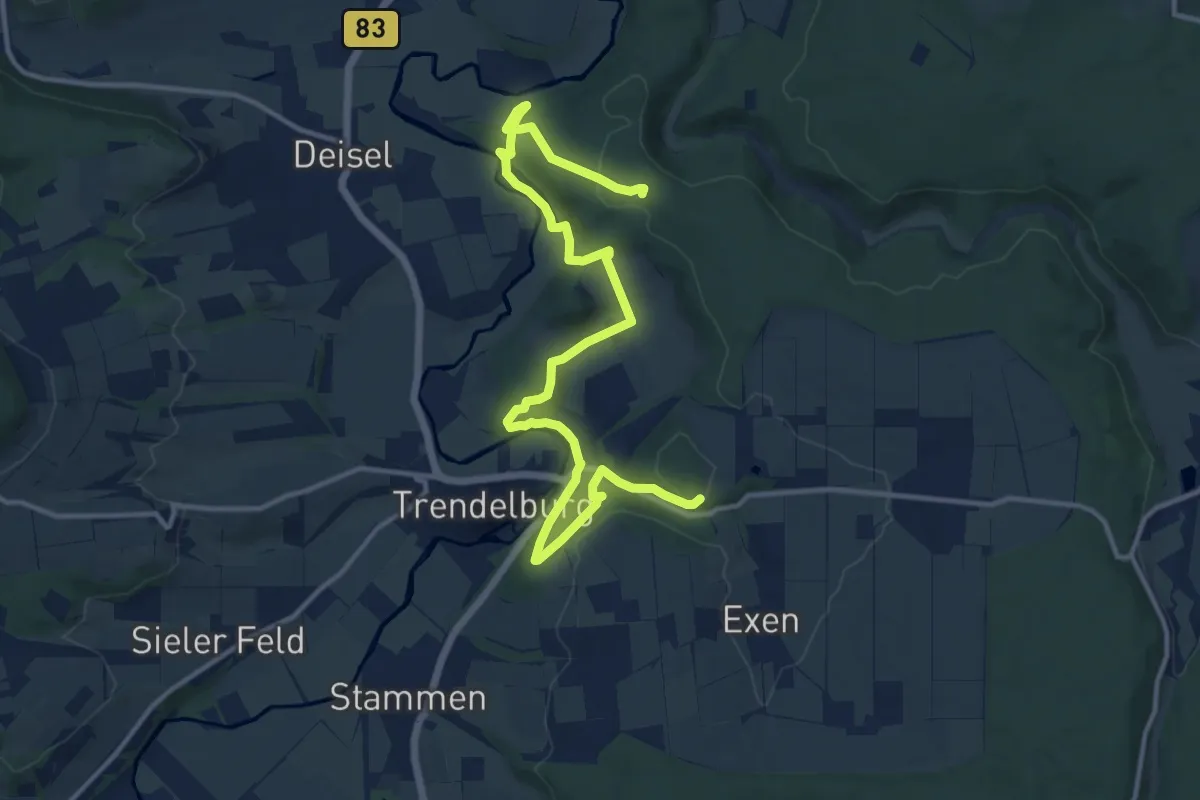
Medium · Summit
Burgblickweg
14.5 km · ↑ 490 m · 4 h 29 min
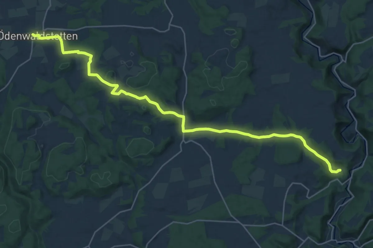
Demanding · Trail
Burg Derneck - Ehestetten - Ödenwaldstetten
24.4 km · ↑ 350 m · 6 h 31 min
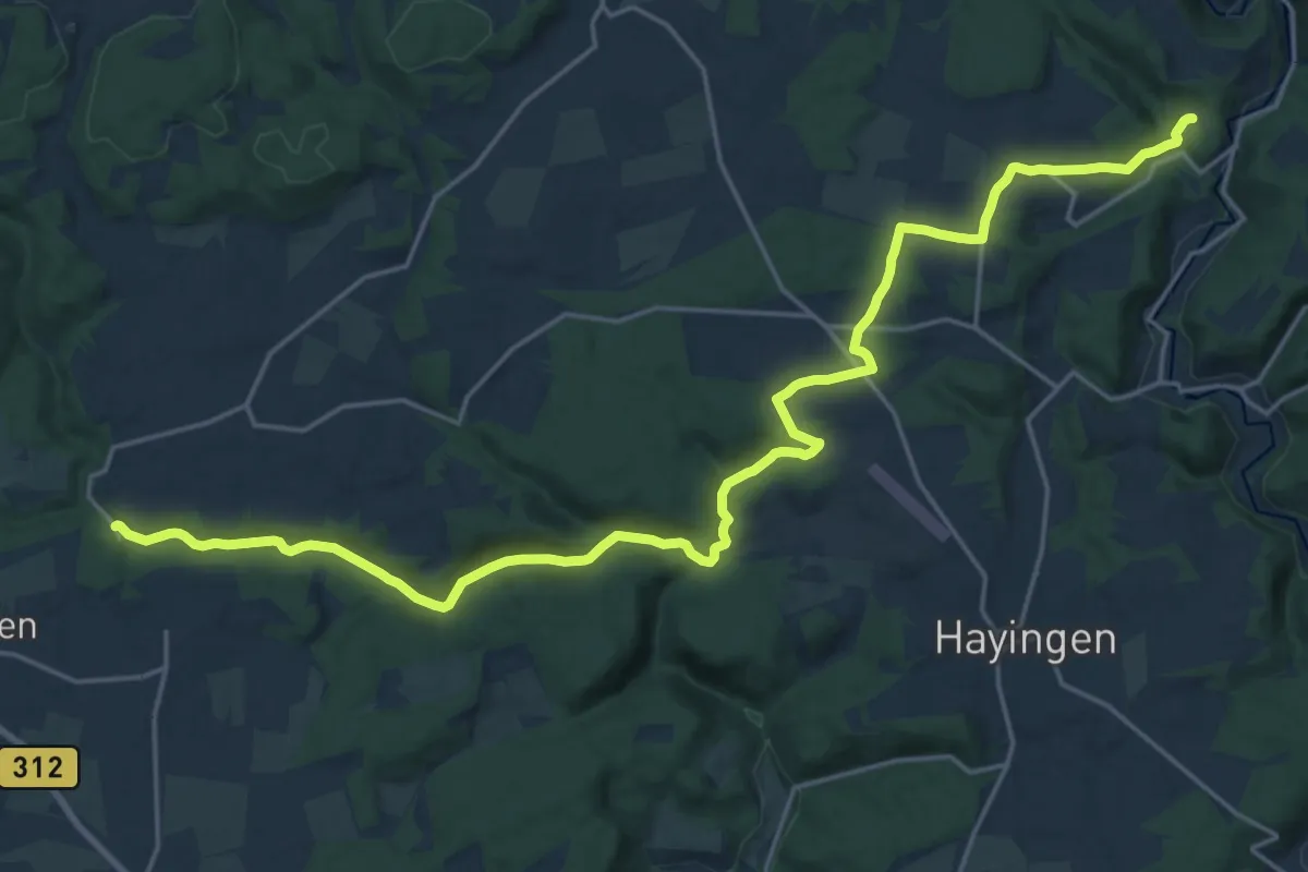
Demanding · Trail
Burg Derneck - Tiefental
24.7 km · ↑ 386 m · 6 h 40 min
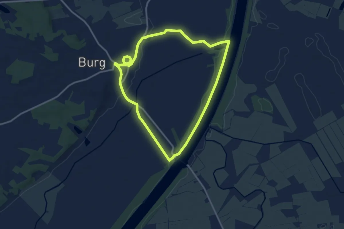
Easy · Trail
Burg/Ditm. Rundwanderweg Nr.1
7.0 km · ↑ 22 m · 1 h 48 min
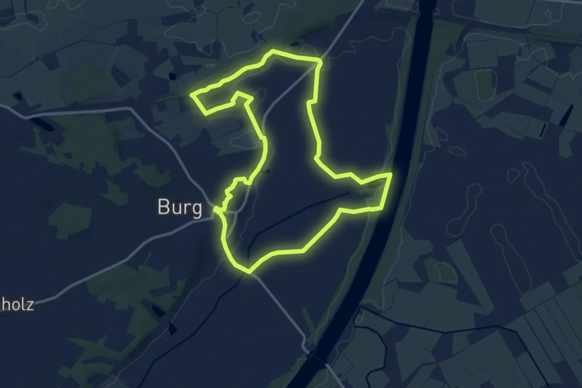
Medium · Trail
Burg/Ditm. Rundwanderweg Nr.2
9.2 km · ↑ 37 m · 2 h 22 min
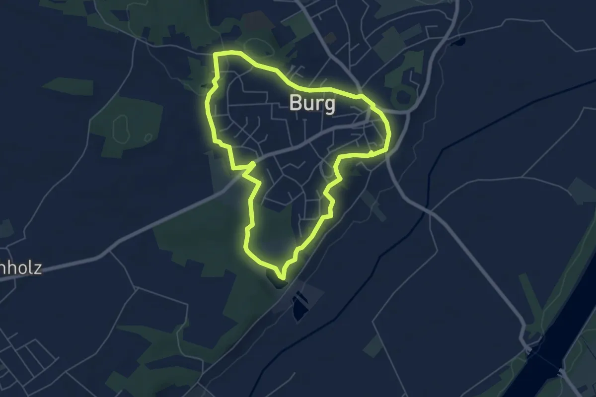
Easy · Trail
Burg/Ditm. Rundwanderweg Nr.3
4.7 km · ↑ 56 m · 1 h 18 min
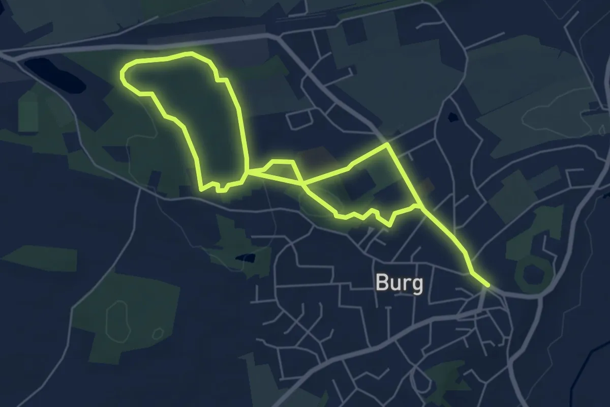
Easy · Trail
Burg/Ditm. Rundwanderweg Nr.4
4.3 km · ↑ 76 m · 1 h 14 min
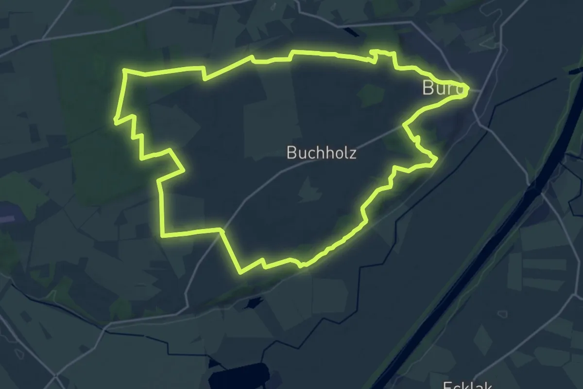
Demanding · Trail
Burg/Ditm. Rundwanderweg Nr. 5
19.0 km · ↑ 137 m · 5 h 3 min
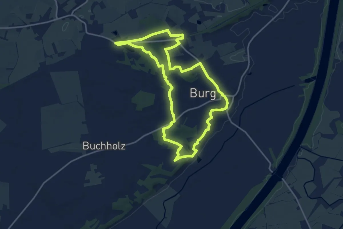
Medium · Trail
Burg/Ditm. Rundwanderweg Nr.6
9.8 km · ↑ 139 m · 2 h 45 min
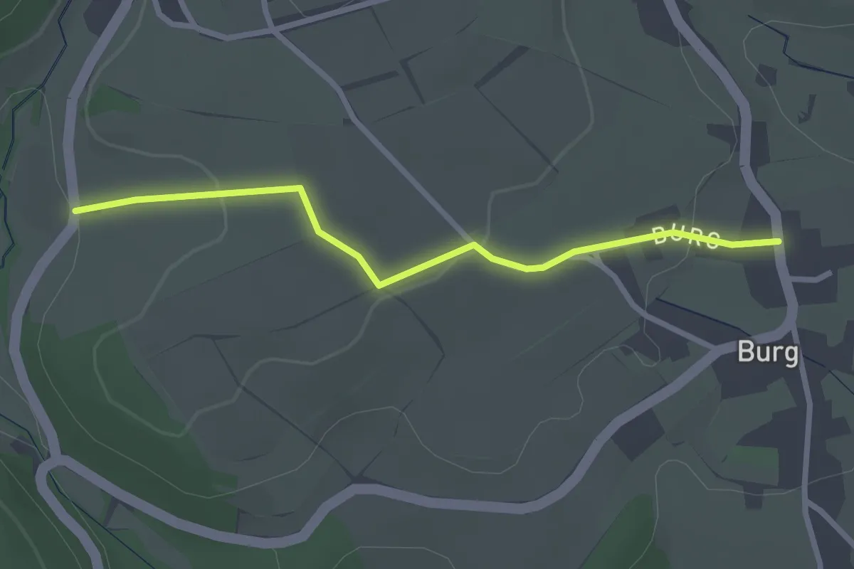
Easy · Trail
Burg - Eichrüttehof
2.5 km · ↑ 54 m · 42 min
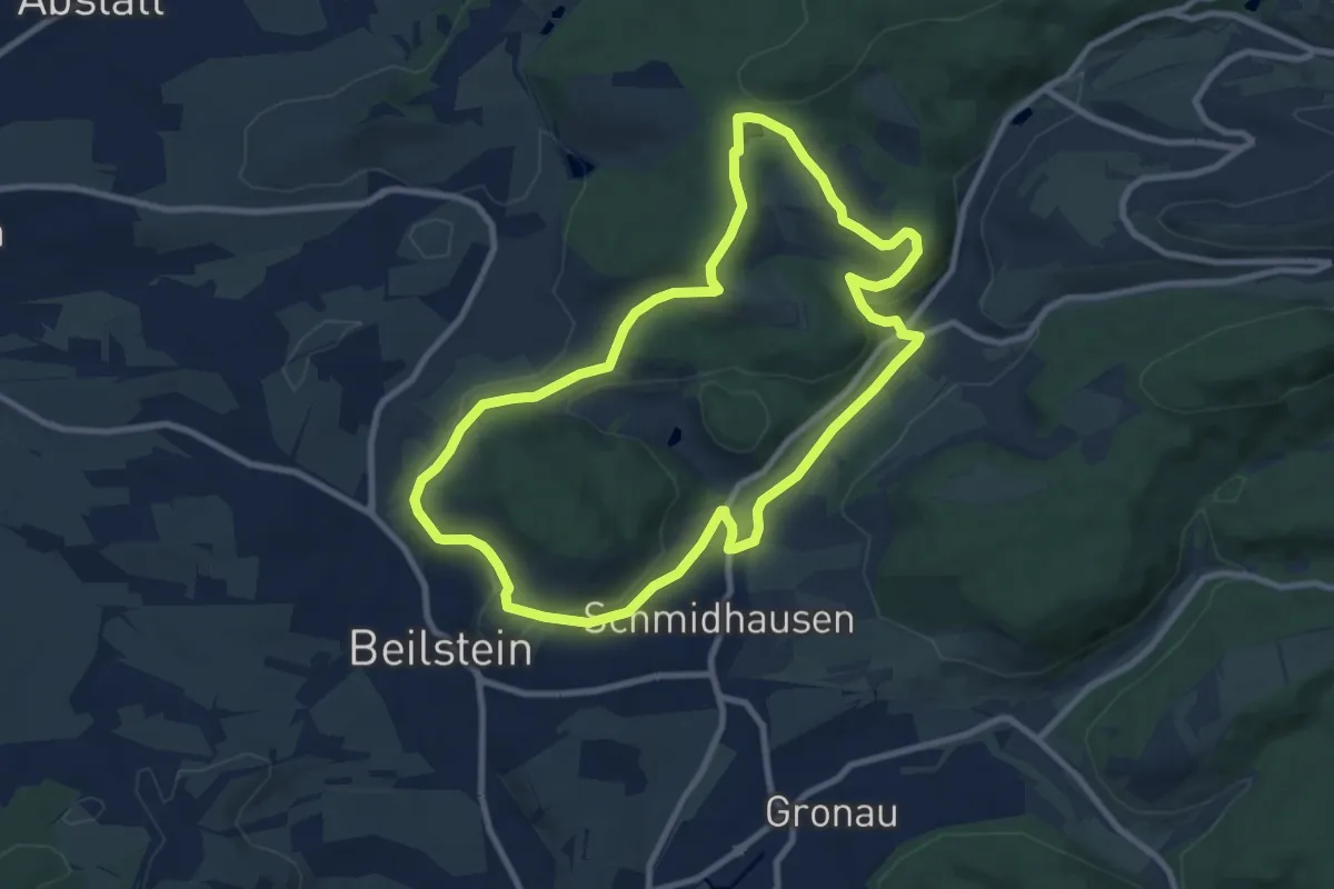
Medium · Trail
Burgen, Falken und weite Wälder
8.7 km · ↑ 169 m · 2 h 32 min
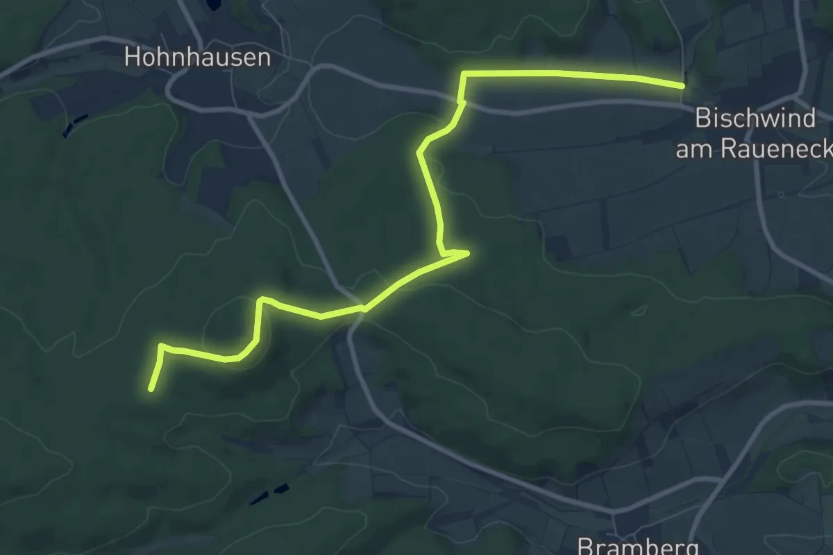
Easy · Summit
Burgenkundlicher Rundweg Haßberge
4.6 km · ↑ 175 m · 1 h 28 min
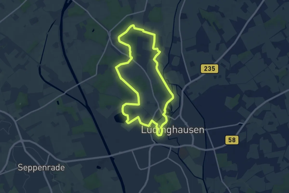
Medium · Trail
Burgenpatt
9.2 km · ↑ 26 m · 2 h 21 min
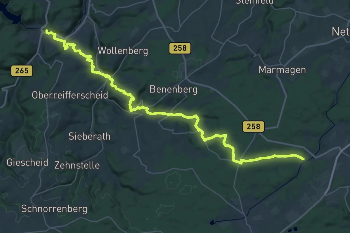
Medium · Trail
Burgenroute
17.5 km · ↑ 432 m · 5 h 16 min
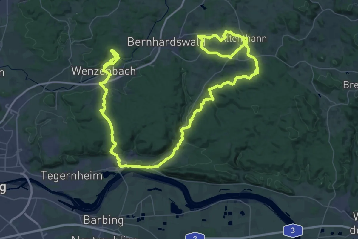
Demanding · Trail
Burgensteig 4: Donaustaufer Burgensteig (Rote Feder)
32.0 km · ↑ 579 m · 9 h 20 min