Trails in Hungary
2,294 hiking trails, each with its route, climb, walking time and grade.
All trails, page 19 of 48
Medium · Summit
P (Csóványos – Királyháza)
12.5 km · ↑ 636 m · 4 h 20 min
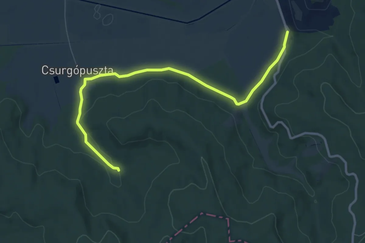
Medium · Trail
P▲ (Csurgópuszta)
8.7 km · ↑ 113 m · 2 h 19 min
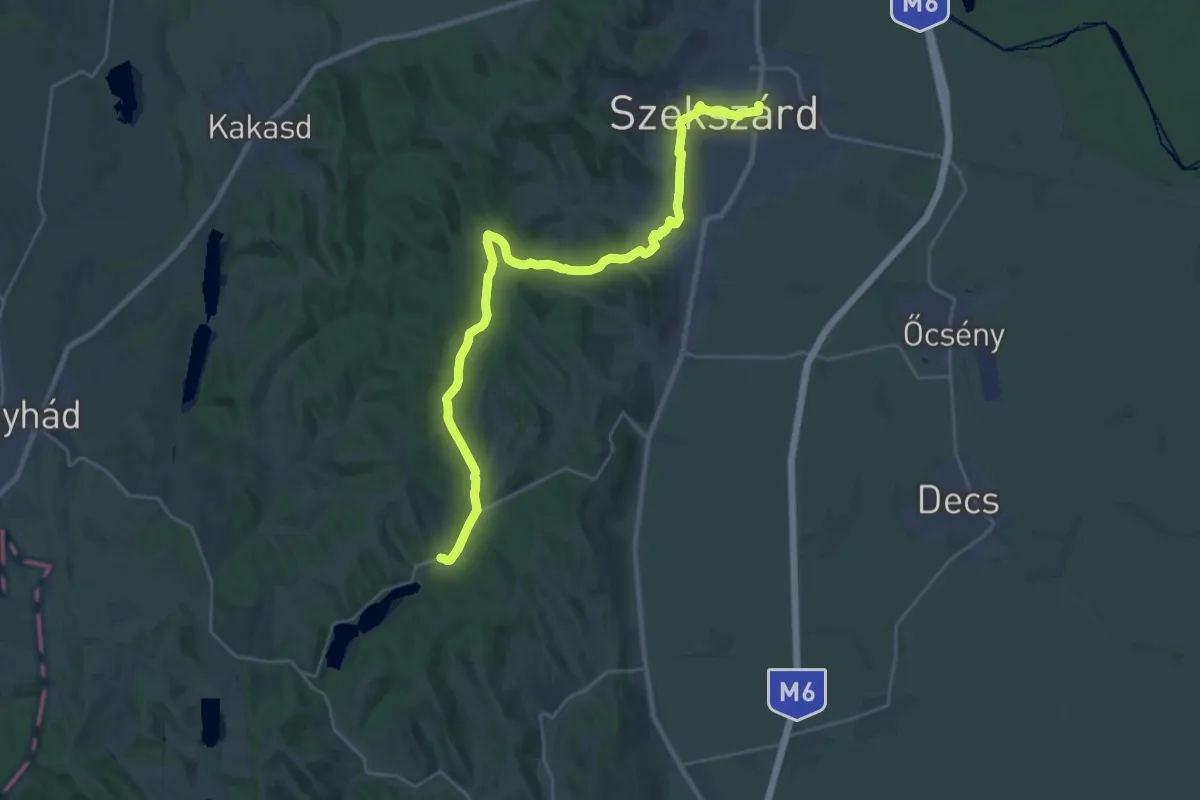
Medium · Trail
P, DDP 1. (Szekszárd – Szálka)
15.1 km · ↑ 260 m · 4 h 22 min
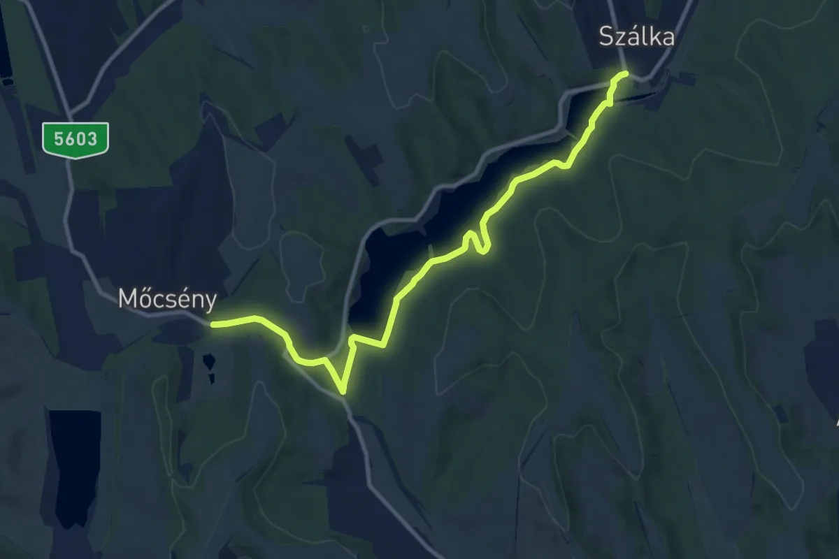
Medium · Trail
P, DDP 2. (Szálka – Mőcsény)
10.7 km · ↑ 176 m · 2 h 54 min
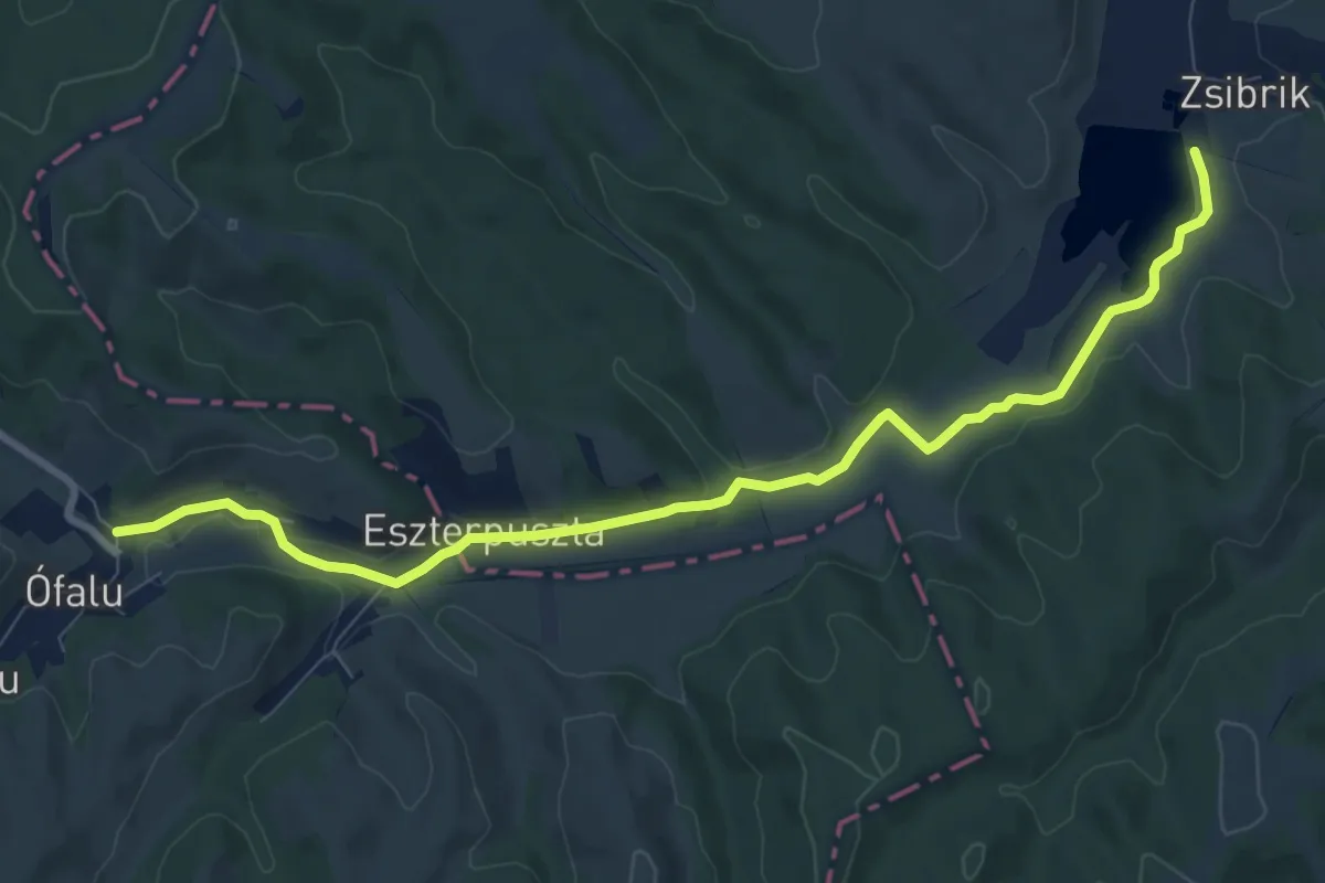
Medium · Trail
P, DDP 3. (Mőcsény – Ófalu)
9.8 km · ↑ 77 m · 2 h 28 min
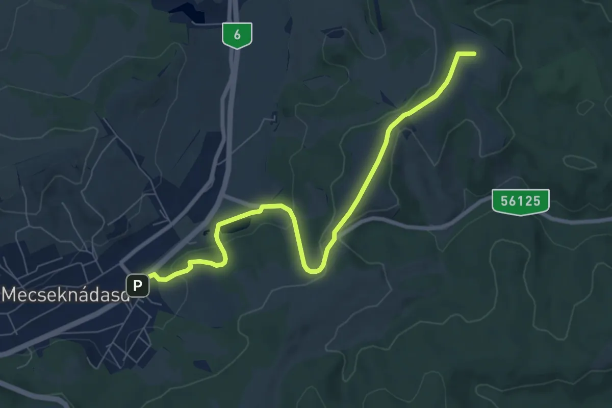
Easy · Summit
P, DDP 4. (Ófalu – Mecseknádasd)
7.7 km · ↑ 220 m · 2 h 18 min
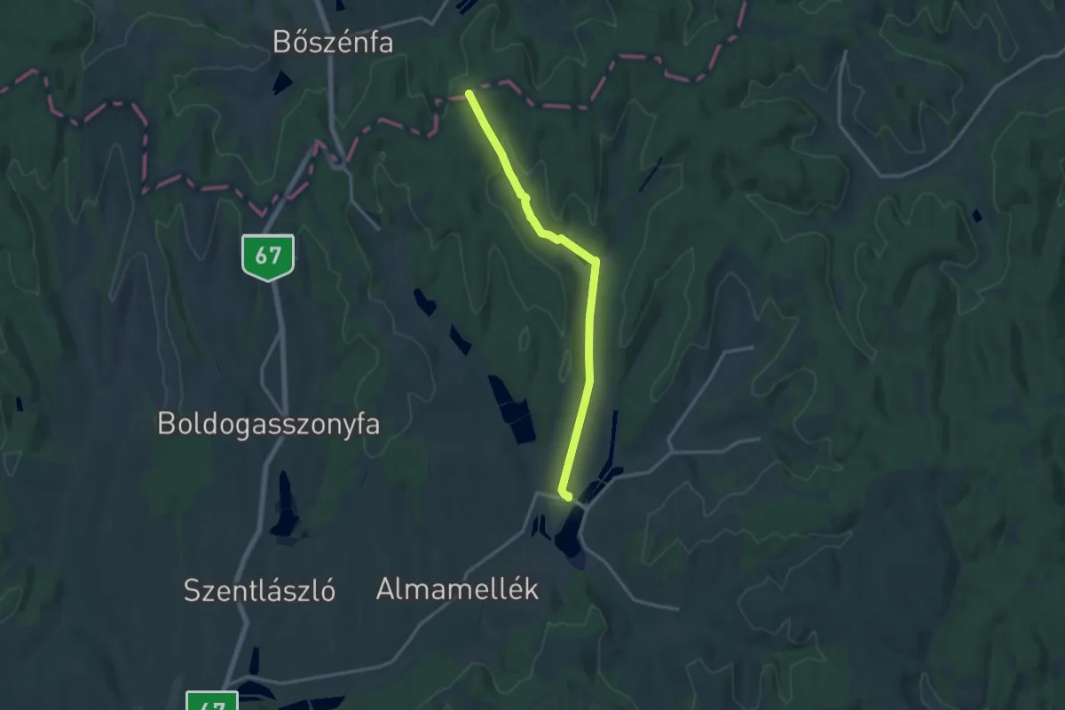
Medium · Trail
P+ (DDP, Almamellék – Sas-rét – Pap-domb)
13.7 km · ↑ 222 m · 3 h 44 min
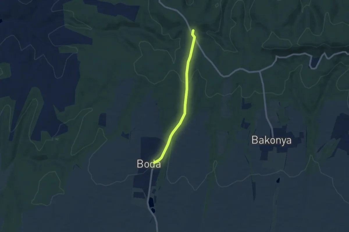
Easy · Trail
P■ (DDP – Boda)
5.9 km · ↑ 164 m · 1 h 45 min
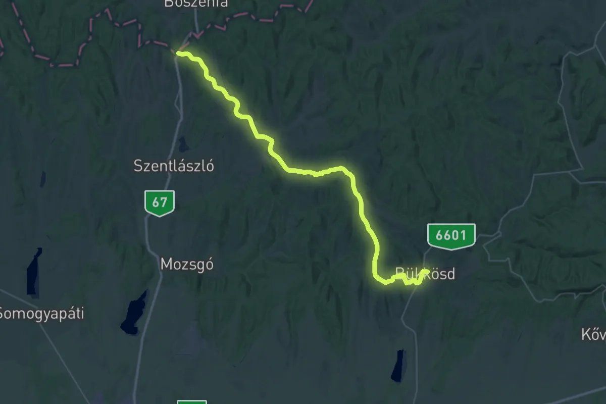
Demanding · Trail
P, DDP (dél-zselici szakasz)
21.2 km · ↑ 335 m · 6 h
Medium · Trail
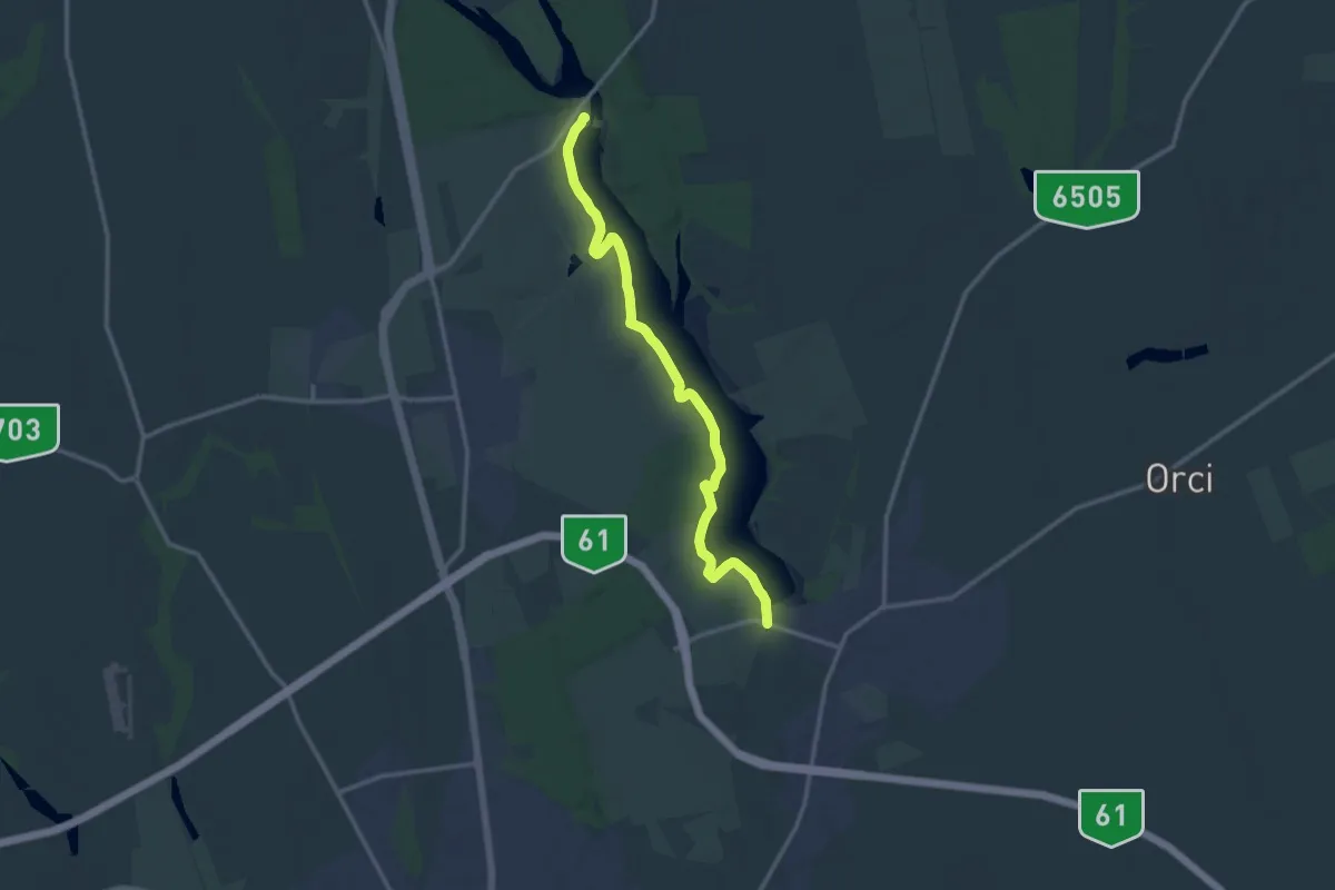
P+ (DDP – Deseda, vízmű)
13.8 km · ↑ 148 m · 3 h 34 min
Medium · Trail
P (Debrecen – Pallag – Bocskaikert)
12.8 km · ↑ 40 m · 3 h 6 min
Easy · Trail
P (Dinnyés)
6.7 km · ↑ 8 m · 1 h 36 min
Easy · Trail
P+ (Dobogó-hegyi-erdő – Ürge-hegy – Nyakas-kő alja)
2.8 km · ↑ 93 m · 51 min
Medium · Trail
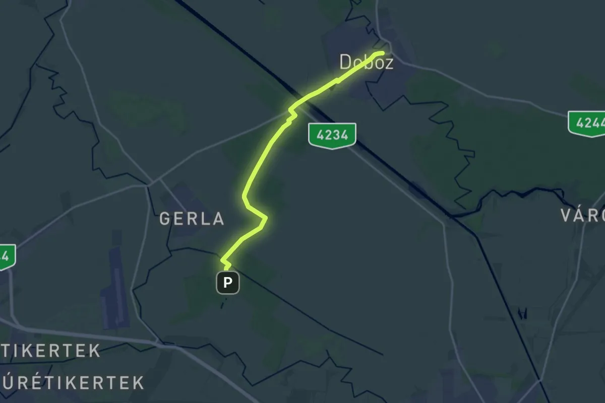
P (Doboz – Marói erdő – Póstelek)
16.5 km · ↑ 44 m · 3 h 59 min
Easy · Summit
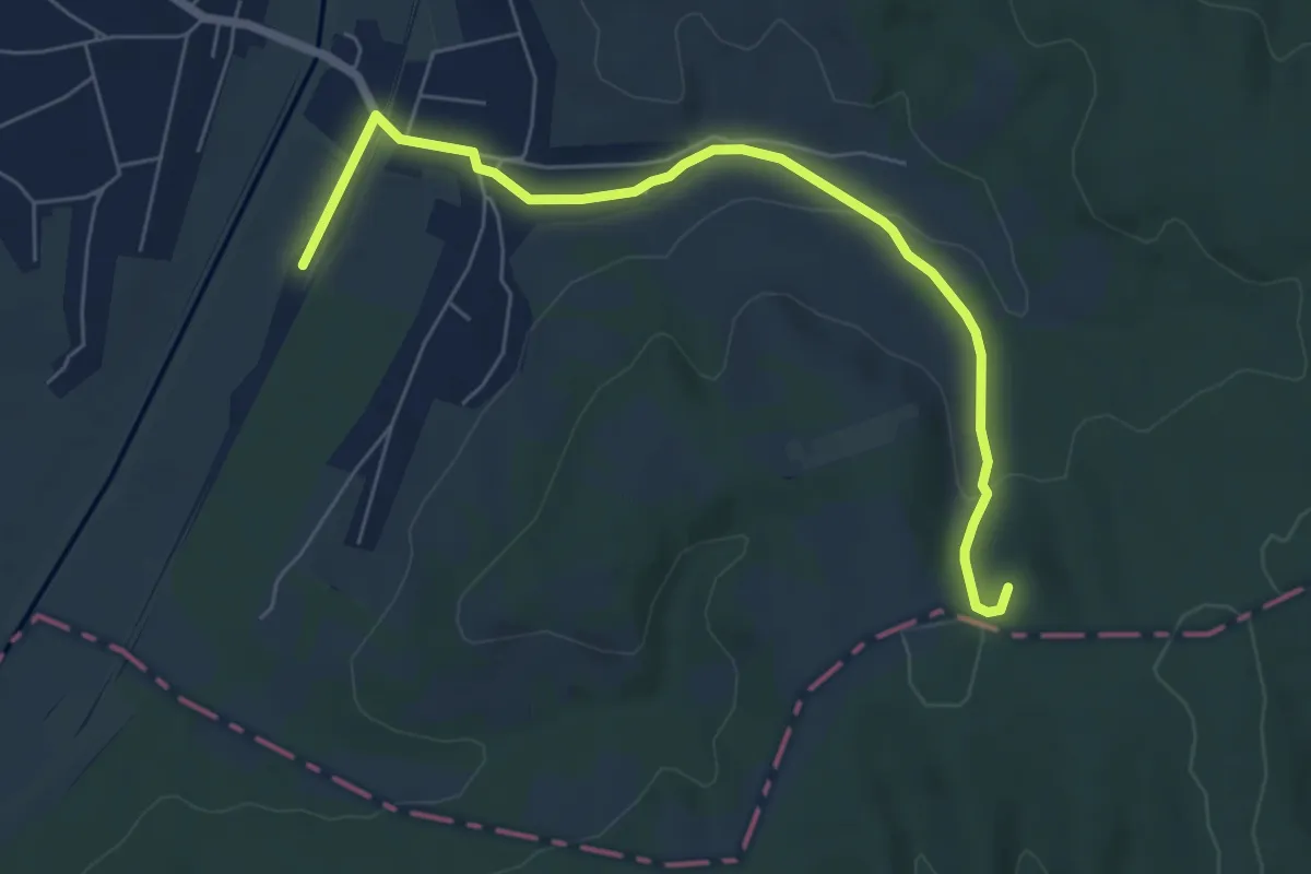
P■ (Döbrököz)
6.7 km · ↑ 140 m · 1 h 53 min
Demanding · Trail
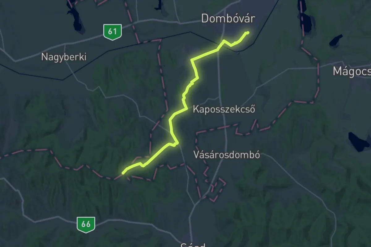
P (Dombóvár – Jágónak – Hármashatár)
28.5 km · ↑ 229 m · 7 h 13 min
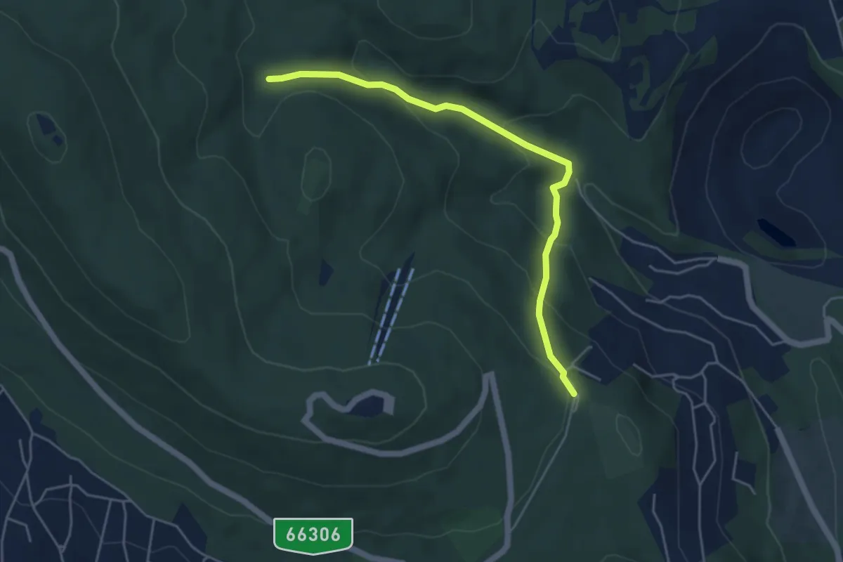
Easy · Trail
P■ (Dömörkapu – Lámpás-völgy – Kantavár)
4.7 km · ↑ 248 m · 1 h 39 min
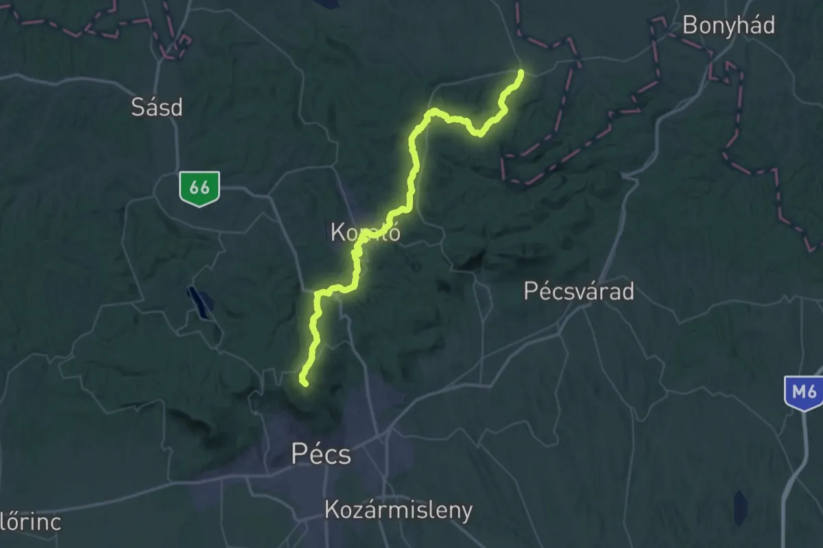
Demanding · Summit
P+ (Dömörkapu – Szászvár)
62.3 km · ↑ 1616 m · 18 h 13 min
Medium · Trail
P↺ (Domoszló)
12.3 km · ↑ 182 m · 3 h 28 min
Easy · Summit
P▙ (Dornyai th. –- Salgóvár – Zagyvaróna)
5.3 km · ↑ 264 m · 1 h 49 min
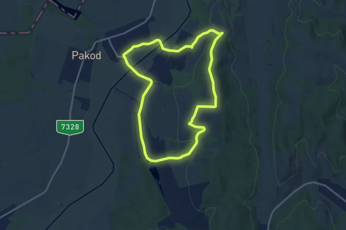
Easy · Trail
P↺ (Dötk)
8.0 km · ↑ 164 m · 2 h 21 min
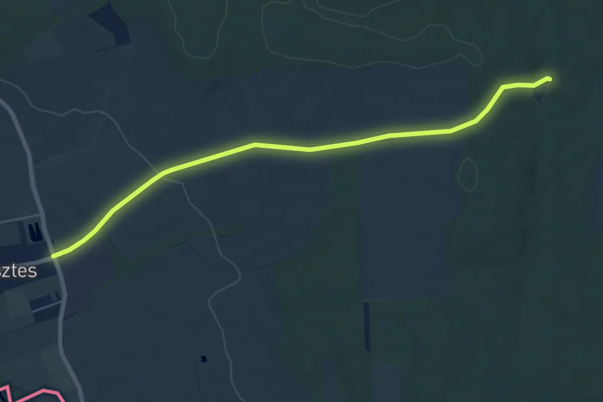
Easy · Trail
P +(Dozmat)
6.0 km · ↑ 75 m · 1 h 34 min
Medium · Trail
P+ (Drégelypalánk – Drégelyvár-erdő)
8.3 km · ↑ 247 m · 2 h 30 min
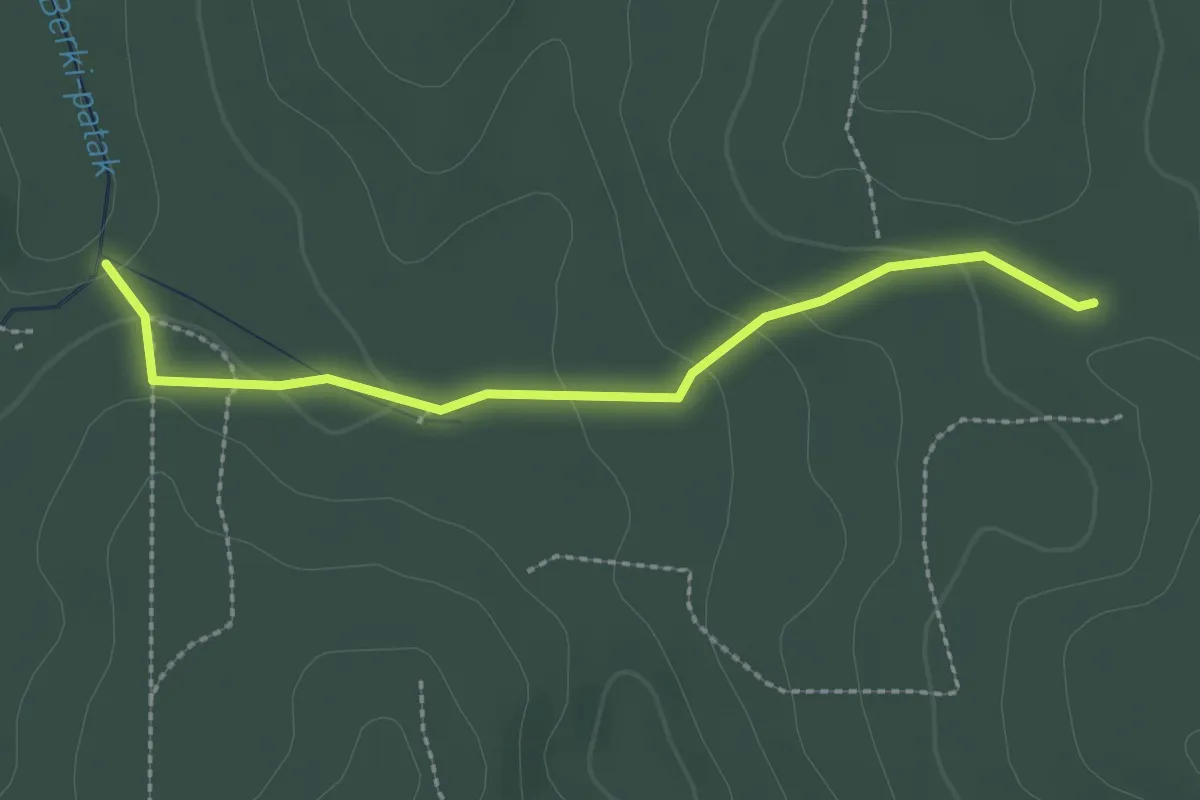
Easy · Trail
P● (Dugás-kút)
2.5 km · ↑ 71 m · 44 min
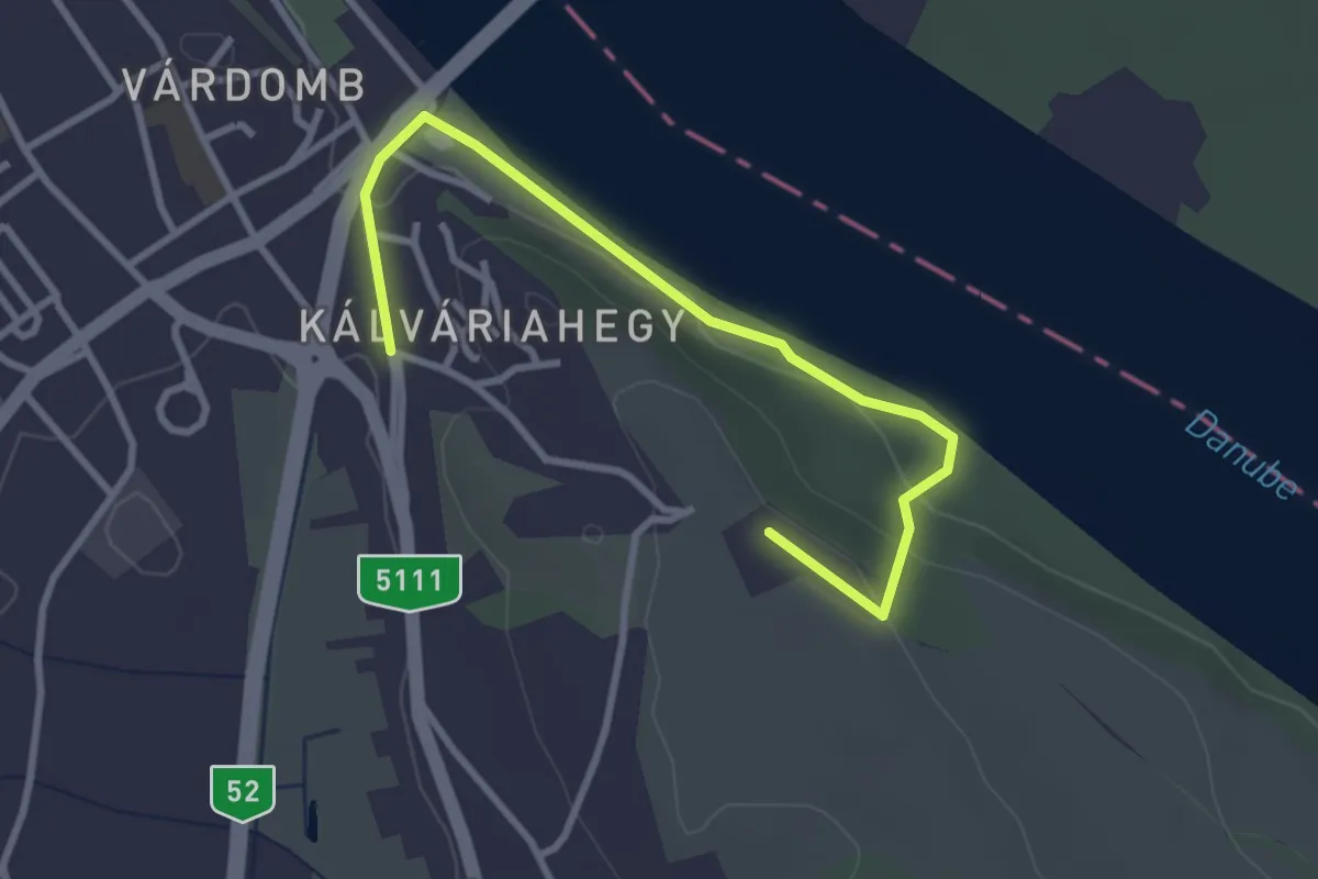
Easy · Trail
P● (Dunaföldvár)
3.3 km · ↑ 68 m · 56 min
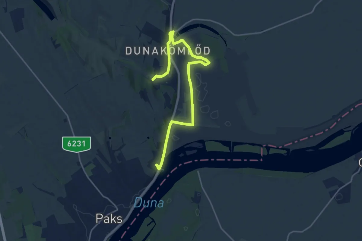
Medium · Trail
P+ (Dunakömlőd)
14.7 km · ↑ 131 m · 3 h 45 min
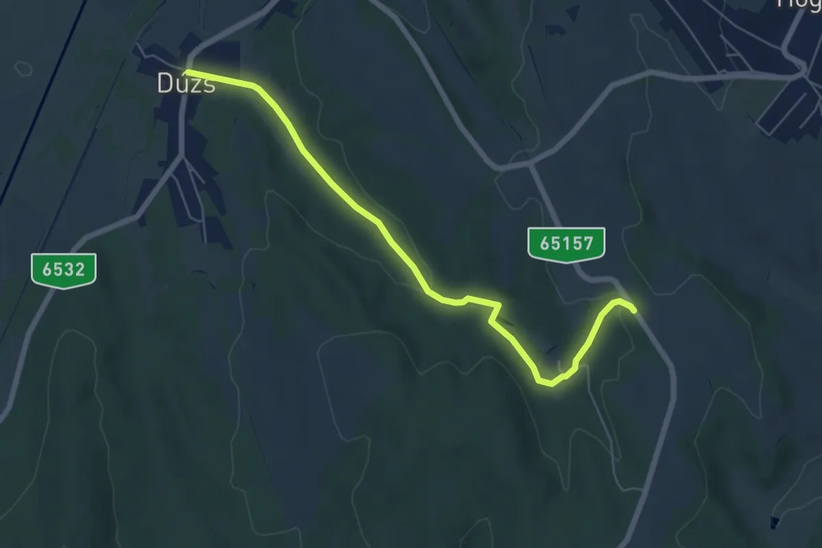
Easy · Trail
P+ (Dúzs - Szálláspuszta)
6.0 km · ↑ 99 m · 1 h 38 min
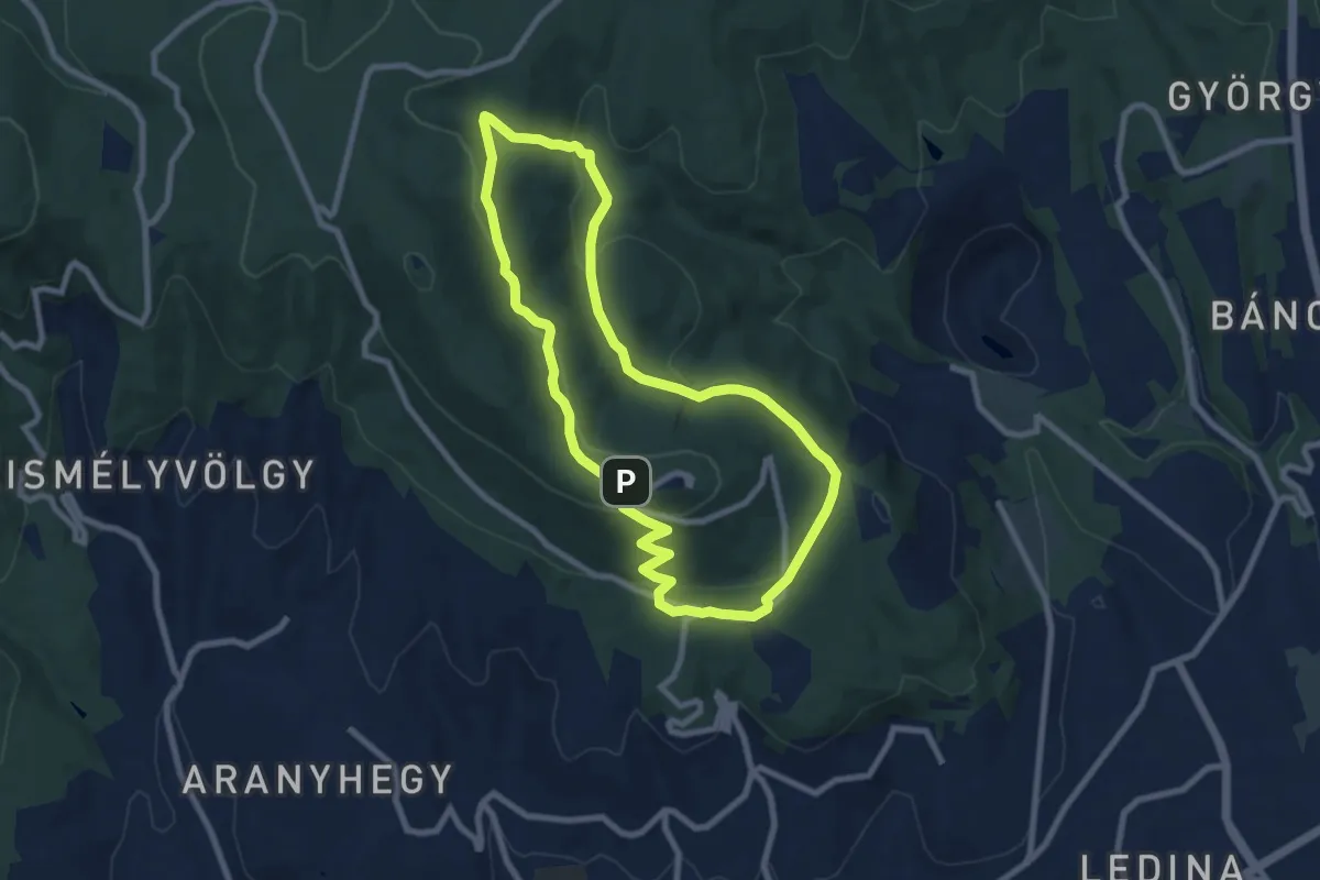
Easy · Summit
Pécsi Erdei körtúra 1.
7.9 km · ↑ 227 m · 2 h 28 min
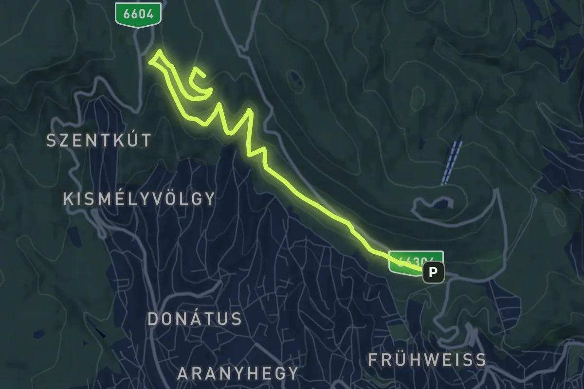
Medium · Summit
Pécsi Erdei körtúra 2.
10.9 km · ↑ 319 m · 3 h 16 min
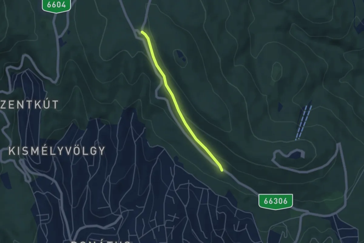
Easy · Trail
Pécsi Erdei körtúra 3.
3.7 km · ↑ 127 m · 1 h 9 min
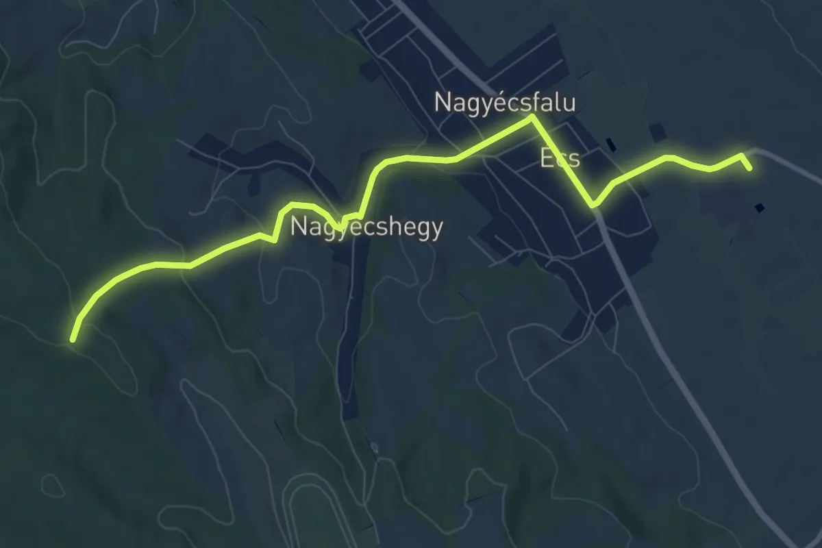
Medium · Trail
P+ (Écs vá.)
9.7 km · ↑ 177 m · 2 h 40 min
Easy · Trail
P+ (Erdőkertes, Béke utca – Mogyorós)
2.7 km · ↑ 32 m · 43 min
Easy · Trail
P+ (Esztergom, Kerek-tó – Búbánat-völgy – Esztergom, Búbánatvölgy am.)
4.7 km · ↑ 94 m · 1 h 19 min
Demanding · Summit
P (Esztergom, vá. – Piliscsév, vá.)
45.3 km · ↑ 1459 m · 13 h 51 min
Easy · Trail
PE (Tata, Országgyűlés tér – Tatai vár – Tata, Kossuth tér)
2.4 km · ↑ 18 m · 37 min
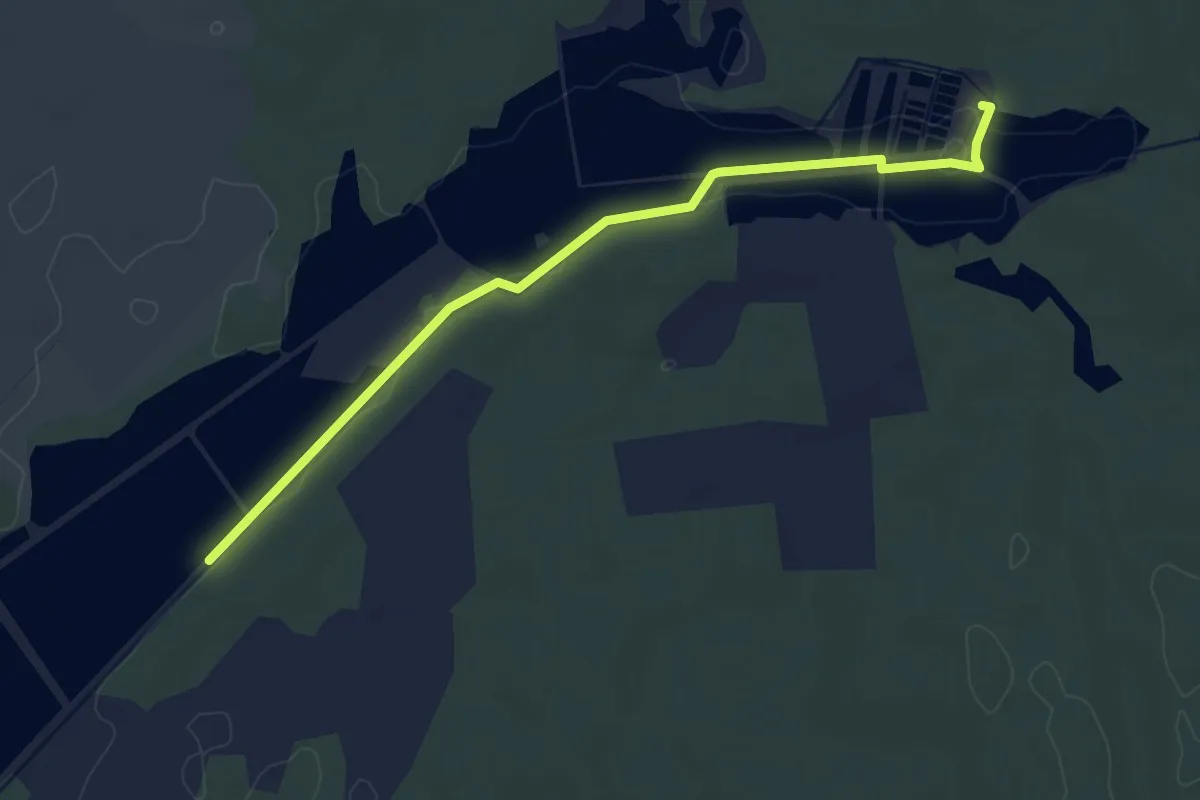
Easy · Trail
Petesmalmi tanösvény
4.3 km · ↑ 4 m · 1 h 2 min
Medium · Trail
P (Fehérkői-kilátó alatti elágazás - Parádfürdő – Domoszló)
14.6 km · ↑ 392 m · 4 h 35 min
Medium · Trail
P■ (Fehér-kút – Hejce)
8.6 km · ↑ 308 m · 2 h 42 min
Medium · Summit
P+ (Felnémet – Varró-ház)
15.6 km · ↑ 578 m · 4 h 56 min
Demanding · Trail
P (Felsőkincses–Csór)
24.6 km · ↑ 477 m · 6 h 51 min
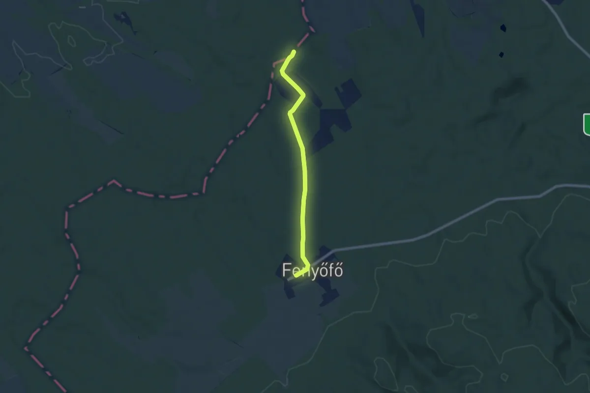
Easy · Trail
P■ (Fenyőfő)
6.4 km · ↑ 50 m · 1 h 37 min
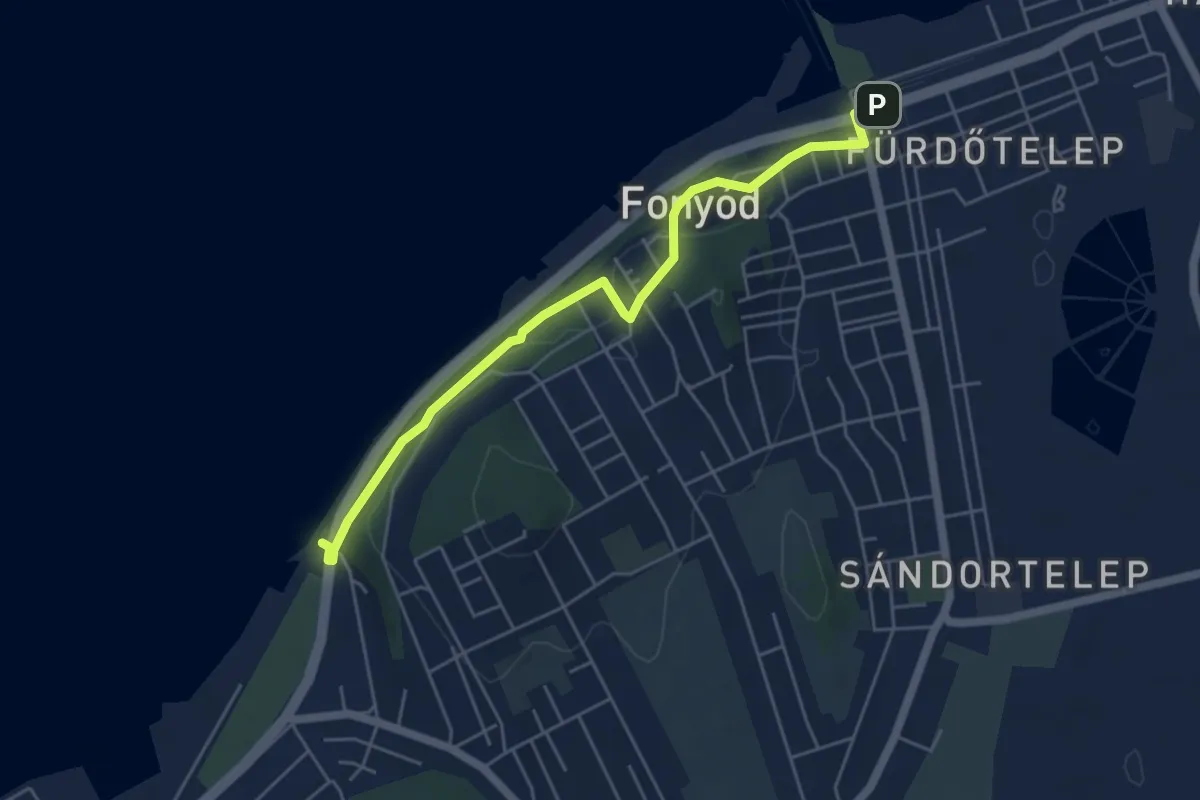
Easy · Trail
P (Fonyód vá. – Bélatelep vá.)
5.3 km · ↑ 148 m · 1 h 34 min
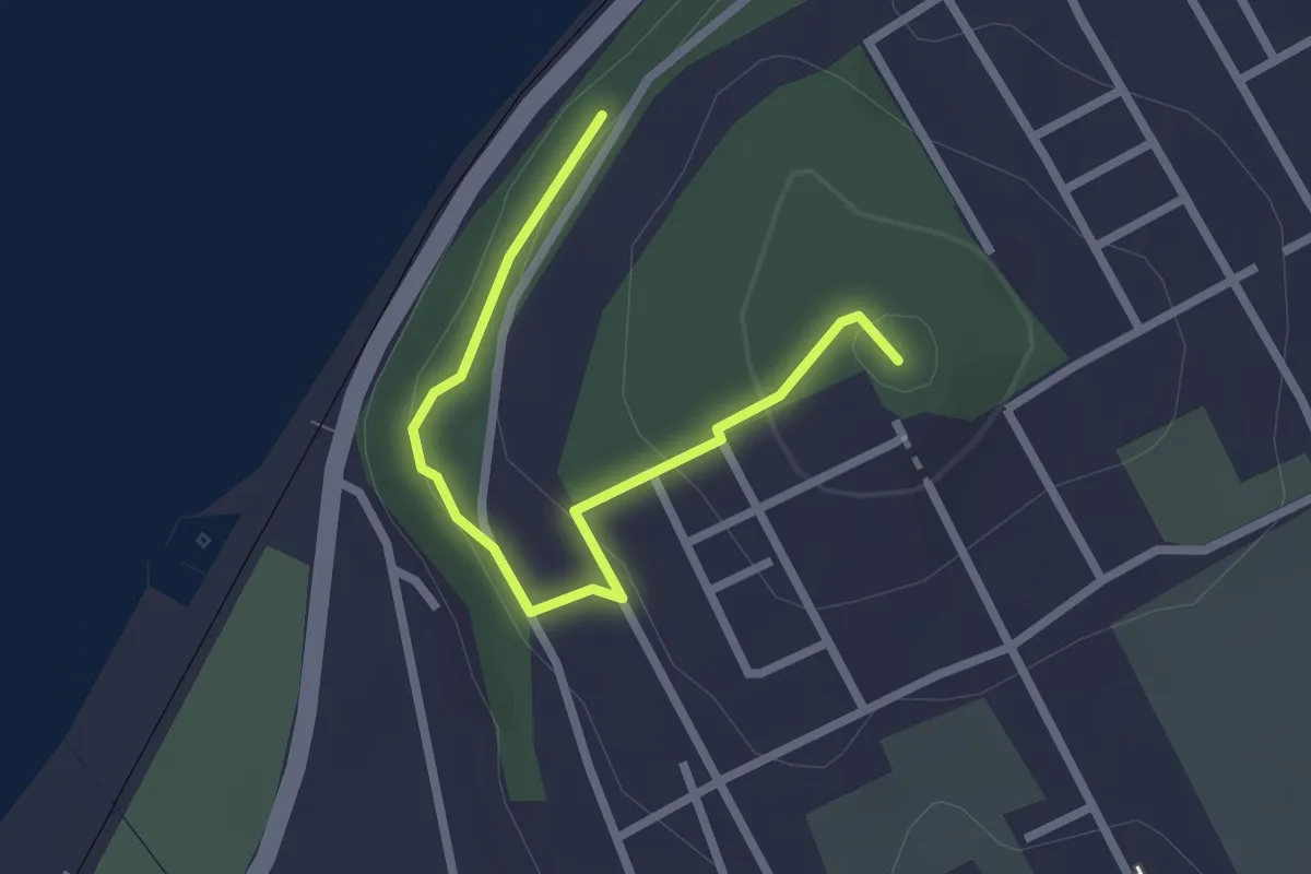
Easy · Summit
P+ (Fonyód, Vár-hegy)
2.5 km · ↑ 95 m · 48 min
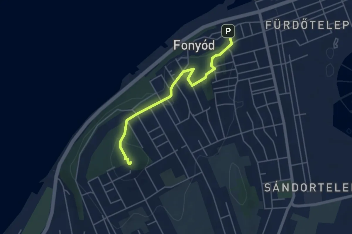
Easy · Summit
P▲ (Fonyód – Vár-hegy)
3.8 km · ↑ 169 m · 1 h 16 min
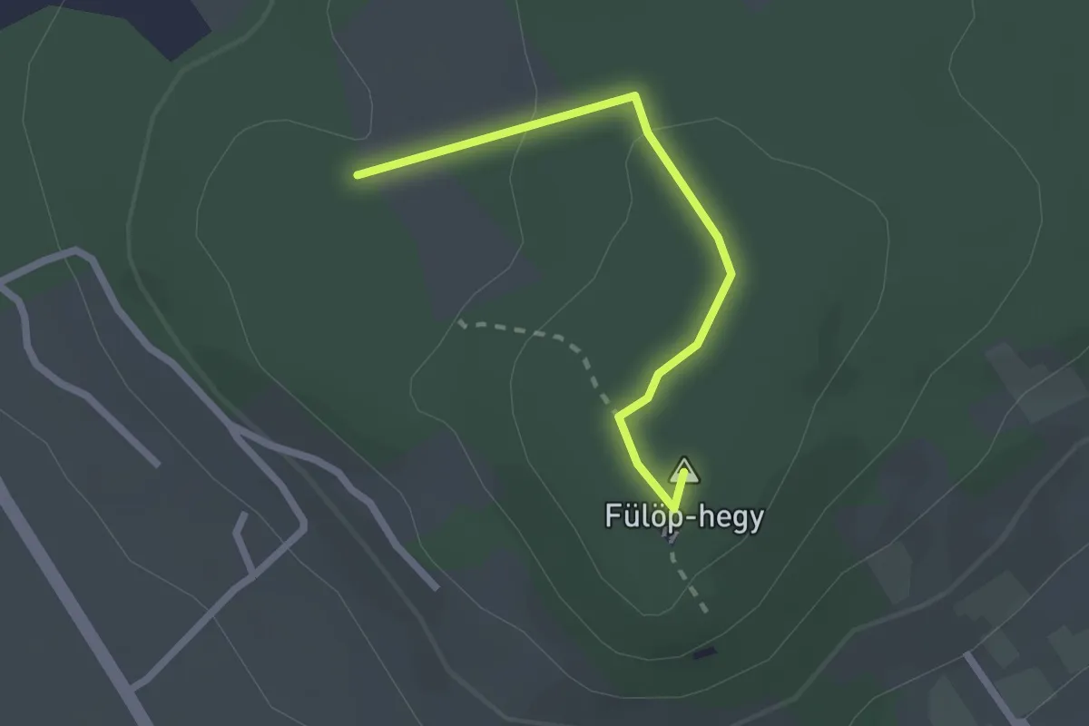
Easy · Summit
P▲ (Fülöp-hegyi kilátó)
2.1 km · ↑ 51 m · 36 min
Easy · Trail
P (futókör)
4.1 km · ↑ 0 m · 1 h 2 min
Easy · Trail
P■ (Füzér-Füzérkomlós)
6.0 km · ↑ 116 m · 1 h 41 min
Easy · Trail
P+ (Gallas-bükkös)
3.6 km · ↑ 141 m · 1 h 9 min