Trails in Hungary
2,294 hiking trails, each with its route, climb, walking time and grade.
All trails, page 20 of 48
Medium · Trail
P+ (Galvács)
17.7 km · ↑ 289 m · 4 h 48 min
Easy · Summit
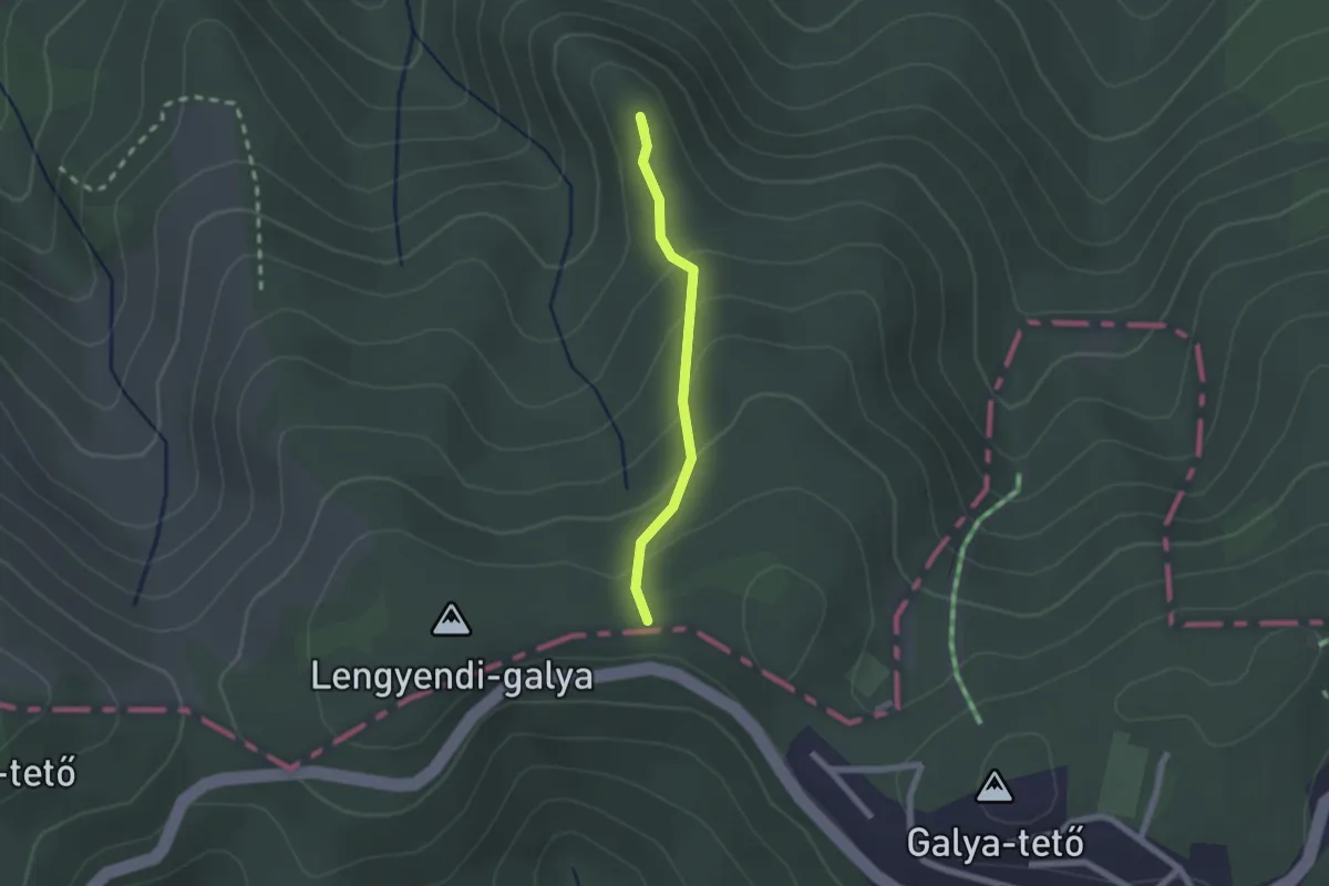
P▲ (Galyatető – Galyavár – Mátraalmás)
1.7 km · ↑ 107 m · 38 min
Easy · Summit
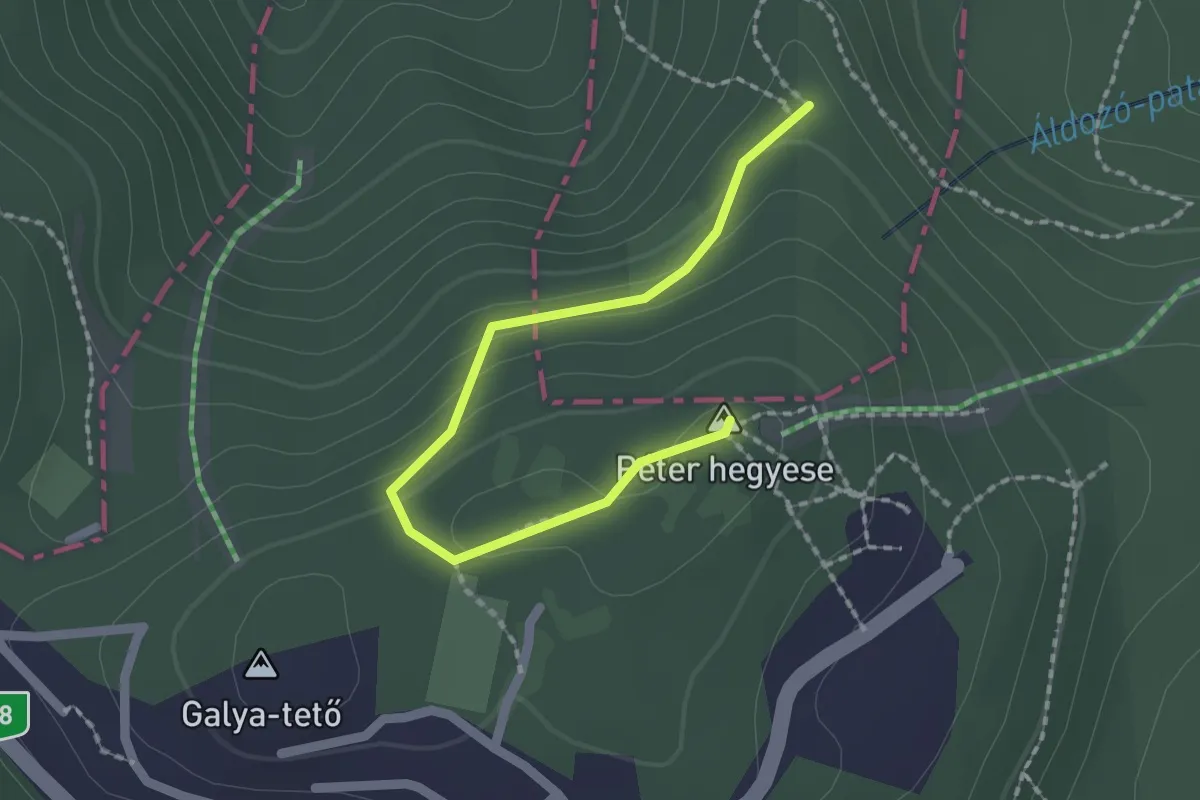
P▲ (Galya-tető – Péter-hegy)
2.0 km · ↑ 70 m · 37 min
Medium · Trail
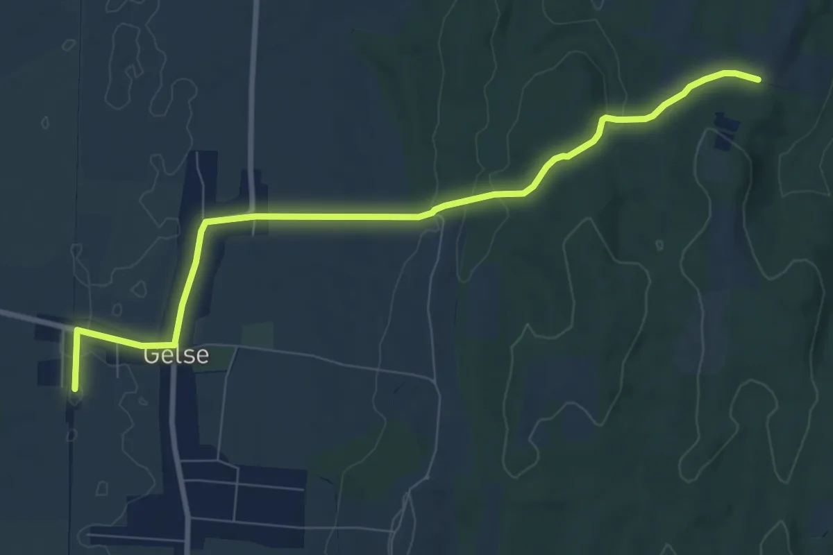
P+ (Gelse)
8.9 km · ↑ 159 m · 2 h 27 min
Demanding · Trail
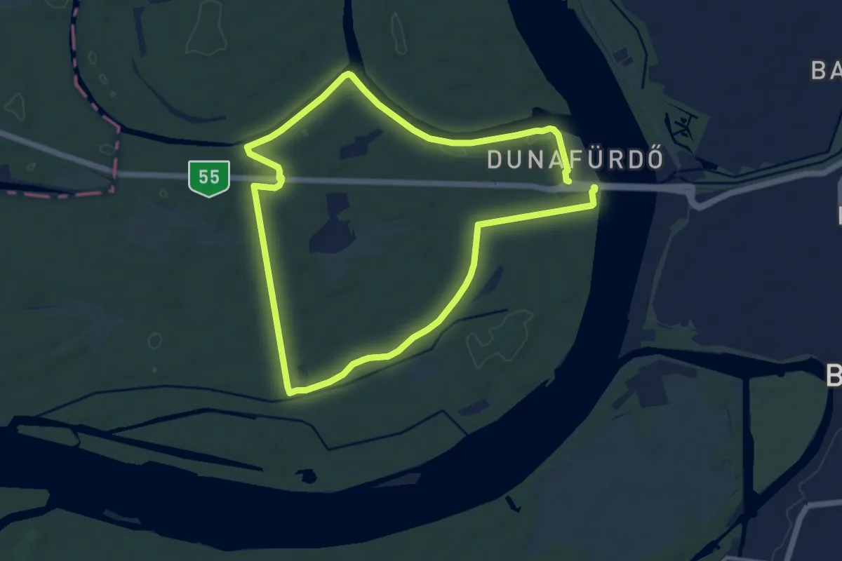
P (Gemenc)
19.1 km · ↑ 73 m · 4 h 41 min
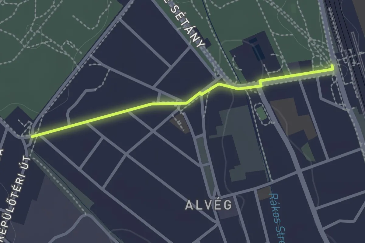
Easy · Trail
P+ (Gödöllő, vá. – Martinovics utca)
2.1 km · ↑ 17 m · 31 min
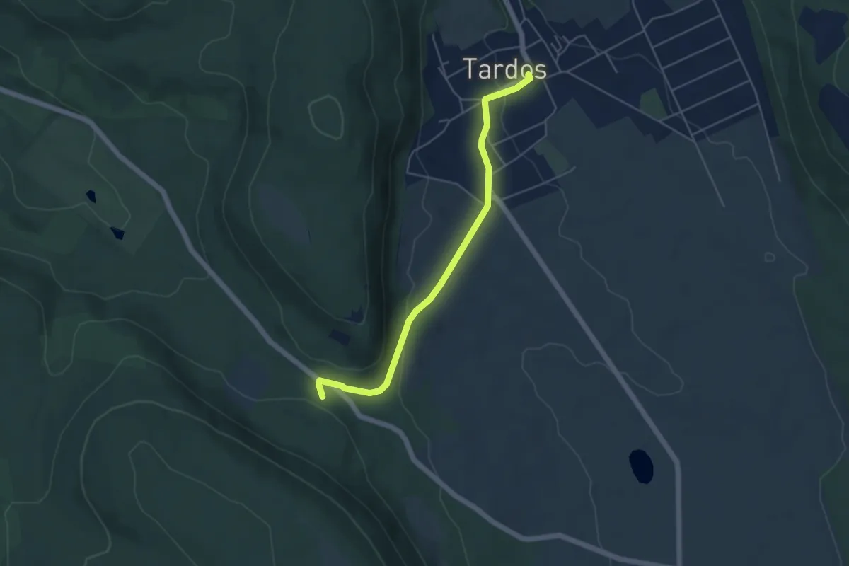
Easy · Trail
P■ (Gorbatető, elágazás – Gorbatető aut.m. – Tardos, süttői elágazás aut.m.)
4.7 km · ↑ 110 m · 1 h 21 min
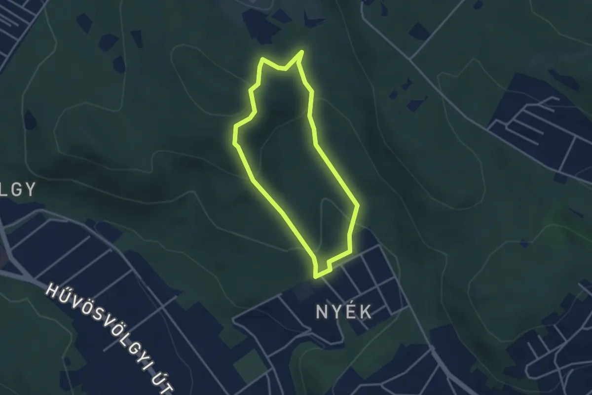
Easy · Summit
P↺ (Görgényi út, autóparkoló - Határ-nyereg)
2.6 km · ↑ 113 m · 54 min
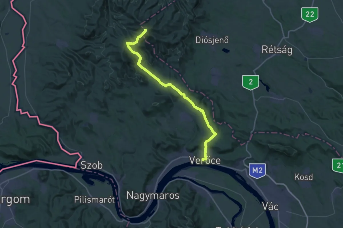
Demanding · Summit
P, Grófi út (Verőce – Csóványos)
44.1 km · ↑ 1299 m · 13 h 14 min
Easy · Trail
P● (Guba-kút)
4.6 km · ↑ 166 m · 1 h 27 min
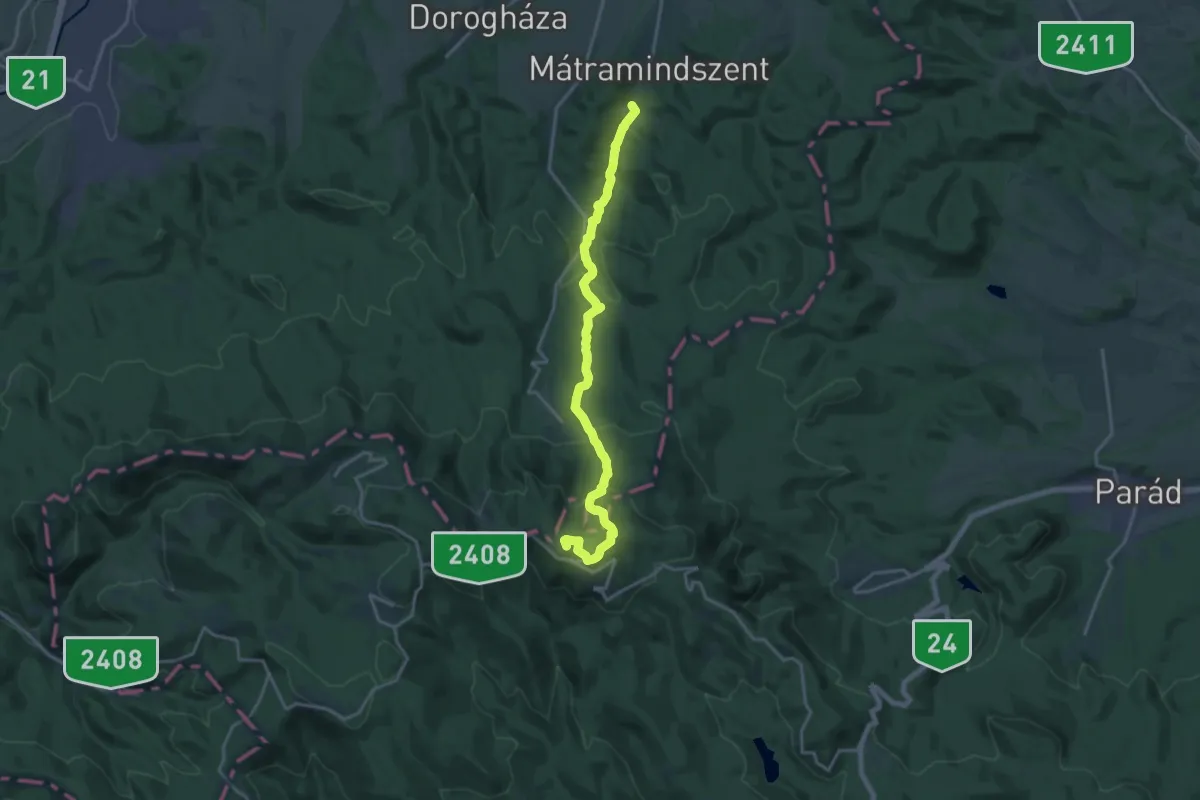
Demanding · Summit
P (Gyöngyössolymos – Mátramindszent)
17.9 km · ↑ 861 m · 6 h 5 min
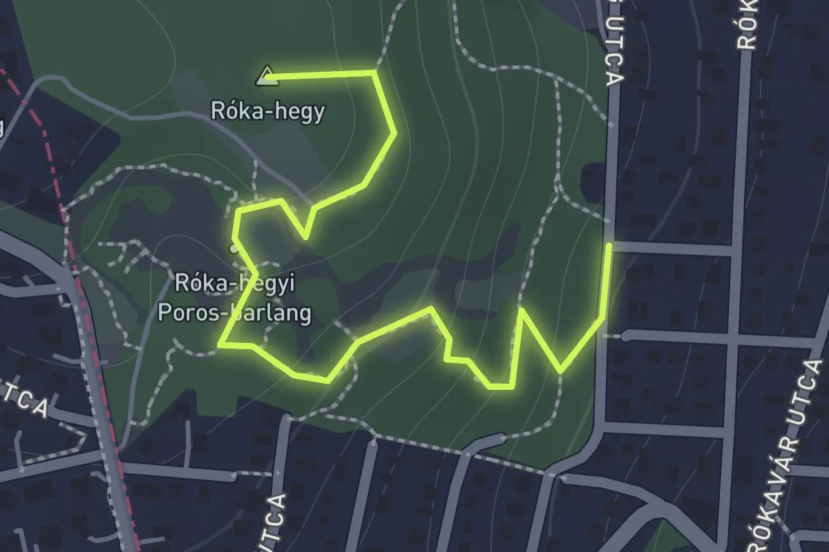
Medium · Summit
P▲ (Gyöngyvirág utca – Róka-hegyi kőbánya – Róka-hegyi-erdő)
1.9 km · ↑ 91 m · 38 min
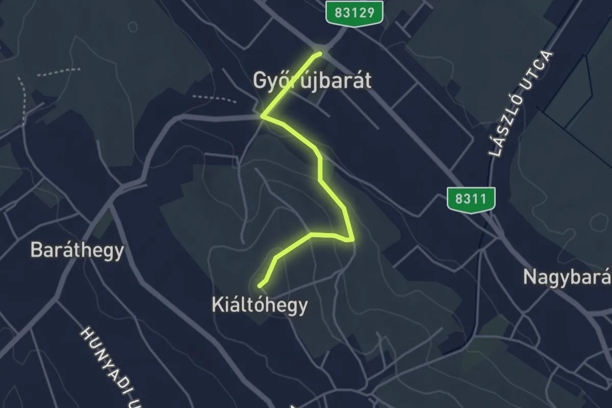
Easy · Trail
P▲ (Győrújbarát, kilátó)
3.0 km · ↑ 95 m · 55 min
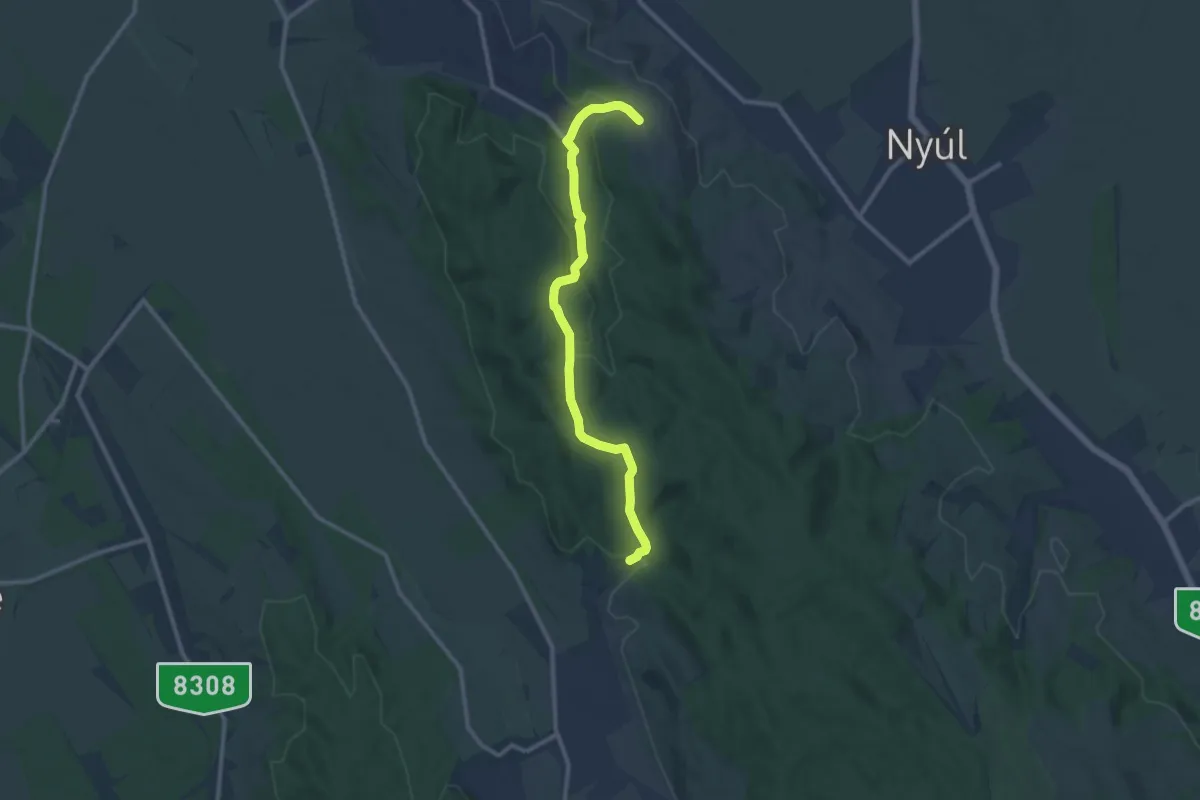
Medium · Trail
P+ (Győrújbarát – Tényő)
10.8 km · ↑ 281 m · 3 h 10 min
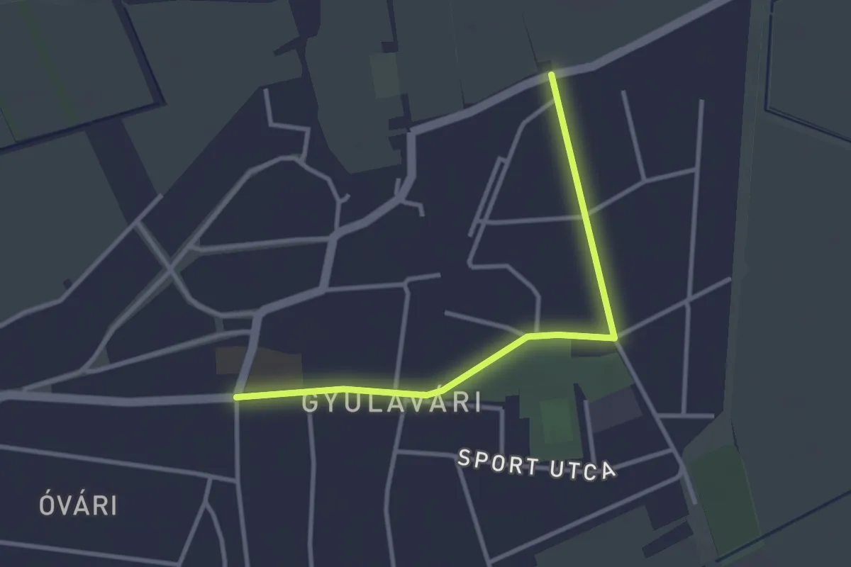
Easy · Trail
P (Gyulavári – Pikó-rét – Solymos)
3.1 km · ↑ 0 m · 44 min
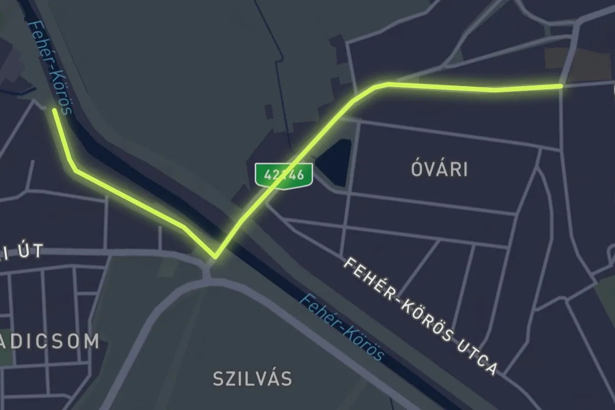
Easy · Trail
P (Gyula vá. - Vár - Duzzasztó - Gyulavári)
3.9 km · ↑ 0 m · 56 min
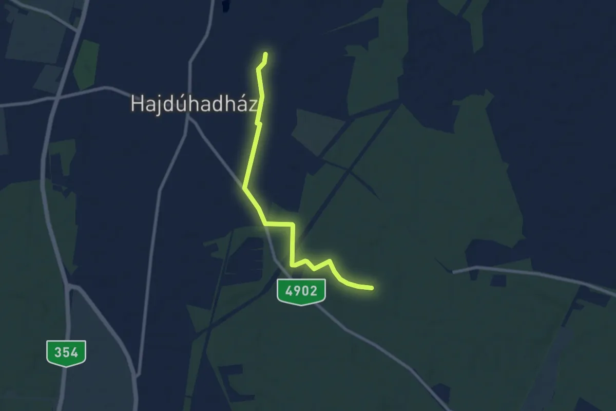
Easy · Trail
P▙ (Hajdúhadház )
6.9 km · ↑ 0 m · 1 h 38 min
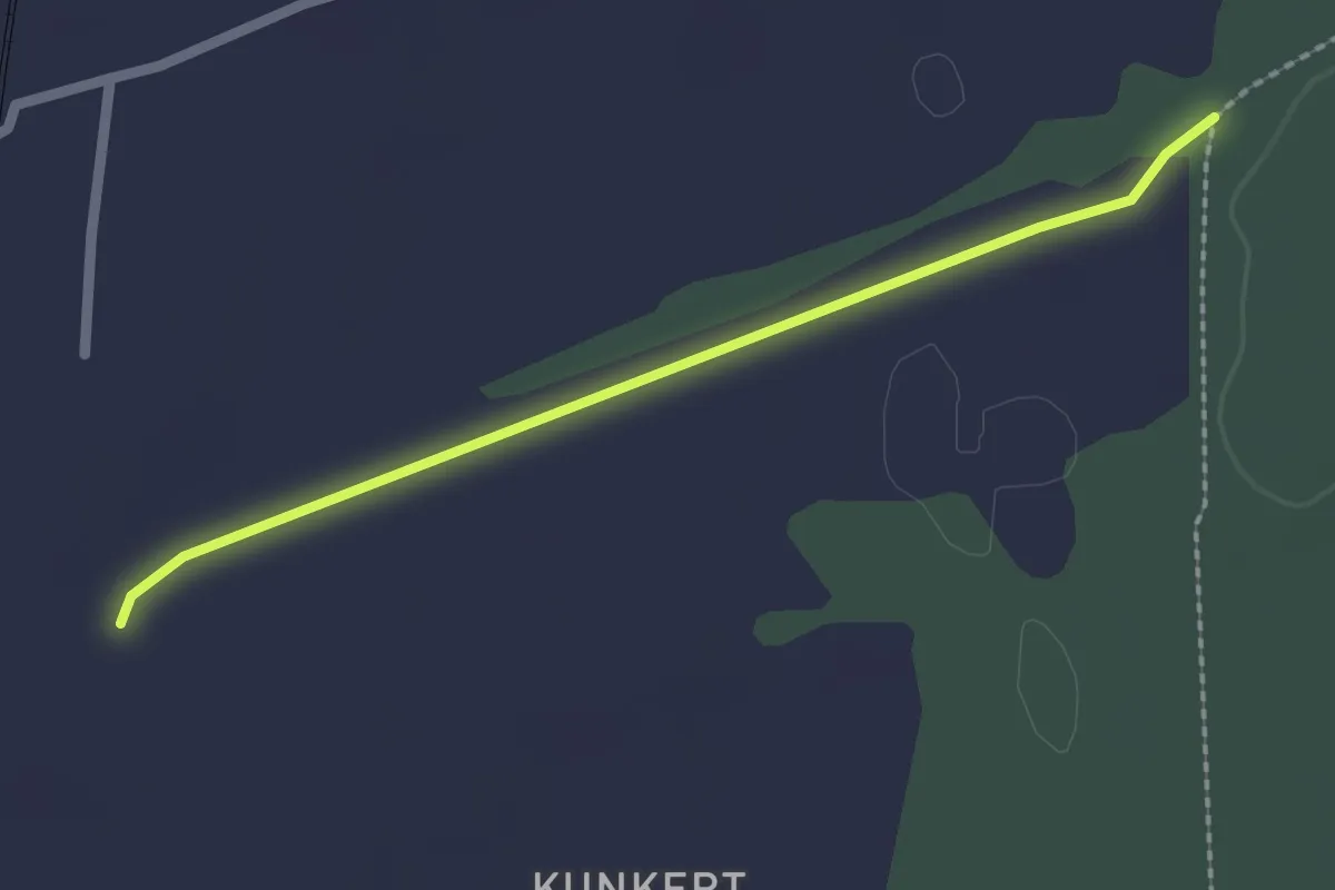
Easy · Trail
P+ (Hajdúhatház)
2.1 km · ↑ 8 m · 31 min
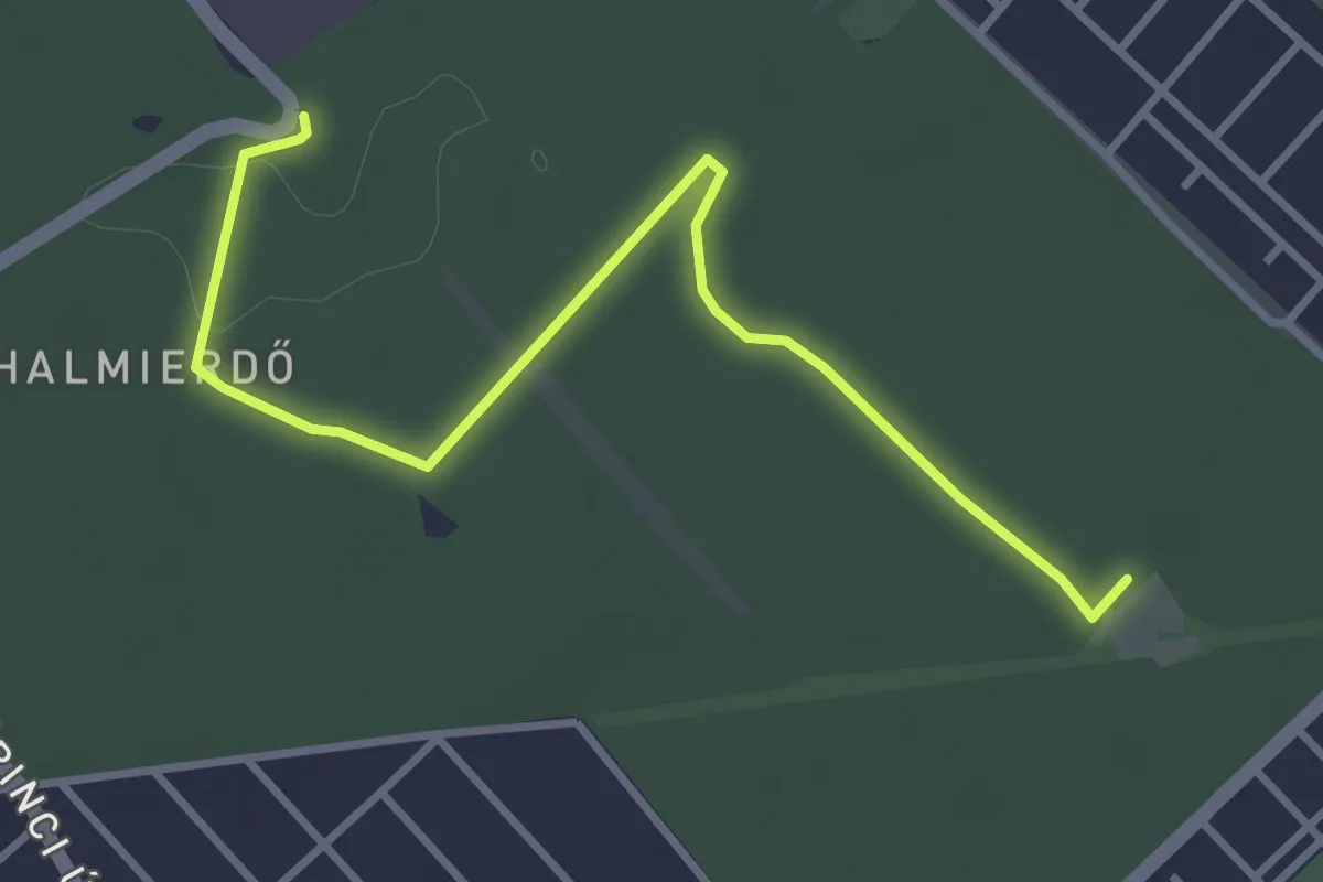
Easy · Trail
P● (Halmi-erdő)
3.8 km · ↑ 17 m · 56 min
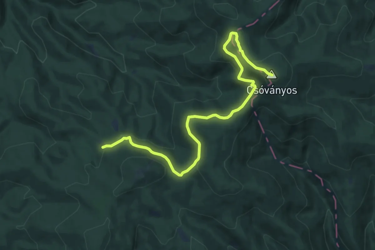
Medium · Summit
P▲ (Hanák-rét – Rakodó – Pogányvár)
11.6 km · ↑ 394 m · 3 h 36 min
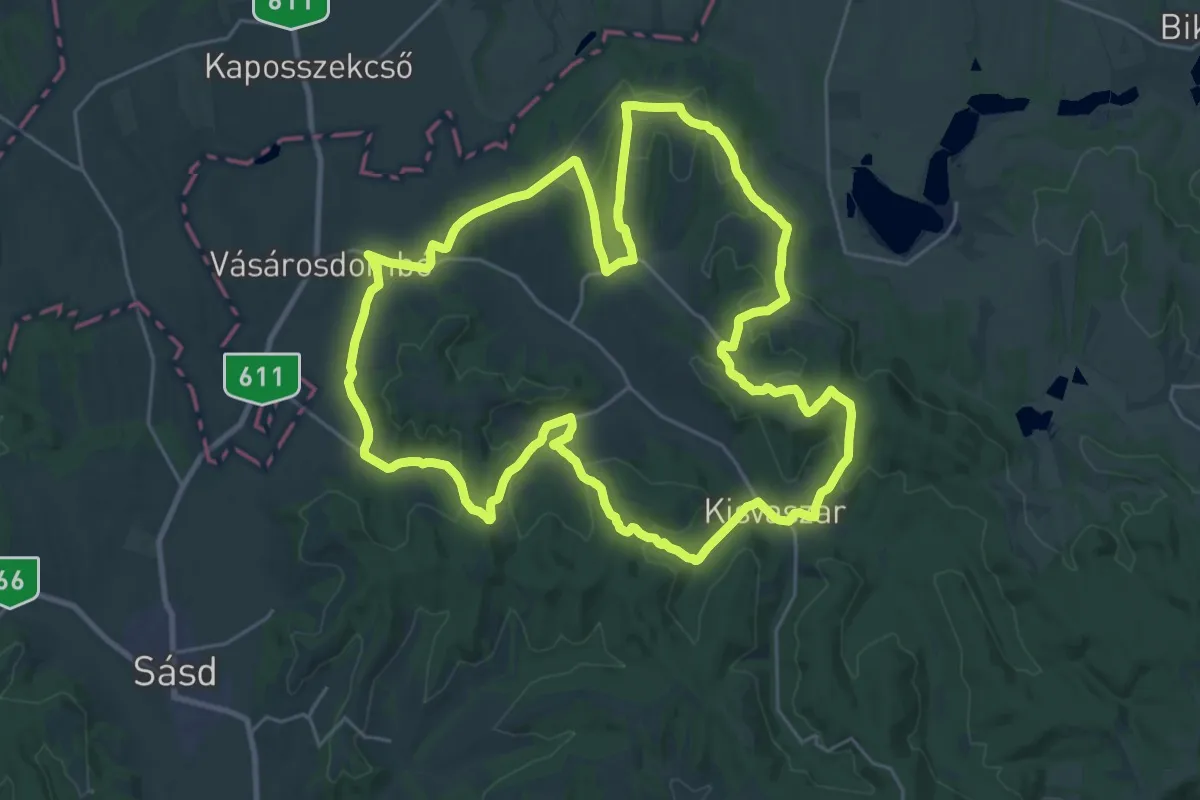
Demanding · Trail
P+ (Hat torony körtúra)
29.6 km · ↑ 634 m · 8 h 47 min
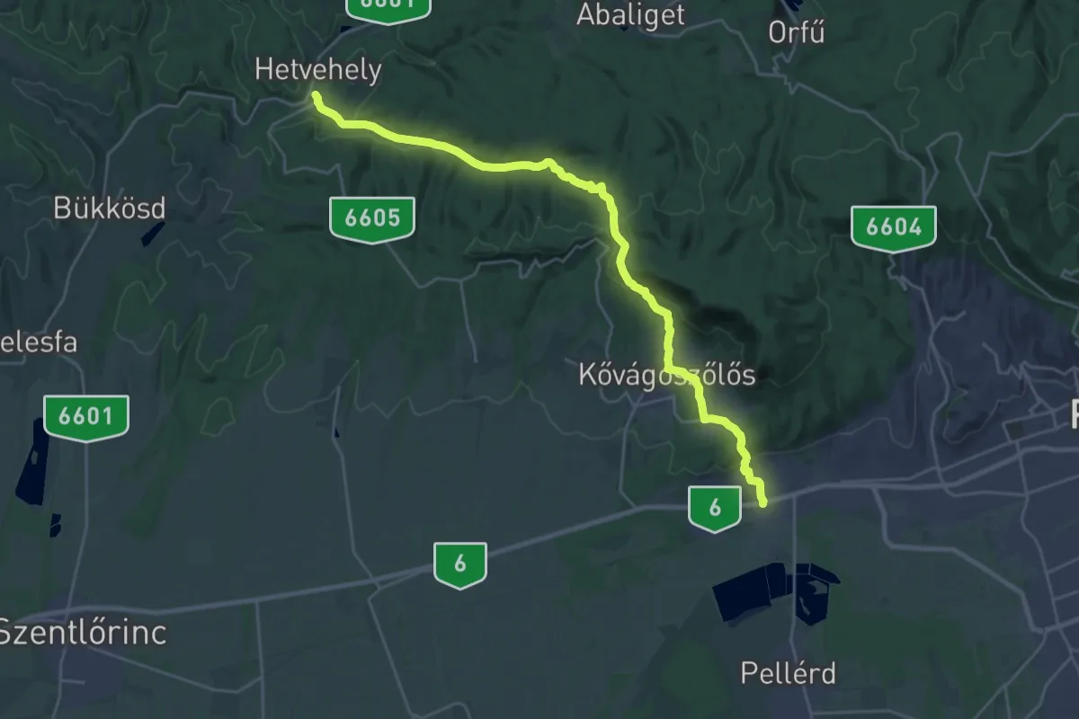
Demanding · Trail
P■ (Hetvehely, vmh. – Sás-völgy – Petőczpuszta – Kővágószőlős – Cserkút – Cserkúti csárda, aut. mh.)
26.5 km · ↑ 667 m · 7 h 43 min
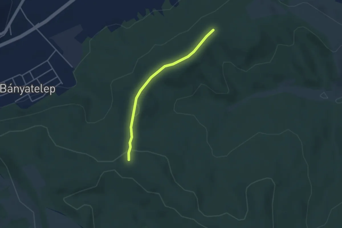
Easy · Trail
P+ (Hidas, Rác-hegy környéke)
3.0 km · ↑ 54 m · 49 min
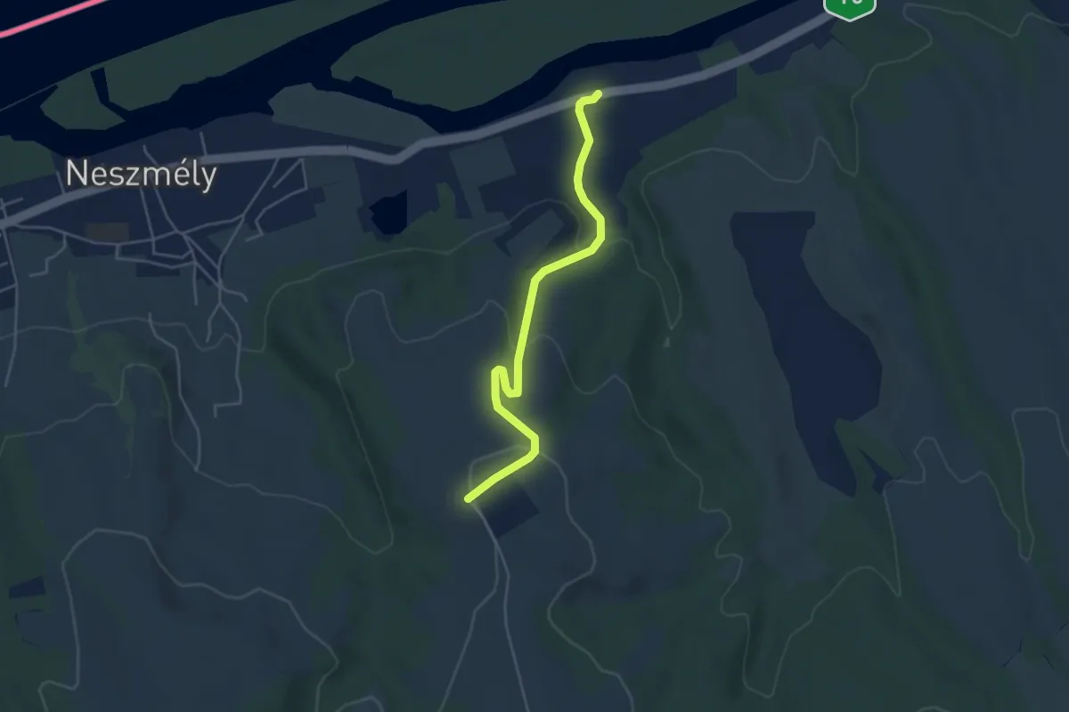
Easy · Trail
P▲ (Hilltop Borhotel és Étterem – Melegesi út – Neszmély, Melegesi út aut.m.)
4.5 km · ↑ 169 m · 1 h 26 min
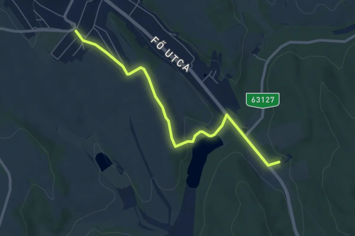
Easy · Trail
P+ (Hőgyész)
5.9 km · ↑ 82 m · 1 h 35 min
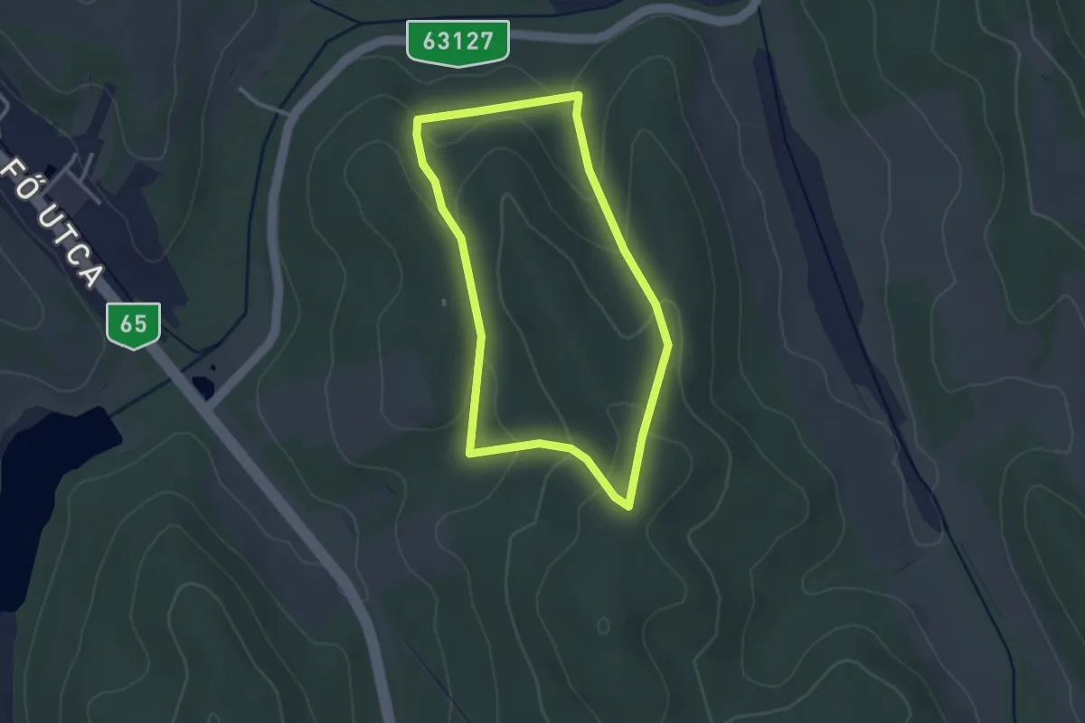
Easy · Trail
P↺ (Hőgyész)
2.7 km · ↑ 93 m · 52 min
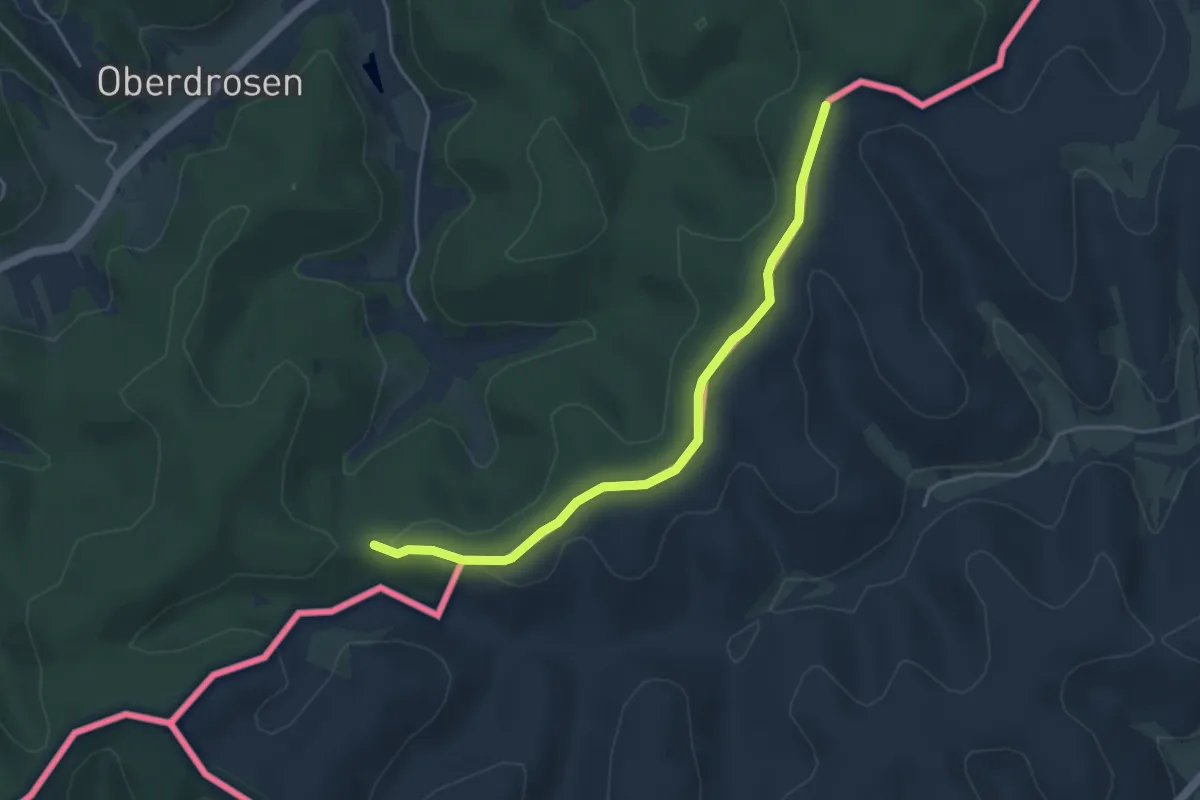
Easy · Trail
P (Holzmannkogel-nyereg – államhatár – Élmény-tisztás)
4.3 km · ↑ 73 m · 1 h 10 min
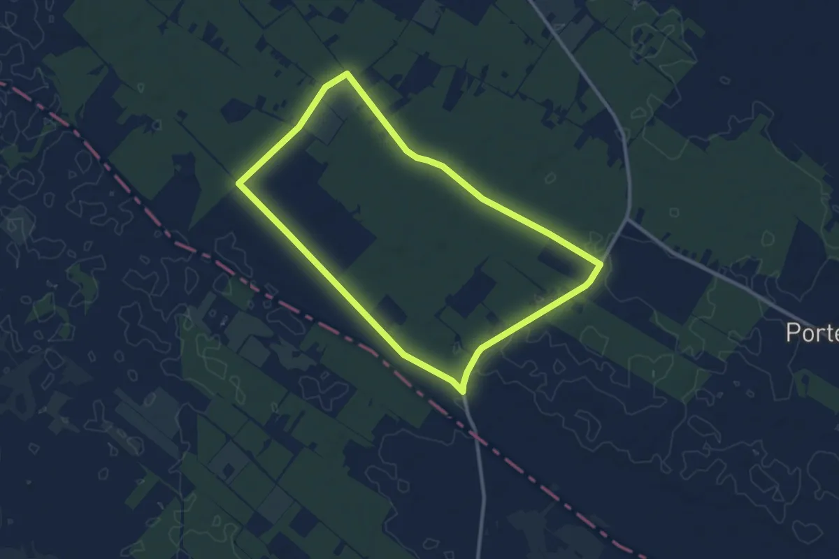
Medium · Trail
P↺ (Homoki kápolna)
9.2 km · ↑ 9 m · 2 h 19 min
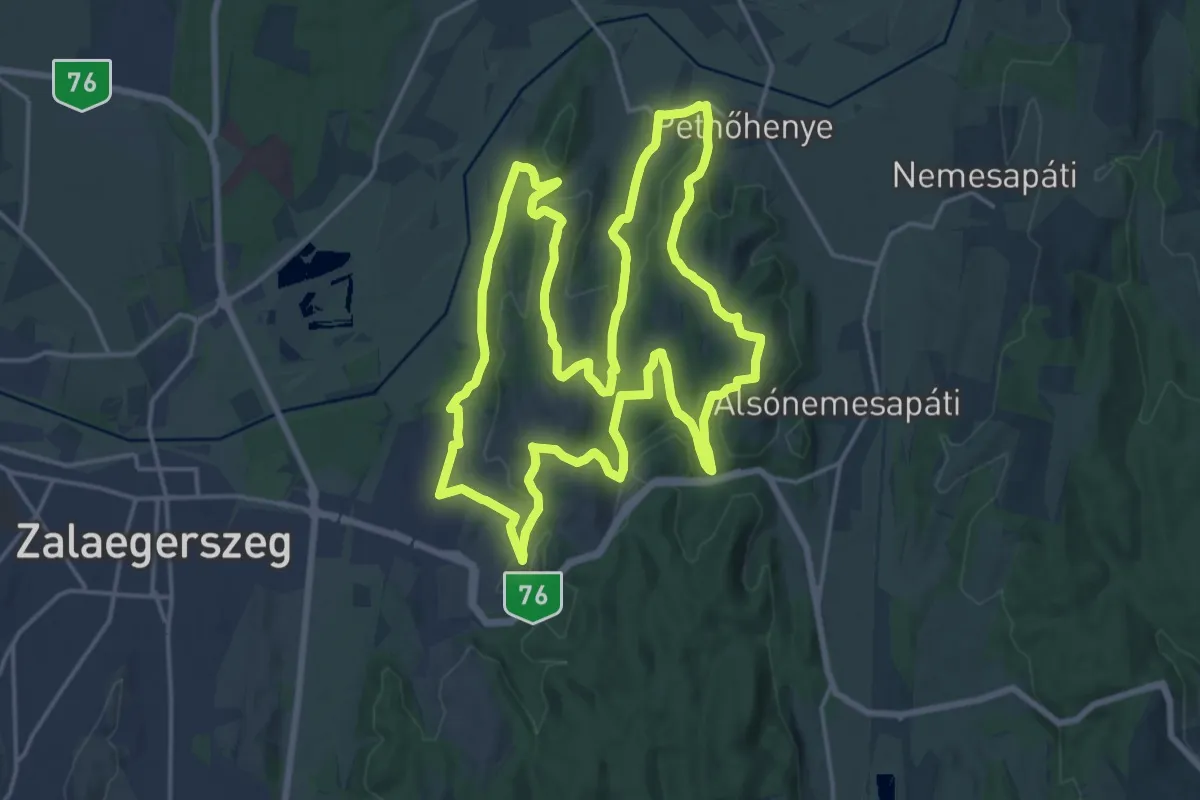
Demanding · Summit
P╱, Horhosok útja
20.8 km · ↑ 432 m · 6 h 9 min
Medium · Trail
P+ (Hór-völgy – Farkaskő - Cserépváralja)
15.4 km · ↑ 352 m · 4 h 42 min
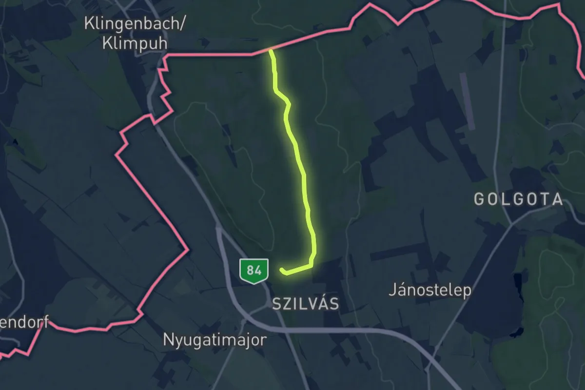
Medium · Trail
P+ (Hubertusz)
8.5 km · ↑ 123 m · 2 h 17 min

Easy · Trail
Pimpó tanösvény
4.4 km · ↑ 8 m · 1 h 7 min
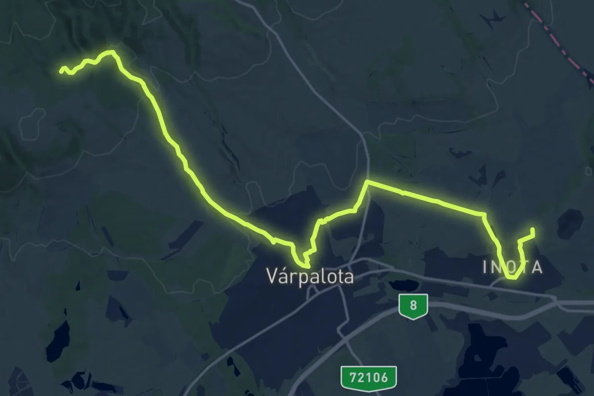
Demanding · Trail
P (Inota–Bátorkő)
21.6 km · ↑ 312 m · 5 h 47 min
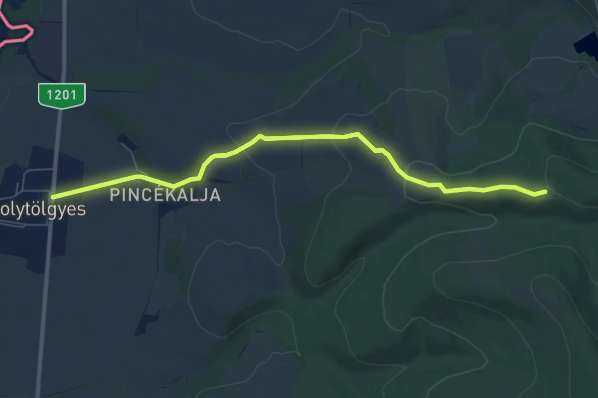
Easy · Trail
P■ (Ipolytölgyes)
6.6 km · ↑ 188 m · 1 h 58 min
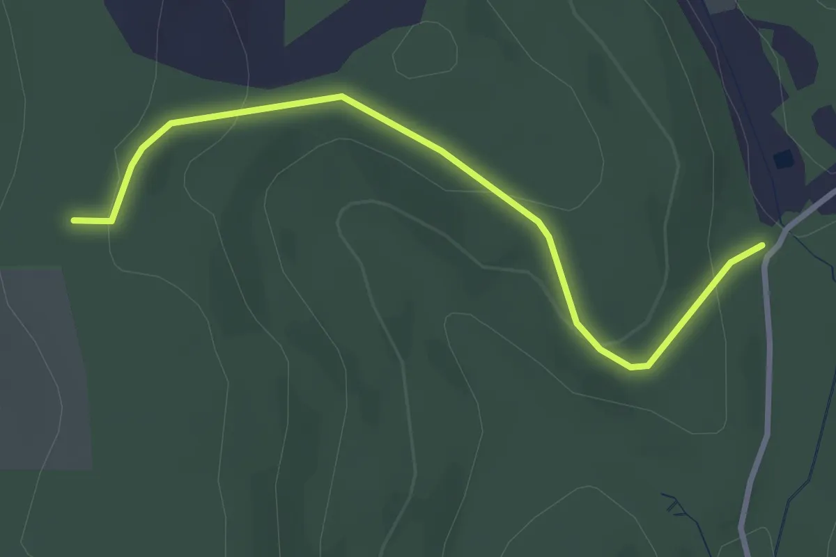
Easy · Trail
Piros alma jelzés
3.0 km · ↑ 109 m · 57 min
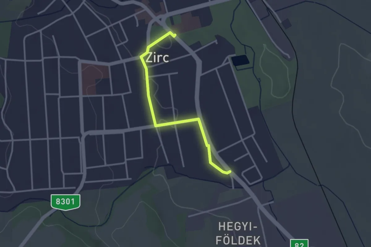
Easy · Trail
Piros háromszög (Zirc)
2.8 km · ↑ 13 m · 41 min
Easy · Trail
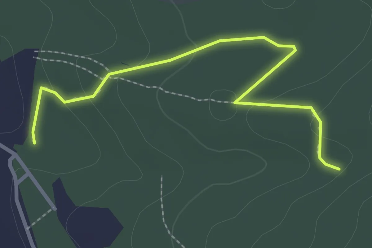
Piros kör (Tatabánya, településhatár – János-forrás – tatabányai-parkerdő)
2.5 km · ↑ 58 m · 44 min
Easy · Trail
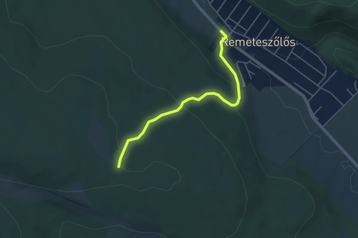
Piros négyzet (Vörös-pocsolyás-erdő – Meszes-hegy – Erdészház, aut- mh.)
3.5 km · ↑ 149 m · 1 h 9 min
Easy · Trail
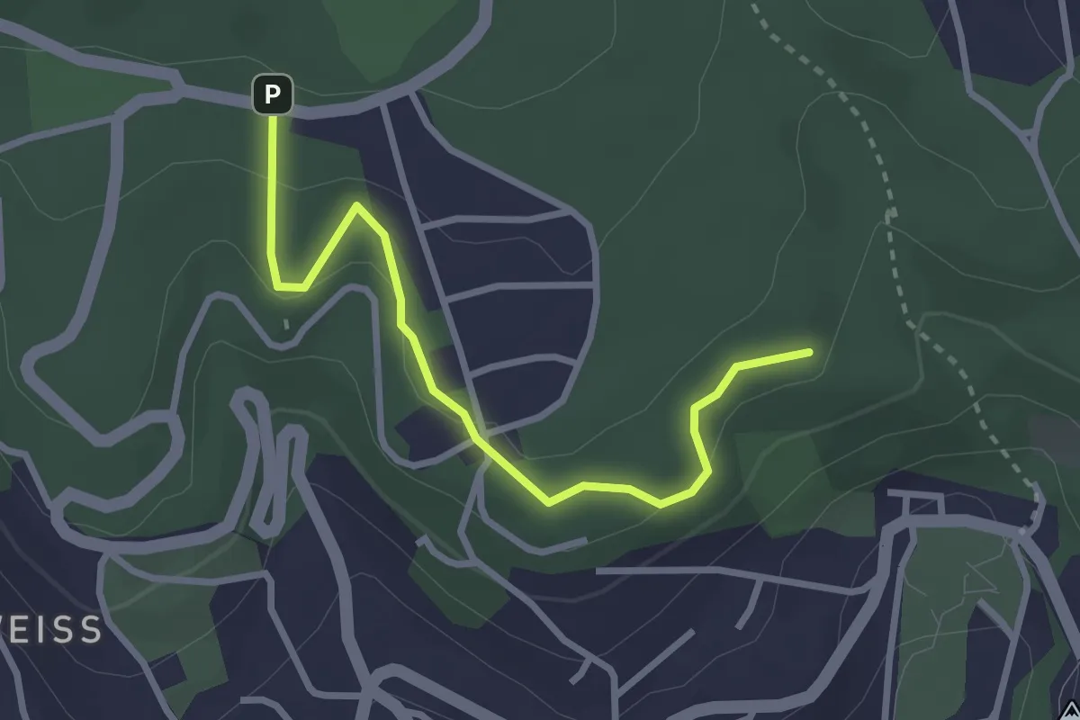
Piros szív útvonal
2.9 km · ↑ 92 m · 53 min
Easy · Trail
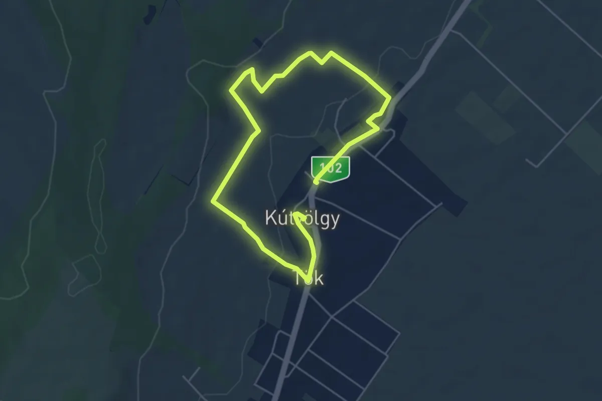
Piros szőlő tanösvény
7.5 km · ↑ 170 m · 2 h 8 min
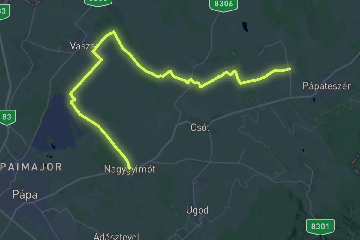
Demanding · Trail
Piros Vándorút Bakonyszentiván-Somlóvásárhely
23.8 km · ↑ 91 m · 6 h 9 min
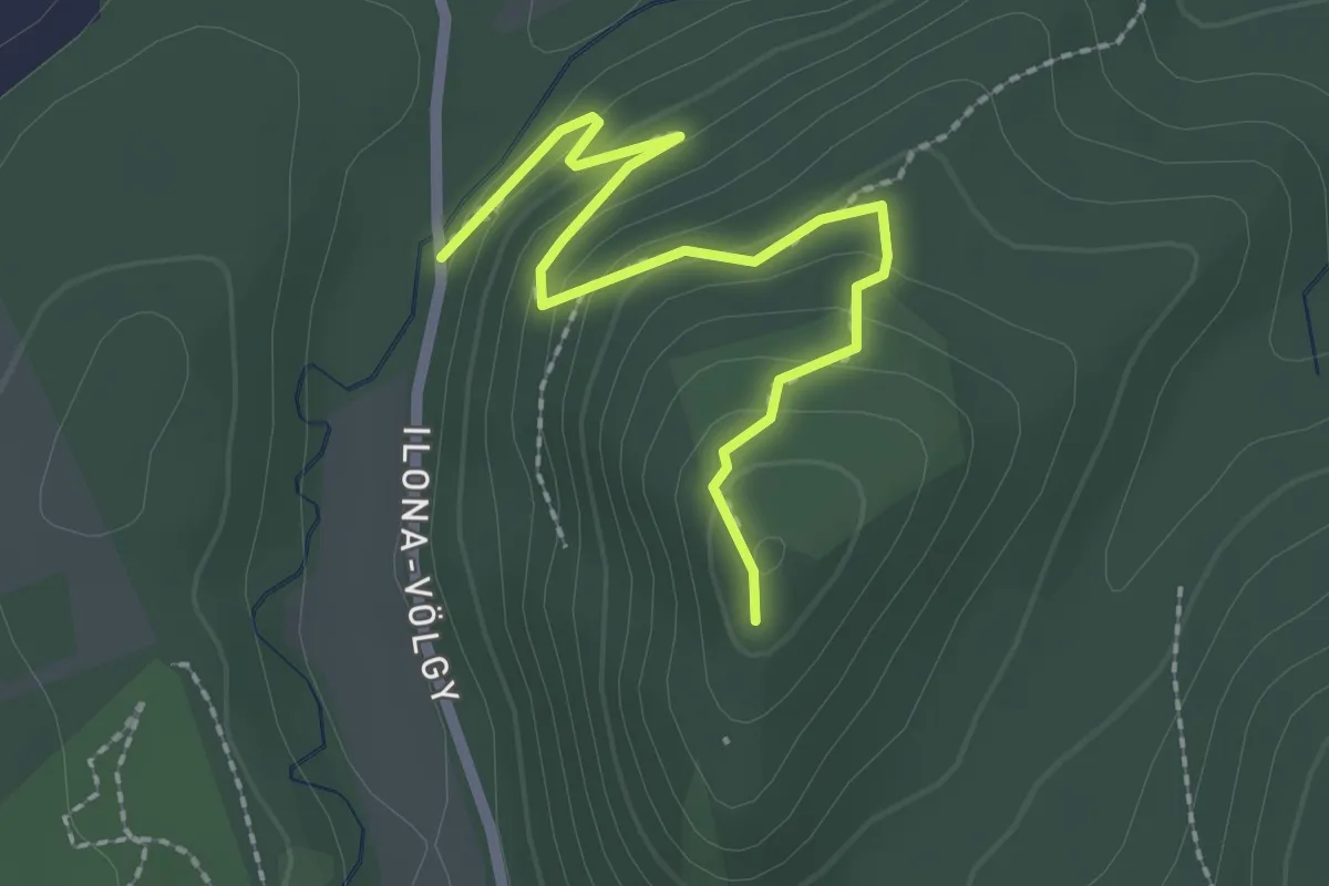
Easy · Trail
Piros Vörösvár
2.4 km · ↑ 117 m · 49 min
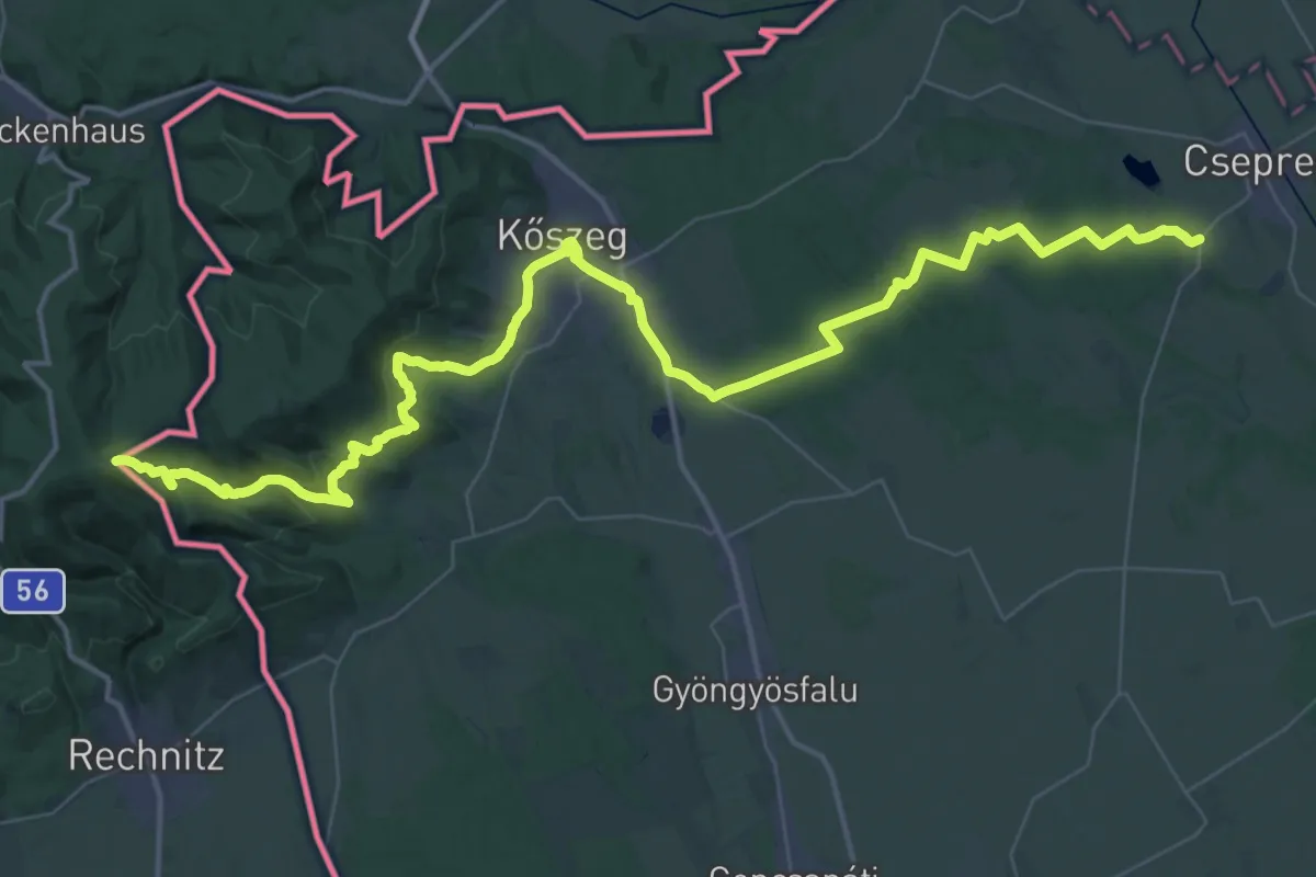
Demanding · Summit
P (Írott-kő – Kőszeg – Kőszegfalva – Csepreg, Hanga-kapu)
60.3 km · ↑ 1495 m · 17 h 28 min
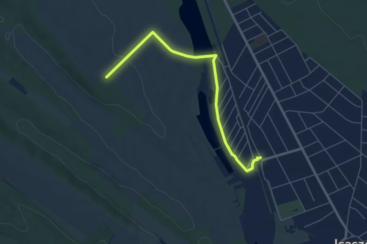
Easy · Trail
P■ (Isaszeg, vá. – Ilkamajor – PMP)
5.5 km · ↑ 51 m · 1 h 24 min
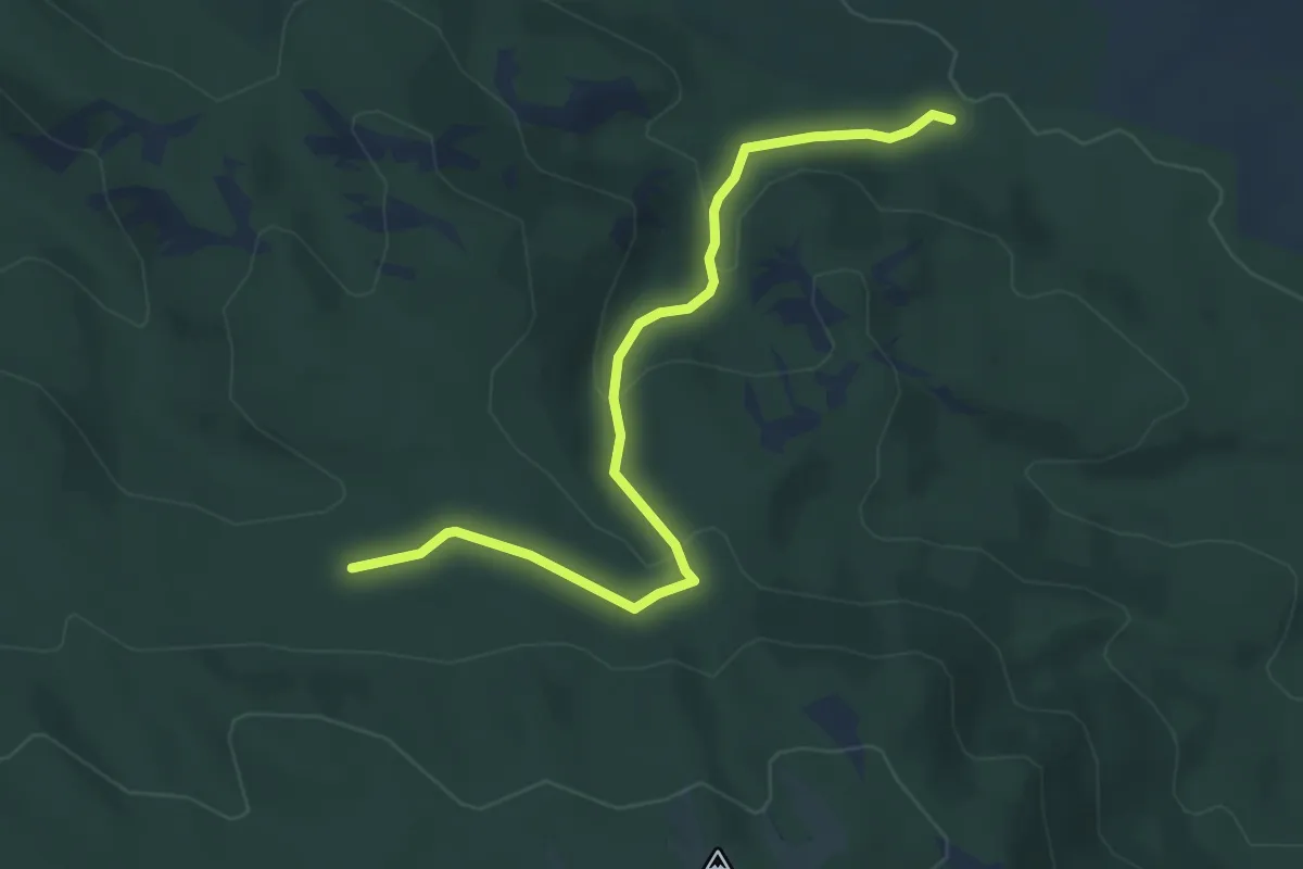
Easy · Trail
P+ (Iváni-hegyi-erdő – Köves-árok – Bükkös-árok-erdő)
4.8 km · ↑ 172 m · 1 h 30 min
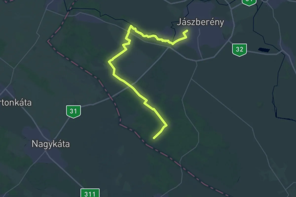
Demanding · Trail
P (Jászberény – Krizsán)
19.6 km · ↑ 35 m · 4 h 59 min
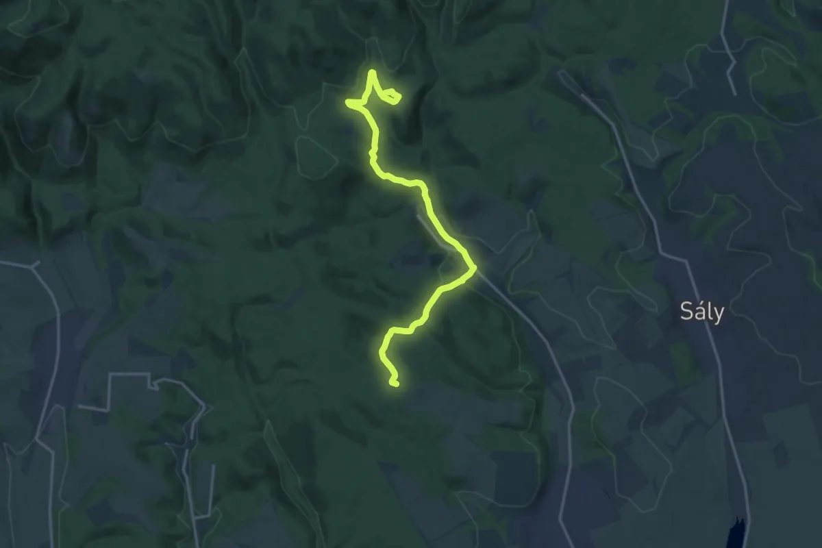
Medium · Trail
P, Kácsi Piros
15.4 km · ↑ 360 m · 4 h 26 min
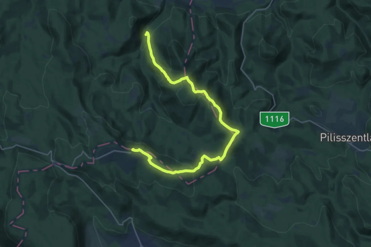
Demanding · Summit
P▲ (Kaincz-forrás – Prédikálószék – Dobogókő, elágazás)
18.7 km · ↑ 1024 m · 6 h 38 min