Trails in Hungary
2,294 hiking trails, each with its route, climb, walking time and grade.
All trails, page 22 of 48
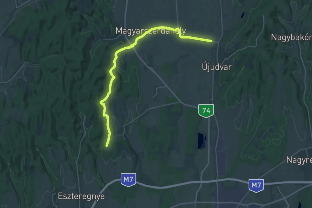
Demanding · Trail
P ( Magyarszerdahely – Homokkomáromi DDK elágazás)
25.3 km · ↑ 413 m · 6 h 52 min
Demanding · Summit
P (Majális park – Miskolctapolca)
25.1 km · ↑ 771 m · 7 h 36 min
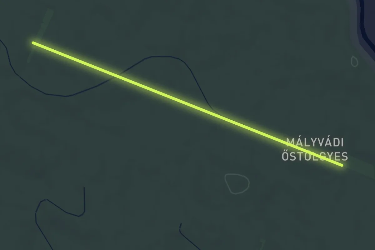
Easy · Trail
P (Mályvádi őstölgyes – Halas – Sitka – Városerdő vmh.)
4.2 km · ↑ 13 m · 1 h 1 min
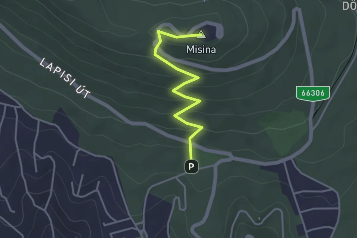
Easy · Summit
P▲ (Mandulás – Misina)
3.0 km · ↑ 159 m · 1 h 3 min
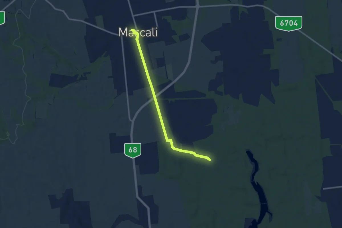
Medium · Trail
P (Marcali – Zuhogó)
8.2 km · ↑ 13 m · 1 h 58 min
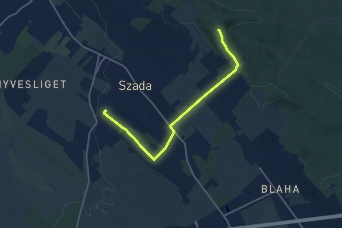
Medium · Summit
P▲ (Margita, geodéziai torony – Szada, Malomalja)
8.3 km · ↑ 150 m · 2 h 17 min
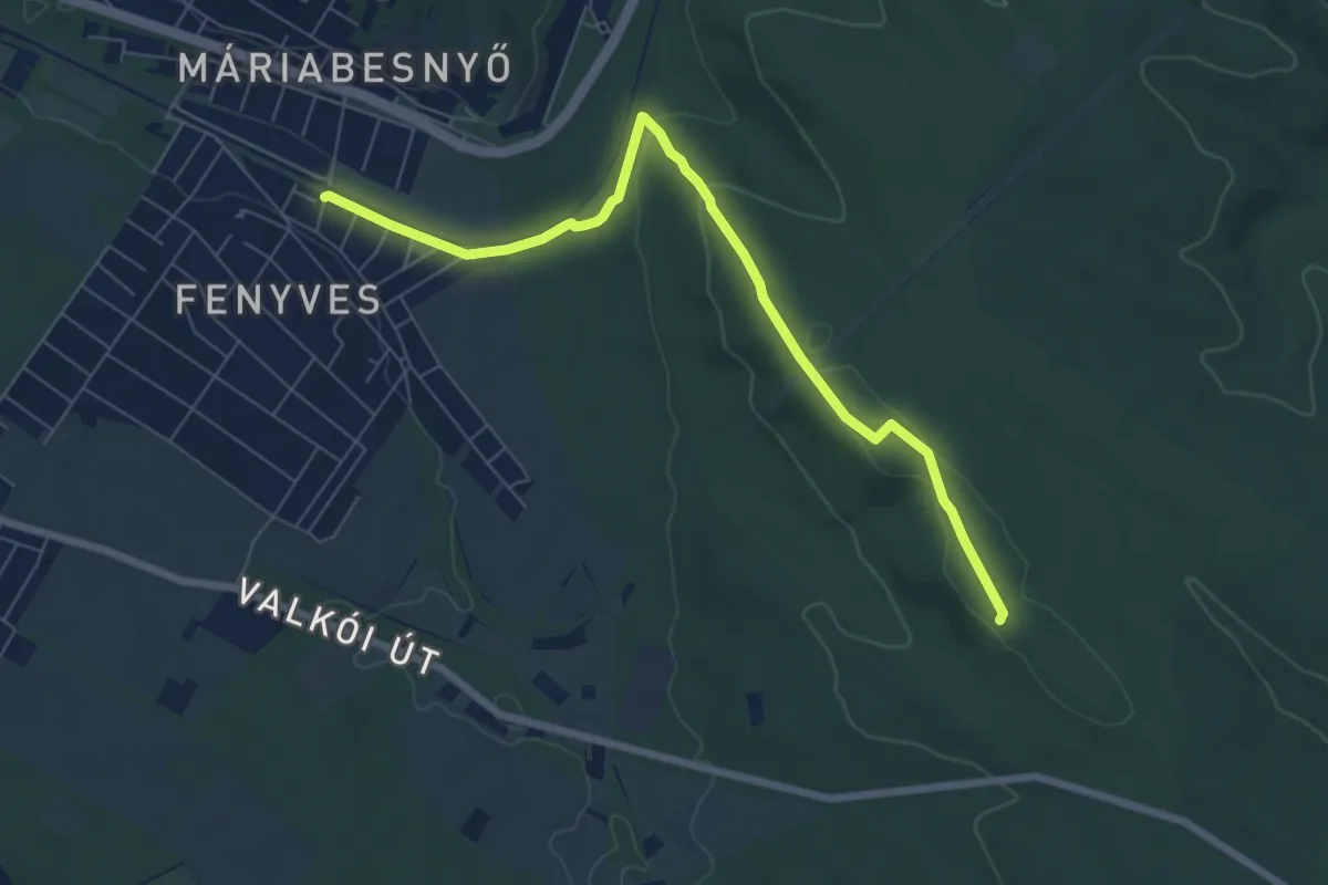
Easy · Summit
P▲ (Máriabesnyő, vm. – Valkó, kőkereszt)
7.4 km · ↑ 144 m · 2 h 3 min
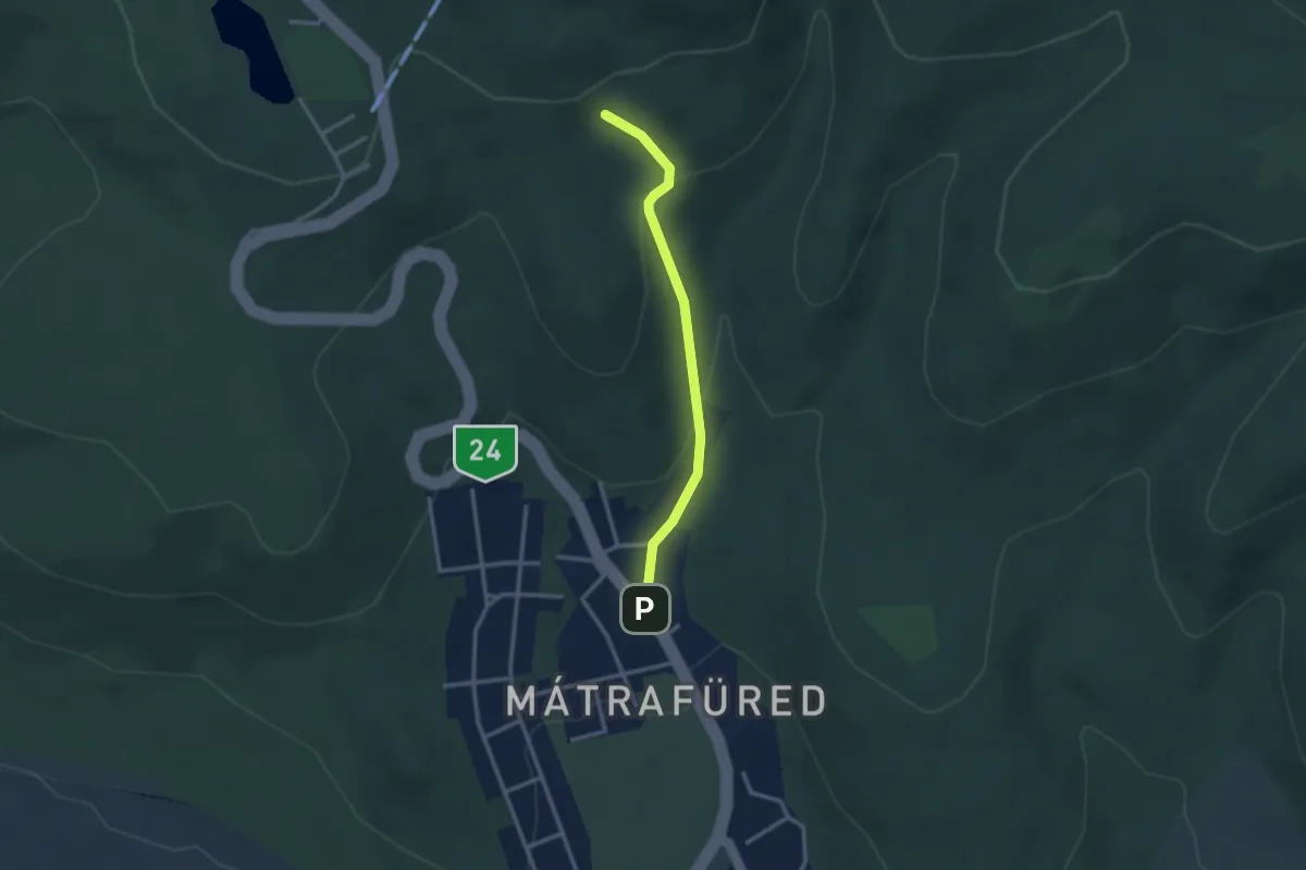
Medium · Trail
P● (Máriácska kerülő)
2.6 km · ↑ 126 m · 53 min
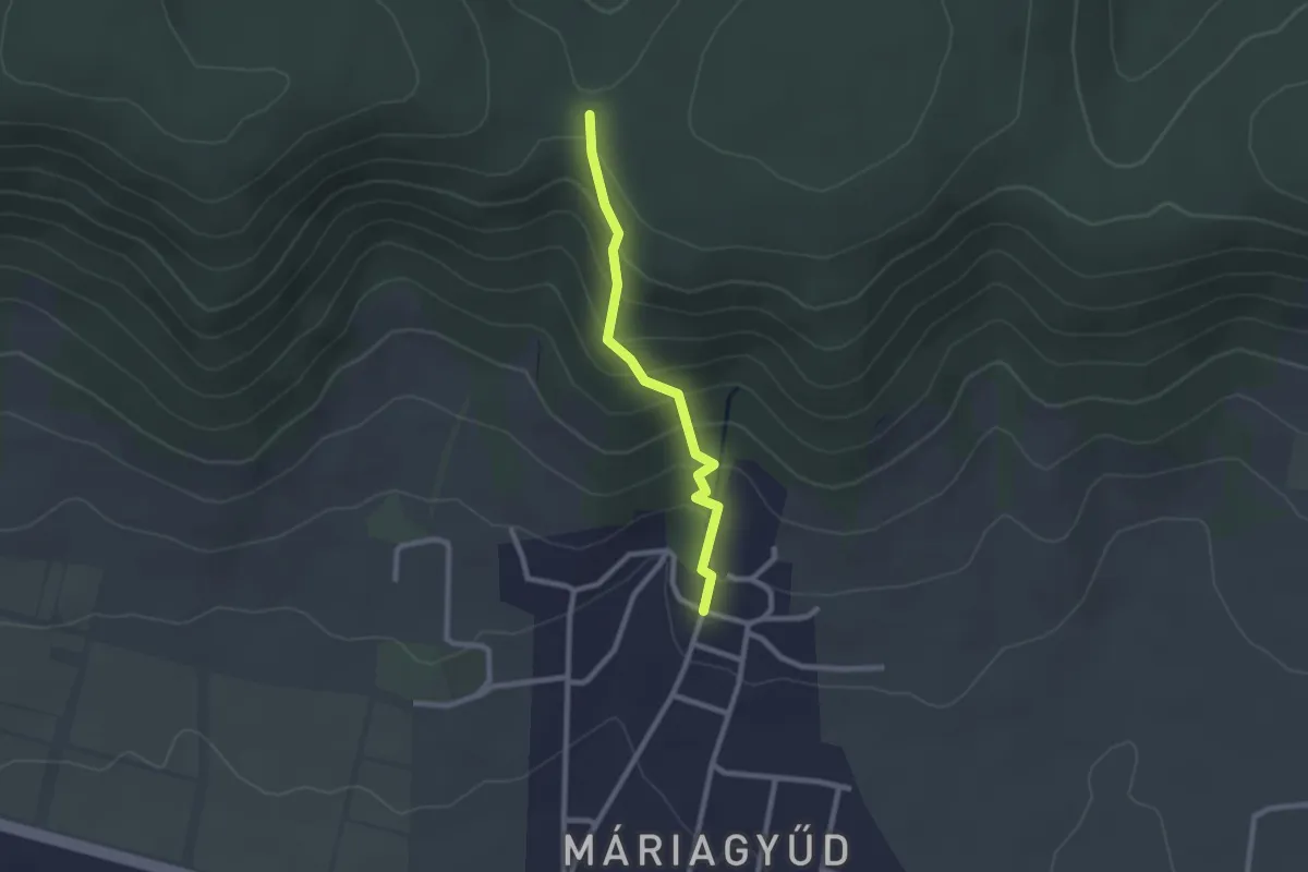
Easy · Trail
P▲ (Máriagyűd)
2.2 km · ↑ 168 m · 53 min
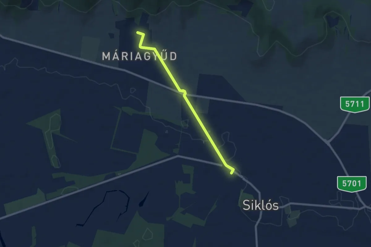
Easy · Trail
P■ (Máriagyűd – Siklós, aut. pu.)
6.0 km · ↑ 46 m · 1 h 31 min
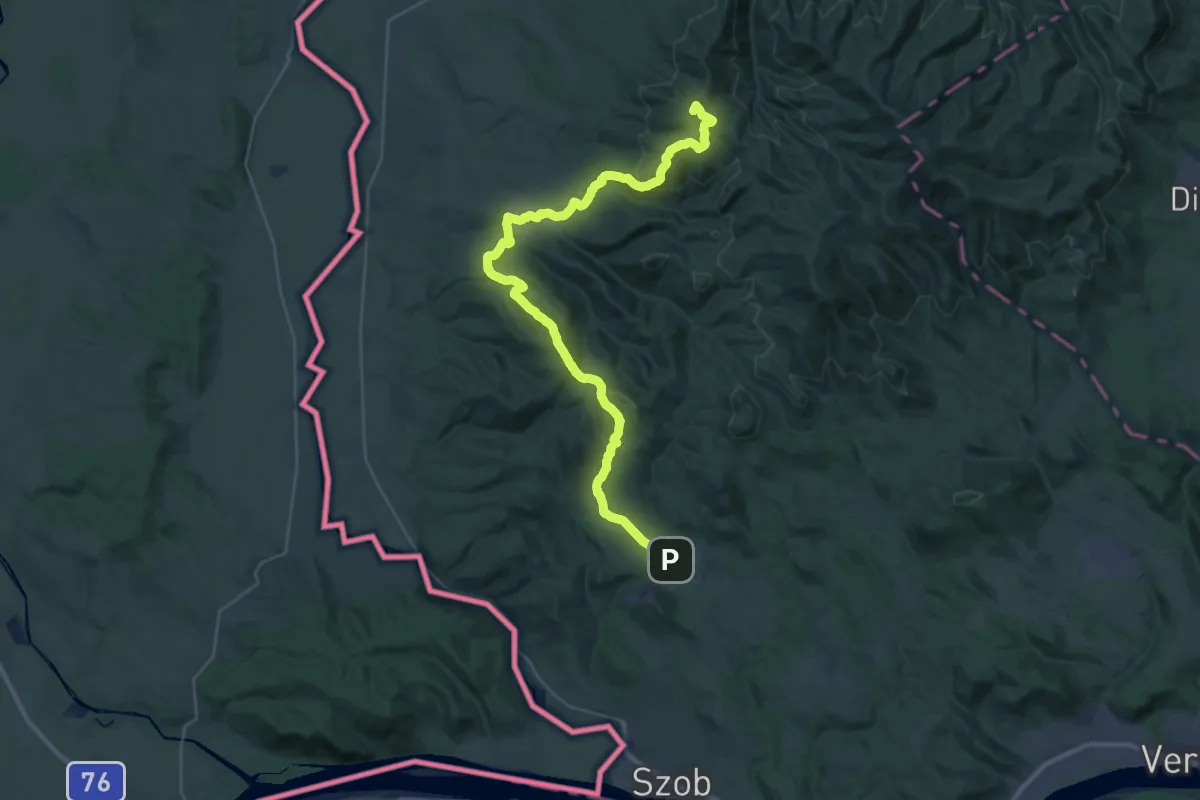
Demanding · Summit
P (Márianosztra – Strázsa-hegy)
37.5 km · ↑ 1564 m · 12 h 15 min
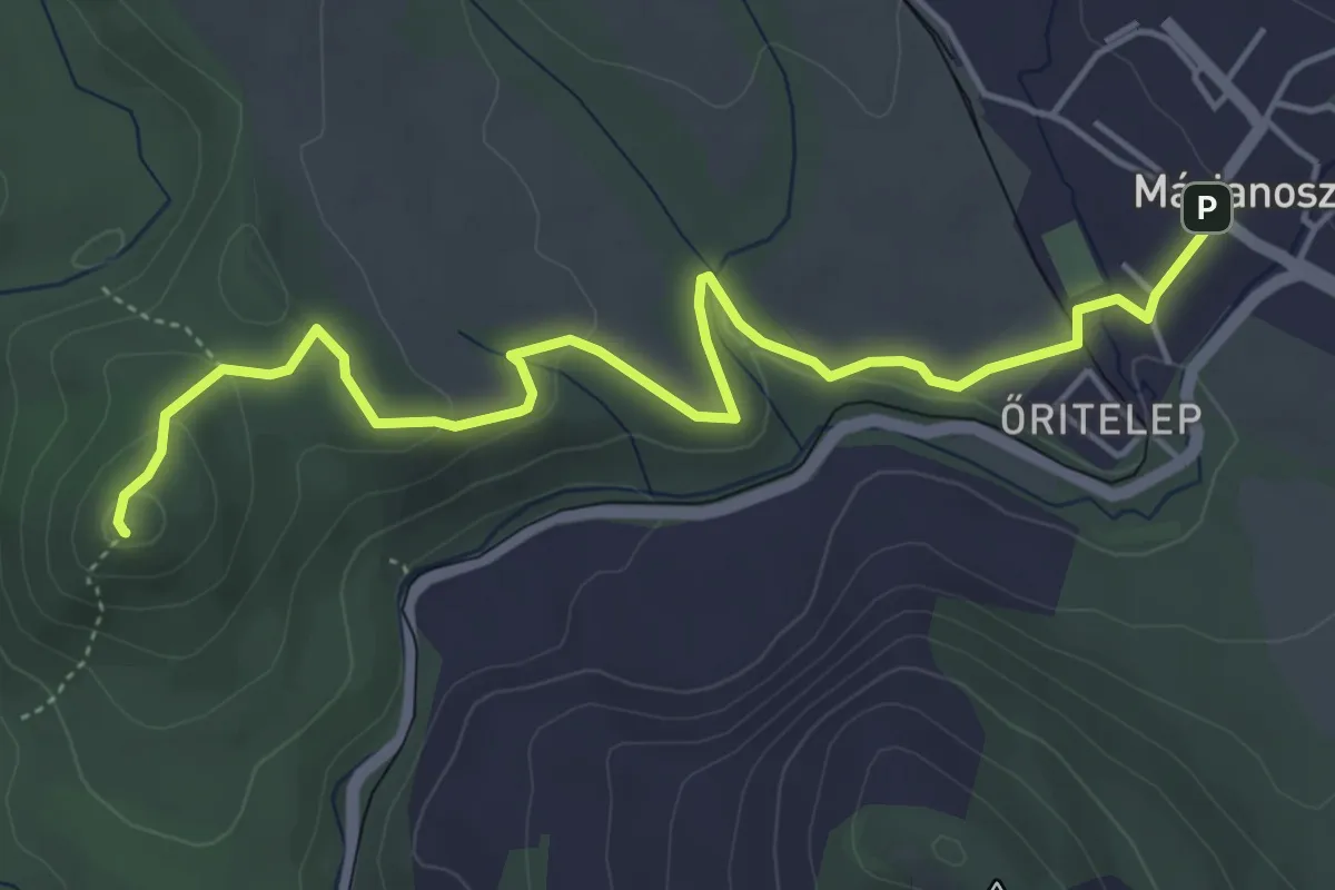
Easy · Summit
P▙ (Márianosztra – Zuvár)
5.4 km · ↑ 123 m · 1 h 32 min
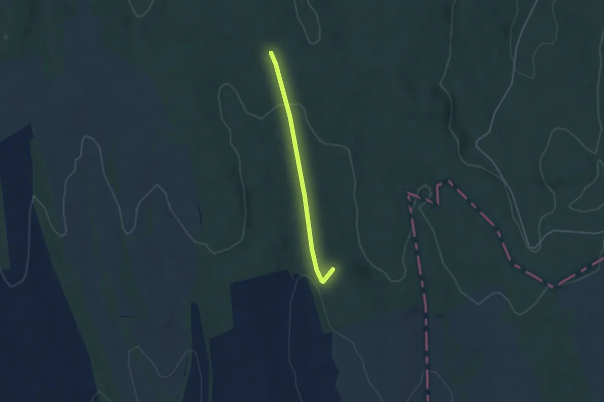
Easy · Trail
P● (Marosdi-erdő, Hunyadi-ház – Patkó-kút, pihenő)
3.1 km · ↑ 81 m · 55 min
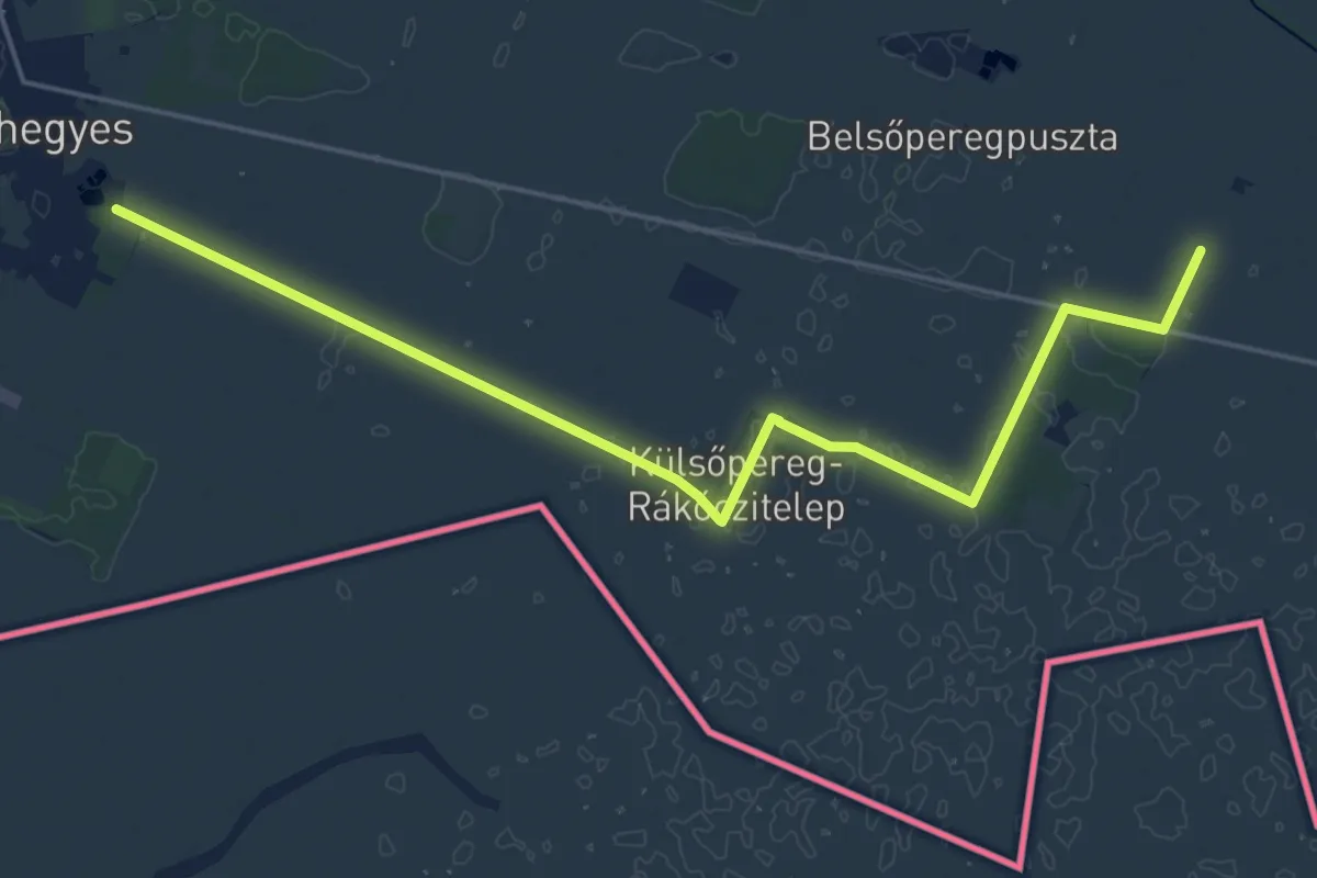
Demanding · Trail
P (Marosháti Piros Orosháza – Mezőkovácsháza)
22.3 km · ↑ 8 m · 5 h 16 min
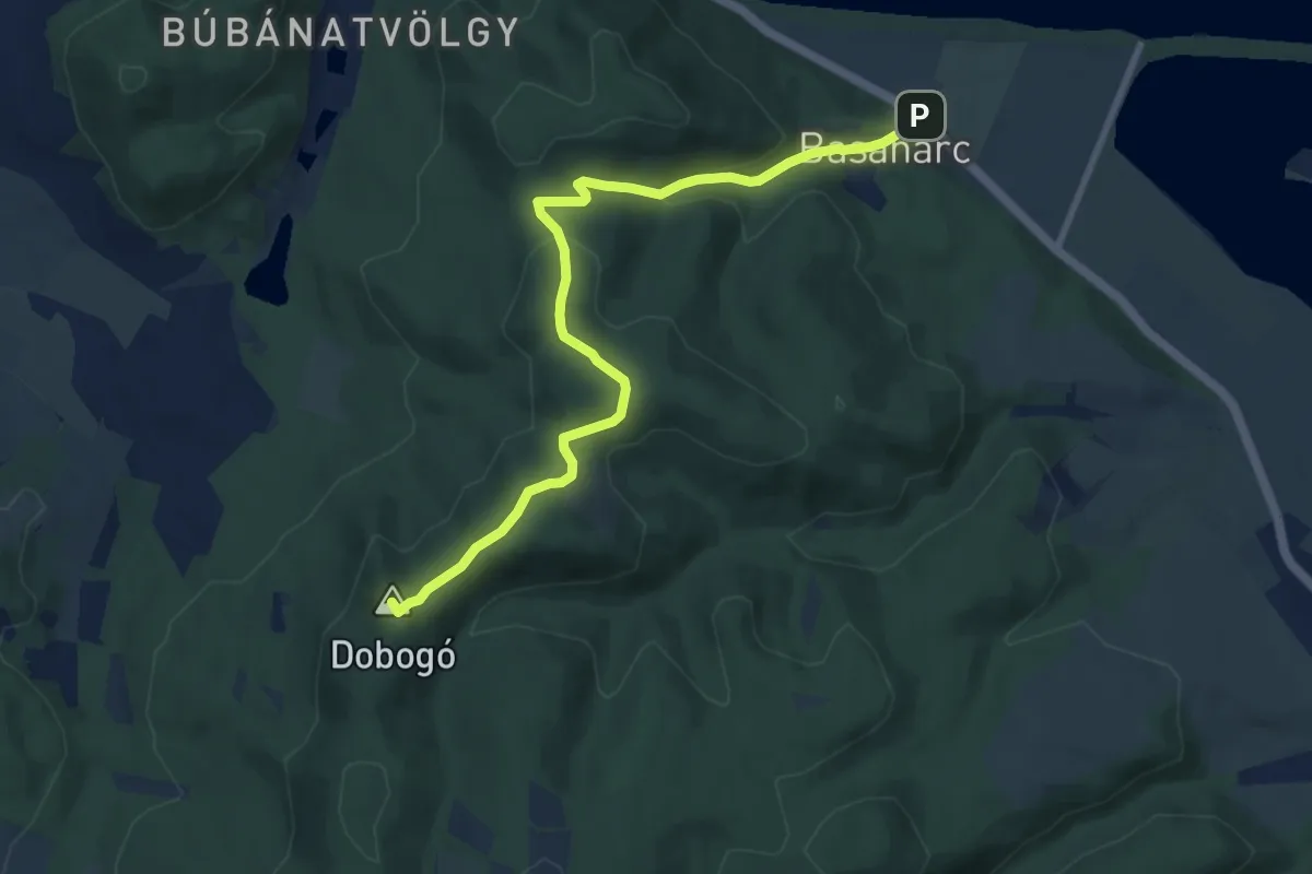
Medium · Summit
P+ (Maróti-hegyek, hajdani Képesfa – Savó-kúti-tisztás – Basaharc, szobi rév)
9.2 km · ↑ 302 m · 2 h 50 min
Medium · Summit
P, Mátra-Murány turistaút Mo.-i szakasz (Karancs – Hatvan)
4.6 km · ↑ 374 m · 1 h 53 min
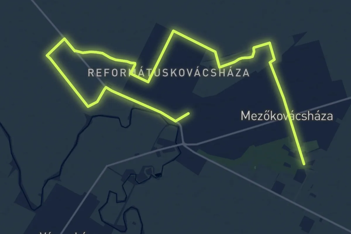
Demanding · Trail
P+ (Mezőkovácsháza,Szabadidő park – Babómajor)
23.1 km · ↑ 4 m · 5 h 28 min
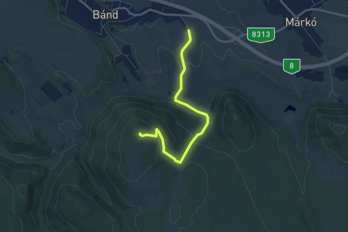
Easy · Summit
P▲ (Miklós Pál-hegy)
6.4 km · ↑ 250 m · 2 h 3 min
Easy · Trail
P■ (Mikóháza)
2.0 km · ↑ 4 m · 30 min
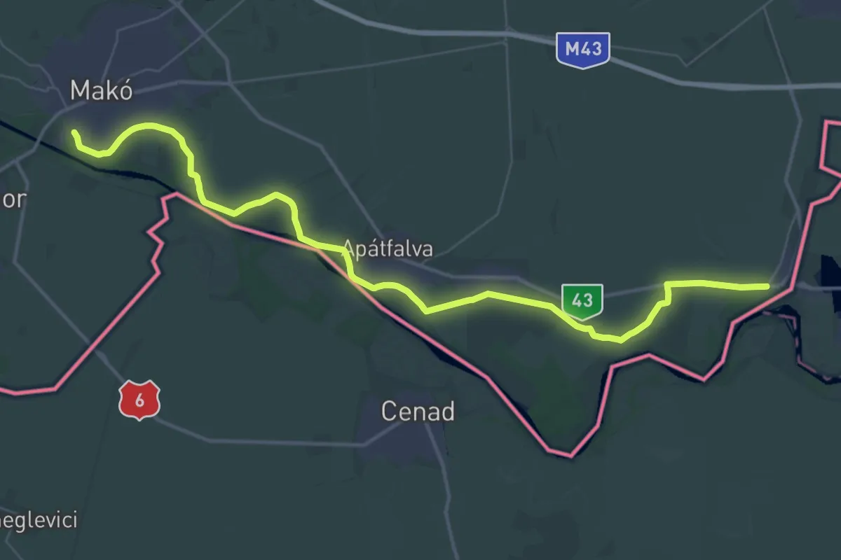
Demanding · Trail
P (Mindszent, rév – Szeged, Tápai rév – Nagylak)
23.8 km · ↑ 4 m · 5 h 58 min
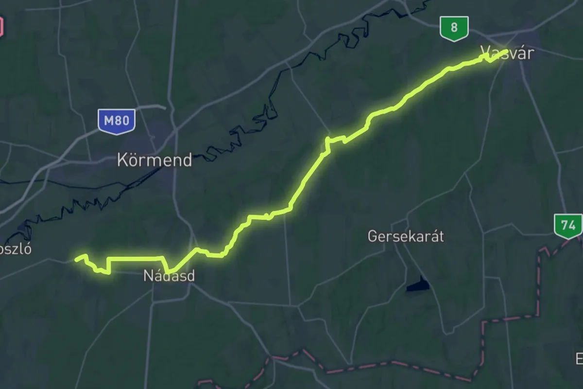
Demanding · Pilgrim path
PM, Mária-út, M60 (Halogy – Vasvár)
25.1 km · ↑ 265 m · 6 h 51 min
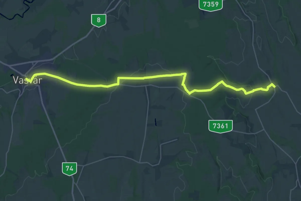
Medium · Pilgrim path
PM, Mária-út, M60 (Hosszúpereszteg – Vasvár)
14.1 km · ↑ 127 m · 3 h 49 min
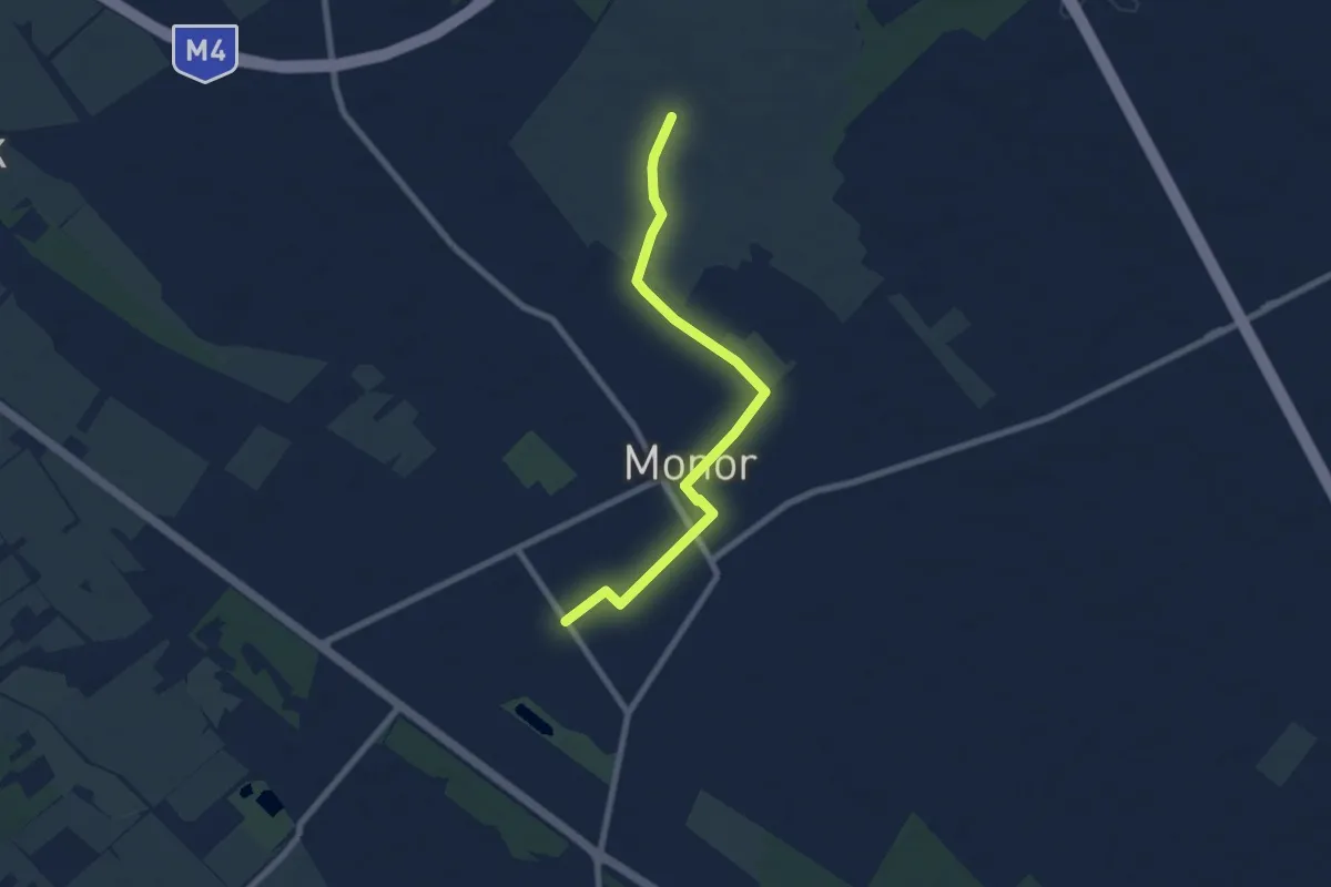
Easy · Trail
P■ (Monor)
7.4 km · ↑ 21 m · 1 h 48 min
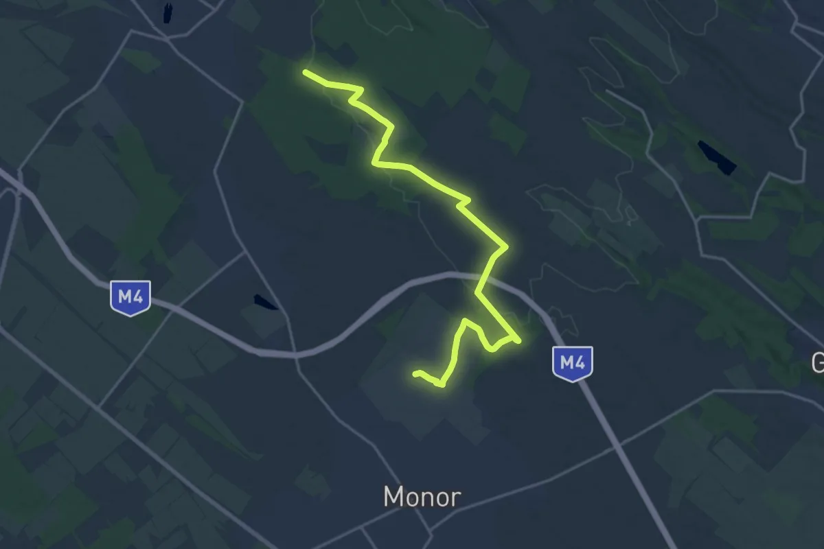
Demanding · Trail
P+ (Monor - Gyömrő)
18.4 km · ↑ 131 m · 4 h 38 min
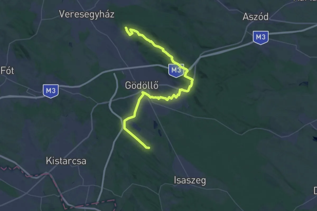
Demanding · Summit
PMP (Vácegres – Gödöllő – Isaszeg)
43.0 km · ↑ 549 m · 11 h 20 min
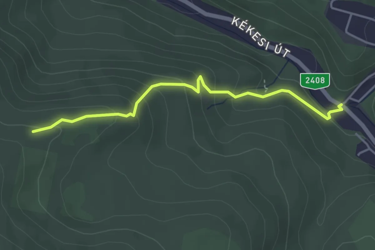
Easy · Trail
P+ (Muzsla, barlang felé kerülő)
3.5 km · ↑ 207 m · 1 h 17 min
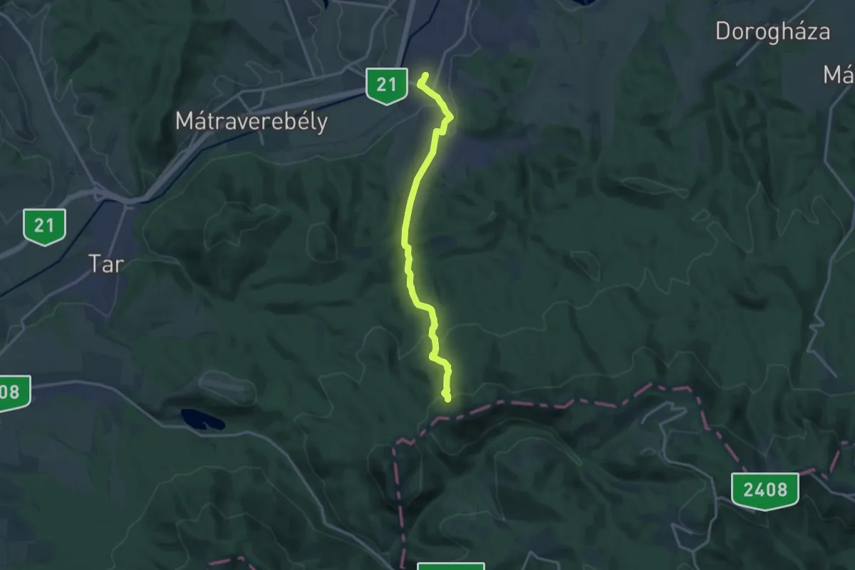
Medium · Trail
P+ (Nagybátony – Ágasvár)
13.6 km · ↑ 422 m · 4 h 8 min
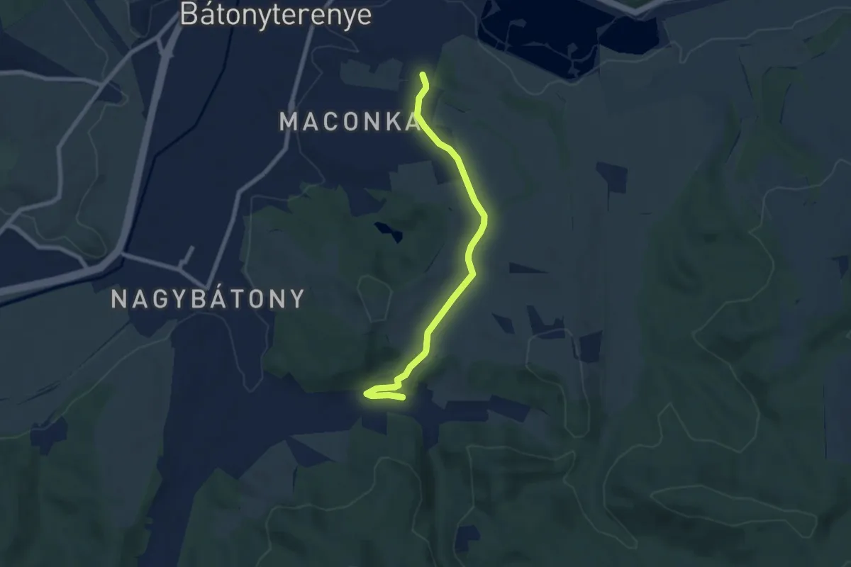
Easy · Trail
P+ (Nagybátony – Maconka)
6.5 km · ↑ 88 m · 1 h 43 min
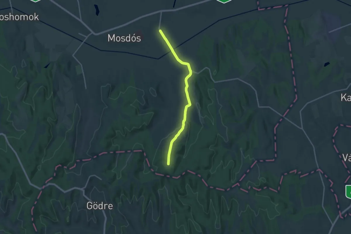
Medium · Trail
P+ (Nagyberki– Szt.Antal-kápolna)
13.8 km · ↑ 219 m · 3 h 44 min
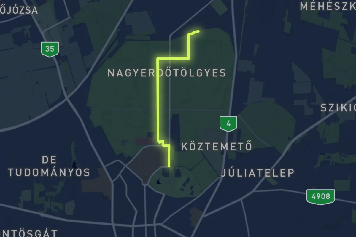
Medium · Trail
P+ (Nagyerdő)
10.1 km · ↑ 41 m · 2 h 29 min
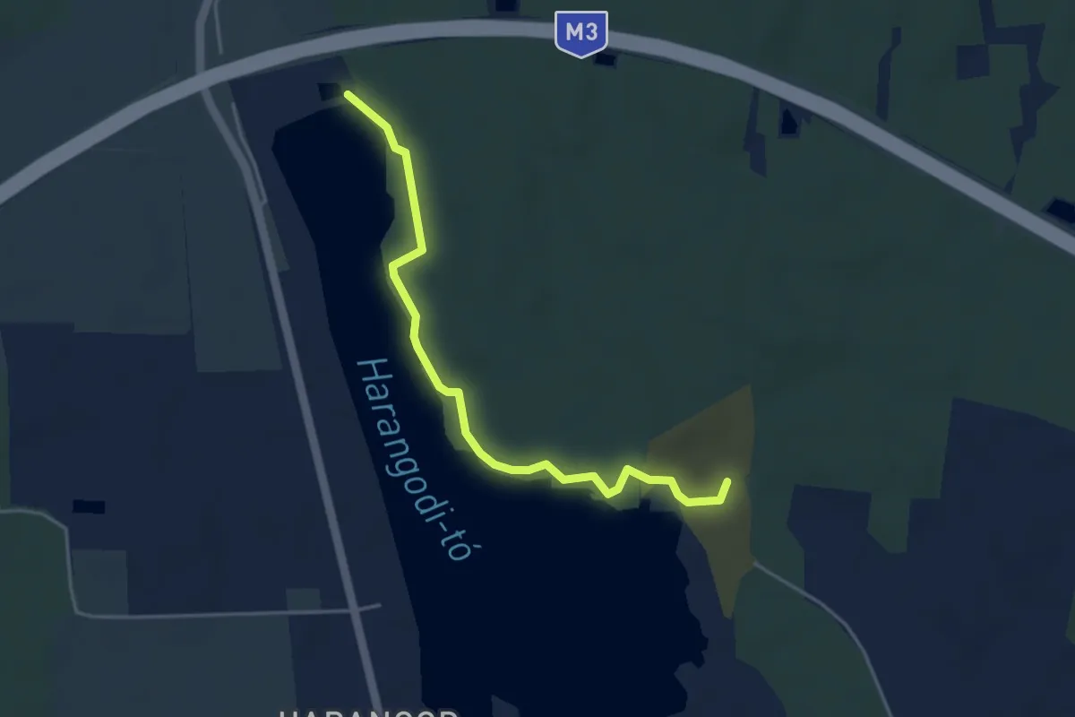
Easy · Trail
P■ (Nagykálló)
4.0 km · ↑ 31 m · 1 h 1 min
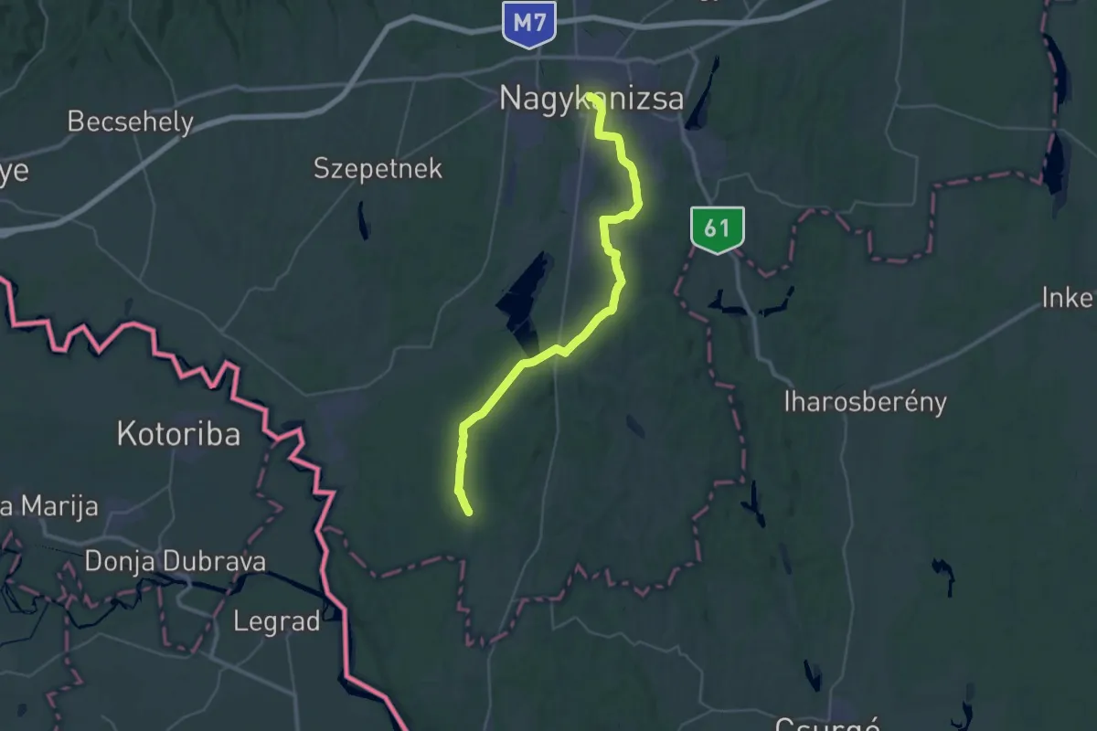
Demanding · Trail
P ( Nagykanizsa – Belezna )
19.0 km · ↑ 160 m · 5 h 6 min
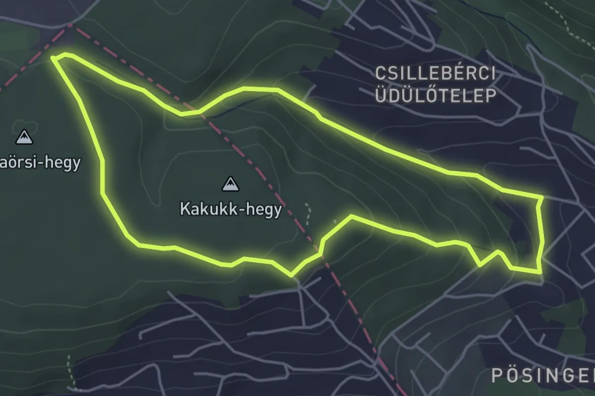
Easy · Summit
P↺ (Nagykapos utca – Irhás árok – Kakukkhegyi út – Csillebérci út – Kakukkhegyi erdősor –Frankhegyi th.)
4.6 km · ↑ 174 m · 1 h 32 min
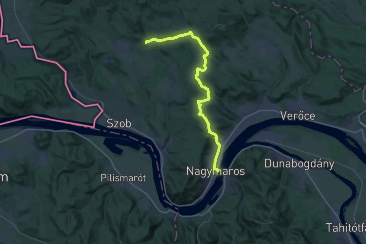
Demanding · Summit
P (Nagymaros – Márianosztra)
32.9 km · ↑ 694 m · 9 h 16 min
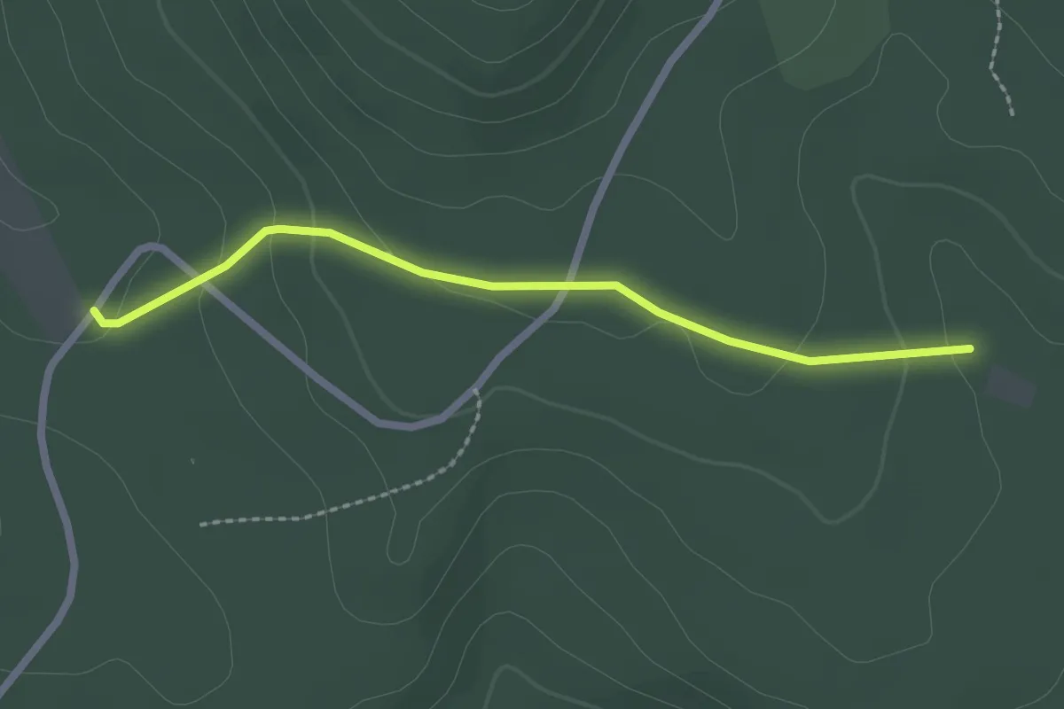
Easy · Trail
P+ (Nagy-rét – Egykori Kis-réti vh. tisztása)
2.1 km · ↑ 71 m · 40 min
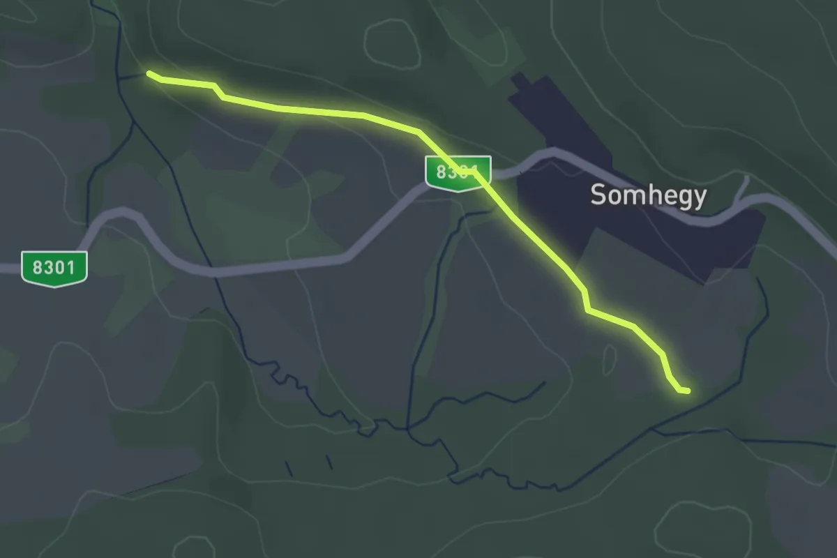
Easy · Trail
P● (Nagy-som-hegy alja – Határ-kút – Árpád-kút)
2.7 km · ↑ 37 m · 43 min
Easy · Trail
P■ (Nagy-Száraz-völgy – Komlóstető – Lomb utca)
3.9 km · ↑ 87 m · 1 h 6 min
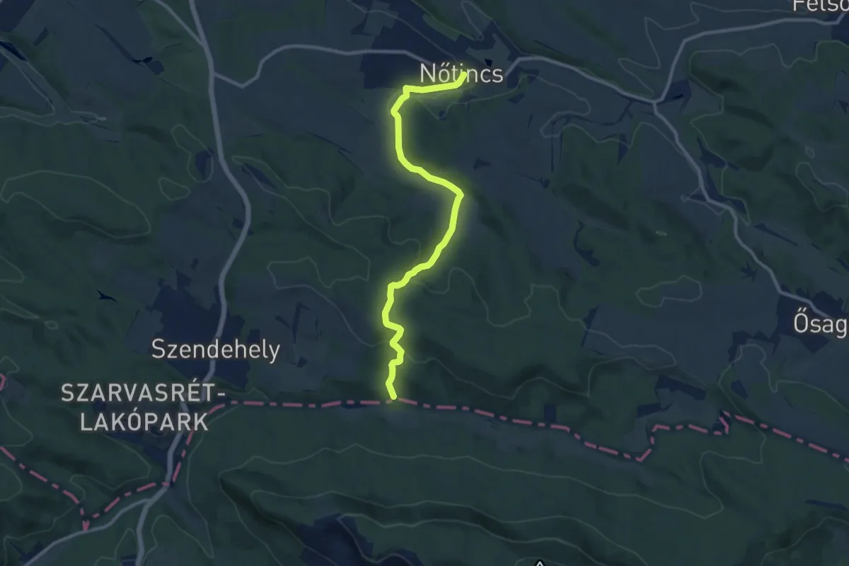
Medium · Trail
P négyzet (Gyadai rét – Nőtincs)
10.2 km · ↑ 291 m · 3 h 2 min
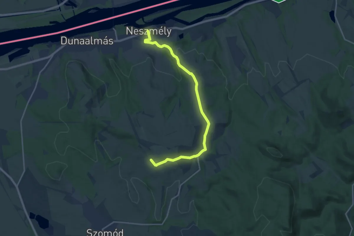
Medium · Trail
P■ (Neszmély – Dunaszentmiklós – Látó-hegyi szőlők)
13.0 km · ↑ 303 m · 3 h 43 min
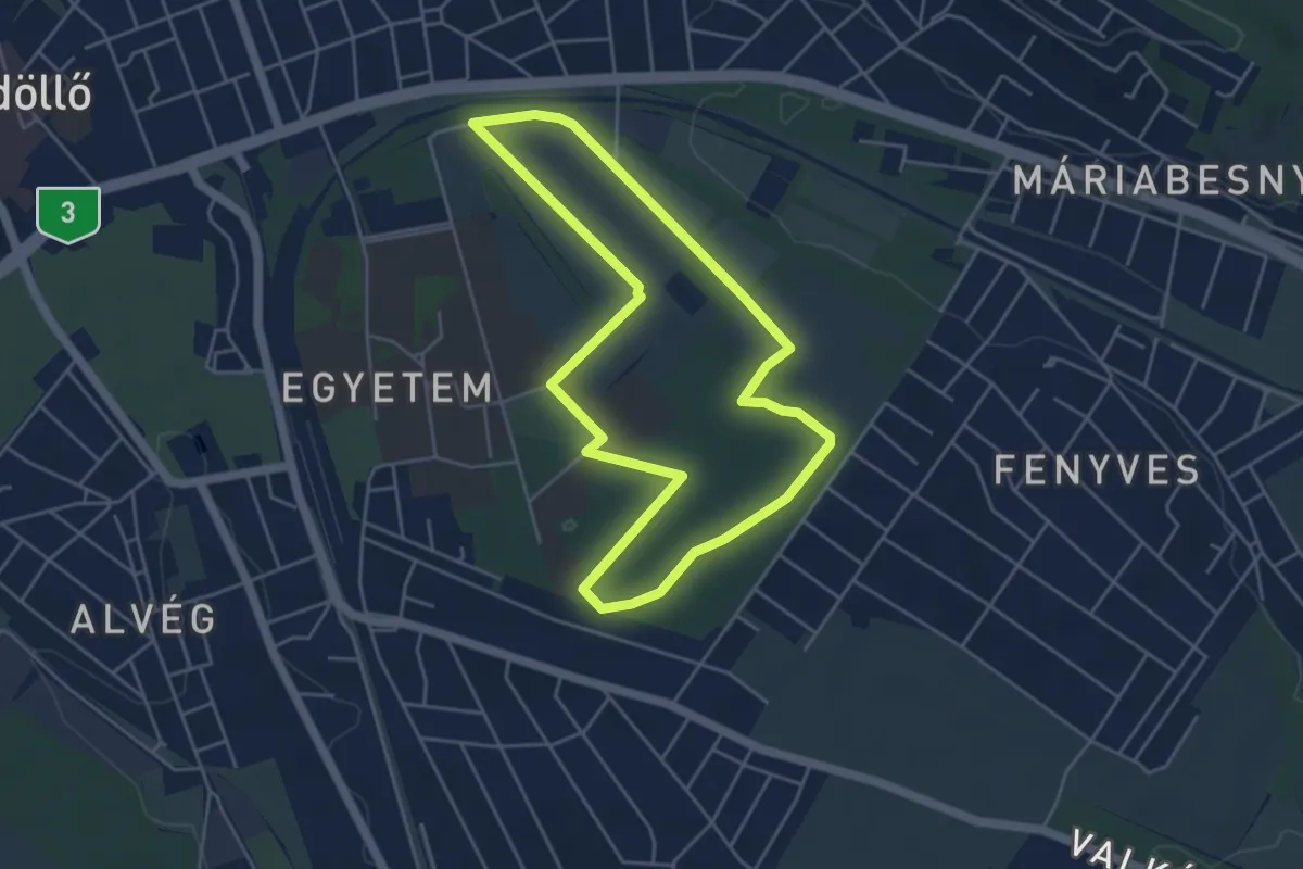
Easy · Trail
P Nordic Walking
4.5 km · ↑ 46 m · 1 h 13 min
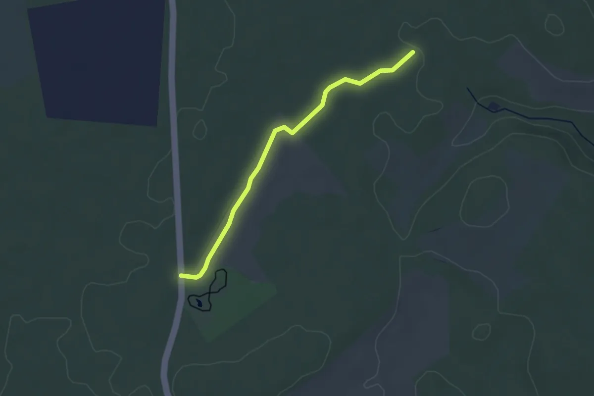
Easy · Trail
P● (Nosztori-pihenő – Királykúti-forrás, P)
3.1 km · ↑ 13 m · 45 min
Medium · Trail
P+ Nyír-völgy
11.6 km · ↑ 398 m · 3 h 36 min
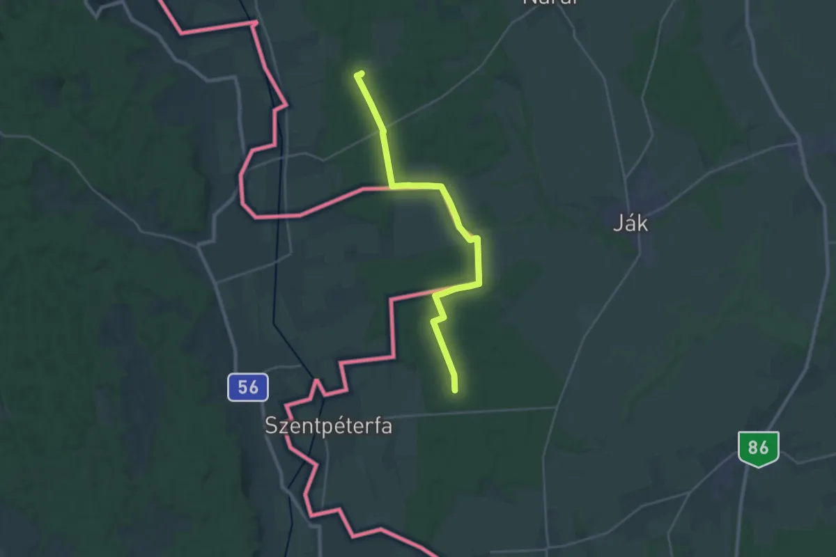
Demanding · Trail
P (Nyugat-dunántúli Piros)
22.5 km · ↑ 135 m · 5 h 36 min
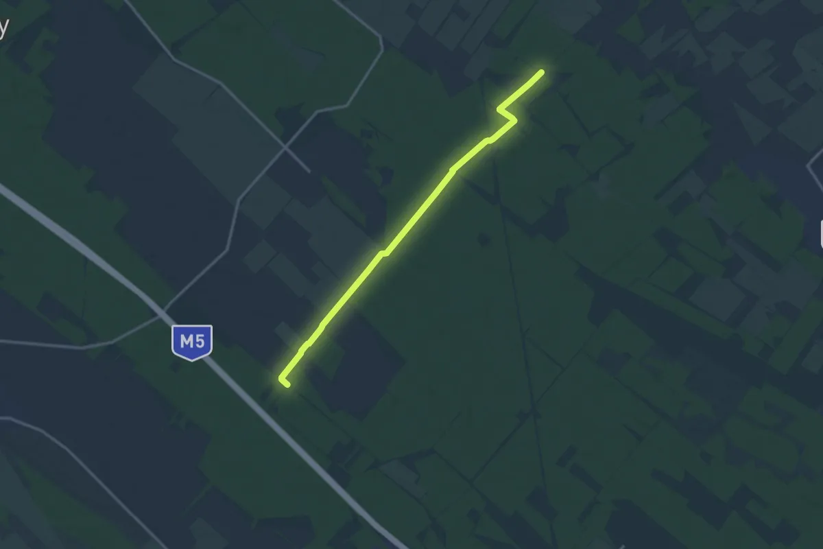
Medium · Trail
P+ (Ócsa – Monor)
12.6 km · ↑ 18 m · 3 h 1 min
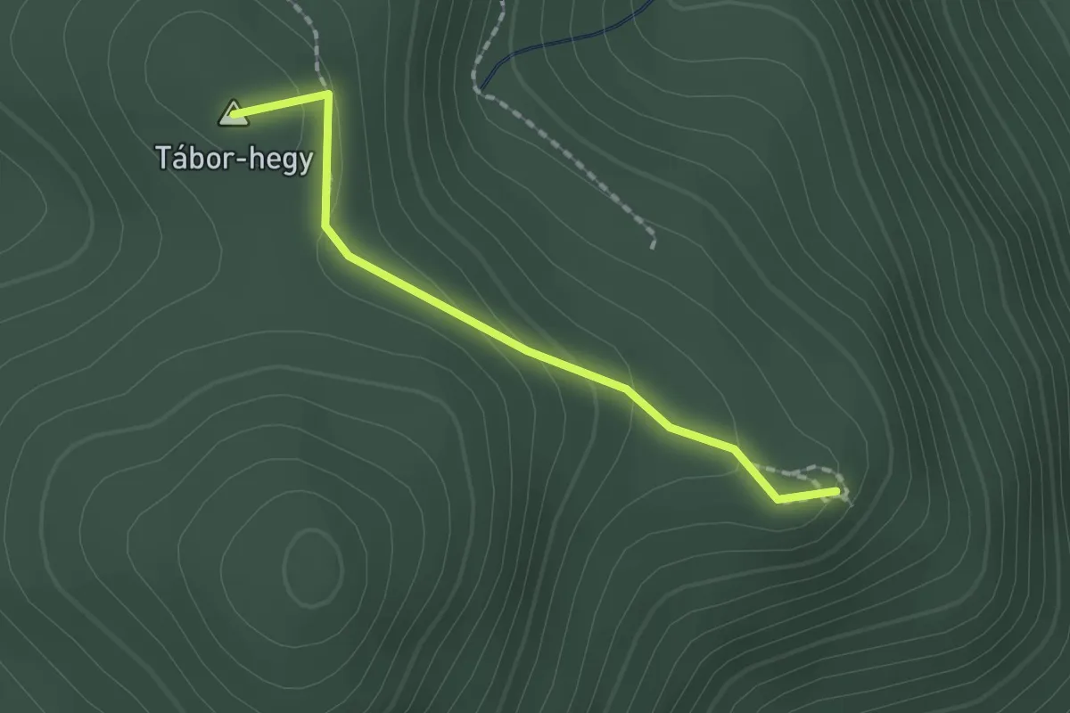
Easy · Summit
P▙ (Ódorvár)
1.5 km · ↑ 77 m · 32 min
Easy · Summit
P■ (Óhuta - Tábor-hegy)
3.9 km · ↑ 112 m · 1 h 10 min
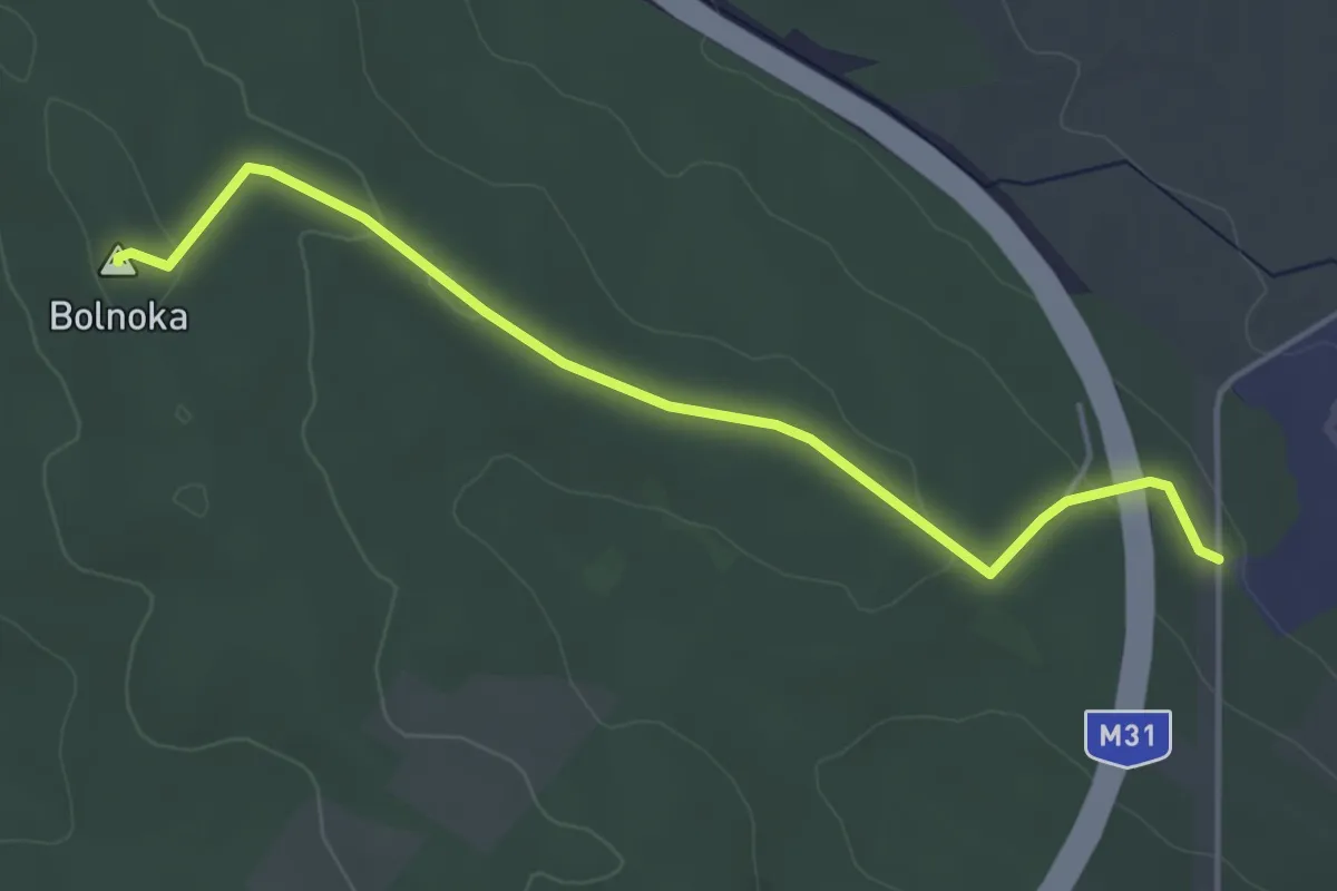
Easy · Summit
P▲ (Ökörtelek, M31 felüljáró – Bolnoka)
4.4 km · ↑ 74 m · 1 h 12 min
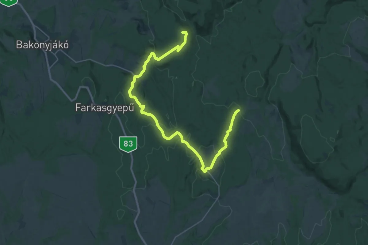
Demanding · Summit
P+ (OKT – Pisztrángos-tó – Csehbánya – KDP)
25.4 km · ↑ 544 m · 7 h 11 min