Trails in Hungary
2,294 hiking trails, each with its route, climb, walking time and grade.
All trails, page 23 of 48
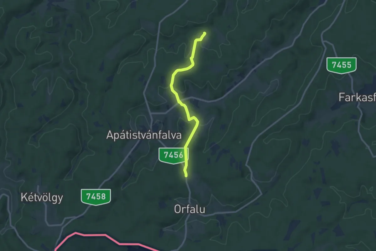
Medium · Trail
P+ (Orfalui-nyereg, feszület – Apátistvánfalva – Zsida-patak völgye)
8.0 km · ↑ 173 m · 2 h 16 min
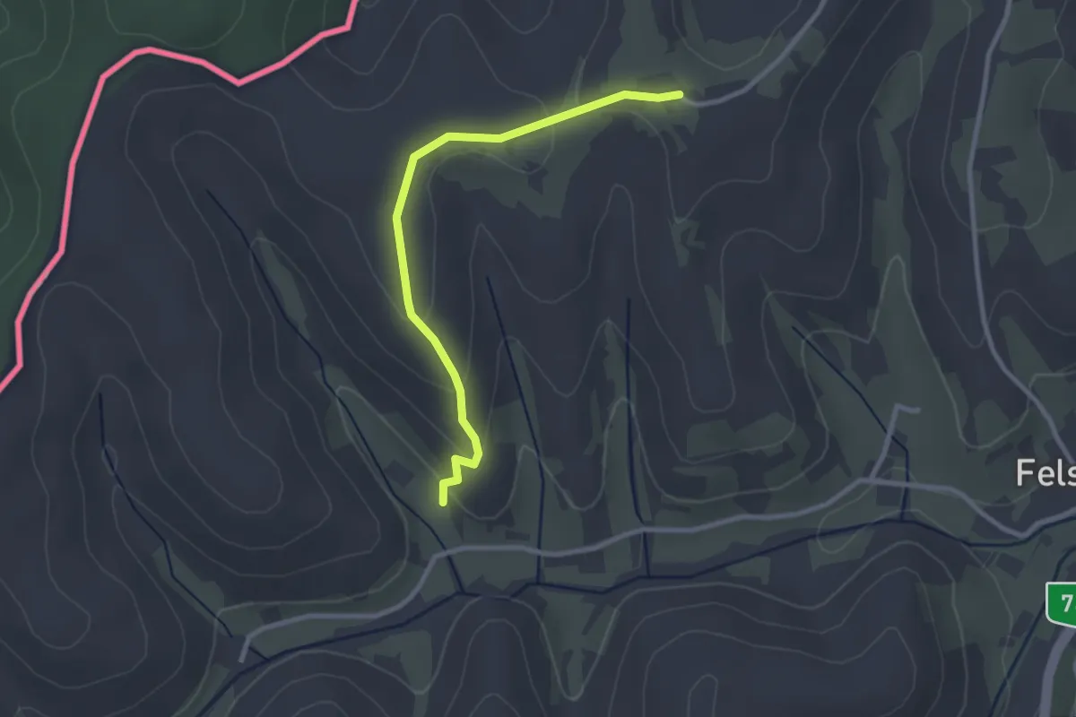
Easy · Trail
P, Őrvidéki Piros (Zalalövő – Felsőszölnök – Szentgotthárd)
2.7 km · ↑ 88 m · 50 min
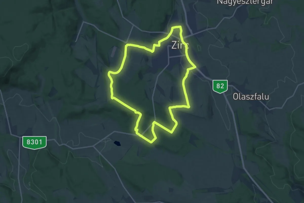
Medium · Trail
Po↺ (Szarvaskút)
15.1 km · ↑ 255 m · 4 h 20 min
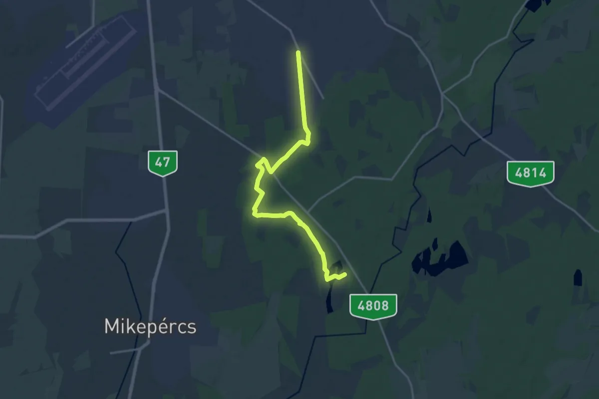
Medium · Trail
P▙ (Pac, iskola - Vekeri-tó, pihenőközpont)
15.1 km · ↑ 42 m · 3 h 39 min
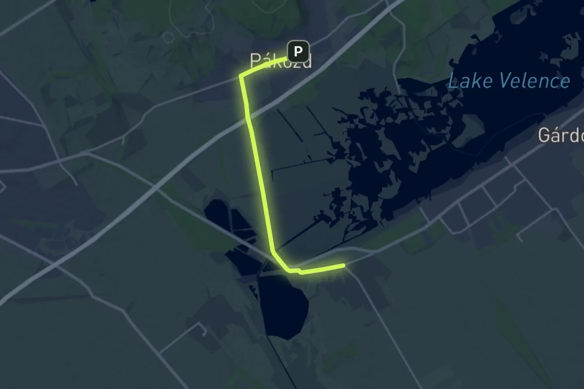
Medium · Trail
P+ (Pákózd – Dinnyés)
13.8 km · ↑ 22 m · 3 h 18 min
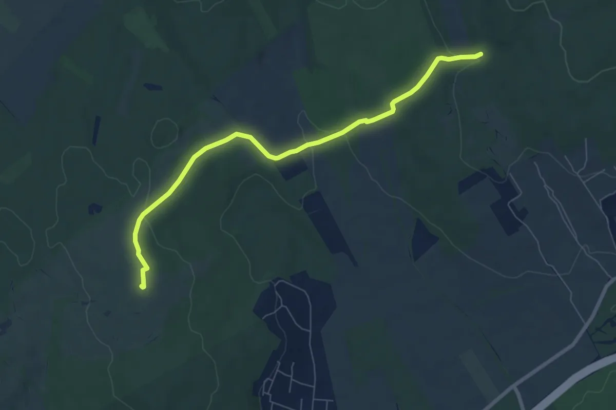
Easy · Summit
P+ (Pákozd – Ingókövek – Hurka-völgy – P)
7.2 km · ↑ 137 m · 2 h
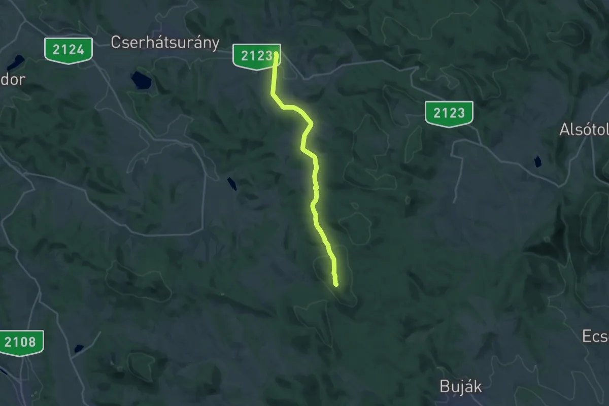
Medium · Summit
P, Palóc Piros 2. (Herencsény – Buják, tervezett)
16.2 km · ↑ 273 m · 4 h 25 min
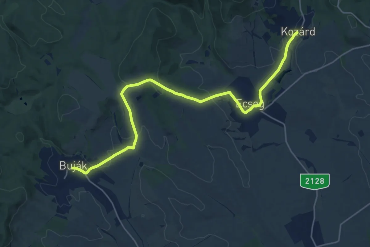
Demanding · Trail
P, Palóc Piros 3/a. (Buják – Kozárd, tervezett)
18.2 km · ↑ 378 m · 5 h 6 min
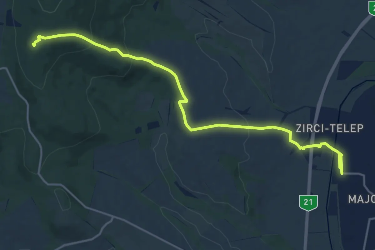
Medium · Summit
P, Palóc Piros 3b. (Kozárd – Pásztó)
13.3 km · ↑ 336 m · 3 h 52 min
Medium · Trail
P+ (Páloskolostor-rom – Gönc)
9.0 km · ↑ 270 m · 2 h 43 min
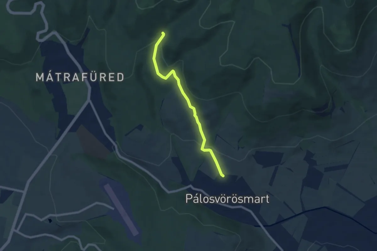
Easy · Trail
P■ (Pálosvörösmart – Csepegő-forrás)
5.2 km · ↑ 195 m · 1 h 38 min
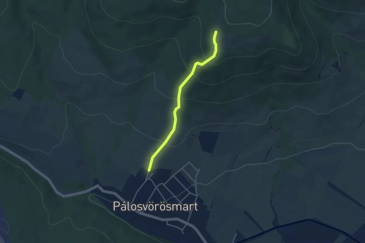
Easy · Trail
P▲ (Pálosvörösmart – Holló-kő)
2.9 km · ↑ 199 m · 1 h 7 min
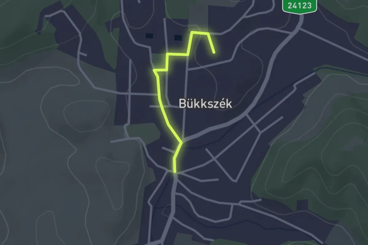
Easy · Trail
P▲ Panoráma terasz
2.0 km · ↑ 19 m · 31 min
Easy · Trail
P+ (Pányoki-kút – Hálaisten-tető)
2.7 km · ↑ 90 m · 49 min
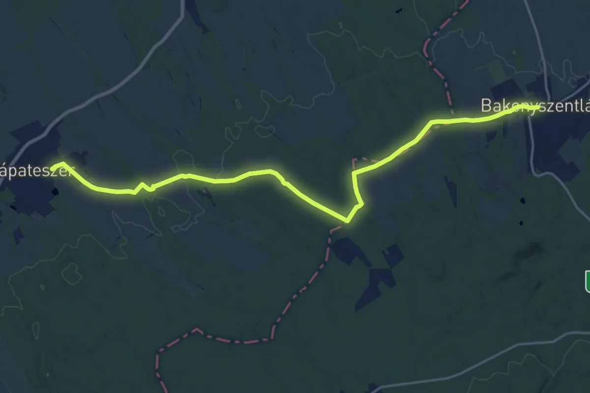
Medium · Trail
P (Pápateszér – Bakonyszentlászló)
17.9 km · ↑ 168 m · 4 h 36 min
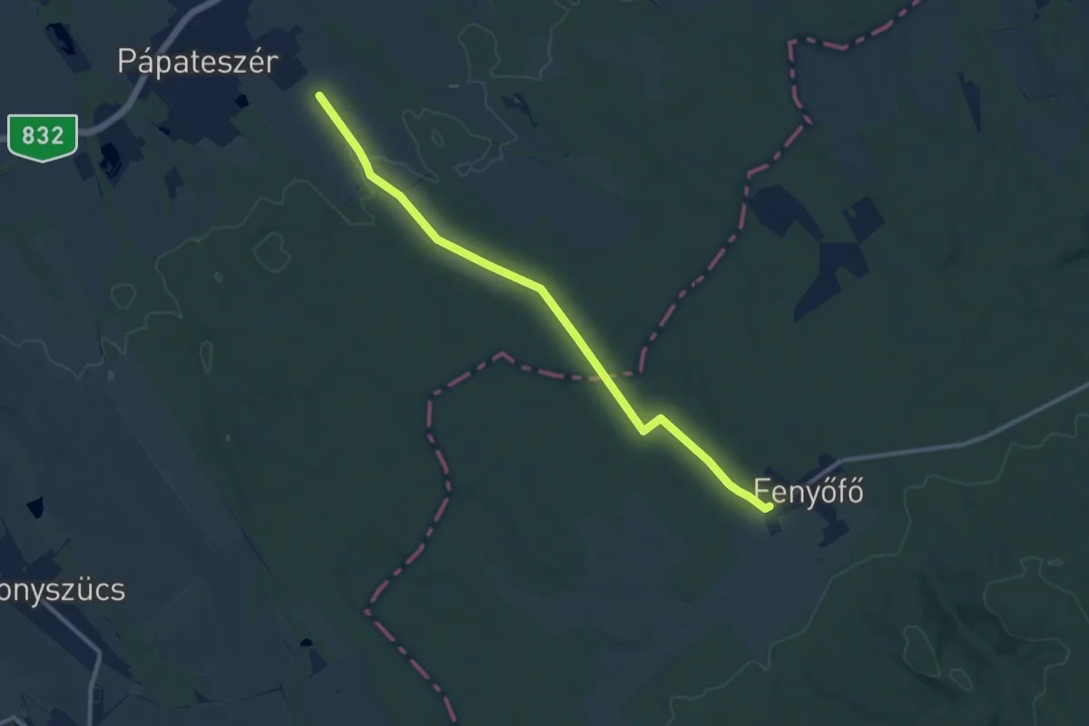
Medium · Trail
P+ (Pápateszér– Fenyőfő)
10.6 km · ↑ 81 m · 2 h 41 min
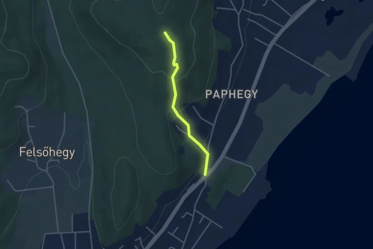
Easy · Trail
P▲ (Pap-hegy)
2.5 km · ↑ 142 m · 54 min
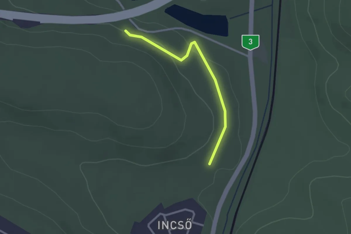
Easy · Trail
P+ (Pap Miska-kút – Incső)
2.2 km · ↑ 32 m · 35 min
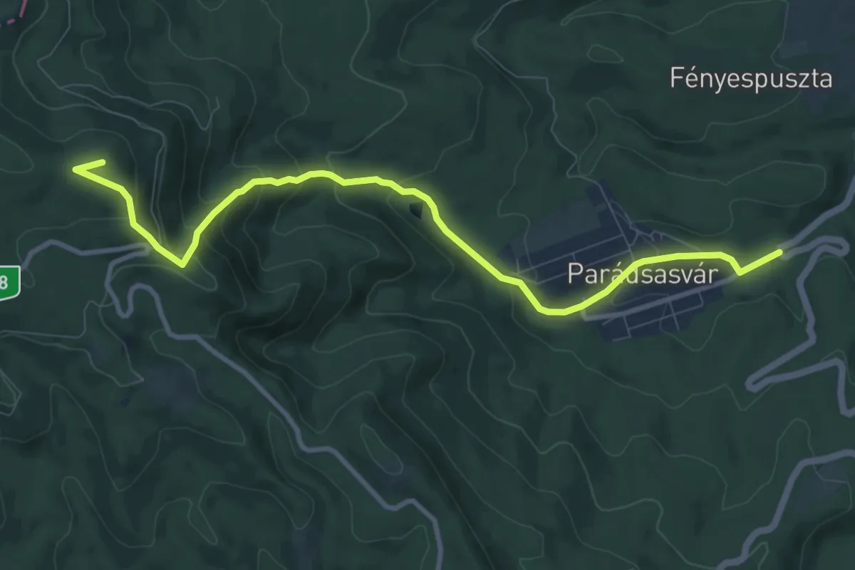
Medium · Summit
P+ (Parádsasvár – Galyatető)
9.8 km · ↑ 519 m · 3 h 26 min
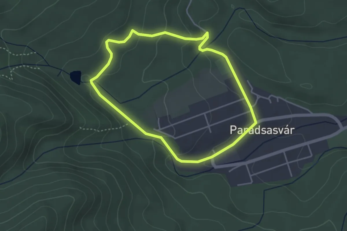
Easy · Trail
P↺ (Parádsasvári)
3.2 km · ↑ 98 m · 1 h 1 min
Medium · Summit
P (Partizán út)
16.4 km · ↑ 394 m · 4 h 44 min
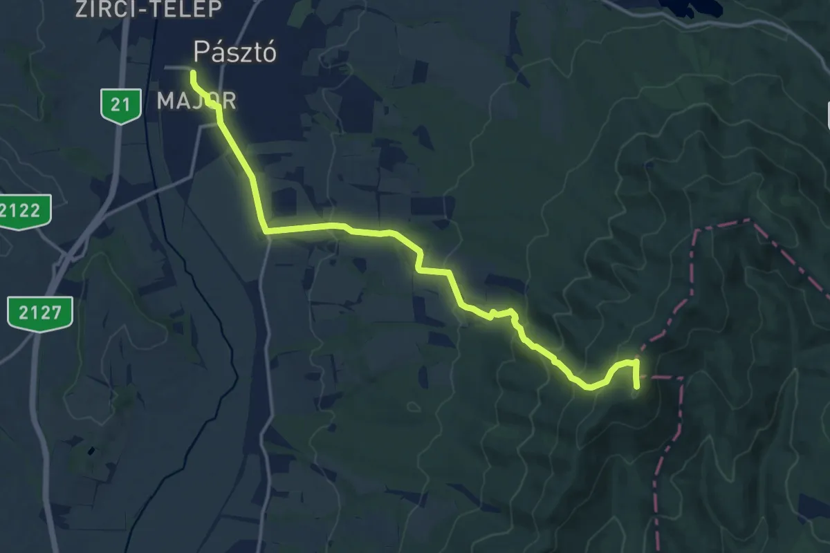
Medium · Summit
P▲ (Pásztó – Muzsla tető)
15.1 km · ↑ 643 m · 4 h 58 min
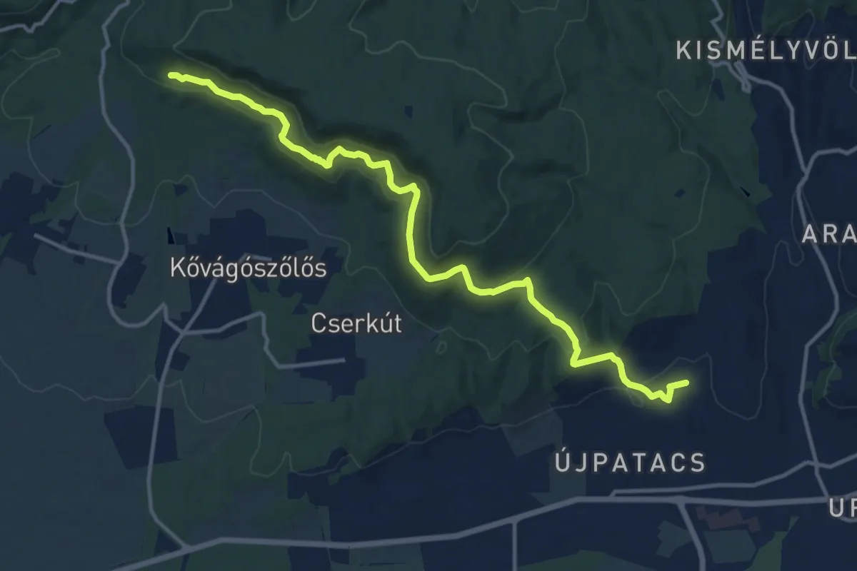
Medium · Trail
P▲ (Patacs – Panoráma út – Babásszerkövek)
13.8 km · ↑ 639 m · 4 h 38 min
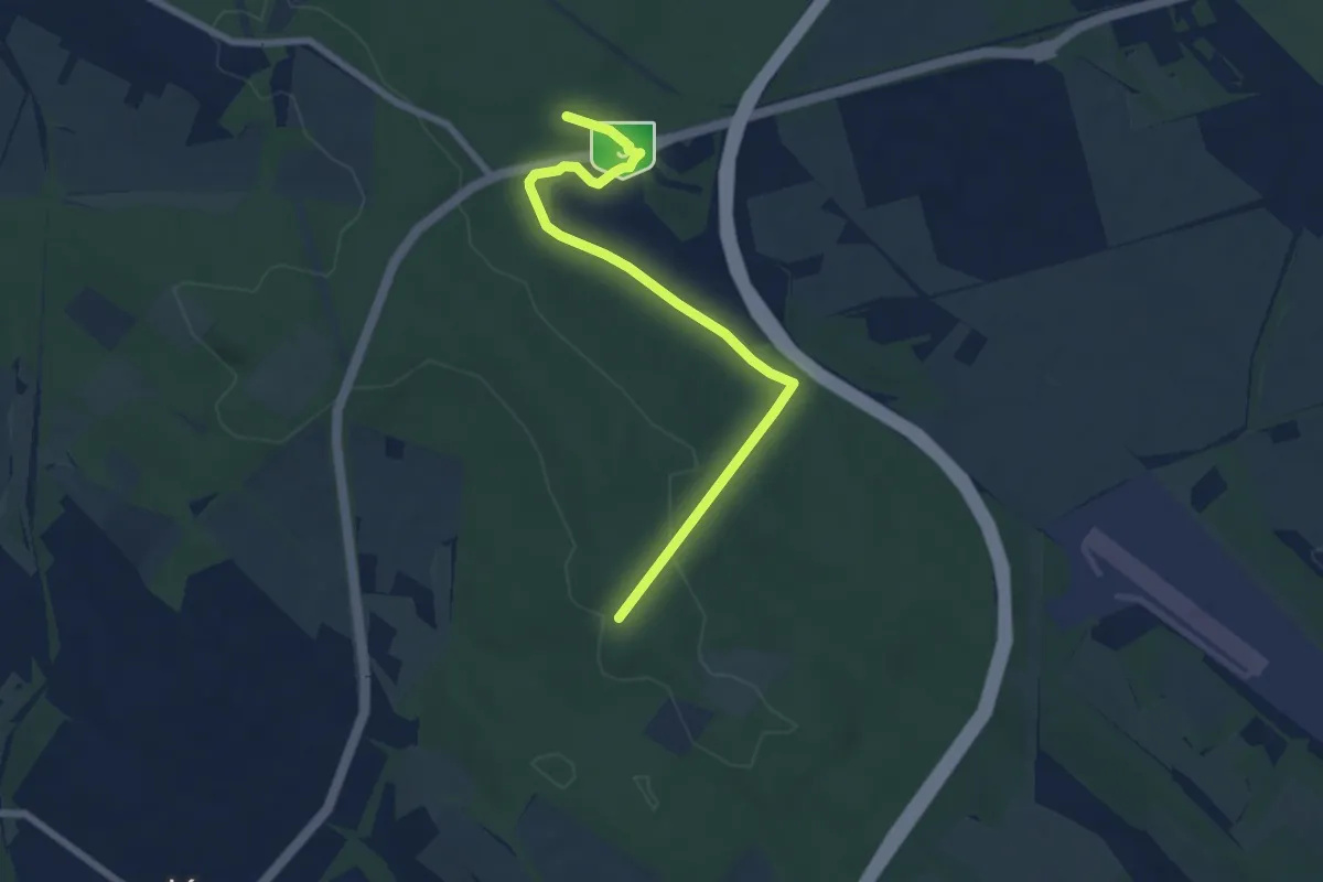
Easy · Trail
P+ (Patkó – Bolnoka)
6.9 km · ↑ 146 m · 1 h 56 min
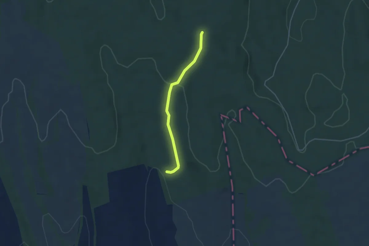
Easy · Trail
P+ (Patkó-kút)
3.1 km · ↑ 103 m · 58 min
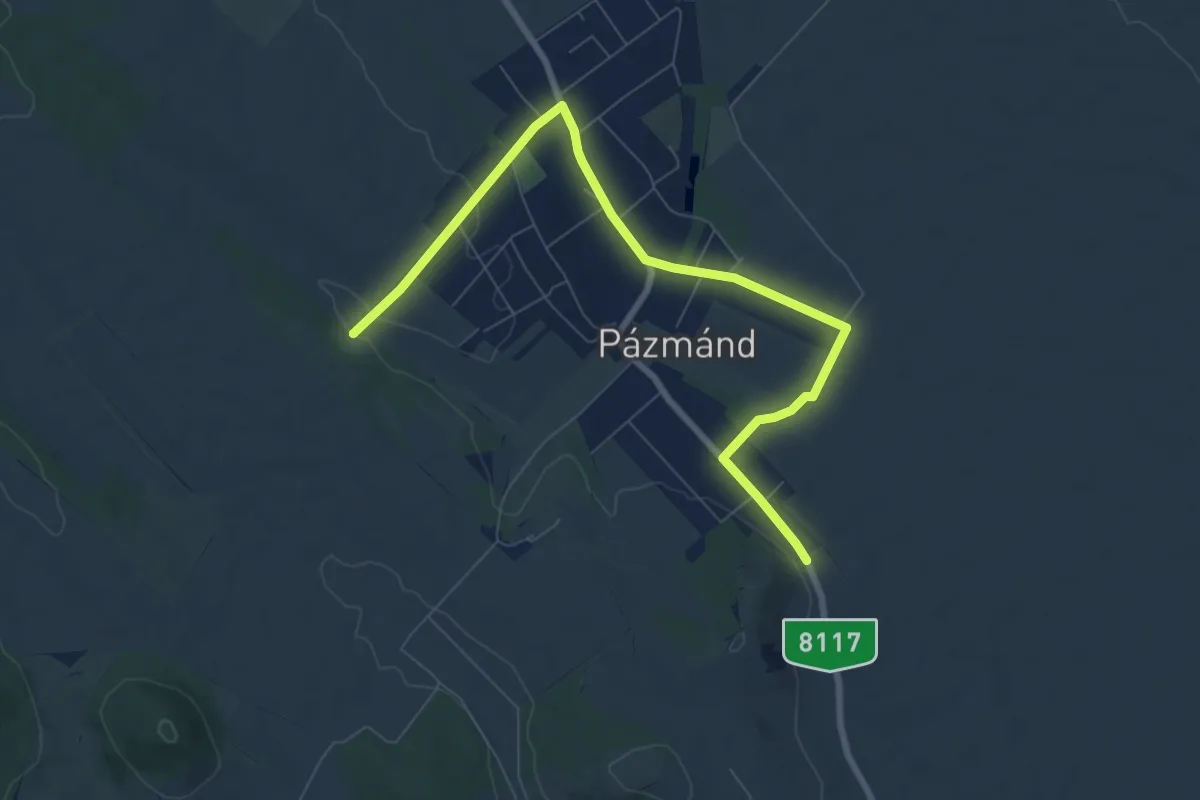
Medium · Trail
P+ (Pázmánd)
8.8 km · ↑ 83 m · 2 h 15 min
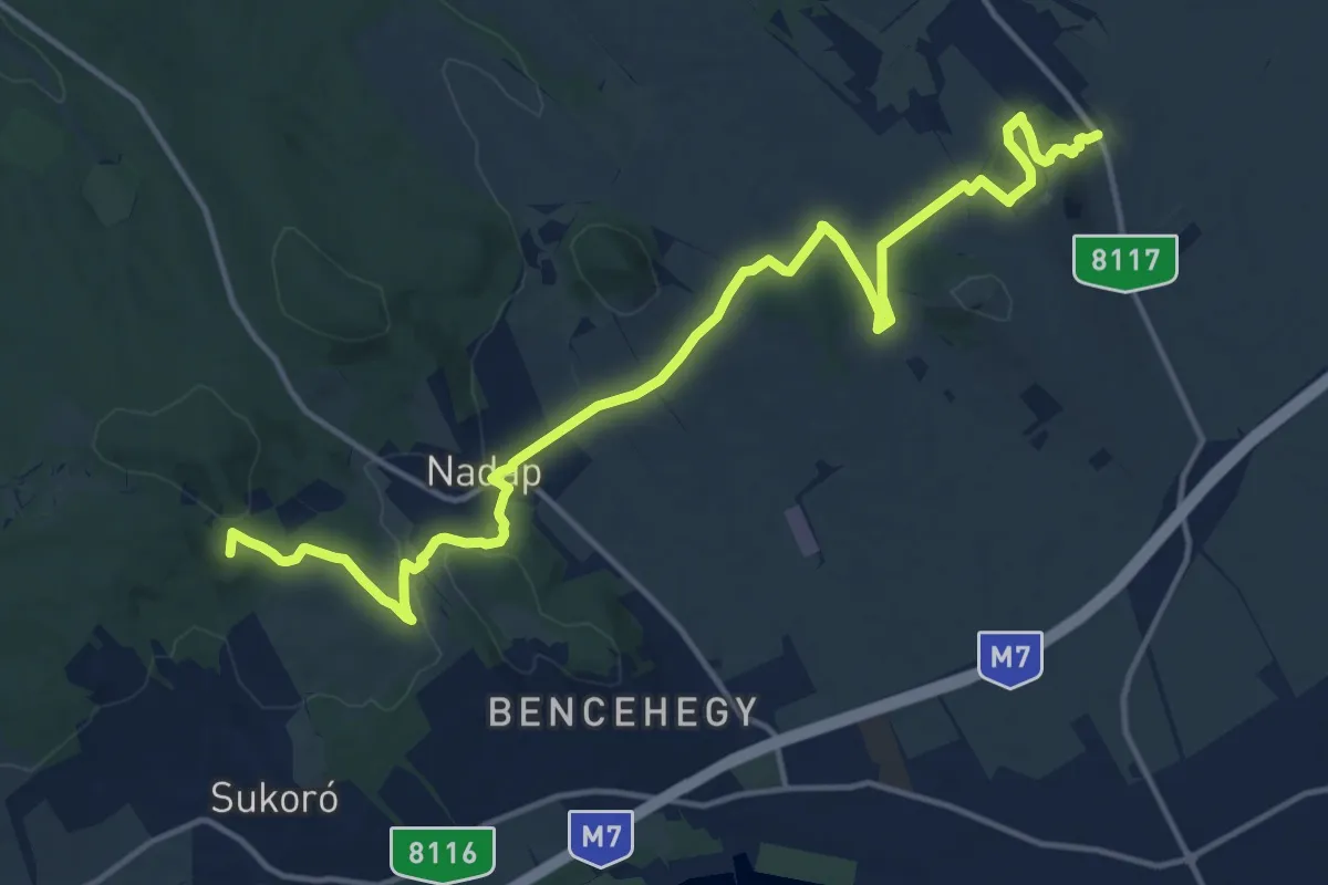
Medium · Summit
P (Pázmánd – Velencei-tó, Szúnyog-sziget)
17.8 km · ↑ 381 m · 5 h 1 min
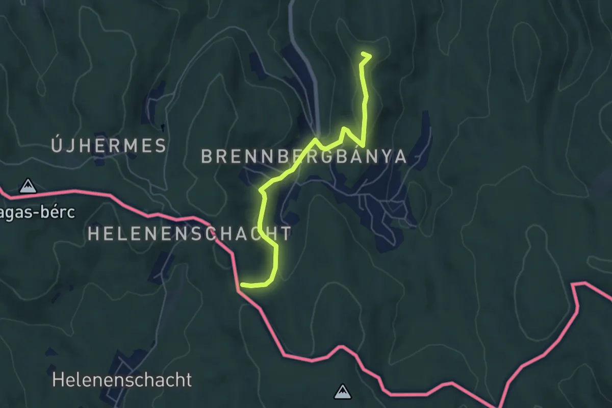
Easy · Summit
P+ (P – Brennbergbánya – Havas-bérc – K)
5.1 km · ↑ 147 m · 1 h 31 min
Medium · Summit
P▲ (Pécs-kő)
7.3 km · ↑ 280 m · 2 h 20 min
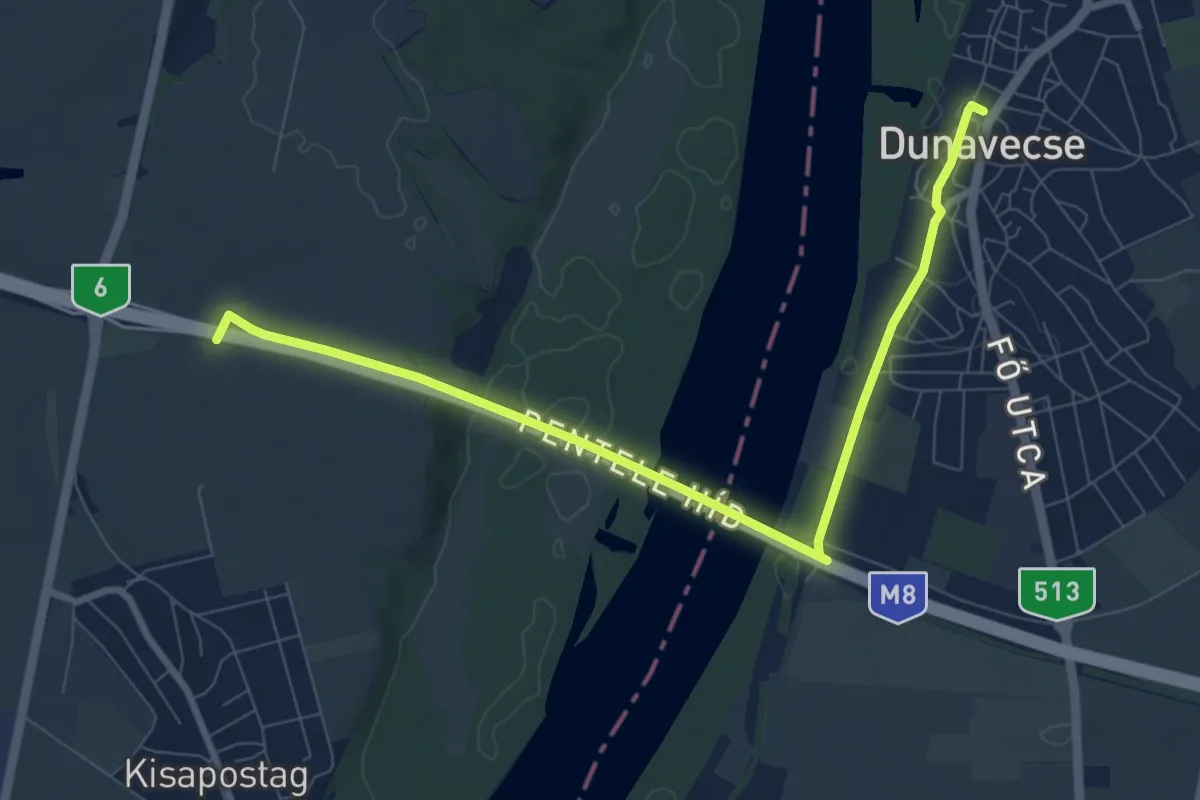
Medium · Trail
P■ (Pentele híd)
9.3 km · ↑ 76 m · 2 h 21 min
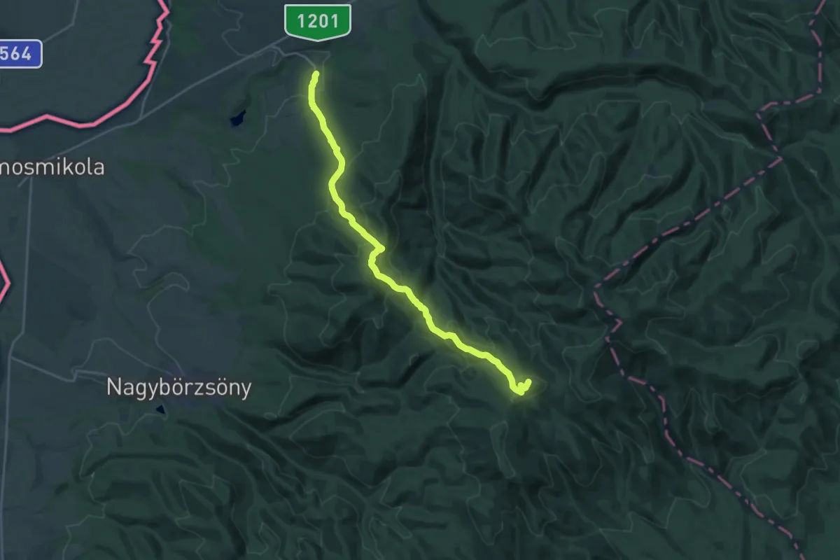
Demanding · Summit
P+ (Perőcsény – Nagy-Hideg-hegy)
19.4 km · ↑ 1014 m · 6 h 47 min
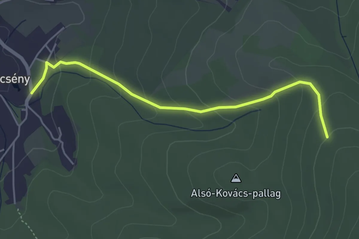
Easy · Trail
P■ (Perőcsény – Strázsa-hegy)
4.2 km · ↑ 215 m · 1 h 27 min
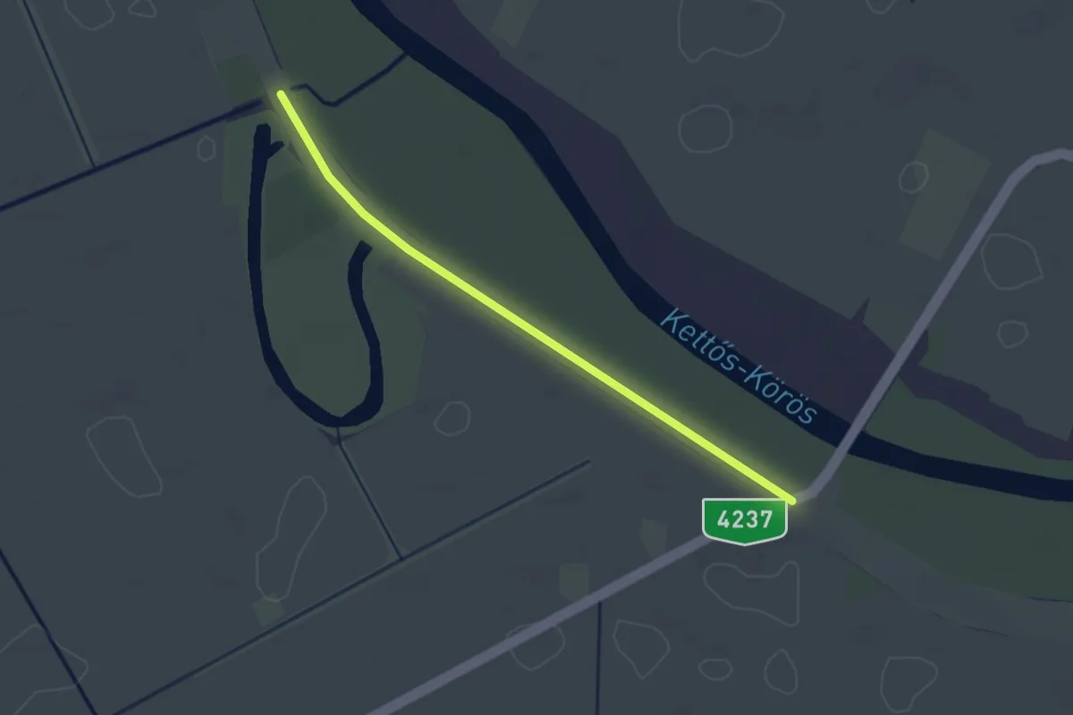
Easy · Trail
P↺ (Petőfi körtúra, Mezőberény)
2.6 km · ↑ 0 m · 36 min
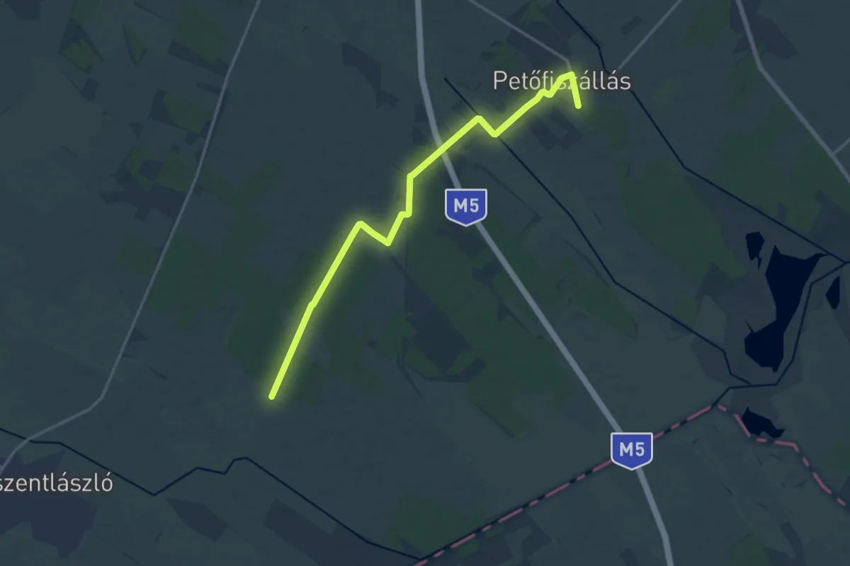
Medium · Trail
P+ (Petőfiszállás – Pálosszentkút)
16.1 km · ↑ 30 m · 3 h 51 min
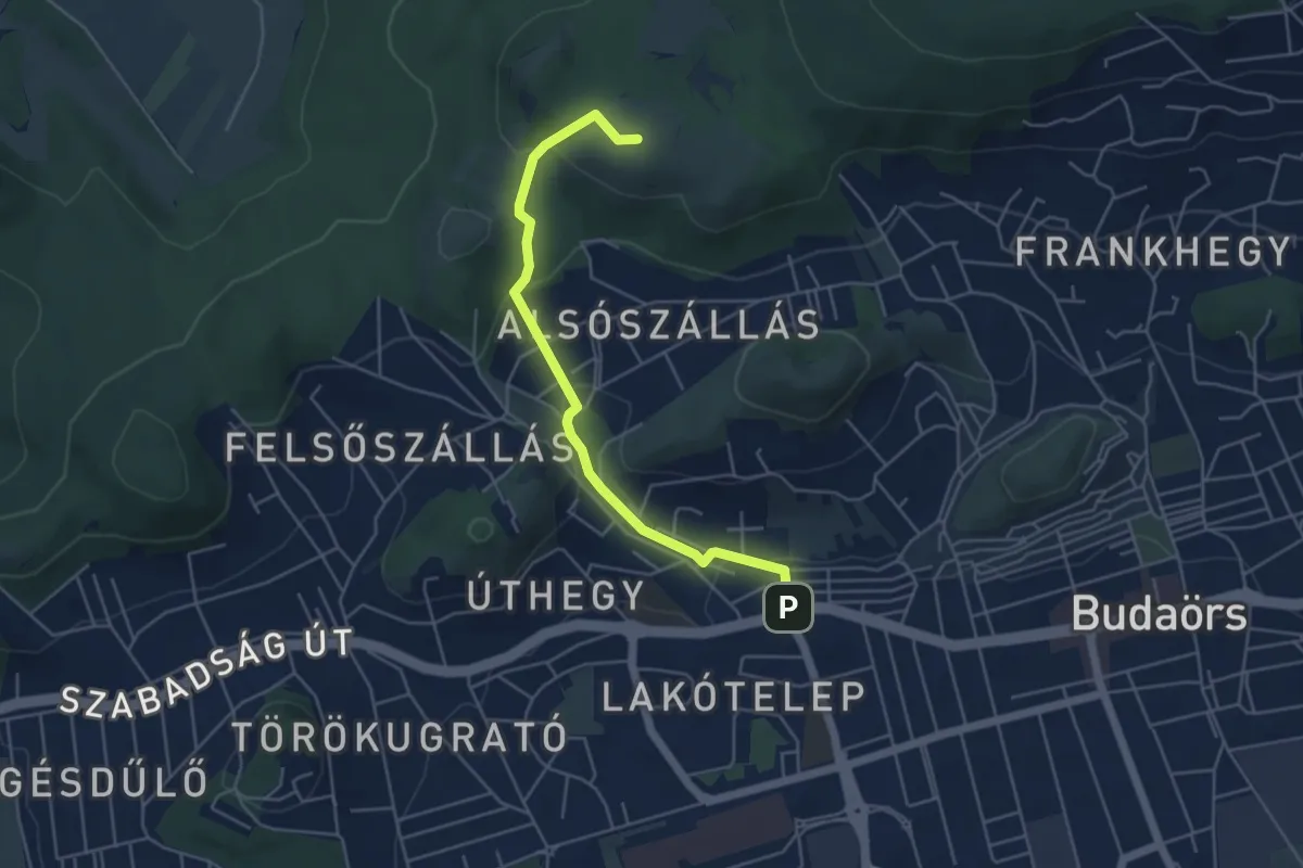
Easy · Summit
P+ (Piktortégla-üregek – Farkas-hegy – Budaörs, városháza aut. m.)
4.8 km · ↑ 185 m · 1 h 32 min
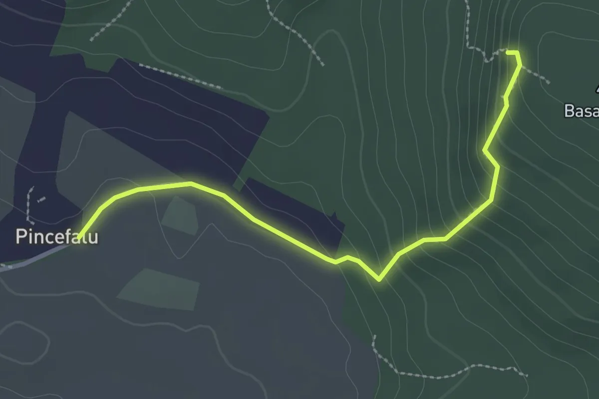
Easy · Trail
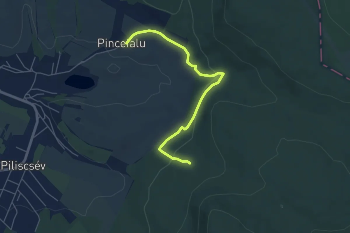
P▲ (Piliscsévi pincék – Pincesor – Basina)
2.7 km · ↑ 155 m · 59 min
Easy · Trail
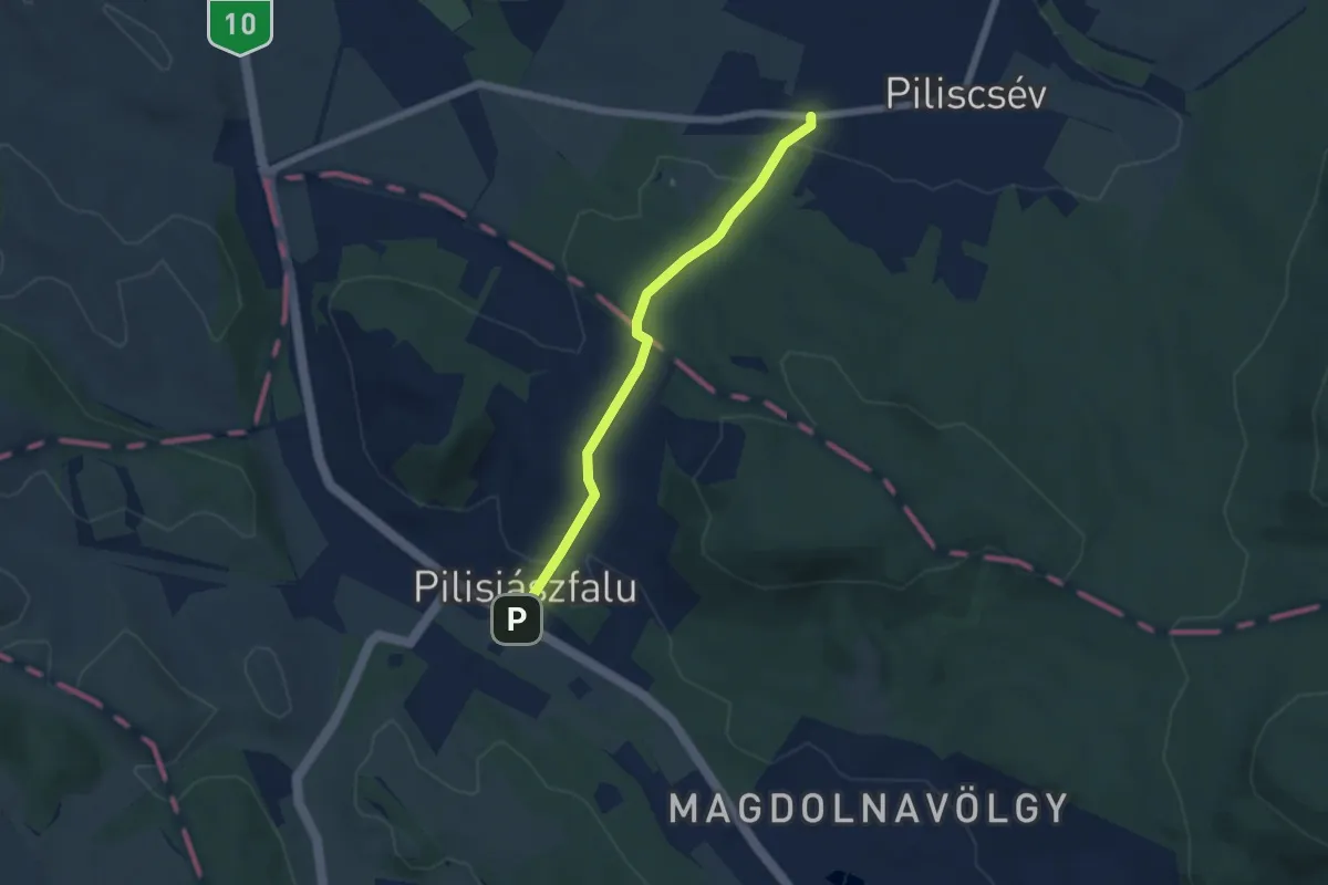
P● (Piliscsév-Pincefalu – Bárány-hegyi-erdő – Studenka)
4.7 km · ↑ 122 m · 1 h 22 min
Easy · Trail
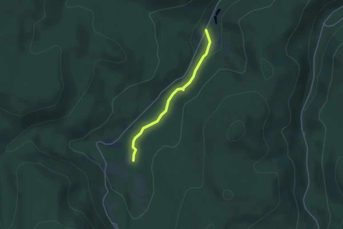
P+ (Piliscsév, Szőlő-sor utca – Tinnyei út – Pilisjászfalu, am.)
5.1 km · ↑ 111 m · 1 h 27 min
Easy · Trail
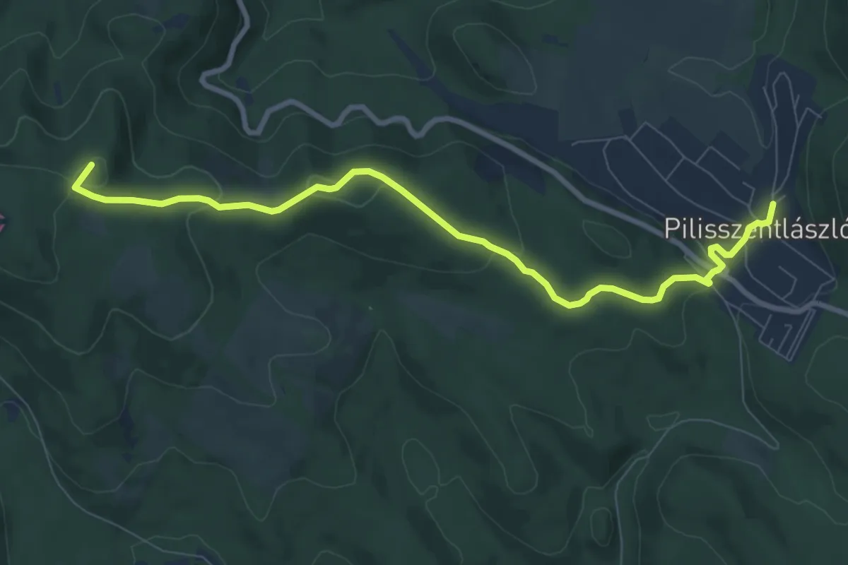
P● (Pilismarót, Miklós-deák-völgyi tavak – Aranka-forrás)
2.7 km · ↑ 63 m · 46 min
Medium · Summit
P+ (Pilisszentlászló, Honvéd utca – Tüskés-hegy – Akasztó-hegy, Varga-lósz – Kecskehát-rét – Dömös)
8.7 km · ↑ 259 m · 2 h 36 min
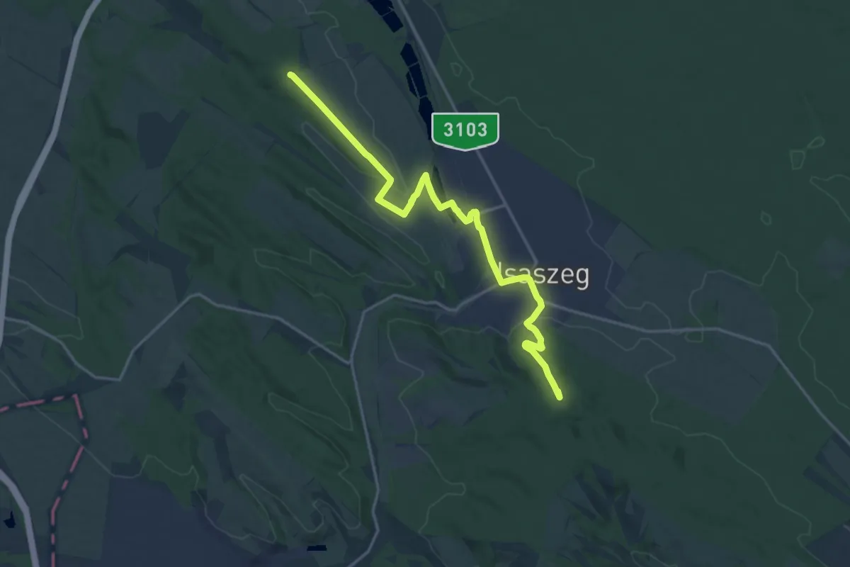
Medium · Summit
P, PMP (Isaszeg, külterület – Isaszeg, Öreg-hegy)
16.6 km · ↑ 225 m · 4 h 25 min
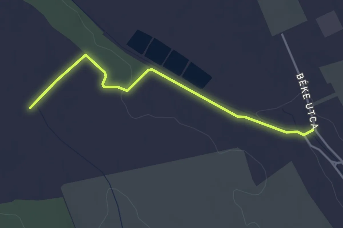
Easy · Trail
P+ (P – P+)
3.3 km · ↑ 27 m · 50 min
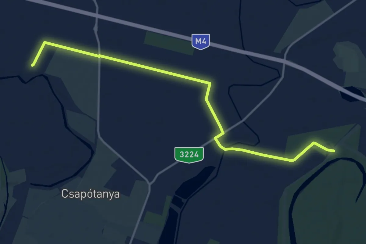
Medium · Trail
P+ (P – S, Holt-Zagyva)
11.5 km · ↑ 4 m · 2 h 44 min
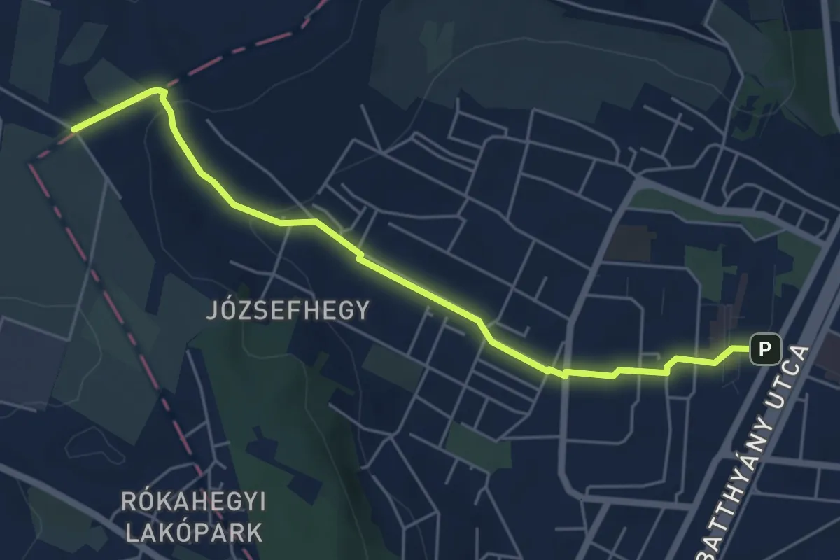
Easy · Trail
P+ (Puszta-hegy, Budapest határa – Kőbánya utca – Pince köz, aut. vá.)
5.3 km · ↑ 116 m · 1 h 31 min
Easy · Trail
P▙ (Puszta vár)
4.6 km · ↑ 274 m · 1 h 40 min
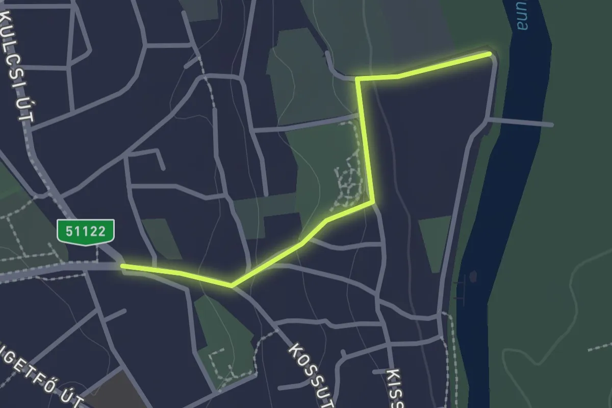
Easy · Trail
P■ (Rácalmás)
2.1 km · ↑ 44 m · 36 min
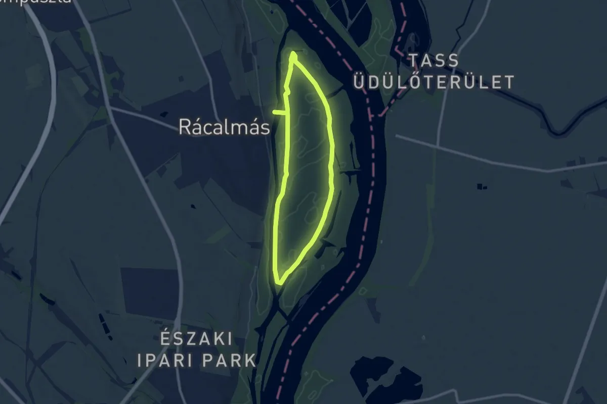
Medium · Trail
P↺, Rácalmási sziget körút
15.6 km · ↑ 50 m · 3 h 47 min
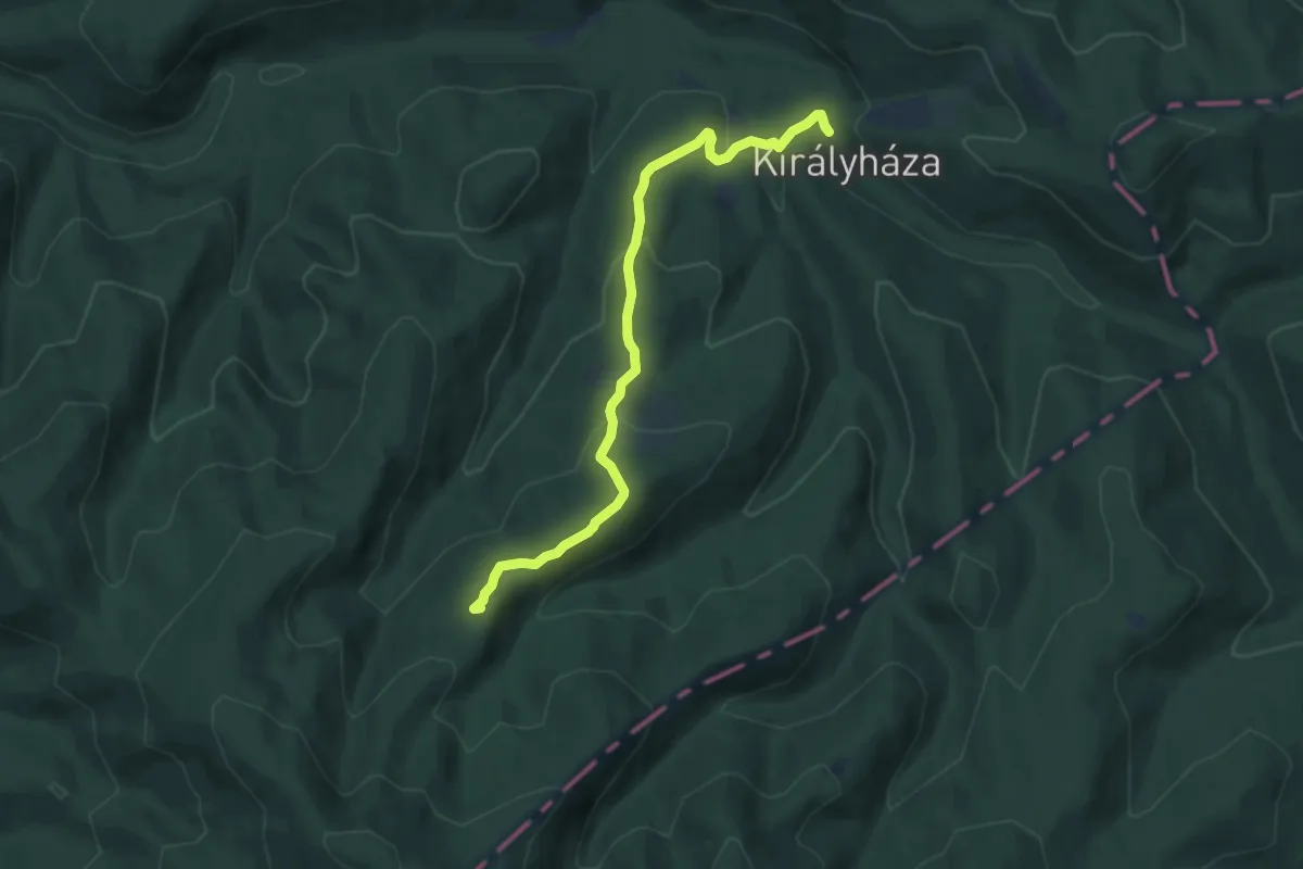
Medium · Summit
P■ (Rakottyás-bérc)
7.6 km · ↑ 362 m · 2 h 35 min