Trails in Hungary
2,294 hiking trails, each with its route, climb, walking time and grade.
All trails, page 24 of 48
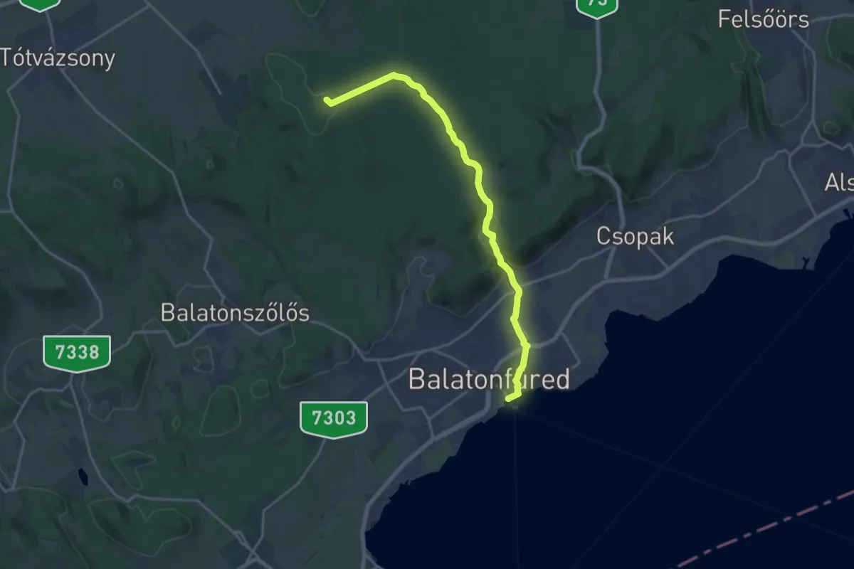
Medium · Summit
P (Recsek-hegy – Balatonfüred, há.)
16.9 km · ↑ 315 m · 4 h 40 min
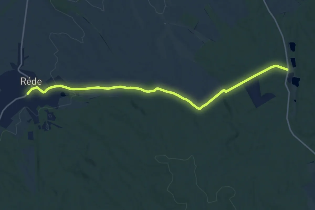
Medium · Trail
P+ (Réde)
12.6 km · ↑ 158 m · 3 h 18 min
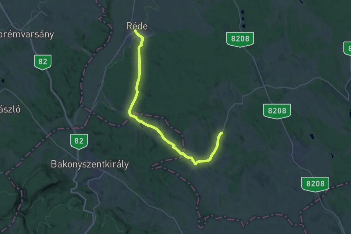
Demanding · Trail
P (Réde – Csatka)
24.2 km · ↑ 239 m · 6 h 14 min
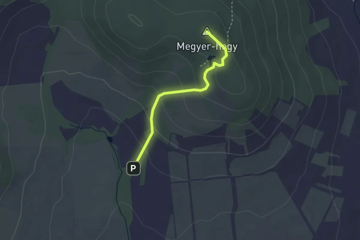
Easy · Summit
P+ (Régi iskola – Tengerszem)
2.3 km · ↑ 122 m · 49 min
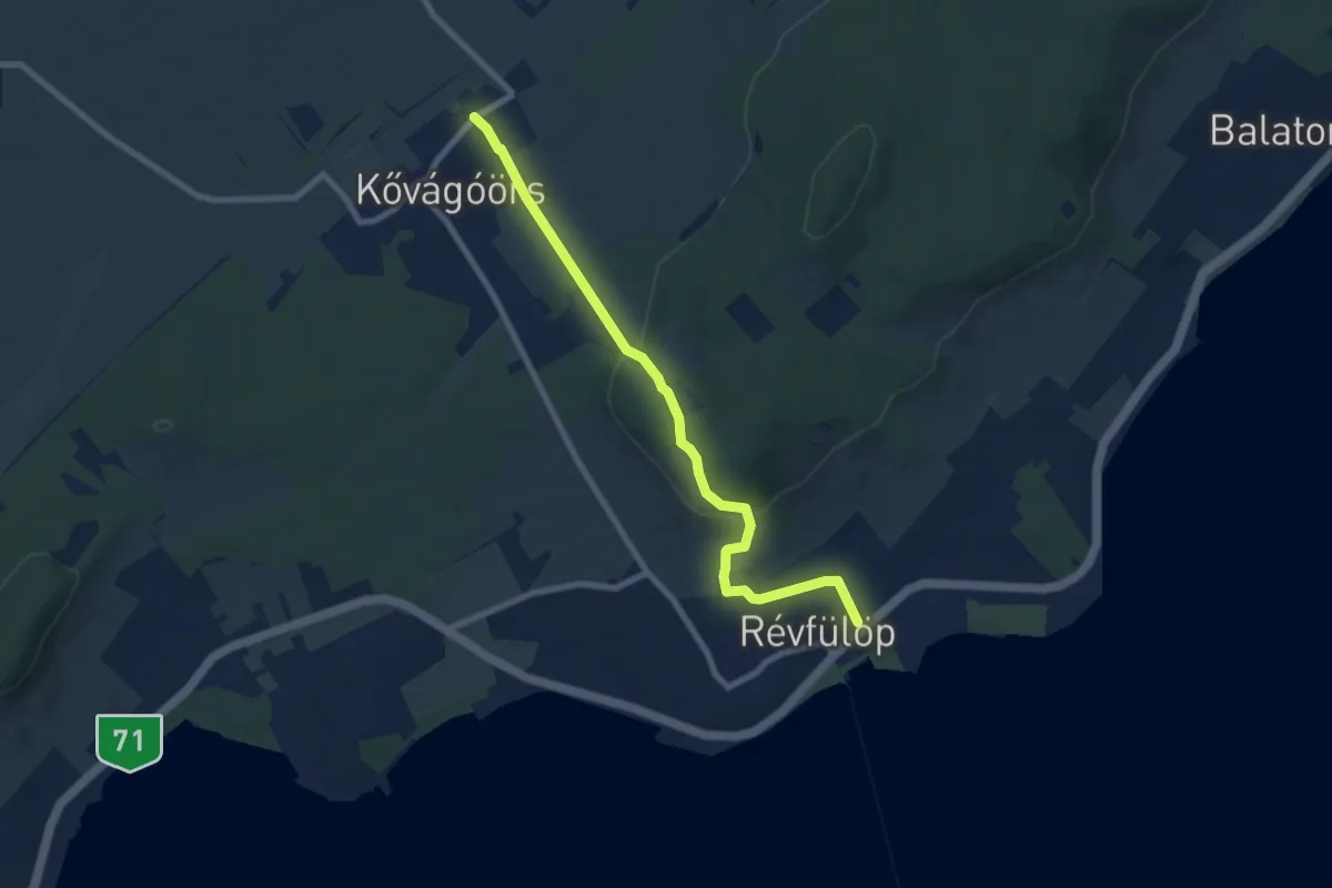
Easy · Trail
P (Révfülöp – Kővágóörs)
8.0 km · ↑ 229 m · 2 h 23 min
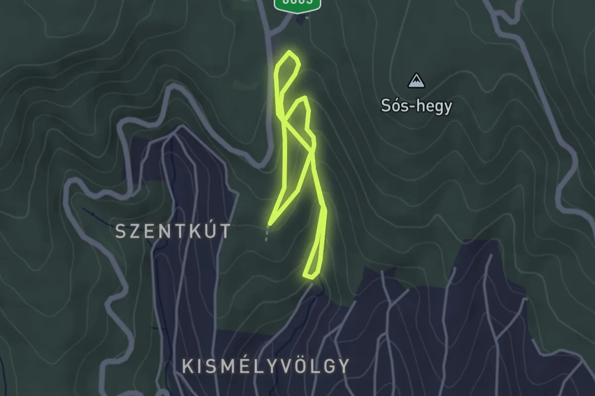
Easy · Trail
Pro Silva Tanösvény (Kismély-völgy)
5.8 km · ↑ 292 m · 2 h
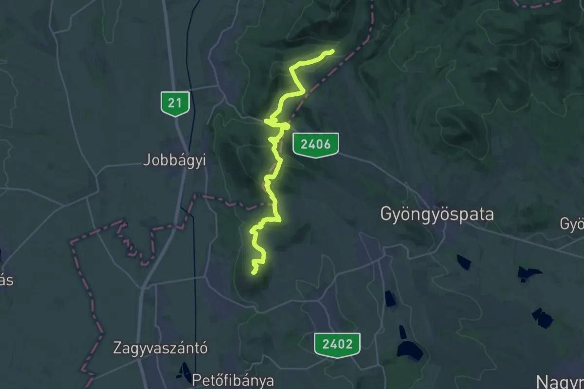
Demanding · Summit
P+ (Rózsaszentmárton – Tilalmas-tető)
24.9 km · ↑ 853 m · 7 h 43 min
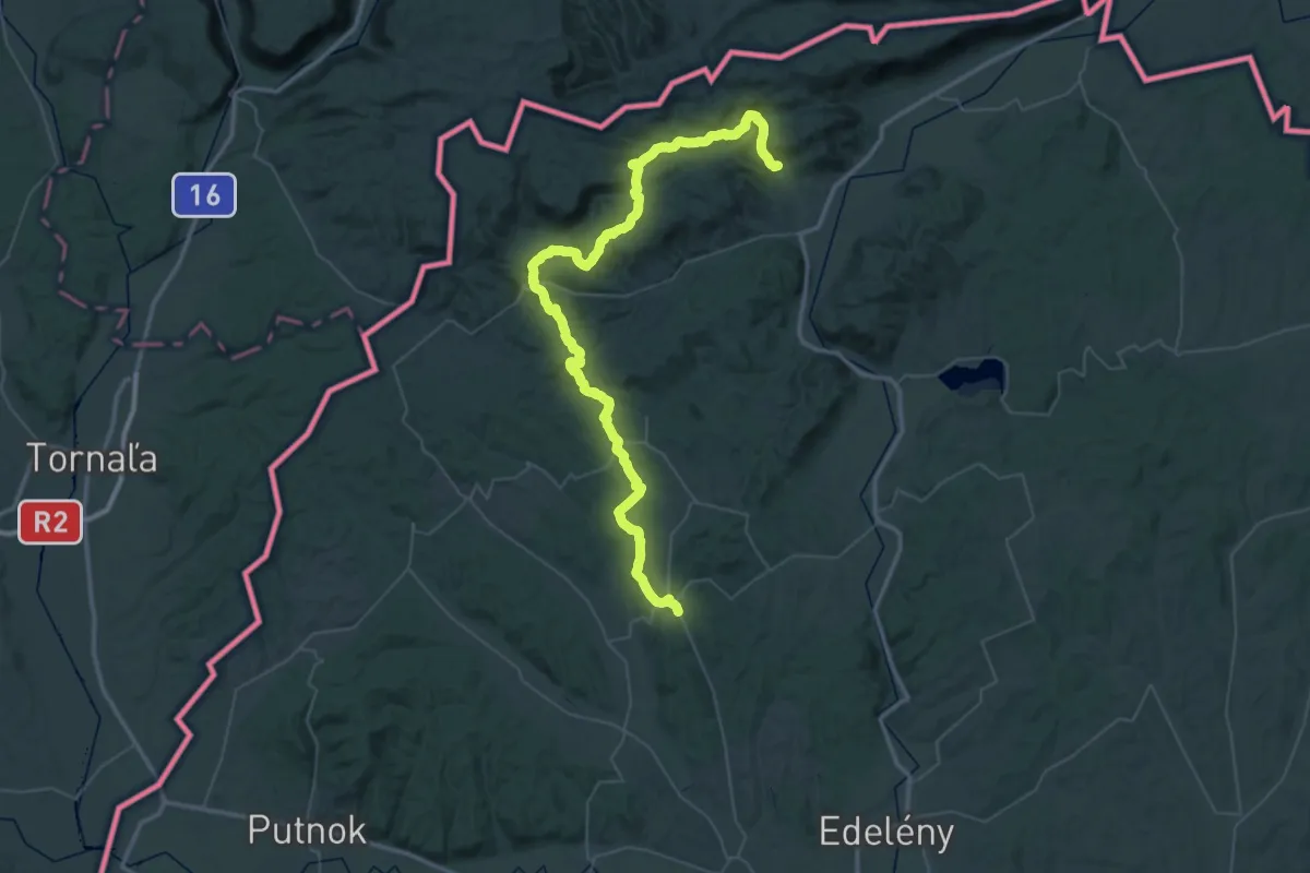
Demanding · Trail
P (Rudabánya – Szögliget)
34.0 km · ↑ 706 m · 10 h 3 min
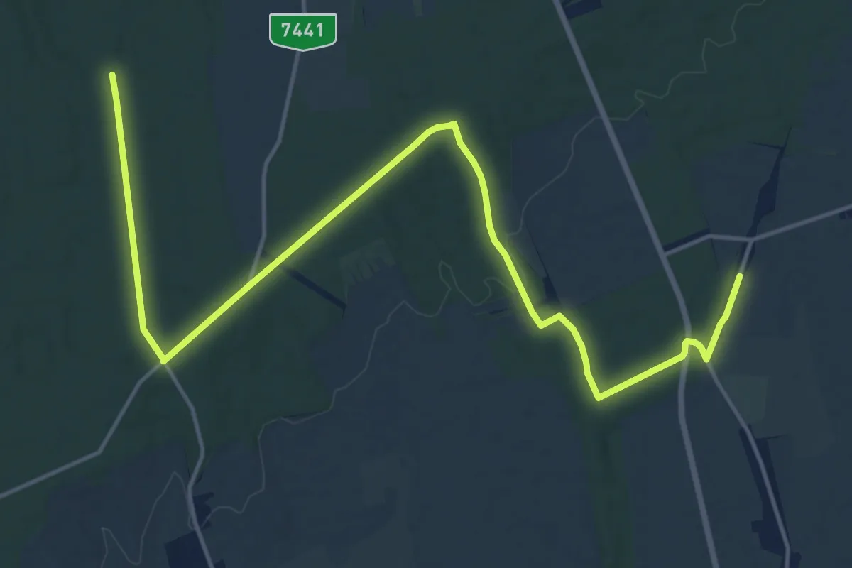
Demanding · Trail
P+ (Rumi erdészház – Vasvári római sánc – Pácsony vá.)
18.8 km · ↑ 106 m · 4 h 40 min
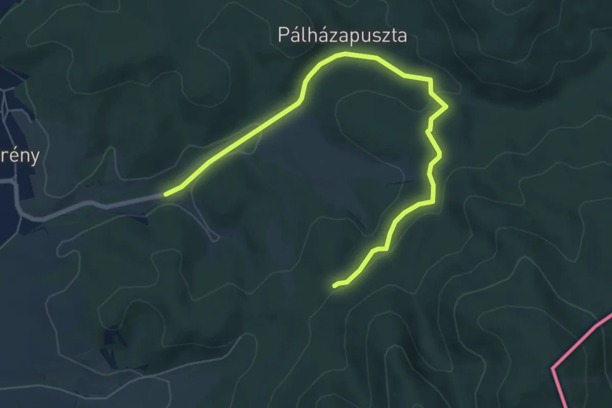
Easy · Trail
P (Salgótarján – Karancsberény)
6.7 km · ↑ 169 m · 1 h 57 min
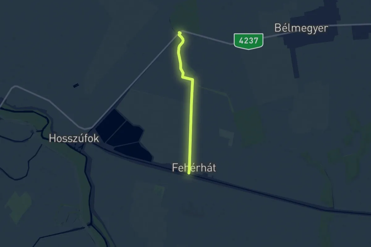
Easy · Trail
P+ (Sárgagát - Bélmegyeri-csatorna - Békési műút - Fehérhát)
7.8 km · ↑ 0 m · 1 h 50 min
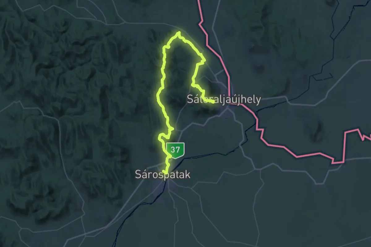
Demanding · Summit
P (Sárospatak – Mikóháza – Sátoraljaújhely, oh.)
66.3 km · ↑ 1933 m · 19 h 50 min
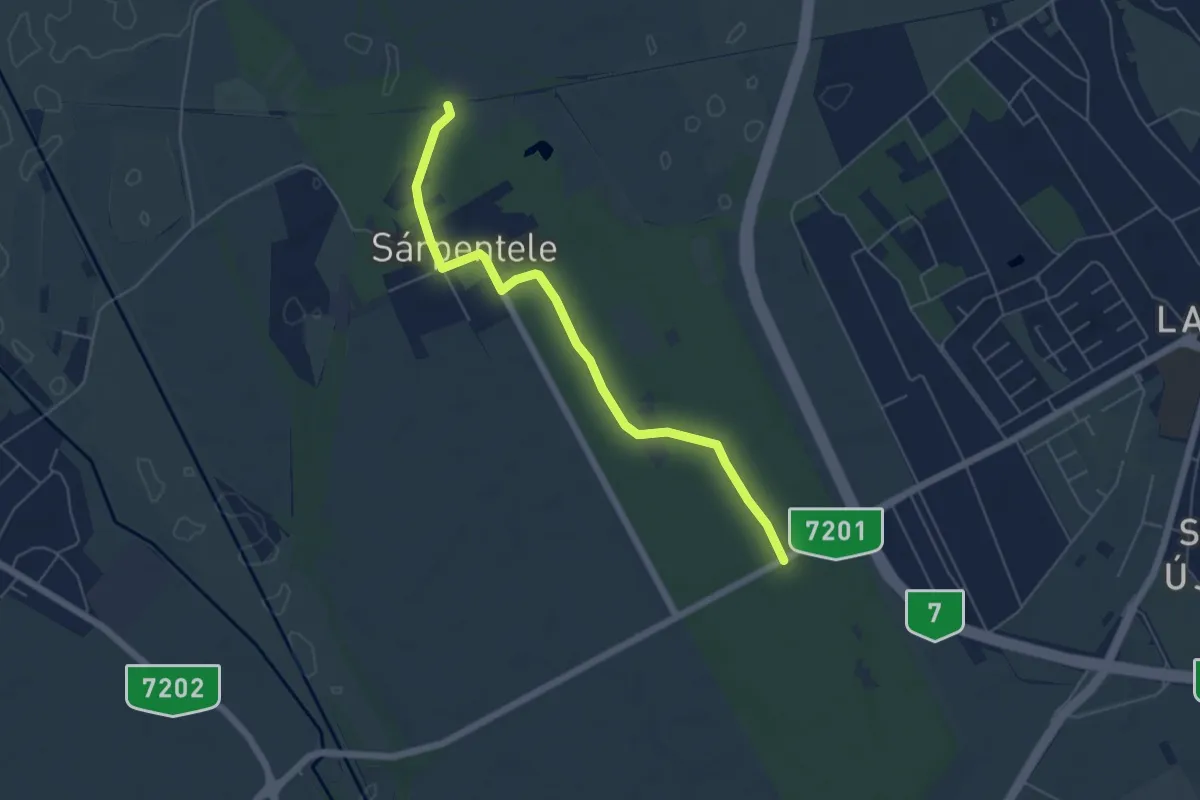
Easy · Trail
P+ (Sárpentelei parkerdő)
5.7 km · ↑ 17 m · 1 h 23 min
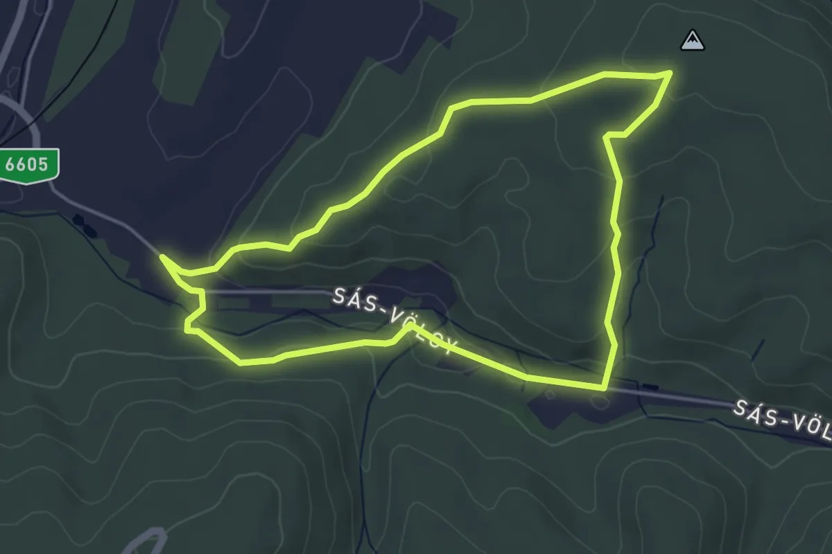
Easy · Trail
P↺ (Sás-völgy)
4.4 km · ↑ 131 m · 1 h 22 min
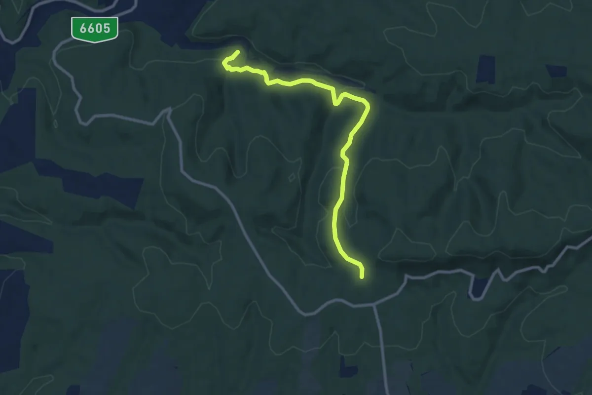
Medium · Trail
P+ (Sás-völgy – DDP)
8.4 km · ↑ 236 m · 2 h 30 min
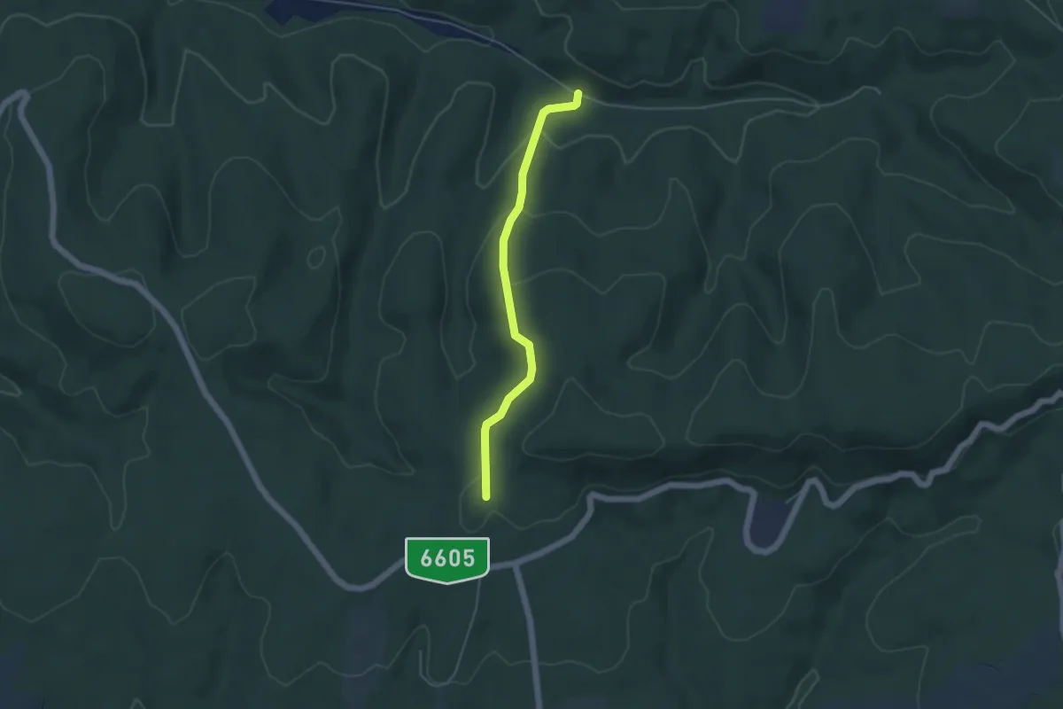
Easy · Trail
P▲ (Sás-völgy – Farkas-tető)
4.1 km · ↑ 157 m · 1 h 19 min
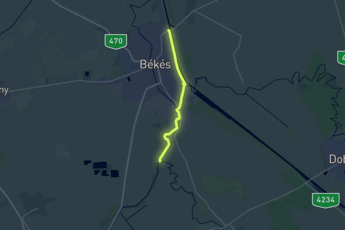
Medium · Trail
P (Sikkony – Malomasszony kertek – Békés)
13.5 km · ↑ 4 m · 3 h 11 min
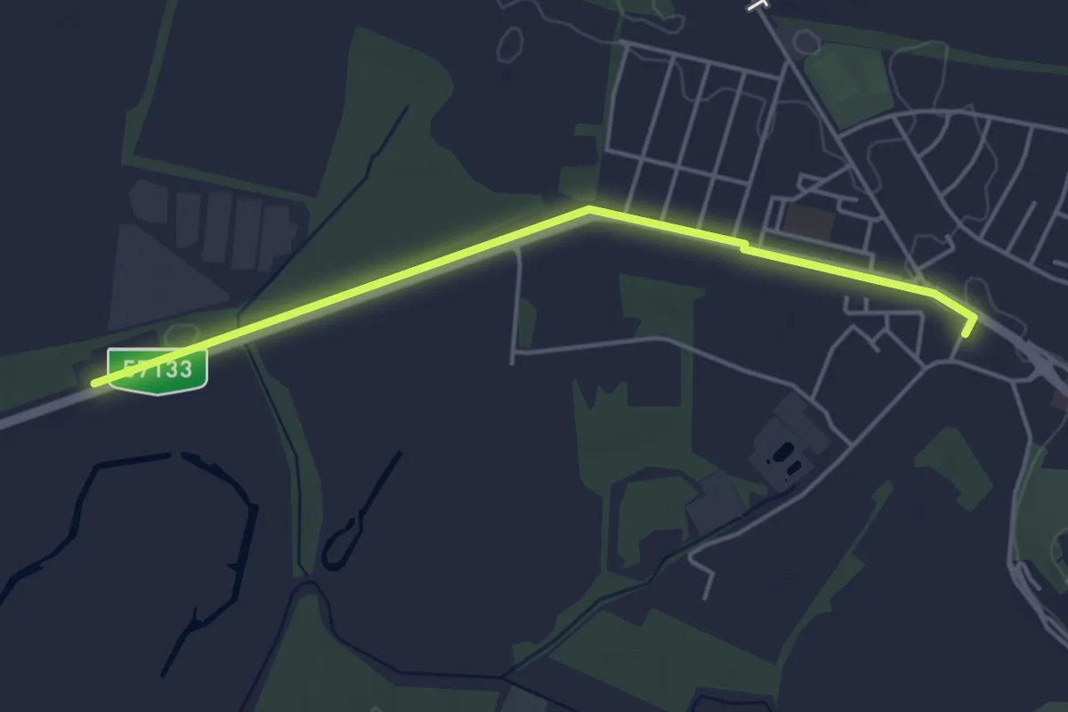
Easy · Trail
P+ (Siklós–Harkány műút, benzinkút – Siklós)
4.4 km · ↑ 12 m · 1 h 4 min
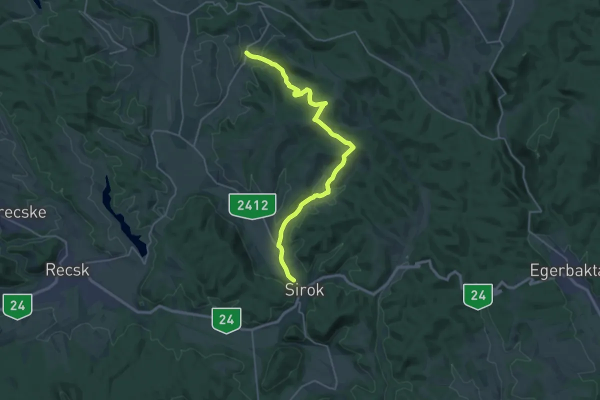
Demanding · Trail
P (Sirok – Bükkszék)
19.5 km · ↑ 407 m · 5 h 29 min
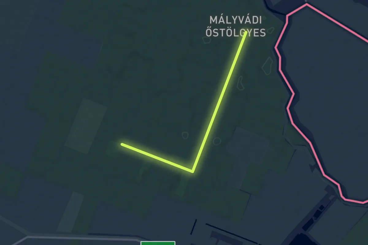
Easy · Trail
P (Solymos – Török-erdő – Keszi-erdő – Mályvádi őstölgyes)
7.5 km · ↑ 22 m · 1 h 49 min
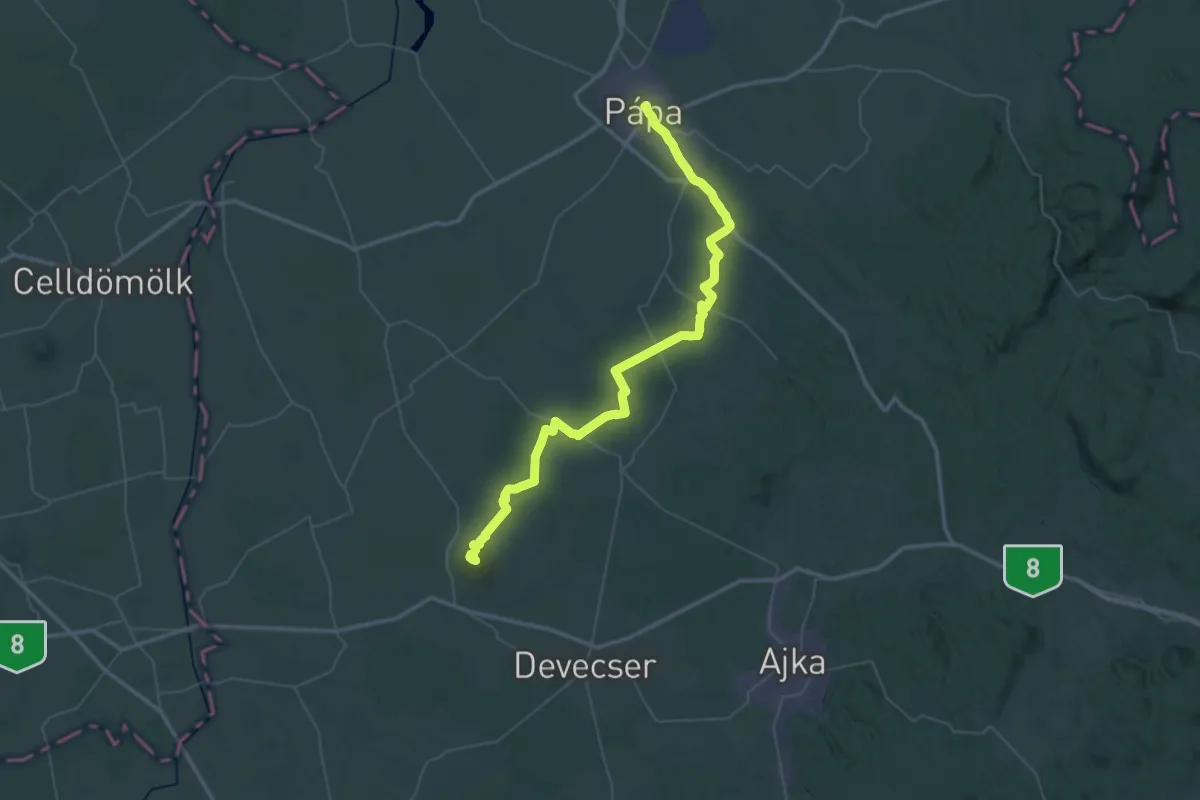
Demanding · Summit
P (Somló)
64.1 km · ↑ 566 m · 16 h 22 min
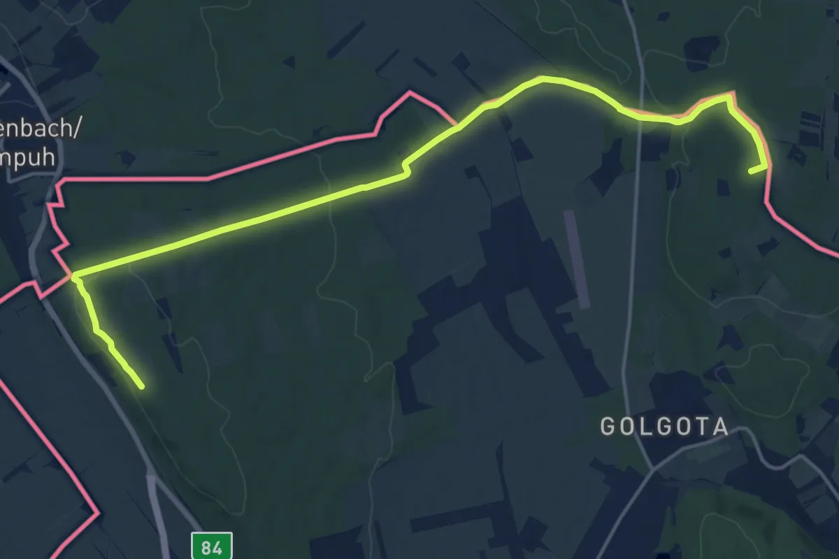
Demanding · Summit
P, Soproni Piros
18.5 km · ↑ 276 m · 4 h 57 min
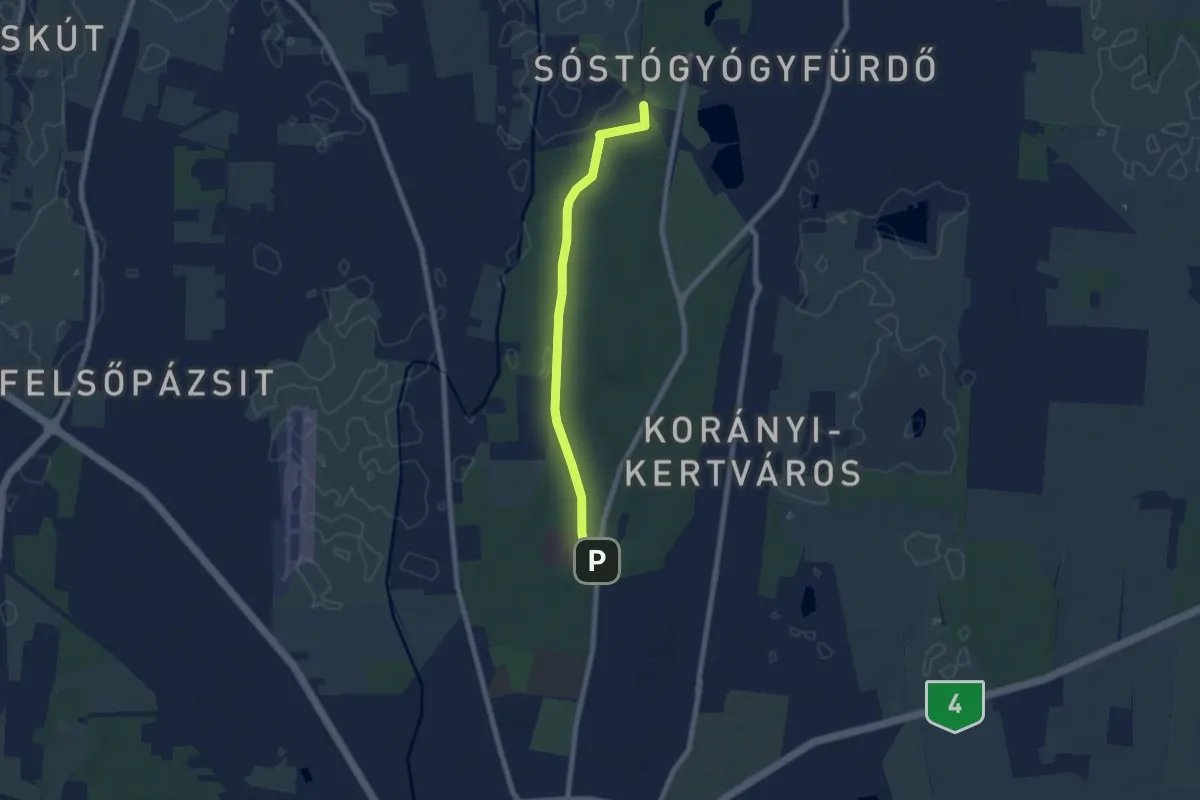
Easy · Trail
P (Sóstó)
6.6 km · ↑ 22 m · 1 h 36 min
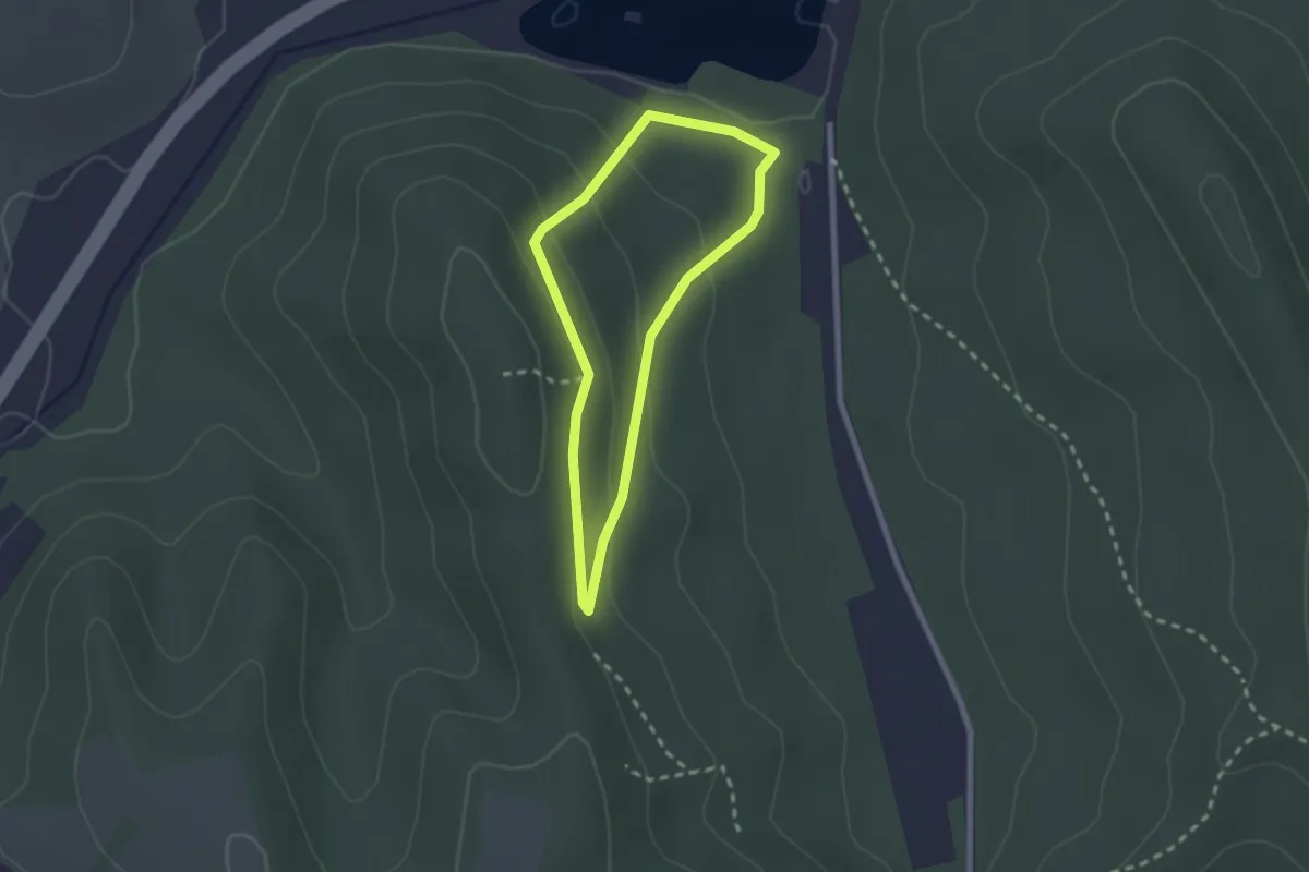
Easy · Trail
P↺ (Sötét-völgy)
2.0 km · ↑ 85 m · 40 min
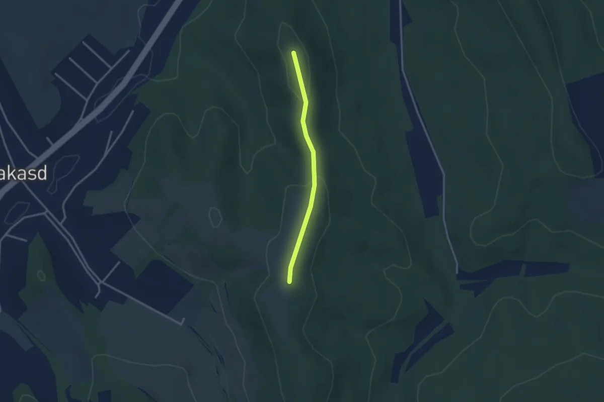
Easy · Summit
P▲ (Sötét-völgy)
2.4 km · ↑ 41 m · 40 min
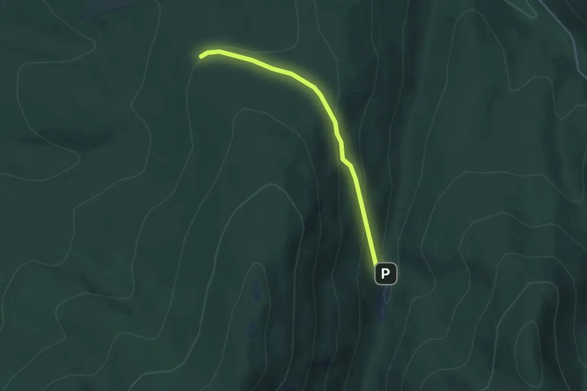
Easy · Trail
P■ (Strázsa-hegy – Csarna-völgy)
3.1 km · ↑ 130 m · 1 h 1 min
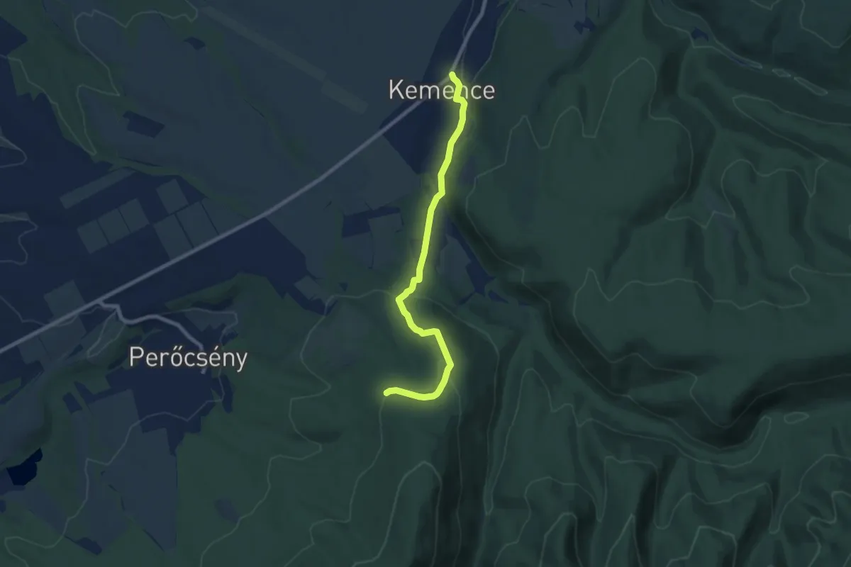
Easy · Trail
P (Strázsa-hegy – Kemence)
7.8 km · ↑ 231 m · 2 h 20 min
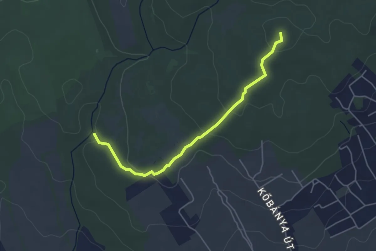
Easy · Summit
P▲ (Sukoró, Z – Barlang-kút)
3.9 km · ↑ 84 m · 1 h 6 min
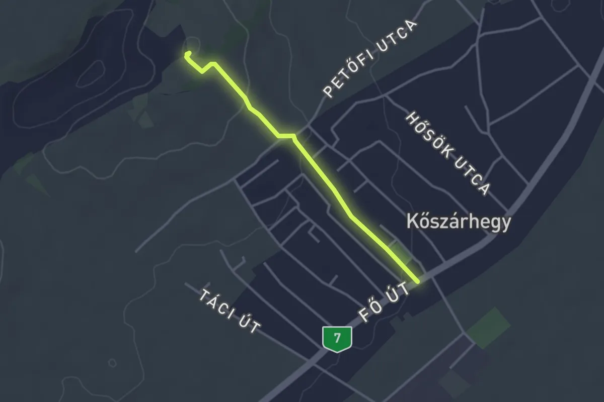
Easy · Summit
P (Szabadbattyán – Kőszárhegy)
2.8 km · ↑ 58 m · 47 min
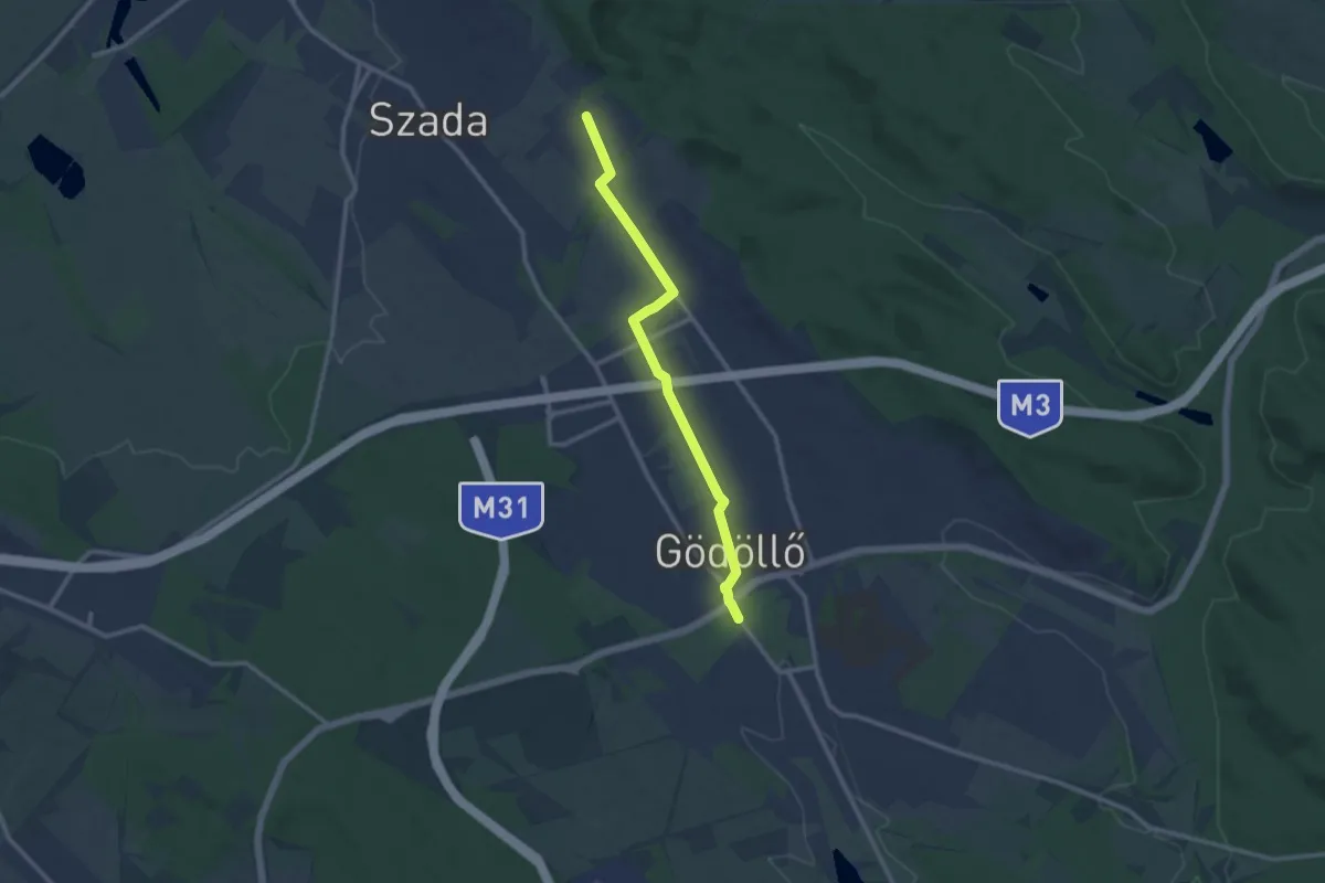
Medium · Trail
P+ (Szadai Lovas SE – Gödöllő, Királyi Kastély)
10.6 km · ↑ 65 m · 2 h 39 min
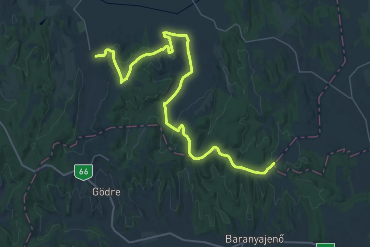
Medium · Trail
P, Szalacskai Piros (Kaposkeresztúr – Mosdós – Hármashatár)
15.9 km · ↑ 264 m · 4 h 30 min
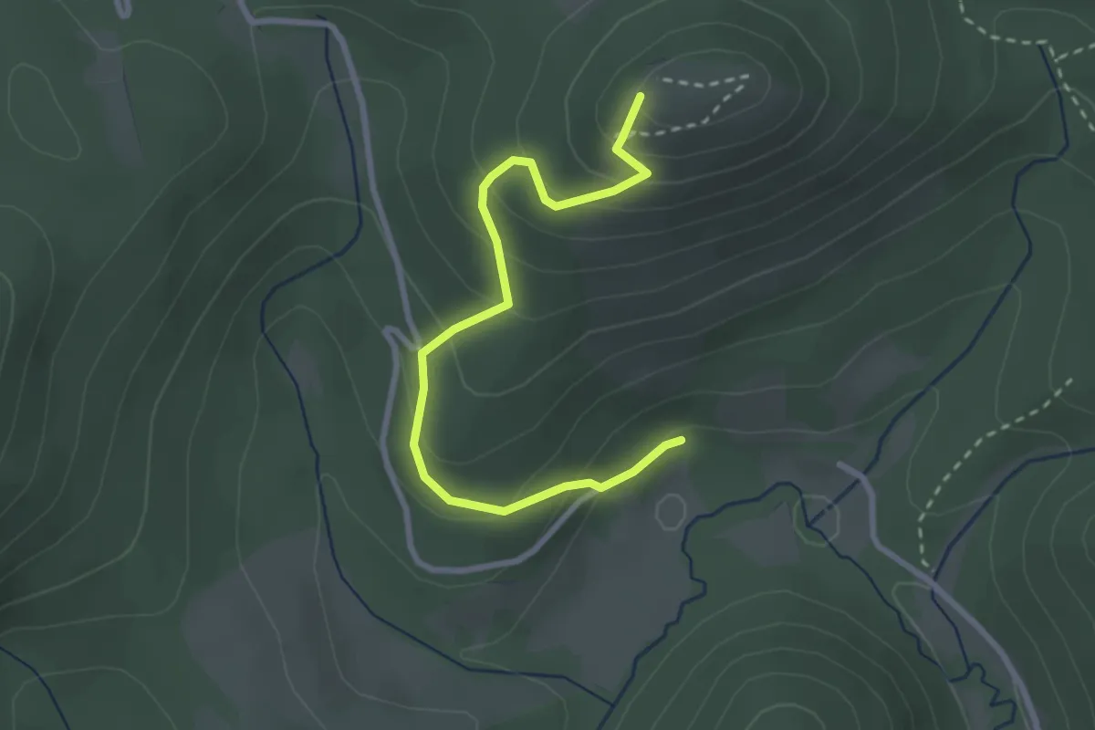
Easy · Summit
P▙ (Szalamandra ház – Szádvár)
2.9 km · ↑ 223 m · 1 h 9 min
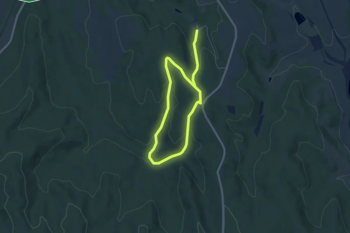
Medium · Trail
P↺ (Szálláspuszta)
8.7 km · ↑ 214 m · 2 h 31 min
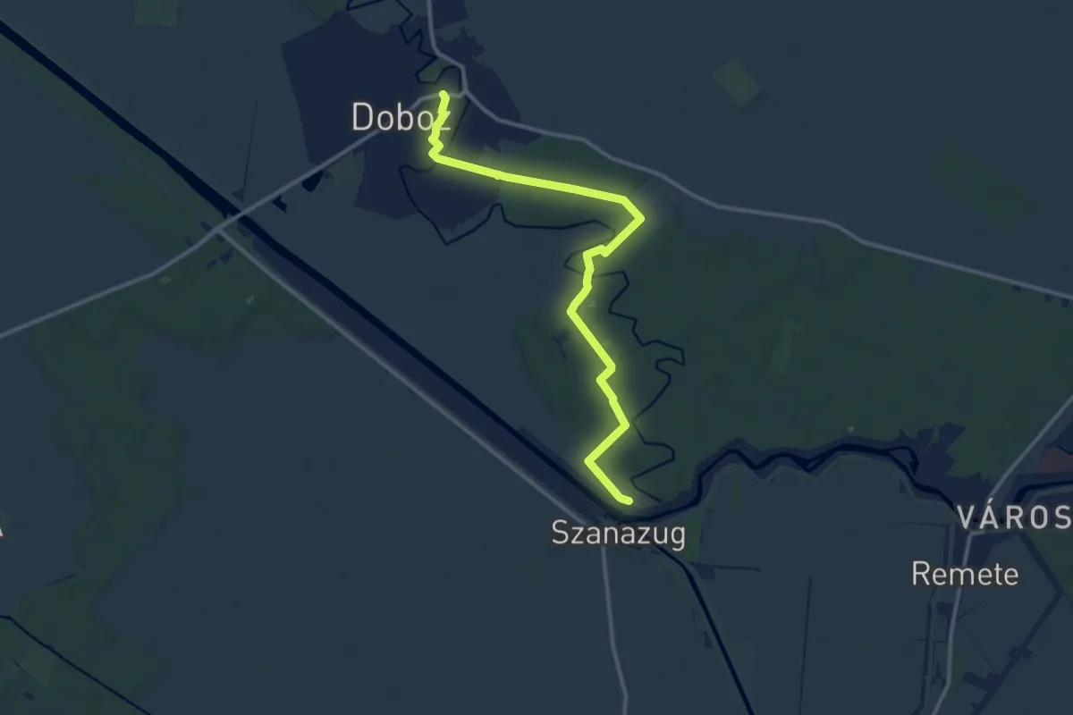
Medium · Trail
P (Szanazug – Sámsonvár – Doboz)
12.6 km · ↑ 66 m · 3 h 8 min
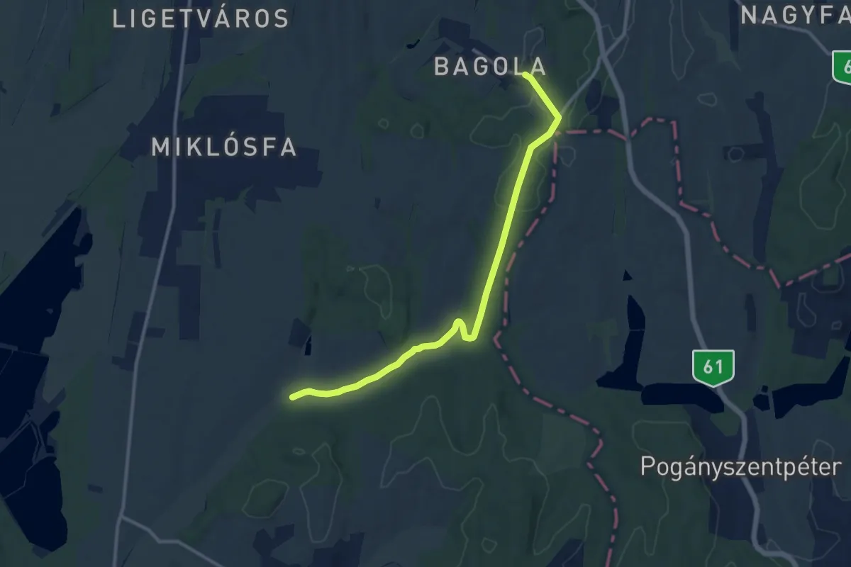
Medium · Trail
P+ (Szaplányosi-határárok völgye – nagykanizsa-Bagola)
10.9 km · ↑ 129 m · 2 h 51 min
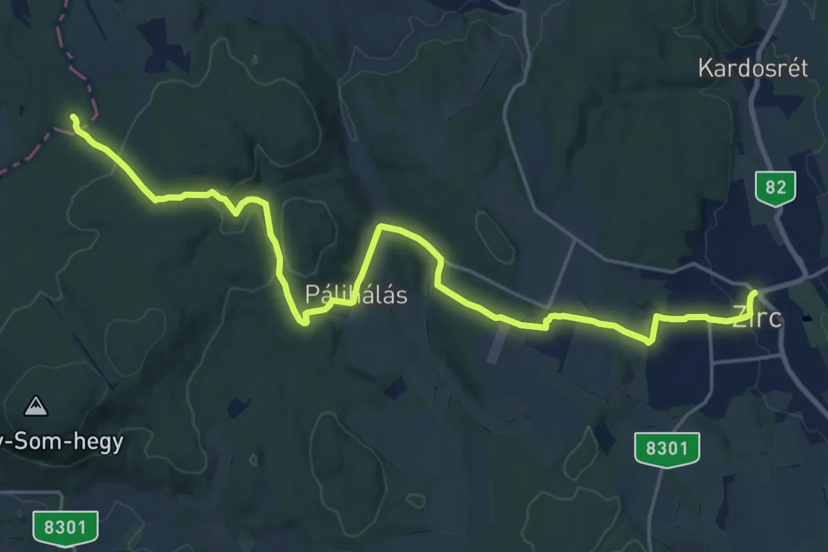
Demanding · Trail
P+ (Száraz-Gerence-völgy – Pálihálás – Zirc, Rákóczi tér)
19.9 km · ↑ 490 m · 5 h 46 min
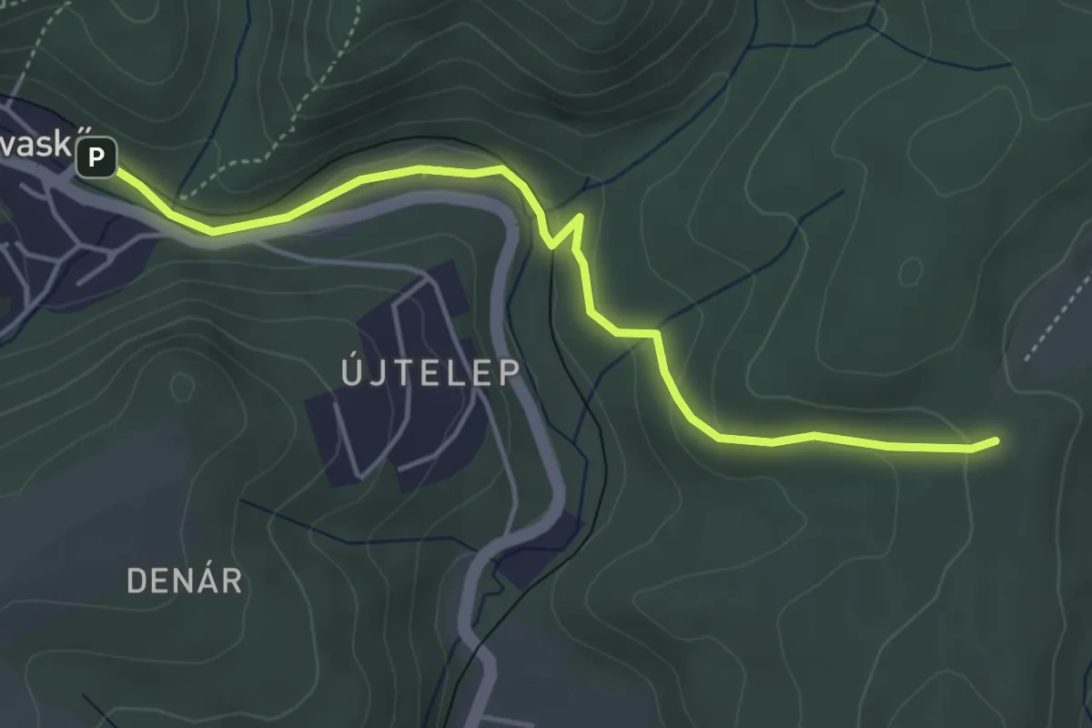
Easy · Cabin
P■ (Szarvaskő – Les-rét)
4.5 km · ↑ 113 m · 1 h 19 min
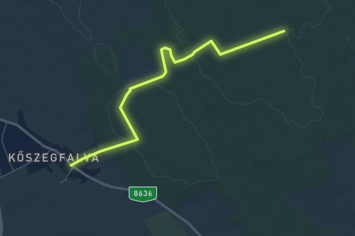
Easy · Trail
P● (Szarvas-kút)
6.4 km · ↑ 92 m · 1 h 43 min
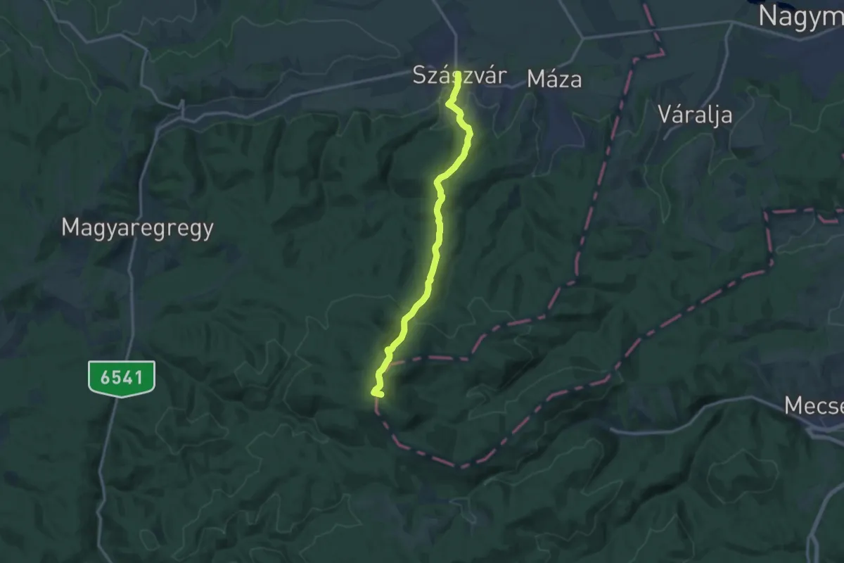
Medium · Summit
P▲ (Szászvár – Kantár-hegy – Somlyó – Dobogó)
12.7 km · ↑ 499 m · 4 h 5 min
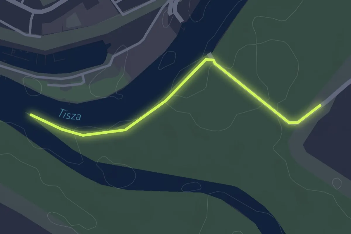
Easy · Trail
p▲ (Szeged, Tápai rév – Tisza–Maros-torkolat)
2.8 km · ↑ 15 m · 42 min
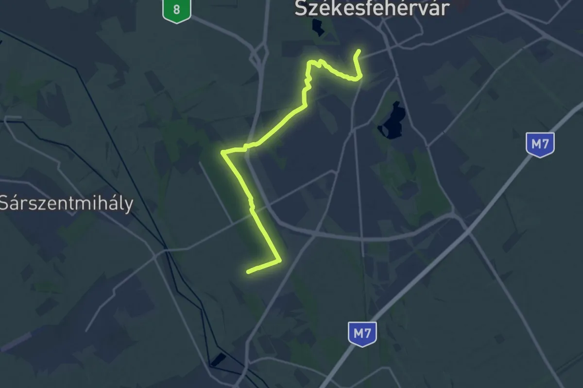
Medium · Trail
P (Székesfehérvár – Sárpentele – Emmaróza)
16.6 km · ↑ 44 m · 4 h
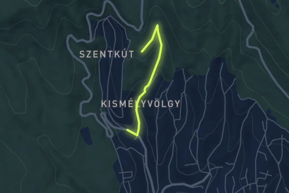
Easy · Trail
P+ (Szentkút, aut.m. – Kis-Mély-völgy – DDP)
3.4 km · ↑ 169 m · 1 h 10 min
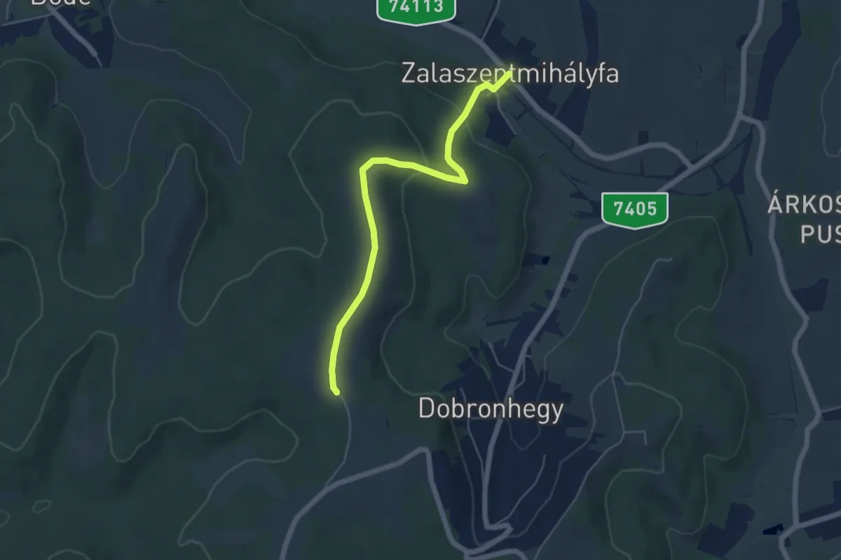
Easy · Trail
P▲ (Szent Mihály-hegy – Zalaszentmihályfa)
5.2 km · ↑ 127 m · 1 h 30 min
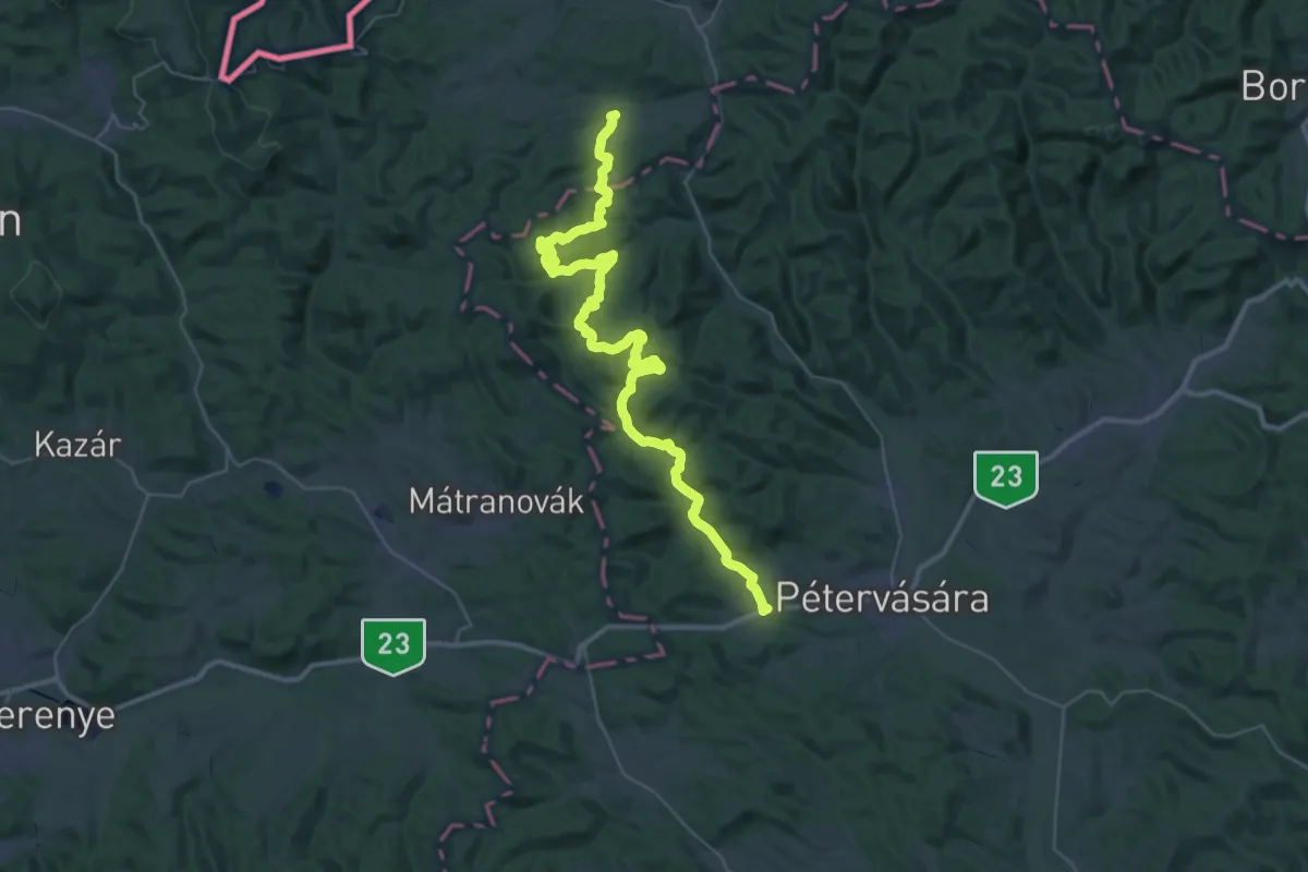
Demanding · Trail
P (Szilaspogony – Ivád)
21.5 km · ↑ 575 m · 6 h 37 min
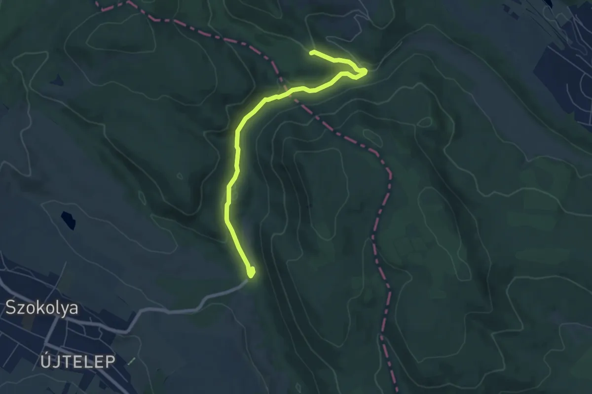
Easy · Summit
P+ (Szokolya, vá. – Nógrád)
6.5 km · ↑ 159 m · 1 h 52 min
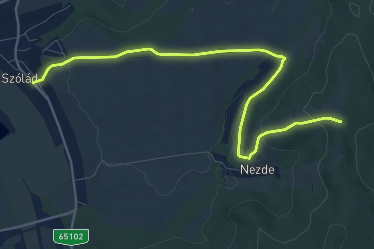
Medium · Trail
P▲ (Szólád – DDP)
10.1 km · ↑ 228 m · 2 h 52 min
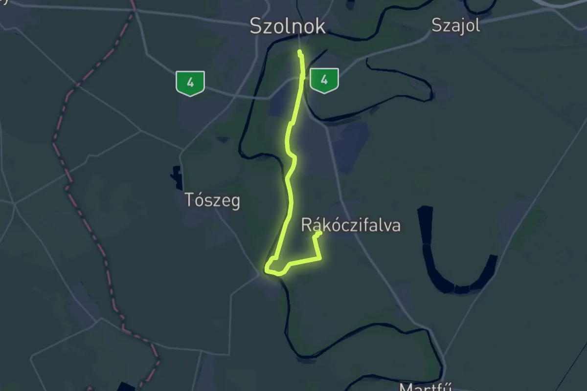
Demanding · Trail
P (Szolnok, Kertváros – Tiszapart – Rákóczifalva)
31.4 km · ↑ 38 m · 7 h 30 min
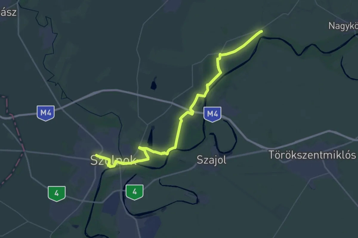
Demanding · Trail
P (Szolnok, vá. – Millér)
24.5 km · ↑ 31 m · 6 h 11 min