Trails in Hungary
2,294 hiking trails, each with its route, climb, walking time and grade.
All trails, page 31 of 48
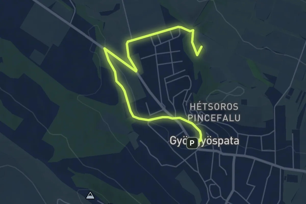
Easy · Summit
S↺ (Gyöngyöspata)
6.4 km · ↑ 93 m · 1 h 42 min
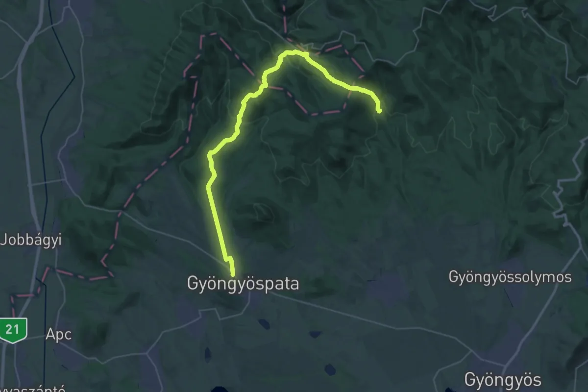
Medium · Trail
S (Gyöngyöspata – Károlytáró lt.)
16.1 km · ↑ 427 m · 5 h 5 min
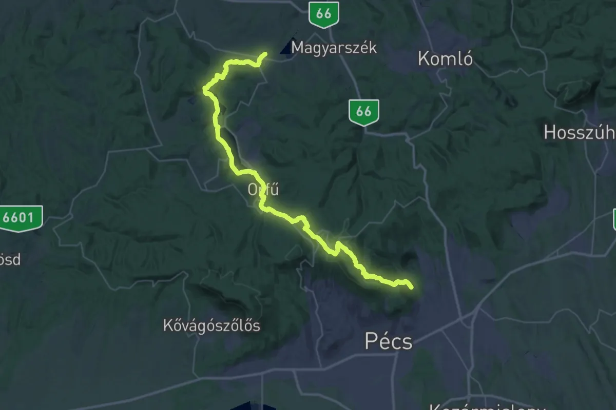
Demanding · Trail
S+ (Gyükés – Dömörkapu – Lapis – Büdös-kút – Orfű – Magyarhertelend vm.)
21.2 km · ↑ 566 m · 6 h 34 min
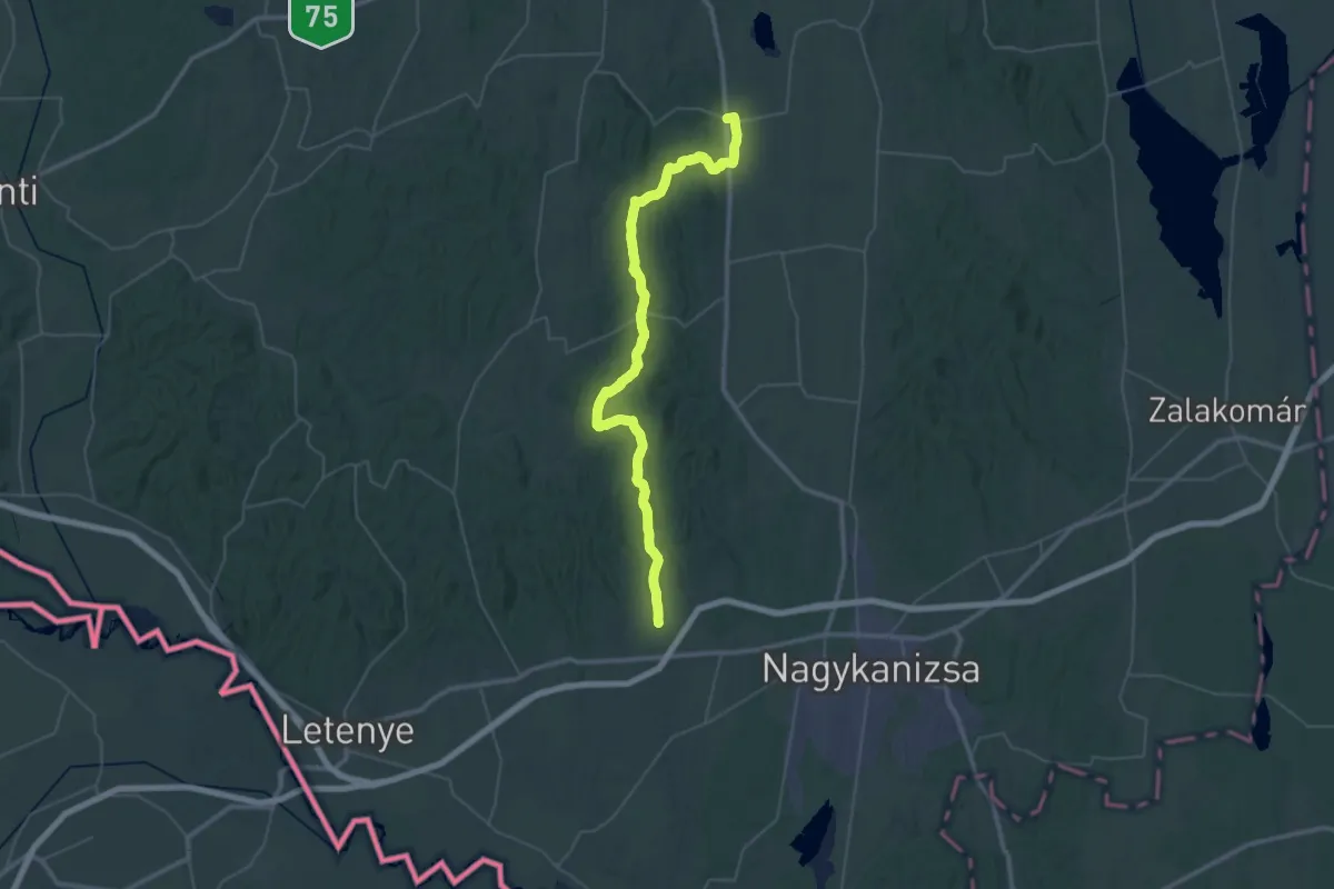
Demanding · Trail
S (Hahót – Eszteregnye)
27.5 km · ↑ 483 m · 7 h 56 min
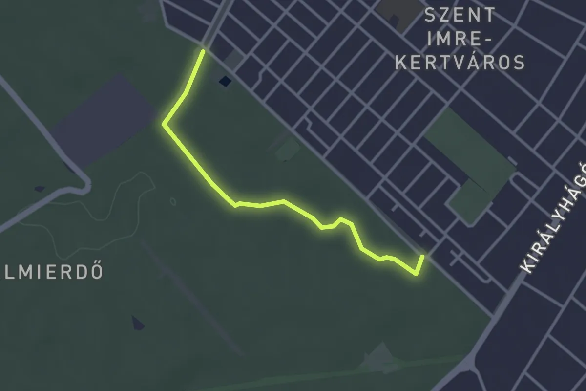
Easy · Trail
S● (Halmi erdő)
2.8 km · ↑ 12 m · 42 min
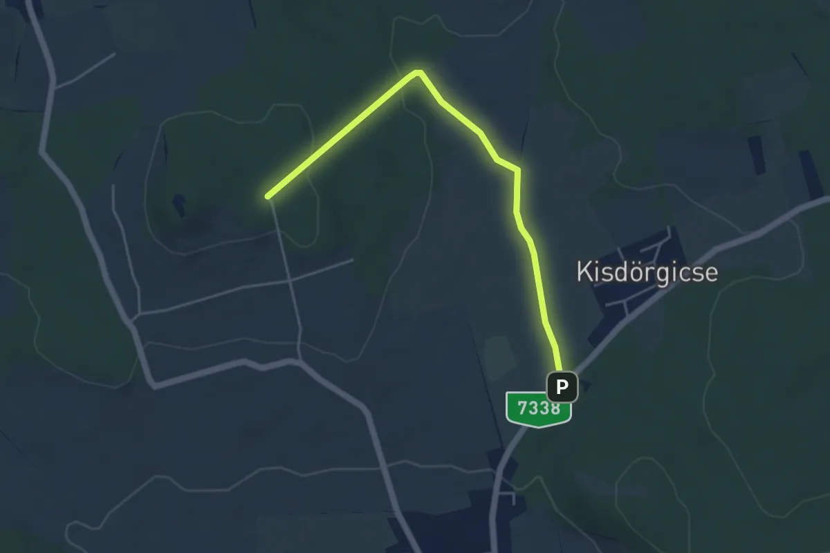
Easy · Trail
S+ (Halom-hegyi csomópont – Kő-hegy alja)
4.5 km · ↑ 98 m · 1 h 16 min
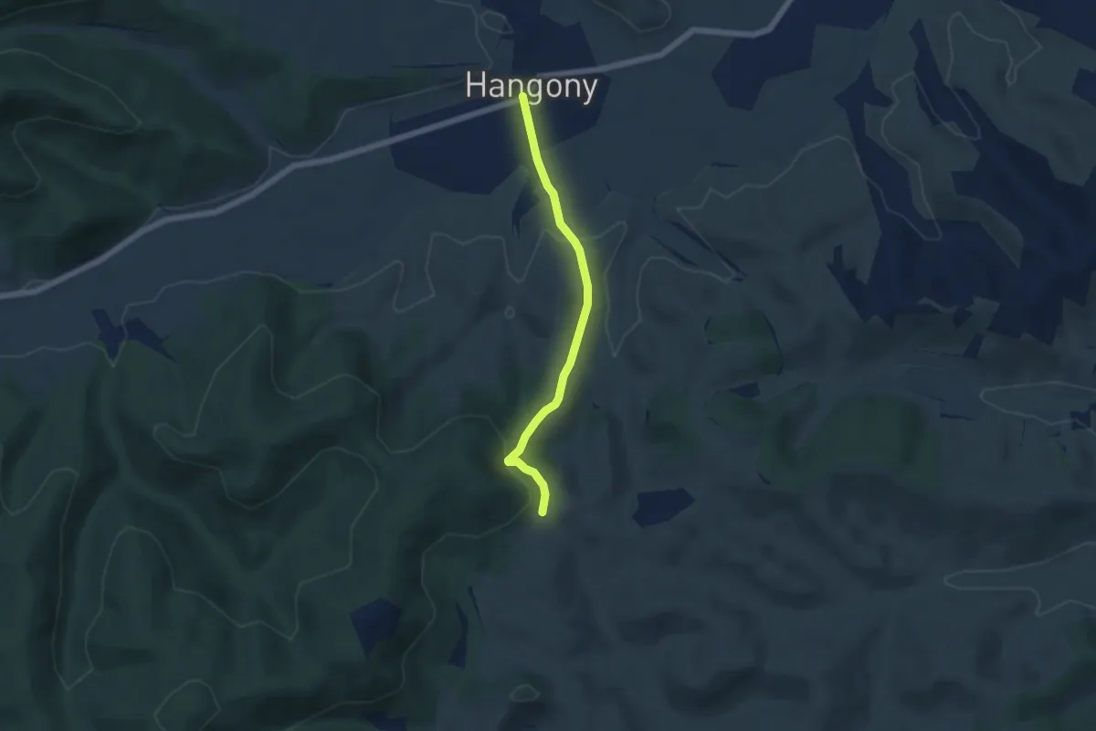
Easy · Trail
S+ (Hangony)
4.8 km · ↑ 160 m · 1 h 29 min
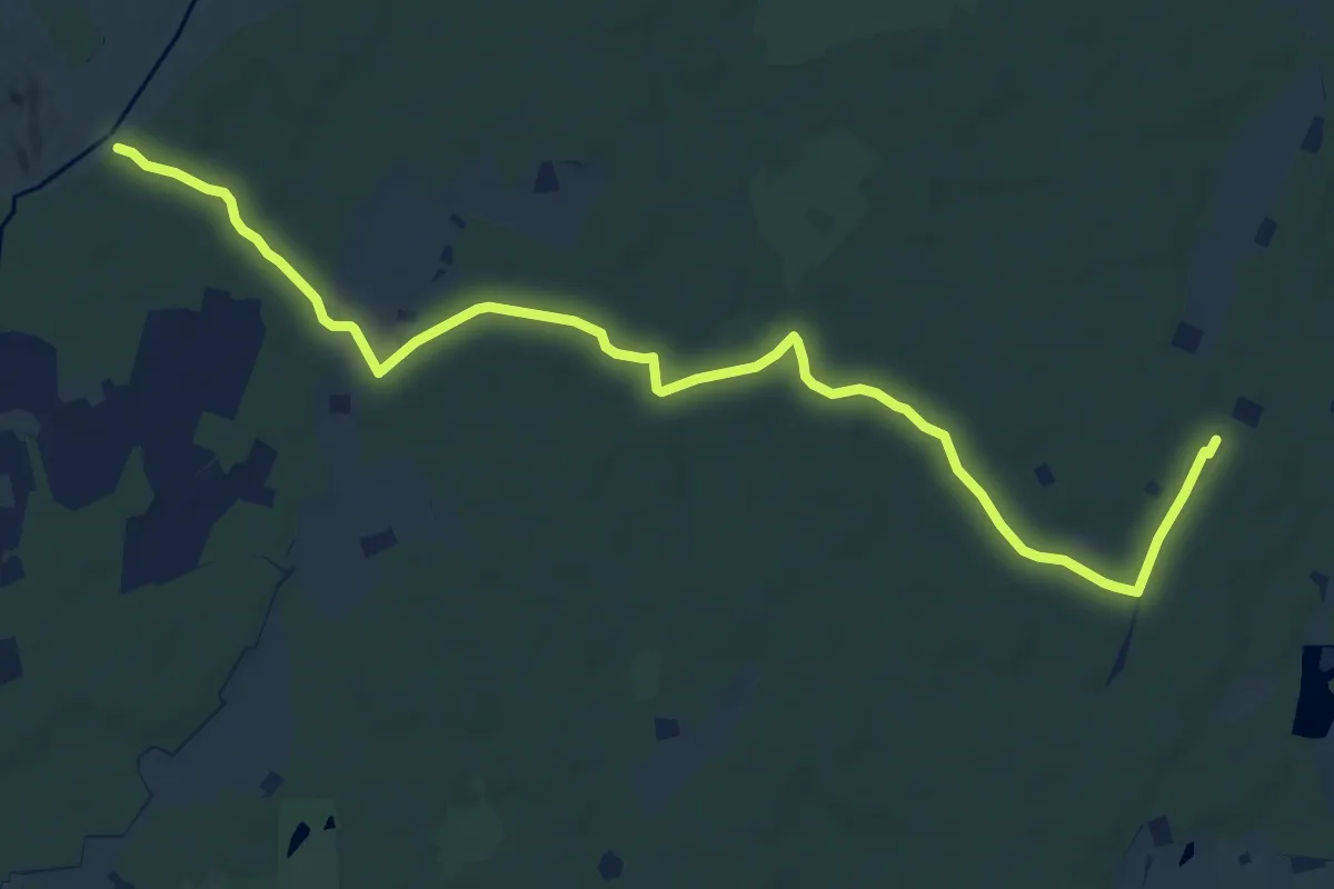
Medium · Trail
S (Hármas-hegy alja, "Zsuzsi" kisvasút végállomása - Sámsoni-legelő)
11.4 km · ↑ 9 m · 2 h 43 min
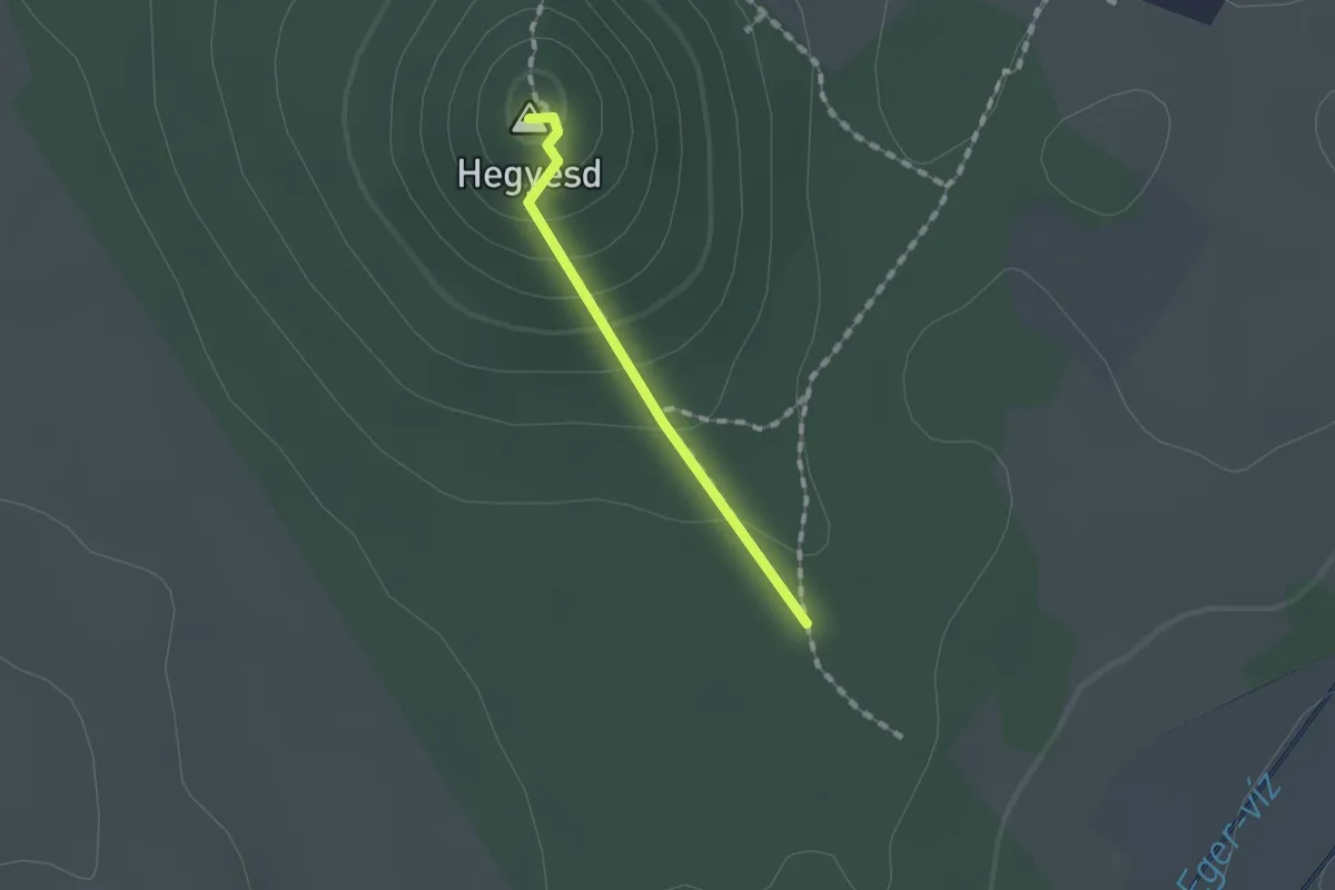
Easy · Summit
S▙ (Hegyesdi várrom)
1.1 km · ↑ 76 m · 25 min
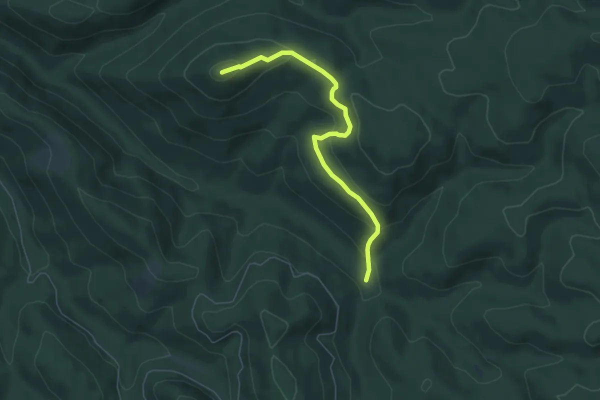
Easy · Summit
S▲ (Hegyes-hegy-orom)
5.5 km · ↑ 246 m · 1 h 49 min
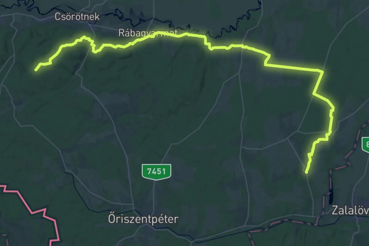
Demanding · Trail
S (Hegyhátszentjakab – Ivánc – Magyarlak)
29.8 km · ↑ 216 m · 7 h 59 min
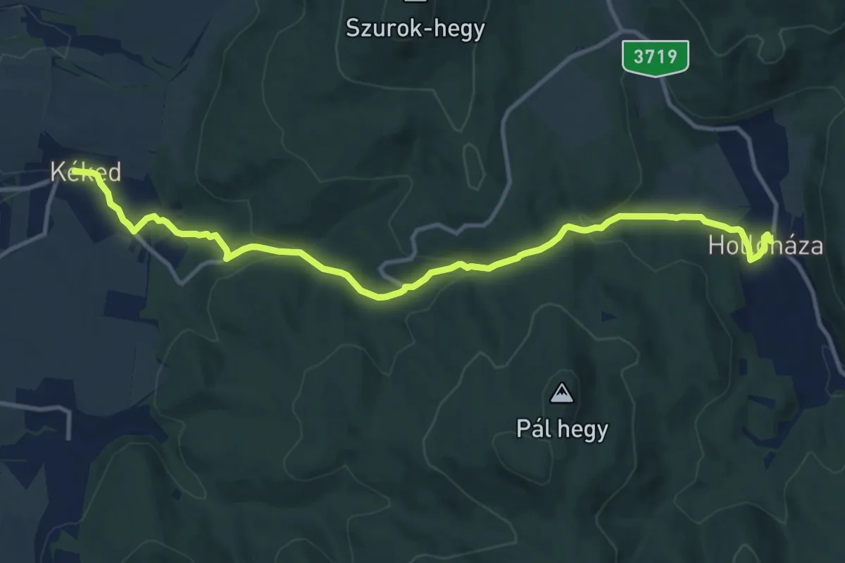
Medium · Trail
S (Hollóháza – Kéked)
11.8 km · ↑ 382 m · 3 h 37 min
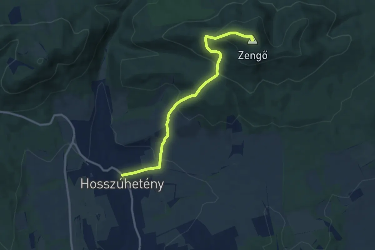
Medium · Summit
S▲ (Hosszúhetény – Potor-hegy - Zengő)
7.4 km · ↑ 409 m · 2 h 38 min
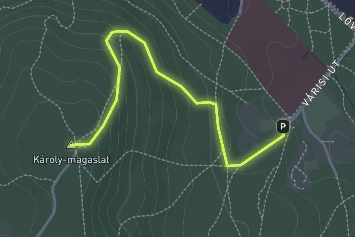
Easy · Summit
S▲ (Hotel Lővér, am. – Egykori szánkó pálya – Károly-kilátó)
2.7 km · ↑ 143 m · 56 min
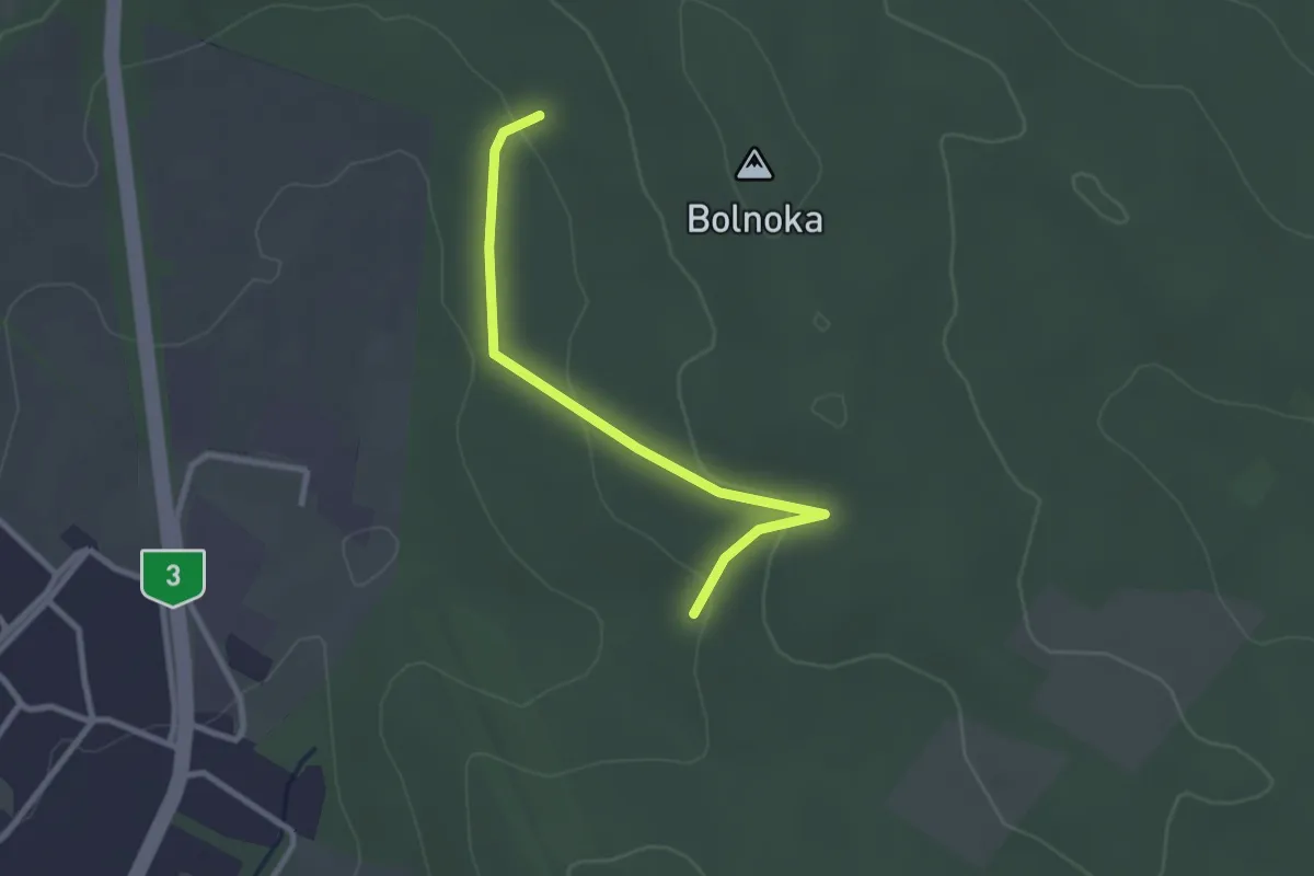
Easy · Trail
S+ (Husztina-erdő – Bolnoka)
2.6 km · ↑ 87 m · 48 min
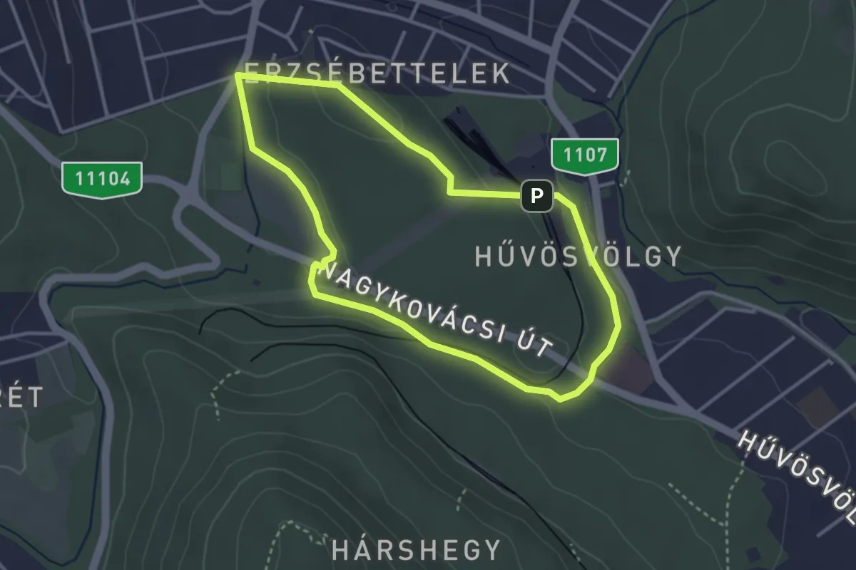
Easy · Summit
S↺ (Hűvösvölgy – Nagy-rét – Hűvösvölgy)
3.1 km · ↑ 66 m · 55 min
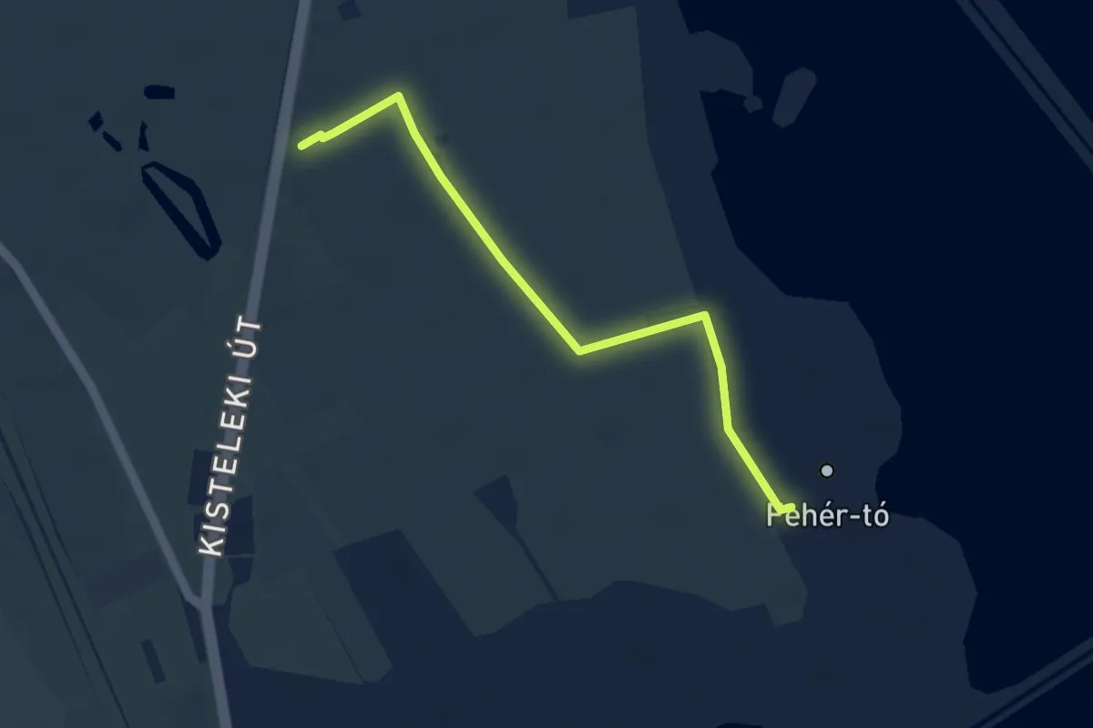
Easy · Trail
Sirály tanösvény
4.0 km · ↑ 4 m · 58 min
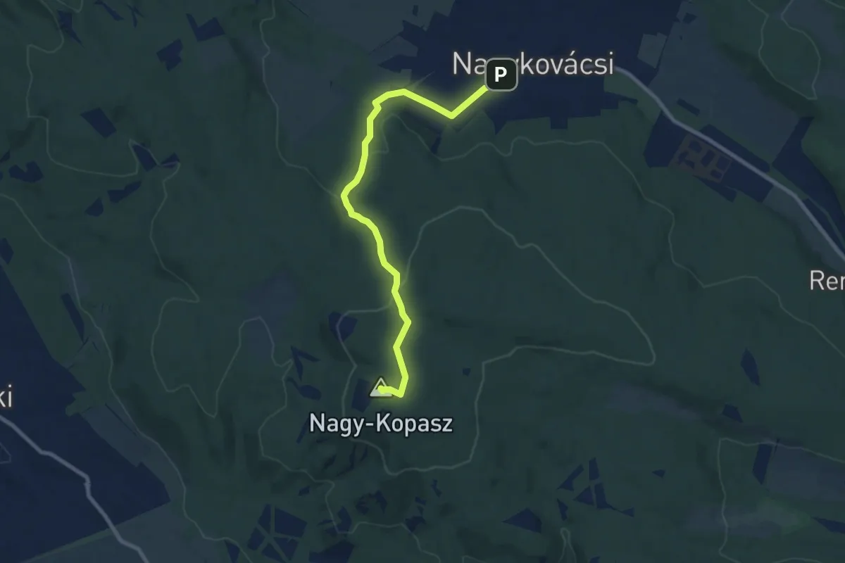
Medium · Summit
Sisakvirág tanösvény (Nagykovácsi, Homok-hegy alja – Nagy-Kopasz – Hidegvölgyi-erdészlak aut. m.)
8.5 km · ↑ 242 m · 2 h 32 min
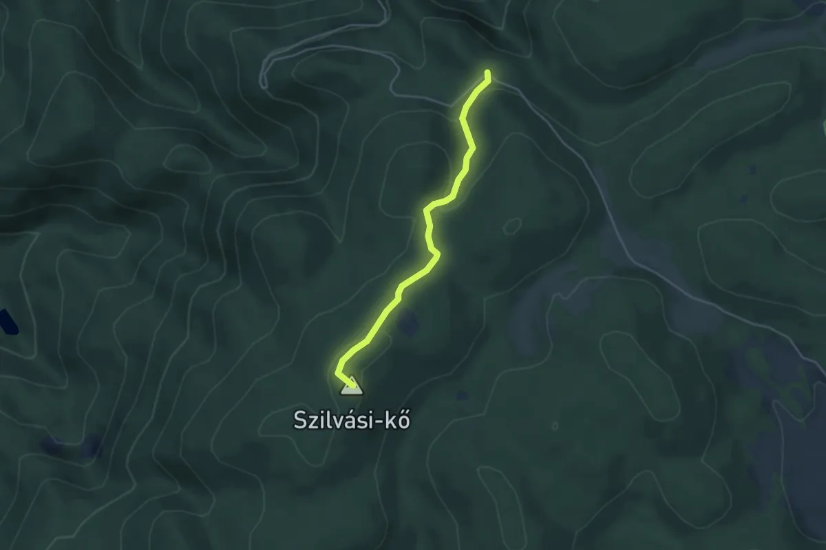
Easy · Summit
S▲ (Istállós-kő)
3.6 km · ↑ 132 m · 1 h 8 min
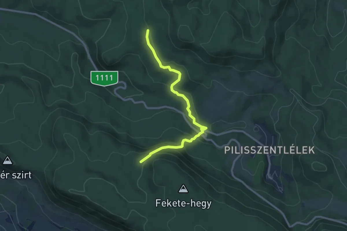
Easy · Trail
S+ (István-hegy alja – Háromszázgarádics – Fekete-hegyi-erdő)
6.5 km · ↑ 279 m · 2 h 8 min
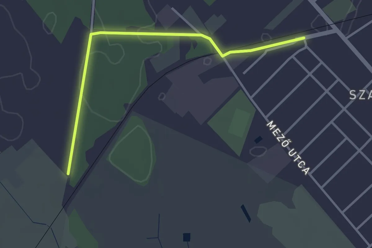
Easy · Trail
S■ (Izsák)
3.1 km · ↑ 0 m · 44 min
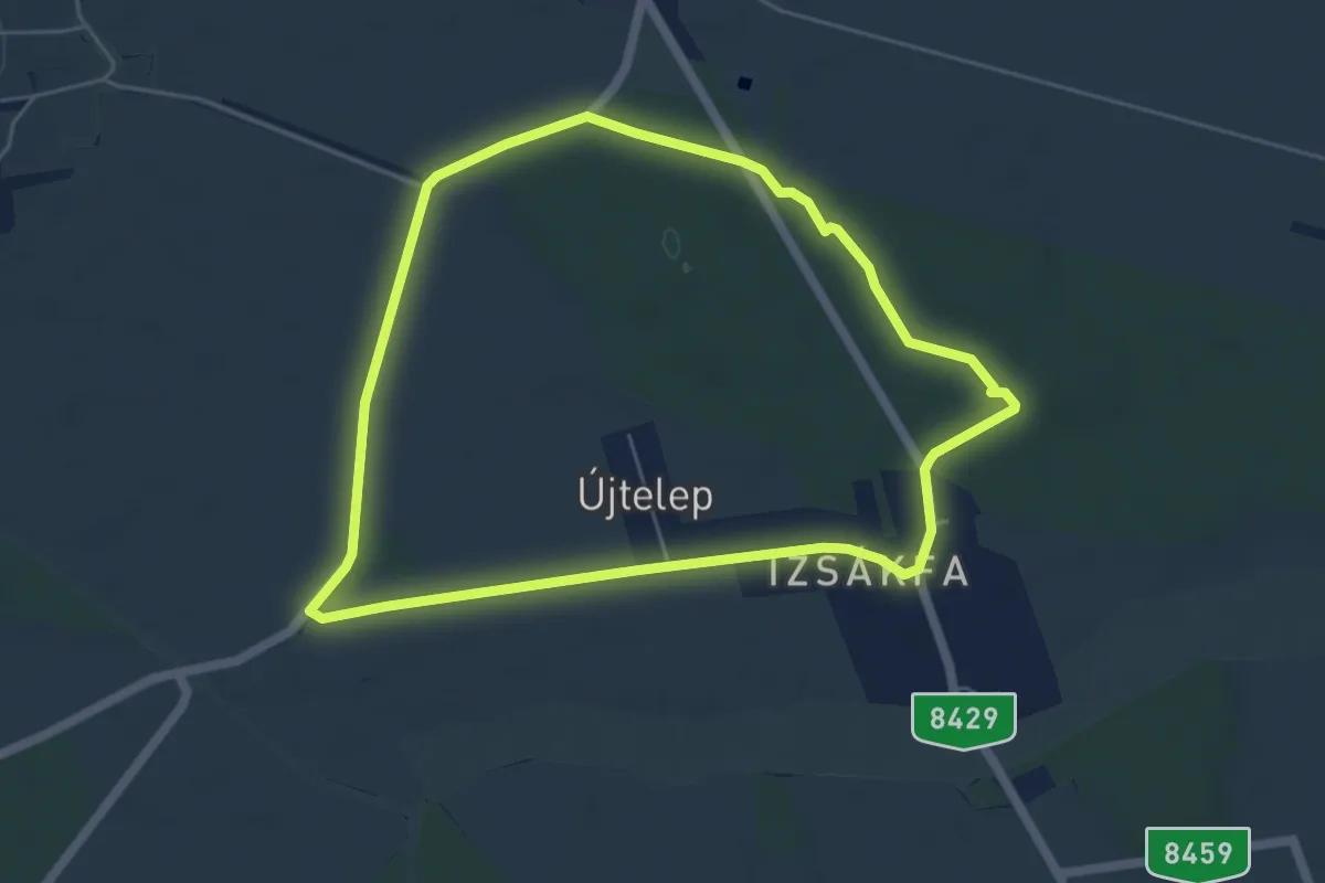
Easy · Trail
S↺, (Izsákfai parkerdő)
5.3 km · ↑ 18 m · 1 h 22 min
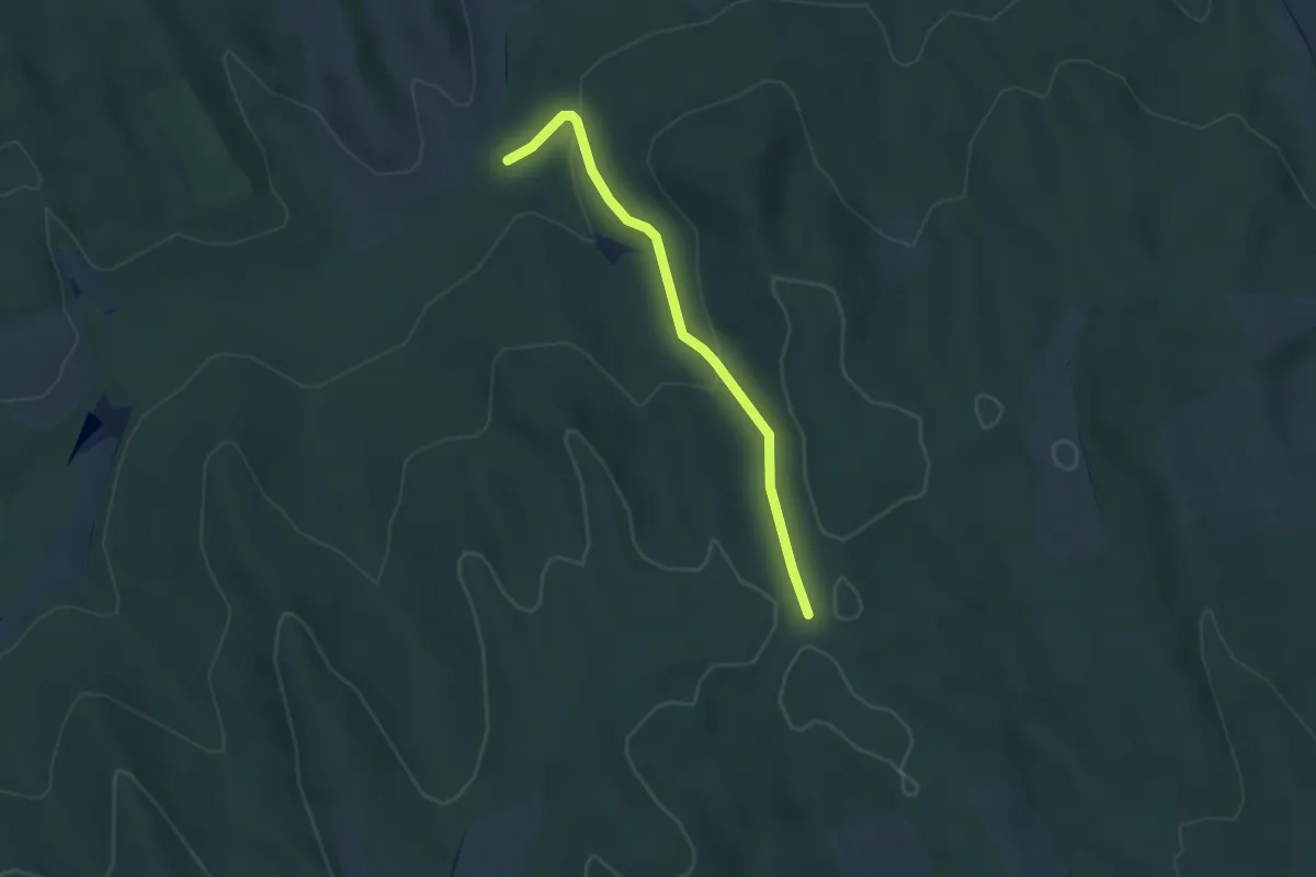
Easy · Trail
S+ (Jaba-völgye – Virágmányi kunyhó)
3.7 km · ↑ 112 m · 1 h 7 min
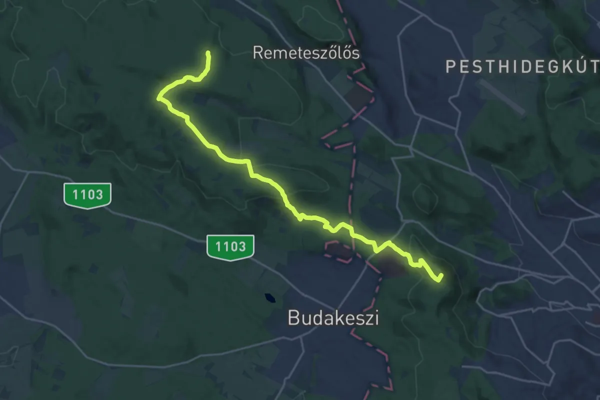
Demanding · Summit
S+ (János-hegy, Libegő állomás – Budakeszi Vadaspark – Z+)
20.3 km · ↑ 570 m · 6 h 1 min
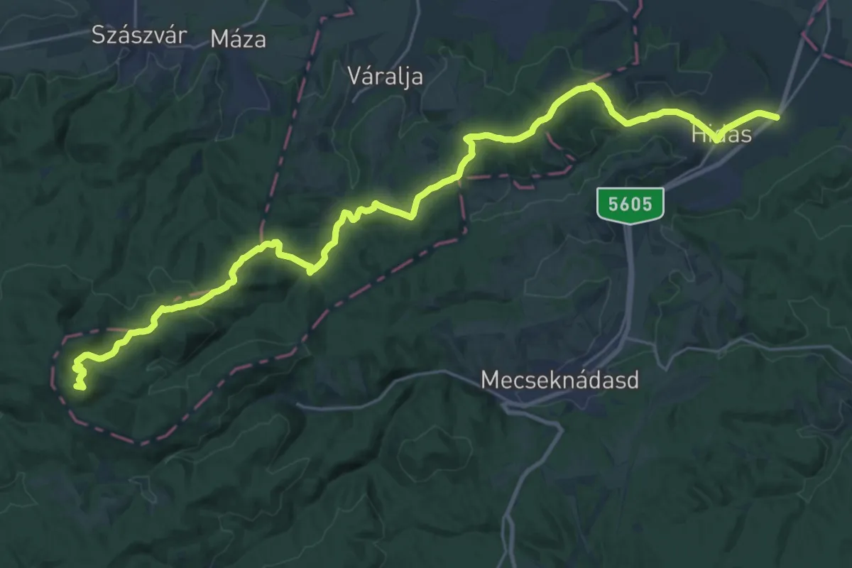
Demanding · Summit
S+ (Jánosipuszta – Hidas)
32.0 km · ↑ 794 m · 9 h 16 min
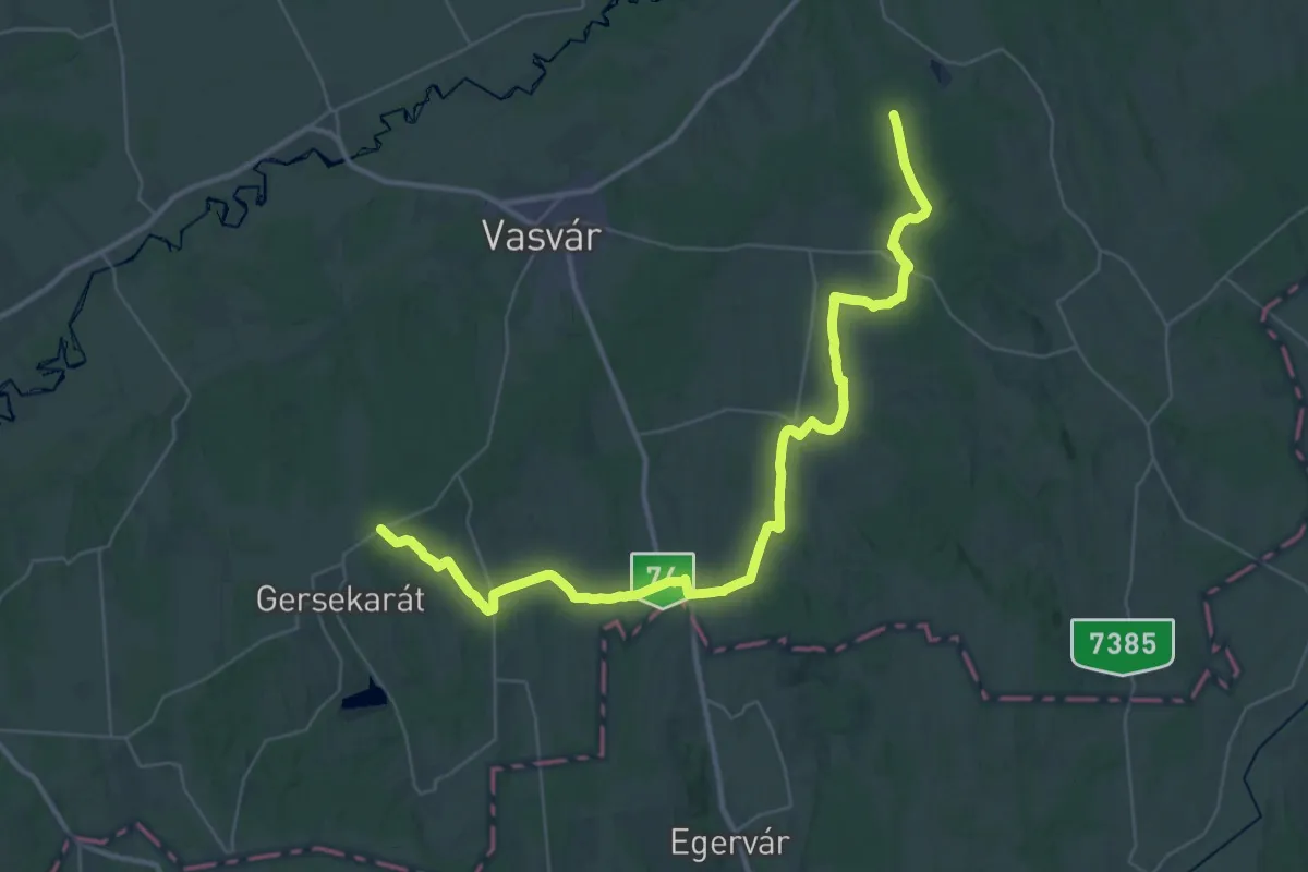
Demanding · Trail
S (Jeli Arborétum – Olaszfa – Győrvár – Gersekarát)
23.6 km · ↑ 170 m · 6 h 16 min
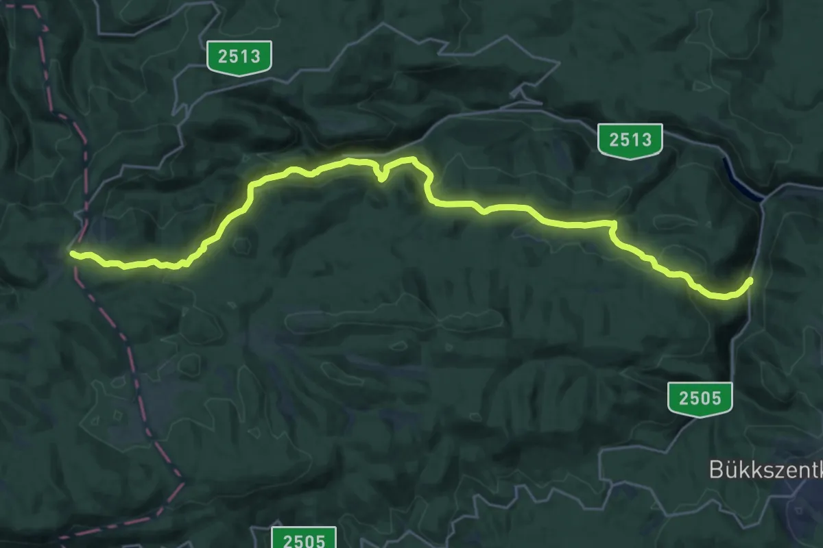
Demanding · Trail
S, Jubileumi körtúra 1. (B.A.Z megye)
12.8 km · ↑ 871 m · 4 h 50 min
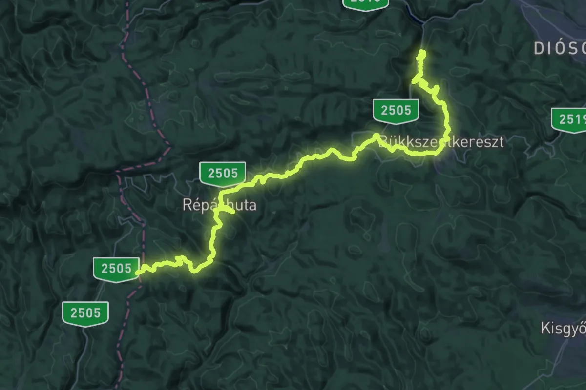
Demanding · Trail
S, Jubileumi körtúra 2. (B.A.Z megye)
23.4 km · ↑ 903 m · 7 h 44 min
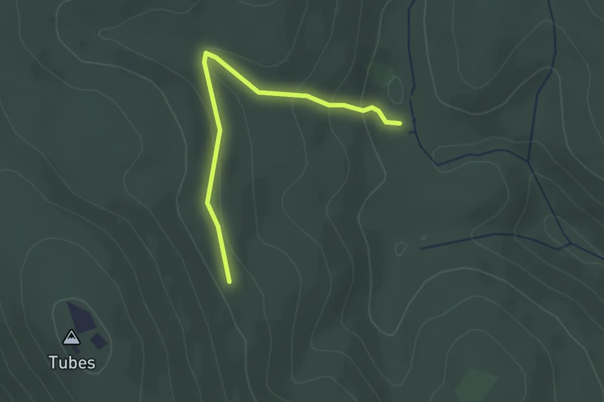
Easy · Trail
S● (Kantavári-forrás)
2.5 km · ↑ 101 m · 49 min
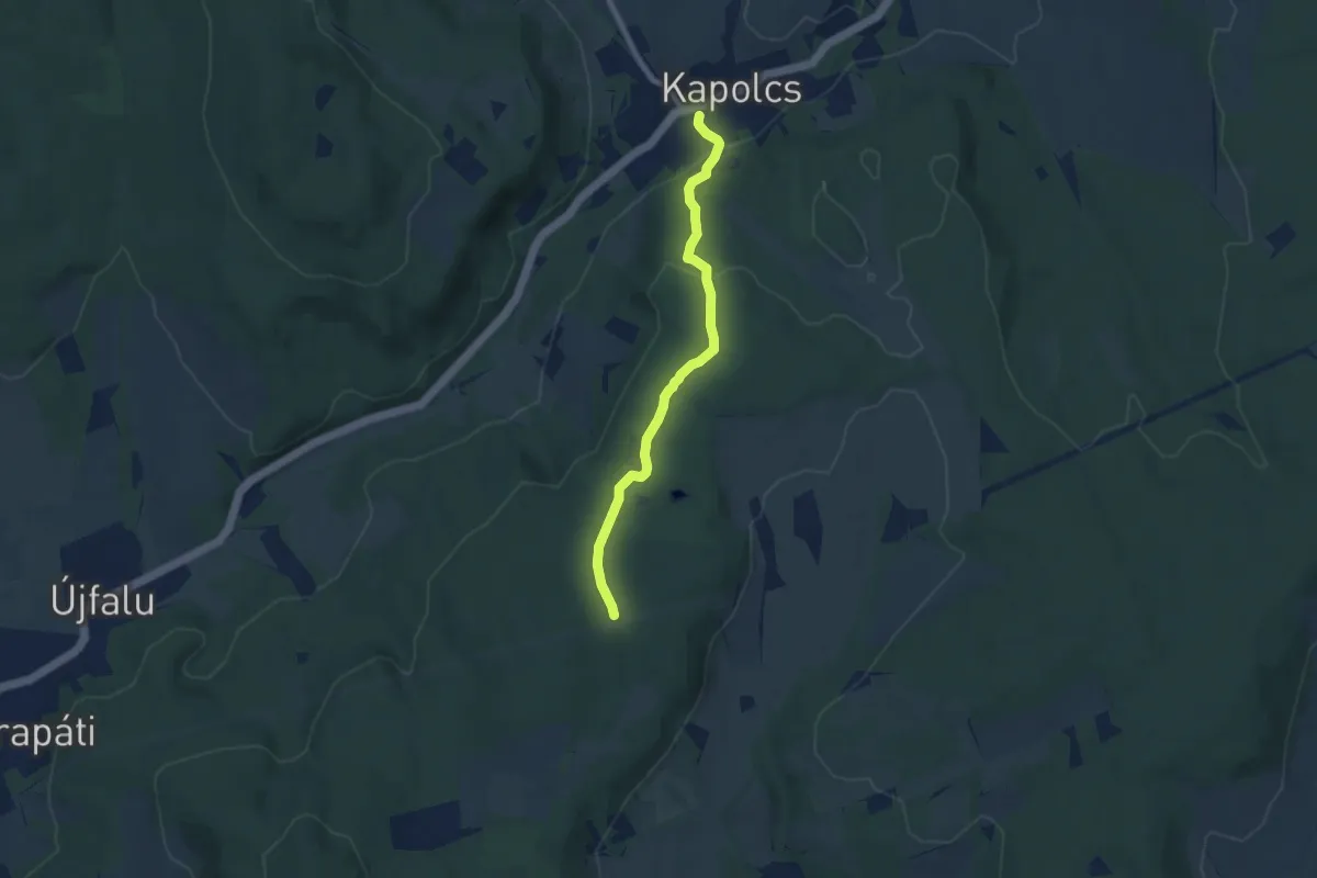
Easy · Trail
S+ (Kapolcs, am. – Kecske-kő – Alsó-erdő – Kettős-tó)
6.9 km · ↑ 178 m · 2 h
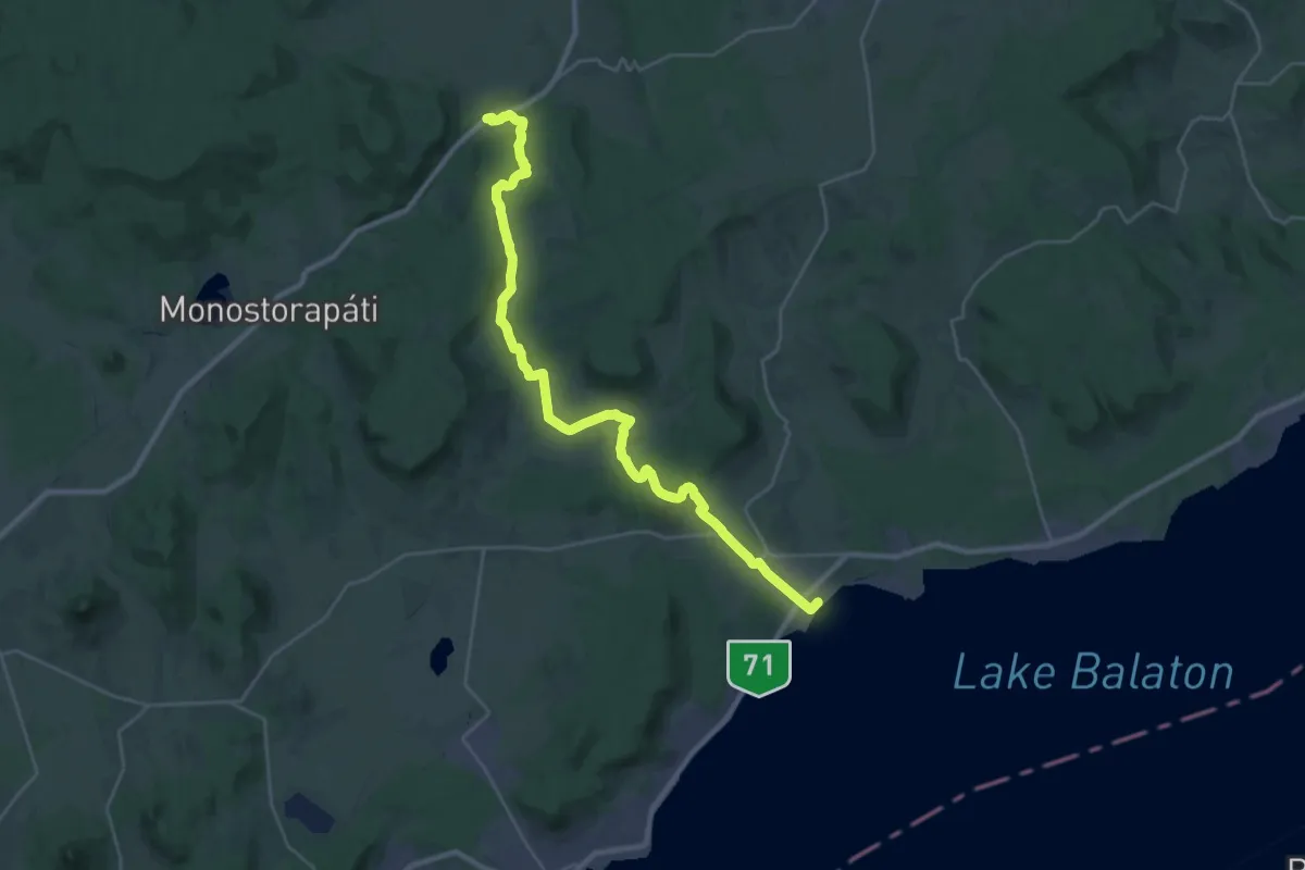
Medium · Trail
S (Kapolcs, am. – Zánka, há.)
15.8 km · ↑ 256 m · 4 h 32 min
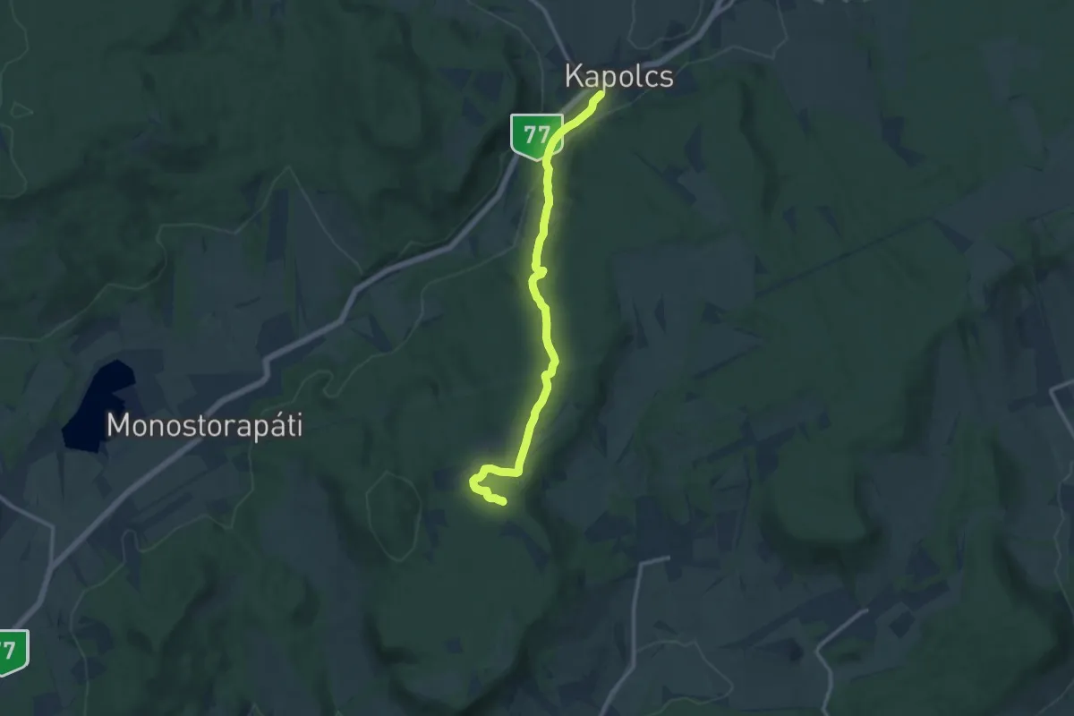
Medium · Trail
S▲ (Kapolcs –Monostori-tó)
11.2 km · ↑ 235 m · 3 h 10 min
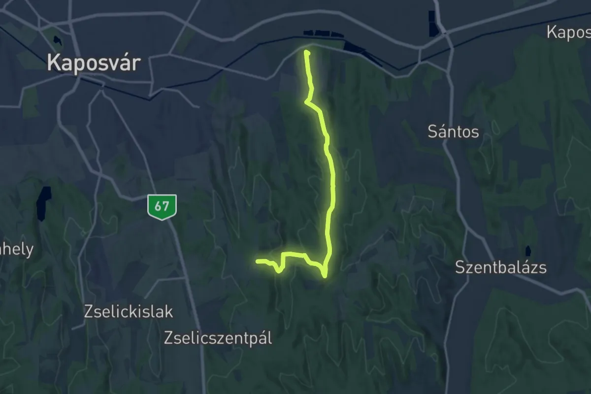
Medium · Summit
S▙ (Kaposszentjakab)
13.7 km · ↑ 285 m · 3 h 51 min
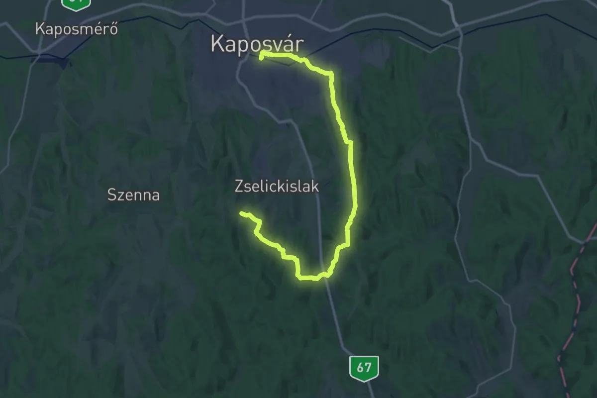
Medium · Trail
S (Kaposvári Sárga)
15.8 km · ↑ 302 m · 4 h 37 min
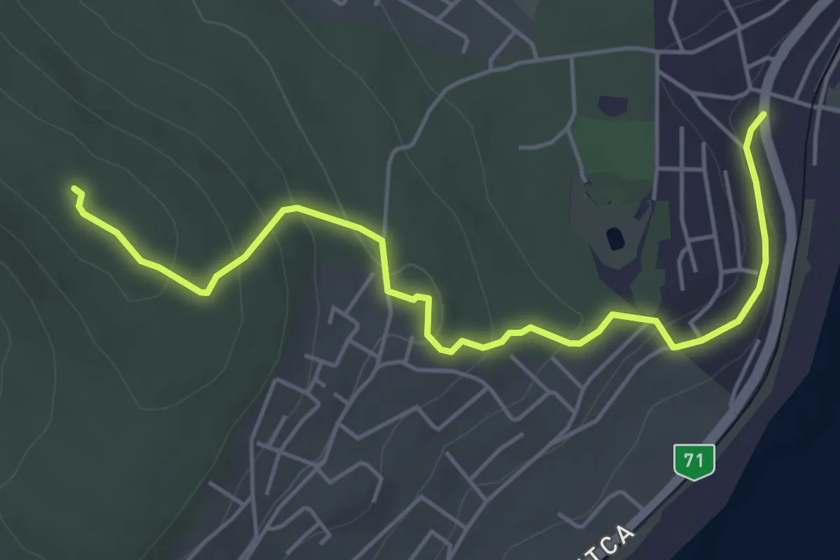
Easy · Summit
S (Káptalanfüred, vá. – Csere-hegy, Szabadság kilátó)
5.4 km · ↑ 172 m · 1 h 39 min
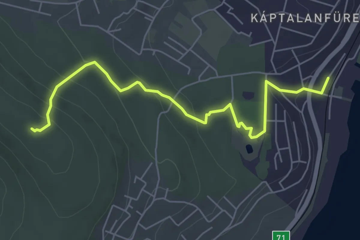
Easy · Summit
S+ (Káptalanfüred, v.mh. – Csere-hegy, Szabadság kilátó)
5.7 km · ↑ 183 m · 1 h 45 min
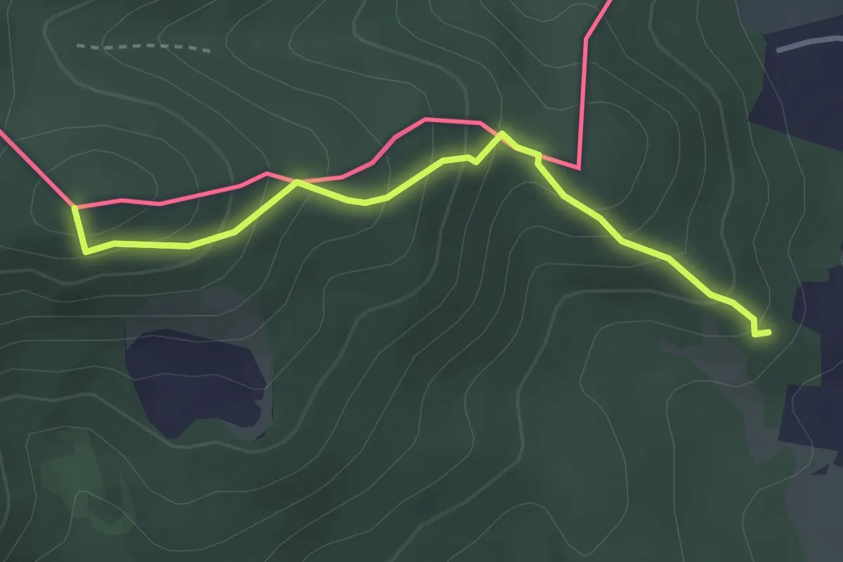
Easy · Summit
S (Karancs)
3.0 km · ↑ 272 m · 1 h 17 min
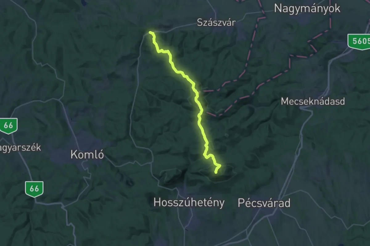
Demanding · Summit
S (Kárász – Vörösfenyő kulcsosház – Cigány-hegy – Miske-tető – Zengő – Pécsvárad)
26.8 km · ↑ 1008 m · 8 h 31 min
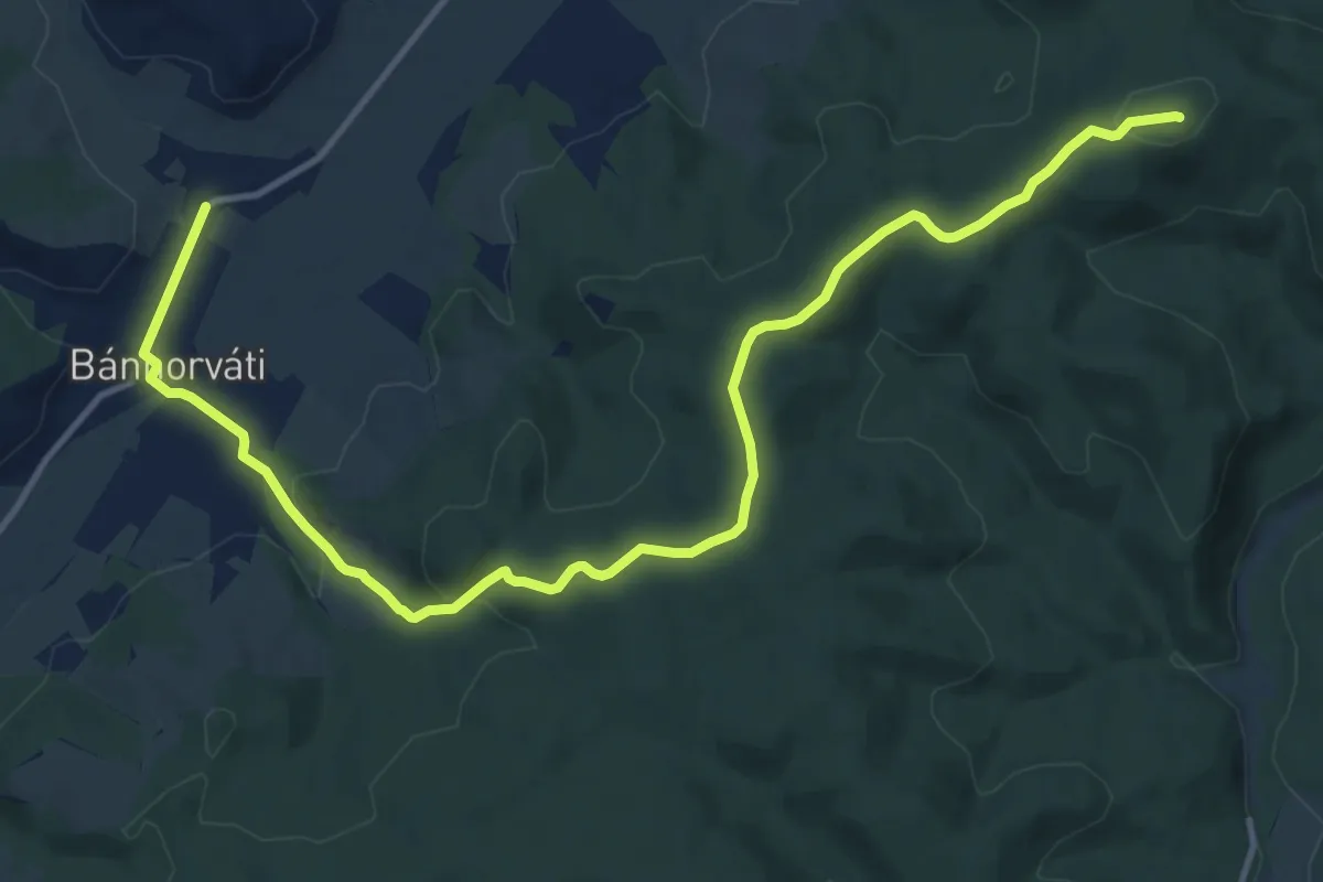
Medium · Summit
S (Kazincbarcika – Bánhorváti)
15.3 km · ↑ 348 m · 4 h 22 min
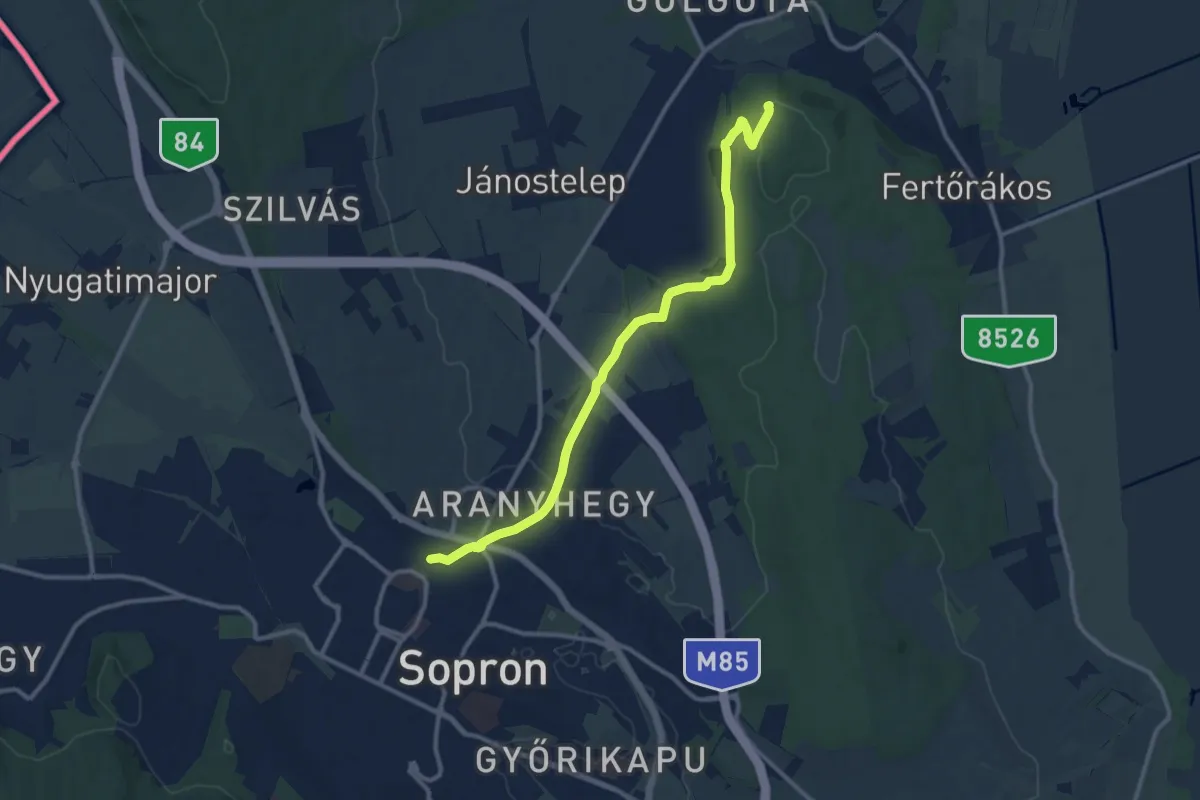
Medium · Summit
S (Kecske-hegyi kilátó)
11.5 km · ↑ 160 m · 3 h 4 min
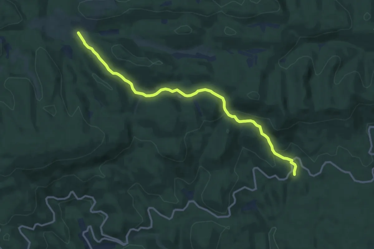
Medium · Trail
S+ (Kecskeláb-rét – Szarvas-kúti-rét)
10.0 km · ↑ 329 m · 3 h 4 min
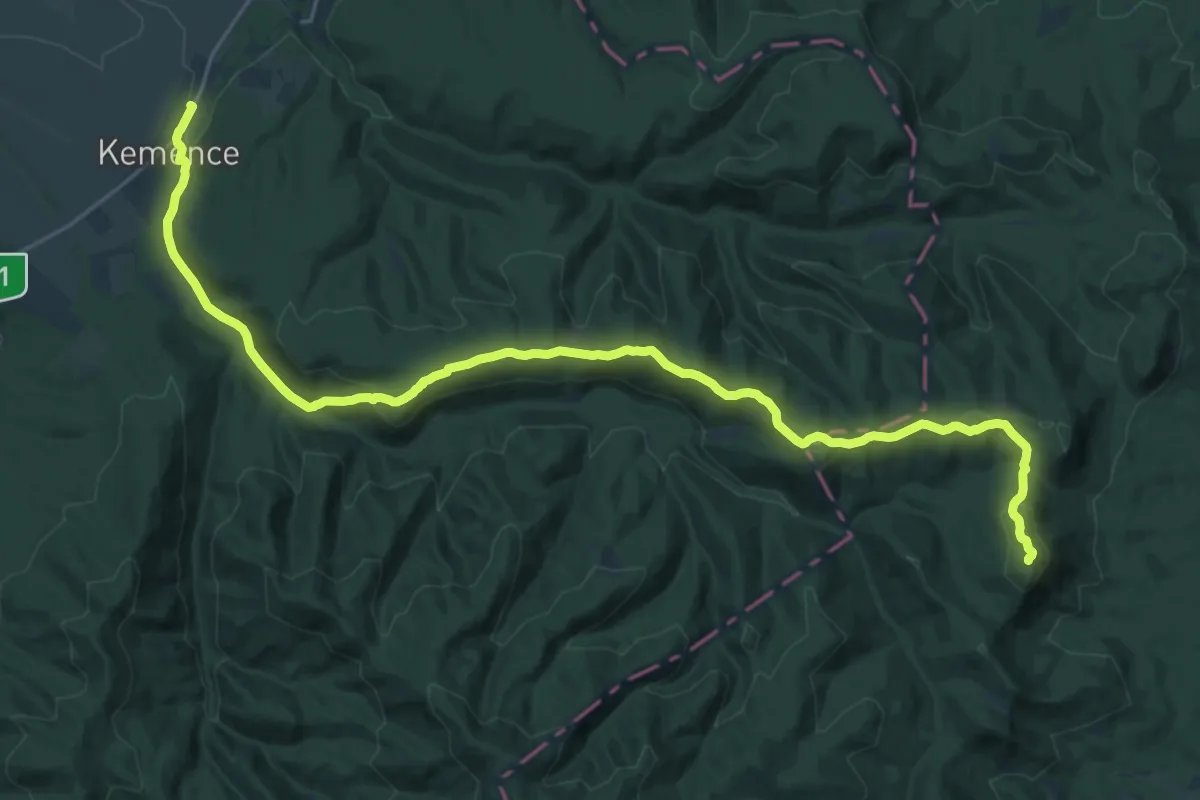
Demanding · Summit
S (Kemence – Kámor – Diósjenő)
29.0 km · ↑ 848 m · 8 h 42 min
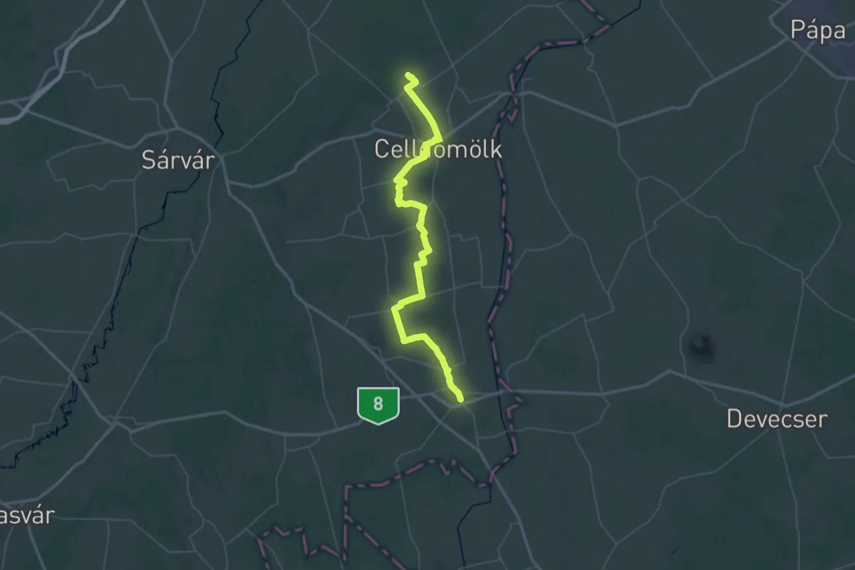
Demanding · Trail
S (Kemenessömjén – Celldömölk – Ság hegy – Egyházashetye – Jánosháza)
30.6 km · ↑ 206 m · 8 h 6 min
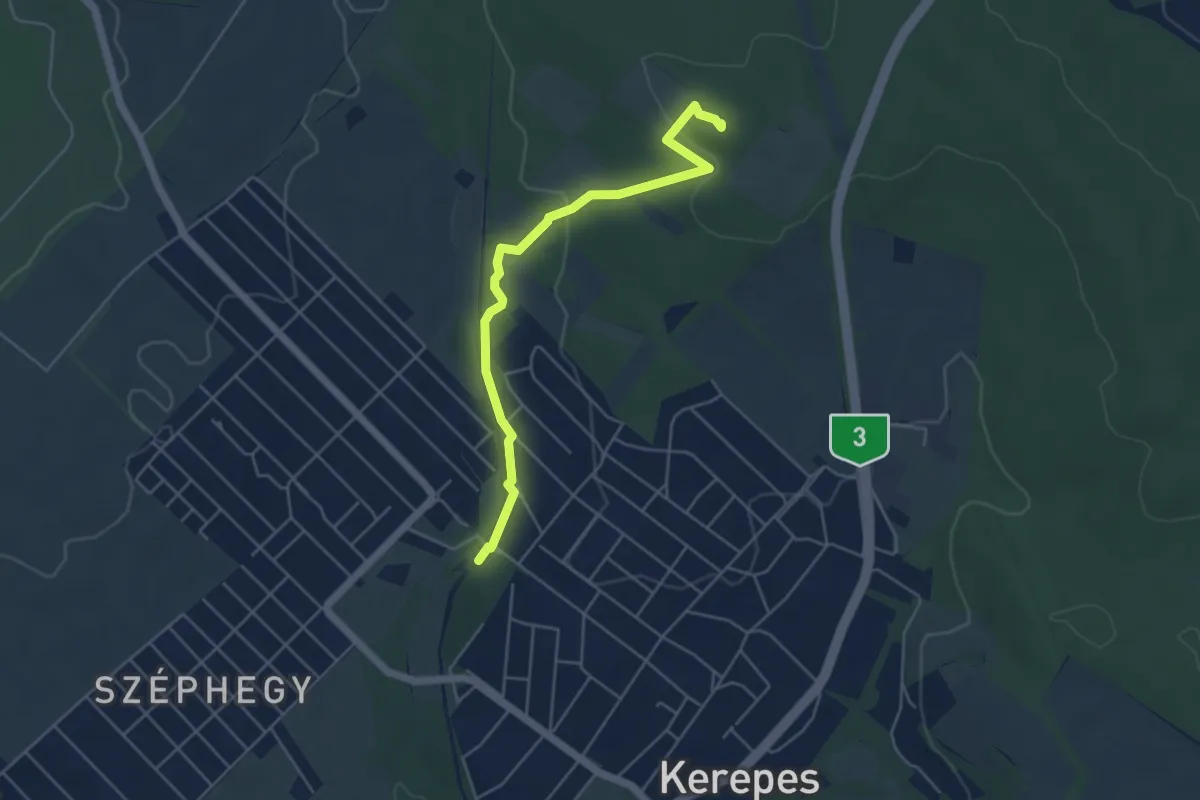
Easy · Summit
S▲ (Kerepes – Szár-hegy – Szilasliget)
4.9 km · ↑ 111 m · 1 h 24 min
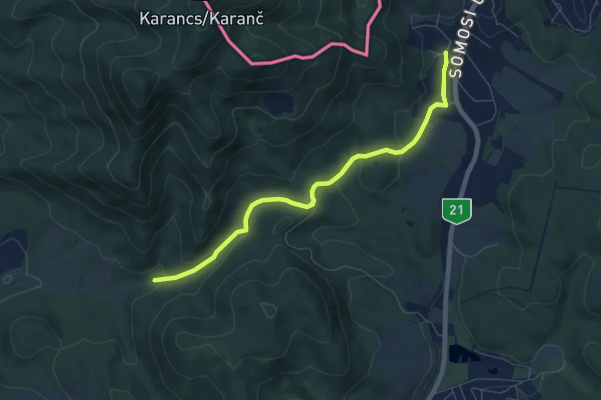
Easy · Trail
S kereszt (Cseberna-völgy – Kercseg-lapos – Somoskőújfalu)
6.7 km · ↑ 185 m · 1 h 59 min
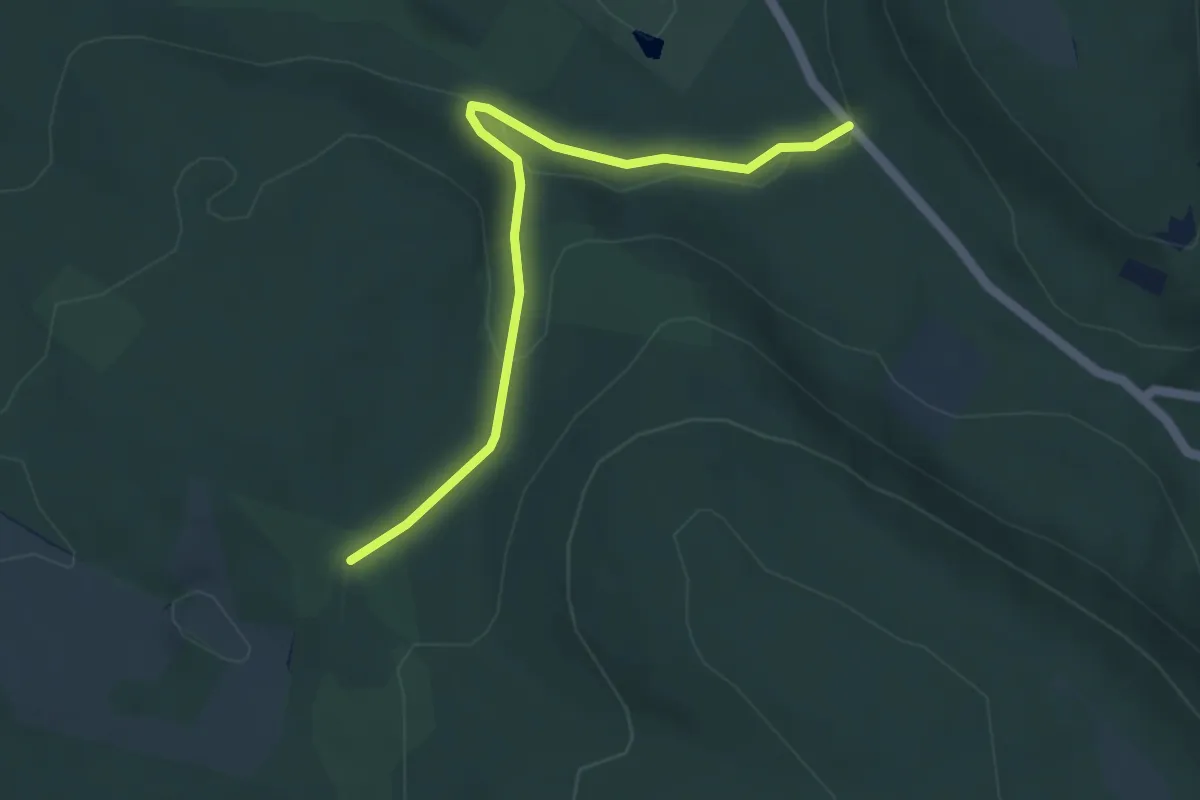
Easy · Trail
S+ (Kereszt-háti-nyereg – Grófi-kút – Agostyáni arborétum)
4.4 km · ↑ 102 m · 1 h 15 min
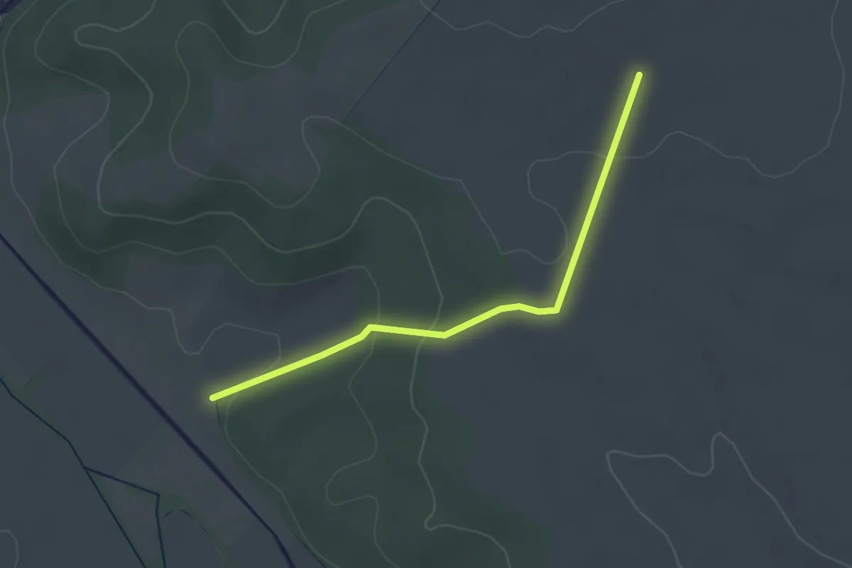
Easy · Trail
S+ (Kétbodony)
2.9 km · ↑ 74 m · 51 min
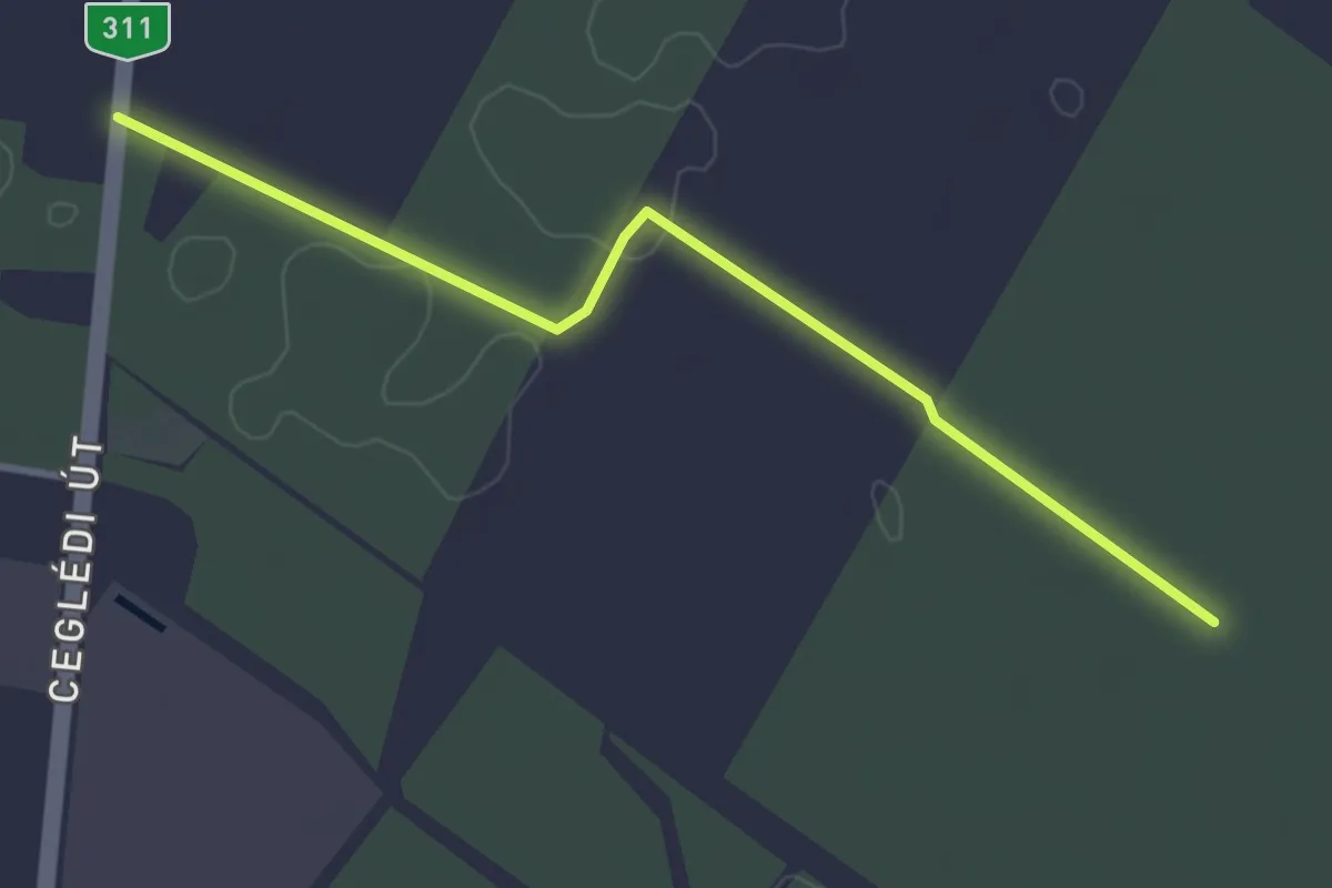
Easy · Trail
S▲, Kincsem túra
3.5 km · ↑ 0 m · 49 min