Trails in Hungary
2,294 hiking trails, each with its route, climb, walking time and grade.
All trails, page 32 of 48
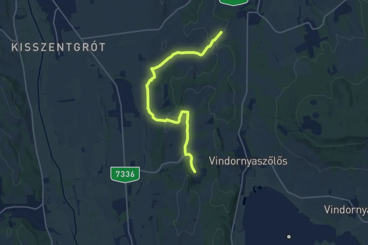
Medium · Trail
S+ (Kisgörbő-Sénye)
14.3 km · ↑ 228 m · 3 h 52 min
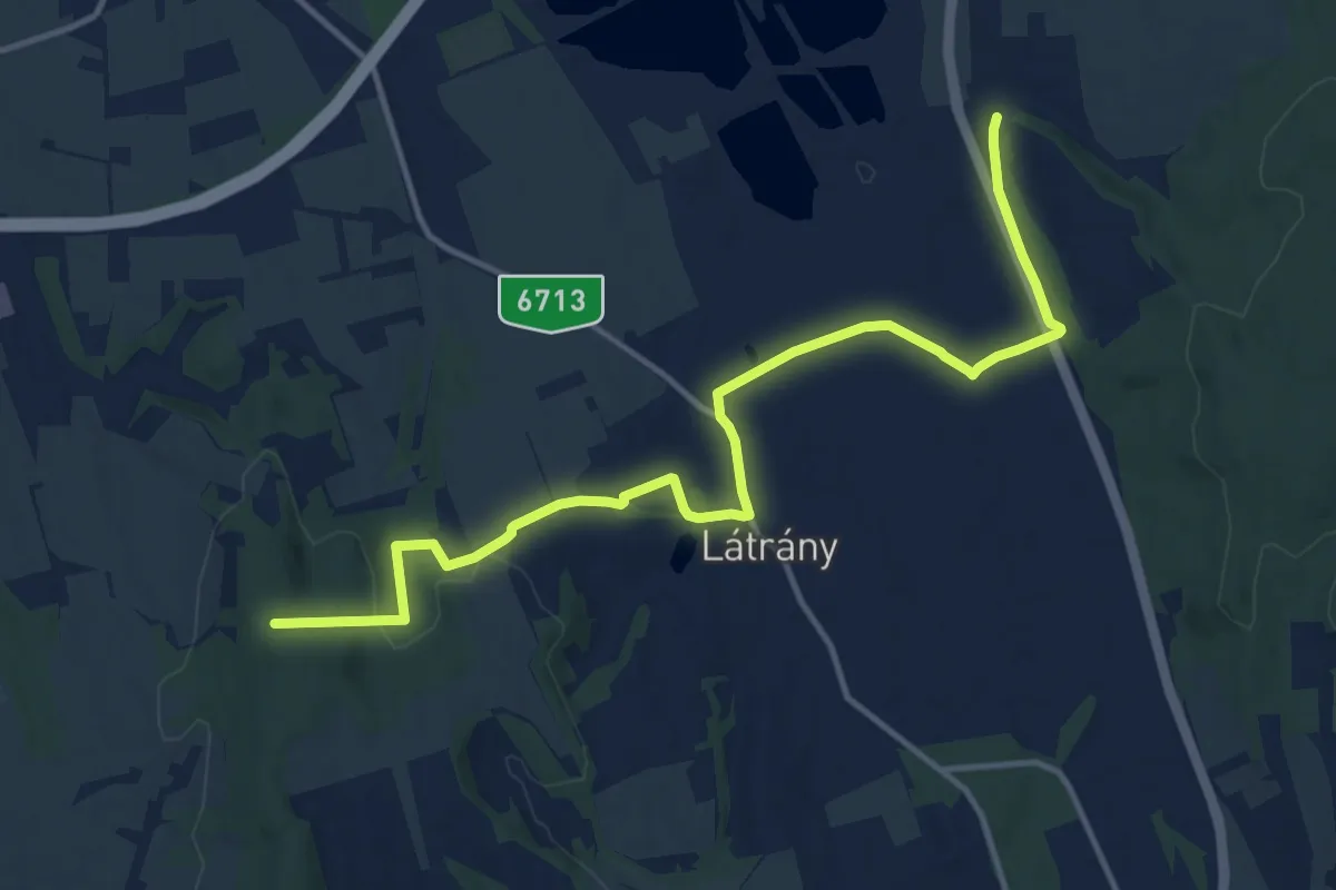
Medium · Trail
S+ (Kis-hegy - Rádpuszta)
14.9 km · ↑ 263 m · 4 h 5 min
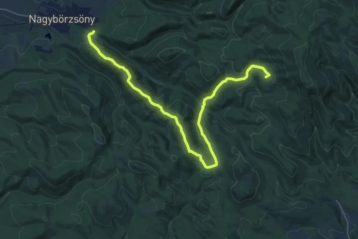
Demanding · Summit
S+ (Kisinóci th. – Nagybörzsöny)
20.7 km · ↑ 755 m · 6 h 32 min
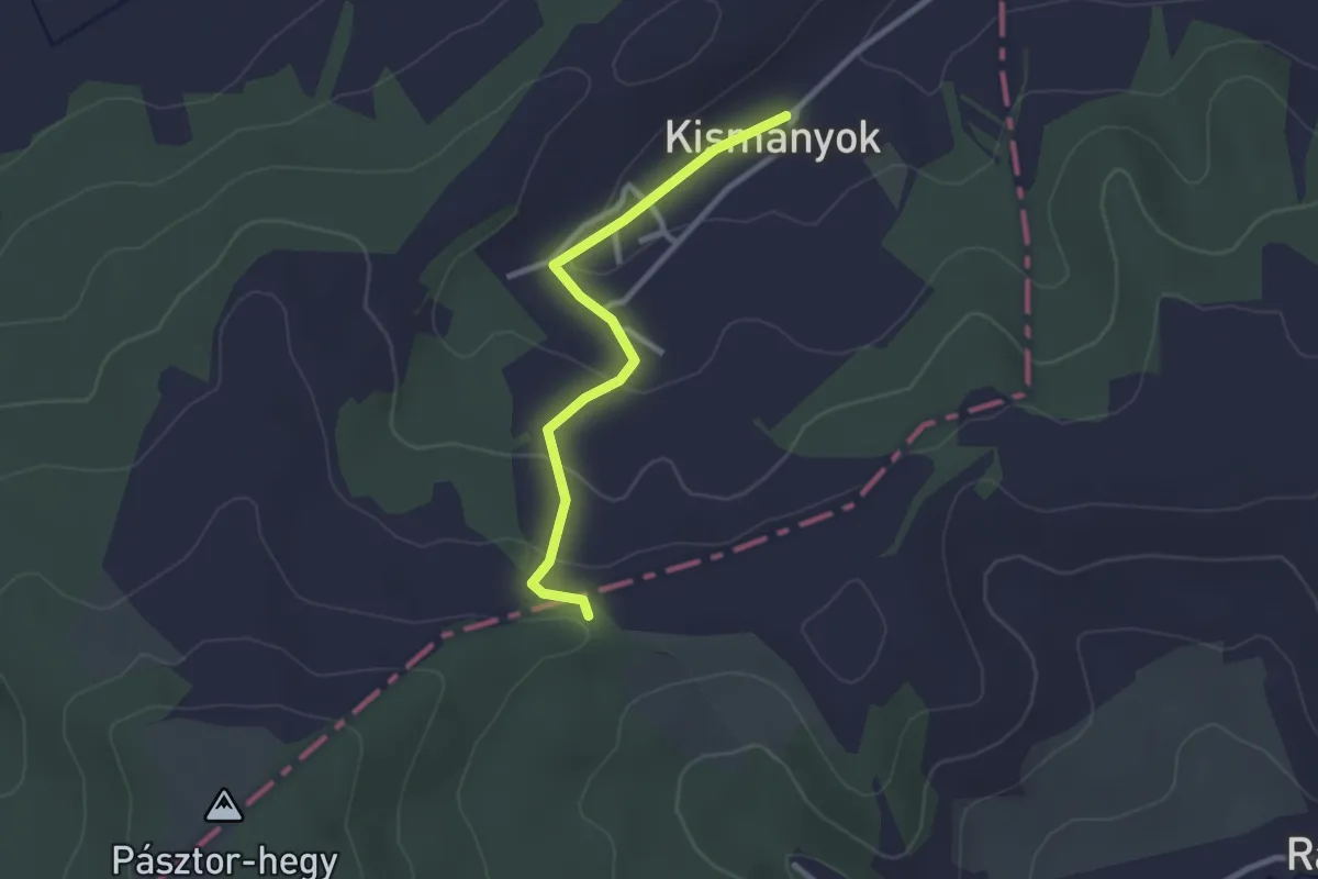
Easy · Trail
S■ (Kismányok)
2.6 km · ↑ 80 m · 47 min
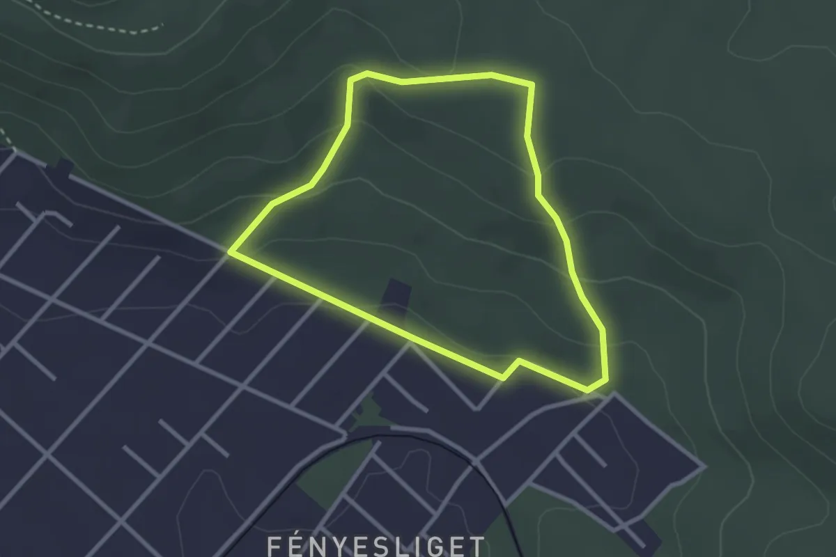
Easy · Trail
S↺ (Klotildliget, Dévényi Antal utca – Posta-réti-erdő – Klotildliget, Dévényi Antal utca)
2.5 km · ↑ 99 m · 50 min
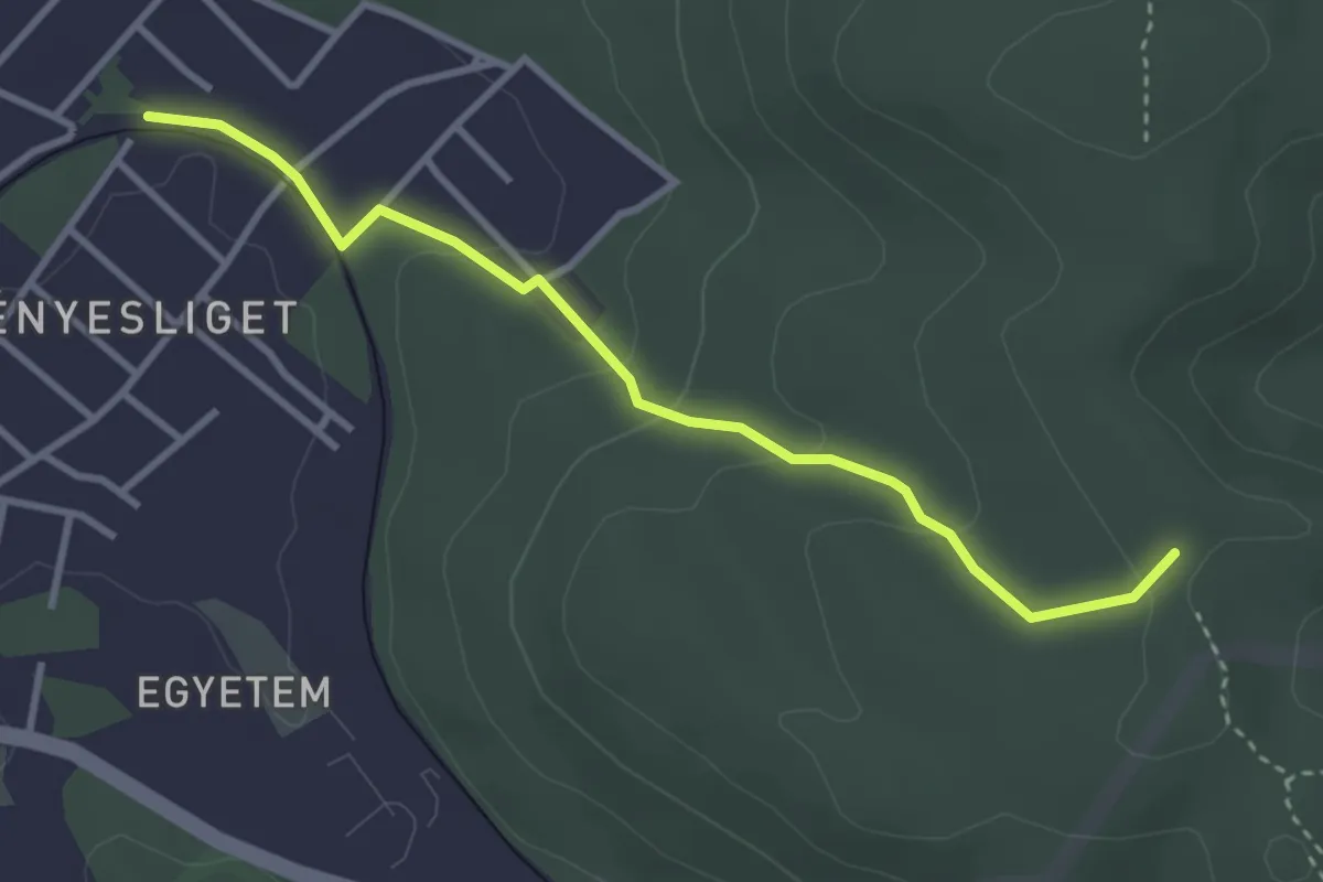
Easy · Trail
S■ (Klotildliget – Vörös-hegy)
3.3 km · ↑ 117 m · 1 h 2 min
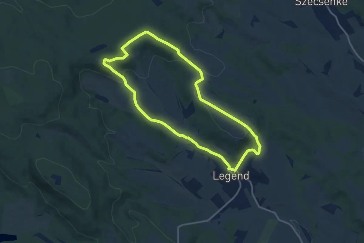
Medium · Trail
S körút (Legénd – Csurgó-hegy – Legénd)
8.3 km · ↑ 169 m · 2 h 26 min
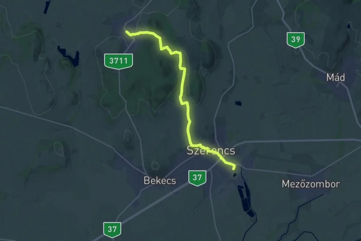
Demanding · Trail
S, Kossuth út A.
20.1 km · ↑ 299 m · 5 h 24 min
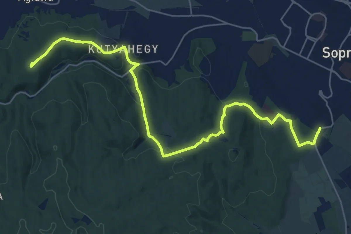
Demanding · Summit
S (Kőszegi útiaut. m. – Zicgy rét – Hétbükkfa – Szalamandra-tó – Ágfalvi gerinc – Görbehalom)
19.7 km · ↑ 464 m · 5 h 40 min
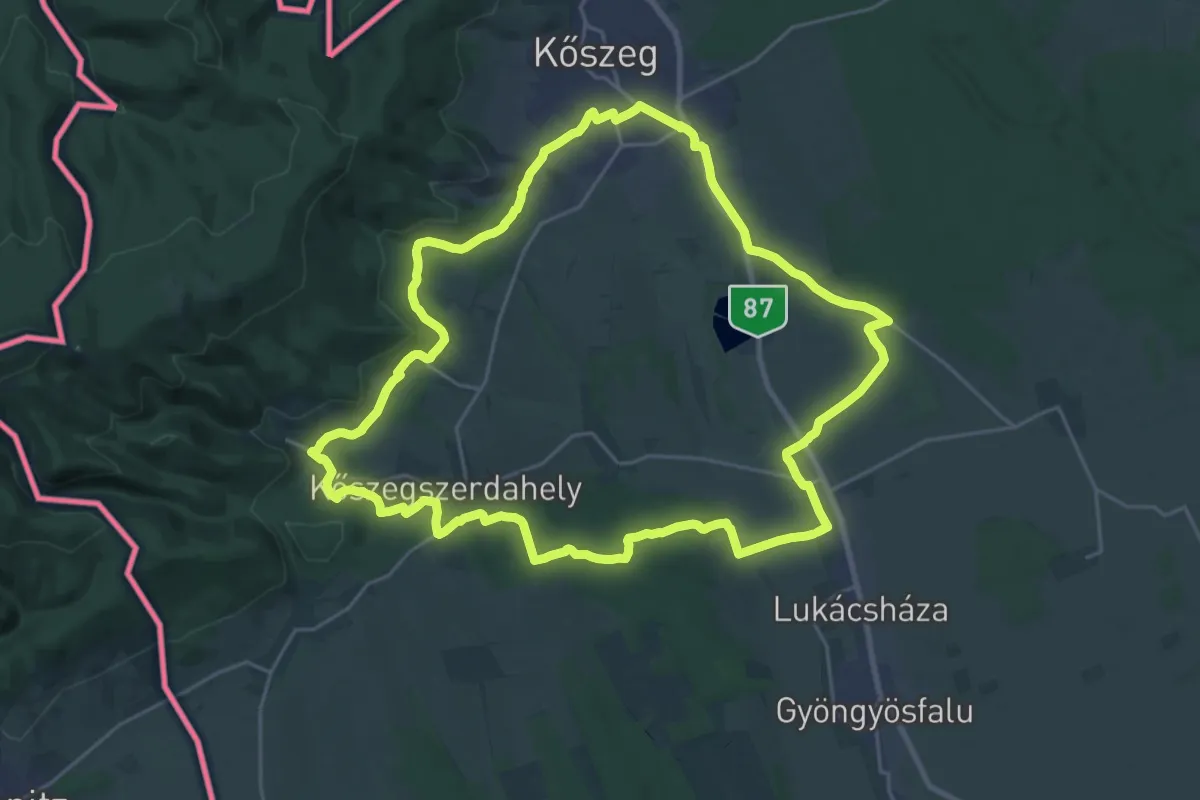
Demanding · Trail
S↺ (Kőszeg – Velem – Kőszegfalva)
24.5 km · ↑ 302 m · 6 h 47 min
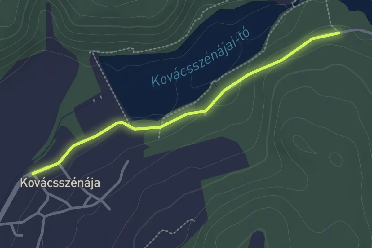
Easy · Trail
S■ (Kovácsszénája)
2.5 km · ↑ 25 m · 39 min
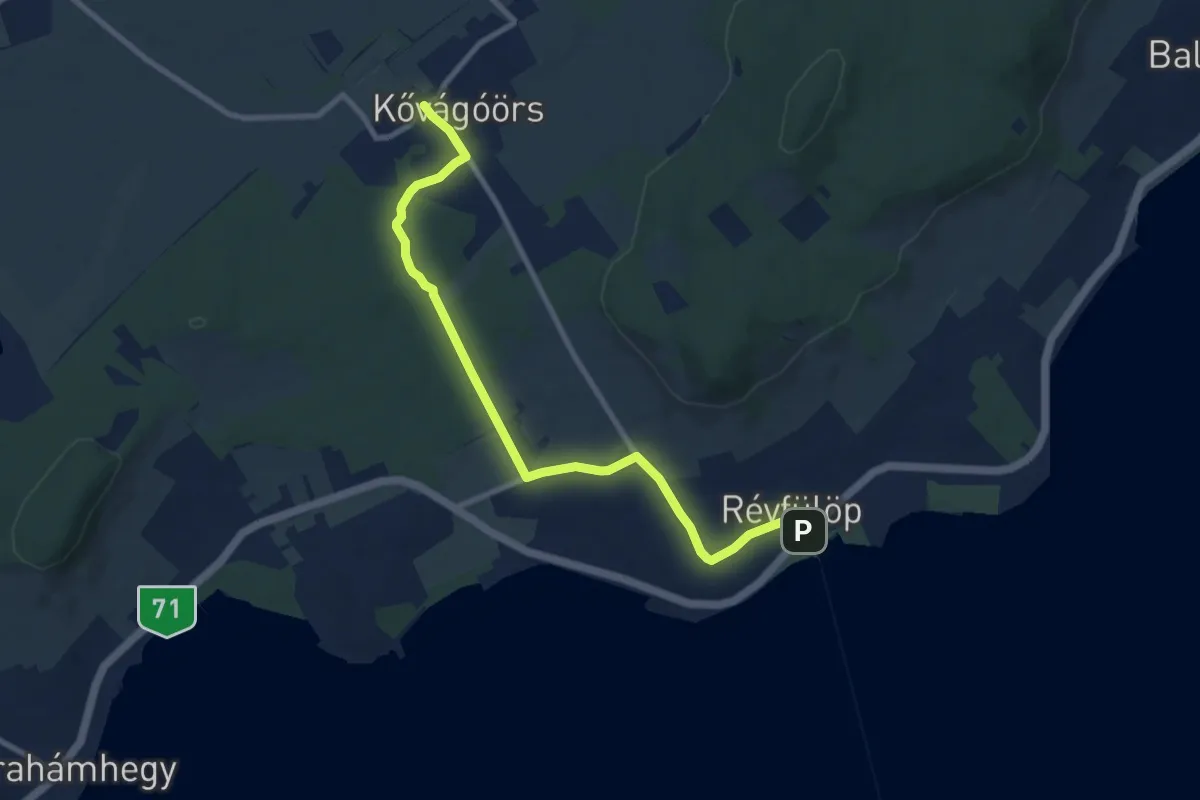
Medium · Trail
S (Kővágóőrs, am. – Révfülöp, vá.)
9.4 km · ↑ 97 m · 2 h 26 min
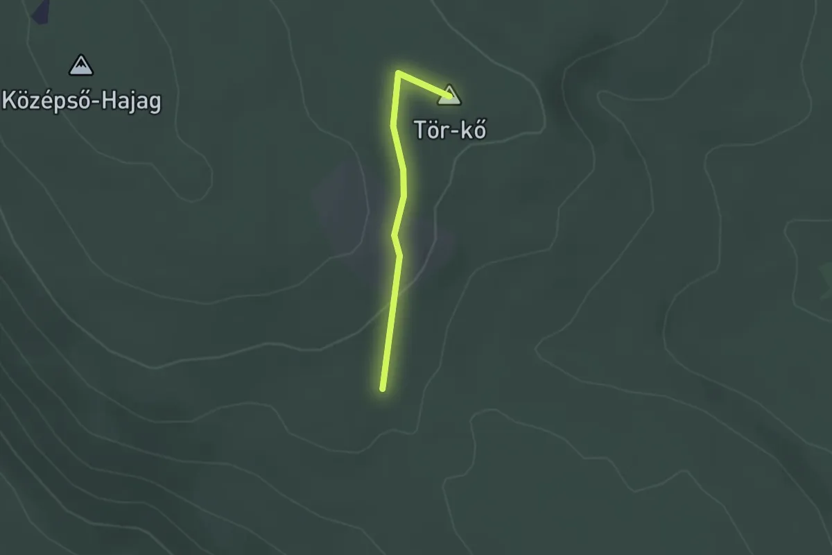
Easy · Summit
S+ (Középső Hajag)
1.6 km · ↑ 23 m · 25 min
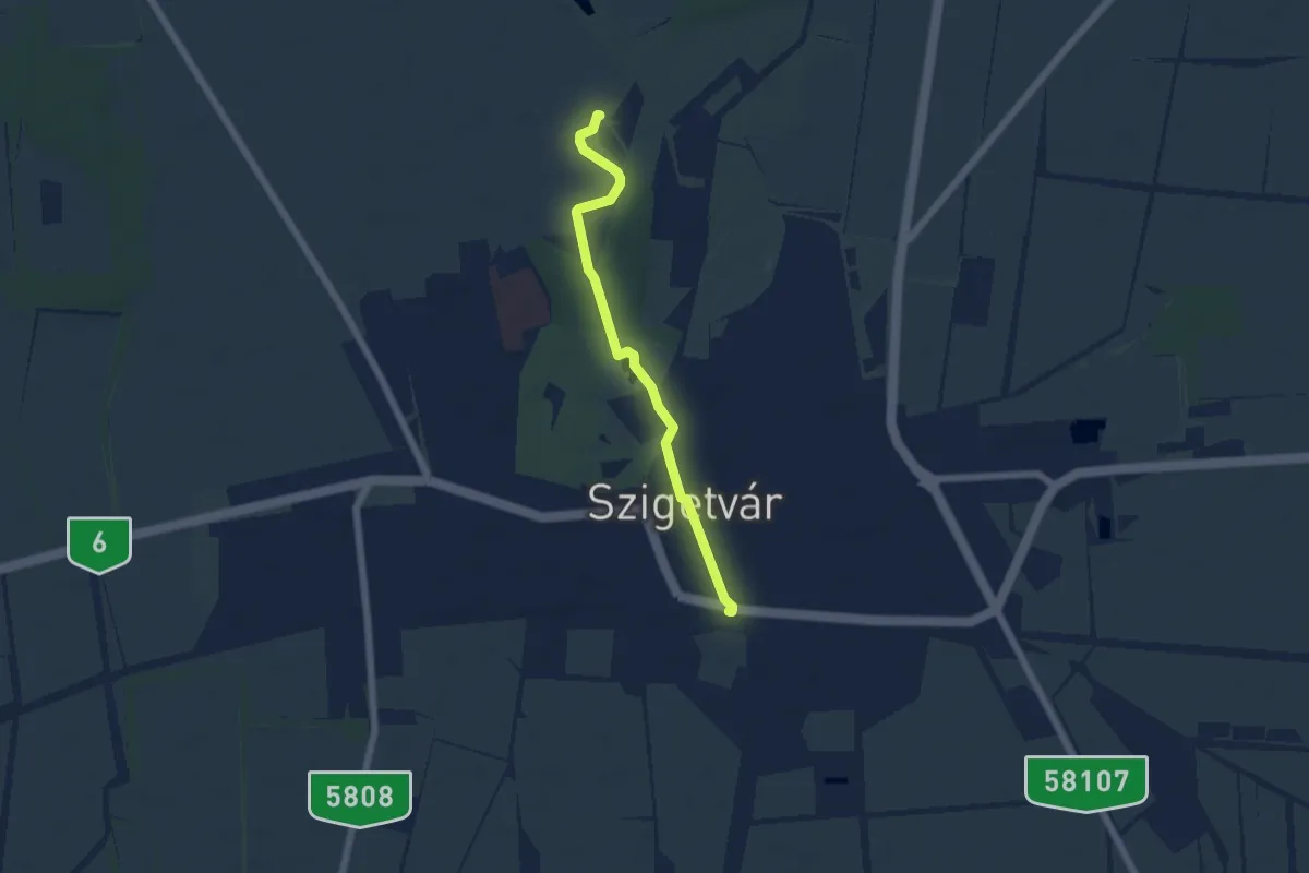
Easy · Trail
S● Kumilla-forrás
5.2 km · ↑ 8 m · 1 h 15 min
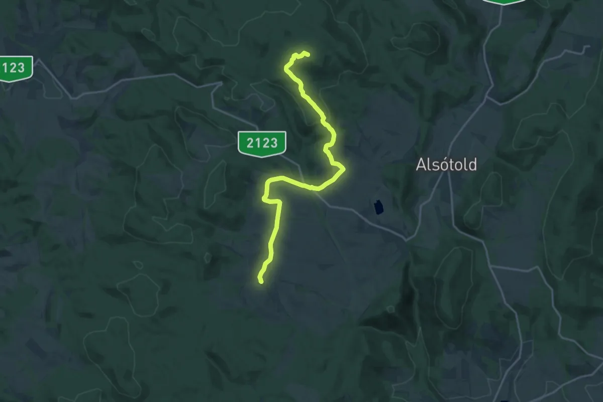
Medium · Summit
S (Kutasó – Dobogótető)
16.9 km · ↑ 395 m · 4 h 51 min
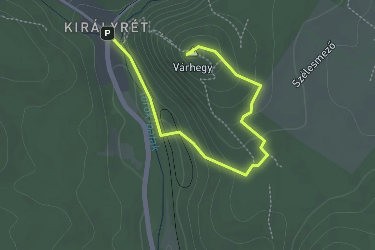
Easy · Summit
SK (Vár-hegy kilátó)
2.8 km · ↑ 120 m · 56 min
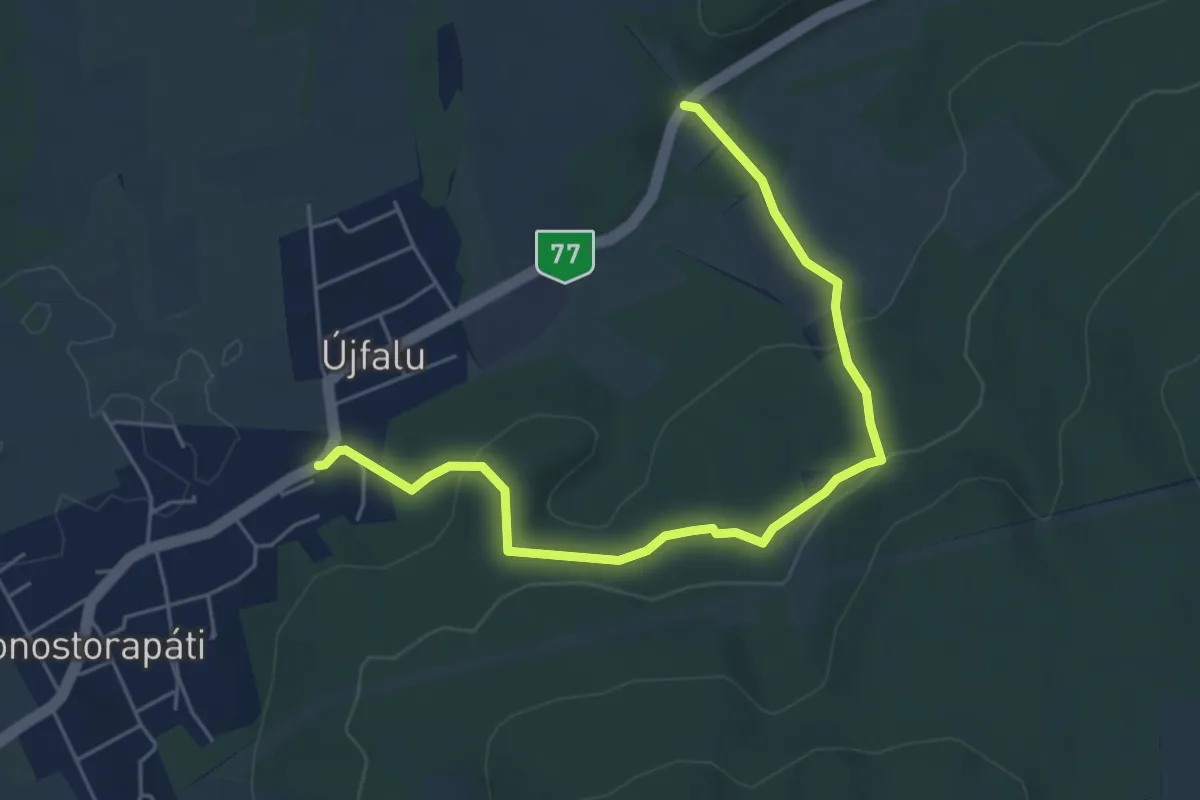
Easy · Trail
Sl
5.9 km · ↑ 186 m · 1 h 48 min
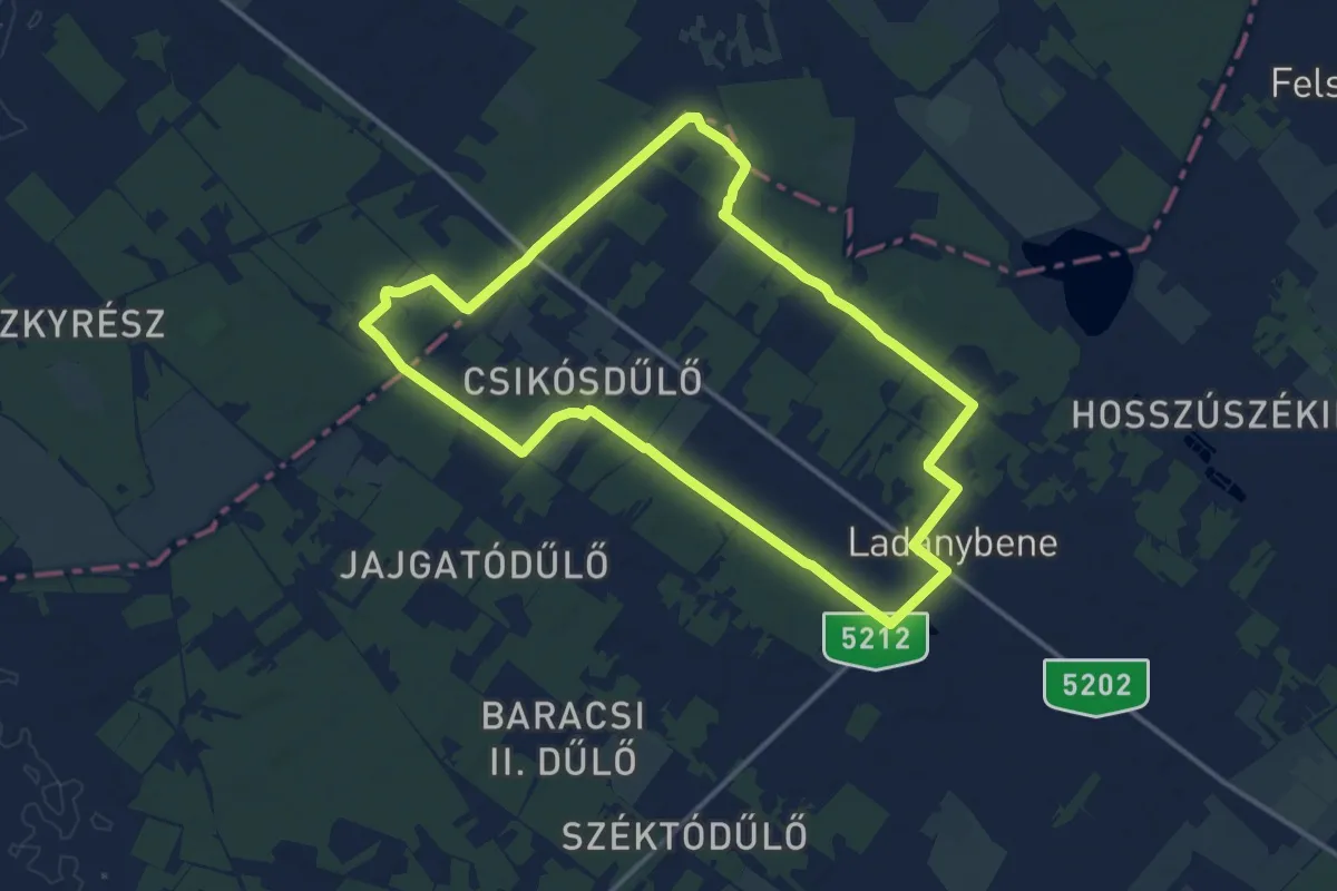
Medium · Trail
S (Ladánybene)
13.9 km · ↑ 35 m · 3 h 33 min
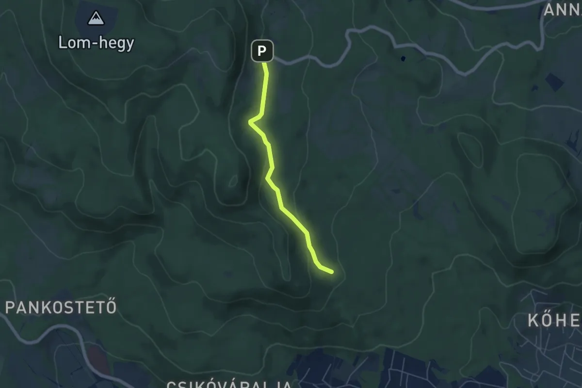
Easy · Trail
S+ (Lajos-forrás, turistaház – Erdész-emlékmű - –anda Vilmos-ház)
4.4 km · ↑ 115 m · 1 h 18 min
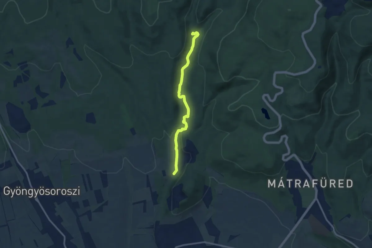
Easy · Trail
S▲ (Lajosháza – Őrlőmű – Dezsővár – Csigéd-farok)
7.5 km · ↑ 199 m · 2 h 12 min
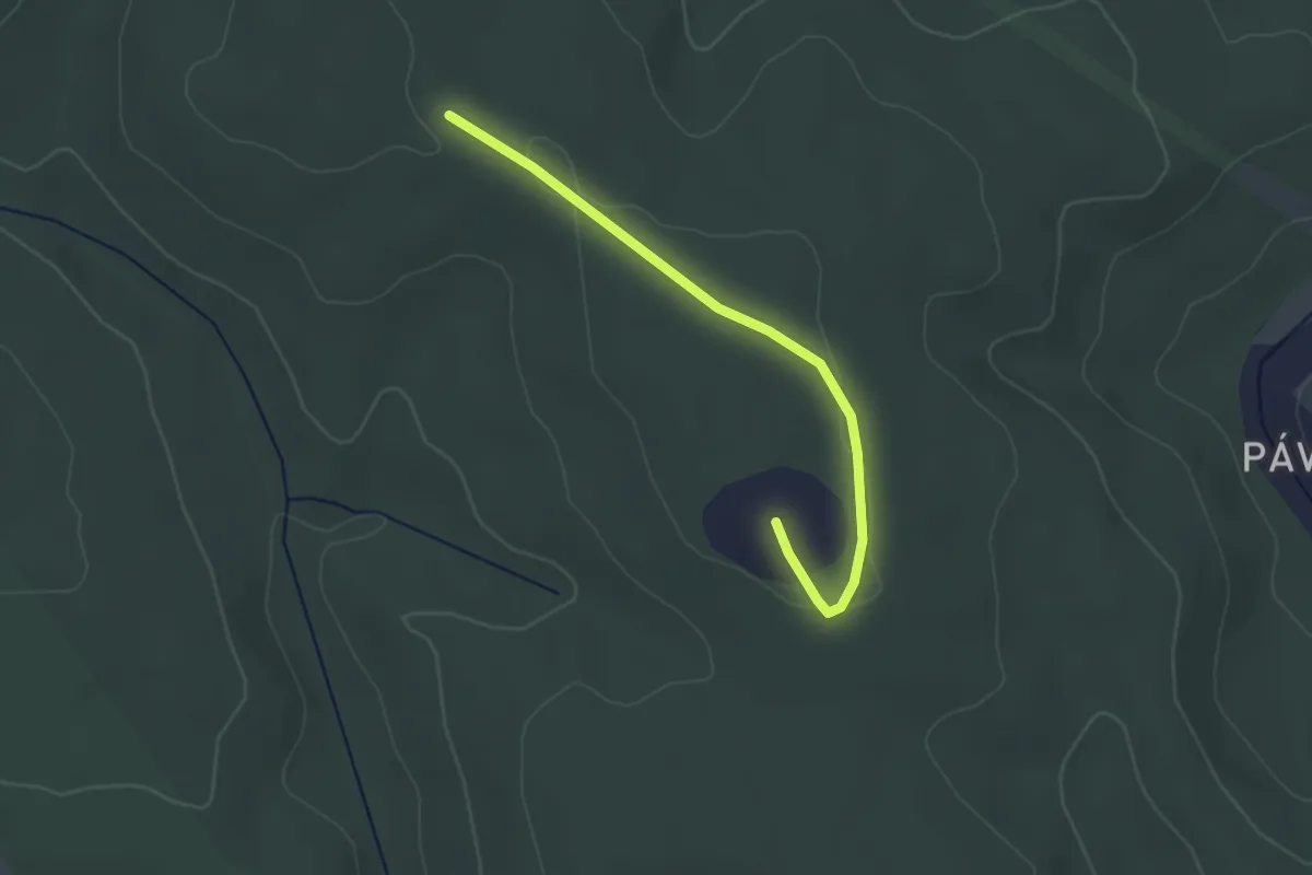
Easy · Trail
S▙ (Leányvár)
2.9 km · ↑ 17 m · 43 min
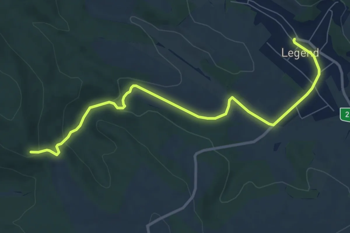
Easy · Trail
S▲ (Legénd – Kő-hegyi kilátó)
7.8 km · ↑ 153 m · 2 h 11 min
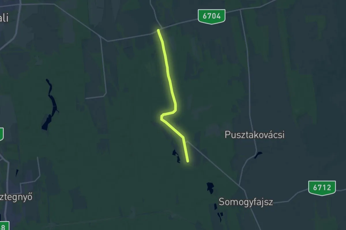
Medium · Trail
S+ (Libickozma – Nikla)
14.2 km · ↑ 35 m · 3 h 26 min
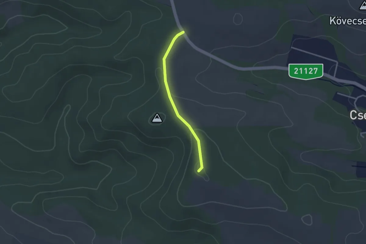
Easy · Trail
S▲ (Lipinye)
2.1 km · ↑ 47 m · 36 min
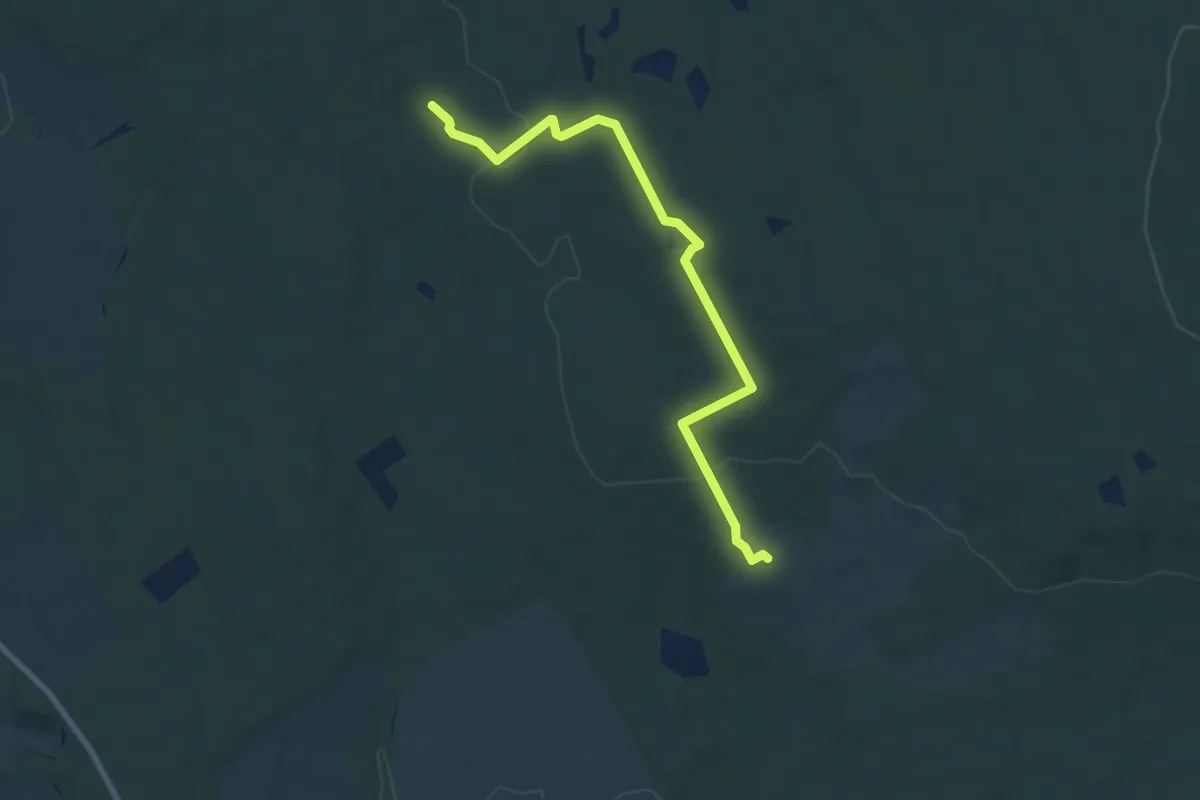
Medium · Summit
S▲ (Lugos-tető)
8.0 km · ↑ 95 m · 2 h 6 min
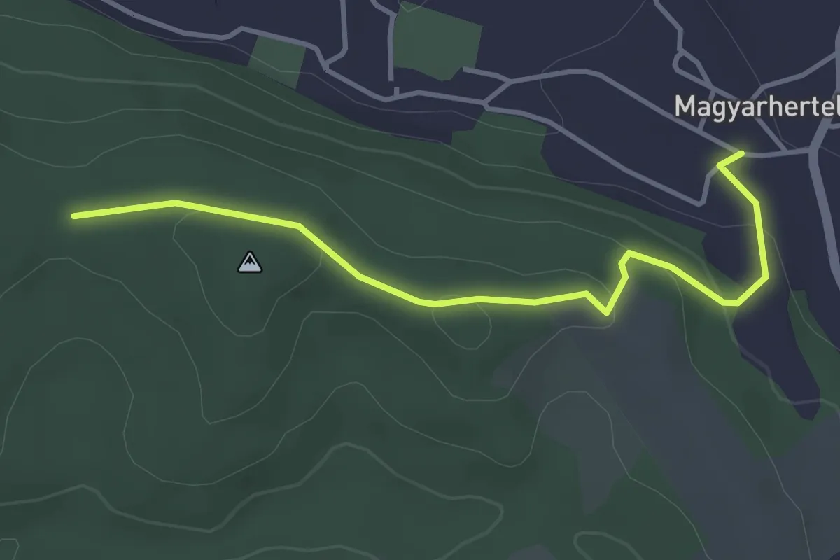
Easy · Trail
S▲ (Magyarhertelend - Napszentély kilátó)
3.7 km · ↑ 114 m · 1 h 7 min
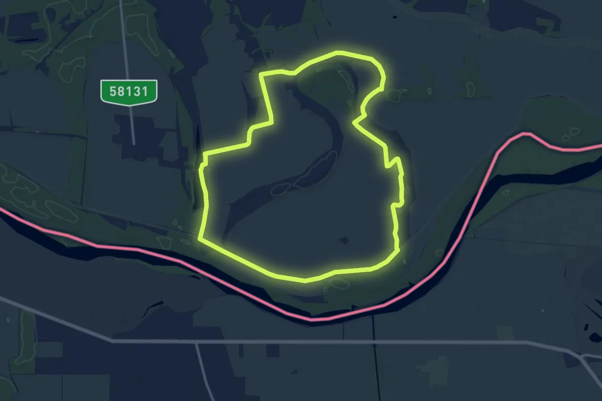
Medium · Trail
S↺ (Mailáthi horgásztó – Kisinci-tó (Ó-Dráva-meder) – Mailáthi horgásztó)
12.4 km · ↑ 24 m · 3 h 10 min
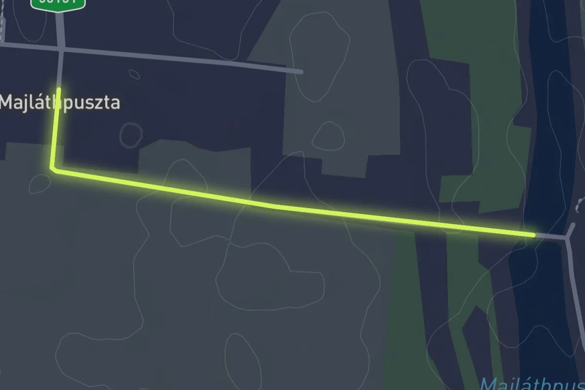
Easy · Trail
S (Mailáthpuszta, kulcsosház– Szaporca – Csákányos dűlő – Kórós – Hegyszentmárton – Baksa – Baksai-erdő – Bicsérd – Markó csárda)
2.3 km · ↑ 5 m · 33 min
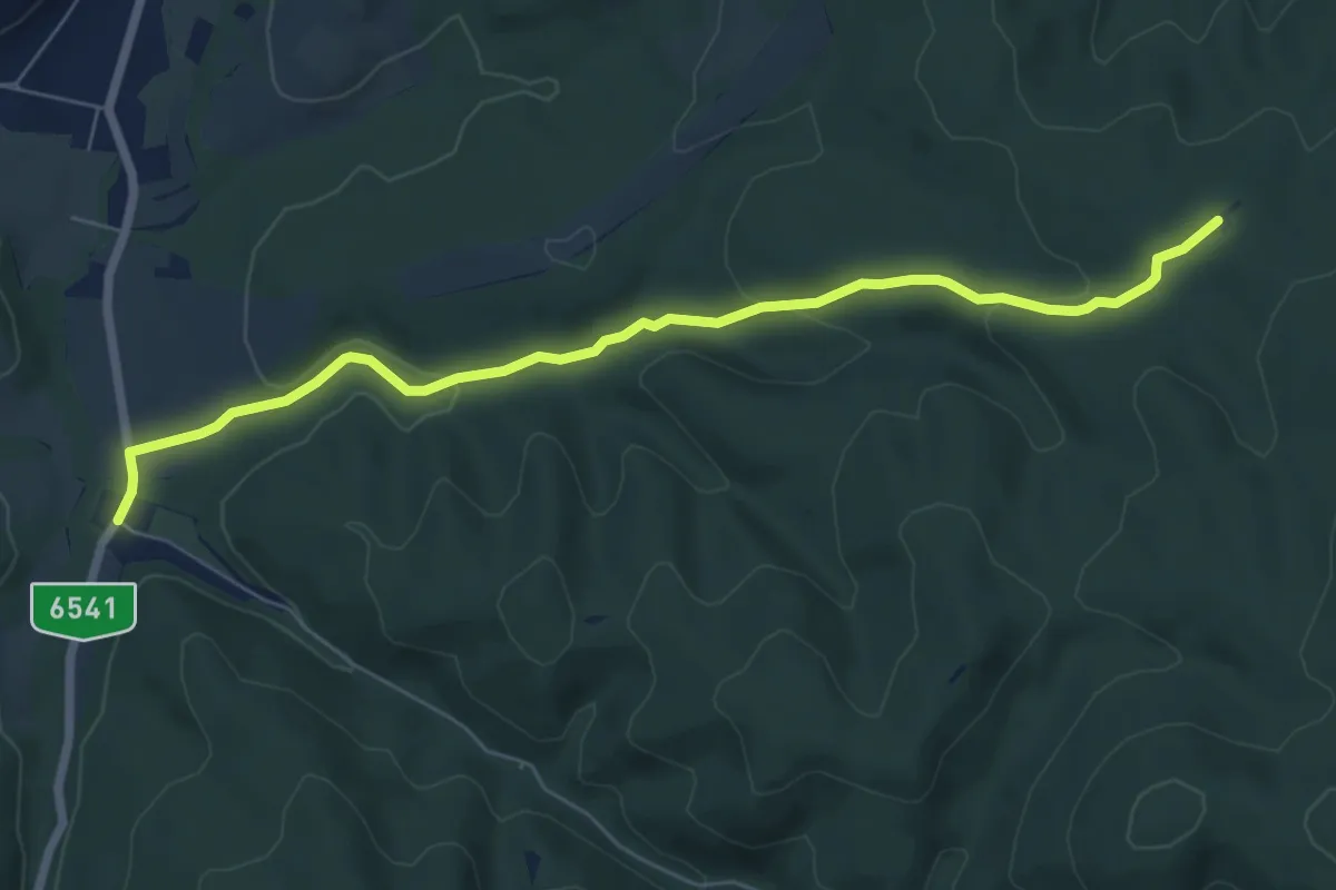
Easy · Cabin
S■ (Máré csárda – Szép-erdő – Vörösfenyő kulcsosház)
7.2 km · ↑ 155 m · 2 h 2 min
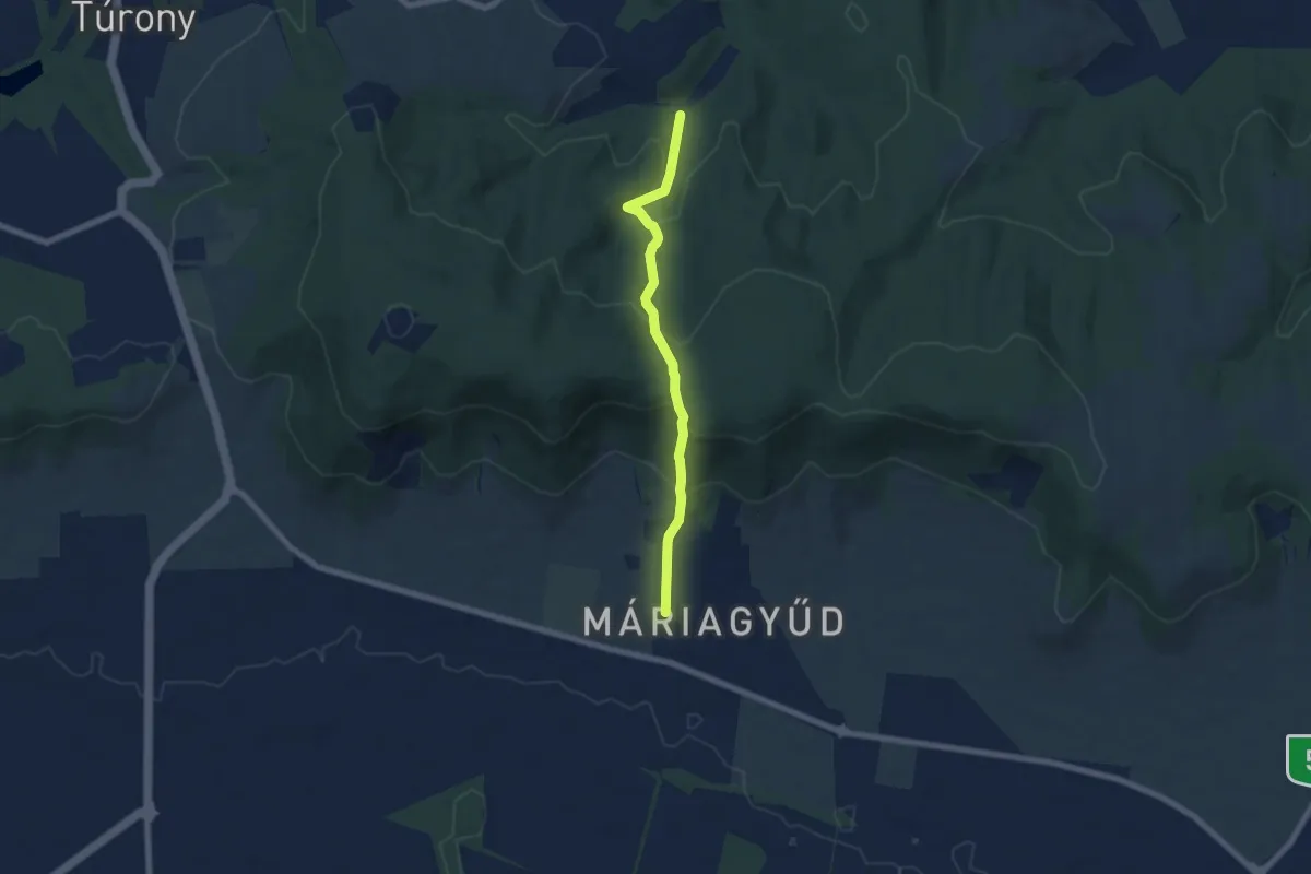
Medium · Trail
S+ (Máriagyűd, autóbusz forduló – Bisse)
6.2 km · ↑ 386 m · 2 h 18 min
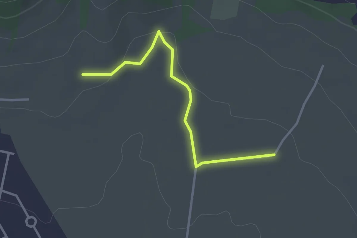
Easy · Trail
S+ (Máriagyűd, Csukma-dűlő – Macska-lyuk)
2.7 km · ↑ 52 m · 45 min
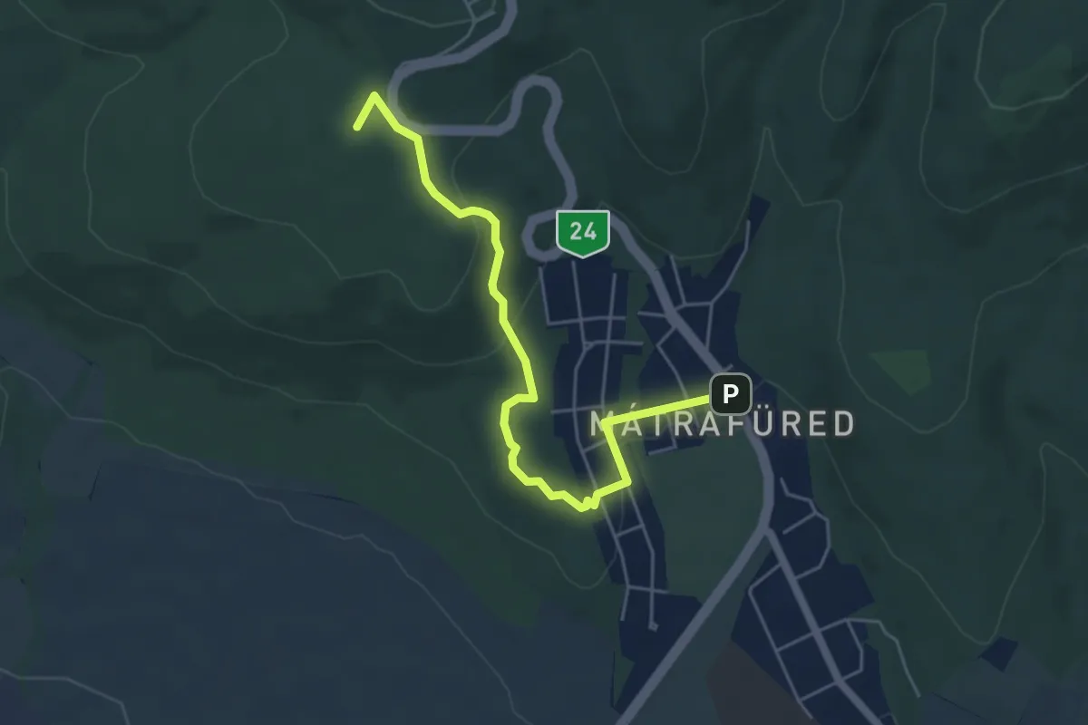
Easy · Summit
S▲ (Mátrafüred, Kozmáry-kilátó)
5.1 km · ↑ 152 m · 1 h 32 min
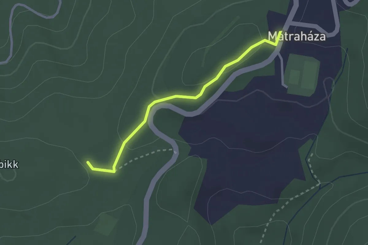
Medium · Trail
S▲ (Mátraháza – Tetves-rét)
2.2 km · ↑ 67 m · 40 min
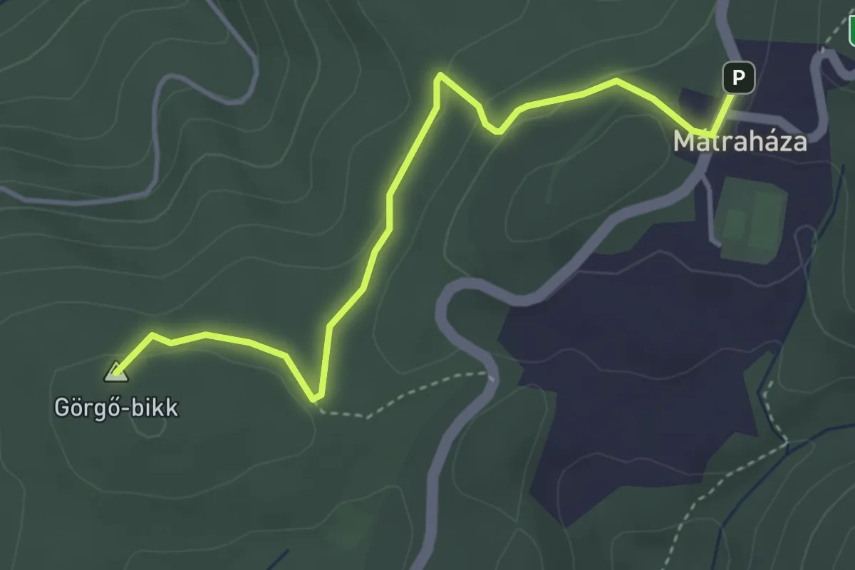
Easy · Summit
S■ (Mátraháza – Üstökfő)
3.9 km · ↑ 125 m · 1 h 12 min
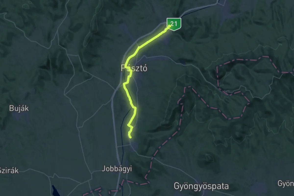
Medium · Pilgrim path
SM, Mária-út, M56-01
15.3 km · ↑ 59 m · 3 h 57 min
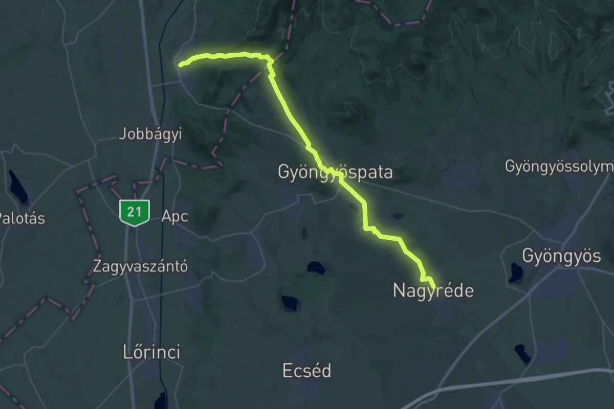
Demanding · Pilgrim path
SM, Mária-út, M56-02
19.2 km · ↑ 347 m · 5 h 33 min
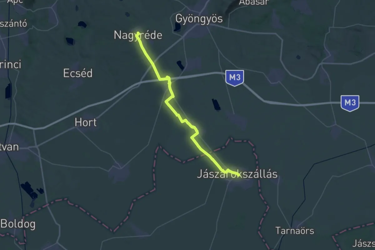
Demanding · Pilgrim path
SM, Mária-út, M56-03
21.0 km · ↑ 39 m · 5 h 21 min
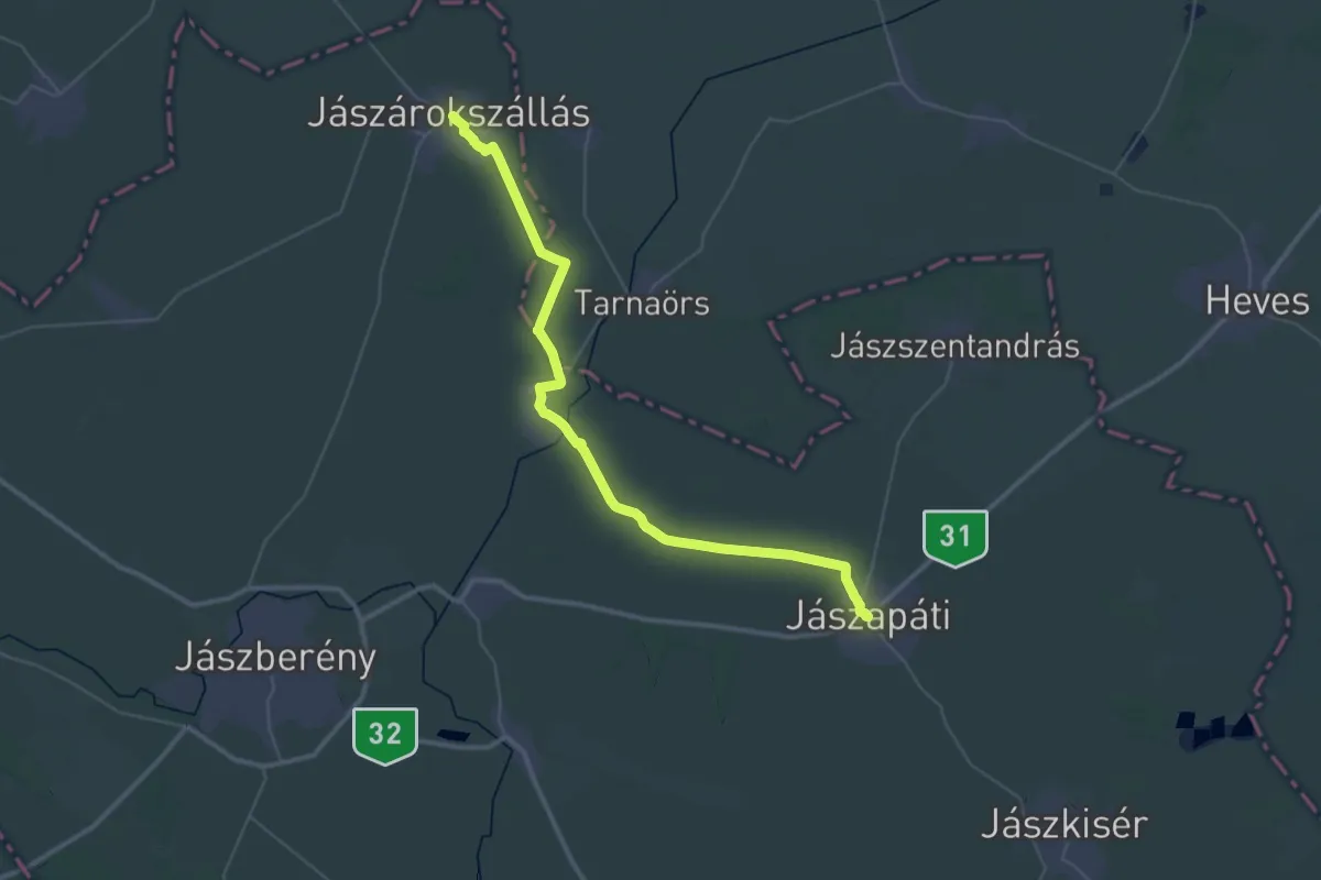
Demanding · Pilgrim path
SM, Mária-út, M56-04
23.5 km · ↑ 8 m · 5 h 53 min
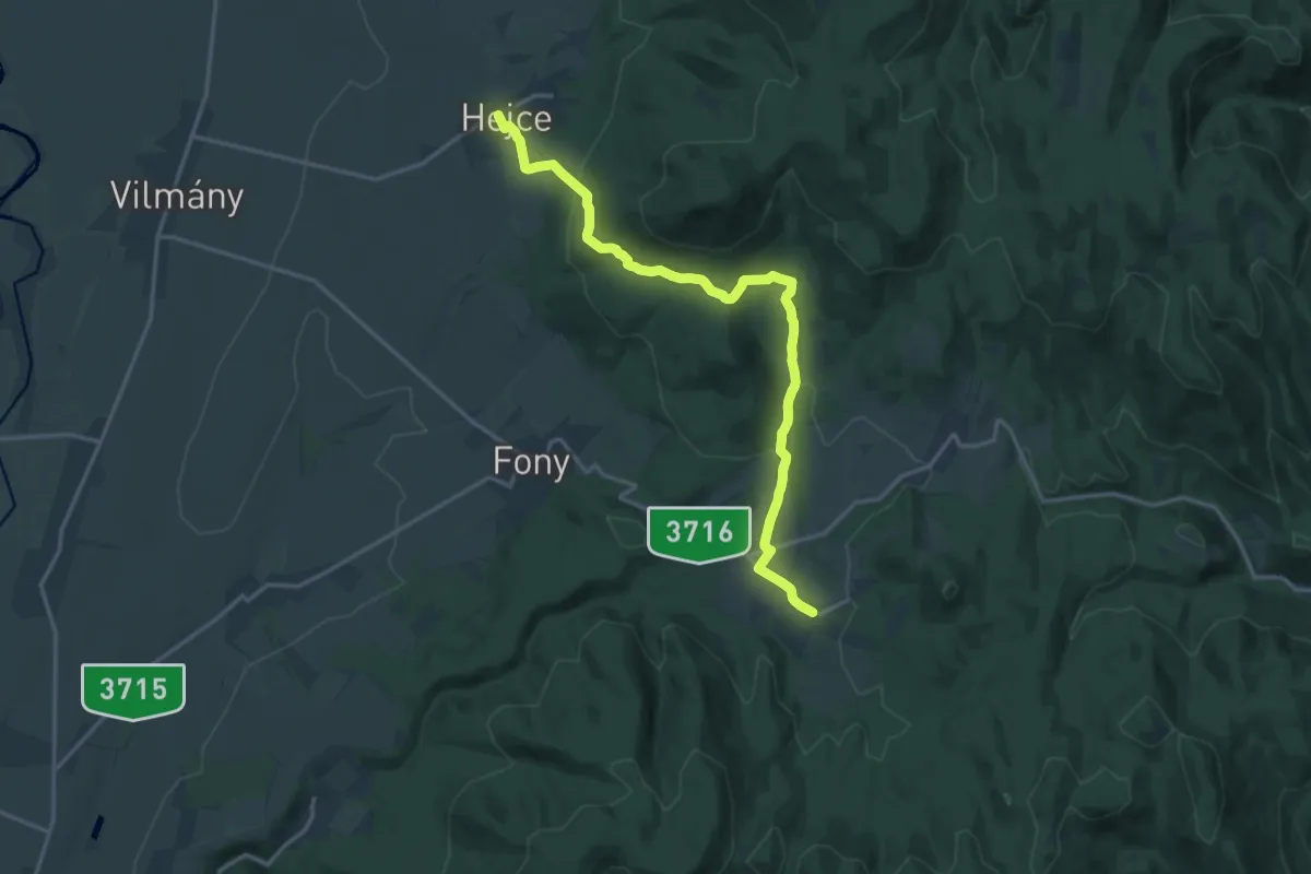
Medium · Trail
S (Mogyoróska – Hejce)
17.2 km · ↑ 456 m · 5 h 4 min
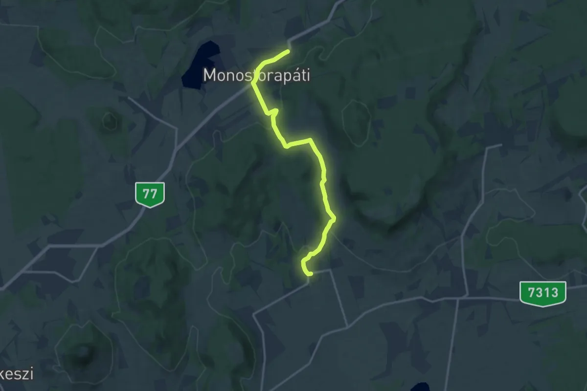
Medium · Trail
S ( Monostorapáti )
12.8 km · ↑ 223 m · 3 h 31 min
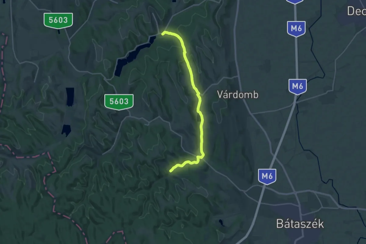
Medium · Trail
S+ (Mórágy)
17.9 km · ↑ 284 m · 4 h 51 min
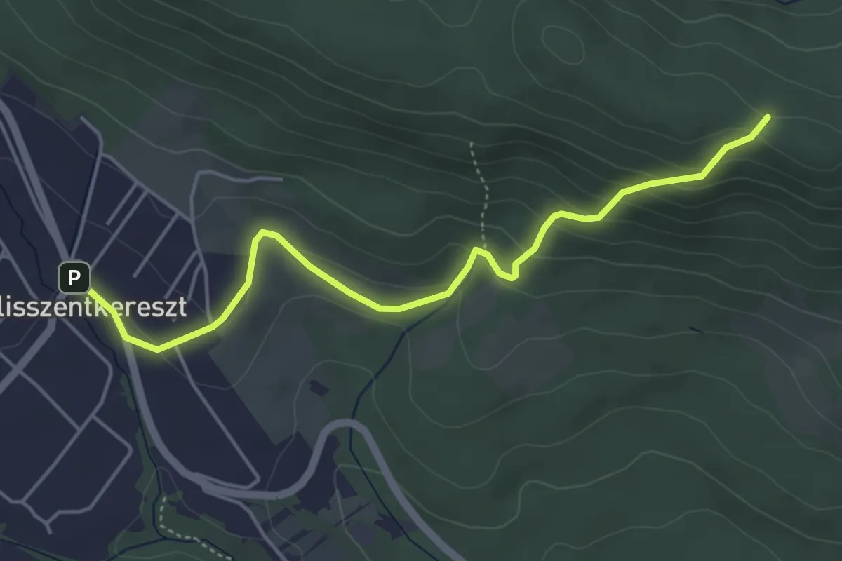
Easy · Trail
S+ (Morgó-hegyi-nyereg – Szent-kút – Pilisszentkereszt, pilisszántói elágazás aut. m.)
4.8 km · ↑ 238 m · 1 h 39 min
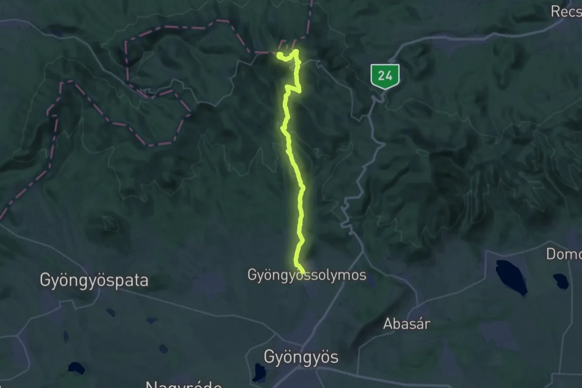
Demanding · Summit
S (Nagybátony – Mátraszentlászló – Galyatető – Gyöngyössolymos)
29.1 km · ↑ 994 m · 9 h 2 min
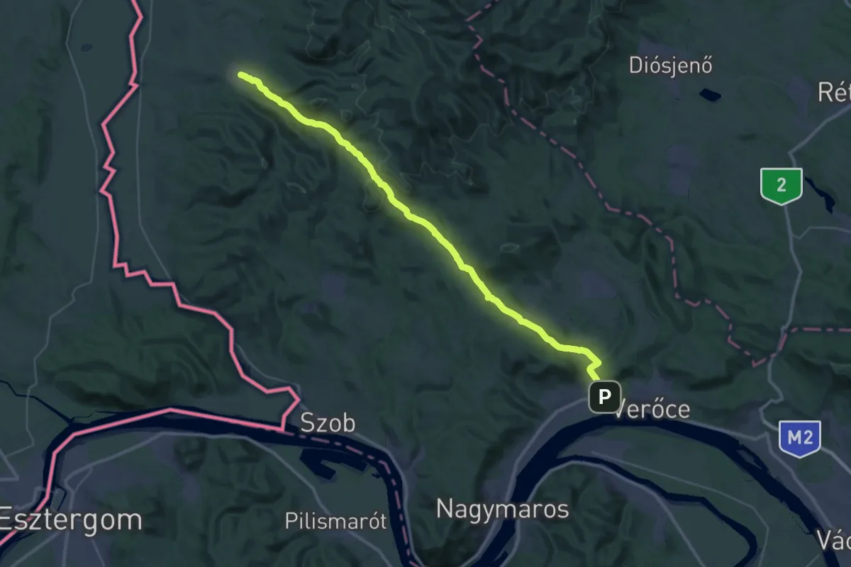
Demanding · Trail
S (Nagybörzsöny – Kismaros)
20.3 km · ↑ 451 m · 6 h 1 min
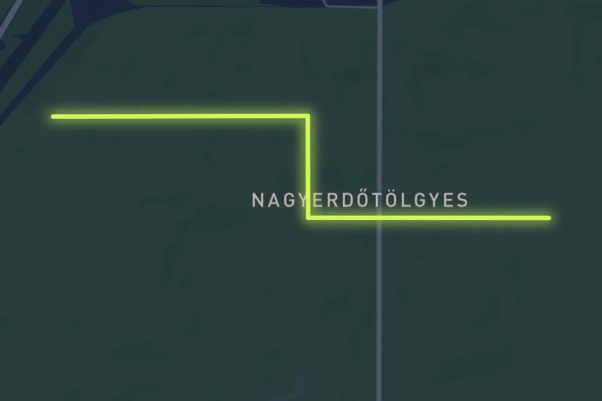
Easy · Trail
S+ (Nagyerdő)
5.5 km · ↑ 18 m · 1 h 21 min
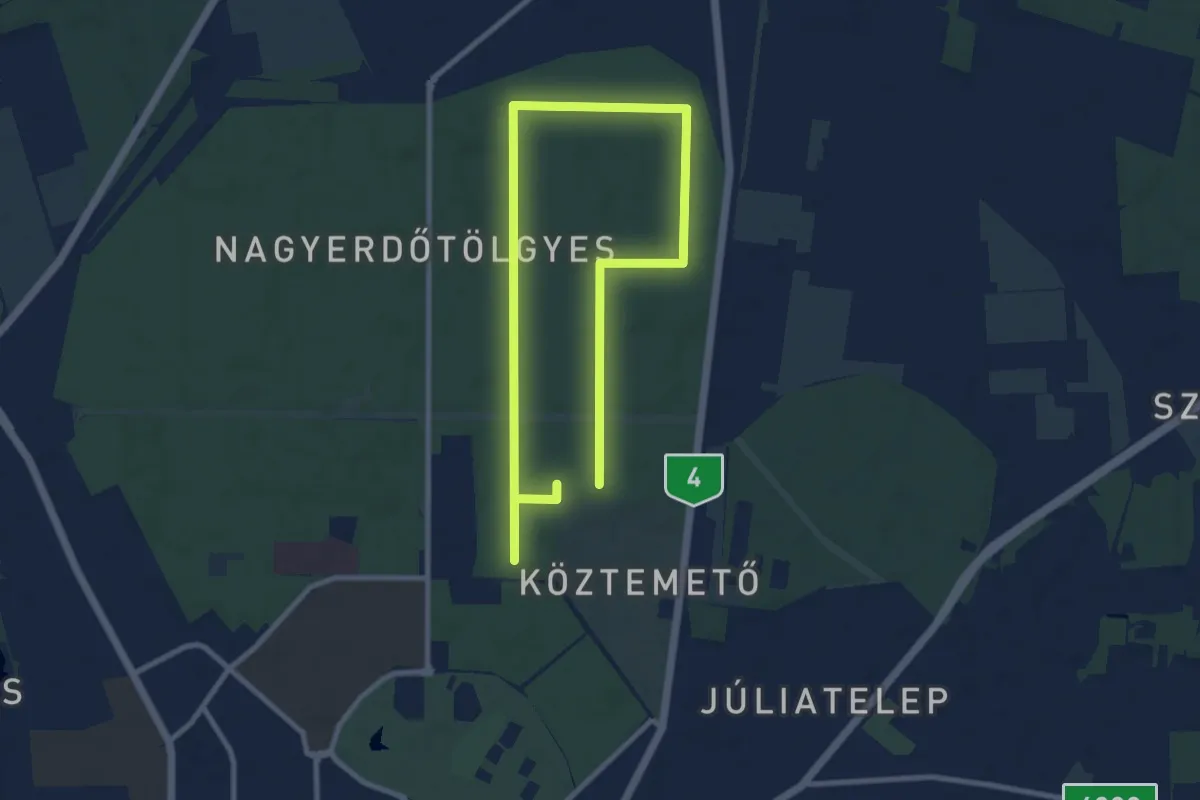
Medium · Trail
S↺ (Nagyerdő)
14.7 km · ↑ 43 m · 3 h 34 min
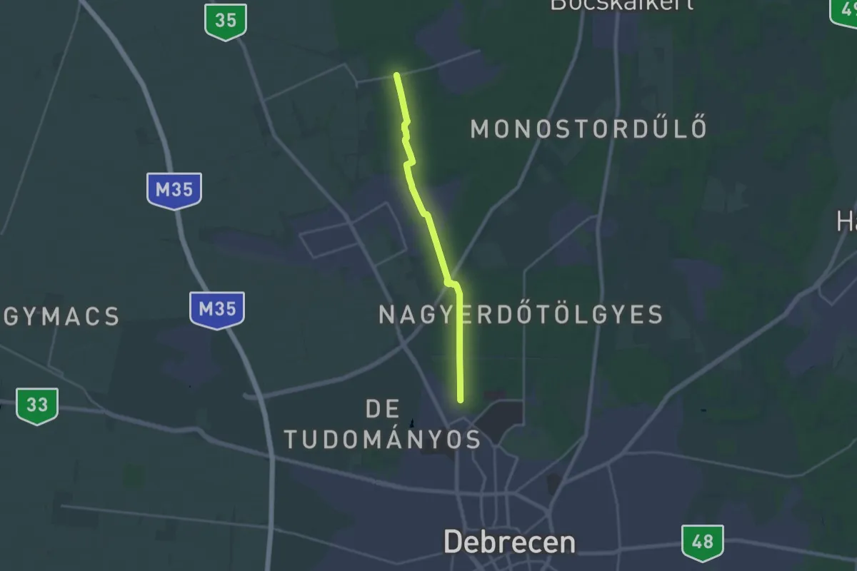
Medium · Trail
S (Nagyerdő – Zelemér)
16.4 km · ↑ 40 m · 3 h 58 min
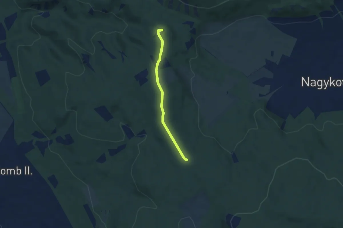
Easy · Summit
S+ (Nagykovácsi)
4.5 km · ↑ 54 m · 1 h 11 min