Trails in Hungary
2,296 hiking trails, each with its route, climb, walking time and grade.
All trails, page 33 of 48
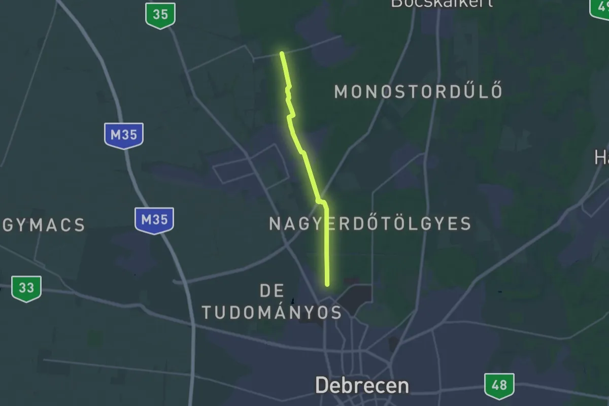
Medium · Trail
S (Nagyerdő – Zelemér)
16.4 km · ↑ 39 m · 3 h 58 min
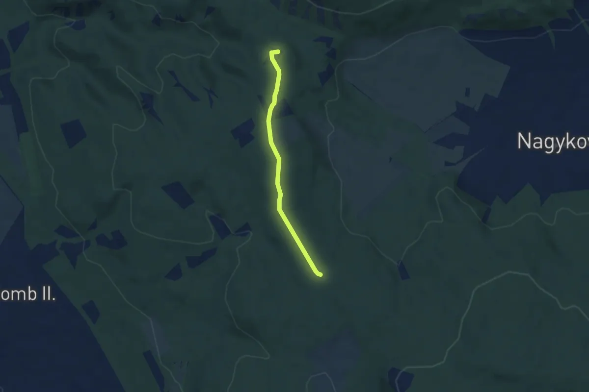
Easy · Summit
S+ (Nagykovácsi)
4.5 km · ↑ 54 m · 1 h 11 min
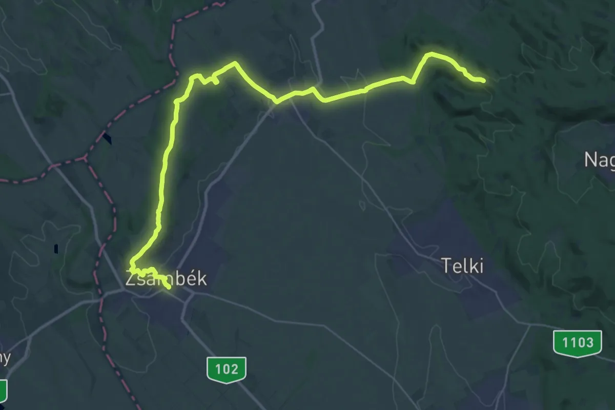
Demanding · Summit
S (Nagykovácsi, községháza aut. m. – Perbál – Zsámbék, aut. áll.)
33.7 km · ↑ 645 m · 9 h 21 min
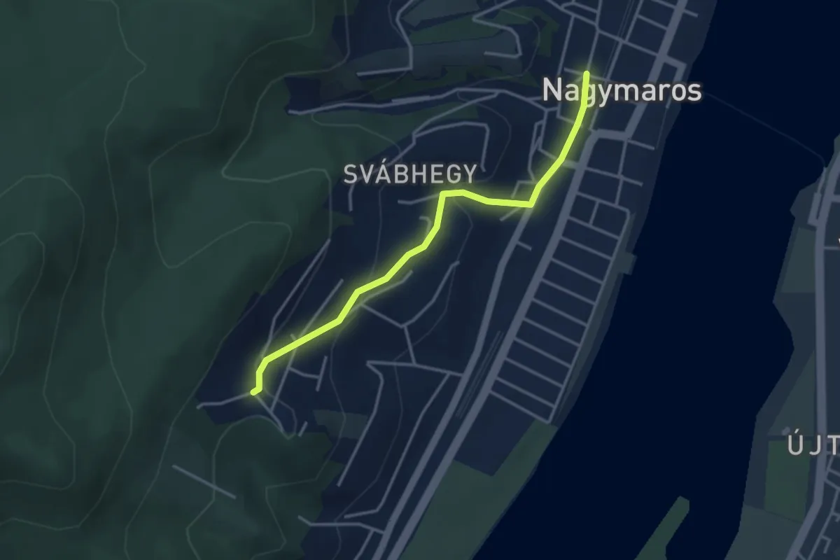
Easy · Trail
S■ (Nagymaros – Visegrád vá)
3.3 km · ↑ 138 m · 1 h 5 min
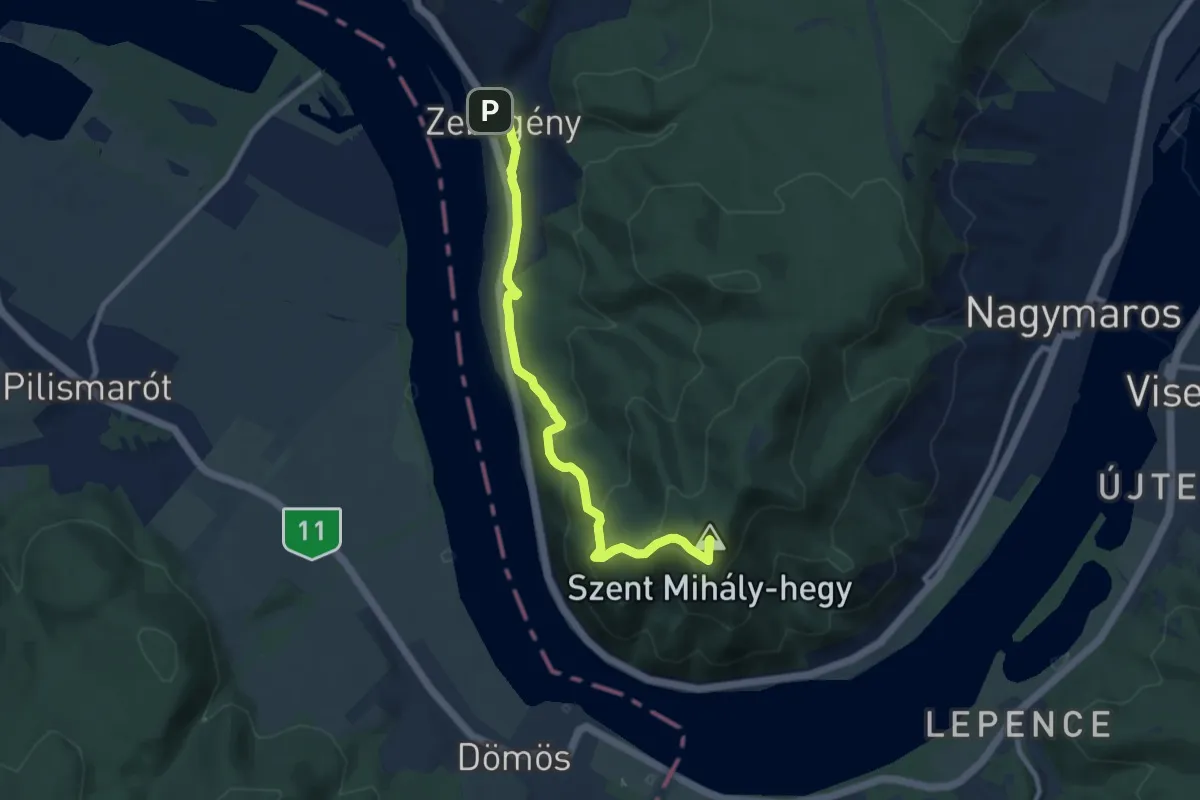
Demanding · Summit
S+ (Nagymaros – Zebegény)
8.8 km · ↑ 473 m · 3 h 6 min
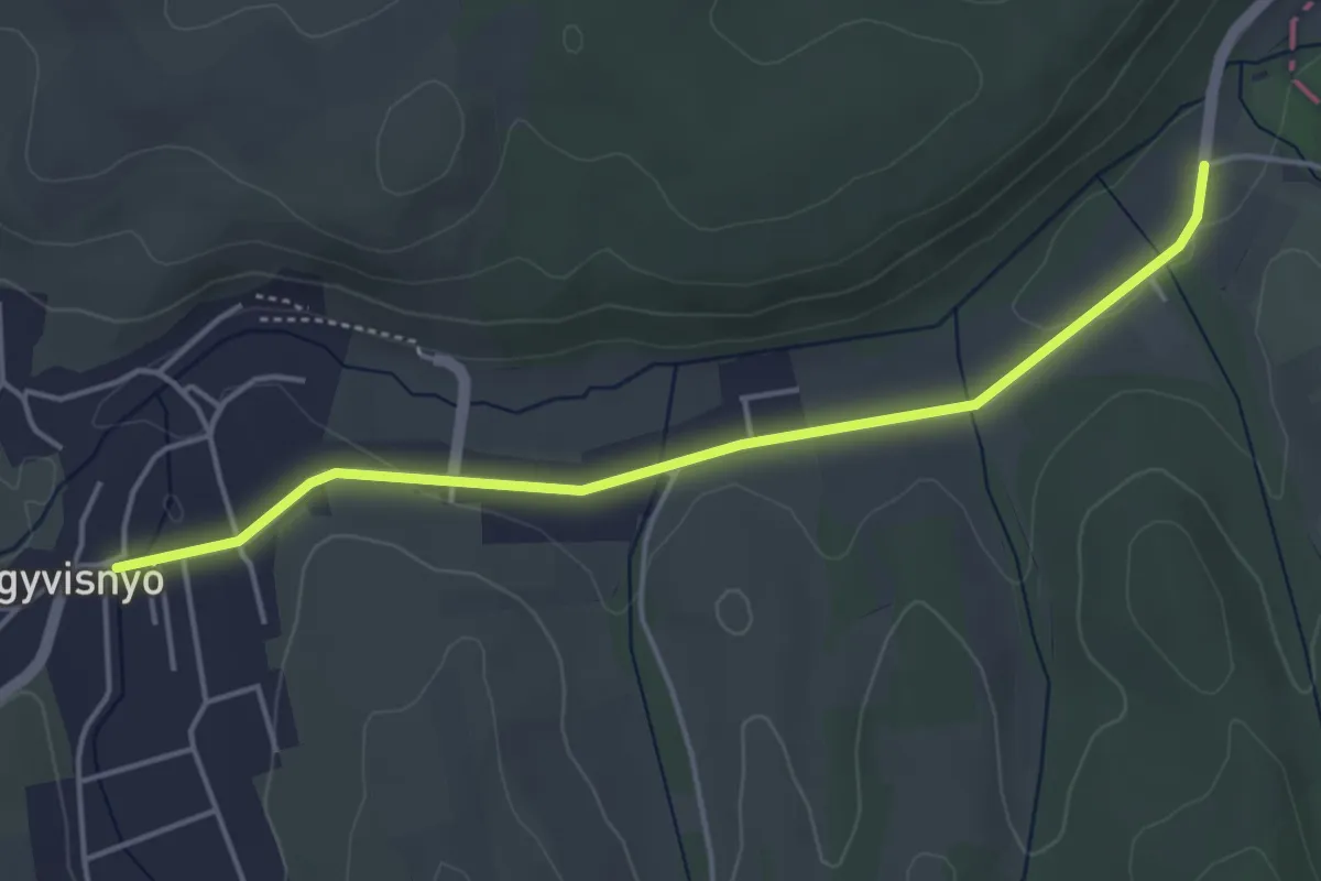
Easy · Trail
S (Nagyvisnyó)
4.4 km · ↑ 38 m · 1 h 7 min
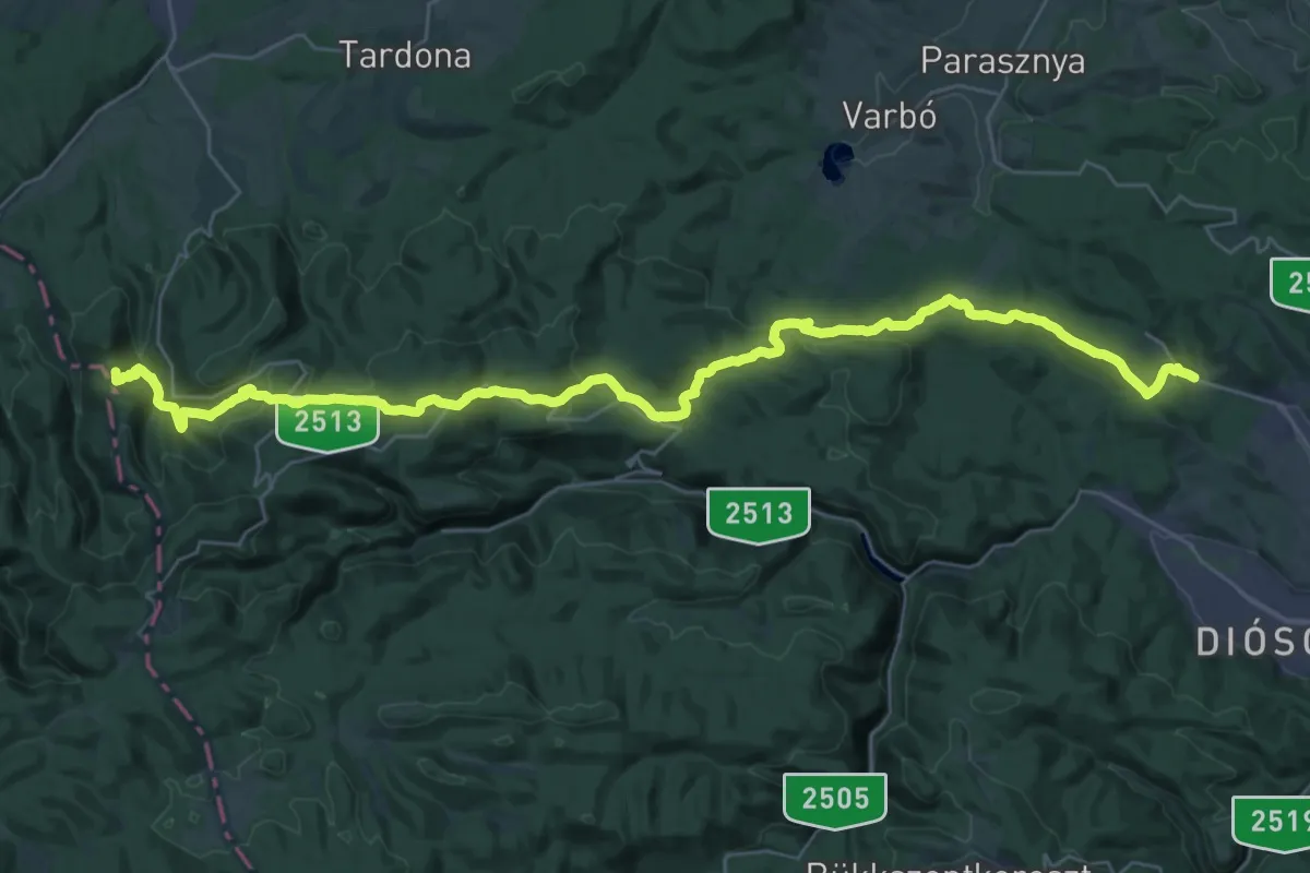
Demanding · Summit
S (Nagyvisnyó – Miskolc)
37.7 km · ↑ 1259 m · 11 h 38 min
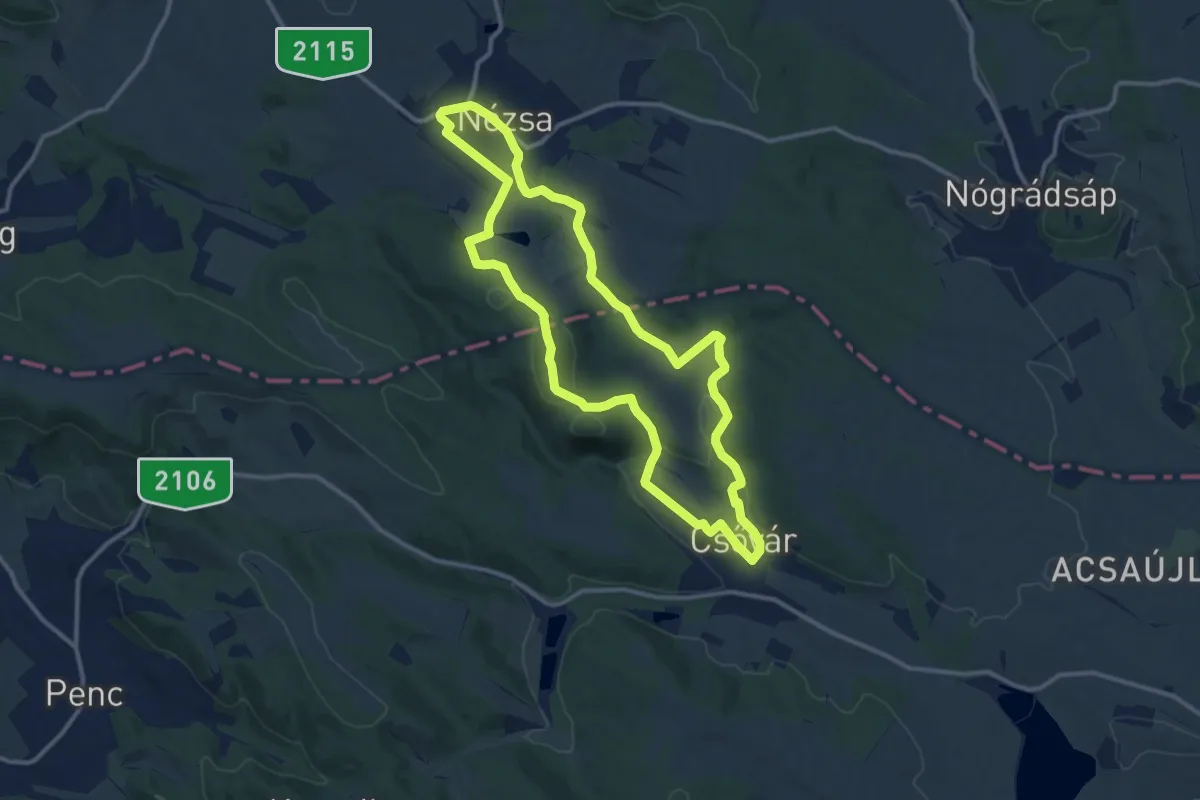
Medium · Summit
S↺ (Nézsa)
11.6 km · ↑ 221 m · 3 h 23 min
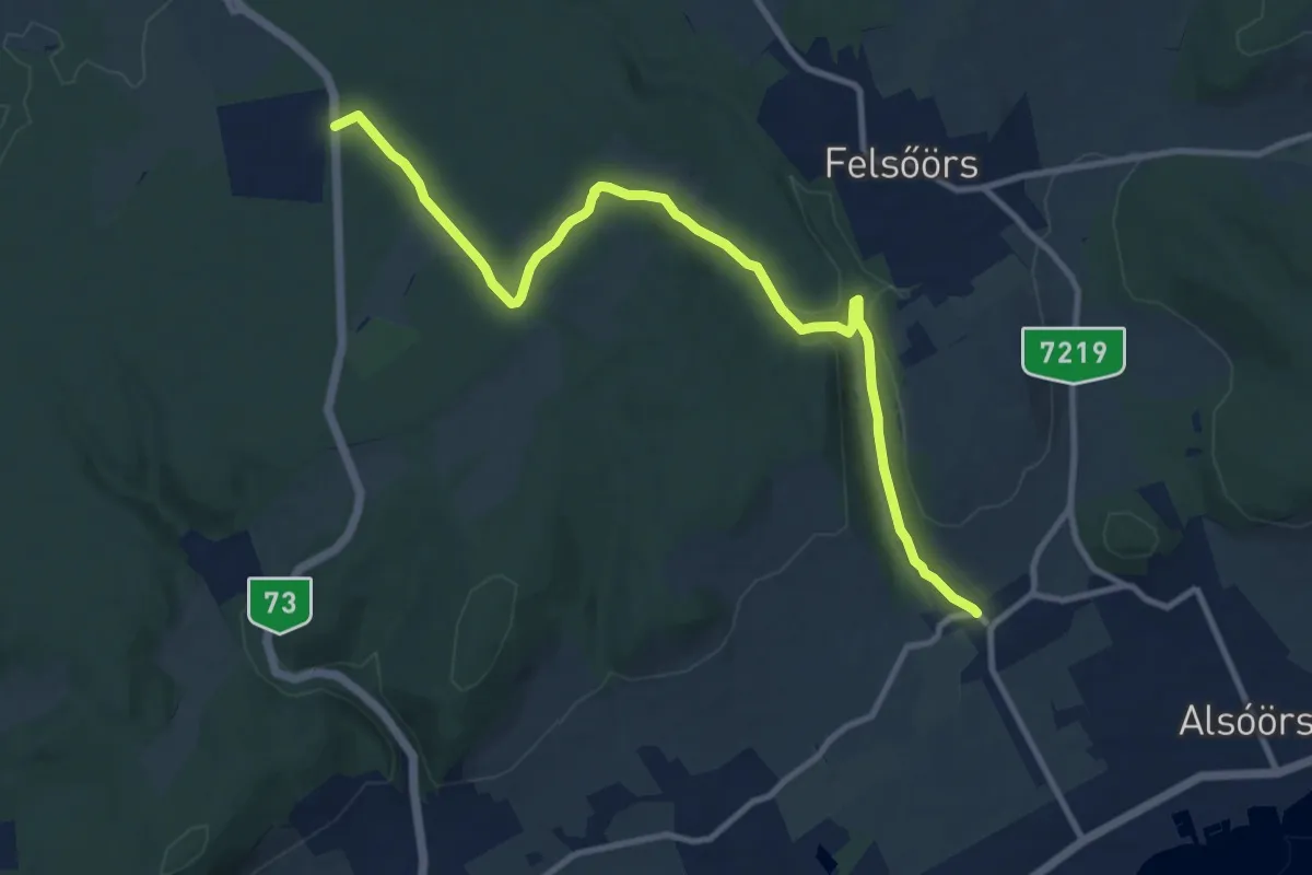
Medium · Trail
S (Nosztori – Lovas)
11.7 km · ↑ 159 m · 3 h 7 min
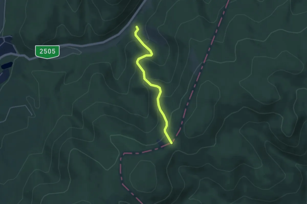
Easy · Trail
S+ (Noszvaj-lápa – Török út)
3.5 km · ↑ 244 m · 1 h 21 min
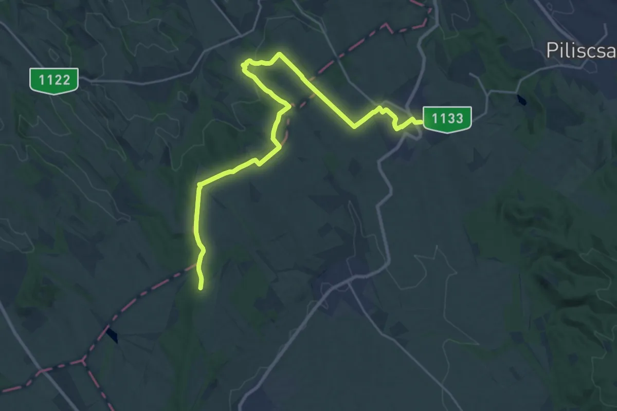
Demanding · Trail
S+ (Nyakas-tető-Tinnye)
22.5 km · ↑ 347 m · 6 h 3 min
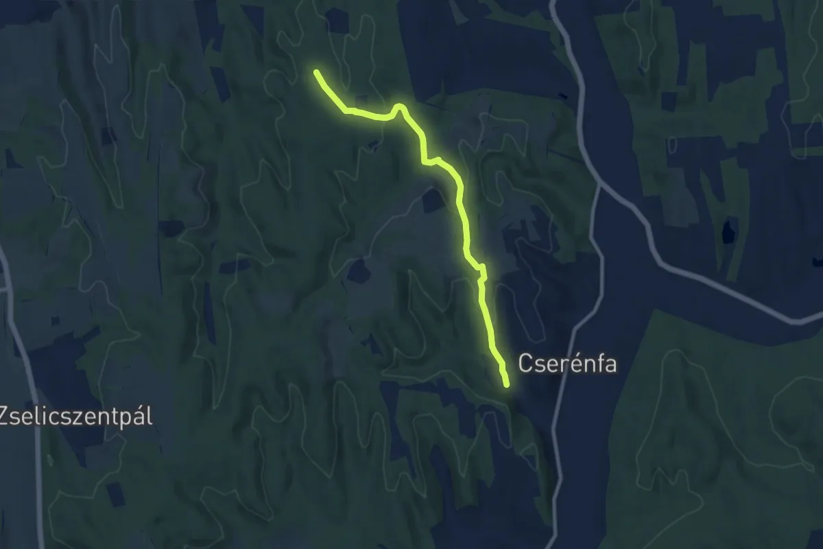
Medium · Trail
S● (Nyárszói-erdő – Herczeg-forrás – Cserénfa, Kustos)
8.5 km · ↑ 209 m · 2 h 27 min
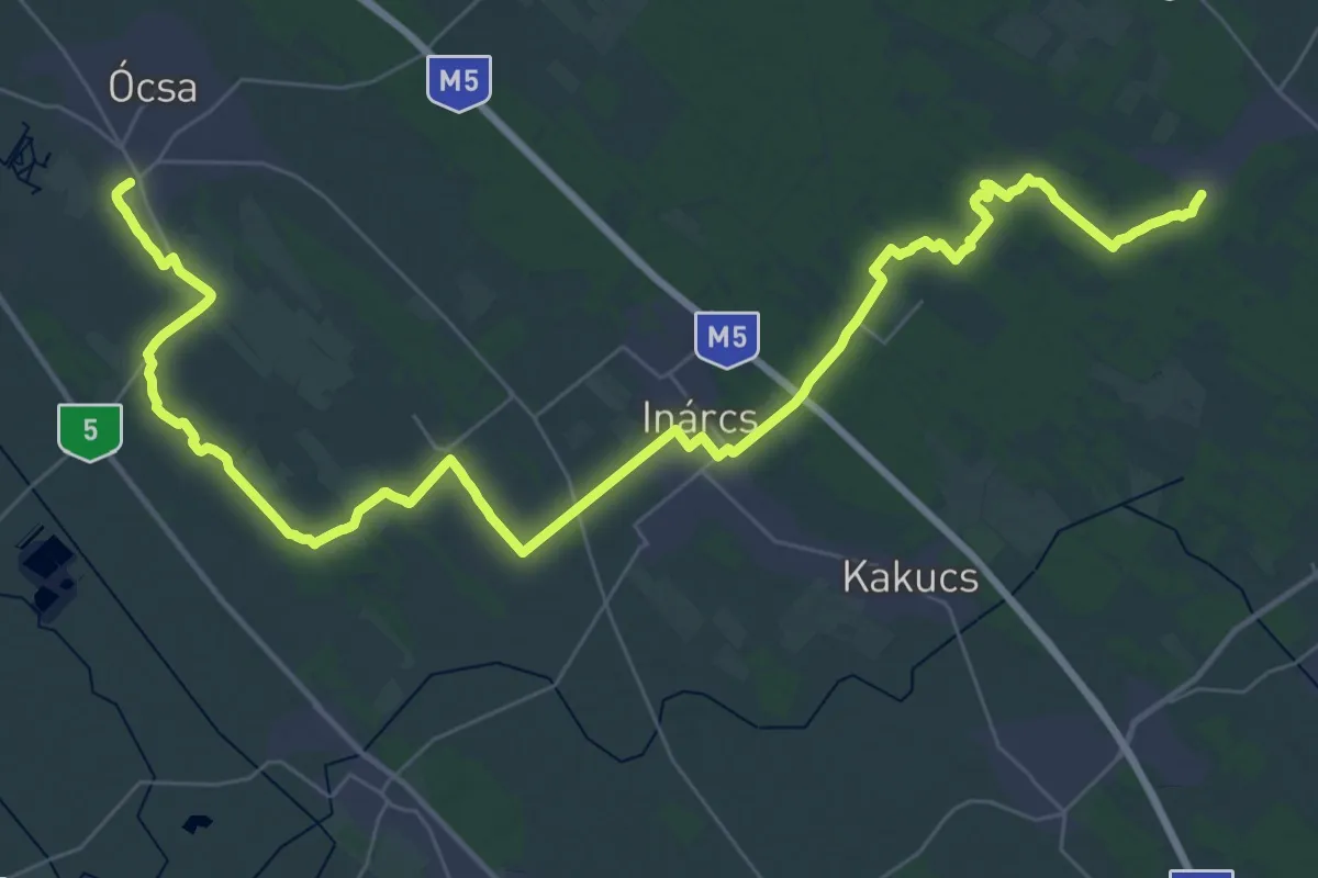
Demanding · Trail
S (Ócsa – Csévharaszt)
25.2 km · ↑ 62 m · 6 h 26 min
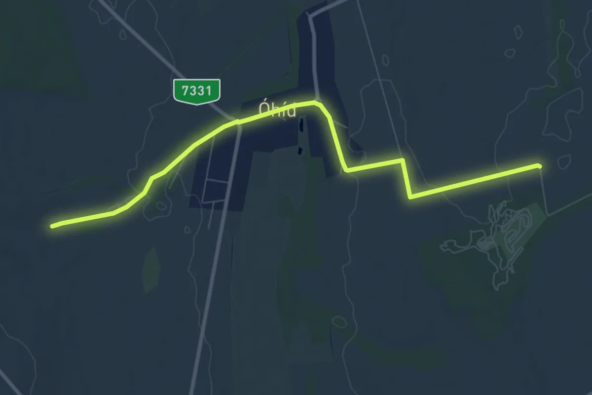
Medium · Trail
S+ (Óhíd)
8.7 km · ↑ 36 m · 2 h 8 min
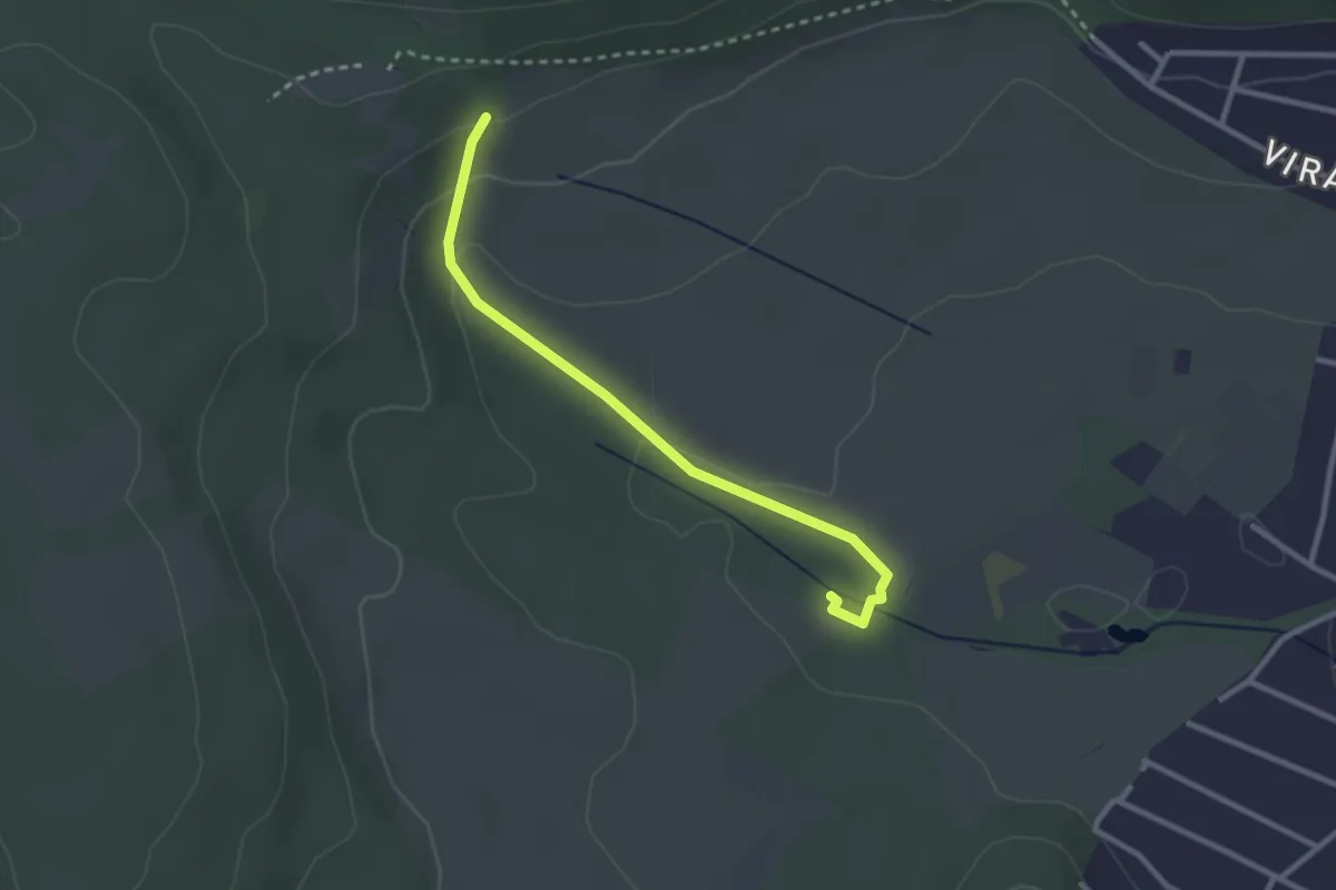
Easy · Trail
S● (Ördög-árok)
2.7 km · ↑ 68 m · 47 min
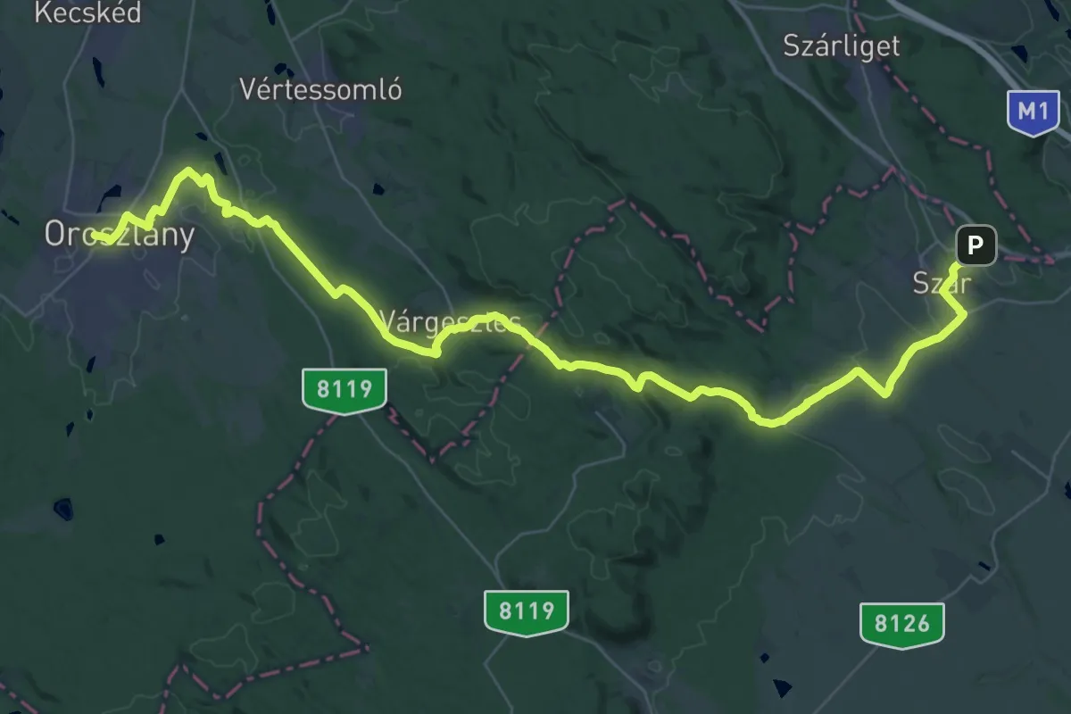
Demanding · Trail
S (Oroszlány – Várgesztes – Szár)
23.7 km · ↑ 365 m · 6 h 44 min
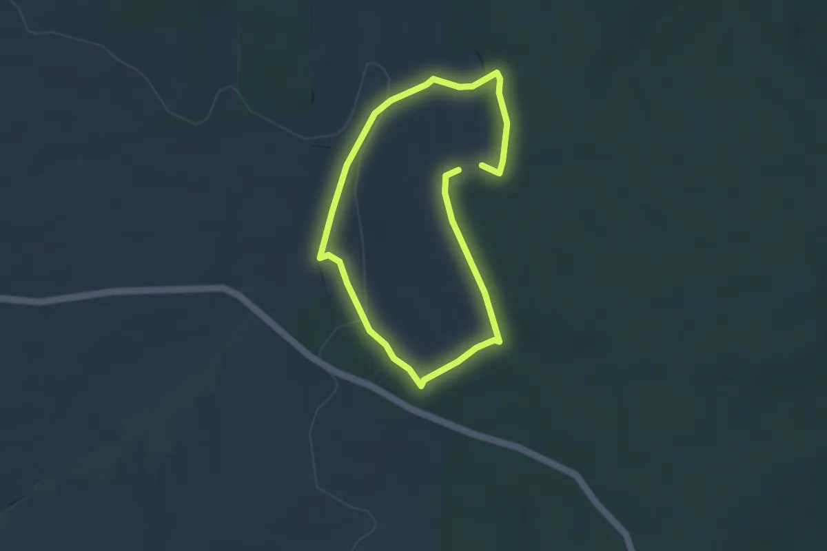
Easy · Trail
S↺, Oszkói kör
2.7 km · ↑ 42 m · 46 min
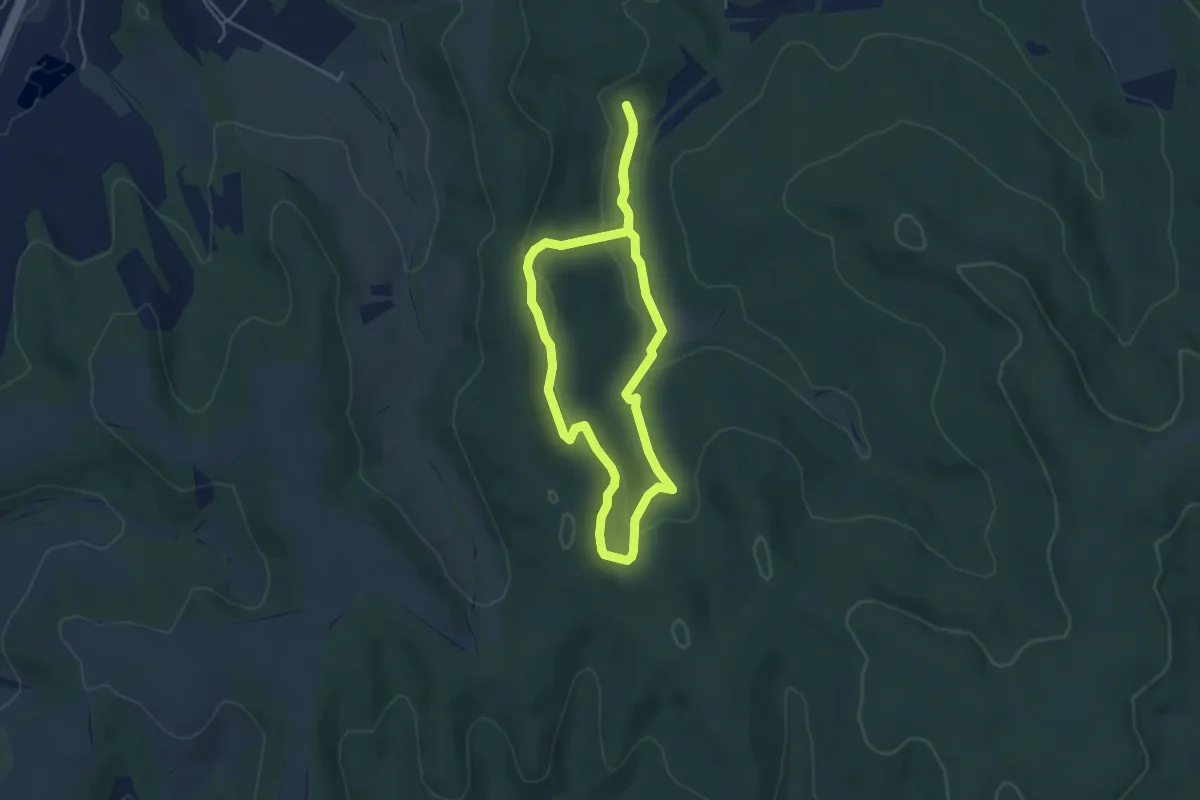
Easy · Trail
Sötét-völgyi futópálya
4.2 km · ↑ 127 m · 1 h 19 min
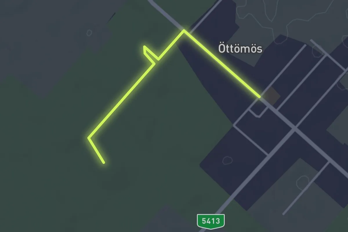
Easy · Summit
S▲ (Öttömös – Erzsébet-kilátó – Csongrád-Csanád megye magaspont)
3.0 km · ↑ 4 m · 43 min
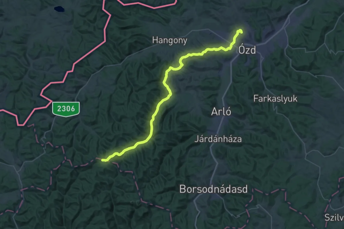
Demanding · Summit
S (Ózd)
37.2 km · ↑ 769 m · 10 h 26 min
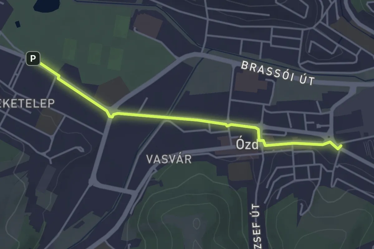
Easy · Trail
S■ (Ózd)
3.7 km · ↑ 9 m · 54 min
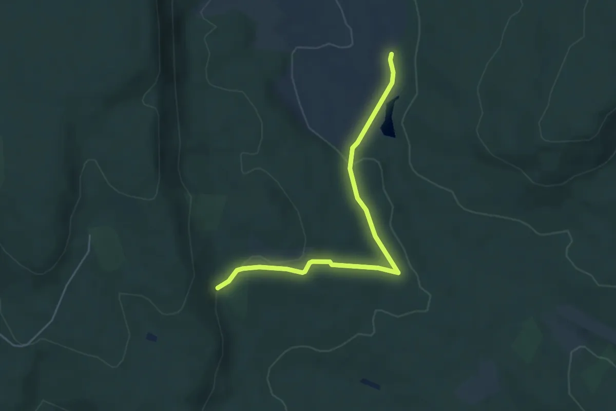
Easy · Trail
S● (Őzfej-erdő – Bundschu-kút)
4.6 km · ↑ 84 m · 1 h 16 min
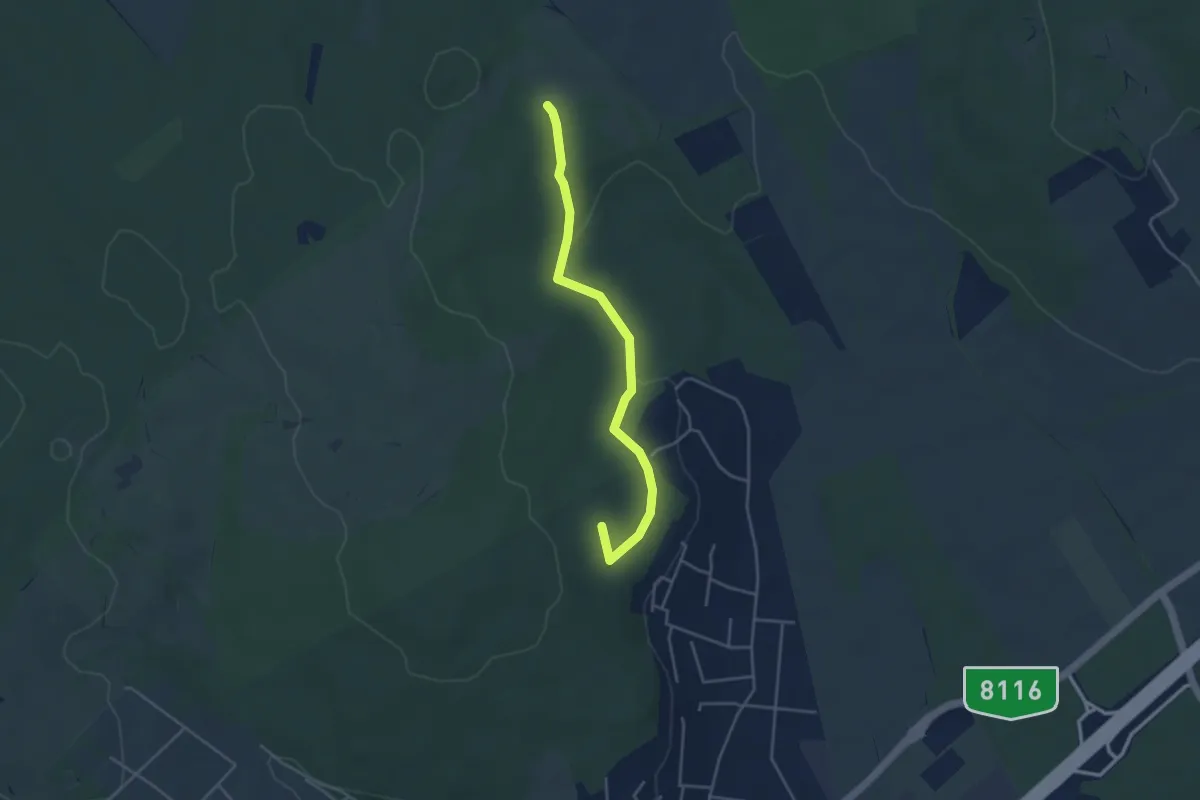
Easy · Summit
S (Pákozd – Abajka)
4.0 km · ↑ 83 m · 1 h 7 min
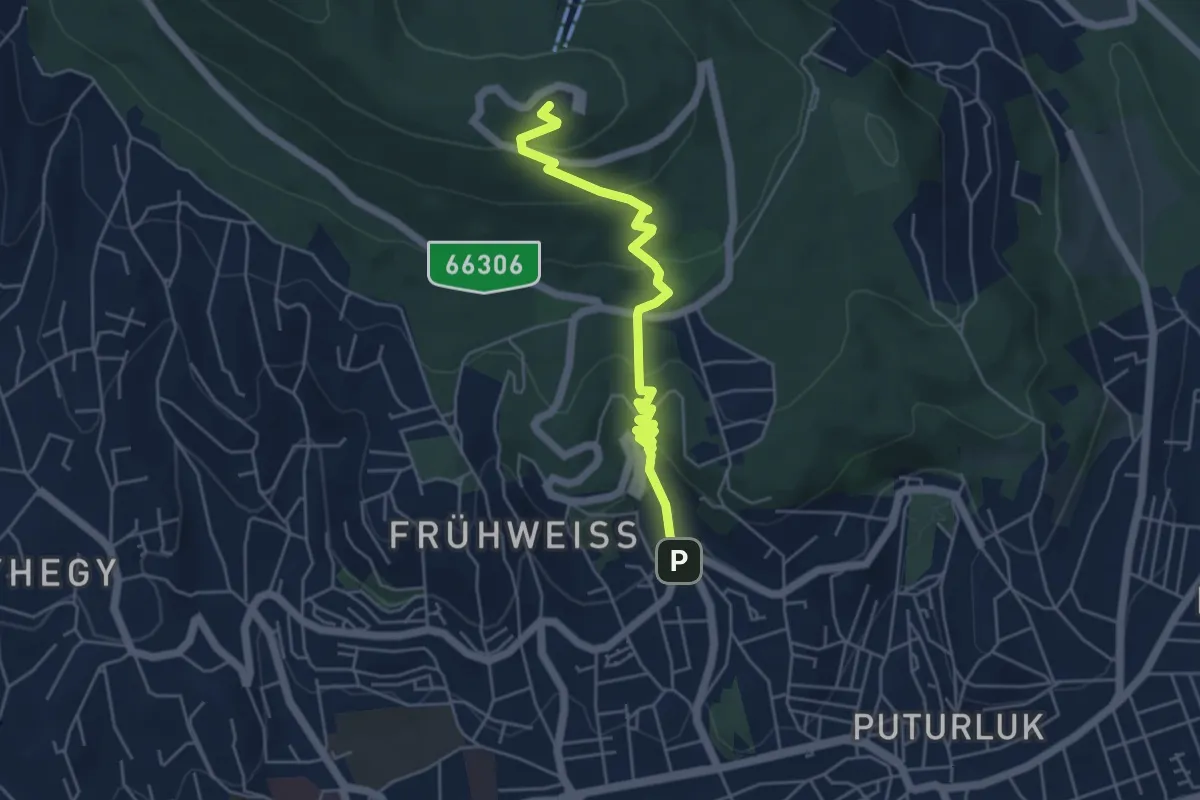
Easy · Summit
S▲ (Pálos templom – Misina – S+)
5.0 km · ↑ 278 m · 1 h 47 min
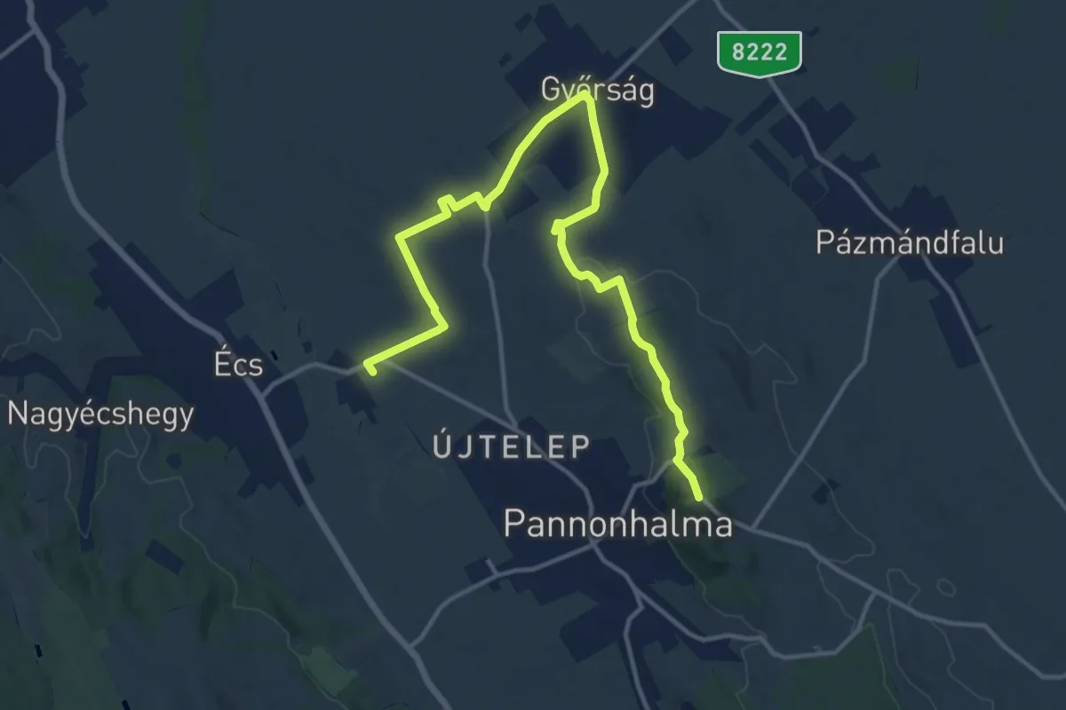
Medium · Trail
S+ (Pannonhalma – Győrság – Écs vá.)
15.4 km · ↑ 193 m · 4 h 4 min
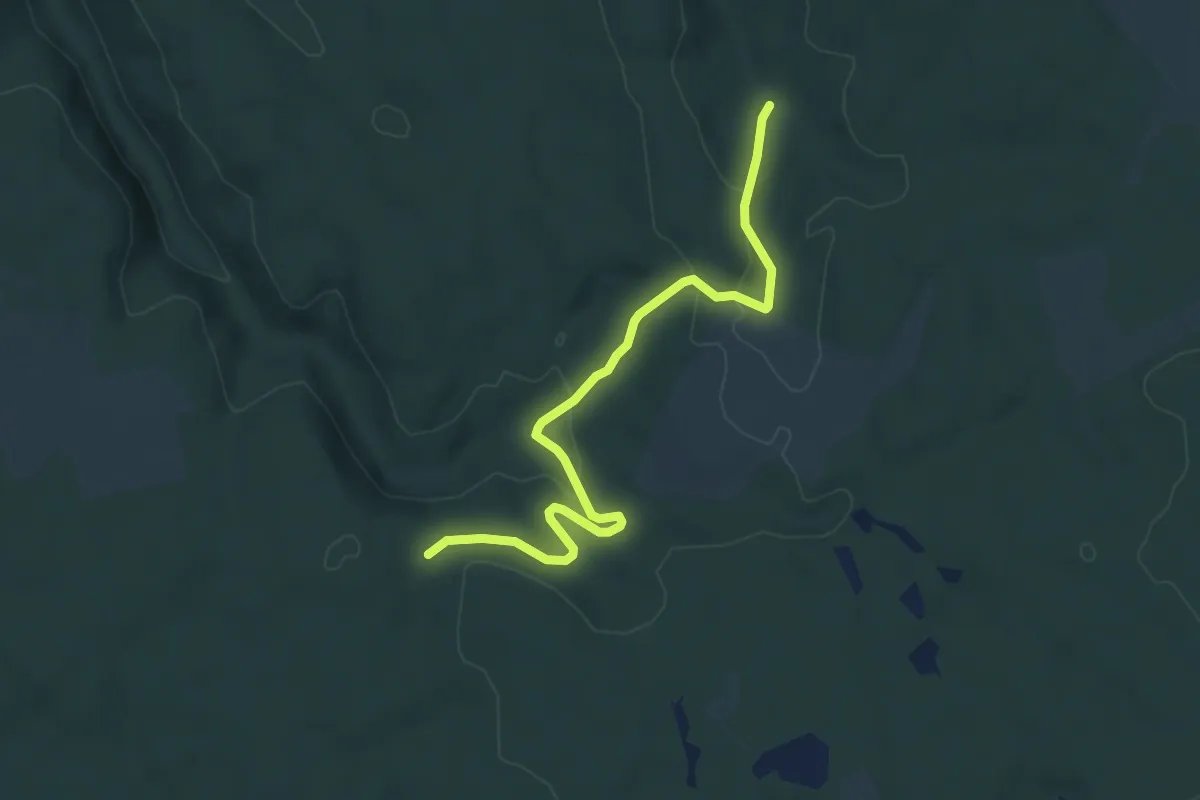
Easy · Trail
S+ (Párkalap-tisztás – Kék kereszt)
6.1 km · ↑ 166 m · 1 h 47 min
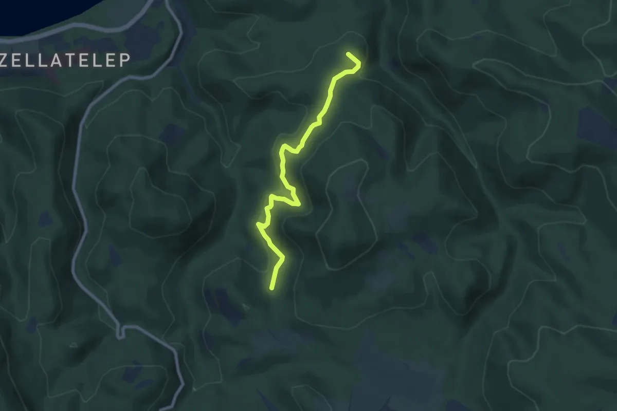
Medium · Summit
Spartacus-ösvény
6.6 km · ↑ 351 m · 2 h 20 min
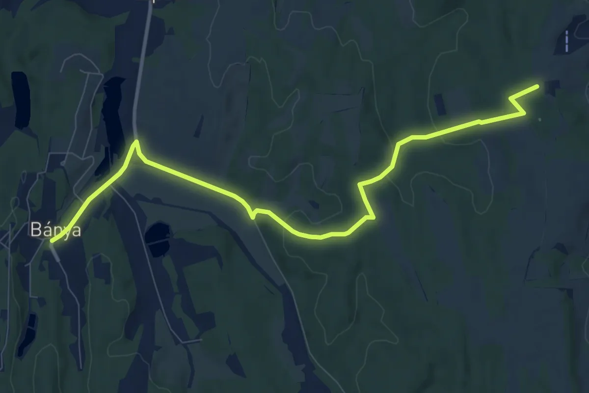
Medium · Trail
S (Patca – Bánya)
10.5 km · ↑ 189 m · 2 h 53 min
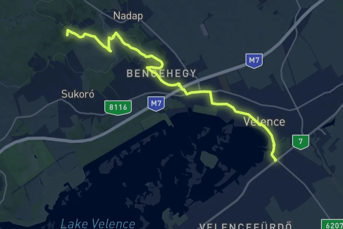
Medium · Summit
S (Pátka – Lovasberény – Nadap – Velence)
16.8 km · ↑ 251 m · 4 h 30 min
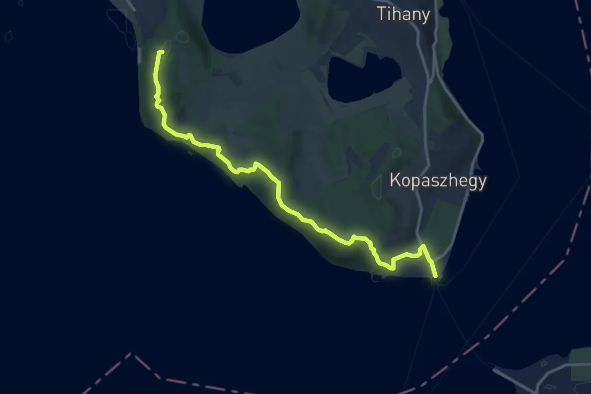
Medium · Summit
S (Pécsely – Tihany)
10.5 km · ↑ 405 m · 3 h 22 min
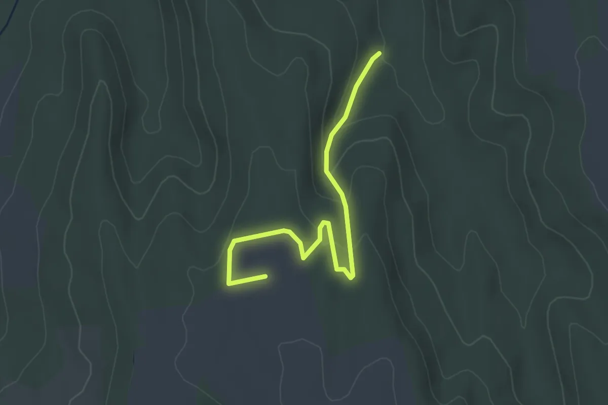
Easy · Summit
S▲ (Péter-sarok – Kéméndi-tető)
4.0 km · ↑ 123 m · 1 h 12 min
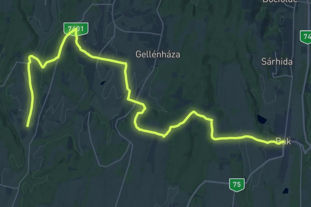
Demanding · Trail
S (Petrikeresztúr – Bak)
18.1 km · ↑ 286 m · 5 h 9 min
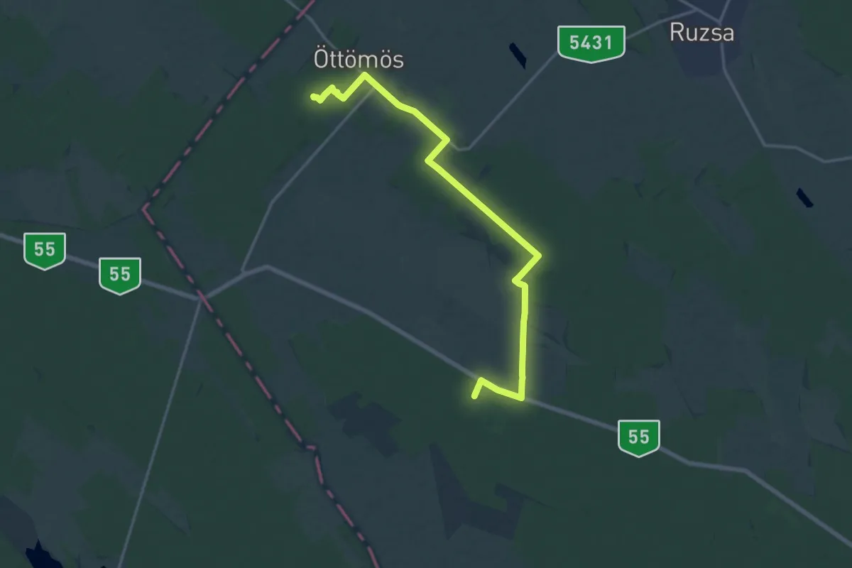
Medium · Summit
S (Petróczi iskola (AK) – Csongrád–Csanád megye magaspontja – Öttömös)
17.1 km · ↑ 21 m · 4 h 4 min
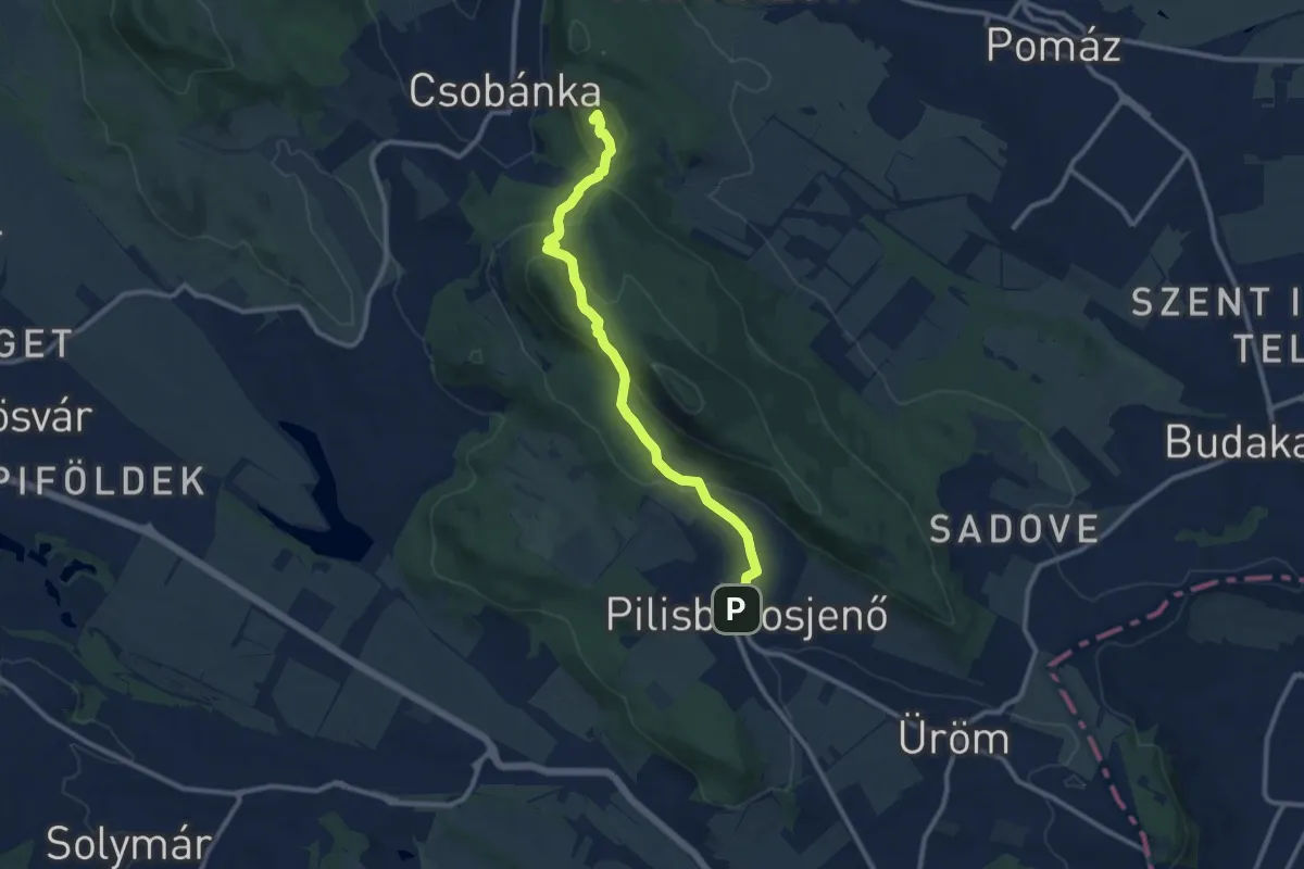
Medium · Summit
S (Pilisborosjenő – Kevély-nyereg – Pomáz)
10.1 km · ↑ 465 m · 3 h 23 min
Easy · Cabin
S● (Pisztrángos-tó – Rózsaszállás)
4.3 km · ↑ 86 m · 1 h 12 min
Easy · Trail
S+ (Pityerszeri erdészeti út – Gyöngyösszeri-völgy – Gyöngyösszer, államhatár)
2.7 km · ↑ 60 m · 46 min
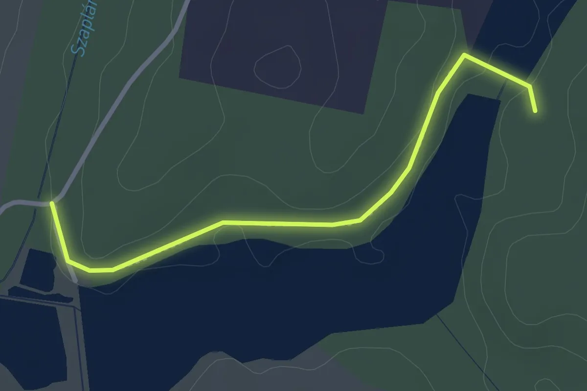
Easy · Trail
S● (Pogányszentéteri halastavak)
2.6 km · ↑ 18 m · 39 min
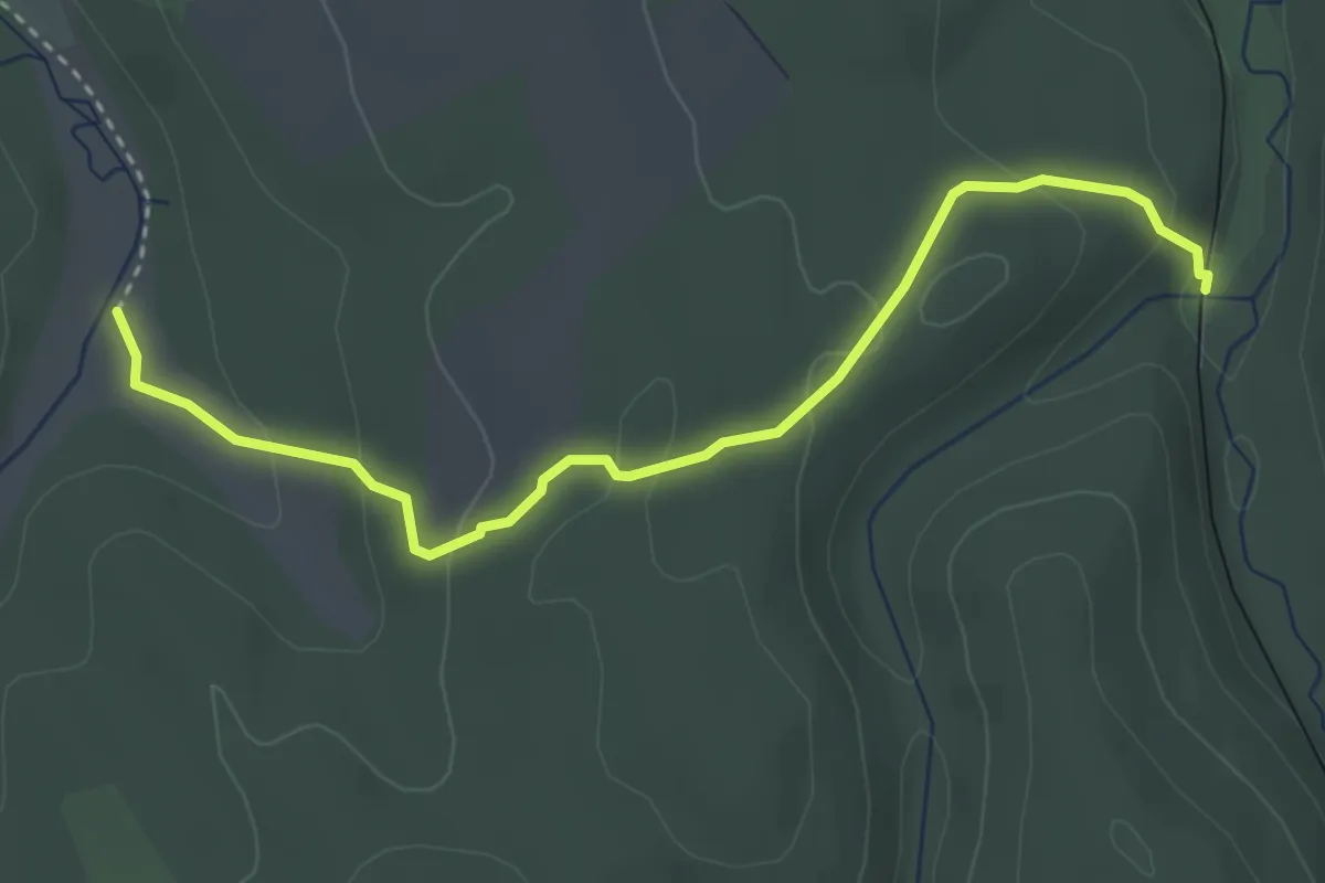
Easy · Trail
S+ (Porva-Csesznek vá. – Hódos-ér-völgy, Üveghuta)
3.6 km · ↑ 145 m · 1 h 10 min
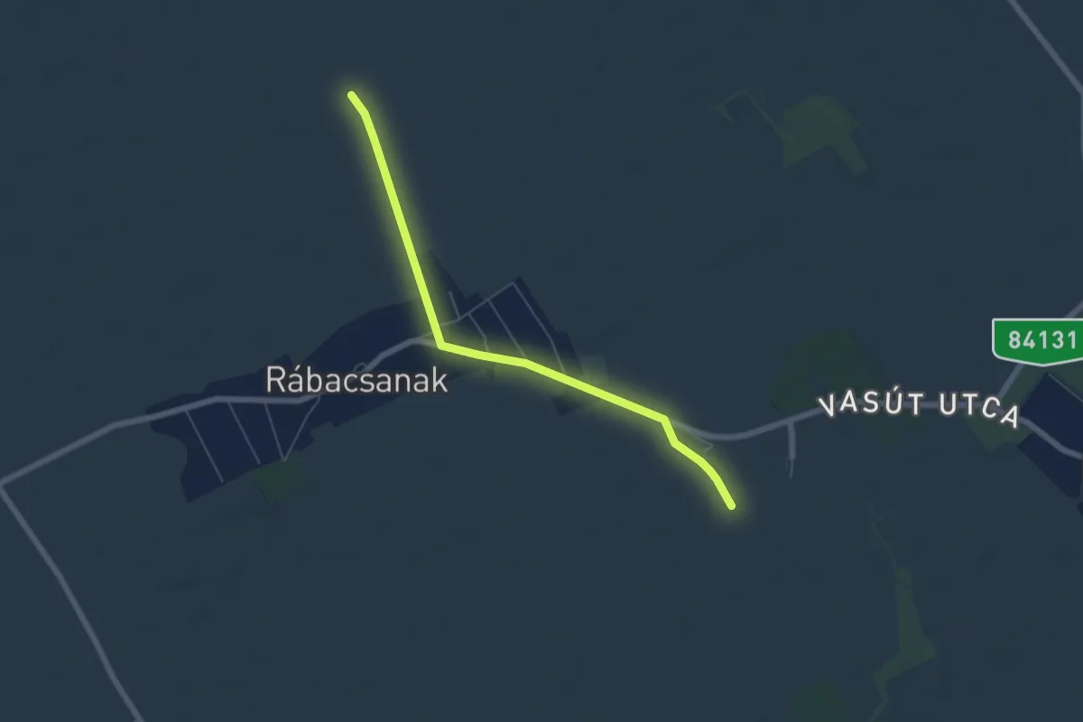
Easy · Trail
S+ (Rábacsanak)
5.8 km · ↑ 0 m · 1 h 22 min
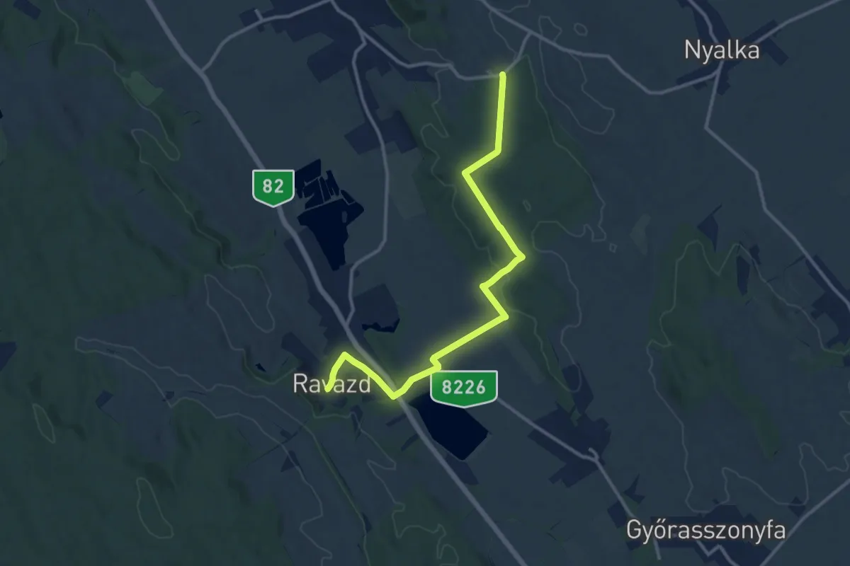
Medium · Trail
S+ (Ravazd)
12.1 km · ↑ 162 m · 3 h 13 min
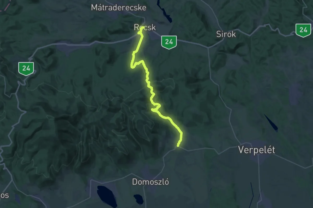
Medium · Trail
S (Recsk – Kisnána)
14.6 km · ↑ 507 m · 4 h 46 min
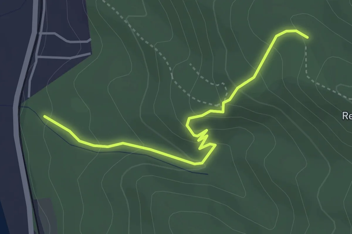
Easy · Summit
S● (Remete-forrás)
3.6 km · ↑ 225 m · 1 h 21 min
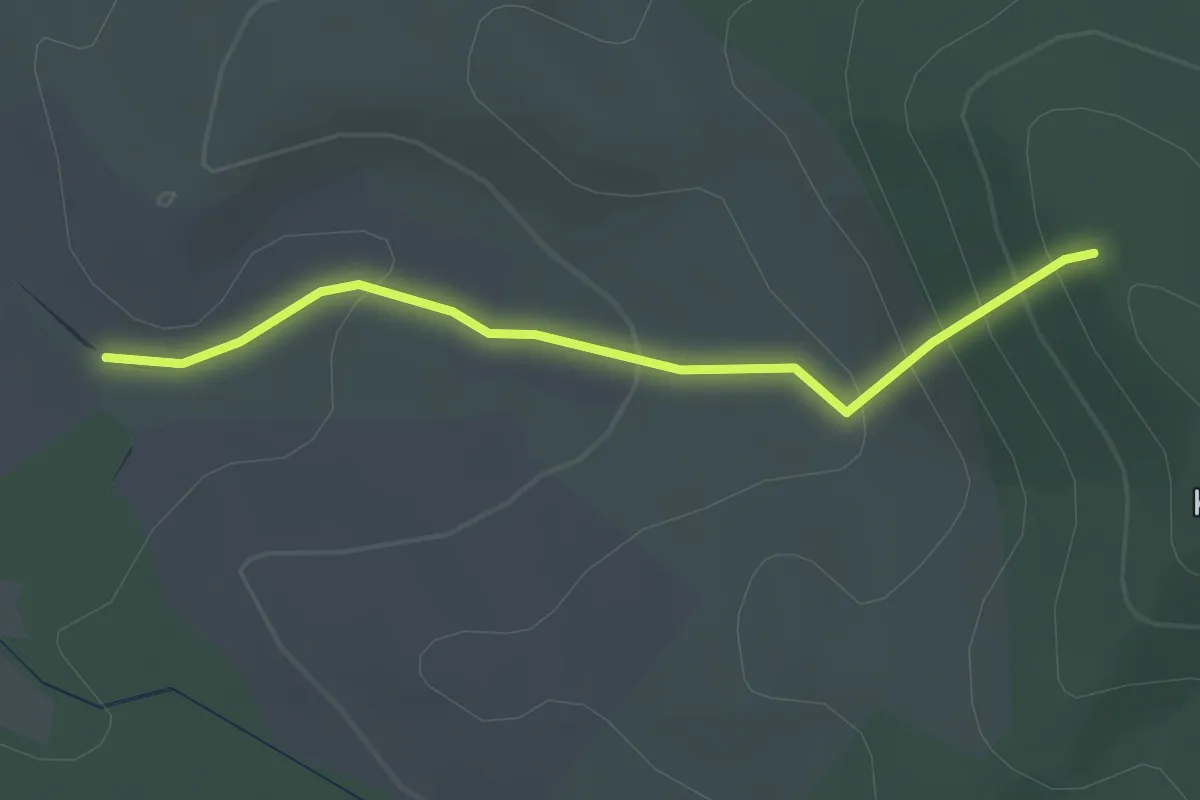
Easy · Trail
S▲ (Romhány)
2.3 km · ↑ 157 m · 53 min
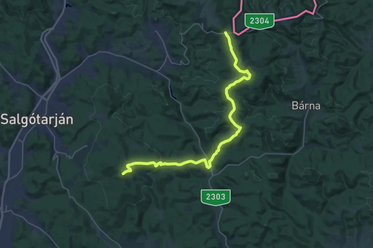
Demanding · Summit
S ( Rónabánya – Salgótarján)
22.1 km · ↑ 786 m · 6 h 55 min
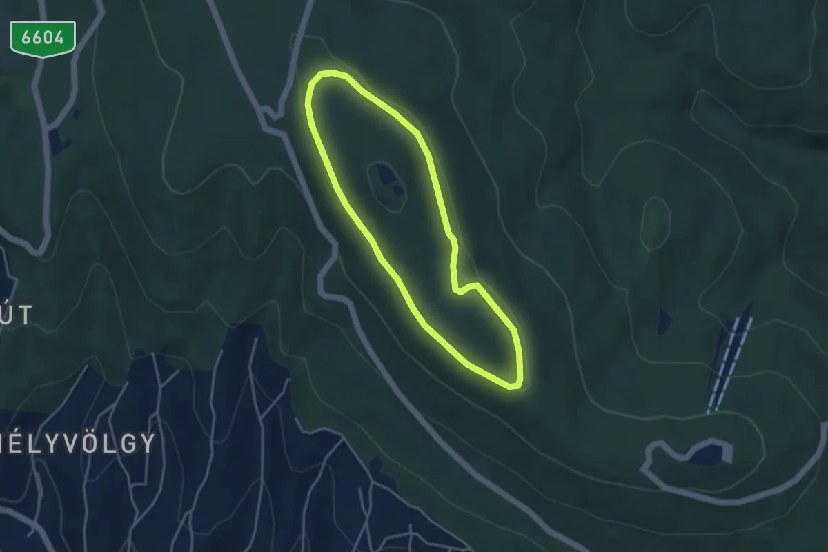
Easy · Summit
S↺ (Rotary körsétány)
3.4 km · ↑ 44 m · 56 min
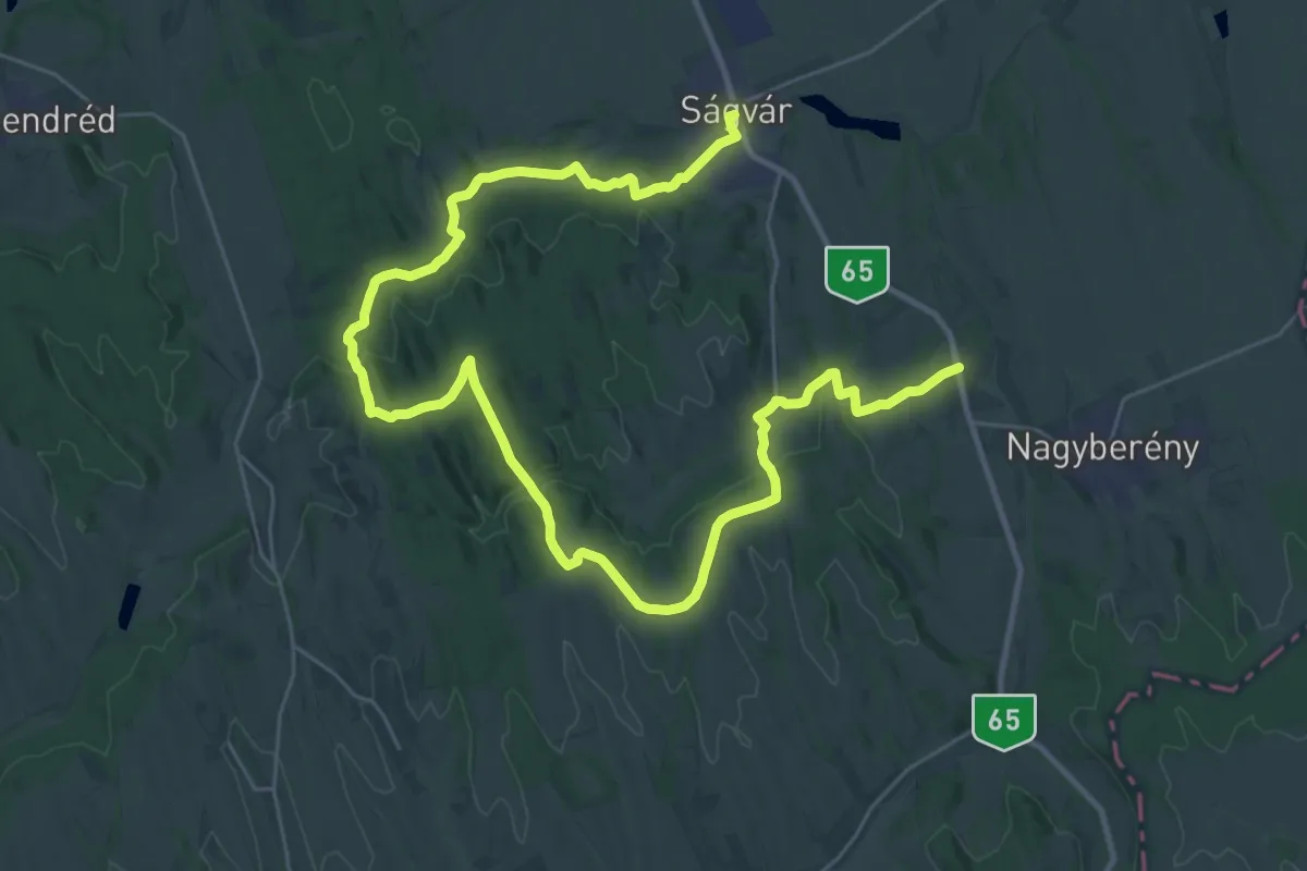
Demanding · Trail
S (Ságvár – Flóra-hegy nyerge – Nyim – Som)
21.8 km · ↑ 411 m · 6 h 21 min
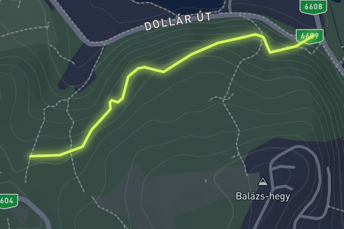
Easy · Trail
S● (Sárkány-kút)
2.3 km · ↑ 117 m · 48 min
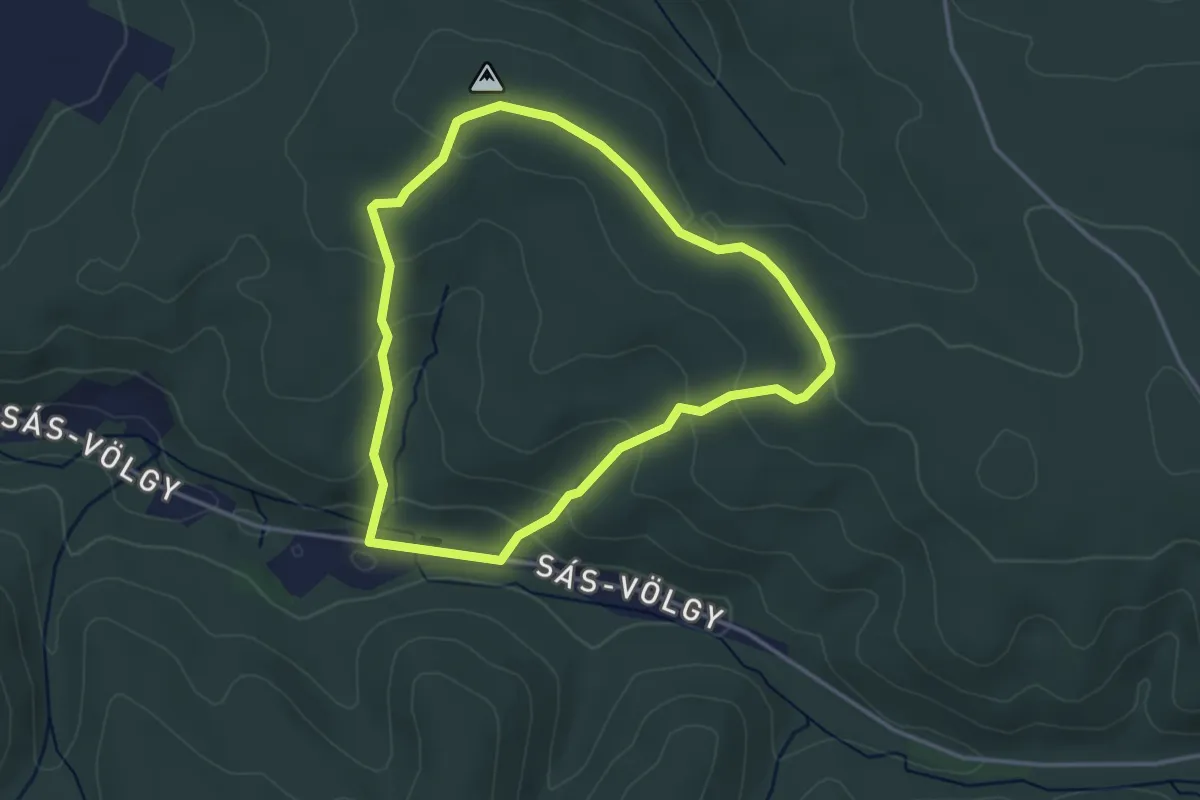
Easy · Trail
S↺ (Sás-völgy)
3.3 km · ↑ 113 m · 1 h 4 min