Trails in Hungary
2,296 hiking trails, each with its route, climb, walking time and grade.
All trails, page 34 of 48
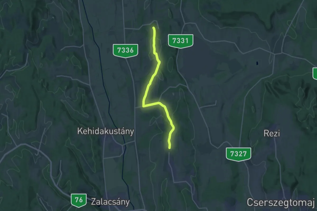
Medium · Trail
S+ (Sénye-Nemesbük)
17.4 km · ↑ 305 m · 4 h 46 min
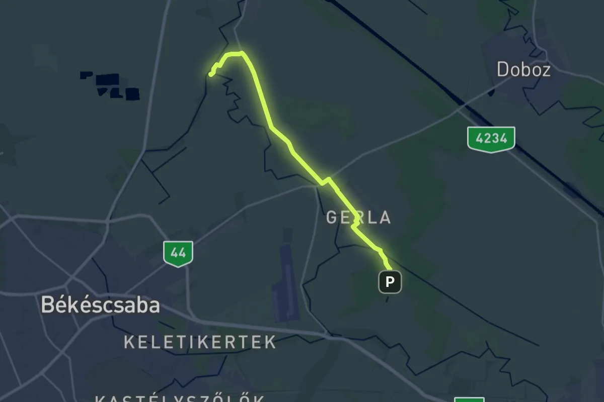
Medium · Trail
S (Sikkony – Ógerla – Gerla – Póstelek)
17.7 km · ↑ 13 m · 4 h 13 min
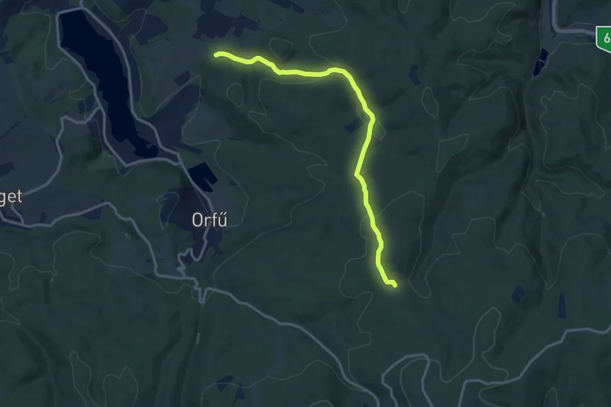
Medium · Trail
S■ (S – Nagy-kő-oldal – Lóri-erdészház – S, Vágoti gerinc)
10.2 km · ↑ 271 m · 2 h 59 min
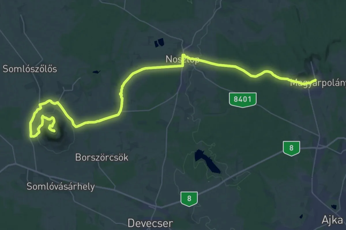
Demanding · Summit
S (Somló)
45.2 km · ↑ 615 m · 12 h
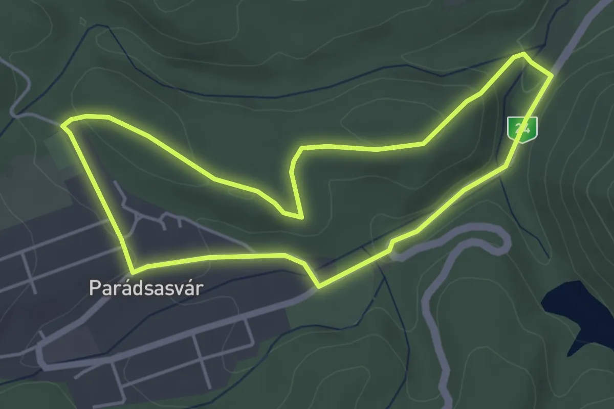
Easy · Trail
S↺ (Sós-cseri körút)
4.0 km · ↑ 93 m · 1 h 12 min
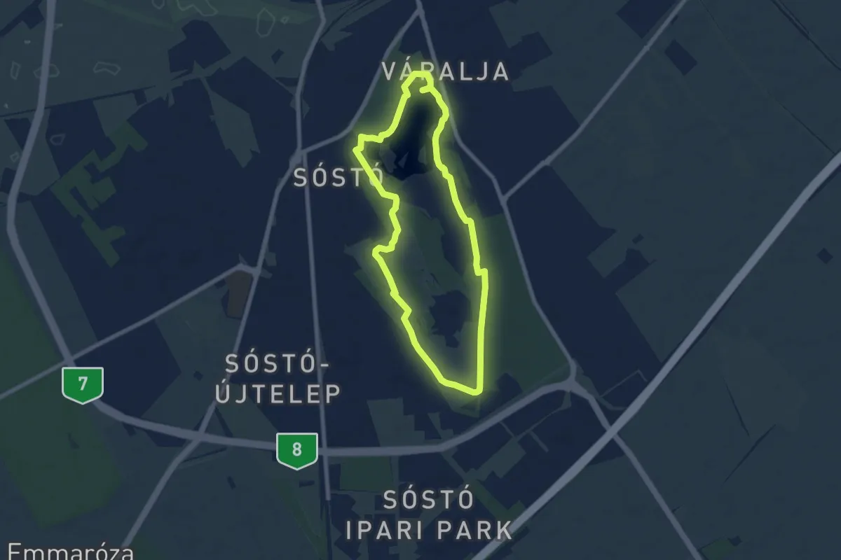
Easy · Trail
S, Sóstói tanösvény
6.3 km · ↑ 9 m · 1 h 36 min
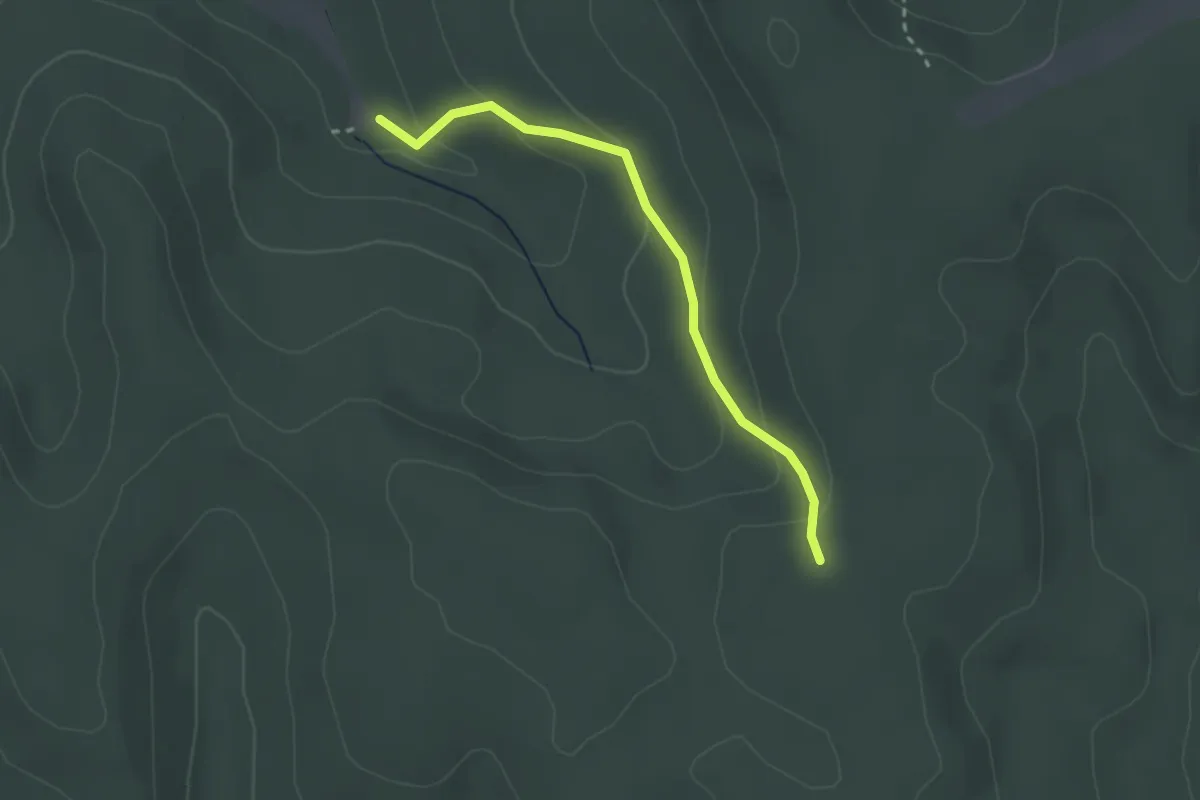
Easy · Trail
S+ (Sötét-völgy)
2.5 km · ↑ 105 m · 50 min
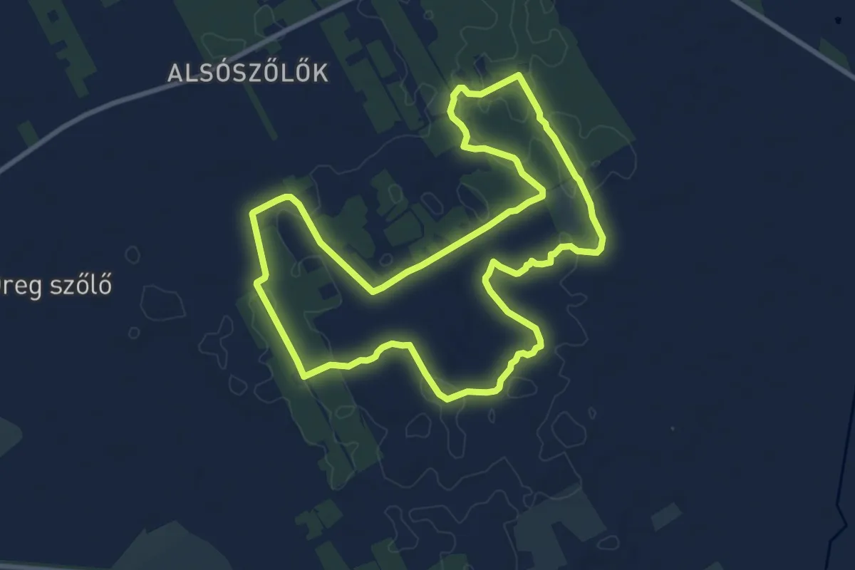
Medium · Trail
S↺ (Strázsa körtúra)
9.0 km · ↑ 29 m · 2 h 18 min
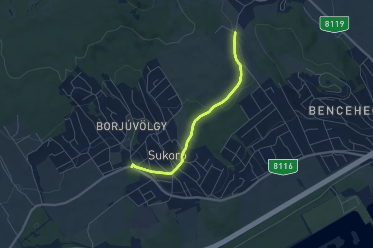
Easy · Trail
S+ (Sukoró, Zsuzsi presszó – Nadap – Velence) (nem teljes)
4.7 km · ↑ 87 m · 1 h 18 min
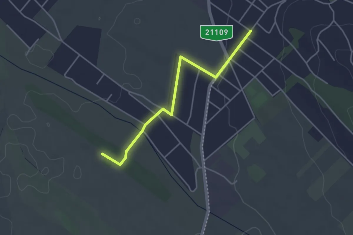
Easy · Trail
S■ (Szada, Malomalja – Szada, Fenyvesliget)
3.4 km · ↑ 27 m · 52 min
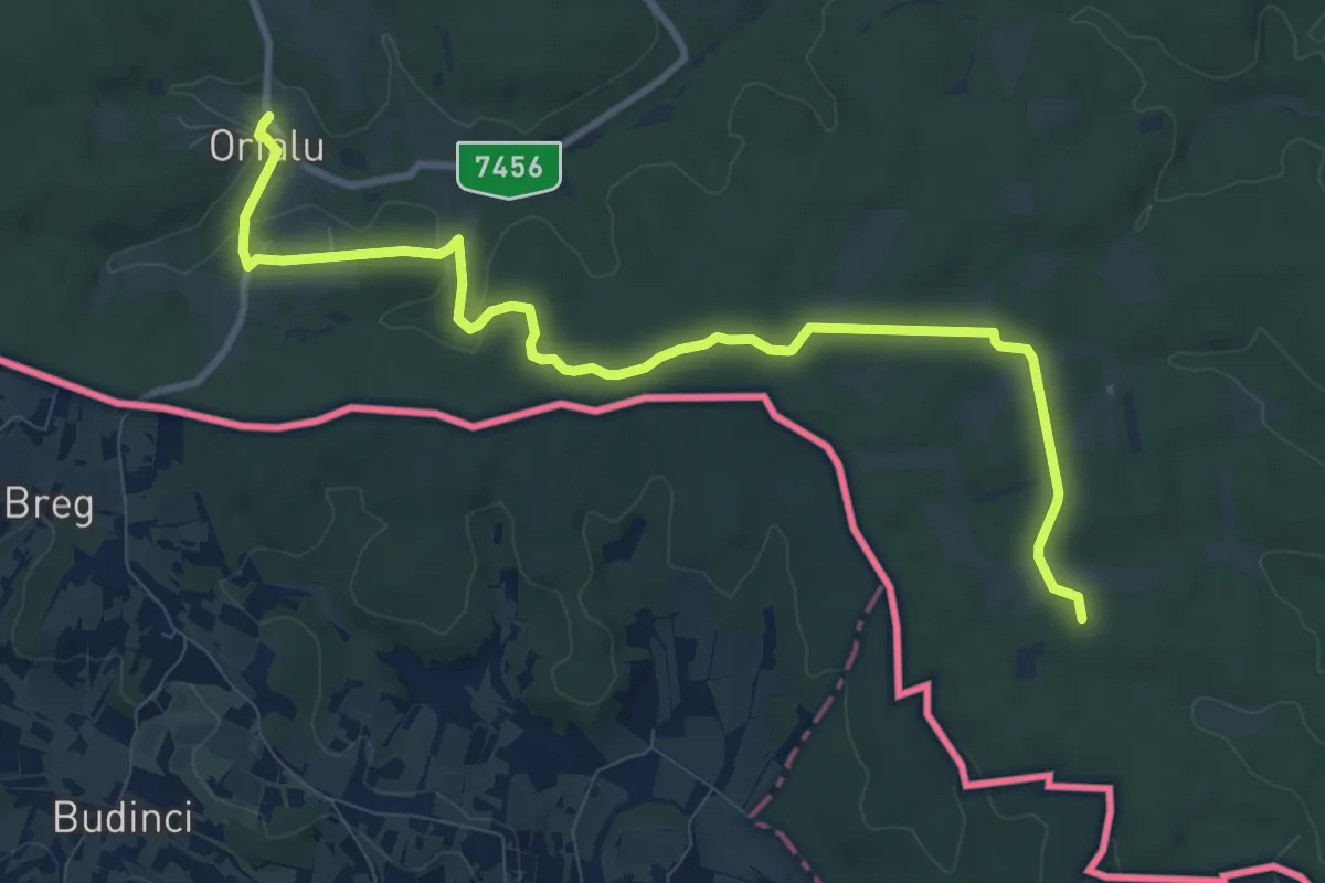
Medium · Trail
S+ (Szalafői rakodó – Őserdő – Orfalu, am.)
10.9 km · ↑ 118 m · 2 h 50 min
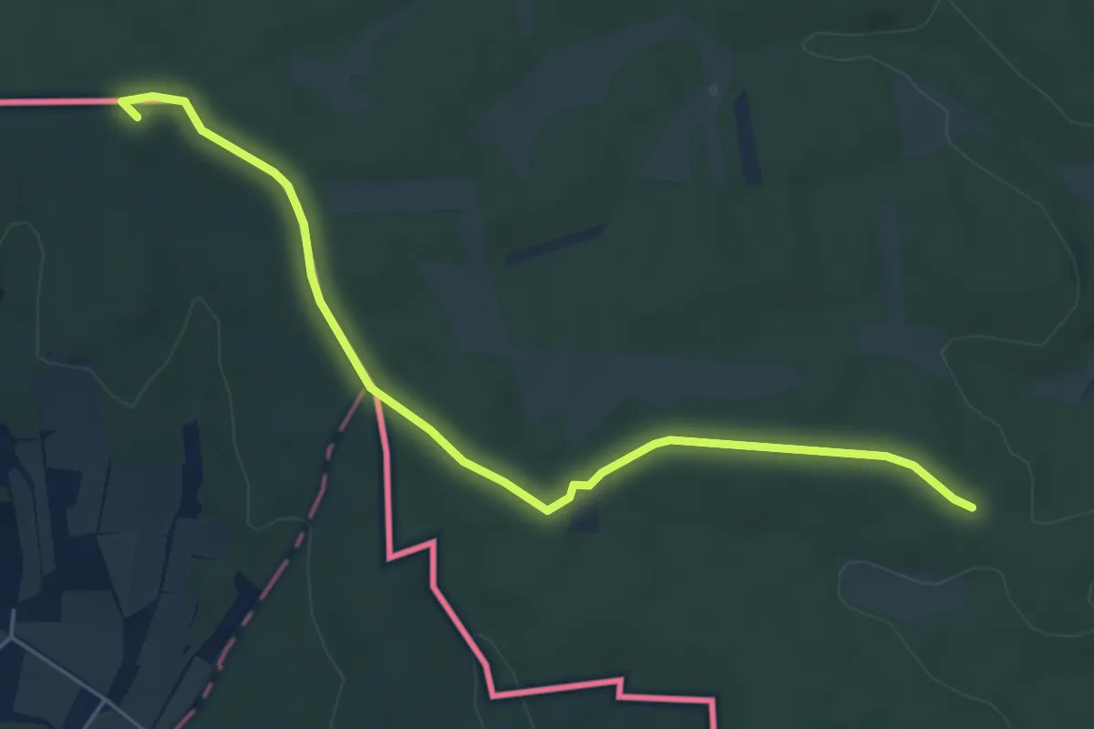
Easy · Summit
S (Szalafő, szentgotthárdi elágazás – Nagydolány – Zala-völgye, vh.)
5.6 km · ↑ 32 m · 1 h 23 min
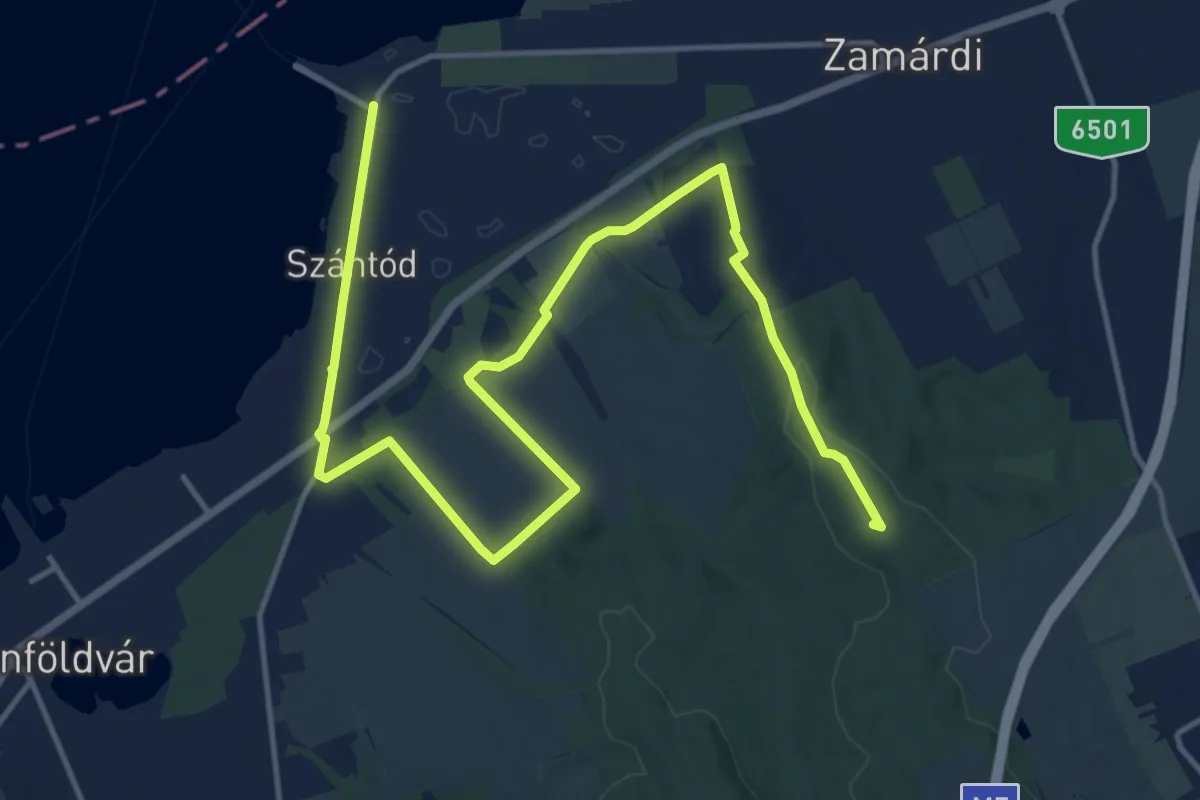
Demanding · Summit
S (Szántód rév – Zamárdi, vá.)
19.0 km · ↑ 221 m · 4 h 58 min
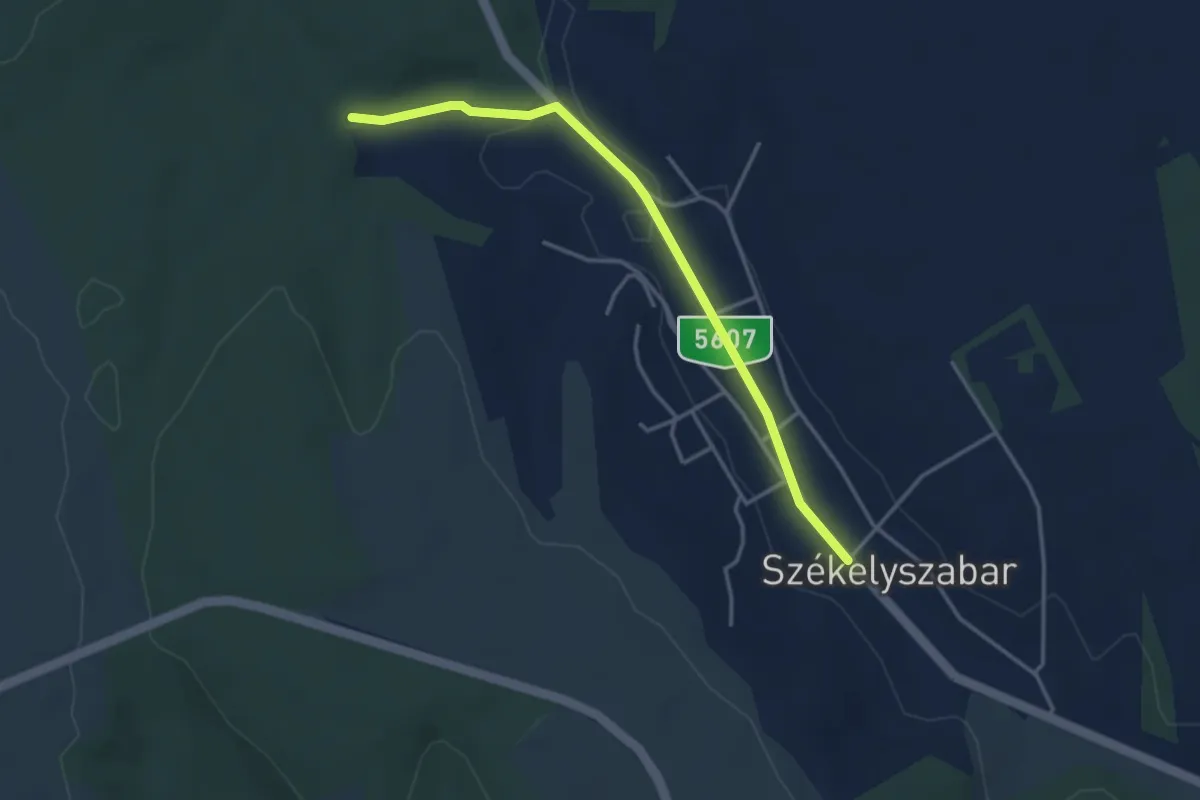
Easy · Trail
S■ (Székelyszabar)
3.7 km · ↑ 28 m · 56 min
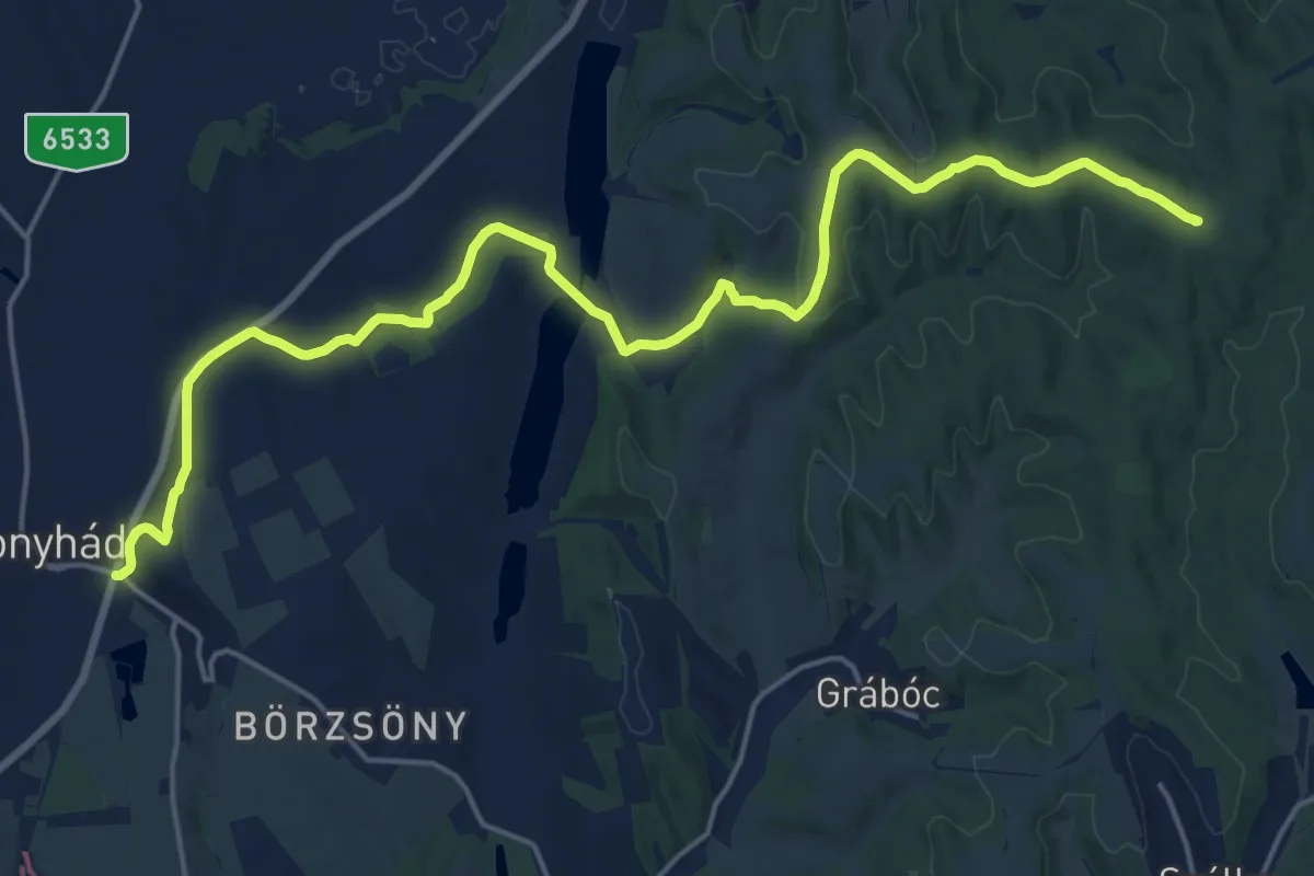
Demanding · Summit
S (Szekszárd – Bonyhád)
22.4 km · ↑ 348 m · 6 h 3 min
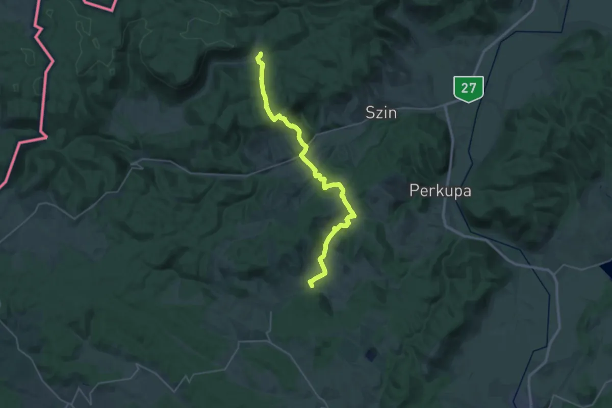
Demanding · Trail
S (Szelcepuszta – Szinpetri – Varbóc – Szőlősardó)
23.0 km · ↑ 706 m · 6 h 58 min
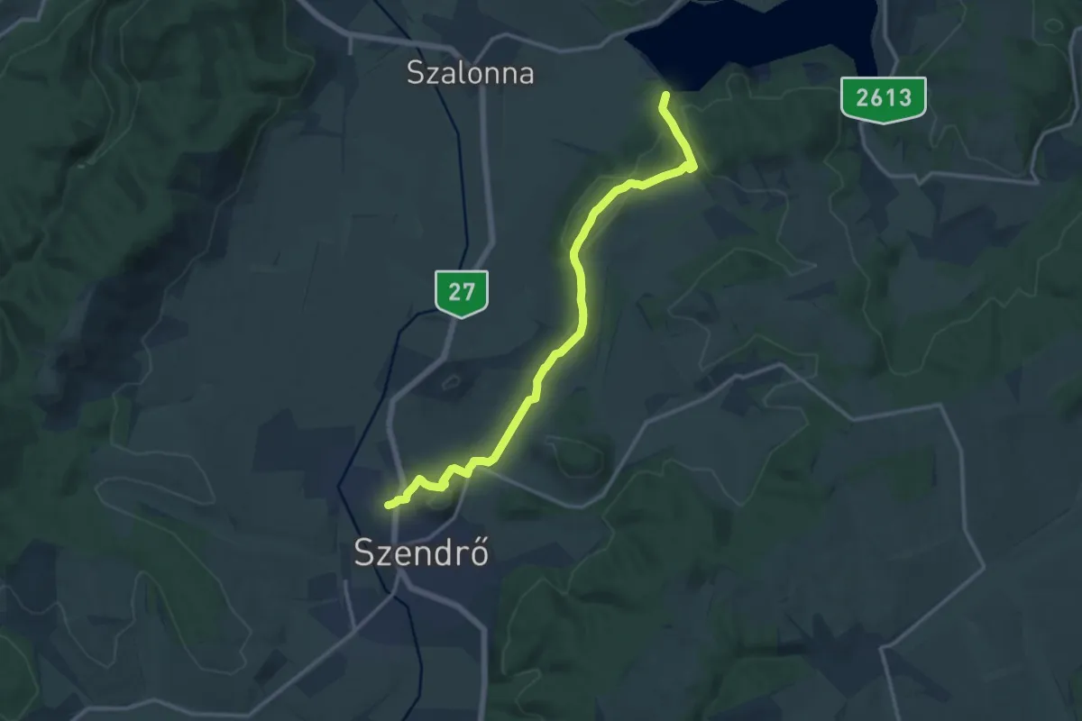
Medium · Trail
S (Szendrő - Rakaca)
12.9 km · ↑ 304 m · 3 h 43 min
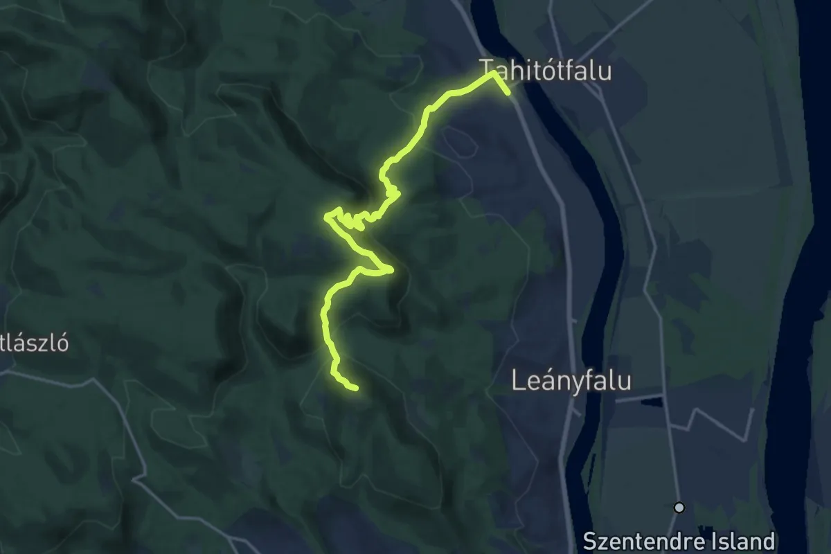
Demanding · Summit
S (Szentendre, Pismány aut. ford. – Vörös-kő – Tahitótfalu, Hídfő aut. m.)
16.2 km · ↑ 876 m · 5 h 44 min
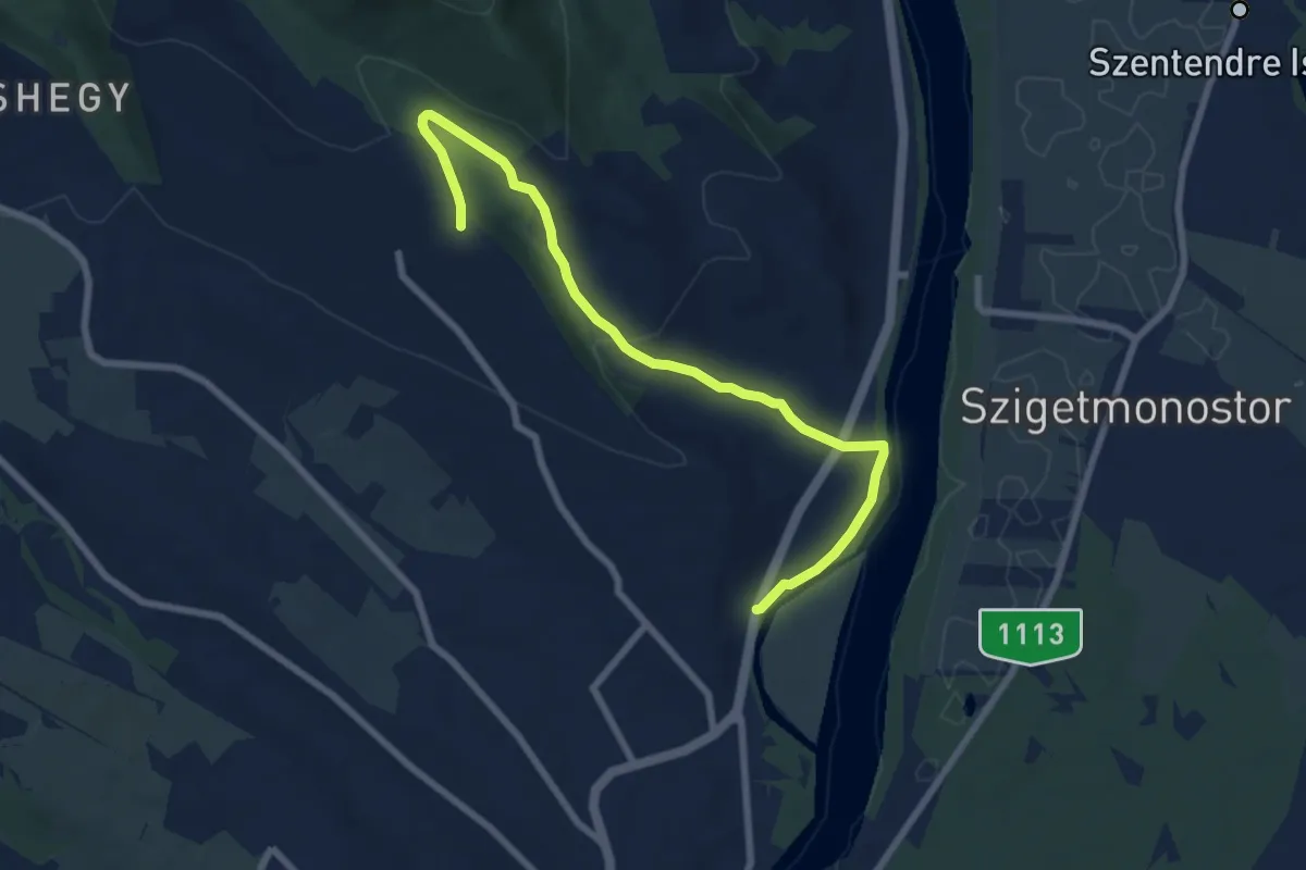
Easy · Trail
S+ (Szentendre, Pismány – Tyúkosdűlő – Szentendre, Papszigeti bejáró út aut.m.)
7.8 km · ↑ 191 m · 2 h 15 min
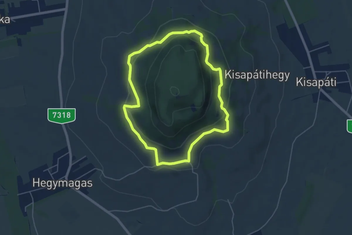
Easy · Trail
S, Szent-György-hegyi körséta
4.3 km · ↑ 168 m · 1 h 27 min
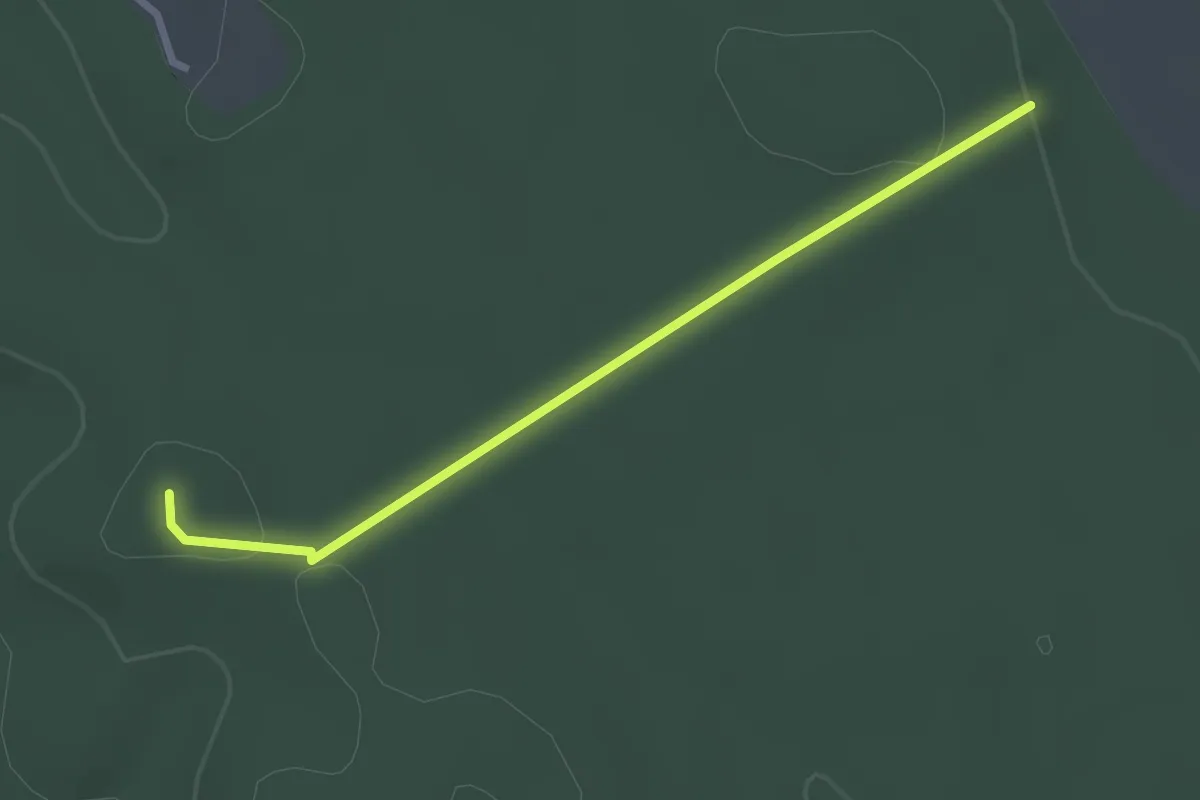
Easy · Trail
S▲ (Szent Imre-hegy)
2.6 km · ↑ 40 m · 42 min
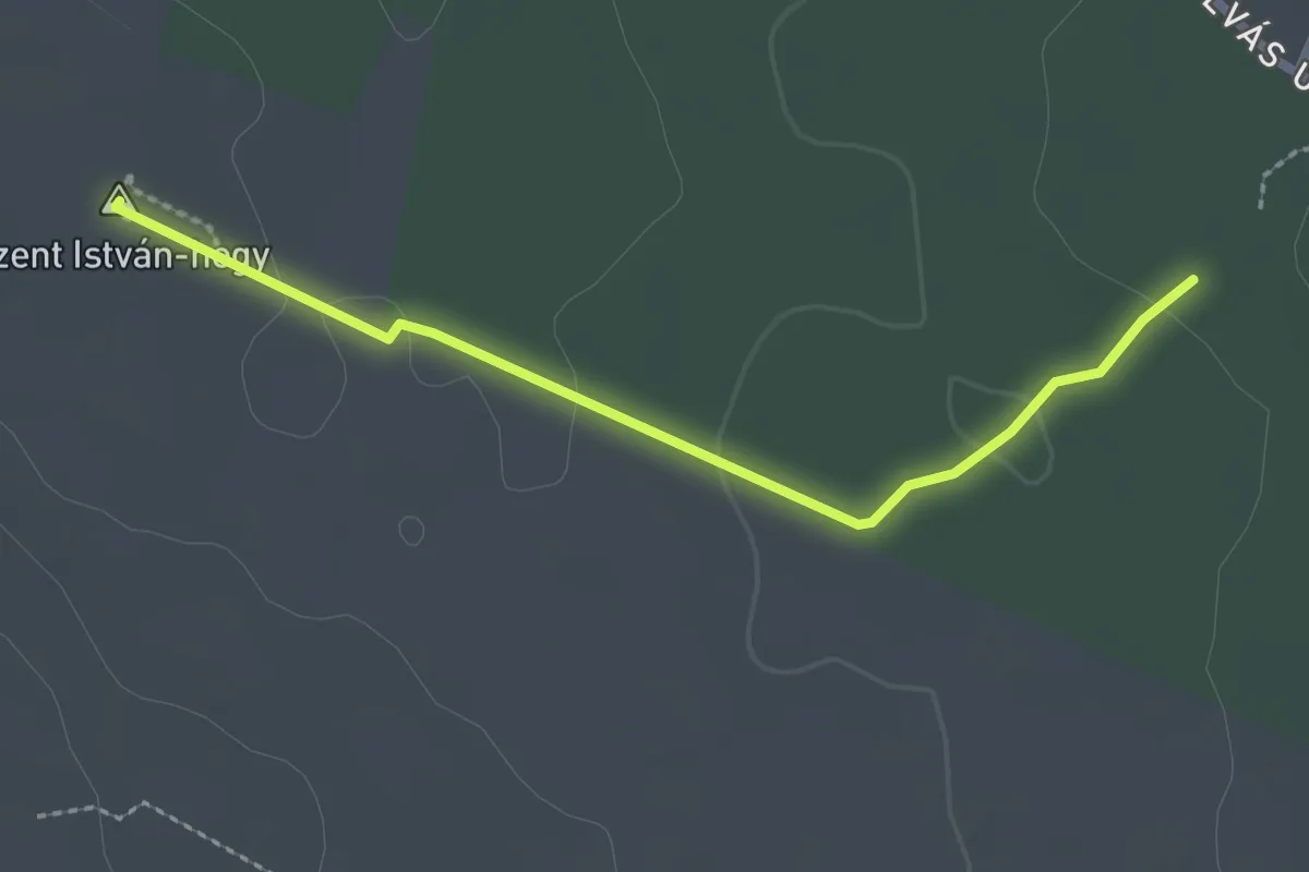
Easy · Summit
S▲ (Szent István-hegy)
2.4 km · ↑ 20 m · 36 min
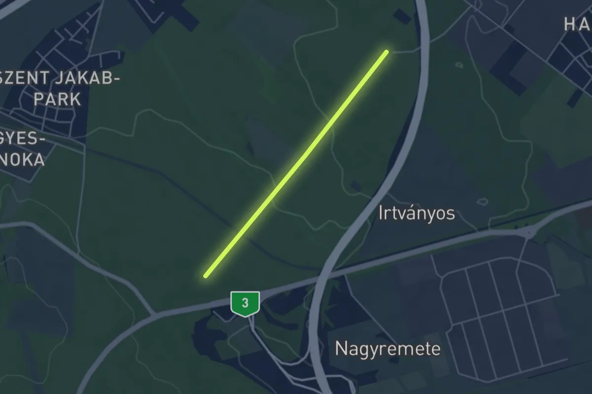
Easy · Trail
S+ (Szentjakab, Őr-hegy – Patkó)
3.4 km · ↑ 87 m · 1 h
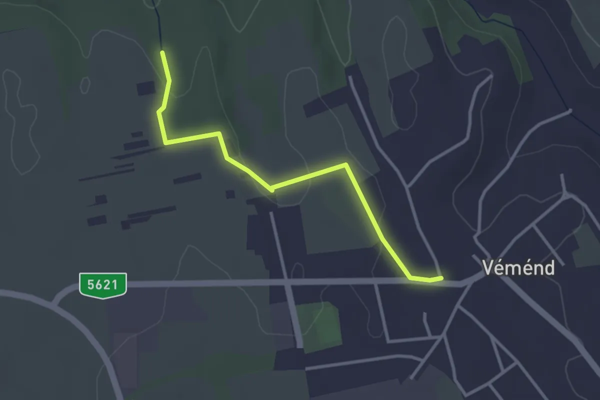
Easy · Trail
S● (Szent-kút)
3.0 km · ↑ 18 m · 45 min
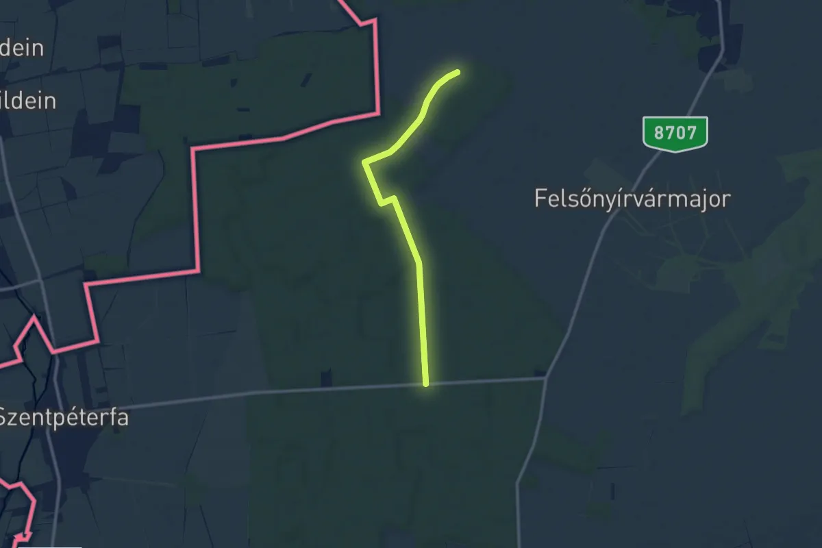
Easy · Pilgrim path
S, Szent Márton-vándorút (Szombathely – Kercaszomor)
4.6 km · ↑ 22 m · 1 h 12 min
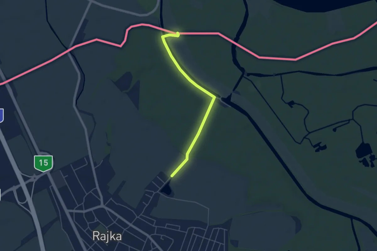
Easy · Pilgrim path
S, Szent Márton-vándorút (Szombathely – Rajka)
2.3 km · ↑ 18 m · 37 min
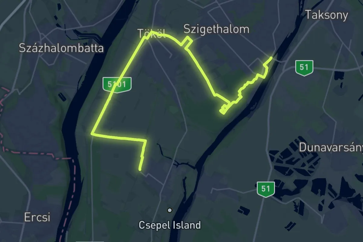
Demanding · Trail
S (Szigethalom – Szigetcsép, S)
19.3 km · ↑ 26 m · 4 h 52 min
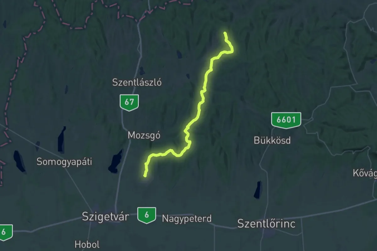
Demanding · Trail
S (Szigetvár Szilvás csárda – Szabás)
20.1 km · ↑ 304 m · 5 h 43 min
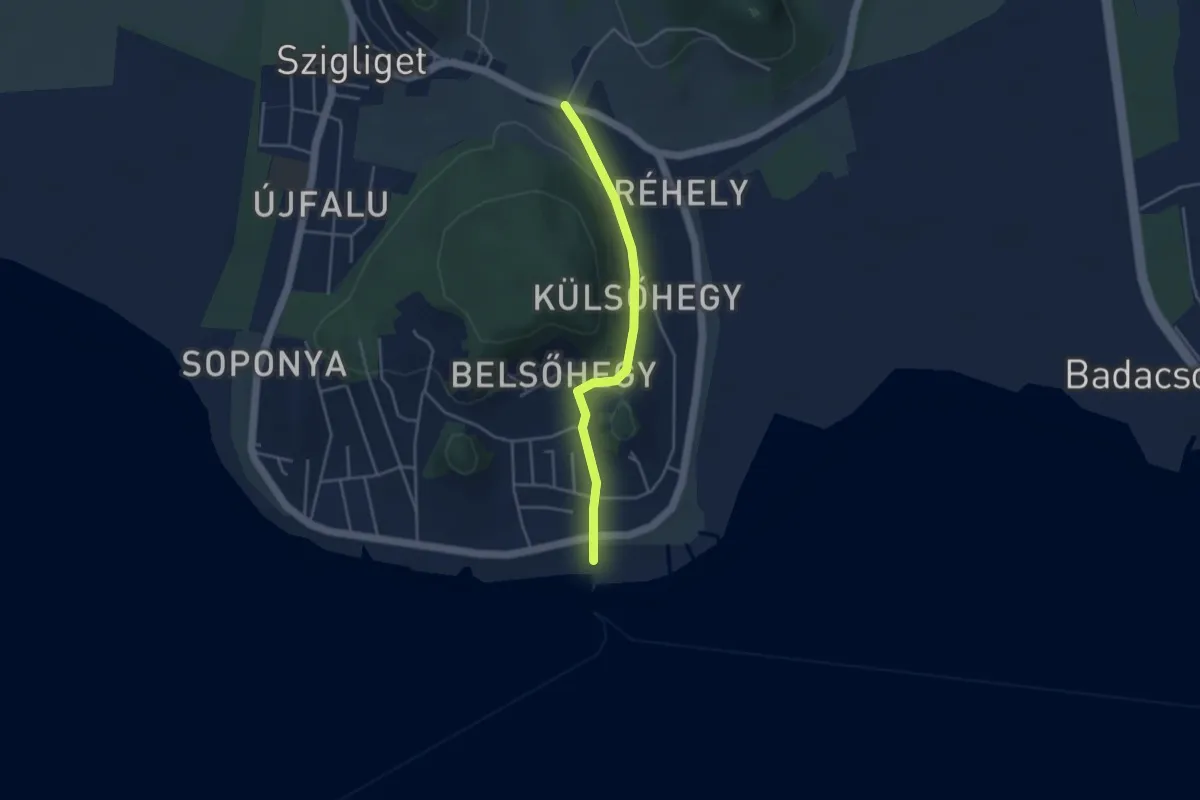
Easy · Trail
S (Szigliget, há.)
3.6 km · ↑ 53 m · 58 min
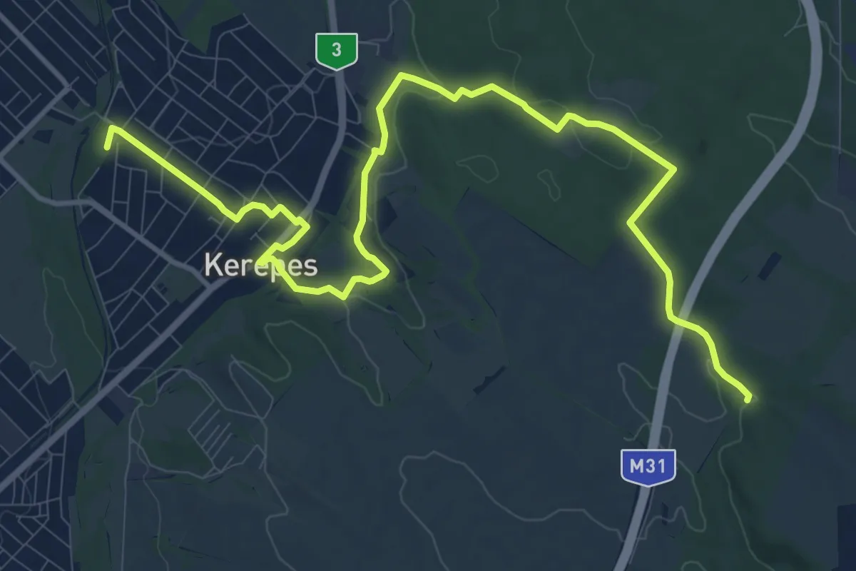
Medium · Summit
S (Szilasliget – Kerepes – Bolnoka – Széles-dűlő)
14.5 km · ↑ 242 m · 3 h 57 min
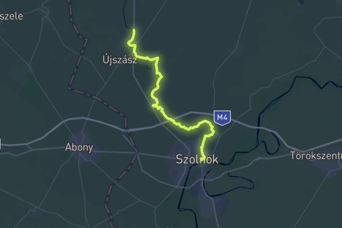
Demanding · Trail
S (Szolnok – Szászberek)
29.9 km · ↑ 22 m · 7 h 32 min
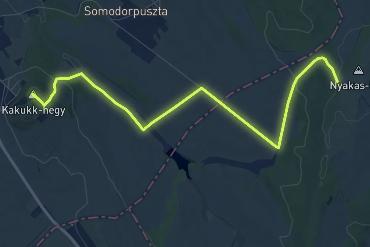
Medium · Summit
S■ (Szomor)
10.6 km · ↑ 226 m · 2 h 59 min
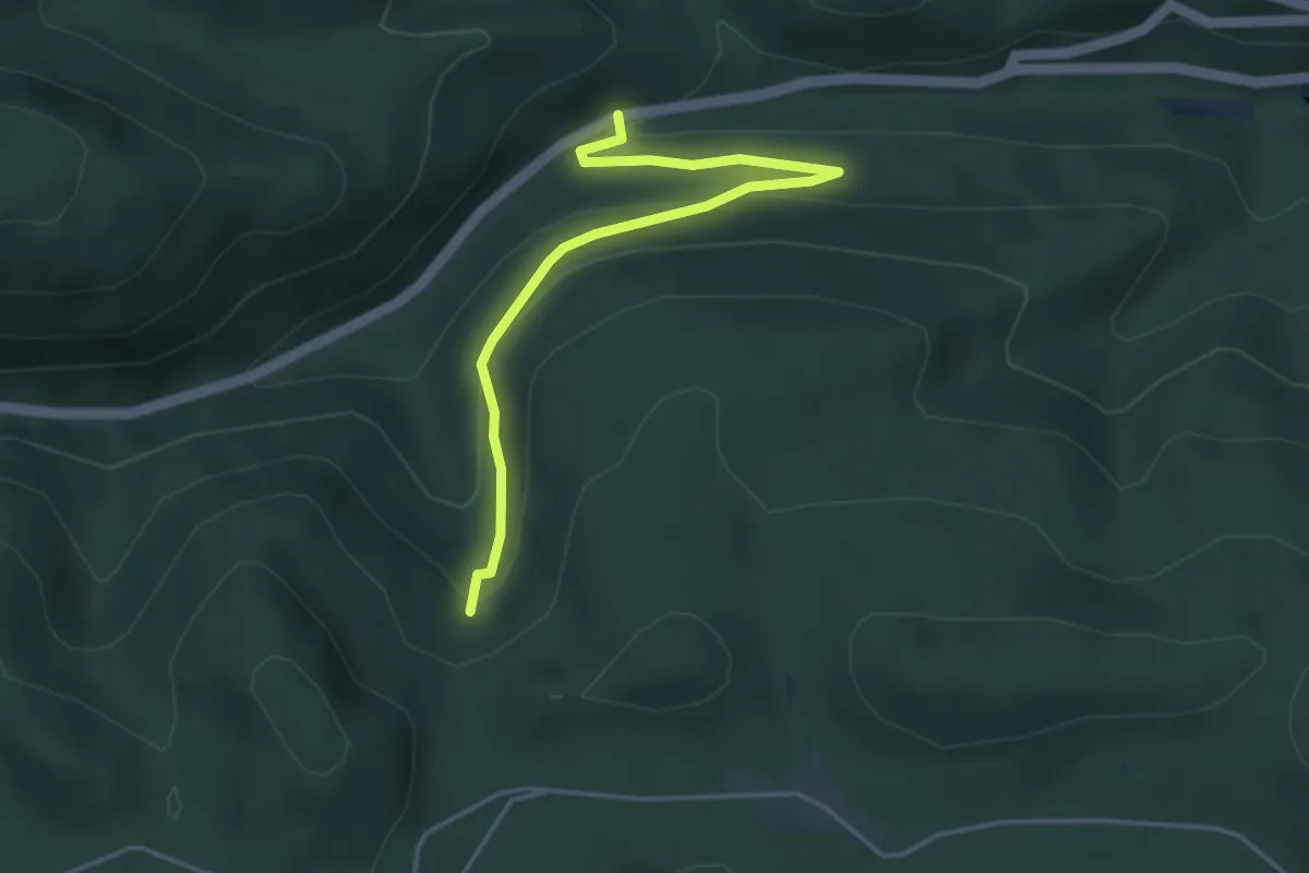
Easy · Trail
S● (Szövetség-forrás)
4.0 km · ↑ 160 m · 1 h 18 min
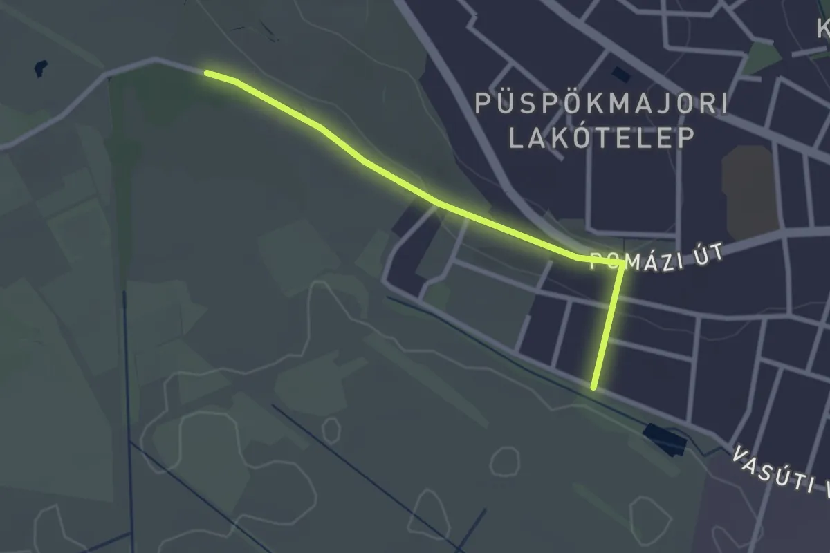
Easy · Trail
ST
2.3 km · ↑ 46 m · 39 min
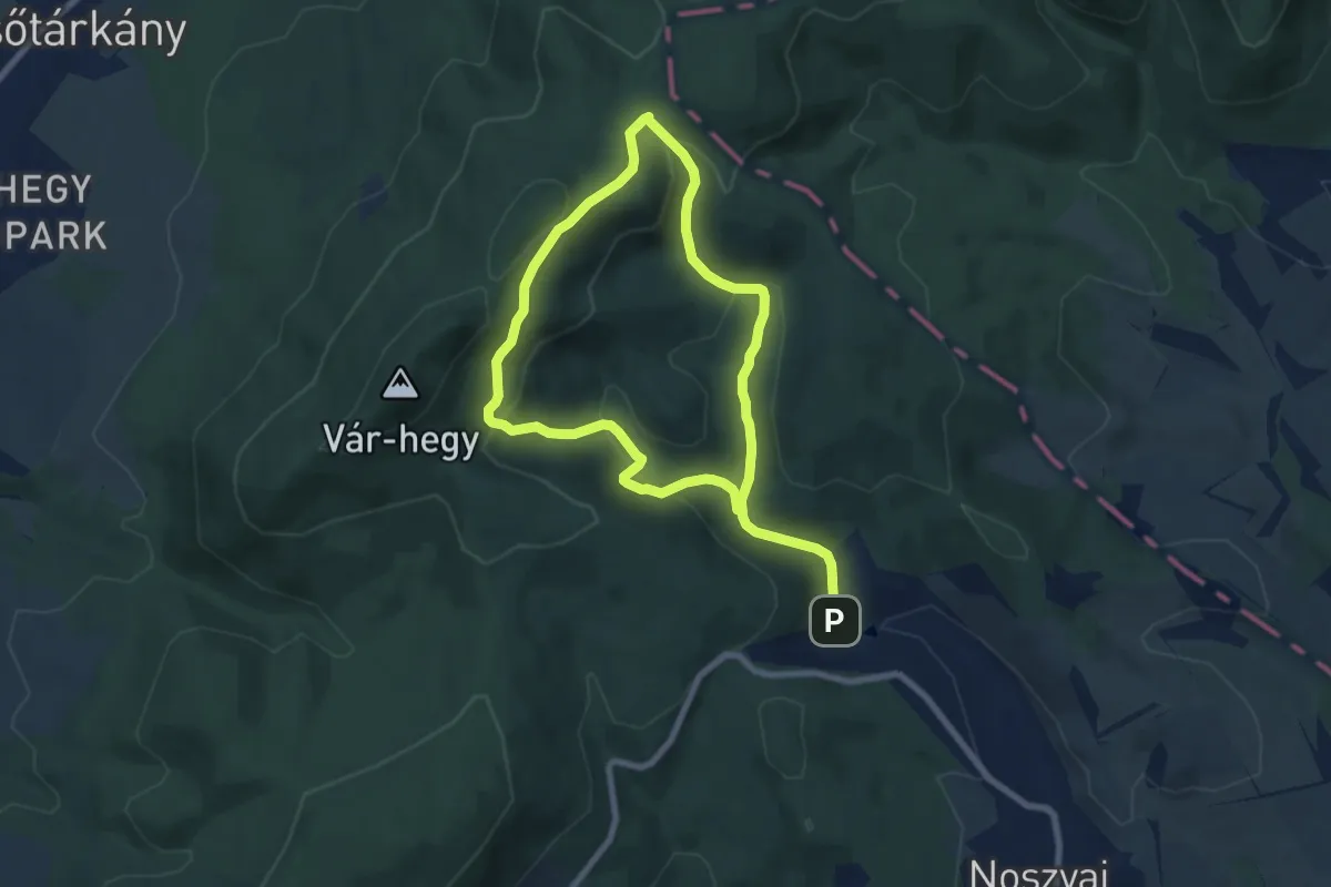
Medium · Trail
ST
12.5 km · ↑ 581 m · 4 h 13 min
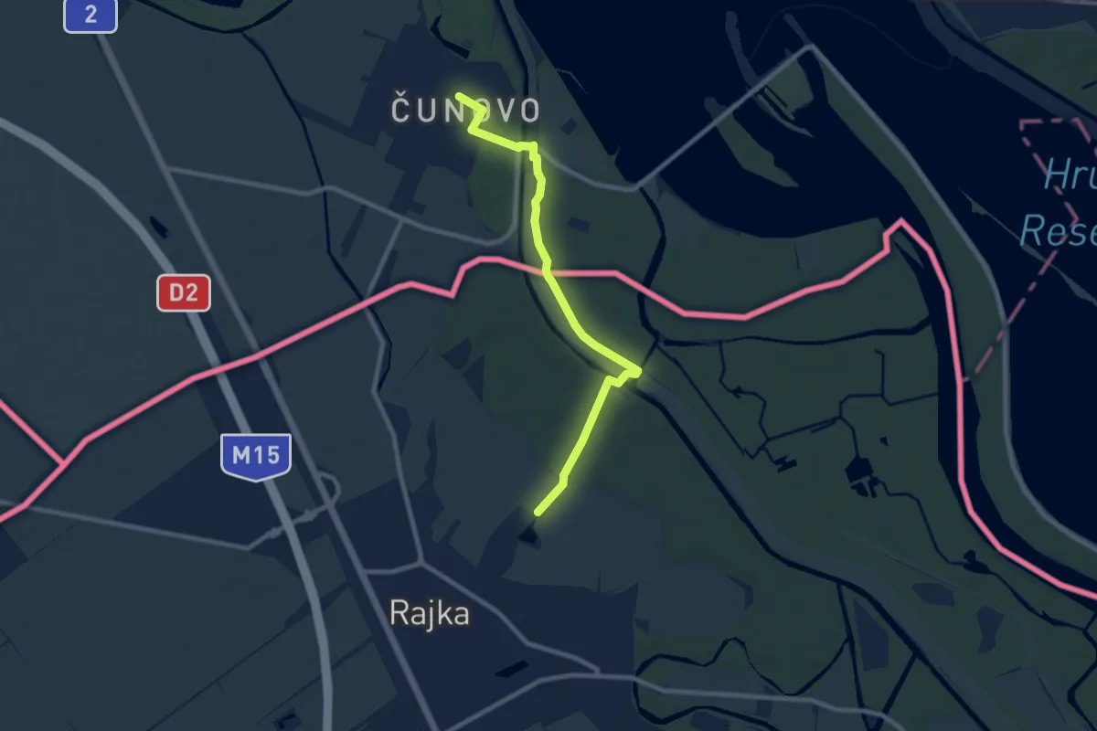
Medium · Trail
ST202a Čunovo - Lipót
8.3 km · ↑ 38 m · 2 h 3 min
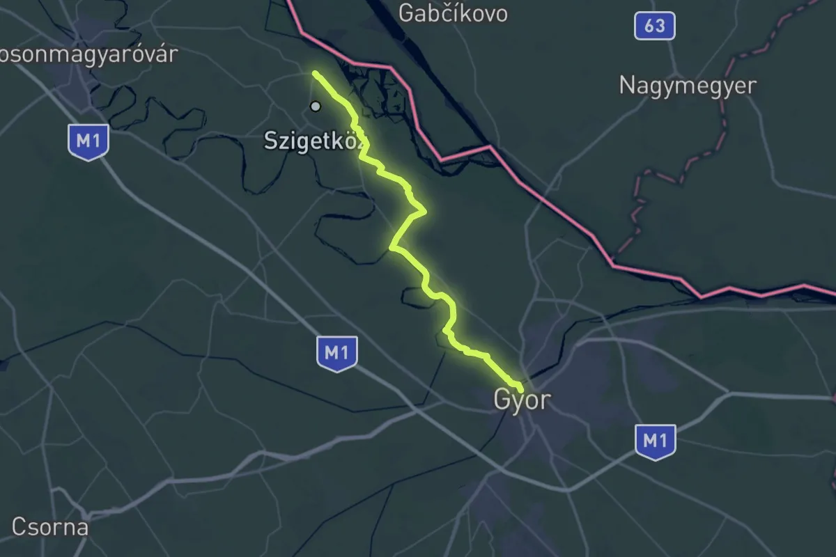
Demanding · Trail
ST203a Lipót -Győr
29.5 km · ↑ 34 m · 7 h 26 min
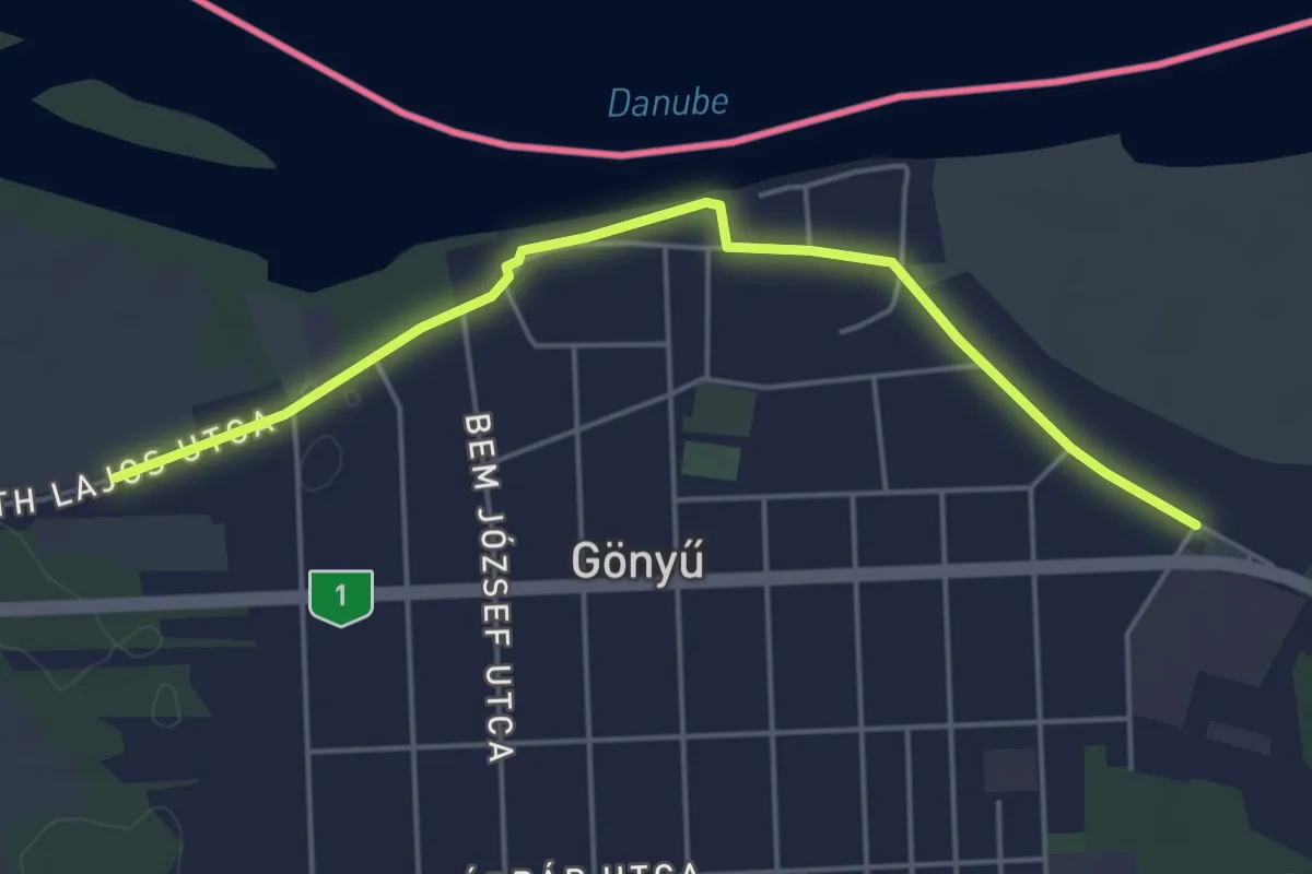
Easy · Trail
ST204a Győr - Gönyü
4.9 km · ↑ 14 m · 1 h 11 min
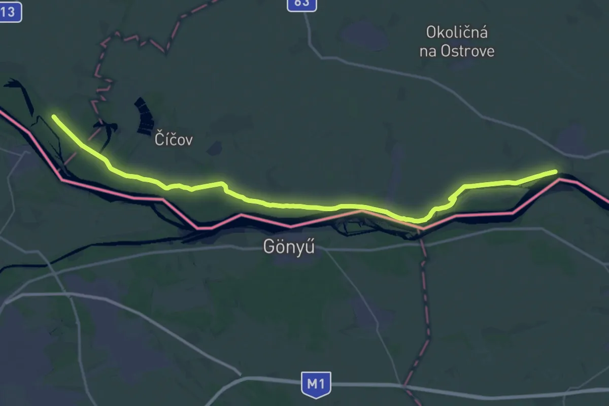
Demanding · Trail
ST204b Gabčíkovo - Zlatná na Ostrove
22.2 km · ↑ 18 m · 5 h 35 min
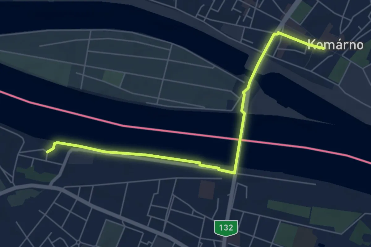
Easy · Trail
ST205a Gönyű - Komárno
5.7 km · ↑ 33 m · 1 h 25 min
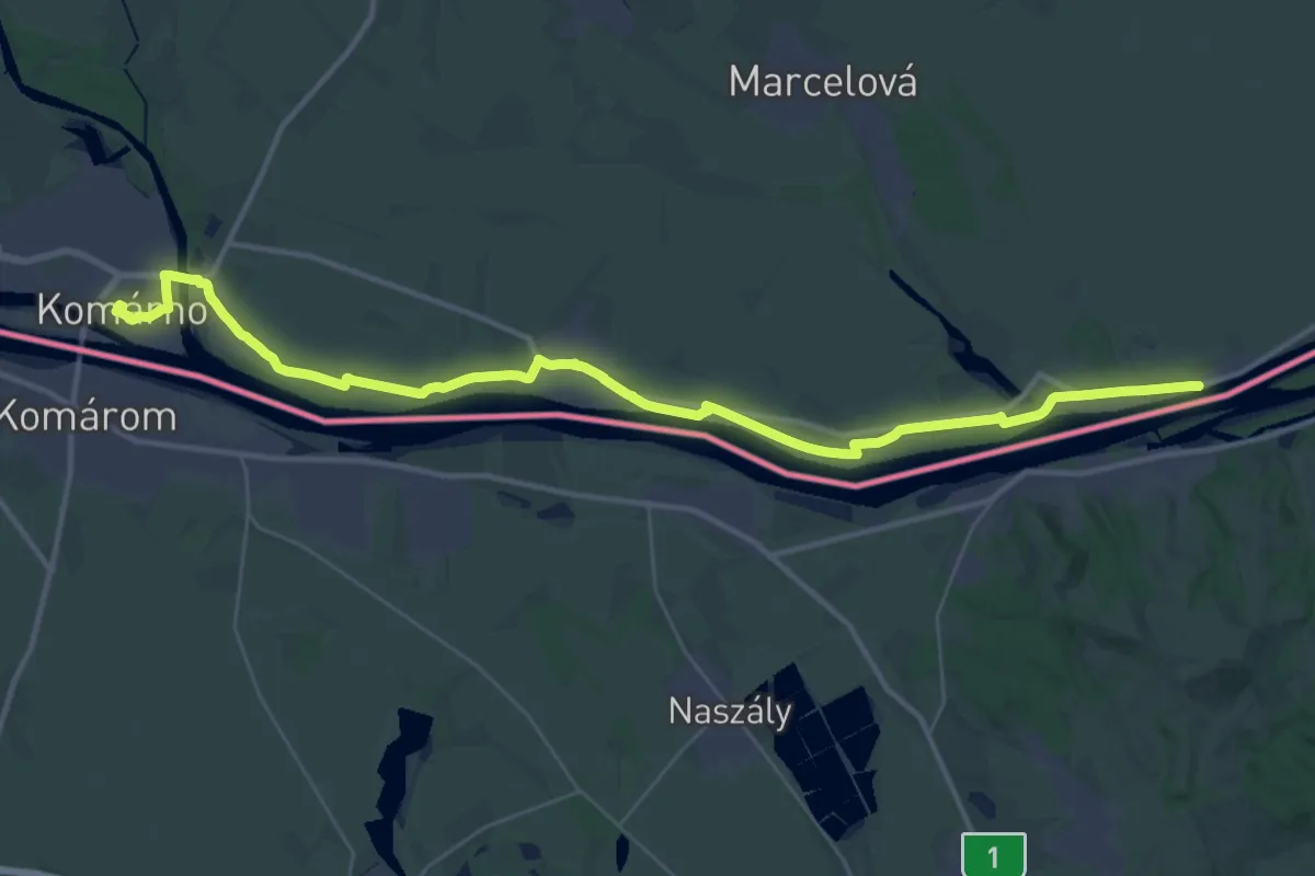
Demanding · Trail
ST206 Komárno - Radvaň nad Dunajom
21.1 km · ↑ 13 m · 5 h 18 min
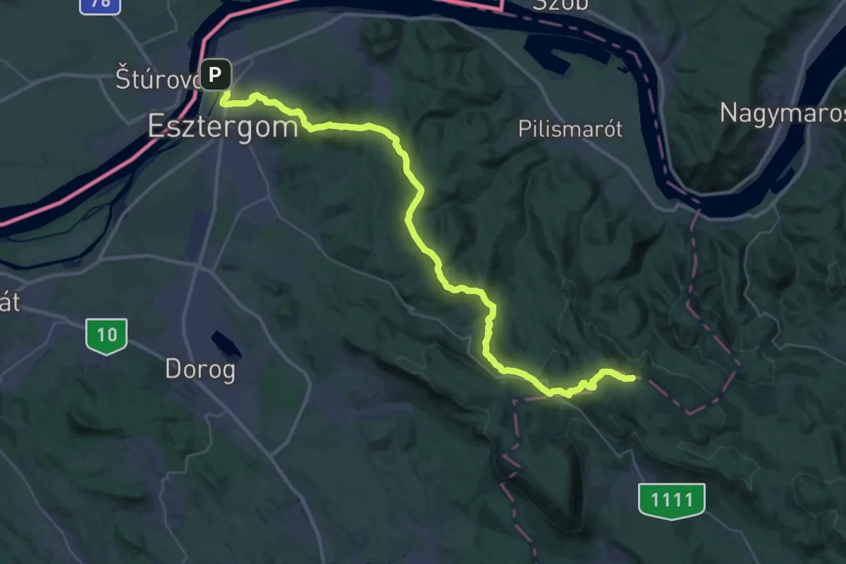
Demanding · Summit
ST209 Esztergom - Dobogókő
41.5 km · ↑ 1604 m · 13 h 17 min
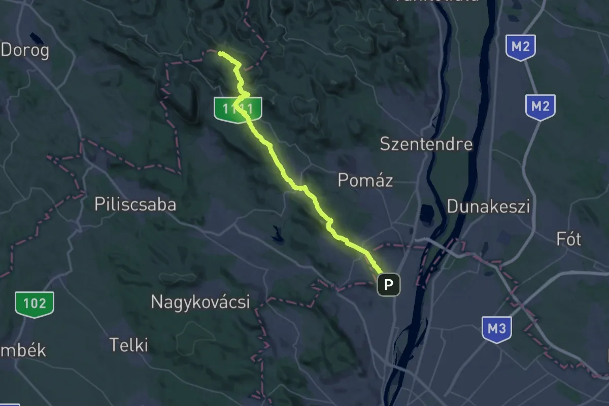
Demanding · Summit
ST210 Dobogókő - Csillaghegy
44.7 km · ↑ 1418 m · 13 h 38 min
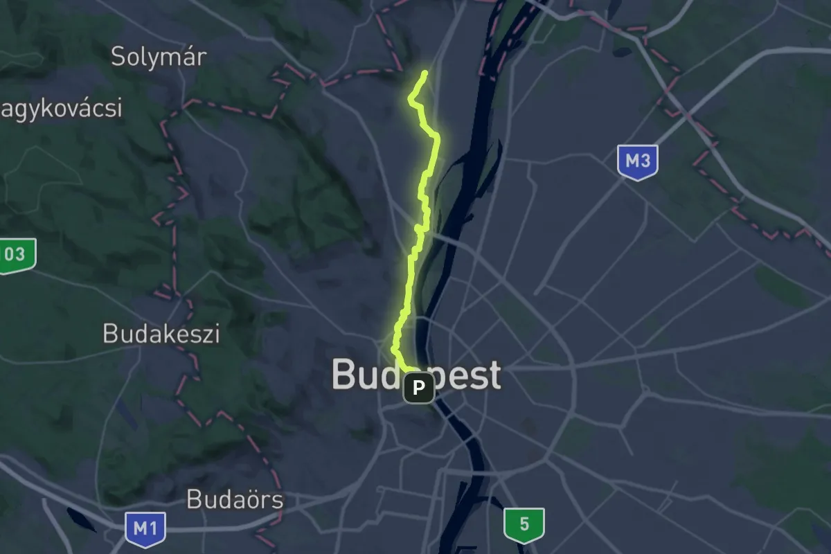
Demanding · Trail
ST211 Csillaghegy - Budapest
26.5 km · ↑ 200 m · 6 h 41 min
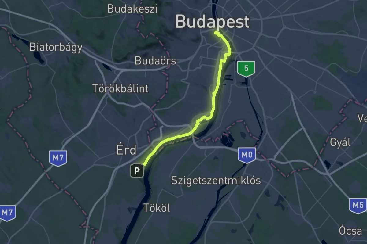
Demanding · Summit
ST301 Budapest - Érd-Ófalu
44.0 km · ↑ 218 m · 10 h 51 min
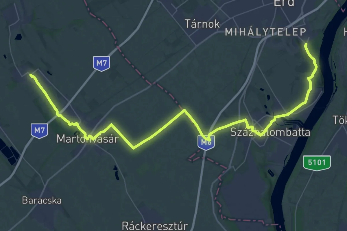
Demanding · Trail
ST302 Érd-Ófalu -Tordas
23.6 km · ↑ 126 m · 6 h 11 min
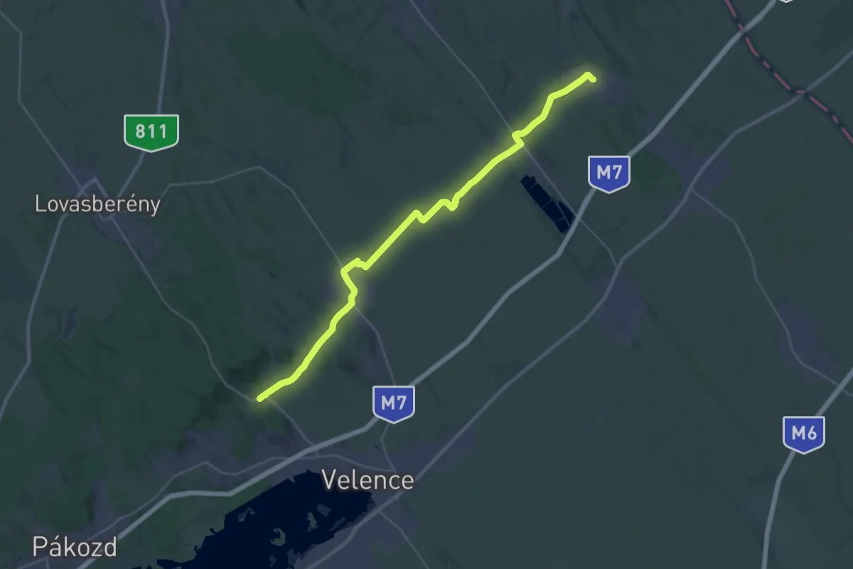
Medium · Trail
ST303 Tordas - Nadap
16.2 km · ↑ 142 m · 4 h 24 min
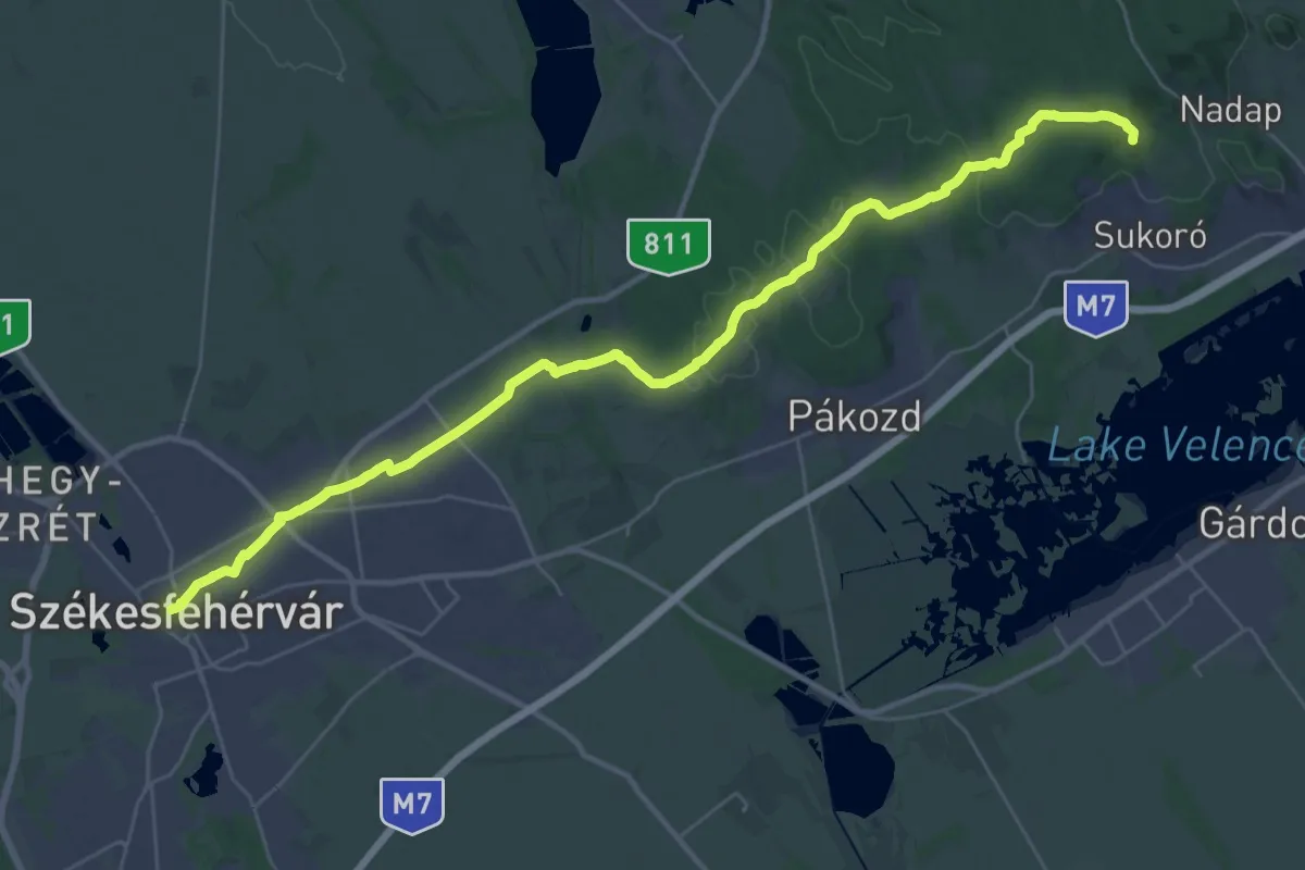
Demanding · Summit
ST304 Nadap - Székesfehérvár
36.7 km · ↑ 563 m · 9 h 52 min