Trails in Hungary
2,296 hiking trails, each with its route, climb, walking time and grade.
All trails, page 35 of 48
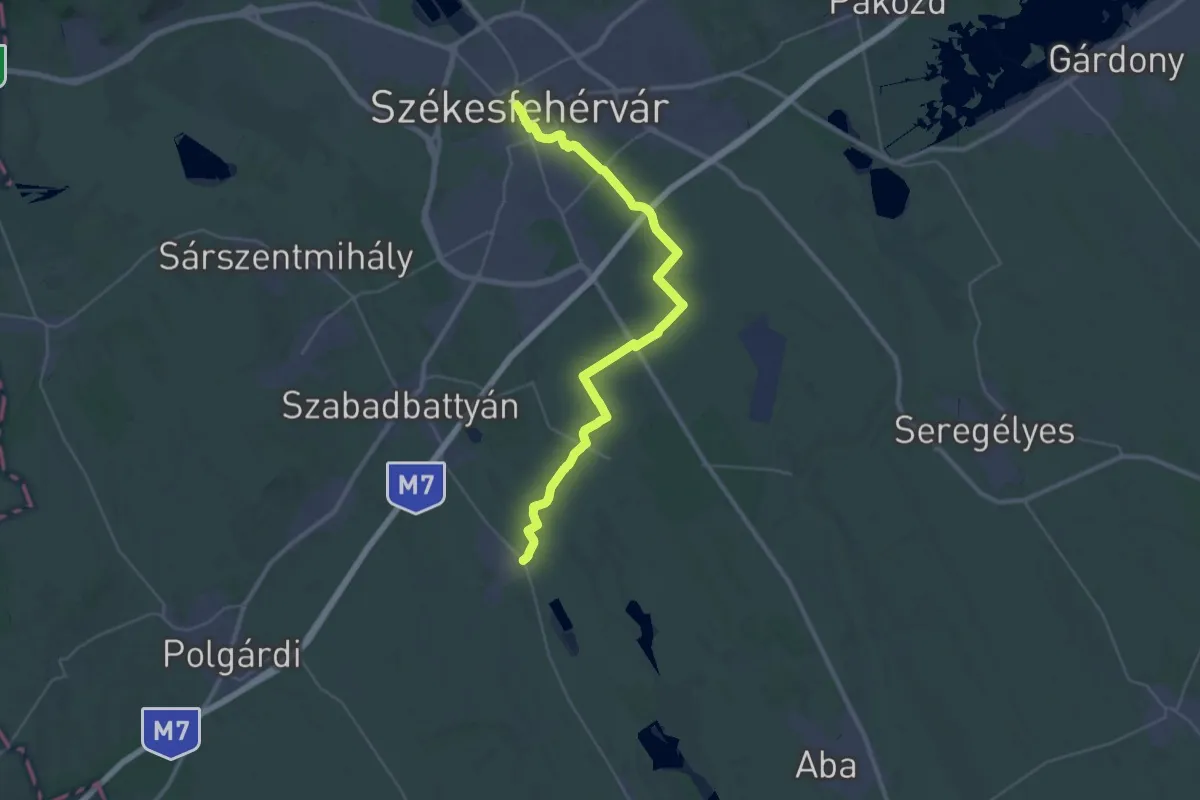
Demanding · Trail
ST305 Székesfehérvár - Tác
18.7 km · ↑ 44 m · 4 h 46 min
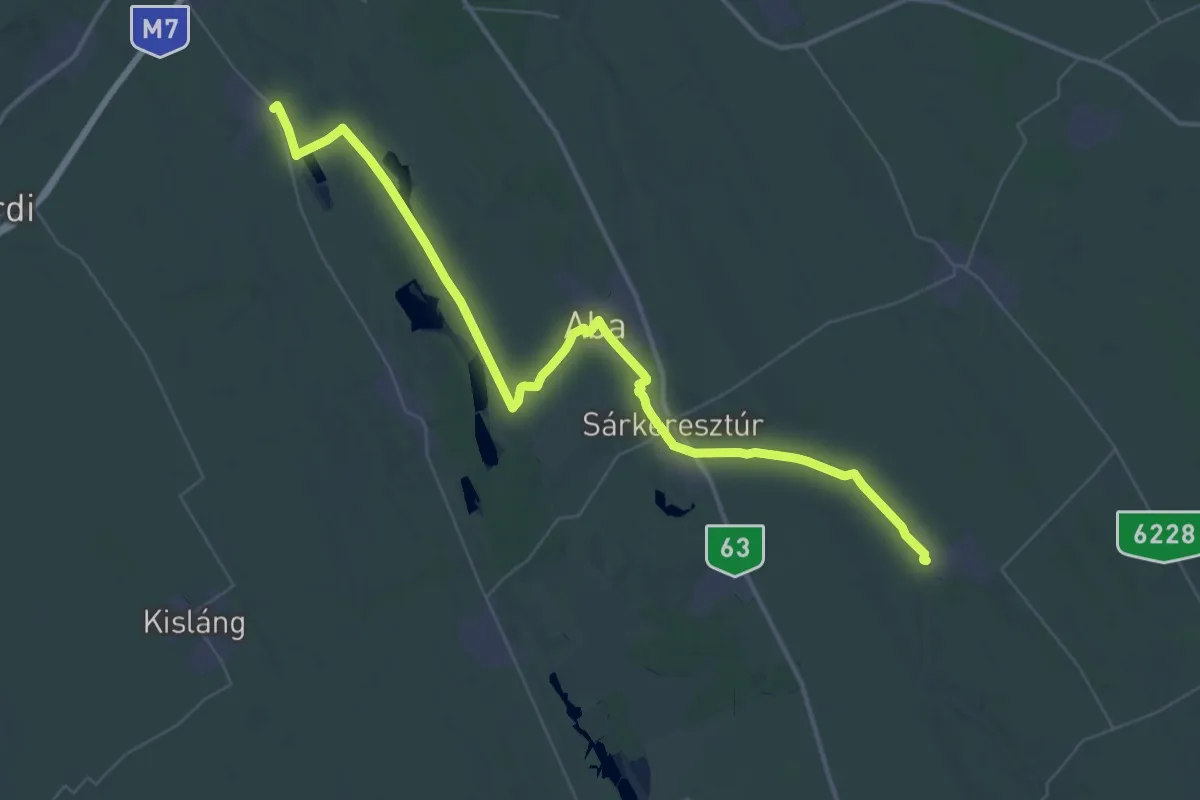
Demanding · Trail
ST306 Tác - Nagylók
27.0 km · ↑ 21 m · 6 h 48 min
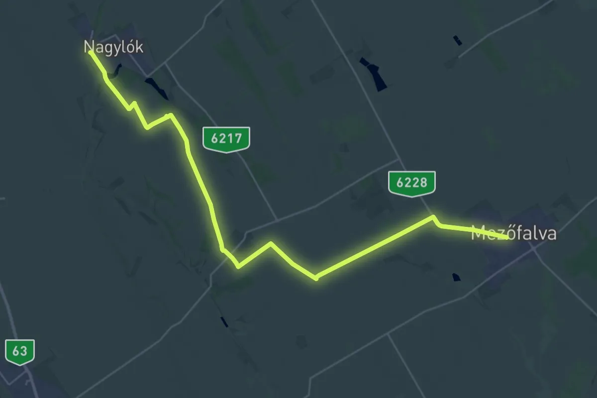
Demanding · Trail
ST307 Nagylók - Mezőfalva
31.8 km · ↑ 123 m · 7 h 47 min
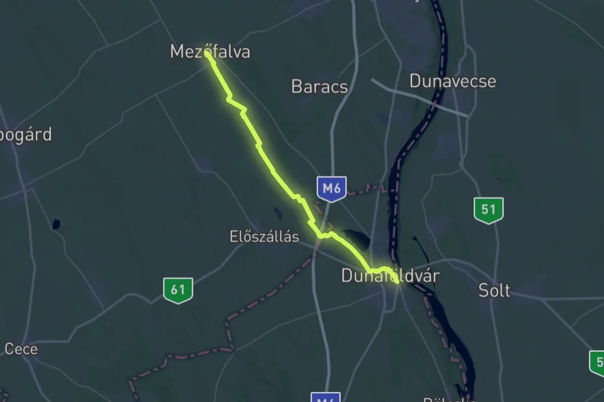
Demanding · Trail
ST308 Mezőfalva - Dunaföldvár
20.7 km · ↑ 26 m · 5 h 15 min
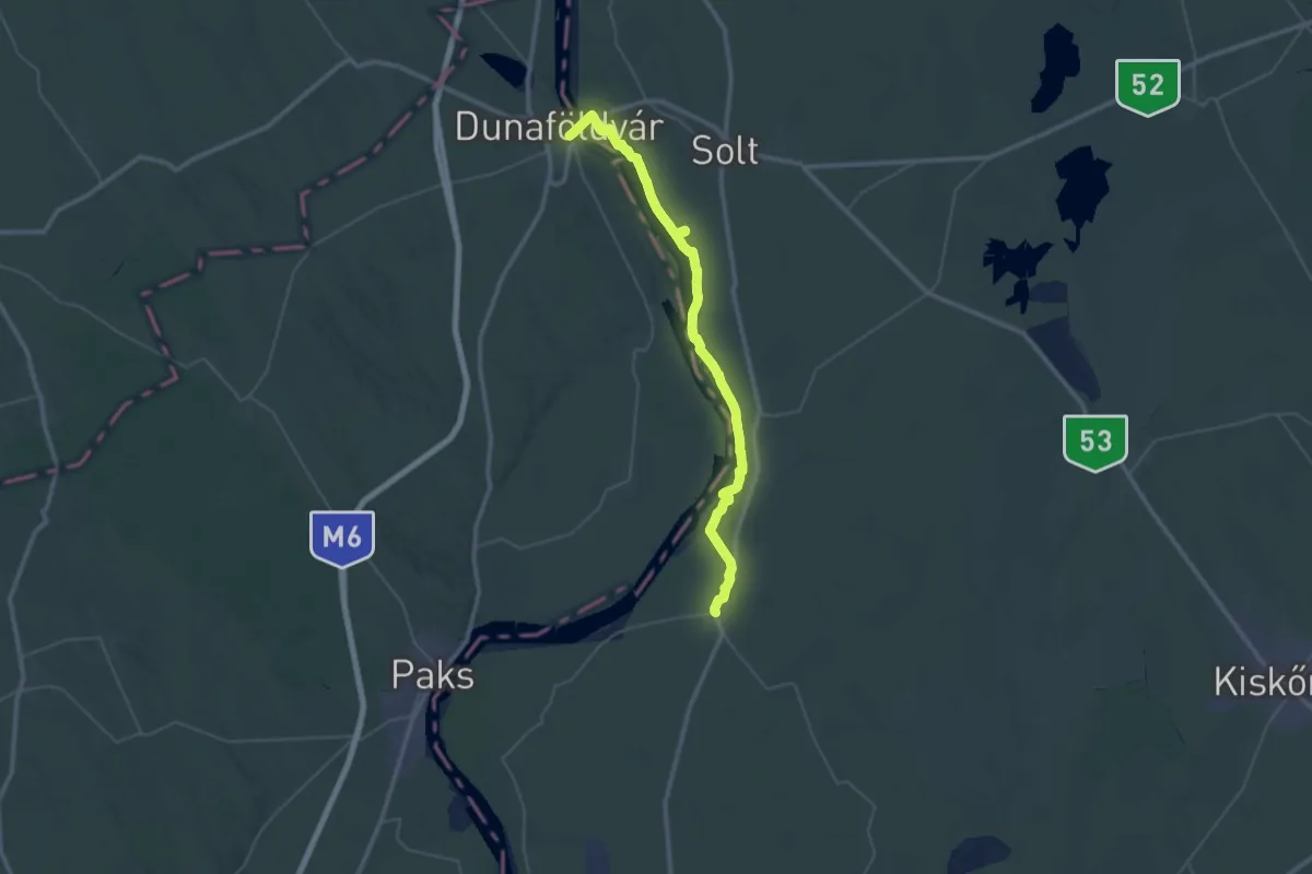
Demanding · Trail
ST309 Dunaföldvár - Dunapataj
24.6 km · ↑ 53 m · 6 h 16 min
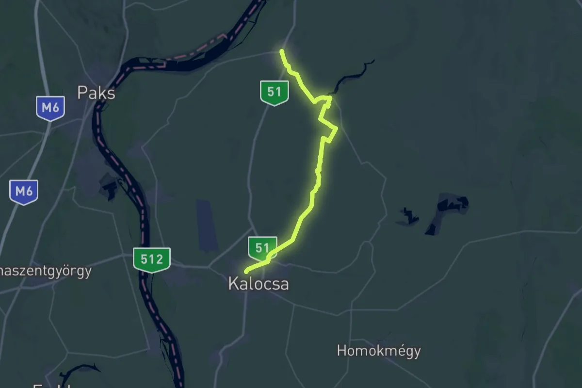
Demanding · Trail
ST310 Dunapataj - Kalocsa
18.7 km · ↑ 8 m · 4 h 41 min
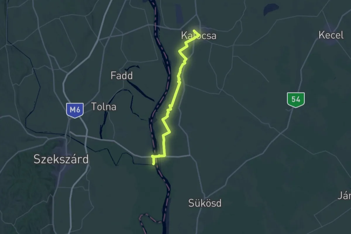
Demanding · Trail
ST311 Kalocsa - Bóni-fok
29.0 km · ↑ 23 m · 7 h 18 min
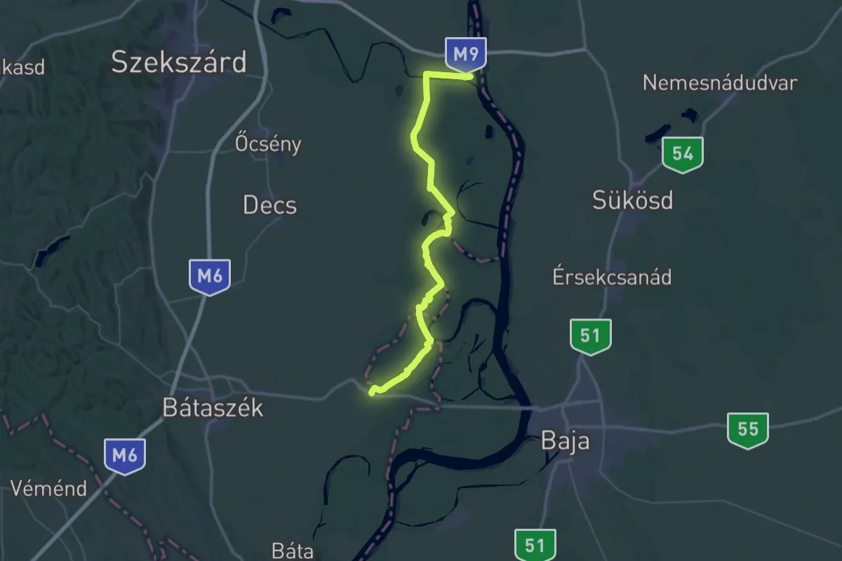
Demanding · Trail
ST312 Bóni-fok - Pörböly
23.2 km · ↑ 119 m · 6 h 4 min
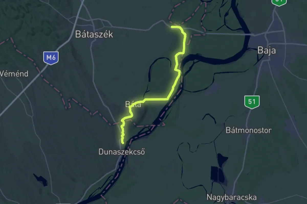
Demanding · Summit
ST313 Pörböly - Dunaszekcső
37.5 km · ↑ 265 m · 9 h 26 min
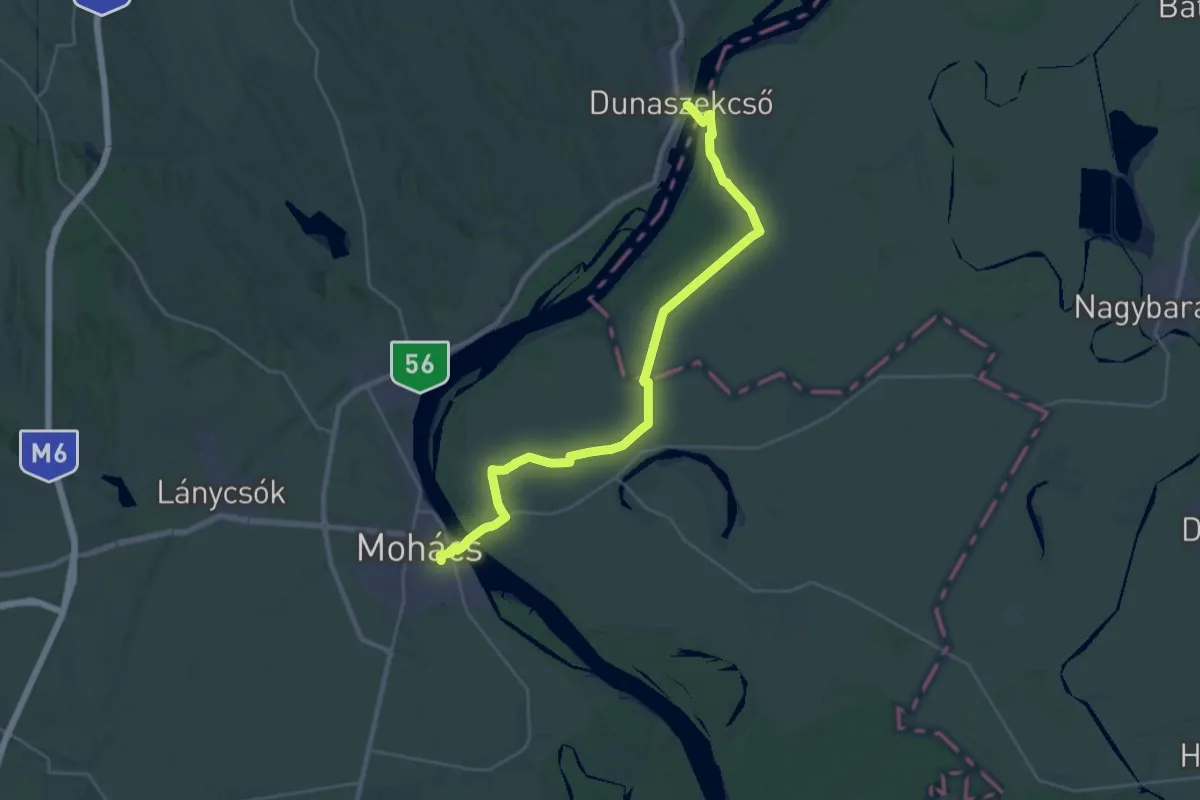
Demanding · Trail
ST314a Dunaszekcső - Mohács
33.3 km · ↑ 26 m · 7 h 56 min
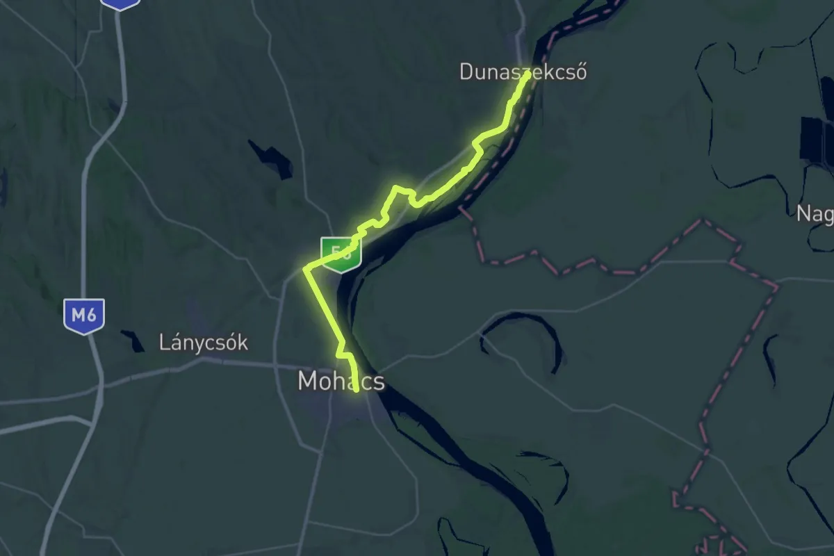
Medium · Trail
ST314 Dunaszekcsö - Mohács
17.2 km · ↑ 79 m · 4 h 28 min
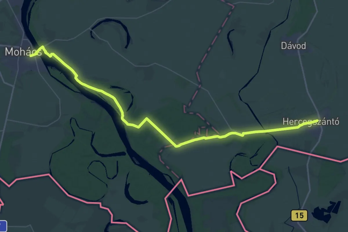
Demanding · Trail
ST315 Mohács - Hercegszántó
24.3 km · ↑ 101 m · 6 h 17 min
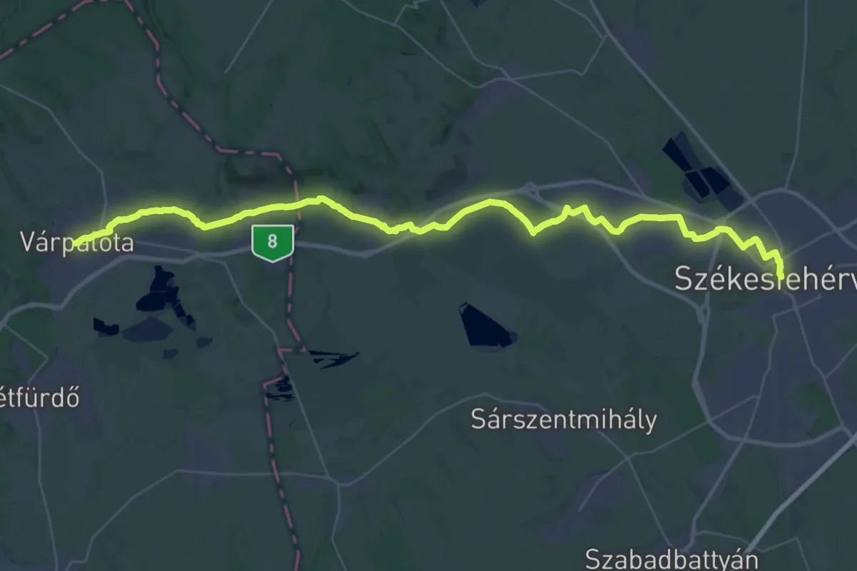
Demanding · Trail
ST801 Székesfehérvár - Varpalota
25.2 km · ↑ 155 m · 6 h 37 min
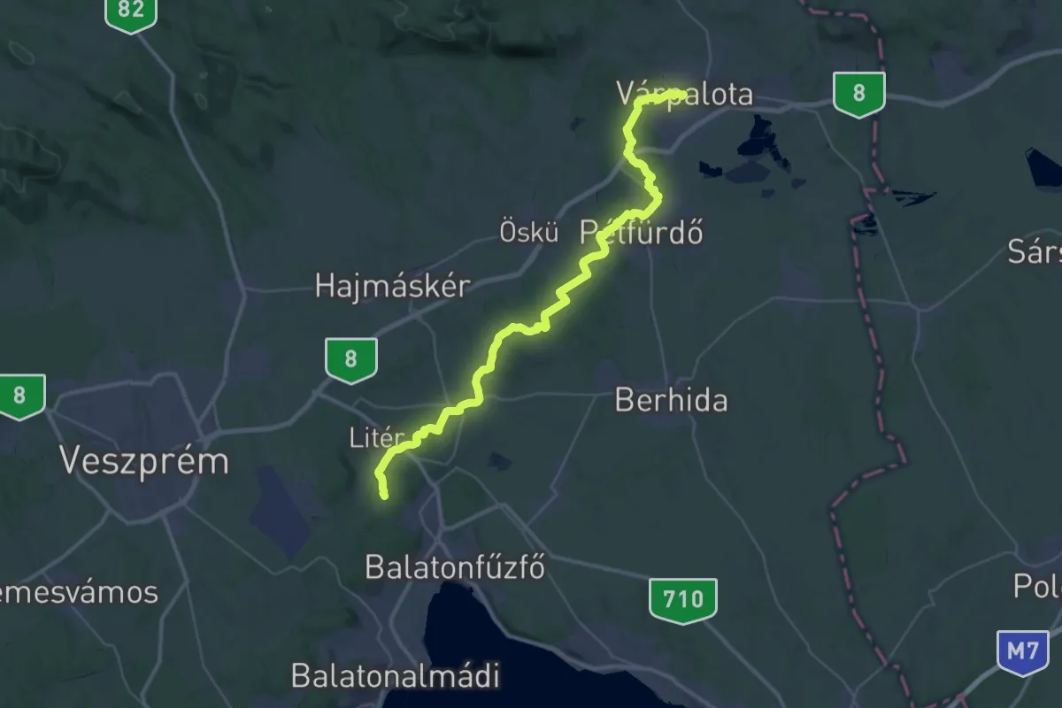
Demanding · Summit
ST802 Várpalota- Balatonamádi
45.5 km · ↑ 638 m · 12 h 7 min
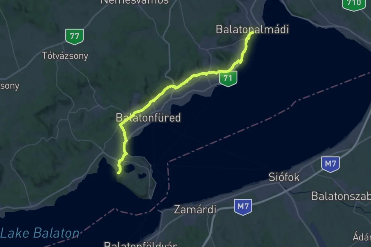
Demanding · Summit
ST803 Balatonamádi - Tihany
45.3 km · ↑ 441 m · 11 h 39 min
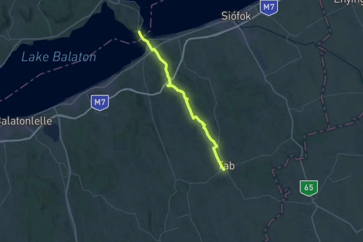
Demanding · Trail
ST804 Tihany - Tab
23.8 km · ↑ 334 m · 6 h 39 min
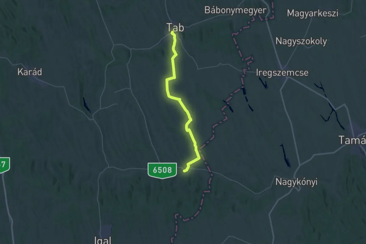
Demanding · Trail
ST805 Tab - Törökkoppány
18.5 km · ↑ 227 m · 5 h 8 min
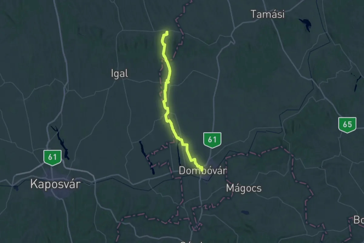
Demanding · Trail
ST806 Törökkoppány - Dombóvár
32.0 km · ↑ 253 m · 8 h 33 min
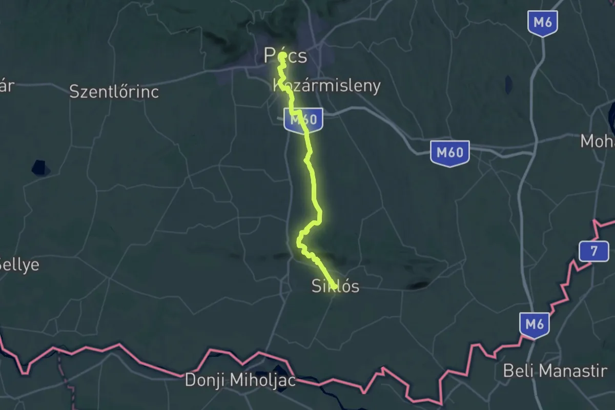
Demanding · Trail
ST810 Pécs - Siklós
34.3 km · ↑ 508 m · 9 h 38 min
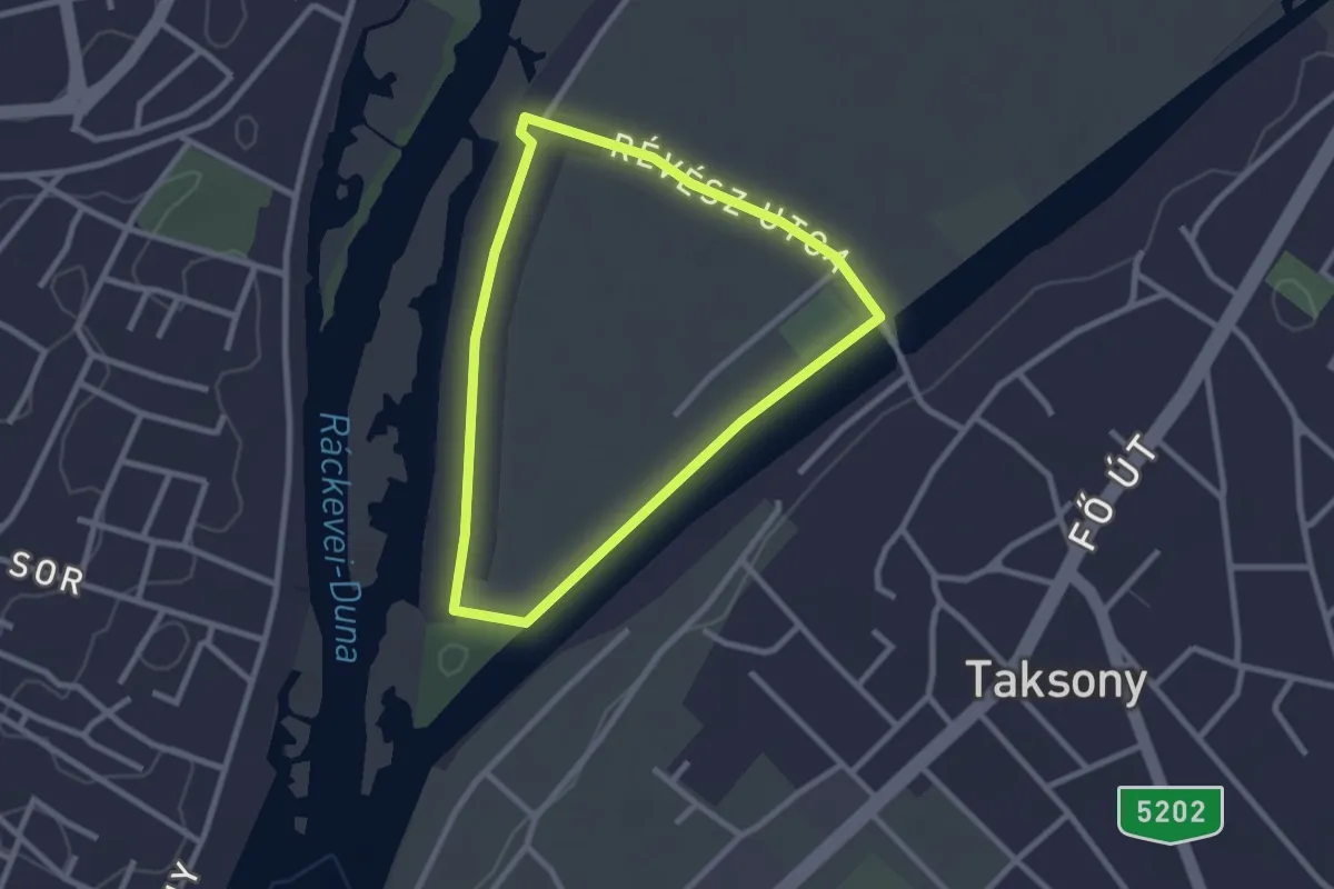
Easy · Trail
S↺ (Taksony-szigeti kör)
2.3 km · ↑ 0 m · 35 min
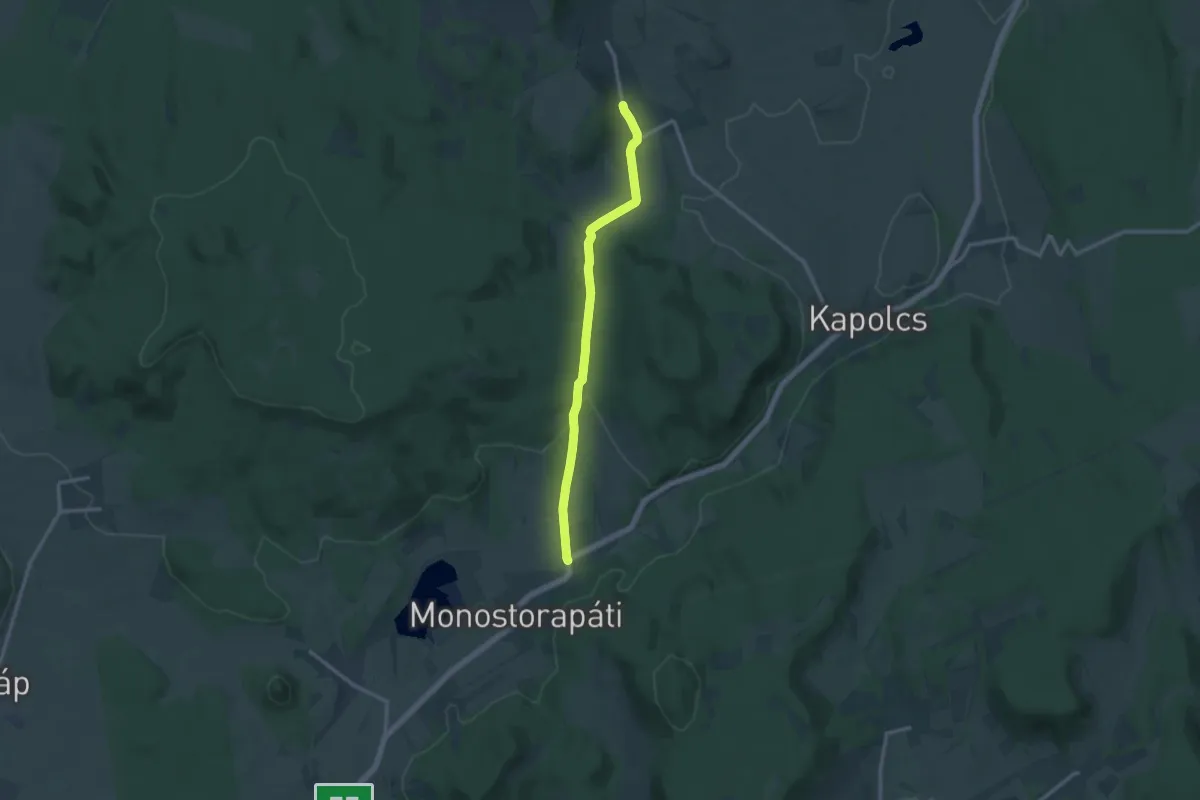
Medium · Trail
S (Taliándörögd - Monostorapáti)
12.4 km · ↑ 144 m · 3 h 14 min
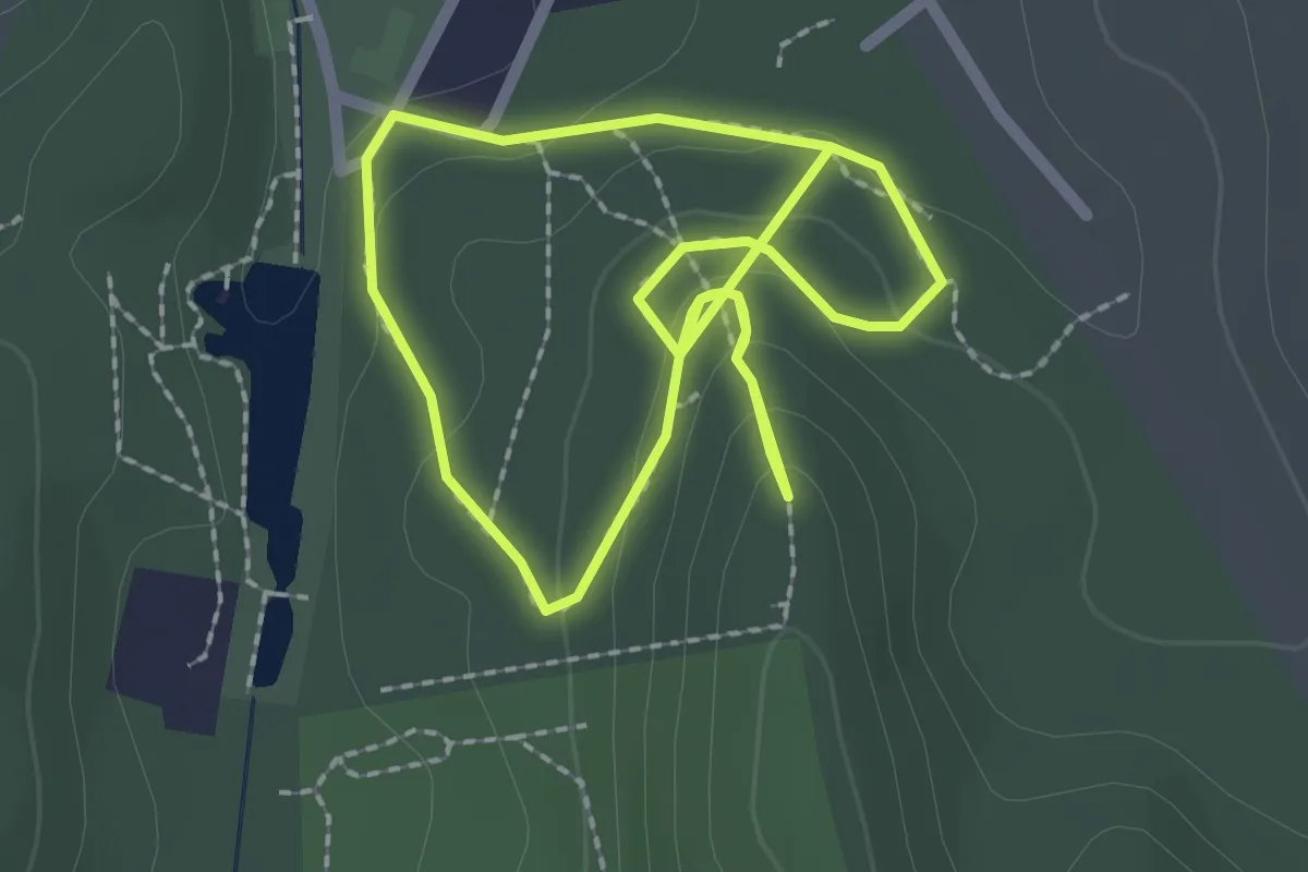
Easy · Trail
S● (Tamási)
4.1 km · ↑ 193 m · 1 h 23 min
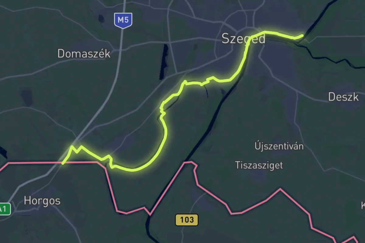
Demanding · Trail
S (Tápé – Röszke)
26.4 km · ↑ 37 m · 6 h 40 min
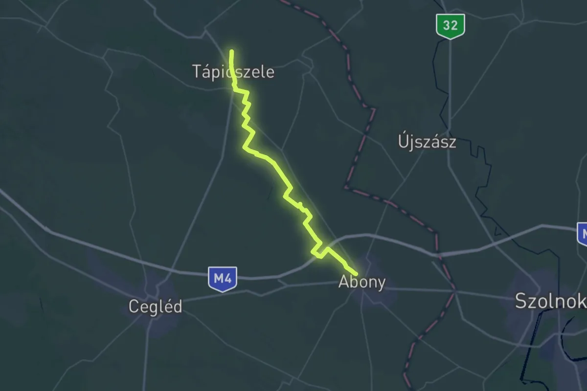
Demanding · Trail
S (Tápiószele – Abony)
25.8 km · ↑ 26 m · 6 h 29 min
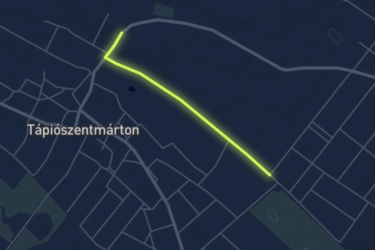
Easy · Trail
S▲ Tápiószentmárton
3.4 km · ↑ 9 m · 50 min
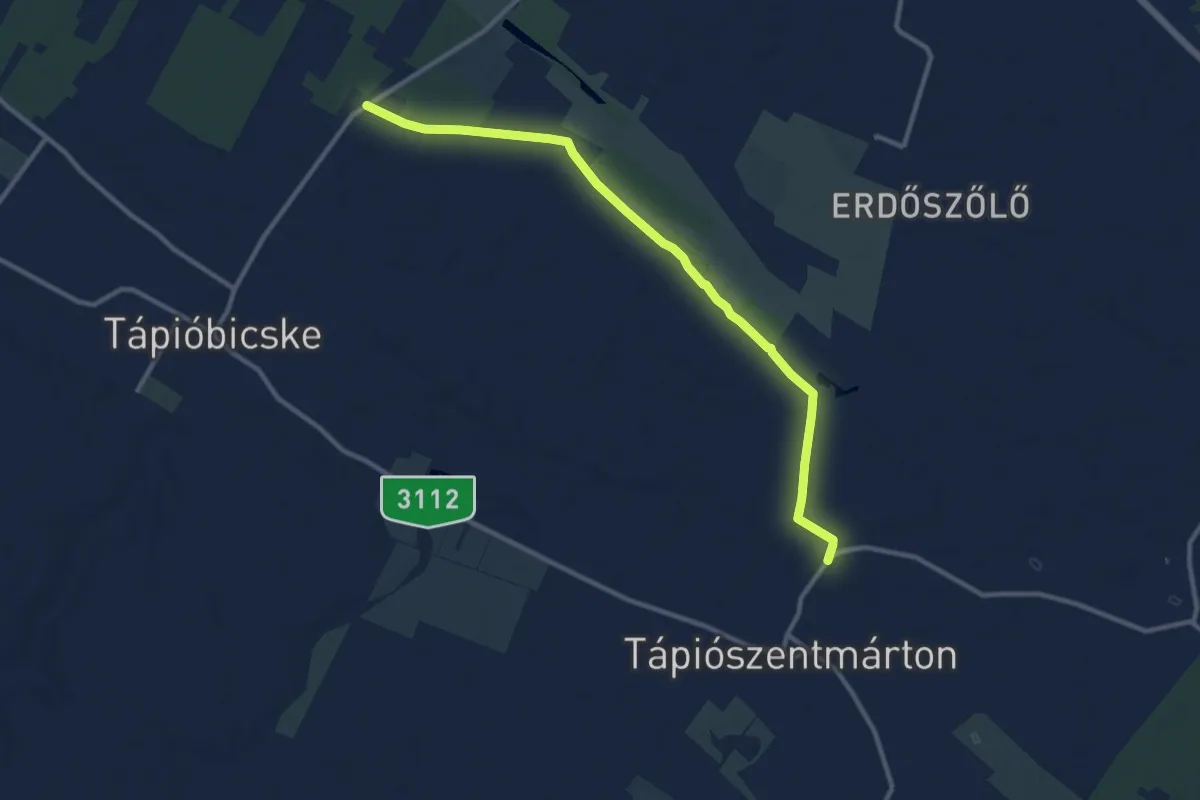
Medium · Trail
S (Tápiószentmárton – Tápióbicske)
11.4 km · ↑ 13 m · 2 h 43 min
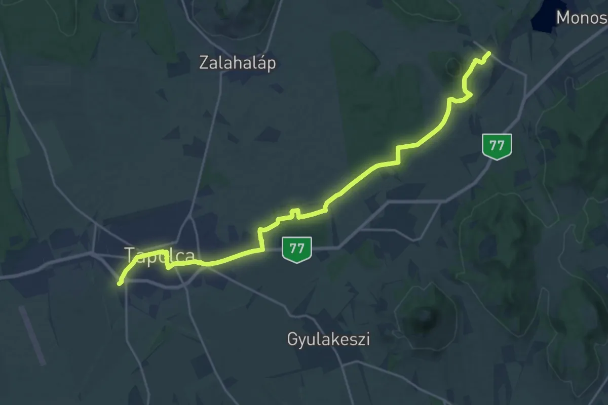
Demanding · Trail
S (Tapolca – Hegyesd)
20.7 km · ↑ 105 m · 5 h 7 min
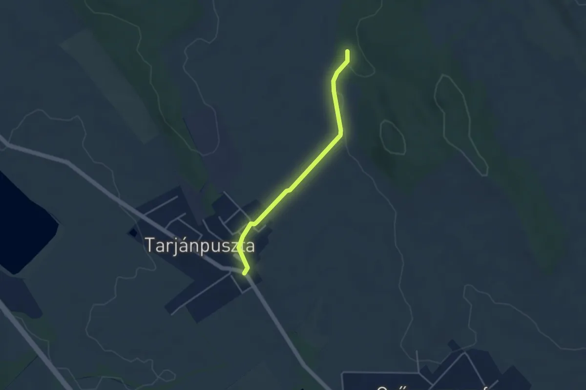
Easy · Trail
S■ (Tarjánpuszta)
3.4 km · ↑ 22 m · 51 min
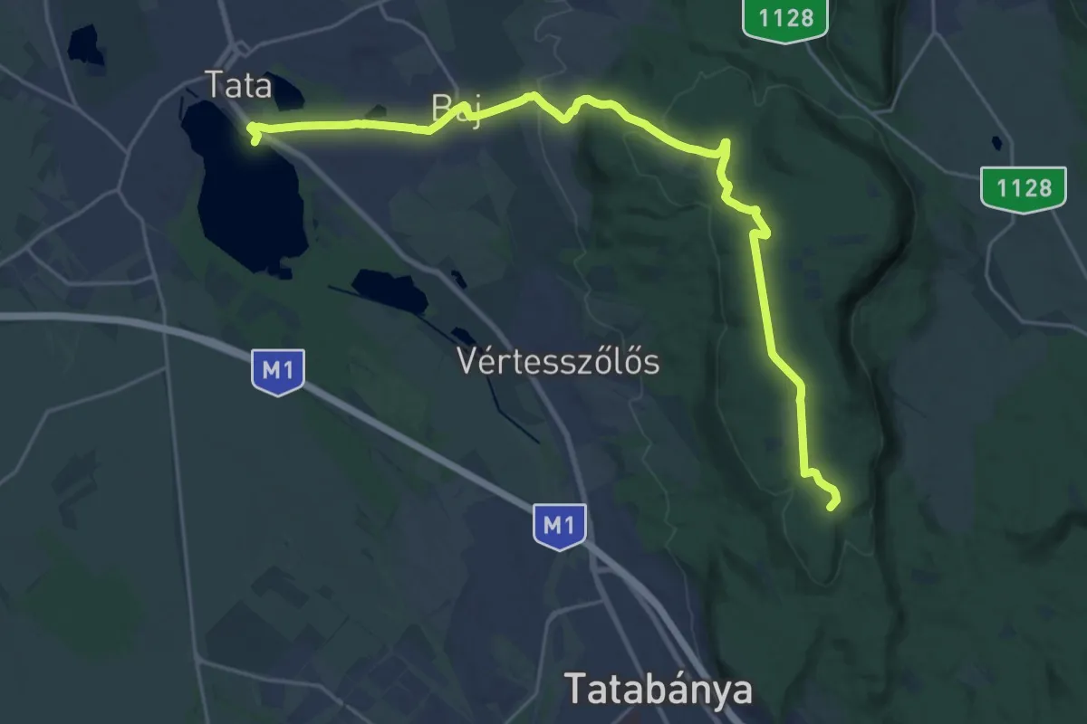
Demanding · Summit
S (Tata, Öreg-tó – Baj – Koldusszállás)
25.1 km · ↑ 577 m · 7 h 10 min
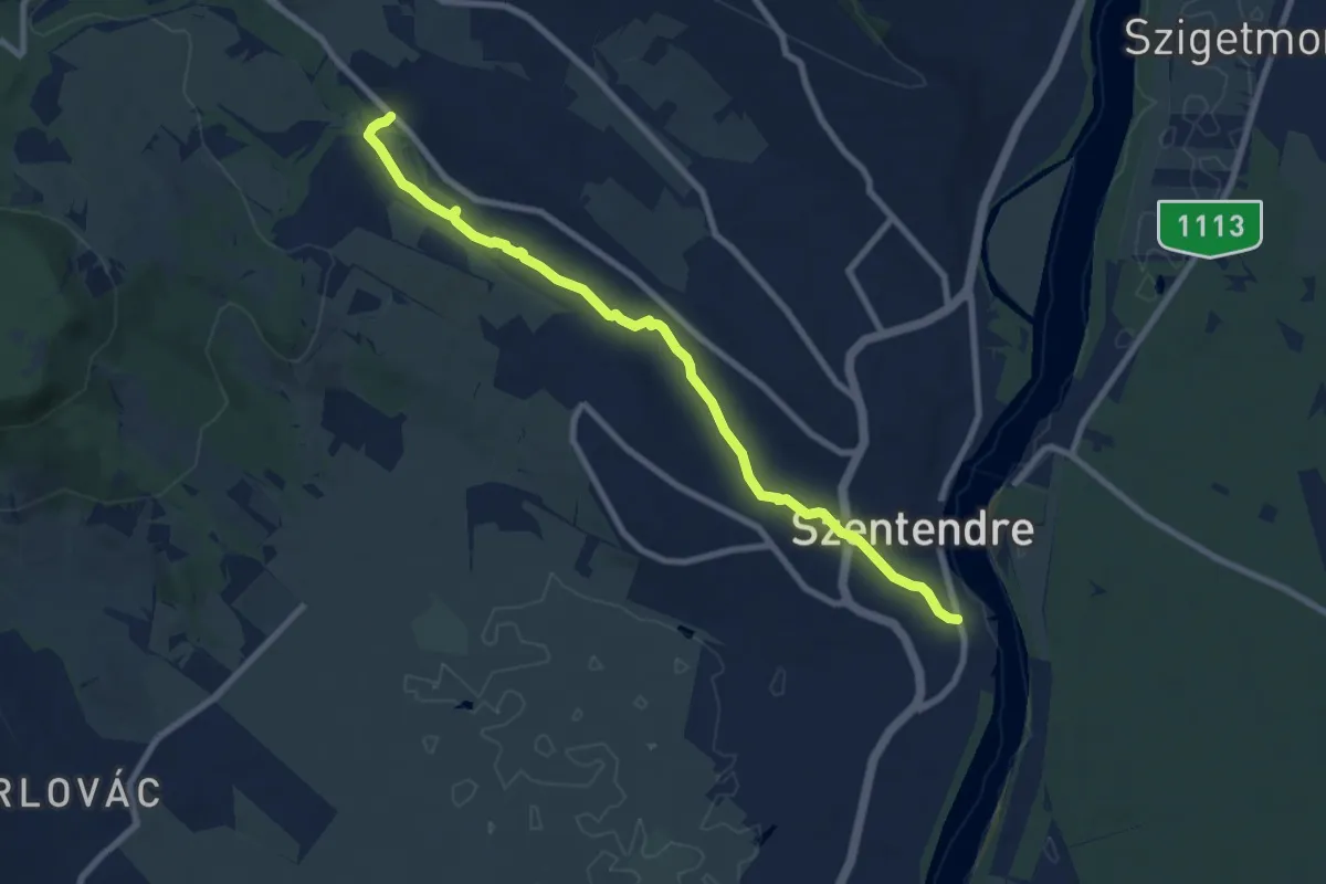
Medium · Trail
ST, Bükkös-patak tanösvény
8.6 km · ↑ 52 m · 2 h 9 min
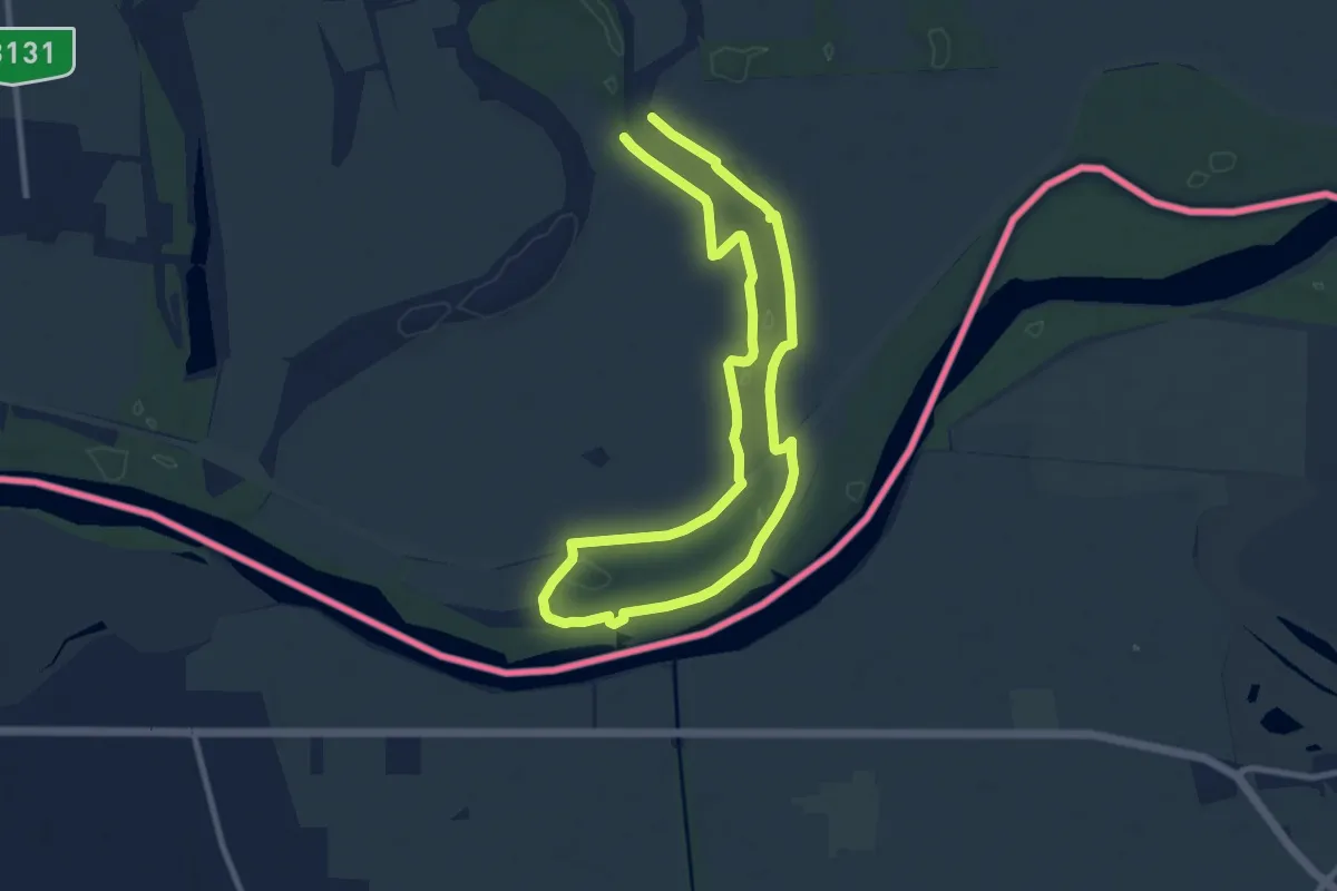
Medium · Trail
ST (Dráva élővilága tanösvény)
17.4 km · ↑ 91 m · 4 h 19 min
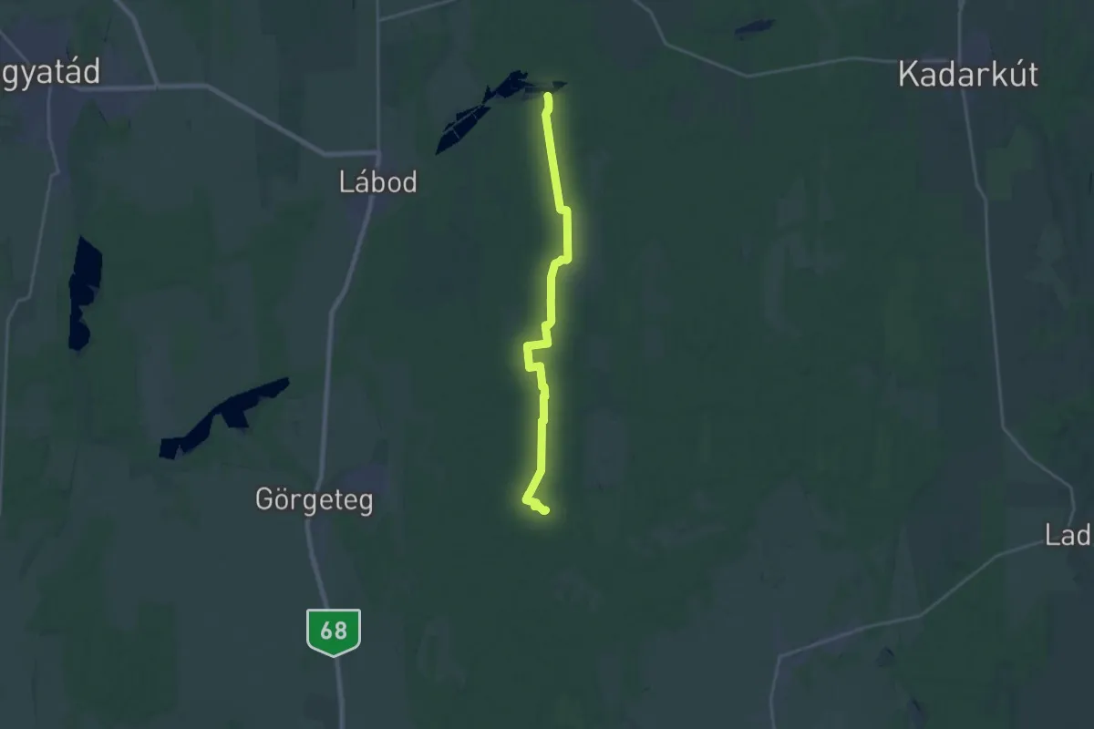
Demanding · Trail
ST (Dr. Studunka László-tanösvény)
21.1 km · ↑ 82 m · 5 h 10 min
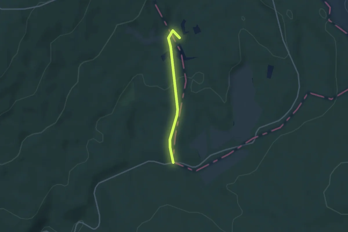
Easy · Trail
S● (Tekeres-kút)
2.4 km · ↑ 43 m · 39 min
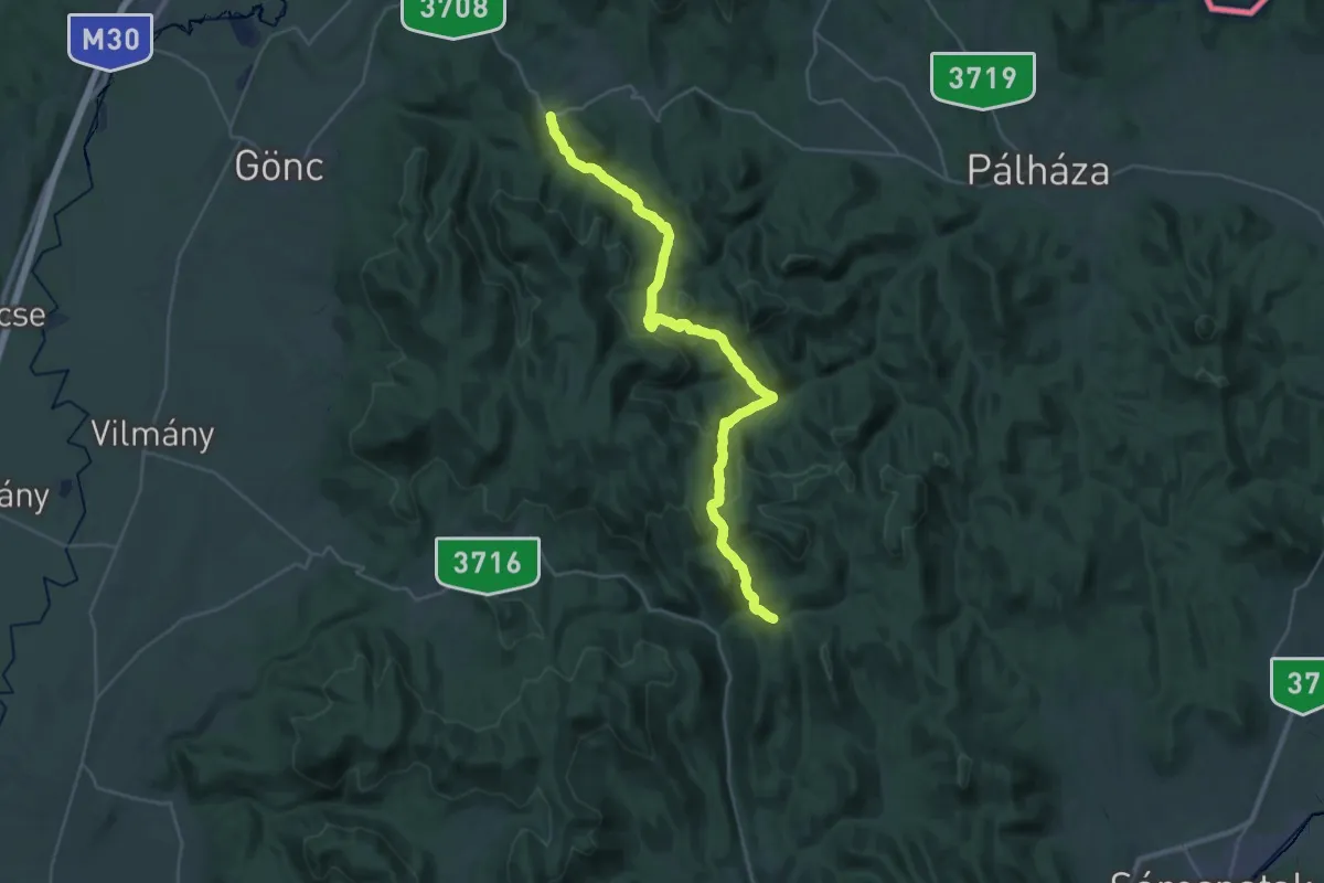
Medium · Trail
S (Telkibánya – Középhuta)
17.2 km · ↑ 507 m · 5 h 24 min
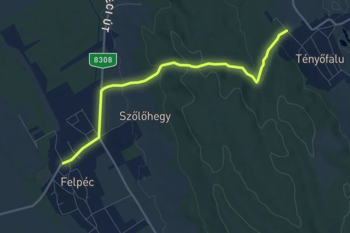
Easy · Trail
S+ (Tényő – Felpéc)
7.8 km · ↑ 208 m · 2 h 18 min
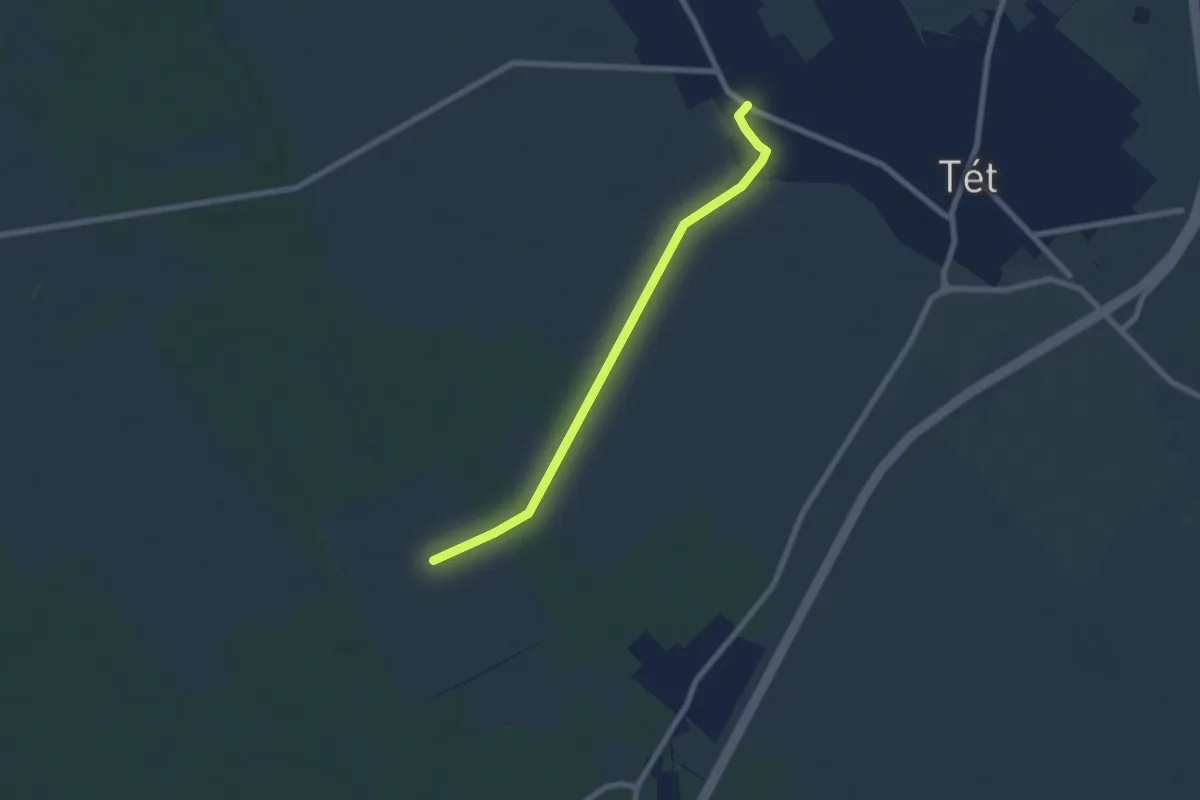
Easy · Trail
S+ (Tét)
6.7 km · ↑ 9 m · 1 h 36 min
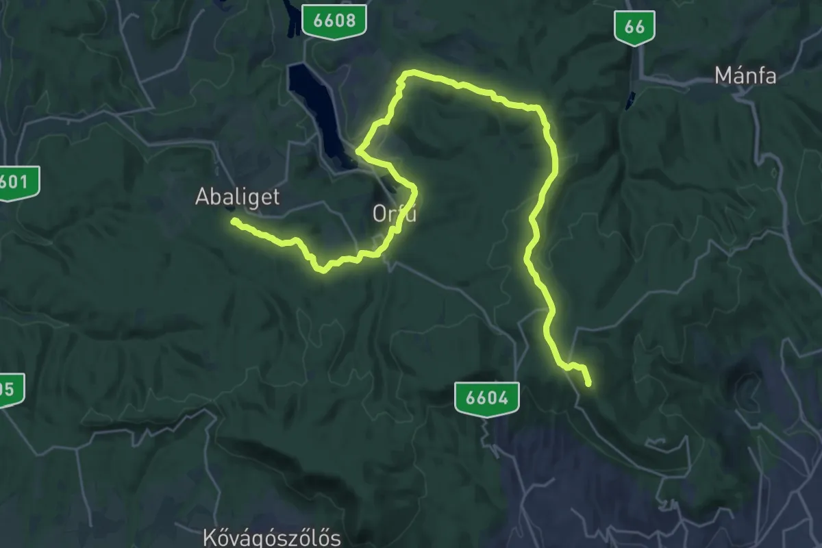
Demanding · Summit
S (Tettye – Abaligeti cseppkőbarlang)
34.3 km · ↑ 897 m · 10 h 2 min
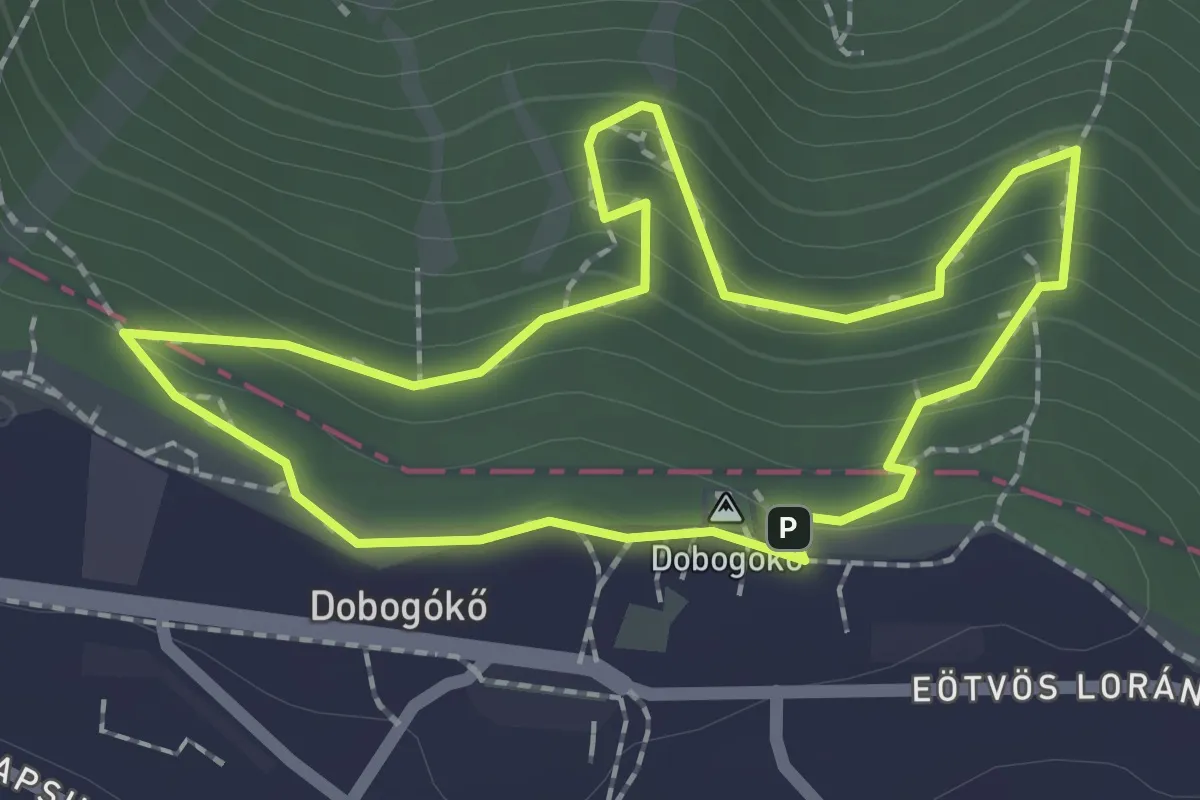
Medium · Summit
S↺, Thirring körút (Dobogókő, elágazás – Thirring-sziklák – Dobogókő, elágazás)
1.9 km · ↑ 166 m · 50 min
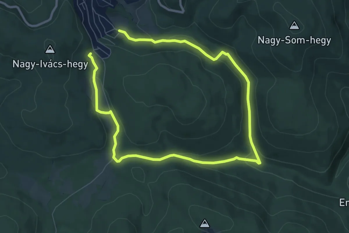
Medium · Trail
ST, IV. Béla-emlékút
11.8 km · ↑ 298 m · 3 h 26 min
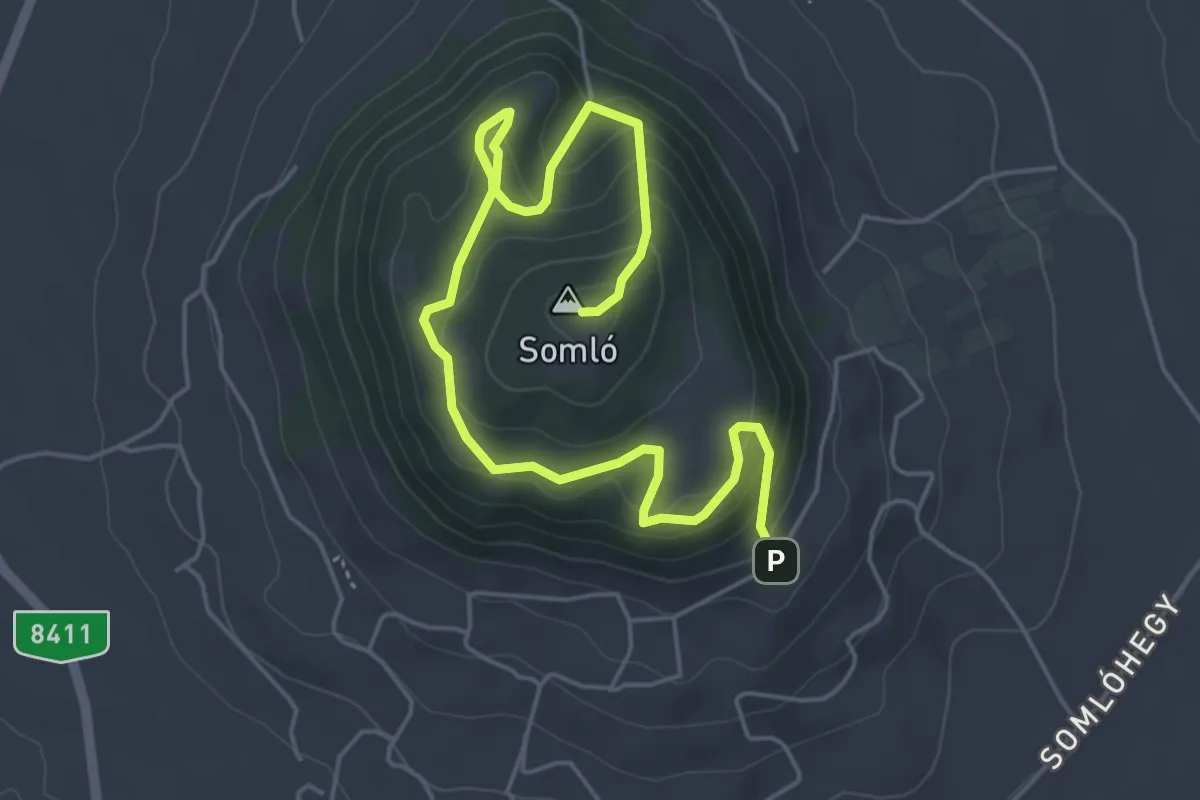
Easy · Summit
ST Kitaibel Pál-tanösvény
6.3 km · ↑ 304 m · 2 h 9 min
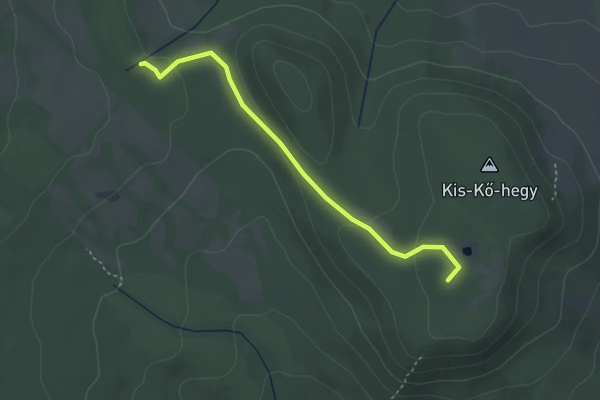
Easy · Summit
ST, Kő-hegyi tanösvény
3.1 km · ↑ 84 m · 55 min
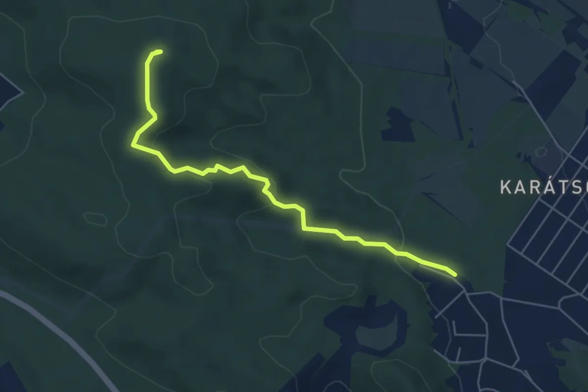
Easy · Summit
ST, Kopár tanösvény (Vörösvári tanösvény)
5.0 km · ↑ 149 m · 1 h 31 min
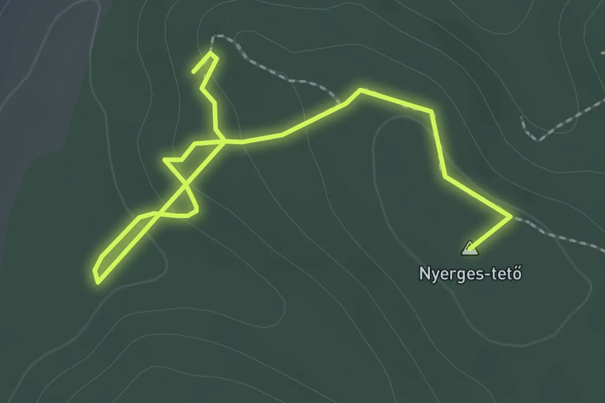
Easy · Summit
ST, Nyerges-tetői tanösvény
2.8 km · ↑ 95 m · 52 min
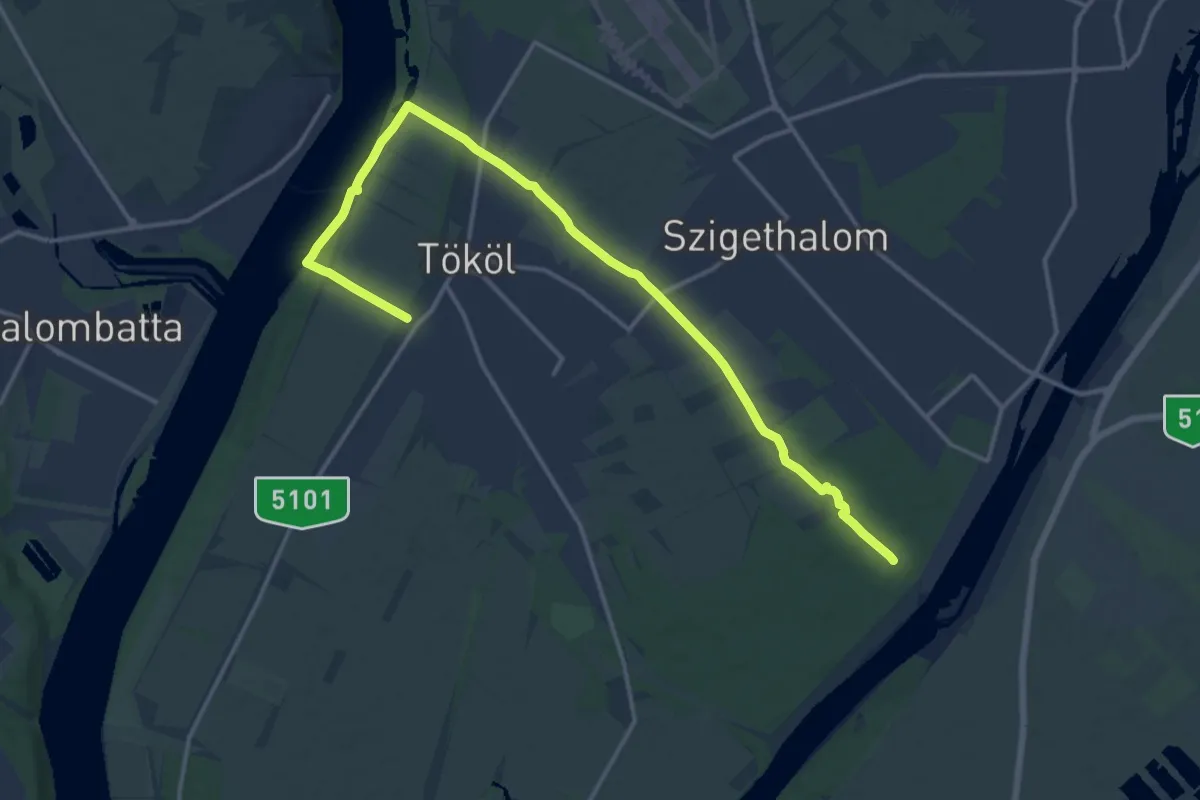
Medium · Trail
S+ (Tököli parkerdő)
18.0 km · ↑ 37 m · 4 h 20 min
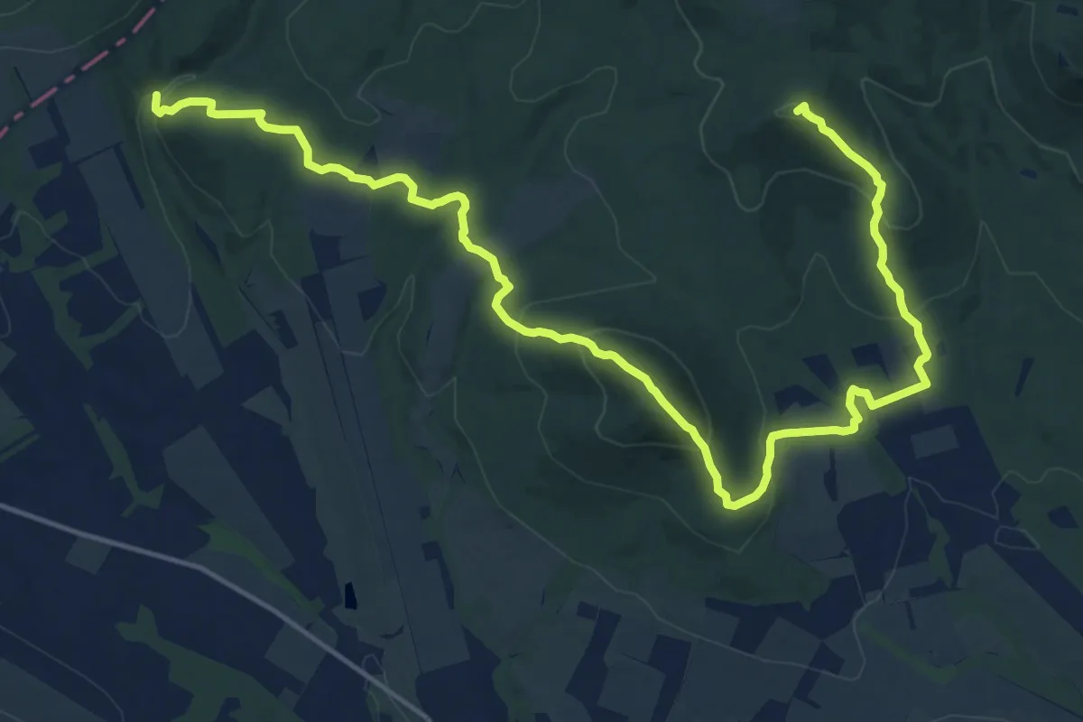
Demanding · Summit
S+ (Tóthegyes – János vára)
20.5 km · ↑ 980 m · 6 h 57 min
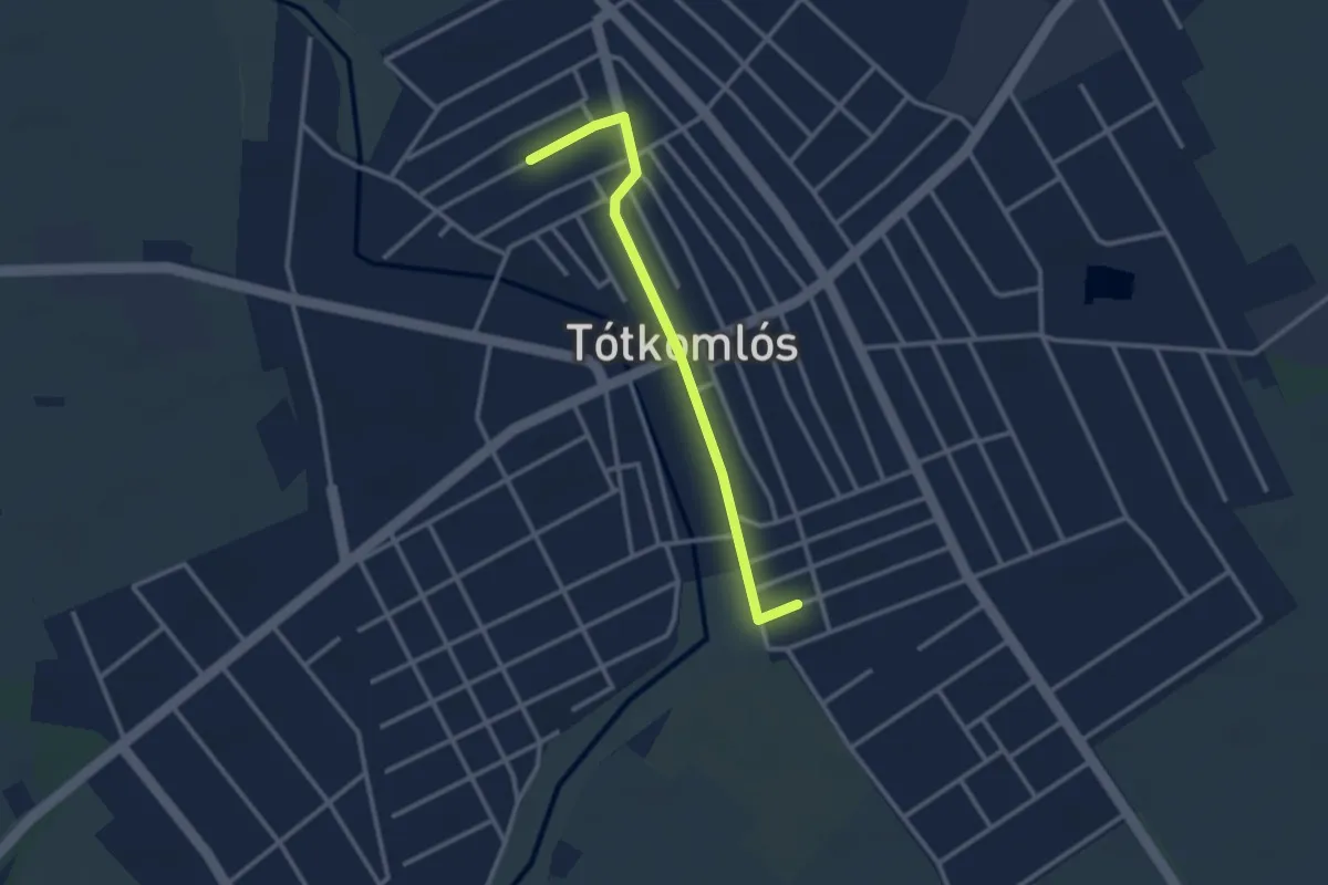
Easy · Trail
S+ (Tótkomlós, Epres tér - Szlovák Emlékház)
2.8 km · ↑ 0 m · 40 min
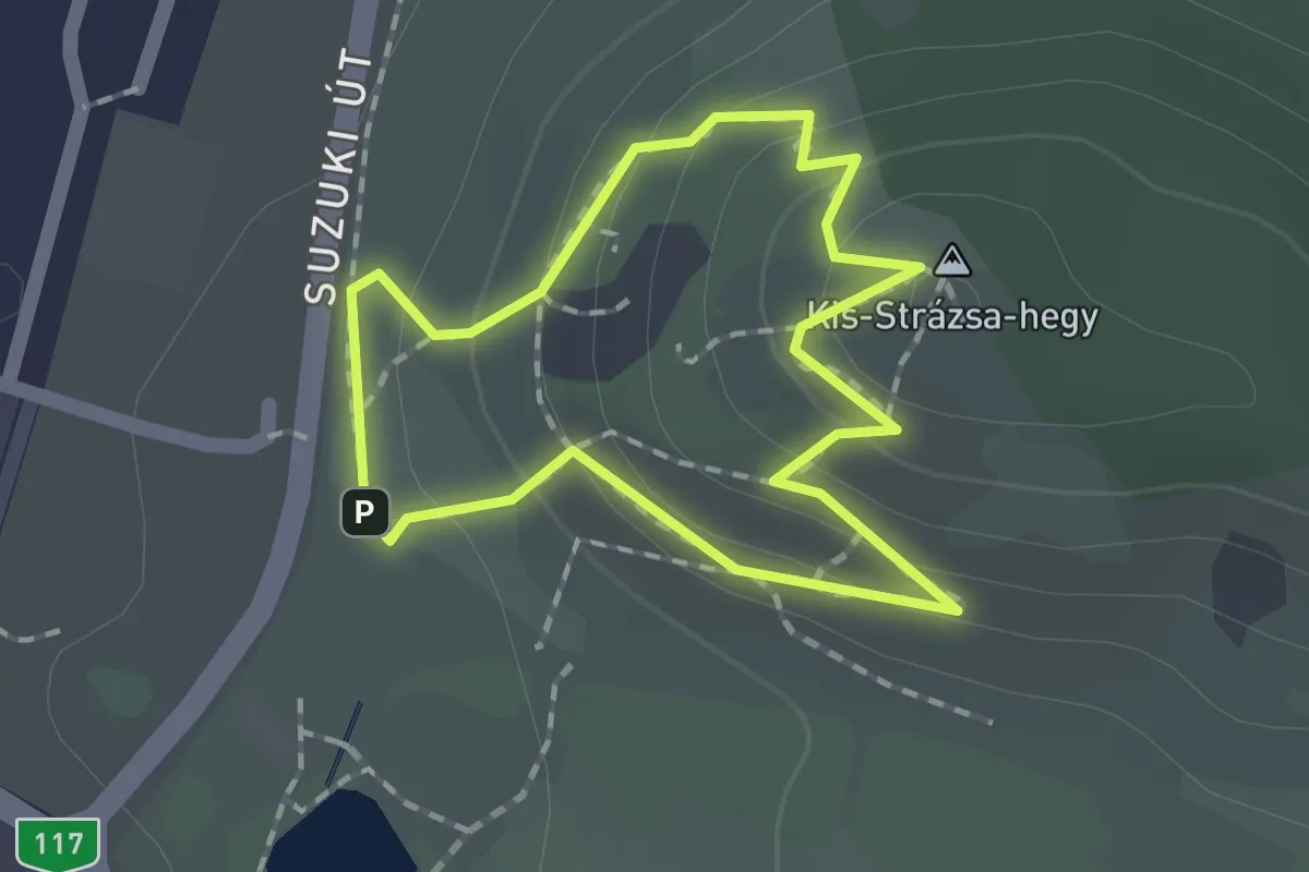
Easy · Summit
Strázsa-hegyi tanösvény (Esztergomi Bemutatóközpont – Kis-Strázsa-hegy)
1.3 km · ↑ 74 m · 29 min
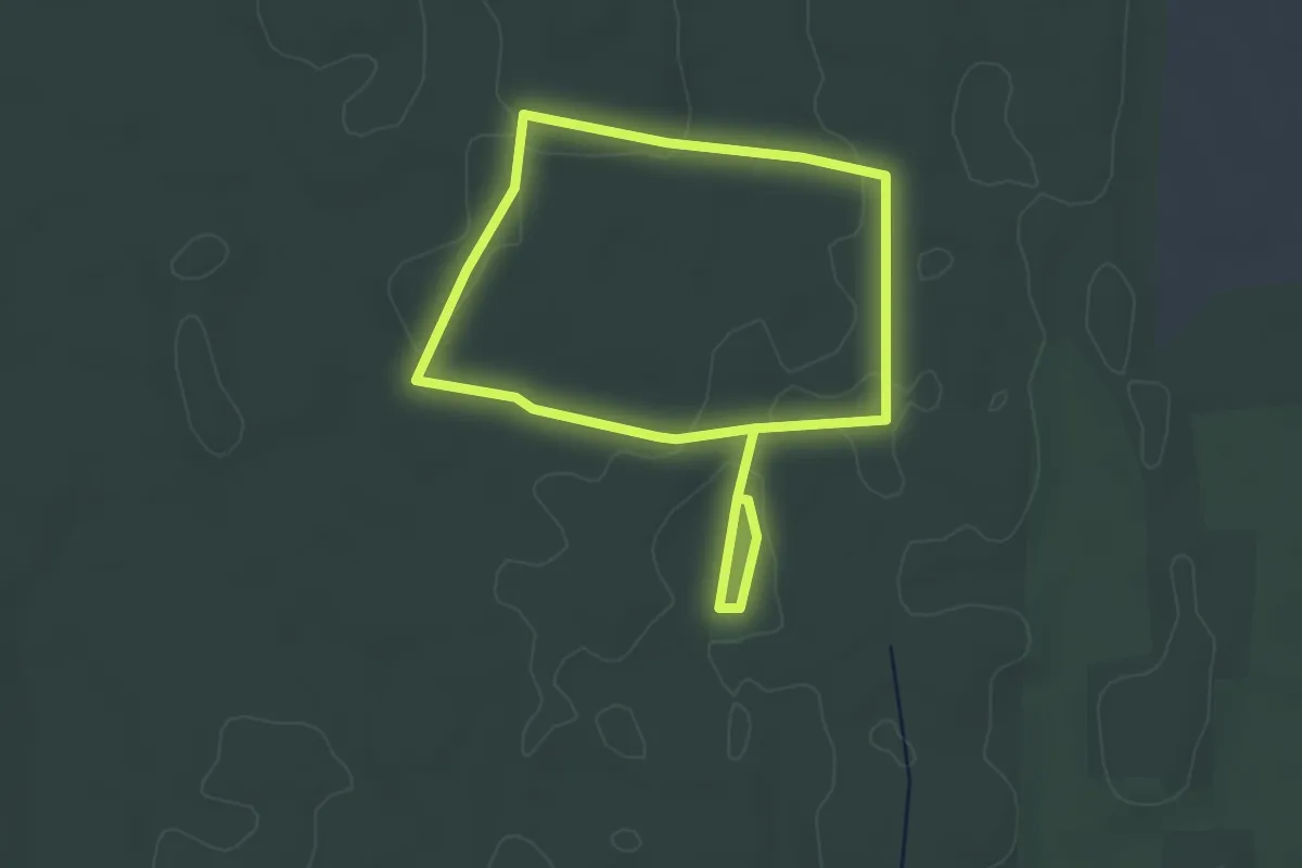
Easy · Trail
ST, Sárga csiga tanösvény
3.1 km · ↑ 13 m · 49 min