Trails in Hungary
2,296 hiking trails, each with its route, climb, walking time and grade.
All trails, page 36 of 48
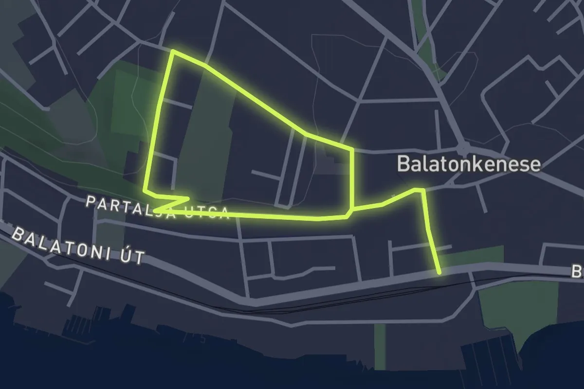
Easy · Trail
ST, Tátorján tanösvény
4.5 km · ↑ 54 m · 1 h 10 min
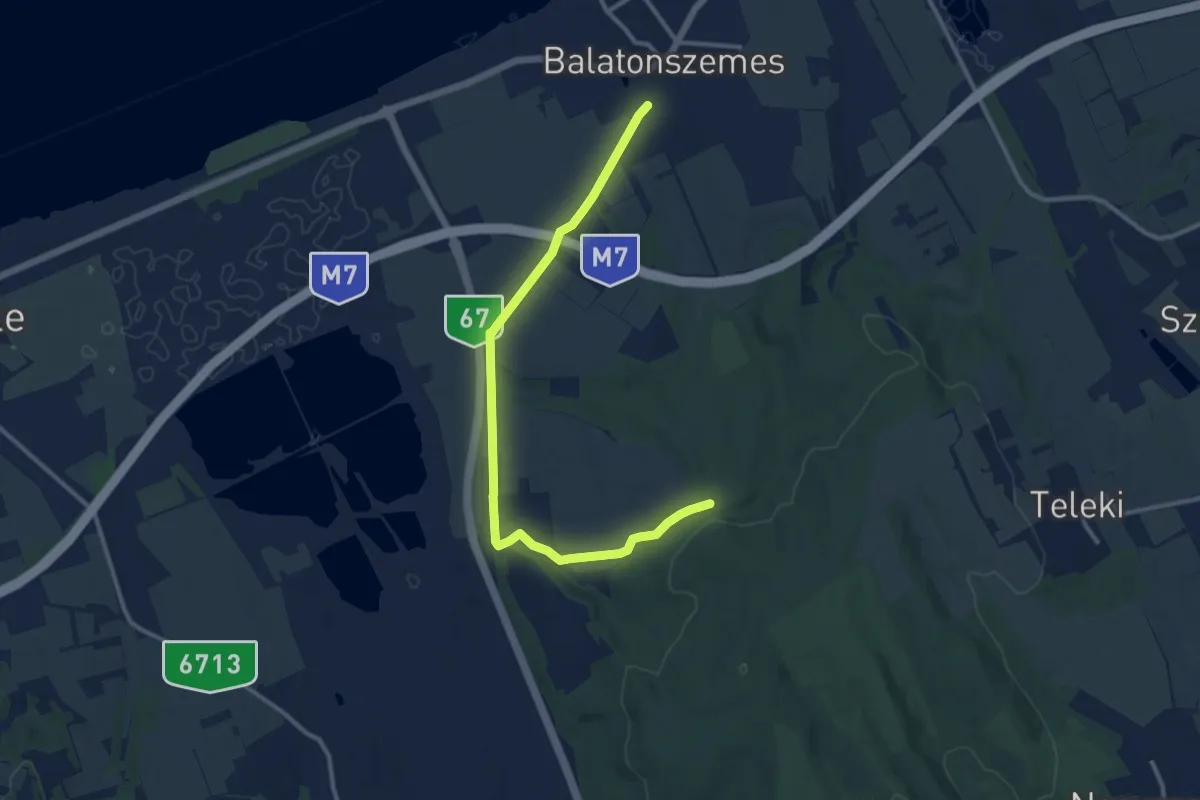
Medium · Trail
S▙ (Tündér-völgy – Balatonszemes)
12.3 km · ↑ 123 m · 3 h 11 min
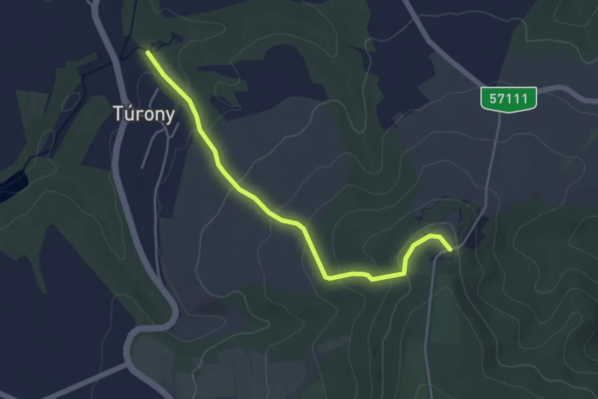
Easy · Trail
S+ (Túrony)
3.9 km · ↑ 155 m · 1 h 15 min
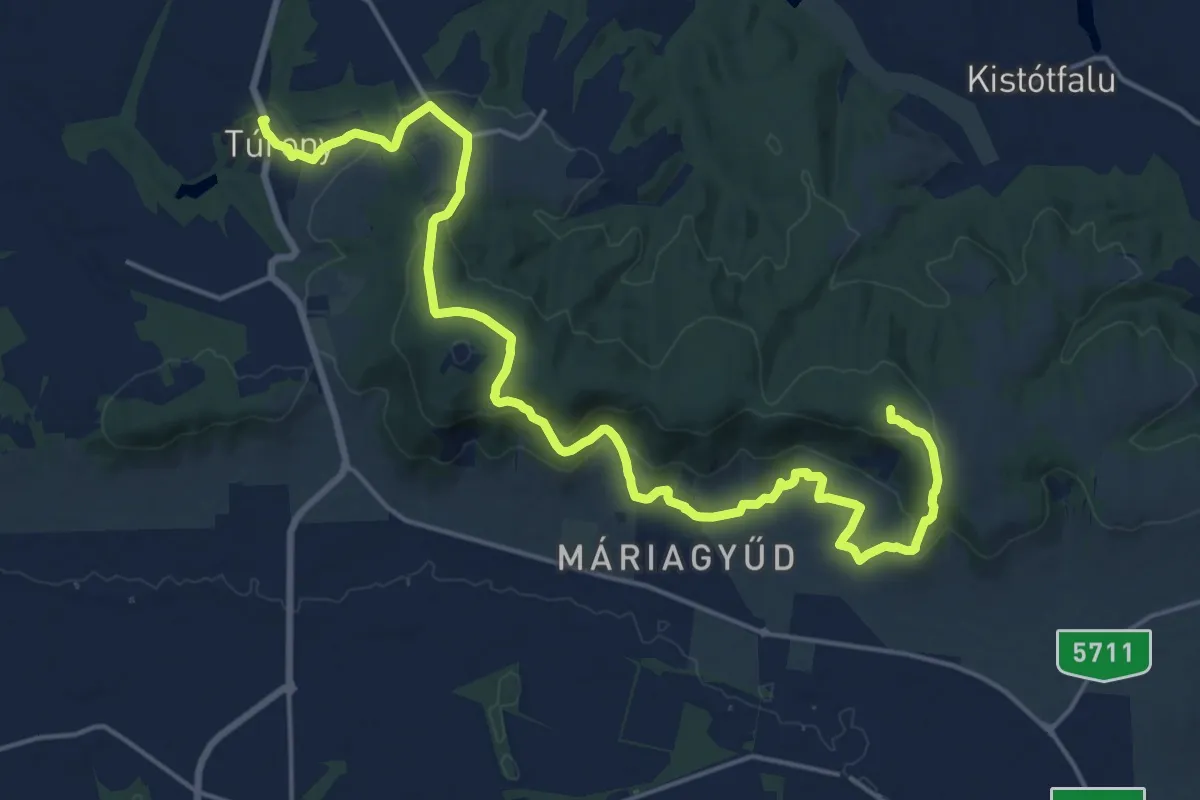
Demanding · Trail
S (Túrony, am. – Bisse, Szőlőhegy, am. – Tenkes hegy – Csodabogyó tanösvény)
23.3 km · ↑ 808 m · 7 h 15 min
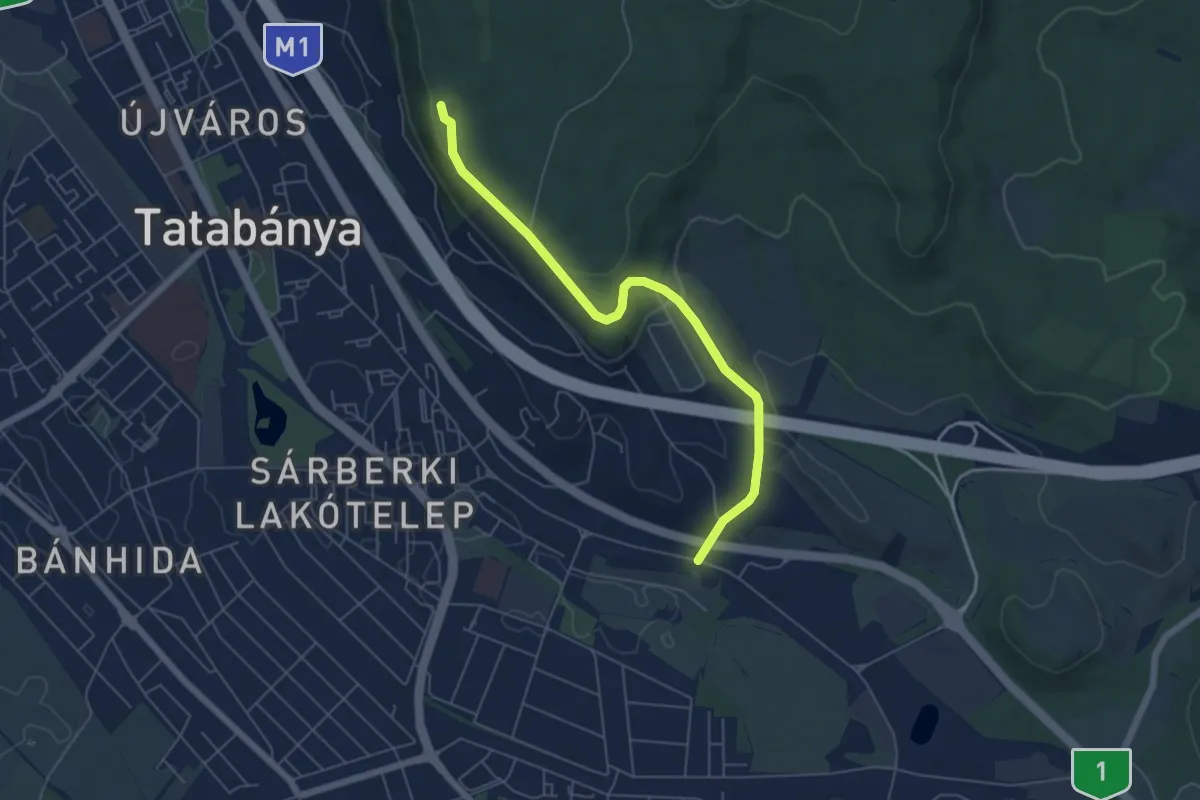
Easy · Trail
S+ (Turul-emlékmű – Panoráma út – Tatabánya, Alsógalla)
5.7 km · ↑ 174 m · 1 h 44 min
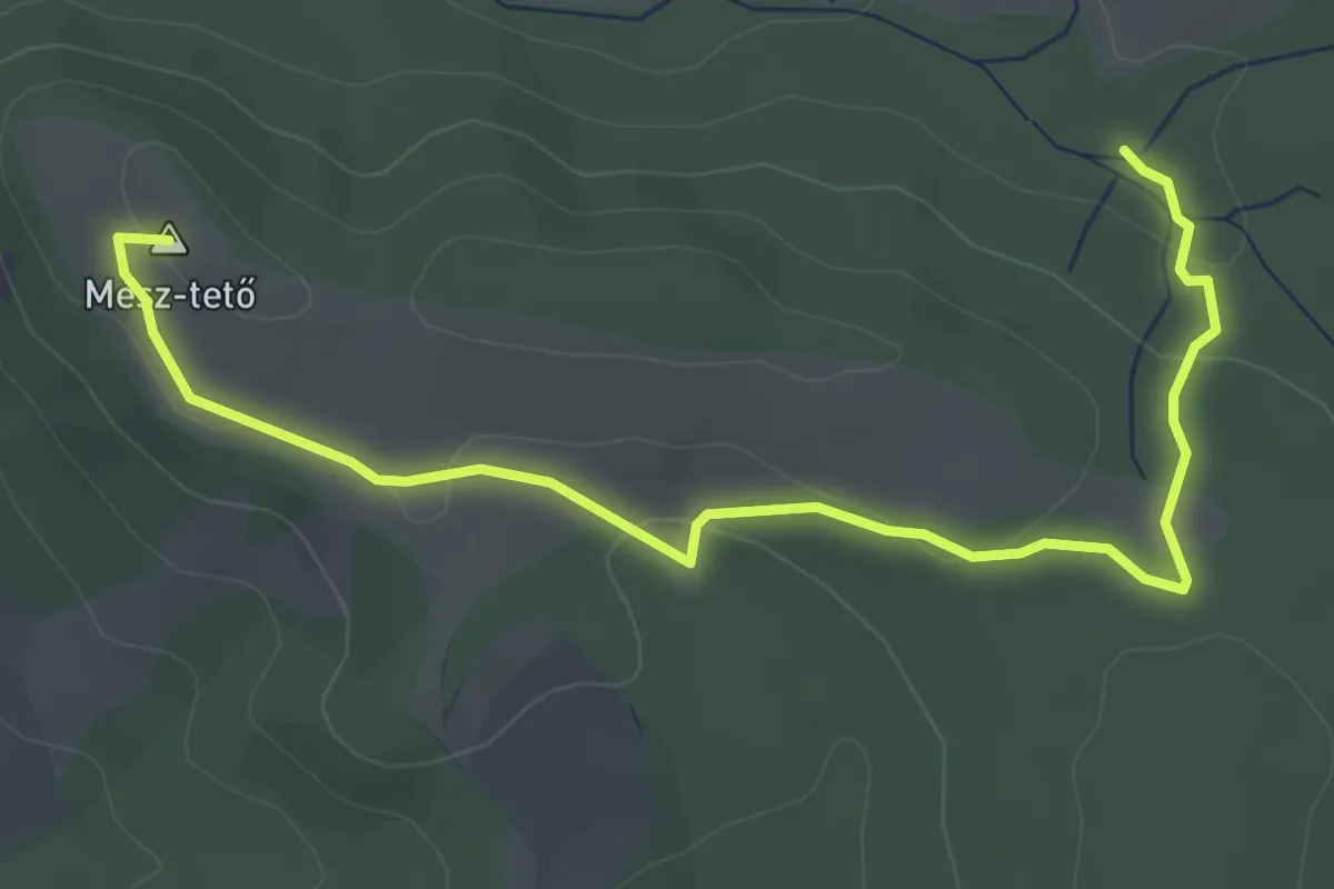
Easy · Summit
Suba-lyuk tanösvény
4.5 km · ↑ 101 m · 1 h 17 min
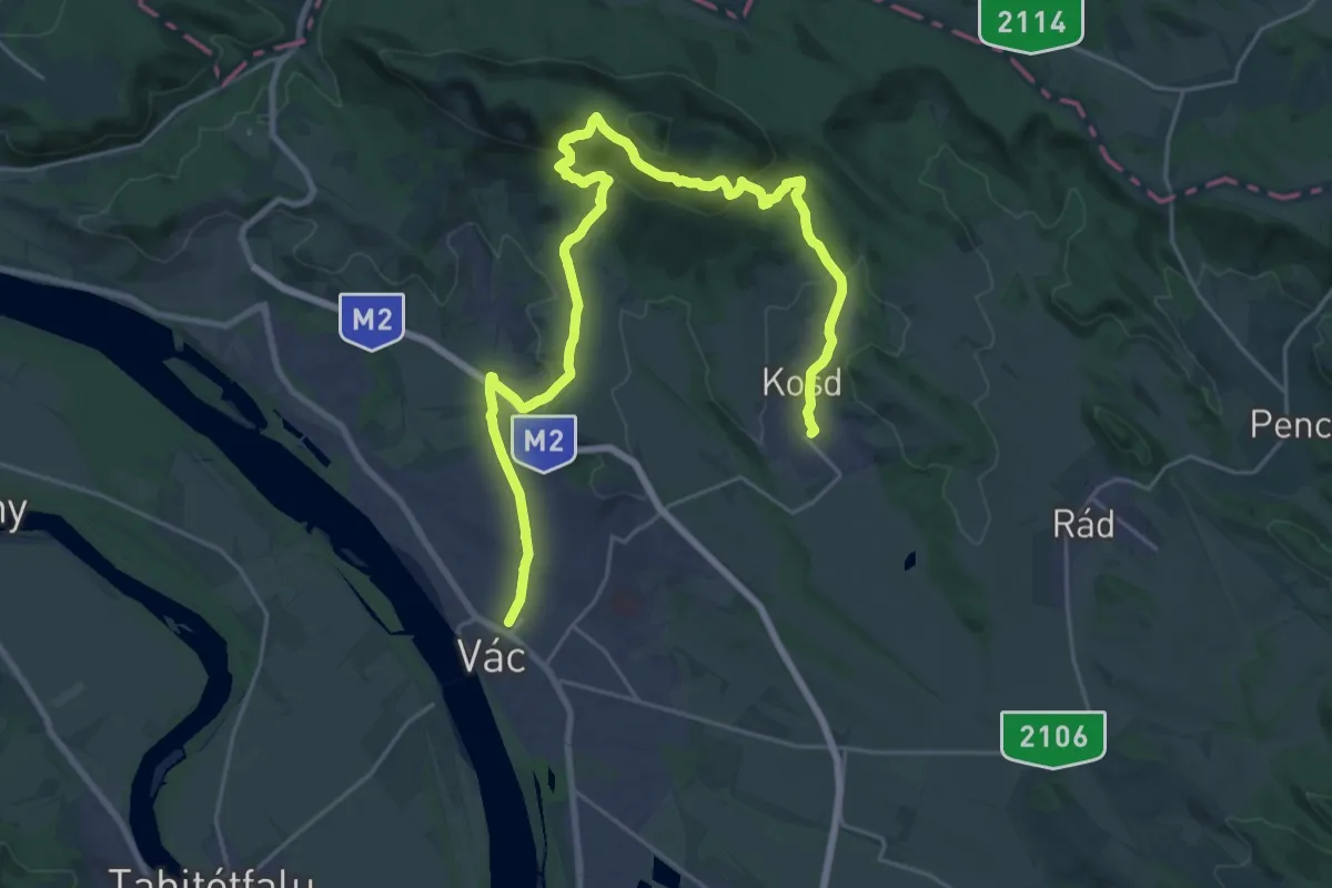
Medium · Trail
S (Vác – Kosd)
14.8 km · ↑ 499 m · 4 h 45 min
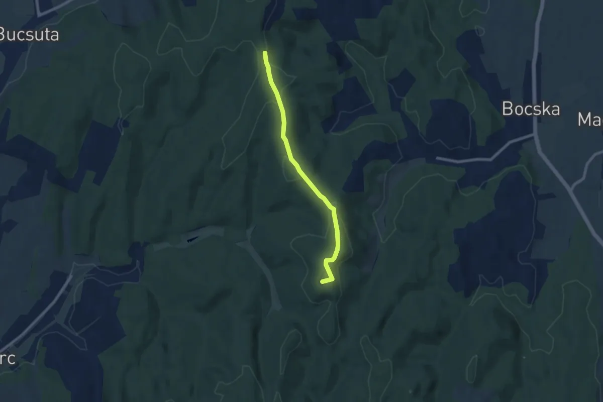
Easy · Summit
S▲ (Vár-domb)
6.6 km · ↑ 126 m · 1 h 50 min
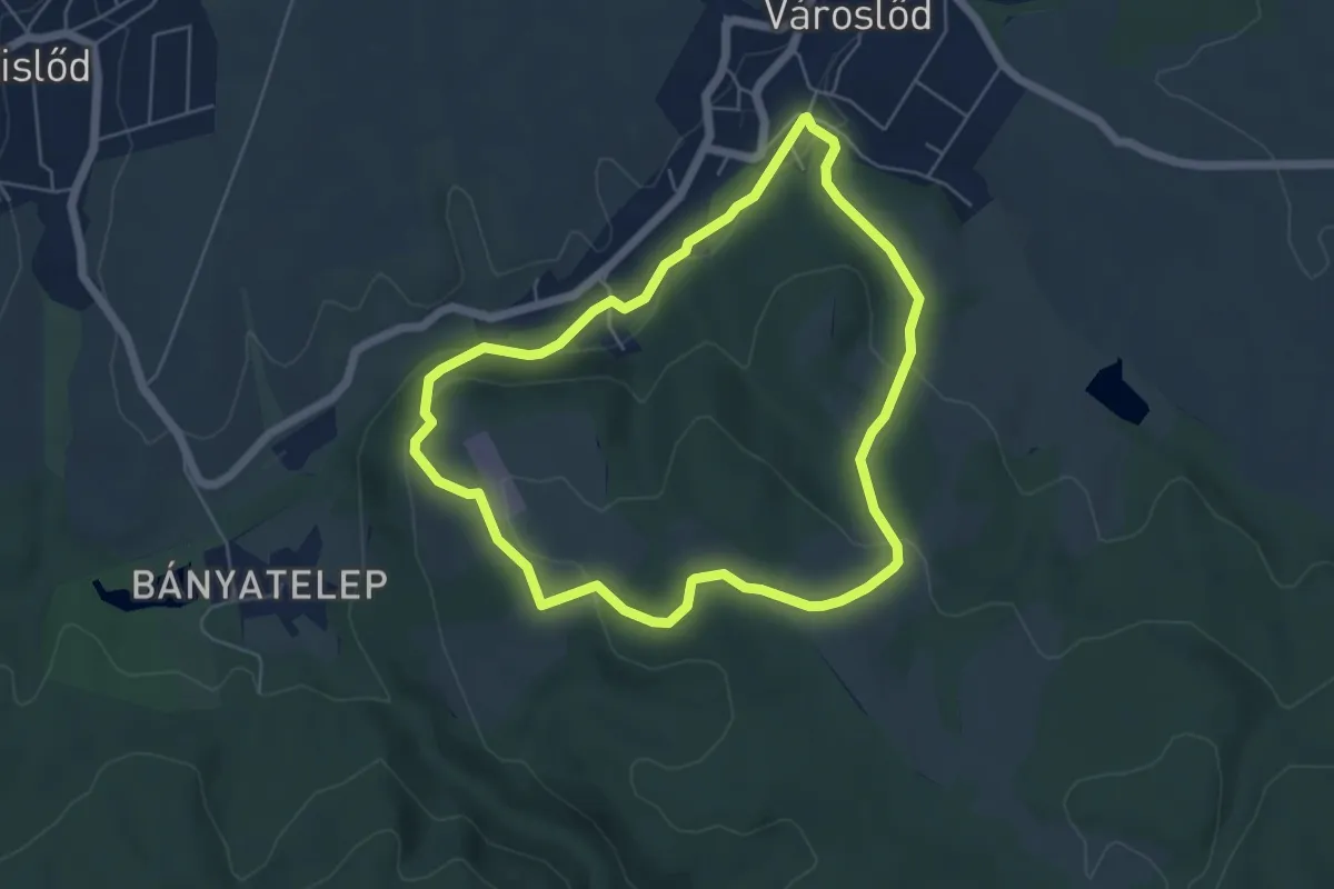
Easy · Trail
S (Városlőd, tábor – Városlőd, tábor)
5.2 km · ↑ 143 m · 1 h 37 min
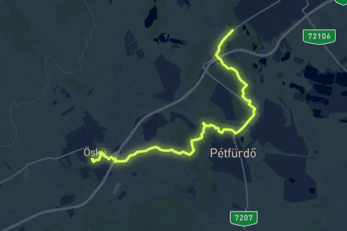
Demanding · Trail
S (Várpalota – Pétfürdő – Öskü)
18.5 km · ↑ 207 m · 4 h 48 min
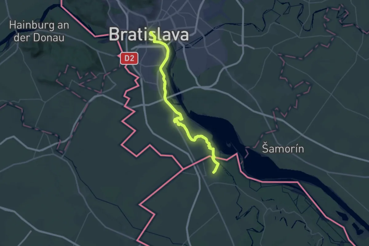
Demanding · Pilgrim path
Svätojakubská cesta na Slovensku: Etapa Rajka (HU) – Bratislava
23.9 km · ↑ 98 m · 6 h 11 min
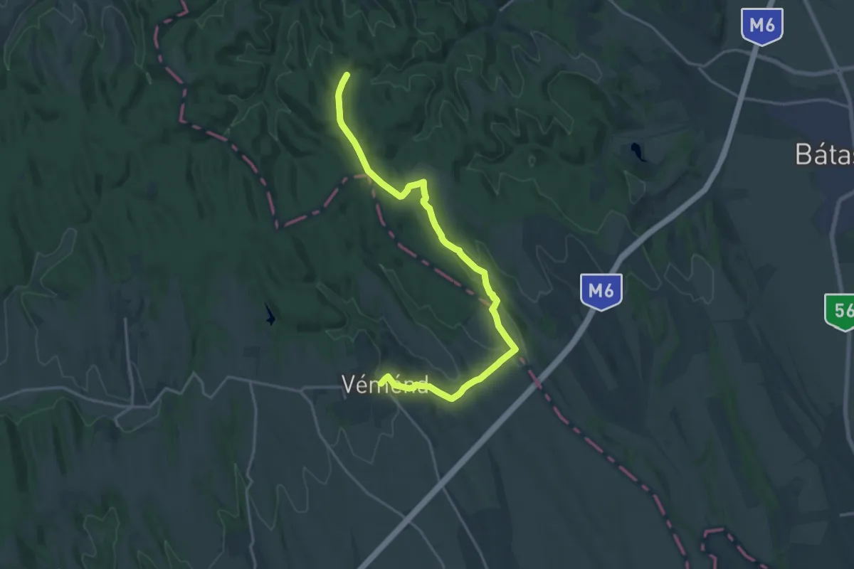
Demanding · Trail
S▲ (Véménd – RPDDK)
19.2 km · ↑ 358 m · 5 h 19 min
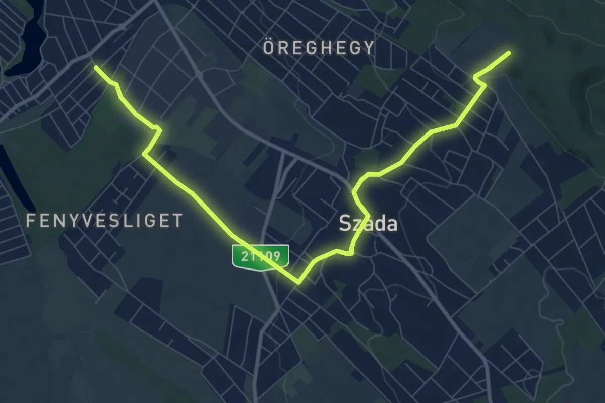
Medium · Trail
S+ (Veresegyház – Szada)
9.9 km · ↑ 150 m · 2 h 40 min
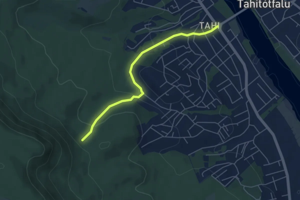
Easy · Trail
S+ (Vértes-hegy alja – Villa –or - Tahitótfalu, Hídfő aut. m.)
4.7 km · ↑ 173 m · 1 h 28 min
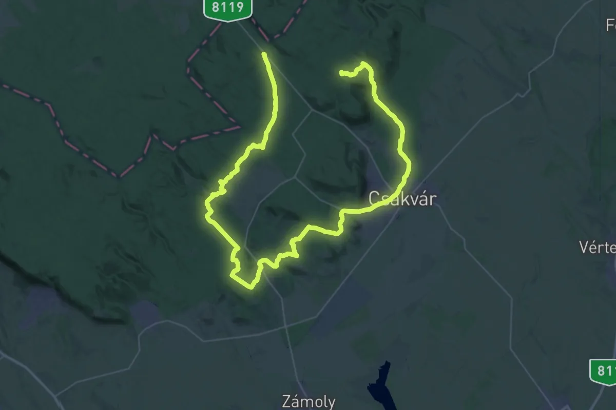
Demanding · Summit
S (Vérteskozma – Csákvár – Gánt, bányatelep – Kőhányáspuszta)
59.5 km · ↑ 923 m · 16 h 3 min
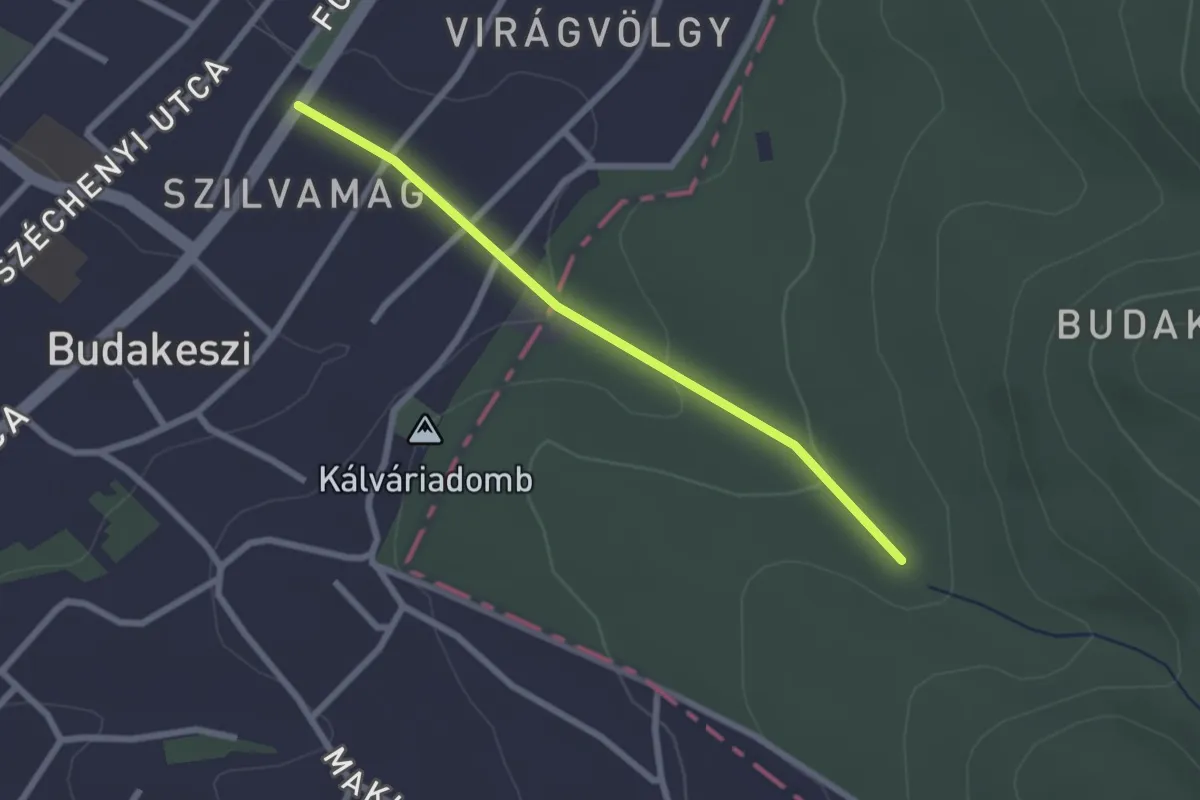
Easy · Trail
S■ (Virág-völgy – Kossuth Lajos utca – Budakeszi, gyógyszertár am.)
2.3 km · ↑ 66 m · 41 min
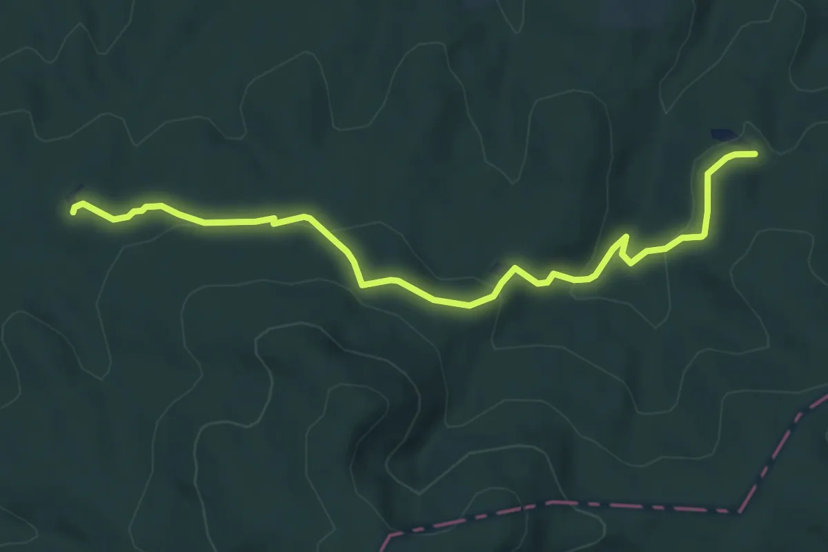
Easy · Cabin
S● (Vörösfenyő kulcsosház – Balincai-kút – Gyilkos-tó – Z+ elágazás)
6.6 km · ↑ 236 m · 2 h 4 min
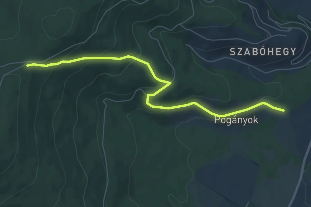
Easy · Trail
S+ (Vöröskereszt – Pogányok)
6.7 km · ↑ 293 m · 2 h 13 min
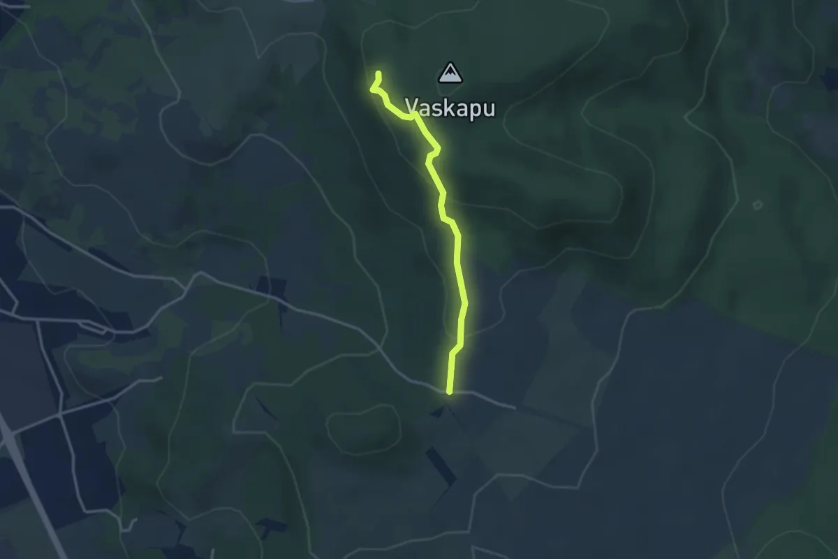
Easy · Cabin
S▲ (Vörös-kereszt – Vaskapui (Király Albert-) turistaház)
2.7 km · ↑ 123 m · 54 min
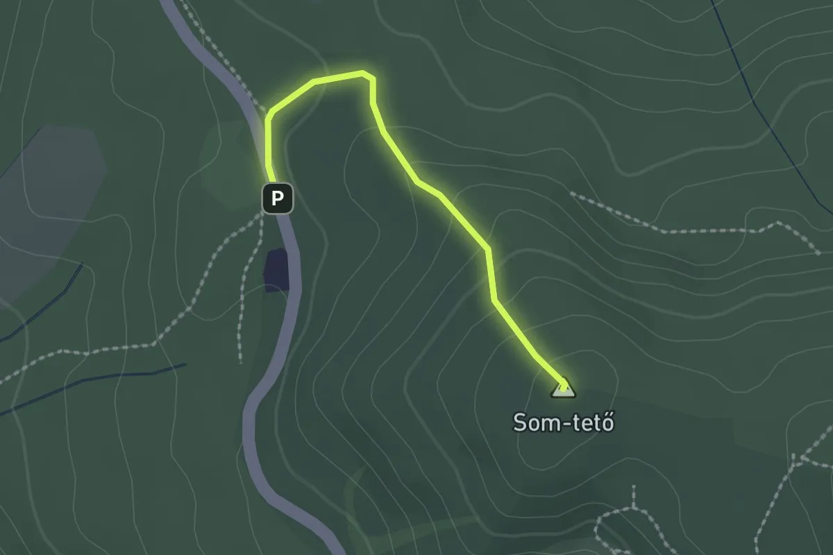
Easy · Summit
S■ (Vörösmarty th. – Sombokor)
1.8 km · ↑ 78 m · 35 min
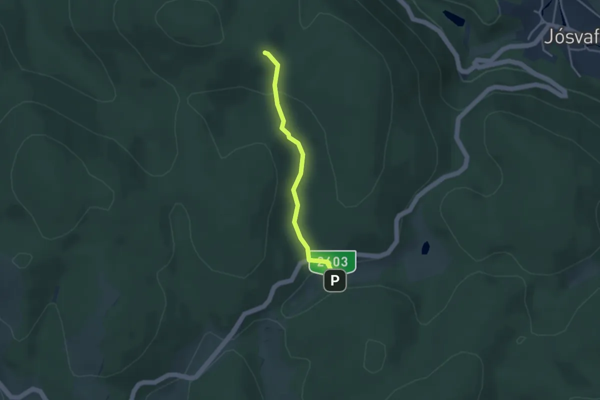
Easy · Trail
S+ (Vörös-tó)
2.6 km · ↑ 95 m · 49 min
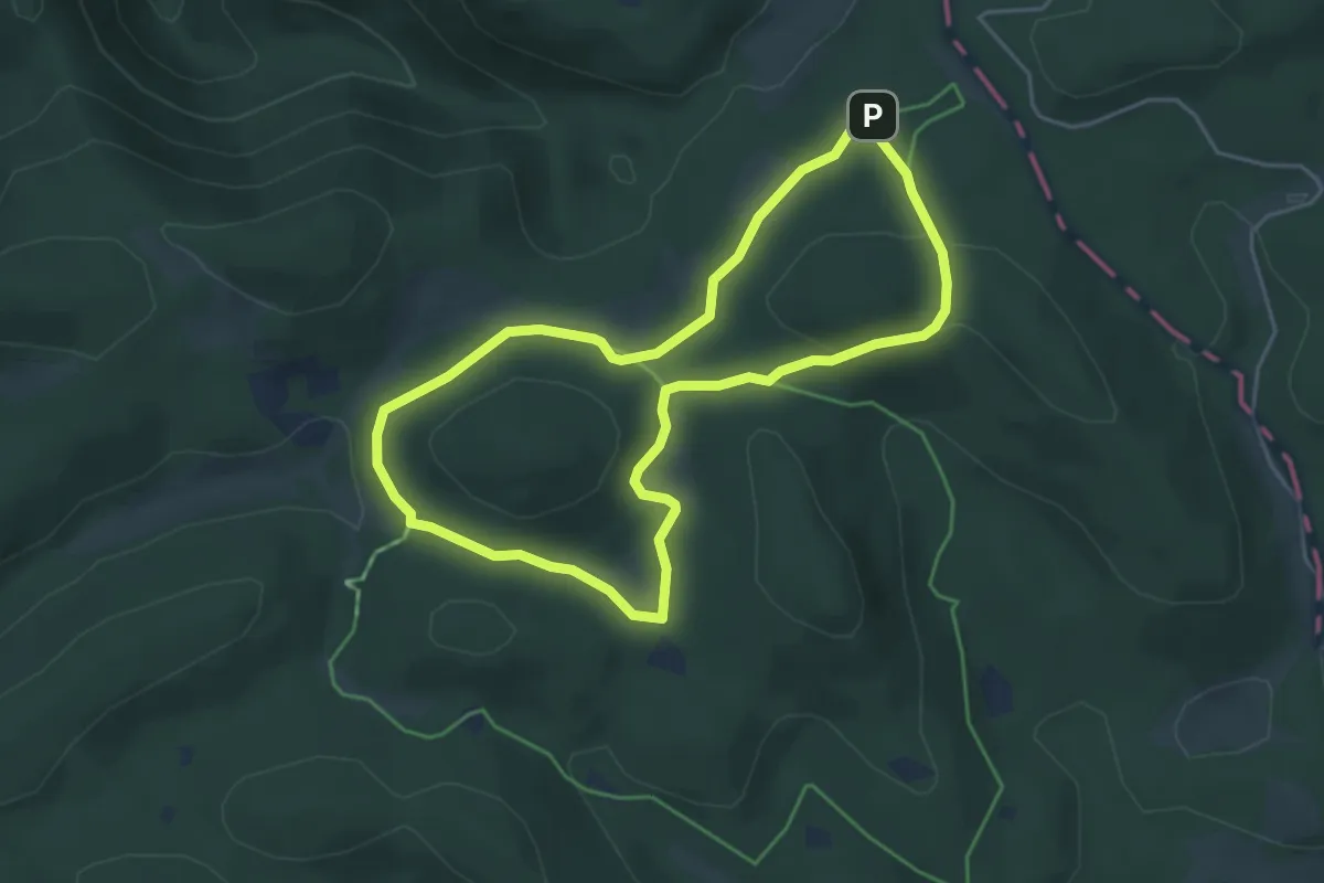
Easy · Summit
SX
4.1 km · ↑ 72 m · 1 h 11 min
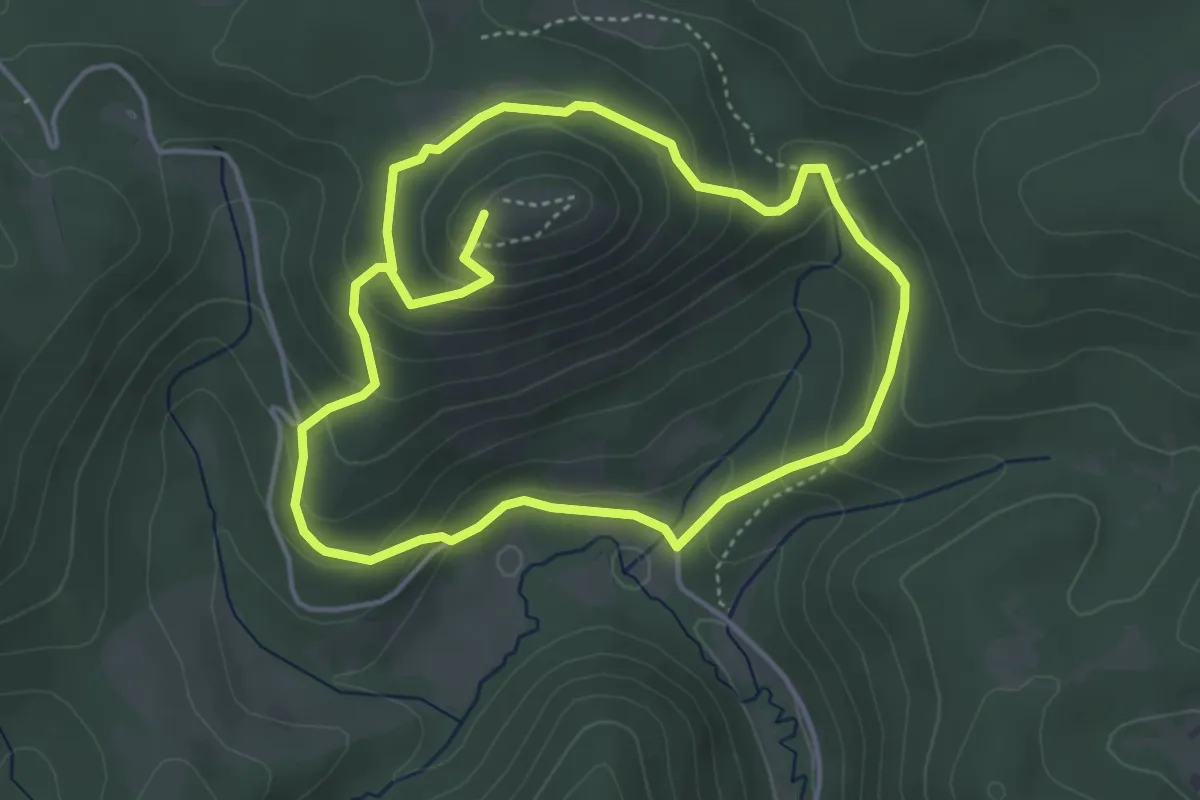
Medium · Summit
Szádvár tanösvény
7.6 km · ↑ 423 m · 2 h 43 min
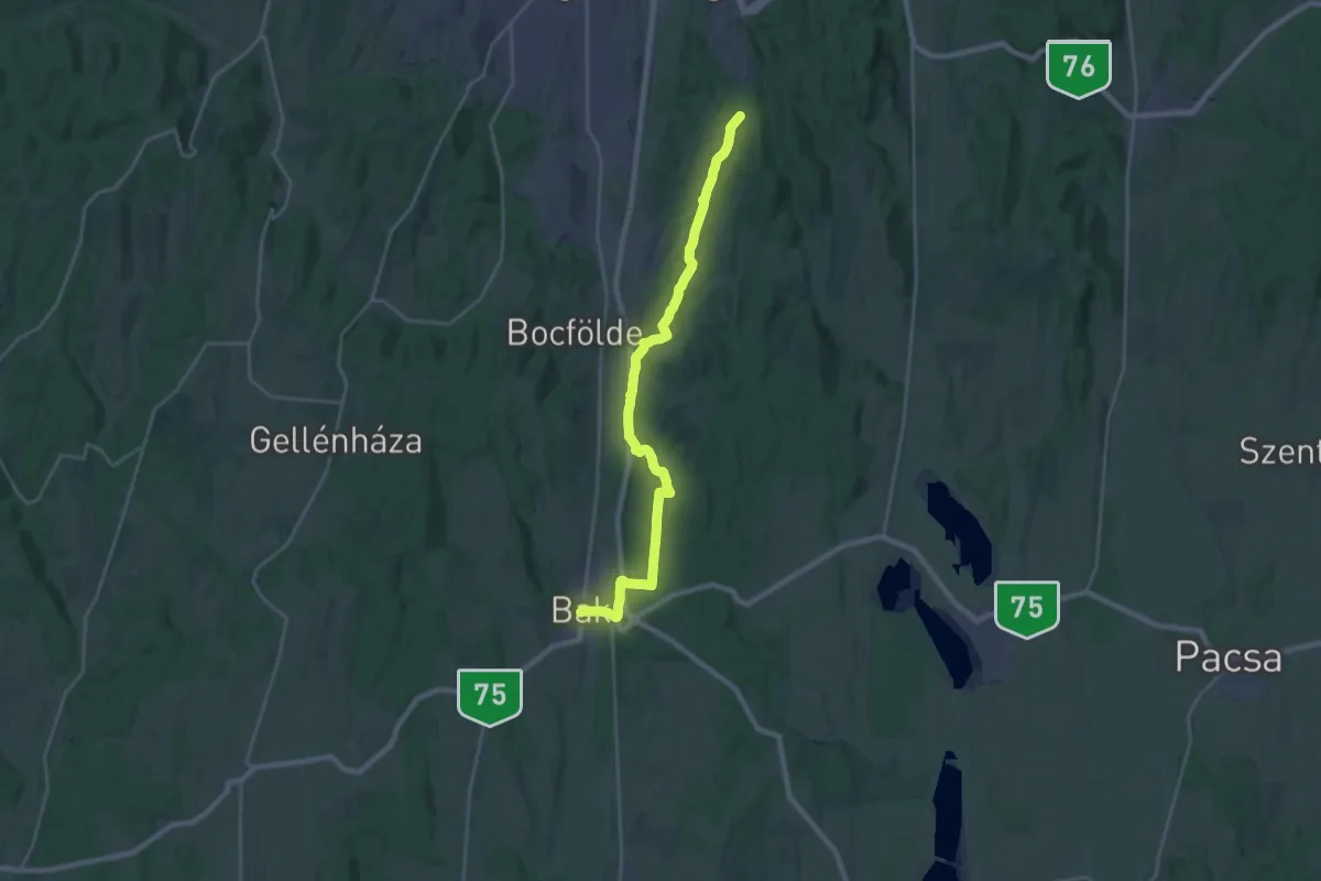
Demanding · Summit
S (Zalaegerszeg – Bak)
25.4 km · ↑ 508 m · 7 h 6 min
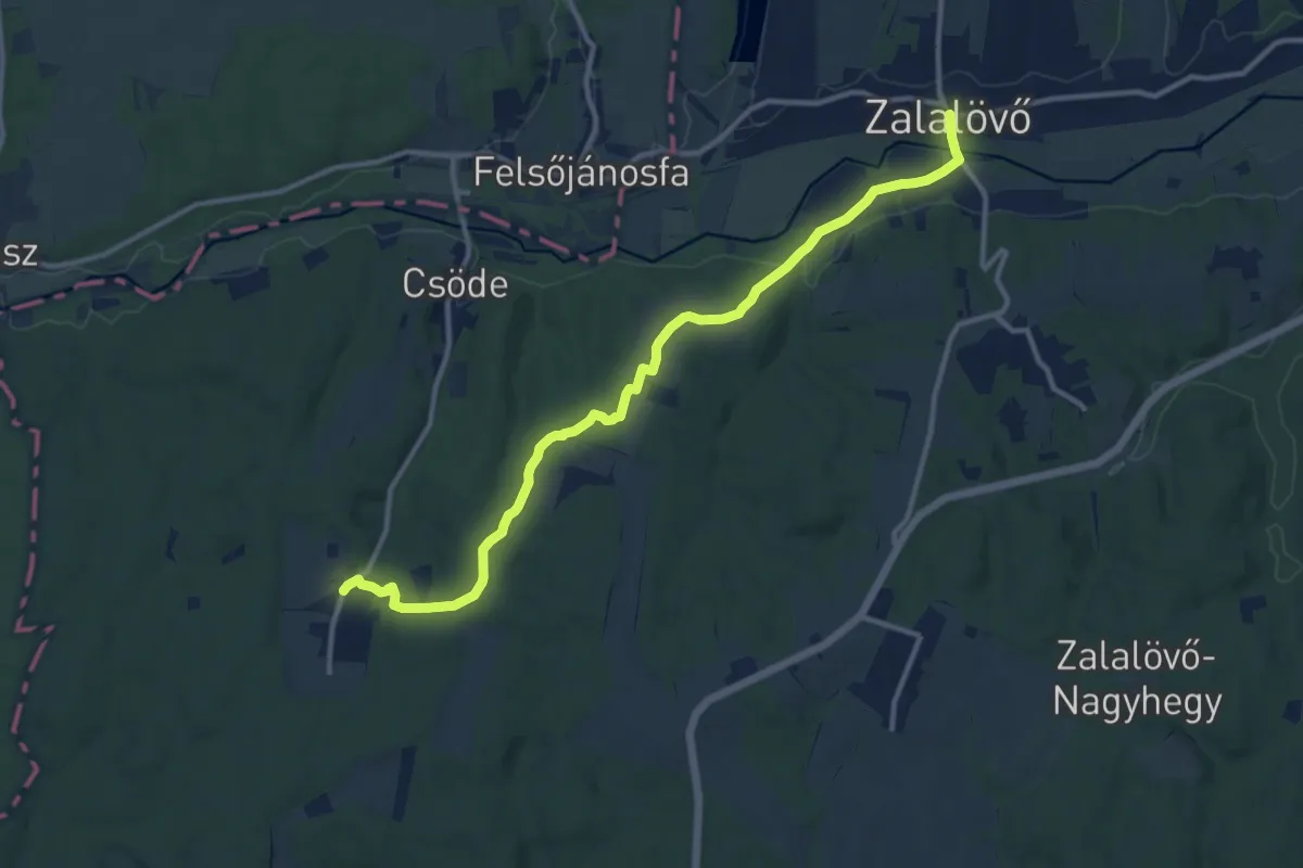
Easy · Pilgrim path
S, (Zalalövő - Csöde)
6.3 km · ↑ 51 m · 1 h 42 min
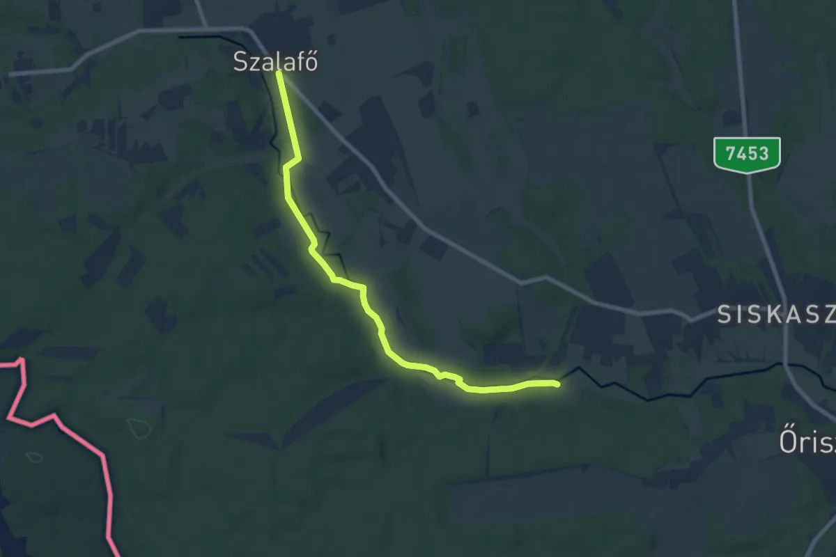
Easy · Trail
Szala-menti tanösvény
7.3 km · ↑ 87 m · 1 h 54 min
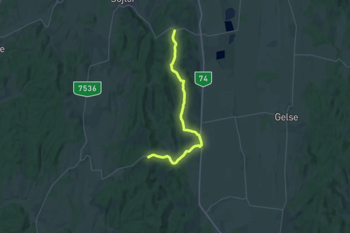
Demanding · Trail
S+ (Zalaszentbalázs)
25.8 km · ↑ 405 m · 6 h 58 min
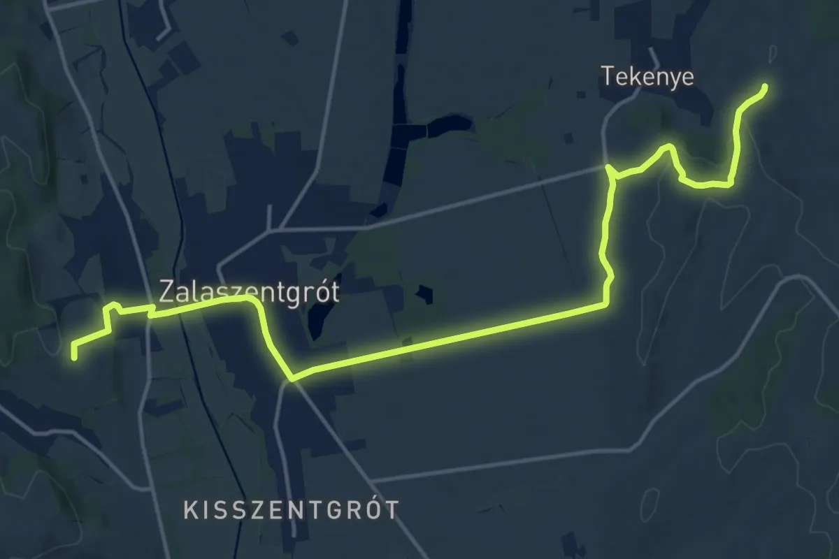
Medium · Trail
S+ (Zalaszentgrót-Tekenye)
17.7 km · ↑ 233 m · 4 h 42 min
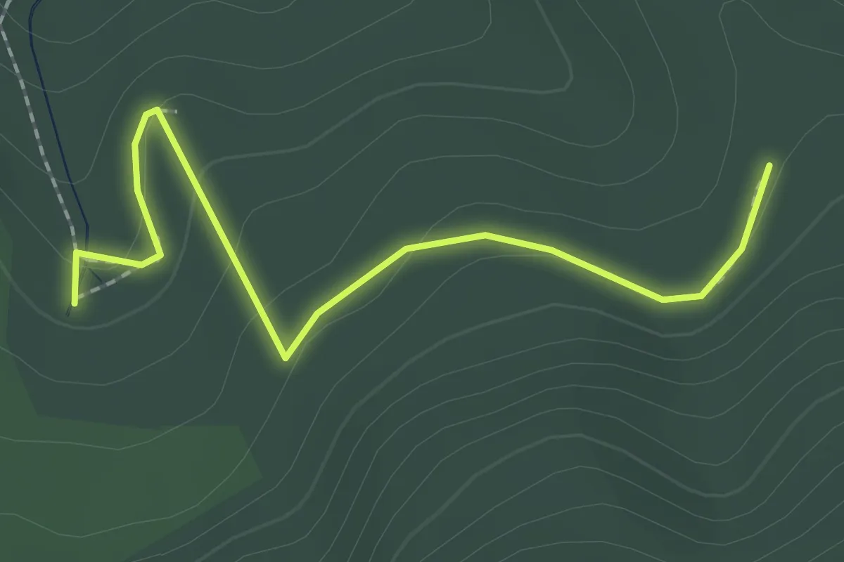
Easy · Trail
S● (Zarándok-kút)
2.1 km · ↑ 108 m · 45 min
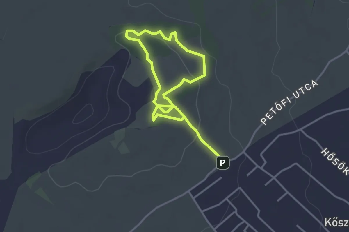
Easy · Summit
Szárhegy tanösvény
2.4 km · ↑ 64 m · 43 min
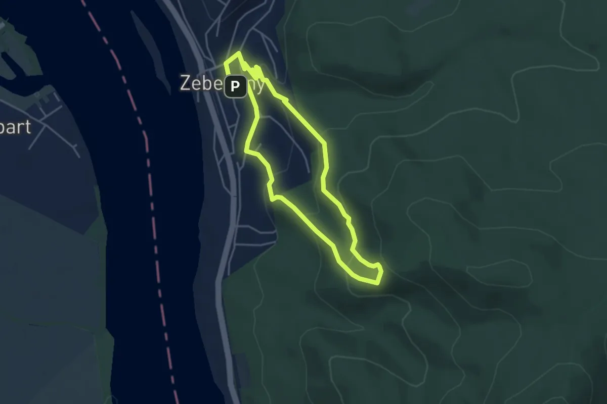
Easy · Trail
S↺, Zebegényi körséta
3.6 km · ↑ 179 m · 1 h 18 min
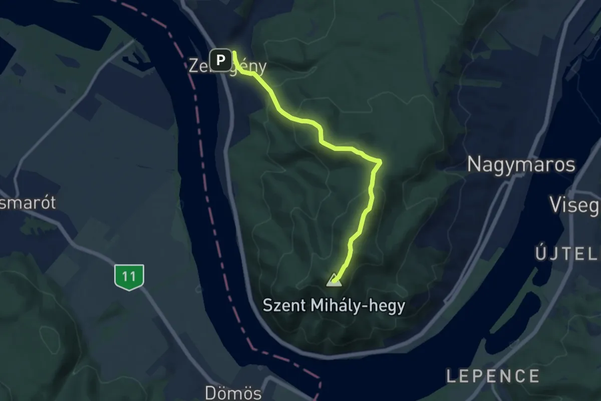
Medium · Summit
S (Zebegény – Nagymaros)
8.7 km · ↑ 513 m · 3 h 9 min
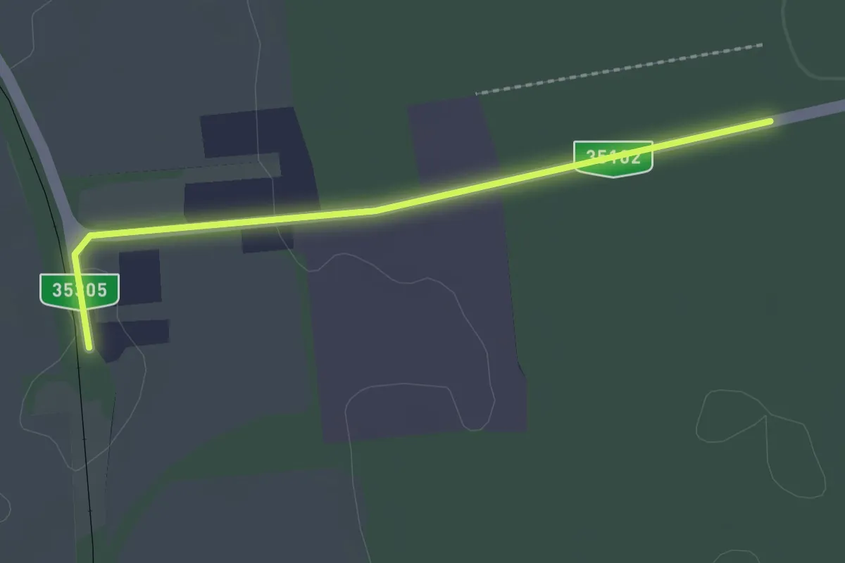
Easy · Trail
S▙ (Zeleméri templomrom, Bodaszőlő)
2.2 km · ↑ 4 m · 32 min
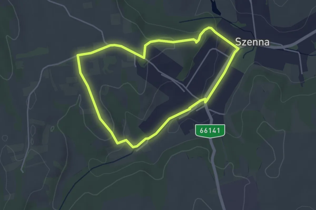
Easy · Trail
Szennai örökség tanösvény
3.5 km · ↑ 57 m · 1 h
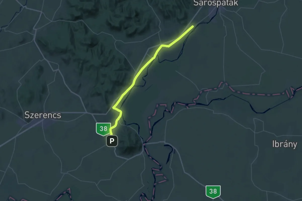
Demanding · Pilgrim path
Szent Erzsébet-út (Tarcal)
25.3 km · ↑ 113 m · 6 h 33 min
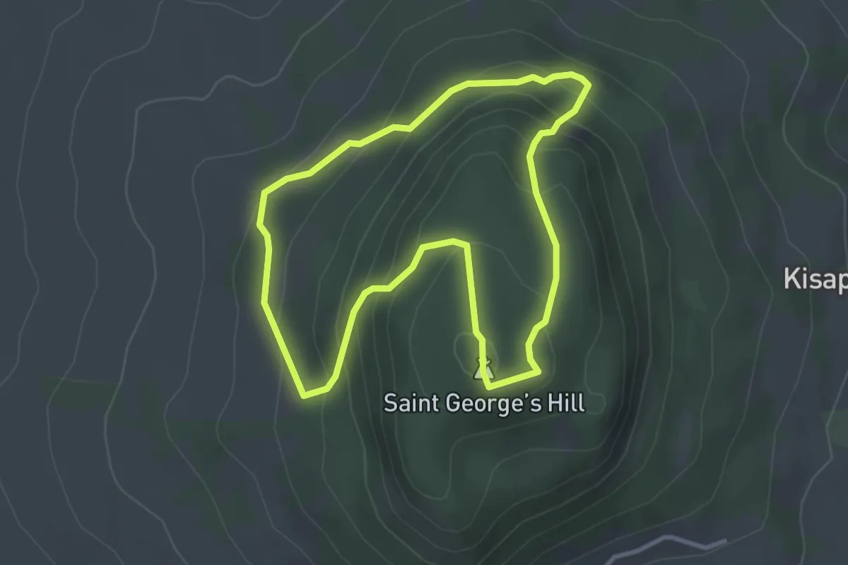
Easy · Summit
Szent-György-hegyi „bazaltorgonák” tanösvény
3.0 km · ↑ 179 m · 1 h 7 min
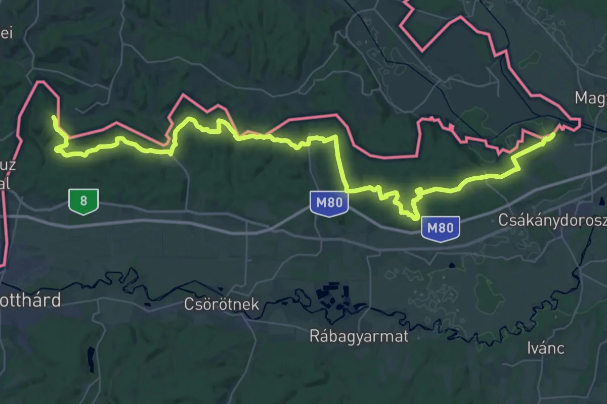
Demanding · Summit
Szent Imre-vándorút
24.8 km · ↑ 653 m · 7 h 34 min
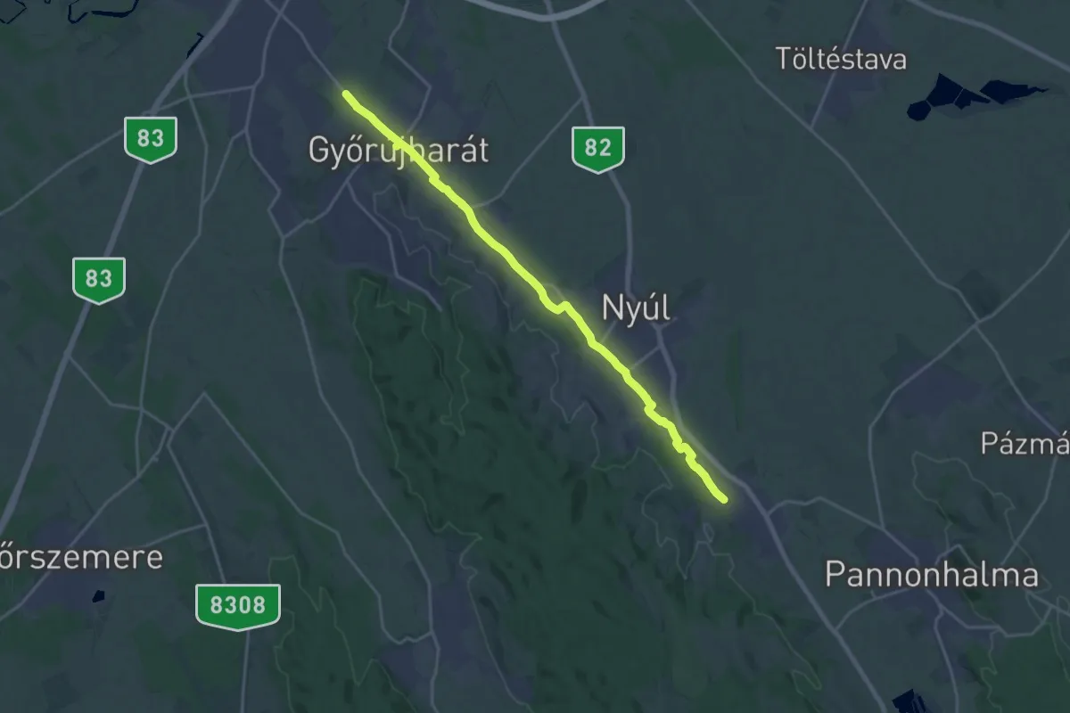
Medium · Pilgrim path
Szent Jakab-út (Camino Pueblo kitérő Écs - Győrújbarát)
9.9 km · ↑ 25 m · 2 h 33 min
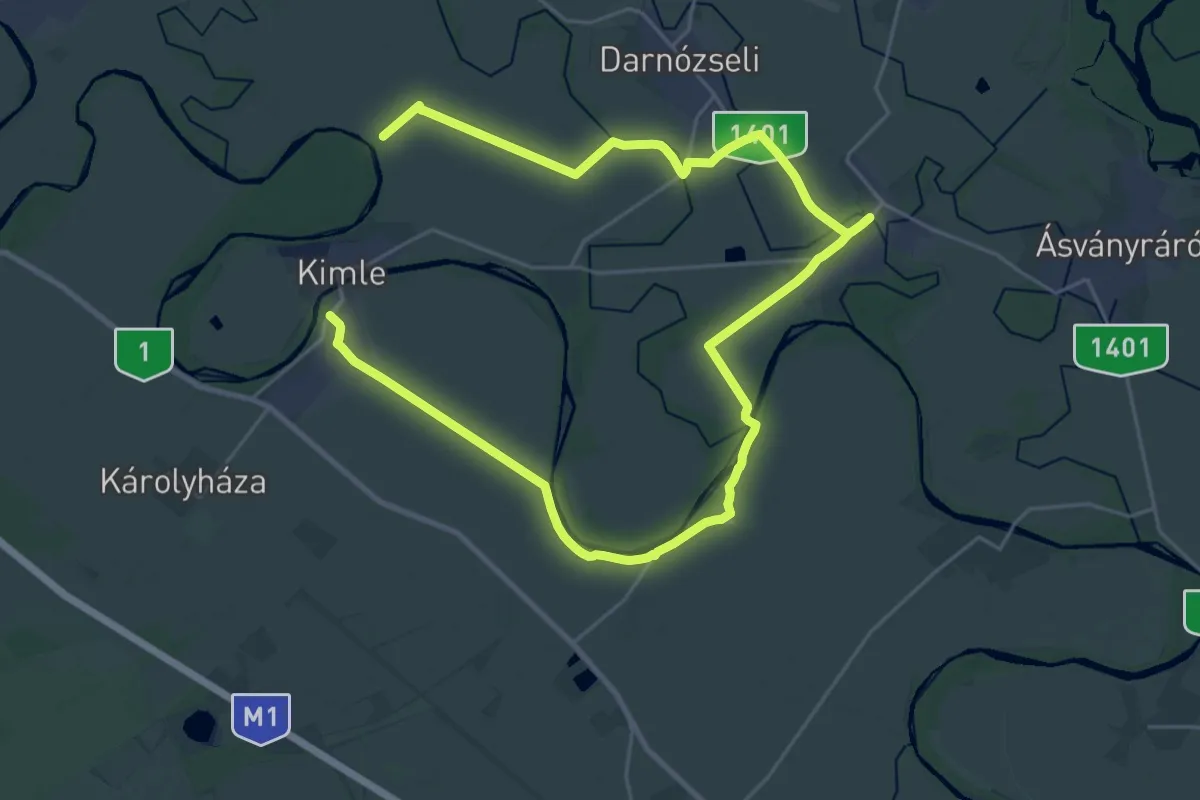
Demanding · Pilgrim path
Szent Jakab-út (Hédervári kitérő)
19.0 km · ↑ 20 m · 4 h 48 min
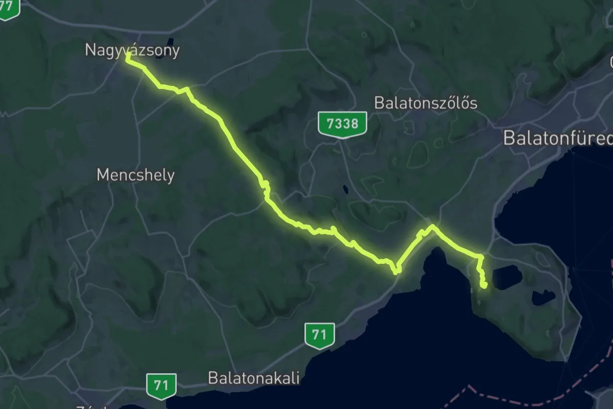
Demanding · Summit
Szent Jakab-út (Tihany - Apáti rom - Nagyvázsony kitérő út)
38.8 km · ↑ 551 m · 10 h 21 min
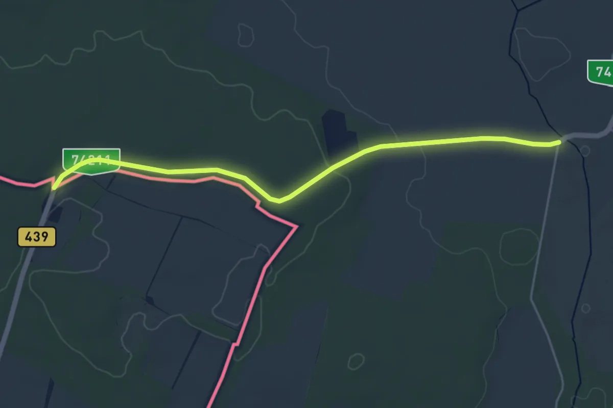
Easy · Pilgrim path
Szent Jakab út Via Pannonia – fő ág és rövid alternatív szakaszok
2.3 km · ↑ 0 m · 35 min
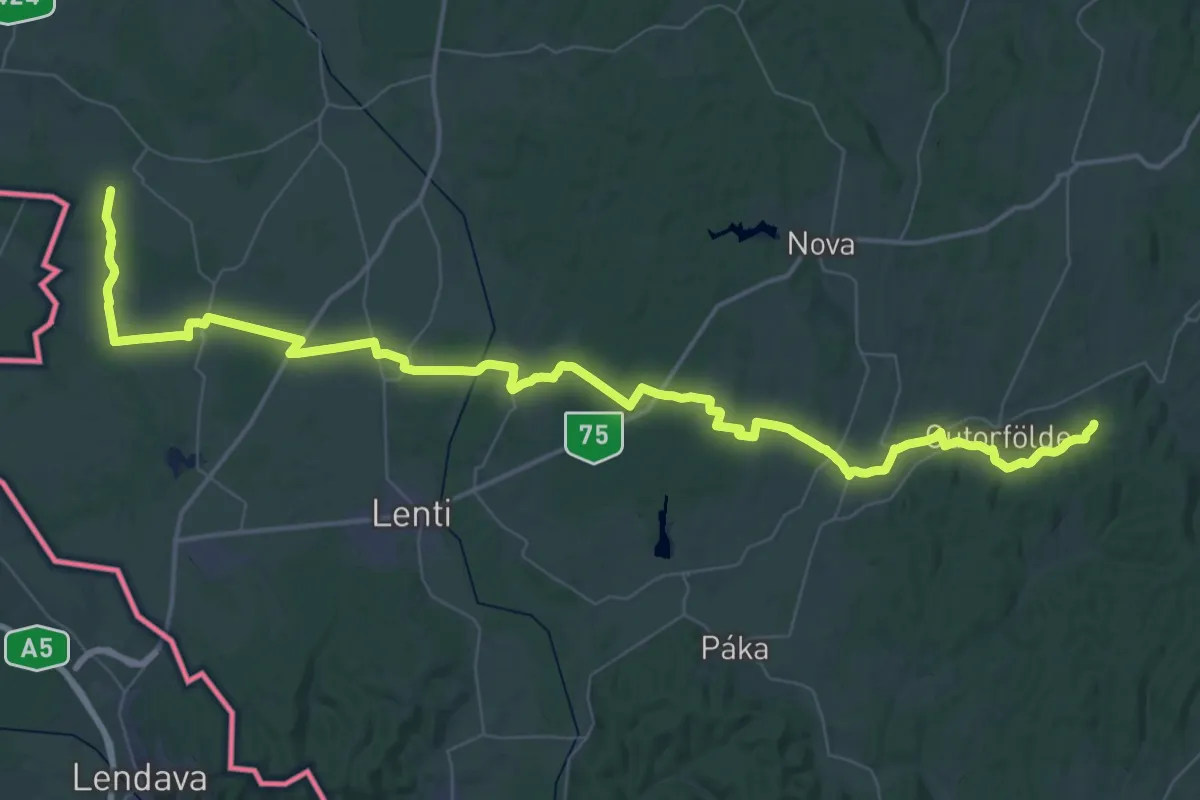
Demanding · Pilgrim path
Szent Jakab út Via Pannonia – Pusztaszentlászló–Gutorfölde–Nemesnép alternatív szakasz
35.3 km · ↑ 170 m · 9 h 13 min
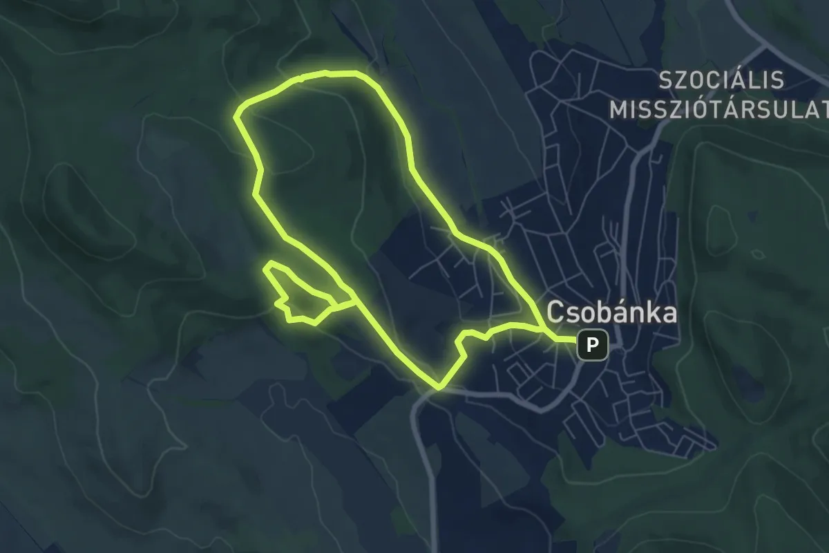
Medium · Trail
Szent-kúti ösvény (Csobánkai templomok – Szent-kút)
13.2 km · ↑ 367 m · 3 h 54 min
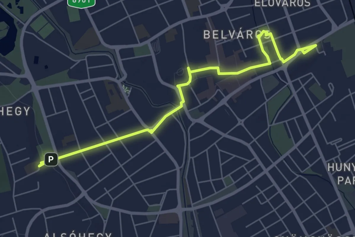
Easy · Trail
Szent Márton történelmi sétaút
6.6 km · ↑ 29 m · 1 h 37 min
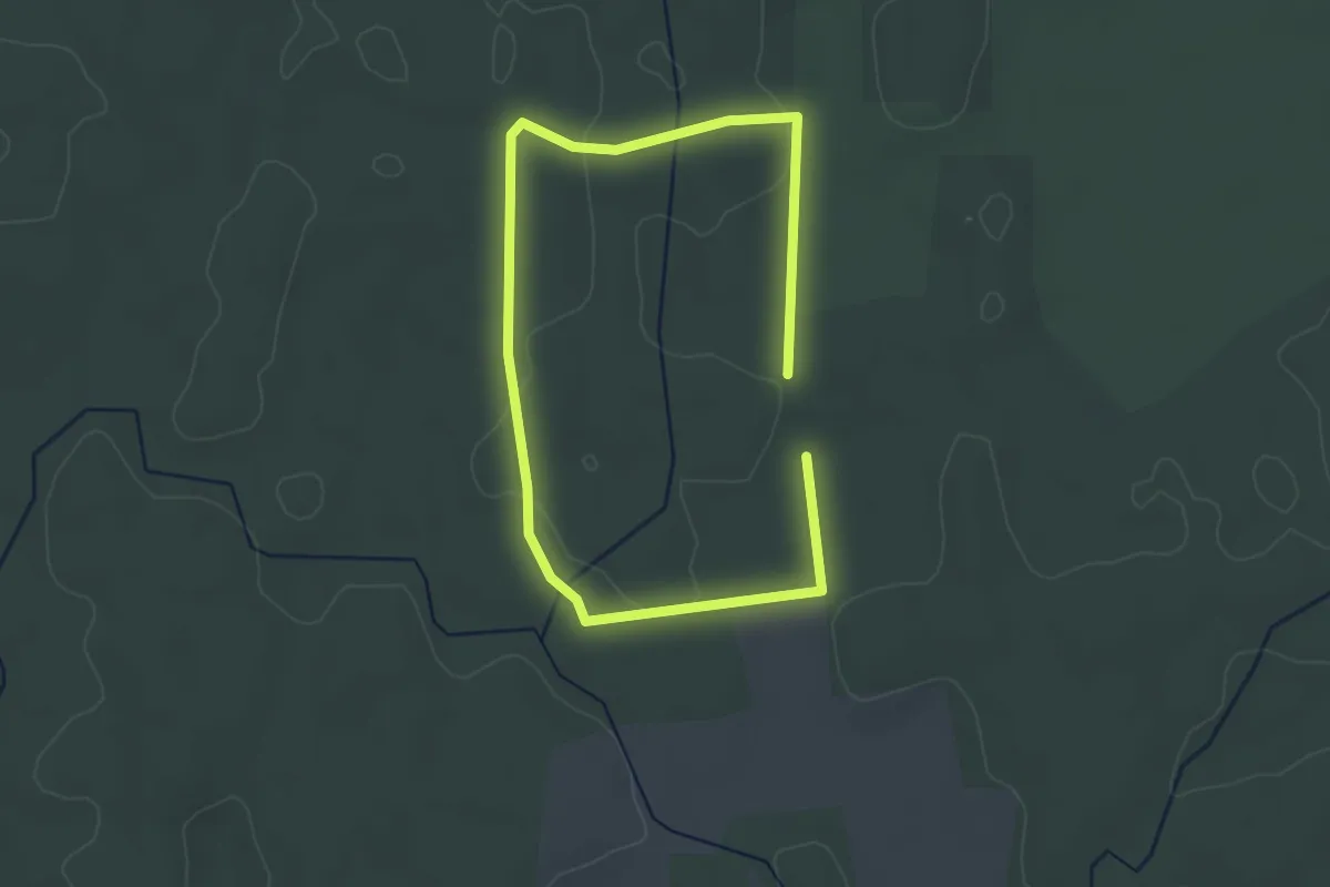
Easy · Trail
Sziágyi Fekete lomb tanösvény
2.6 km · ↑ 8 m · 40 min
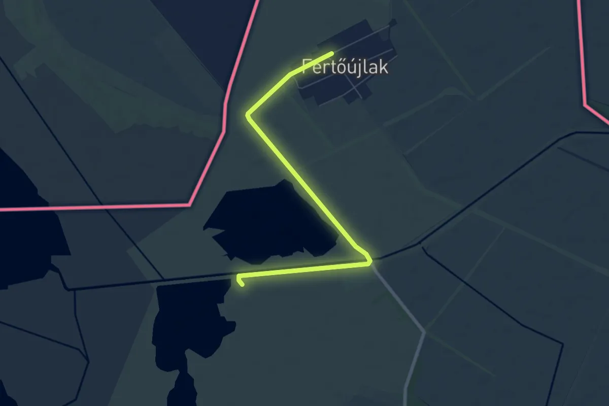
Easy · Trail
Sziki őszirózsa tanösvény
7.2 km · ↑ 5 m · 1 h 43 min
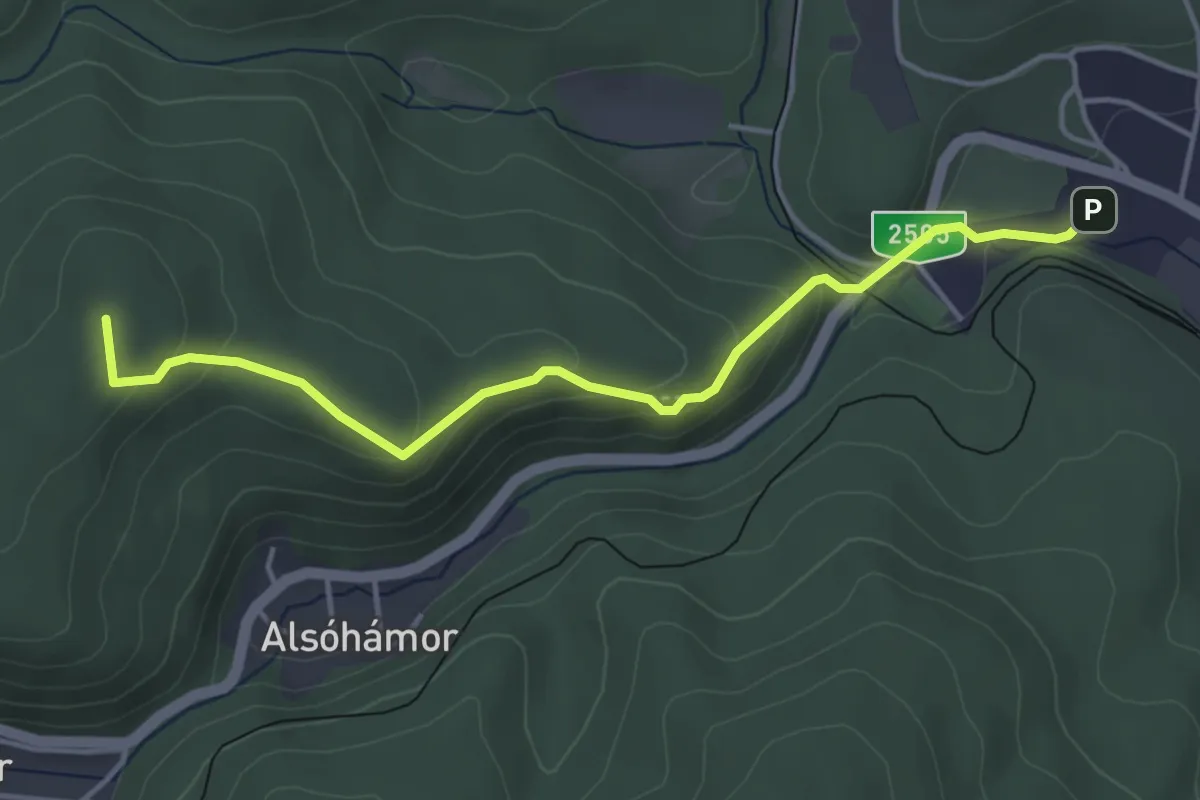
Easy · Summit
Szinva tanösvény
4.3 km · ↑ 200 m · 1 h 27 min
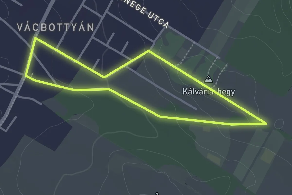
Easy · Trail
Szív útja
2.4 km · ↑ 49 m · 42 min