Trails in Hungary
2,296 hiking trails, each with its route, climb, walking time and grade.
All trails, page 37 of 48
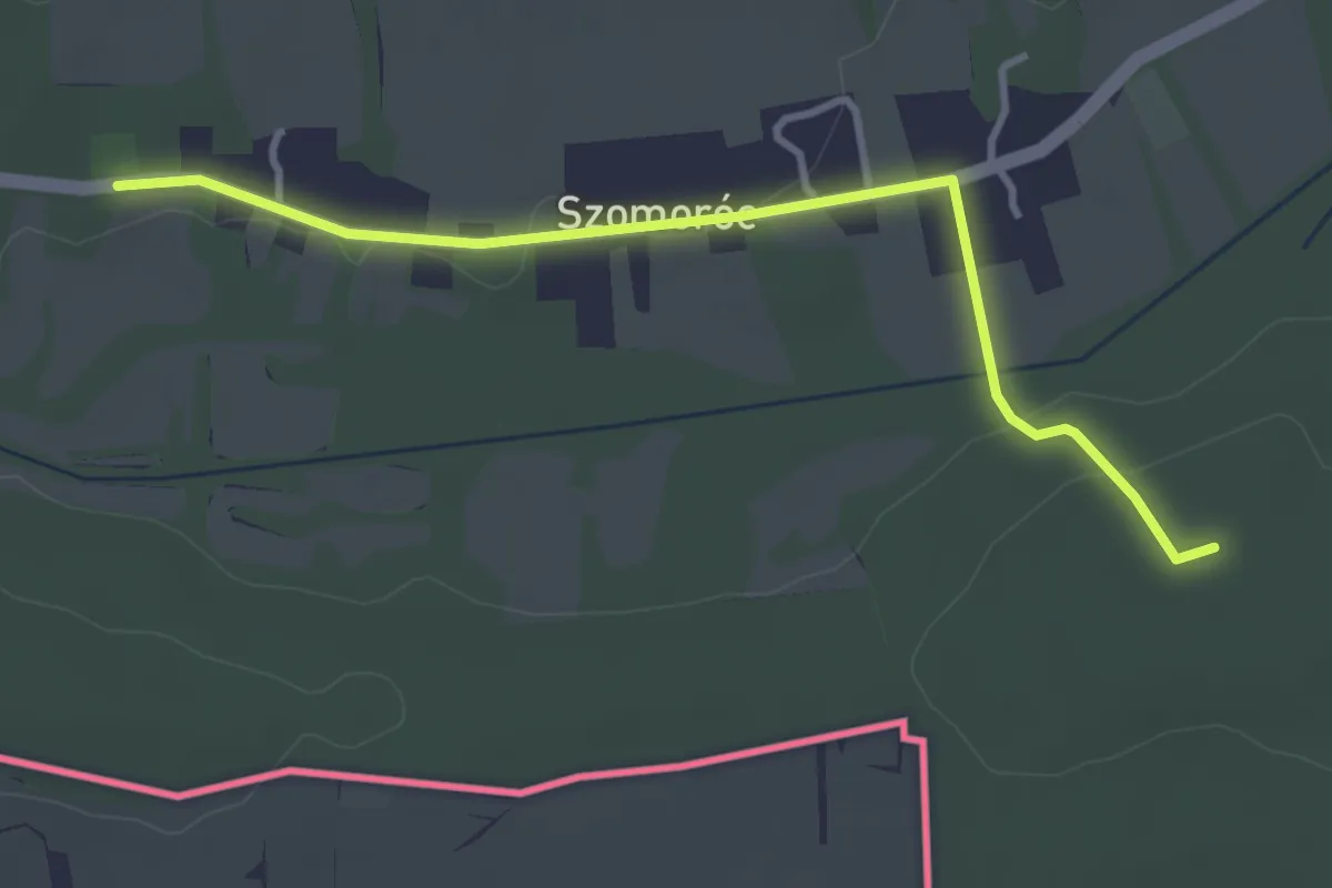
Easy · Trail
Szomoróczi tanösvény
3.6 km · ↑ 60 m · 58 min
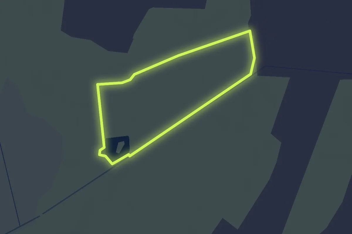
Easy · Trail
Sző-rét tanösvény
1.8 km · ↑ 0 m · 28 min
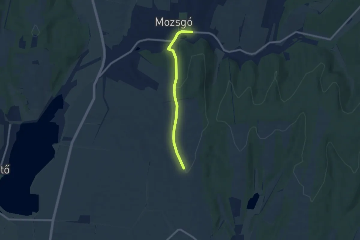
Easy · Trail
S+ (Zsibóti szőlőhegy – Mozsgó, aut. m.)
5.7 km · ↑ 110 m · 1 h 35 min
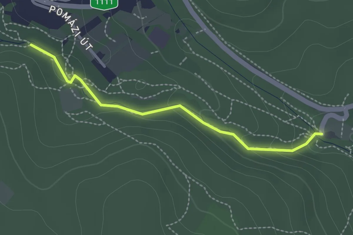
Easy · Trail
Szurdok tanösvény (Szurdoki autóparkoló – Szurdok – Mészégetők)
2.3 km · ↑ 56 m · 39 min
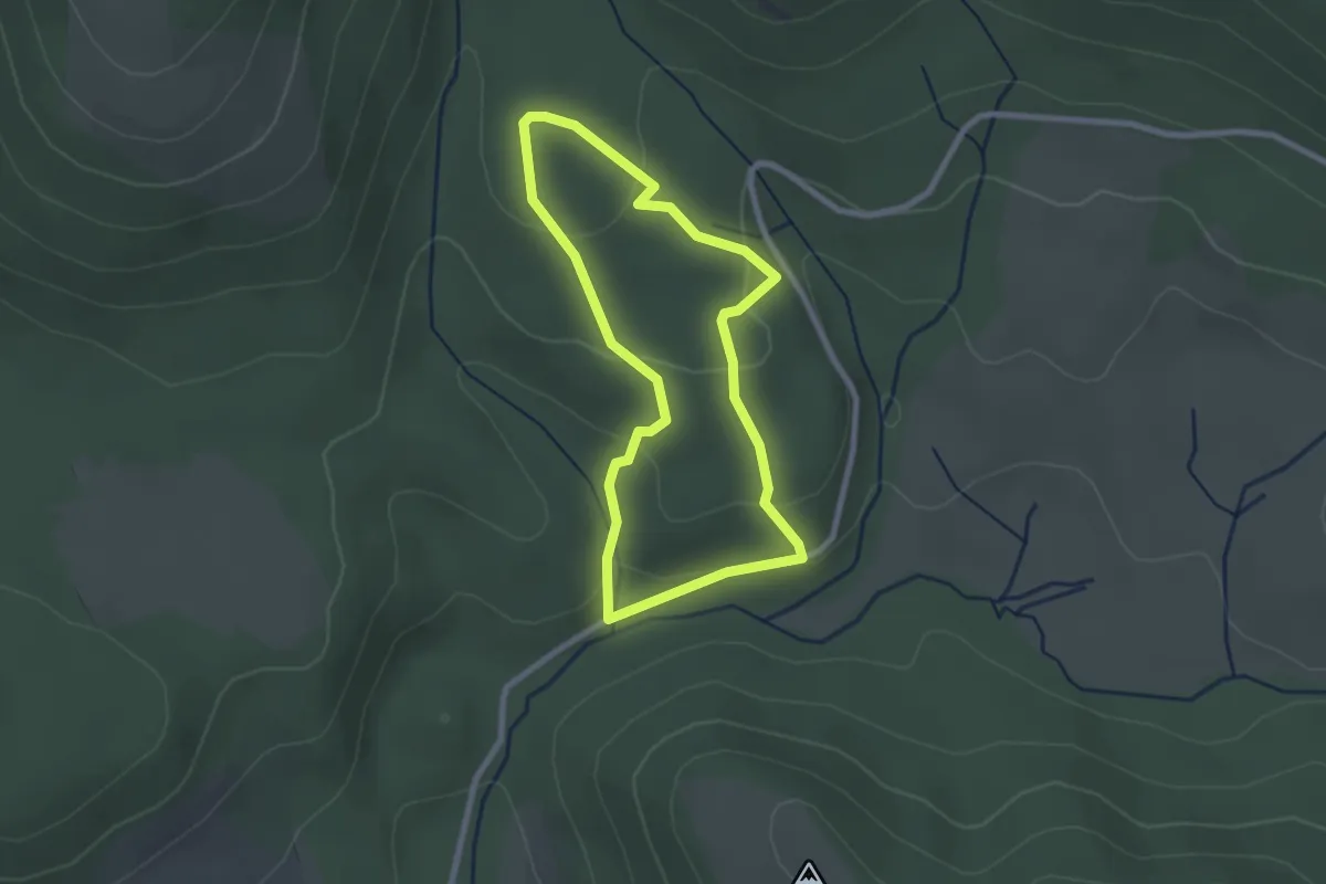
Easy · Trail
Szurokszegfű tanösvény
2.2 km · ↑ 79 m · 43 min
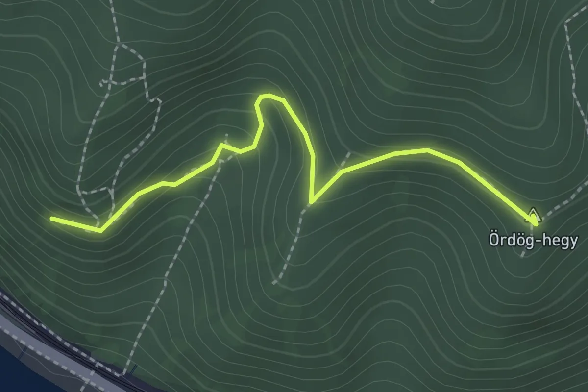
Medium · Summit
SΩ (Szent Mihály-hegy)
2.2 km · ↑ 120 m · 46 min
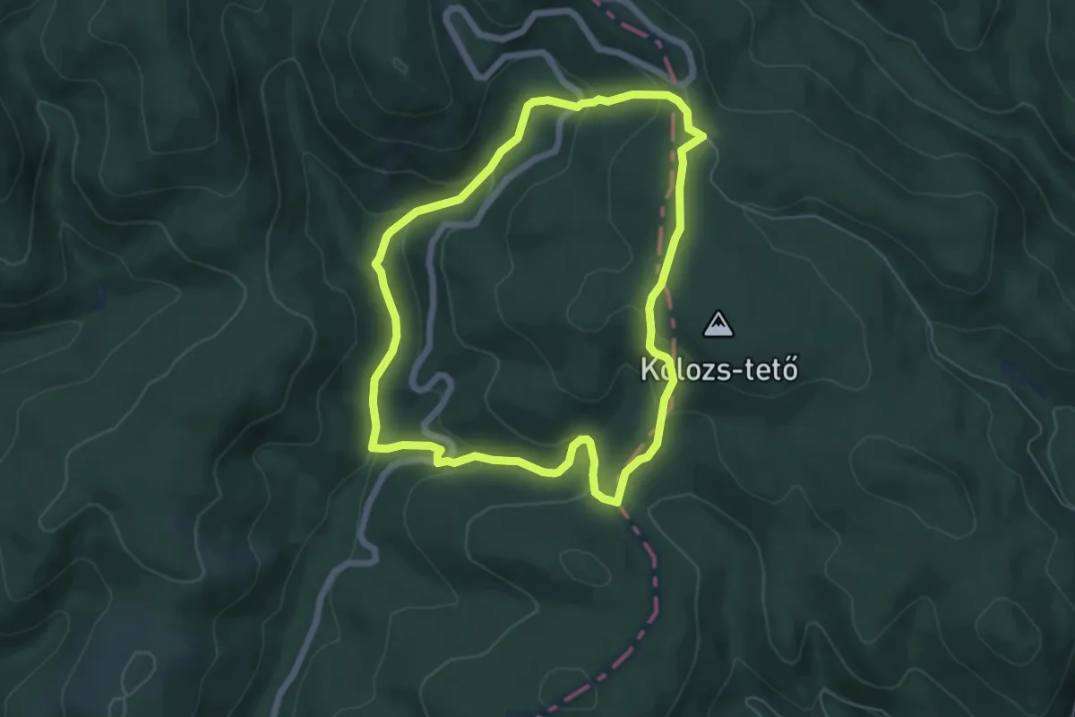
Easy · Trail
Tamás-kúti tanösvény
5.5 km · ↑ 223 m · 1 h 52 min
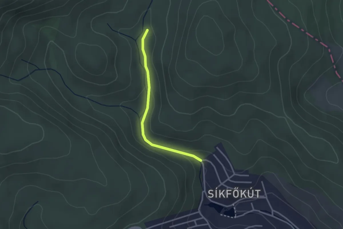
Easy · Trail
tanösvény
2.3 km · ↑ 48 m · 39 min
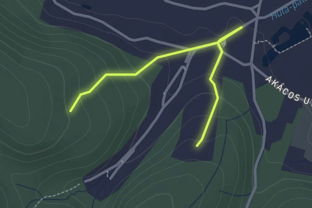
Easy · Trail
Tanösvény
2.3 km · ↑ 108 m · 46 min
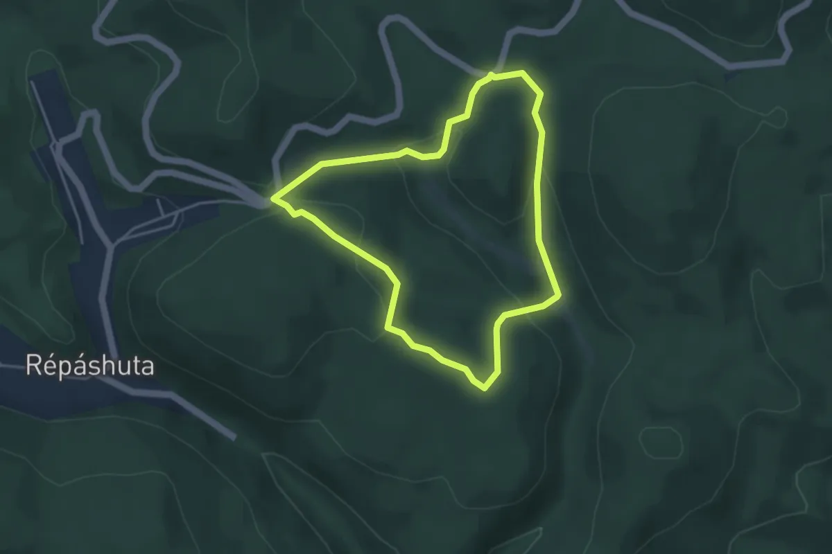
Easy · Trail
Tárnics tanösvény
3.3 km · ↑ 127 m · 1 h 6 min
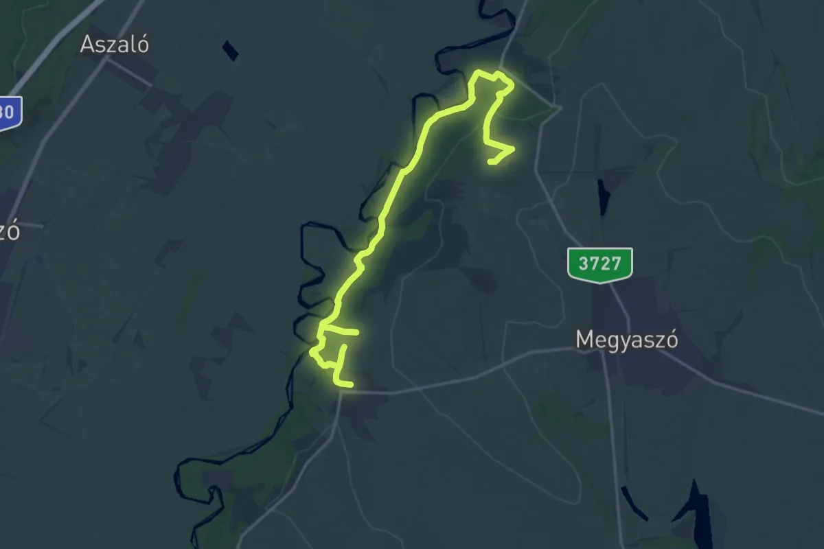
Demanding · Summit
Tátorján tanösvény
20.3 km · ↑ 408 m · 5 h 40 min
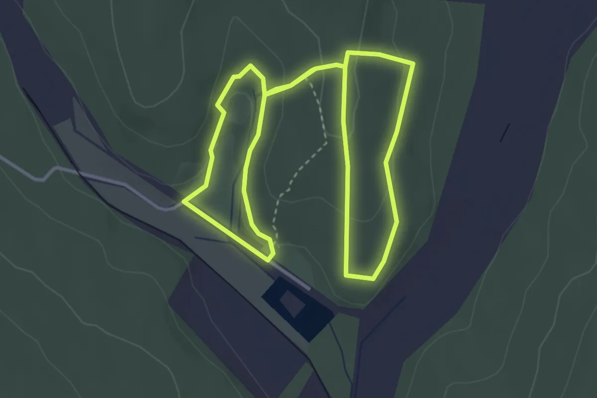
Easy · Trail
T, Csodaszarvas tanösvény
3.5 km · ↑ 91 m · 1 h 4 min
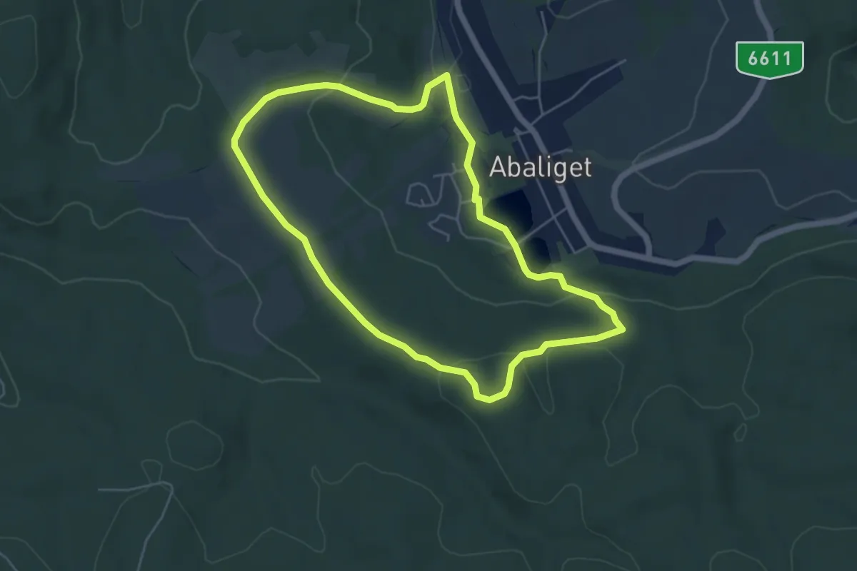
Easy · Trail
T, Denevér tanösvény
4.9 km · ↑ 132 m · 1 h 31 min
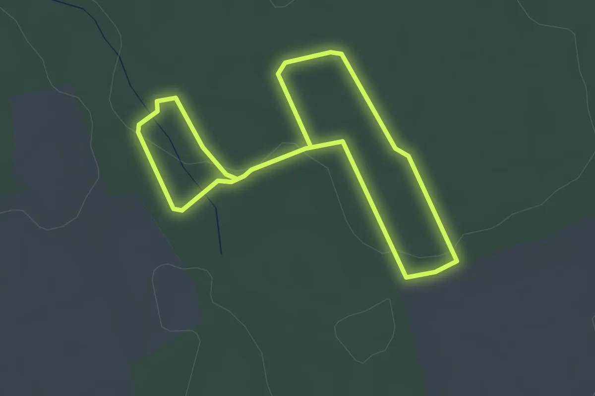
Easy · Trail
T, Erdőismereti tanösvény
5.5 km · ↑ 45 m · 1 h 23 min
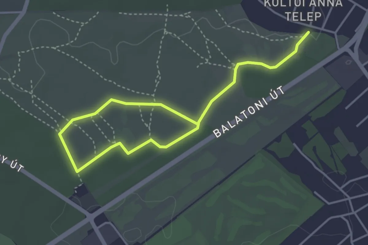
Easy · Trail
Tétényi-fennsík tanösvény (Szabadkai utca - Tétényi-legelő)
4.9 km · ↑ 26 m · 1 h 13 min
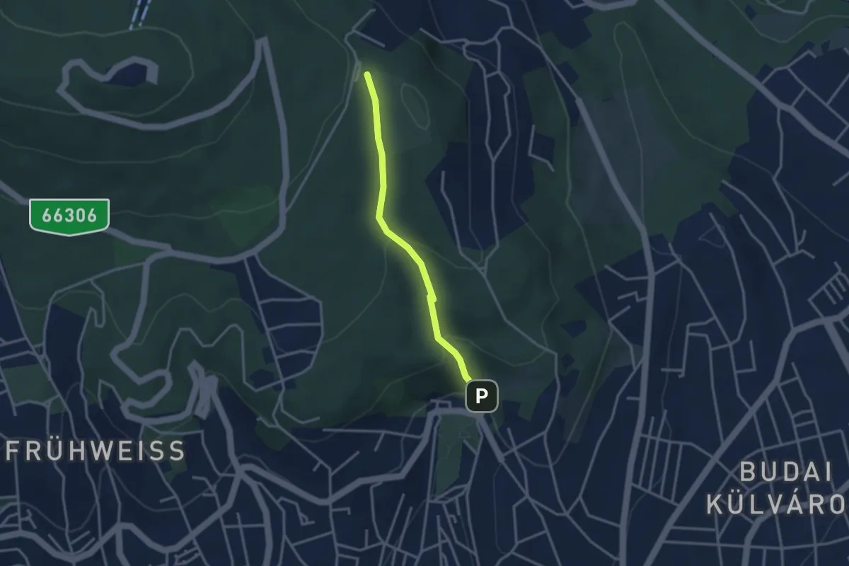
Easy · Trail
Tettye, Irma-úti tanösvény
2.7 km · ↑ 134 m · 56 min
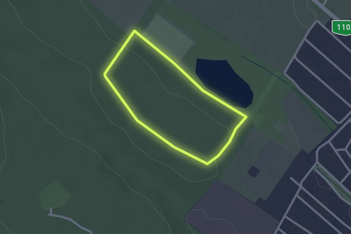
Easy · Trail
Tiszta Lélekzet út
1.7 km · ↑ 14 m · 27 min
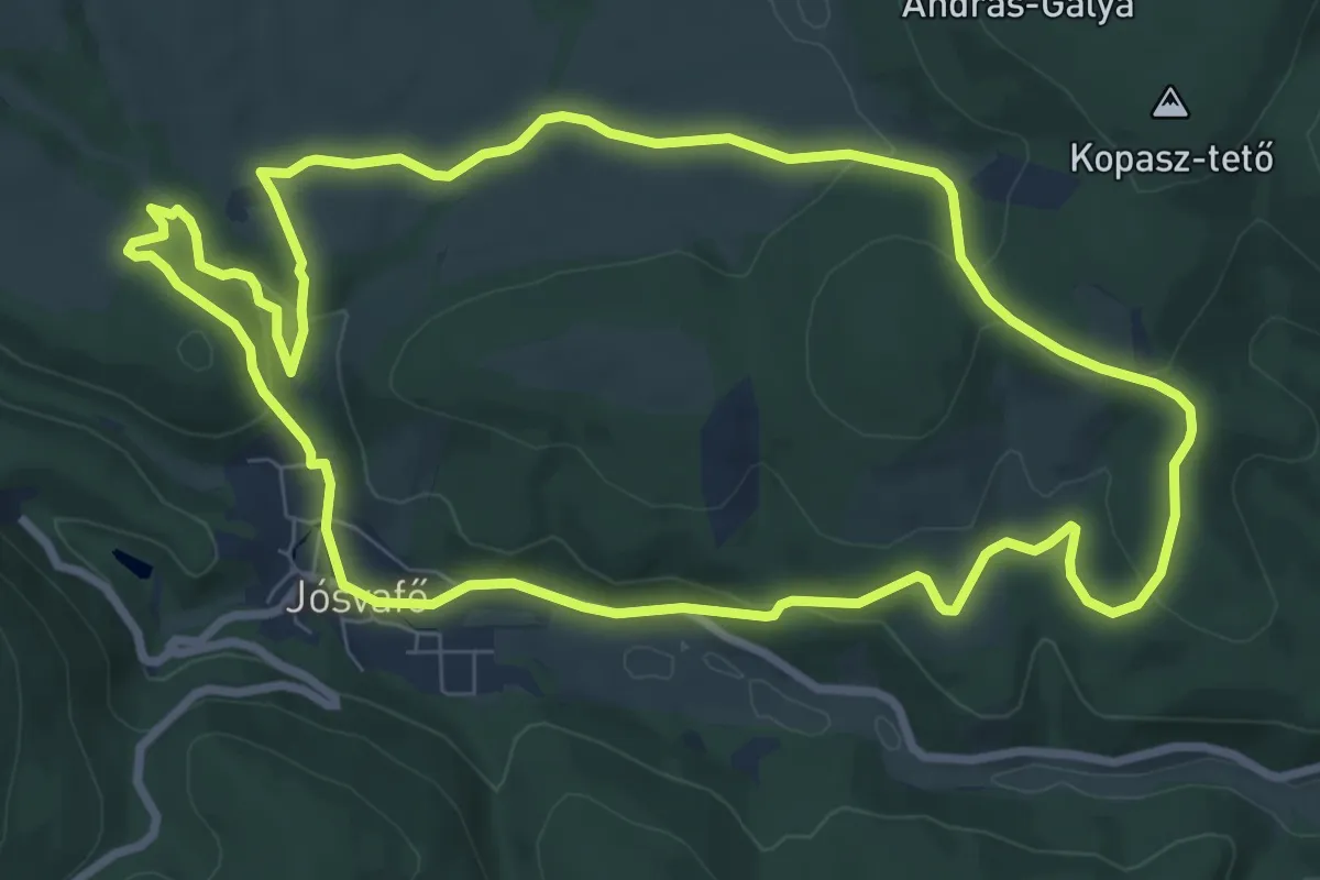
Medium · Summit
Tohonya – Kuriszlán tanösvény
8.6 km · ↑ 207 m · 2 h 36 min
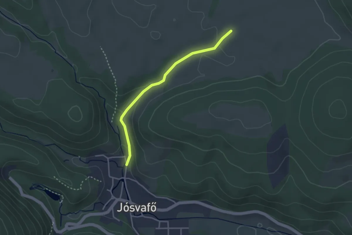
Easy · Trail
Tohonya – Kuriszlán tanösvény (rövidítés)
2.7 km · ↑ 67 m · 47 min
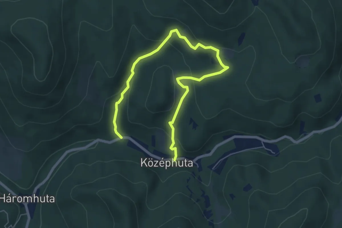
Easy · Trail
Tölgyesbérc Tanösvény
6.8 km · ↑ 275 m · 2 h 12 min
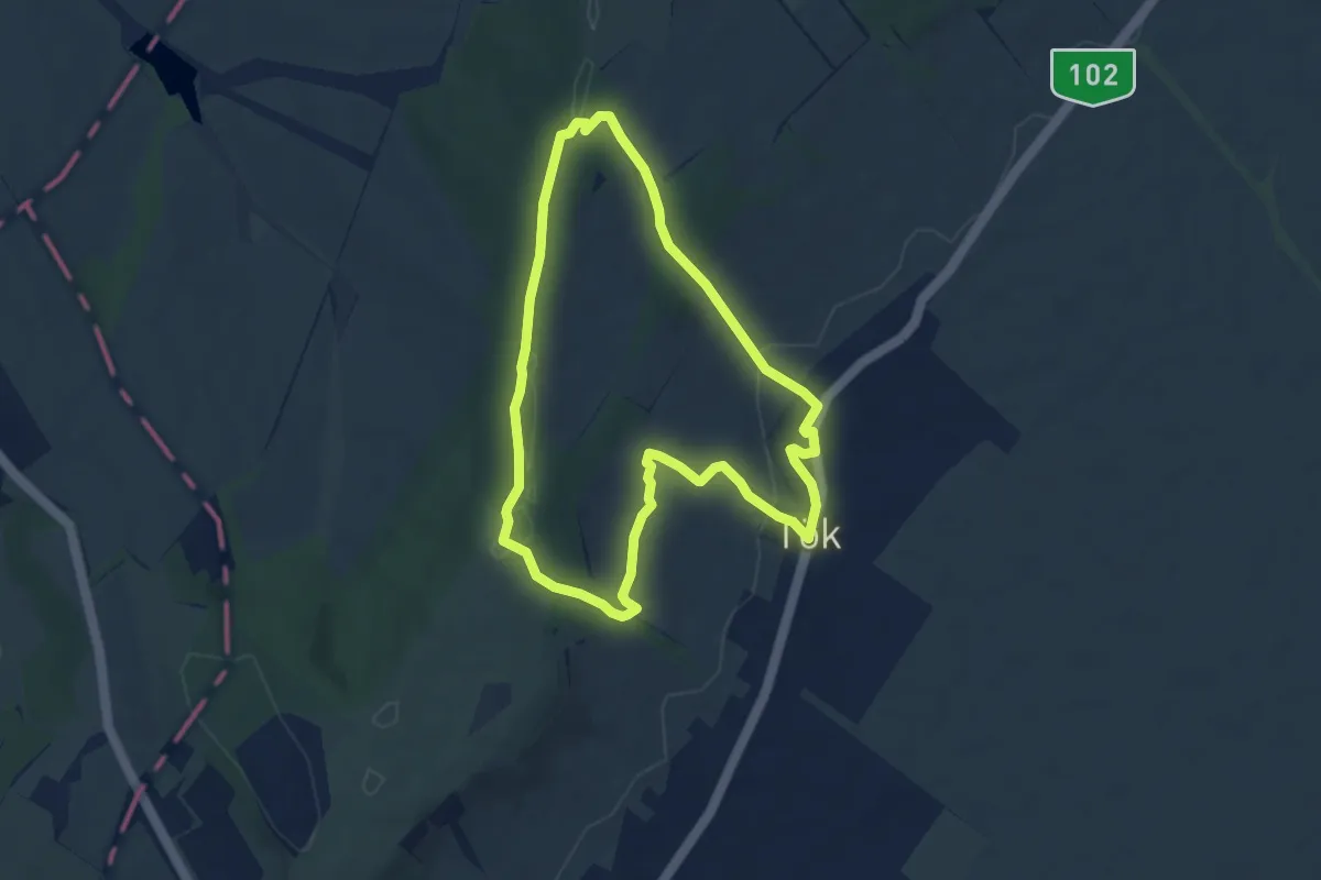
Easy · Trail
Tölgyfalevél tanösvény
6.3 km · ↑ 148 m · 1 h 54 min
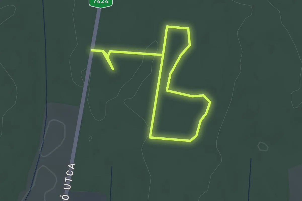
Easy · Trail
Töllös tanösvény
4.2 km · ↑ 13 m · 1 h 1 min
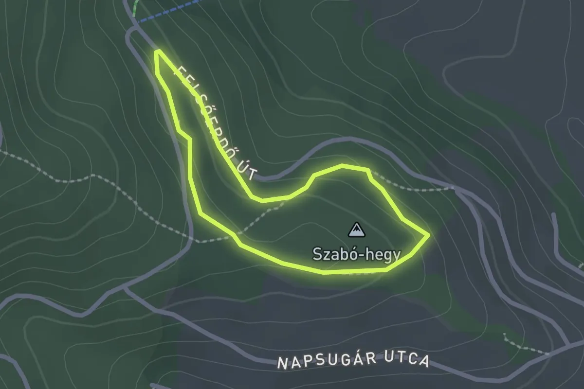
Easy · Summit
tornapálya
1.7 km · ↑ 54 m · 32 min
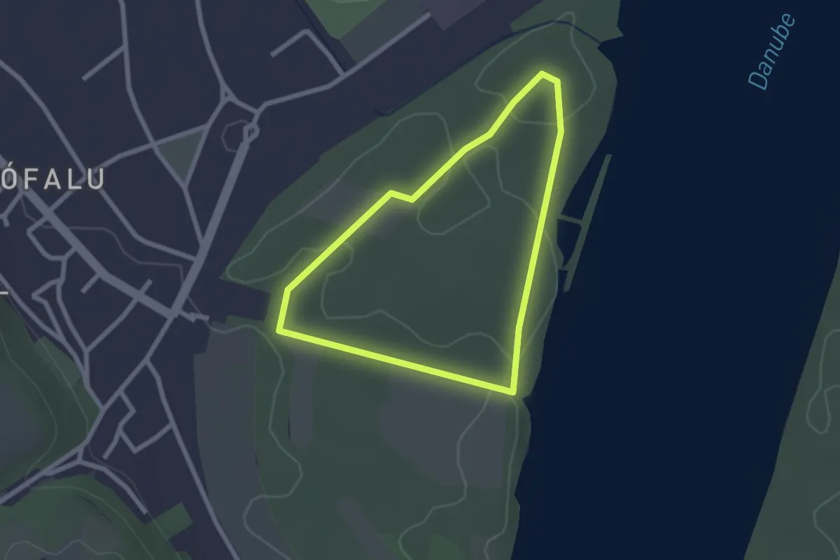
Easy · Trail
Tőzike tanösvény
2.0 km · ↑ 8 m · 31 min
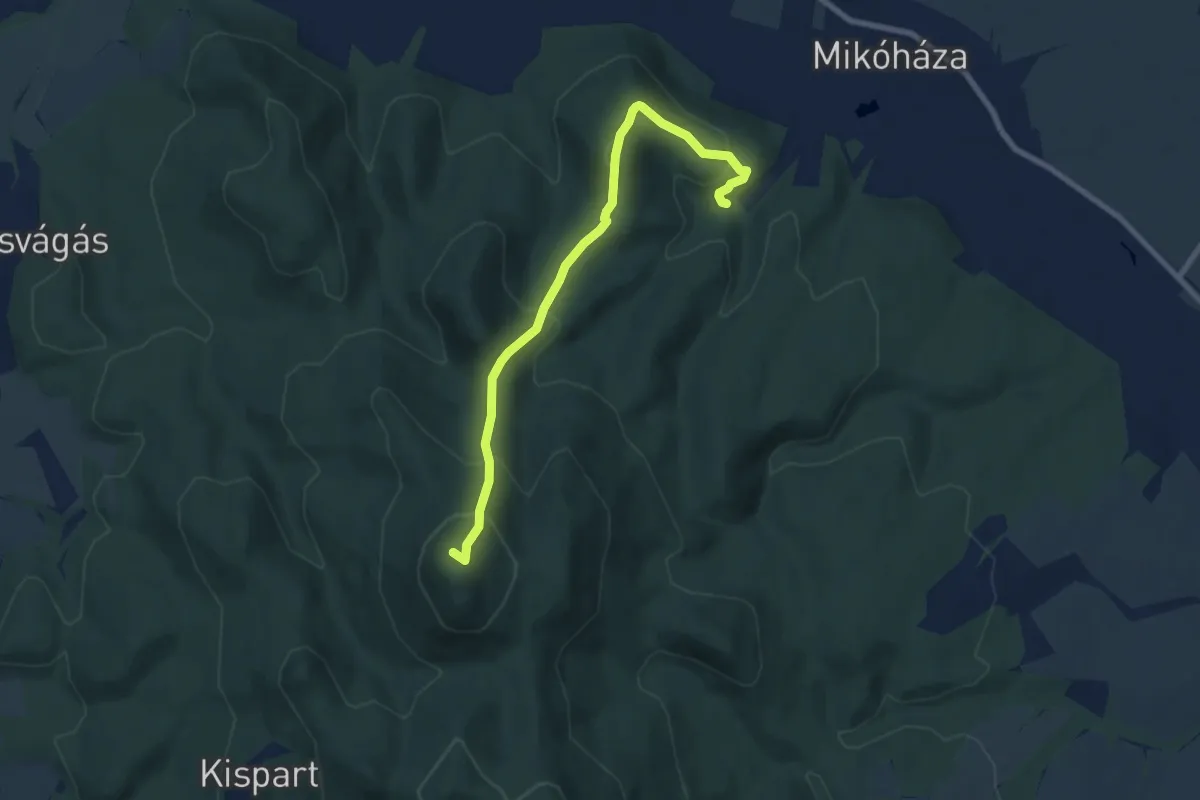
Medium · Summit
Trianoni tanösvény
7.5 km · ↑ 512 m · 2 h 52 min
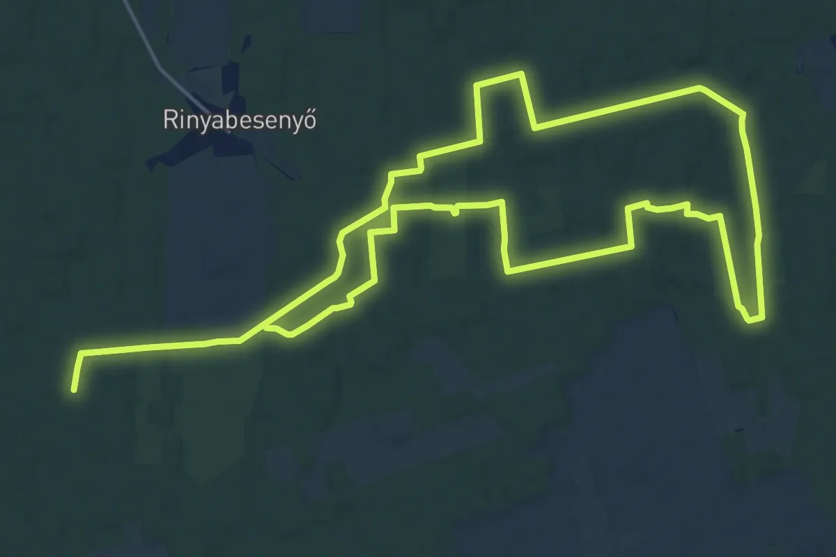
Medium · Trail
T, Rinyabesenyői erdő, Gombás tanösvény
17.6 km · ↑ 93 m · 4 h 36 min
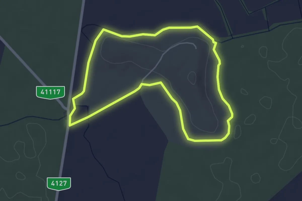
Easy · Trail
T (Szőlő-hegy tanösvény)
4.2 km · ↑ 16 m · 1 h 6 min
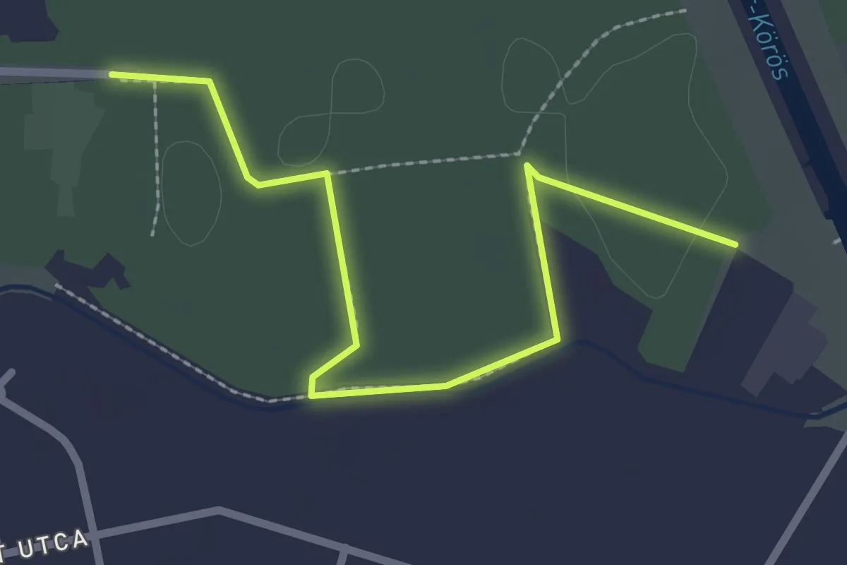
Easy · Trail
Tündérerdő tanösvény
2.7 km · ↑ 4 m · 38 min
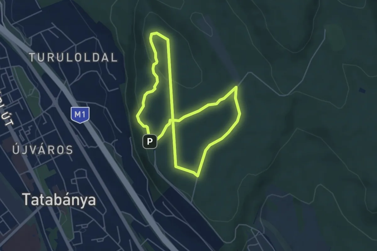
Easy · Summit
Turul szíve kardioösvény - hosszú útvonal (piros szív, Gerecse Kapuja – Nagy-rét – Gerecse Kapuja)
4.4 km · ↑ 124 m · 1 h 22 min
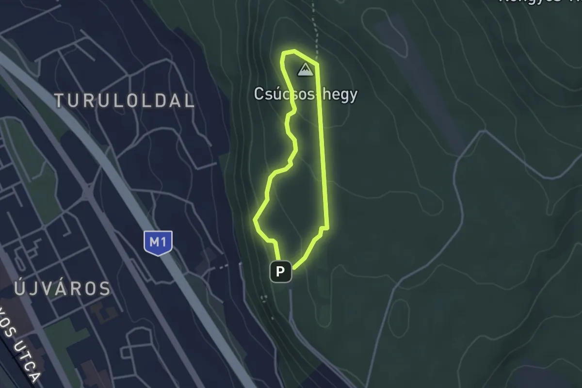
Easy · Summit
Turul szíve kardioösvény - rövid útvonal (kék szív, Gerecse Kapuja – Csúcsos-hegy – Gerecse Kapuja)
2.2 km · ↑ 90 m · 44 min
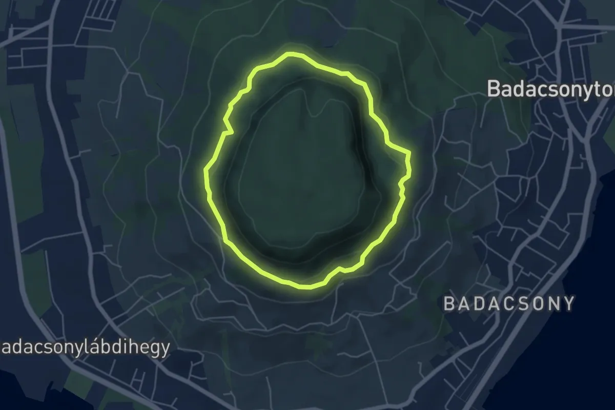
Easy · Trail
Tűzgyűrű tanösvény
4.3 km · ↑ 138 m · 1 h 23 min
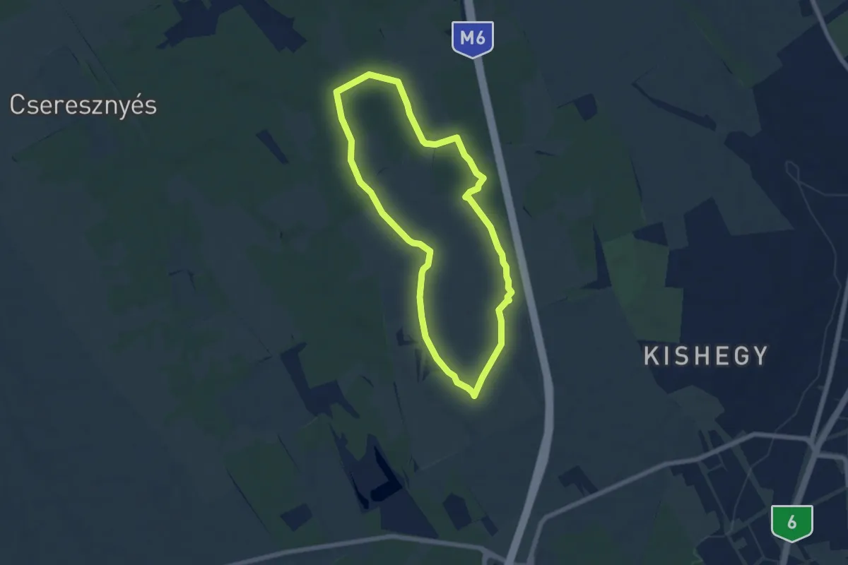
Easy · Trail
Ürge E-learning trail
5.8 km · ↑ 22 m · 1 h 30 min
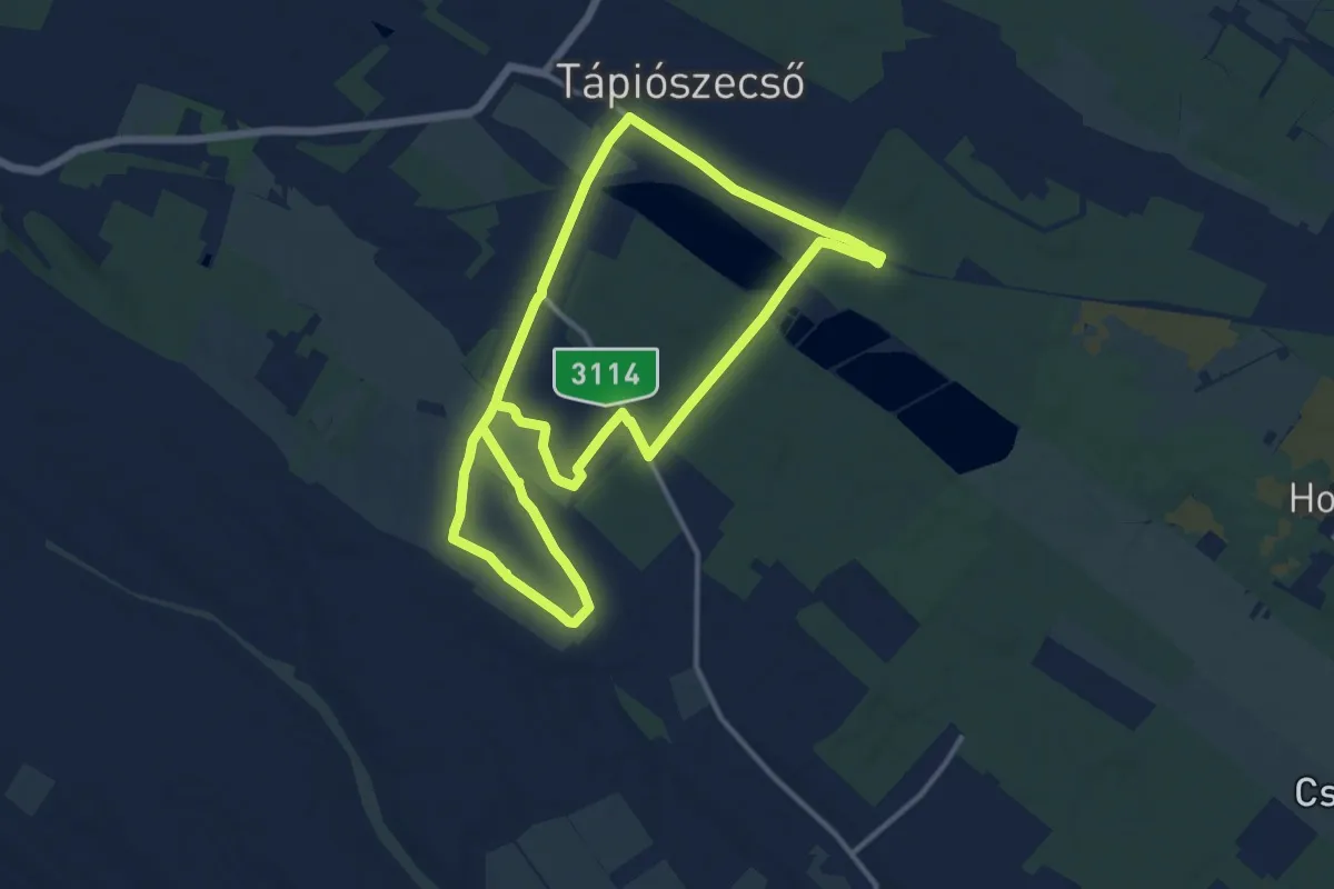
Demanding · Trail
Ürgés tanösvény
23.8 km · ↑ 91 m · 5 h 49 min
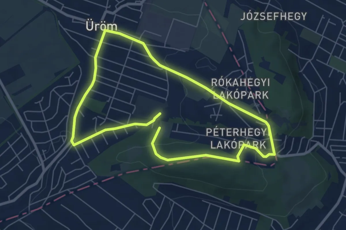
Easy · Summit
Ürömi tanösvény - Déli útvonal (Üröm, Templom tér – Péter-hegy)
5.4 km · ↑ 101 m · 1 h 35 min
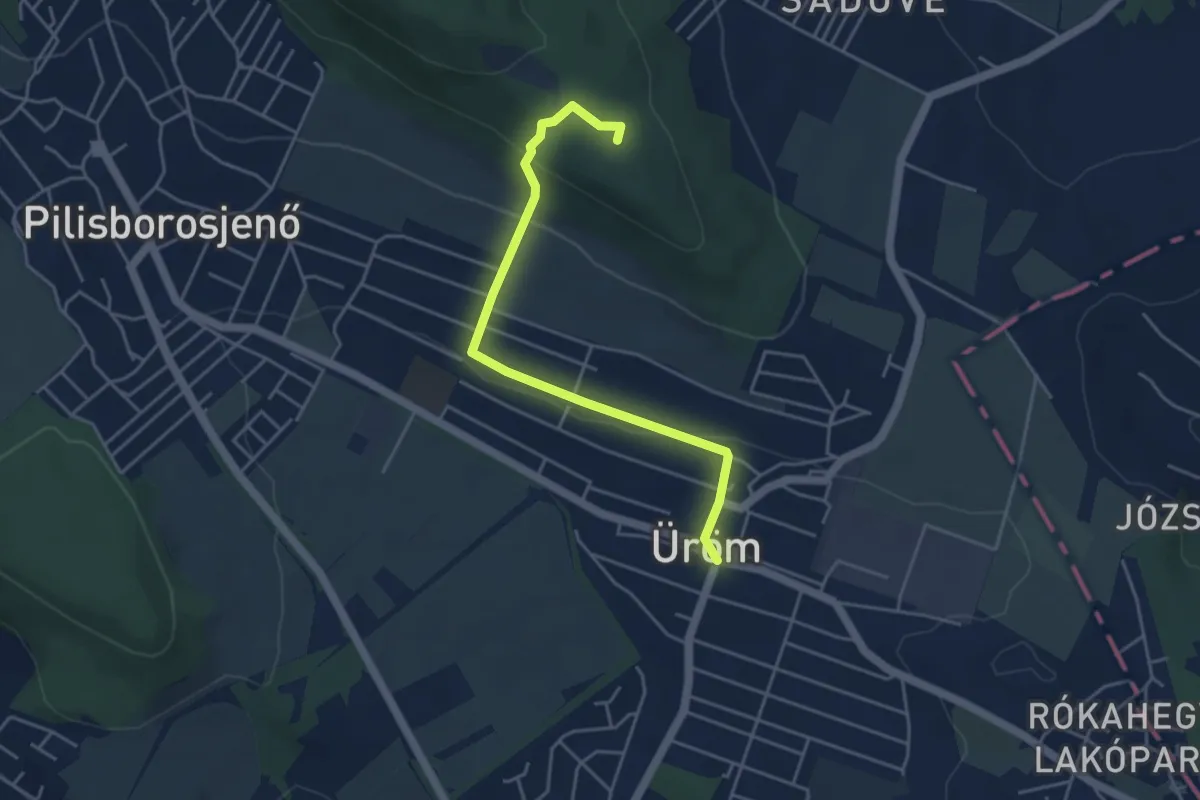
Easy · Summit
Ürömi tanösvény (Északi útvonal)
4.4 km · ↑ 157 m · 1 h 23 min
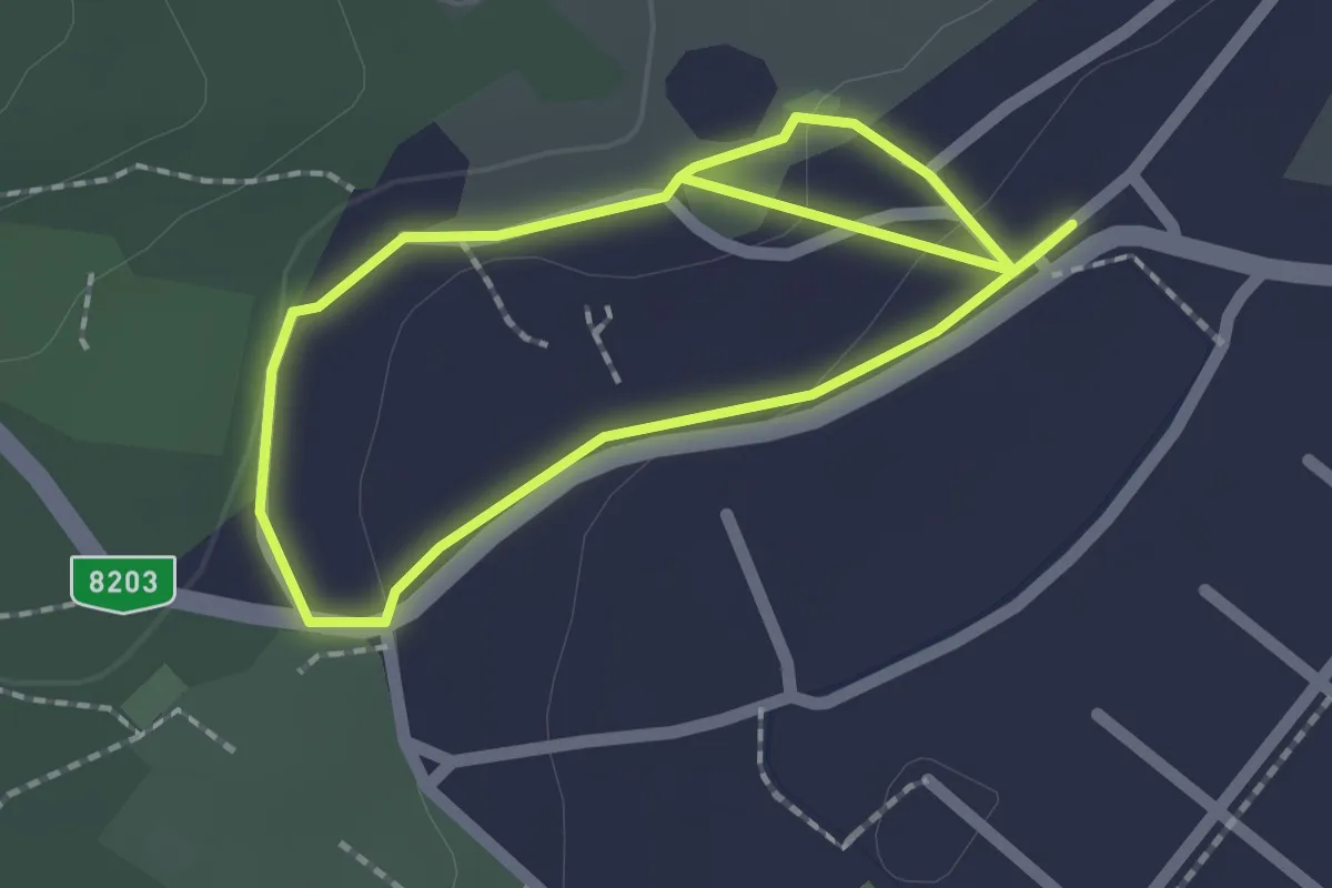
Easy · Trail
Út az egészséghez kardiotanösvény (K)
1.7 km · ↑ 33 m · 29 min
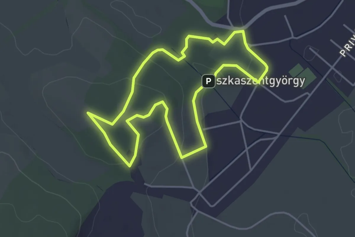
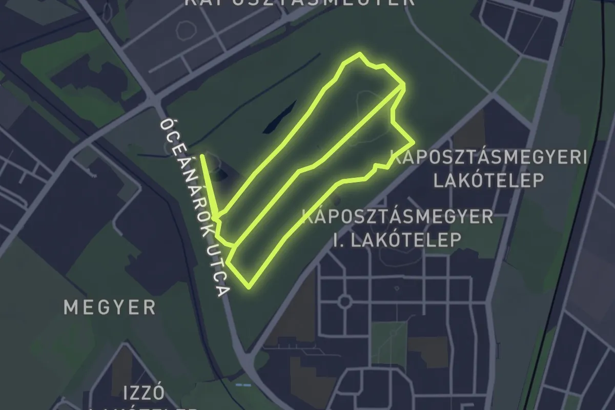
Easy · Trail
Út az egészséghez kardiotanösvény (P)
3.8 km · ↑ 101 m · 1 h 10 min
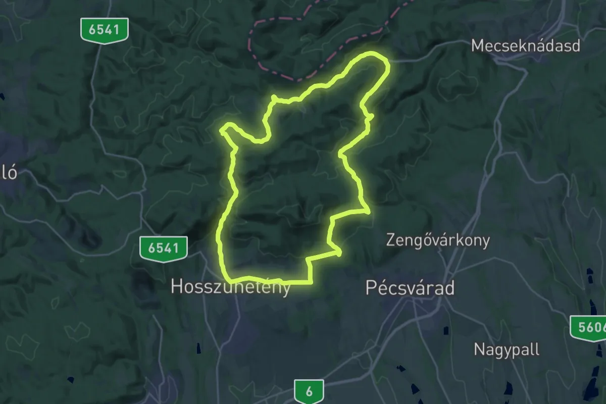
Easy · Trail
Út az Egészséghez (Újpest – Farkaserdő)
7.2 km · ↑ 49 m · 1 h 48 min
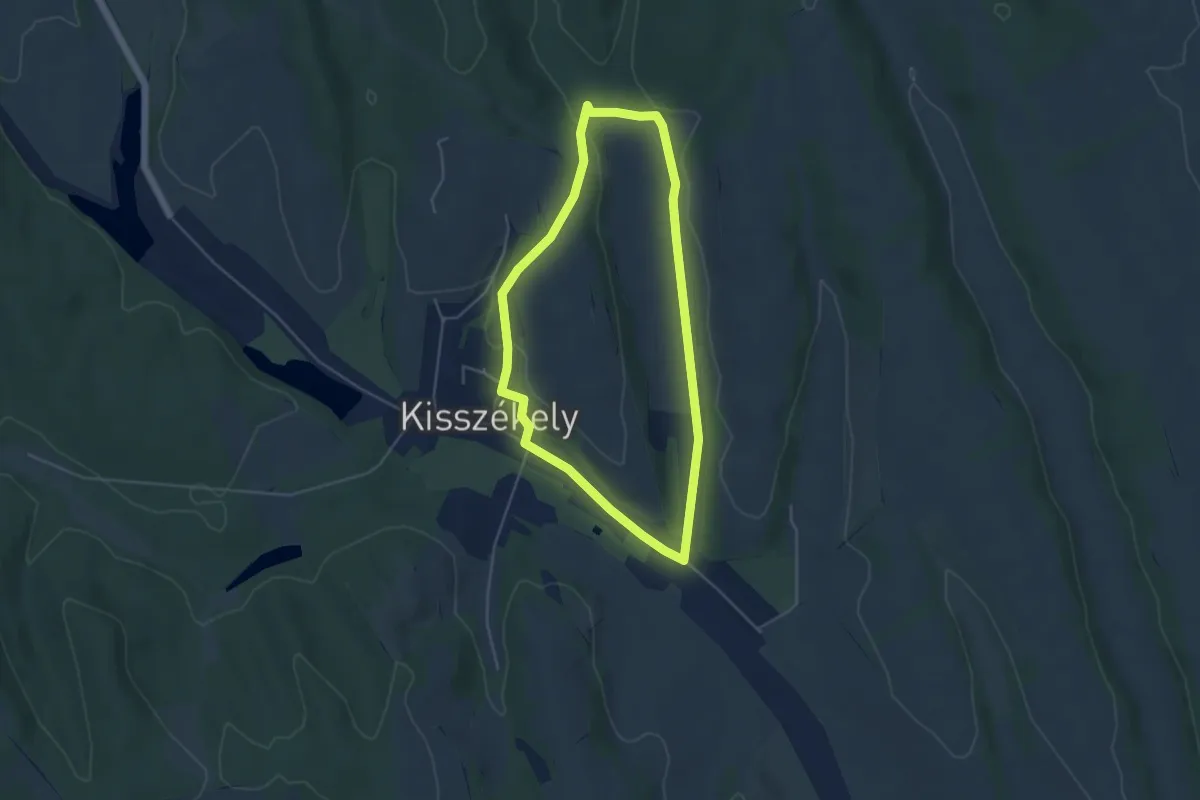
Demanding · Trail
Üvegesek útja
24.0 km · ↑ 672 m · 7 h 27 min
Easy · Trail
Vadkörte körút
4.4 km · ↑ 69 m · 1 h 14 min
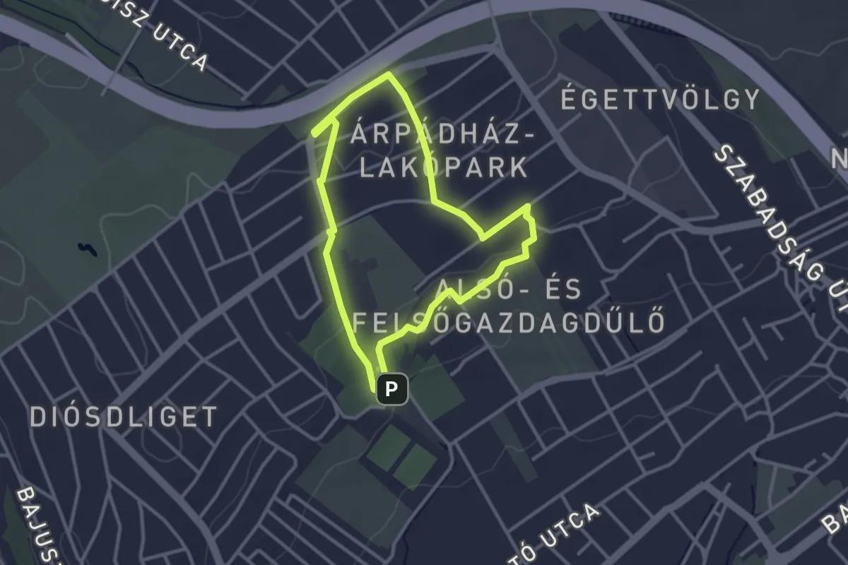
Easy · Trail
Vadvirág tanösvény
2.7 km · ↑ 50 m · 47 min
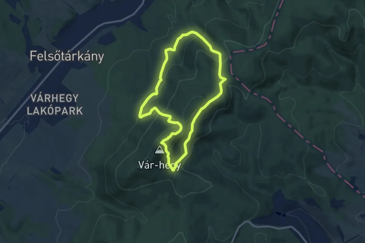
Medium · Summit
Vár-hegyi tanösvény
7.1 km · ↑ 411 m · 2 h 40 min
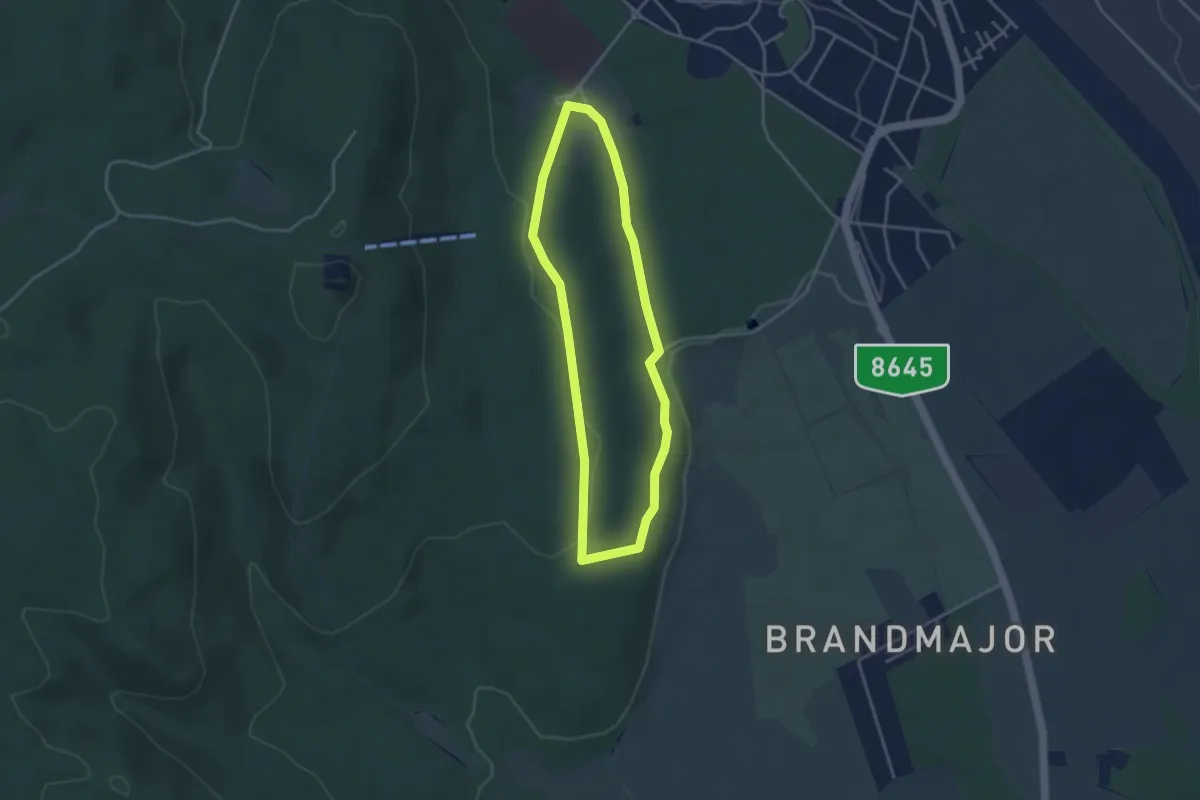
Easy · Trail
Várisi sétaút
3.3 km · ↑ 60 m · 57 min
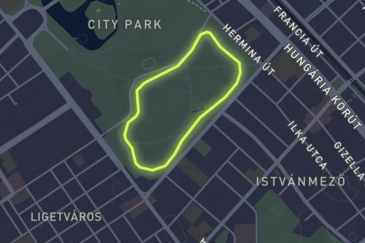
Easy · Trail
Városligeti futókör
2.0 km · ↑ 4 m · 30 min
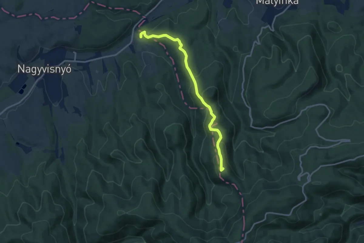
Medium · Summit
Verebec-tető tanösvény
9.3 km · ↑ 400 m · 3 h 4 min
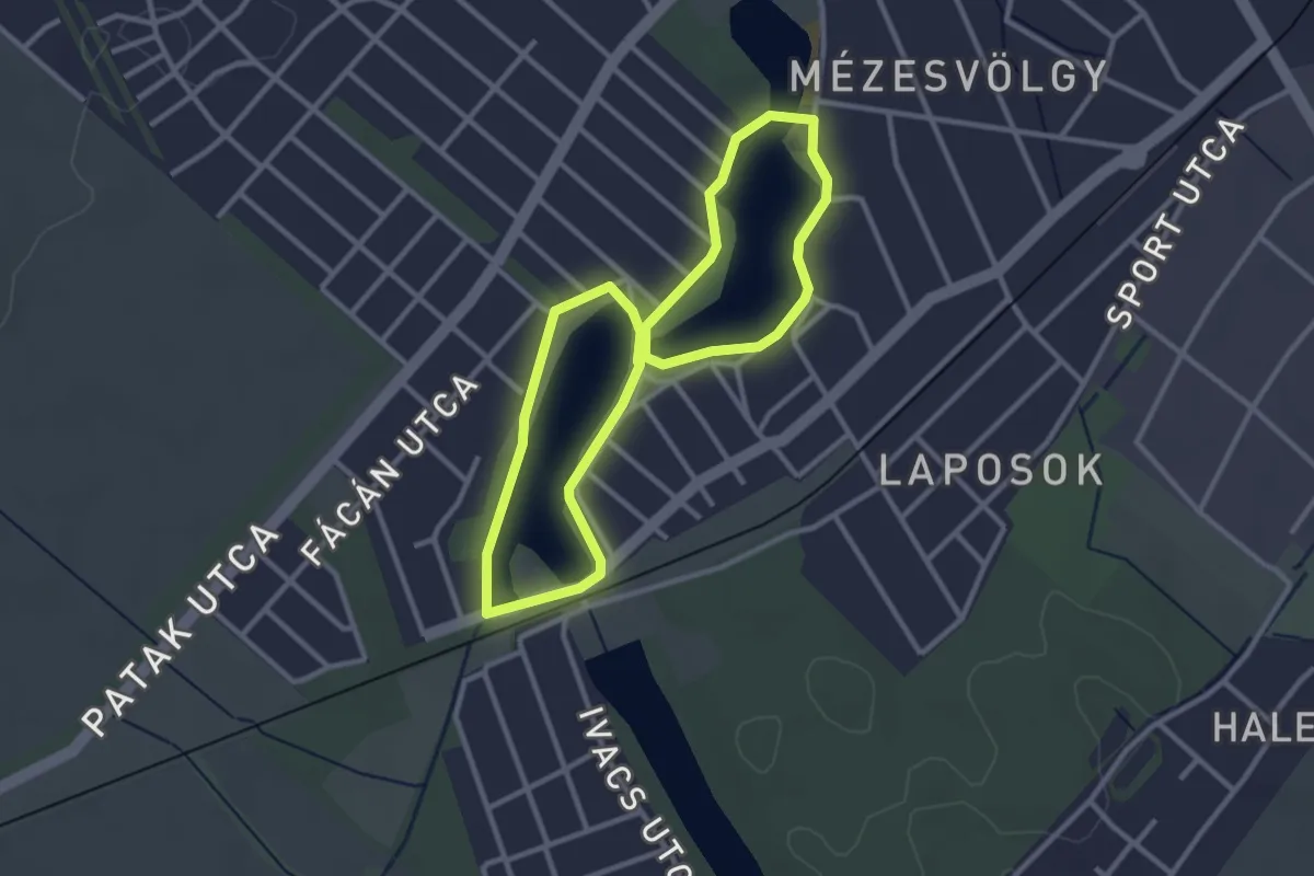
Easy · Trail
Veresegyházi Szív útja (kék szakasz)
2.8 km · ↑ 4 m · 42 min
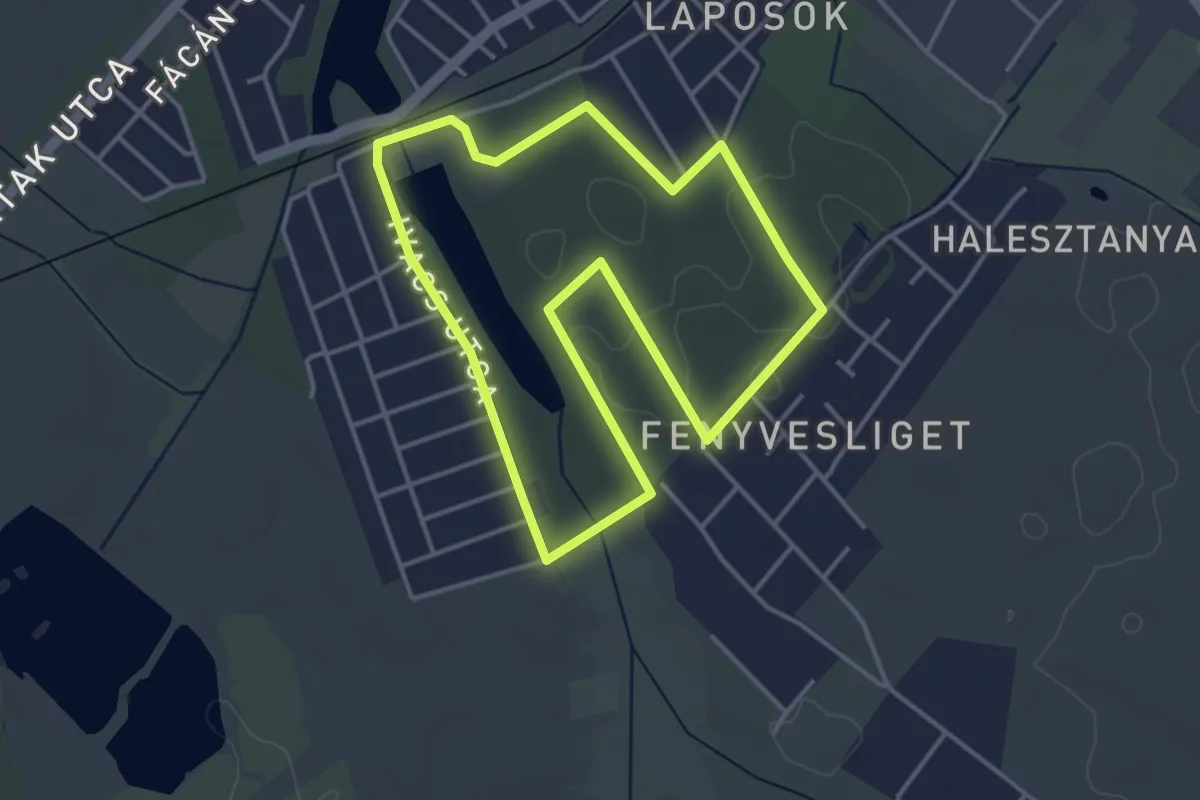
Easy · Trail
Veresegyházi Szív útja (piros szakasz)
3.8 km · ↑ 13 m · 59 min
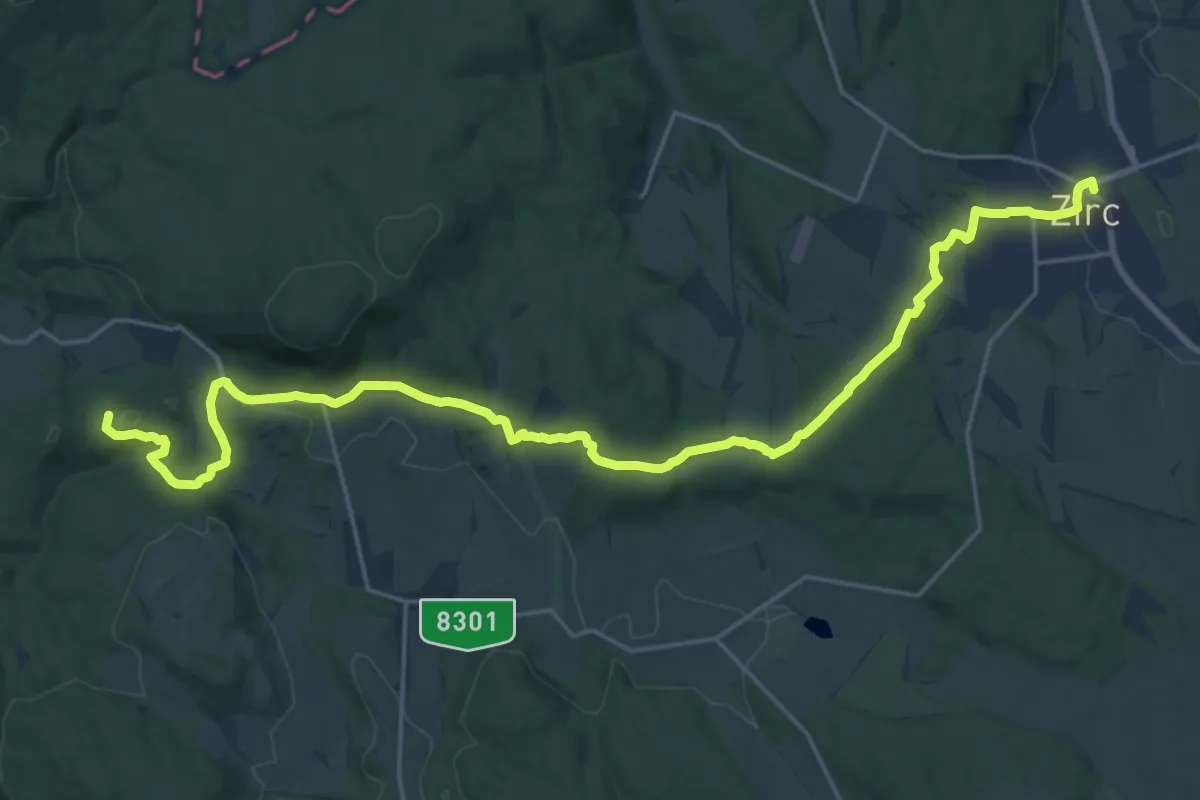
Medium · Summit
Via Calvaria - Csendhegyek útja I.
12.9 km · ↑ 242 m · 3 h 46 min