Trails in Hungary
2,296 hiking trails, each with its route, climb, walking time and grade.
All trails, page 39 of 48
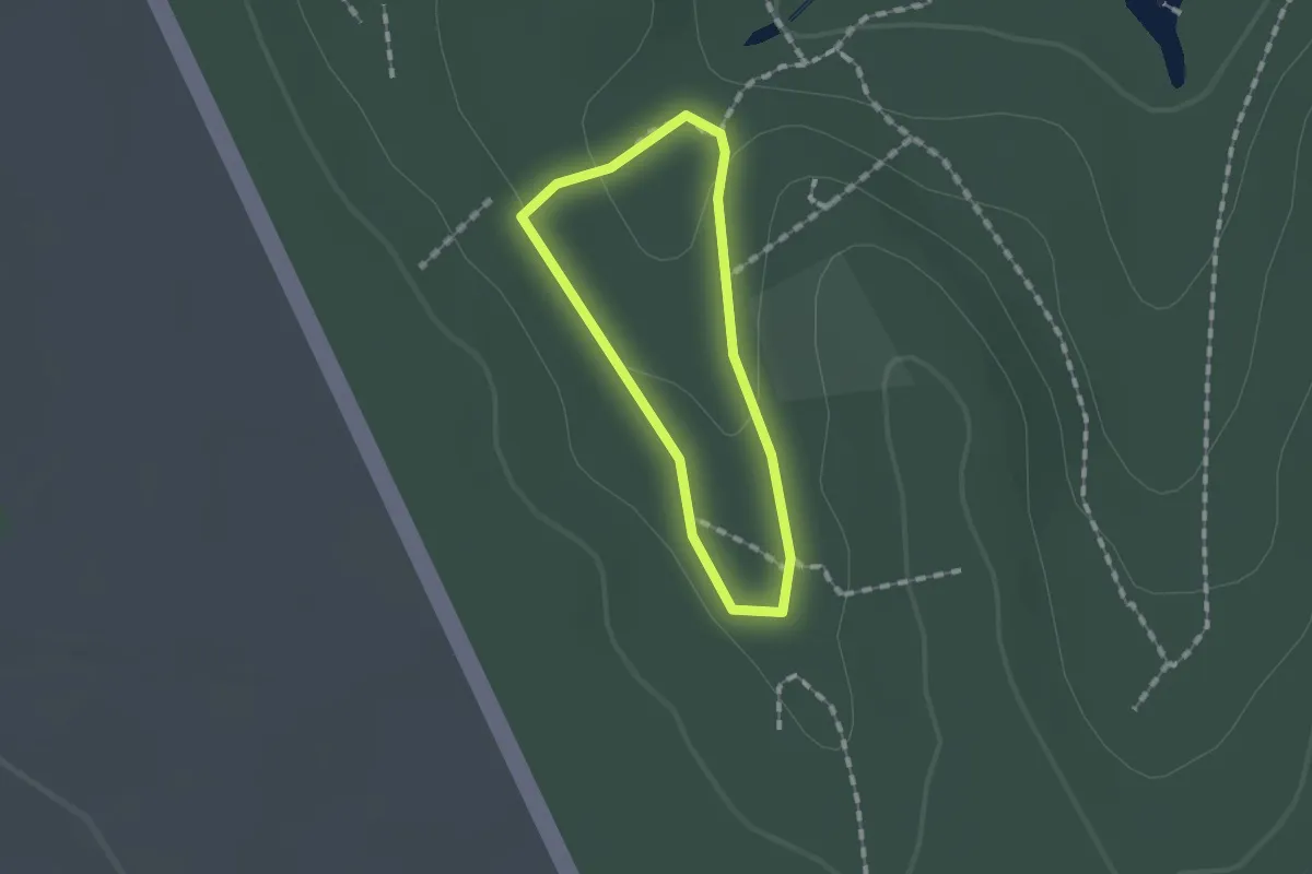
Easy · Trail
Z↺
1.0 km · ↑ 24 m · 18 min
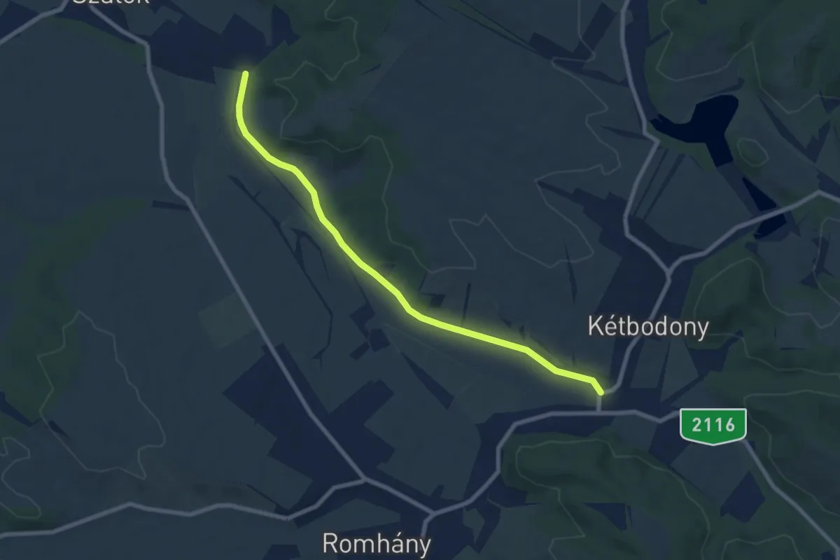
Easy · Trail
Z↺
7.4 km · ↑ 22 m · 1 h 48 min
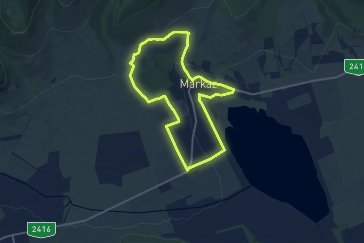
Easy · Trail
Z↺
7.2 km · ↑ 158 m · 2 h 9 min
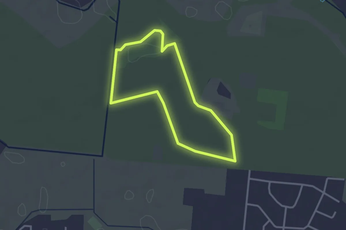
Easy · Trail
Z↺
2.4 km · ↑ 0 m · 37 min
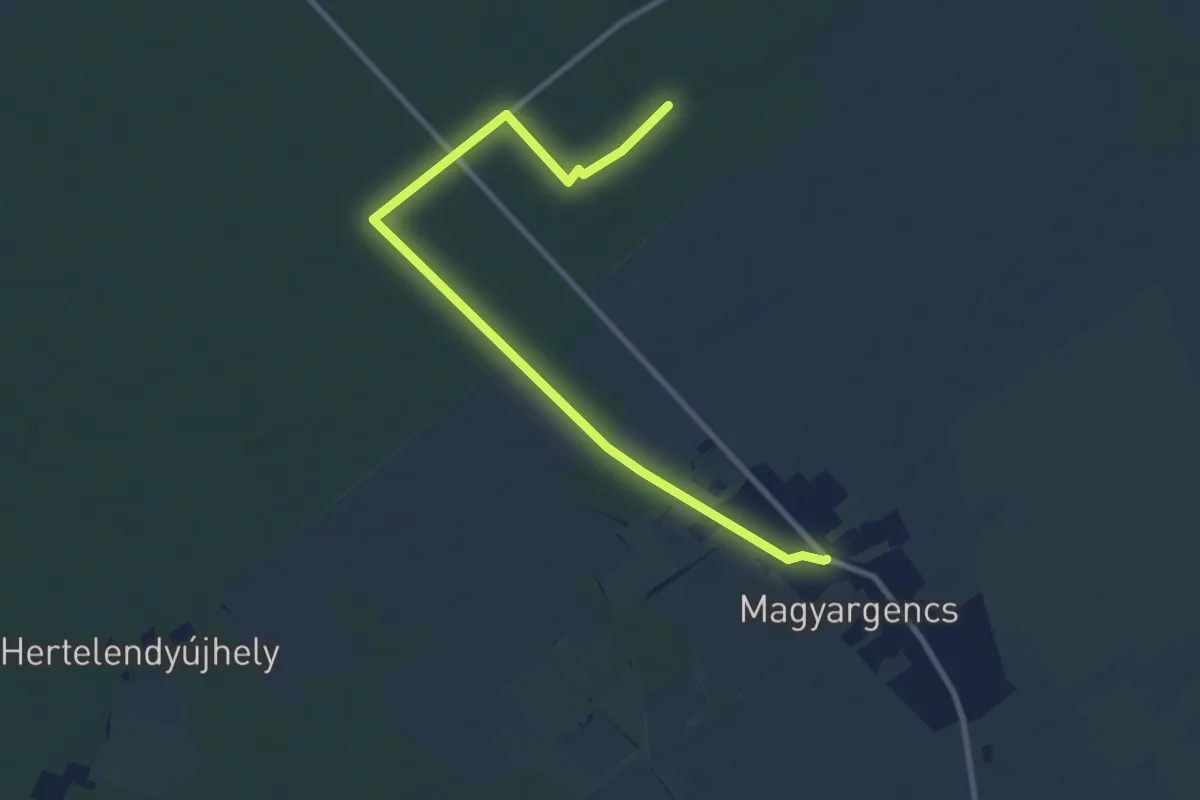
Medium · Trail
Z▙
10.5 km · ↑ 13 m · 2 h 30 min
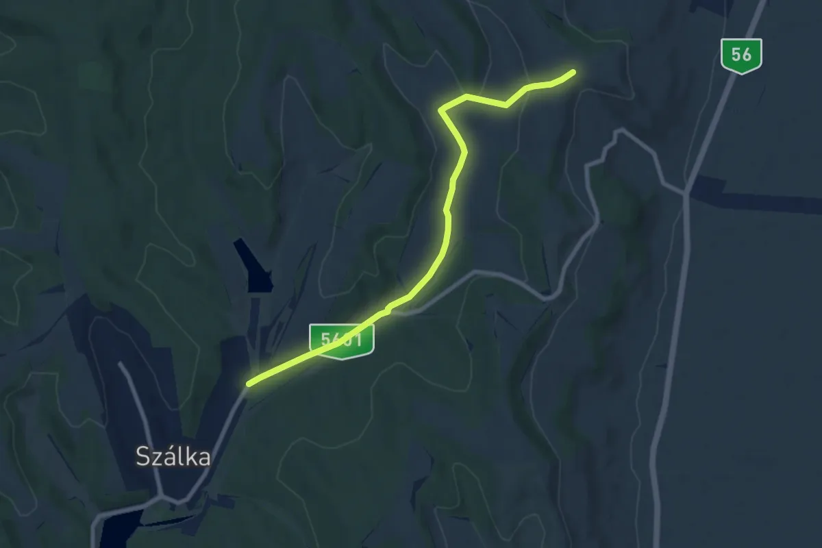
Easy · Trail
Z■
7.9 km · ↑ 115 m · 2 h 6 min
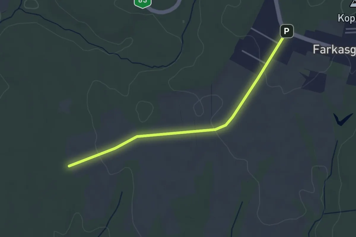
Easy · Trail
Z■
3.8 km · ↑ 57 m · 1 h 1 min
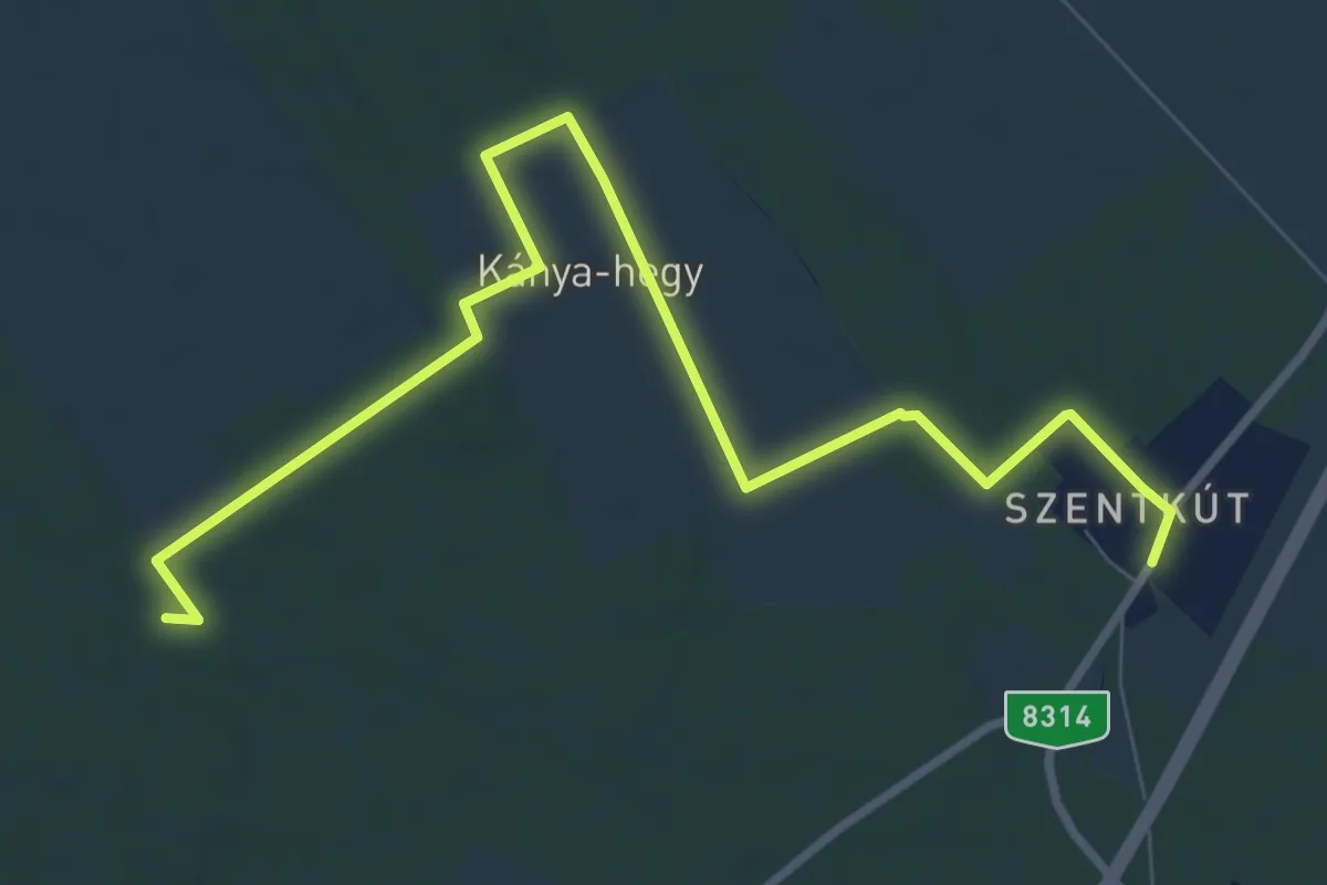
Medium · Trail
Z■
10.2 km · ↑ 17 m · 2 h 27 min
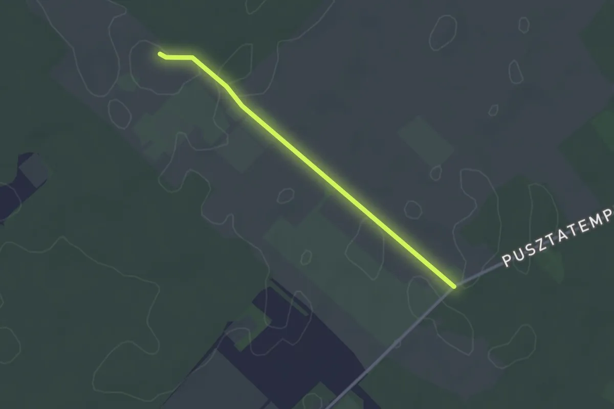
Easy · Trail
Z■
2.5 km · ↑ 0 m · 36 min
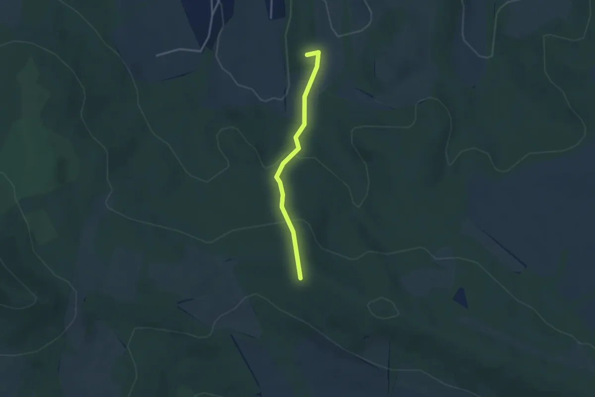
Easy · Summit
Z■
2.5 km · ↑ 112 m · 51 min
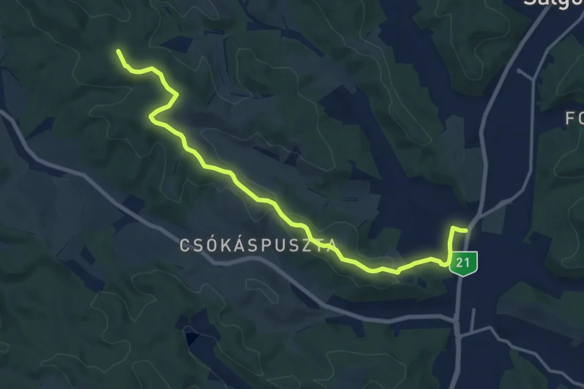
Medium · Trail
Z■
10.9 km · ↑ 241 m · 3 h 5 min
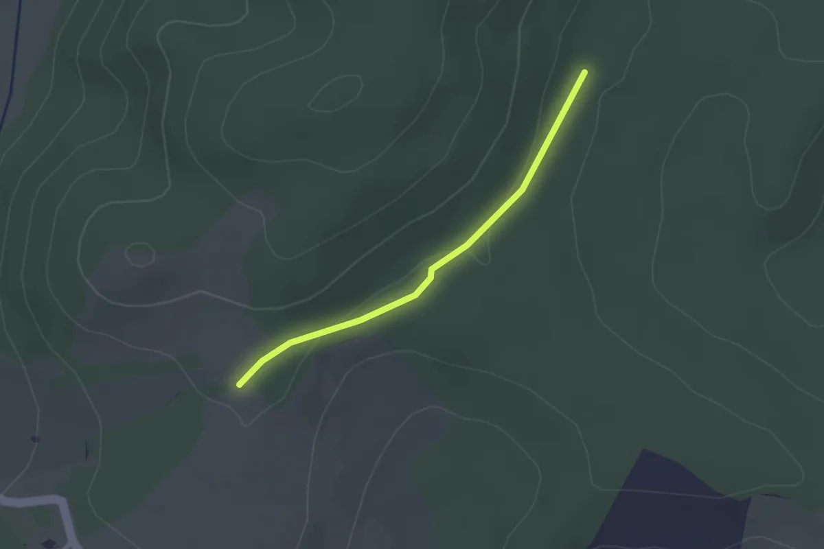
Easy · Trail
Z■
2.1 km · ↑ 34 m · 34 min
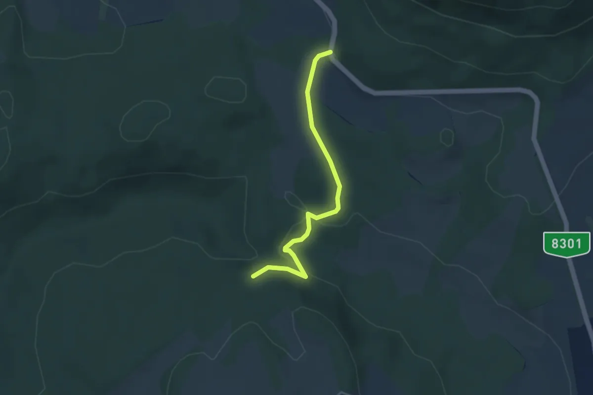
Easy · Trail
Z▲
3.2 km · ↑ 91 m · 57 min
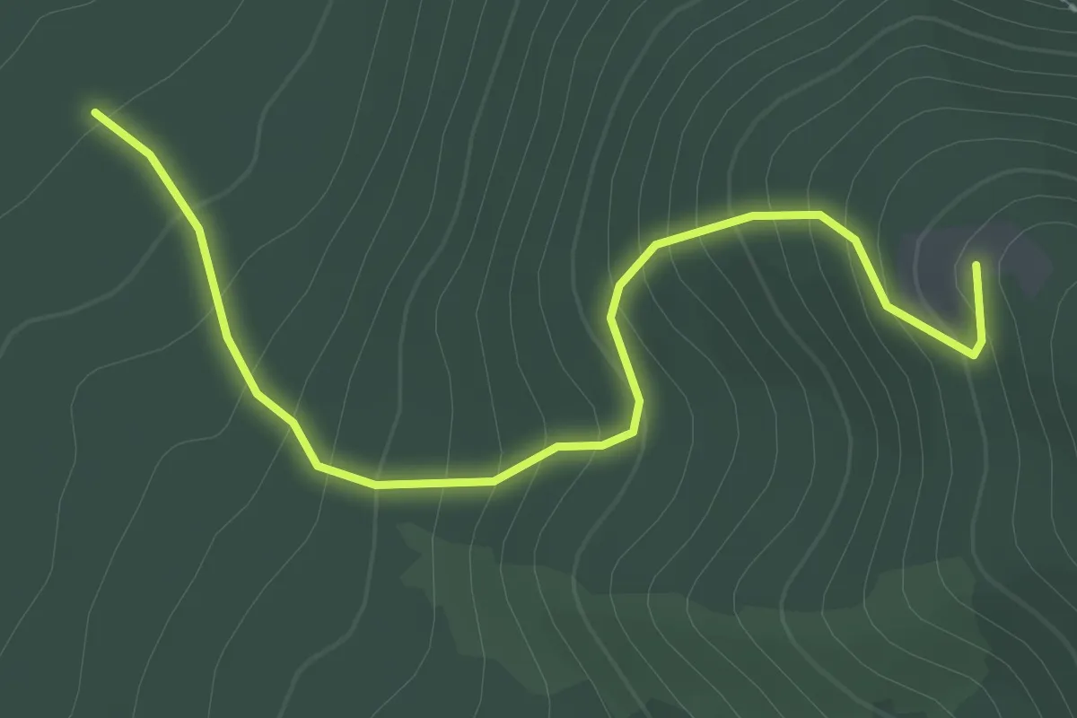
Easy · Trail
Z▲
2.7 km · ↑ 221 m · 1 h 7 min
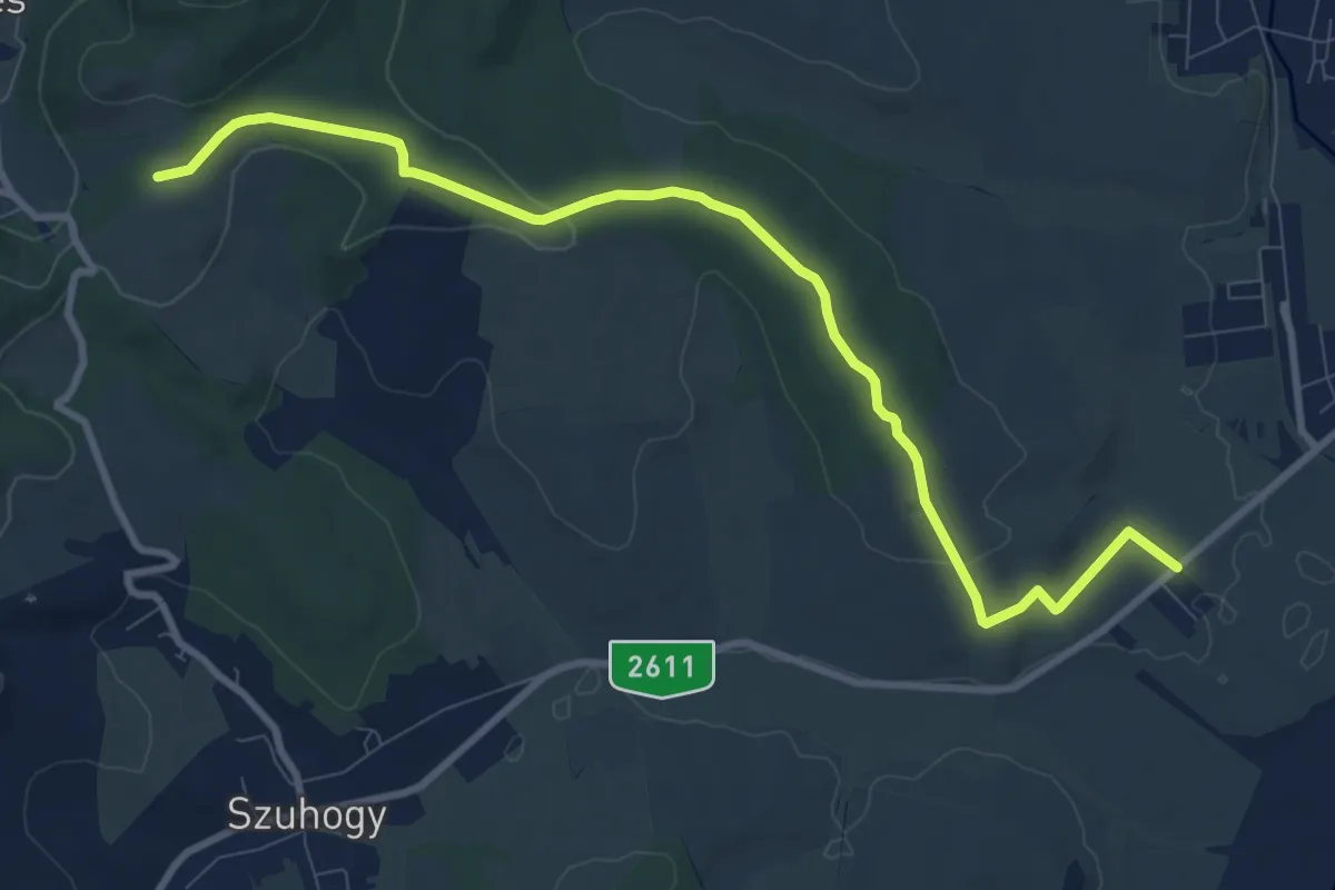
Medium · Trail
Z▲
10.2 km · ↑ 147 m · 2 h 43 min
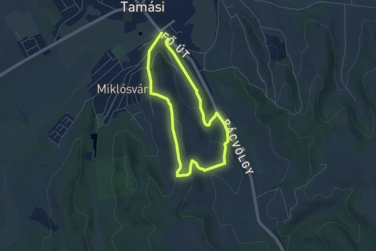
Easy · Trail
Z●
4.8 km · ↑ 136 m · 1 h 30 min
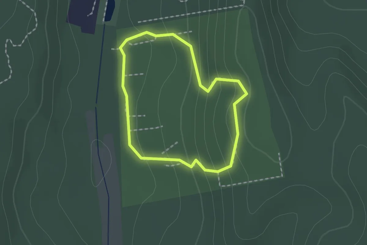
Easy · Trail
Z●
1.3 km · ↑ 67 m · 29 min
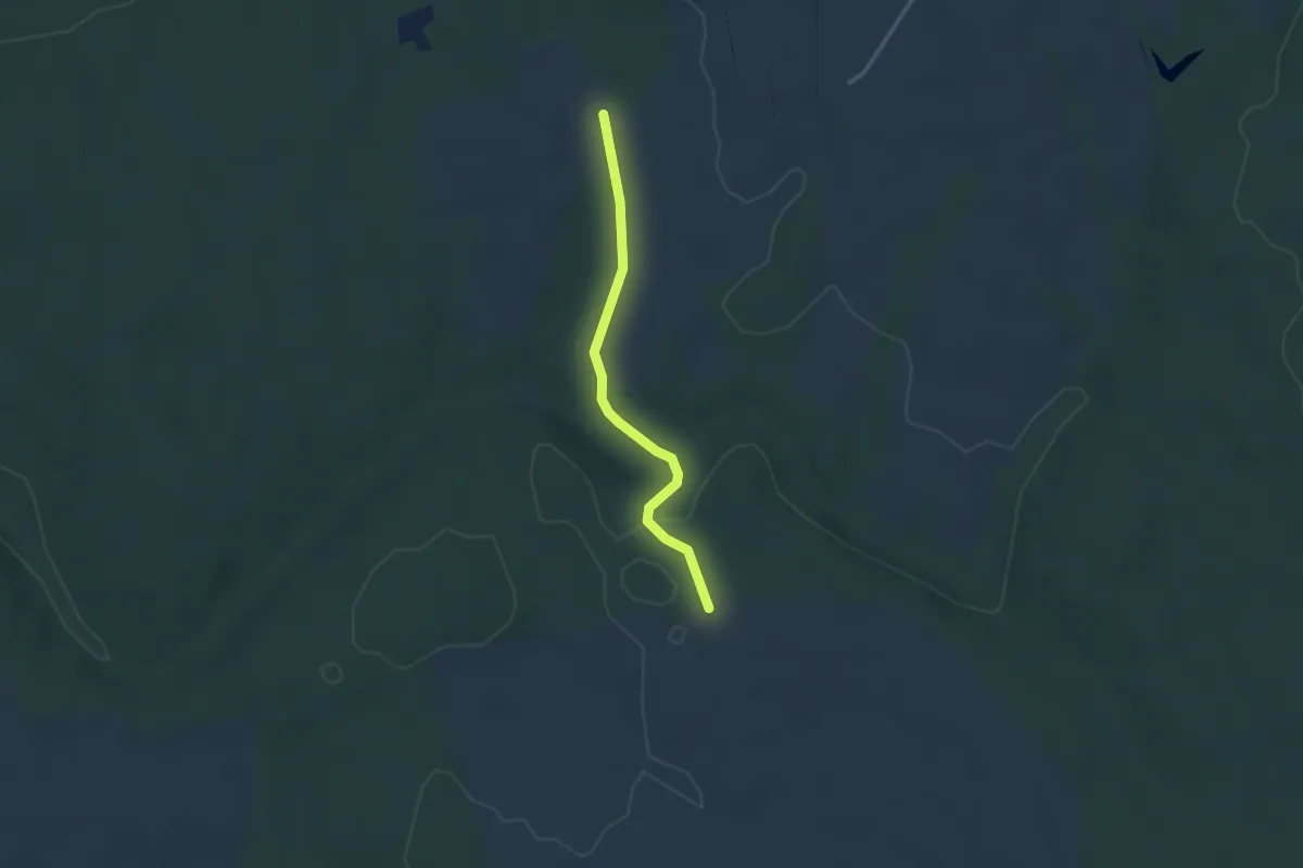
Easy · Trail
Z●
2.9 km · ↑ 45 m · 47 min
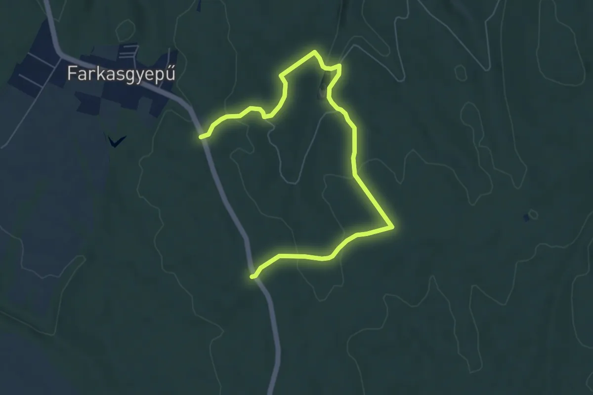
Easy · Trail
Z●
7.8 km · ↑ 199 m · 2 h 16 min
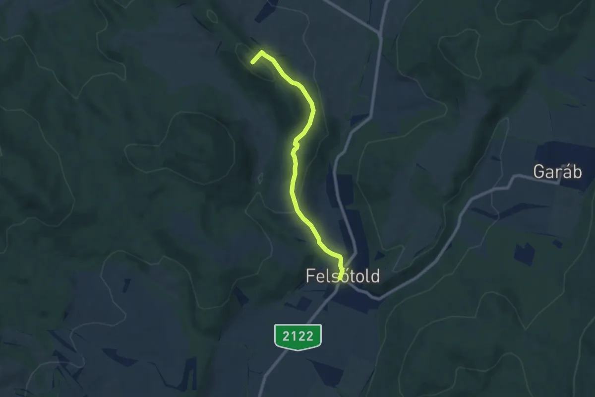
Easy · Summit
Z01
5.9 km · ↑ 208 m · 1 h 51 min
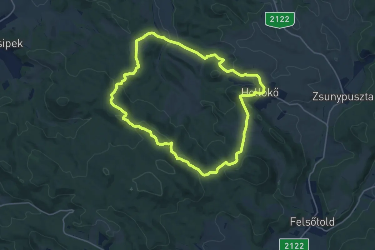
Medium · Summit
Z02
13.1 km · ↑ 351 m · 4 h 2 min
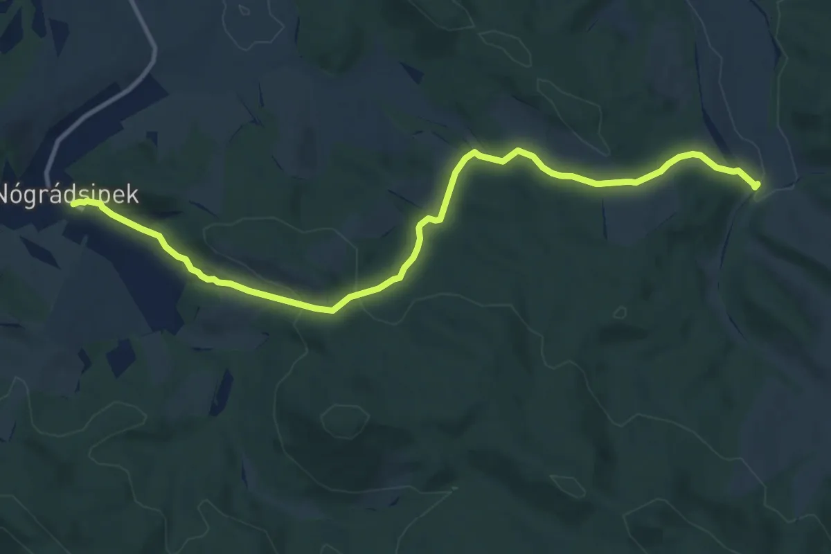
Medium · Trail
Z03
10.9 km · ↑ 337 m · 3 h 18 min
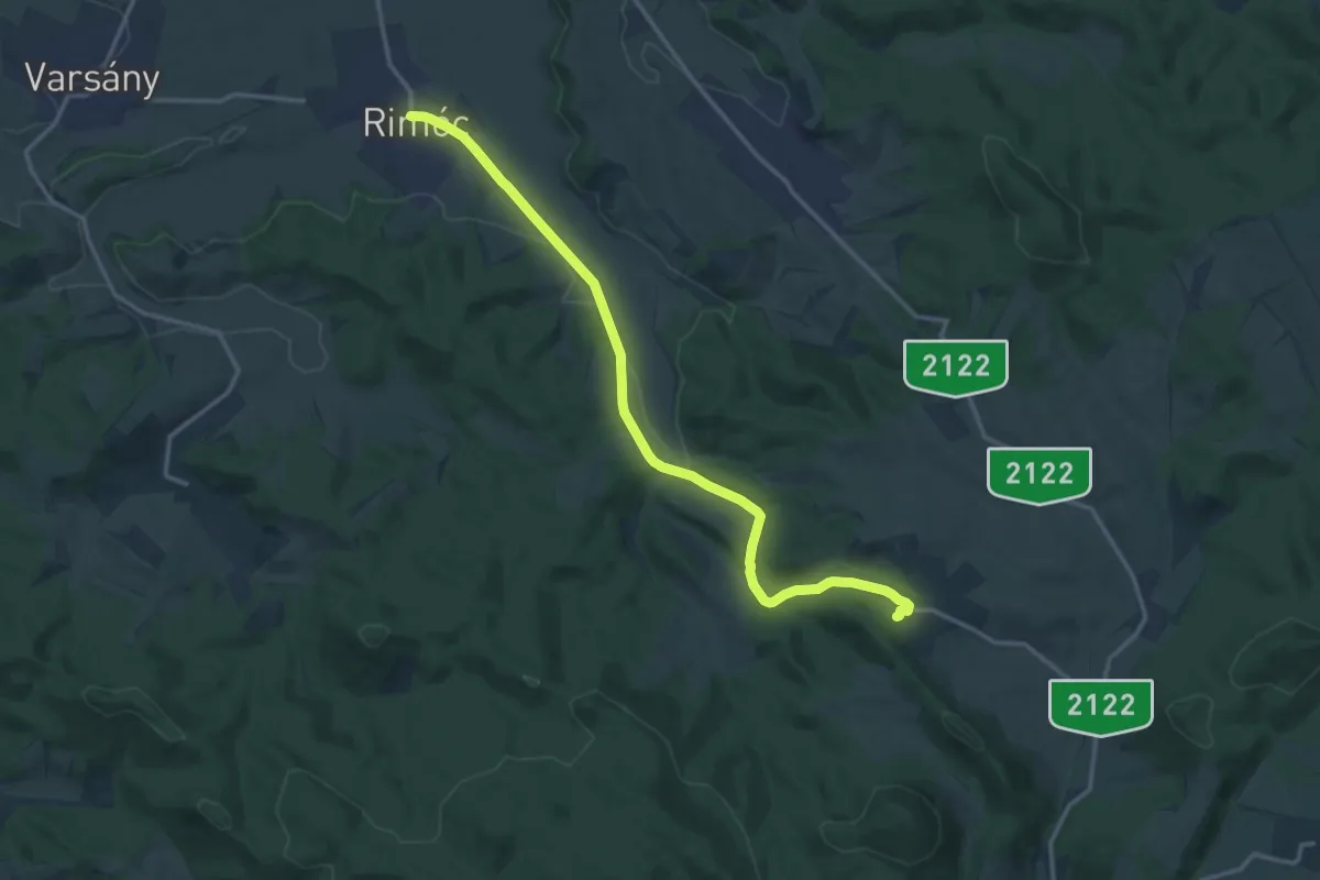
Medium · Trail
Z04
15.2 km · ↑ 246 m · 4 h 7 min
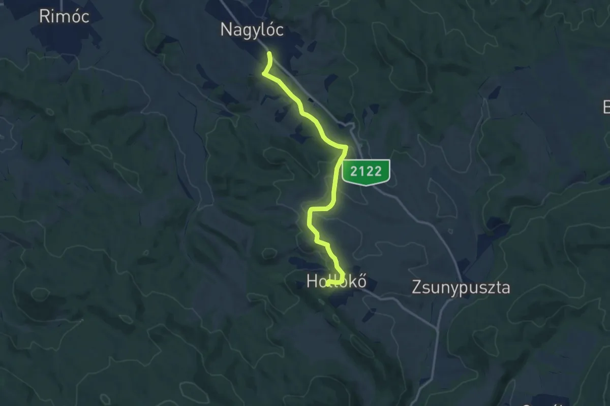
Medium · Trail
Z05 (Hollókő – Nagylóc)
10.8 km · ↑ 197 m · 2 h 59 min
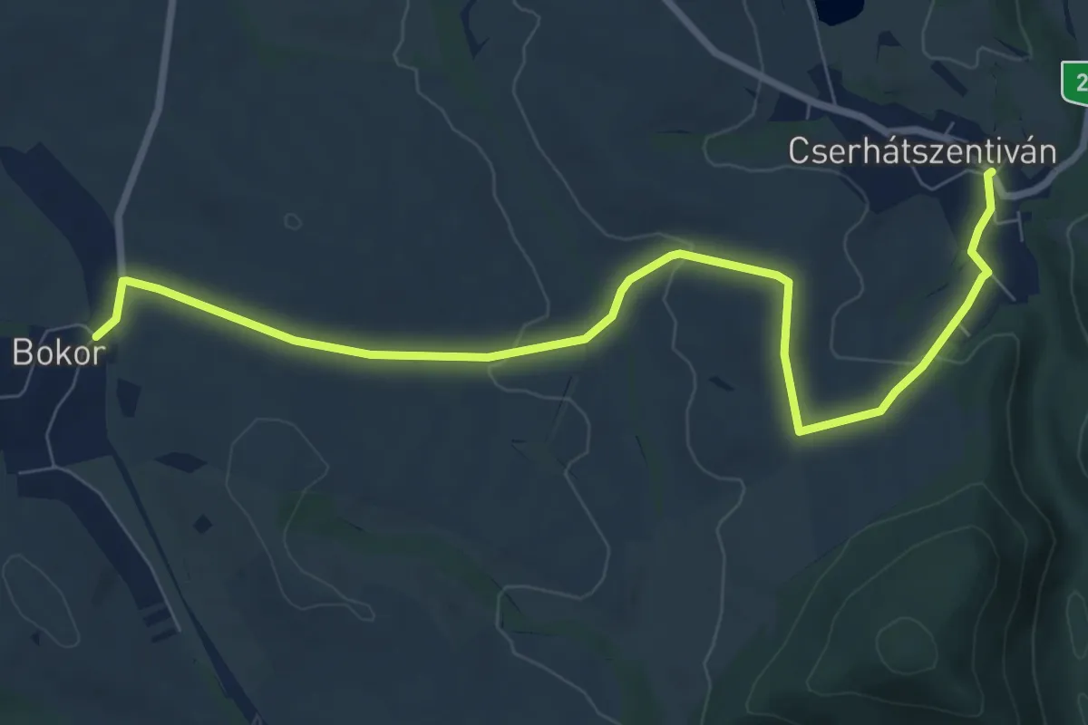
Medium · Trail
Z15
9.0 km · ↑ 161 m · 2 h 29 min
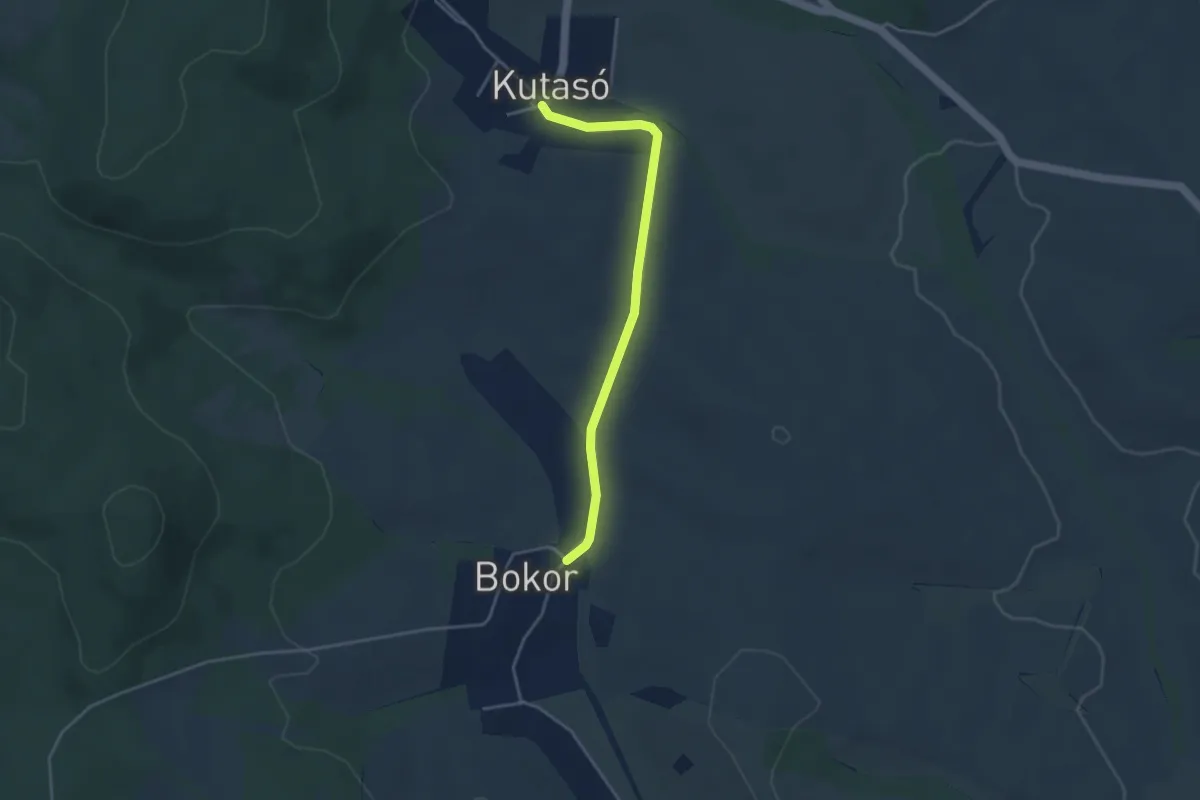
Easy · Trail
Z17
3.6 km · ↑ 38 m · 56 min
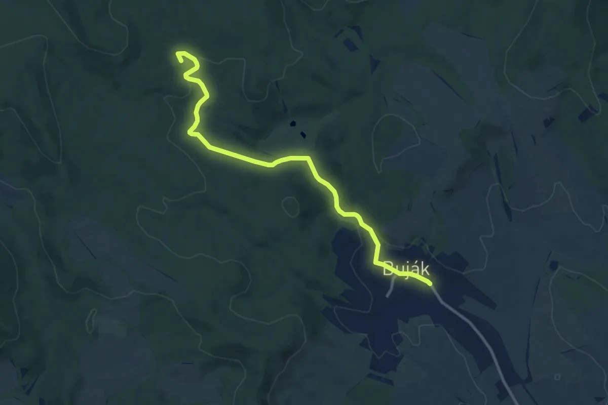
Medium · Summit
Z19
10.1 km · ↑ 153 m · 2 h 43 min
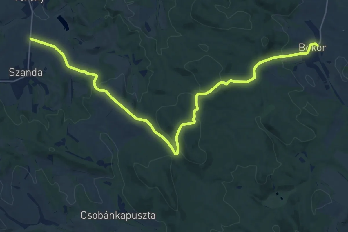
Demanding · Trail
Z20
21.9 km · ↑ 501 m · 6 h 16 min
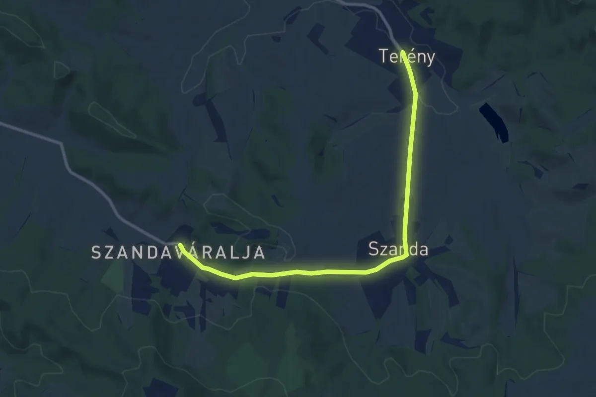
Medium · Trail
Z24
9.1 km · ↑ 140 m · 2 h 27 min
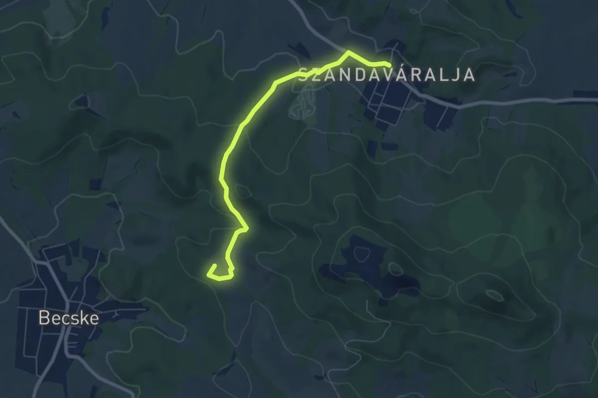
Easy · Summit
Z27
6.2 km · ↑ 163 m · 1 h 50 min
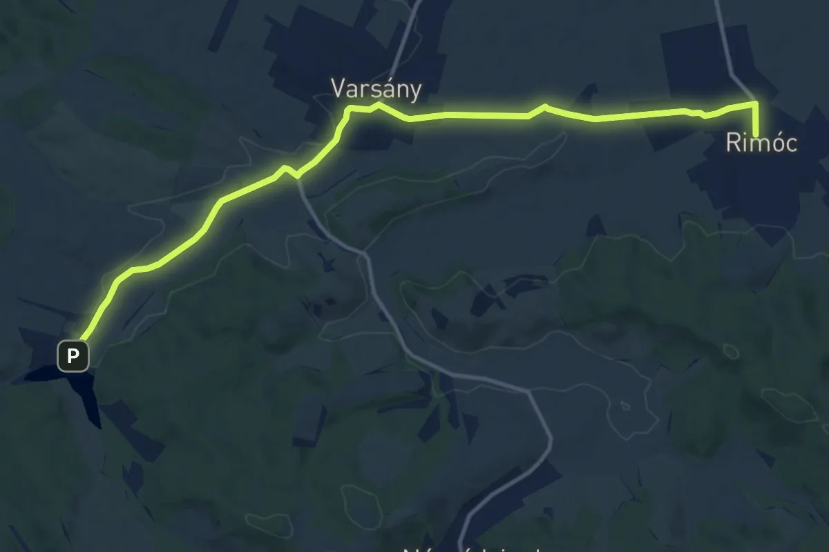
Medium · Trail
Z35
13.0 km · ↑ 88 m · 3 h 15 min
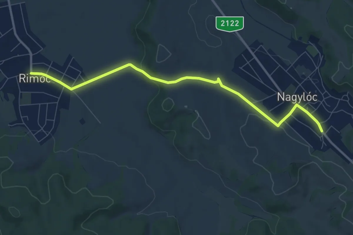
Medium · Trail
Z36
8.3 km · ↑ 139 m · 2 h 15 min
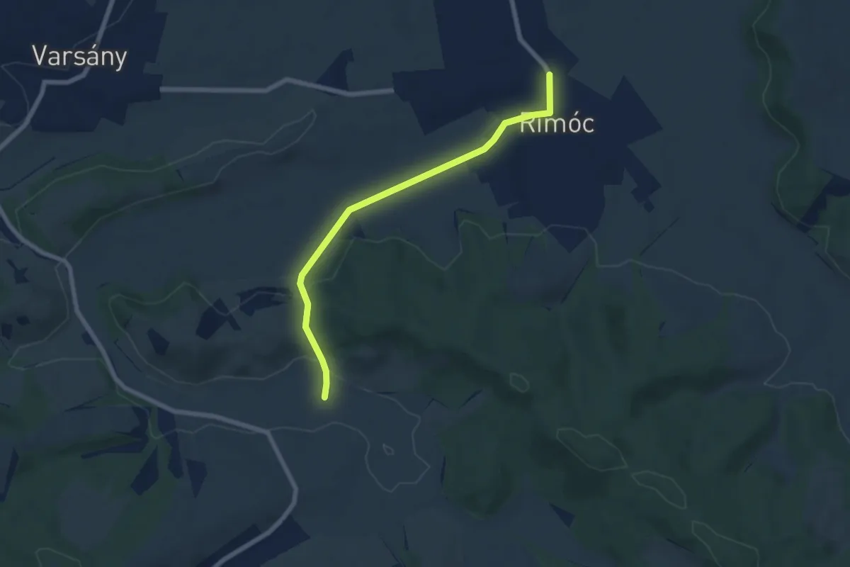
Easy · Trail
Z37
5.9 km · ↑ 74 m · 1 h 33 min
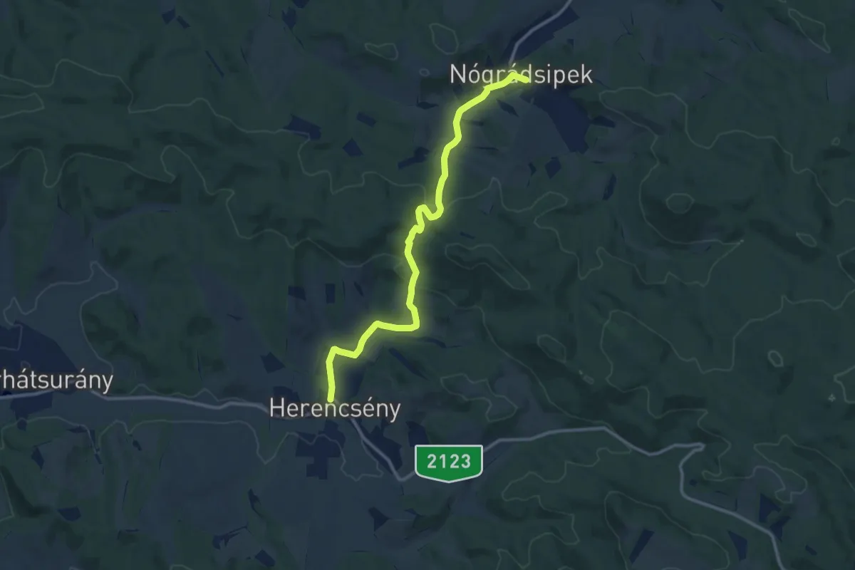
Medium · Trail
Z38
11.3 km · ↑ 289 m · 3 h 18 min
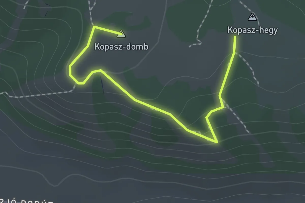
Easy · Summit
Z3 (Csákberény, Kopasz-domb)
2.1 km · ↑ 92 m · 42 min
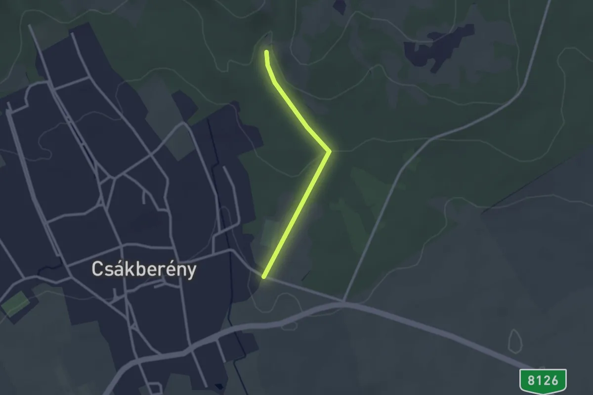
Easy · Trail
Z3(Csákberény, Strázsa-hegy)
2.0 km · ↑ 40 m · 34 min
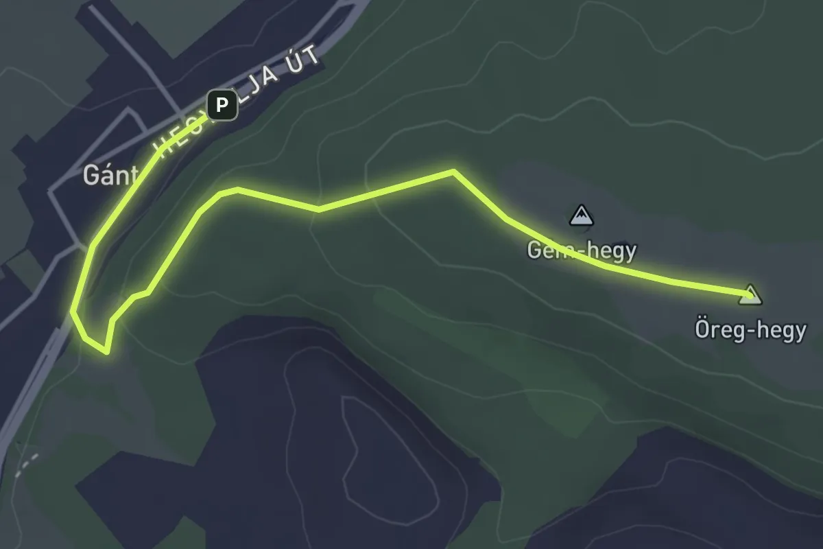
Easy · Summit
Z3 (Gánt – Öreghegy)
4.3 km · ↑ 97 m · 1 h 13 min
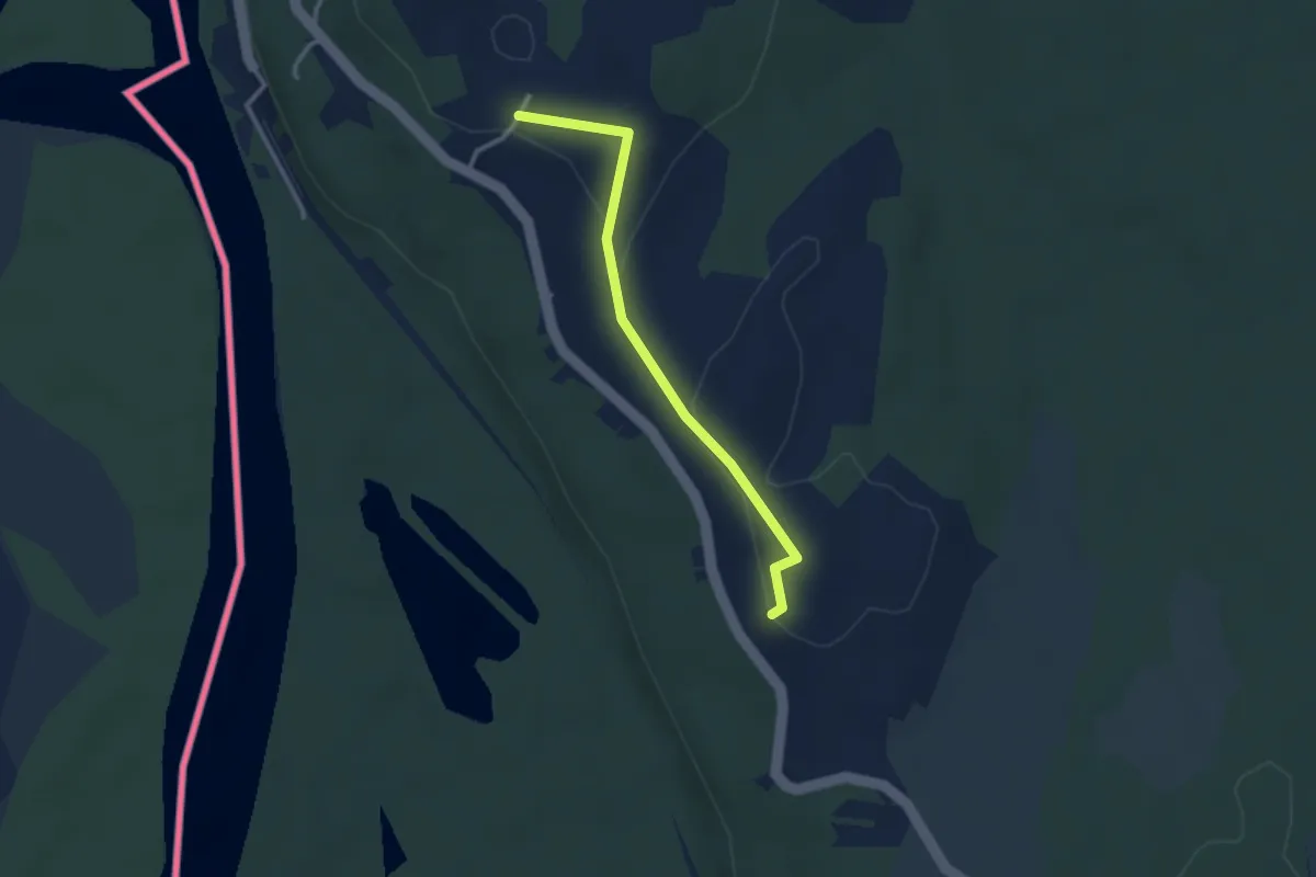
Easy · Trail
Z3 (Őrtilos Szentmihályhegy-Asszonyvár fesztung)
2.7 km · ↑ 55 m · 46 min
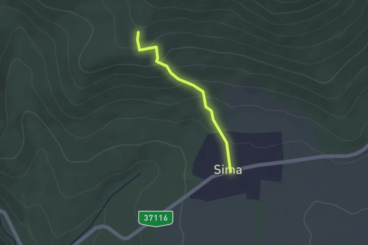
Easy · Trail
Z3 (Simai sziklák)
2.1 km · ↑ 121 m · 45 min
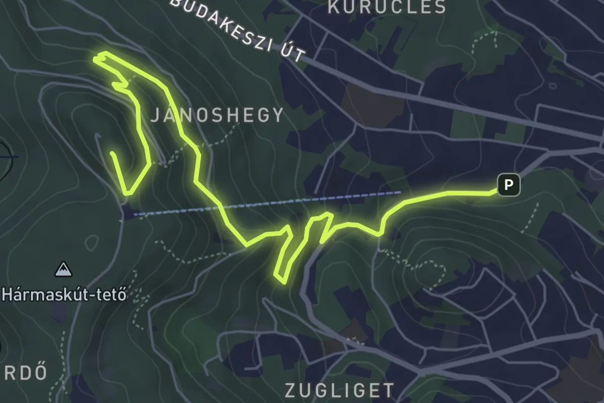
Medium · Summit
Z3 (Zugliget, Libegő aut. m. – Tündér-hegy – János-hegy, Erzsébet-kilátó)
7.4 km · ↑ 406 m · 2 h 38 min
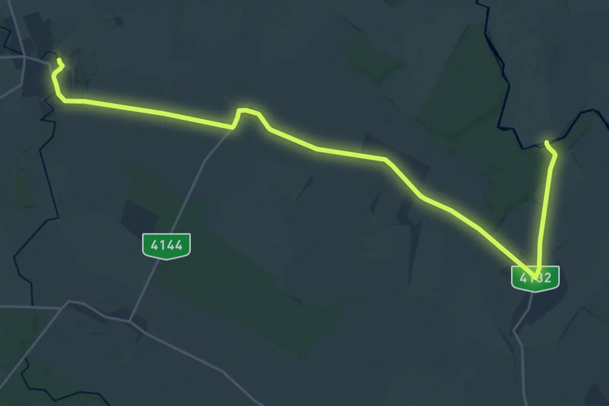
Demanding · Trail
Z4
24.5 km · ↑ 5 m · 5 h 48 min
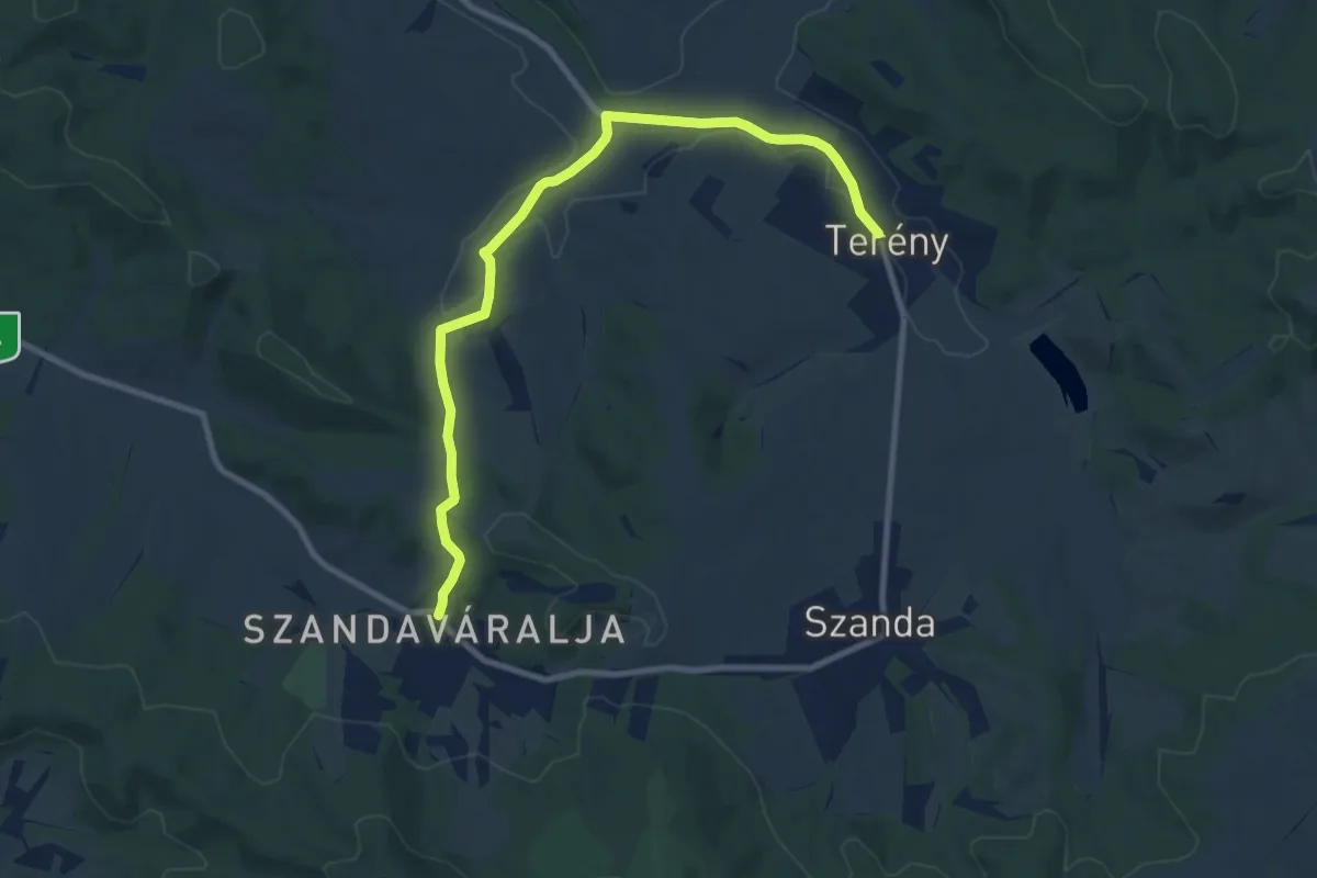
Medium · Trail
Z40
9.6 km · ↑ 166 m · 2 h 38 min
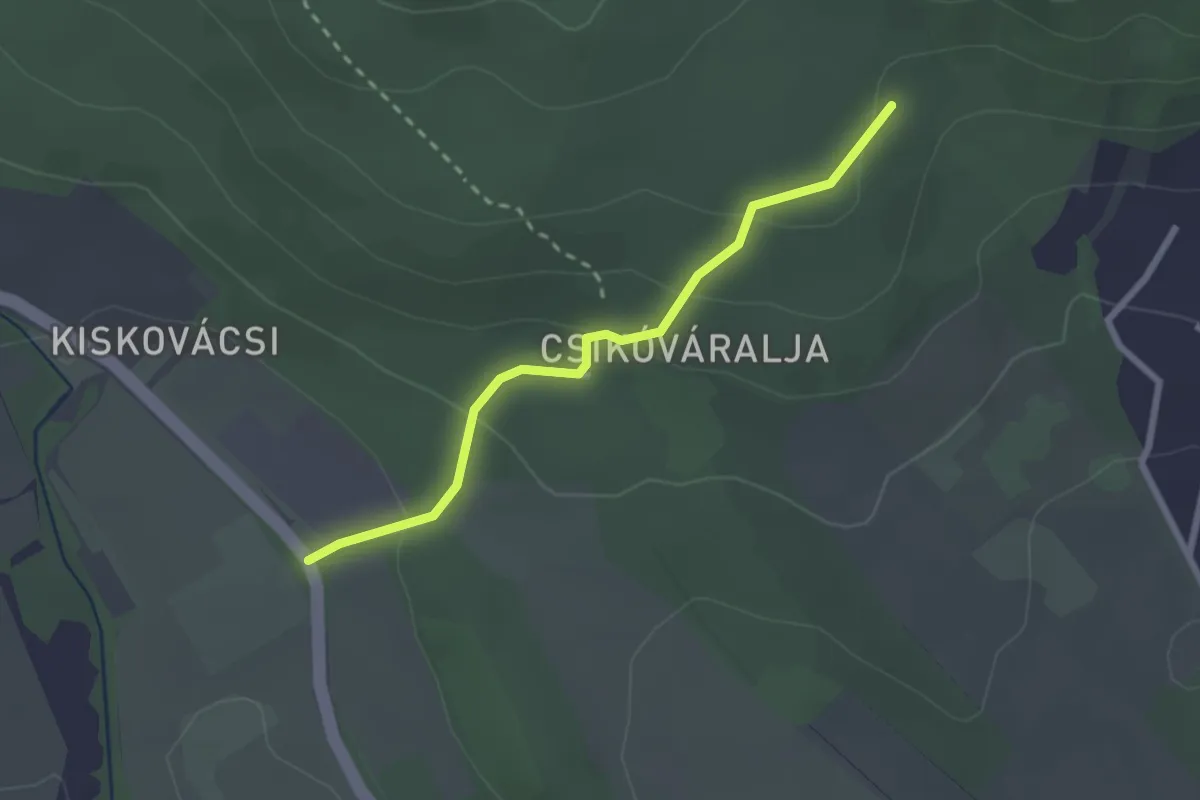
Easy · Trail
Z4 (Gyopár-forrás – Csikóváralja – Csikóváraljai turistaház)
2.3 km · ↑ 98 m · 45 min
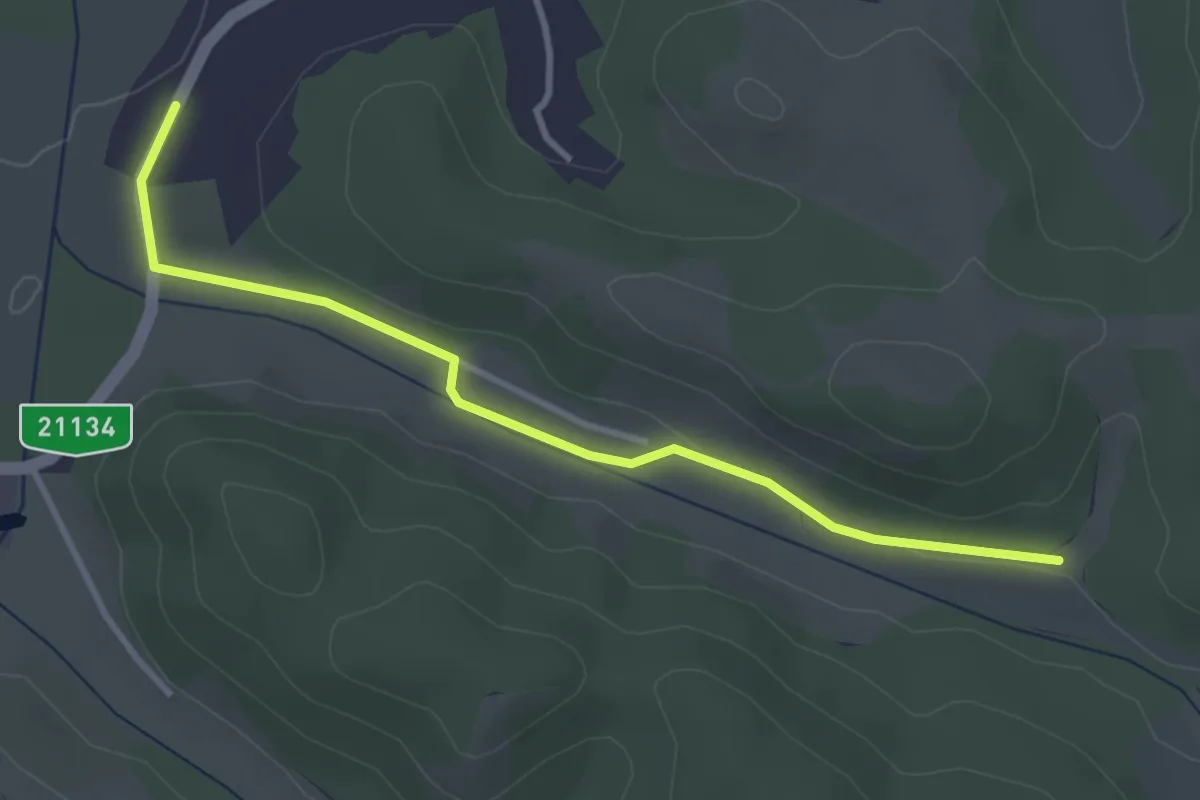
Easy · Trail
Z4 Kishartyán
3.4 km · ↑ 34 m · 53 min
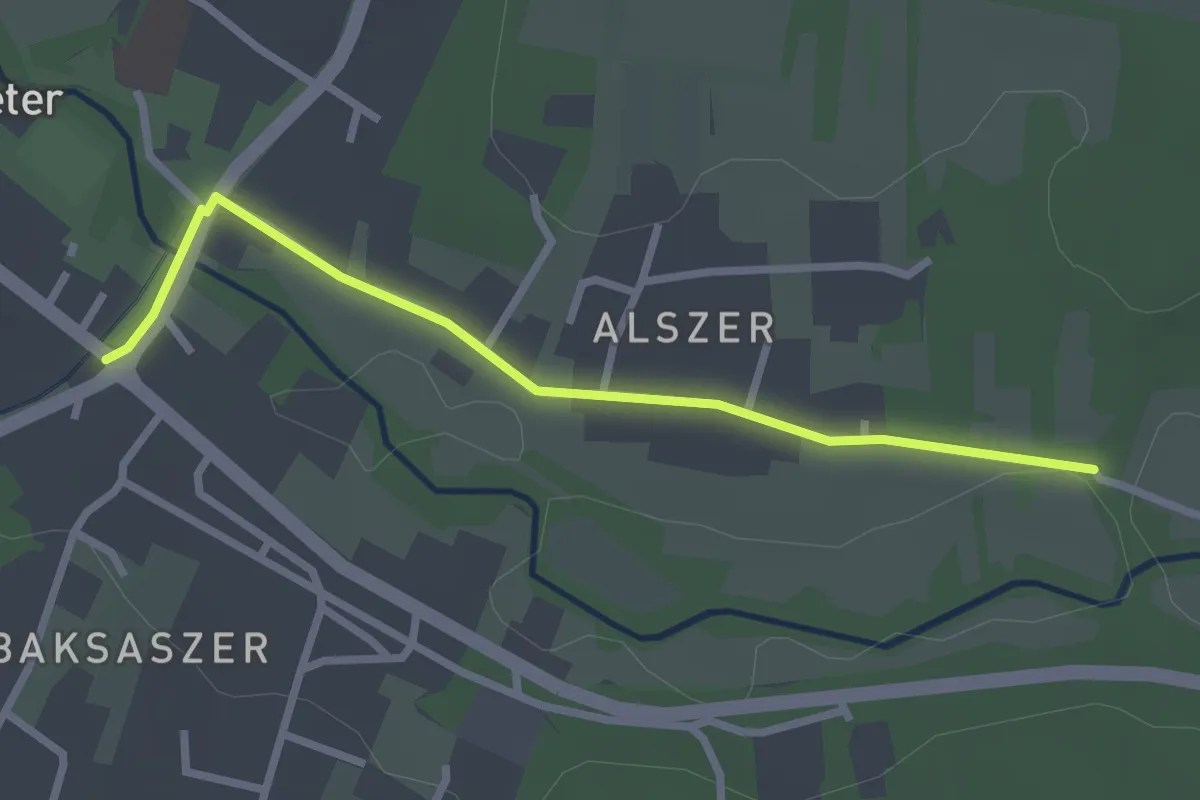
Easy · Trail
Z4 (Őriszentpéter, Alszer – Őriszentpéter, Városszer)
2.6 km · ↑ 9 m · 38 min
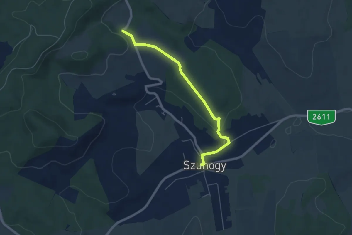
Easy · Trail
Z4 Szuhogy
4.7 km · ↑ 87 m · 1 h 18 min
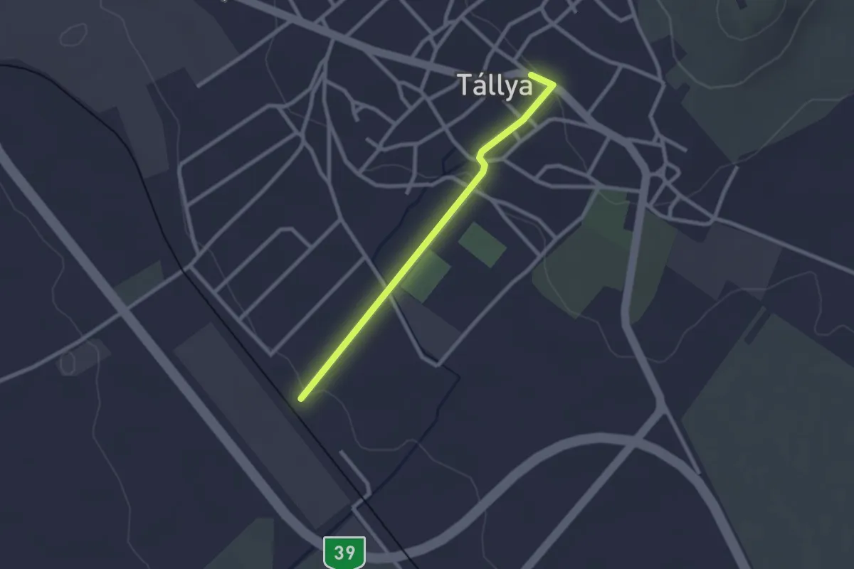
Easy · Trail
Z4 (Tállya)
2.2 km · ↑ 41 m · 36 min
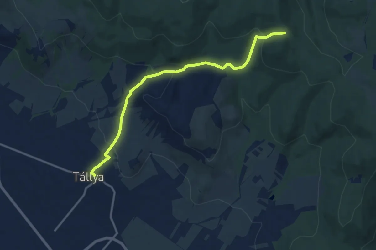
Medium · Trail
Z4 Tállya B.
8.3 km · ↑ 288 m · 2 h 35 min