Trails in Hungary
2,296 hiking trails, each with its route, climb, walking time and grade.
All trails, page 40 of 48
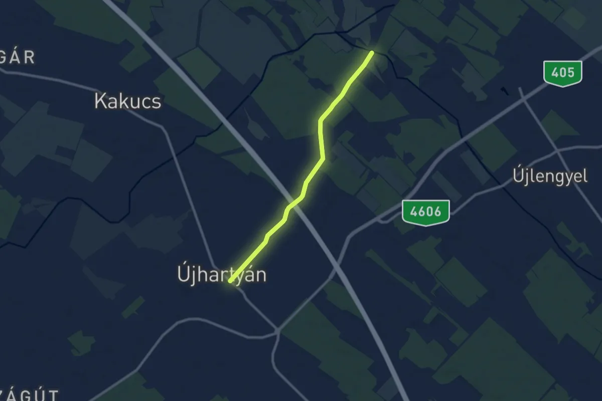
Easy · Trail
Z4 (Újhartyán)
7.8 km · ↑ 17 m · 1 h 52 min
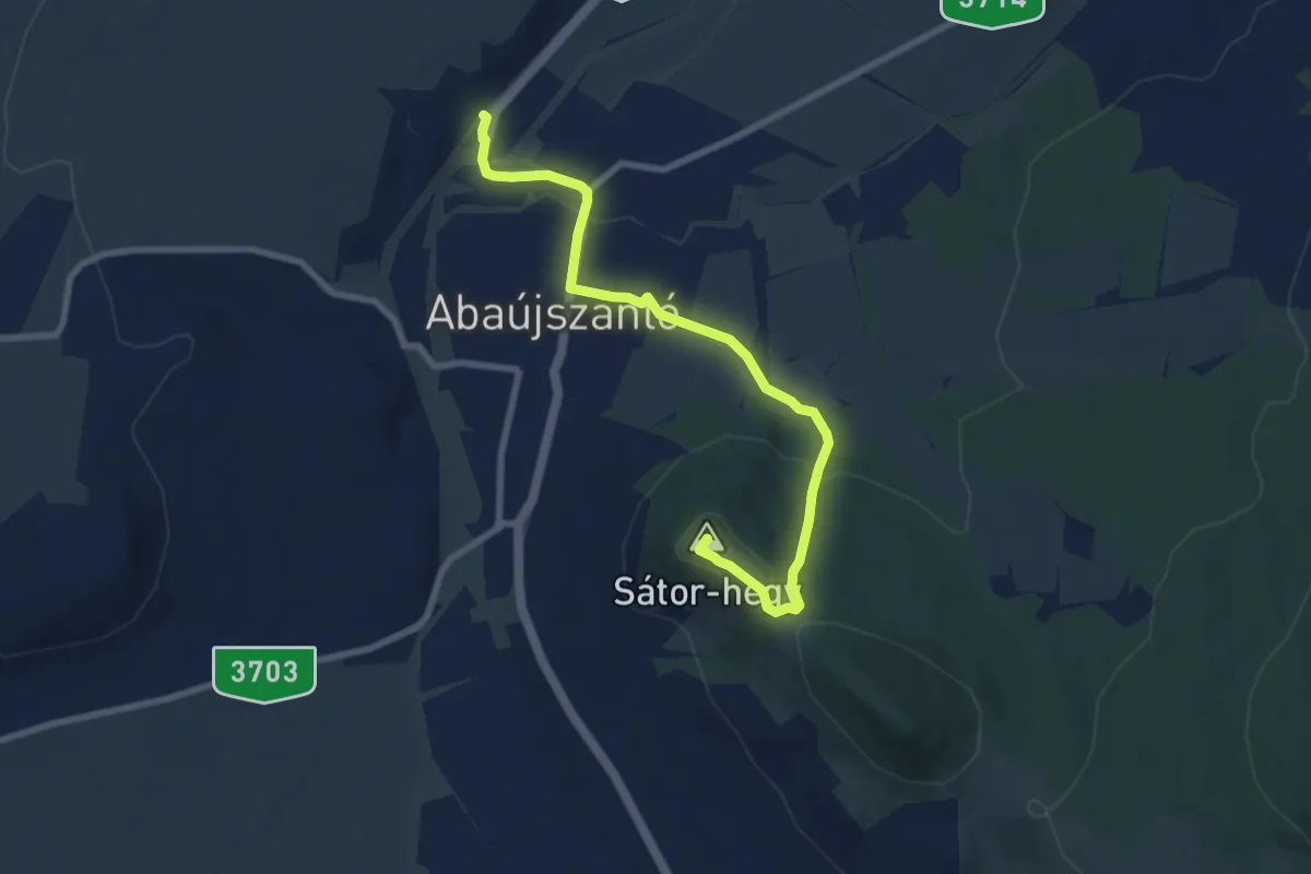
Medium · Summit
Z▲ (Abaújszántó)
8.0 km · ↑ 206 m · 2 h 21 min
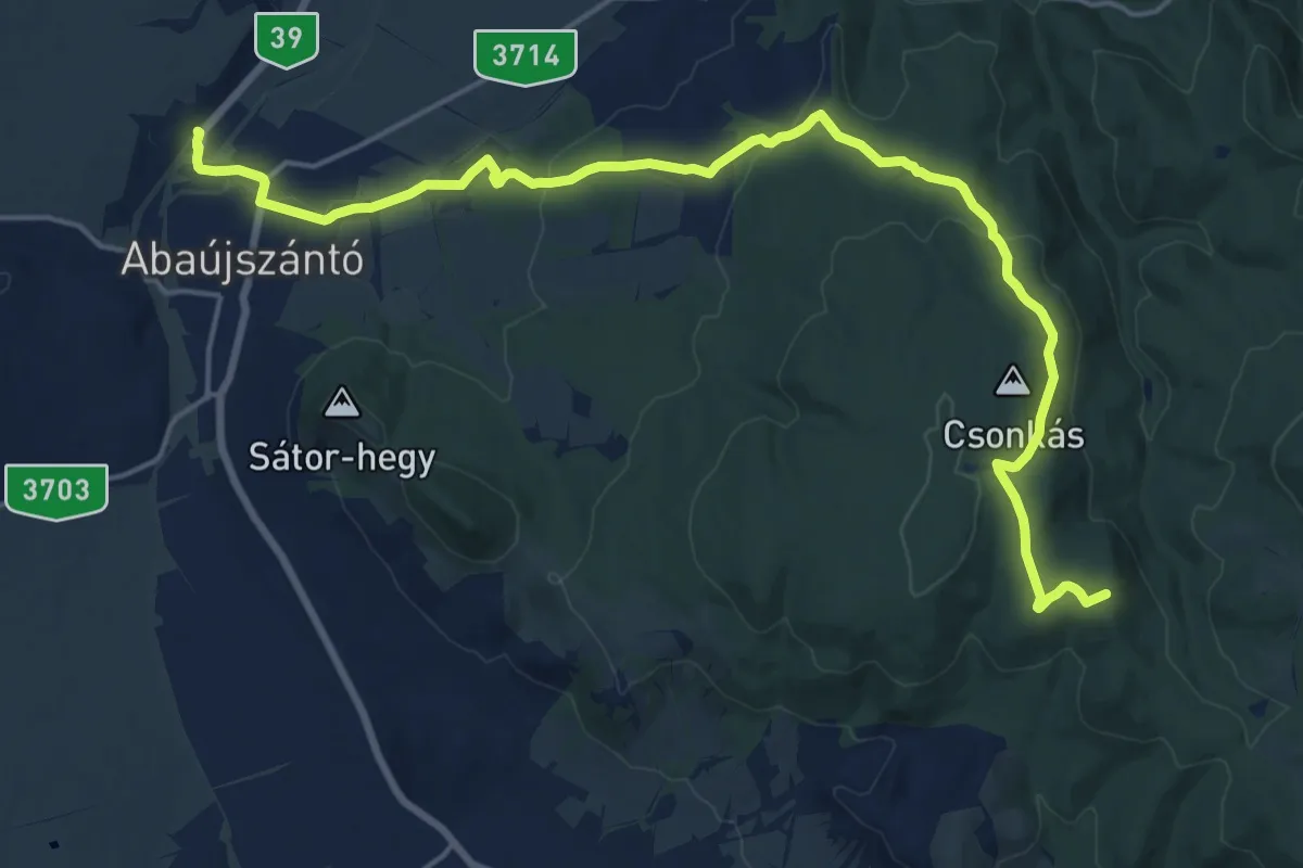
Demanding · Summit
Z (Abaújszántó - Erdőbénye)
20.9 km · ↑ 483 m · 5 h 59 min
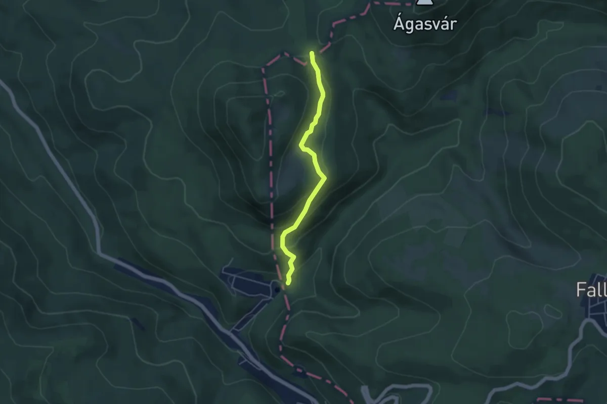
Easy · Trail
Z● (Ágasvár – Óvári-rét)
4.0 km · ↑ 220 m · 1 h 25 min
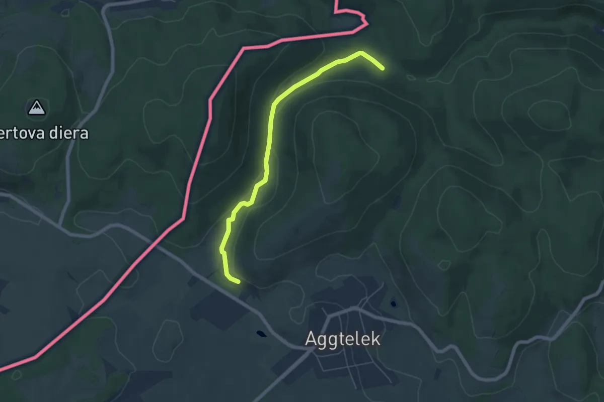
Easy · Trail
Z (Aggtelek – Perkupa - Szalonna)
5.2 km · ↑ 84 m · 1 h 25 min
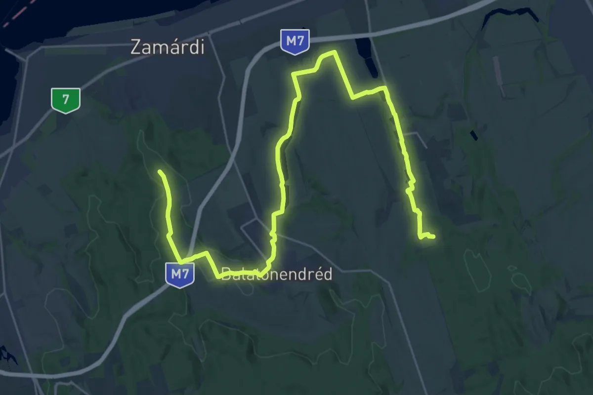
Demanding · Summit
Z (Agosvári pihenő - Cinege pihenő)
31.6 km · ↑ 230 m · 7 h 58 min
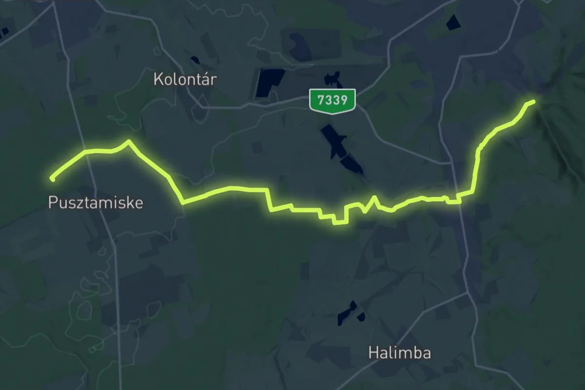
Demanding · Trail
Z (Ajka, Viktortelep, Köleskepe aut. m.– Meggyes-erdő, Pápai mártírok emlékműve)
29.0 km · ↑ 304 m · 7 h 30 min
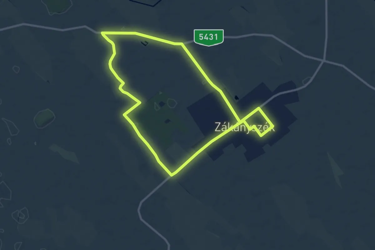
Medium · Trail
Zákányszéki túra
8.4 km · ↑ 12 m · 2 h 7 min
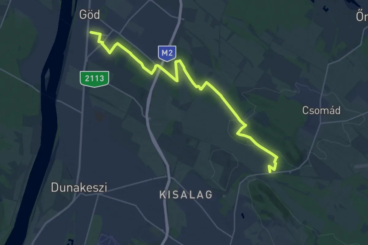
Demanding · Trail
Z+ (Alsógöd – Fóti Somlyó)
22.6 km · ↑ 225 m · 5 h 50 min
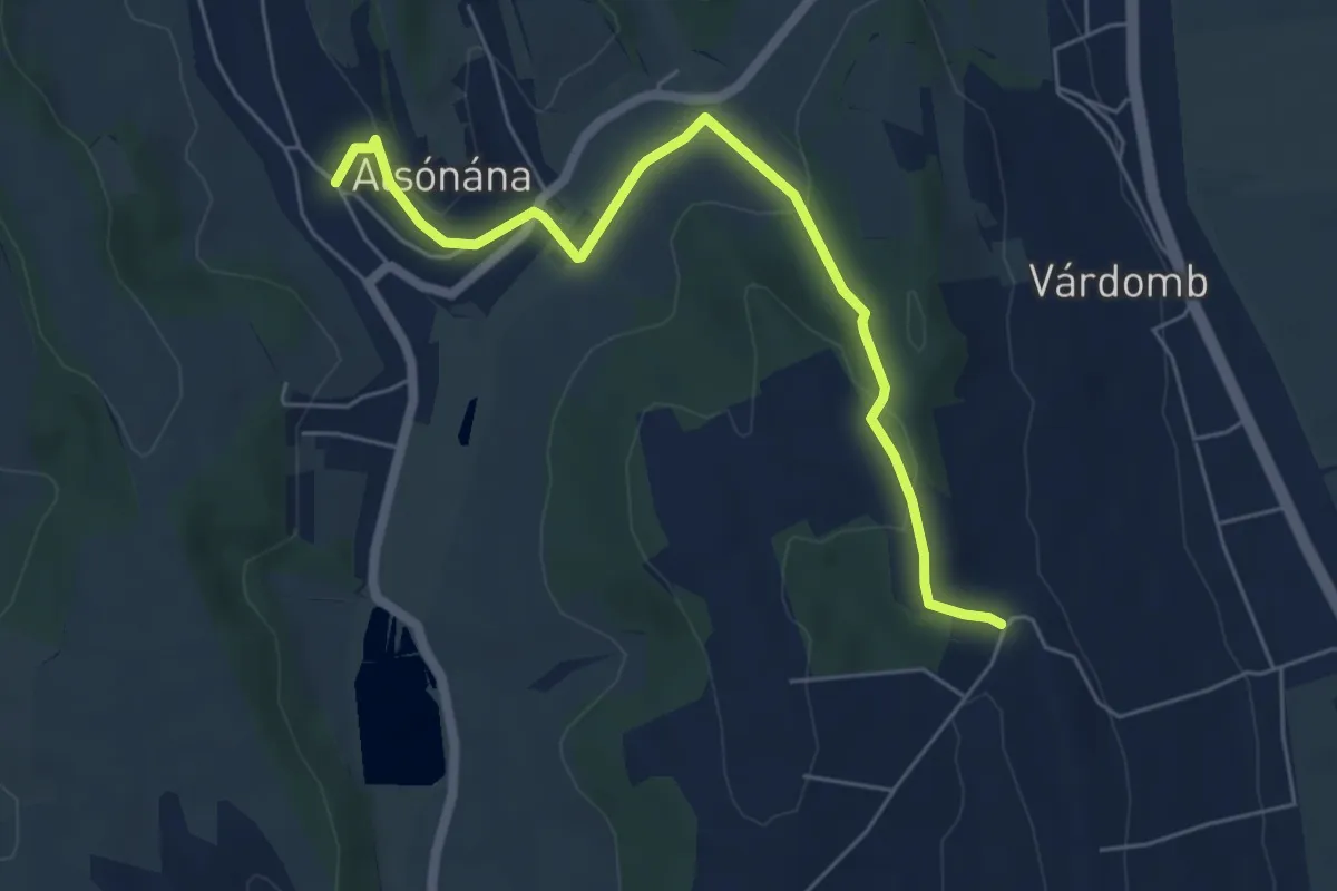
Easy · Trail
Z+ (Alsónána)
6.1 km · ↑ 161 m · 1 h 47 min
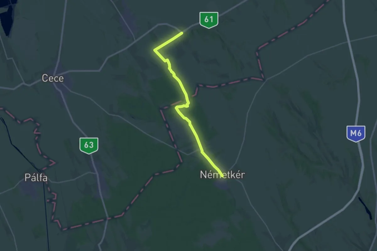
Demanding · Trail
Z (Alsószentiván – Németkér)
24.3 km · ↑ 55 m · 5 h 52 min
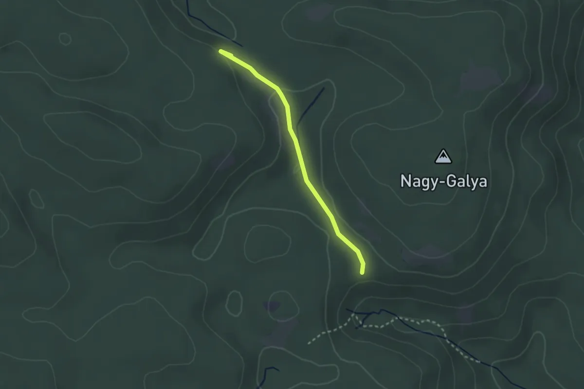
Easy · Summit
Z● (Andó-kút)
2.3 km · ↑ 39 m · 38 min
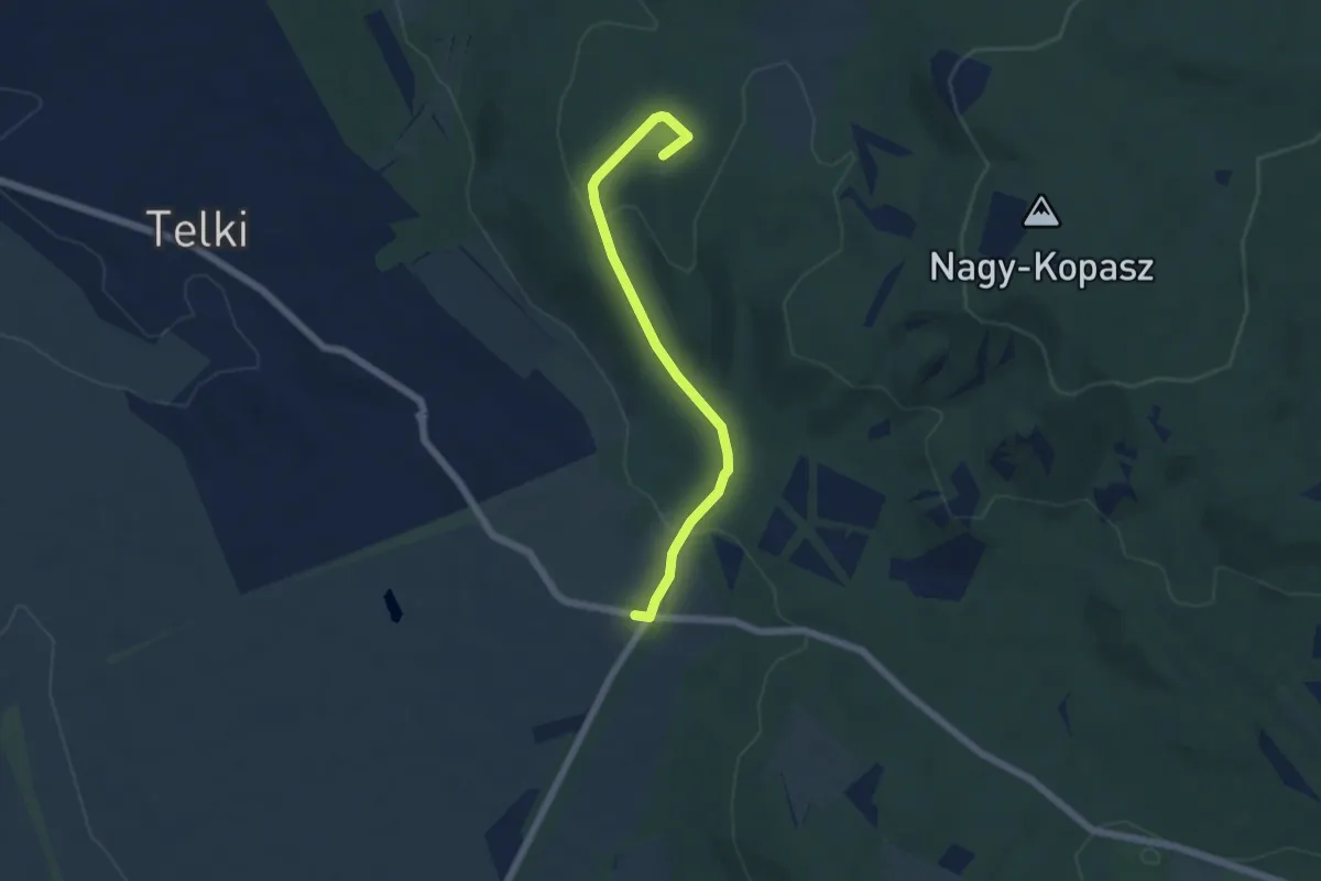
Easy · Summit
Z+ (Anna vadászház – Erdészeti út – Telki, Páty elágazás aut. m.)
5.3 km · ↑ 159 m · 1 h 36 min
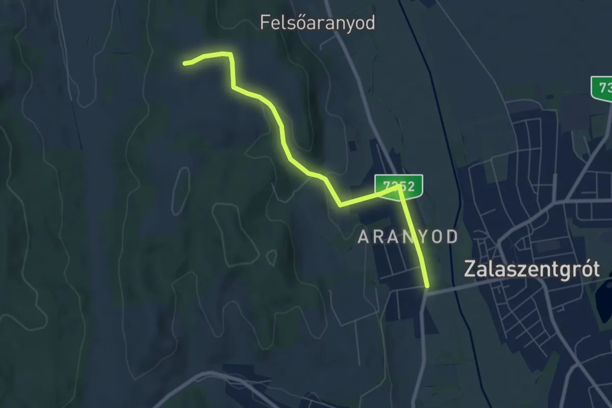
Easy · Trail
Z▲ (Aranyod)
6.3 km · ↑ 116 m · 1 h 45 min
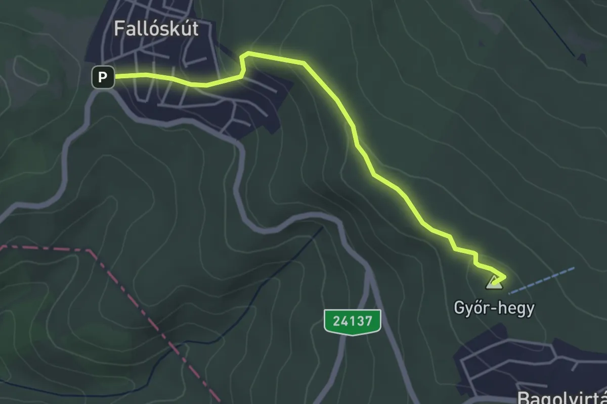
Easy · Summit
Z▲ (Bagolyirtás – Fallóskút)
4.0 km · ↑ 143 m · 1 h 15 min
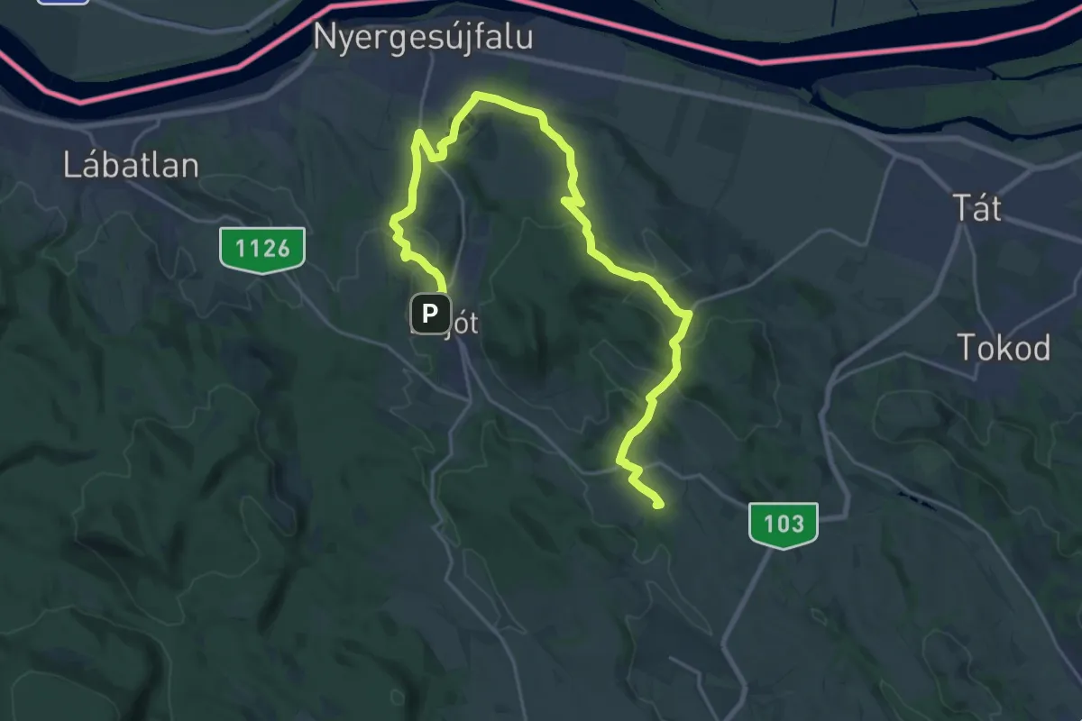
Demanding · Summit
Z (Bajót – Nyergesújfalu – Mogyorósbánya – Péliföldszentkereszt - Nagysáp)
26.2 km · ↑ 586 m · 7 h 28 min
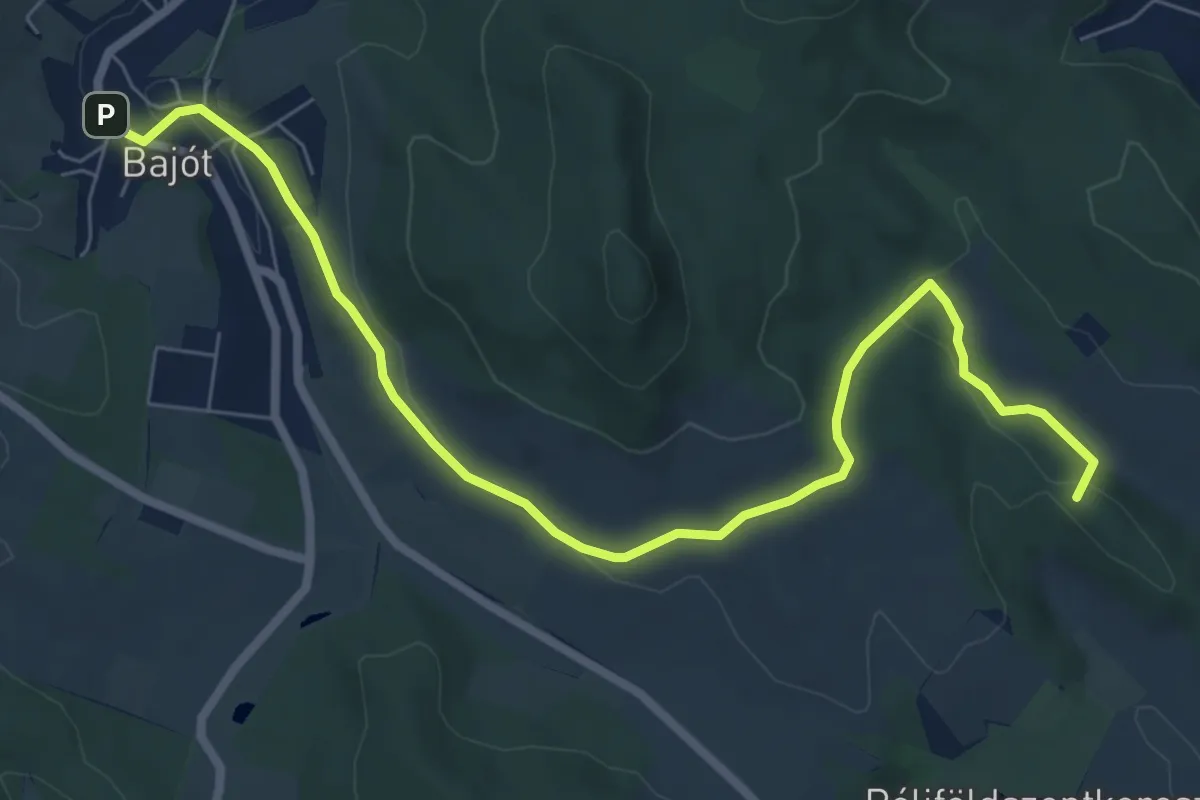
Medium · Summit
Z+ (Bajót – Panoráma út – Látó-erdő)
8.3 km · ↑ 157 m · 2 h 18 min
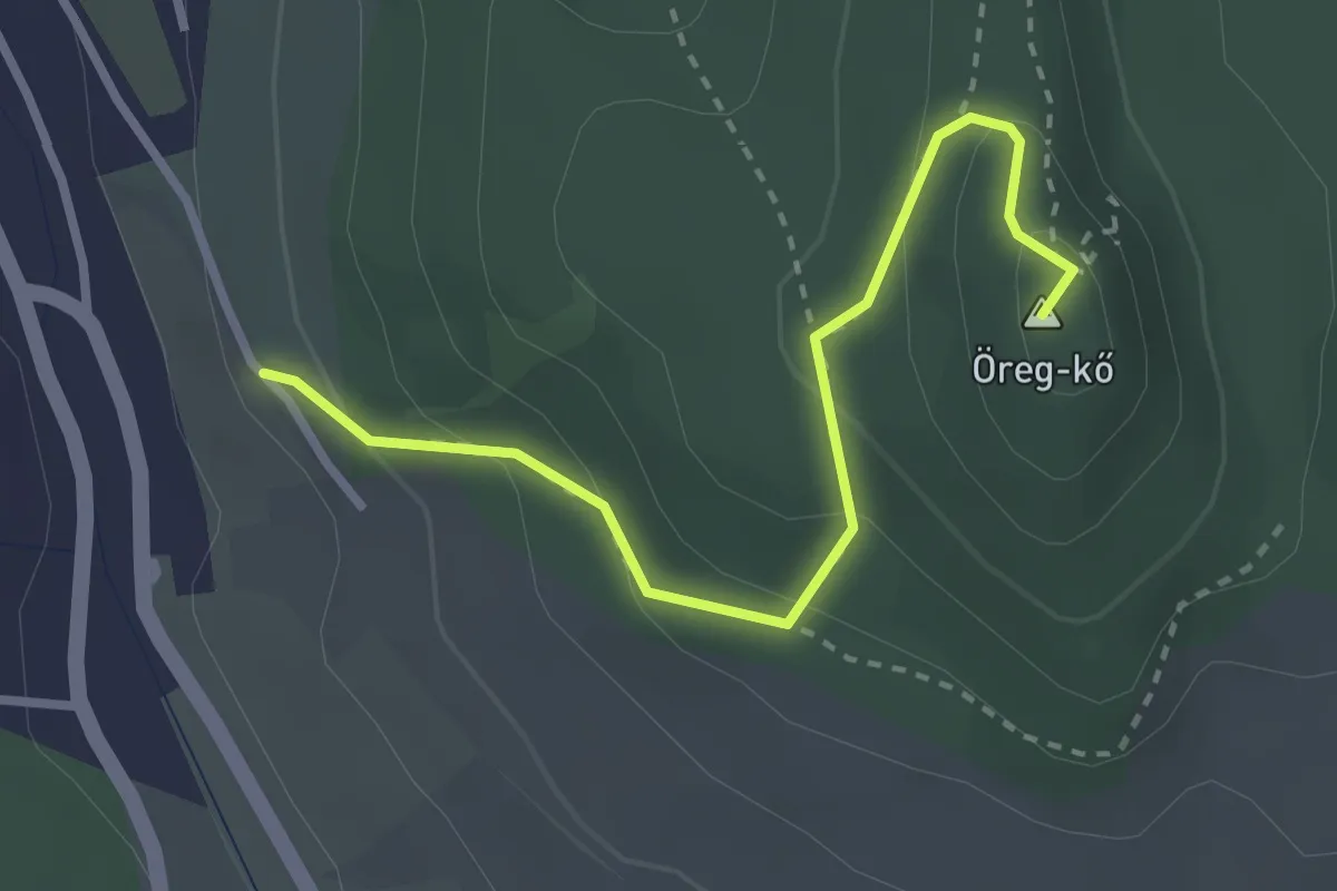
Easy · Summit
Z▲ (Bajót, Panoráma út – Öreg-kő kilátóhely)
2.9 km · ↑ 165 m · 1 h 2 min
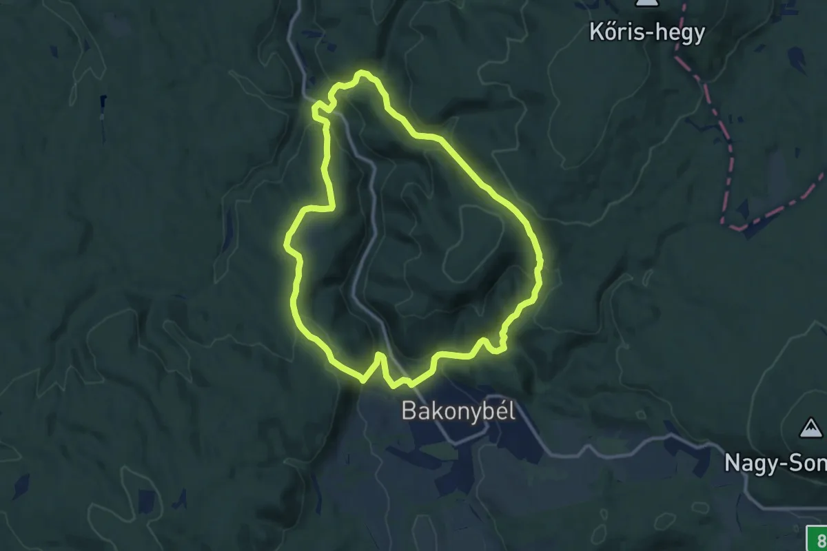
Medium · Trail
Z+ (Bakonybé)l
10.8 km · ↑ 395 m · 3 h 34 min
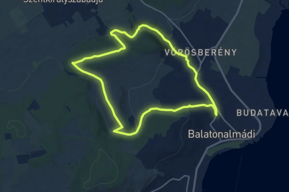
Medium · Summit
Z (Balatonalmádi, vá. – Malom-völgy – Remete-völgy – Balatonalmádi, vá.)
10.0 km · ↑ 162 m · 2 h 52 min
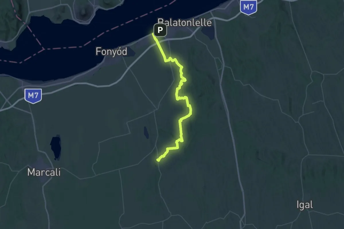
Demanding · Trail
Z (Balatonboglár – Somogyvár)
32.5 km · ↑ 474 m · 9 h 8 min
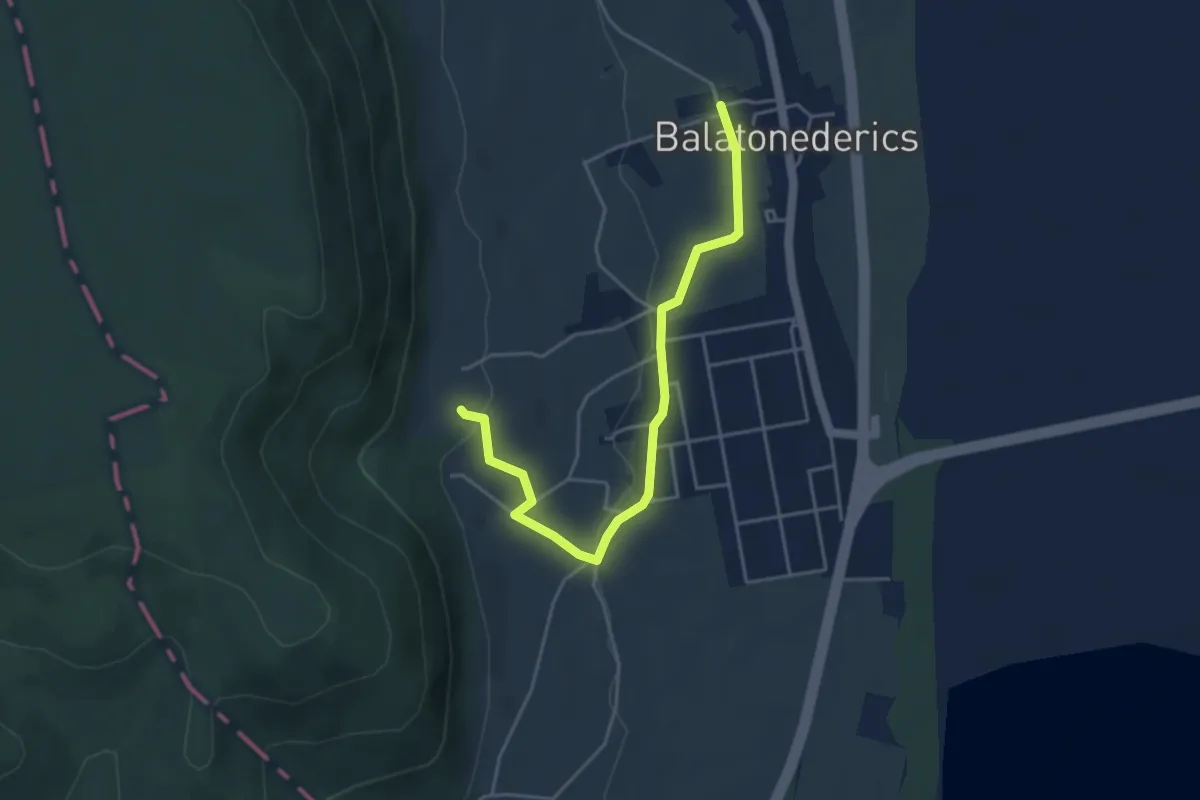
Easy · Trail
Z+ Balatonederics
4.4 km · ↑ 77 m · 1 h 12 min
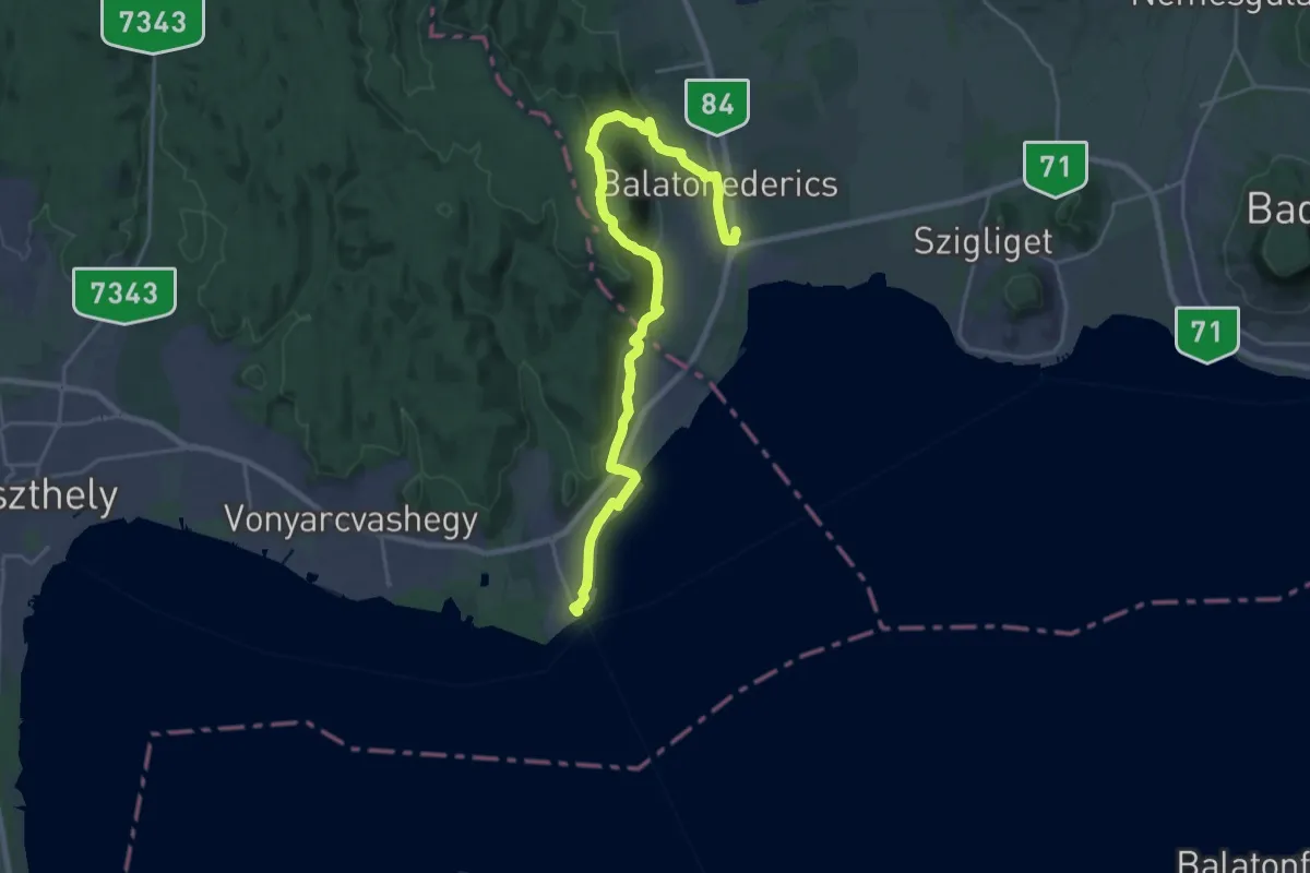
Demanding · Trail
Z (Balatonederics, v.mh. – Szabad-hegy, megyehatár - Balatongyörök v.á)
25.3 km · ↑ 665 m · 7 h 24 min
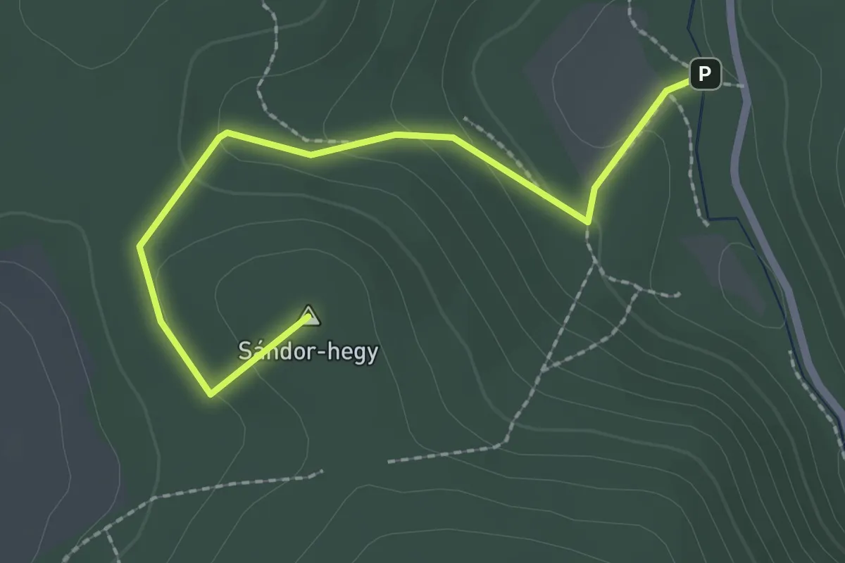
Easy · Summit
Z+ (Balatonfüred, Koloska csárda – Kéki-völgy)
2.3 km · ↑ 82 m · 44 min
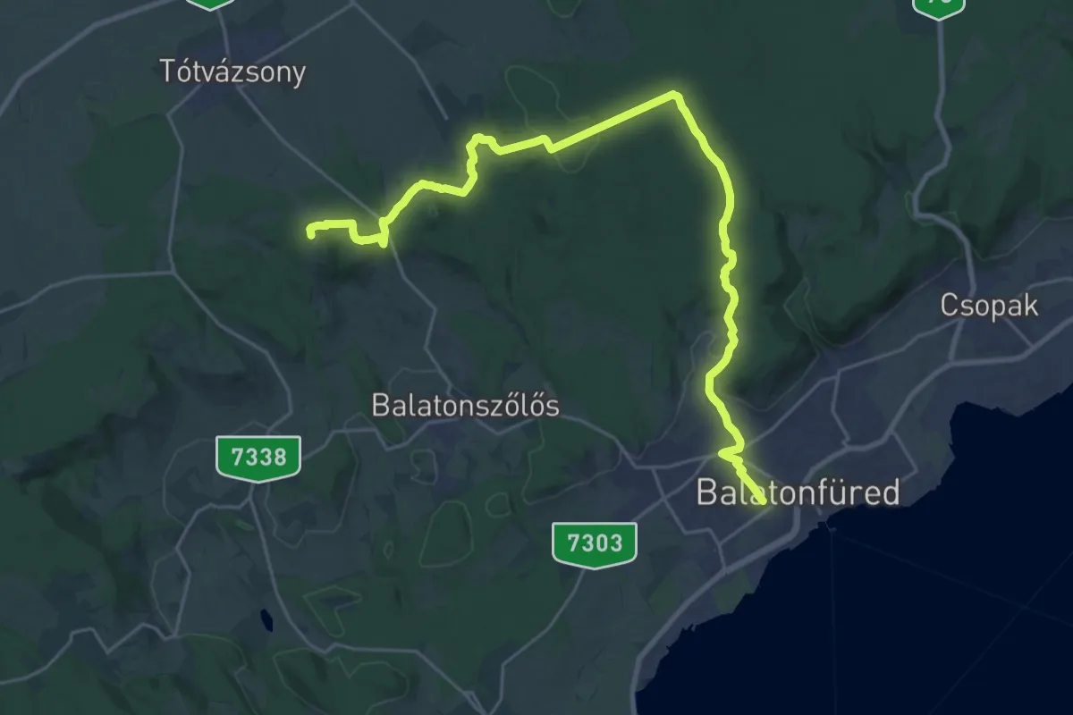
Demanding · Summit
Z (Balatonfüred, vá. – Aszófő, vá.)
27.5 km · ↑ 624 m · 7 h 51 min
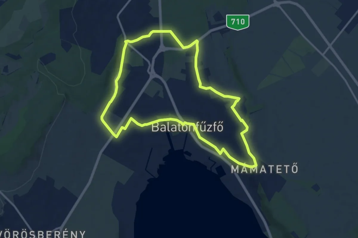
Medium · Trail
Z (Balatonfűzfő körút)
8.8 km · ↑ 118 m · 2 h 28 min
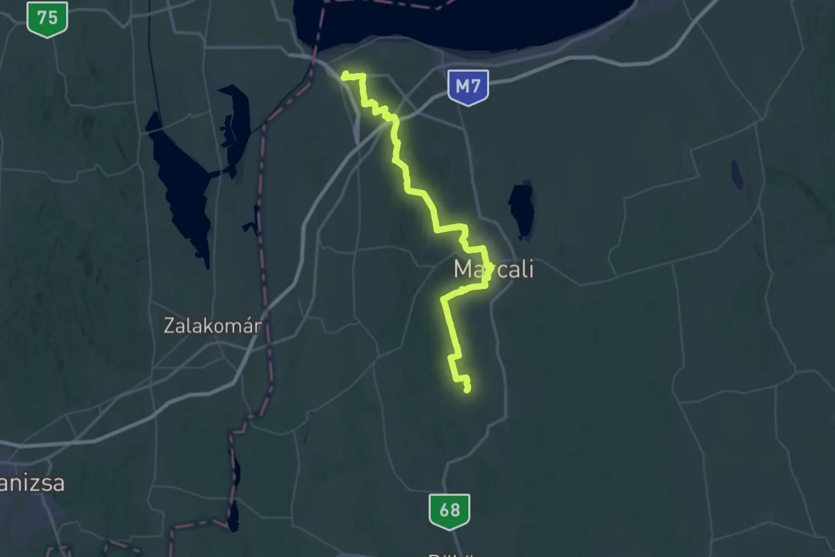
Demanding · Trail
Z (Balatonszentgyörgy – Marcali - Gadány – RPDDK)
34.1 km · ↑ 347 m · 9 h 14 min
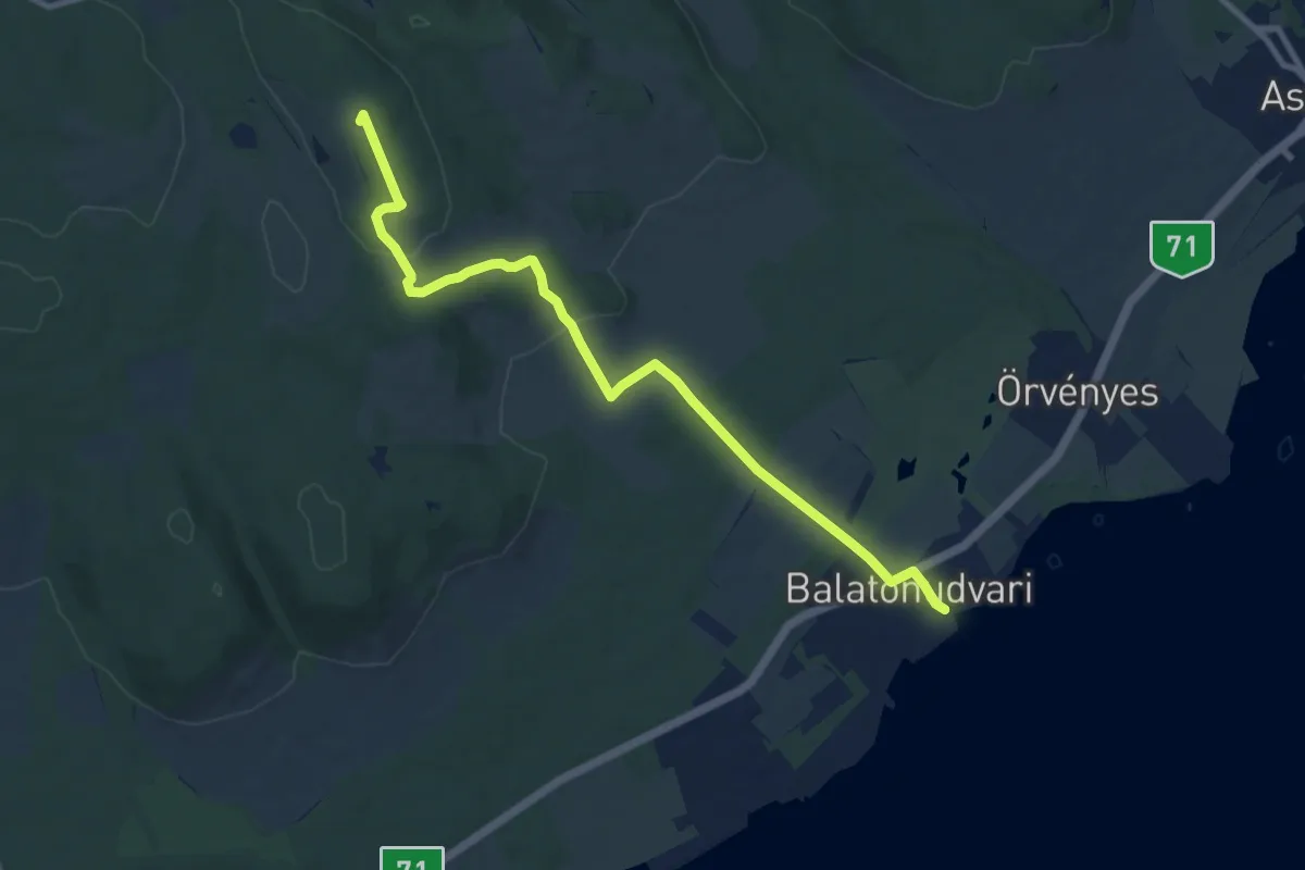
Medium · Summit
Z (Balatonudvari v.mh. – Vöröstó)
10.2 km · ↑ 237 m · 2 h 56 min
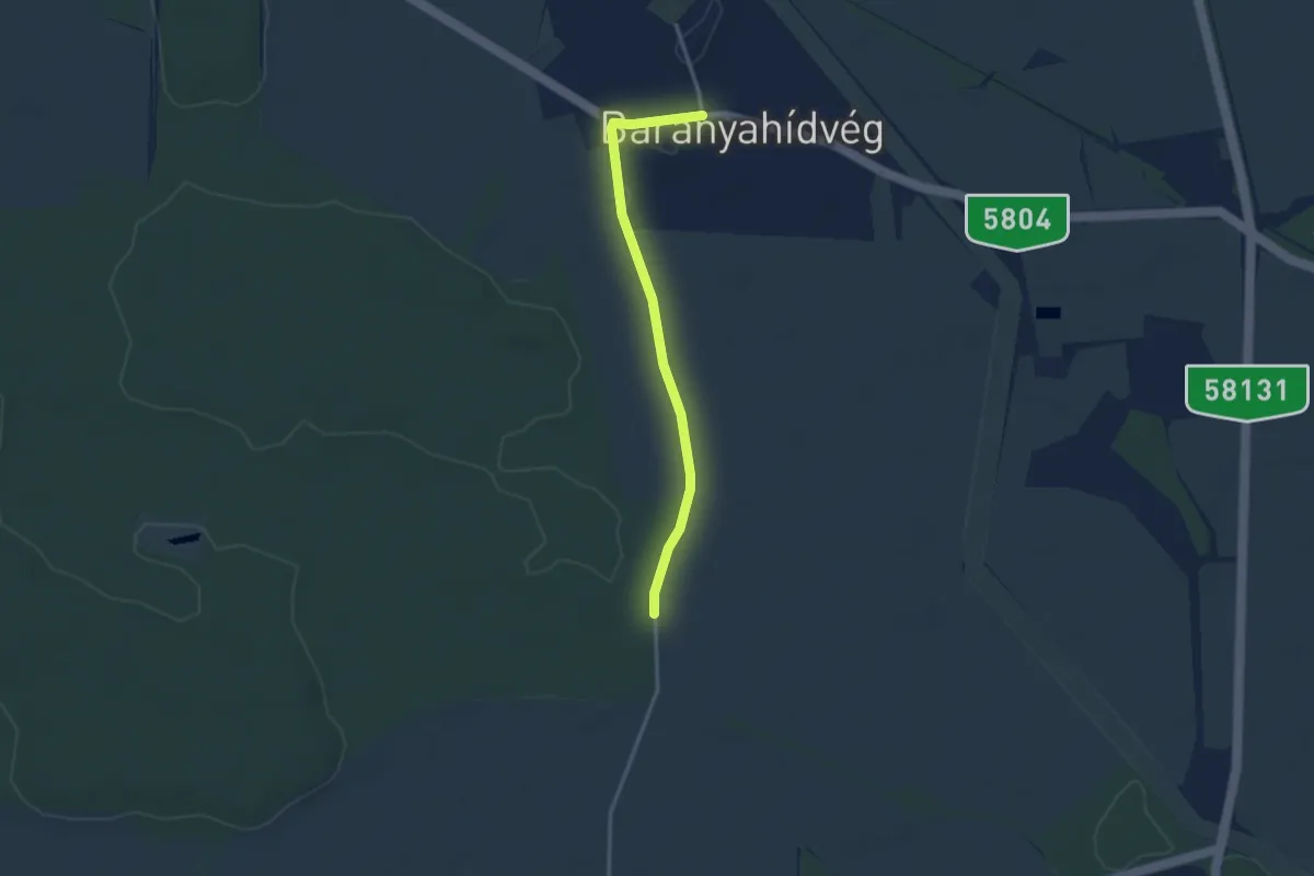
Easy · Trail
Z■ (Baranyahídvég)
3.1 km · ↑ 13 m · 46 min
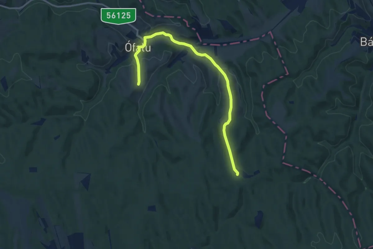
Medium · Trail
Z (Baranyai Zöld)
11.0 km · ↑ 242 m · 3 h 8 min
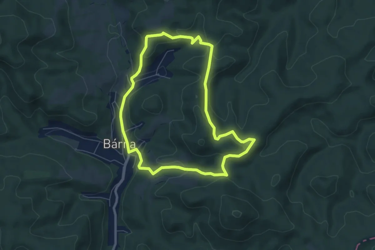
Easy · Trail
Z (Bárna körút)
5.8 km · ↑ 209 m · 1 h 54 min
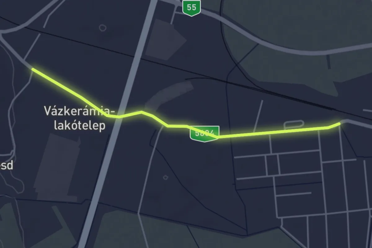
Easy · Trail
Z■ (Bátaszék)
4.1 km · ↑ 4 m · 58 min
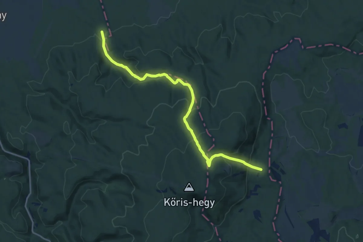
Medium · Trail
Z+ (Bécsi-árok – Levél-kúti-árok)
12.9 km · ↑ 534 m · 4 h 12 min
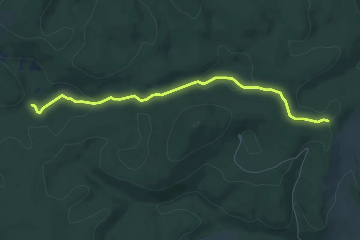
Easy · Trail
Z+ (Béke-barlang)
6.5 km · ↑ 134 m · 1 h 50 min
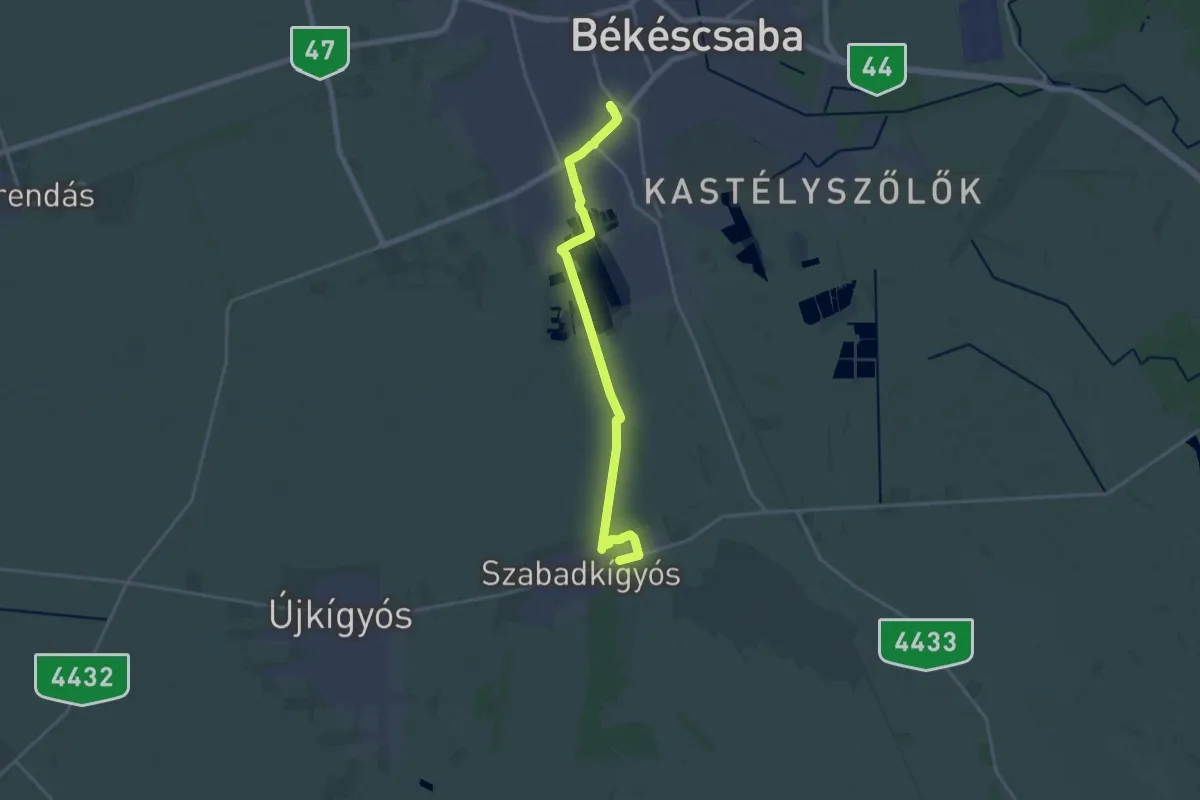
Demanding · Trail
Z (Békéscsaba, Jamina – Kereki – Szabadkígyós)
19.0 km · ↑ 18 m · 4 h 31 min
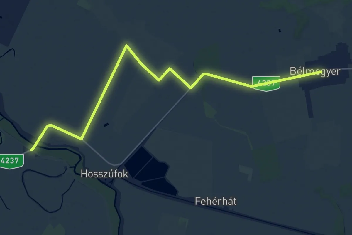
Demanding · Trail
Z (Bélmegyer – Sárgagát – Kereki – Mezőberény, Petőfi-emlékmű)
21.8 km · ↑ 4 m · 5 h 10 min
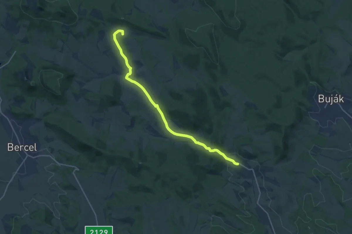
Medium · Summit
Z+ (Bér – Szanda)
14.7 km · ↑ 162 m · 3 h 49 min
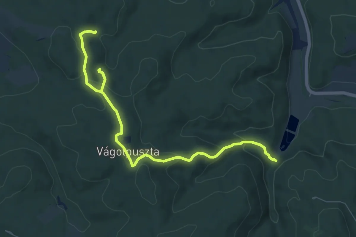
Medium · Trail
Z● (Bikfa-forrás – Kecskehát – Vágotpuszta – Koponya-kút II. – Koponya-kút I.)
8.3 km · ↑ 268 m · 2 h 32 min
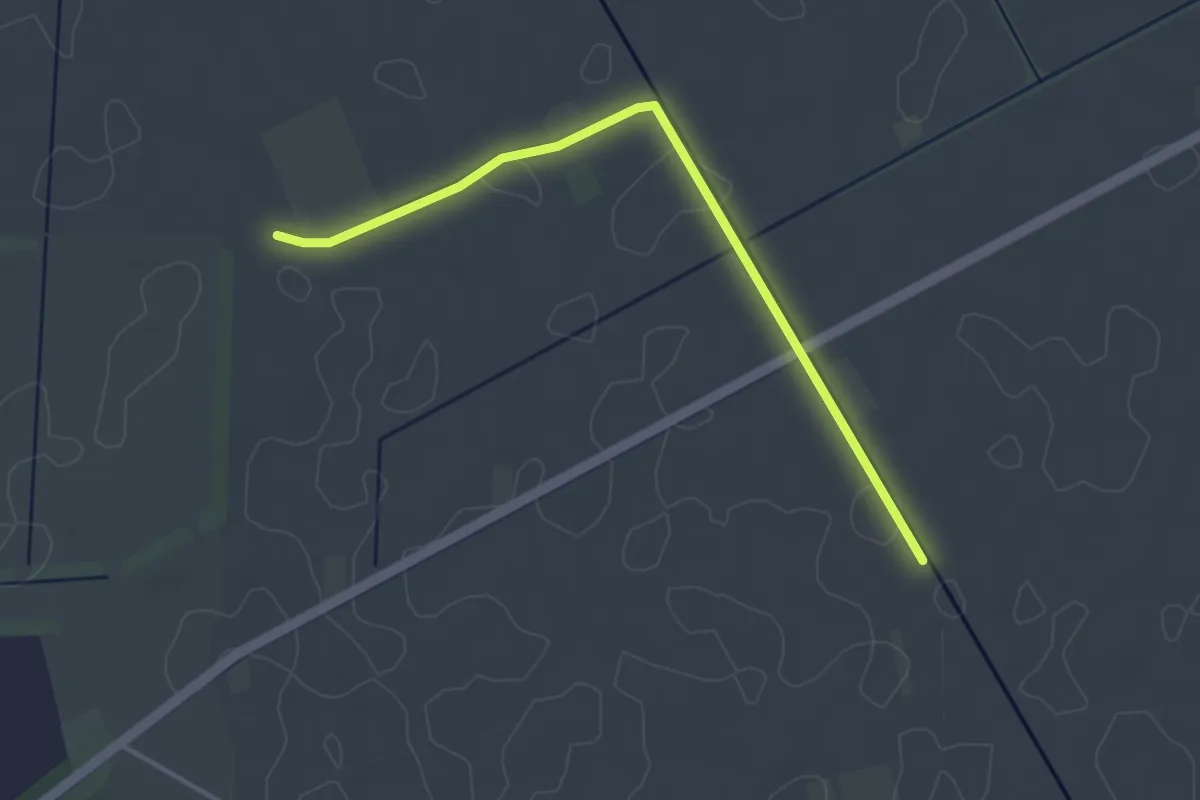
Easy · Trail
Z+ (Bódisháti major - Laposi-kertek)
3.7 km · ↑ 0 m · 52 min
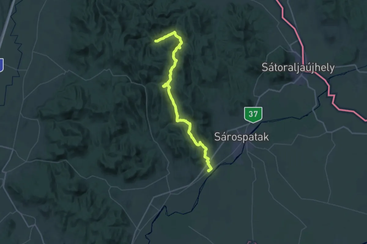
Demanding · Trail
Z (Bodrogolaszi – Komlóska – Újhuta – Kőkapu – Rostalló)
26.0 km · ↑ 648 m · 7 h 59 min
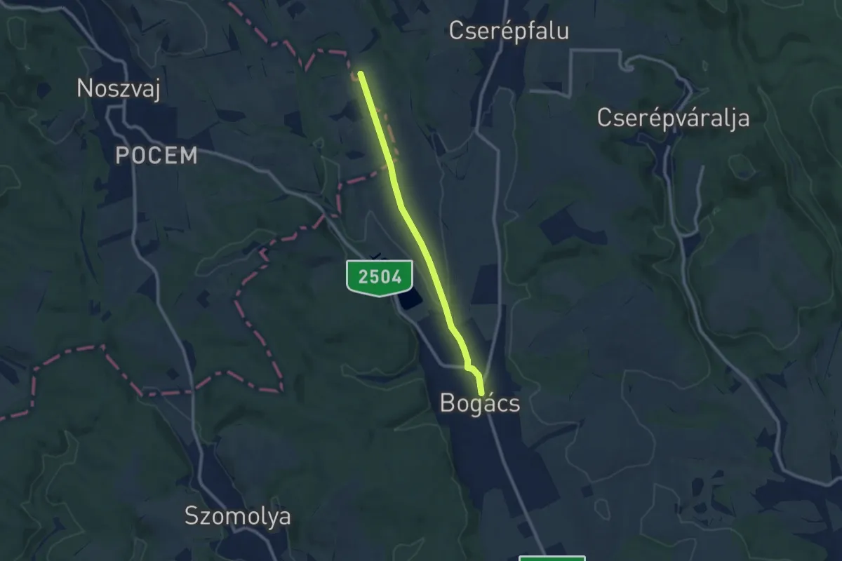
Medium · Trail
Z+ (Bogács)
8.0 km · ↑ 83 m · 2 h 5 min
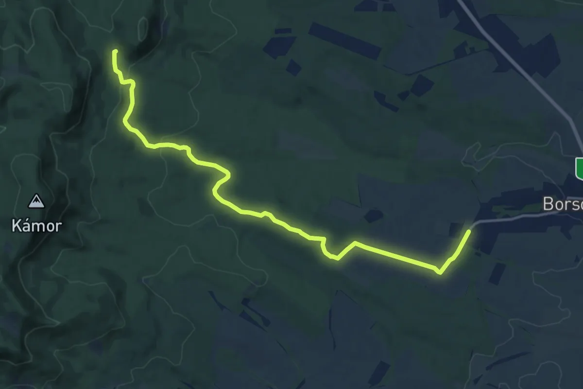
Medium · Trail
Z+ (Borsosberény – Pénzásás)
14.4 km · ↑ 258 m · 3 h 58 min
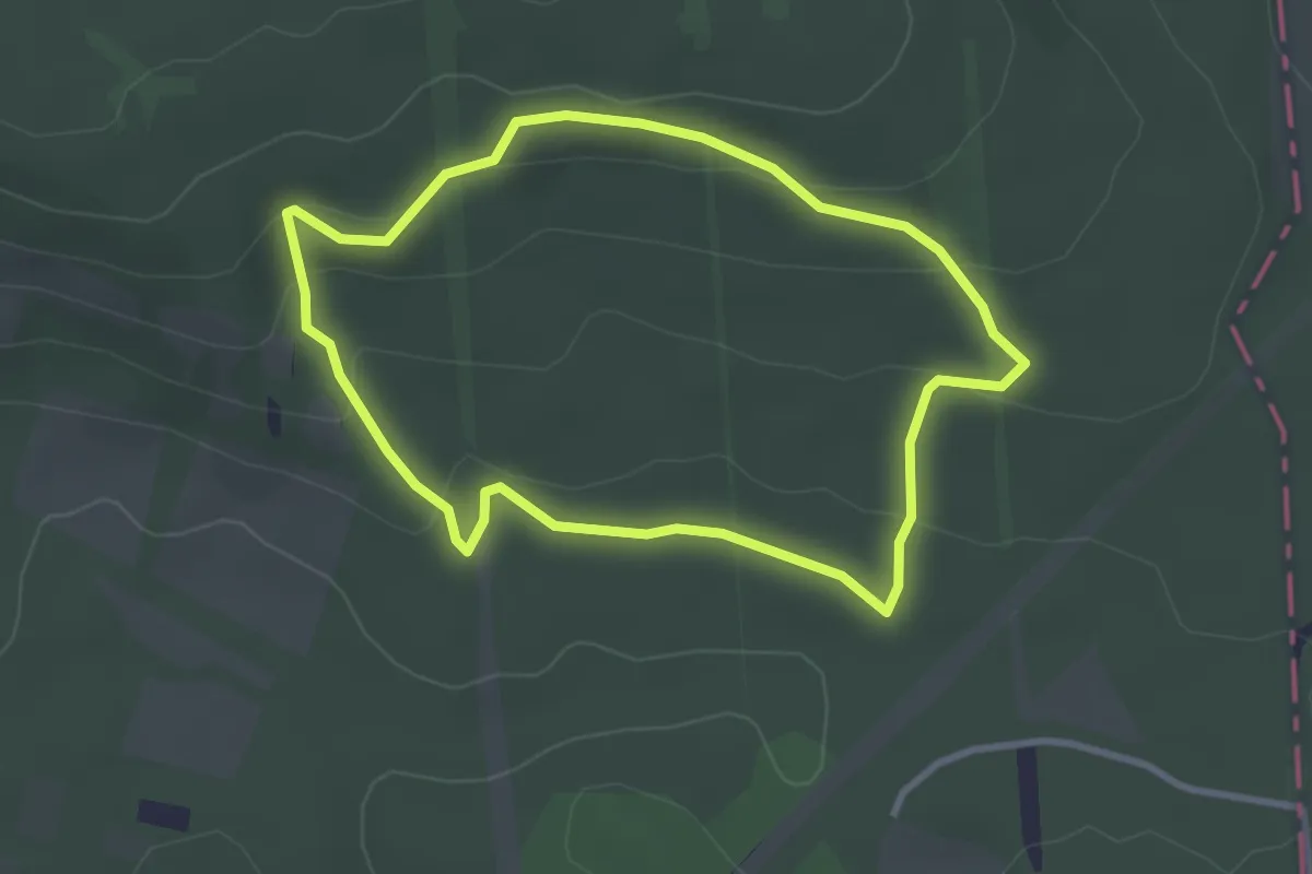
Easy · Trail
Z↺ (Budakeszi Vadaspark, kerítés – Budakeszi Vadaspark)
2.9 km · ↑ 83 m · 54 min
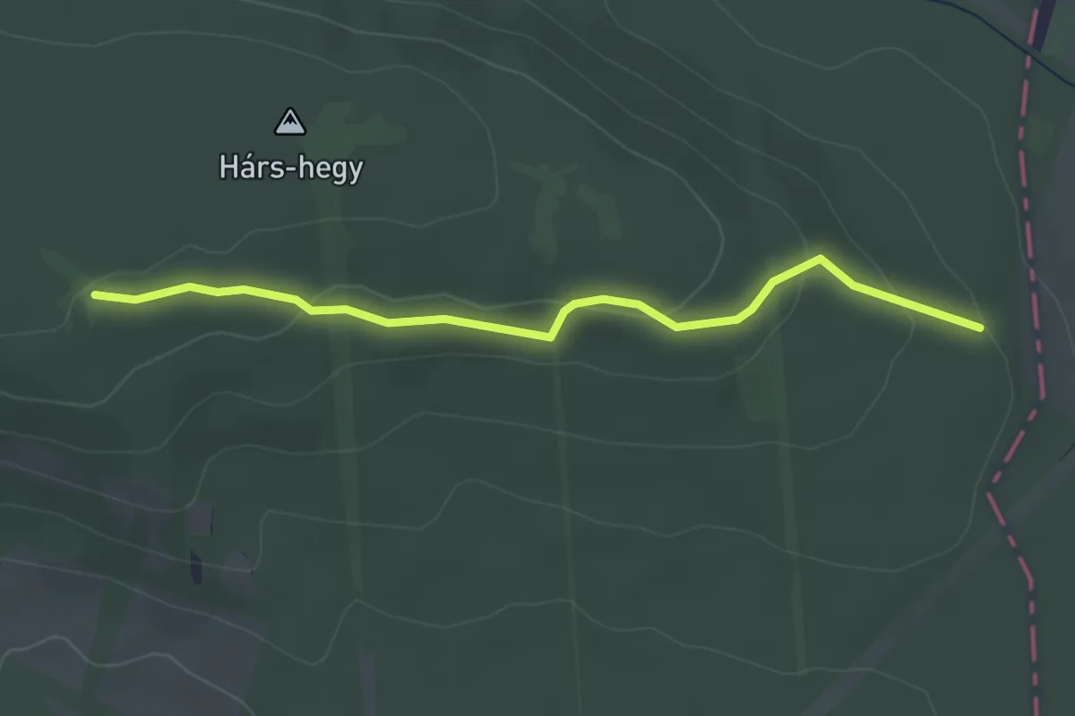
Easy · Trail
Z+ (Budakeszi Vadaspark, kerítés – Hárs (Hársbokor)-hegy – Budakeszi Vadaspark, kerítés)
3.1 km · ↑ 102 m · 57 min
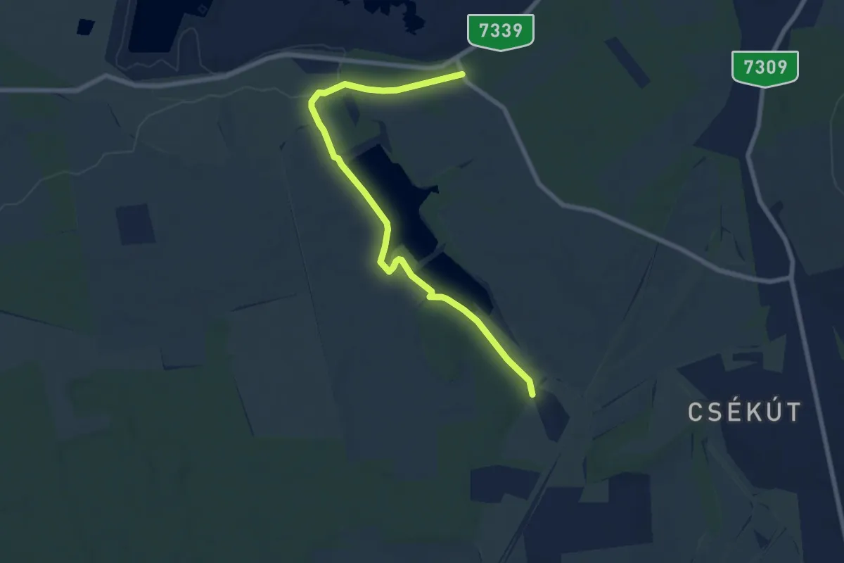
Easy · Trail
Z■ (Csabberekpuszta – 8-as út, Horgásztanya am.)
7.4 km · ↑ 38 m · 1 h 50 min
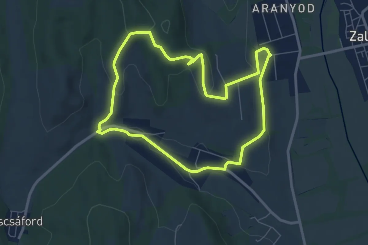
Easy · Trail
Z↺ (Csáford)
5.7 km · ↑ 161 m · 1 h 46 min
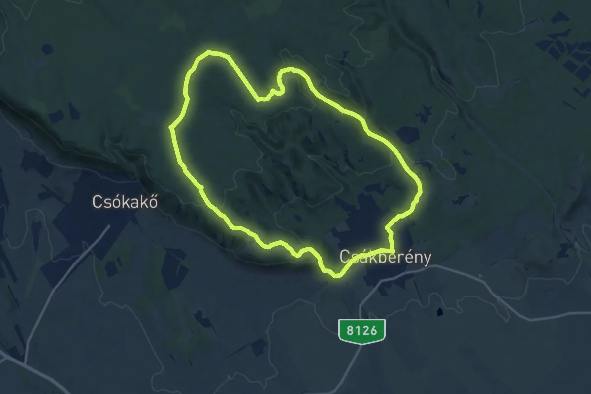
Medium · Summit
Z+ (Csákberény)
12.4 km · ↑ 237 m · 3 h 37 min
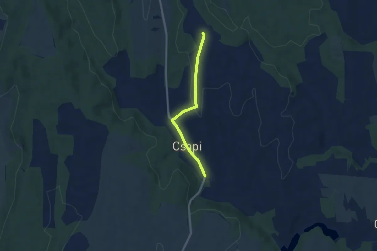
Easy · Trail
Z▲ Csapi
4.7 km · ↑ 62 m · 1 h 15 min