Trails in Hungary
2,296 hiking trails, each with its route, climb, walking time and grade.
All trails, page 41 of 48
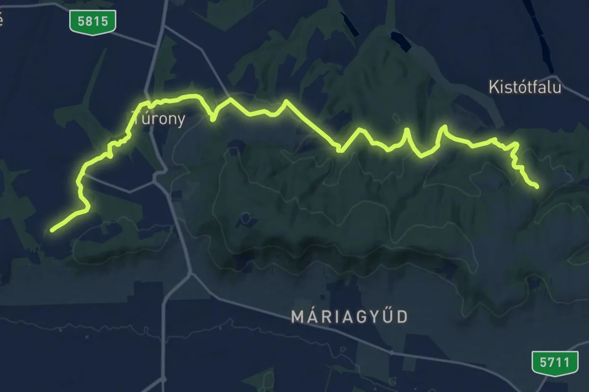
Demanding · Trail
Z (Csarnóta – Kistótfalu)
26.2 km · ↑ 537 m · 7 h 21 min
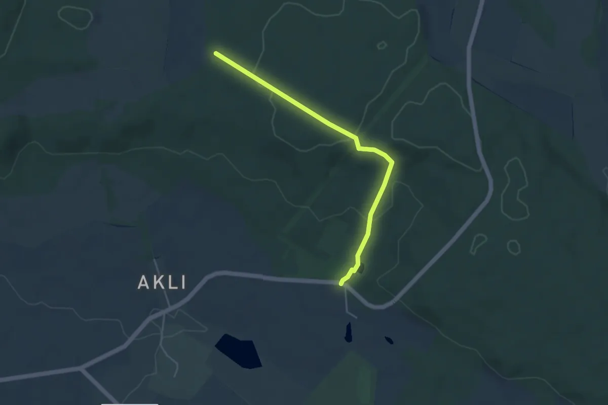
Easy · Trail
Z■ (Csengő-hegy – Hotel Szarvaskút)
4.1 km · ↑ 106 m · 1 h 12 min
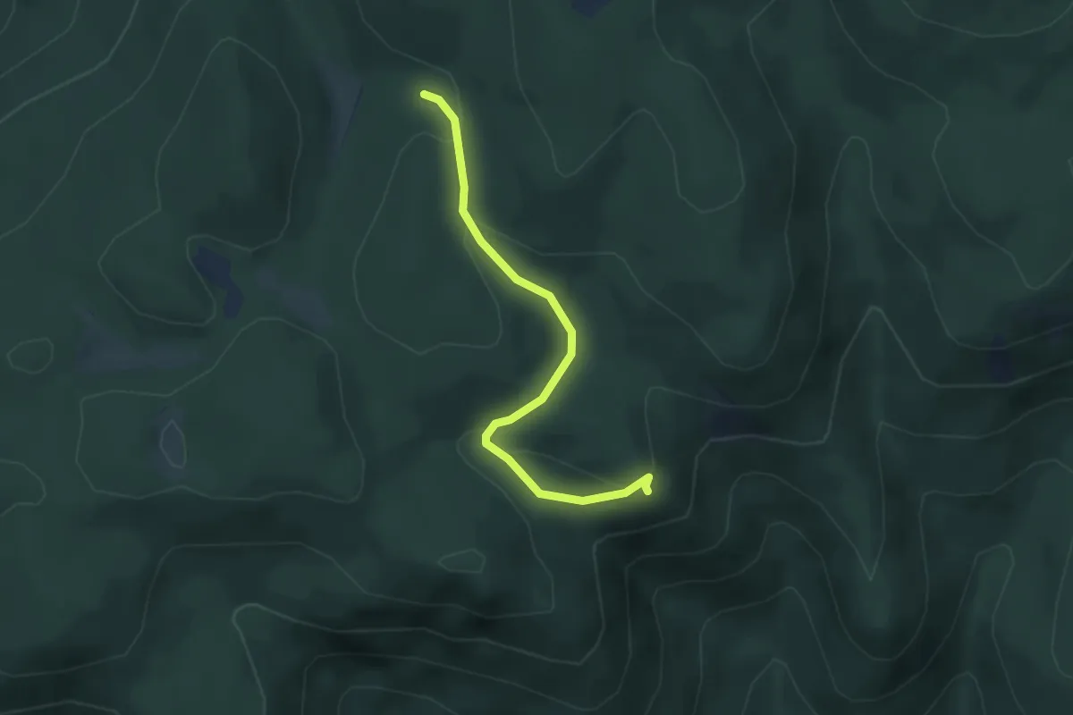
Easy · Trail
Z■ (Cserepes-kő)
3.5 km · ↑ 98 m · 1 h 2 min
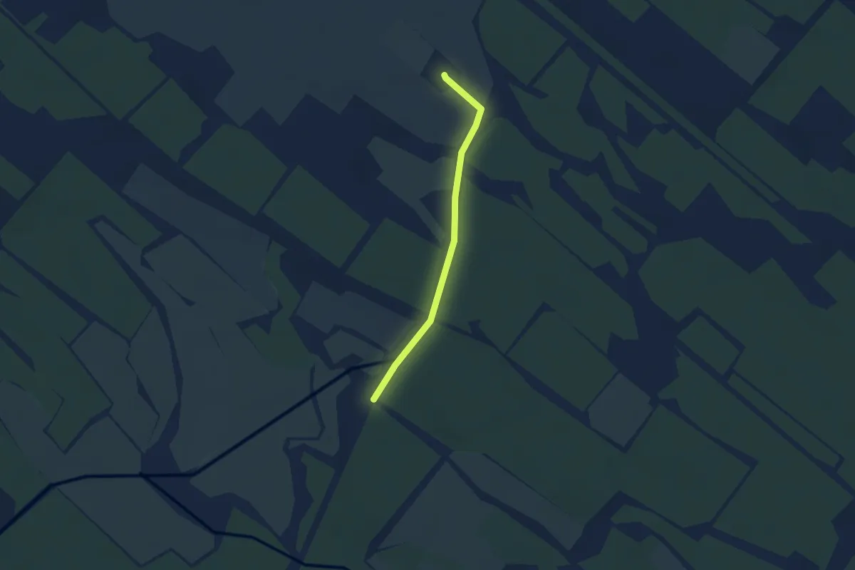
Easy · Summit
Z▙ (Csévharaszt pusztatemplom)
2.4 km · ↑ 4 m · 34 min
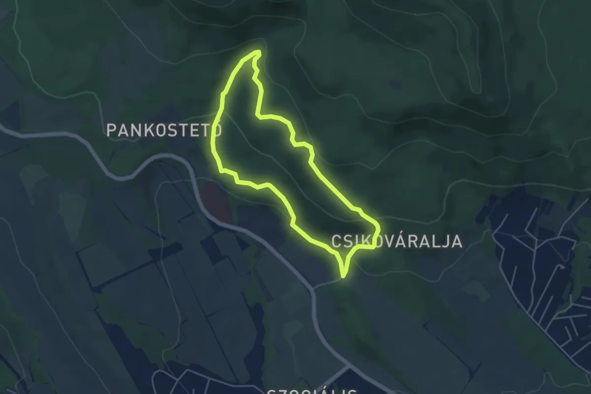
Easy · Trail
Z↺ (Csikóváraljai turistaház – Holdvilág-árok)
4.0 km · ↑ 142 m · 1 h 18 min
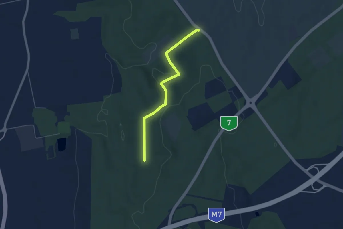
Easy · Trail
Z▲ (Csillagvár - Somos-hegy)
4.3 km · ↑ 116 m · 1 h 16 min
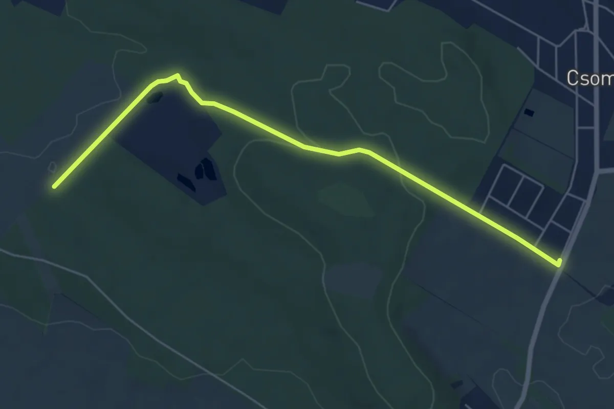
Easy · Trail
Z■ (Csomád)
5.6 km · ↑ 94 m · 1 h 31 min
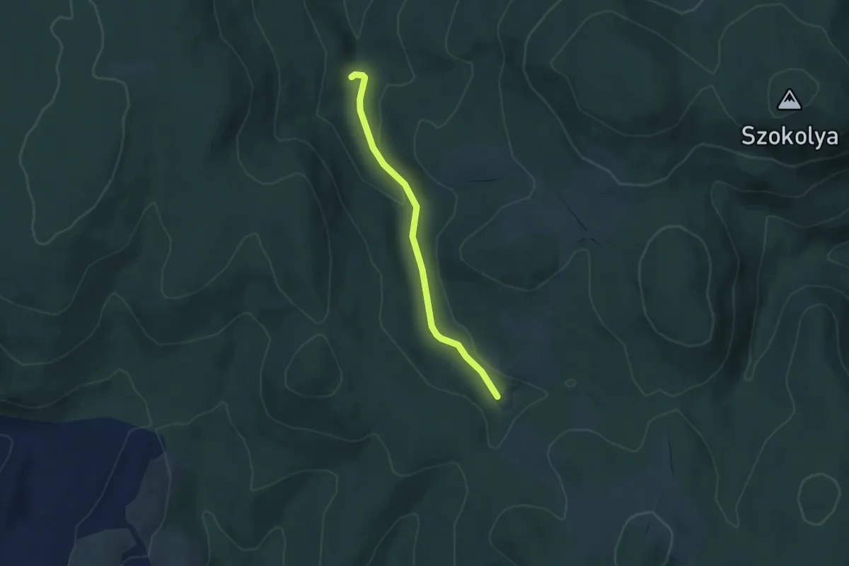
Easy · Trail
Z● (Dalos-kút)
3.9 km · ↑ 80 m · 1 h 6 min
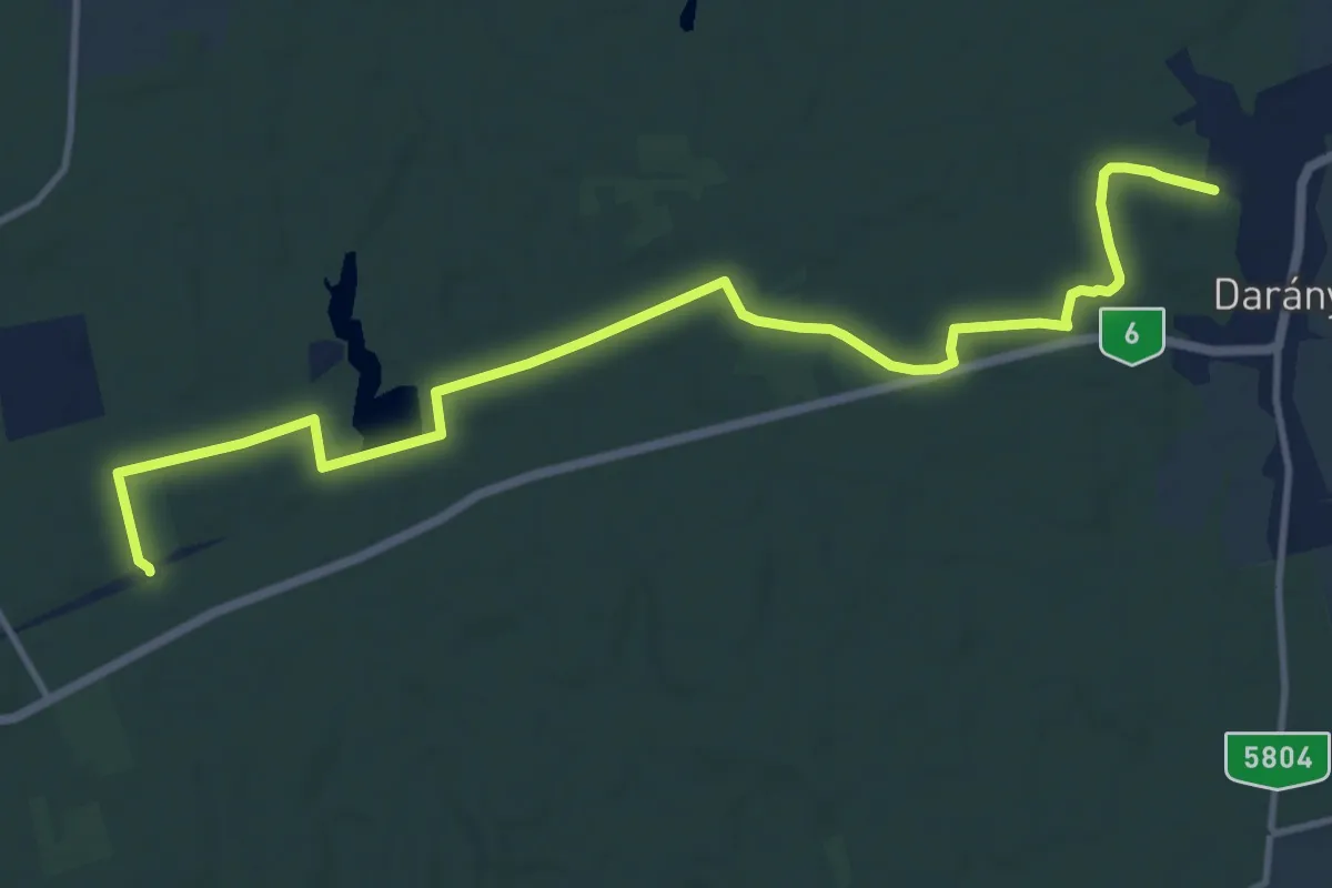
Medium · Trail
Z (Darány – Középrióc)
13.7 km · ↑ 90 m · 3 h 26 min
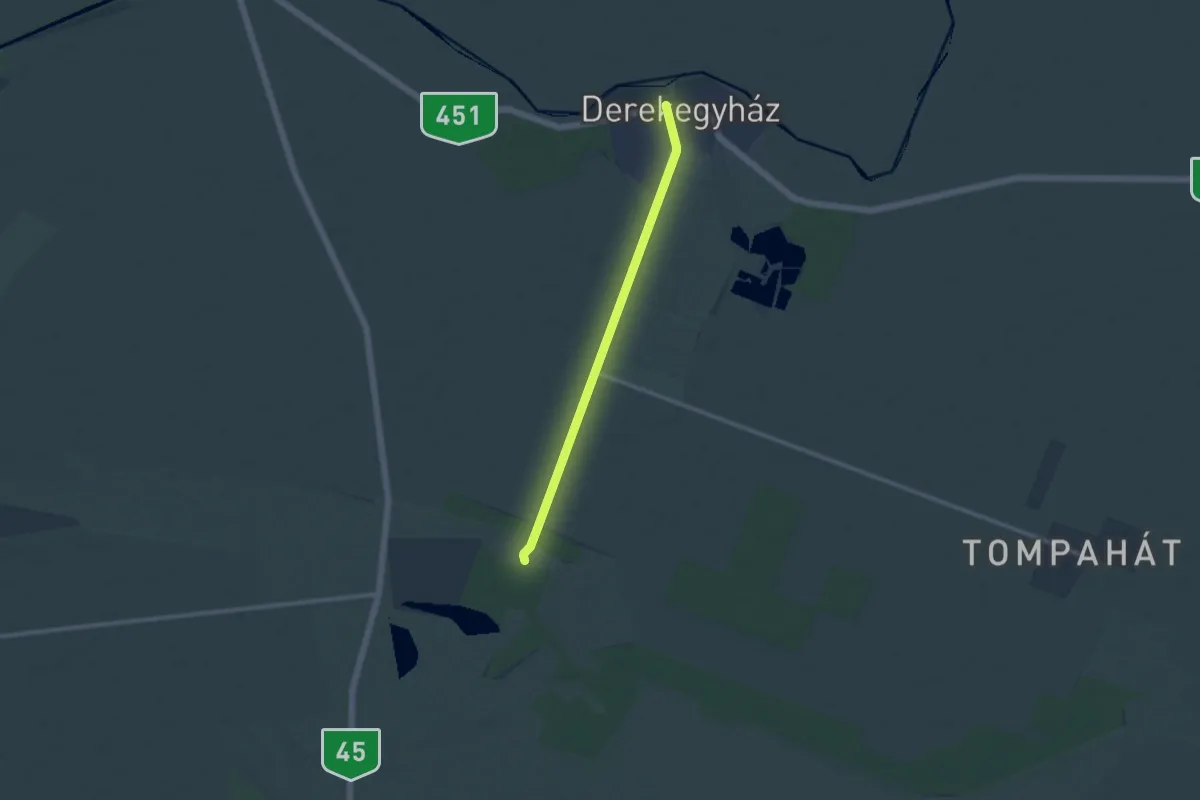
Medium · Trail
Z● (Derekegyház)
9.9 km · ↑ 0 m · 2 h 20 min
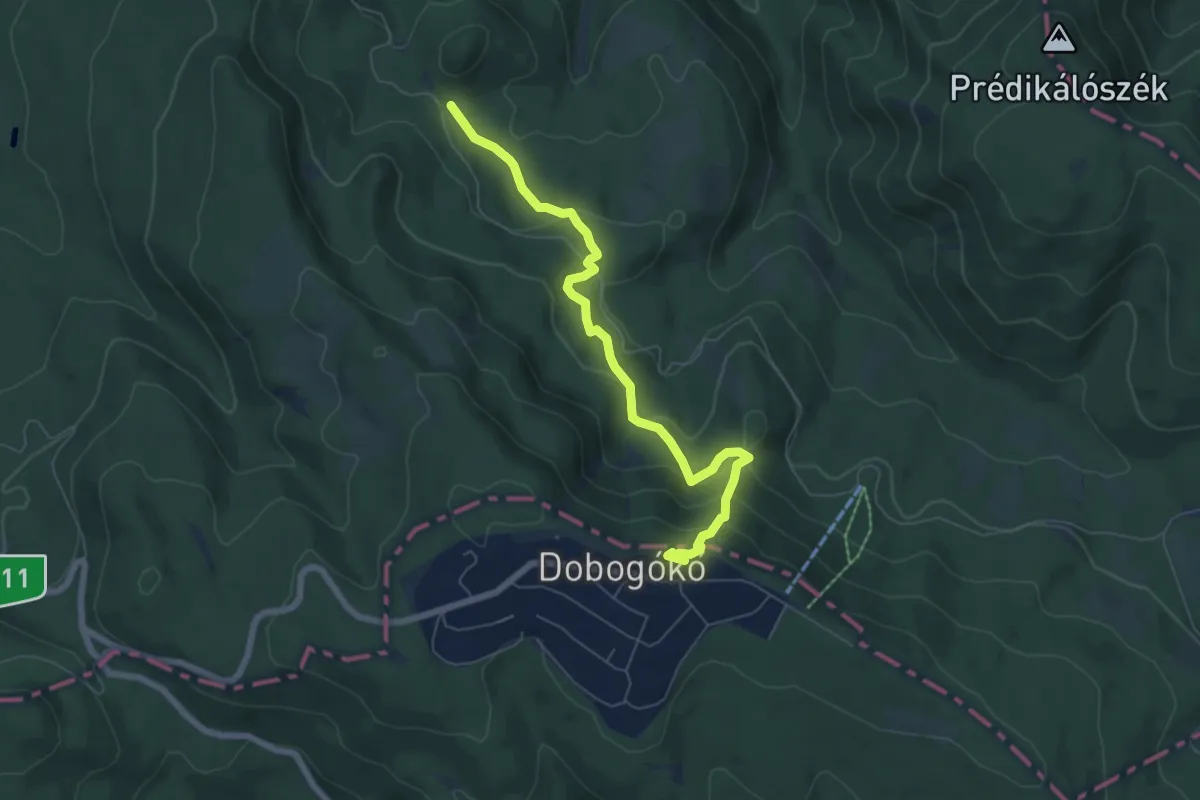
Medium · Summit
Z■ (Dobogókő – Három-forrás-völgy)
6.5 km · ↑ 369 m · 2 h 20 min
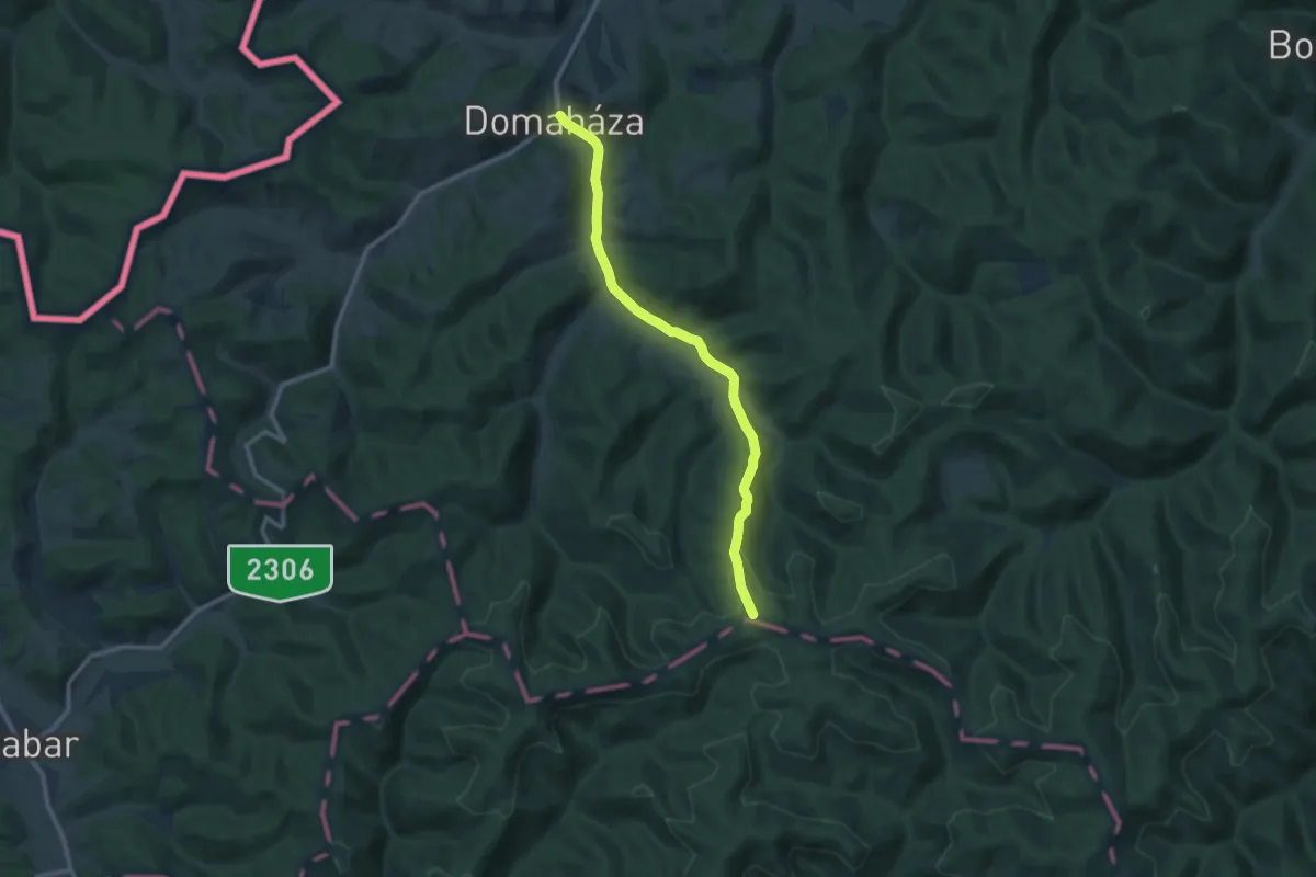
Medium · Trail
Z (Domaháza – B.A.Z. megye határa)
10.2 km · ↑ 242 m · 2 h 56 min
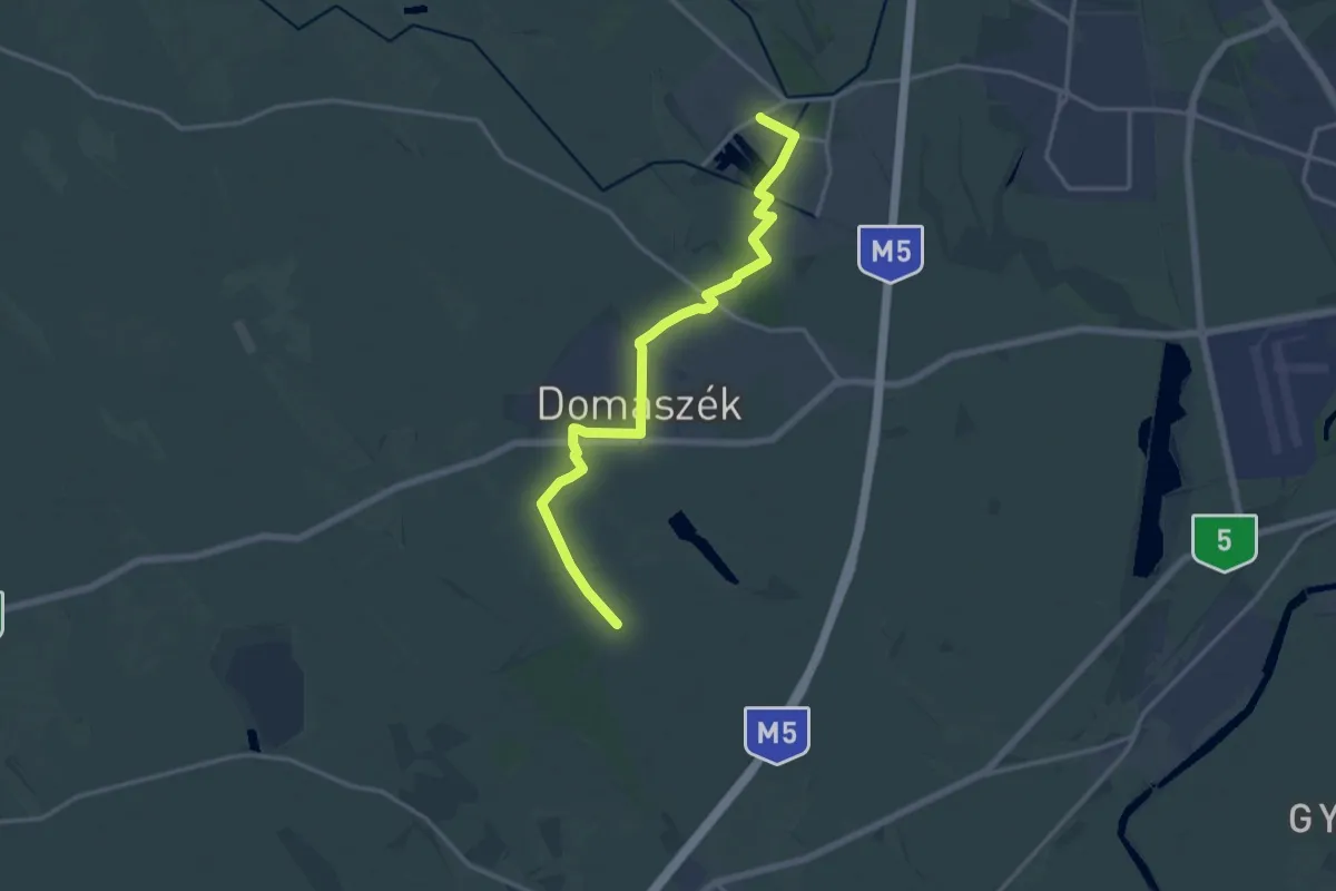
Medium · Trail
Z■ (Domaszék)
16.6 km · ↑ 21 m · 3 h 58 min
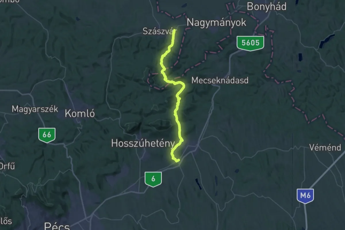
Demanding · Trail
Z+ (Dombay-tó – Pécsvárad – Réka-völgy – Óbánya – Máza)
20.0 km · ↑ 675 m · 6 h 29 min
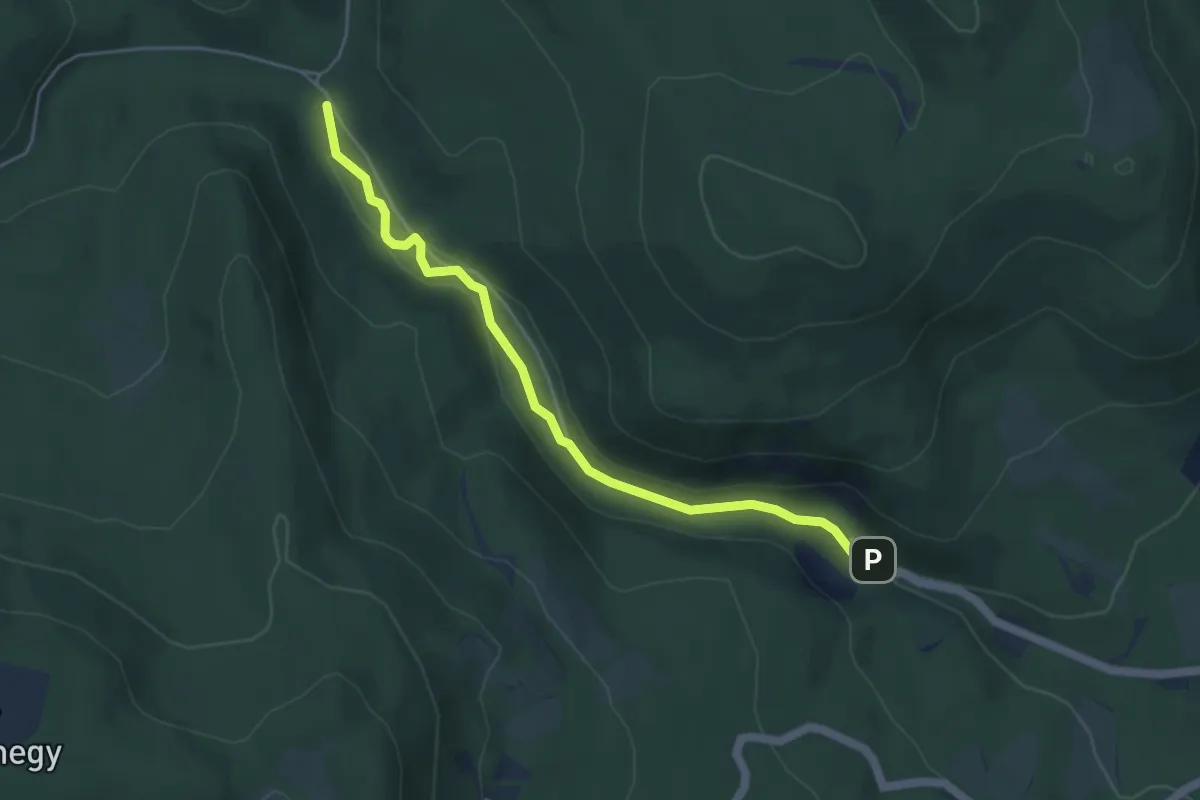
Easy · Trail
Z+ (Dömörkapu, aut. ford. – Bükkös-patak völgye)
4.6 km · ↑ 54 m · 1 h 13 min
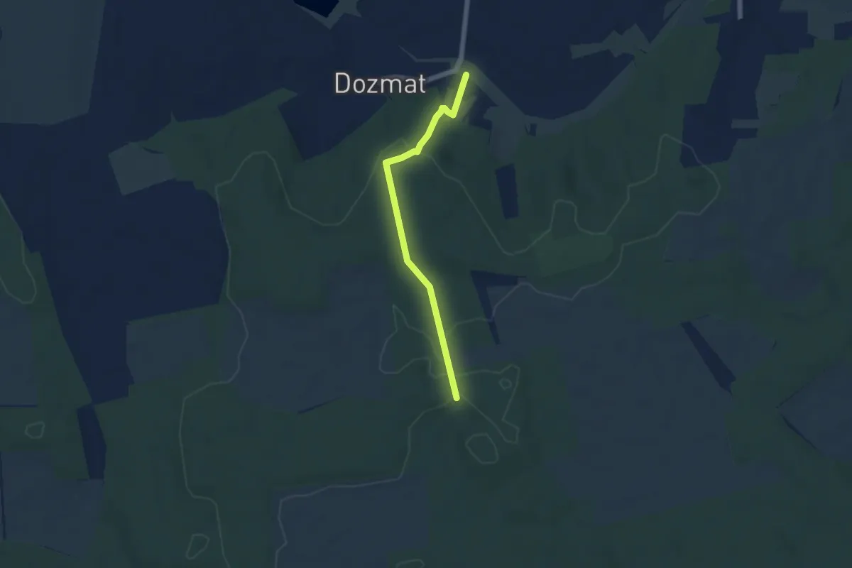
Easy · Trail
Z▲ (Dozmat, Krisztina-kilátó)
4.8 km · ↑ 97 m · 1 h 20 min
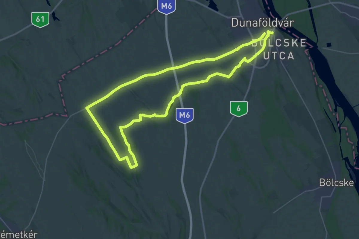
Demanding · Trail
Z (Dunaföldvár)
26.4 km · ↑ 155 m · 6 h 56 min
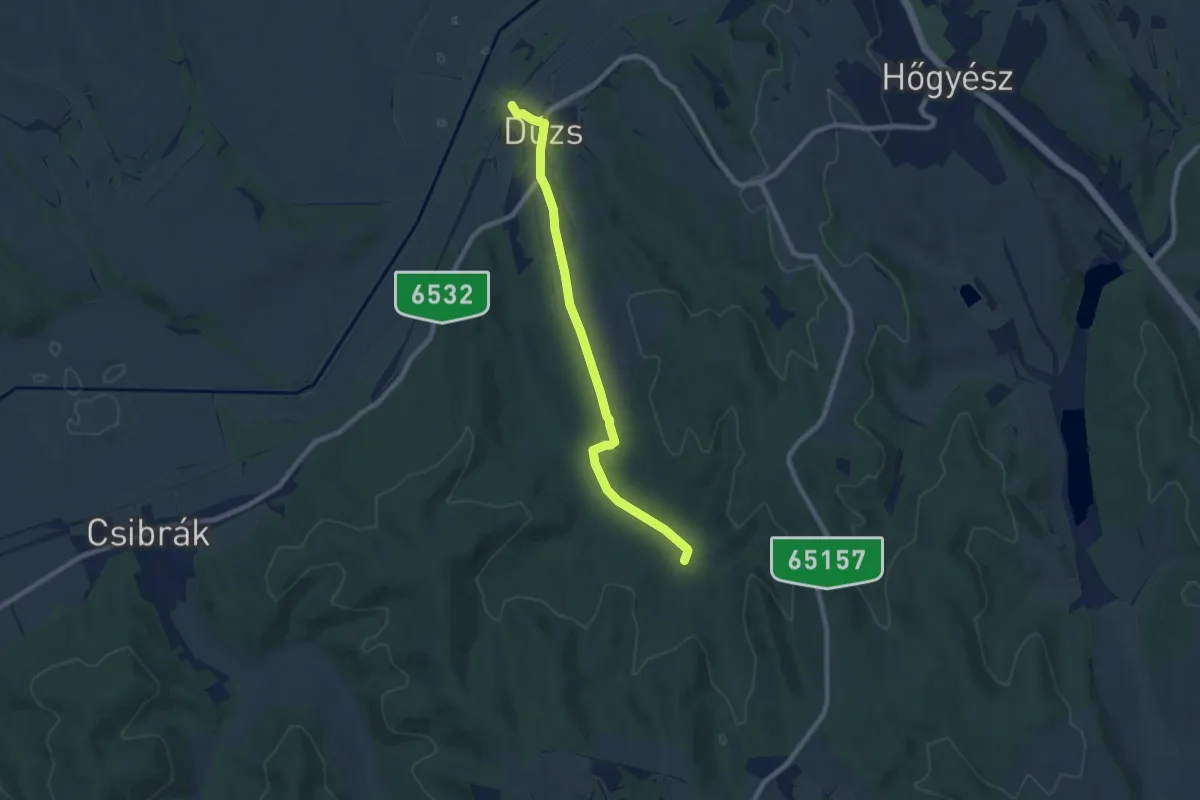
Medium · Trail
Z (Dúzs – Mucsi)
8.0 km · ↑ 82 m · 2 h 4 min
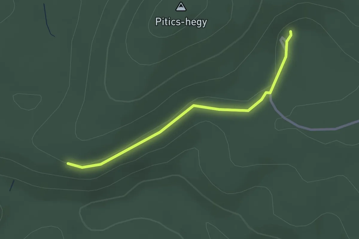
Easy · Trail
Z■ (Éger turistaszálló)
2.3 km · ↑ 37 m · 38 min
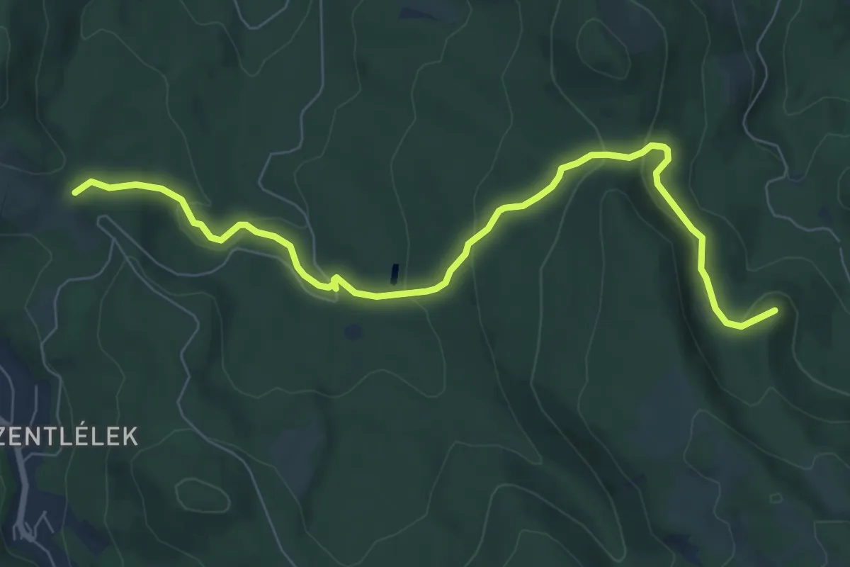
Easy · Summit
Z+ (Égett-hárs – Hoffmann-vadászház – Szakó-nyereg – Jász-hegy)
8.0 km · ↑ 265 m · 2 h 27 min
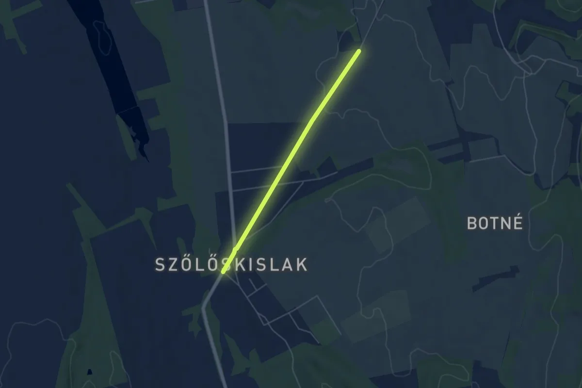
Easy · Trail
Z emlékmű Szőlőskislak - Rácfa
4.3 km · ↑ 44 m · 1 h 7 min
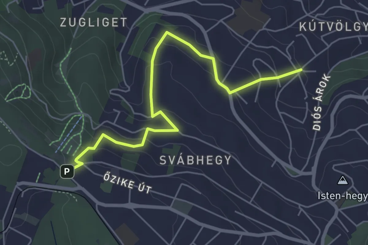
Easy · Trail
Z✞ (Eötvös út / Normafa út – Béla király kútja – Mária-kápolna)
5.4 km · ↑ 211 m · 1 h 44 min
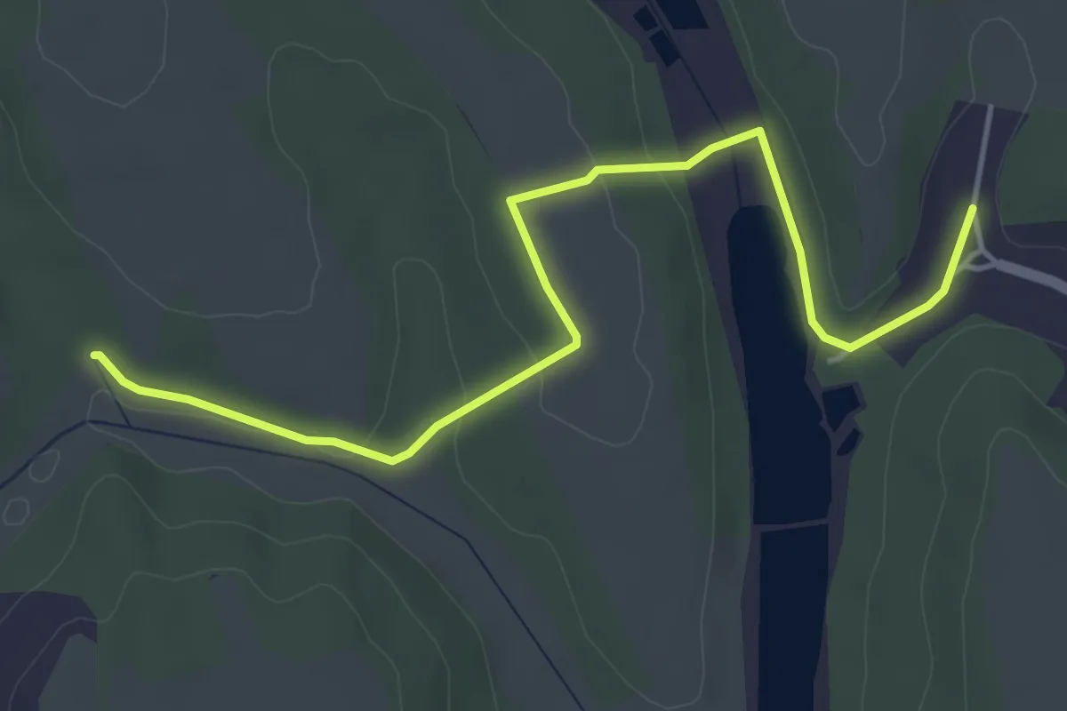
Easy · Trail
Z■ (Erdősmárok)
5.1 km · ↑ 83 m · 1 h 23 min
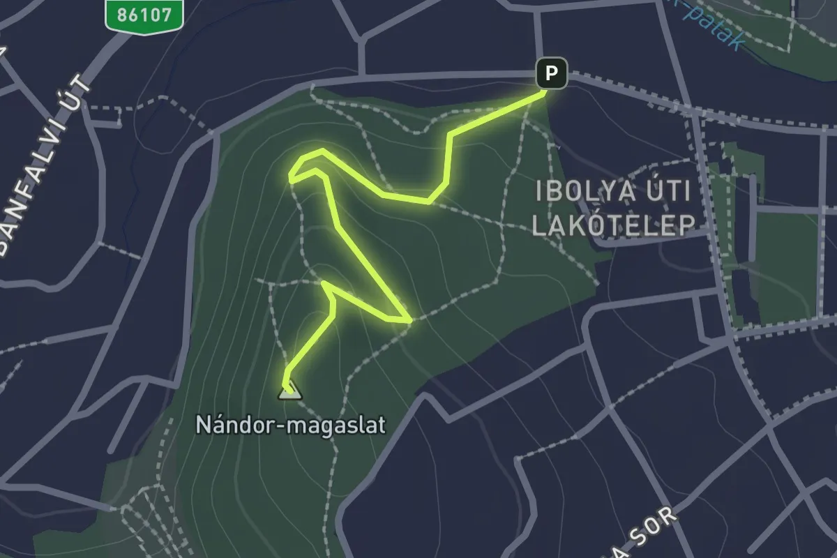
Easy · Summit
Z (Erzsébetkert aut.m. – Hotel Korona – Ady Endre út)
2.1 km · ↑ 86 m · 40 min
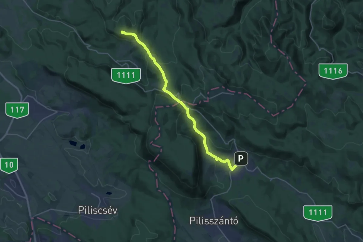
Demanding · Summit
Z (Esztergom, há. – Maróti-hegyek – Pilisszentkereszt)
18.7 km · ↑ 606 m · 5 h 44 min
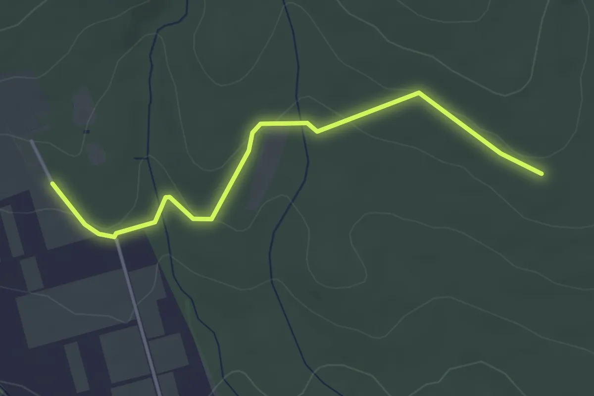
Easy · Trail
Z+ (Fajzatpuszta – Nagy-Lénia)
3.8 km · ↑ 86 m · 1 h 5 min
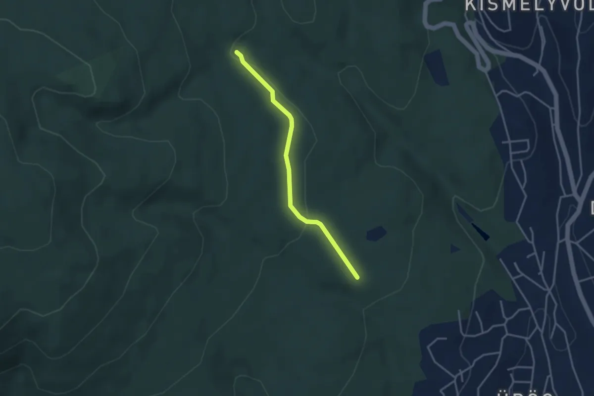
Easy · Trail
Z+ (Farkas-forrás)
3.0 km · ↑ 61 m · 50 min
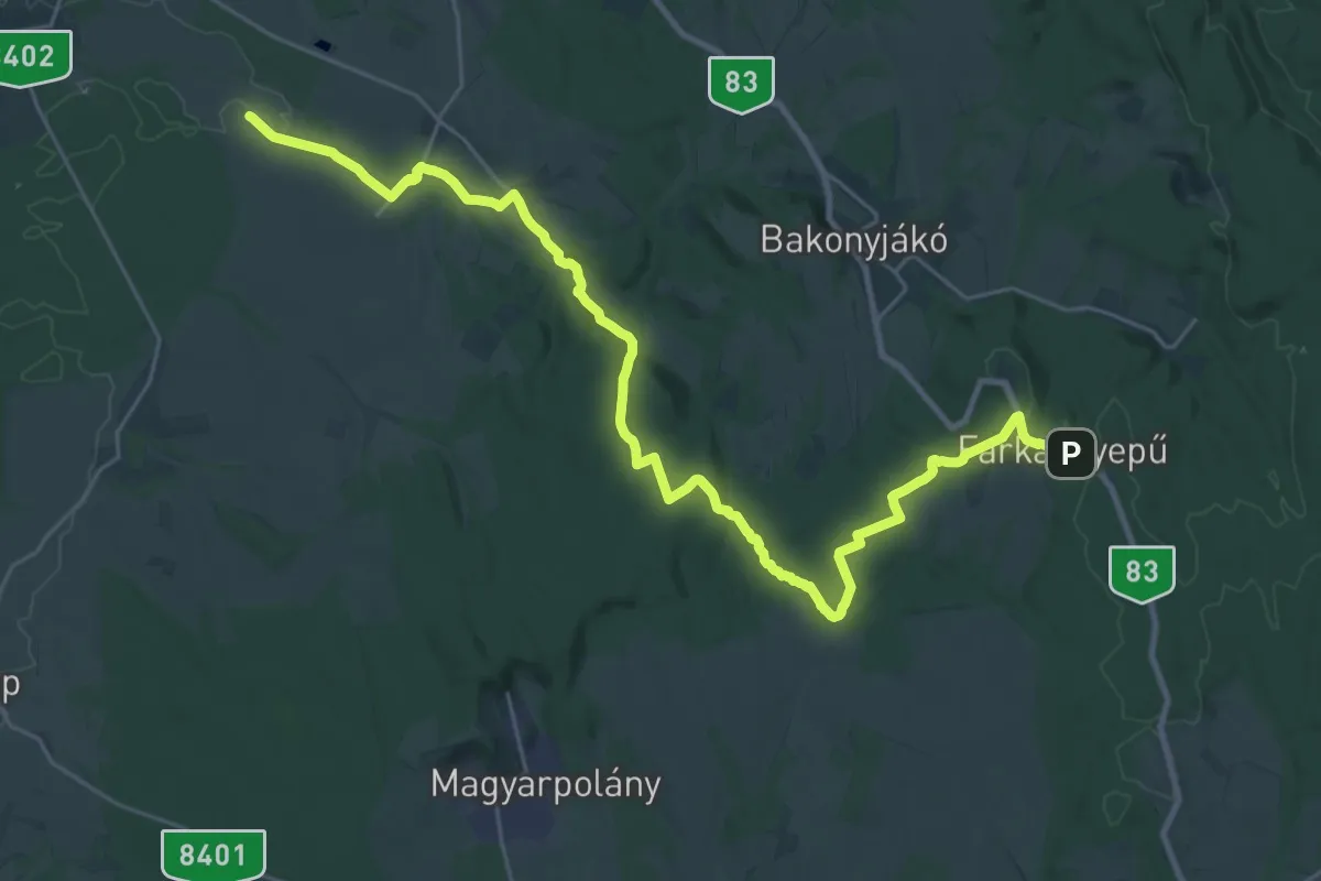
Medium · Trail
Z (Farkasgyepű – Ganna)
16.3 km · ↑ 137 m · 4 h 28 min
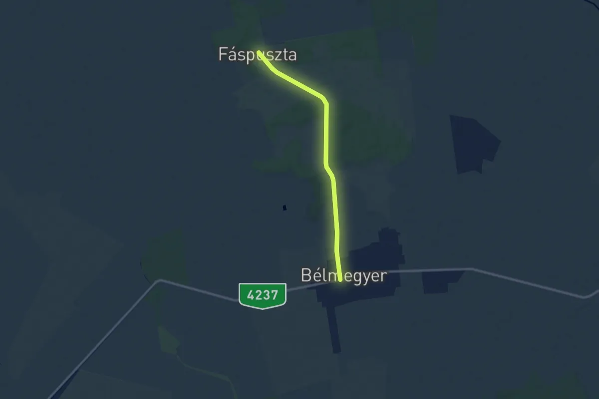
Medium · Trail
Z (Fáspuszta – Bélmegyer)
8.7 km · ↑ 0 m · 2 h 3 min
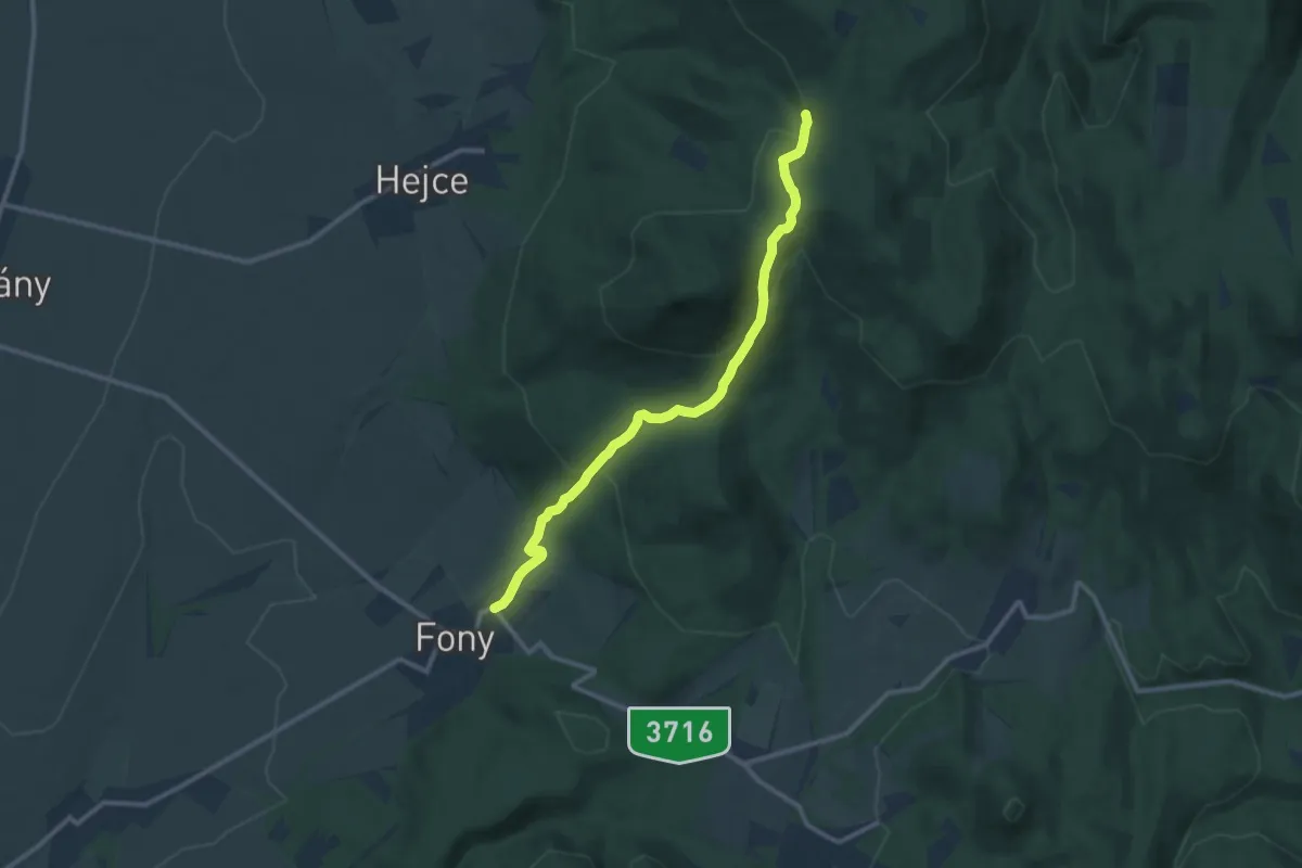
Medium · Trail
Z (Fehér-kút – Fony)
10.9 km · ↑ 436 m · 3 h 31 min
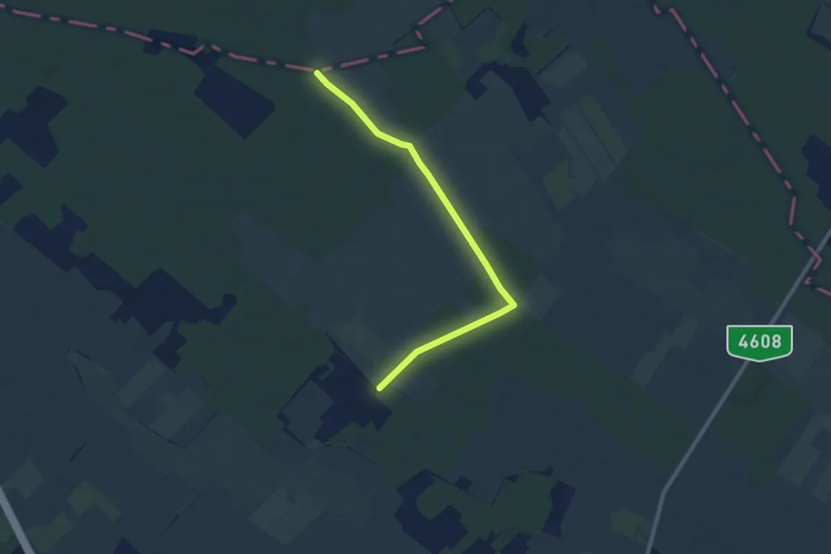
Easy · Trail
Z+ (Fehér-tó)
7.1 km · ↑ 0 m · 1 h 40 min
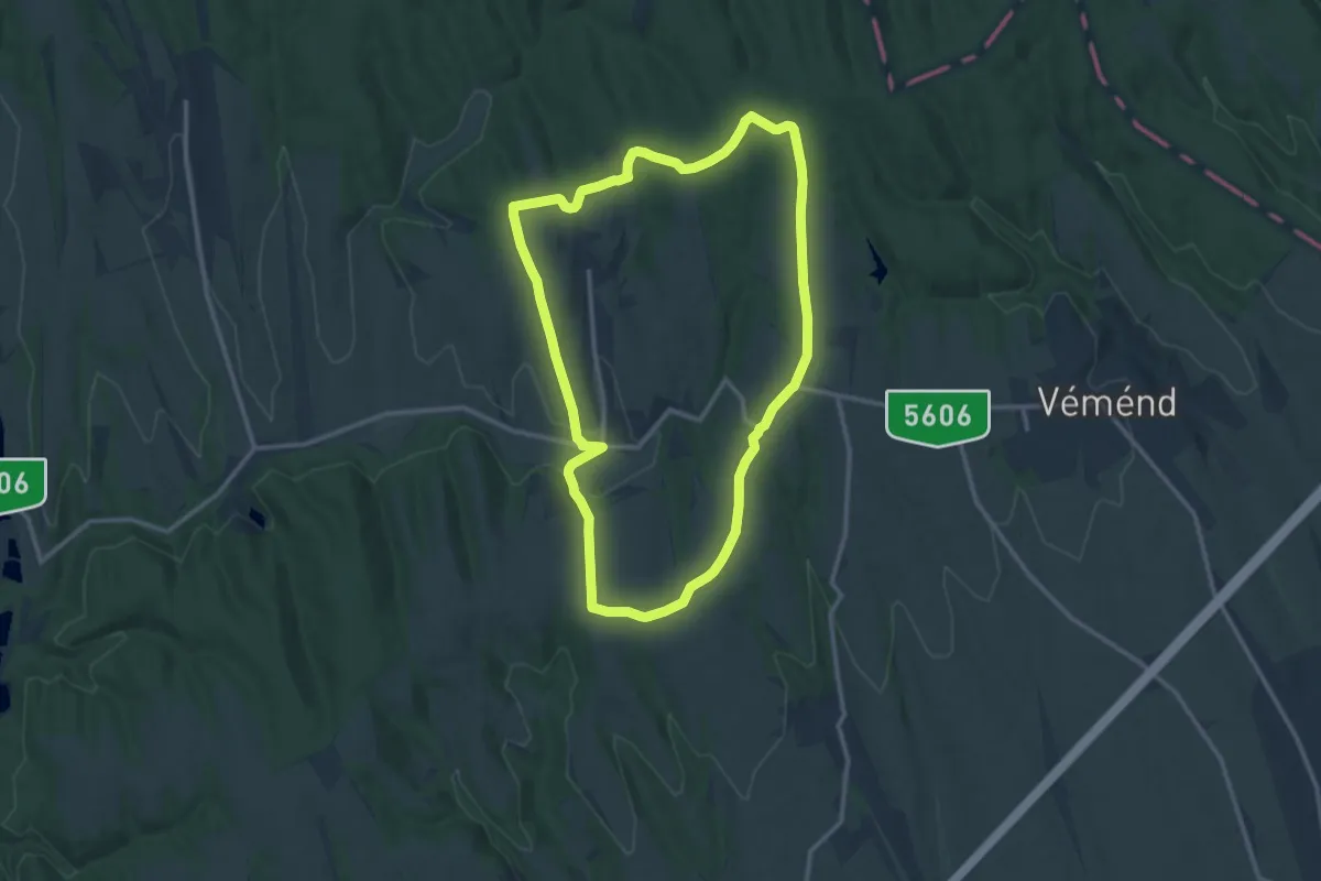
Medium · Trail
Z↺ (Fekedi keresztutak)
12.5 km · ↑ 190 m · 3 h 32 min
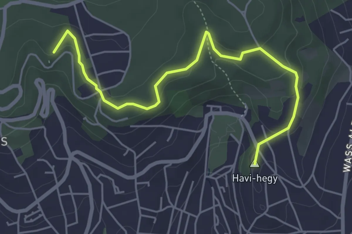
Easy · Summit
Z■, Fellbach sétaút
5.2 km · ↑ 178 m · 1 h 37 min
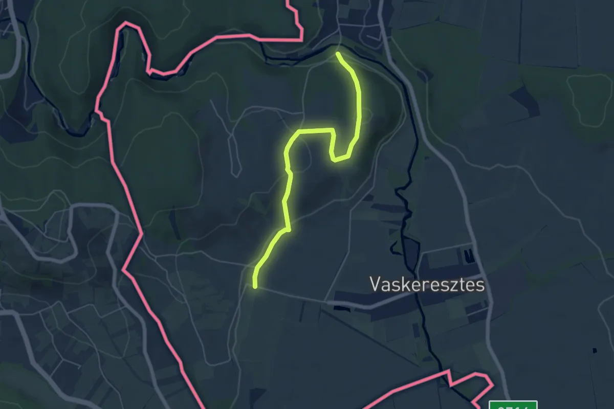
Easy · Trail
Z+ (Felsőcsatár, Pinka híd – Vaskeresztes)
5.3 km · ↑ 147 m · 1 h 34 min
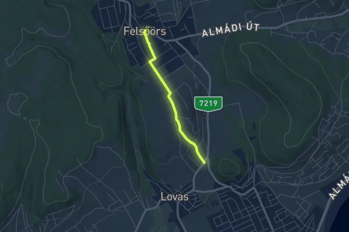
Easy · Trail
Z▲ Felsőörs-Alsóörs
4.4 km · ↑ 100 m · 1 h 16 min
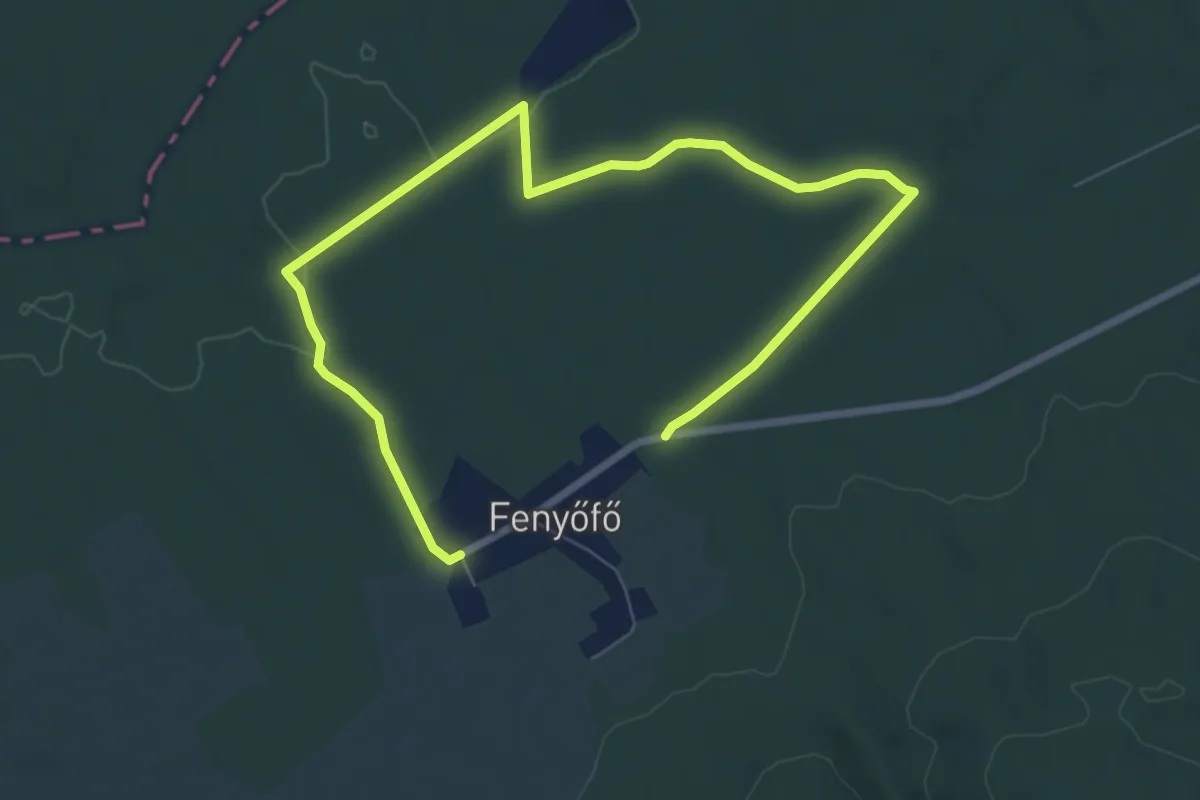
Medium · Trail
Z+ (Fenyőfő – Ősfenyves – Fenyőfő)
10.1 km · ↑ 63 m · 2 h 31 min
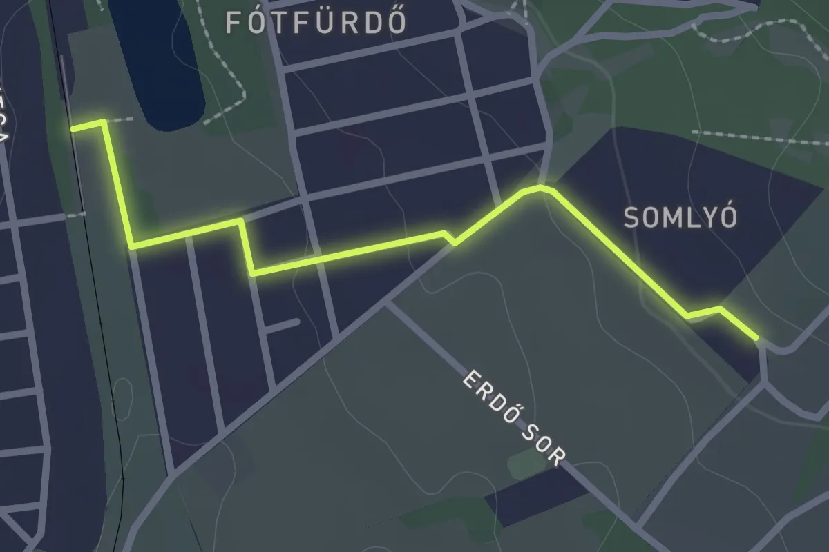
Easy · Trail
Z+ (Fótfürdő vm. - Fáy présház (Fóti-Somlyó déli oldal))
2.3 km · ↑ 33 m · 36 min
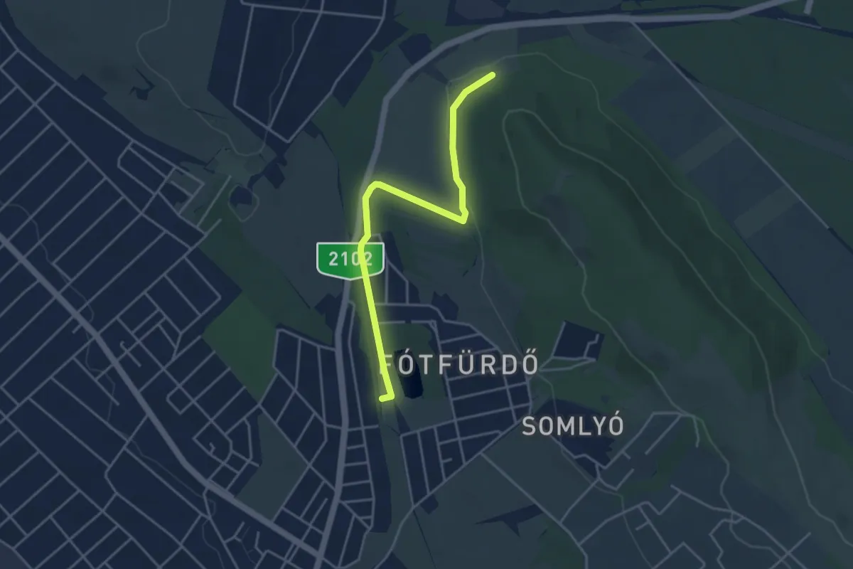
Easy · Trail
Z■ (Fótfürdő vm. – Fóti-Somlyó É-i oldala)
3.9 km · ↑ 43 m · 1 h 1 min
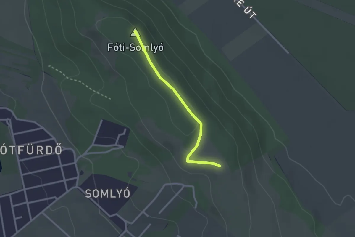
Easy · Summit
Z▲ (Fóti Somlyó)
2.1 km · ↑ 9 m · 31 min
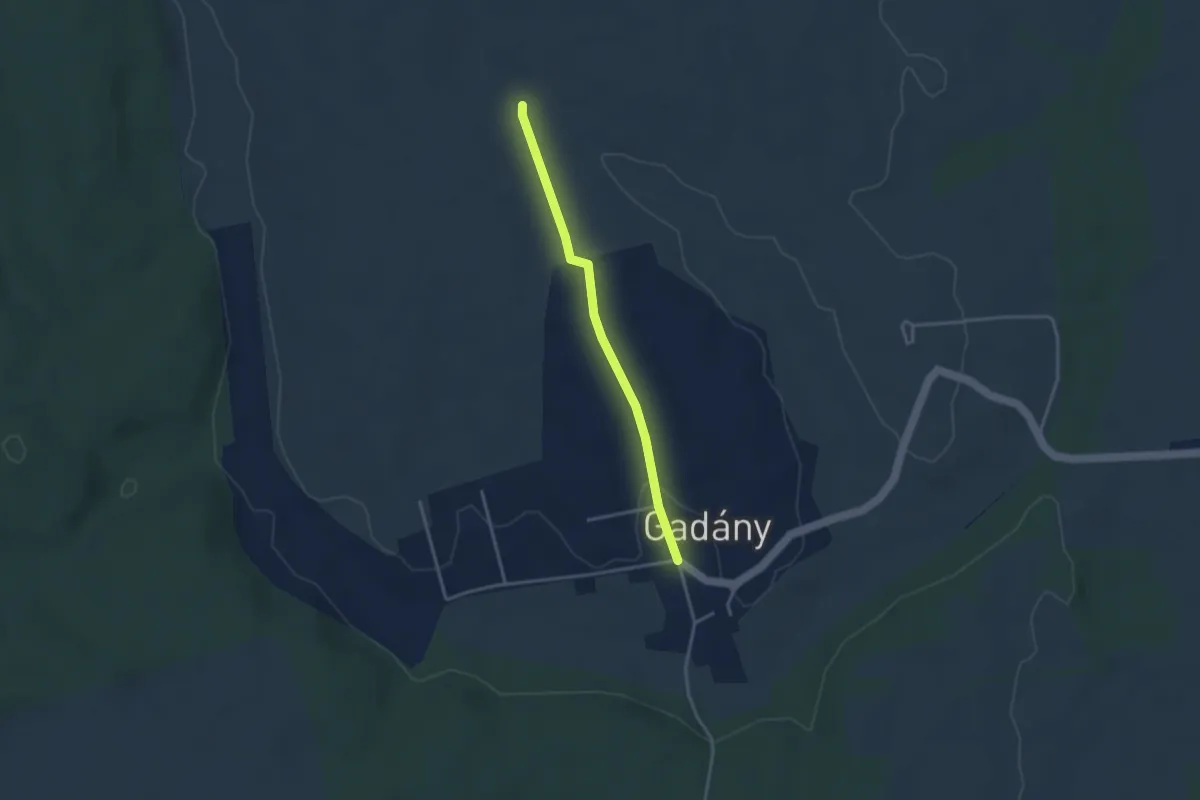
Easy · Trail
Z+ (Gadány)
3.1 km · ↑ 42 m · 49 min
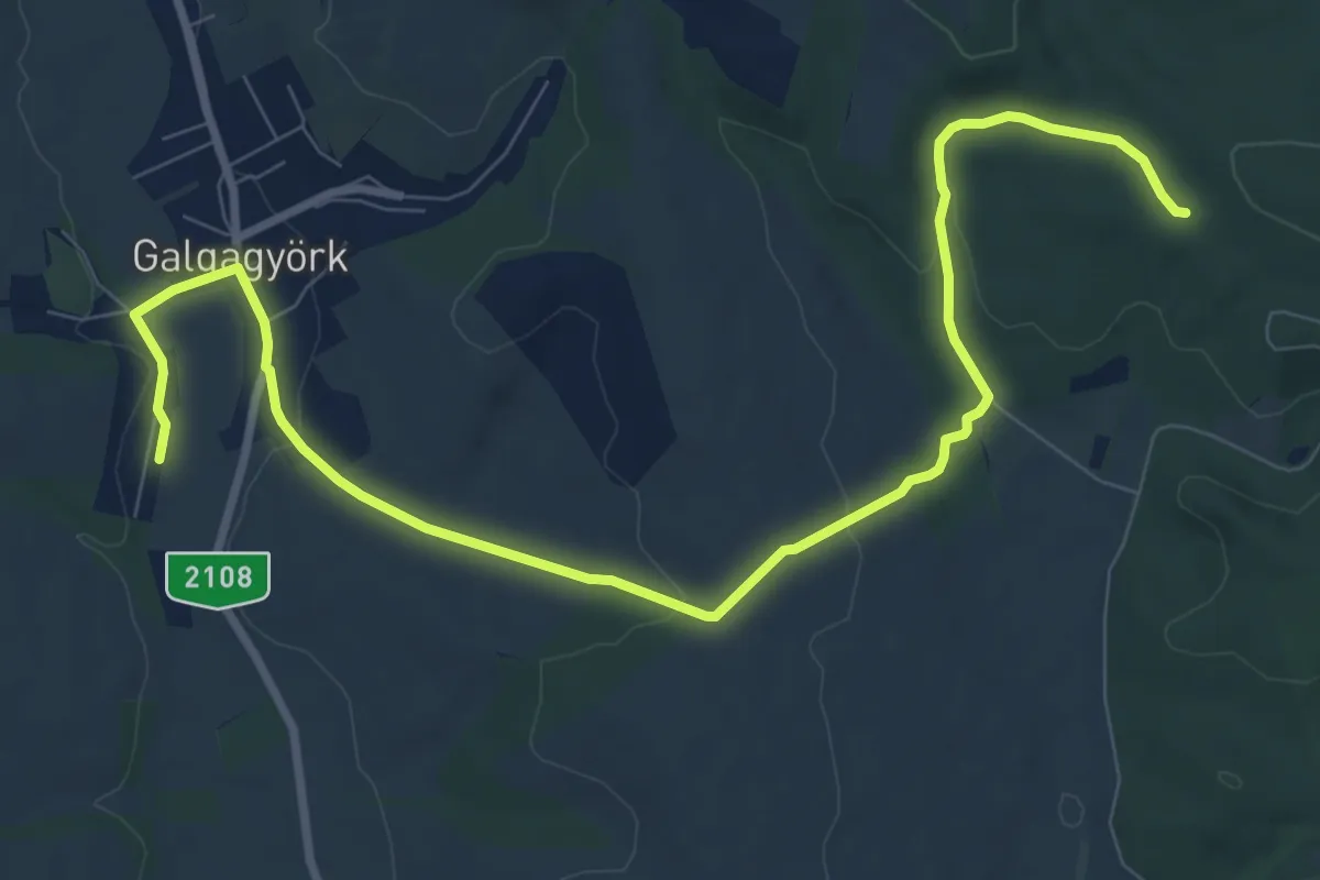
Medium · Trail
Z (Galgagyörk)
10.9 km · ↑ 176 m · 2 h 58 min
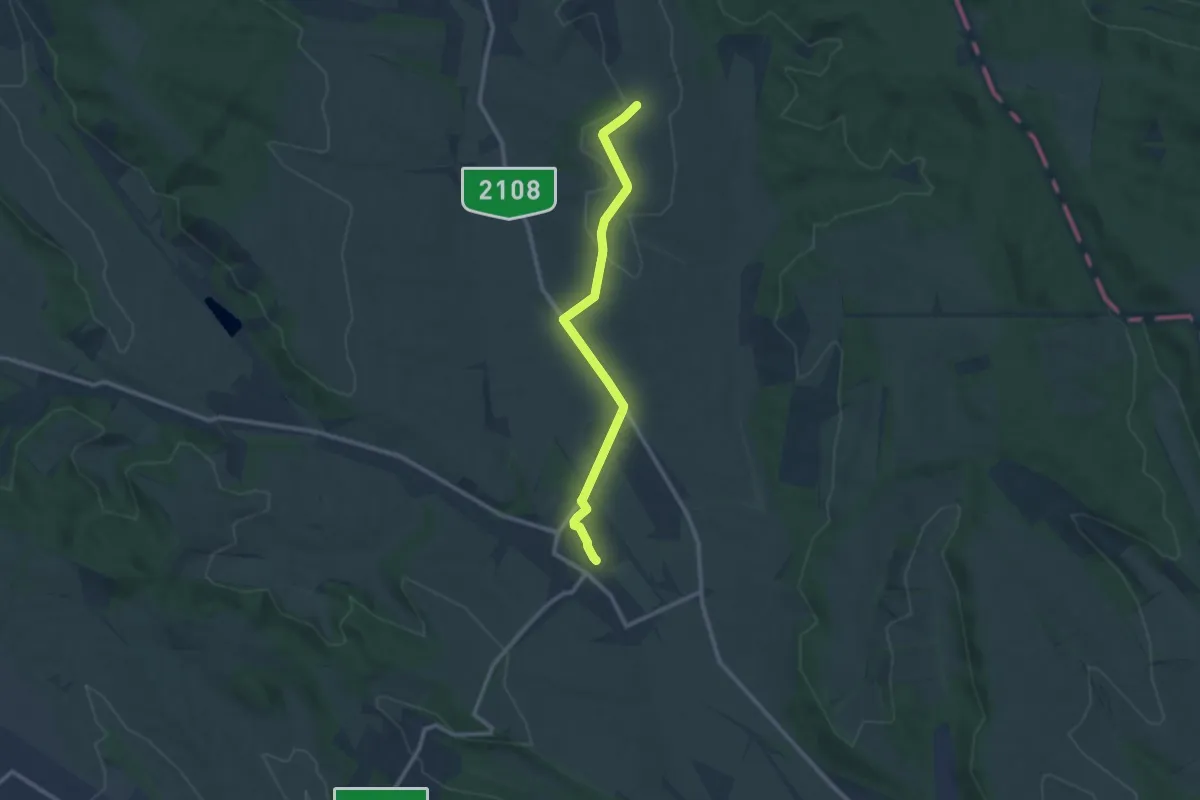
Medium · Trail
Z+ (Galgamácsa – Galgagyörk)
10.2 km · ↑ 132 m · 2 h 42 min
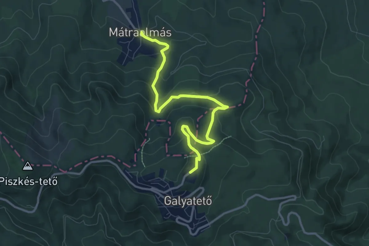
Medium · Cabin
Z▲ (Galyatető)
8.8 km · ↑ 451 m · 3 h 4 min
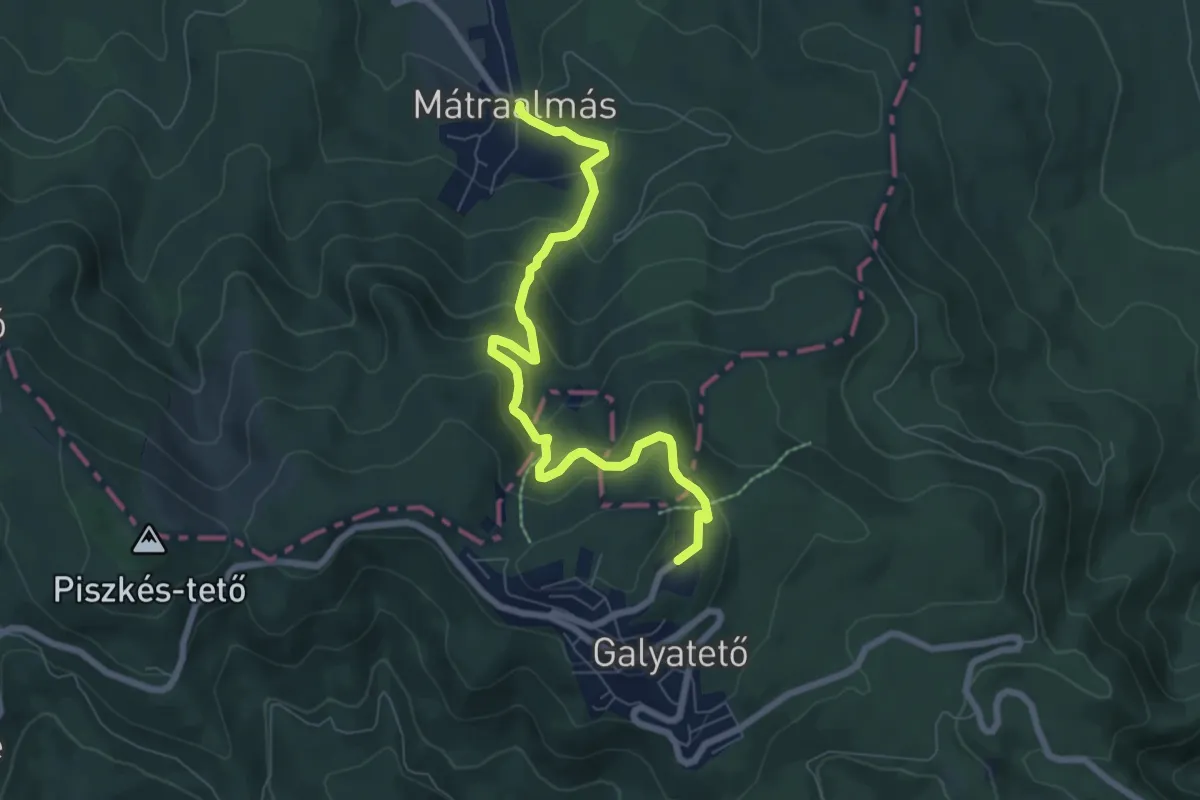
Medium · Cabin
Z● (Galyatető – Verbőczy-forrás – Mátraalmás)
7.3 km · ↑ 492 m · 2 h 47 min
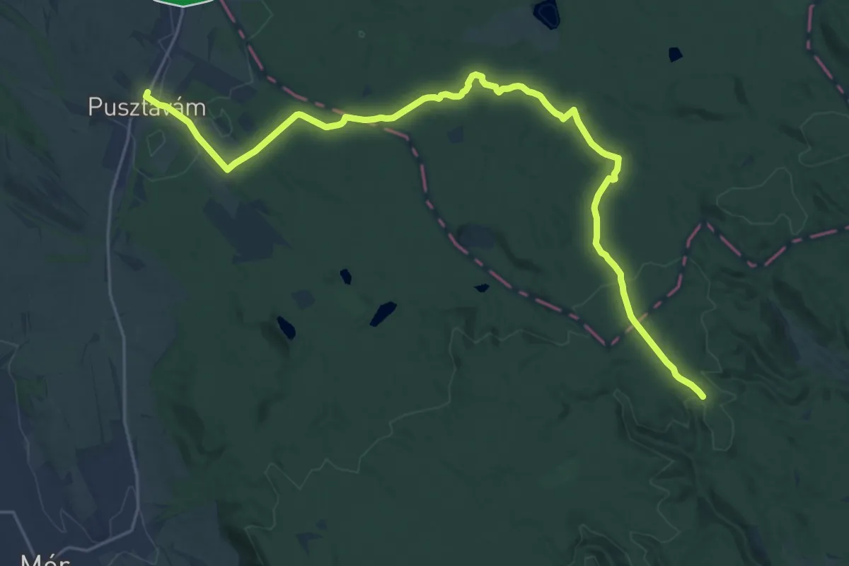
Demanding · Trail
Z (Géza- pihenő – Pusztavám)
24.9 km · ↑ 310 m · 6 h 33 min
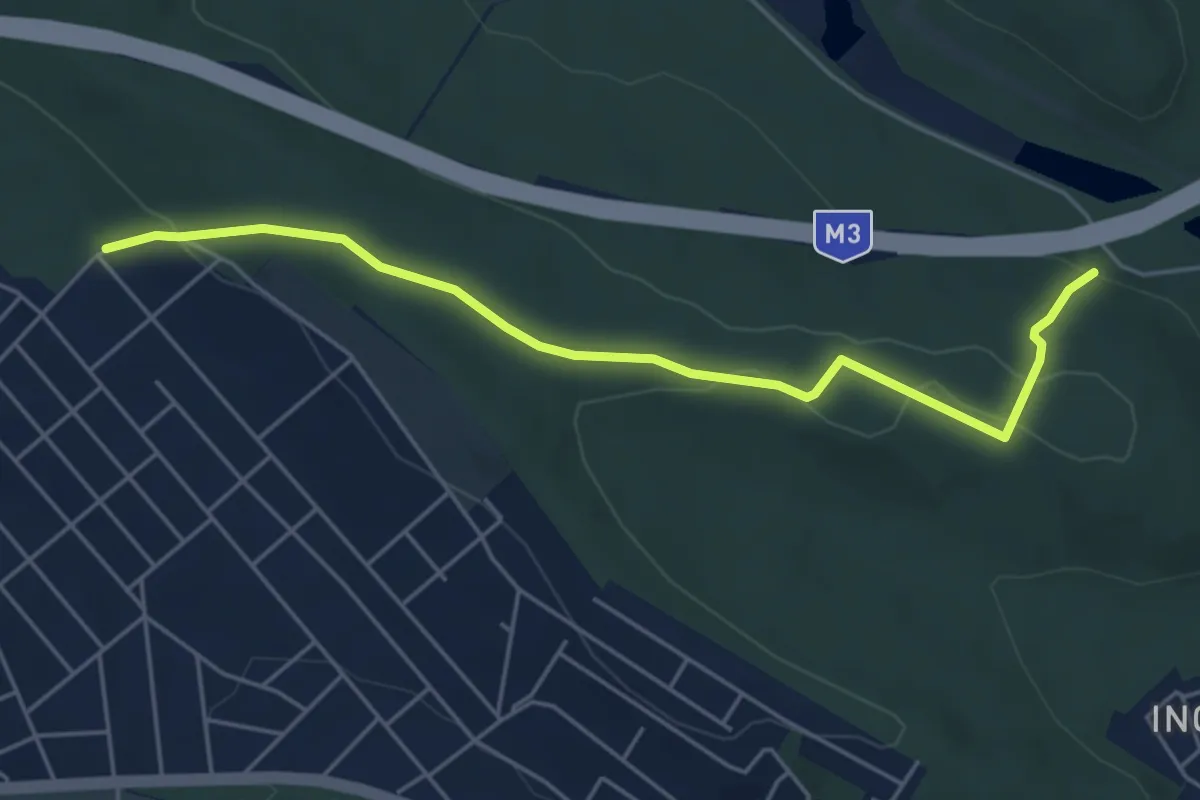
Easy · Trail
Z● (Gödöllő, Antal-hegy - Pap Miska-kút)
5.2 km · ↑ 132 m · 1 h 30 min
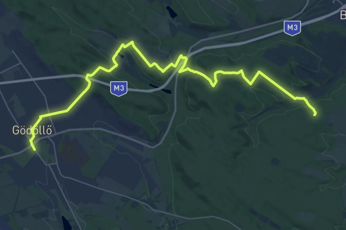
Medium · Trail
Z (Gödöllő – Babatpuszta – Zöldház – Ménescsapás)
14.6 km · ↑ 338 m · 4 h 23 min
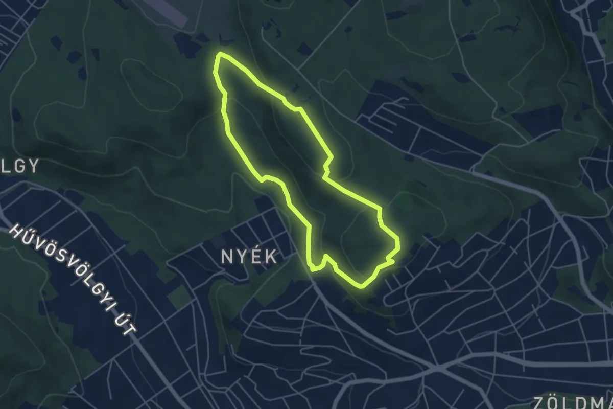
Easy · Summit
Z↺ (Görgényi út, autóparkoló – Árpád-kilátó)
4.3 km · ↑ 140 m · 1 h 22 min