Trails in Hungary
2,296 hiking trails, each with its route, climb, walking time and grade.
All trails, page 42 of 48
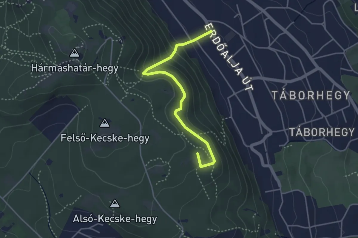
Easy · Summit
Z+ (Guckler Károly út – Fekete salak út – Hedvig utca aut. m.)
3.5 km · ↑ 219 m · 1 h 18 min
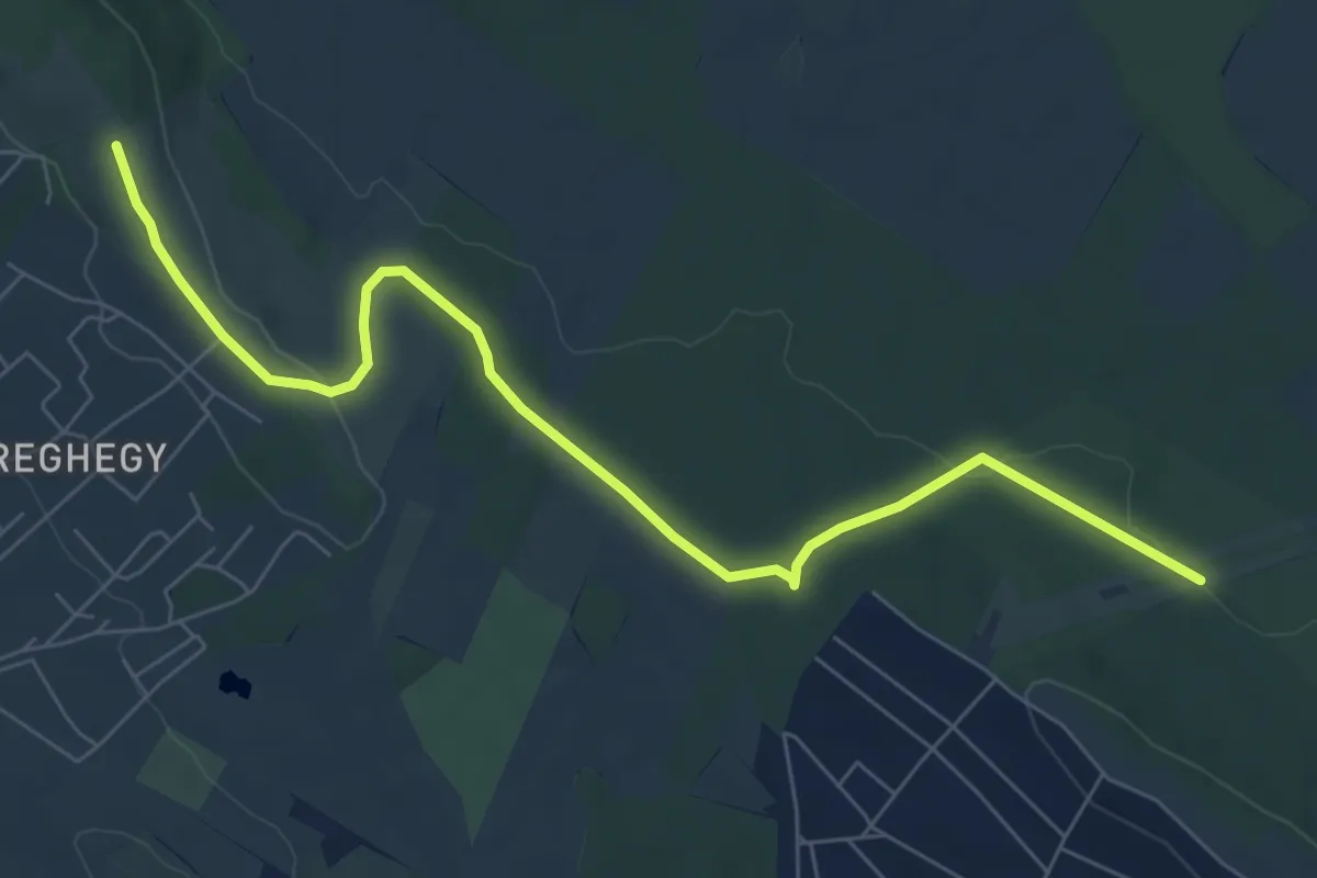
Easy · Trail
Z+ (Gyertyános)
7.8 km · ↑ 98 m · 2 h 4 min
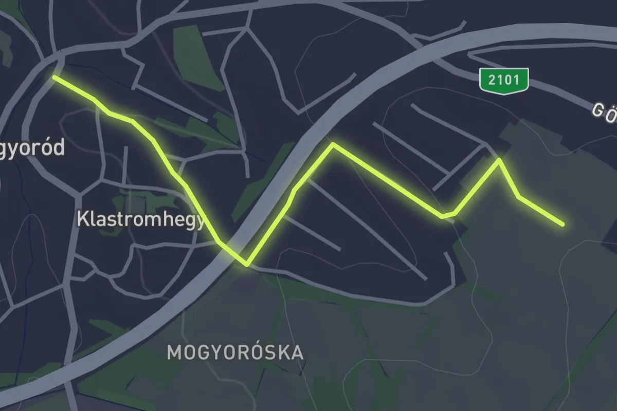
Easy · Trail
Z▲ (Gyertyános)
3.6 km · ↑ 76 m · 1 h 1 min
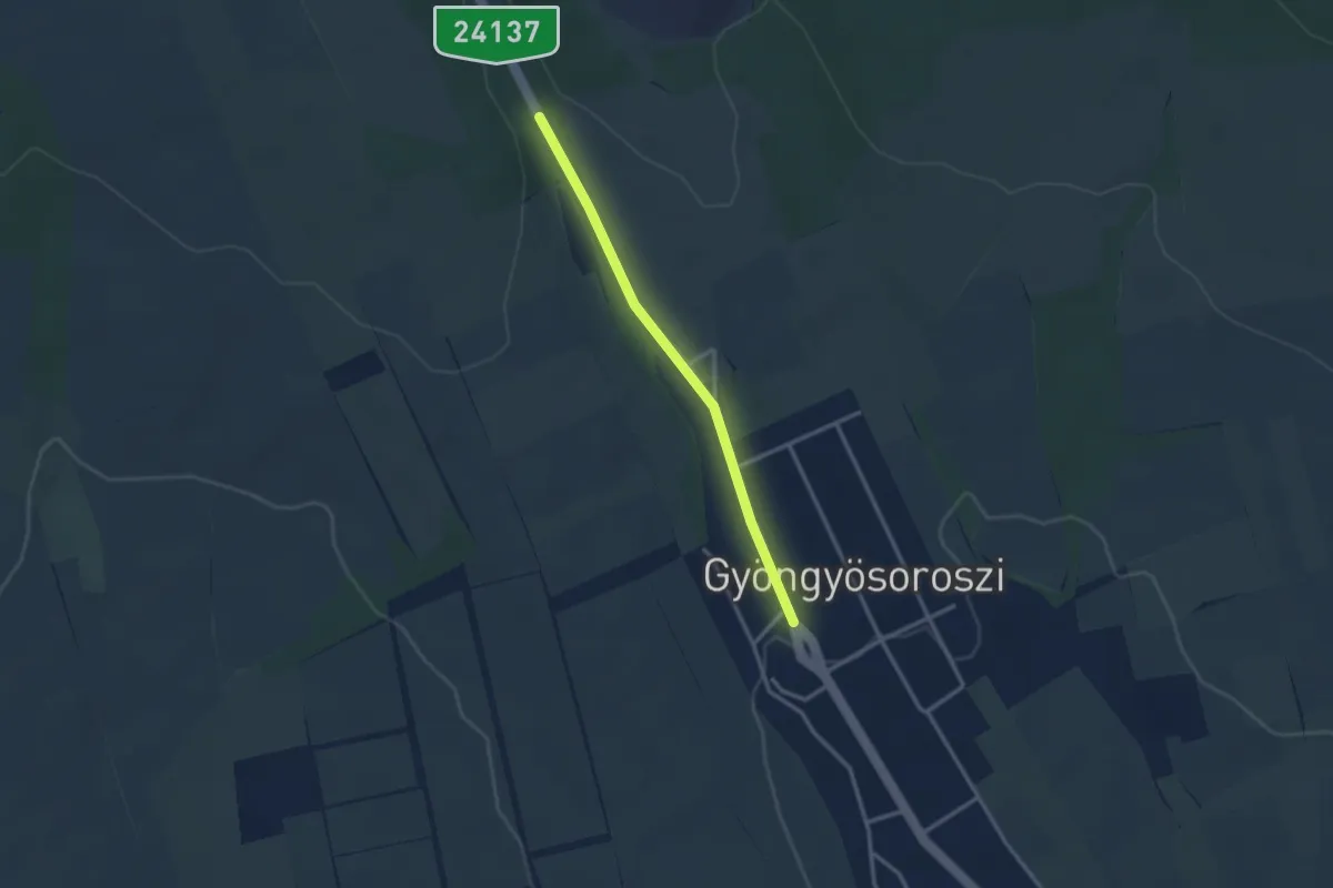
Easy · Trail
Z■ (Gyöngyösoroszi)
2.6 km · ↑ 40 m · 42 min
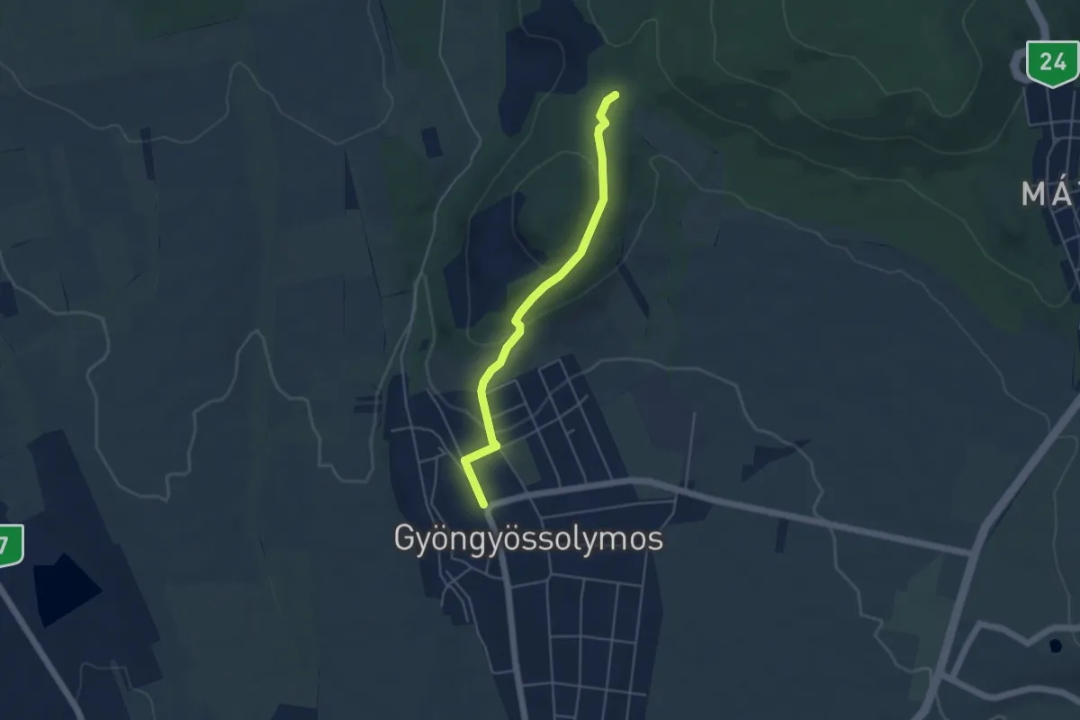
Easy · Trail
Z+ (Gyöngyössolymos – Haluskás)
4.3 km · ↑ 157 m · 1 h 21 min
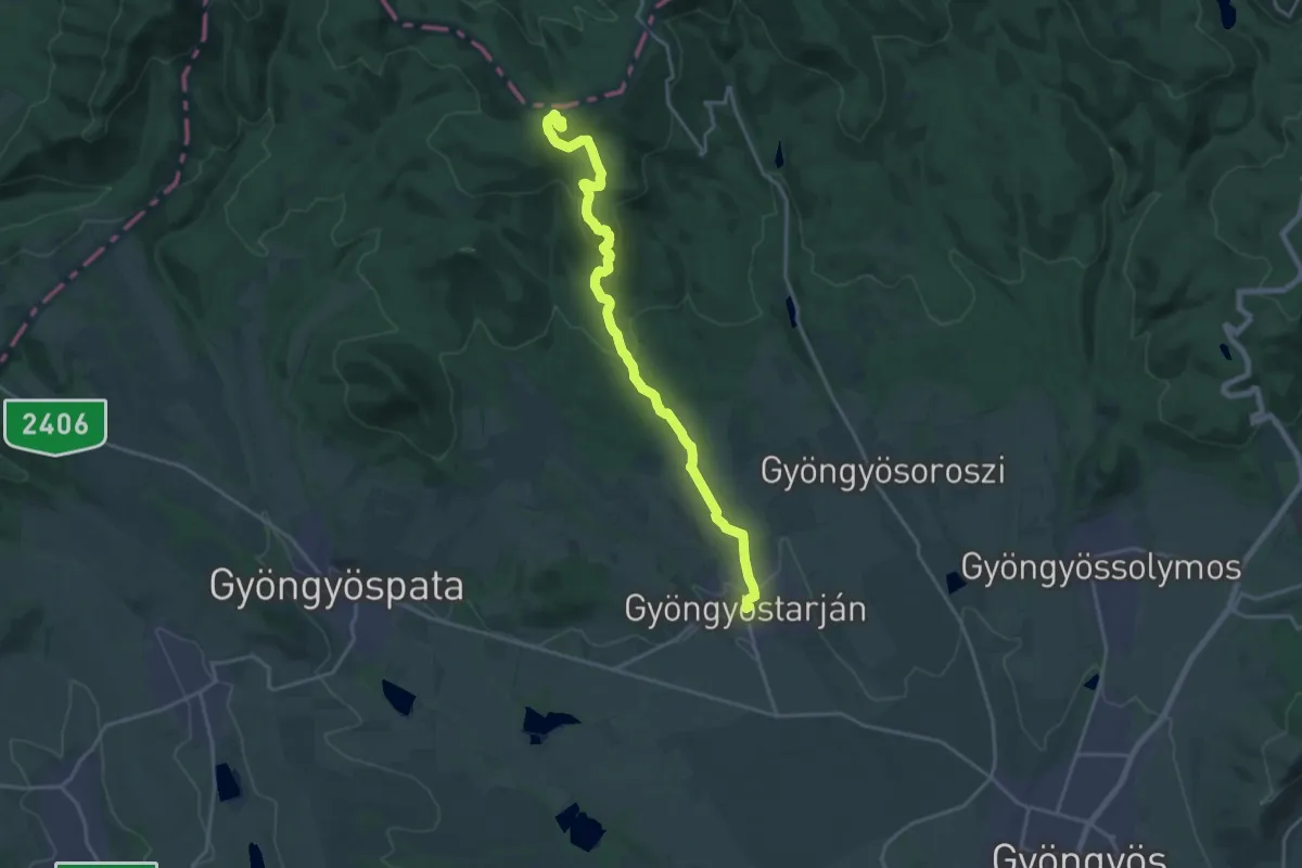
Demanding · Summit
Z▲ (Gyöngyöstarján – Tóthegyes)
19.1 km · ↑ 739 m · 6 h 7 min
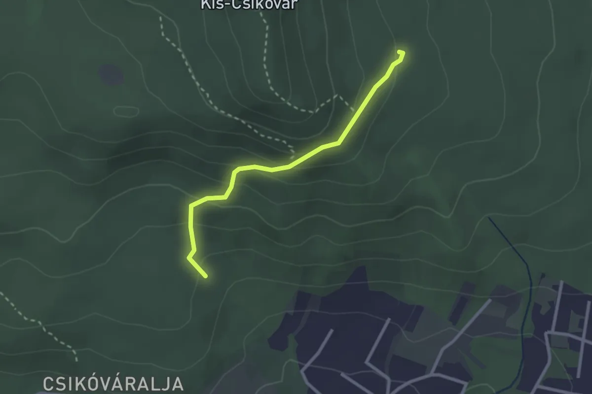
Easy · Trail
Z● (Gyopár-forrás – Janda Vilmos-ház)
2.3 km · ↑ 147 m · 52 min
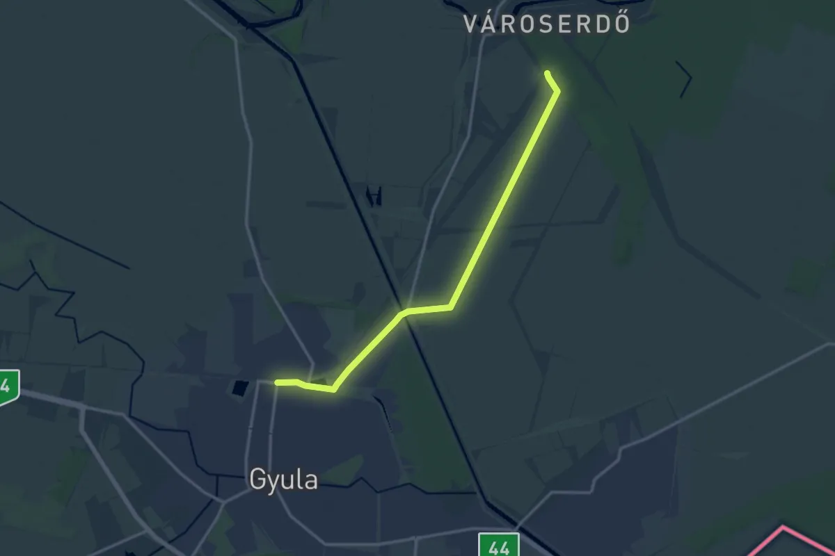
Medium · Trail
Z (Gyula – Bánom – Városerdő)
13.1 km · ↑ 8 m · 3 h 6 min
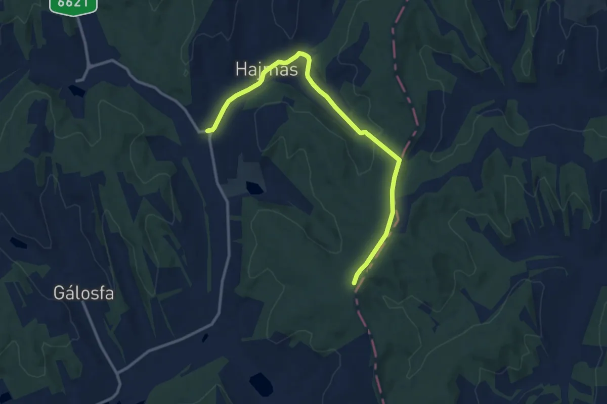
Medium · Trail
Z▲ (Hajmás)
10.0 km · ↑ 179 m · 2 h 45 min
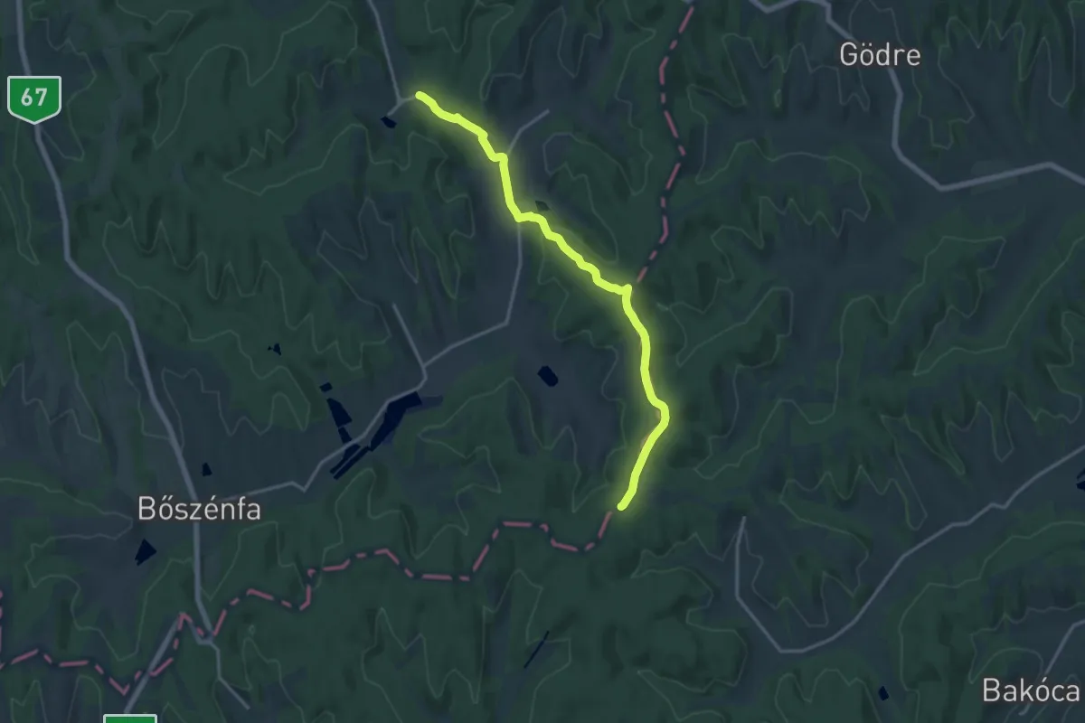
Medium · Trail
Z■ ( Hajmás, Zselicvölgy szabadidőfarm – Csepegő-kő, elágazás)
15.7 km · ↑ 297 m · 4 h 21 min
Easy · Trail
Z▙ (Halomsirok)
2.1 km · ↑ 4 m · 30 min
Easy · Summit
Z▲ (Három-kő)
5.6 km · ↑ 147 m · 1 h 38 min
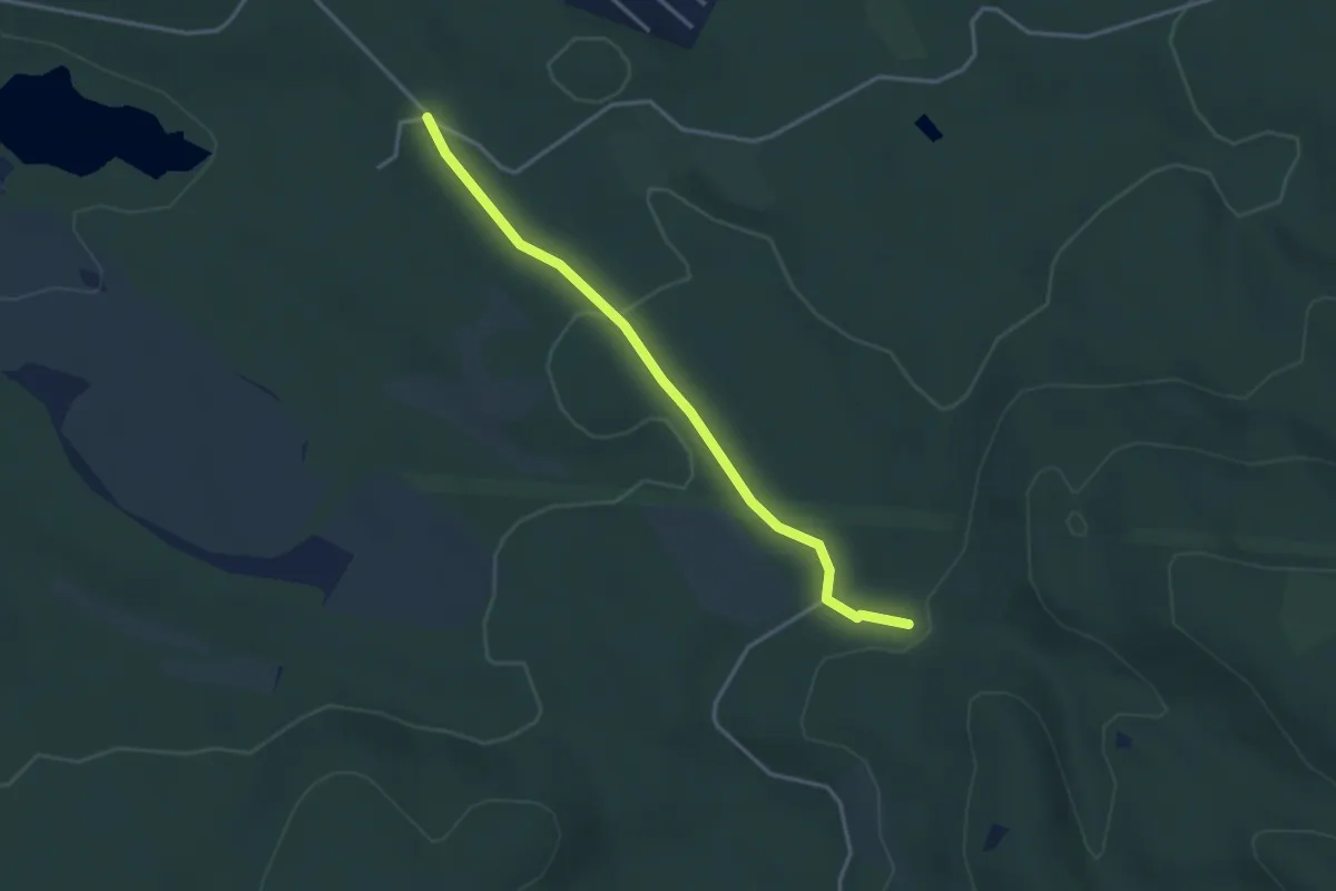
Easy · Trail
z+ (Hársas-völgy)
3.3 km · ↑ 66 m · 56 min
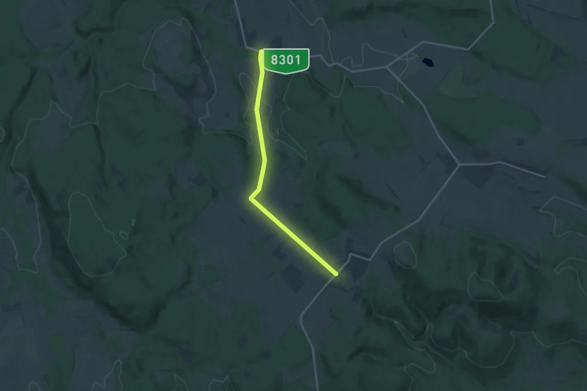
Medium · Trail
Z+ (Hárskút – Pénzesgyőr)
11.9 km · ↑ 188 m · 3 h 13 min
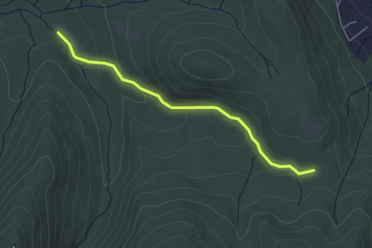
Easy · Cabin
Z■ (Hatvanas-nyereg)
3.6 km · ↑ 101 m · 1 h 4 min
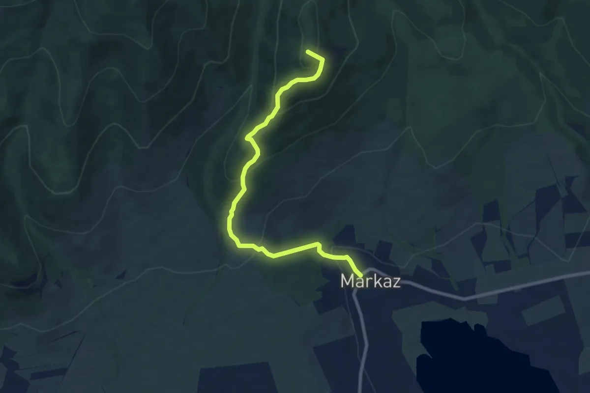
Medium · Summit
Z▙ (Hegyes-tető – Markazi várrom)
7.2 km · ↑ 437 m · 2 h 40 min
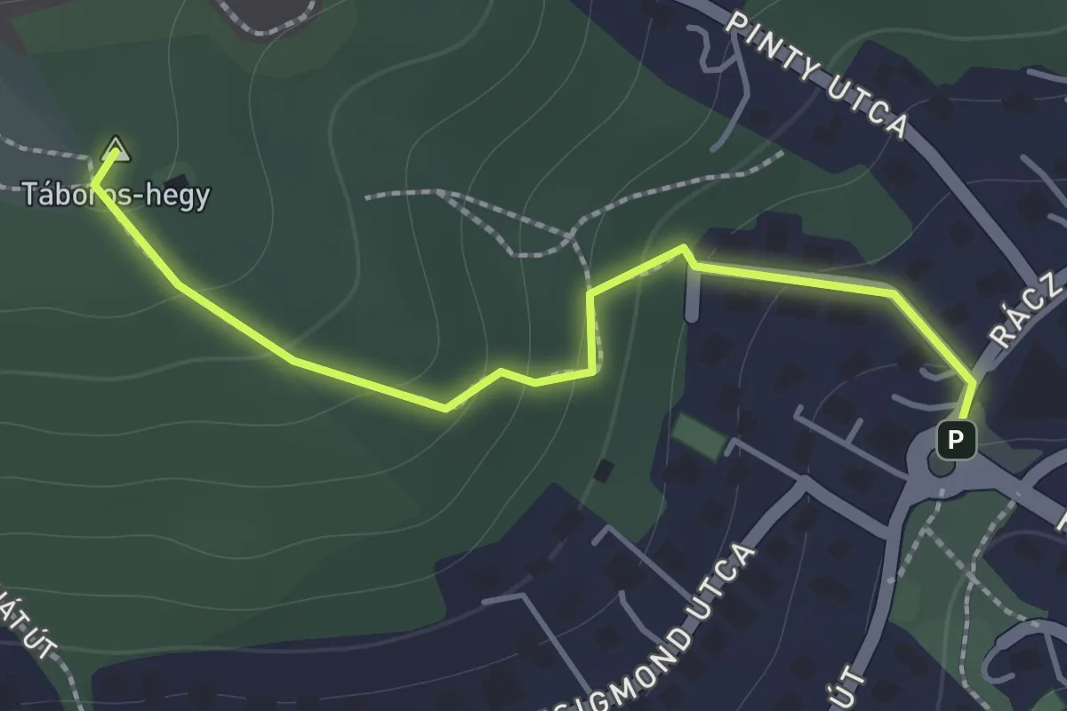
Easy · Summit
Z+ (Hegyhát út – Táboros-hegy – Mindszenty József bíboros tér, aut vá.)
1.5 km · ↑ 103 m · 34 min
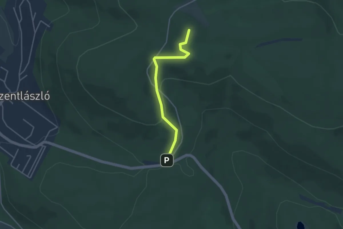
Easy · Summit
Z+ (Hegytető, autóparkoló – Szarvas-szérű)
2.8 km · ↑ 92 m · 52 min
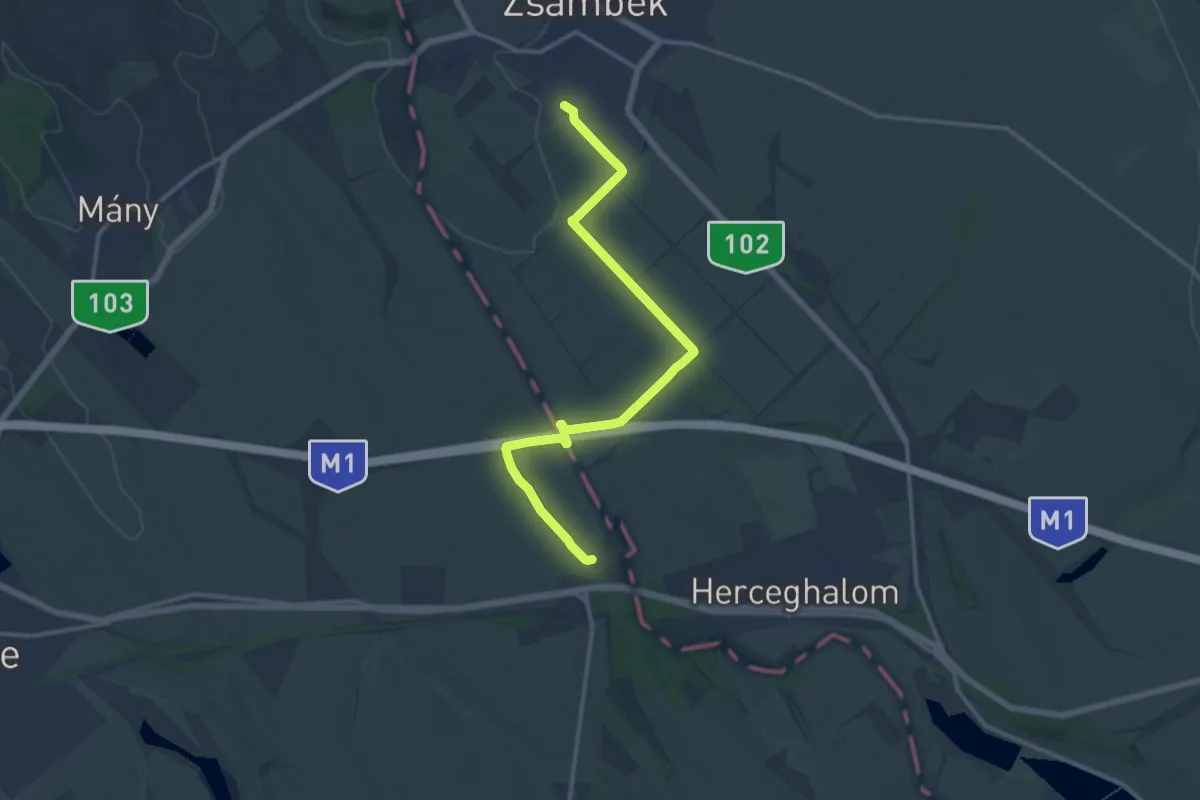
Medium · Trail
Z (Herceghalom – Zsámbék)
14.5 km · ↑ 108 m · 3 h 39 min
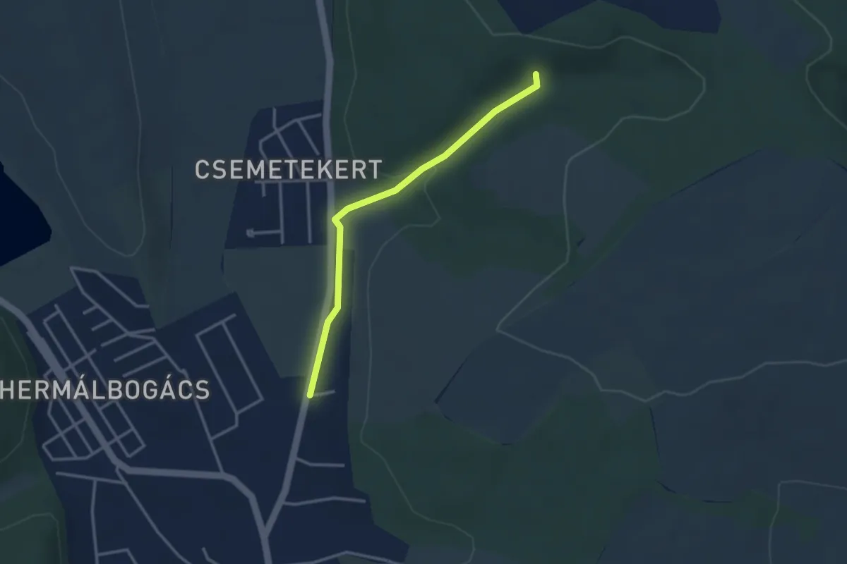
Easy · Trail
Z▲ (Hintó-völgy)
2.8 km · ↑ 49 m · 46 min
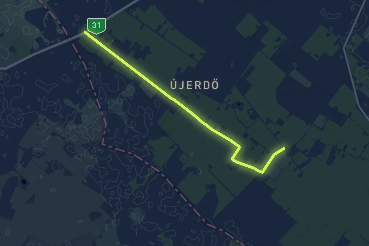
Medium · Trail
Z■ (Homoki kápolna, kulcsosház)
11.4 km · ↑ 18 m · 2 h 44 min
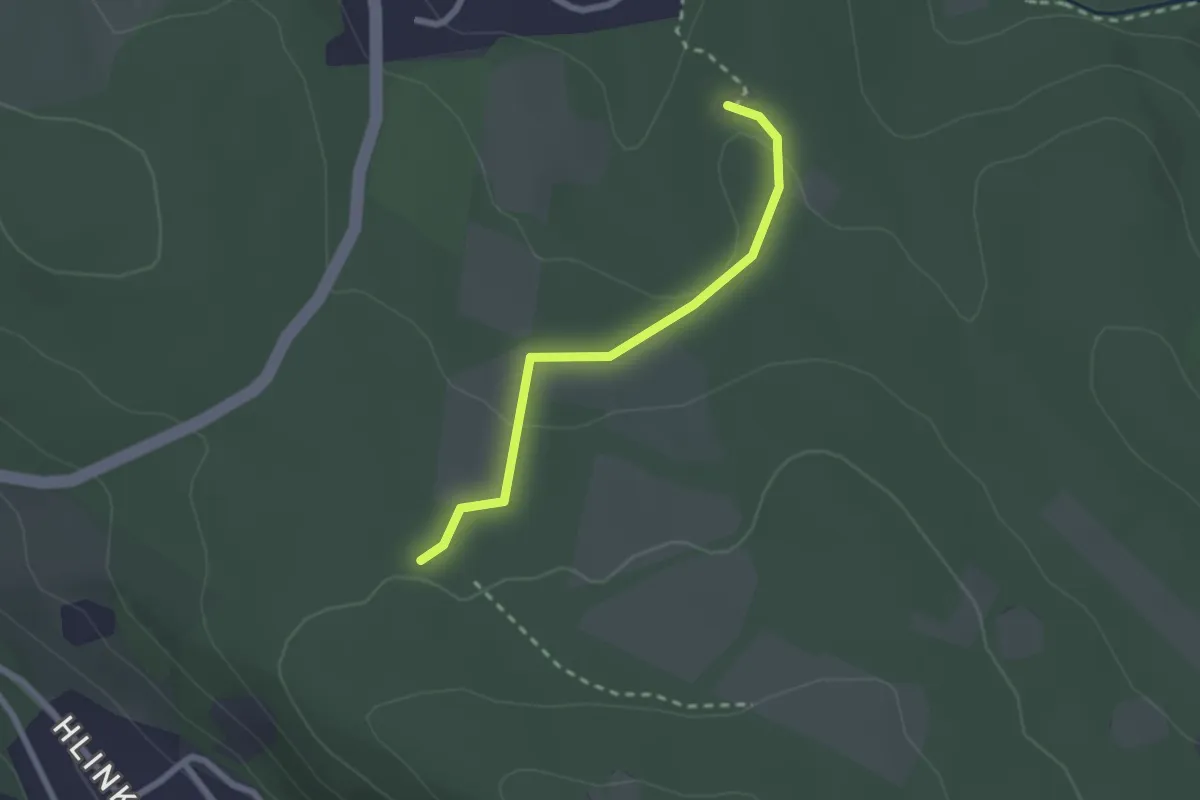
Easy · Trail
Z■ (Hosszú-hegyi erdészeti út – Som-hegyi kulcsosház)
2.1 km · ↑ 42 m · 35 min
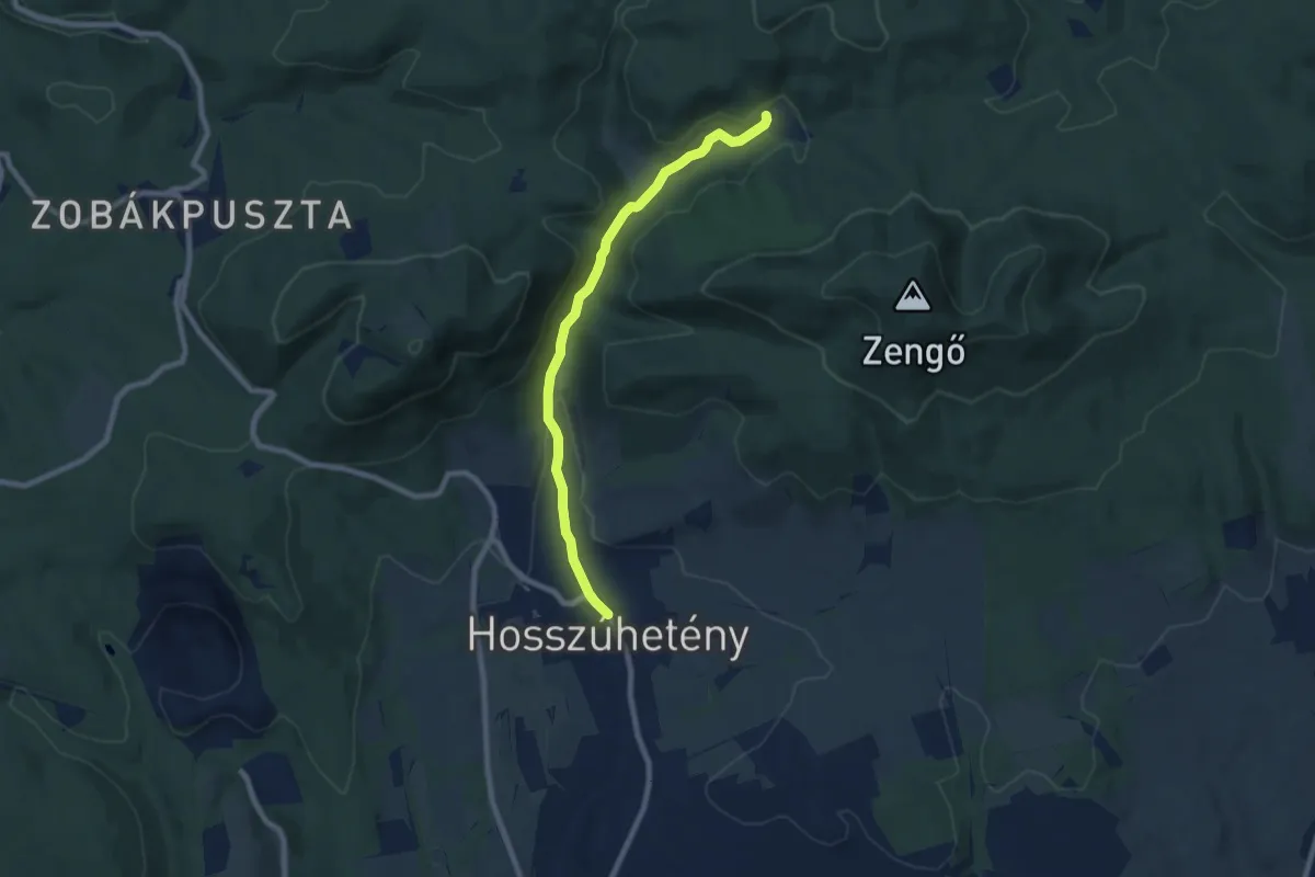
Easy · Trail
Z■ (Hosszúhetény – Püspökszentlászló)
7.8 km · ↑ 122 m · 2 h 6 min
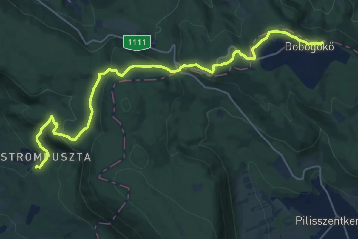
Medium · Summit
Z+, Hunfalvy út (Klastrompuszta th. – Két-bükkfa-nyereg – Dobogókő, hegytető aut. m.)
15.5 km · ↑ 596 m · 4 h 57 min
Easy · Trail
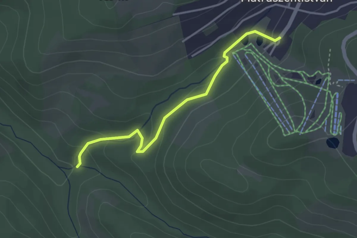
Z+ (Hutahely – Mátraszentistván)
3.1 km · ↑ 98 m · 57 min
Easy · Summit
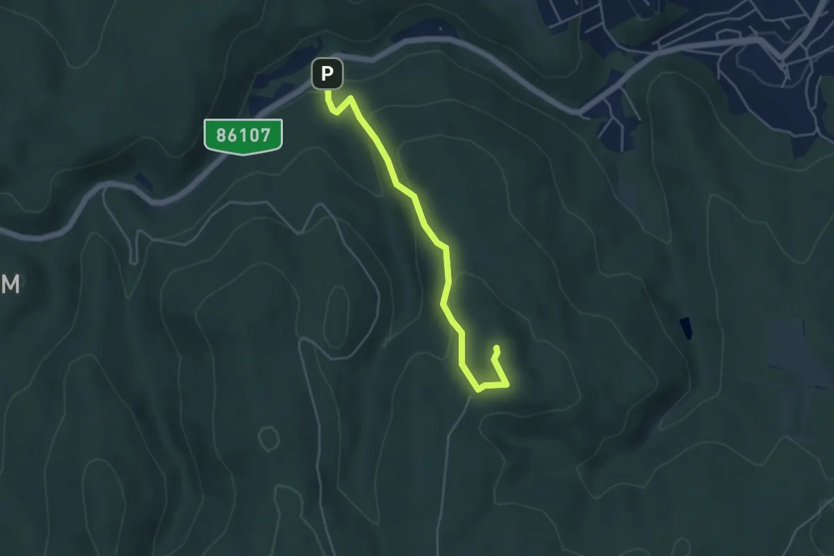
Z▲ (Ifjúság tábori aut.m. (3.) – Tolvajárki kulcsos ház – Várhely kilátó)
4.1 km · ↑ 196 m · 1 h 24 min
Easy · Trail
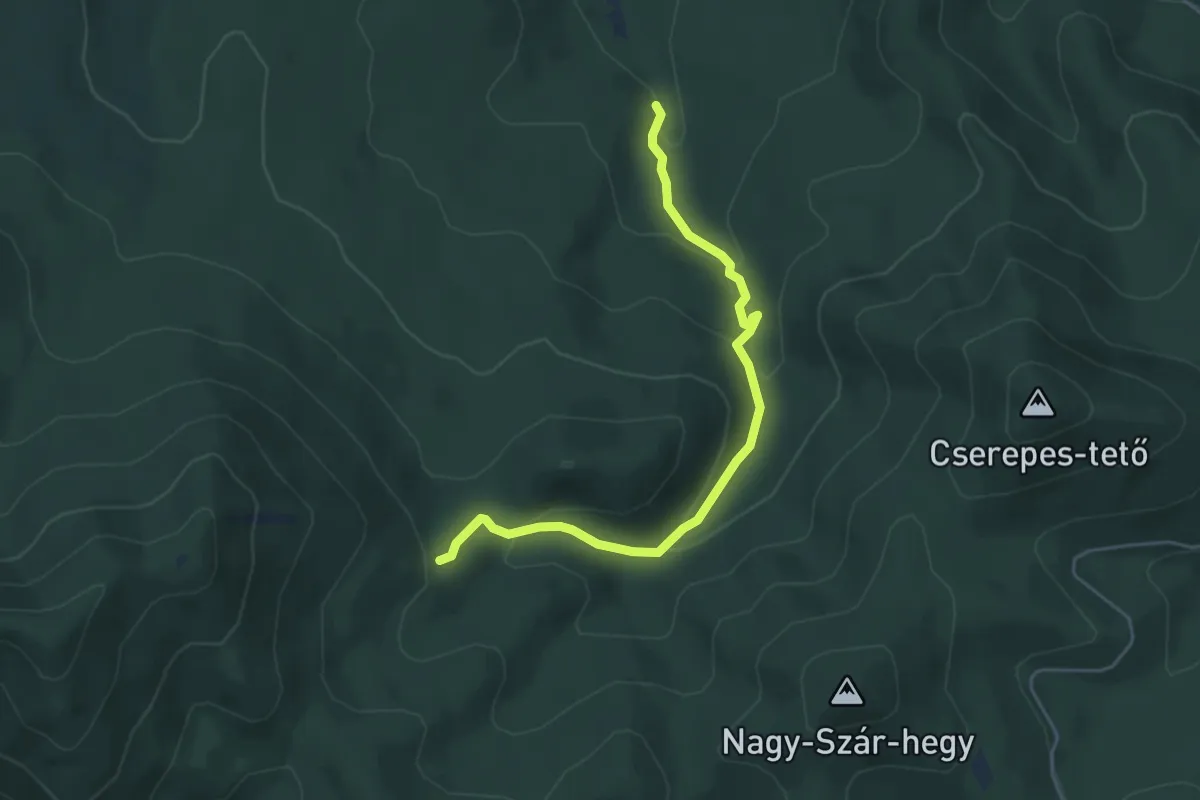
Z● (Ilona-vízesés)
4.8 km · ↑ 245 m · 1 h 40 min
Medium · Summit
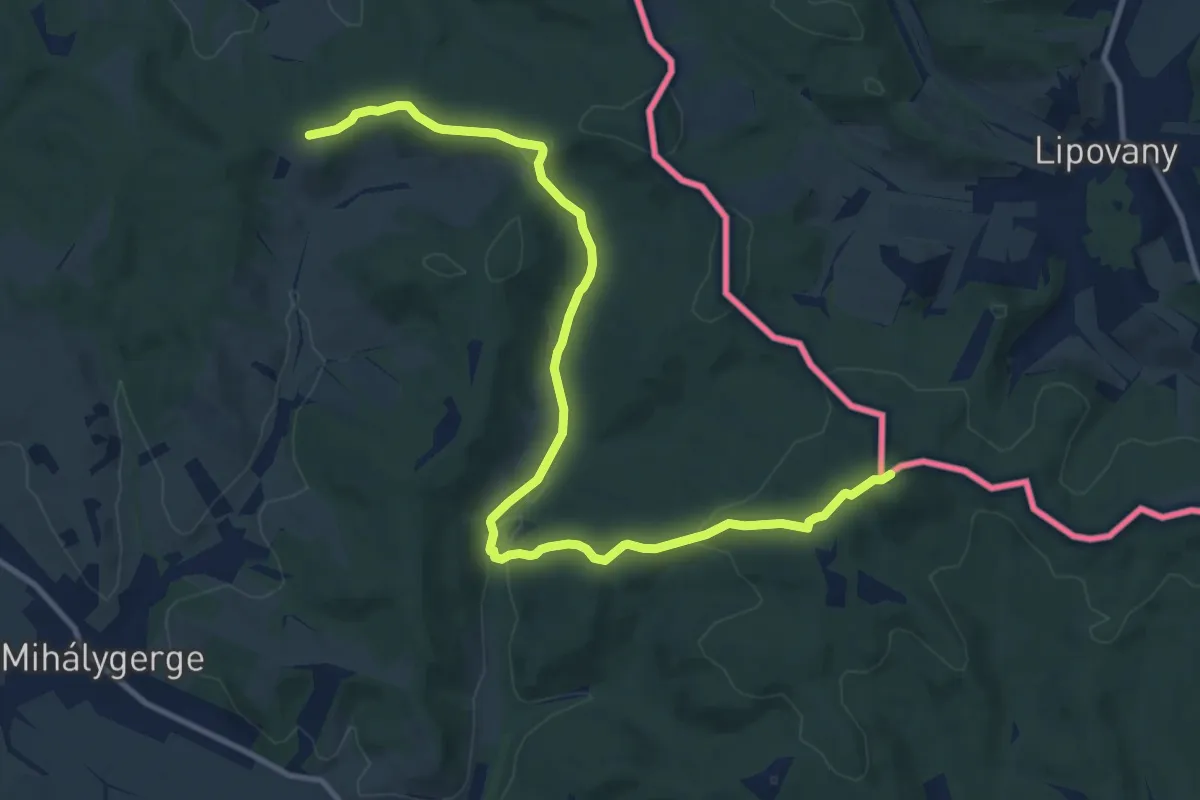
Z+ Ipolytarnóc – Nagy-Hallgató
12.7 km · ↑ 343 m · 3 h 44 min
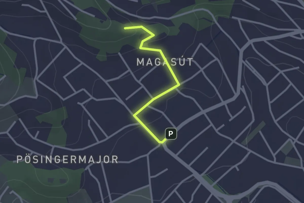
Easy · Summit
Z■ (Irhás-árok – Lidérc utca – Ördög-orom)
2.3 km · ↑ 71 m · 42 min
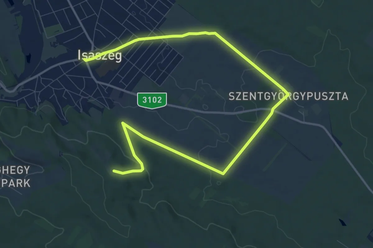
Medium · Summit
Z+ (Isaszeg – Honvédsírok)
14.5 km · ↑ 154 m · 3 h 46 min
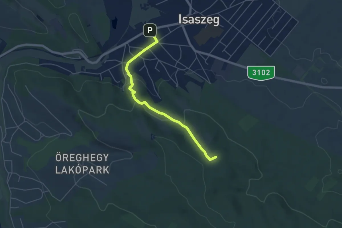
Easy · Summit
Z (Isaszeg, vá. – Öregtemplom – Honvéd-sírok)
4.7 km · ↑ 128 m · 1 h 23 min
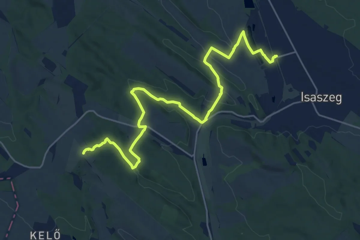
Demanding · Summit
Z+ (Isaszeg, Z – Pécel, Z)
18.7 km · ↑ 353 m · 5 h 10 min
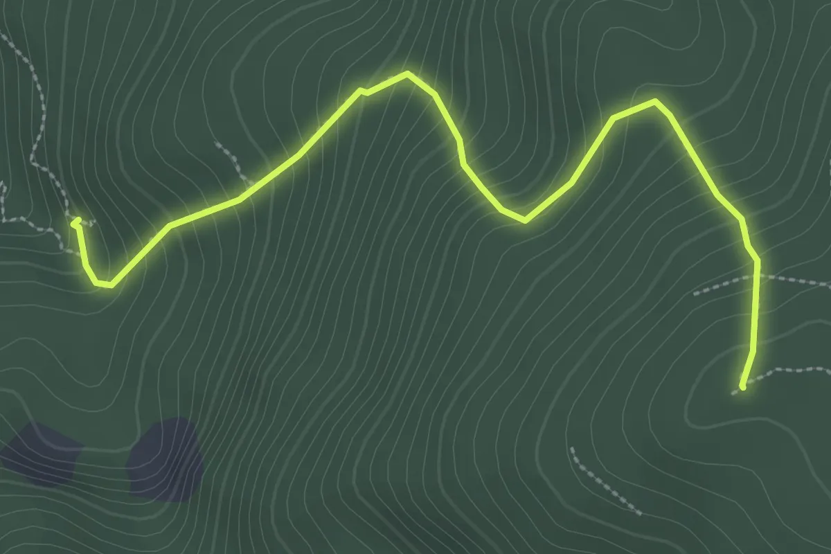
Medium · Summit
Z▲ (Istállós-kői-barlang – Istállós-kő)
3.4 km · ↑ 402 m · 1 h 40 min
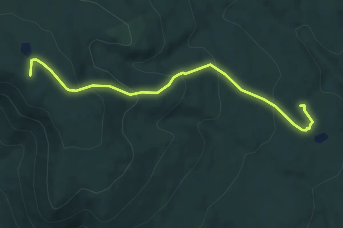
Easy · Summit
Z● (Jakab-hegy – Mohosi kis kút)
5.8 km · ↑ 253 m · 1 h 56 min
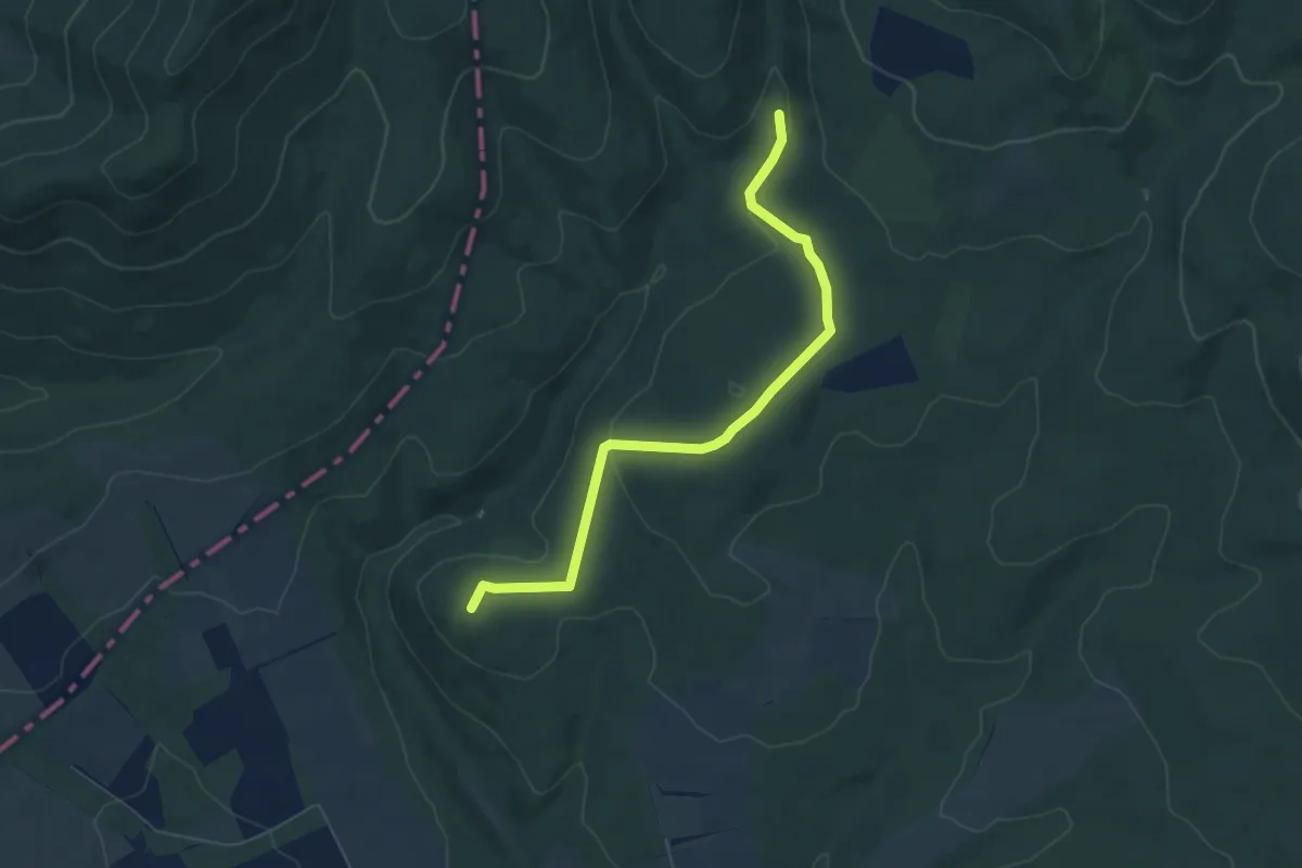
Easy · Summit
Z■ (János vára – Eresztvény)
6.2 km · ↑ 177 m · 1 h 51 min
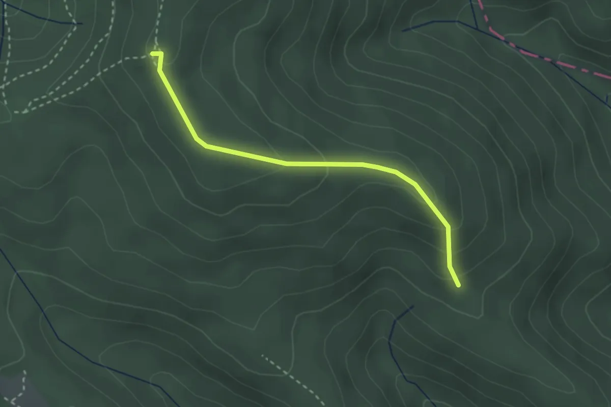
Easy · Summit
Z▲ (Kálmán-kaszáló - Égés-tető)
2.6 km · ↑ 135 m · 55 min
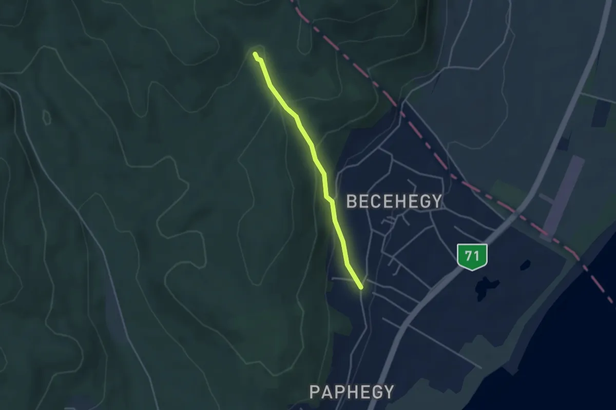
Easy · Trail
Z+ (Kalosza-völgy)
3.1 km · ↑ 144 m · 1 h 2 min
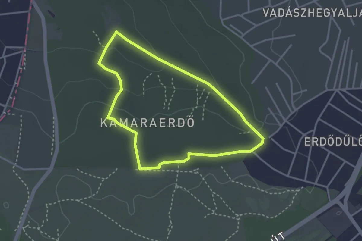
Easy · Trail
Z↺ (Kamara-erdő, erdészház – Kamara-erdő)
2.7 km · ↑ 53 m · 48 min
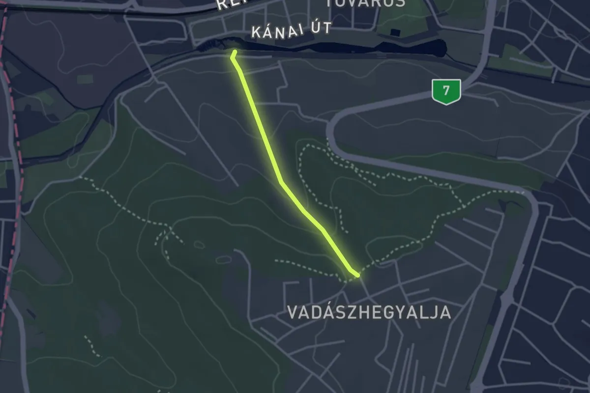
Easy · Trail
Z+ (Kamara-erdő, Laska utca – Szivattyús-kút – Fülőke utca, vill. mh.)
2.2 km · ↑ 79 m · 42 min
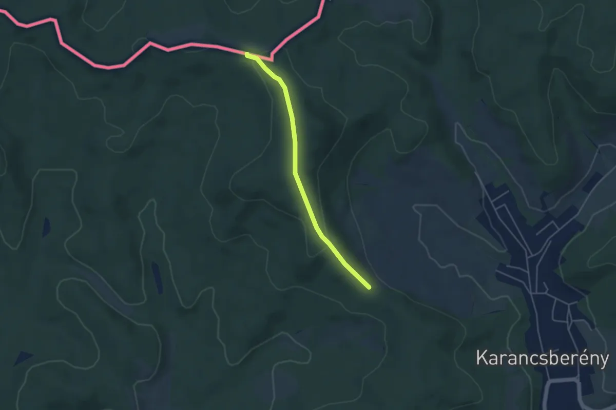
Easy · Trail
Z+ Karancslapujtő - Nagyromhányi-kilátó
3.7 km · ↑ 97 m · 1 h 5 min
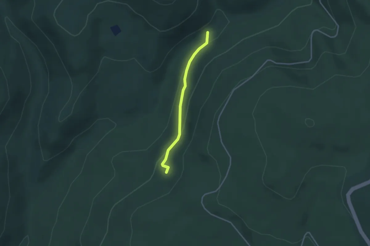
Easy · Trail
Z▲ (Kecskebérc – Nagy-völgy)
2.3 km · ↑ 77 m · 43 min
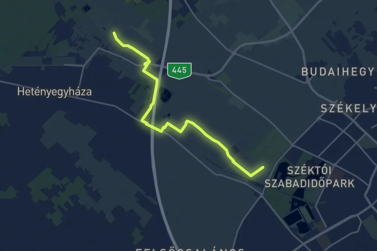
Medium · Trail
Z▙ (Kecskemét, Belsőnyír)
13.9 km · ↑ 13 m · 3 h 19 min
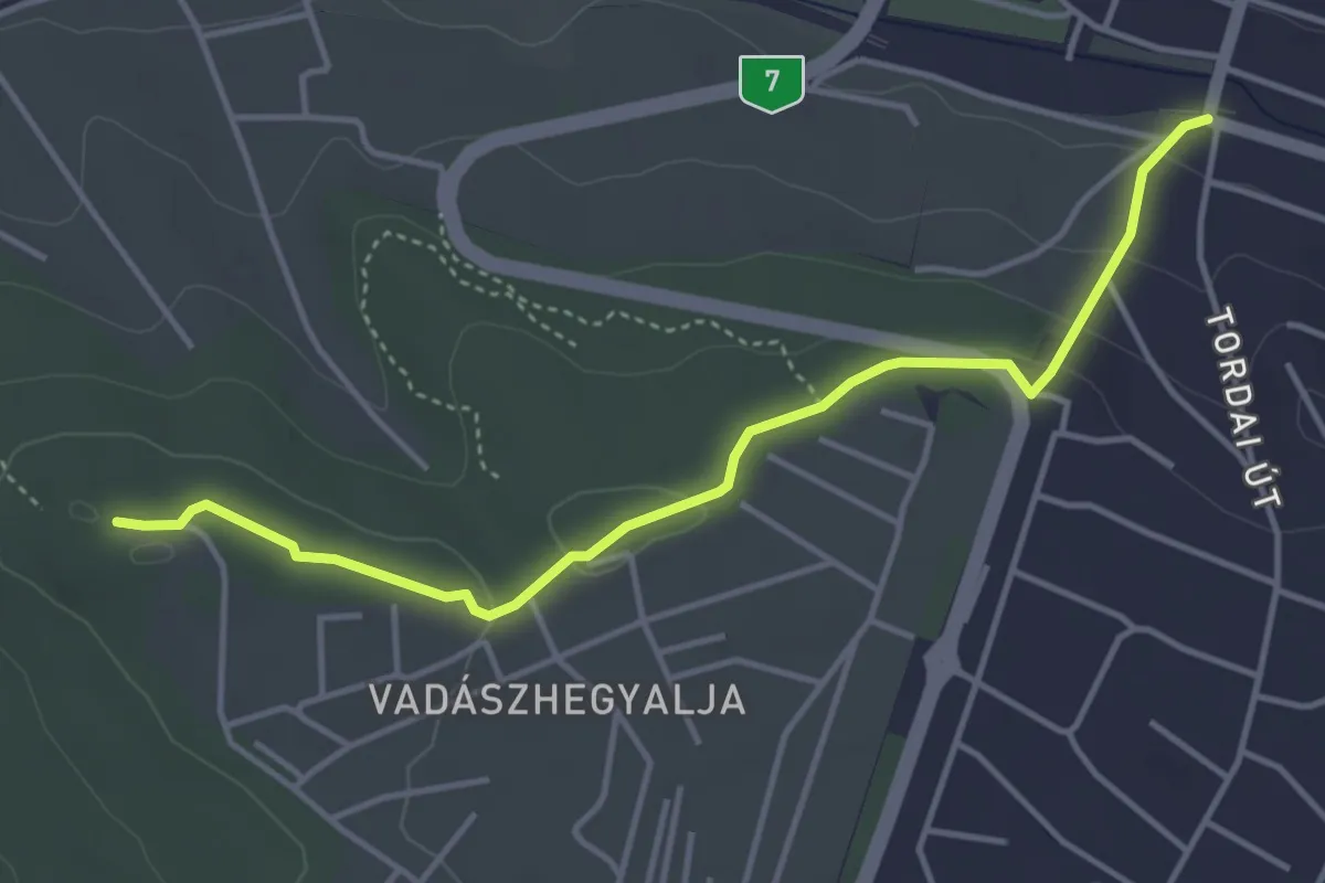
Easy · Summit
Z (Kelenvölgy – Kamaraerdő)
4.3 km · ↑ 99 m · 1 h 13 min
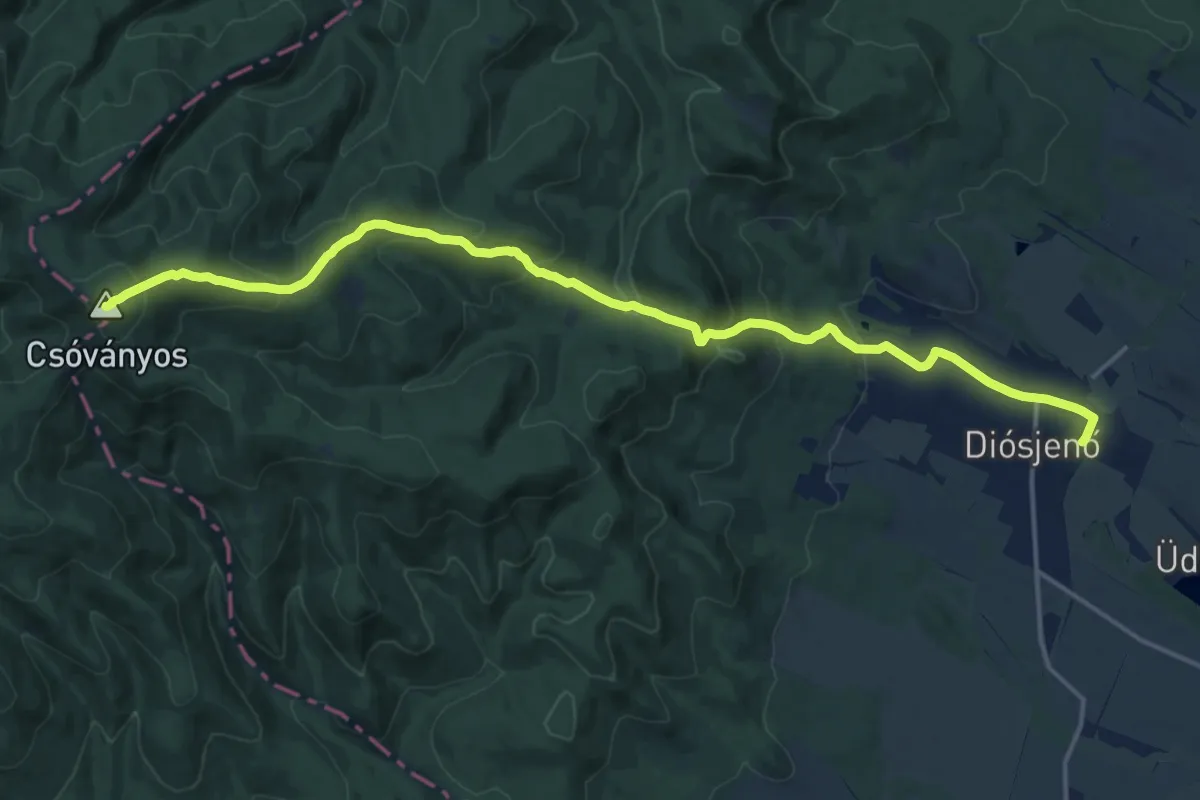
Medium · Summit
Z (Kemence – Diósjenő)
17.6 km · ↑ 788 m · 5 h 51 min
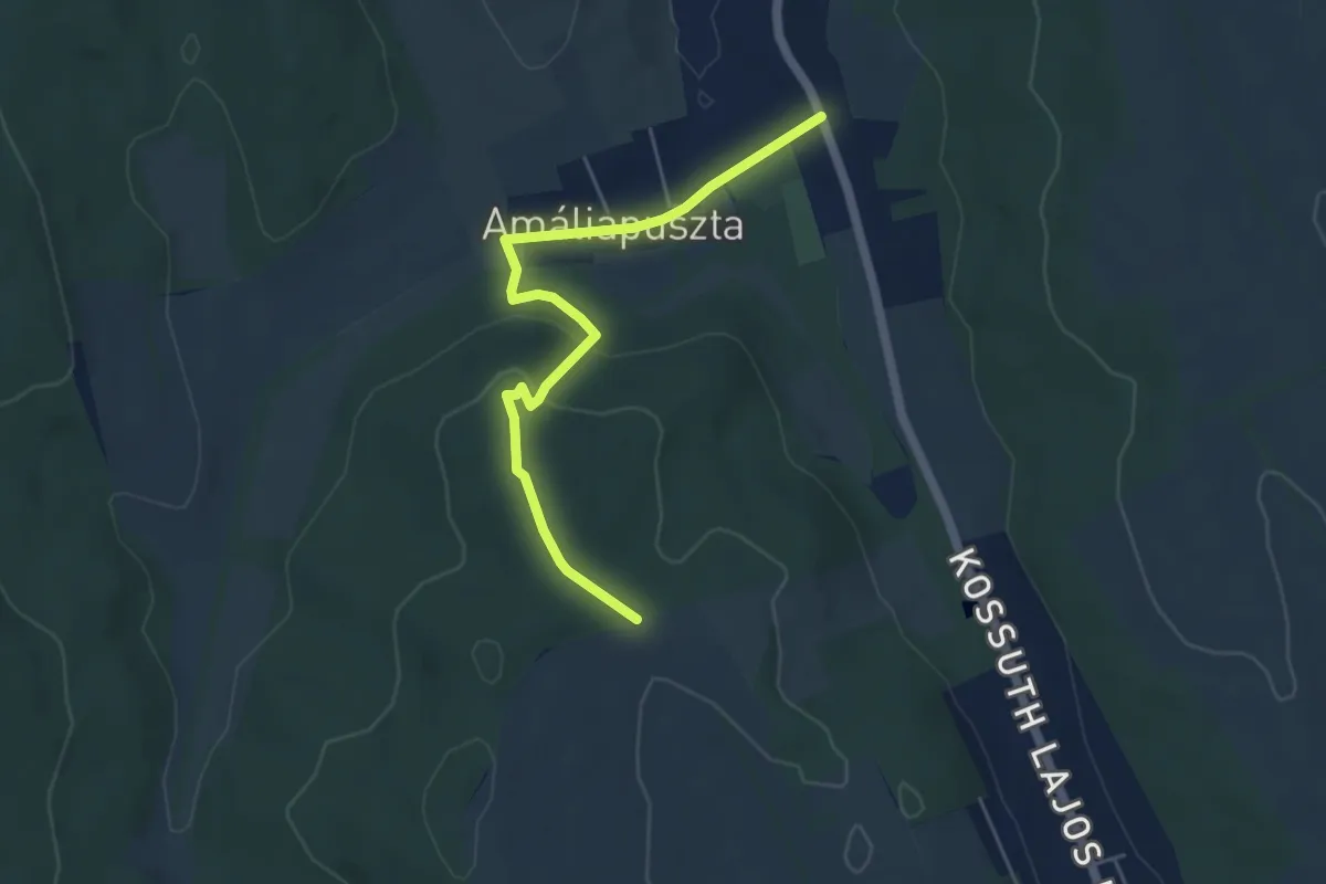
Easy · Trail
Z▙ (Kereki)
5.1 km · ↑ 149 m · 1 h 32 min
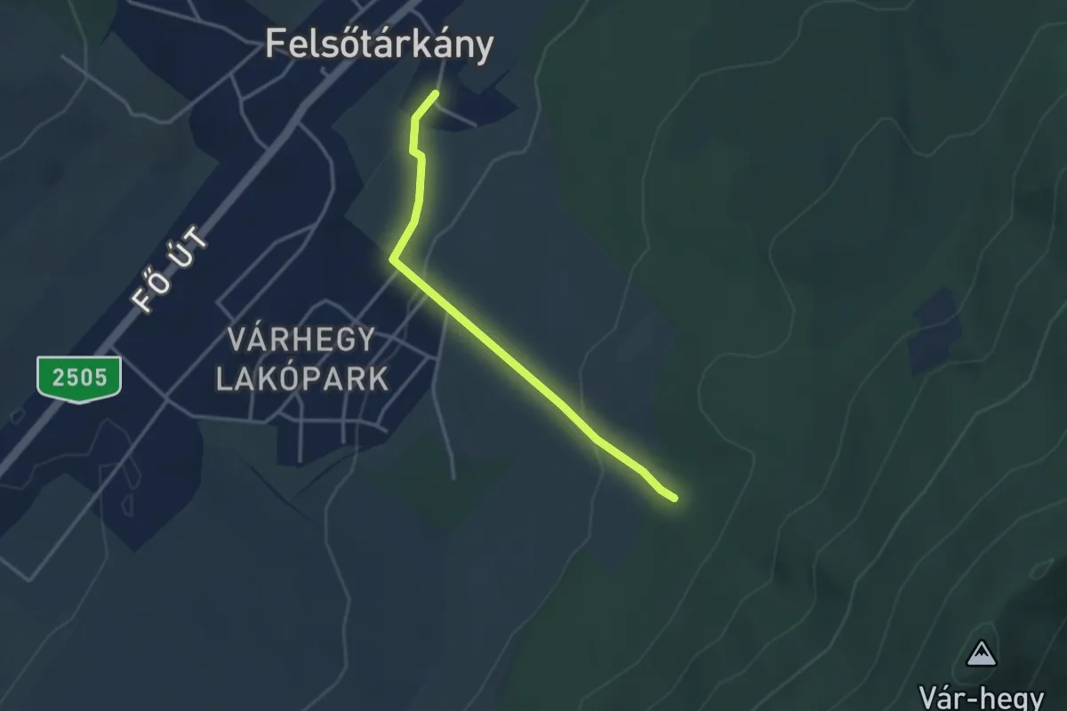
Easy · Trail
Z kerulo
3.0 km · ↑ 97 m · 55 min
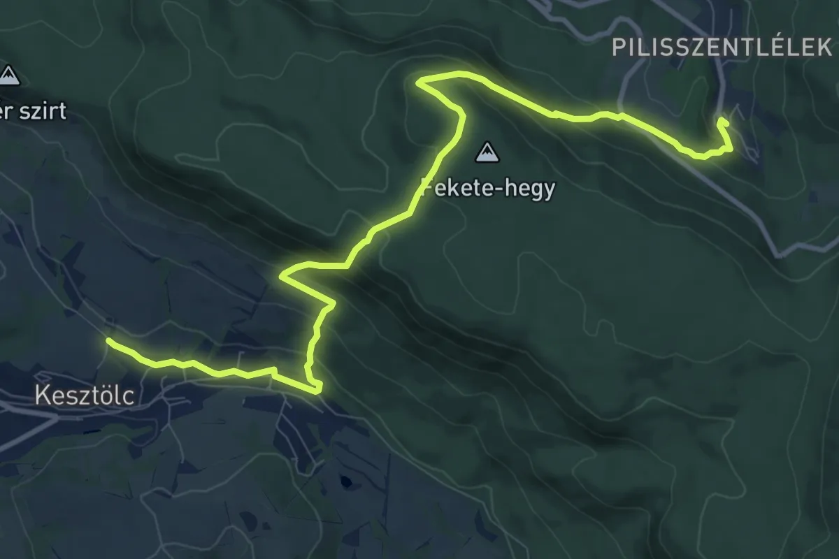
Medium · Trail
Z+ (Kesztölc, Dózsa György utca – Sasfészek (Berda József kh.) – Pilisszentlélek, aut. ford.)
11.6 km · ↑ 661 m · 4 h 10 min
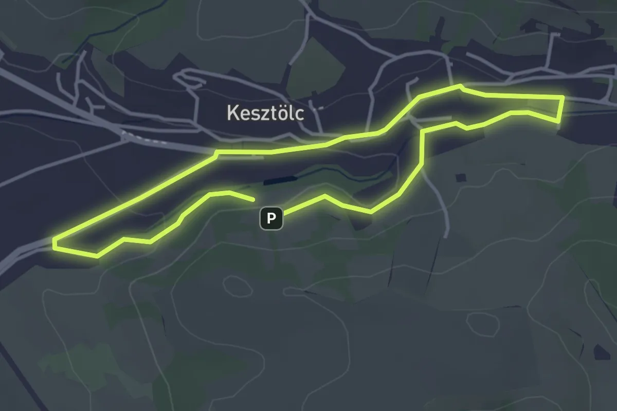
Easy · Trail
Z↺ (Kesztölc, régi körút)
3.3 km · ↑ 31 m · 54 min