Trails in Hungary
2,296 hiking trails, each with its route, climb, walking time and grade.
All trails, page 43 of 48
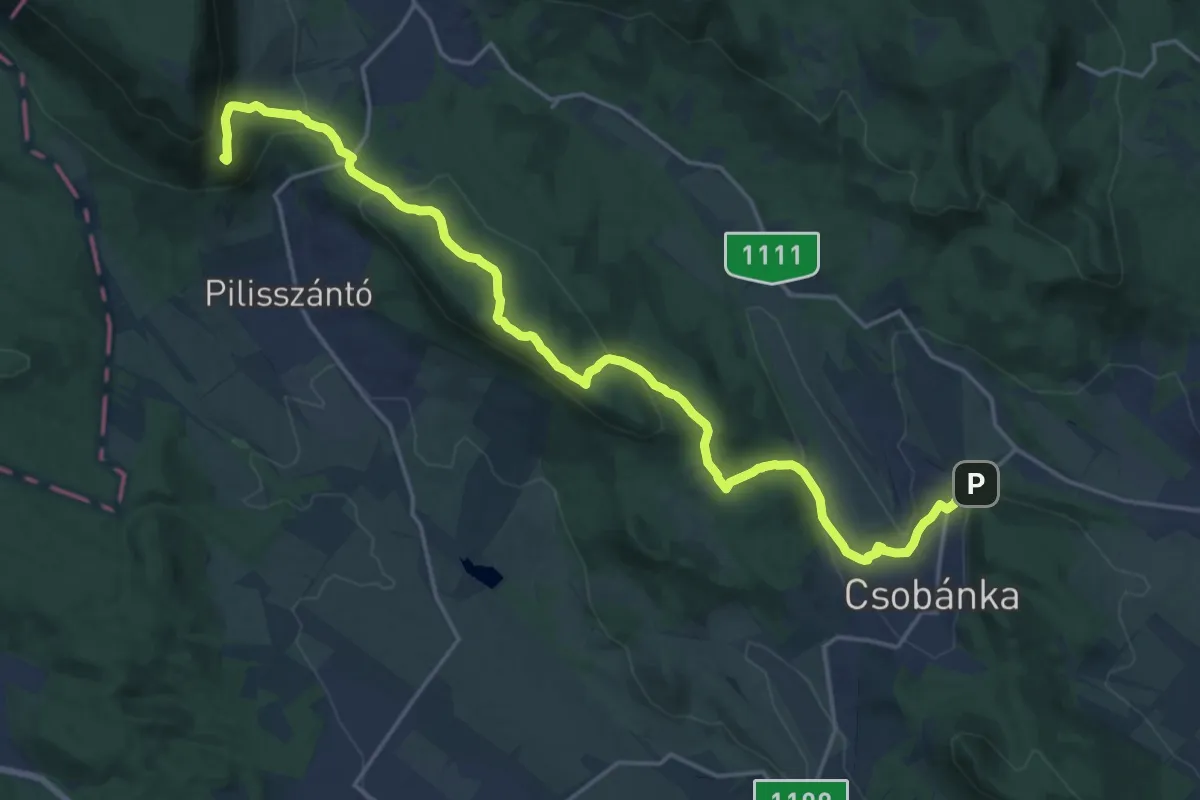
Demanding · Summit
Z (Kesztölc, Szabadság tér aut. m. – Pilis-oldal – Csobánka, Margitliget)
21.9 km · ↑ 623 m · 6 h 31 min
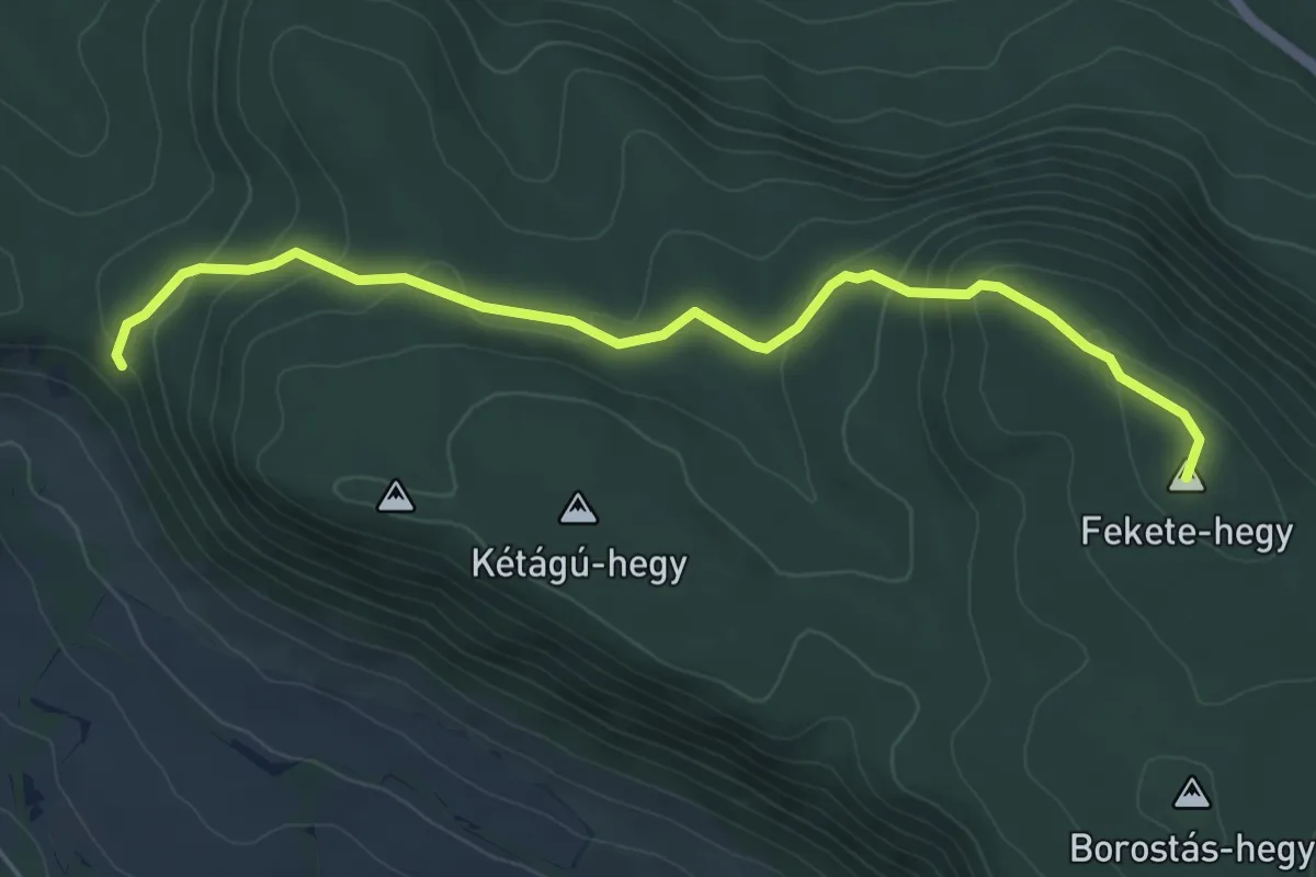
Easy · Summit
Z■ (Kétágú-hegyi-erdő – Sasfészek (Berda József kh.) – Fekete-hegy)
5.1 km · ↑ 223 m · 1 h 41 min
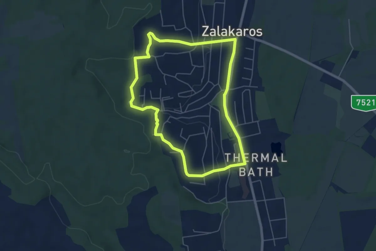
Easy · Trail
Z↺ (Kilátó körtura)
4.9 km · ↑ 86 m · 1 h 25 min
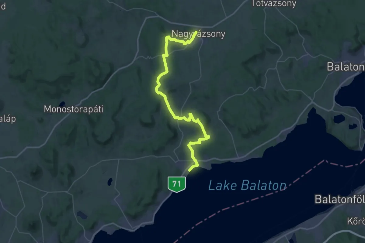
Demanding · Trail
Z, Kinizsi Pál-turistaút
23.4 km · ↑ 407 m · 6 h 39 min
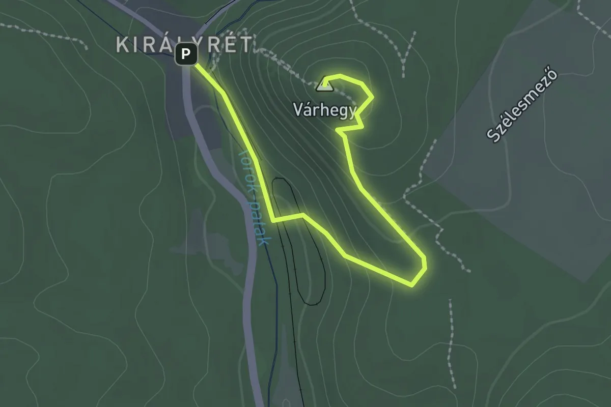
Easy · Summit
Z▲ (Királyrét)
2.7 km · ↑ 121 m · 53 min
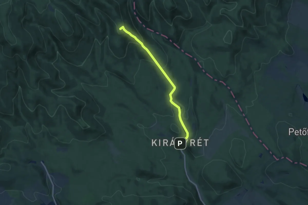
Medium · Summit
Z+ (Királyrét – Rakodó)
8.2 km · ↑ 351 m · 2 h 41 min
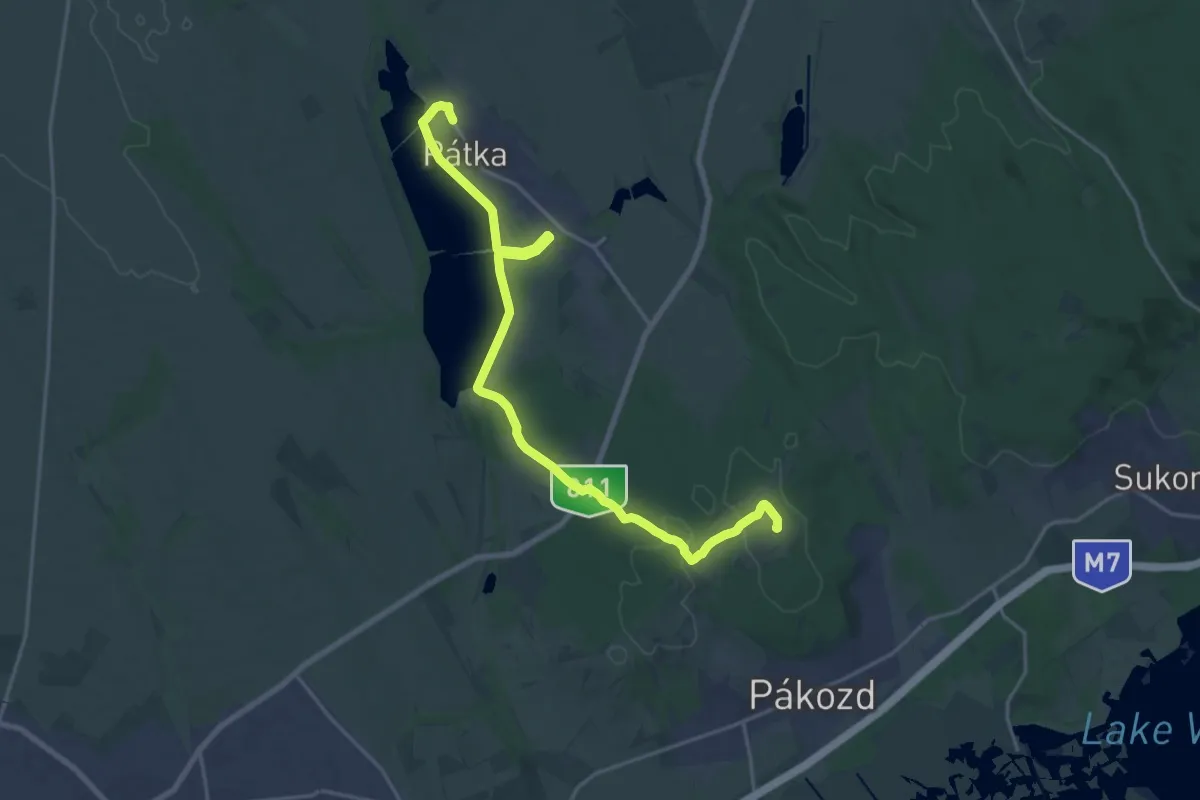
Demanding · Summit
Z (Kisfalud – Pátka)
21.7 km · ↑ 180 m · 5 h 30 min
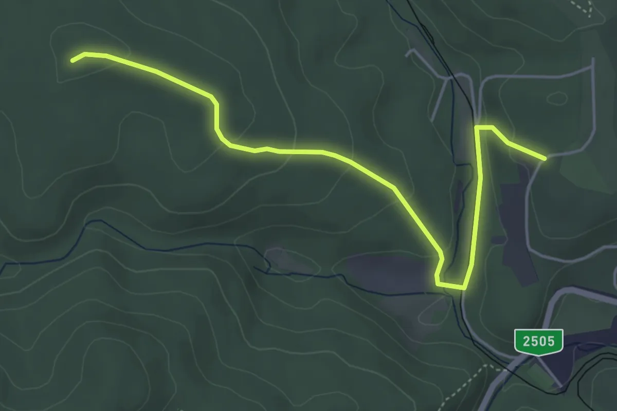
Easy · Summit
Z+ (Kis-Galya)
5.0 km · ↑ 151 m · 1 h 31 min
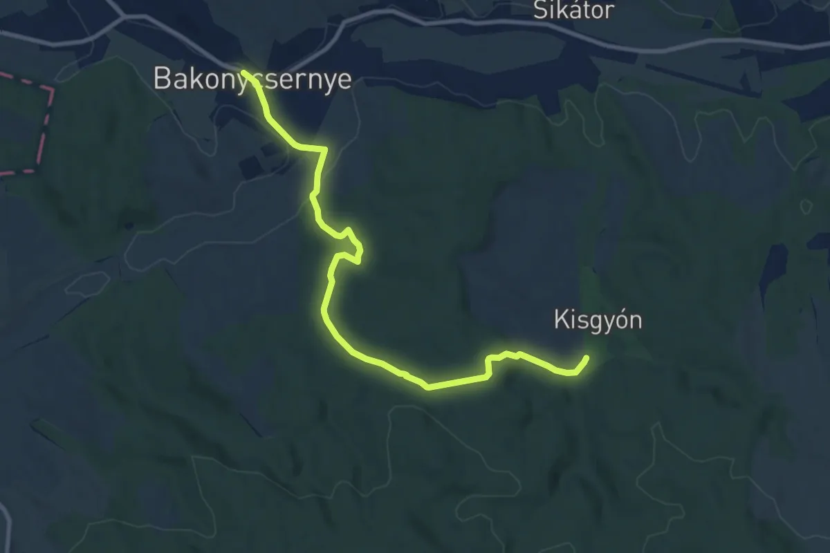
Medium · Trail
Z (Kisgyón – Bakonycsernye)
9.8 km · ↑ 185 m · 2 h 43 min
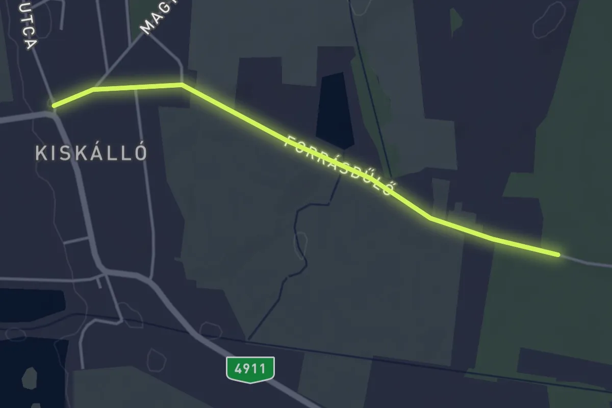
Easy · Trail
Z■ (Kiskálló)
3.8 km · ↑ 12 m · 56 min
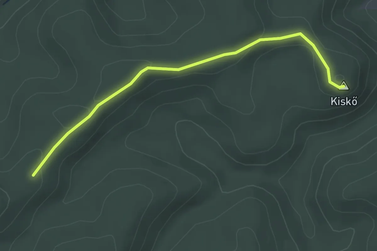
Easy · Summit
Z▲ (Kis-kő)
3.4 km · ↑ 75 m · 58 min
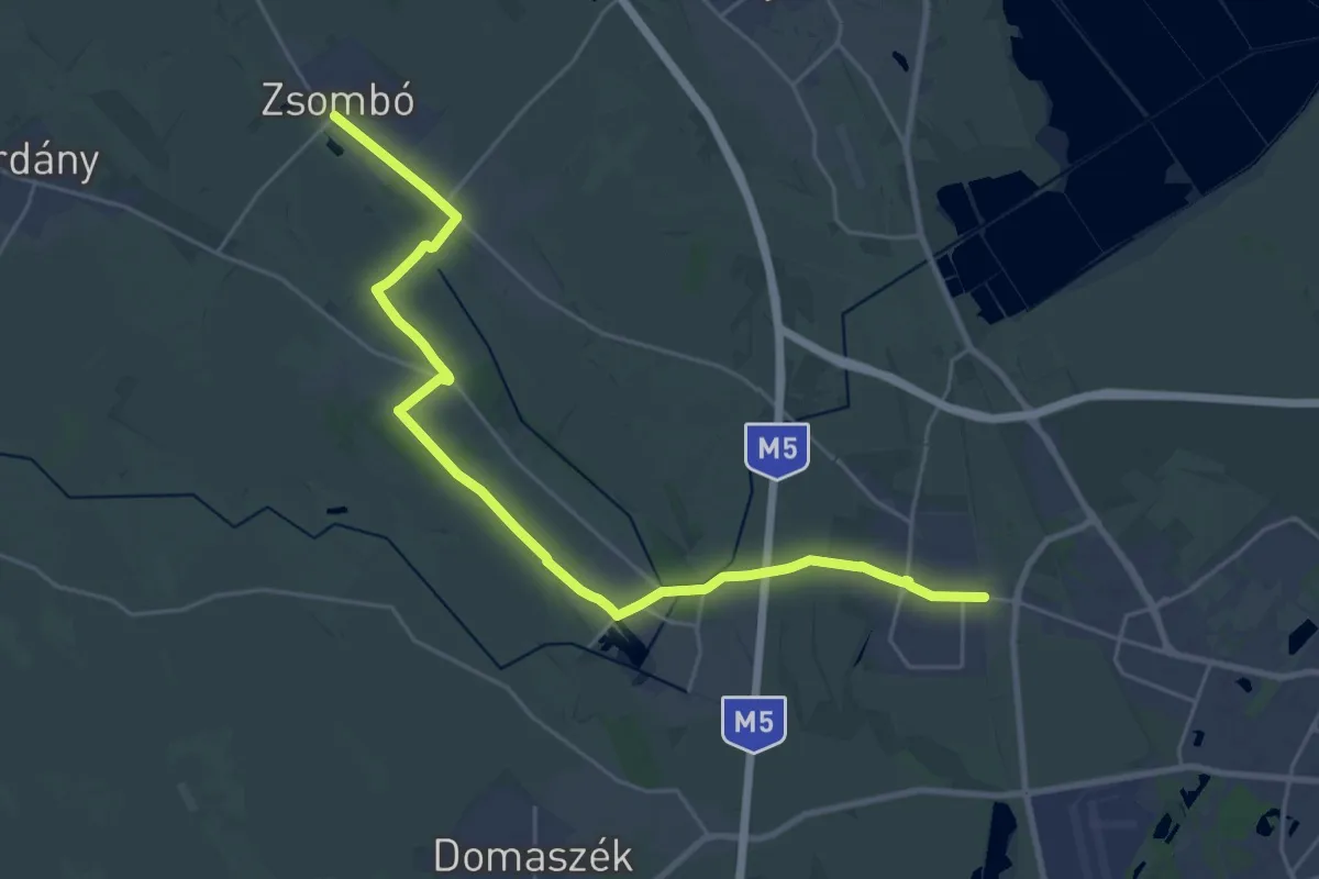
Demanding · Trail
Z (Kiskundorozsma – Sziksósfürdő – Kulipintyó-csárda – Zsombói-láperdő – Zsombó (AK) )
27.9 km · ↑ 17 m · 6 h 38 min
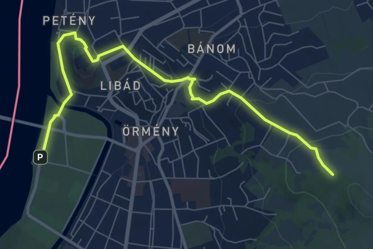
Easy · Trail
Z✞ (Kis-Kúria-hegy – Hármas szikla utca – Kukländer-domb - Esztergomi bazilika – Hajóállomás)
7.3 km · ↑ 219 m · 2 h 12 min
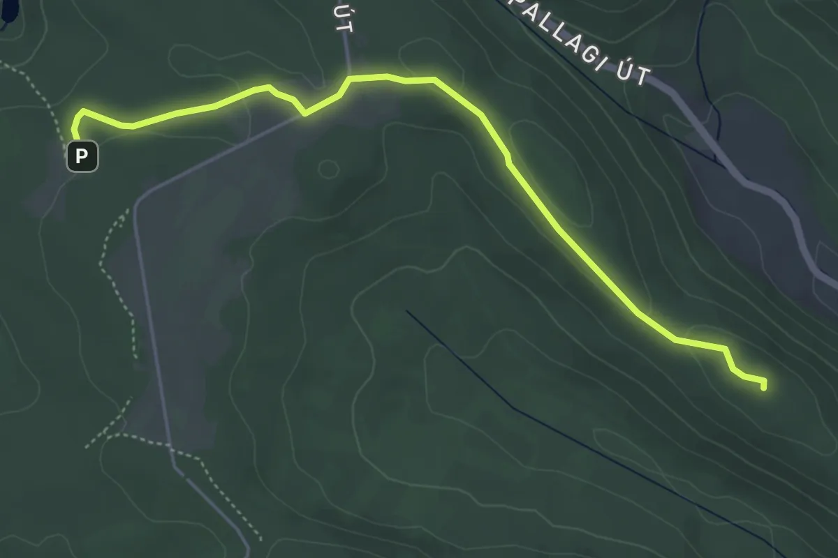
Easy · Summit
Z■ (Kismaros – Törökmező)
5.1 km · ↑ 74 m · 1 h 21 min
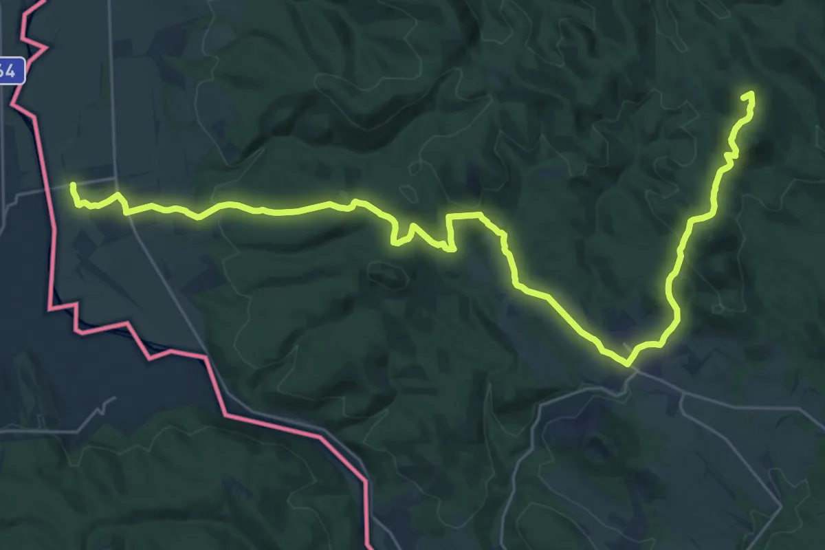
Demanding · Summit
Z (Kis-Sas-hegy nyerge – Letkés)
31.0 km · ↑ 1063 m · 9 h 38 min
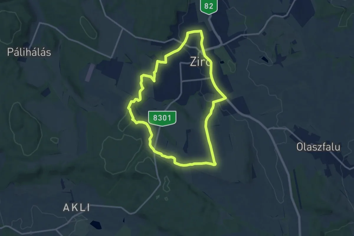
Medium · Trail
Z↺, Kőkapu
9.8 km · ↑ 131 m · 2 h 43 min
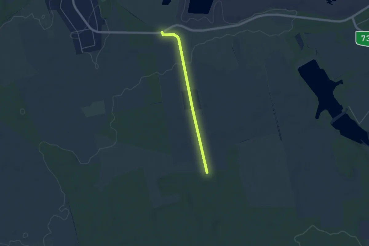
Easy · Trail
Z+ (Kolontár, Káposztás – Csótai-erdő)
4.0 km · ↑ 32 m · 1 h 1 min
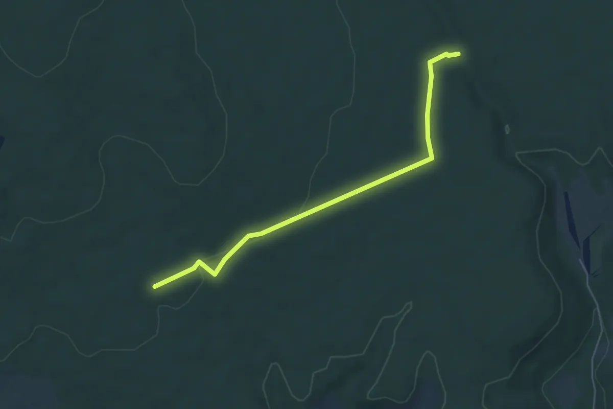
Easy · Trail
Z+ (Koloska-völgy – Sárkány-lik)
5.1 km · ↑ 46 m · 1 h 19 min
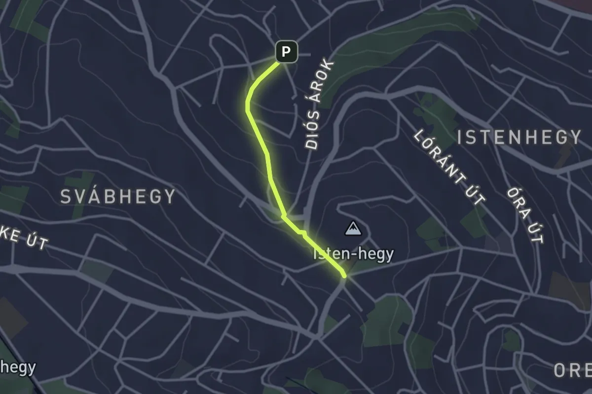
Easy · Trail
Z● (Költő utca – Város-kút – Városkúti út, aut. vá.)
2.1 km · ↑ 88 m · 41 min
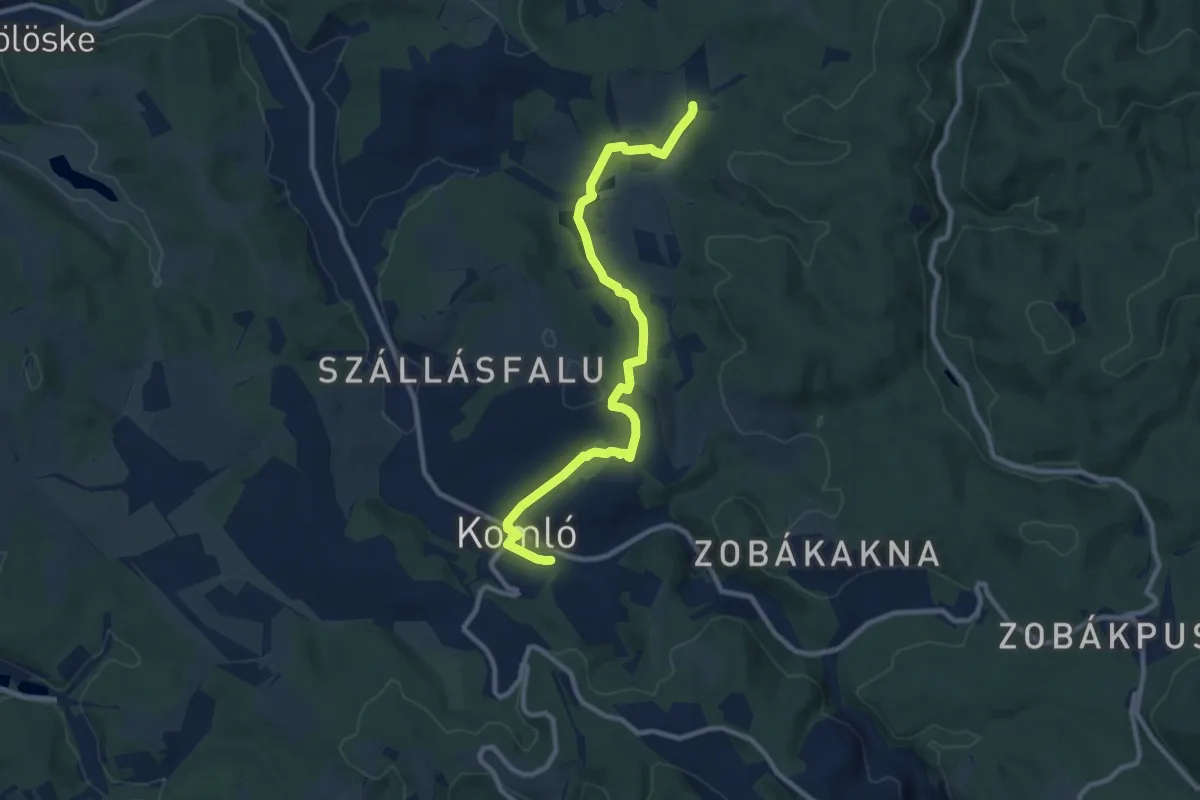
Medium · Trail
Z+ (Komló, vá. – Szilvás – Jánosipuszta)
10.5 km · ↑ 186 m · 2 h 53 min
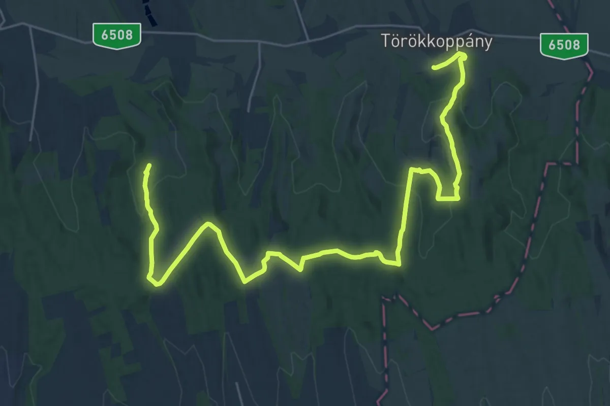
Medium · Trail
Z (Koppány-völgy)
15.4 km · ↑ 286 m · 4 h 29 min
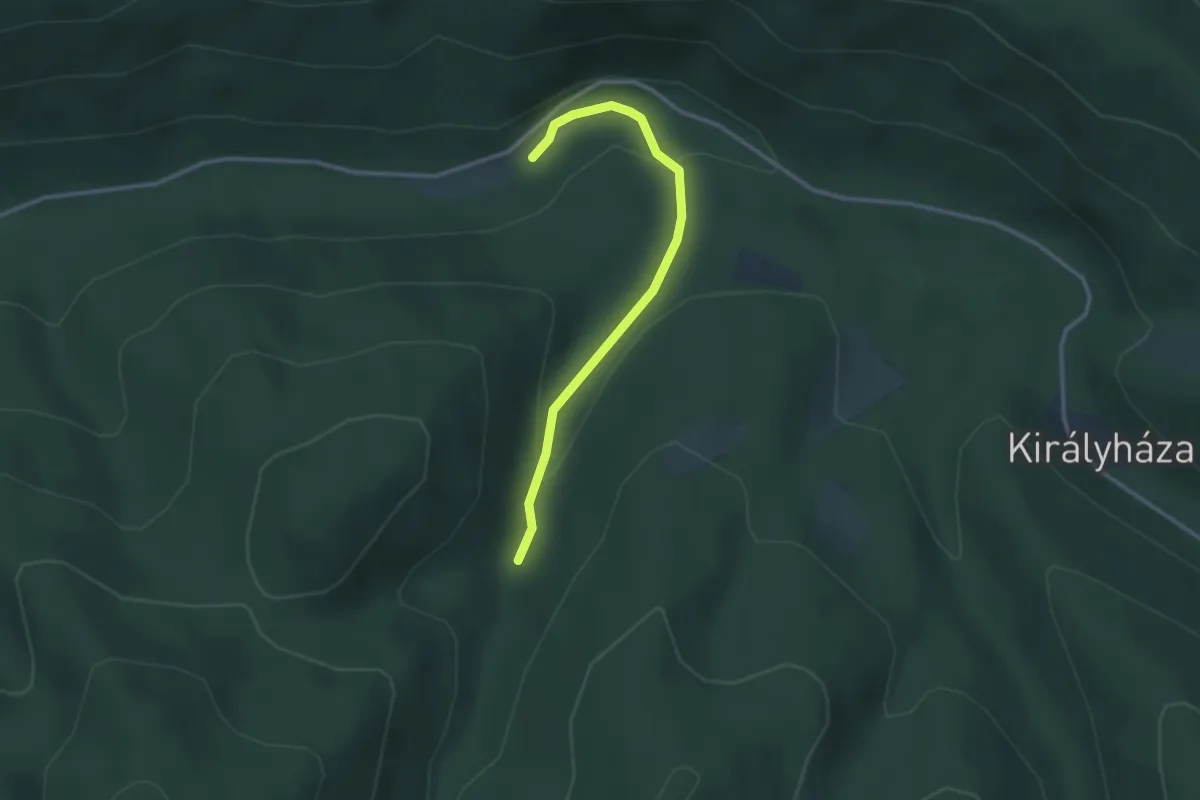
Easy · Trail
Z kör (Bacsina-völgy – Dr. Kenyeres Balázs-forrás)
2.8 km · ↑ 116 m · 54 min
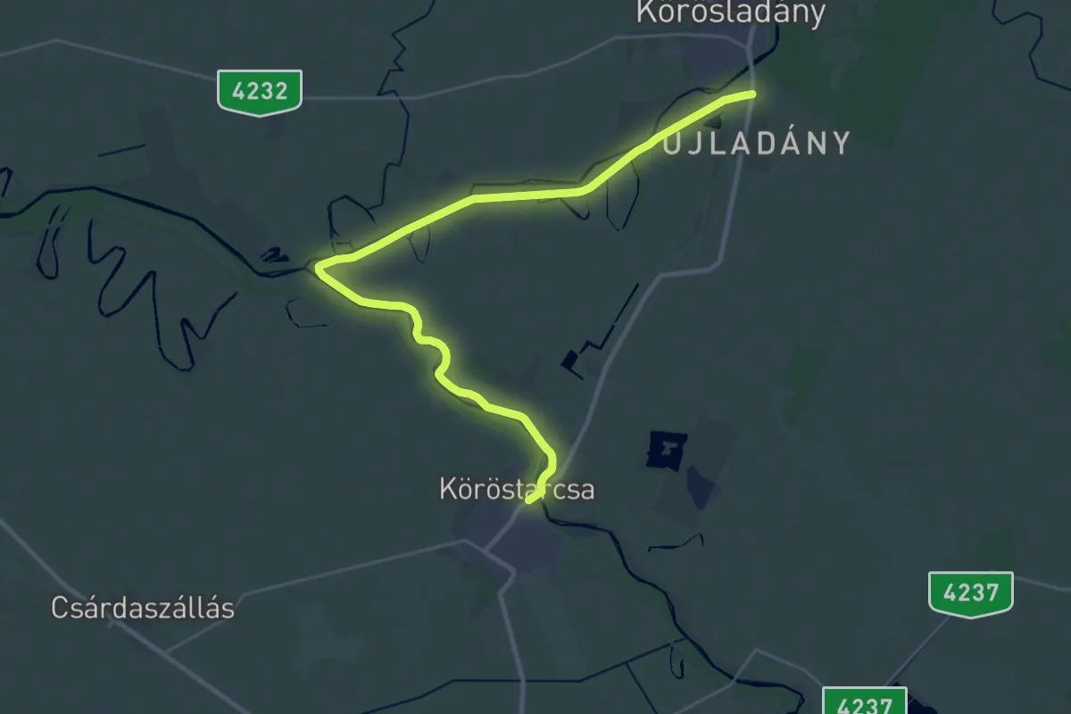
Demanding · Trail
Z (Köröstarcsa – Összefolyás – Körösladány)
31.3 km · ↑ 8 m · 7 h 24 min
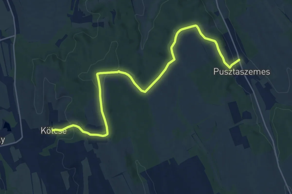
Medium · Trail
Z (Kötcse - Pusztaszemes)
18.0 km · ↑ 354 m · 5 h 1 min
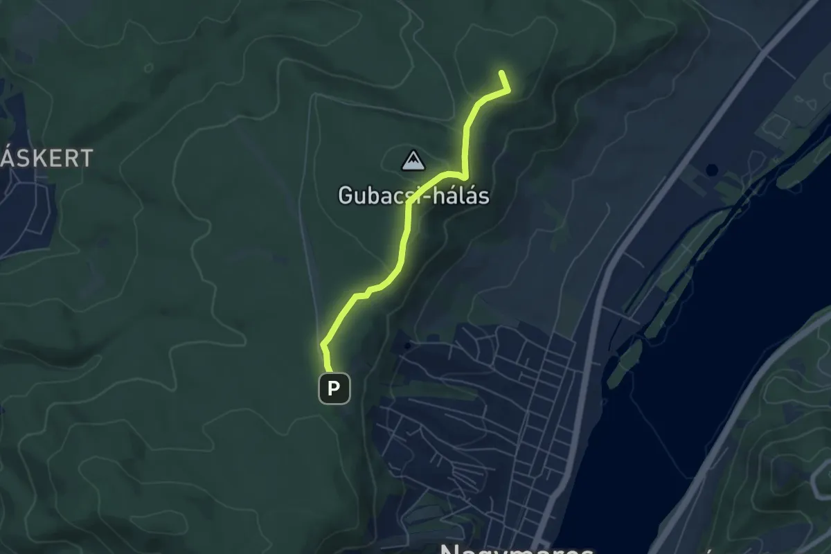
Easy · Summit
Z▲ ( Kövesmező – Kismaros)
5.1 km · ↑ 182 m · 1 h 36 min
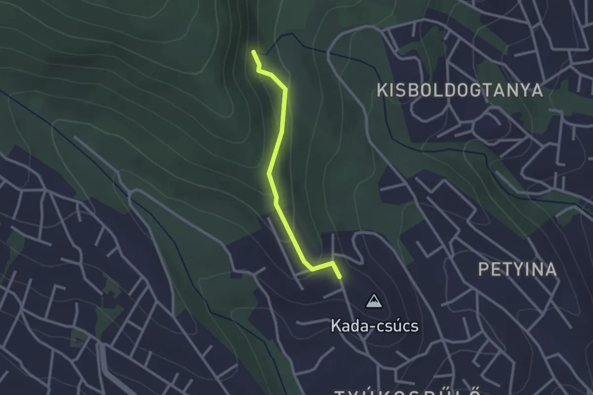
Easy · Trail
Z● (Kucsera Ferenc-forrás)
2.0 km · ↑ 111 m · 43 min
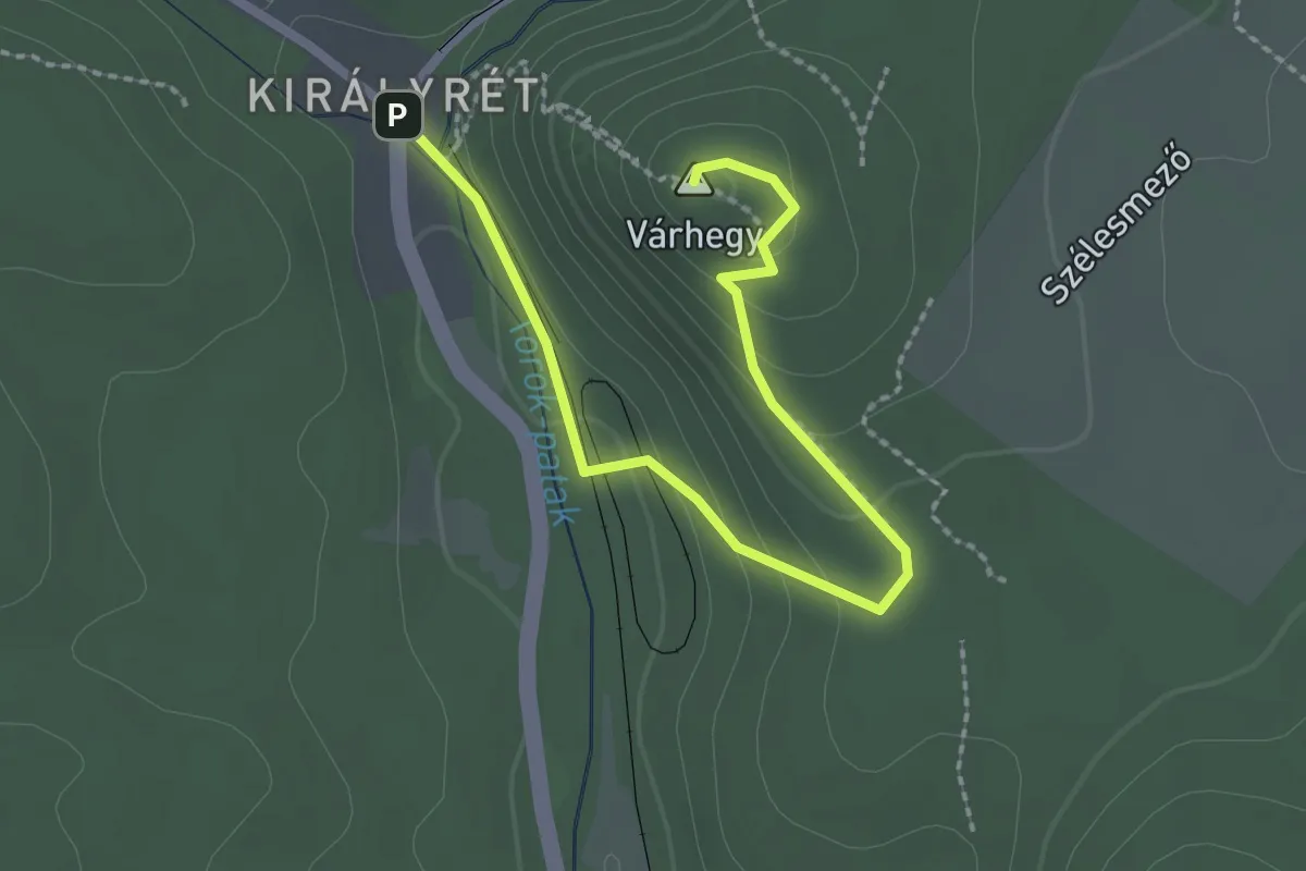
Easy · Summit
ZK (Vár-hegy kilátó)
2.7 km · ↑ 121 m · 53 min
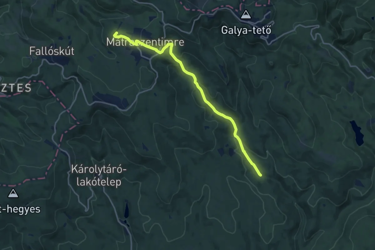
Medium · Summit
Z■ (Lajosháza – Ágasvár)
13.1 km · ↑ 410 m · 3 h 59 min
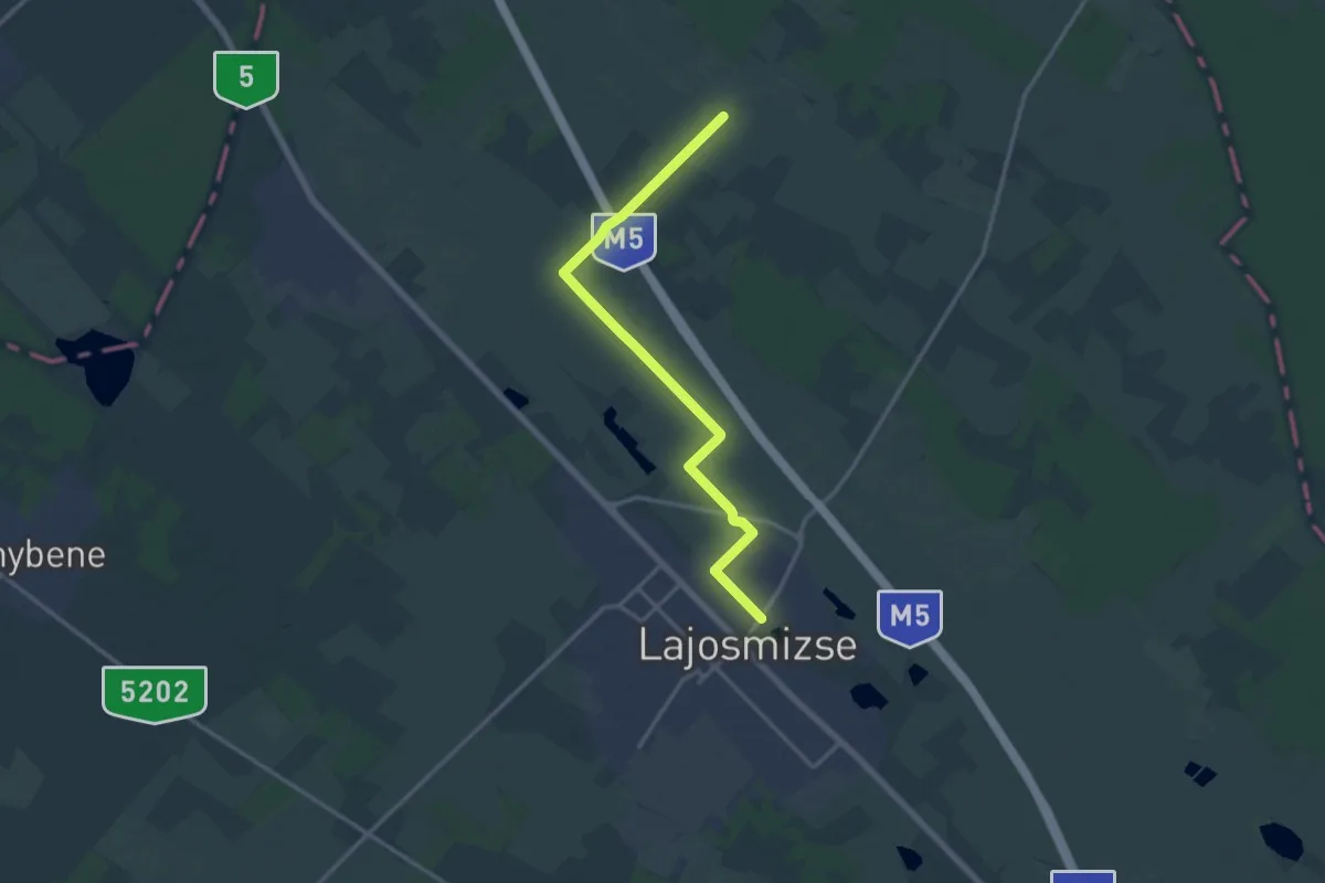
Medium · Trail
Z+ (Lajosmizse)
14.9 km · ↑ 0 m · 3 h 31 min
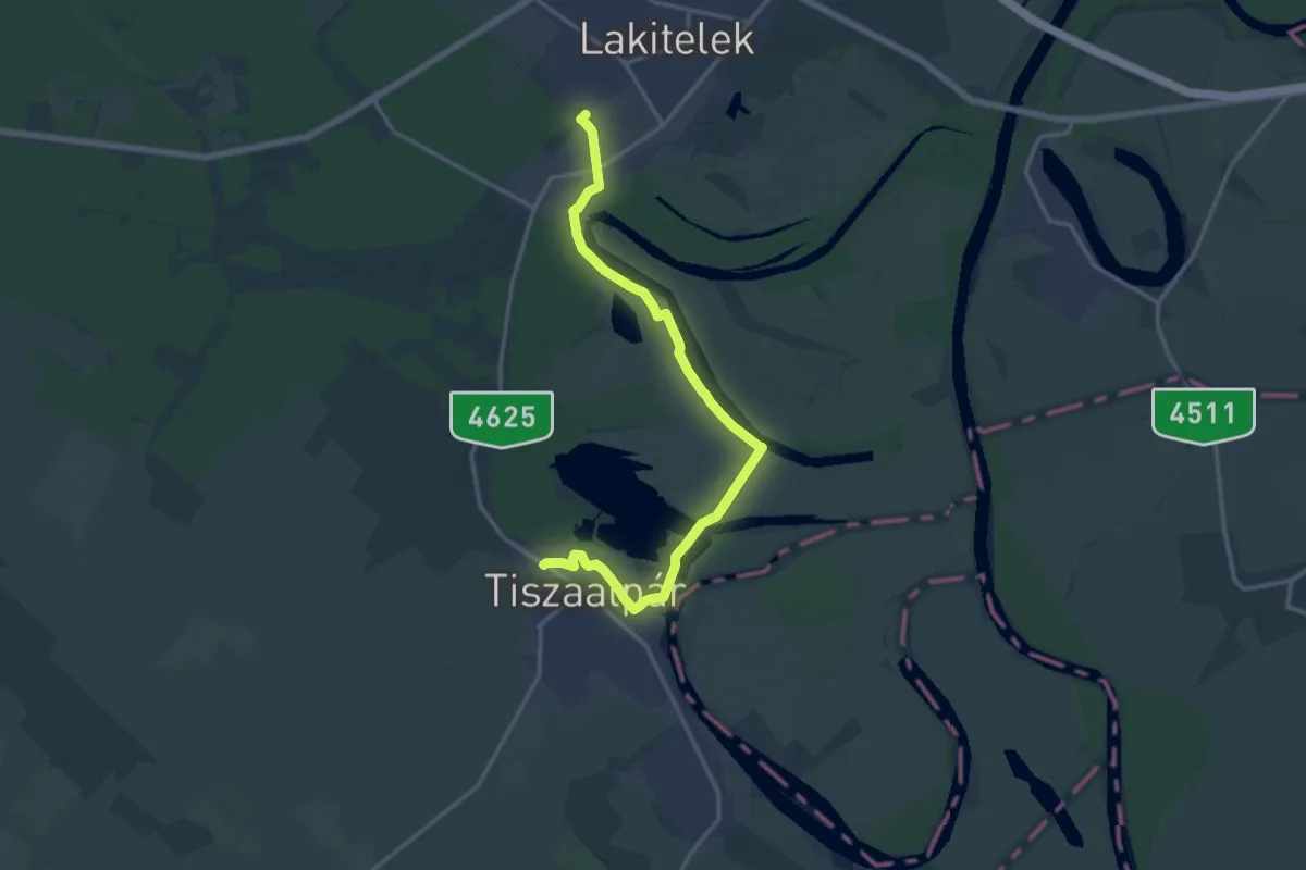
Medium · Trail
Z (Lakitelek – Tiszaalpár)
16.3 km · ↑ 27 m · 3 h 55 min
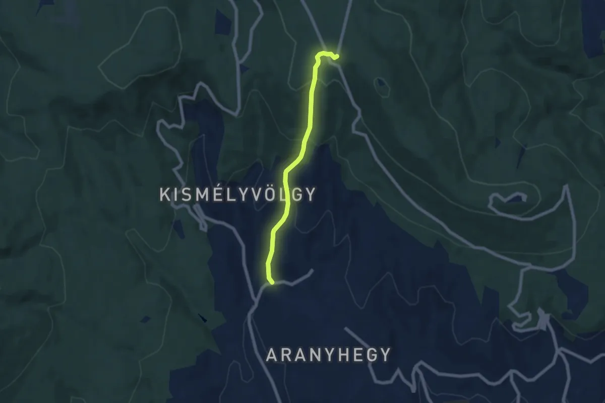
Easy · Trail
Z● (Lapis – Isten-kút)
5.2 km · ↑ 316 m · 1 h 54 min
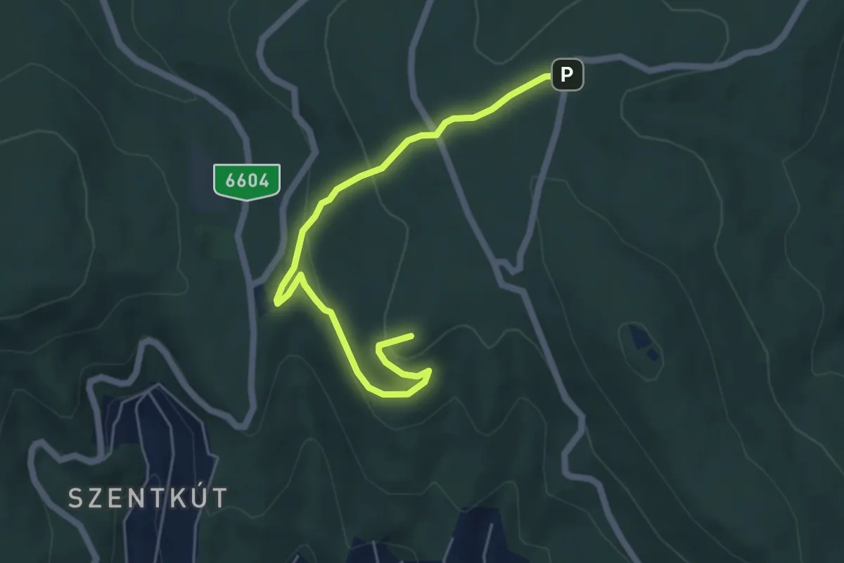
Easy · Summit
Z+ (Lapis – Remete-rét – Stiglicfogdosó)
5.4 km · ↑ 179 m · 1 h 39 min
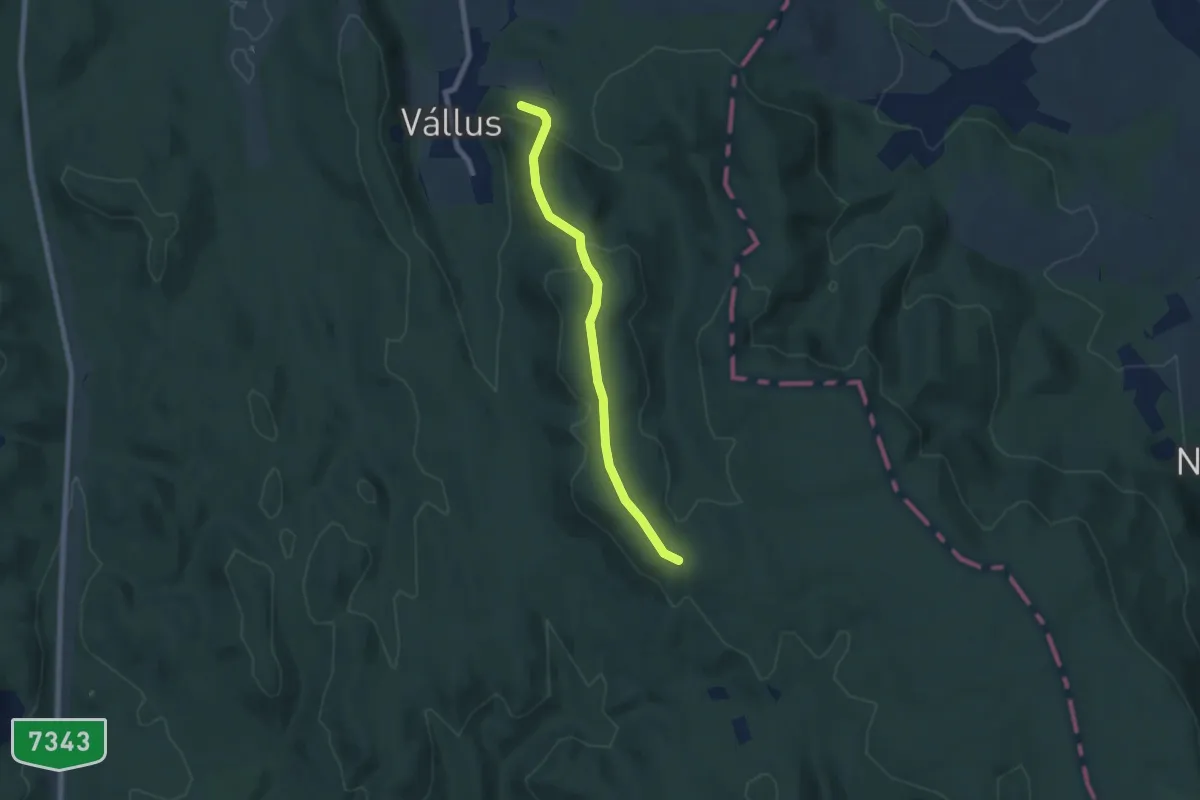
Easy · Trail
Z▲ (Láz-hegyi kilátó)
6.5 km · ↑ 189 m · 1 h 57 min
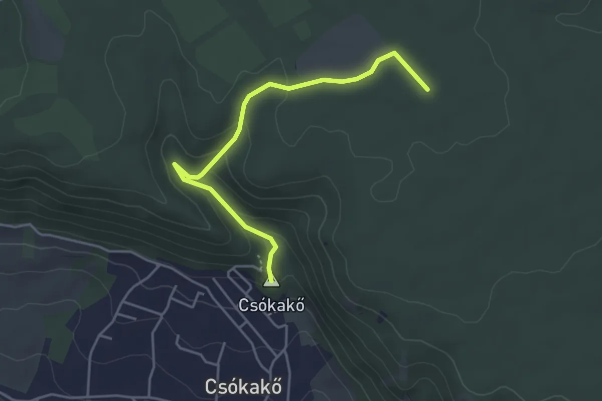
Easy · Summit
ZL (Csókakő – Buhin-völgy)
3.9 km · ↑ 133 m · 1 h 12 min
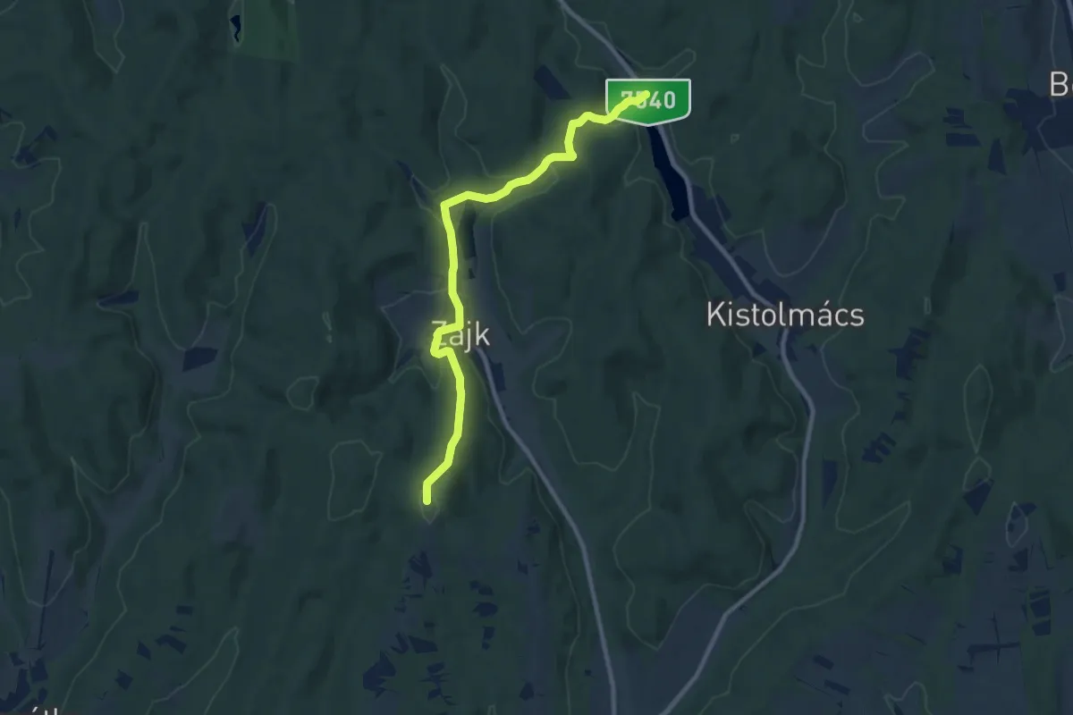
Medium · Summit
Z (Letenye – Zajk)
9.5 km · ↑ 243 m · 2 h 46 min
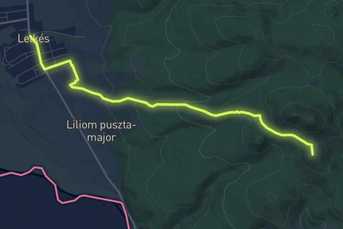
Medium · Summit
Z+ (Letkés)
10.0 km · ↑ 270 m · 2 h 57 min
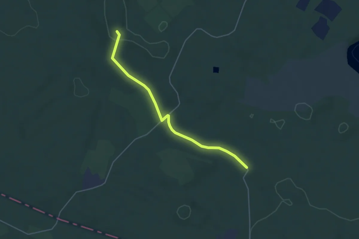
Easy · Trail
ZL (Gerencsérvár – Vértesszentkereszti kolostorrom)
4.0 km · ↑ 33 m · 1 h
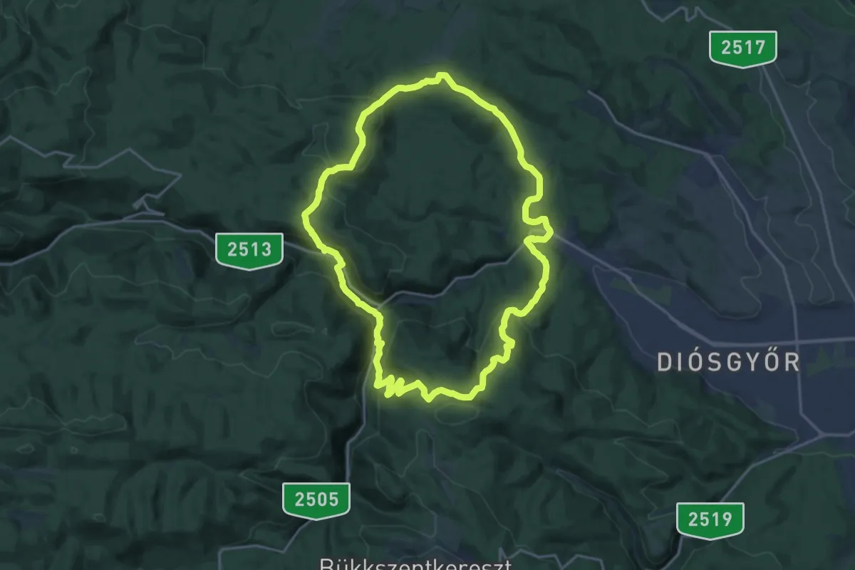
Medium · Summit
Z, Lillafüredi Zöld körtúra
17.1 km · ↑ 635 m · 5 h 39 min
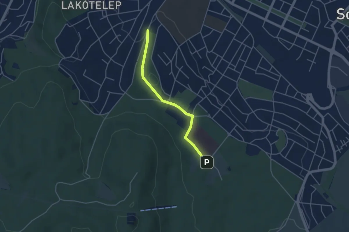
Easy · Trail
Z+ Lővér szálló - Panoráma út
3.3 km · ↑ 89 m · 58 min
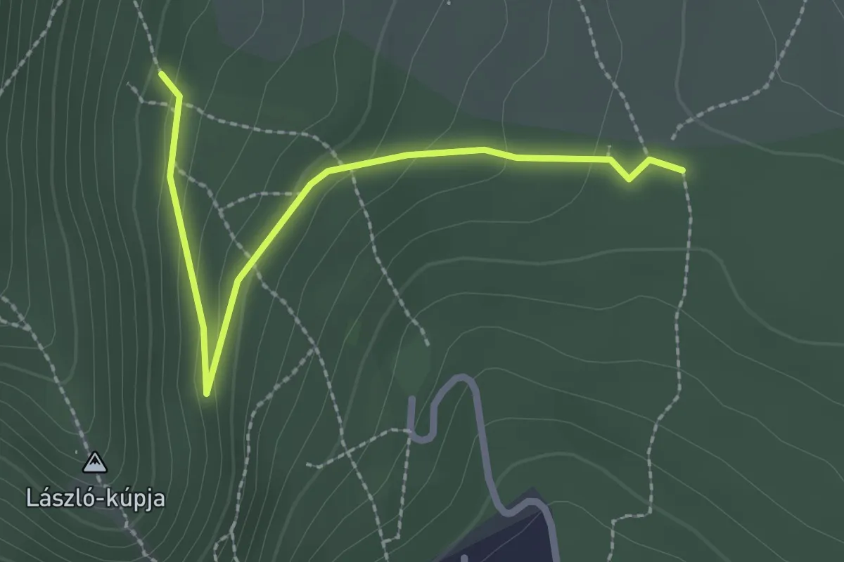
Easy · Trail
Z● (Magas-hegyi-nyereg – Trézsi-kút – Pilis-erdő, Grófi út)
2.4 km · ↑ 104 m · 48 min
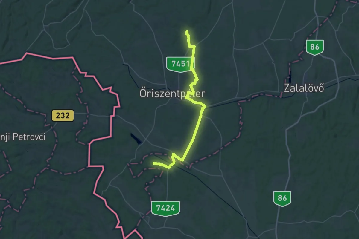
Demanding · Summit
Z (Magyarszombatfa, Gödörháza – Nagyrákos – Lugos-patak völgye)
41.6 km · ↑ 397 m · 10 h 42 min
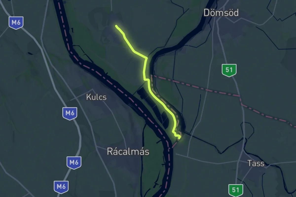
Medium · Trail
Z (Makád – Tass)
15.9 km · ↑ 8 m · 3 h 46 min
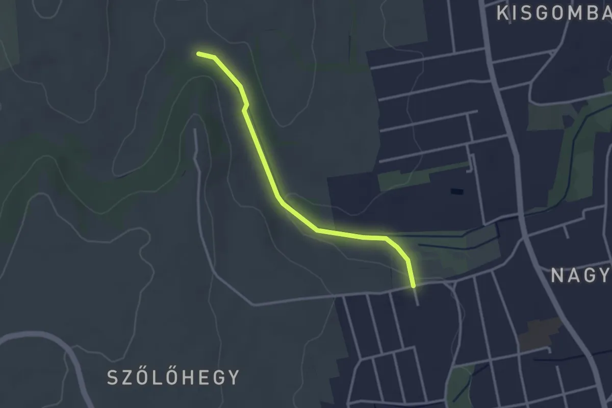
Easy · Trail
Z+ (Marcali, Gizella templom – Gombai-hegy)
2.7 km · ↑ 30 m · 43 min
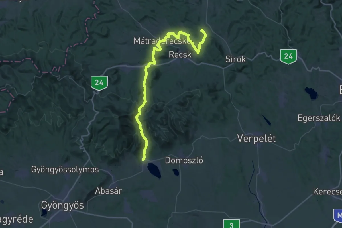
Demanding · Summit
Z (Markaz – Parádfürdő-Mátraderecske-Bükkszék)
55.9 km · ↑ 1504 m · 16 h 27 min
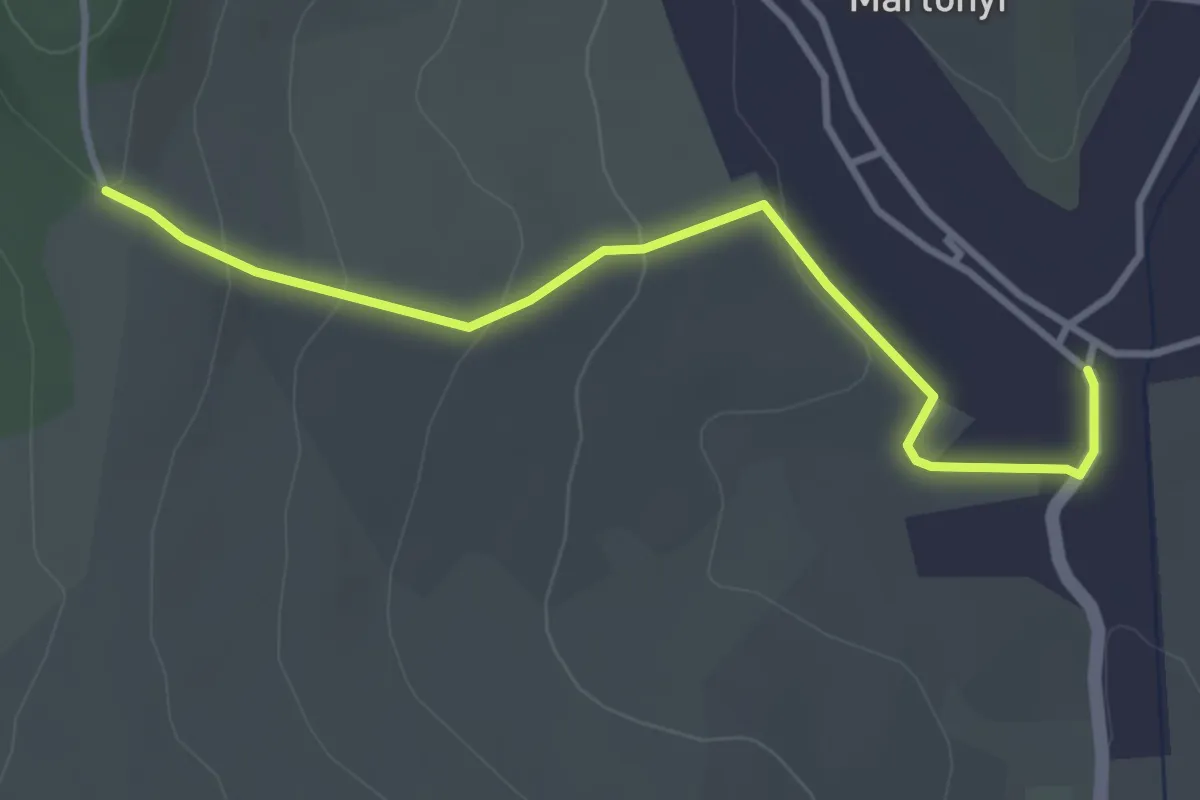
Easy · Trail
Z■ (Martonyi)
3.4 km · ↑ 113 m · 1 h 3 min
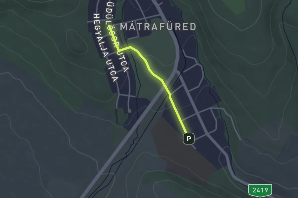
Easy · Trail
Z+ (Mátrafüred)
2.2 km · ↑ 44 m · 36 min
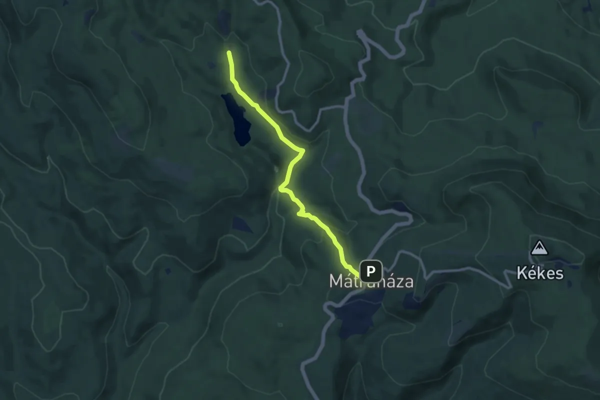
Medium · Trail
Z■ (Mátraháza – Nyírjesi eh.)
8.4 km · ↑ 361 m · 2 h 46 min
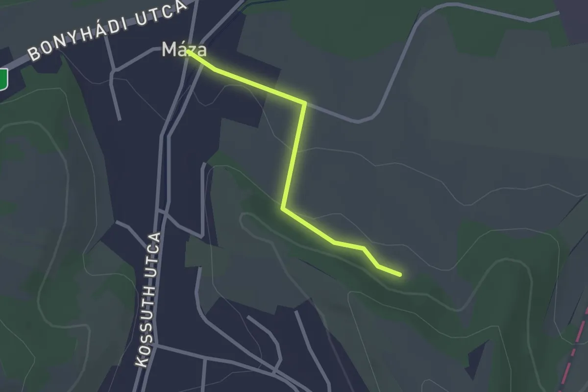
Easy · Trail
Z▙ (Máza – Koromszói apátság romjai)
2.0 km · ↑ 41 m · 34 min