Trails in Hungary
2,298 hiking trails, each with its route, climb, walking time and grade.
All trails, page 44 of 48
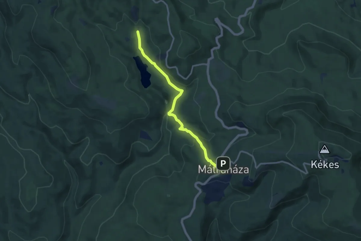
Medium · Trail
Z■ (Mátraháza – Nyírjesi eh.)
8.4 km · ↑ 361 m · 2 h 46 min
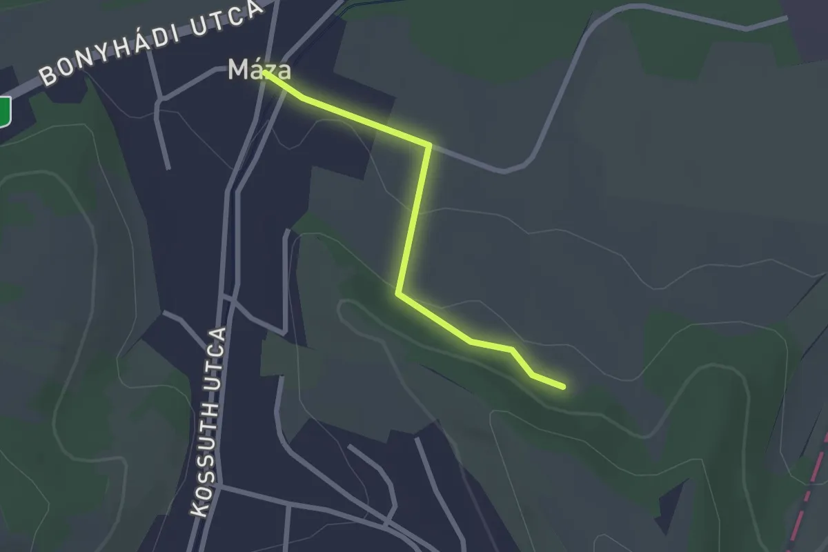
Easy · Trail
Z▙ (Máza – Koromszói apátság romjai)
2.0 km · ↑ 41 m · 34 min
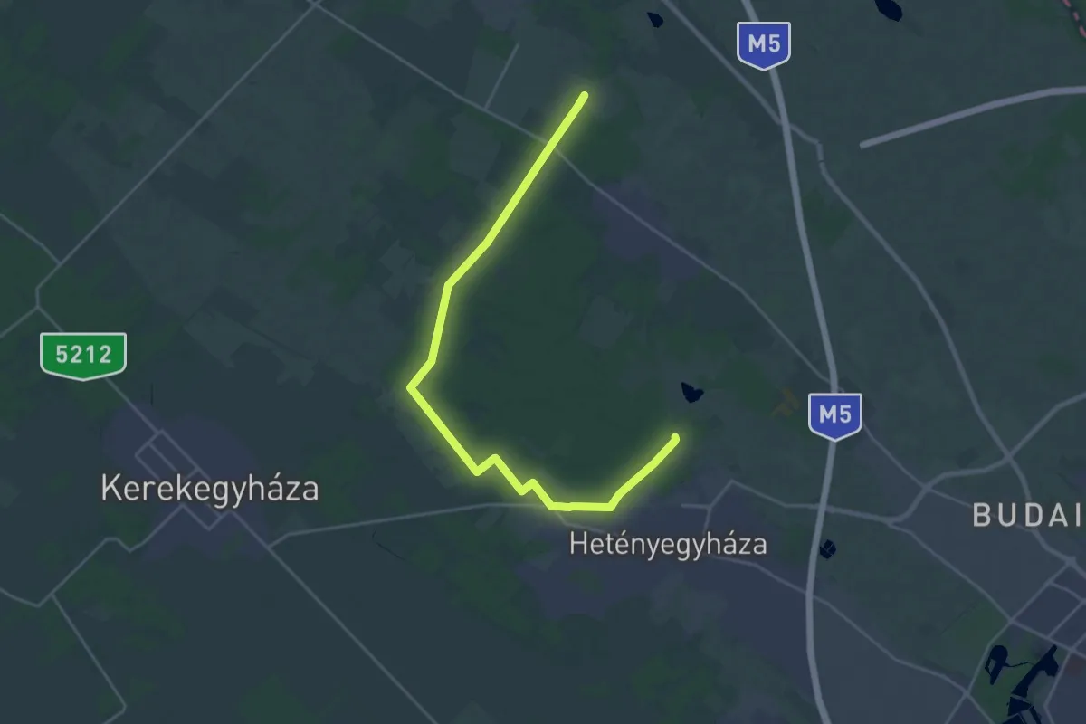
Demanding · Trail
Z+ (Méntelek)
24.0 km · ↑ 37 m · 5 h 45 min
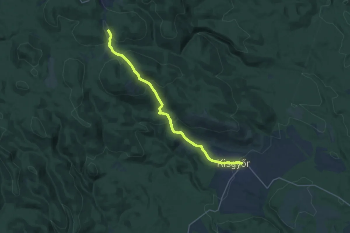
Medium · Trail
Z (Mészárszék-rét – Kisgyőr)
15.1 km · ↑ 623 m · 4 h 54 min
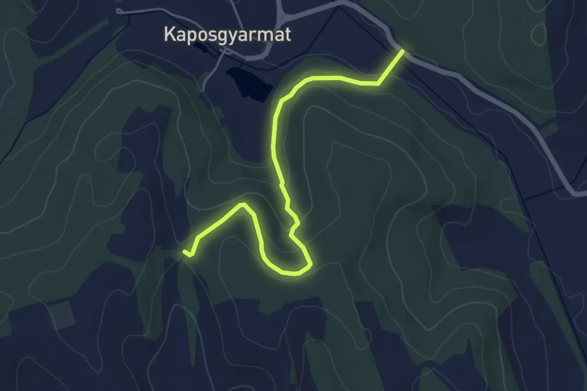
Easy · Trail
Z● (Mésztufa-hasadék)
4.7 km · ↑ 157 m · 1 h 26 min
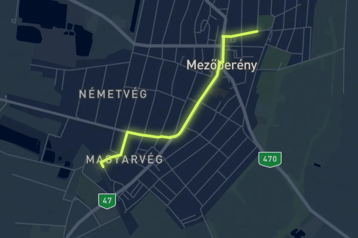
Easy · Trail
Z■ (Mezőberény)
5.1 km · ↑ 0 m · 1 h 12 min
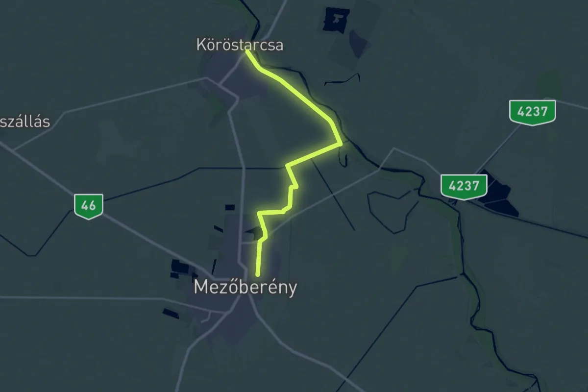
Demanding · Trail
Z (Mezőberény – Bódisháti major - Boldishát (szivattyútelep) – Köröstarcsa)
18.8 km · ↑ 4 m · 4 h 27 min
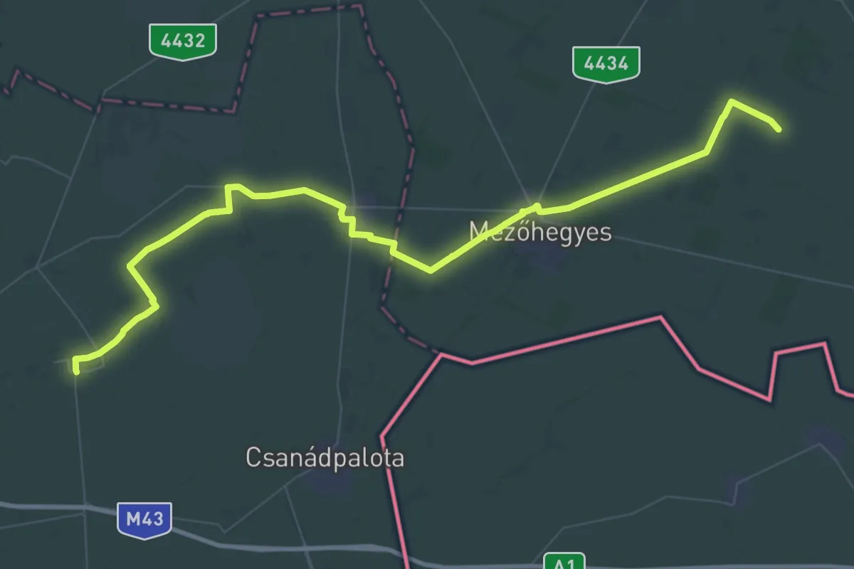
Demanding · Trail
Z (Mezőhegyes)
33.8 km · ↑ 13 m · 8 h 29 min
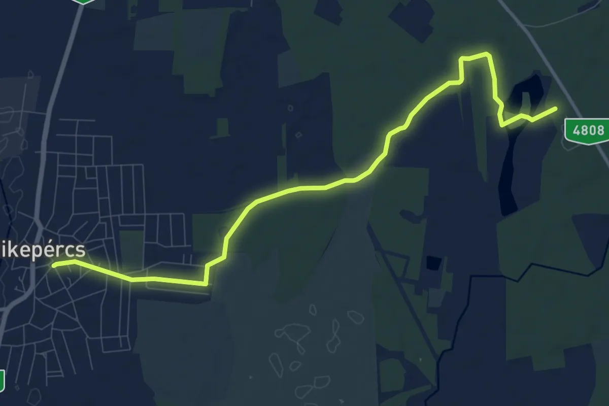
Medium · Trail
Z (Mikepércs – Vekeri-tó pihenőközpont)
11.0 km · ↑ 31 m · 2 h 40 min
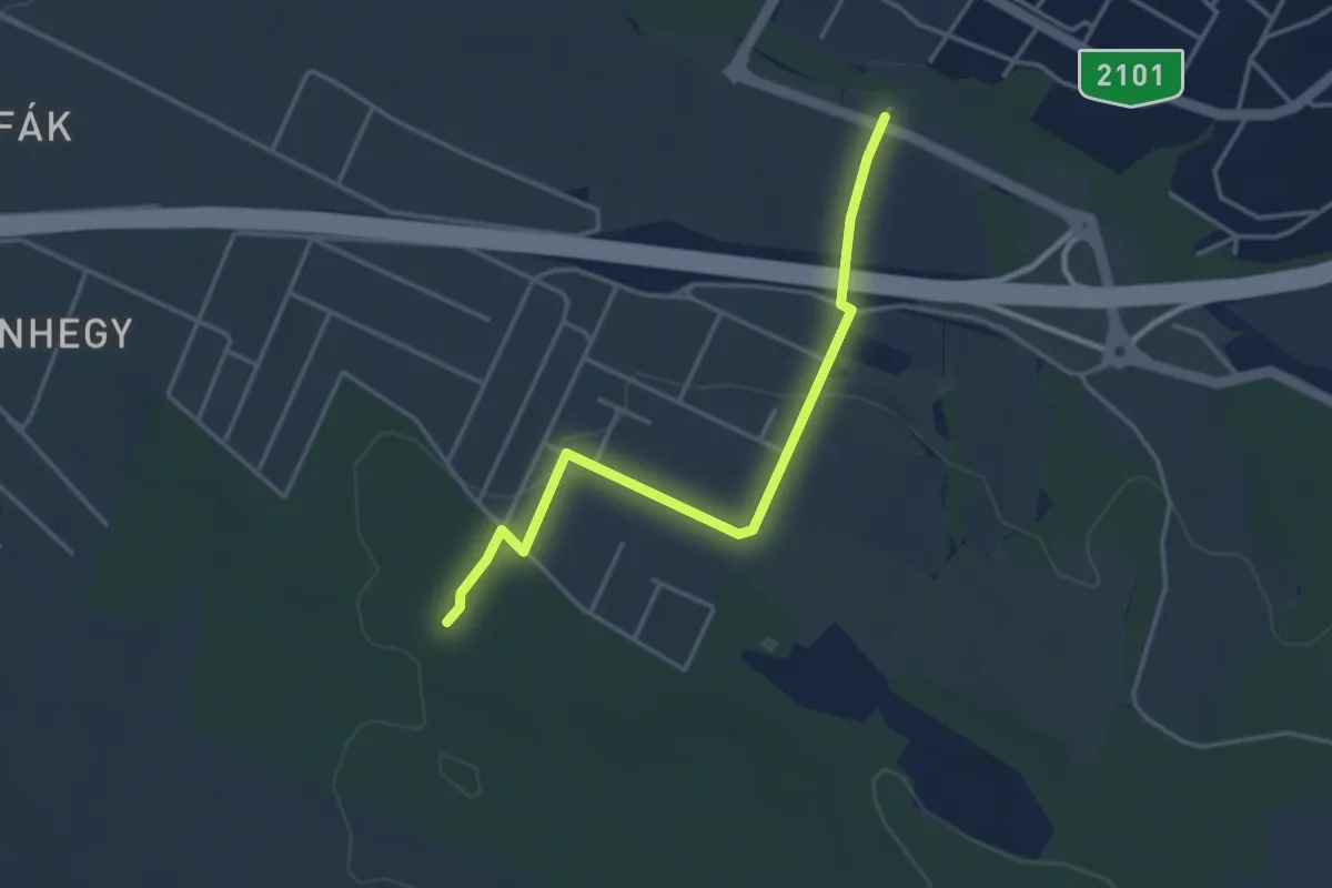
Easy · Trail
Z+ (Mogyoród)
3.8 km · ↑ 83 m · 1 h 4 min
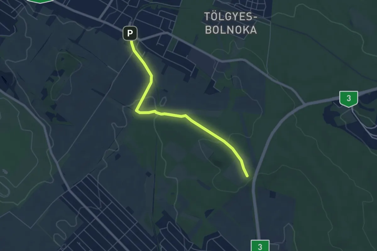
Easy · Trail
Z+ (Mogyoród, HÉV – Kerepes, Patkó-tető)
5.5 km · ↑ 100 m · 1 h 31 min
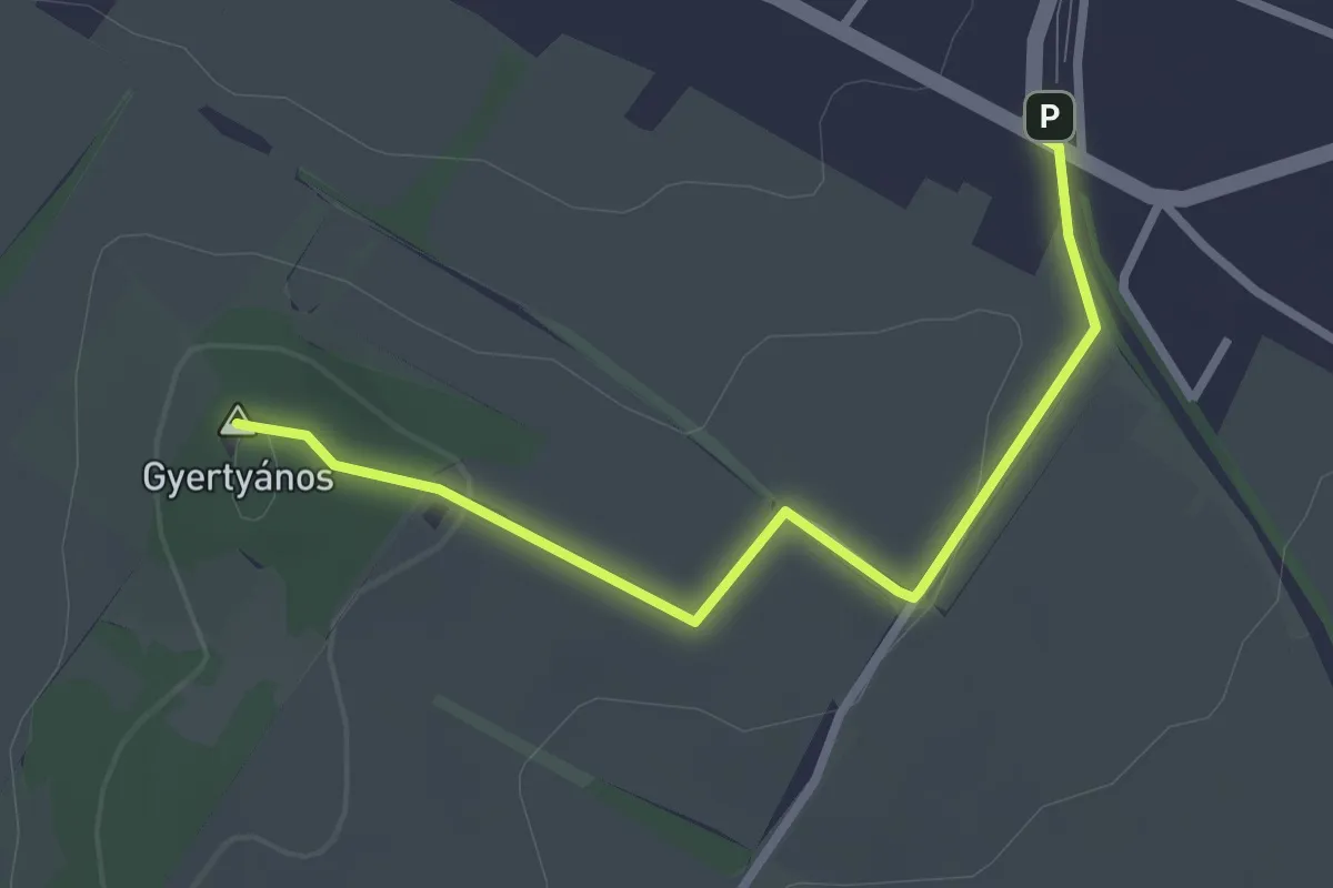
Easy · Summit
Z▲ (Mogyoród, HÉV megálló – Szent László-kilátó – Gyertyános alja)
2.7 km · ↑ 43 m · 44 min
Easy · Trail
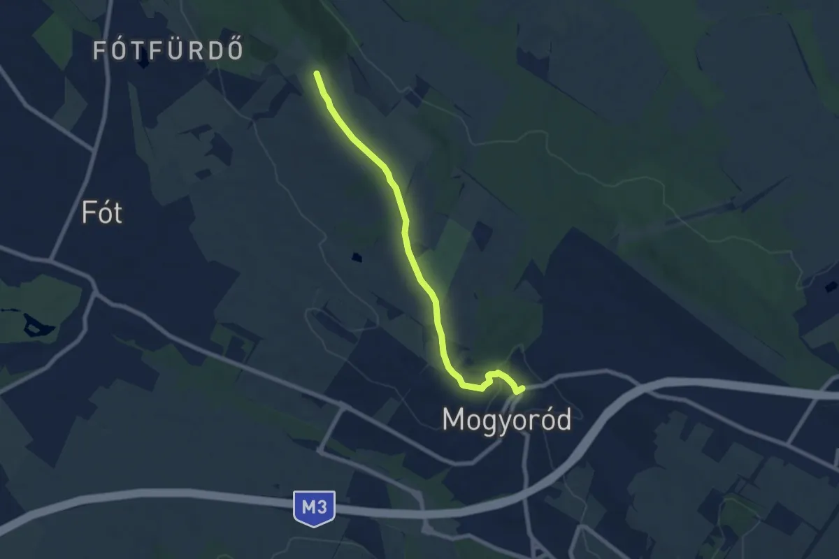
Z■ (Mogyoród központ – Fót, Páskom)
6.5 km · ↑ 77 m · 1 h 42 min
Demanding · Trail
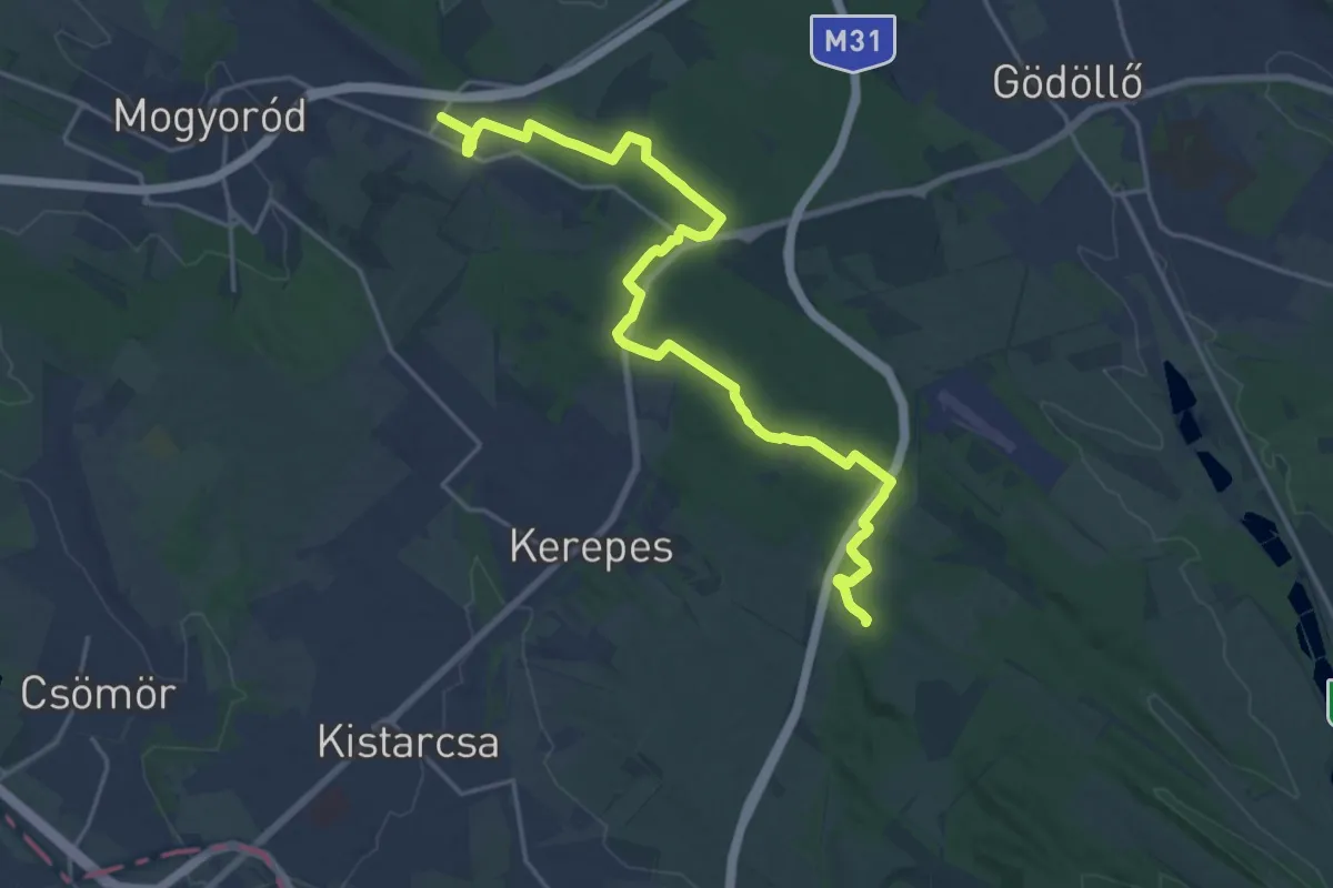
Z (Mogyoród, Szadai út – Patkó-tető – Ökörtelek – Széles-dűlő)
22.0 km · ↑ 390 m · 6 h 3 min
Medium · Trail
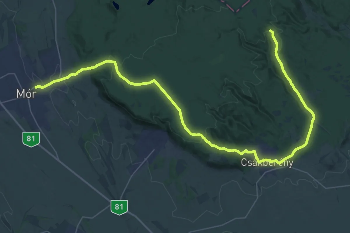
Z (Mór – Csákberény – Géza-pihenő)
17.8 km · ↑ 498 m · 5 h 25 min
Easy · Summit
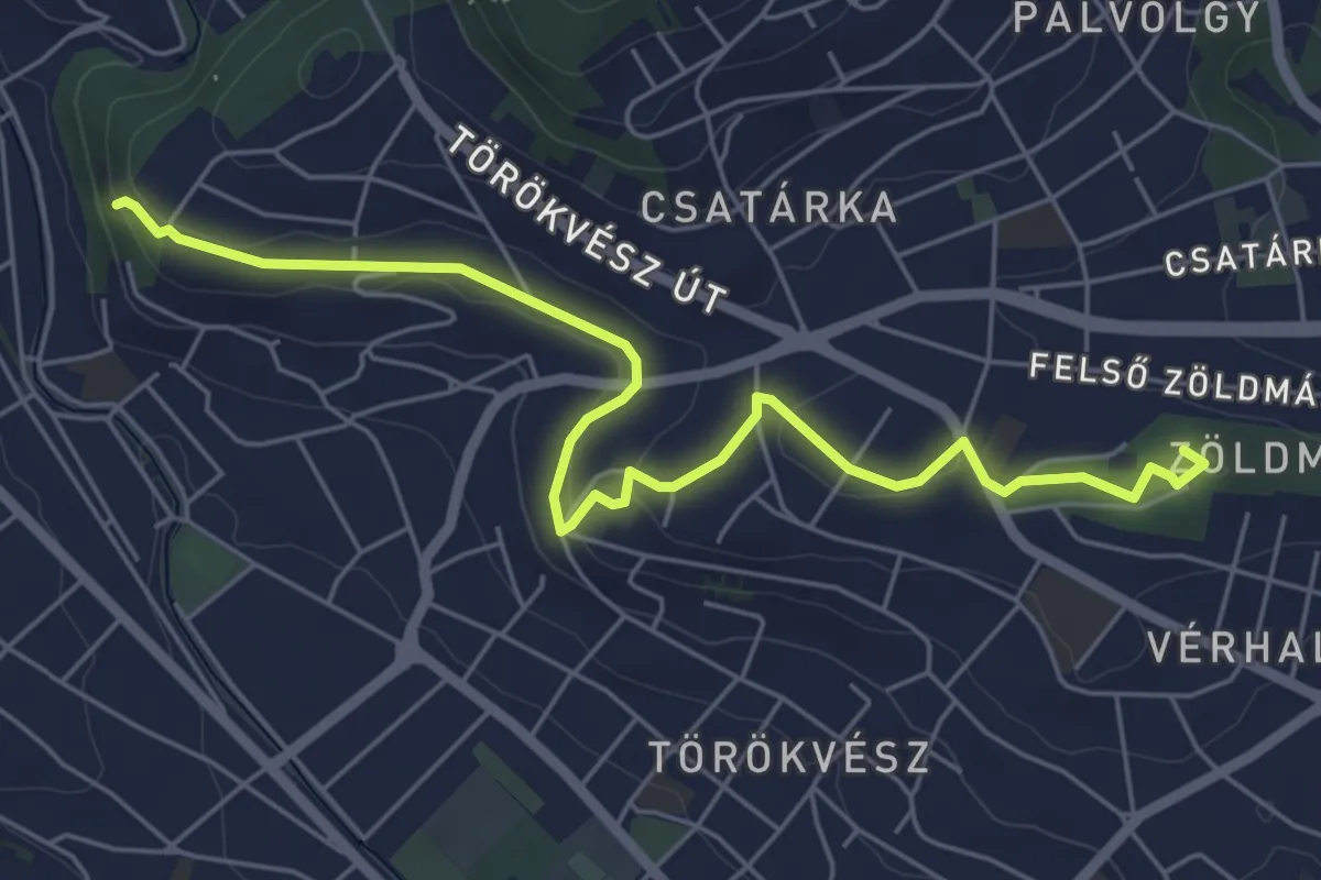
Z▲ (Nagybányai lépcső – Ferenc-hegy – Kavics utca, vill. mh.)
6.3 km · ↑ 107 m · 1 h 43 min
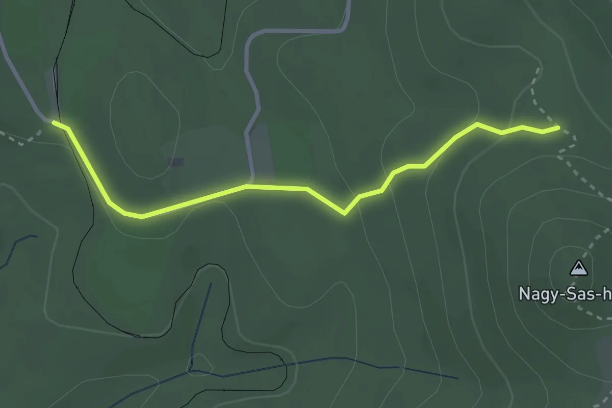
Easy · Trail
Z+ (Nagyirtáspuszta)
2.6 km · ↑ 89 m · 49 min
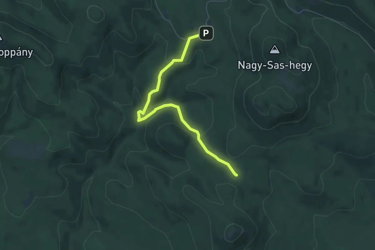
Easy · Trail
Z■ (Nagyirtáspuszta – Füstös-forrás – Lengyel-rétek)
5.7 km · ↑ 197 m · 1 h 46 min
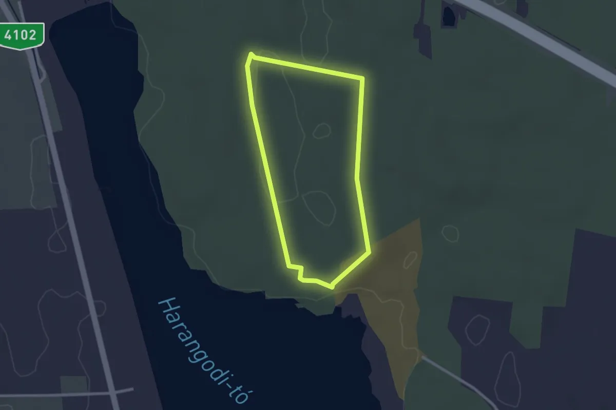
Easy · Trail
Z↺ (Nagykálló)
2.2 km · ↑ 23 m · 35 min
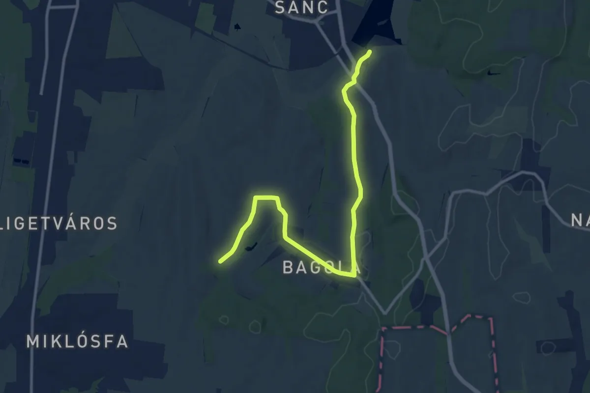
Medium · Trail
Z+ ( Nagykanizsa – csónakázó-tó)
10.6 km · ↑ 110 m · 2 h 44 min
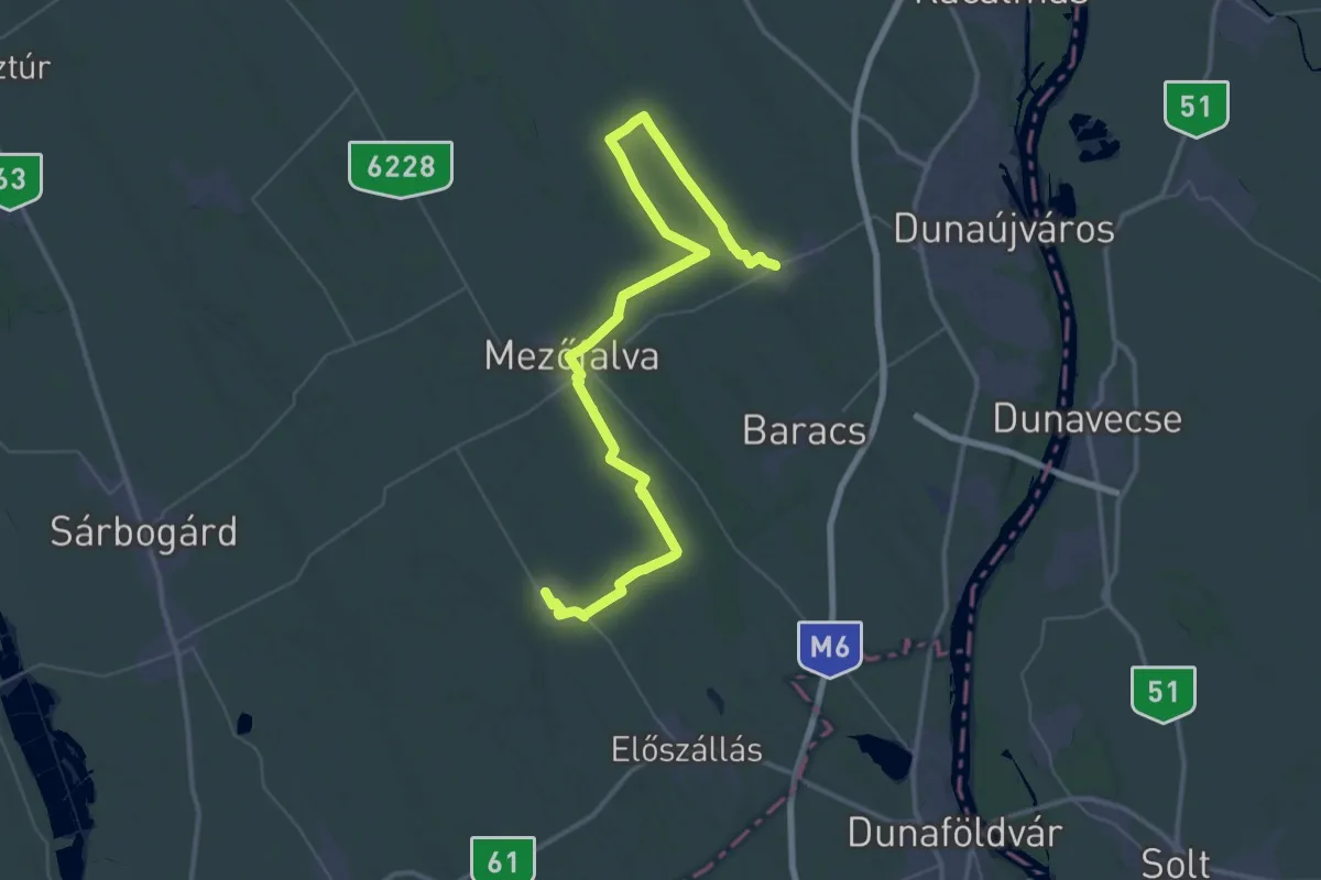
Demanding · Trail
Z (Nagykarácsony – Nagyvenyim)
29.1 km · ↑ 73 m · 7 h 26 min
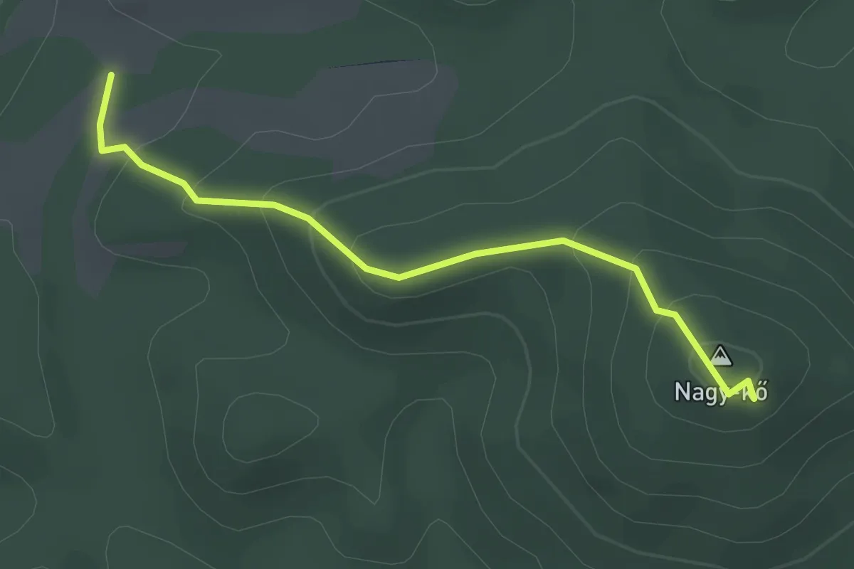
Easy · Summit
Z▲ (Nagy-kő)
2.6 km · ↑ 163 m · 58 min
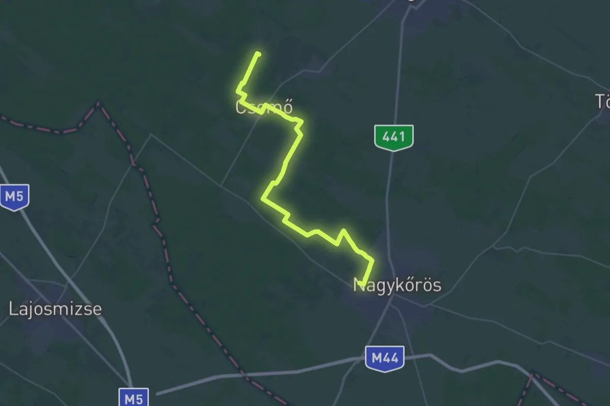
Demanding · Trail
Z (Nagykörös – Csemő – Putrisarki erdő)
20.9 km · ↑ 22 m · 5 h 16 min
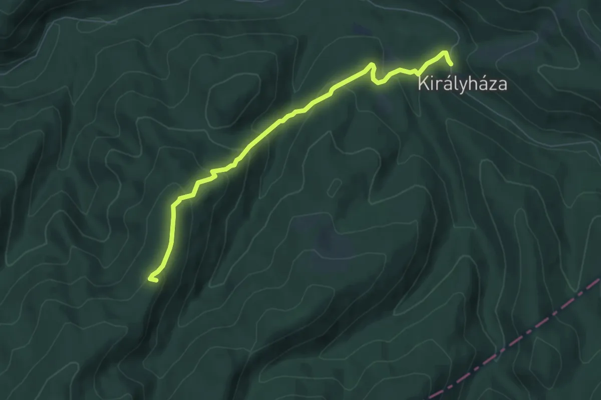
Medium · Summit
Z+ (Nagy-Oros-bérc)
6.7 km · ↑ 355 m · 2 h 20 min
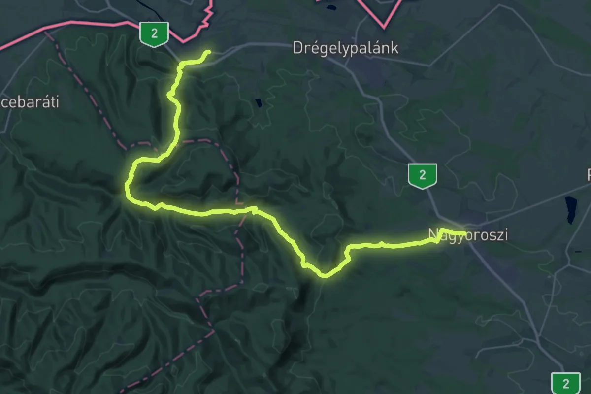
Demanding · Trail
Z (Nagyoroszi – Hont)
18.1 km · ↑ 482 m · 5 h 36 min
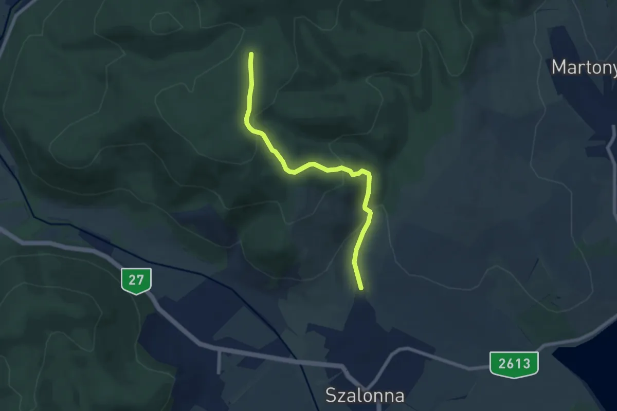
Easy · Trail
Z+ (Nagy-pallag – Szalonna)
5.8 km · ↑ 266 m · 1 h 57 min
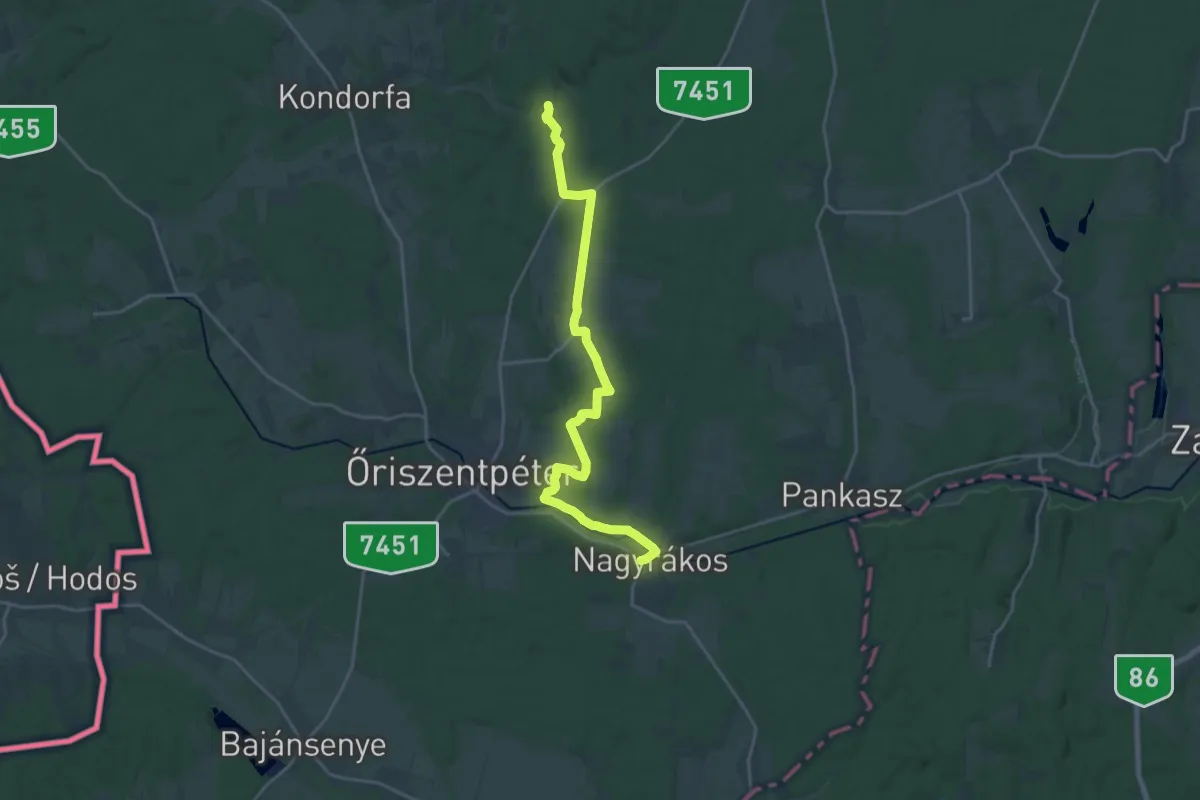
Demanding · Trail
Z ( Nagyrákos – Lugos-patak völgye)
22.1 km · ↑ 232 m · 5 h 43 min
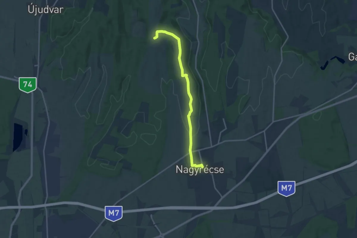
Medium · Trail
Z+ (Nagyrécse )
11.8 km · ↑ 116 m · 3 h 2 min
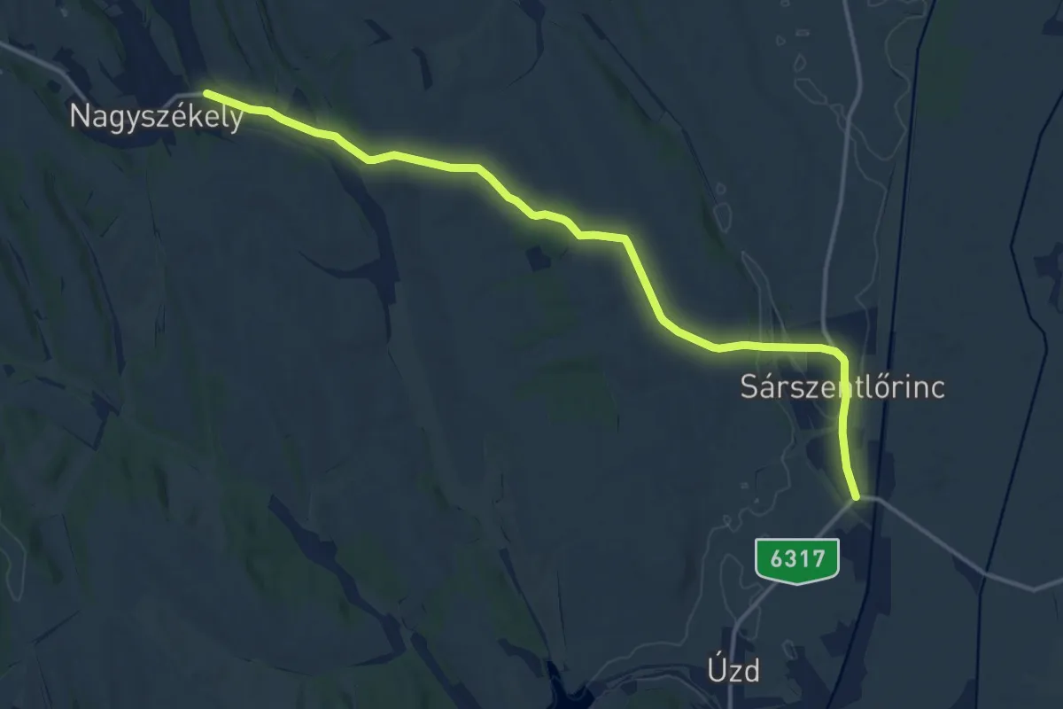
Medium · Trail
Z (Nagyszékely – Sárszentlőrinc)
15.4 km · ↑ 142 m · 3 h 57 min
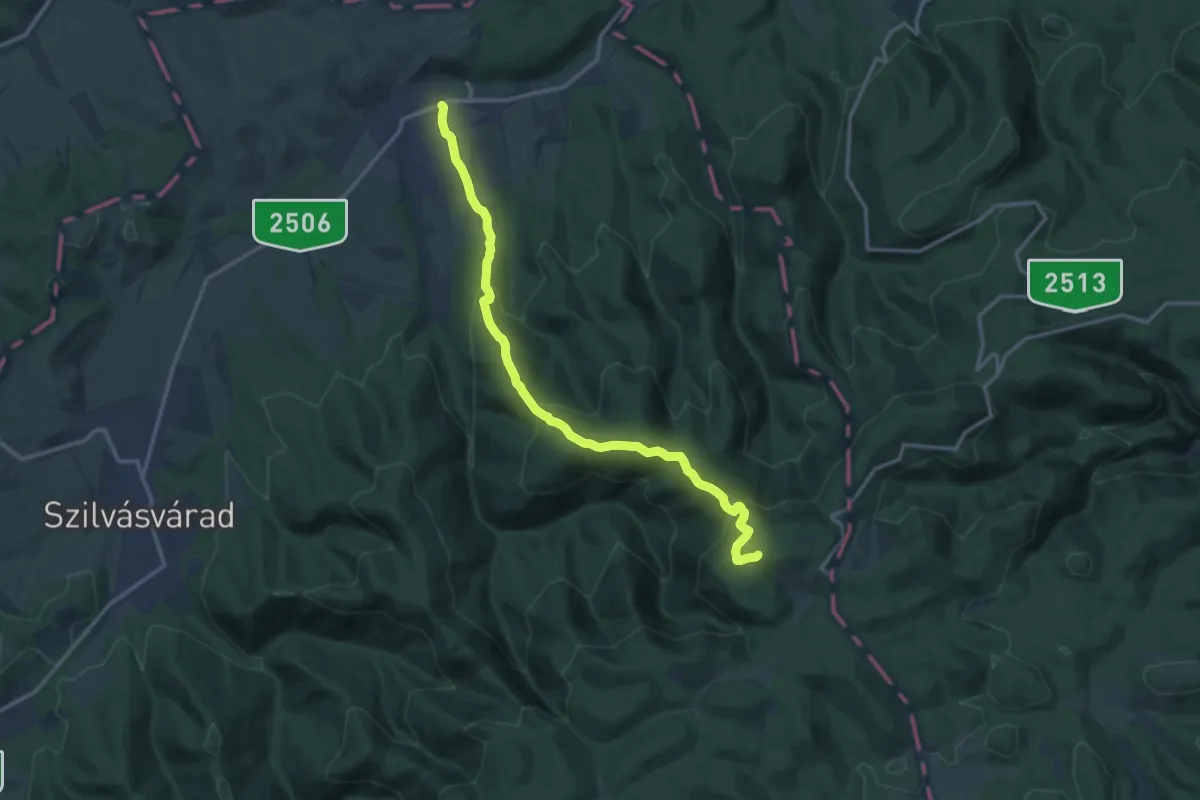
Medium · Summit
Z (Nagyvisnyó – Nagy-mező)
13.9 km · ↑ 688 m · 4 h 46 min
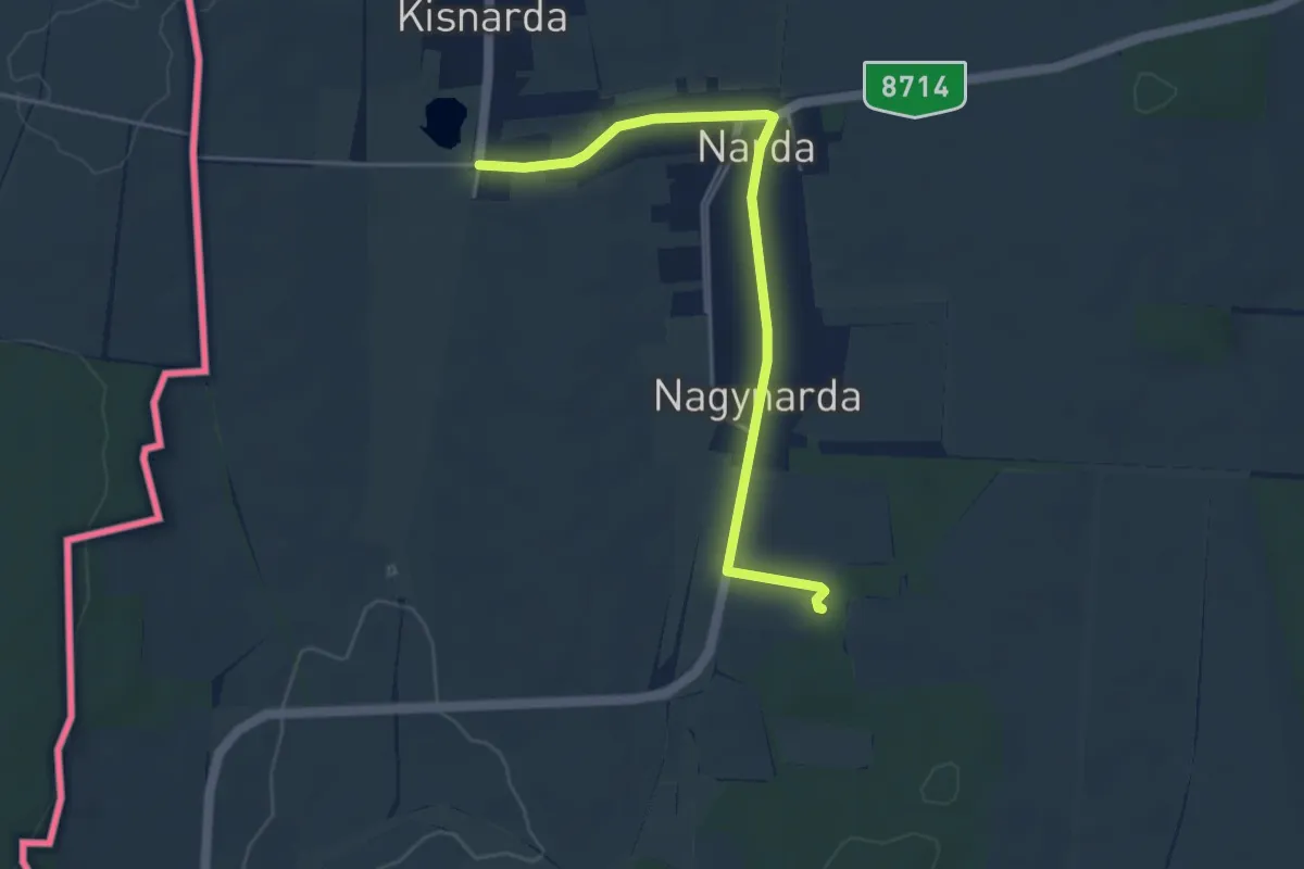
Easy · Trail
Z▙ (Nardai földvár)
4.5 km · ↑ 61 m · 1 h 12 min
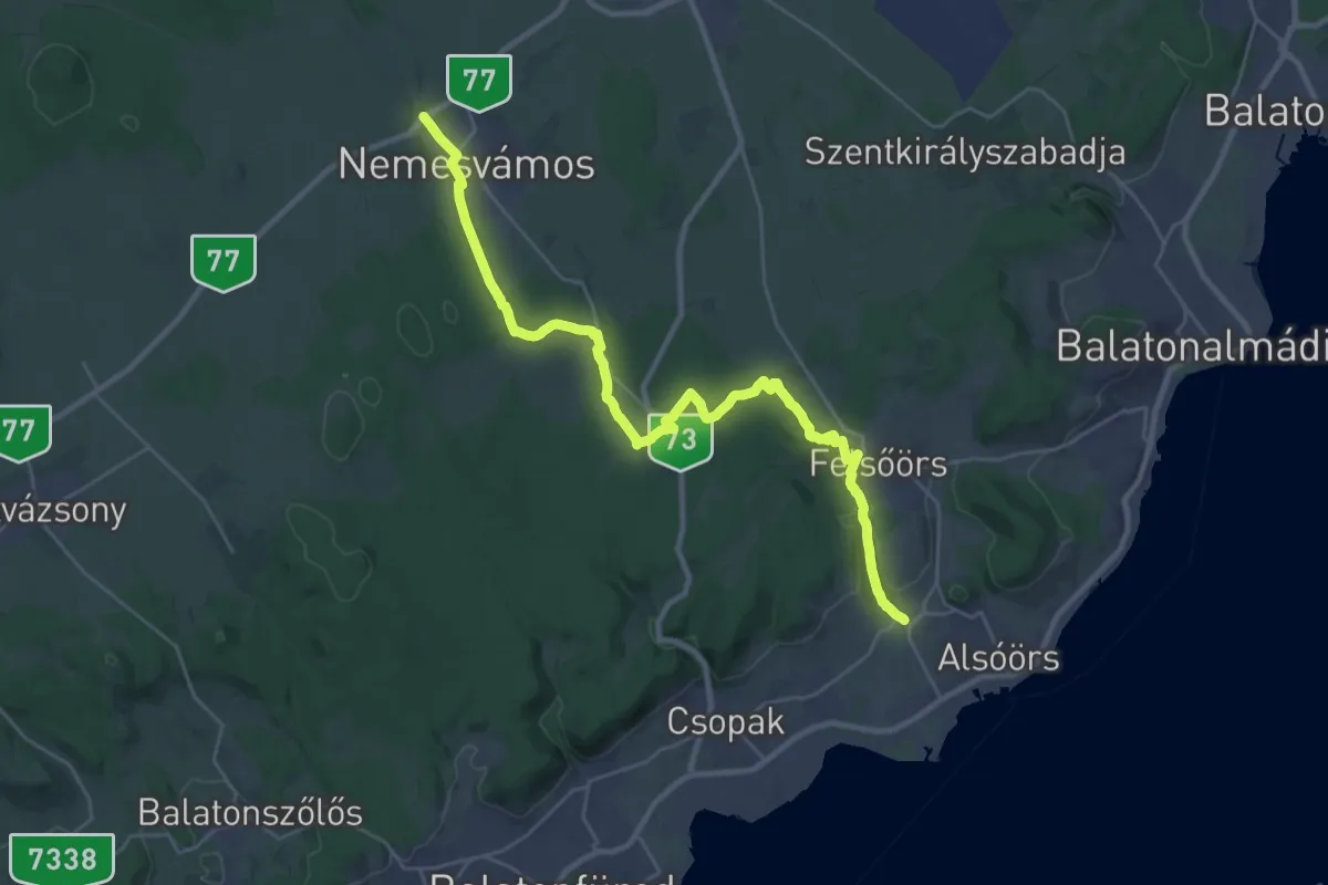
Medium · Trail
Z (Nemesvámos – Lovas)
15.1 km · ↑ 131 m · 4 h 8 min
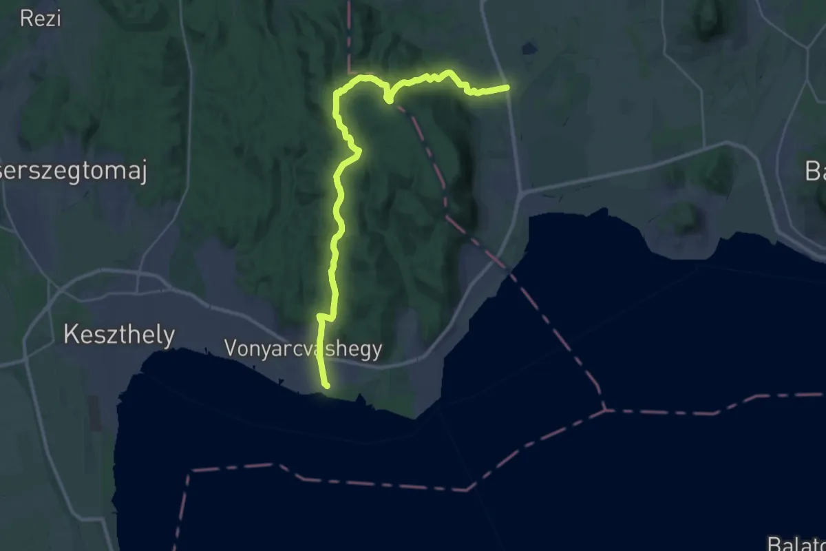
Medium · Trail
Z (Nemesvita – Büdös-kút – Vonyarcvashegy)
14.8 km · ↑ 397 m · 4 h 34 min
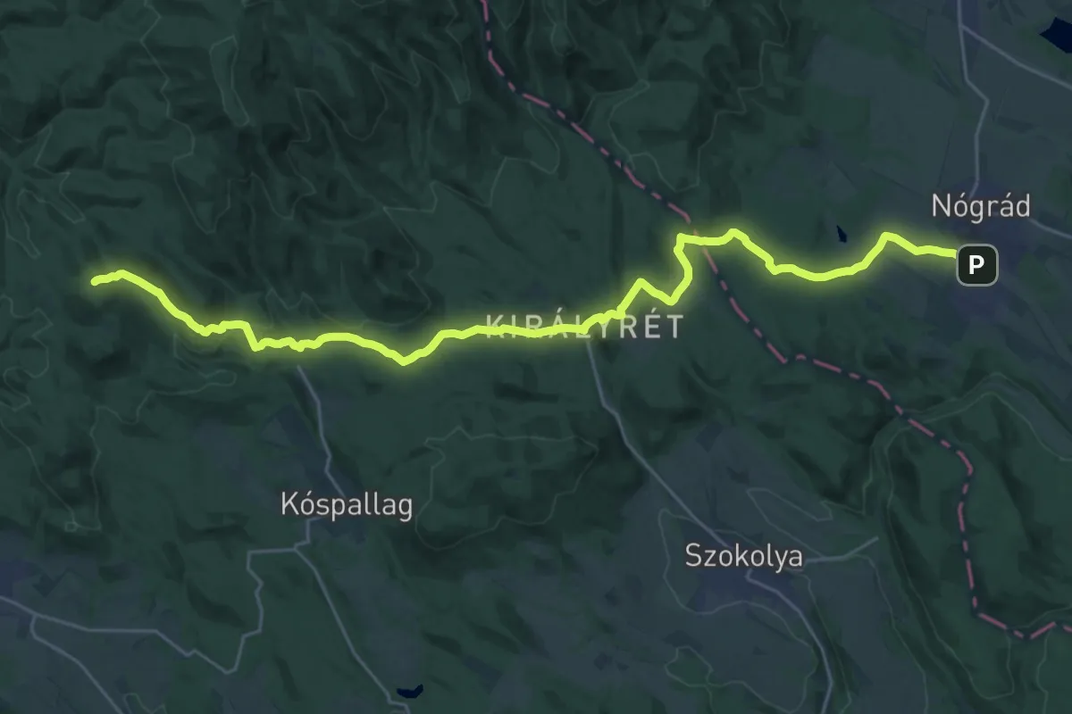
Medium · Trail
Z (Nógrád – Kis-sas-hegy nyerge)
14.7 km · ↑ 512 m · 4 h 38 min
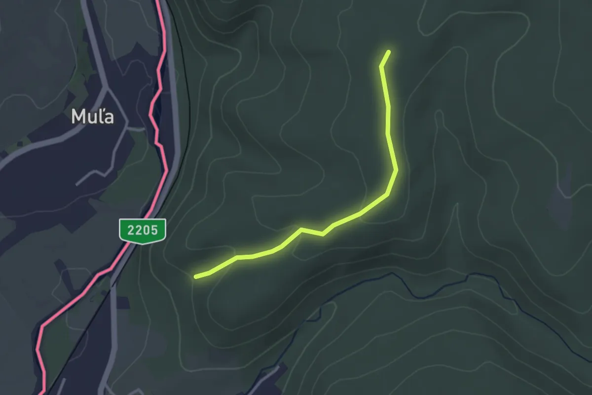
Easy · Trail
Z+ Nógrádszakál - Páris-patak felső bejárata
2.6 km · ↑ 57 m · 44 min
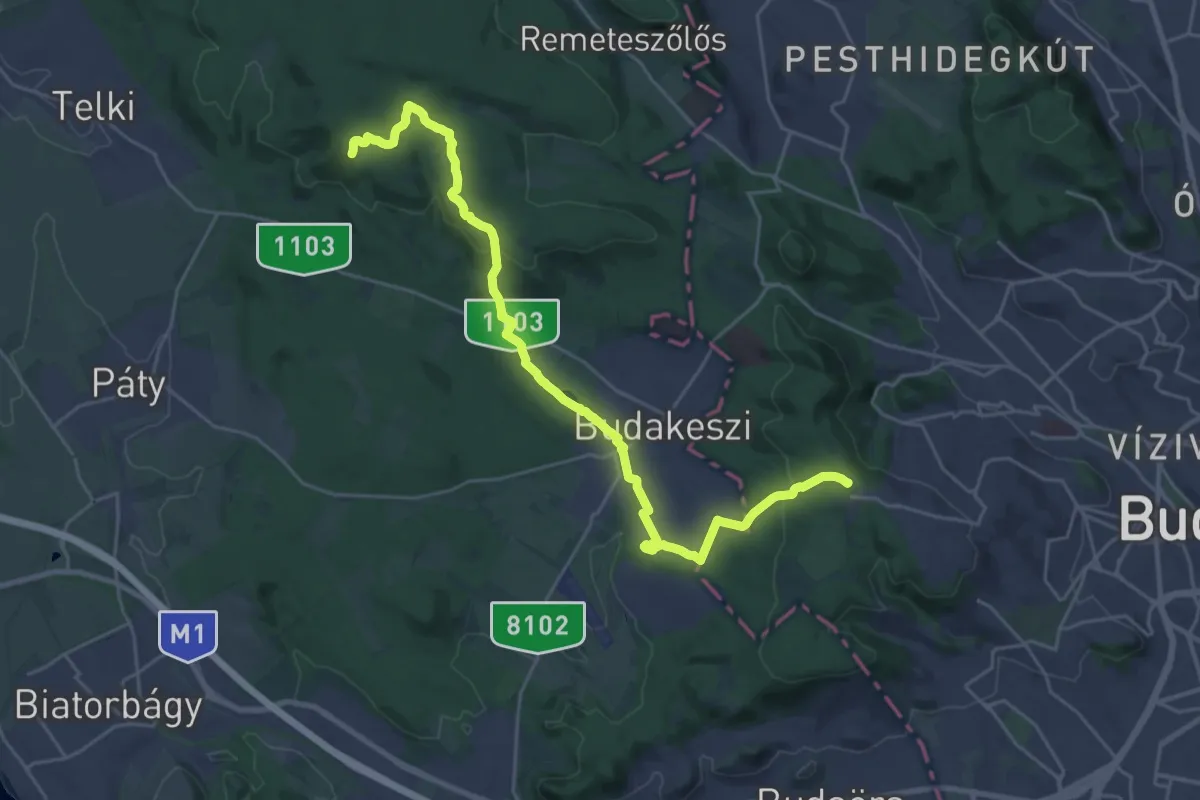
Demanding · Summit
Z+ (Normafa – Budakeszi – Fekete-hegyek, tisztás)
27.5 km · ↑ 686 m · 7 h 59 min
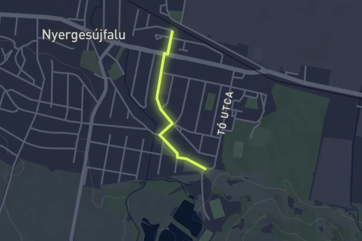
Easy · Trail
Z■ (Nyergesújfalu, Búzás-hegy alja – Felszabadulás tér – Nyergesújfalu, vá.)
2.1 km · ↑ 4 m · 31 min
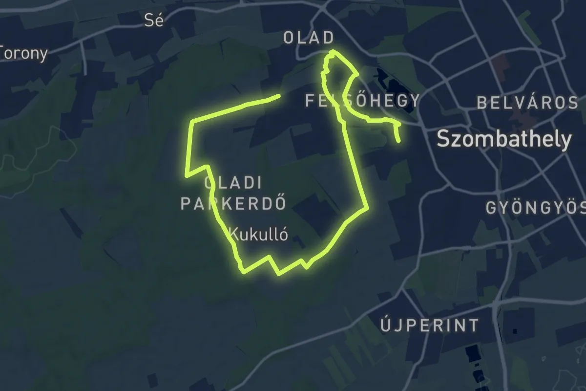
Demanding · Trail
Z (Nyugati Zöld, Szombathely)
21.5 km · ↑ 214 m · 5 h 33 min
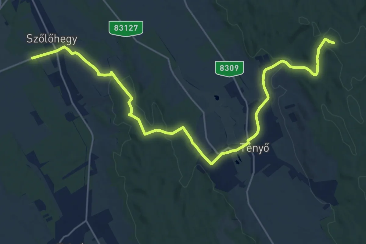
Demanding · Summit
Z (Nyúl – Győrszemere)
19.2 km · ↑ 350 m · 5 h 18 min
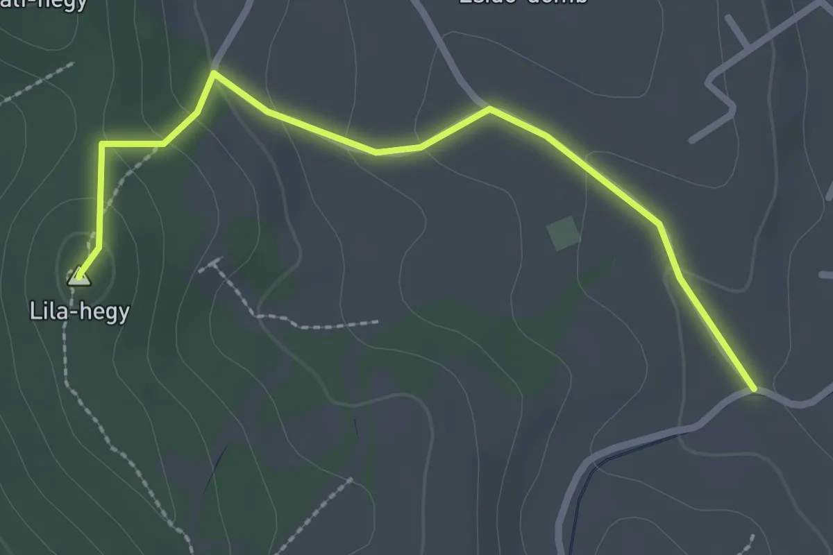
Easy · Summit
Z▲ (Nyúl kilátó)
2.5 km · ↑ 102 m · 49 min
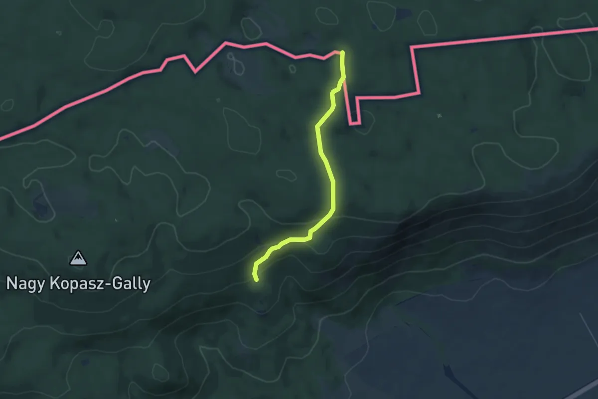
Easy · Trail
Z (O.h. – Szaladmandra-ház – O.h.)
4.7 km · ↑ 180 m · 1 h 30 min
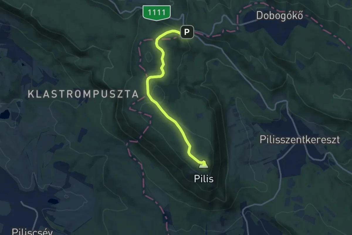
Medium · Summit
Zöld háromszög (Orosdy-rét – Pilis-tető – Két-bükkfa-nyereg)
9.8 km · ↑ 210 m · 2 h 47 min
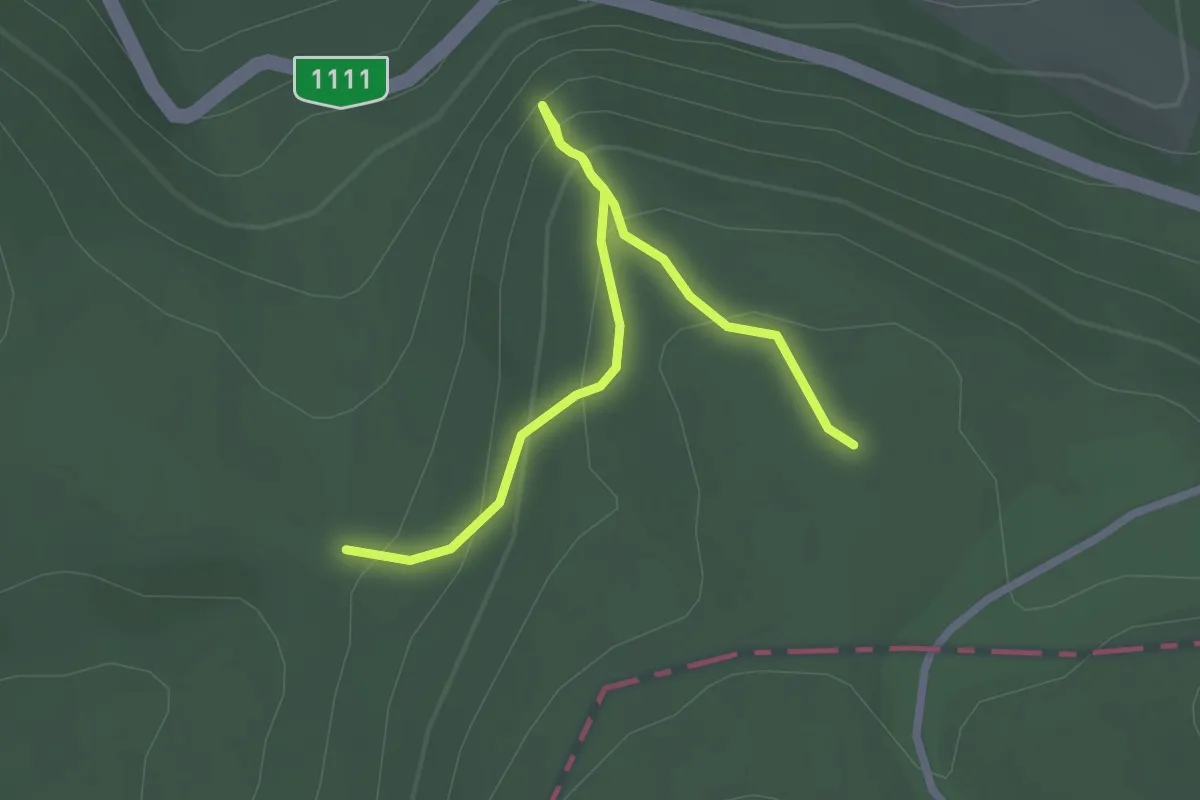
Easy · Trail
Zöld háromszög (Pilis-nyereg – Fekete-kő – Nagy-Szoplák-oldal, Hunfalvy út)
2.6 km · ↑ 237 m · 1 h 7 min
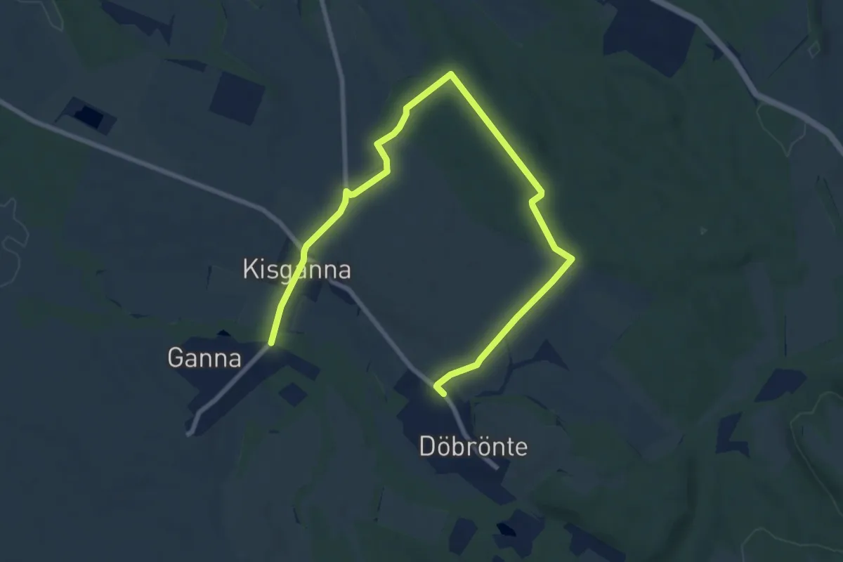
Medium · Trail
Zöld kereszt (Döbrönte - Ganna)
10.0 km · ↑ 134 m · 2 h 39 min
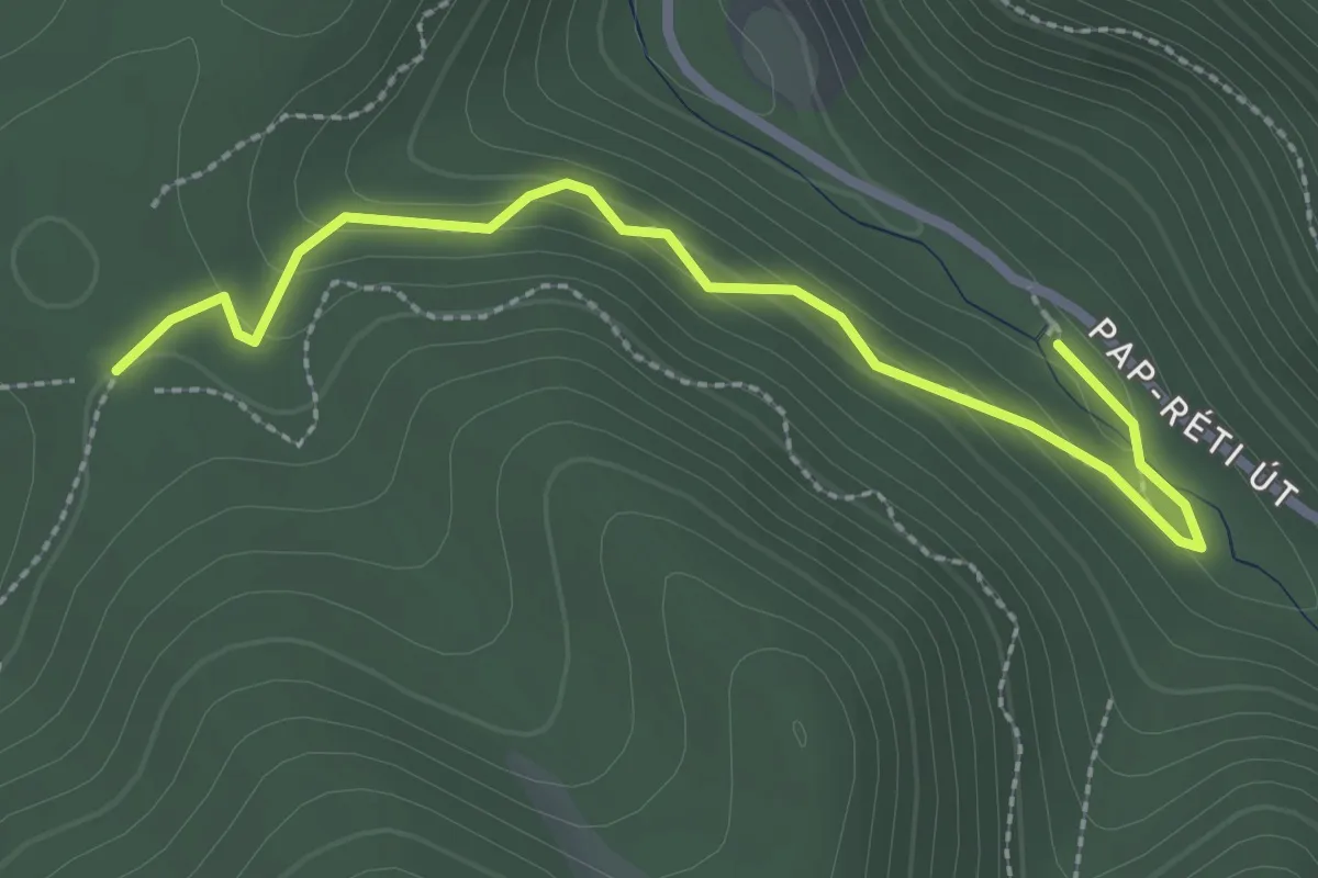
Easy · Cabin
Zöld kör (Spartacus ösvény, elágazás - Kaán-forrás)
2.7 km · ↑ 137 m · 57 min
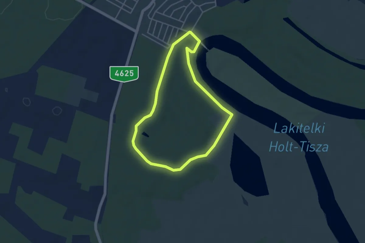
Easy · Trail
Zöld körút (Kontyvirág tanösvény)
3.3 km · ↑ 10 m · 51 min
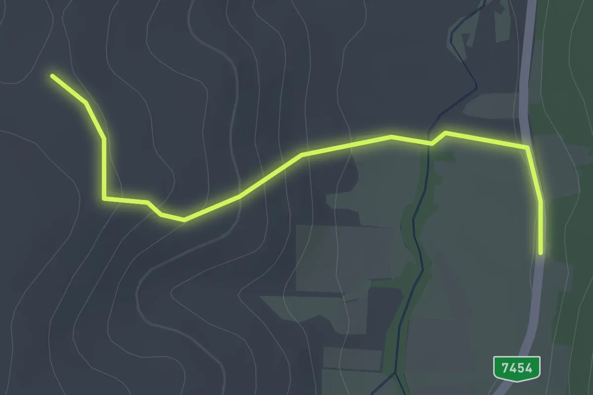
Easy · Trail
Zöld négyzet (Szabó-hegyi-erdő, Vasfüggöny Túraút – Alsószölnök, felső (autóbusz mh.))
2.3 km · ↑ 87 m · 44 min
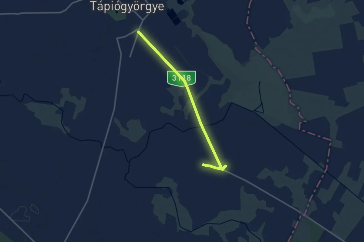
Medium · Trail
Zöldút
9.9 km · ↑ 4 m · 2 h 20 min