Trails in Hungary
2,298 hiking trails, each with its route, climb, walking time and grade.
All trails, page 45 of 48
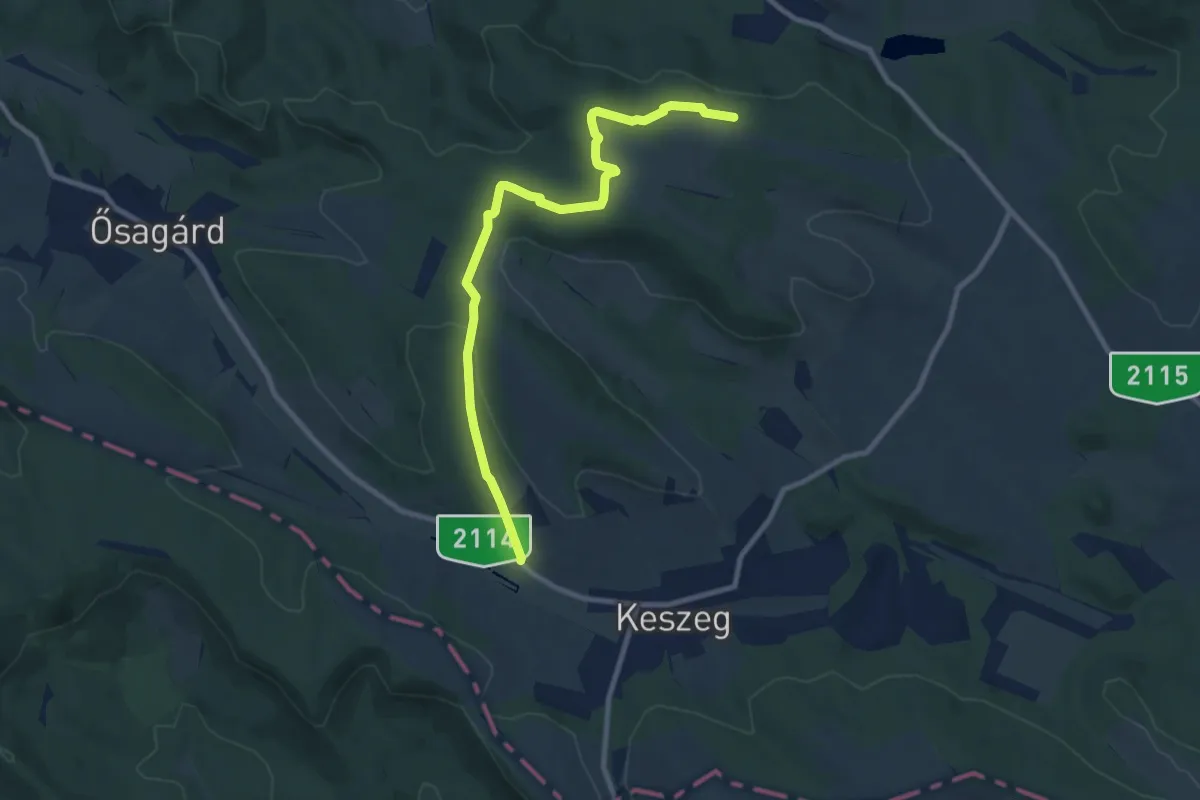
Medium · Trail
Zöldút
9.5 km · ↑ 166 m · 2 h 37 min
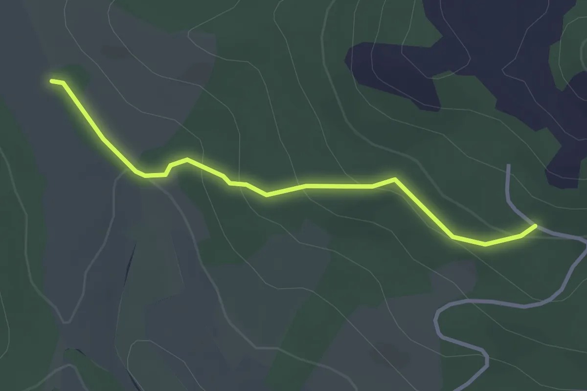
Easy · Trail
Zöldút
2.7 km · ↑ 118 m · 54 min
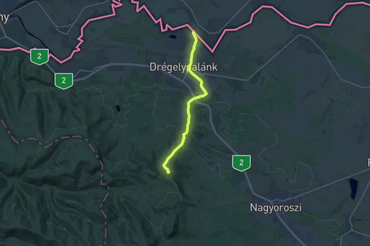
Medium · Summit
Zöldutak 1
13.3 km · ↑ 302 m · 3 h 48 min
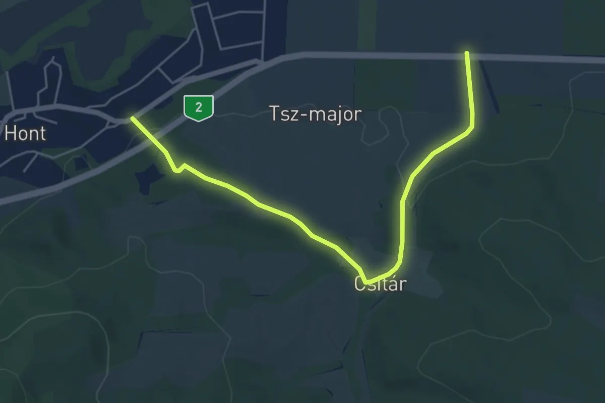
Easy · Trail
Zöldutak 10
4.9 km · ↑ 87 m · 1 h 21 min
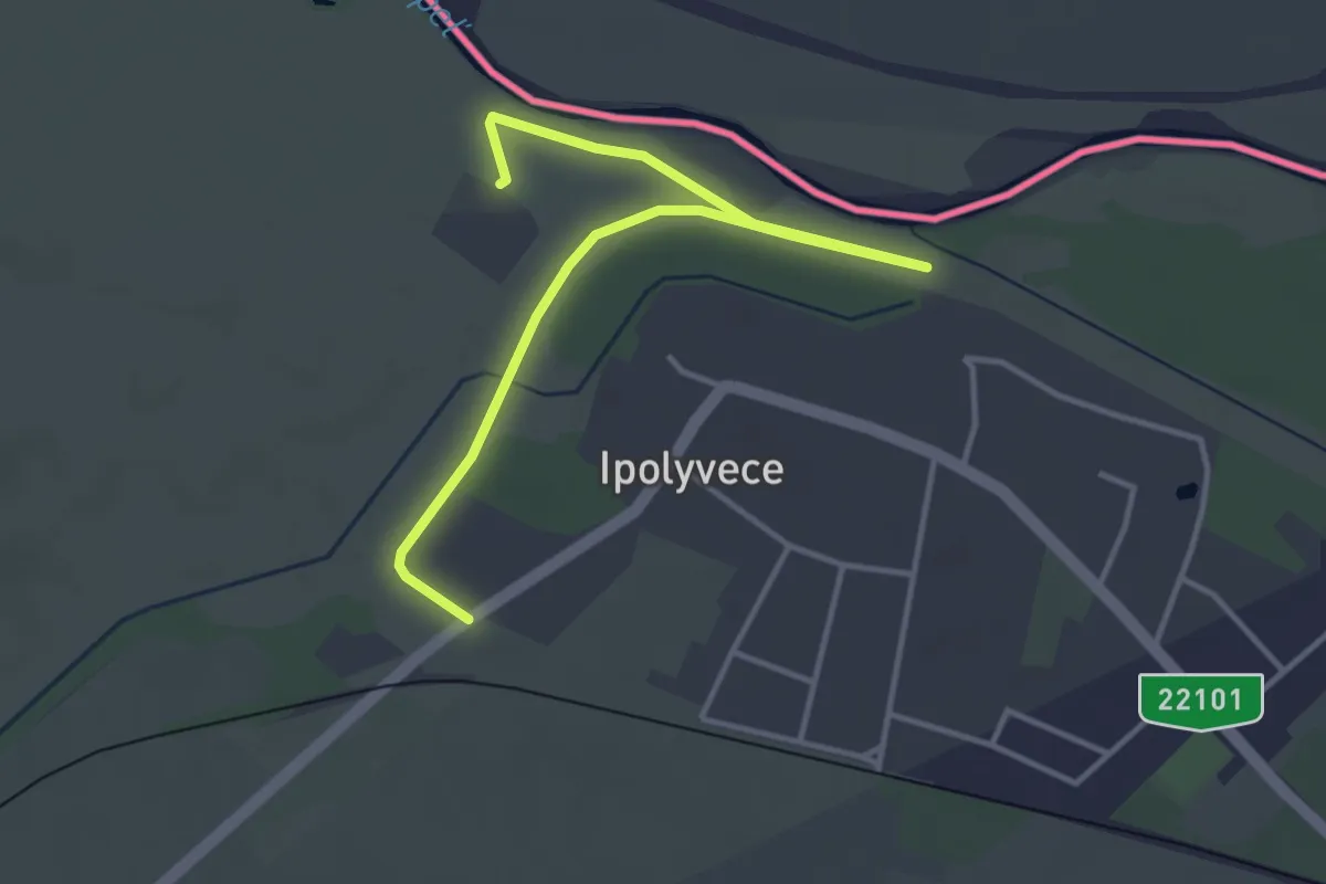
Easy · Trail
Zöldutak 11
4.4 km · ↑ 0 m · 1 h 2 min
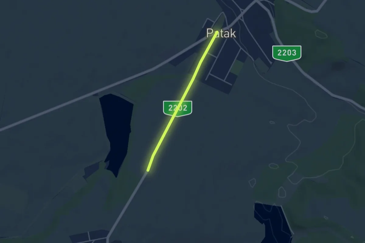
Easy · Trail
Zöldutak 12
3.1 km · ↑ 20 m · 46 min
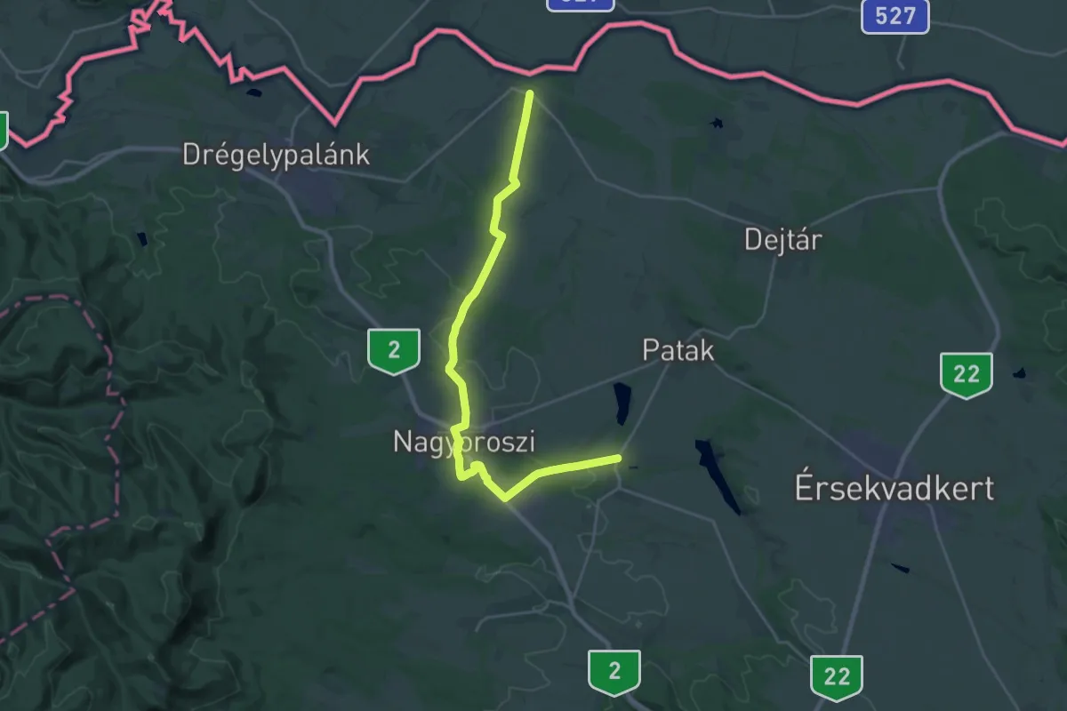
Demanding · Trail
Zöldutak 2
23.2 km · ↑ 273 m · 6 h 4 min
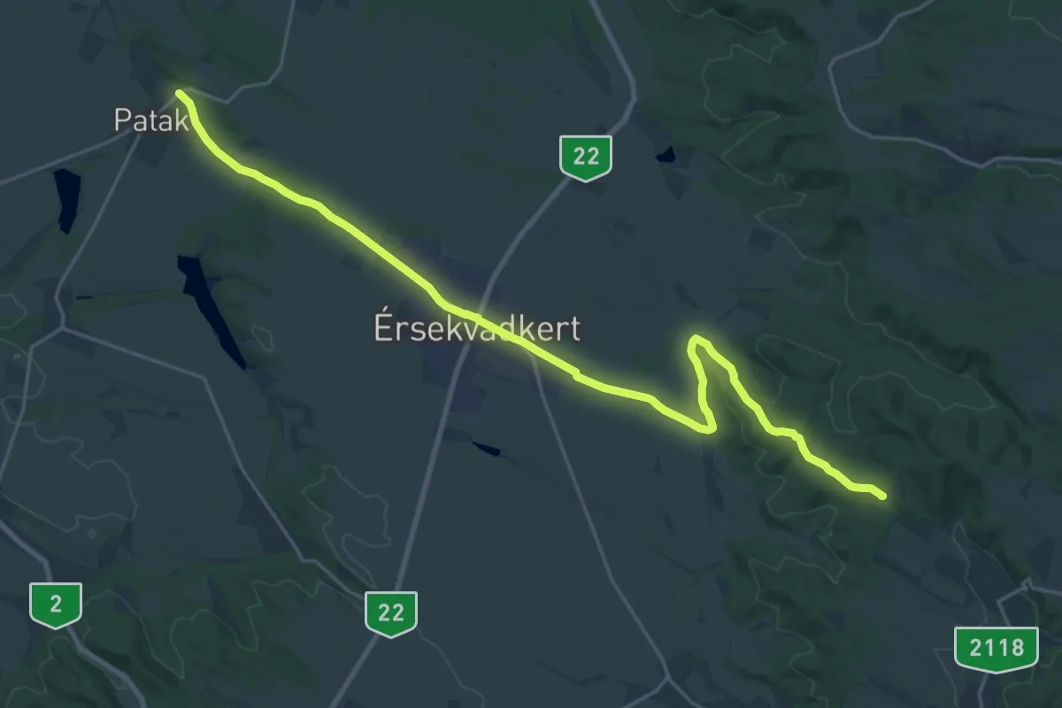
Demanding · Summit
Zöldutak 3
25.0 km · ↑ 243 m · 6 h 25 min
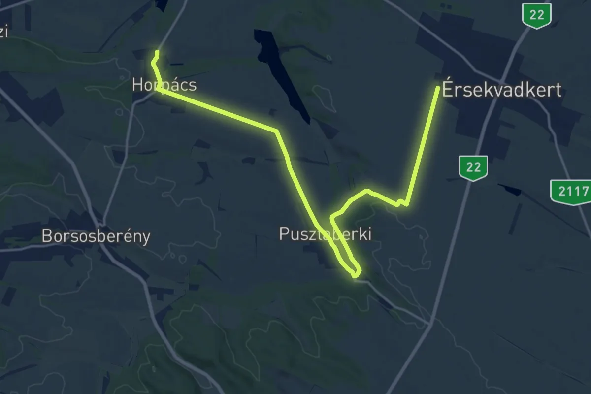
Demanding · Trail
Zöldutak 4
18.3 km · ↑ 105 m · 4 h 33 min
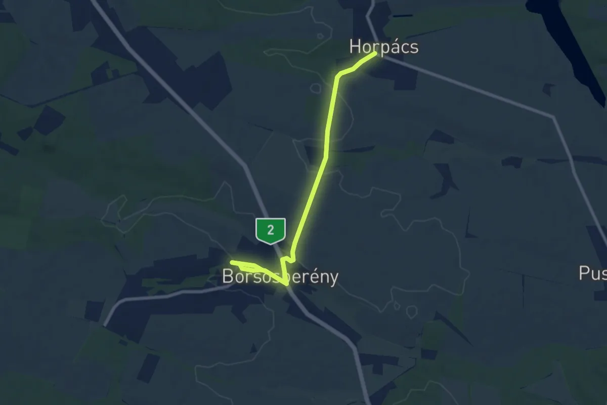
Easy · Trail
Zöldutak 5
7.2 km · ↑ 95 m · 1 h 54 min
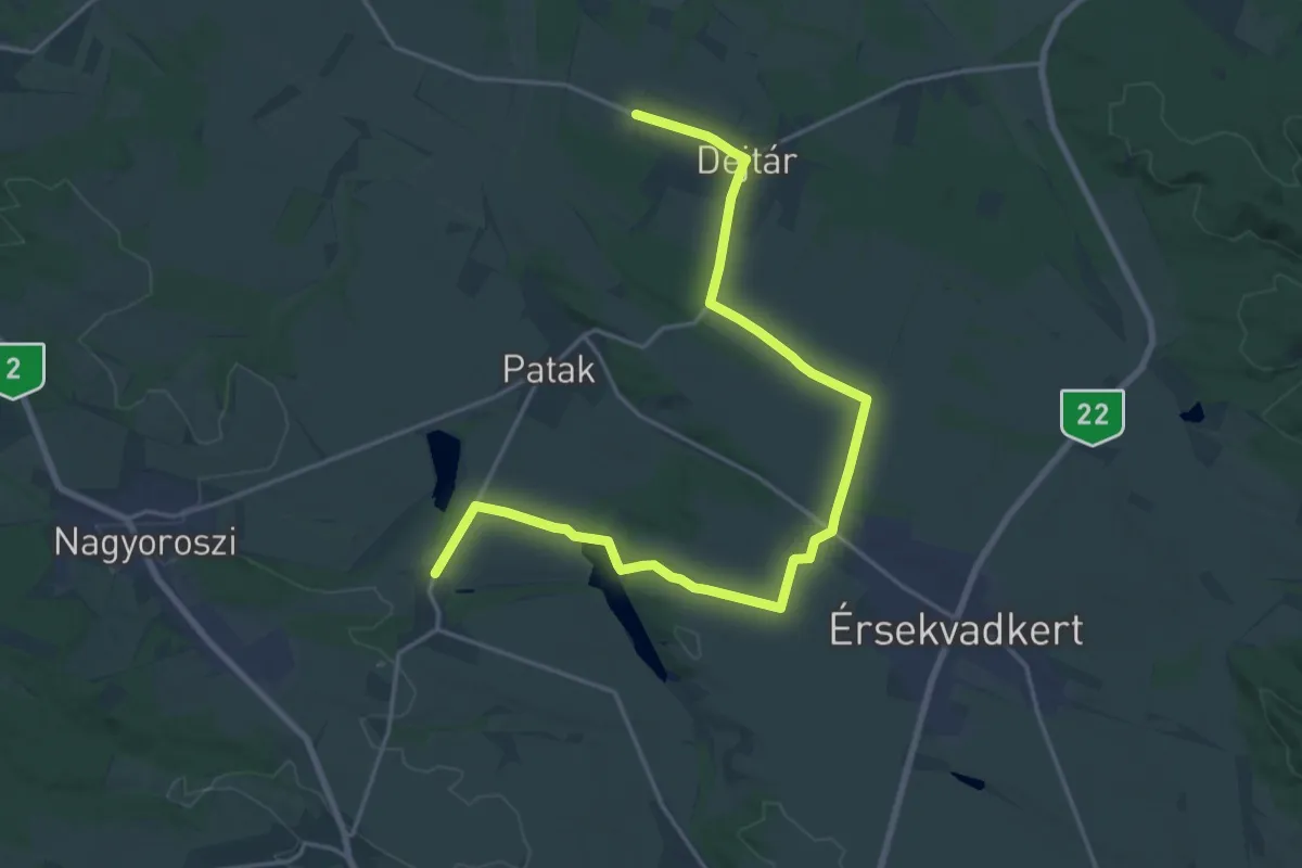
Demanding · Trail
Zöldutak 6
22.0 km · ↑ 141 m · 5 h 30 min
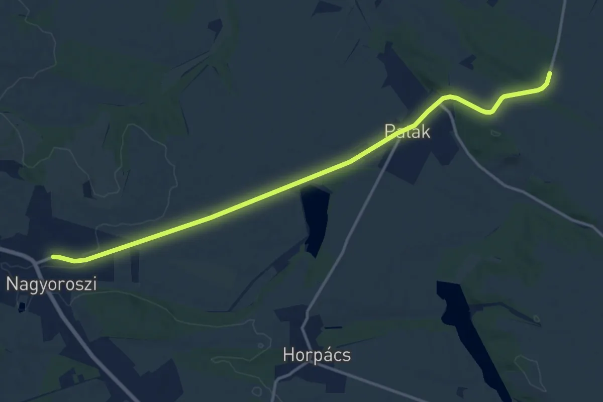
Medium · Trail
Zöldutak 7
12.5 km · ↑ 107 m · 3 h 11 min
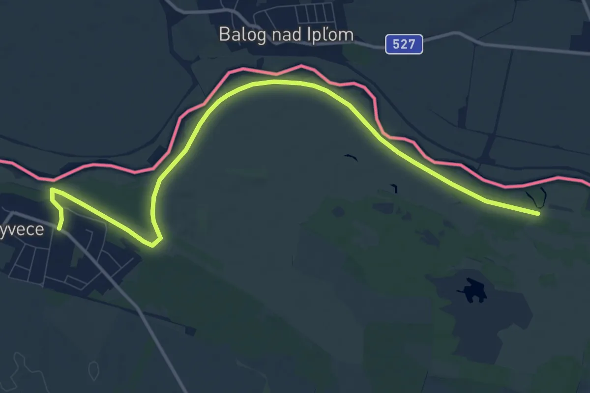
Medium · Trail
Zöldutak 8
11.5 km · ↑ 4 m · 2 h 43 min
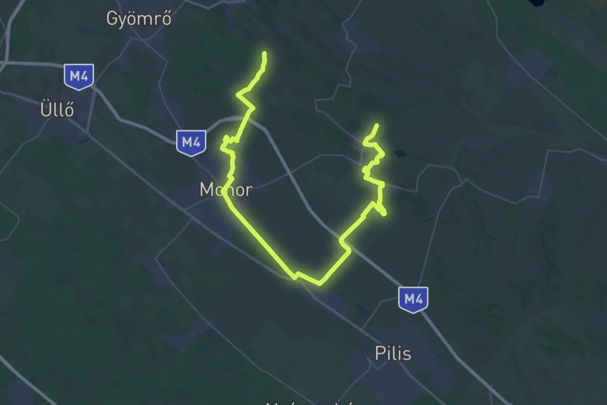
Demanding · Trail
Zöldút Monor
27.1 km · ↑ 143 m · 7 h 7 min
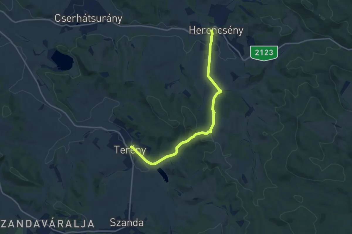
Medium · Trail
Zöldút (Terény – Herencsény)
11.4 km · ↑ 200 m · 3 h 7 min
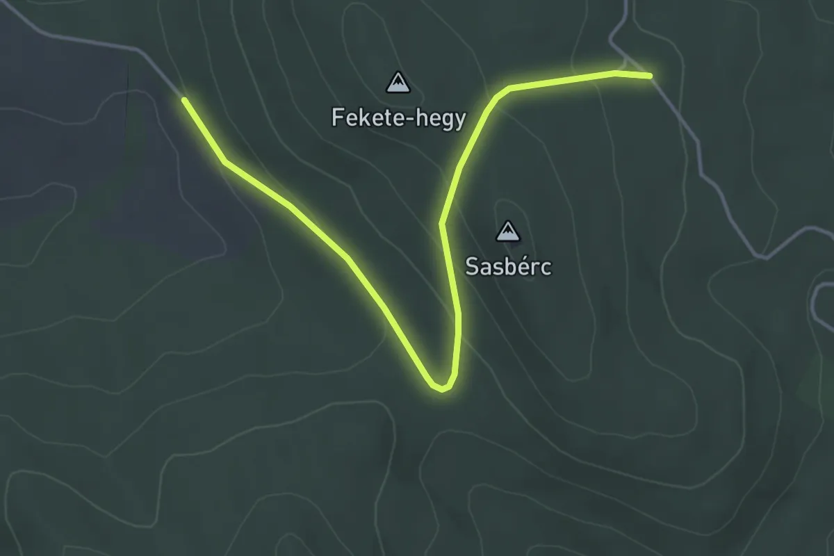
Easy · Trail
Zöldút (Terény – Sasbérci elágazás)
4.4 km · ↑ 135 m · 1 h 20 min
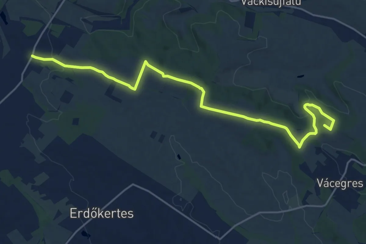
Medium · Summit
Z (Őrbottyán – Galgamácsa)
15.9 km · ↑ 252 m · 4 h 18 min
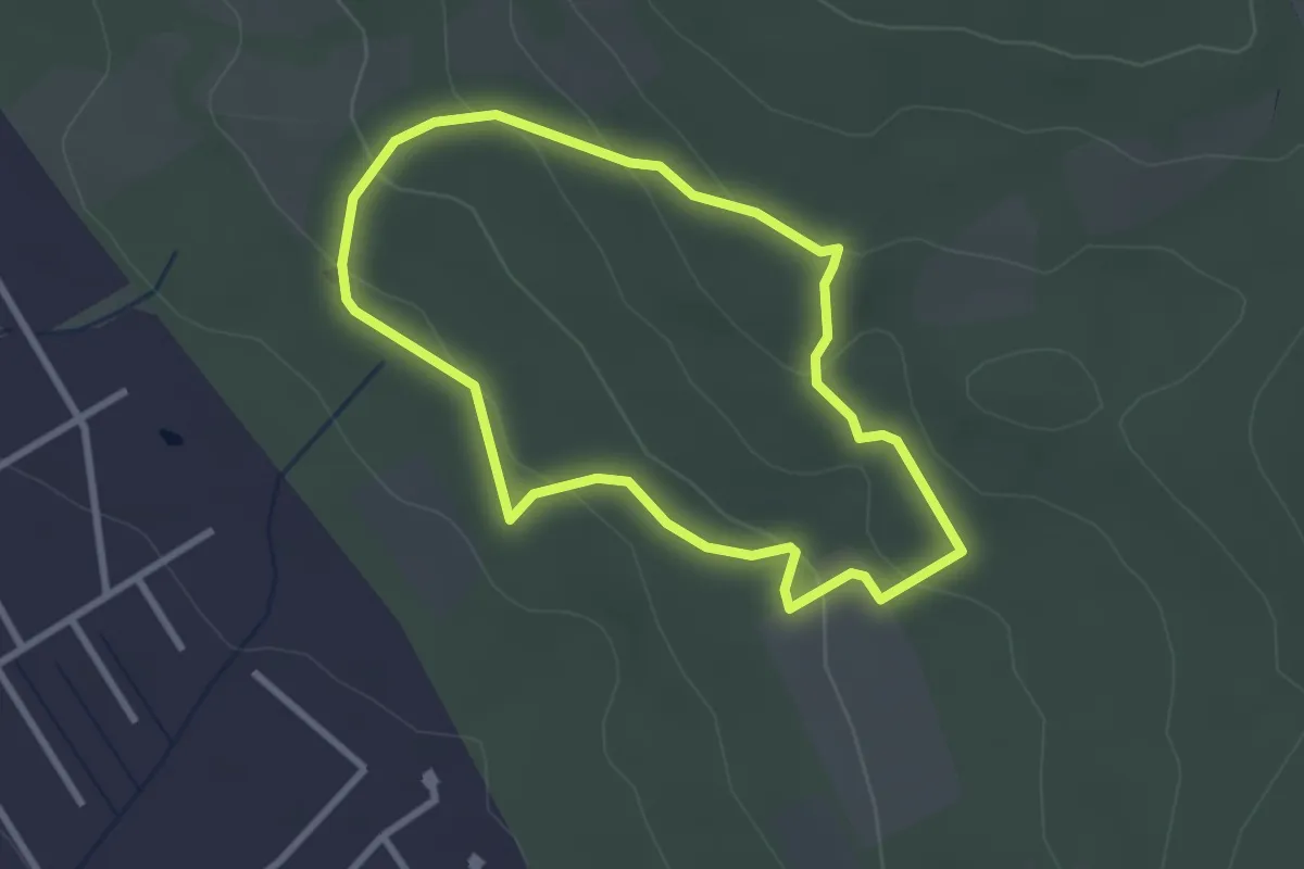
Easy · Trail
Z╱ (Öreg tölgy erdei tanösvény (Telki, erdő széle – Zsír-hegyi-erdő – Telki, erdő széle)
2.6 km · ↑ 98 m · 51 min
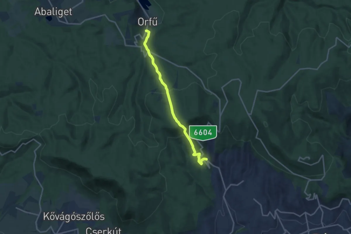
Medium · Trail
Z▲ (Orfű – Vörös-hegy – Szentkút, autóbusz forduló)
10.7 km · ↑ 529 m · 3 h 40 min
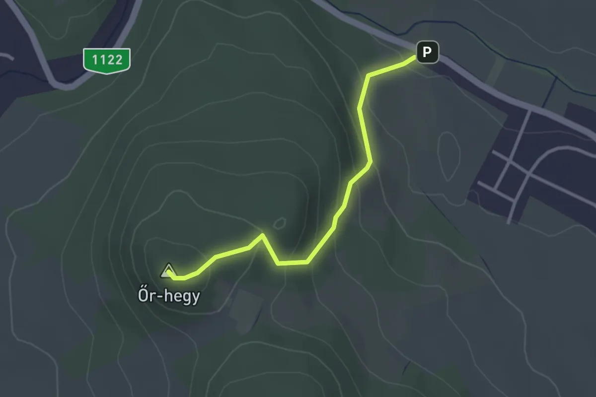
Medium · Summit
Z▲ (Őr-hegy)
2.6 km · ↑ 170 m · 1 h
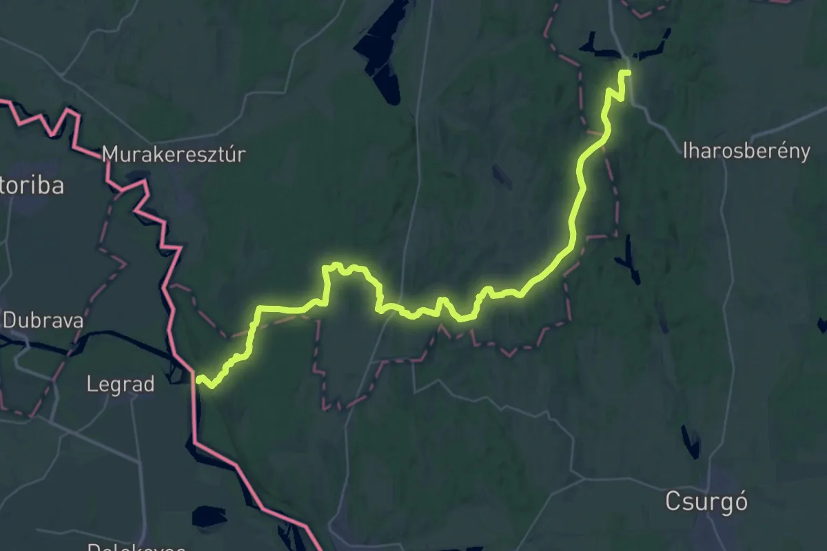
Demanding · Trail
Z (Őrtilos – Pogányszentpéter)
25.7 km · ↑ 376 m · 7 h 15 min
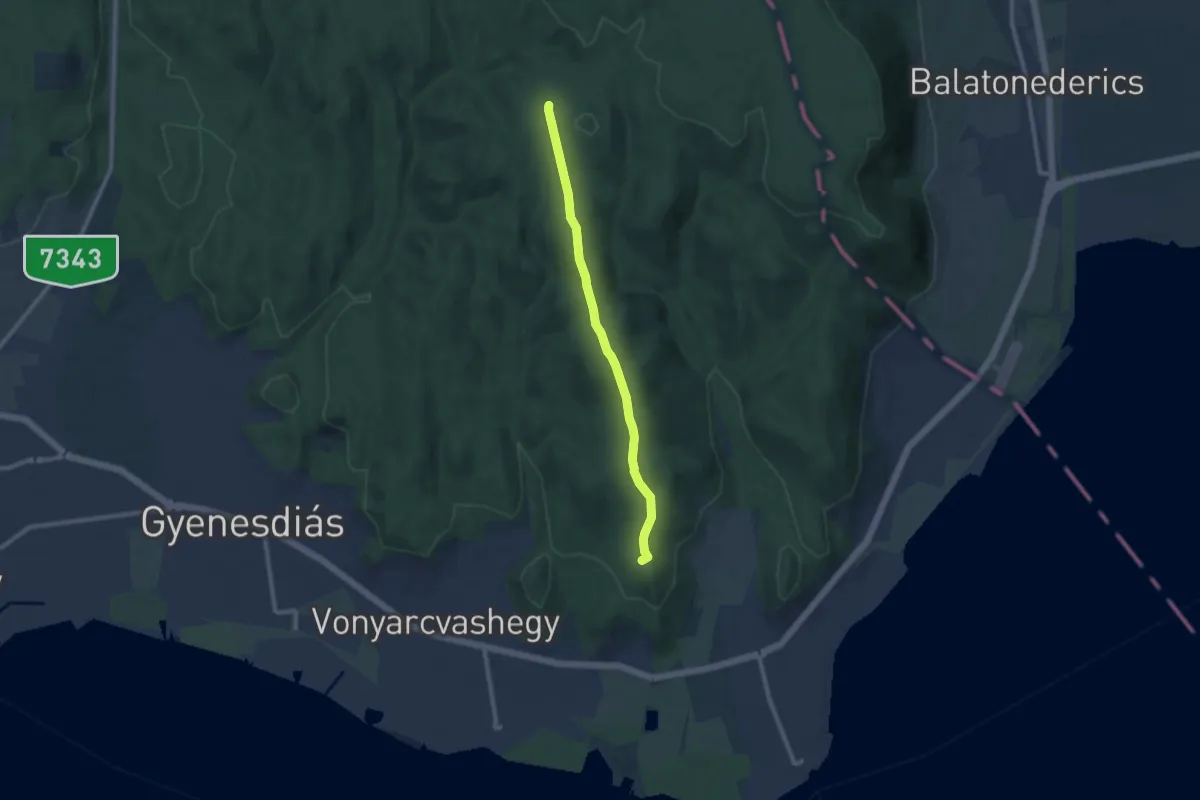
Medium · Summit
Z+ (Pad-kő – Szentmihály-domb)
8.9 km · ↑ 179 m · 2 h 29 min
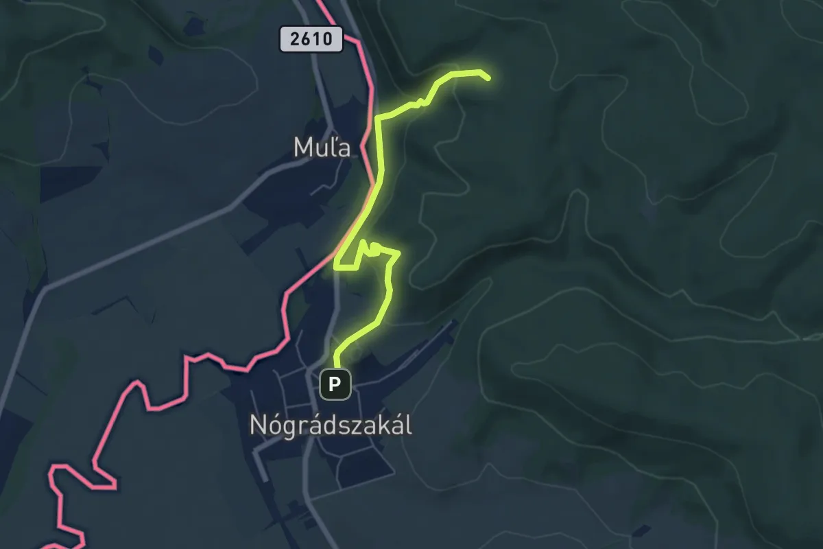
Easy · Trail
Z Palóc Zöld
5.6 km · ↑ 289 m · 1 h 58 min
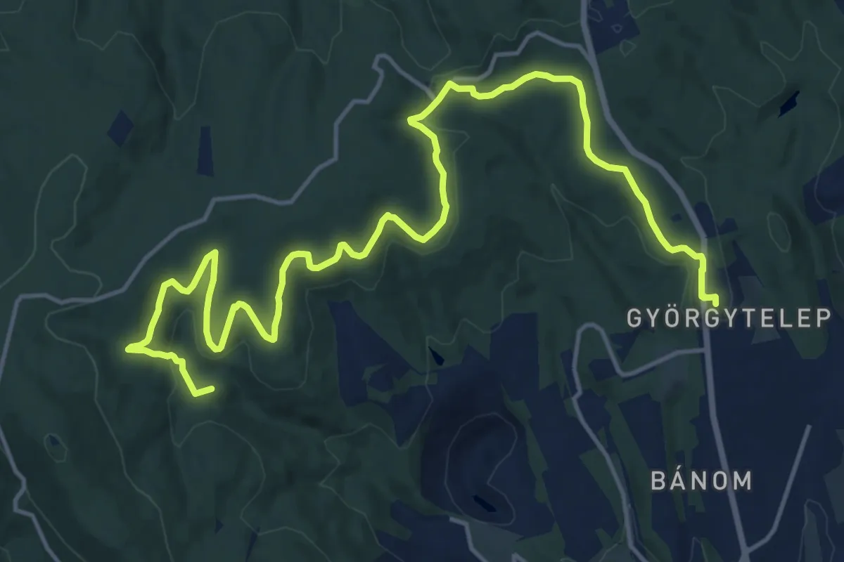
Demanding · Summit
Z+ (Pálos templom – Kis-rét – Kantavár - Rábay-fa – Andor-forrás – Zsolnay-kút – Hősök tere)
19.5 km · ↑ 435 m · 5 h 32 min
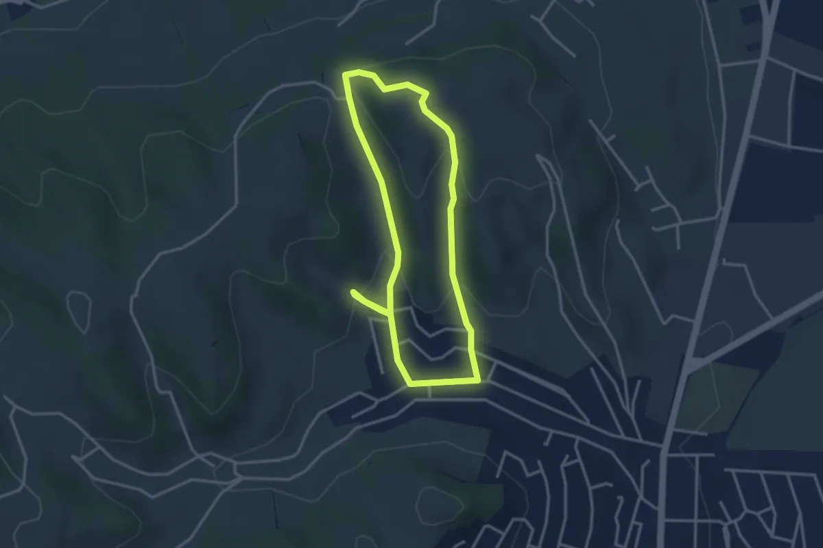
Easy · Trail
Z↺ (Parásztai tanösvény)
2.9 km · ↑ 120 m · 59 min
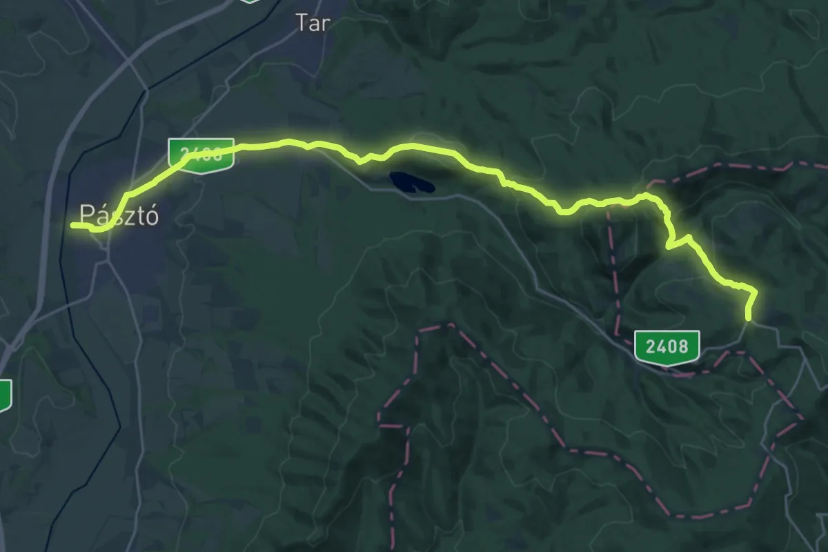
Medium · Trail
Z (Pásztó – Fallóskút)
14.6 km · ↑ 715 m · 4 h 57 min
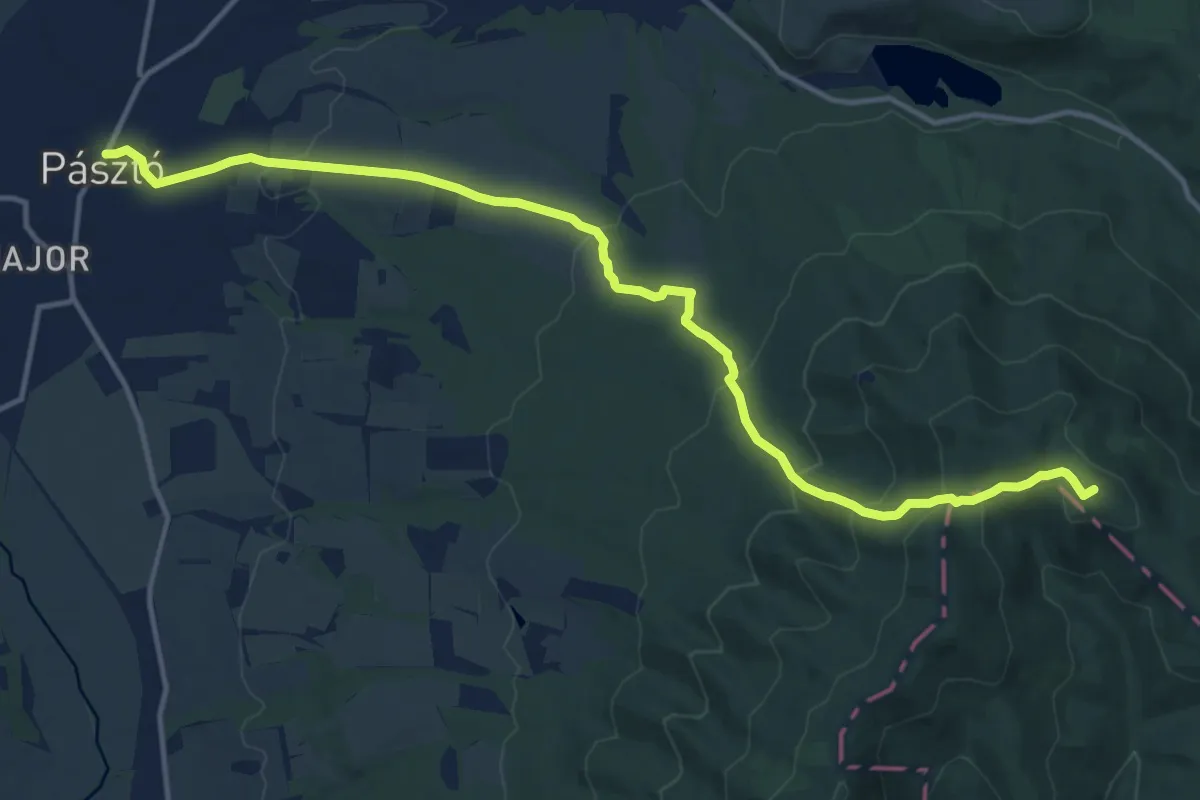
Medium · Summit
Z+ (Pásztó – Keresztesi nyereg)
14.8 km · ↑ 568 m · 4 h 44 min
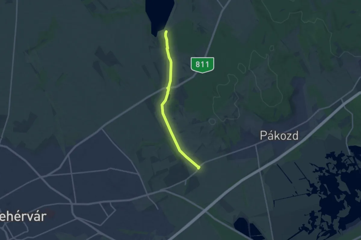
Medium · Trail
Z+ (Pátkai víztározó . Kisfalud)
11.1 km · ↑ 22 m · 2 h 40 min
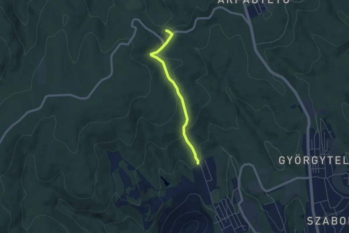
Easy · Trail
Z● (Pécsbányatelep – Andor-forrás – Tripammer-fa)
4.2 km · ↑ 124 m · 1 h 16 min
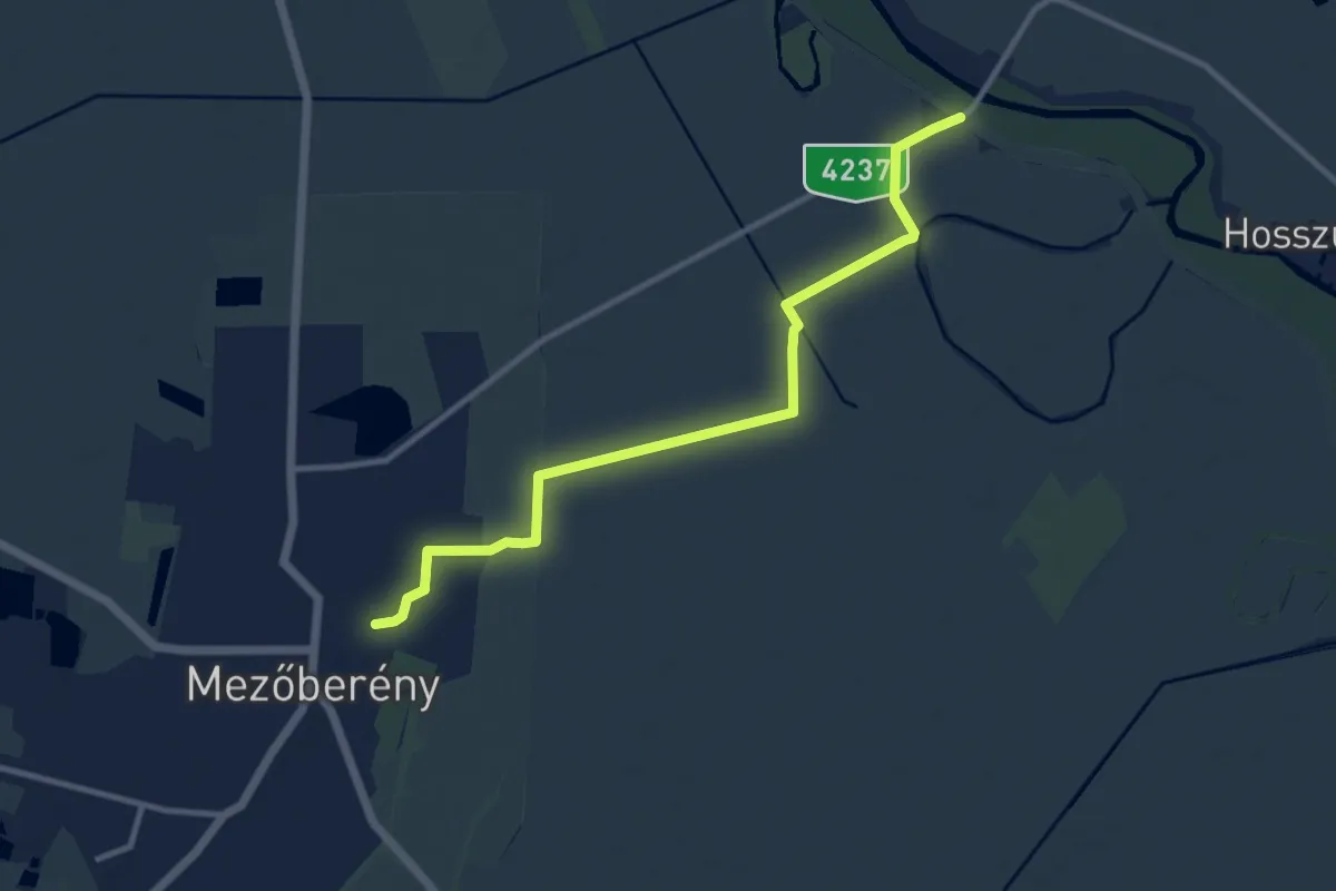
Medium · Trail
Z (Petőfi-emlékmű – Laposi kertek – Mezőberény)
10.9 km · ↑ 9 m · 2 h 35 min
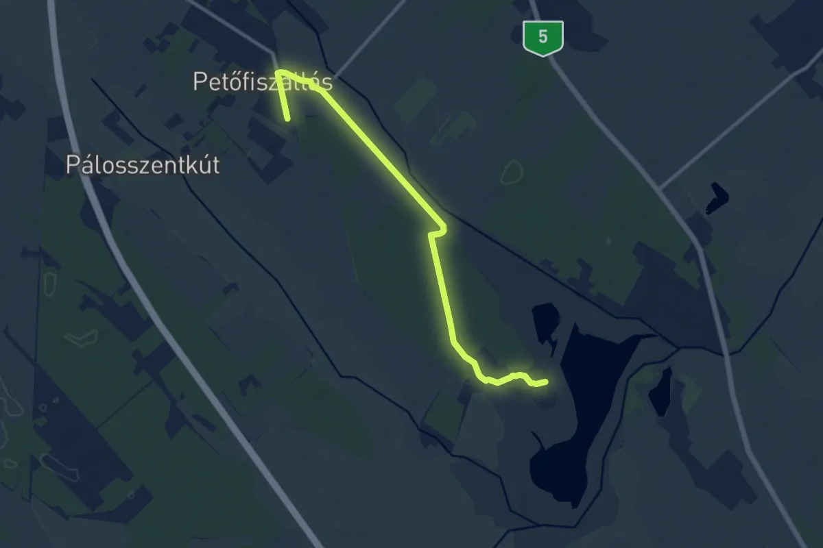
Medium · Trail
Z (Petőfiszállás - madármegfigyelő
10.4 km · ↑ 13 m · 2 h 29 min
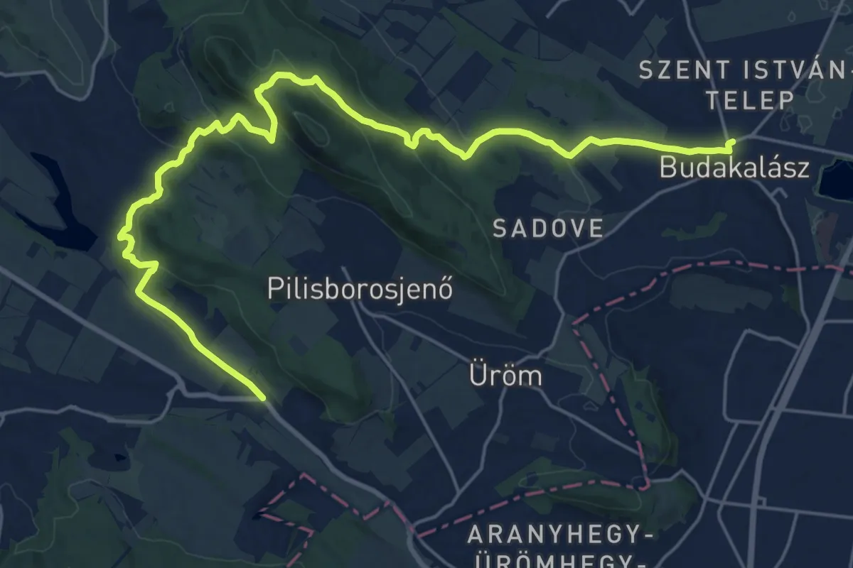
Demanding · Trail
Z (Pilisborosjenő – Kevély-nyereg – Budakalász)
24.9 km · ↑ 709 m · 7 h 24 min
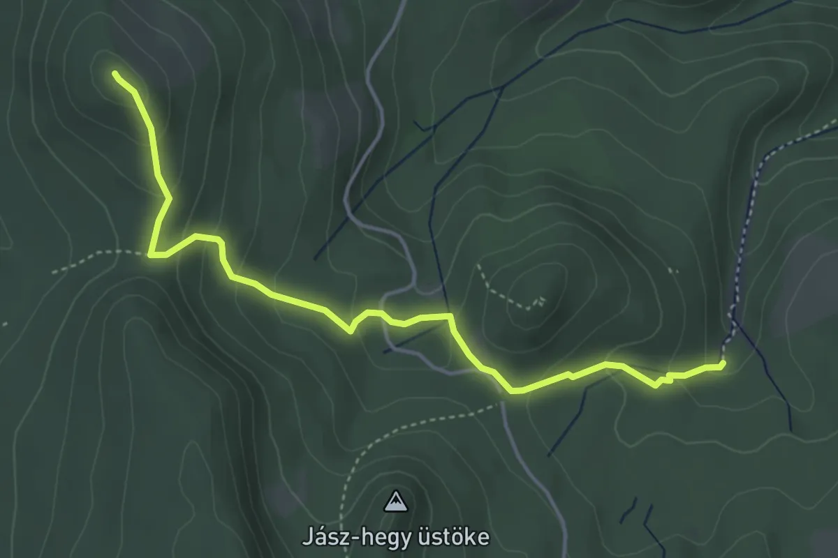
Easy · Summit
Z (Pilismarót, községháza aut. m. – Szakó-nyereg – Dömös, há.)
4.4 km · ↑ 235 m · 1 h 34 min
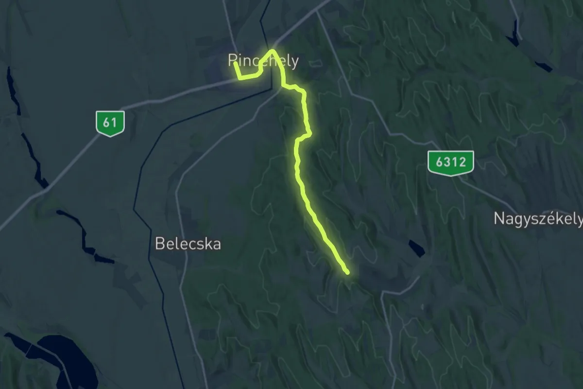
Medium · Trail
Z (Pincehely - Miszla)
16.0 km · ↑ 265 m · 4 h 21 min
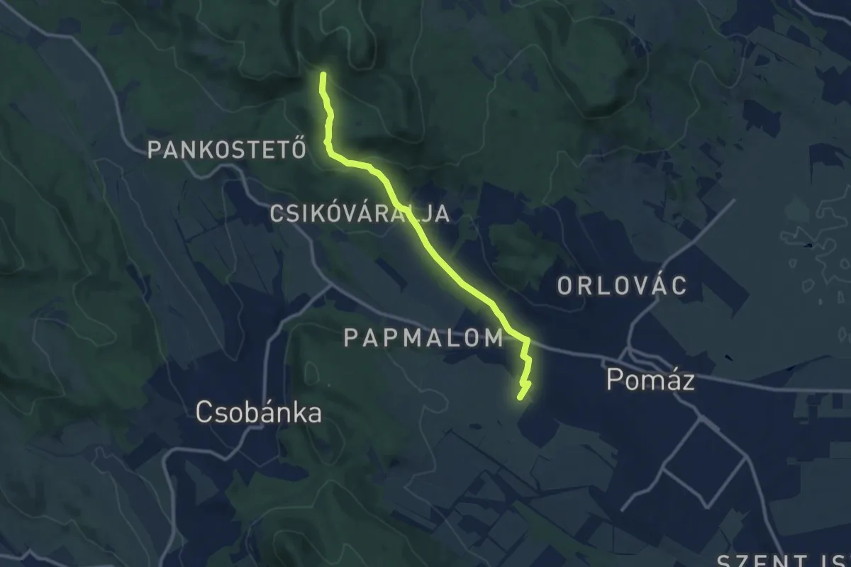
Medium · Trail
Z+ (Pomáz, Árpád-kilátó – Gyopár-forrás – Karolina-árok)
9.4 km · ↑ 317 m · 2 h 54 min
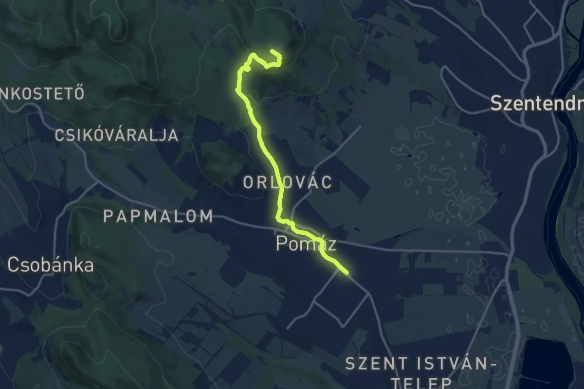
Medium · Summit
Z (Pomáz, HÉV-állomás – Kő-hegy – Dömörkapu, tábor aut. m.)
11.2 km · ↑ 254 m · 3 h 12 min
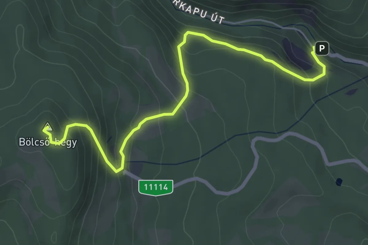
Medium · Summit
Z▲ (Pomáz, Mesélő-hegyi dűlő – Lajos-forrás – Dömörkapu, aut. ford.)
5.6 km · ↑ 367 m · 2 h 6 min
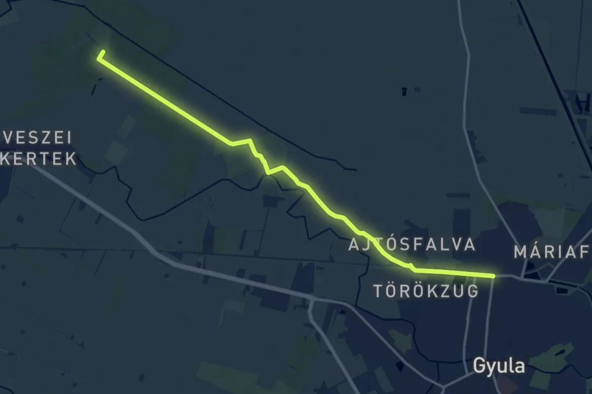
Medium · Trail
Z (Póstelek – Hajlás-erdő – Ajtósfalva – Gyula)
14.7 km · ↑ 47 m · 3 h 34 min
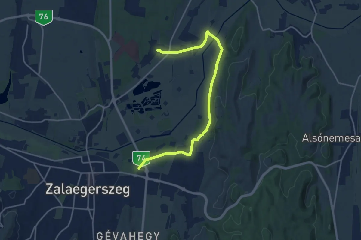
Medium · Trail
Z Pózva - Zalaegerszeg
13.3 km · ↑ 109 m · 3 h 22 min
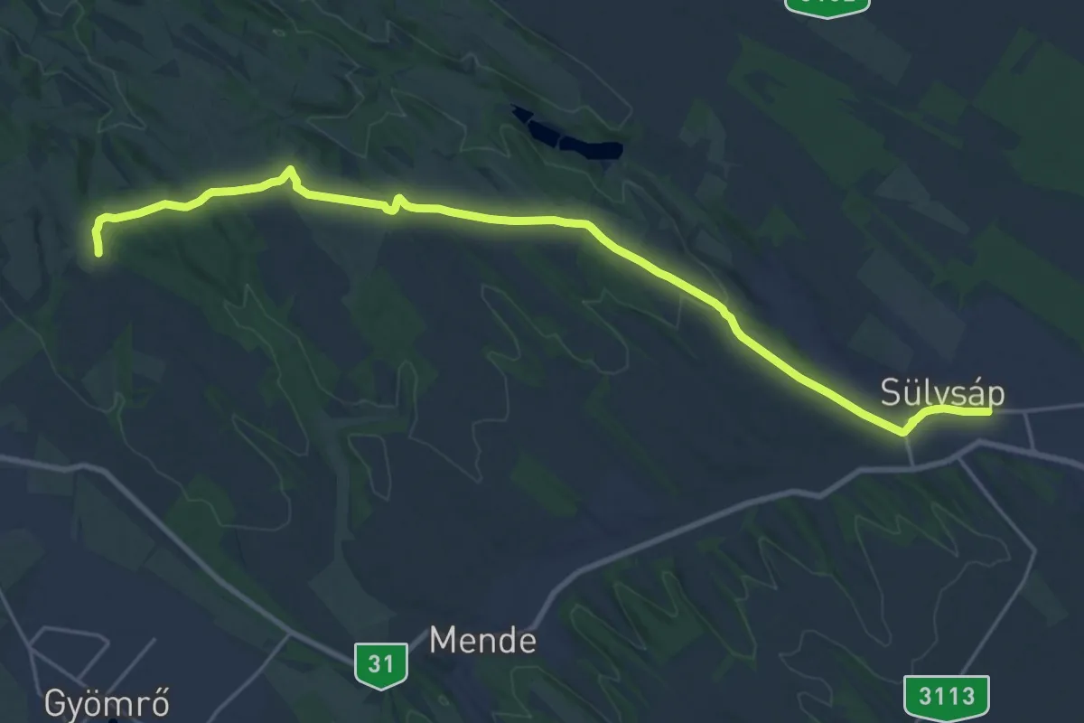
Demanding · Trail
Z+ (P – Sülysáp vá.)
23.9 km · ↑ 182 m · 6 h 2 min
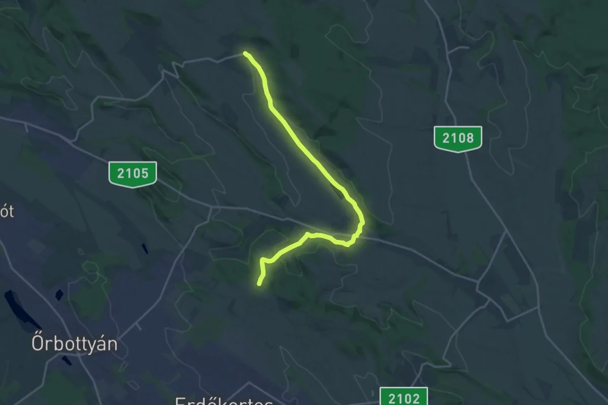
Medium · Trail
Z+ (Püspökszilágy)
16.3 km · ↑ 172 m · 4 h 13 min
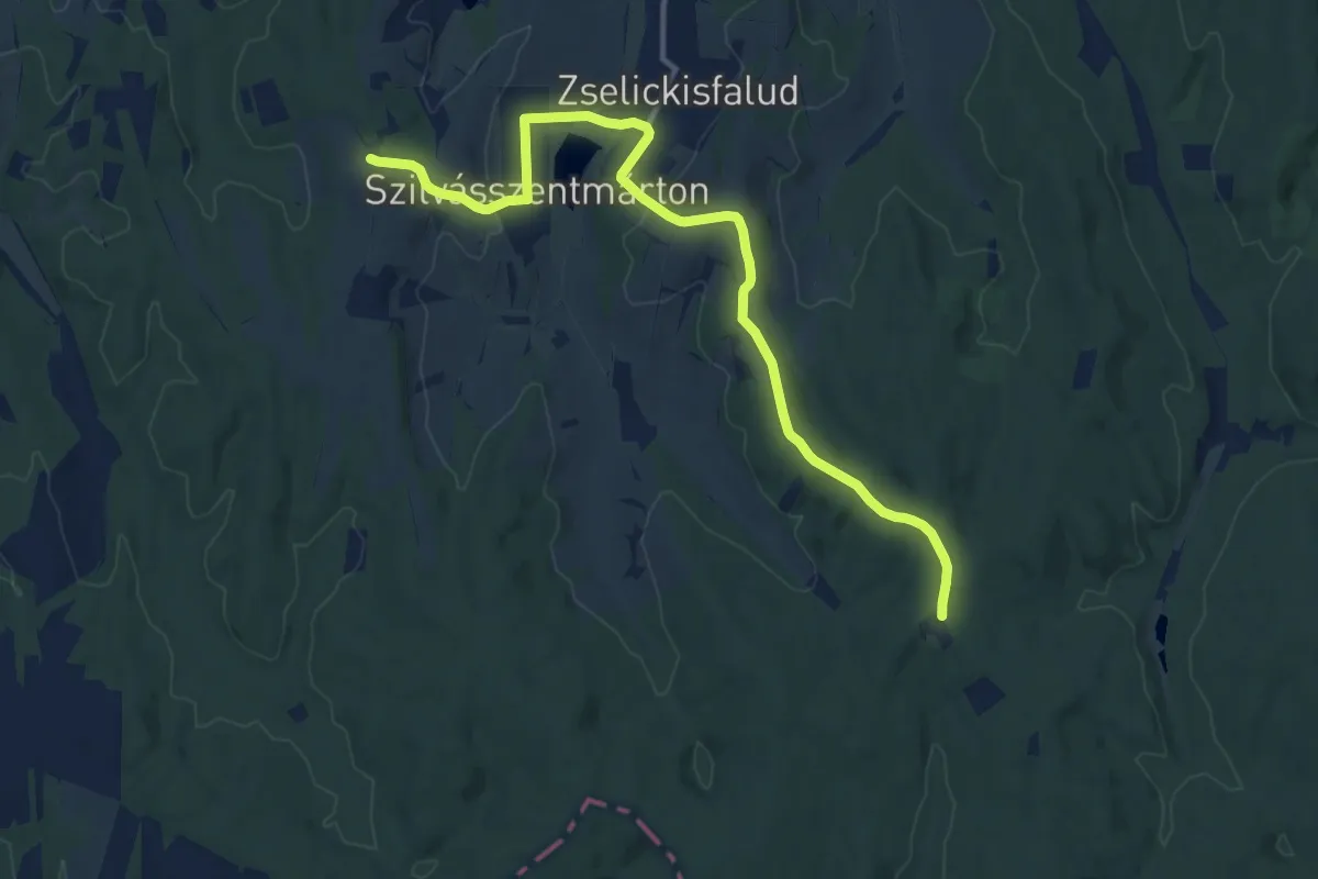
Medium · Trail
Z■ (Puszta-hegy - Kardosfapuszta)
13.7 km · ↑ 243 m · 3 h 46 min
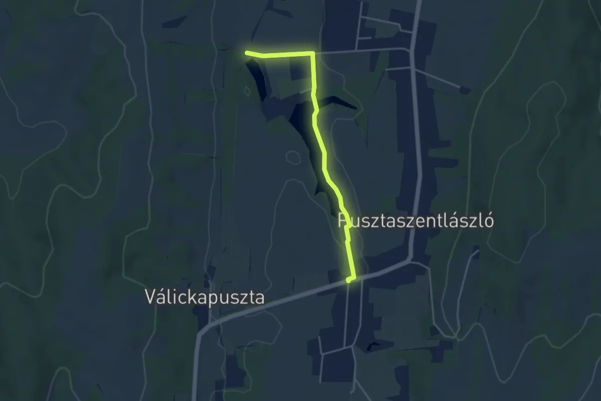
Easy · Trail
Z■ (Pusztaszentlászló)
3.6 km · ↑ 17 m · 53 min
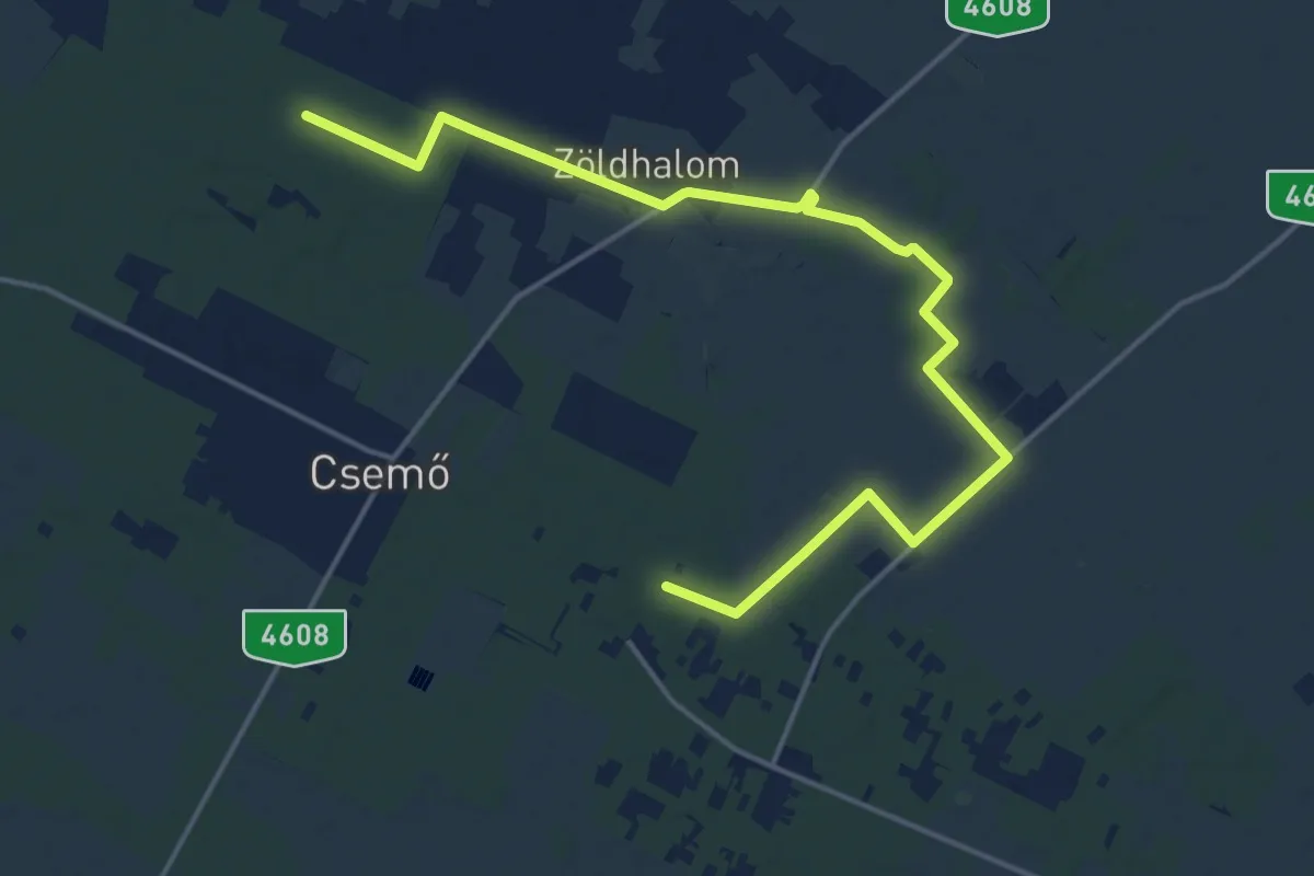
Demanding · Trail
Z+ (Putrisarki erdő - Gyurka-domb)
19.2 km · ↑ 26 m · 4 h 35 min
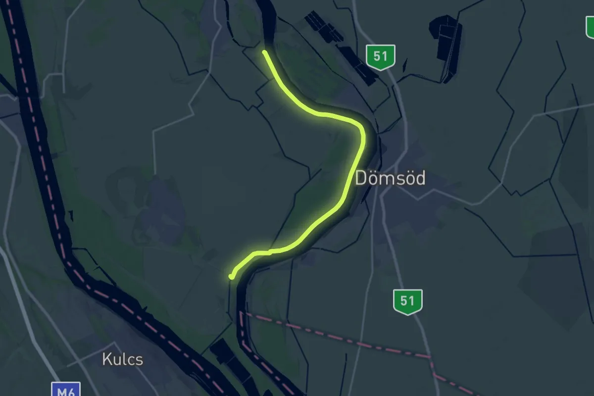
Medium · Trail
Z+ (Ráckeve)
18.0 km · ↑ 4 m · 4 h 15 min
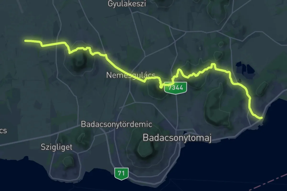
Medium · Trail
Z (Raposka – Ábrahámhegy)
17.6 km · ↑ 515 m · 5 h 31 min
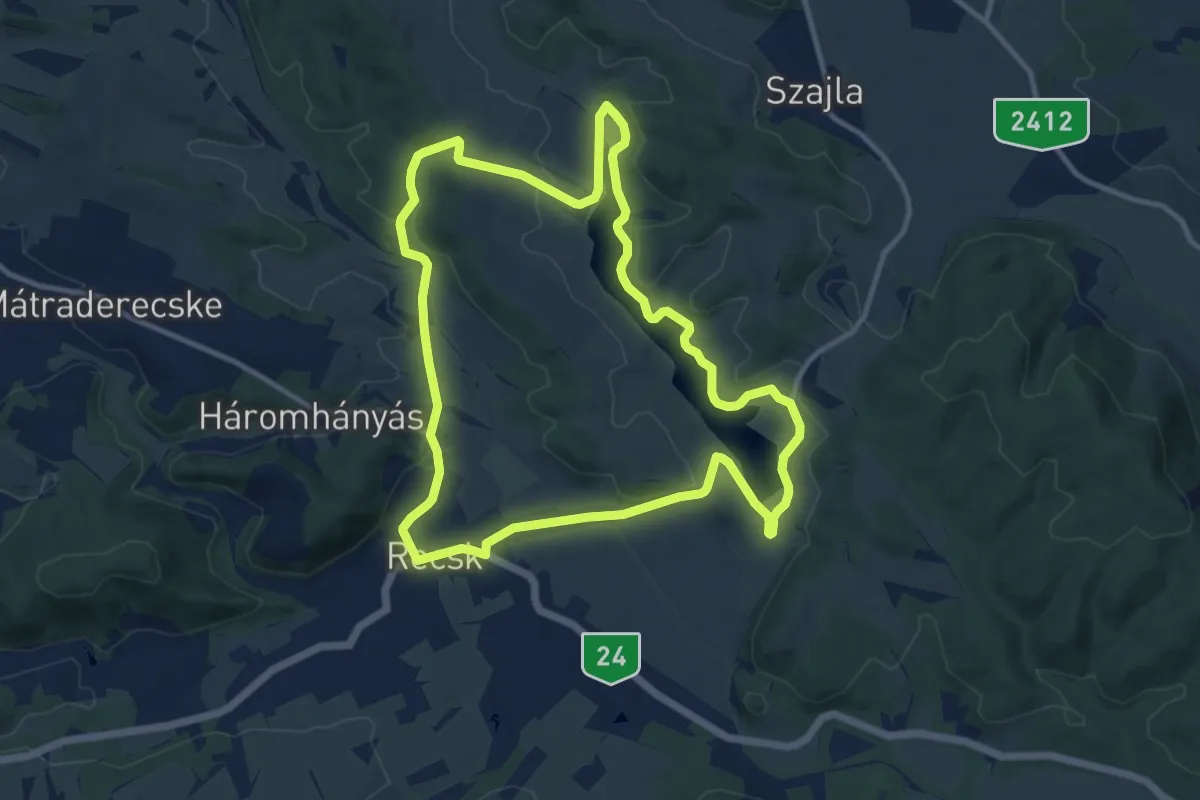
Medium · Trail
Z↺ (Recsk)
11.2 km · ↑ 142 m · 3 h 6 min
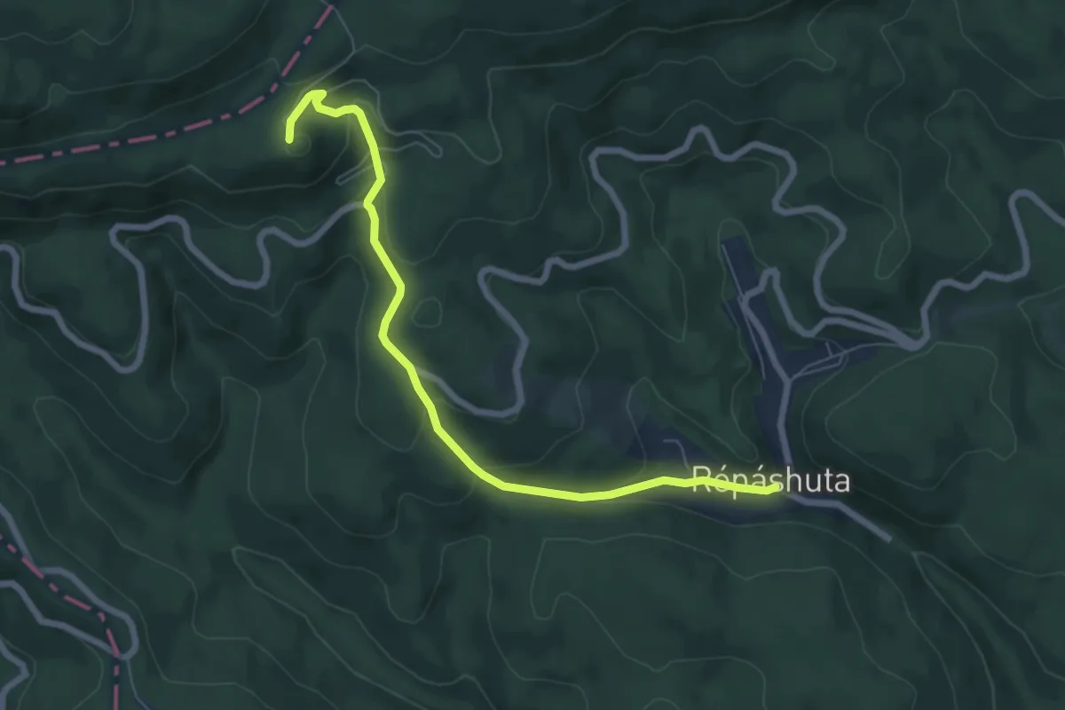
Easy · Summit
Z■ (Répáshuta – Nagy-mező)
6.8 km · ↑ 284 m · 2 h 13 min